Trails in Italy
25,219 hiking trails, each with its route, climb, walking time and grade.
All trails, page 254 of 526
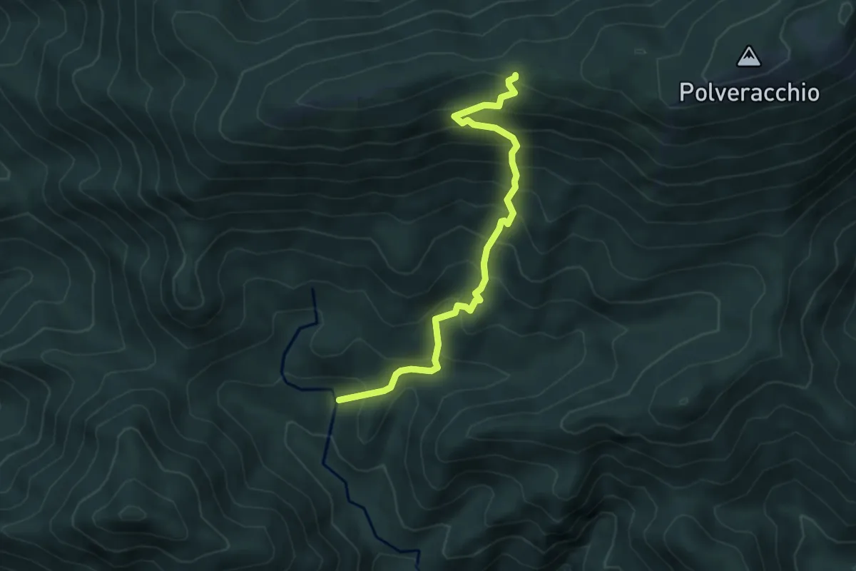
Medium · Trail
Oasi Polveracchio – Innesto 167 tra Raianetta e Polveracchio
5.1 km · ↑ 579 m · 2 h 28 min
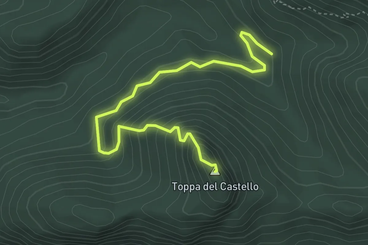
Medium · Summit
Innesto 109 – Tempa Castello
4.7 km · ↑ 355 m · 1 h 53 min
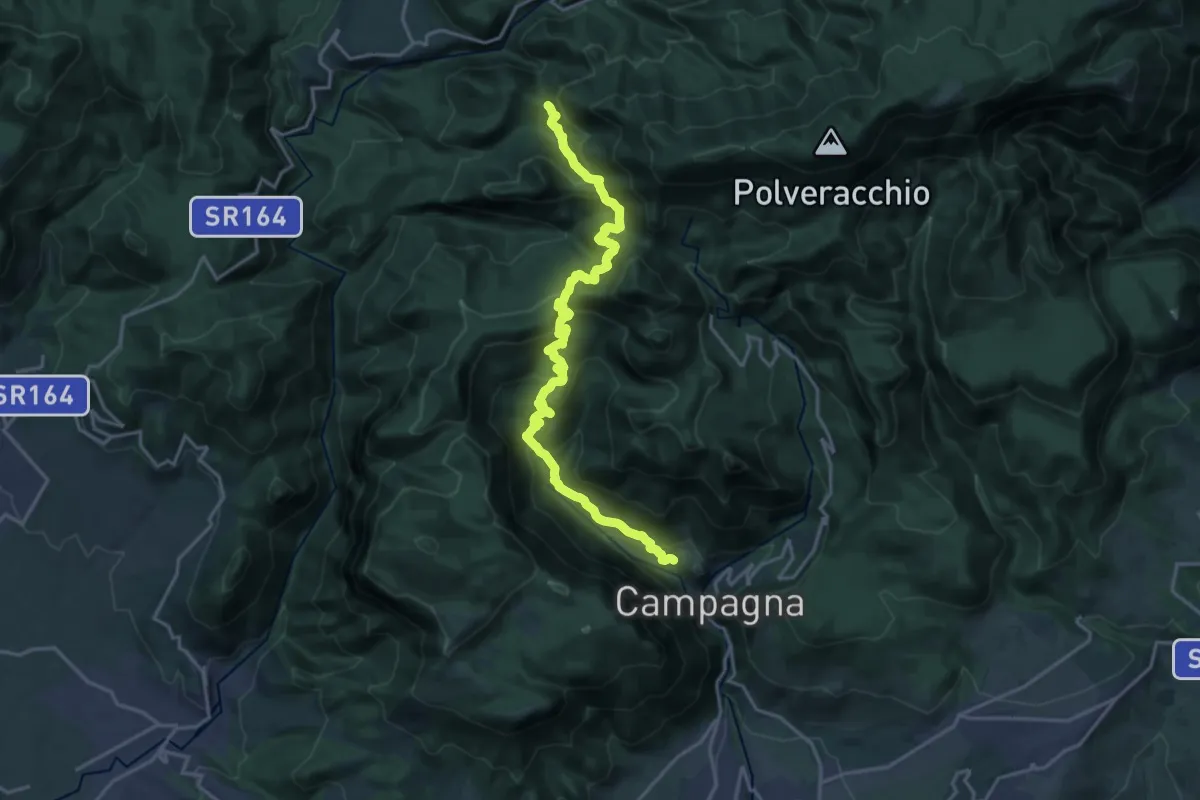
Demanding · Trail
Campagna – Innesto 167
11.1 km · ↑ 958 m · 4 h 33 min
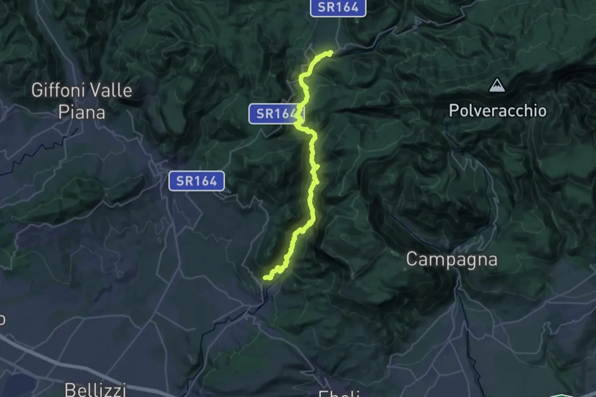
Medium · Trail
Acerno – Ariano (Olevano s.T.)
13.1 km · ↑ 634 m · 4 h 54 min
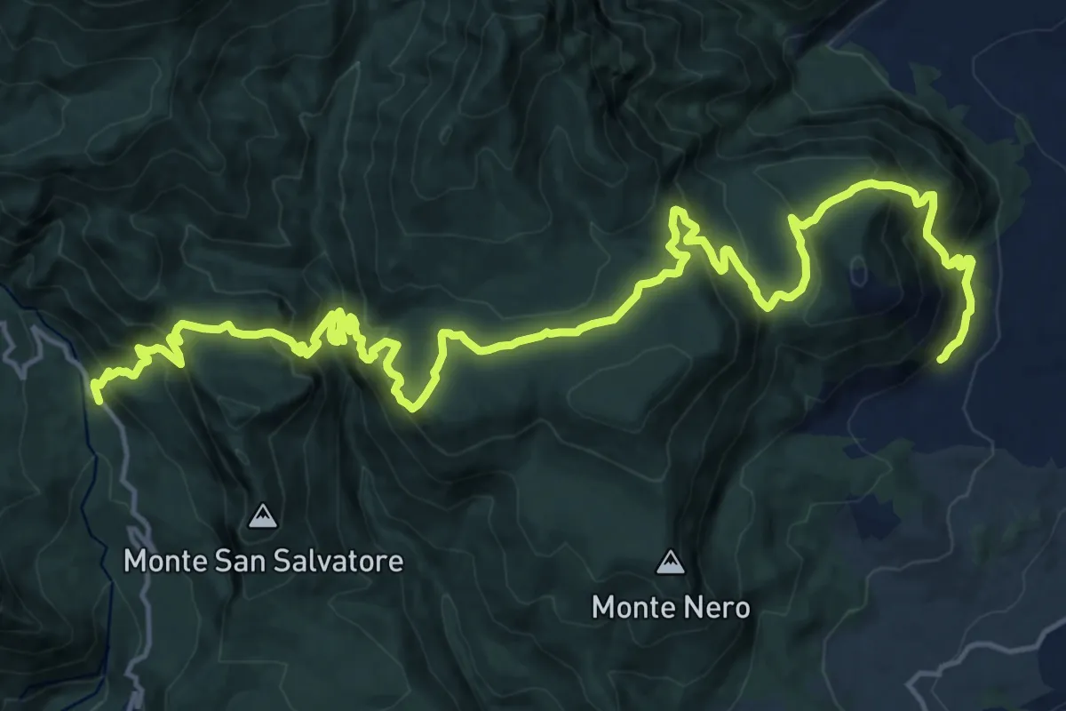
Medium · Trail
SP31 dell'Oasi WWF di Campagna – C.da S. Pietro (Oliveto Citra)
12.9 km · ↑ 756 m · 4 h 57 min
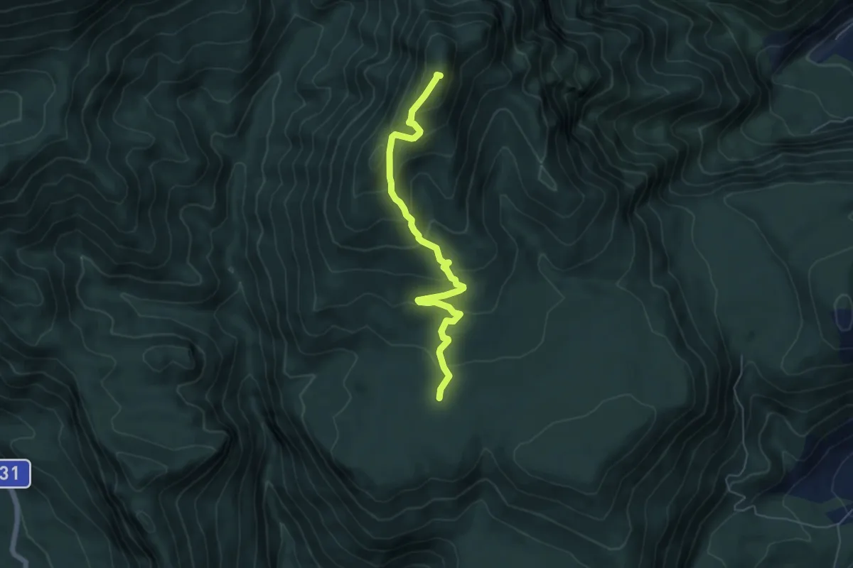
Medium · Summit
Piano di Montenero (innesto 154) – Monte La Picciola
6.1 km · ↑ 389 m · 2 h 17 min
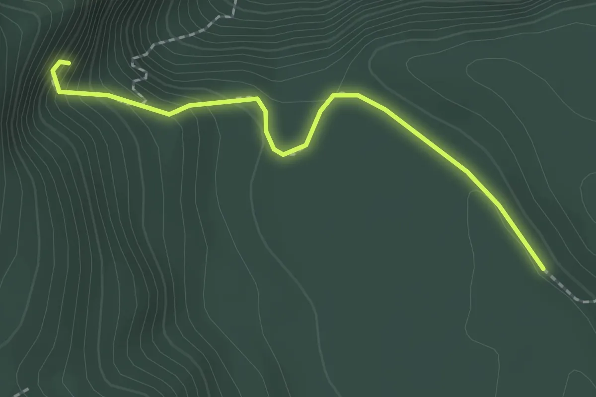
Easy · Trail
Piano Canale (innesto 154) – Grotta Prufunnata
2.2 km · ↑ 180 m · 55 min
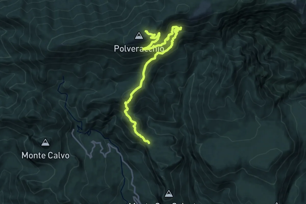
Demanding · Trail
Varco Sellara (innesto 154) – Innesto 108 nei pressi del M. Polveracchio
14.3 km · ↑ 1345 m · 6 h 18 min
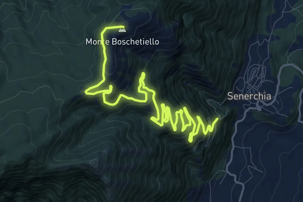
Demanding · Summit
Senerchia – Monte Boschetiello
17.5 km · ↑ 1206 m · 6 h 45 min
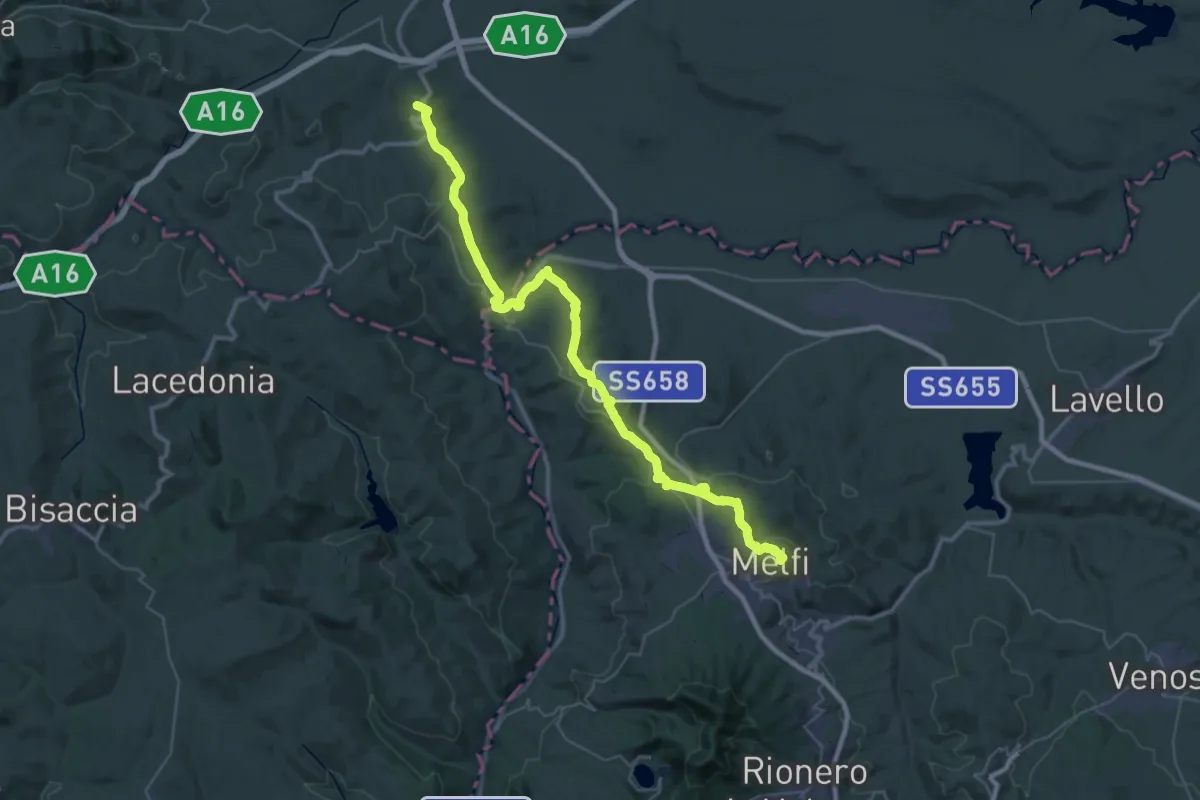
Demanding · Trail
Melfi – Candela
26.6 km · ↑ 754 m · 8 h 20 min
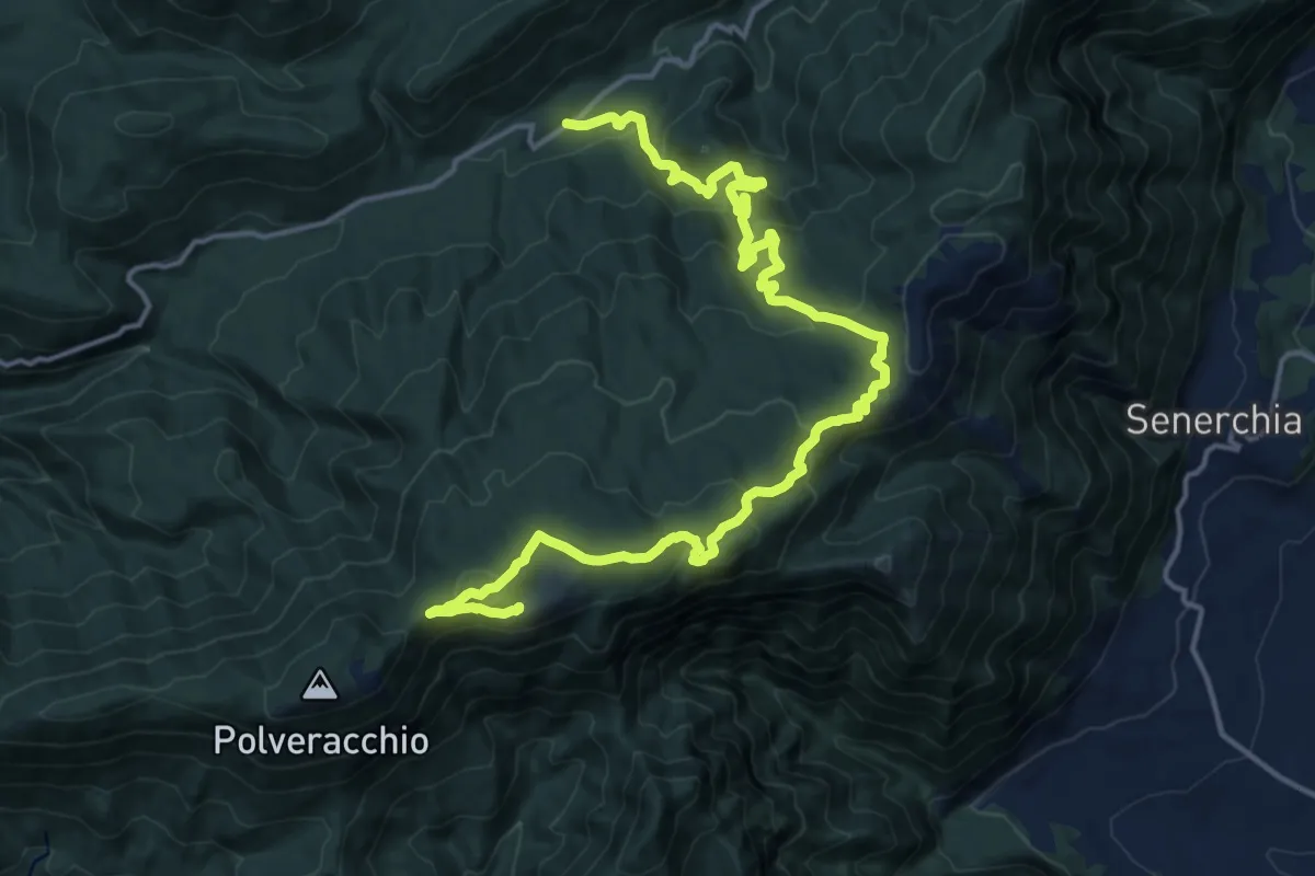
Demanding · Trail
Caserma del Gaudo – Monte Polveracchio
21.7 km · ↑ 993 m · 7 h 16 min
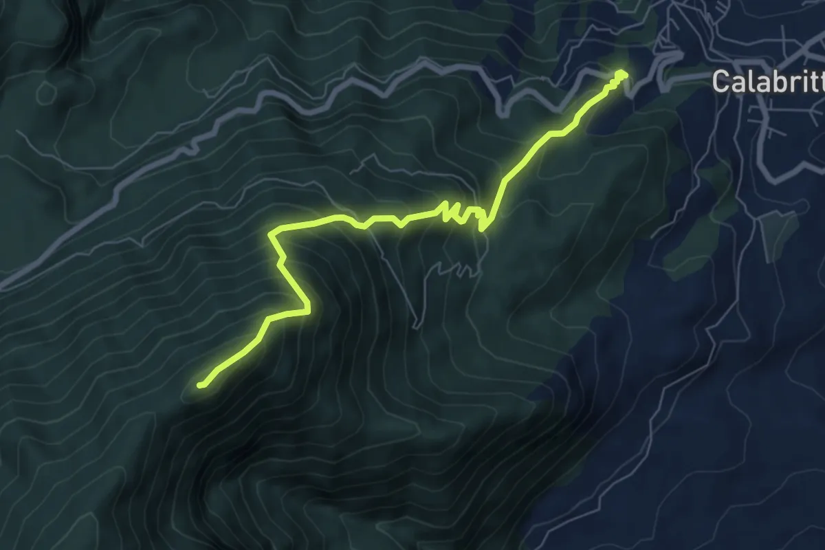
Demanding · Summit
Madonna della Neve – Monte Altilio
7.6 km · ↑ 863 m · 3 h 40 min
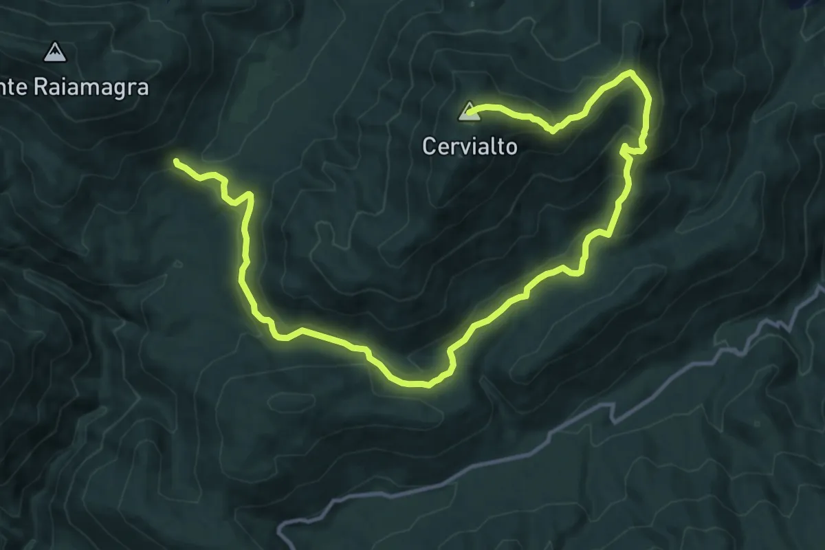
Demanding · Summit
Piano Migliato – Monte Cervarulo e Cervialto
19.0 km · ↑ 837 m · 6 h 18 min
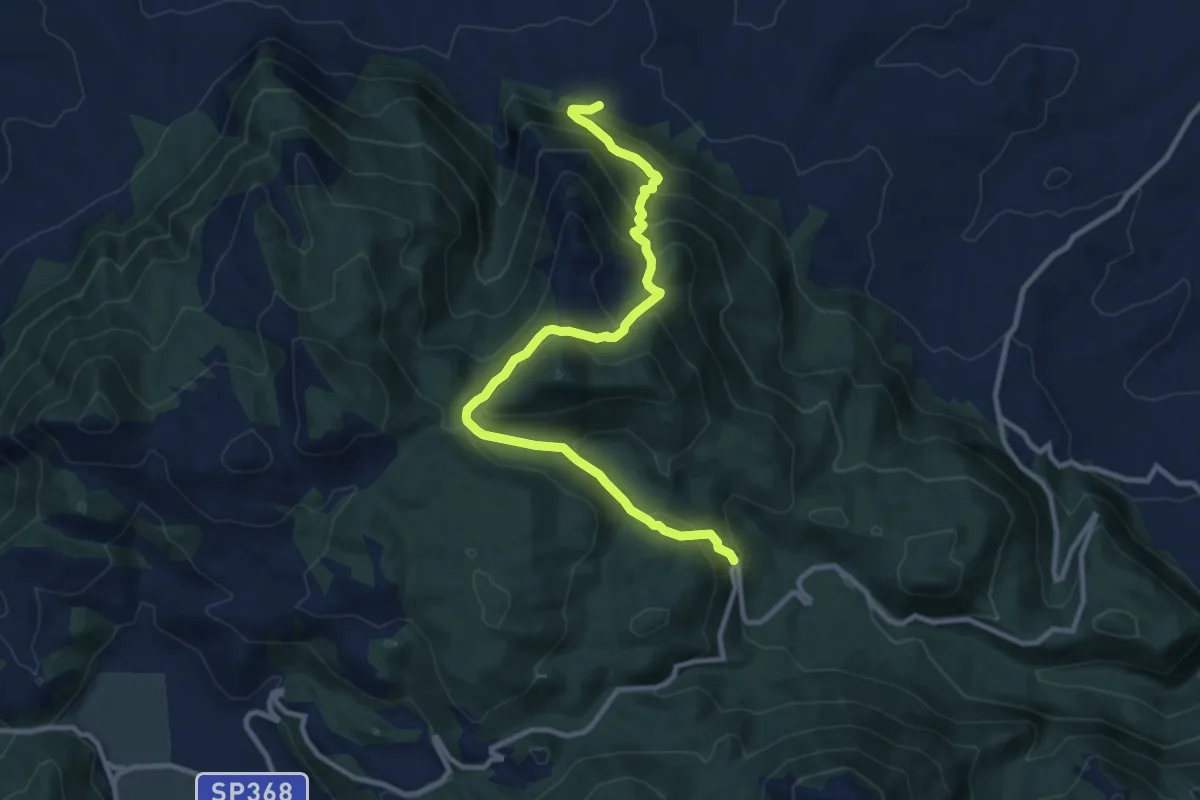
Demanding · Trail
Fontana di Marcantonio – Cesinola
12.4 km · ↑ 977 m · 5 h 2 min
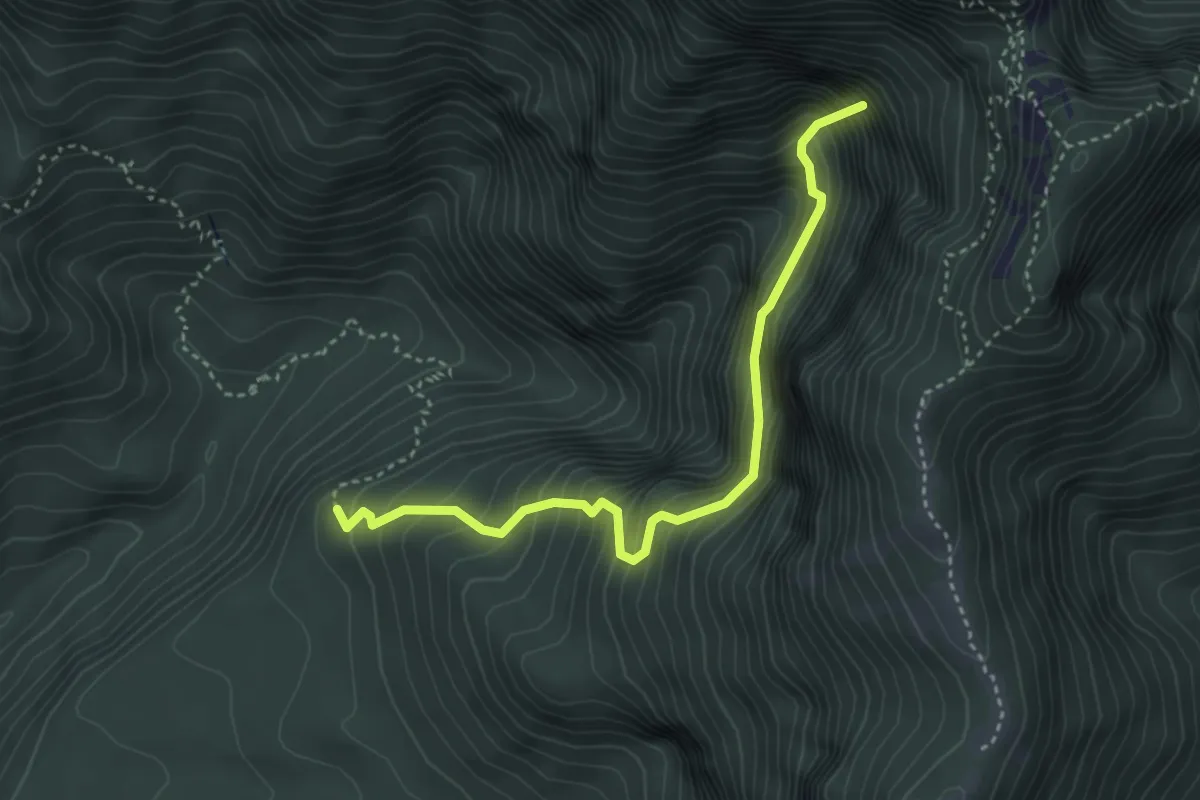
Medium · Trail
Piani di Giffoni (innesto SI) – Butto della neve
4.2 km · ↑ 659 m · 2 h 25 min
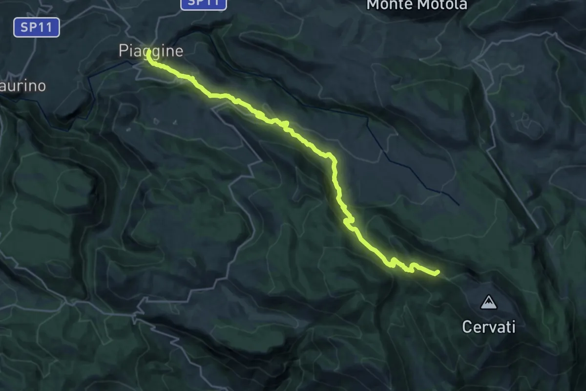
Demanding · Summit
Rifugio Cervati – Piaggine
25.3 km · ↑ 1320 m · 8 h 51 min
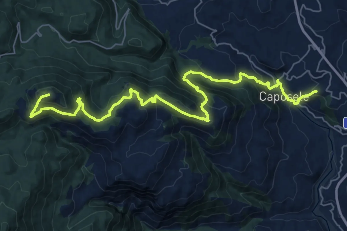
Demanding · Summit
Caposele – Monte Calvello
25.2 km · ↑ 1781 m · 9 h 49 min
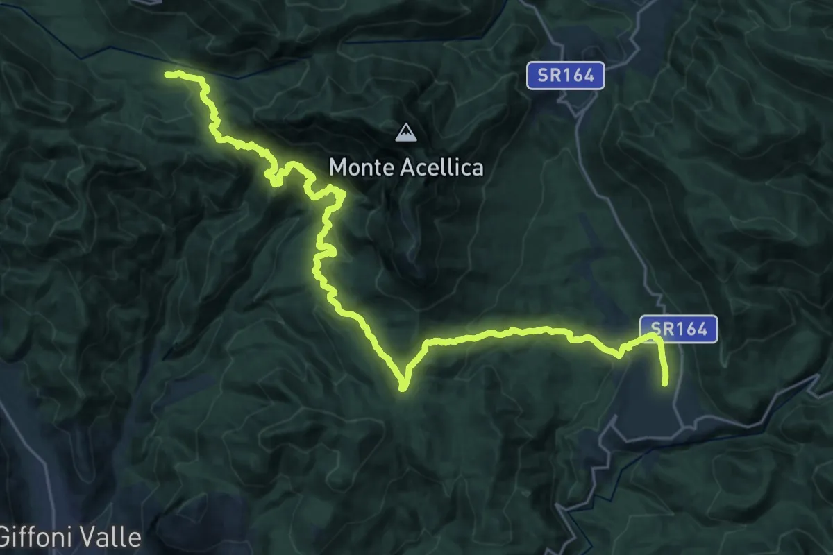
Demanding · Trail
Acerno – Casa Rocchi (Serino)
16.2 km · ↑ 829 m · 5 h 48 min
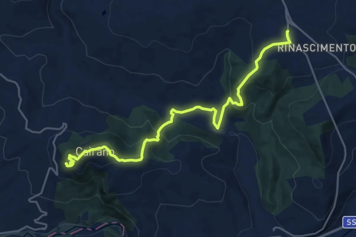
Demanding · Trail
Calitri – Cairano
14.0 km · ↑ 825 m · 5 h 6 min
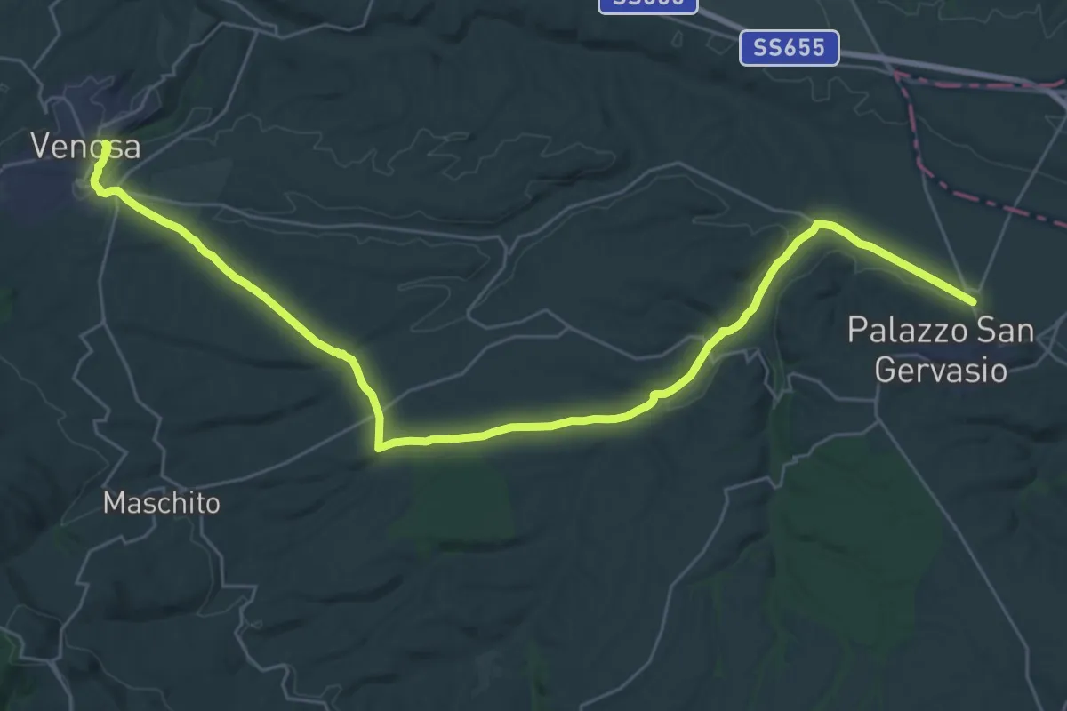
Demanding · Trail
Palazzo San Gervasio – Venosa
19.2 km · ↑ 240 m · 5 h 18 min
Demanding · Trail
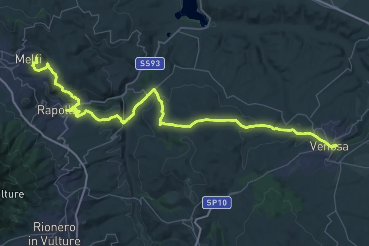
Venosa – Melfi
20.9 km · ↑ 742 m · 6 h 47 min
Demanding · Cabin
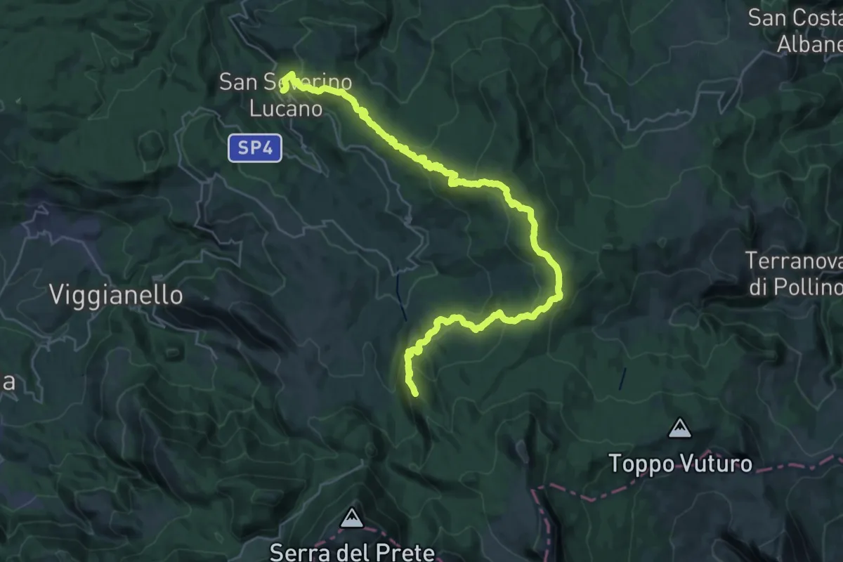
Madonna del Pollino – San Severino Lucano
19.9 km · ↑ 1144 m · 7 h 9 min
Demanding · Trail
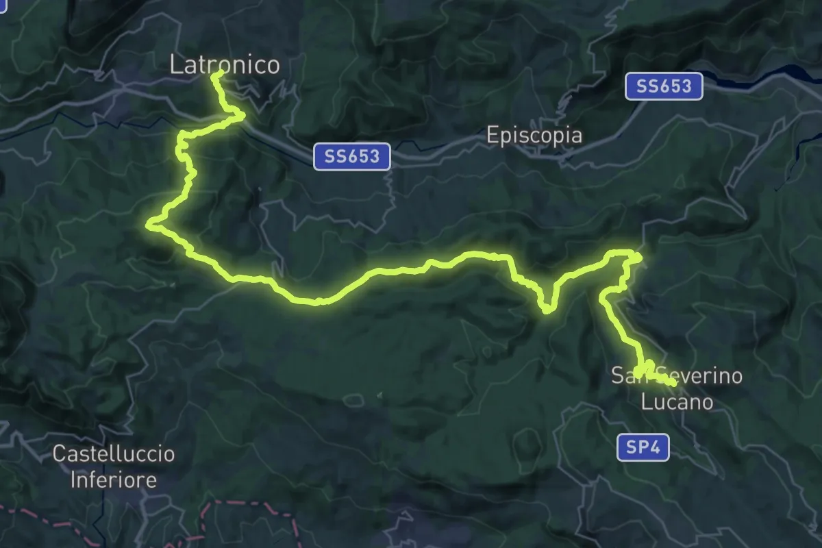
San Severino Lucano – Latronico
27.8 km · ↑ 1023 m · 9 h 11 min
Medium · Trail
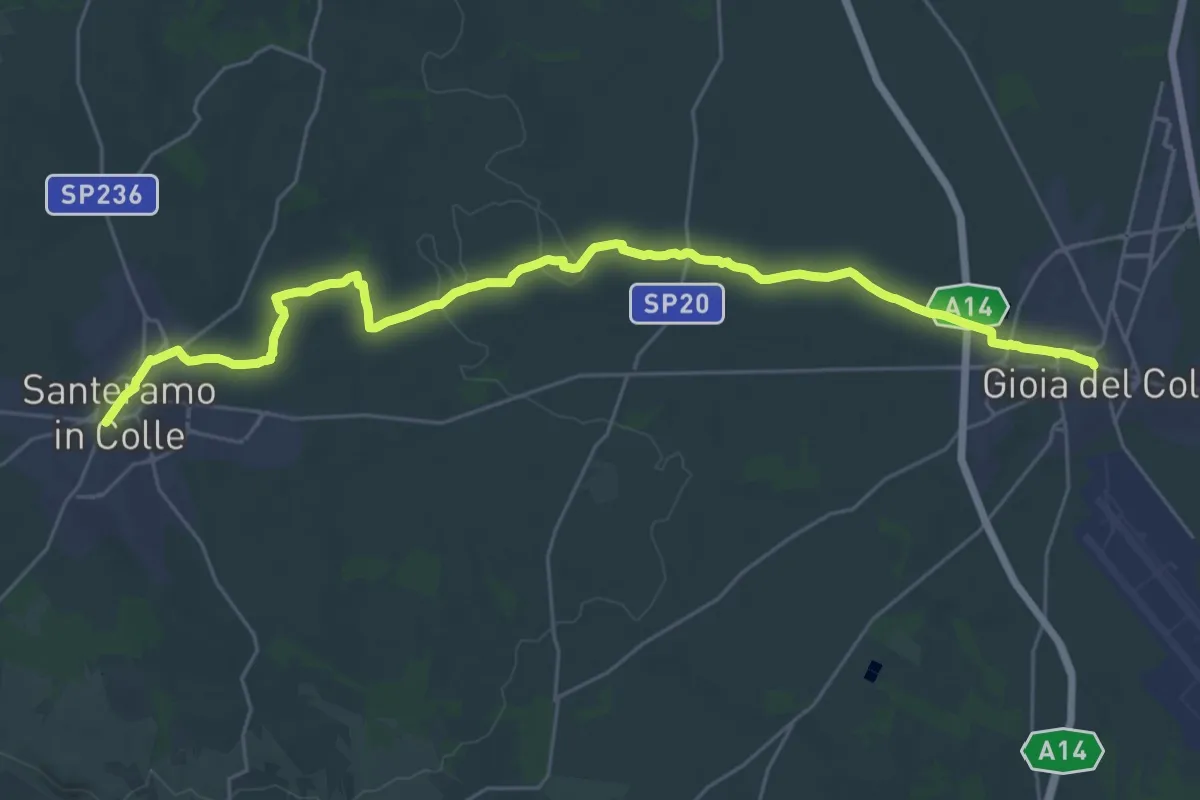
Gioia del Colle – Santeramo in Colle
17.6 km · ↑ 173 m · 4 h 42 min
Demanding · Trail
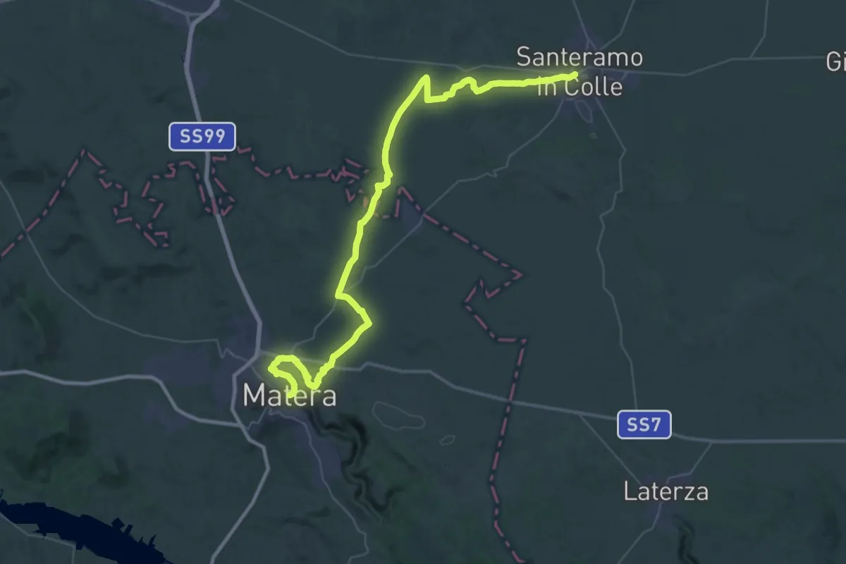
Santeramo in Colle – Matera
30.1 km · ↑ 240 m · 8 h 6 min
Demanding · Summit
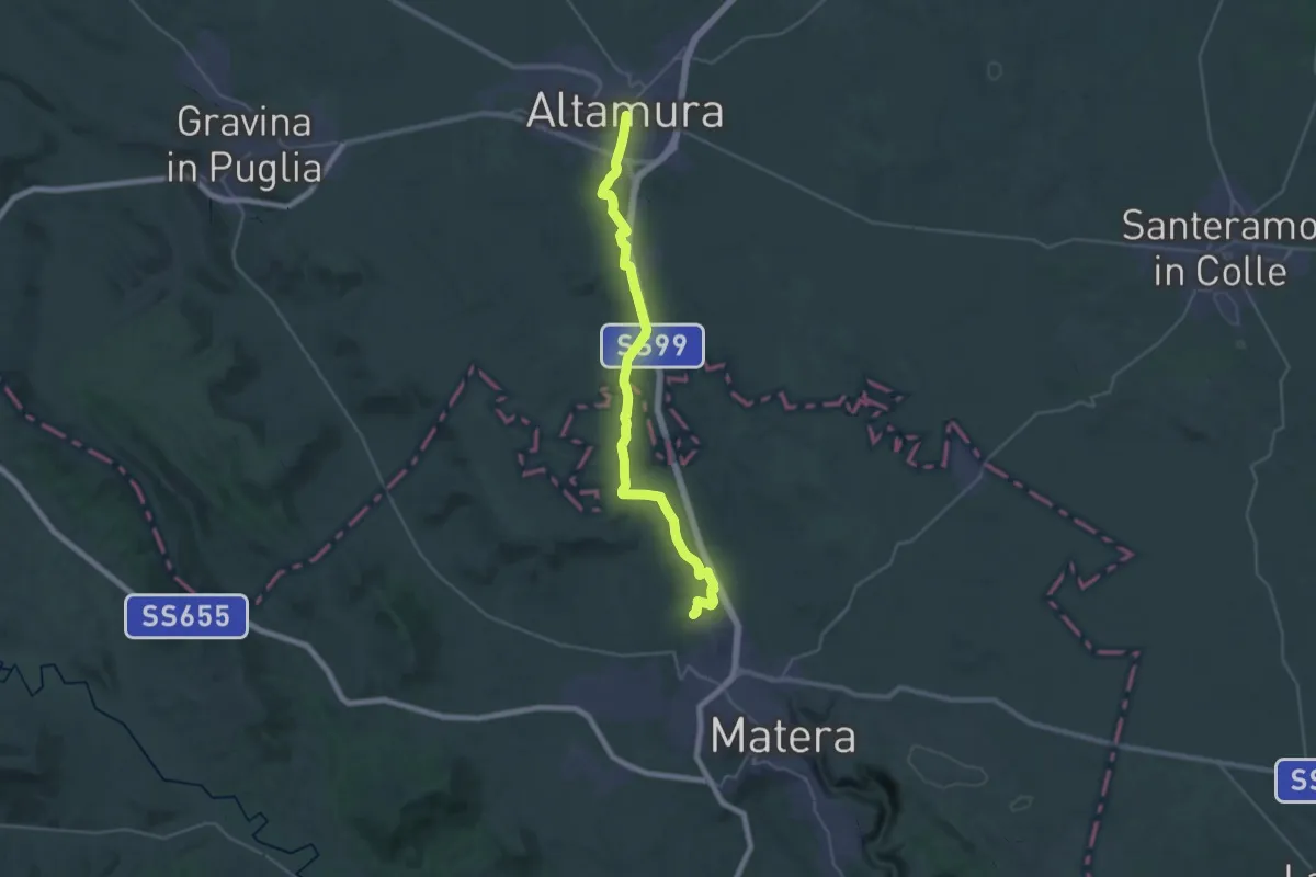
Matera – Altamura
35.9 km · ↑ 343 m · 9 h 14 min
Demanding · Trail
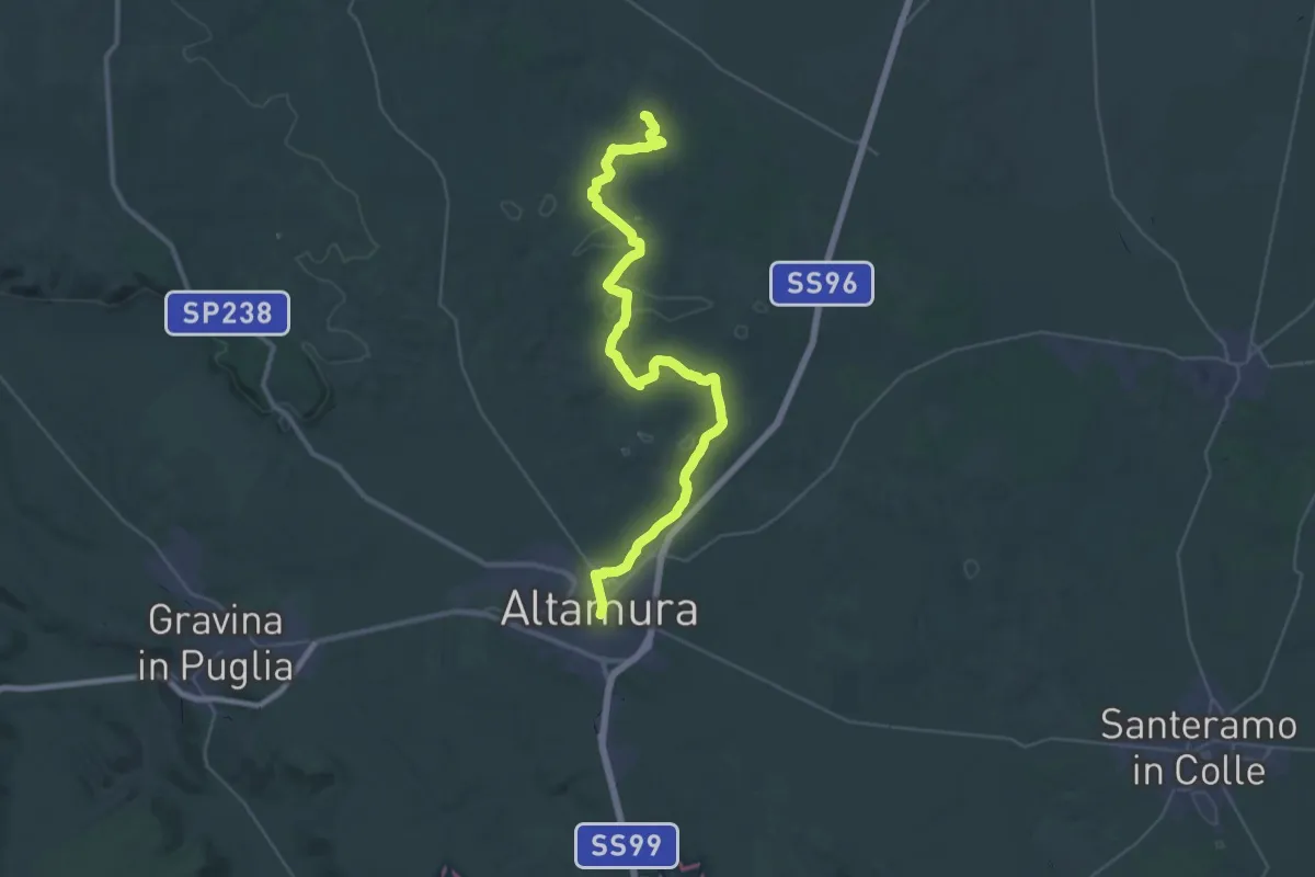
Altamura – Quasano
23.4 km · ↑ 175 m · 6 h 15 min
Medium · Trail
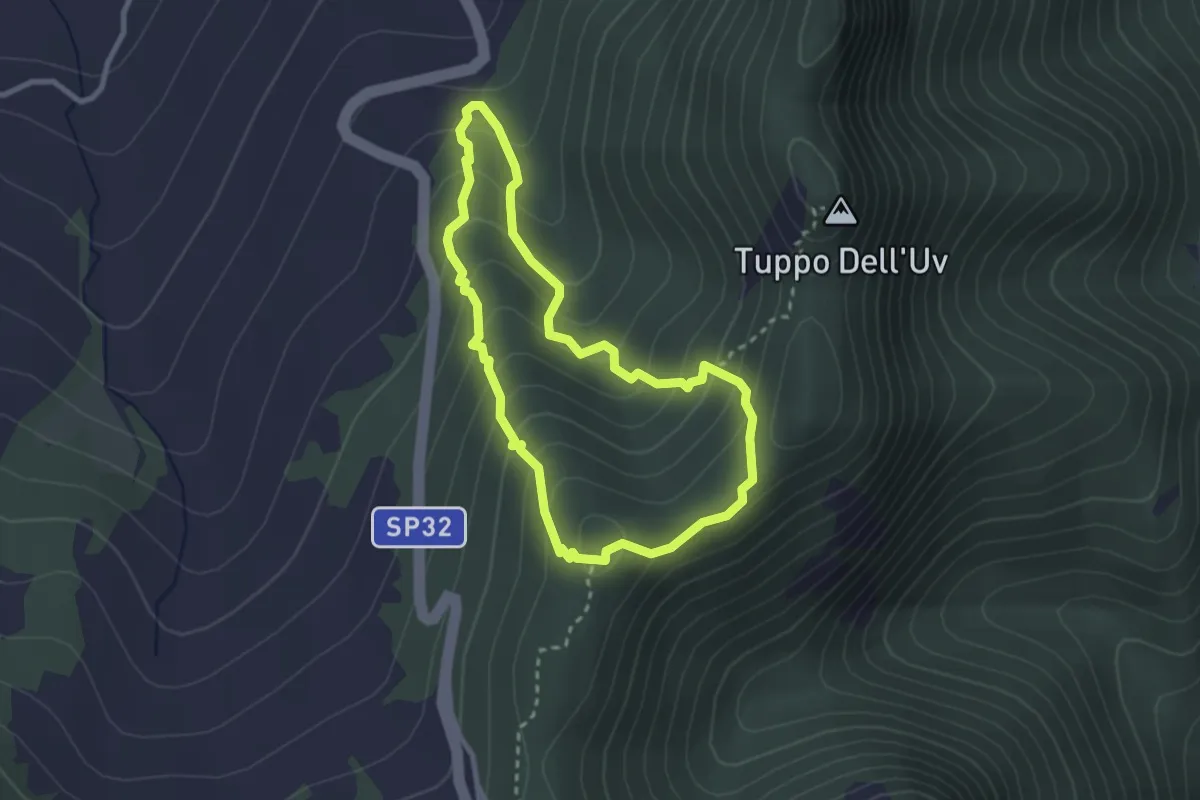
Fontana dell'Arioso – Castelmezzano
2.8 km · ↑ 251 m · 1 h 15 min
Medium · Trail
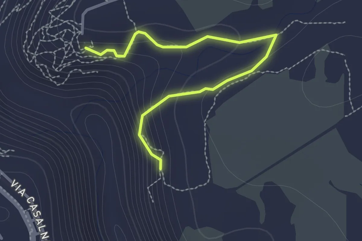
Belvedere di Murgia Timone – Madonna della Croce
3.1 km · ↑ 97 m · 57 min
Easy · Trail
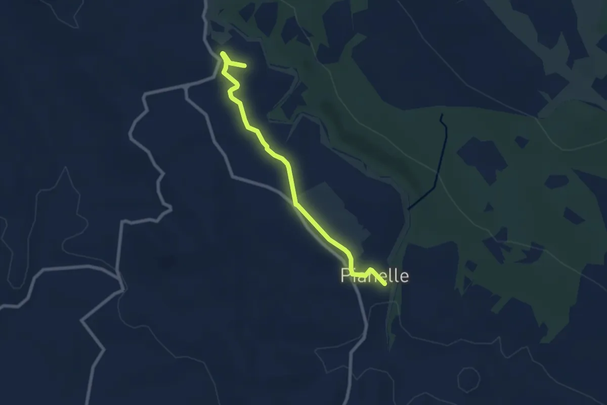
Parco dei Monaci – Centro Visite Pianelle
7.4 km · ↑ 79 m · 1 h 55 min
Demanding · Trail
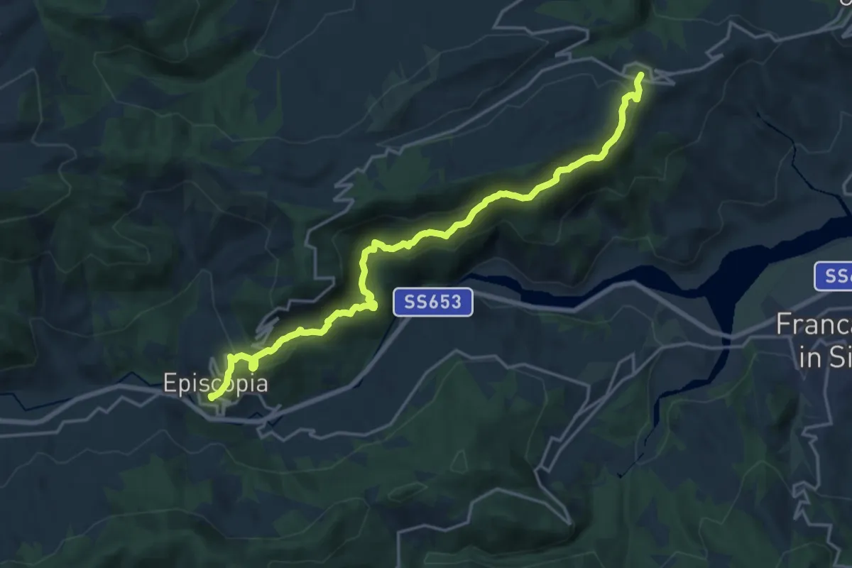
Episcopia – Fardella
20.1 km · ↑ 1016 m · 6 h 57 min
Medium · Trail
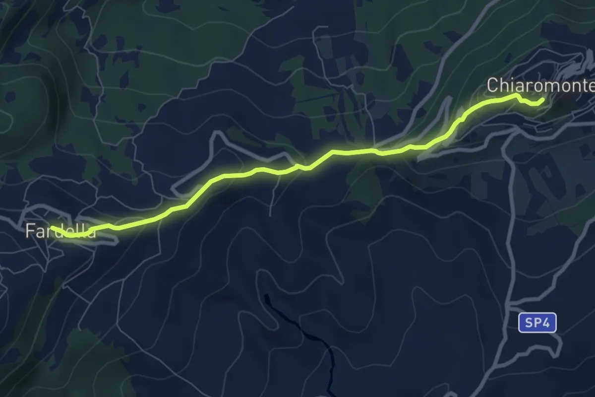
Fardella – Chiaromonte
8.5 km · ↑ 331 m · 2 h 43 min
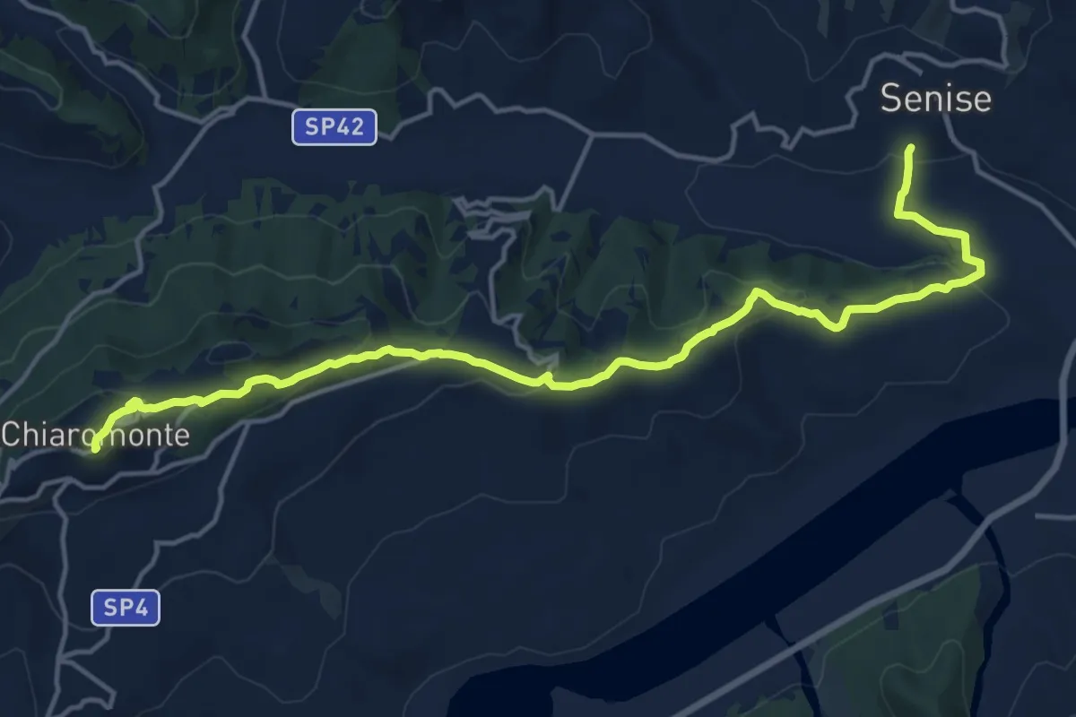
Demanding · Trail
Chiaromonte – Senise
18.9 km · ↑ 599 m · 5 h 45 min
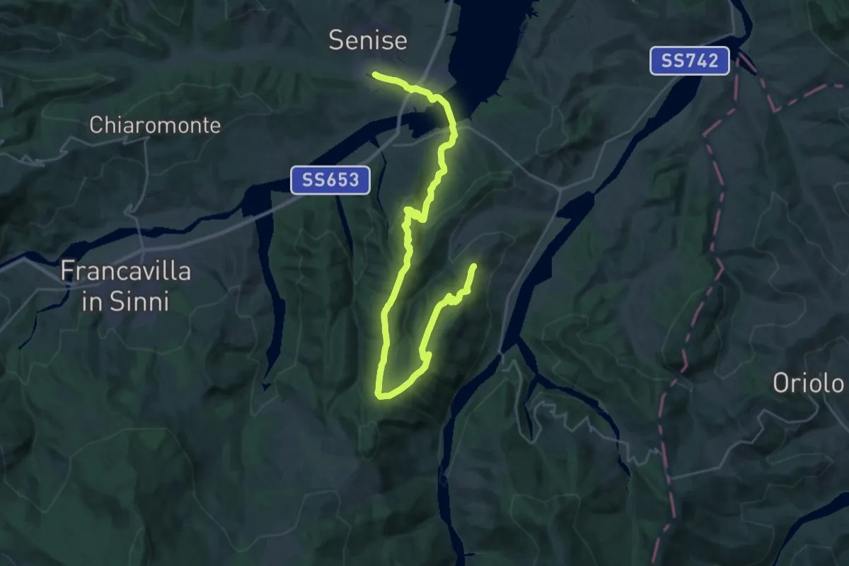
Demanding · Trail
Senise – Noepoli
20.0 km · ↑ 741 m · 6 h 26 min
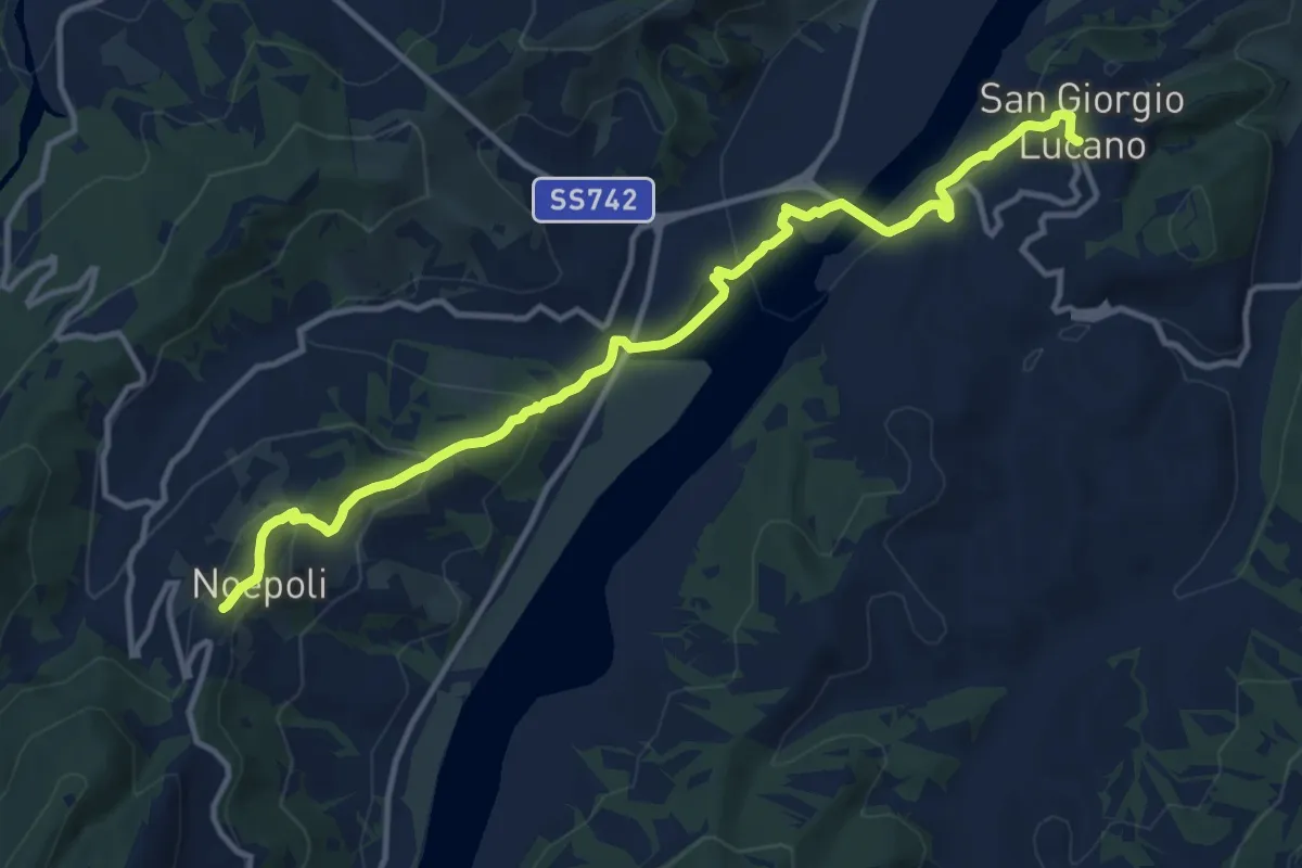
Medium · Trail
Noepoli – San Giorgio Lucano
15.0 km · ↑ 511 m · 4 h 38 min
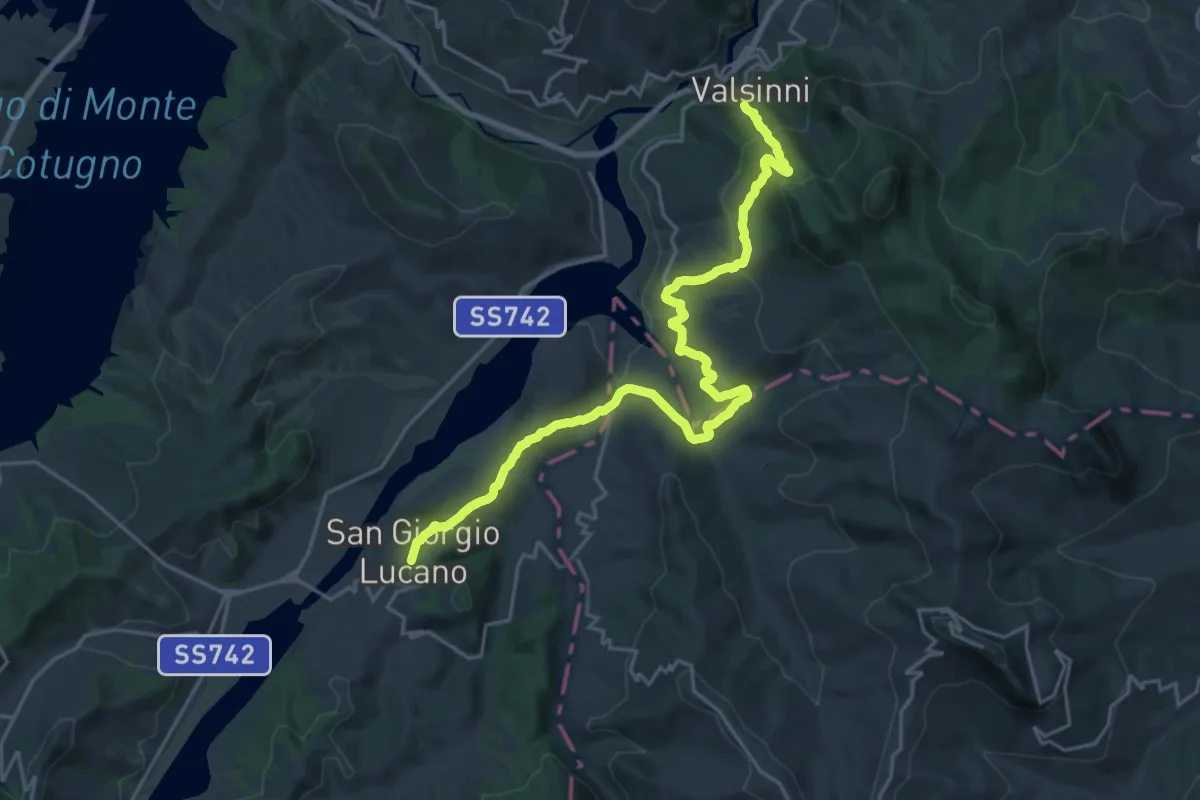
Medium · Trail
San Giorgio Lucano – Valsinni
13.8 km · ↑ 531 m · 4 h 40 min
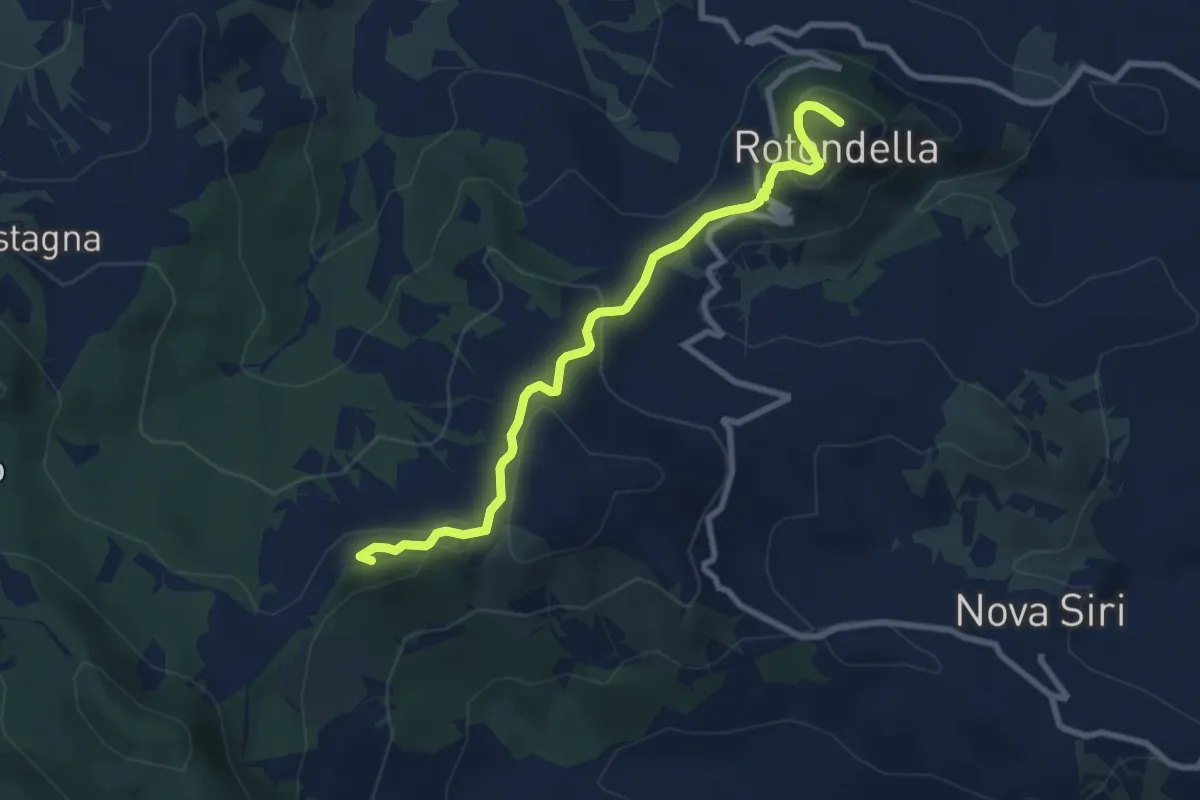
Medium · Summit
Valsinni – Rotendella
9.4 km · ↑ 375 m · 3 h 1 min
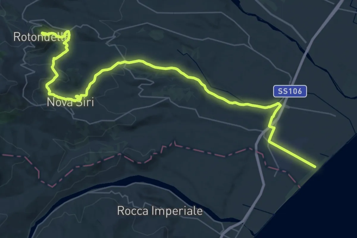
Demanding · Trail
Rotondella – Nova Siri
19.7 km · ↑ 243 m · 5 h 44 min
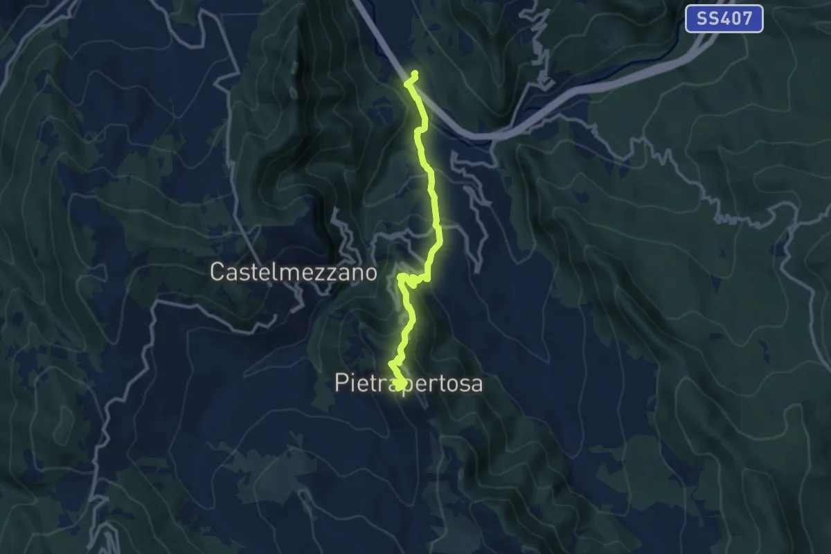
Medium · Trail
Ponte della Vecchia – Pietrapertosa (inizio Sentiero delle 7 Pietre)
10.8 km · ↑ 727 m · 4 h 8 min
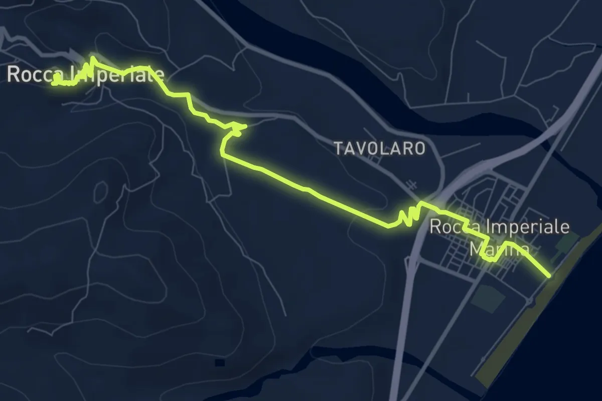
Medium · Trail
Rocca Imperiale Marina – Rocca Imperiale Castello
11.4 km · ↑ 241 m · 3 h 13 min
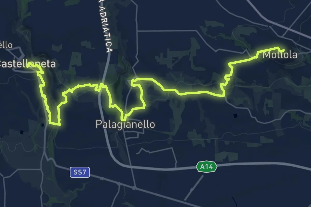
Medium · Trail
Mottola – Castellaneta
18.0 km · ↑ 407 m · 5 h 28 min
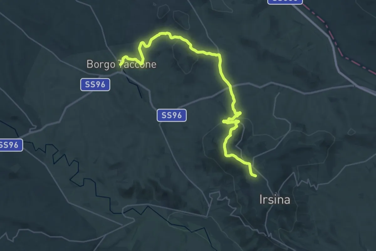
Medium · Trail
Irsina – Borgo Taccone
14.9 km · ↑ 123 m · 4 h 9 min
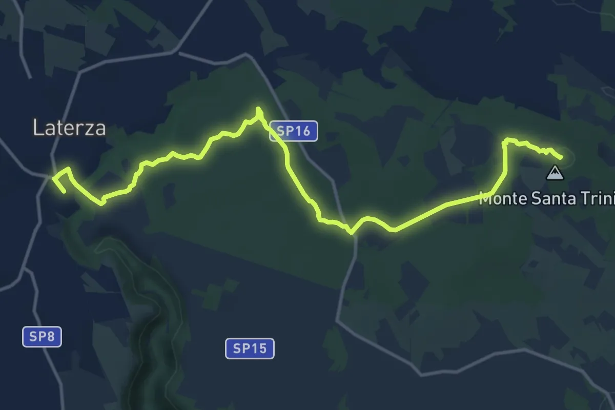
Medium · Summit
Castellaneta – Laterza
15.2 km · ↑ 193 m · 4 h
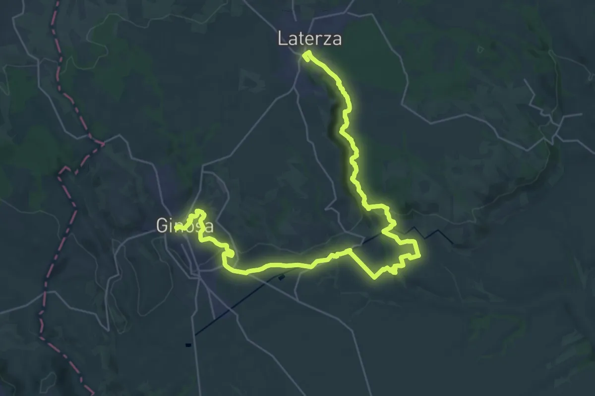
Demanding · Trail
Laterza – Ginosa
20.9 km · ↑ 500 m · 6 h 21 min
Demanding · Trail
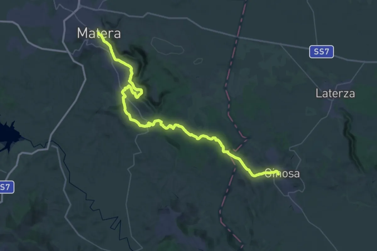
Ginosa – Matera
24.3 km · ↑ 595 m · 7 h 18 min
Demanding · Summit
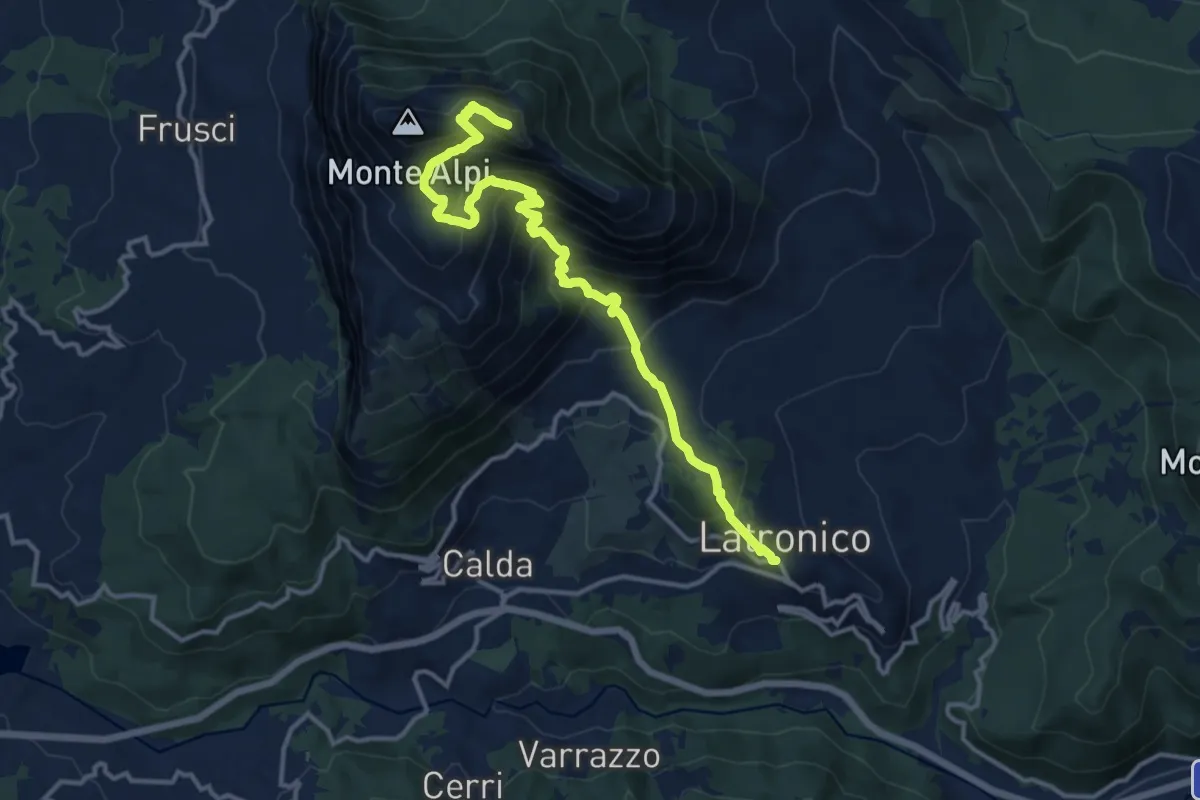
Latronico – Castelsaraceno
16.0 km · ↑ 1147 m · 6 h 15 min
Demanding · Trail
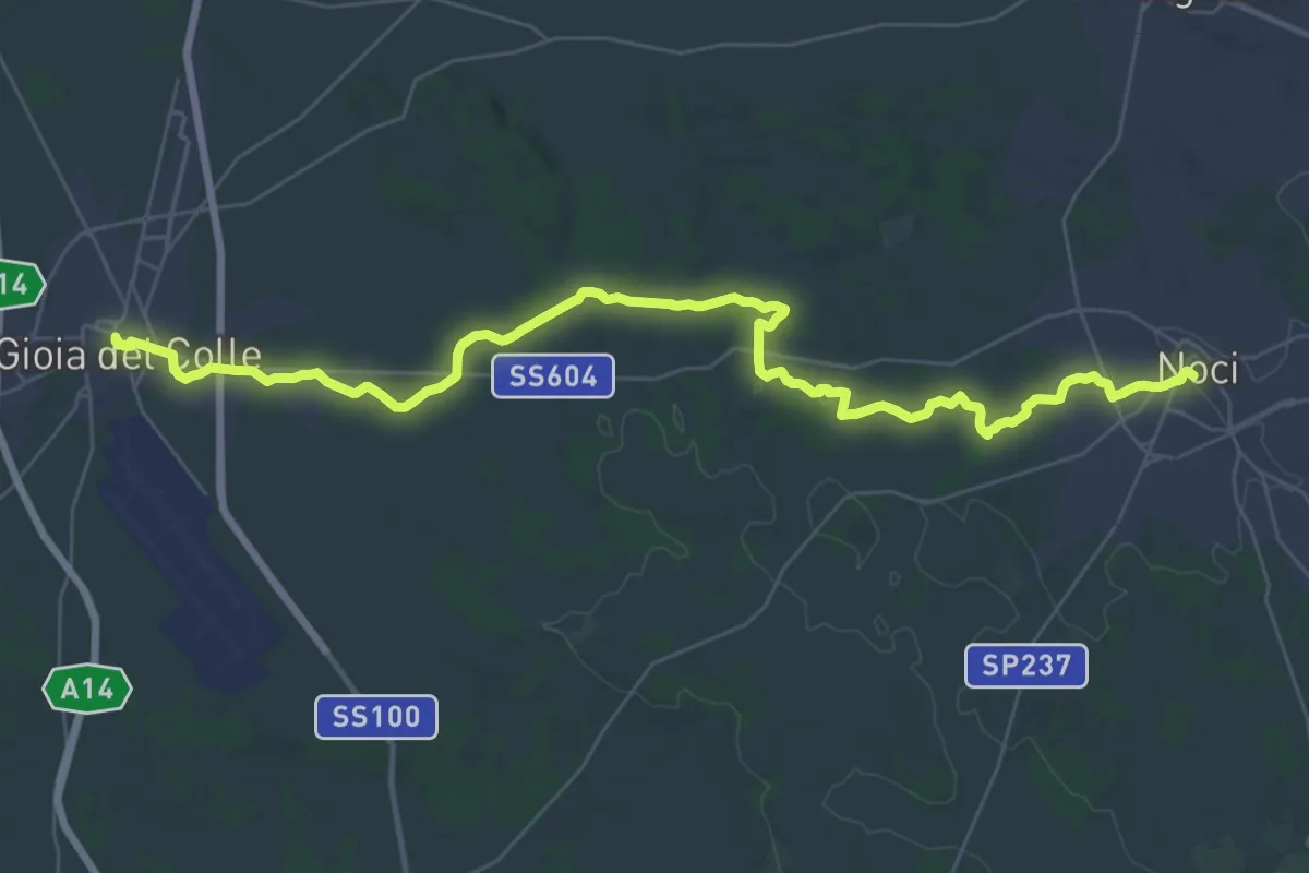
Noci – Gioia del Colle
22.8 km · ↑ 154 m · 6 h 4 min
Demanding · Trail
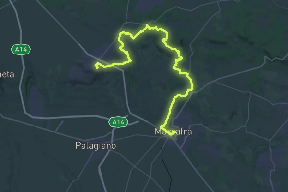
Massafra – Mottola
25.9 km · ↑ 579 m · 7 h 35 min