Trails in Italy
25,219 hiking trails, each with its route, climb, walking time and grade.
All trails, page 255 of 526
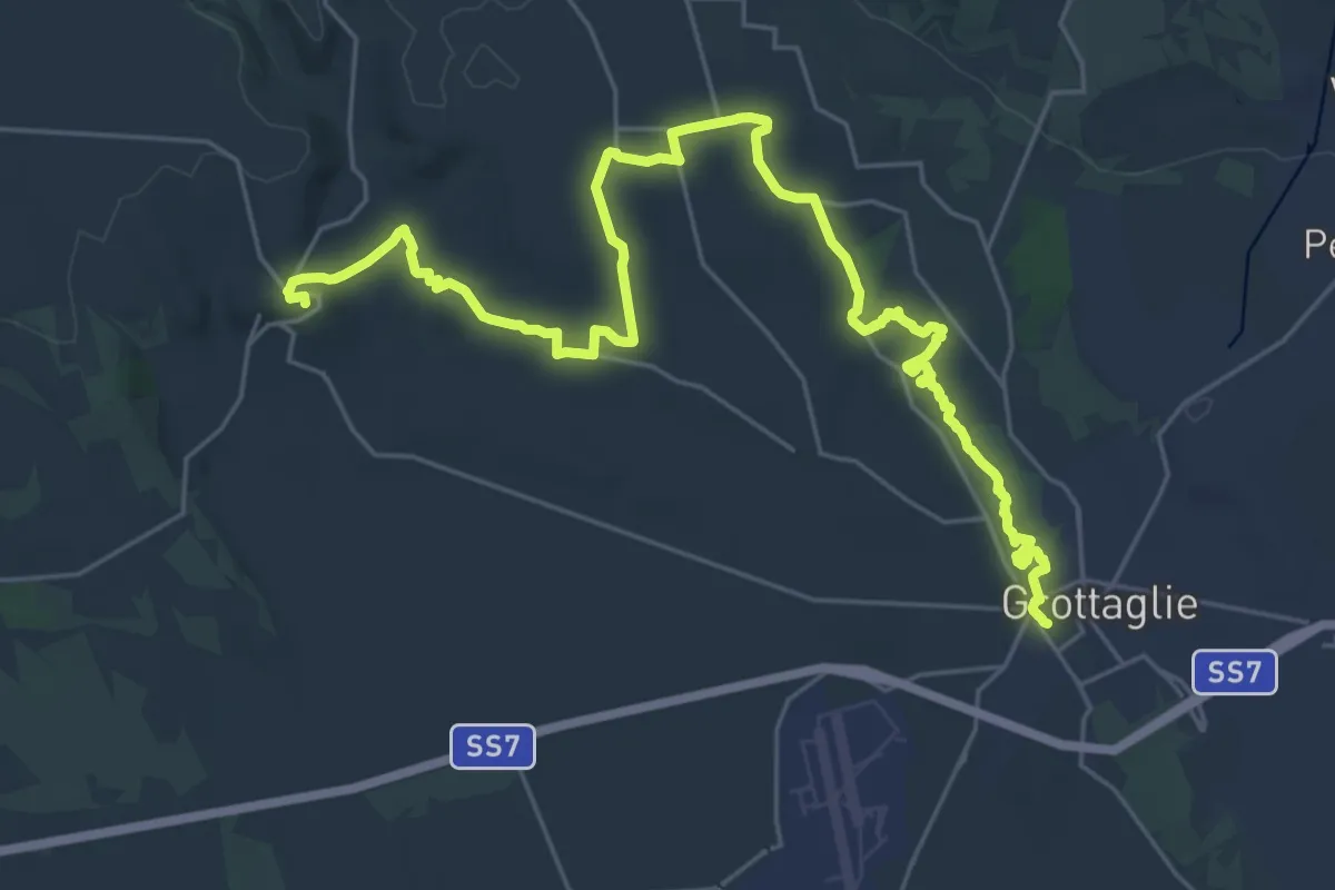
Medium · Trail
Grottaglie – Montemesola
17.8 km · ↑ 247 m · 4 h 57 min
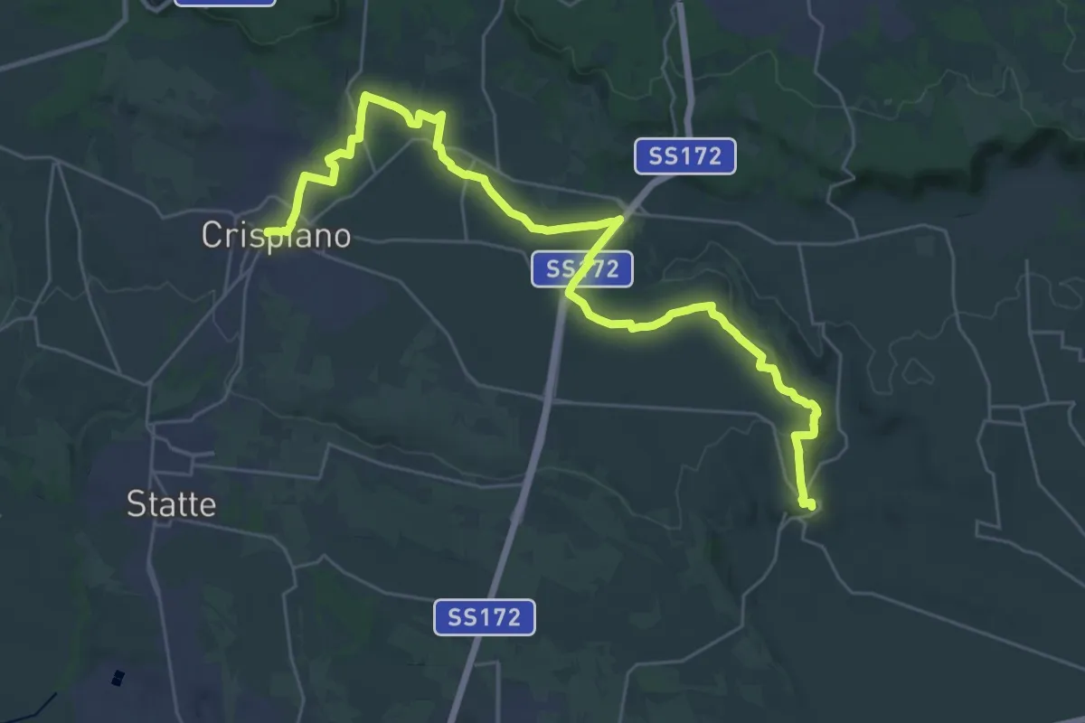
Demanding · Trail
Montemesola – Crispiano
19.6 km · ↑ 195 m · 5 h 18 min
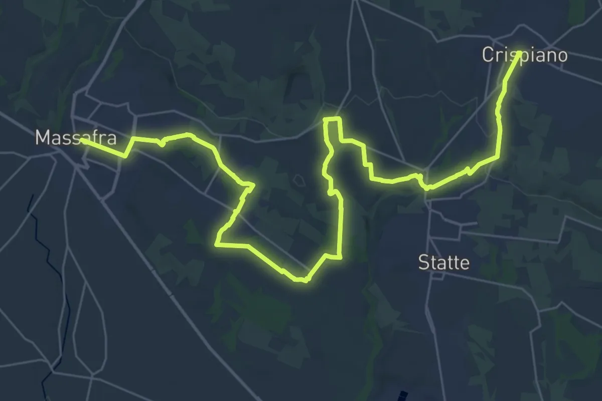
Demanding · Trail
Crispiano – Massafra
21.7 km · ↑ 139 m · 5 h 48 min
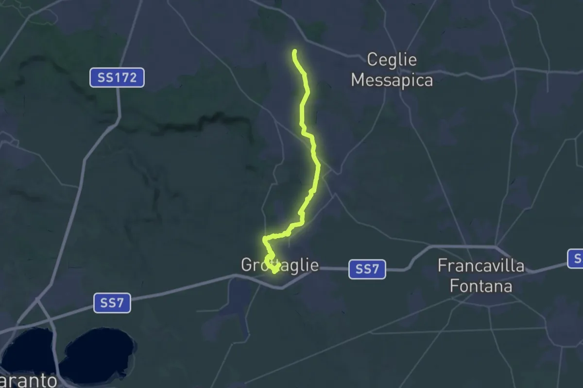
Demanding · Trail
Grottaglie – Contrada Ulmo (Ceglie Messapica)
19.2 km · ↑ 288 m · 5 h 20 min
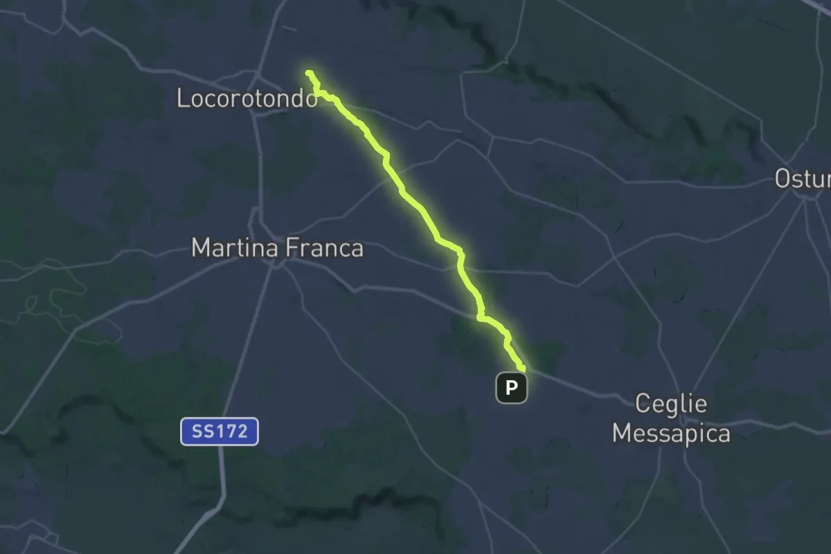
Medium · Trail
Contrada Ulmo (Ceglie Messapica) – Contrada Trito
16.3 km · ↑ 127 m · 4 h 19 min
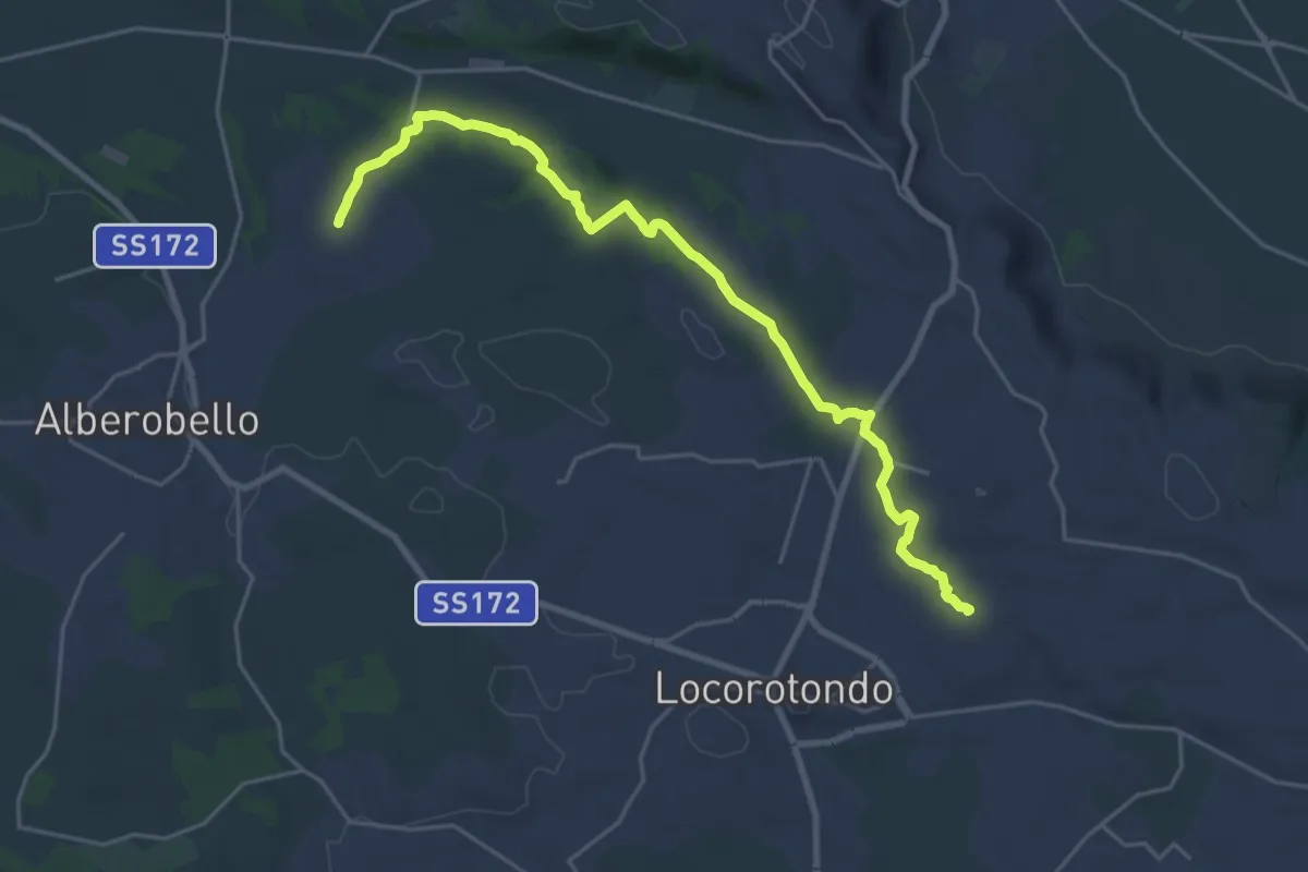
Demanding · Trail
Contrada Trito – Coreggia (Alberobello)
25.6 km · ↑ 360 m · 6 h 49 min
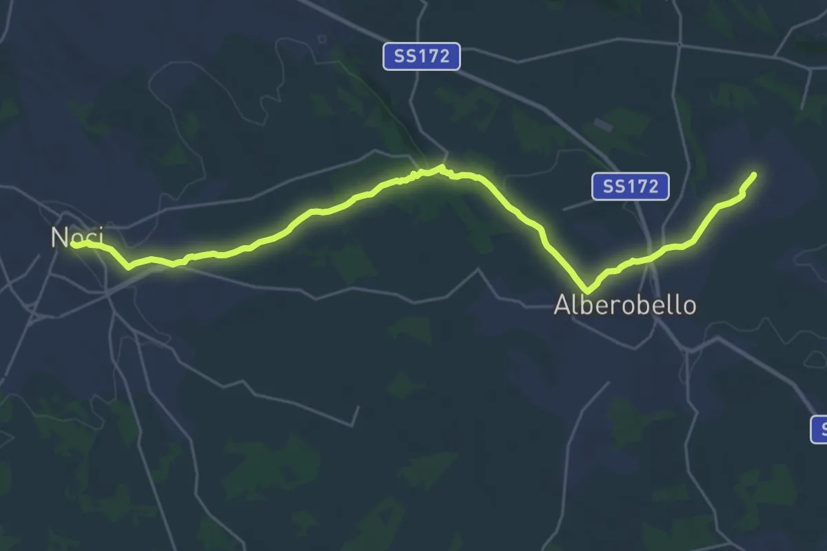
Demanding · Trail
Coreggia (Alberobello) – Noci
29.4 km · ↑ 342 m · 7 h 41 min
Demanding · Trail
Coa 'e Istrada – Iscala de sa Chera
2.9 km · ↑ 249 m · 1 h 13 min
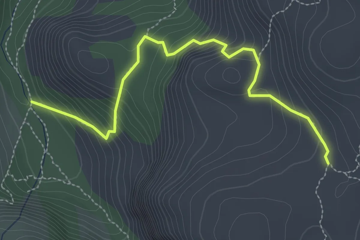
Medium · Trail
Sas Seddas – Dolovèrre
3.3 km · ↑ 312 m · 1 h 28 min
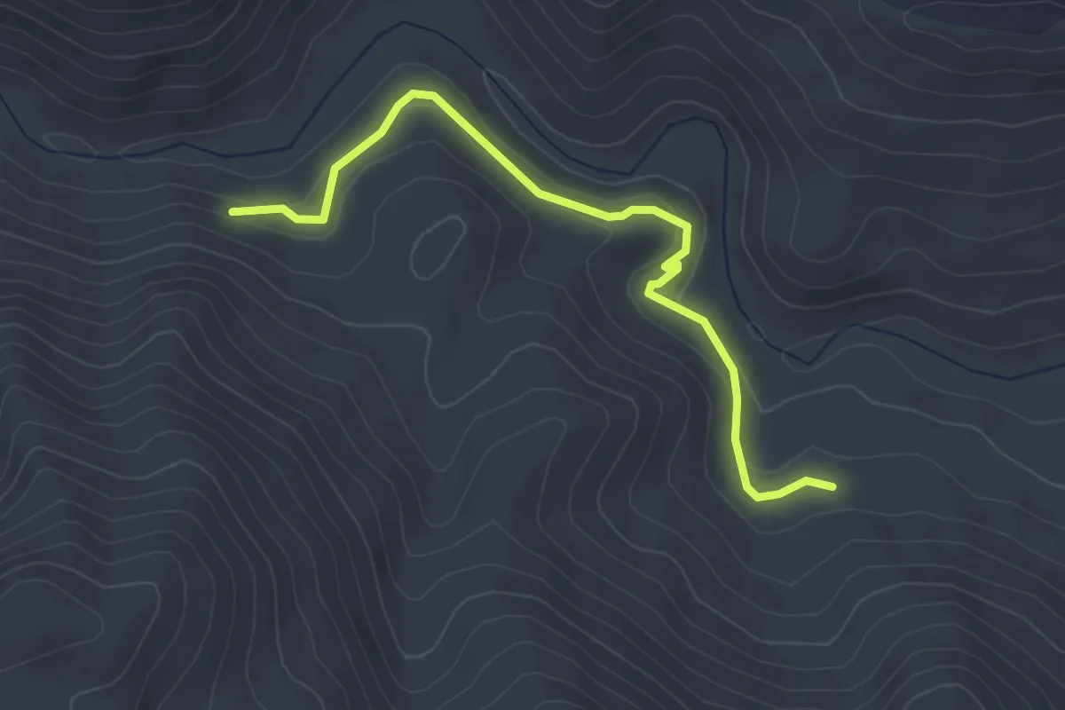
Easy · Trail
bivio sentiero Carbonai – bivio Sos Guttiatoglios
4.1 km · ↑ 177 m · 1 h 21 min
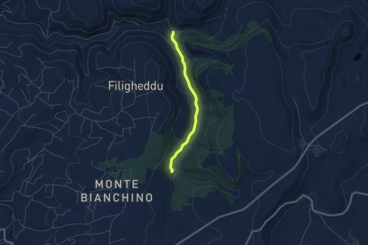
Medium · Trail
Valle Barca – Logulentu
4.8 km · ↑ 75 m · 1 h 18 min
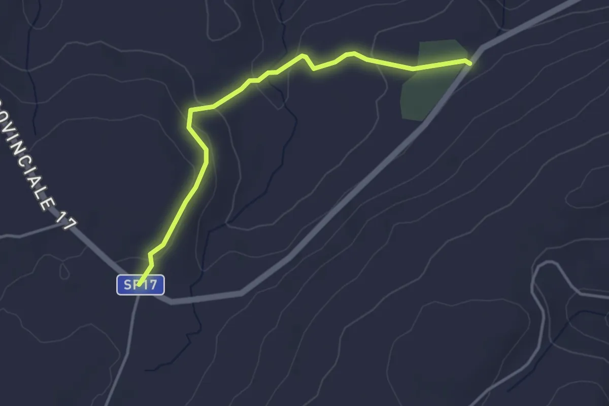
Easy · Trail
Pabude-SP 17 – Ortachis- SP 17
4.0 km · ↑ 99 m · 1 h 9 min
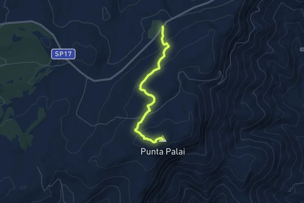
Easy · Summit
Palai – Pabude
5.9 km · ↑ 182 m · 1 h 48 min
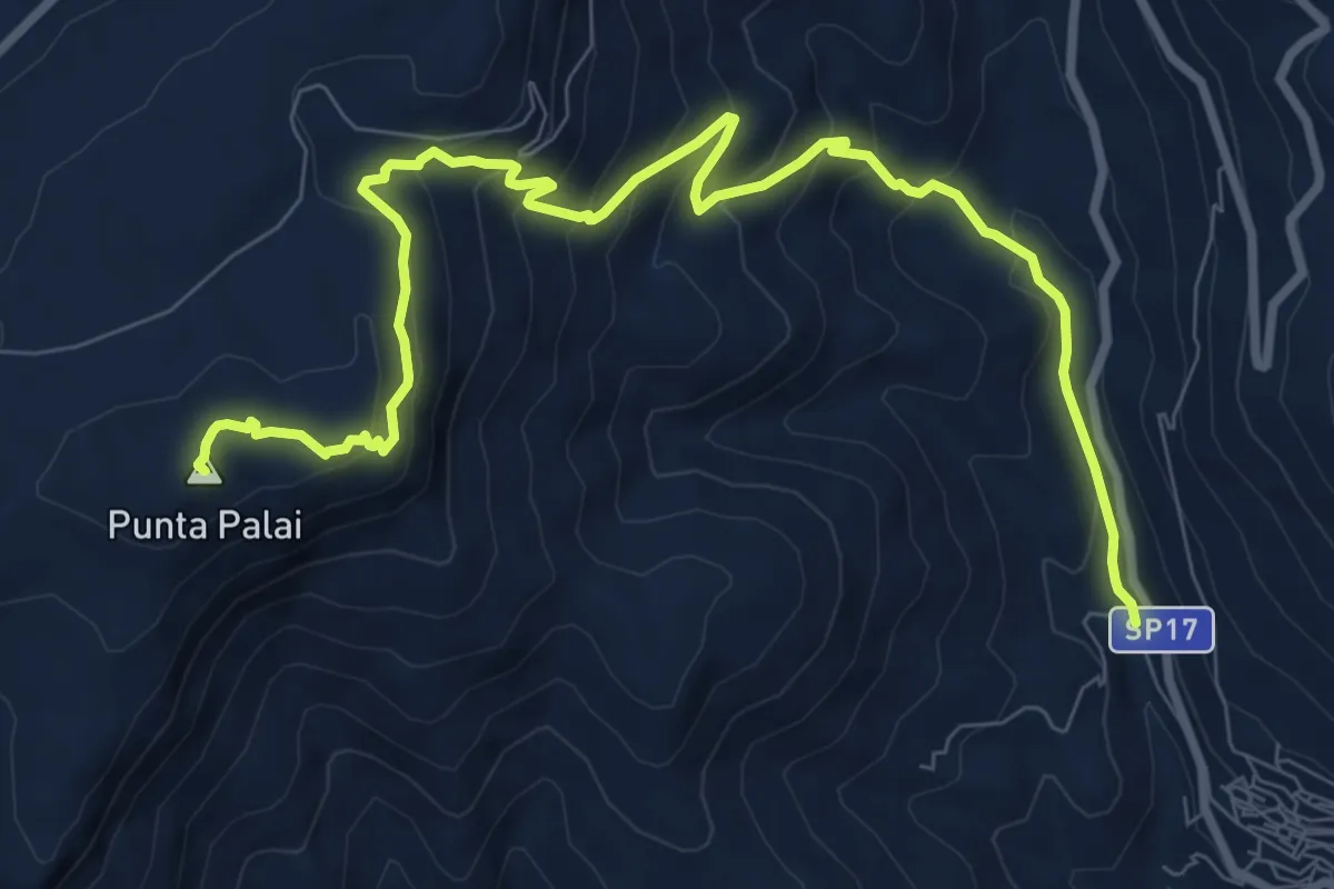
Medium · Summit
Badu – Palai
11.8 km · ↑ 765 m · 4 h 26 min
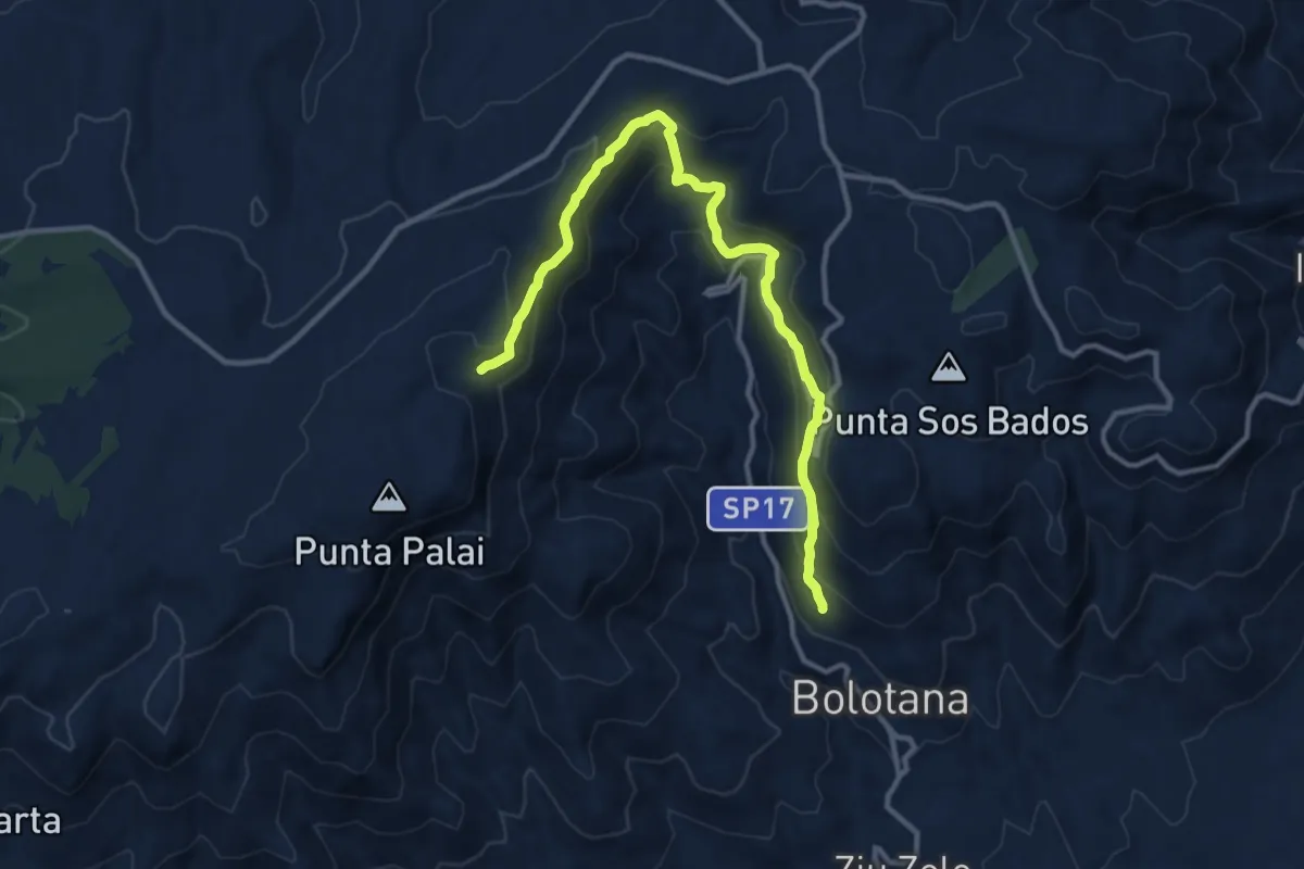
Medium · Trail
Cumbentu – Su Adu de su Caddu
14.1 km · ↑ 800 m · 5 h 4 min
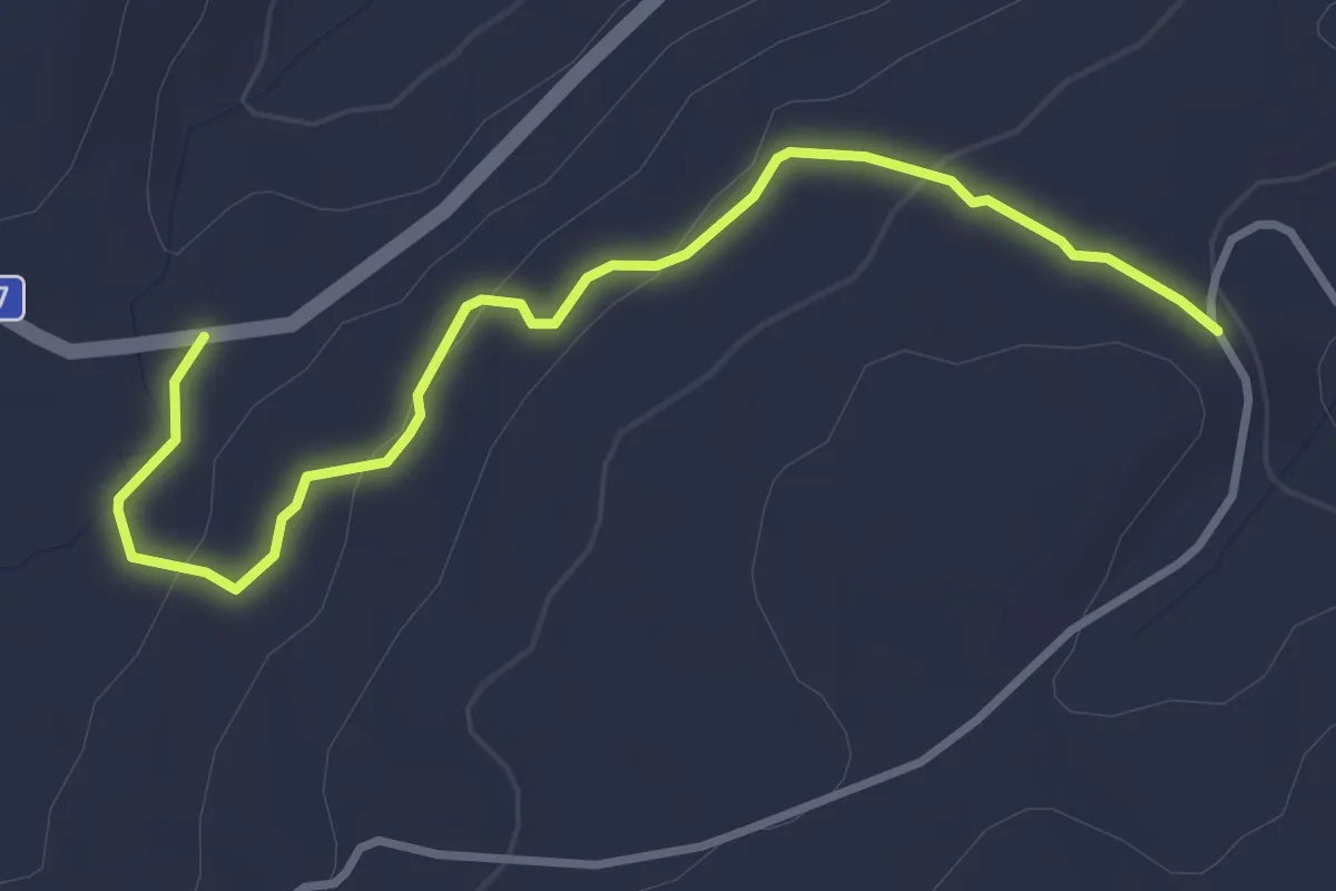
Easy · Trail
Ortachis-SP 17 – Sissiri-Panoramica
4.1 km · ↑ 84 m · 1 h 9 min
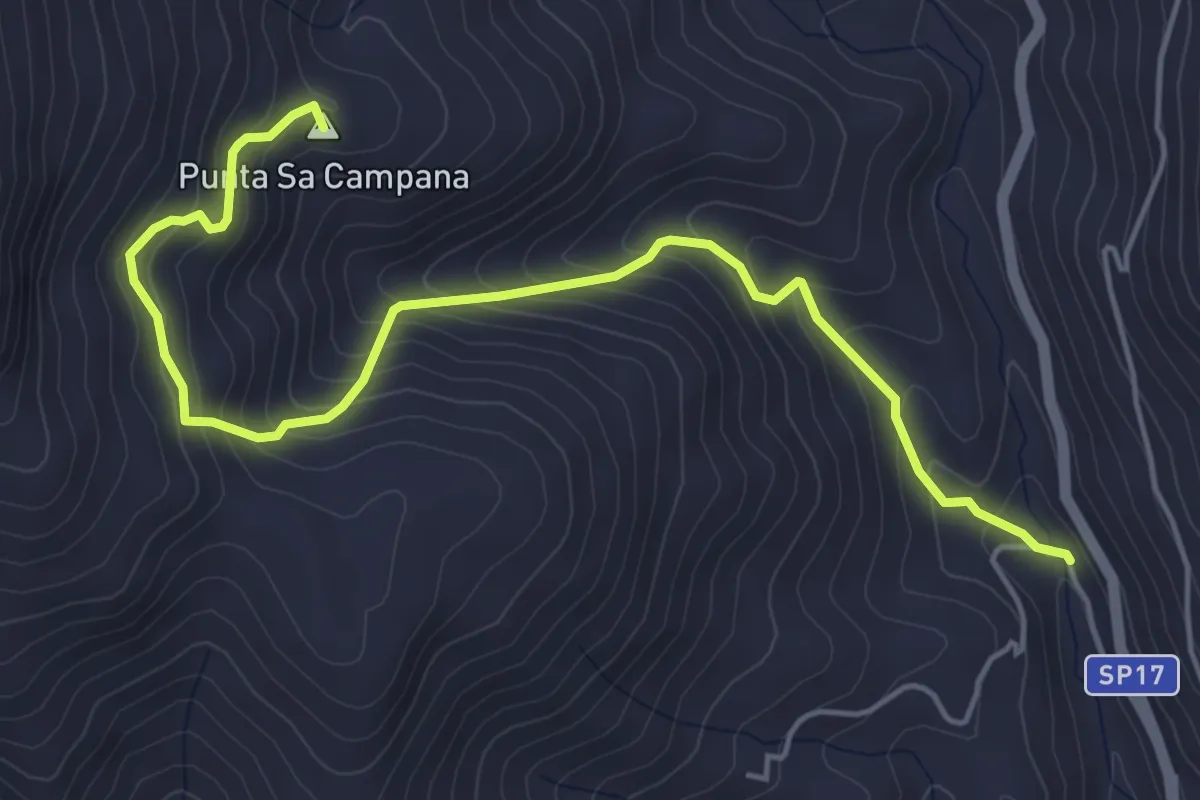
Medium · Summit
Badu – Abba ia
6.4 km · ↑ 537 m · 2 h 41 min
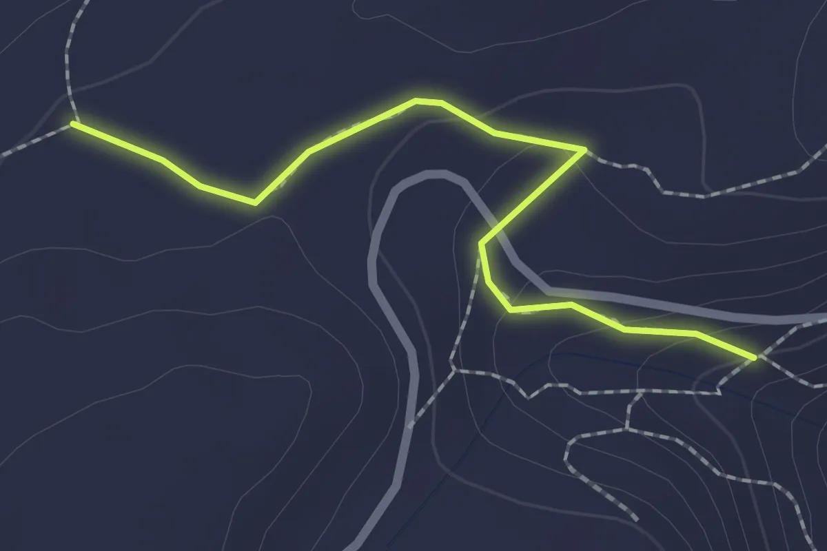
Easy · Trail
Murrelis – Su Adu de su Caddu
2.2 km · ↑ 54 m · 39 min
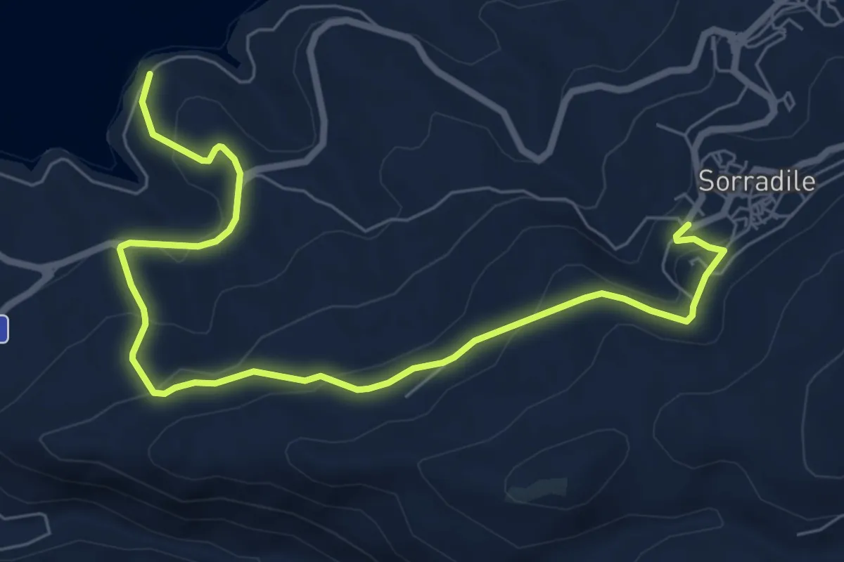
Medium · Trail
Sorradile – Lago Omodeo
9.1 km · ↑ 360 m · 2 h 56 min
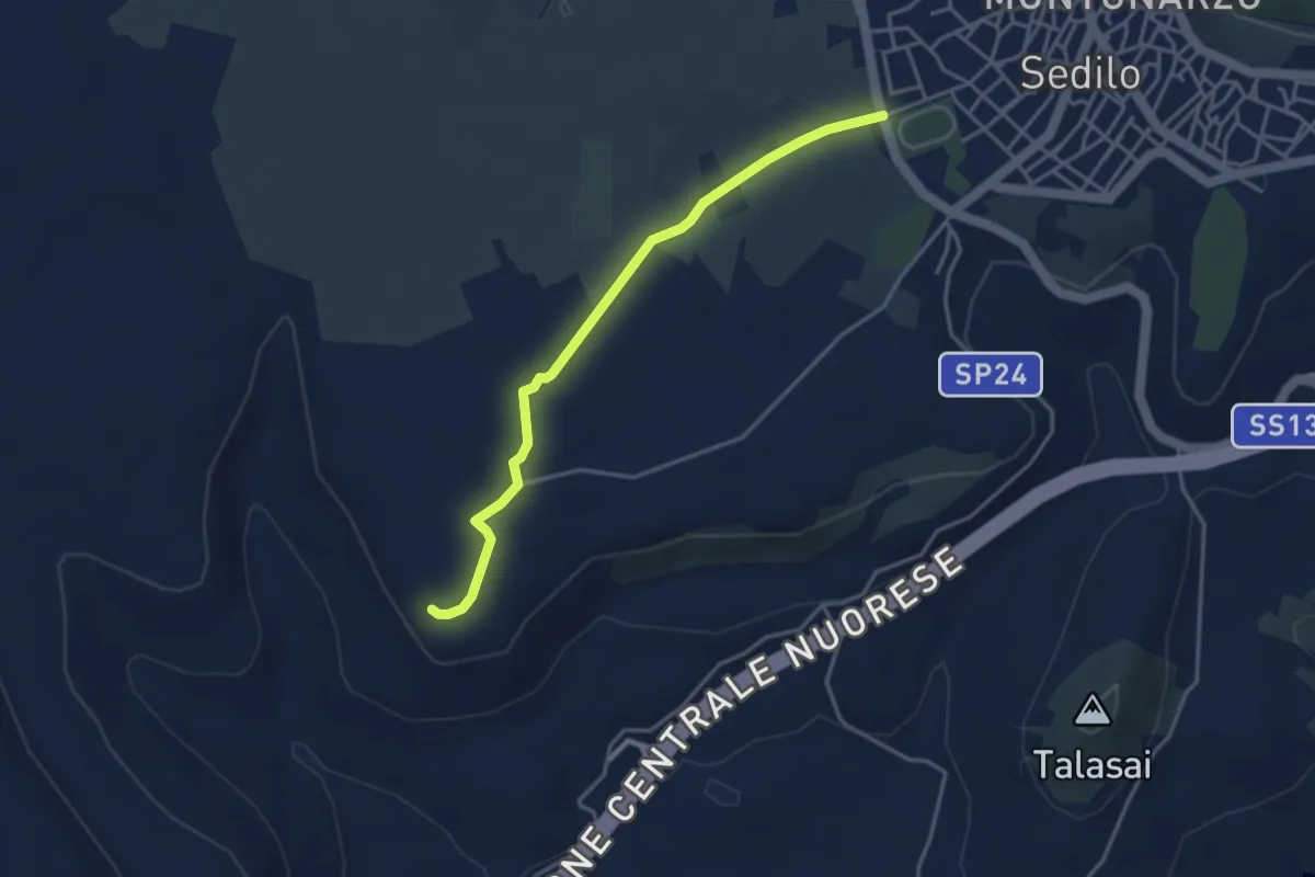
Easy · Trail
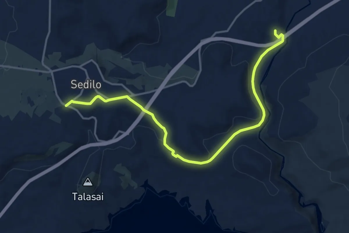
Sedilo – Iloi
4.1 km · ↑ 26 m · 1 h 1 min
Medium · Trail
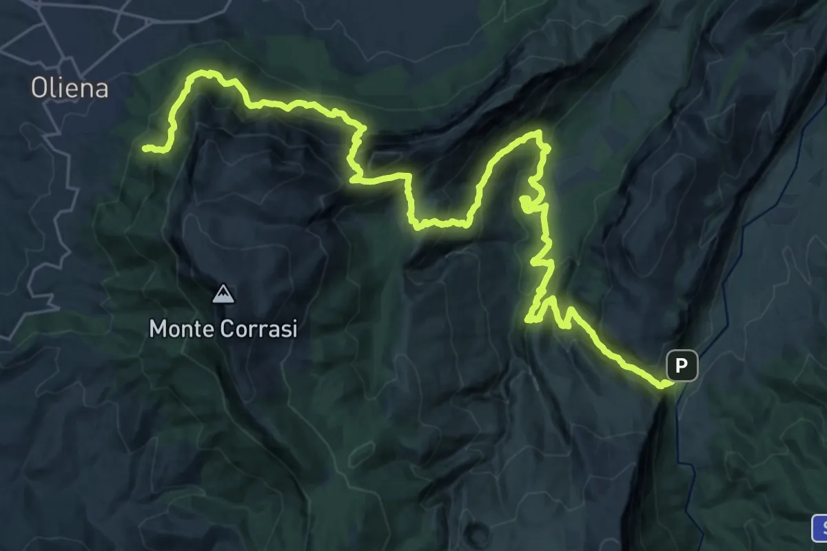
Sedilo – Guado Pedra Lada
13.0 km · ↑ 208 m · 3 h 31 min
Demanding · Trail
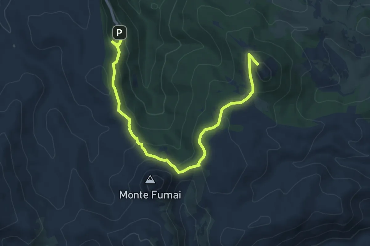
Sa Barva – Monte Maccione
20.0 km · ↑ 1772 m · 8 h 35 min
Demanding · Summit
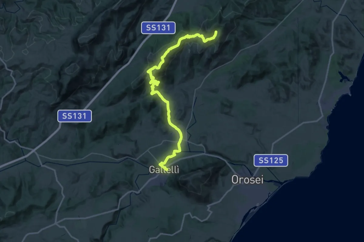
Sa Sinepida – Ilodei Malu (Caserma Montes)
8.1 km · ↑ 367 m · 2 h 42 min
Demanding · Trail
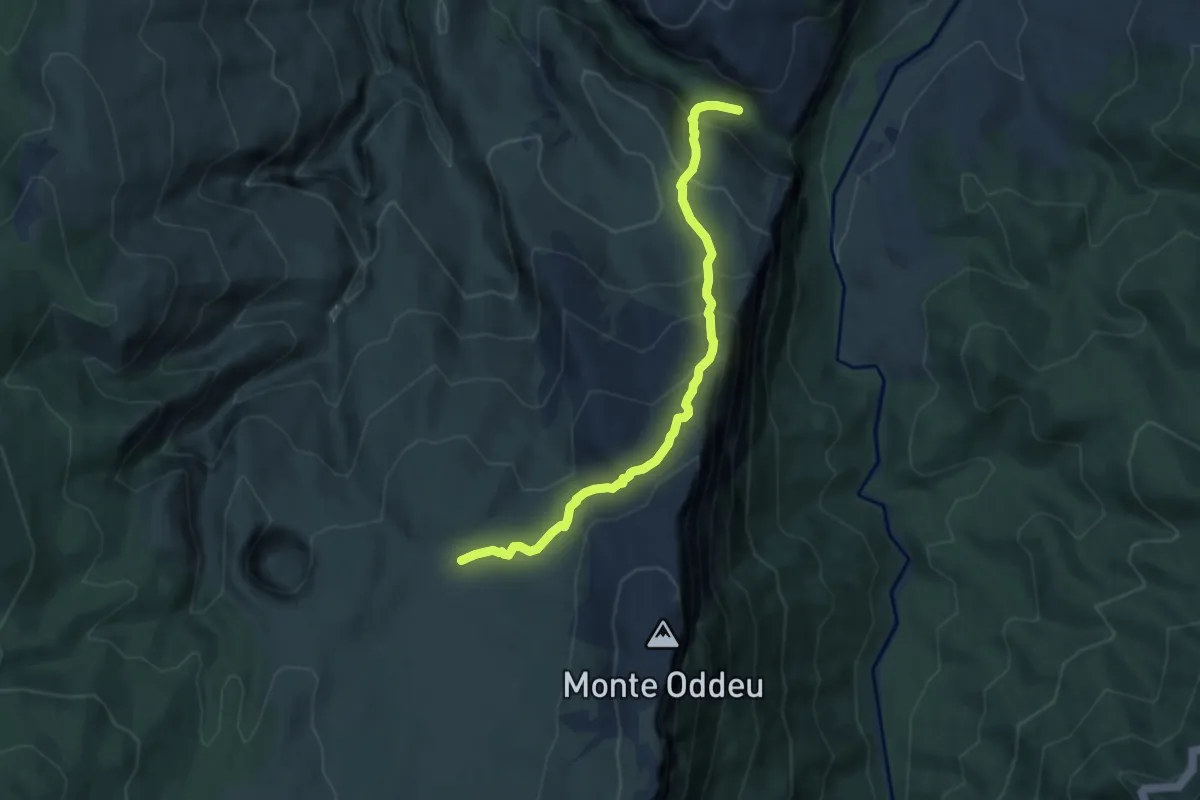
Norghio – Irgoli
22.1 km · ↑ 389 m · 6 h 41 min
Expert · Trail
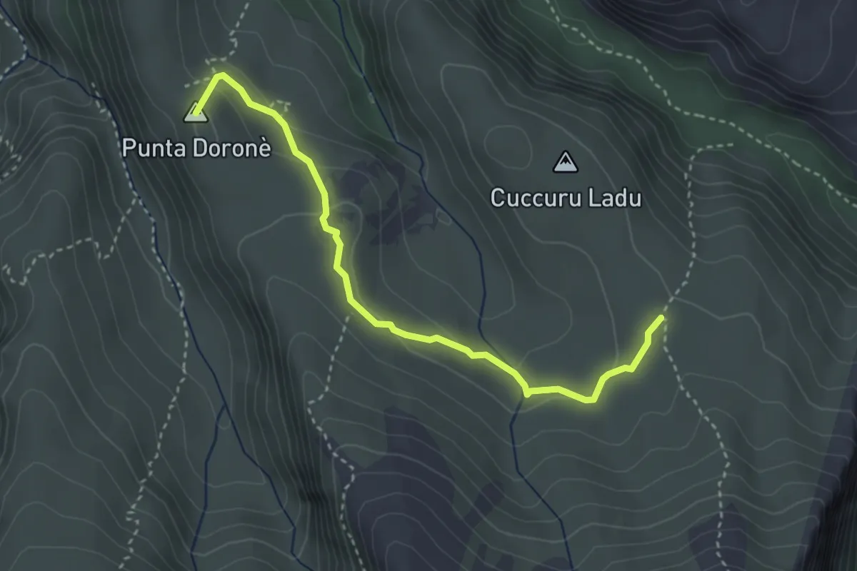
Iscala 'e Cucuttos – Costis de Donianigoro
7.8 km · ↑ 599 m · 3 h 8 min
Medium · Summit
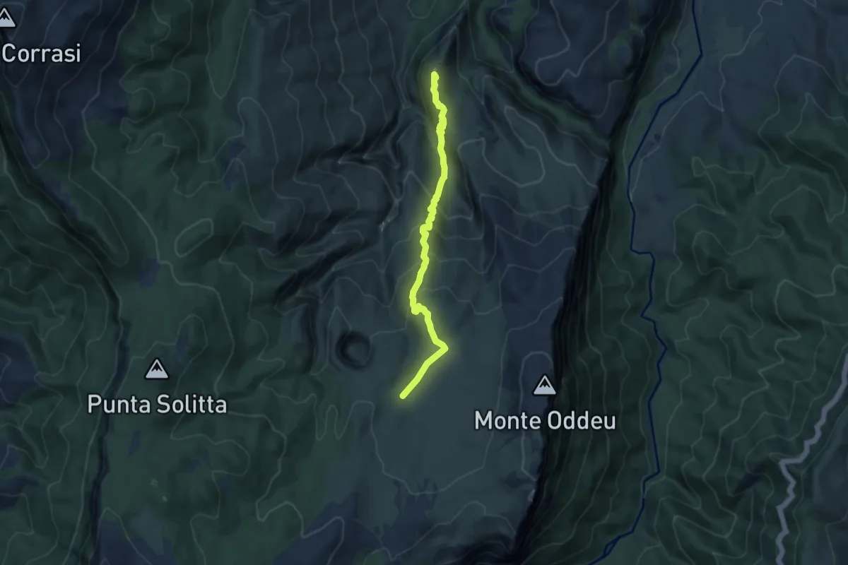
Mesattas – Su Praicarzu
3.8 km · ↑ 166 m · 1 h 16 min
Demanding · Summit
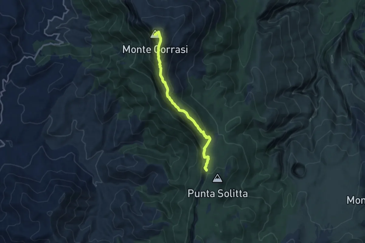
Sa Carpidura di Tiscali – Costis de Donianigoro
9.4 km · ↑ 608 m · 3 h 32 min
Medium · Summit
Monte Corrasi – Scala S'Arenargiu
9.9 km · ↑ 567 m · 3 h 34 min
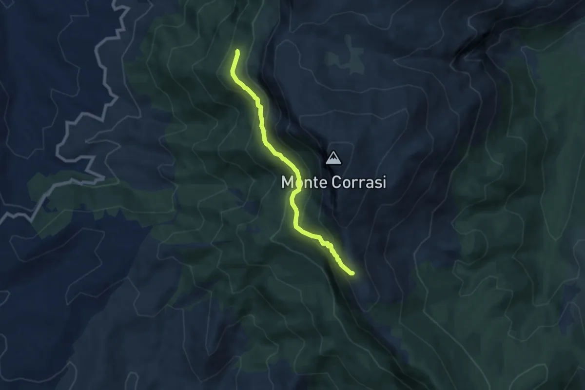
Medium · Trail
Daddana – Scala ‘e Marras
6.5 km · ↑ 433 m · 2 h 28 min
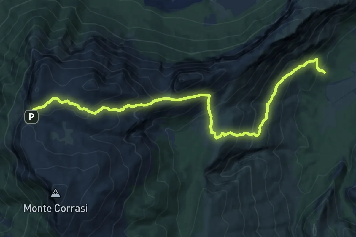
Demanding · Trail
Iscala 'e Pradu – Gasole
16.3 km · ↑ 1195 m · 6 h 26 min
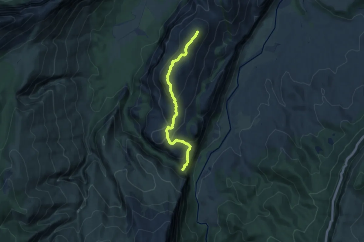
Demanding · Summit
Palas de Su Puntale – Arcu 'e Orudè
9.1 km · ↑ 439 m · 3 h 6 min
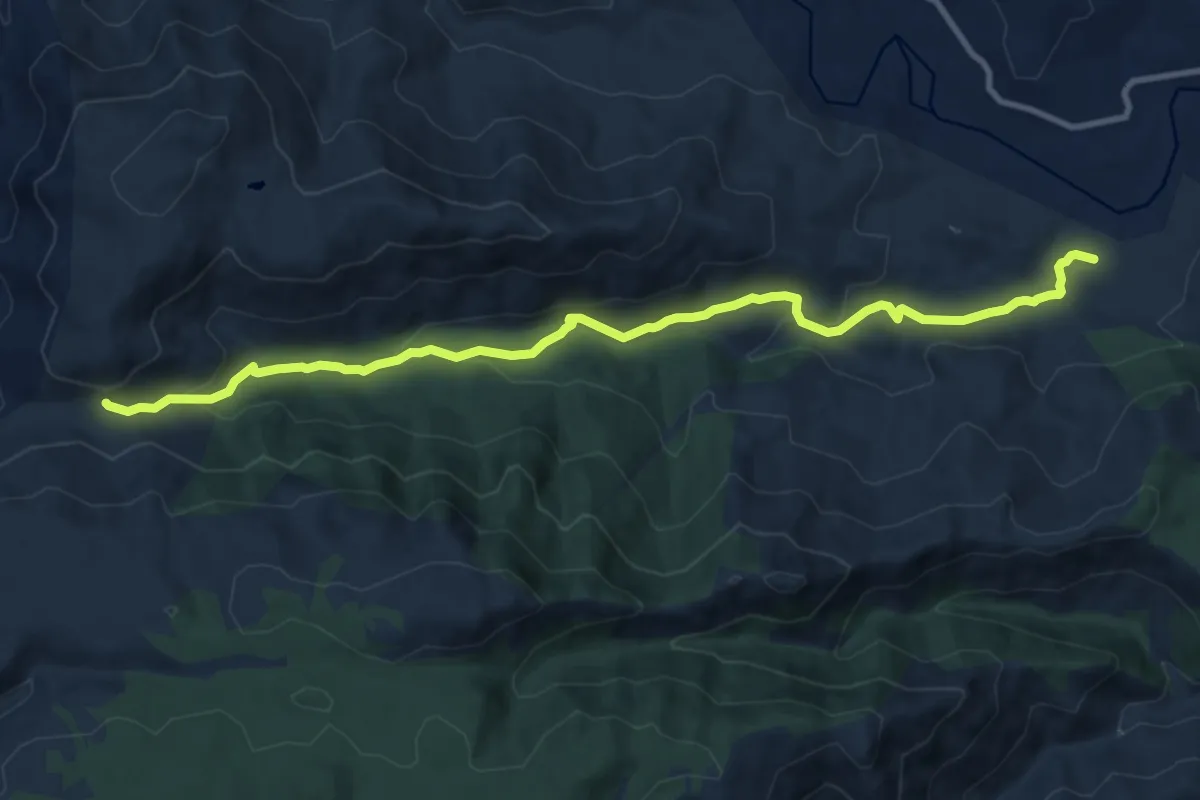
Medium · Trail
Janna de Tandaule – Tepilora
12.3 km · ↑ 357 m · 3 h 40 min
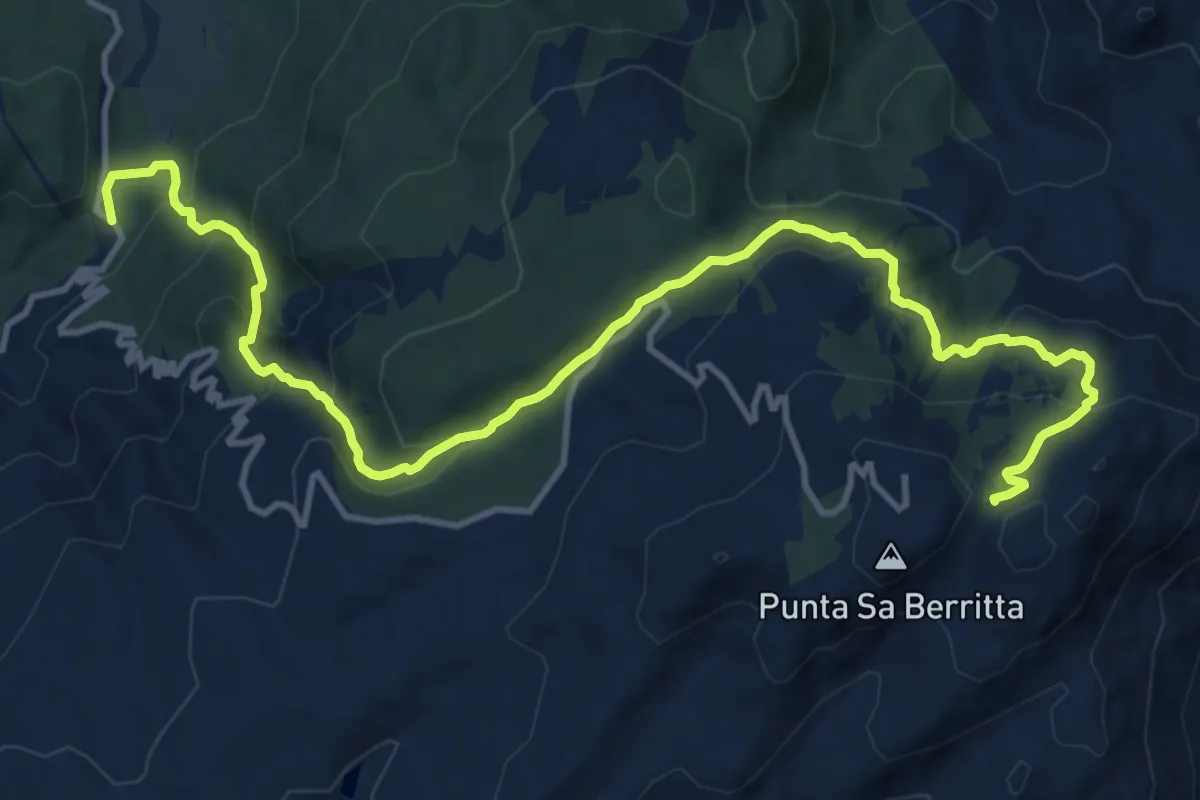
Demanding · Trail
Curadoreddu – Punta Bandera
16.9 km · ↑ 919 m · 5 h 59 min
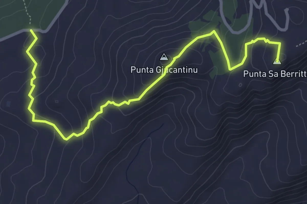
Medium · Summit
Vallicciola – Punta Bandera
7.5 km · ↑ 381 m · 2 h 36 min
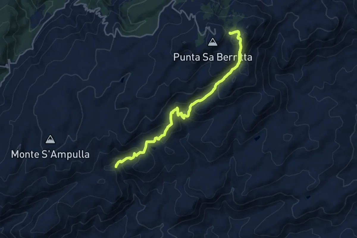
Demanding · Trail
sa soliana – punta bandiera
15.1 km · ↑ 960 m · 5 h 38 min
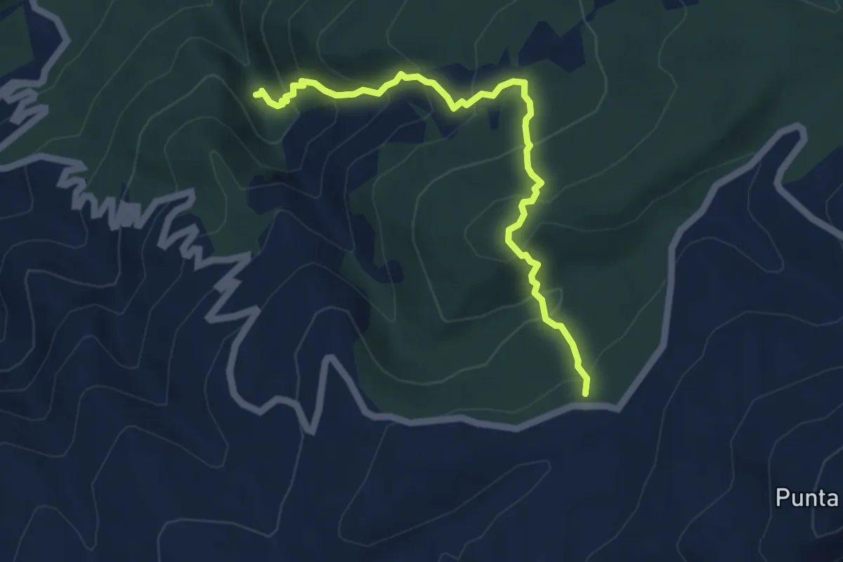
Medium · Trail
Fossu Lu Pisciaroni – Vallicciola
5.4 km · ↑ 409 m · 2 h 9 min
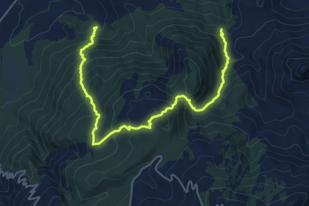
Demanding · Trail
Funtana Li Frati – Lu Paggiolu
13.3 km · ↑ 950 m · 5 h 12 min
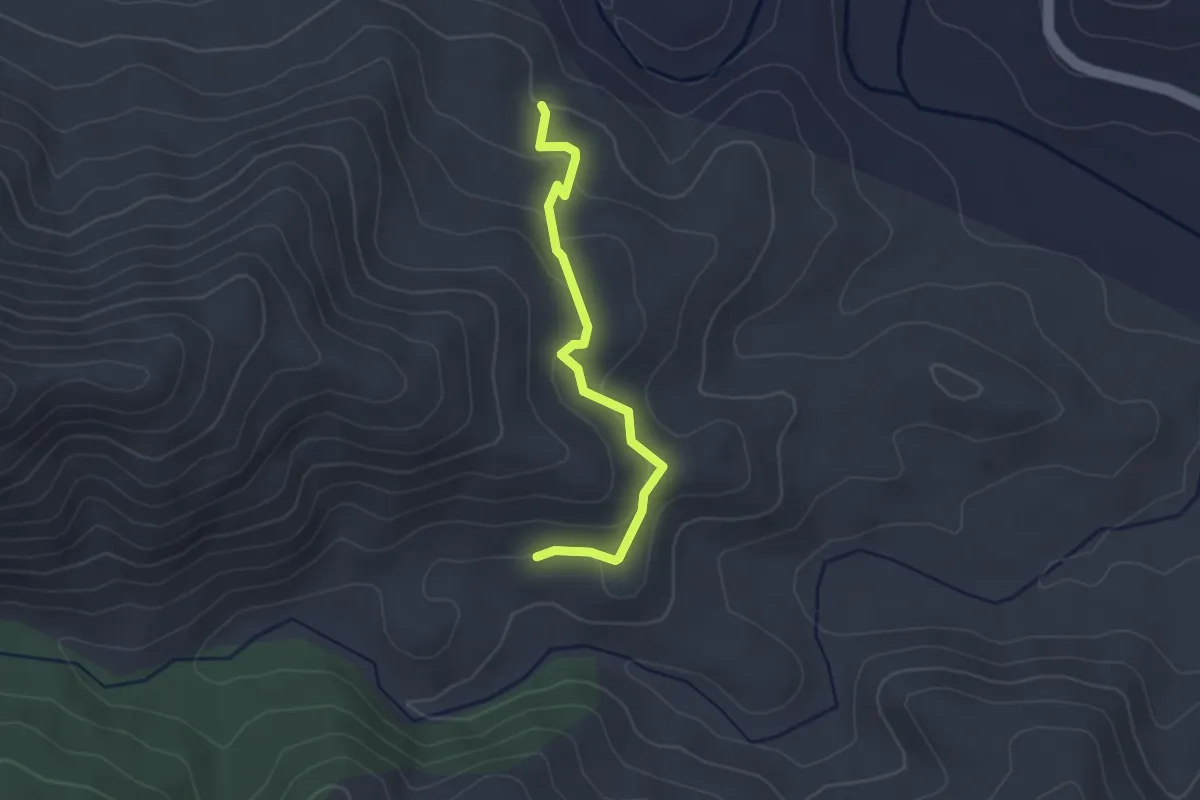
Easy · Trail
Sos Trainos – Sos Tetis - bivio 220-211A
2.9 km · ↑ 120 m · 57 min
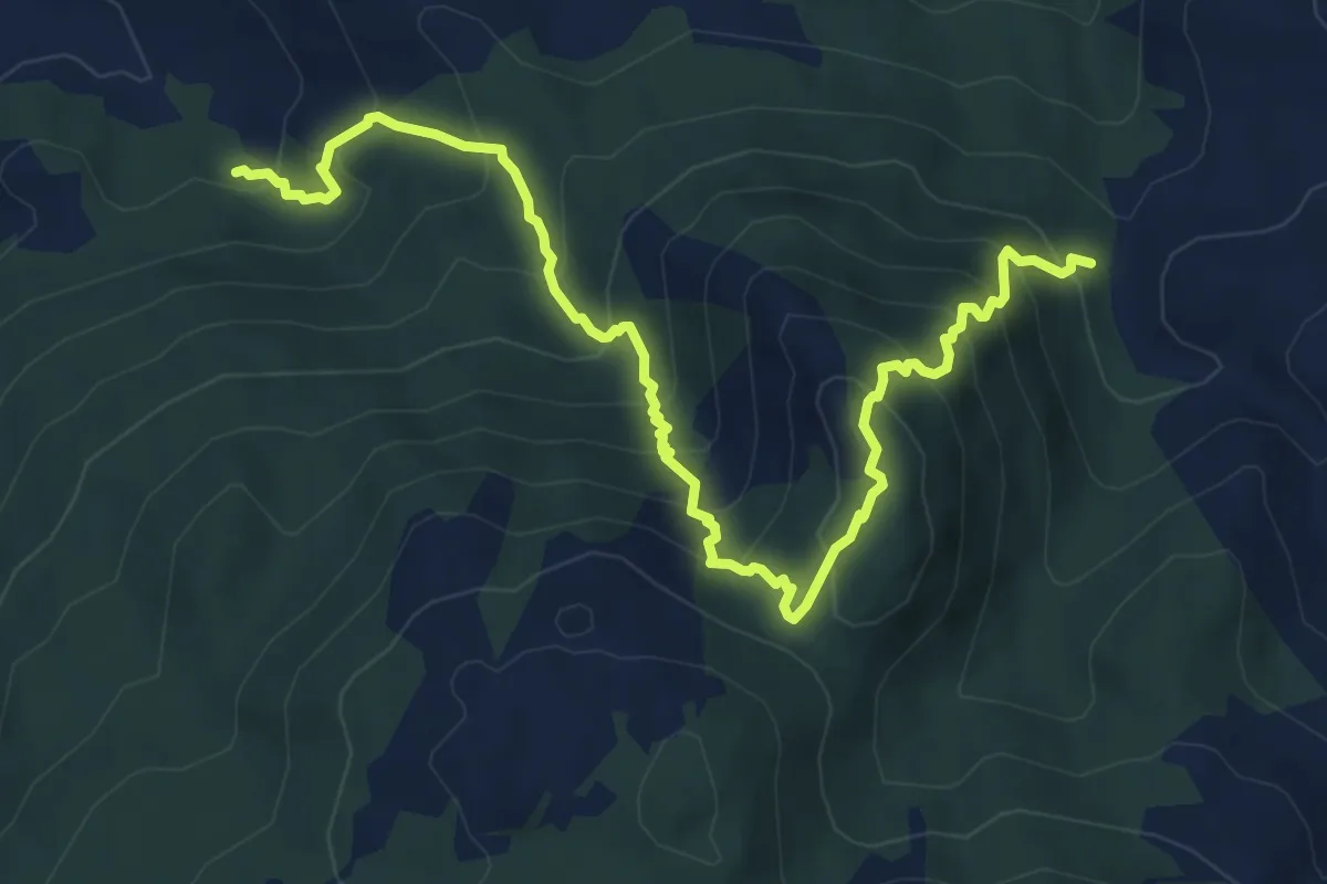
Medium · Trail
Fonte Li Frati – Sarra Lu Tassu
8.5 km · ↑ 751 m · 3 h 38 min
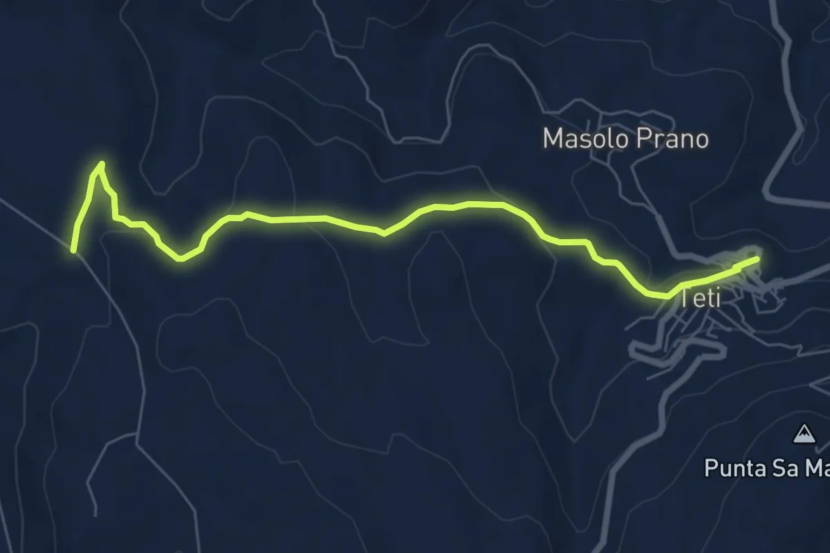
Easy · Trail
Museo Archeologico di Teti – Craru Eridunele
7.6 km · ↑ 203 m · 2 h 14 min
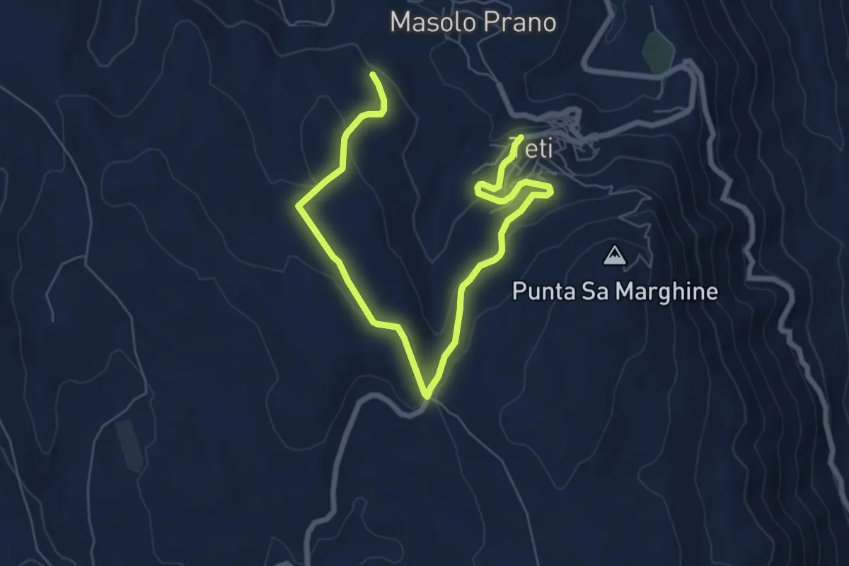
Medium · Trail
Teti – S'Urbale
9.2 km · ↑ 261 m · 2 h 44 min
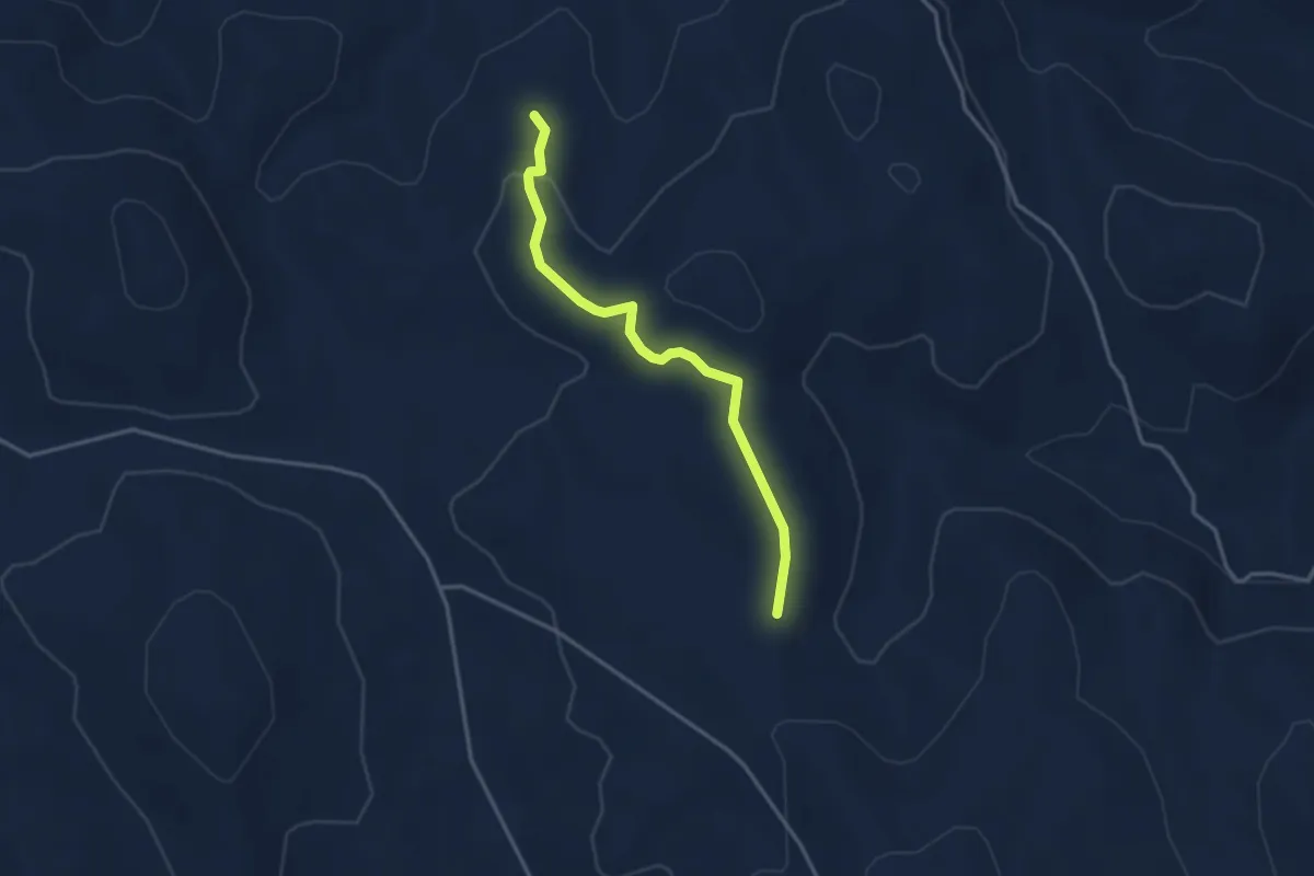
Easy · Trail
Craru Eridunele - Percorso Vita – Craru Eridunele - Percorso Vita
3.7 km · ↑ 73 m · 1 h 2 min
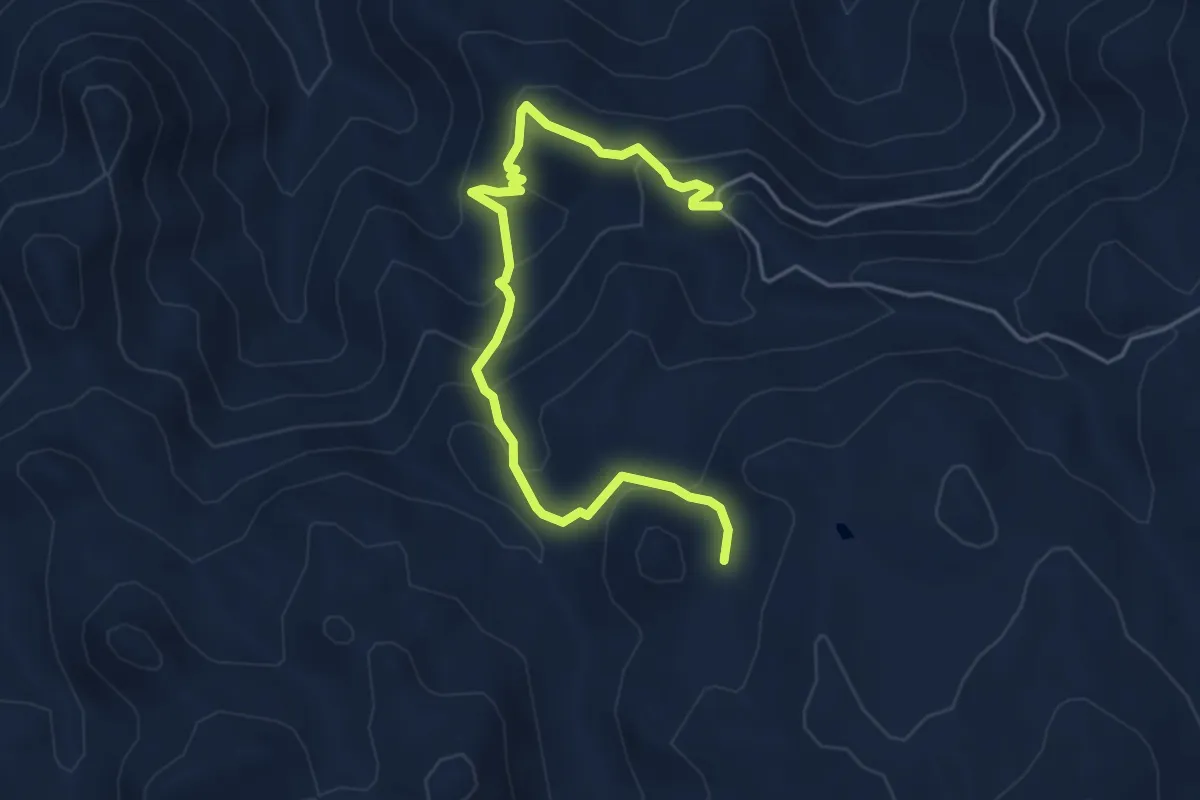
Medium · Trail
S’Ilighe Littu – Sa Mola Manna
5.9 km · ↑ 429 m · 2 h 20 min
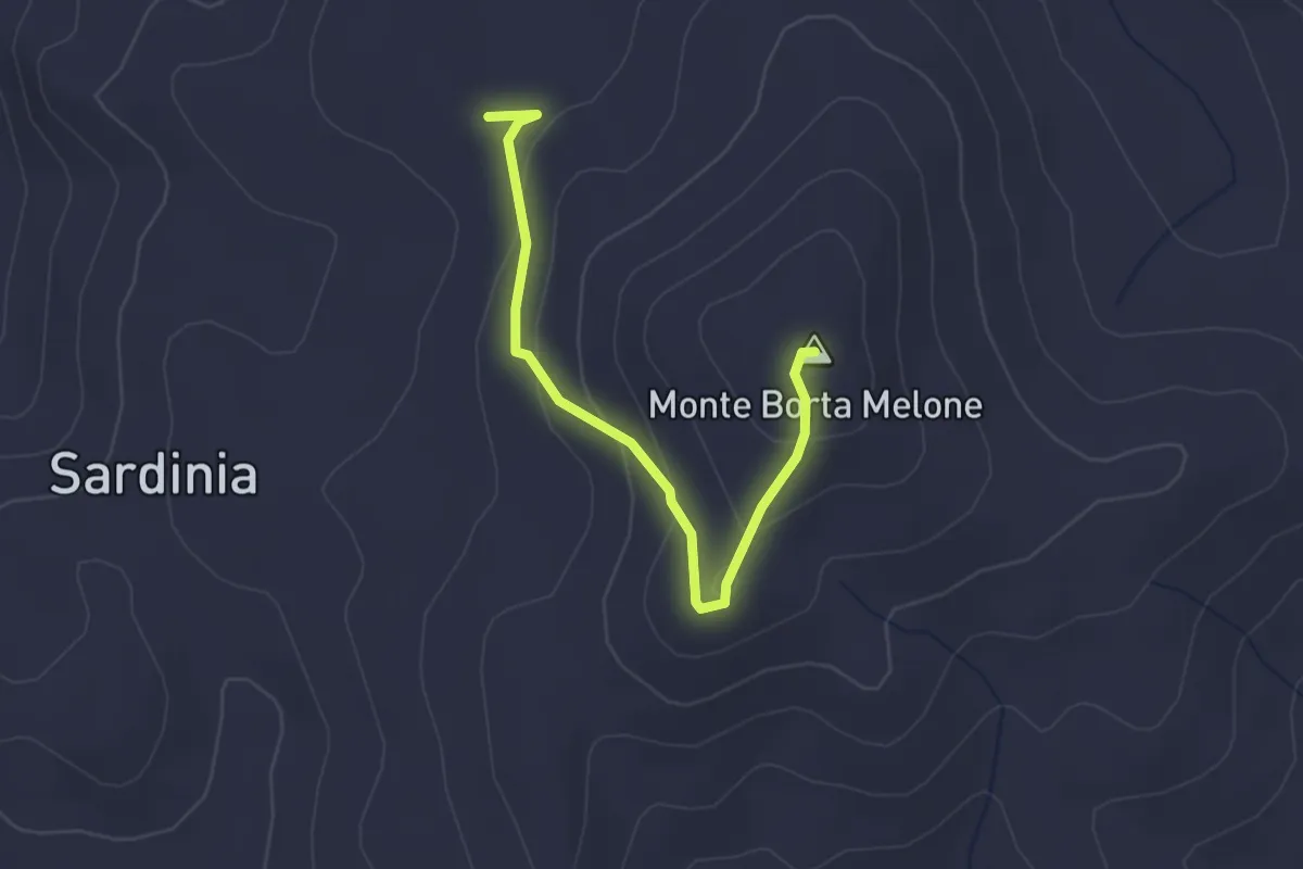
Easy · Summit
bivio per 511 (c/o Monte Borta Melone) – cima Monte Borta Melone
3.0 km · ↑ 119 m · 58 min
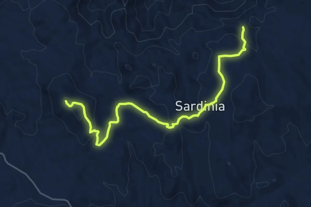
Medium · Trail
Monte S. Vittoria (bivio per 510) – bivio per SP n. (presso Monte Oppiane)
15.4 km · ↑ 473 m · 4 h 39 min
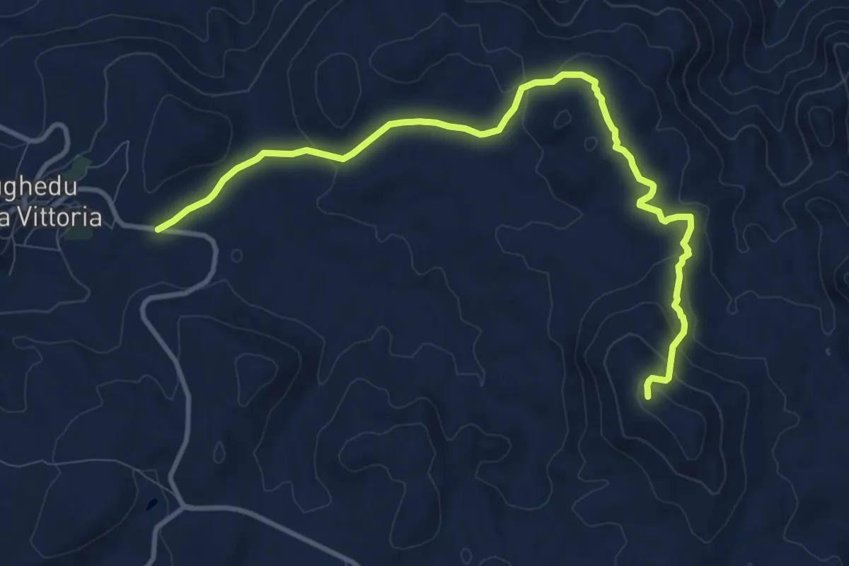
Medium · Trail
Nughedu Santa Vittoria – Pranu Santa Vittoria
12.3 km · ↑ 347 m · 3 h 39 min
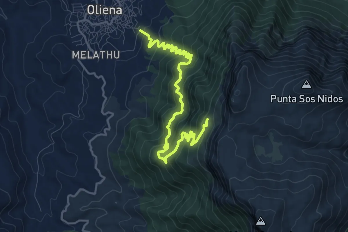
Medium · Cabin
Monte Hinele (Oliena) – Tuones
12.2 km · ↑ 768 m · 4 h 33 min
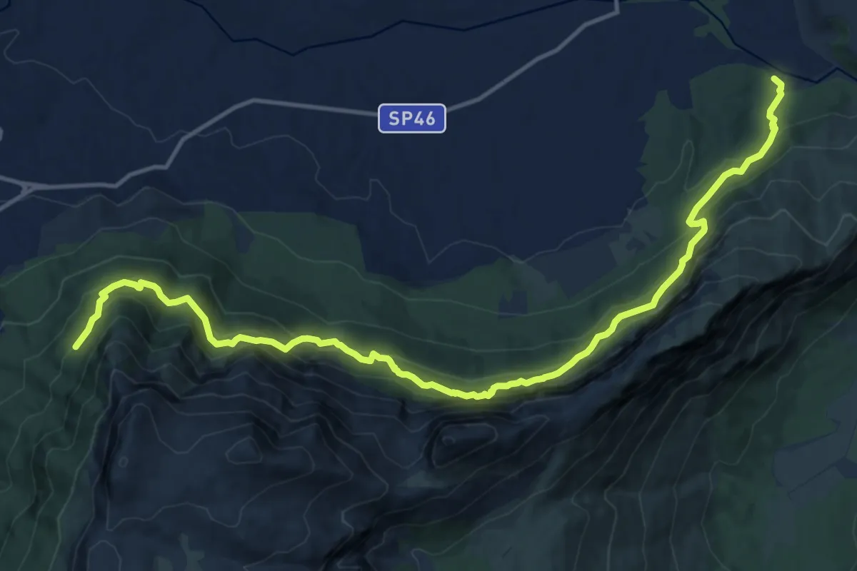
Demanding · Trail
Sa Podda – Su Gologone
17.8 km · ↑ 1408 m · 7 h 15 min