Trails in Italy
25,219 hiking trails, each with its route, climb, walking time and grade.
All trails, page 256 of 526
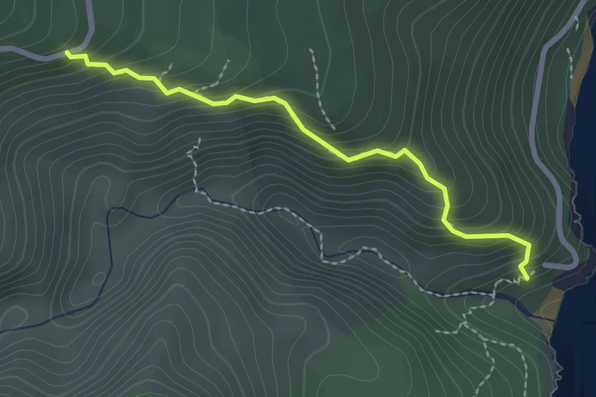
Easy · Trail
Sa Tinturedda – Parcheggio Fuili
2.3 km · ↑ 233 m · 1 h 3 min
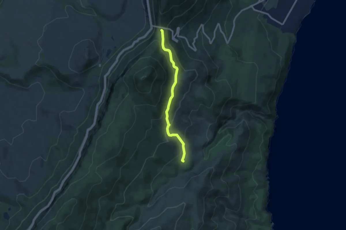
Easy · Trail
Galleria Etza – Cumbida Prantas 2
7.0 km · ↑ 316 m · 2 h 20 min
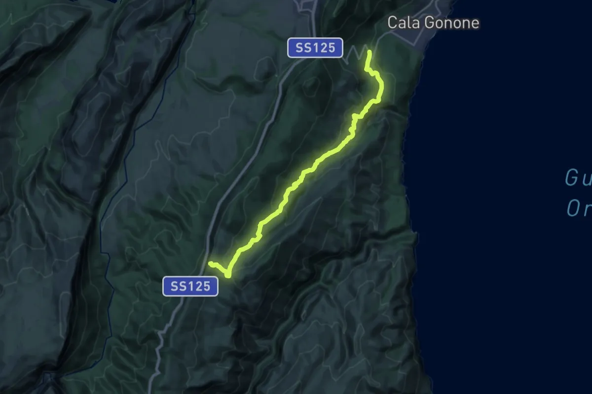
Demanding · Trail
S.P. 26 km 4 – Suttaterra
21.6 km · ↑ 739 m · 6 h 42 min
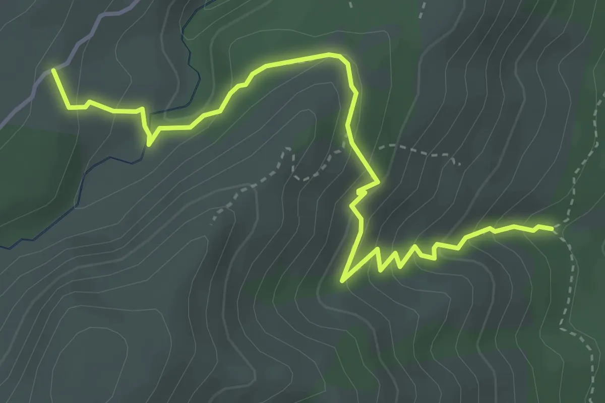
Medium · Trail
Cumbida Prantas 1 – Ghiroe Tziu Chiricu
4.8 km · ↑ 329 m · 1 h 51 min
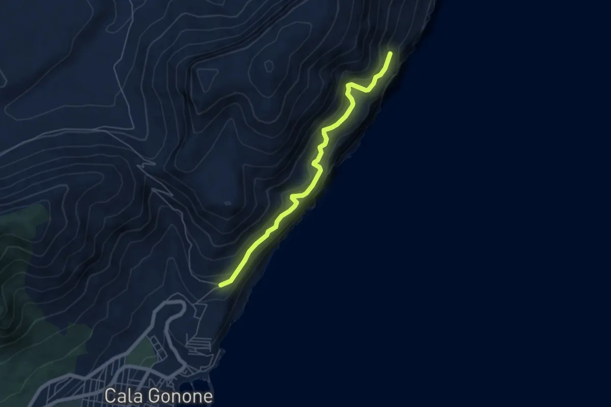
Medium · Trail
Gustui – Coa 'e Istrada
5.8 km · ↑ 369 m · 2 h 10 min
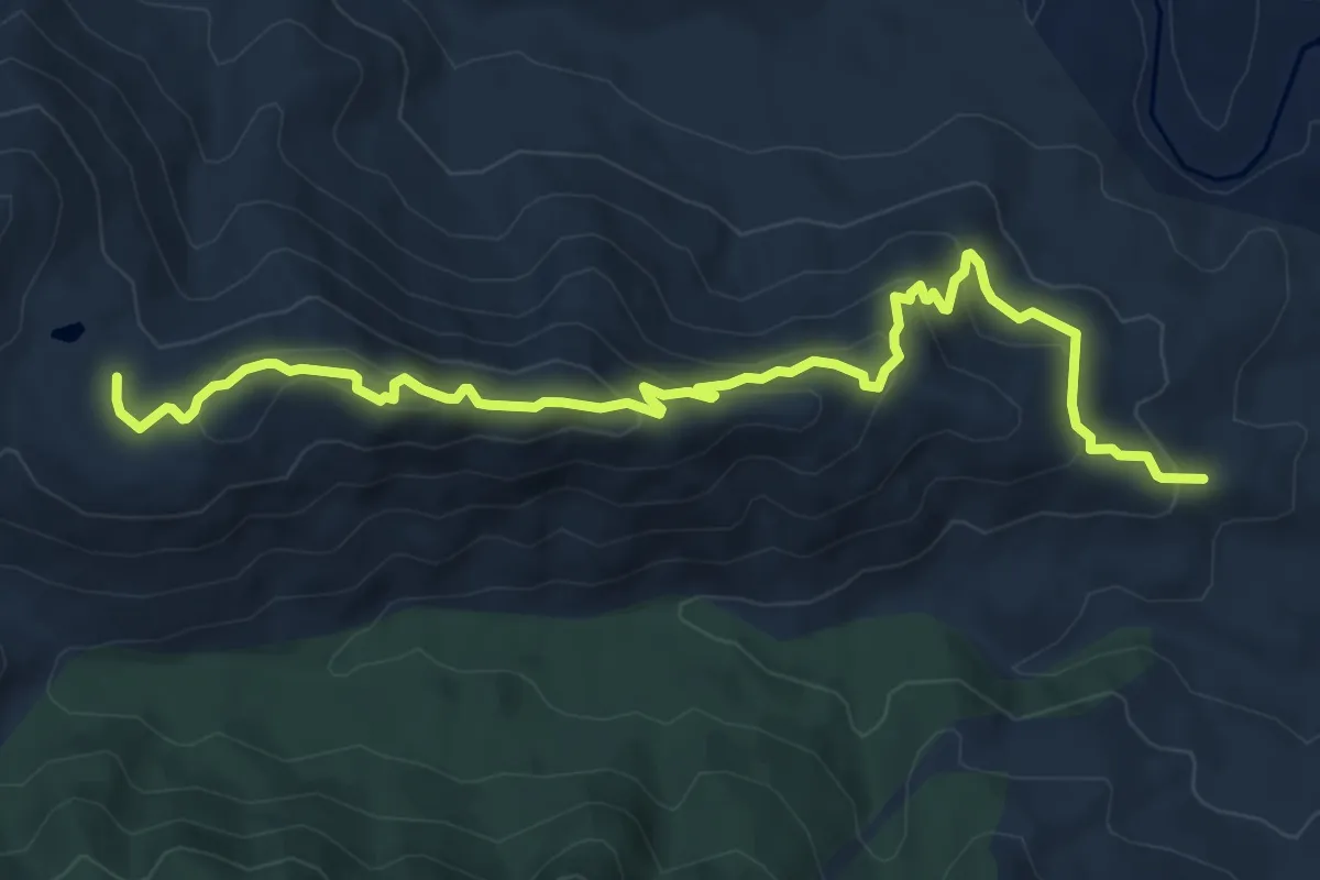
Medium · Trail
Sas Murtas – Sos Tetis
9.0 km · ↑ 459 m · 3 h 7 min
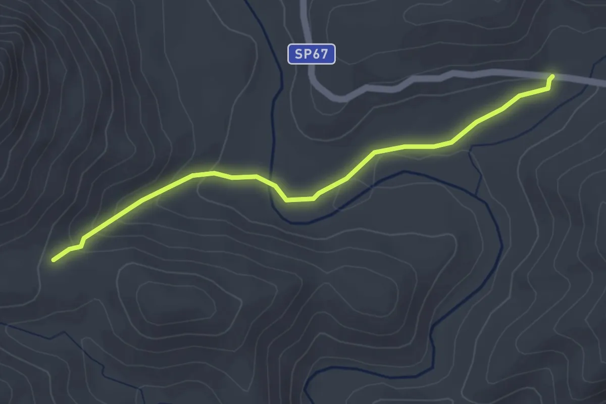
Easy · Trail
Tepilora, Janna de Sa Rena – Selema SP 67
3.7 km · ↑ 138 m · 1 h 11 min
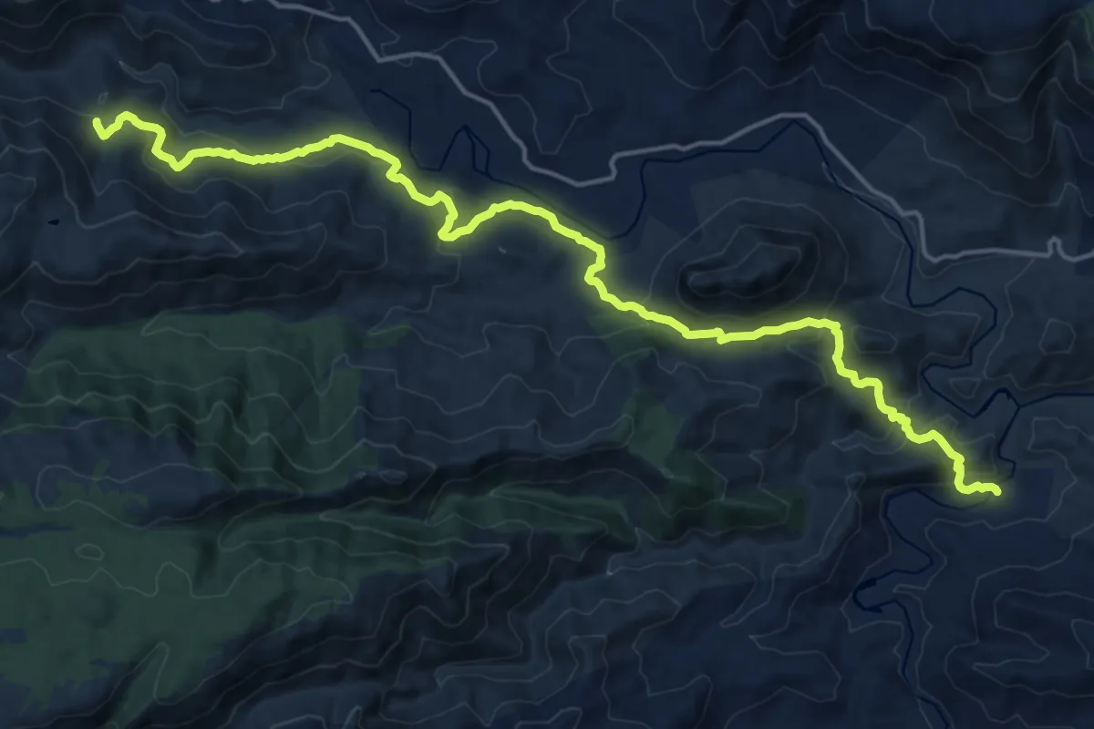
Demanding · Trail
Littos, bivio Juanne Stuppa – Iscra longa, Riu Mannu
22.1 km · ↑ 705 m · 6 h 44 min
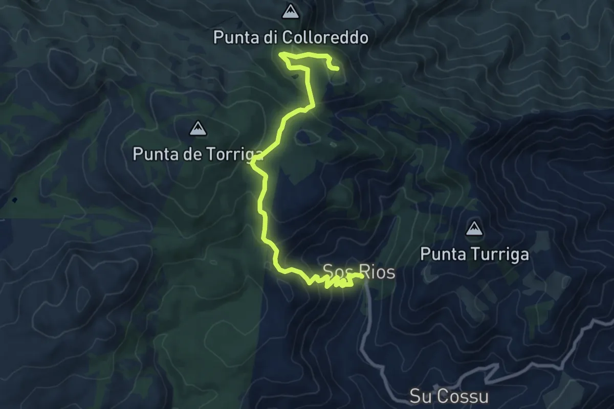
Medium · Trail
Sos Rios – Punta La Pedra Bianca
9.1 km · ↑ 455 m · 3 h 8 min
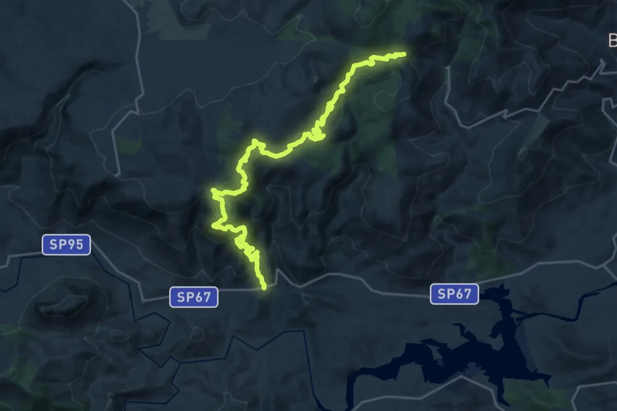
Demanding · Trail
Janna Sa Chessa, SP 67 – Usinavà, Janna Renosa
23.3 km · ↑ 1102 m · 7 h 53 min
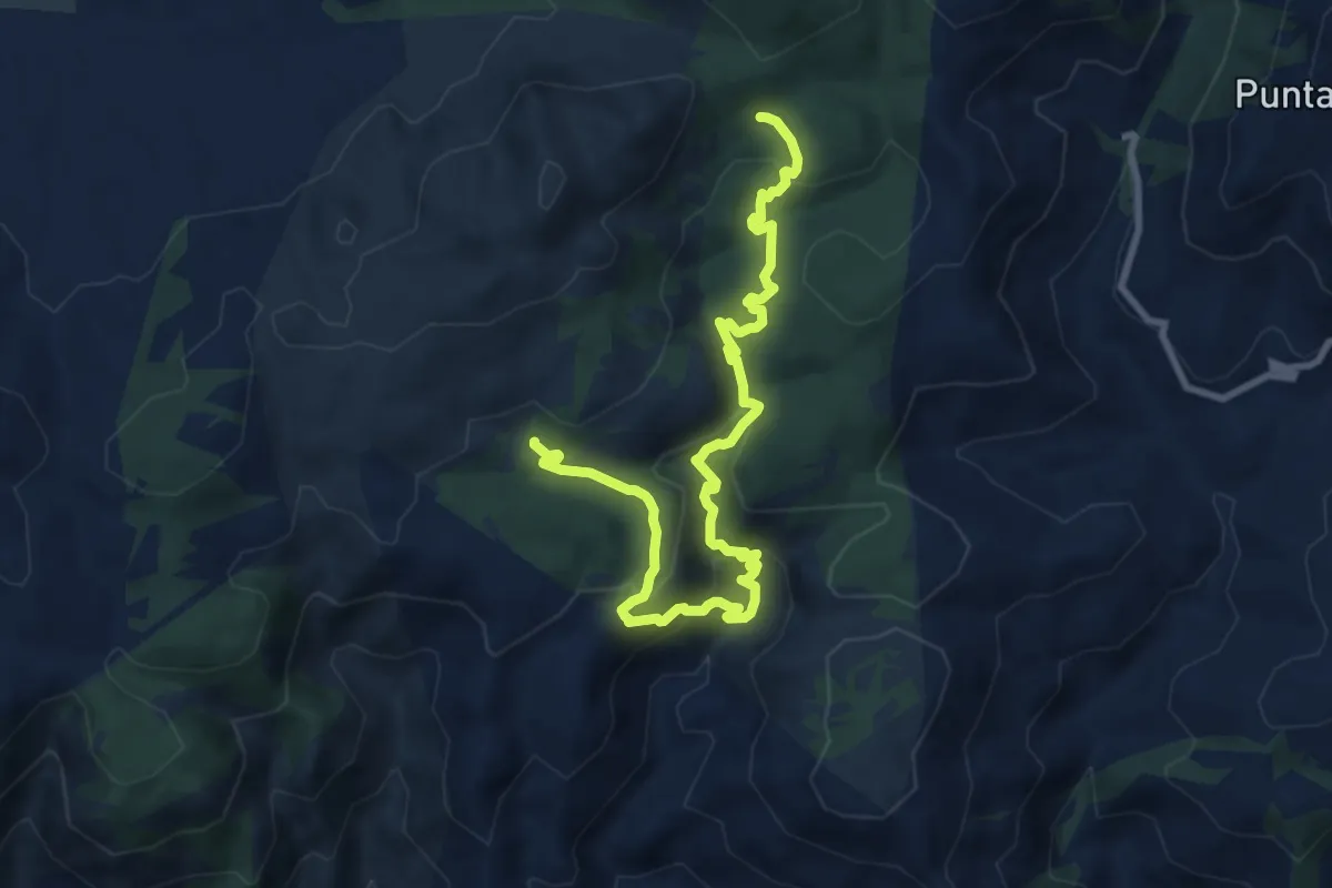
Medium · Trail
Sa Suelzedda – Solianu Mannu
11.8 km · ↑ 639 m · 4 h 10 min
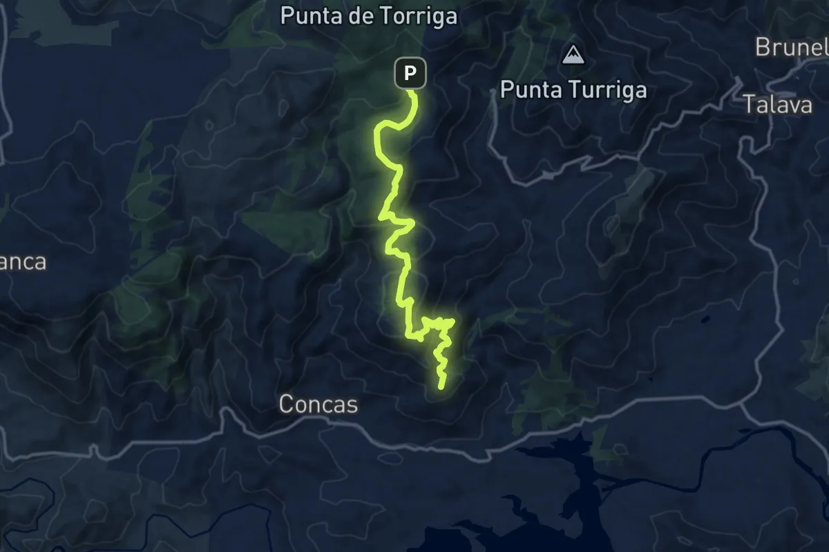
Medium · Summit
Luchillai – S'Almentu
14.0 km · ↑ 585 m · 4 h 35 min
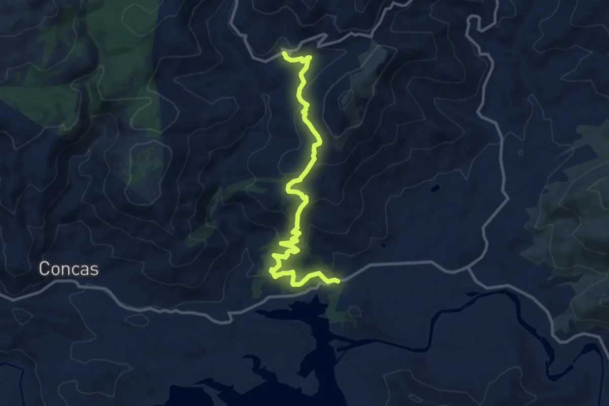
Medium · Trail
Sa Vurria – Su Cossu
12.0 km · ↑ 525 m · 3 h 59 min
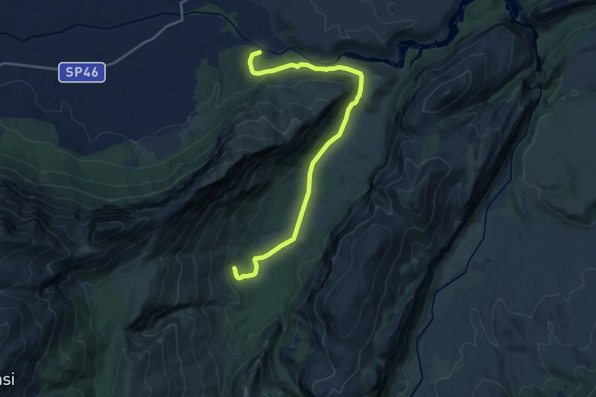
Medium · Trail
Su Gologone – Sa Ohe
14.2 km · ↑ 331 m · 4 h 4 min
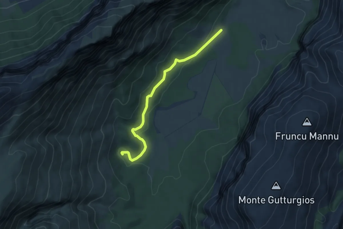
Easy · Trail
Ruinas – Sa Ohe
5.5 km · ↑ 102 m · 1 h 31 min
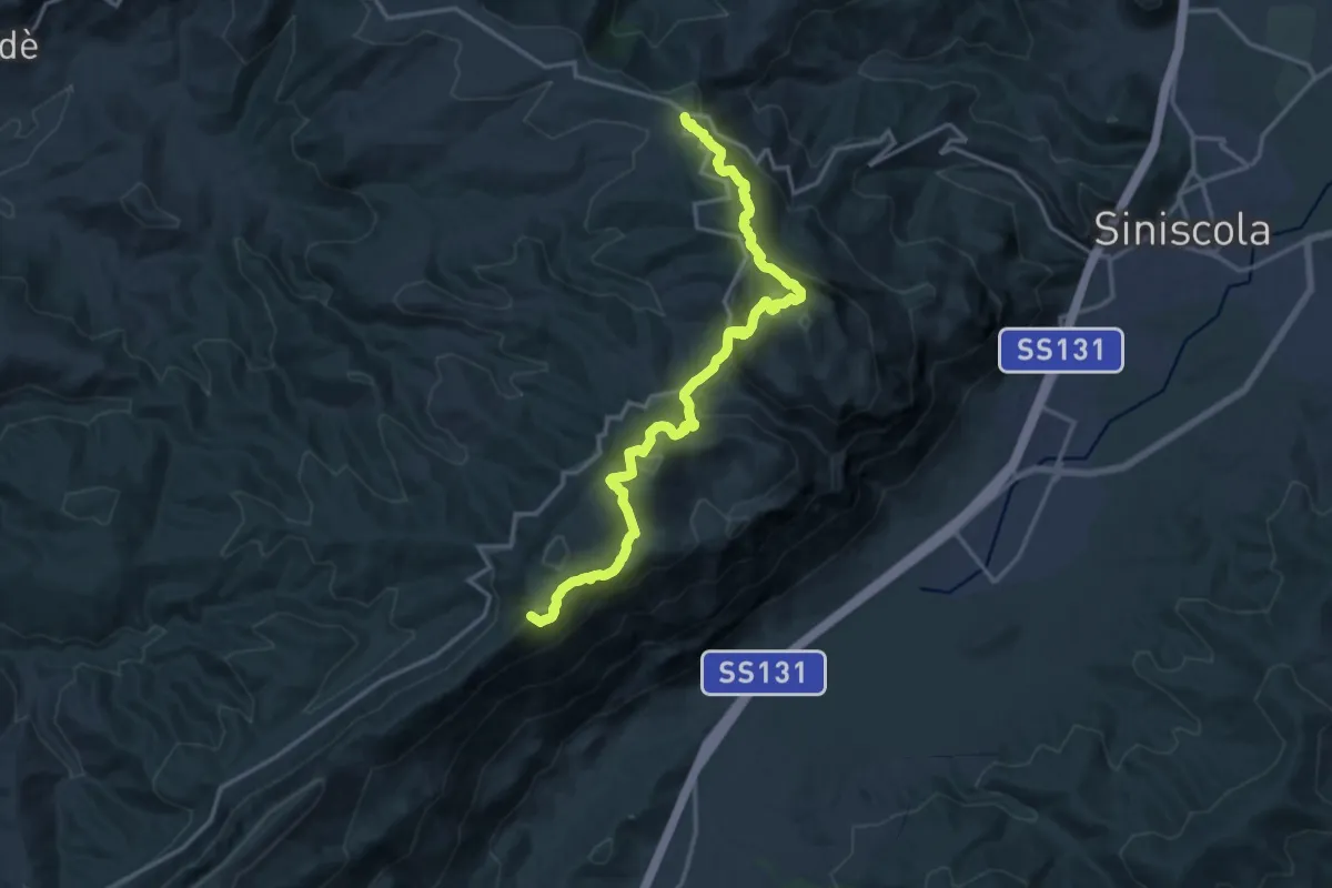
Demanding · Summit
Sant'Anna Casa del Parco – Janna 'e Ferulargiu bivio 106
18.8 km · ↑ 1361 m · 7 h 24 min
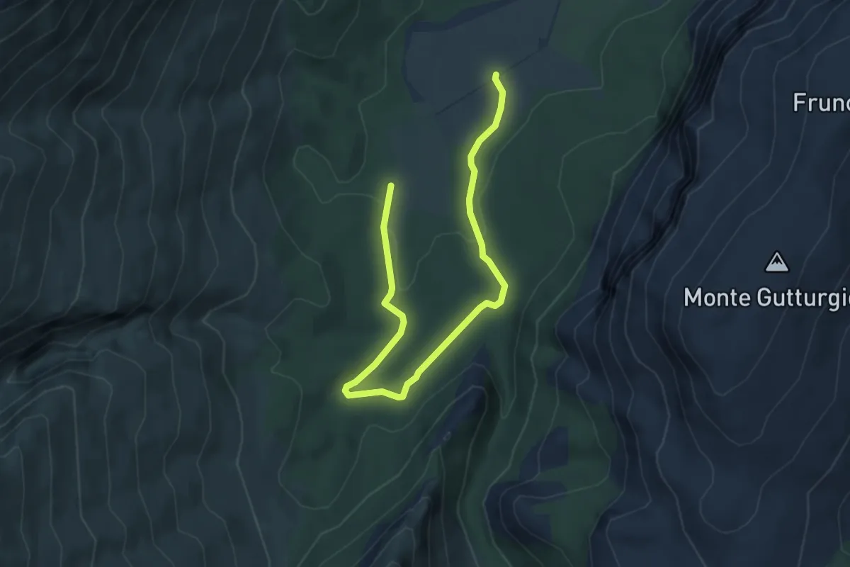
Easy · Trail
Budurrai (Lanaitho) – Sa Pragia (Lanaitho)
6.0 km · ↑ 61 m · 1 h 33 min
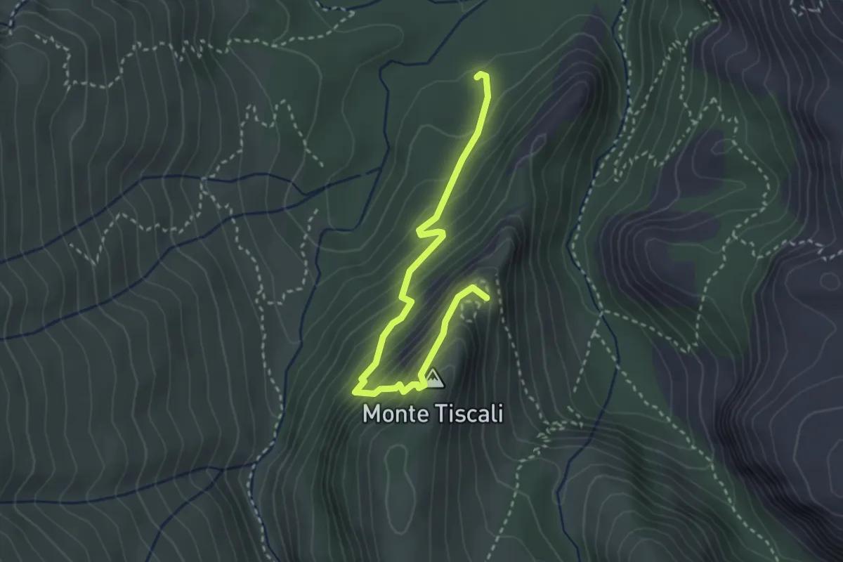
Medium · Trail
Su Ruvagliu, Lanaitho – Tiscali
3.6 km · ↑ 384 m · 1 h 41 min
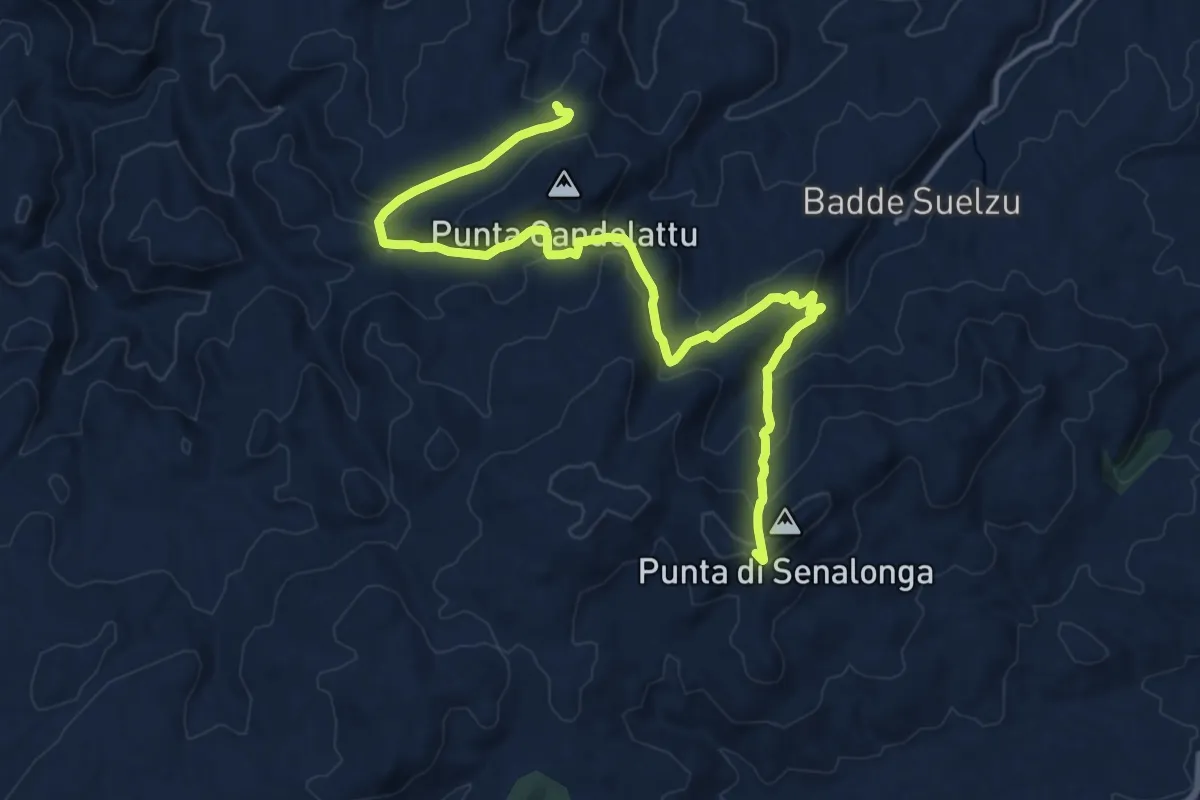
Demanding · Summit
Caserma Forestale Bolostiu – Alà dei Sardi
20.2 km · ↑ 787 m · 6 h 28 min
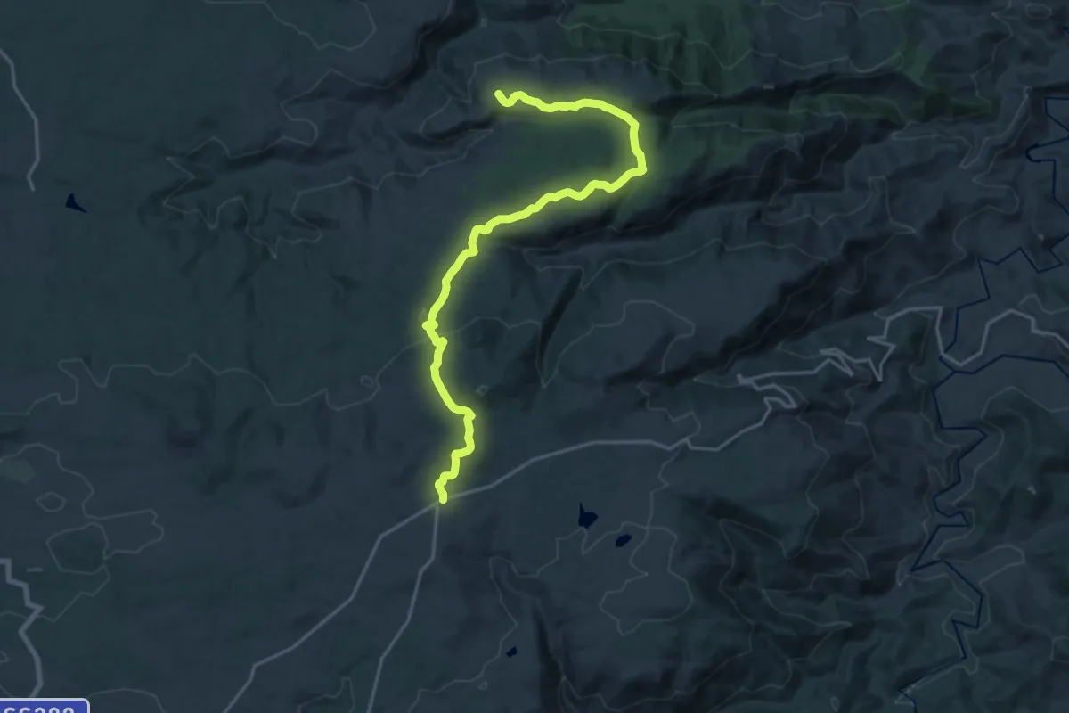
Demanding · Trail
SP50 – Su Semper Viu (incrocio 201-210)
22.4 km · ↑ 446 m · 6 h 15 min
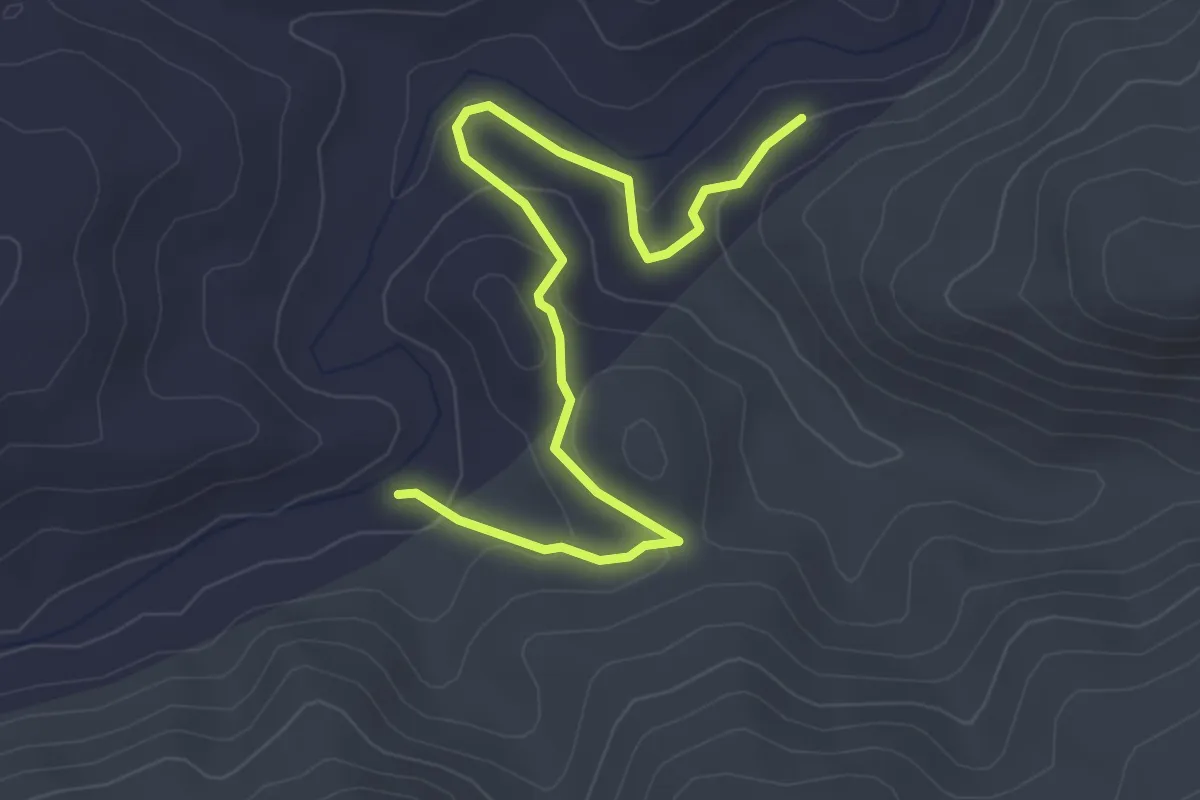
Easy · Trail
Guado Riu Altana – Caserma Juanne Stuppa
4.2 km · ↑ 148 m · 1 h 19 min
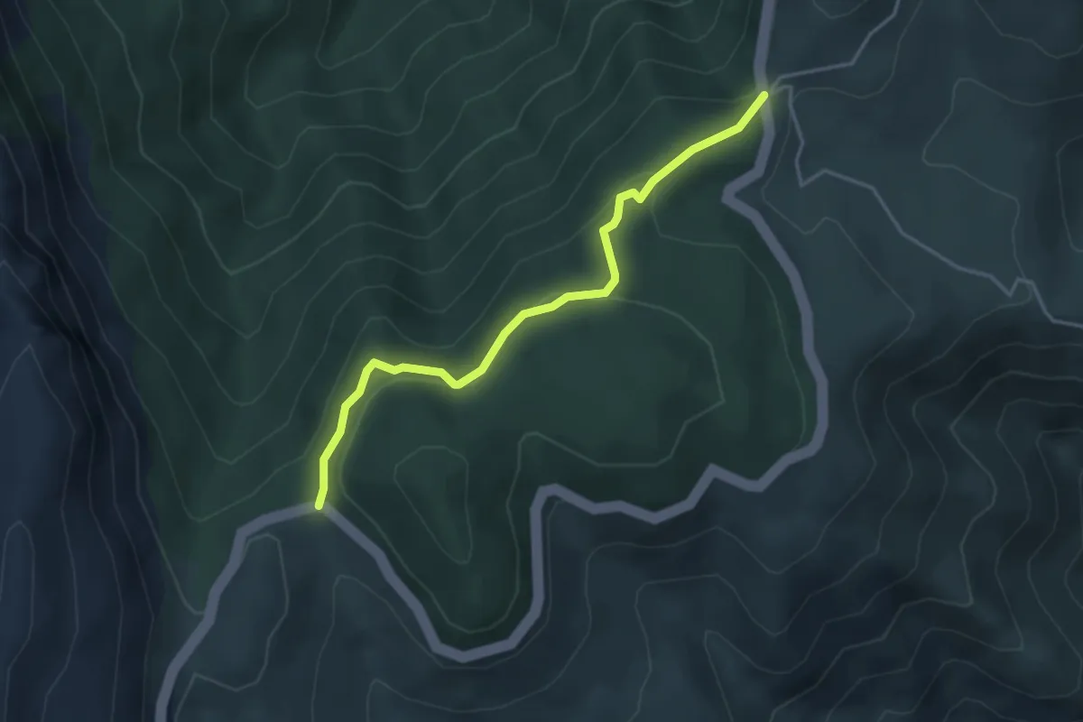
Easy · Trail
Genna 'e Peta – Genna Silana
4.1 km · ↑ 166 m · 1 h 20 min
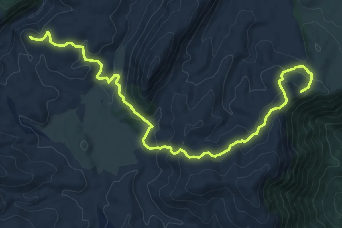
Medium · Summit
Chiesa San Giorgio – Tomba dei giganti S'Arena
15.6 km · ↑ 701 m · 5 h 13 min
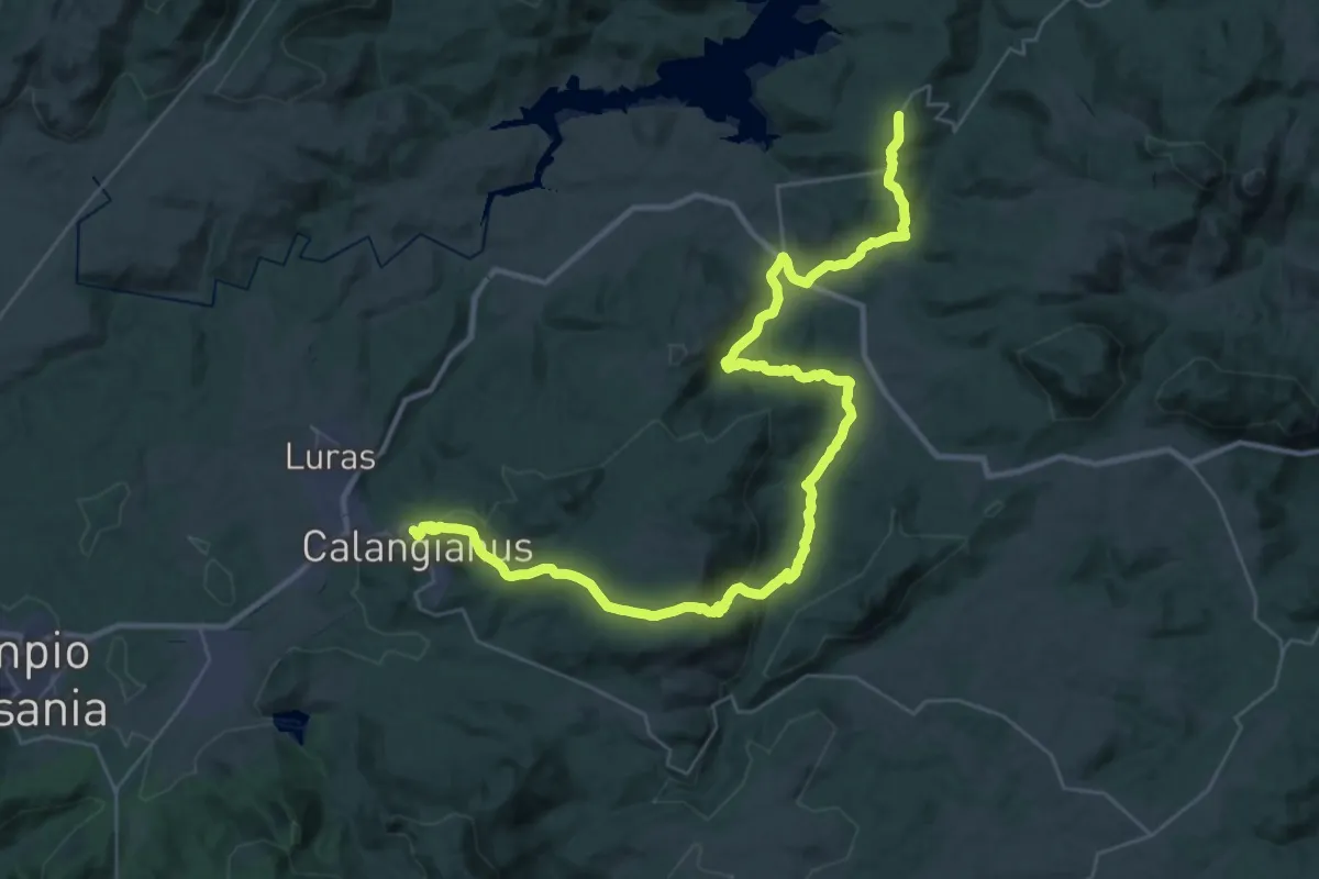
Demanding · Trail
Sant’Antonio di Gallura – Calangianus
23.9 km · ↑ 536 m · 7 h 14 min
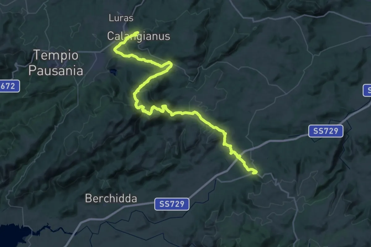
Demanding · Trail
Calangianus – Monti
34.6 km · ↑ 962 m · 10 h 51 min
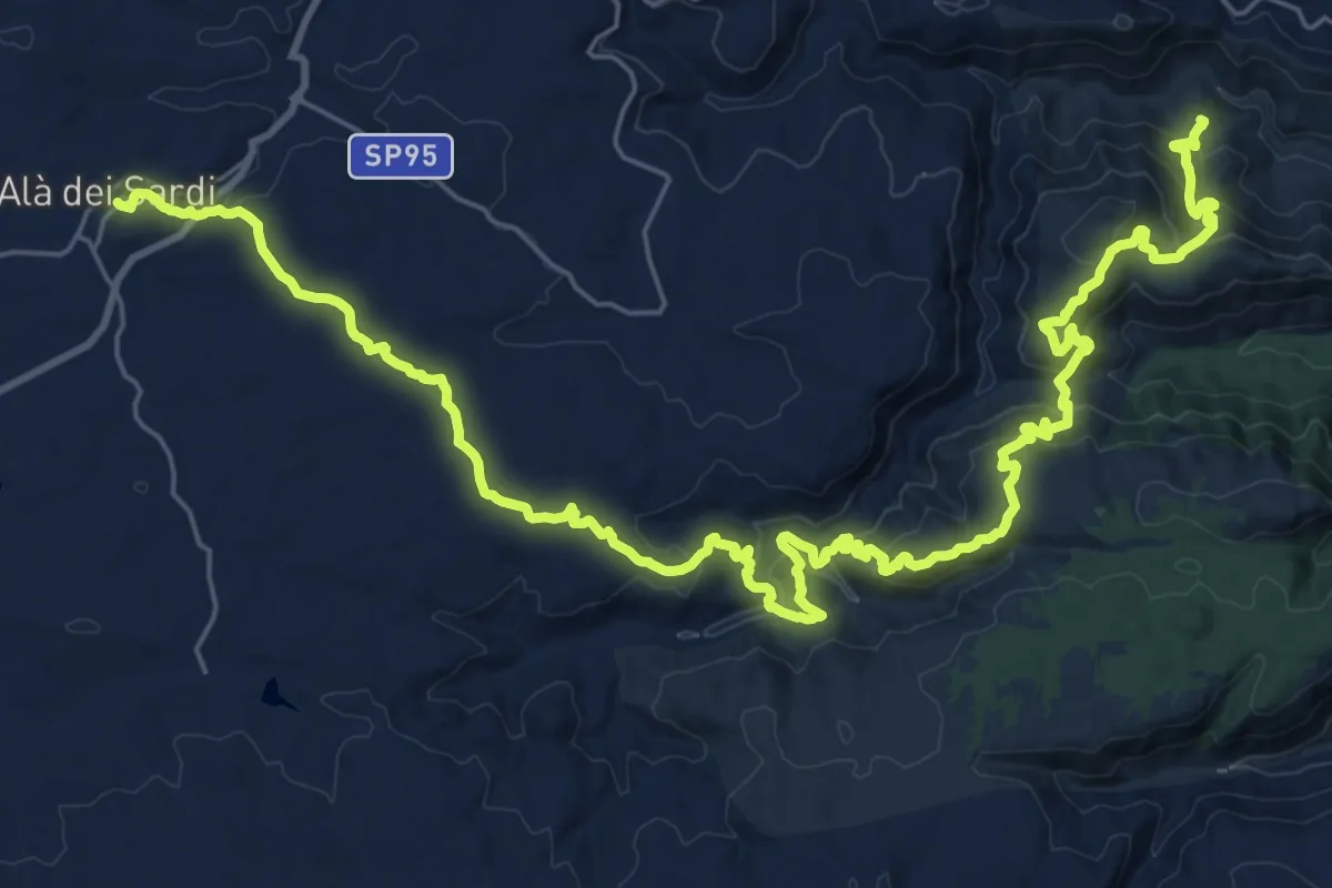
Demanding · Trail
Alà dei Sardi – Caserma Giuanne Stuppa
20.2 km · ↑ 912 m · 6 h 51 min
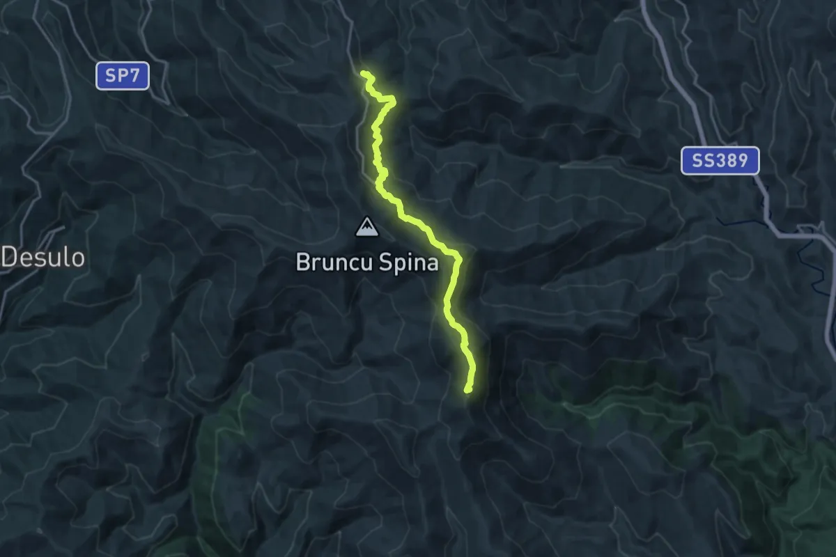
Demanding · Summit
Separadorgiu – Terra Ona
16.9 km · ↑ 880 m · 5 h 53 min
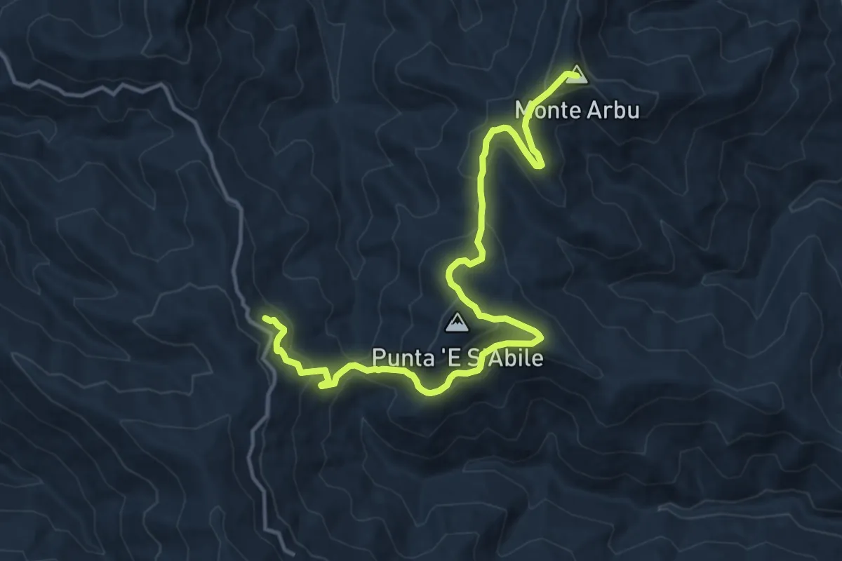
Demanding · Summit
Ilodei Malu (Caserma Montes) – Separadorgiu
16.1 km · ↑ 768 m · 5 h 28 min
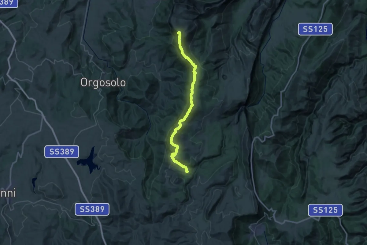
Demanding · Summit
Monte Maccione – Sa Sinepida
32.1 km · ↑ 1727 m · 11 h 19 min
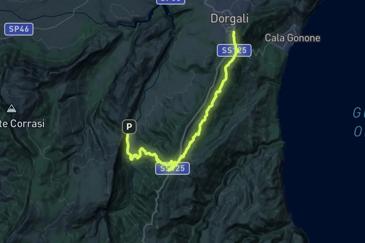
Demanding · Trail
Durgali – Sa Barva
19.1 km · ↑ 917 m · 6 h 39 min
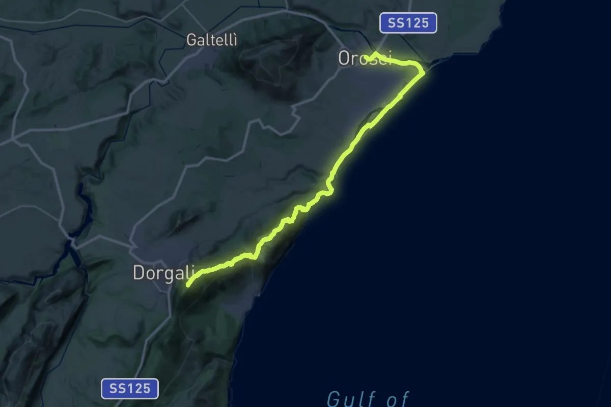
Demanding · Summit
Orosei – Durgali
39.8 km · ↑ 1628 m · 12 h 56 min
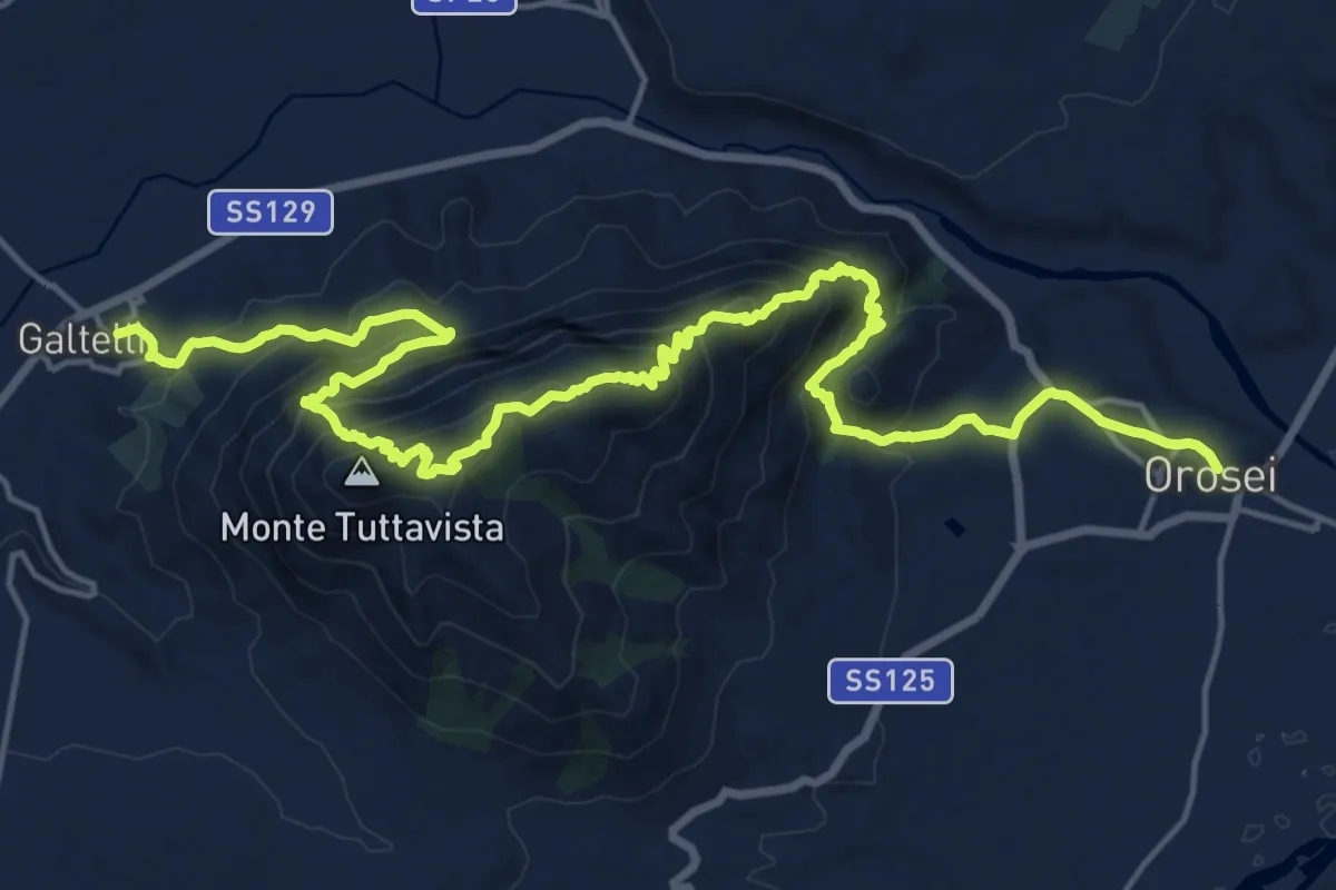
Demanding · Trail
Norghio – Orosei
12.8 km · ↑ 896 m · 5 h 10 min
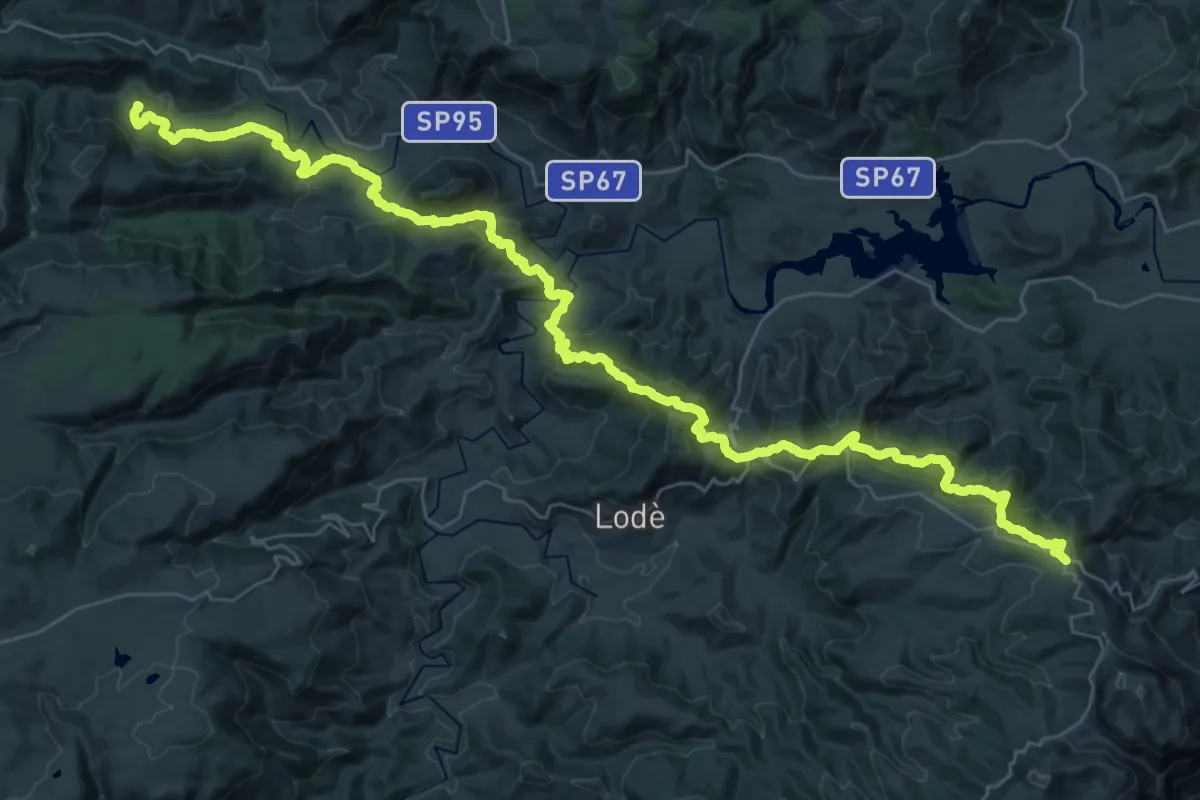
Demanding · Trail
Caserma Forestale “Gianni Stuppa” – Vecchia Cantoniera di Sant’Anna
25.8 km · ↑ 1424 m · 9 h 22 min
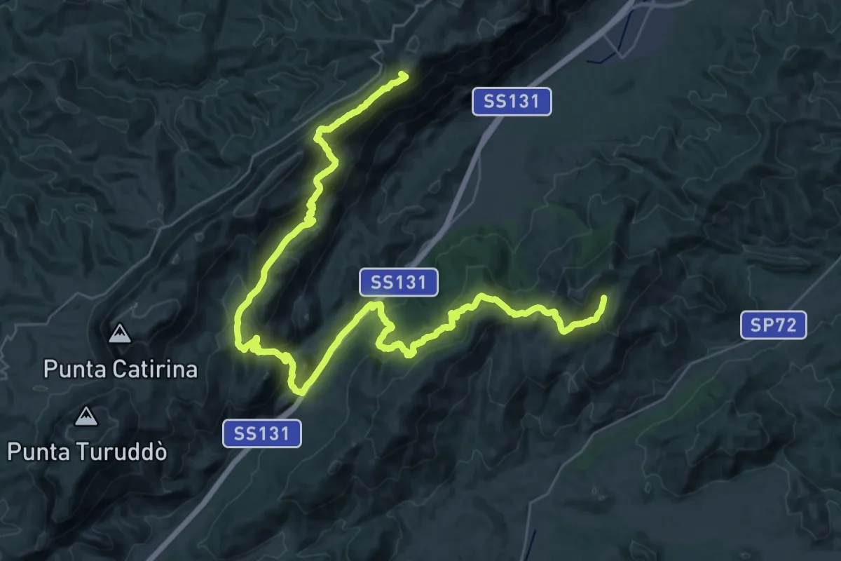
Demanding · Summit
Vecchia Cantoniera di Sant’Anna – Norghio
48.4 km · ↑ 2158 m · 16 h 6 min
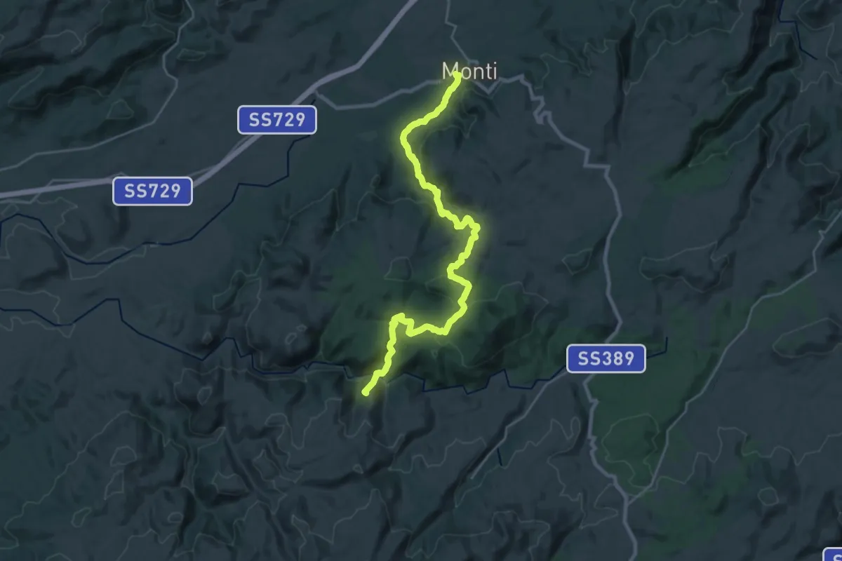
Demanding · Summit
Monti – Caserma Forestale Bolostiu
27.8 km · ↑ 955 m · 8 h 38 min
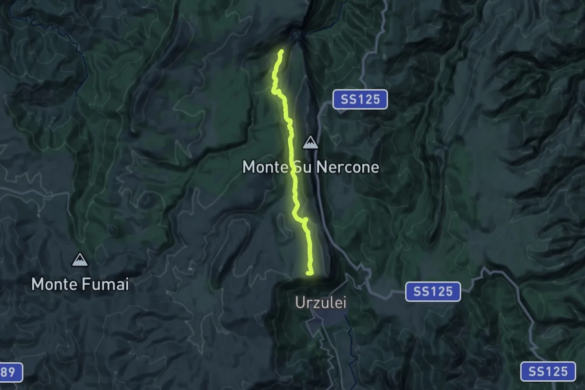
Expert · Trail
Sedda ar baccas – Gola Gorropu
19.9 km · ↑ 675 m · 6 h 10 min
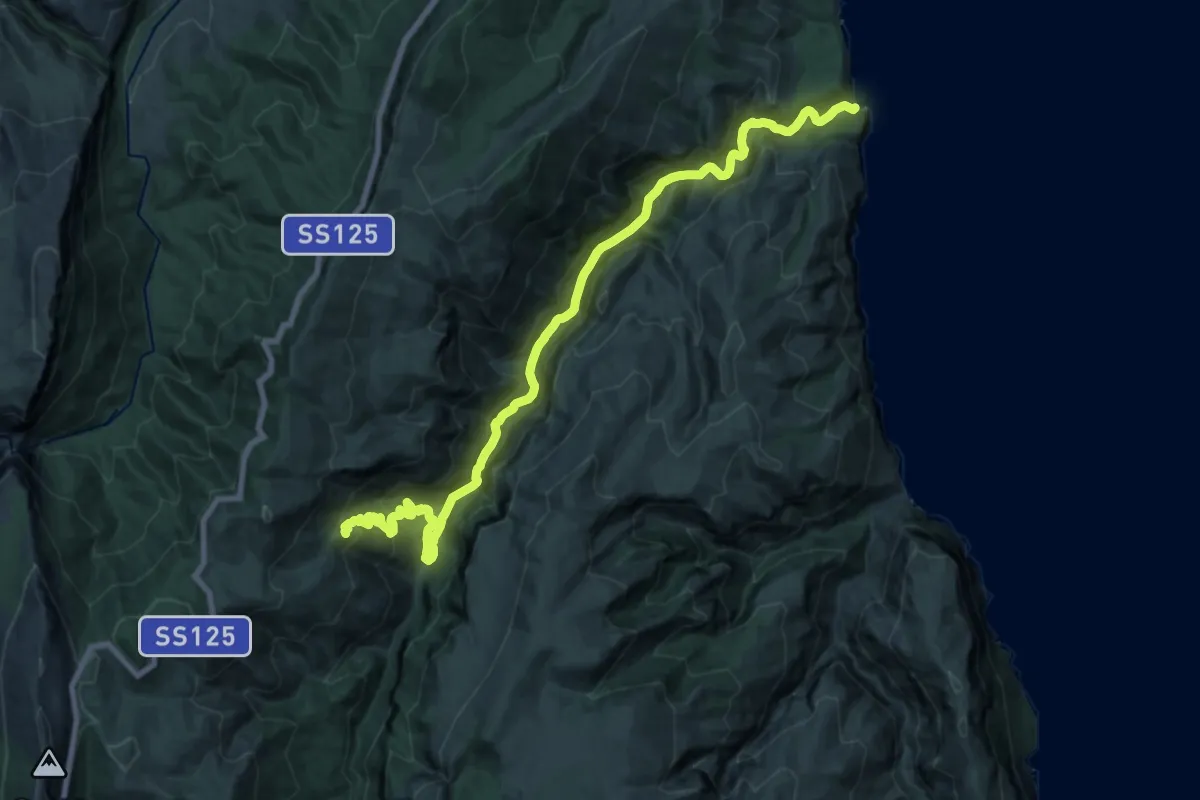
Demanding · Summit
Genna 'e Peta – Cala Luna
25.7 km · ↑ 1144 m · 8 h 33 min
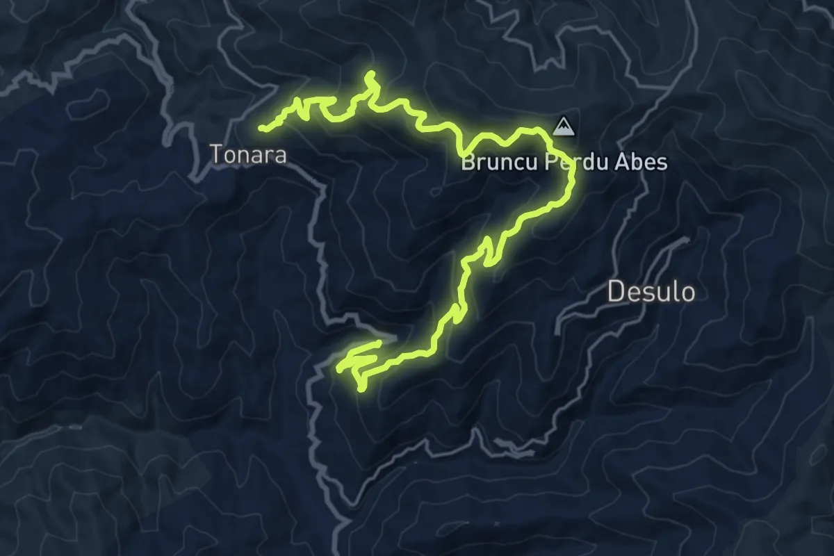
Medium · Trail
Tonara – Ponte Bauerì
13.2 km · ↑ 589 m · 4 h 43 min
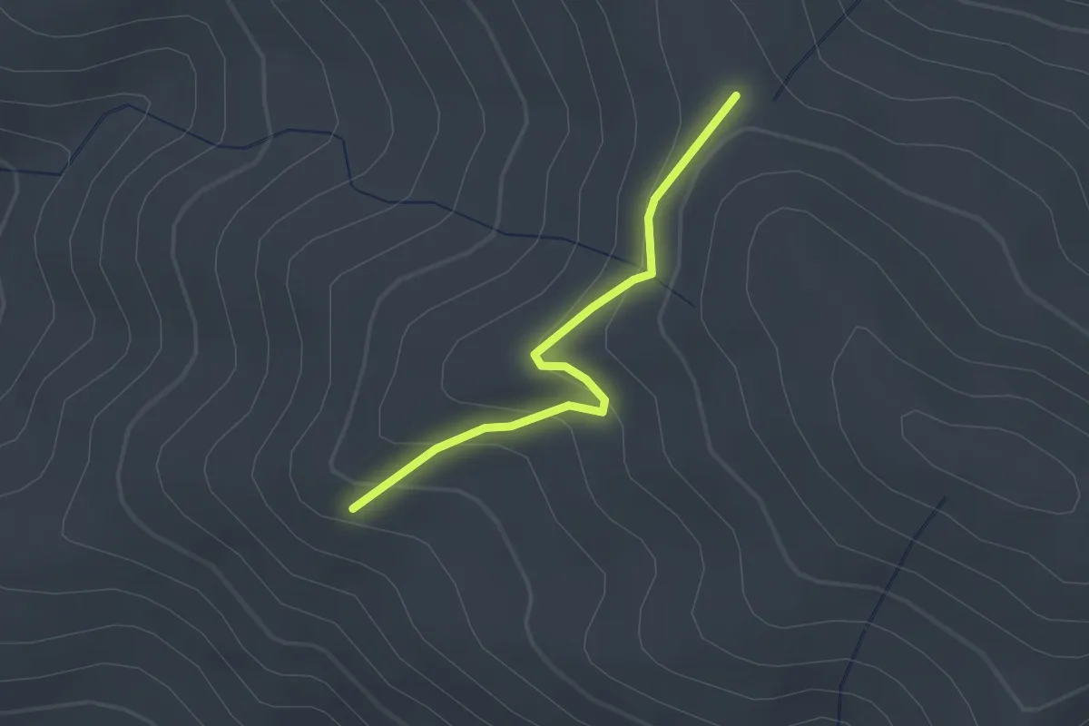
Easy · Trail
Bacu Perdas Artas – Sedda Ghenna Flores
2.2 km · ↑ 131 m · 48 min
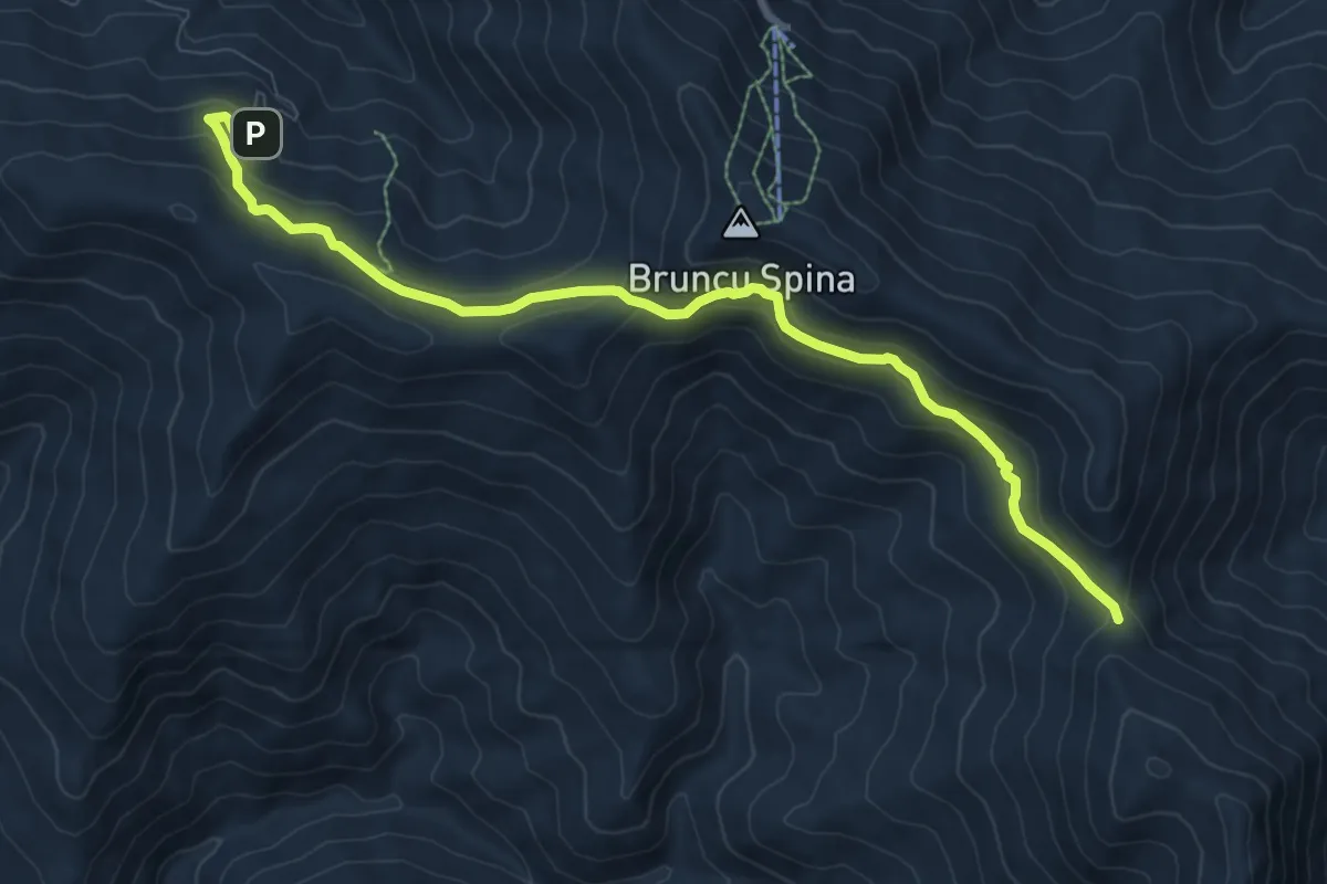
Medium · Trail
Rifugio s'Arena – Arcu Gennargentu
10.5 km · ↑ 469 m · 3 h 30 min
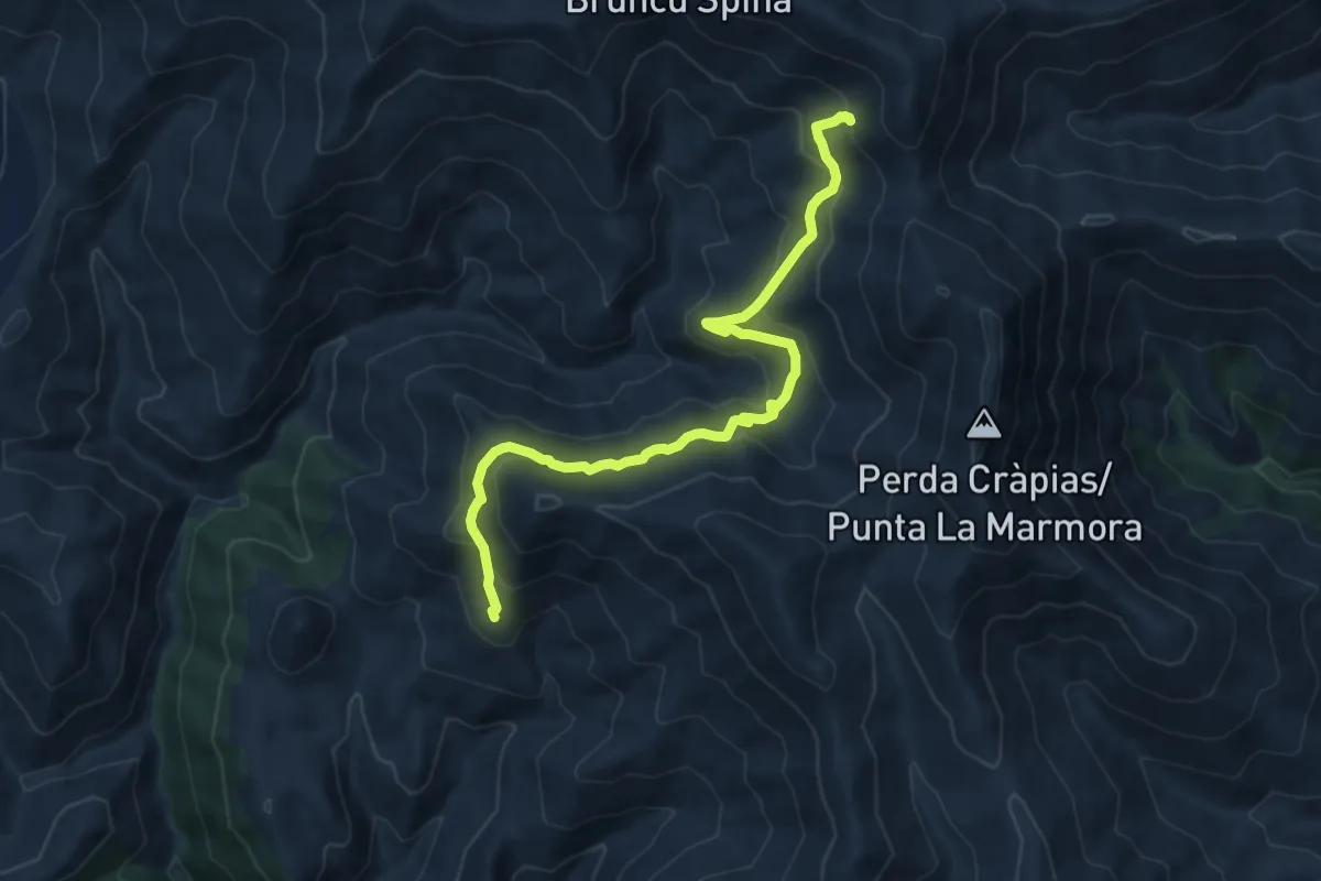
Medium · Summit
Sa Sedda ‘e S’Ena – Ruderi Rifugio La Marmora
12.8 km · ↑ 664 m · 4 h 28 min
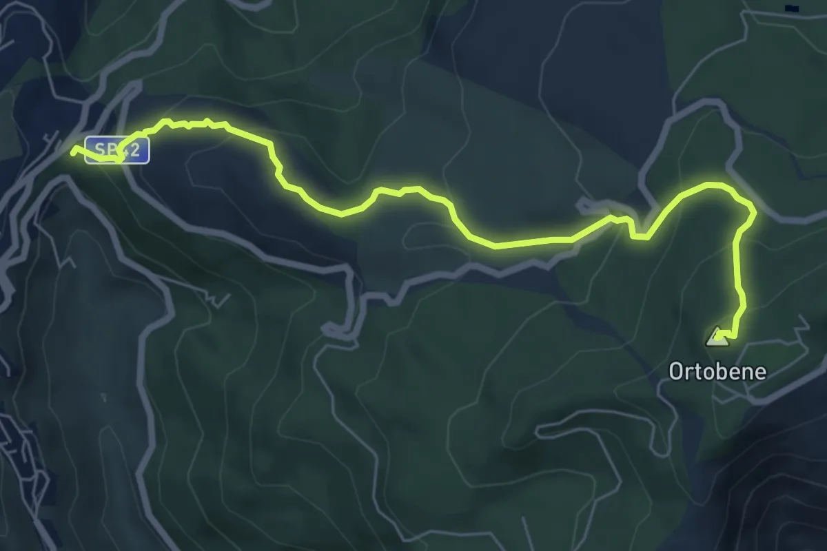
Medium · Summit
Chiesa de La Solitudine – Su Redentore - cima del monte Ortobene
7.4 km · ↑ 412 m · 2 h 38 min
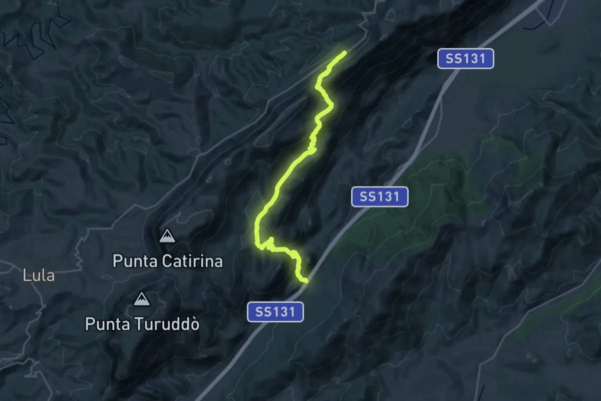
Demanding · Trail
Corru 'e mandra – Sa 'e Tamponi
22.2 km · ↑ 1143 m · 7 h 43 min
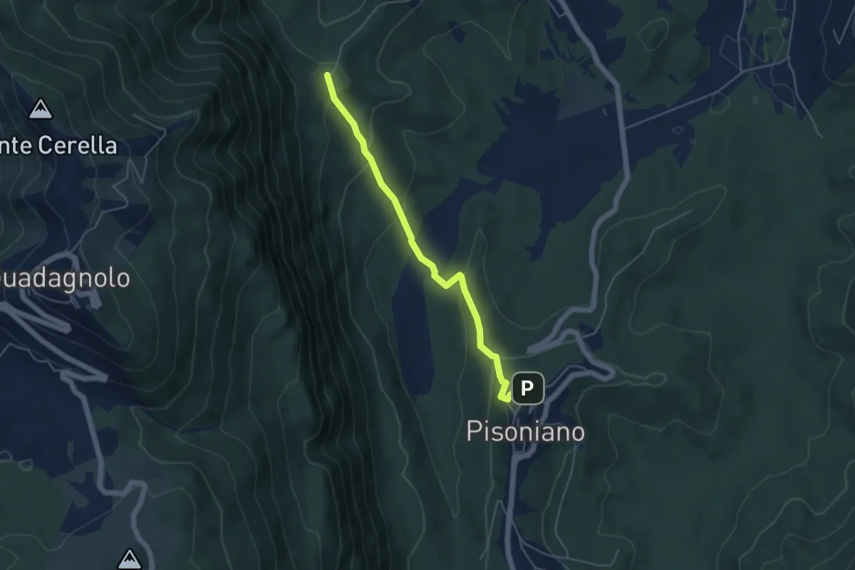
Medium · Trail
Pisoniano – Ara di Palazzo
4.8 km · ↑ 269 m · 1 h 43 min
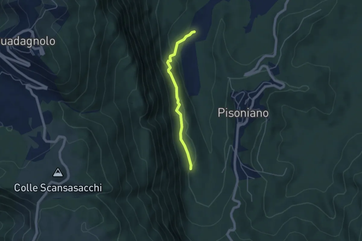
Easy · Trail
Ara di Palazzo – Percorso 505
3.8 km · ↑ 113 m · 1 h 9 min
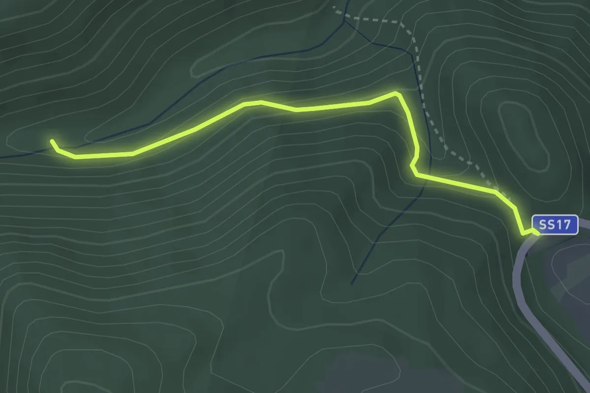
Easy · Trail
S.S. 17 – Sentiero 7
3.4 km · ↑ 144 m · 1 h 7 min
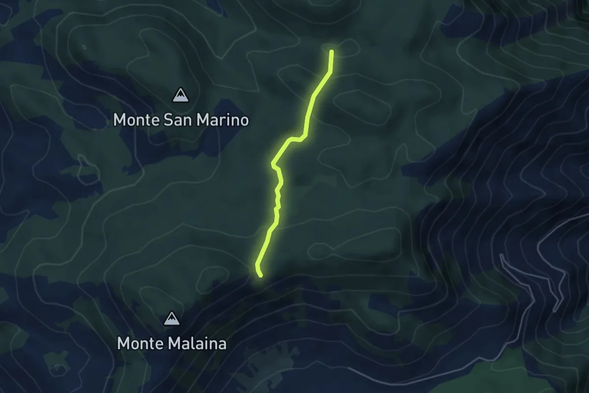
Easy · Trail
Sella M. Malaina (Percorso 718) – Percorso 720
3.6 km · ↑ 167 m · 1 h 12 min
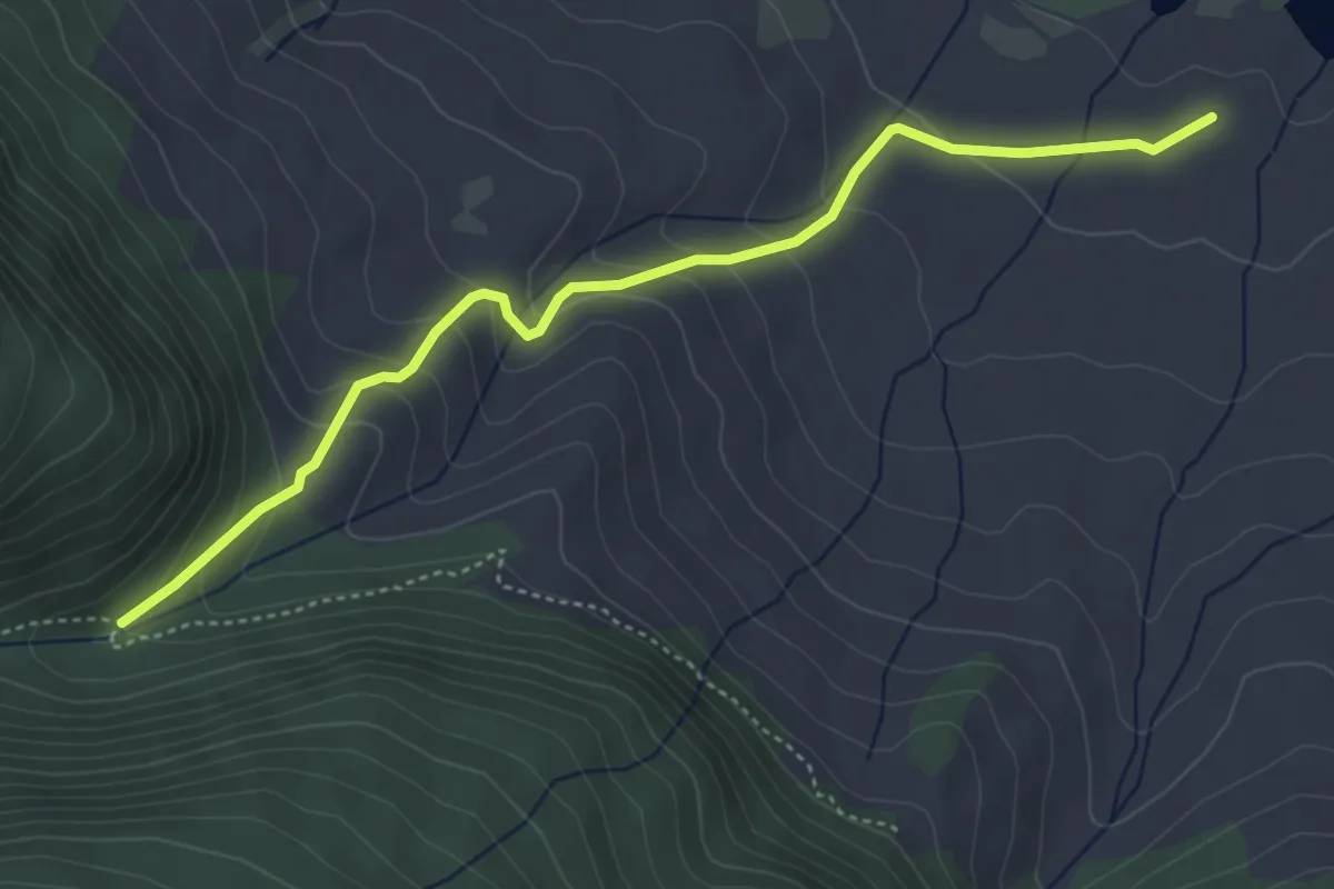
Medium · Trail
Convento dei Monaci – Valle Iannanghera
5.0 km · ↑ 281 m · 1 h 48 min