Trails in Italy
25,219 hiking trails, each with its route, climb, walking time and grade.
All trails, page 258 of 526
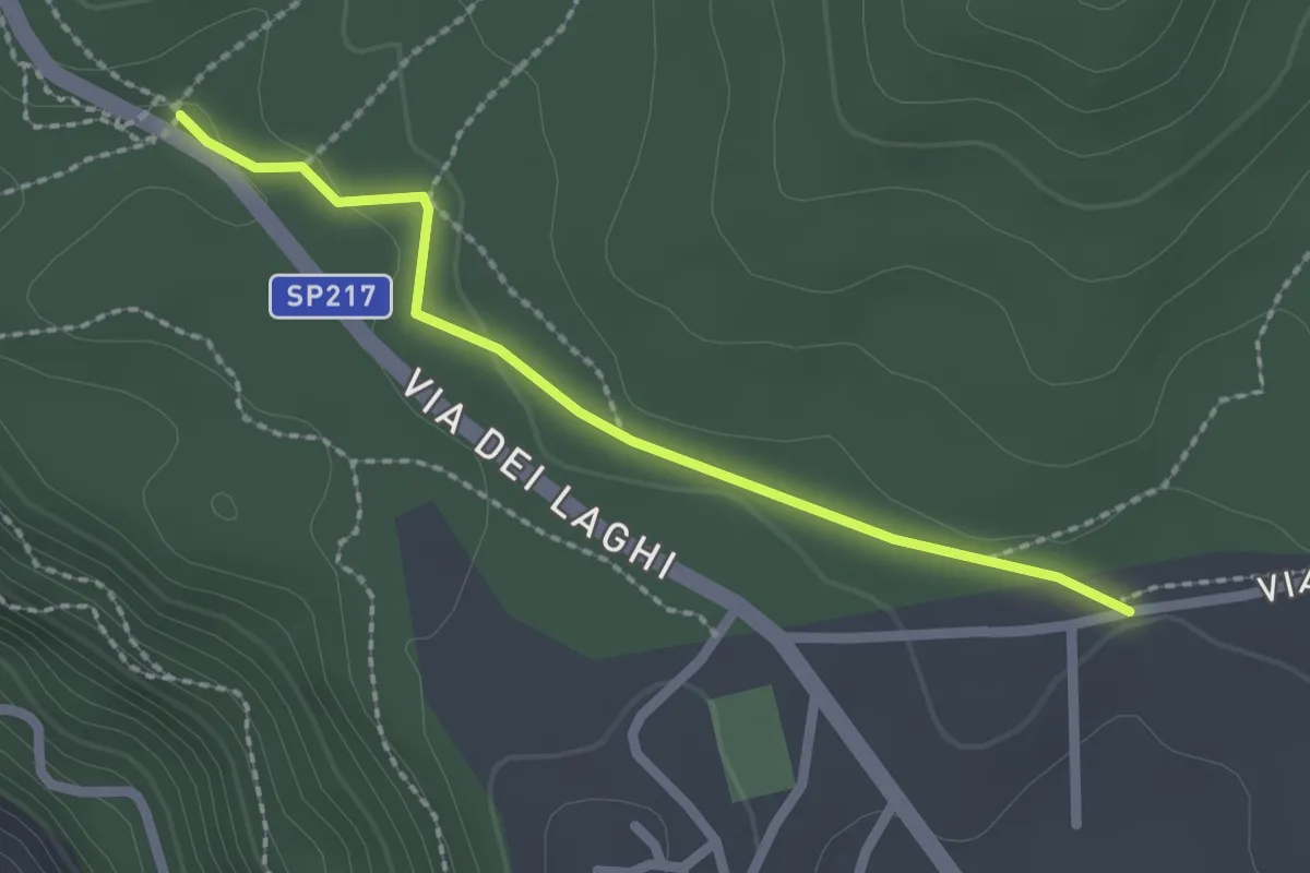
Easy · Trail
CAI 512 – CAI 516
2.3 km · ↑ 39 m · 37 min
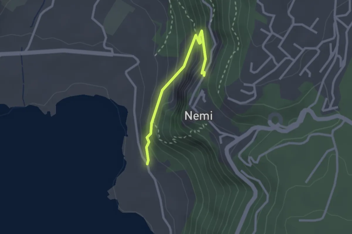
Medium · Trail
Lago di Nemi – Nemi
2.2 km · ↑ 174 m · 53 min
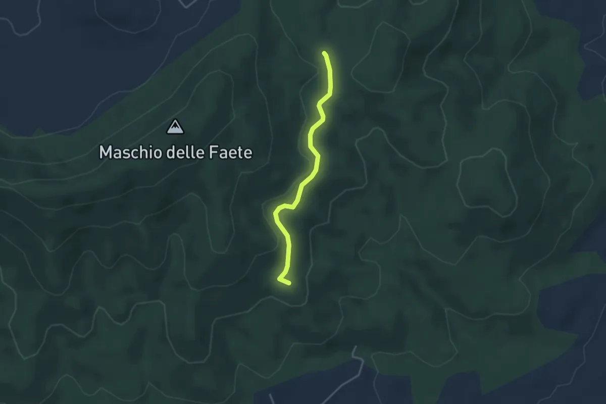
Easy · Summit
CAI 517 – CAI 516
3.2 km · ↑ 53 m · 52 min
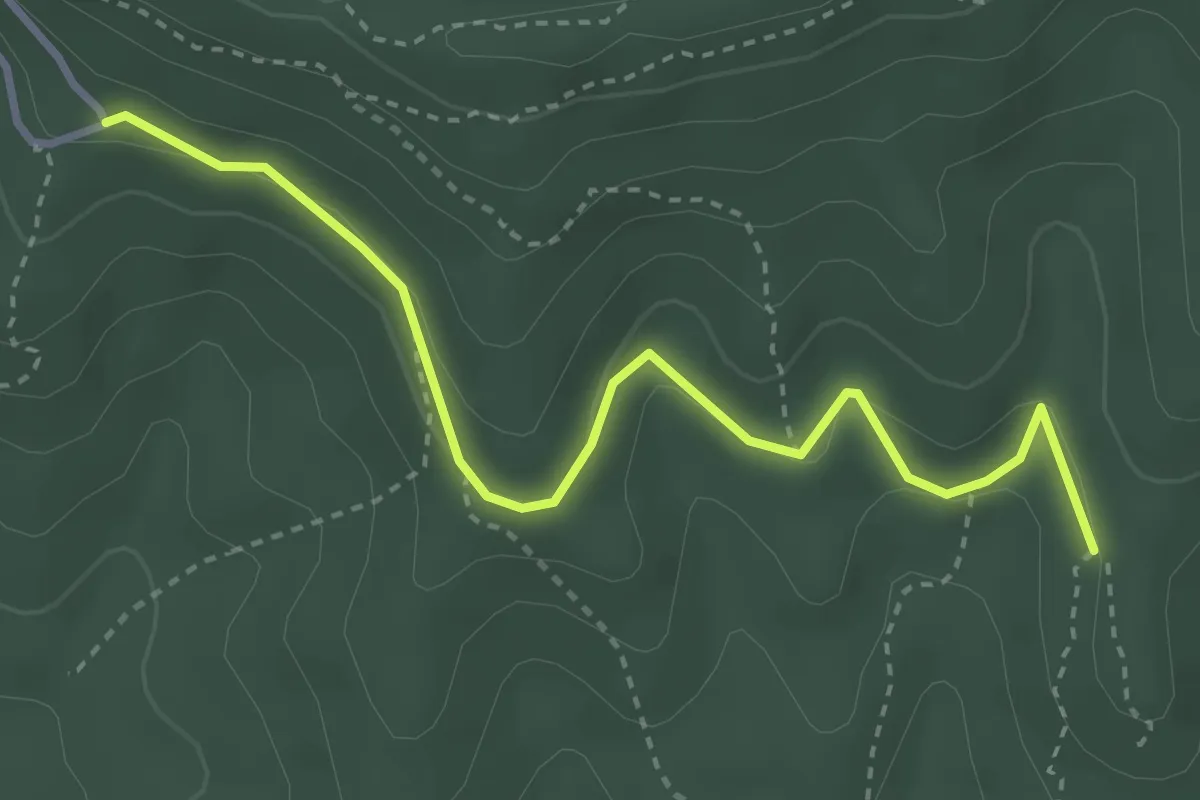
Easy · Trail
CAI 516 – Via di Monte Cavo
3.9 km · ↑ 122 m · 1 h 11 min
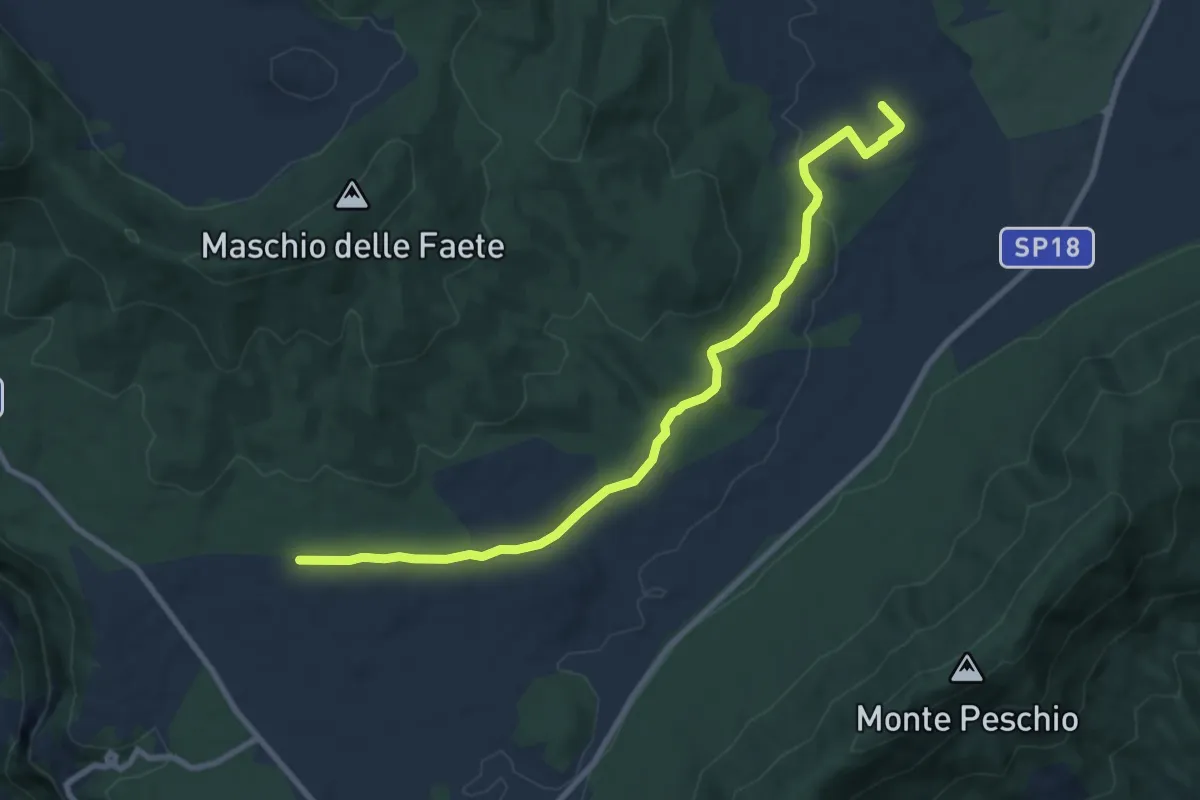
Medium · Trail
CAI 516 (via dei Corsi) – Casa del Parco, Pratoni del Vivaro
10.2 km · ↑ 137 m · 2 h 43 min
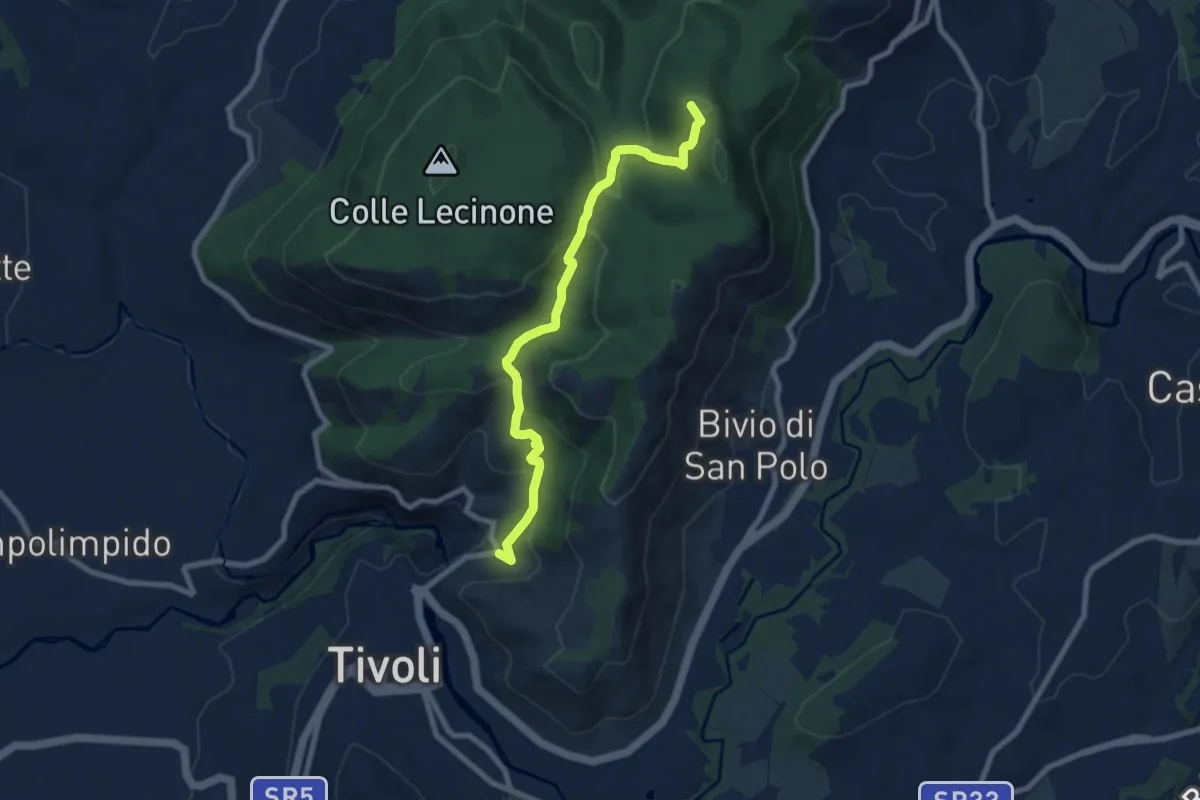
Medium · Summit
Bivio Hotel S. Angelo – San Polo dei Cavalieri
8.5 km · ↑ 425 m · 2 h 55 min
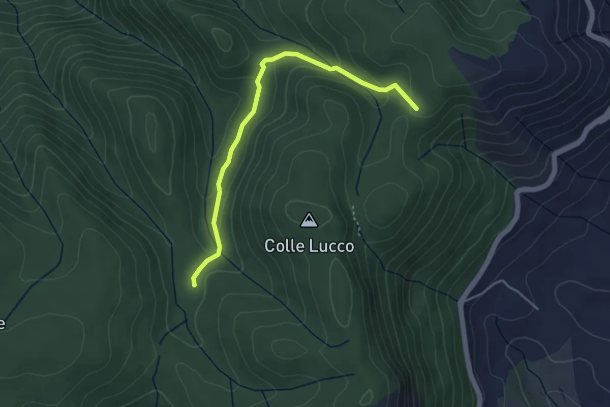
Easy · Cabin
Rifugio Fonte Bologna – Incr. Sentiero 331
3.8 km · ↑ 126 m · 1 h 11 min
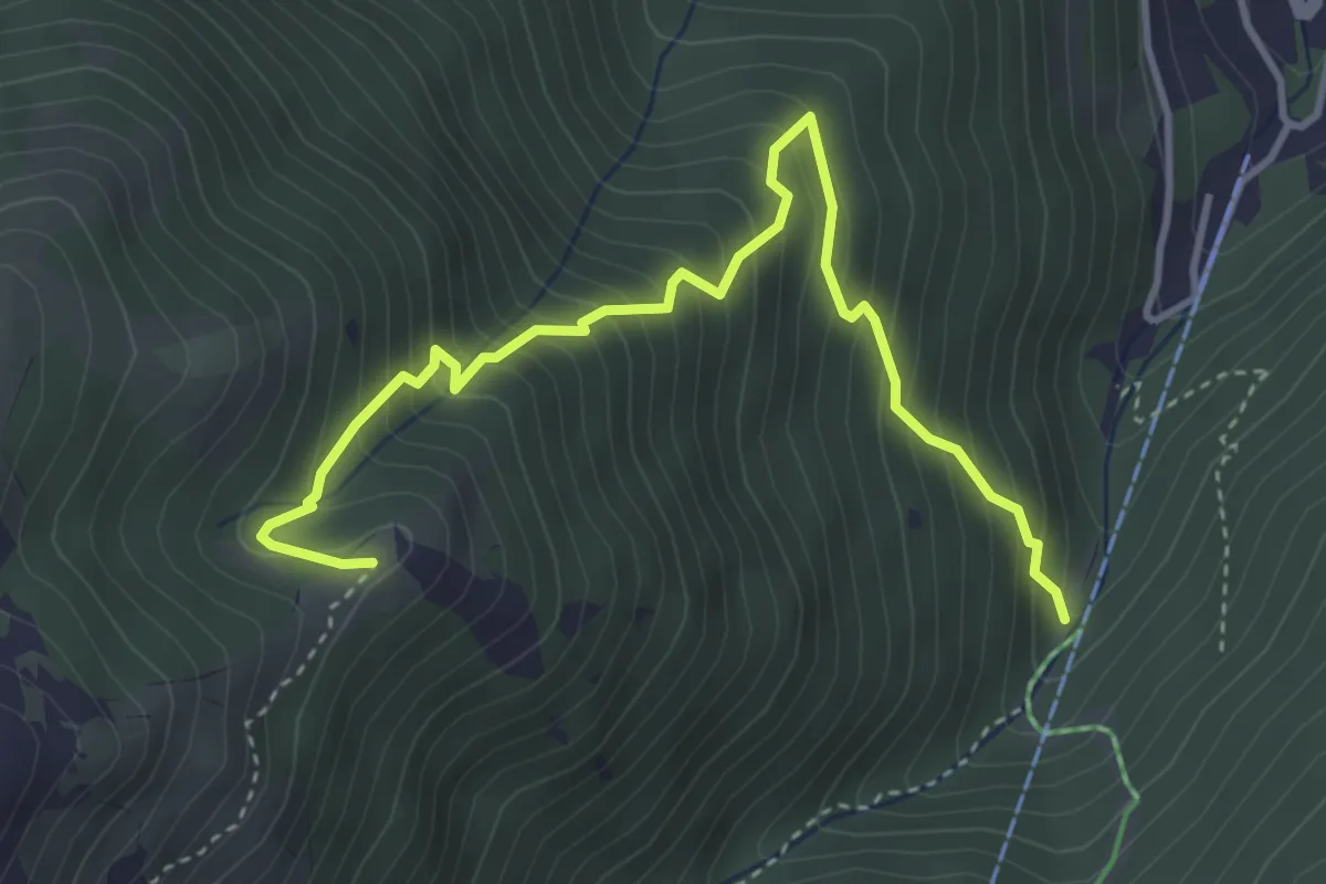
Medium · Trail
Vallone Carapale – Punta Cerreto
4.6 km · ↑ 552 m · 2 h 17 min
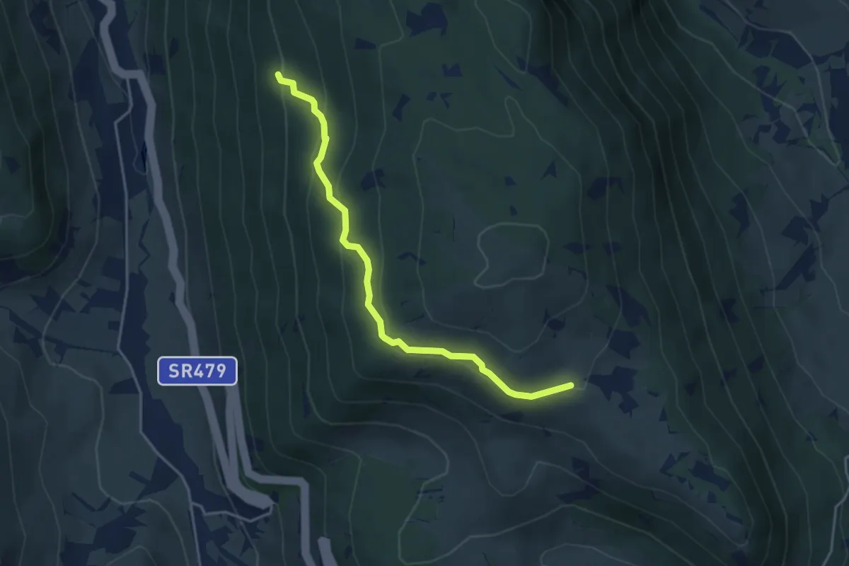
Easy · Trail
Stazzo Pagliaccio – Sentiero 26
4.3 km · ↑ 194 m · 1 h 26 min
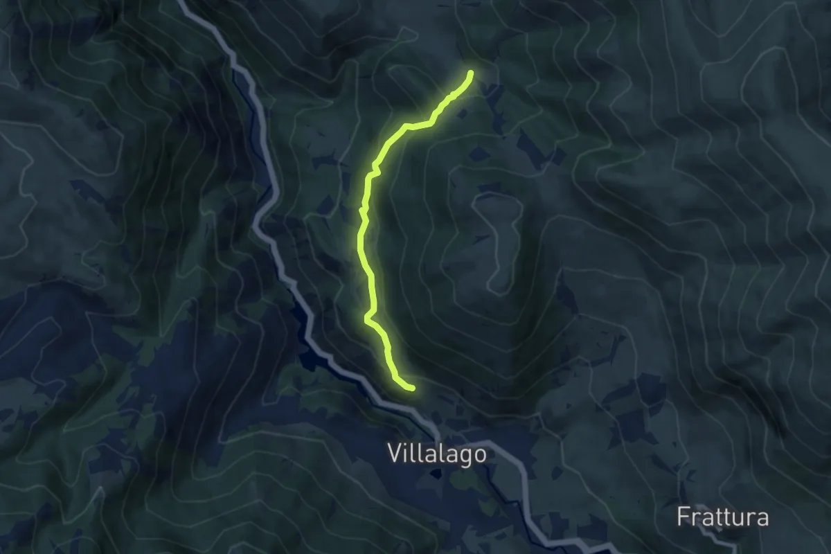
Medium · Trail
Villalago – Sentiero 11
6.9 km · ↑ 420 m · 2 h 33 min
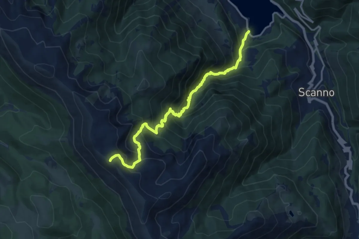
Demanding · Summit
Lago di Scanno – Monte Terratta
12.2 km · ↑ 1265 m · 5 h 37 min
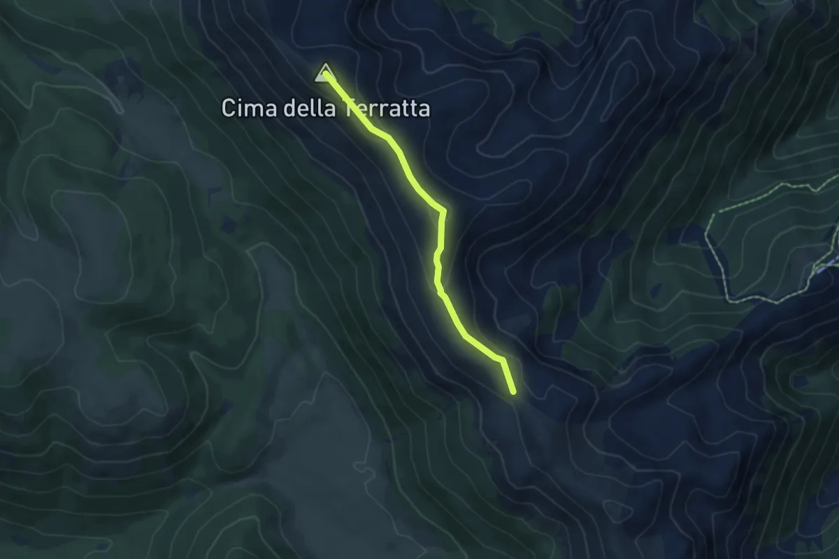
Medium · Summit
Monte Terratta – Valico del Carapale
4.8 km · ↑ 158 m · 1 h 29 min
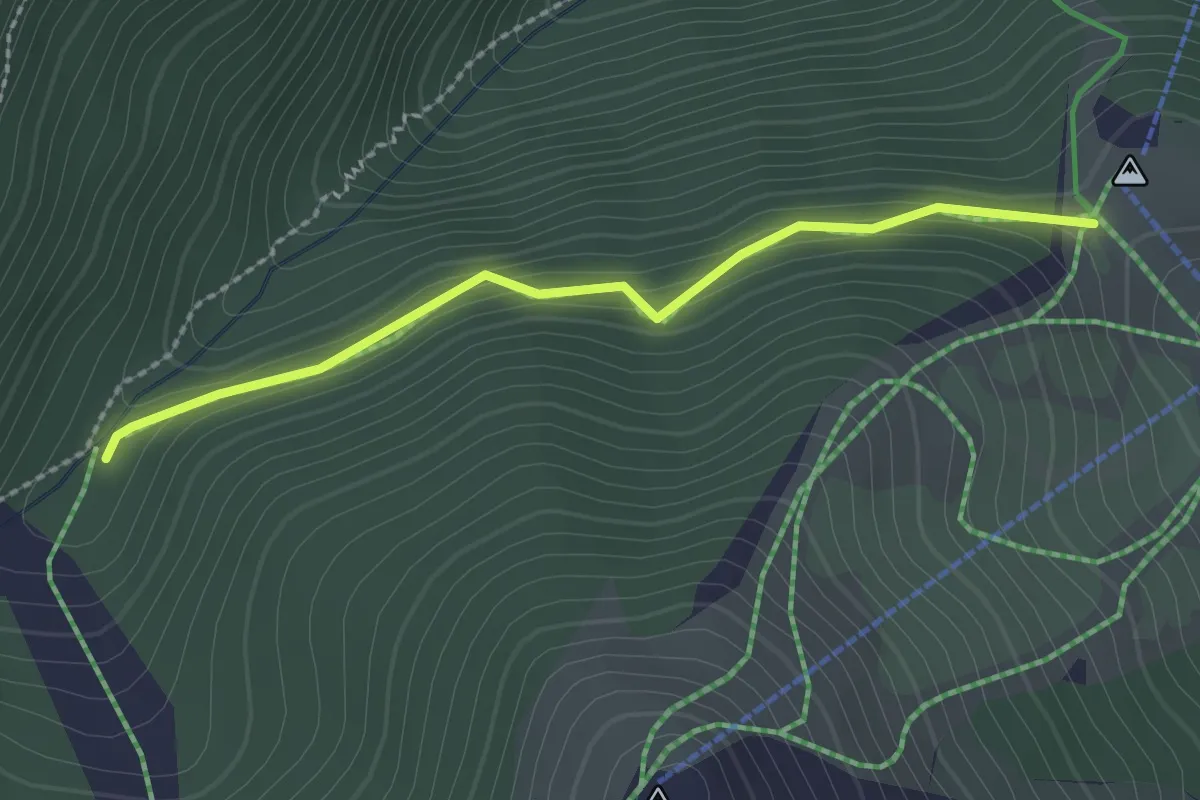
Easy · Trail
Rifugio Collerotondo – Stazzo Carapale
2.4 km · ↑ 97 m · 46 min
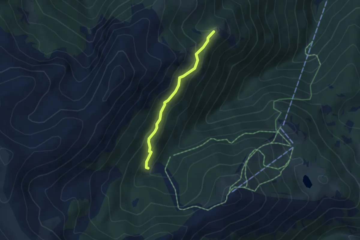
Medium · Trail
Stazzo del Carapale – Punta Cerreto
3.4 km · ↑ 215 m · 1 h 16 min
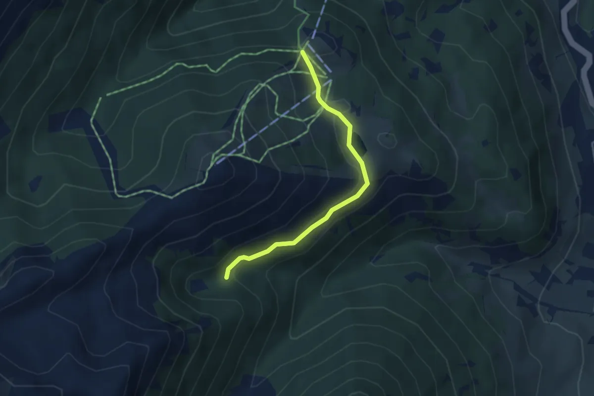
Easy · Trail
Collerotondo – Stazzo del Monte
3.6 km · ↑ 99 m · 1 h 4 min
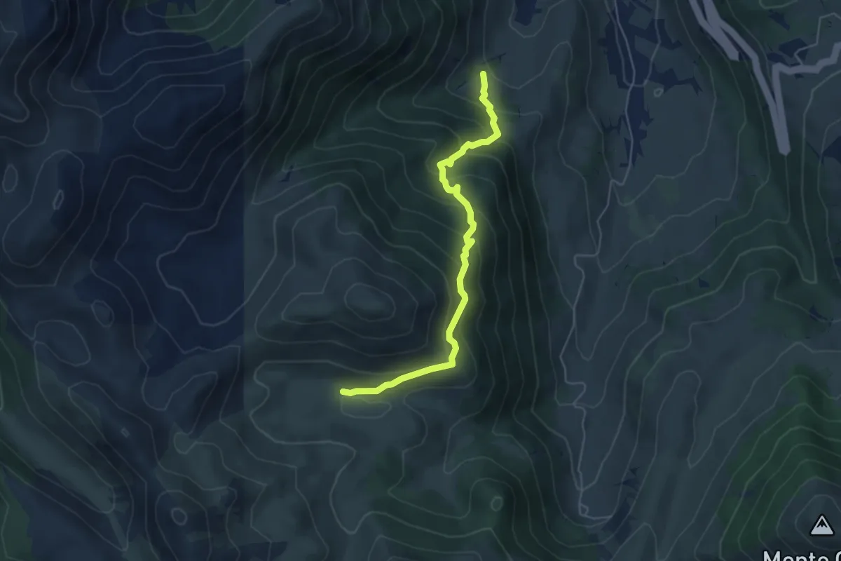
Medium · Trail
Vallone del Campo – Stazzo di Camporotondo
5.5 km · ↑ 485 m · 2 h 21 min
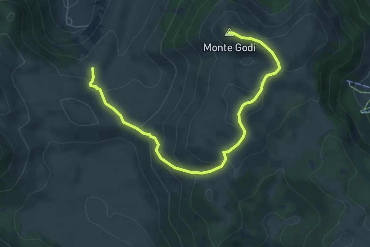
Medium · Summit
Serra di Ferroio – Monte Godi
6.5 km · ↑ 374 m · 2 h 21 min
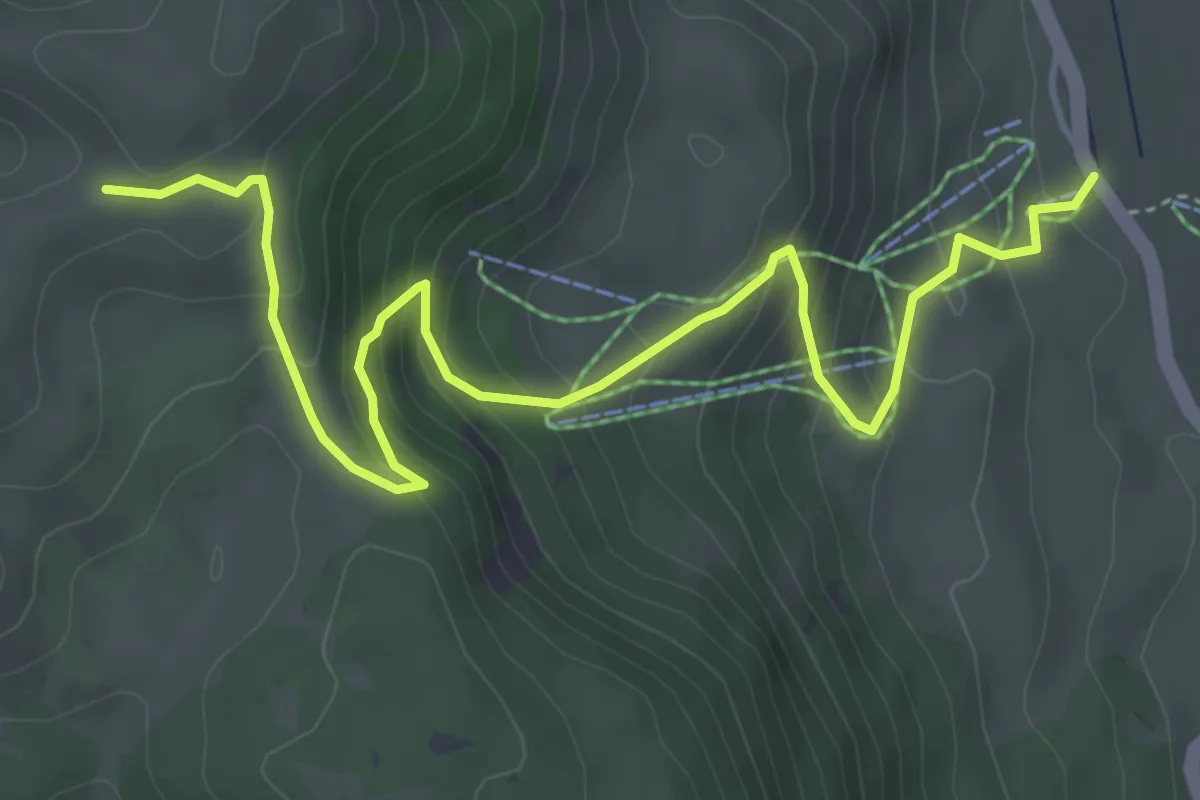
Medium · Cabin
Passo Godi – Monte Godi
5.9 km · ↑ 426 m · 2 h 19 min
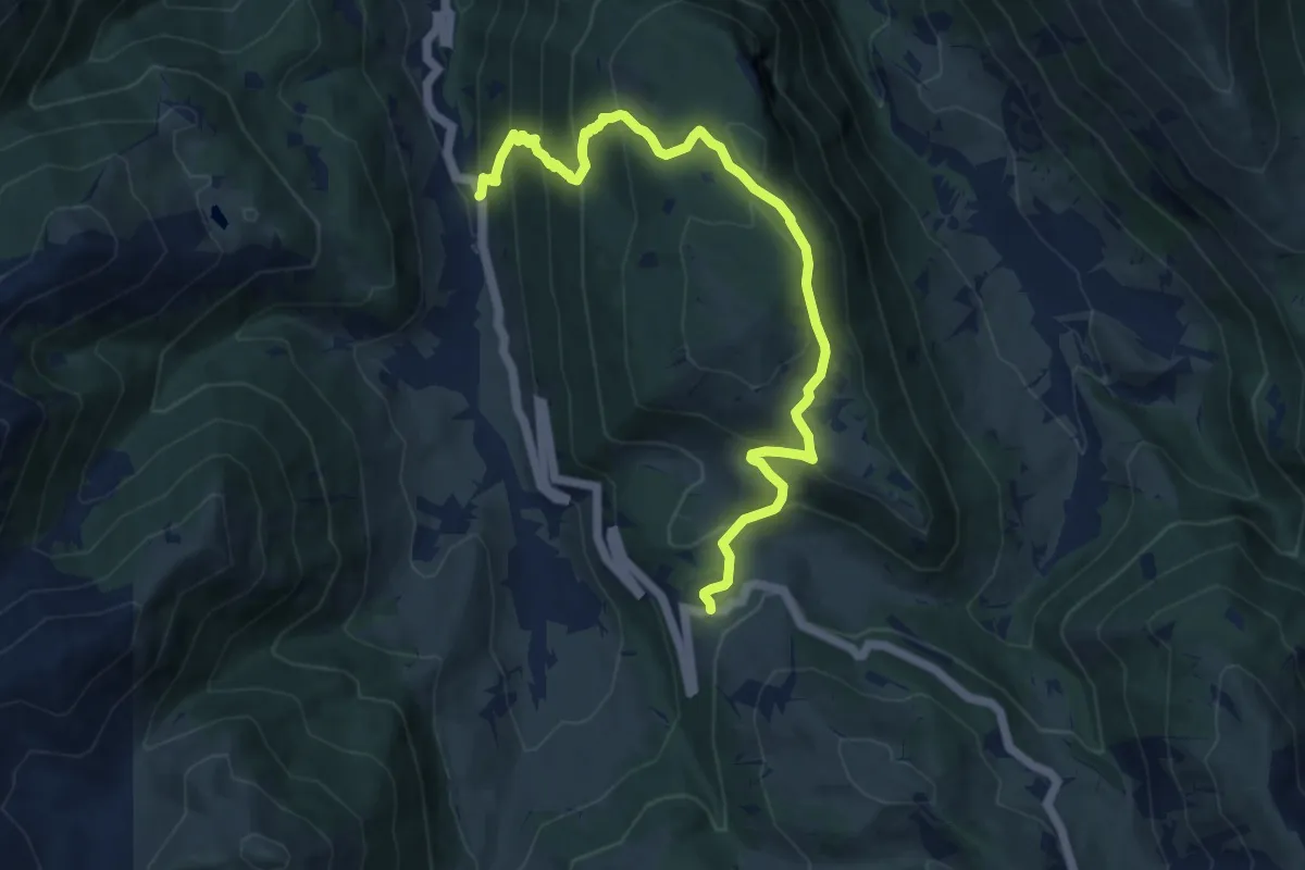
Medium · Trail
San Liborio – Cantoniera Mimola
11.5 km · ↑ 730 m · 4 h 18 min
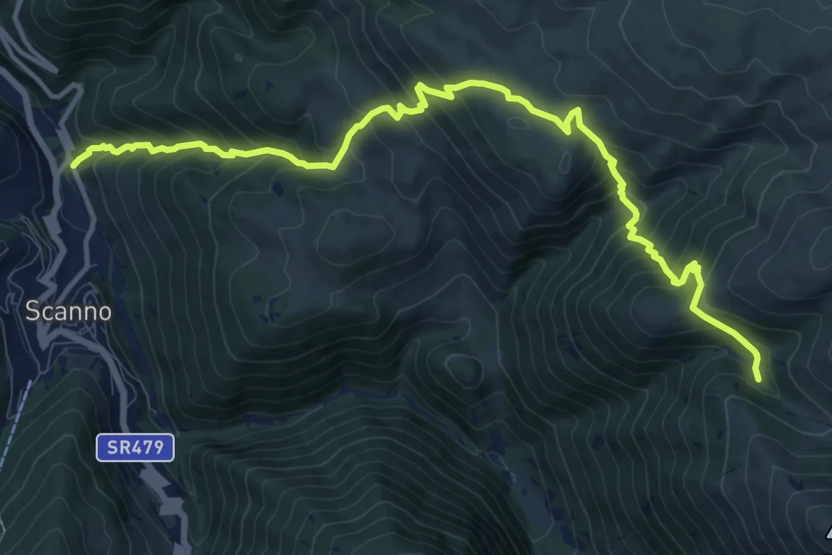
Demanding · Trail
Vallone delle Croci – Fonte Sparvera
13.3 km · ↑ 1165 m · 5 h 40 min
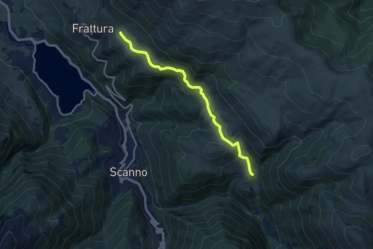
Medium · Trail
Fonte Malvascione – I Giardini
9.1 km · ↑ 405 m · 3 h 1 min
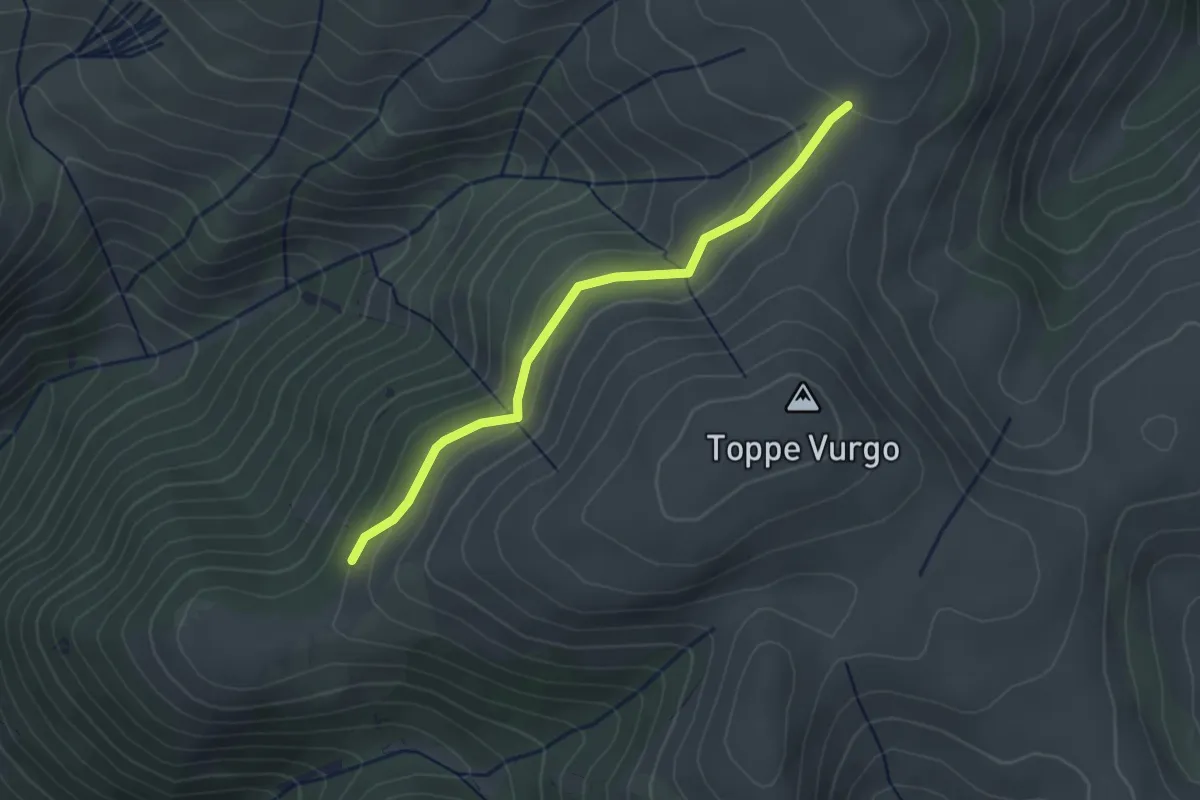
Easy · Trail
Colle Malpasso – Toppe Vurgo
3.1 km · ↑ 129 m · 1 h 1 min
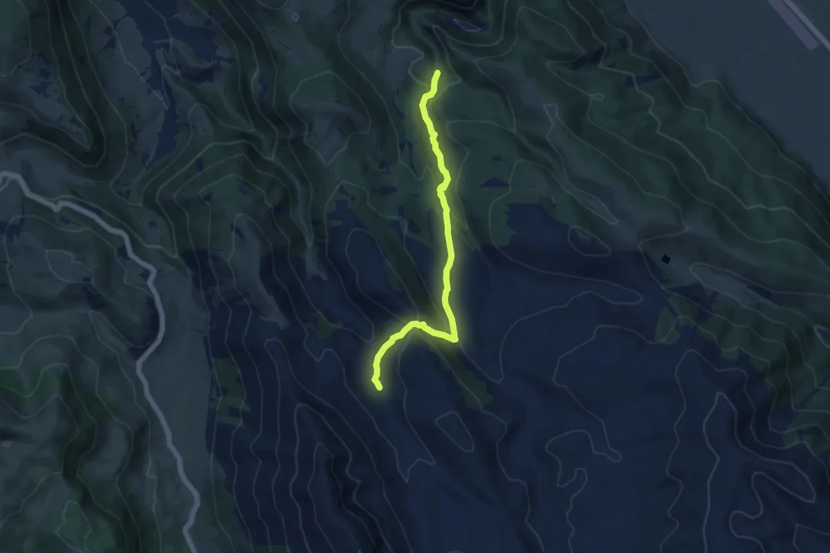
Medium · Trail
Stazzo Mandrucce – Imposto di Chiarano
9.1 km · ↑ 452 m · 3 h 8 min
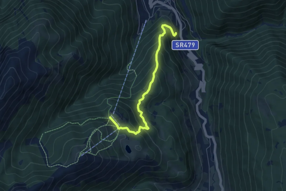
Medium · Trail
Scanno – Collerotondo
6.3 km · ↑ 522 m · 2 h 37 min
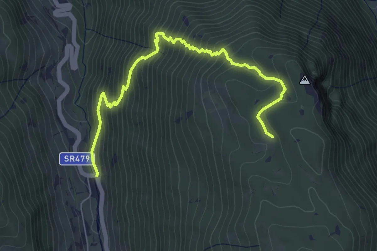
Medium · Trail
San Liborio – Stazzo di Preccia
6.3 km · ↑ 538 m · 2 h 39 min
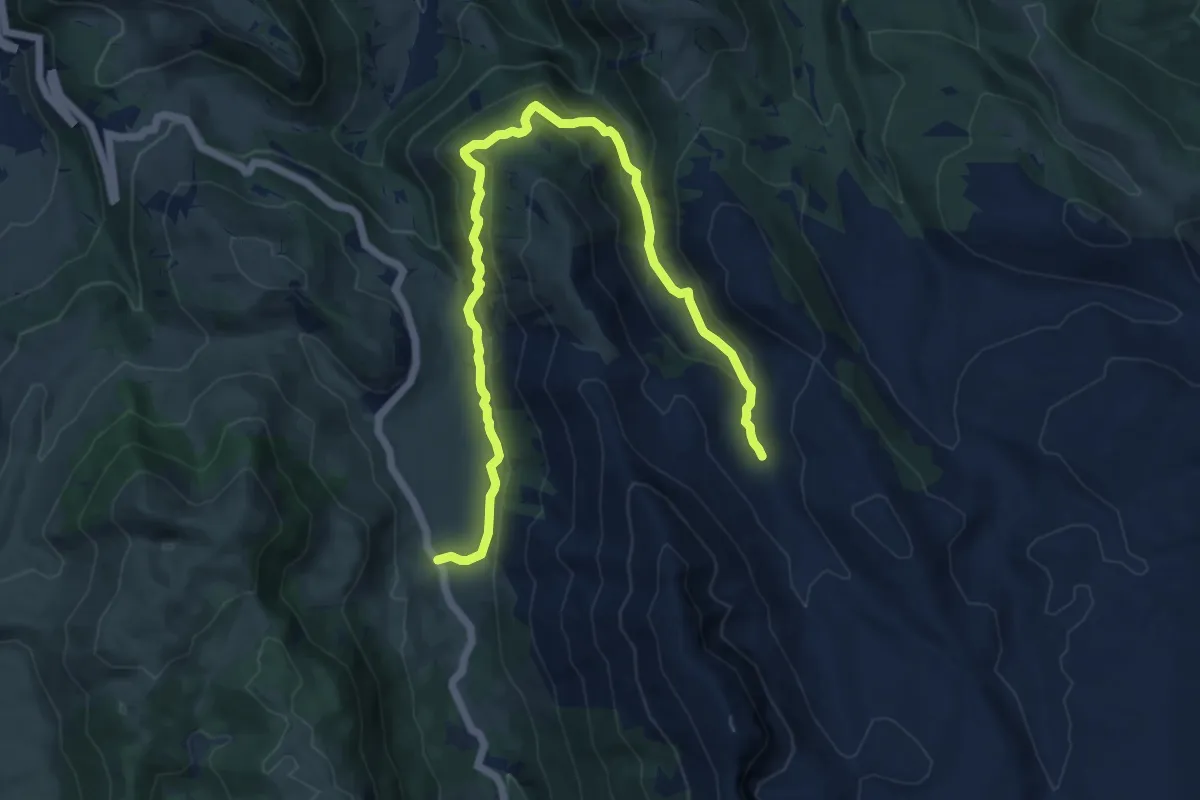
Medium · Cabin
Passo Godi – Stazzo Mandrucce
14.3 km · ↑ 657 m · 4 h 48 min
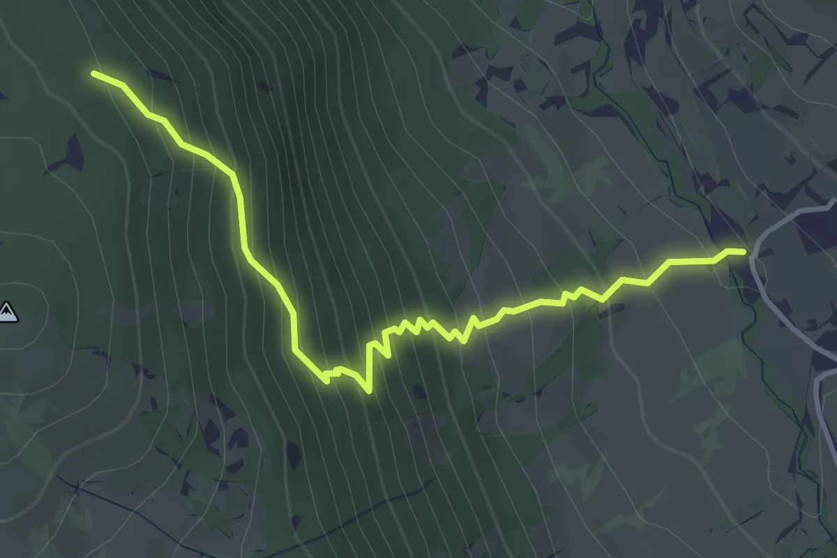
Medium · Trail
Jovana – Coppo Lungo
4.1 km · ↑ 415 m · 1 h 52 min
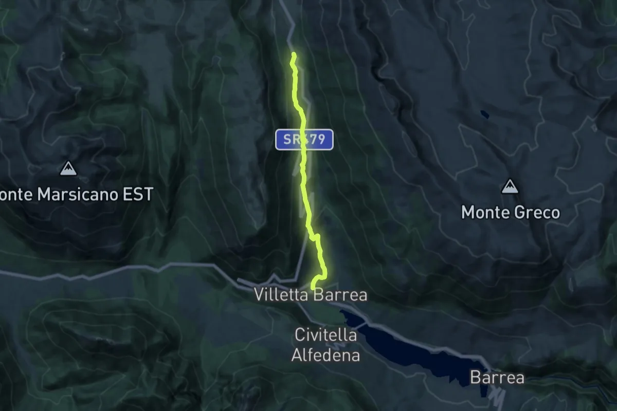
Medium · Trail
Villetta Barrea – Anatuccio
12.3 km · ↑ 561 m · 4 h 8 min
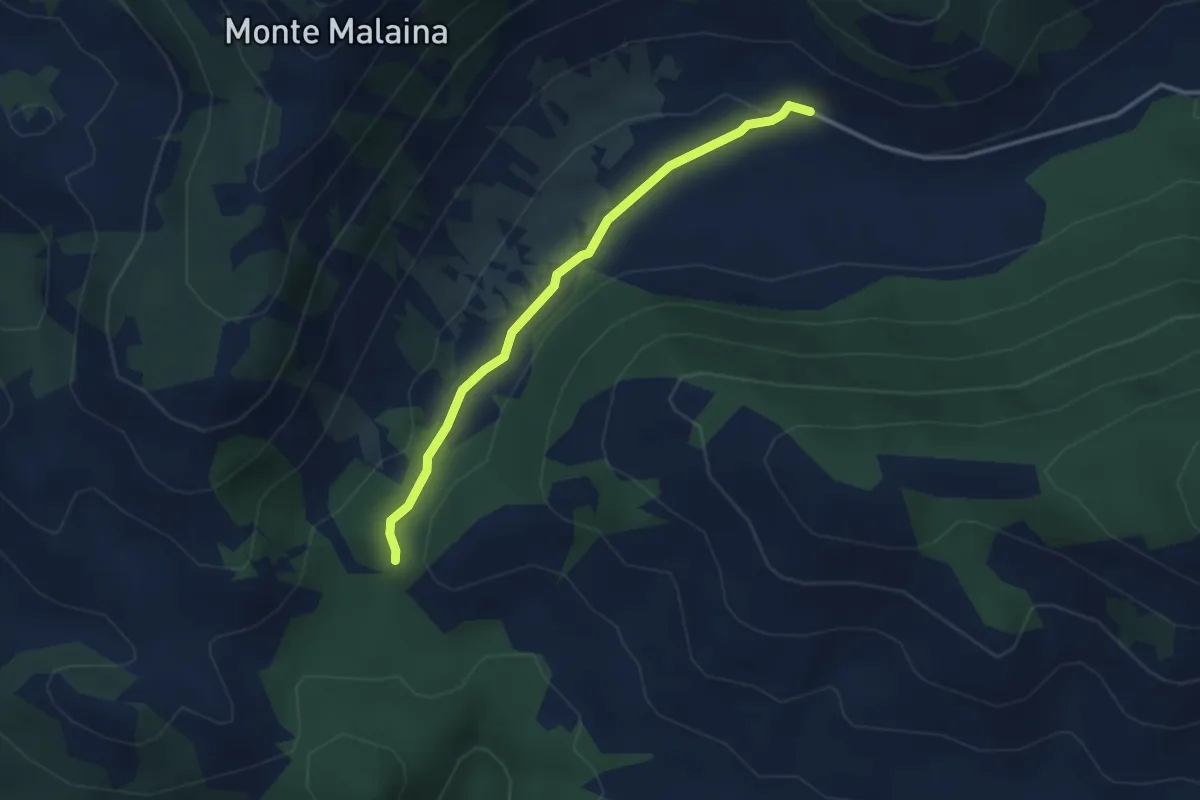
Medium · Cabin
Fonte di Santa Serena – Intersezione con CAI 724
3.4 km · ↑ 49 m · 55 min
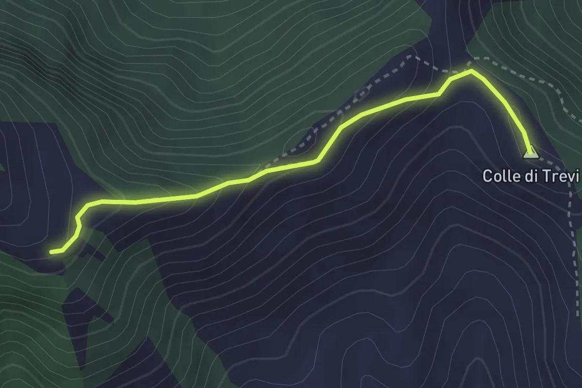
Medium · Summit
Percorso 725 – Prati di Mastro Marco
3.2 km · ↑ 241 m · 1 h 17 min
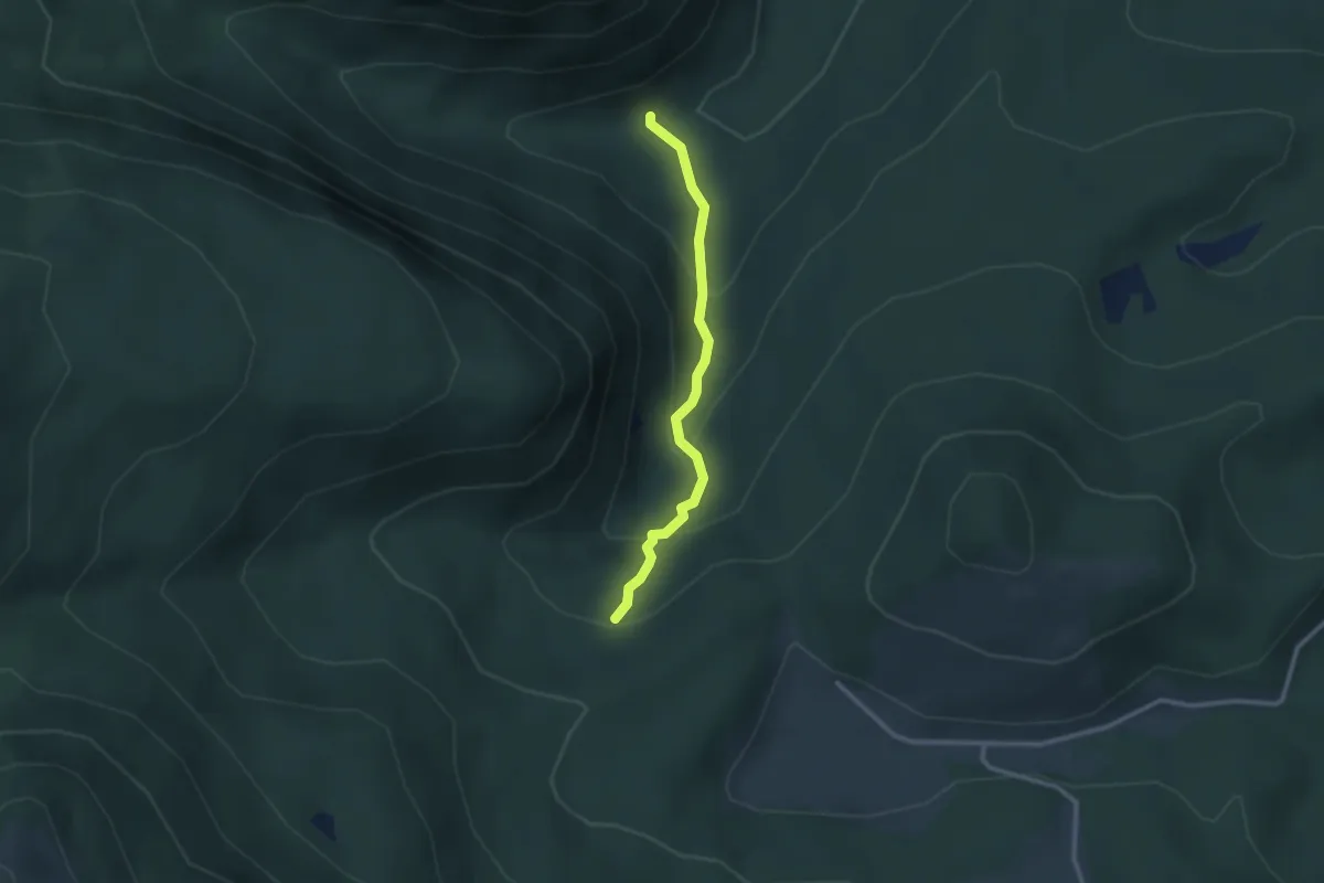
Easy · Trail
Rifugio Campitelli – Rio Torto
2.6 km · ↑ 214 m · 1 h 5 min
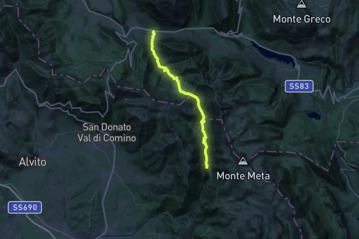
Medium · Trail
Val Fondillo – Madonna Del Canneto
15.4 km · ↑ 711 m · 5 h 24 min
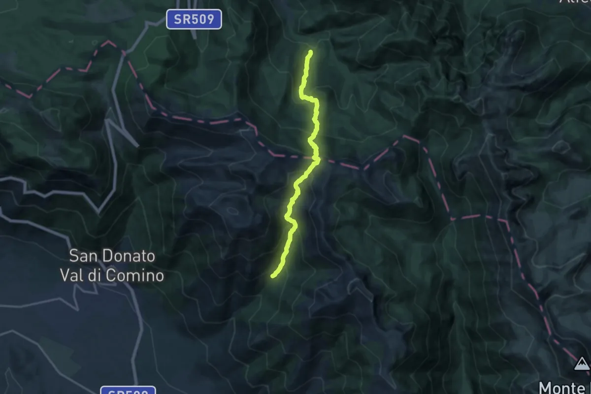
Demanding · Cabin
Acqua Sfranatara – Fonte San Cataldo
13.1 km · ↑ 1130 m · 5 h 33 min
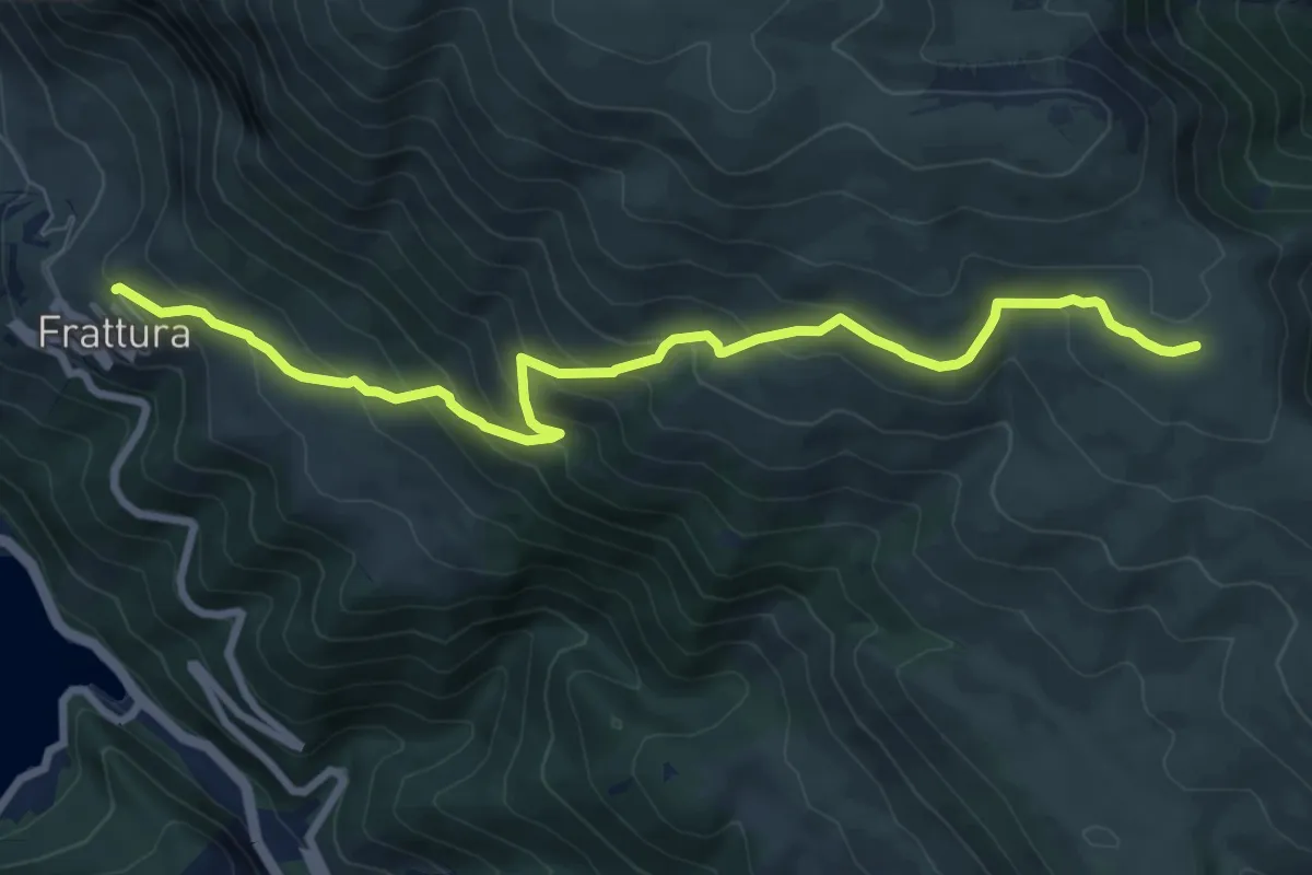
Medium · Trail
Frattura – Ovile Genzana
9.5 km · ↑ 592 m · 3 h 32 min
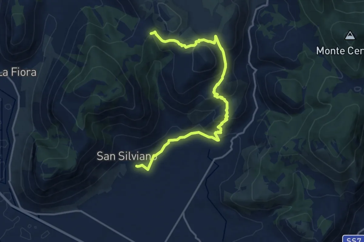
Medium · Trail
Chiesa di San Silviano – Francolane
13.7 km · ↑ 573 m · 4 h 29 min
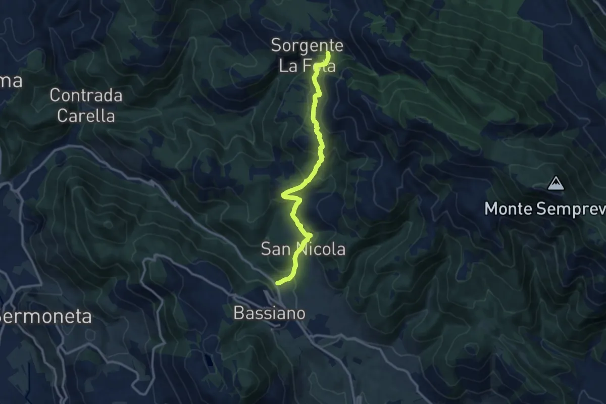
Medium · Trail
Valle Sanguinetti (prossimità via Ninfina) – Valle della Fota, intersezione con il sentiero 714
10.8 km · ↑ 642 m · 3 h 57 min
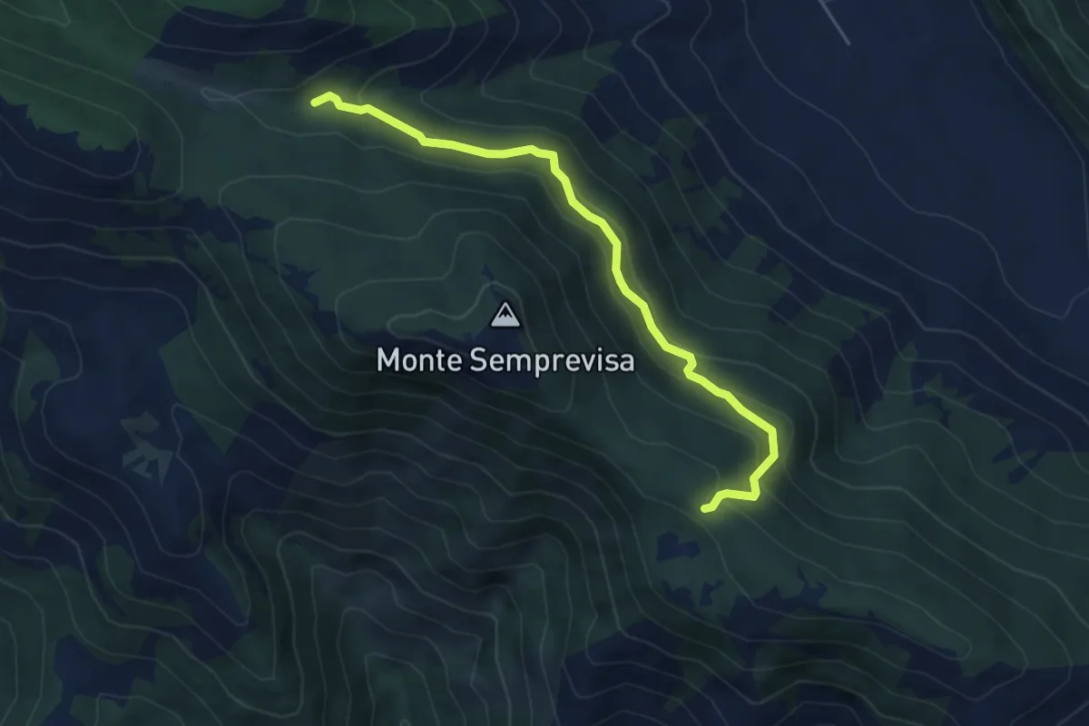
Easy · Trail
Acqua di Mezzavalle – Colombrella (Percorso 709)
5.5 km · ↑ 301 m · 1 h 57 min
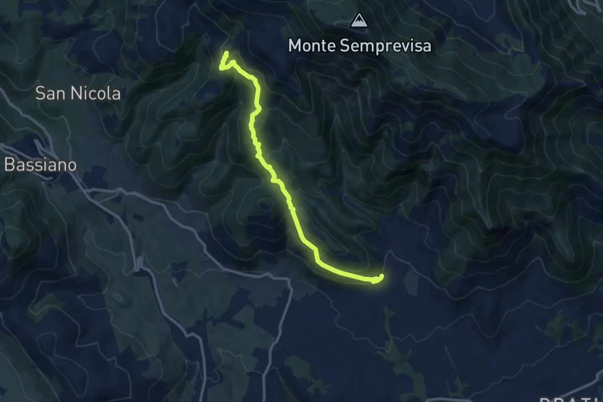
Medium · Cabin
Longara (Sezze) – Rifugio Liberamonte
11.1 km · ↑ 541 m · 3 h 48 min
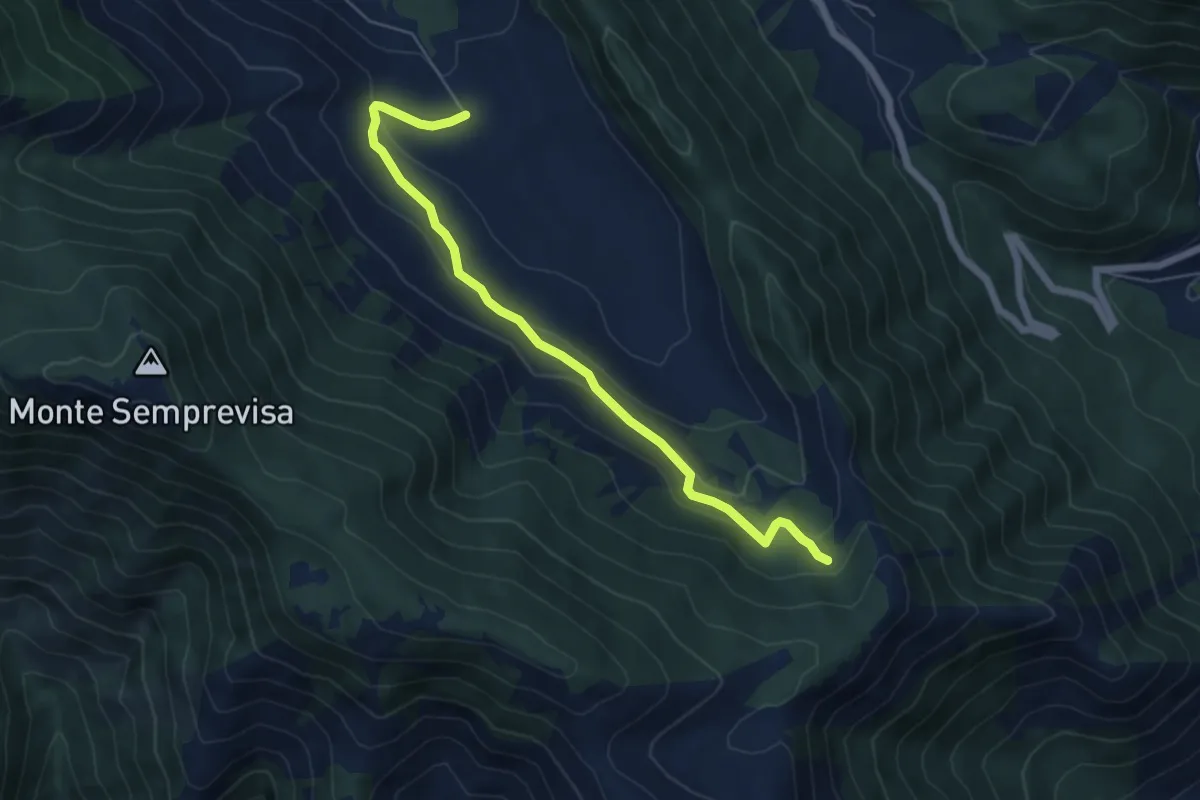
Easy · Trail
Pian della Faggeta – Percorso 708
6.3 km · ↑ 240 m · 2 h
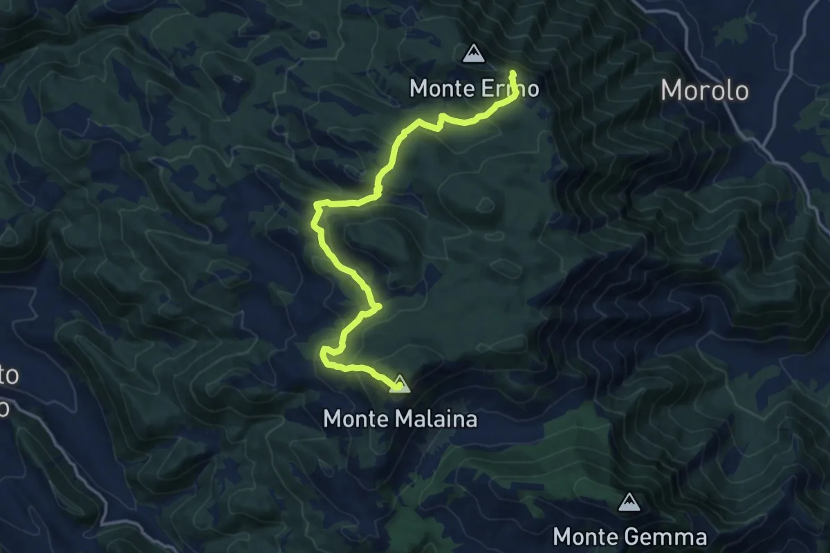
Demanding · Summit
Sprone Maraoni – Monte Malaina
15.5 km · ↑ 832 m · 5 h 27 min
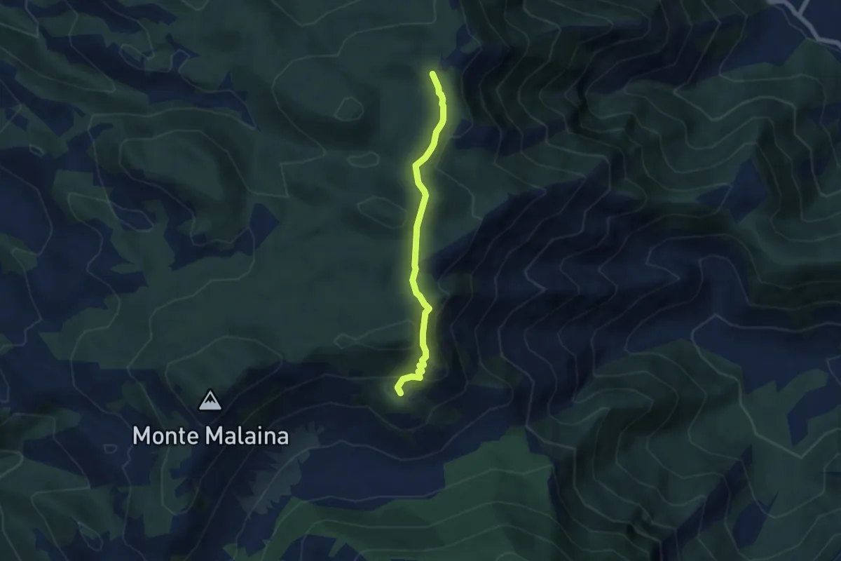
Easy · Cabin
Santa Serena (Percorso 718) – Percorso 720
5.7 km · ↑ 224 m · 1 h 50 min
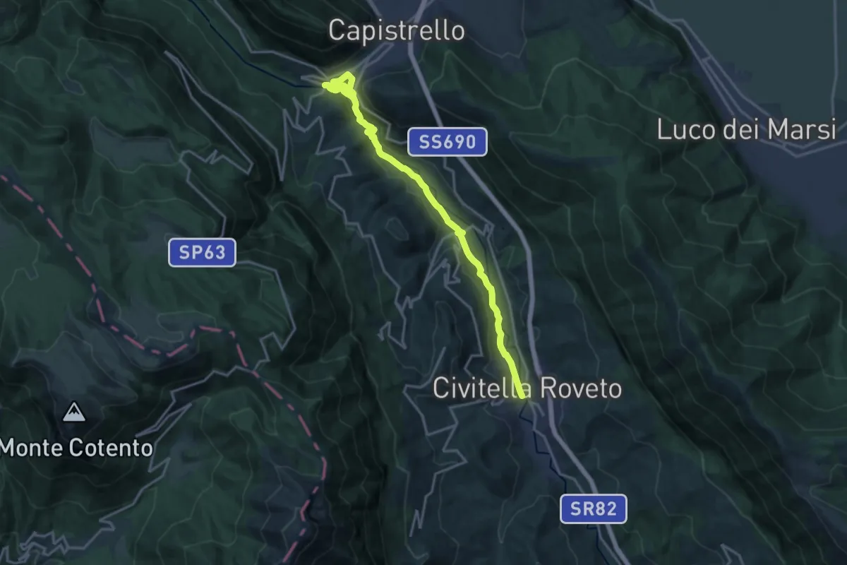
Demanding · Trail
Civitella Roveto – Capistrello
18.9 km · ↑ 500 m · 5 h 33 min
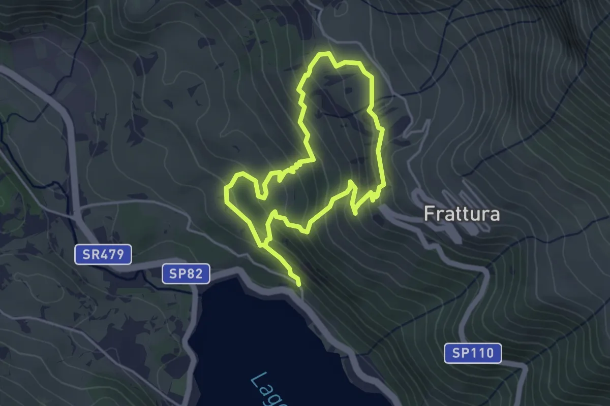
Easy · Trail
Lago di Scanno – Frattura
3.6 km · ↑ 252 m · 1 h 26 min
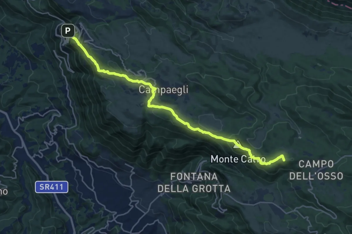
Demanding · Summit
Cervara di Roma – Campo dell'Osso
19.7 km · ↑ 886 m · 6 h 34 min
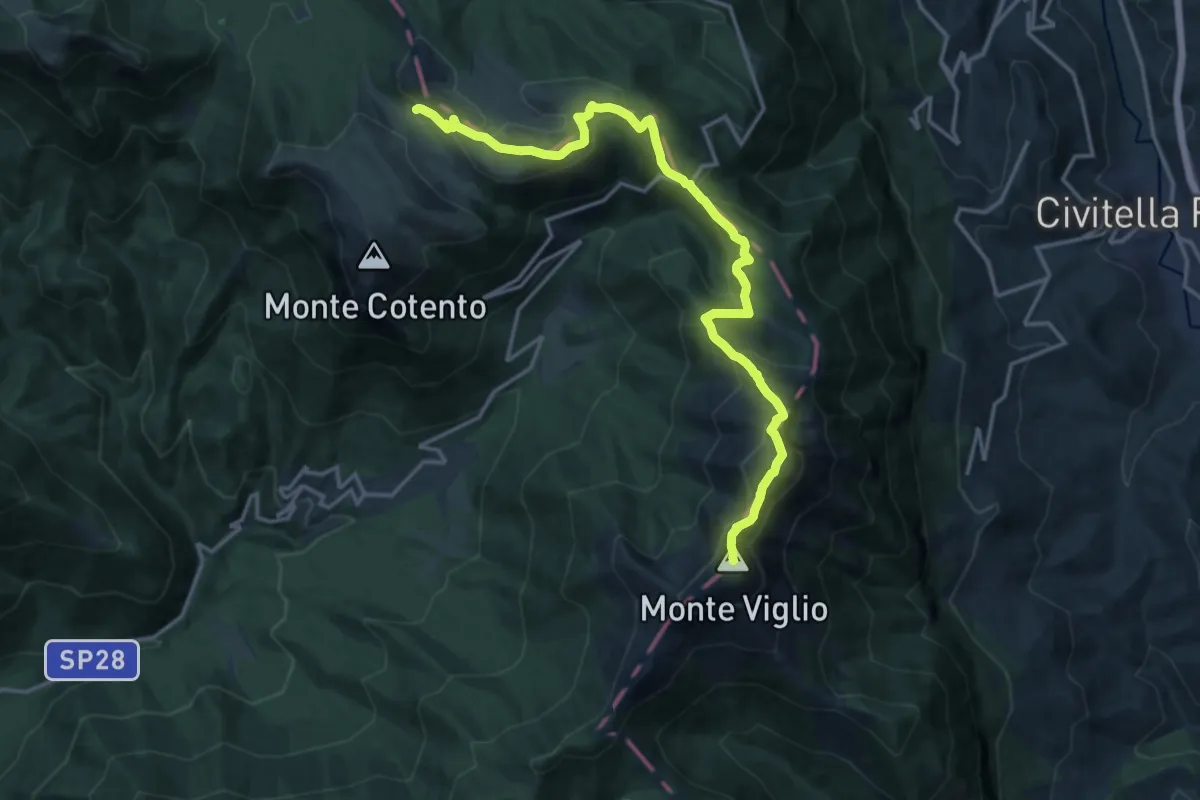
Expert · Summit
Campo Staffi – Campo Catino
18.5 km · ↑ 1128 m · 6 h 48 min
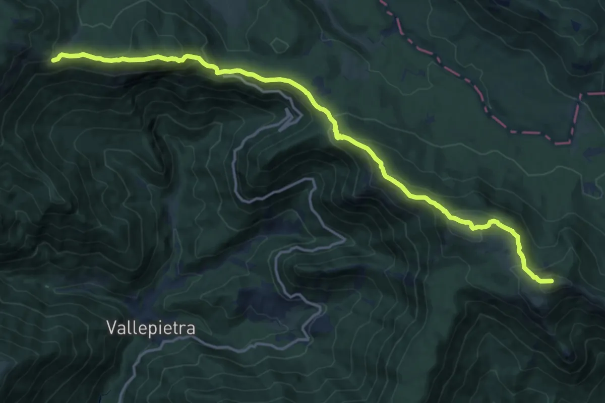
Demanding · Summit
Campo dell'Osso – Campo Staffi
16.4 km · ↑ 881 m · 5 h 47 min
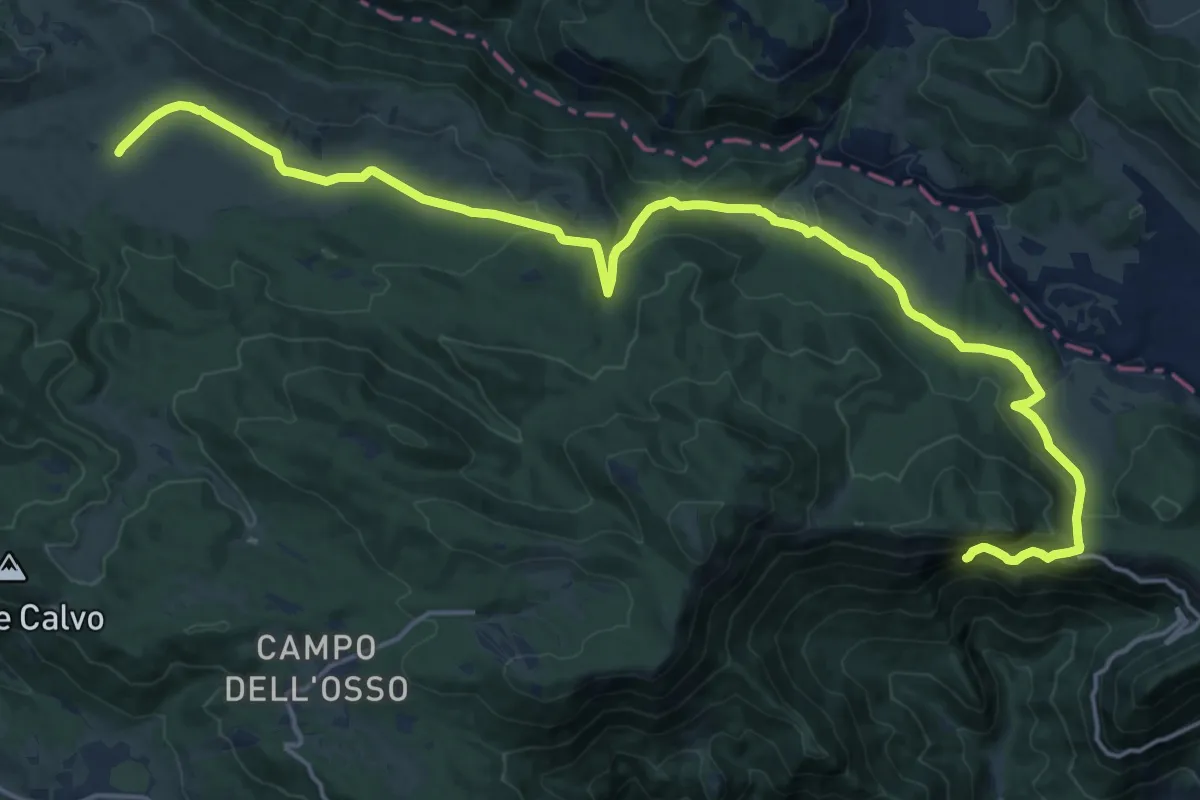
Demanding · Trail
Cervara di Roma – Santuario della SS Trinità
24.4 km · ↑ 868 m · 7 h 38 min
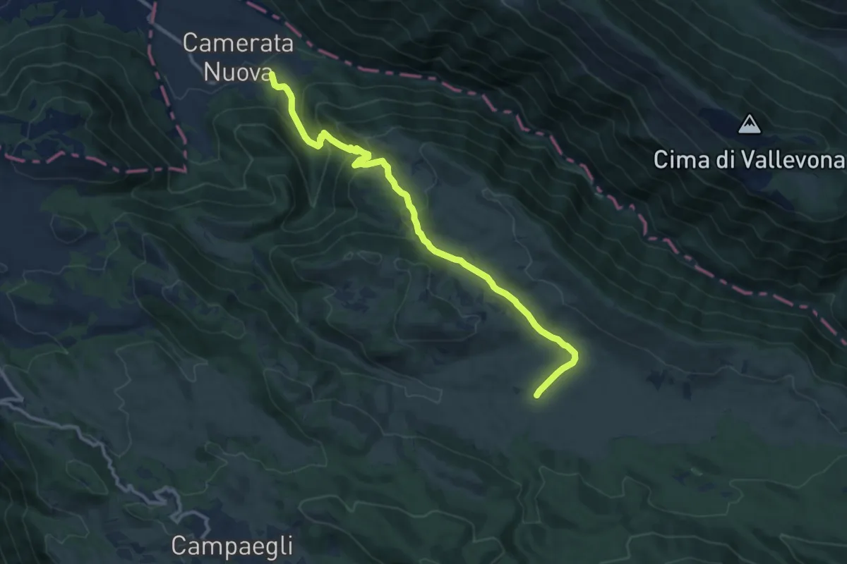
Medium · Trail
Monastero S. Scolastica – Camerata Nuova
12.2 km · ↑ 604 m · 4 h 11 min