Trails in Italy
25,219 hiking trails, each with its route, climb, walking time and grade.
All trails, page 259 of 526
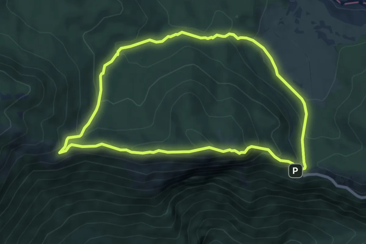
Medium · Summit
Piazzale della SS. Trinità – Piazzale della SS. Trinità
6.3 km · ↑ 320 m · 2 h 15 min
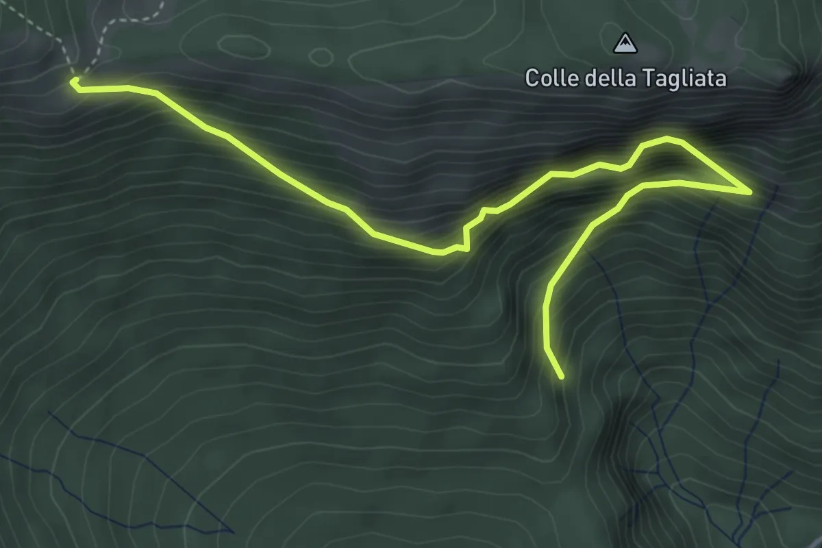
Demanding · Trail
Vallepietra – Monte Autore
5.4 km · ↑ 882 m · 3 h 12 min
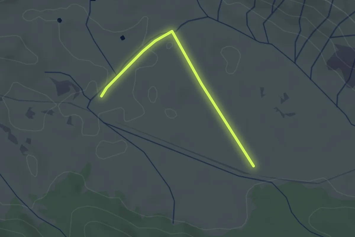
Easy · Trail
Campo dell'Osso – Campo dell'Osso
1.3 km · ↑ 13 m · 21 min
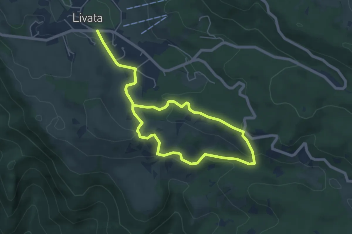
Easy · Trail
Livata – Livata
4.9 km · ↑ 148 m · 1 h 33 min
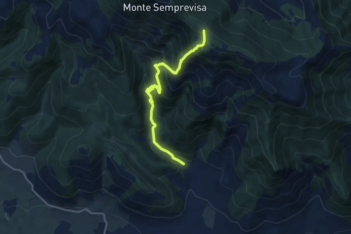
Demanding · Trail
Longara (Sezze) – Monte La Croce
9.2 km · ↑ 876 m · 4 h 5 min
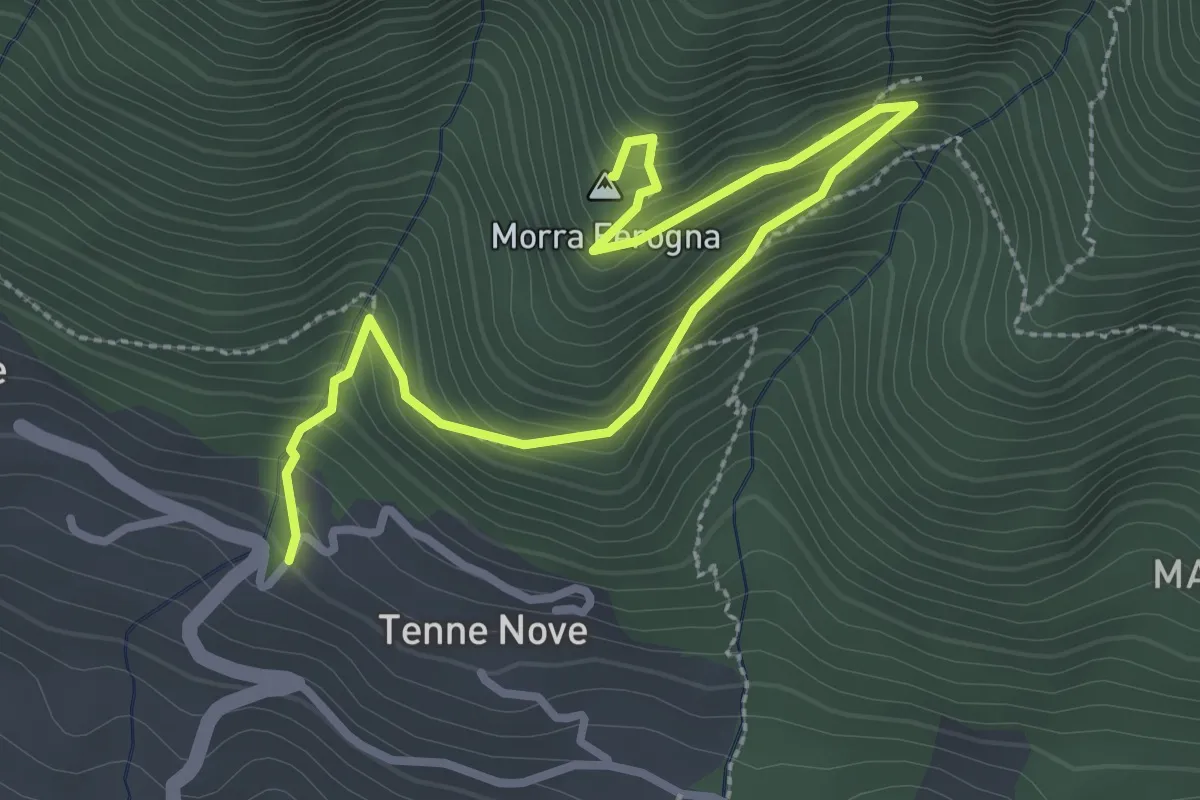
Medium · Summit
Iegli – Morra Ferogna
3.7 km · ↑ 361 m · 1 h 40 min
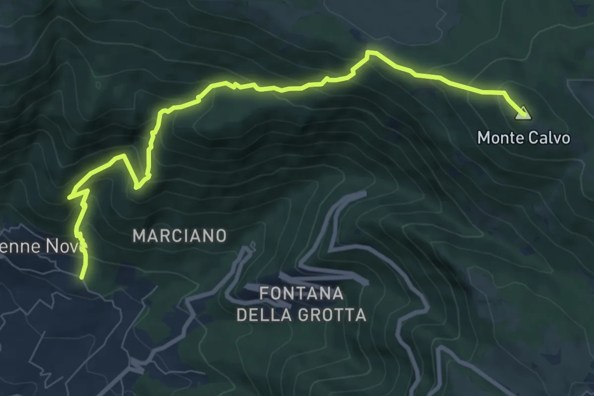
Demanding · Summit
Tenne – Monte Calvo
9.5 km · ↑ 862 m · 4 h 6 min
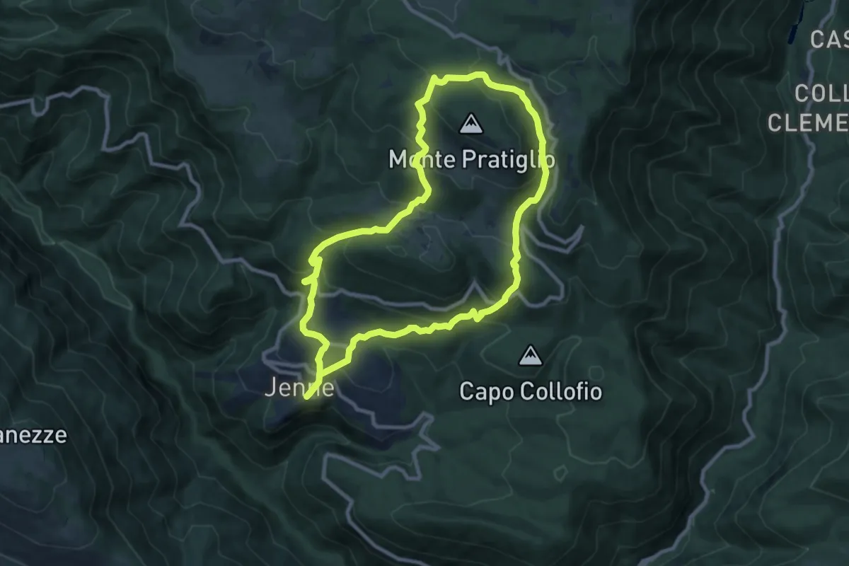
Medium · Trail
Jenne – Jenne
9.3 km · ↑ 616 m · 3 h 40 min
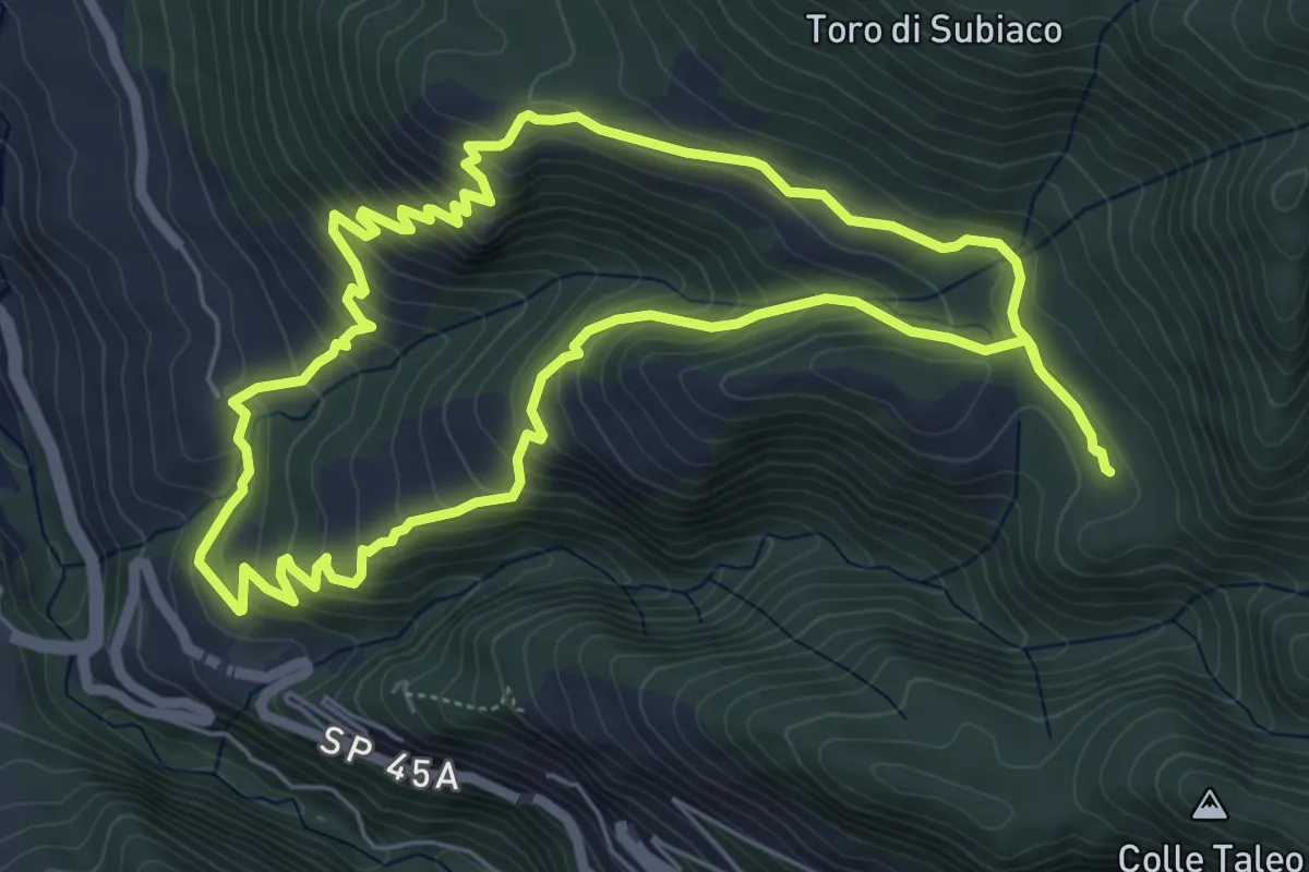
Medium · Trail
Monastero S. Scolastica – Monastero S. Scolastica
6.7 km · ↑ 438 m · 2 h 38 min
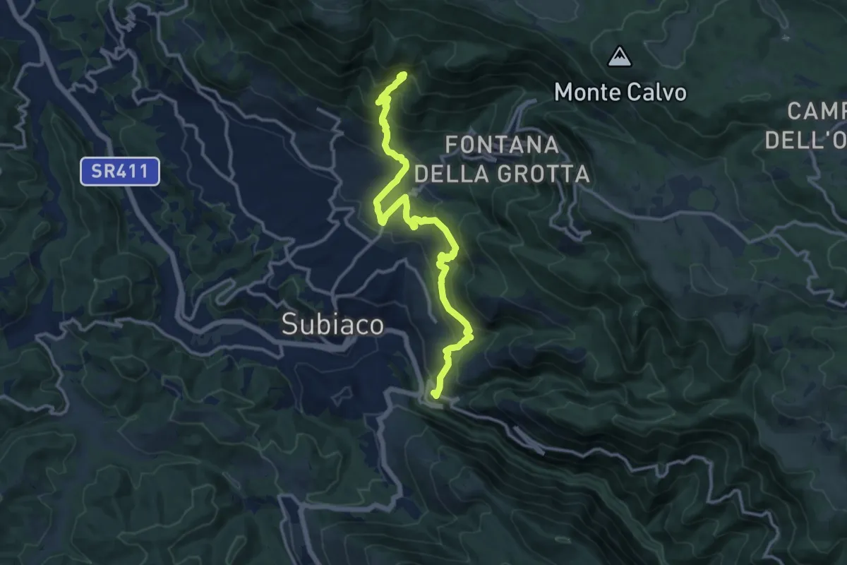
Demanding · Trail
Monastero S. Scolastica – Santa Chelidonia
13.7 km · ↑ 927 m · 5 h 14 min
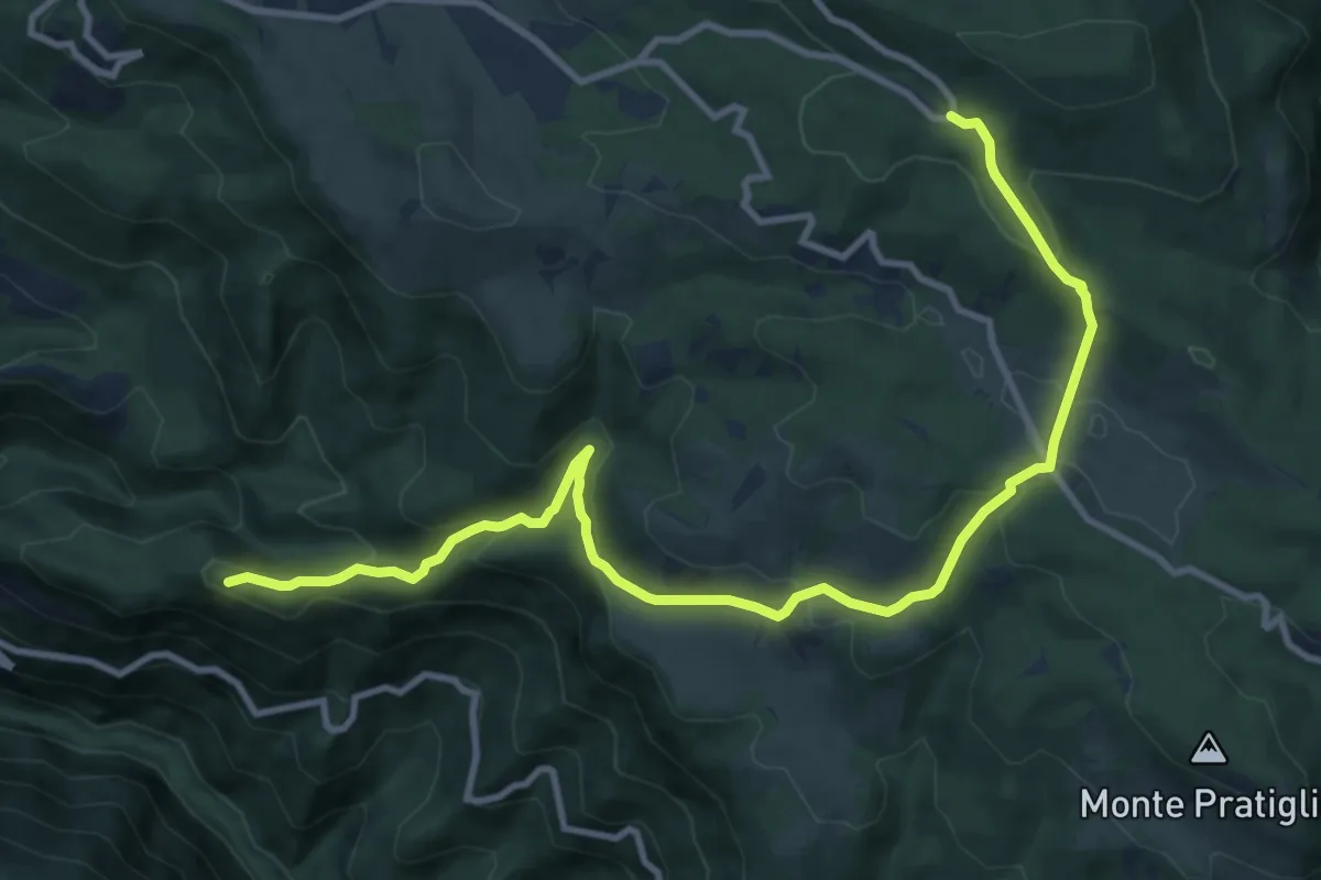
Medium · Summit
Valle Stellante – Monastero S. Scolastica
13.2 km · ↑ 592 m · 4 h 25 min
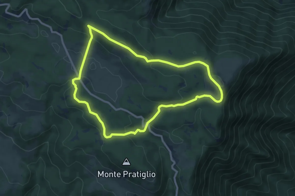
Easy · Summit
Fondi – Fondi
6.6 km · ↑ 192 m · 2 h 3 min
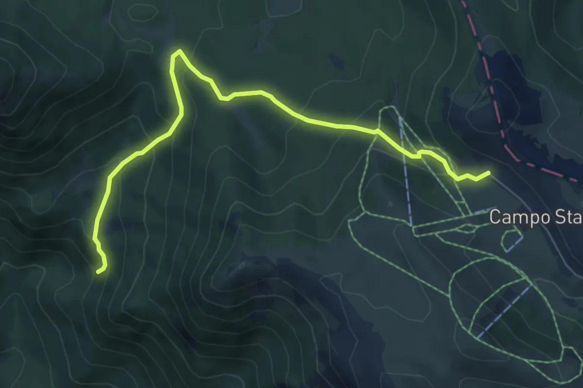
Medium · Trail
Filettino – Campo Staffi
7.2 km · ↑ 433 m · 2 h 38 min
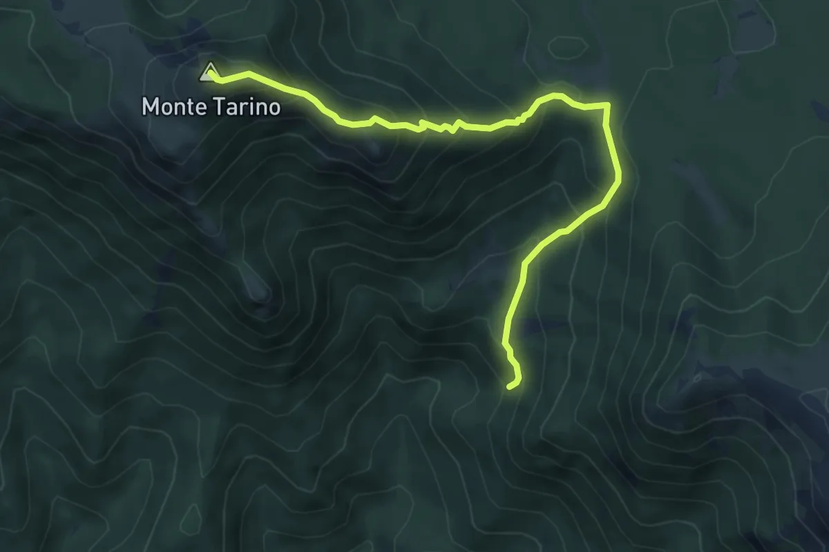
Demanding · Summit
Fiumata – Monte Tarino
6.8 km · ↑ 590 m · 2 h 53 min
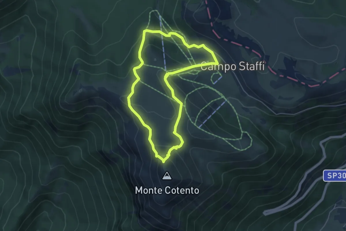
Easy · Trail
Campo Staffi – Monte Cotento
4.7 km · ↑ 238 m · 1 h 42 min
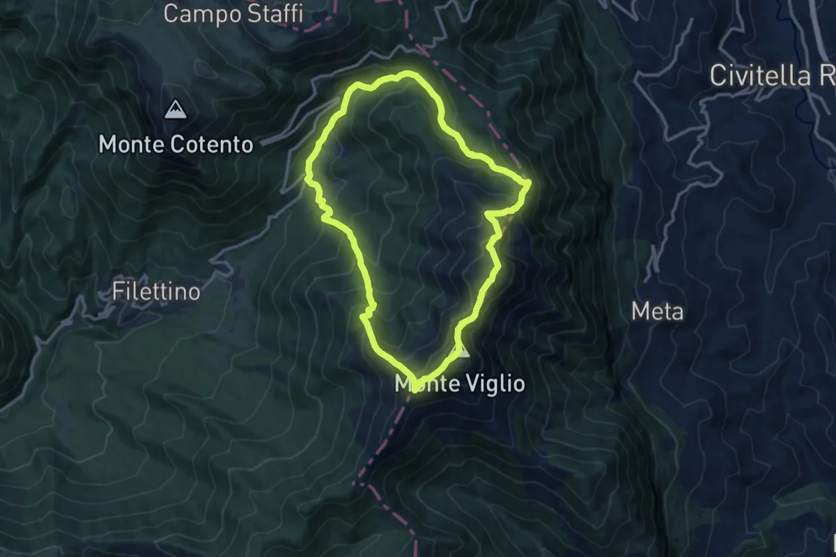
Expert · Summit
Valle Granara – Monte Viglio
11.6 km · ↑ 965 m · 4 h 59 min
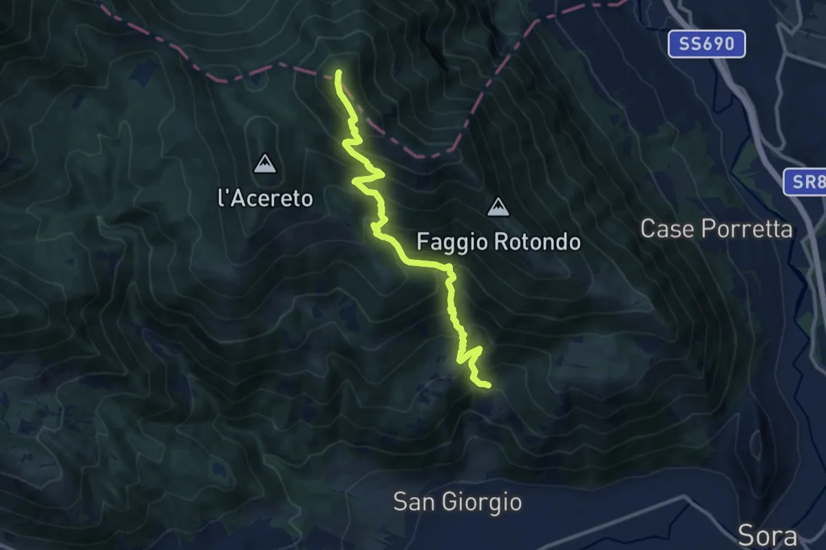
Demanding · Summit
Convento dei Passionisti – Serra Alta
10.7 km · ↑ 1115 m · 4 h 57 min
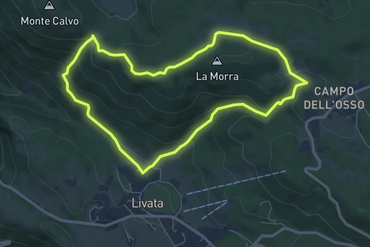
Medium · Summit
Livata – Livata
5.9 km · ↑ 258 m · 2 h 3 min
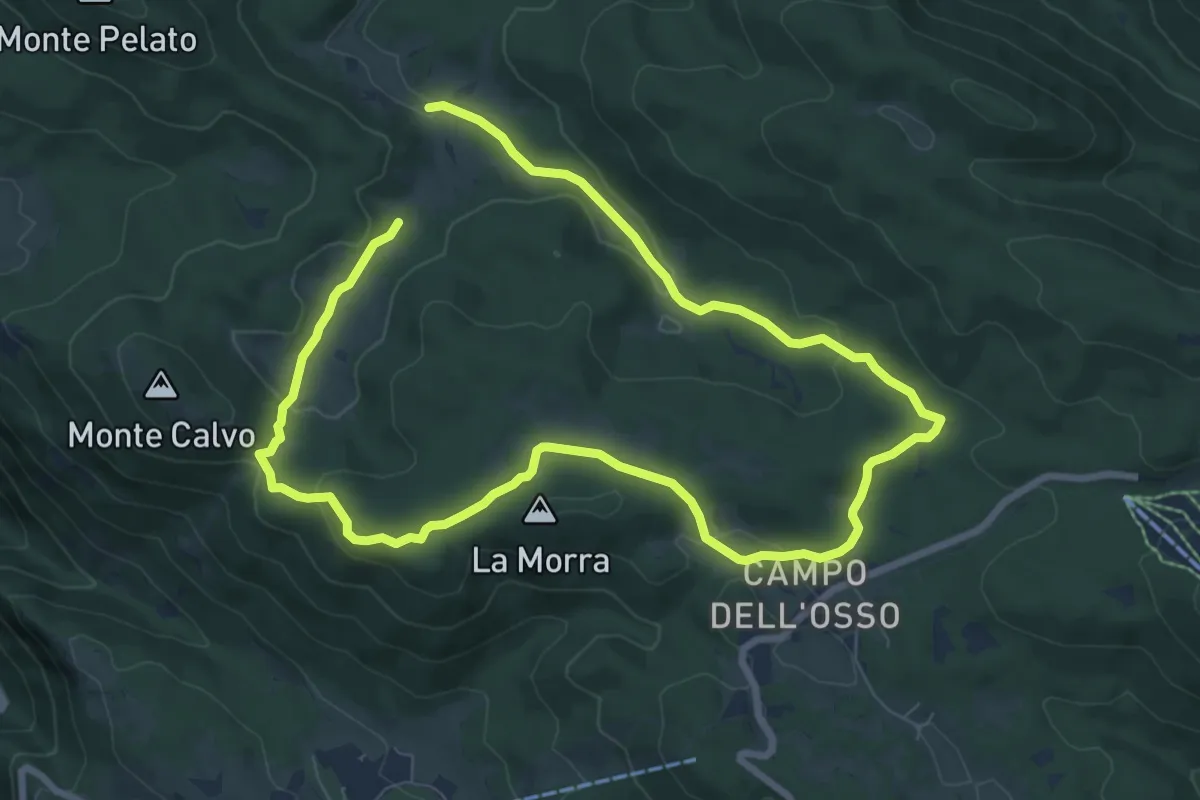
Medium · Summit
Campo dell'Osso – Campo dell'Osso
7.2 km · ↑ 189 m · 2 h 12 min
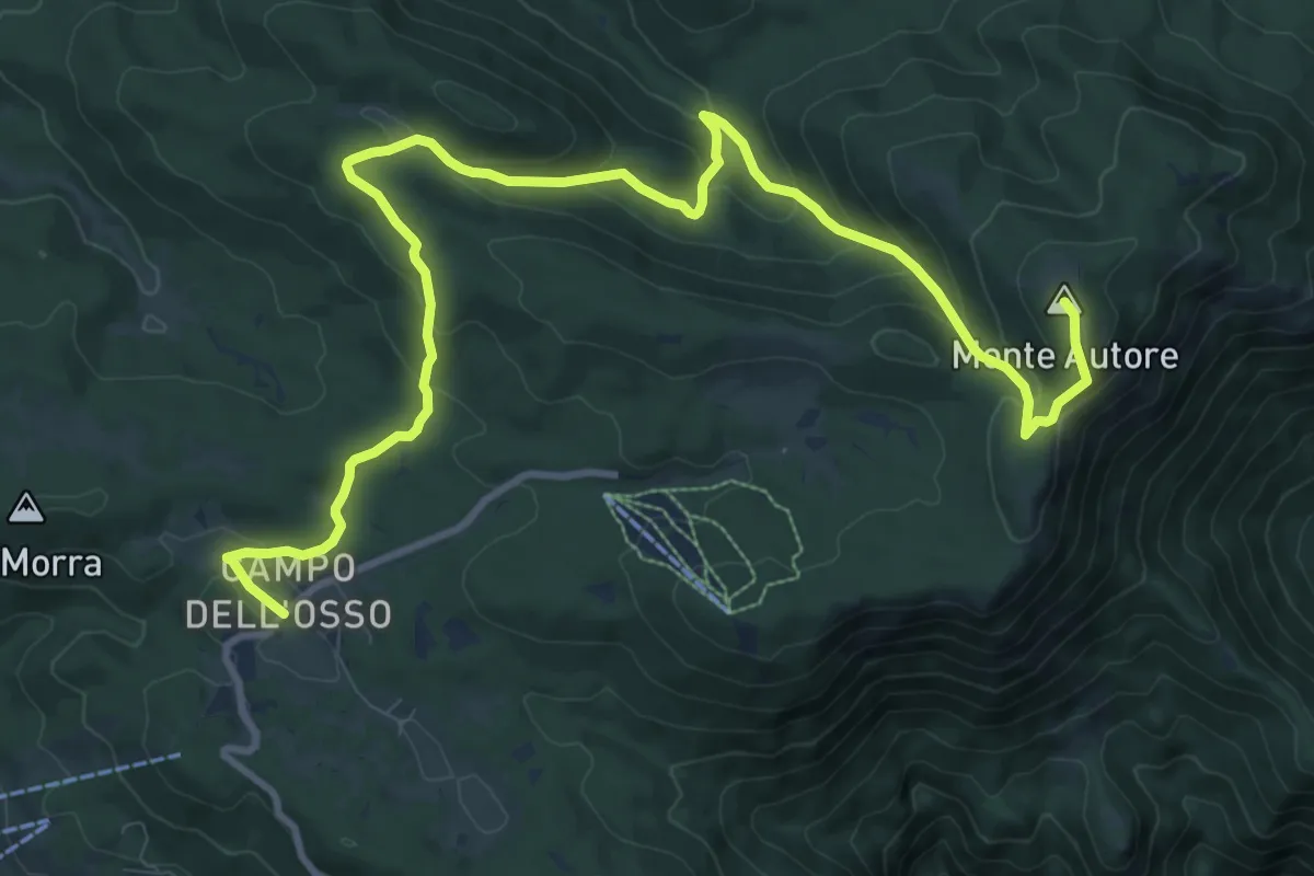
Medium · Summit
Campo dell'Osso – Monte Autore
14.3 km · ↑ 688 m · 4 h 52 min
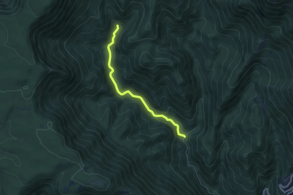
Easy · Trail
Fiumata – Fosso di Acqua Corore
5.5 km · ↑ 197 m · 1 h 43 min
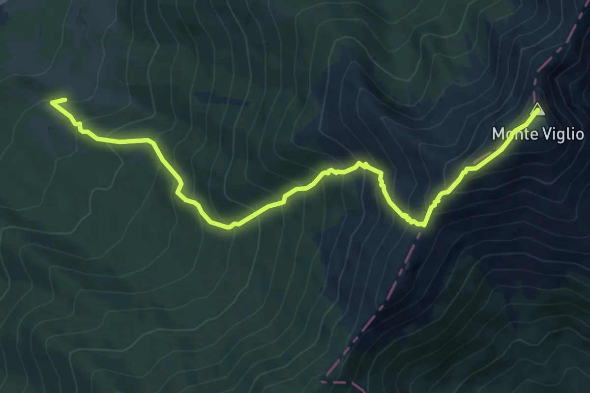
Demanding · Summit
Filettino – Monte Viglio
8.7 km · ↑ 1018 m · 4 h 16 min
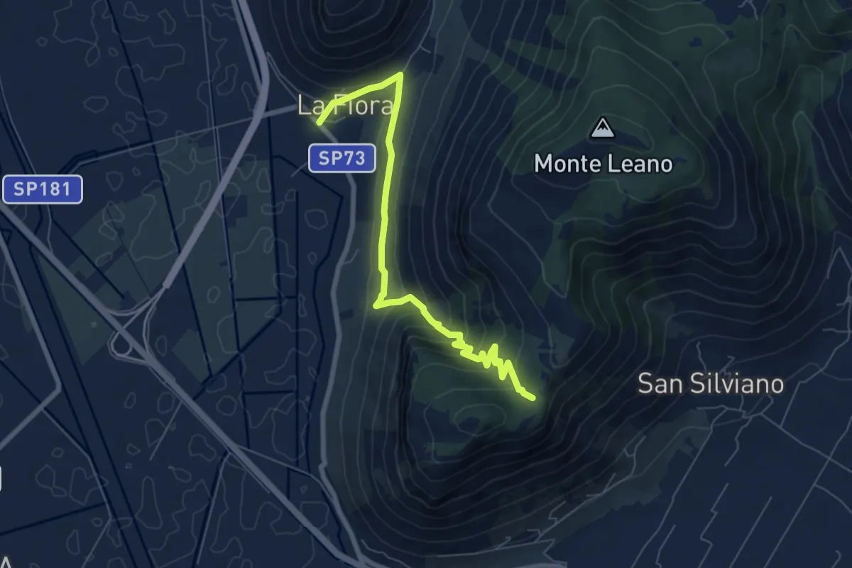
Medium · Trail
La Fiora – Sella Leano
7.9 km · ↑ 426 m · 2 h 47 min
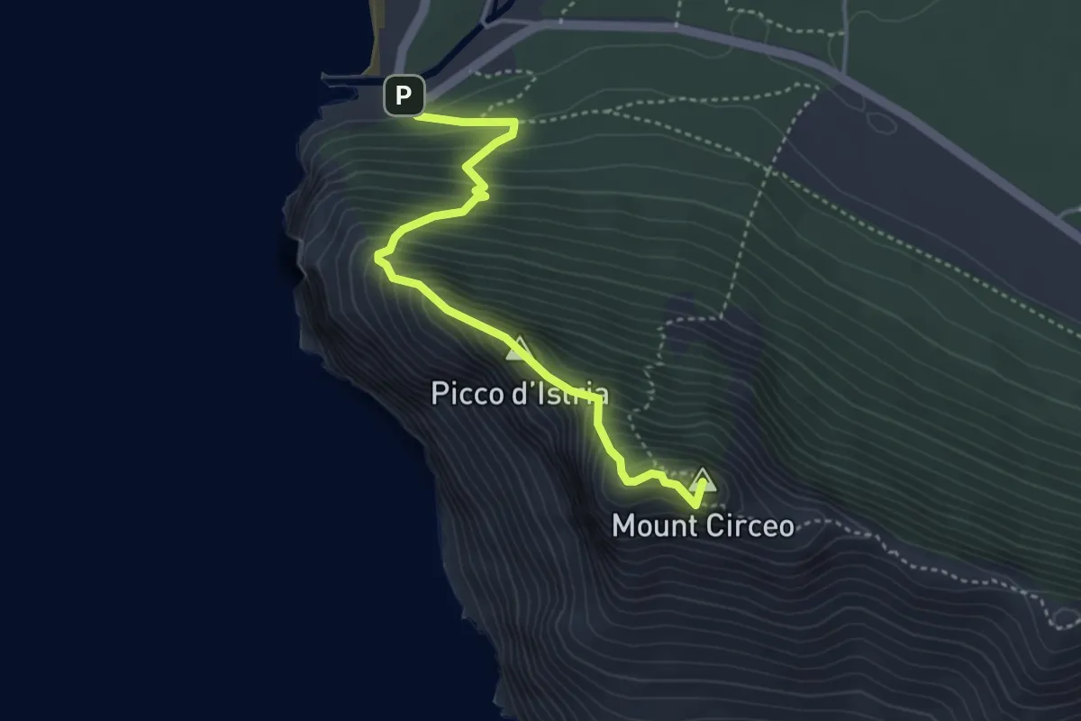
Demanding · Summit
Torre Paola – San Felice Circeo
4.3 km · ↑ 508 m · 2 h 7 min
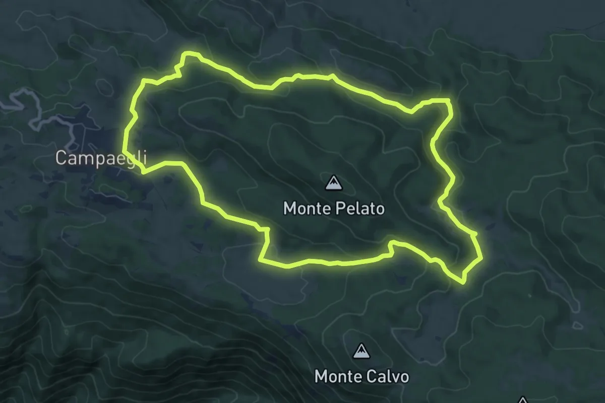
Medium · Summit
Campaegli – Campaegli
10.3 km · ↑ 305 m · 3 h 14 min
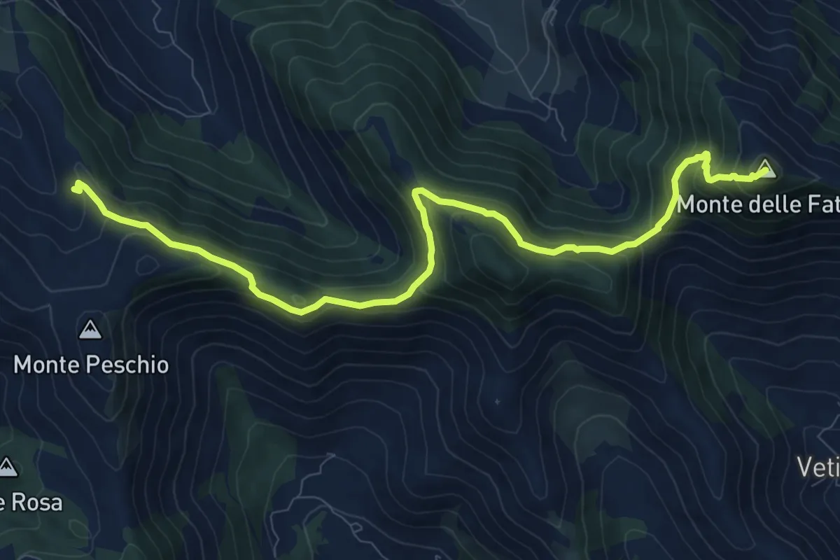
Medium · Summit
Rifugio La Cona – Monte delle Fate
11.8 km · ↑ 702 m · 4 h 18 min
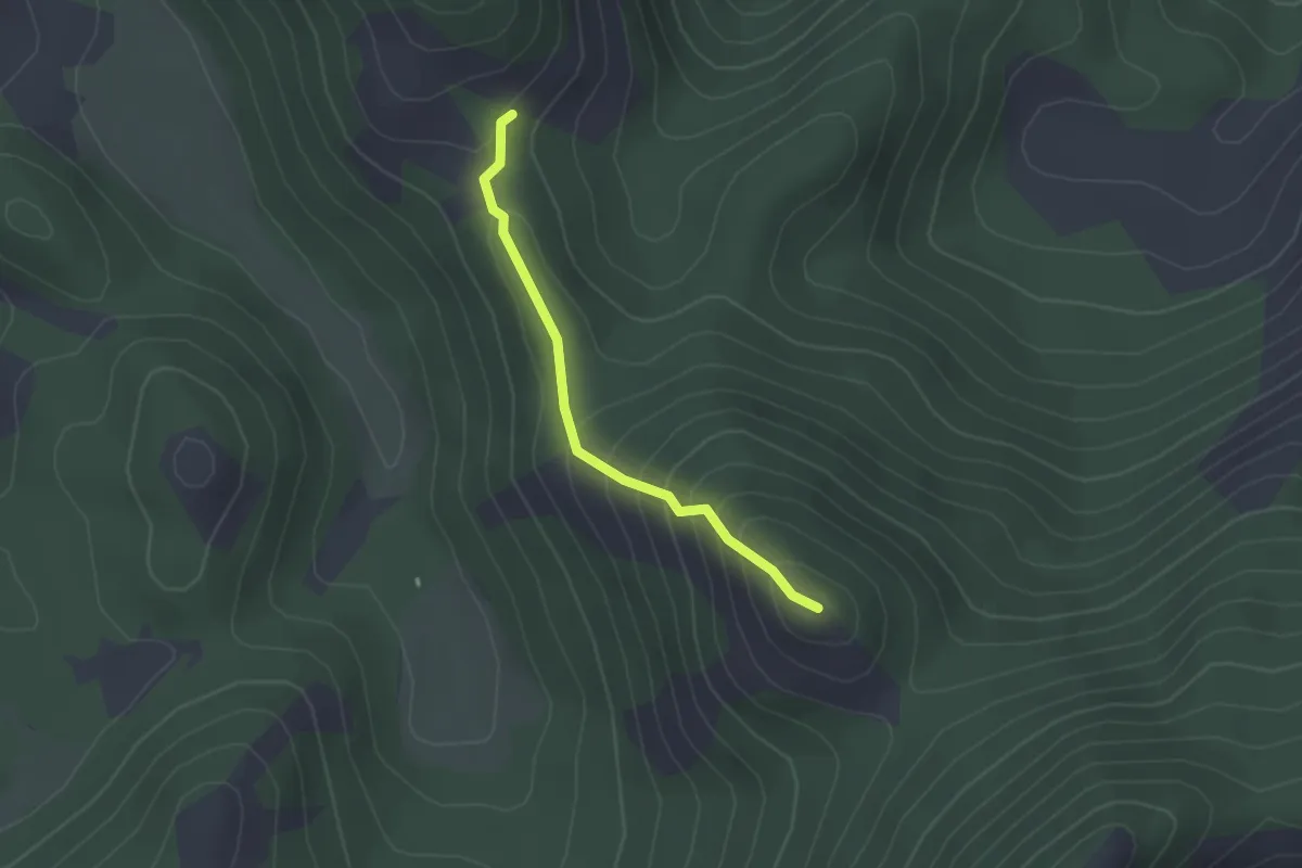
Easy · Summit
Intersezione CAI 907 – Monte Fragoloso
2.2 km · ↑ 172 m · 54 min
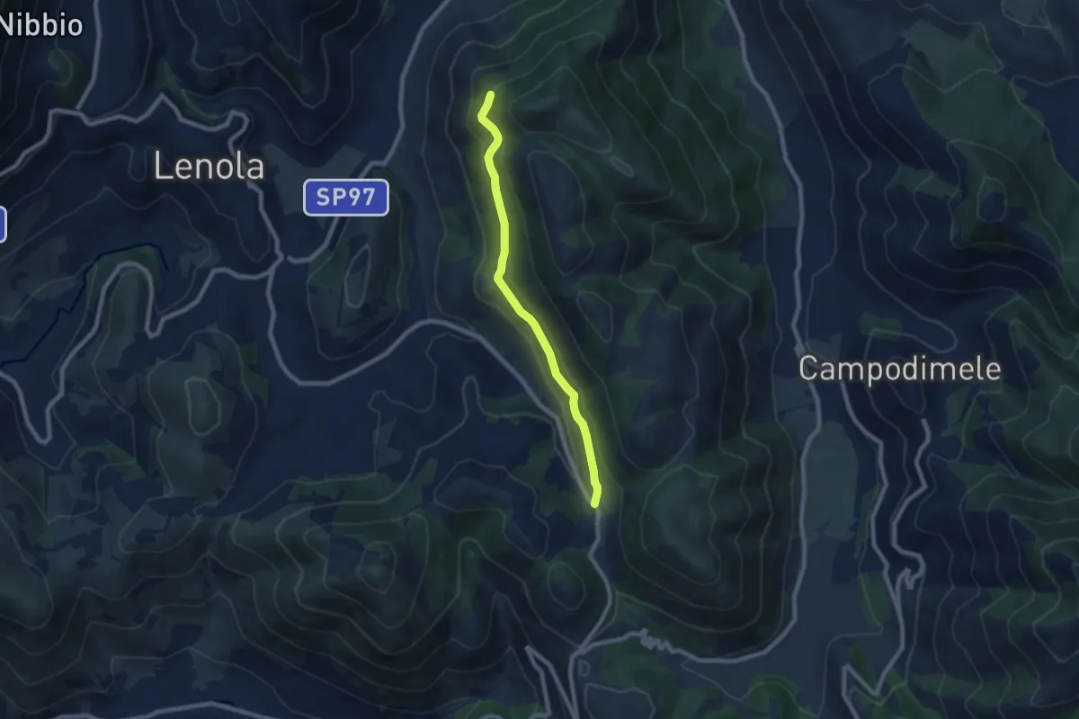
Easy · Trail
Località Le Crocette – Rifugio di Monte Appiolo
7.8 km · ↑ 250 m · 2 h 22 min
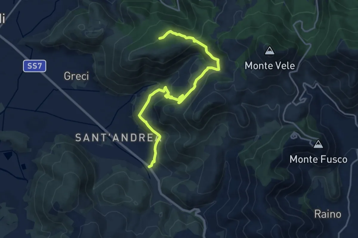
Medium · Trail
Piana di Sant'andrea, km125.6 via Appia – Chiesa di Santa Maria Romana
14.7 km · ↑ 618 m · 4 h 49 min
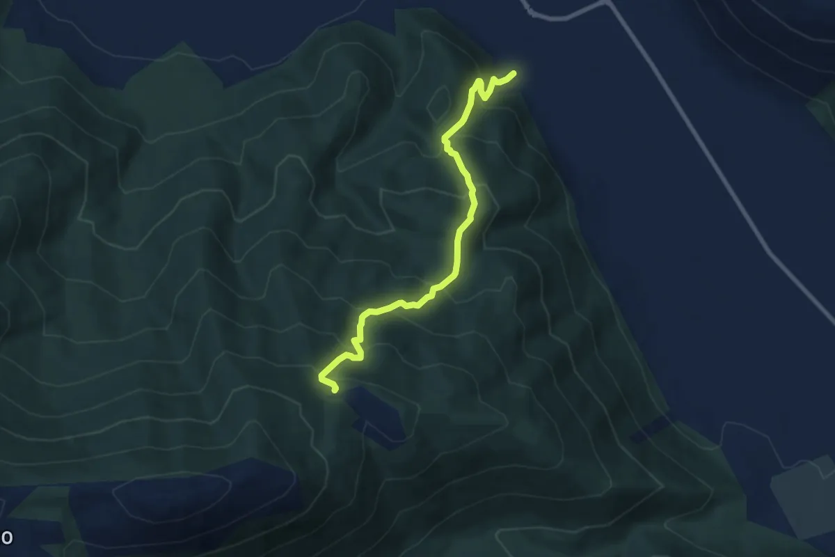
Medium · Trail
Trasacco – Fossa Pantò
7.9 km · ↑ 700 m · 3 h 23 min
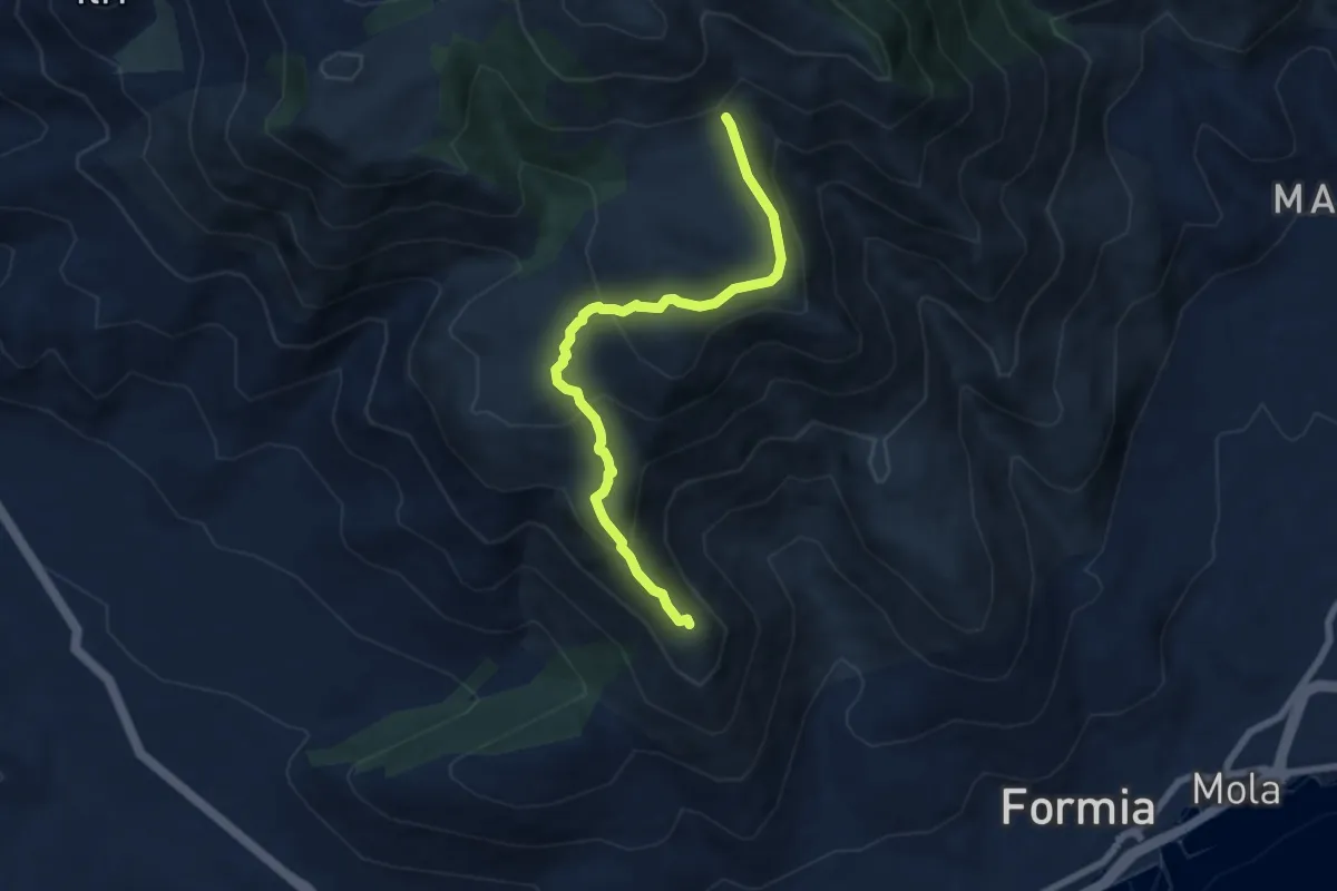
Demanding · Summit
Inizio Chiesa Santa Maria la Noce – Percorso 955
7.6 km · ↑ 376 m · 2 h 36 min
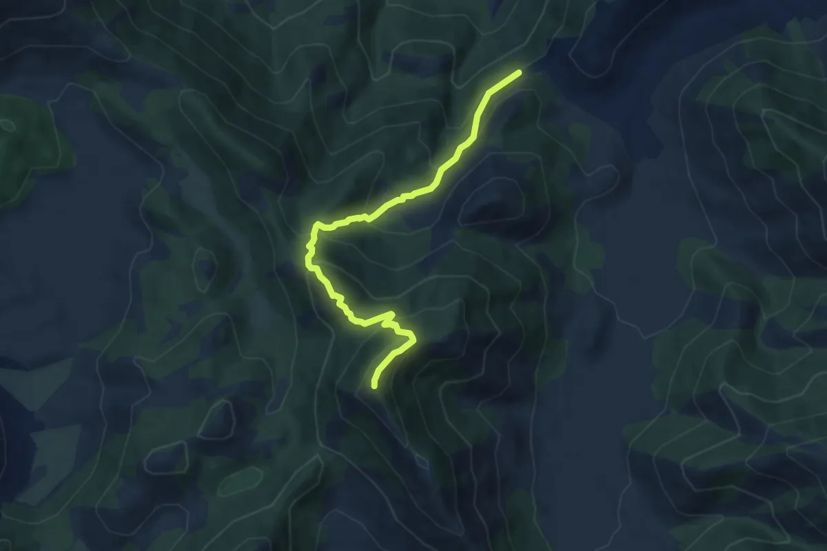
Medium · Summit
Località Portella (Rifugio Portella) – Monte Revole
8.8 km · ↑ 741 m · 3 h 41 min
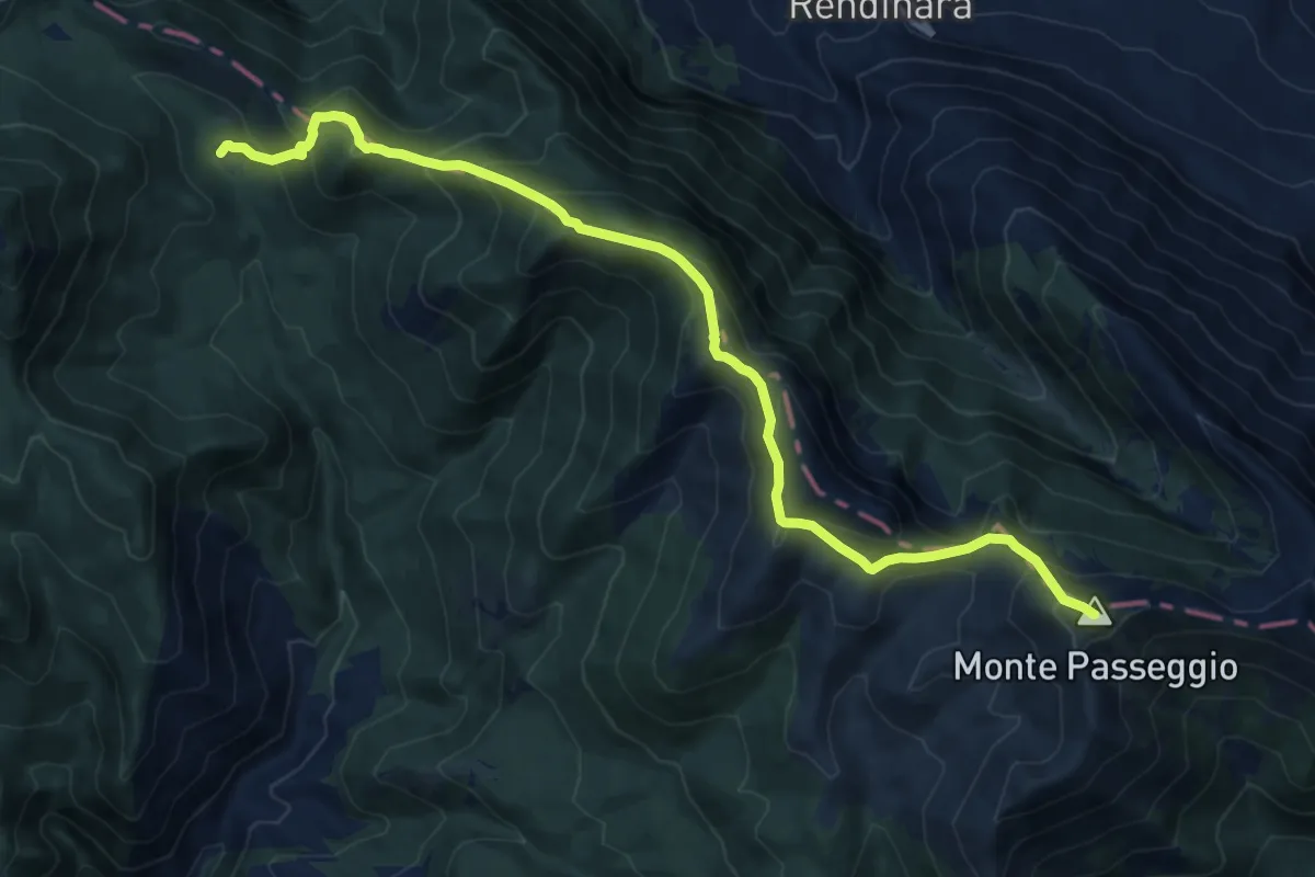
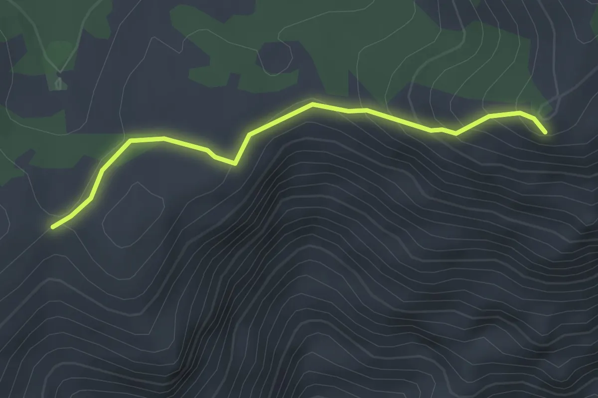
Demanding · Summit
Rifugio di Pietra Acquara – Sella del Pratillo
14.9 km · ↑ 1089 m · 5 h 53 min
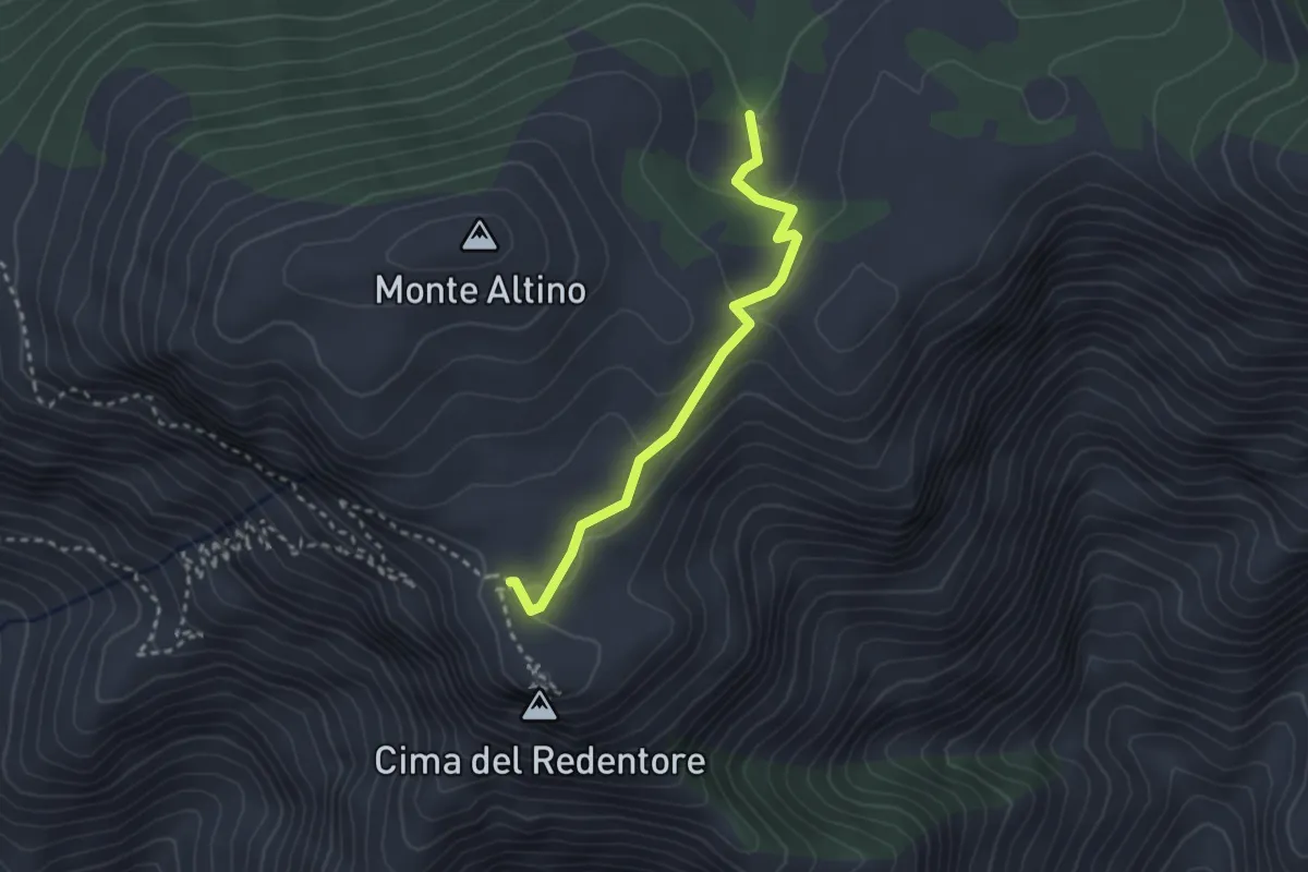
Easy · Summit
Sentiero CAI 962B – Monte Sant'Angelo
3.0 km · ↑ 168 m · 1 h 4 min
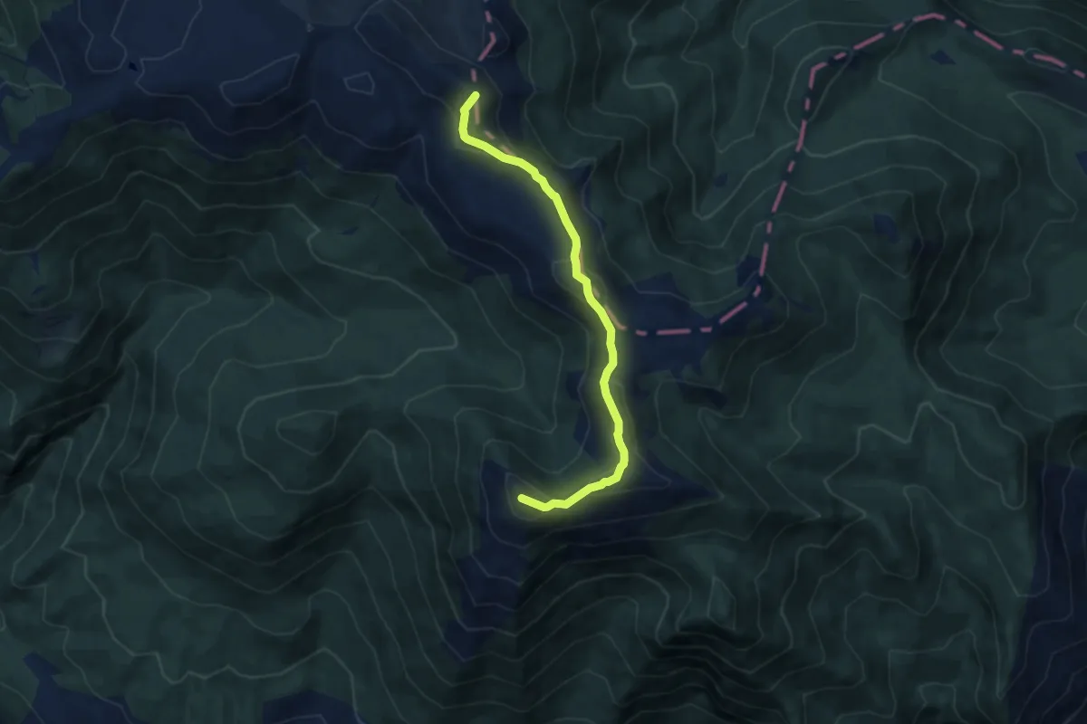
Easy · Trail
Area picnic Valliera – Incrocio con CAI 960
2.8 km · ↑ 84 m · 51 min
Medium · Summit
Campocatino – Monte la Monna
8.2 km · ↑ 344 m · 2 h 41 min
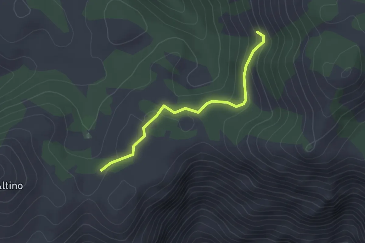
Easy · Cabin
CAI 962B (Loc. La Valliera) – Immissioni in CAI 915
3.1 km · ↑ 112 m · 58 min
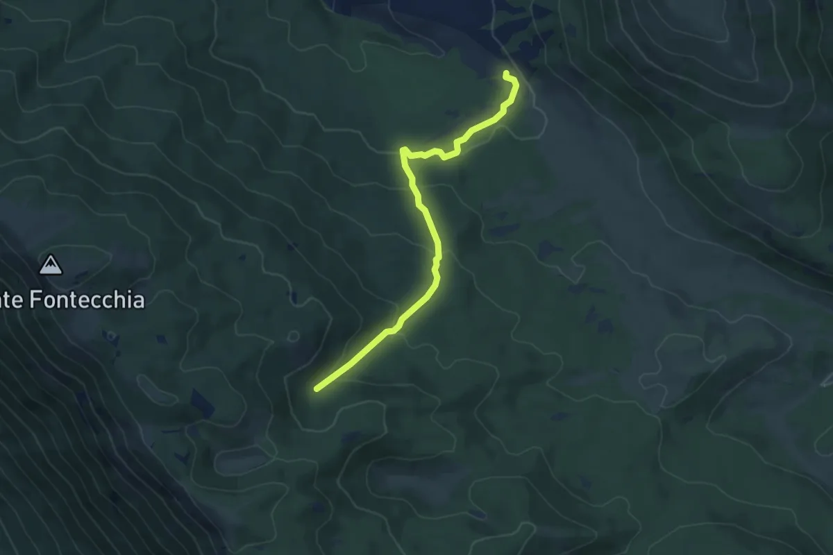
Easy · Trail
Favone – Coppo del Lepre
5.8 km · ↑ 227 m · 1 h 52 min
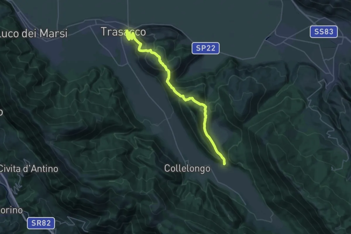
Medium · Trail
Trasacco – Valle di Amplero
12.7 km · ↑ 636 m · 4 h 26 min
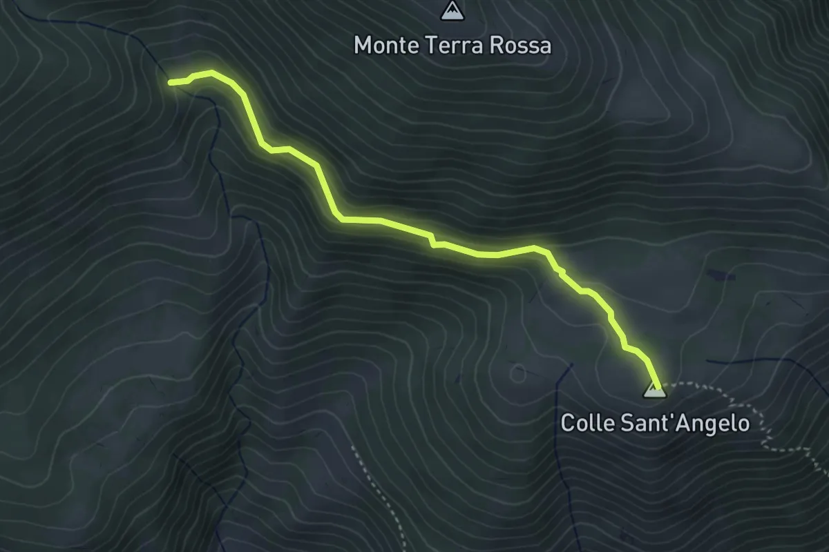
Easy · Trail
Pineta – Valle delle Grotte
4.2 km · ↑ 177 m · 1 h 22 min
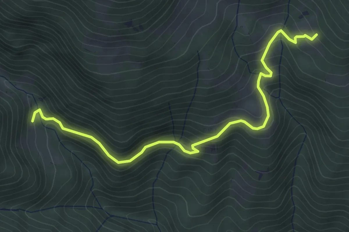
Medium · Trail
San Silvestro – Intersezione Percorso 624B - Sentiero delle Grotte
5.8 km · ↑ 358 m · 2 h 8 min
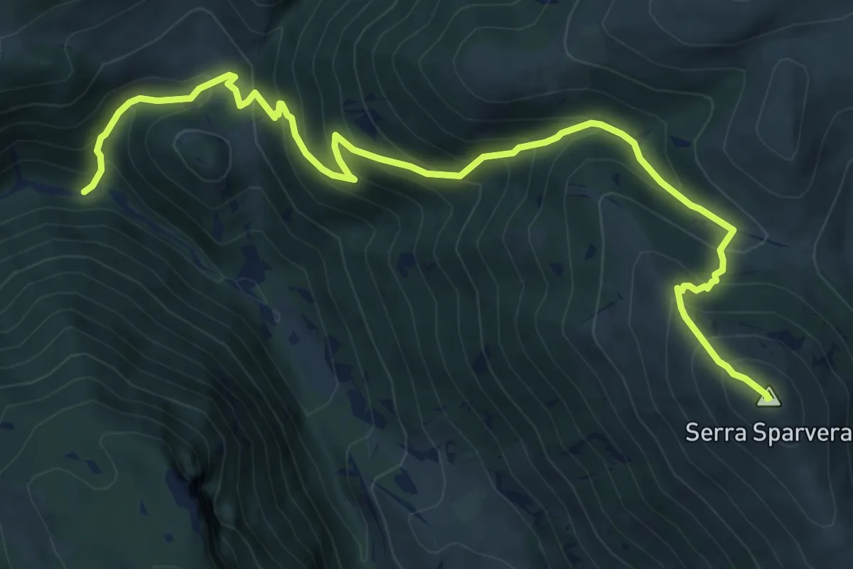
Demanding · Summit
Valle di Jovana – Le Croci
9.7 km · ↑ 913 m · 4 h 16 min
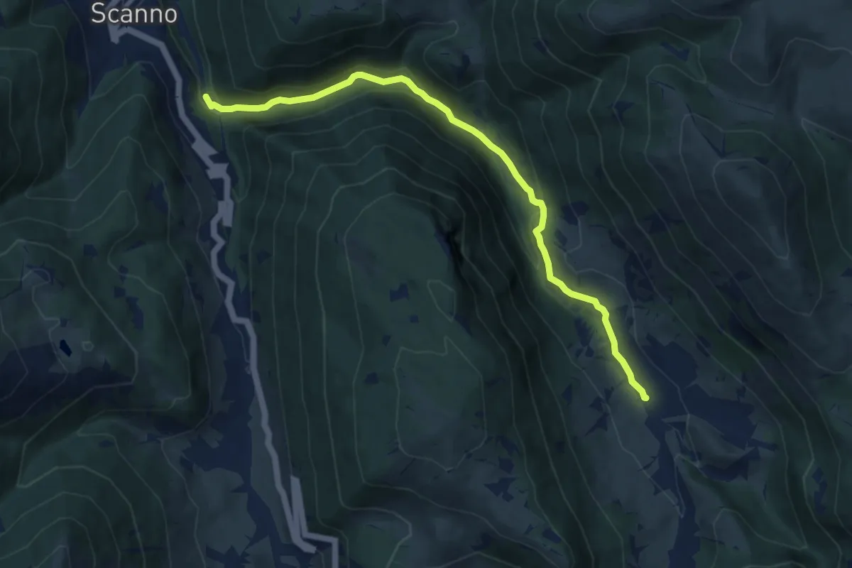
Medium · Trail
Scanno – Jovana
9.8 km · ↑ 412 m · 3 h 12 min
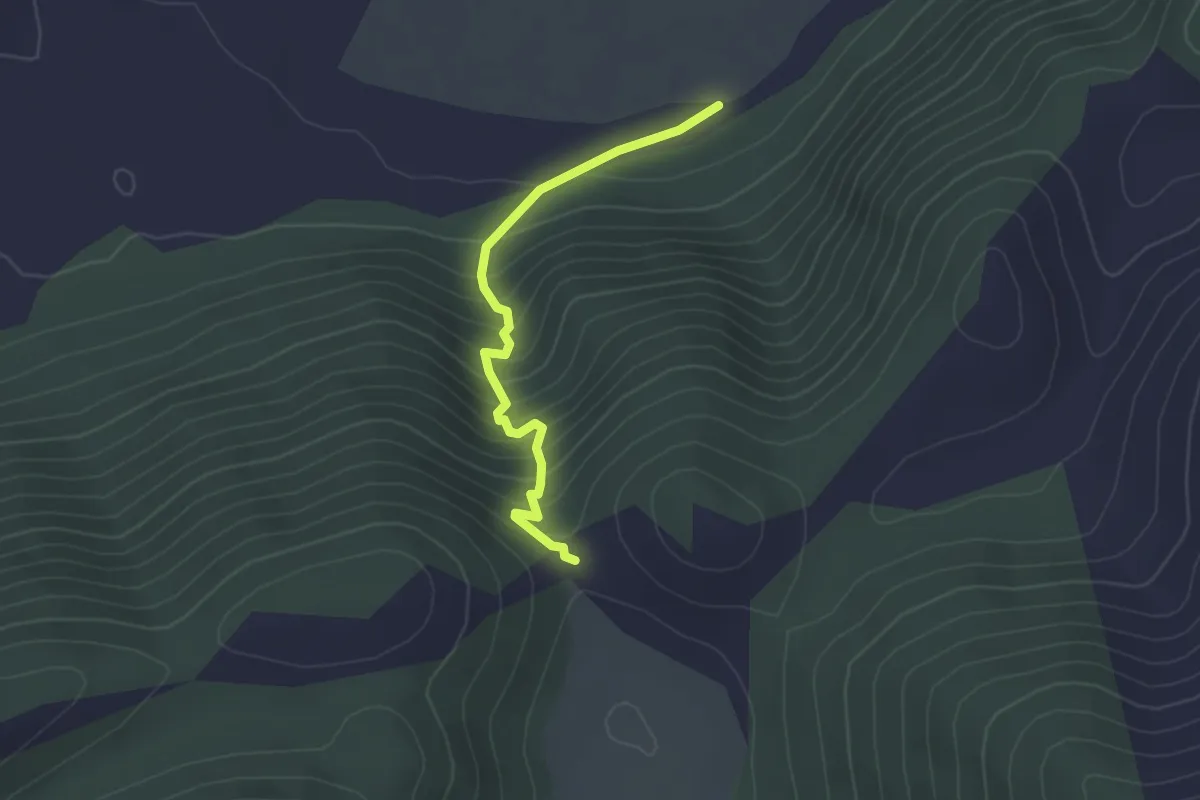
Easy · Trail
Arciprete – Tristeri
2.9 km · ↑ 288 m · 1 h 18 min
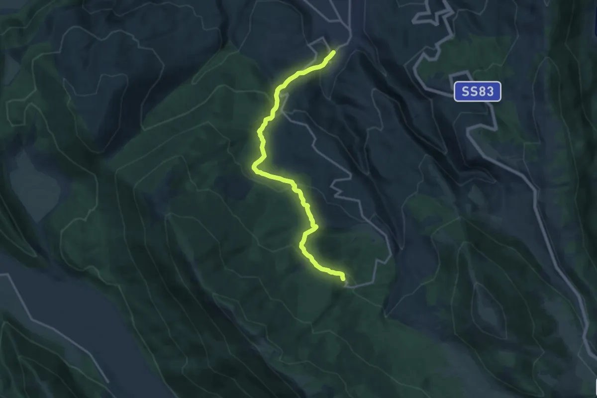
Medium · Cabin
Lecce dei Marsi – La Guardia
14.7 km · ↑ 721 m · 5 h 2 min
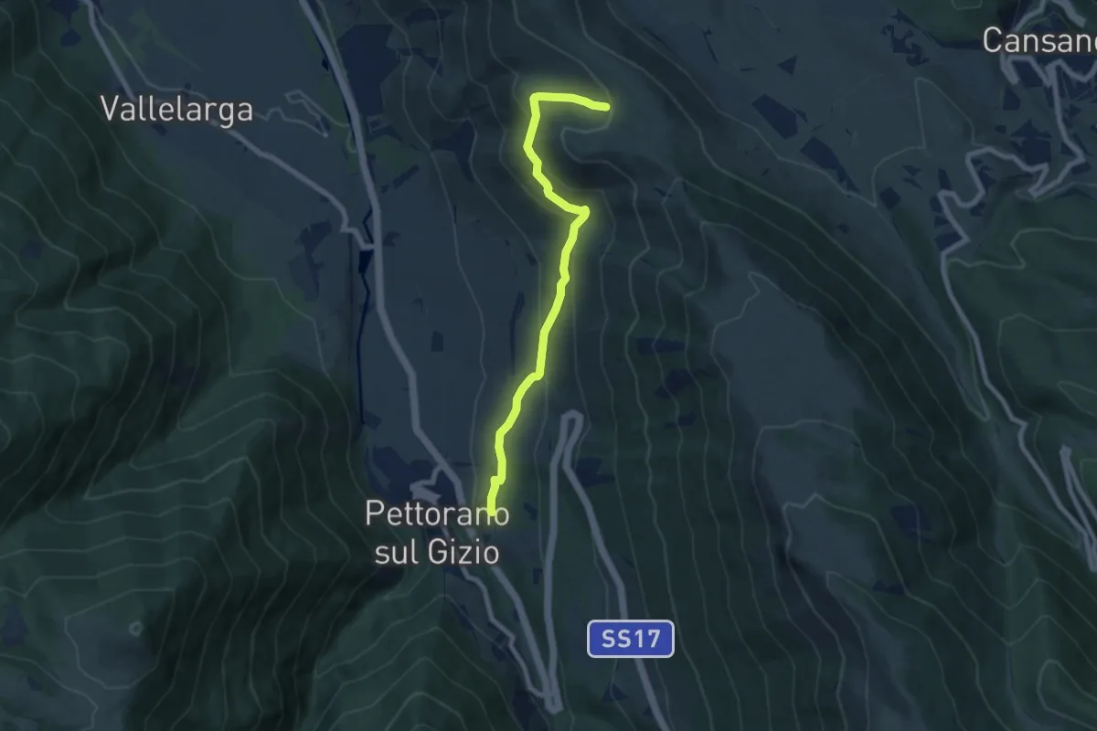
Medium · Trail
Stazione di Pettorano sul Gizio – Fonte Pacile
7.9 km · ↑ 440 m · 2 h 48 min
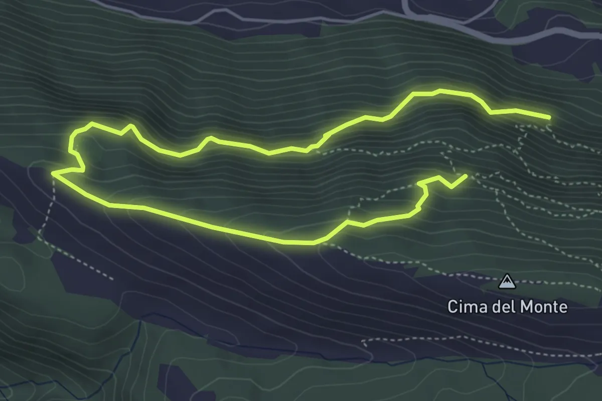
Demanding · Trail
Sentiero CAI 721 – Sentiero CAI 721
7.9 km · ↑ 720 m · 3 h 26 min
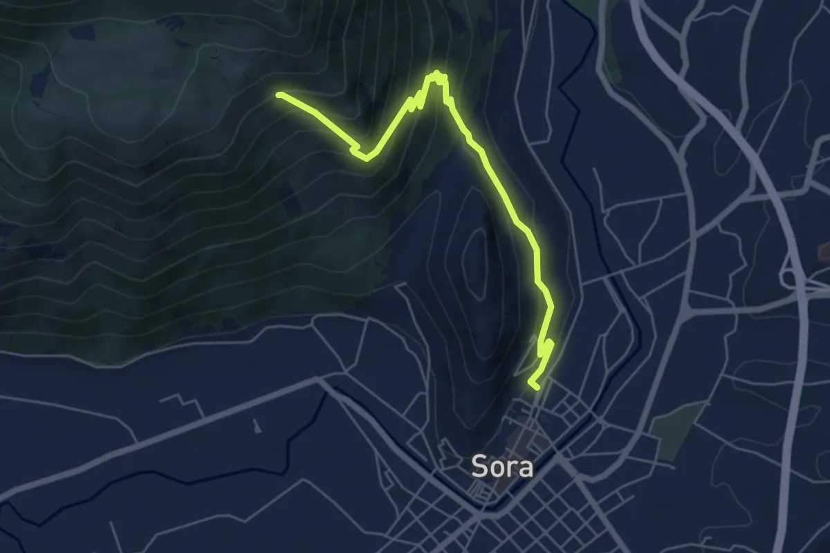
Medium · Trail
Torrione di Santa Maria – Incrocio 623
6.3 km · ↑ 487 m · 2 h 32 min