Trails in Italy
25,219 hiking trails, each with its route, climb, walking time and grade.
All trails, page 260 of 526
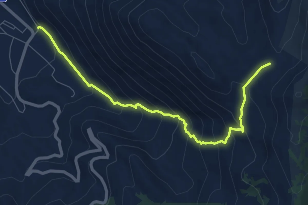
Medium · Trail
Gioia dei Marsi – Tre torrenti
7.8 km · ↑ 579 m · 3 h 5 min
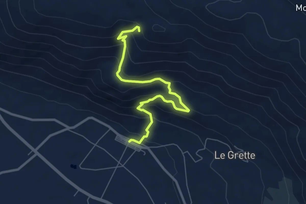
Medium · Trail
Casali d'Aschi – Fonte di Vico
6.5 km · ↑ 491 m · 2 h 36 min
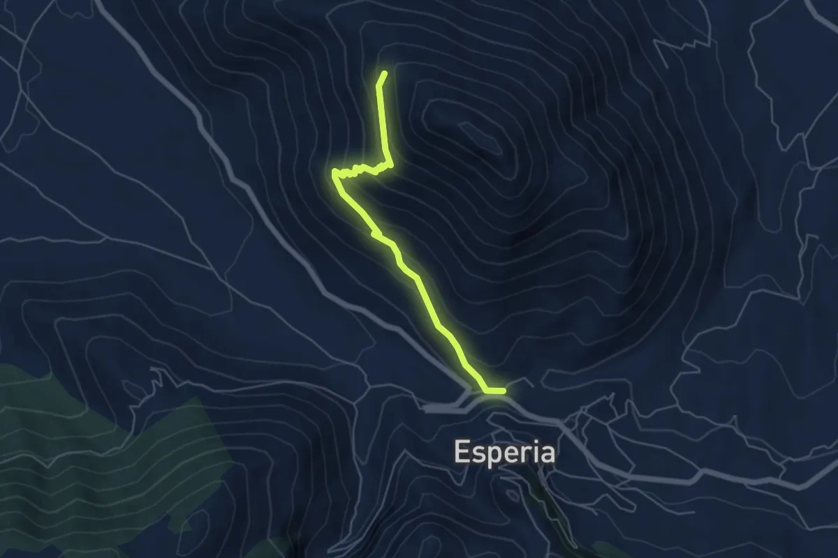
Medium · Trail
Esperia – Monte D'Oro (intersezione con CAI966)
5.2 km · ↑ 354 m · 2 h
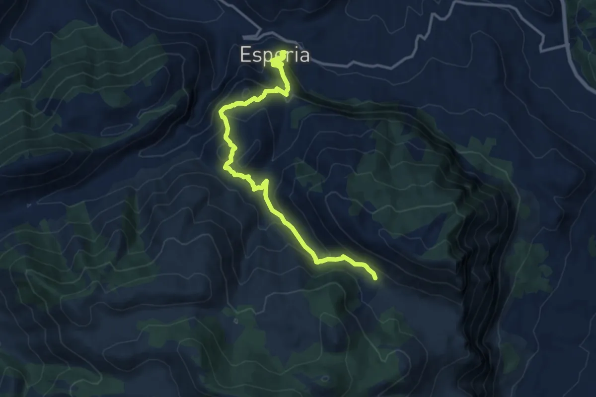
Medium · Trail
Esperia – Valle Gaetana CAI970
12.8 km · ↑ 748 m · 4 h 38 min
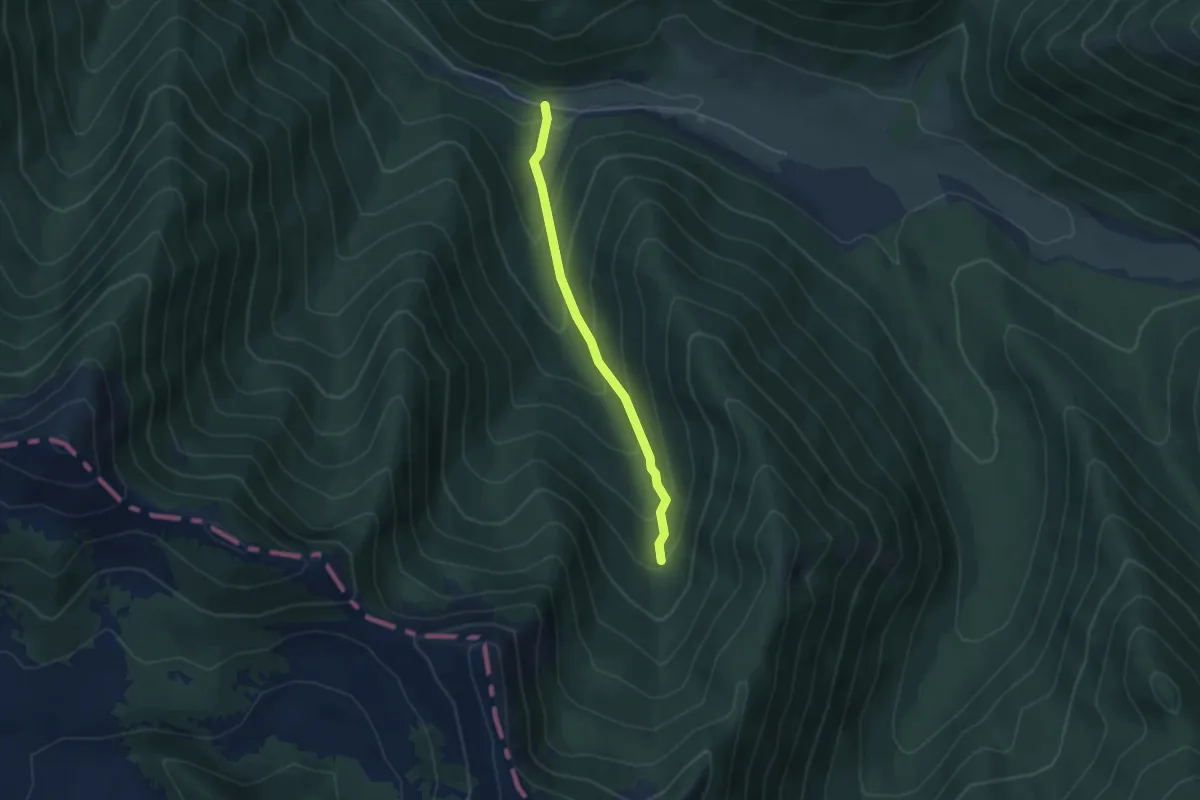
Easy · Trail
Torrente Rosa – Vallone Ciafassa
3.9 km · ↑ 293 m · 1 h 34 min
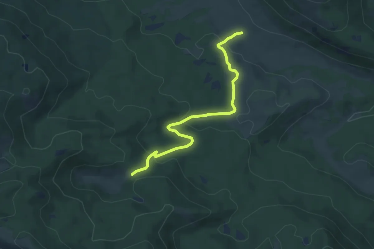
Easy · Trail
Cicerana – Campo Moricento
5.7 km · ↑ 188 m · 1 h 45 min
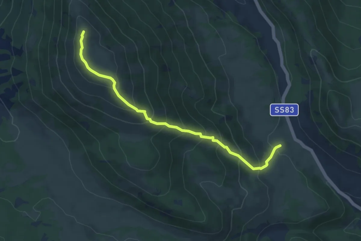
Medium · Summit
Pie di monte – Monte Turchio
6.4 km · ↑ 495 m · 2 h 35 min
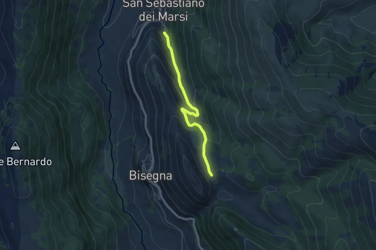
Medium · Trail
San Sebastiano – Vicenna
5.1 km · ↑ 322 m · 1 h 54 min
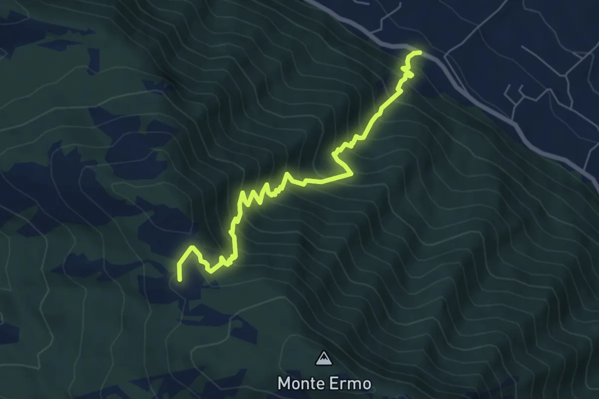
Demanding · Summit
Fonte del Peschio – Prati della Valle inters. con CAI 735
6.8 km · ↑ 817 m · 3 h 23 min
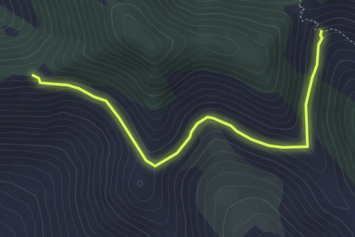
Easy · Trail
Serra Palombi – CAI 534
5.2 km · ↑ 209 m · 1 h 41 min
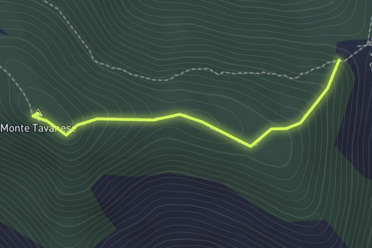
Easy · Summit
Serra Palombi CAI 534 – Sentiero CAI 534
2.0 km · ↑ 168 m · 51 min
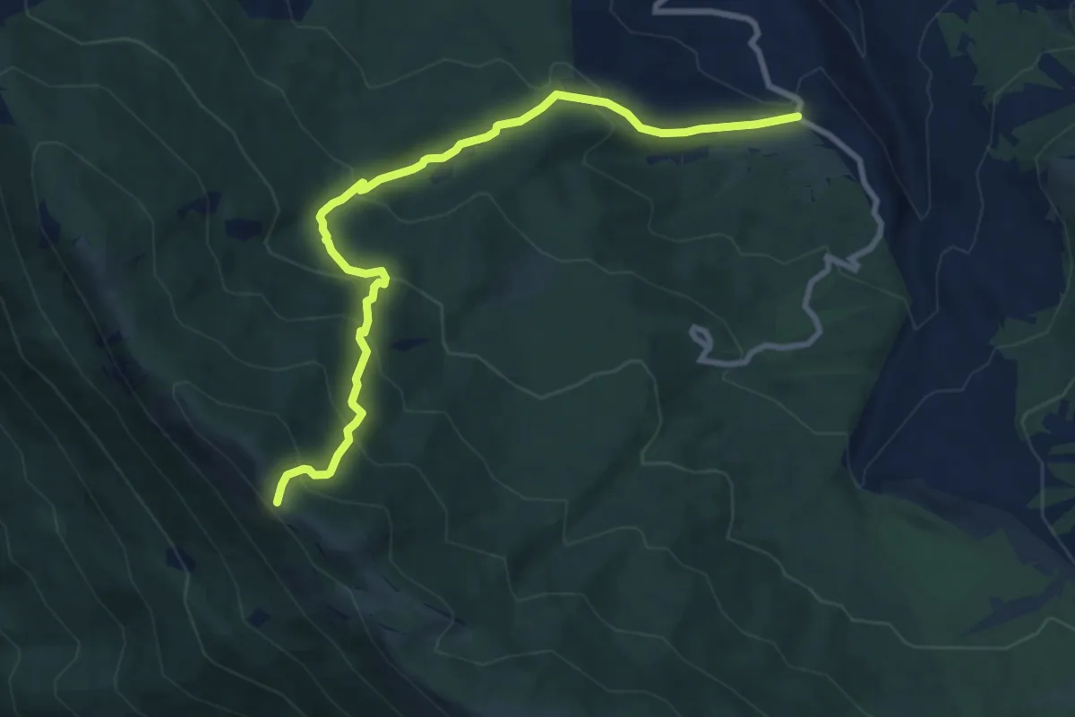
Medium · Trail
Capo del Campo – Valico Monna della Rapanella (I Morroni)
10.3 km · ↑ 643 m · 3 h 50 min
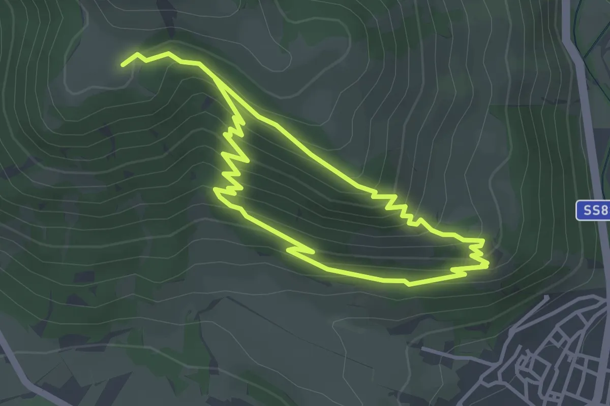
Easy · Trail
Castel Mancino – Stazzo di Monte Forcella
3.4 km · ↑ 238 m · 1 h 21 min
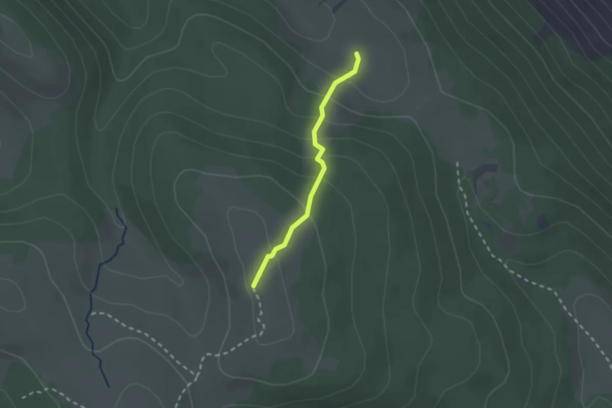
Easy · Summit
Rifugio di Terraegna – Macchia di Rose
1.9 km · ↑ 162 m · 48 min
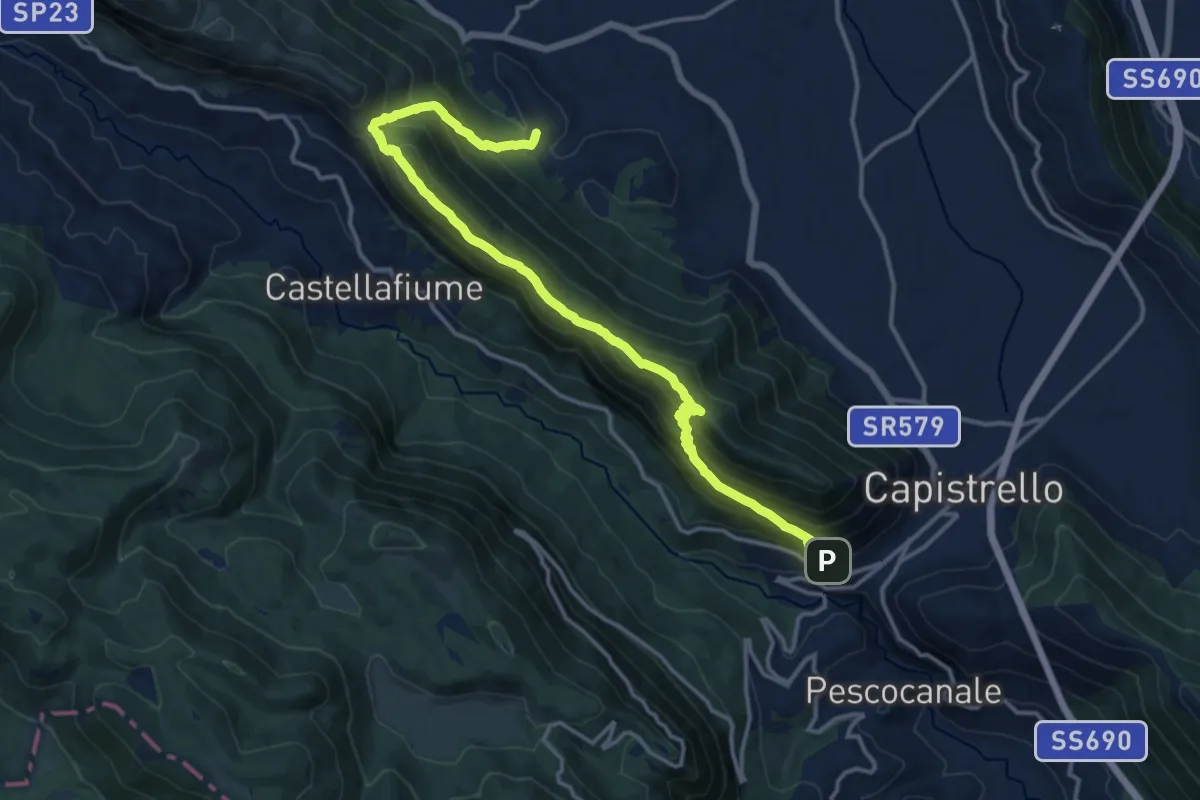
Demanding · Trail
Capistrello o Corcumello – Monte Arezzo o Madonna del Monte
18.1 km · ↑ 1164 m · 6 h 48 min
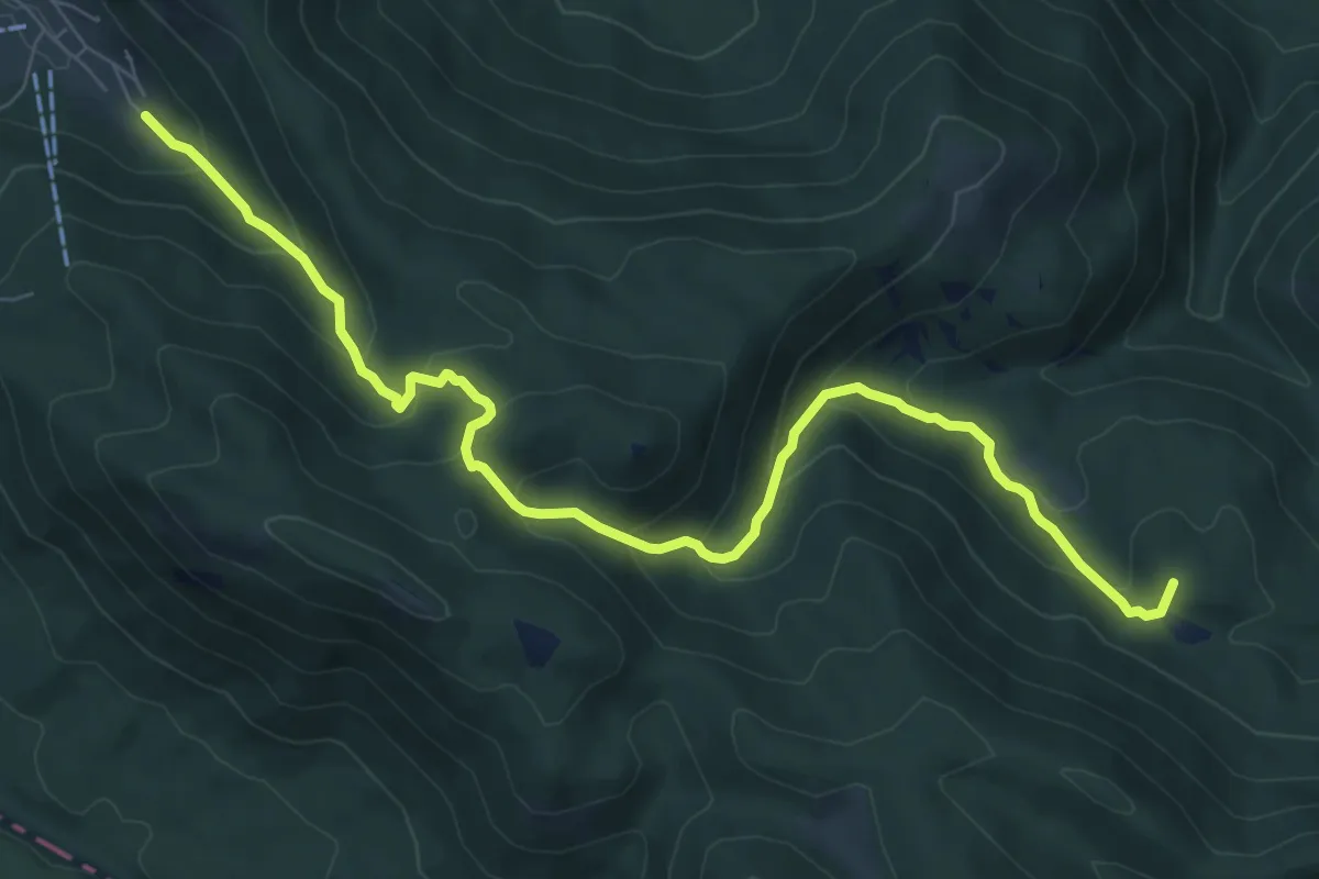
Medium · Summit
Camporotondo – Piani della Renga
9.9 km · ↑ 595 m · 3 h 38 min
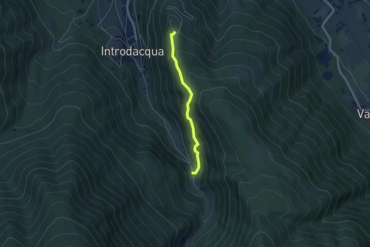
Easy · Trail
Valle di Cutri – Monte Plaia
4.1 km · ↑ 310 m · 1 h 39 min
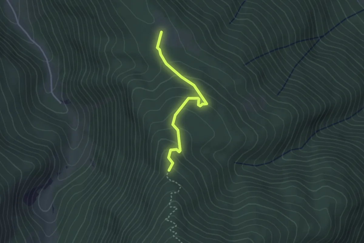
Easy · Trail
Sent. Anello – Pratosordo
3.1 km · ↑ 176 m · 1 h 6 min
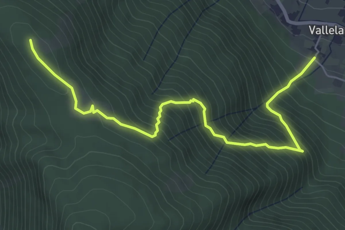
Medium · Trail
Vallelarga – Monte Plaia
6.8 km · ↑ 570 m · 2 h 50 min
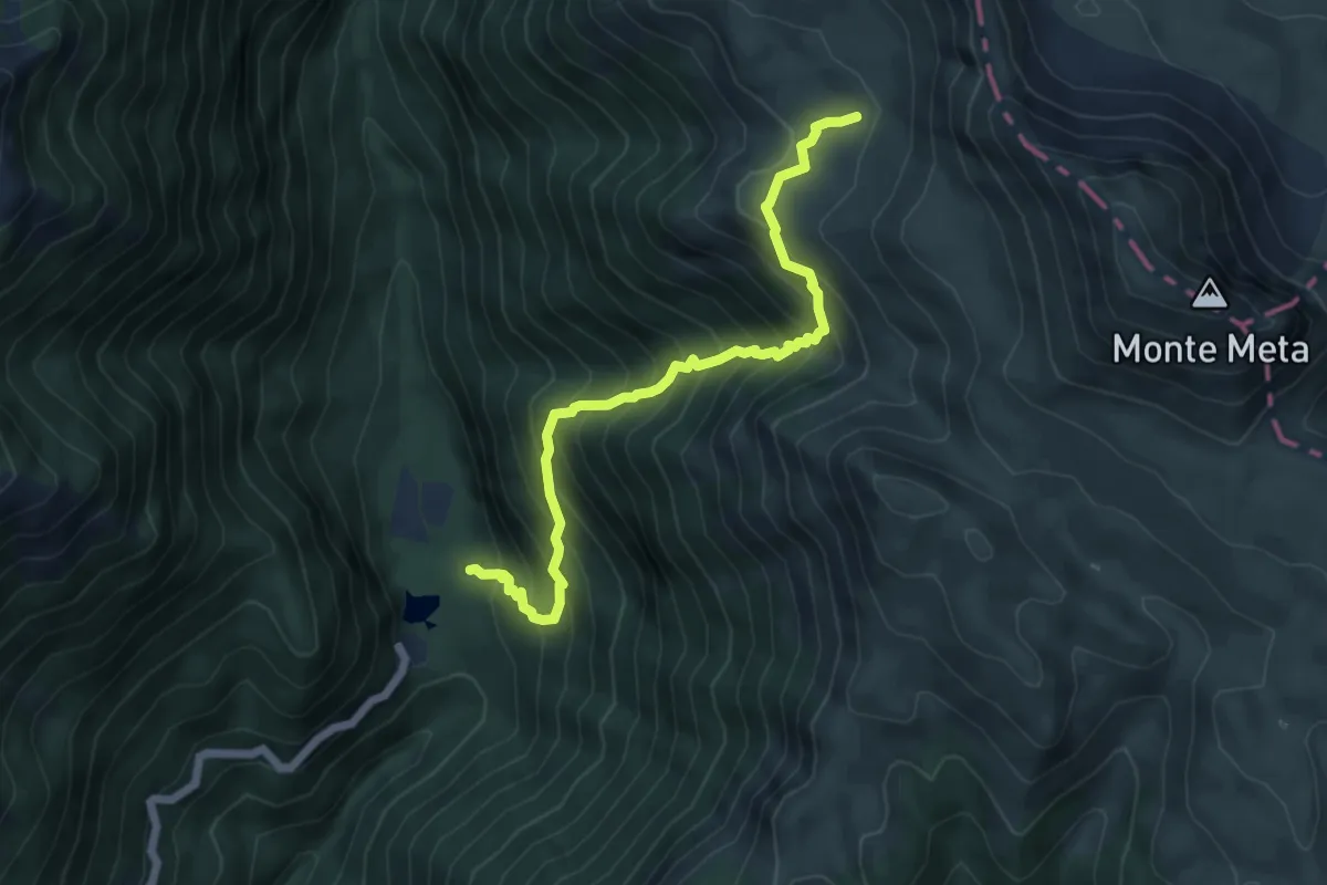
Demanding · Trail
Canneto – Fonte Chiariglio
6.5 km · ↑ 831 m · 3 h 19 min
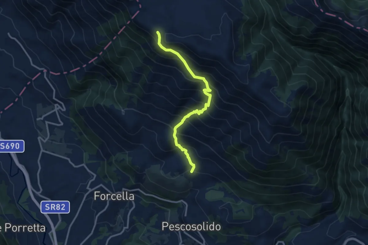
Demanding · Summit
Pescosolido – Fonte Astuni
9.8 km · ↑ 989 m · 4 h 28 min
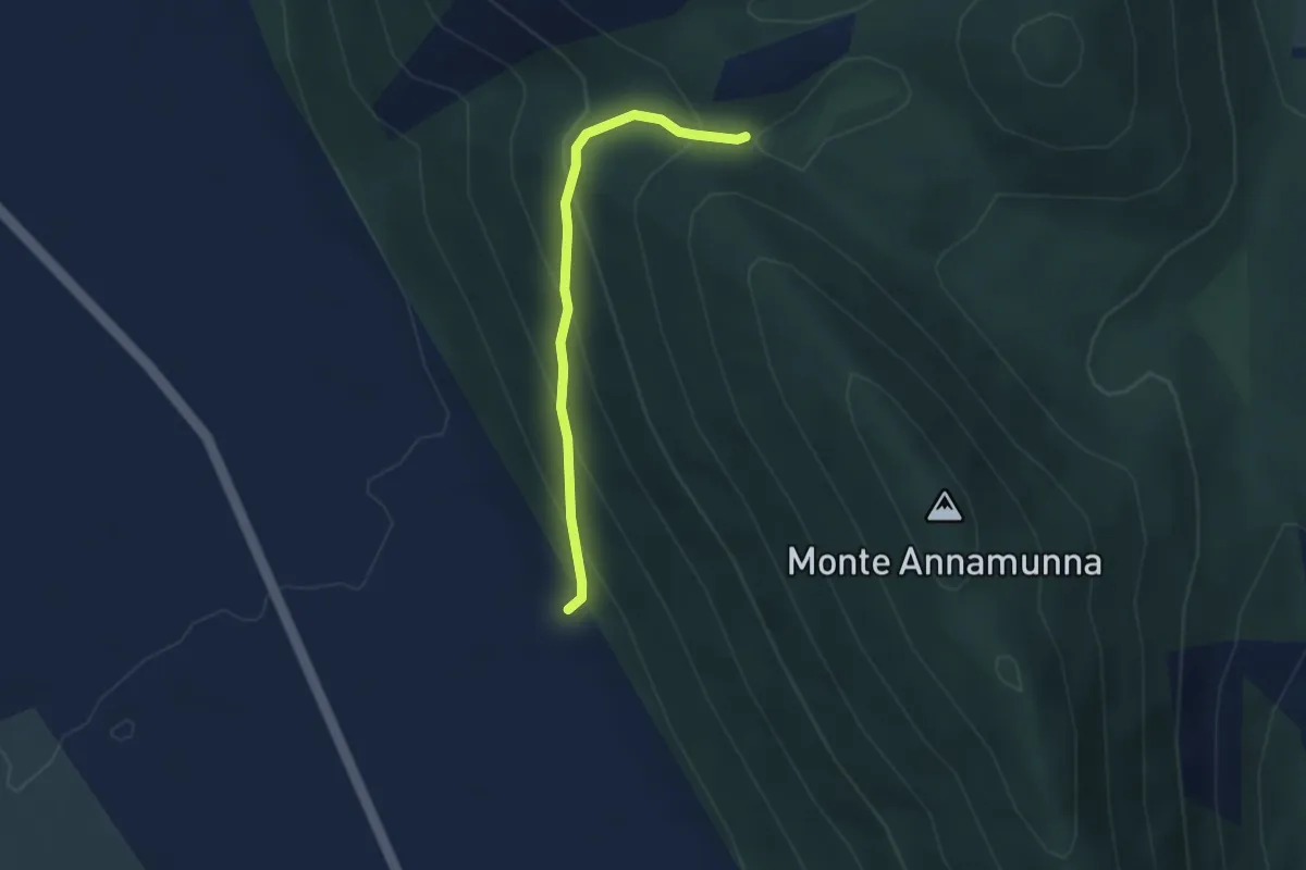
Easy · Trail
Le Caserine – Valico di Annamunna
3.1 km · ↑ 241 m · 1 h 15 min
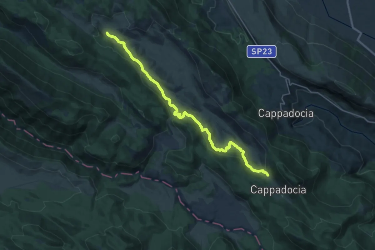
Demanding · Trail
Camporotondo Via del Palesco – Piana del Pozzo
19.5 km · ↑ 538 m · 5 h 47 min
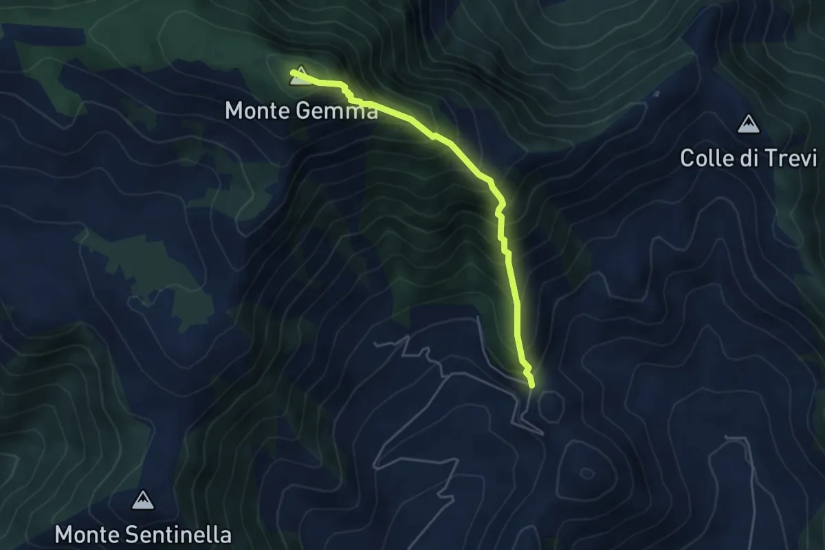
Medium · Summit
Prossimità Chiesetta di S. Luca – Monte Gemma
4.6 km · ↑ 726 m · 2 h 39 min
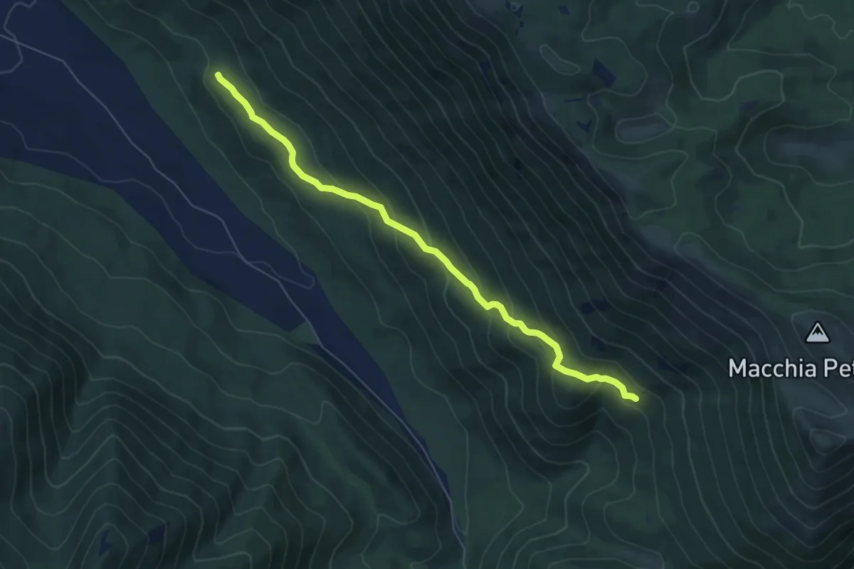
Medium · Trail
Morrone Grosso – Colle Fiorello
7.1 km · ↑ 376 m · 2 h 29 min
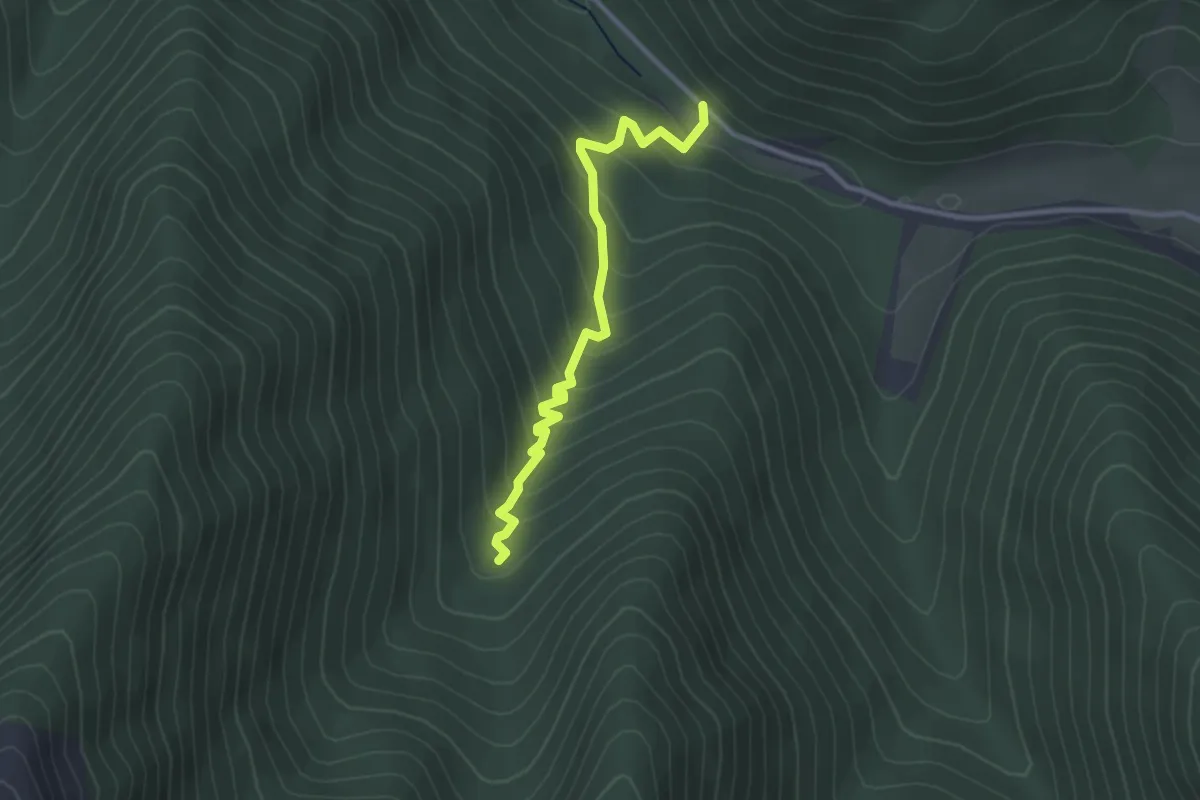
Easy · Trail
Torrente Rosa – Vallone Scopinaro
3.1 km · ↑ 239 m · 1 h 15 min
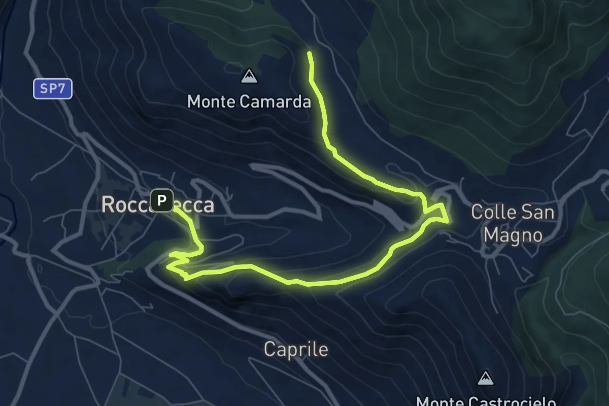
Medium · Trail
Località Varciosa – Roccasecca (Via Roma)
9.3 km · ↑ 369 m · 2 h 59 min
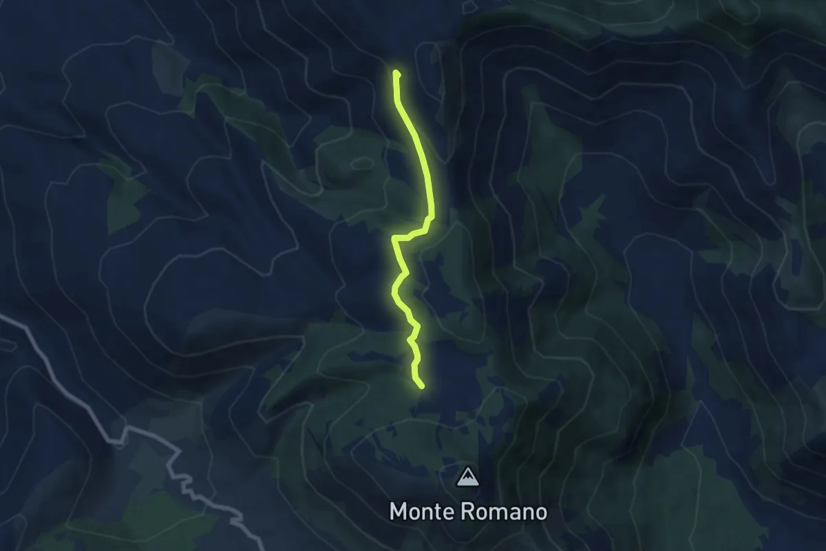
Easy · Trail
Percorso 533 – Percorso 532
5.8 km · ↑ 185 m · 1 h 47 min
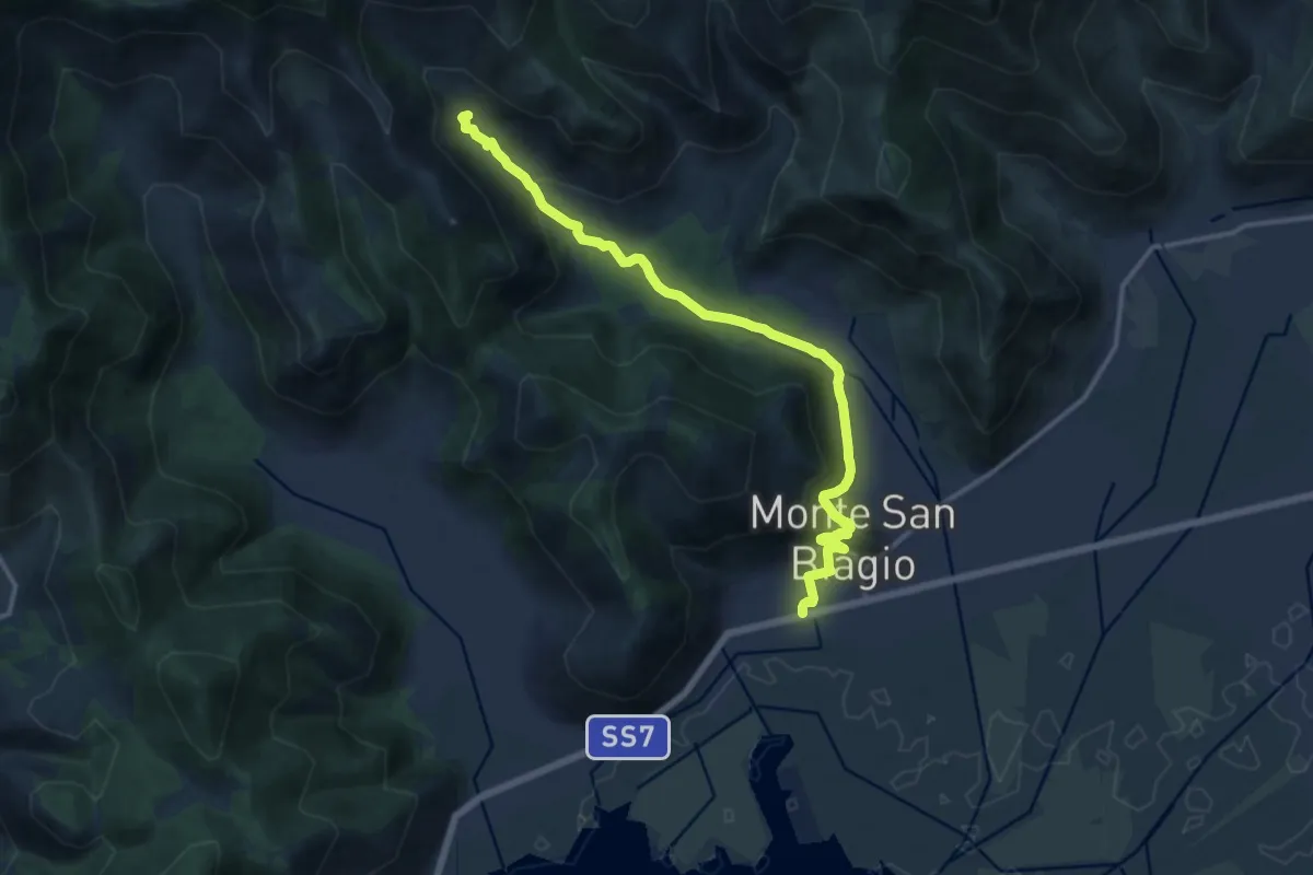
Medium · Trail
Stazione di Monte San Biagio – Fonte Vetica
15.7 km · ↑ 486 m · 4 h 45 min
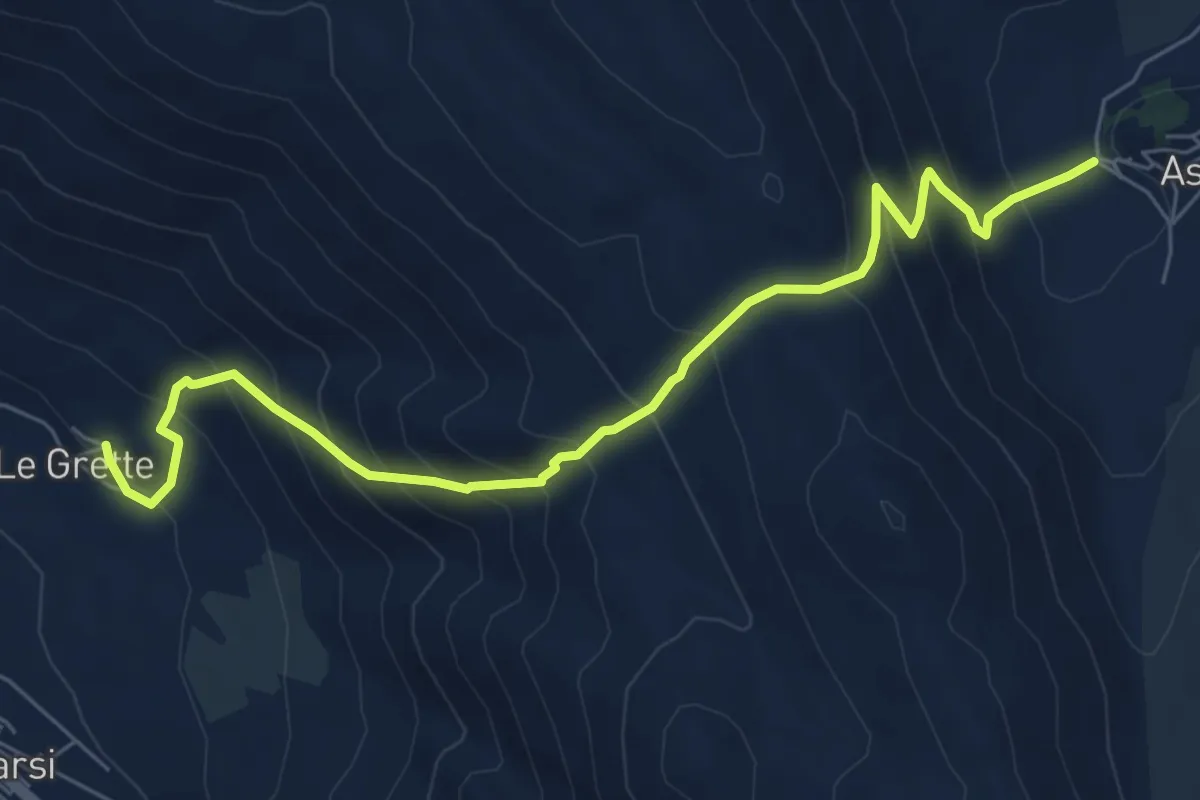
Medium · Trail
Le Grette – Aschi Alto
8.0 km · ↑ 739 m · 3 h 30 min
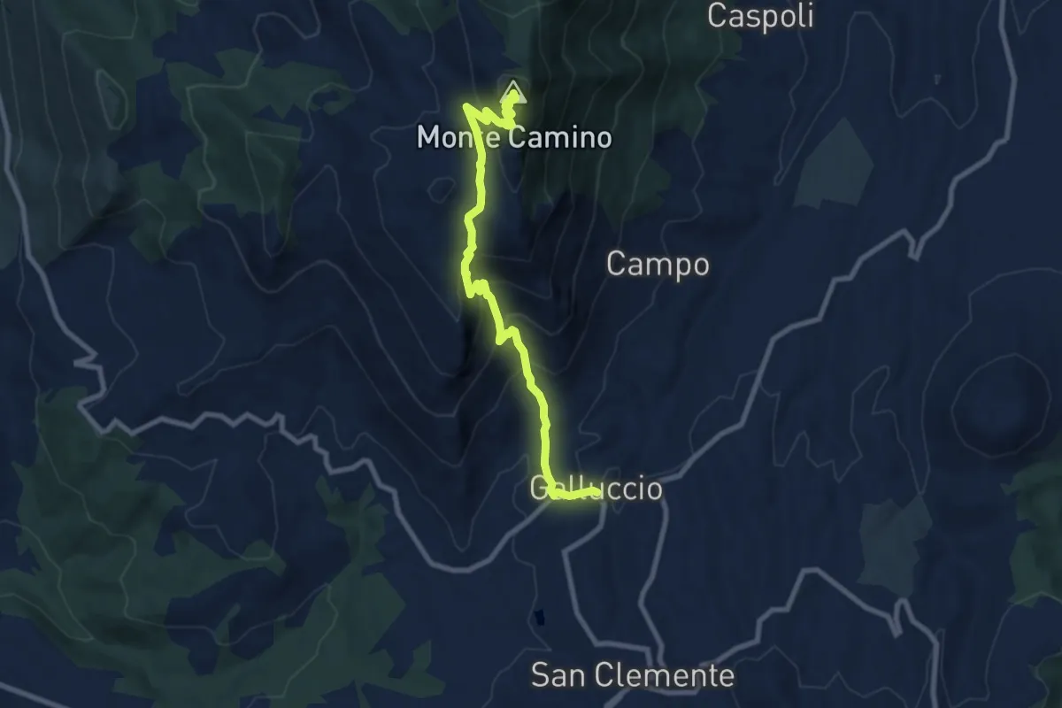
Medium · Summit
Galluccio – Monte Camino
9.1 km · ↑ 651 m · 3 h 34 min
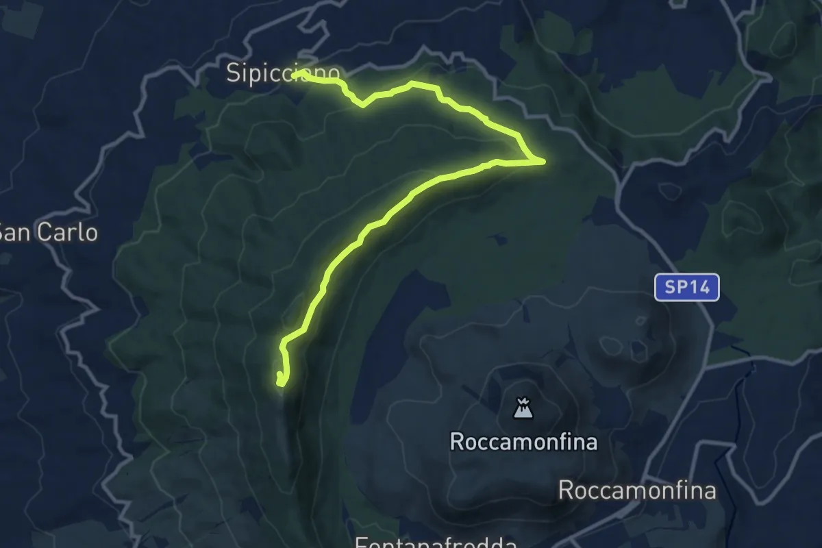
Medium · Trail
Spicciano – Orto della Reggina (Roccamonfina)
12.9 km · ↑ 495 m · 4 h 7 min
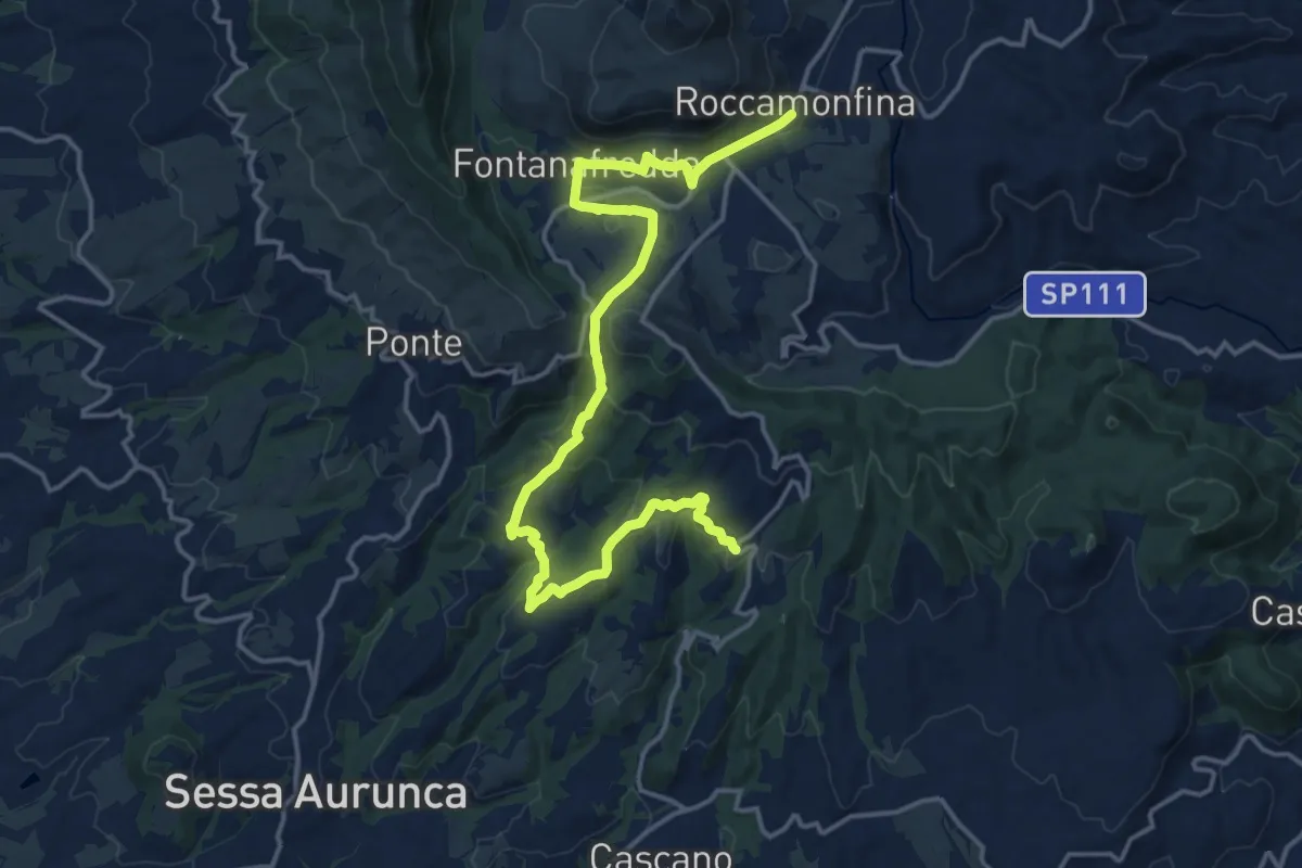
Demanding · Trail
Valogno – Roccamonfina
20.6 km · ↑ 576 m · 6 h 7 min
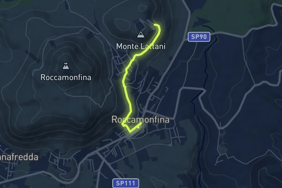
Easy · Trail
Piazza Nicola Amore - Roccamonfina – Santuario Maria Santissima dei Lattani (Roccamonfina)
4.4 km · ↑ 166 m · 1 h 23 min
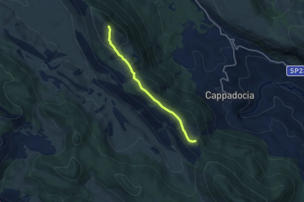
Medium · Summit
Valico La Serra – Le Fossette
6.9 km · ↑ 456 m · 2 h 36 min
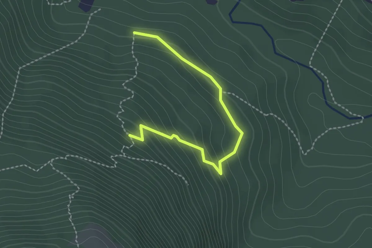
Easy · Trail
Castellafiume via Fienile, intersezione con sent. 572 – sent. 572 in località "Il Vallone"
2.4 km · ↑ 145 m · 53 min
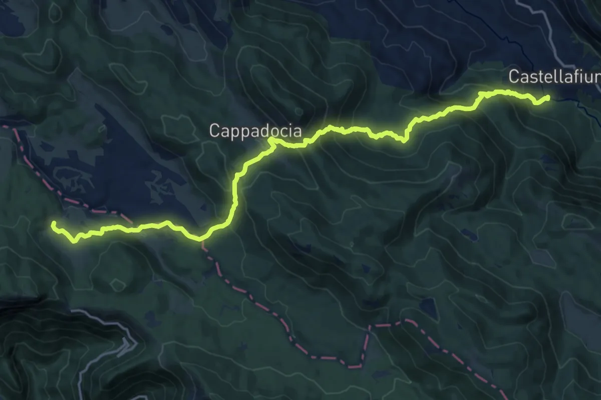
Demanding · Cabin
Via Fienile Castellafiume – Rifugio S.A.I.F.A.R. - Campo della Pietra
21.2 km · ↑ 1337 m · 7 h 54 min
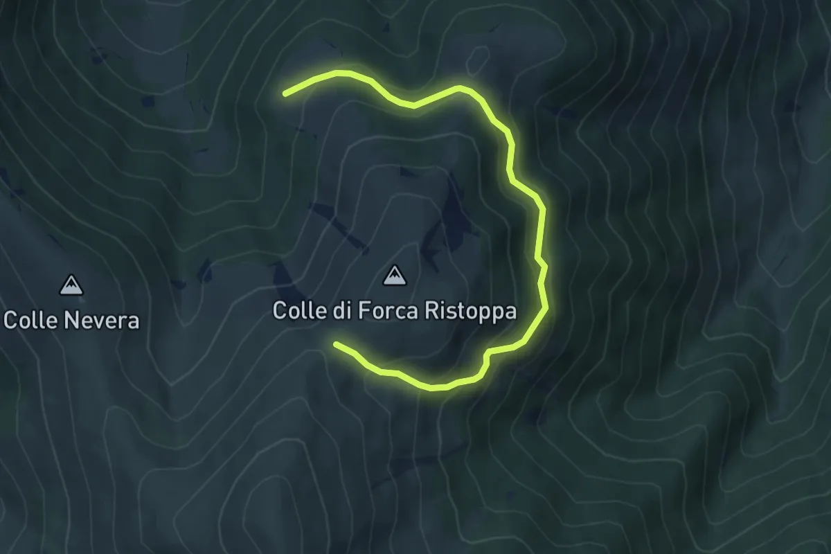
Medium · Trail
Rifugio Risvolta – Rifugio Forca Ristoppia
6.3 km · ↑ 448 m · 2 h 27 min
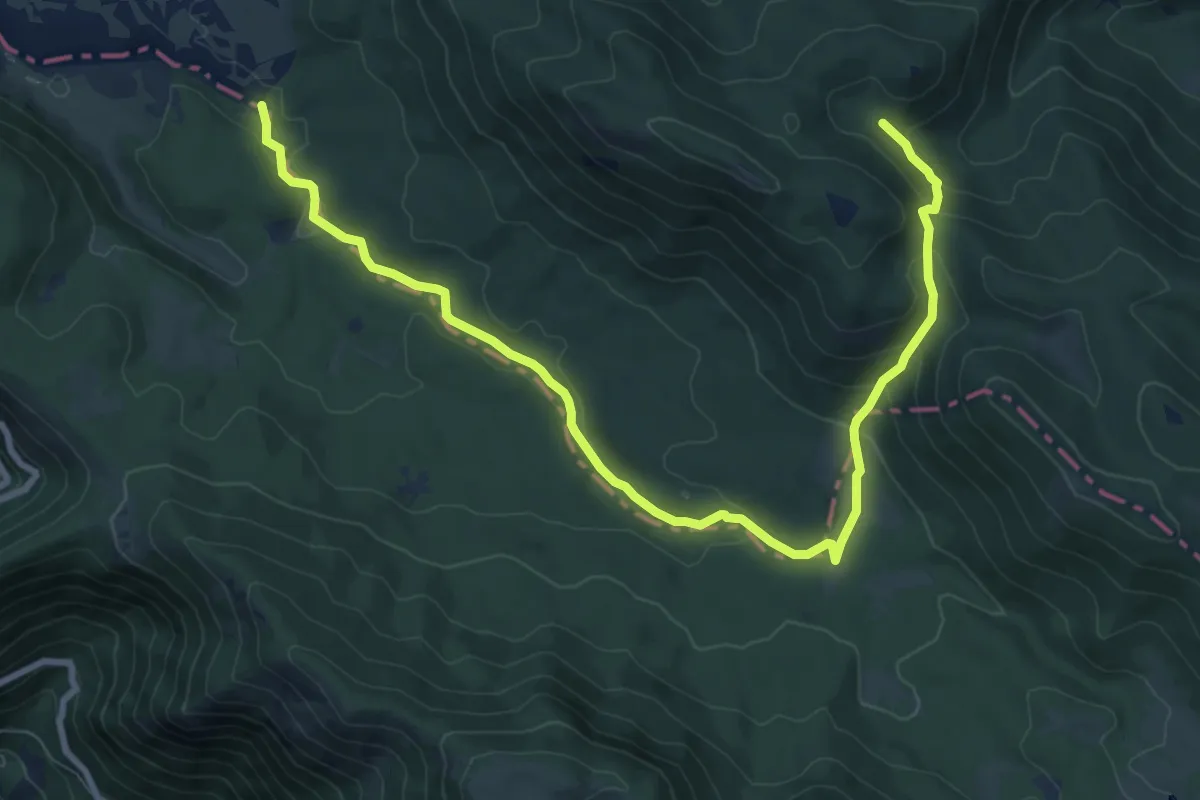
Medium · Trail
Bivio 578/578A Castello della Ceria – Fontanella della Signora e Punto informazione
11.9 km · ↑ 455 m · 3 h 47 min
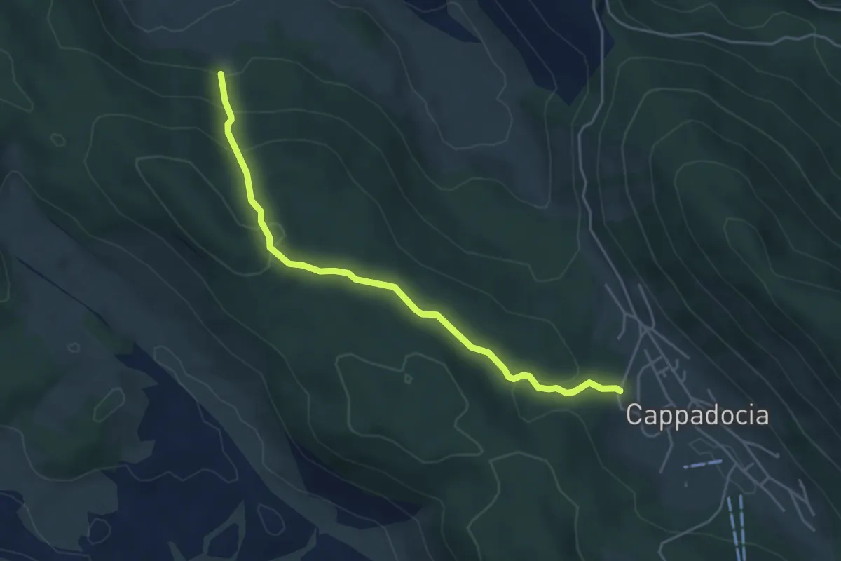
Easy · Cabin
Cappadocia – Rifugio Pratalata
4.9 km · ↑ 268 m · 1 h 44 min
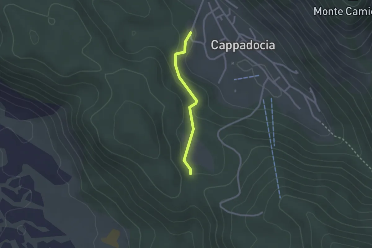
Easy · Trail
Camporotondo – Pian delle Scagne
2.0 km · ↑ 54 m · 36 min
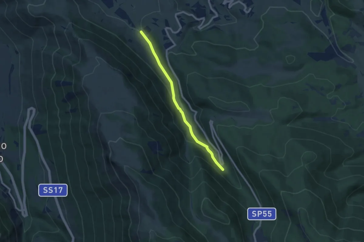
Easy · Cabin
Sent. 357 (Fonte Sulmontina) – Rif. Il Maio
6.4 km · ↑ 246 m · 2 h 2 min
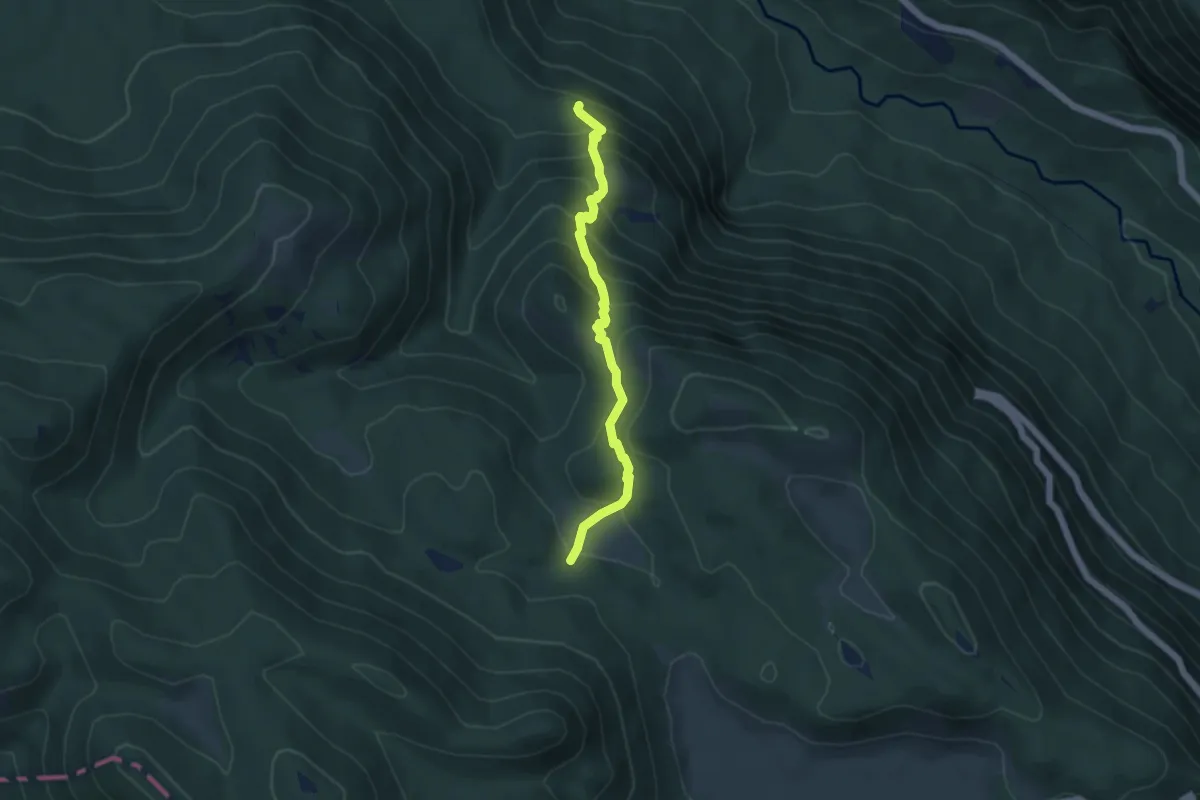
Medium · Trail
Castellafiume via Fienile – Loc. Valle Nava sent. 578
5.0 km · ↑ 438 m · 2 h 7 min
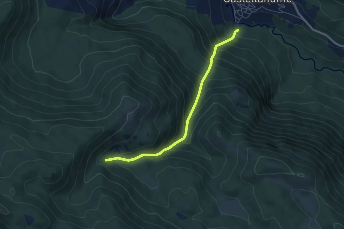
Medium · Trail
Castellafiume via Fienile – Loc. Cesavolpe sul sent. 578
5.7 km · ↑ 597 m · 2 h 38 min
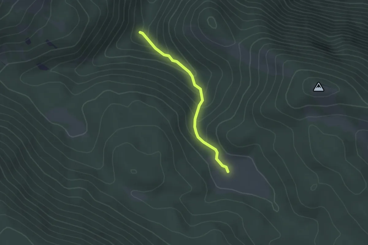
Easy · Trail
dalla loc. Prato Santino sent. 573 – alla loc. Valle Nava sent. 572
2.4 km · ↑ 150 m · 54 min
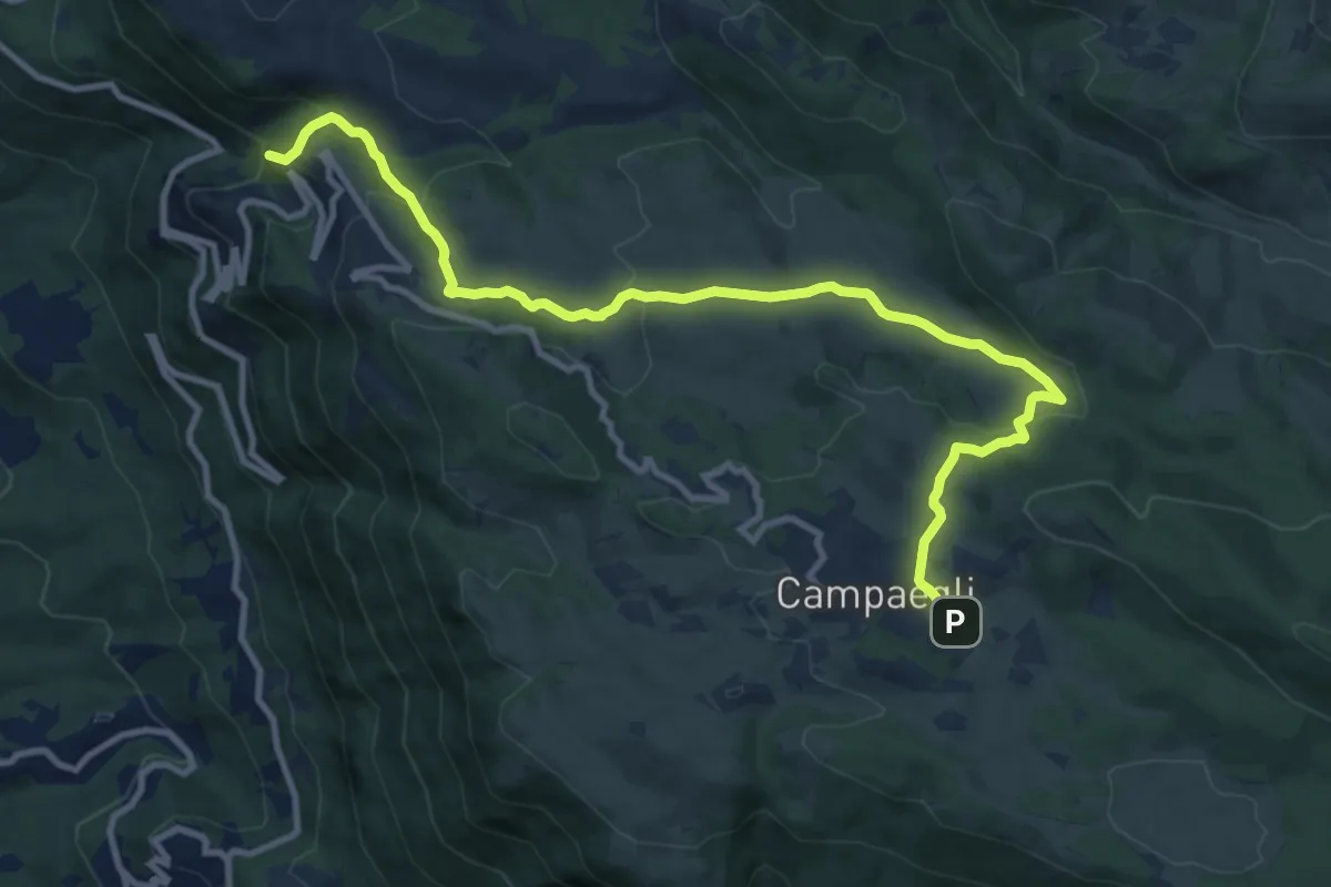
Medium · Summit
Cervara di Roma – Campaegli
13.0 km · ↑ 485 m · 4 h 7 min
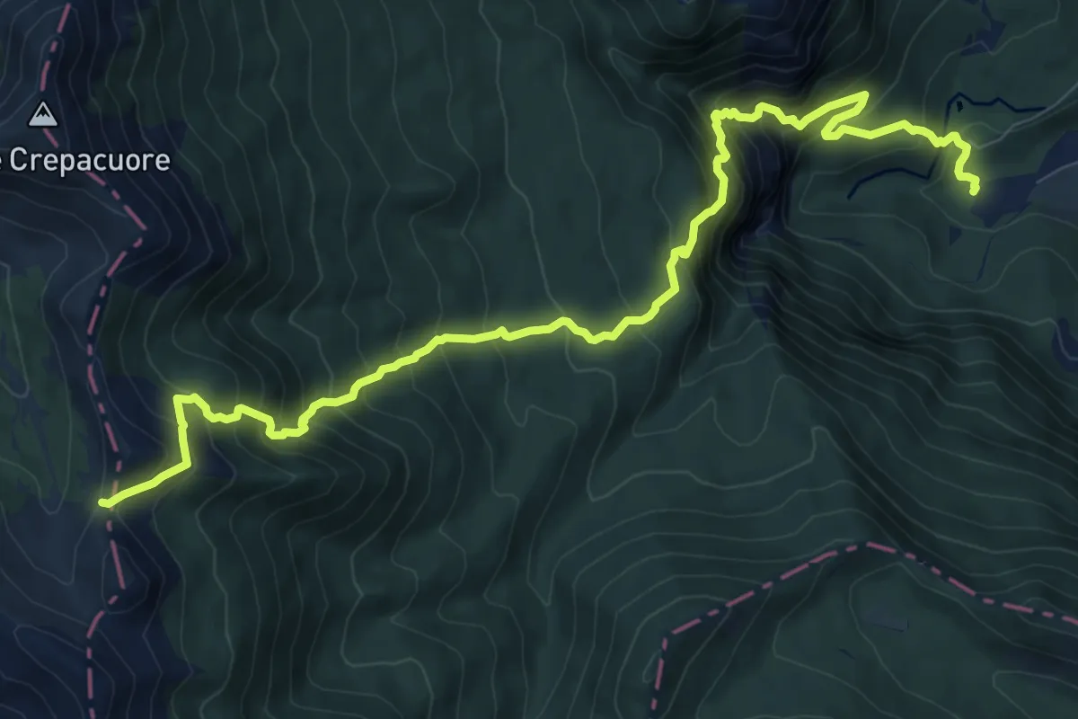
Demanding · Trail
Lo Schioppo – Sentiero 651
12.4 km · ↑ 1281 m · 5 h 43 min
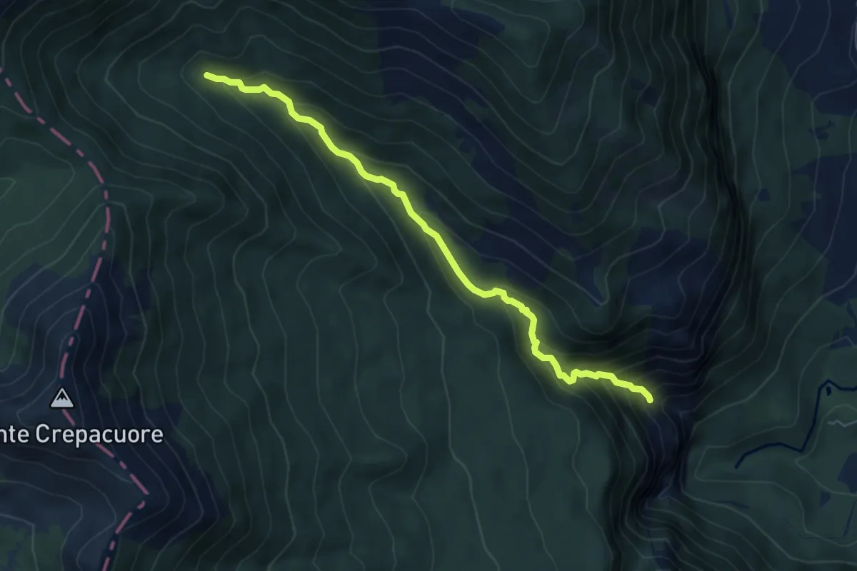
Medium · Cabin
Sentiero 602B – Rifugio Femmina Morta
6.4 km · ↑ 478 m · 2 h 33 min