Trails in Italy
25,219 hiking trails, each with its route, climb, walking time and grade.
All trails, page 264 of 526
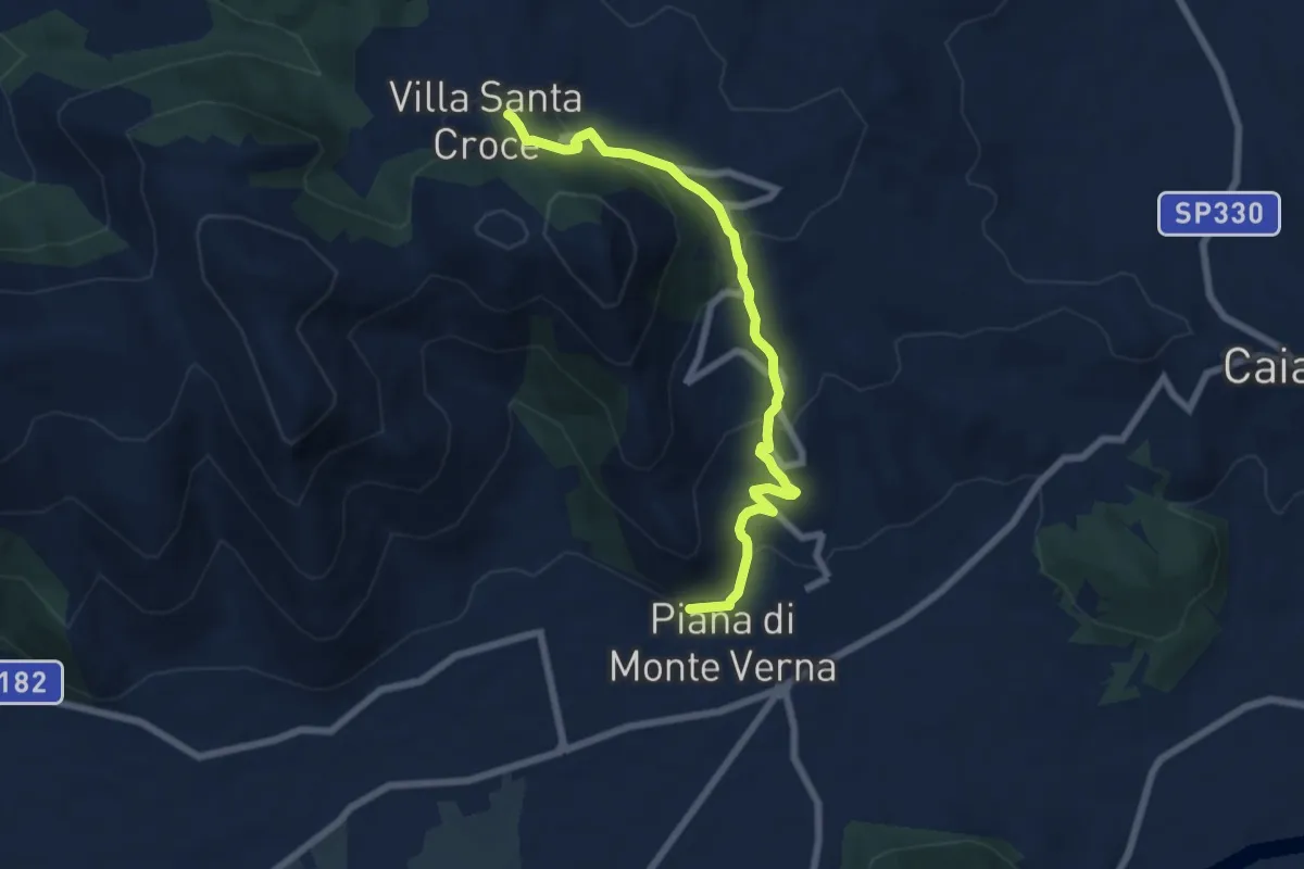
Medium · Trail
Piana di Monte Verna – Villa Santa Croce
7.5 km · ↑ 349 m · 2 h 32 min
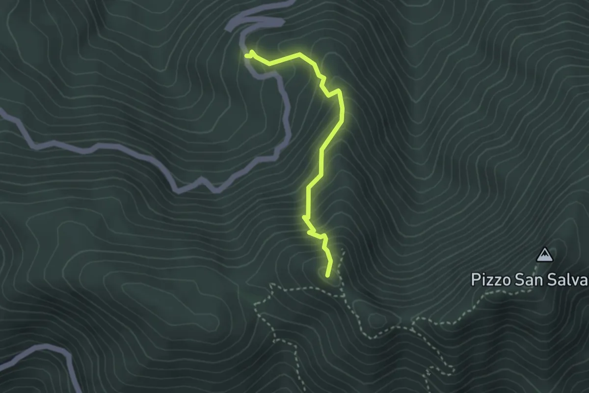
Medium · Summit
Fosso della Neve (Pietramelara) – Eremo di Fradejanne
2.9 km · ↑ 355 m · 1 h 28 min
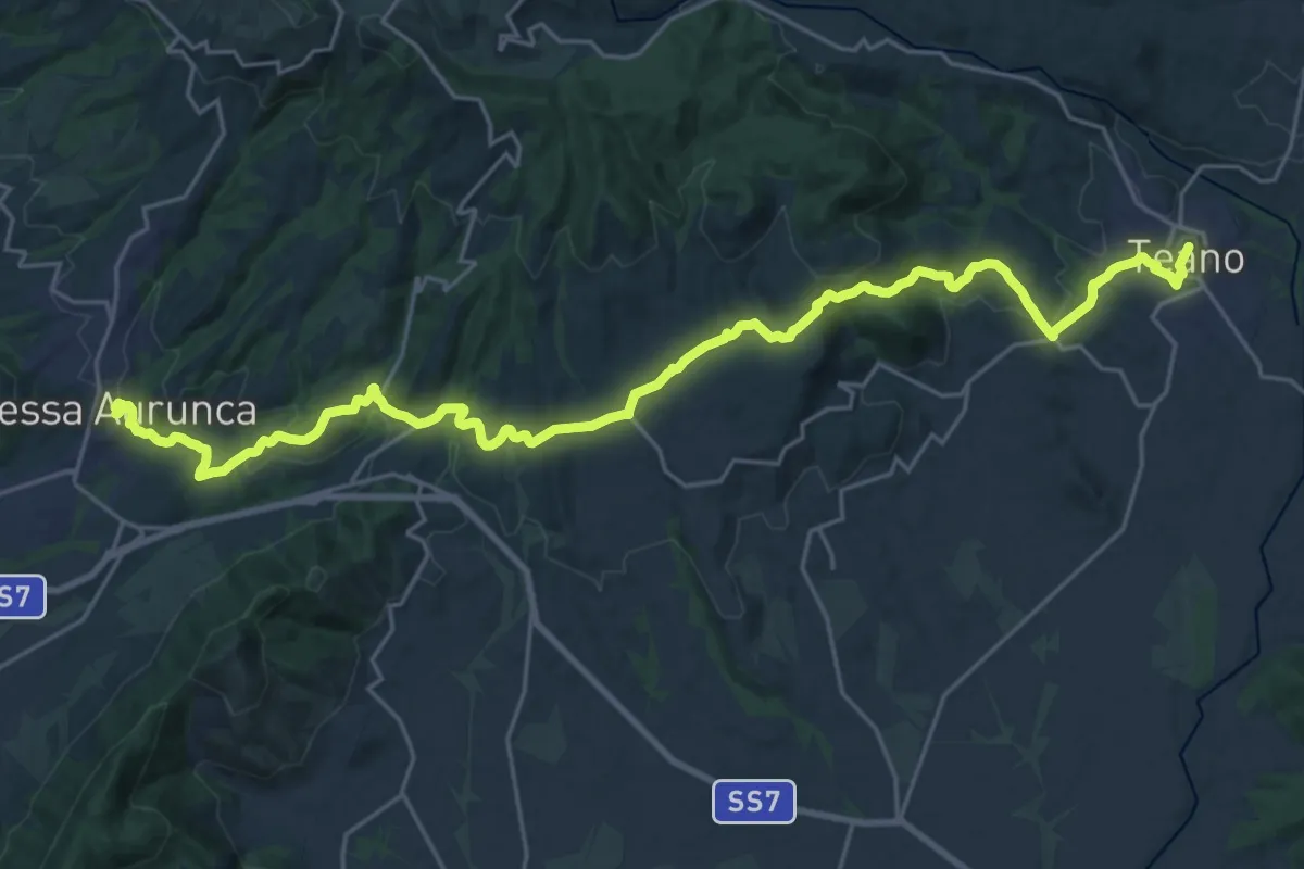
Medium · Trail
Teano – Sessa Aurunca
15.7 km · ↑ 405 m · 4 h 48 min
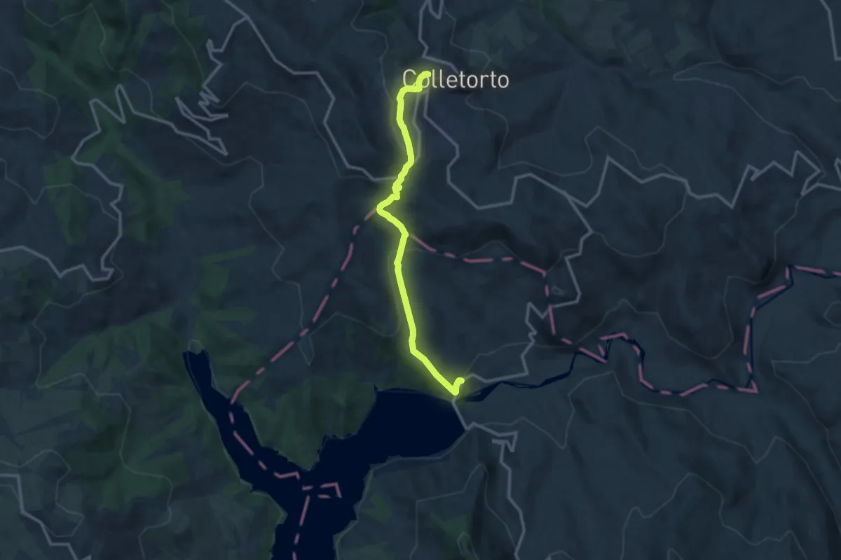
Medium · Trail
Colletorto – Diga del Lago di Occhito
12.0 km · ↑ 519 m · 3 h 57 min
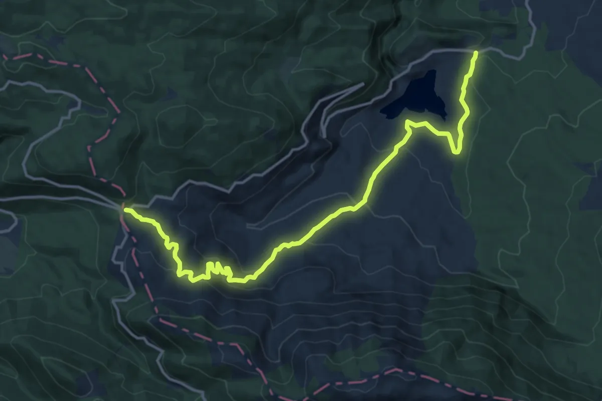
Medium · Cabin
Fonte San Nicola – Sella del Perrone
16.2 km · ↑ 711 m · 5 h 23 min
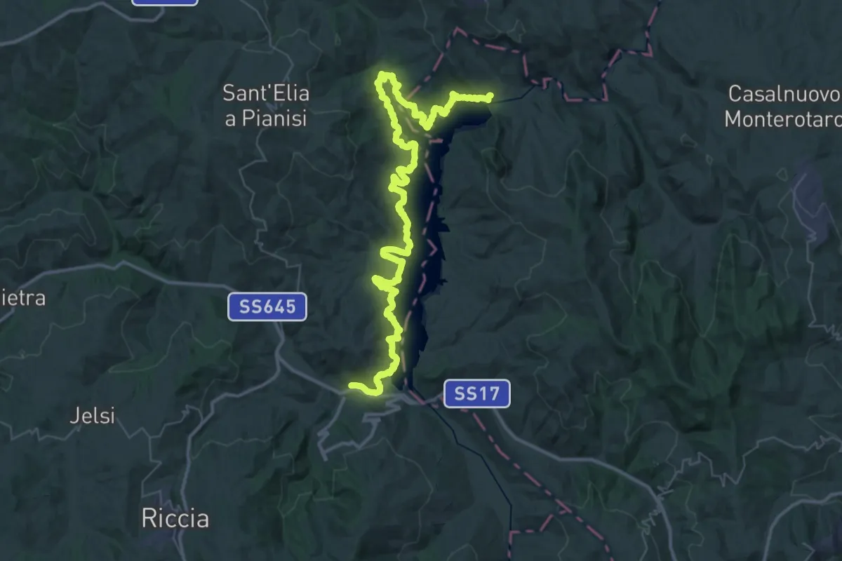
Demanding · Trail
Diga di Occhito – Ponte Macchie della Terra
29.0 km · ↑ 901 m · 9 h 12 min
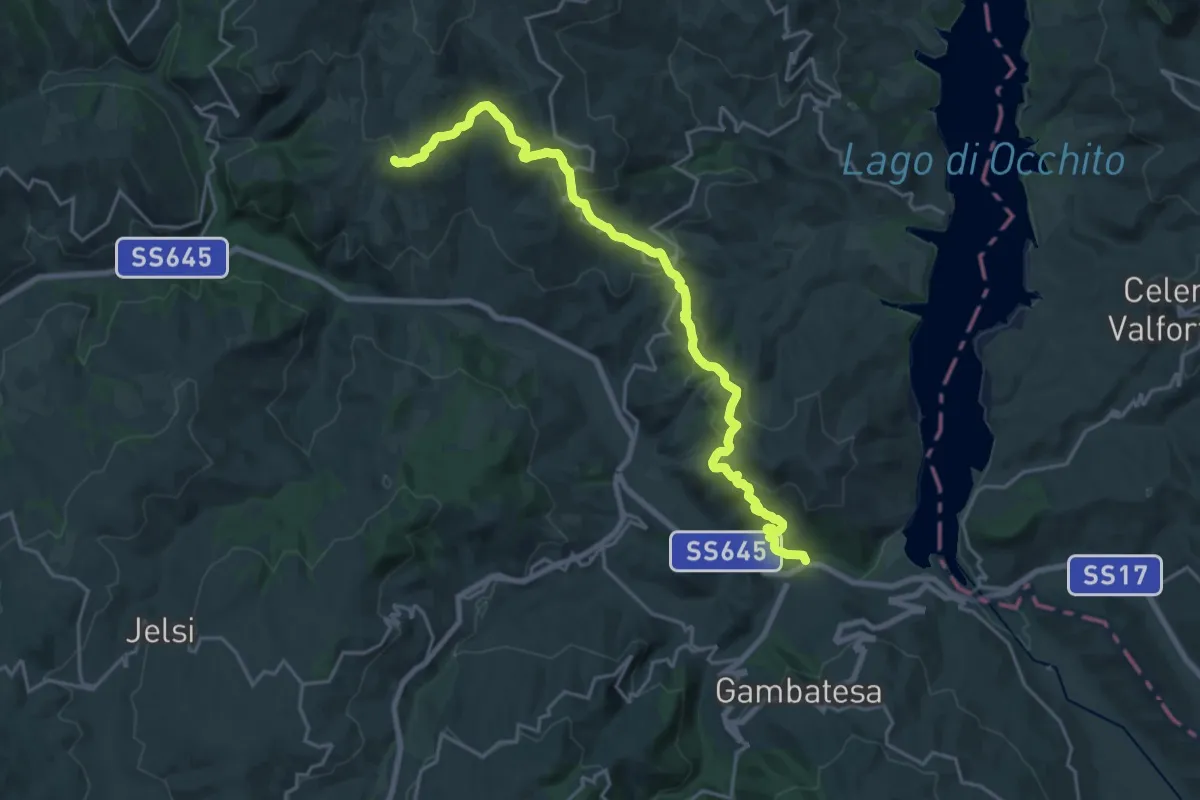
Demanding · Trail
Grimalda – Ponte Macchie della Terra
25.3 km · ↑ 866 m · 7 h 51 min
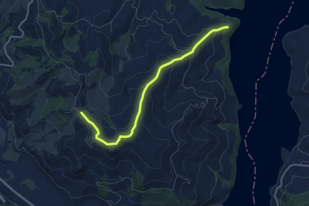
Medium · Trail
504 – 511
8.0 km · ↑ 321 m · 2 h 35 min
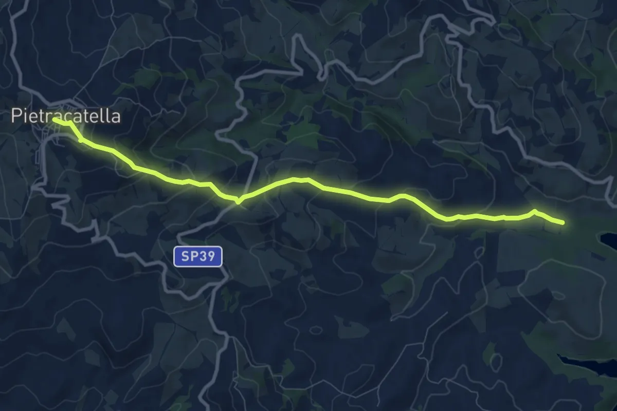
Medium · Trail
Pietracatella – 504
10.0 km · ↑ 469 m · 3 h 23 min
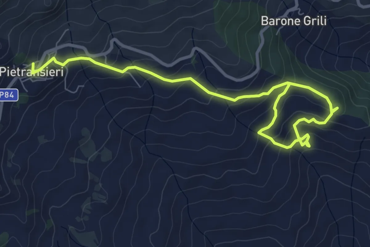
Medium · Trail
Pietransieri – Colle della Liscia (Bosco dei Limmari)
8.8 km · ↑ 404 m · 2 h 57 min
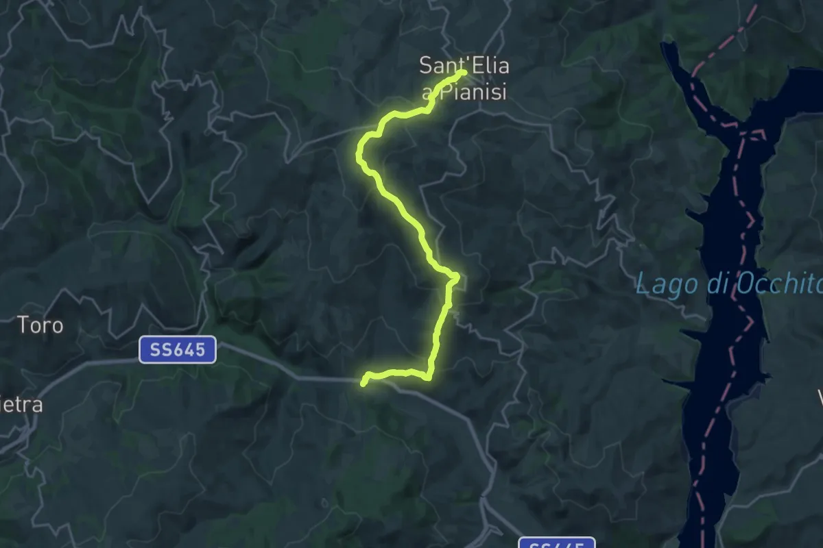
Demanding · Trail
Torrente Tappino – Sant'Elia a Pianisi
22.3 km · ↑ 877 m · 7 h 9 min
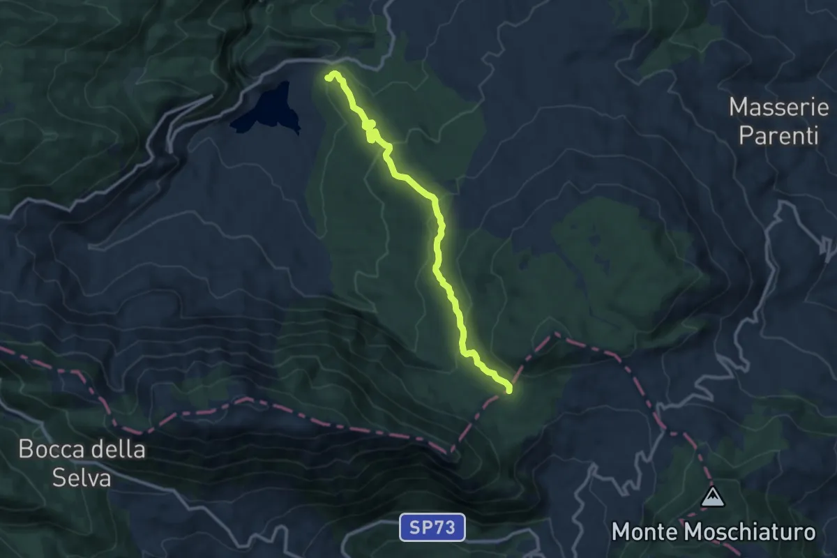
Medium · Trail
Fonte San Nicola – incrocio sentiero 100 Dorsale Matese
10.6 km · ↑ 375 m · 3 h 19 min
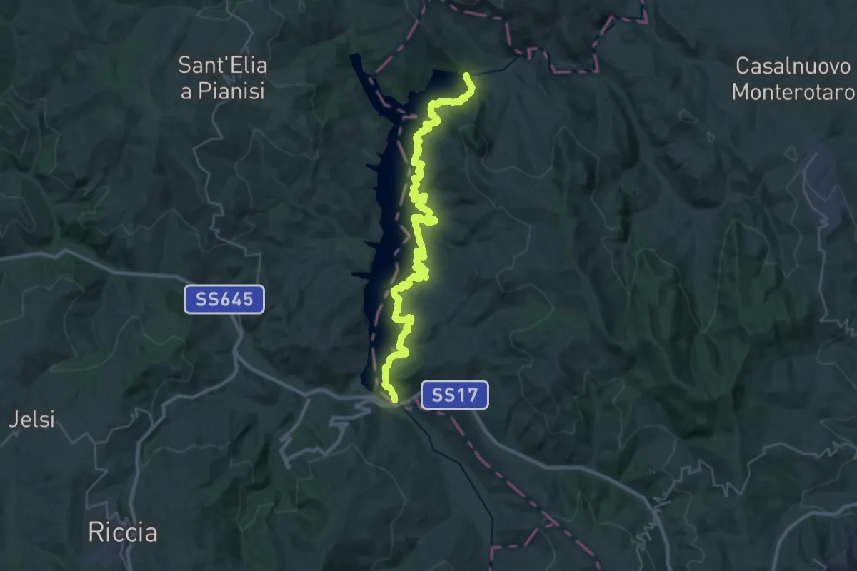
Demanding · Trail
Ponte dei 13 Archi – Diga di Occhito
20.7 km · ↑ 595 m · 6 h 28 min
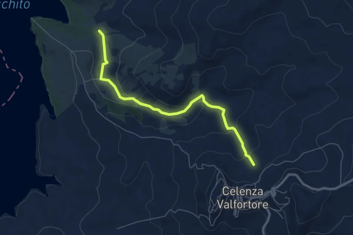
Easy · Trail
Calenza Valfortone - 320 – Ponte Madattola
6.2 km · ↑ 219 m · 1 h 56 min
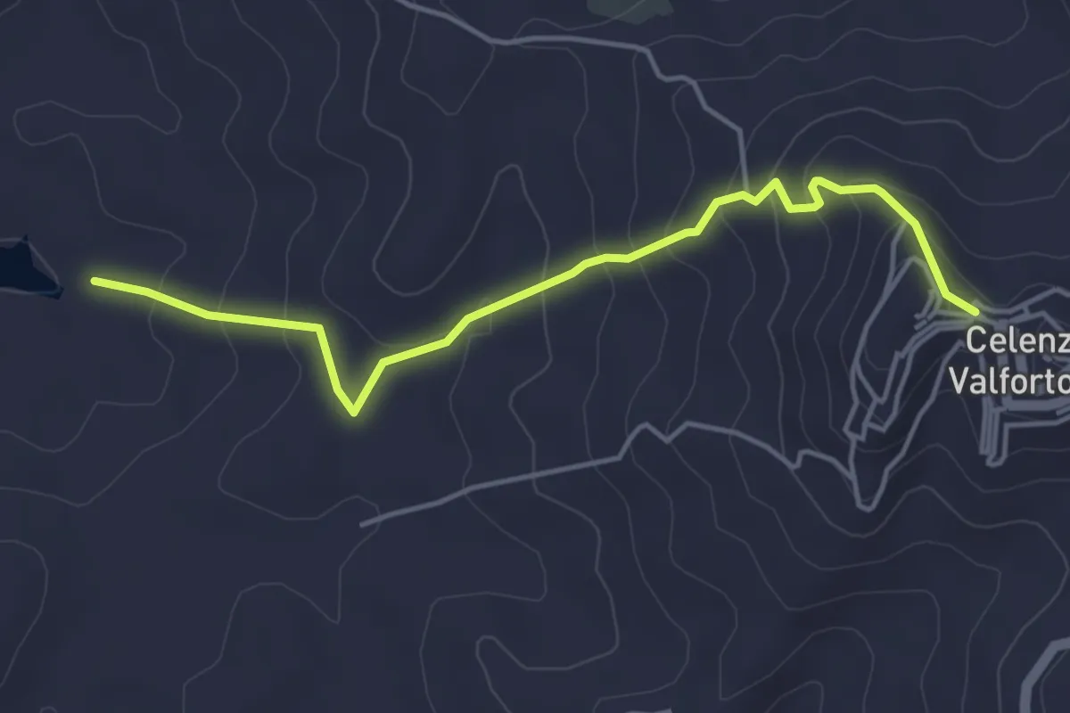
Easy · Trail
Calenza Valfortone – 315 - Lago di Occhito
4.9 km · ↑ 262 m · 1 h 44 min
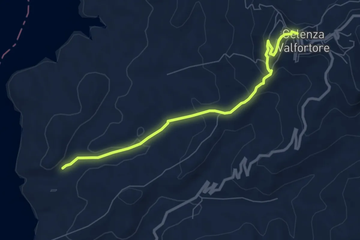
Easy · Trail
Celenza Valfortone – Torrente Gruttolo
7.1 km · ↑ 277 m · 2 h 16 min
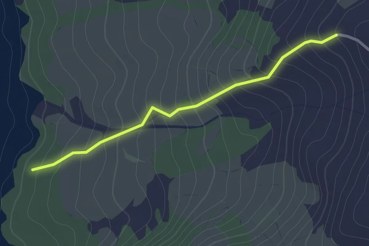
Easy · Trail
320 – 315 - Lago di Occhito
2.5 km · ↑ 203 m · 1 h 2 min
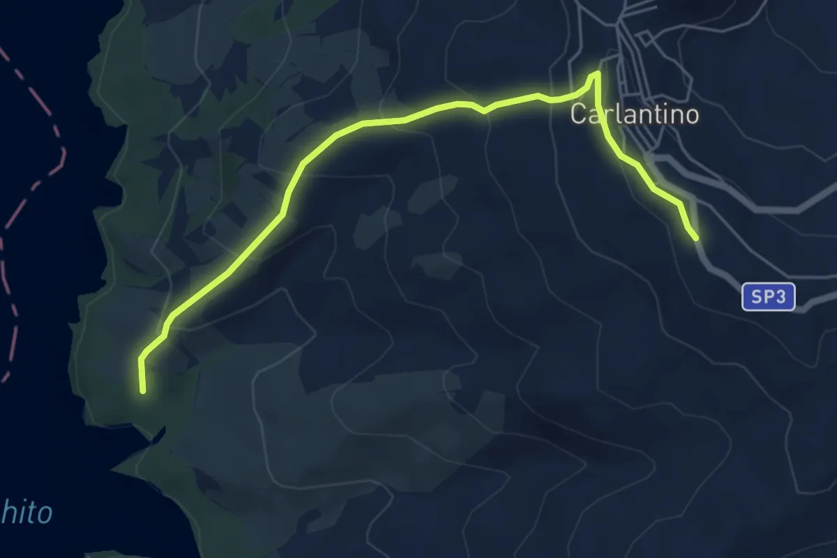
Medium · Trail
Carlatino – 315 - Lago di Occhito
6.1 km · ↑ 353 m · 2 h 13 min
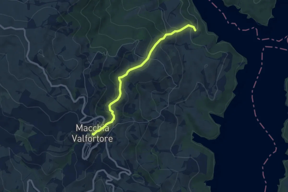
Easy · Trail
Macchia Valfortore – 504 - Lago di Occhito
6.2 km · ↑ 301 m · 2 h 6 min
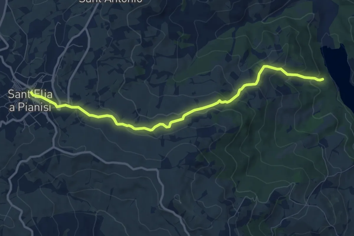
Medium · Trail
Sant'Elia a Pianisi – 504 - Lago di Occhito
9.9 km · ↑ 439 m · 3 h 18 min
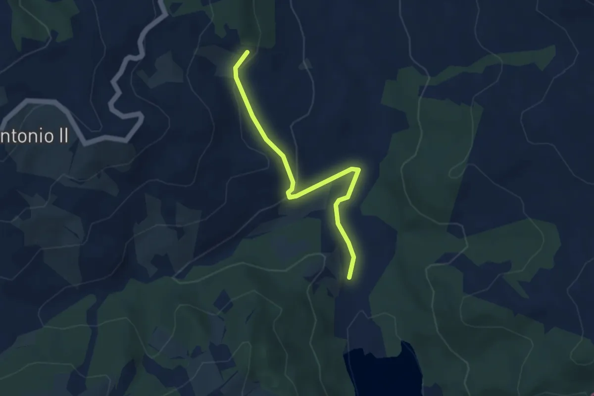
Easy · Trail
Percorso 707 – Percorso 504 (Lago di Occhito)
3.6 km · ↑ 105 m · 1 h 5 min
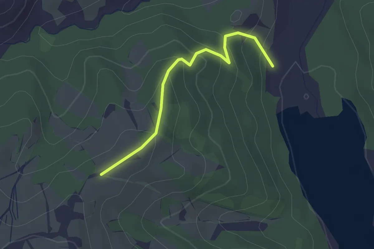
Easy · Trail
703 – 504 - Lago di Occhito
2.7 km · ↑ 157 m · 58 min
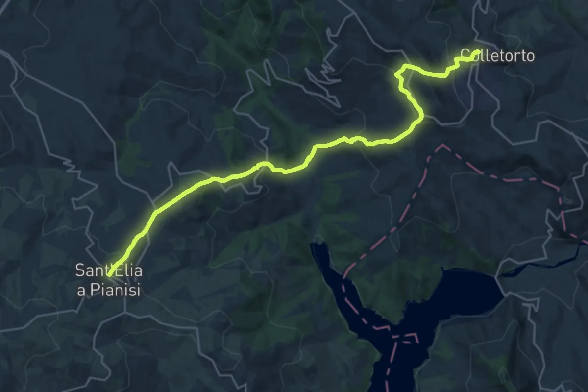
Medium · Trail
Colletorto – Sant'Elia a Pianisi
11.7 km · ↑ 660 m · 4 h 17 min
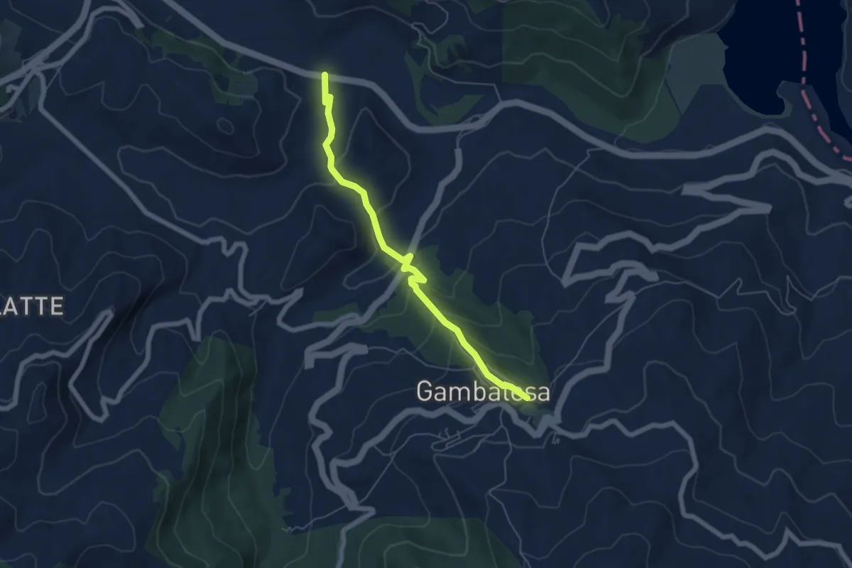
Easy · Trail
500 – Gambatesa
6.1 km · ↑ 281 m · 2 h 3 min
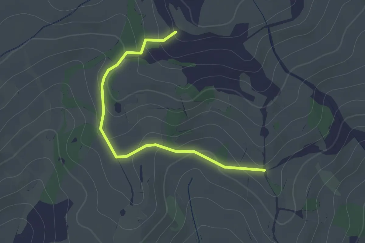
Easy · Trail
507 – Grimalda
2.4 km · ↑ 88 m · 45 min
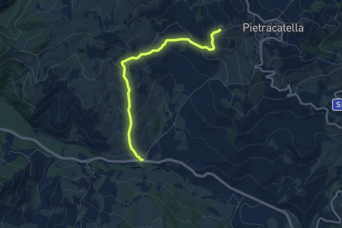
Medium · Trail
Valle del Tappino – 511
7.6 km · ↑ 437 m · 2 h 45 min
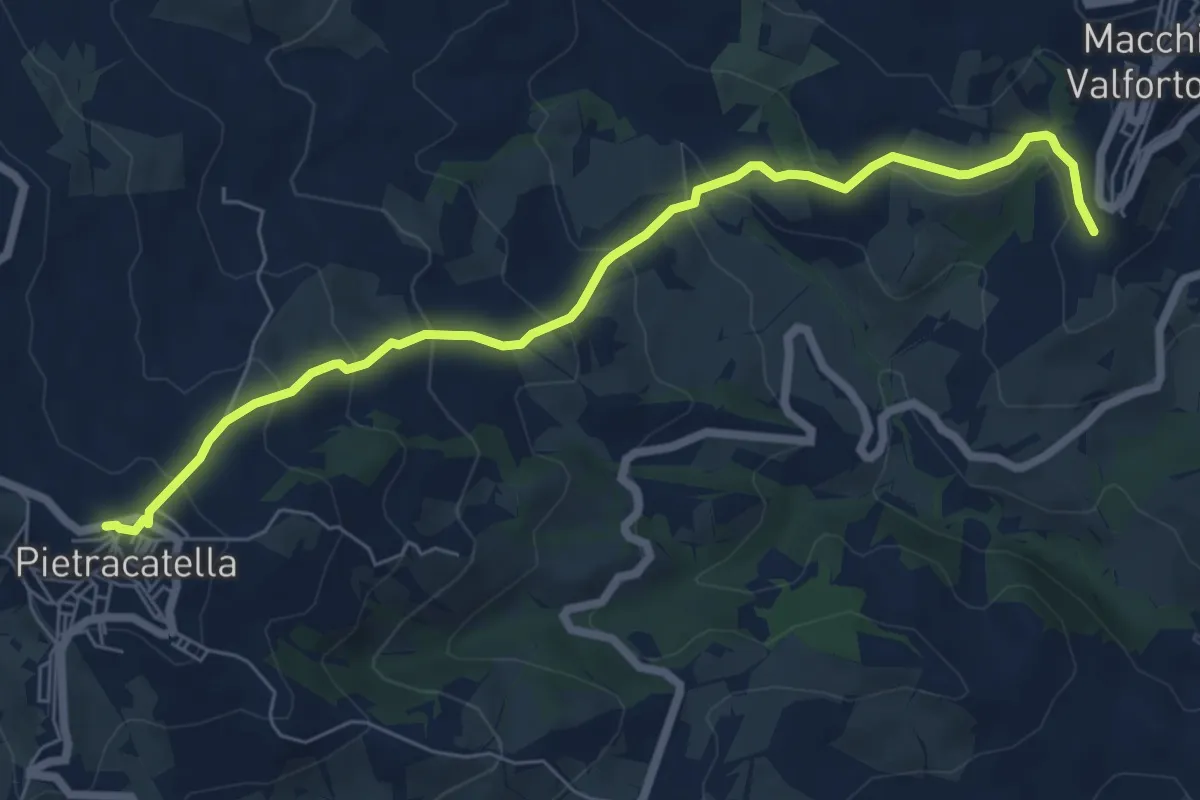
Medium · Trail
Pietracatella – Macchia Valfortore
7.7 km · ↑ 418 m · 2 h 43 min
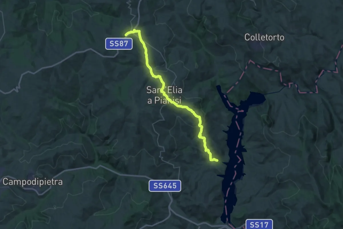
Medium · Trail
504 - Lago di Occhito – Villa Cento Celle
16.6 km · ↑ 767 m · 5 h 33 min
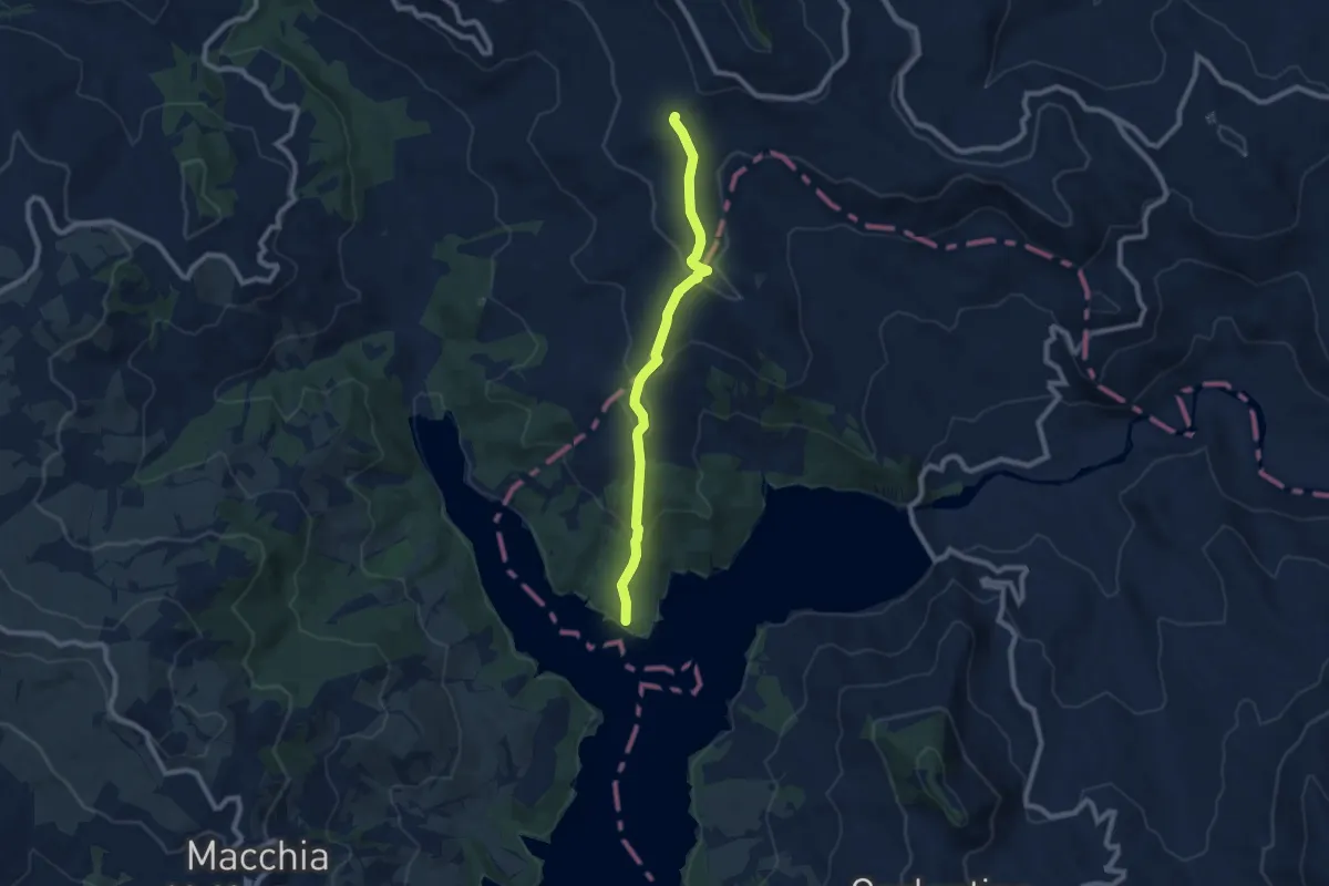
Medium · Trail
707 – 504 - Lago di Occhito
8.8 km · ↑ 386 m · 2 h 55 min
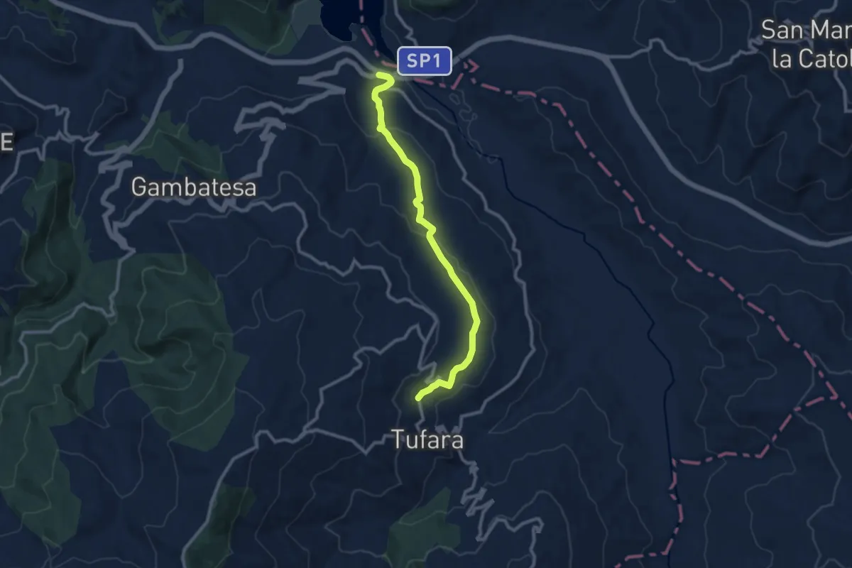
Medium · Trail
Ponte dei 13 Archi – Tufara - Contrada Ponte Grosso
10.4 km · ↑ 294 m · 3 h 6 min
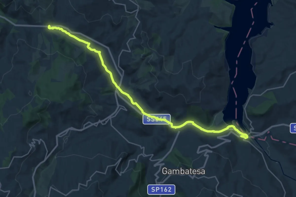
Demanding · Trail
Ponte dei 13 Archi – La Taverna
22.0 km · ↑ 120 m · 5 h 27 min
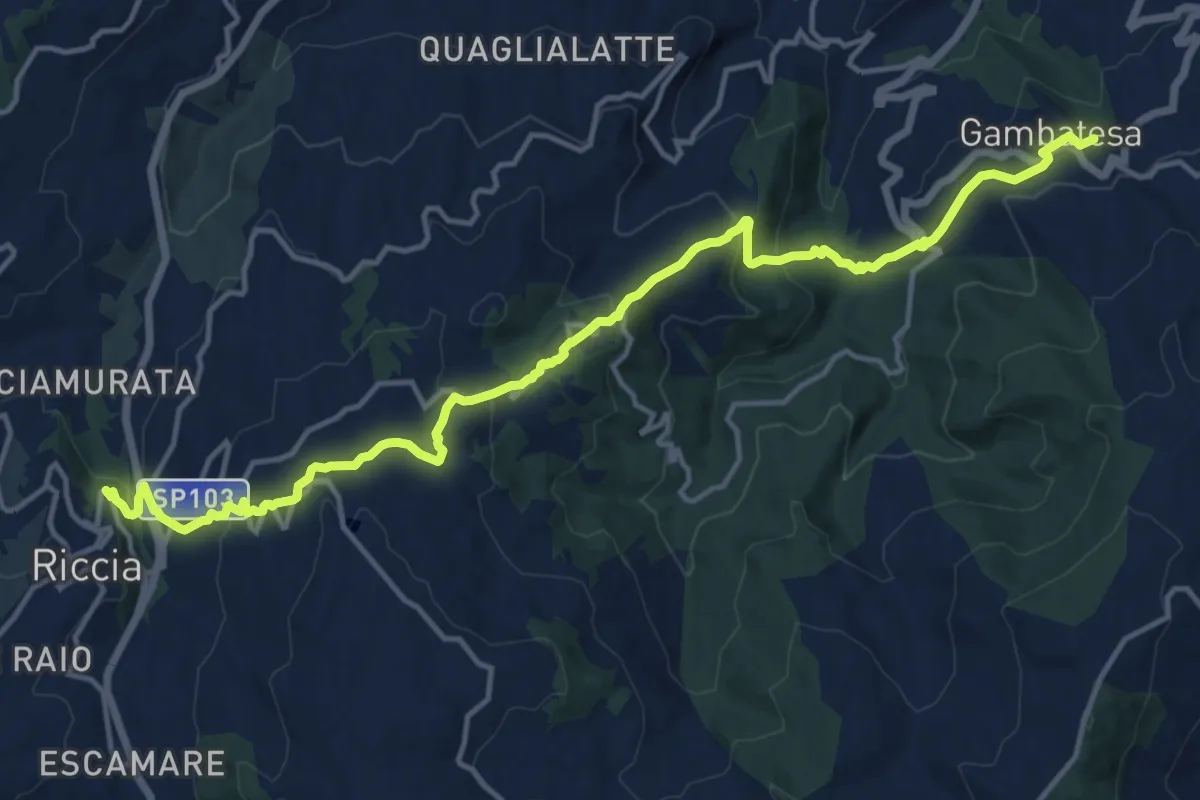
Demanding · Trail
Gambatesa – Riccia
18.7 km · ↑ 887 m · 6 h 20 min
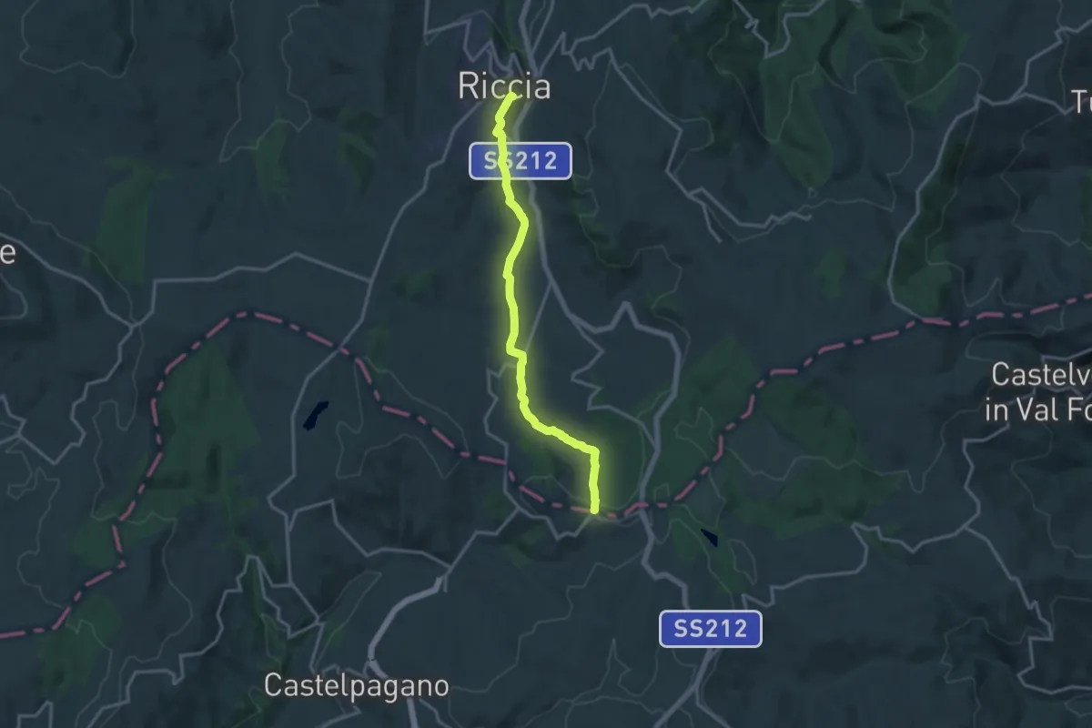
Medium · Trail
Riccia – Case Mastroianni
15.1 km · ↑ 284 m · 4 h 11 min
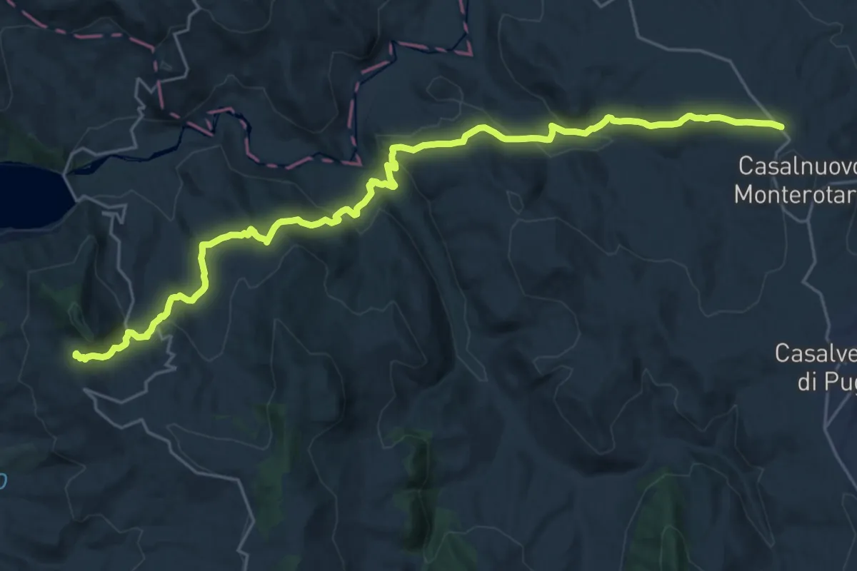
Medium · Trail
Carlantino – Casalnuovo Monterotaro
14.3 km · ↑ 442 m · 4 h 37 min
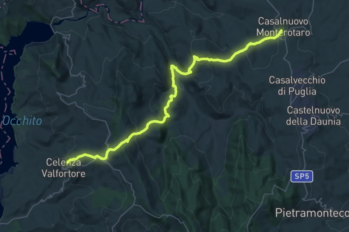
Demanding · Trail
Calenza Valfortore – Casalnuovo Monterotaro
15.9 km · ↑ 803 m · 5 h 44 min
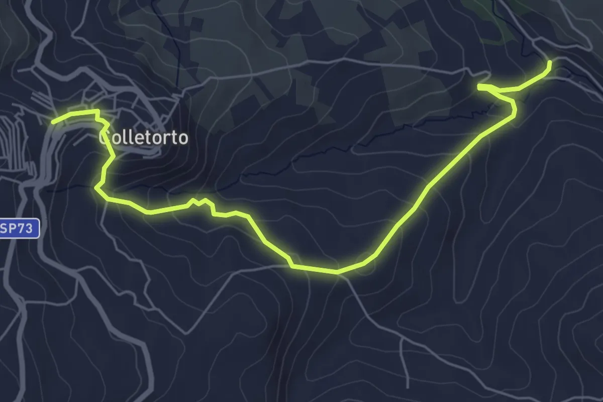
Medium · Trail
Colletorto – V.ne S. Maria
7.1 km · ↑ 362 m · 2 h 28 min
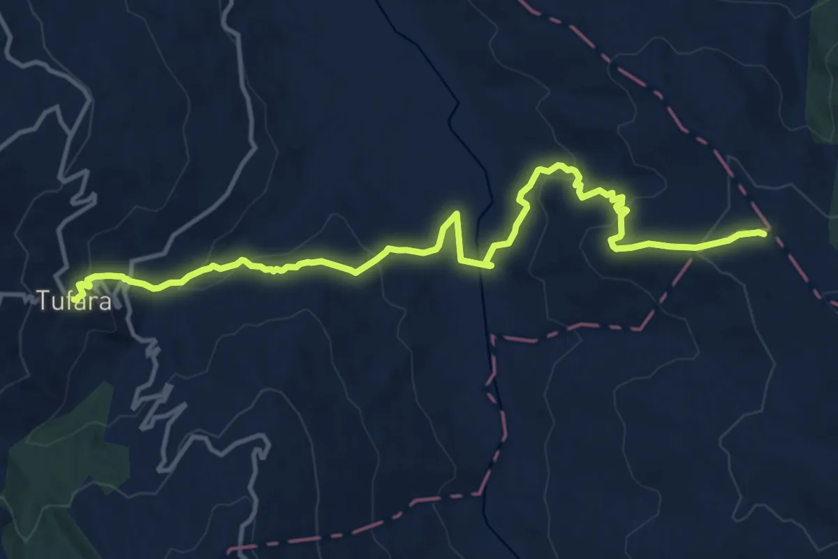
Medium · Trail
Tufara – intersezione RT Castel di Sangro Lucera (sent. n.311)
14.9 km · ↑ 681 m · 5 h
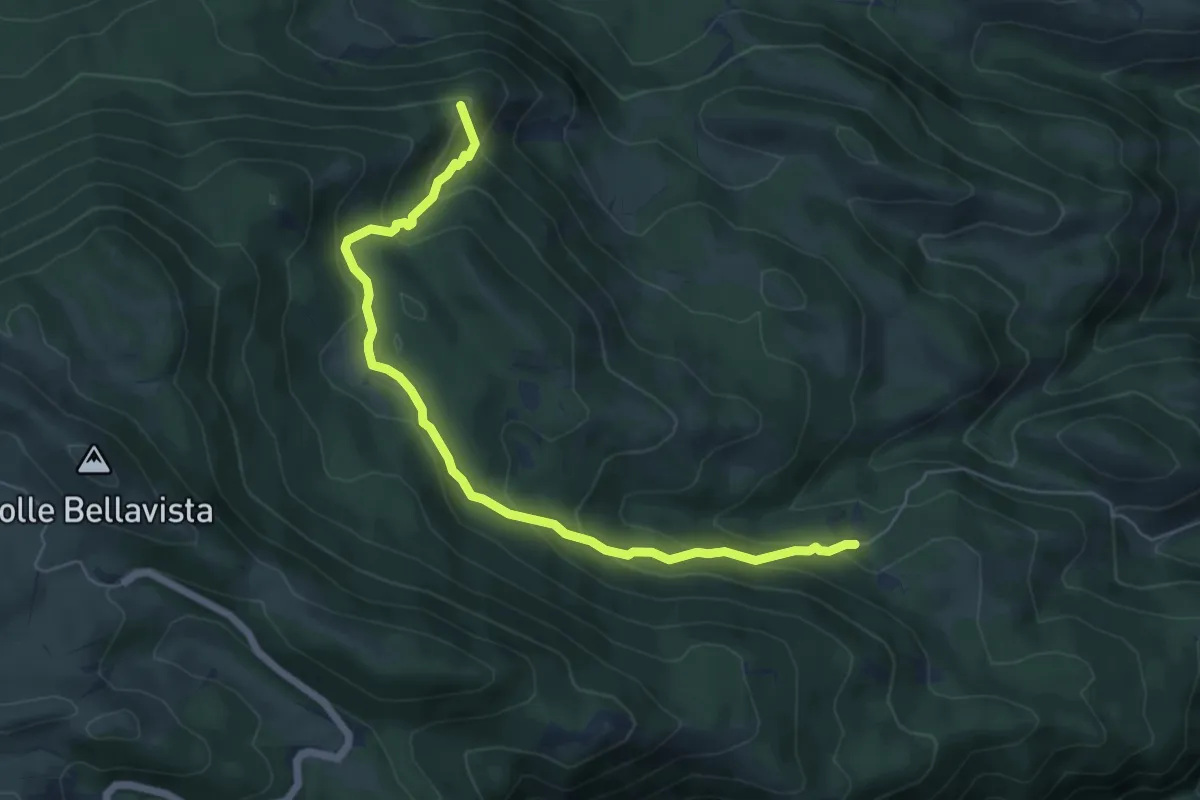
Medium · Summit
Pianelle – Fonte Santa Maria
6.8 km · ↑ 388 m · 2 h 27 min
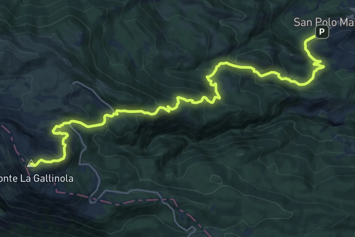
Demanding · Summit
Cima La Gallinola – San Polo Matese
21.2 km · ↑ 1334 m · 7 h 54 min
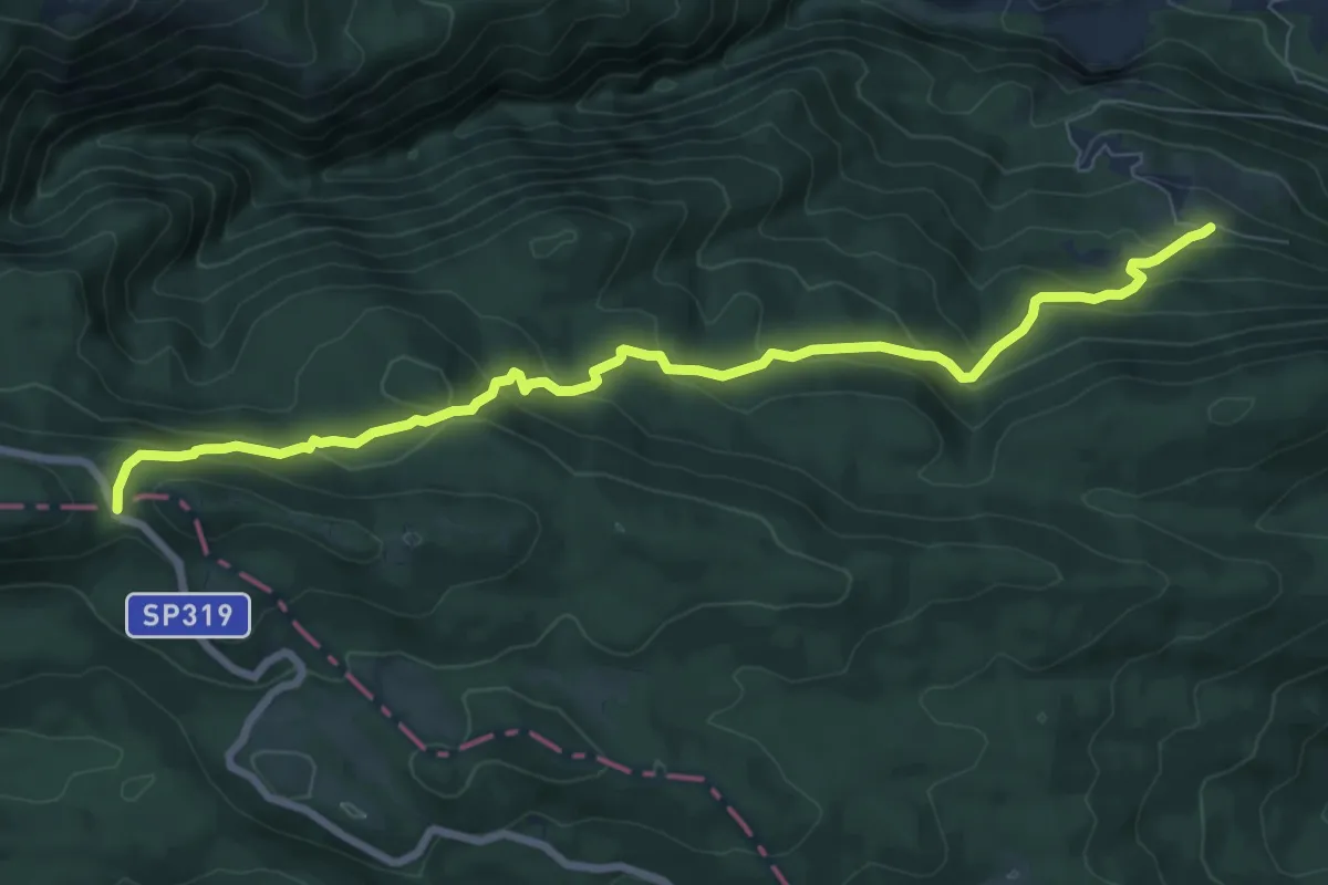
Medium · Trail
Rifugio Fonte Francone – Sogliette degli Abeti
9.3 km · ↑ 551 m · 3 h 23 min
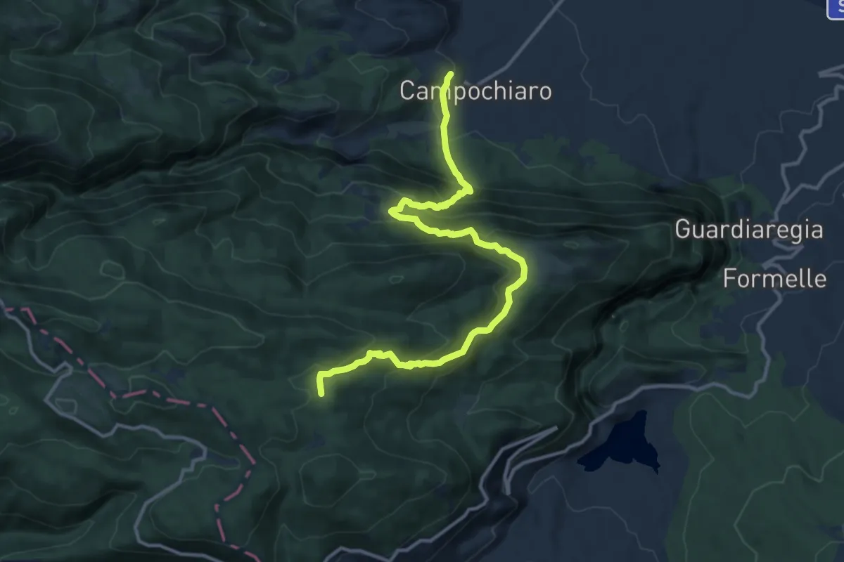
Demanding · Trail
Campochiaro – Abbisso Cul di Bove
13.9 km · ↑ 850 m · 5 h 7 min
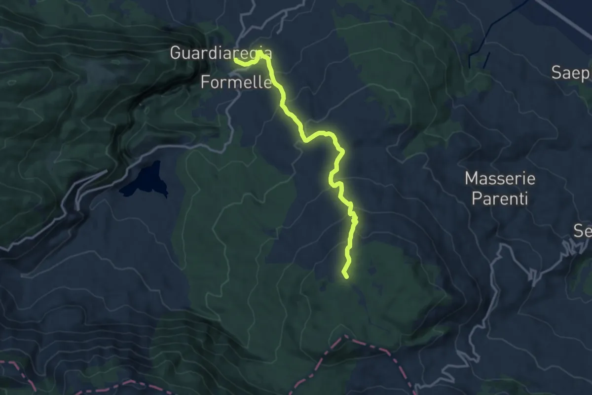
Medium · Trail
Guardiaregia – Campitello di Sepino
11.8 km · ↑ 660 m · 4 h 13 min
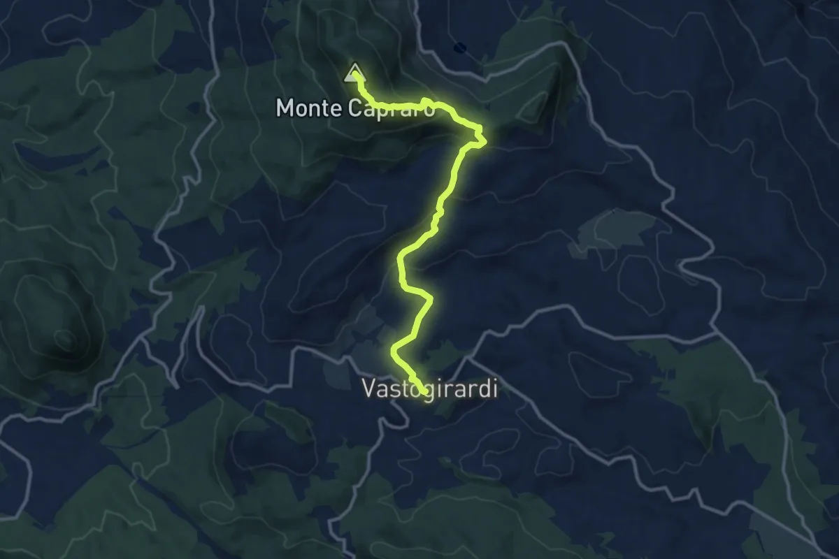
Medium · Summit
Vastogirardi – Capracotta
11.6 km · ↑ 583 m · 4 h 1 min
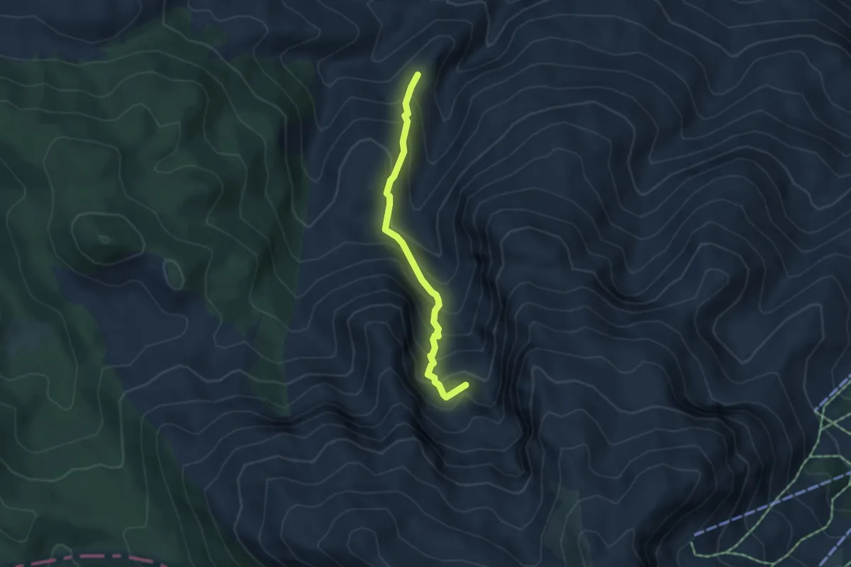
Demanding · Summit
Valle Rima – Campanarielli
4.2 km · ↑ 412 m · 1 h 53 min
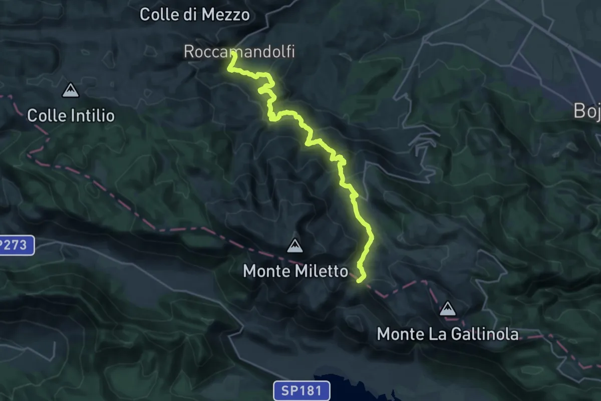
Demanding · Trail
Roccamandolfi – Colle del Monaco
22.6 km · ↑ 1182 m · 7 h 54 min
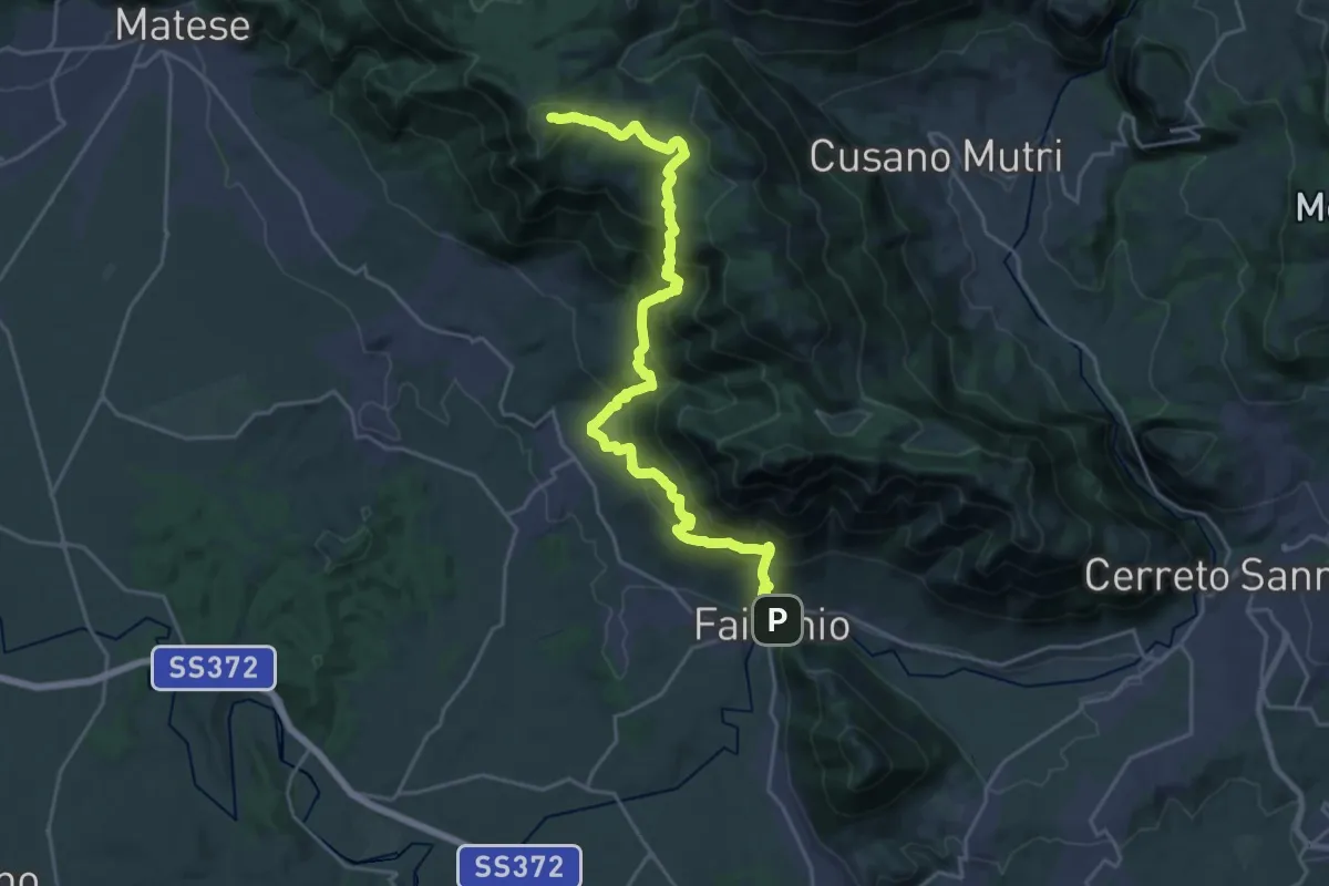
Demanding · Summit
Faicchio – San Potitico Sannitico
27.6 km · ↑ 1874 m · 10 h 35 min
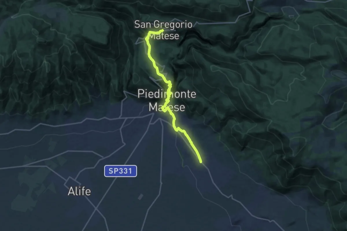
Demanding · Trail
San Potito Sannitico – San Gregorio Matese
17.0 km · ↑ 710 m · 5 h 33 min
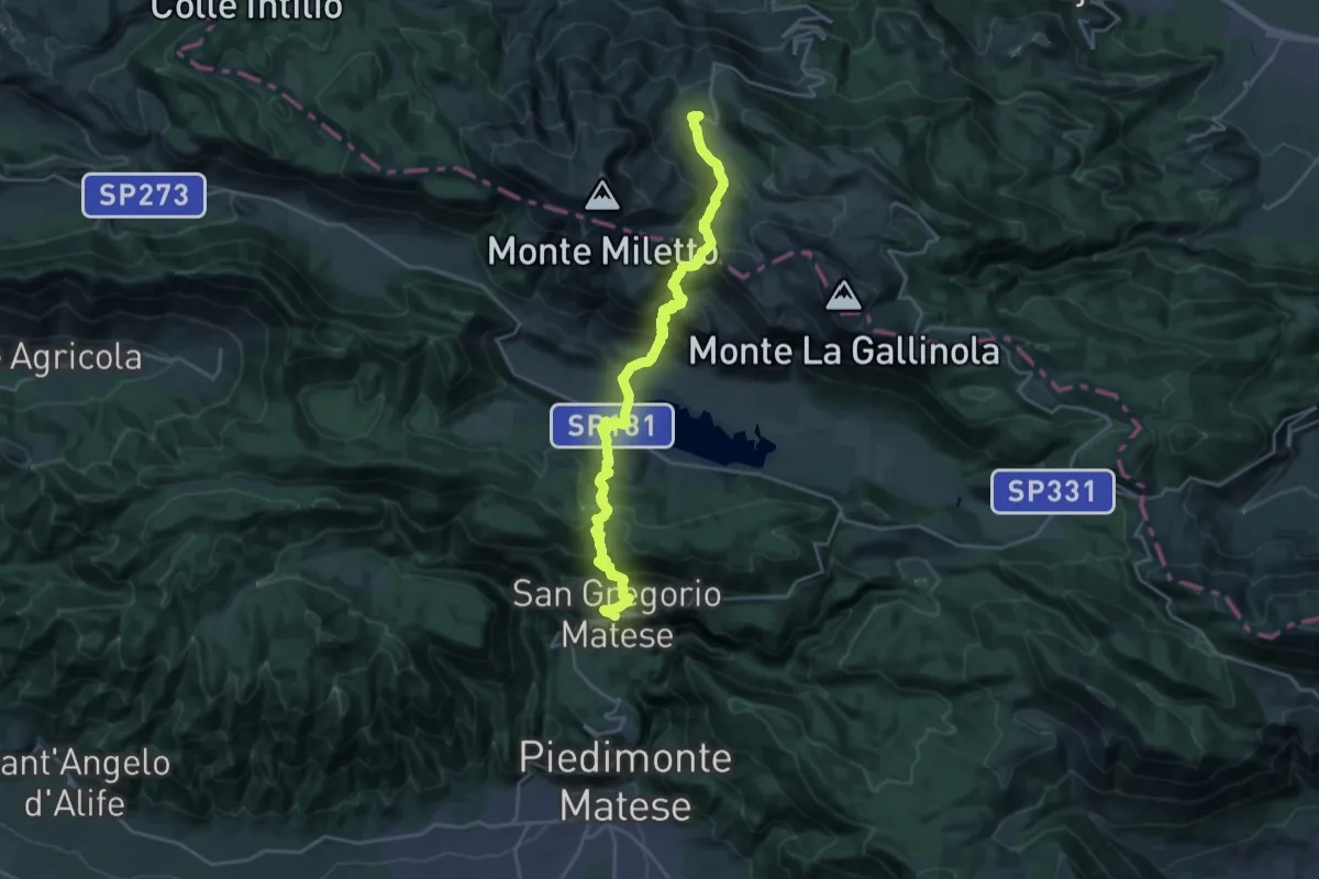
Demanding · Trail
San Gregorio Matese – Campitello Matese
12.9 km · ↑ 1074 m · 5 h 12 min