Trails in Italy
25,219 hiking trails, each with its route, climb, walking time and grade.
All trails, page 265 of 526
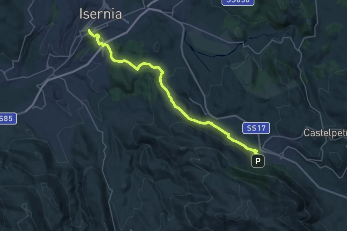
Demanding · Trail
Santuario dell'Addolorata di Castelpetroso – Isernia
20.4 km · ↑ 630 m · 6 h 11 min
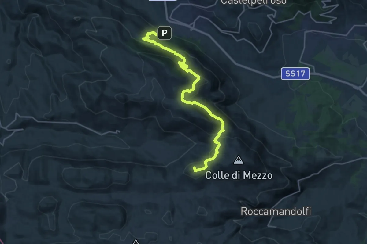
Demanding · Summit
Roccamandolfi – Santuario dell'Addolorata di Castelpetroso
18.4 km · ↑ 1101 m · 6 h 44 min
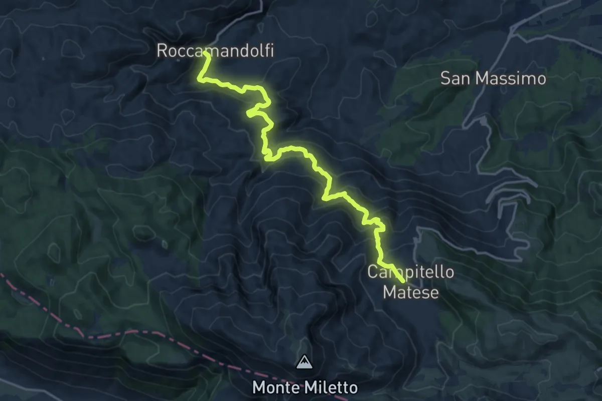
Demanding · Trail
Campitello Matese – Roccamandolfi
16.8 km · ↑ 964 m · 6 h 4 min
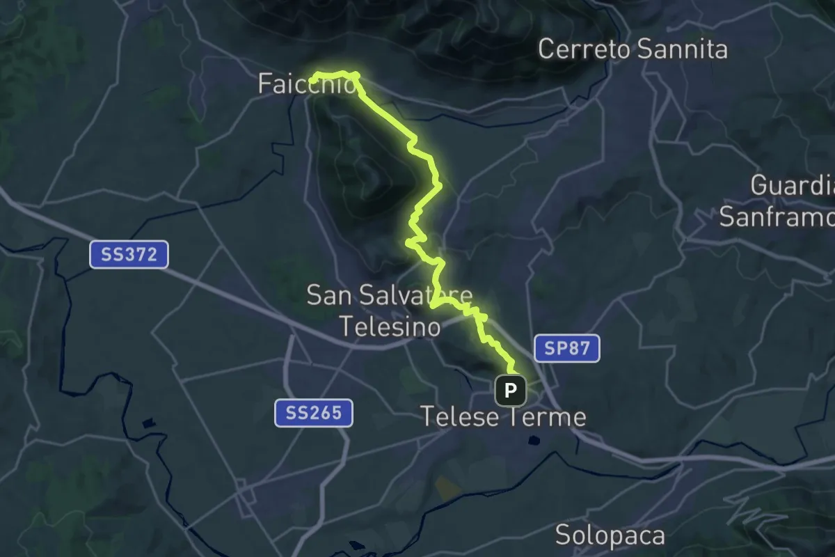
Demanding · Trail
Telese – Faicchio
24.3 km · ↑ 674 m · 7 h 12 min
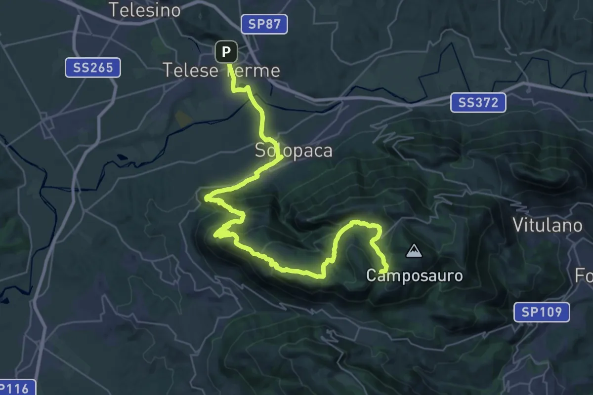
Demanding · Summit
Piano di Prata – Telese
38.9 km · ↑ 1383 m · 12 h 10 min
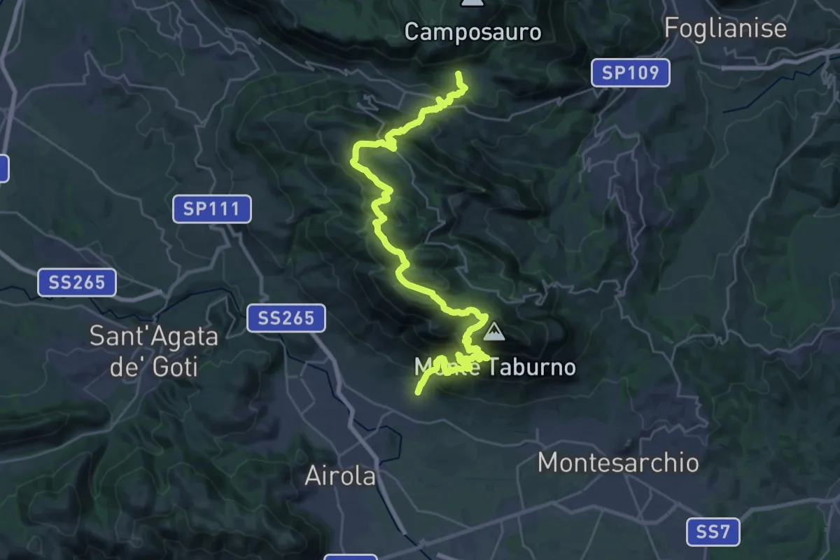
Demanding · Trail
Bucciano – Piano di Prata
18.5 km · ↑ 1402 m · 7 h 23 min
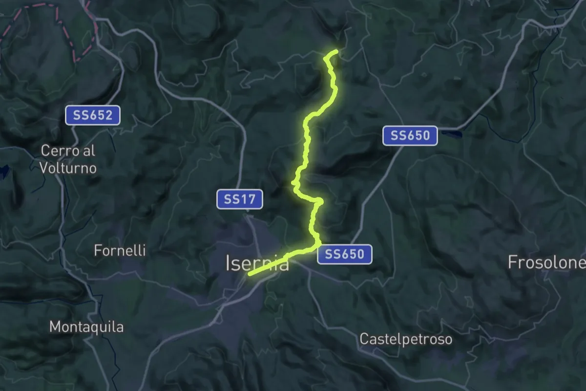
Demanding · Trail
Isernia – Carovilli
21.5 km · ↑ 959 m · 7 h 14 min
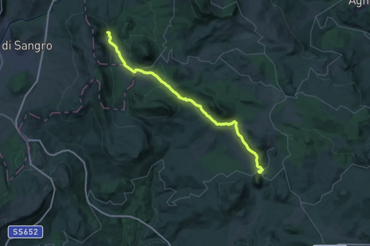
Medium · Trail
Carovilli – San Pietro Avellana
15.5 km · ↑ 414 m · 4 h 43 min
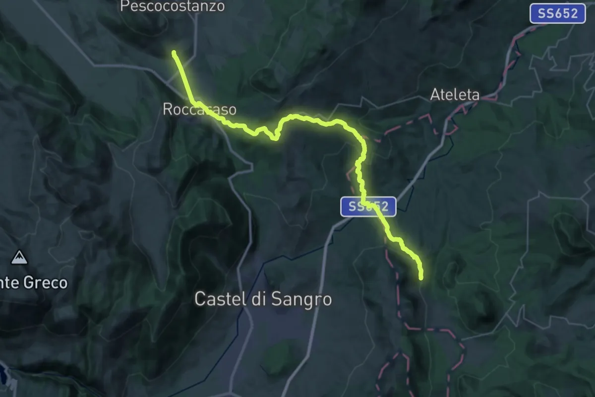
Medium · Trail
San Pietro Avellana – Rivisondoli
18.0 km · ↑ 731 m · 5 h 55 min
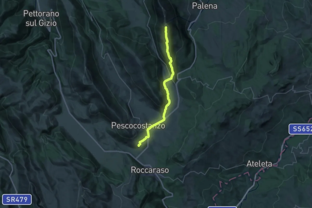
Demanding · Summit
Rivisondoli – Campo di Giove
26.7 km · ↑ 1154 m · 8 h 48 min
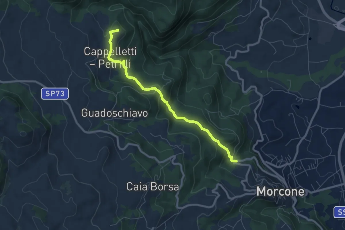
Easy · Summit
Morcone – Ponte della Vedova
6.9 km · ↑ 293 m · 2 h 16 min
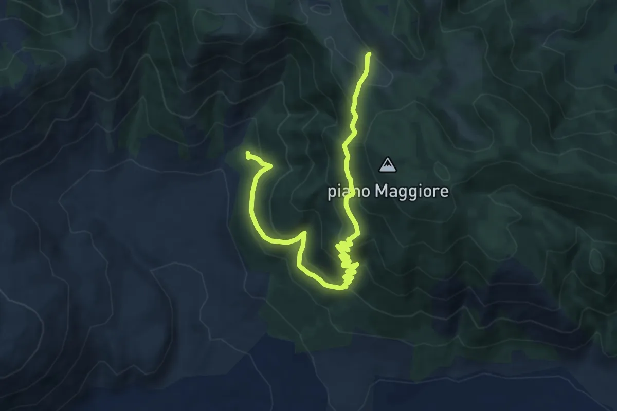
Medium · Trail
Foresta di Roccarainola (vivaio) – Piano del Pozzo
11.9 km · ↑ 706 m · 4 h 21 min
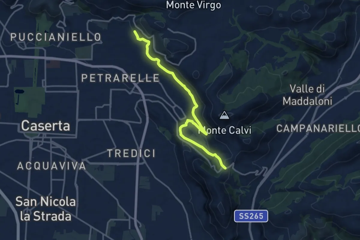
Easy · Trail
San Michele – San Pietro ad Montes
6.6 km · ↑ 271 m · 2 h 11 min
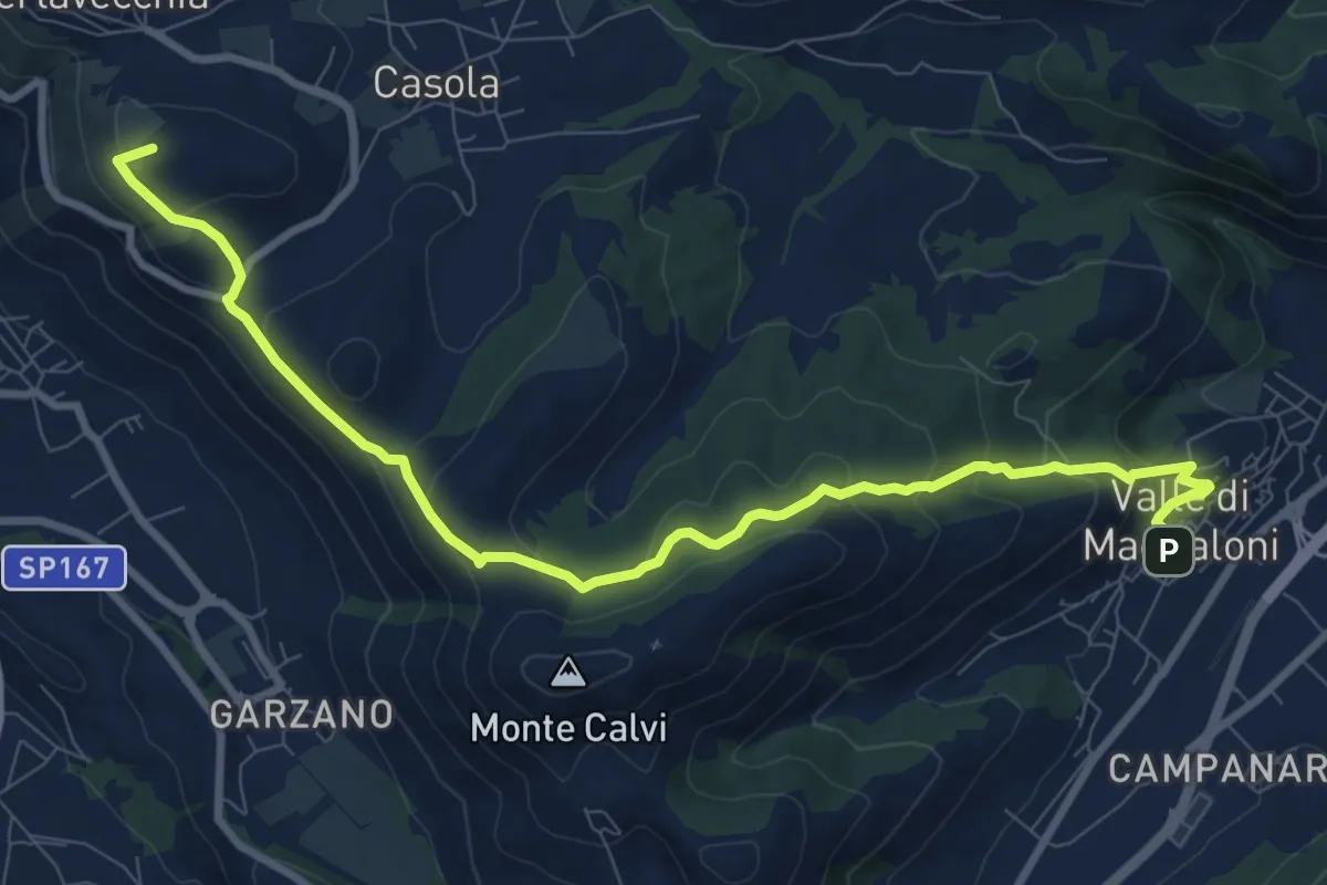
Medium · Summit
Valle di Maddaloni – Caserta Vecchia
11.4 km · ↑ 508 m · 3 h 47 min
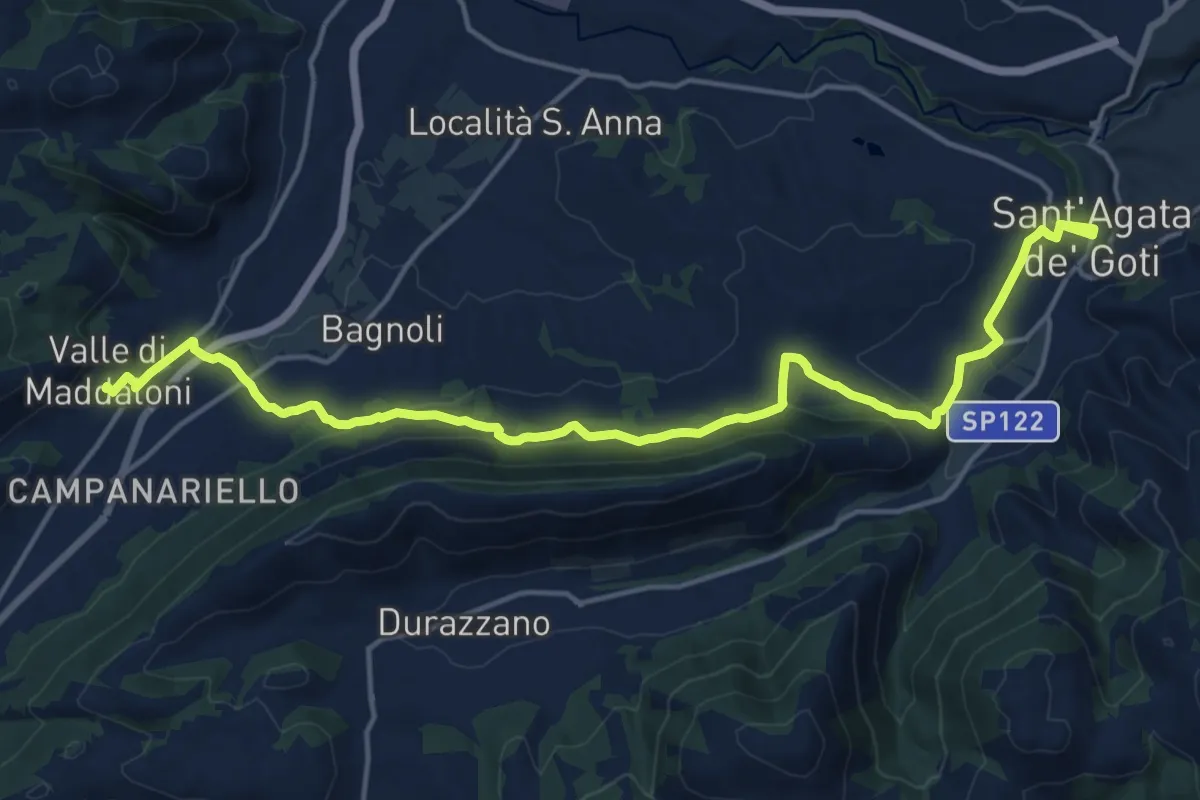
Demanding · Trail
Sant'Agata de' Goti – Valle di Maddaloni
20.4 km · ↑ 475 m · 5 h 51 min
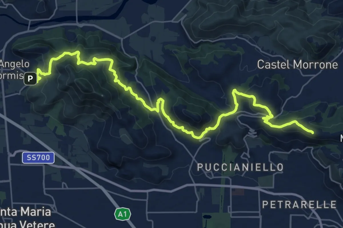
Demanding · Summit
Caserta Vecchia – Sant'Angelo in Formis
30.0 km · ↑ 1179 m · 9 h 38 min
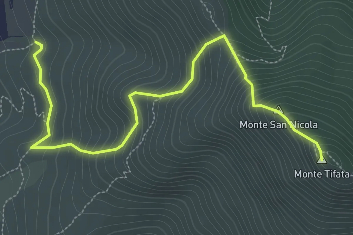
Medium · Summit
Via Francesco Borbone II - Incrocio 603 – Incrocio 603
4.0 km · ↑ 376 m · 1 h 45 min
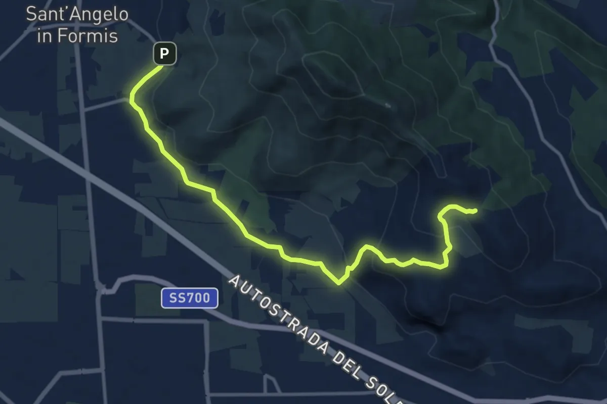
Medium · Cabin
Rifugio Cai Tifata – Borgo Sant'Angelo
11.3 km · ↑ 323 m · 3 h 22 min
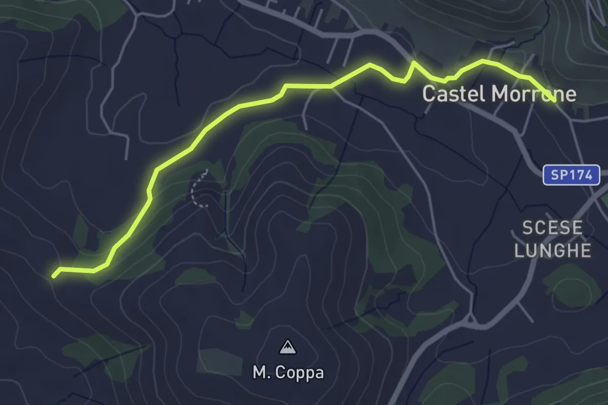
Easy · Trail
Caserta Vecchia – Castel Morrone
5.3 km · ↑ 121 m · 1 h 32 min
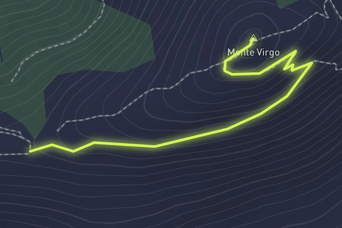
Easy · Summit
Caserta – Casertavecchia
2.5 km · ↑ 102 m · 49 min
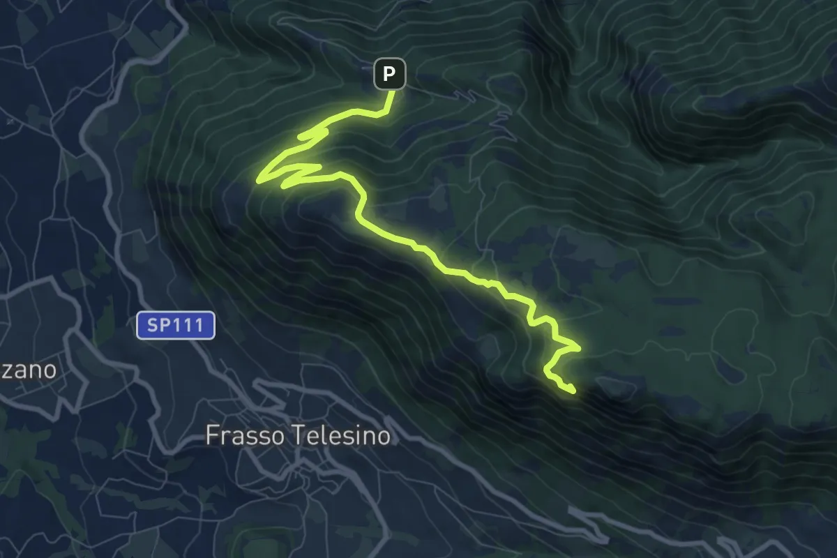
Medium · Trail
Madonna di Roseto – San Michele in Camposcuro
10.5 km · ↑ 560 m · 3 h 41 min
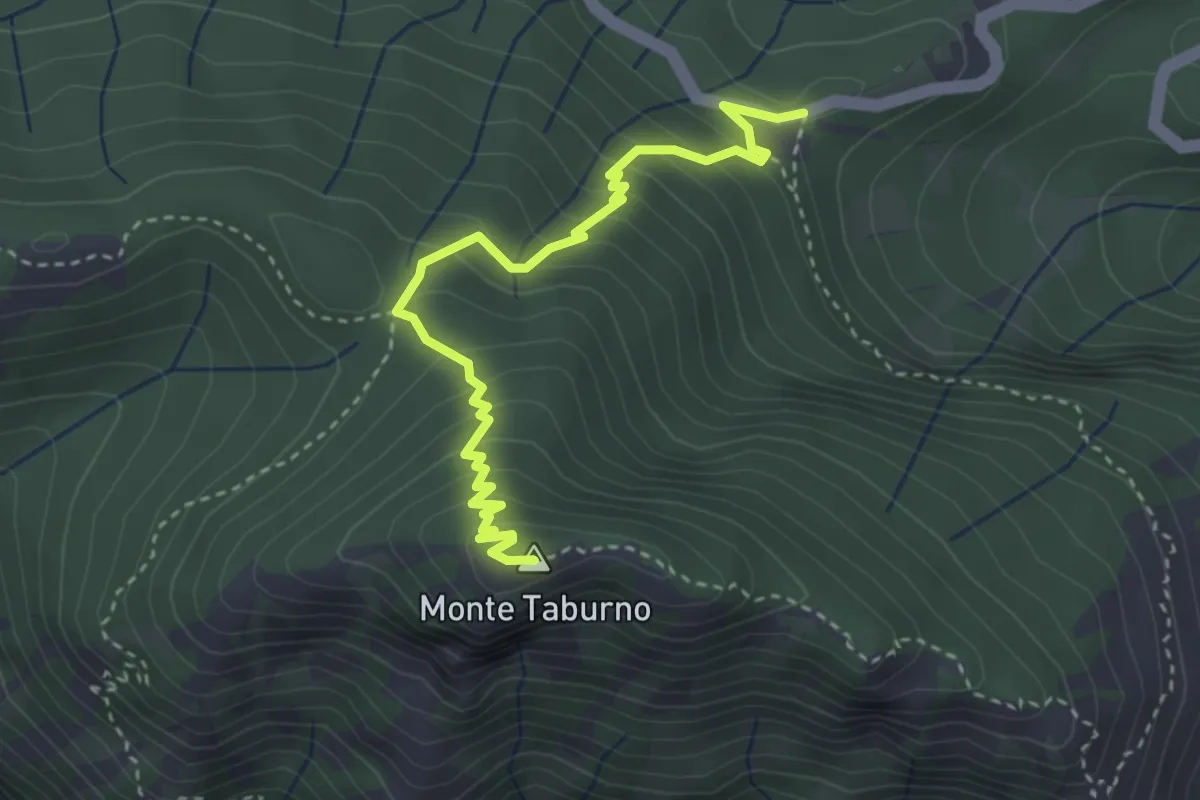
Medium · Summit
Ex Albergo Taburno – Monte Taburno (per Quattro Vie)
4.0 km · ↑ 337 m · 1 h 41 min
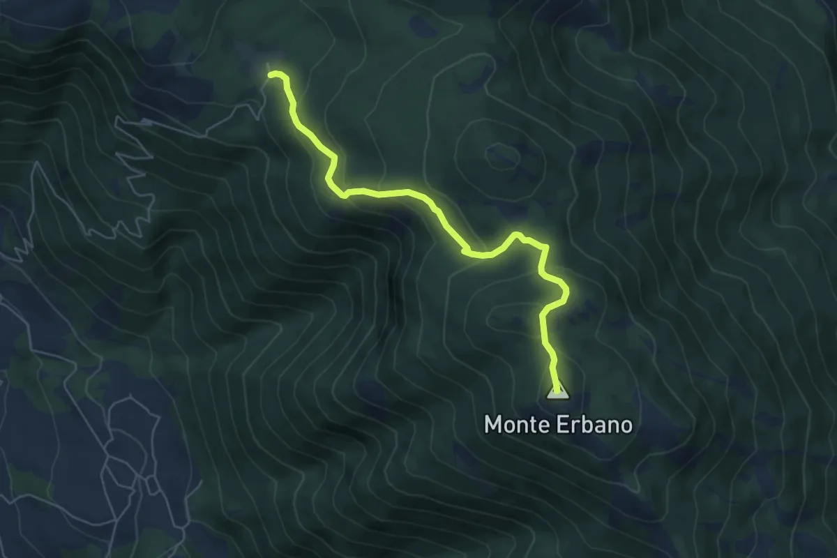
Medium · Summit
Il Campo di Gioia – Piana delle Pesche (per l'ariolella)
6.1 km · ↑ 343 m · 2 h 11 min
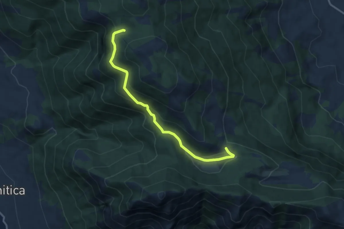
Medium · Trail
Il Campo di Gioia – Piana delle Pesche (per l'ariolella)
8.1 km · ↑ 363 m · 2 h 41 min
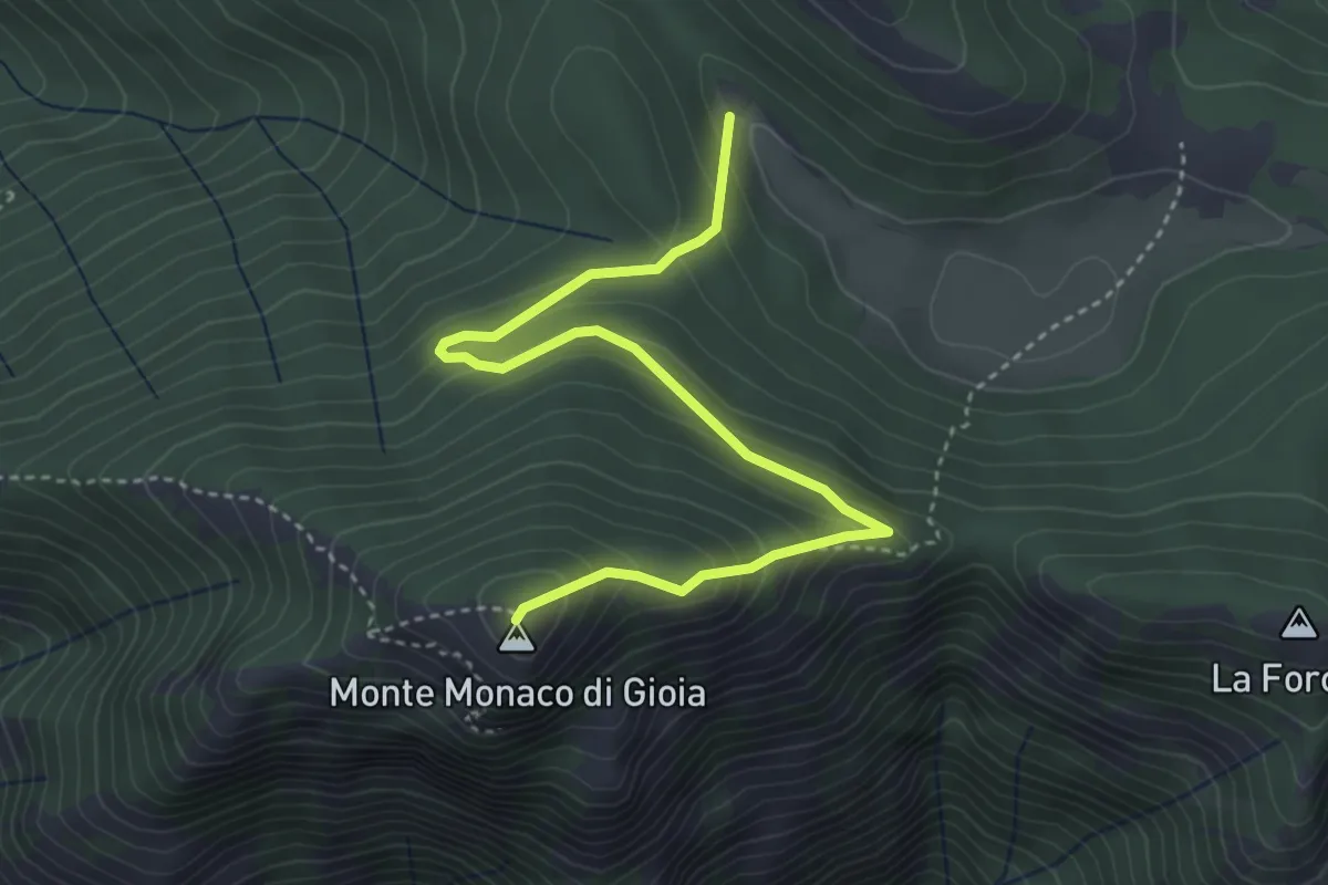
Demanding · Summit
Il Campo di Gioia – Monte Monaco
4.7 km · ↑ 338 m · 1 h 50 min
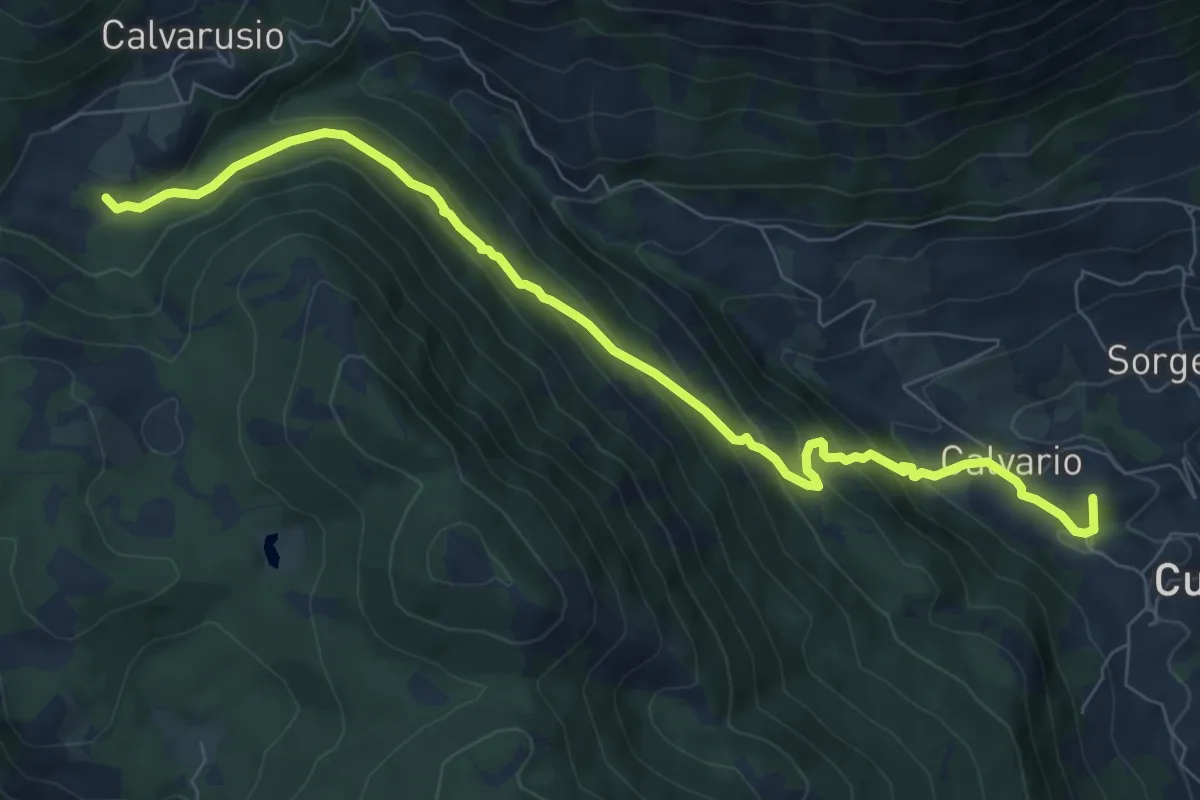
Medium · Summit
Calvarusio – Cusano Mutri
9.4 km · ↑ 521 m · 3 h 21 min
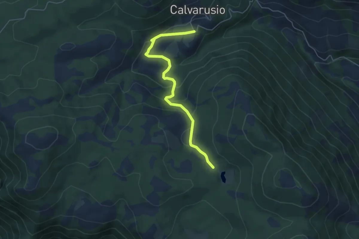
Easy · Trail
Bivio 163 SI – Calvarusio
5.3 km · ↑ 214 m · 1 h 43 min
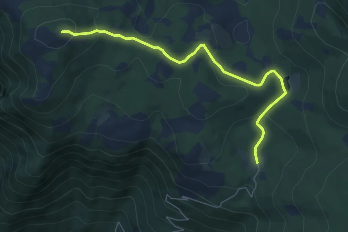
Easy · Summit
Piana delle Pesche – La Piscina
6.3 km · ↑ 272 m · 2 h 5 min
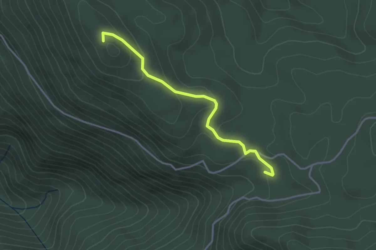
Easy · Summit
La Piscina – Monte Ariola
3.3 km · ↑ 106 m · 1 h
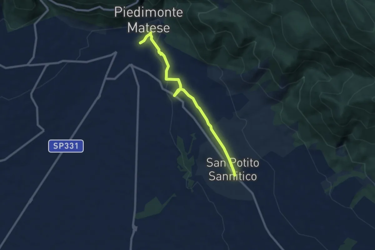
Easy · Trail
San Potito Sannitico – Piedimonte Matese
6.9 km · ↑ 98 m · 1 h 50 min
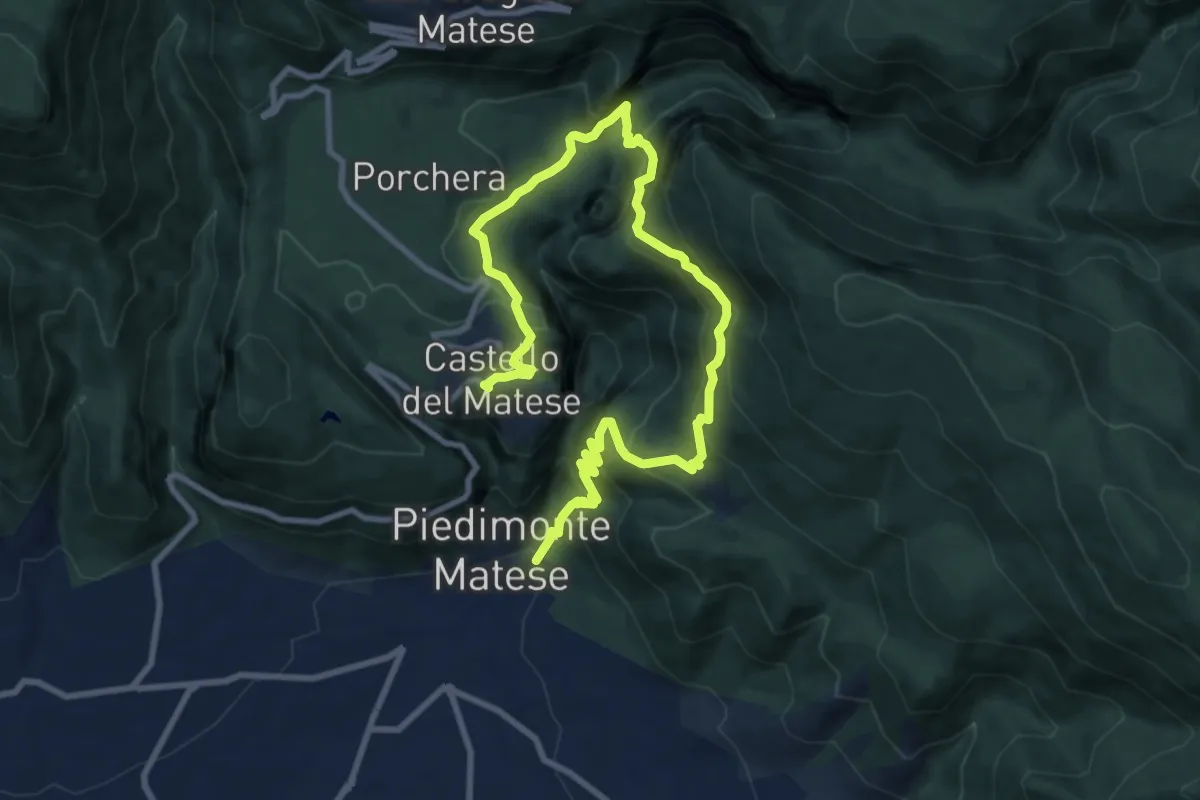
Demanding · Trail
Valle Orsara – Piedimonte Matese (Sentiero dei Monaci)
14.1 km · ↑ 1113 m · 5 h 44 min
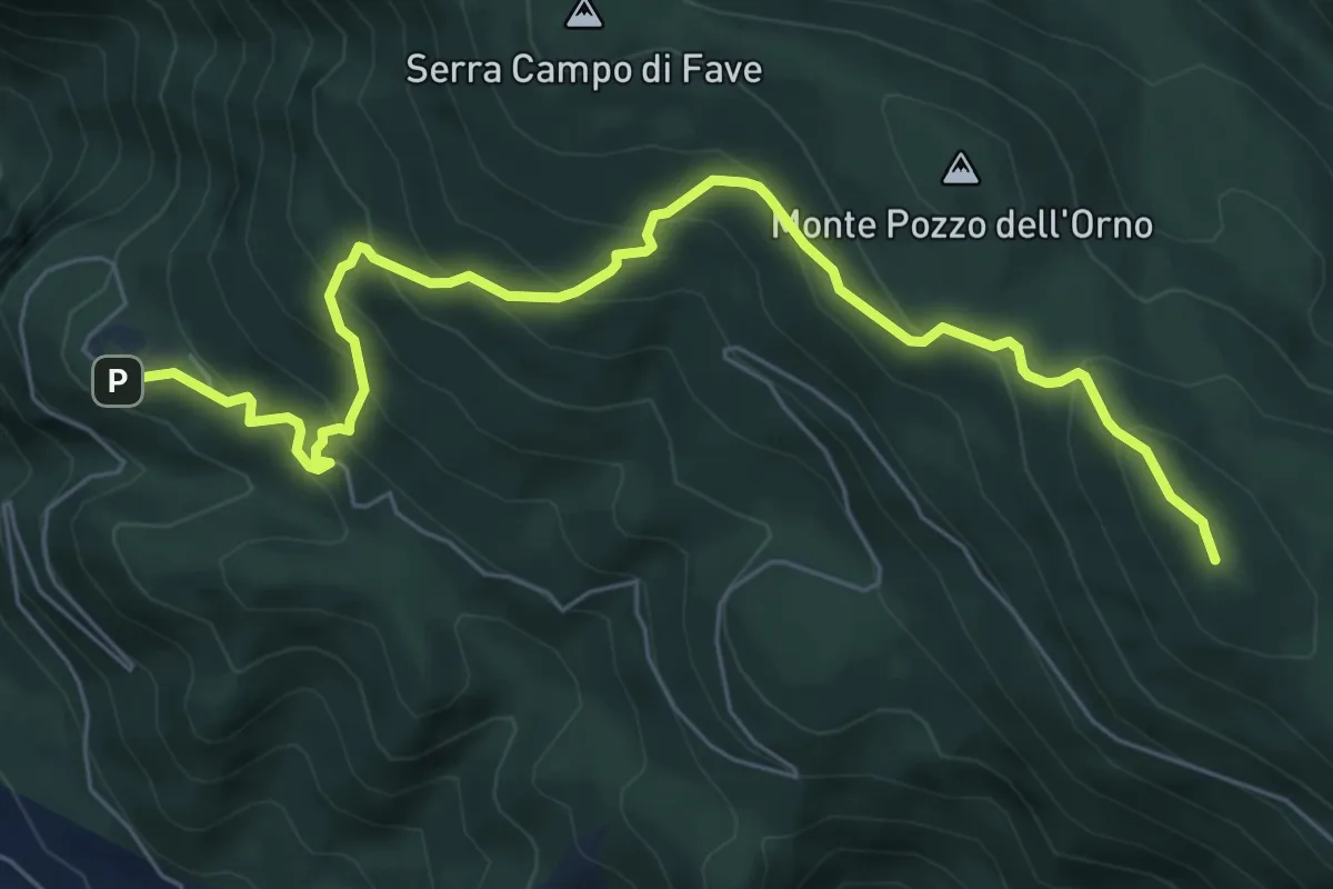
Medium · Summit
Santa Maria Occorrevole – Bocca delle Fosse
8.1 km · ↑ 655 m · 3 h 20 min
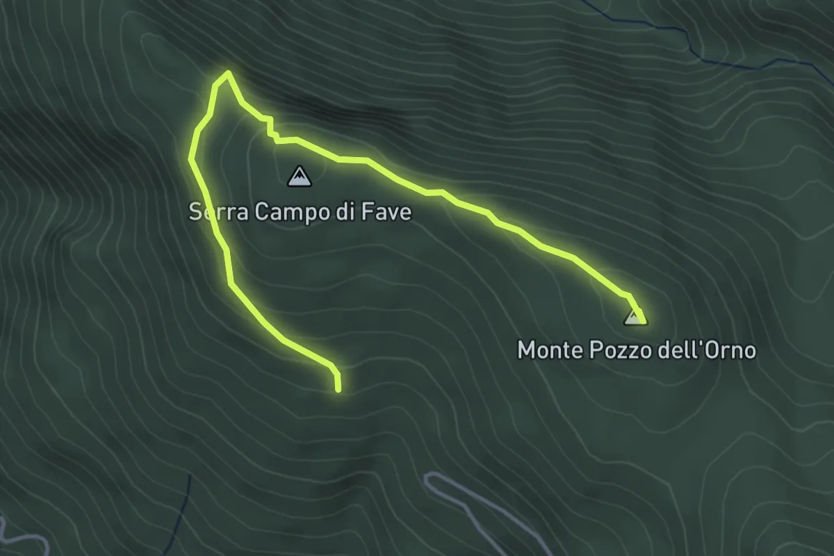
Easy · Summit
Bocca delle Fosse – Bivio 153
4.9 km · ↑ 261 m · 1 h 43 min
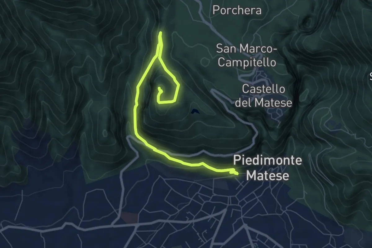
Medium · Summit
Piedimonte Matese – Monte Cila
8.5 km · ↑ 517 m · 3 h 7 min
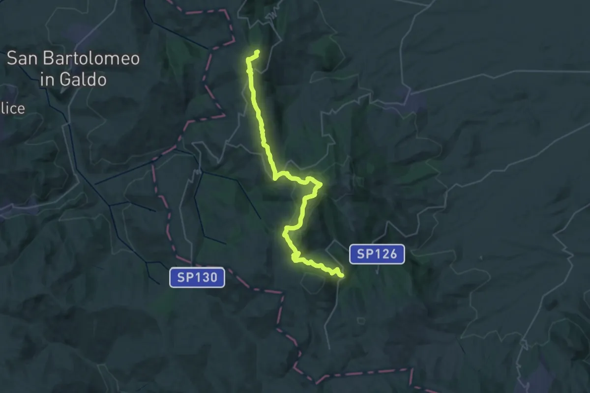
Demanding · Summit
Faeto – Alberona
34.3 km · ↑ 1201 m · 10 h 41 min
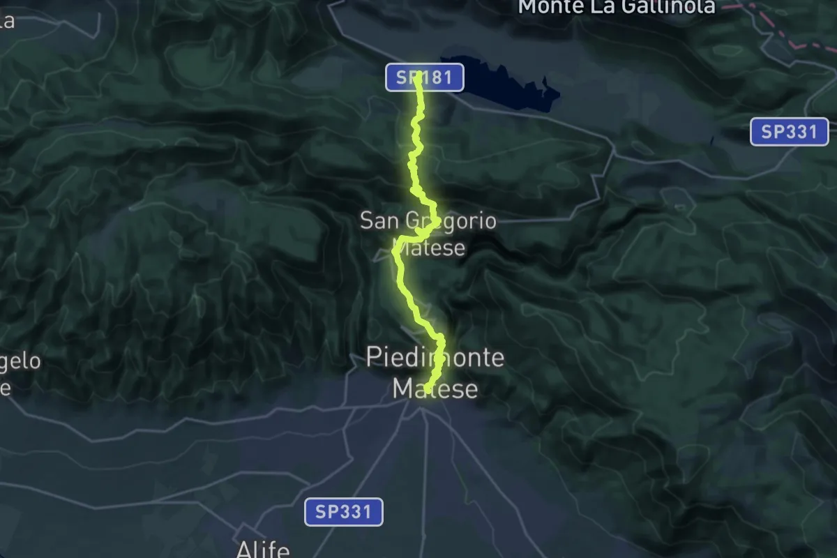
Demanding · Trail
Piedimonte Matese – Lago Matese Matese (per Castello del Matese)
21.5 km · ↑ 1318 m · 7 h 55 min
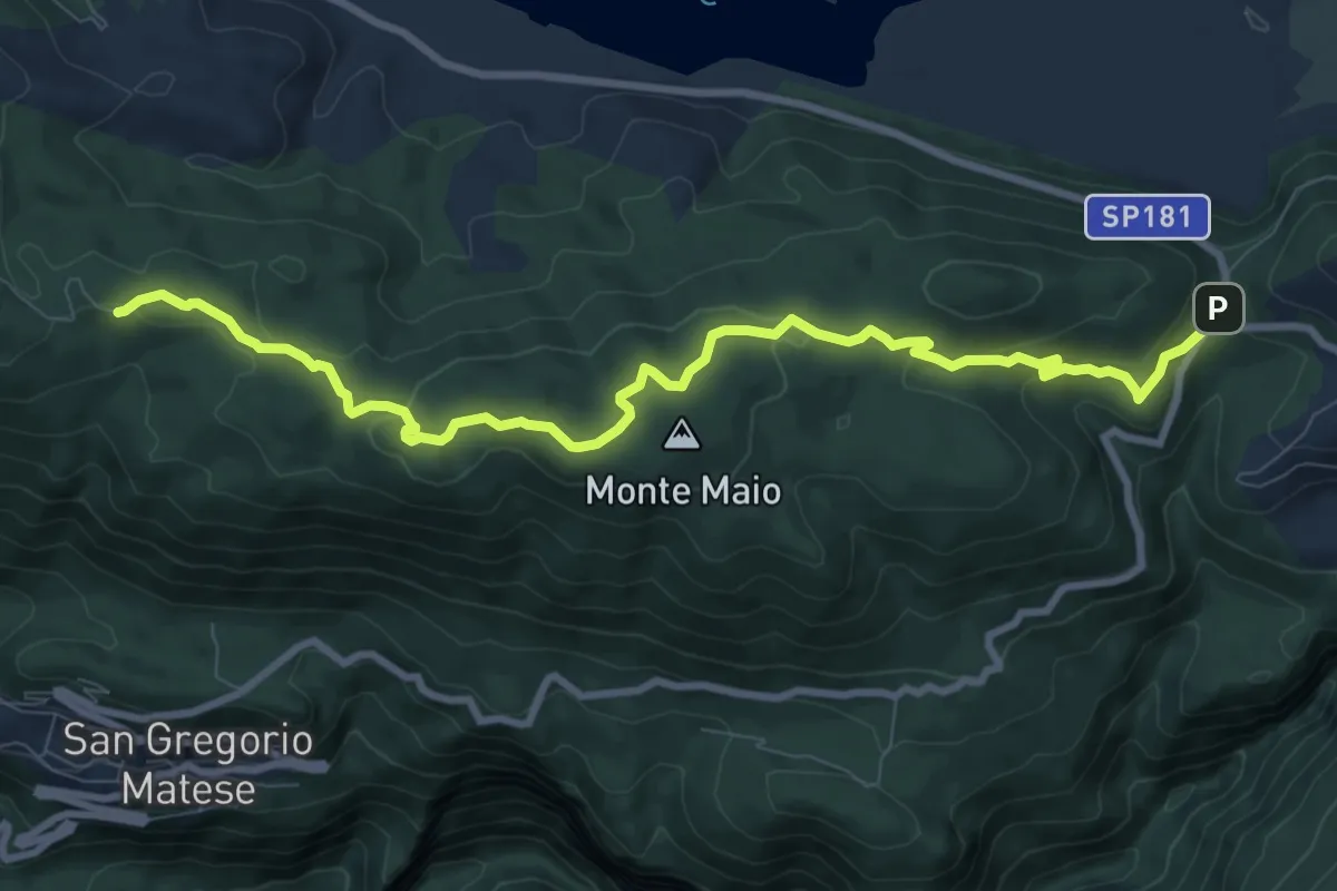
Medium · Trail
Miralago – Parco d'Amore (per Monte Maio 1302)
11.0 km · ↑ 269 m · 3 h 10 min
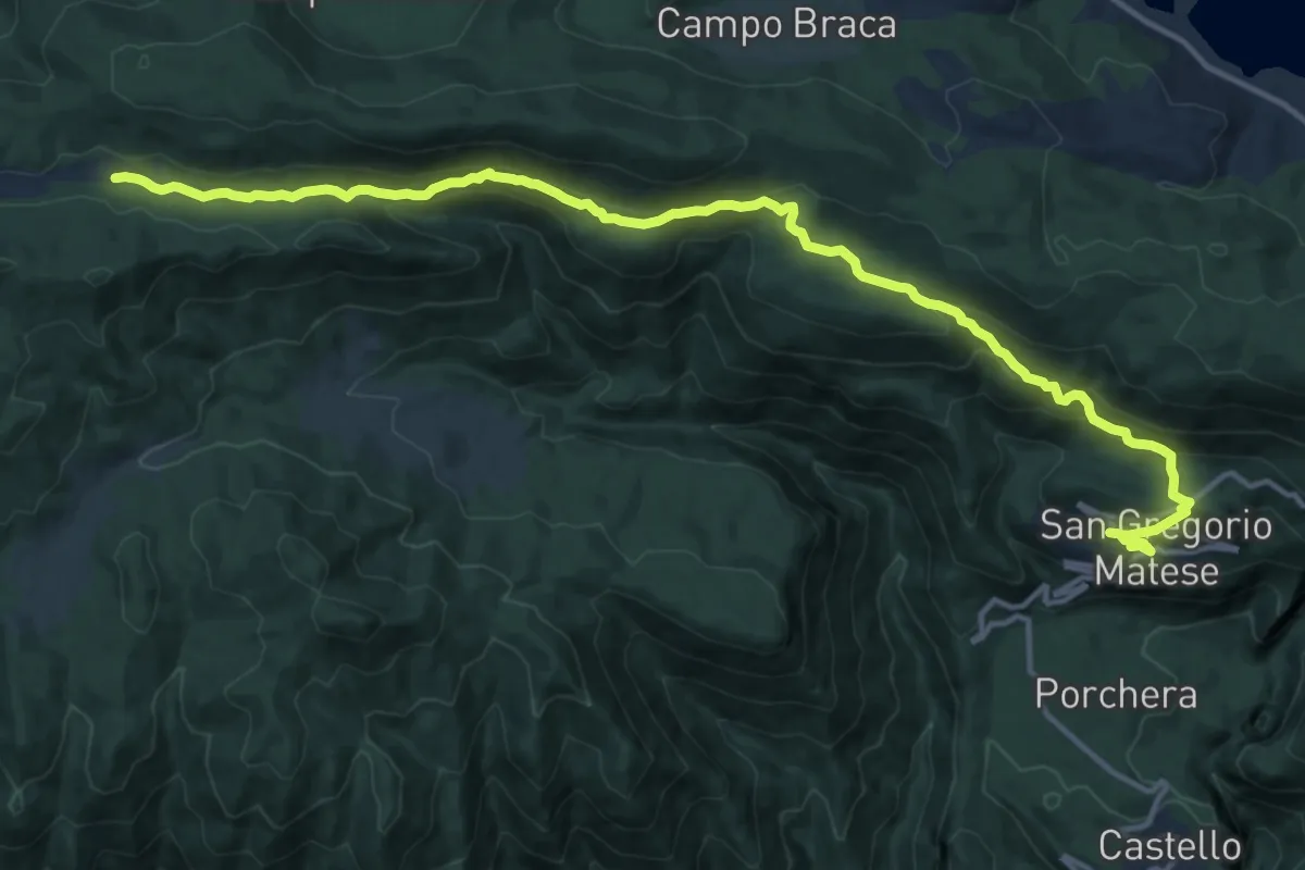
Demanding · Cabin
San Gregorio Matese – Camporuccio
18.2 km · ↑ 804 m · 6 h 2 min
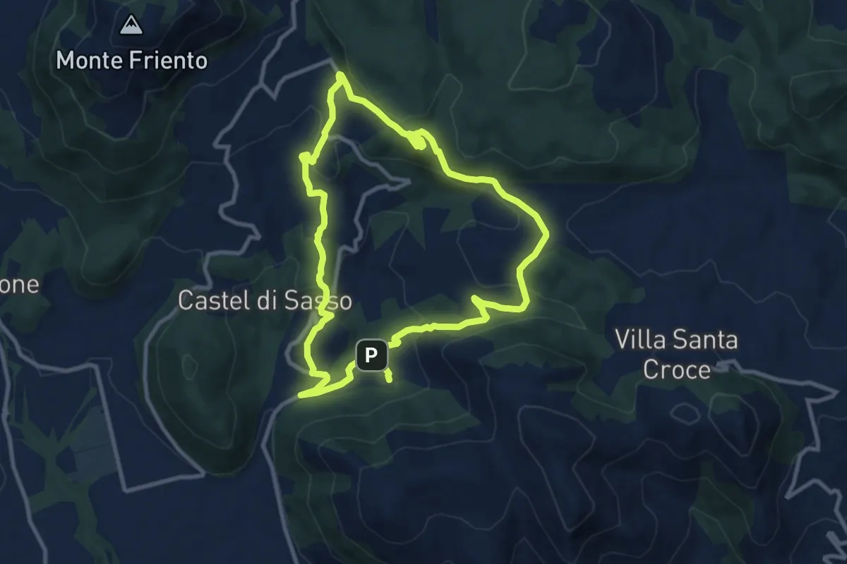
Medium · Trail
Strangolagalli (Castel di Sasso) – Strangolagalli (Castel di Sasso)
9.6 km · ↑ 312 m · 3 h 4 min
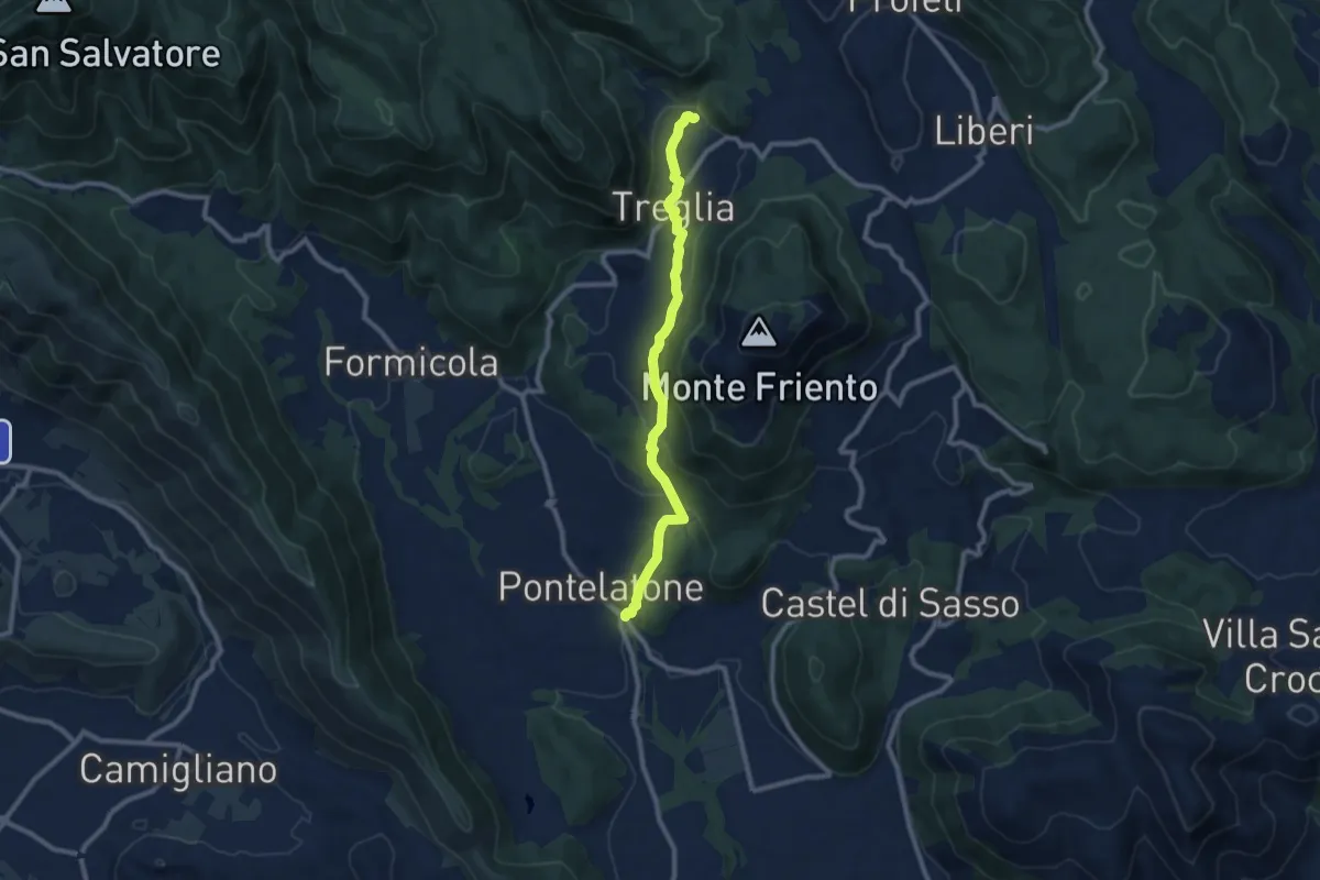
Medium · Trail
Pontelatone – Treglia - Trebula Baliensis
9.8 km · ↑ 358 m · 3 h 6 min
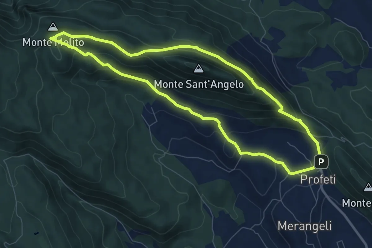
Medium · Summit
Proferti – Profeti
7.8 km · ↑ 343 m · 2 h 42 min
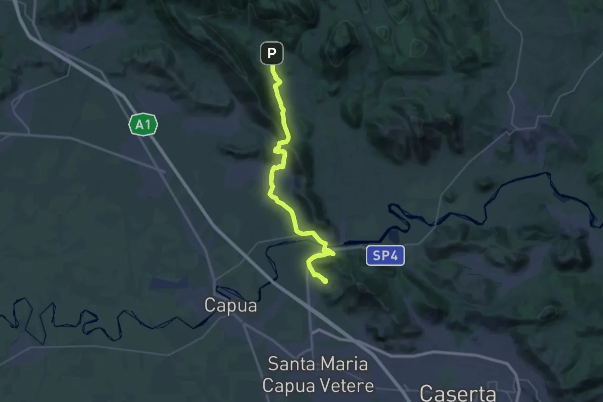
Medium · Trail
Sant'Angelo in Formis innesto 600/603 – Formicola
15.1 km · ↑ 321 m · 4 h 26 min
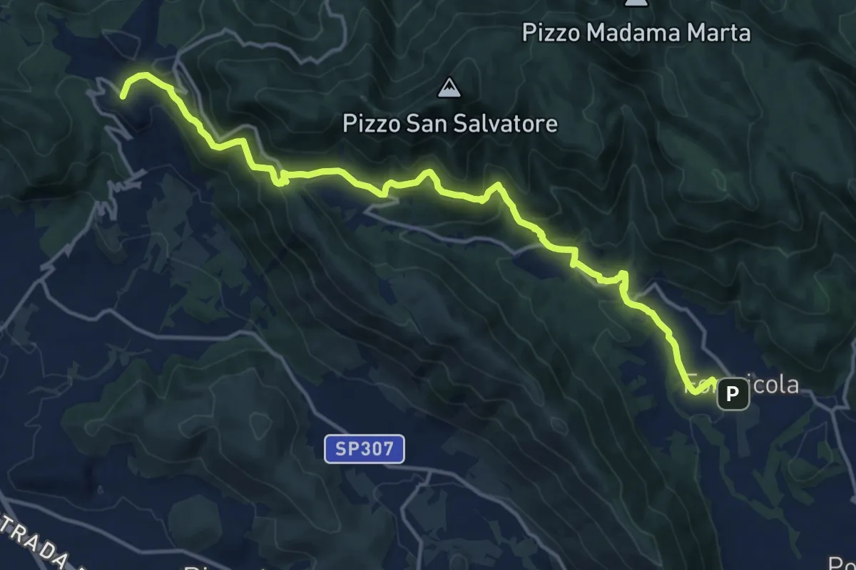
Demanding · Trail
Formicola – Rocchetta e Croce
18.7 km · ↑ 830 m · 6 h 12 min
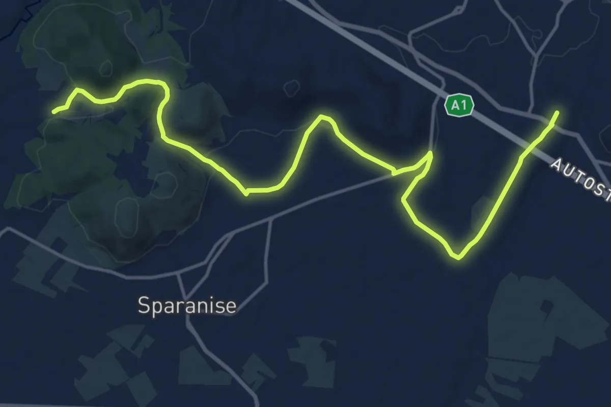
Medium · Trail
Calvi Risorta Cattedrale – Francolise Montanaro
17.3 km · ↑ 288 m · 4 h 43 min
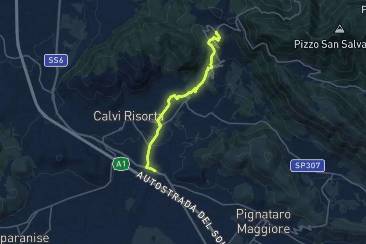
Medium · Trail
Rocchetta e Croce – Calvi Risorta Cattedrale
11.5 km · ↑ 348 m · 3 h 28 min
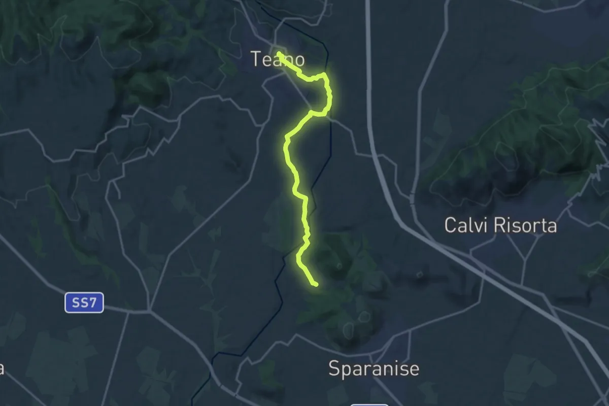
Medium · Trail
Francolise Montanaro – Teano
15.1 km · ↑ 229 m · 4 h 4 min
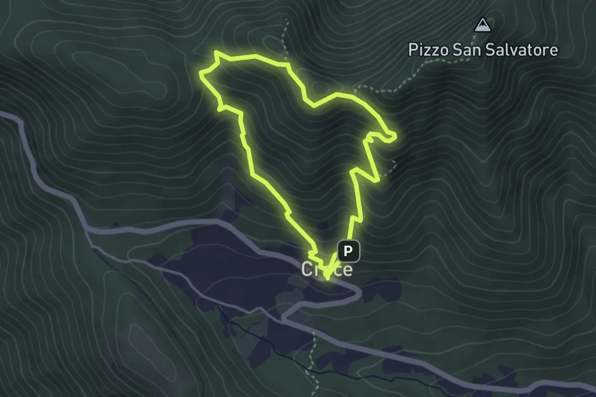
Medium · Summit
borgo Croce (innesto su 802) – borgo Croce (innesto su 802)
3.5 km · ↑ 341 m · 1 h 38 min
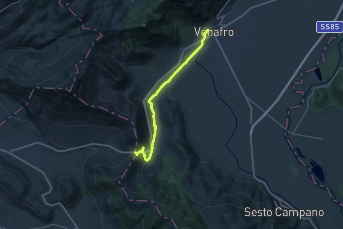
Medium · Trail
Tre Torri – Venafro
14.7 km · ↑ 306 m · 4 h 8 min