Trails in Italy
25,219 hiking trails, each with its route, climb, walking time and grade.
All trails, page 266 of 526
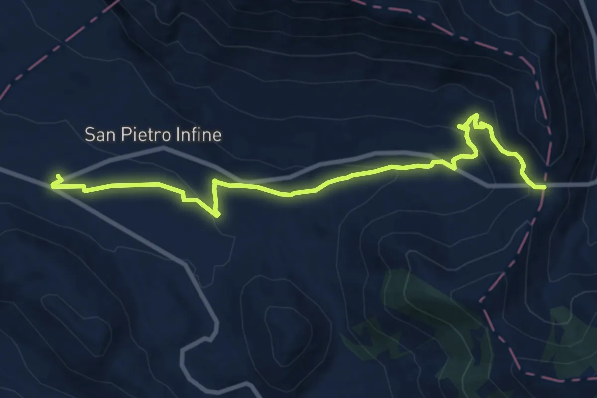
Medium · Trail
San Pietro Infine (Taverna di San Cataldo) – Passo Annunziata Lunga
14.1 km · ↑ 438 m · 4 h 17 min
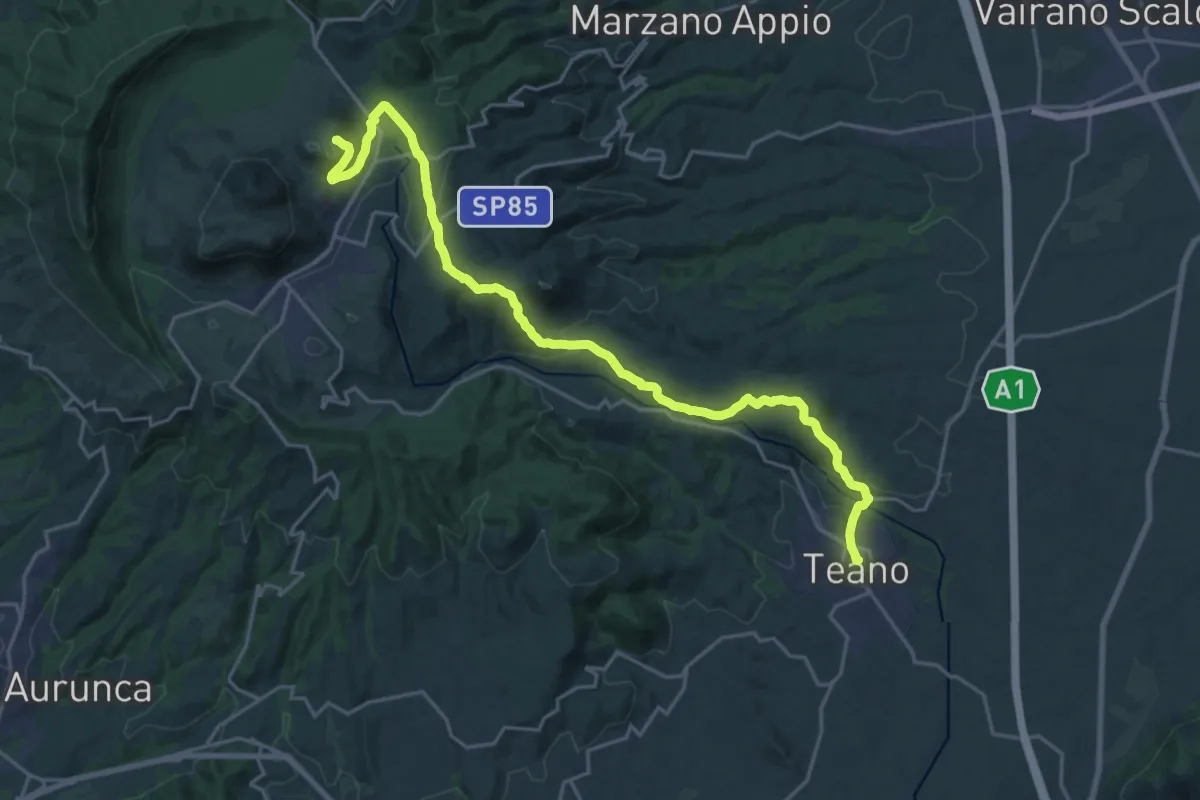
Demanding · Trail
Teano – Santuario Maria Santissima dei Lattani (Roccamonfina)
25.8 km · ↑ 778 m · 7 h 47 min
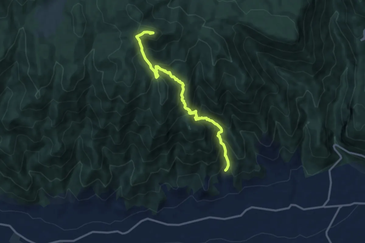
Demanding · Summit
San Michele (Alife) – Monte Acuto (per mandra delle Vacche)
9.3 km · ↑ 902 m · 4 h 9 min
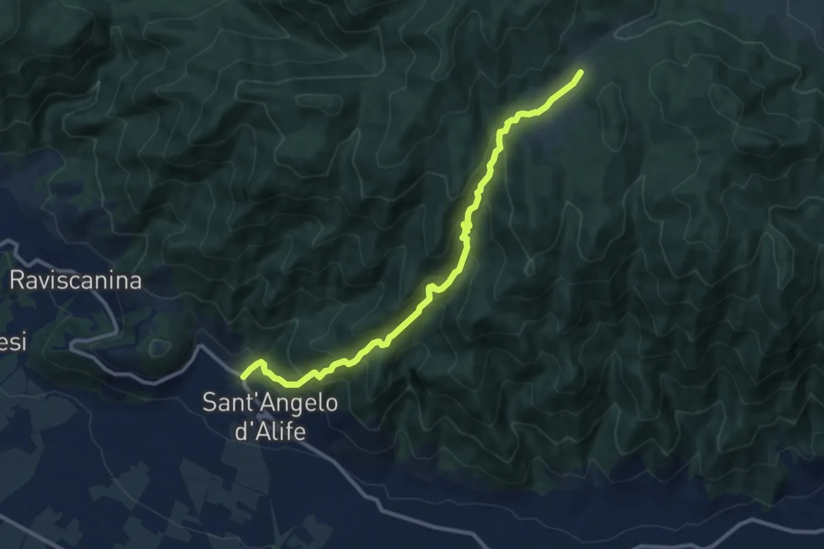
Medium · Trail
Sant'Angelo d'Alife – Selvapiana
10.4 km · ↑ 751 m · 4 h 5 min
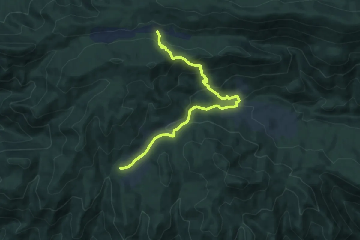
Medium · Cabin
Camporuccio – Ferracciano (per Selvapiana)
10.7 km · ↑ 543 m · 3 h 43 min
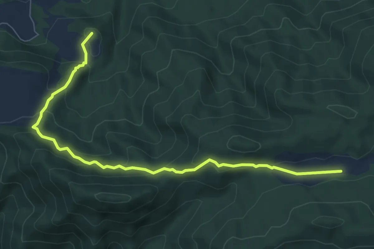
Medium · Summit
Valle Agricola (San Nicandro) – Camporuccio (per costa la prece)
7.9 km · ↑ 399 m · 2 h 43 min
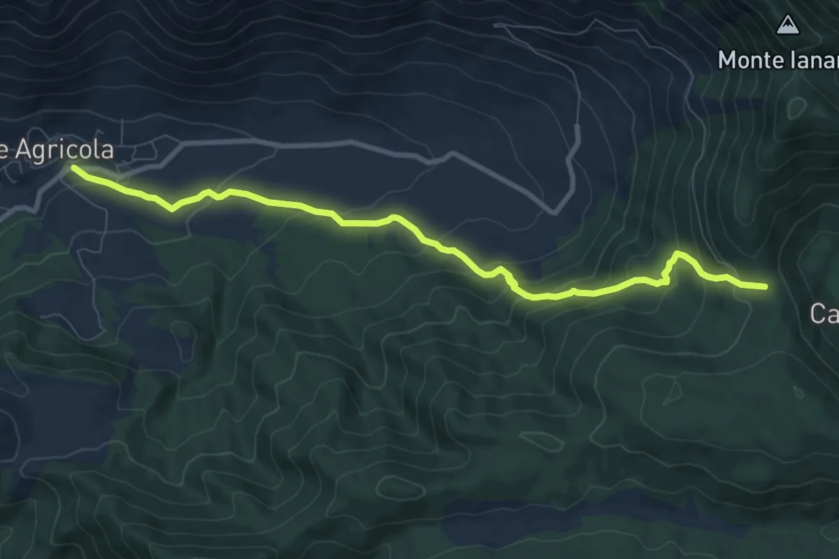
Medium · Trail
Valle Agricola – Monte Janara (per Carnavaliegliu)
9.5 km · ↑ 583 m · 3 h 30 min
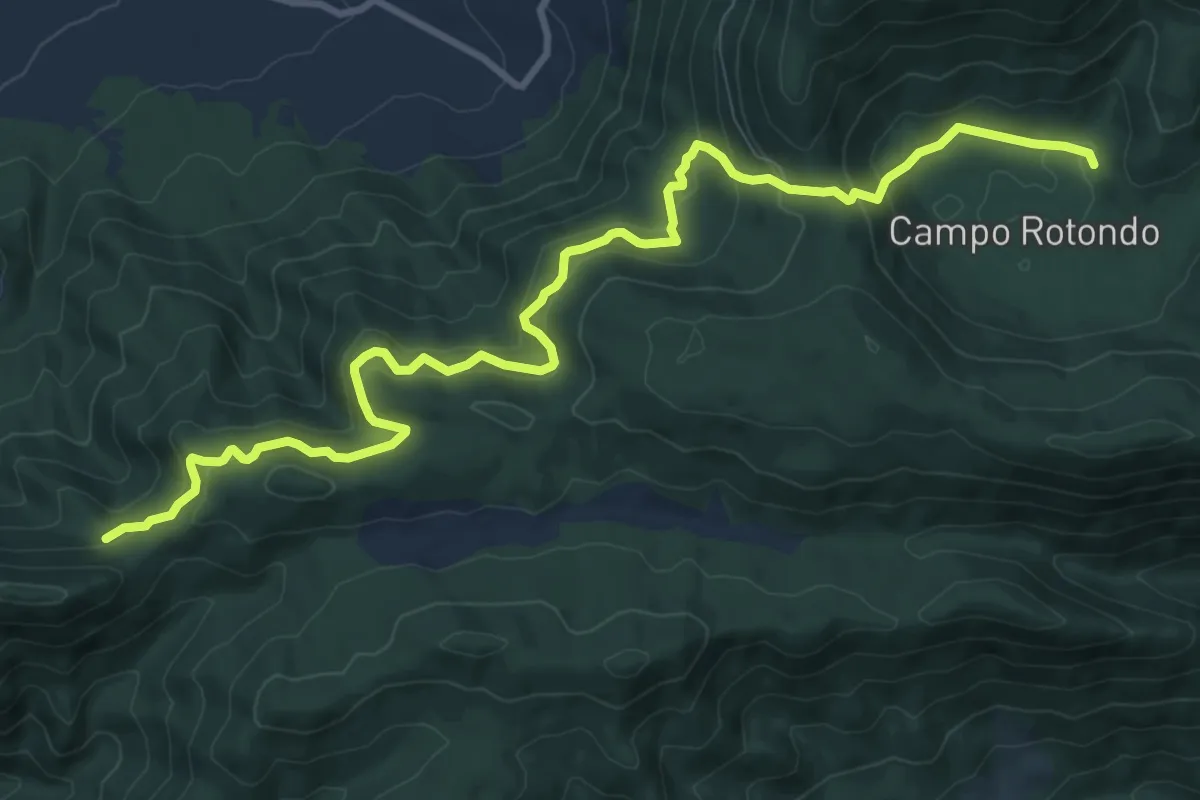
Medium · Trail
Serra delle Mele – Camporotondo (per carnavaliegliu (1261)
12.8 km · ↑ 773 m · 4 h 41 min
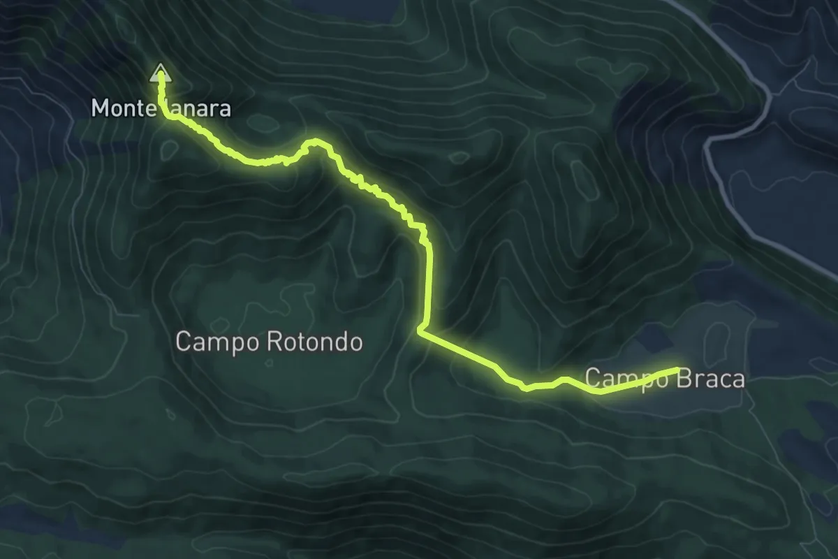
Medium · Summit
Parco d'Amore – Monte Janara (per Campobraga)
10.3 km · ↑ 618 m · 3 h 46 min
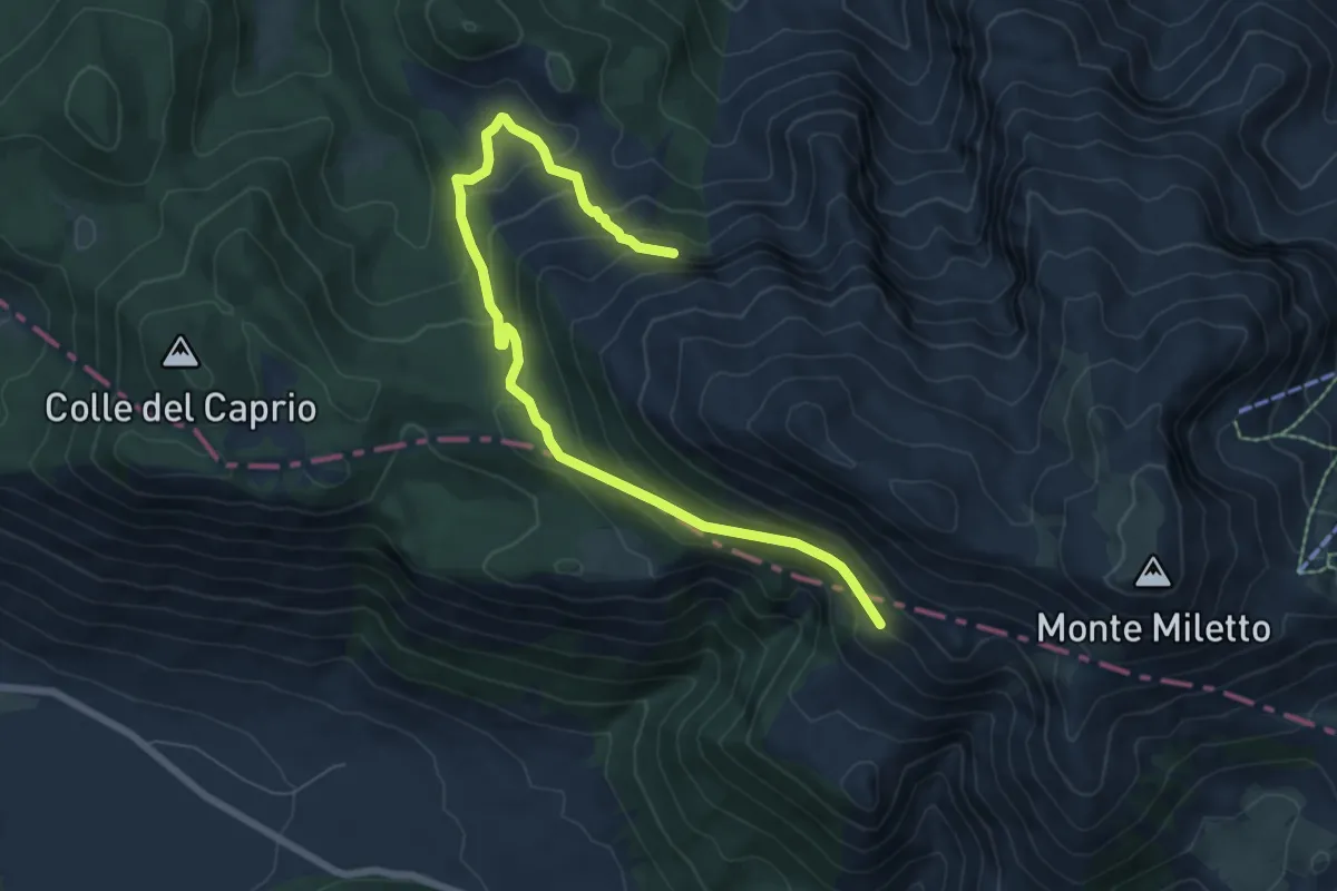
Medium · Trail
Monte Ruzzo – Monte Miletto
8.5 km · ↑ 470 m · 3 h 1 min
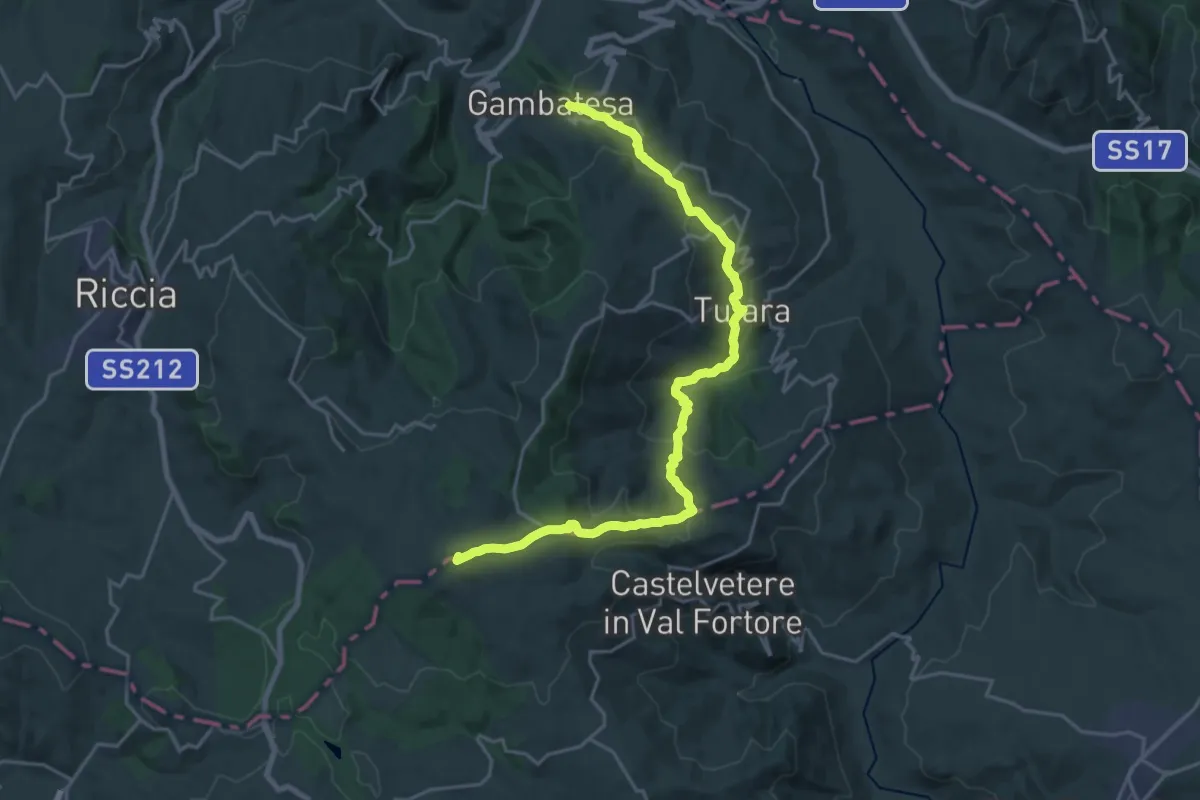
Demanding · Summit
Gambatesa – Bosco Mazzocca
25.7 km · ↑ 1054 m · 8 h 21 min
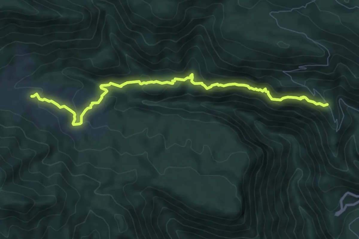
Medium · Trail
San Gregorio Matese (strada comunale grotte) – Ferracciano
9.5 km · ↑ 403 m · 3 h 7 min
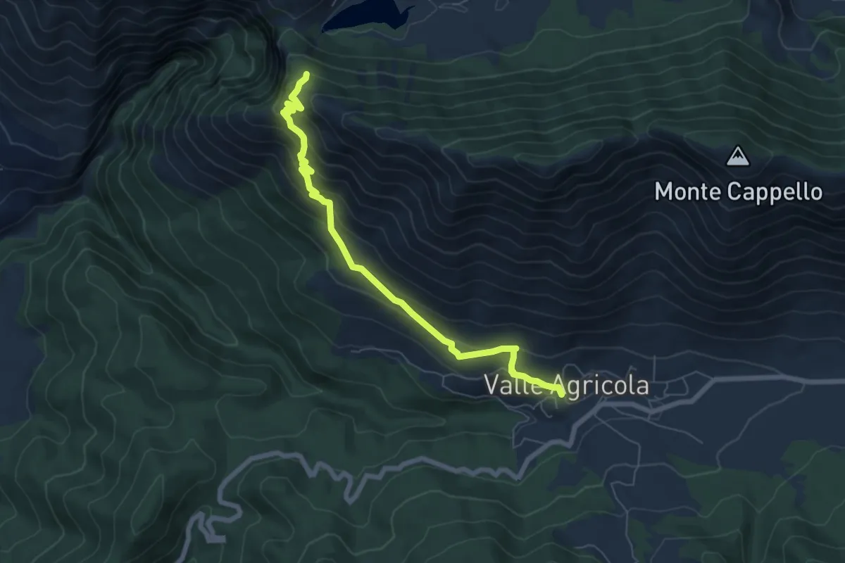
Medium · Trail
Valle Agricola – Valico della Rava
7.1 km · ↑ 517 m · 2 h 48 min
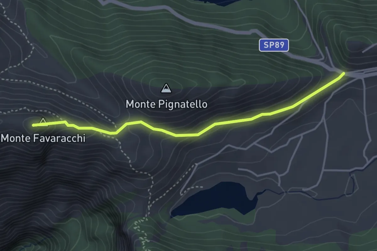
Demanding · Summit
Letino – Monte Favaracchi
4.1 km · ↑ 221 m · 1 h 26 min
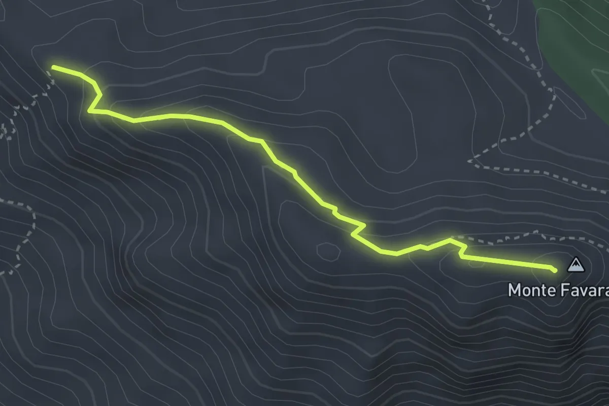
Demanding · Summit
Prata Sannita – Monte Favaracchi
3.4 km · ↑ 213 m · 1 h 16 min
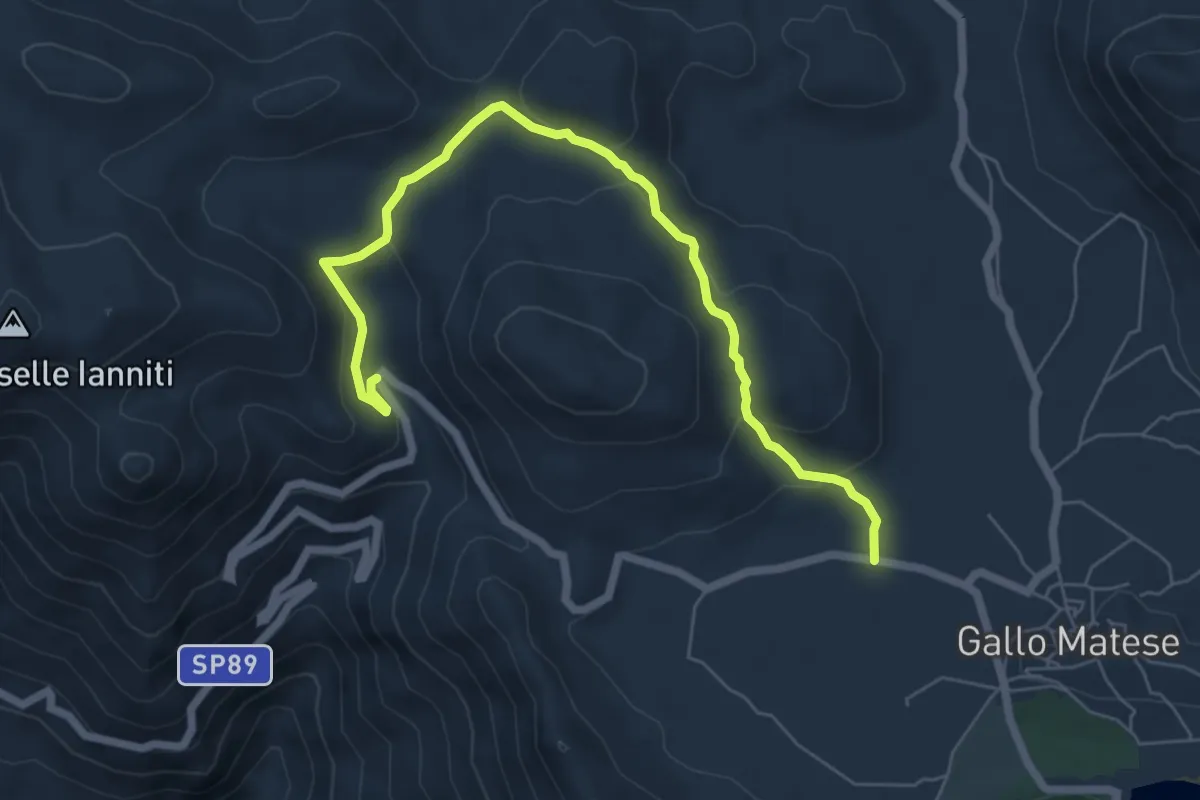
Easy · Trail
Gallo Matese – Monte Cinnamiello - Banere
7.6 km · ↑ 299 m · 2 h 26 min
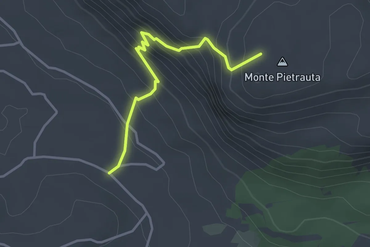
Easy · Summit
Gallo Matese – Pietrauta
3.0 km · ↑ 304 m · 1 h 22 min
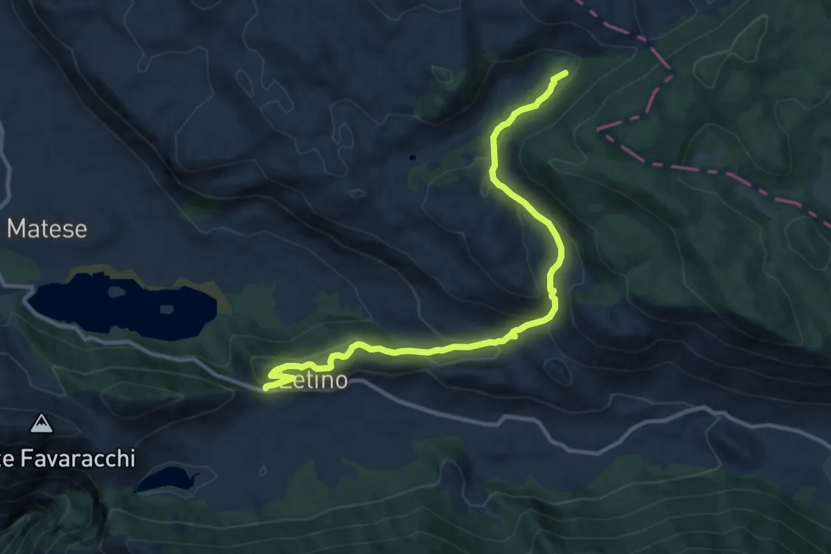
Medium · Trail
Letino – Fontana dei palombi
11.8 km · ↑ 492 m · 3 h 51 min
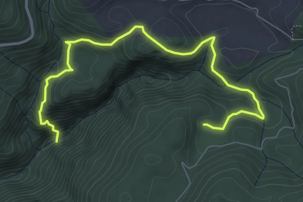
Medium · Cabin
Bivio castelluccio – Tassitello (per l'Acqua Ricciuta)
7.9 km · ↑ 498 m · 2 h 56 min
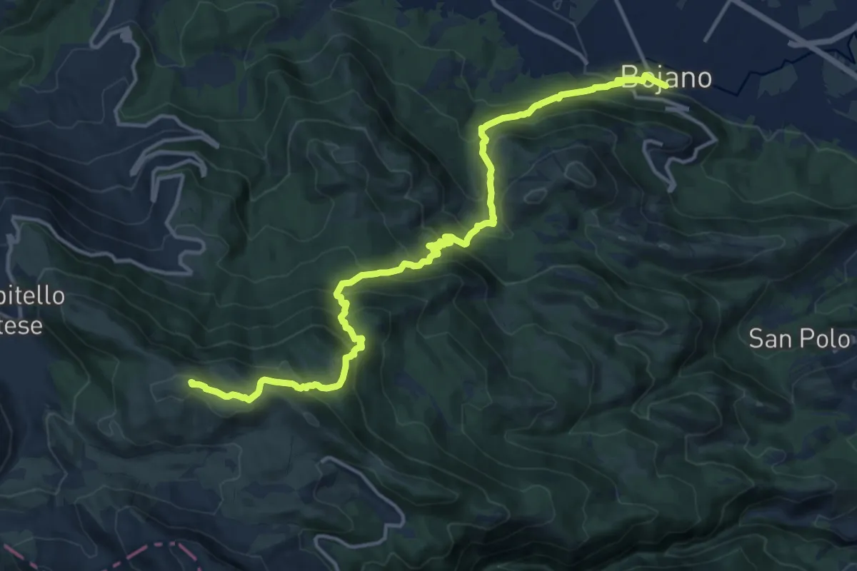
Demanding · Summit
Bojano – Campitello Matese
17.2 km · ↑ 1228 m · 6 h 43 min
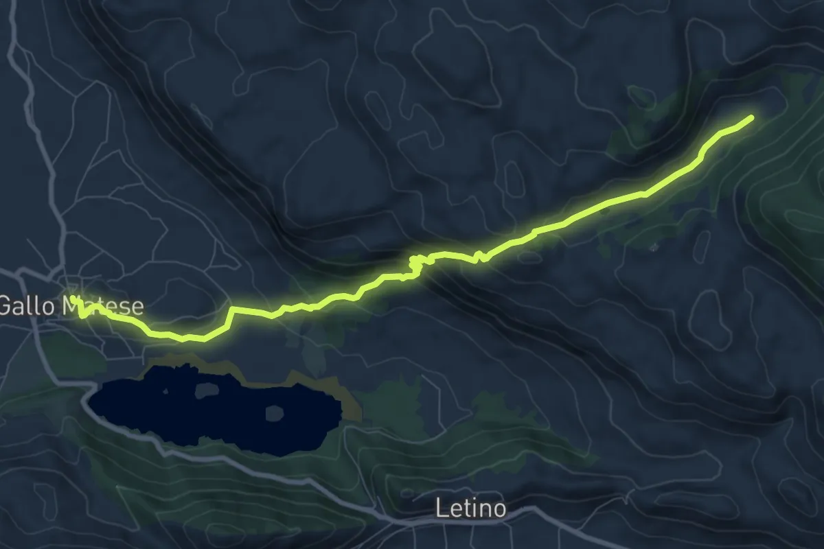
Medium · Trail
Gallo Matese – Fontana dei palombi
10.7 km · ↑ 498 m · 3 h 36 min
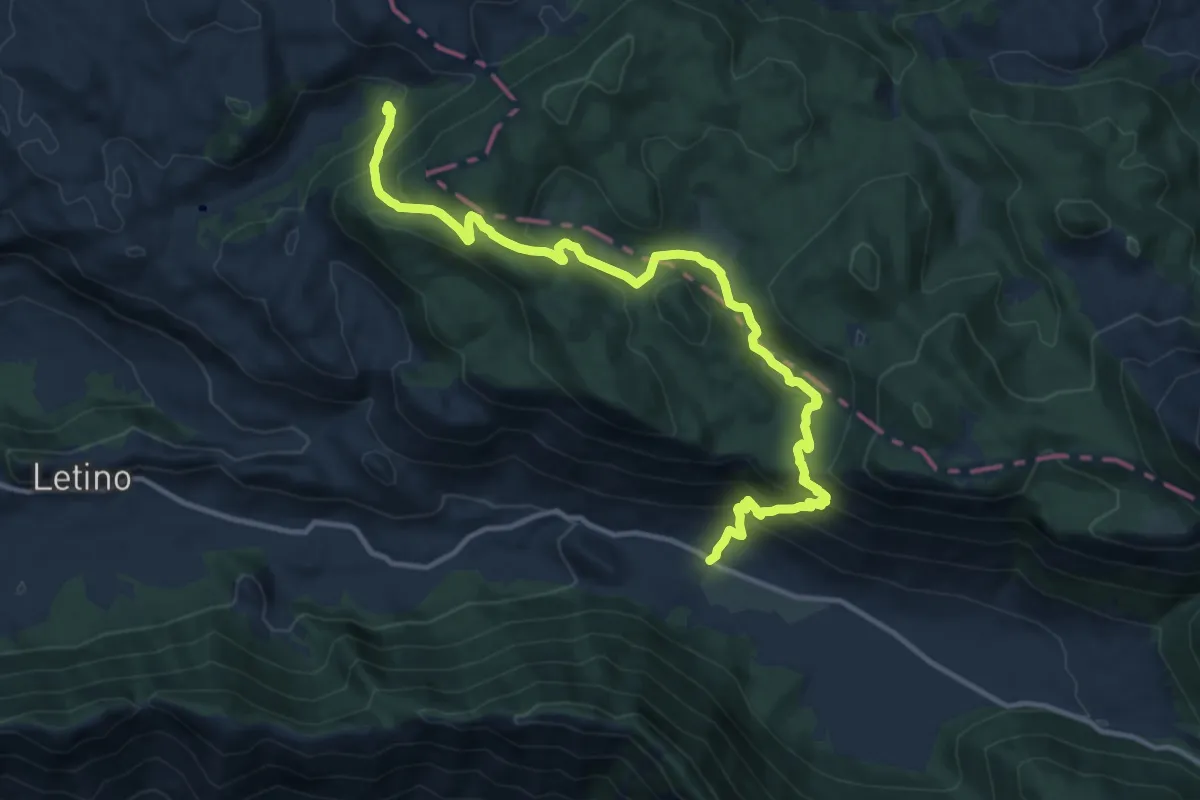
Demanding · Trail
Piana delle secine – Fontana dei Palombi Vallefredda
15.2 km · ↑ 930 m · 5 h 36 min
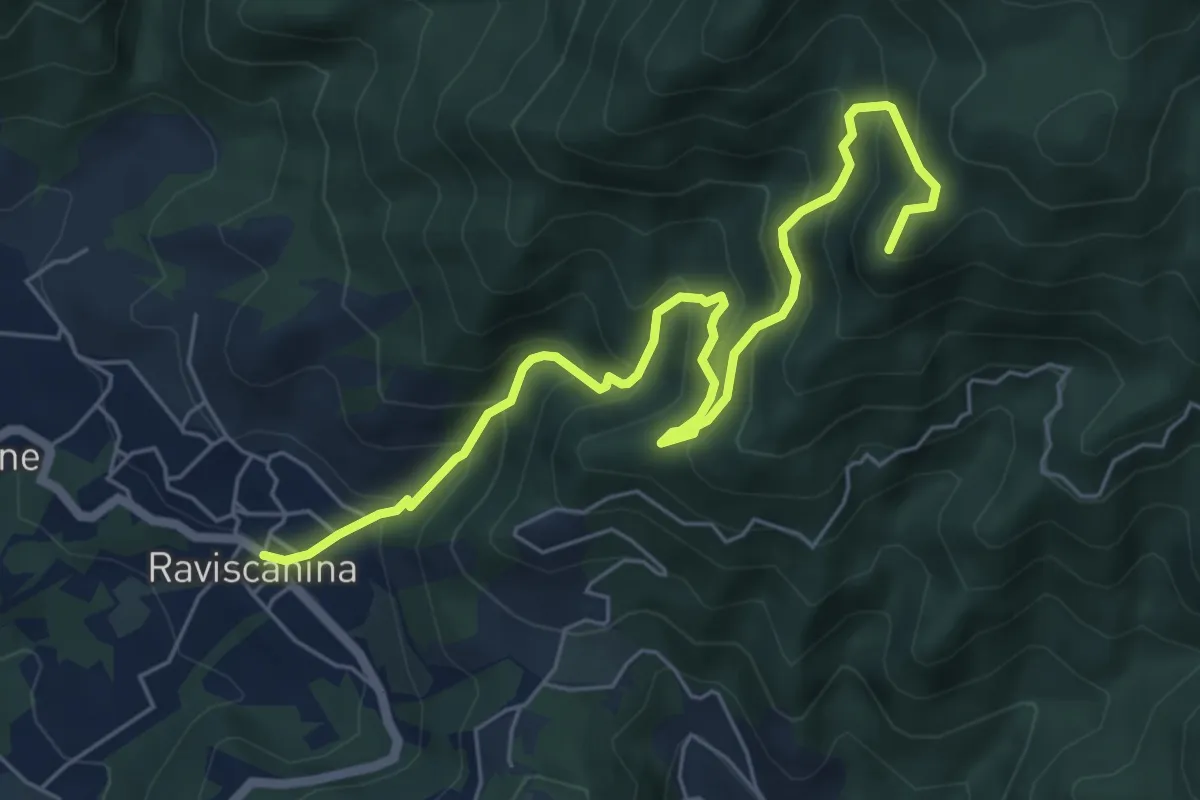
Medium · Trail
Raviscanina – Monte Pizzone
7.5 km · ↑ 718 m · 3 h 20 min
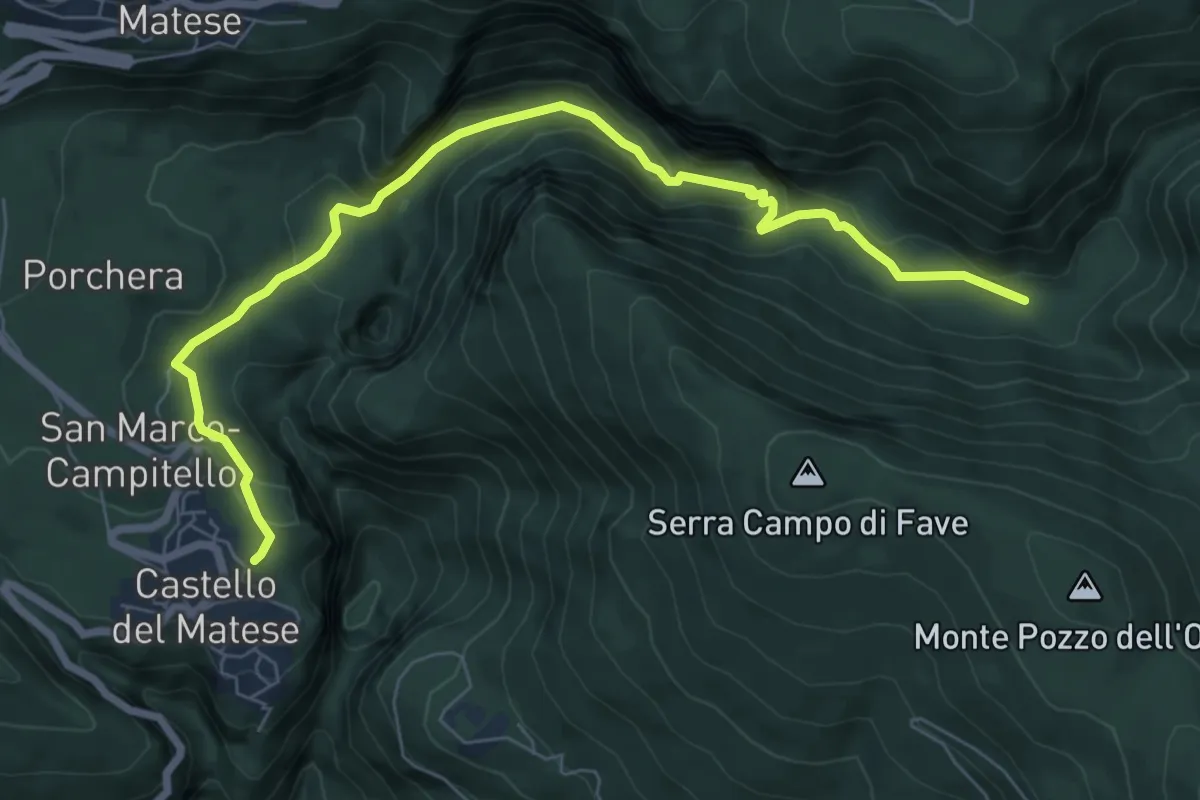
Demanding · Trail
Castello Matese (Piazza Cannavina) – Le Grassete
8.6 km · ↑ 378 m · 2 h 51 min
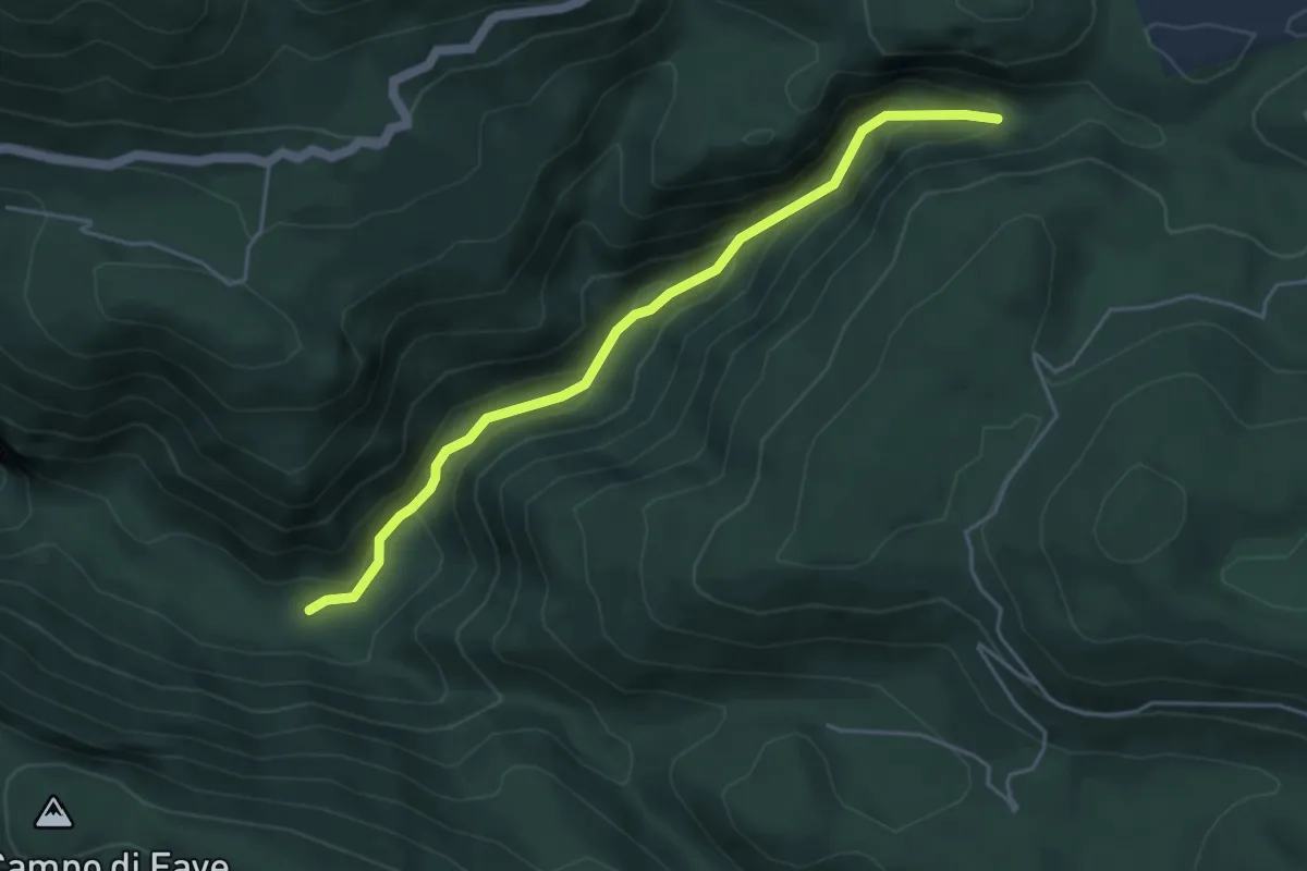
Medium · Trail
Grassette – Pintime Jonte
5.0 km · ↑ 342 m · 1 h 56 min
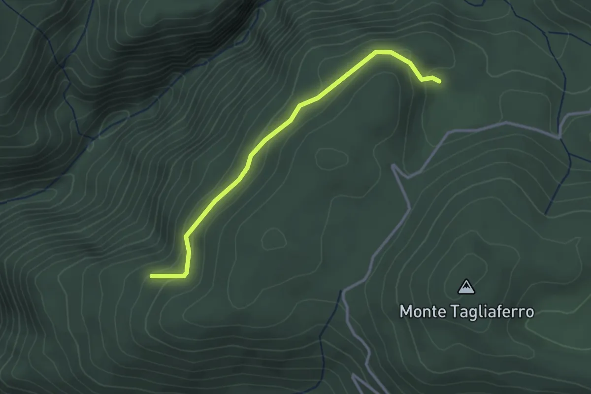
Easy · Cabin
Rifugio Tassitello – Monte Grassete (area attrezzata)
3.2 km · ↑ 136 m · 1 h 3 min
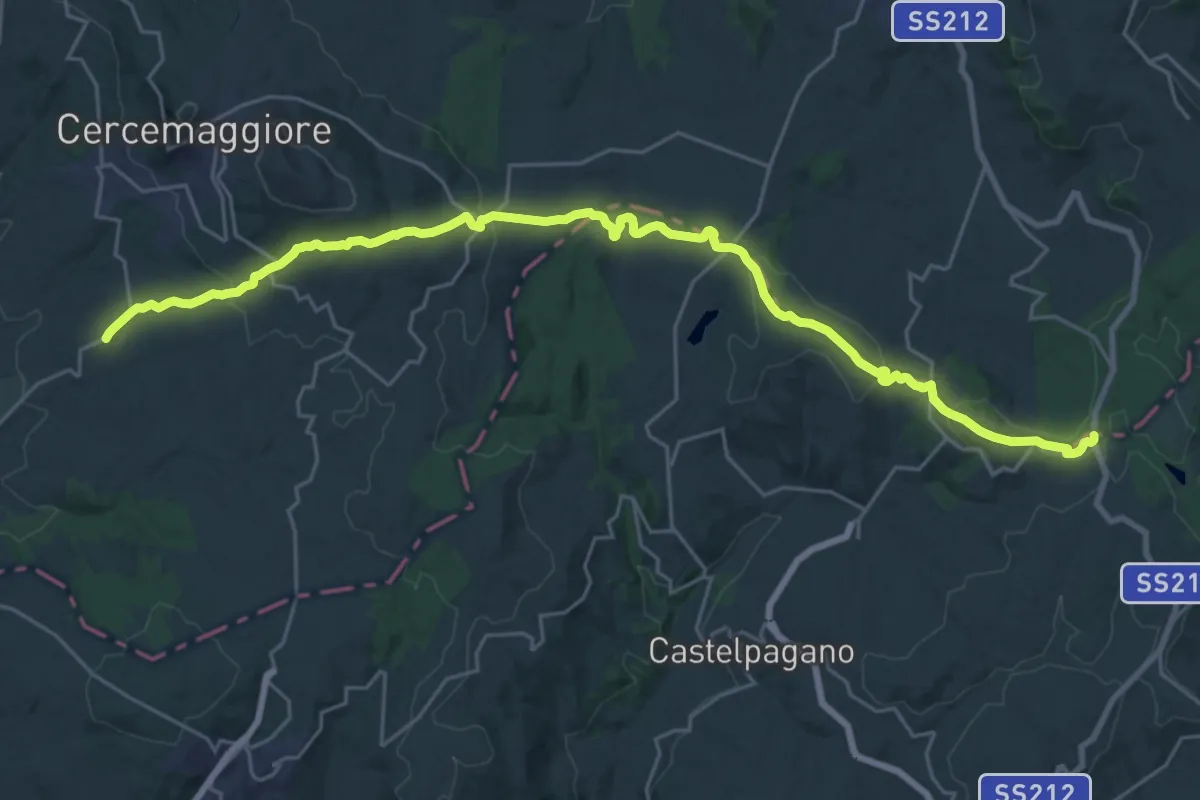
Medium · Trail
Bosco Mazzocca – San Marco
15.8 km · ↑ 359 m · 4 h 46 min
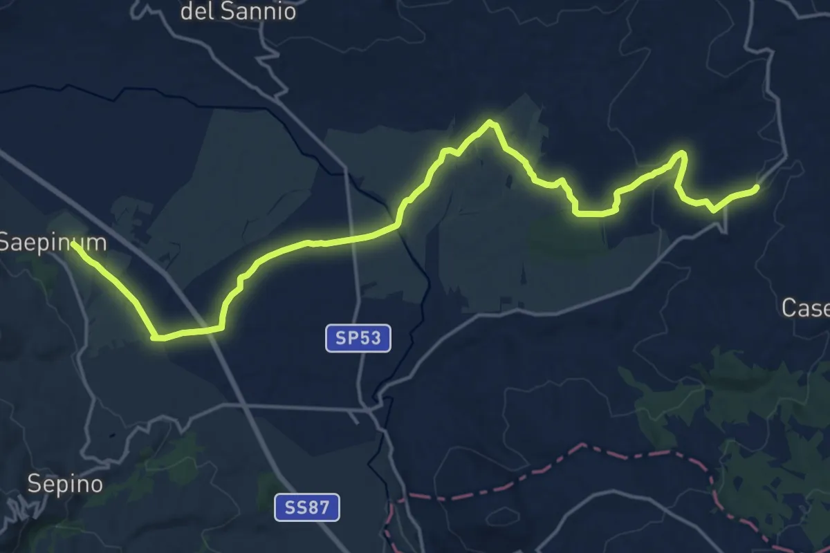
Demanding · Trail
San Marco – Altilia
21.8 km · ↑ 264 m · 5 h 43 min
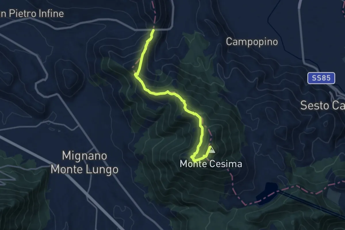
Demanding · Summit
Passo Annunziata Lunga – Monte Cesima
13.4 km · ↑ 853 m · 5 h
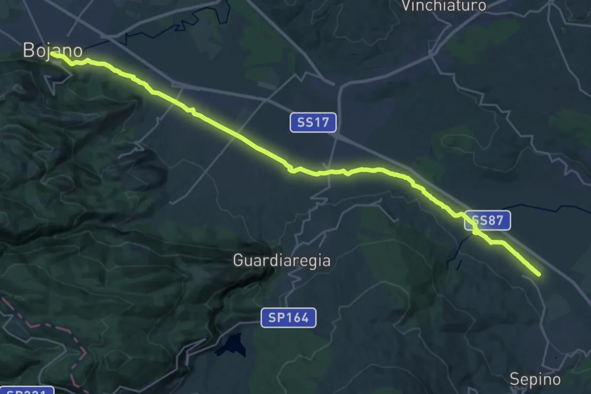
Demanding · Trail
Altilia – Bojano
29.4 km · ↑ 233 m · 7 h 27 min
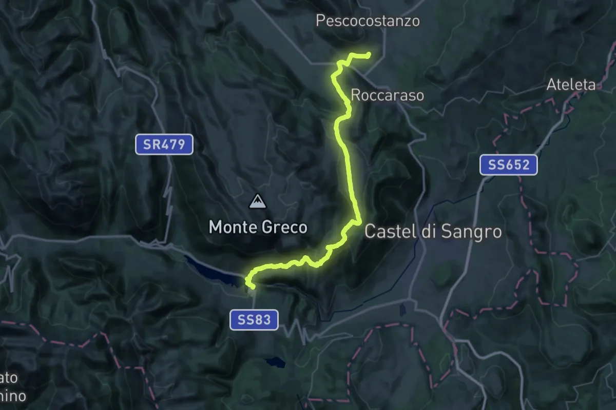
Demanding · Trail
Rivisondoli – Barrea
21.7 km · ↑ 765 m · 7 h 12 min
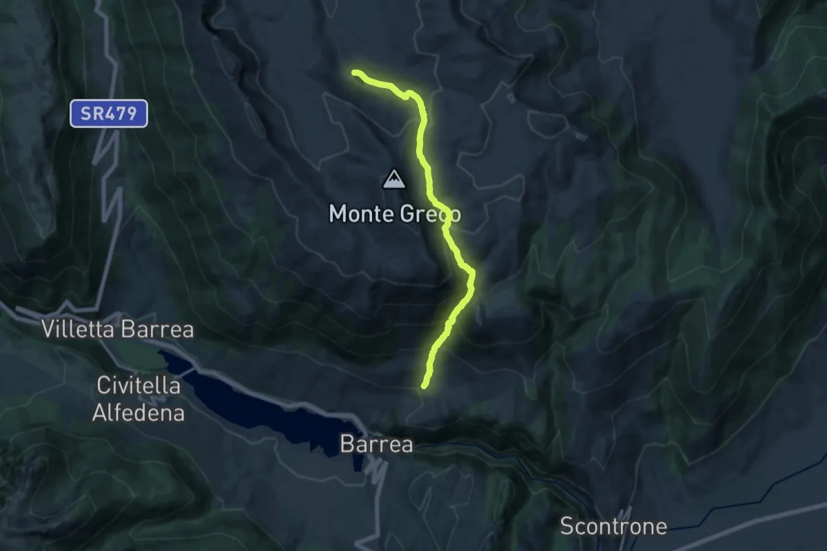
Demanding · Trail
Valle Ianara – Lago Pantaniello
13.9 km · ↑ 1129 m · 5 h 43 min
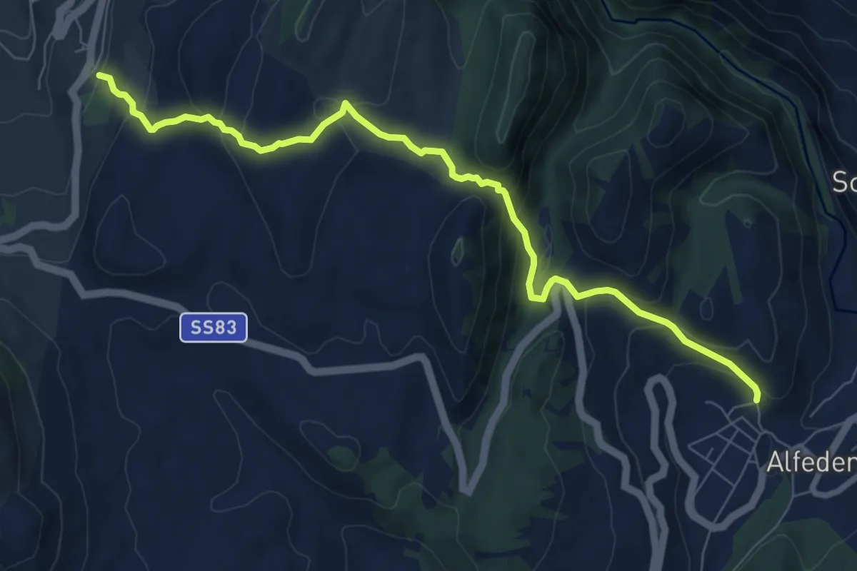
Medium · Trail
Barrea – Alfedena
8.9 km · ↑ 456 m · 3 h 5 min
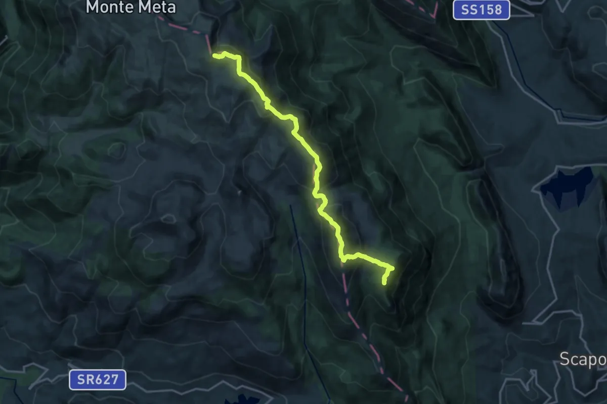
Expert · Summit
Passo dei Monaci – Capanna di Moulin
16.4 km · ↑ 1243 m · 6 h 34 min
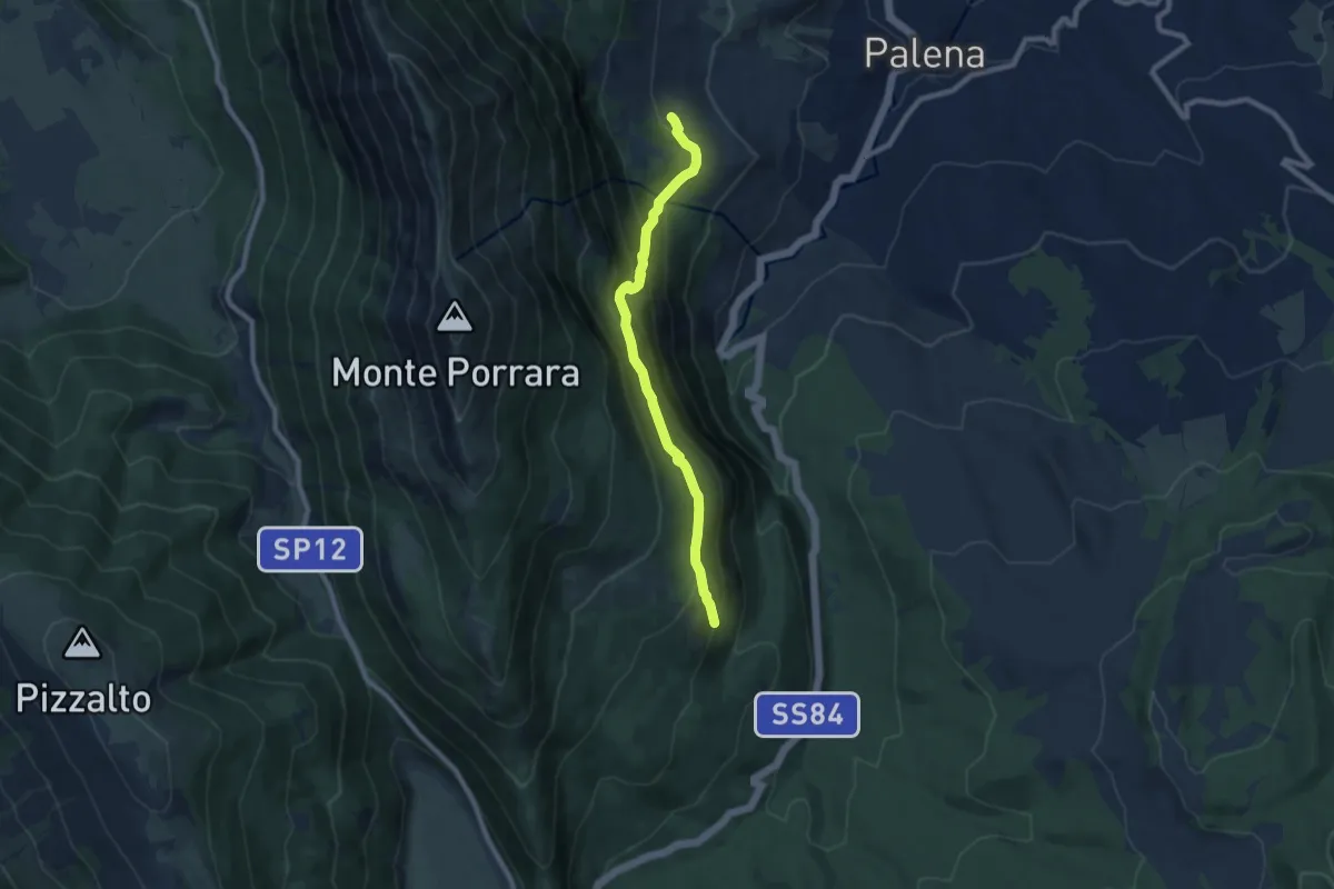
Medium · Trail
Sant'antonio di Palena – Madonna dell'Altare
8.7 km · ↑ 601 m · 3 h 22 min
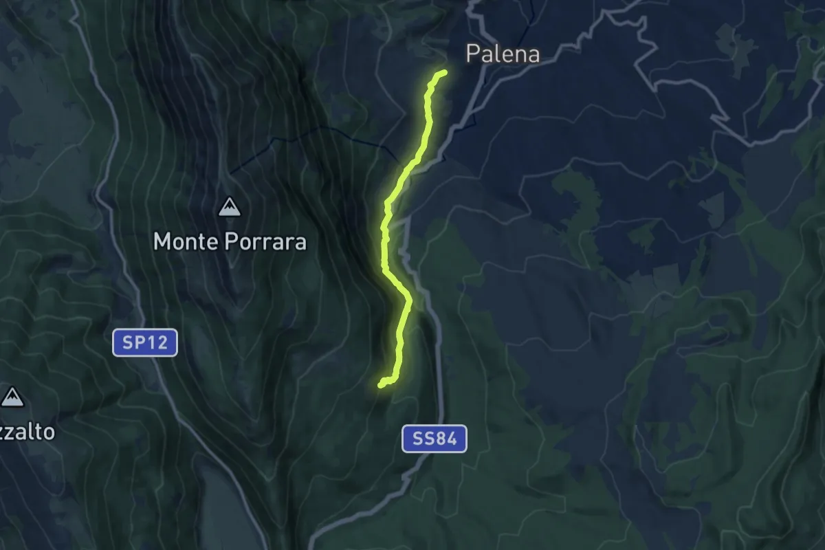
Medium · Trail
Palena – Bivio Madonna dell'Altare
9.4 km · ↑ 585 m · 3 h 29 min
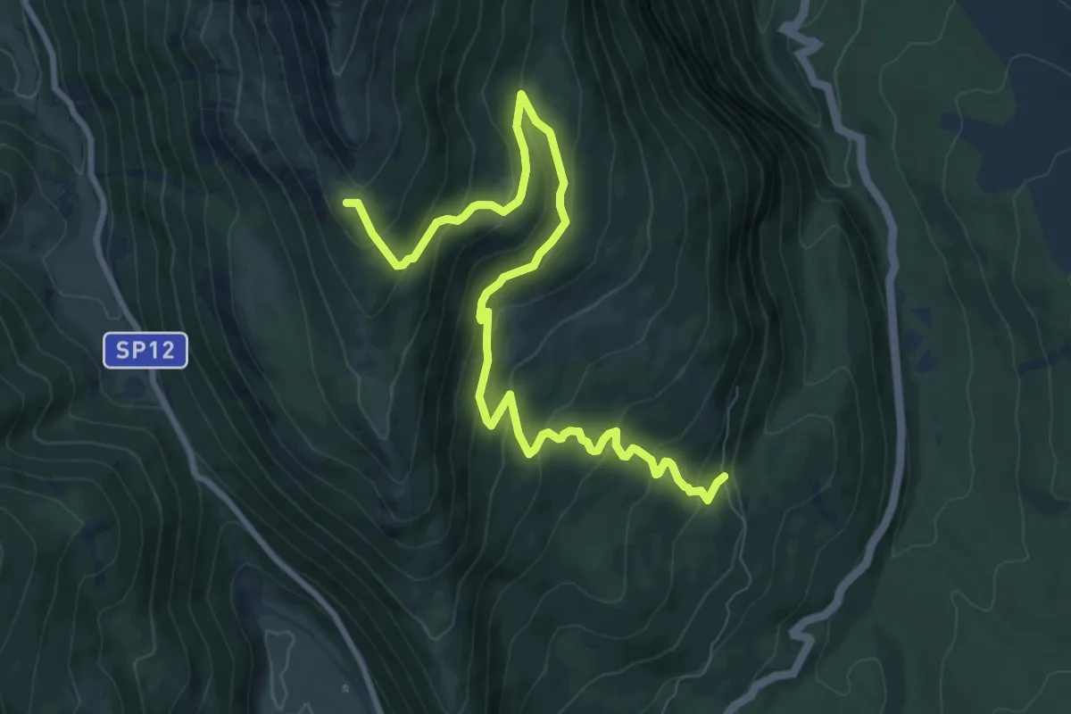
Medium · Trail
Bivio Madonna dell'Altare – Sentiero del Parco
11.2 km · ↑ 653 m · 4 h 4 min
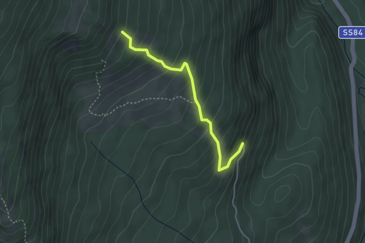
Easy · Trail
Madonna dell'Altare – Sentiero I3
3.3 km · ↑ 310 m · 1 h 27 min
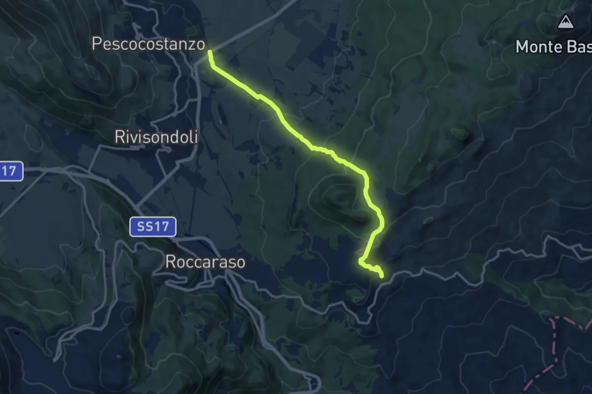
Medium · Trail
Quarto del Barone – Pietransieri
12.7 km · ↑ 489 m · 4 h 3 min
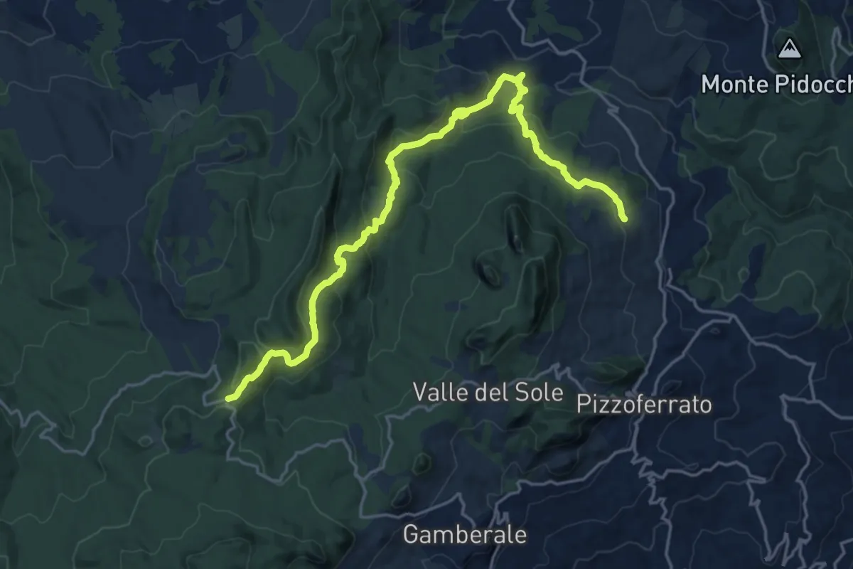
Demanding · Trail
Masseria Minco d'Adamo – Sopra Fonte dei Pulcini
21.1 km · ↑ 835 m · 6 h 47 min
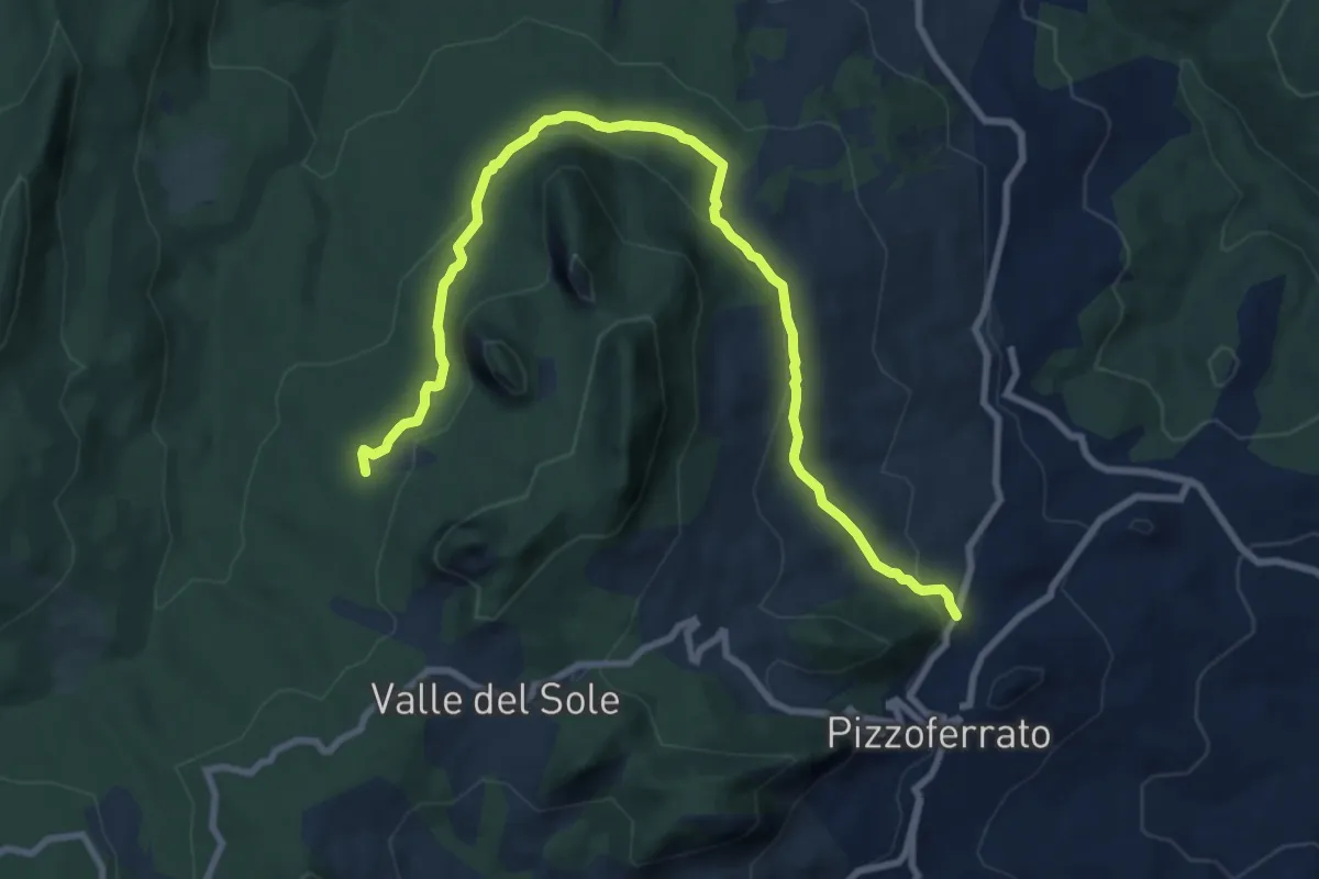
Medium · Trail
Pizzoferrato – Le Pratelle
11.3 km · ↑ 376 m · 3 h 29 min
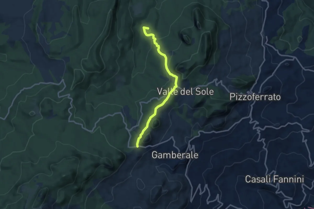
Medium · Summit
Monte Sant'Angelo – Casone di Montenerodomo
9.4 km · ↑ 307 m · 2 h 53 min
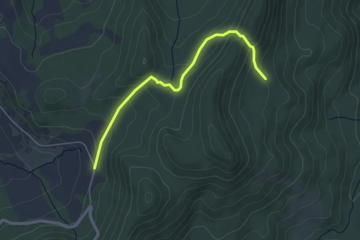
Easy · Trail
Strada Provinciale – Sentiero L1
4.5 km · ↑ 240 m · 1 h 35 min
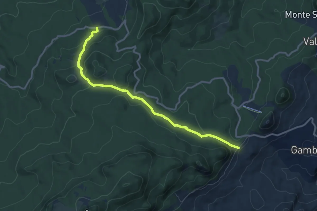
Medium · Trail
Monte Sant'Angelo – Fonte dei Pulcini
8.3 km · ↑ 287 m · 2 h 35 min
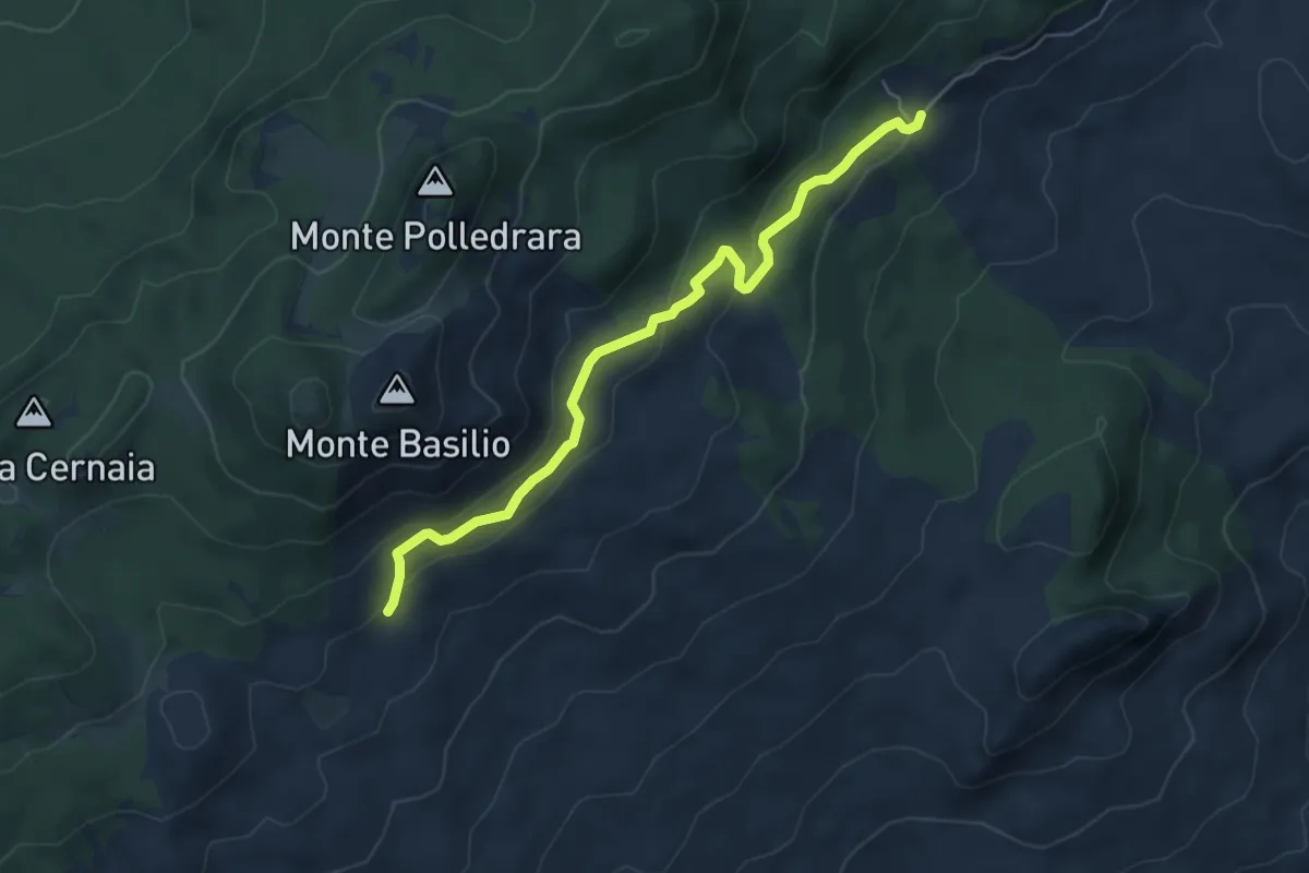
Easy · Trail
Area Faunistica del Cervo – Sentiero M2
6.1 km · ↑ 246 m · 1 h 58 min
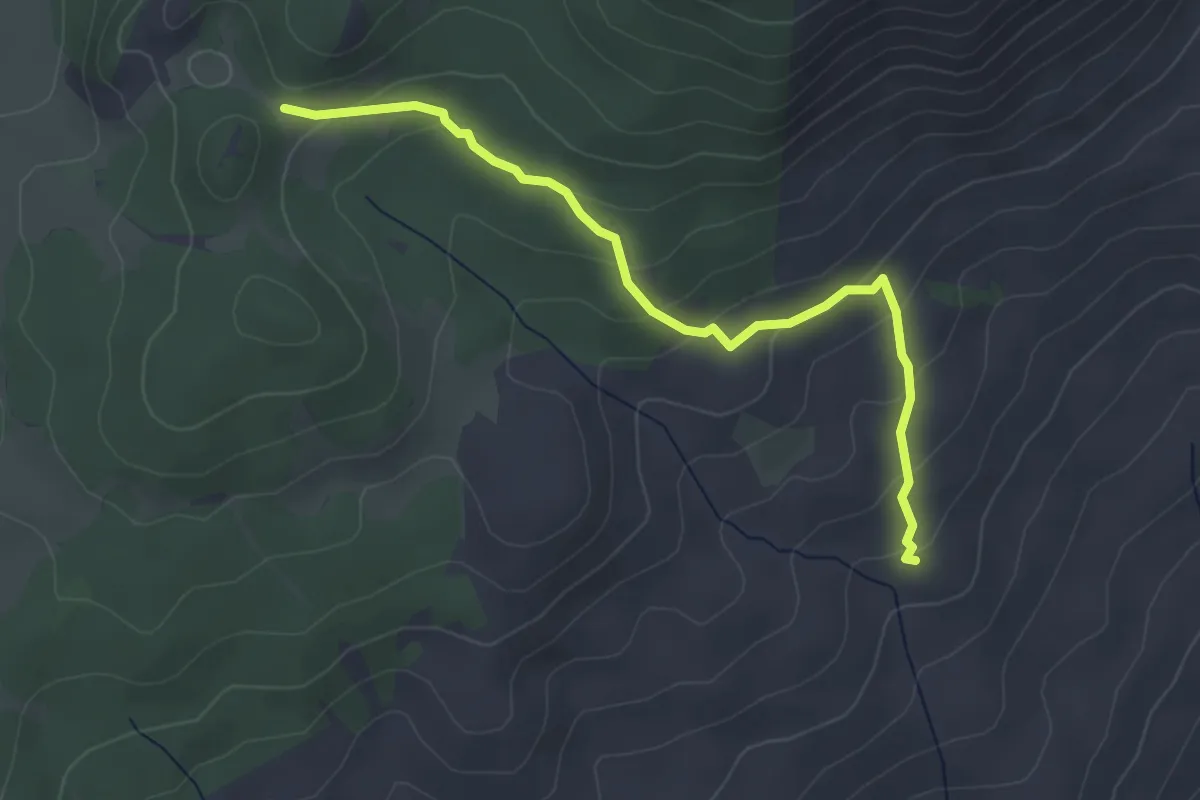
Easy · Trail
Area Picnic Colle dellaCastagna – Sentiero N4
4.0 km · ↑ 197 m · 1 h 23 min
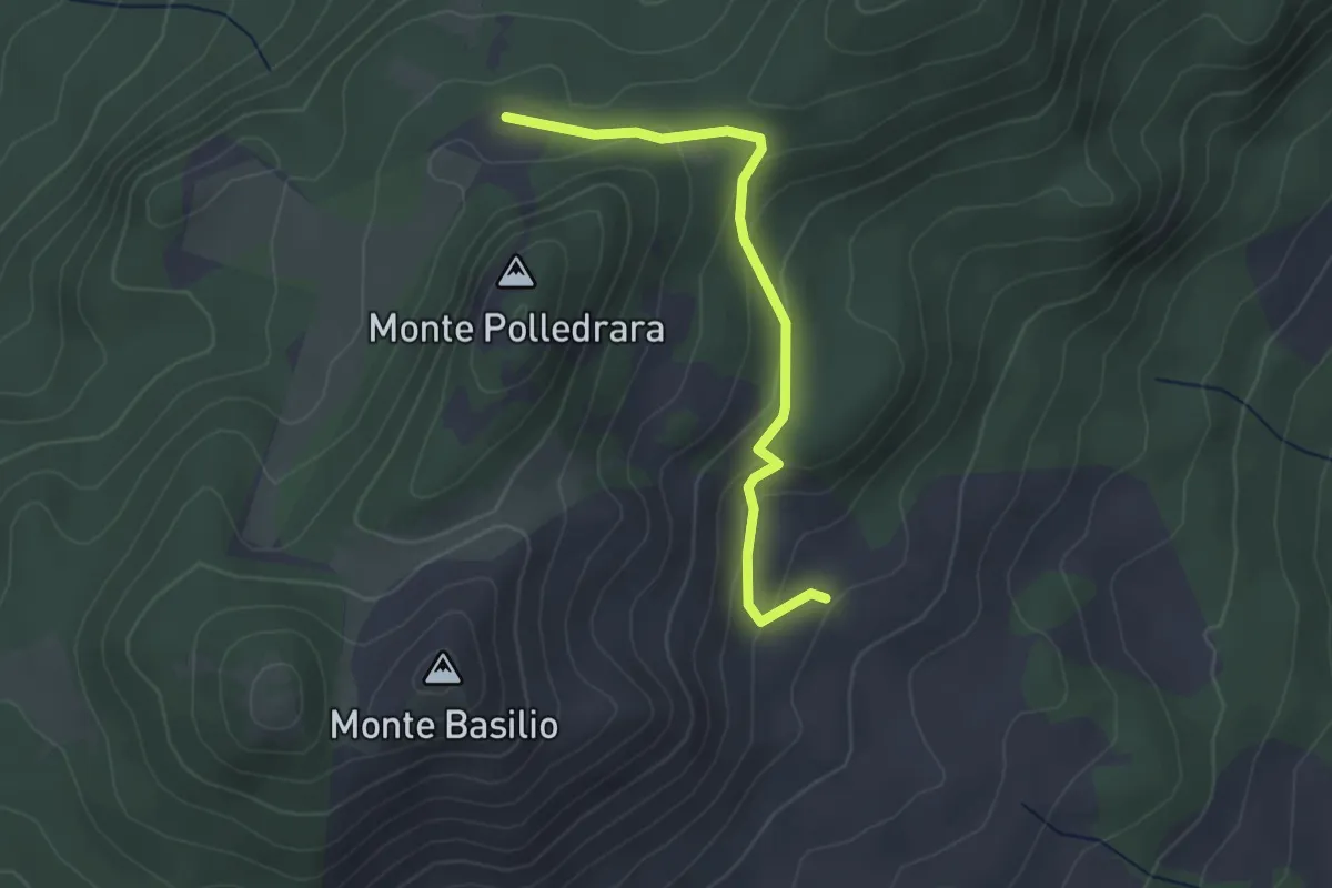
Easy · Trail
Fonte Basilio – Sentiero N4
3.1 km · ↑ 142 m · 1 h 2 min
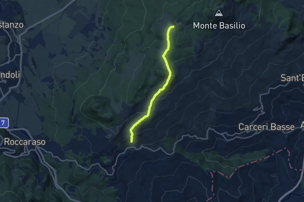
Medium · Trail
Pietransieri – Fonte Cernaia
9.5 km · ↑ 364 m · 3 h 3 min