Trails in Italy
25,219 hiking trails, each with its route, climb, walking time and grade.
All trails, page 267 of 526
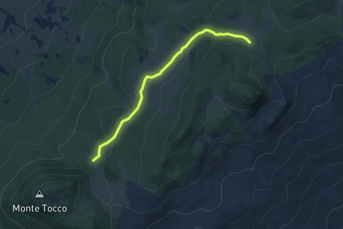
Easy · Trail
Sentiero N1 – Sentiero N2
5.3 km · ↑ 121 m · 1 h 31 min
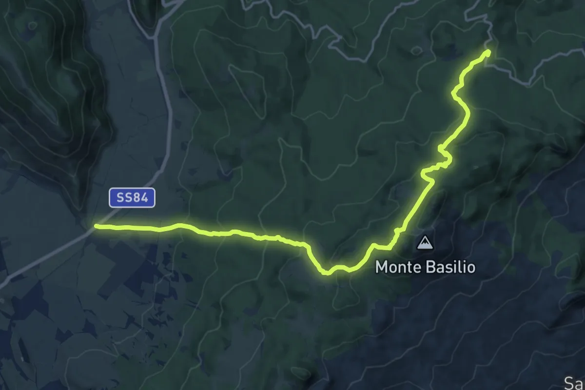
Demanding · Trail
Pizzo di Coda – Val di Terra
19.7 km · ↑ 928 m · 6 h 40 min
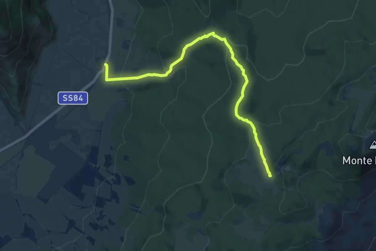
Medium · Trail
Colle Fauni – Fonte Cernaia
9.8 km · ↑ 411 m · 3 h 13 min
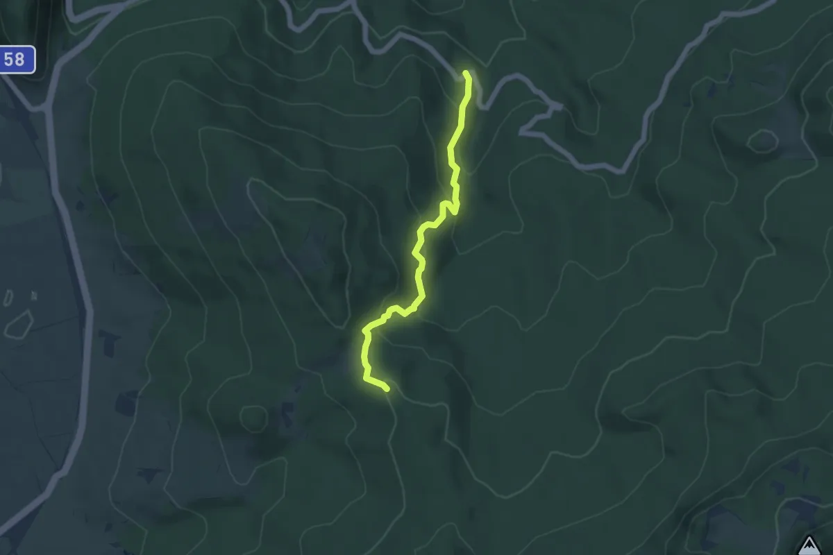
Easy · Trail
Valle dello Scaricaturo – Sentiero N5
4.9 km · ↑ 257 m · 1 h 43 min
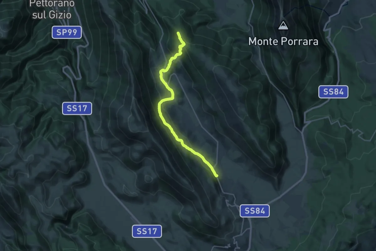
Demanding · Summit
Pescocostanzo – Piano Cerreto
19.8 km · ↑ 820 m · 6 h 27 min
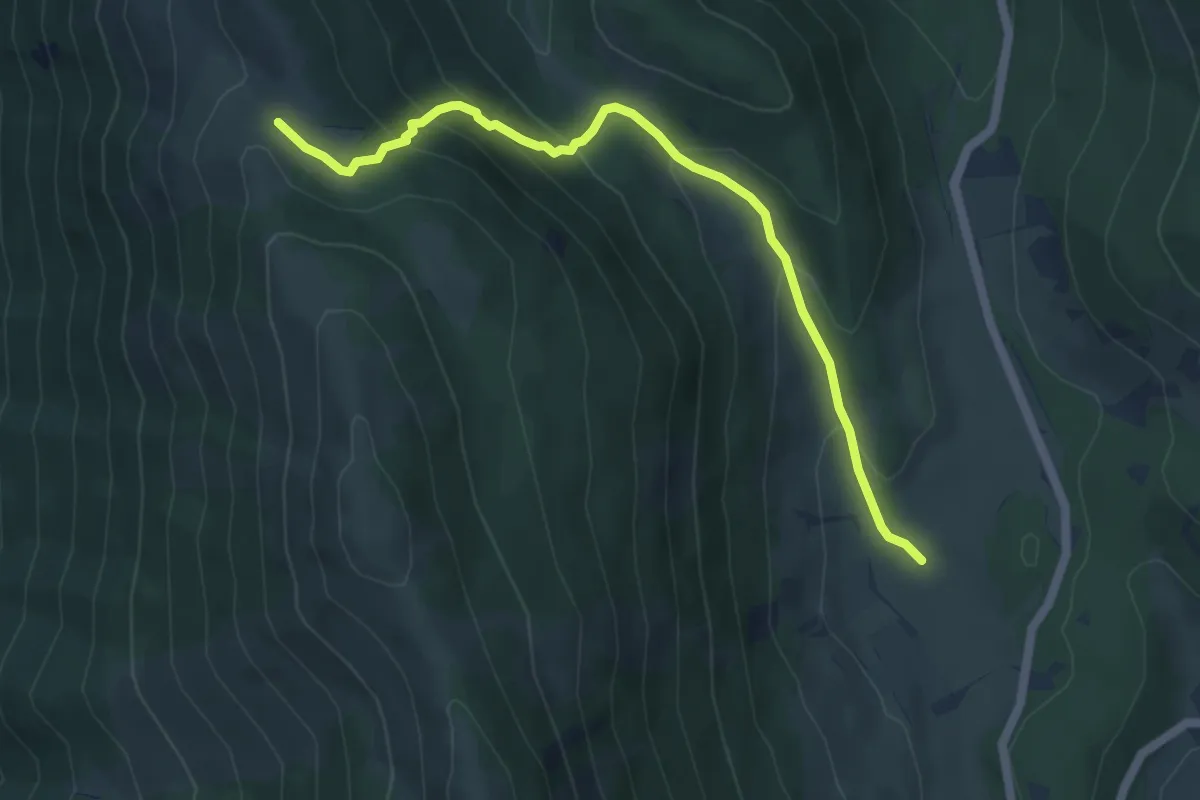
Medium · Trail
L'Acereta – Sentiero T2
5.7 km · ↑ 361 m · 2 h 8 min
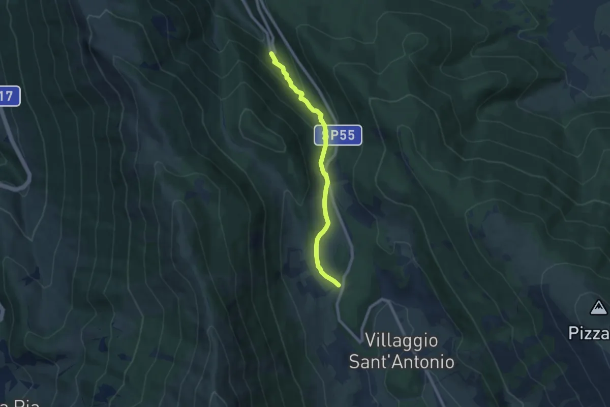
Easy · Cabin
Rifugio Il Majo – Bosco di Sant'Antonio
6.5 km · ↑ 235 m · 2 h 3 min
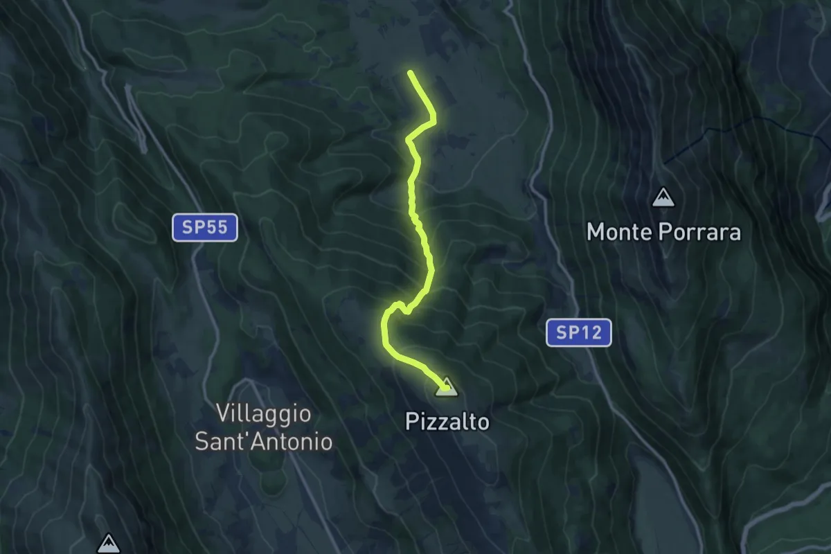
Demanding · Summit
Pescocostanzo – Colle della Battaglia
10.7 km · ↑ 924 m · 4 h 31 min
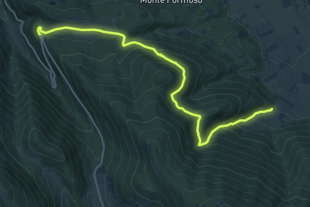
Medium · Trail
Coppo del Diavolo – Sentiero O3
11.4 km · ↑ 533 m · 3 h 51 min
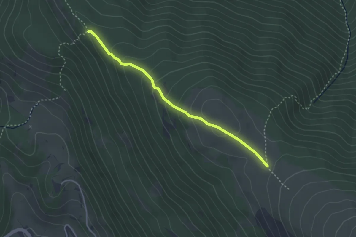
Easy · Trail
Sentiero O1 – Sentiero O3
3.3 km · ↑ 194 m · 1 h 12 min
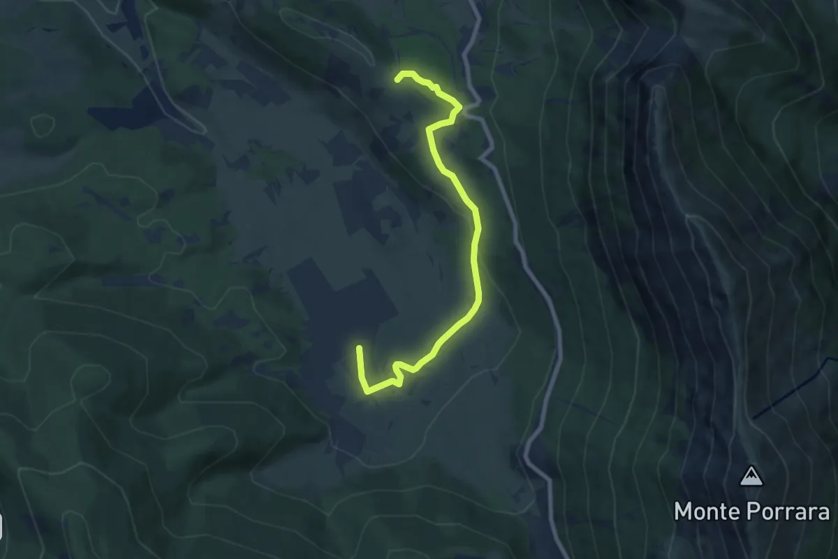
Easy · Trail
Serra Carpineto (Sent. P6) – Sentiero O3
7.8 km · ↑ 168 m · 2 h 12 min
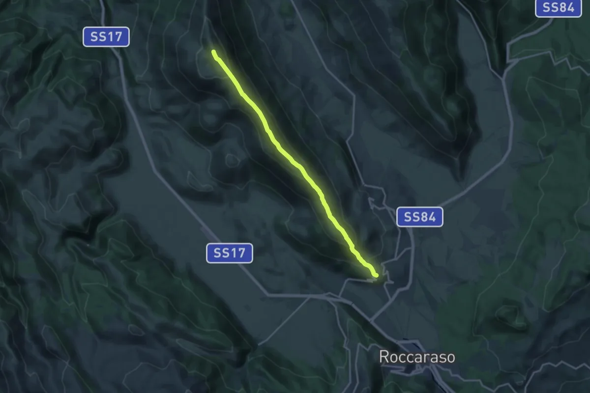
Demanding · Summit
Rivisondoli – Rocca Pia
15.6 km · ↑ 946 m · 5 h 44 min
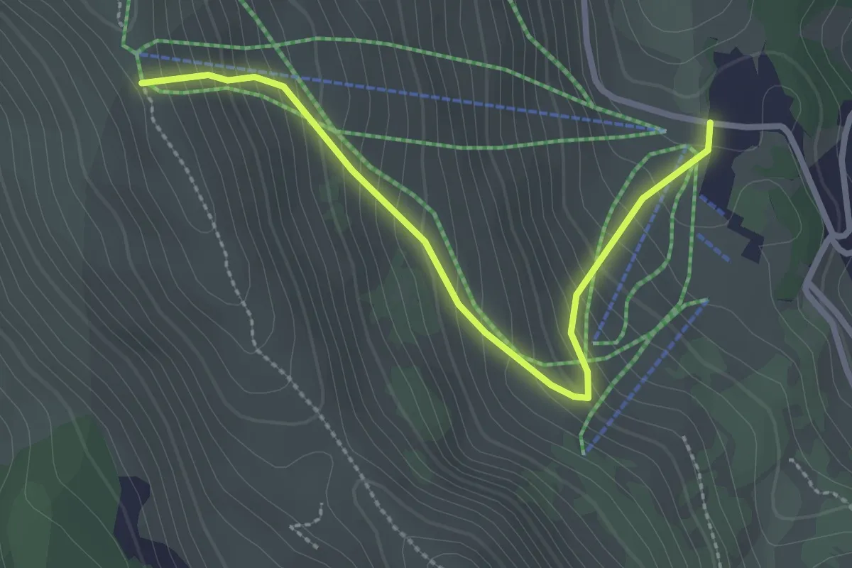
Medium · Trail
Pescocostanzo – Sentiero T1
3.0 km · ↑ 283 m · 1 h 19 min
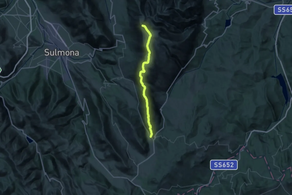
Demanding · Summit
Monte Amaro – Stazione di Palena
42.8 km · ↑ 2755 m · 16 h 5 min
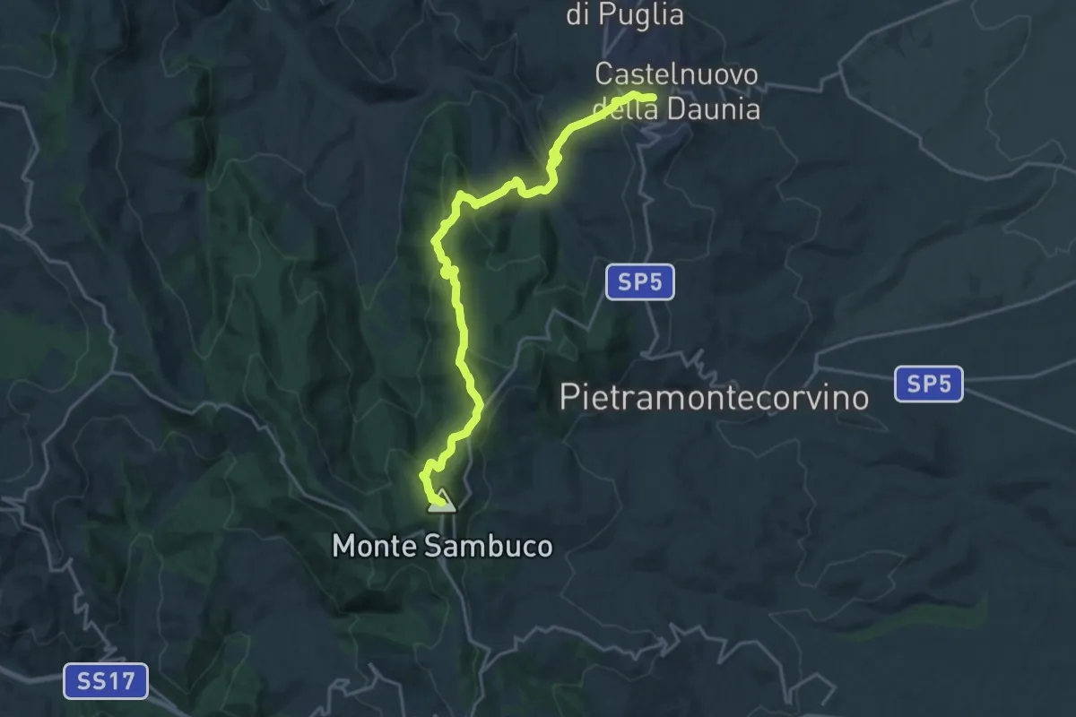
Demanding · Summit
Monte Sambuco – Castelnuovo della Daunia
20.6 km · ↑ 1063 m · 7 h 10 min
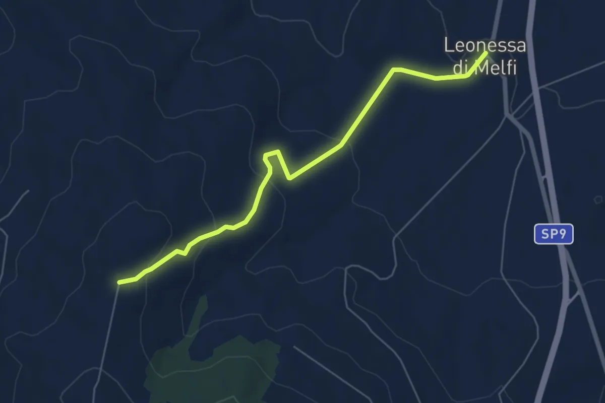
Easy · Trail
R13 S.I. – Leonessa di Melfi
6.3 km · ↑ 238 m · 2 h
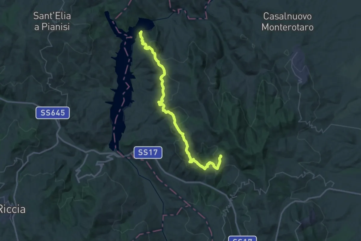
Demanding · Trail
Macchia Rossa – 315 - Lago di Occhito
18.9 km · ↑ 692 m · 6 h 25 min
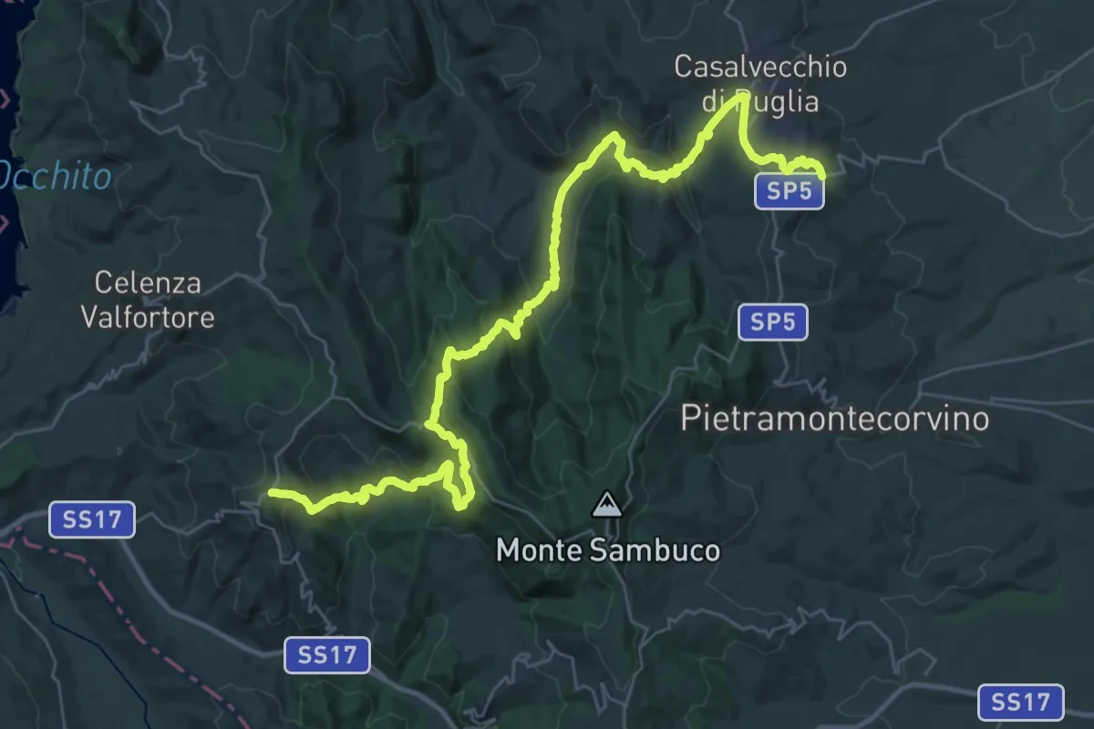
Demanding · Trail
San Marco La Catola – Castelnuovo della Daunia
22.0 km · ↑ 907 m · 7 h 31 min
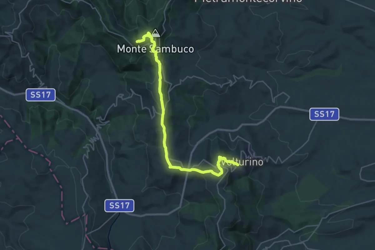
Demanding · Summit
Volturino – Carlantino
22.7 km · ↑ 741 m · 6 h 57 min
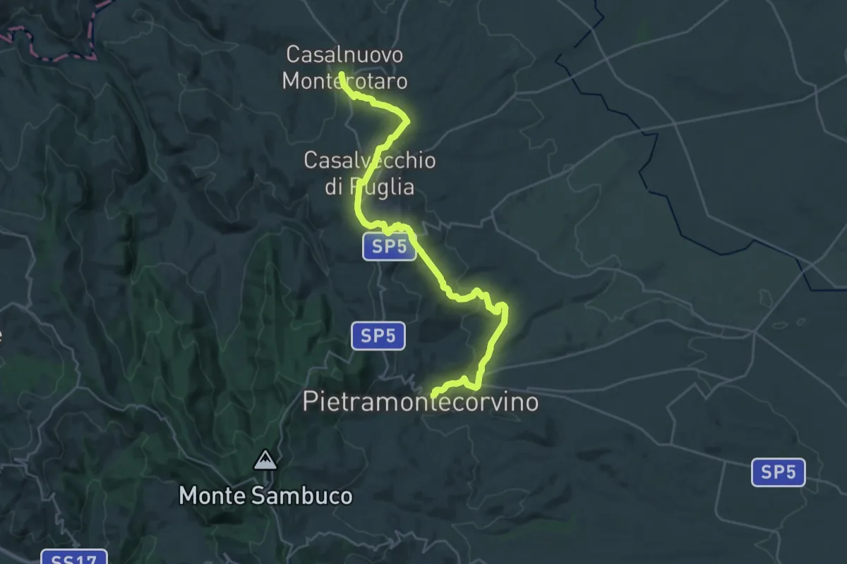
Medium · Trail
Casalnuovo Monterotaro – Pietramontecorvino
15.3 km · ↑ 429 m · 4 h 44 min
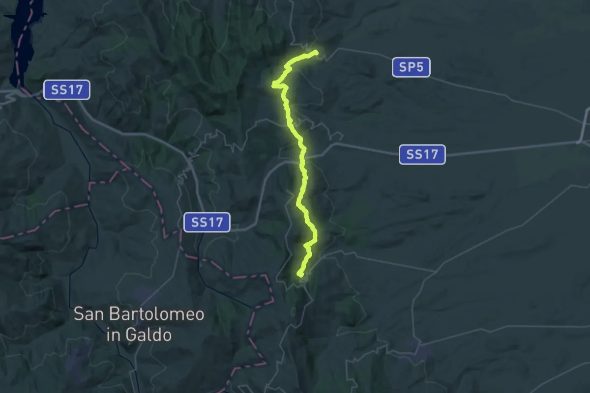
Demanding · Trail
Pietramontecorvino – Alberona
17.3 km · ↑ 889 m · 6 h 9 min
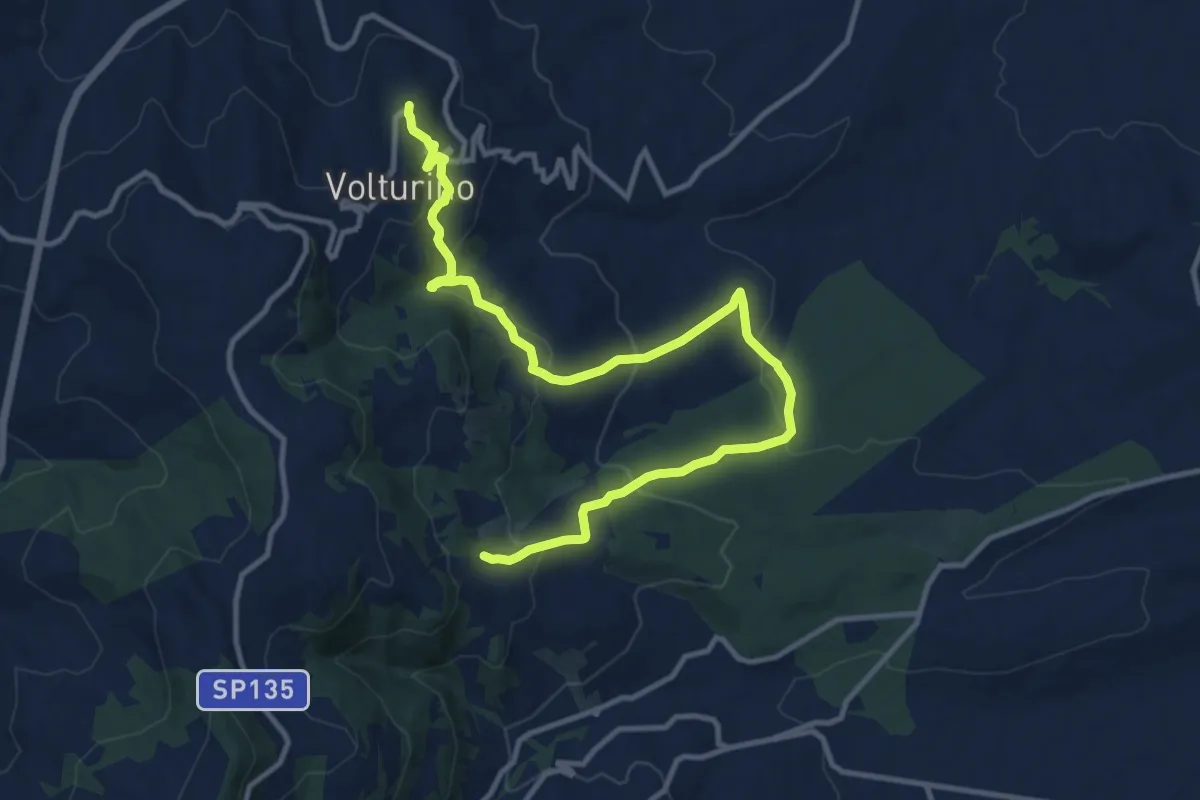
Medium · Trail
Volturino – 312
15.4 km · ↑ 741 m · 5 h 14 min
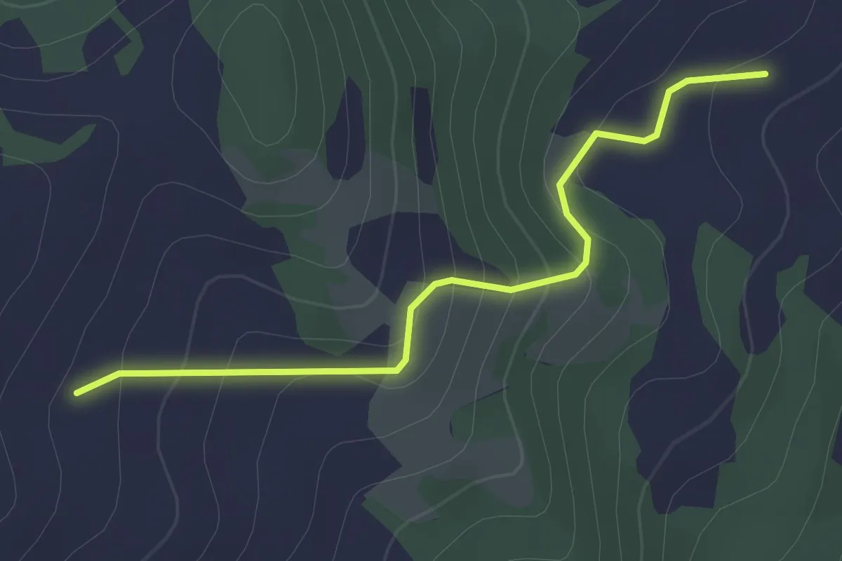
Easy · Trail
312 – 313
2.2 km · ↑ 114 m · 45 min
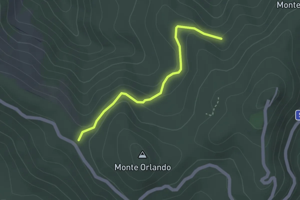
Easy · Trail
Cinque Confini – 330
3.0 km · ↑ 92 m · 55 min
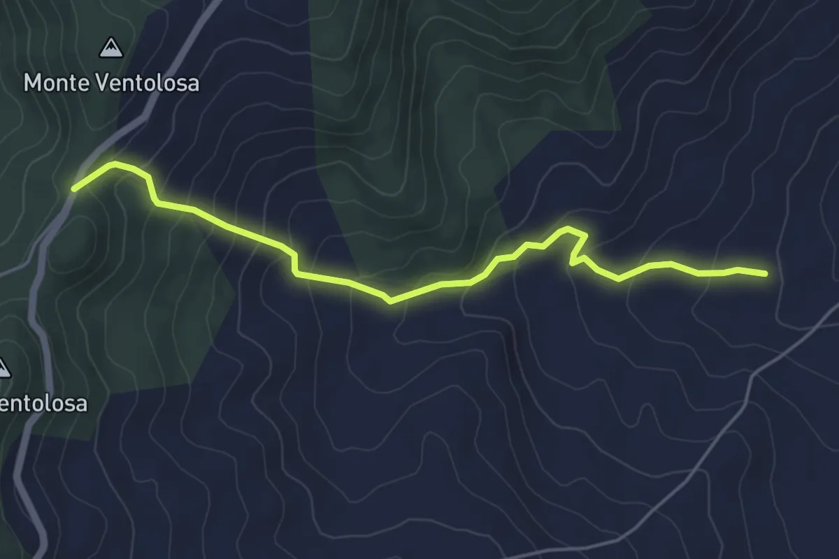
Easy · Cabin
Rifugio forestale Triolo – 312
5.4 km · ↑ 317 m · 1 h 57 min
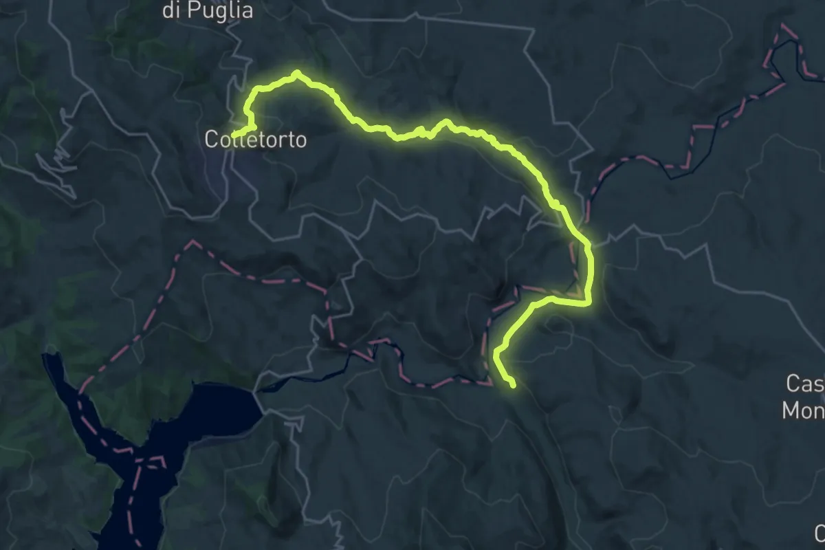
Medium · Trail
Colletorto – Sentiero 325
13.8 km · ↑ 191 m · 4 h 2 min
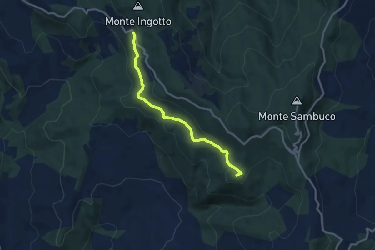
Easy · Summit
Bosco Sant'Antonio – San Cristoforo
6.9 km · ↑ 254 m · 2 h 11 min
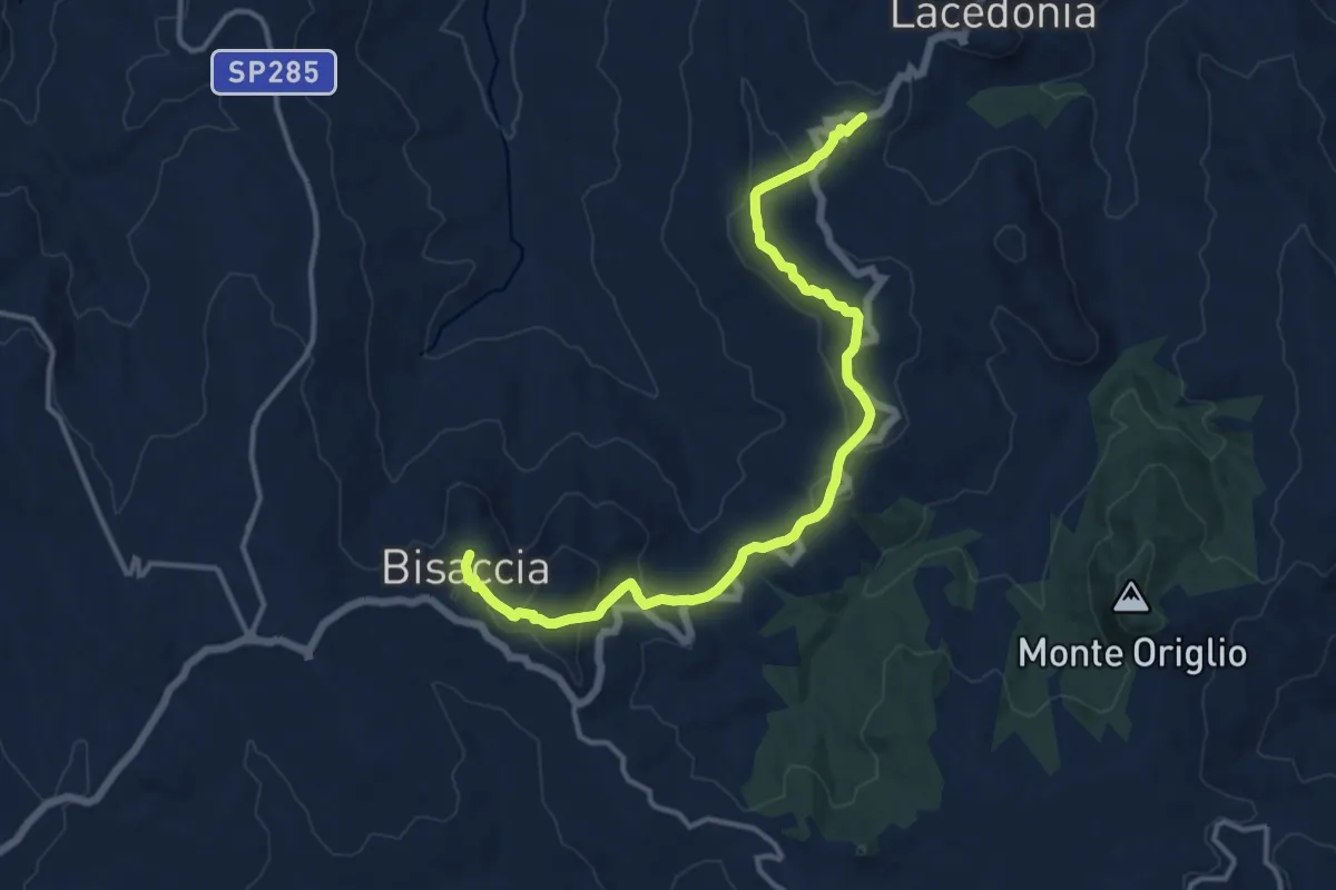
Medium · Trail
Lacedonia – Bisaccia
15.8 km · ↑ 566 m · 4 h 58 min
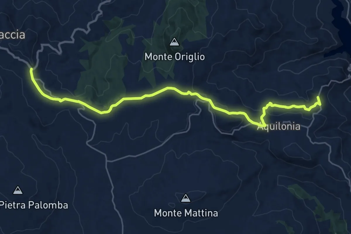
Demanding · Trail
Bisaccia – Aquilonia antica (Carbonara)
22.6 km · ↑ 598 m · 6 h 38 min
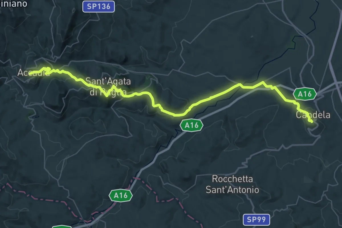
Demanding · Trail
Candela – Accadia
20.6 km · ↑ 769 m · 6 h 43 min
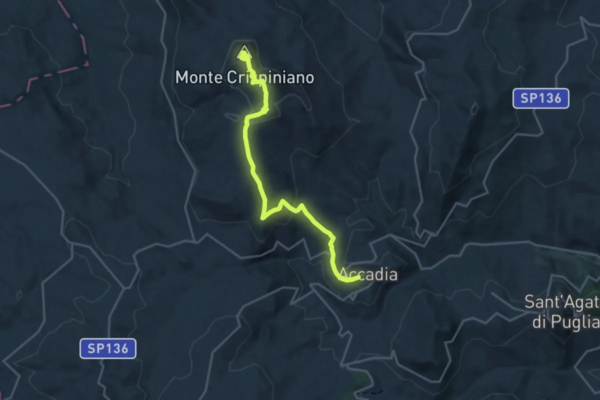
Medium · Summit
Accadia – Orsara di Puglia
15.8 km · ↑ 657 m · 5 h 9 min
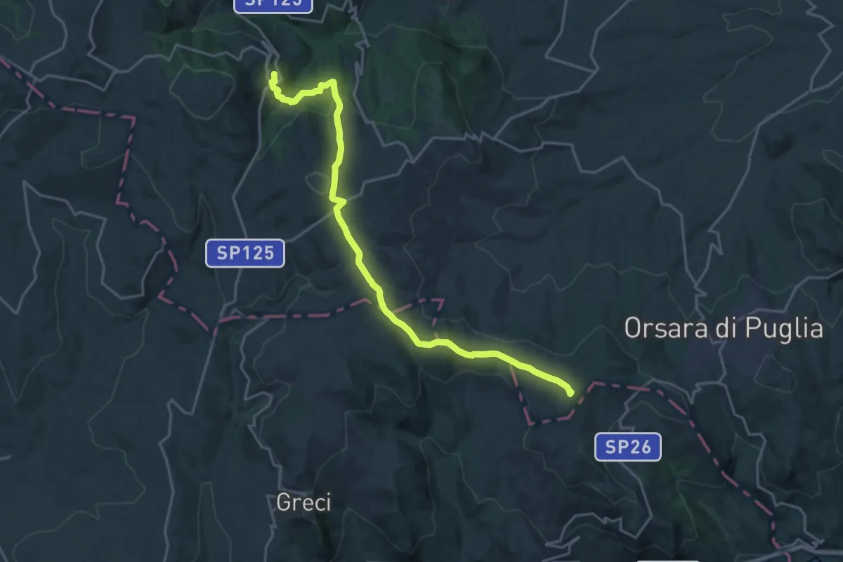
Demanding · Summit
Montaguto – Faeto
21.7 km · ↑ 750 m · 6 h 45 min
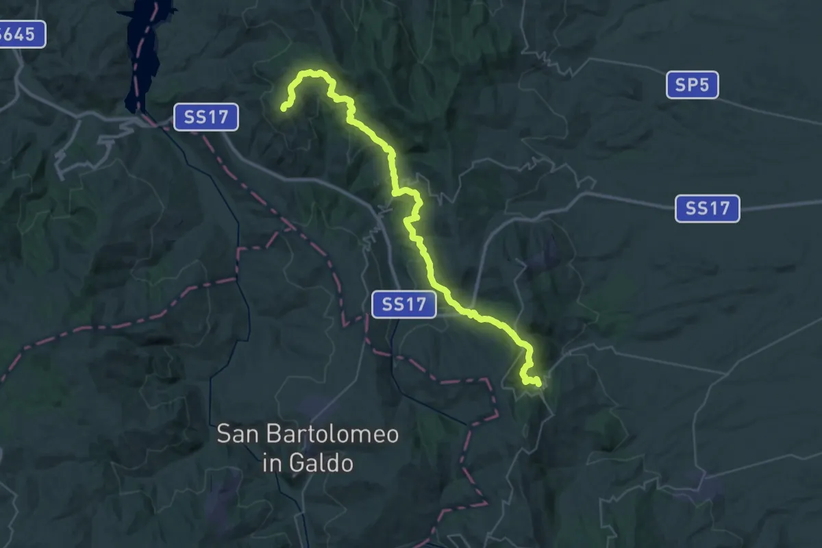
Demanding · Trail
Alberona – San Marco La Catola
22.0 km · ↑ 704 m · 7 h 3 min
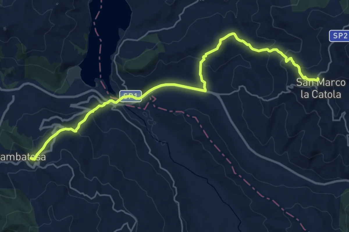
Demanding · Trail
San Marco La Catola – Gambatesa
21.1 km · ↑ 846 m · 6 h 48 min
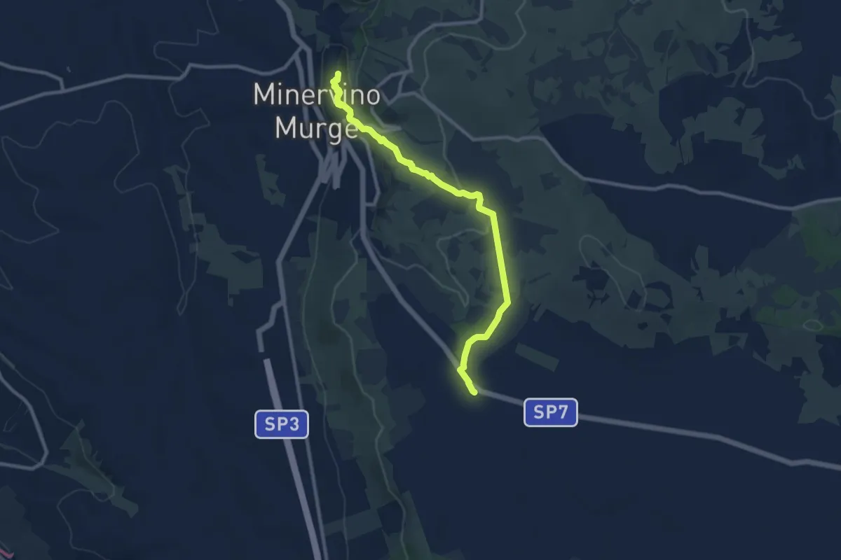
Medium · Trail
Minervino – Acquatetta
10.5 km · ↑ 165 m · 2 h 50 min
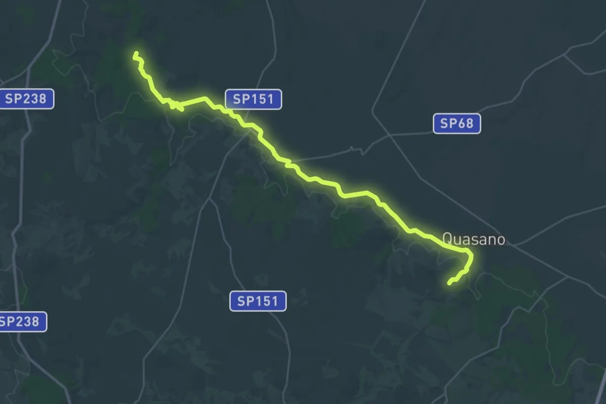
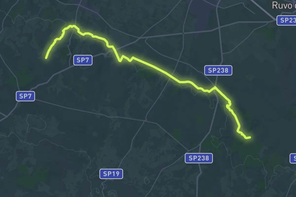
Medium · Trail
Quasano (Toritto) – Contrada Lama d'Ape (Ruvo di Puglia)
17.7 km · ↑ 179 m · 4 h 46 min
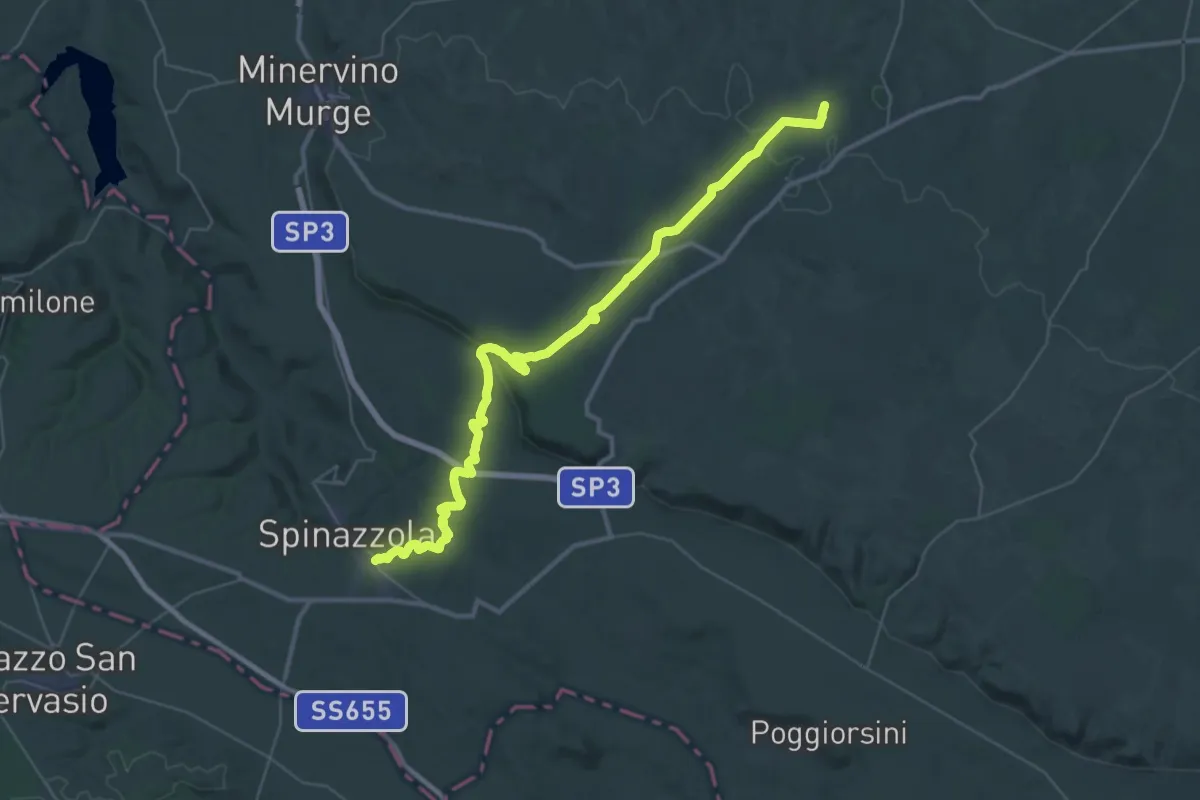
Demanding · Trail
Contrada Lama d'Ape (Ruvo di Puglia) – Castel del Monte (Andria)
23.0 km · ↑ 142 m · 6 h 8 min
Demanding · Trail
Castel del Monte (Andria) – Spinazzola
25.2 km · ↑ 333 m · 7 h 3 min
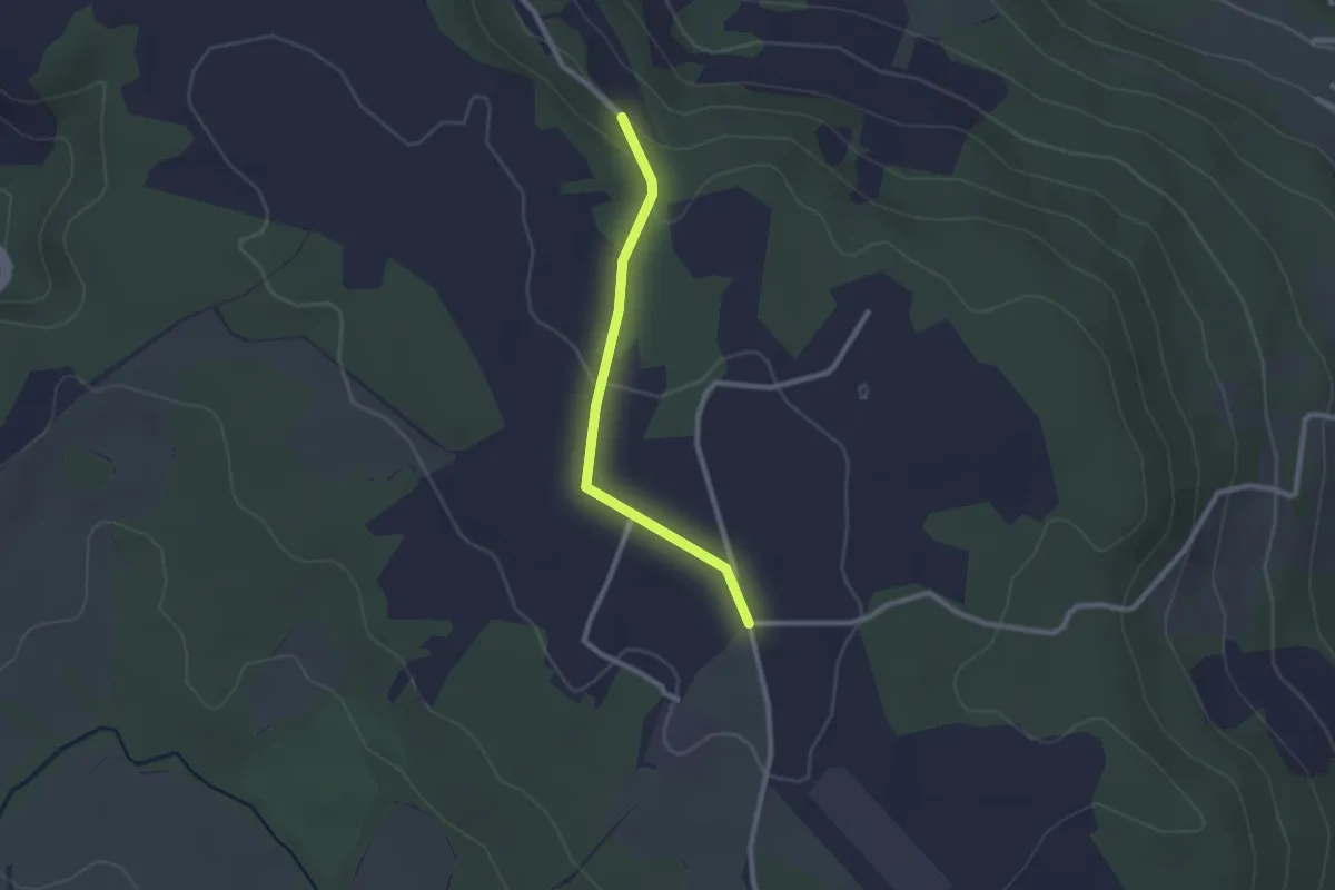
Easy · Trail
percorso 198 – Cammino Tuscia 103
2.3 km · ↑ 46 m · 39 min
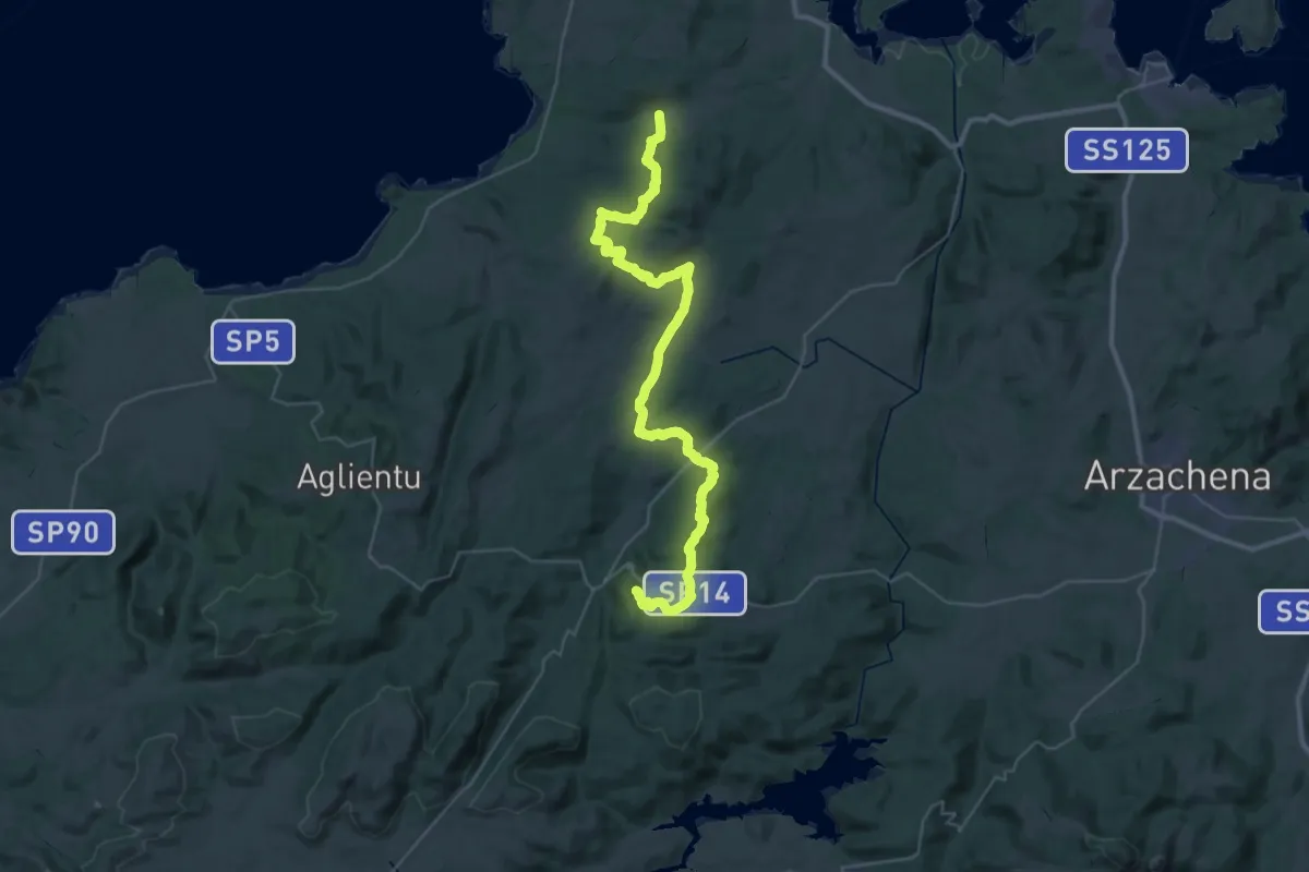
Demanding · Trail
Saltàra – Luogosanto
24.1 km · ↑ 432 m · 7 h 4 min
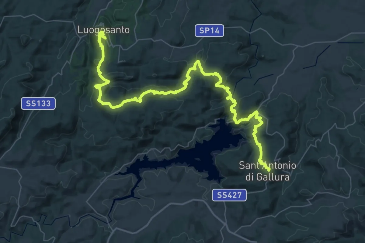
Demanding · Trail
Luogosanto – Sant’Antonio di Gallura
23.9 km · ↑ 769 m · 7 h 37 min
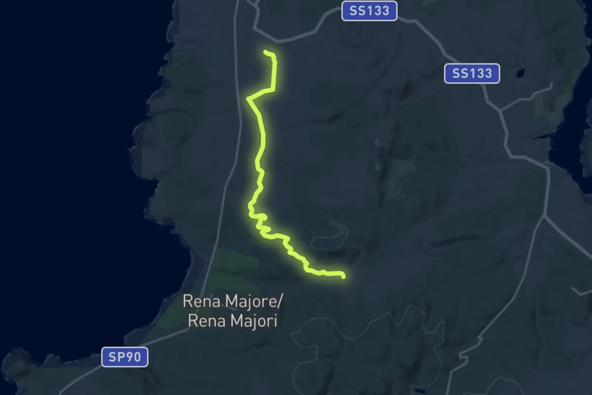
Medium · Trail
Chiesa della Madonna del Buon Cammino – Saltàra
16.7 km · ↑ 282 m · 4 h 33 min
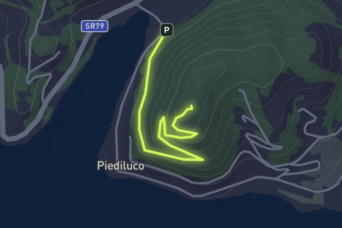
Easy · Trail
Piediluco – La Rocca
3.1 km · ↑ 172 m · 1 h 7 min
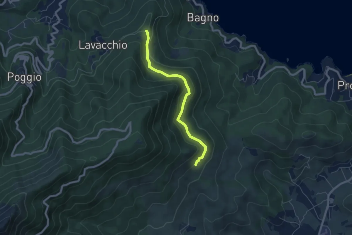
Easy · Trail
Madonna del Buon Consiglio – Poggio S. Prospero
5.3 km · ↑ 260 m · 1 h 49 min
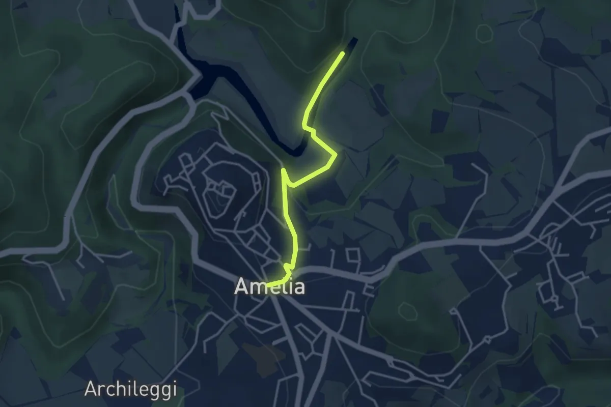
Easy · Trail
Amelia – Lago Vecchio
3.2 km · ↑ 87 m · 56 min
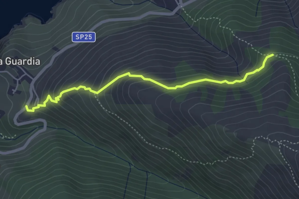
Medium · Trail
113 – Patresi
4.7 km · ↑ 357 m · 1 h 53 min
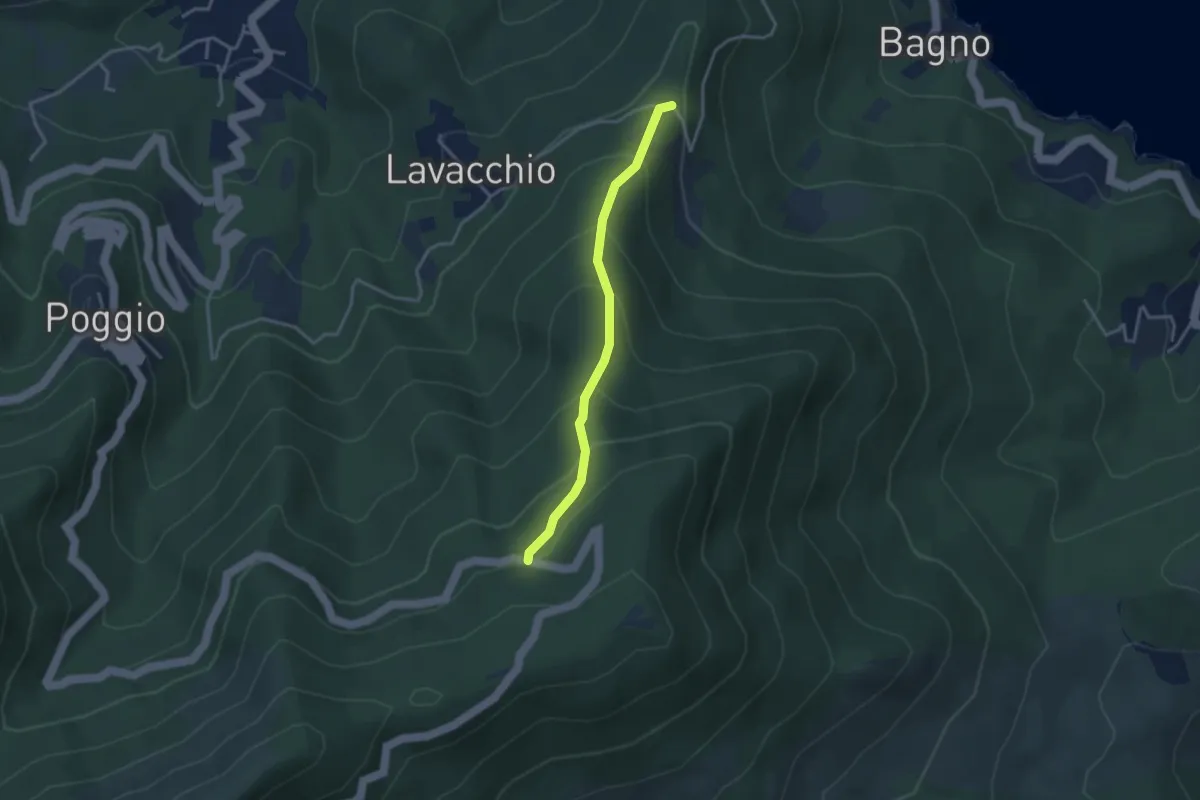
Easy · Trail
Madonna del Buon Consiglio – Monte Perone
3.2 km · ↑ 283 m · 1 h 22 min
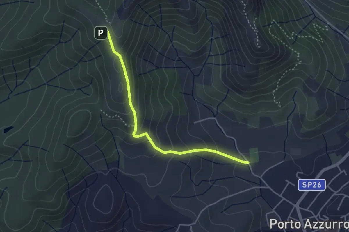
Easy · Trail
GTE – Campo sportivo Porto Azzurro
3.7 km · ↑ 243 m · 1 h 24 min