Trails in Italy
25,219 hiking trails, each with its route, climb, walking time and grade.
All trails, page 268 of 526
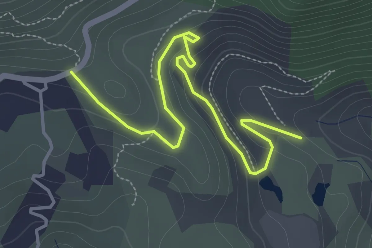
Easy · Trail
Parata – Cantiere Giove
3.7 km · ↑ 139 m · 1 h 11 min
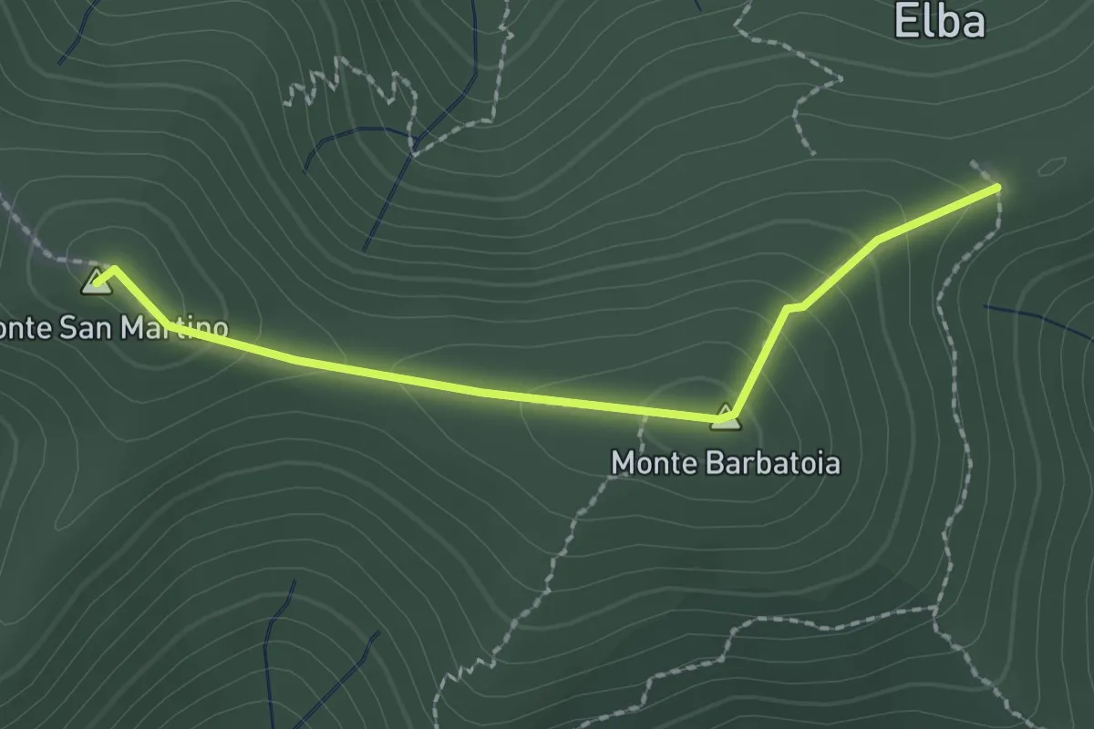
Medium · Summit
GTE – GTE
2.2 km · ↑ 121 m · 46 min
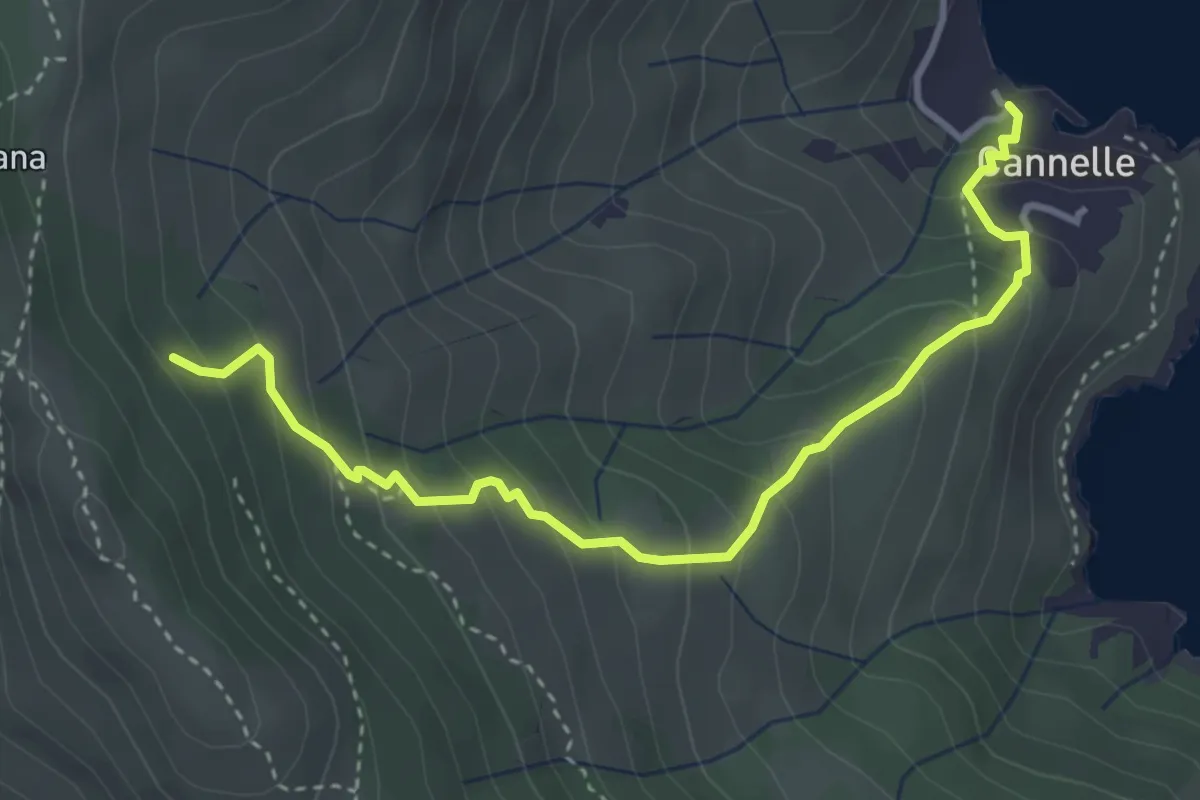
Medium · Trail
Percorso 303 – Via delle Cannelle
4.2 km · ↑ 365 m · 1 h 46 min
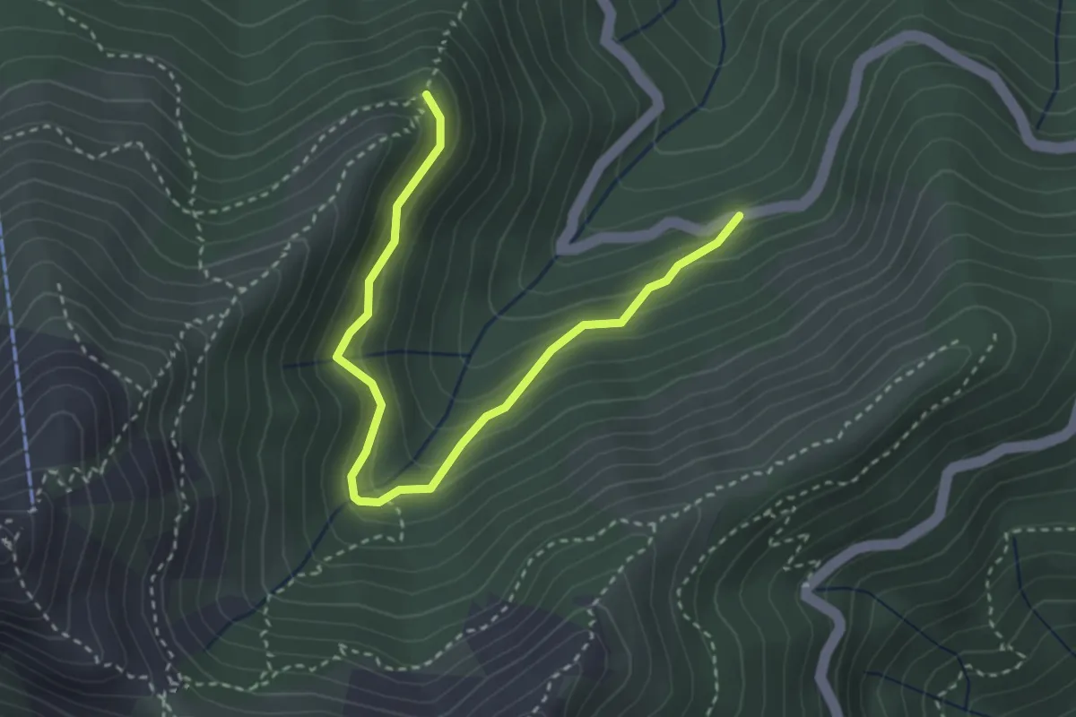
Medium · Trail
105 – SP Monte perone
3.8 km · ↑ 333 m · 1 h 37 min
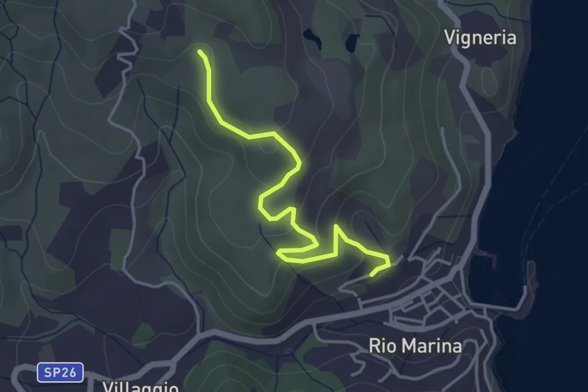
Easy · Trail
259 – anfiteatro
3.9 km · ↑ 156 m · 1 h 16 min
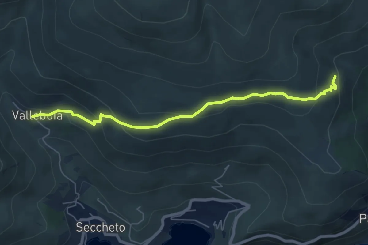
Easy · Trail
195 – 108
5.7 km · ↑ 258 m · 1 h 54 min
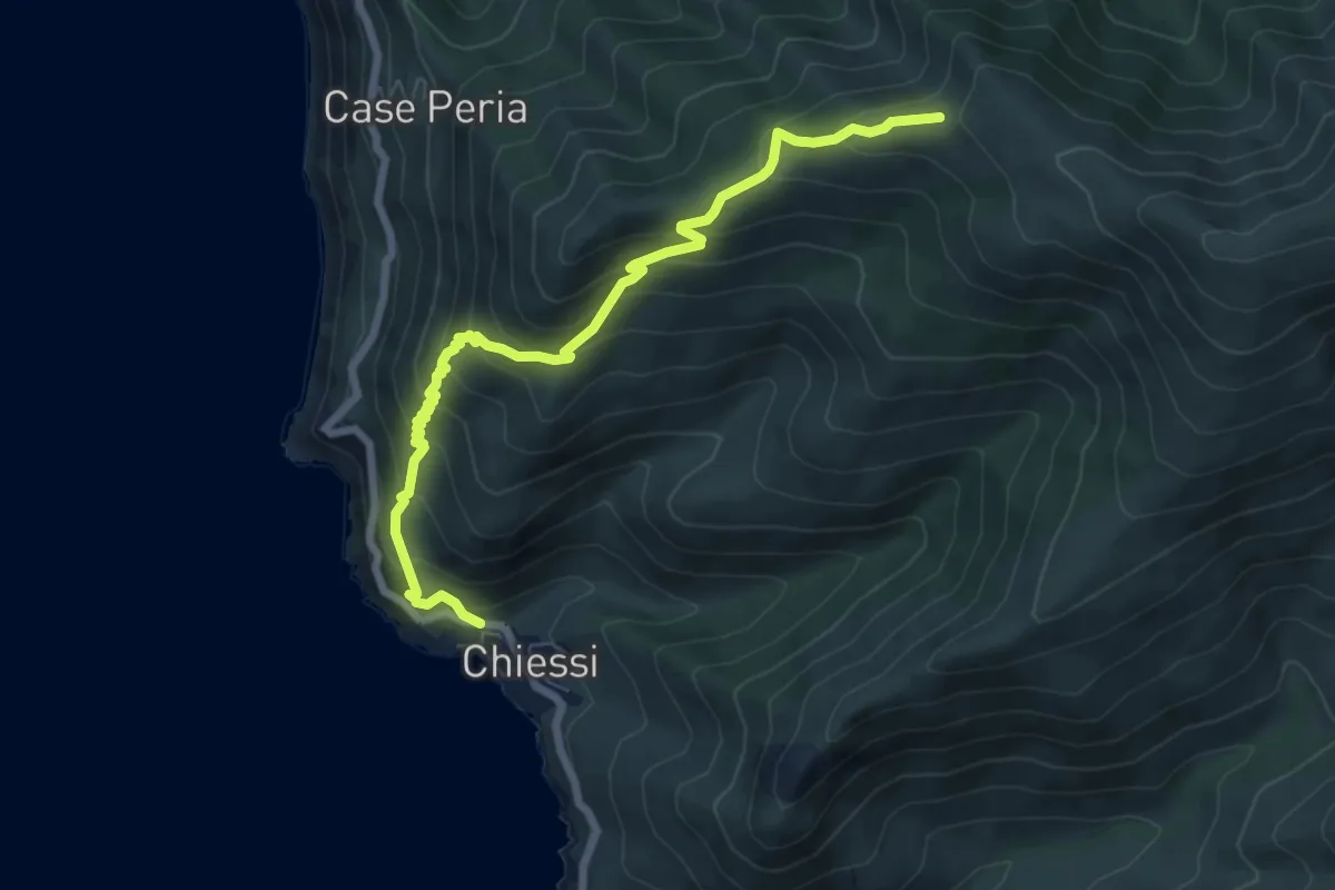
Medium · Trail
103 – Chiessi
8.0 km · ↑ 726 m · 3 h 27 min
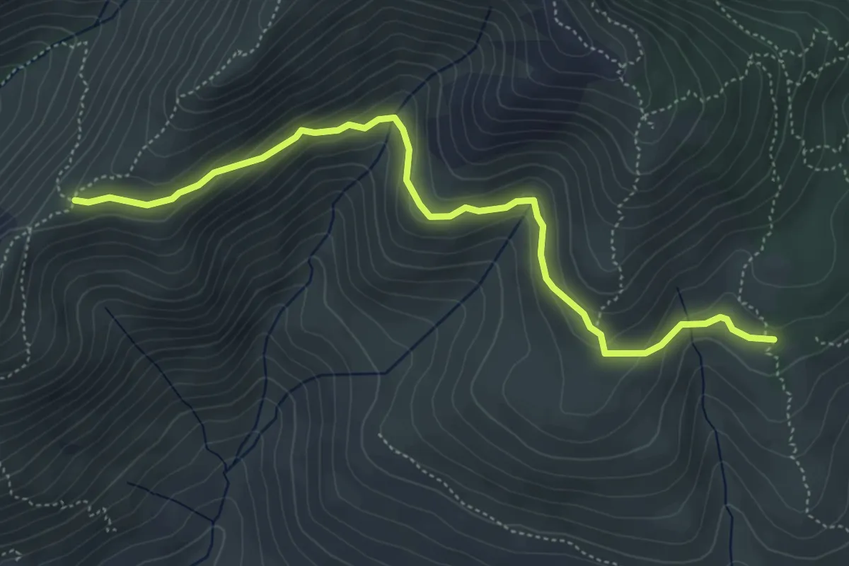
Easy · Trail
Molino Moncione – GTE
5.9 km · ↑ 273 m · 2 h
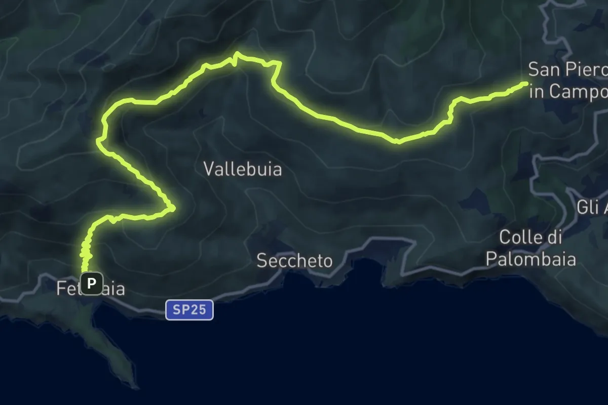
Demanding · Trail
San Piero in Campo – Fetovaia
17.2 km · ↑ 1027 m · 6 h 16 min
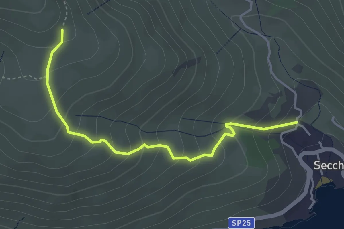
Medium · Trail
Seccheto – 135
3.8 km · ↑ 340 m · 1 h 38 min
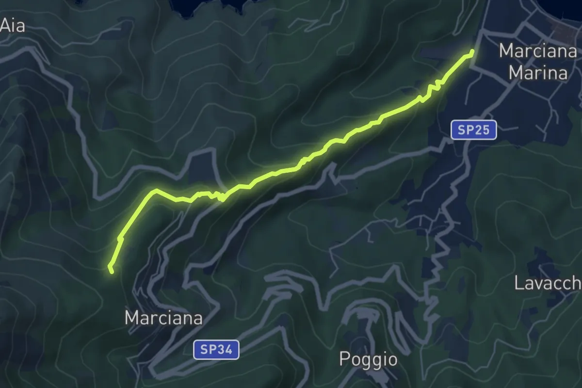
Medium · Trail
Marciana – Marciana Marina
6.3 km · ↑ 455 m · 2 h 28 min
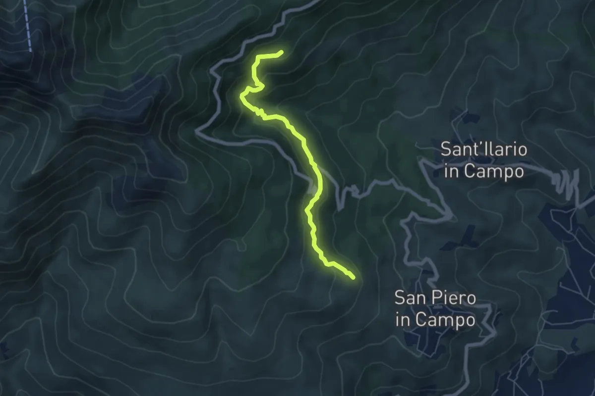
Medium · Trail
119 – 107
5.8 km · ↑ 352 m · 2 h 8 min
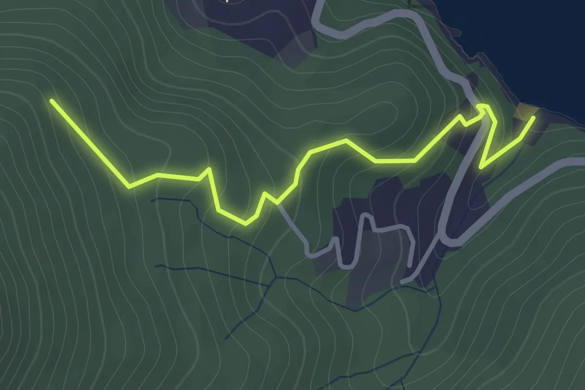
Easy · Trail
Re di Noce – Cappella di S. Rita
3.2 km · ↑ 196 m · 1 h 10 min
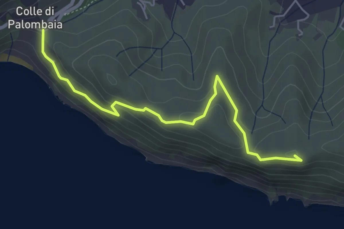
Easy · Summit
Colle di Colombaia – Marina di Campo
5.1 km · ↑ 198 m · 1 h 38 min
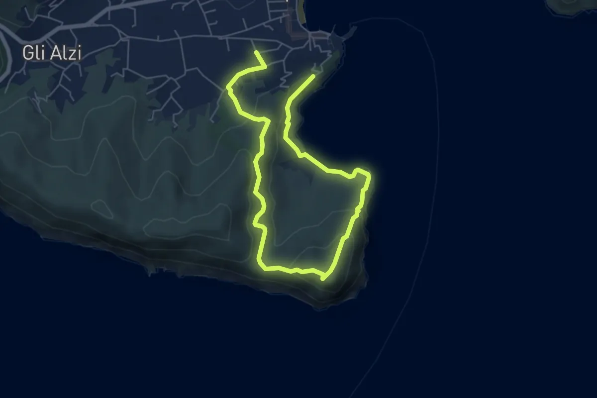
Easy · Trail
Marina di Campo – Marina di Campo
4.4 km · ↑ 214 m · 1 h 33 min
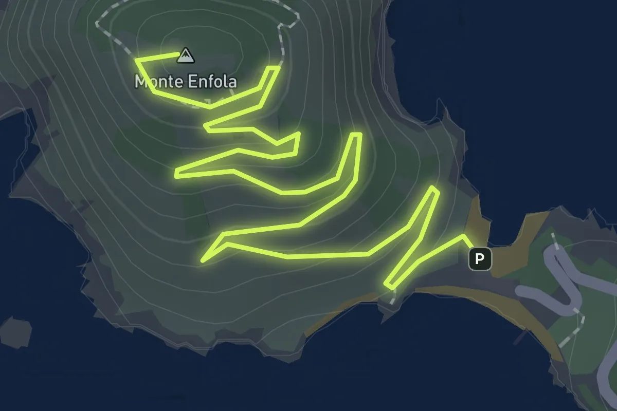
Easy · Summit
Enfola – Capo d'Enfola
3.7 km · ↑ 235 m · 1 h 23 min
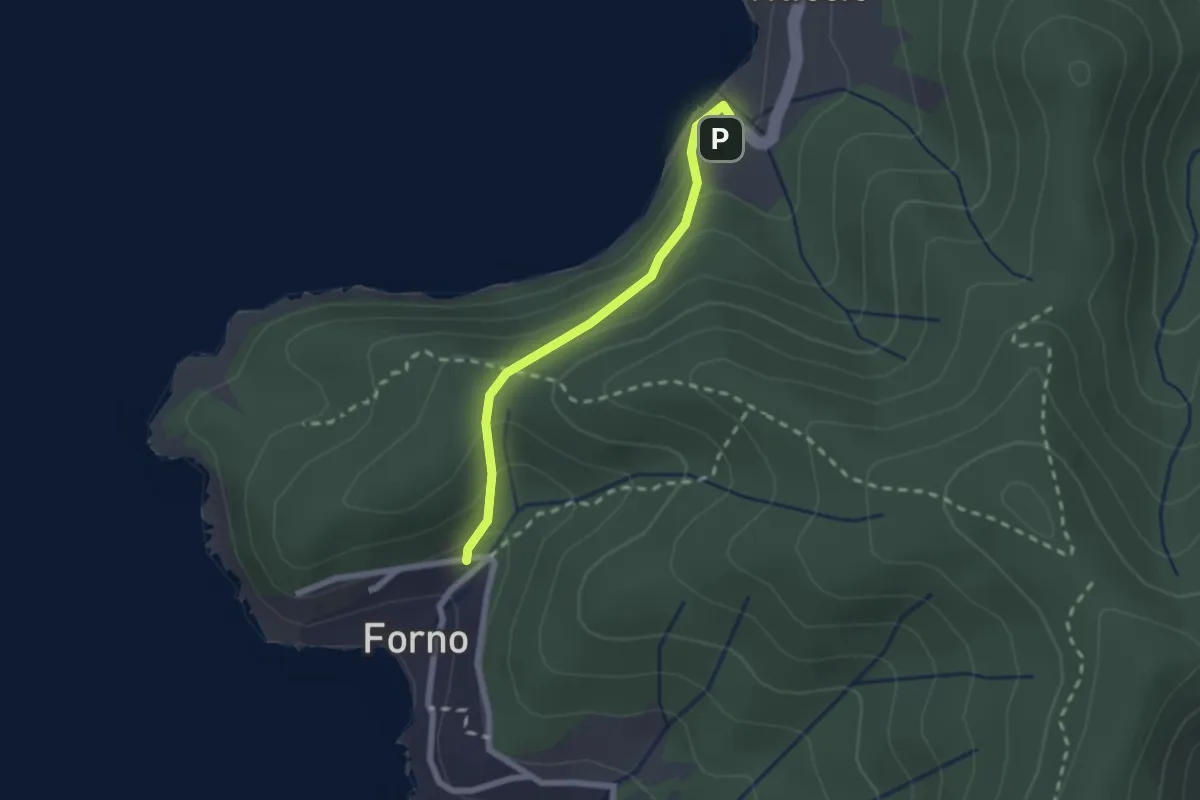
Medium · Trail
Scaglieri – Viticcio
2.1 km · ↑ 126 m · 46 min
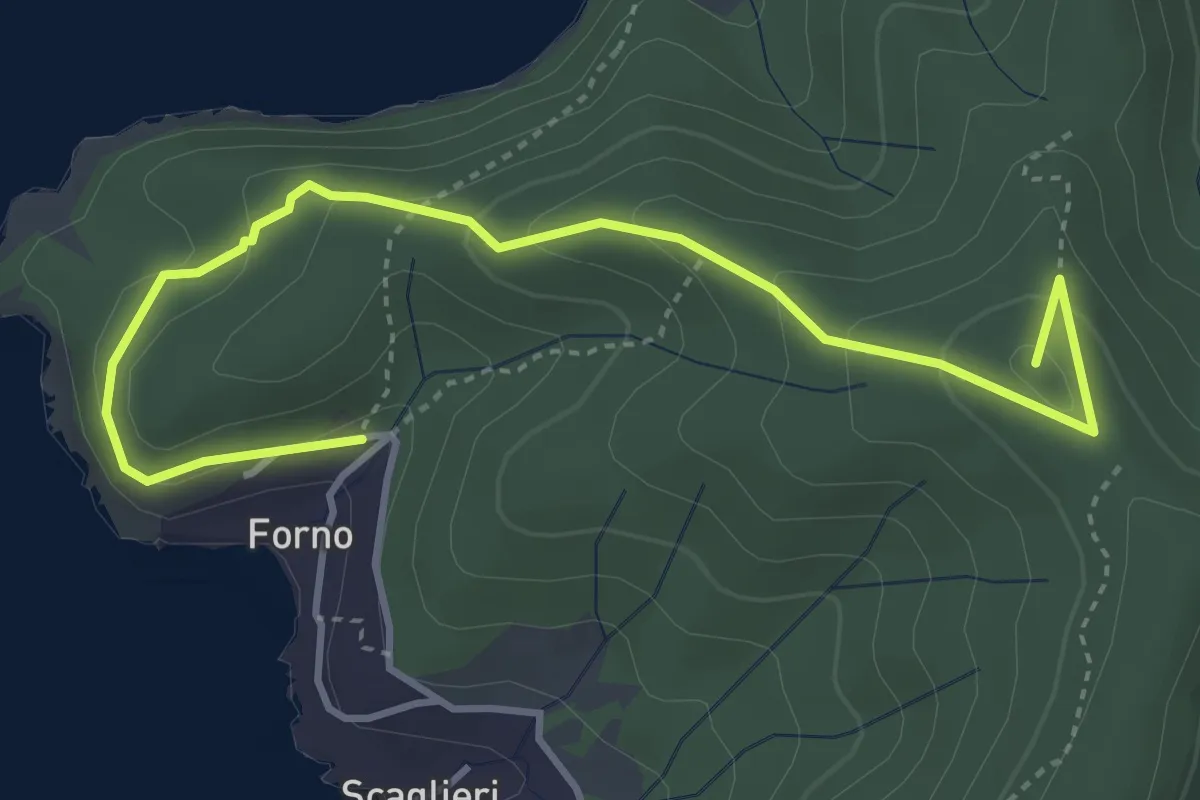
Easy · Summit
Scaglieri – 248
4.9 km · ↑ 293 m · 1 h 47 min
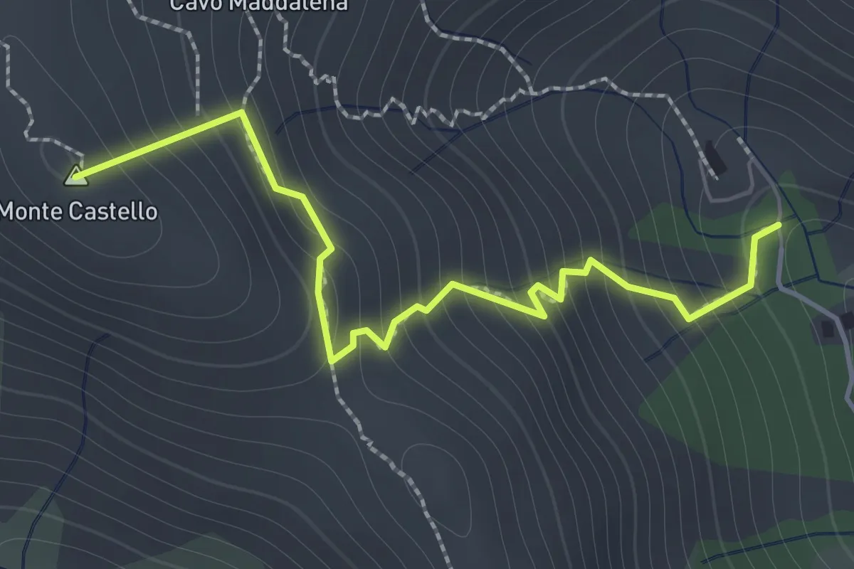
Demanding · Summit
Santuario della Madonna di Monserrato – GTE
1.8 km · ↑ 257 m · 59 min
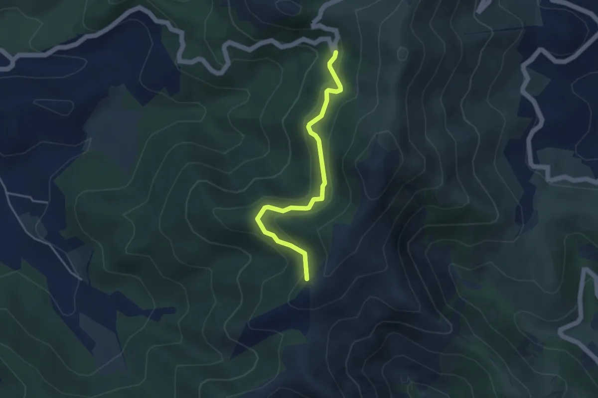
Easy · Trail
SP32 del Volterraio – GTE
3.7 km · ↑ 237 m · 1 h 24 min
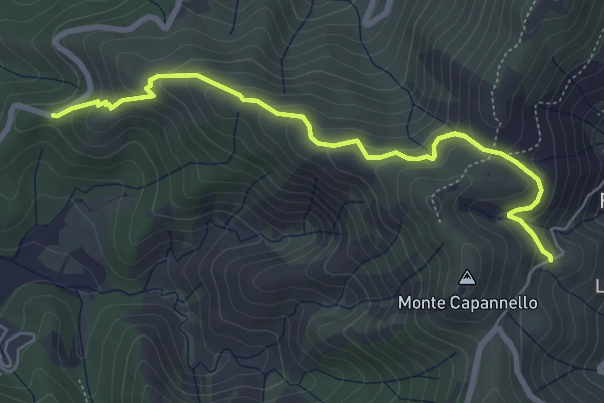
Medium · Trail
Via Sabba Galletti – Strada della Falconaia
5.5 km · ↑ 351 m · 2 h 3 min
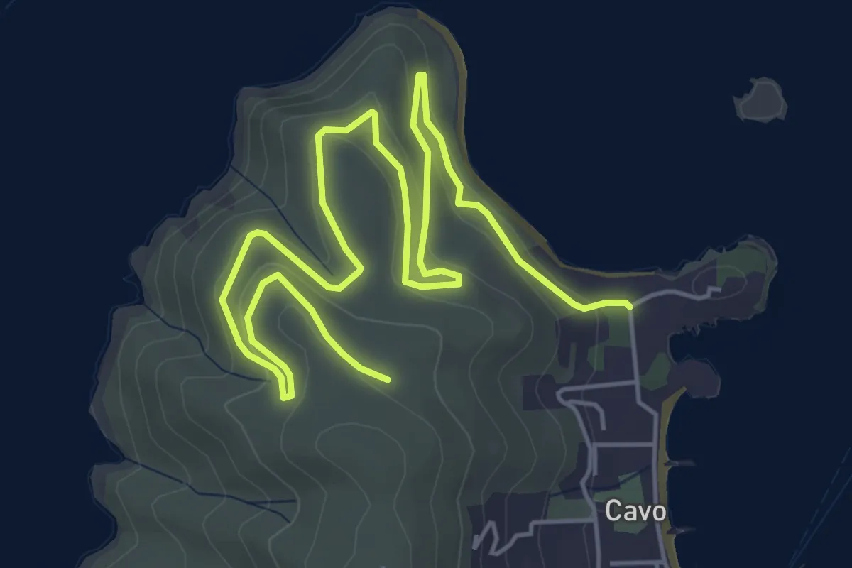
Medium · Trail
via Frugoso – Mausoleo Tonietti
8.3 km · ↑ 285 m · 2 h 34 min
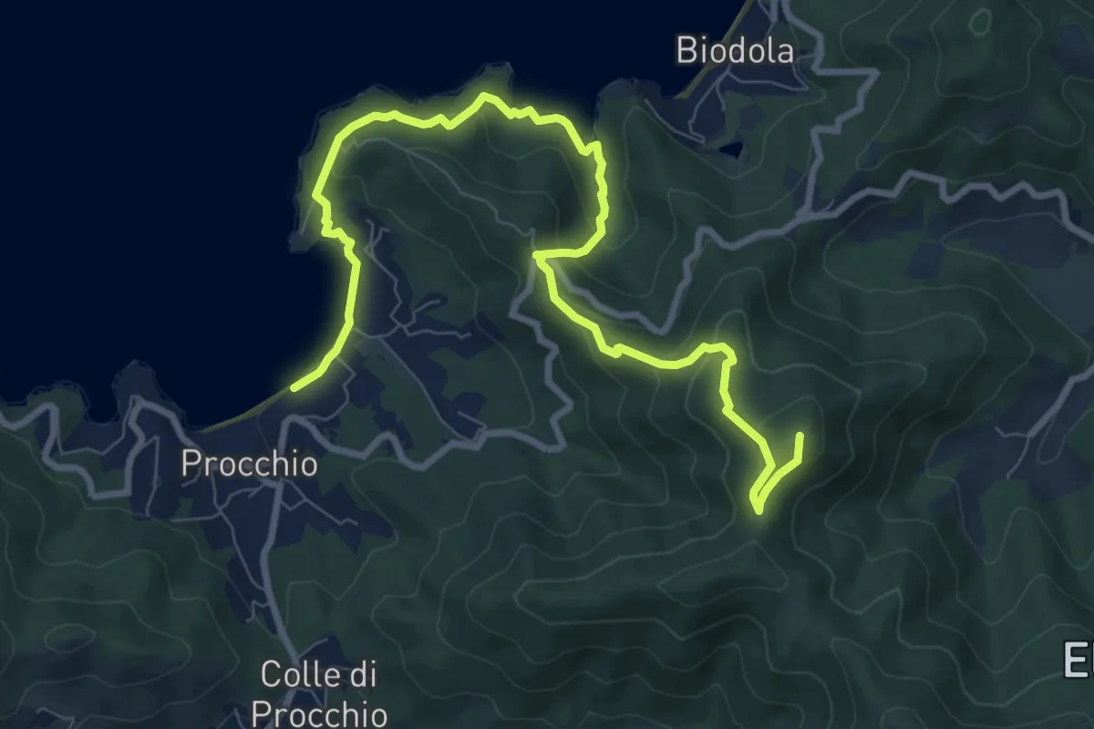
Medium · Summit
San Martino – Procchio
11.1 km · ↑ 488 m · 3 h 41 min
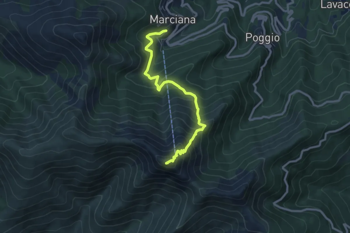
Medium · Summit
Marciana – Monte Capanne
7.1 km · ↑ 651 m · 3 h 4 min
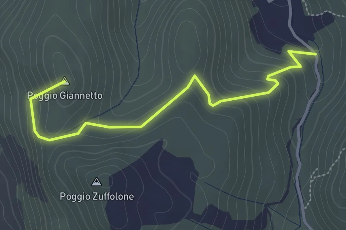
Easy · Summit
Sterrata per I'Allume – Mezzo Franco Sopra
3.2 km · ↑ 162 m · 1 h 7 min
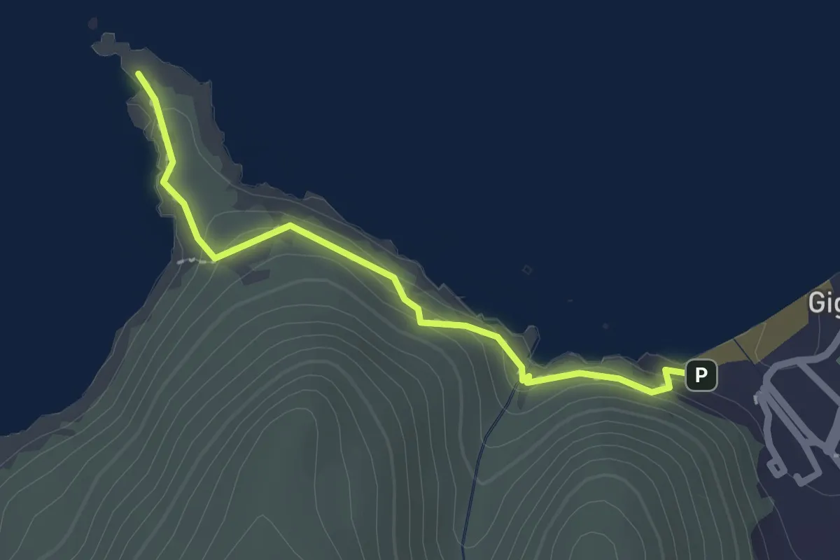
Easy · Trail
Giglio Campese – Punta Faraglione
2.2 km · ↑ 78 m · 42 min
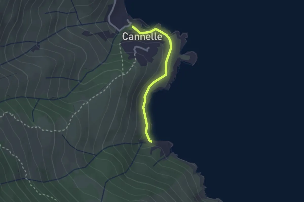
Medium · Trail
Cannelle – Spiaggia delle Caldane
2.0 km · ↑ 48 m · 34 min
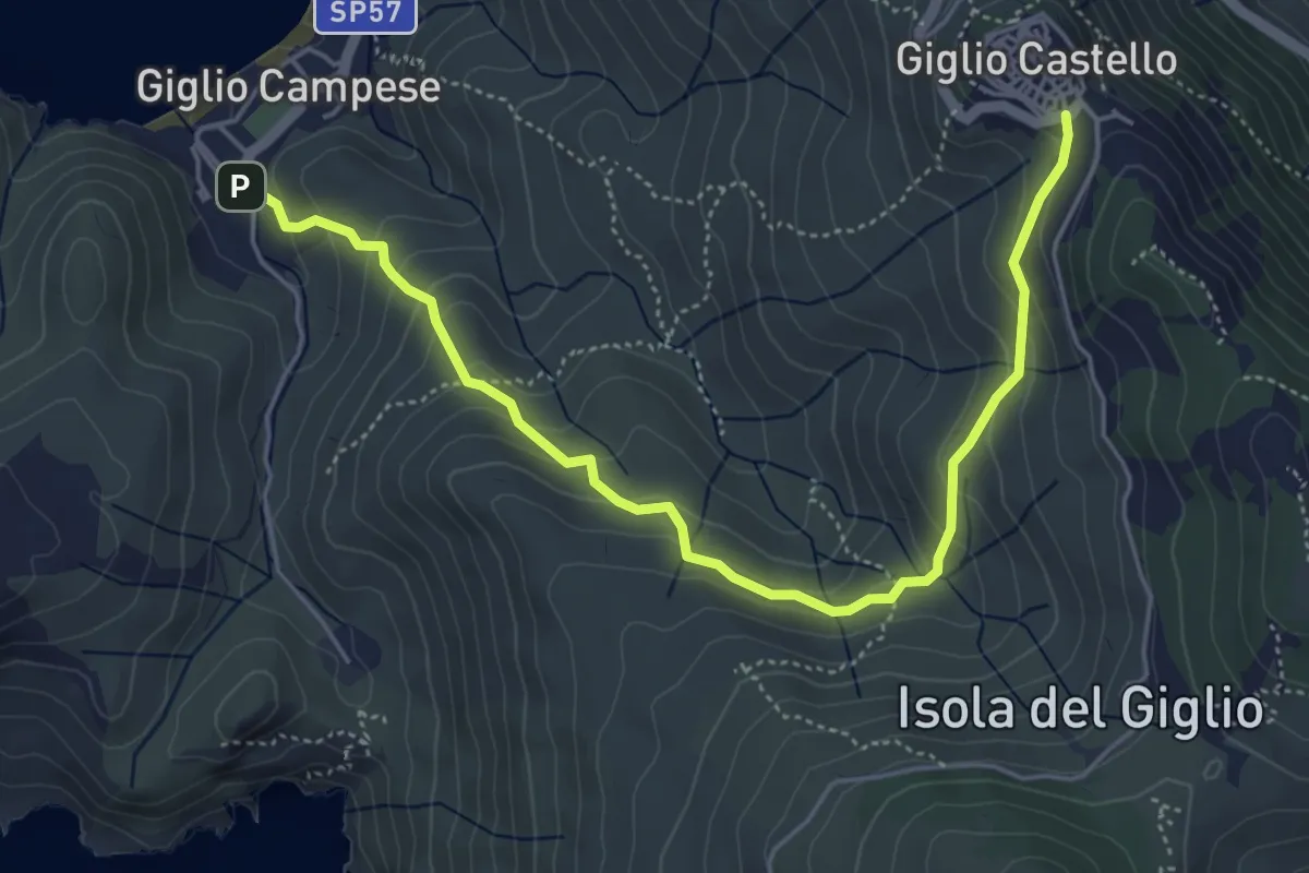
Medium · Trail
Castello – Campese
6.0 km · ↑ 360 m · 2 h 12 min
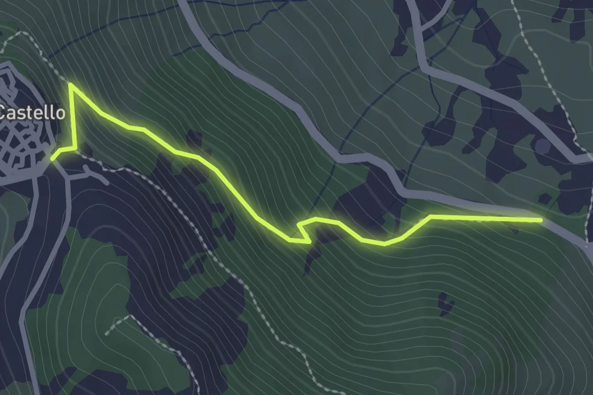
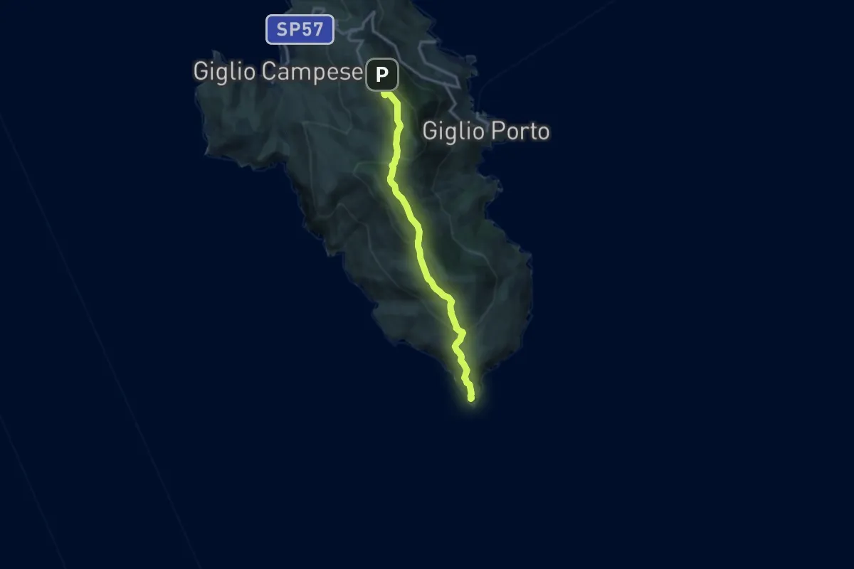
Medium · Trail
Mulattiera Giglio Porto – Giglio Castello
2.6 km · ↑ 262 m · 1 h 11 min
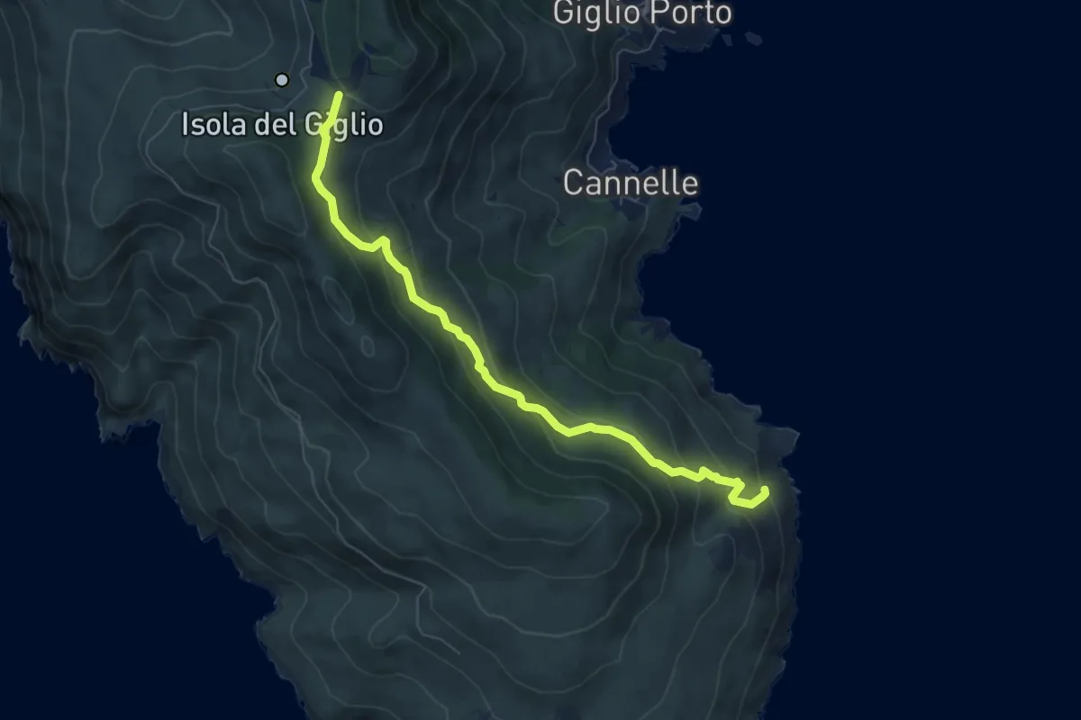
Medium · Trail
Giglio Campese – Punta del Capel Rosso
12.3 km · ↑ 552 m · 4 h 6 min
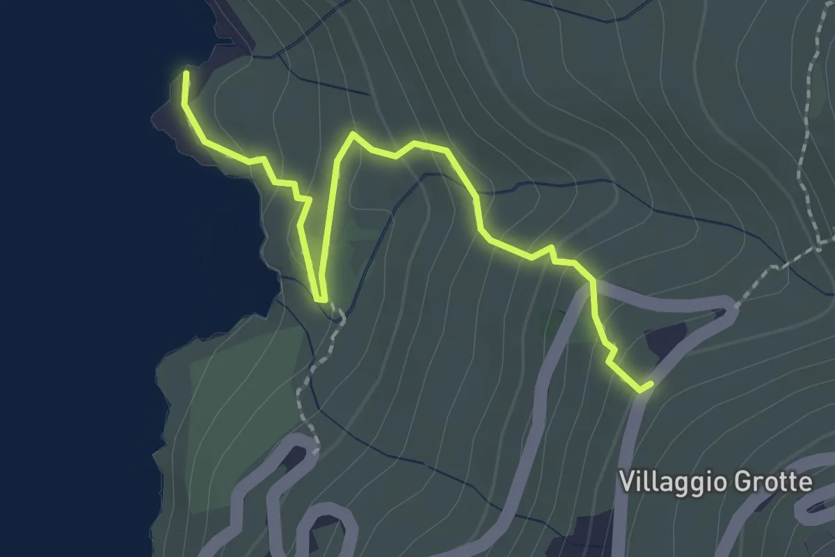
Medium · Trail
Le Porte – Cala degli Alberi
7.2 km · ↑ 410 m · 2 h 36 min
Easy · Trail
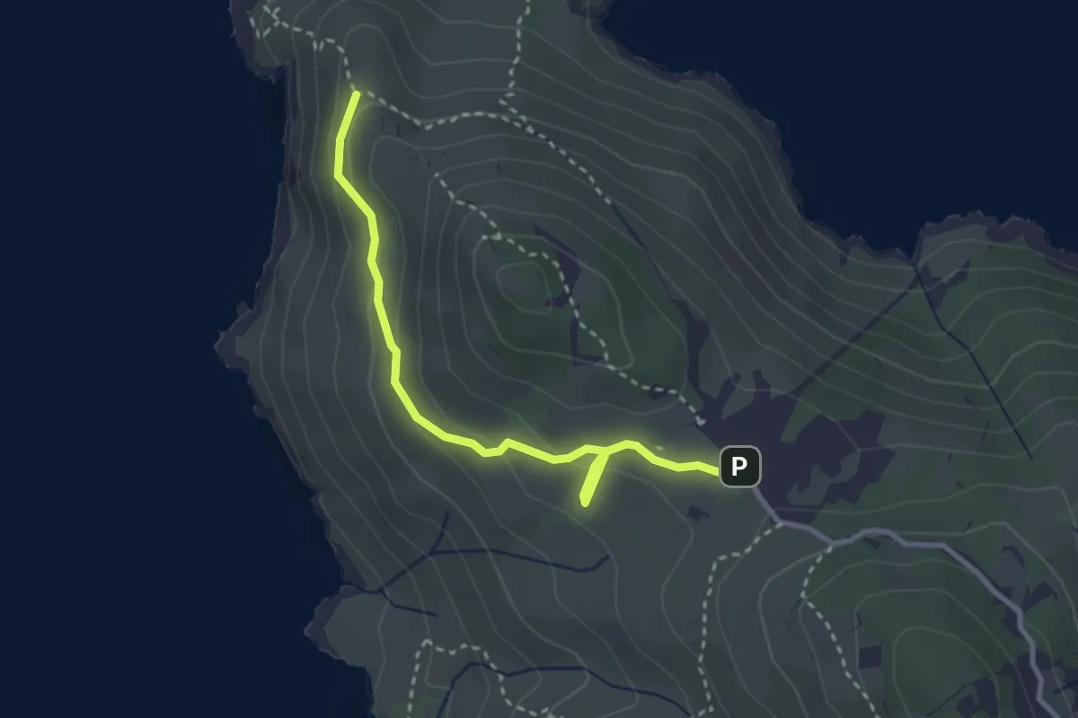
Strada Provindale (sotto Villaggio Grotte) – Punta Caramba
2.3 km · ↑ 145 m · 52 min
Medium · Trail
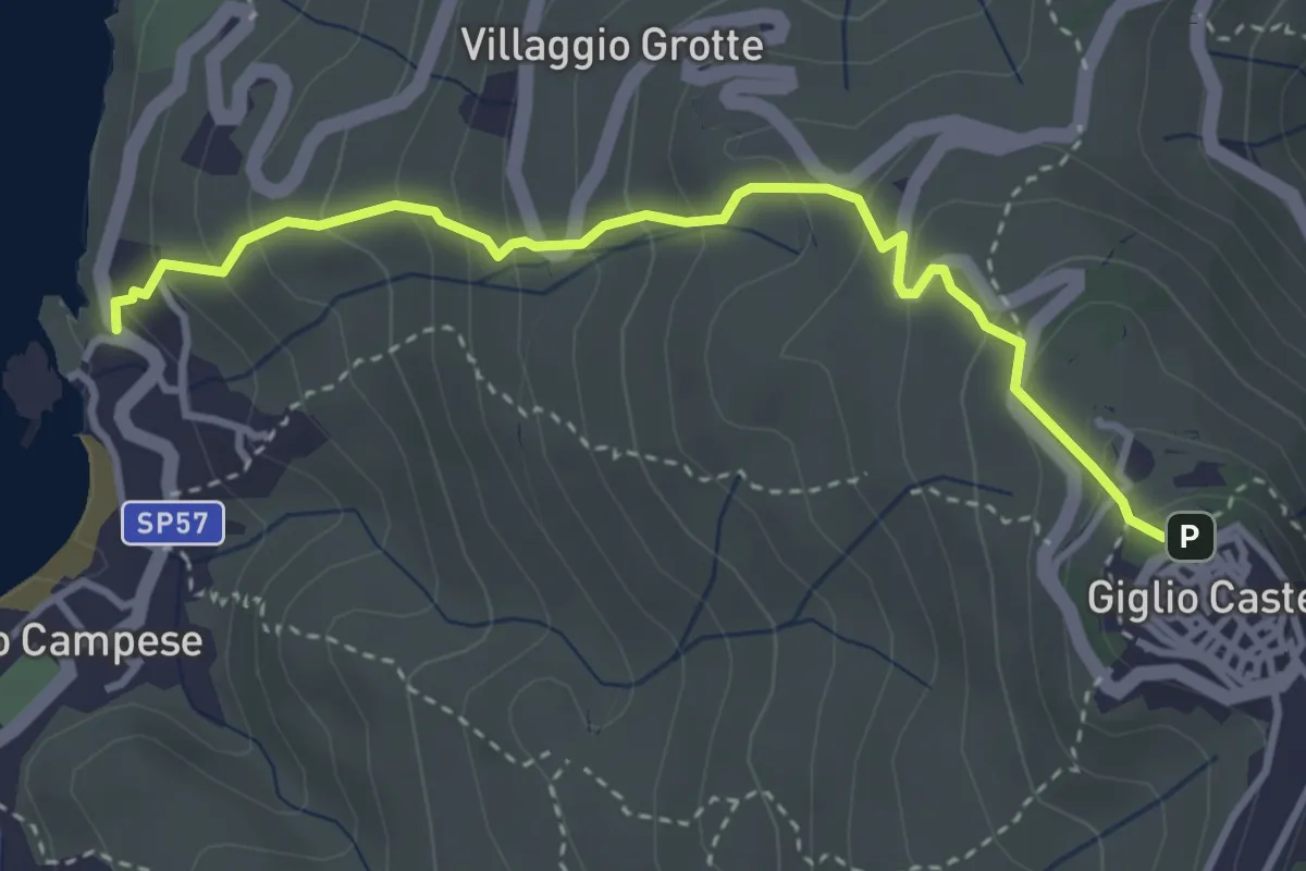
Scopeto – Fenaio
3.2 km · ↑ 155 m · 1 h 6 min
Medium · Trail
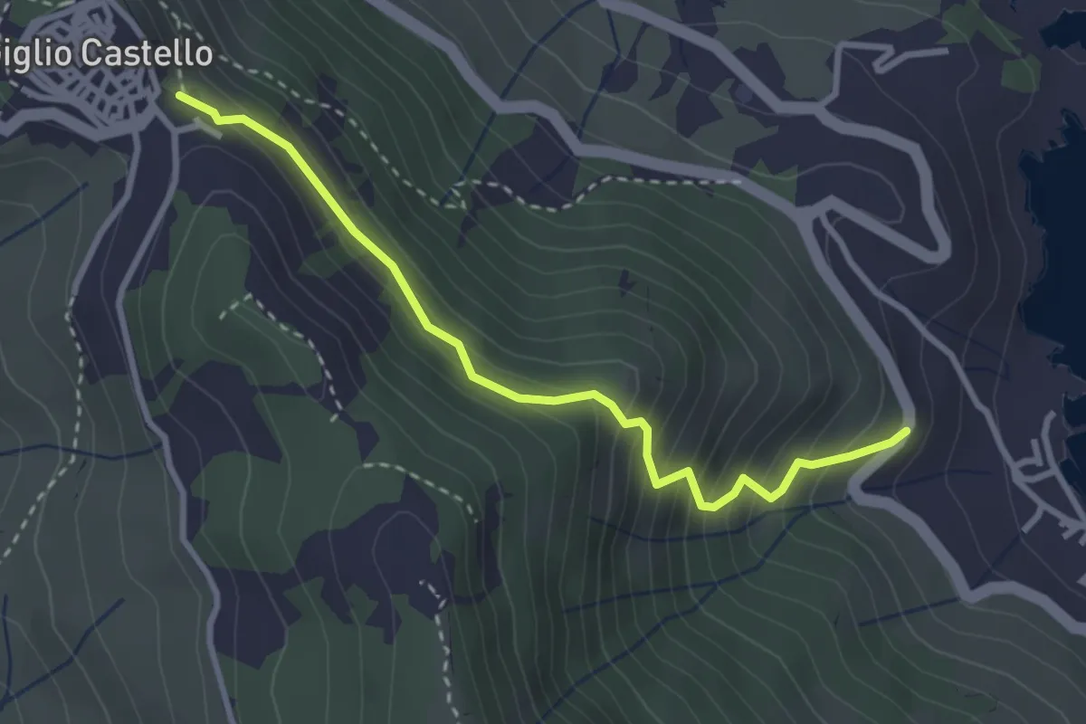
Giglio Campese – Giglio Castello
3.9 km · ↑ 356 m · 1 h 42 min
Medium · Trail
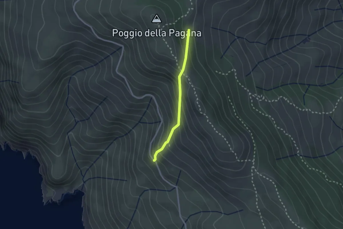
Castello – San Giorgio
3.3 km · ↑ 345 m · 1 h 31 min
Demanding · Trail
Le Porte – La Bredici
2.0 km · ↑ 190 m · 53 min
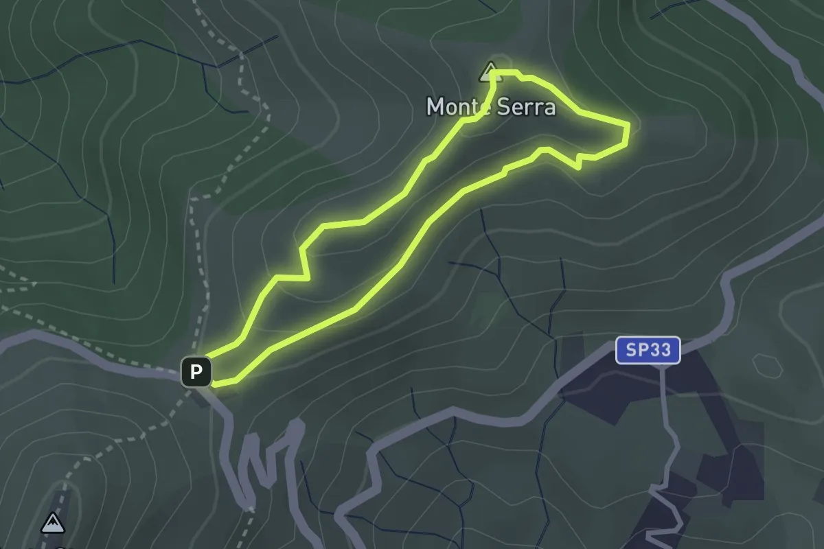
Easy · Summit
Aia di Cacio – Aia di Cacio
2.4 km · ↑ 110 m · 51 min
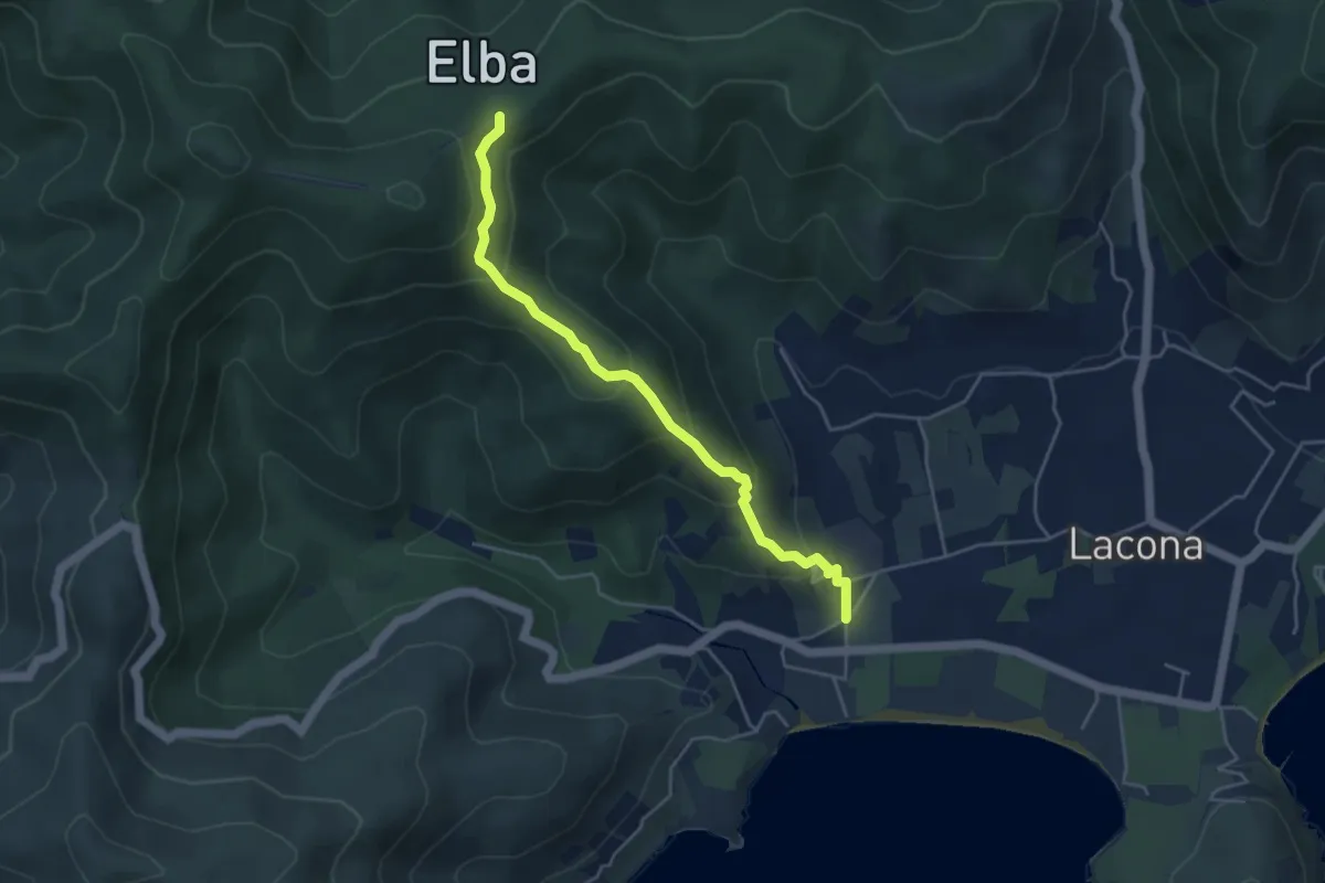
Medium · Trail
Lacona – GTE
4.7 km · ↑ 287 m · 1 h 44 min
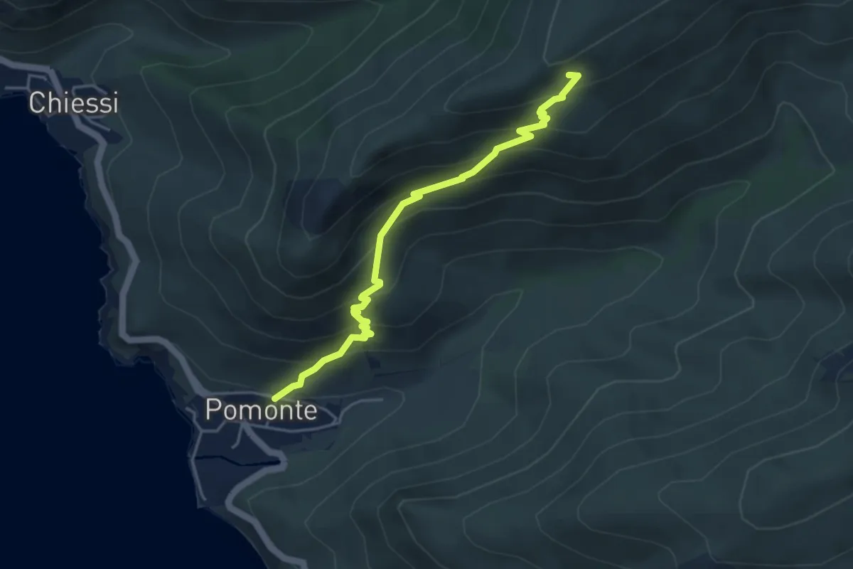
Medium · Trail
Percorso 103 – Pomonte
4.6 km · ↑ 429 m · 2 h 1 min
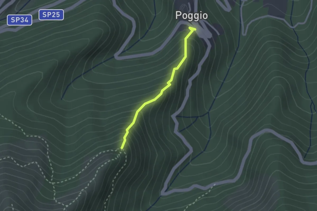
Easy · Trail
Poggio – 106
2.1 km · ↑ 268 m · 1 h 4 min
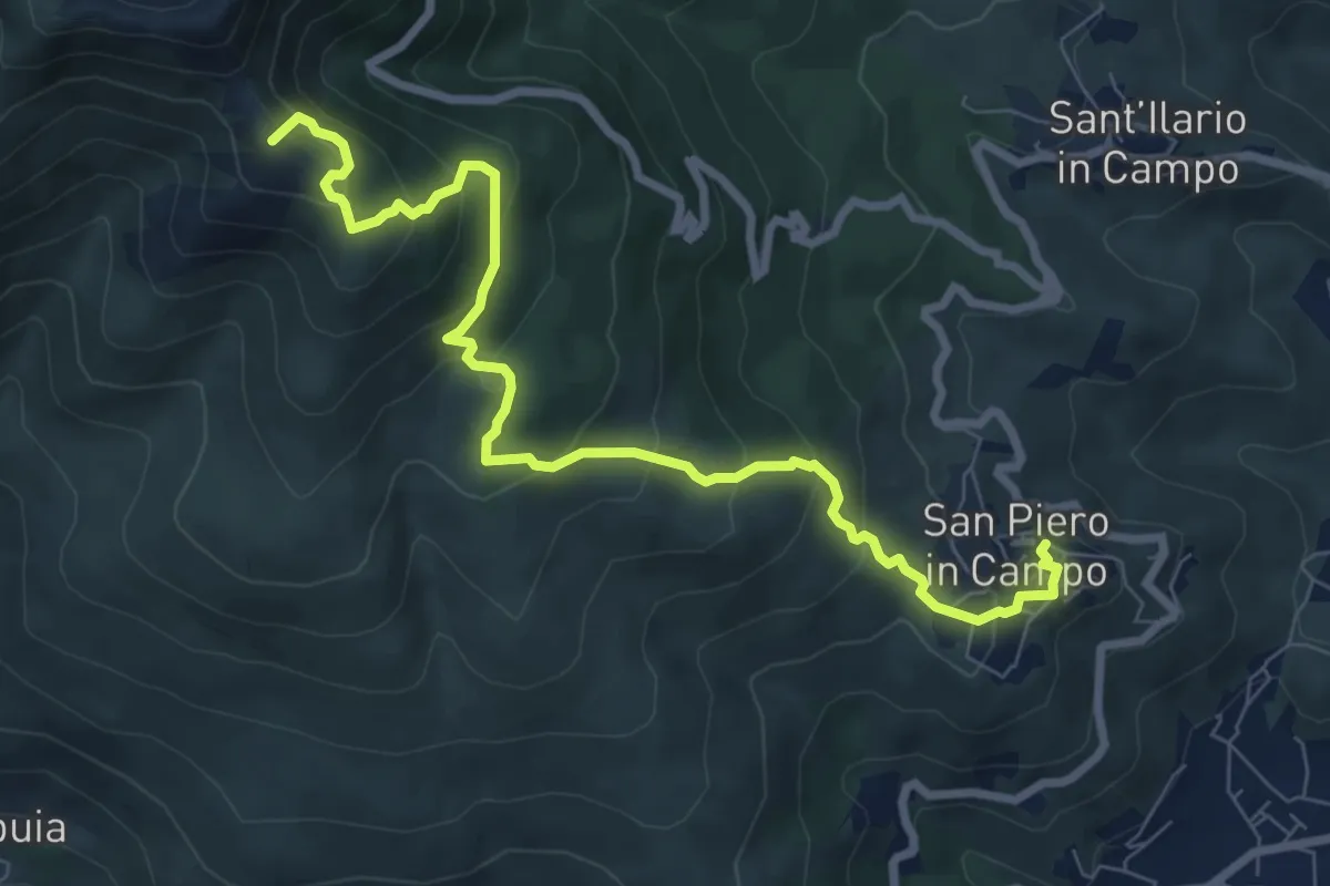
Medium · Summit
San Piero in Campo – Monte Perone
9.4 km · ↑ 655 m · 3 h 38 min
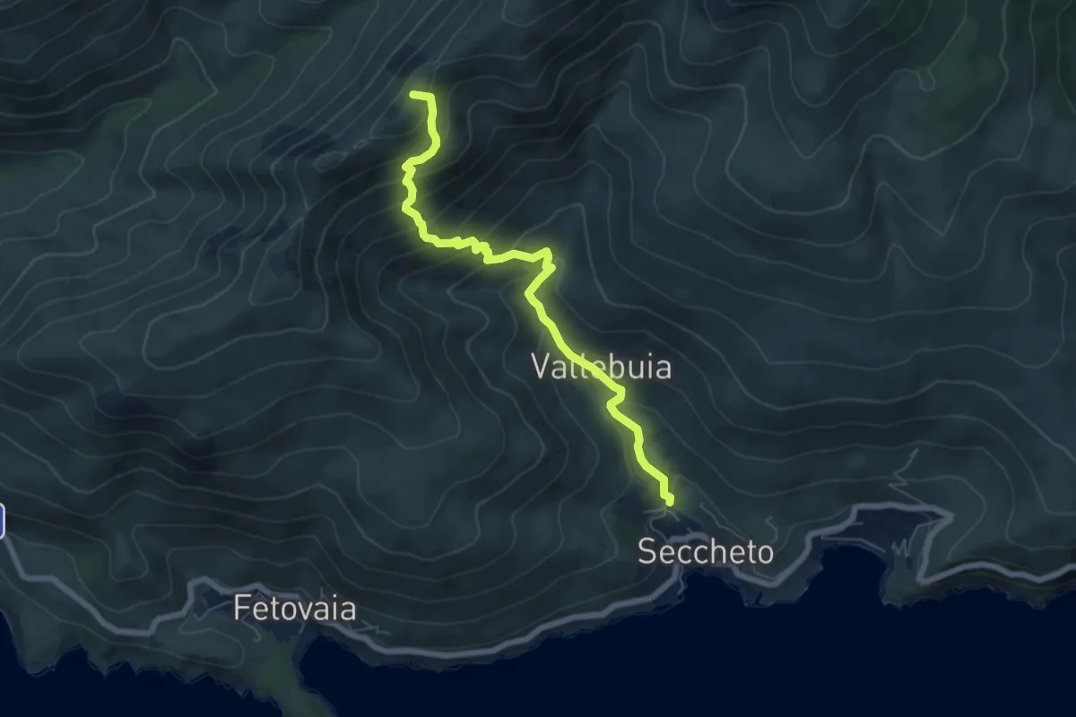
Medium · Summit
Seccheto – Colle della Grottaccia
6.7 km · ↑ 568 m · 2 h 49 min
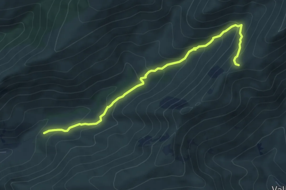
Medium · Trail
GTE – GTE
7.5 km · ↑ 506 m · 2 h 51 min
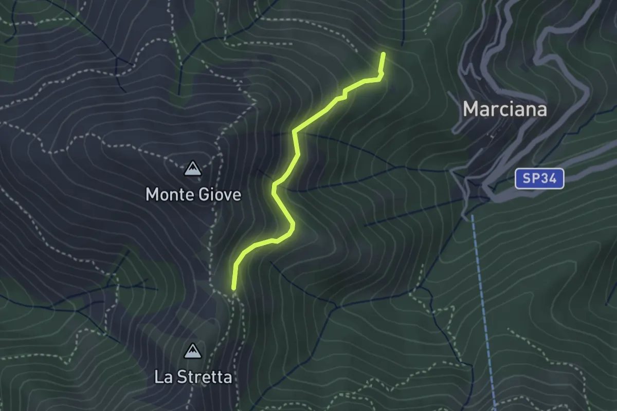
Easy · Trail
Via Crucis – la Tavola
2.8 km · ↑ 265 m · 1 h 14 min
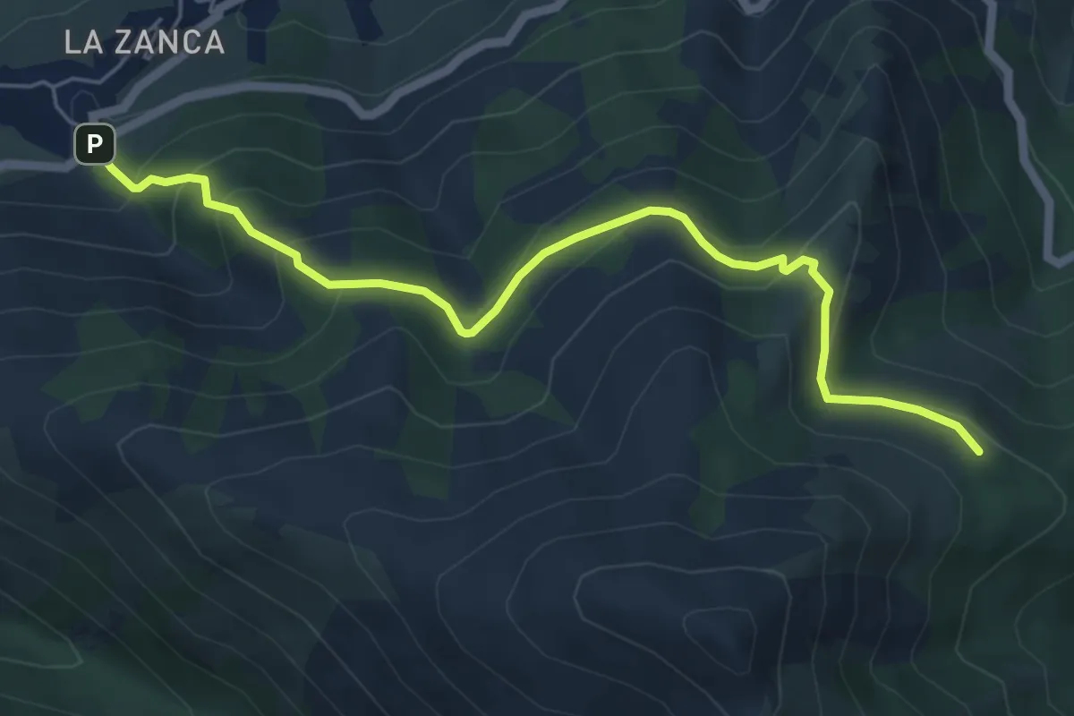
Medium · Trail
Zanca – 103
6.4 km · ↑ 408 m · 2 h 24 min
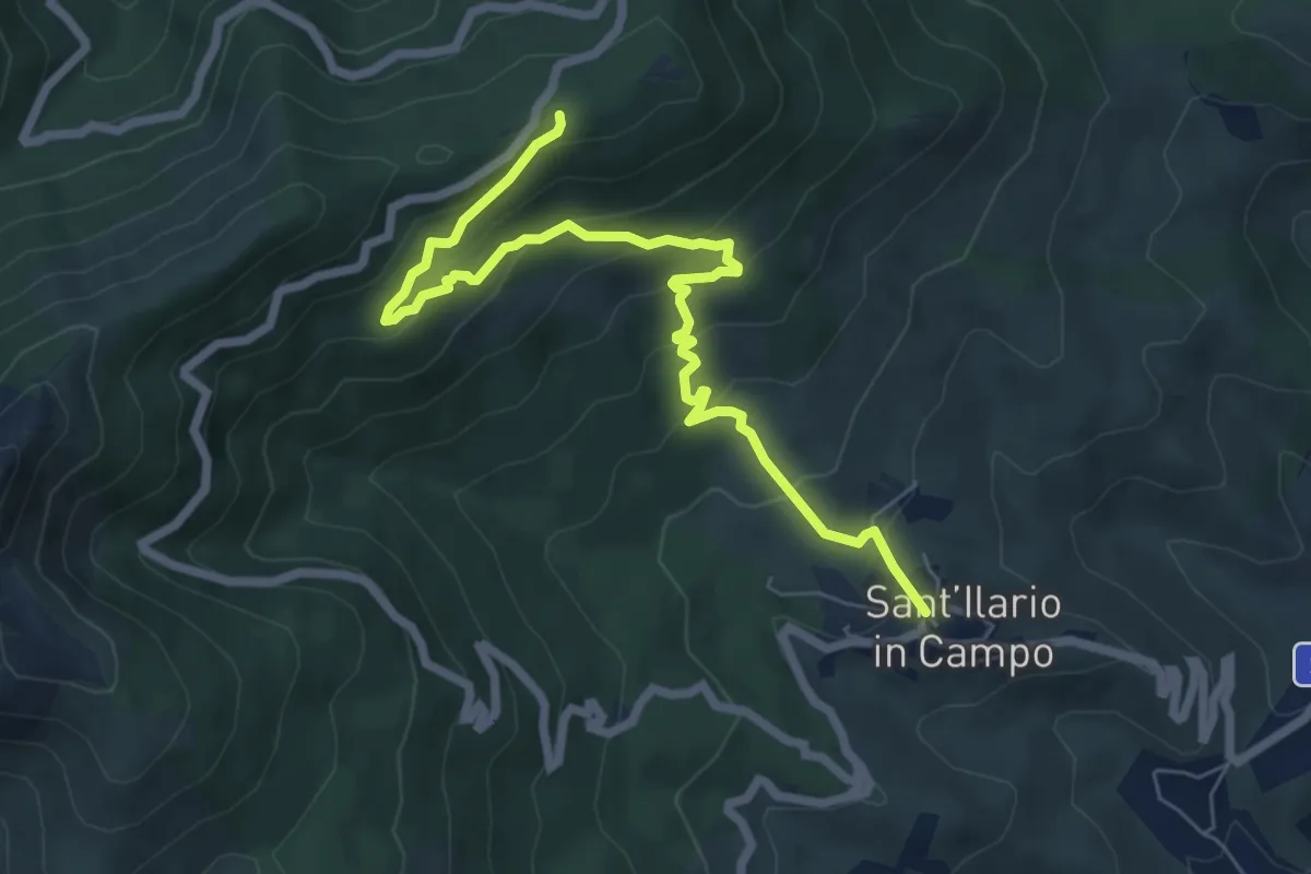
Medium · Trail
S. Ilario – Monte Perone
8.0 km · ↑ 472 m · 2 h 55 min
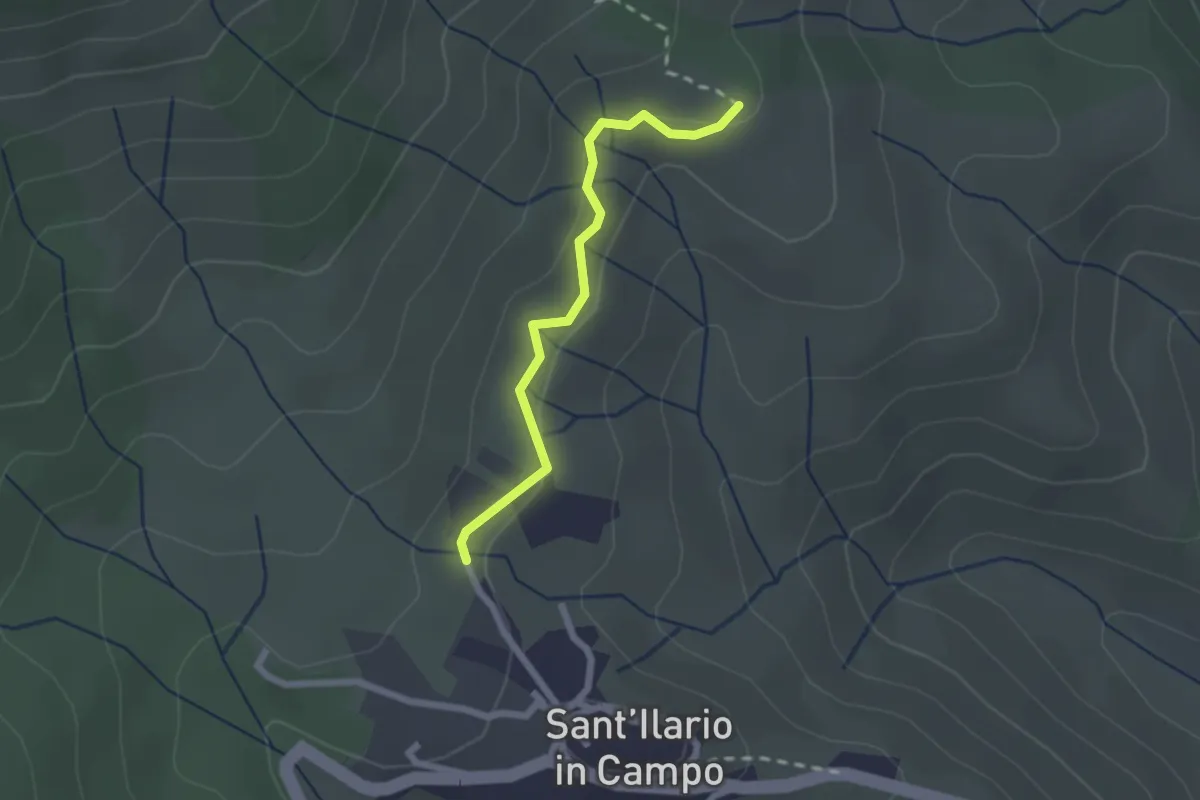
Easy · Trail
S. Ilario – GTE
2.1 km · ↑ 70 m · 39 min
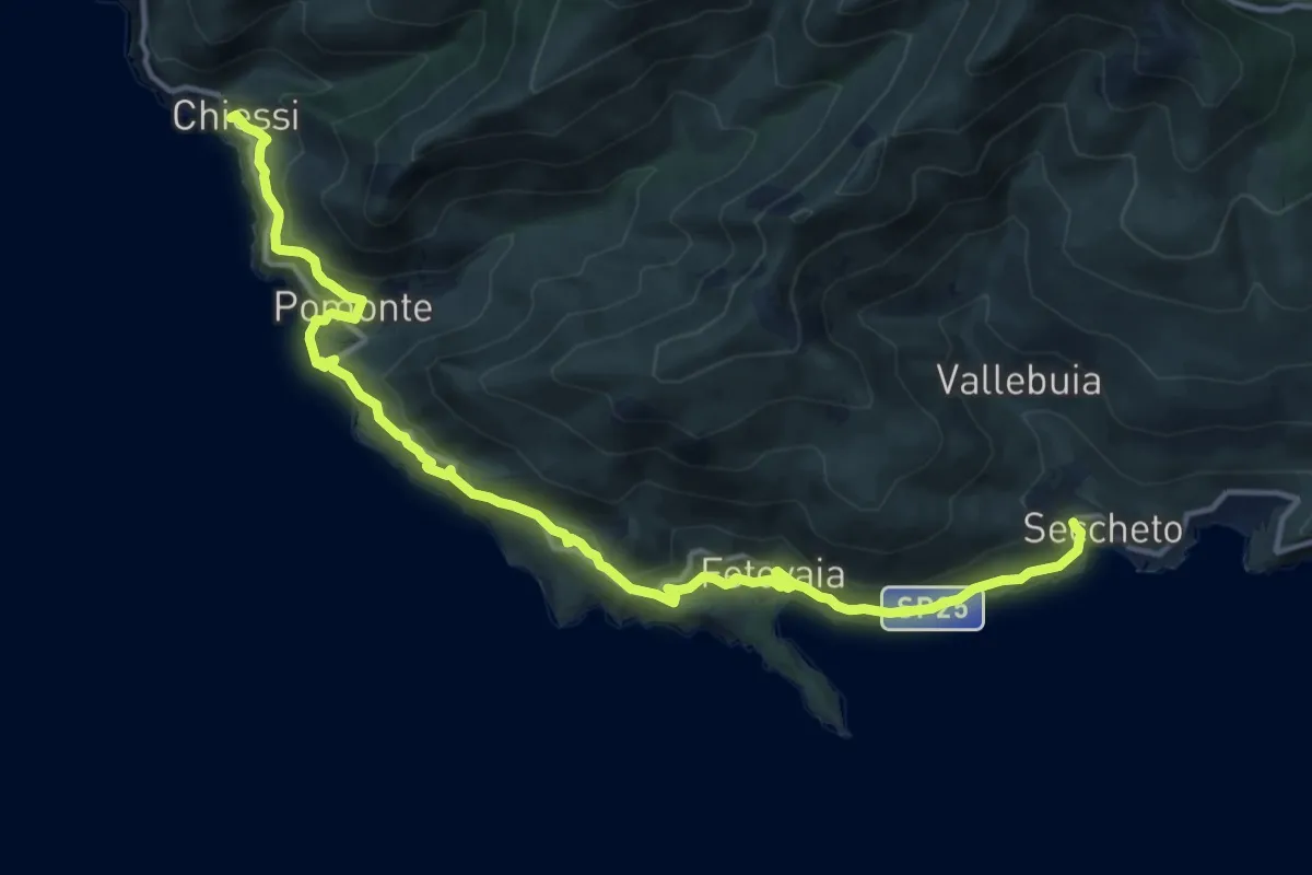
Medium · Trail
Chiessi – Seccheto
16.9 km · ↑ 518 m · 5 h 7 min