Trails in Italy
25,219 hiking trails, each with its route, climb, walking time and grade.
All trails, page 269 of 526
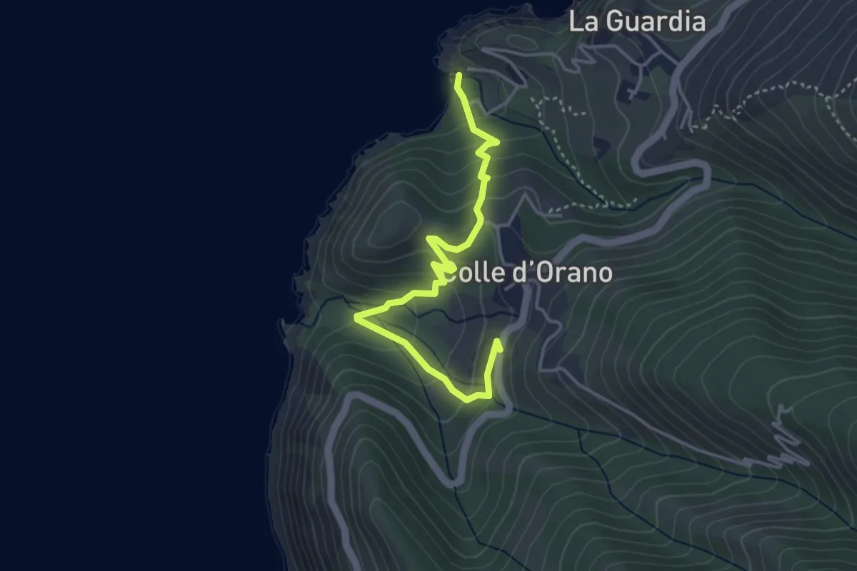
Easy · Trail
Colle d'Orano – Patresi Mare
4.3 km · ↑ 276 m · 1 h 36 min
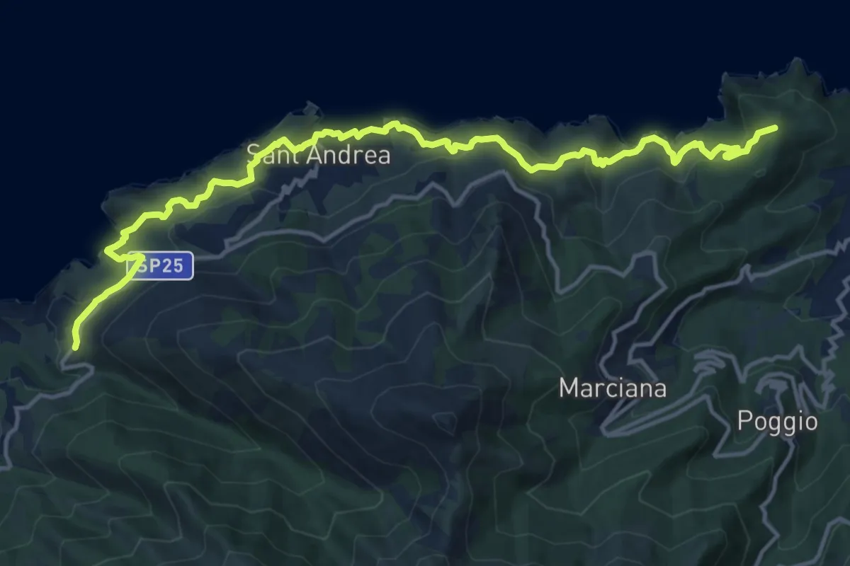
Demanding · Summit
Patresi – Marciana Marina
16.6 km · ↑ 984 m · 6 h 3 min
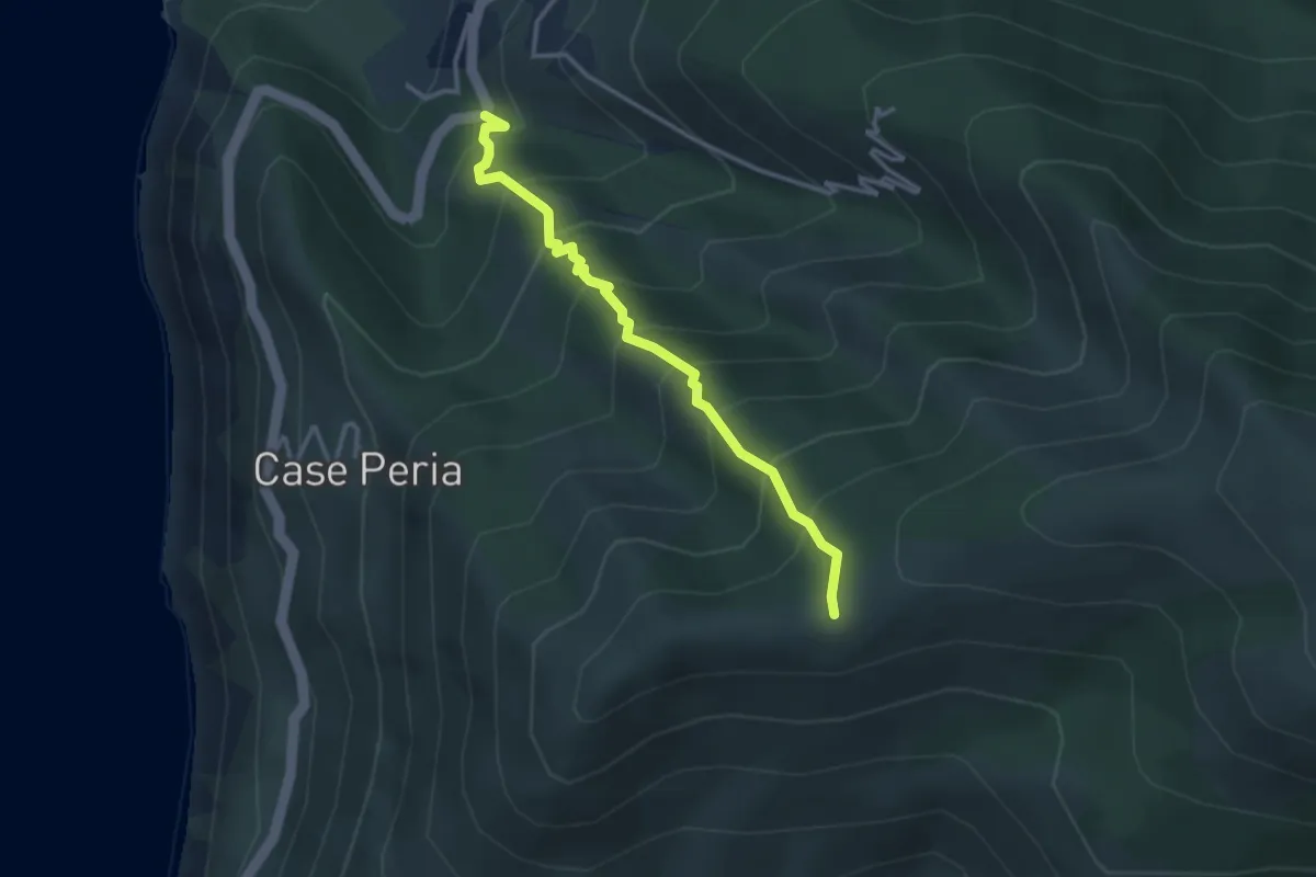
Medium · Trail
125 – Colle d'Orano
3.3 km · ↑ 464 m · 1 h 48 min
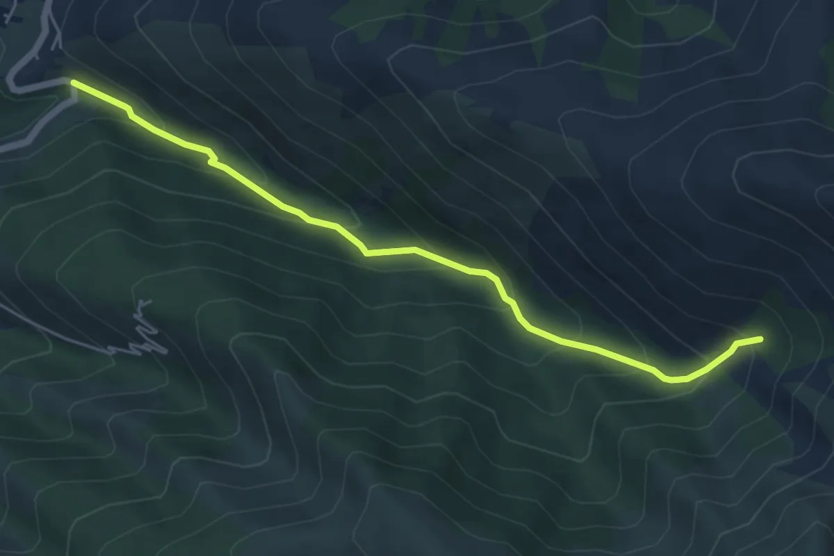
Medium · Trail
103 – Patresi
5.6 km · ↑ 446 m · 2 h 18 min
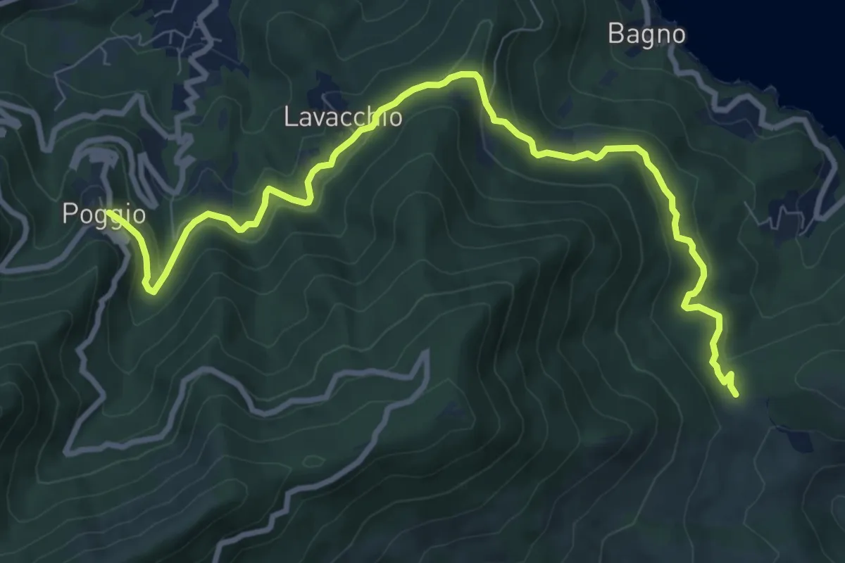
Medium · Trail
Colle Reciso – Poggio
10.8 km · ↑ 368 m · 3 h 21 min
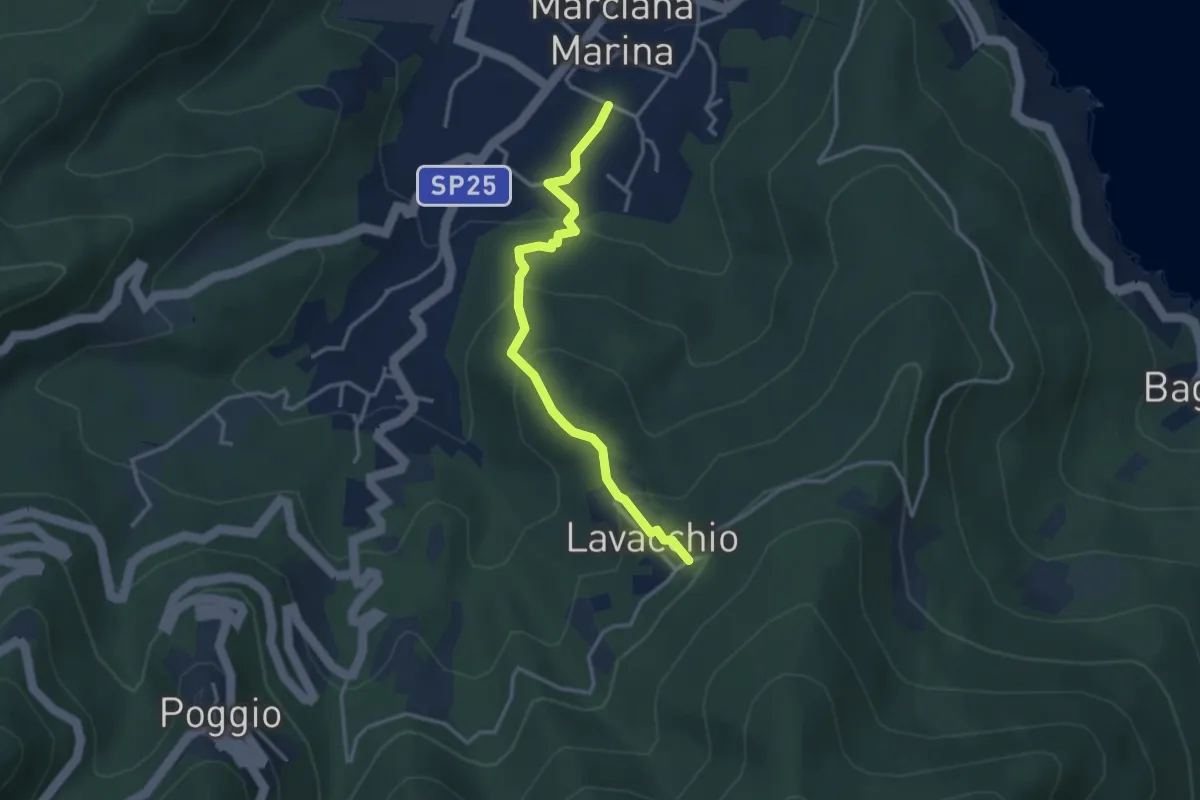
Easy · Trail
Marciana Marina – 180
3.4 km · ↑ 213 m · 1 h 16 min
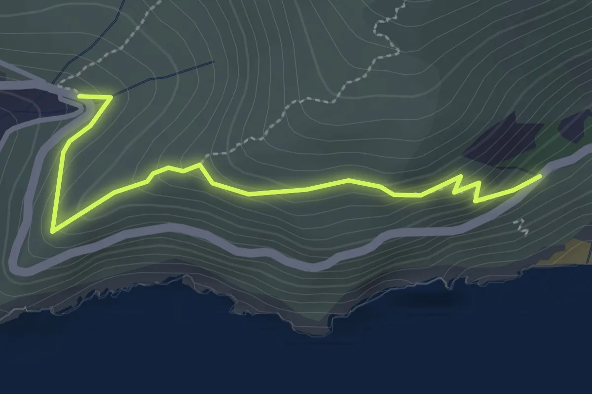
Easy · Trail
Cavoli – Colle di Palombaia
3.0 km · ↑ 171 m · 1 h 4 min
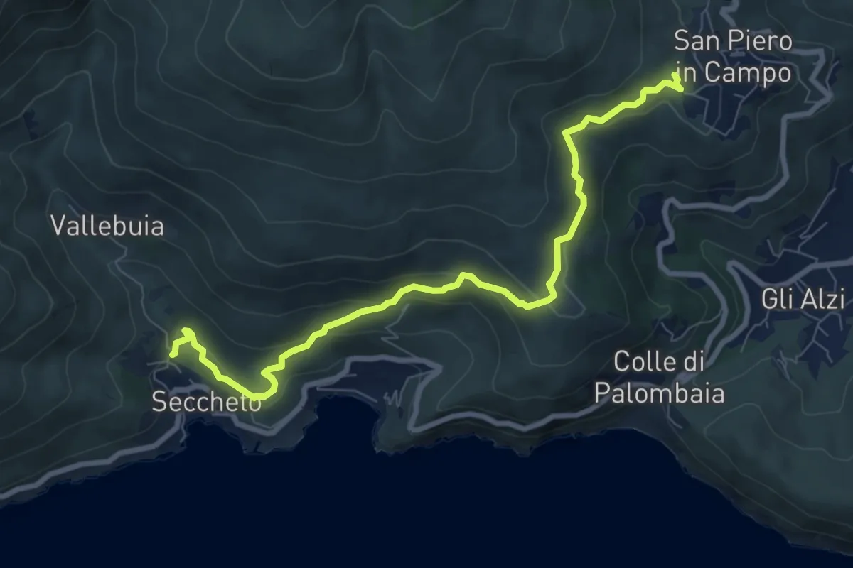
Medium · Trail
Seccheto – San Piero in Campo
8.9 km · ↑ 328 m · 2 h 48 min
Easy · Summit
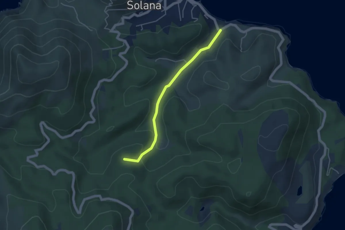
Cavo – Parata
3.9 km · ↑ 143 m · 1 h 13 min
Easy · Trail
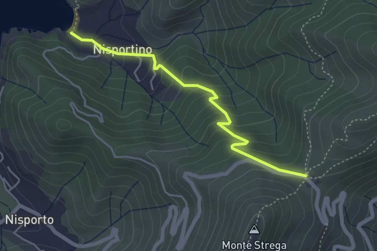
Aia di Cacio – Nisportino
4.0 km · ↑ 293 m · 1 h 35 min
Medium · Trail
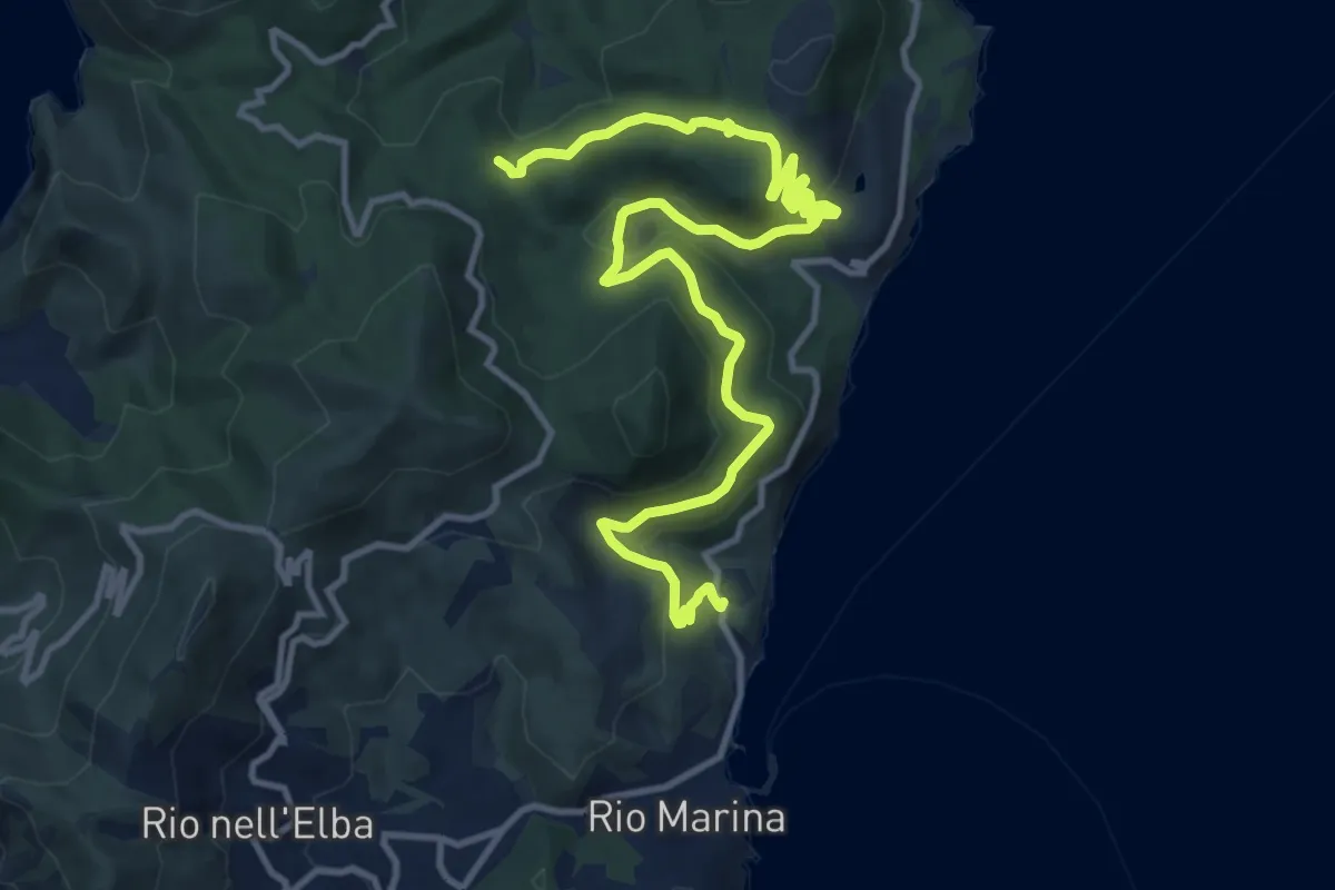
Rio Marina Vigneria – 200
16.4 km · ↑ 541 m · 5 h 2 min
Easy · Trail
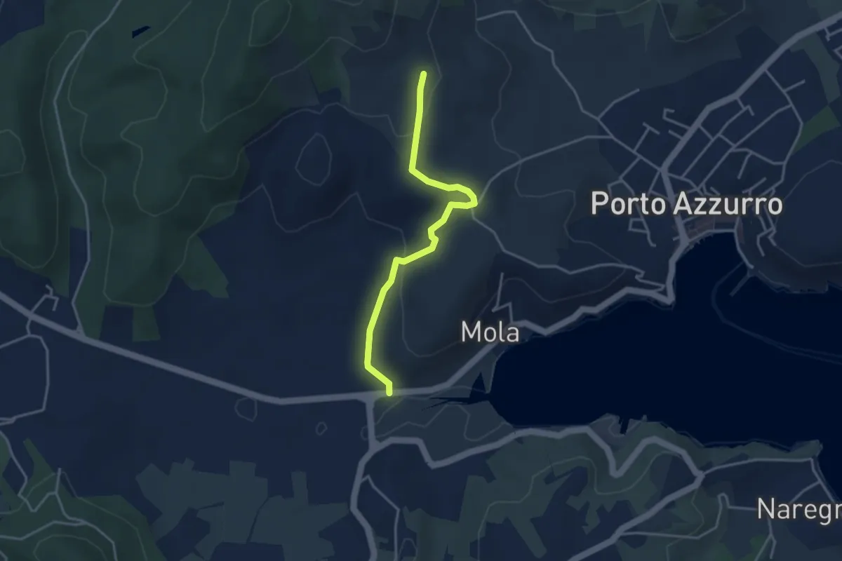
Mola – 210
3.6 km · ↑ 105 m · 1 h 5 min
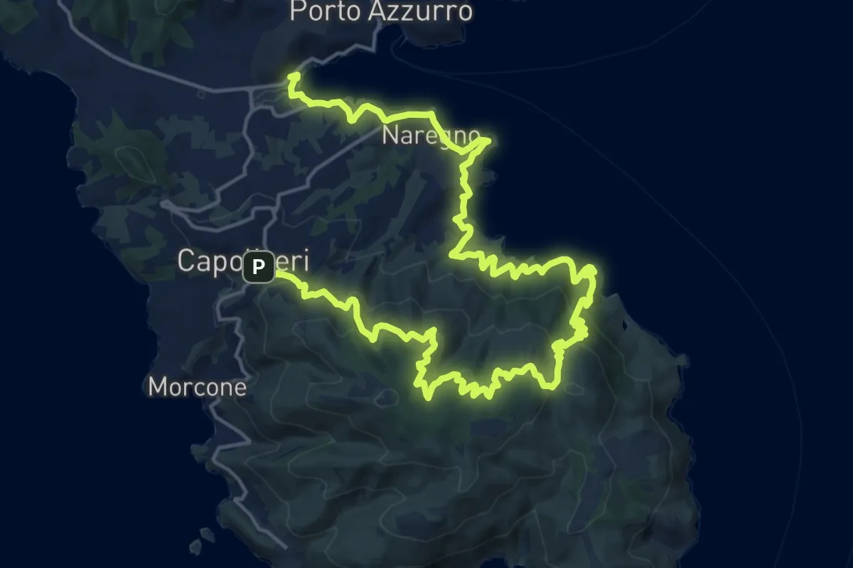
Medium · Trail
Capoliveri – Mola
15.0 km · ↑ 603 m · 5 h 7 min
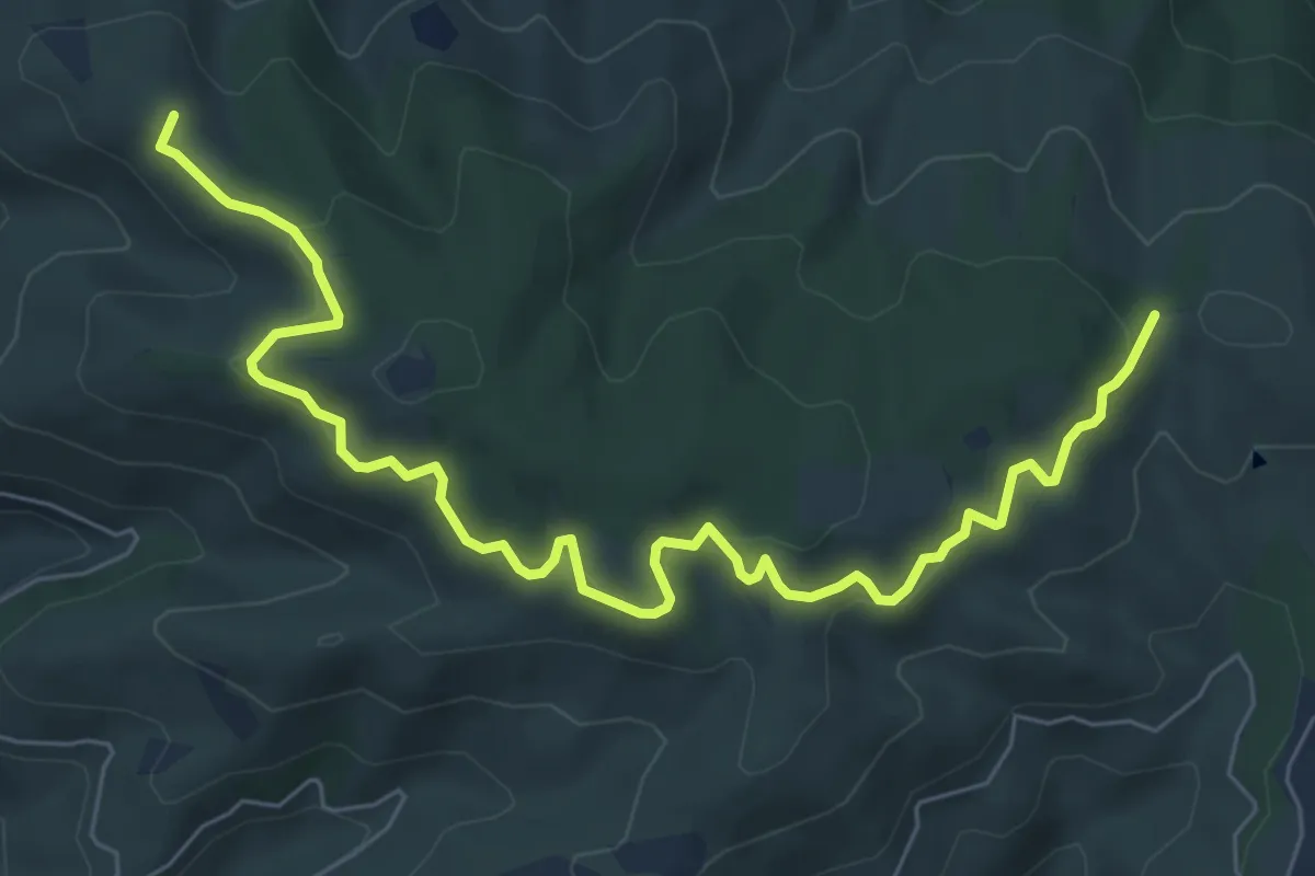
Medium · Summit
230 – 230
8.7 km · ↑ 325 m · 2 h 46 min
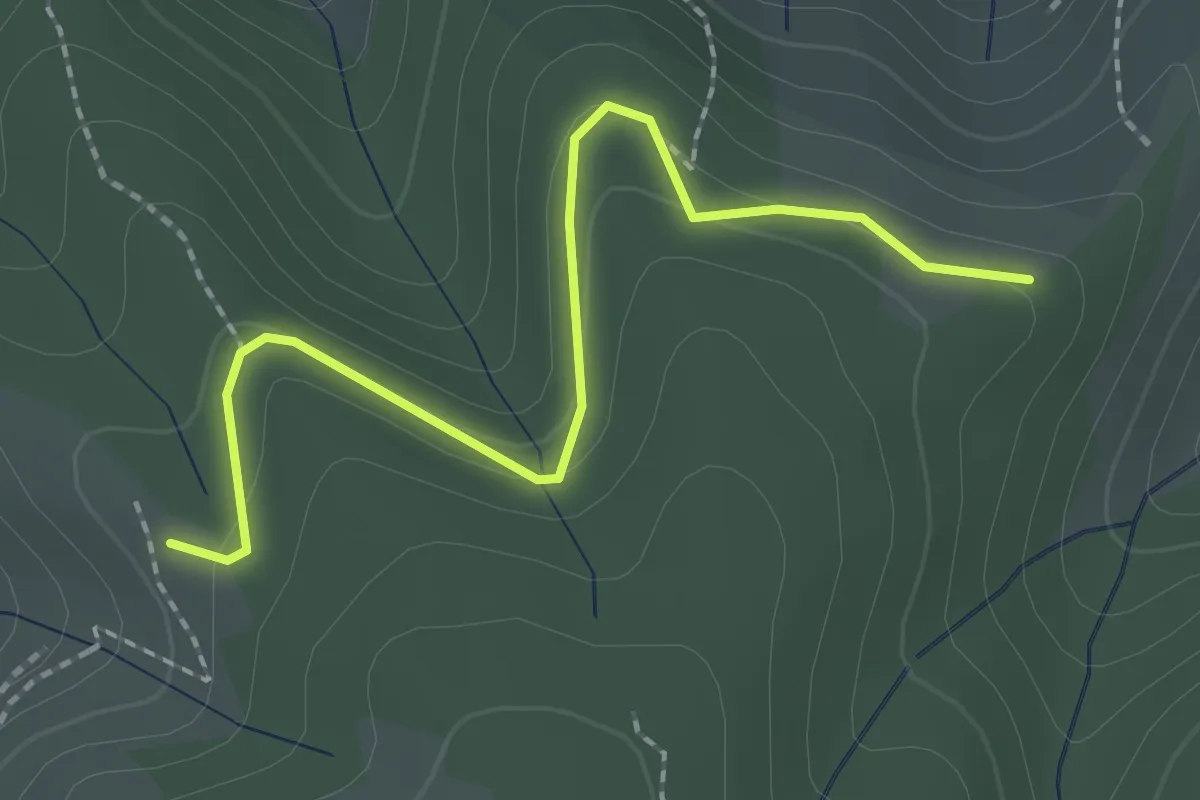
Easy · Trail
231 – 230
2.4 km · ↑ 135 m · 51 min
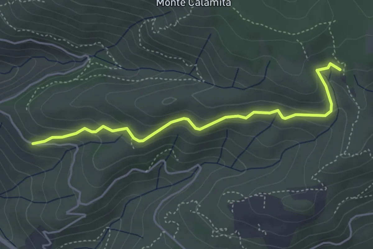
Easy · Trail
strada per miniere Calamita – 231
4.5 km · ↑ 236 m · 1 h 34 min
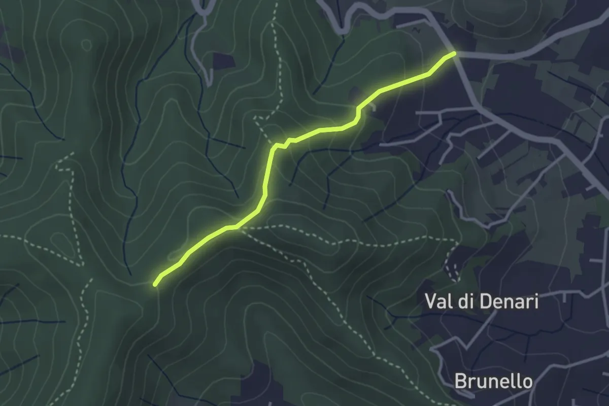
Easy · Trail
248 – via Einaudi (Portoferraio)
3.0 km · ↑ 152 m · 1 h 3 min
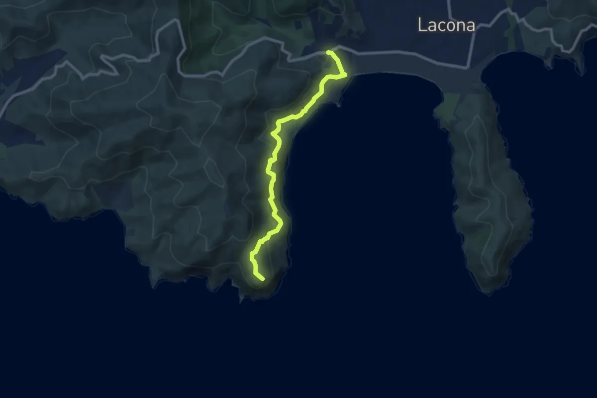
Medium · Trail
Capo Fonza – Lacona
7.6 km · ↑ 406 m · 2 h 40 min
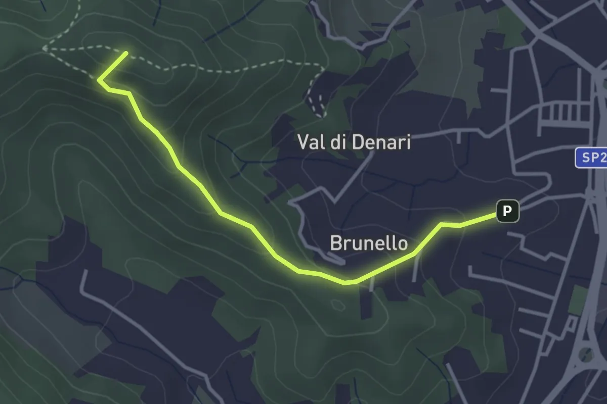
Easy · Summit
Brunello - Portoferraio – 247
3.3 km · ↑ 213 m · 1 h 14 min
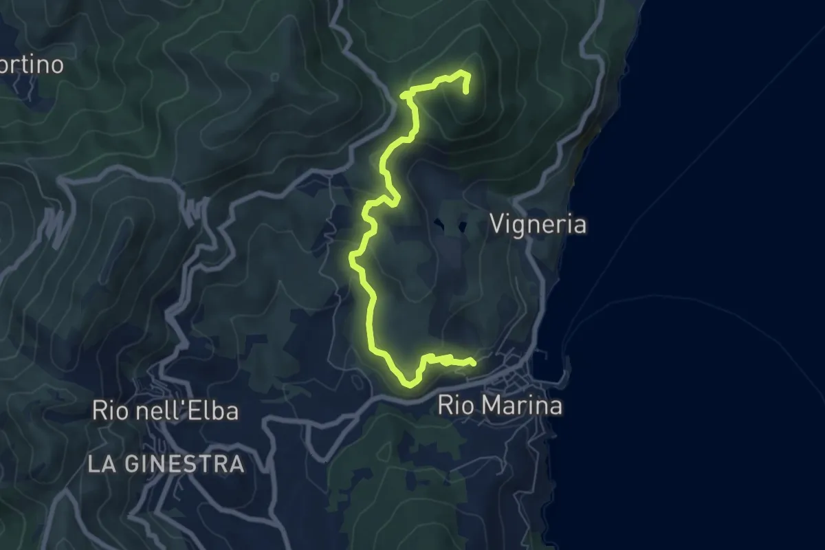
Medium · Trail
Torre del Giove – Percorso 212
7.3 km · ↑ 360 m · 2 h 31 min
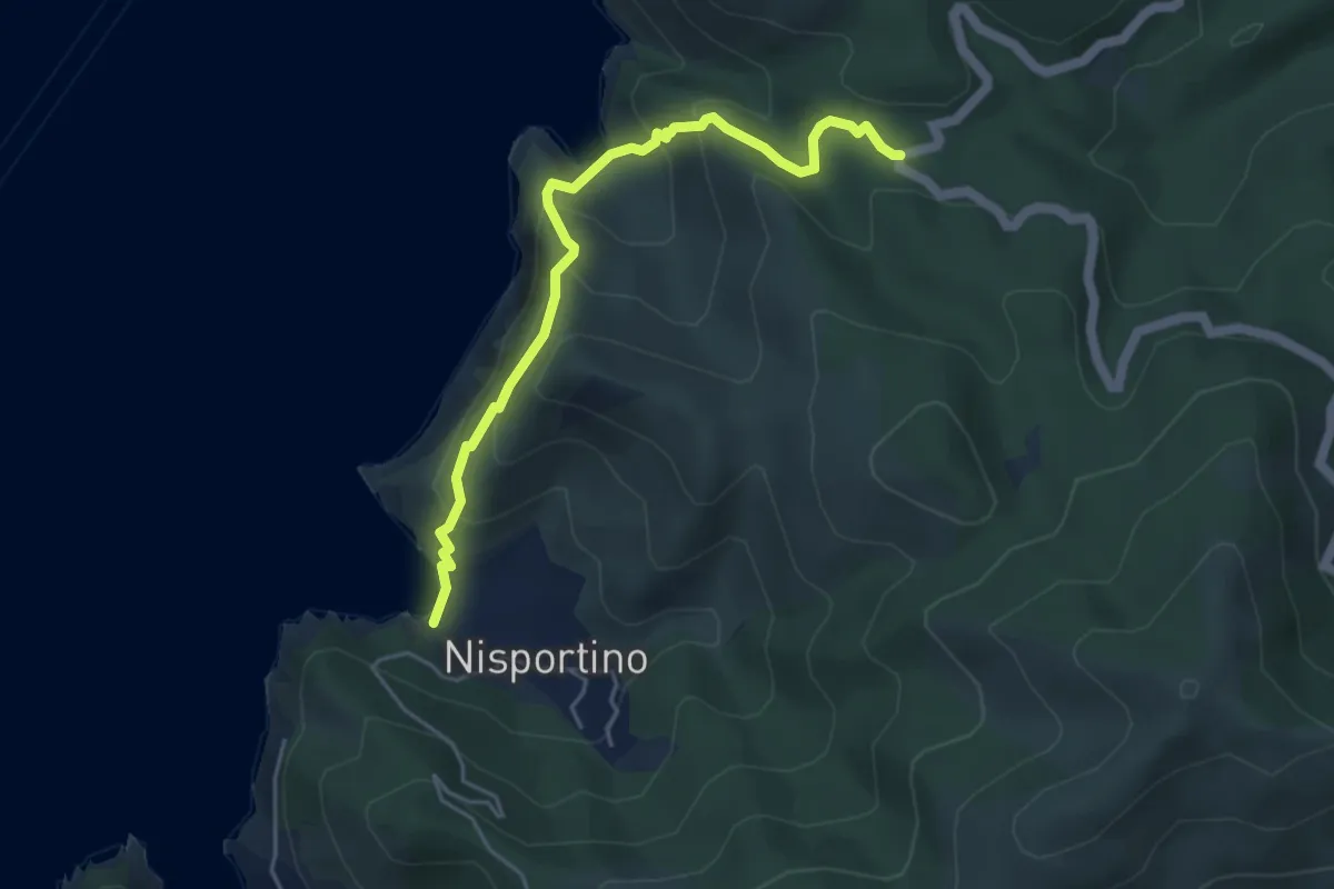
Demanding · Trail
Nisportino – Fortunataccio
5.1 km · ↑ 353 m · 1 h 58 min
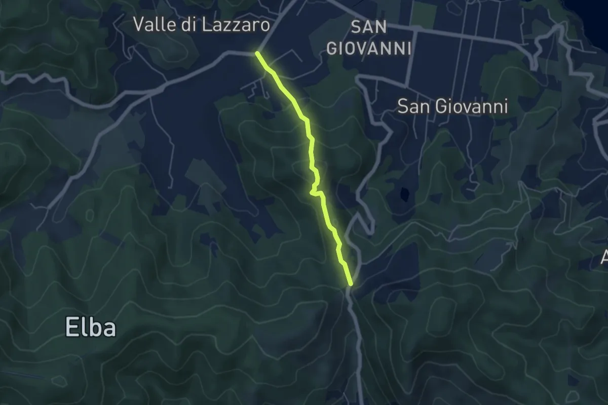
Medium · Trail
Colle Reciso – Le Foci
4.2 km · ↑ 291 m · 1 h 38 min
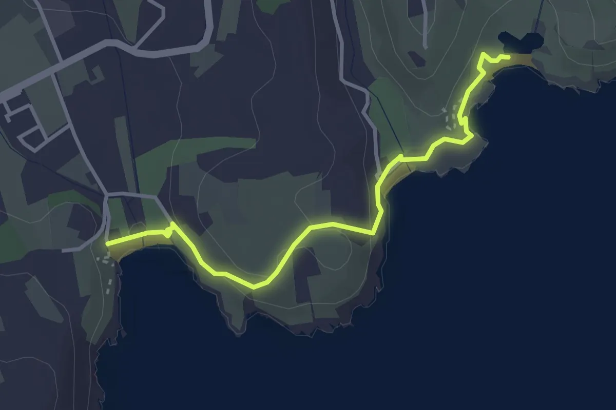
Easy · Trail
Piazza porto Azzurro – laghetto di Terranera
3.5 km · ↑ 95 m · 1 h 2 min
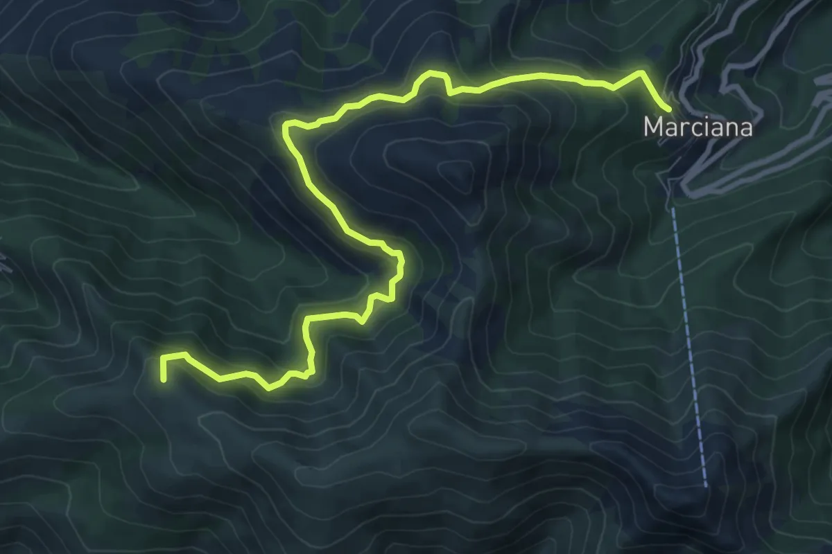
Medium · Summit
Marciana – Chiessi
11.0 km · ↑ 733 m · 4 h 12 min
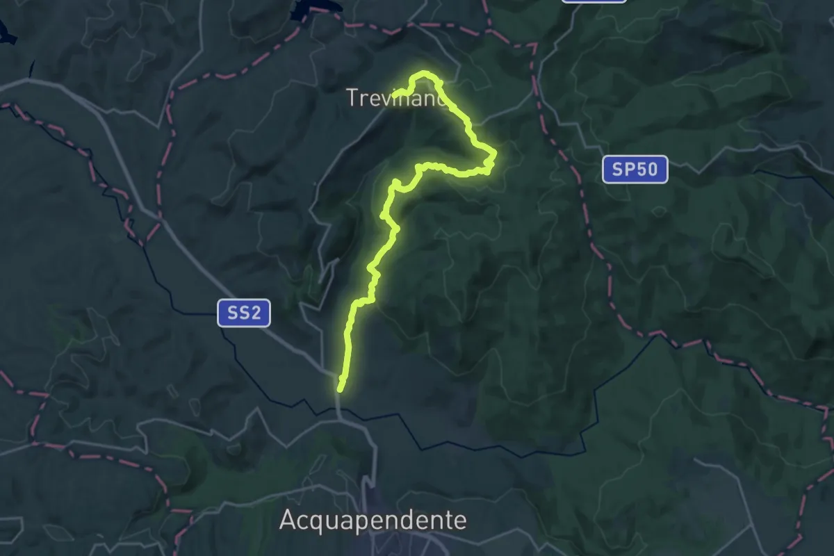
Demanding · Trail
Trevinano – Podere il Ponte
23.8 km · ↑ 728 m · 7 h 12 min
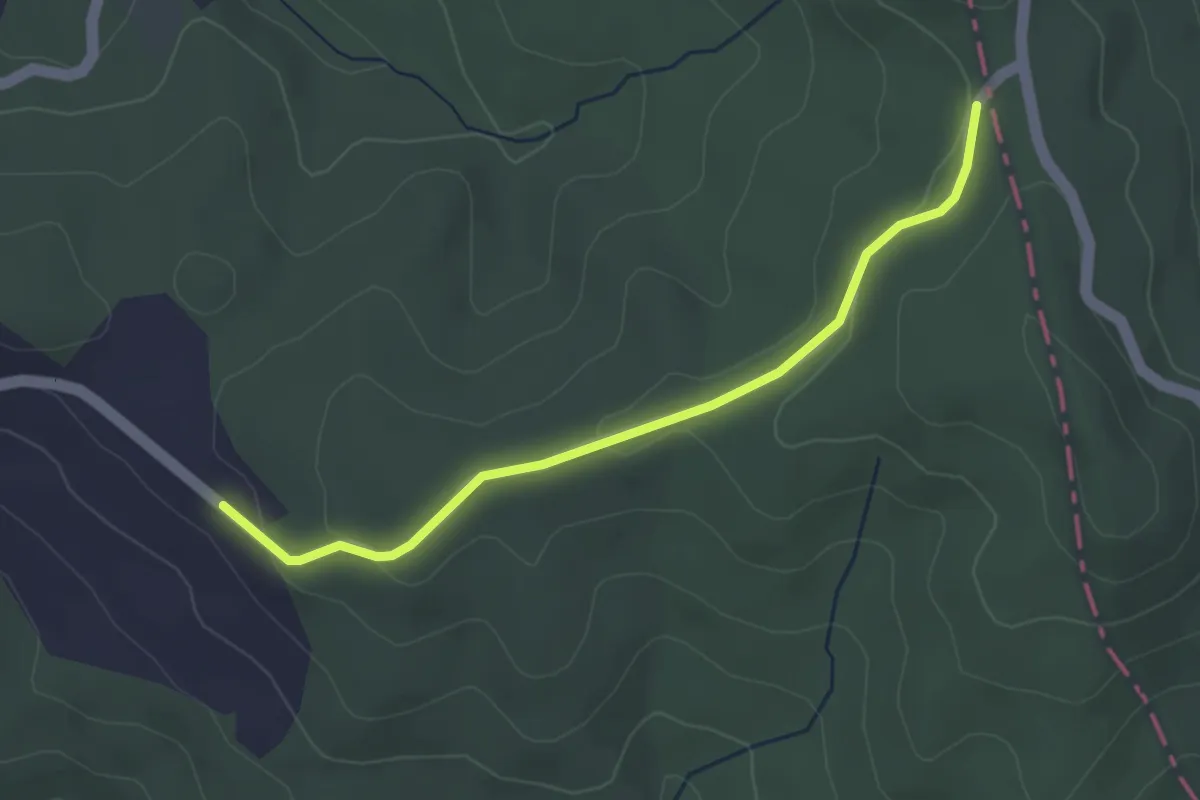
Easy · Trail
Percorso146 – Casale La Monaldesca
3.6 km · ↑ 68 m · 1 h
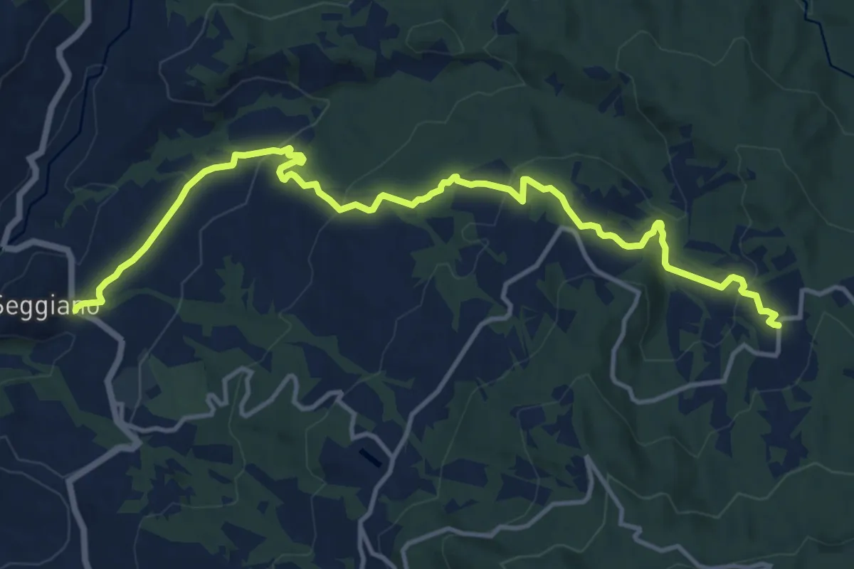
Medium · Trail
Altori – Seggiano
14.6 km · ↑ 547 m · 4 h 38 min
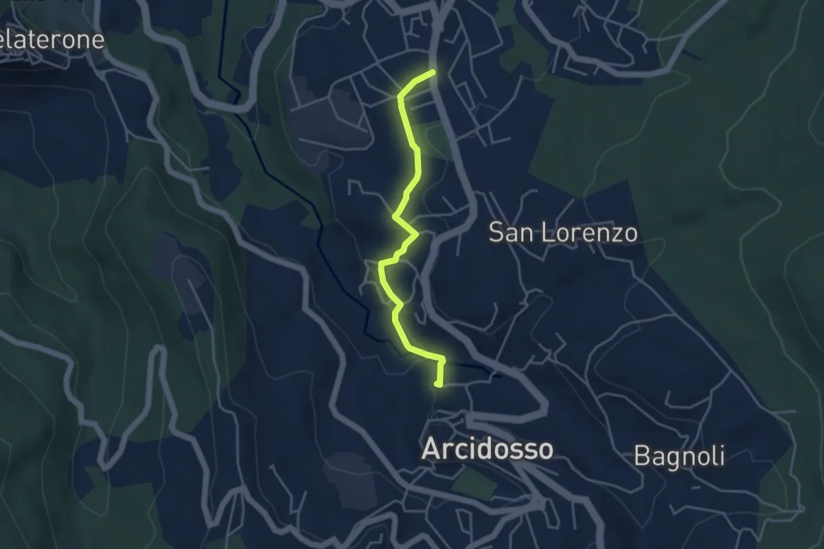
Easy · Trail
Castel del Piano – Arcidosso
3.7 km · ↑ 82 m · 1 h 3 min
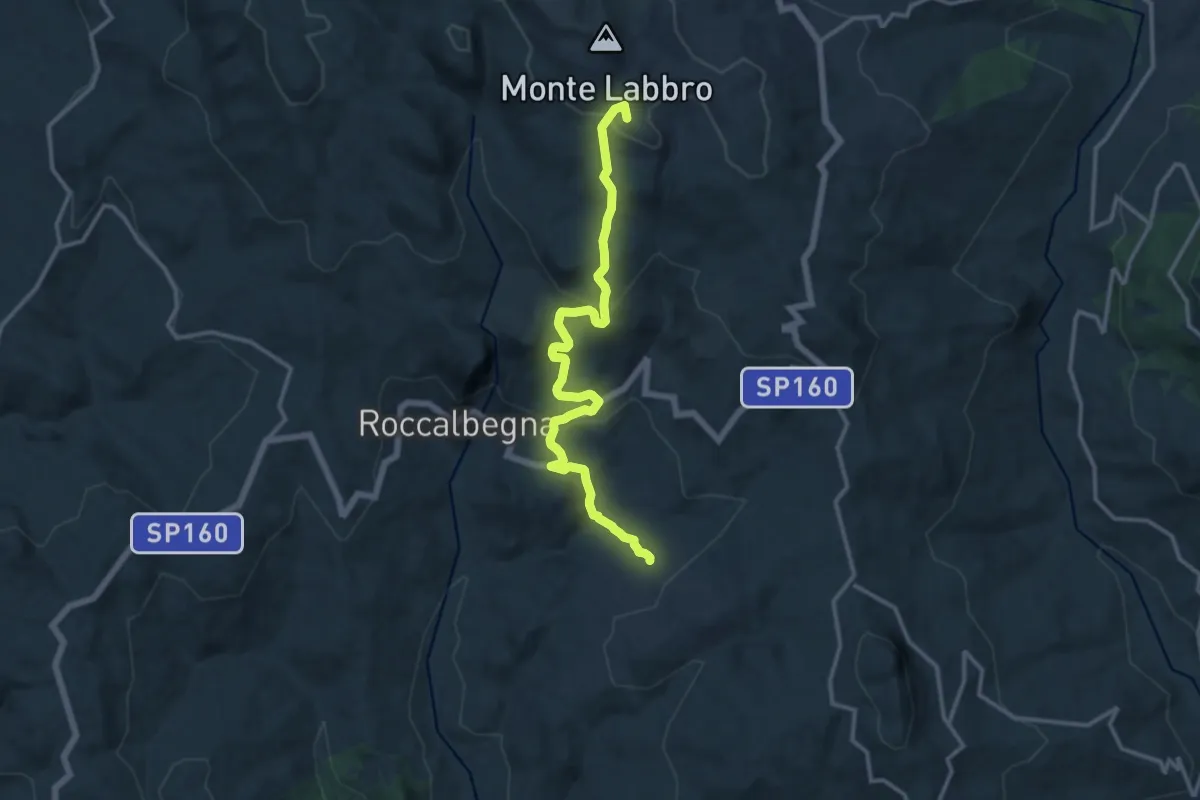
Medium · Summit
Arcidosso – Roccalbegna
14.6 km · ↑ 672 m · 4 h 55 min
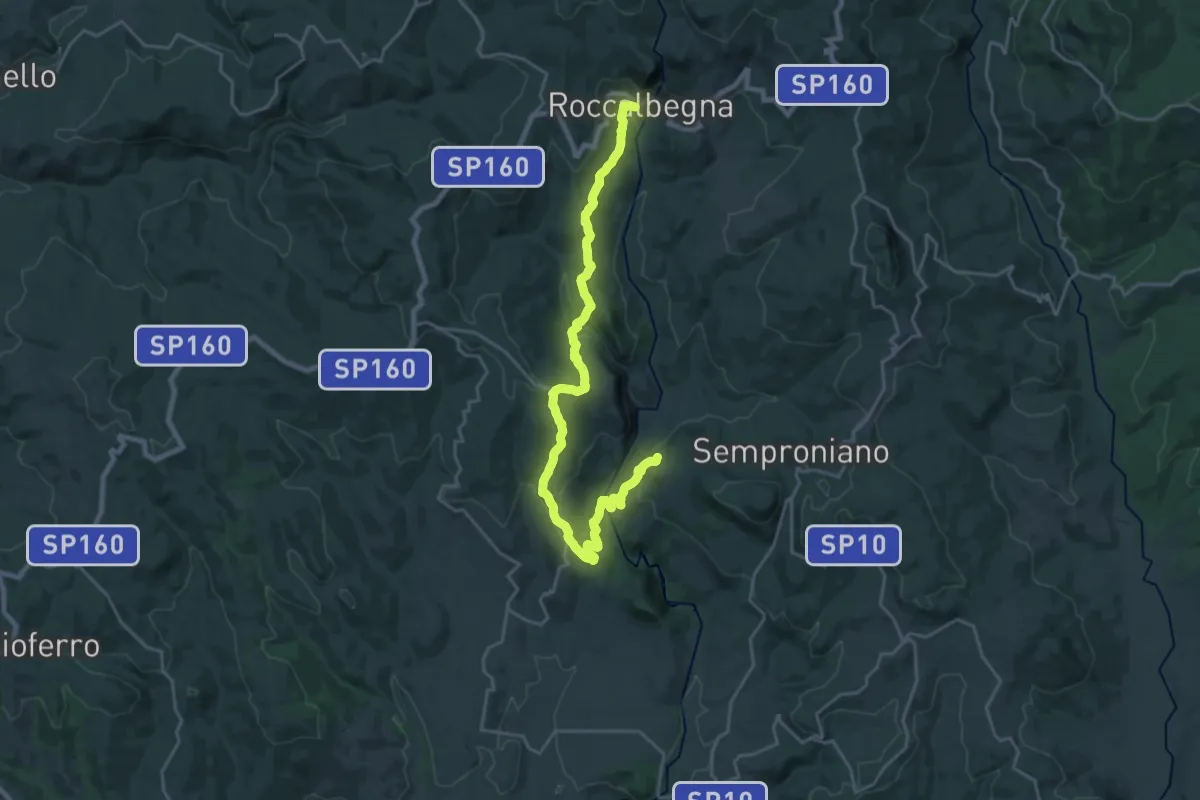
Medium · Trail
Roccalbegna – Rocchette di Fazio
13.4 km · ↑ 458 m · 4 h 23 min
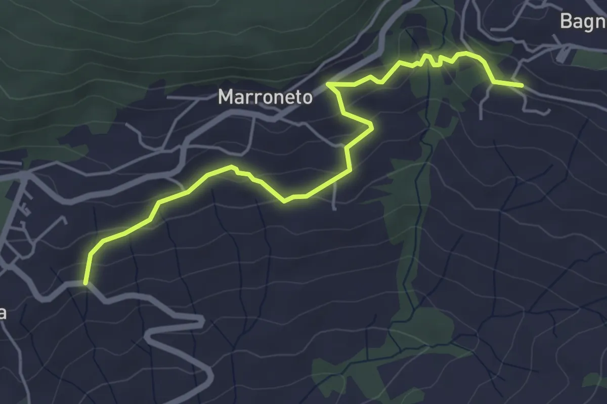
Easy · Trail
Santa Fiora – Bagnolo
5.1 km · ↑ 238 m · 1 h 43 min
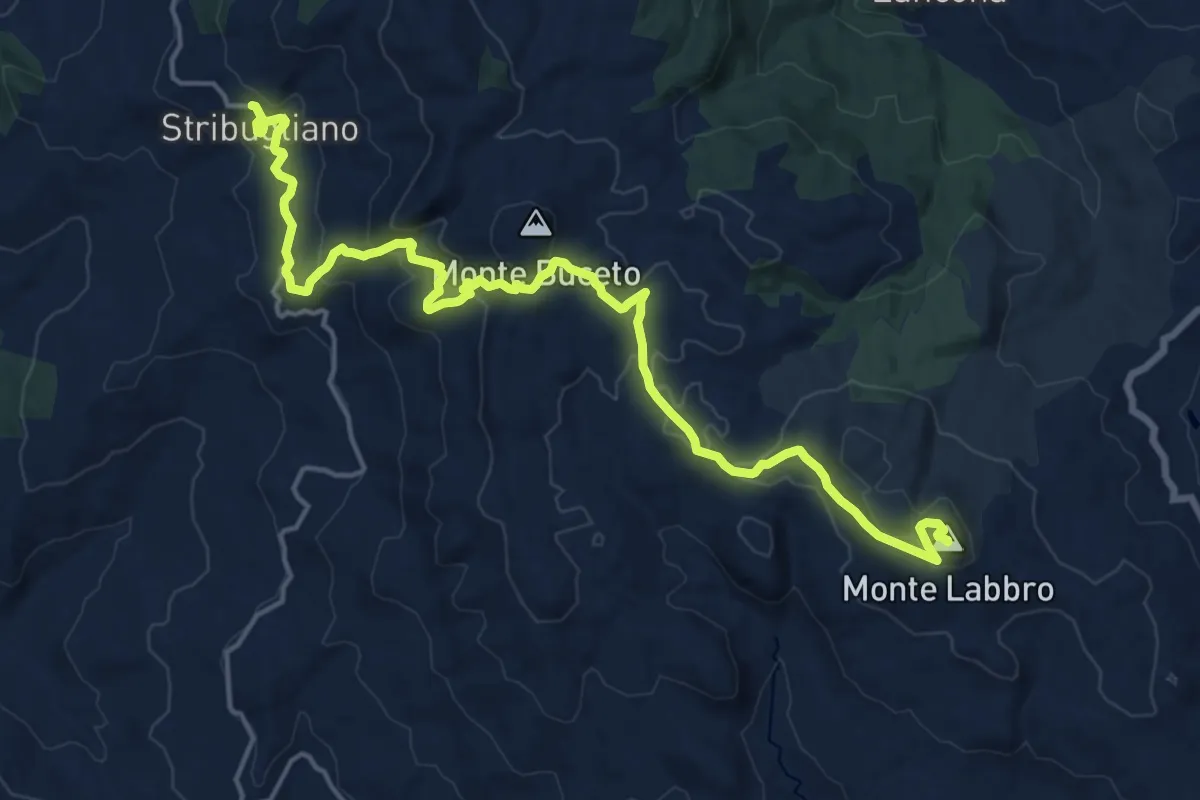
Demanding · Summit
Stribugliano – Monte Labbro
21.3 km · ↑ 824 m · 6 h 48 min
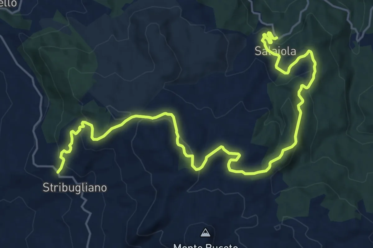
Demanding · Trail
Salaiola – Stribugliano
21.1 km · ↑ 698 m · 6 h 30 min
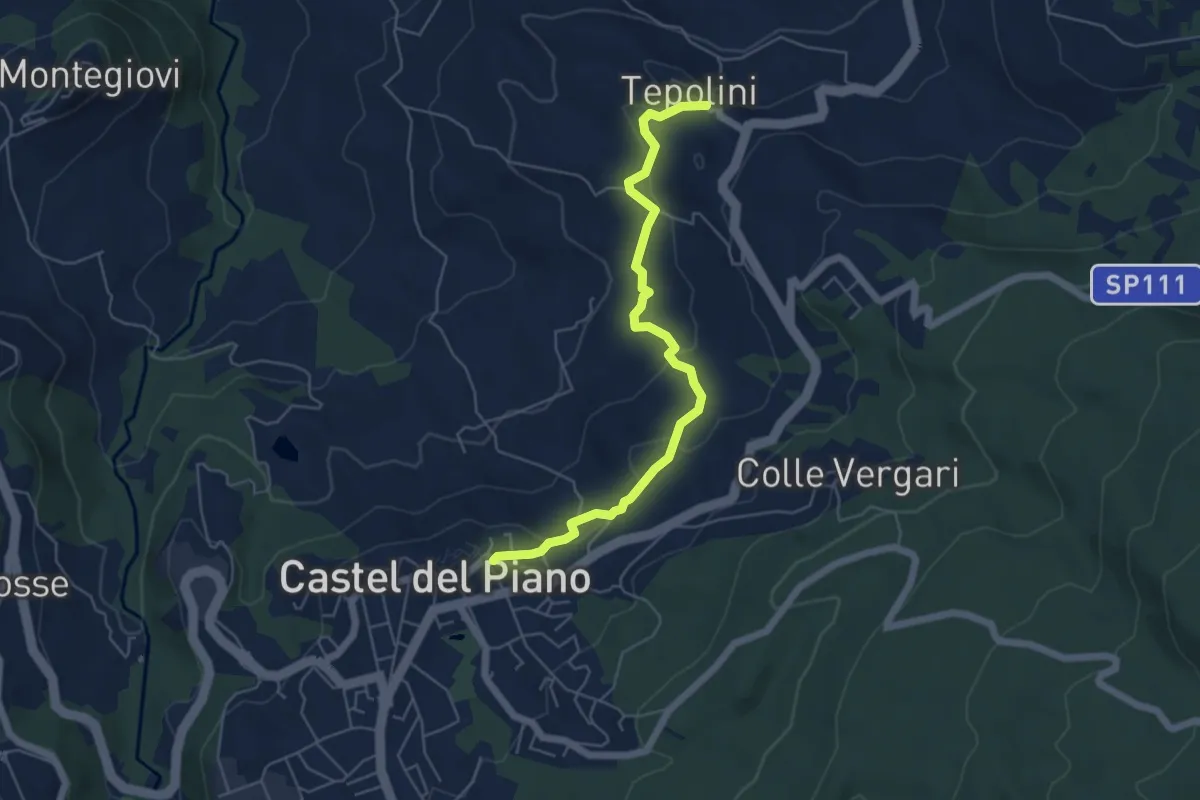
Easy · Trail
Castel del Piano – Borgo Tepolini
5.9 km · ↑ 209 m · 1 h 50 min
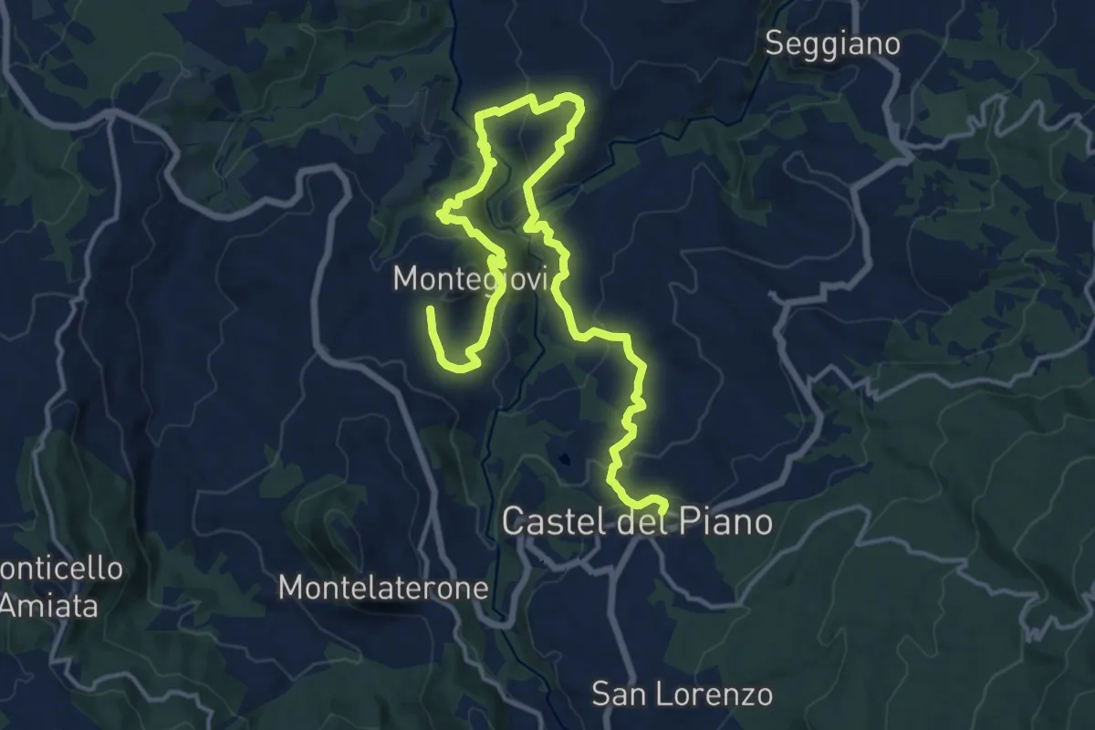
Demanding · Trail
Montegiovi – Castel del Piano
20.0 km · ↑ 889 m · 6 h 38 min
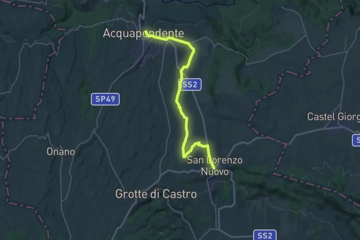
Demanding · Trail
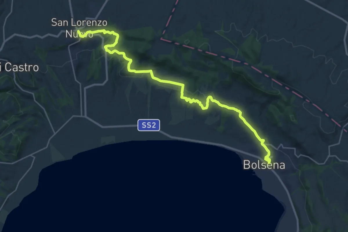
Acquapendente – San Lorenzo Nuovo
22.3 km · ↑ 155 m · 5 h 36 min
Demanding · Trail
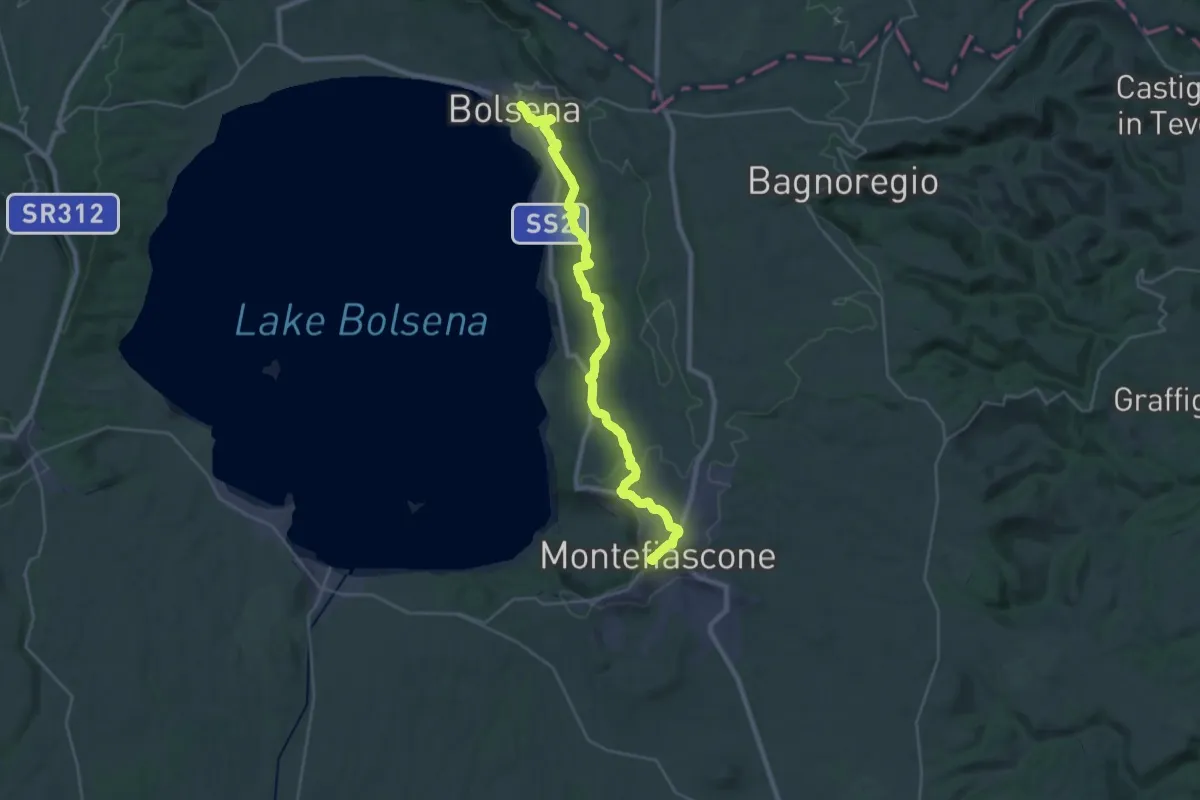
San Lorenzo Nuovo – Bolsena
24.1 km · ↑ 455 m · 6 h 41 min
Demanding · Summit
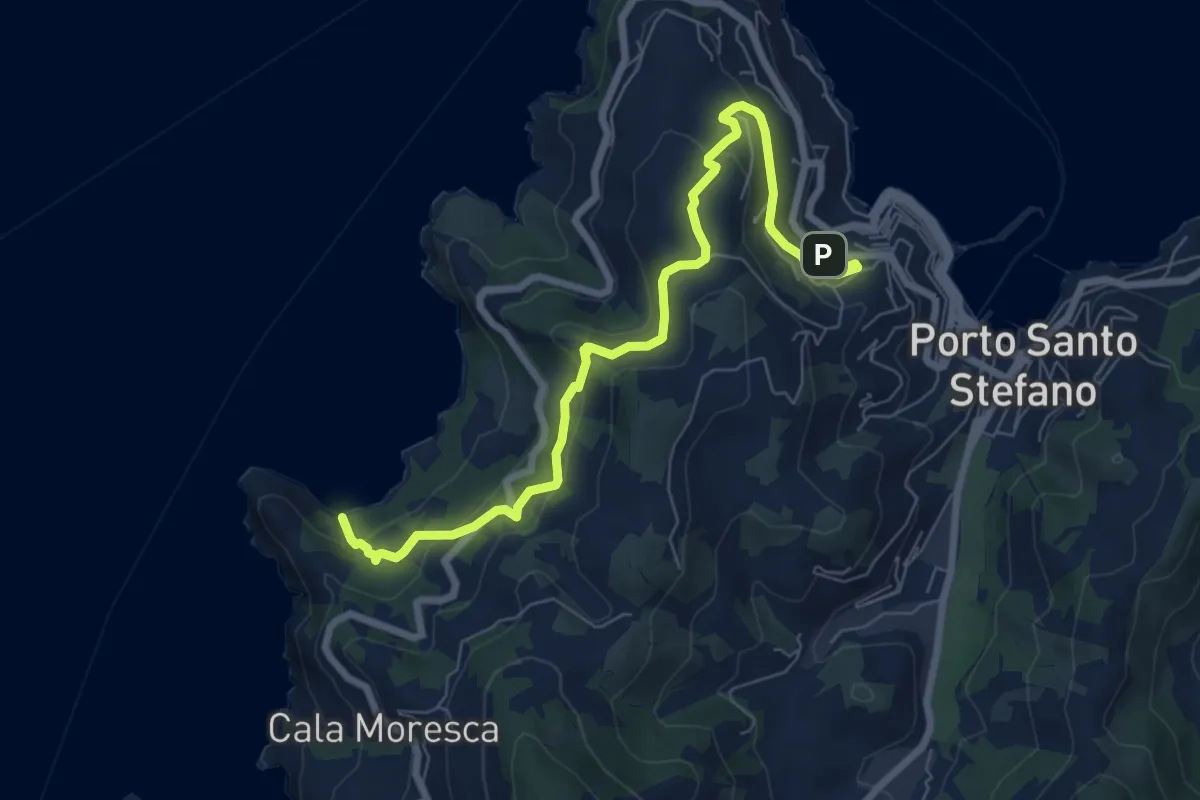
Bolsena – Montefiascone
33.7 km · ↑ 766 m · 9 h 37 min
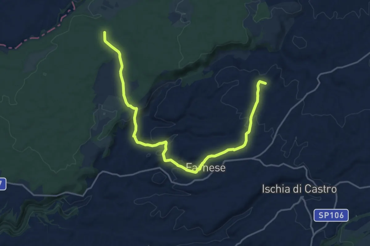
Medium · Trail
Via del Sole – Cala Grande Spiaggia
8.6 km · ↑ 411 m · 2 h 55 min
Medium · Summit
Ponte di Santa Maria di Sala – Pian di Lance
17.2 km · ↑ 393 m · 4 h 54 min
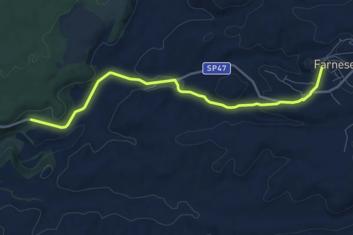
Medium · Trail
Farnese – innesto Sentiero dei Briganti
8.0 km · ↑ 188 m · 2 h 18 min
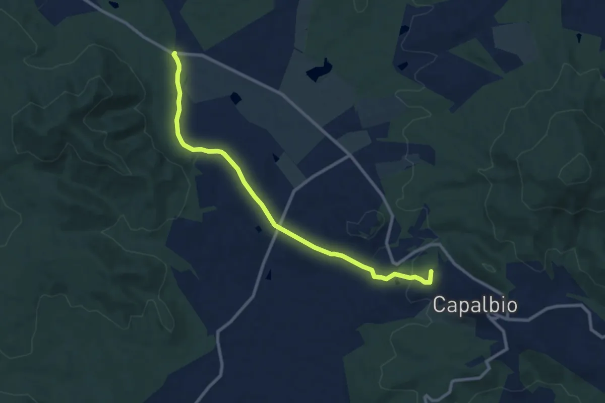
Medium · Summit
Capalbio – Bivio sentiero 805
8.8 km · ↑ 139 m · 2 h 23 min
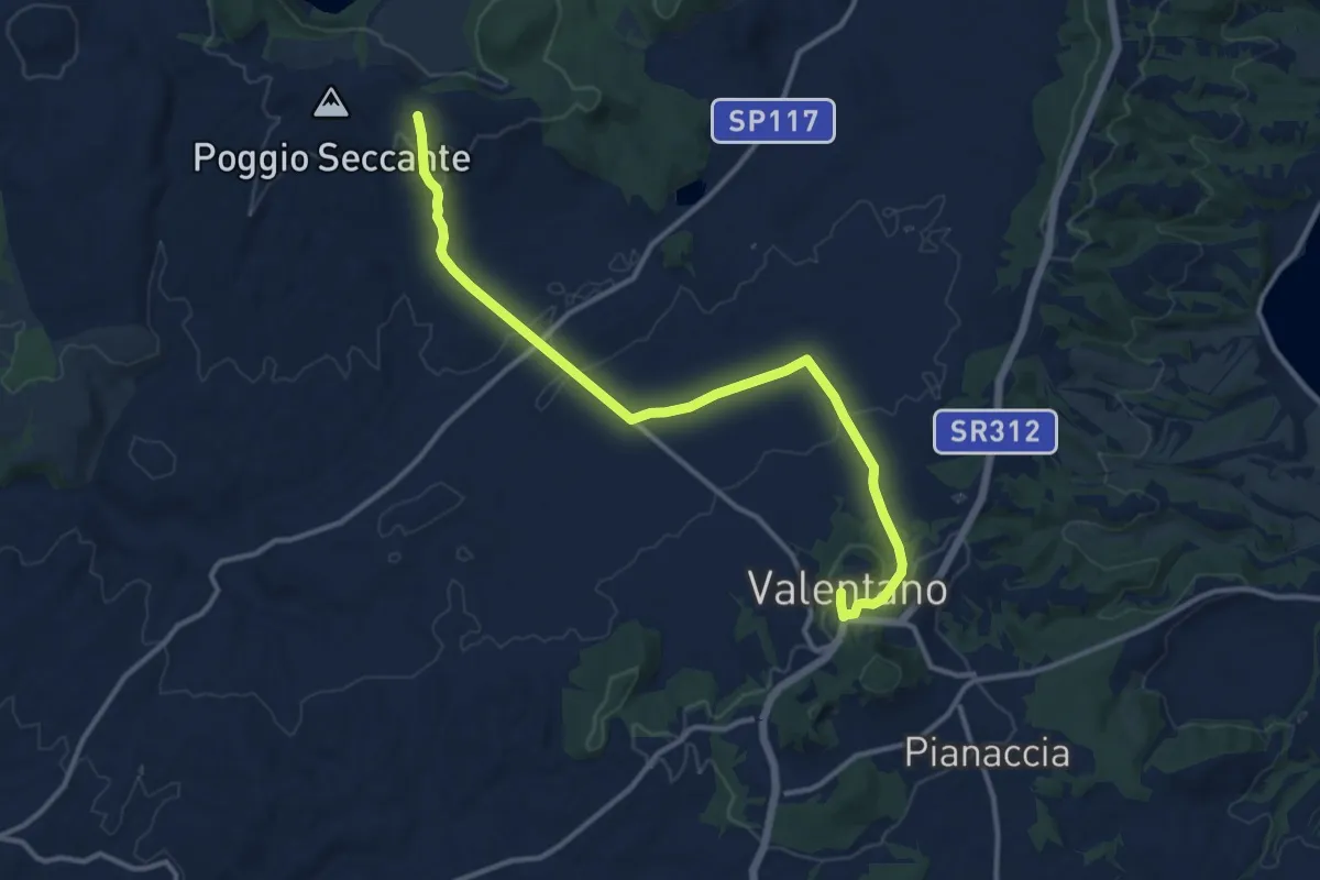
Medium · Trail
Valentano (VT) – Innesto Sentiero dei Briganti
14.1 km · ↑ 265 m · 3 h 55 min
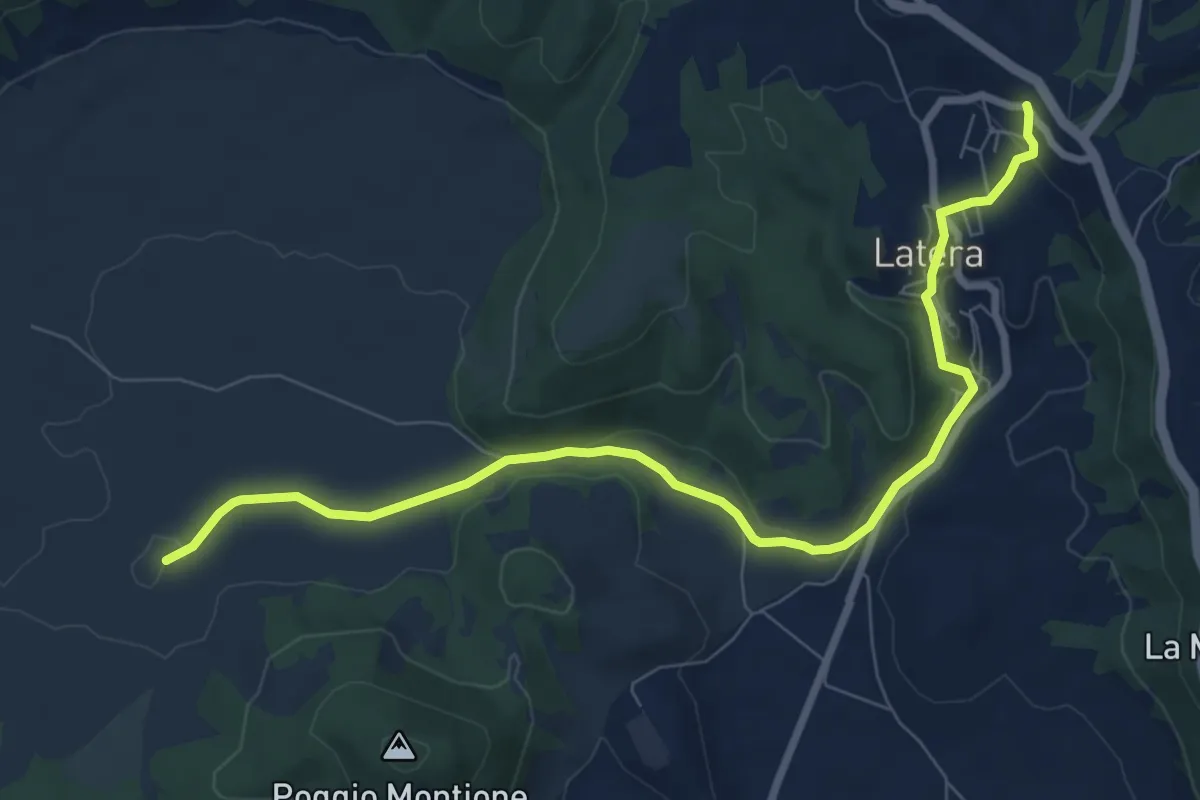
Medium · Trail
Sentiero dei Briganti – Latera
9.5 km · ↑ 236 m · 2 h 46 min
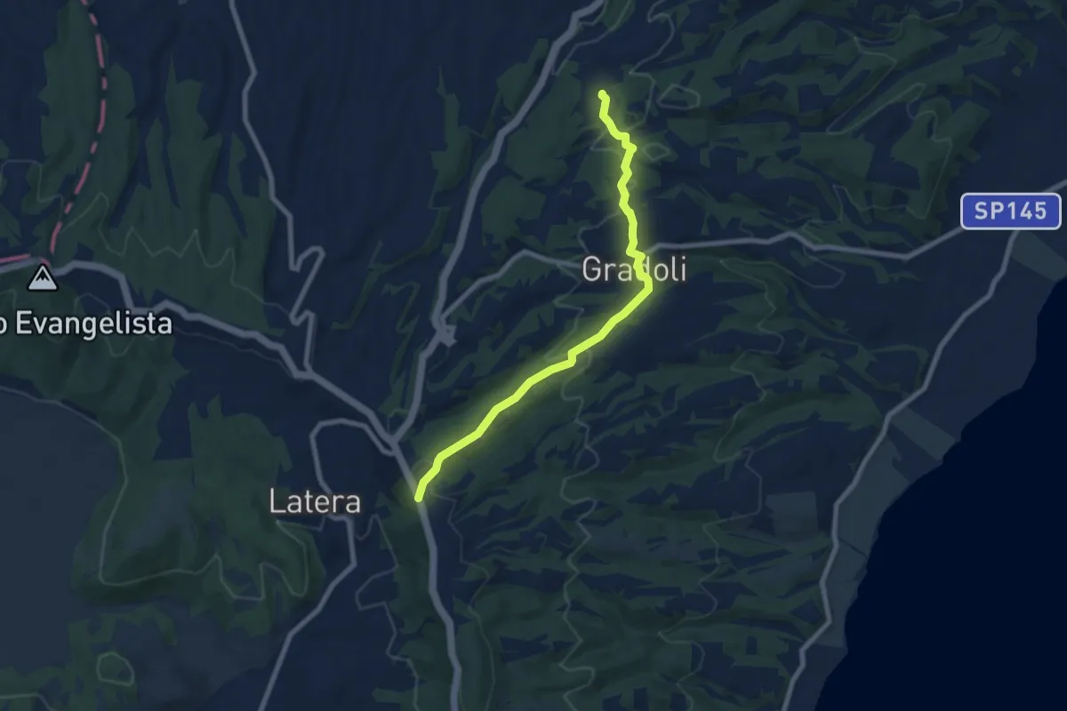
Easy · Trail
Sentiero dei Briganti direzione Latera – Sentiero dei Briganti direzione Grotte di Castro
7.9 km · ↑ 228 m · 2 h 21 min
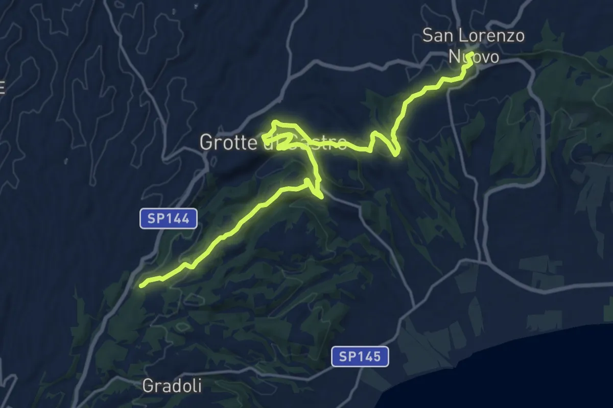
Demanding · Trail
Sentiero dei Briganti – San Lorenzo Nuovo
20.2 km · ↑ 511 m · 5 h 52 min
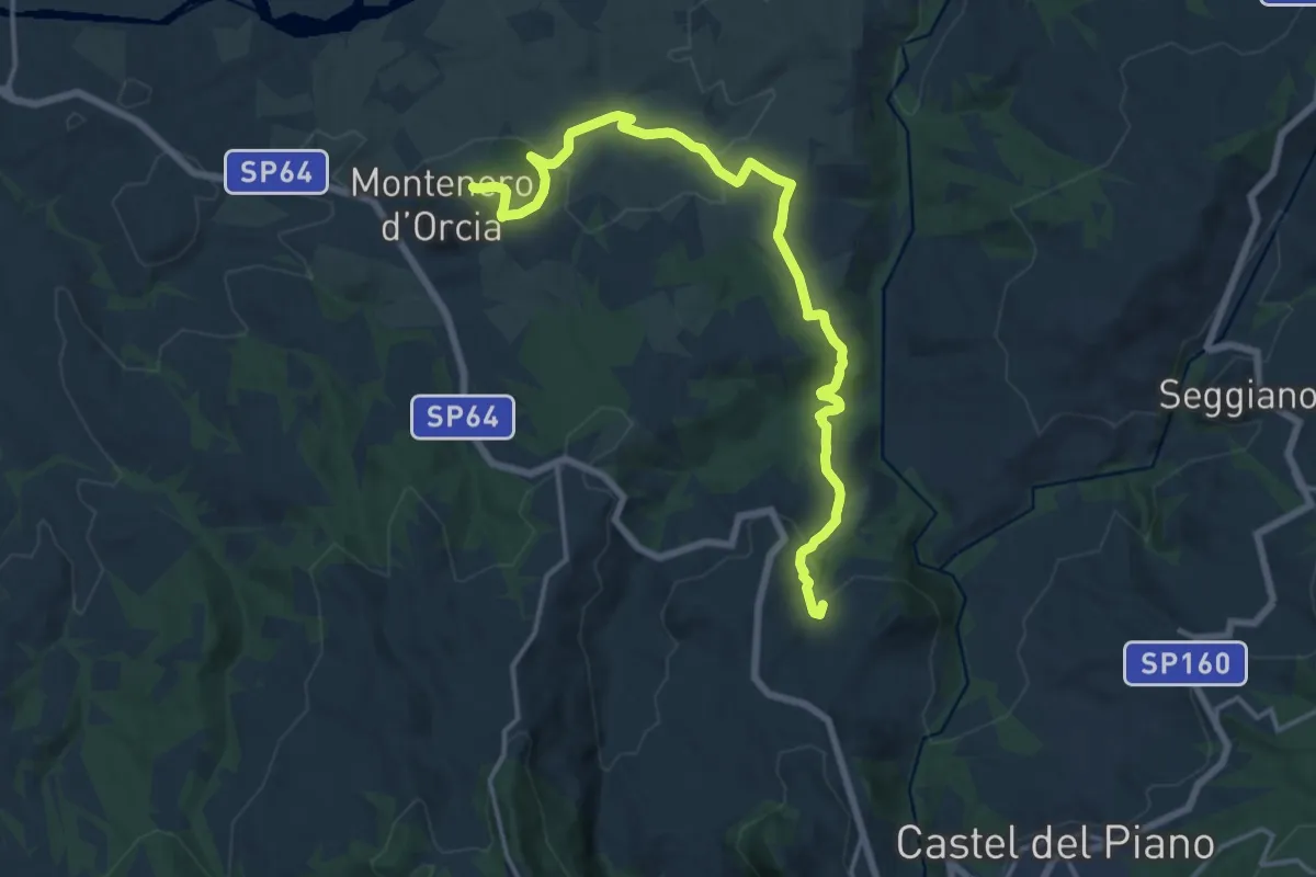
Demanding · Summit
Montenero d'Orcia – Montegiovi
18.4 km · ↑ 612 m · 5 h 40 min
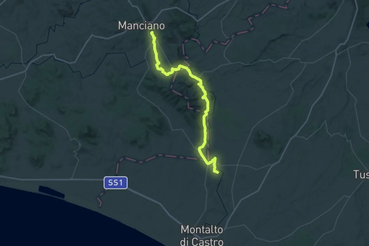
Demanding · Summit
Manciano – Vulci
58.4 km · ↑ 1110 m · 16 h 11 min