Trails in Italy
25,219 hiking trails, each with its route, climb, walking time and grade.
All trails, page 270 of 526
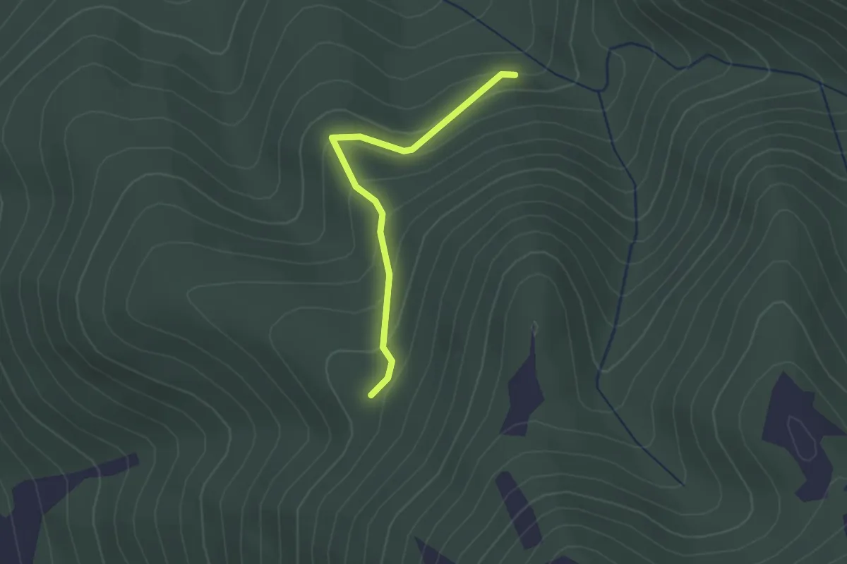
Easy · Trail
Castagna Comunità (Allaccio con 365) – Valle Raina (Allaccio con 359B)
2.2 km · ↑ 158 m · 51 min
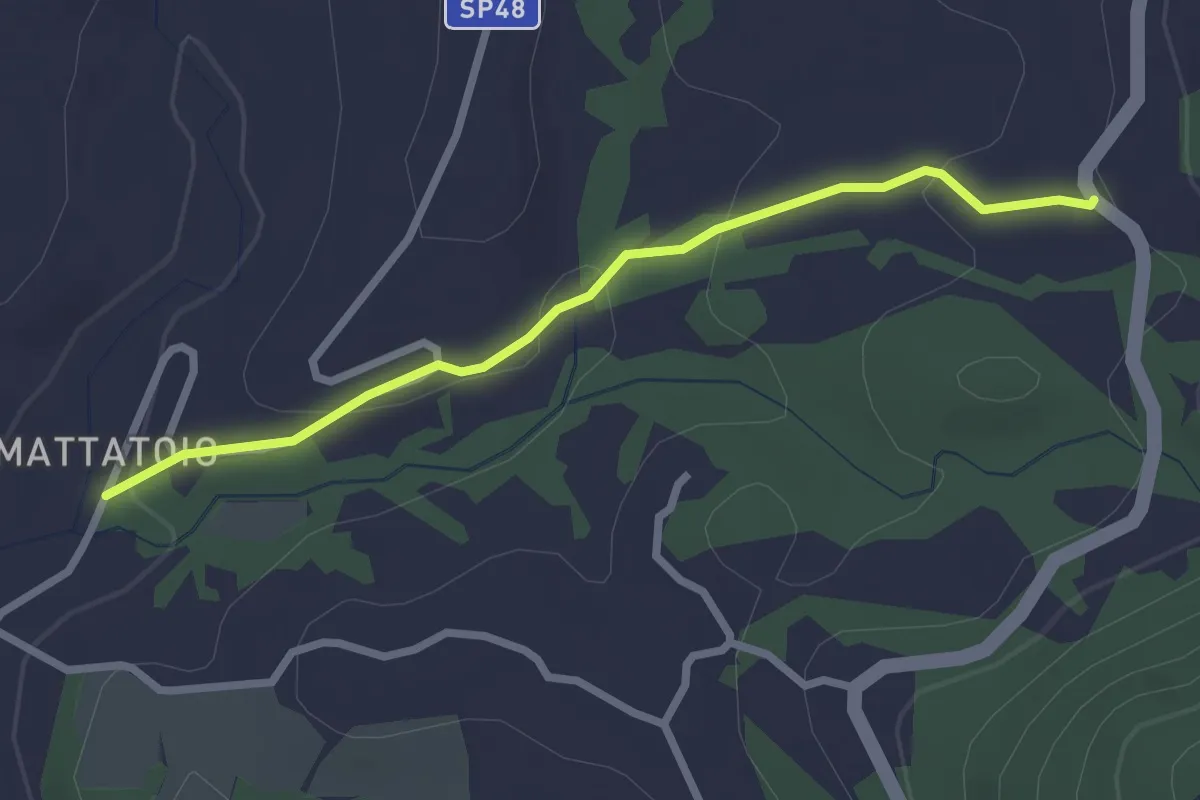
Easy · Trail
Colonia (Allaccio con 359) – Mattatoio (SP 48g Castagneto)
2.7 km · ↑ 76 m · 48 min
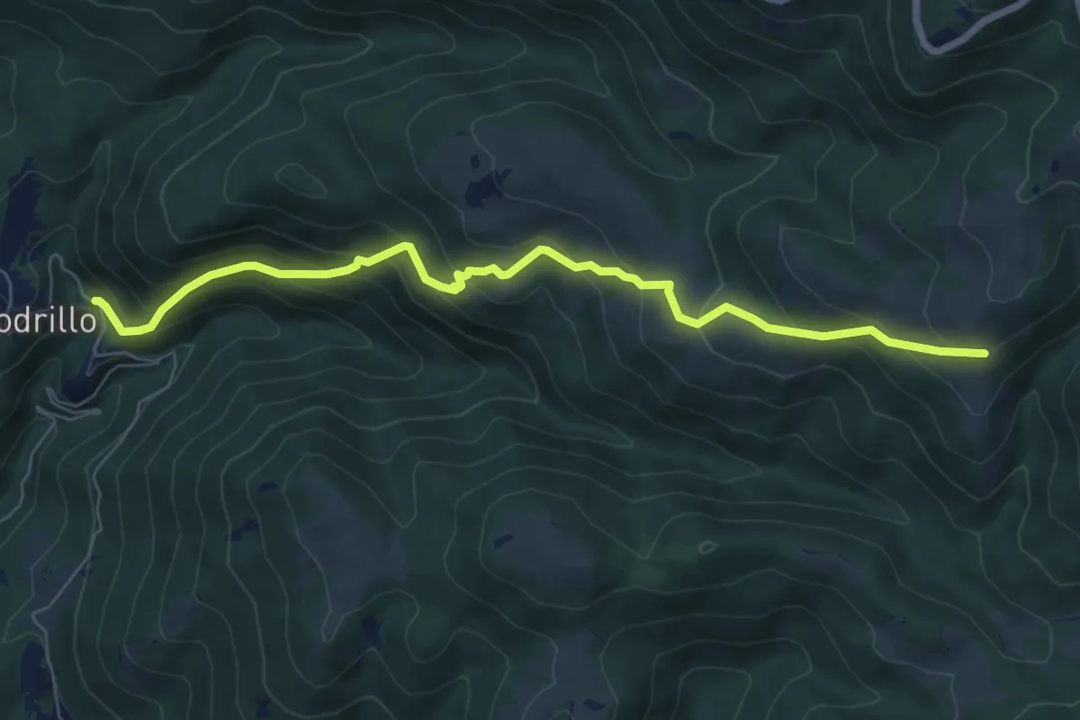
Medium · Trail
Rieti Loc. Lugnano – Rieti Loc. Fonte Lancino
7.7 km · ↑ 627 m · 3 h 11 min
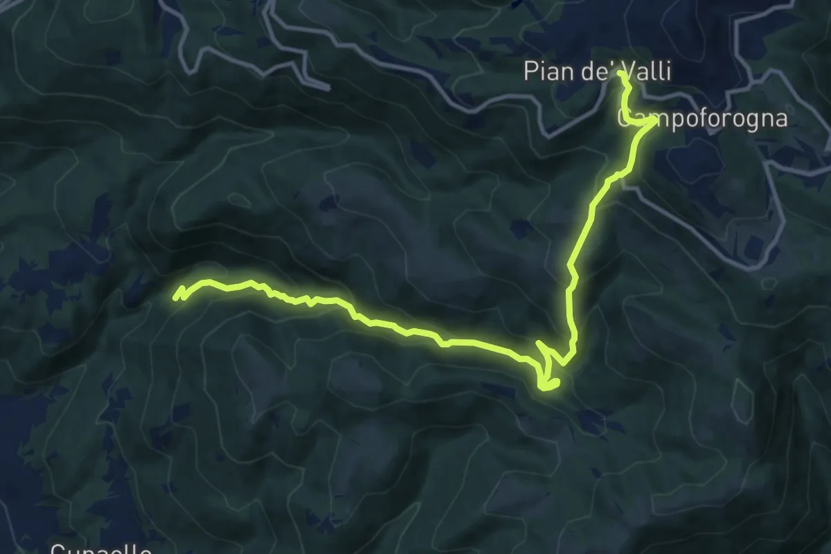
Demanding · Trail
Rieti Loc. Lugnano – Rieti loc. I Tre Faggi
13.8 km · ↑ 942 m · 5 h 18 min
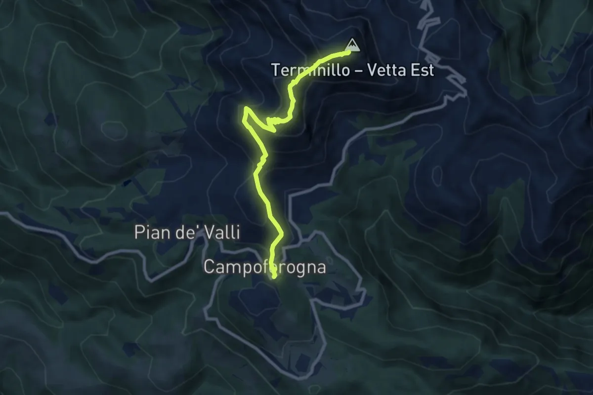
Medium · Summit
Località Campoforogna Terminillo – Rif. A.Sebastiani Terminillo
7.8 km · ↑ 684 m · 3 h 20 min
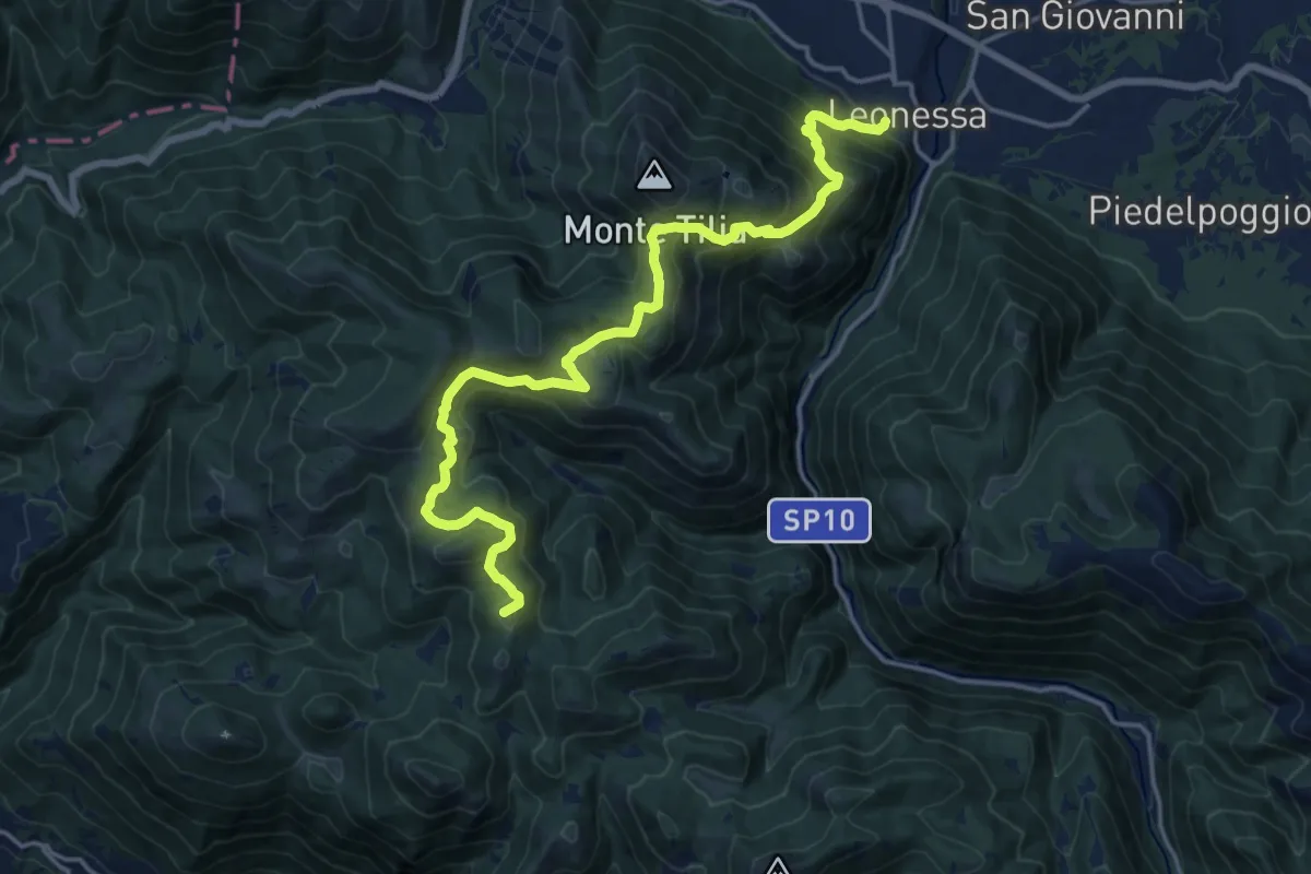
Demanding · Summit
Leonessa – Rieti loc. Pian de' Valli
19.5 km · ↑ 1283 m · 7 h 23 min
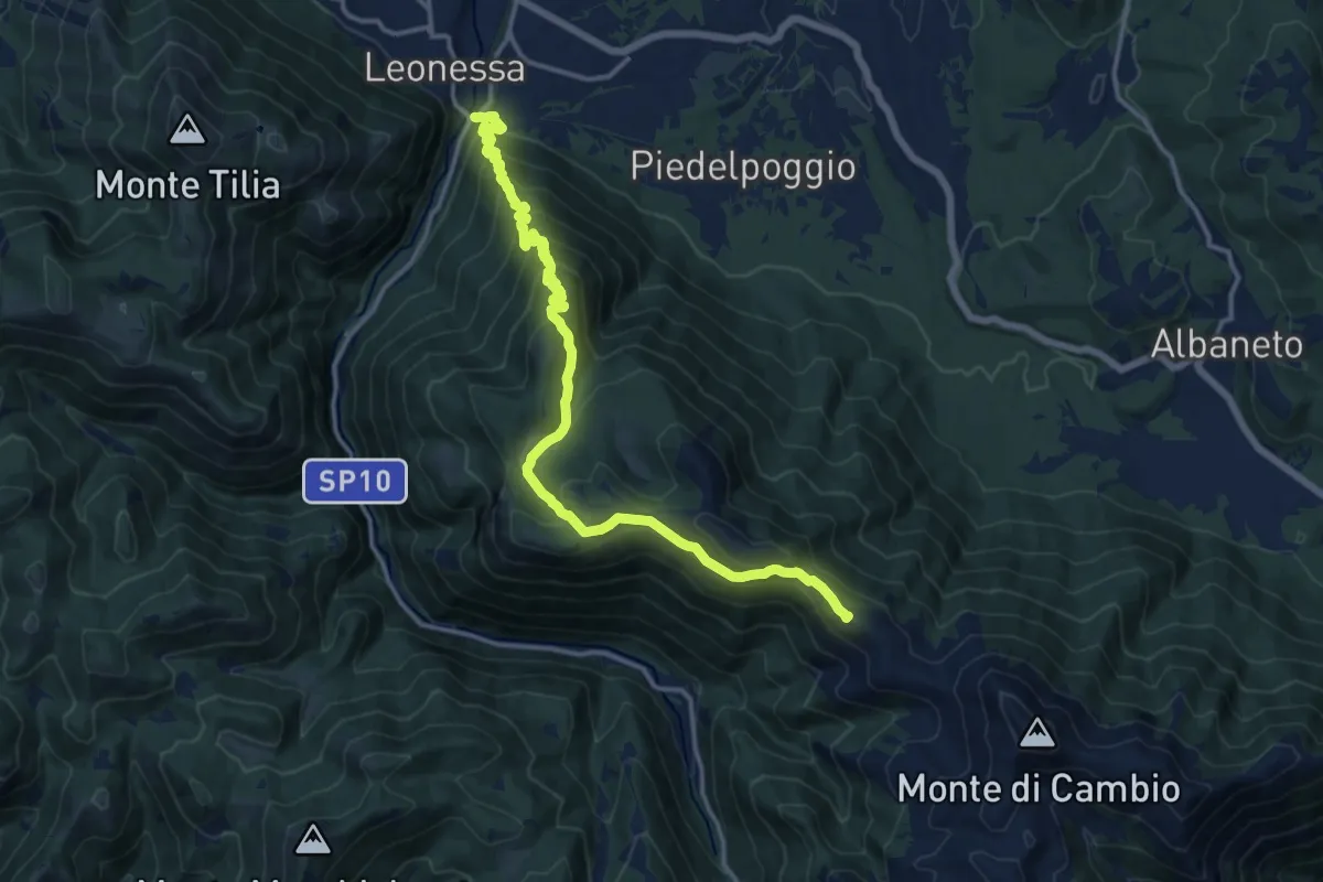
Demanding · Summit
Leonessa – Rifugio Angelo Sebastiani
16.6 km · ↑ 1094 m · 6 h 18 min
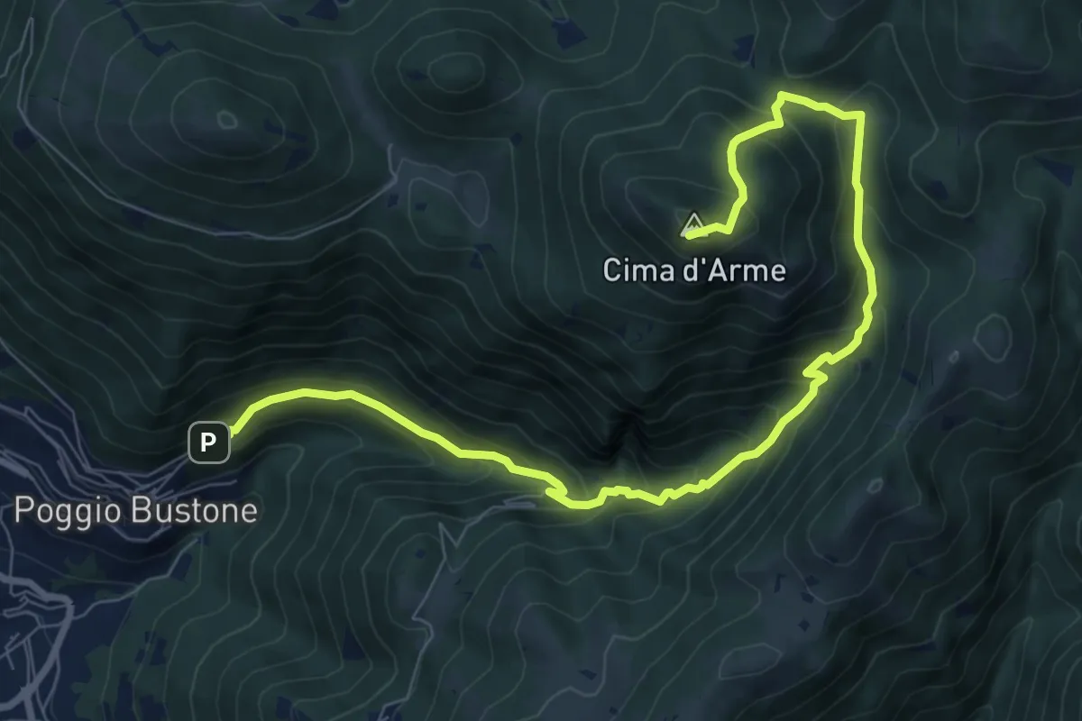
Demanding · Summit
Poggio Bustone convento Francescano – Cima D'Arme
10.7 km · ↑ 864 m · 4 h 24 min
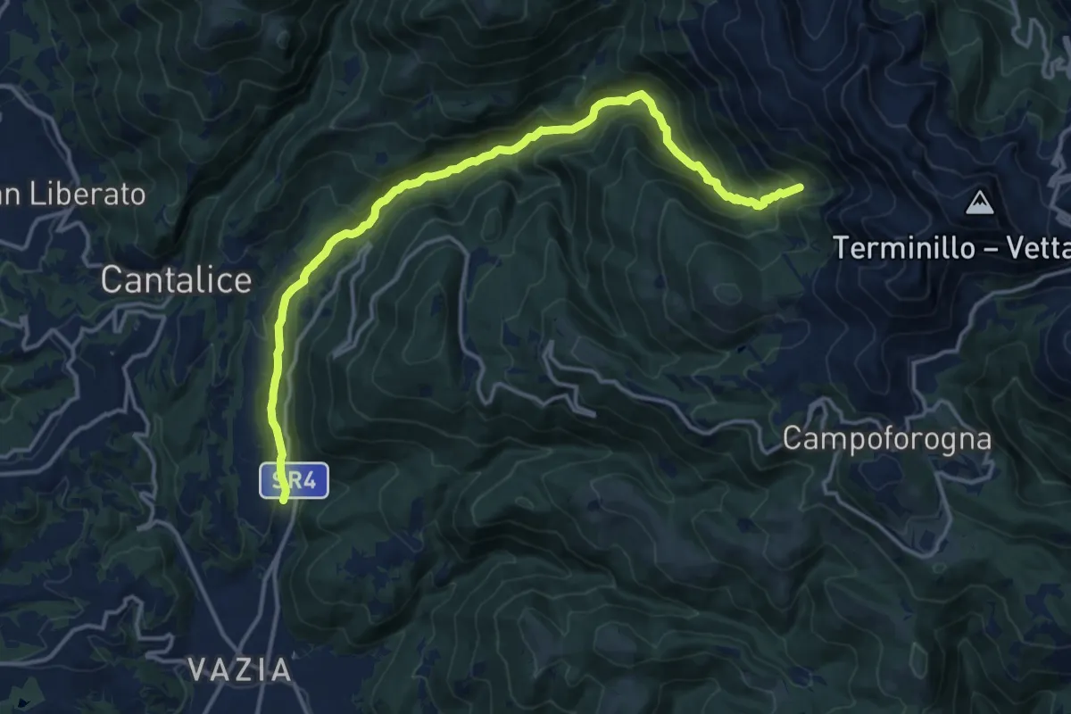
Demanding · Cabin
Rieti Loc. Lisciano – Rieti Loc. Lisciano Rifugio La Fossa
17.0 km · ↑ 943 m · 6 h 3 min
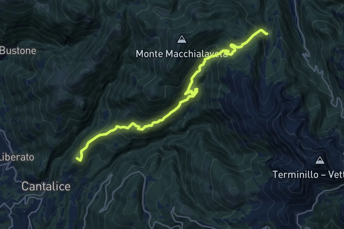
Demanding · Summit
Cantalice (RI) Loc. Gli Oste – Leonessa (RI) Loc. Campostella incrocio sentiero 418
17.9 km · ↑ 940 m · 6 h 16 min
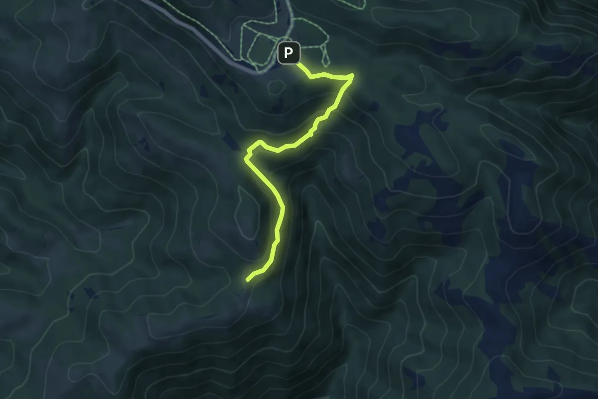
Easy · Trail
Cinque Confini – Incrocio 411
5.3 km · ↑ 318 m · 1 h 57 min
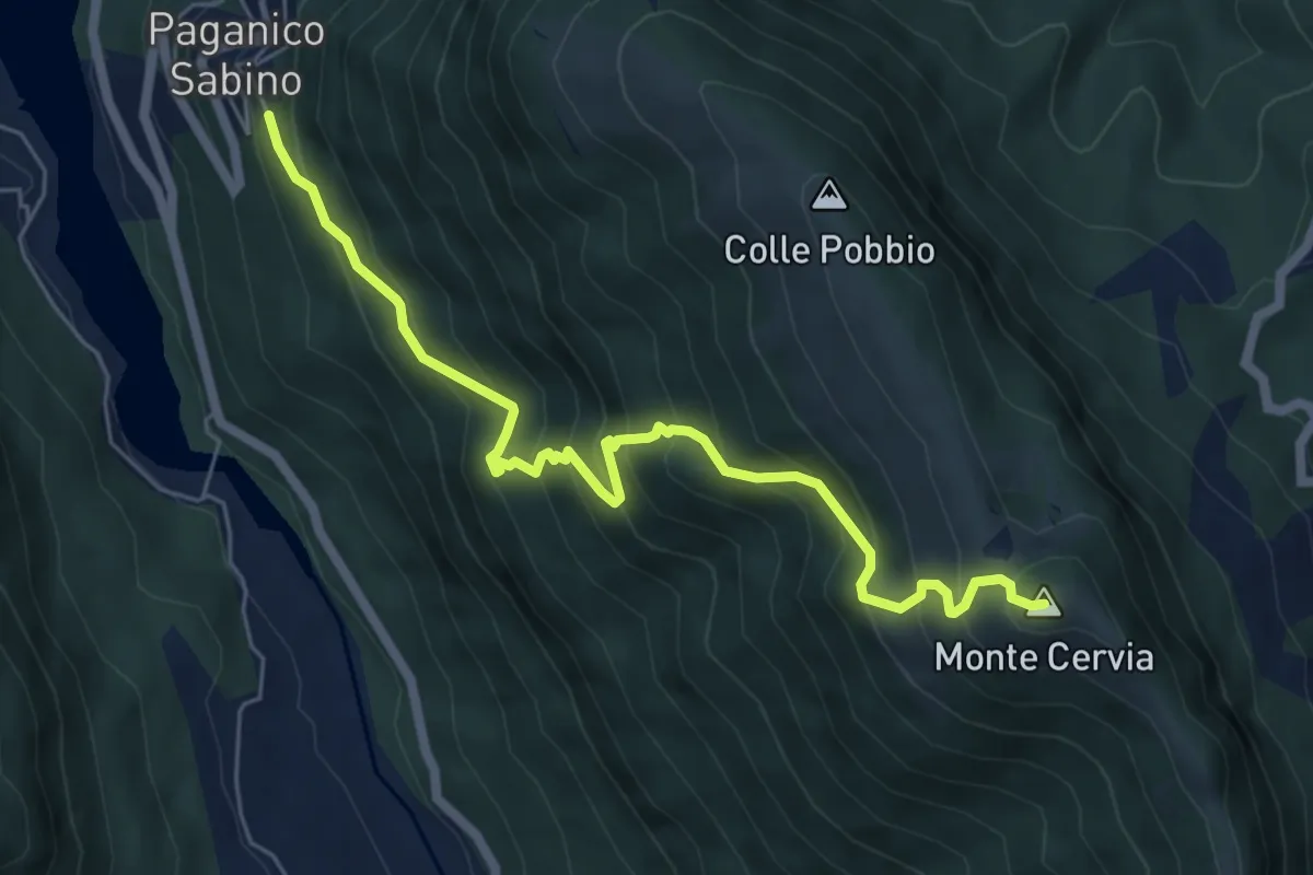
Medium · Summit
Paganico – M.te Cervia
6.9 km · ↑ 741 m · 3 h 14 min
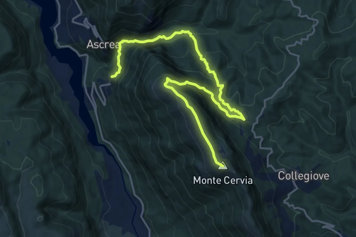
Demanding · Summit
Paganico – Monte Cervia
15.6 km · ↑ 1033 m · 5 h 55 min
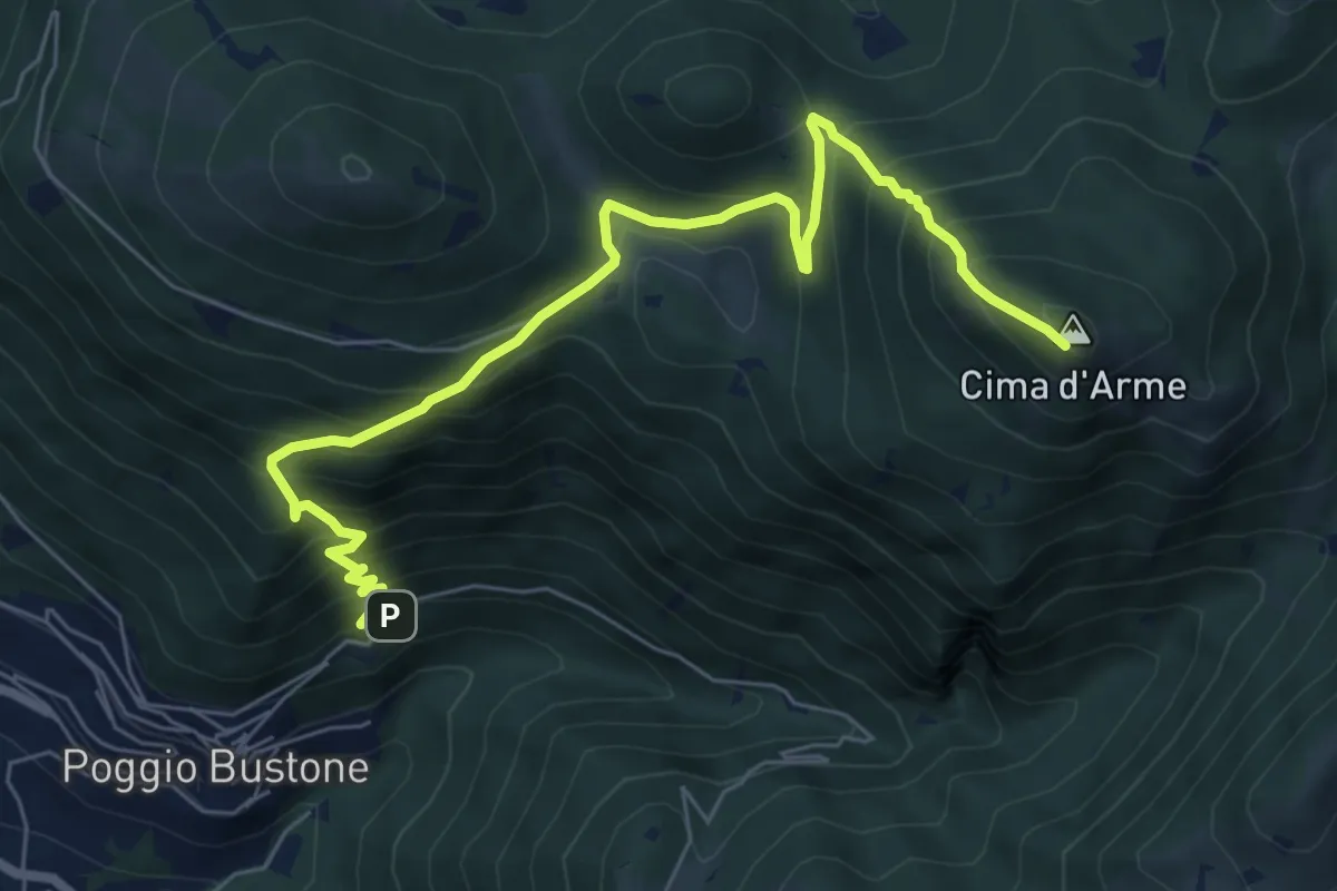
Demanding · Summit
Poggio Bustone – Cima d'Arme
8.2 km · ↑ 818 m · 3 h 42 min
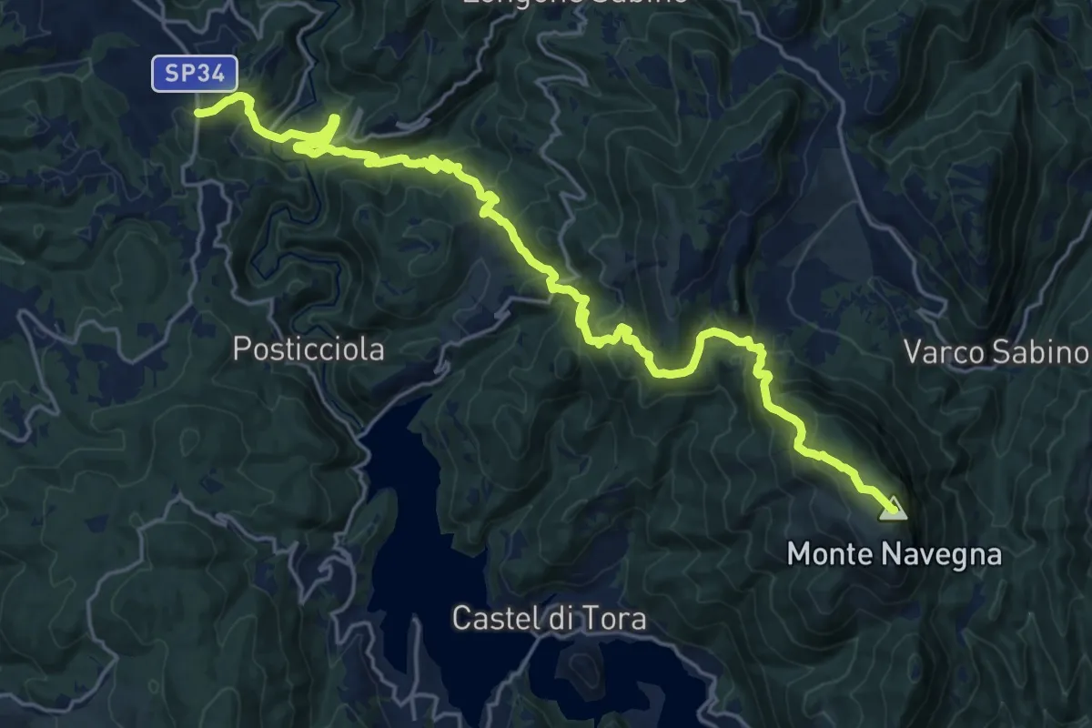
Demanding · Summit
Castagneto – Monte Navegna
26.2 km · ↑ 1481 m · 9 h 24 min
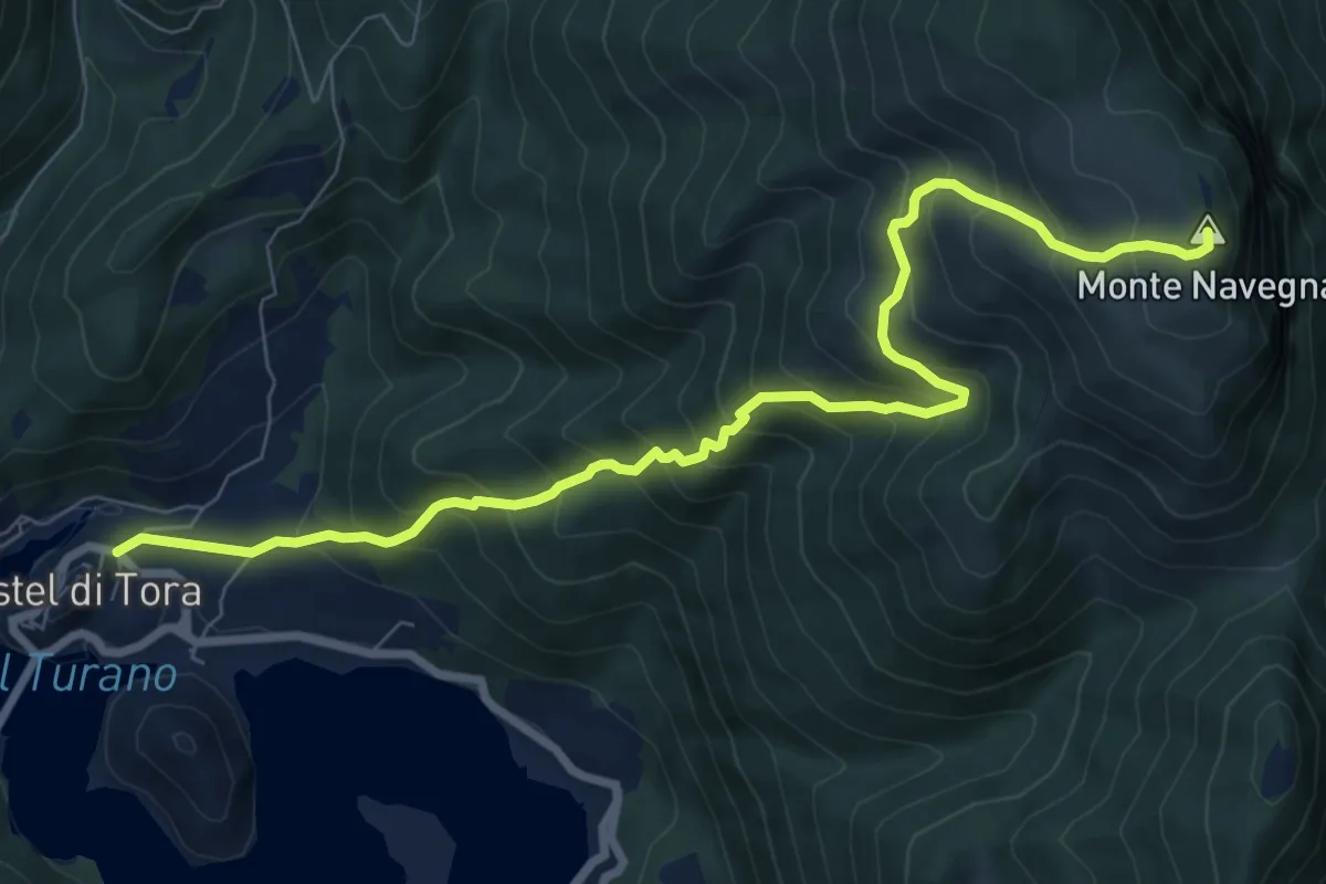
Demanding · Summit
Castel di Tora – Monte Navegna
9.8 km · ↑ 964 m · 4 h 24 min
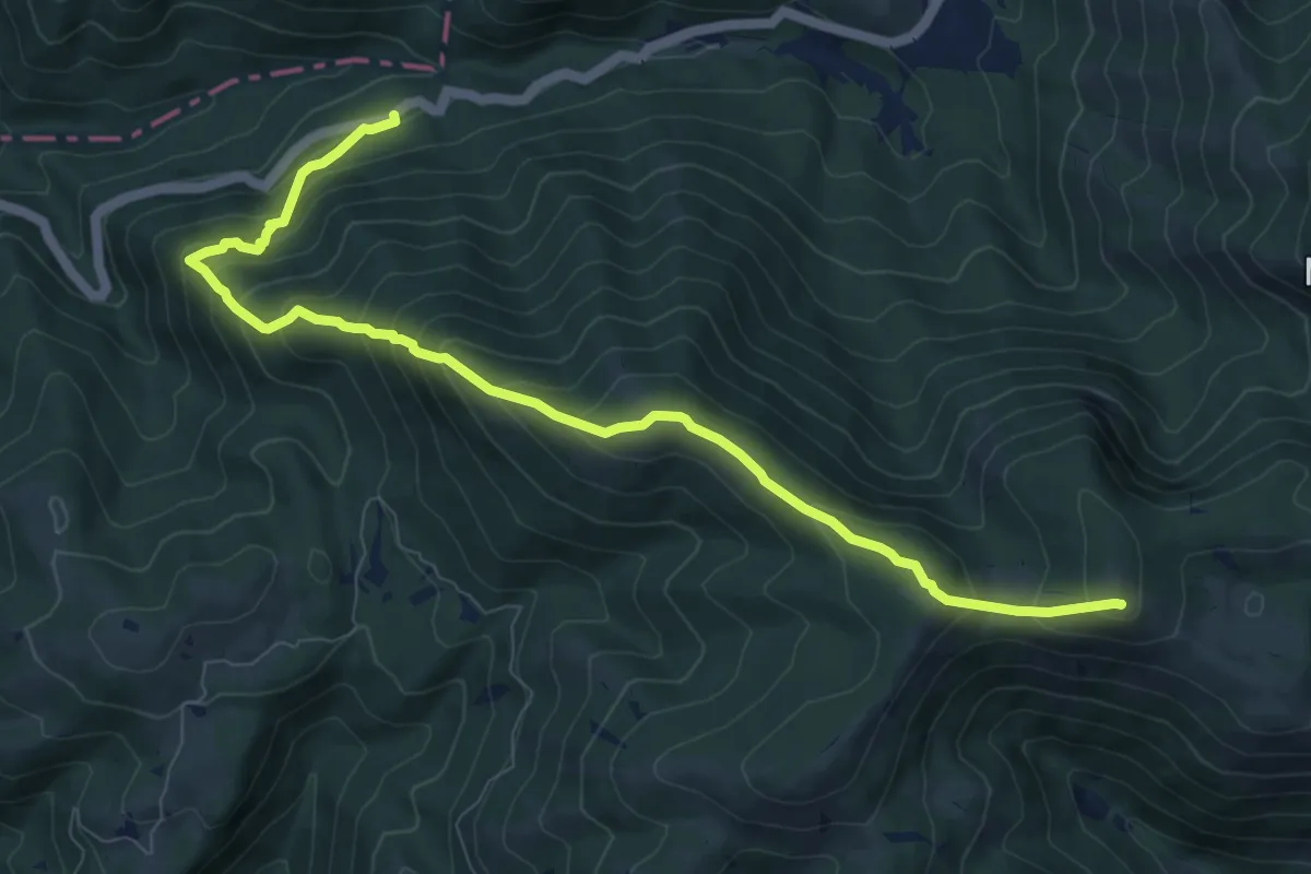
Demanding · Summit
Casa Cantoniera SS. 521 Km 17 – Monte Corno
10.5 km · ↑ 855 m · 4 h 20 min
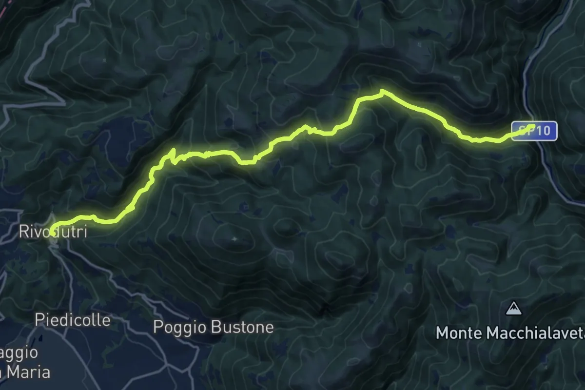
Medium · Trail
Valle di Rio Fuggio – Rivodutri
10.9 km · ↑ 504 m · 4 h 5 min
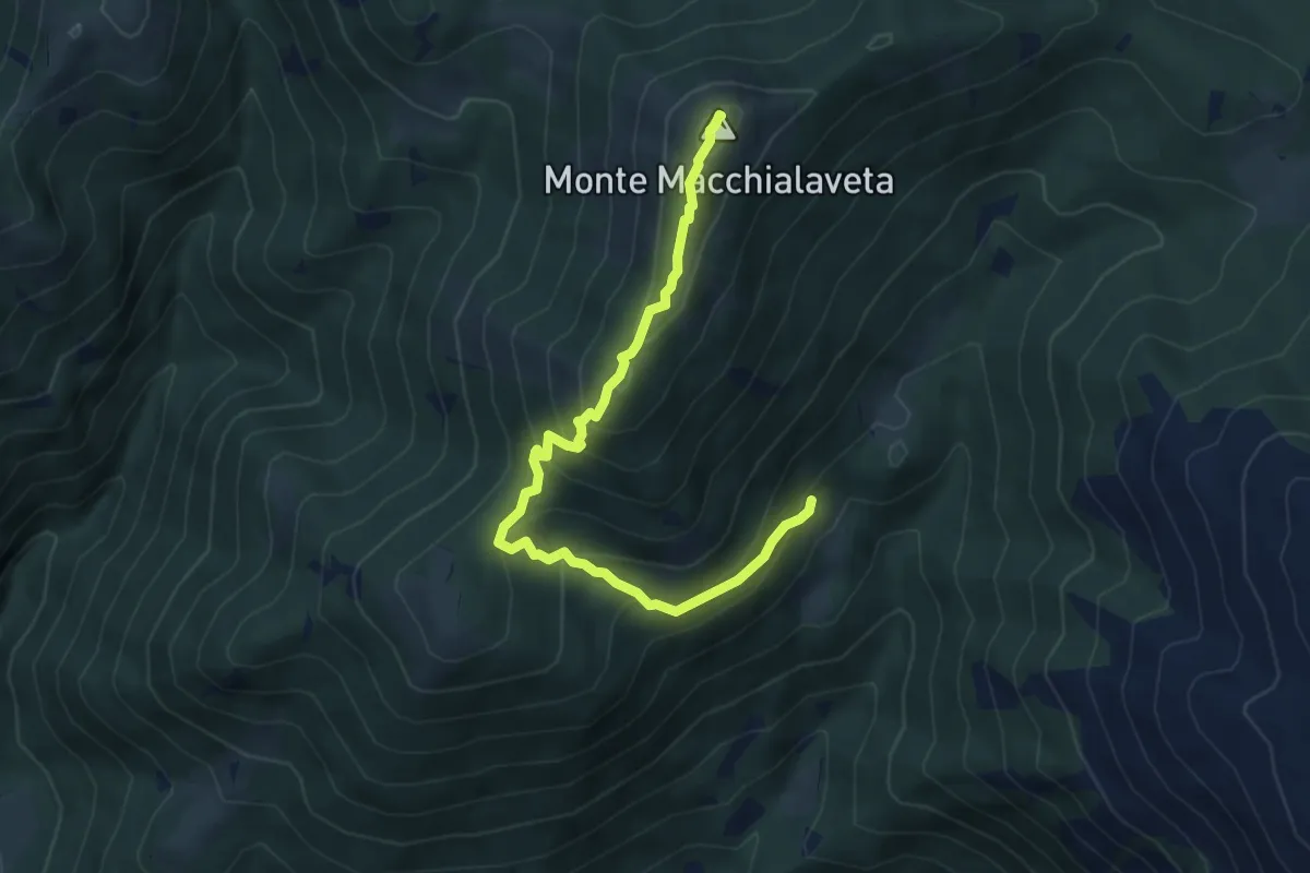
Medium · Summit
Cantalice gli osti bivio sentiero 423 – Monte Macchialaveta
5.9 km · ↑ 413 m · 2 h 17 min
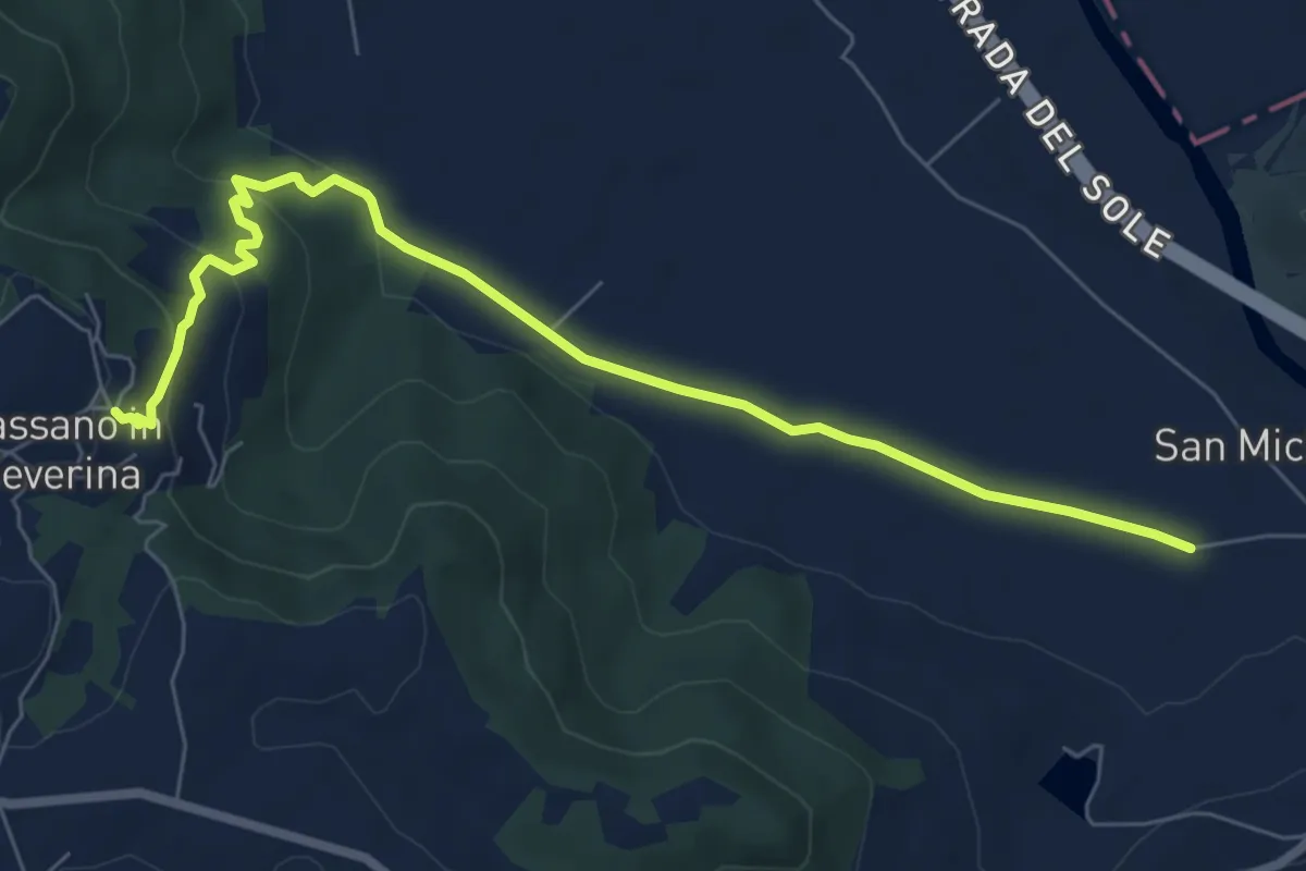
Medium · Trail
Bassano in Teverina – Via Amerina
8.2 km · ↑ 214 m · 2 h 24 min
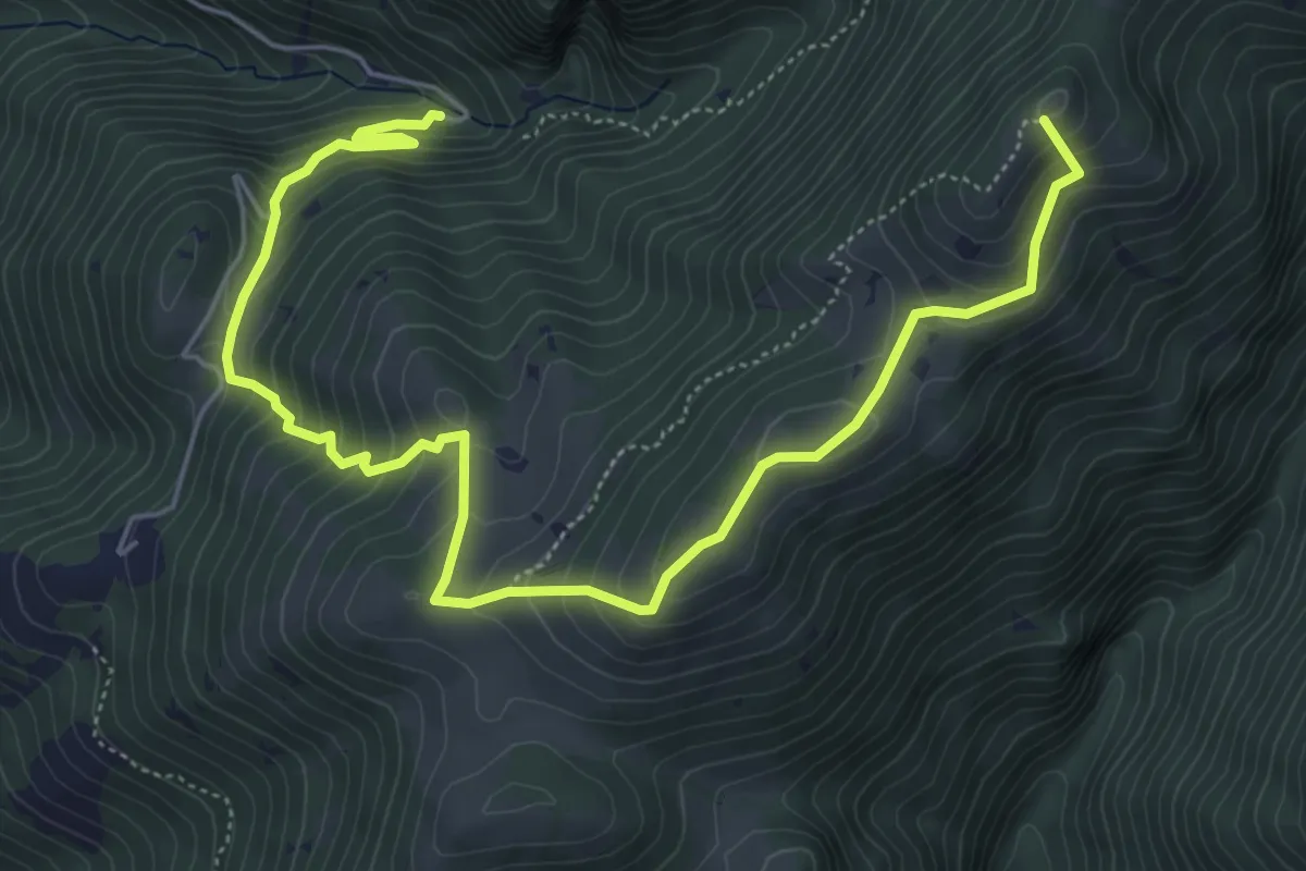
Medium · Summit
Poggio Bustone incrocio sentiero 420 – Monte Ceresa - cippo di confine 454
8.0 km · ↑ 618 m · 3 h 14 min
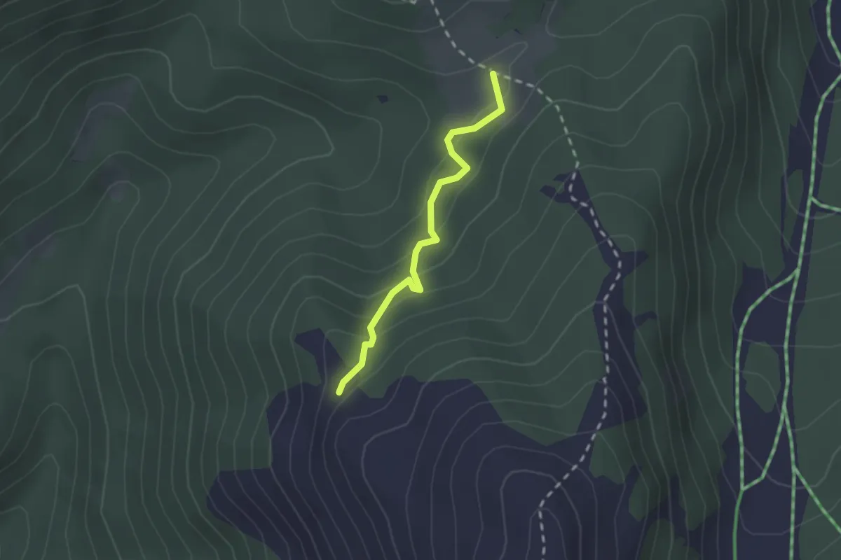
Easy · Trail
Sella di Cantalice – Cippo Commemorativo Incidente Aereo 13/2/1955
2.0 km · ↑ 136 m · 46 min
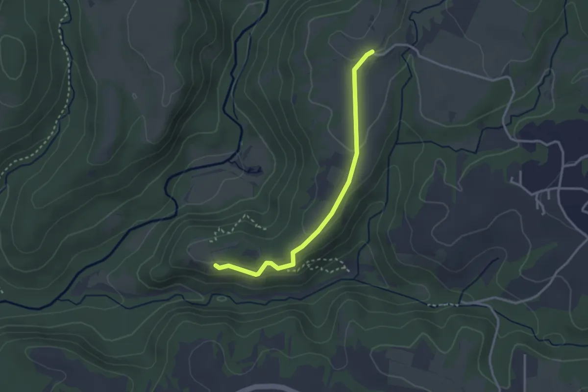
Easy · Trail
Monterano – sent. 265
3.0 km · ↑ 71 m · 51 min
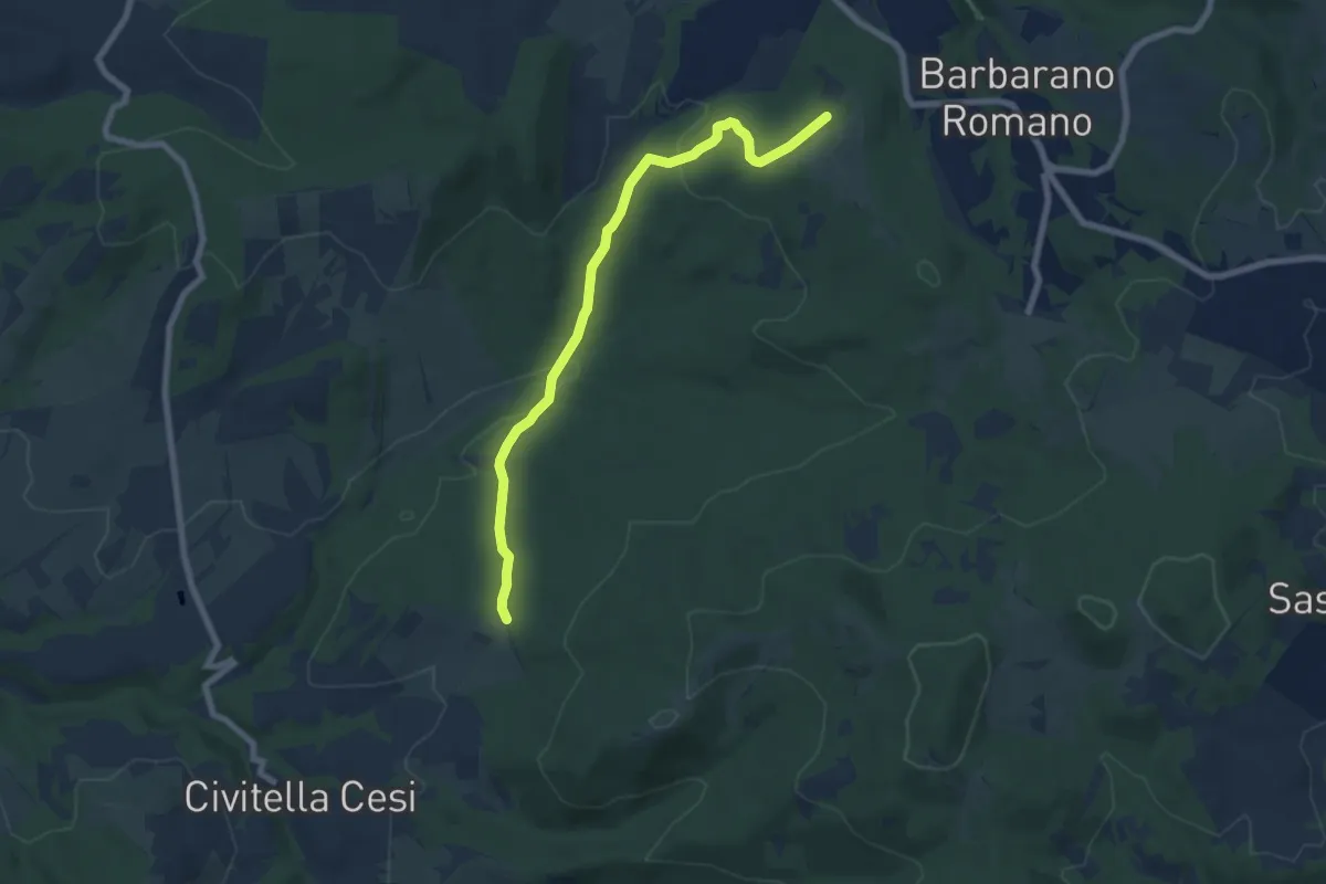
Easy · Trail
Località Bandita – Località Quarto
7.9 km · ↑ 212 m · 2 h 19 min
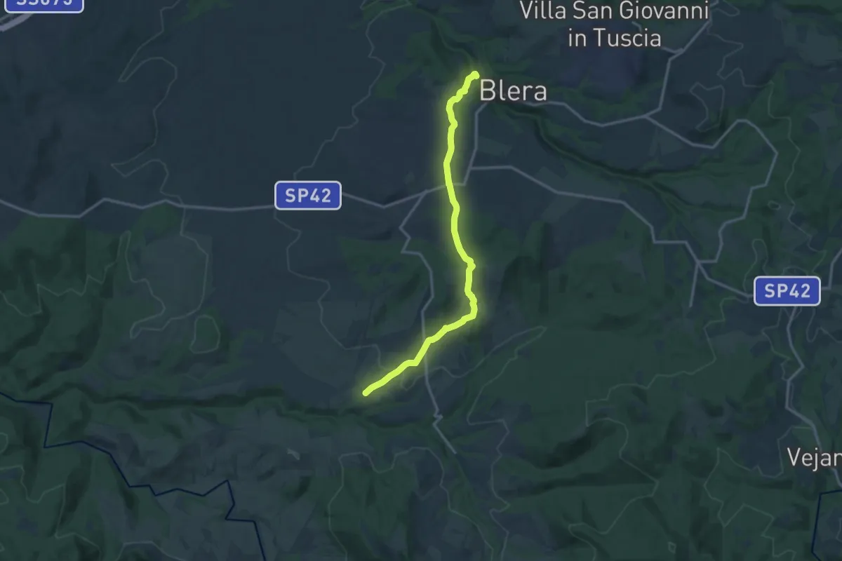
Medium · Trail
Blera – Necropoli San Giovenale
13.9 km · ↑ 283 m · 3 h 54 min
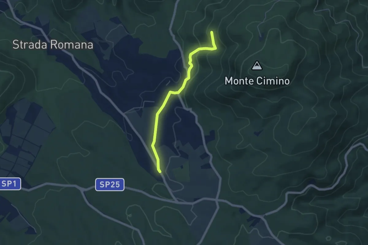
Easy · Trail
Faggeta Soriano nel Cimino – Strada Romana
5.0 km · ↑ 149 m · 1 h 30 min
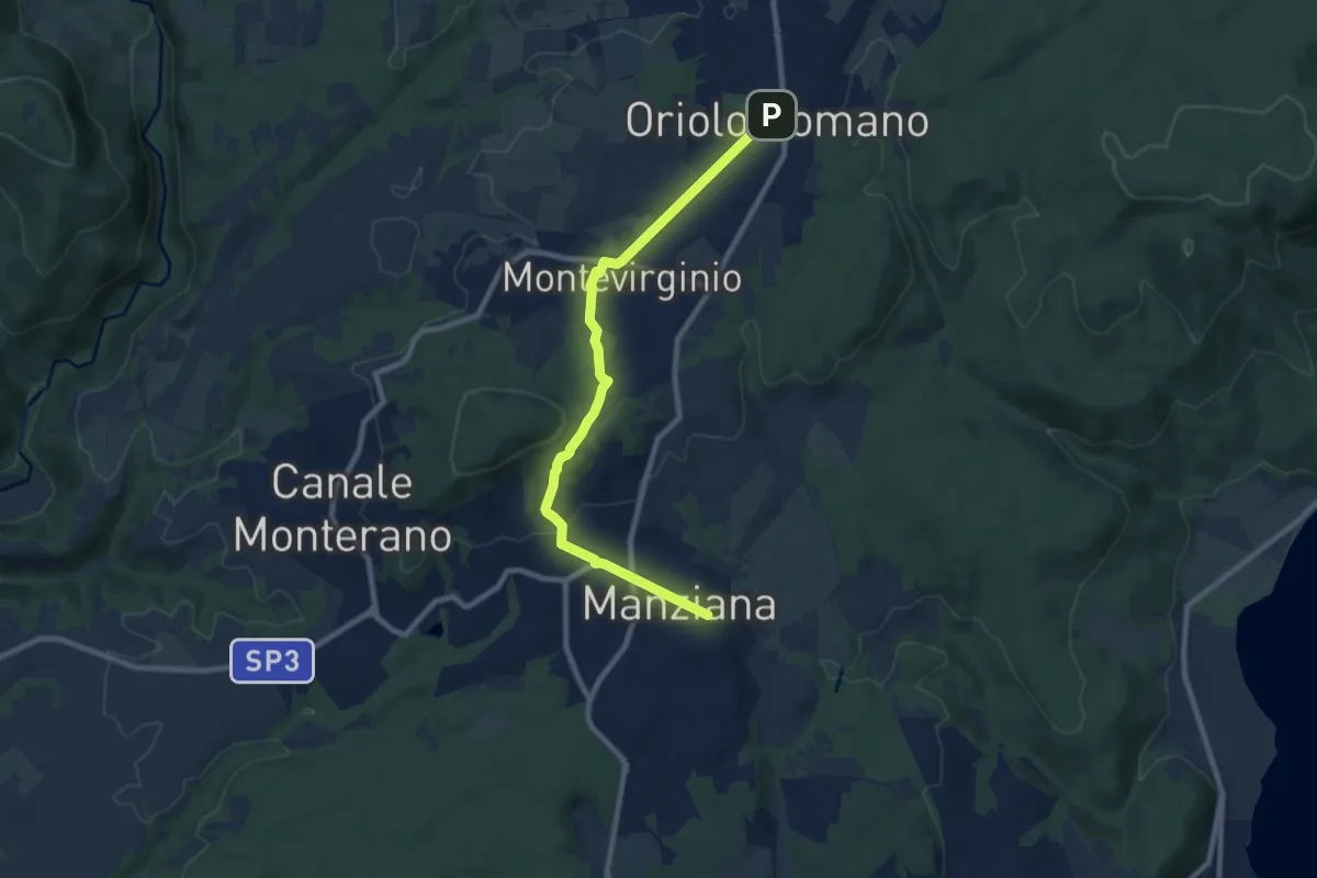
Medium · Trail
Oriolo Romano – Manziana
9.5 km · ↑ 189 m · 2 h 40 min
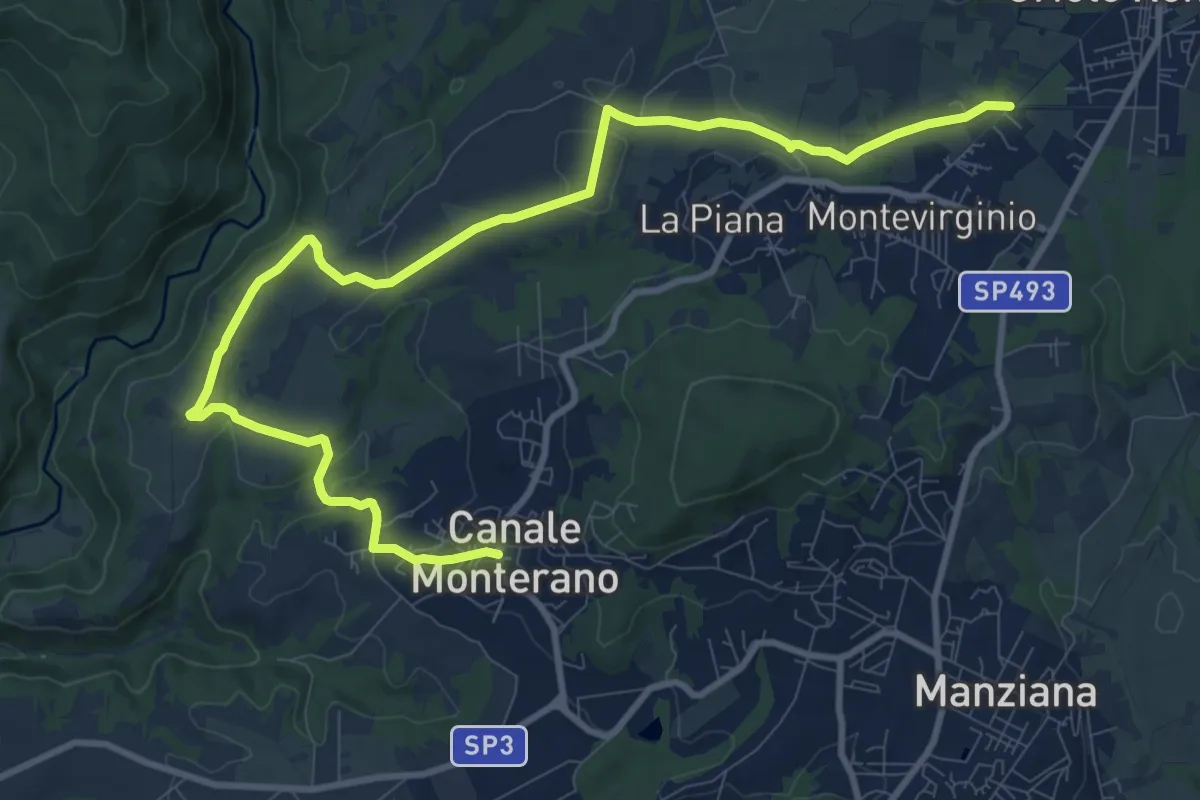
Medium · Trail
Canale Monterano – Oriolo Romano
13.7 km · ↑ 275 m · 3 h 50 min
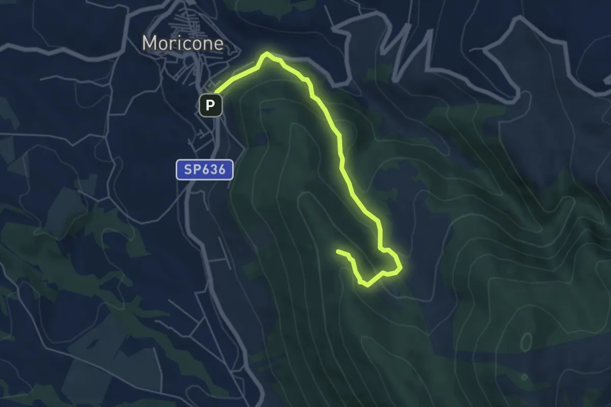
Easy · Trail
Moricone – Le Pianate
5.9 km · ↑ 301 m · 2 h 2 min
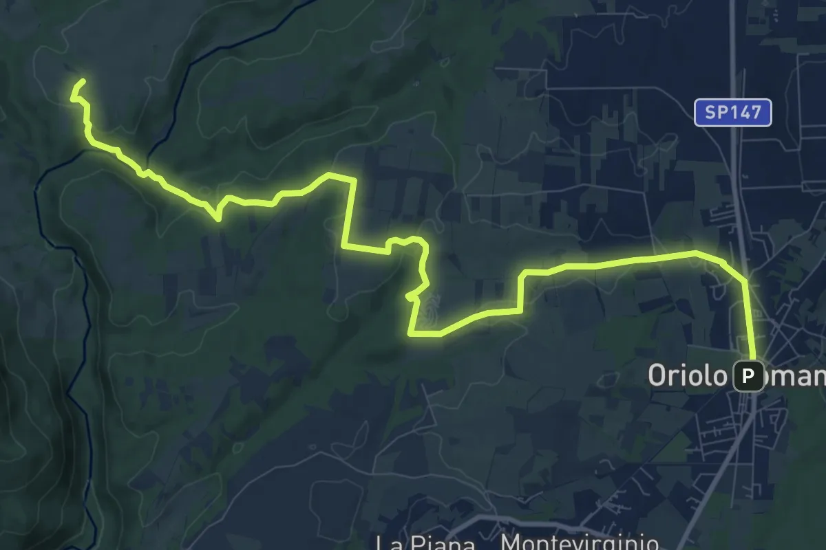
Medium · Trail
Oriolo Romano – Sentiero 139
14.3 km · ↑ 287 m · 3 h 59 min
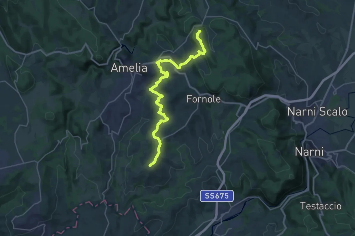
Demanding · Trail
Foce – Montecampano
22.9 km · ↑ 657 m · 6 h 50 min
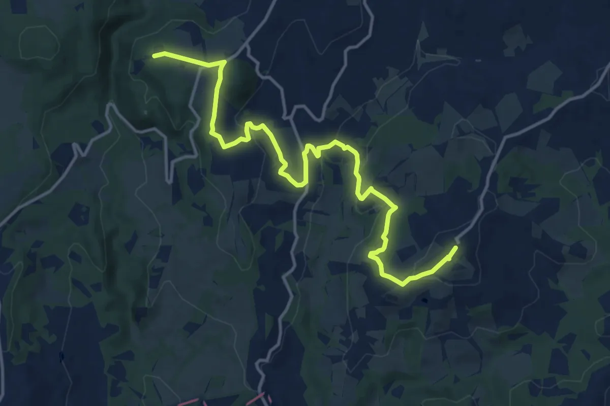
Medium · Trail
Montecampano – Convento Santissima Annunziata
15.0 km · ↑ 461 m · 4 h 33 min
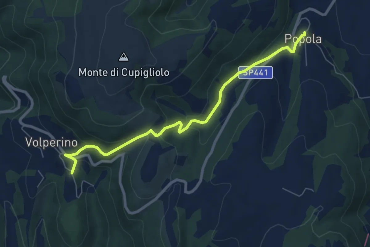
Easy · Trail
Popola – Volperino
6.5 km · ↑ 269 m · 2 h 7 min
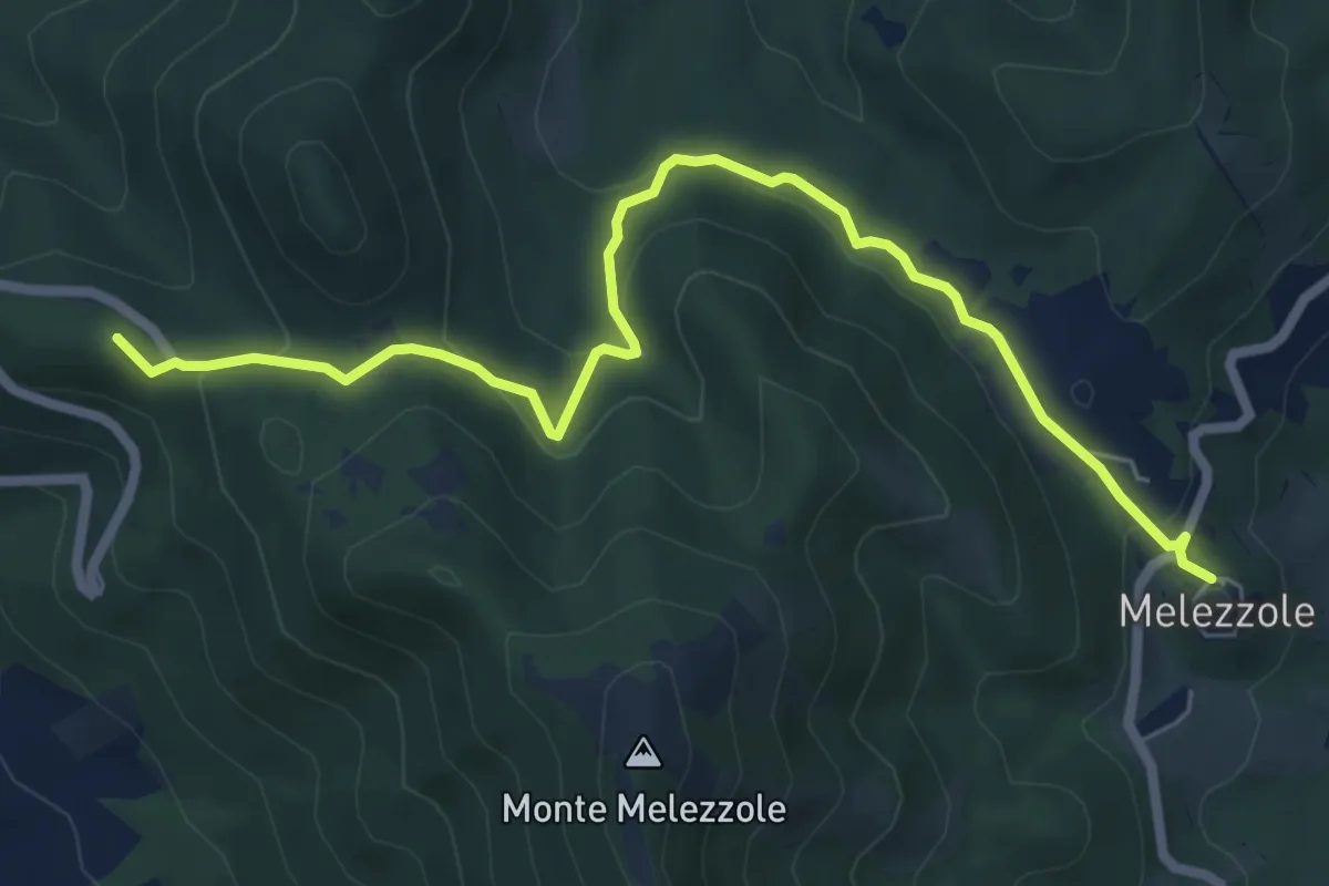
Easy · Summit
Melezzole – Montecchio
7.7 km · ↑ 270 m · 2 h 24 min
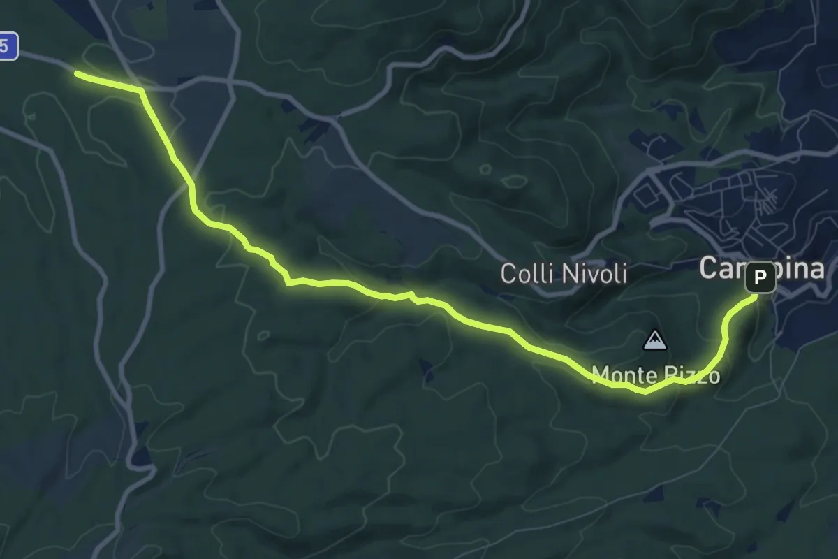
Medium · Trail
Canepina – percorso103
10.8 km · ↑ 309 m · 3 h 13 min
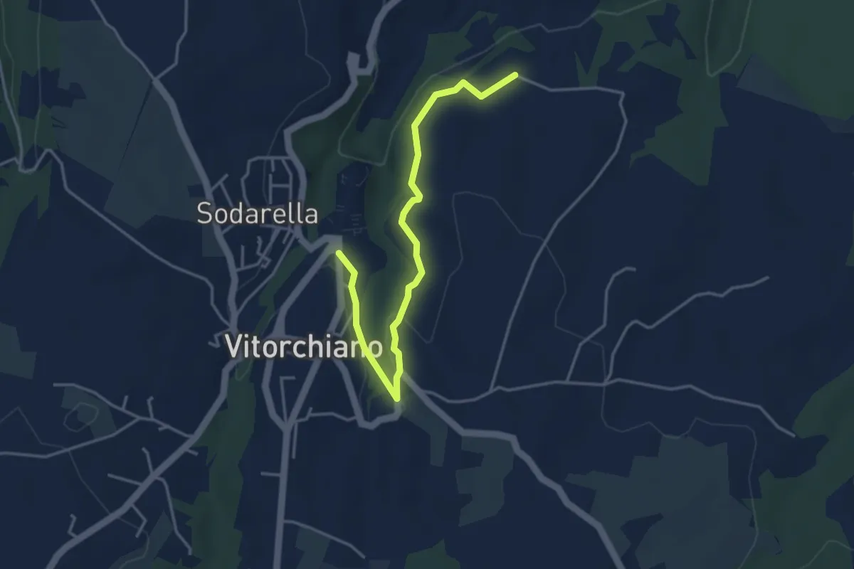
Easy · Trail
Vitorchiano – Campitella
4.3 km · ↑ 58 m · 1 h 9 min
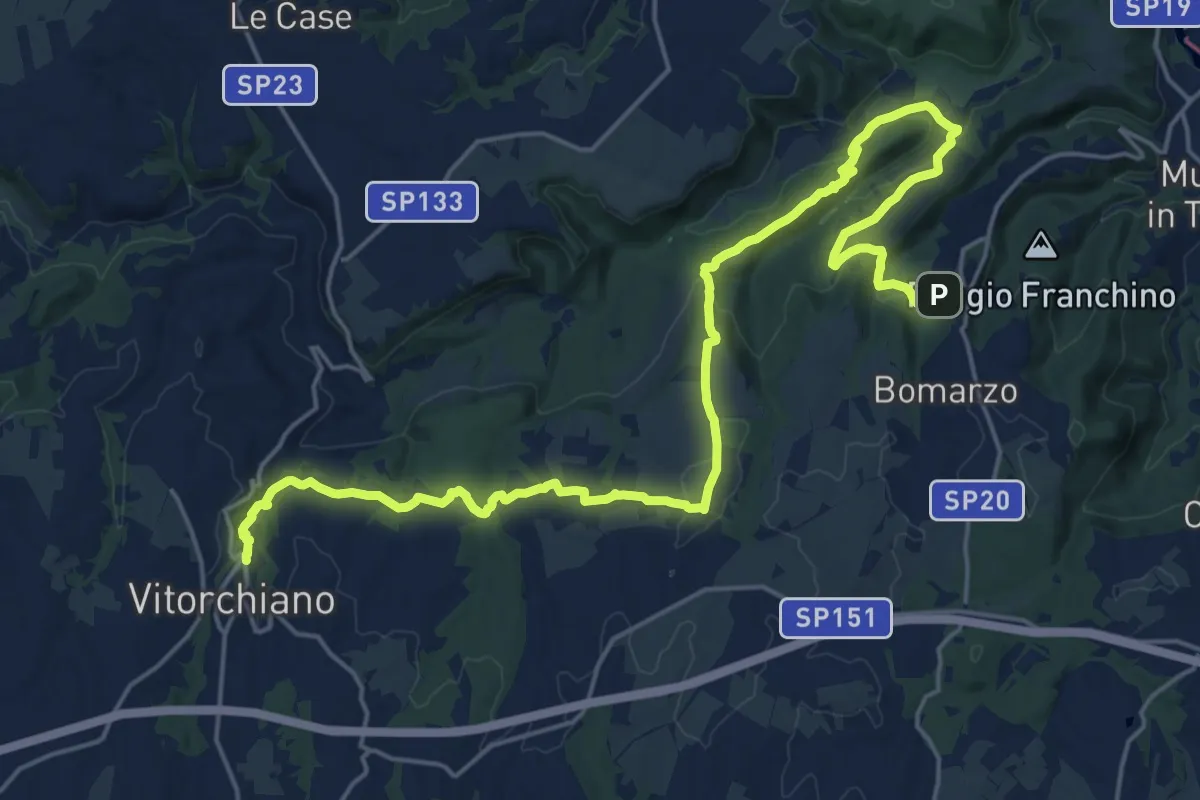
Demanding · Trail
Vitorchiano – Bomarzo
28.1 km · ↑ 623 m · 7 h 59 min
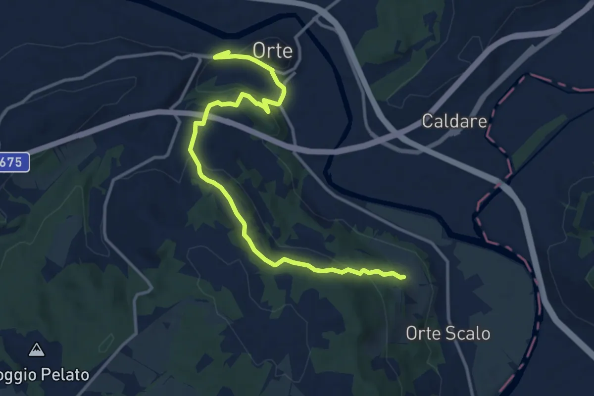
Medium · Trail
ORTE – PERCORSO 103 ORTE SCALO
11.6 km · ↑ 402 m · 3 h 37 min
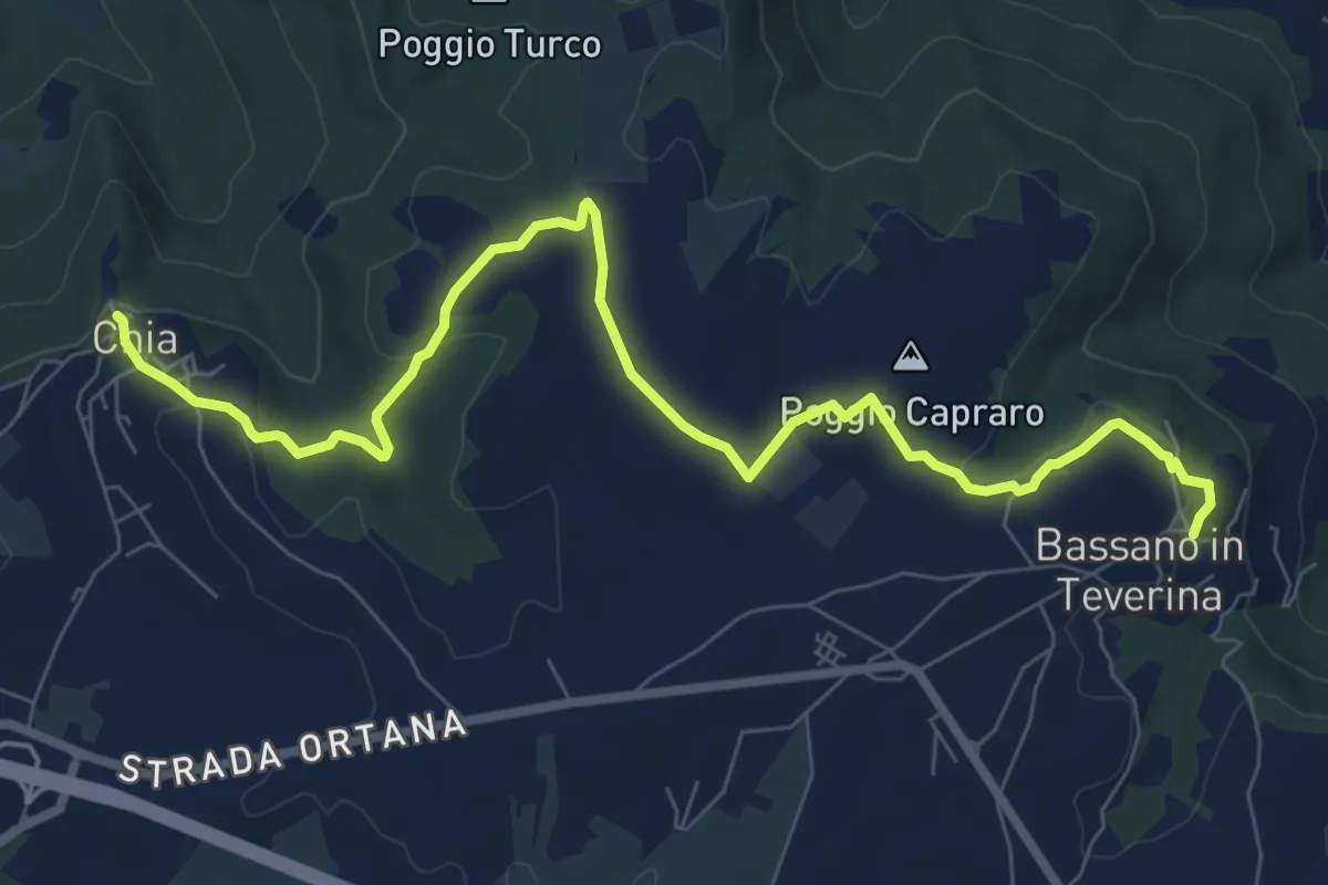
Medium · Trail
Bassano in Teverina – Bomarzo
9.9 km · ↑ 224 m · 2 h 49 min
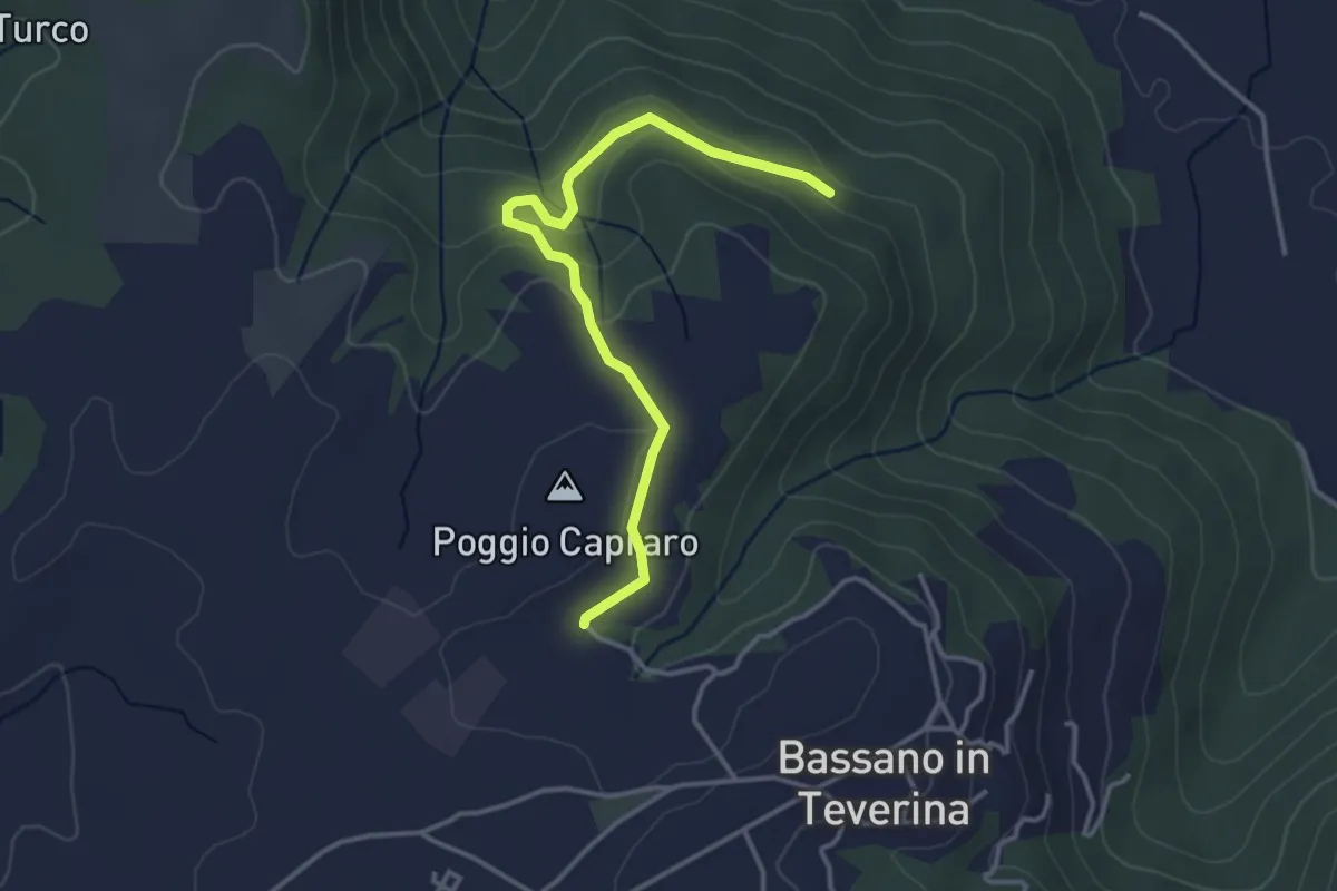
Easy · Trail
percorso 134 – percorso 195
3.9 km · ↑ 114 m · 1 h 10 min
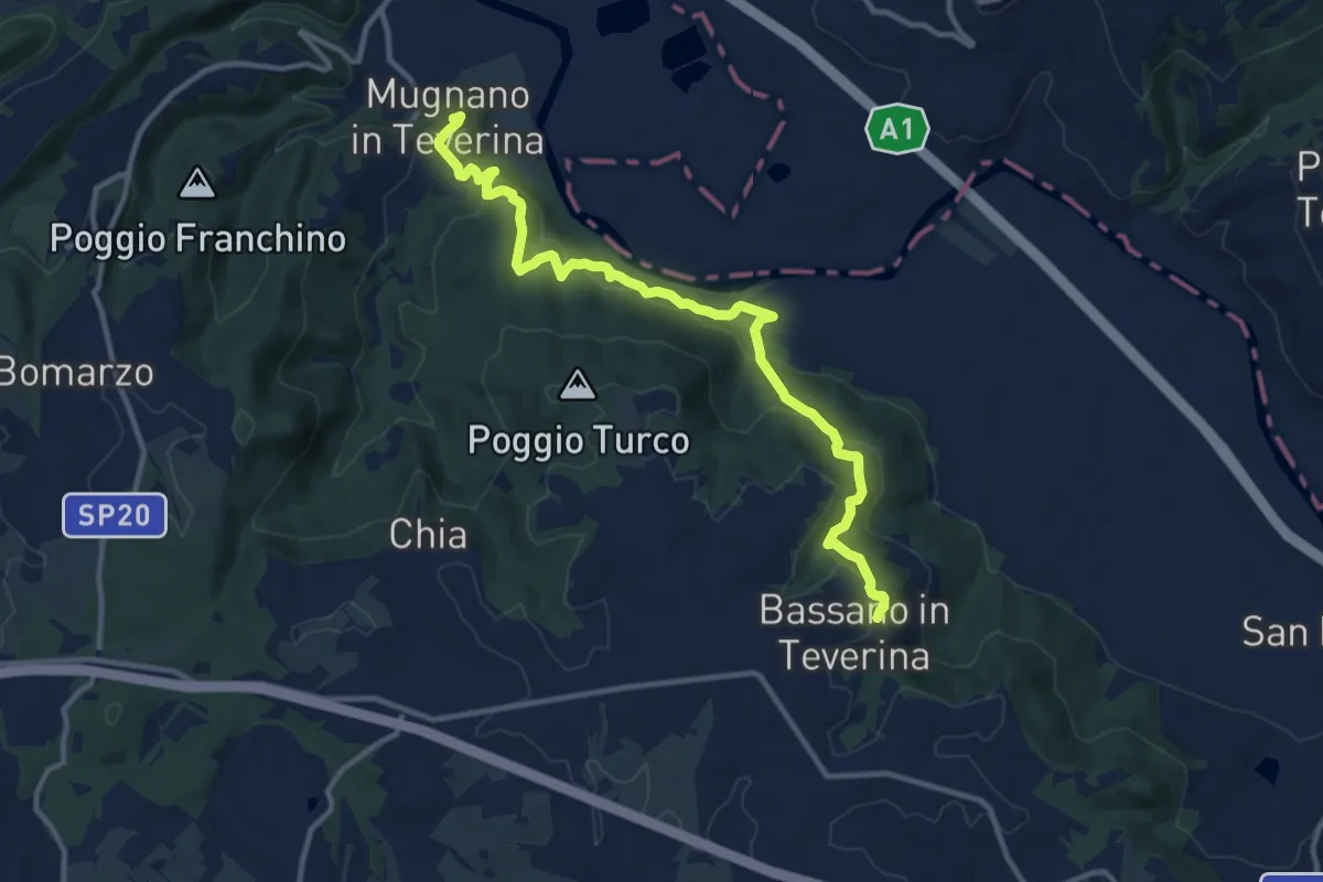
Medium · Trail
Bassano in Teverina – Mugnano
13.4 km · ↑ 564 m · 4 h 23 min
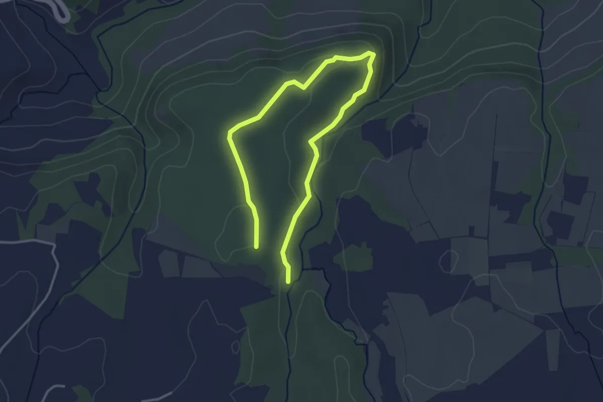
Easy · Trail
Campitella – Corviano
2.5 km · ↑ 50 m · 44 min
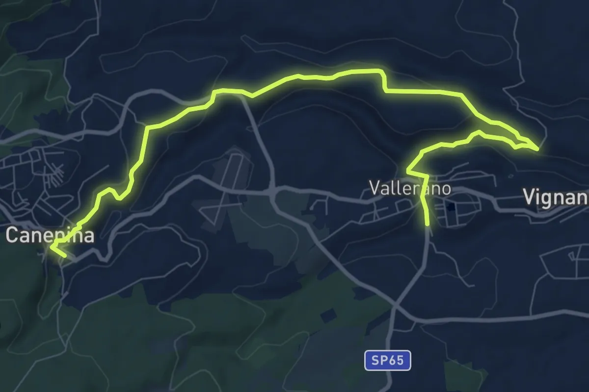
Medium · Trail
Vallerano – Canepina
11.6 km · ↑ 316 m · 3 h 25 min
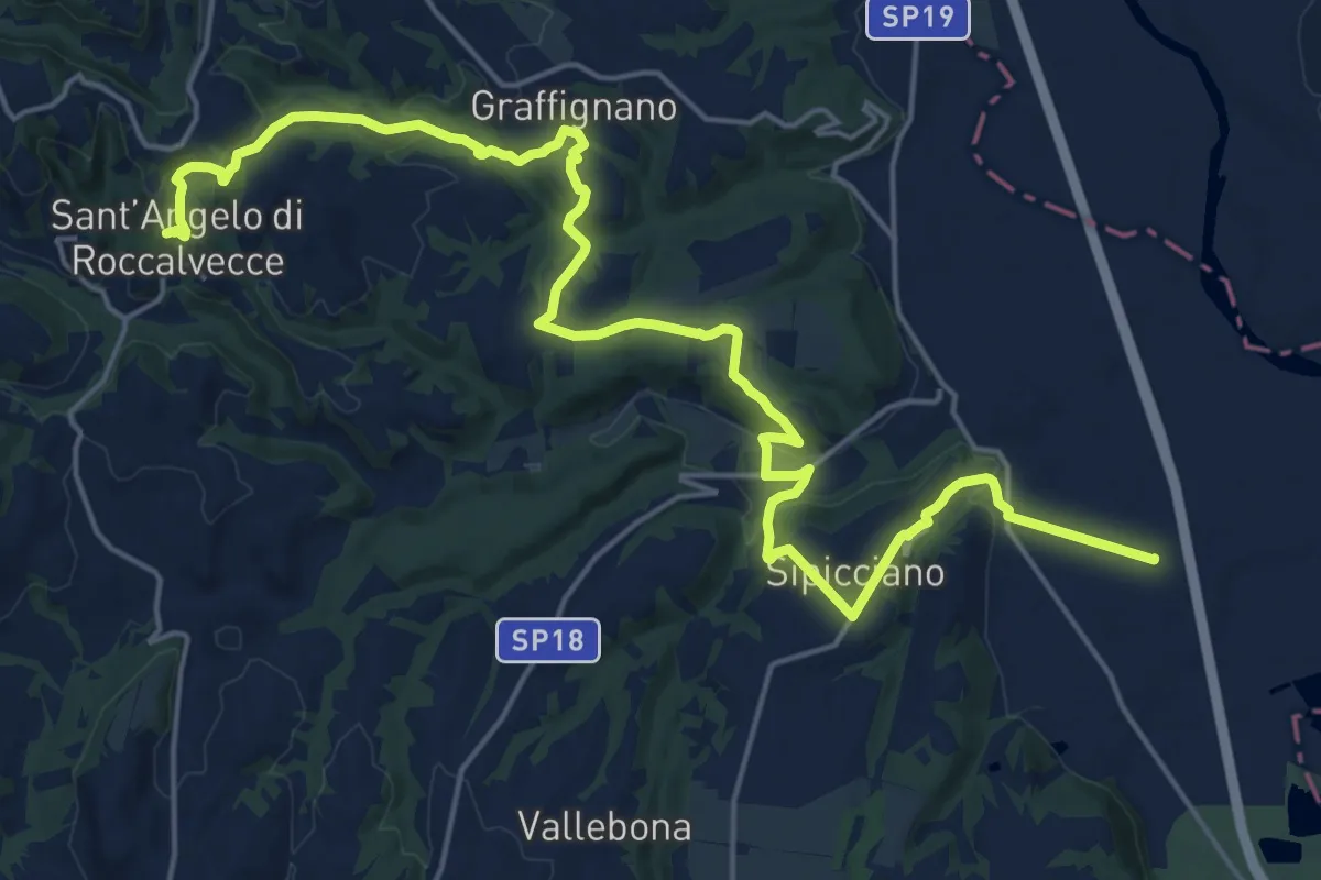
Demanding · Trail
Sant'Angelo – Sipicciano
26.8 km · ↑ 606 m · 7 h 39 min
Medium · Trail
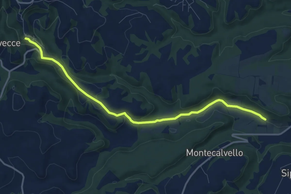
Sant'Angelo – percorso 193
10.1 km · ↑ 207 m · 2 h 50 min
Easy · Trail
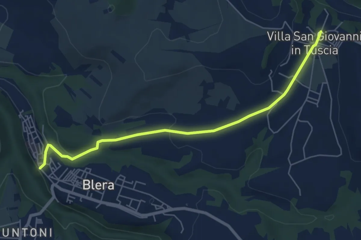
Villa San Giovanni in Tuscia – Blera
5.7 km · ↑ 109 m · 1 h 35 min
Easy · Trail
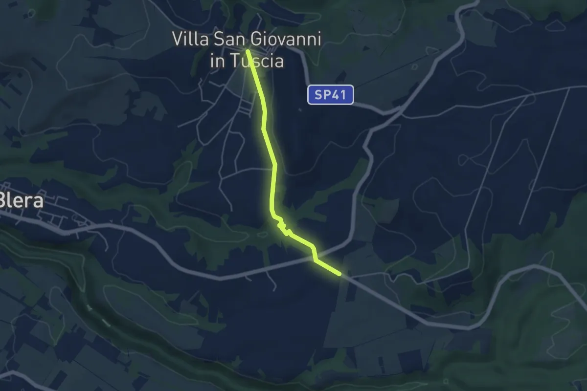
Villa San Giovanni in Tuscia – Valle Cappellana
4.1 km · ↑ 54 m · 1 h 5 min
Medium · Trail
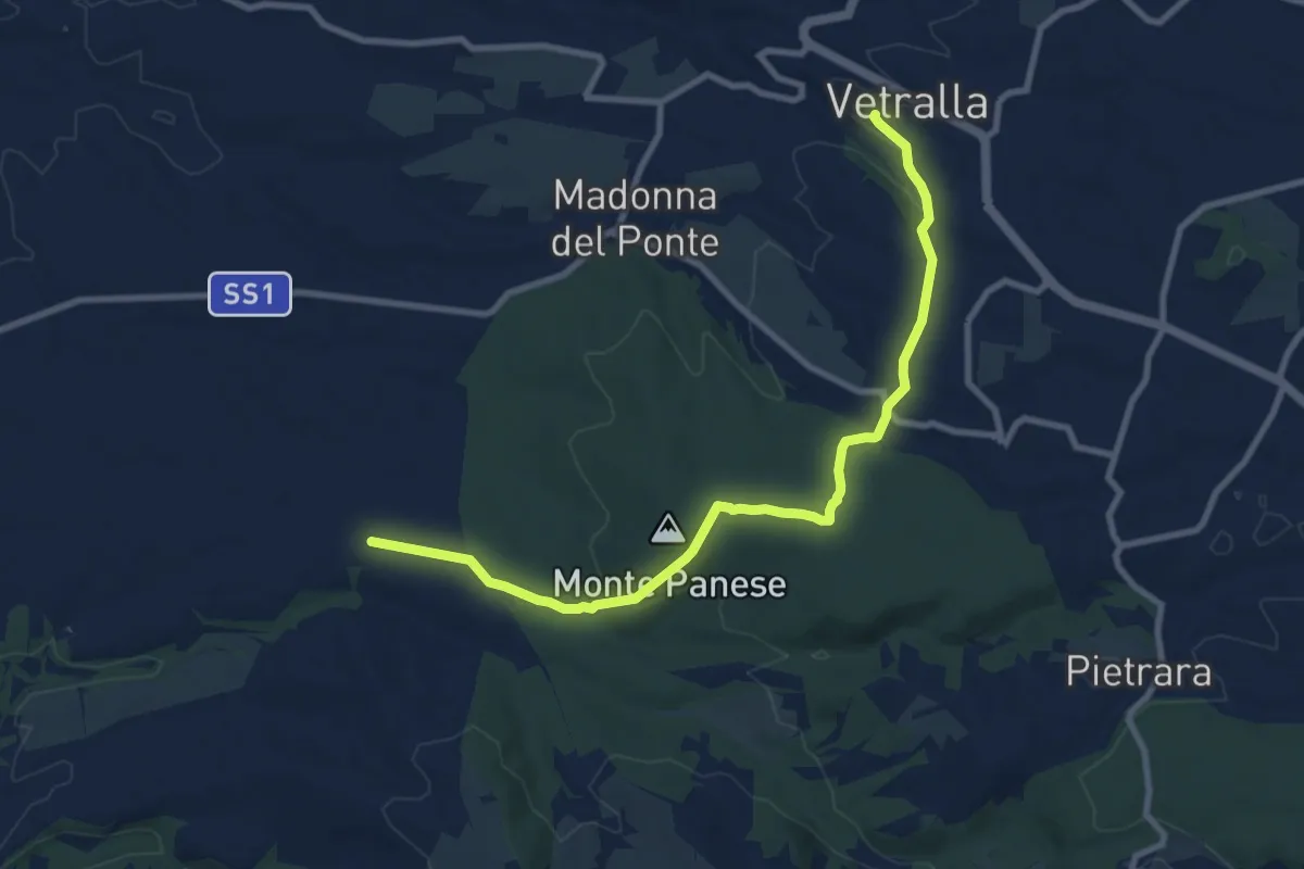
Vetralla – Località Dogane
10.4 km · ↑ 197 m · 2 h 52 min