Trails in Italy
25,211 hiking trails, each with its route, climb, walking time and grade.
All trails, page 27 of 526
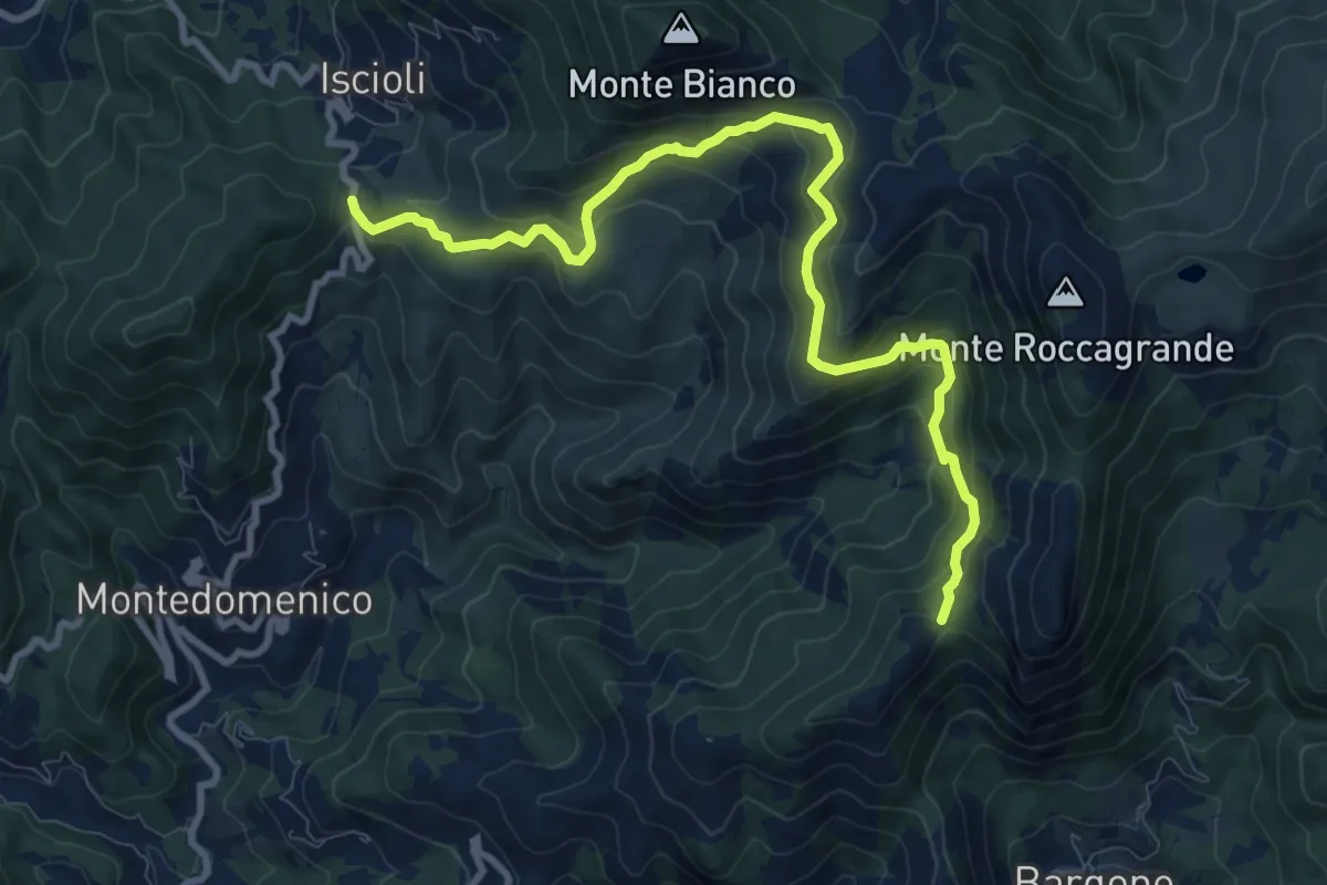
Medium · Summit
Bargone - Colla Isciolli
11.0 km · ↑ 744 m · 4 h 12 min
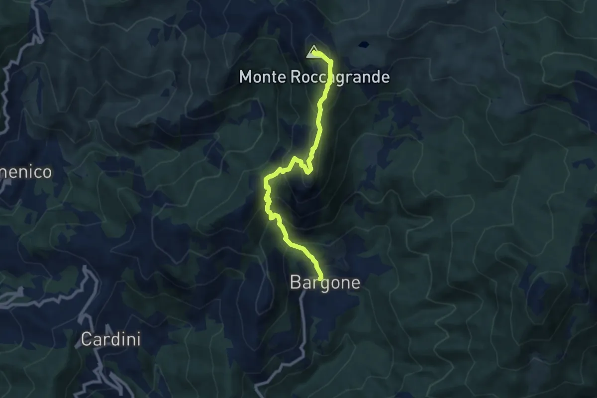
Demanding · Summit
Bargone - Monte Treggin - Monte Roccagrande
7.3 km · ↑ 726 m · 3 h 18 min
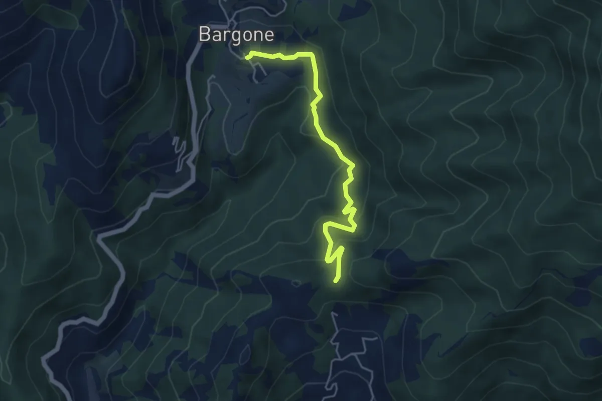
Easy · Trail
Bargone - Passo Colla di Campegli
4.5 km · ↑ 239 m · 1 h 34 min
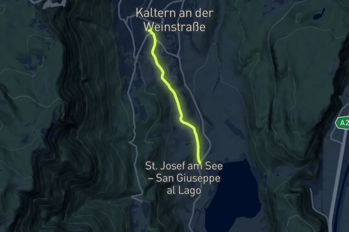
Easy · Trail
Barleiter Weg
6.6 km · ↑ 236 m · 2 h 4 min
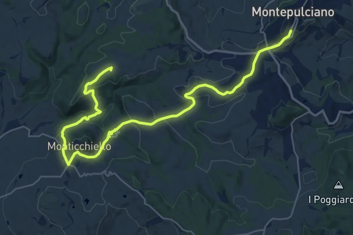
Demanding · Summit
Barlettaia
20.9 km · ↑ 702 m · 6 h 27 min
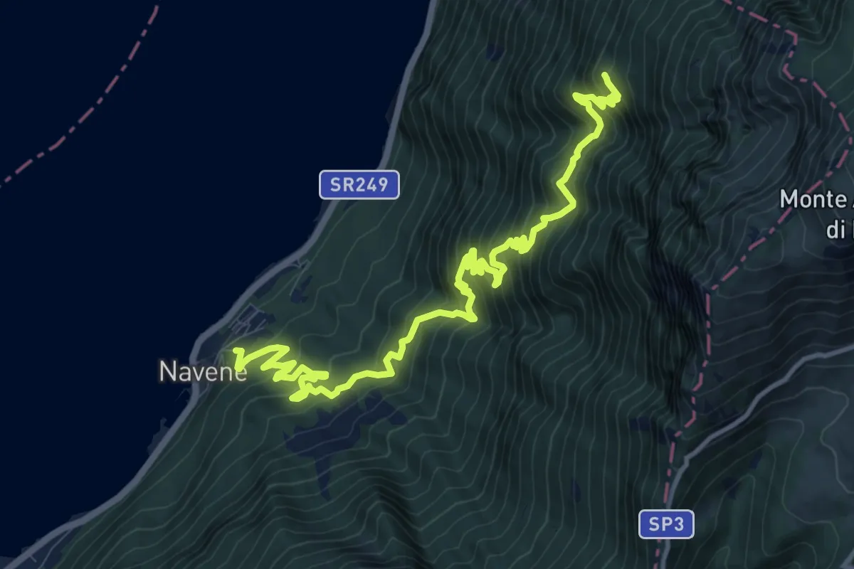
Demanding · Summit
Bassa Via del Garda
14.0 km · ↑ 1480 m · 6 h 30 min
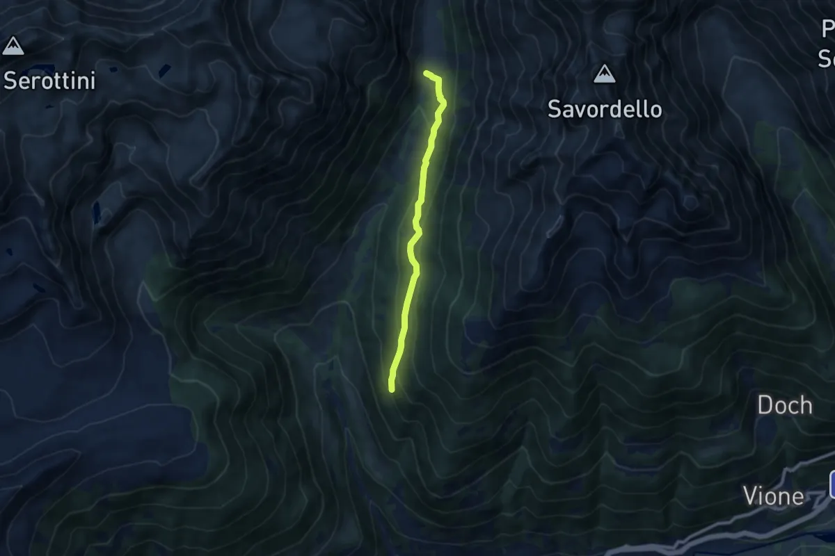
Medium · Trail
Bassa Via Val Grande sinistra
7.1 km · ↑ 403 m · 2 h 32 min
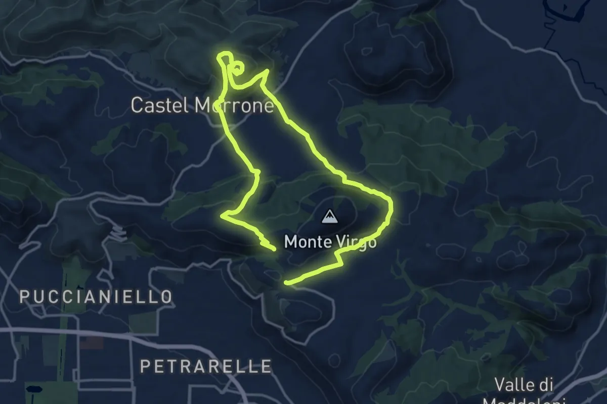
Medium · Trail
Battaglia del Volturno
11.9 km · ↑ 492 m · 4 h 3 min
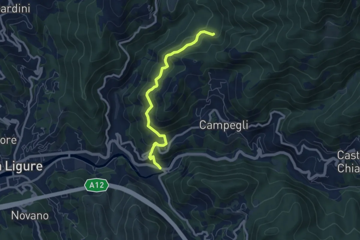
Medium · Trail
Battilana - Bargone
6.2 km · ↑ 412 m · 2 h 22 min
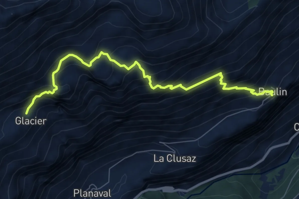
Medium · Trail
Baulin - Alpage du Glacier
7.5 km · ↑ 791 m · 3 h 29 min
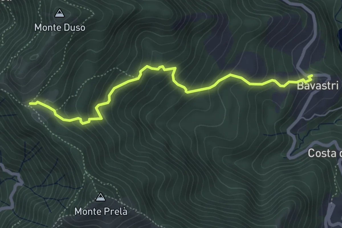
Medium · Trail
Bavastri - Passo del Colletto
5.4 km · ↑ 439 m · 2 h 14 min
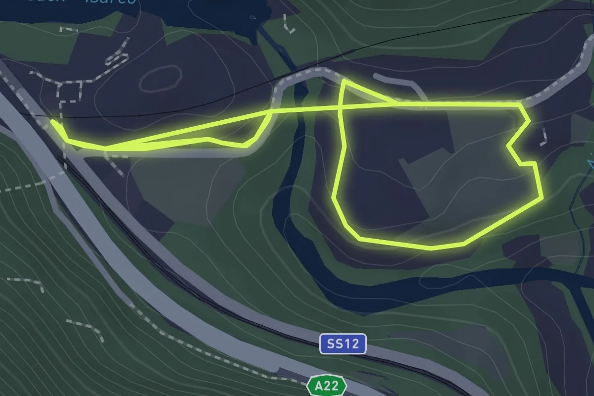
Easy · Trail
BBT-Rundweg
2.2 km · ↑ 63 m · 42 min
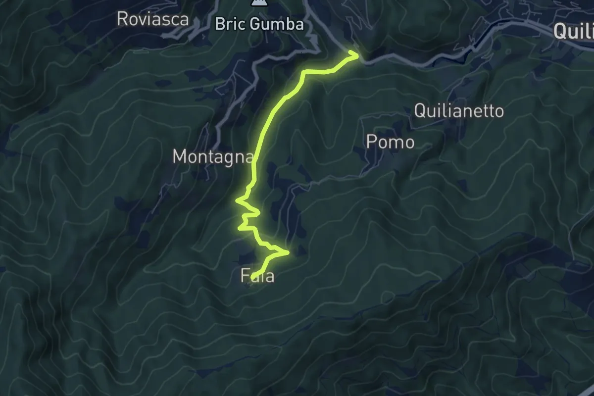
Easy · Trail
Becchi - Cascata Donnaiola - Faia
6.6 km · ↑ 263 m · 2 h 7 min
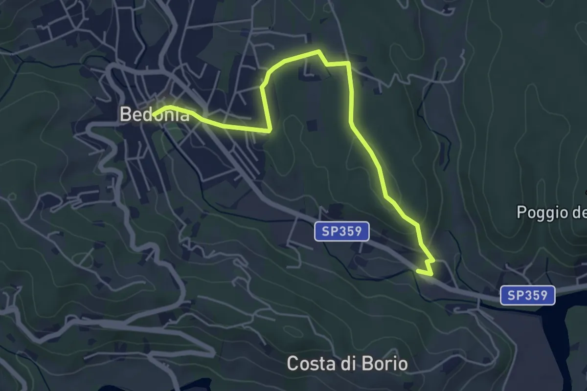
Easy · Trail
Bedonia - Forana
4.9 km · ↑ 86 m · 1 h 21 min
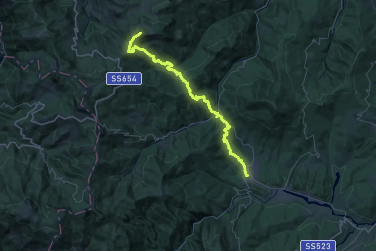
Demanding · Summit
Bedonia -Monte Ragola
38.7 km · ↑ 2028 m · 13 h 32 min
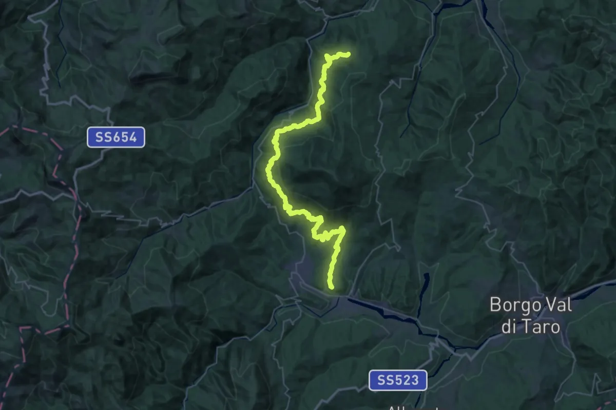
Demanding · Summit
Bedonia-Monti-Nociveglia-Masanti-Pilati
41.2 km · ↑ 1699 m · 13 h 25 min
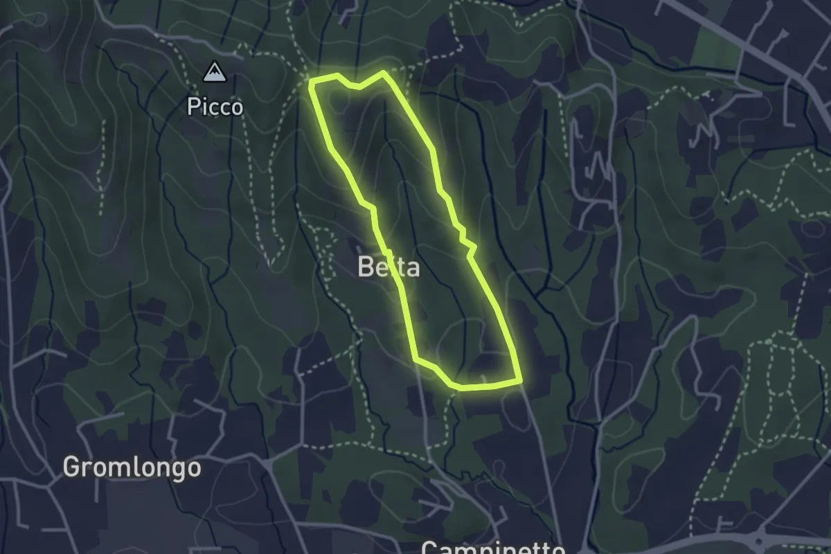
Easy · Summit
Beita - La Vena - Secchia
2.5 km · ↑ 116 m · 53 min
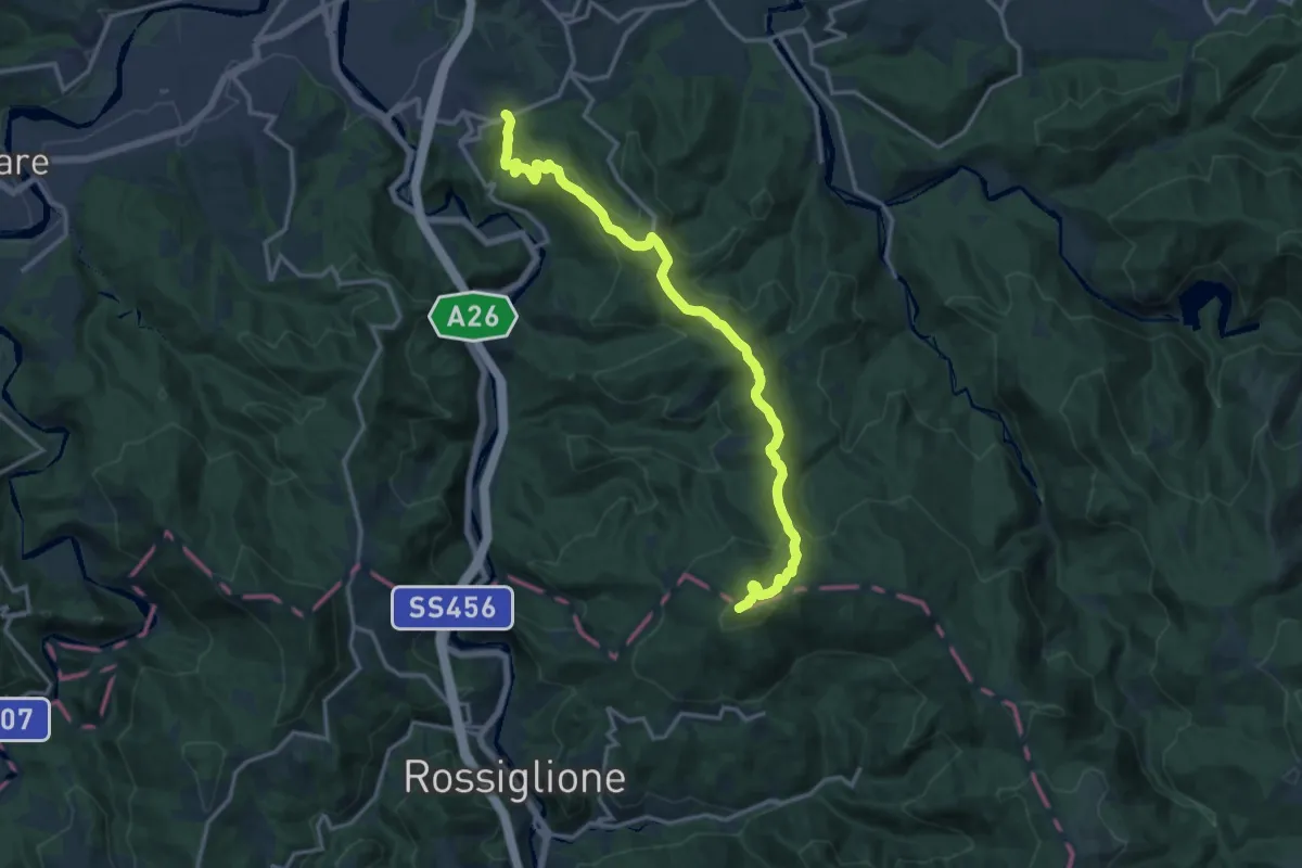
Demanding · Summit
Belforte Monferrato - Monte Colma
16.0 km · ↑ 845 m · 5 h 37 min
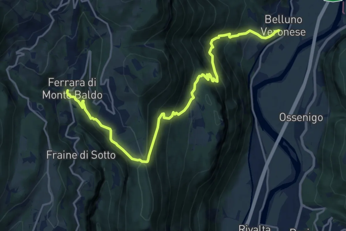
Demanding · Trail
Belluno Veronese - Ferrara di Monte Baldo
13.8 km · ↑ 1056 m · 5 h 32 min
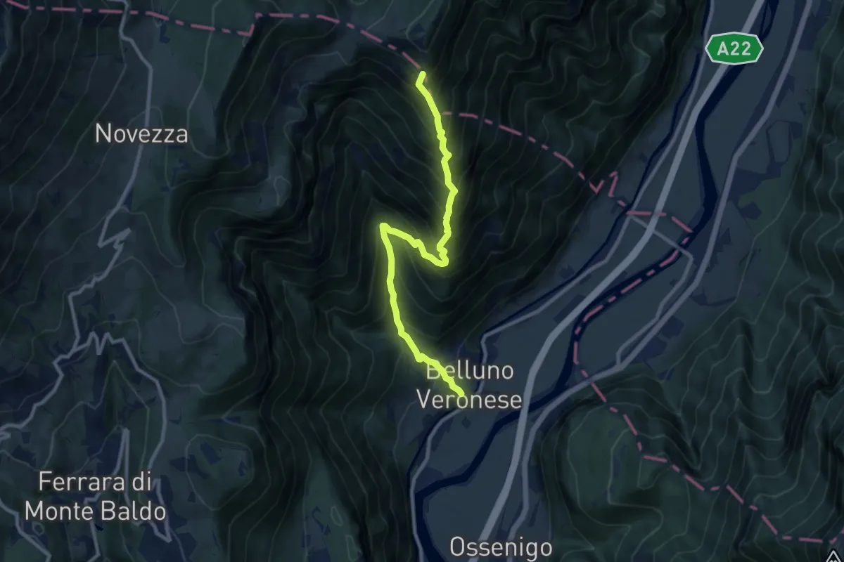
Demanding · Summit
Belluno Veronese - Passo del Cerbiolo
9.4 km · ↑ 1260 m · 4 h 57 min
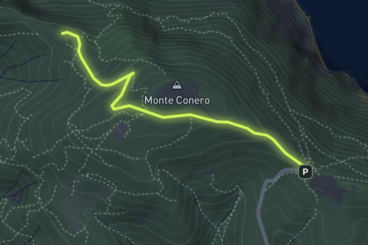
Easy · Trail
Belvedere Nord
4.1 km · ↑ 250 m · 1 h 31 min
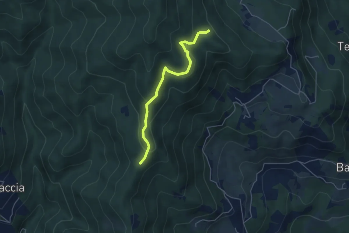
Easy · Trail
Belvedere - Pian del monte ovest
4.1 km · ↑ 156 m · 1 h 19 min
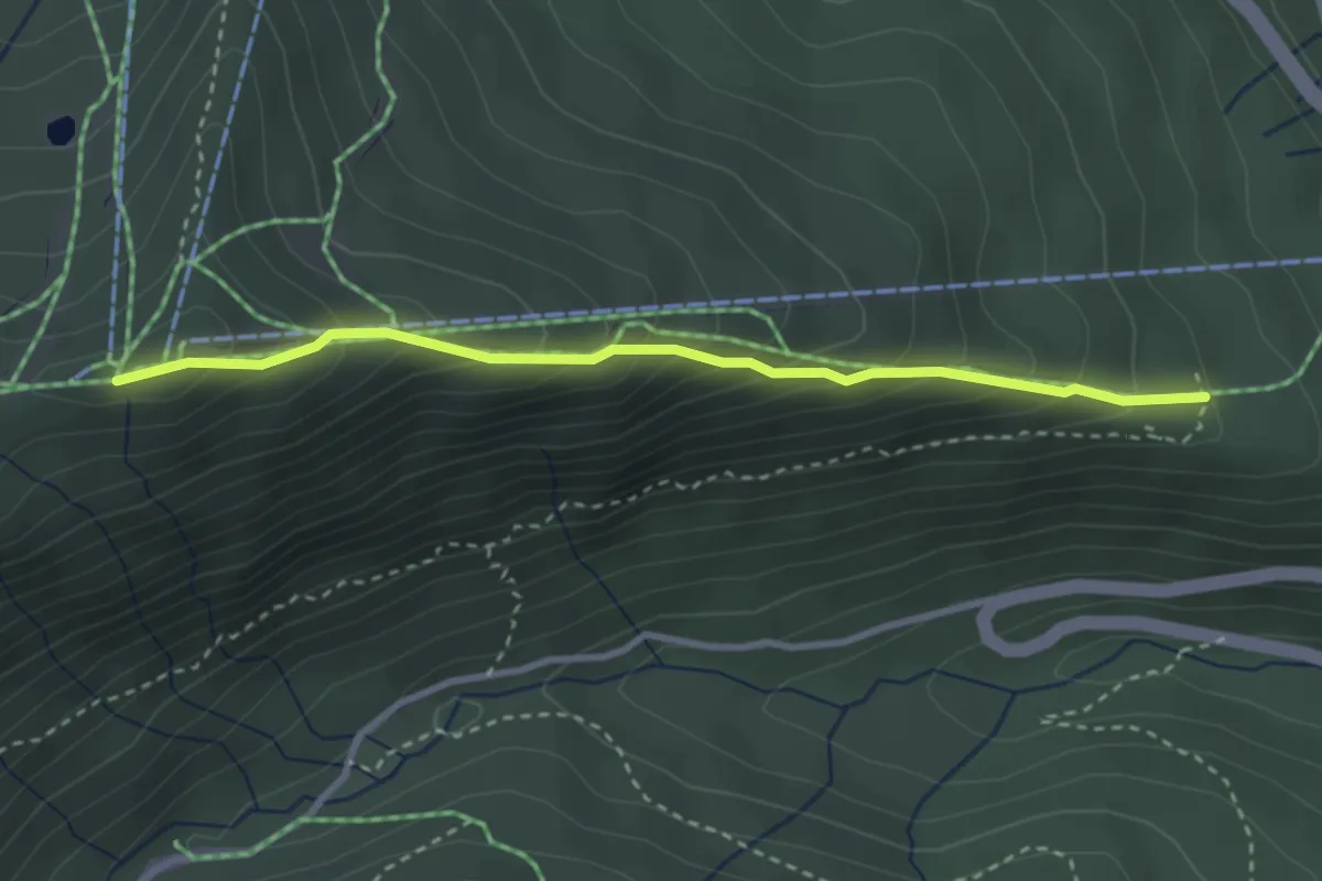
Medium · Cabin
Belvedere - Selletta
3.2 km · ↑ 316 m · 1 h 27 min
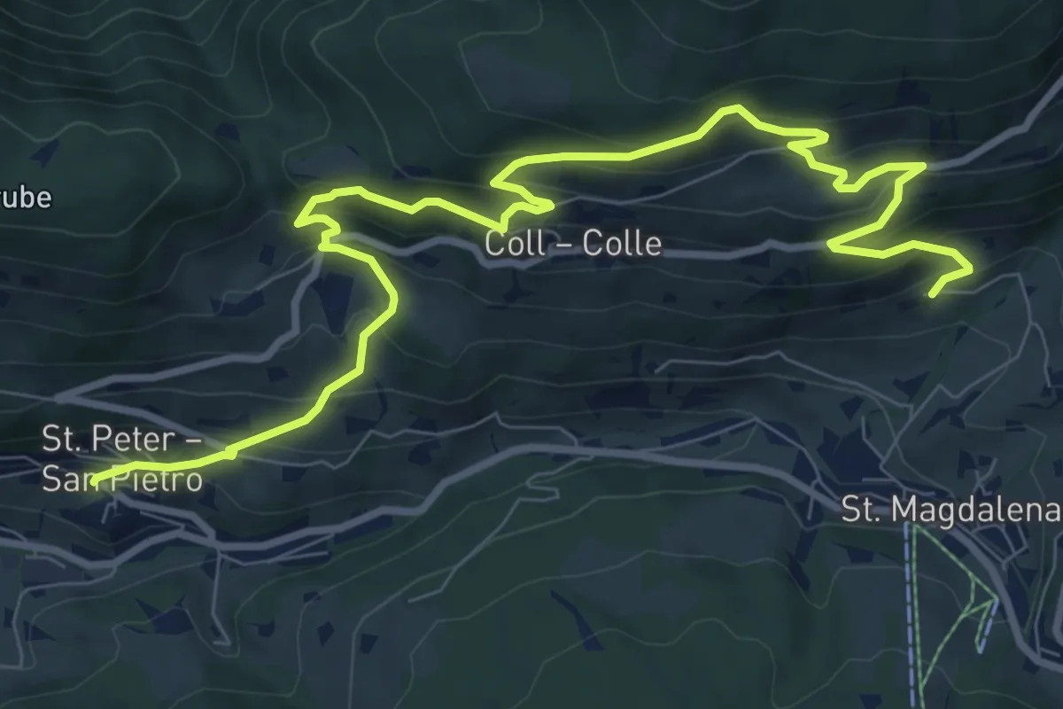
Medium · Trail
Bergbauernweg
11.4 km · ↑ 800 m · 4 h 25 min
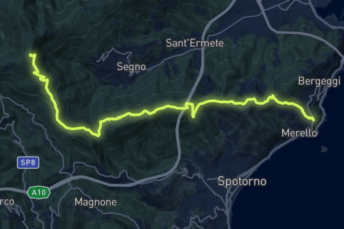
Demanding · Summit
Bergeggi - Monte Mao - Rocca dei Corvi
21.6 km · ↑ 1054 m · 7 h 23 min
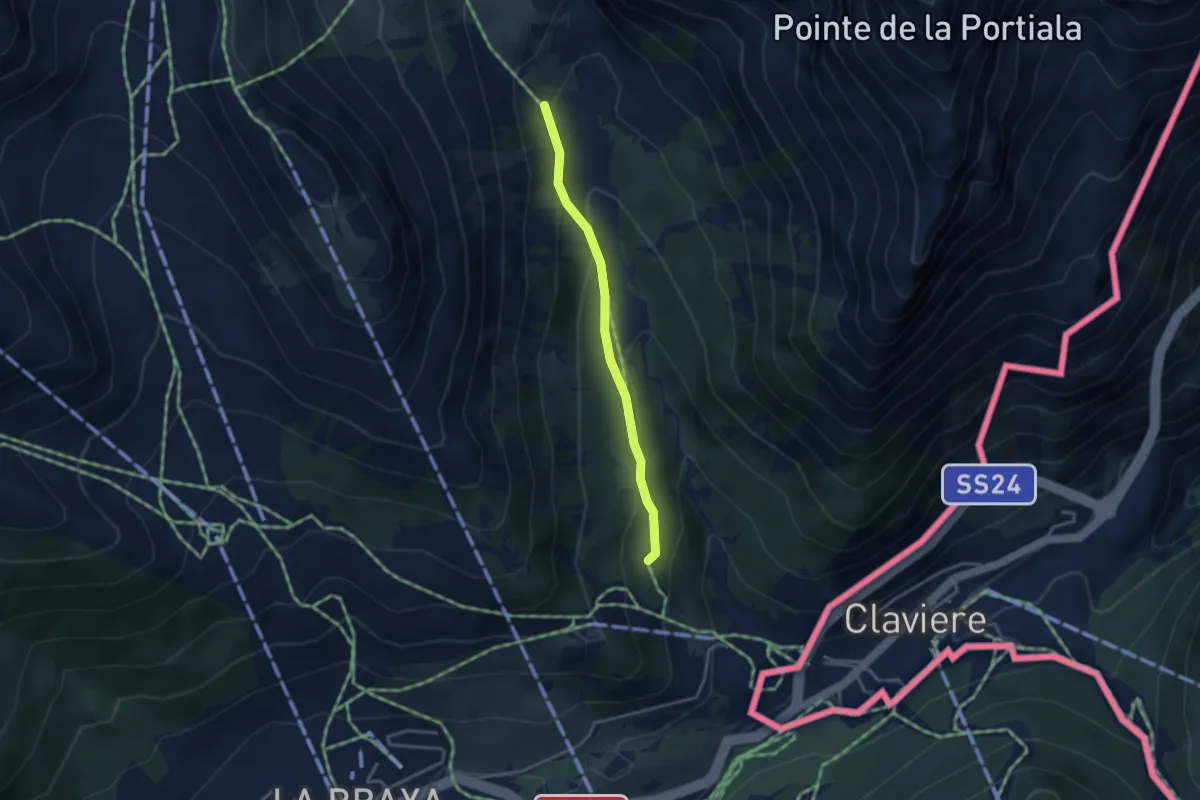
Easy · Trail
Bergerie des Baïsses - Chemin des Baïsses
3.1 km · ↑ 143 m · 1 h 2 min
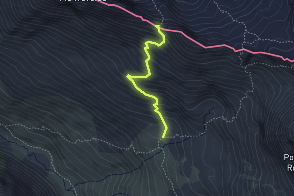
Medium · Trail
Bergerie du Grand Vallon - Col Sellière
3.2 km · ↑ 337 m · 1 h 29 min
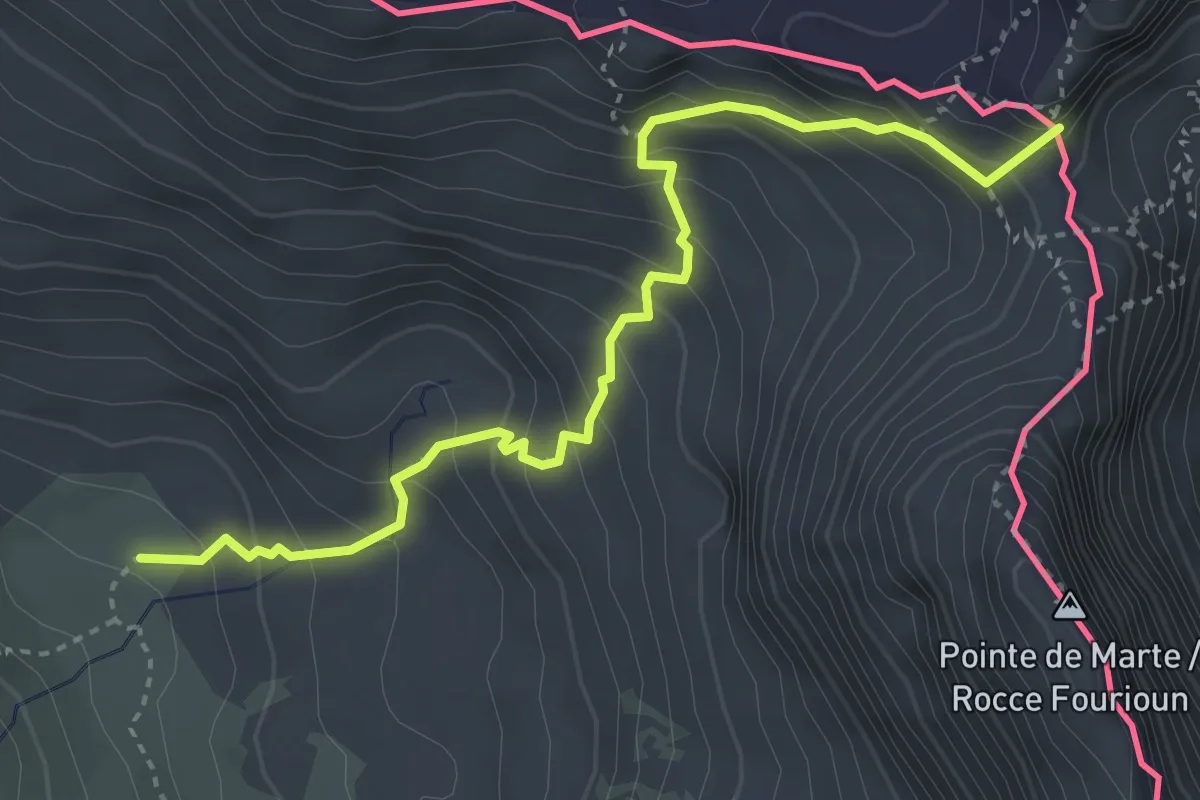
Medium · Summit
Bergerie du Grand Vallon - Tunnel de la Traversette
4.2 km · ↑ 455 m · 1 h 58 min
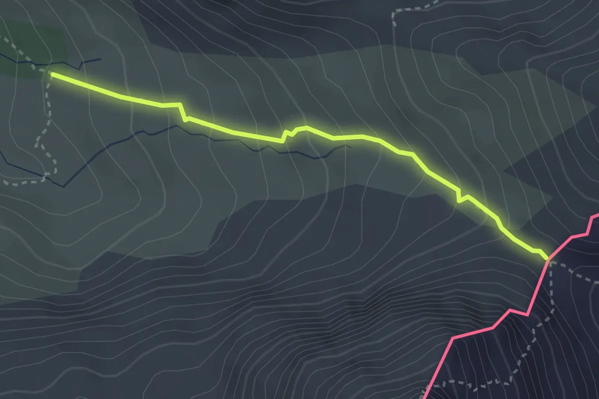
Medium · Trail
Bergerie sous Roche - Col d'Urine
3.1 km · ↑ 268 m · 1 h 18 min
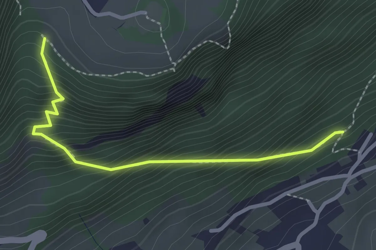
Medium · Trail
Bergweg
2.3 km · ↑ 329 m · 1 h 15 min
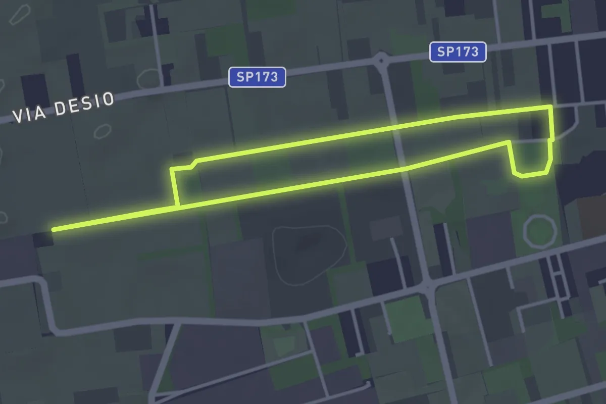
Easy · Trail
Bertacciola
3.4 km · ↑ 9 m · 52 min
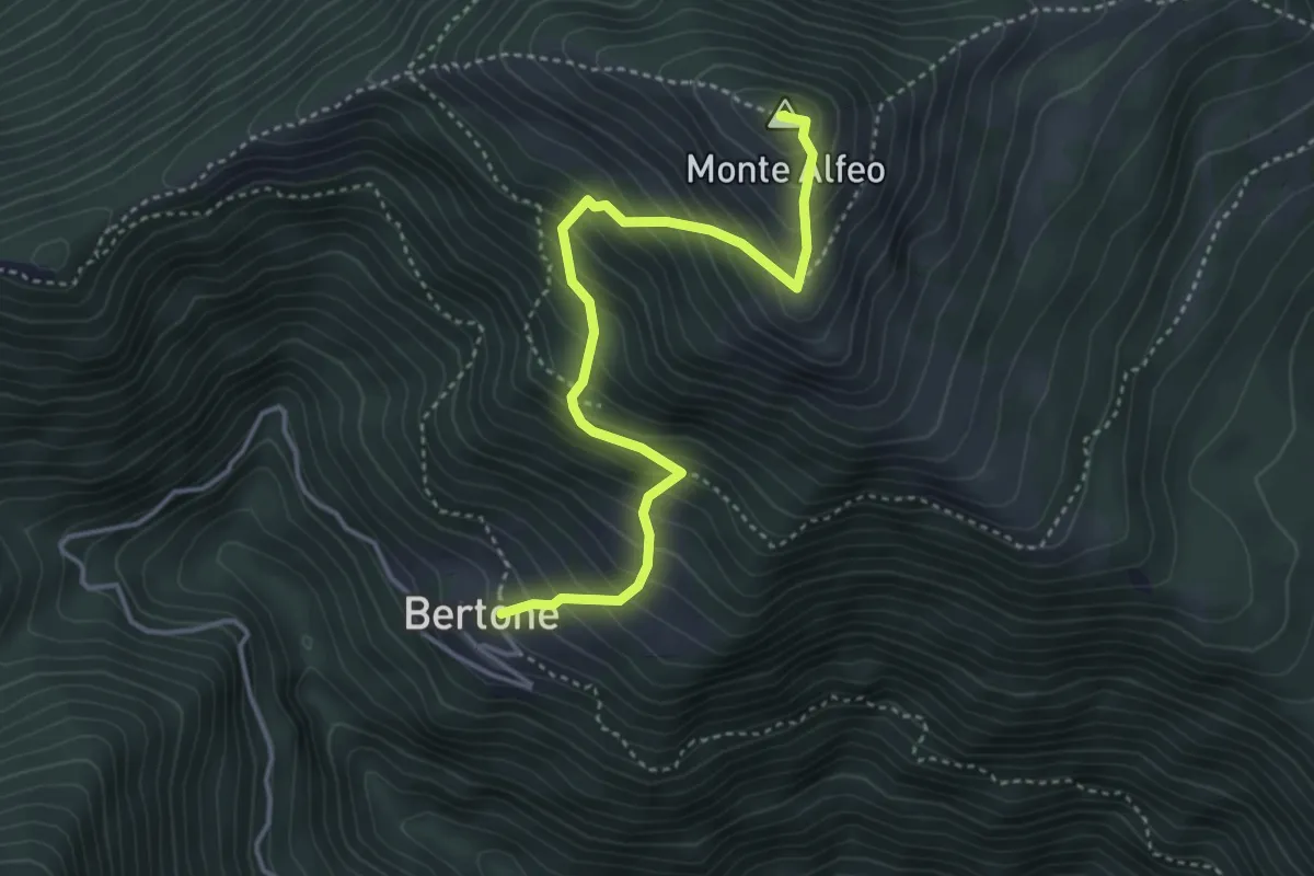
Medium · Summit
Bertone-Monte Alfeo
4.2 km · ↑ 550 m · 2 h 11 min
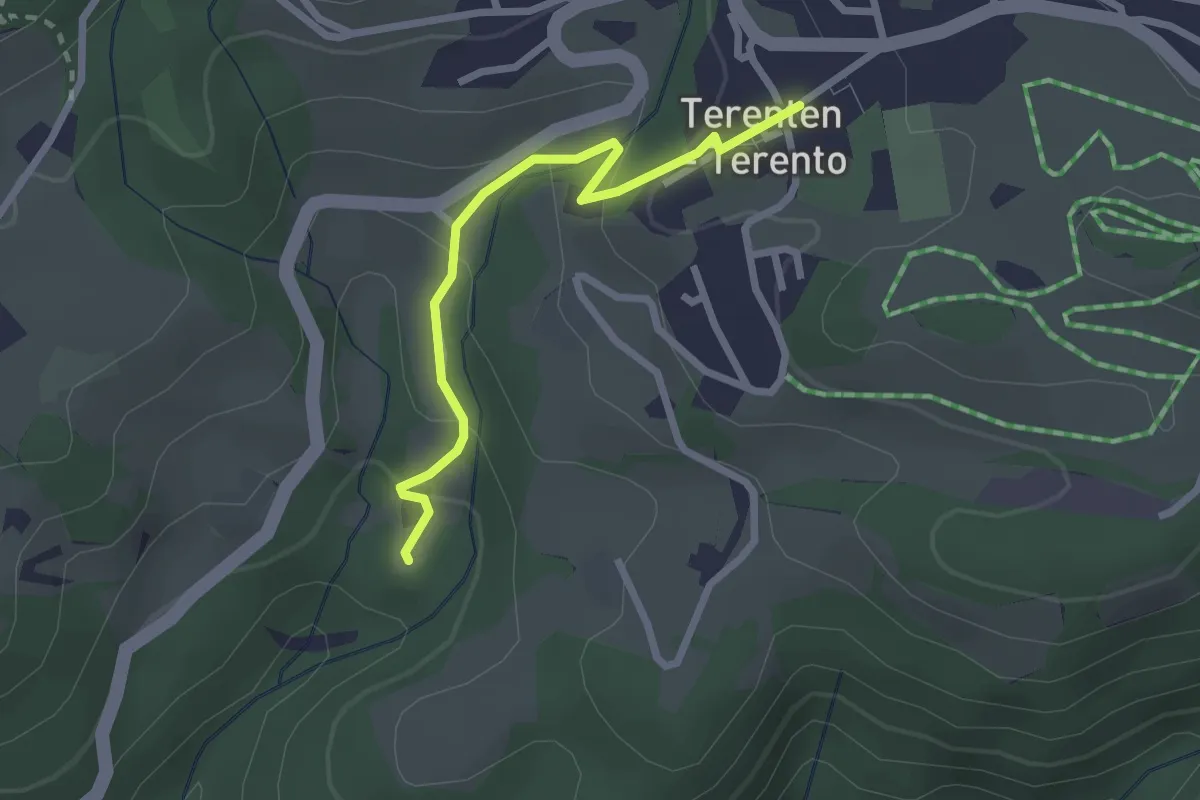
Easy · Trail
Besinnungsweg
2.3 km · ↑ 131 m · 50 min
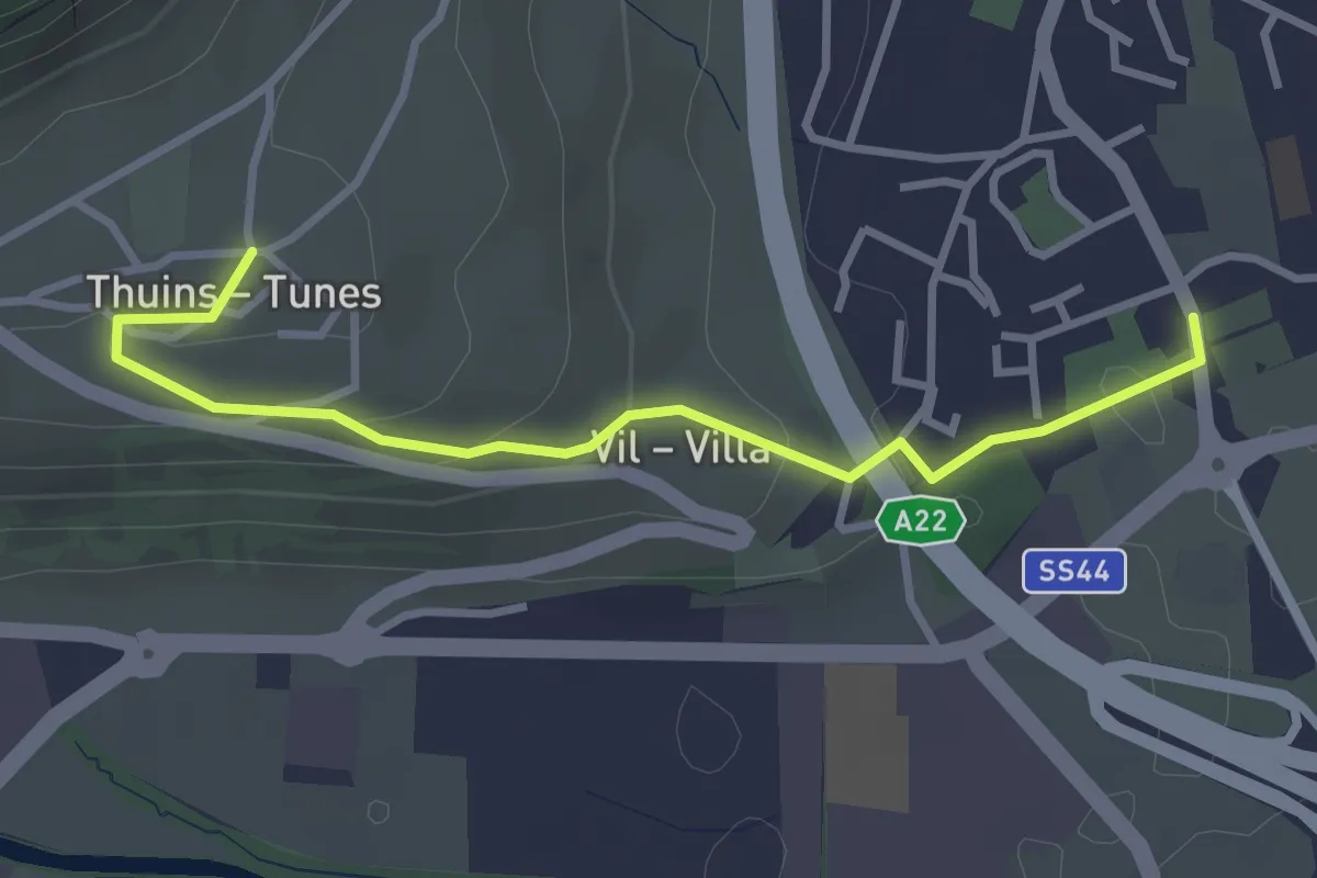
Easy · Trail
Besinnungsweg
3.3 km · ↑ 121 m · 1 h 2 min
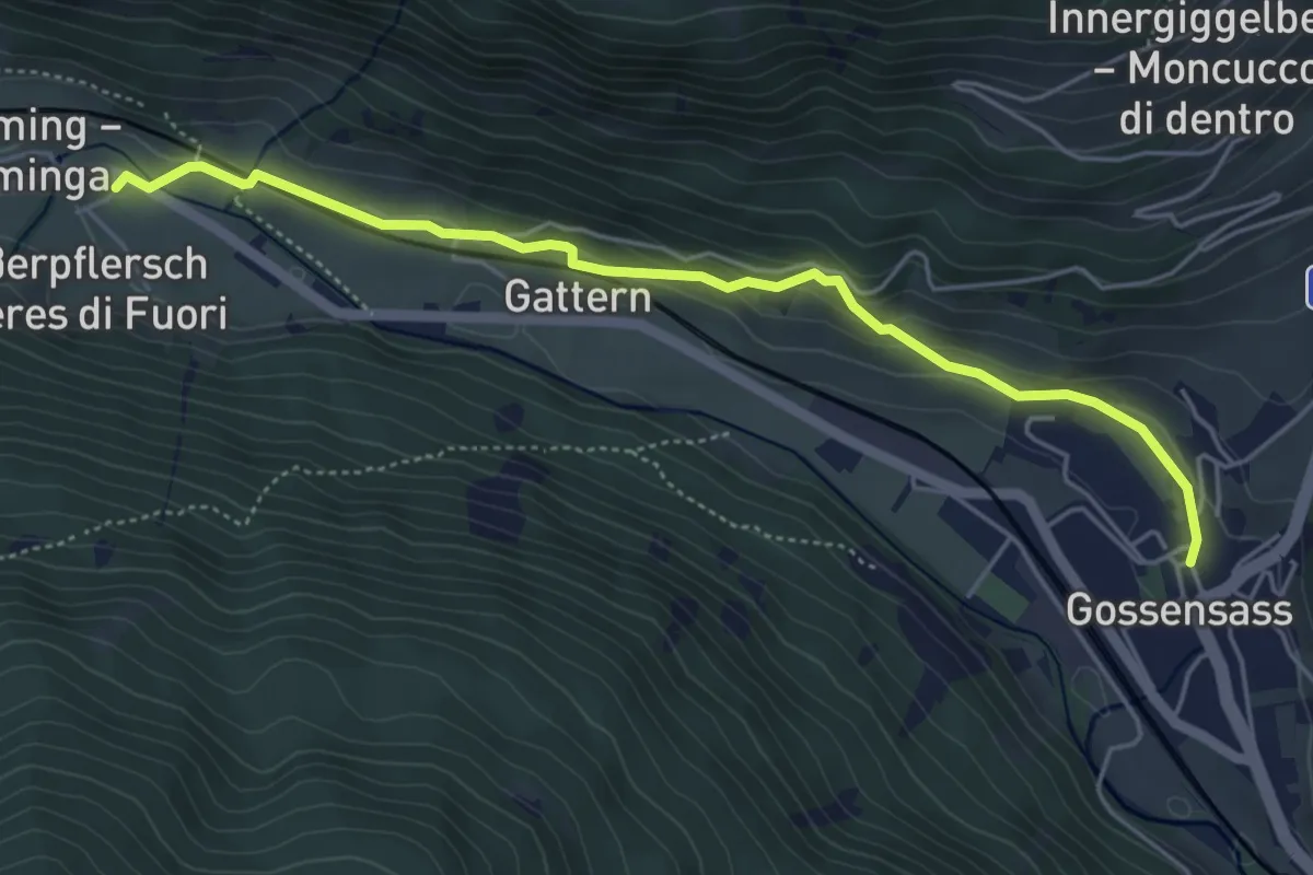
Easy · Trail
Besinnungsweg
5.1 km · ↑ 178 m · 1 h 35 min
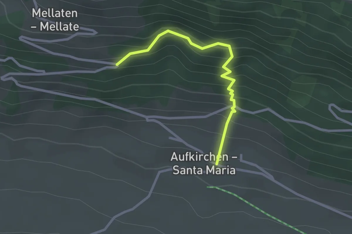
Easy · Trail
Besinnungsweg
2.2 km · ↑ 250 m · 1 h 4 min
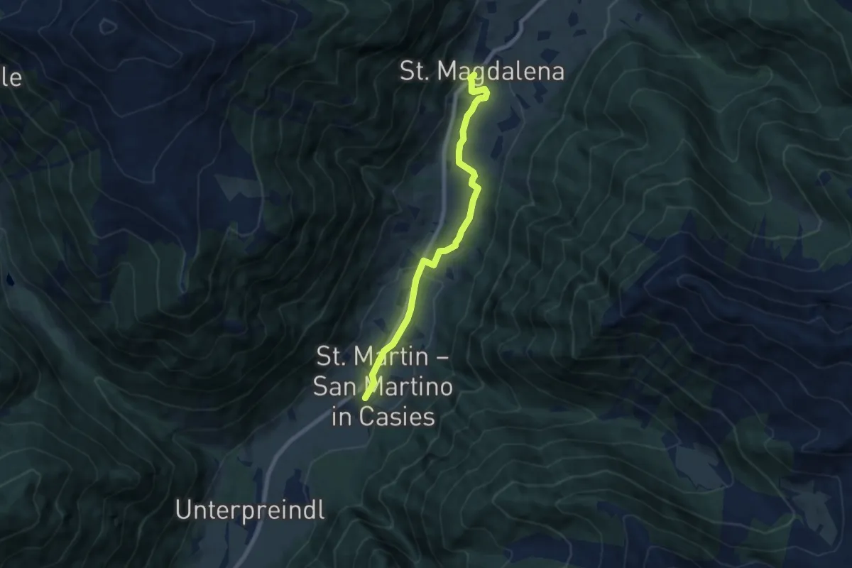
Easy · Trail
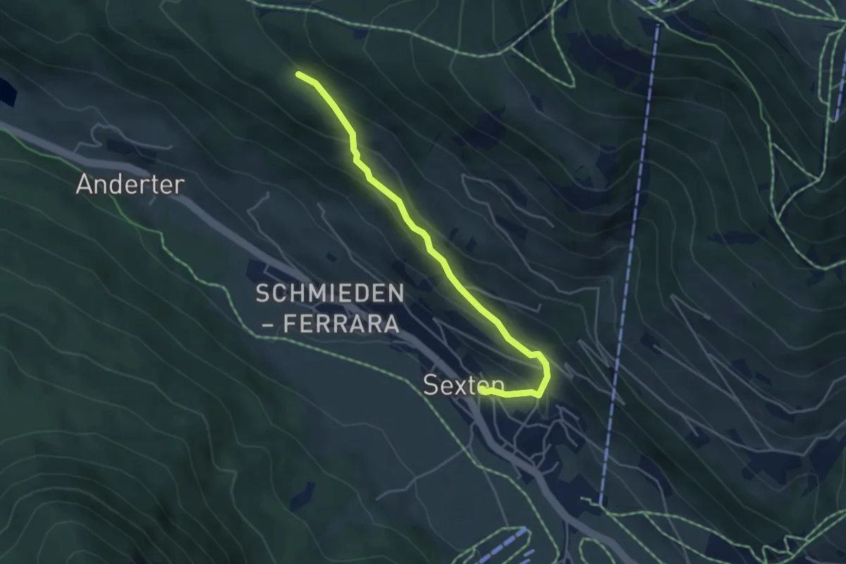
Besinnungsweg
6.6 km · ↑ 146 m · 1 h 53 min
Easy · Trail
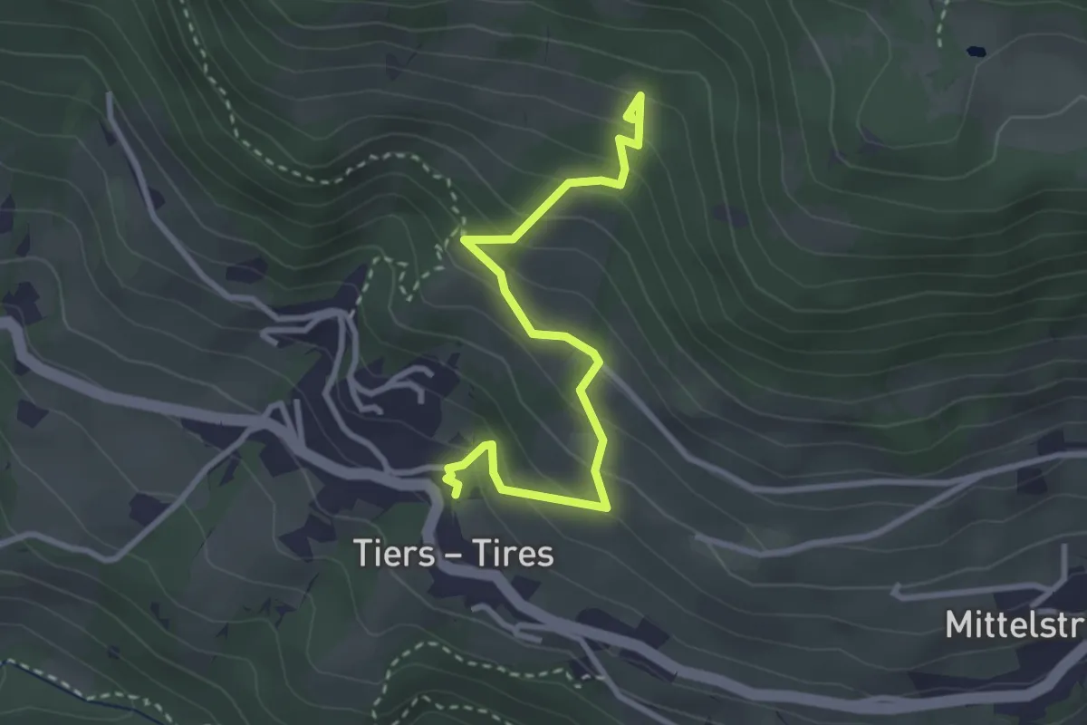
Besinnungsweg
4.2 km · ↑ 293 m · 1 h 38 min
Easy · Trail
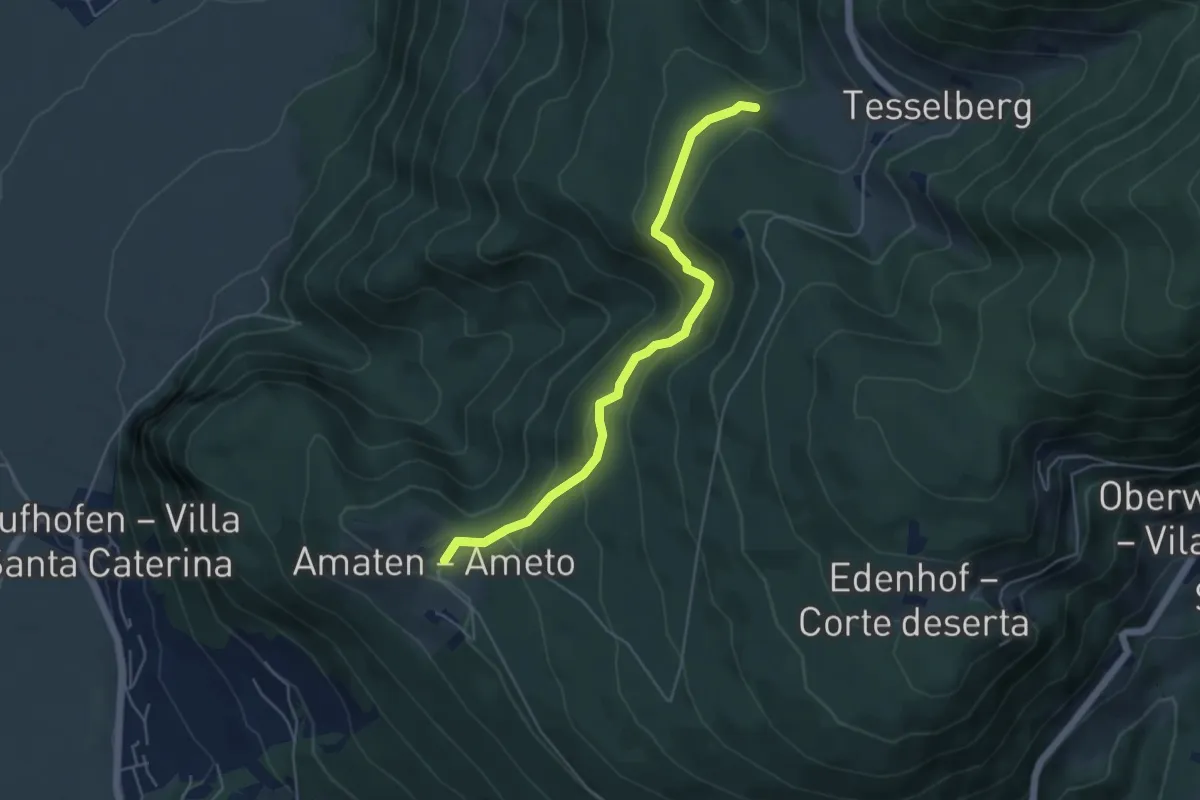
Besinnungsweg (Tiers)
3.1 km · ↑ 282 m · 1 h 21 min
Easy · Trail
Bettelweg
4.9 km · ↑ 299 m · 1 h 49 min
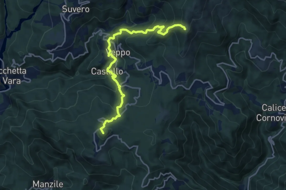
Demanding · Summit
Beverone – Volpara – Castello – Montale – Piazza – Gruzza di Veppo (Bivio 152)
11.7 km · ↑ 901 m · 4 h 43 min
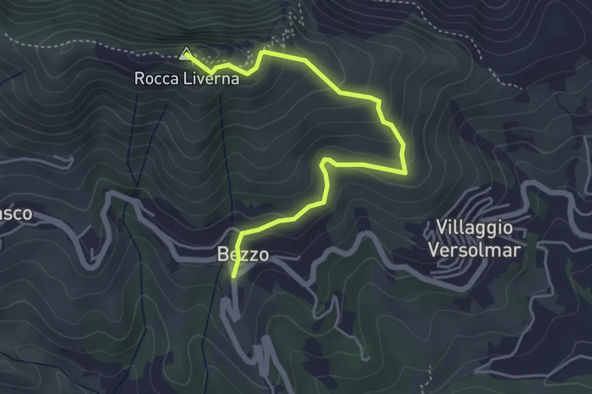
Medium · Summit
Bezzo - Rocca Livernà
4.5 km · ↑ 300 m · 1 h 43 min
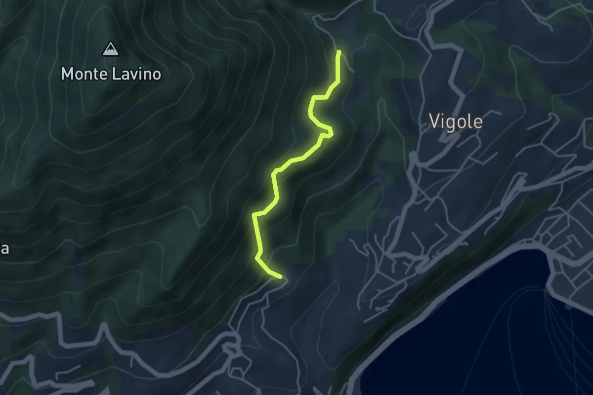
Medium · Trail
Bezzuglio - Pezzuglio
3.1 km · ↑ 345 m · 1 h 29 min
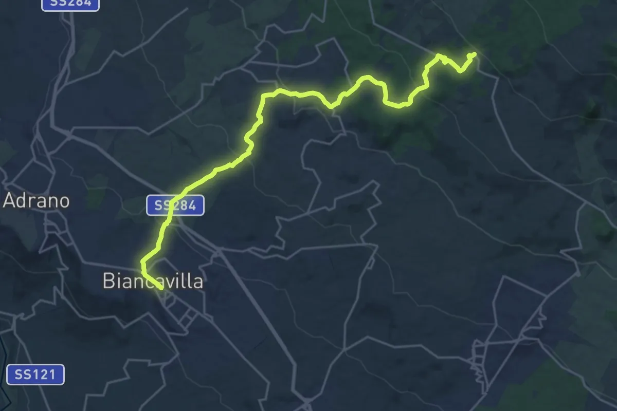
Demanding · Trail
Biancavilla - Punto Base n. 2
24.8 km · ↑ 870 m · 7 h 45 min
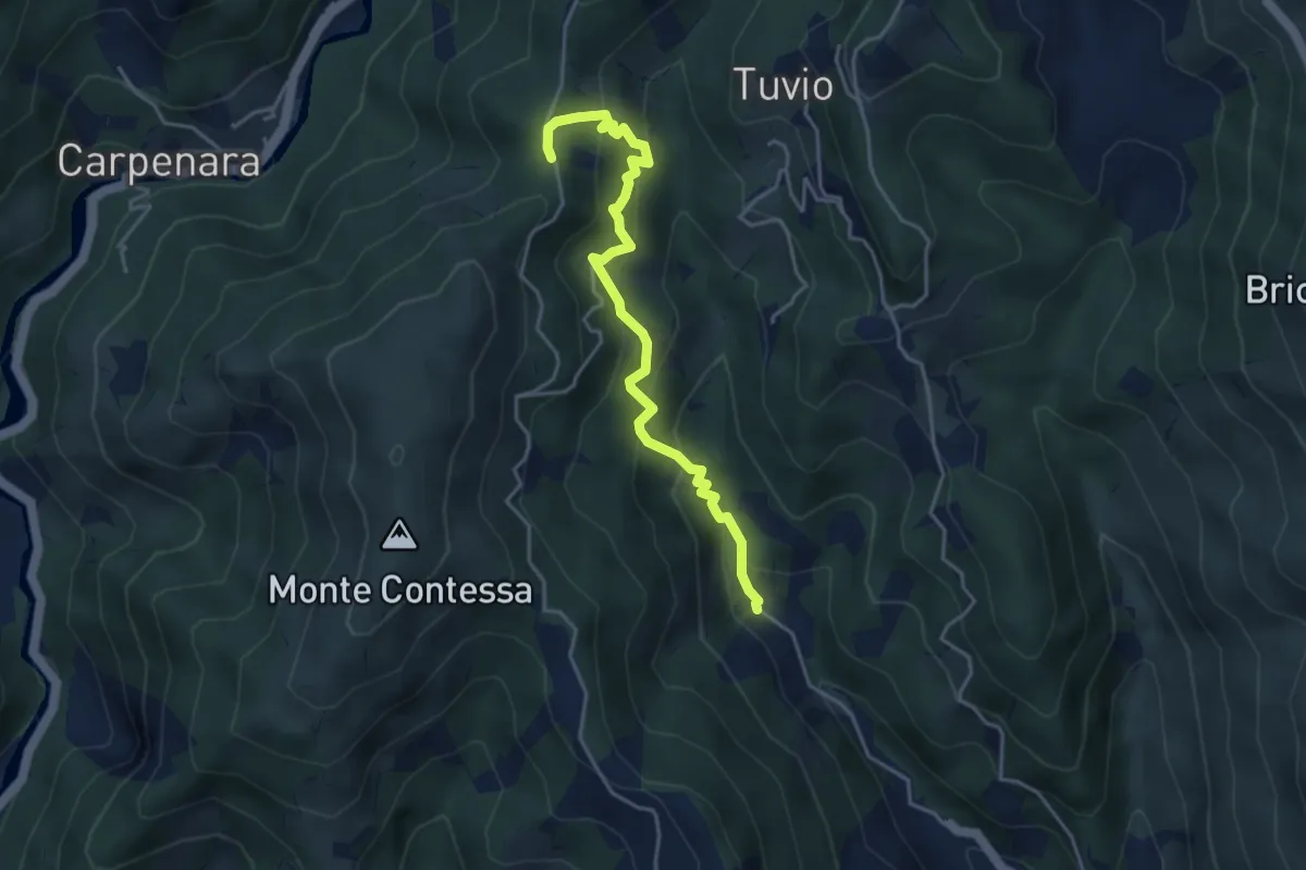
Medium · Trail
Bianchetta - Gneo - Coppo
4.3 km · ↑ 385 m · 1 h 51 min
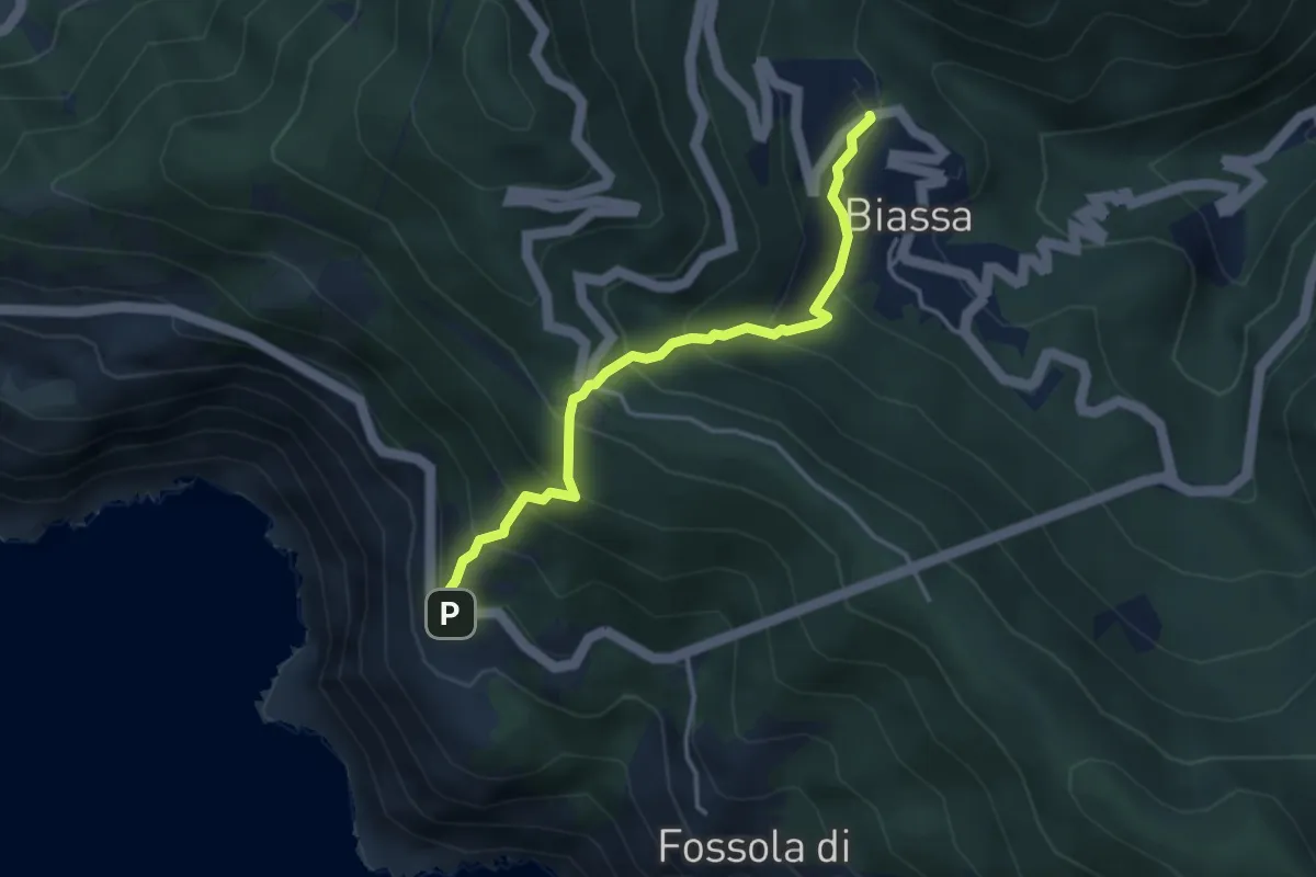
Medium · Trail
Biassa - Telegrafo – Campi - P.ta Pineda
3.8 km · ↑ 401 m · 1 h 46 min
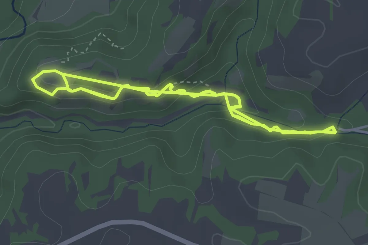
Easy · Trail
Bicione
4.5 km · ↑ 182 m · 1 h 30 min
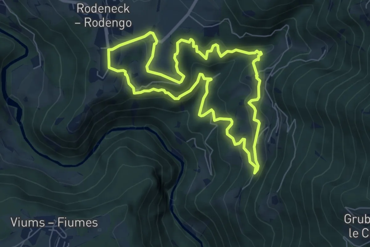
Medium · Trail
Bienenweg
6.3 km · ↑ 378 m · 2 h 23 min