Trails in Italy
25,211 hiking trails, each with its route, climb, walking time and grade.
All trails, page 28 of 526
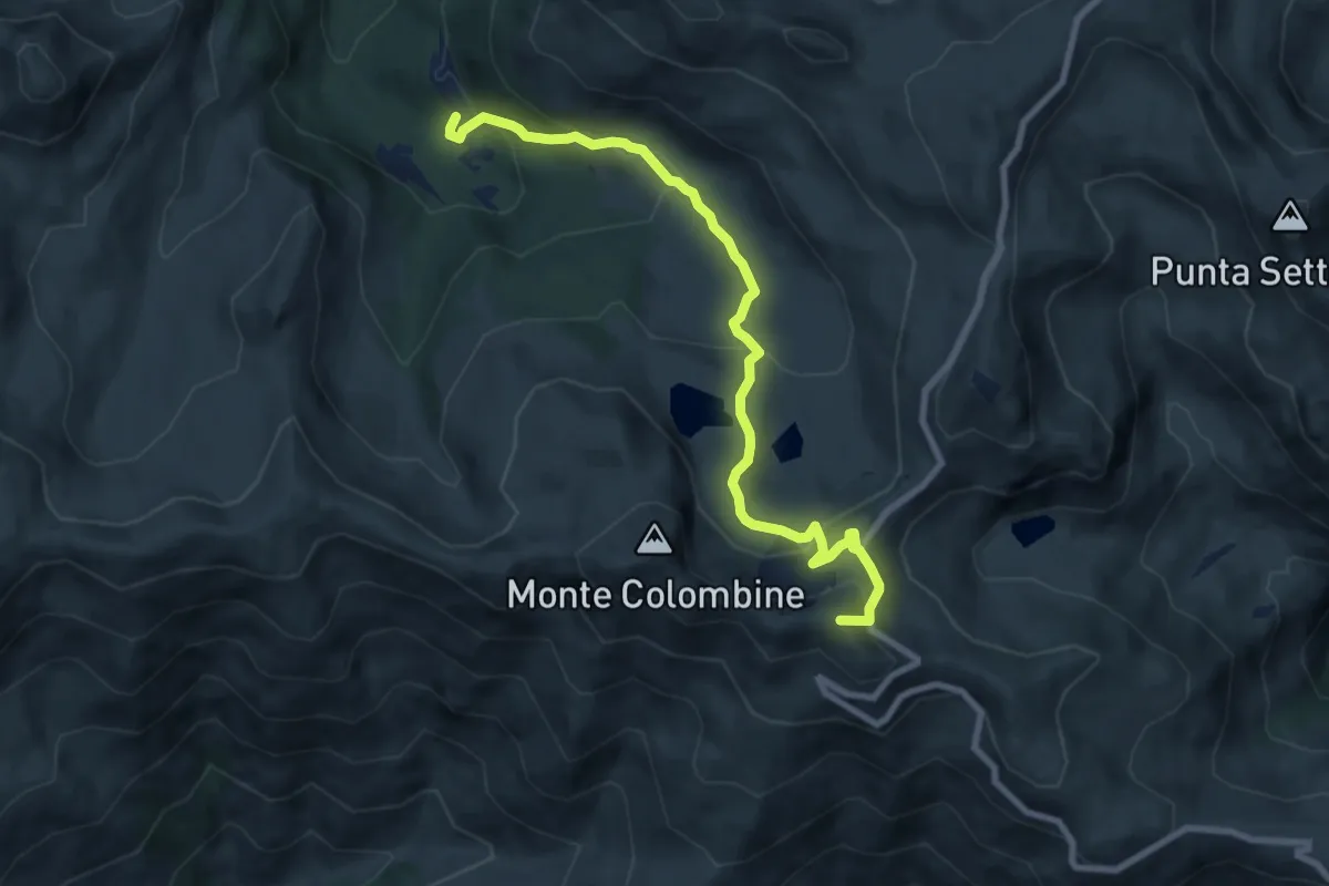
Medium · Summit
Bienno (Sesa di Sotto) - Passo Dasdana
8.8 km · ↑ 489 m · 3 h 9 min
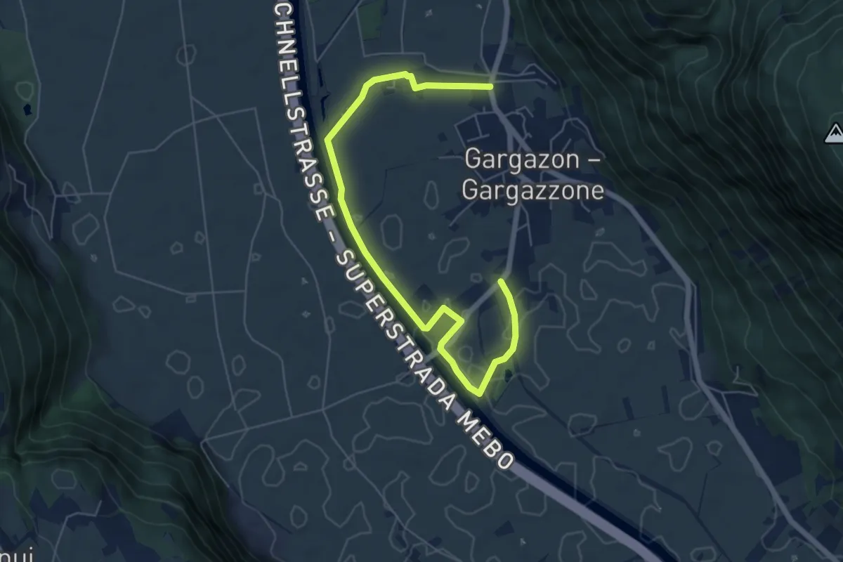
Easy · Trail
Binnendammweg
6.9 km · ↑ 17 m · 1 h 40 min
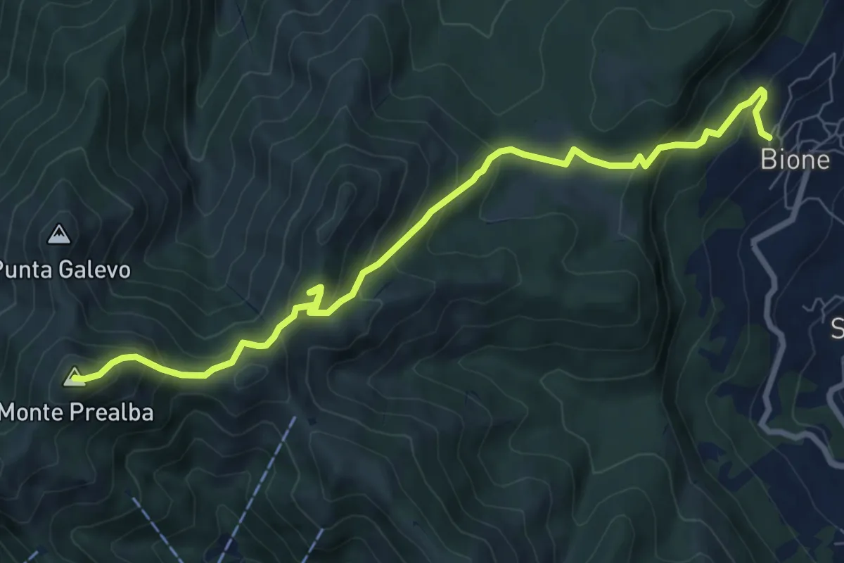
Medium · Summit
Bione (Pieve) - Eremo di San Vigilio - Monte Prealba
8.7 km · ↑ 716 m · 3 h 36 min
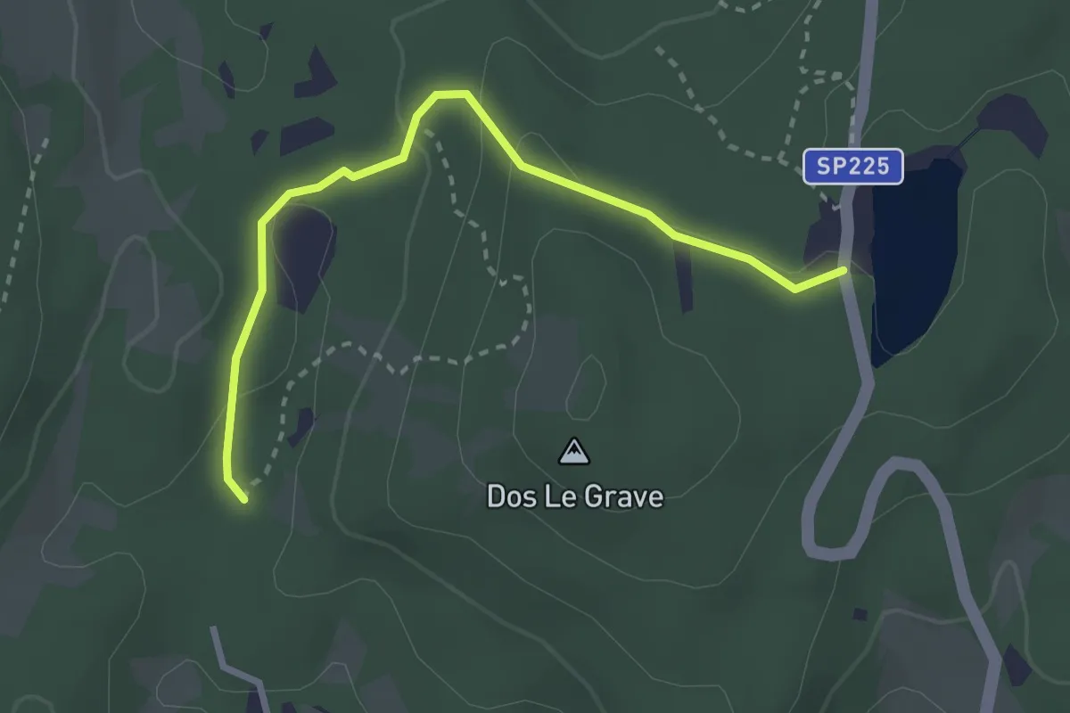
Easy · Trail
Biotopo Le Grave
2.8 km · ↑ 73 m · 49 min
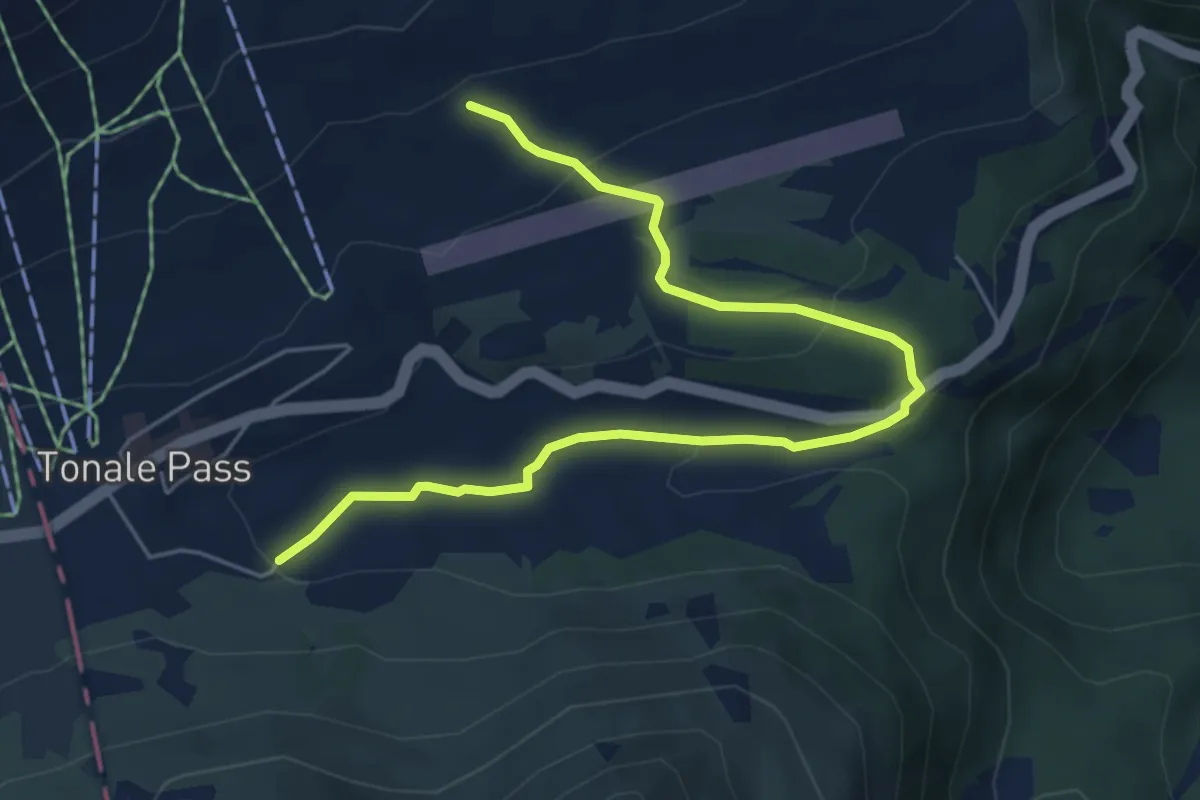
Easy · Trail
Biotopo Torbiera del Tonale
6.3 km · ↑ 182 m · 1 h 52 min
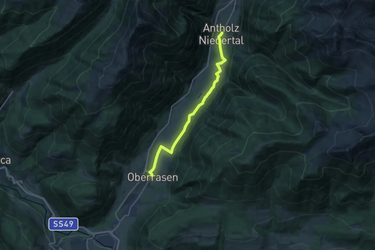
Medium · Trail
Biotopweg - Via del Biotopo
12.5 km · ↑ 136 m · 3 h 15 min
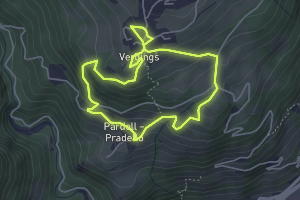
Easy · Trail
Birmehlweg - Sentiero Birmehl
3.3 km · ↑ 214 m · 1 h 17 min
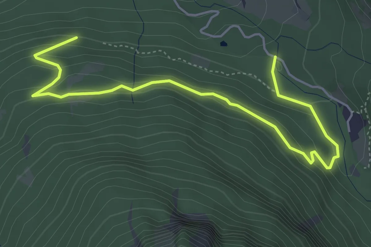
Easy · Trail
Bischofsweg - Sentiero del Vescovo
5.3 km · ↑ 276 m · 1 h 51 min
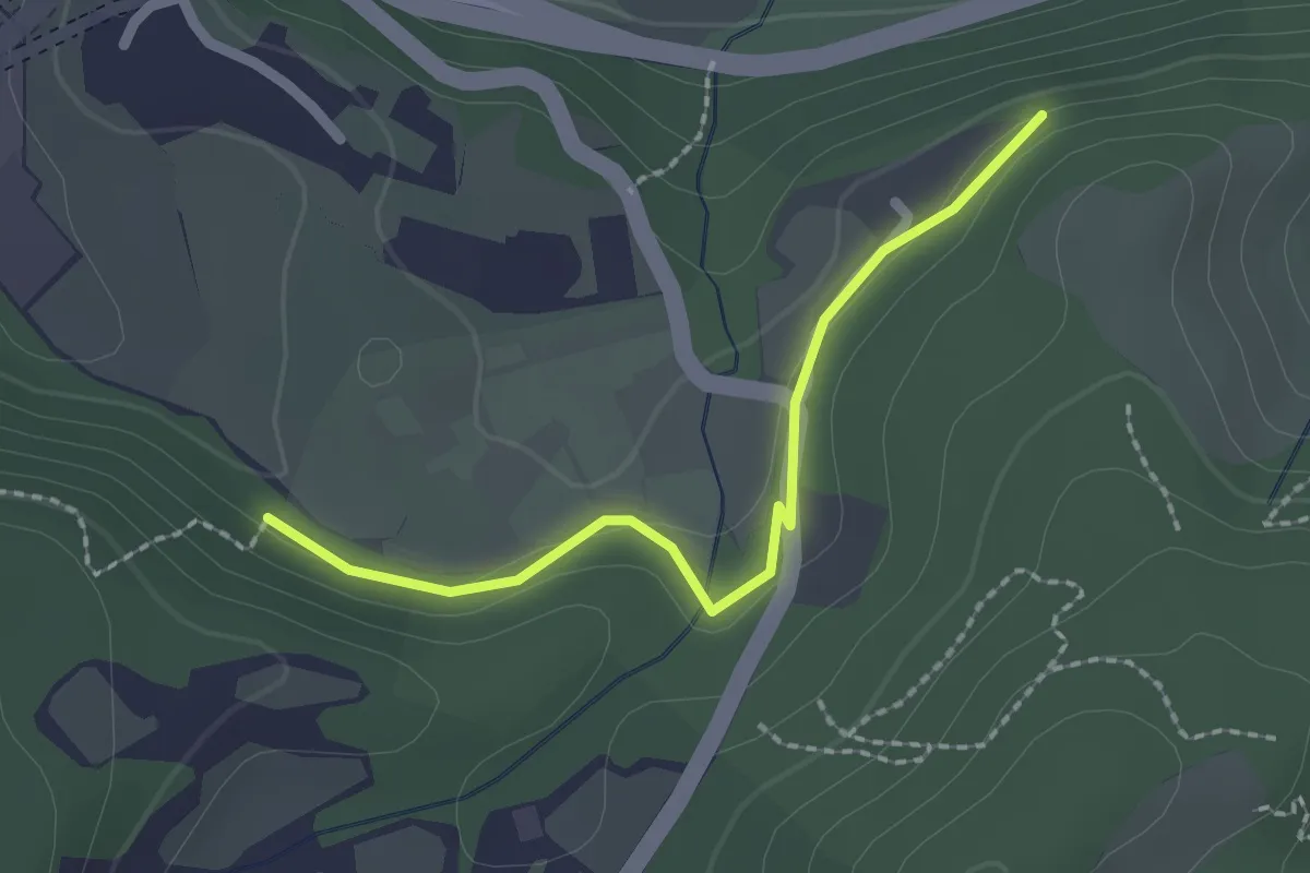
Easy · Trail
Bissinico di Sopra
2.0 km · ↑ 50 m · 35 min
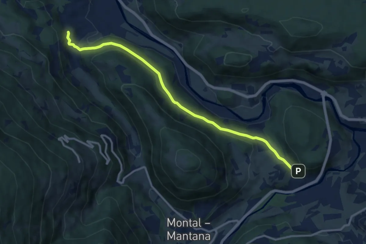
Medium · Trail
Bittgang
8.6 km · ↑ 276 m · 2 h 38 min
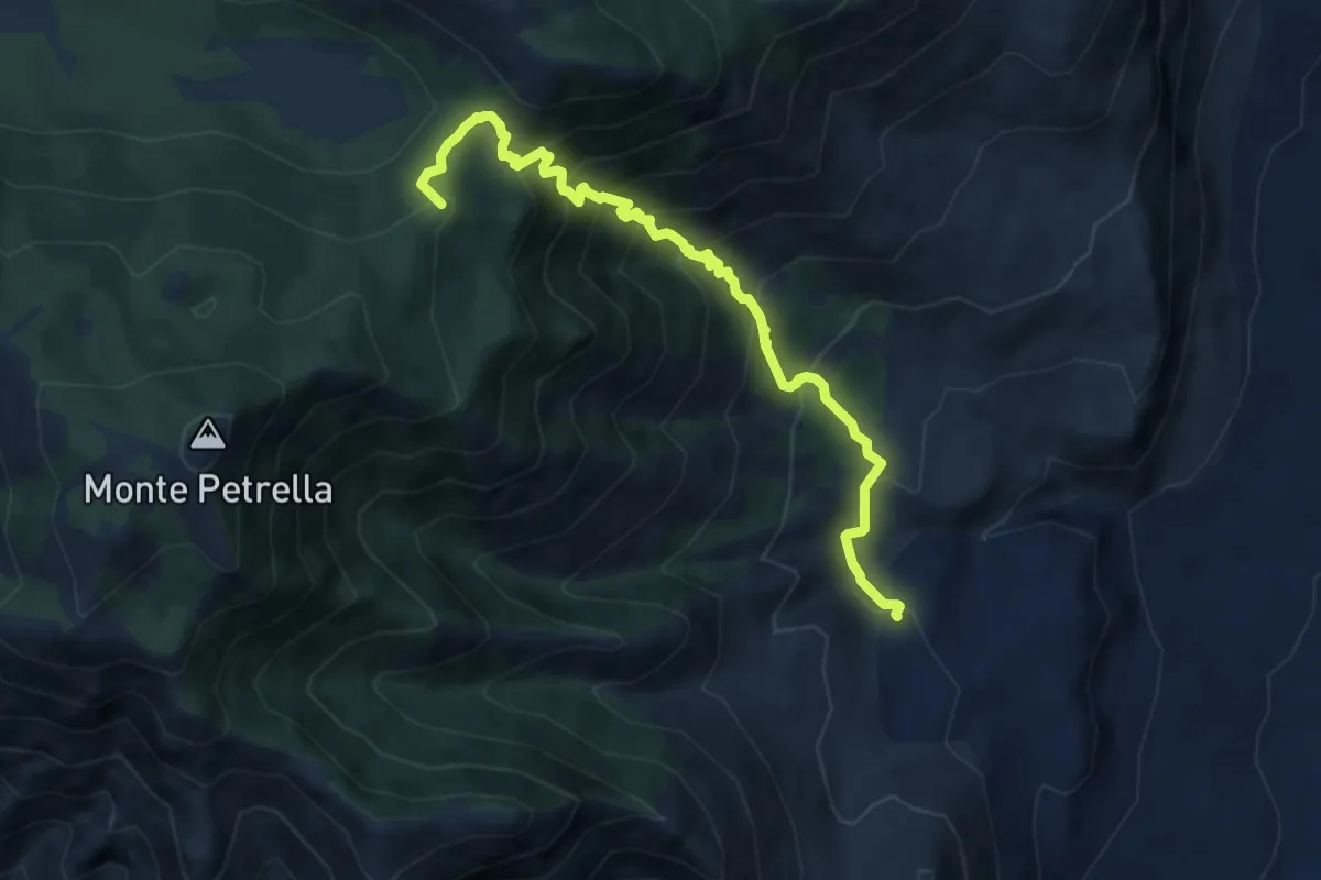
Demanding · Summit
Biviano-Monte Petrella
9.3 km · ↑ 881 m · 4 h 6 min
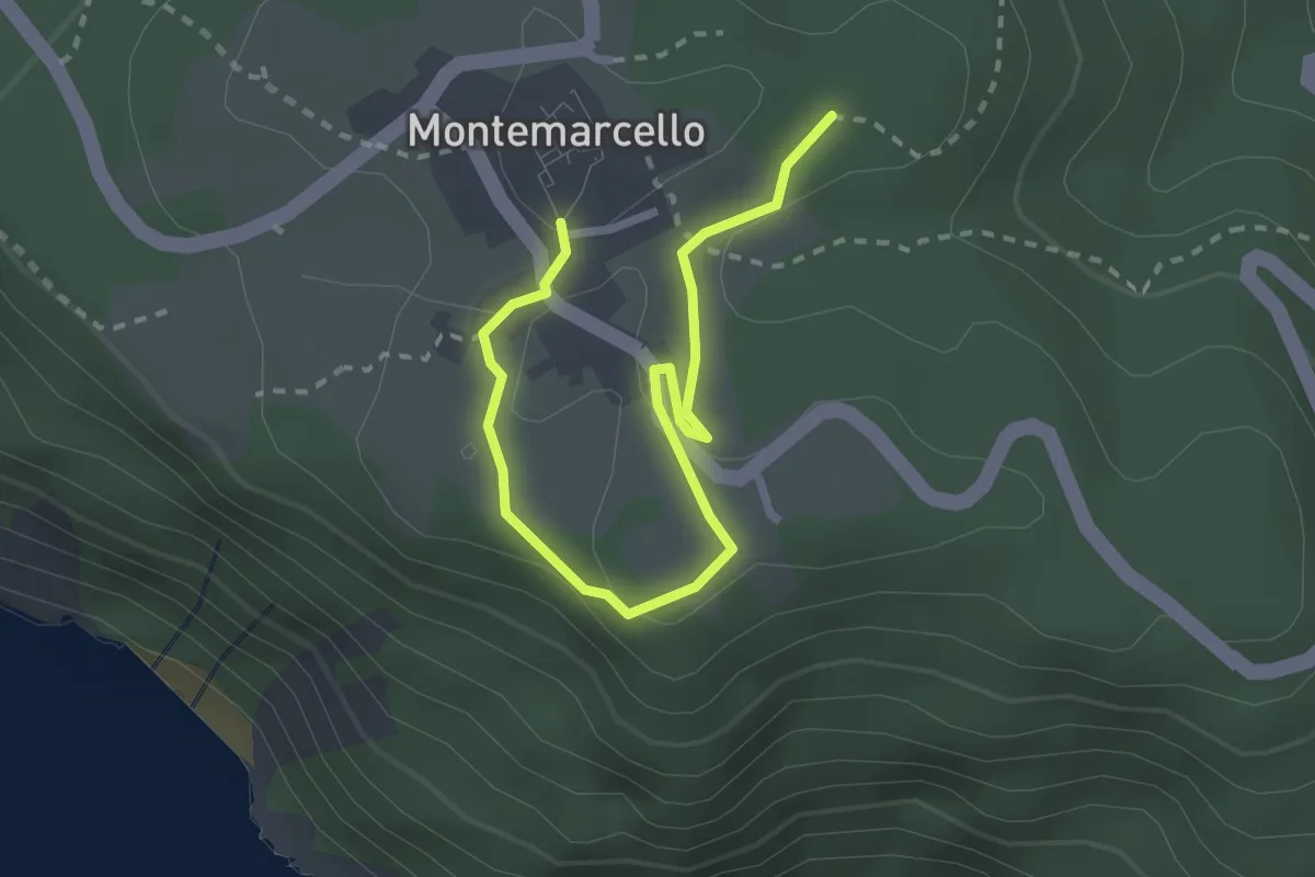
Easy · Trail
Bivio 436 - M. Marana
3.2 km · ↑ 50 m · 51 min
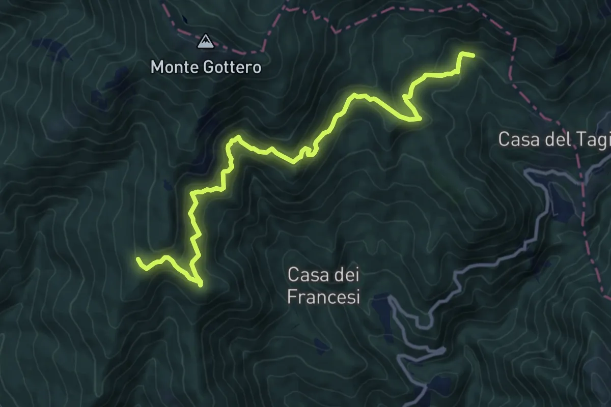
Demanding · Trail
Bivio AVML (Cardeia) - Casa Menage - Prato del Malone (Strada dei carrelli)
11.1 km · ↑ 853 m · 4 h 28 min
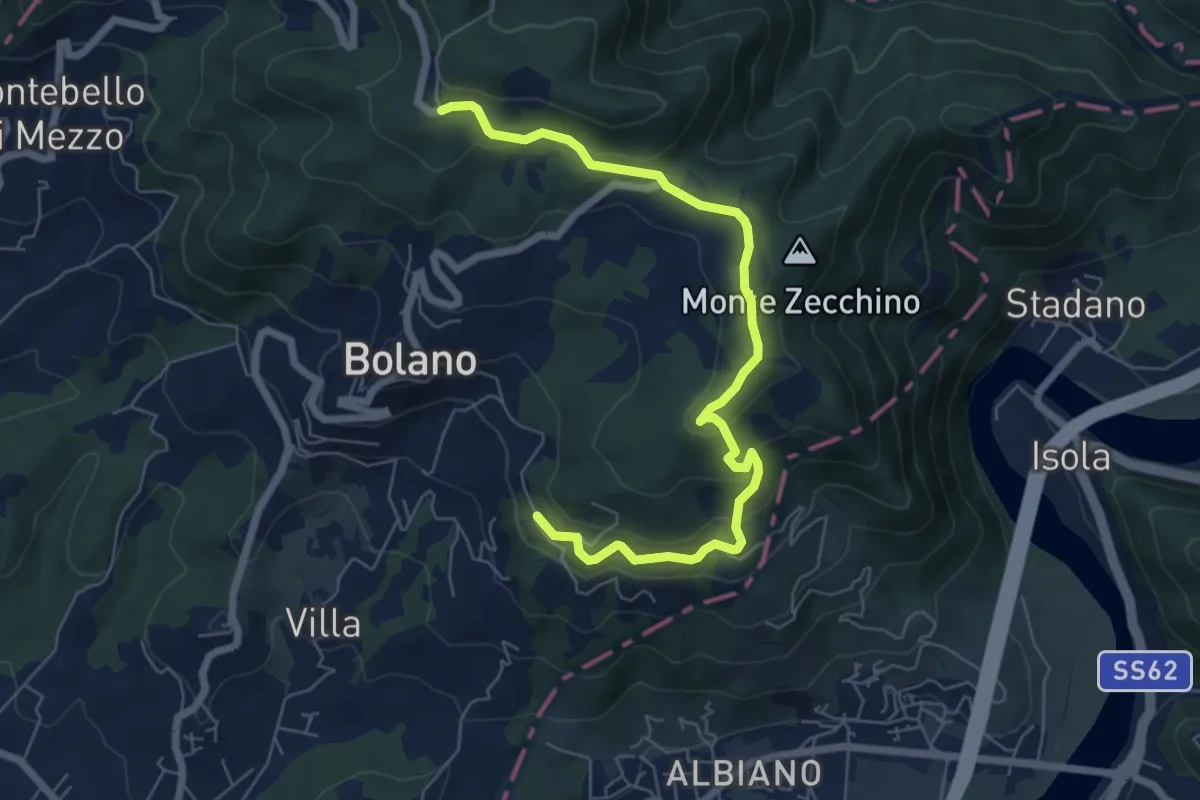
Easy · Trail
Bivio AVML - Tirolo - Case Solegnana - Case Cavanon - Bagatello
7.4 km · ↑ 297 m · 2 h 24 min
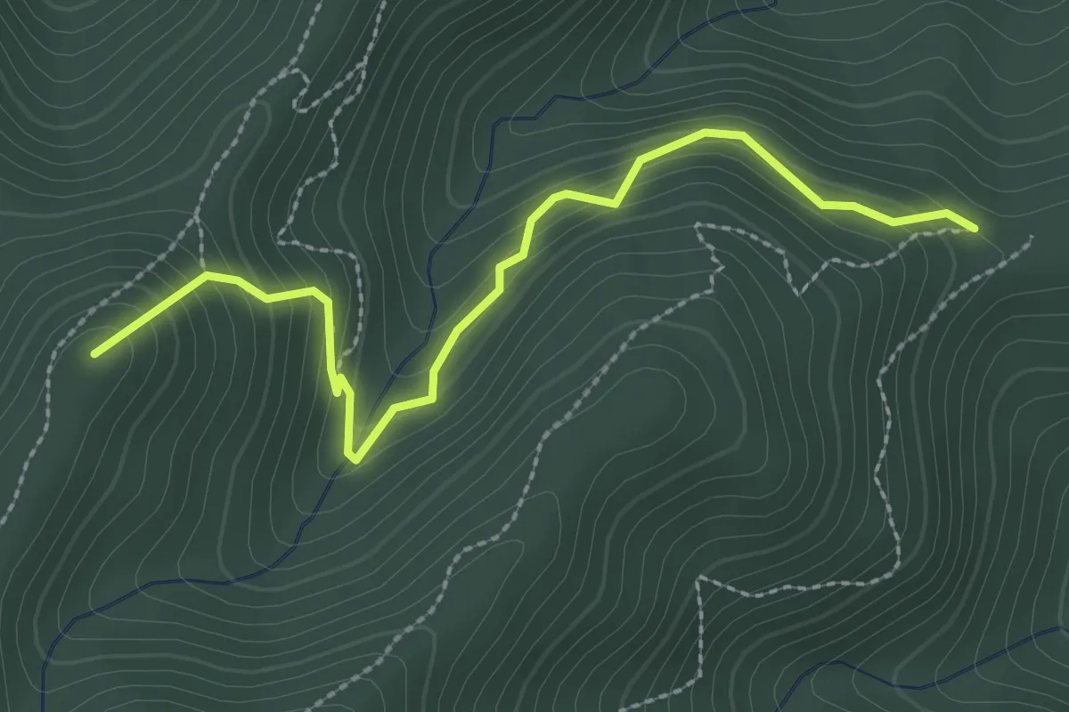
Easy · Summit
Bivio Baccadore - Sella Cravadora
2.8 km · ↑ 249 m · 1 h 13 min
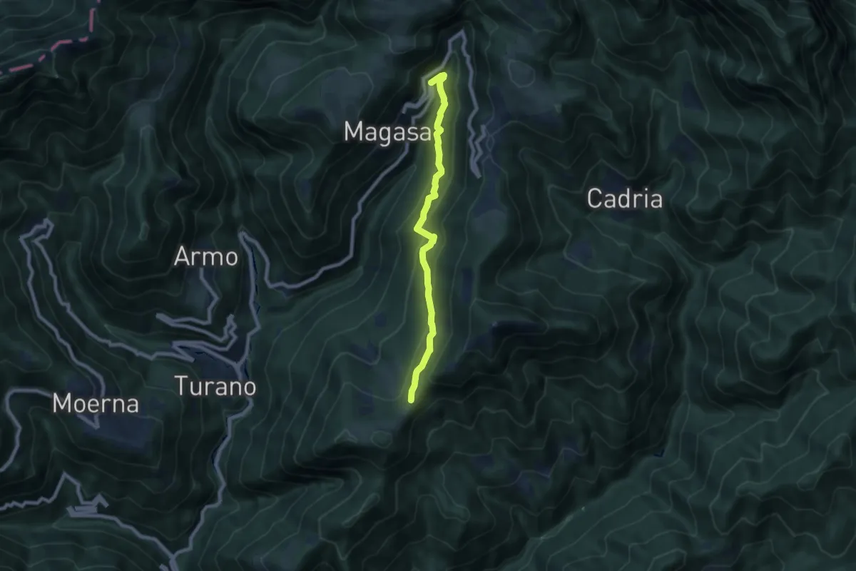
Medium · Trail
Bivio Camiöl (Magasa) - Bocca alla Croce (Valvestino)
7.0 km · ↑ 463 m · 2 h 39 min
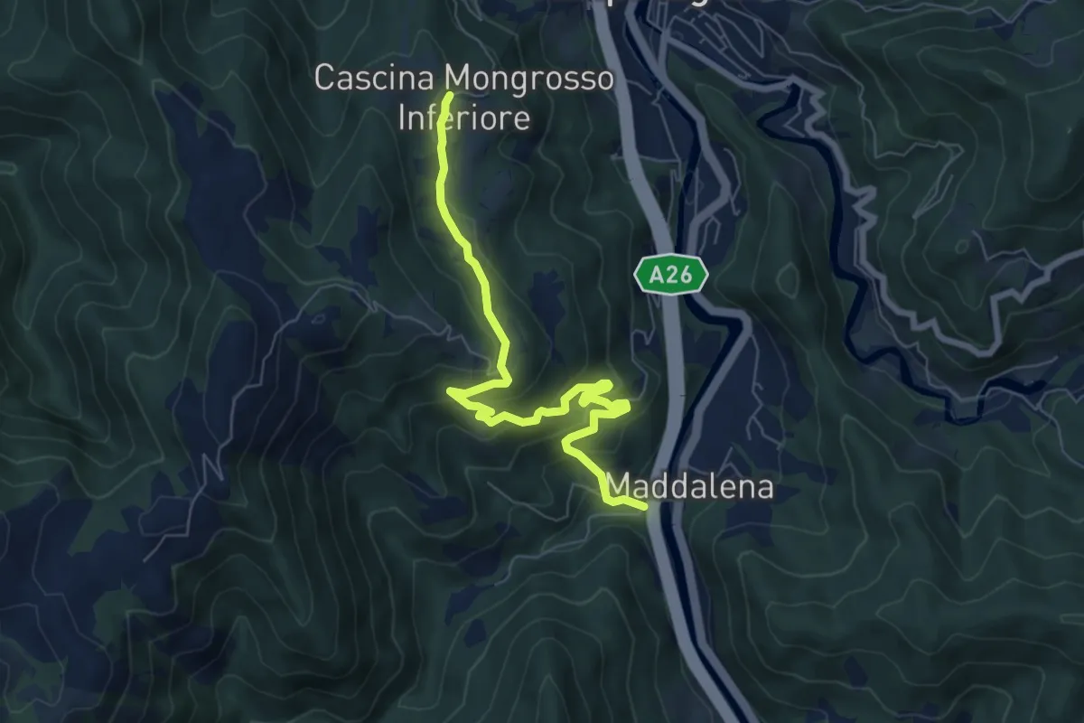
Medium · Trail
Bivio Cascina Masca - Cascina Mongrosso
7.3 km · ↑ 403 m · 2 h 36 min
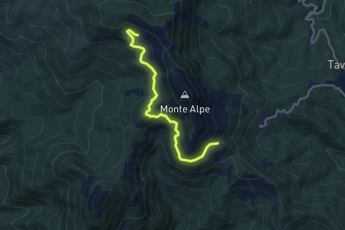
Medium · Trail
Bivio del Colello - Pendici Monte Alpe
6.2 km · ↑ 291 m · 2 h 6 min
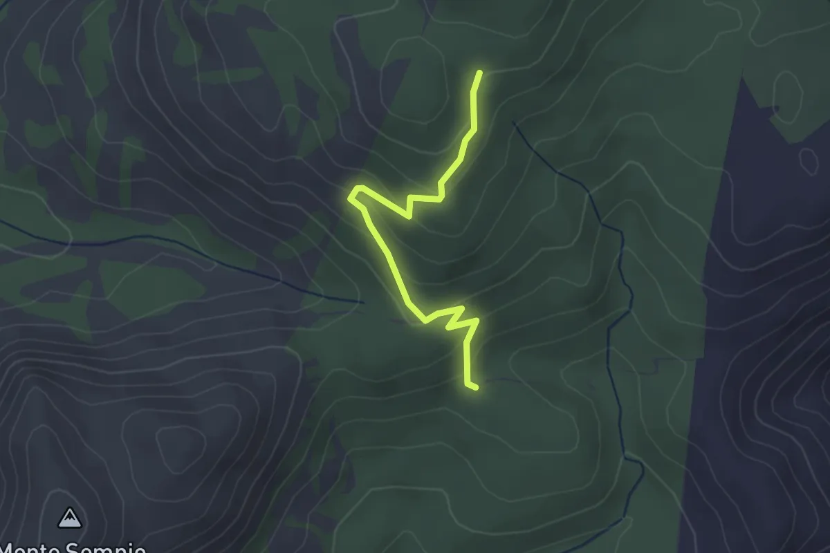
Easy · Trail
bivio Janna M. Sempiu - Su Tenente
3.0 km · ↑ 155 m · 1 h 3 min
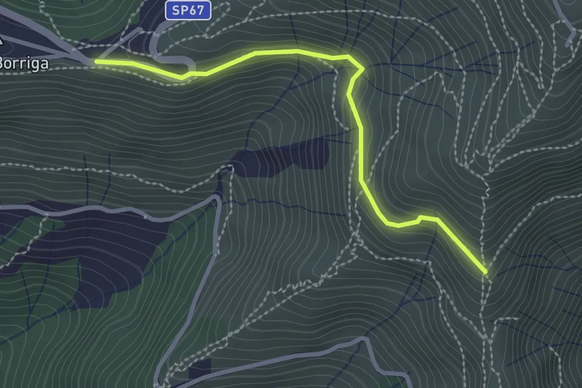
Easy · Trail
Bivio Liberale - Innesto su percorso Quinto-M. Fasce
2.6 km · ↑ 220 m · 1 h 5 min
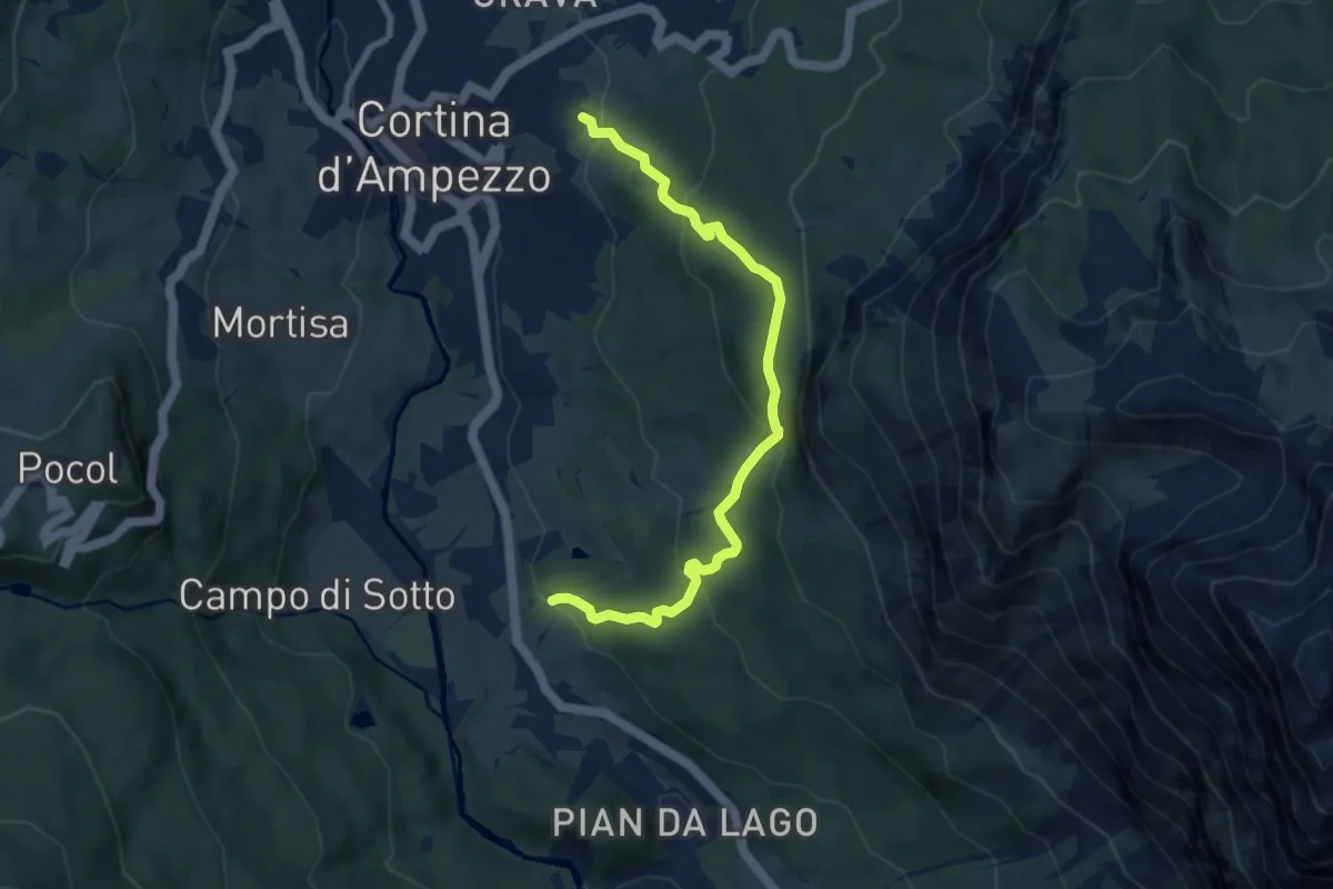
Medium · Trail
Bivio Mandres - Porta del Dio Silvano - Fraina - Miramonti
8.1 km · ↑ 493 m · 2 h 59 min
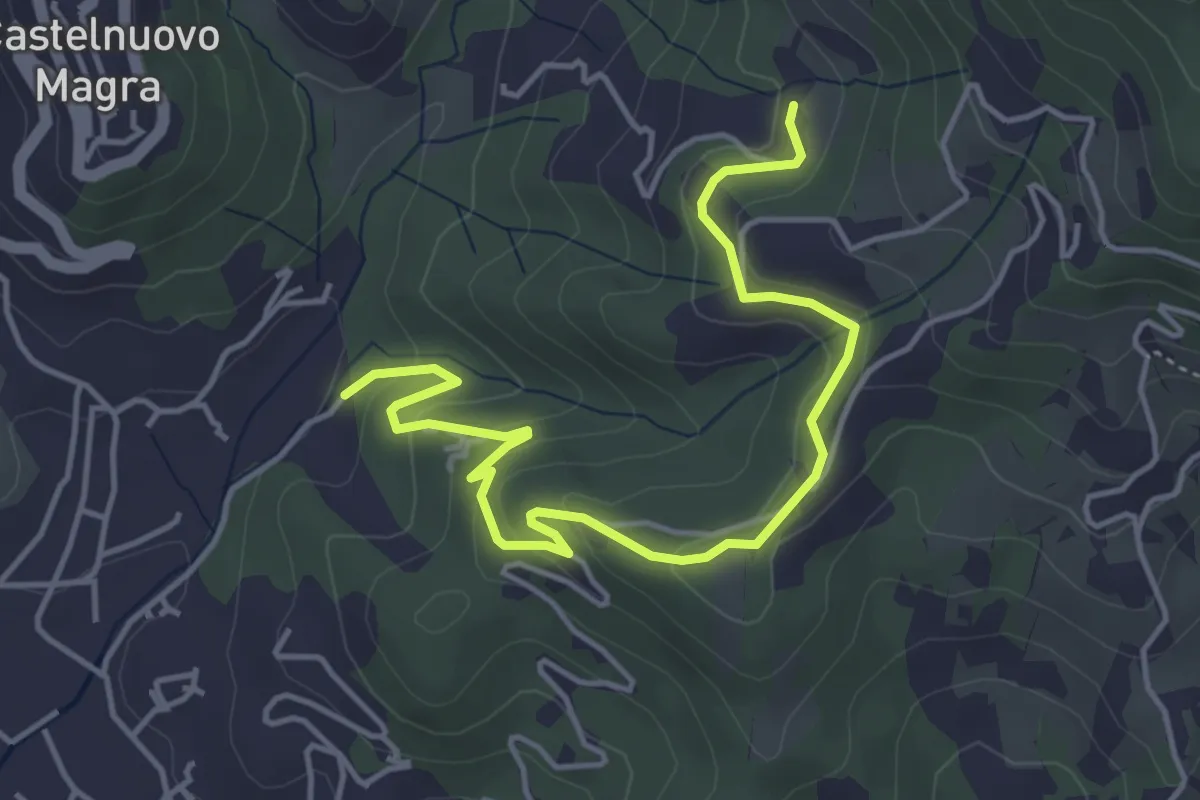
Easy · Trail
Bivio Molino Dogliotti - Marciano
5.4 km · ↑ 211 m · 1 h 44 min
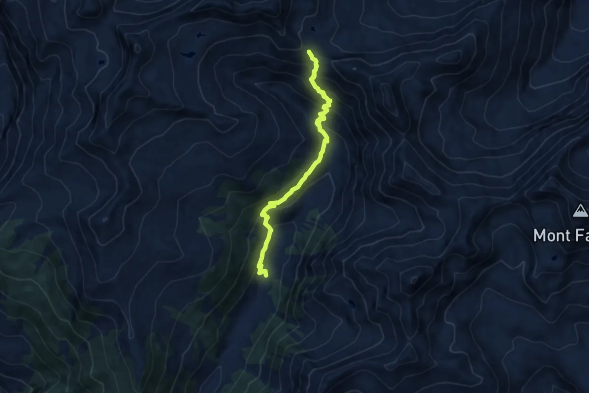
Medium · Trail
Bivio strada sterrata per Jovençan - Col Citrin
9.5 km · ↑ 690 m · 3 h 44 min
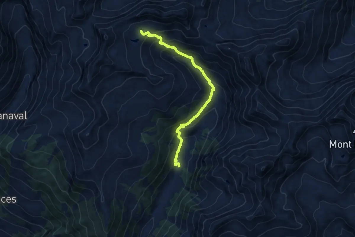
Medium · Cabin
Bivio strada sterrata per Jovençan - Lacs de Dziule
11.1 km · ↑ 797 m · 4 h 21 min
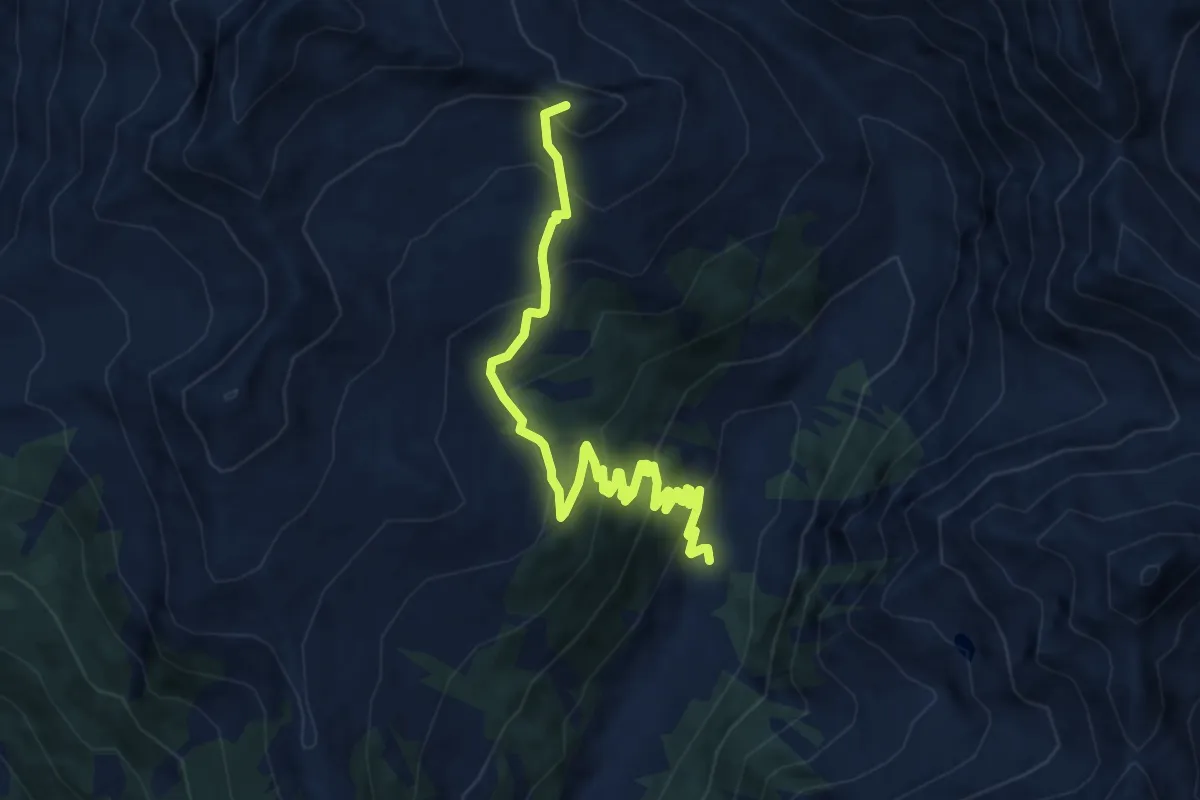
Medium · Summit
Bivio strada sterrata per Jovençan - Or de Fra - Lacs de Dziule
10.5 km · ↑ 702 m · 4 h 1 min
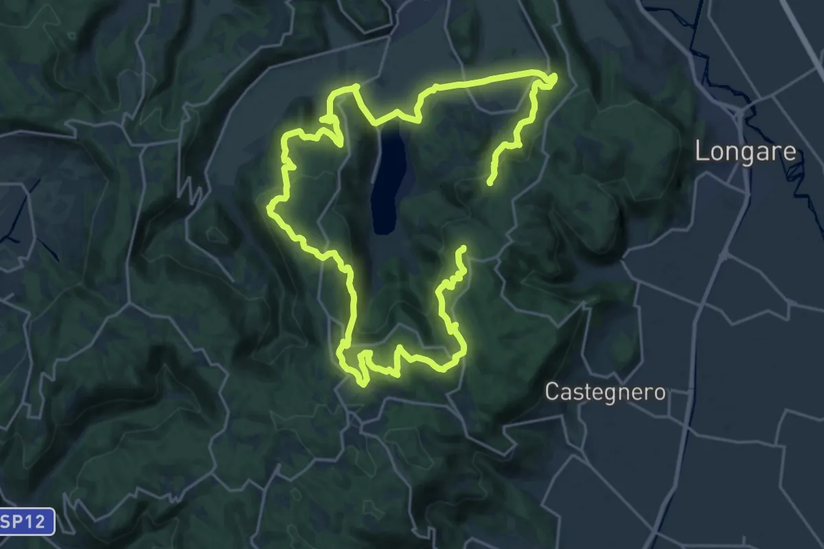
Demanding · Summit
Black Green Trail
39.6 km · ↑ 1444 m · 12 h 28 min
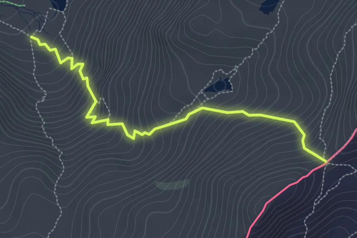
Medium · Trail
Blanche - Col Blanchet
3.4 km · ↑ 394 m · 1 h 40 min
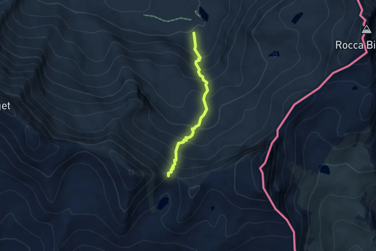
Medium · Trail
Blanche - Col de la Noire
3.2 km · ↑ 450 m · 1 h 44 min
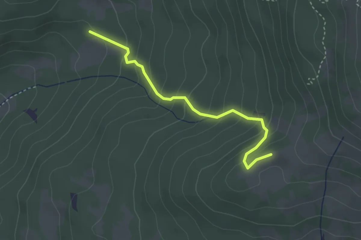
Medium · Trail
Blauweg
3.0 km · ↑ 264 m · 1 h 17 min
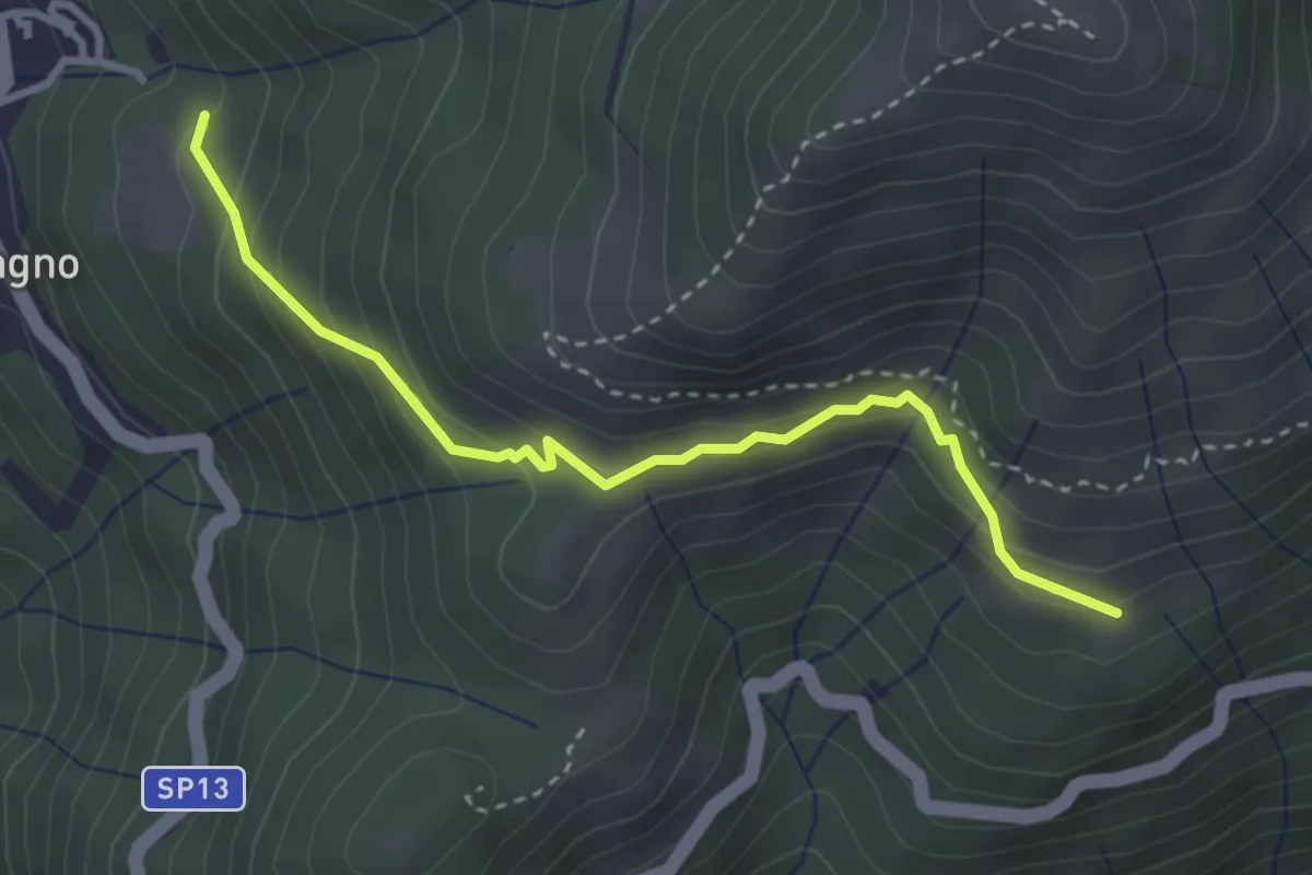
Expert · Trail
Blessagno Mulattiera Pianeria Tapascion
3.3 km · ↑ 237 m · 1 h 18 min
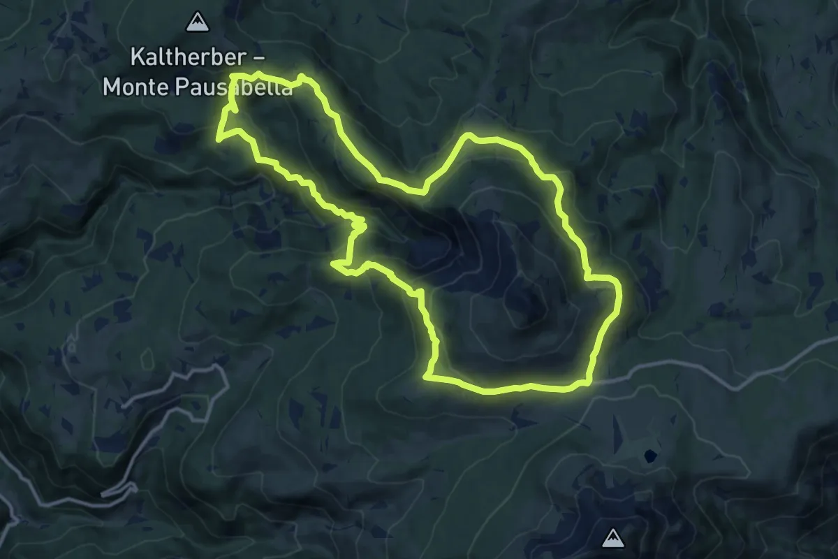
Medium · Trail
Bletterbachrunde
12.7 km · ↑ 623 m · 4 h 31 min
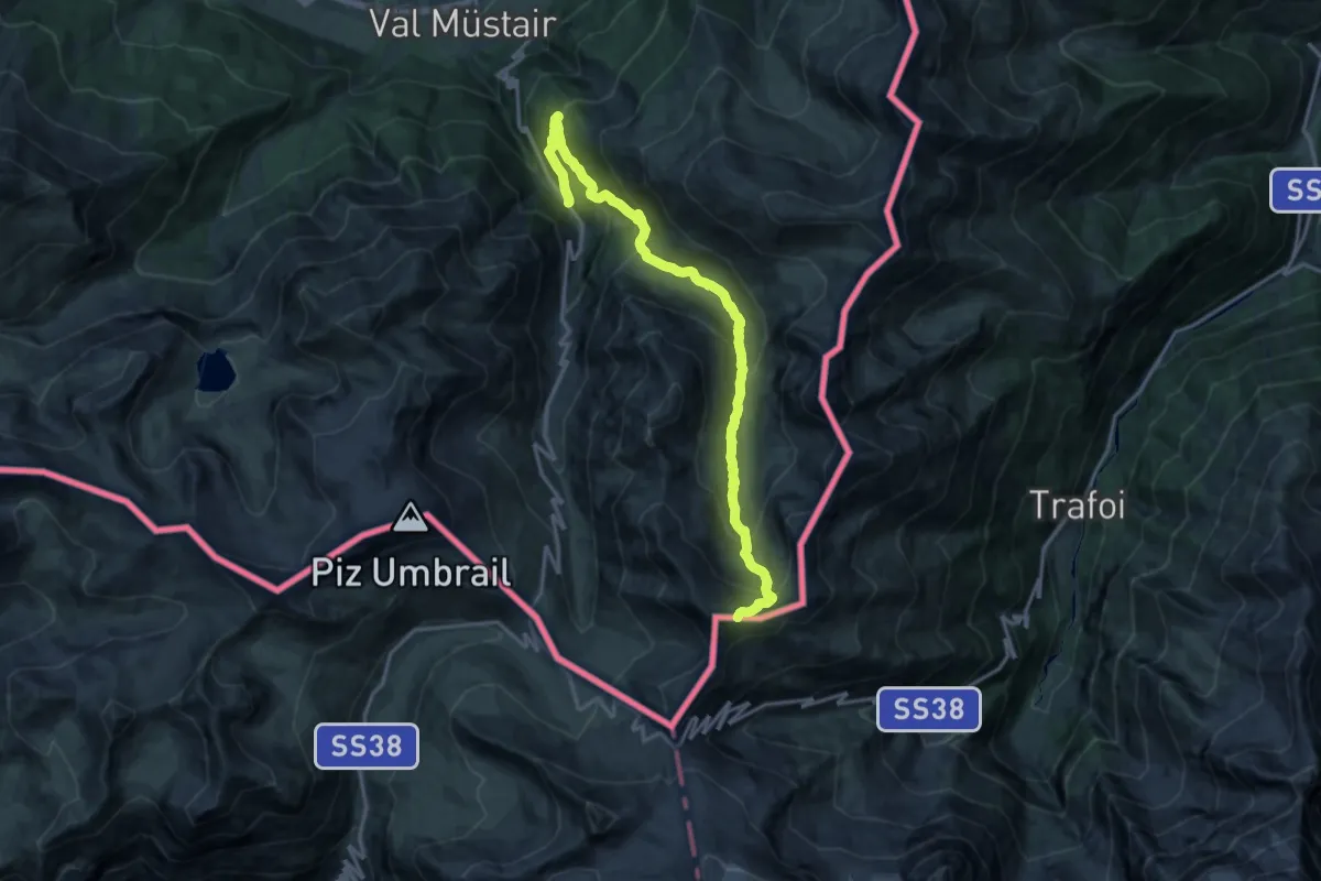
Demanding · Trail
Blockhaus - Alp Prasüra - Sella da Piz Cotschen
16.7 km · ↑ 1134 m · 6 h 25 min
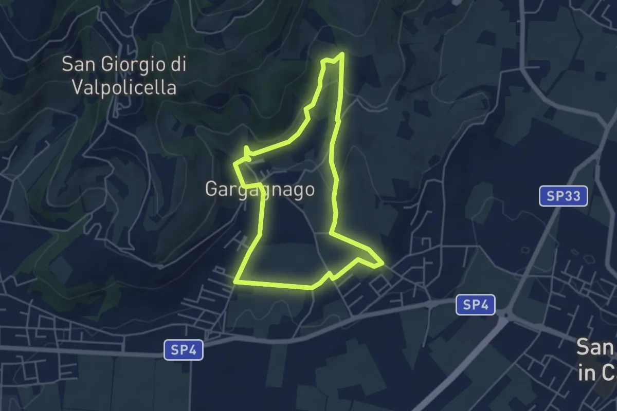
Easy · Trail
blue "G" marked trail
4.2 km · ↑ 130 m · 1 h 20 min
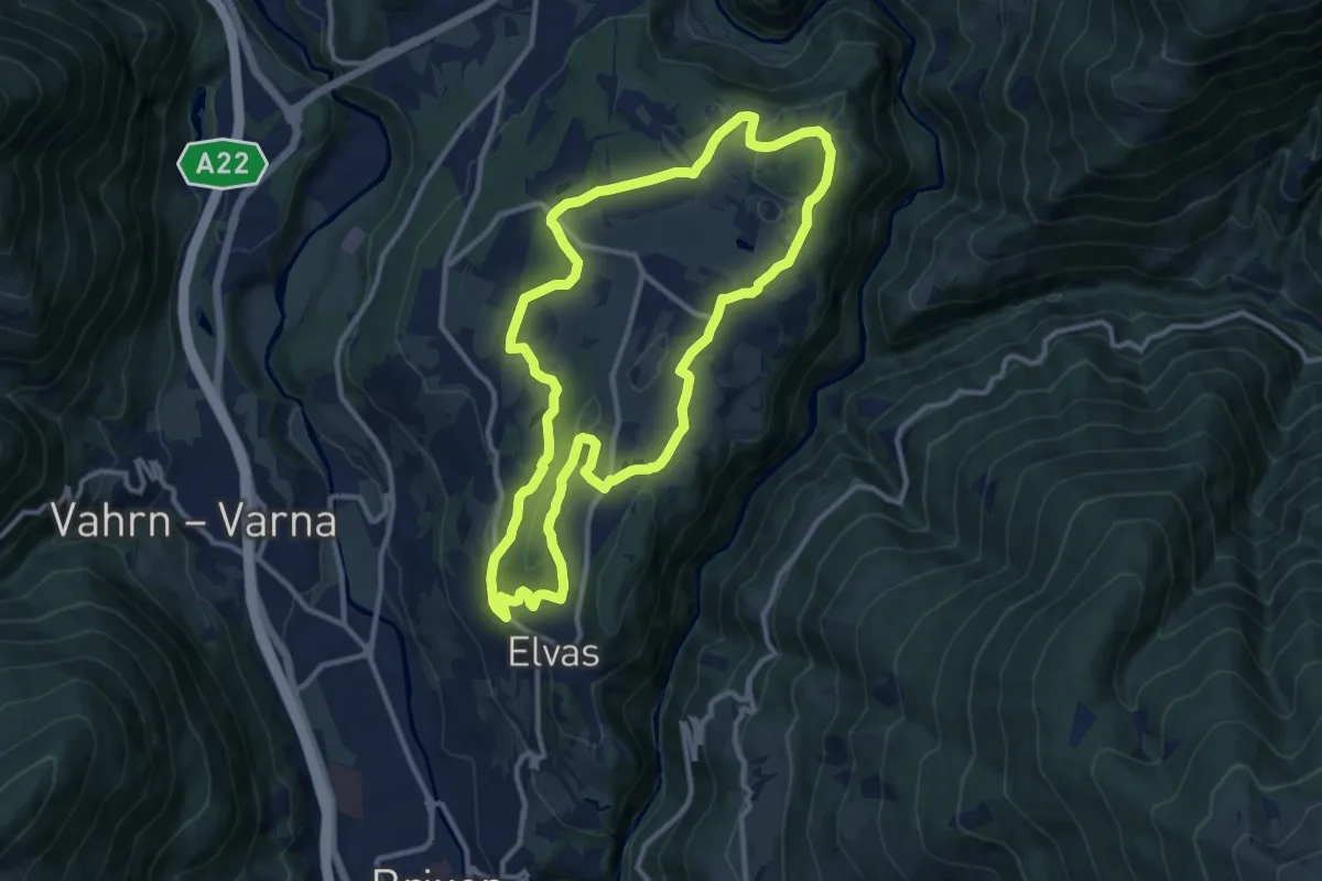
Medium · Trail
Blütenlauf - Corsa della fioritura
11.4 km · ↑ 249 m · 3 h 23 min
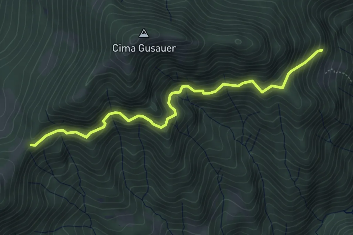
Medium · Trail
Bocca alla Croce (Valvestino) - Fornello (Magasa)
5.5 km · ↑ 565 m · 2 h 31 min
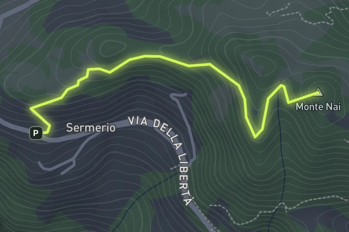
Easy · Summit
Bocca di Navese, Sermerio
3.1 km · ↑ 178 m · 1 h 7 min
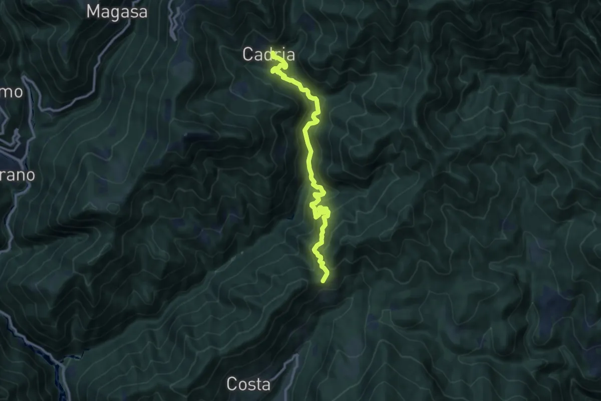
Demanding · Trail
Bocca di Paolone - Cadria
10.6 km · ↑ 826 m · 4 h 18 min
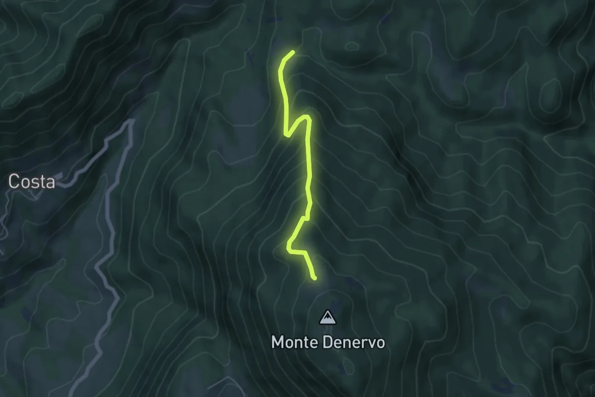
Medium · Trail
Bocca Fobia - Malga Denervo
4.3 km · ↑ 452 m · 1 h 59 min
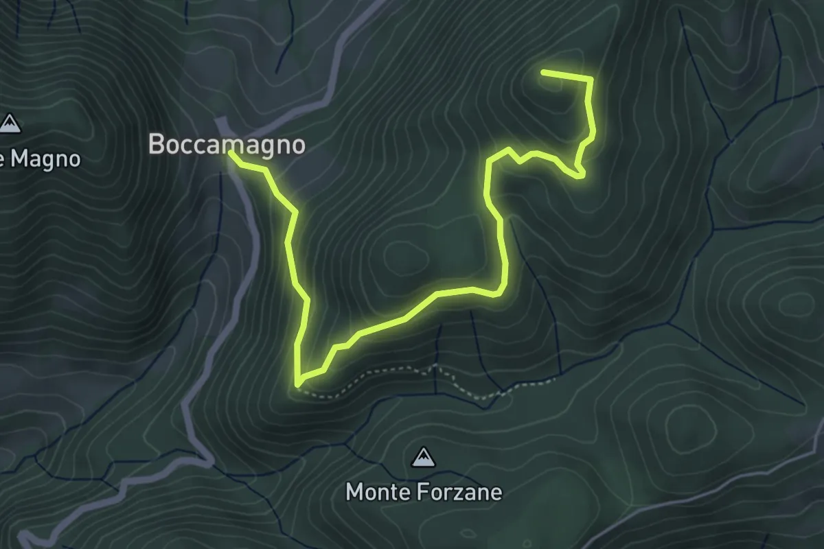
Medium · Summit
Bocca Magno, Passo Fobbia
5.7 km · ↑ 384 m · 2 h 11 min
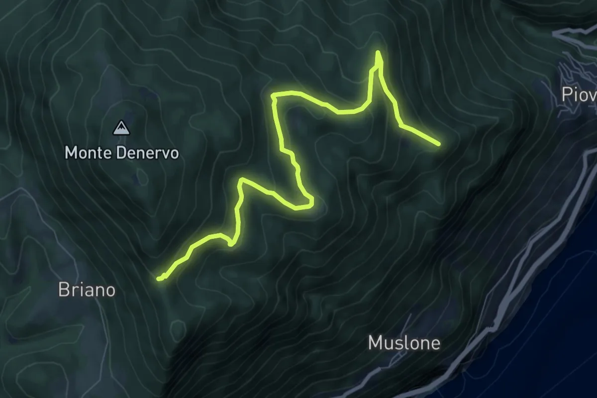
Medium · Summit
Bocca Premaur (Gargnano) - Bivio Tampa (Tignale)
9.0 km · ↑ 472 m · 3 h 8 min
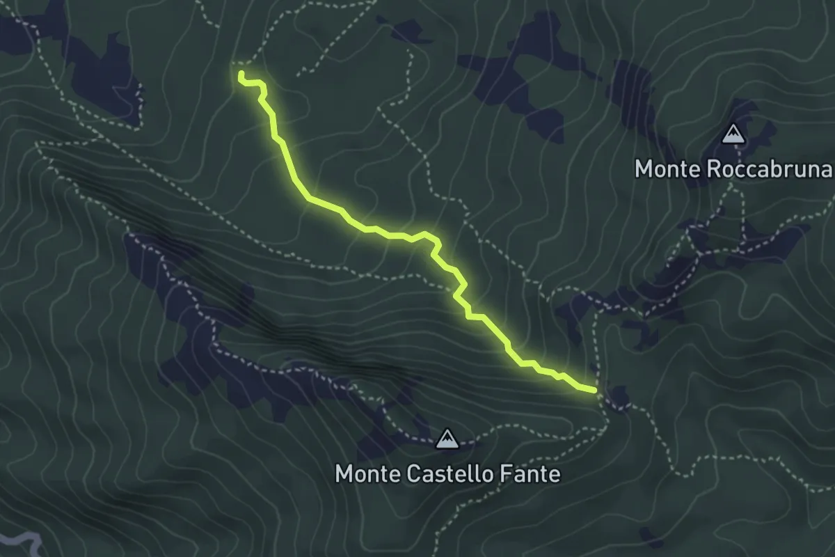
Medium · Trail
Bocchetta delle Mogliazze - Passo del Fante
3.4 km · ↑ 256 m · 1 h 21 min
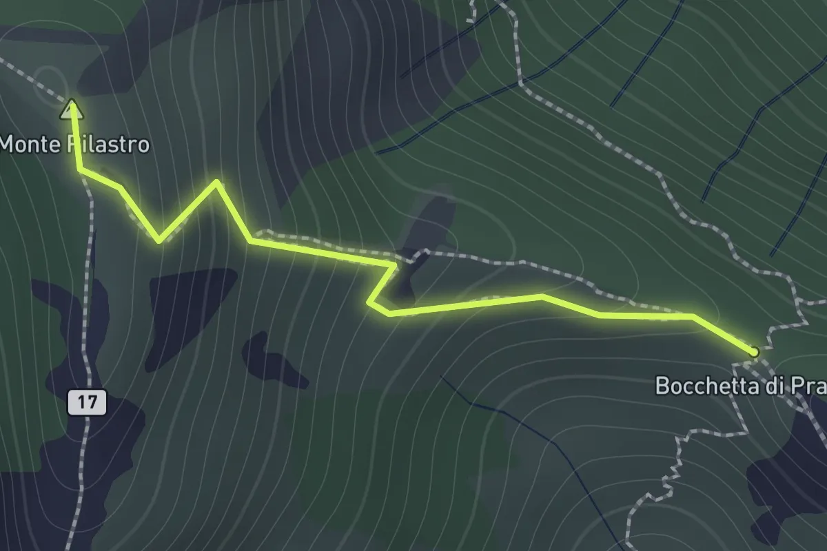
Demanding · Summit
Bocchetta di Prada - Monte Croce
1.4 km · ↑ 184 m · 44 min
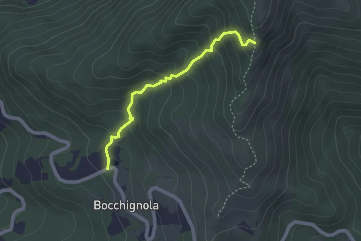
Easy · Trail
Bocchignola - Case Gratine - Innesto 152
3.0 km · ↑ 261 m · 1 h 17 min
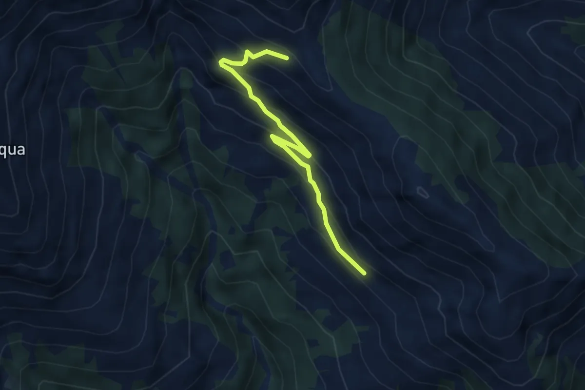
Easy · Trail
Bodone - Alpe Paregna
4.0 km · ↑ 282 m · 1 h 34 min
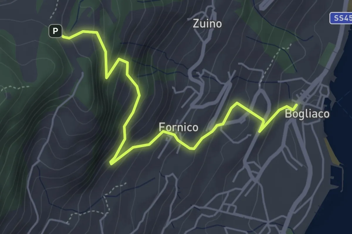
Medium · Trail
Bogliaco (Gargnano) - Sostaga (Gargnano)
5.4 km · ↑ 436 m · 2 h 14 min
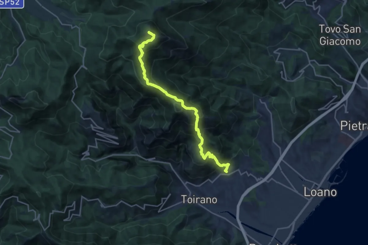
Demanding · Summit
Boissano - Monte Carmo
25.4 km · ↑ 1896 m · 10 h 6 min
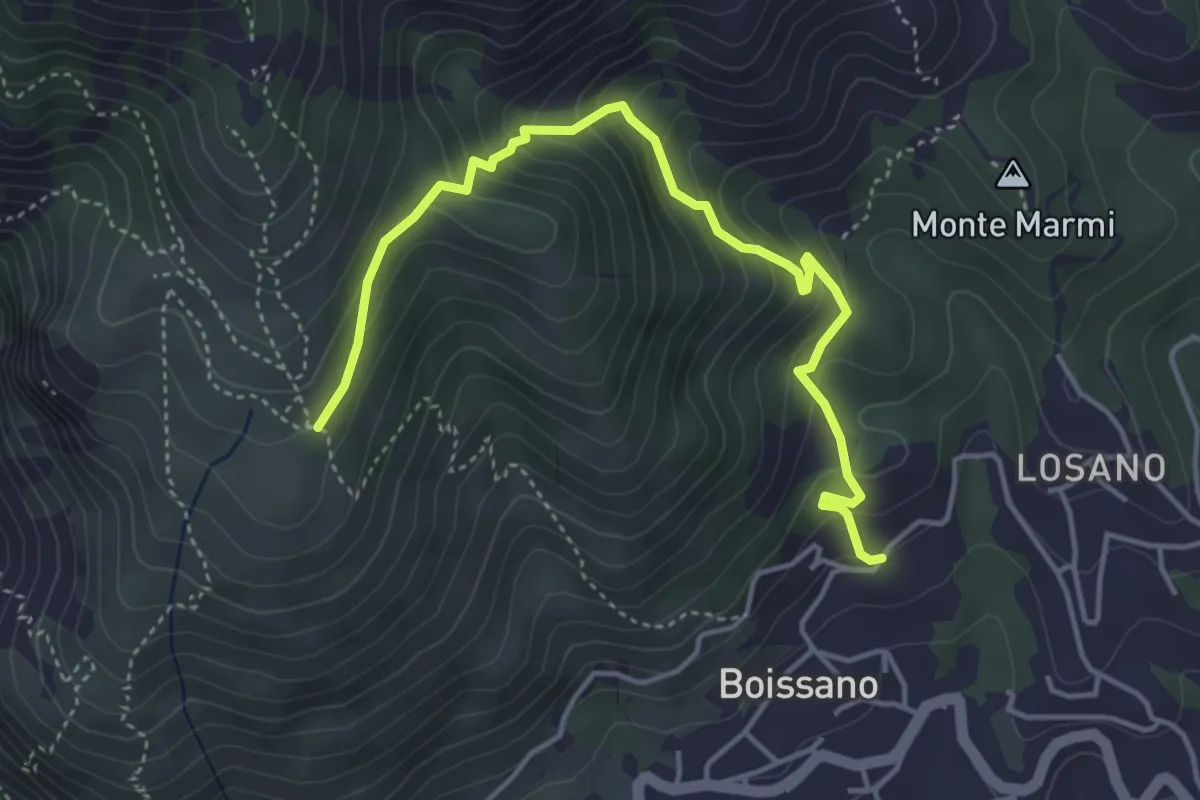
Medium · Trail
Boissano - San Pietrino
4.9 km · ↑ 380 m · 1 h 58 min
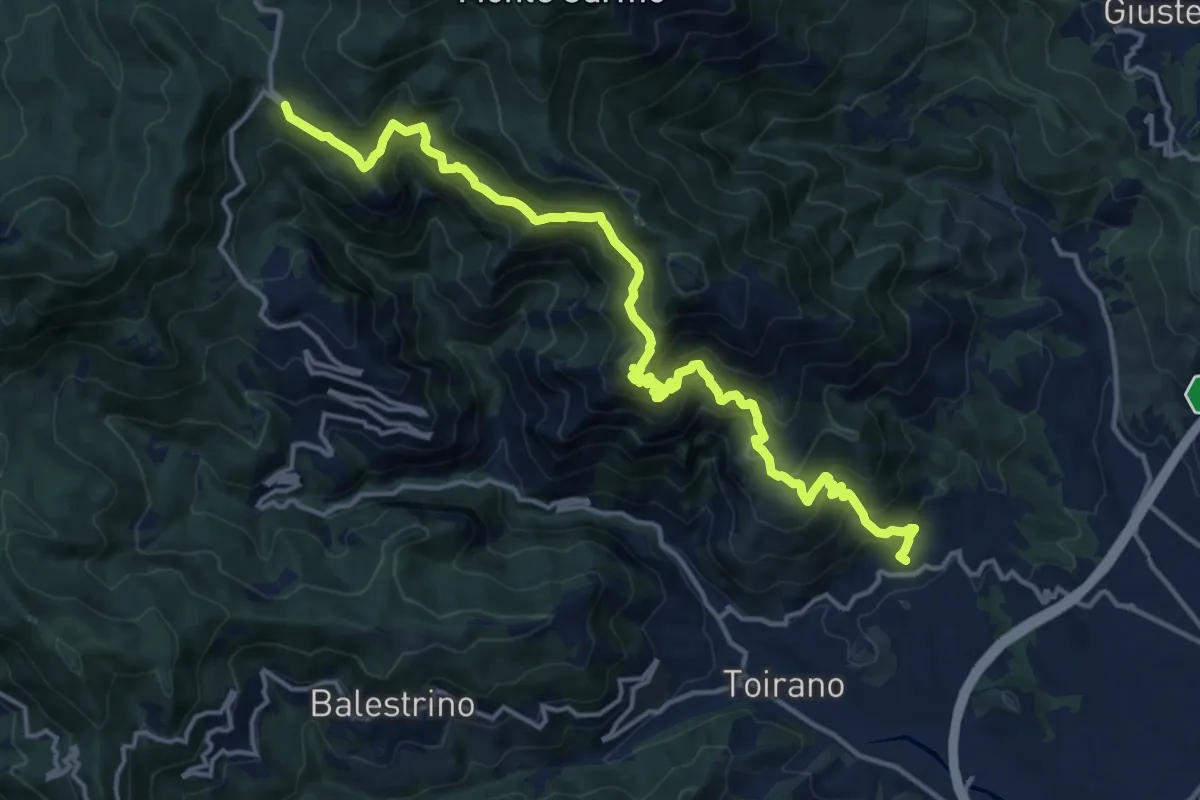
Demanding · Trail
Boissano - San Pietro dei Monti - Giogo di Toirano
18.5 km · ↑ 1321 m · 7 h 14 min