Trails in Italy
25,211 hiking trails, each with its route, climb, walking time and grade.
All trails, page 29 of 526
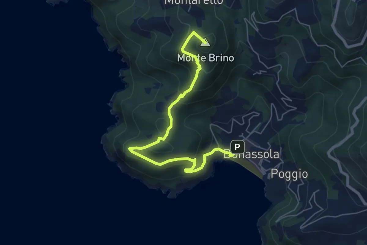
Medium · Summit
Bonassola - Salto della Lepre - Pastorelli - Montaretto
6.1 km · ↑ 447 m · 2 h 24 min
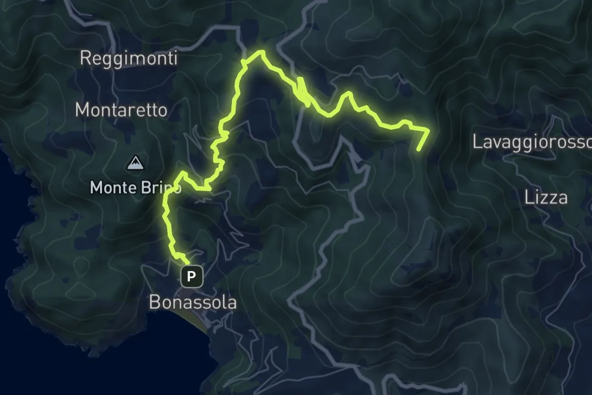
Medium · Summit
Bonassola - San Giorgio - Gronde - Passo del Colletto
9.2 km · ↑ 592 m · 3 h 28 min
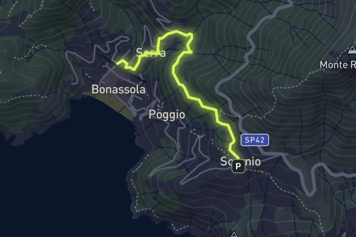
Easy · Trail
Bonassola - Serra - Ponte Panigà - Scernio
3.9 km · ↑ 279 m · 1 h 32 min
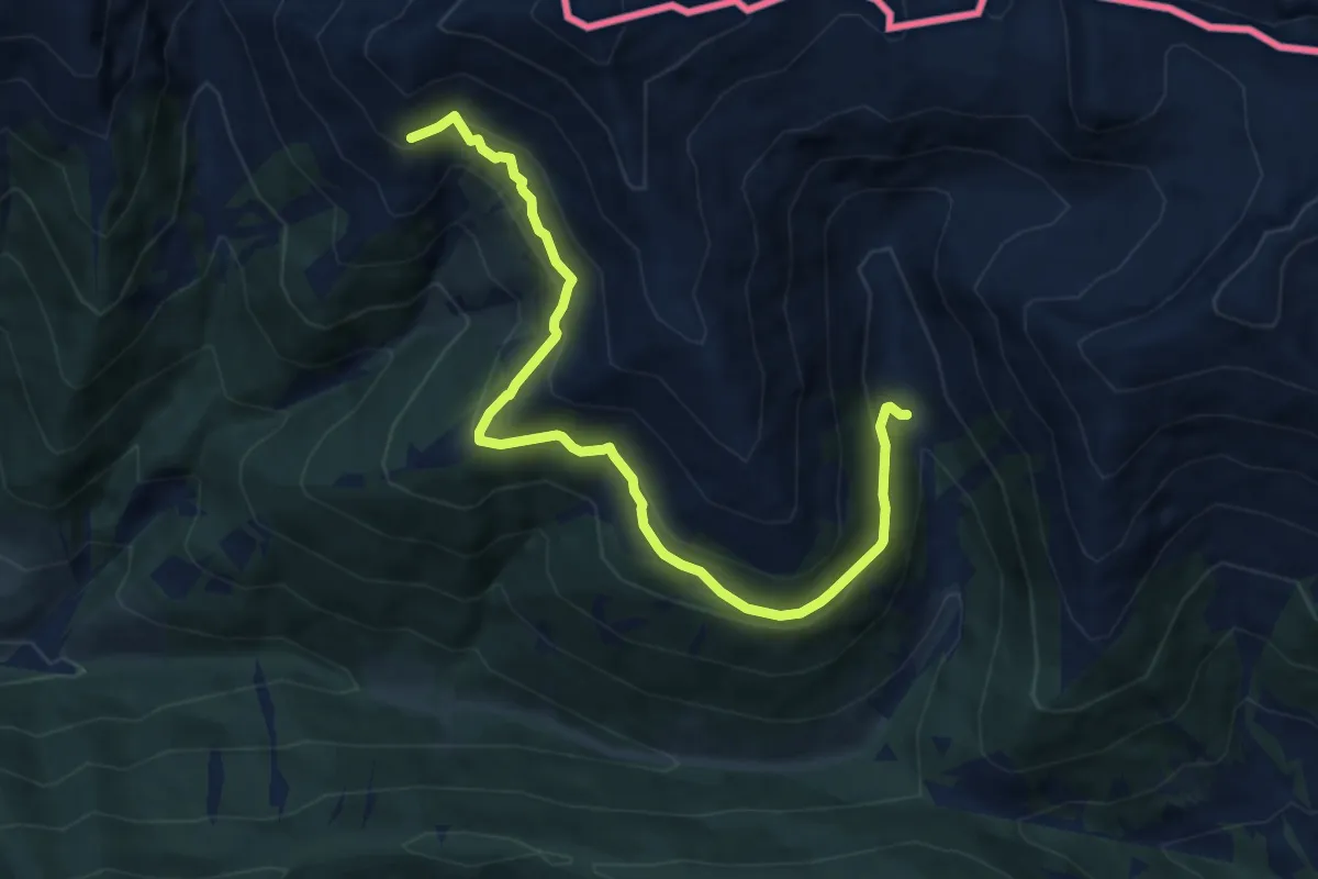
Medium · Cabin
Bonnerhütte - Steinbergalm
9.6 km · ↑ 604 m · 3 h 35 min
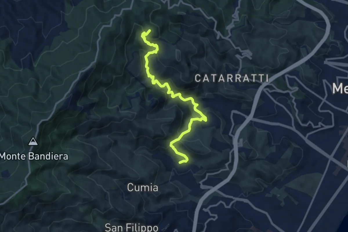
Medium · Summit
Bordonaro Camaro Dorsale
11.4 km · ↑ 602 m · 3 h 59 min
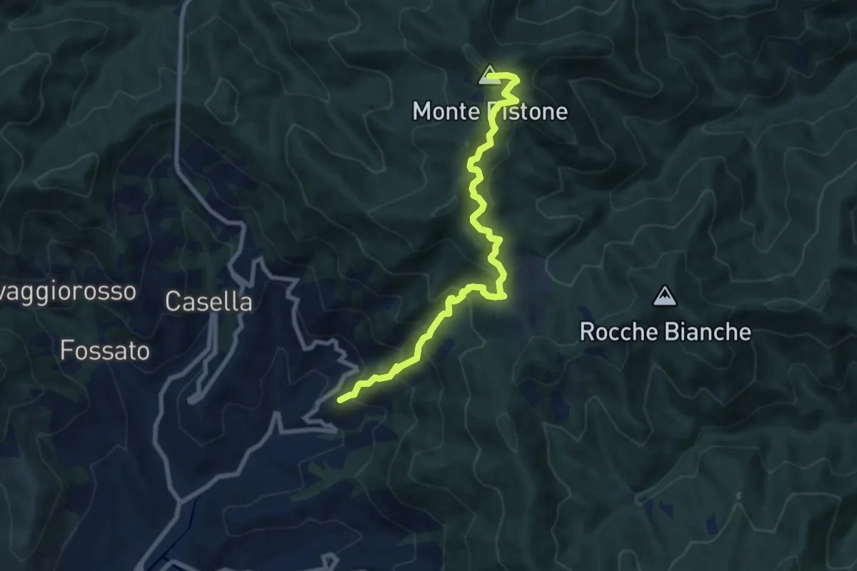
Medium · Summit
Borghetto – Cassana – M. Castellaro – M. Bardellone - Pastina
8.3 km · ↑ 743 m · 3 h 34 min
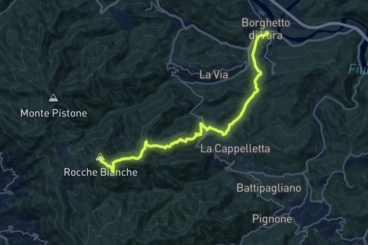
Demanding · Summit
Borghetto – Faggiona – M. Verruga - M. Bardellone
17.1 km · ↑ 789 m · 5 h 44 min
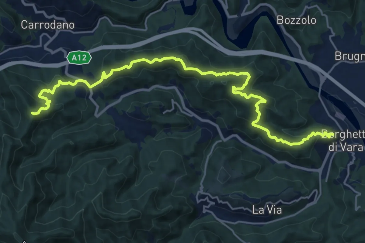
Demanding · Summit
Borghetto – Mad. di Roverano – M.Pastenelle – P.ta Leccio
18.0 km · ↑ 907 m · 6 h 12 min
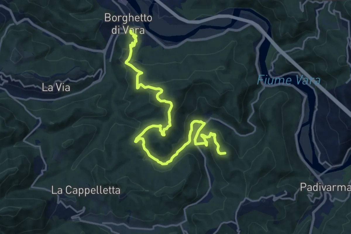
Medium · Summit
Borghetto - Ripalta - Memola - Bracelli
16.4 km · ↑ 717 m · 5 h 25 min
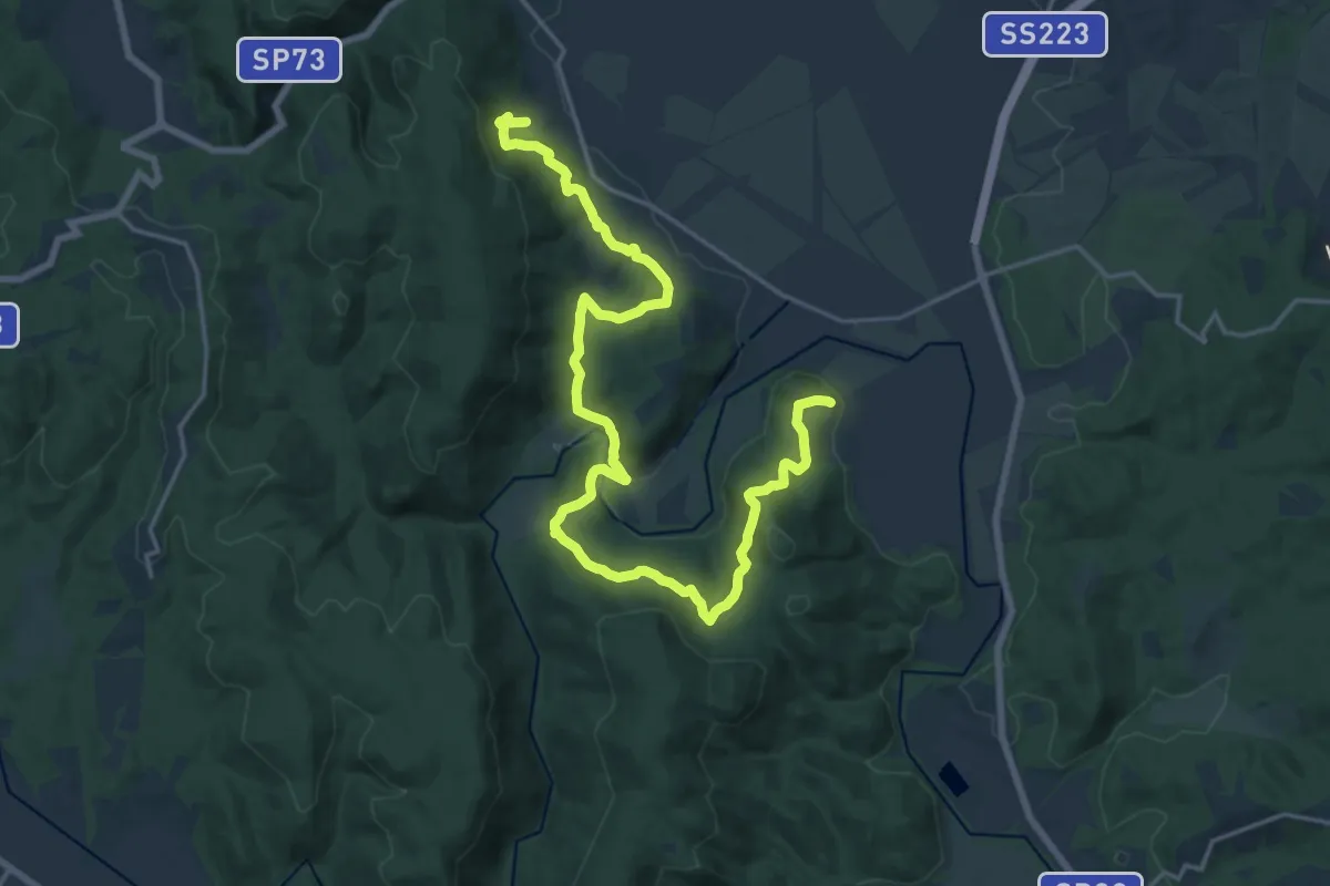
Demanding · Trail
Borghi Fiume Merse
24.6 km · ↑ 746 m · 7 h 26 min
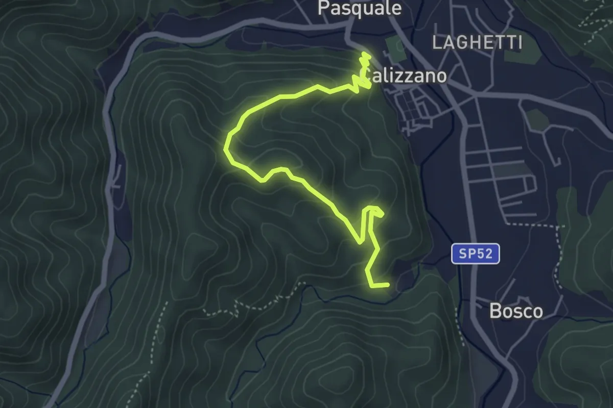
Medium · Trail
Borgo Calizzano - Castagnone
5.0 km · ↑ 359 m · 1 h 58 min
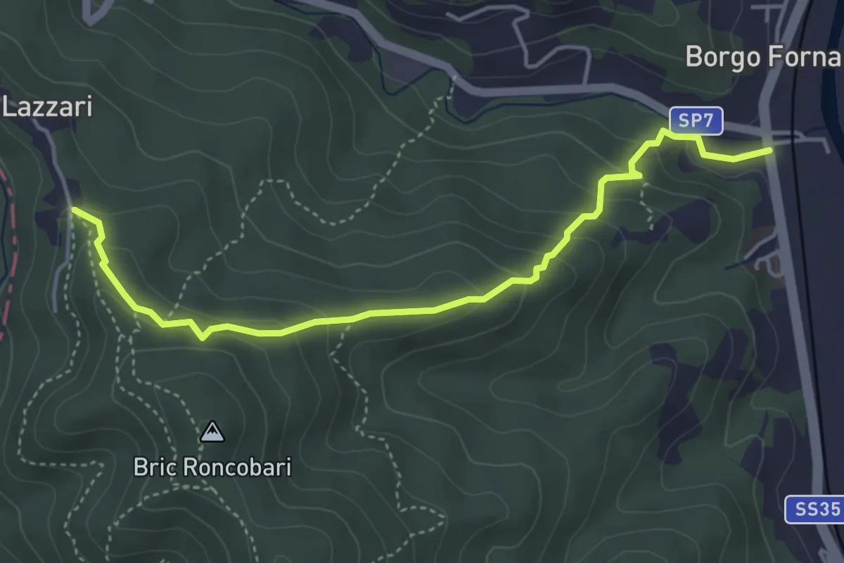
Medium · Trail
Borgo Fornari - Innesto sentiero 2 Triangoli Gialli
4.6 km · ↑ 281 m · 1 h 42 min
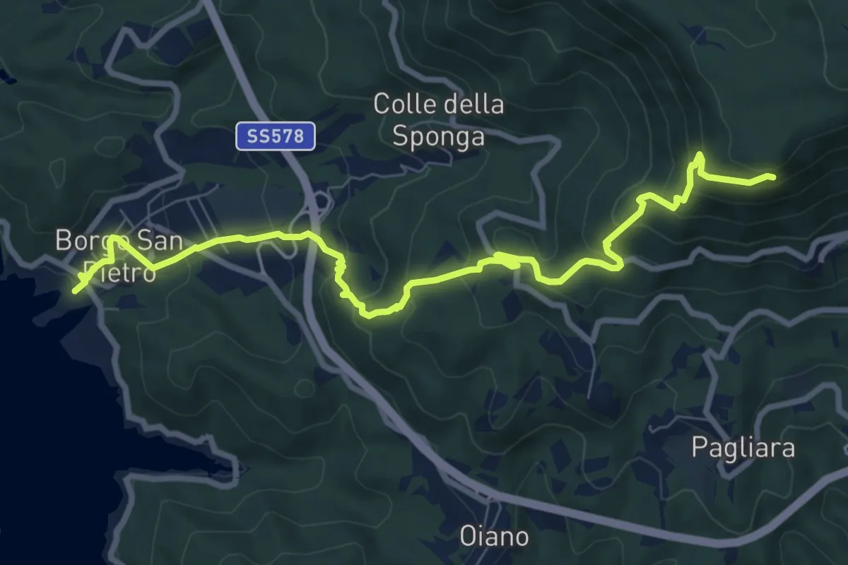
Medium · Trail
Borgo San Pietro-Grotta di Santa Filippa
9.7 km · ↑ 665 m · 3 h 43 min
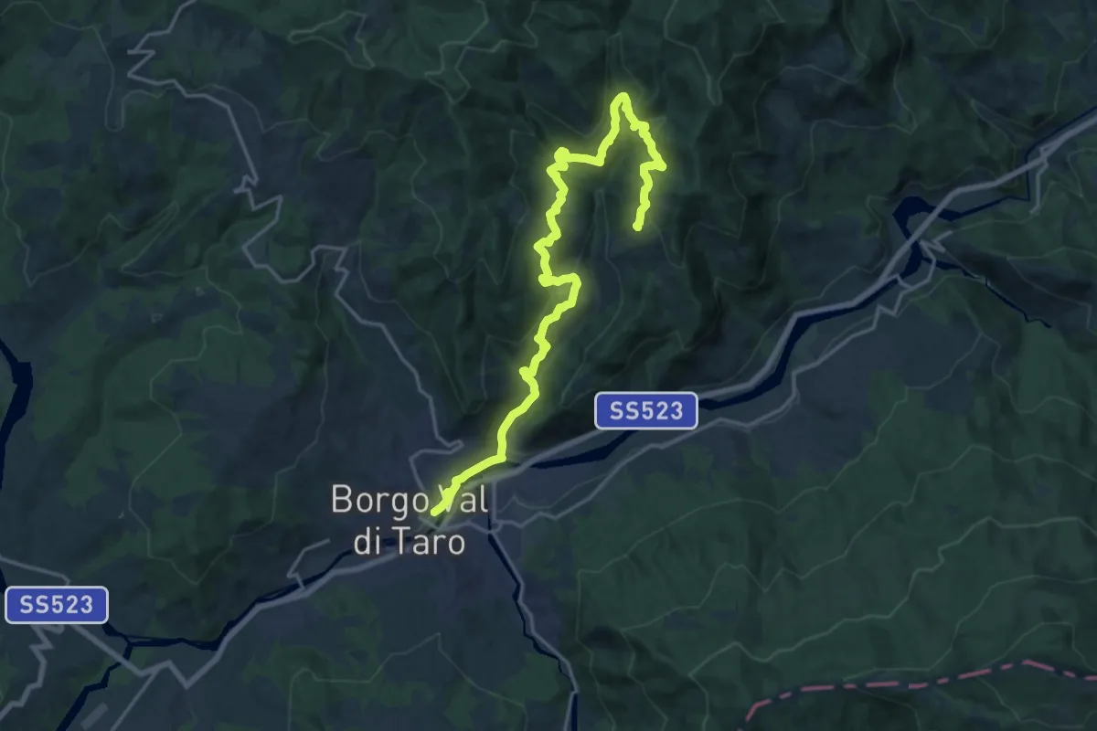
Demanding · Trail
Borgo Val di Taro - Caffaraccia Sud - Marmitta dei Giganti - San Cristoforo
21.4 km · ↑ 976 m · 7 h 9 min
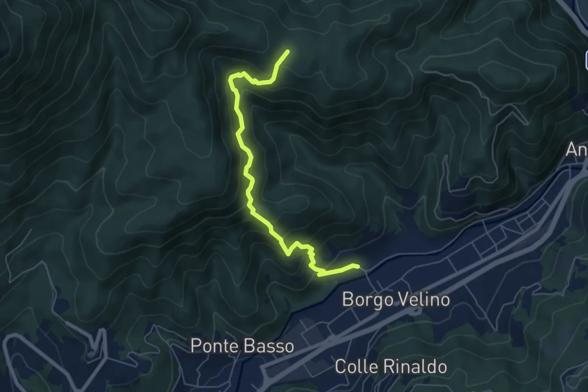
Medium · Trail
Borgovelino - Colonnella
6.1 km · ↑ 504 m · 2 h 32 min
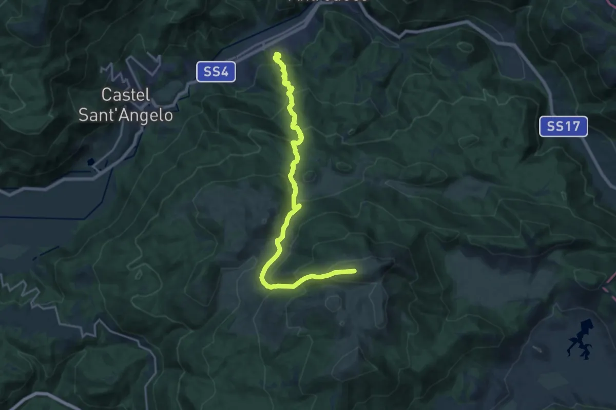
Demanding · Summit
Borgo Velino-Monte Nuria
18.1 km · ↑ 1461 m · 7 h 26 min
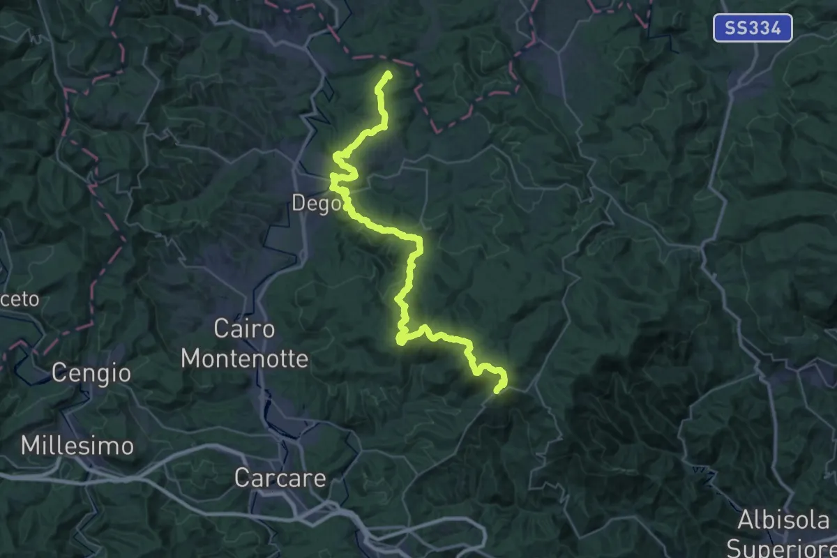
Demanding · Summit
Bormida Natura - Tappa 1
45.4 km · ↑ 1574 m · 14 h 8 min
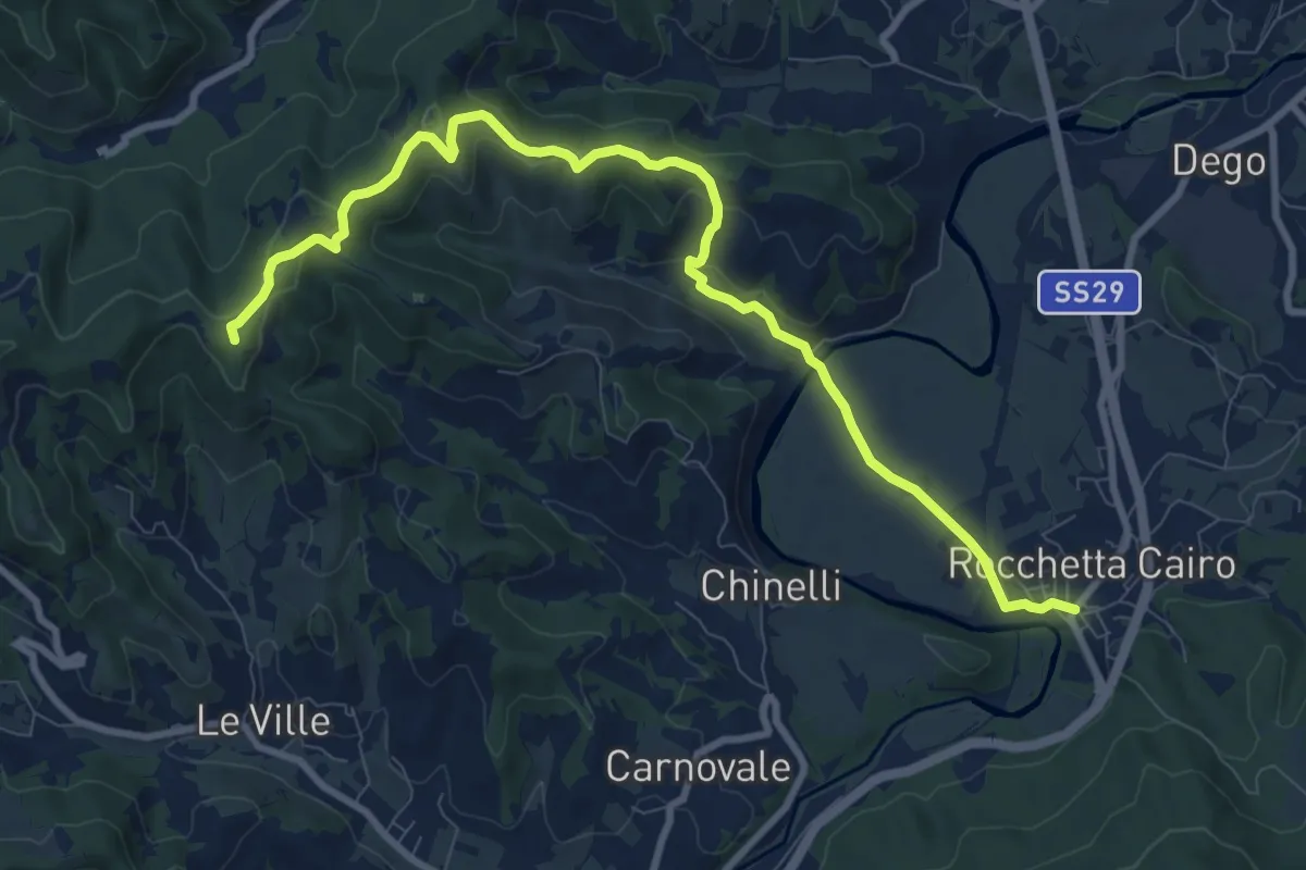
Medium · Summit
Bormida Natura - Tappa 3
10.8 km · ↑ 323 m · 3 h 15 min
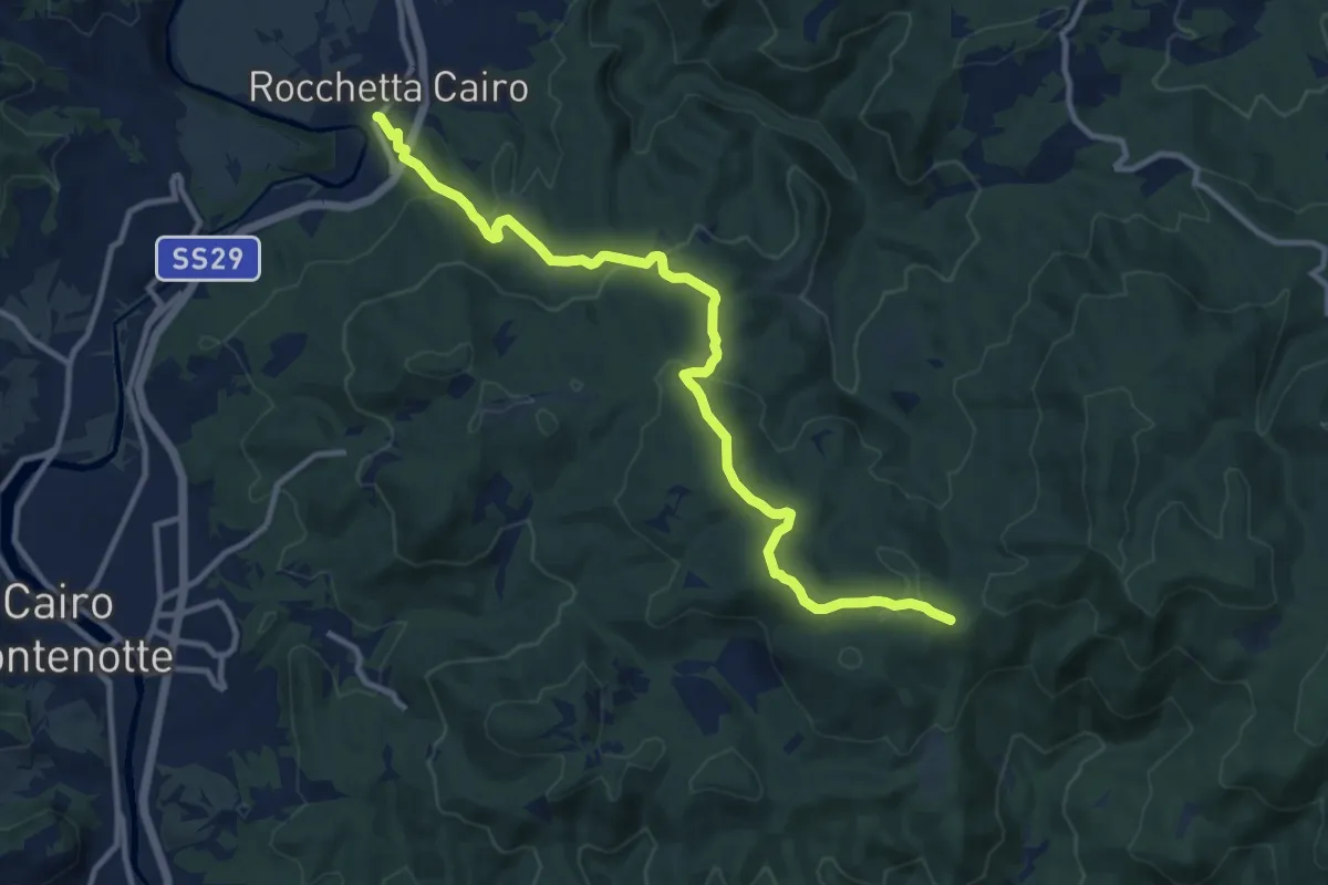
Medium · Trail
Bormida Natura - Tappa 4
12.4 km · ↑ 392 m · 3 h 47 min
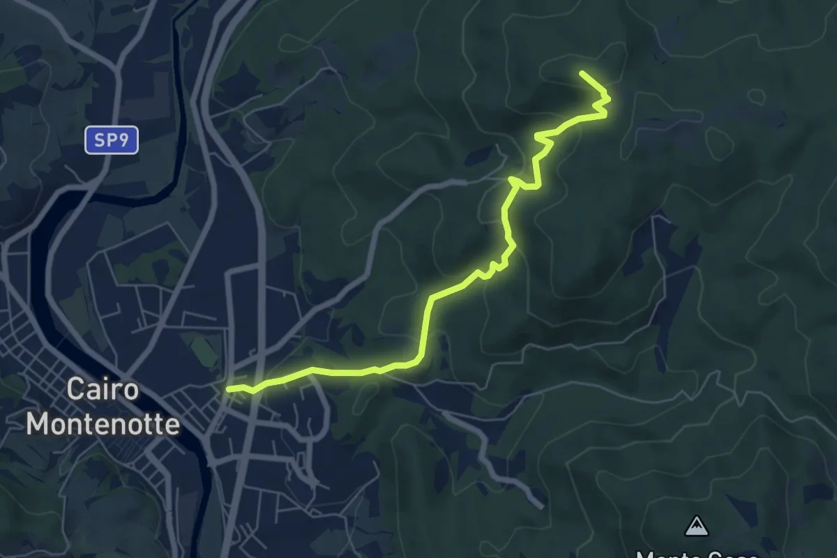
Medium · Summit
Bormida Natura - Tappa 5
6.5 km · ↑ 321 m · 2 h 14 min
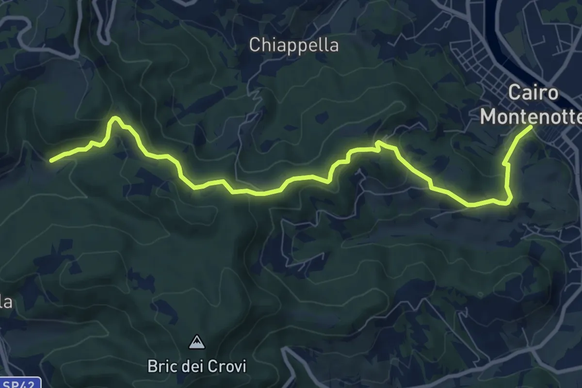
Medium · Trail
Bormida Natura - Tappa 6
9.7 km · ↑ 350 m · 3 h 2 min
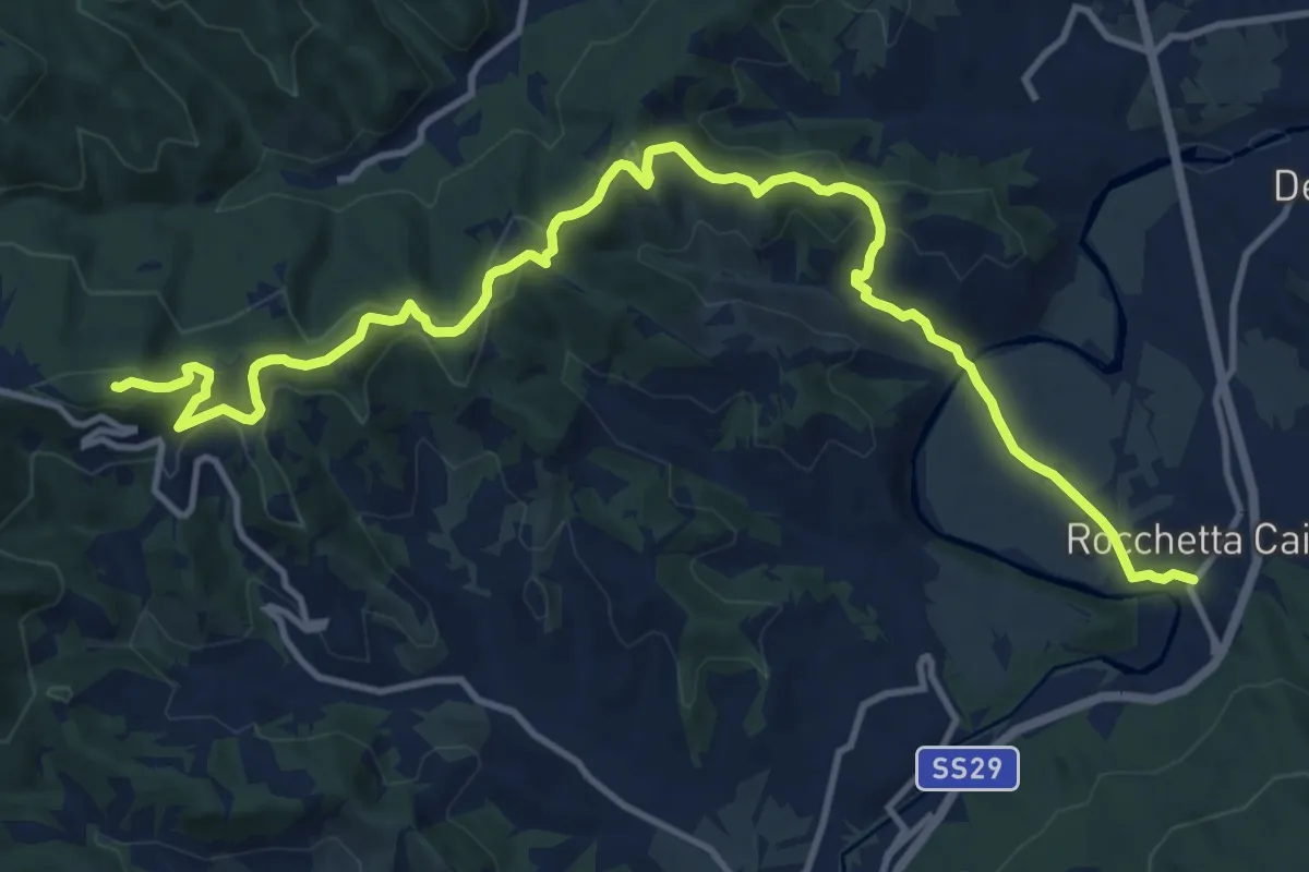
Medium · Summit
Bormida Natura - Tappa 7
15.8 km · ↑ 533 m · 4 h 53 min
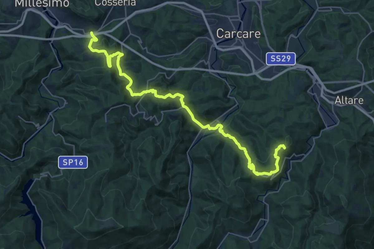
Demanding · Summit
Bormida Natura - Tappa 8
28.7 km · ↑ 1151 m · 9 h 17 min
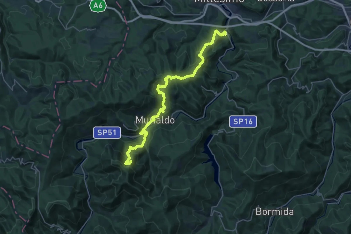
Demanding · Summit
Bormida Natura - Tappa 9
24.7 km · ↑ 1350 m · 8 h 46 min
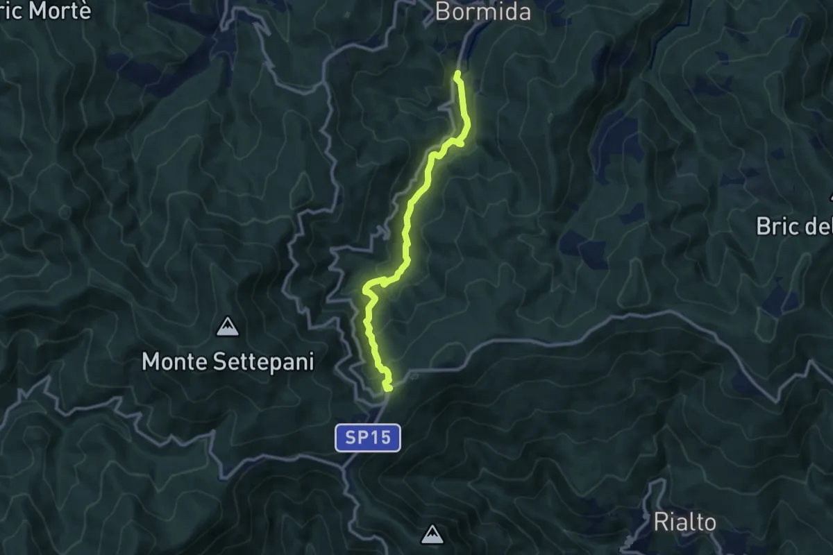
Medium · Trail
Bormida - Quadrivio SP Melogno
9.6 km · ↑ 505 m · 3 h 21 min
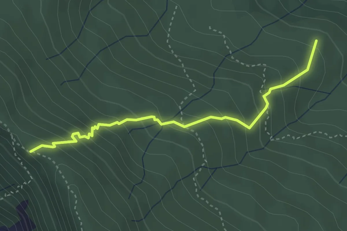
Medium · Trail
Borraccia - Macereto della Guardia
3.5 km · ↑ 316 m · 1 h 31 min
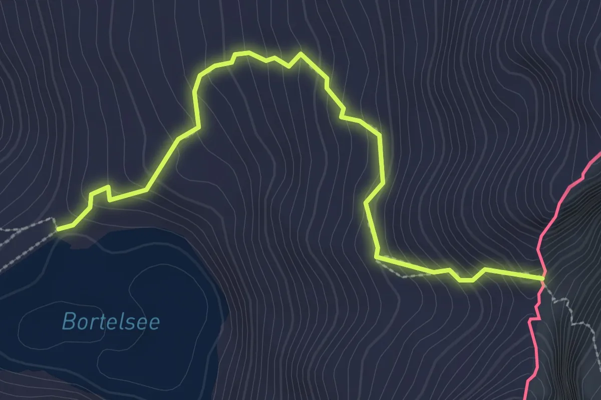
Expert · Trail
Bortelsee - Bortellicke
3.2 km · ↑ 307 m · 1 h 25 min
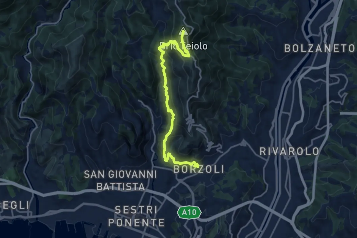
Demanding · Summit
Borzoli - Rocca dei Corvi Nord - Fossa Luea
11.7 km · ↑ 877 m · 4 h 39 min
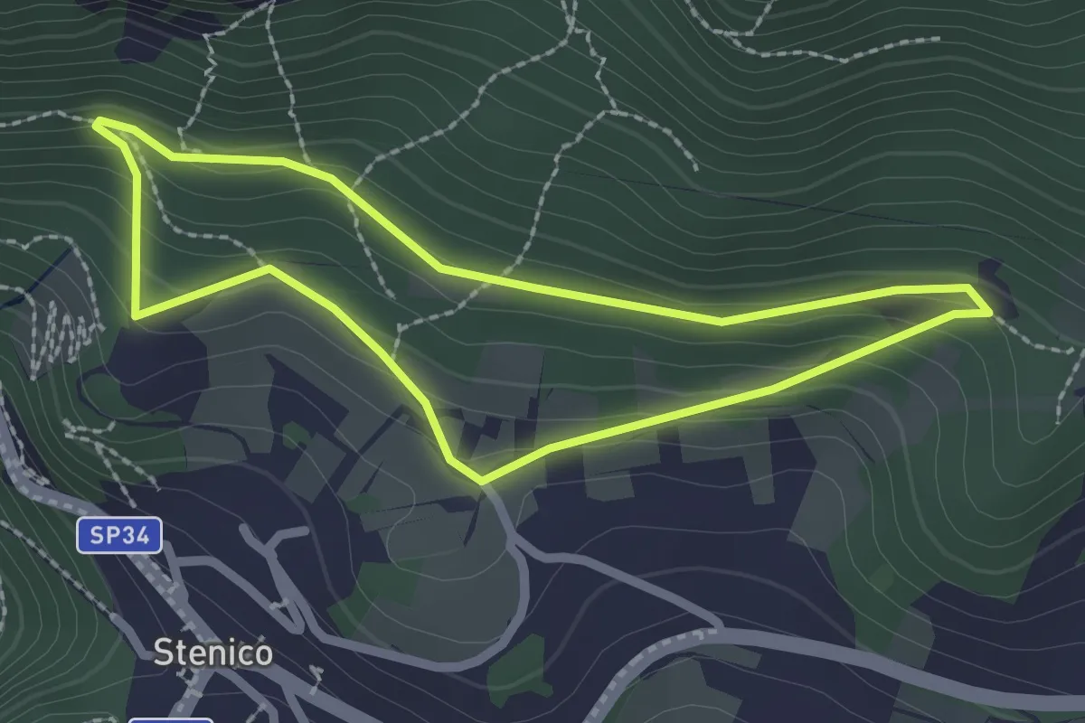
Medium · Trail
Bosco Arte Stenico
2.1 km · ↑ 126 m · 48 min
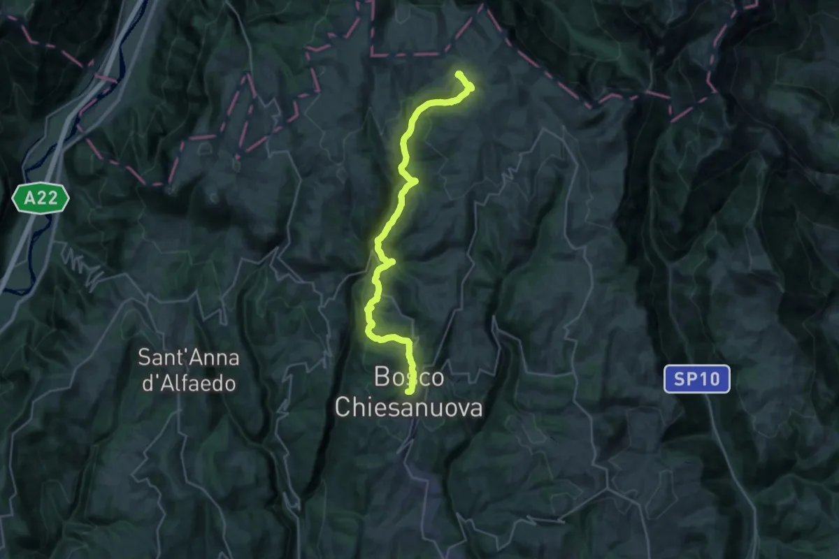
Demanding · Cabin
Bosco Chiesanuova - Rifugio Podestaria
13.0 km · ↑ 824 m · 4 h 46 min
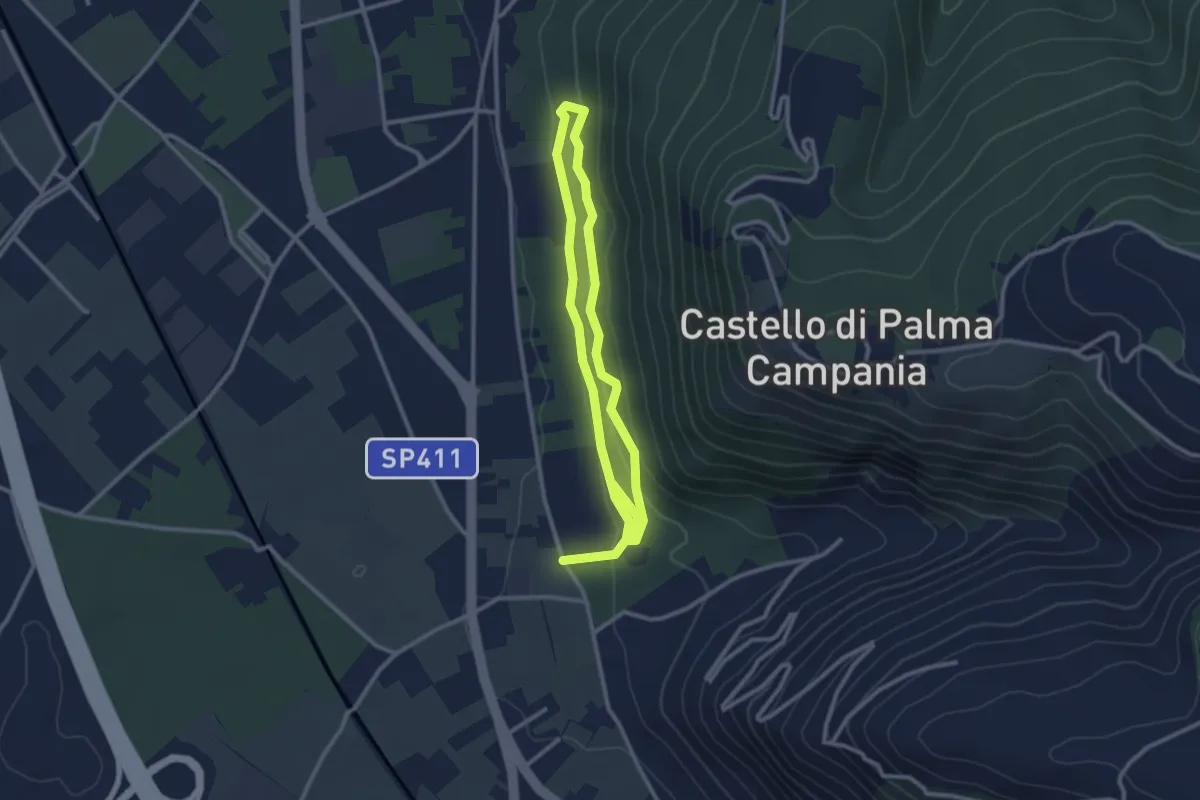
Easy · Trail
Bosco Crocelle
5.2 km · ↑ 115 m · 1 h 28 min
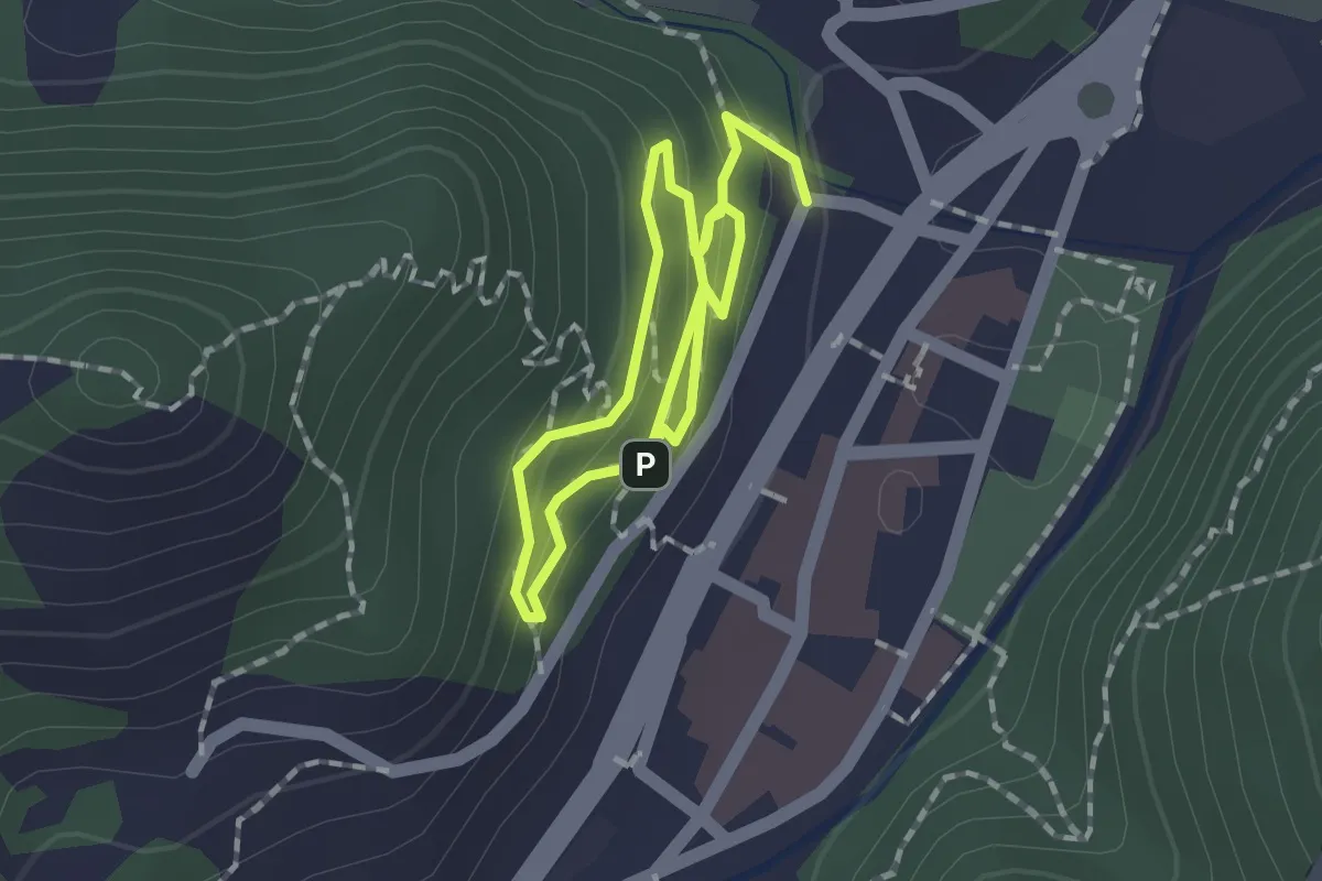
Easy · Trail
Bosco del Benessere
1.3 km · ↑ 65 m · 28 min
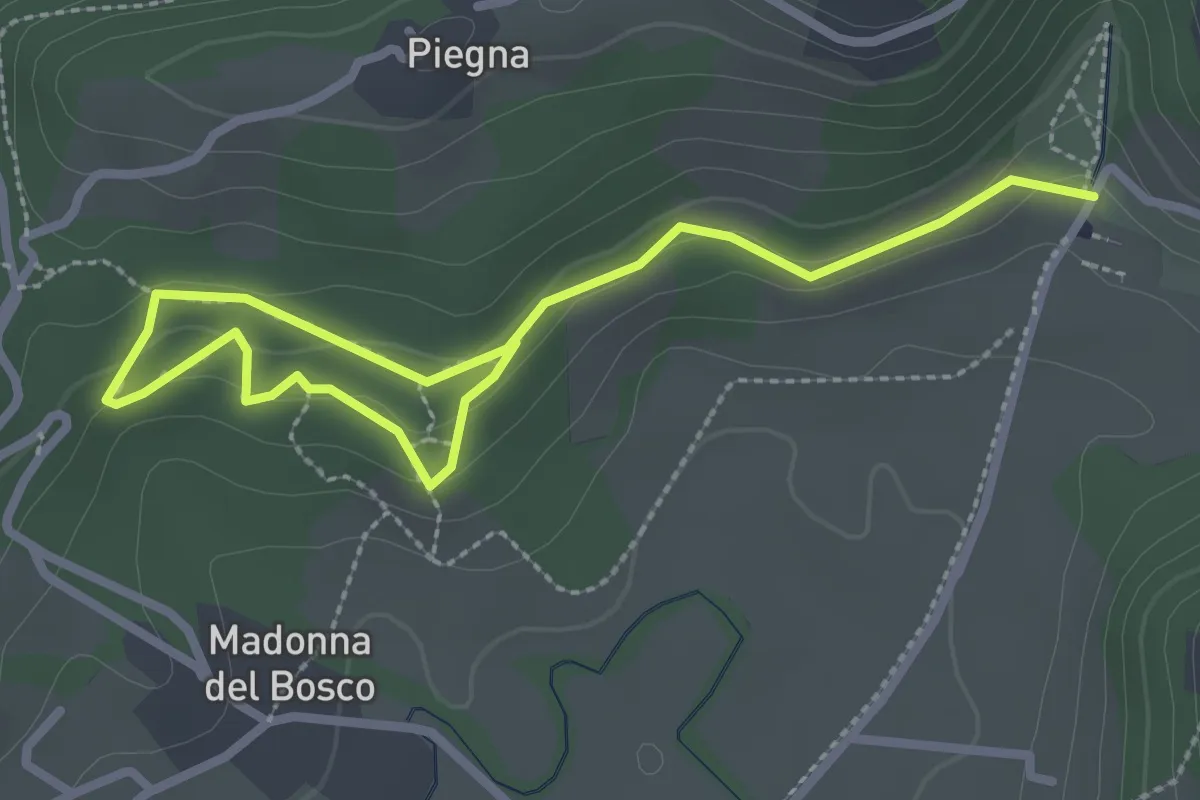
Easy · Trail
Bosco dell'Allegrezza
3.6 km · ↑ 103 m · 1 h 4 min
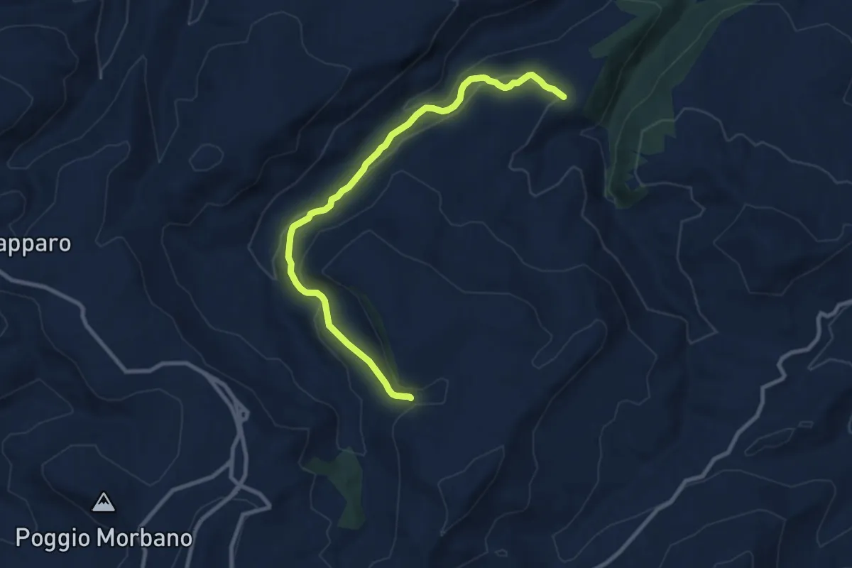
Medium · Trail
Bosco del Pisano var. A
11.0 km · ↑ 436 m · 3 h 33 min
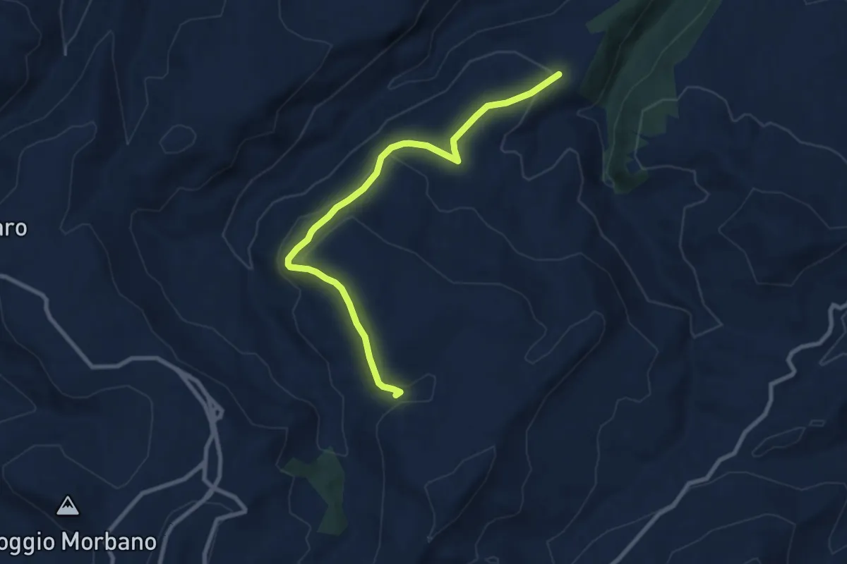
Medium · Trail
Bosco del Pisano Var. B
10.1 km · ↑ 278 m · 2 h 59 min
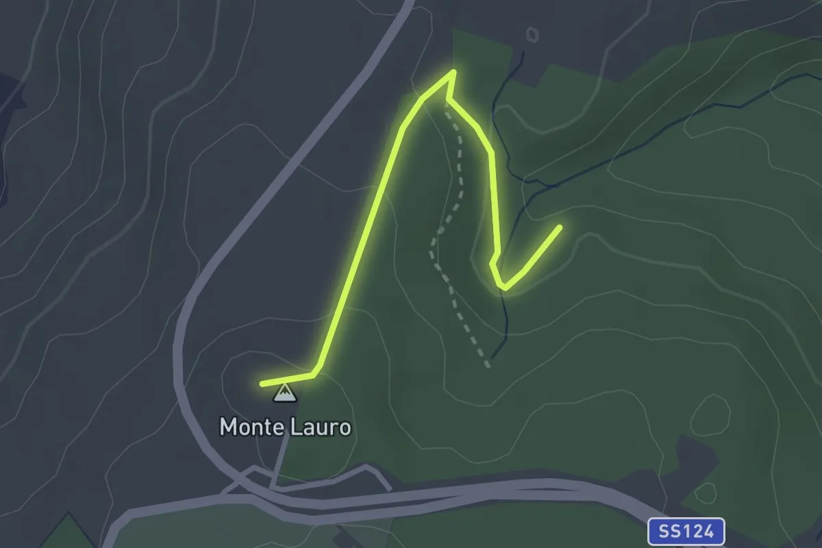
Easy · Summit
Bosco di Santa Maria var. A
3.0 km · ↑ 126 m · 58 min
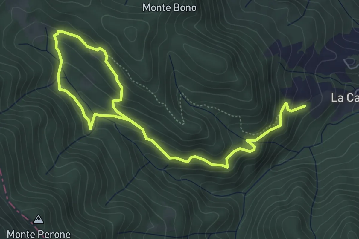
Medium · Trail
Bosco di Tecchie - Itinerario classico
7.9 km · ↑ 499 m · 2 h 56 min
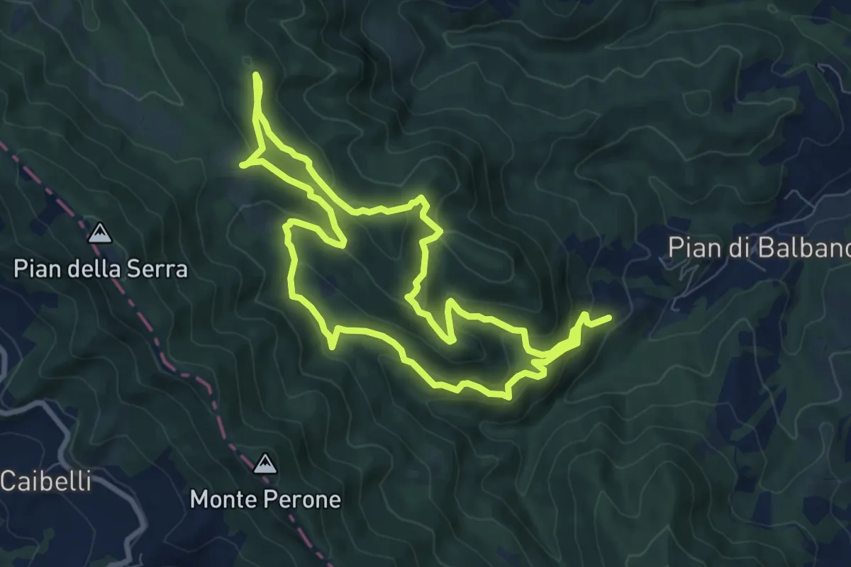
Demanding · Trail
Bosco di Tecchie - Itinerario del Grande Anello
16.2 km · ↑ 828 m · 5 h 37 min
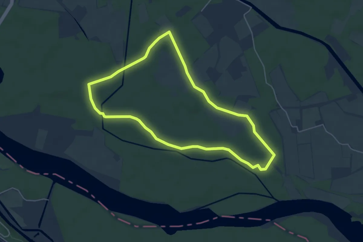
Easy · Trail
Bosco Faggiole
4.6 km · ↑ 9 m · 1 h 10 min
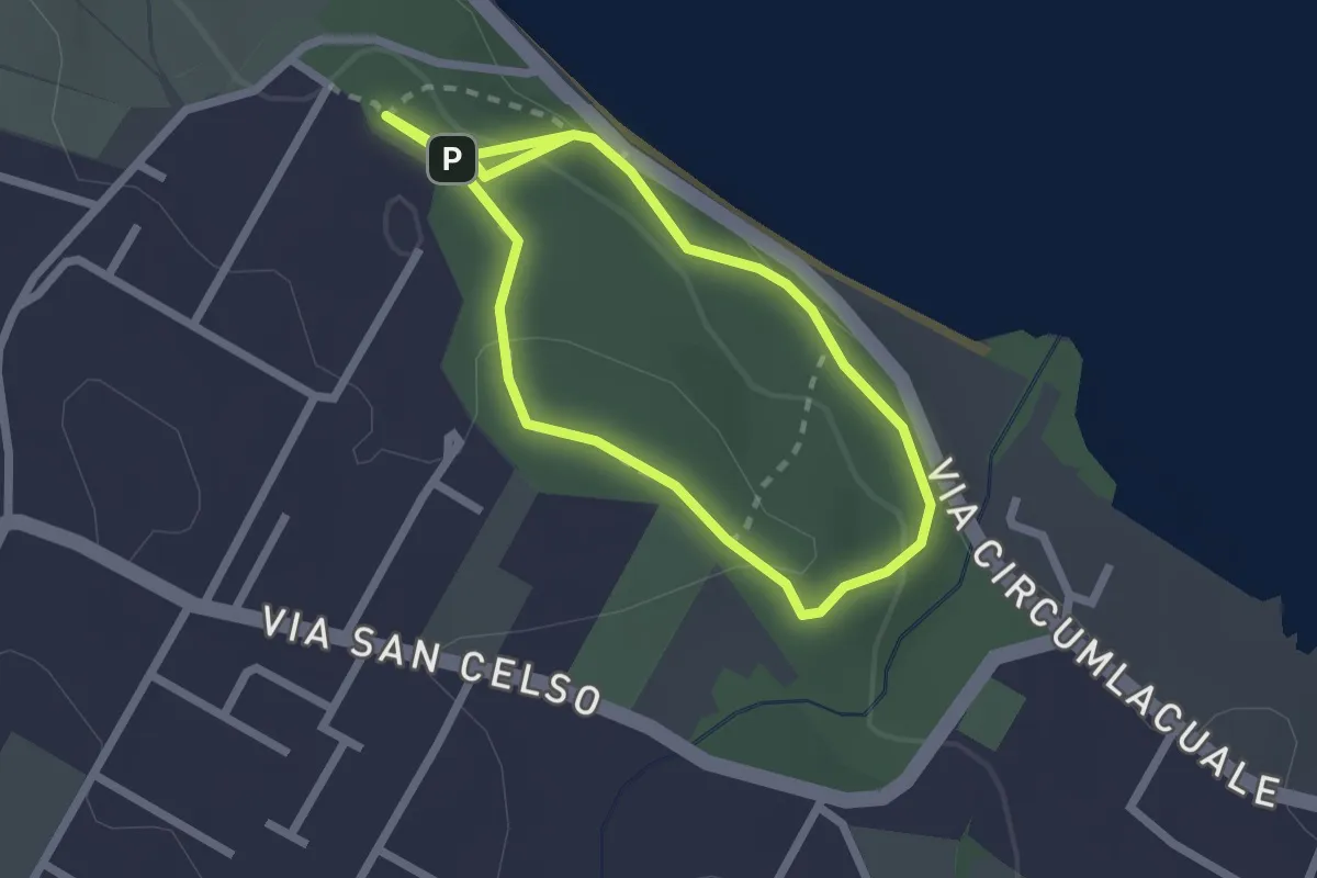
Easy · Trail
Bosco San Celso
2.1 km · ↑ 55 m · 40 min
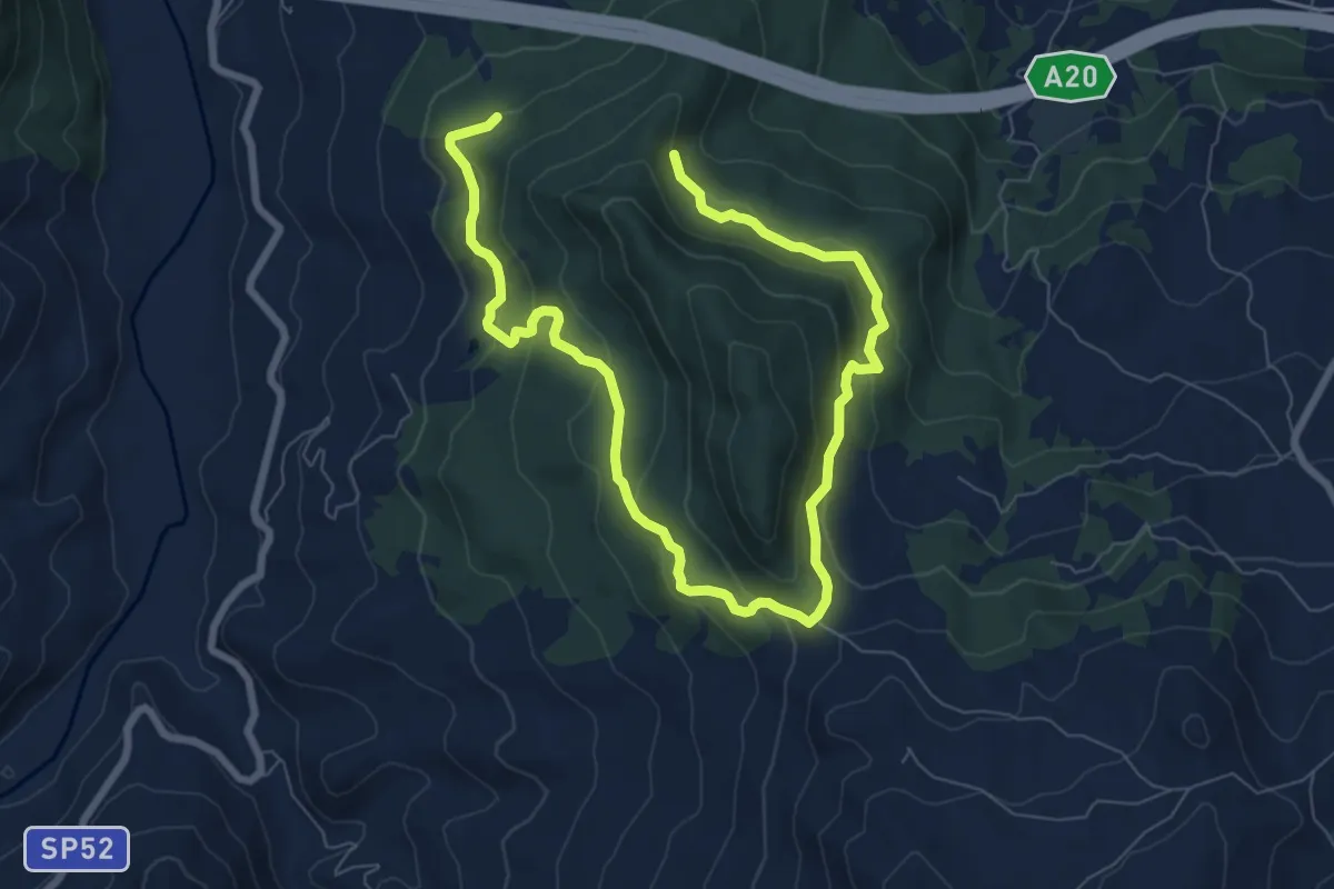
Medium · Trail
Bosco Tardara Versante Sud
12.5 km · ↑ 582 m · 4 h 13 min
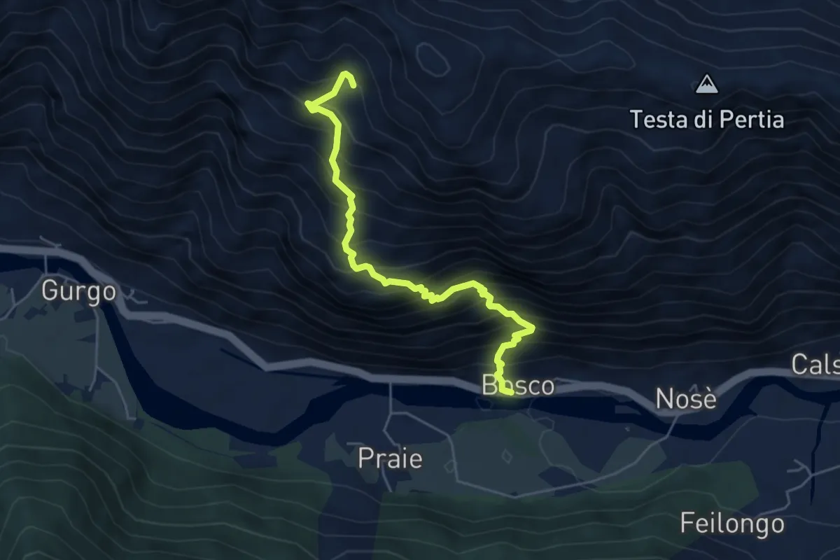
Demanding · Trail
Bosco-Tirolo
5.2 km · ↑ 805 m · 2 h 58 min
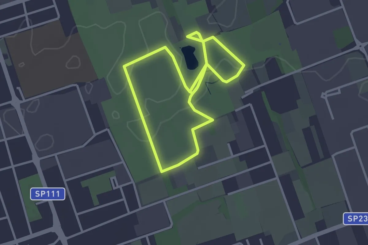
Easy · Trail
Bosco Urbano
2.7 km · ↑ 8 m · 41 min
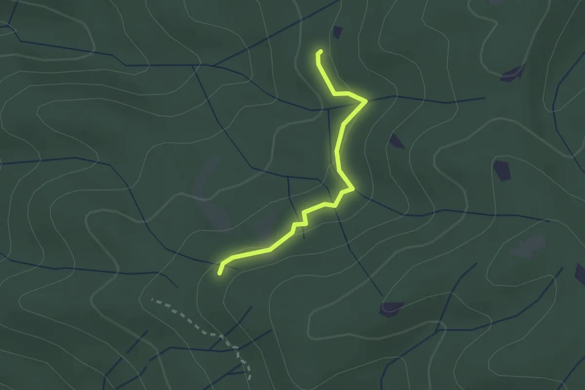
Easy · Trail
Botro del Poggione – La Bornia oppure Innesto tracciato A1
2.0 km · ↑ 51 m · 36 min
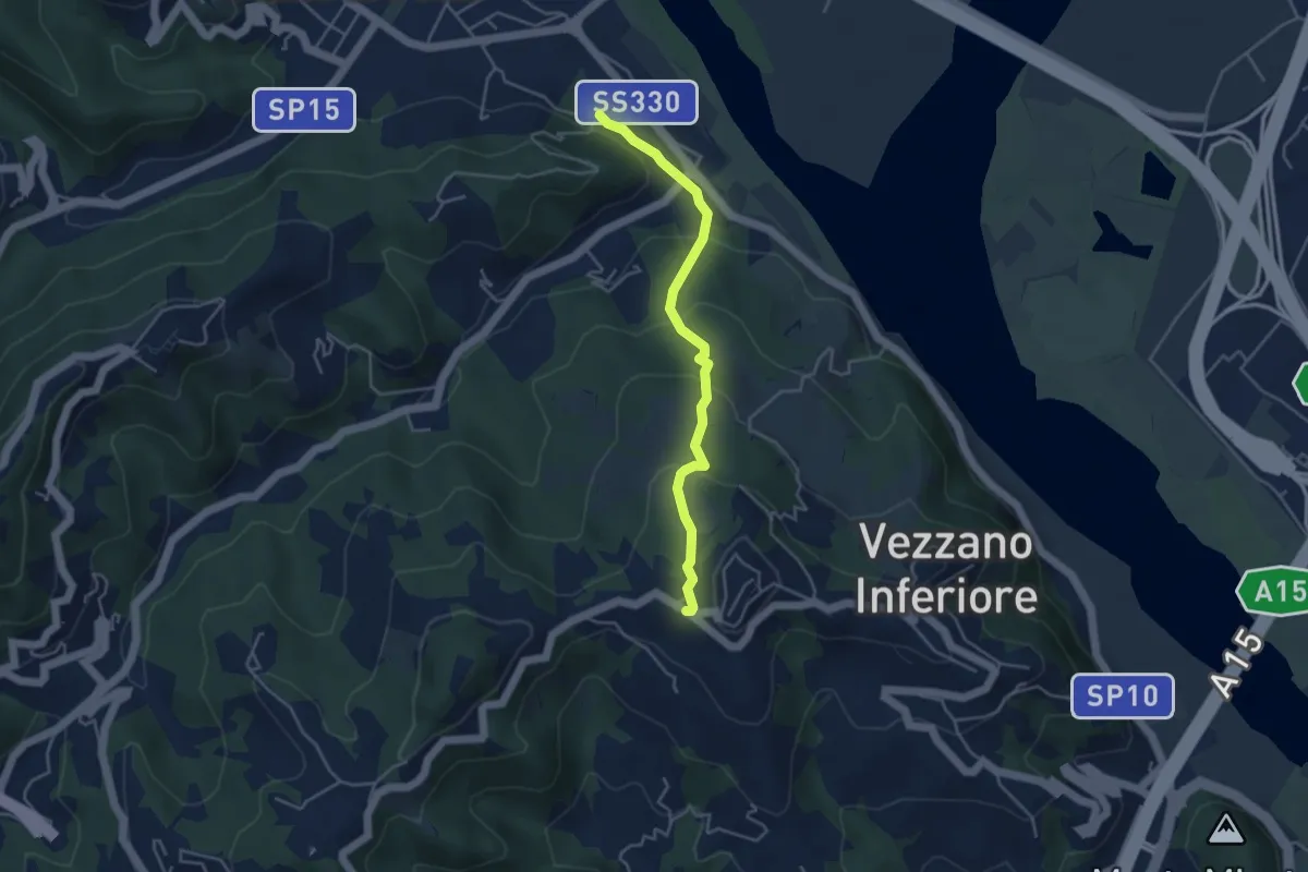
Easy · Trail
Bottagna – Vezzano Ligure
4.2 km · ↑ 228 m · 1 h 29 min
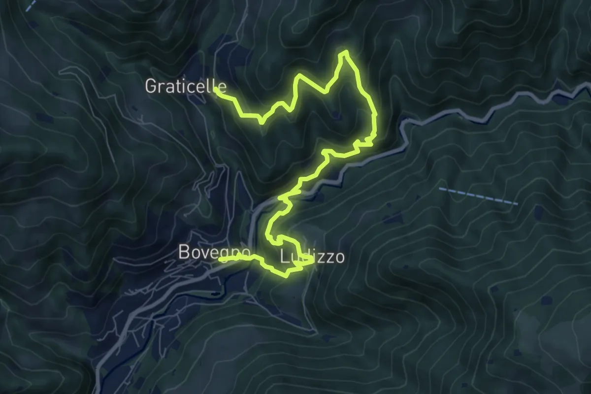
Medium · Trail
Bovegno - Ludizzo - Graticelle
10.5 km · ↑ 788 m · 4 h 11 min
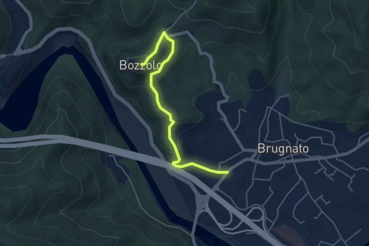
Easy · Trail
Bozzolo – Brugnato via Terrarossa
4.0 km · ↑ 169 m · 1 h 18 min
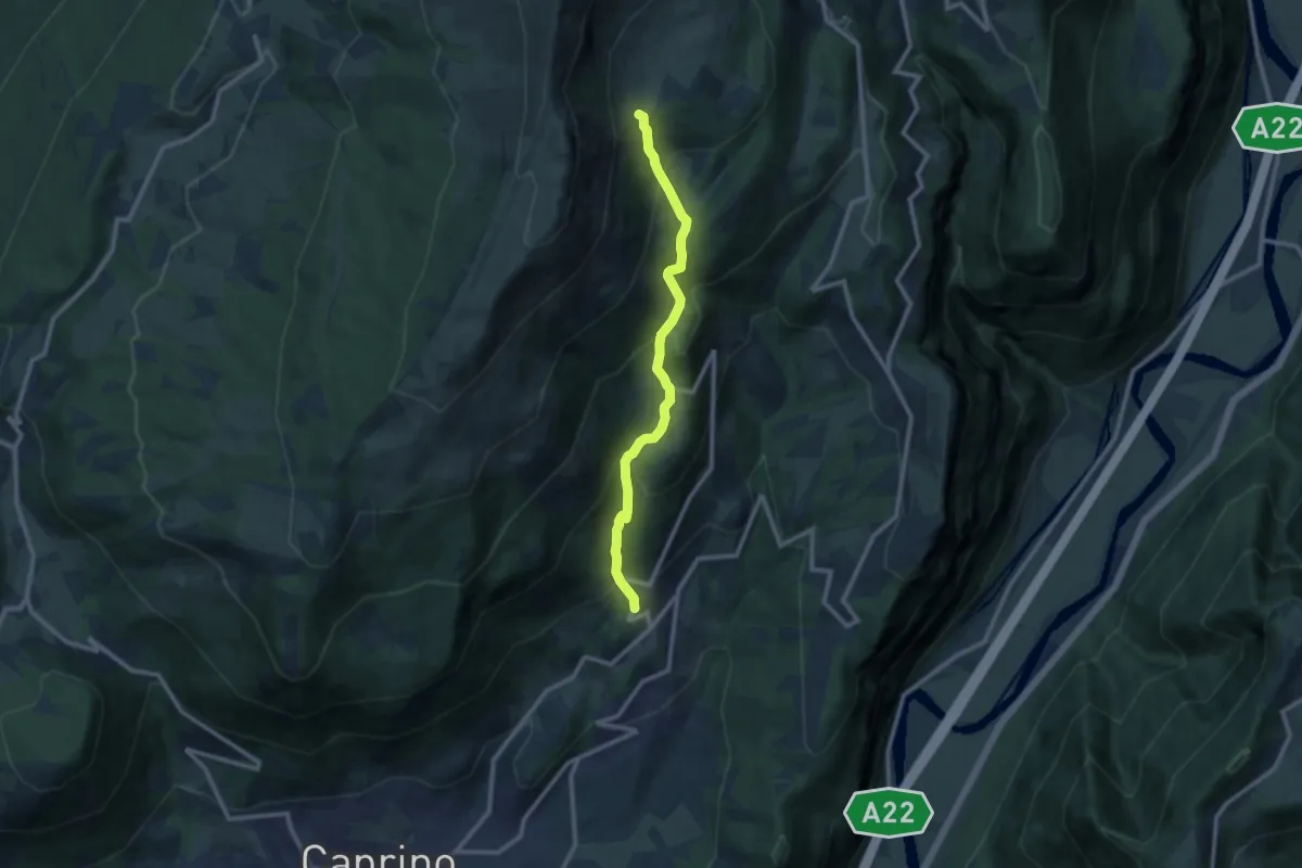
Medium · Trail
Braga - Malga Valfredda
9.9 km · ↑ 759 m · 3 h 59 min