Trails in Italy
25,211 hiking trails, each with its route, climb, walking time and grade.
All trails, page 30 of 526
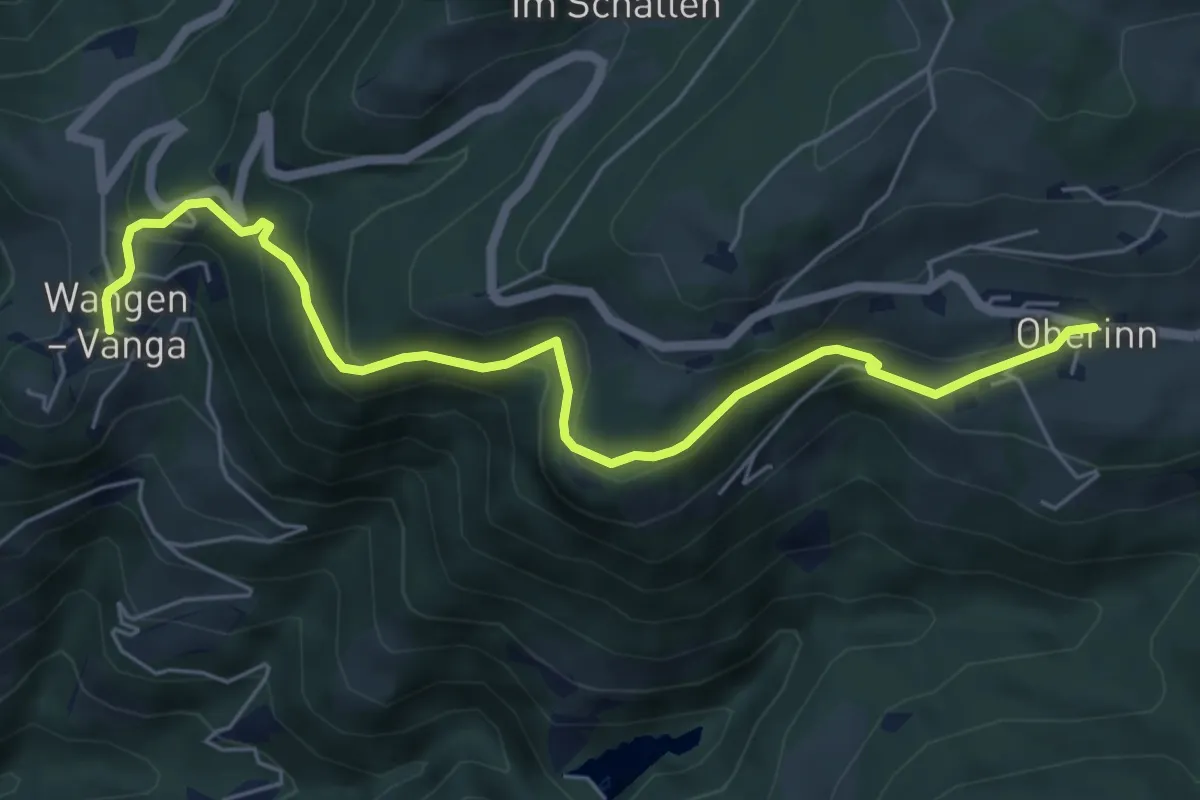
Medium · Trail
Brandsteig
6.4 km · ↑ 455 m · 2 h 29 min
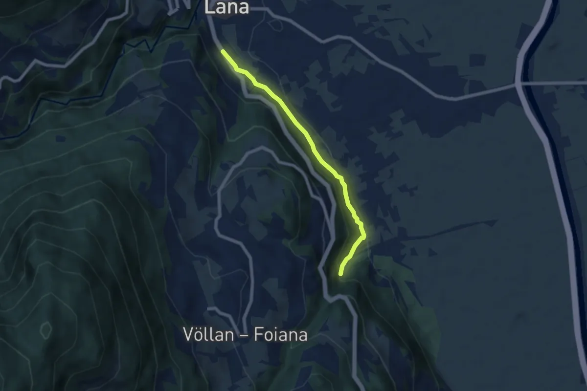
Easy · Trail
Brandswaalweg
5.3 km · ↑ 149 m · 1 h 34 min
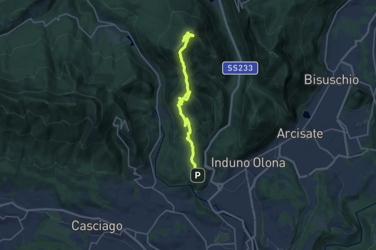
Medium · Summit
Bregazzana - Monte Martica
13.7 km · ↑ 692 m · 4 h 44 min
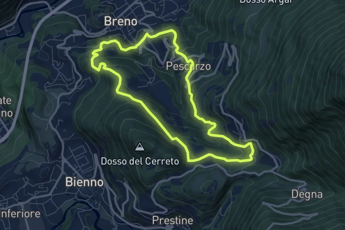
Medium · Trail
Breno - Chiesa di San Martino - Preda de l’Altar
7.5 km · ↑ 472 m · 2 h 54 min
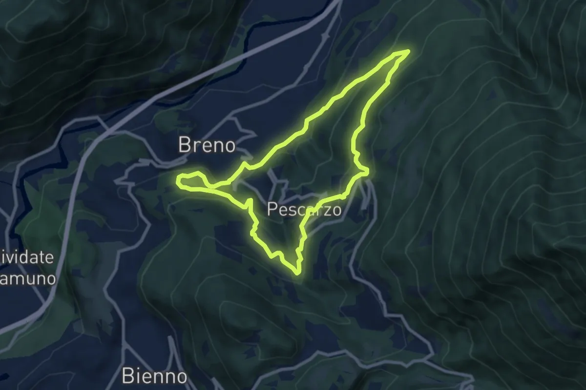
Medium · Trail
Breno - Lavarini - Pescarzo - Campogrande - Breno
7.5 km · ↑ 467 m · 2 h 53 min
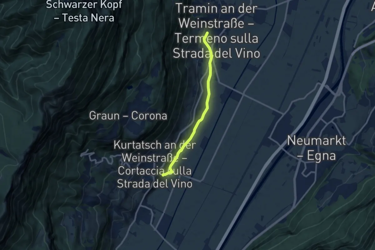
Easy · Trail
Brentalweg
7.8 km · ↑ 218 m · 2 h 18 min
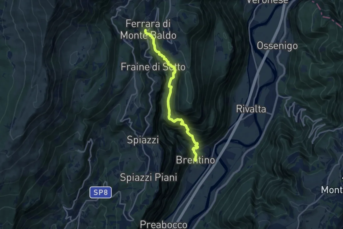
Demanding · Trail
Brentino - Ferrara di Monte Baldo
11.0 km · ↑ 1165 m · 5 h 8 min
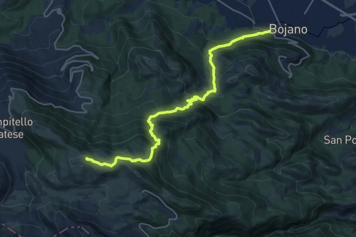
Demanding · Summit
Bretella della Transumanza
16.0 km · ↑ 1229 m · 6 h 26 min
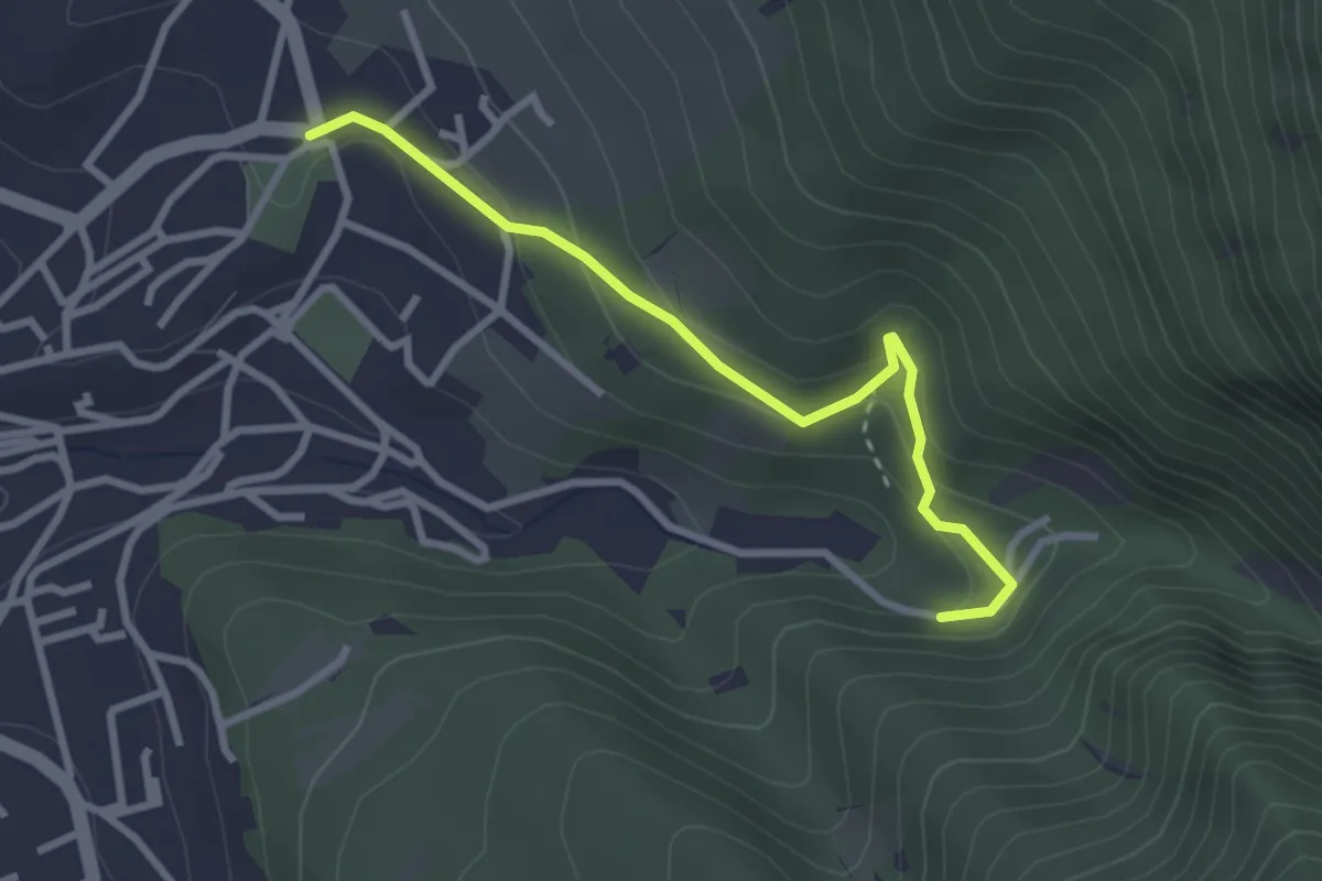
Easy · Trail
Bretella Paoletti
3.0 km · ↑ 174 m · 1 h 5 min
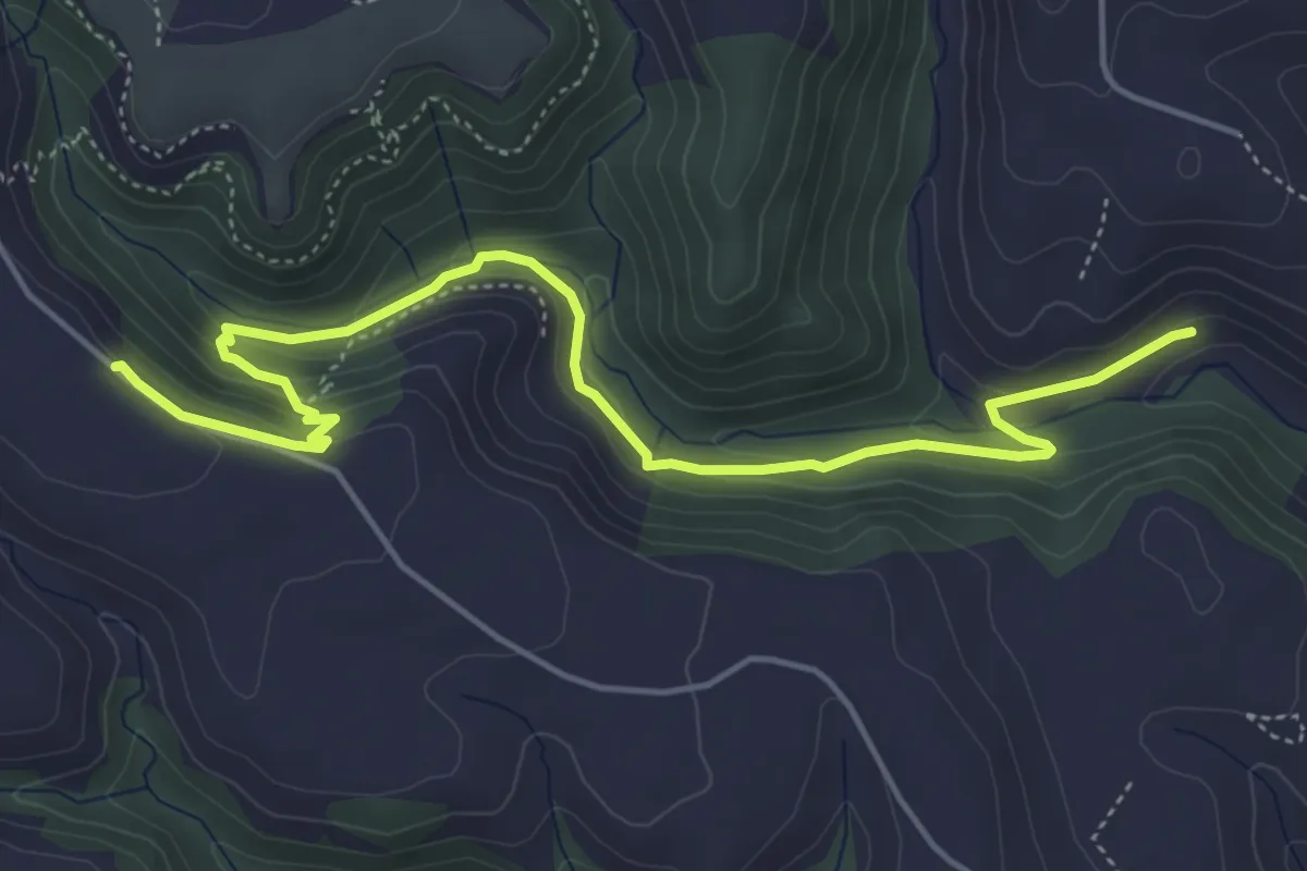
Medium · Trail
Bretella Strada Cava Volpe
6.7 km · ↑ 232 m · 2 h 5 min
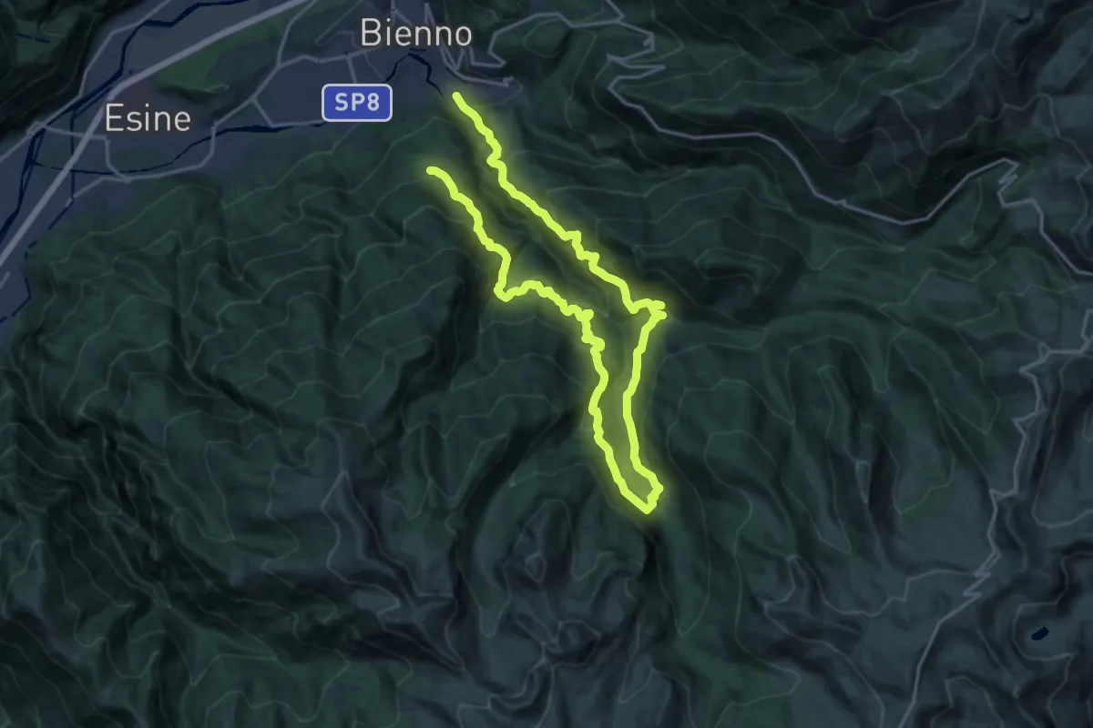
Demanding · Trail
Brigata Fiamme Verdi Ferruccio Lorenzini
14.5 km · ↑ 1343 m · 6 h 24 min
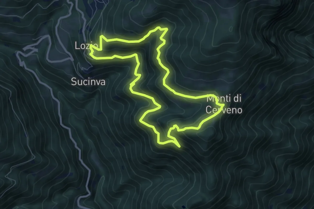
Medium · Trail
Brigata Fiamme Verdi Giacomo Cappellini
8.0 km · ↑ 523 m · 3 h 8 min
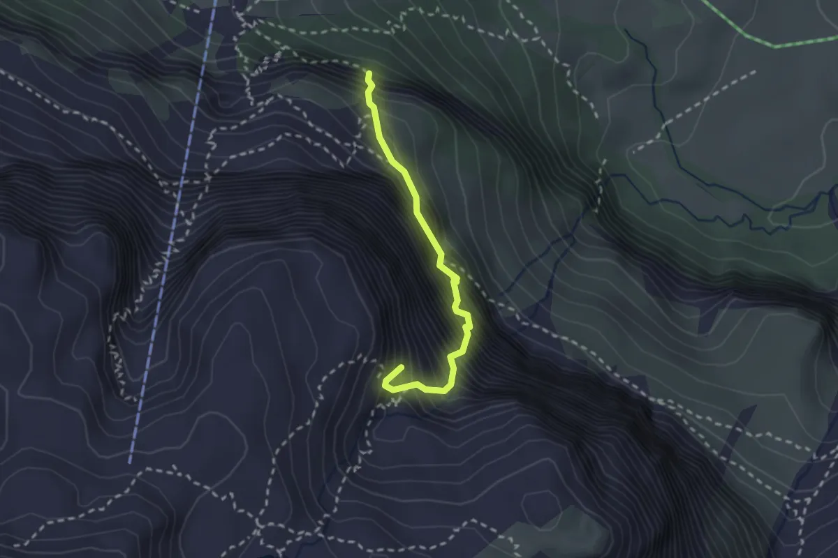
Expert · Summit
Brigata Tridentina
2.2 km · ↑ 682 m · 2 h
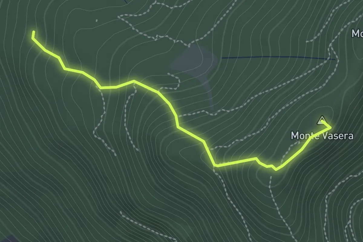
Medium · Summit
Brinzio - Monte Martica
2.6 km · ↑ 276 m · 1 h 13 min
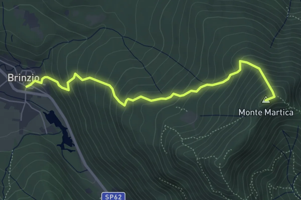
Medium · Summit
Brinzio - Monte Martica
5.6 km · ↑ 501 m · 2 h 25 min
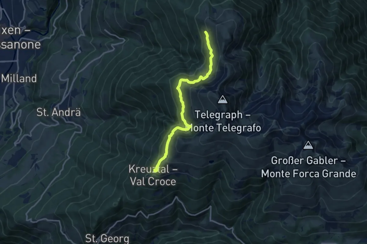
Medium · Trail
Brixener Höhenweg
10.9 km · ↑ 663 m · 4 h
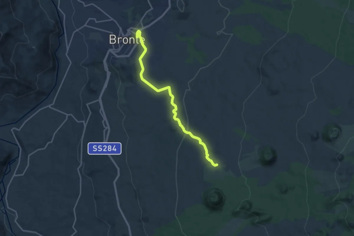
Medium · Cabin
Bronte - Punto Base n.6
14.5 km · ↑ 351 m · 4 h 11 min
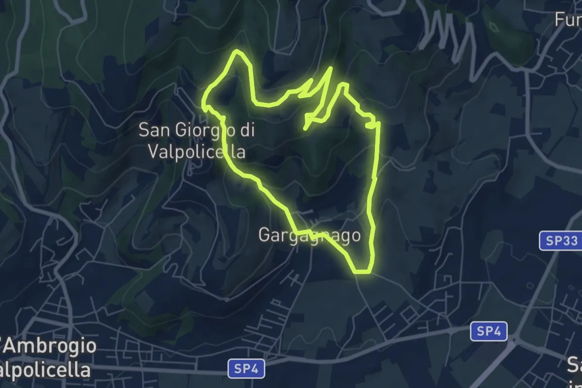
Easy · Trail
brown "G" marked trail
6.1 km · ↑ 290 m · 2 h 9 min
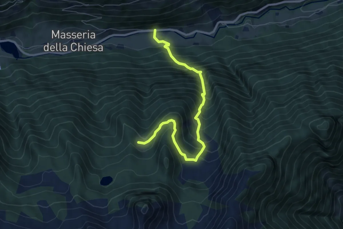
Demanding · Trail
Bruggeralm
7.1 km · ↑ 894 m · 3 h 37 min
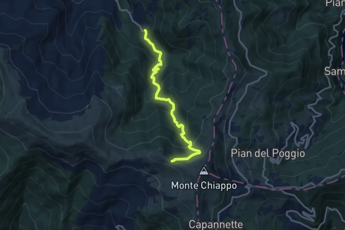
Medium · Trail
Bruggi – Monte Chiappo
8.2 km · ↑ 633 m · 3 h 18 min
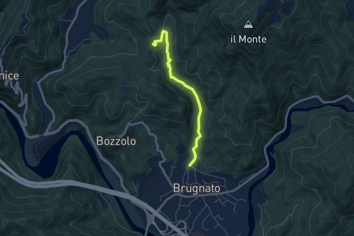
Easy · Trail
Brugnato -Innesto 142 (Via Chicciola)
5.0 km · ↑ 167 m · 1 h 33 min
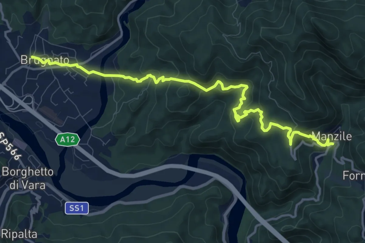
Medium · Trail
Brugnato – Madonna dell'Olivo – Manzile – Quattro Strade
11.9 km · ↑ 675 m · 4 h 16 min
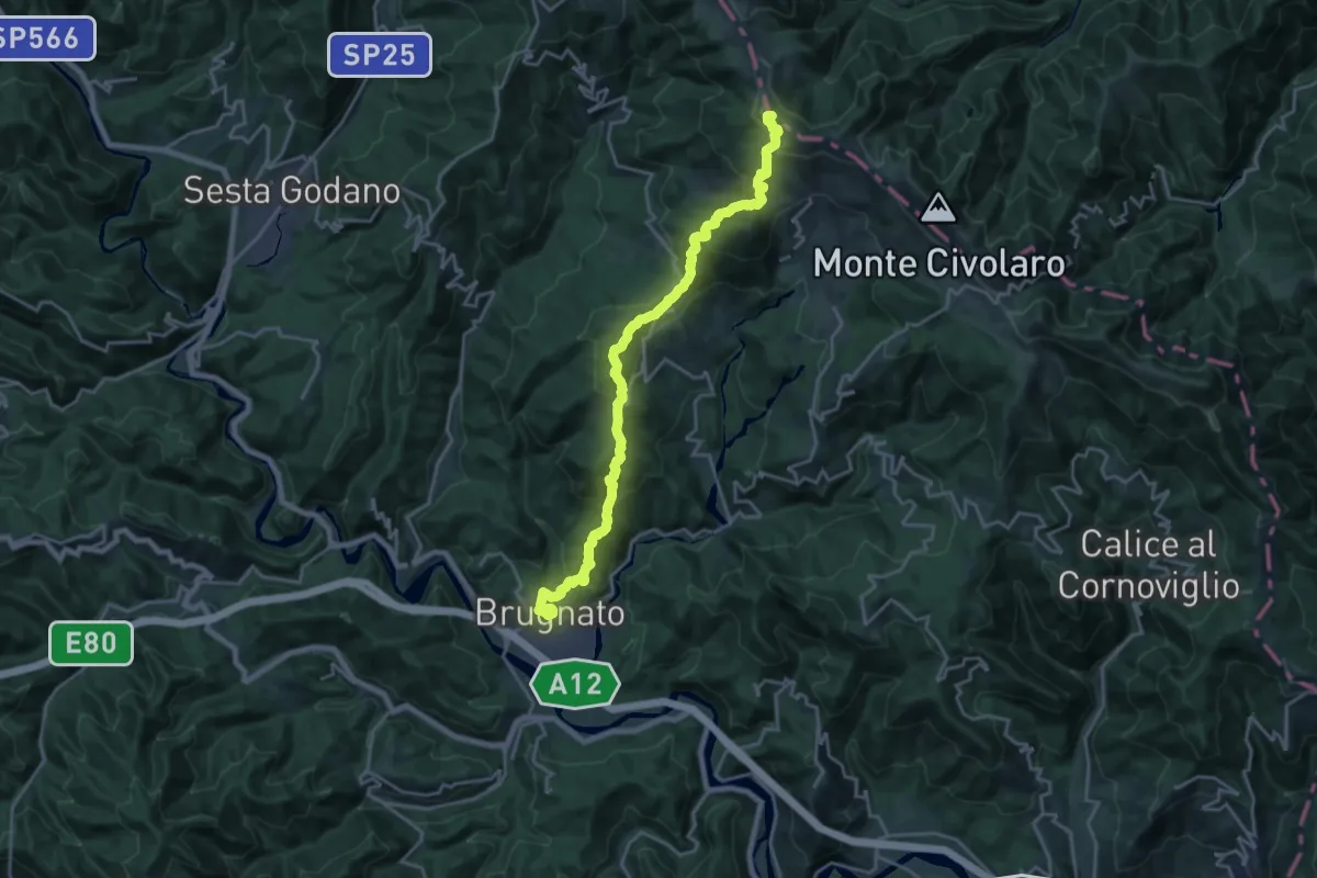
Demanding · Summit
Brugnato - Serò - Pieve di Zignago - CaseCastellaro - Foce di Colle Fiorito (Innesto AVML)
22.0 km · ↑ 1246 m · 7 h 54 min
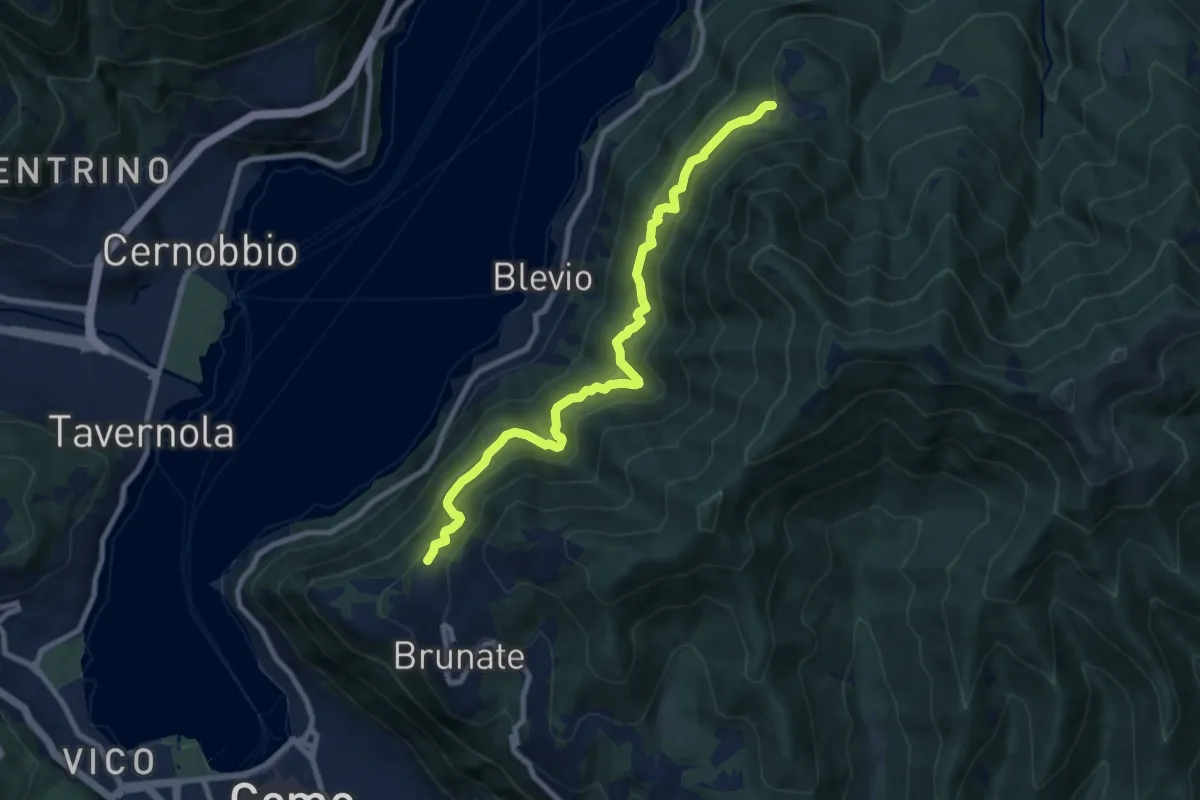
Medium · Trail
Brunate-Montepiatto
9.1 km · ↑ 788 m · 3 h 51 min
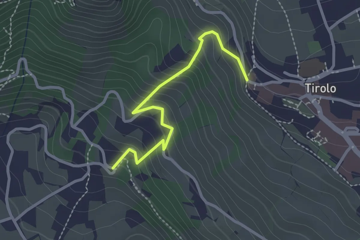
Easy · Trail
Brunnenburgsteig
2.2 km · ↑ 210 m · 59 min
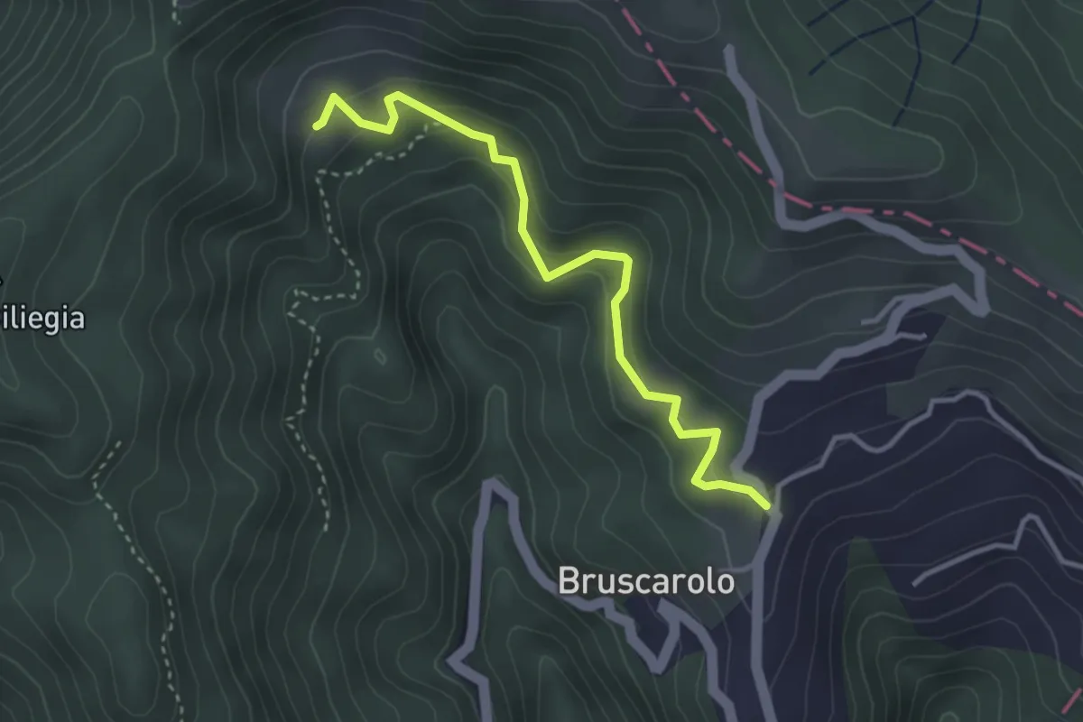
Easy · Trail
Bruscarolo - Case Carzachi
3.5 km · ↑ 244 m · 1 h 22 min
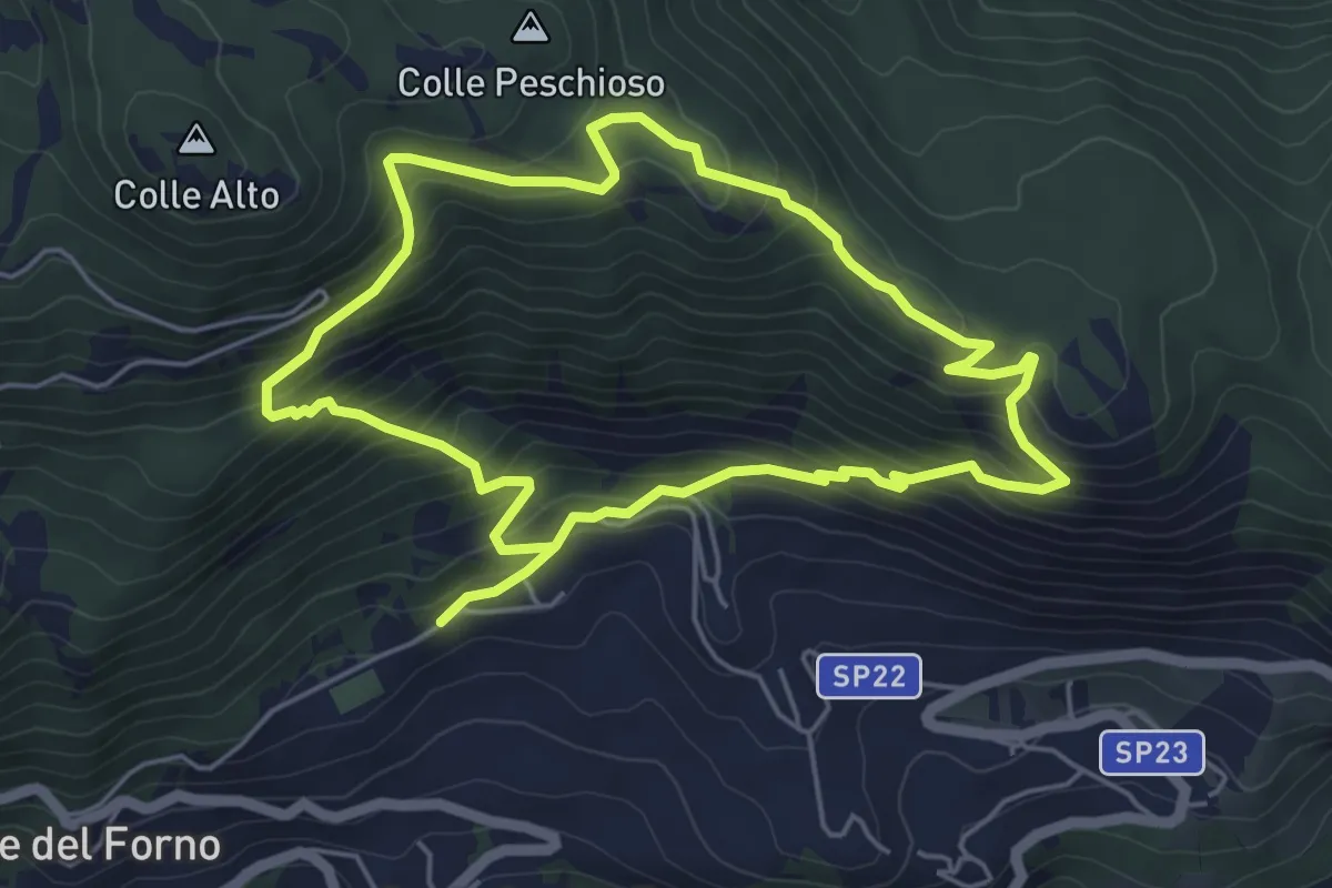
Medium · Trail
Brusciano-Colle Peschioso-Fagge
5.3 km · ↑ 377 m · 2 h 8 min
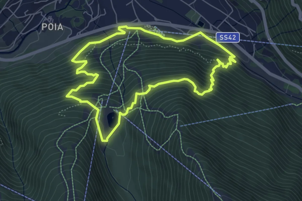
Medium · Cabin
Brüsì
5.3 km · ↑ 379 m · 2 h 9 min
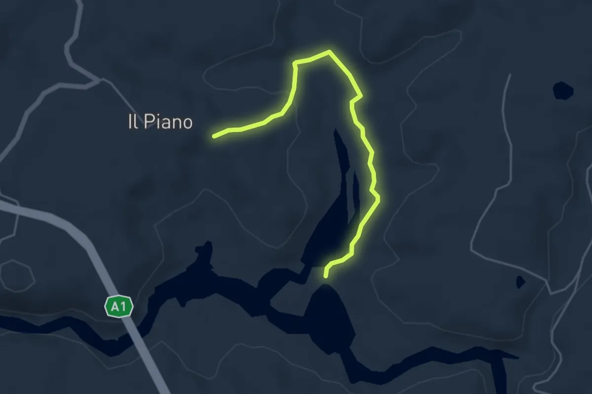
Easy · Trail
B Sentiero dell'Ascione
4.3 km · ↑ 86 m · 1 h 12 min
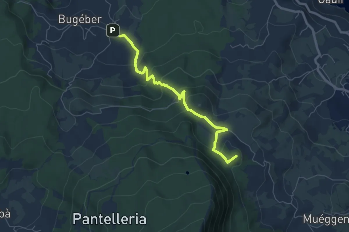
Medium · Summit
Bugéber - Favara Grande - Raháli
6.6 km · ↑ 306 m · 2 h 13 min
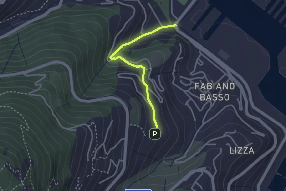
Easy · Trail
Buggi – Fabiano Alto
2.6 km · ↑ 178 m · 59 min
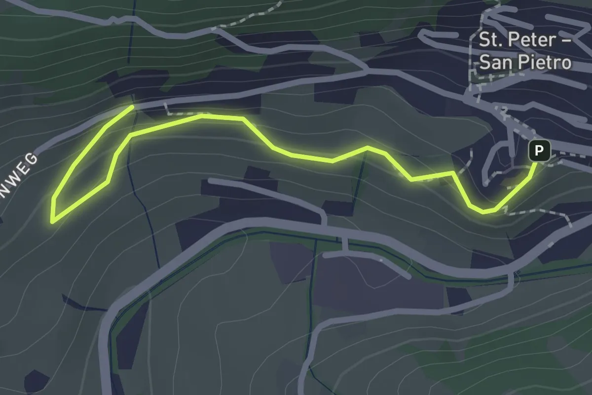
Easy · Trail
Bühlweg
2.3 km · ↑ 129 m · 49 min
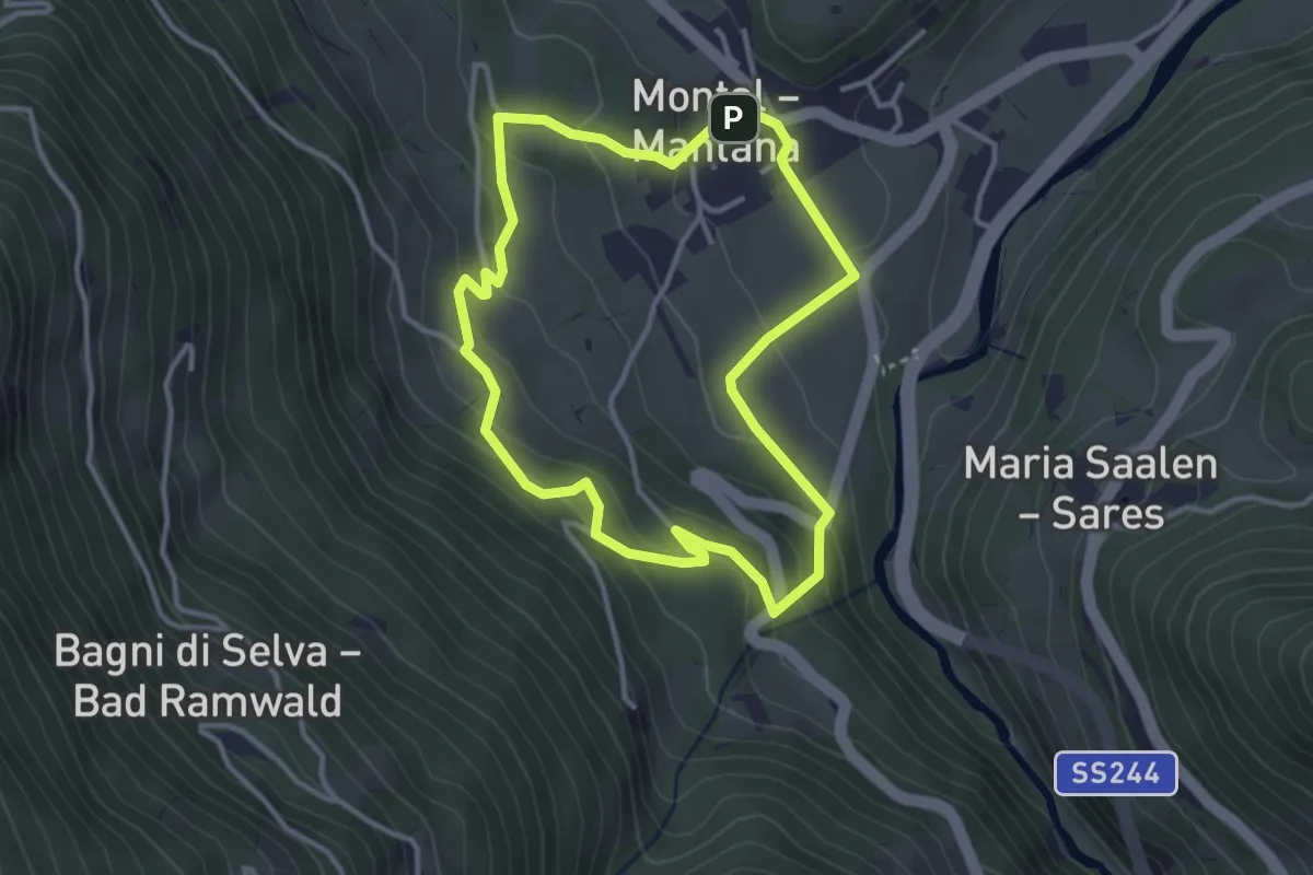
Easy · Trail
Bunkerweg
3.2 km · ↑ 168 m · 1 h 9 min
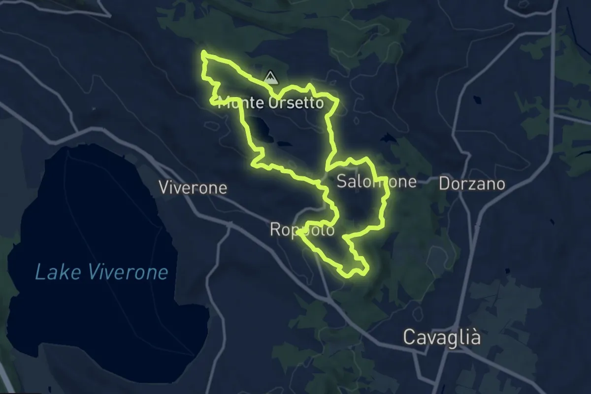
Medium · Summit
Buon Cammino 1
12.0 km · ↑ 205 m · 3 h 27 min
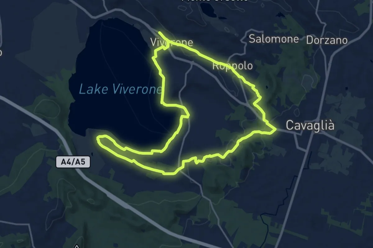
Medium · Trail
Buon Cammino 2
15.3 km · ↑ 198 m · 4 h 15 min
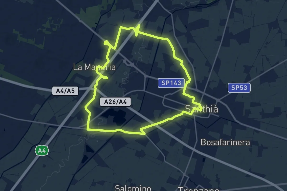
Medium · Trail
Buon Cammino 5
14.9 km · ↑ 25 m · 3 h 46 min
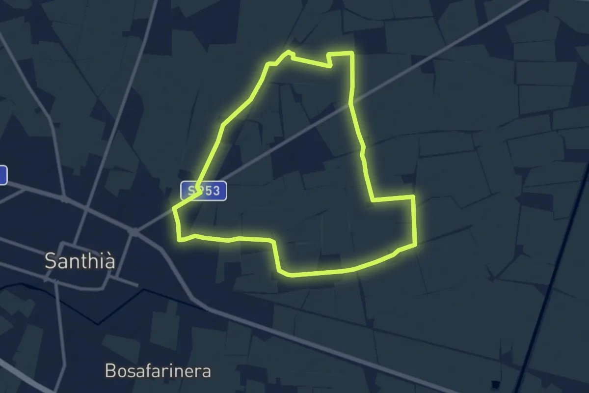
Medium · Trail
Buon Cammino 6
8.1 km · ↑ 4 m · 2 h 1 min
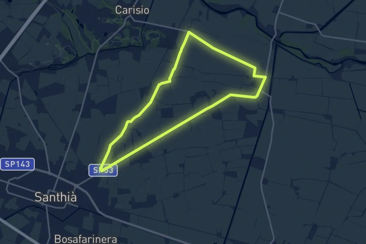
Medium · Trail
Buon Cammino 7
11.8 km · ↑ 12 m · 2 h 59 min
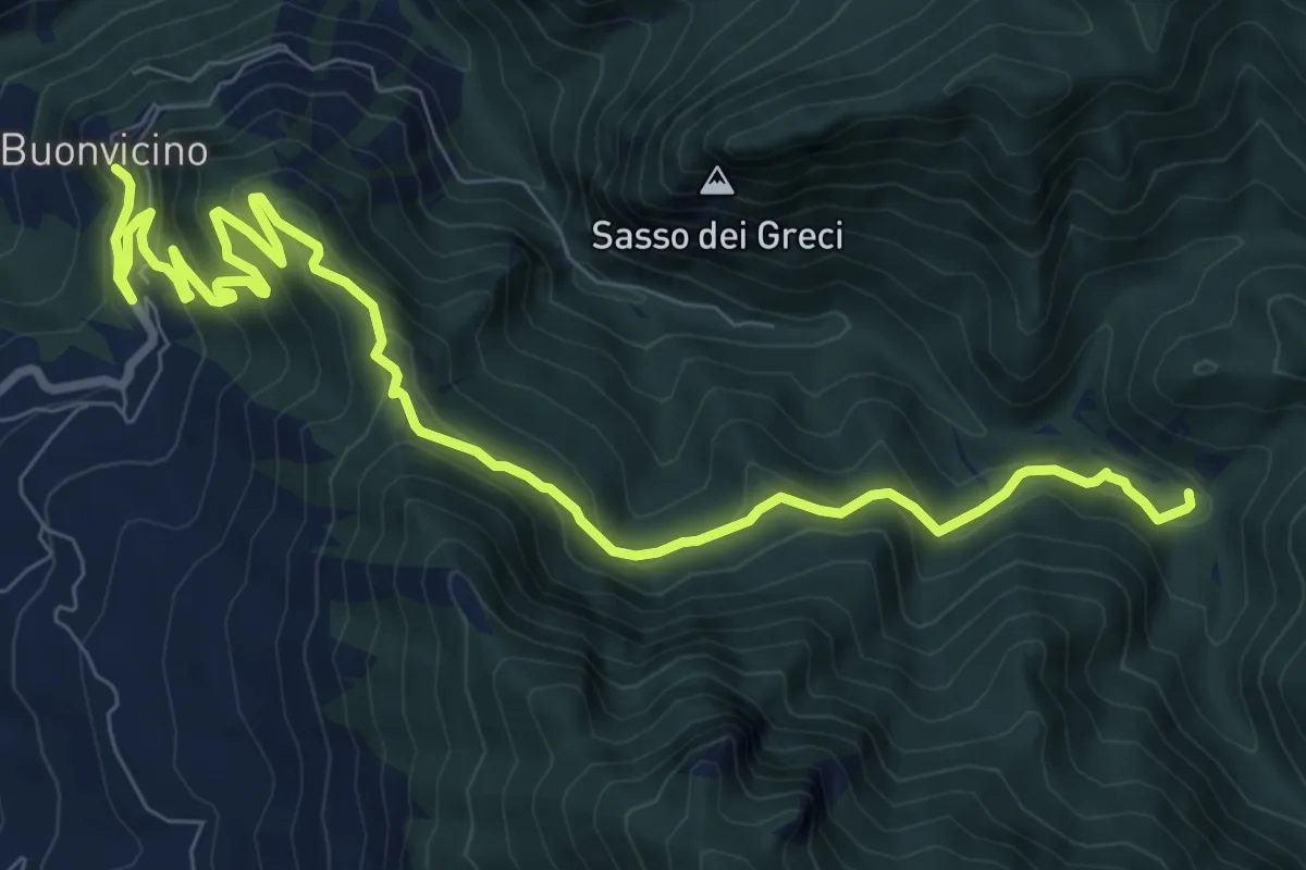
Medium · Trail
Buonvicino - Madonna della Neve
12.3 km · ↑ 753 m · 4 h 32 min
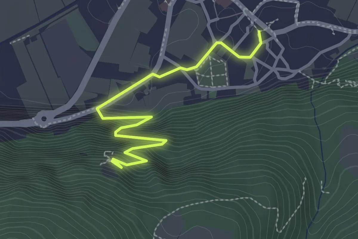
Easy · Trail
Burgenweg
3.0 km · ↑ 295 m · 1 h 21 min
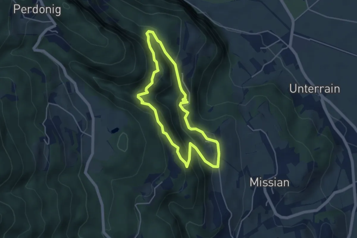
Medium · Trail
Burgenweg
3.5 km · ↑ 260 m · 1 h 26 min
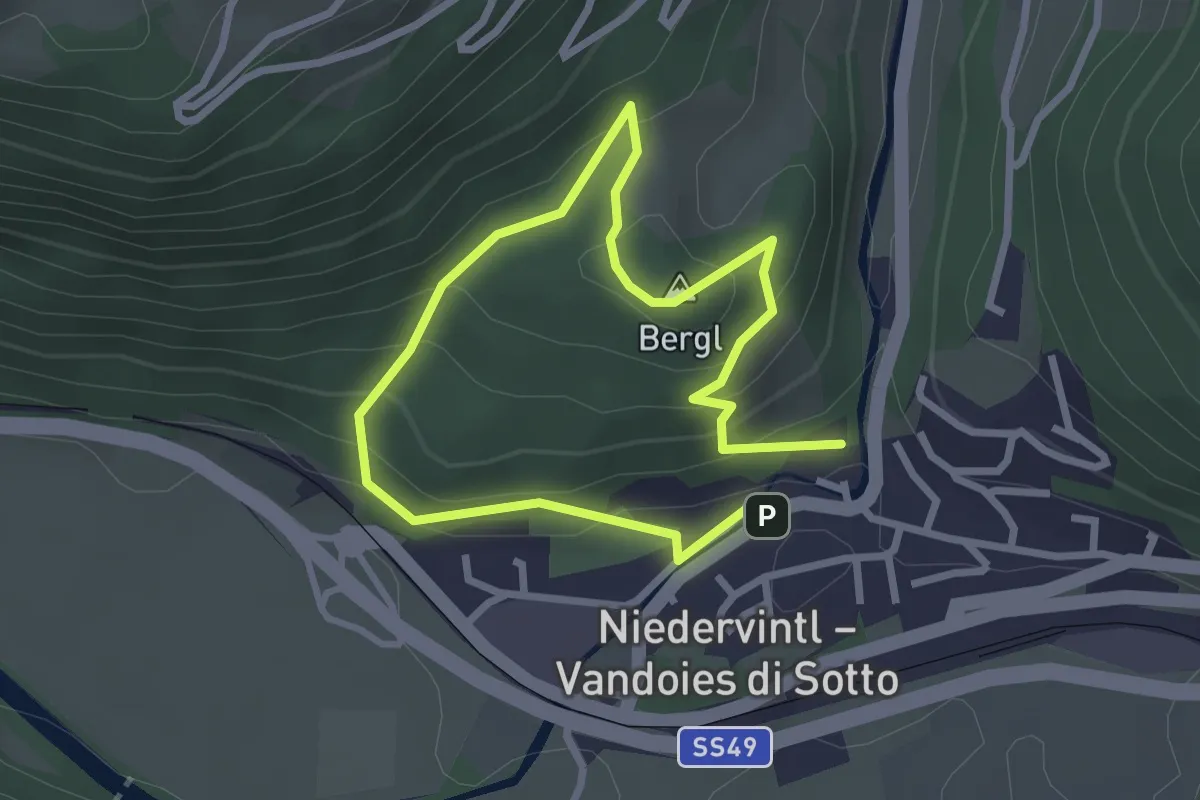
Easy · Summit
Bürgstallstöckl
2.1 km · ↑ 124 m · 48 min
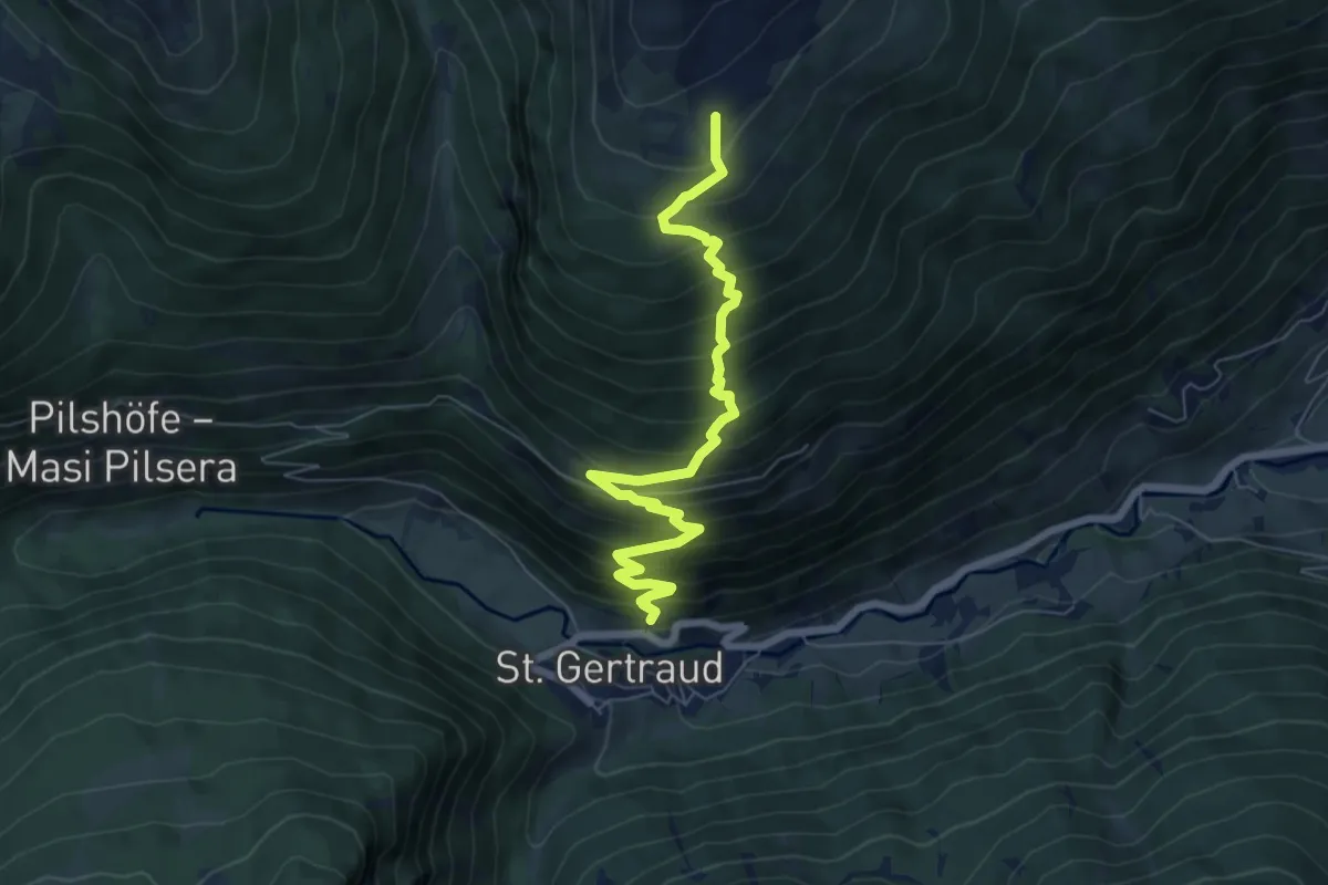
Demanding · Trail
Burgstallweg
7.1 km · ↑ 805 m · 3 h 25 min
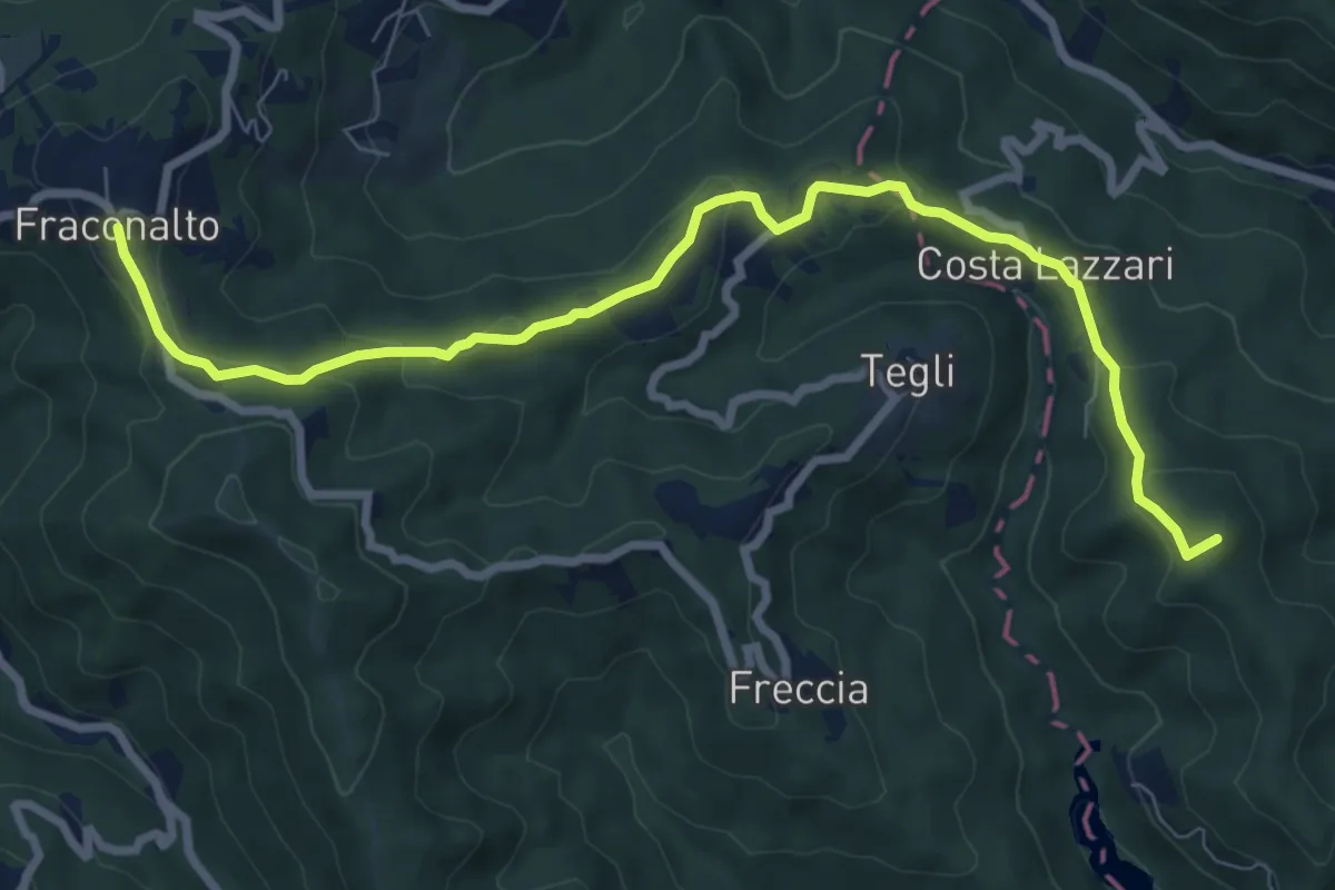
Medium · Summit
Busalla - Fraconalto
9.2 km · ↑ 323 m · 2 h 52 min
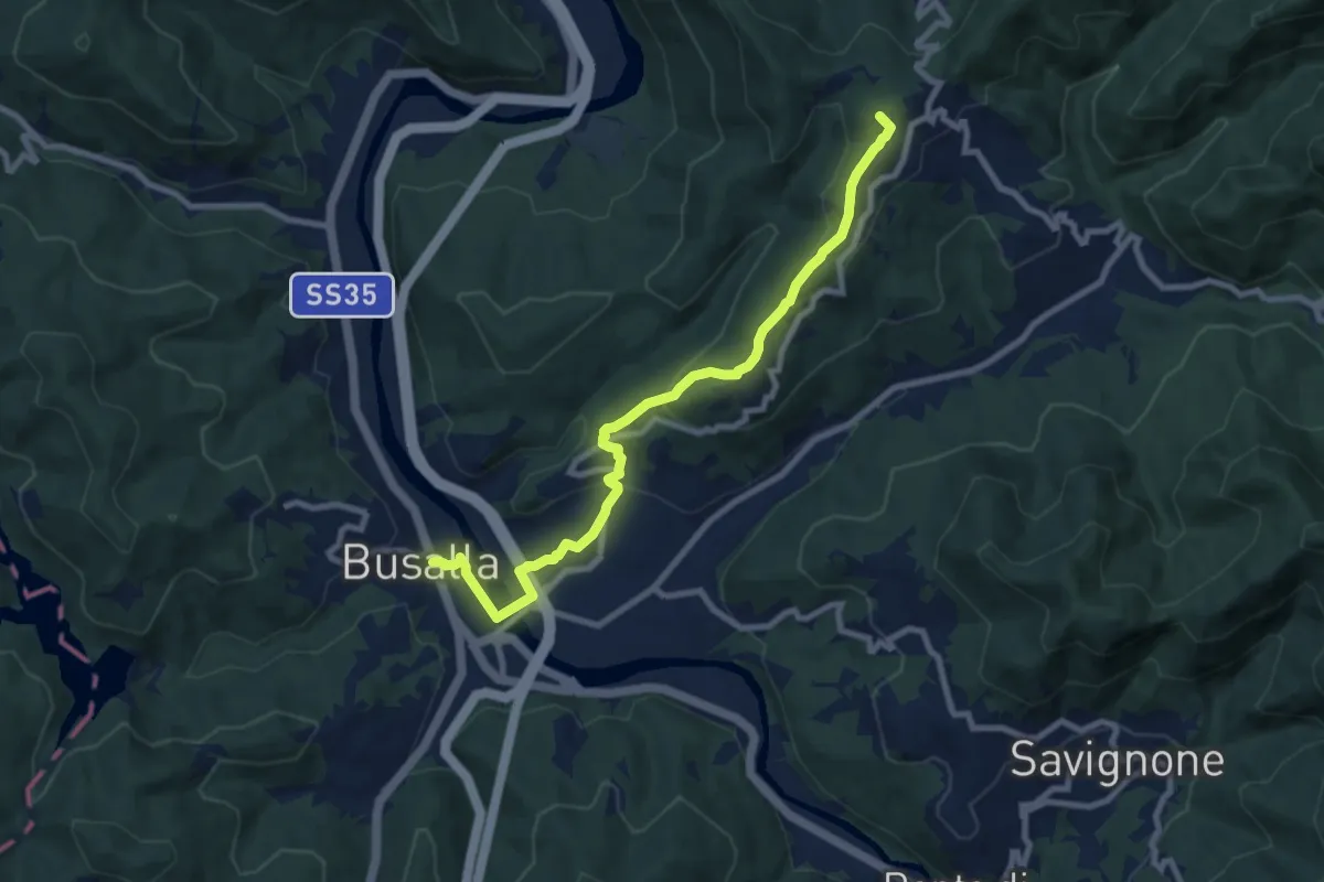
Medium · Summit
Busalla - Santuario della Bastia
9.2 km · ↑ 328 m · 2 h 53 min
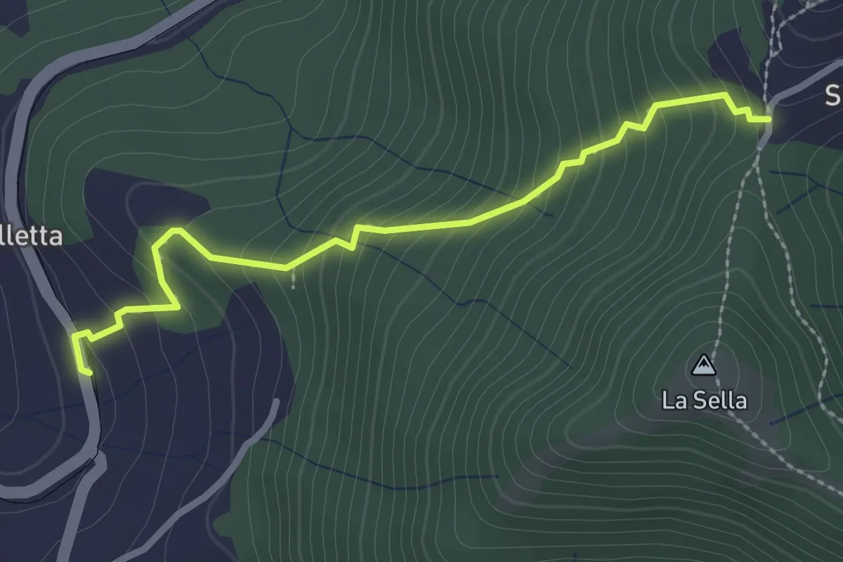
Demanding · Trail
Busalletta - Cappelletta del Sella
2.6 km · ↑ 269 m · 1 h 12 min
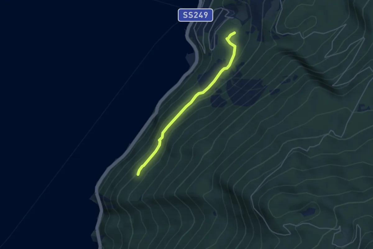
Easy · Trail
Busatte - Tempesta
3.9 km · ↑ 179 m · 1 h 19 min
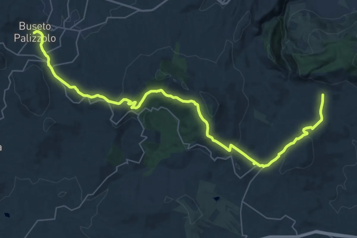
Medium · Trail
Buseto Palizzolo Castello Inici
16.2 km · ↑ 452 m · 5 h 4 min