Trails in Italy
25,211 hiking trails, each with its route, climb, walking time and grade.
All trails, page 31 of 526
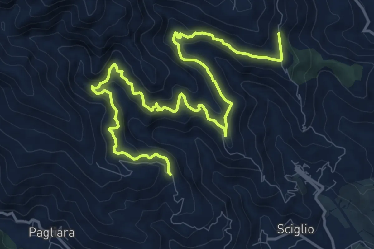
Demanding · Trail
Buticari Contrisa
14.6 km · ↑ 882 m · 5 h 21 min
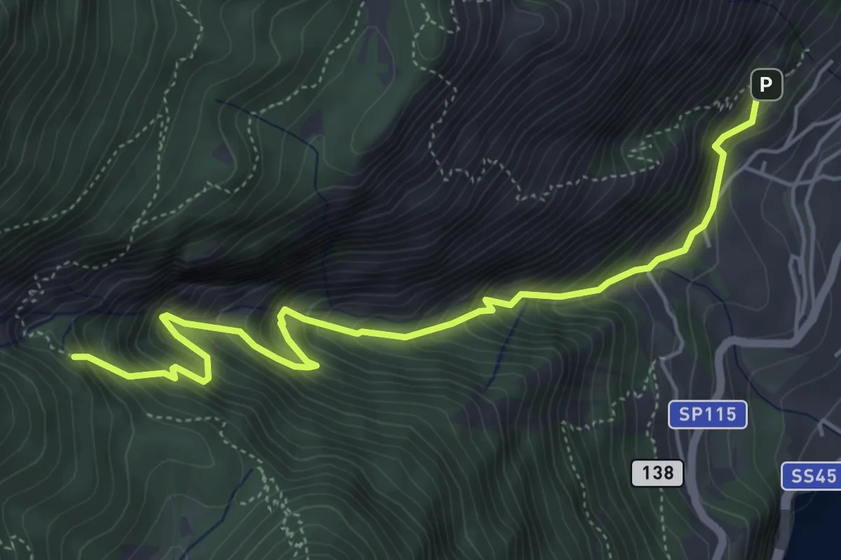
Medium · Trail
BVG, Campaldo di Limone
5.8 km · ↑ 789 m · 3 h 4 min
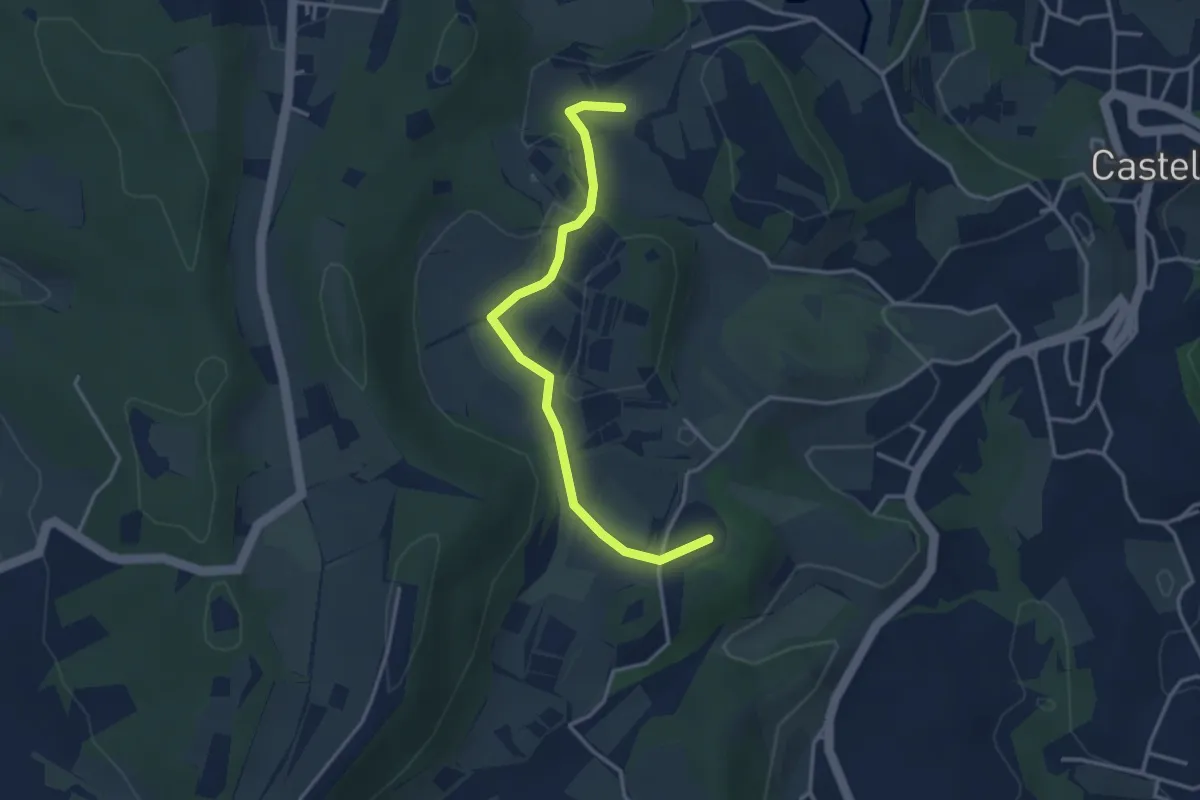
Easy · Summit
BVG di Predefitte
3.5 km · ↑ 29 m · 53 min
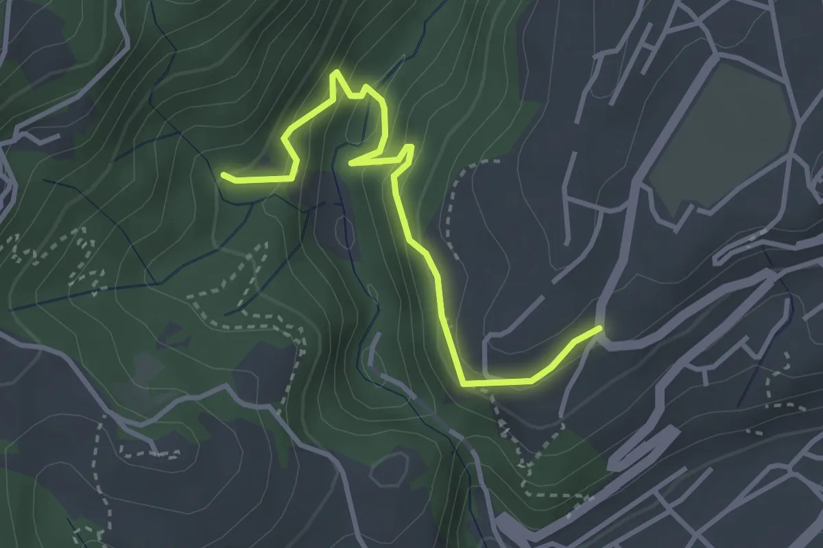
Easy · Trail
BVG, Maina Superiore, Camistero
3.3 km · ↑ 251 m · 1 h 20 min
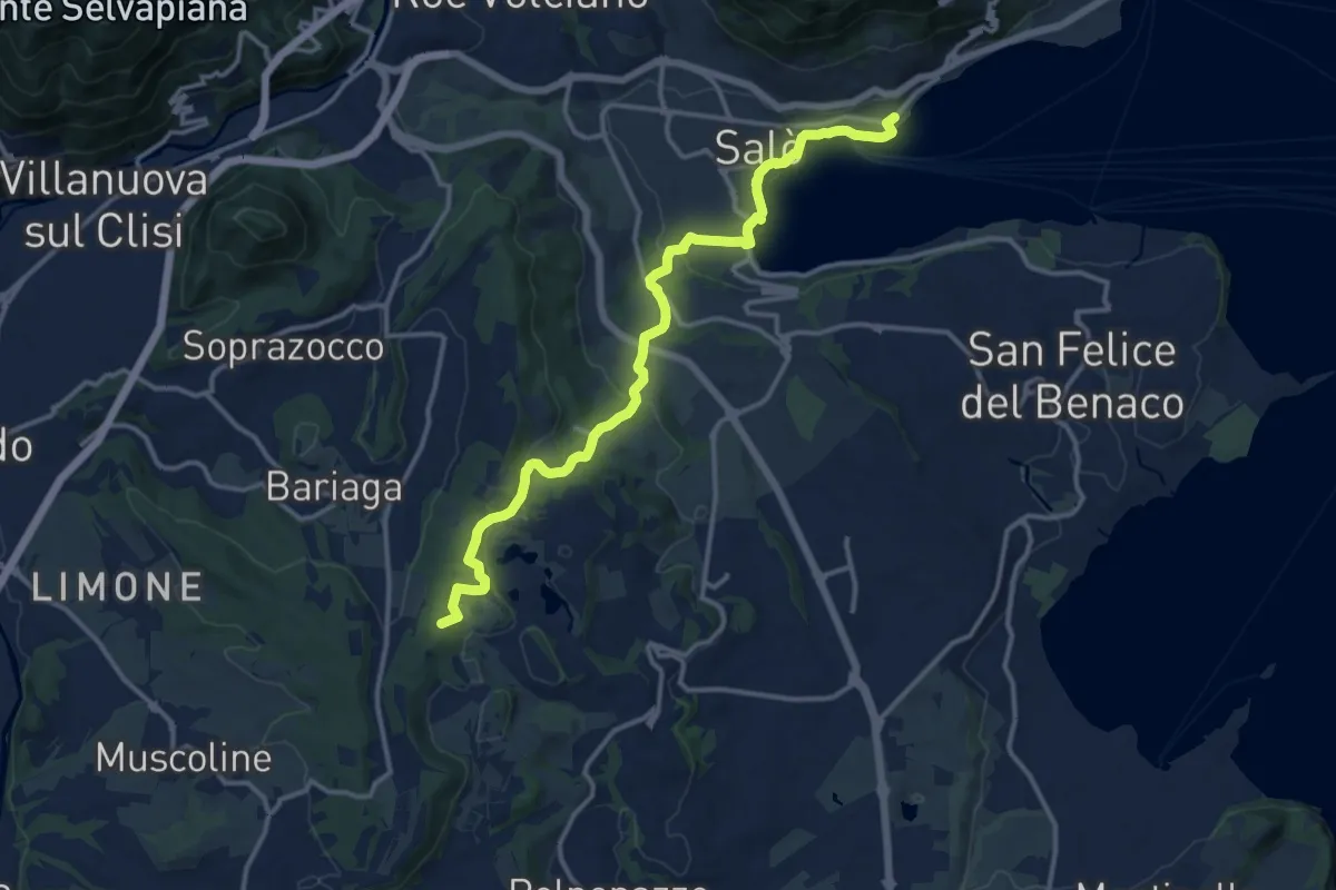
Medium · Summit
BVG Tratto Lago di Lucone, Salò
14.5 km · ↑ 330 m · 4 h 9 min
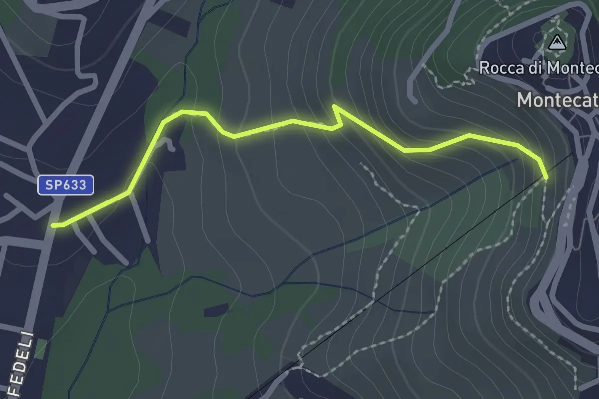
Easy · Trail
[B] Via Amore
2.1 km · ↑ 153 m · 50 min
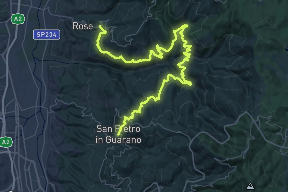
Demanding · Trail
bx Cammino di San Francesco di Paola - Via dei Monasteri - Tappa 10 (variante per cilisti)
26.2 km · ↑ 1182 m · 9 h 11 min
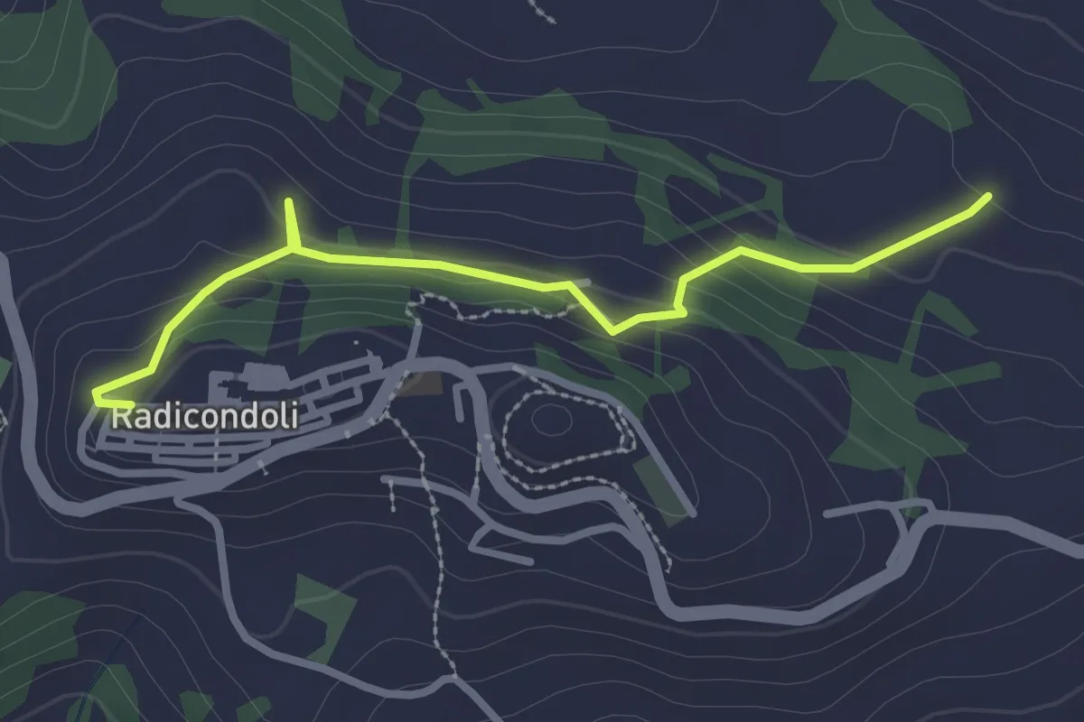
Easy · Trail
C
2.9 km · ↑ 149 m · 1 h
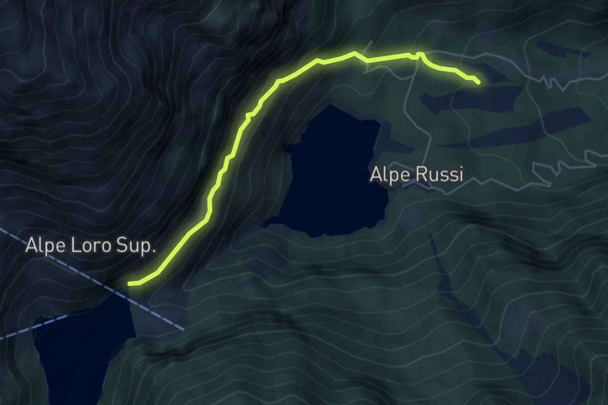
Medium · Trail
C00c - località Acqua Bona - diga Campliccioli
4.8 km · ↑ 430 m · 2 h 4 min
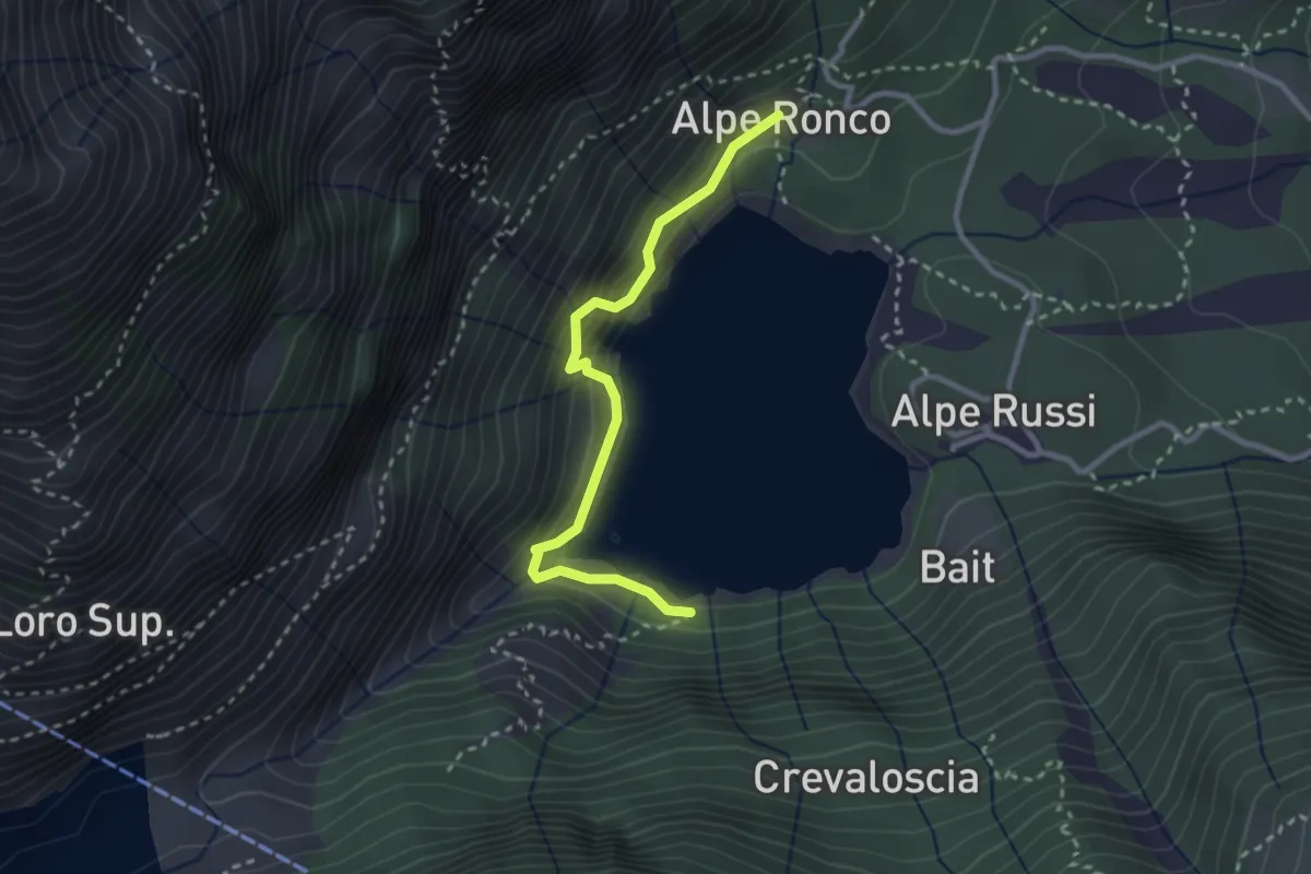
Easy · Trail
C00g - Giro Lago di Antrona
2.7 km · ↑ 315 m · 1 h 20 min
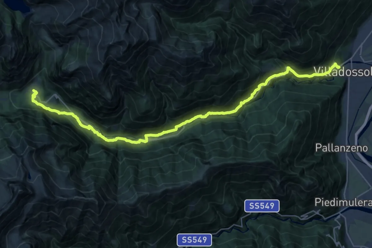
Demanding · Trail
C00 - Strada Antronesca tappa 1
14.6 km · ↑ 957 m · 5 h 25 min
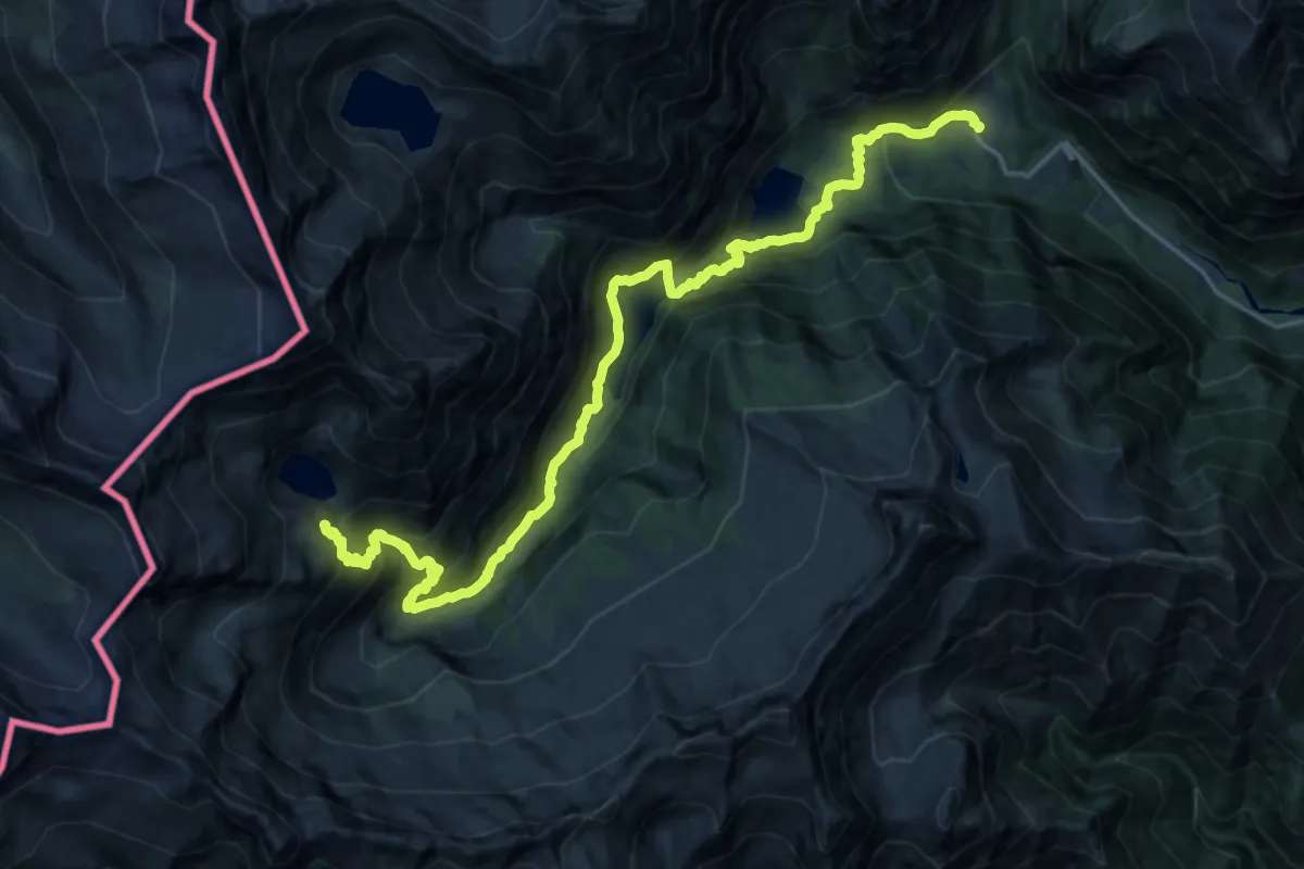
Demanding · Trail
C00 - Strada Antronesca tappa 2
11.9 km · ↑ 1581 m · 5 h 44 min
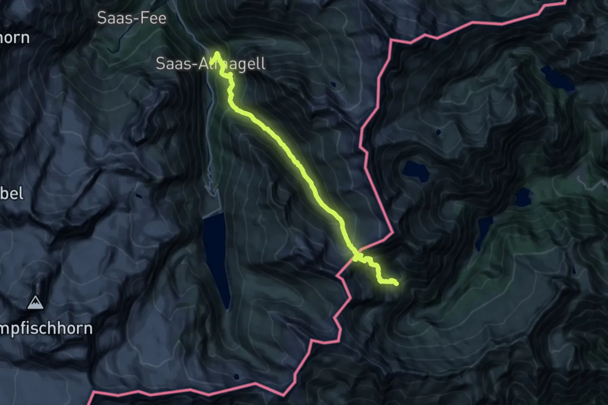
Medium · Trail
C00 - Strada Antronesca tappa 3
12.5 km · ↑ 617 m · 4 h 45 min
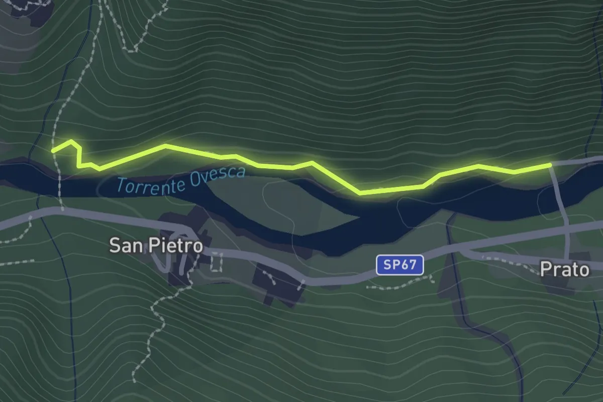
Medium · Trail
C00t - Ruginenta - Via per Schieranco, bivio C16
2.2 km · ↑ 56 m · 39 min
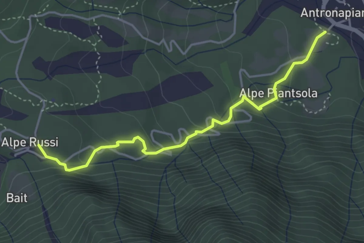
Easy · Trail
C00v - Antrona - Lago di Antrona (variante)
3.9 km · ↑ 190 m · 1 h 20 min
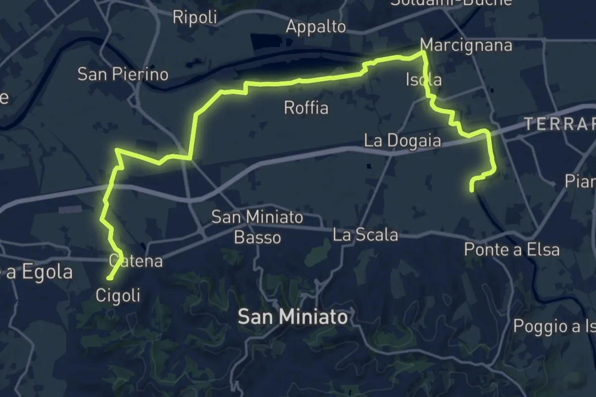
Demanding · Trail
C01 - Collegamento Gran Anello Nord
24.2 km · ↑ 61 m · 5 h 51 min
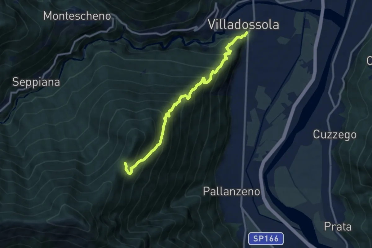
Demanding · Trail
C01 - Villadossola-Alpe Baldana bivio C05
8.2 km · ↑ 1015 m · 4 h 8 min
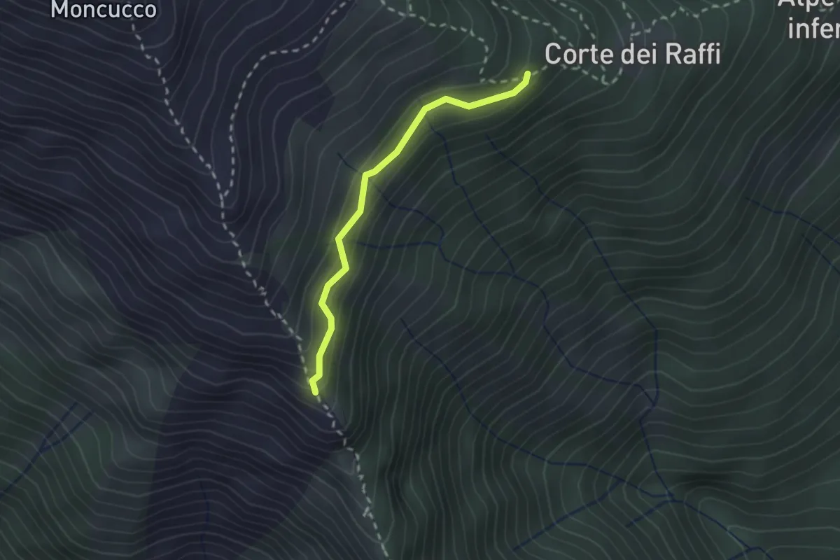
Medium · Trail
C02b - Cappella di S. Bernardo - Corte dei Raffi
2.0 km · ↑ 172 m · 51 min
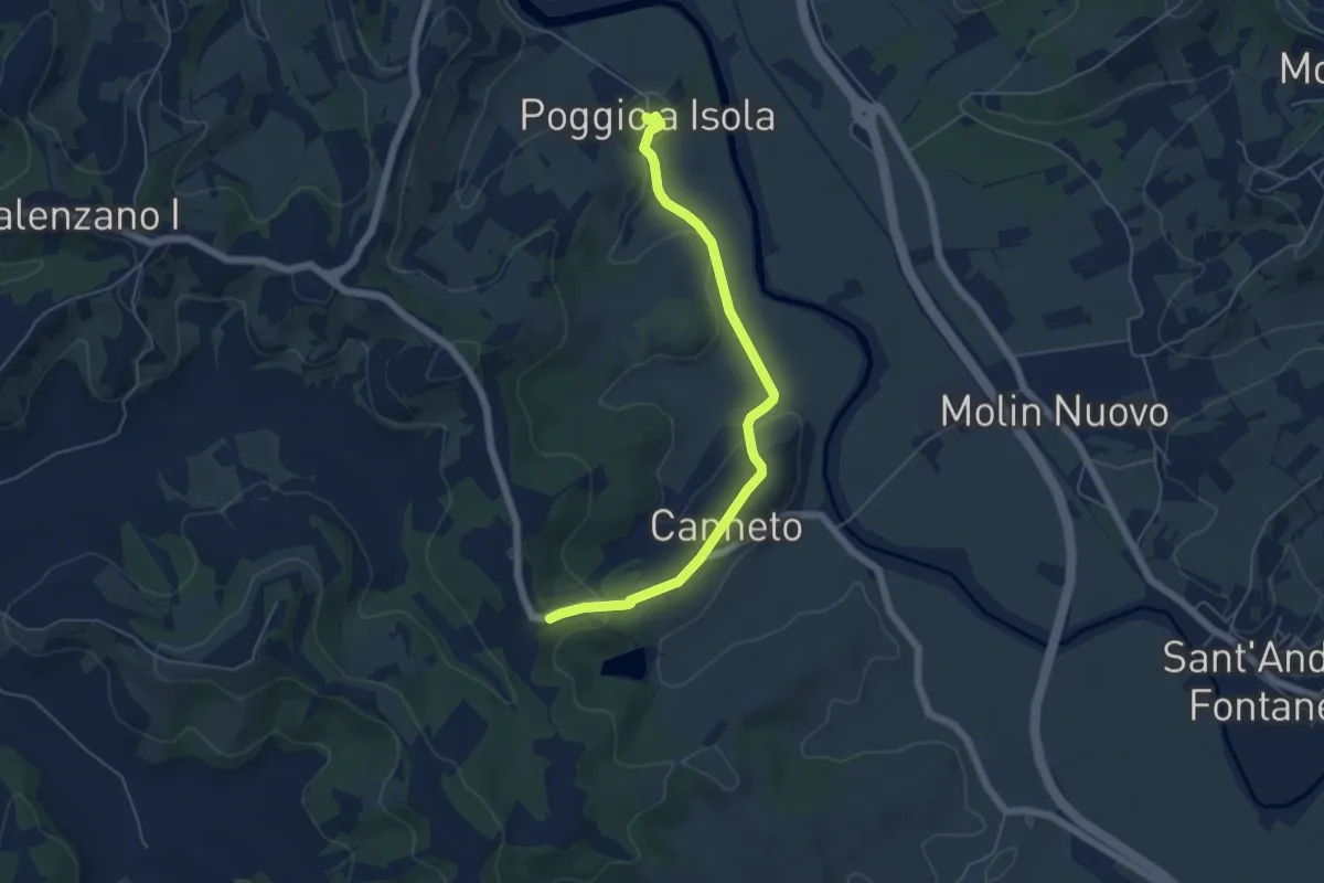
Easy · Trail
C02 - Collegamento Gran Anello Est
5.8 km · ↑ 124 m · 1 h 38 min
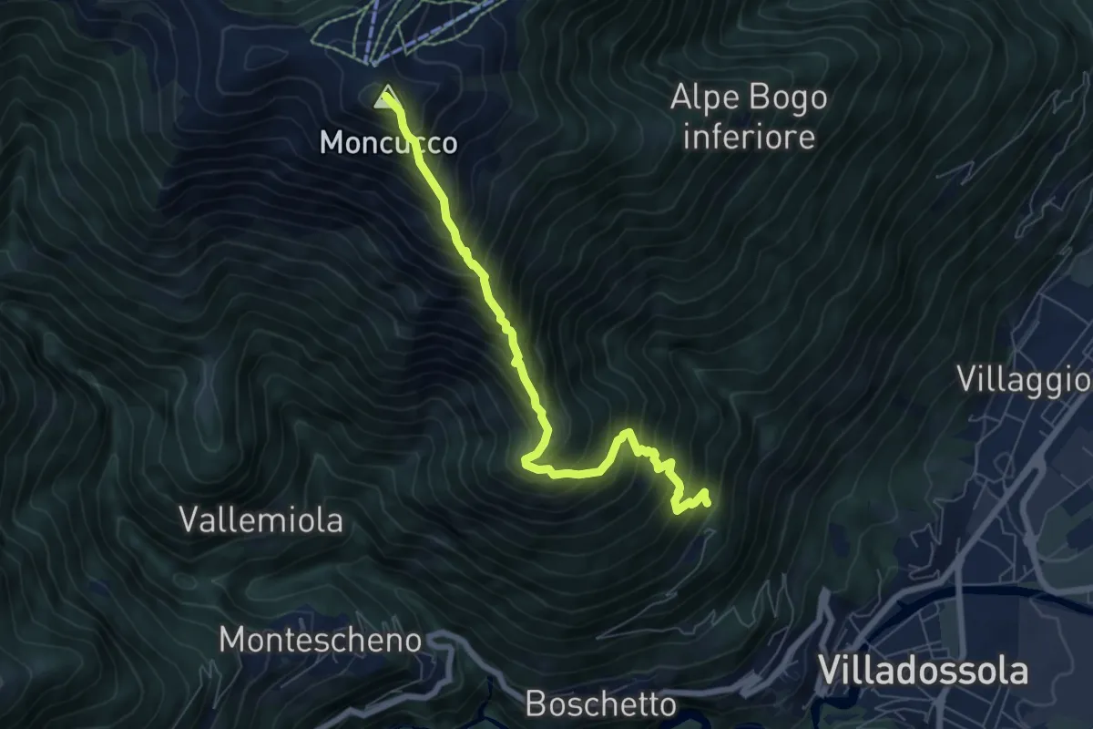
Expert · Summit
C02 - Sogno - Moncucco
6.8 km · ↑ 1061 m · 3 h 55 min
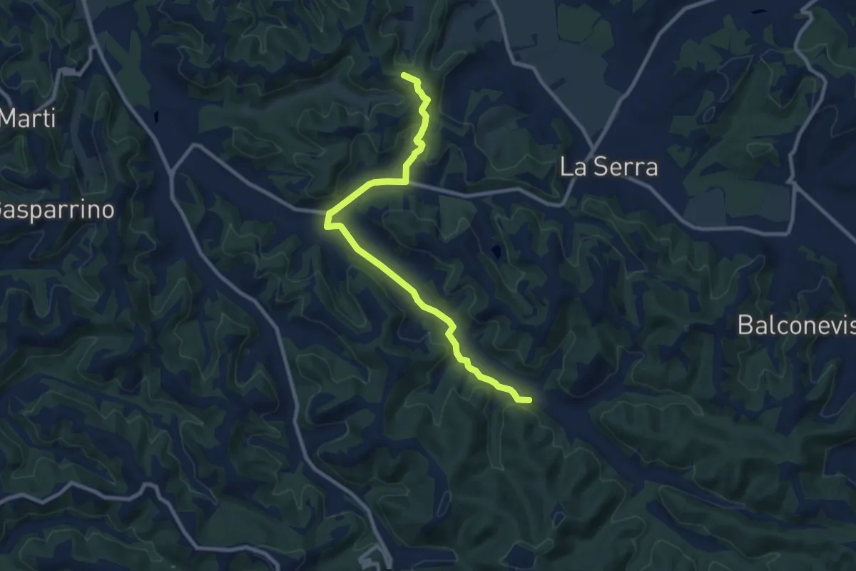
Medium · Trail
C03 - Collegamento Gran Anello Ovest
9.9 km · ↑ 171 m · 2 h 42 min
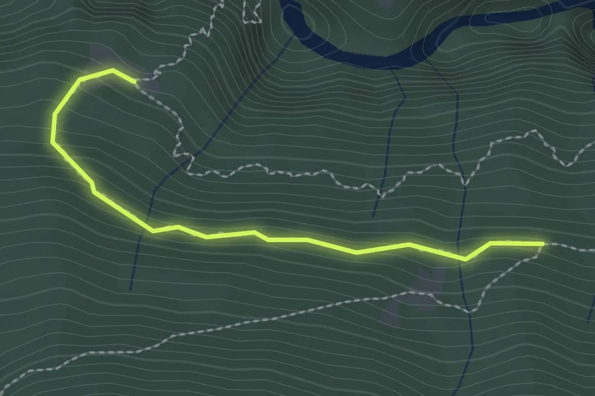
Medium · Trail
C03v - Alpe Vezzo - canale ENEL
2.2 km · ↑ 131 m · 48 min
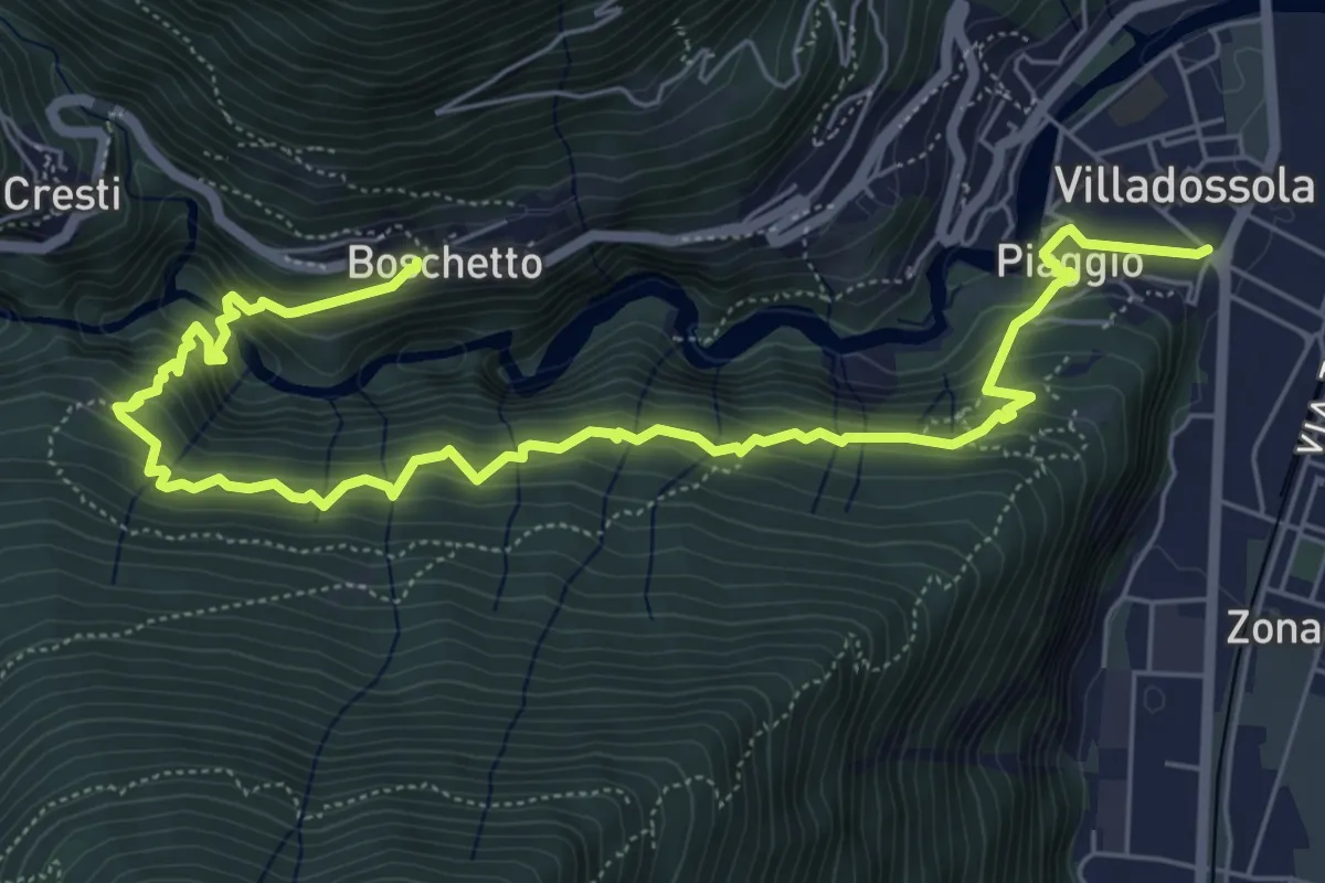
Medium · Trail
C03 - Villadossola - Vezzo - Boschetto
8.2 km · ↑ 649 m · 3 h 21 min
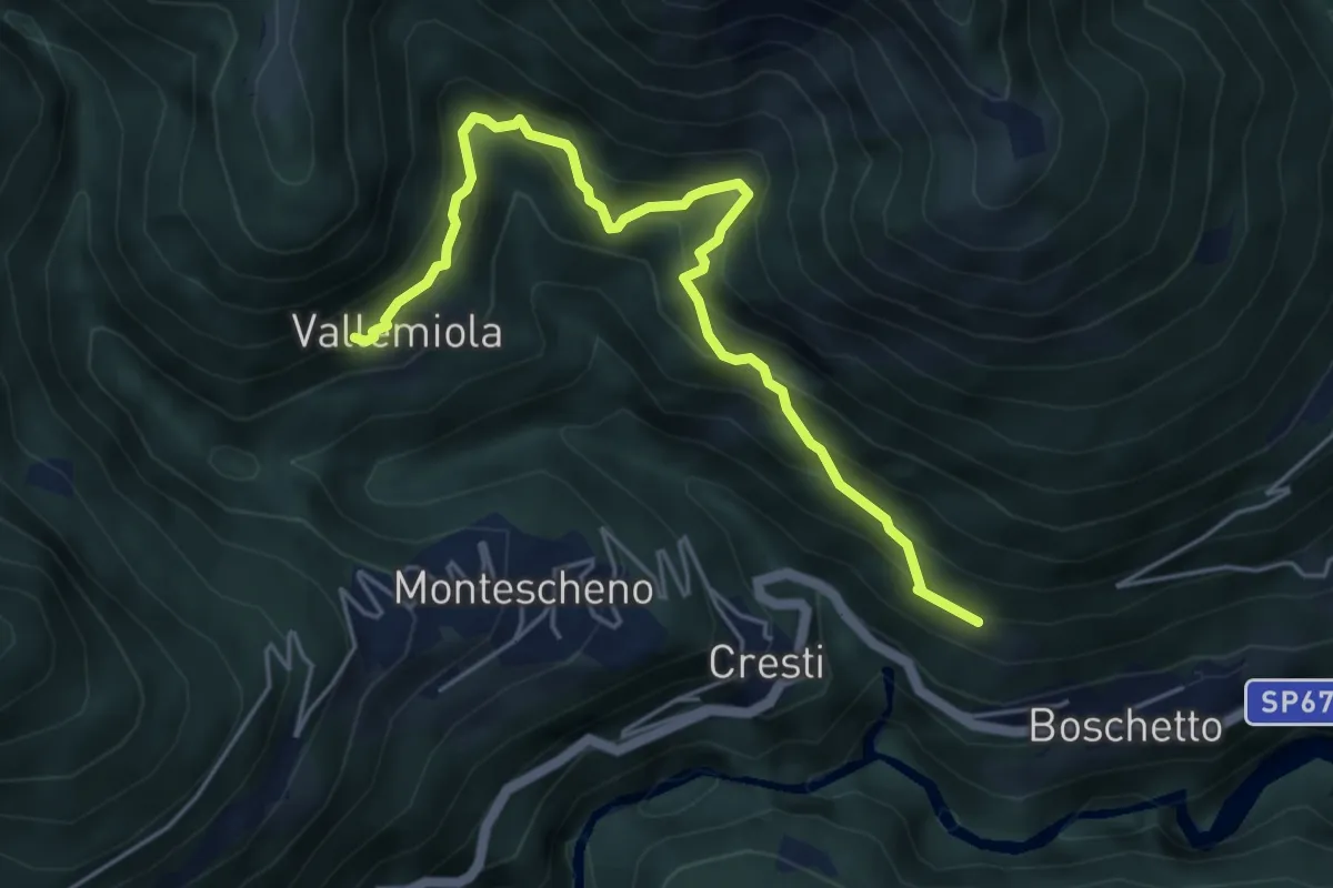
Medium · Trail
C04a - Varchignoli - Vallemiola
5.3 km · ↑ 619 m · 2 h 36 min
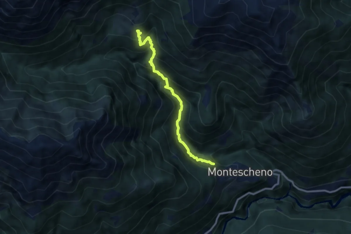
Medium · Trail
C04b - Montescheno - Boccarelli - Alpi di Sogno
6.6 km · ↑ 685 m · 3 h 2 min
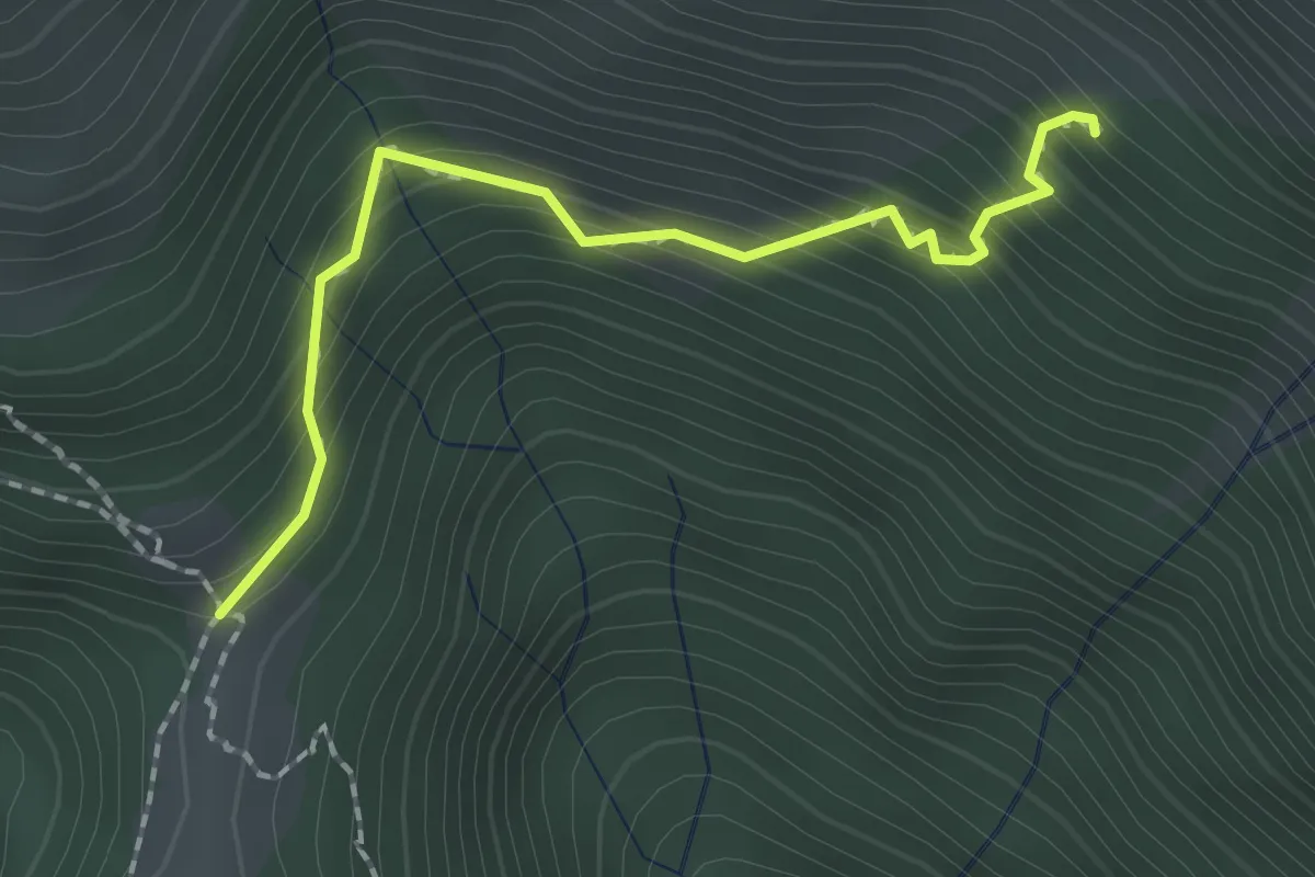
Medium · Trail
C04c - Aulamia - Miniera i Mundei
1.9 km · ↑ 240 m · 58 min
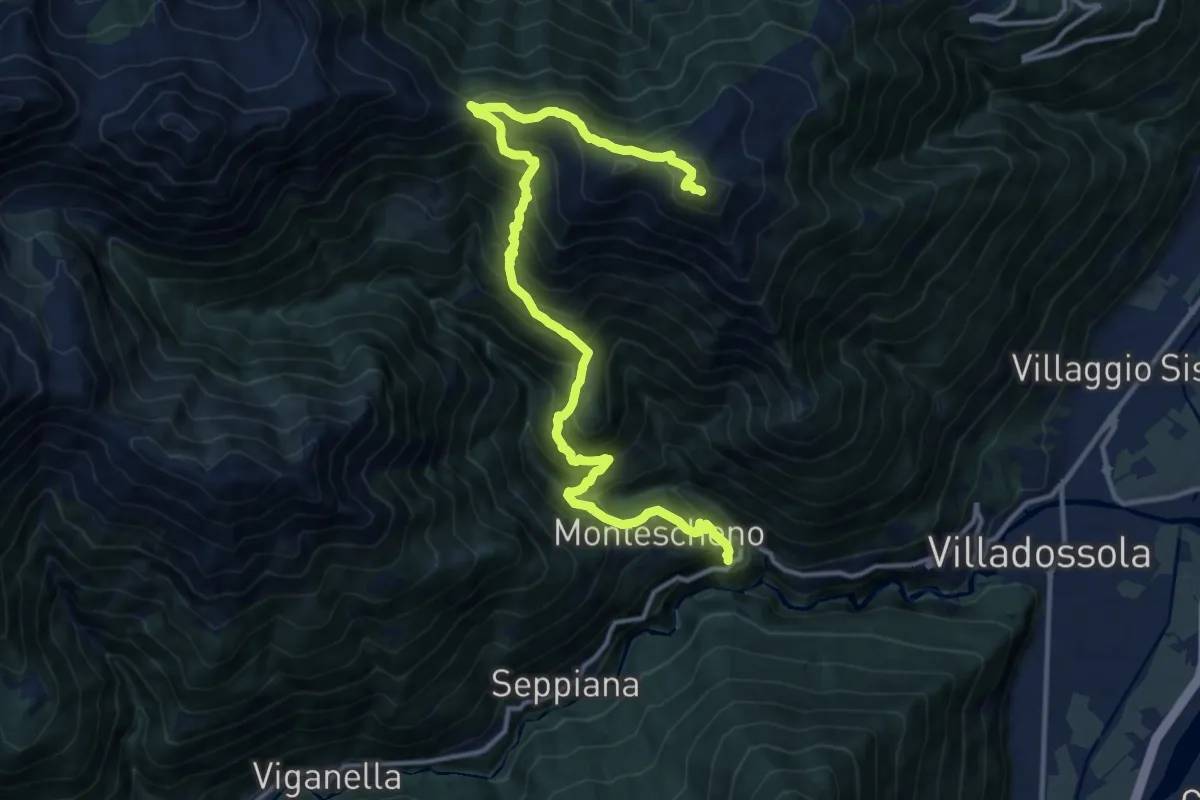
Demanding · Summit
C04 - Cresti - Montescheno - Aulamia - Moncucco
15.7 km · ↑ 1471 m · 6 h 53 min
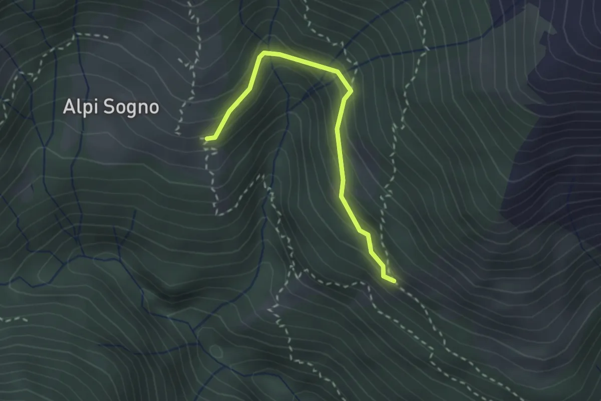
Medium · Trail
C04d - Alpe Vaccareccia inf. - Alpi di Sogno
2.3 km · ↑ 178 m · 56 min
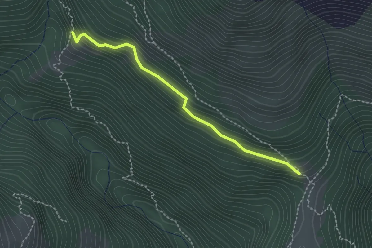
Medium · Trail
C04h - Aulamia - Alpe Boccarelli
2.1 km · ↑ 188 m · 54 min
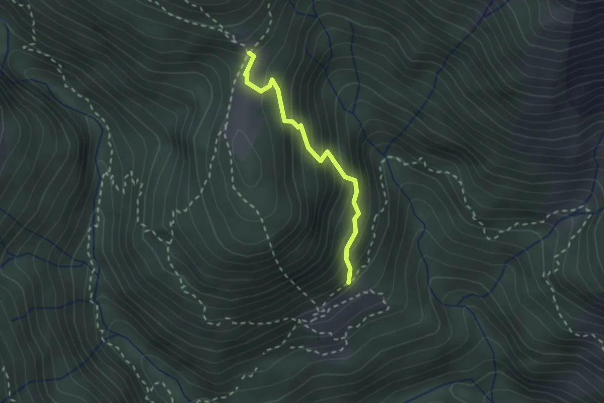
Medium · Trail
C04v- Vallemiola - Aulamia
1.9 km · ↑ 277 m · 1 h 3 min
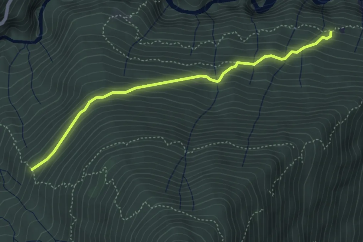
Medium · Trail
C05a - Pianasca - Alpe Baitone
4.3 km · ↑ 374 m · 1 h 50 min
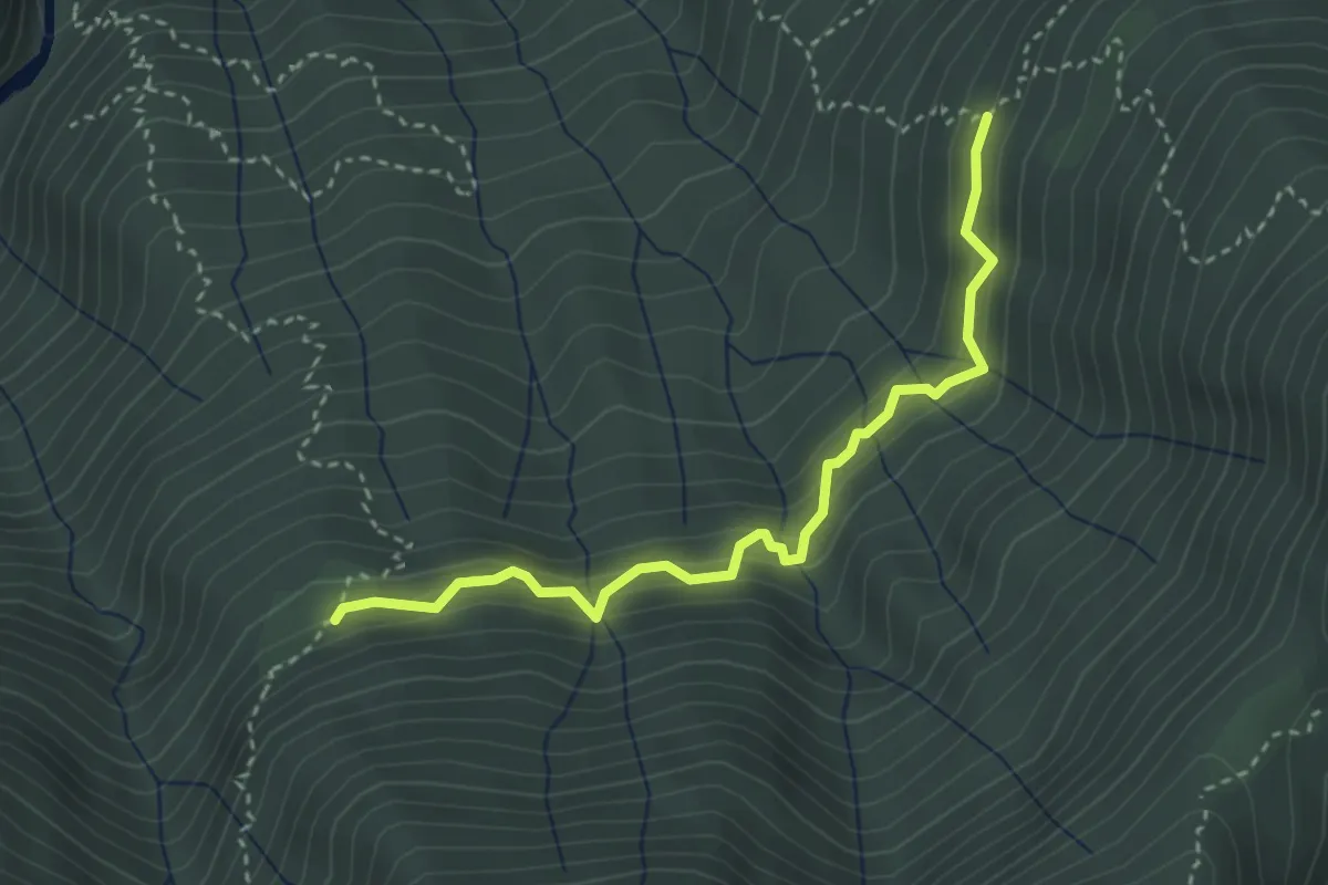
Medium · Trail
C05b - Alpe Cascinanova - Alpe Zii
3.3 km · ↑ 327 m · 1 h 29 min
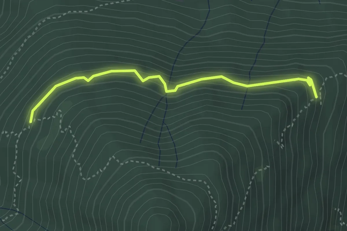
Easy · Trail
C05c - Alpe Mandariola sotto - Alpe Corticcio
3.2 km · ↑ 261 m · 1 h 20 min
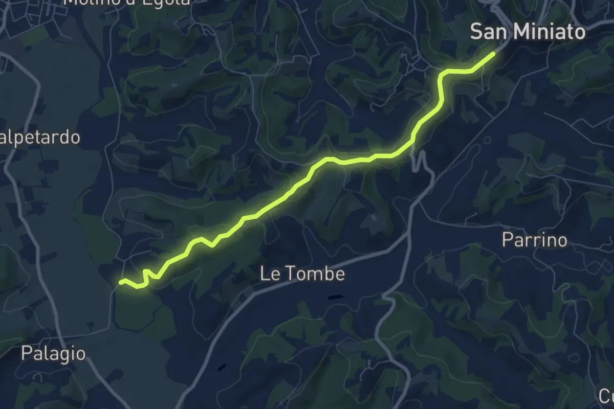
Medium · Trail
C05 - Collegamento Paesante
8.7 km · ↑ 165 m · 2 h 24 min
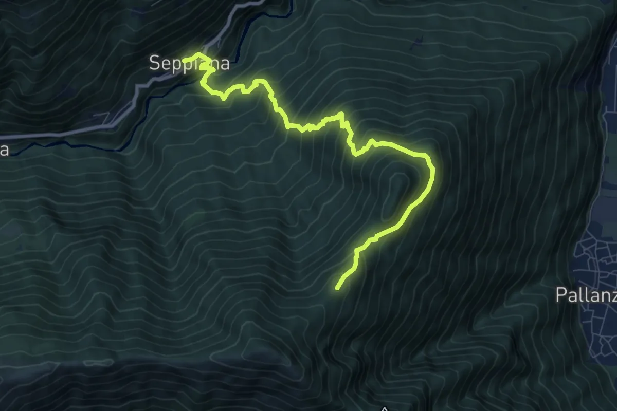
Demanding · Cabin
C05 - Seppiana - Alpe S. Giacomo
9.4 km · ↑ 1028 m · 4 h 27 min
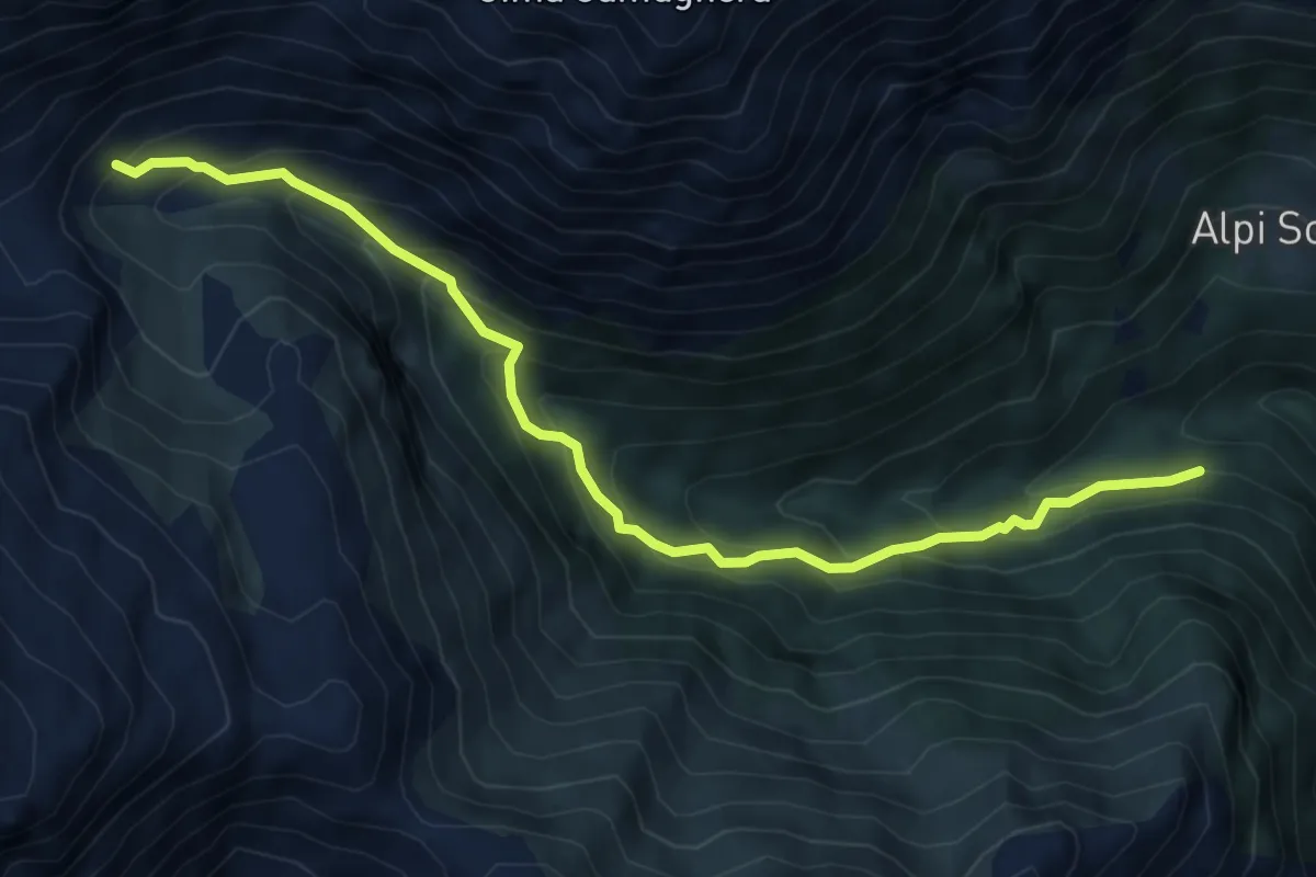
Medium · Trail
C06c - Alpe Piazzone - Alpe Vauzone
6.6 km · ↑ 644 m · 2 h 57 min
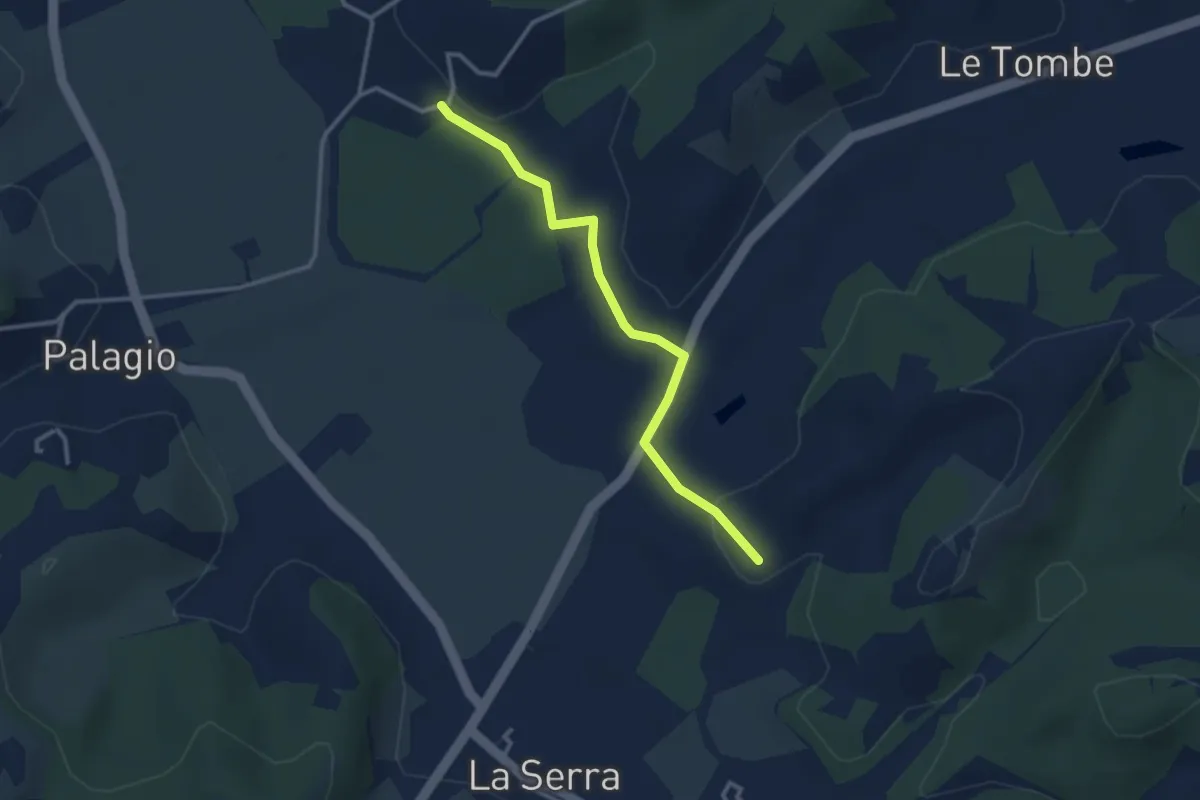
Easy · Trail
C06 - Collegamento Valle dell’Egola
3.1 km · ↑ 29 m · 47 min
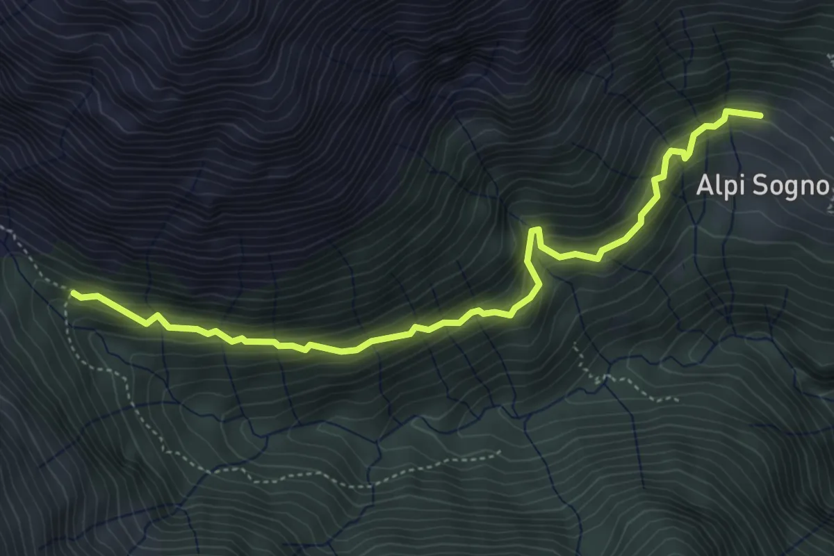
Medium · Trail
C06d - Alpi di Sogno (Cat Mez) - bivio C06C per Vauzone
5.1 km · ↑ 481 m · 2 h 15 min
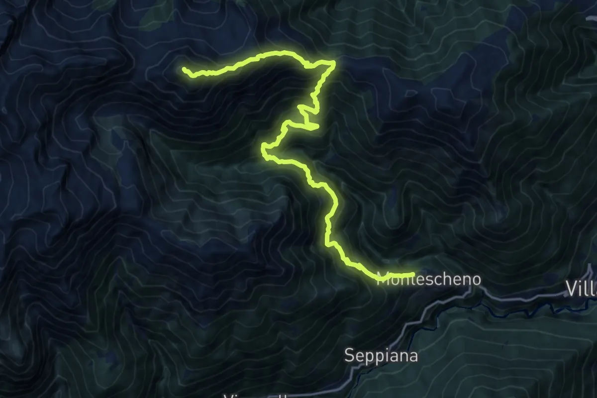
Demanding · Summit
C06 - Montescheno - Alpi di Sogno - Cima Camughera
18.3 km · ↑ 1969 m · 8 h 35 min
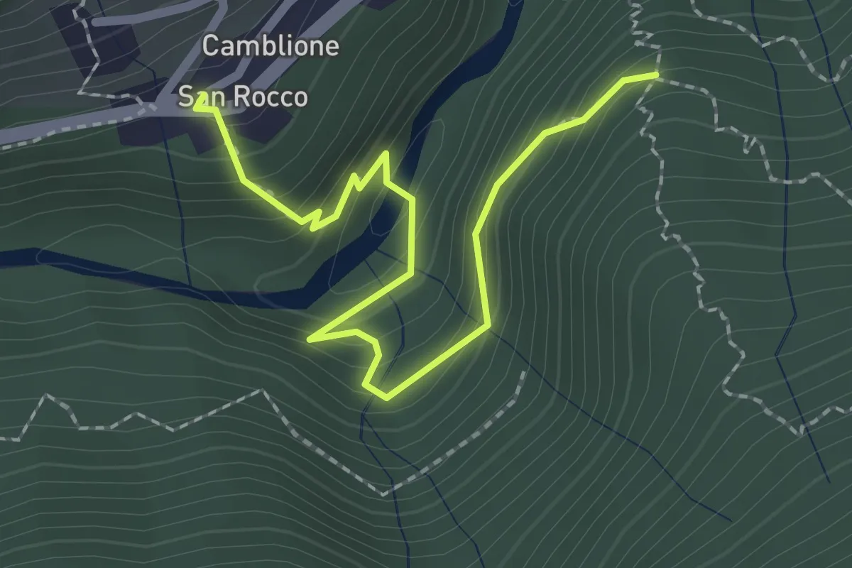
Medium · Trail
C07c - San Rocco - Cappella Scima d'Arvina
2.4 km · ↑ 204 m · 1 h 1 min
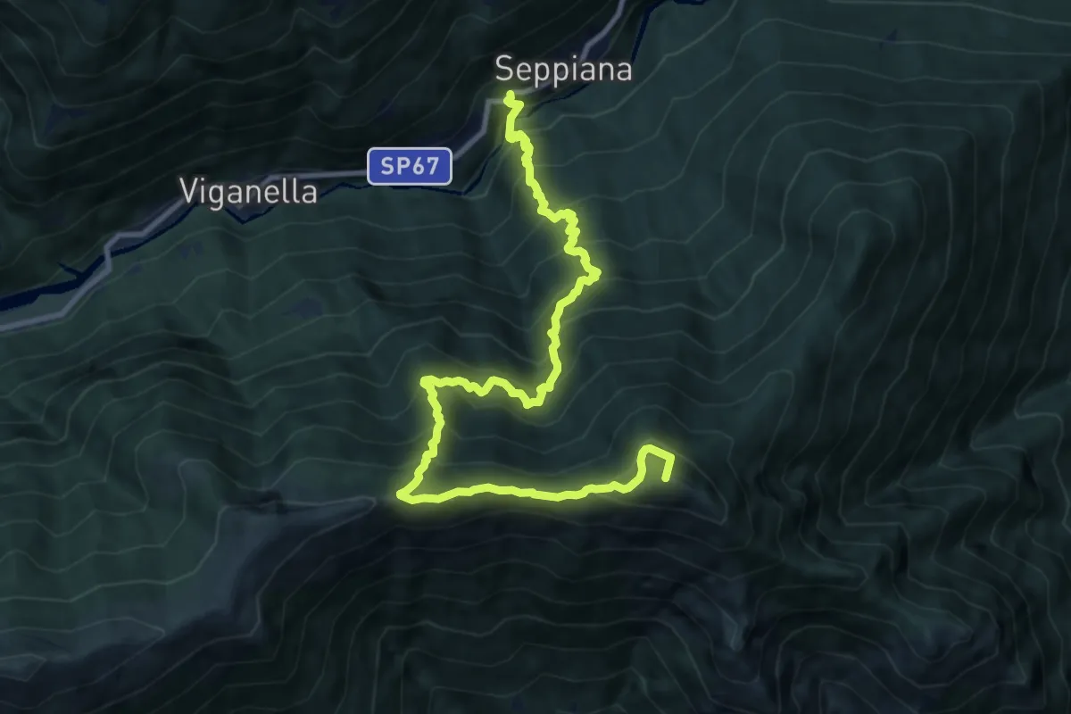
Demanding · Summit
C07 - Seppiana - Alpe Zii - Alpe San Giacomo
12.0 km · ↑ 1388 m · 5 h 51 min
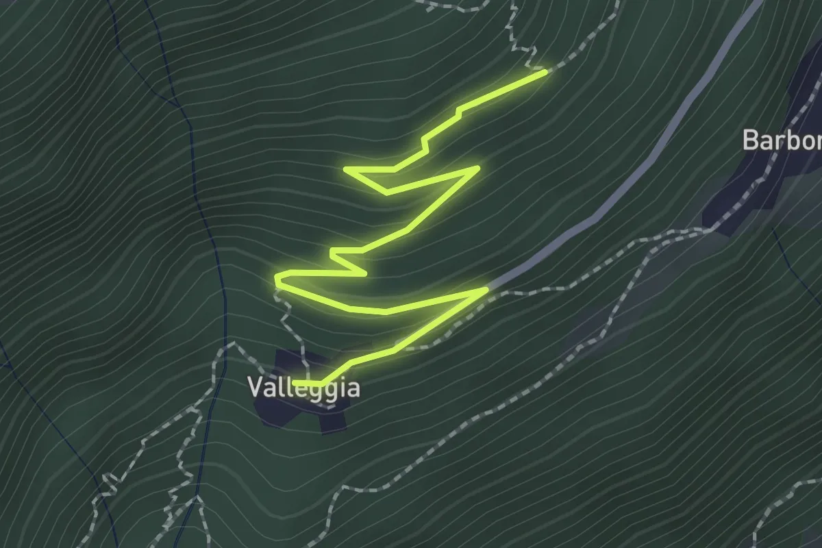
Medium · Trail
C08a - Valleggia - bivio C08 per La Motta
2.5 km · ↑ 150 m · 54 min
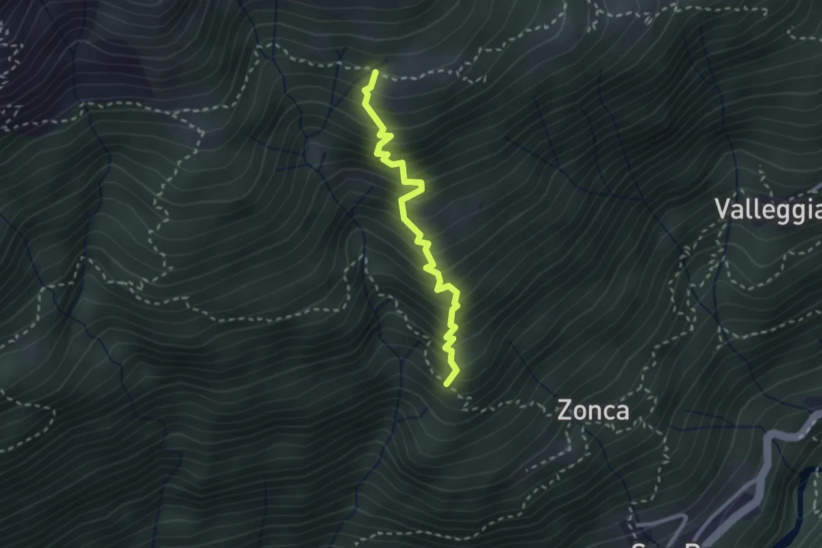
Medium · Trail
C08c - bivio C10 - Alpe Pradurino
2.4 km · ↑ 430 m · 1 h 30 min
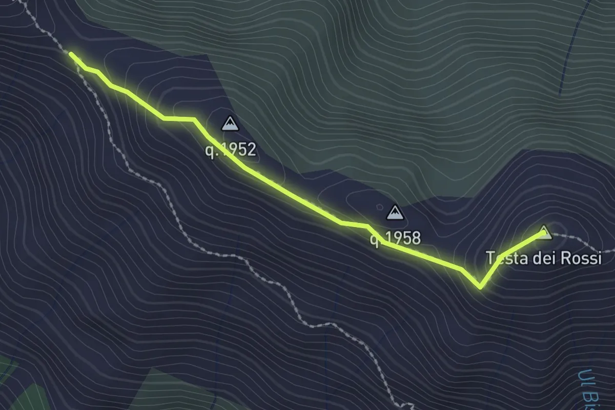
Medium · Summit
C08d - Passo di Ogaggia - Testa dei Rossi
2.2 km · ↑ 142 m · 50 min
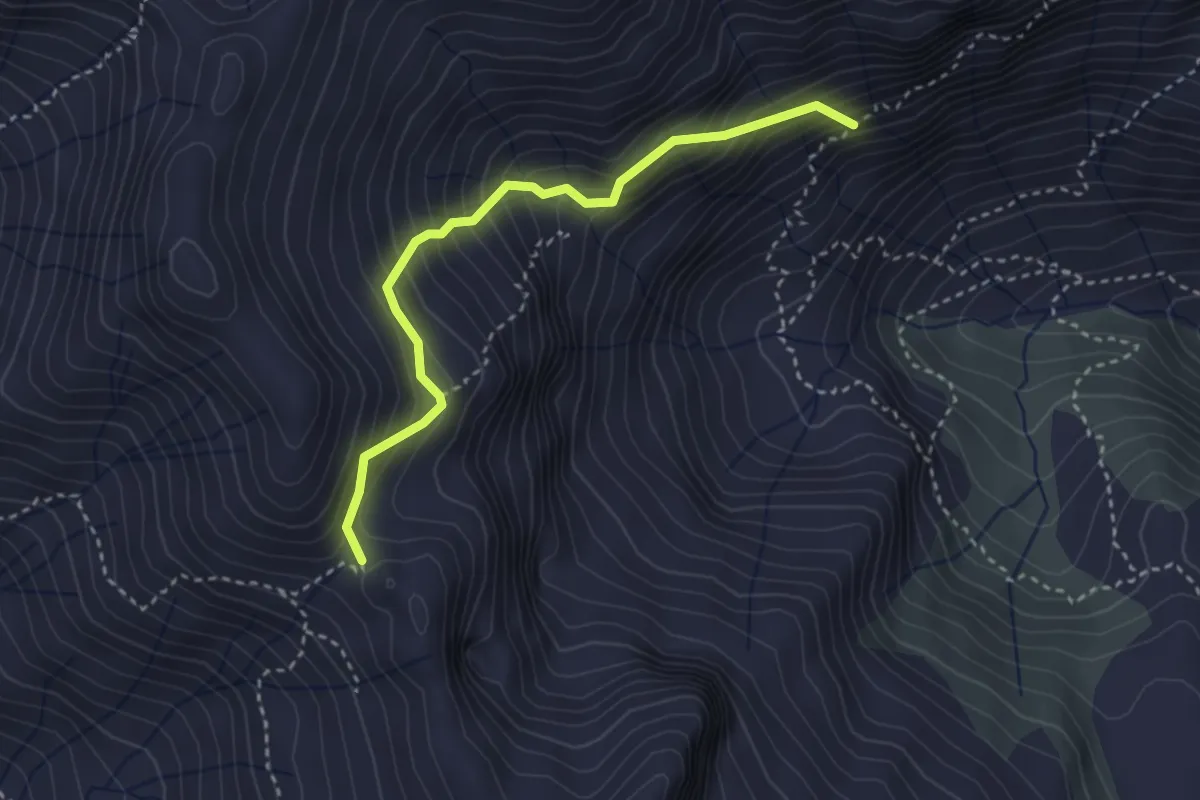
Expert · Trail
C08e - Alpe Campo - Passo del Fornetto
3.2 km · ↑ 478 m · 1 h 47 min
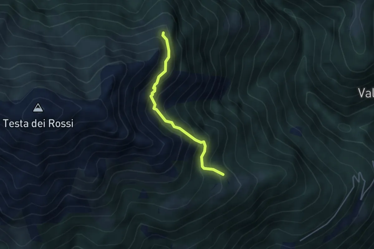
Expert · Trail
C08f - Alpe Faiu - Alpe Corti - Alpe Praraccio
3.2 km · ↑ 413 m · 1 h 39 min
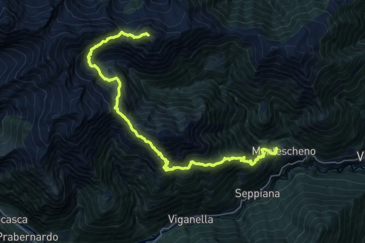
Expert · Summit
C08 - Montescheno - Ogaggia - Camughera
22.1 km · ↑ 2330 m · 10 h 15 min
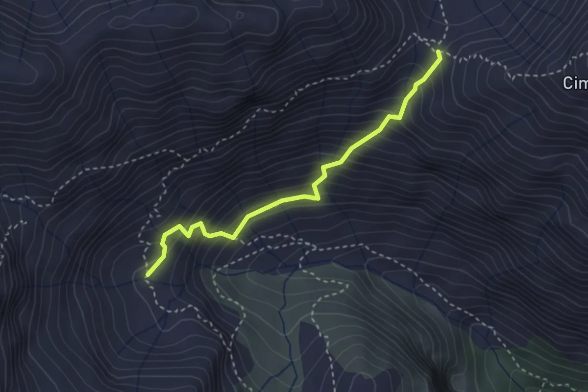
Medium · Trail
C08v - variante, Alpe Campo - Passo d'Arnigo
2.8 km · ↑ 386 m · 1 h 30 min