Trails in Italy
25,219 hiking trails, each with its route, climb, walking time and grade.
All trails, page 275 of 526
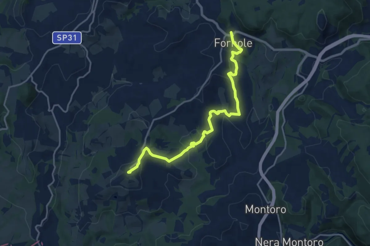
Medium · Trail
Fornole – Montecampano
13.3 km · ↑ 481 m · 4 h 11 min
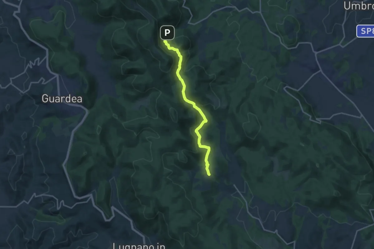
Medium · Trail
Macchie – Santa Restituta
12.8 km · ↑ 488 m · 4 h 5 min
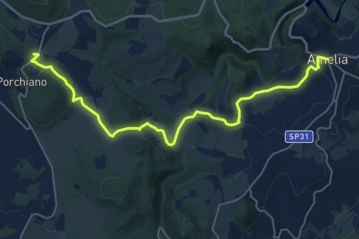
Medium · Trail
Amelia – Porchiano del Monte
14.8 km · ↑ 516 m · 4 h 37 min
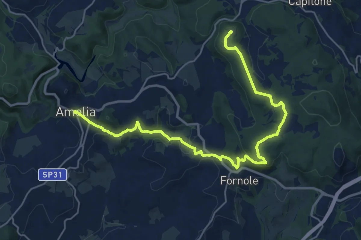
Demanding · Trail
Amelia – Foce
18.5 km · ↑ 465 m · 5 h 23 min
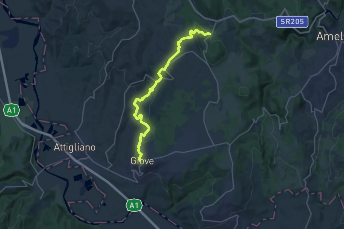
Medium · Trail
Porchiano del Monte – Giove
17.8 km · ↑ 611 m · 5 h 32 min
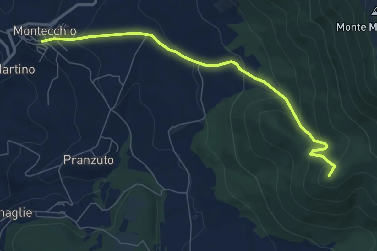
Medium · Summit
Santa Restituta – Montecchio
6.7 km · ↑ 354 m · 2 h 20 min
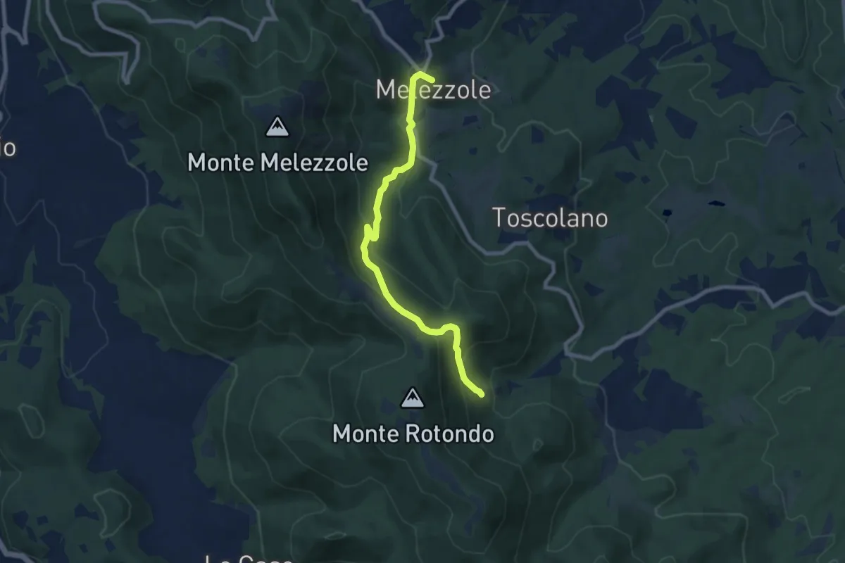
Medium · Trail
Santa Restituta – Melezzole
7.9 km · ↑ 408 m · 2 h 45 min
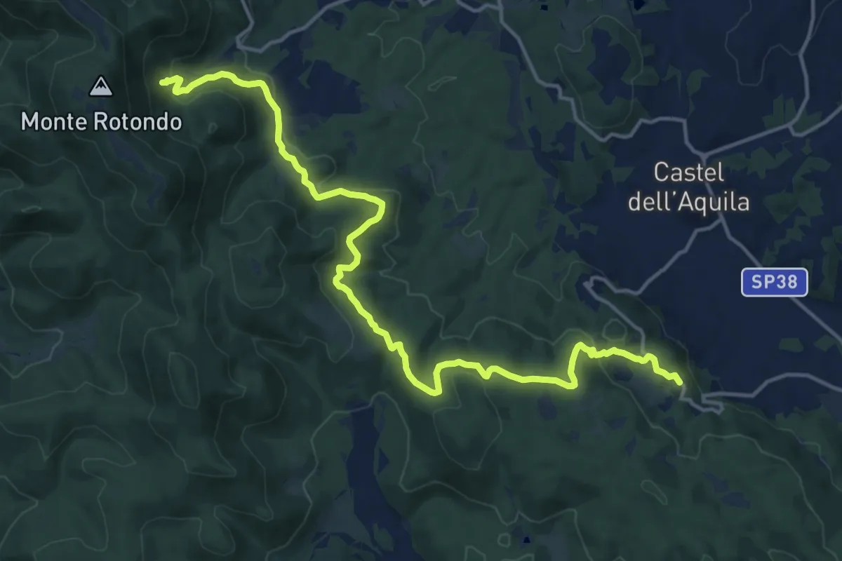
Demanding · Trail
Collicello – Santa Restituta
18.7 km · ↑ 576 m · 5 h 41 min
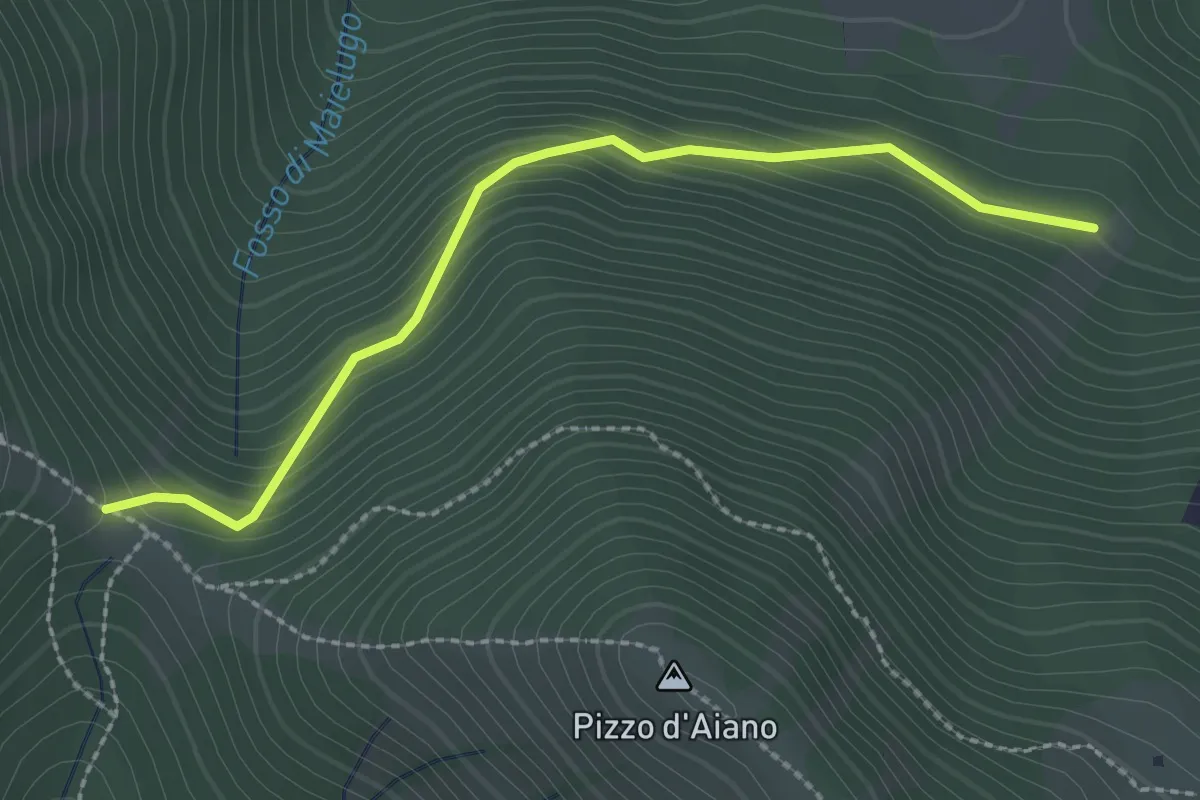
Easy · Trail
Colle d'Aiano – Sella Valle Noce
2.7 km · ↑ 208 m · 1 h 5 min
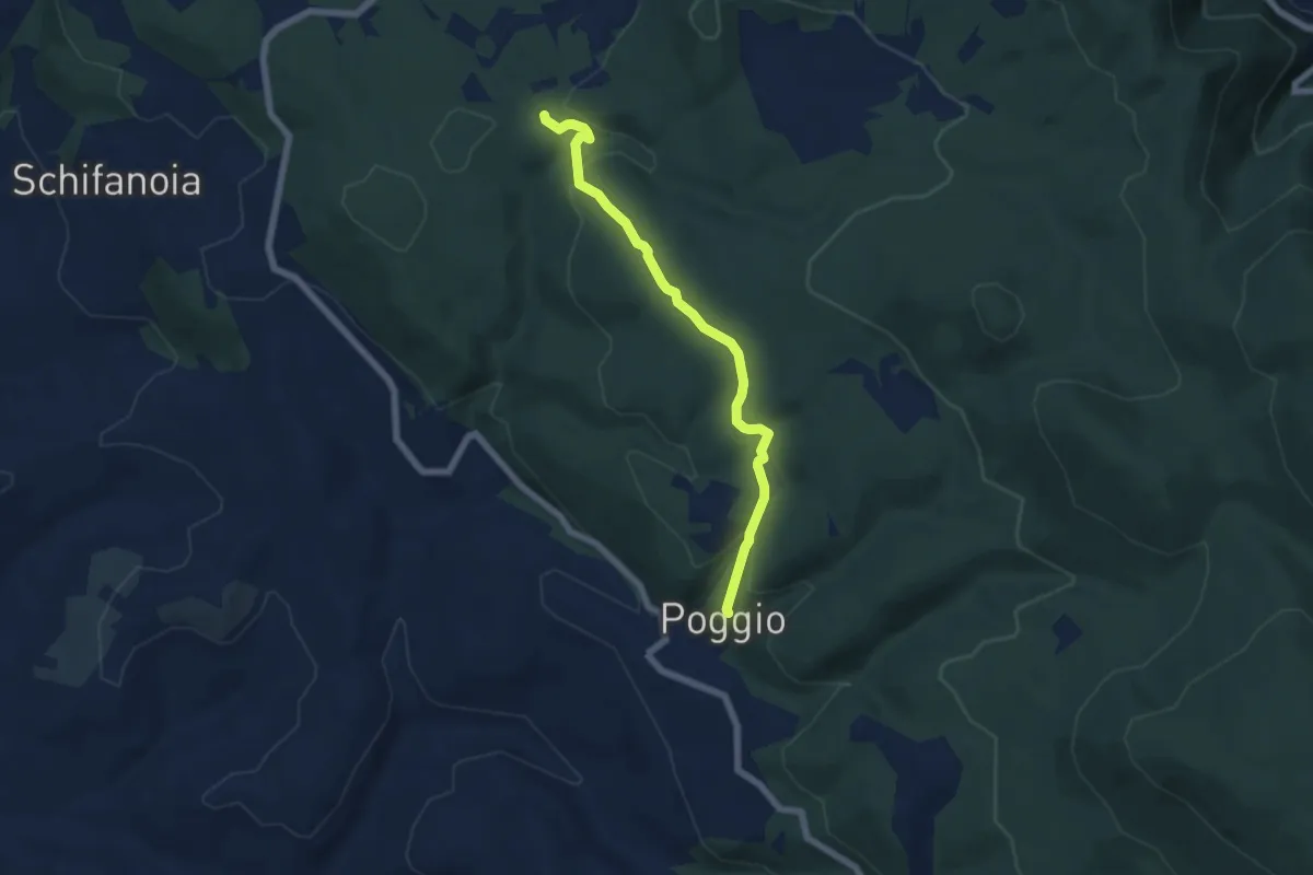
Easy · Trail
Poggio – Intersezione percorso 656
6.2 km · ↑ 165 m · 1 h 50 min
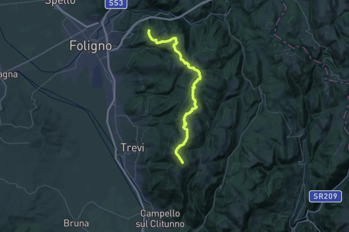
Demanding · Summit
Sassovivo – Pettino
36.1 km · ↑ 1533 m · 11 h 51 min
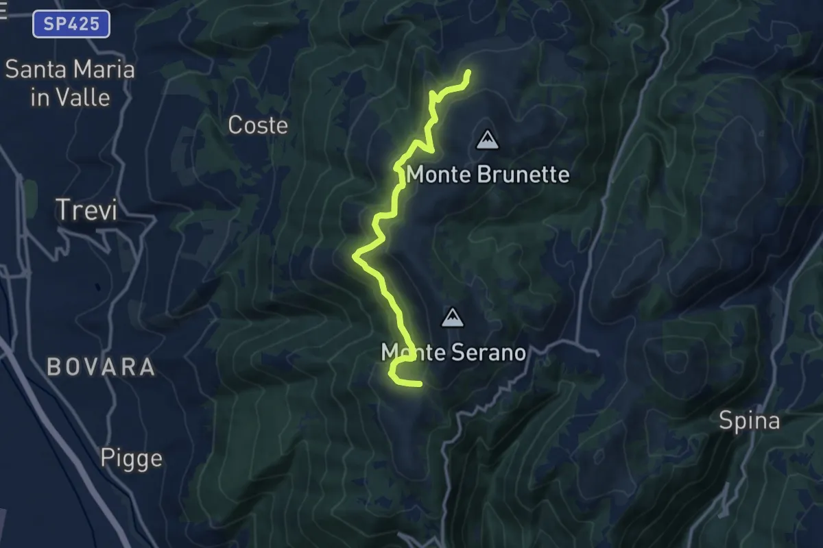
Medium · Trail
Intersezione percorso 370 – Sella Sant'Angelo
11.3 km · ↑ 595 m · 3 h 57 min
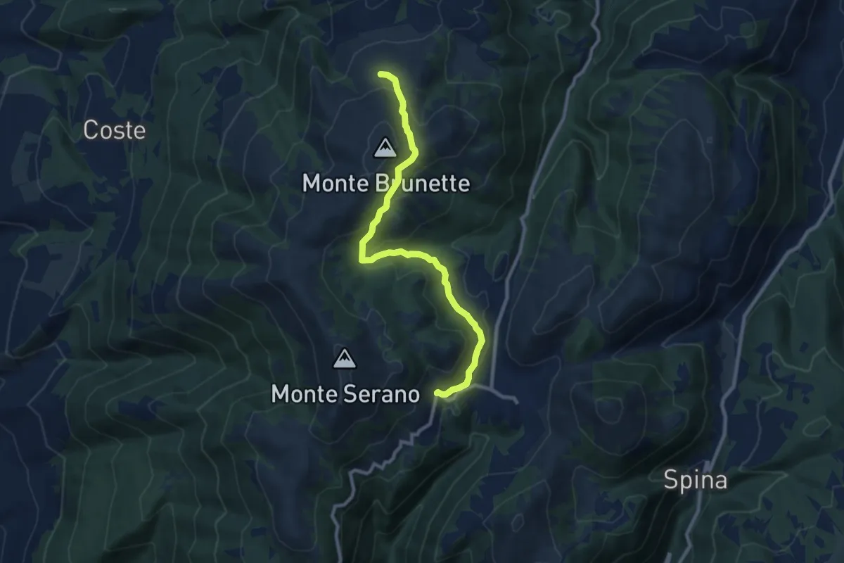
Medium · Trail
Pettino – Casette Brunette
9.5 km · ↑ 465 m · 3 h 14 min
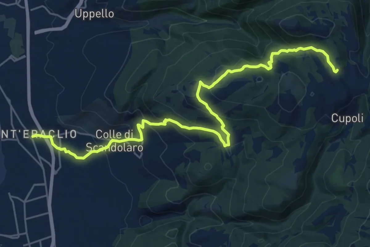
Demanding · Trail
Sant'Eraclio – Cancelli
20.9 km · ↑ 914 m · 6 h 54 min
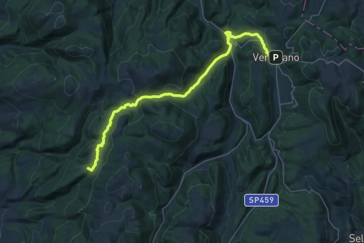
Demanding · Summit
Coste San Paolo – Verchiano
24.0 km · ↑ 977 m · 7 h 48 min
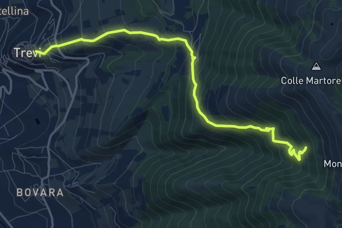
Demanding · Cabin
Trevi – Casetta Ciccaia
10.6 km · ↑ 816 m · 4 h 16 min
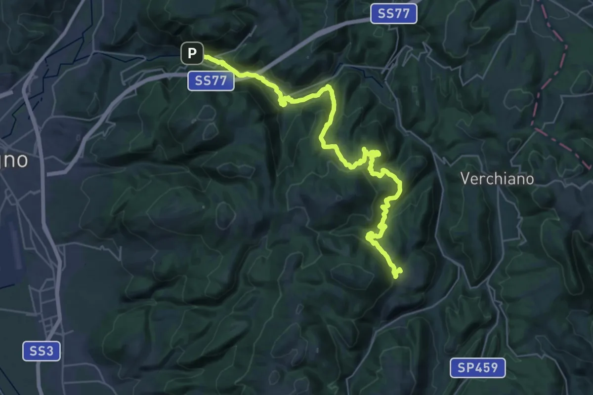
Demanding · Trail
Pale – Case Rampi
16.4 km · ↑ 843 m · 5 h 42 min
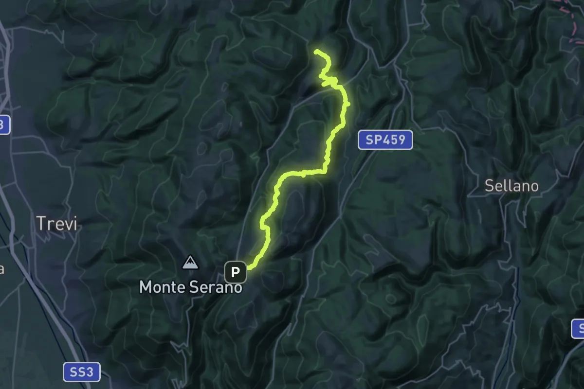
Medium · Trail
Case Rampi – Pettino
12.1 km · ↑ 685 m · 4 h 27 min
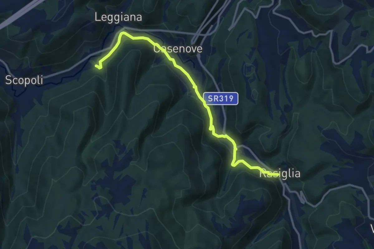
Medium · Trail
Rasiglia – Madonna del Sasso
10.0 km · ↑ 270 m · 2 h 56 min
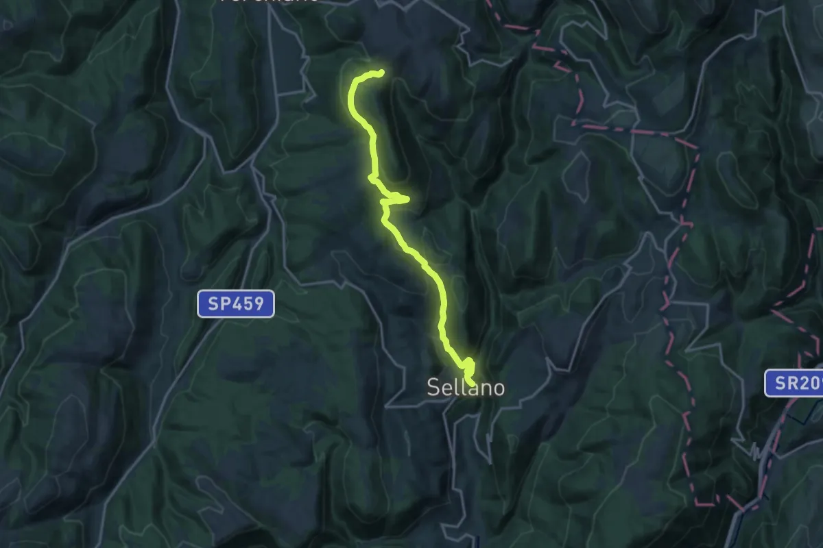
Medium · Trail
Croce di Roccafranca – Sellano
16.1 km · ↑ 723 m · 5 h 22 min
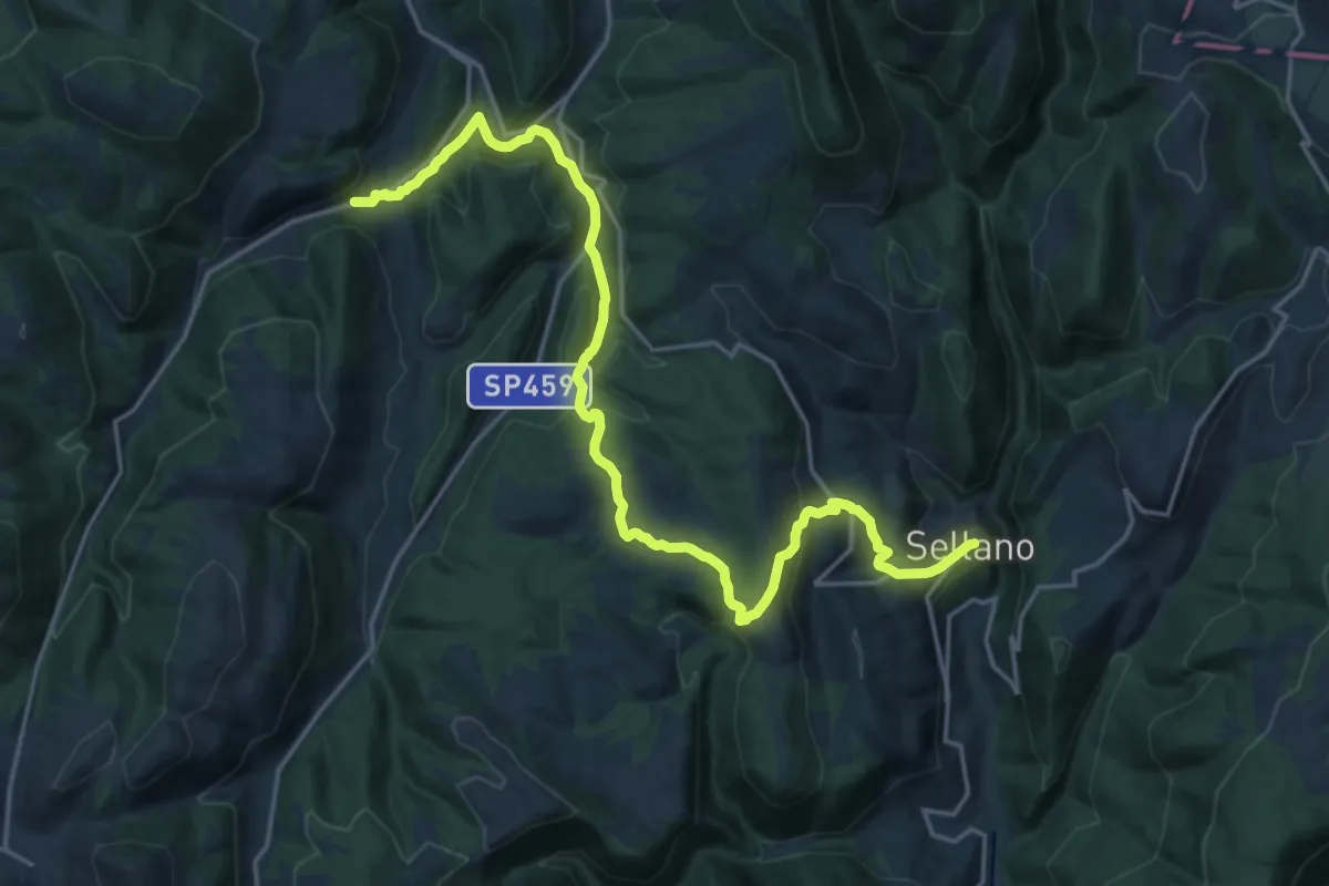
Demanding · Trail
Molini – Sellano
23.4 km · ↑ 679 m · 7 h
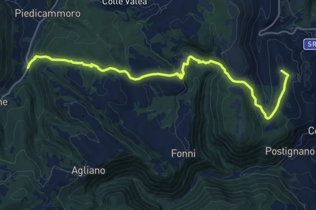
Medium · Summit
Sellano – Santa Chiara
13.3 km · ↑ 526 m · 4 h 17 min
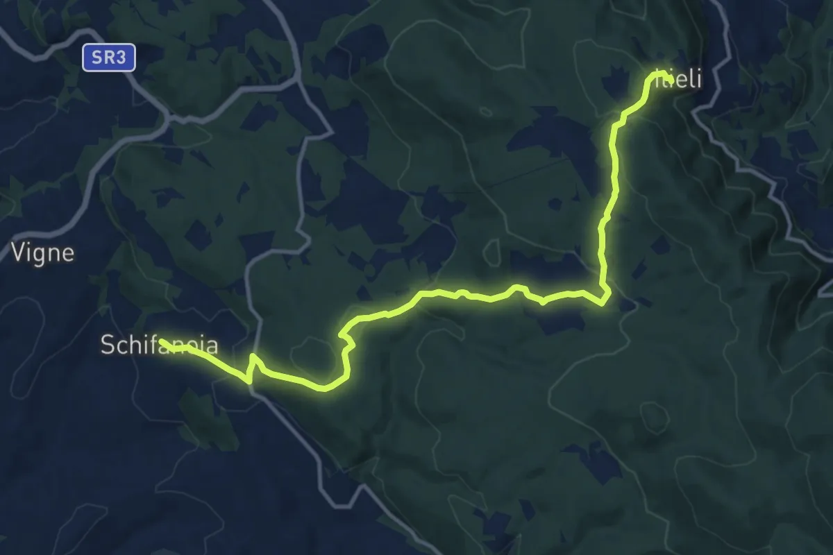
Medium · Trail
Itieli – Schifanoia
14.6 km · ↑ 391 m · 4 h 17 min
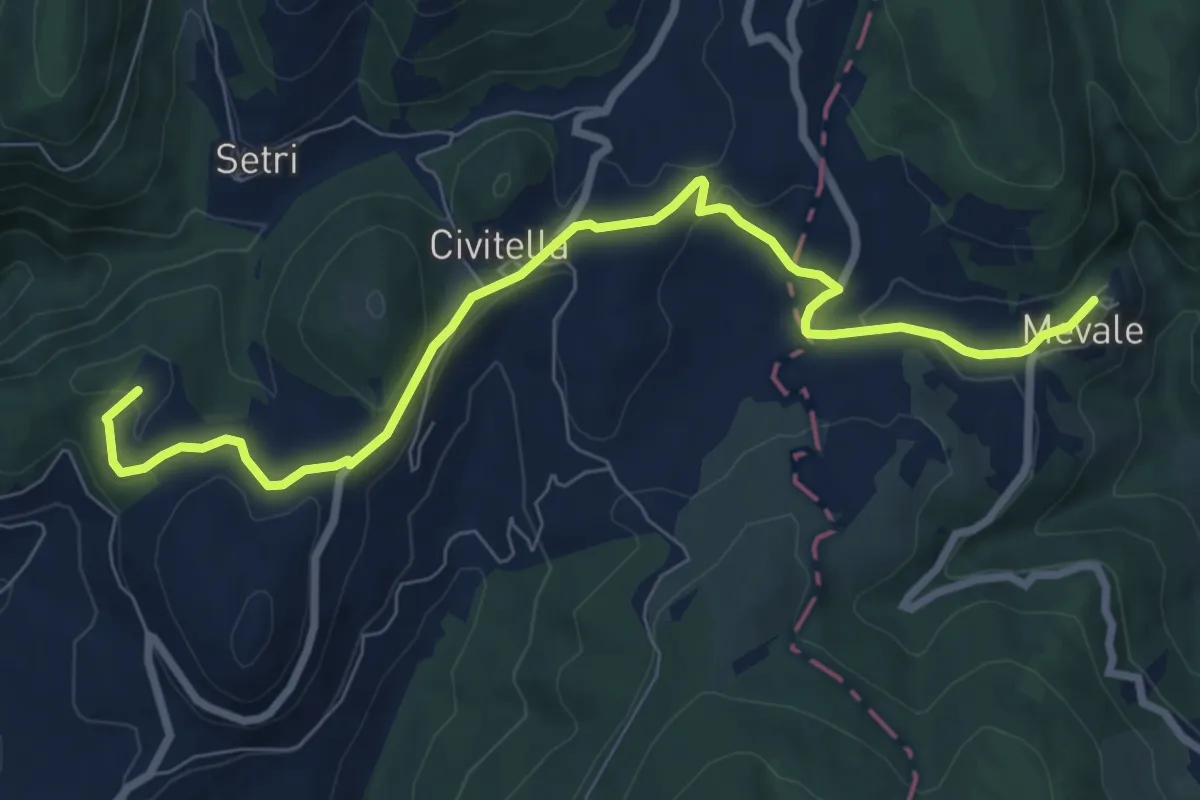
Medium · Summit
Lago Sellano – Mevale
9.2 km · ↑ 153 m · 2 h 30 min
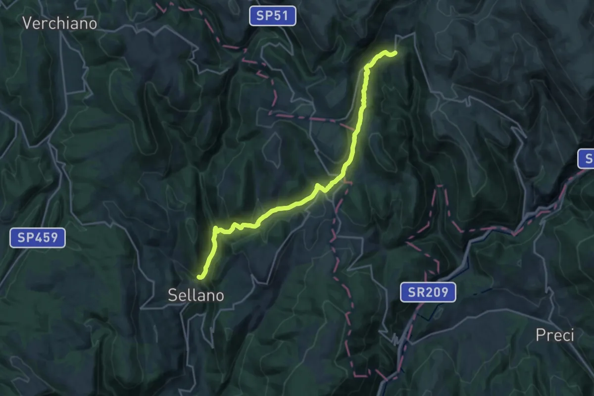
Demanding · Trail
Lago del Vigi (Sellano) – Riofreddo
19.3 km · ↑ 777 m · 6 h 14 min
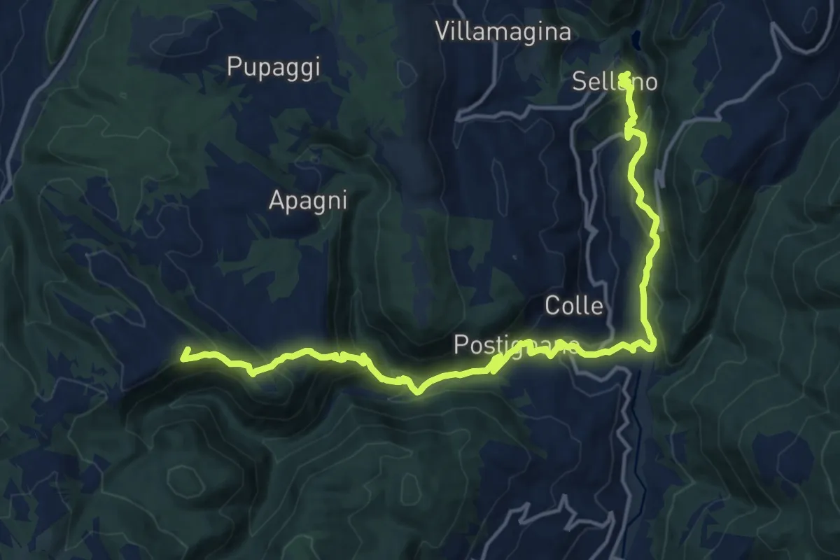
Demanding · Summit
Cammoro – Sellano
18.1 km · ↑ 997 m · 6 h 25 min
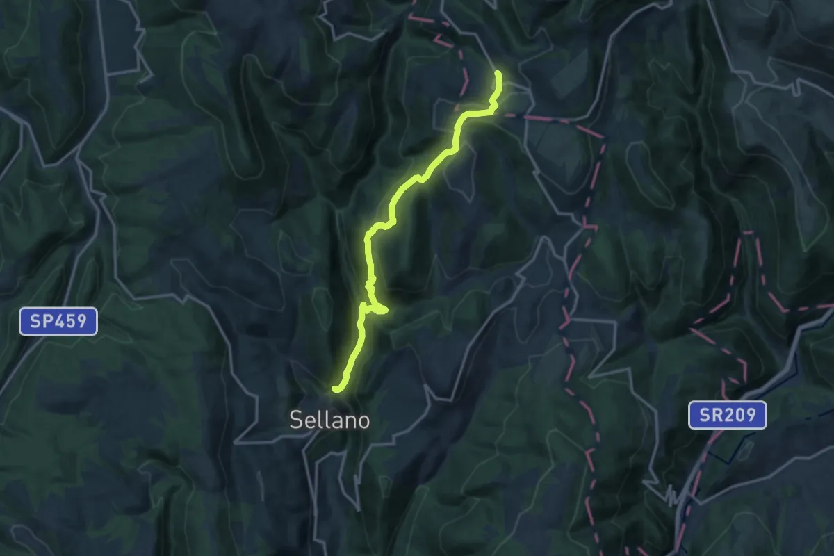
Medium · Trail
Rasenna – Lago del Vigi (Sellano)
13.8 km · ↑ 679 m · 4 h 44 min
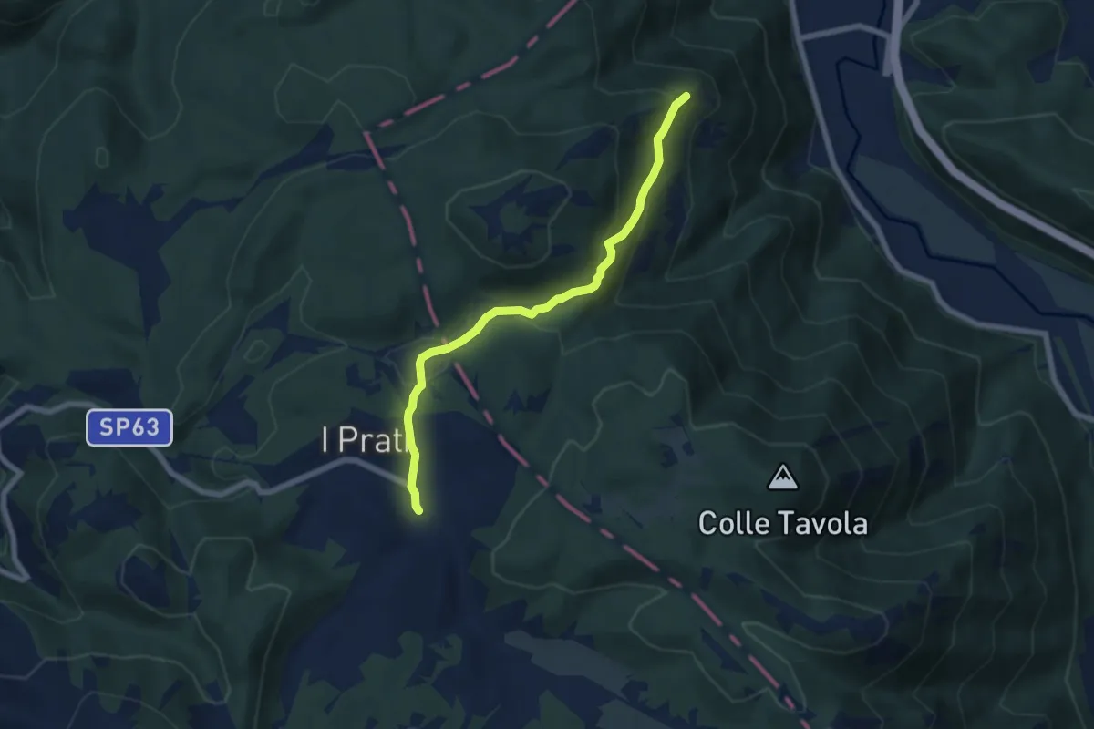
Easy · Trail
I Prati – Moggio
6.4 km · ↑ 256 m · 2 h 4 min
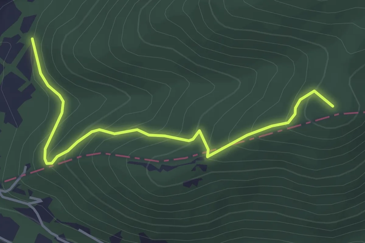
Easy · Summit
Bivio San Venanzio – Valle Campana
4.2 km · ↑ 276 m · 1 h 36 min
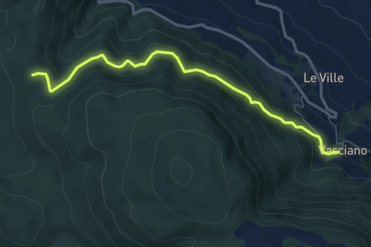
Medium · Trail
Vasciano – Croce San Valentino
6.5 km · ↑ 385 m · 2 h 22 min
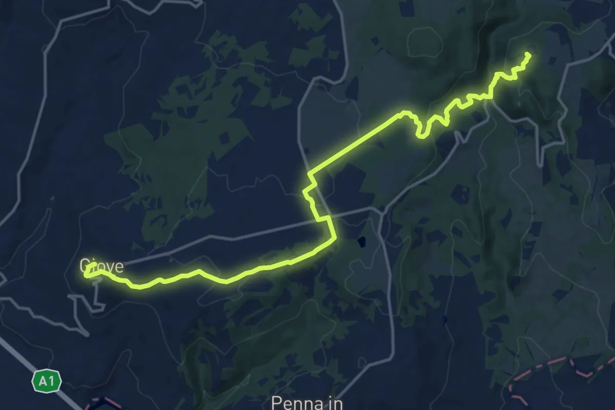
Medium · Trail
Convento della Santissima Annunziata – Giove
18.0 km · ↑ 460 m · 5 h 15 min
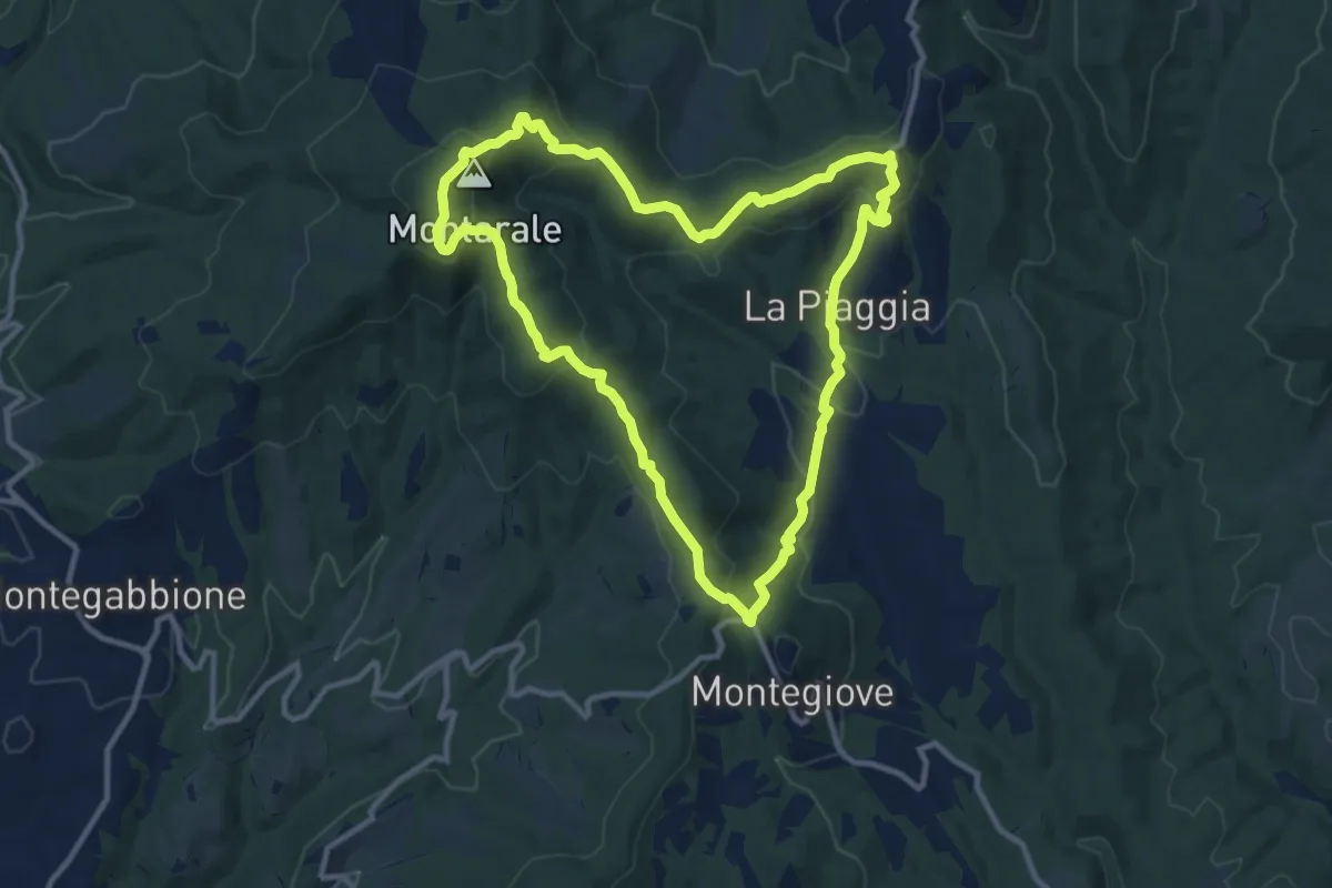
Medium · Summit
Montarale – Montarale
11.3 km · ↑ 410 m · 3 h 43 min
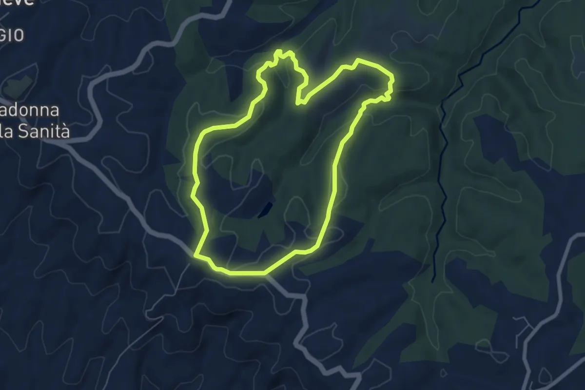
Easy · Trail
Città della Pieve – Città della Pieve
6.3 km · ↑ 152 m · 1 h 54 min
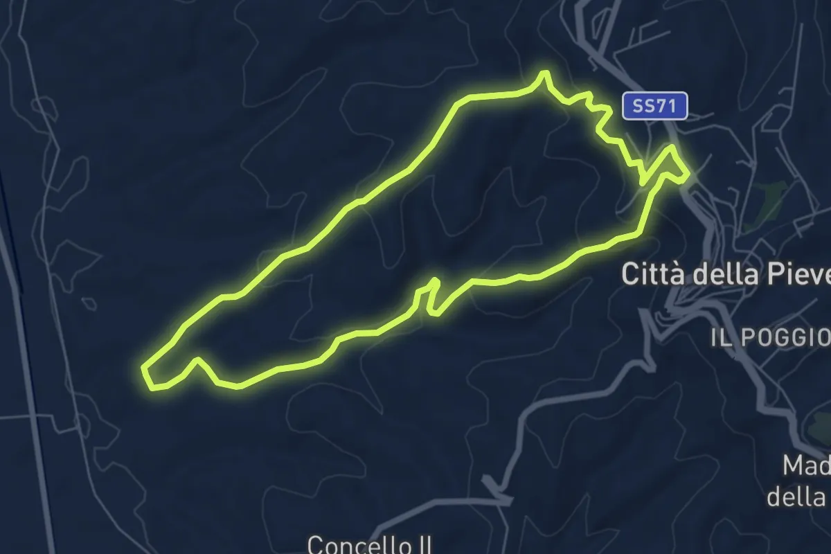
Easy · Trail
Città della Pieve – Citta della Pieve
7.0 km · ↑ 252 m · 2 h 17 min
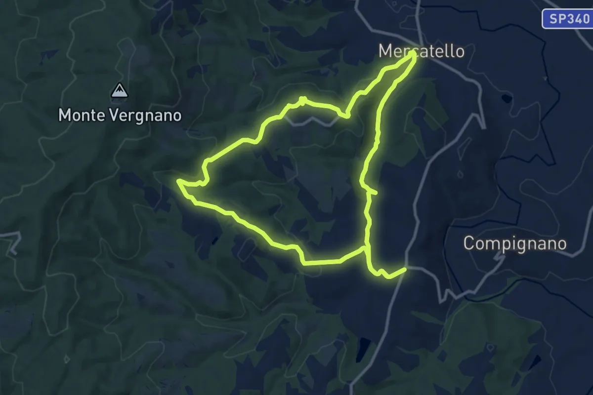
Medium · Trail
Compignano – Compignano
10.9 km · ↑ 302 m · 3 h 22 min
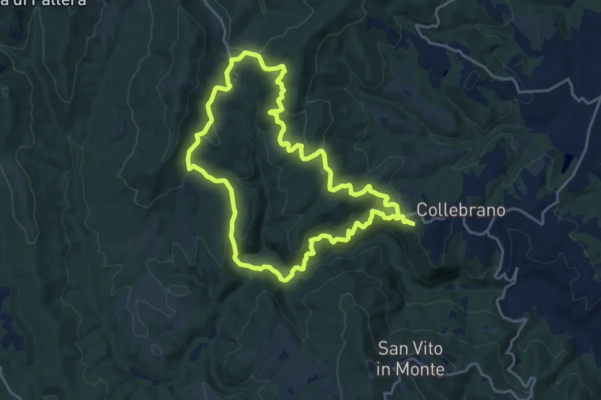
Medium · Summit
Migliano – Migliano
13.3 km · ↑ 512 m · 4 h 26 min
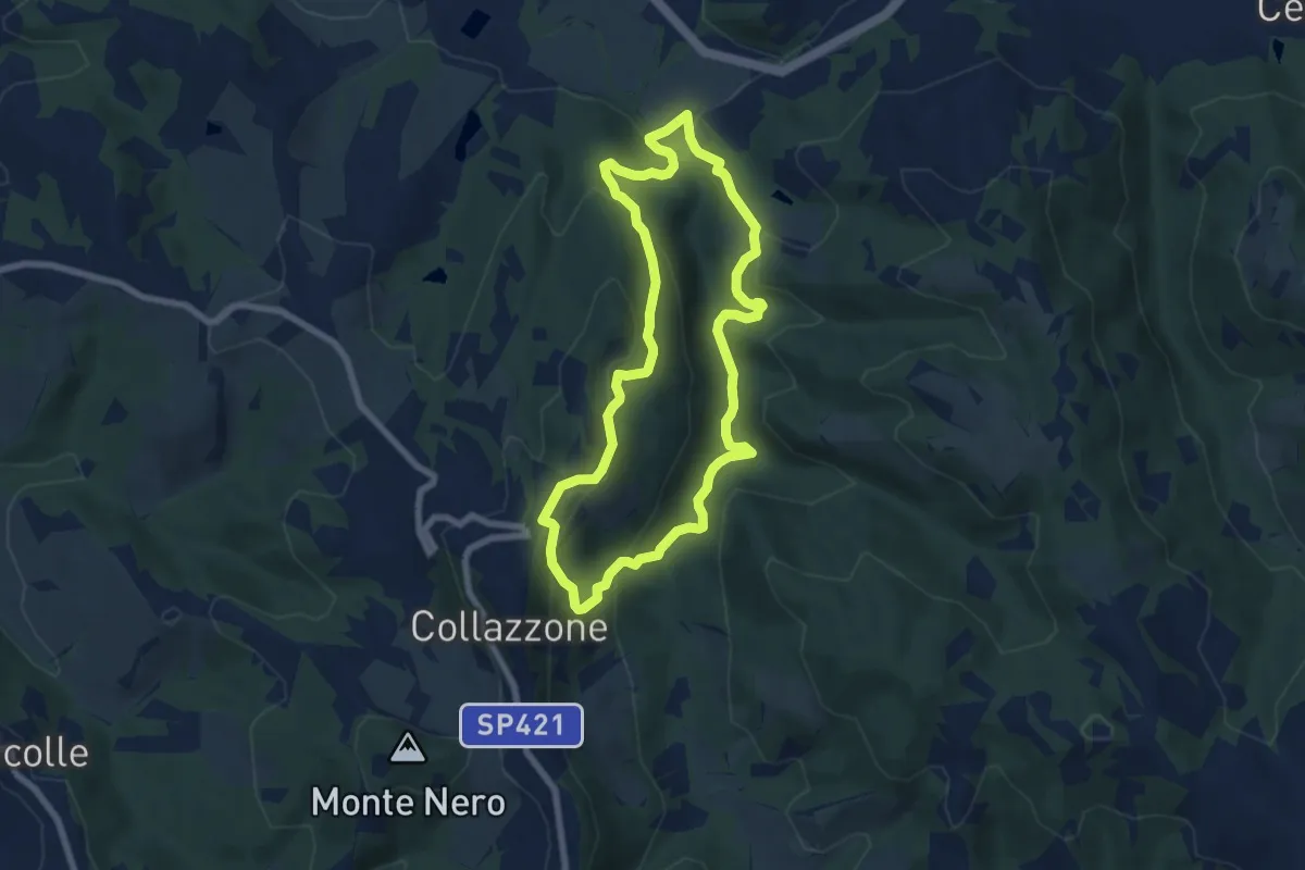
Medium · Trail
Collazzone – Collazzone
7.1 km · ↑ 335 m · 2 h 31 min
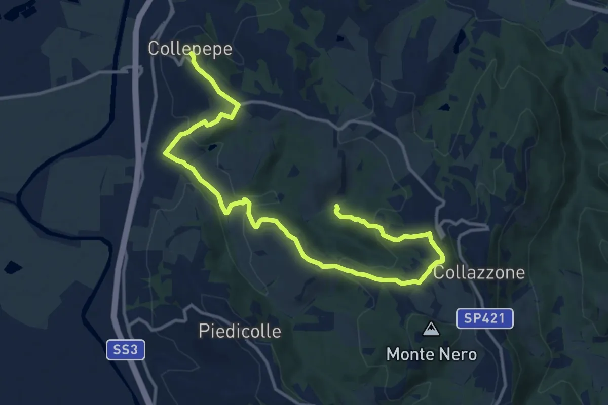
Medium · Trail
Collepepe – Miniera di Musolischio
14.5 km · ↑ 442 m · 4 h 22 min
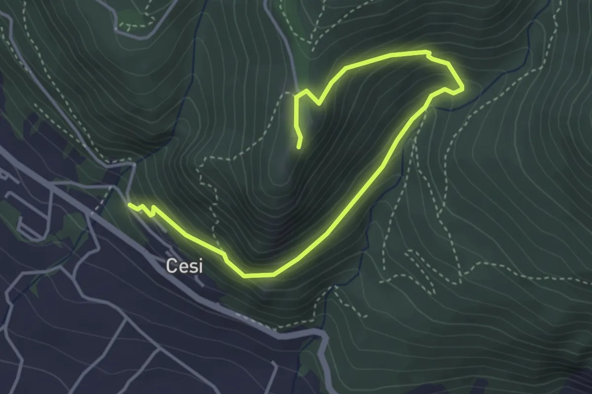
Medium · Trail
Cesi – San Erasmo
4.8 km · ↑ 333 m · 1 h 52 min
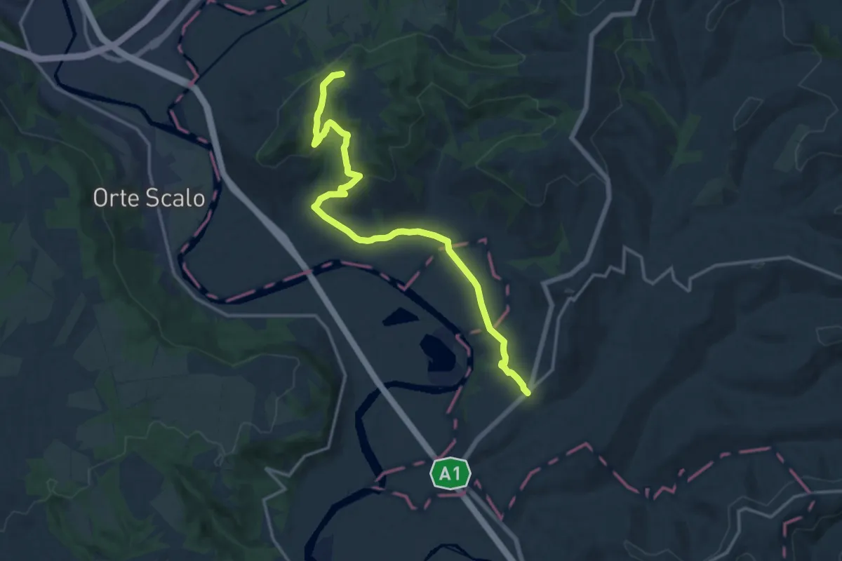
Medium · Trail
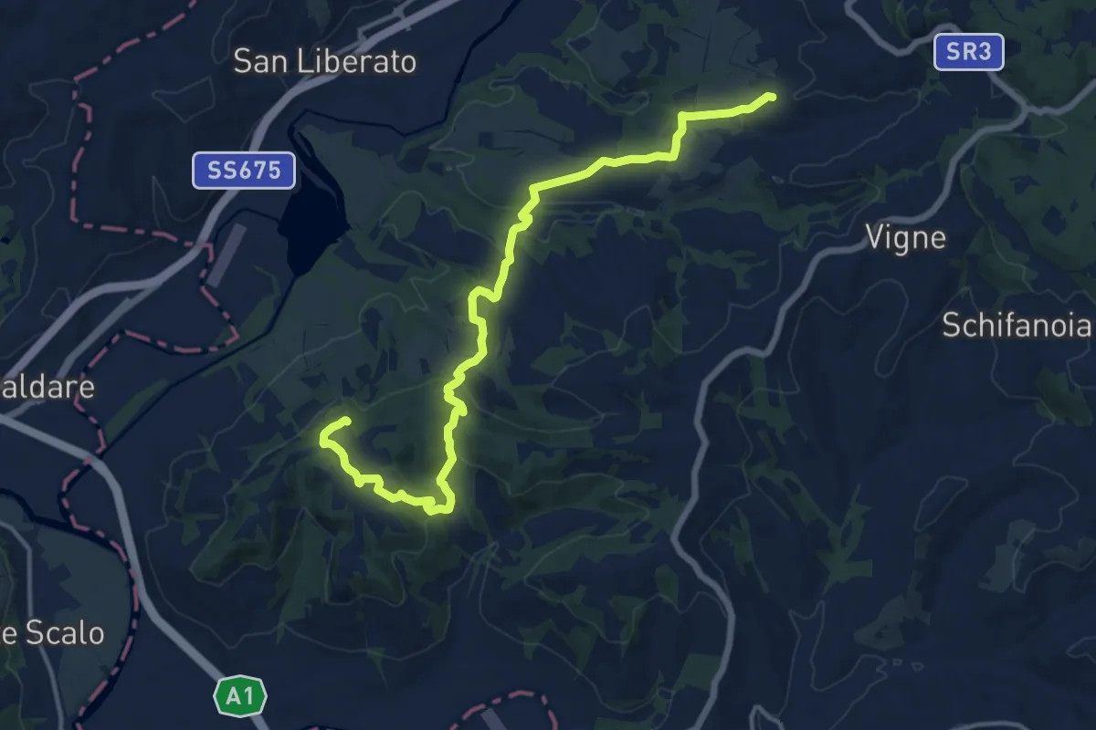
Ocriculum – Guadamello
16.0 km · ↑ 356 m · 4 h 32 min
Medium · Trail
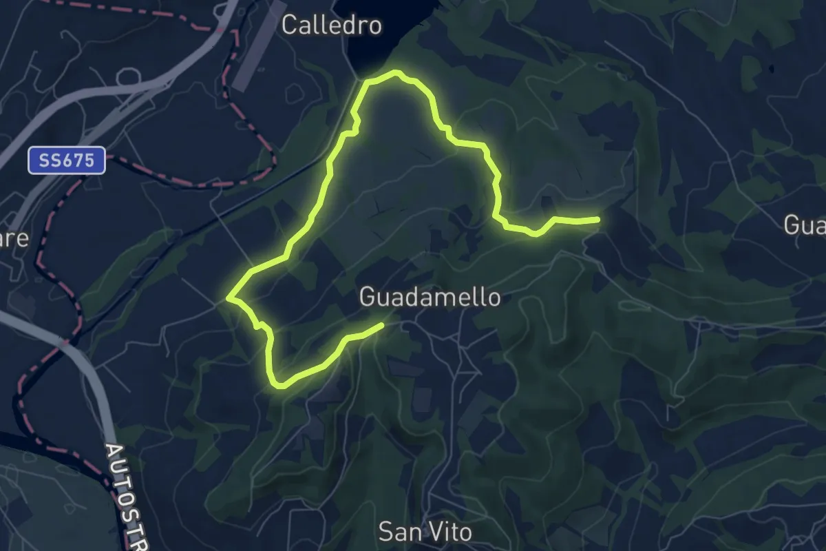
Guadamello – Santa Pudenziana
16.9 km · ↑ 425 m · 4 h 54 min
Medium · Trail
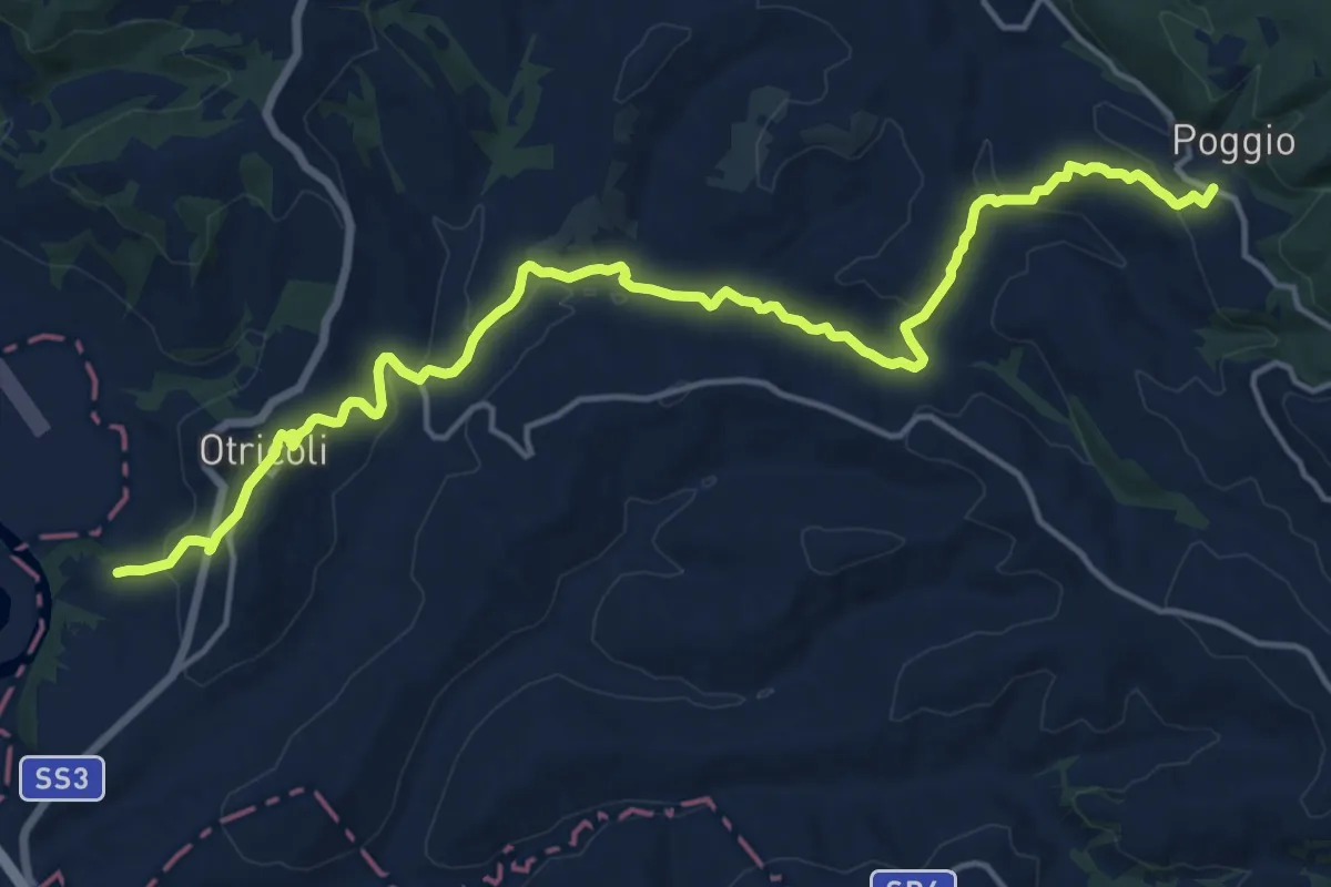
Intersezione percorso 649 – Intersezione percorso 658
10.6 km · ↑ 340 m · 3 h 14 min
Demanding · Trail
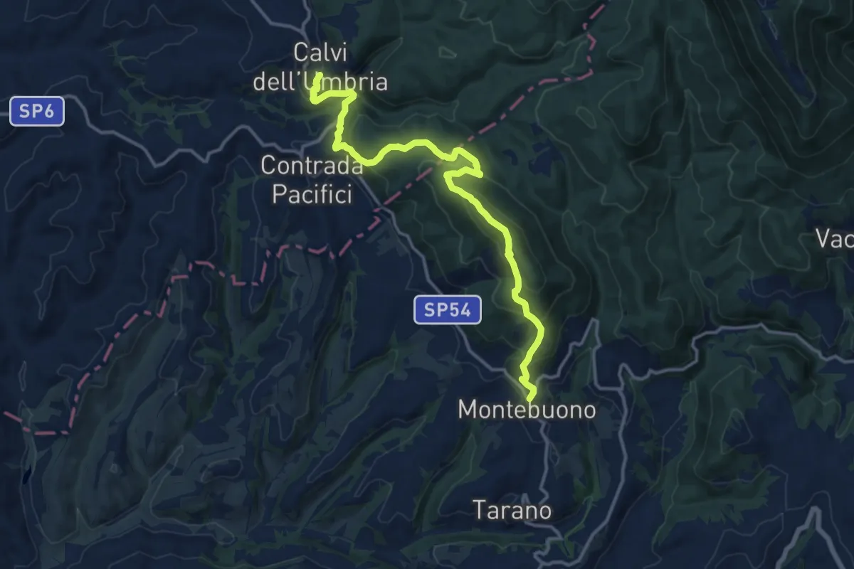
Ocriculum – Poggio
20.0 km · ↑ 535 m · 5 h 53 min
Demanding · Trail
Calvi – Montebuono
15.4 km · ↑ 856 m · 5 h 30 min
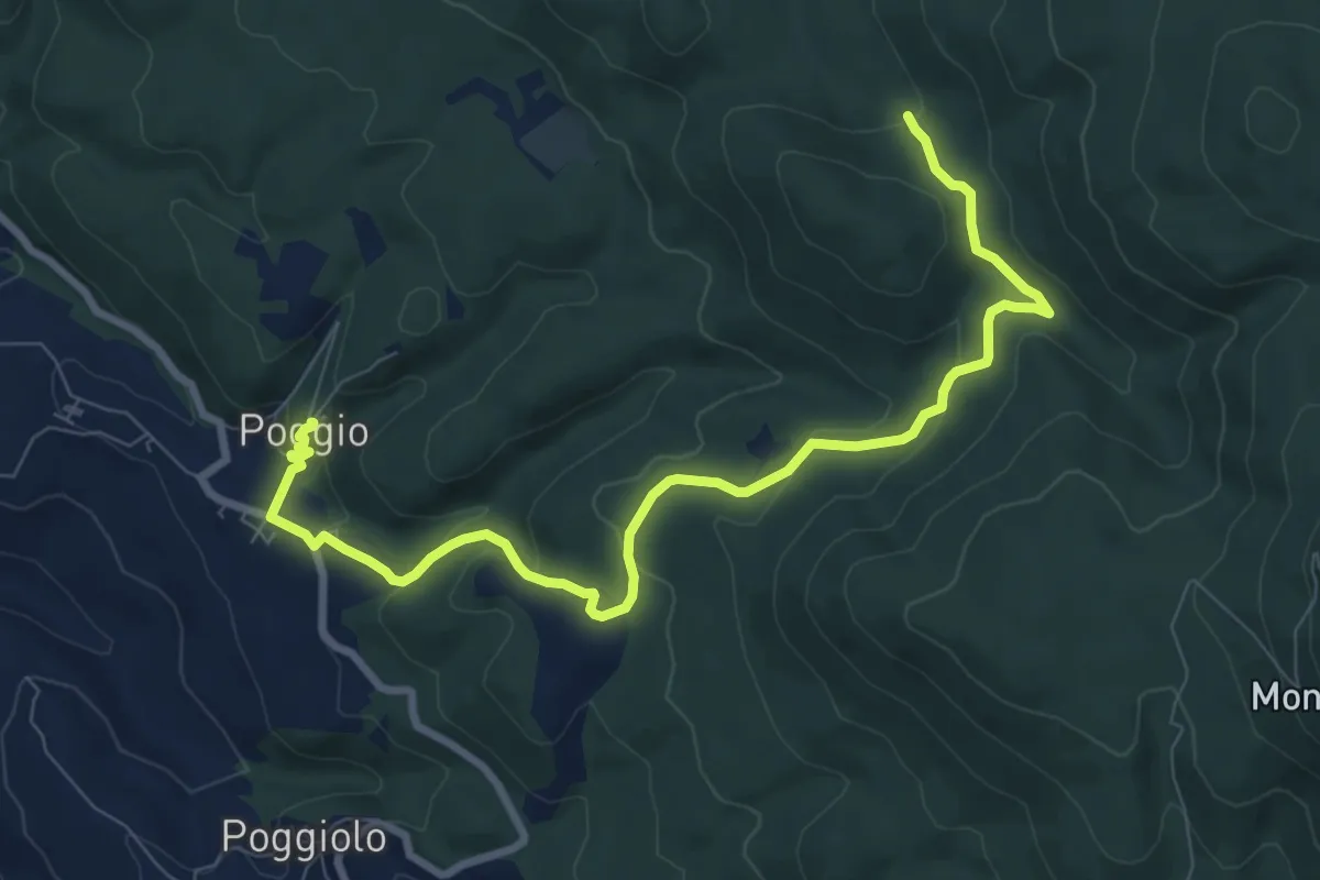
Medium · Trail
Poggio – Intersezione percorso 646
10.4 km · ↑ 405 m · 3 h 20 min
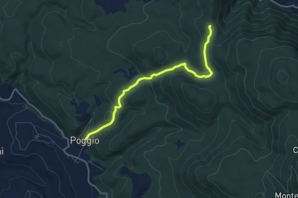
Easy · Trail
Poggio – Croce San Valentino
7.8 km · ↑ 265 m · 2 h 24 min
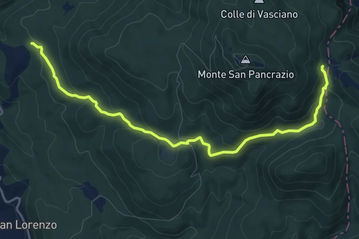
Medium · Trail
Lago – Colle Prata
11.0 km · ↑ 365 m · 3 h 24 min
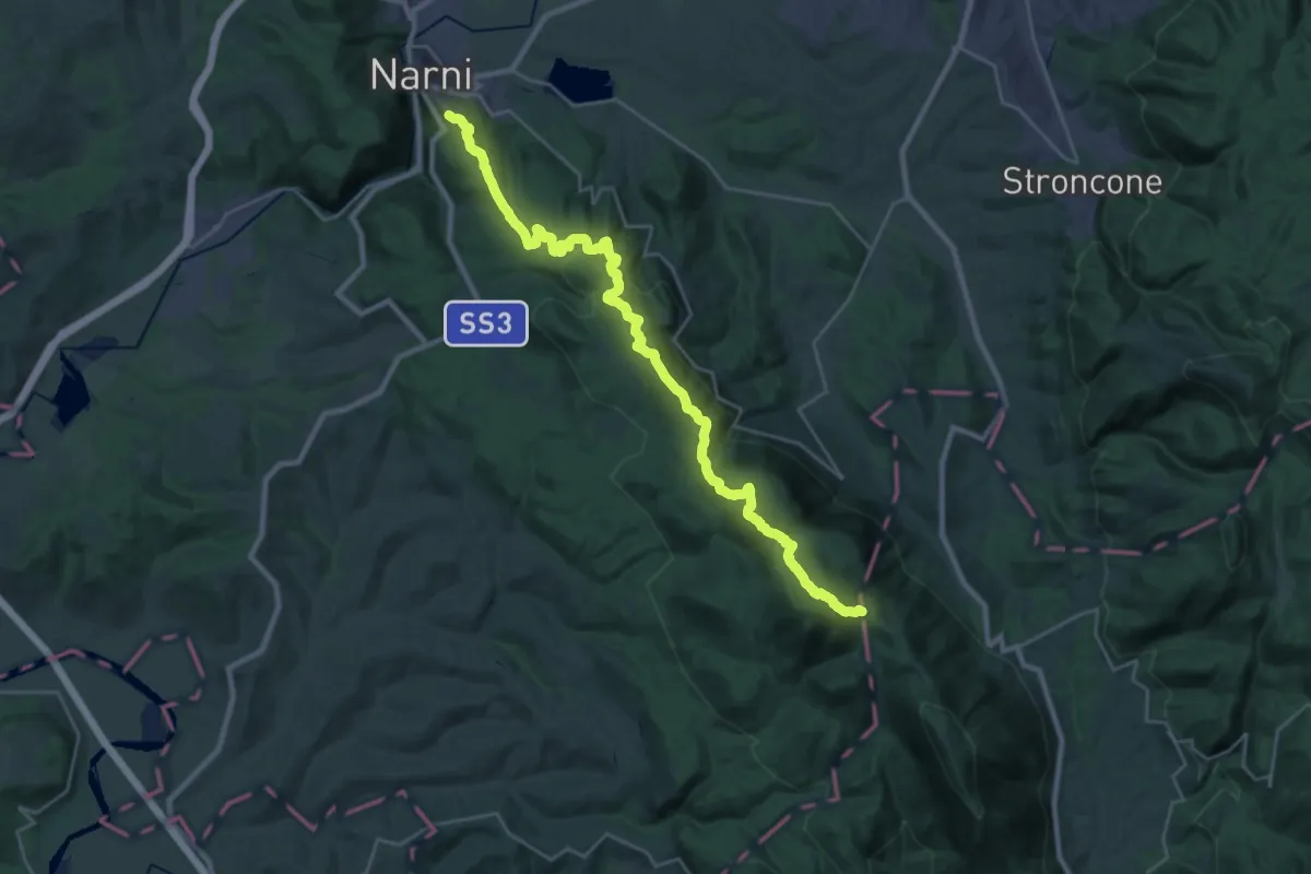
Medium · Trail
Rocca di Narni – Colle Prata
15.8 km · ↑ 784 m · 5 h 26 min