Trails in Italy
25,219 hiking trails, each with its route, climb, walking time and grade.
All trails, page 276 of 526
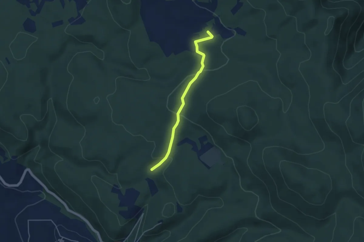
Easy · Trail
Intersezione percorso 647 – Intersezione percorso 656
3.9 km · ↑ 103 m · 1 h 9 min
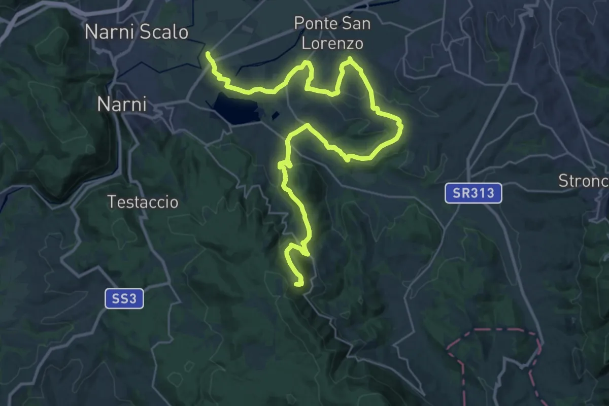
Medium · Trail
Greenway del Nera – Itieli
17.8 km · ↑ 708 m · 5 h 45 min
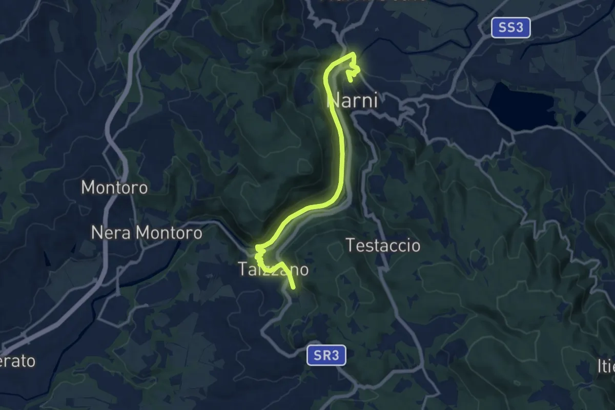
Medium · Trail
Narni – Castel Sant'Angelo
13.3 km · ↑ 437 m · 4 h 6 min
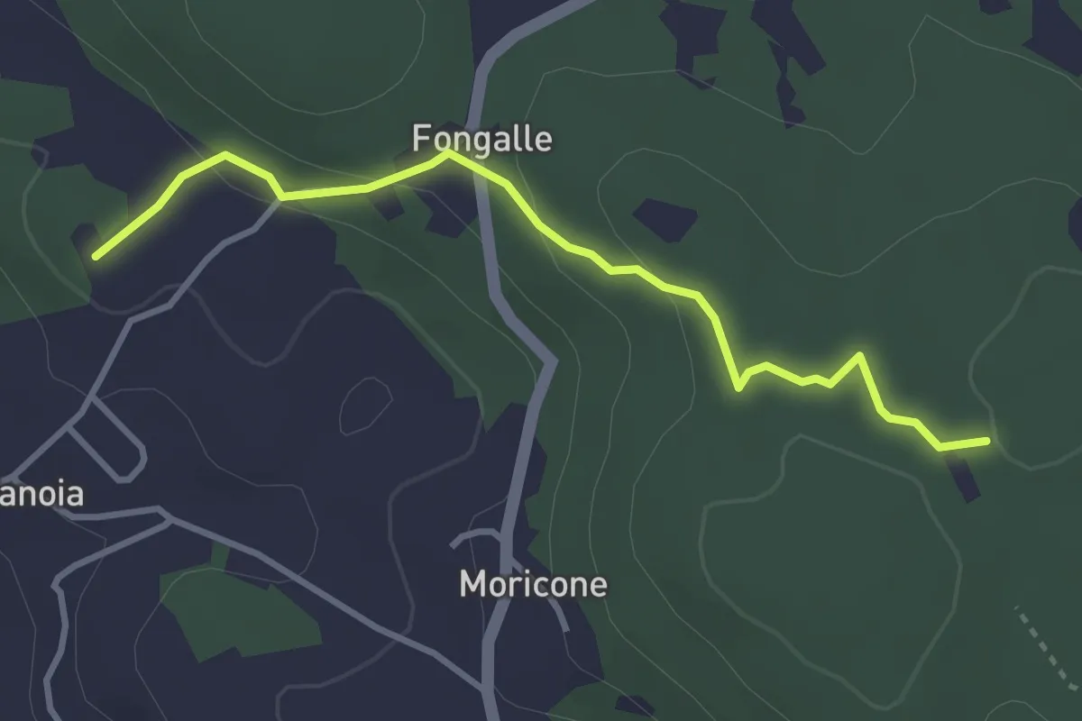
Easy · Trail
San Michele – Intersezione percorso 656
3.6 km · ↑ 88 m · 1 h 2 min
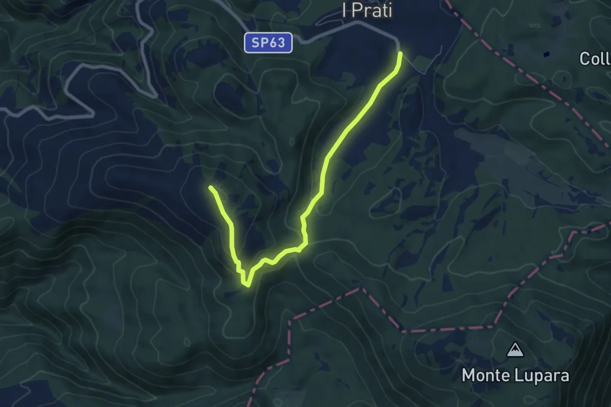
Easy · Summit
I Prati – Monte Macchialunga
7.3 km · ↑ 253 m · 2 h 17 min
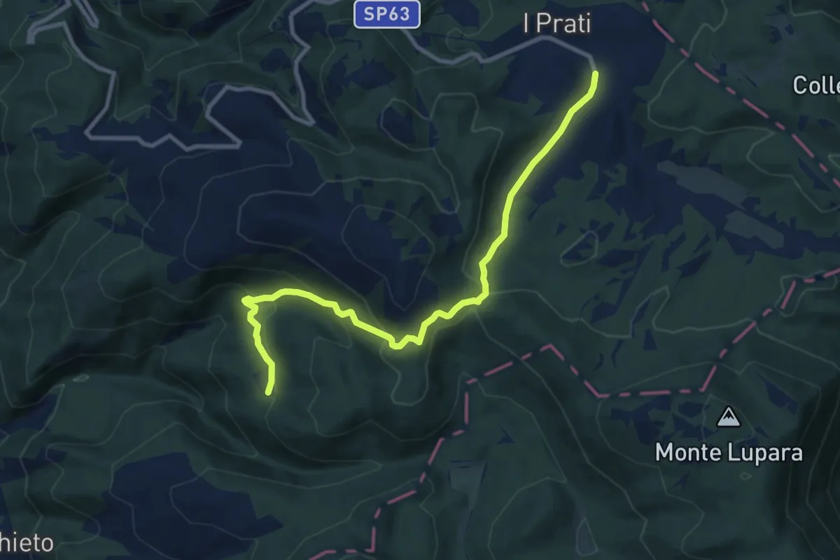
Medium · Trail
I Prati – Sorgente Acquasanta
10.2 km · ↑ 448 m · 3 h 22 min
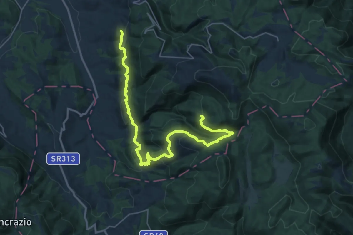
Demanding · Trail
Coppe – Sorgente Acquasanta
23.2 km · ↑ 1011 m · 7 h 41 min
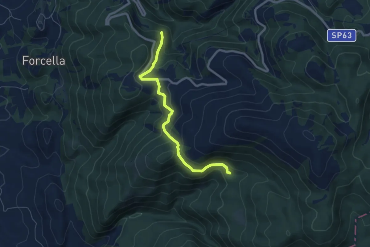
Medium · Trail
Bivio Sorgente Acquasanta – Santa Maria del Tresto
6.2 km · ↑ 371 m · 2 h 16 min
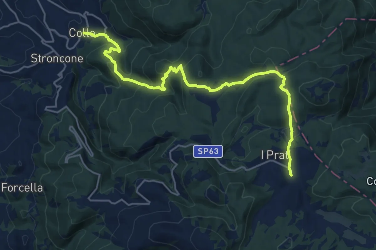
Demanding · Trail
Colle – I Prati
16.4 km · ↑ 803 m · 5 h 36 min
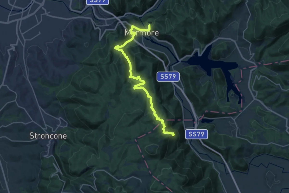
Demanding · Trail
Le Marmore – Moggio
20.4 km · ↑ 767 m · 6 h 29 min
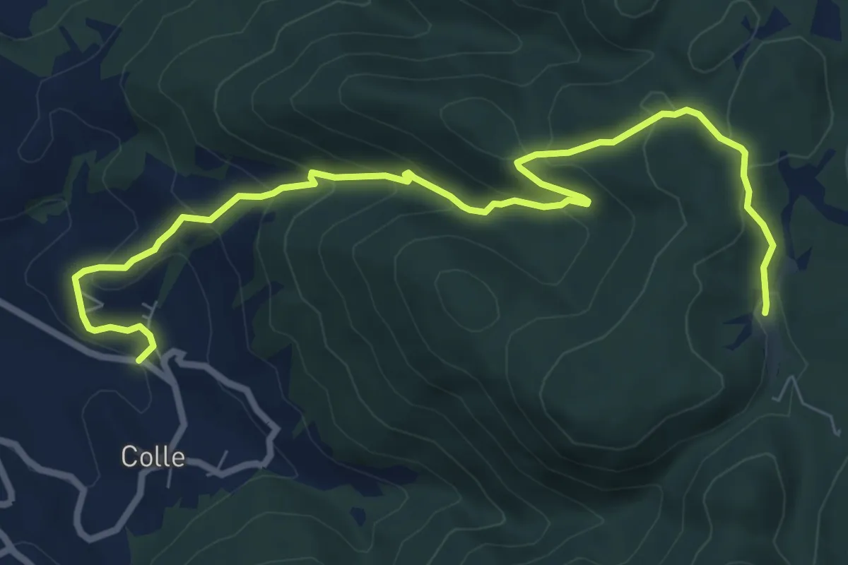
Medium · Trail
Colle – Acqua del Carpino
9.6 km · ↑ 519 m · 3 h 23 min
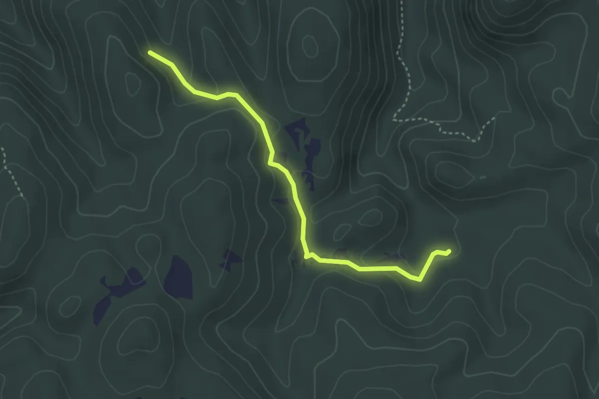
Easy · Trail
Bivio Casale Colle di Mezzo – Campo la Figora
3.8 km · ↑ 93 m · 1 h 6 min
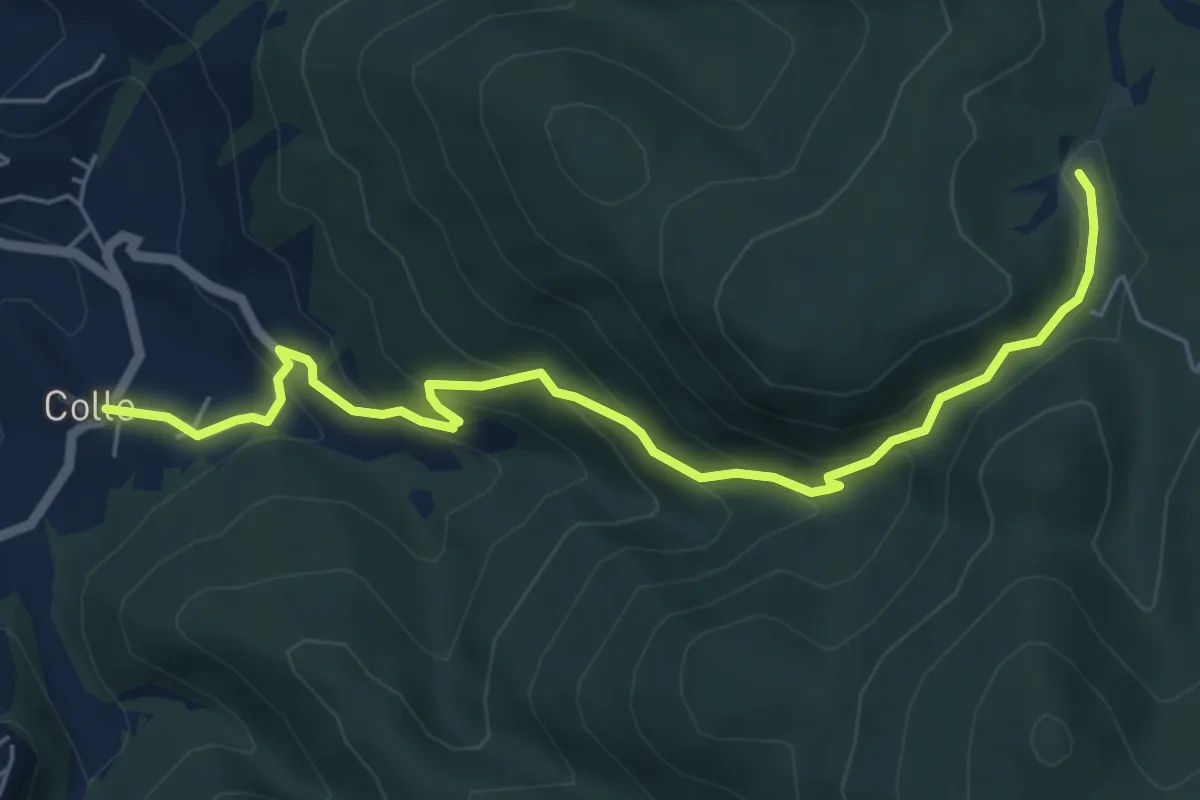
Medium · Trail
Colle – Acqua del Carpino
6.8 km · ↑ 420 m · 2 h 31 min
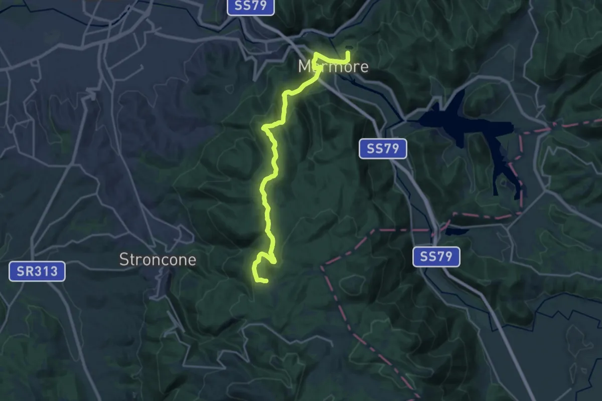
Demanding · Trail
Le Marmore – Cimitelle
19.0 km · ↑ 656 m · 5 h 54 min
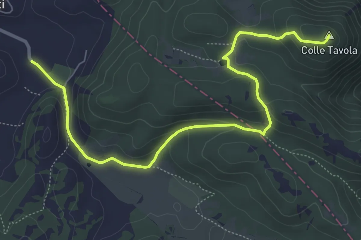
Easy · Summit
I Prati – Colle Tavola
7.5 km · ↑ 227 m · 2 h 15 min
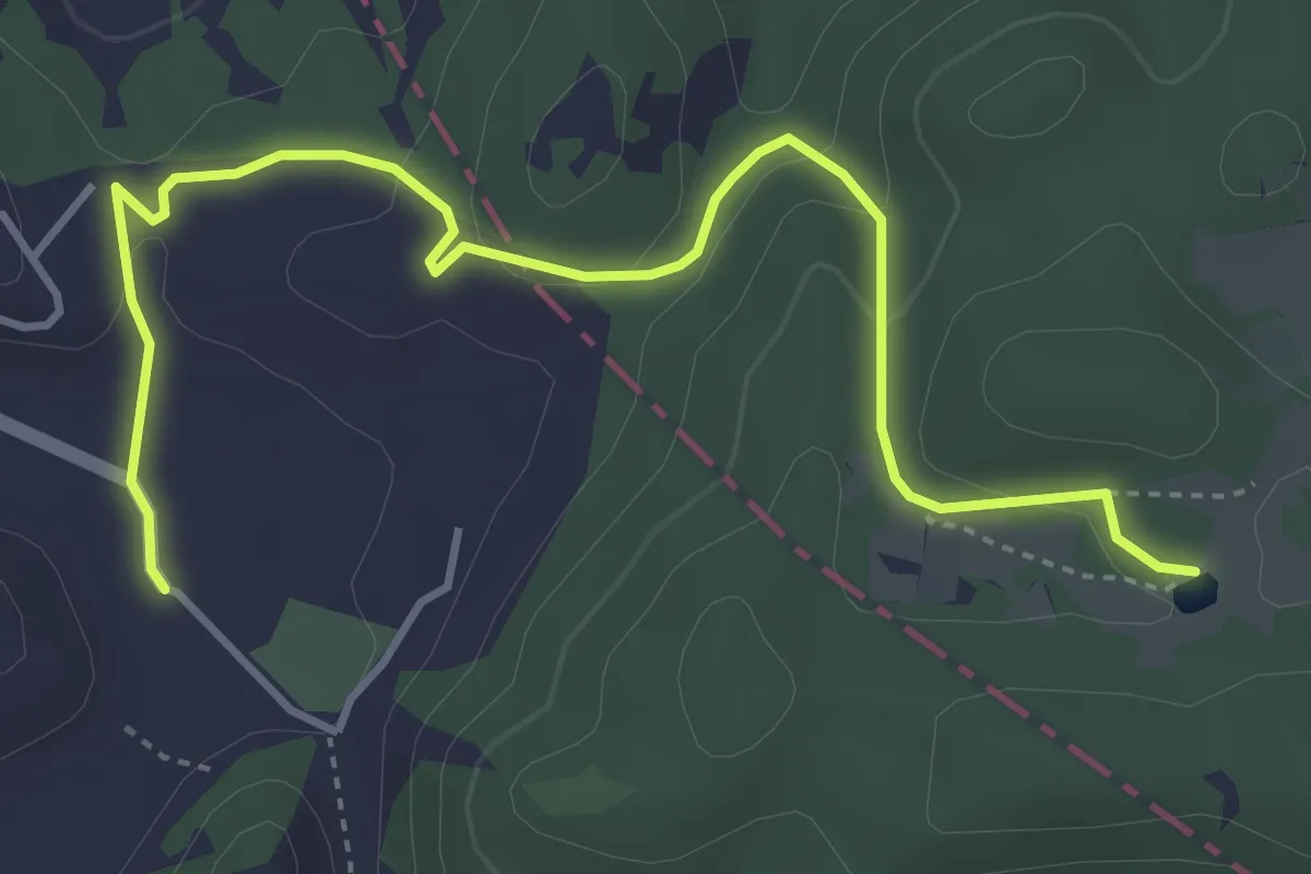
Easy · Trail
Pozza di Sant'Antonio – I Prati
5.2 km · ↑ 150 m · 1 h 33 min
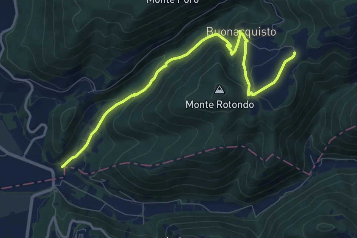
Medium · Trail
L'Osteria – San Venanzio
9.4 km · ↑ 435 m · 3 h 10 min
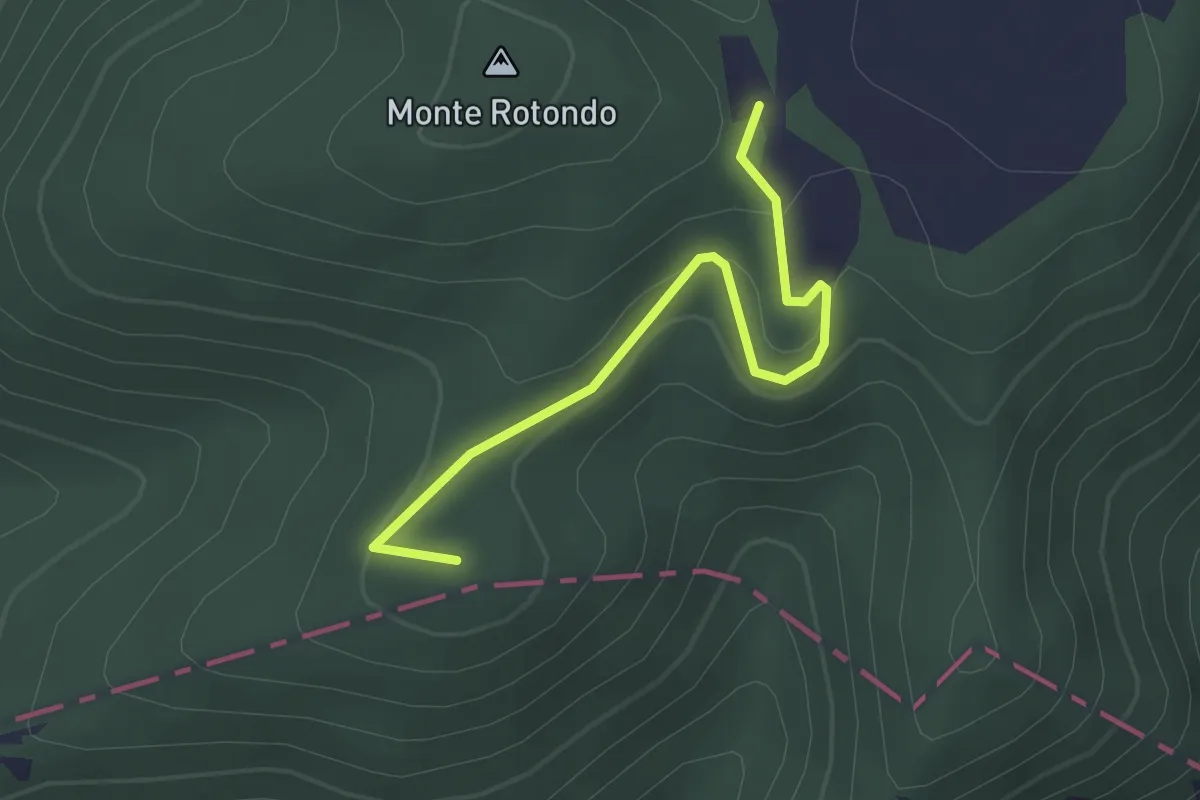
Easy · Summit
Bivio San Venanzio – Monte Posatore
2.7 km · ↑ 146 m · 58 min
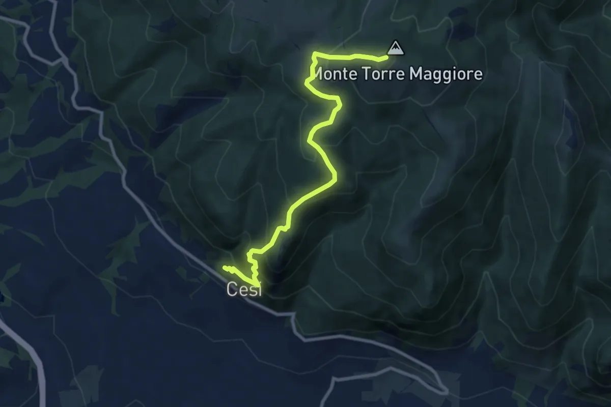
Medium · Summit
Cesi – Torre Maggiore
8.6 km · ↑ 685 m · 3 h 31 min
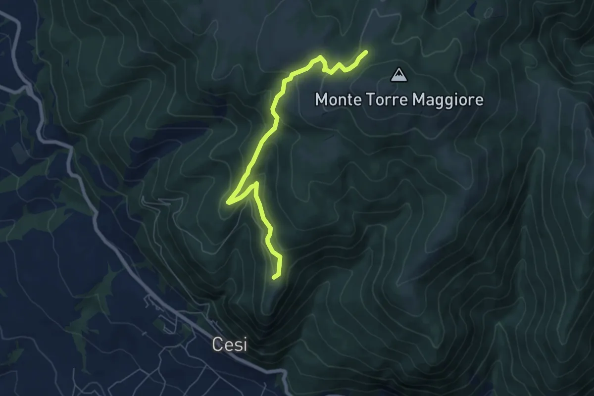
Medium · Trail
Sant'Erasmo – Monumento Caduti Cimarelli
6.7 km · ↑ 342 m · 2 h 19 min
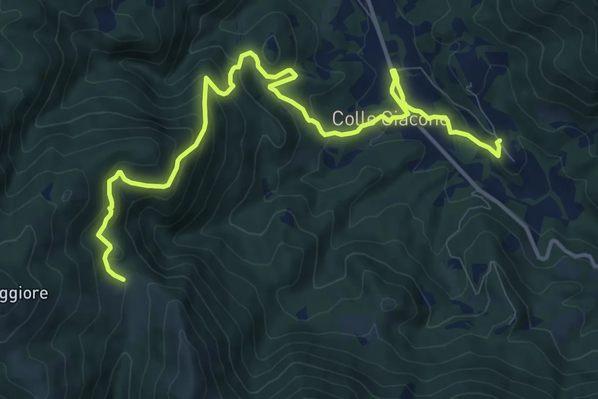
Medium · Trail
Poggio Lavarino – Località Le Prata
12.7 km · ↑ 633 m · 4 h 22 min
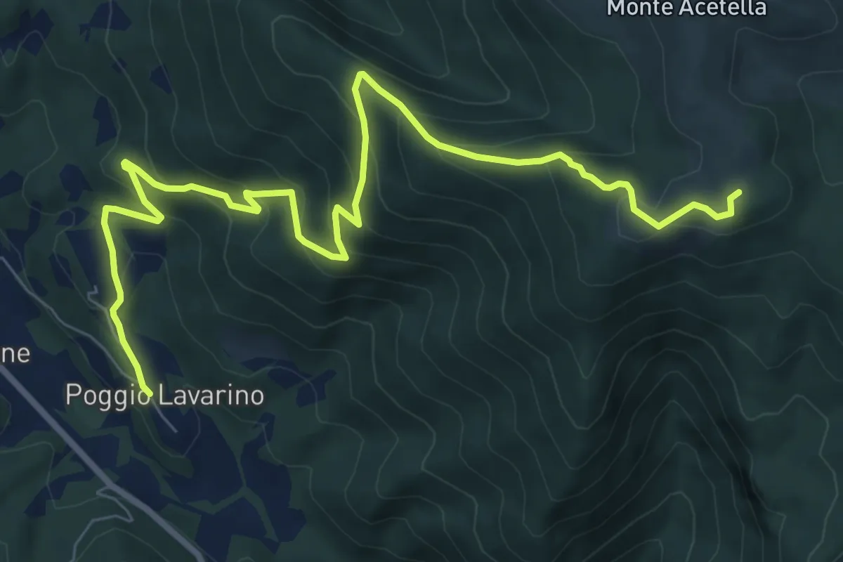
Medium · Summit
Poggio Lavarino – Fonte Acquasalce
10.5 km · ↑ 658 m · 3 h 55 min
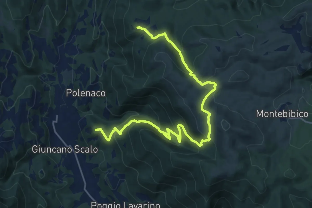
Demanding · Summit
Polenaco – Castagnacupa
15.7 km · ↑ 877 m · 5 h 36 min
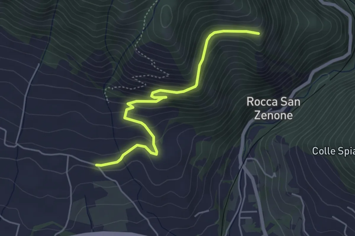
Easy · Trail
Fontana della Madola – Bivio per Torricella
4.8 km · ↑ 281 m · 1 h 45 min
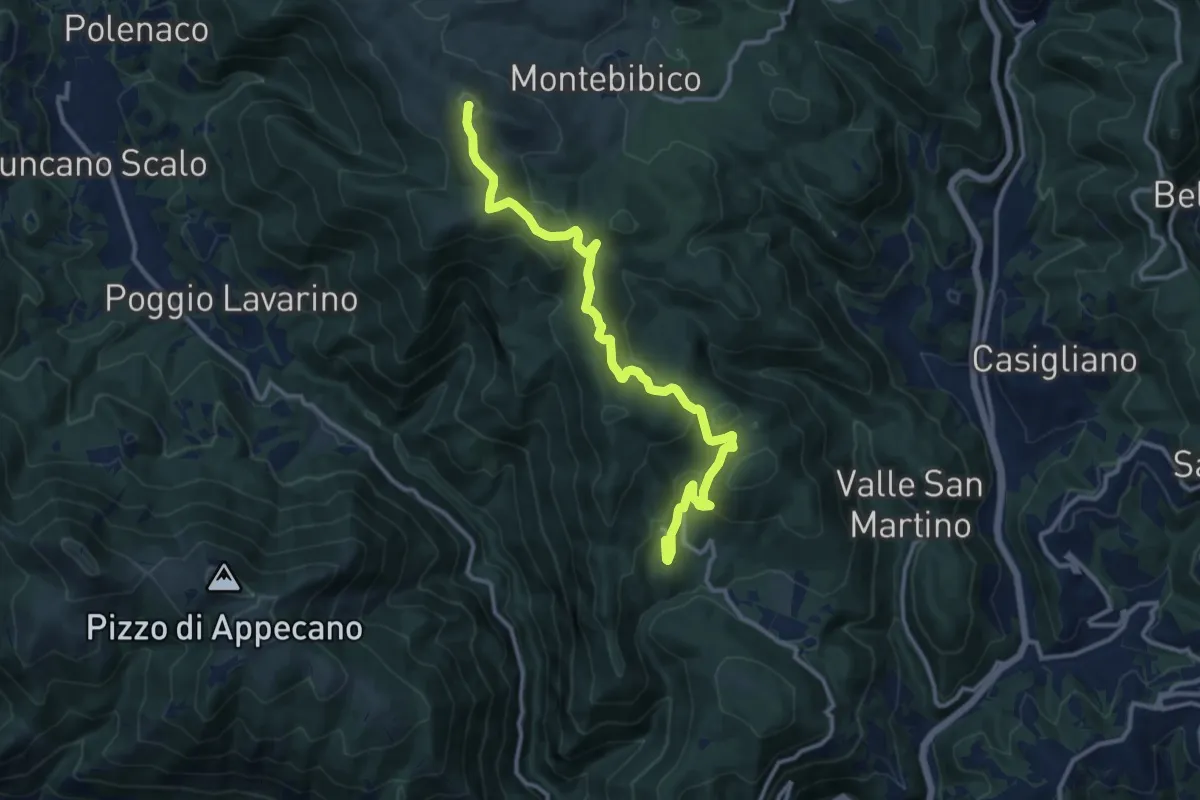
Medium · Summit
Battiferro – Forca
13.7 km · ↑ 467 m · 4 h 15 min
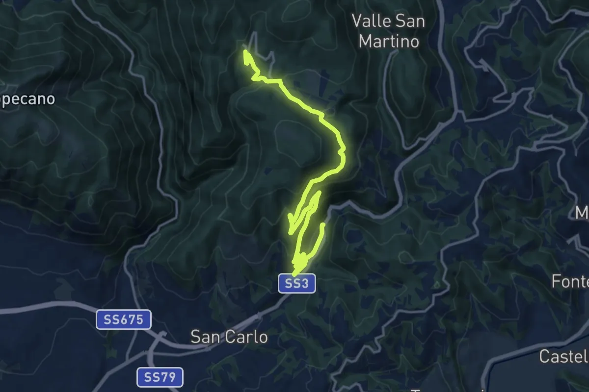
Medium · Trail
Battiferro – Strada Statale Flaminia
16.1 km · ↑ 610 m · 5 h 7 min
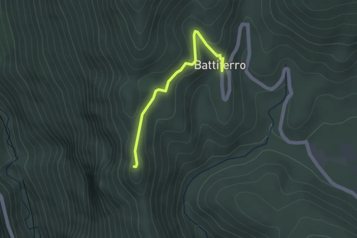
Easy · Trail
Battiferro – I Santi
2.7 km · ↑ 94 m · 50 min
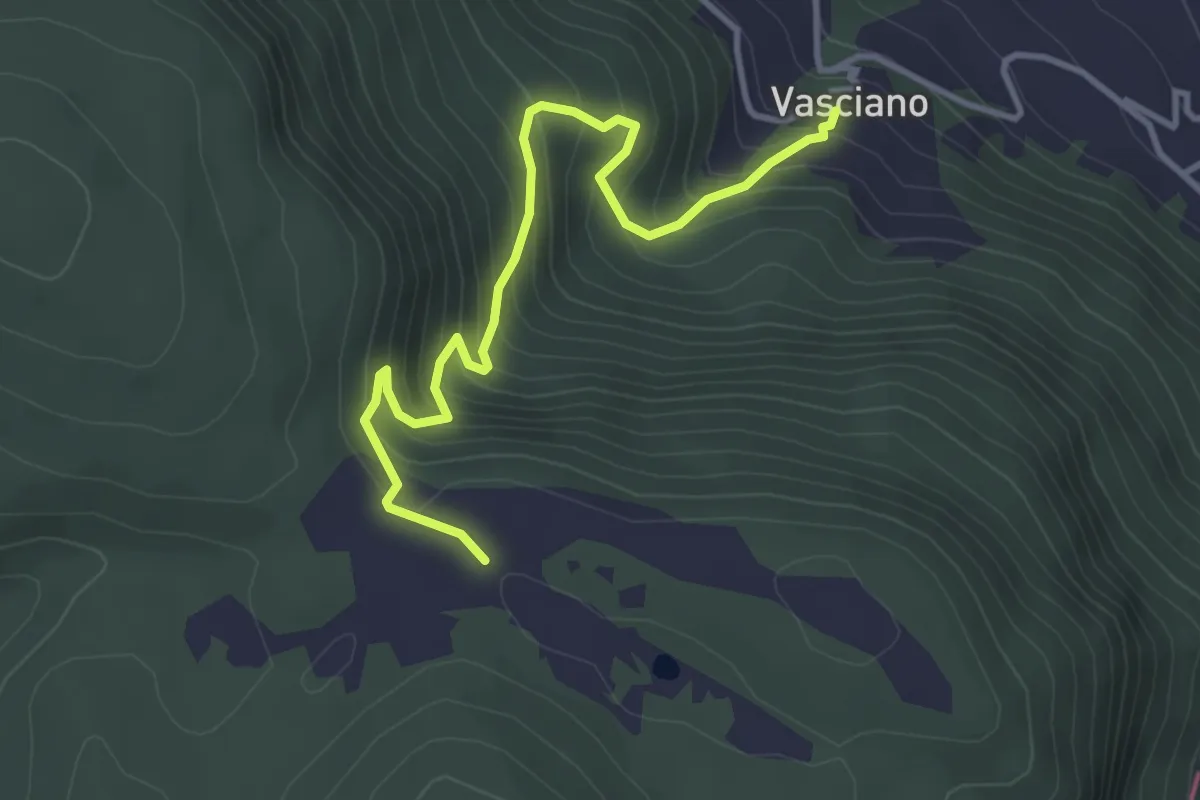
Medium · Trail
Vasciano – Monumento Caduti Partigiani
4.2 km · ↑ 416 m · 1 h 53 min
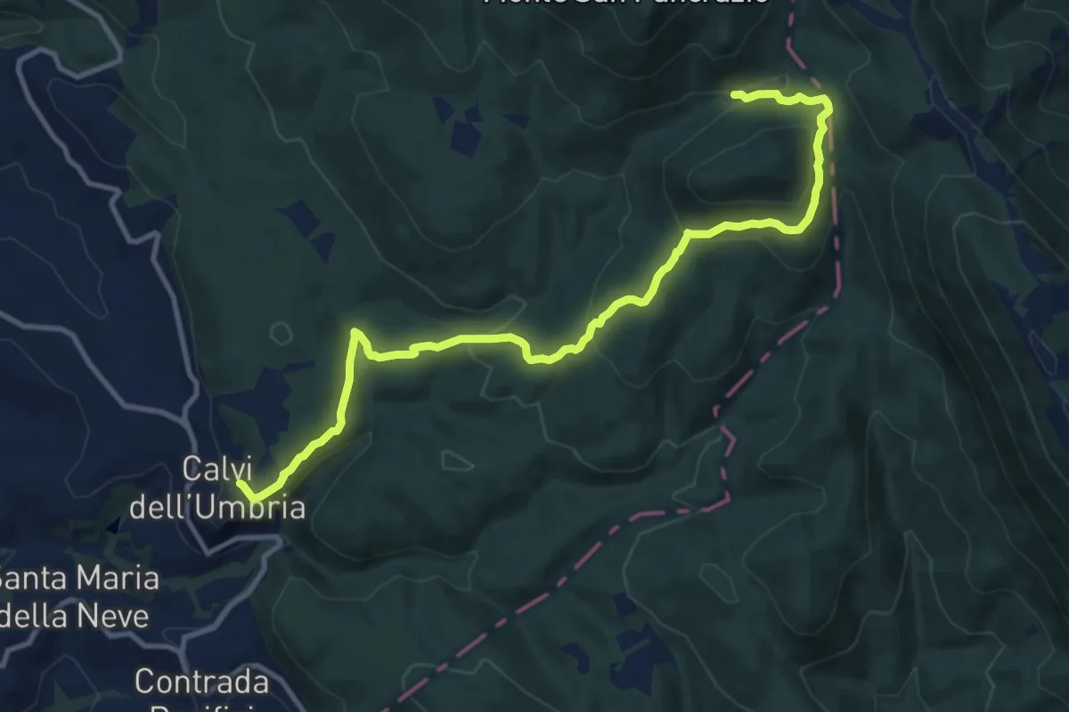
Medium · Trail
Calvi – Valle Saglianese
13.0 km · ↑ 523 m · 4 h 12 min
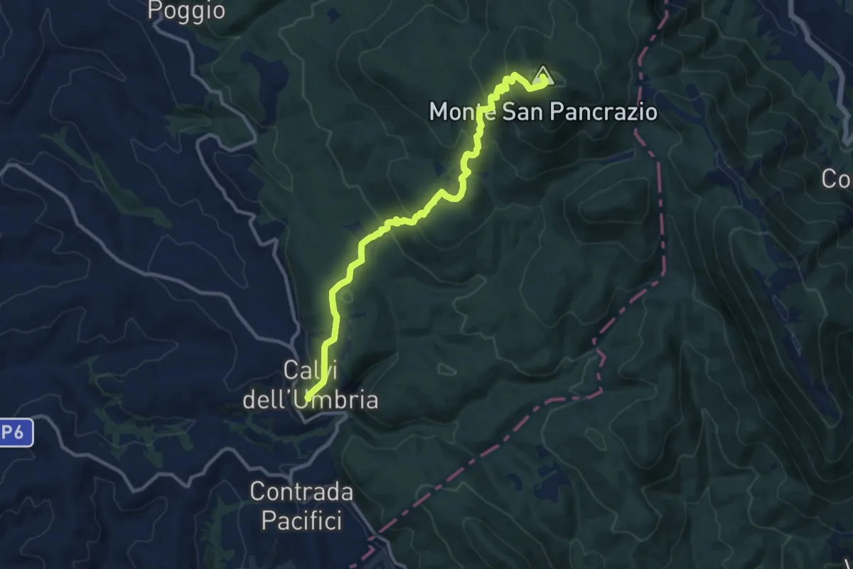
Medium · Summit
Calvi – Intersezione percorso 640
12.0 km · ↑ 661 m · 4 h 16 min
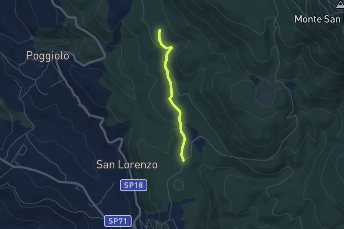
Easy · Trail
Calvi – Poggio (variante)
4.0 km · ↑ 113 m · 1 h 11 min
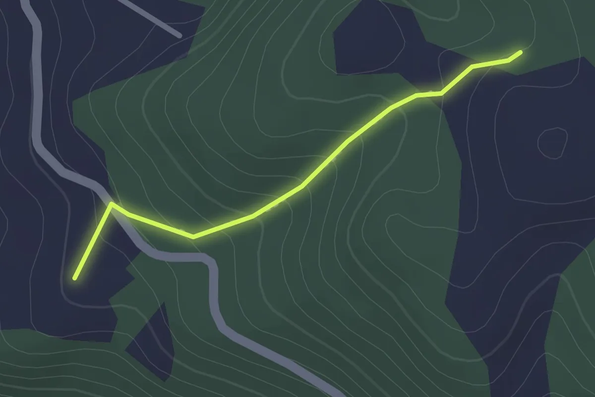
Easy · Trail
Intersezione percorso 645 – San Vittore
2.0 km · ↑ 113 m · 43 min
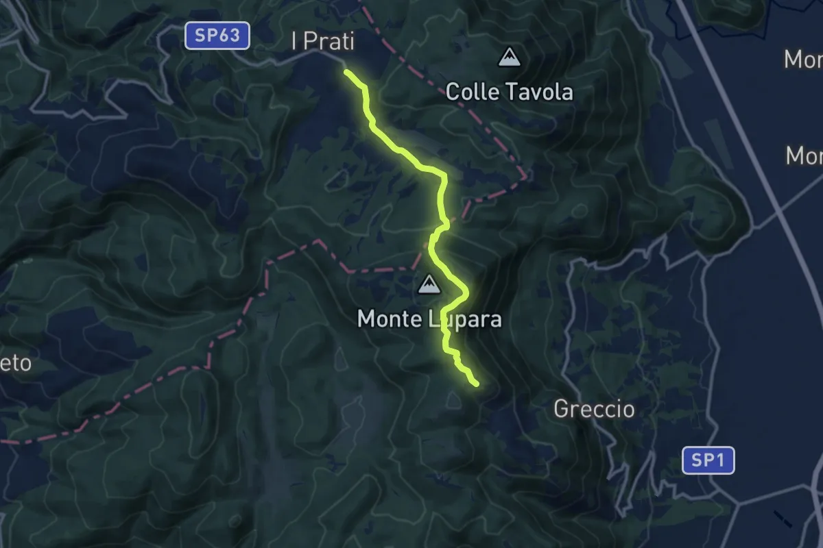
Medium · Summit
I Prati di Stroncone – Greccio
10.5 km · ↑ 360 m · 3 h 15 min
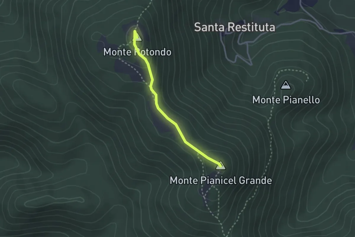
Medium · Summit
Posta del Prete – Monte Pianicel Grande
2.5 km · ↑ 81 m · 47 min
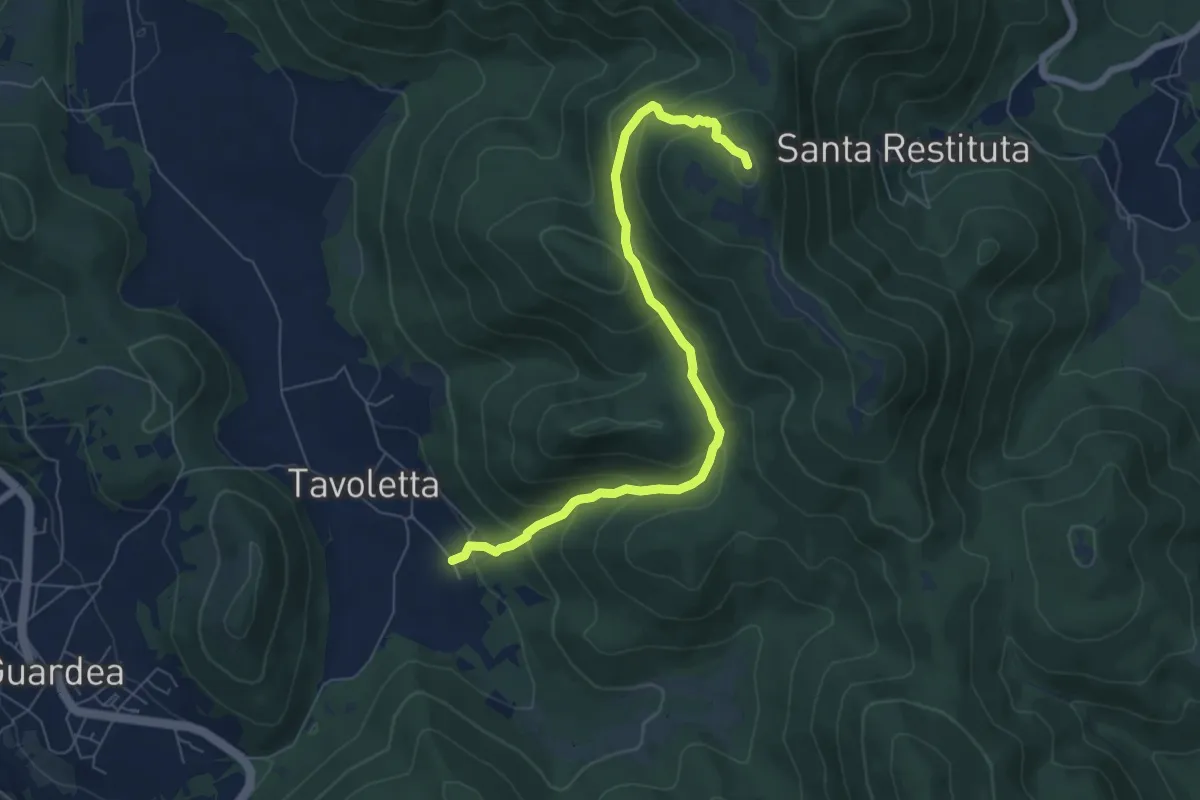
Medium · Summit
Cocciano loc. Le Case – Piani Puosi
7.5 km · ↑ 474 m · 2 h 47 min
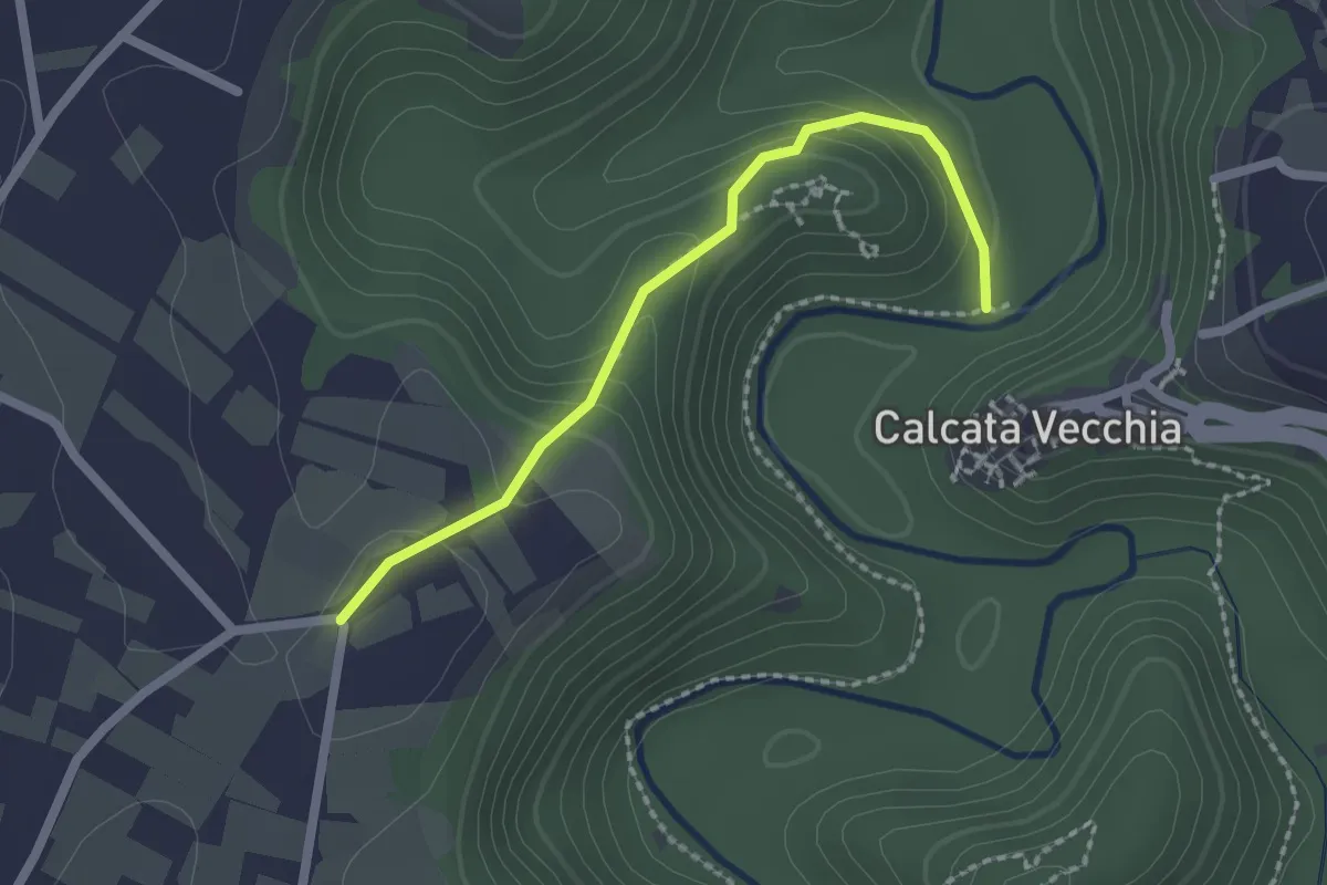
Easy · Trail
Calcata – Santa Maria di Castelvecchio
2.1 km · ↑ 109 m · 44 min
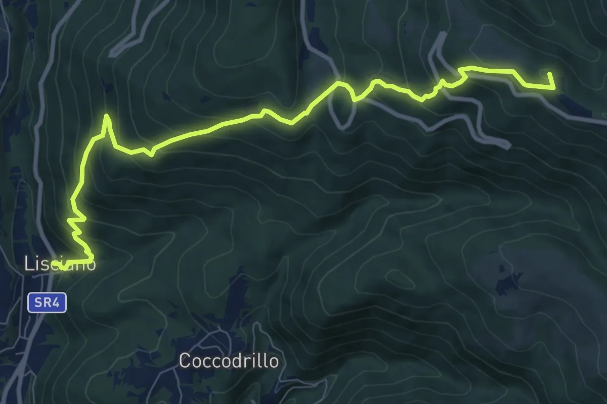
Demanding · Summit
Rieti Lisciano – Rieti Pian de' Valli
10.3 km · ↑ 874 m · 4 h 19 min
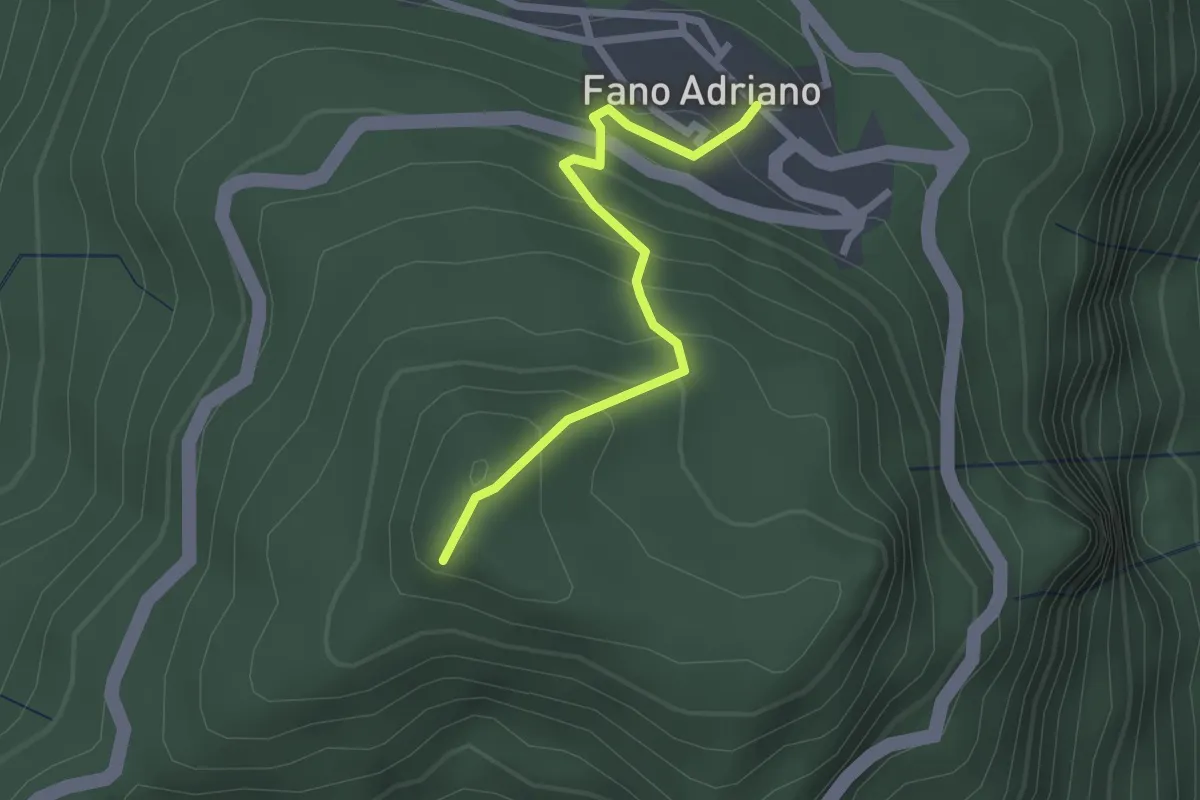
Easy · Trail
Fano Adriano – Eremo dell'Annunziata
2.3 km · ↑ 202 m · 59 min
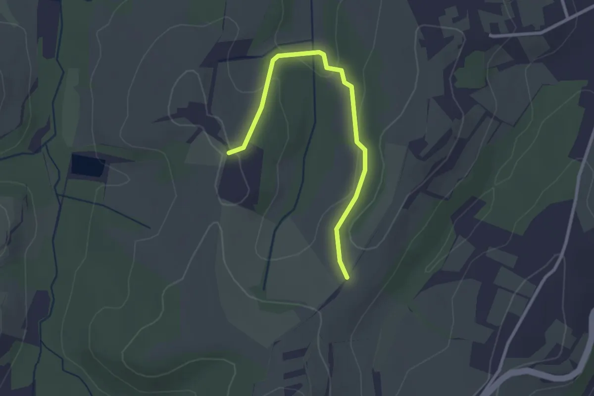
Easy · Trail
Percorso 459 – Percorso 453
2.8 km · ↑ 84 m · 50 min
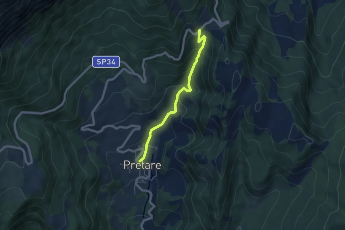
Easy · Trail
Pretare – Passo del Galluccio
4.3 km · ↑ 274 m · 1 h 37 min
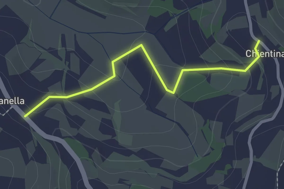
Easy · Trail
Soianella – Chientina
2.0 km · ↑ 74 m · 39 min
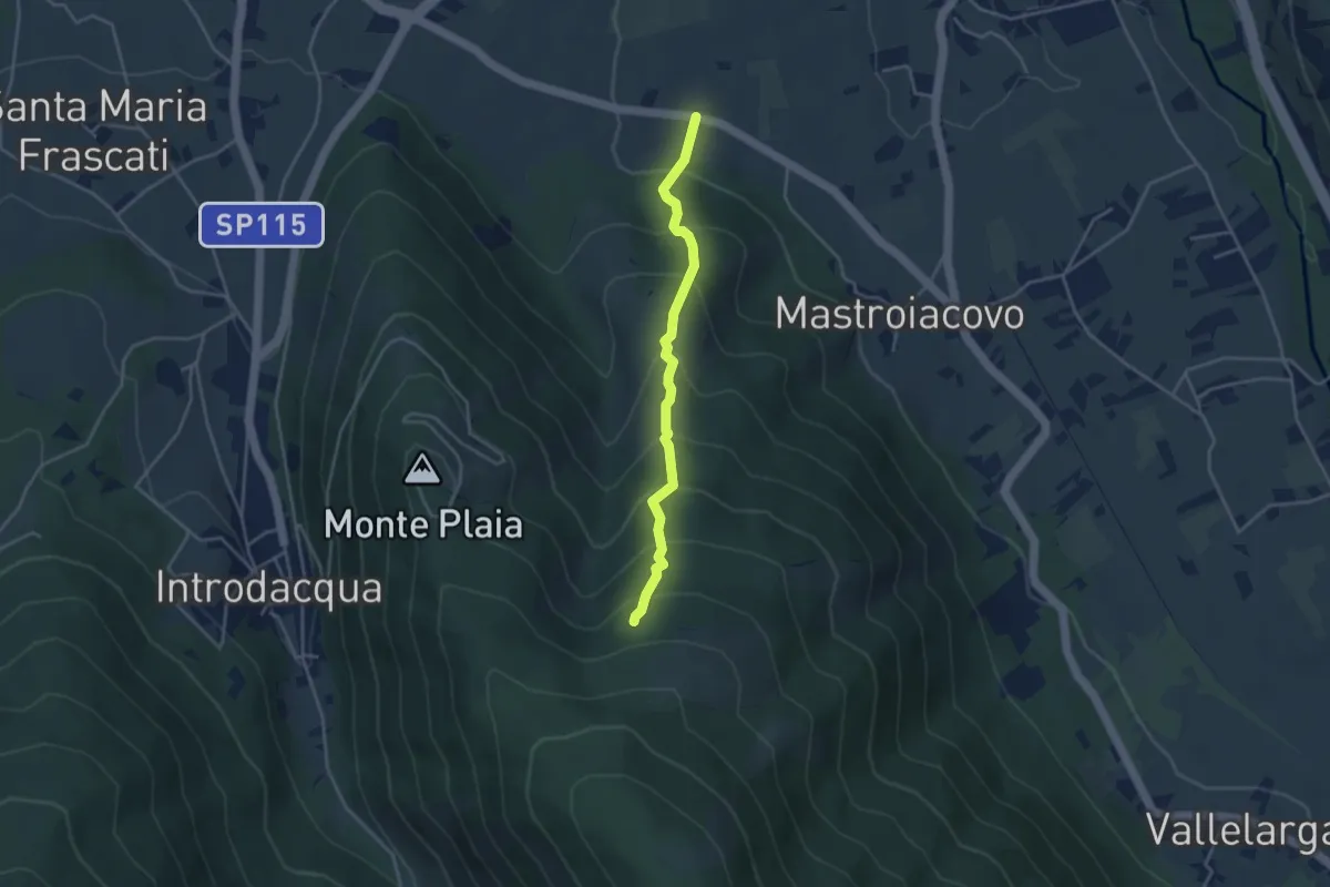
Medium · Trail
S.P. 117 di Mastroiacovo – Monte Plaia
3.9 km · ↑ 383 m · 1 h 44 min
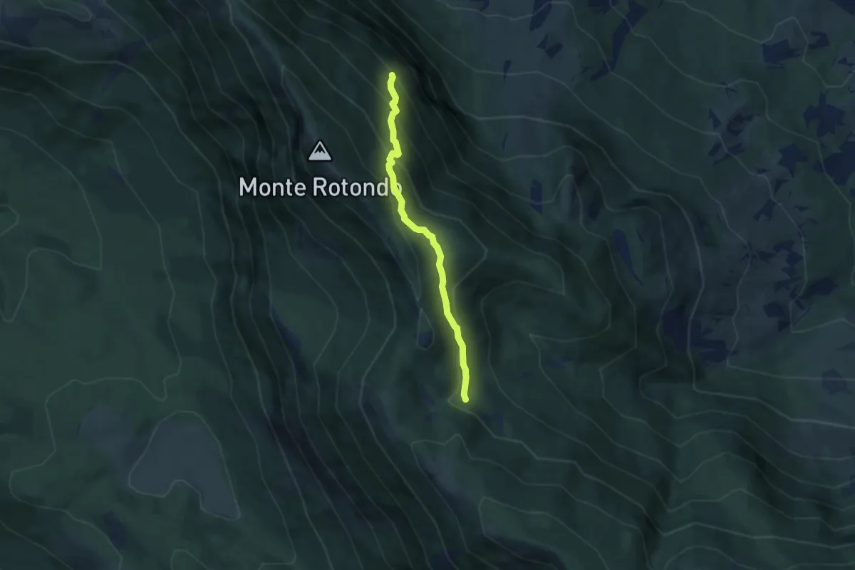
Medium · Trail
Sentiero A8 – Fonte Fredda
5.4 km · ↑ 405 m · 2 h 10 min
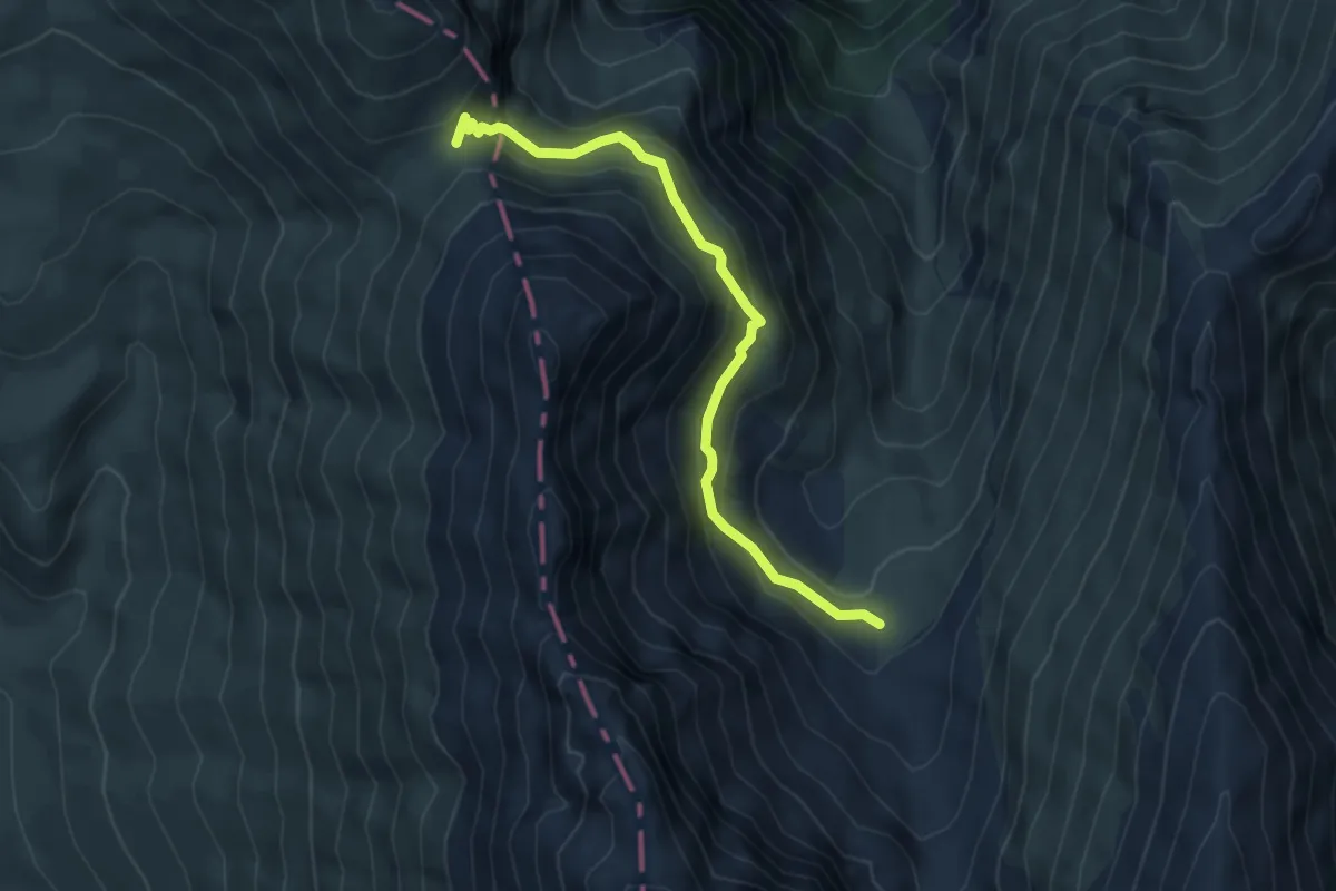
Medium · Trail
Sentiero N151 (Valle di Pilato) – Forca Viola
5.4 km · ↑ 383 m · 2 h 6 min
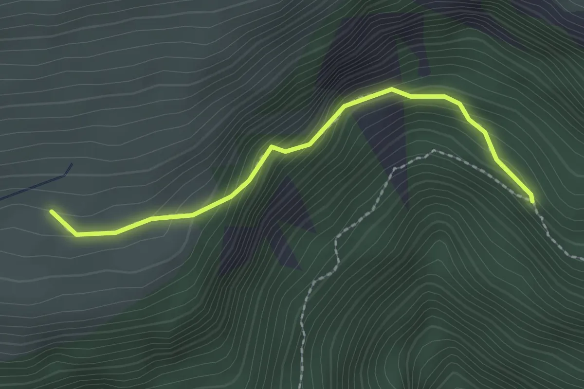
Demanding · Trail
Sentiero N226 – Ara del Re
2.2 km · ↑ 190 m · 56 min
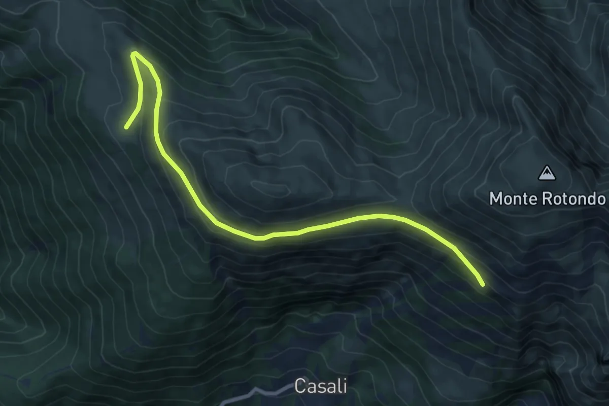
Medium · Trail
Bivacco Piani di Pao – Sentiero N278
8.6 km · ↑ 292 m · 2 h 40 min
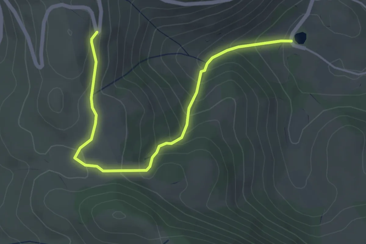
Easy · Trail
Lago di San Benedetto – S.P. 43
5.0 km · ↑ 275 m · 1 h 46 min
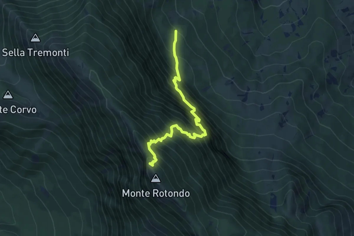
Demanding · Trail
Sent. A5 – Monte Rotondo
7.1 km · ↑ 986 m · 3 h 48 min