Trails in Italy
25,219 hiking trails, each with its route, climb, walking time and grade.
All trails, page 277 of 526
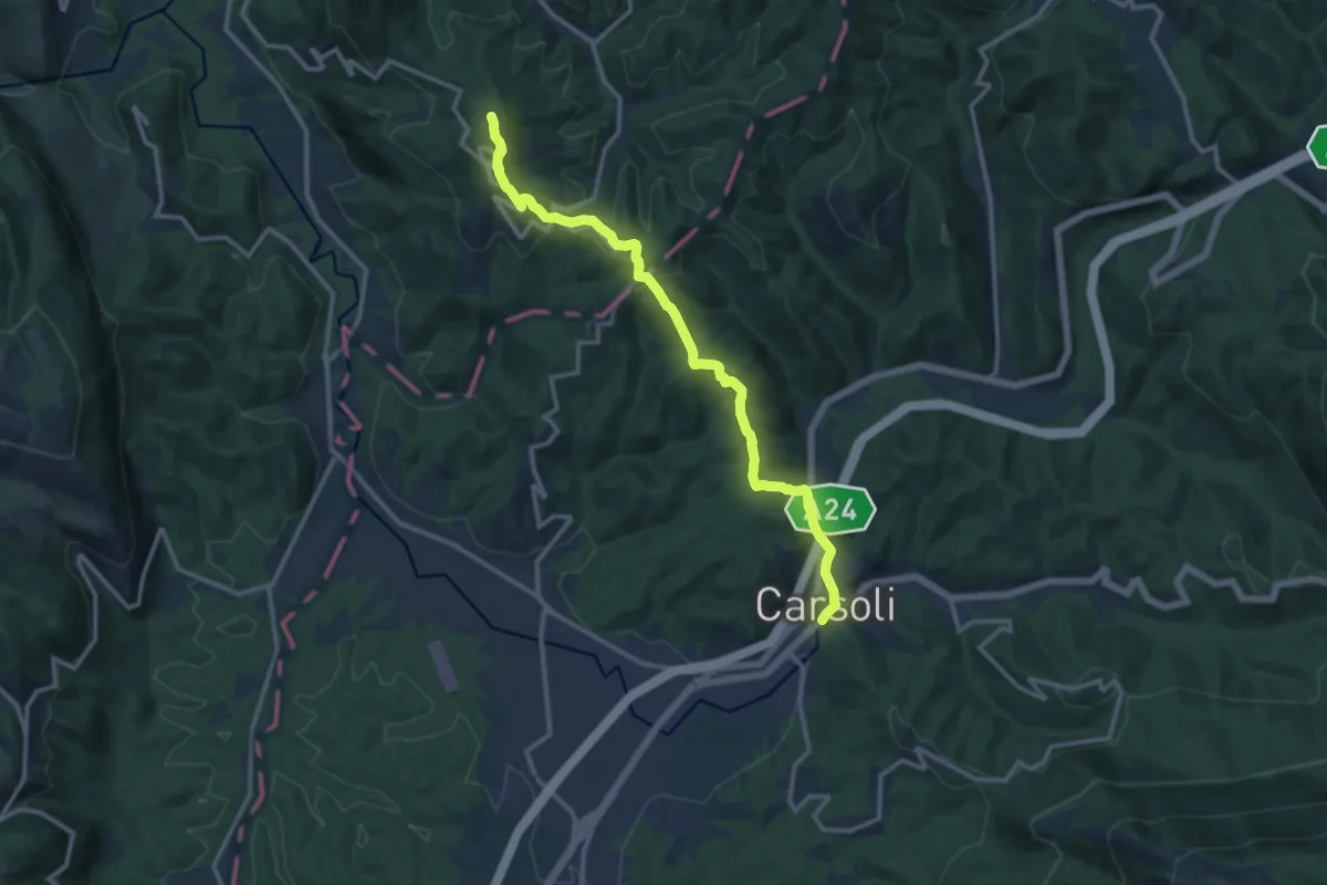
Medium · Summit
Carsoli – Paganico Sabino
14.0 km · ↑ 456 m · 4 h 17 min
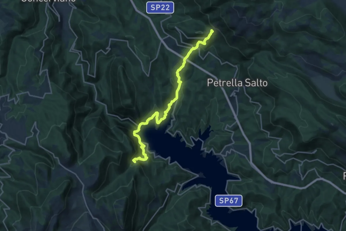
Demanding · Summit
Varco Sabino – Staffoli
16.6 km · ↑ 1029 m · 6 h 9 min
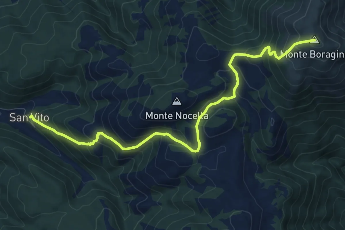
Demanding · Summit
San Vito – Cittareale
11.5 km · ↑ 820 m · 4 h 30 min
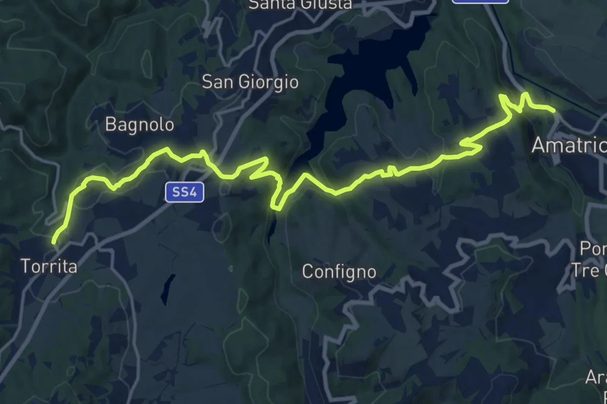
Demanding · Trail
Torrita – Amatrice
18.0 km · ↑ 668 m · 5 h 42 min
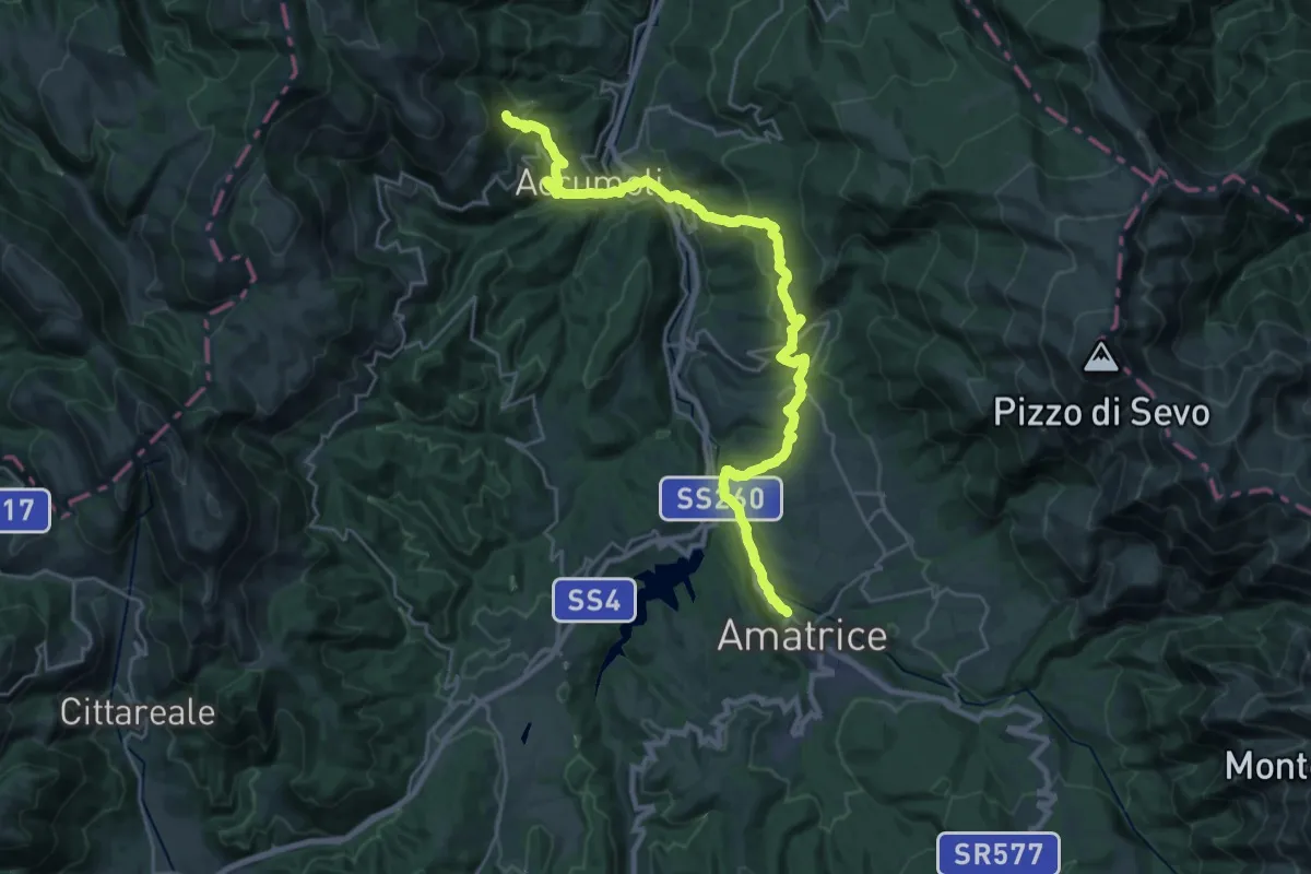
Medium · Trail
Amatrice – Accumoli
15.0 km · ↑ 753 m · 5 h 17 min
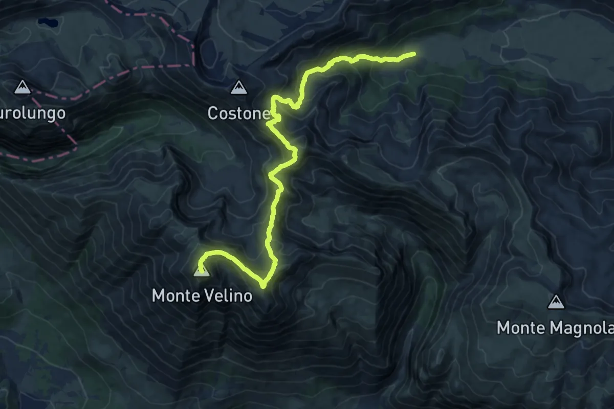
Demanding · Summit
Capo Pezza – Monte Velino
19.2 km · ↑ 1468 m · 7 h 43 min
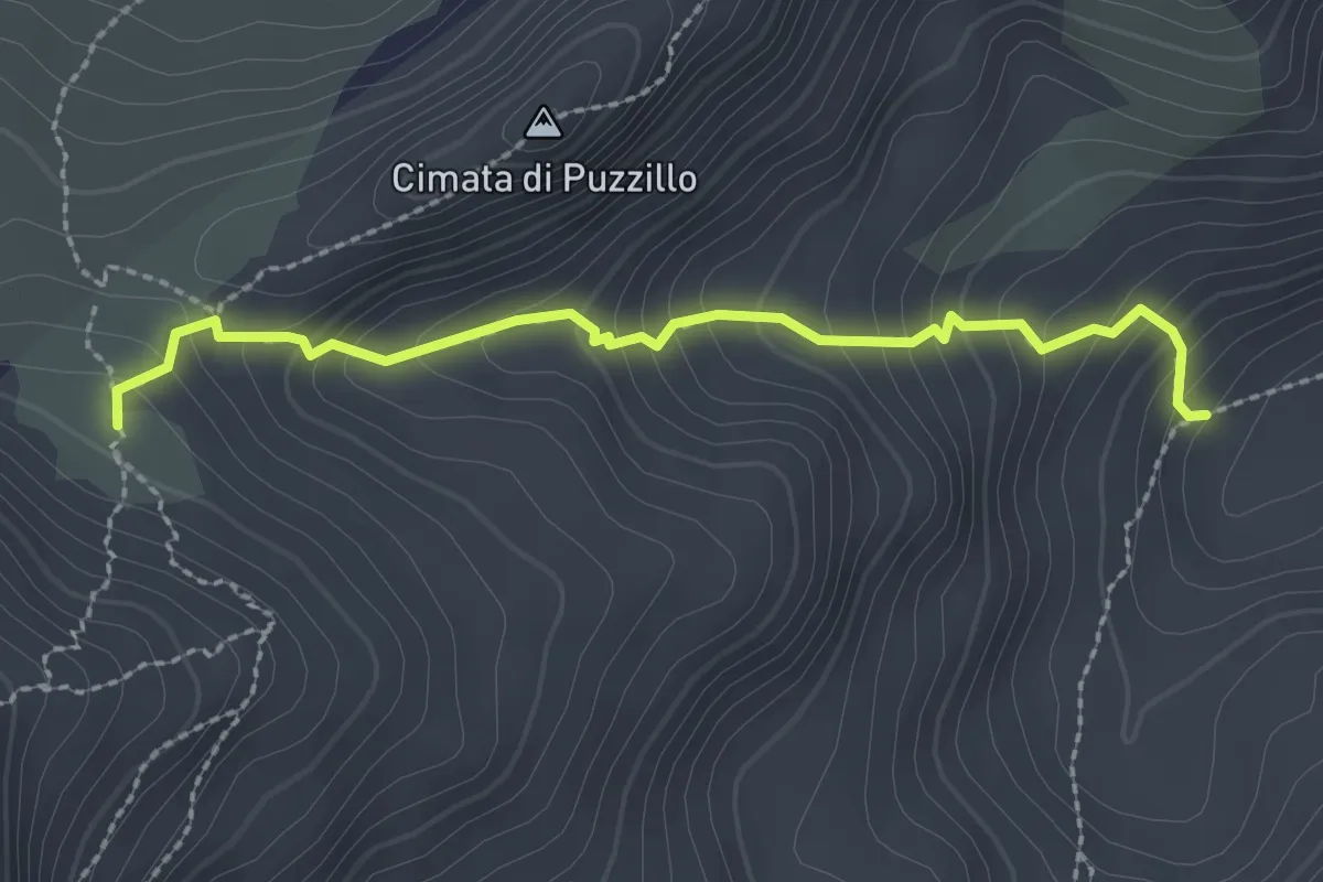
Medium · Cabin
Sentiero 1 – Rifugio Sebastiani
2.6 km · ↑ 257 m · 1 h 11 min
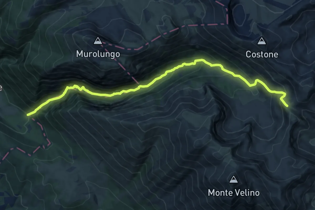
Demanding · Trail
Bocca di Teve – Colle del Bicchero
15.4 km · ↑ 1473 m · 6 h 50 min
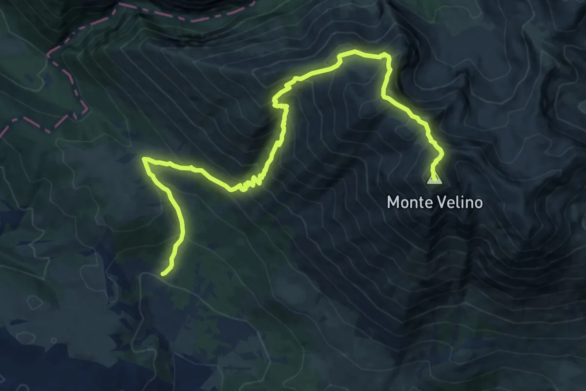
Demanding · Summit
Santa Maria in Valle – Monte Velino
17.8 km · ↑ 1597 m · 7 h 39 min
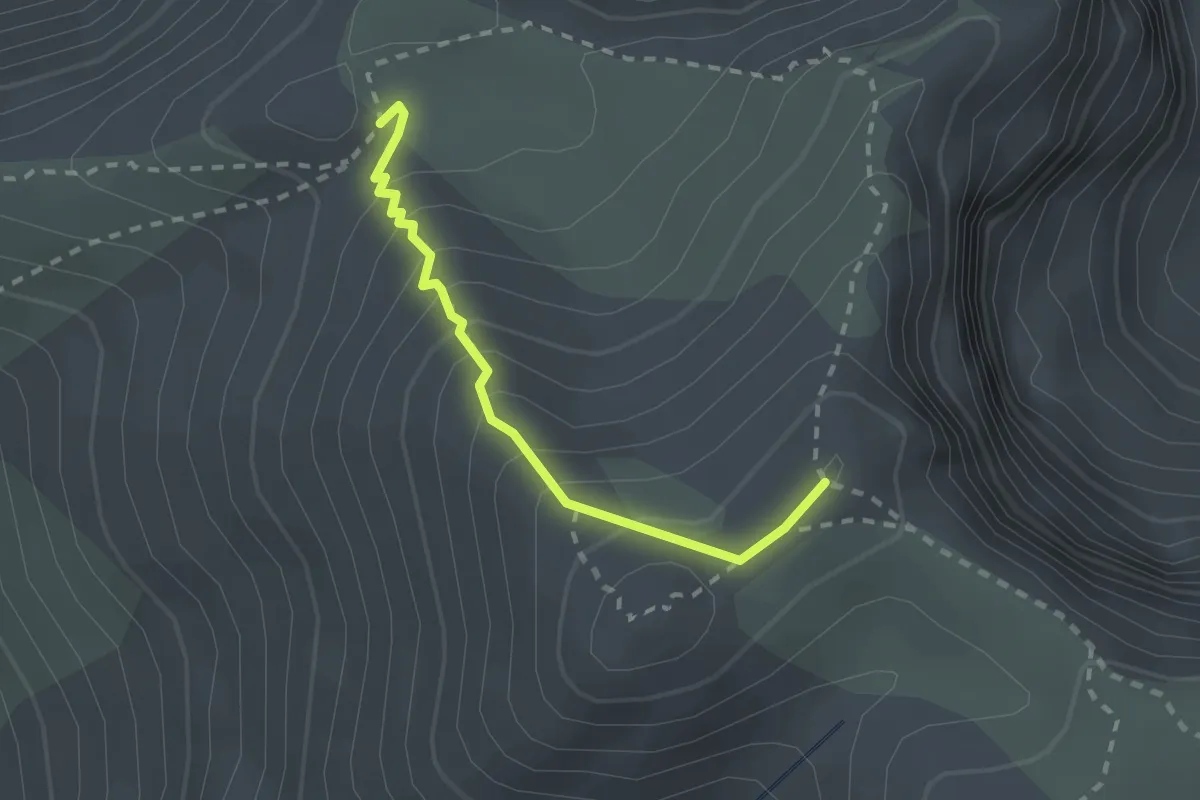
Medium · Cabin
Capanna di Sevice – Sentiero 3
2.1 km · ↑ 232 m · 1 h
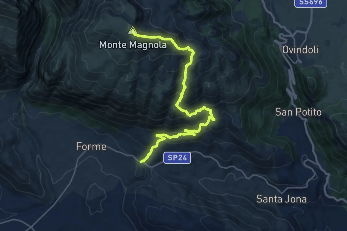
Demanding · Summit
Fonte Capo La Maina – Monte Magnola
18.2 km · ↑ 1135 m · 6 h 45 min
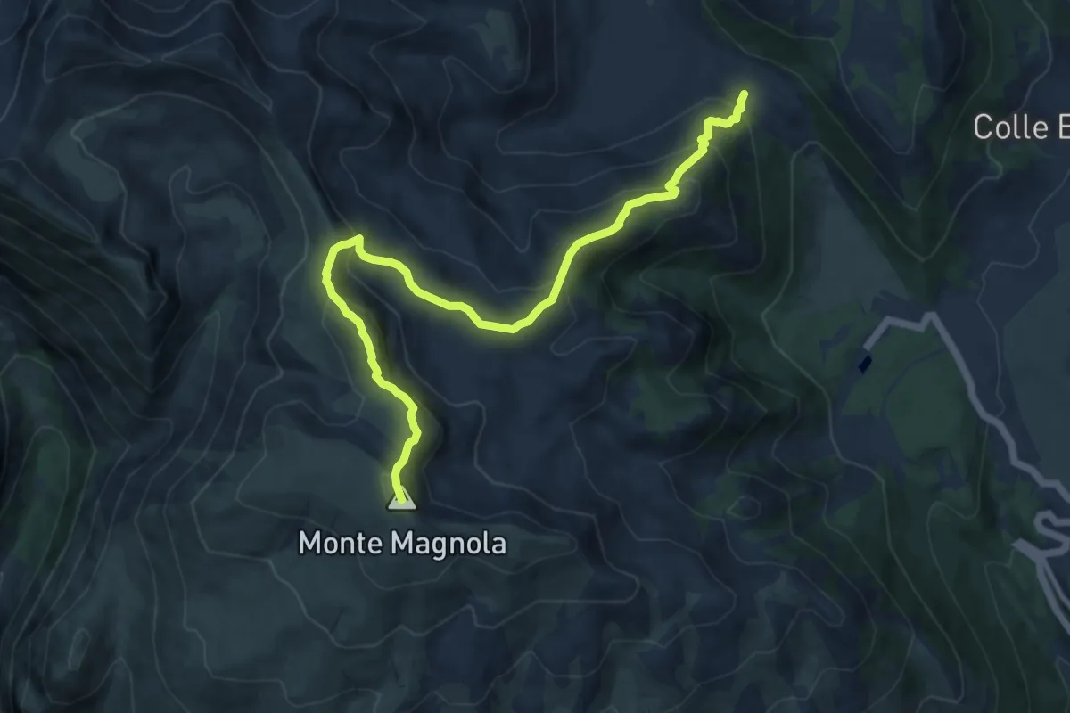
Demanding · Summit
Vado del Ceraso – Monte Magnola
11.8 km · ↑ 842 m · 4 h 36 min
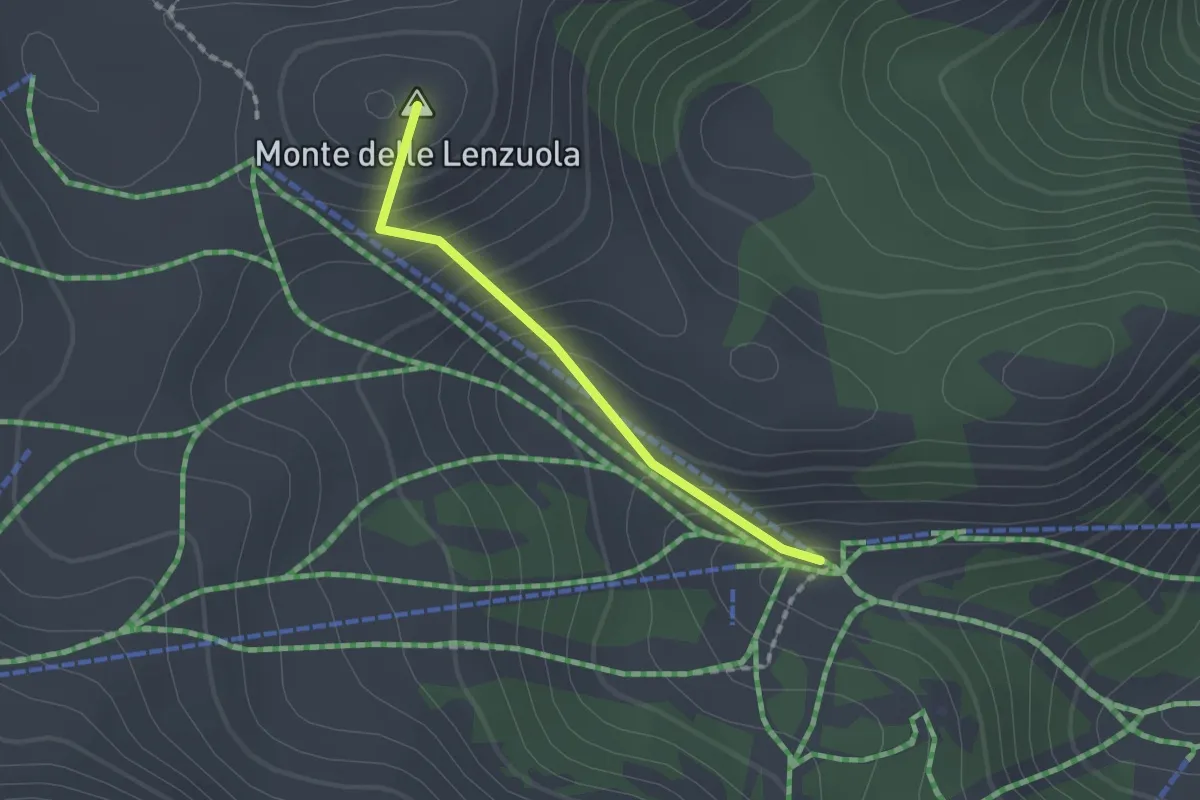
Easy · Summit
Capanna Brinn – Sentiero 10
1.5 km · ↑ 152 m · 41 min
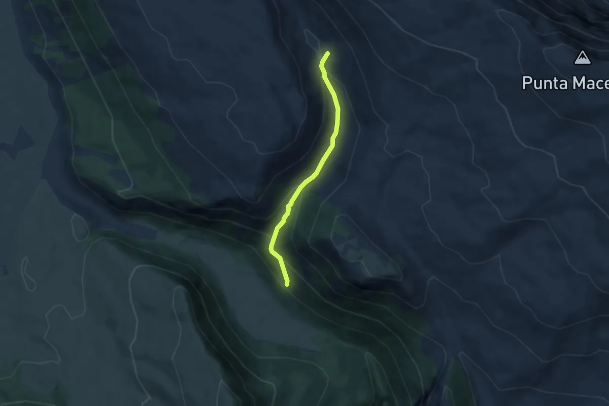
Medium · Trail
Sentiero 13 – Fontanile della Valle
5.2 km · ↑ 322 m · 1 h 55 min
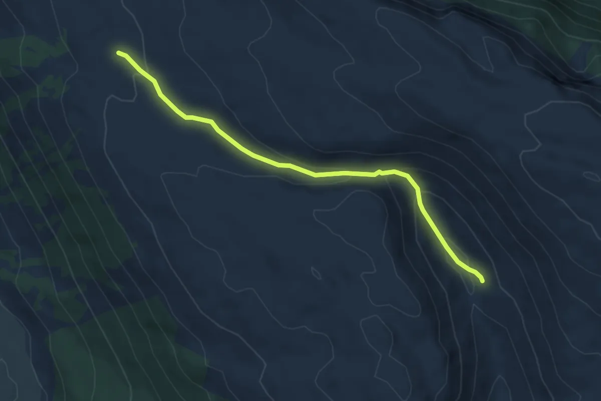
Easy · Trail
Sentiero 14 – Fontanile della Valle
5.6 km · ↑ 218 m · 1 h 48 min
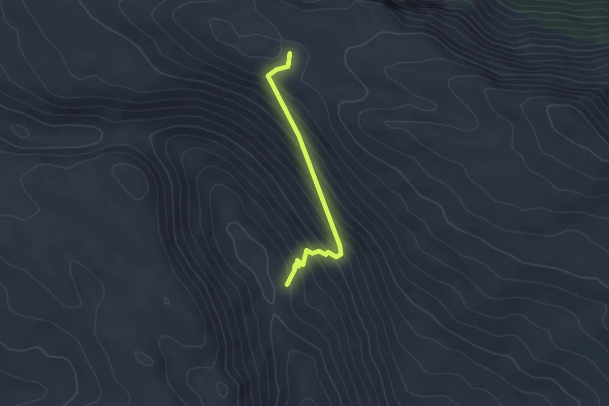
Easy · Trail
Fontanile della Valle – Sentiero 14
2.8 km · ↑ 255 m · 1 h 12 min
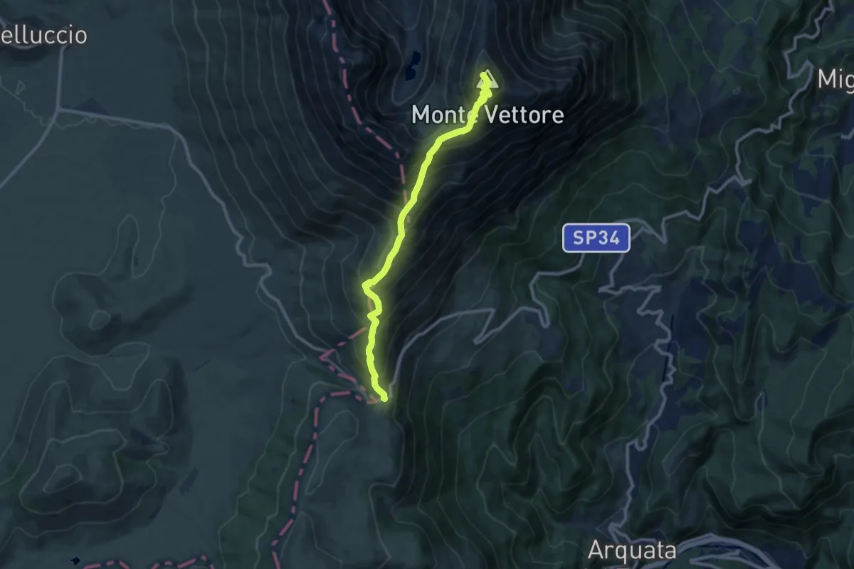
Demanding · Summit
Forca di Presta – Monte Vettore
9.9 km · ↑ 924 m · 4 h 20 min
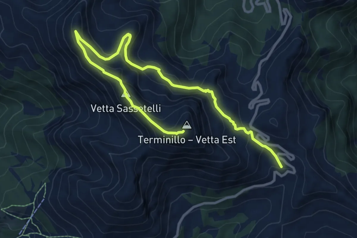
Expert · Summit
Micigliano (RI) Rifugio Sebastiani – Micigliano (RI) Monte Terminillo
10.4 km · ↑ 604 m · 3 h 45 min
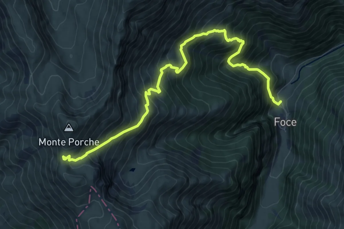
Demanding · Trail
Foce di Montemonaco – Sentiero N261
12.3 km · ↑ 1245 m · 5 h 36 min
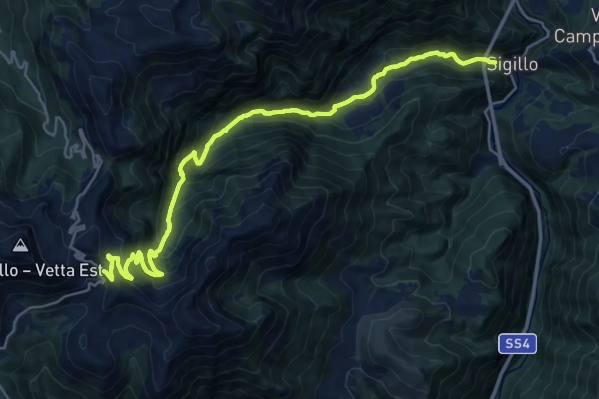
Demanding · Trail
Sigillo – Rif.A. Sebastiani
19.0 km · ↑ 1342 m · 7 h 24 min
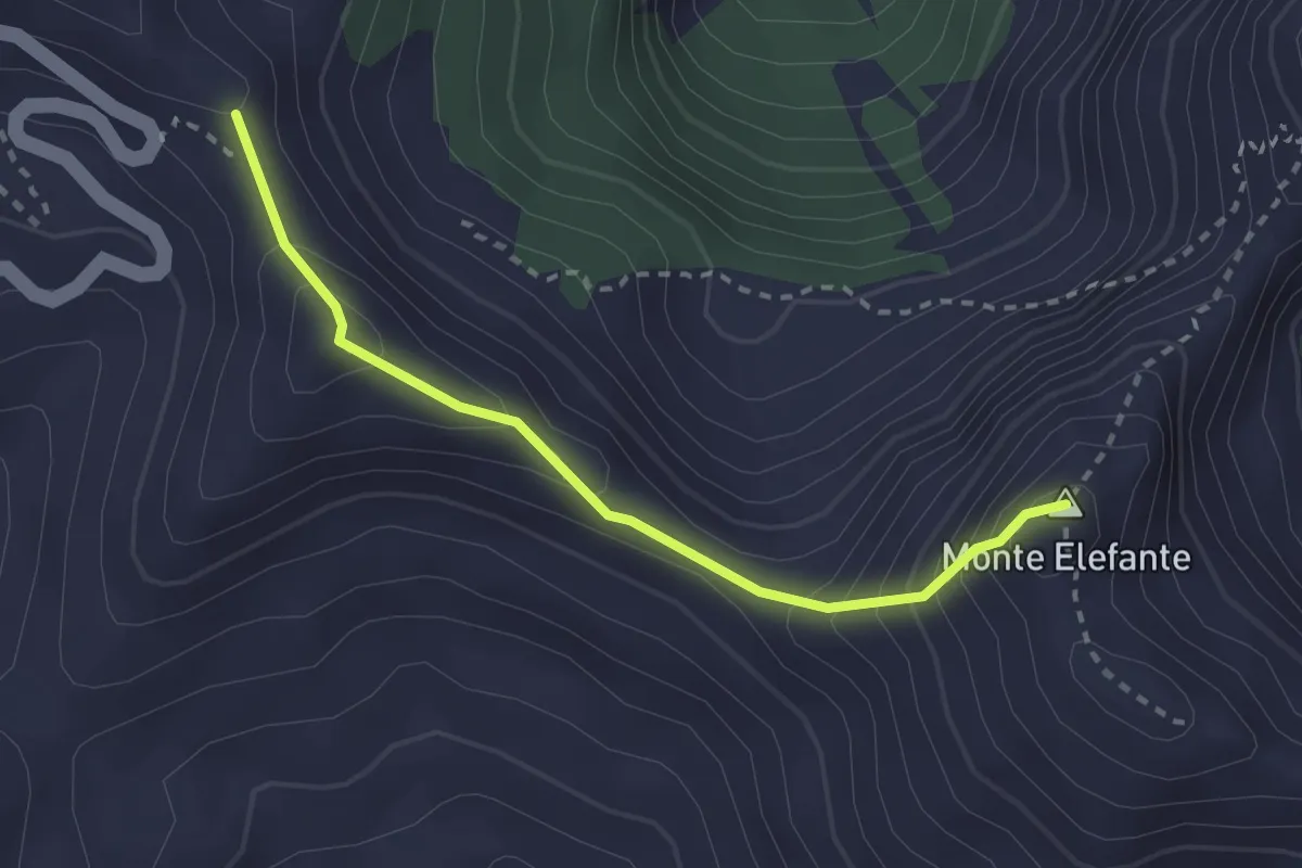
Medium · Summit
Micigliano (RI) Sella di Pratorecchia – Micigliano (RI) Monte Elefante
2.7 km · ↑ 269 m · 1 h 13 min
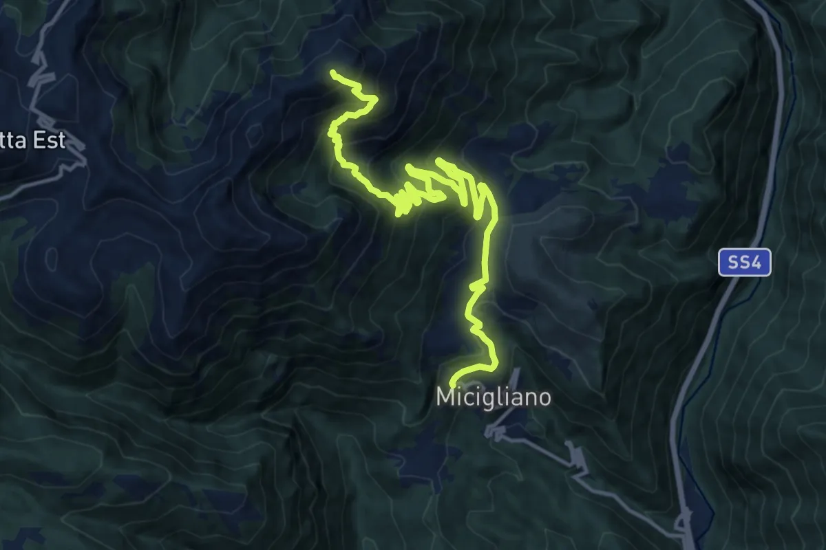
Demanding · Trail
Micigliano – Intersezione sentiero 433
17.0 km · ↑ 1179 m · 6 h 34 min
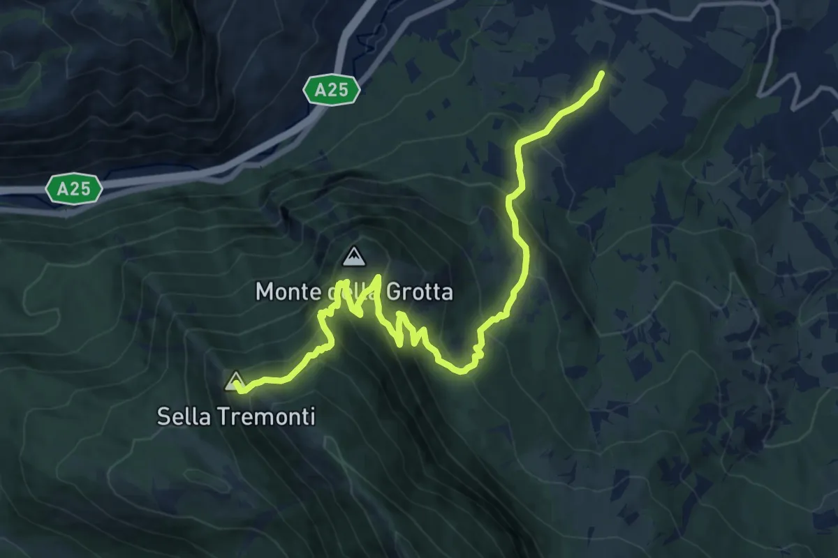
Demanding · Summit
Tocco Casauria – Schiena d'Asino
15.4 km · ↑ 1088 m · 6 h
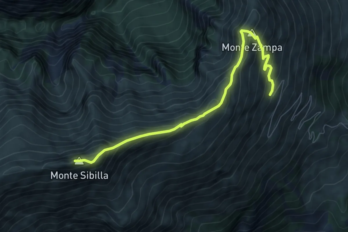
Expert · Summit
Rifugio Sibilla – Monte Sibilla
8.1 km · ↑ 648 m · 3 h 19 min
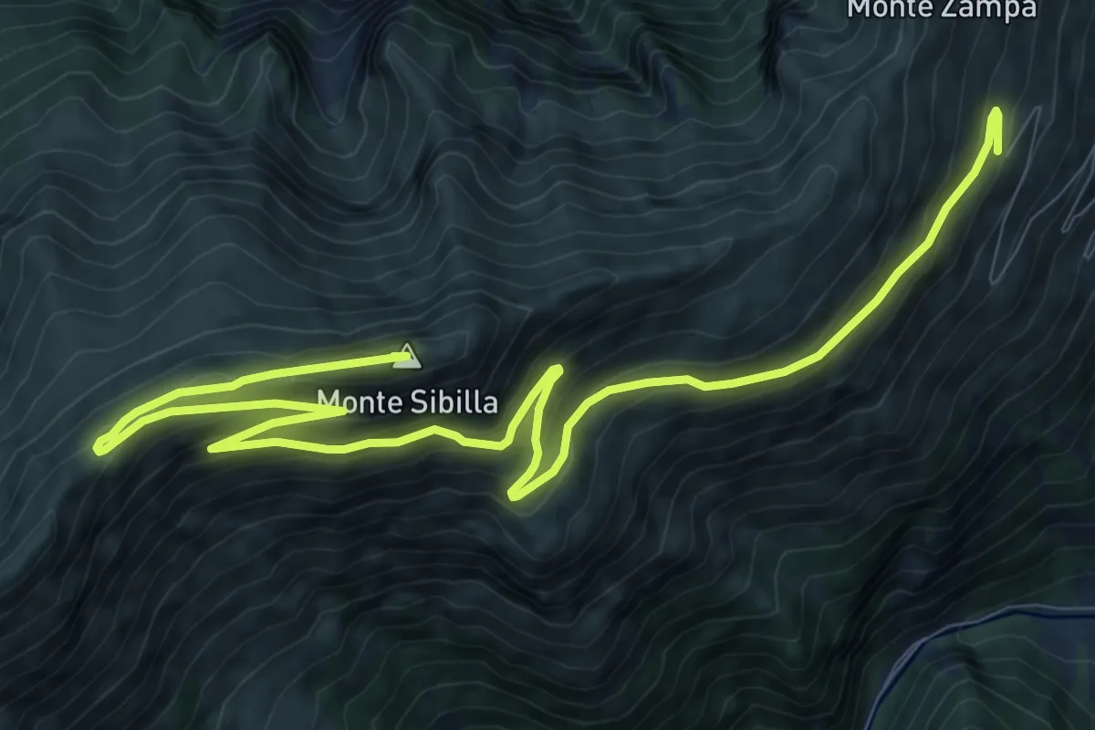
Expert · Summit
Monte Sibilla – Rifugio Sibilla
15.1 km · ↑ 736 m · 5 h 9 min
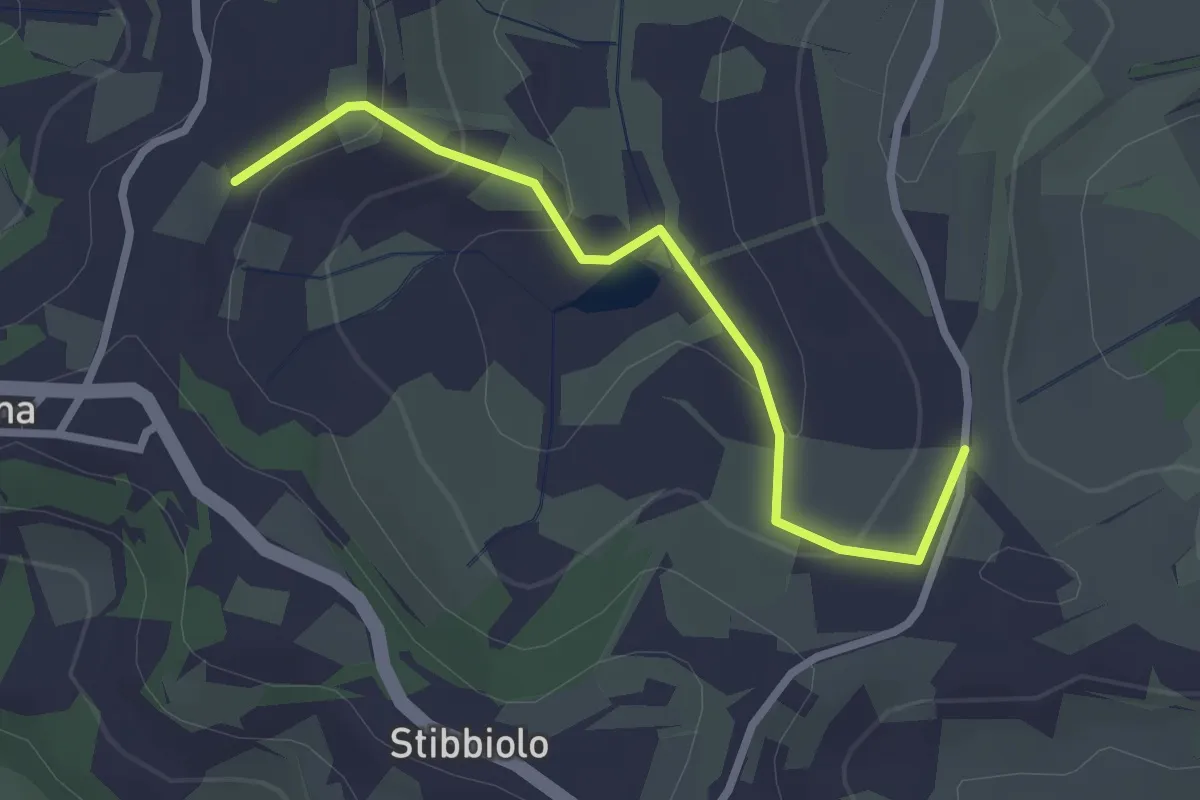
Easy · Trail
Boccanera di sopra – Bacaringhe
2.7 km · ↑ 94 m · 51 min
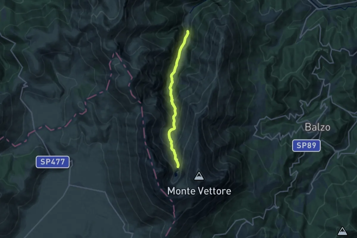
Demanding · Cabin
Foce di Montemonaco – Lago di Pilato
11.8 km · ↑ 1007 m · 4 h 58 min
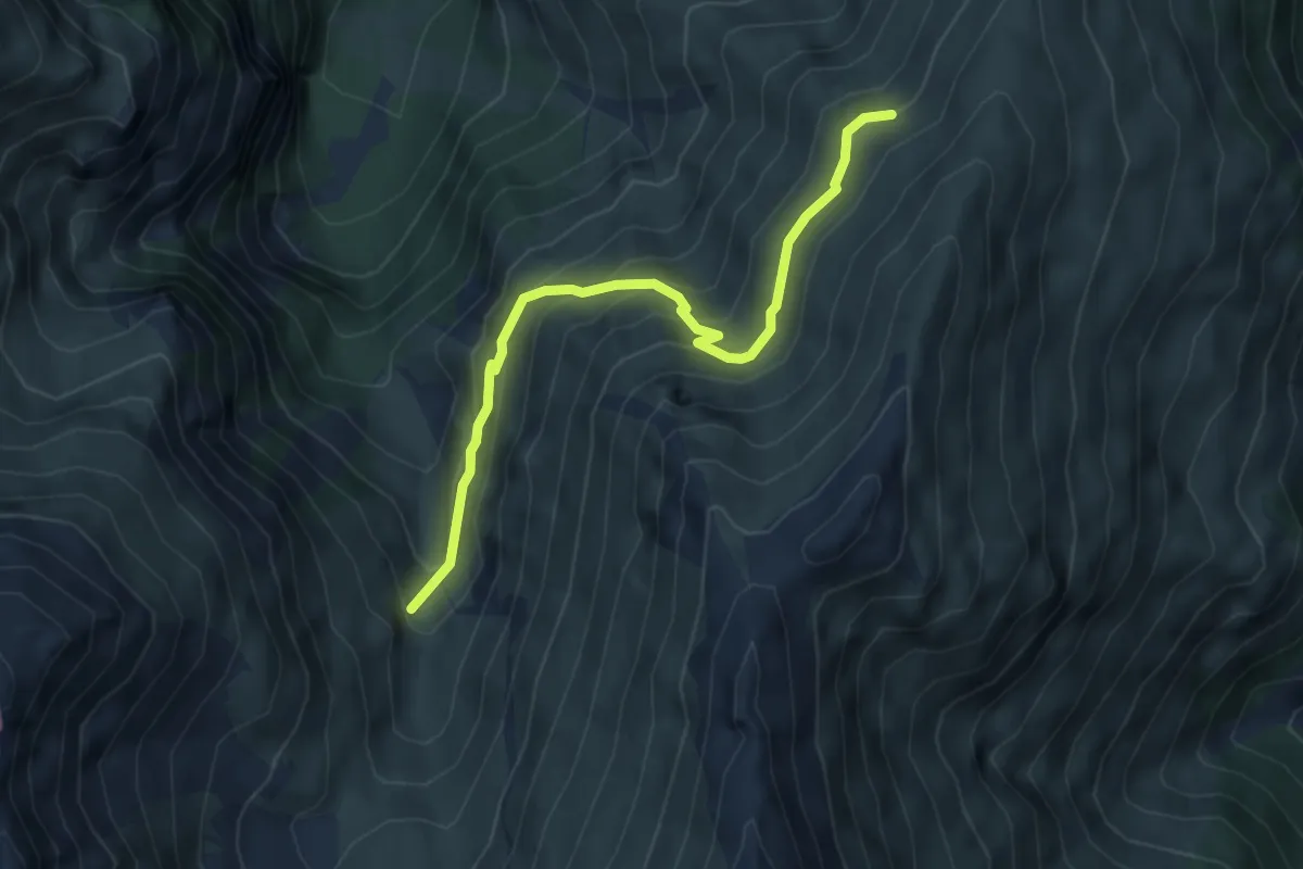
Medium · Trail
Valle di Pilato Sentiero 151 – Fonte Fredda Sentiero 132
5.2 km · ↑ 399 m · 2 h 5 min
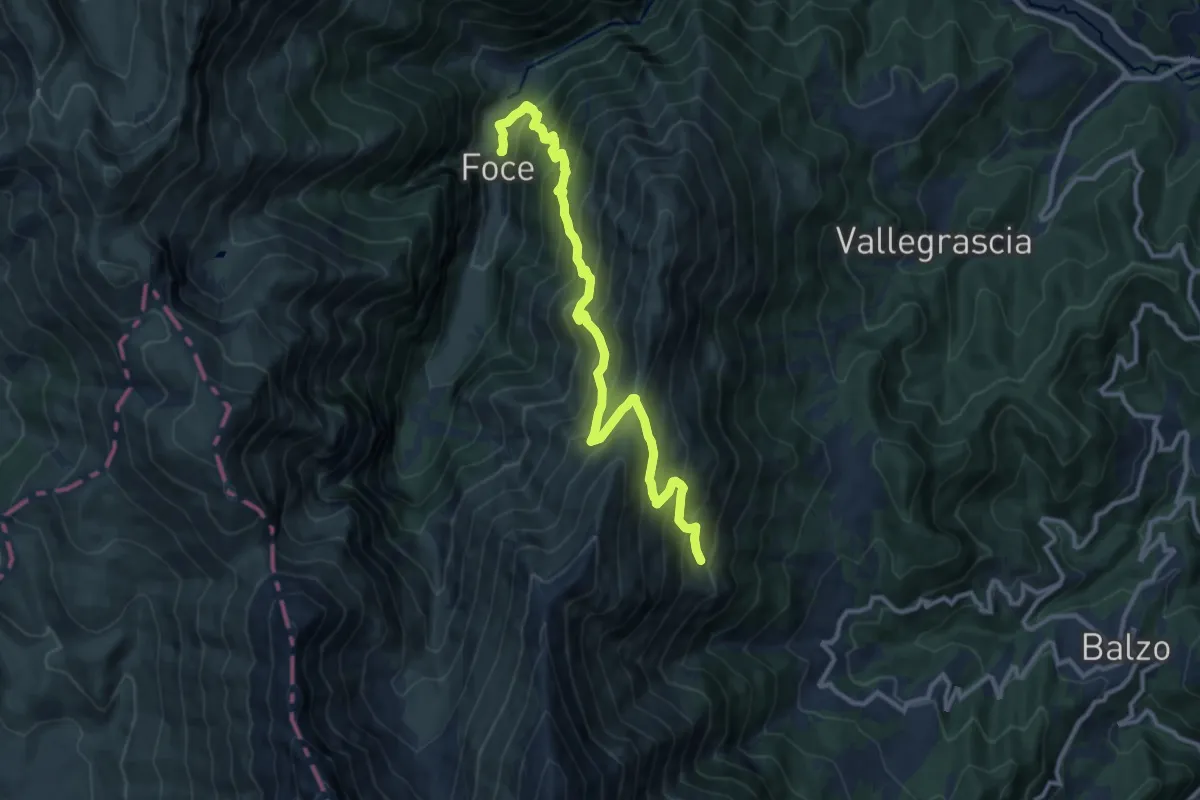
Demanding · Trail
Foce di Montemonaco – Fonte del Pastore
13.0 km · ↑ 1161 m · 5 h 36 min
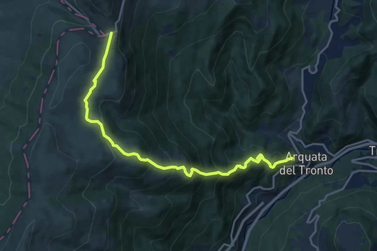
Demanding · Trail
Arquata del Tronto – Forca di Presta
11.1 km · ↑ 901 m · 4 h 35 min
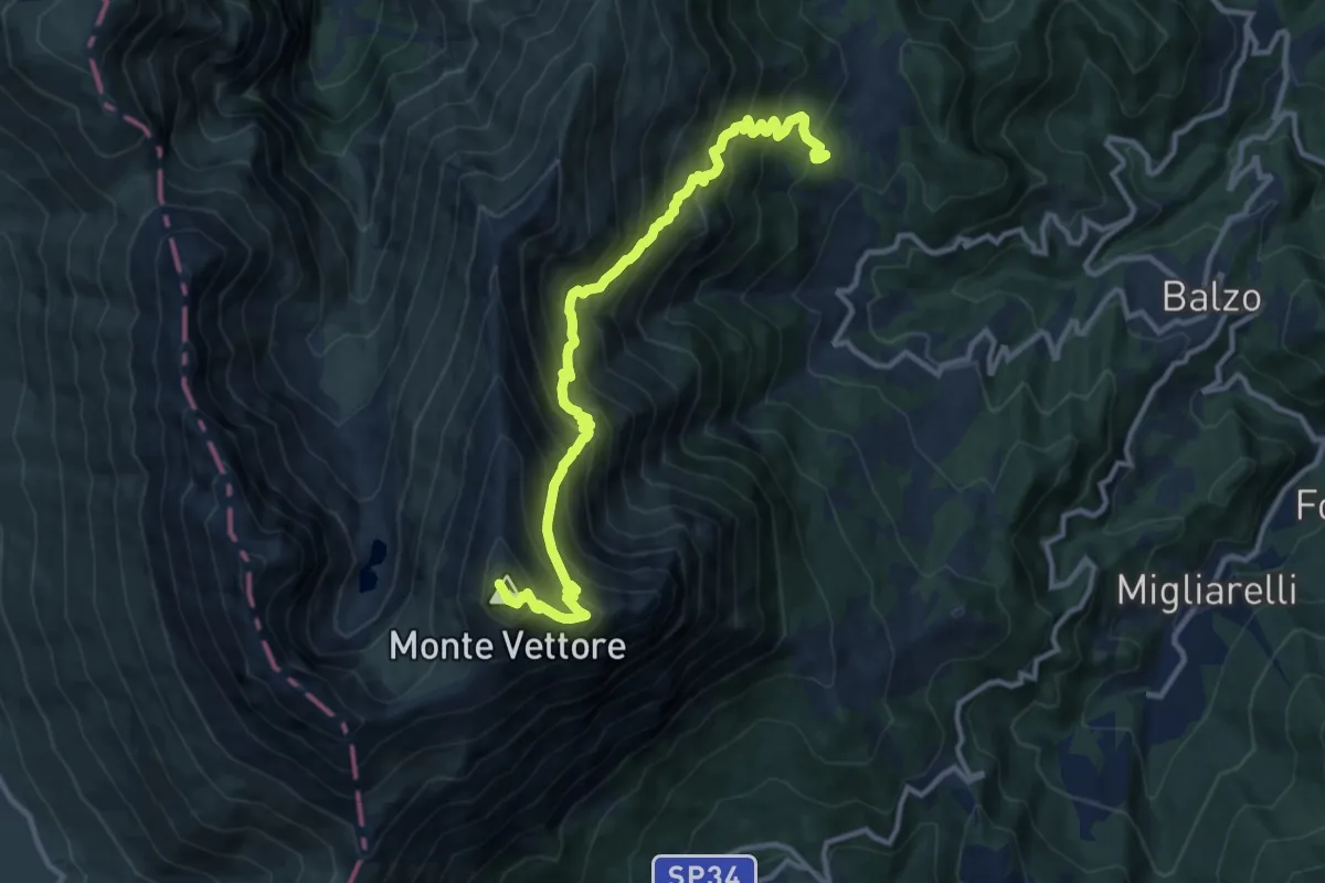
Demanding · Summit
Fonte Santa – Monte Vettore
13.0 km · ↑ 1344 m · 5 h 58 min
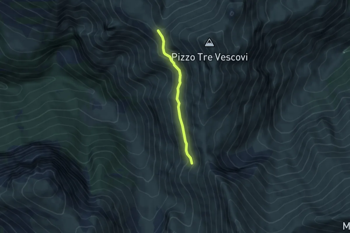
Medium · Cabin
Rifugio del Fargno – Fonte Angagnola
3.6 km · ↑ 149 m · 1 h 11 min
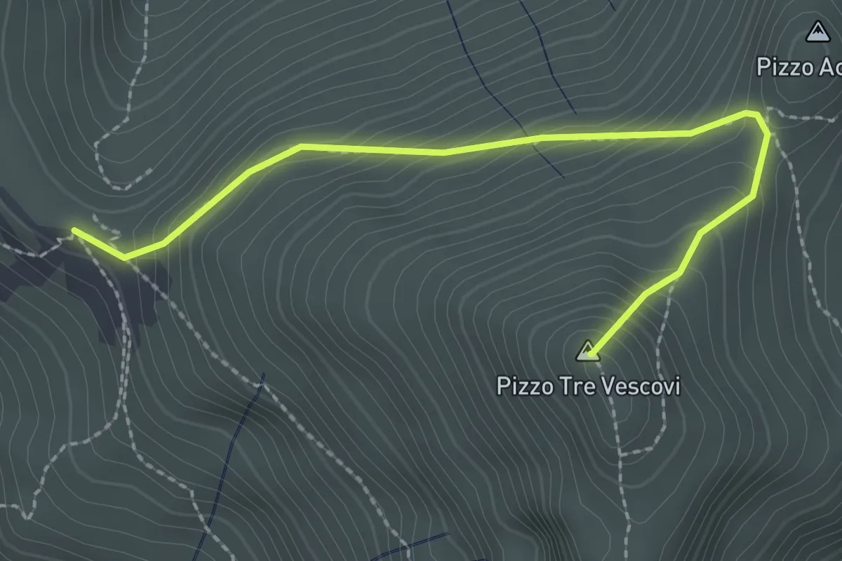
Demanding · Summit
Rifugio del Fargno – Pizzo Tre Vescovi
2.6 km · ↑ 262 m · 1 h 11 min
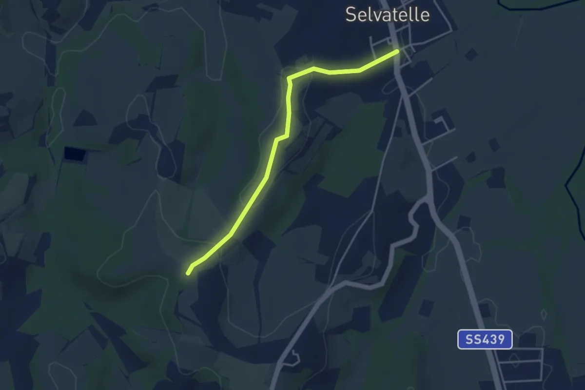
Easy · Trail
Casanova – Selvatelle
3.7 km · ↑ 77 m · 1 h 3 min
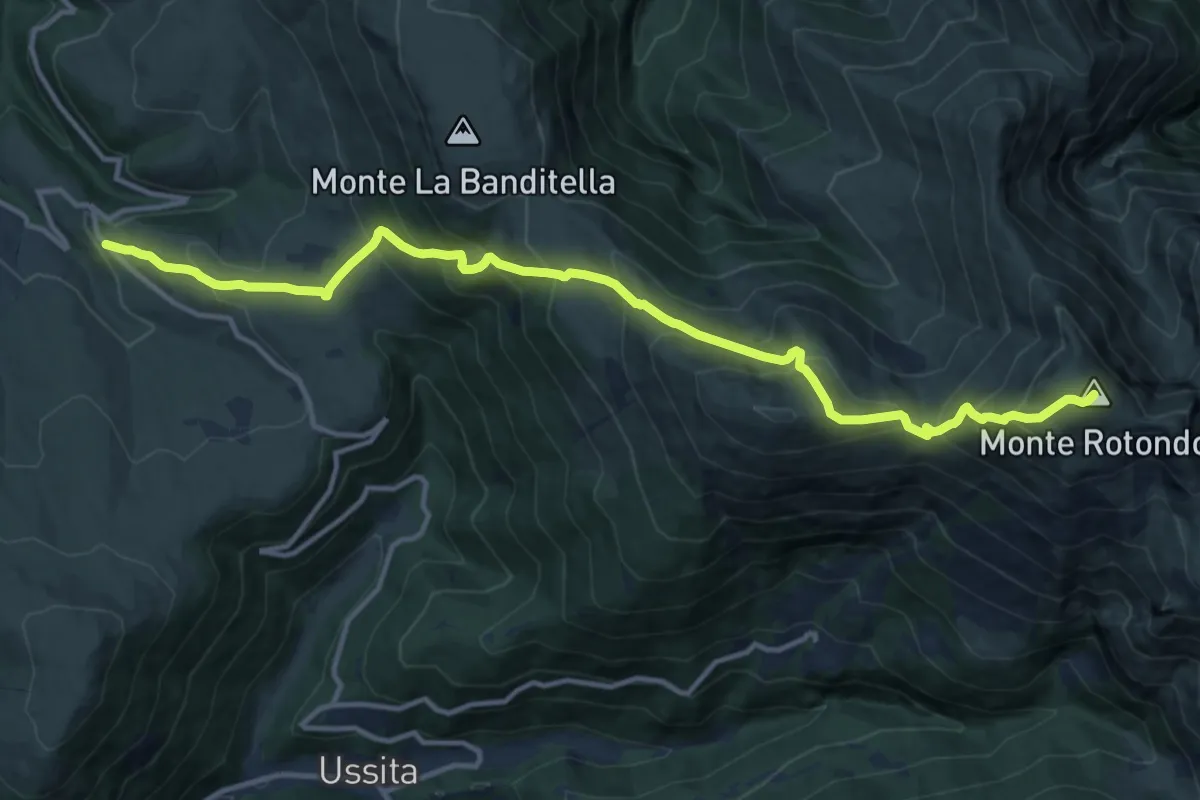
Demanding · Summit
Santuario di Macereto – Monte Rotondo
15.3 km · ↑ 1212 m · 6 h 14 min
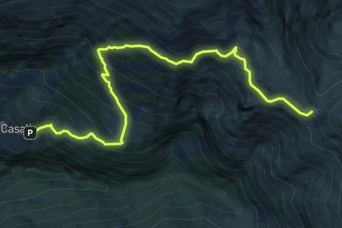
Demanding · Cabin
Casali – Rifugio del Fargno
9.2 km · ↑ 879 m · 4 h 5 min
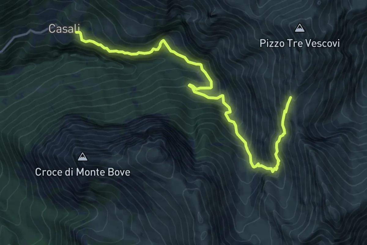
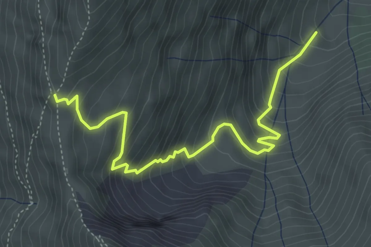
Demanding · Cabin
Casali – Forcella Angagnola
12.7 km · ↑ 1017 m · 5 h 13 min
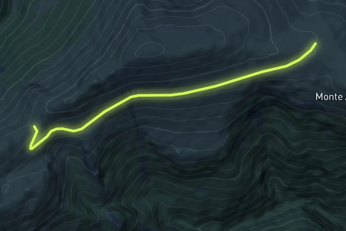
Medium · Trail
Forcella Angagnola – Sentiero N224-N226
5.3 km · ↑ 537 m · 2 h 25 min
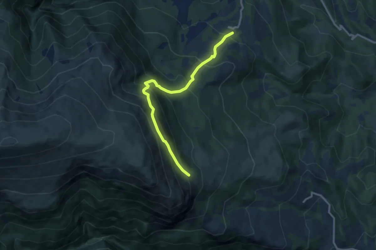
Medium · Trail
Casaletto Grascette – Forcella Bassete
7.0 km · ↑ 210 m · 2 h 6 min
Medium · Trail
Garulla Superiore – Rifugio Città di Amandola
7.7 km · ↑ 753 m · 3 h 28 min
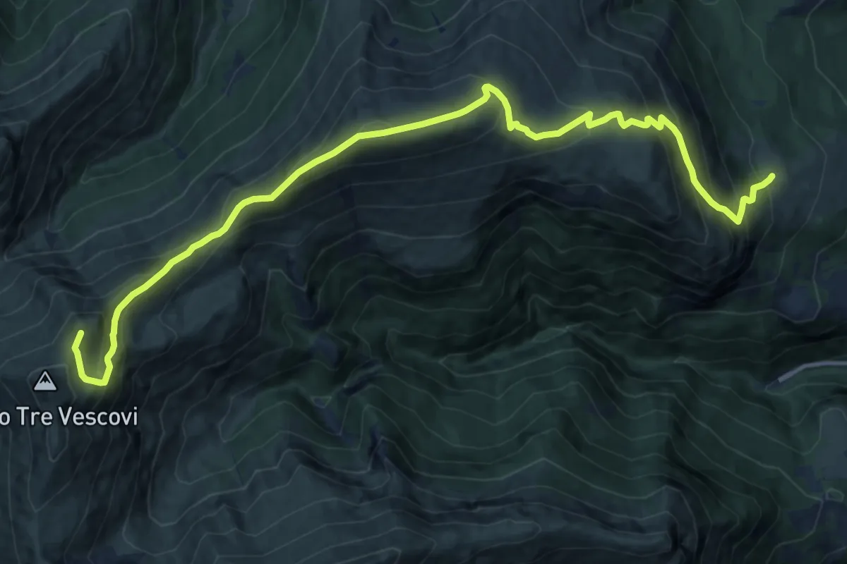
Demanding · Summit
Rifugio Città di Amandola – Sella M.Acuto Pizzo 3 Vescovi
16.8 km · ↑ 1202 m · 6 h 34 min
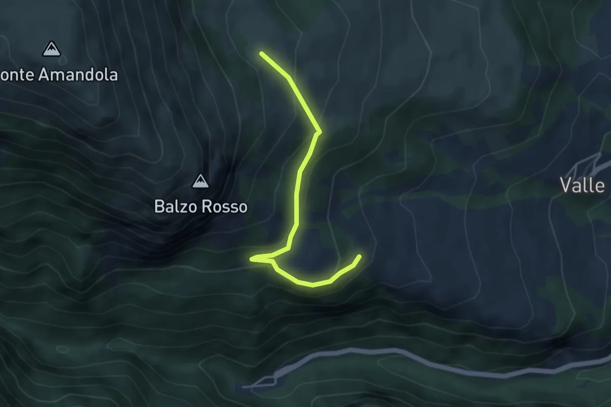
Medium · Cabin
Rifugio Città di Amandola – Bivio Sentiero N226
3.9 km · ↑ 214 m · 1 h 23 min
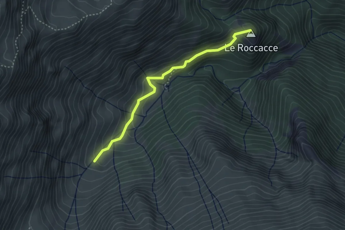
Easy · Summit
Sentiero N228 – Bivio Sentiero N227-N224
3.6 km · ↑ 262 m · 1 h 25 min
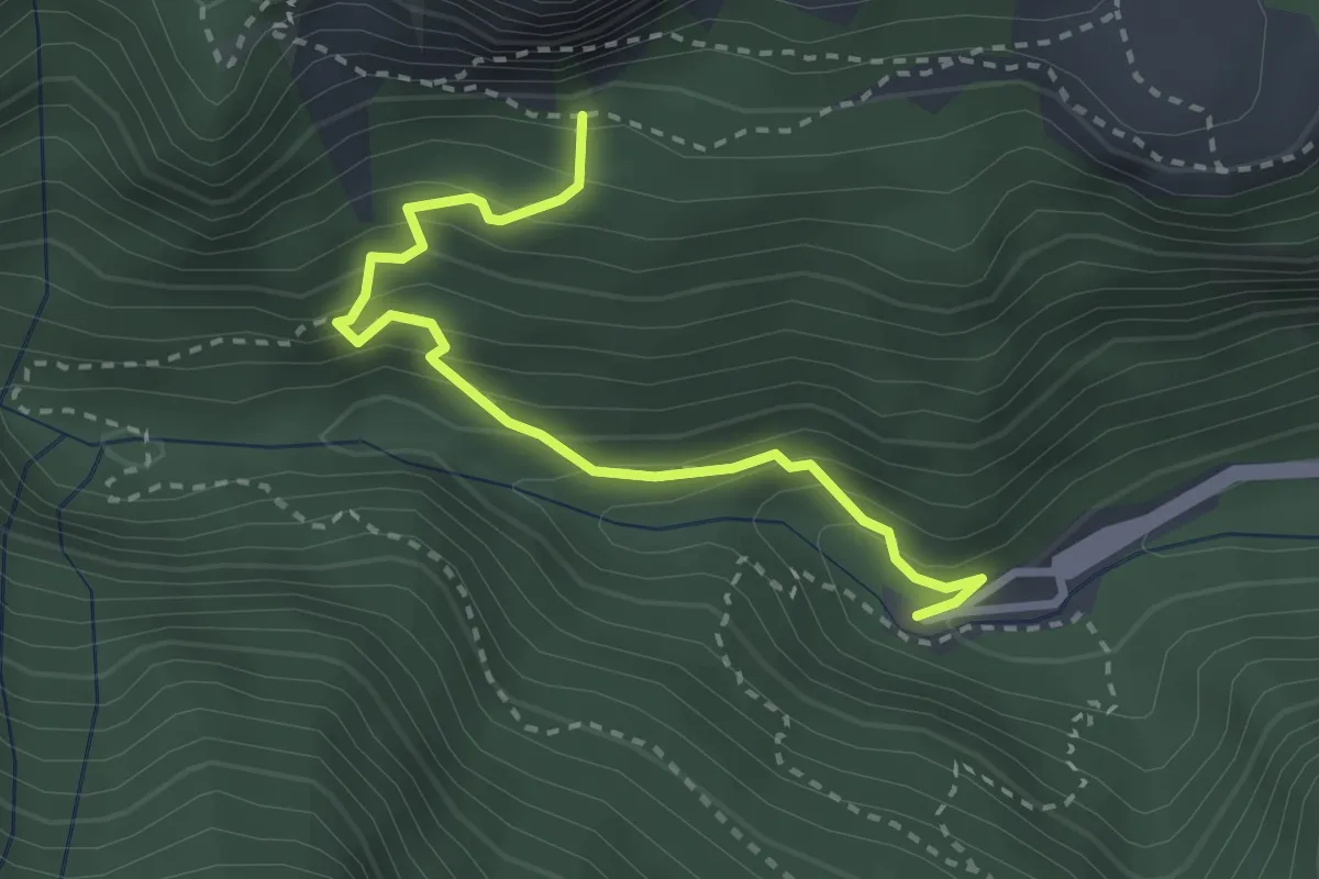
Medium · Trail
Santuario Madonna dell'Ambro – Balzo Rosso incrocio Sentiero N226
3.1 km · ↑ 353 m · 1 h 30 min
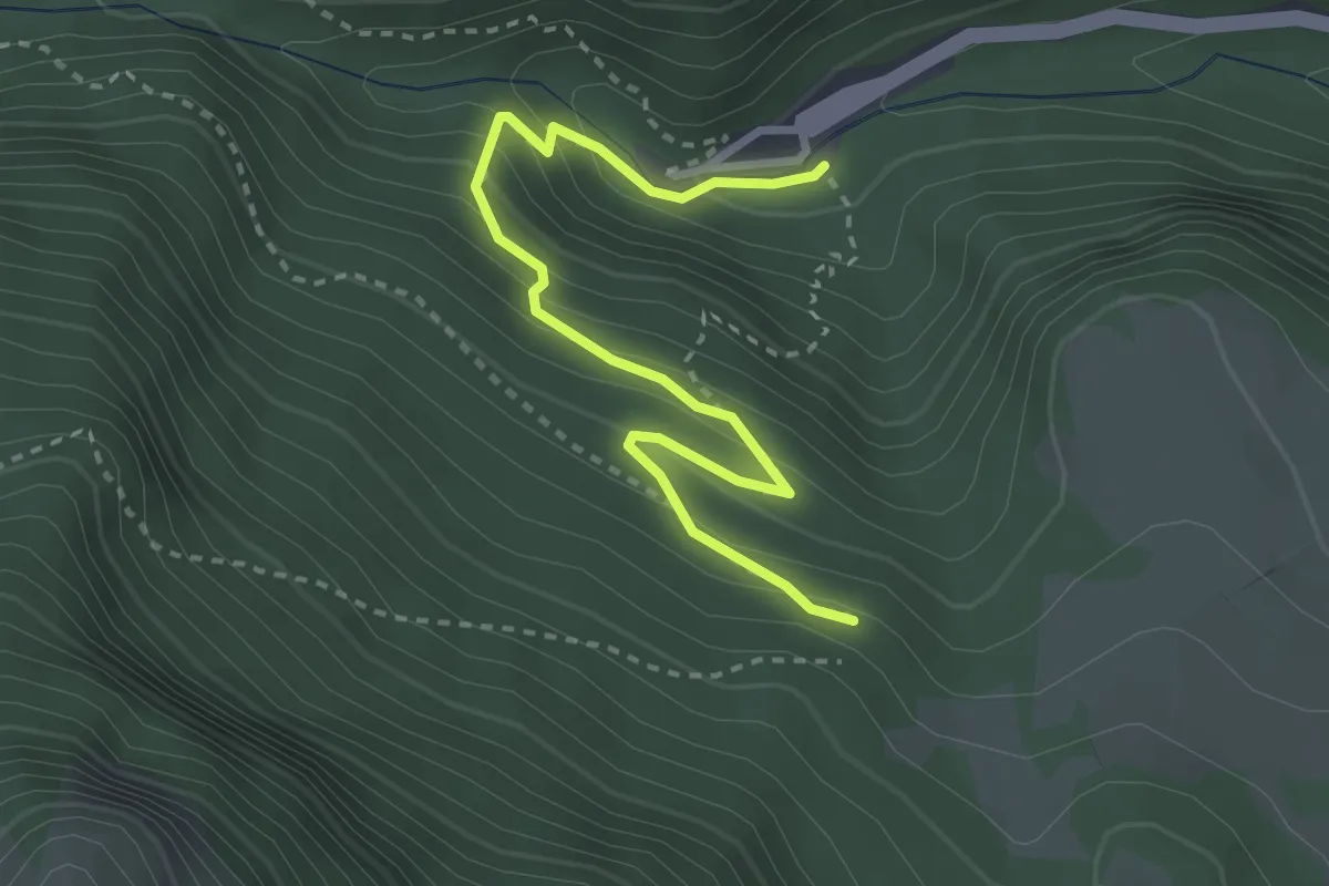
Medium · Trail
Santuario Madonna dell'Ambro – Sentiero N224
3.5 km · ↑ 268 m · 1 h 24 min
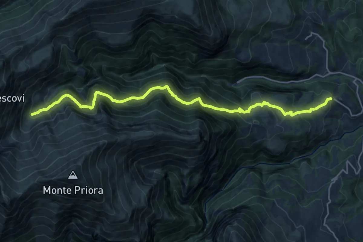
Demanding · Trail
Vetice – intersezione 226 e 227 (a valle di Casale Rinaldi)
17.3 km · ↑ 1045 m · 6 h 21 min
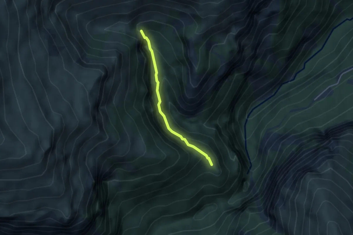
Medium · Trail
Eremo San Leonardo – Cascata Nascosta
2.8 km · ↑ 278 m · 1 h 16 min
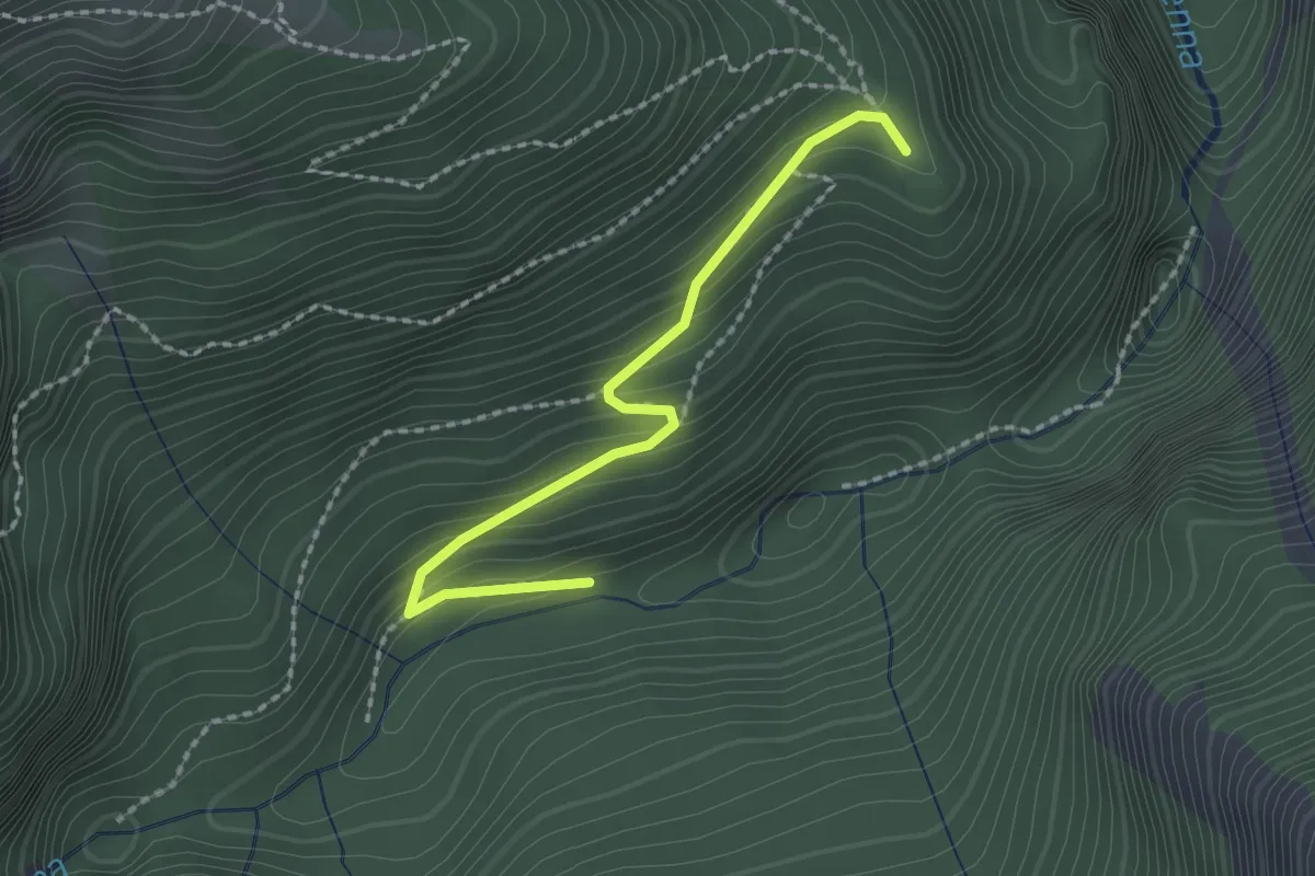
Medium · Trail
Sentiero N221 (BIVIO TORRENTE TENNA) – Eremo di San Leonardo
2.2 km · ↑ 168 m · 53 min