Trails in Italy
25,219 hiking trails, each with its route, climb, walking time and grade.
All trails, page 278 of 526
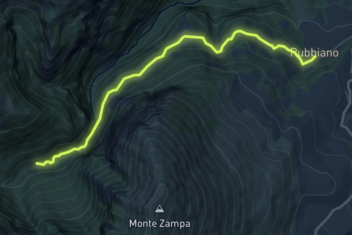
Medium · Trail
Rubbiano – Bivio Sentiero N229
8.4 km · ↑ 476 m · 3 h 1 min
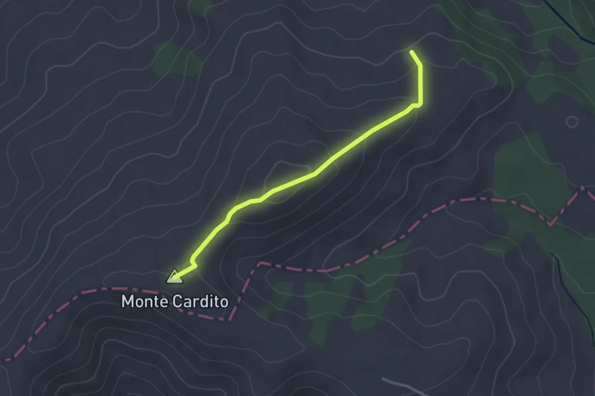
Easy · Summit
Innesto su E360 – Innesto su E359
3.0 km · ↑ 143 m · 1 h 1 min
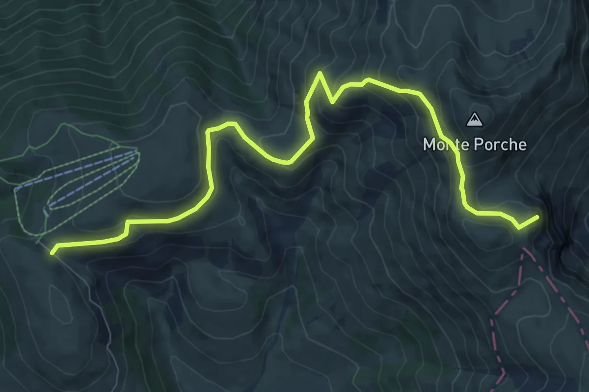
Medium · Summit
Parcheggio Monte Prata – Passo di Sasso Borghese
10.5 km · ↑ 598 m · 3 h 46 min
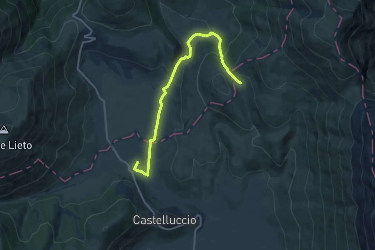
Medium · Summit
Castelluccio di Norcia (SI) – Rifugio Capanna Ghezzi
8.8 km · ↑ 329 m · 2 h 47 min
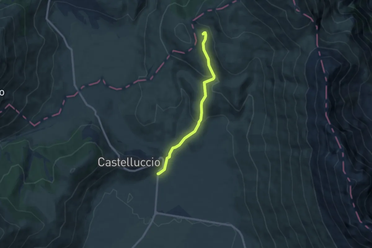
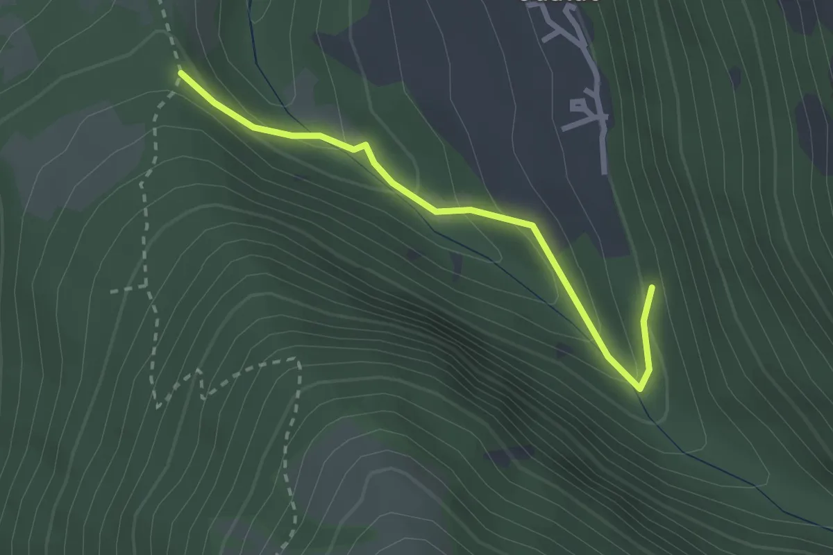
Easy · Trail
Castelluccio – Rifugio Capanna Ghezzi
6.0 km · ↑ 275 m · 2 h 1 min
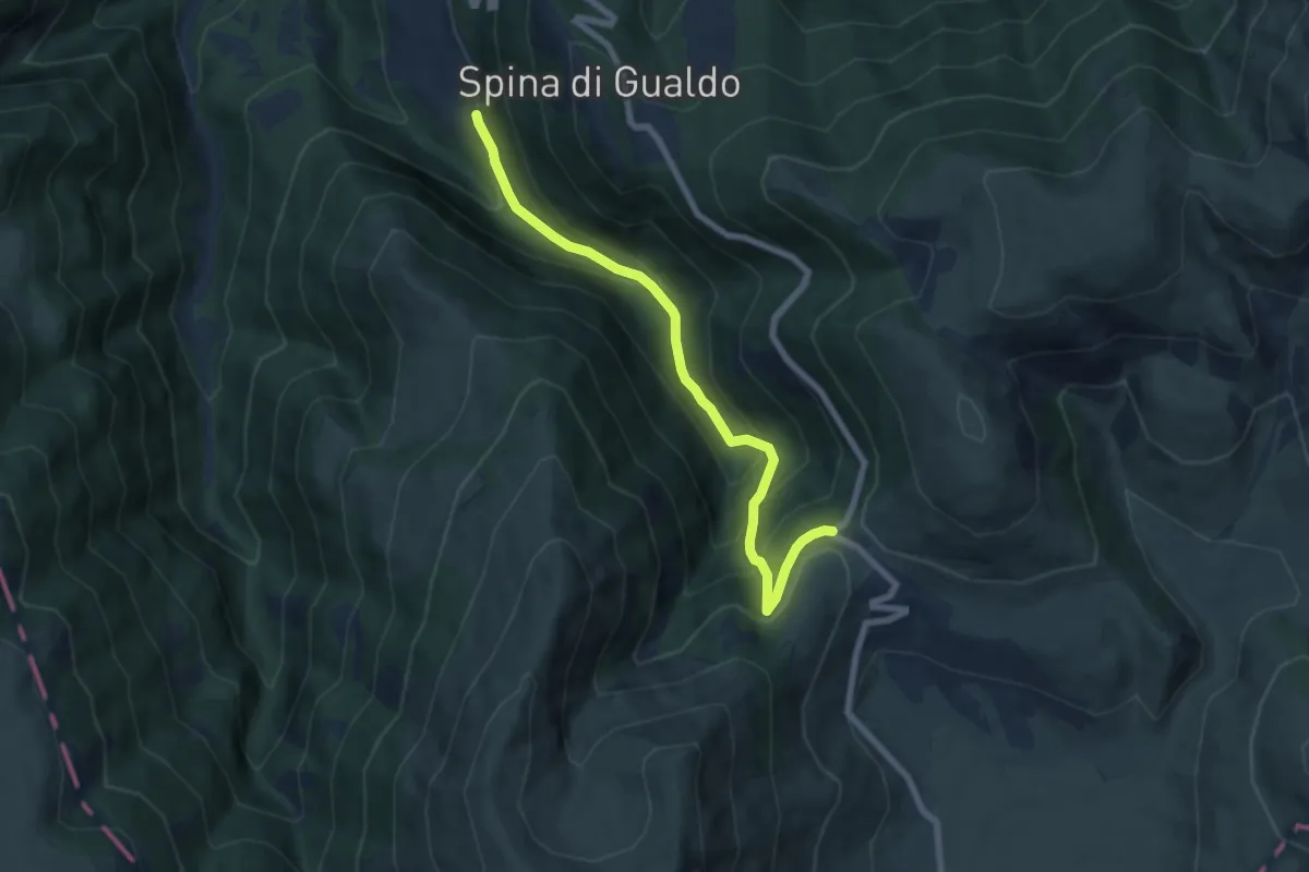
Easy · Trail
Sentiero N252 – Sentiero N253
2.6 km · ↑ 150 m · 56 min
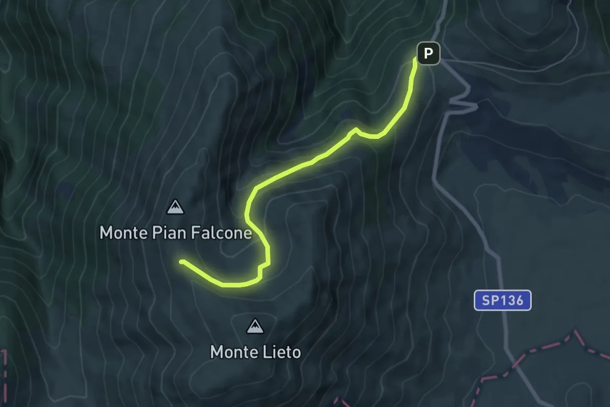
Medium · Trail
Gualdo – Forca di Gualdo
7.5 km · ↑ 535 m · 2 h 56 min
Medium · Trail
Forca di Gualdo – Monte Pian Falcone
5.9 km · ↑ 353 m · 2 h 10 min
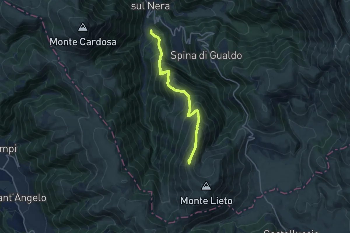
Demanding · Summit
Nocelleto – Monte Pian Falcone
11.7 km · ↑ 1086 m · 5 h 8 min
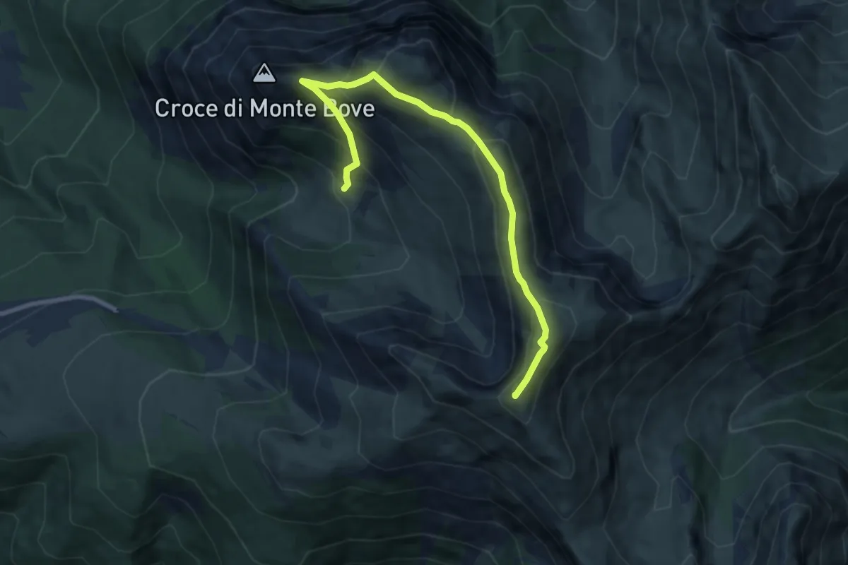
Demanding · Summit
Sentiero N272 – Monte Bove Sud
8.7 km · ↑ 649 m · 3 h 27 min
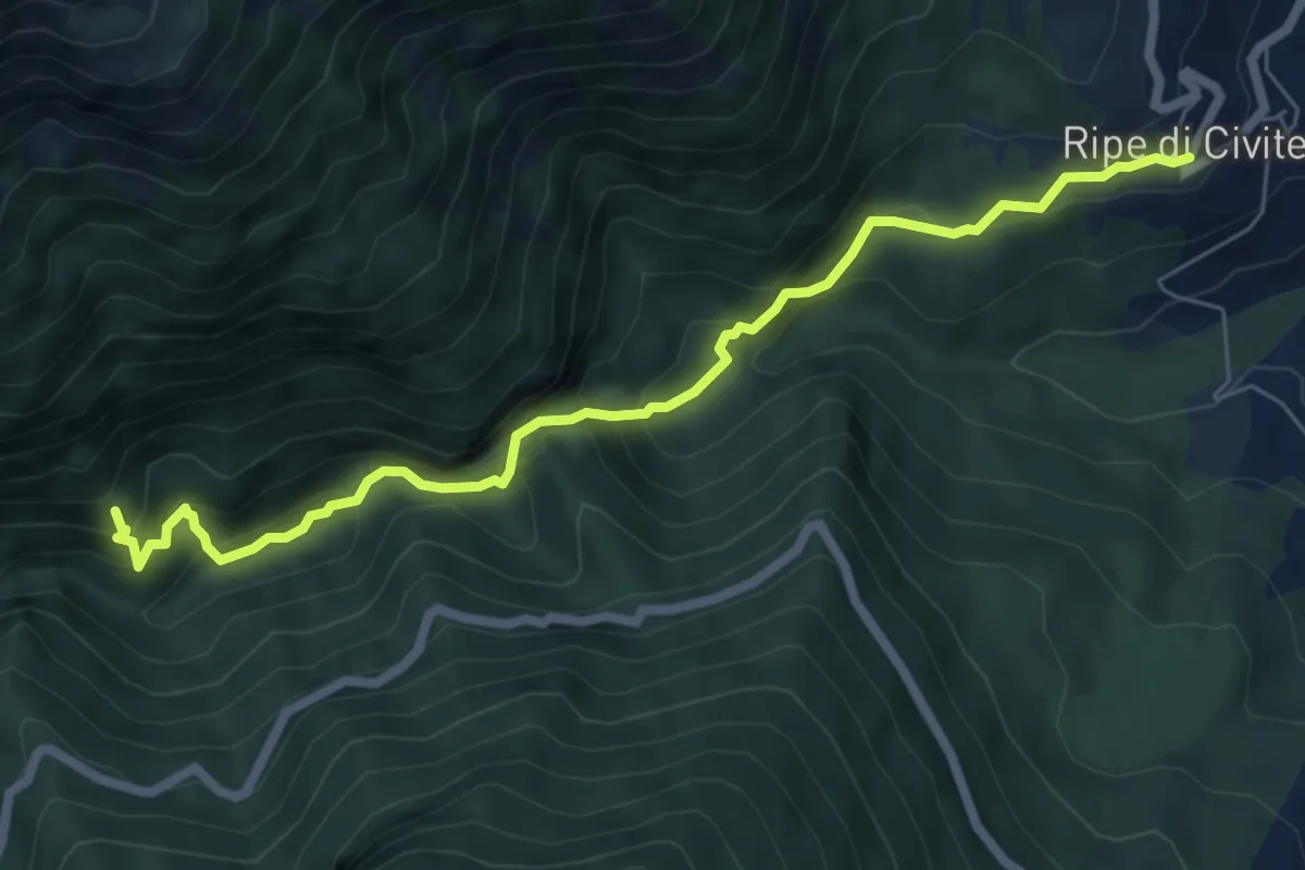
Demanding · Trail
Ripe – Gole del Salinello
7.3 km · ↑ 611 m · 3 h 3 min
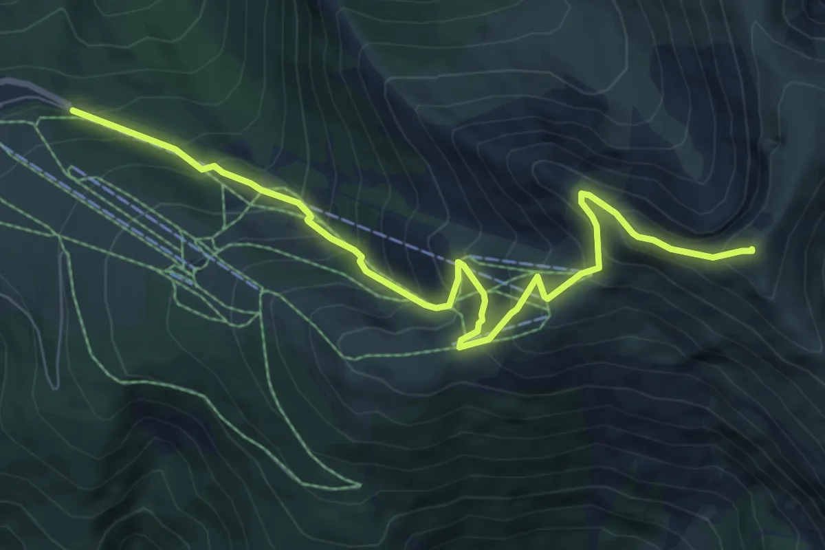
Demanding · Summit
Piazzale Saliere – Monte Bove Sud
8.7 km · ↑ 847 m · 3 h 53 min
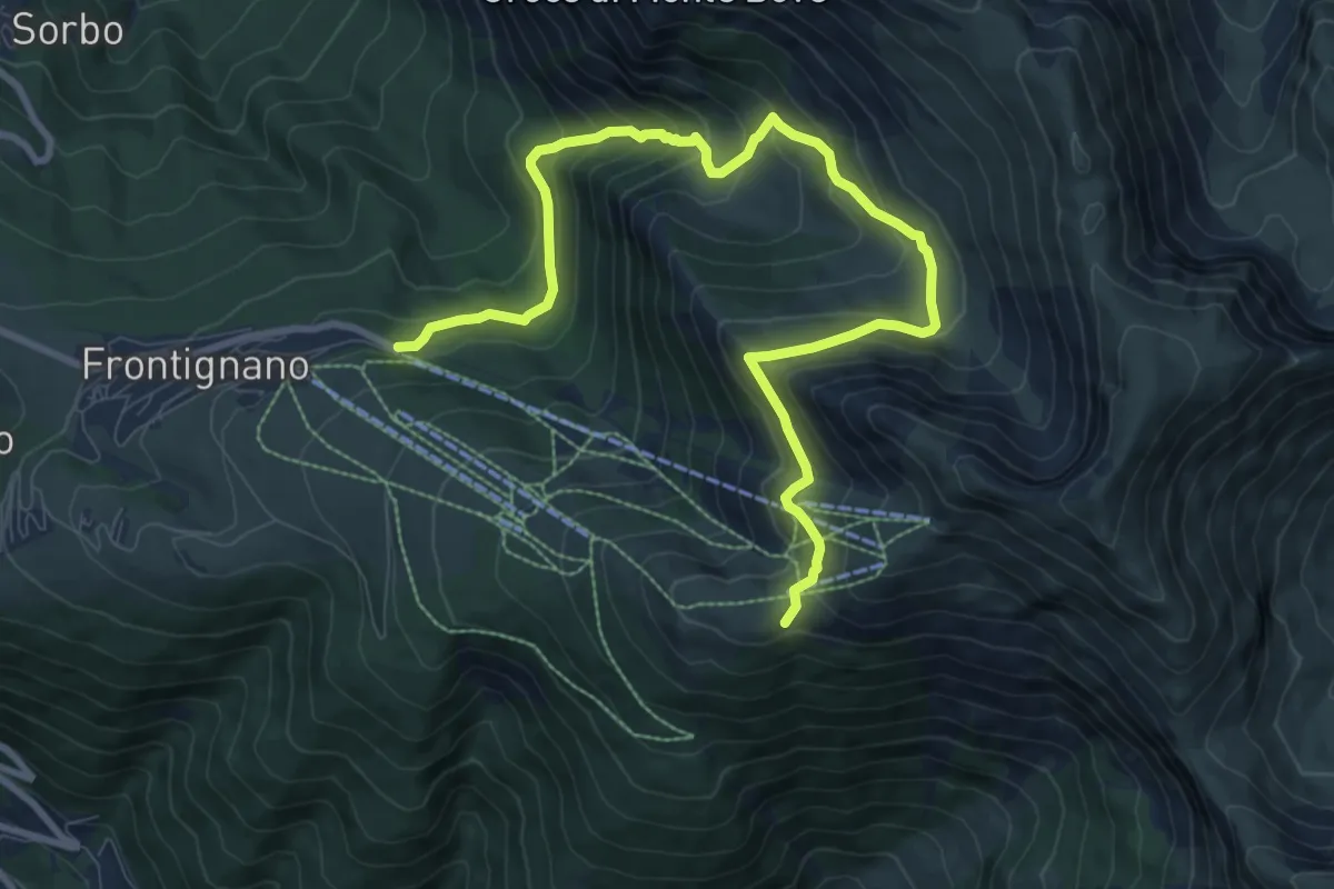
Medium · Trail
Piazzale Saliere – Sentiero N257
11.5 km · ↑ 733 m · 4 h 18 min
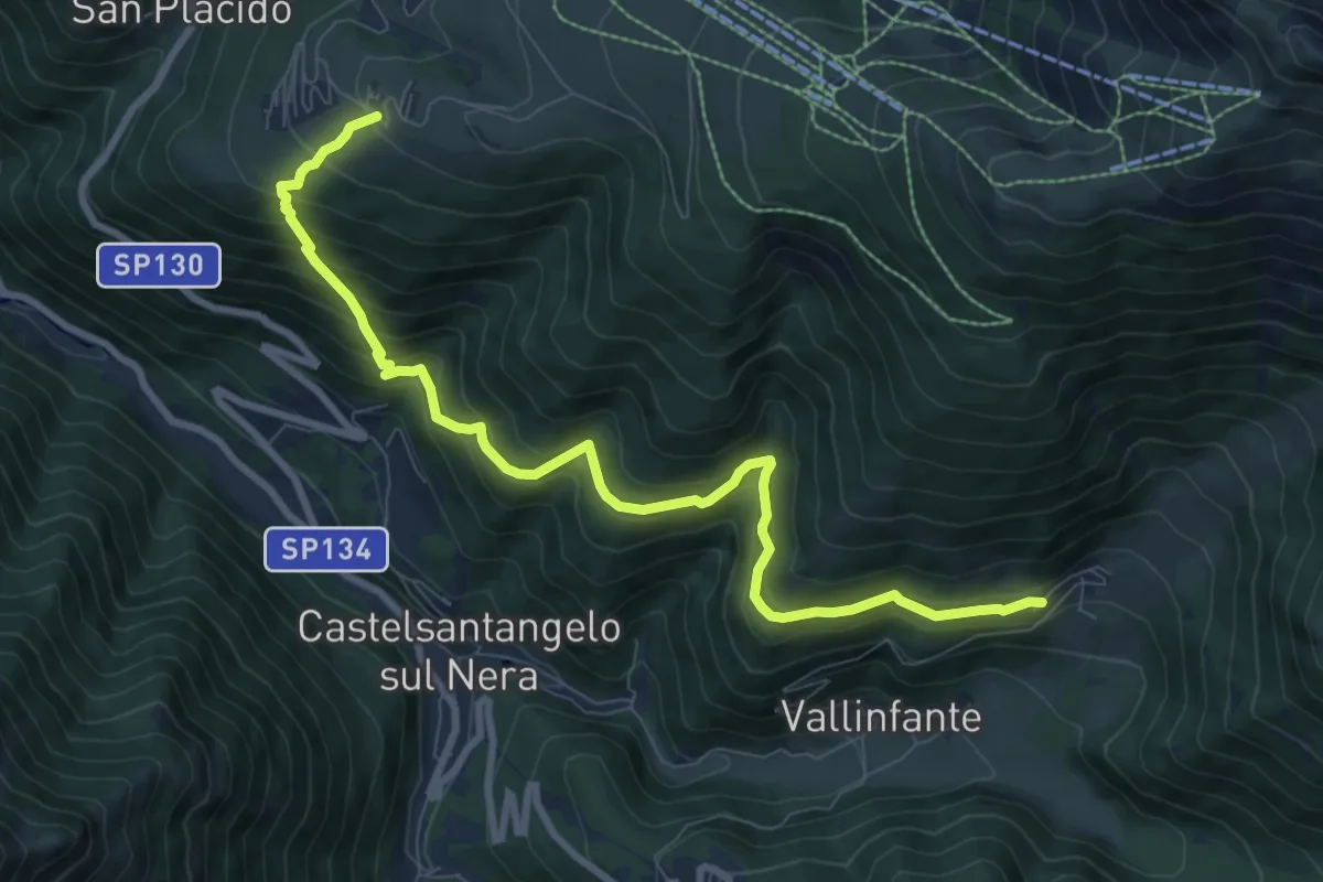
Medium · Trail
Frontignano di Ussita – Macchie
10.2 km · ↑ 766 m · 4 h 4 min
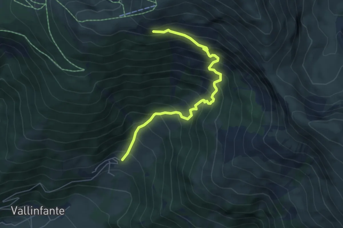
Demanding · Trail
Macchie – Sentiero N257
6.0 km · ↑ 707 m · 2 h 58 min
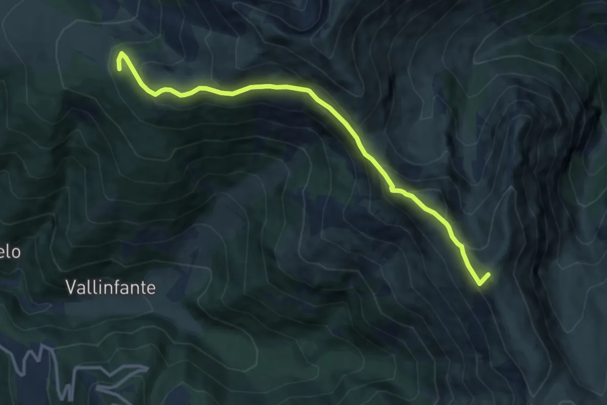
Medium · Summit
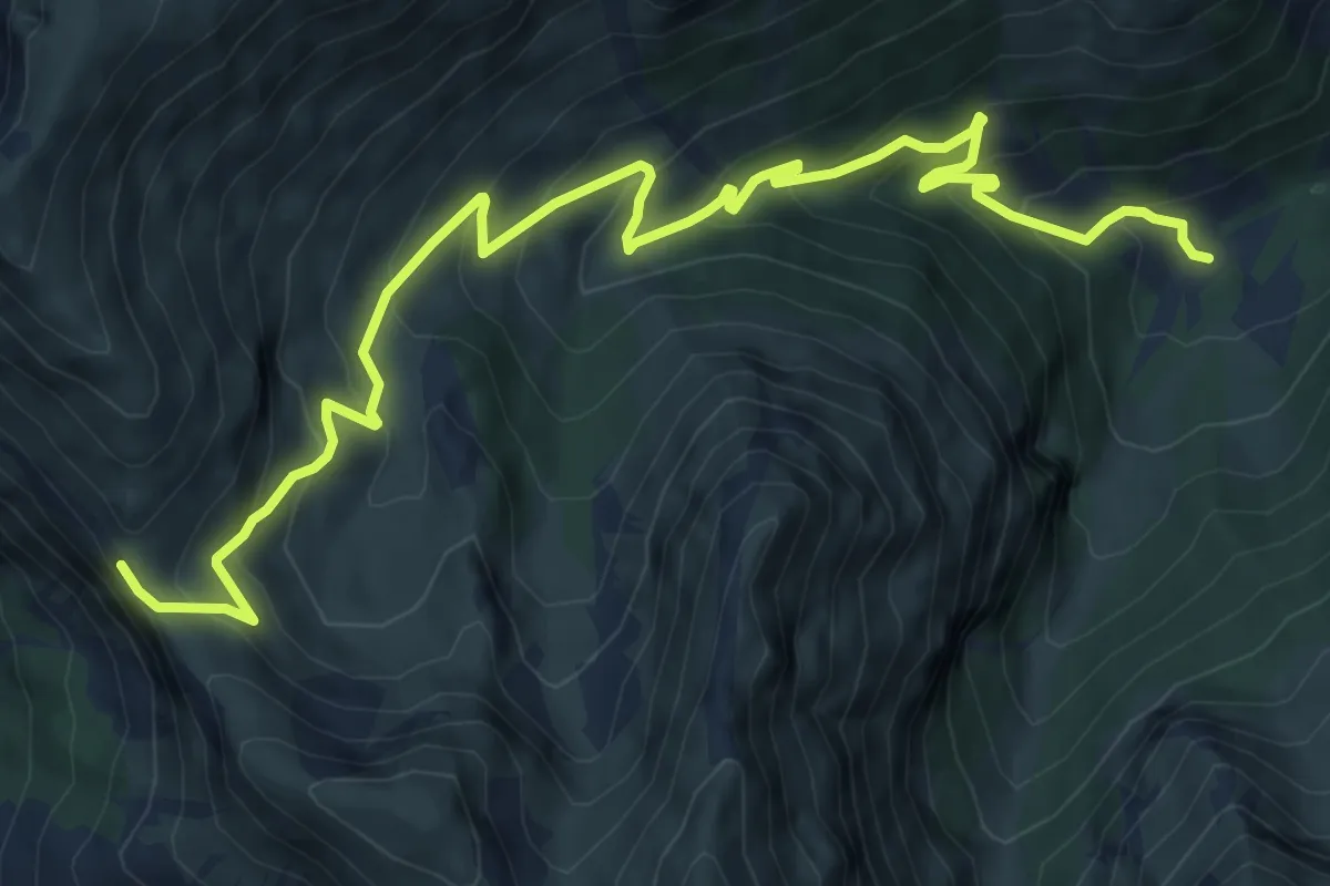
Impianti Belvedere – Monte Porche (ref:261)
10.1 km · ↑ 611 m · 3 h 42 min
Medium · Trail
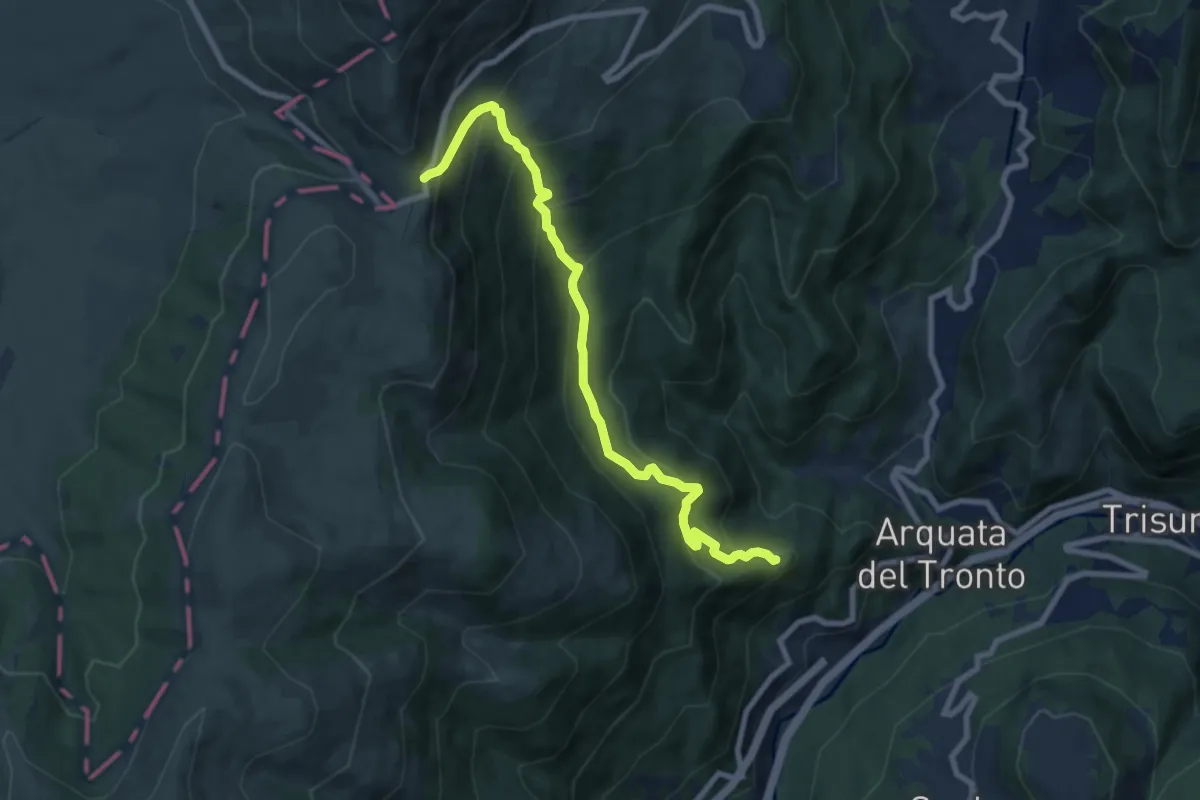
Capotenna – Passo Cattivo
10.7 km · ↑ 755 m · 4 h 9 min
Medium · Trail
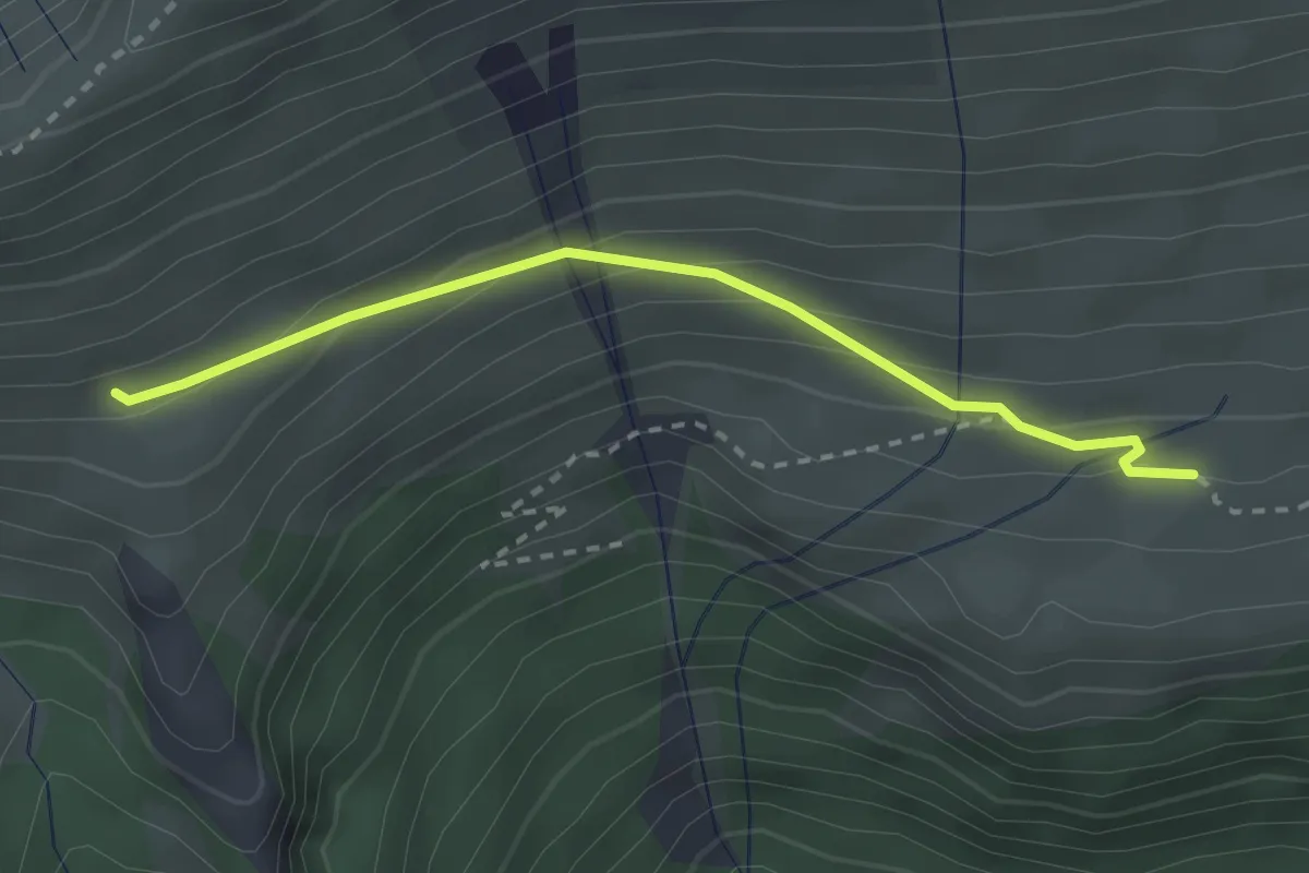
Vena dei Corvi – Forca di Presta
8.9 km · ↑ 734 m · 3 h 42 min
Easy · Cabin
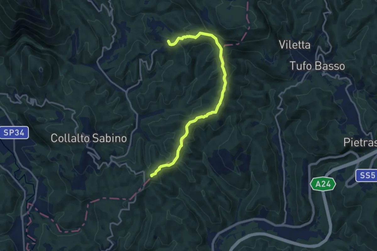
Sentiero N226 – Ara del Re
2.7 km · ↑ 147 m · 58 min
Medium · Summit
Colle Martino – Nespolo
11.3 km · ↑ 360 m · 3 h 26 min
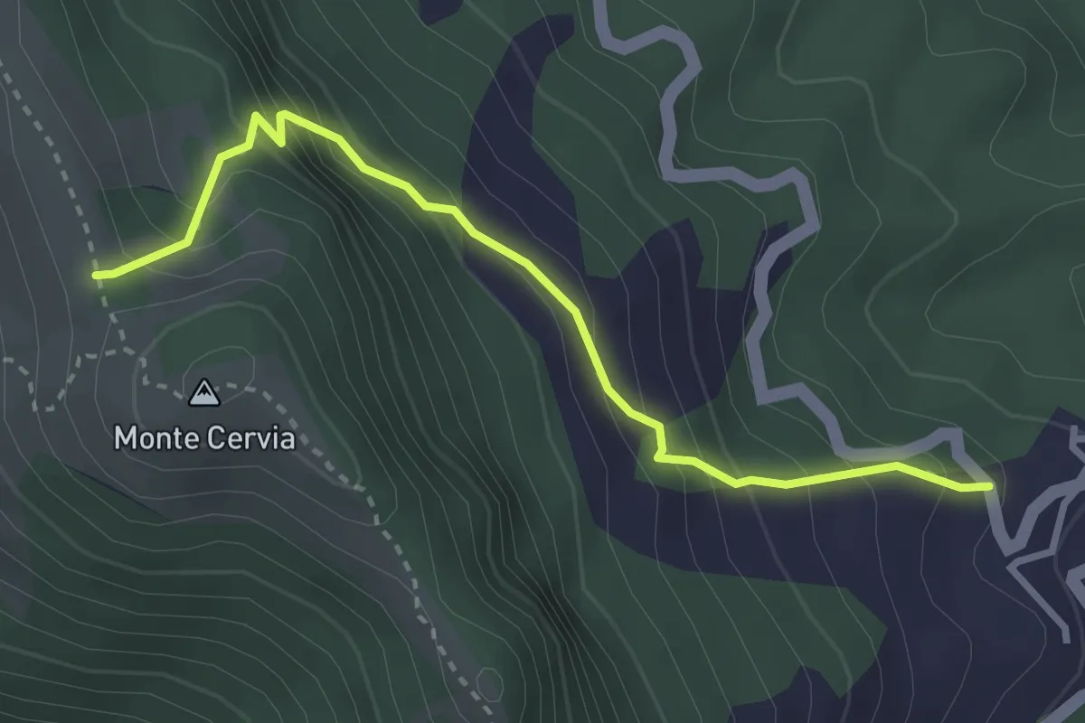
Medium · Trail
Collegiove – Incrocio s. 342 x M.Cervia
3.4 km · ↑ 344 m · 1 h 33 min
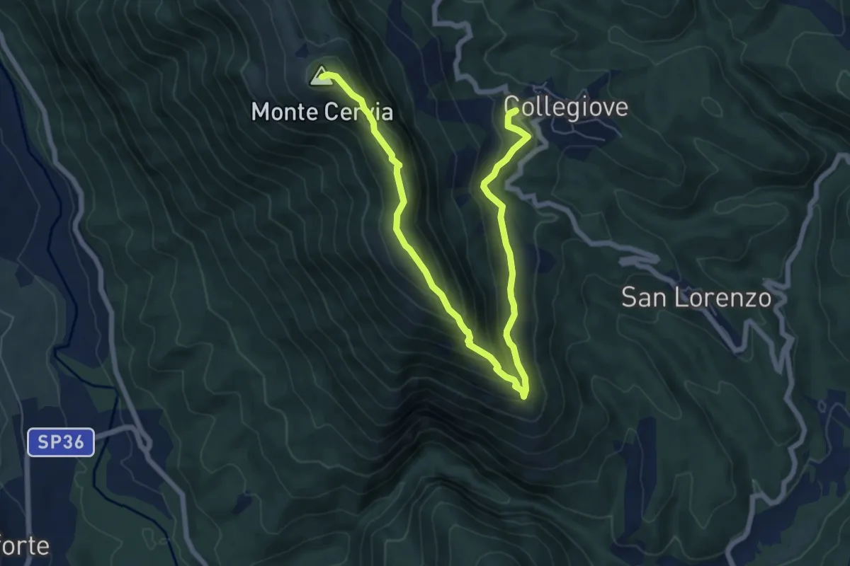
Medium · Summit
Collegiove – M.te Cervia
8.8 km · ↑ 562 m · 3 h 18 min
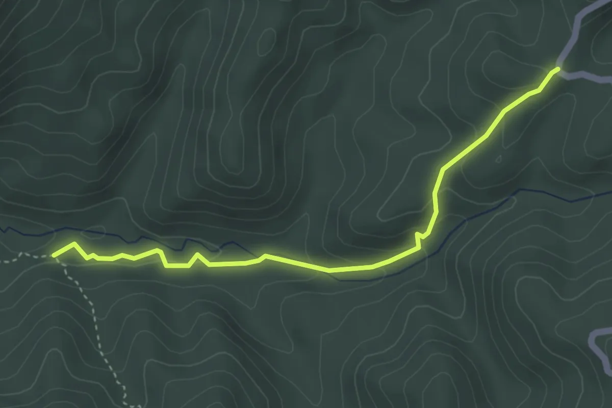
Easy · Trail
Li Coppi (Incrocio percorso 342) – Valle dell'Obito
4.2 km · ↑ 166 m · 1 h 21 min
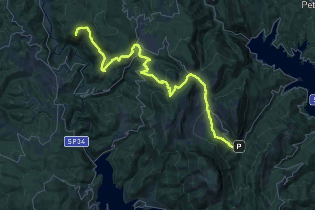
Demanding · Summit
Rocca Sinibalda – Varco Sabino
32.1 km · ↑ 1377 m · 10 h 34 min
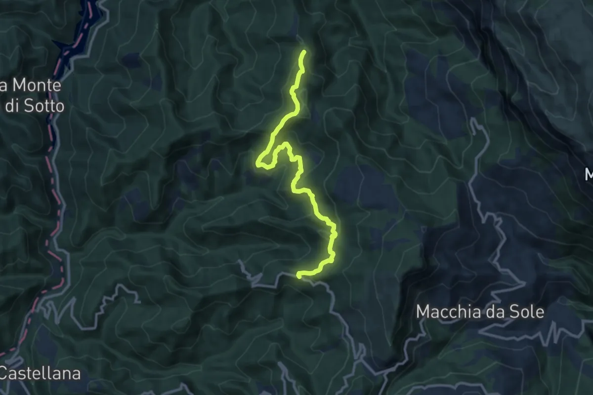
Medium · Trail
SP52 – Settecerri
10.6 km · ↑ 636 m · 3 h 54 min
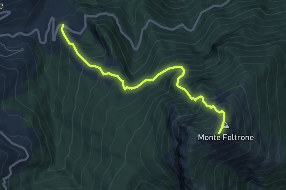
Demanding · Summit
SP52 – Monte Foltrone
6.7 km · ↑ 870 m · 3 h 28 min
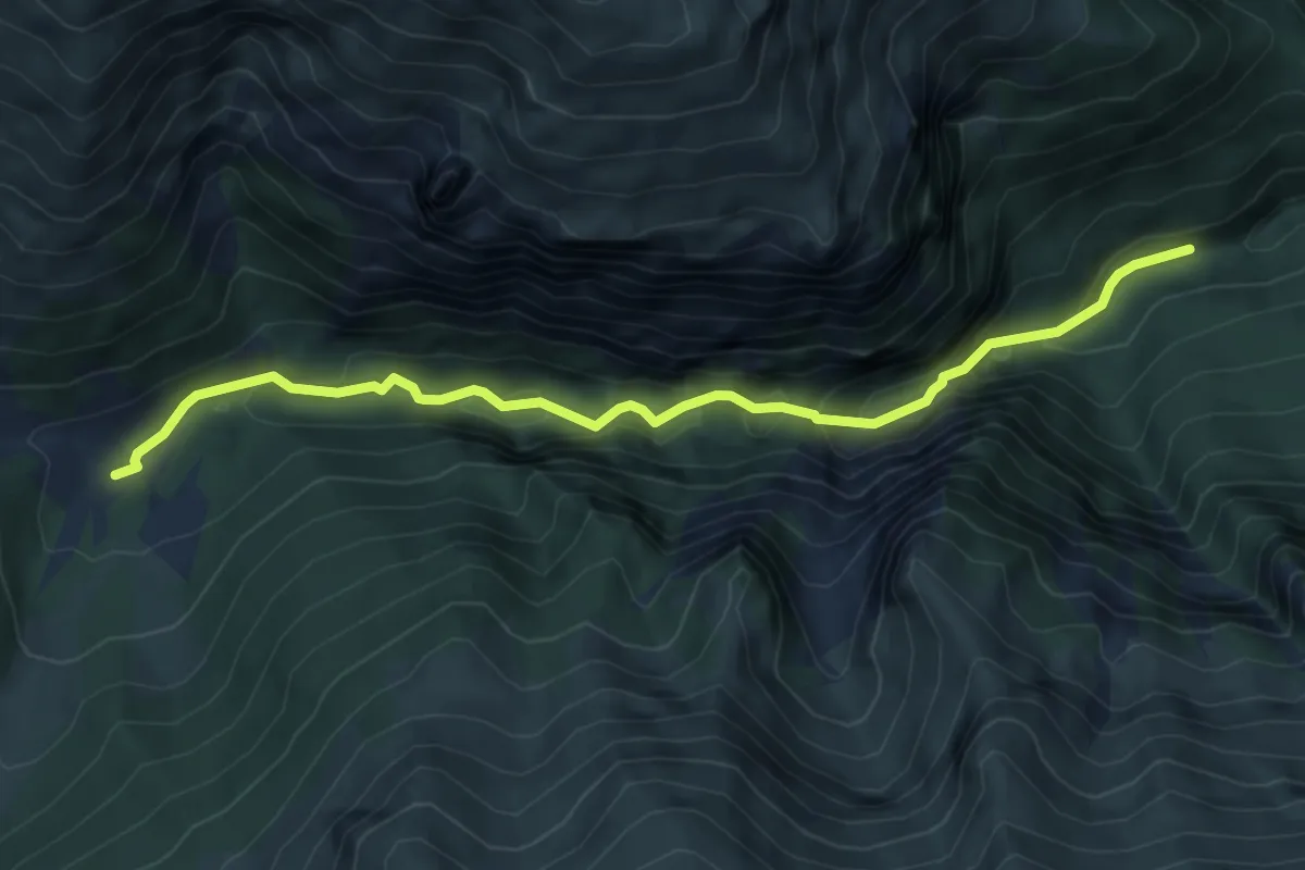
Medium · Trail
Bivio Sentiero N229 – Capotenna
6.5 km · ↑ 647 m · 2 h 56 min
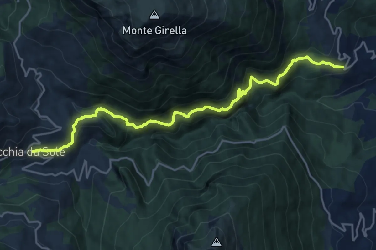
Demanding · Trail
Ripe – Macchie da Sole
13.6 km · ↑ 1093 m · 5 h 35 min
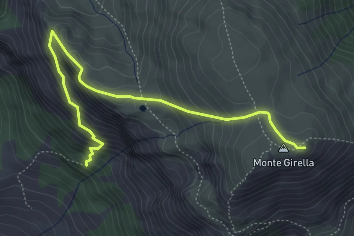
Medium · Summit
Fosso del Lago – Monte Girella
5.6 km · ↑ 518 m · 2 h 27 min
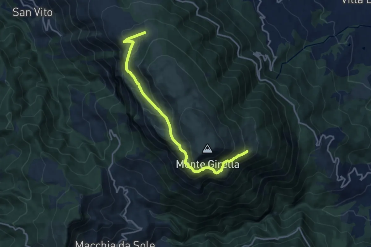
Medium · Trail
Tre Caciare – Cresta EST
11.6 km · ↑ 646 m · 4 h 8 min
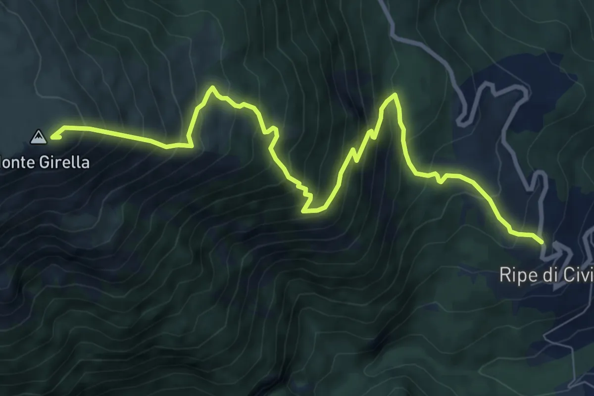
Demanding · Summit
Ripe – Monte Girella
9.9 km · ↑ 1155 m · 4 h 51 min
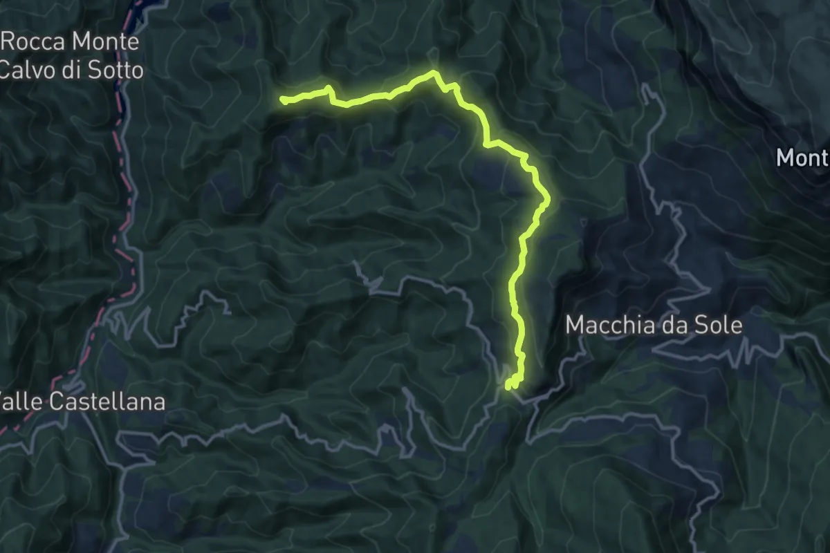
Medium · Summit
SP52 – Monte Capitone
13.4 km · ↑ 607 m · 4 h 28 min
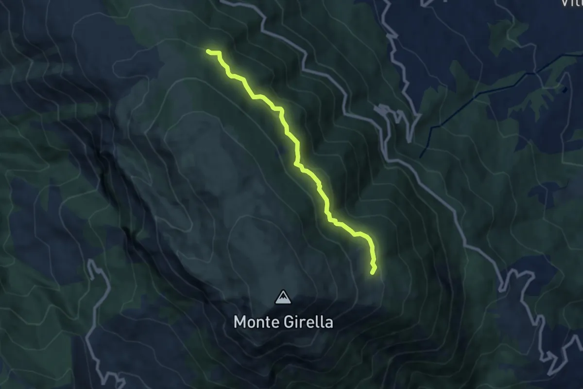
Medium · Trail
Segnavia Belvedere – Casali
7.3 km · ↑ 463 m · 2 h 44 min
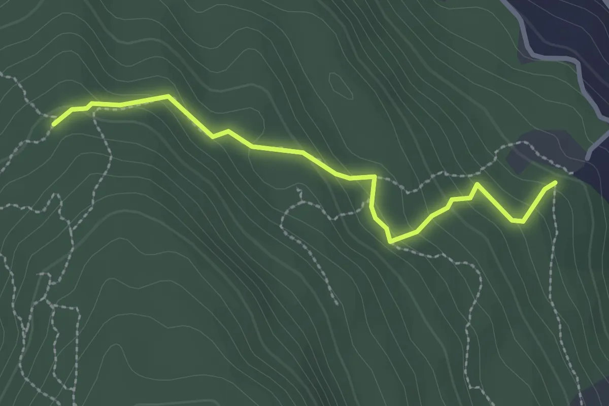
Easy · Trail
Segnavia N455 – Sentiero N458 (Colle)
2.7 km · ↑ 154 m · 58 min
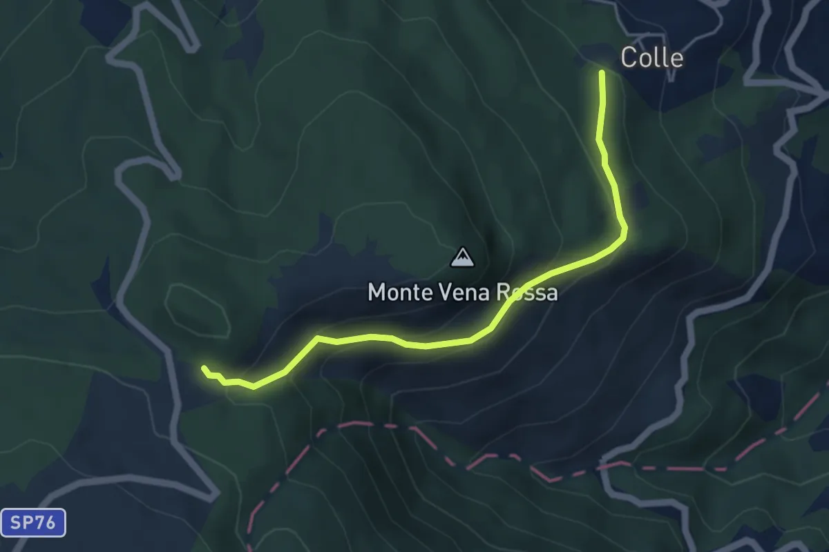
Medium · Trail
Colle – Giammatura
4.6 km · ↑ 286 m · 1 h 42 min
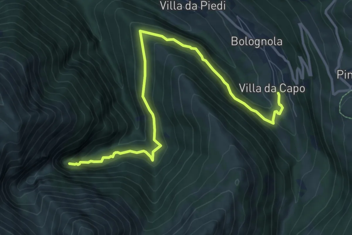
Medium · Trail
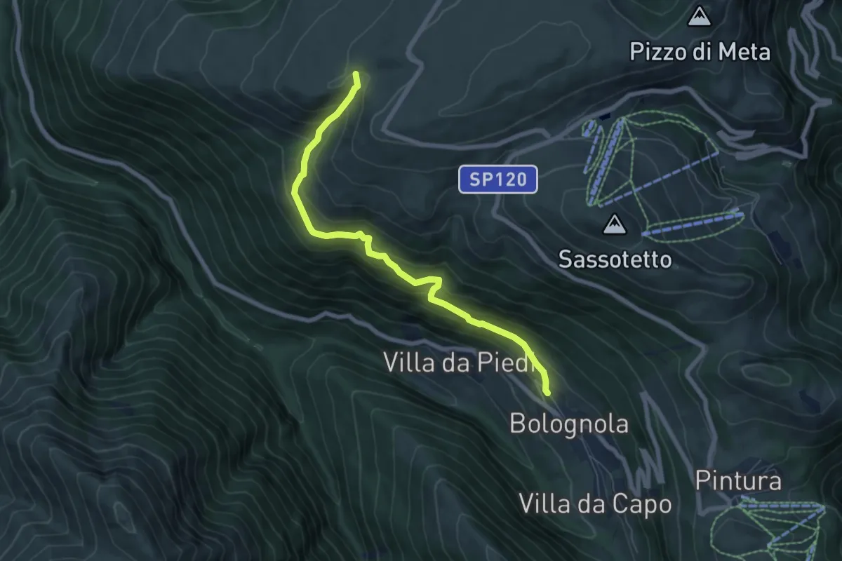
Villa da Capo – Cascate dell'Acquasanta
10.1 km · ↑ 588 m · 3 h 39 min
Medium · Trail
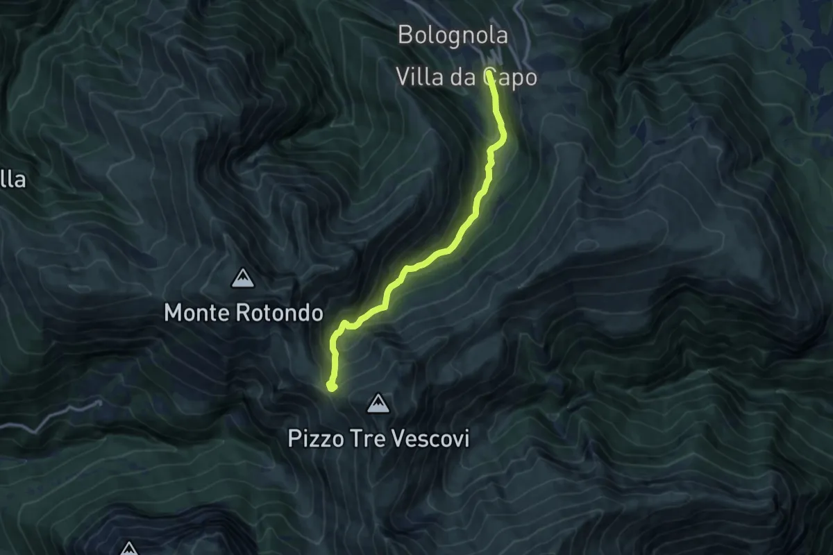
Villa di Mezzo – Colle Ripe
6.9 km · ↑ 528 m · 2 h 46 min
Demanding · Trail
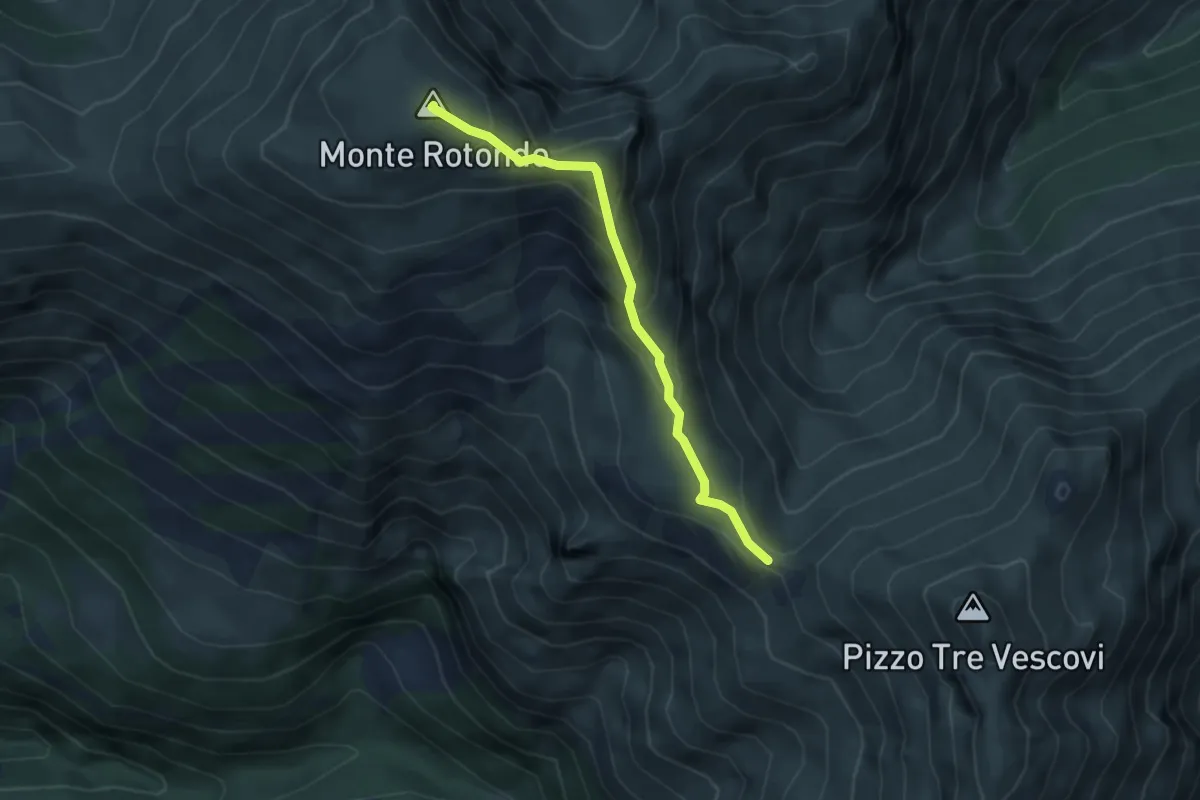
Area Pic-Nic Bolognola – Forcella del Fargno
10.6 km · ↑ 754 m · 4 h 9 min
Demanding · Summit
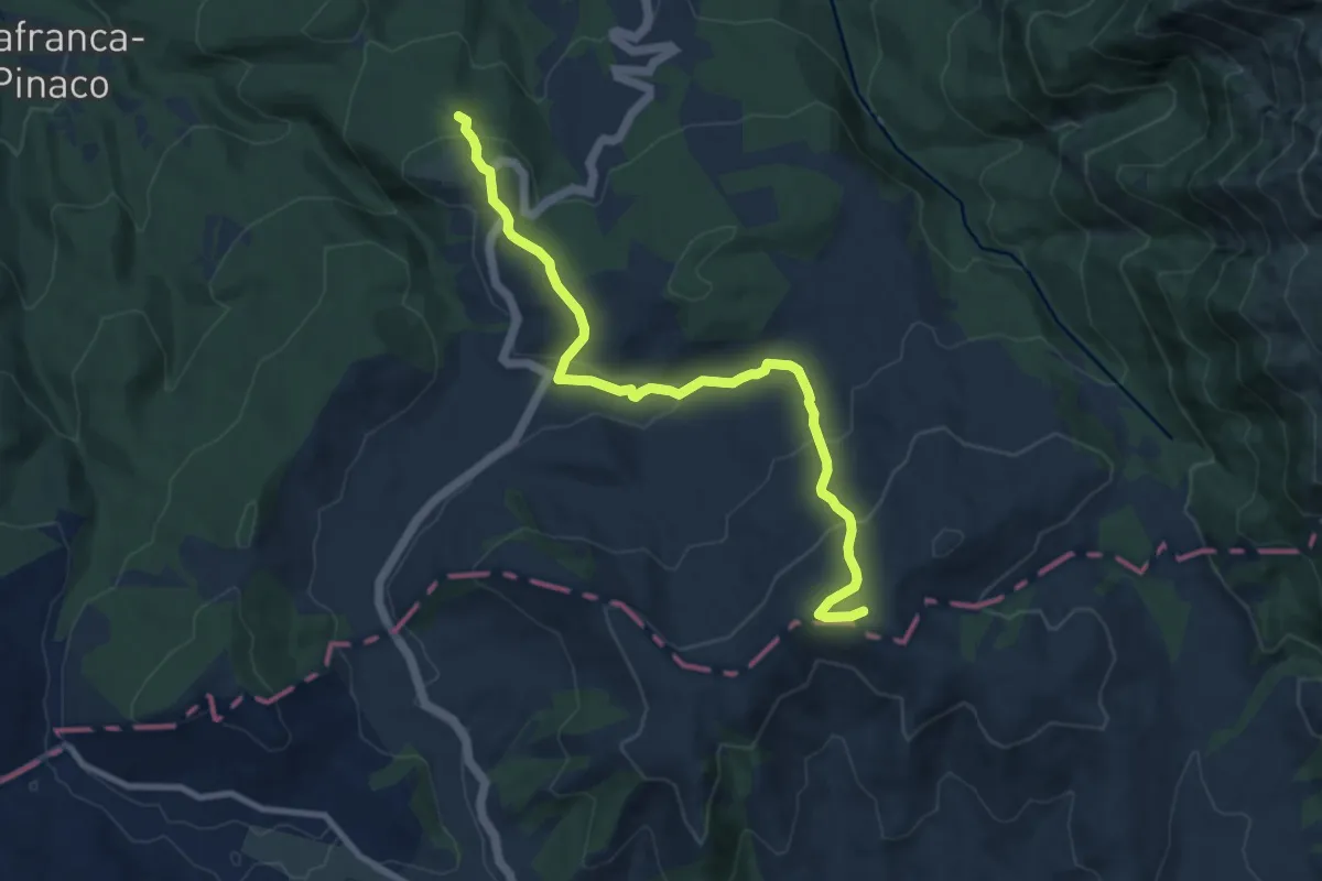
Forcella del Fargno – Monte Rotondo
4.0 km · ↑ 317 m · 1 h 39 min
Medium · Summit
Campotosto – Amatrice
10.2 km · ↑ 466 m · 3 h 25 min
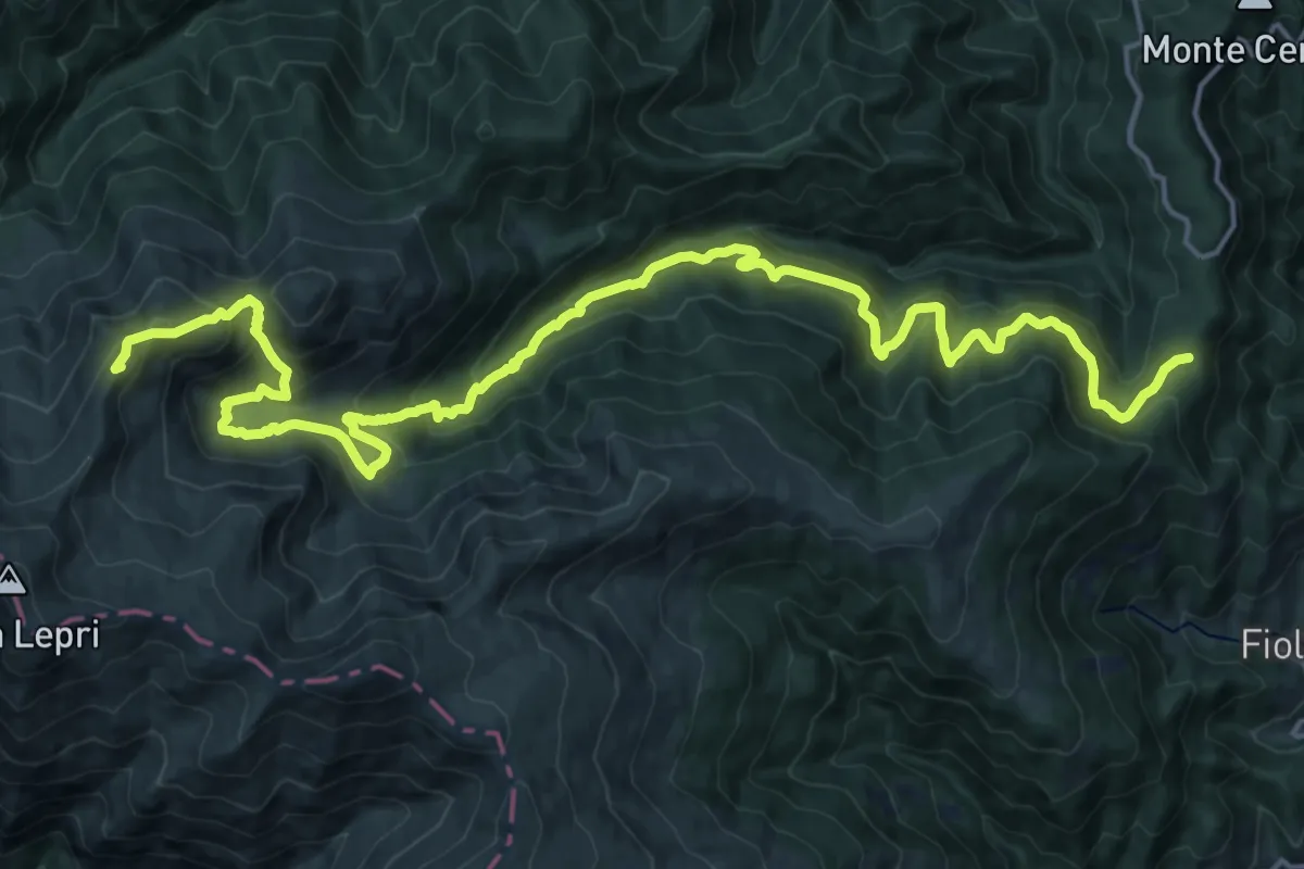
Demanding · Summit
Segnavia N300 – Cima La Rocchetta
25.5 km · ↑ 1603 m · 9 h 29 min
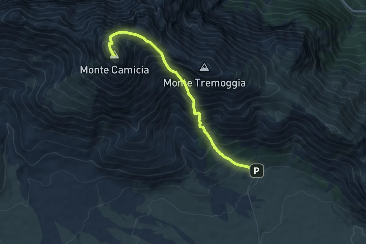
Demanding · Summit
Fonte della Vetica – Monte_Camicia
7.0 km · ↑ 1004 m · 3 h 50 min
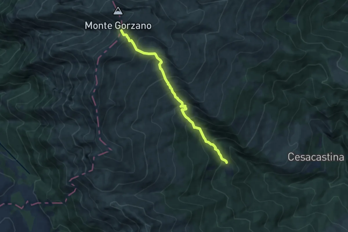
Demanding · Trail
Bosco Tignoso – Sella del Gorzano
8.6 km · ↑ 891 m · 3 h 57 min
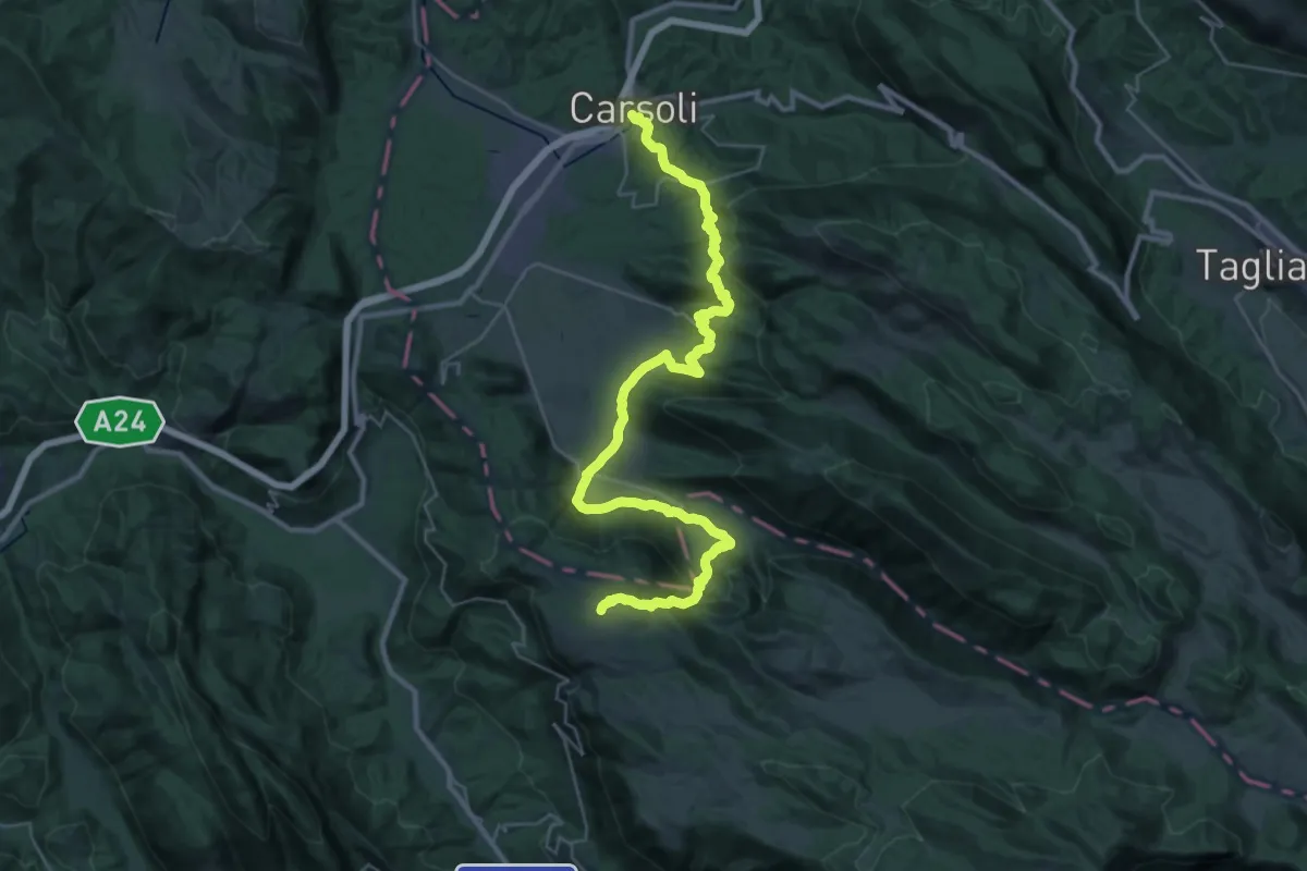
Demanding · Trail
Cervara – Carsoli
21.0 km · ↑ 512 m · 6 h 37 min
Demanding · Trail
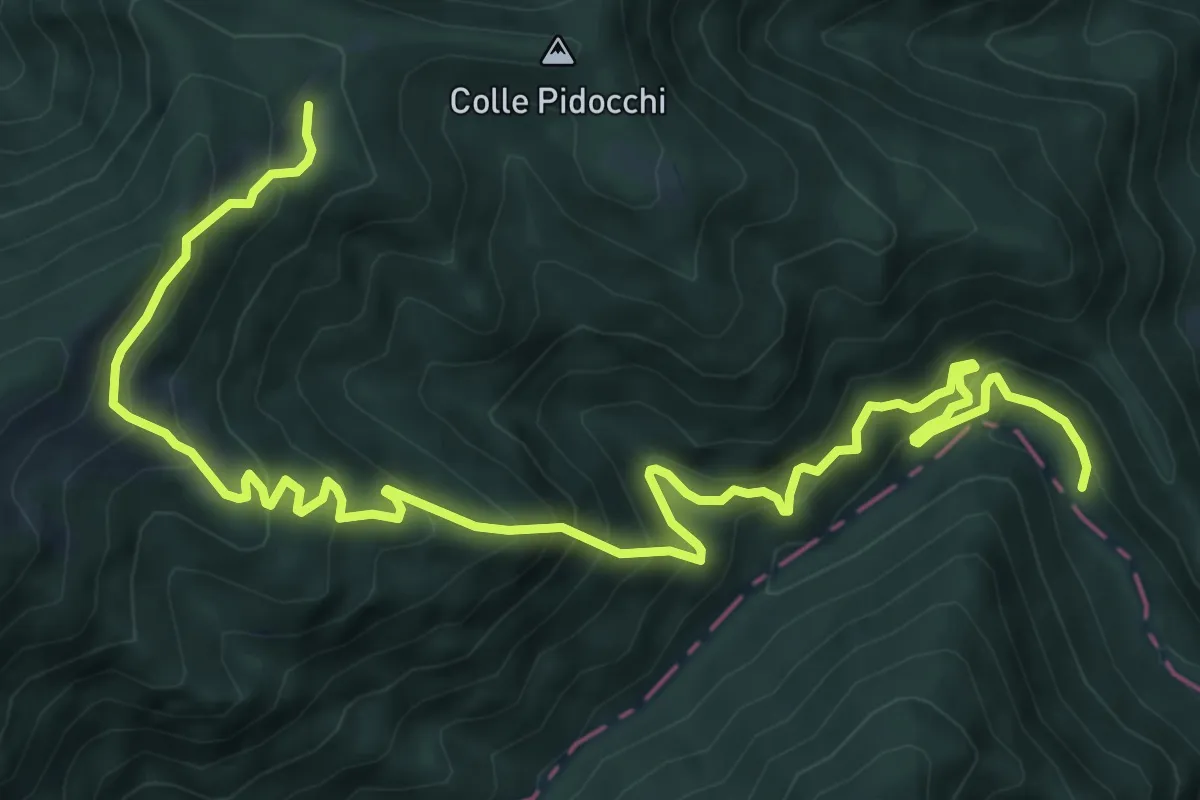
Strada di Fonte delle More – SI N300
11.6 km · ↑ 1131 m · 5 h 11 min
Easy · Trail
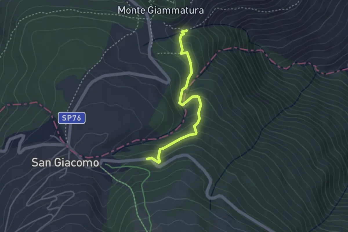
Cippo Caduti Giammatura – San Giacomo
3.3 km · ↑ 192 m · 1 h 12 min
Medium · Trail
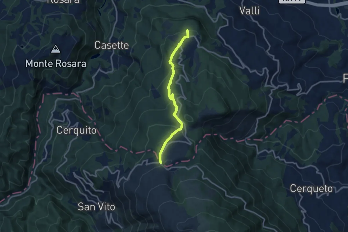
Ascoli – San Giacomo
8.3 km · ↑ 420 m · 2 h 52 min
Medium · Trail
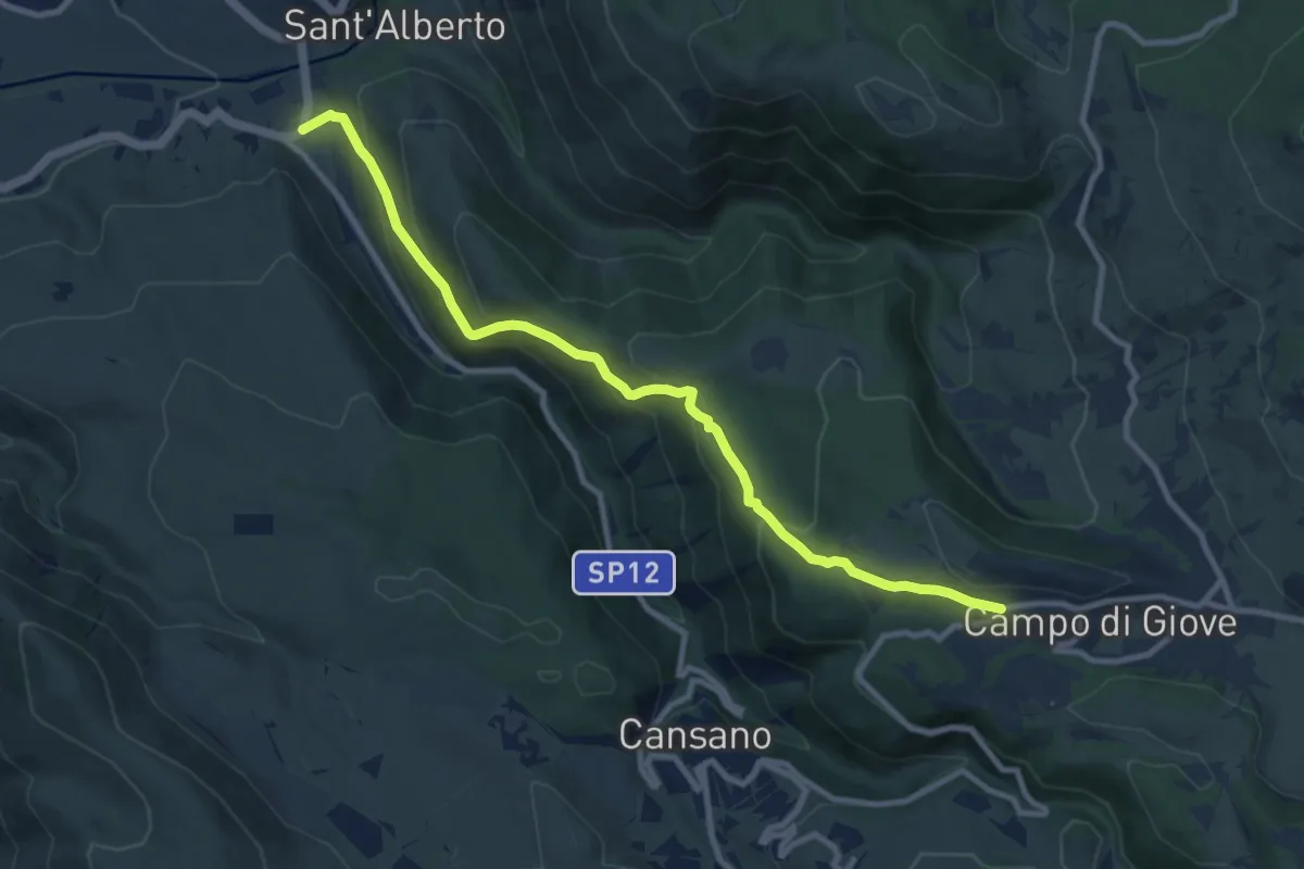
S.R. 487 – Campo di Giove
10.9 km · ↑ 587 m · 3 h 51 min