Trails in Italy
25,219 hiking trails, each with its route, climb, walking time and grade.
All trails, page 279 of 526
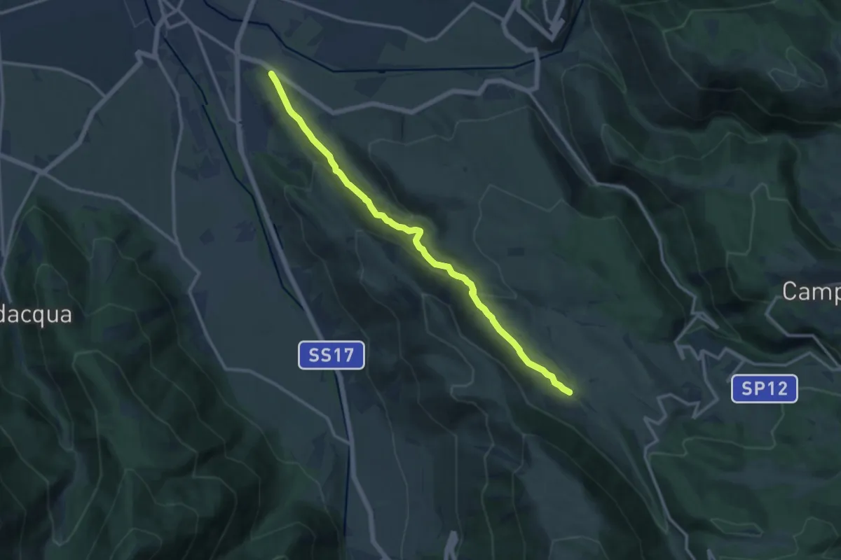
Medium · Trail
Cimitero di Sulmona – Fonte Sulmontina
12.7 km · ↑ 622 m · 4 h 21 min
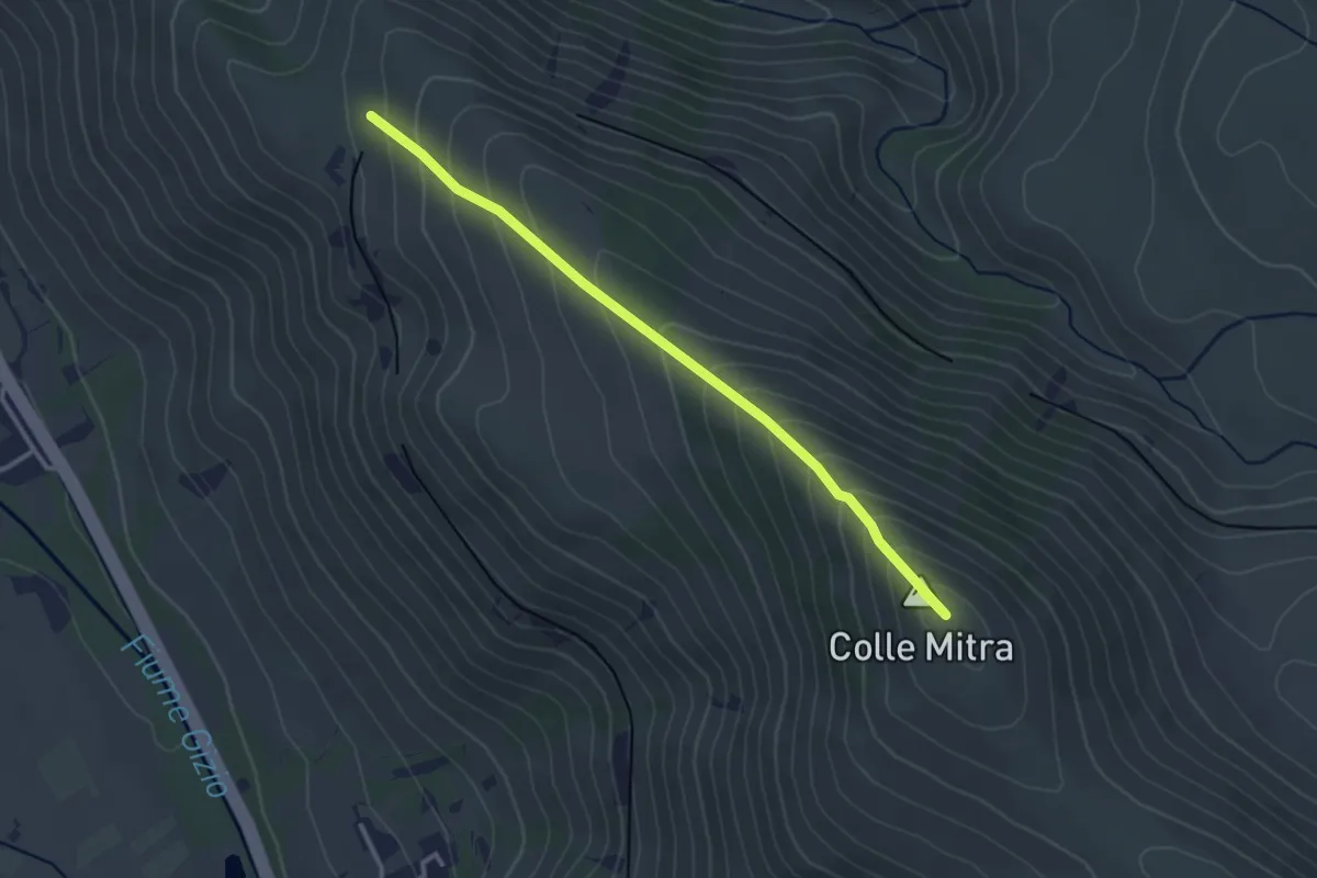
Easy · Summit
Sent. L – Fonte Pacile
3.4 km · ↑ 289 m · 1 h 25 min
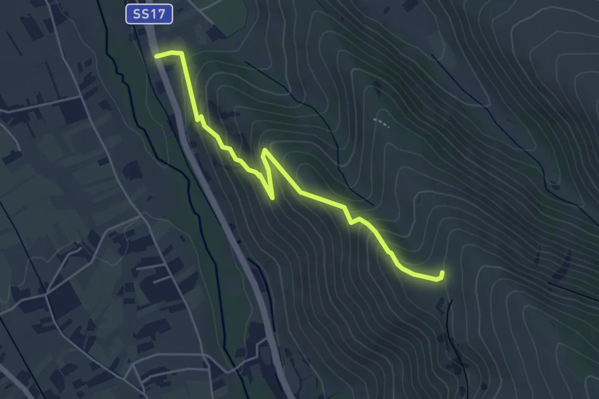
Medium · Trail
Pietre Rege – Casello Ferroviario
4.8 km · ↑ 332 m · 1 h 51 min
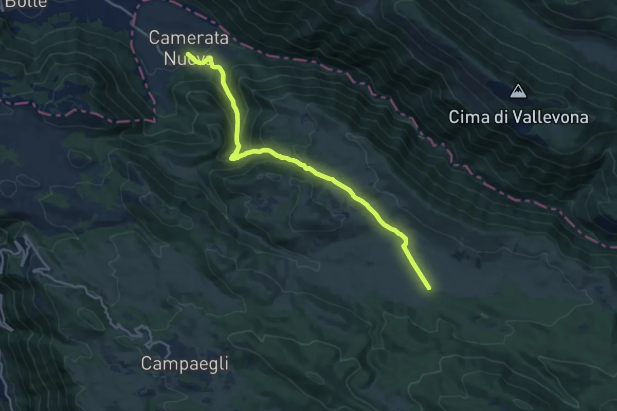
Medium · Trail
Camerata Nuova – Monte Autore
13.6 km · ↑ 604 m · 4 h 31 min
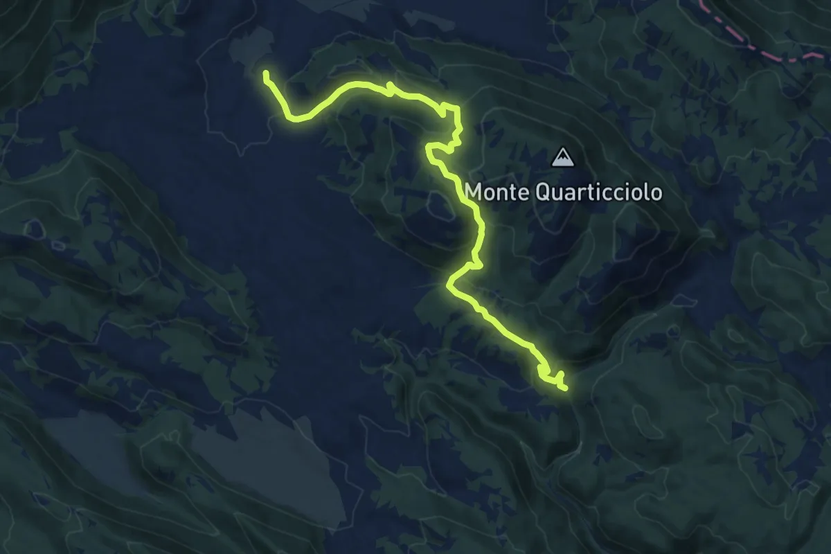
Medium · Trail
Settefonti – C.le Pacilli
7.7 km · ↑ 324 m · 2 h 38 min
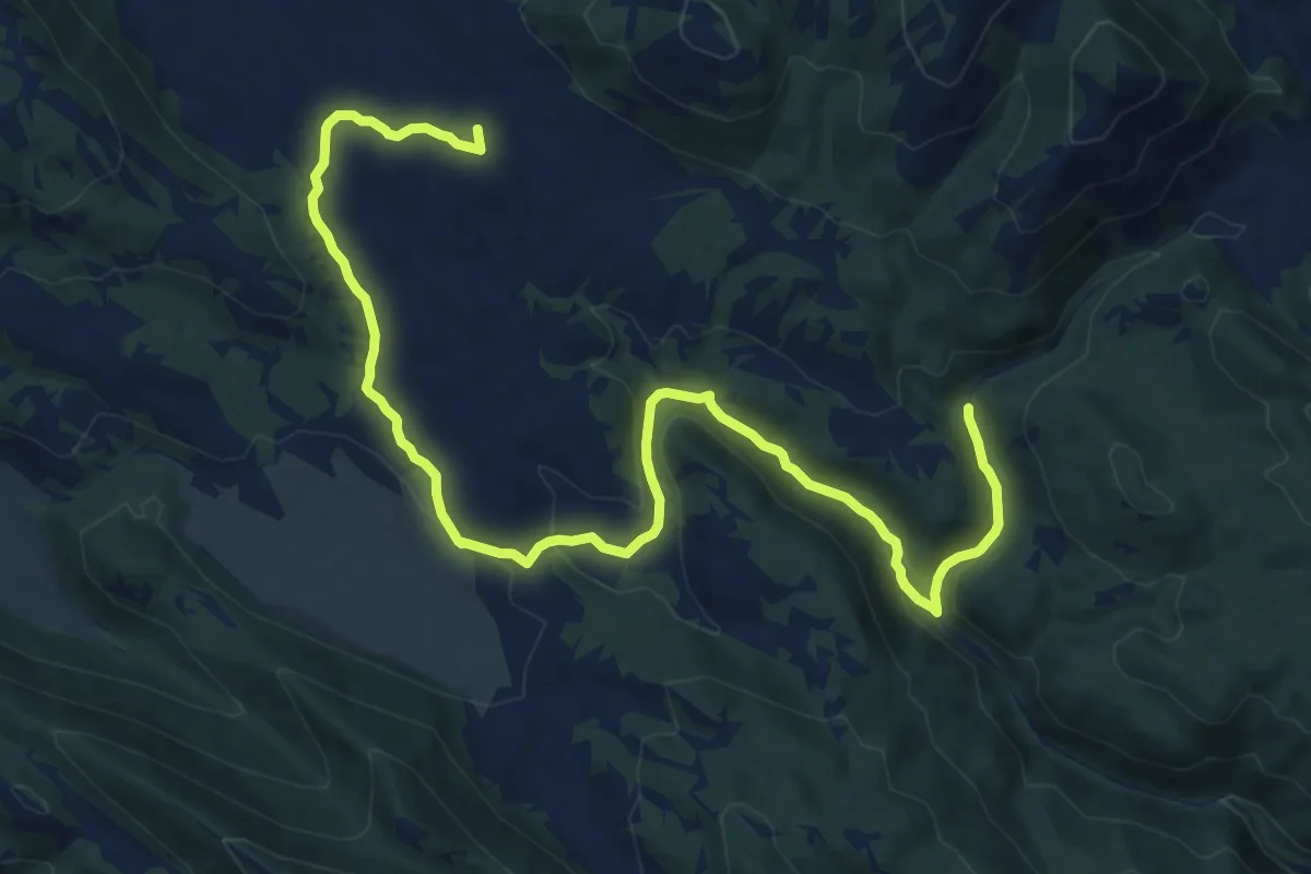
Medium · Summit
Fonte Settefonti – Vena Pezzuta
16.8 km · ↑ 320 m · 4 h 40 min
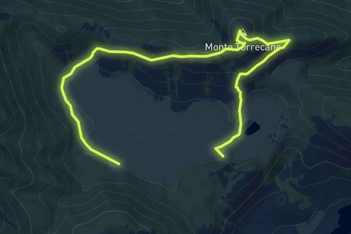
Easy · Summit
Cornino – Monte Torrecane
6.0 km · ↑ 282 m · 2 h 7 min
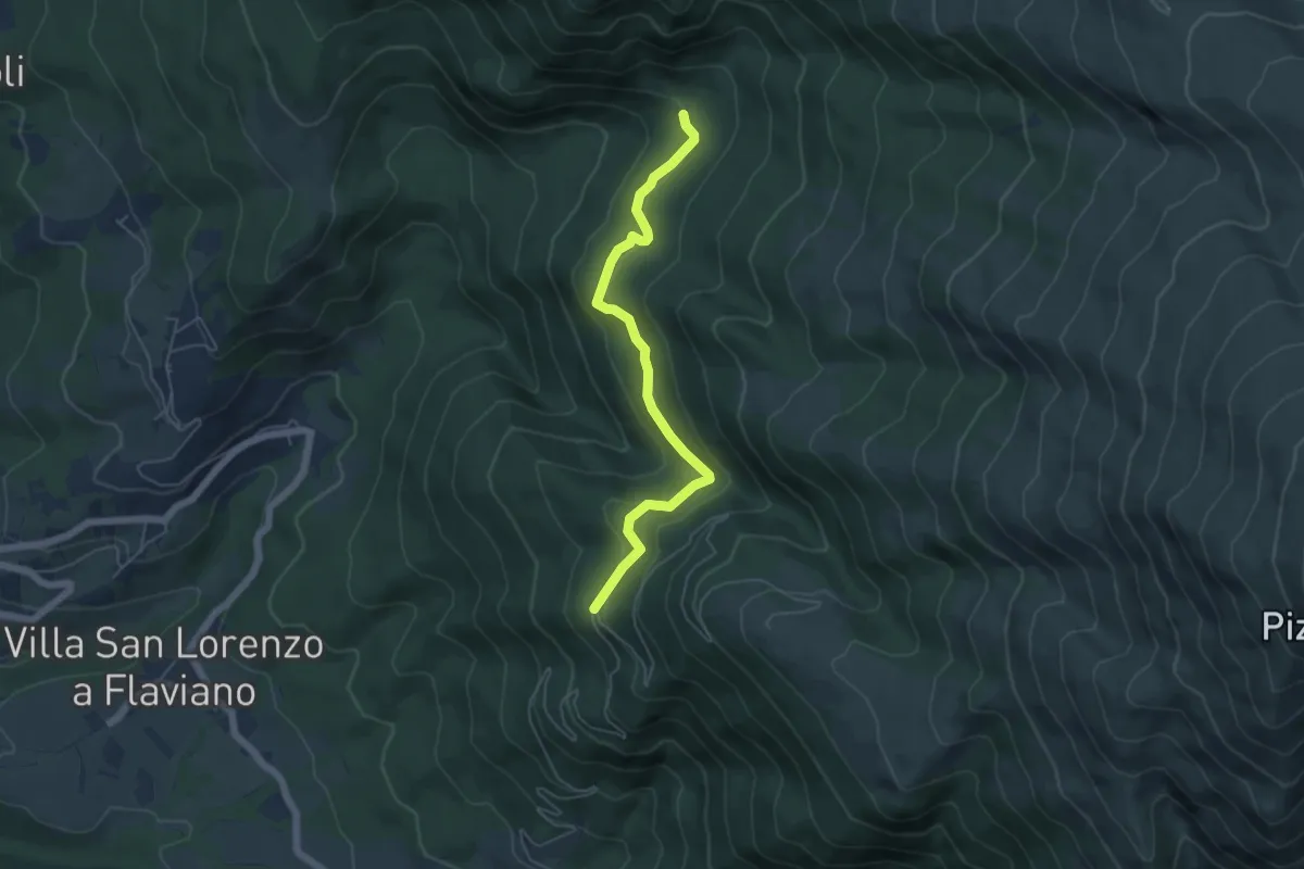
Easy · Trail
Bivio Strada Macchie Piane – Prese d'acqua del Bosco di sant'Egidio
5.6 km · ↑ 299 m · 1 h 58 min
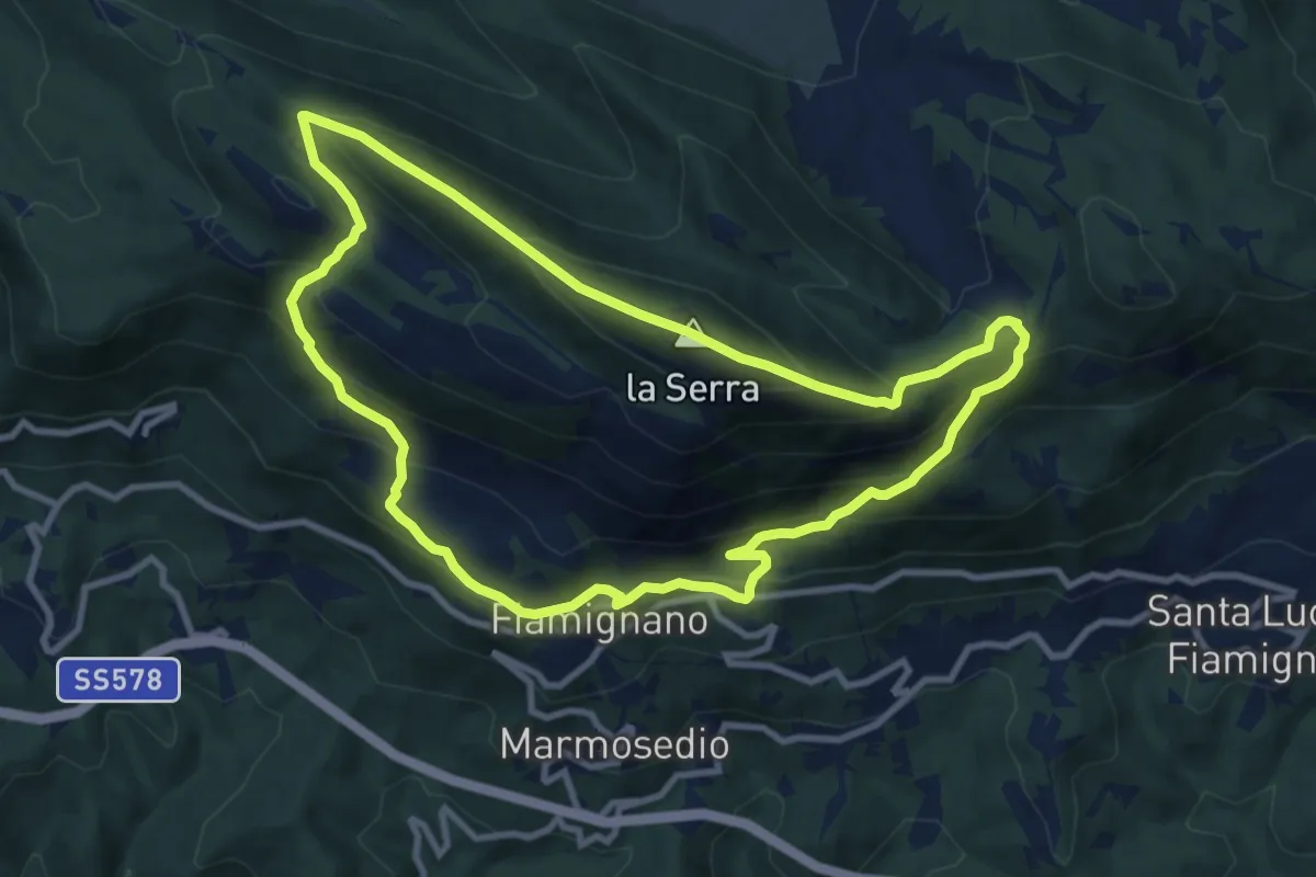
Medium · Summit
Fiamignano – Monte La Serra - Fiamignano
10.0 km · ↑ 624 m · 3 h 51 min
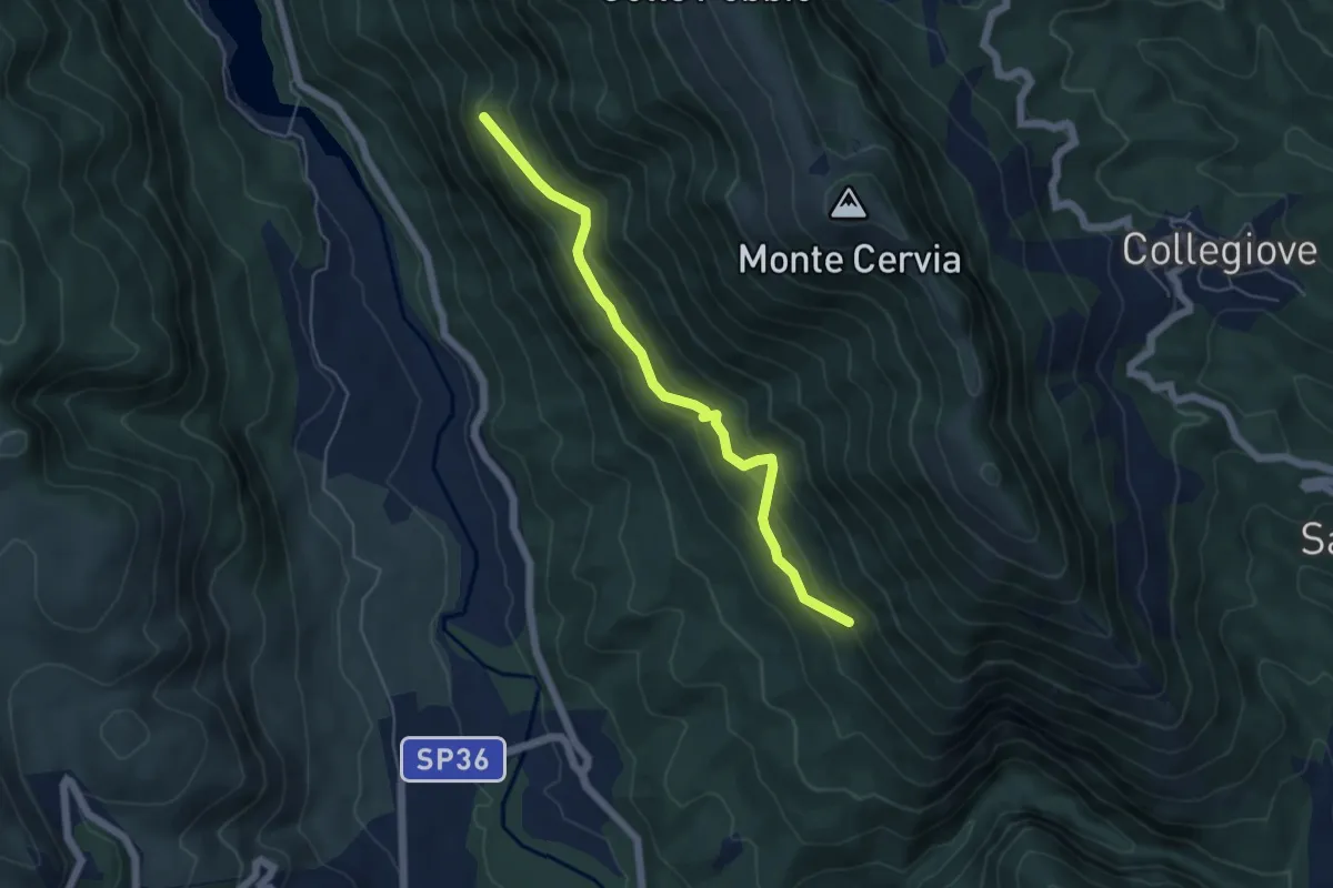
Medium · Trail
La Rotta – Iaccetto
5.5 km · ↑ 380 m · 2 h 7 min
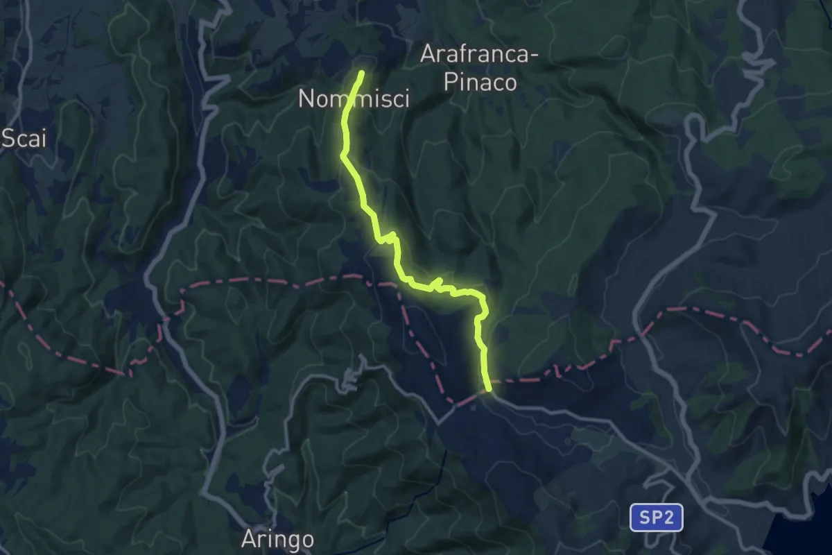
Medium · Trail
Nommisci – ponticello SP 2 Campotosto
10.8 km · ↑ 324 m · 3 h 15 min
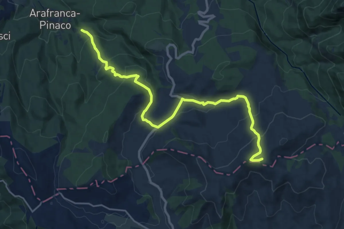
Medium · Summit
Villa San Cipriano – campotosto
15.6 km · ↑ 686 m · 5 h 10 min
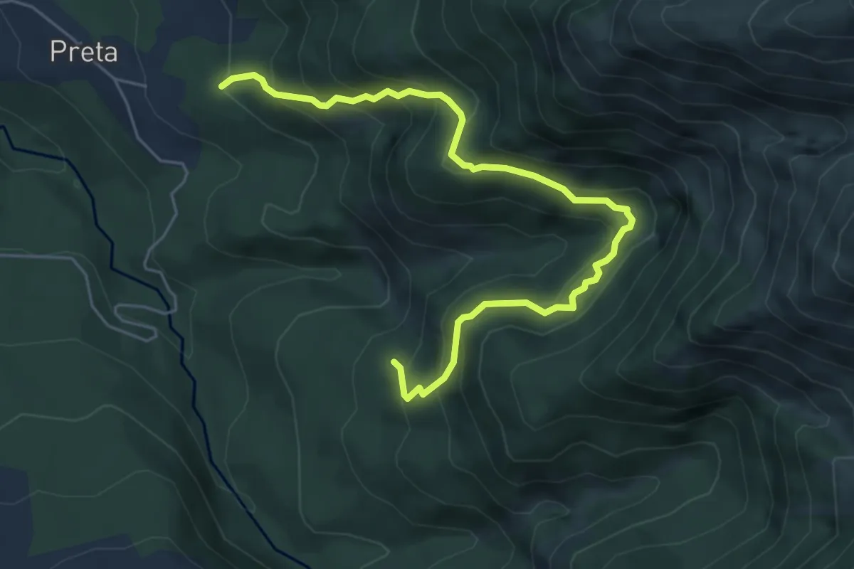
Medium · Trail
Preta – Soppo
6.3 km · ↑ 539 m · 2 h 40 min
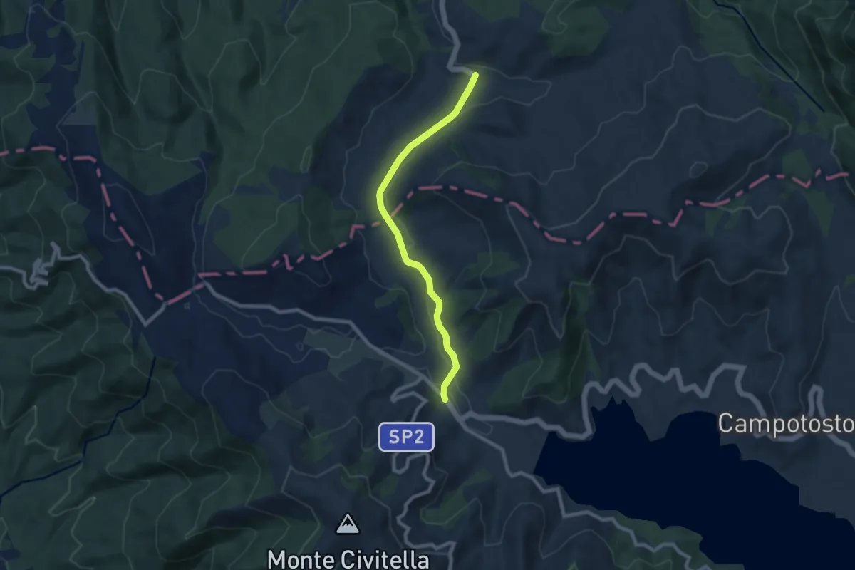
Easy · Trail
Rifugio Cardito – Poggio Cancelli
7.8 km · ↑ 92 m · 2 h 2 min
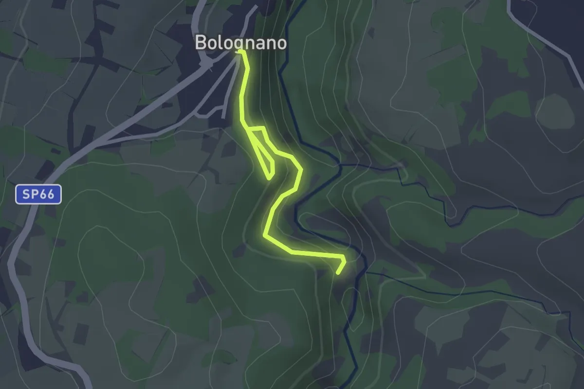
Medium · Trail
Bolognano – Belvedere Cisterna
2.6 km · ↑ 118 m · 52 min
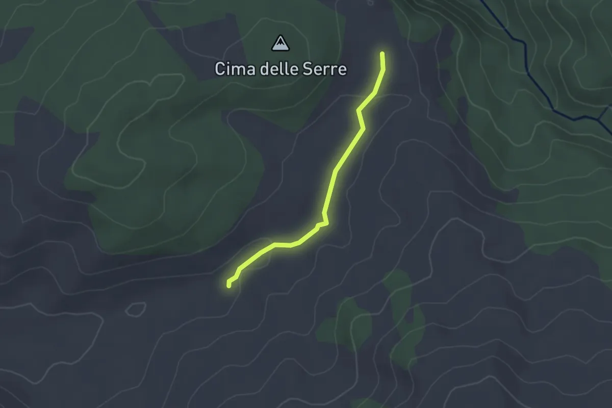
Easy · Cabin
innesto su Sentiero 359 – Rifugio le Serre
2.3 km · ↑ 27 m · 36 min
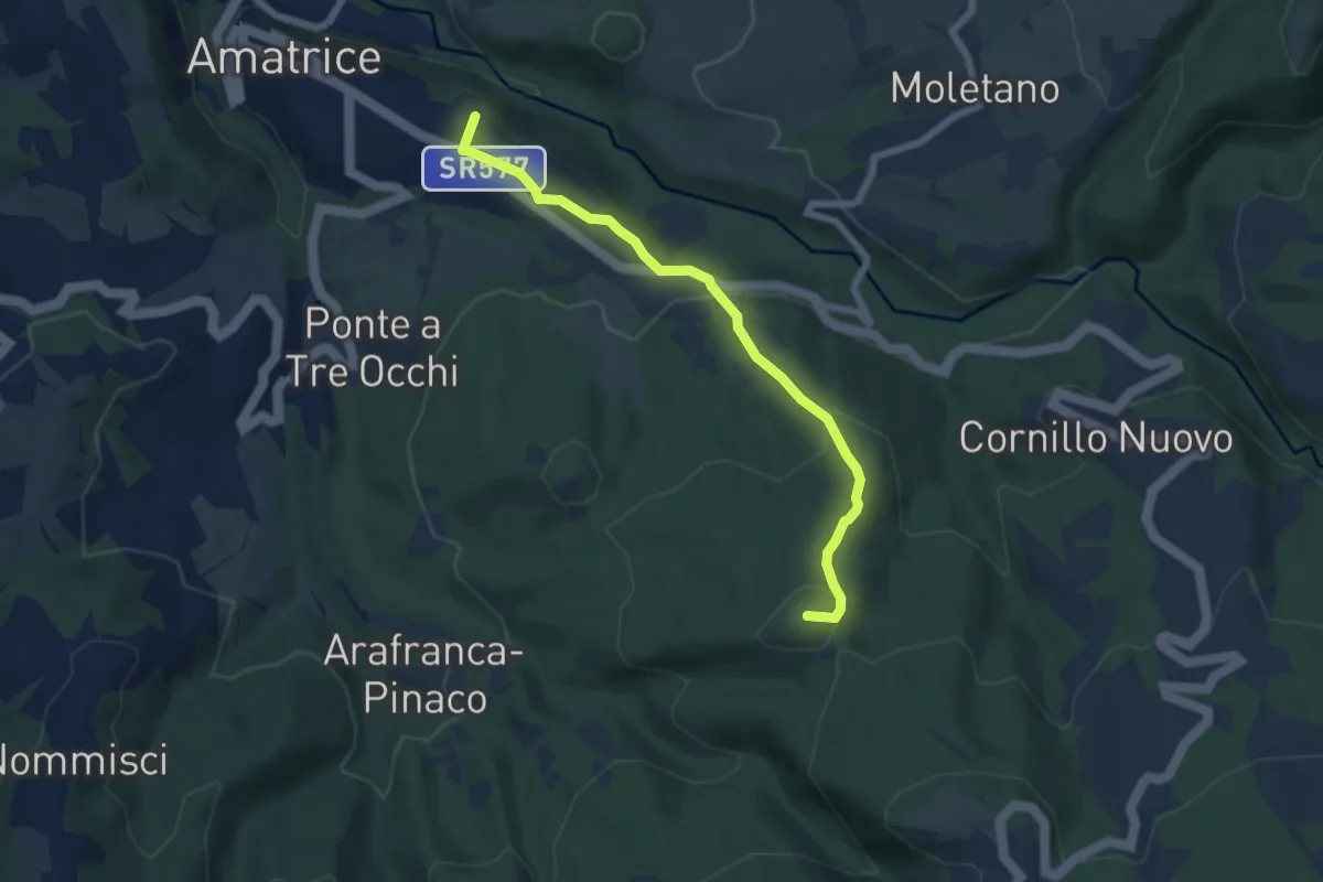
Easy · Summit
Villa San Cipriano di Amatrice – Serreripa
6.5 km · ↑ 285 m · 2 h 10 min
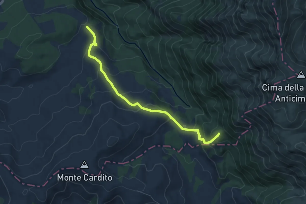
Medium · Summit
Rifugio le Serre – Sorgente del Tronto
7.1 km · ↑ 330 m · 2 h 23 min
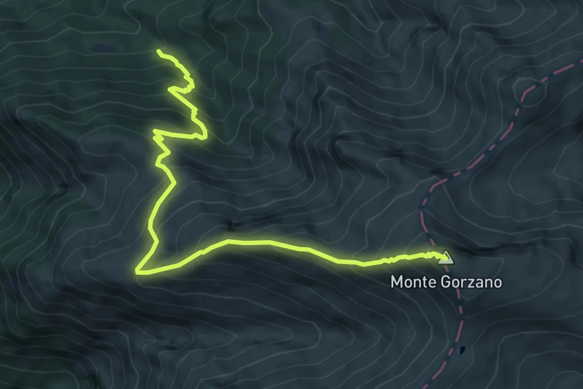
Demanding · Summit
Bivio Selva Grande – Monte Gorzano
8.2 km · ↑ 880 m · 3 h 51 min
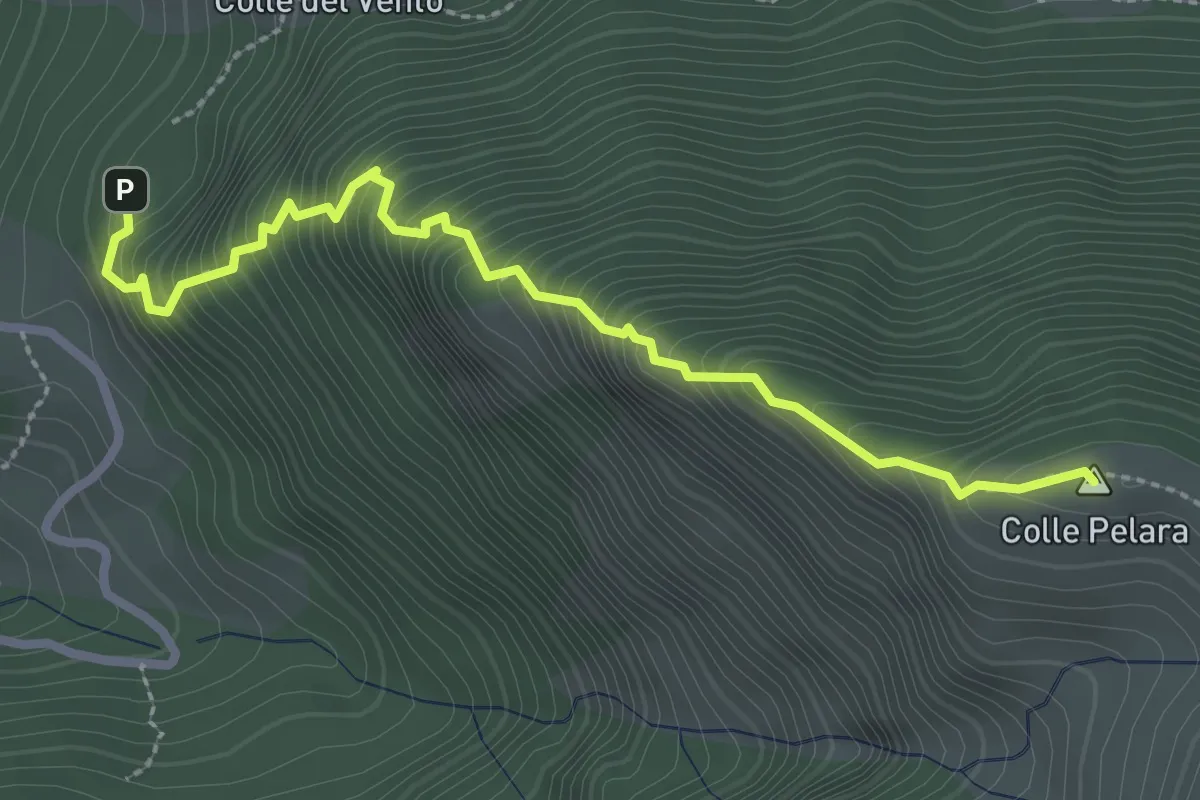
Medium · Summit
Sacro Cuore – Stazzo di Gorzano
3.1 km · ↑ 465 m · 1 h 44 min
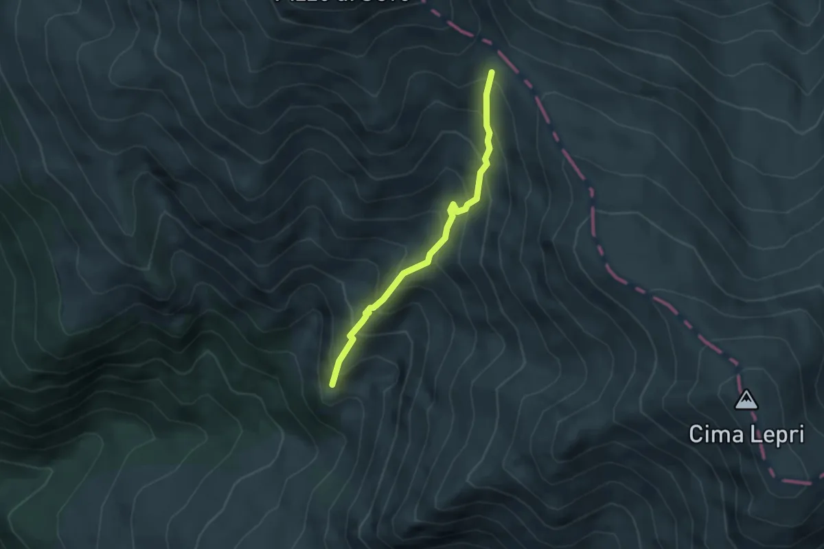
Medium · Trail
Amatrice Giardini Pubblici – Forca Vado di Annibale
3.4 km · ↑ 443 m · 1 h 46 min
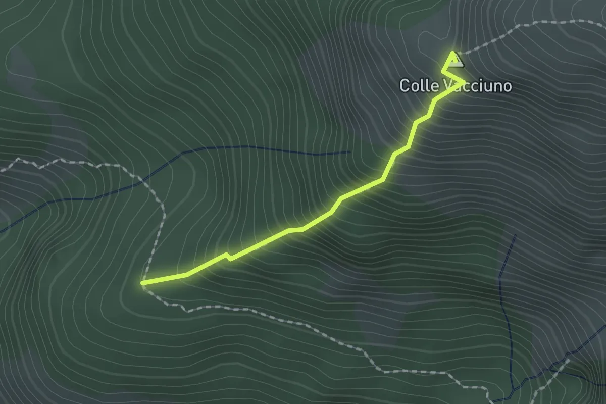
Medium · Summit
Percorso 368 - Colle Innamorato – Percorso 365
1.6 km · ↑ 368 m · 1 h 11 min
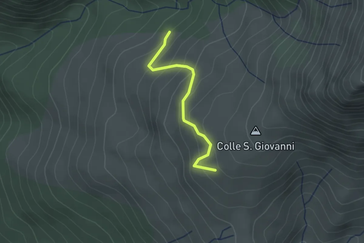
Easy · Trail
innesto 366 – Croce di Voceto
2.2 km · ↑ 193 m · 57 min
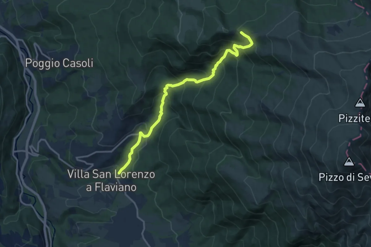
Demanding · Trail
San Lorenzo a Flaviano (innsesto SI O20) – Inversaturo (innesto 374)
10.6 km · ↑ 806 m · 4 h 16 min
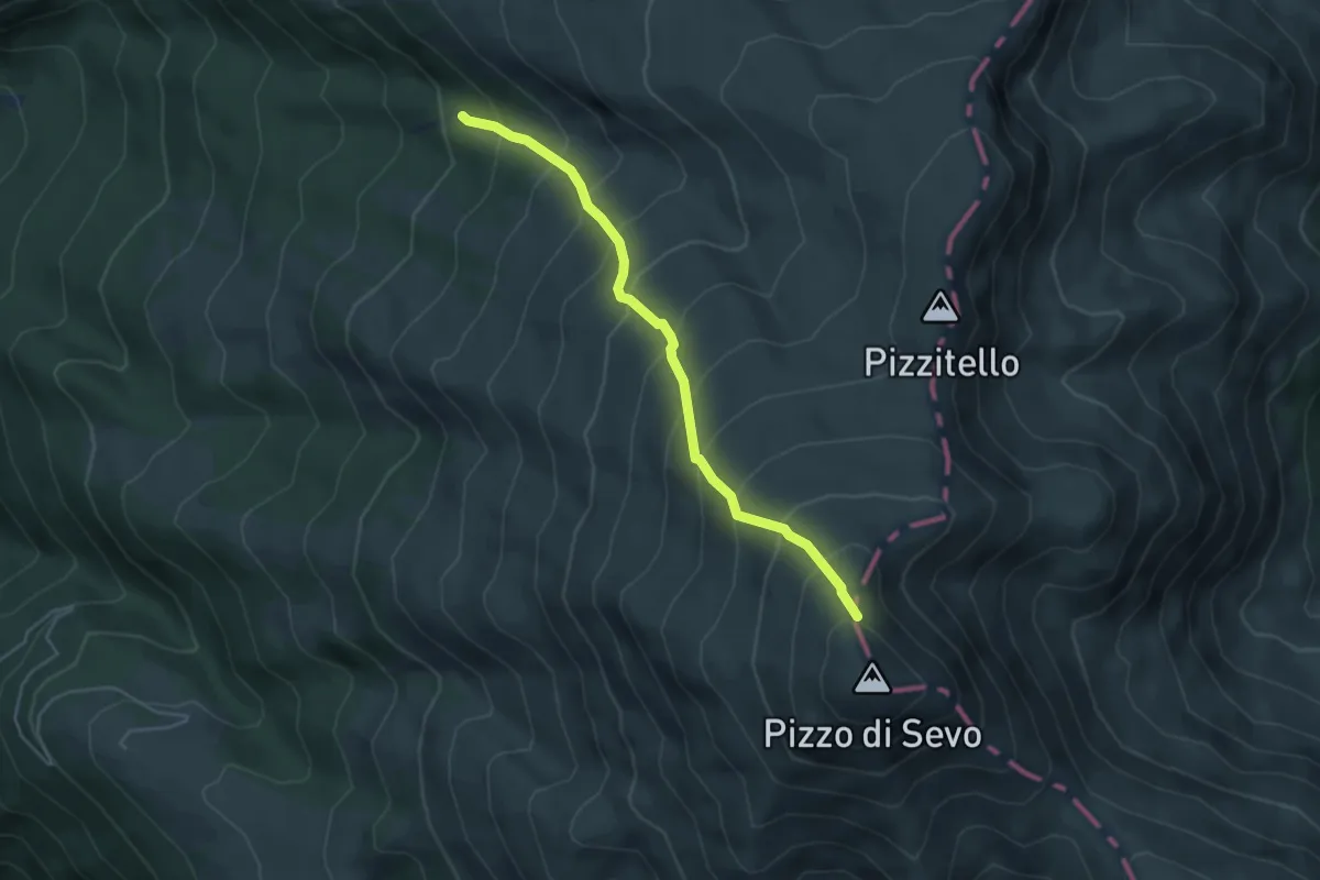
Medium · Trail
Settefonti innesto 377 – Pizzo di Sevo
4.6 km · ↑ 563 m · 2 h 18 min
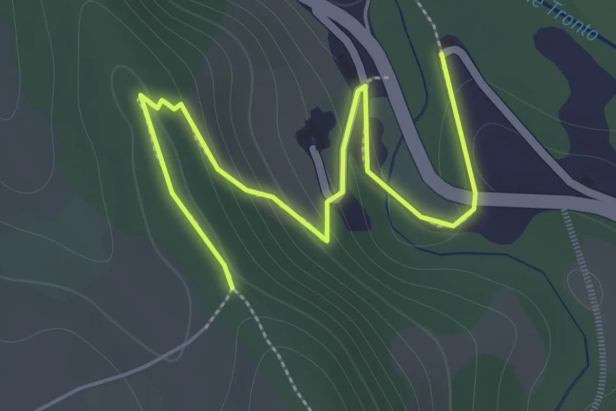
Easy · Trail
Eremo della Croce – Casale Gentile (300)
2.3 km · ↑ 105 m · 46 min
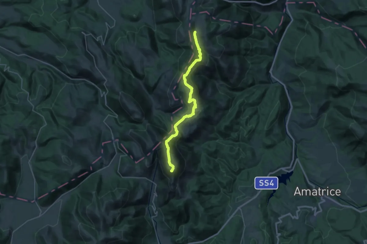
Demanding · Summit
Monte Prato – Forca dei Coppelli
24.4 km · ↑ 1179 m · 8 h 19 min
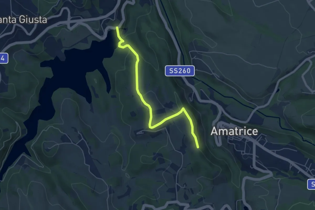
Easy · Trail
Edicola Votiva sotto Ospedale (381) – Diga Scandarello
5.6 km · ↑ 200 m · 1 h 46 min
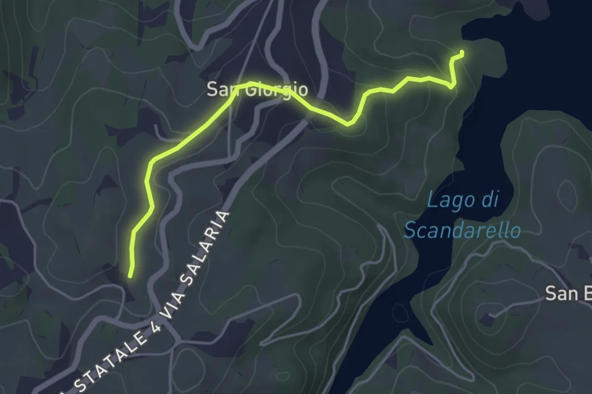
Easy · Trail
bivio 381/SI Vicinanze Casale Sanguigni – Conche (381C)
4.3 km · ↑ 135 m · 1 h 19 min
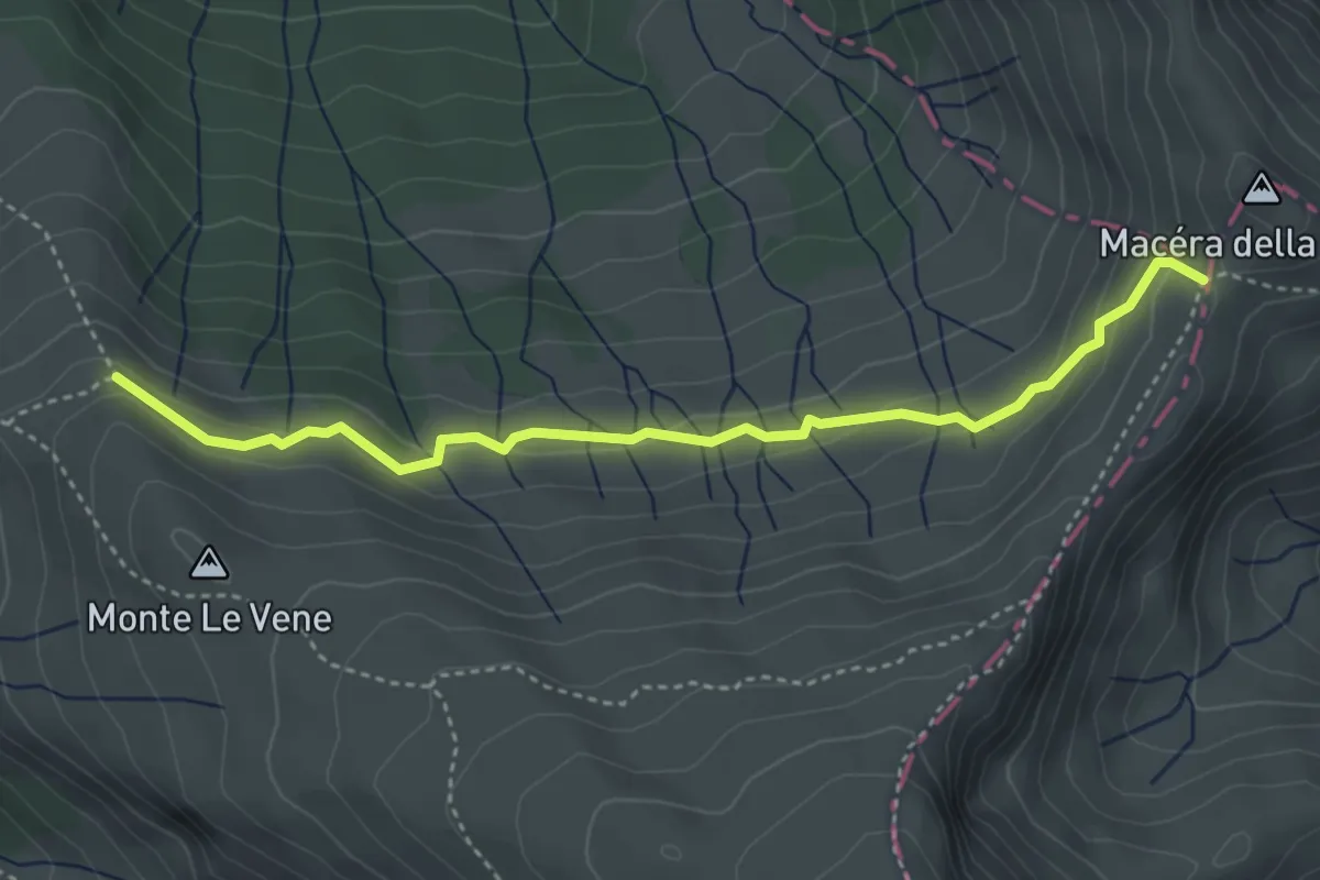
Medium · Trail
Fonte del Campo – Macera della Morte (innesto301)
4.3 km · ↑ 192 m · 1 h 26 min
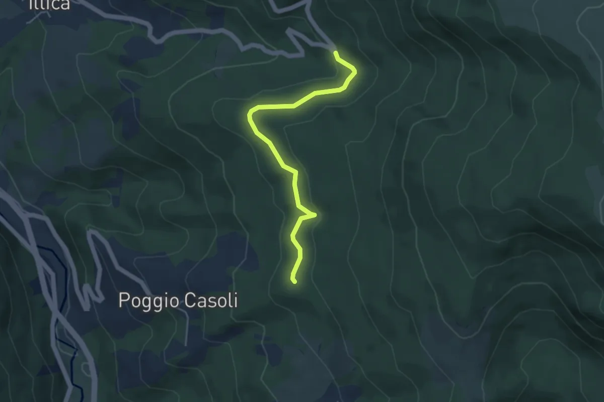
Easy · Trail
Poggio Casoli (E300) – Tornante Vallenova
4.2 km · ↑ 108 m · 1 h 14 min
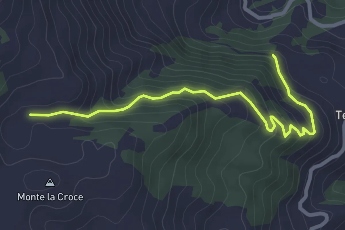
Medium · Trail
Rifugio Tosti – Terracino
5.0 km · ↑ 344 m · 1 h 55 min
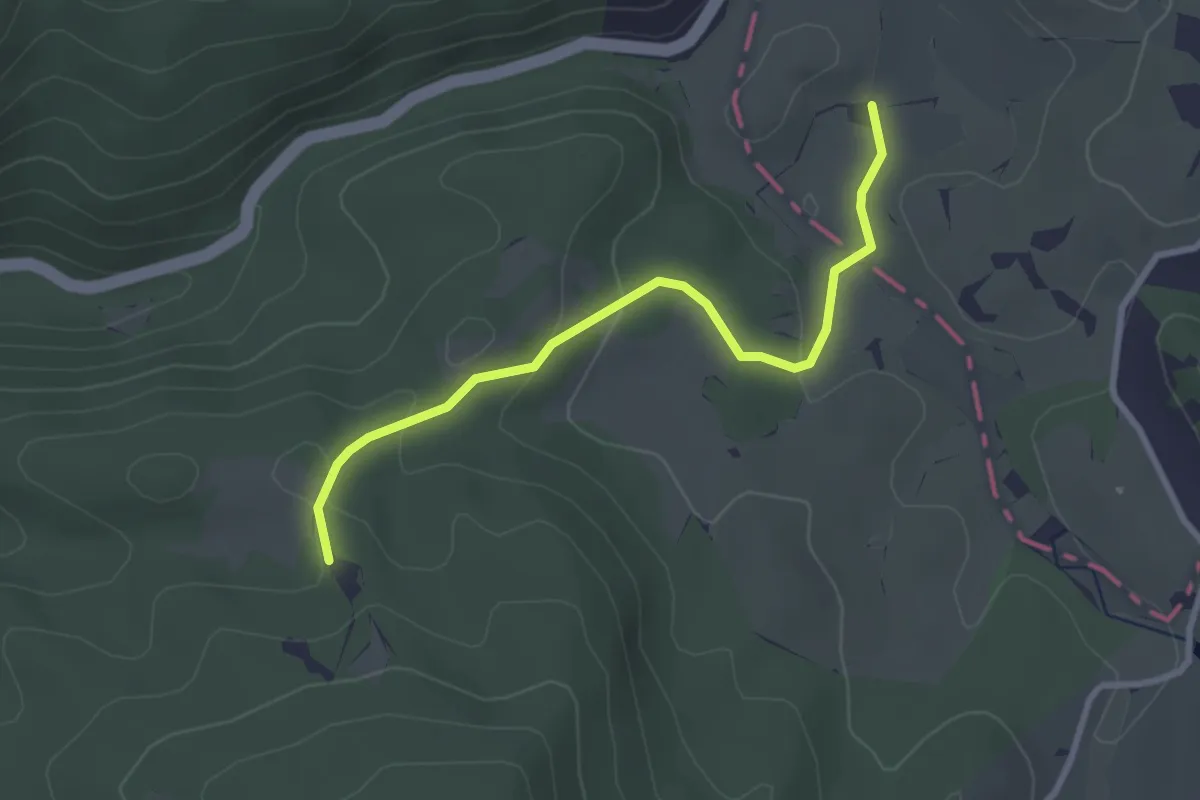
Easy · Trail
Torre di Taglio – Prati San Lorenzo
3.1 km · ↑ 101 m · 57 min
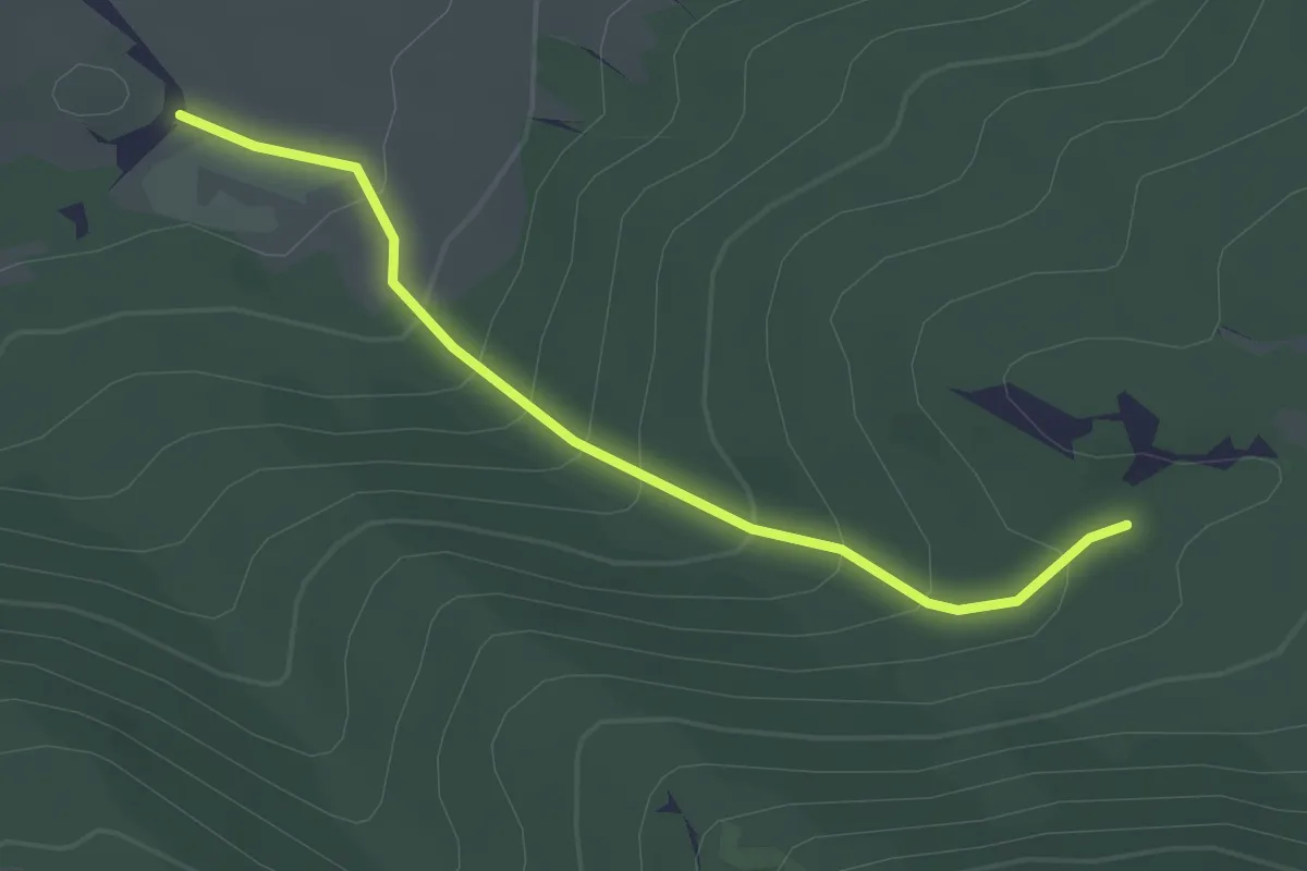
Easy · Trail
Il Campo – Colle Grande
2.6 km · ↑ 203 m · 1 h 3 min
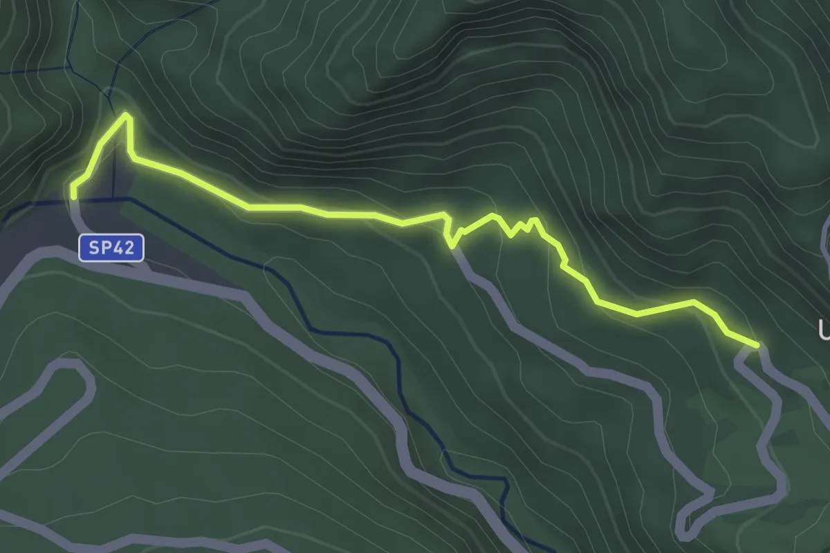
Easy · Trail
Senarica – Poggio Umbricchio
3.7 km · ↑ 206 m · 1 h 19 min
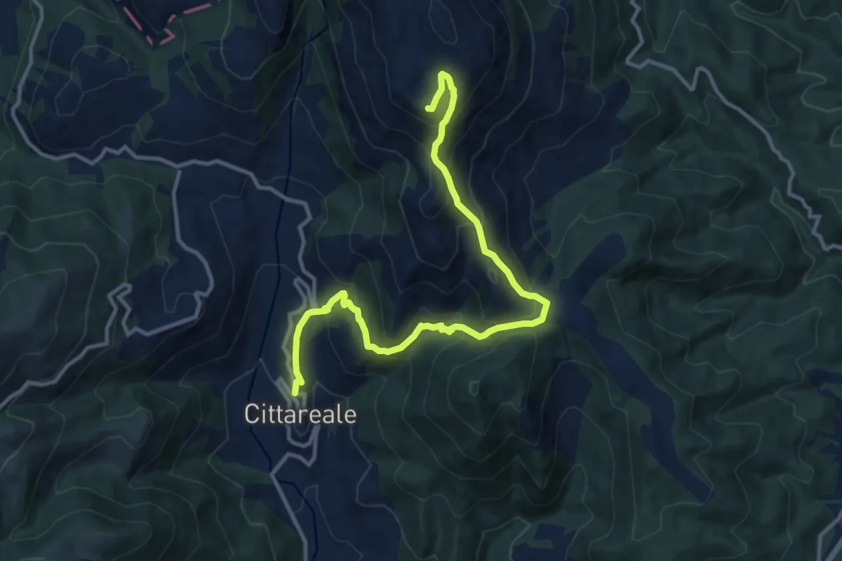
Demanding · Summit
Cittareale – Monte Prato
12.7 km · ↑ 883 m · 4 h 55 min
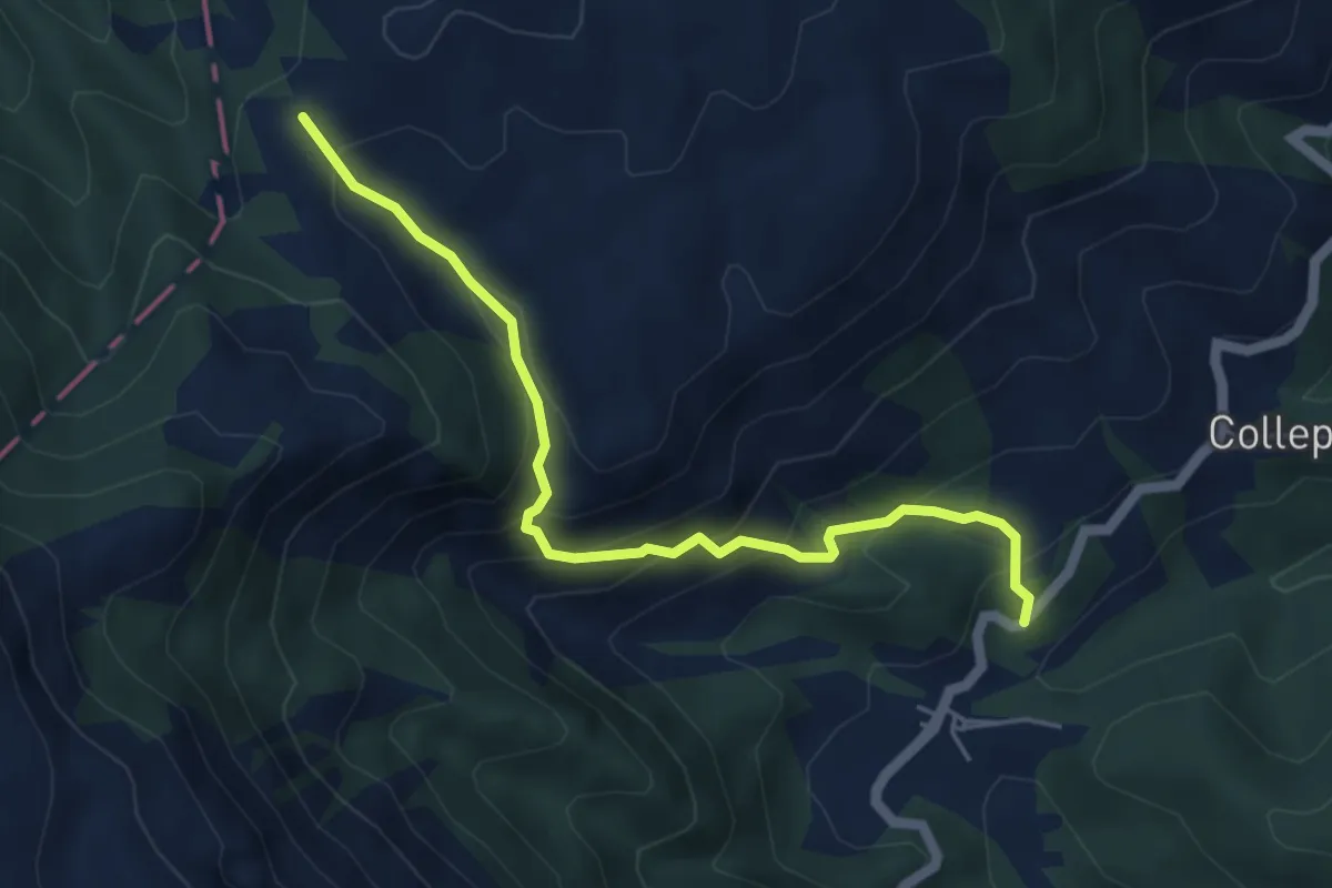
Medium · Trail
Cimitero Roccasalli – Forca San Leonardo (391)
5.5 km · ↑ 415 m · 2 h 11 min
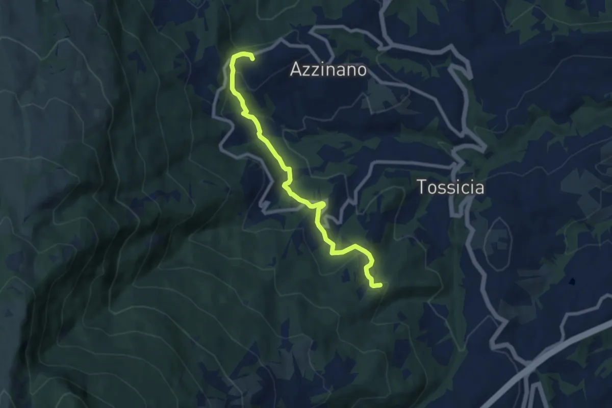
Easy · Trail
Acquilano – Colle Provvido. bivio 206
7.4 km · ↑ 262 m · 2 h 19 min
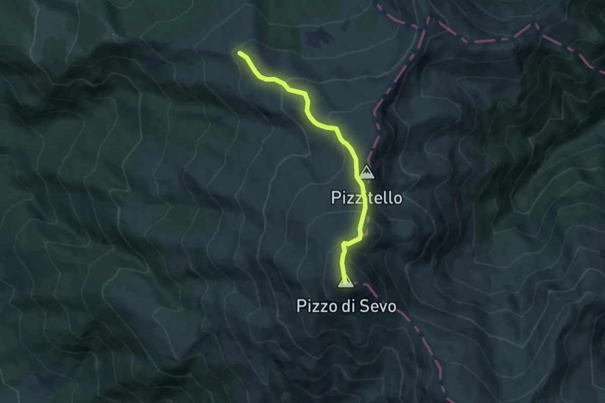
Medium · Trail
Inversaturo – Pizzo di Sevo
7.0 km · ↑ 500 m · 2 h 44 min
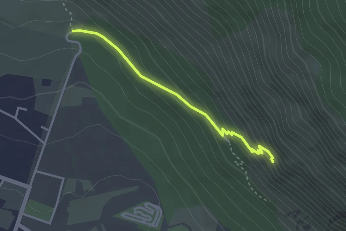
Medium · Trail
Sentiero S – Eremo S. Onofrio
2.7 km · ↑ 200 m · 1 h 4 min
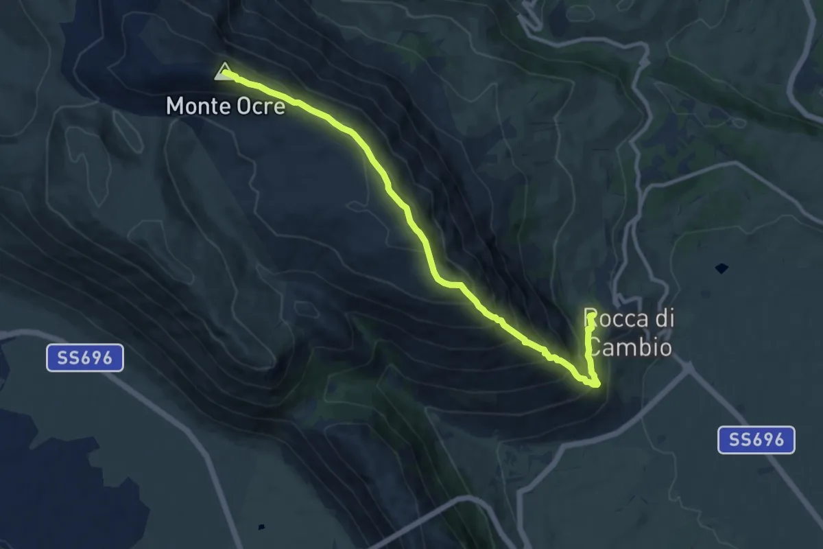
Demanding · Summit
Rocca di Cambio – Monte Ocre
10.8 km · ↑ 957 m · 4 h 38 min
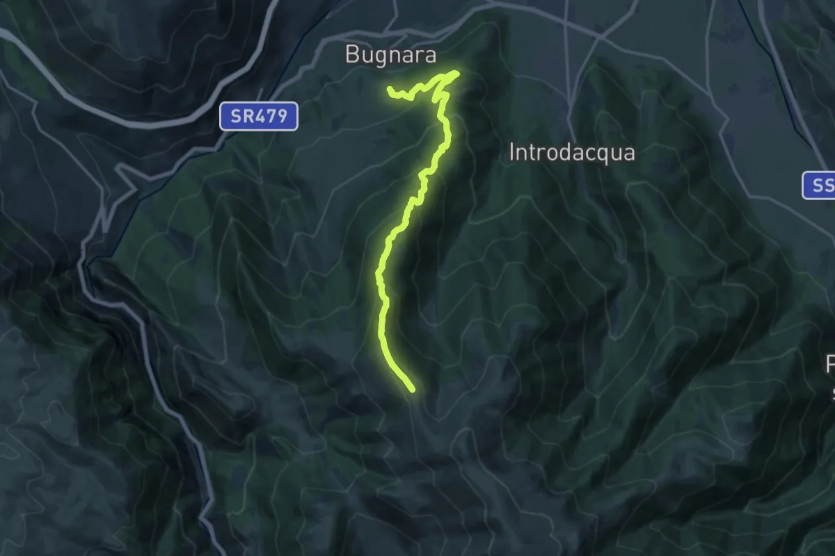
Demanding · Summit
Sentiero 371 – La Forchetta
16.7 km · ↑ 1183 m · 6 h 30 min
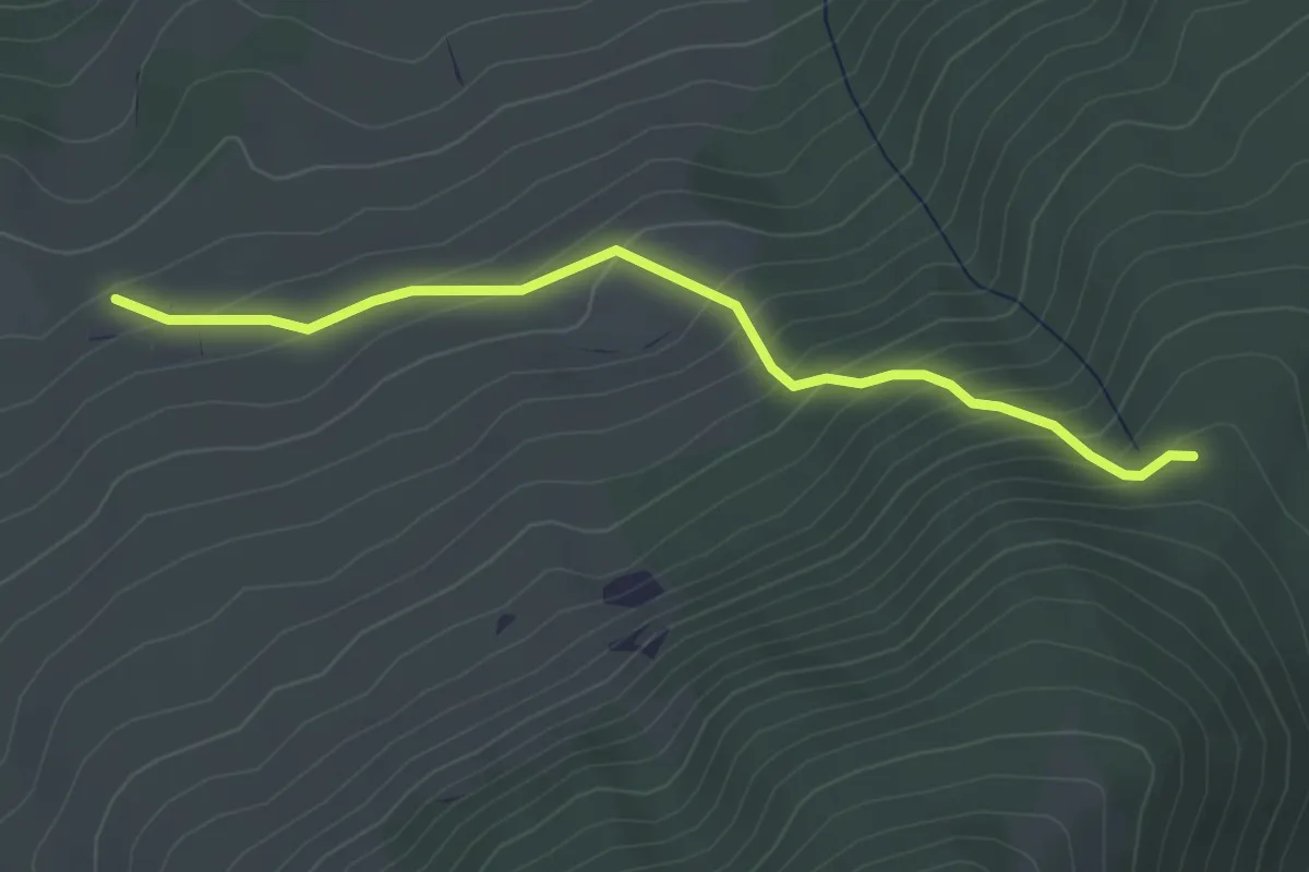
Easy · Trail
Fonte dell'Oppio – Sent. n. 370
3.9 km · ↑ 311 m · 1 h 36 min
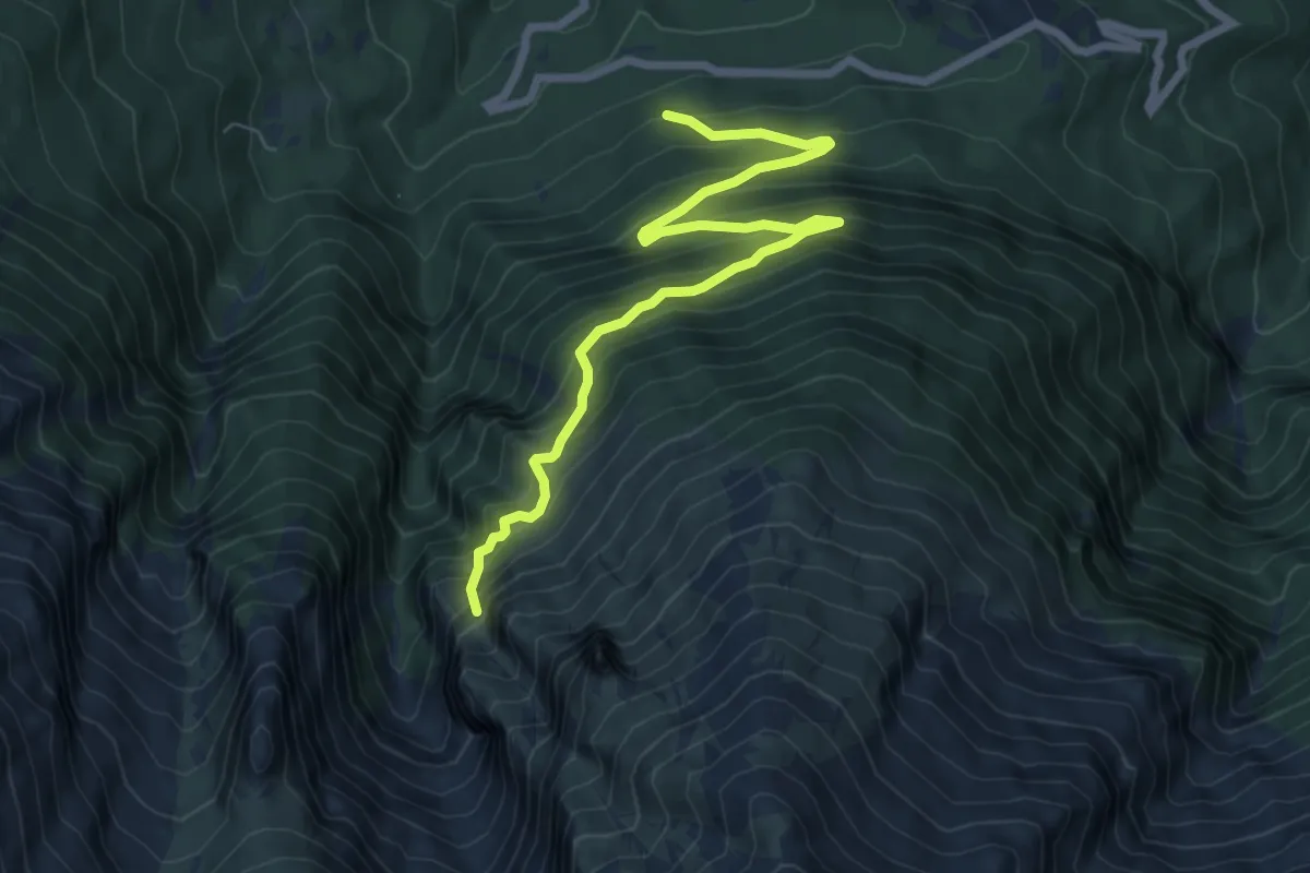
Expert · Summit
Bosco di Pagliara – Monte Prena
8.2 km · ↑ 792 m · 3 h 40 min
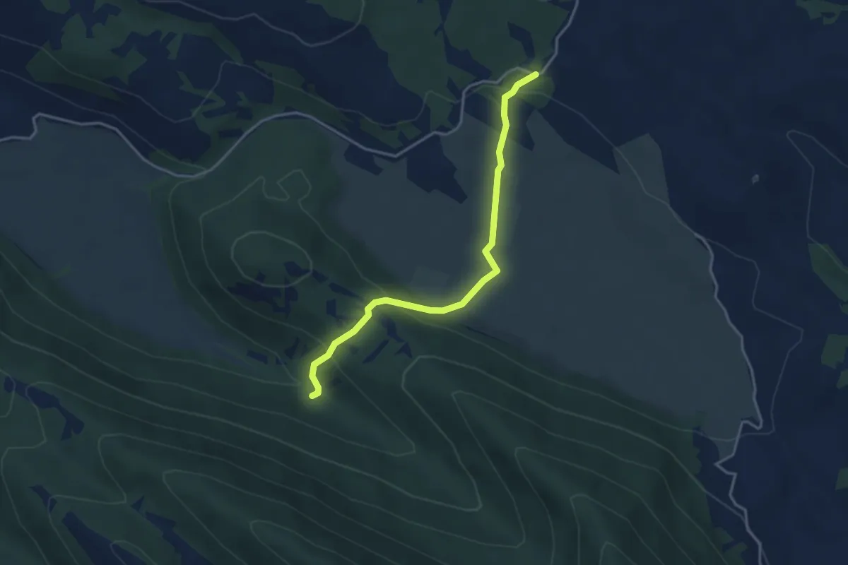
Easy · Trail
Monte Marelli – Piano dell'Aquilente
3.8 km · ↑ 171 m · 1 h 16 min
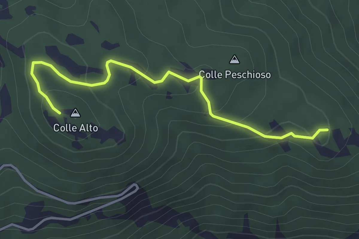
Easy · Summit
Colle Ciccone – Sant'Angelo
3.7 km · ↑ 159 m · 1 h 14 min
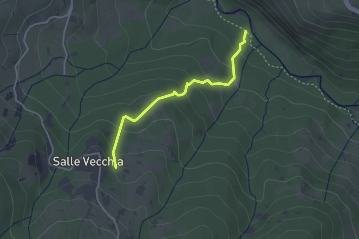
Easy · Trail
Castello di Salle – Fiume Orta
2.8 km · ↑ 169 m · 1 h 2 min
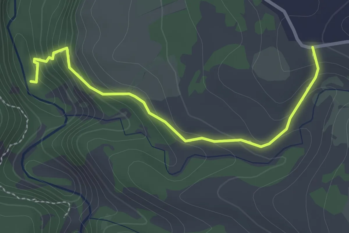
Easy · Trail
San Valentino – Fiume Orta
2.6 km · ↑ 150 m · 56 min