Trails in Italy
25,219 hiking trails, each with its route, climb, walking time and grade.
All trails, page 280 of 526
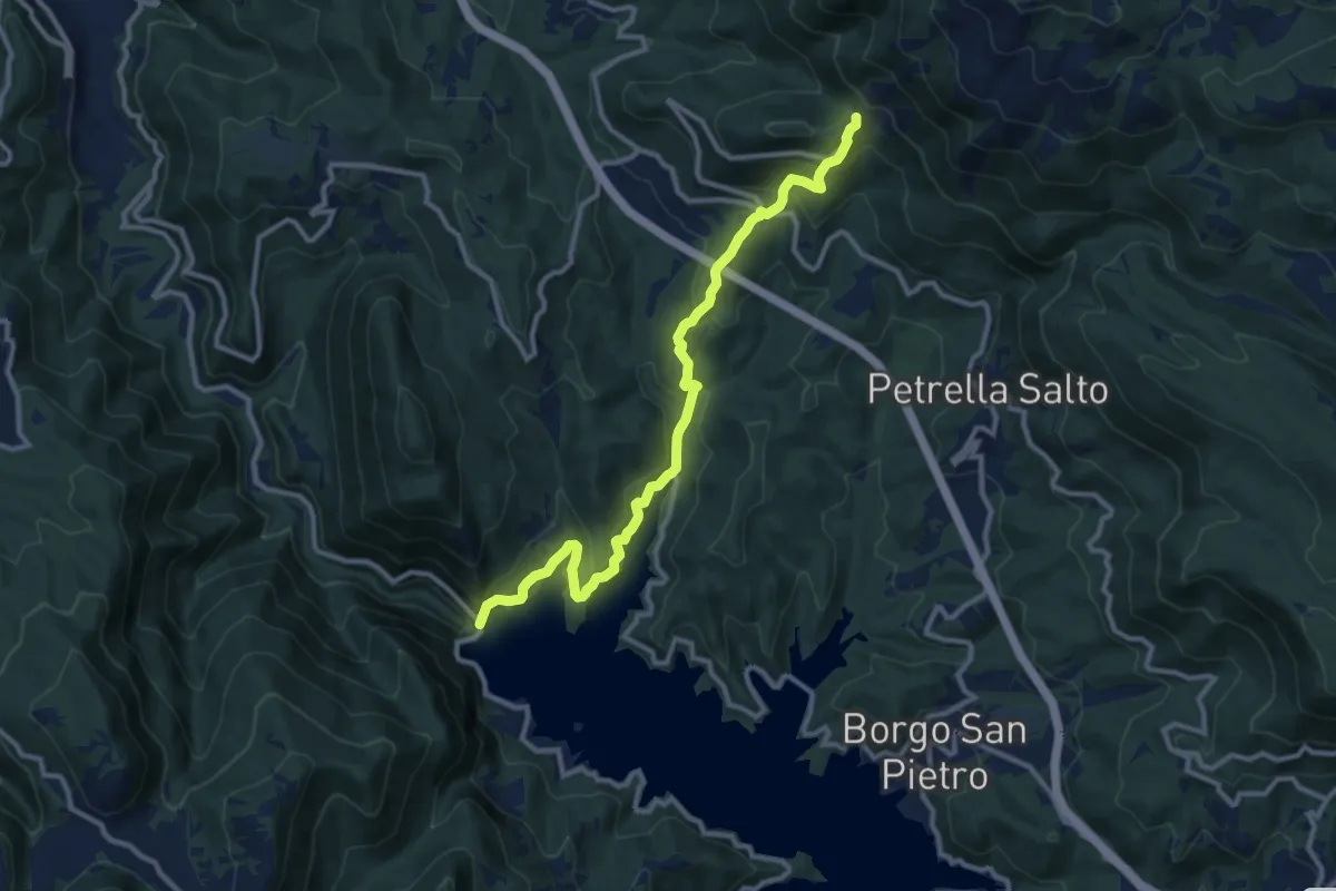
Medium · Trail
Diga del Salto – Staffoli
12.1 km · ↑ 665 m · 4 h 18 min
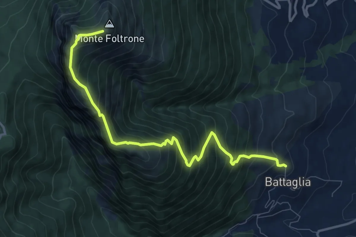
Demanding · Summit
Battaglia – Monte Foltrone (426)
9.8 km · ↑ 1031 m · 4 h 32 min
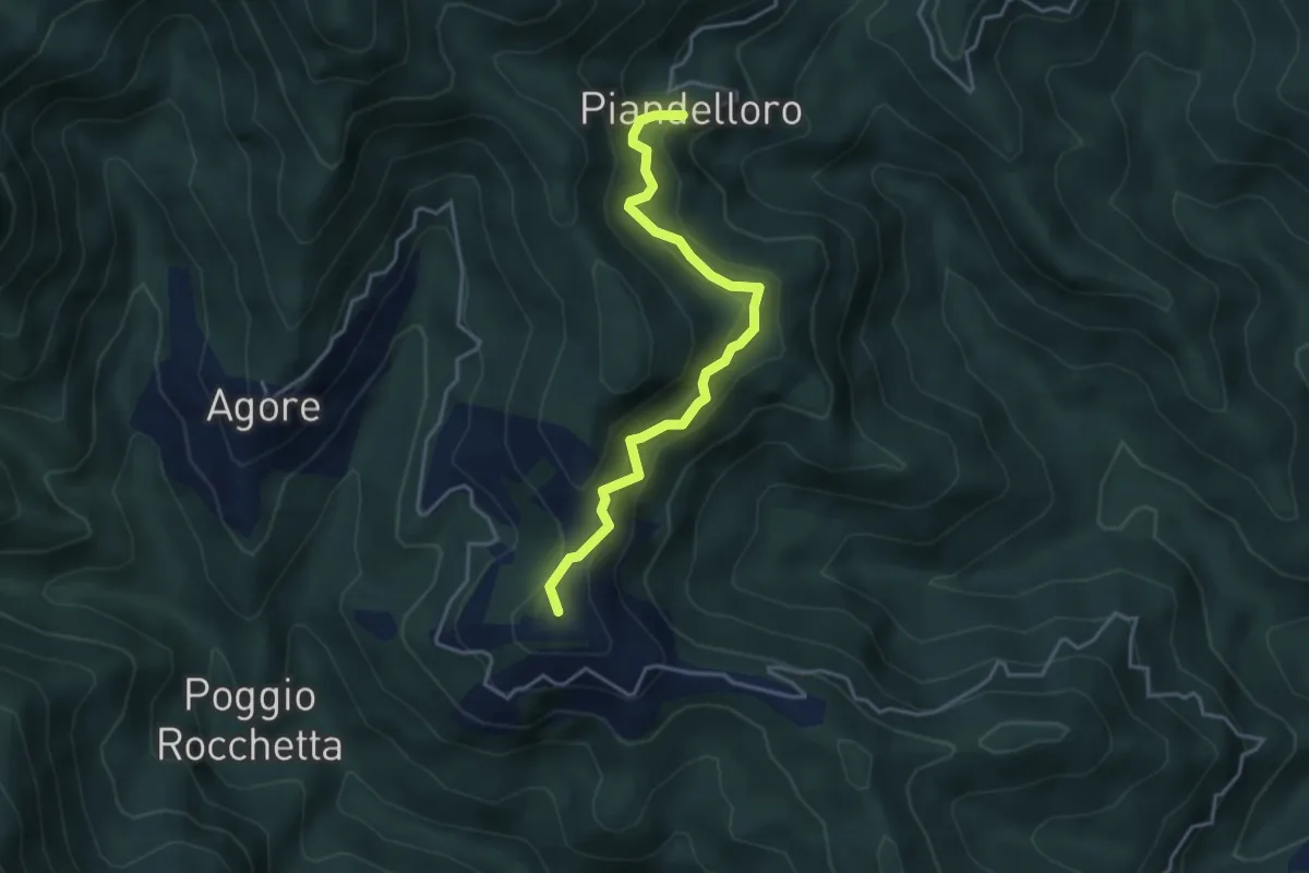
Medium · Summit
Piandelloro – Rocchetta
4.1 km · ↑ 400 m · 1 h 51 min
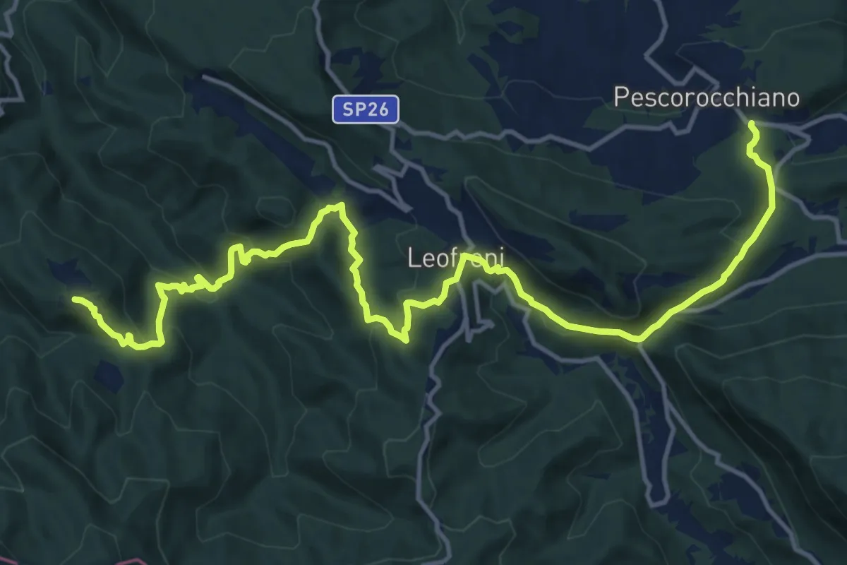
Demanding · Trail
Santa Lucia Giove Rotondo – Pescorocchiano
17.6 km · ↑ 865 m · 6 h 2 min
Medium · Trail
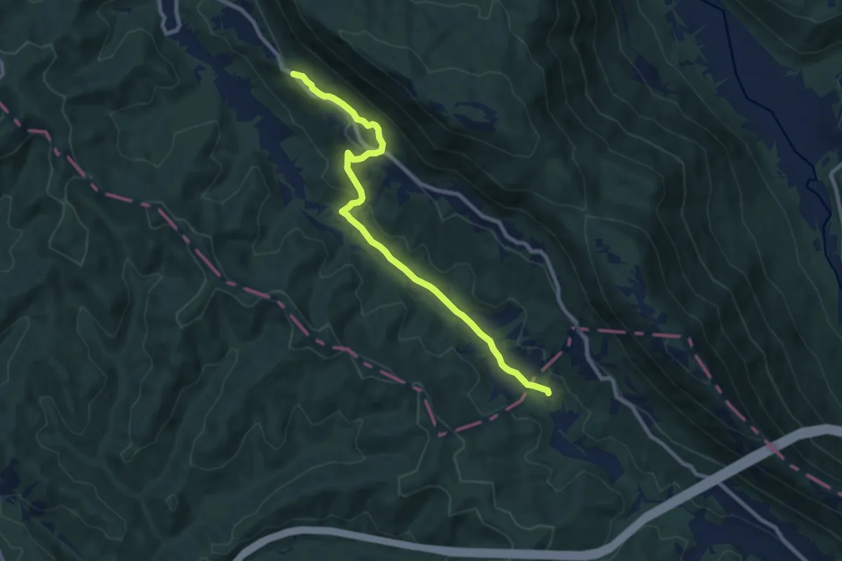
La Portella – Valdevarri
8.9 km · ↑ 232 m · 2 h 36 min
Medium · Summit
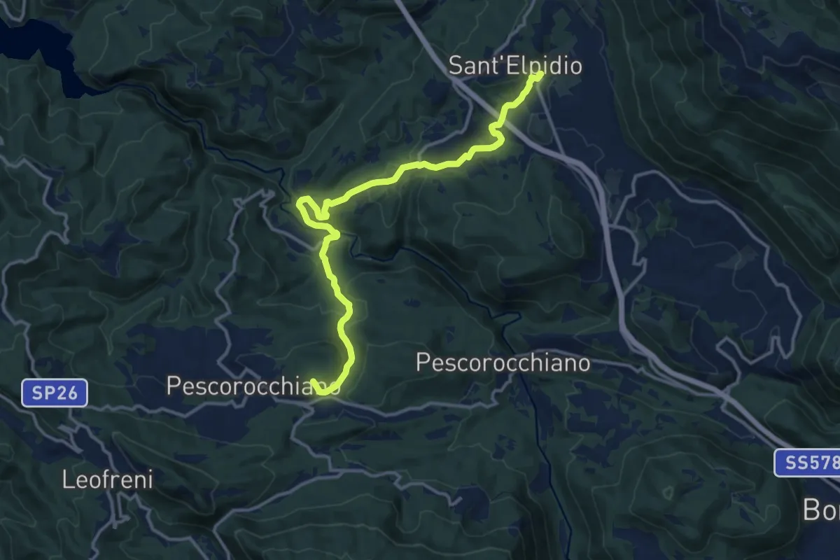
Pescorocchiano – Torre di Taglio
14.6 km · ↑ 508 m · 4 h 33 min
Easy · Trail
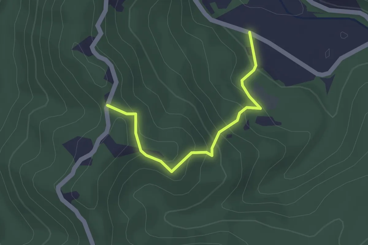
loc. Canale – loc. Colle D'Alessio
2.7 km · ↑ 189 m · 1 h 4 min
Easy · Trail
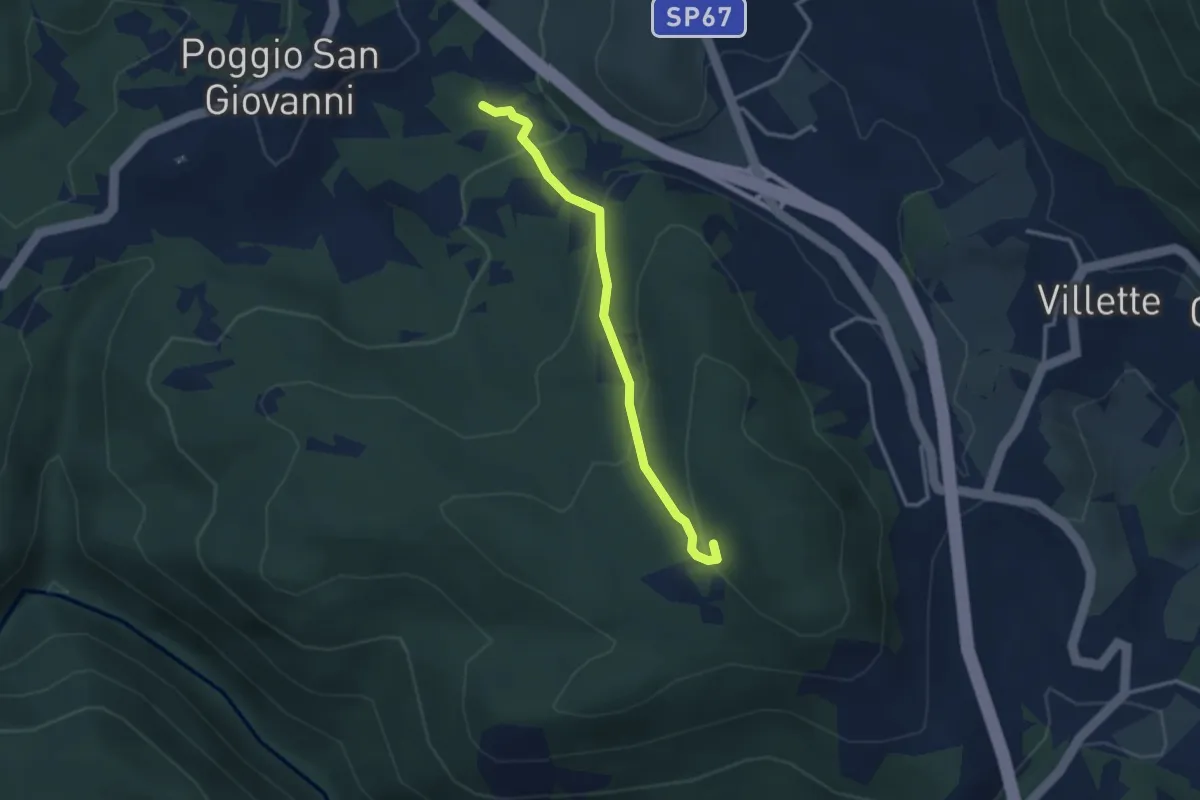
Poggio S.Giovanni (incr. sent. 479) – S.Maria di Pestroce
3.1 km · ↑ 178 m · 1 h 6 min
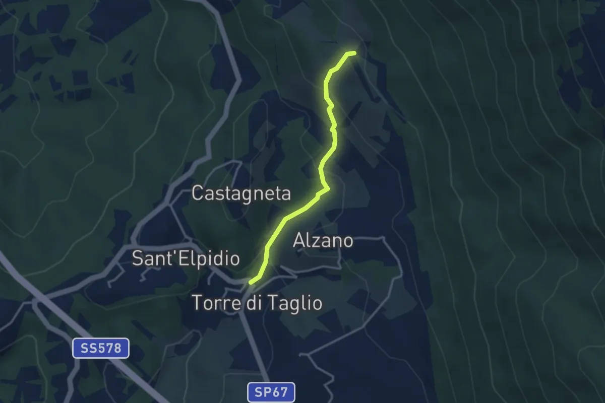
Easy · Trail
Torre di Taglio – loc. Arena (innesto 482B)
2.8 km · ↑ 145 m · 58 min
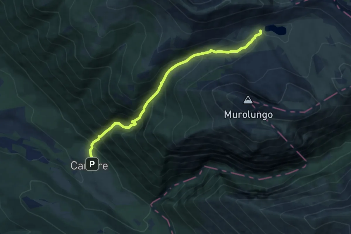
Demanding · Trail
Cartore – Lago della Duchessa
8.5 km · ↑ 855 m · 3 h 52 min
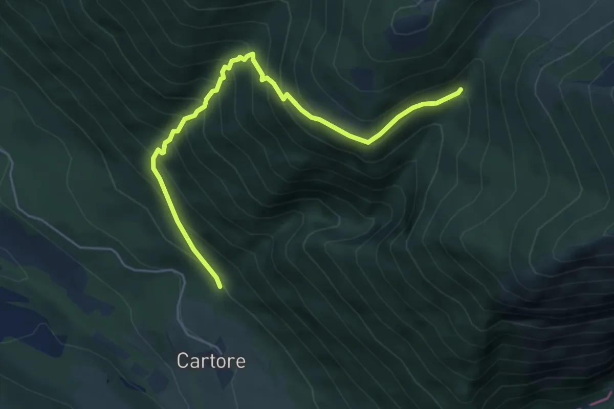
Medium · Trail
Vallone di Fua – Vallone del Cieco
5.4 km · ↑ 584 m · 2 h 33 min
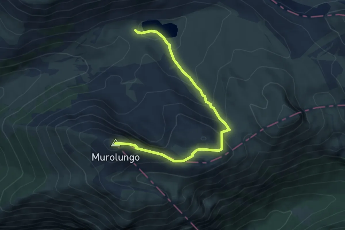
Medium · Summit
Lago della Duchessa – Murolungo
6.0 km · ↑ 425 m · 2 h 20 min
Medium · Cabin
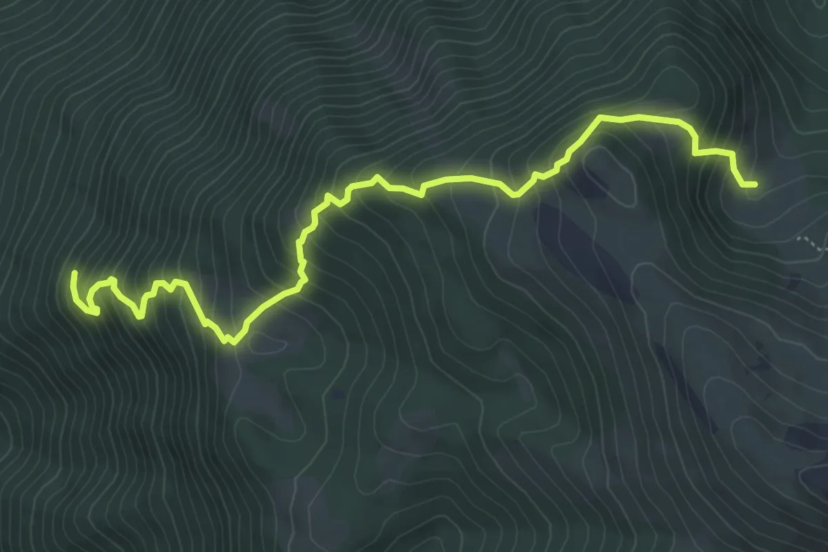
Le Vene – Fonte La Vena
6.9 km · ↑ 674 m · 3 h 6 min
Medium · Trail
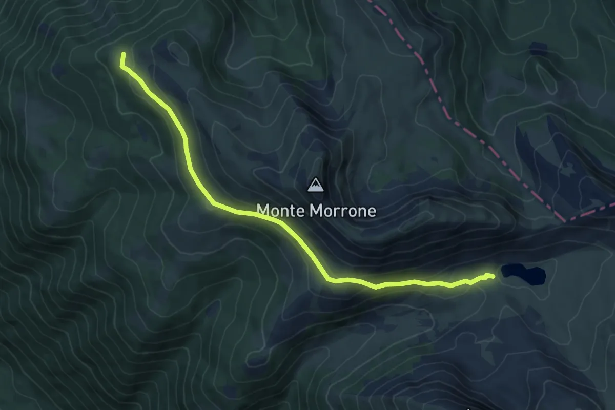
La Piana (Percorso 105) – Lago della Duchessa
8.2 km · ↑ 243 m · 2 h 28 min
Medium · Cabin
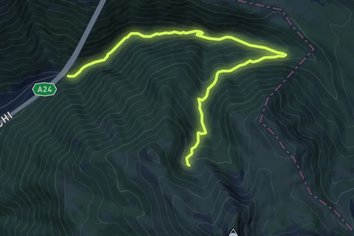
Galleria San Rocco – Rifugio Fonte La Vena
12.6 km · ↑ 800 m · 4 h 42 min
Easy · Trail
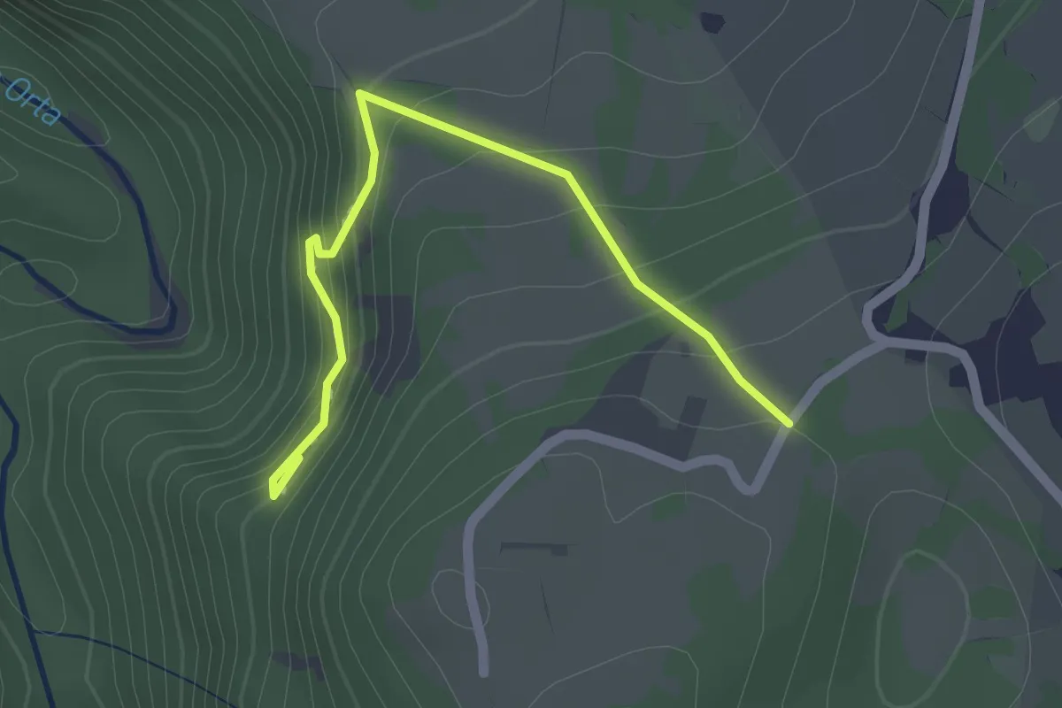
San Valentino – Grotta dei Callarelli
2.1 km · ↑ 123 m · 46 min
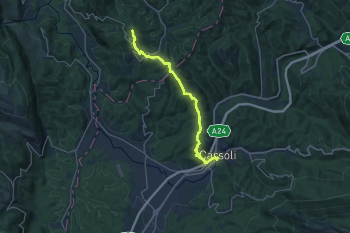
Medium · Summit
Carsoli – Monte San Giovanni
15.7 km · ↑ 514 m · 4 h 49 min
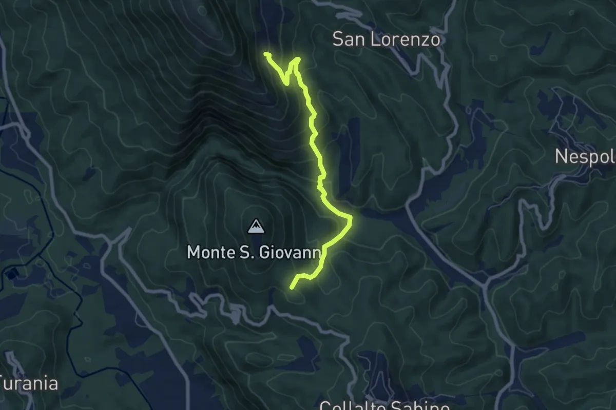
Medium · Trail
Bivio Vallicelle (percorso 346) – Innesto percorso 344
6.5 km · ↑ 471 m · 2 h 33 min
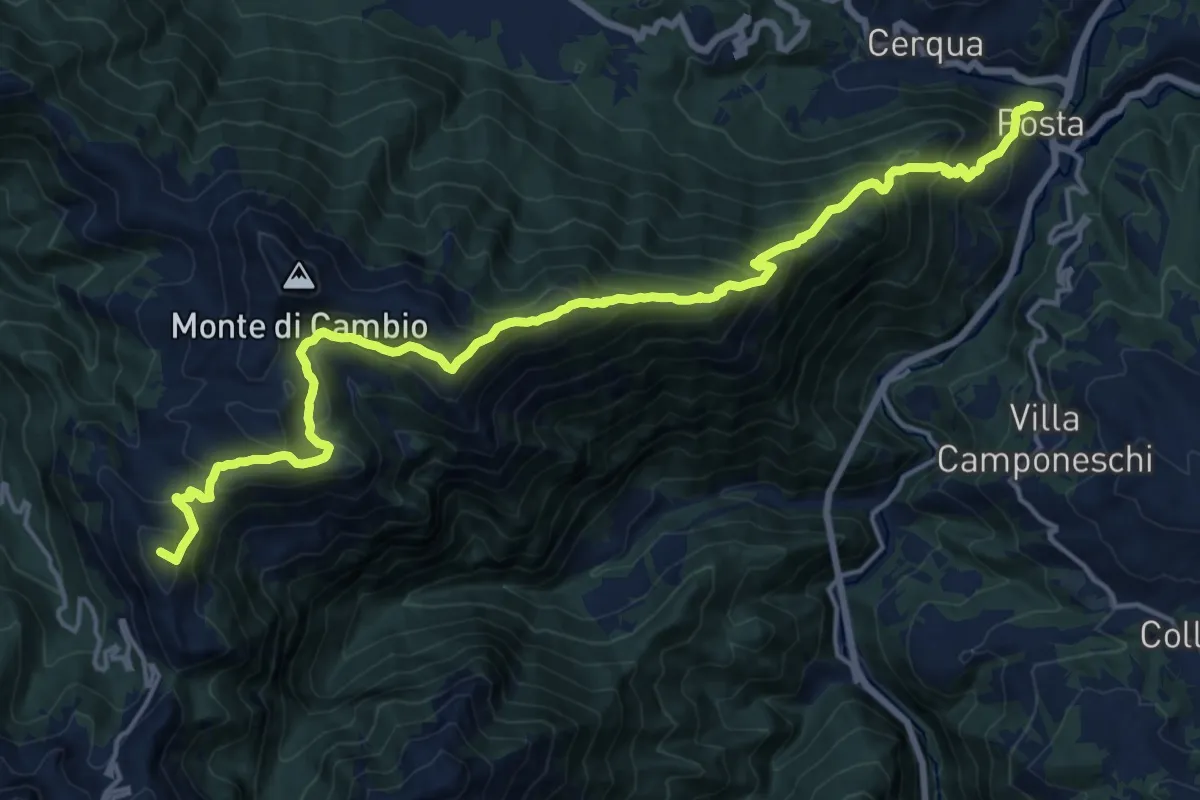
Demanding · Summit
Posta – Sella Jacci
21.6 km · ↑ 1781 m · 8 h 58 min
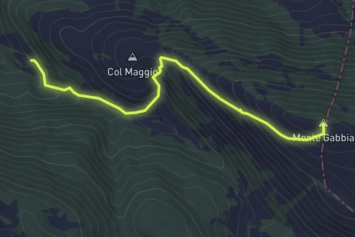
Medium · Summit
Santa Maria del Monte – Monte Gabbia
5.7 km · ↑ 418 m · 2 h 16 min
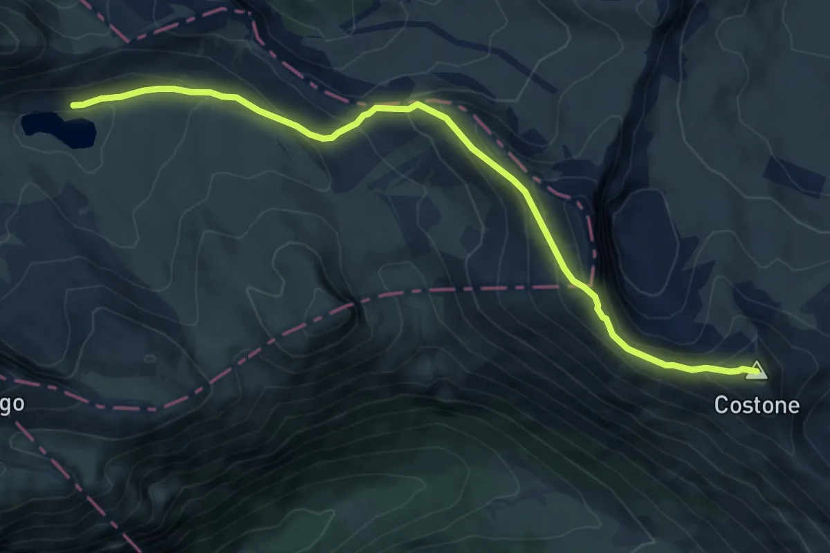
Medium · Summit
Lago della Duchessa – Rifugio Sebastiani
8.2 km · ↑ 542 m · 3 h 7 min
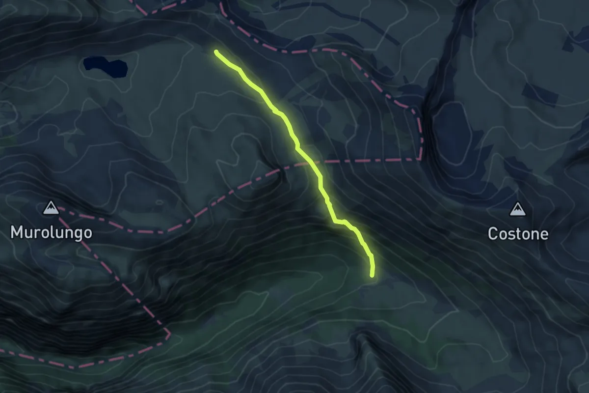
Demanding · Trail
Lago della Duchessa, incrocio103 – Capo di Teve, incrocio 602
4.9 km · ↑ 365 m · 1 h 57 min
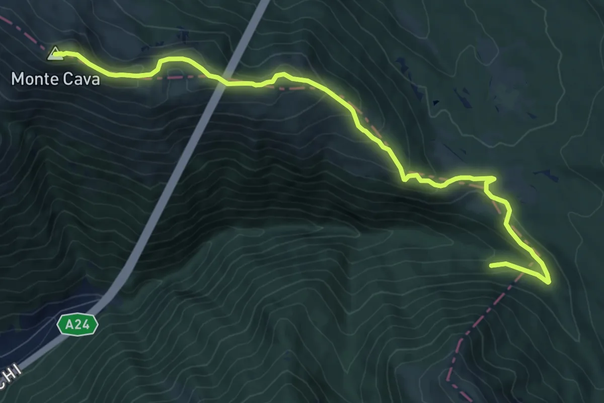
Medium · Summit
Valle dell'Asino, incrocio 104 – Monte Cava
11.9 km · ↑ 637 m · 4 h 11 min
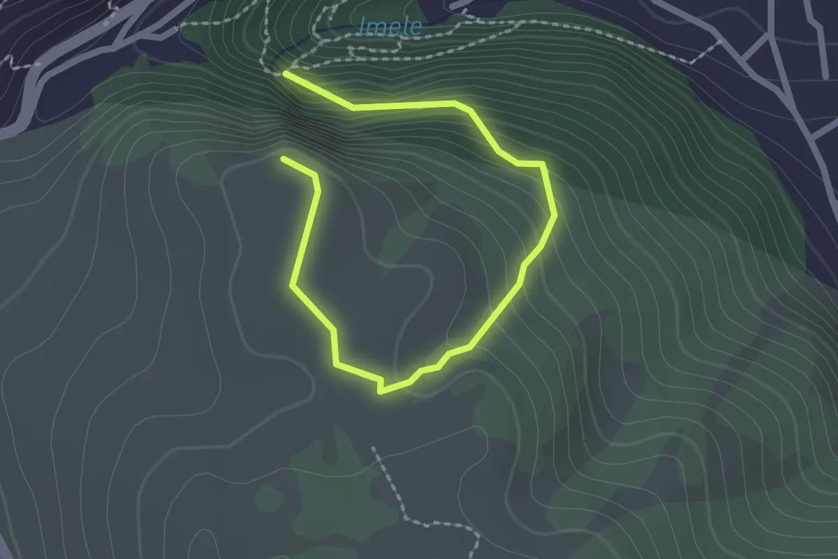
Easy · Trail
Tagliacozzo – La Croce
1.4 km · ↑ 162 m · 39 min
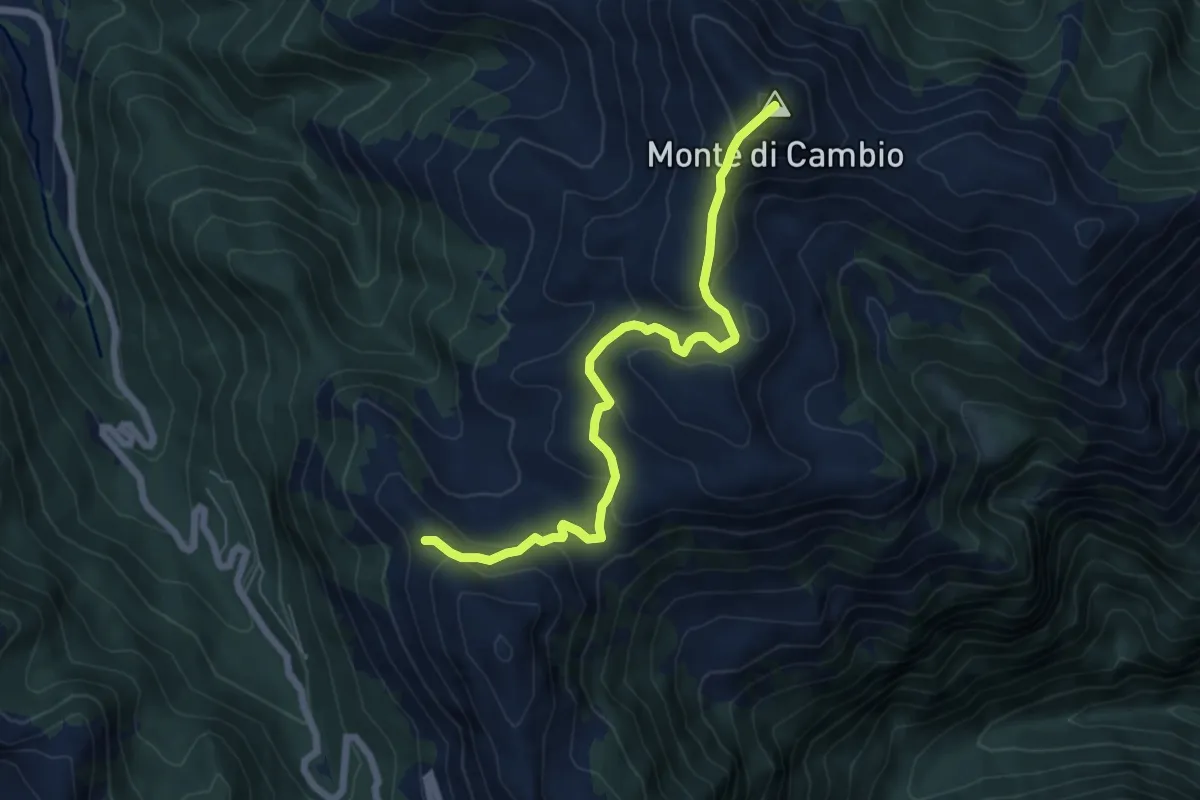
Medium · Summit
Incrocio Percorso 404 – Monte Cambio
7.0 km · ↑ 379 m · 2 h 28 min
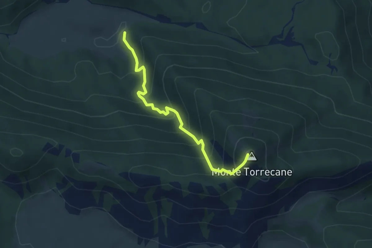
Medium · Summit
Piscignola – M.Te Torrecane-Incrocio Sent.488
4.5 km · ↑ 446 m · 2 h 2 min
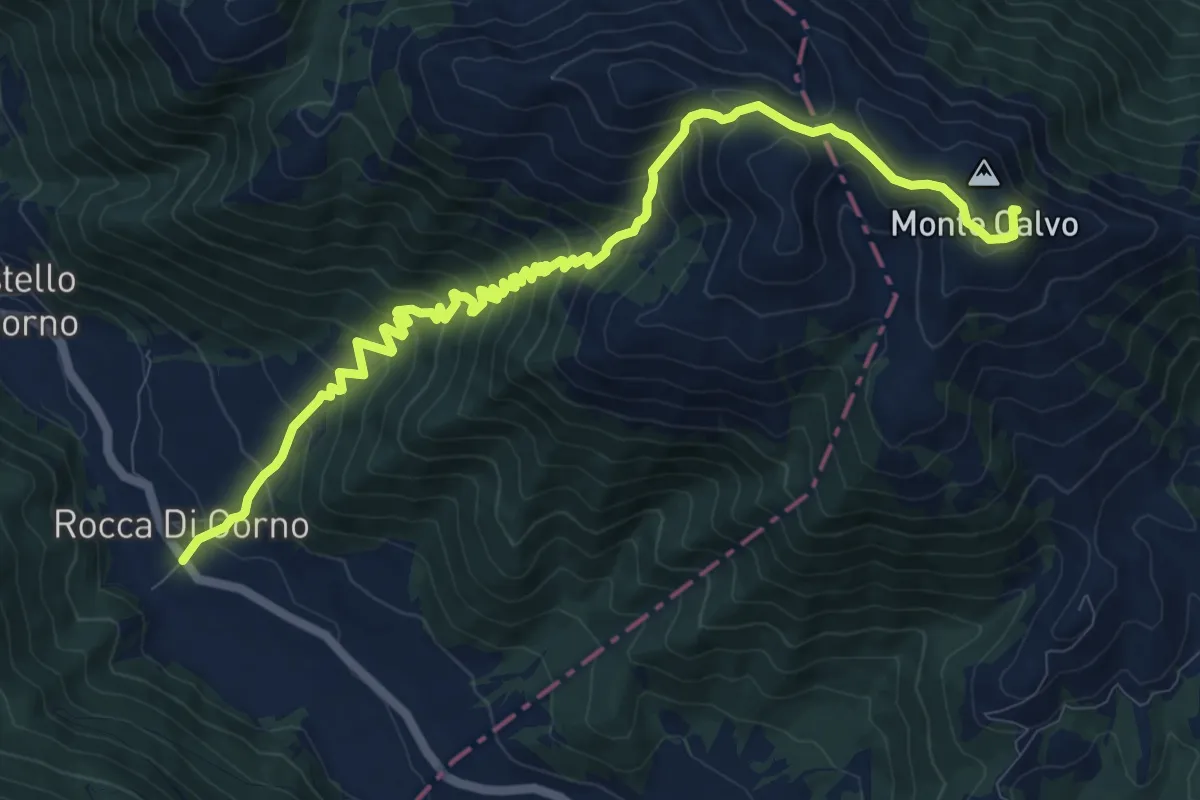
Demanding · Summit
Rocca di Corno – Monte Calvo
13.3 km · ↑ 977 m · 5 h 15 min
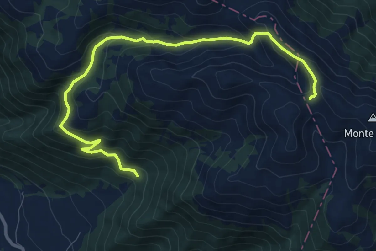
Medium · Trail
Valle Lunga – Colle di Mezzo
11.0 km · ↑ 637 m · 3 h 59 min
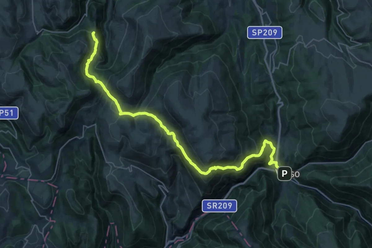
Demanding · Trail
Visso – Colfiorito
14.3 km · ↑ 979 m · 5 h 30 min
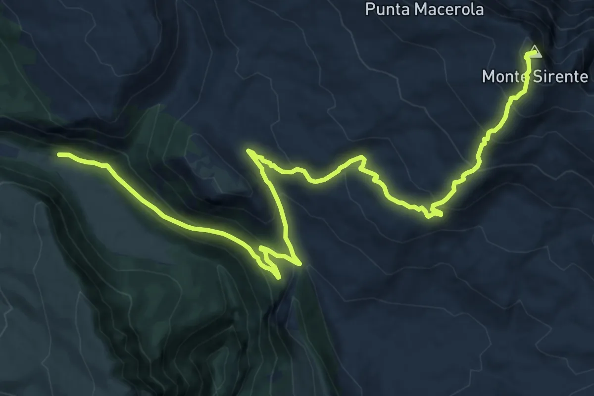
Demanding · Summit
Ovindoli – Monte Sirente
19.8 km · ↑ 1097 m · 7 h 3 min
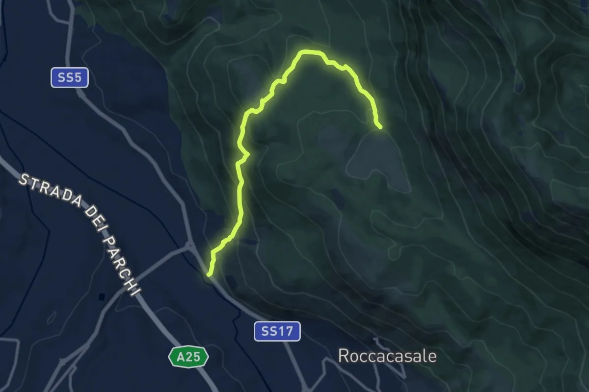
Medium · Trail
Strada Statale 17 – Fonte Beato Mariano
10.2 km · ↑ 618 m · 3 h 45 min
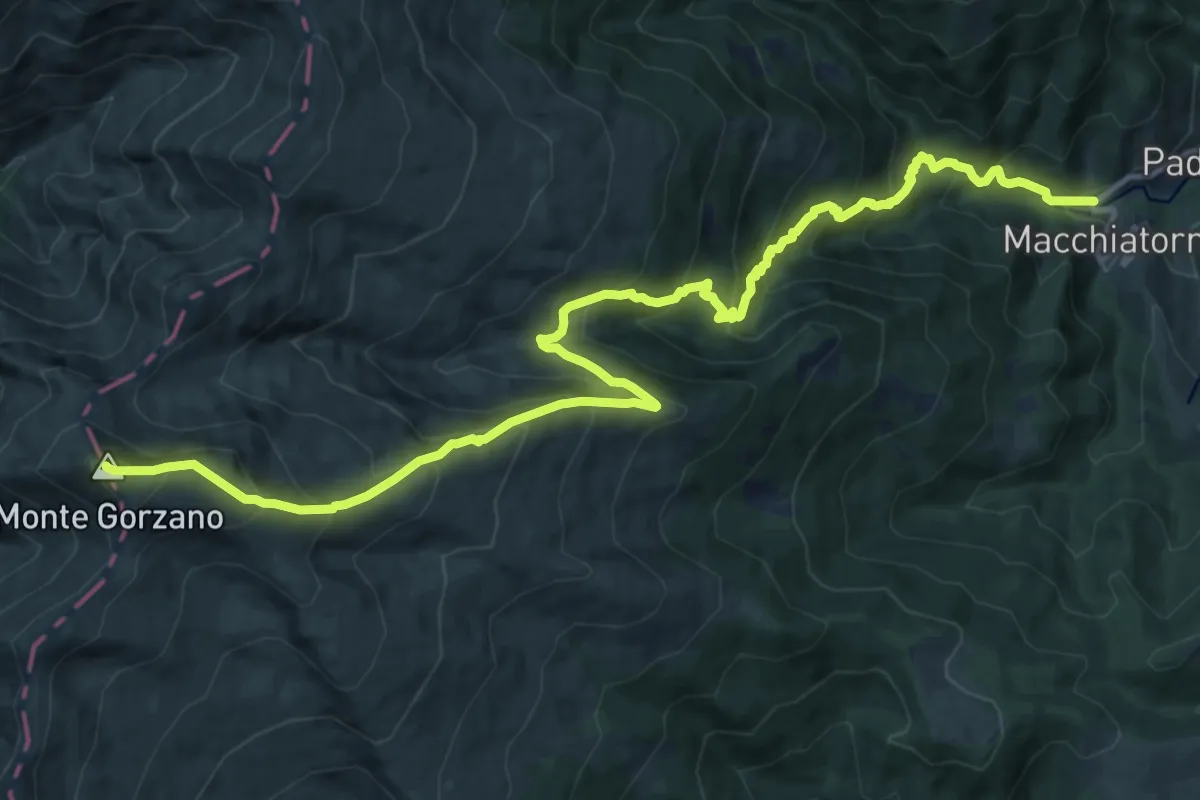
Demanding · Summit
SP47 – Monte Gorzano
17.5 km · ↑ 1511 m · 7 h 24 min
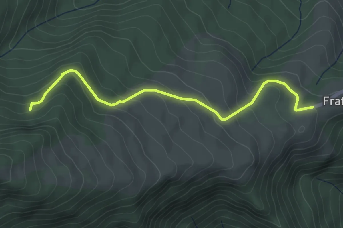
Medium · Trail
Frattoli – Bivio con S357
4.5 km · ↑ 262 m · 1 h 37 min
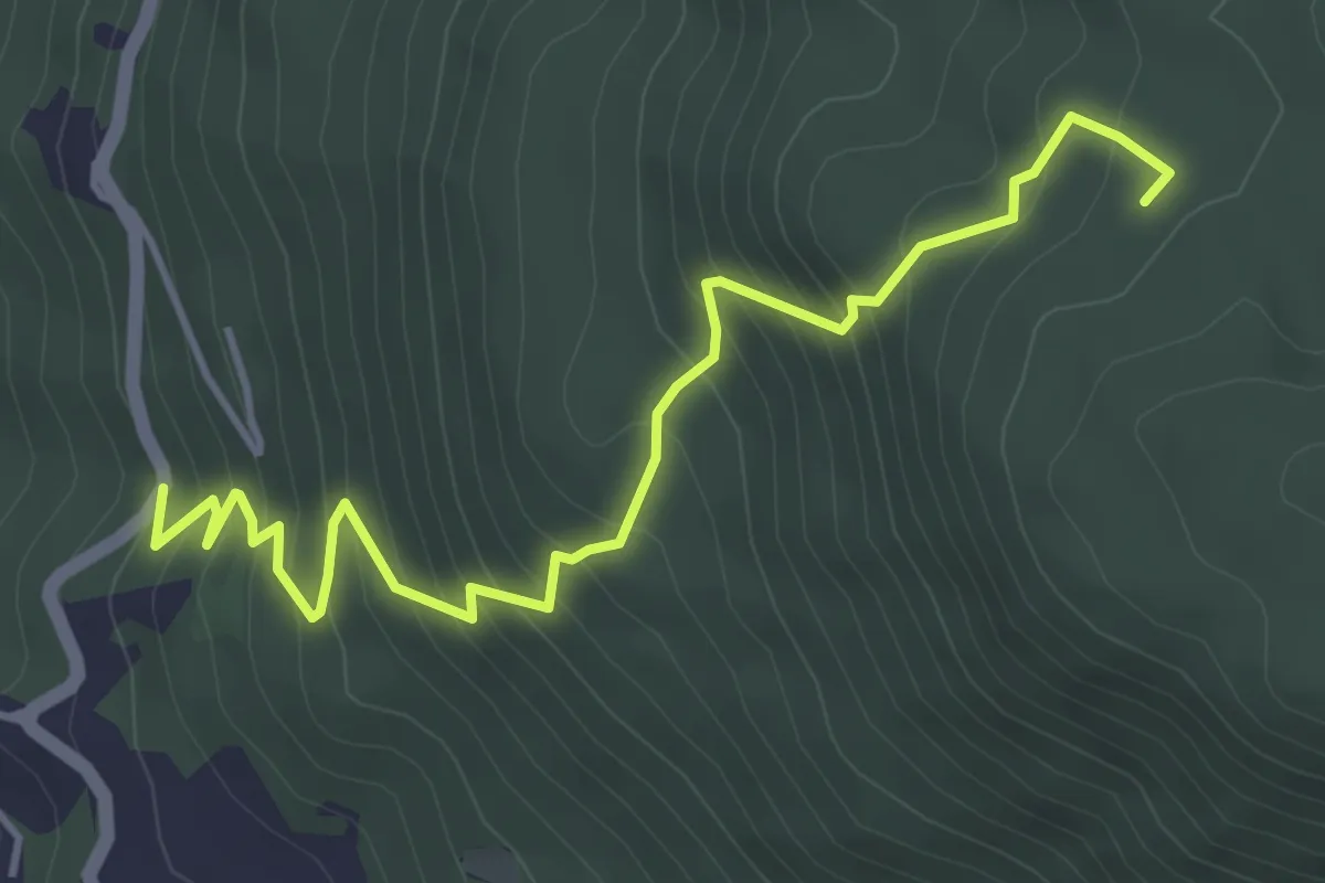
Medium · Trail
Capradosso – Casalae Antonetti- incr. 480
5.2 km · ↑ 487 m · 2 h 17 min
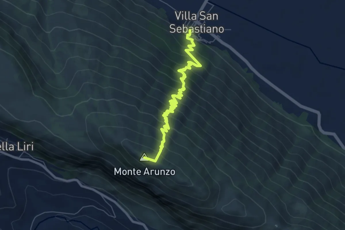
Medium · Summit
Villa San Sebastiano – Monte Arunzo
7.9 km · ↑ 723 m · 3 h 25 min
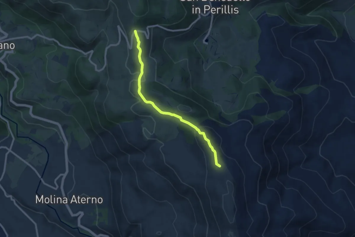
Easy · Trail
Forcella di Acciano – Sent. 571
7.3 km · ↑ 304 m · 2 h 22 min
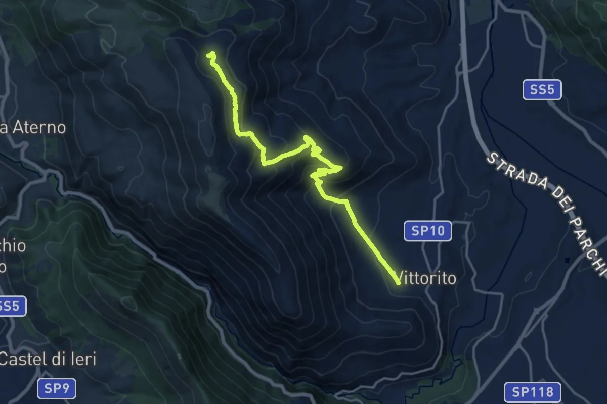
Medium · Trail
Vittorito – Sent. n. 571
14.9 km · ↑ 716 m · 5 h 4 min
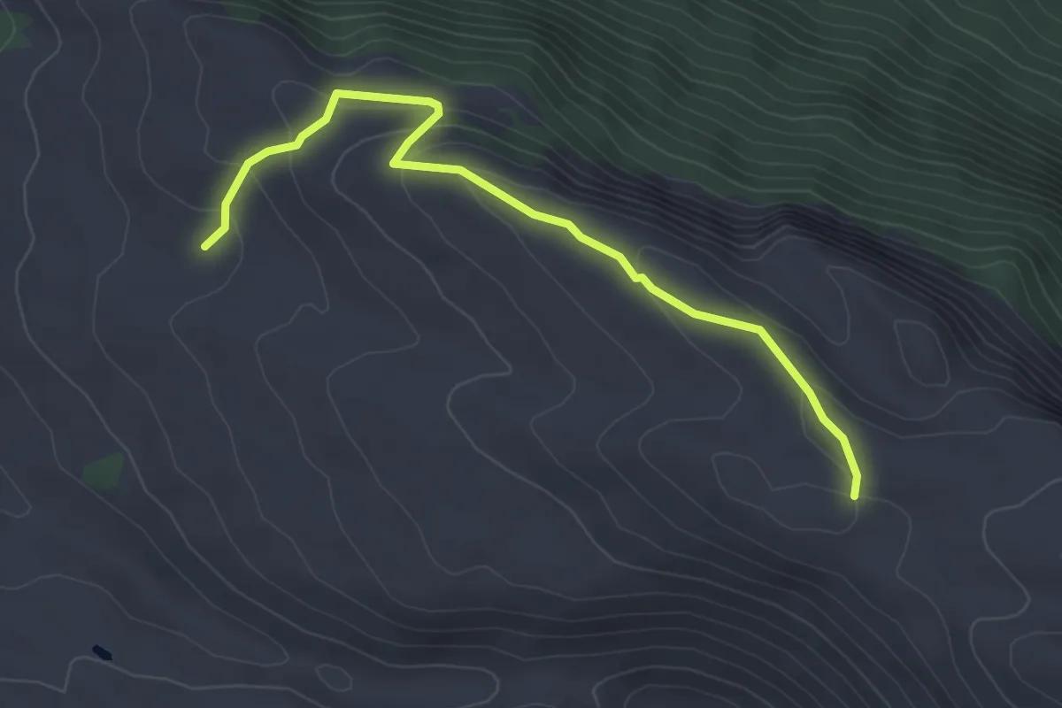
Easy · Trail
Sent. 14 – Sent. 14
4.3 km · ↑ 193 m · 1 h 27 min
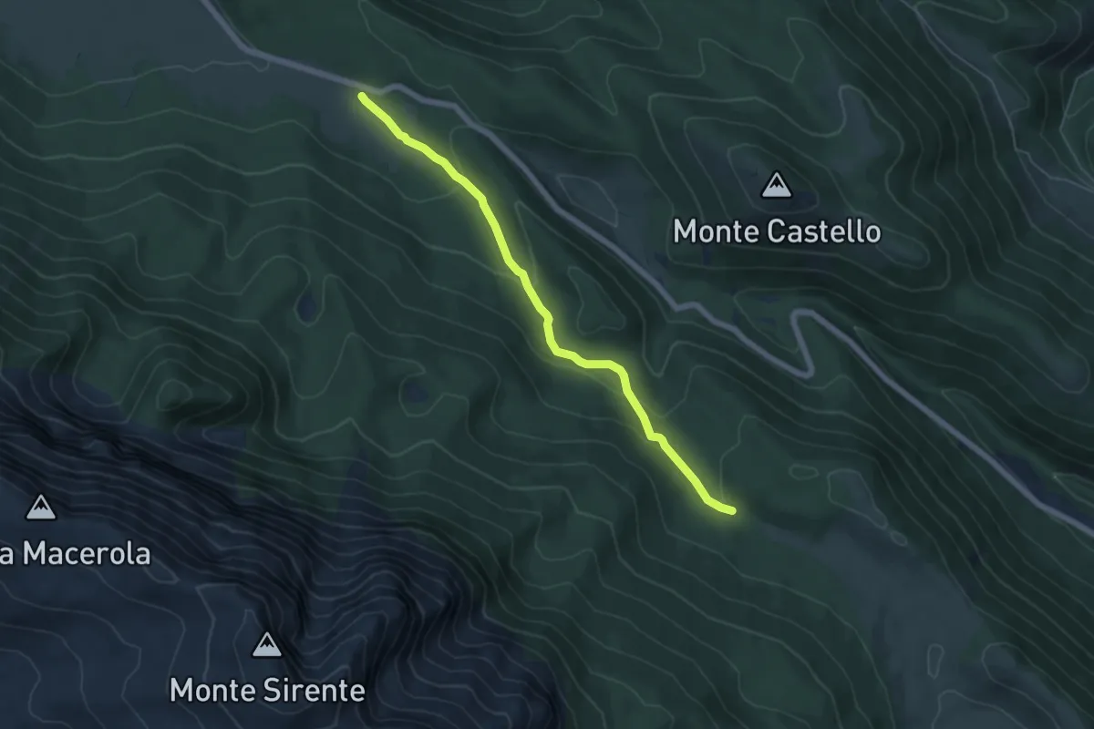
Easy · Trail
Chiusa della Madonna – Sent. 18
6.0 km · ↑ 204 m · 1 h 52 min
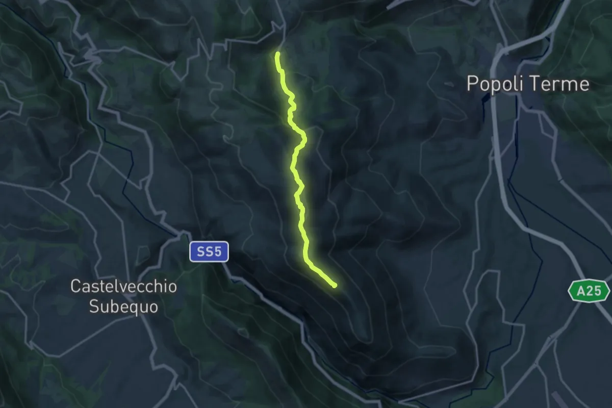
Medium · Summit
Vittorito – Lago di San Benedetto
12.0 km · ↑ 583 m · 4 h 5 min
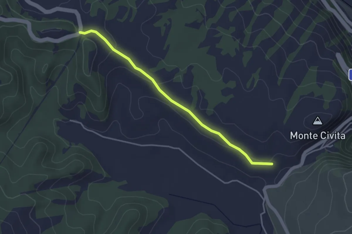
Easy · Trail
SR5 – Fonte Molanova
3.5 km · ↑ 85 m · 1 h 1 min
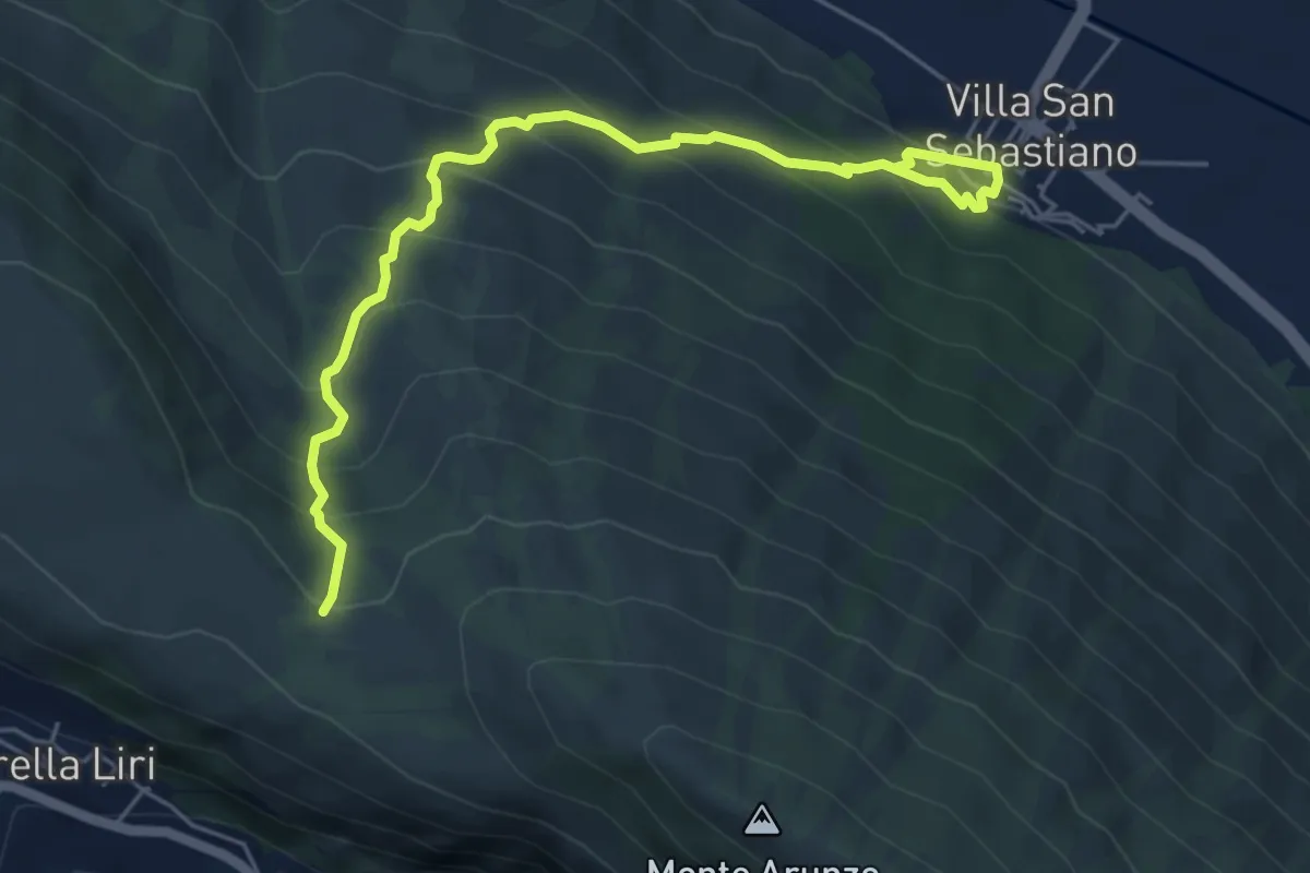
Medium · Trail
Villa San Sebastiano – Monte Valminiera
6.4 km · ↑ 549 m · 2 h 42 min
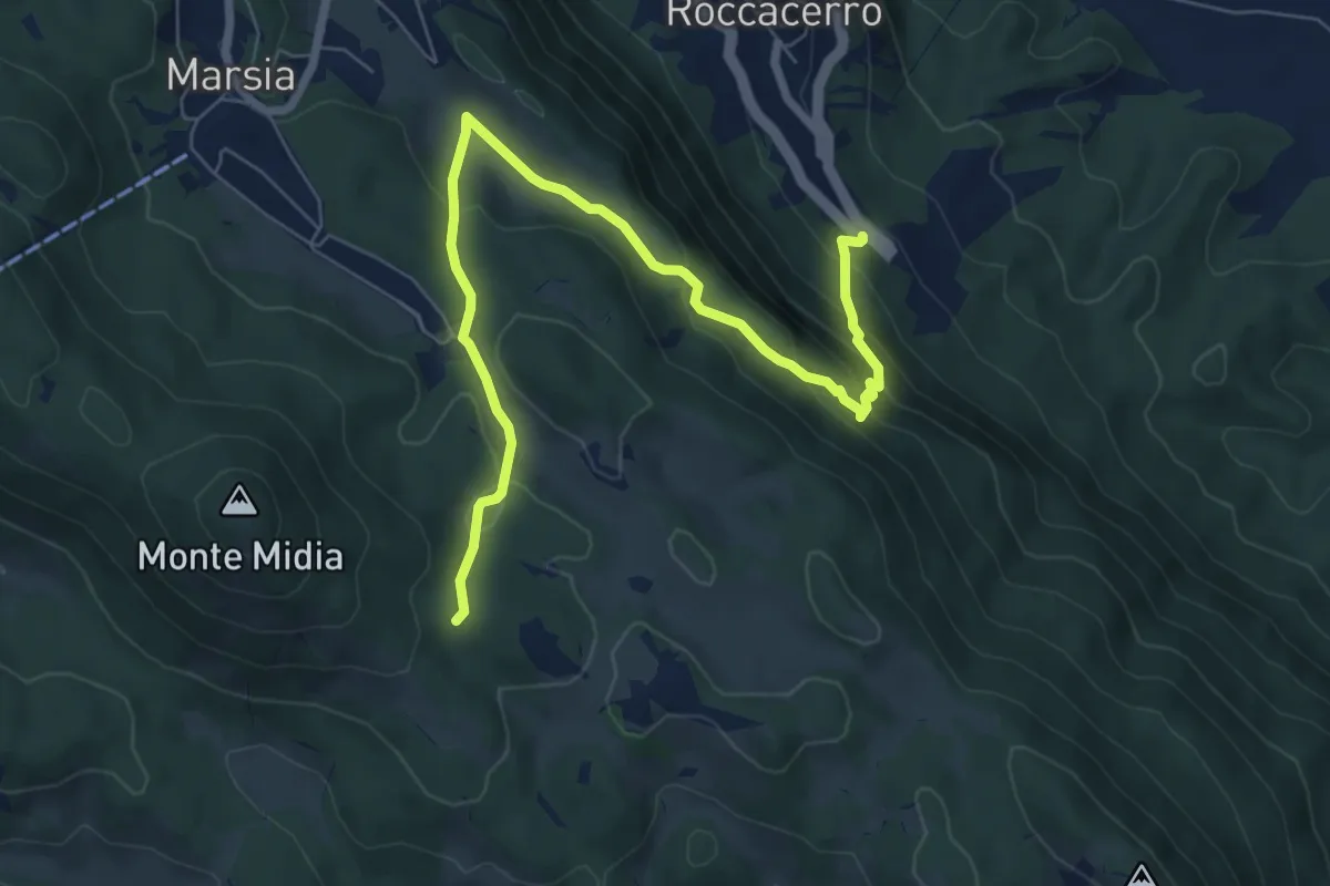
Medium · Trail
SR5 Roccacerro – Innesto sent. 517 (Marsia)
8.7 km · ↑ 503 m · 3 h 8 min
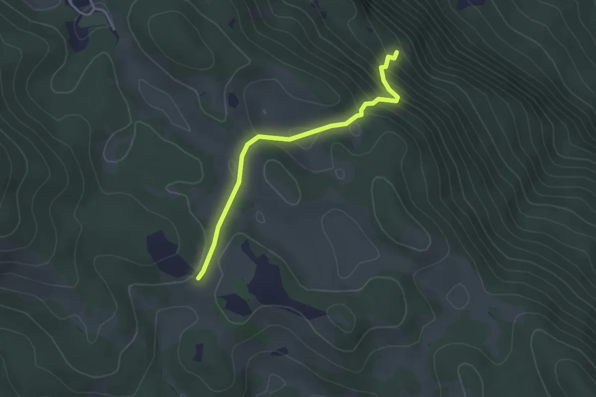
Easy · Trail
SR5 Roccacerro – Croce di Tufo
3.2 km · ↑ 213 m · 1 h 12 min
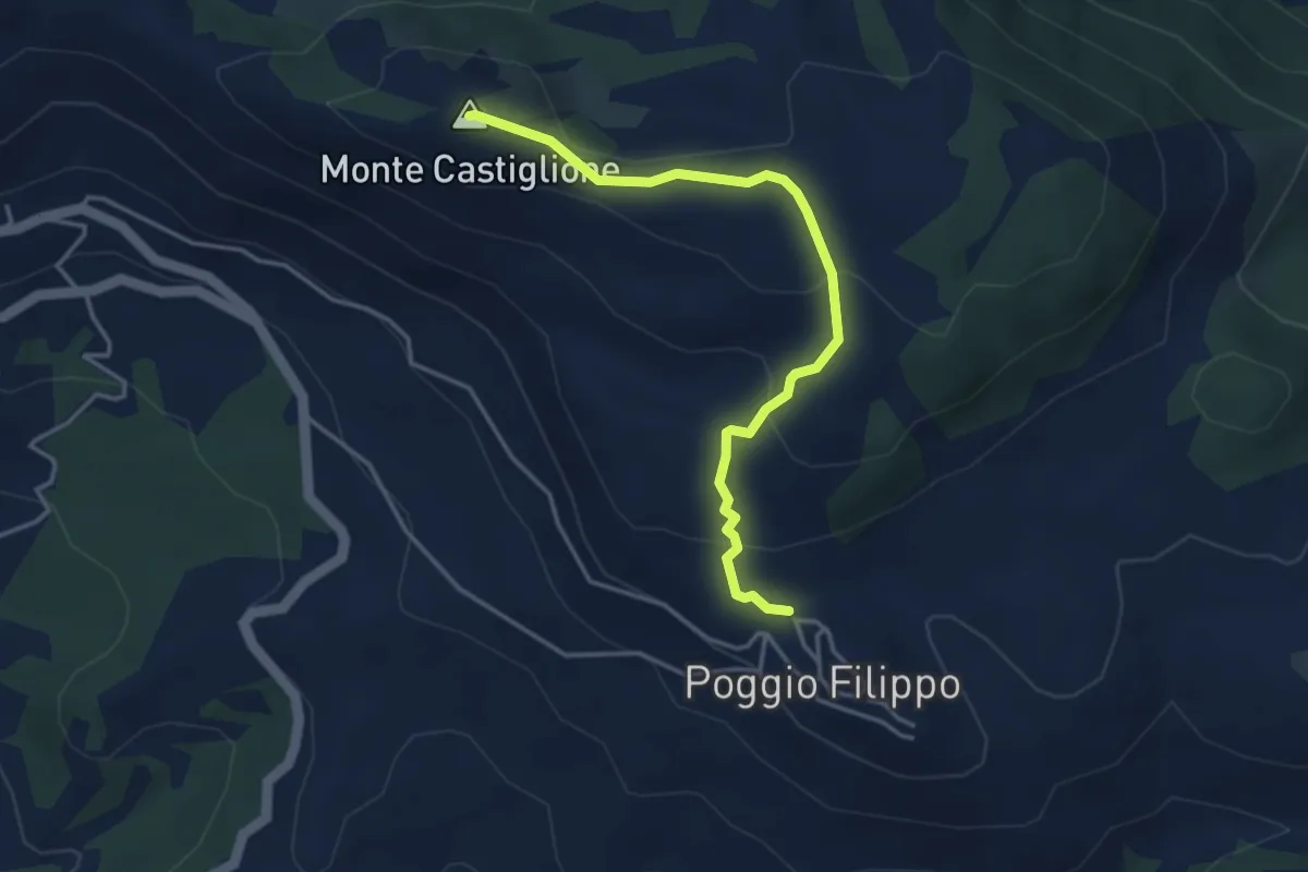
Easy · Summit
Poggiofilippo fontanile – Madonnina delle Nevi
4.2 km · ↑ 169 m · 1 h 22 min
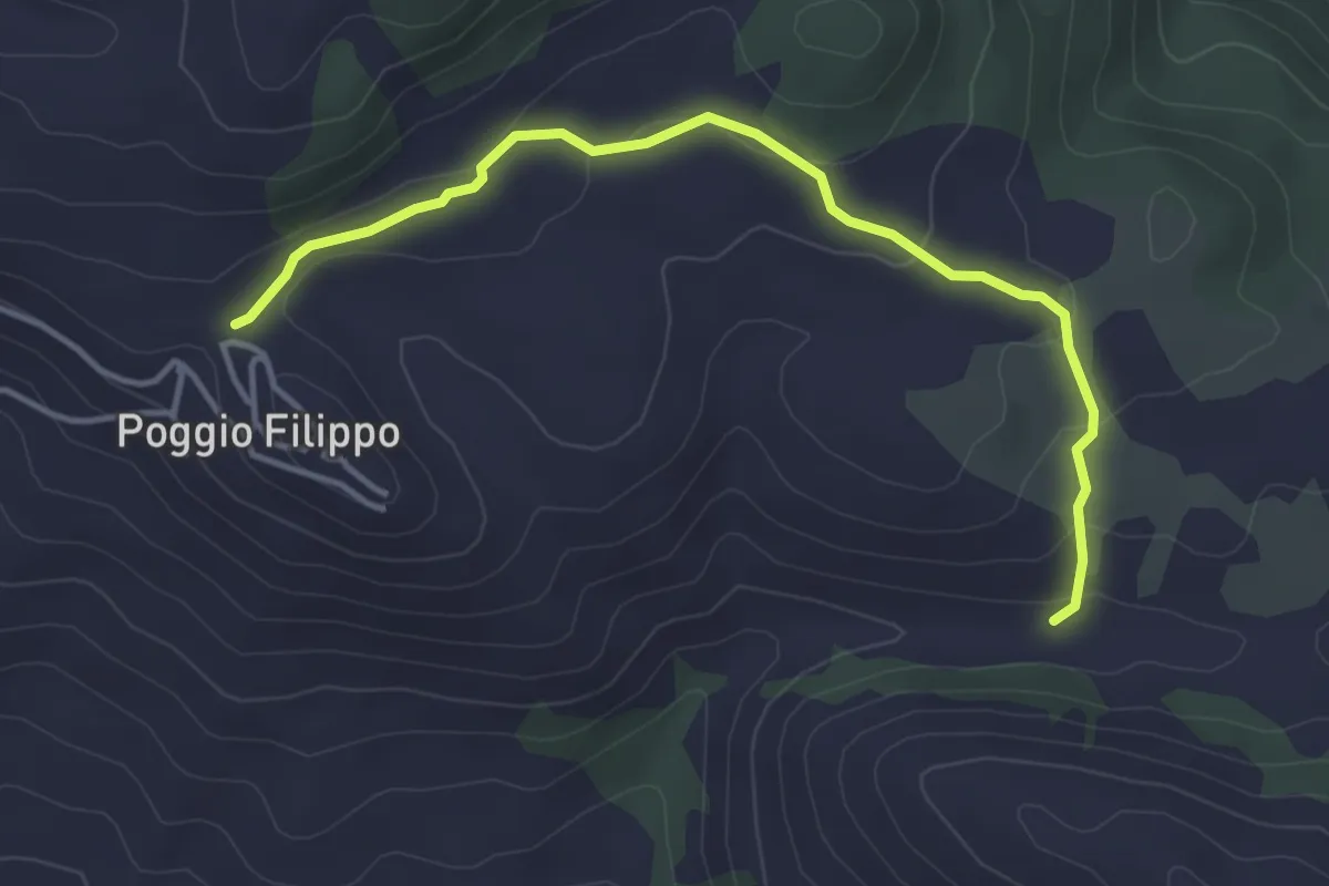
Easy · Trail
Poggiofilippo – Bivio CdB 540
4.4 km · ↑ 163 m · 1 h 24 min
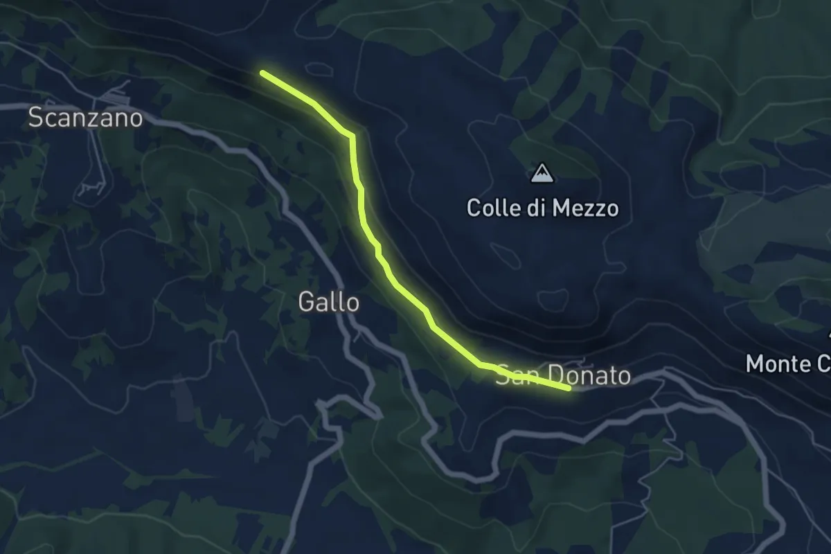
Easy · Trail
San Donato – CdB Cammino dei Briganti
4.8 km · ↑ 177 m · 1 h 32 min
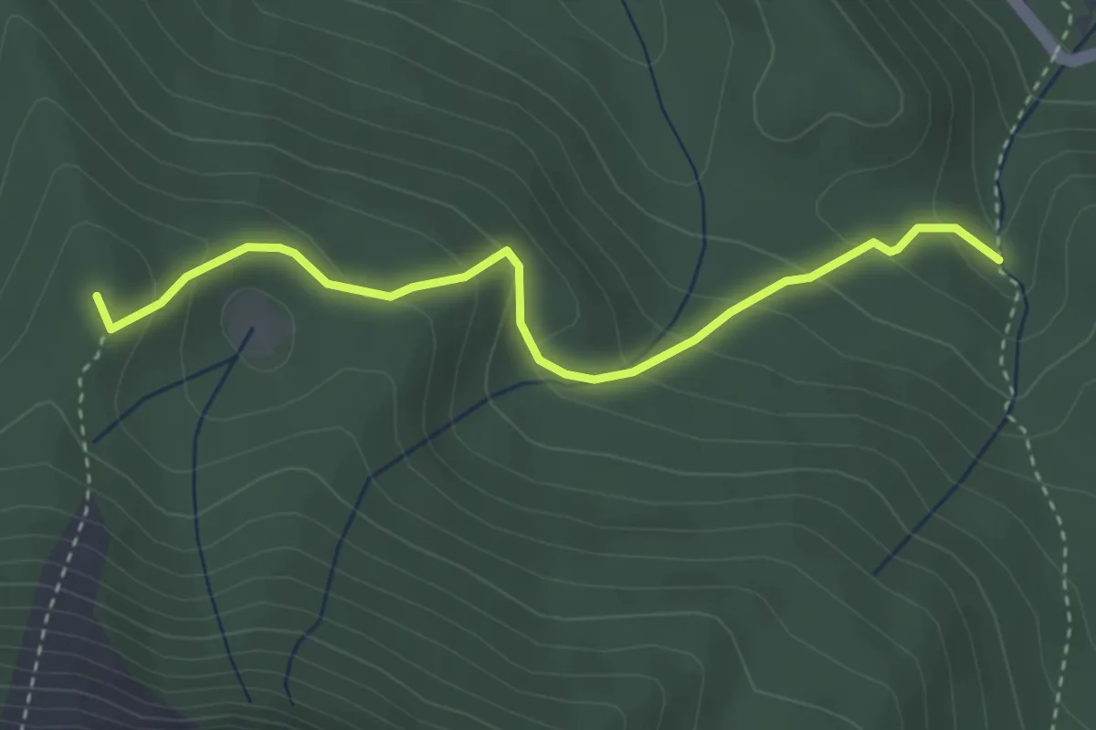
Medium · Summit
Fonte all'Acqua – Colle Jalone
3.7 km · ↑ 244 m · 1 h 24 min