Trails in Italy
25,219 hiking trails, each with its route, climb, walking time and grade.
All trails, page 281 of 526
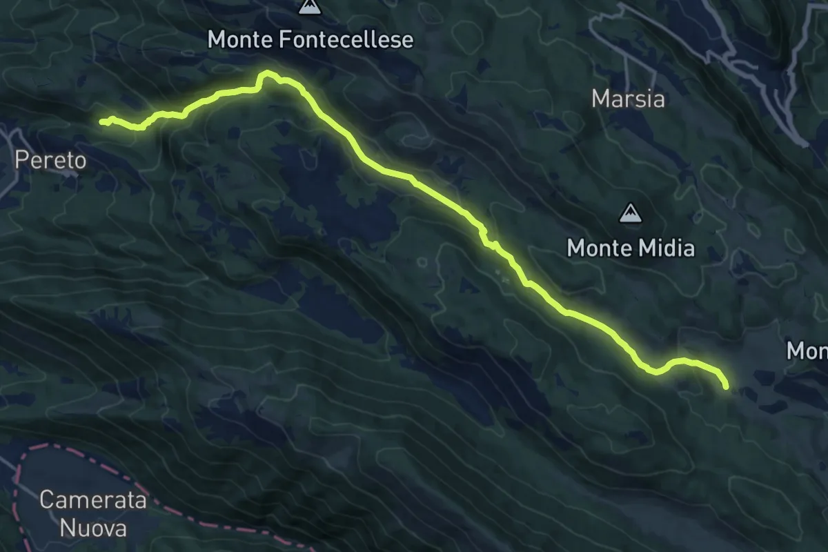
Demanding · Trail
Pereto – Piana del Pozzo
19.4 km · ↑ 870 m · 6 h 28 min
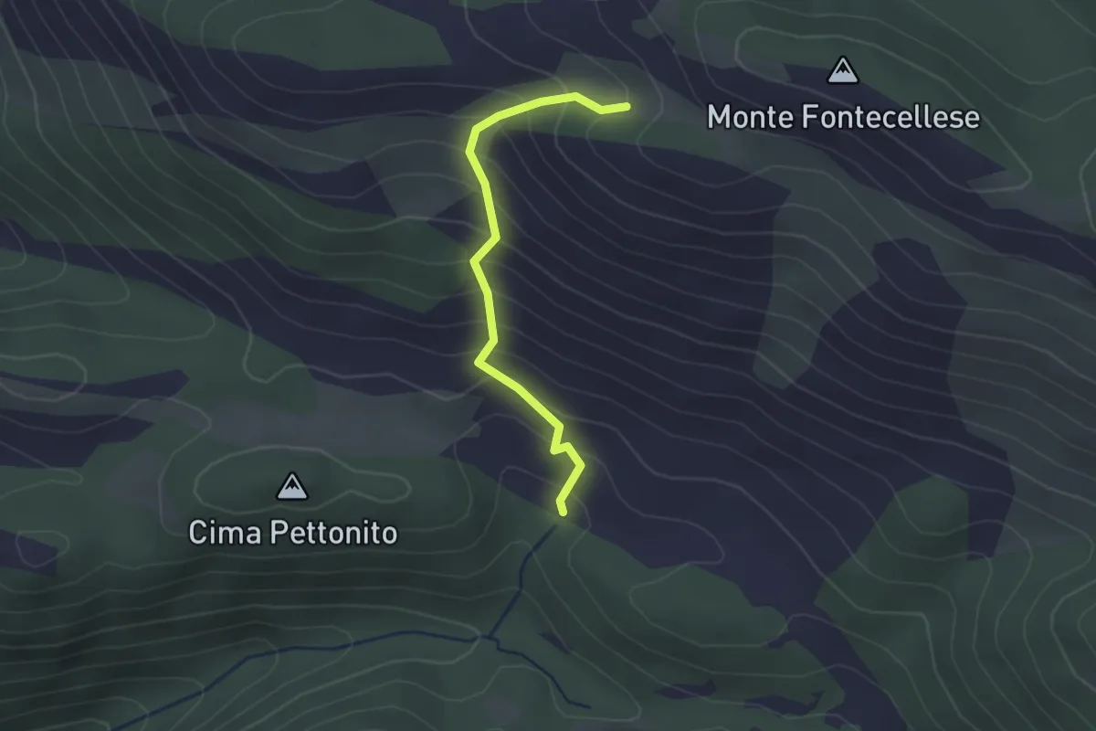
Easy · Trail
Pereto o Villa Romana – Sent. 501 o 502
2.4 km · ↑ 266 m · 1 h 8 min
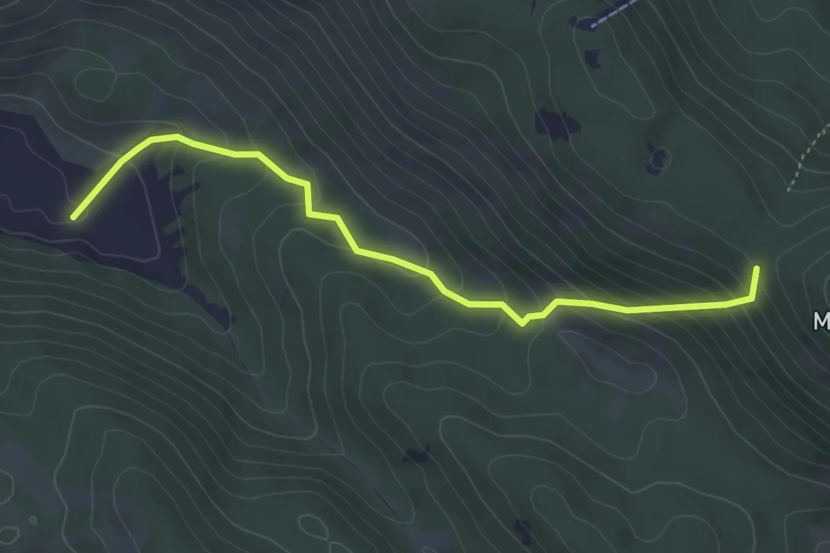
Medium · Trail
Sent. 502 – Sent. 516
4.8 km · ↑ 365 m · 1 h 55 min
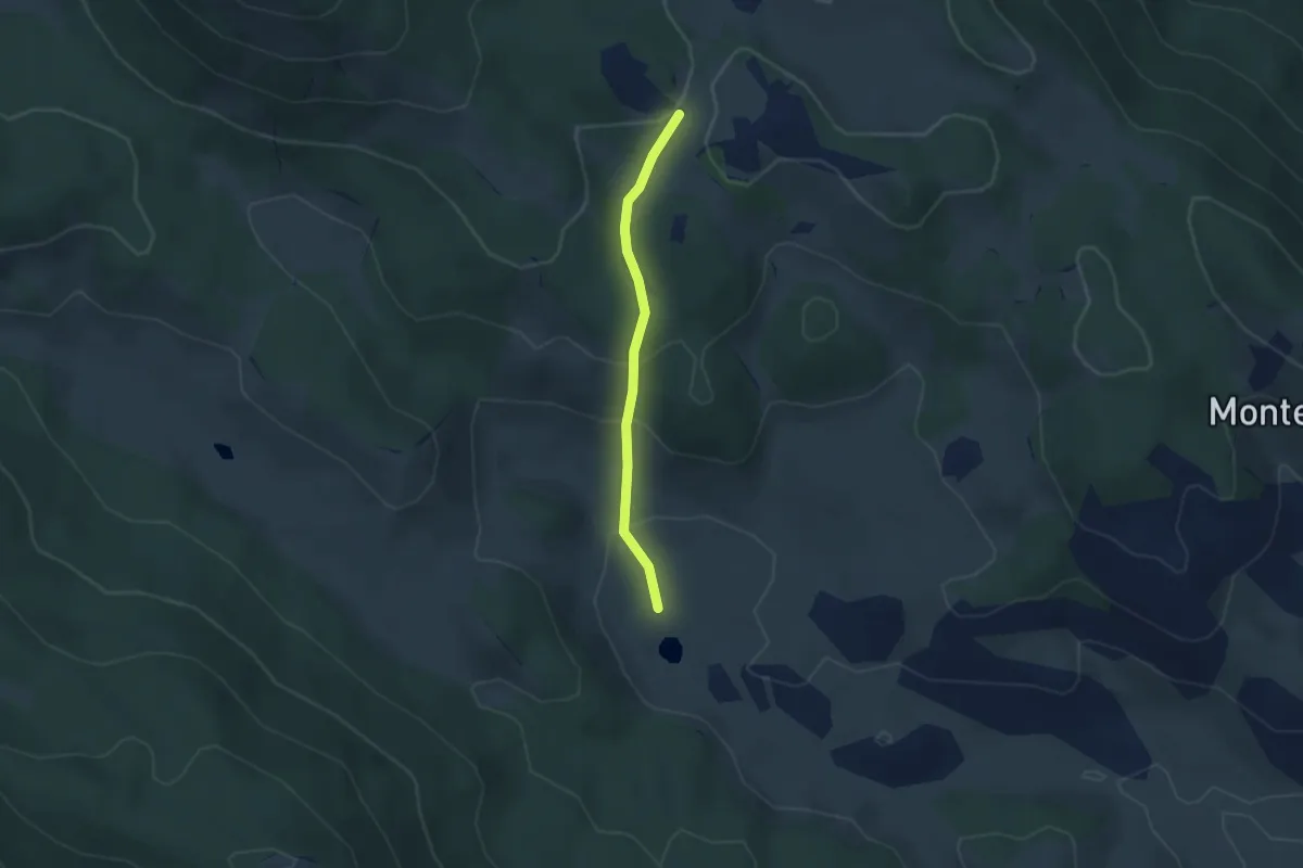
Easy · Trail
Croce di Tufo – Piana del Pozzo
2.9 km · ↑ 151 m · 1 h
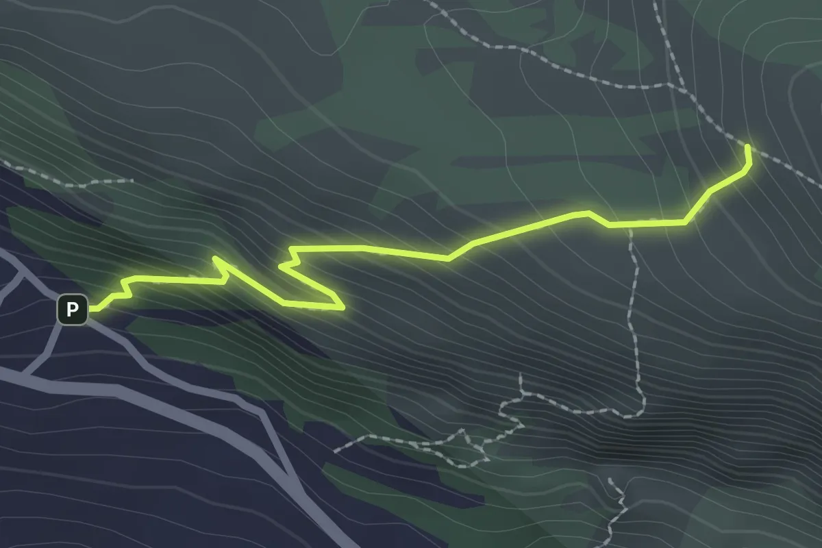
Easy · Trail
Petrella Liri Via Rapina – Sent. 576
2.4 km · ↑ 279 m · 1 h 10 min
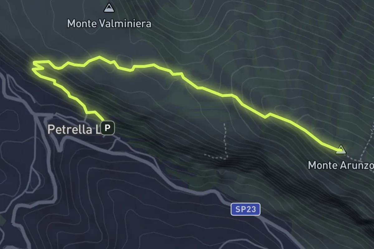
Medium · Summit
Petrella Liri - Parcheggio – Sella Girifalco (Corcumello)
6.6 km · ↑ 394 m · 2 h 25 min
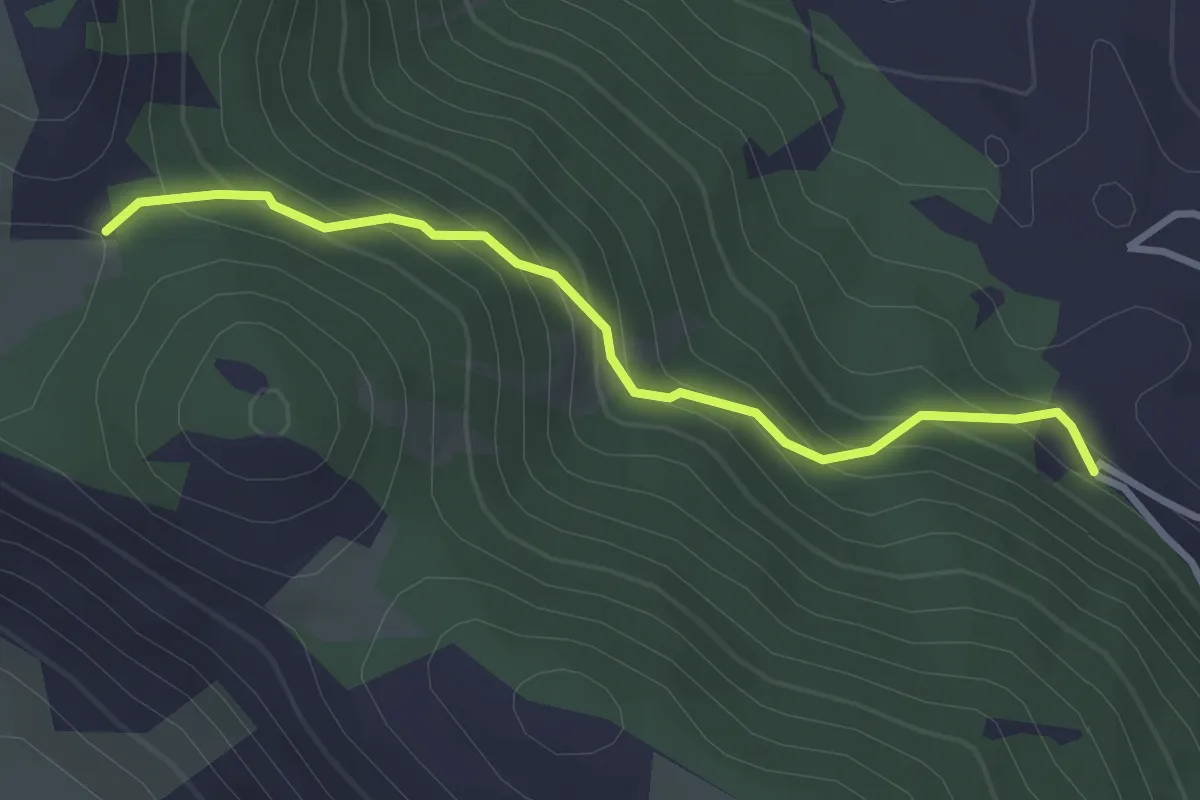
Easy · Trail
Cappadocia loc. Le Menarda – Bivio sent. 512 per Monte Padiglione
3.3 km · ↑ 263 m · 1 h 21 min
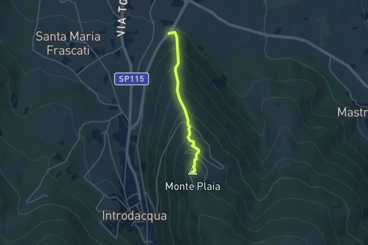
Easy · Summit
S.P. 14 di Introdacqua – Monte Plaia
2.9 km · ↑ 304 m · 1 h 21 min
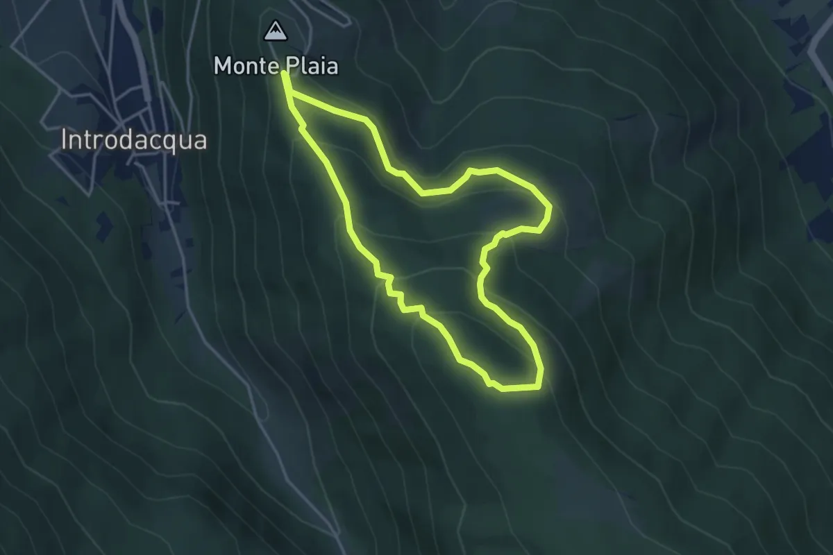
Easy · Trail
Monte Plaia – Monte Plaia
3.9 km · ↑ 251 m · 1 h 31 min
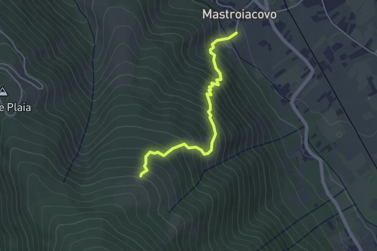
Medium · Trail
Mastroiacovo – Monte Plaia
3.6 km · ↑ 405 m · 1 h 44 min
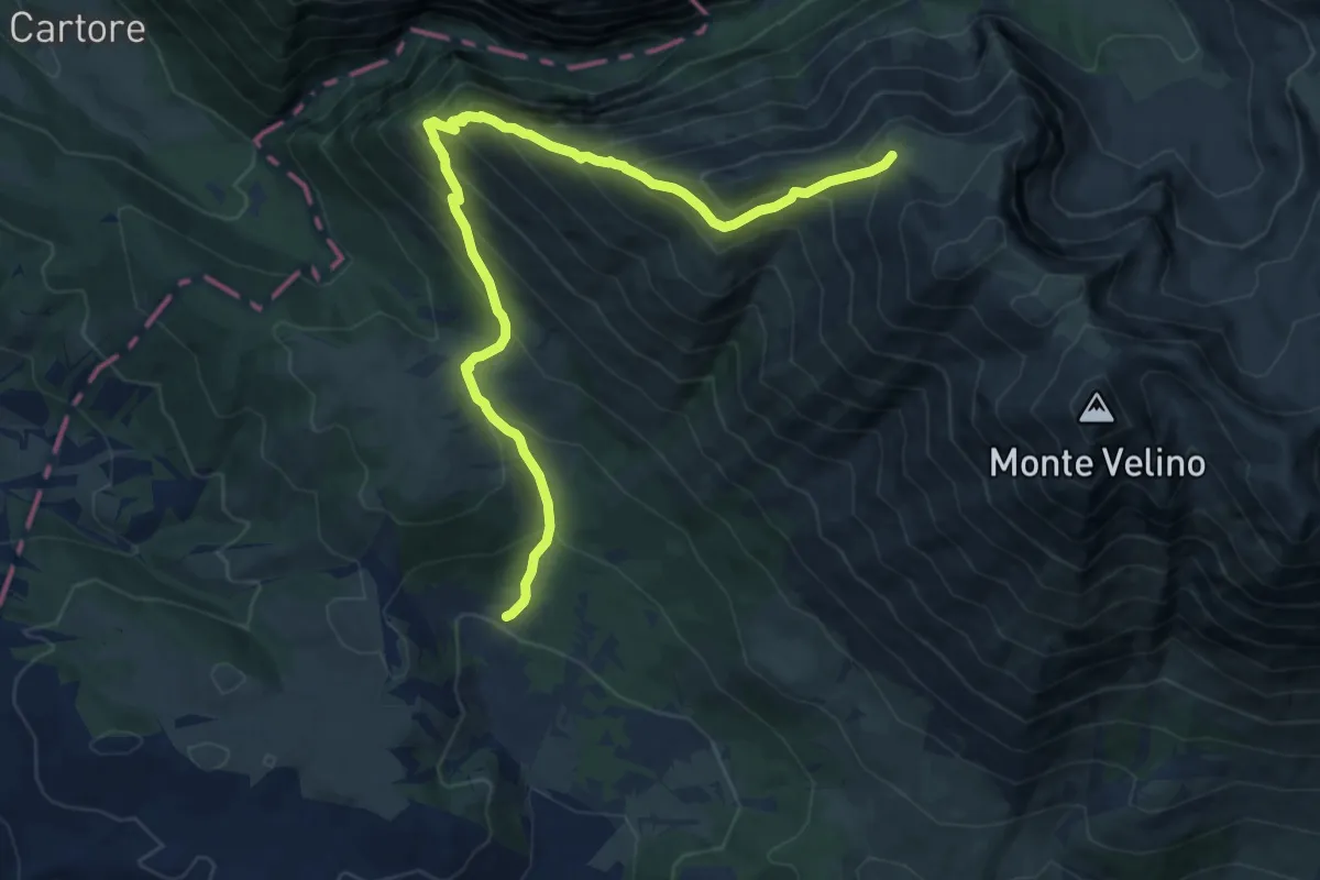
Demanding · Cabin
Capanna di Sevice – parcheggio di S. Maria in Valle Porclaneta
13.2 km · ↑ 1165 m · 5 h 38 min
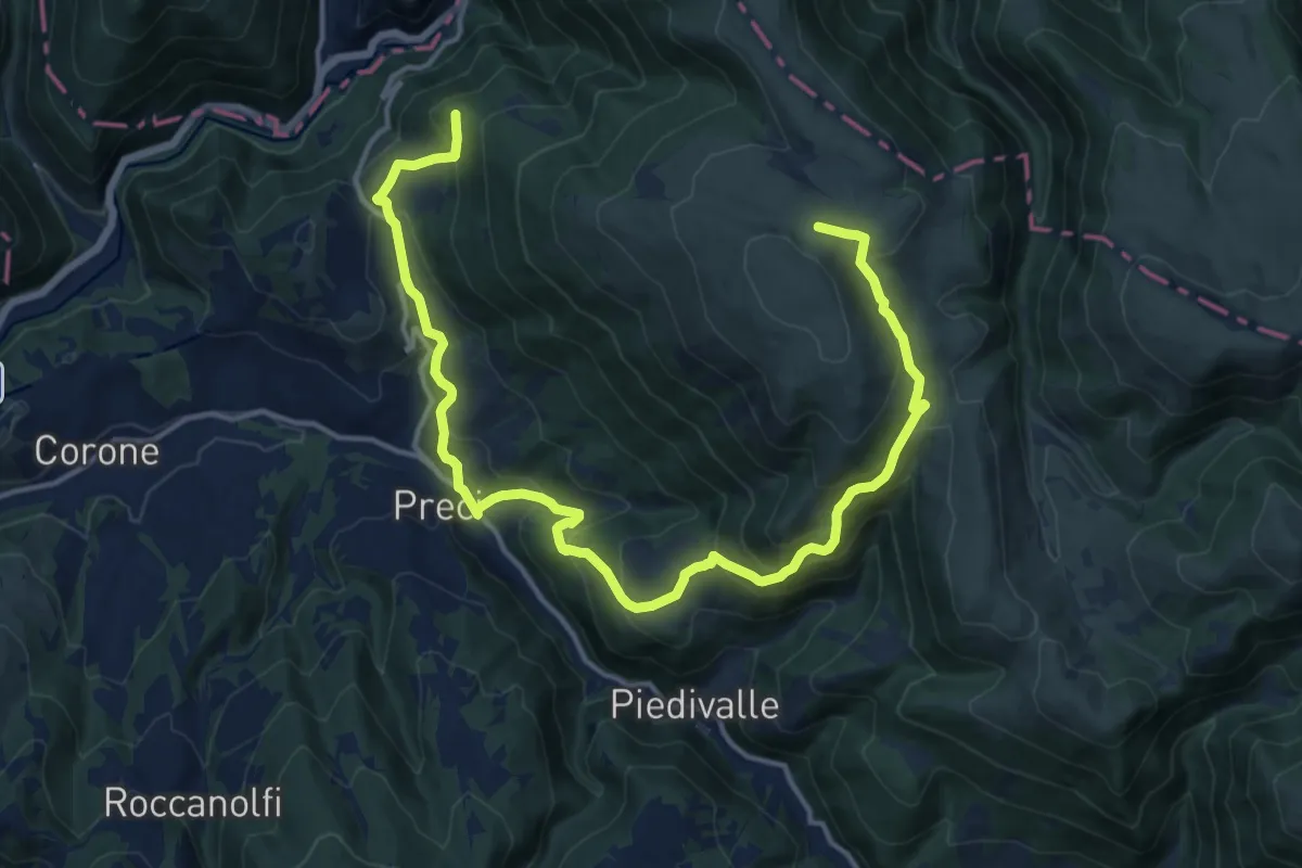
Demanding · Summit
Preci - Borgo – Preci - Borgo
13.4 km · ↑ 882 m · 5 h 17 min
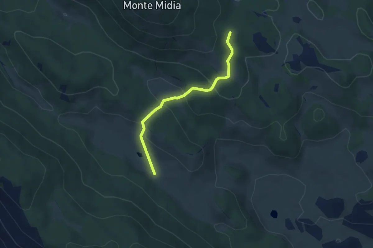
Easy · Cabin
Bivio sent. 514/517 - Marsia – Rifugio Acquaramata sent. 502
3.8 km · ↑ 140 m · 1 h 12 min
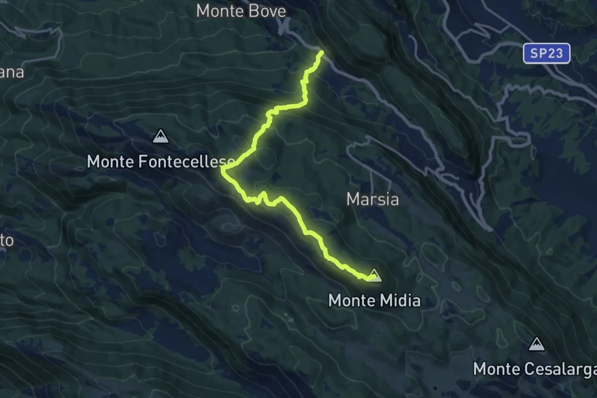
Demanding · Summit
SR5 Colli di Monte Bove – Monte Midia
15.5 km · ↑ 897 m · 5 h 36 min
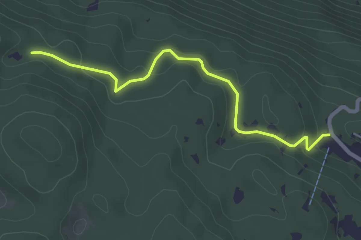
Easy · Trail
Marsia – Cippo Giovanni Nazzaro
4.3 km · ↑ 143 m · 1 h 19 min
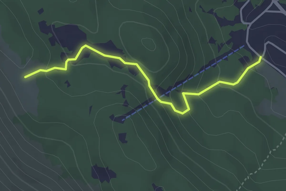
Easy · Trail
Marsia sbarra seggiovia – Cresta La Piccionara
3.4 km · ↑ 184 m · 1 h 12 min
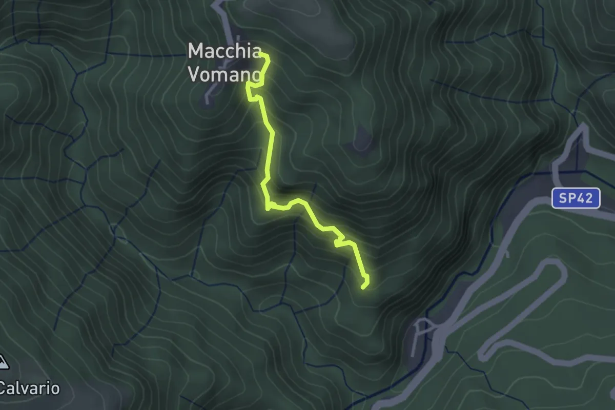
Medium · Trail
Macchia Vomano – Senarica
2.8 km · ↑ 347 m · 1 h 25 min
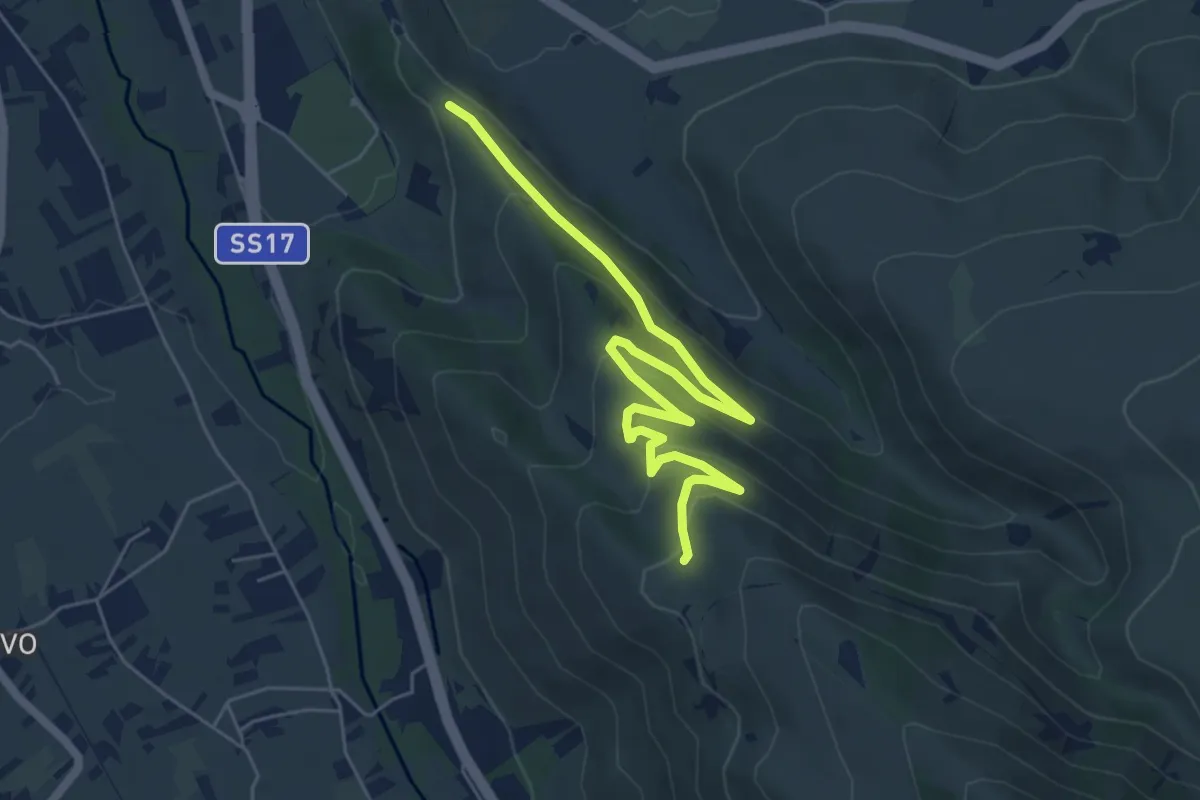
Easy · Trail
Colle Savente – Sent. L
7.2 km · ↑ 280 m · 2 h 18 min
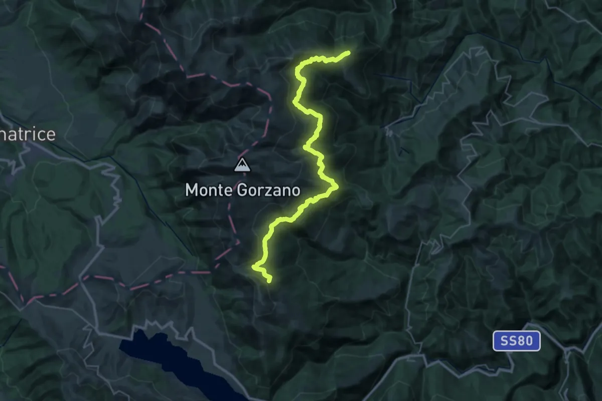
Demanding · Summit
Il Coppo – Lago del Orso
32.1 km · ↑ 1620 m · 11 h 5 min
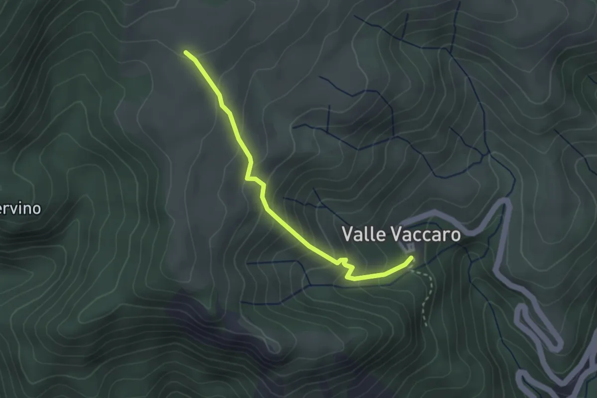
Easy · Trail
Valle Vaccaro – Piano S. Pietro Scardazzo
2.9 km · ↑ 252 m · 1 h 14 min
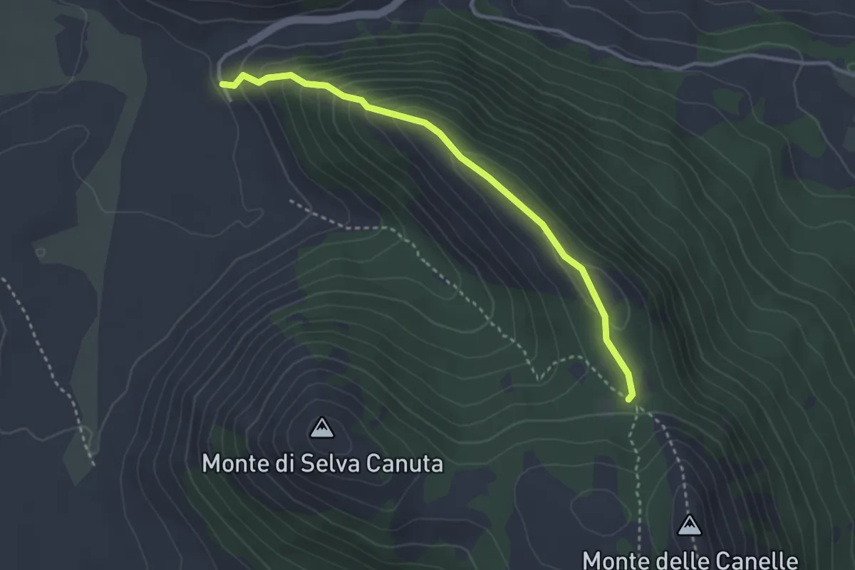
Medium · Trail
Vado di Pezza – Montre Canelle
3.5 km · ↑ 230 m · 1 h 19 min
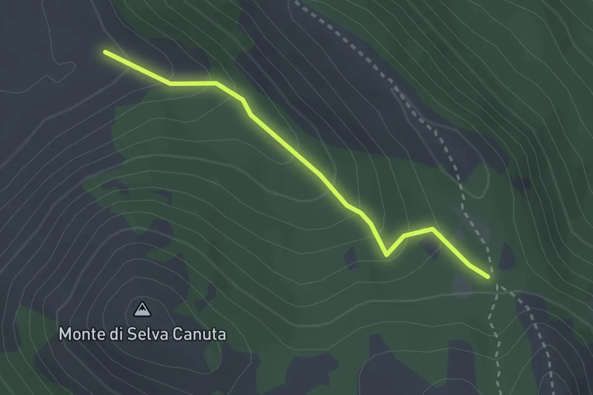
Medium · Trail
Vado di Pezza – Lu Malepass
2.6 km · ↑ 204 m · 1 h 3 min
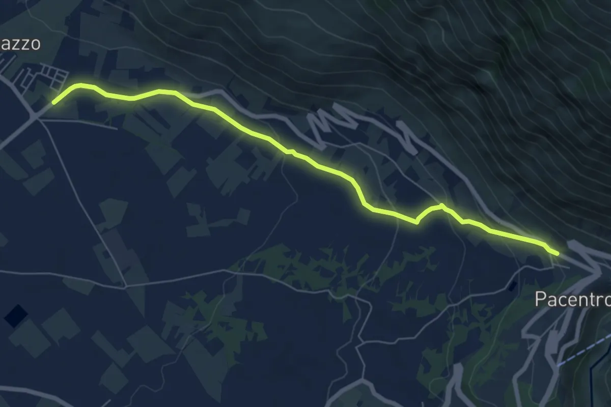
Easy · Trail
Bivio Marane – Pacentro
7.2 km · ↑ 251 m · 2 h 15 min
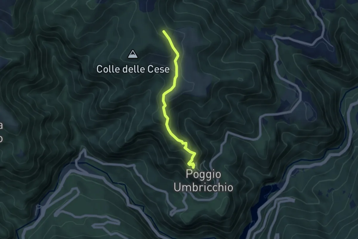
Easy · Summit
Poggio Umbricchio – San Giorgio
4.5 km · ↑ 224 m · 1 h 33 min
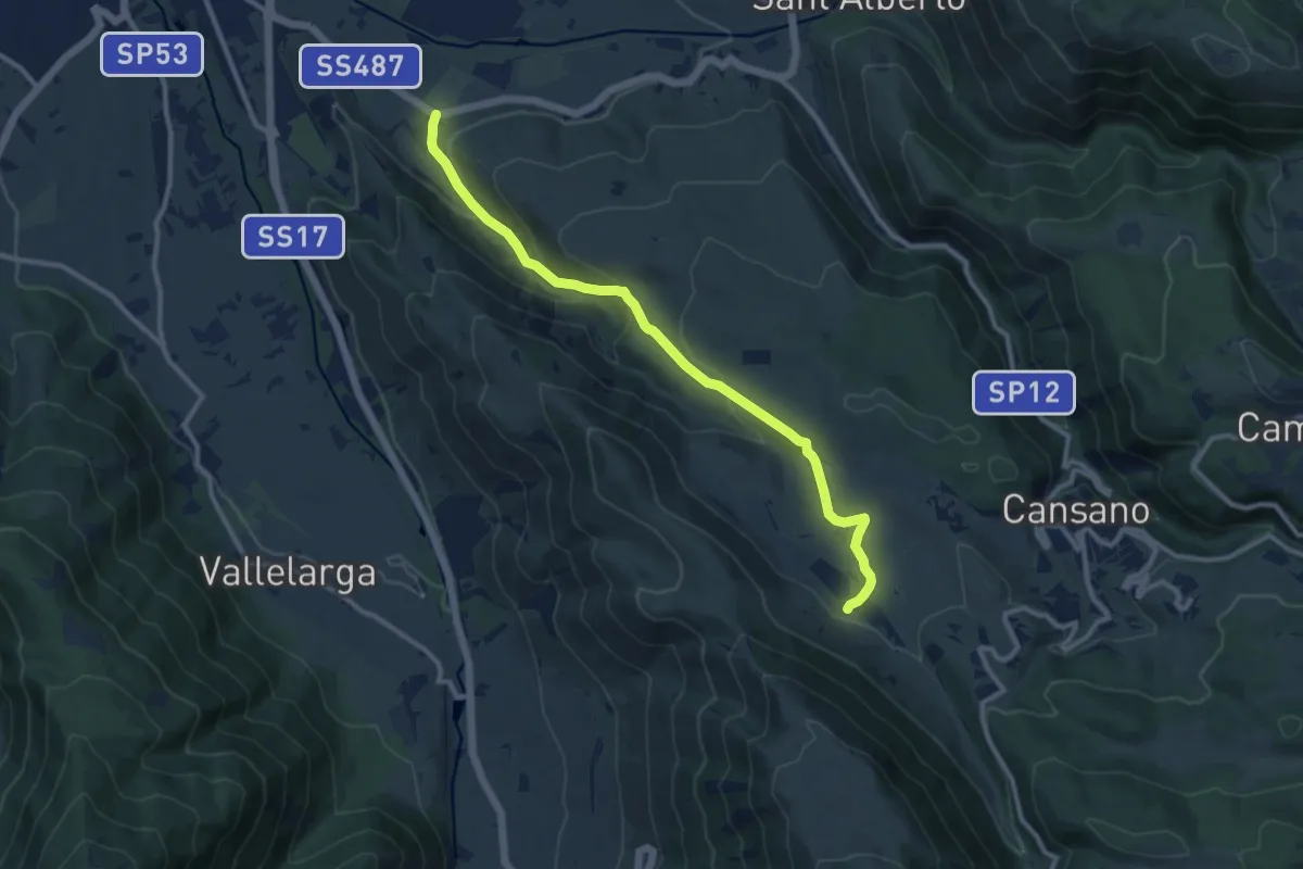
Medium · Trail
S.R. 487 – Fonte Sulmontina
11.7 km · ↑ 460 m · 3 h 45 min
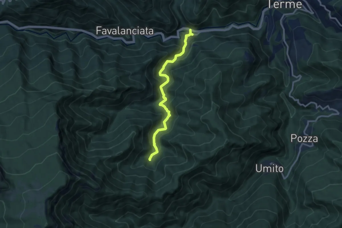
Medium · Trail
Quintodecimo – Sasso Petruccio
8.0 km · ↑ 482 m · 2 h 56 min
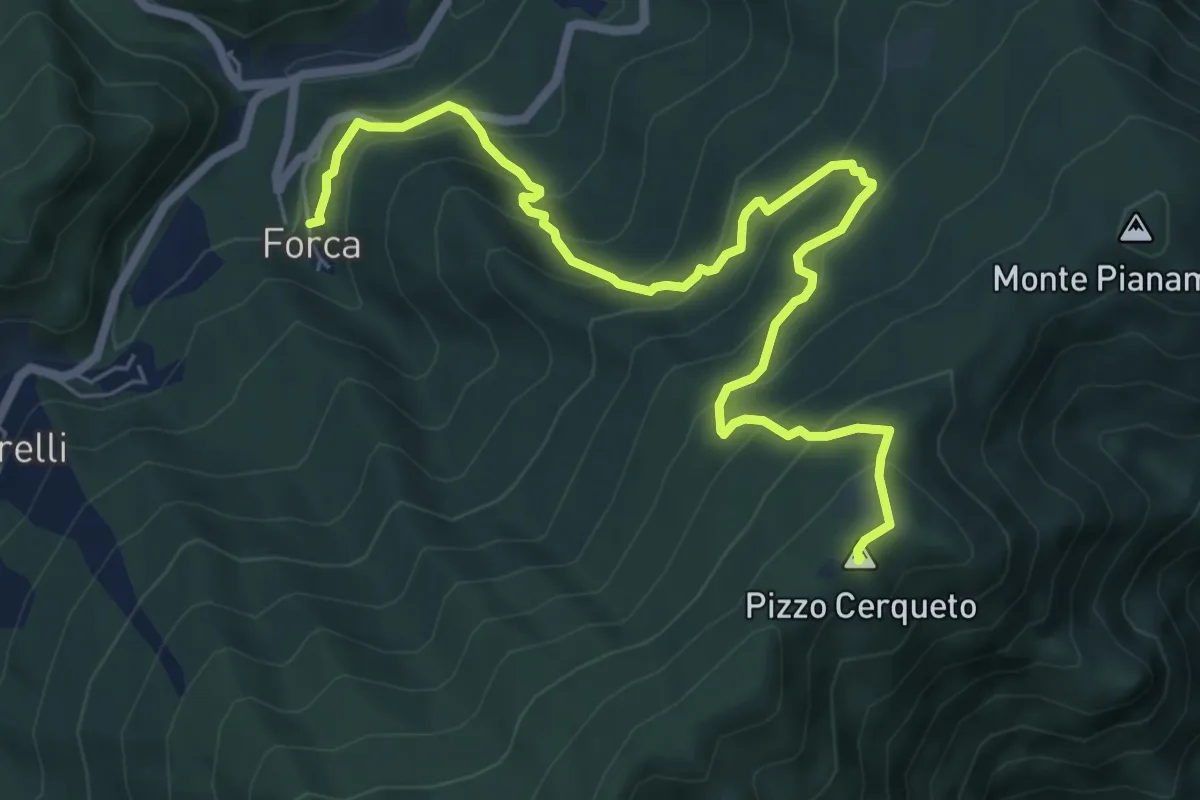
Medium · Summit
Forca di Montegallo – Pizzo Cerqueto, Monti del Ceresa (AP)
8.2 km · ↑ 662 m · 3 h 23 min
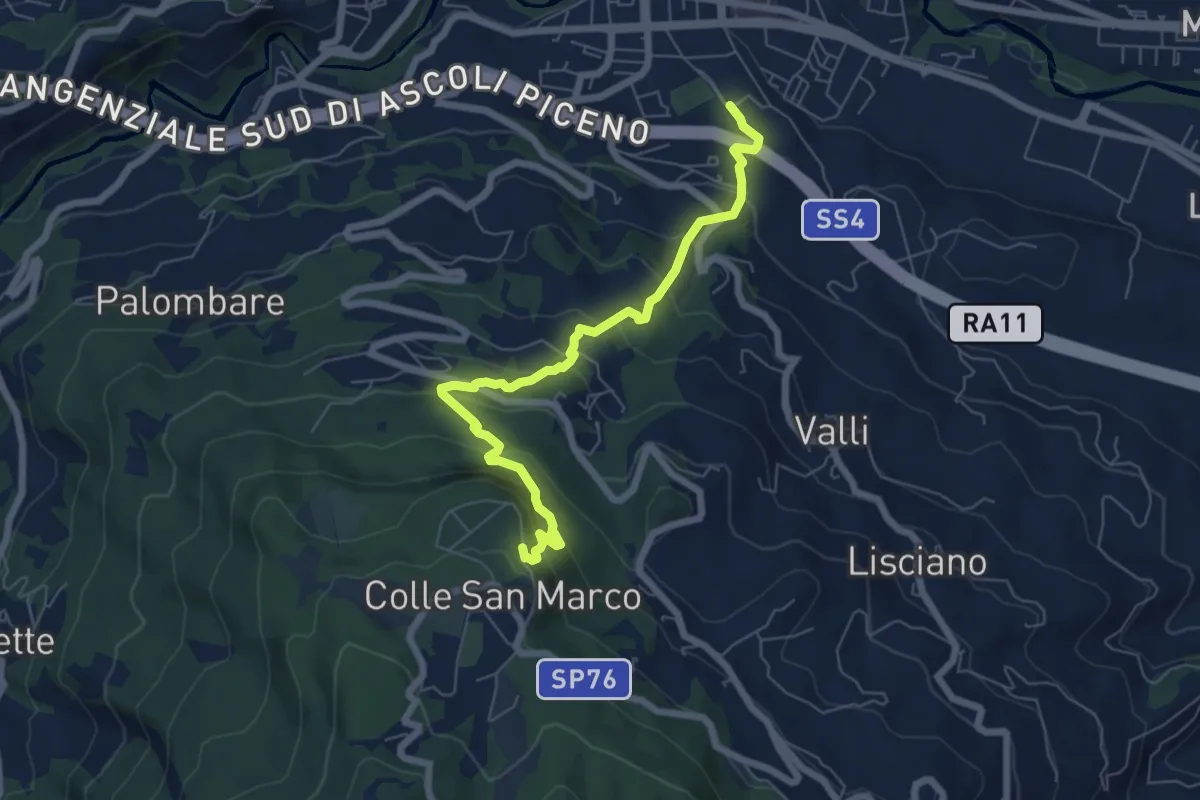
Medium · Trail
Ascoli Piceno (via Spalvieri) – Colle San Marco
7.1 km · ↑ 527 m · 2 h 50 min
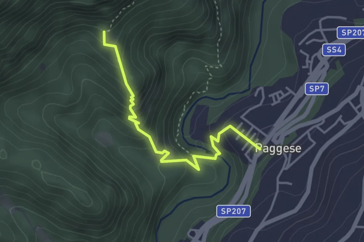
Medium · Trail
Santa Maria di Acquasanta – Vallesaggia di Acquasanta
3.4 km · ↑ 344 m · 1 h 34 min
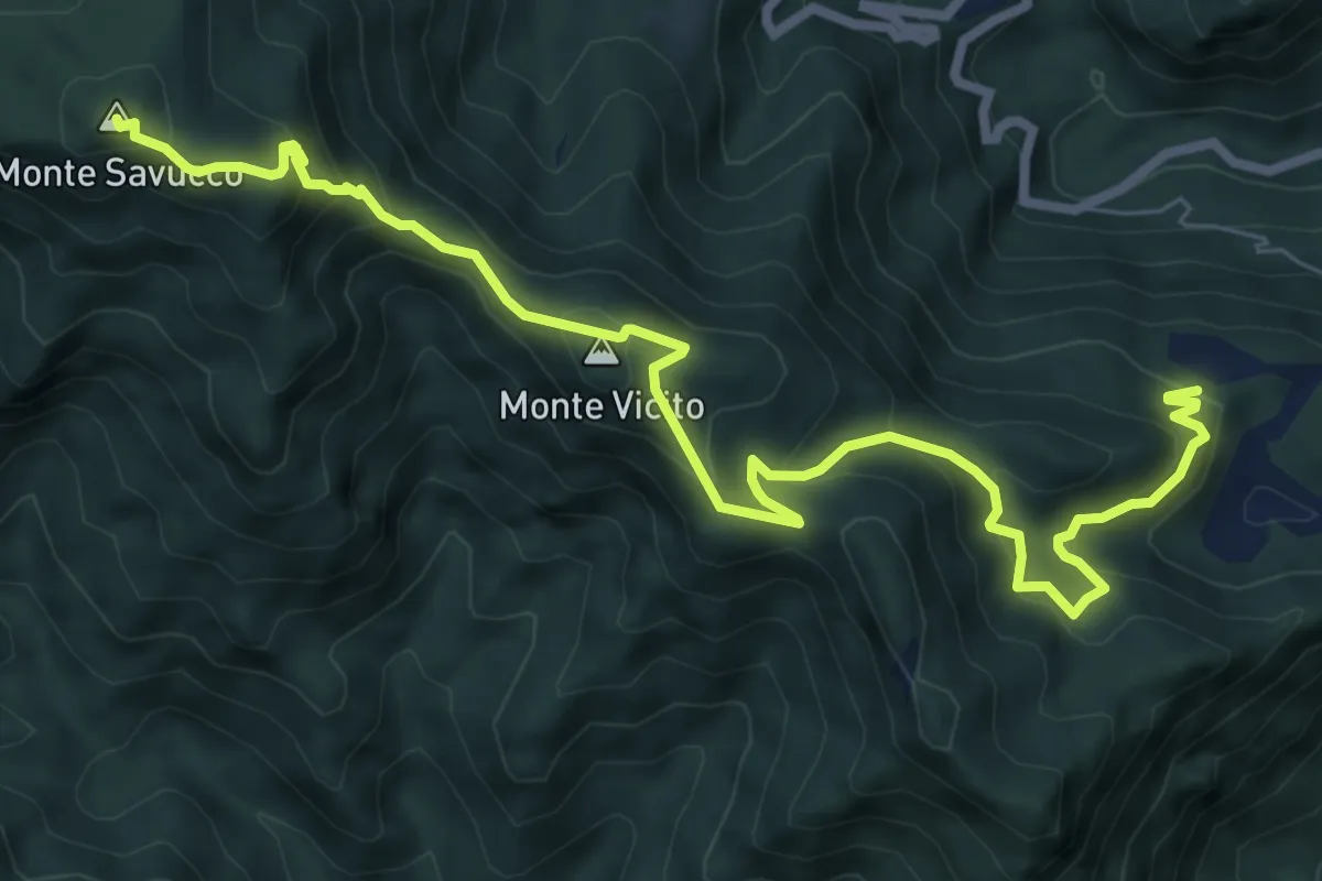
Demanding · Summit
Percorso 502 – Monte Savucco
9.9 km · ↑ 667 m · 3 h 47 min
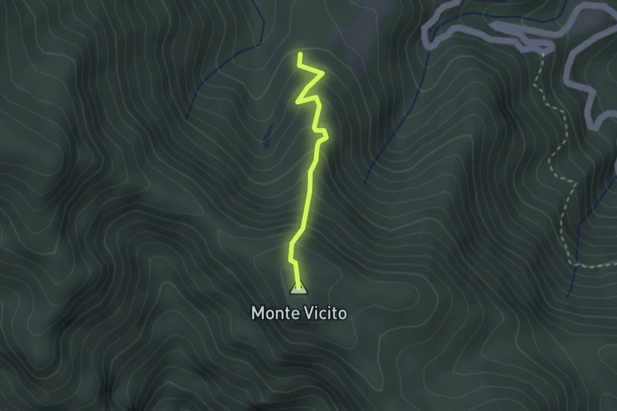
Easy · Summit
Percorso 520 – Percorso 516
2.0 km · ↑ 248 m · 1 h 1 min
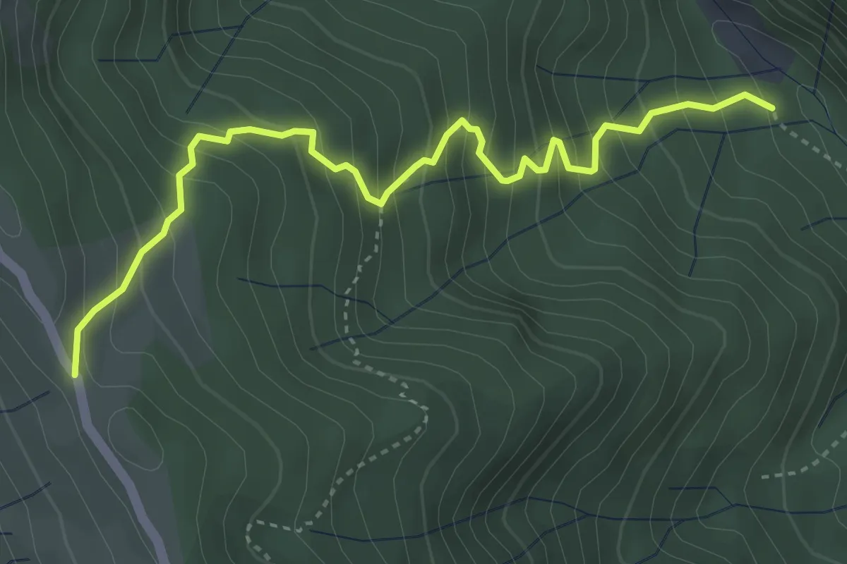
Medium · Trail
Valle degli Scoiattoli – Fonte Caprara-Pietra Stretta
4.4 km · ↑ 524 m · 2 h 11 min
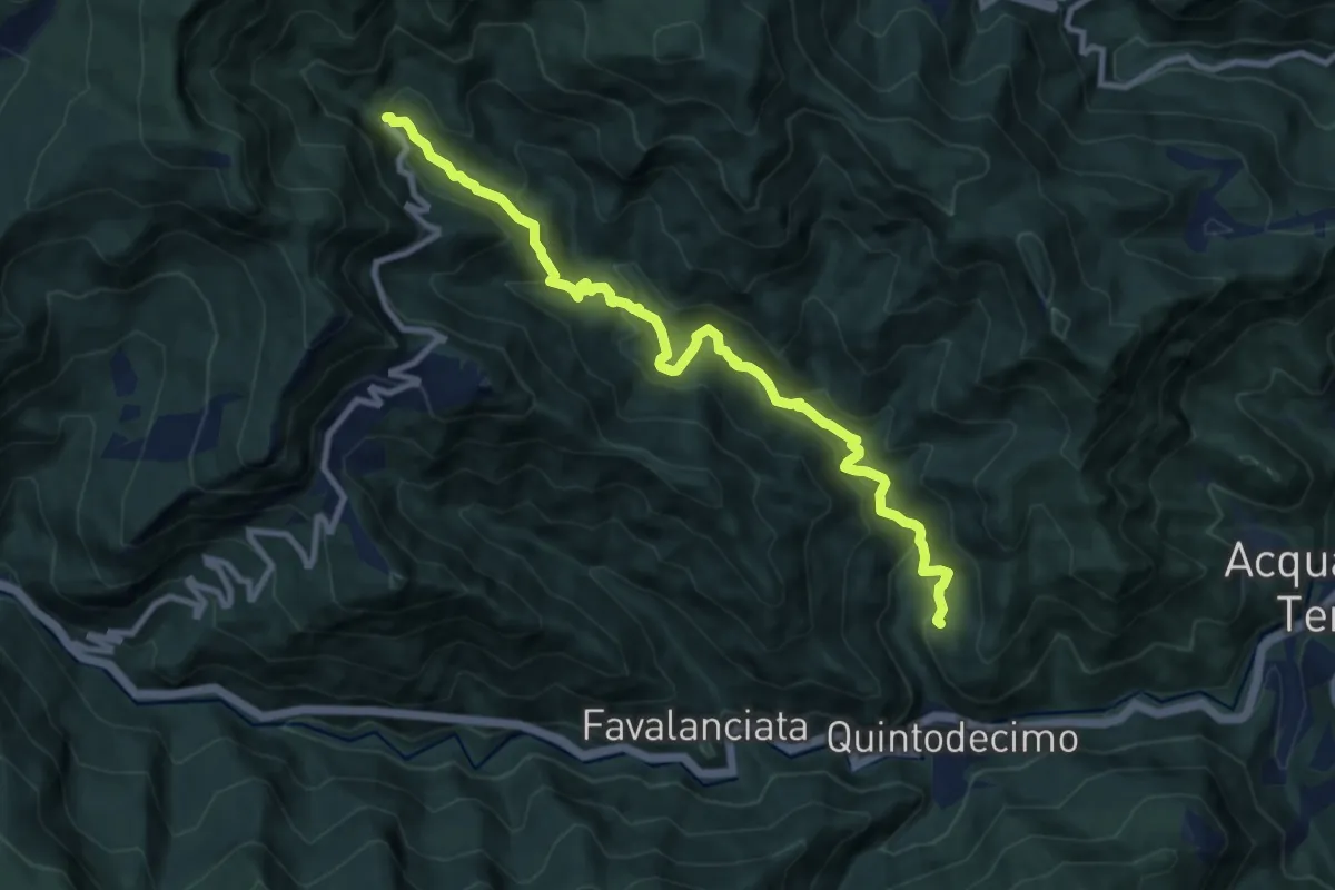
Medium · Trail
Peracchia – Novele
11.0 km · ↑ 627 m · 3 h 57 min
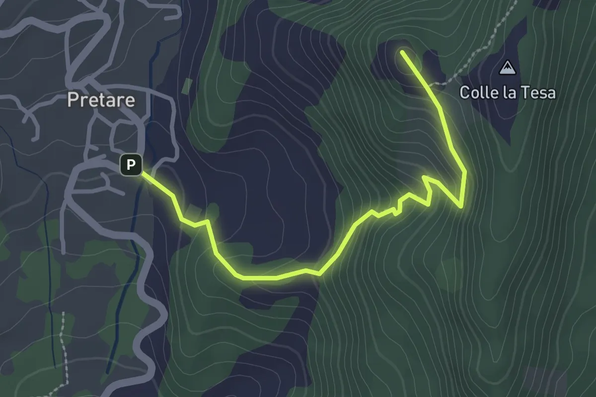
Easy · Summit
Pretare – Percorso 503
3.1 km · ↑ 206 m · 1 h 10 min
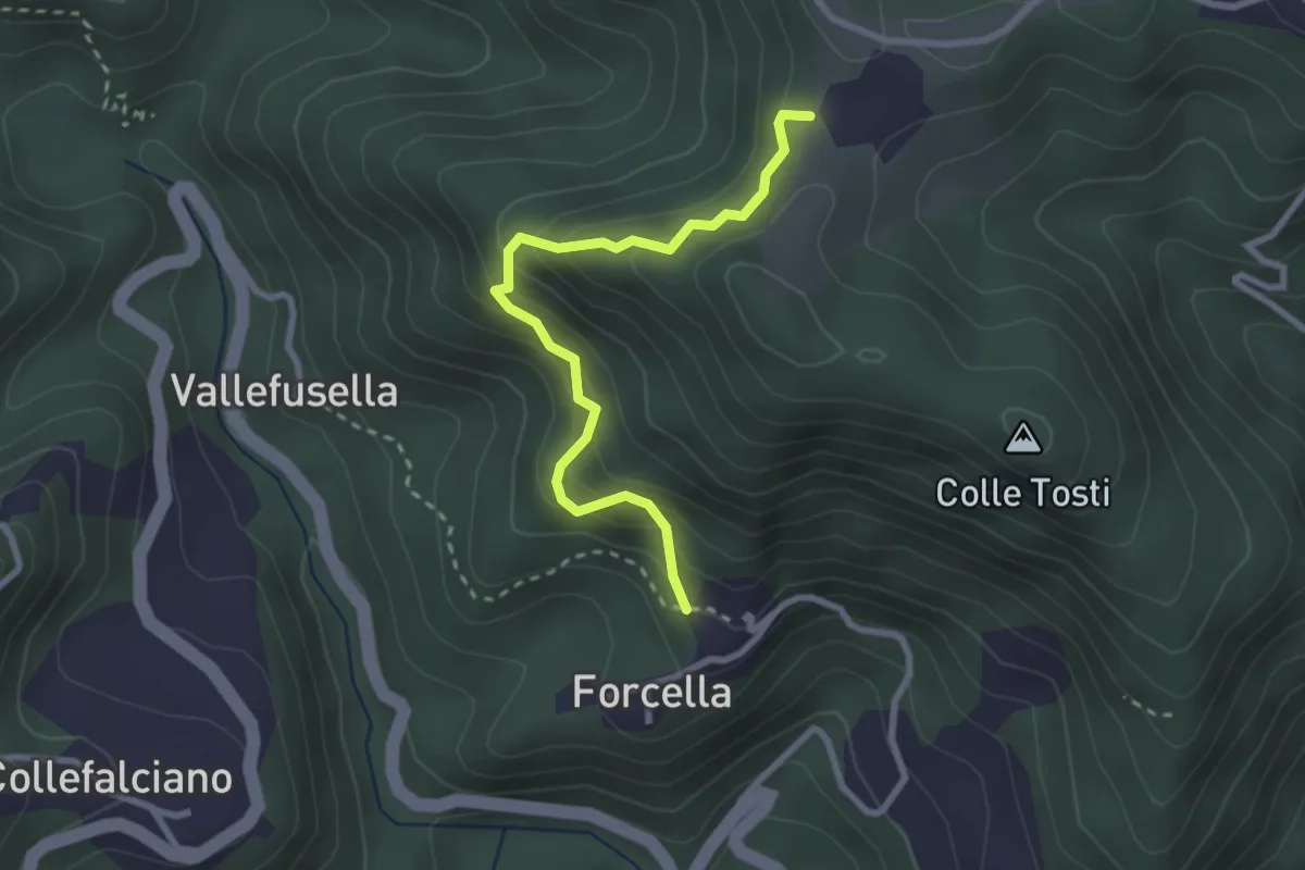
Easy · Trail
Forcella (Percorso 560) – Percorso 560
2.9 km · ↑ 301 m · 1 h 20 min
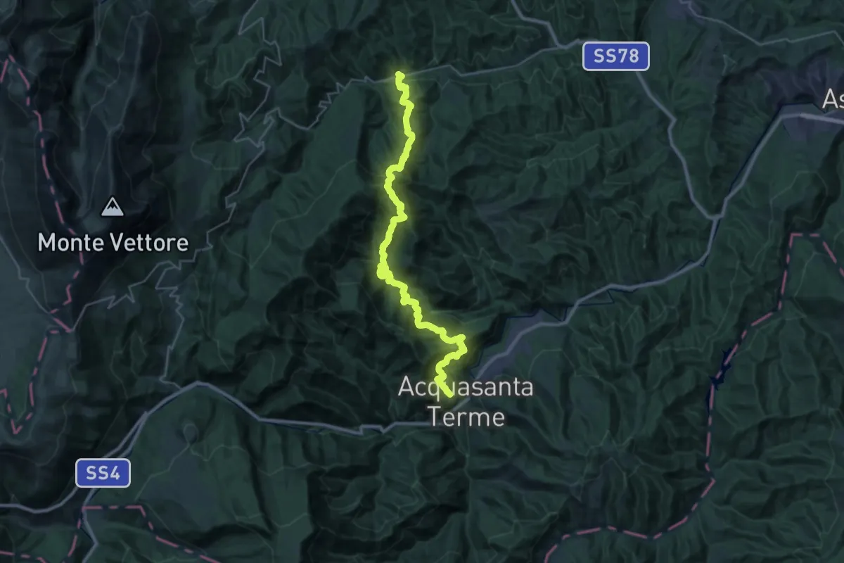
Demanding · Trail
Uscerno – San Vito
16.9 km · ↑ 1264 m · 6 h 58 min
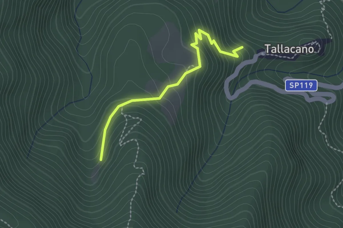
Easy · Trail
Tallacano – Sasso Spaccato
2.2 km · ↑ 174 m · 53 min
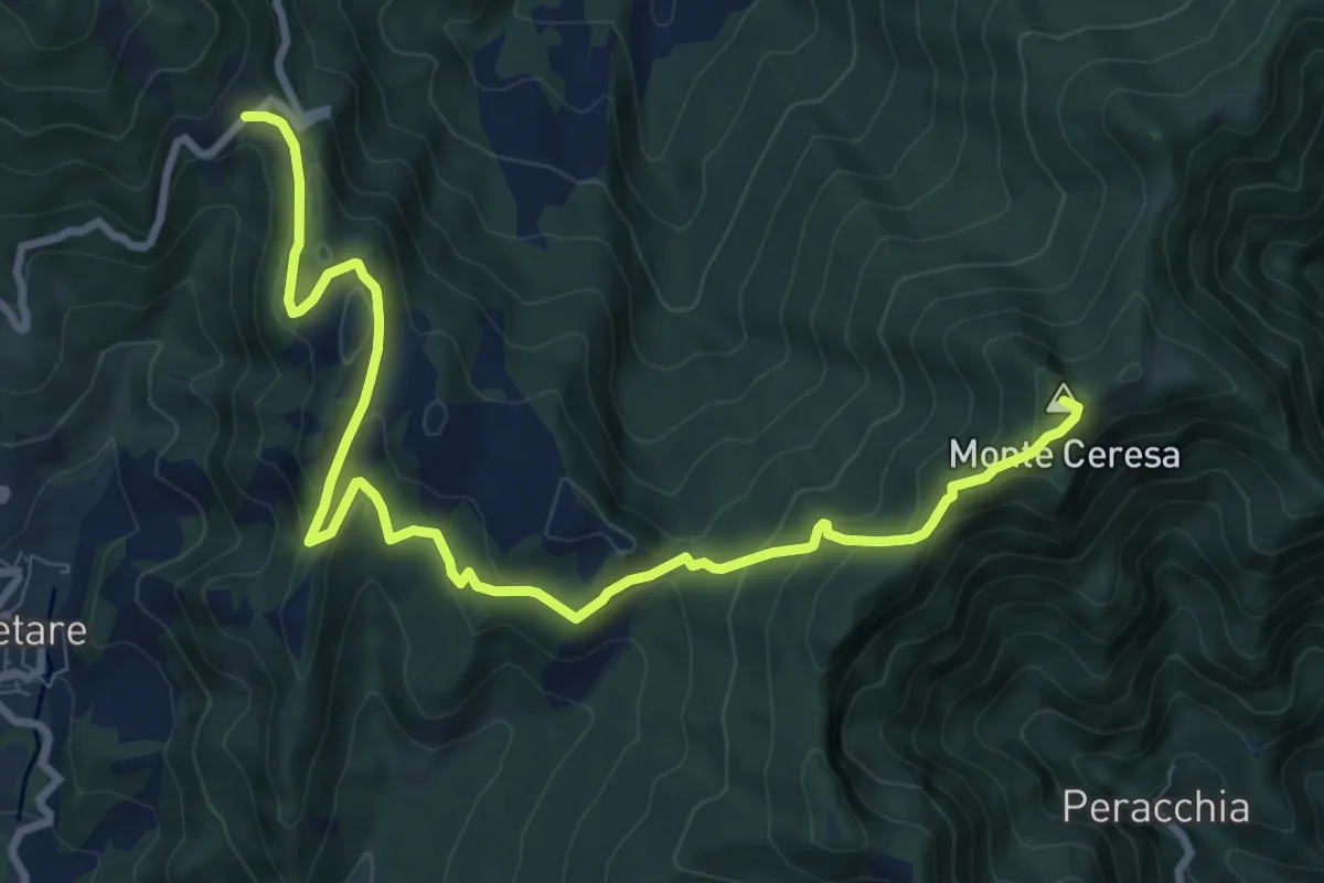
Medium · Summit
Pastina – Colle Galluccio
11.0 km · ↑ 618 m · 3 h 56 min
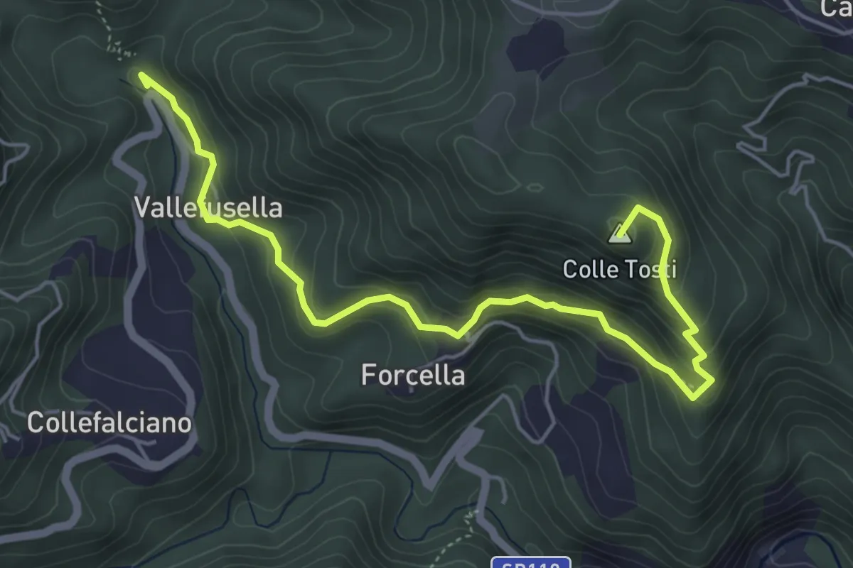
Medium · Summit
Percorso 525 – Sala
6.0 km · ↑ 344 m · 2 h 10 min
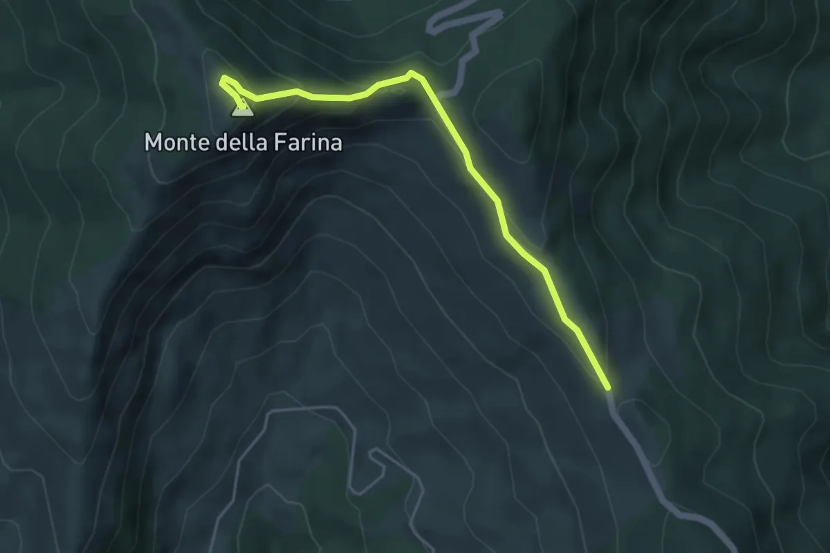
Easy · Summit
Strada Acquachiara – Monte della Farina
4.5 km · ↑ 208 m · 1 h 30 min
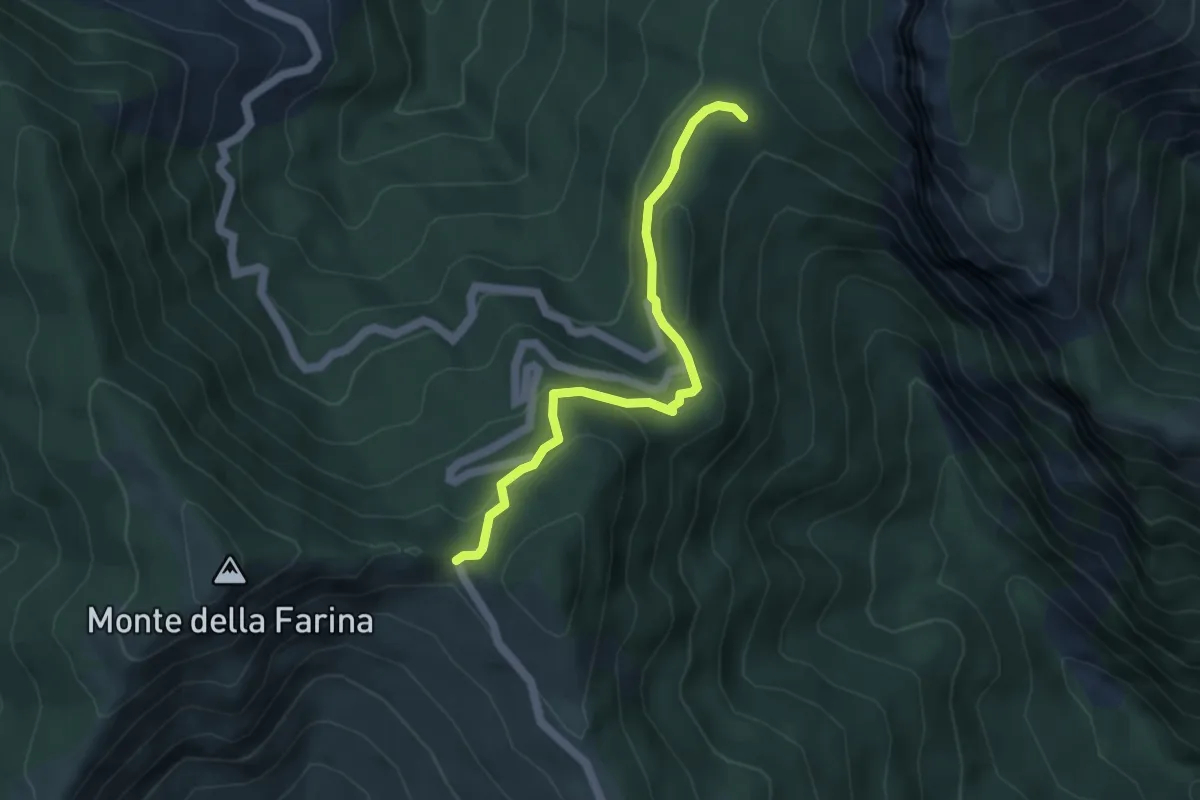
Easy · Trail
Forchetta – Pietra Stretta
4.5 km · ↑ 170 m · 1 h 26 min
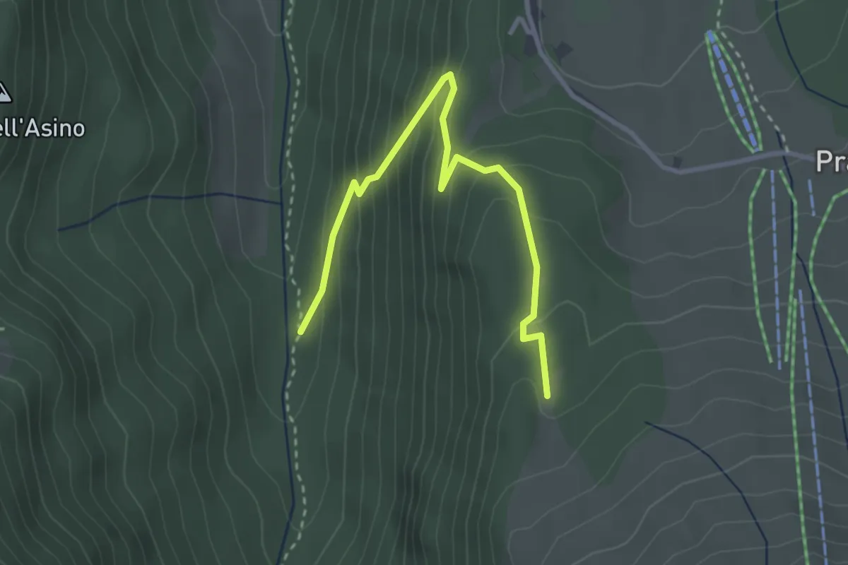
Easy · Trail
Valle Rio Arno – La Giumenta
3.5 km · ↑ 264 m · 1 h 24 min
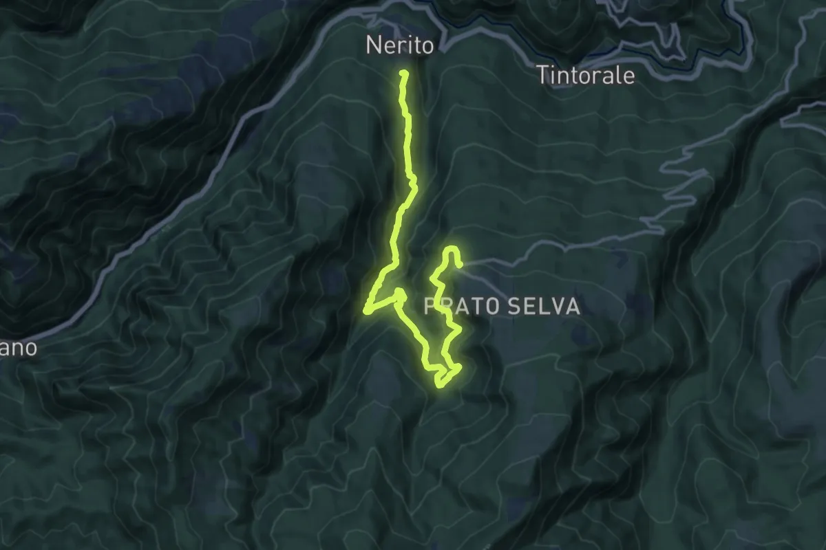
Demanding · Trail
Prato Selva – Nerito
14.2 km · ↑ 840 m · 5 h 10 min
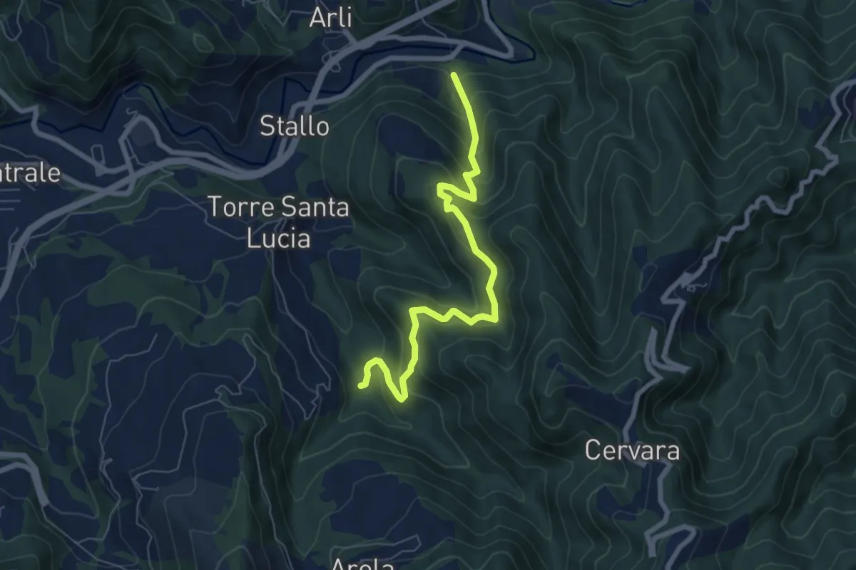
Medium · Trail
Ponte d'Arli – Mulino Piedicava
7.2 km · ↑ 534 m · 2 h 51 min
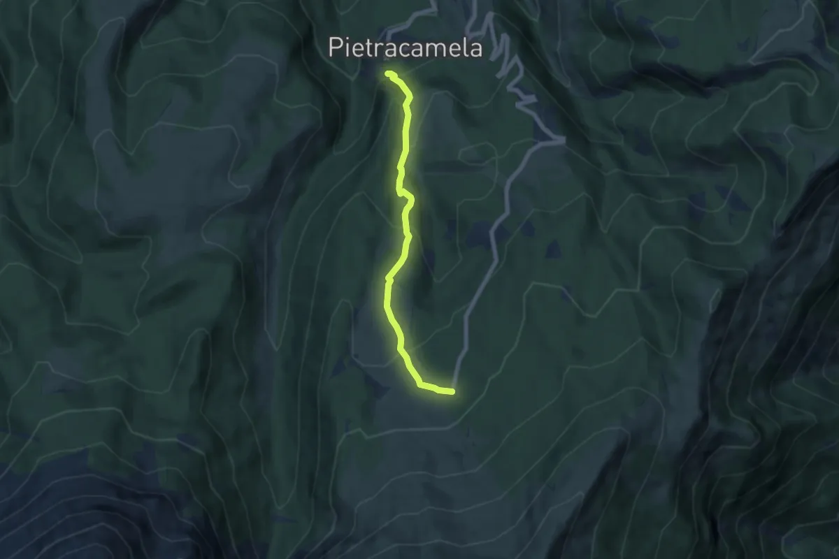
Medium · Cabin
Pietracamela – Prati di Tivo
6.1 km · ↑ 368 m · 2 h 14 min
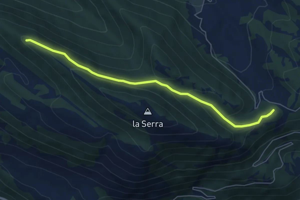
Easy · Trail
Sant'Angelo – Caiaro
5.9 km · ↑ 177 m · 1 h 46 min
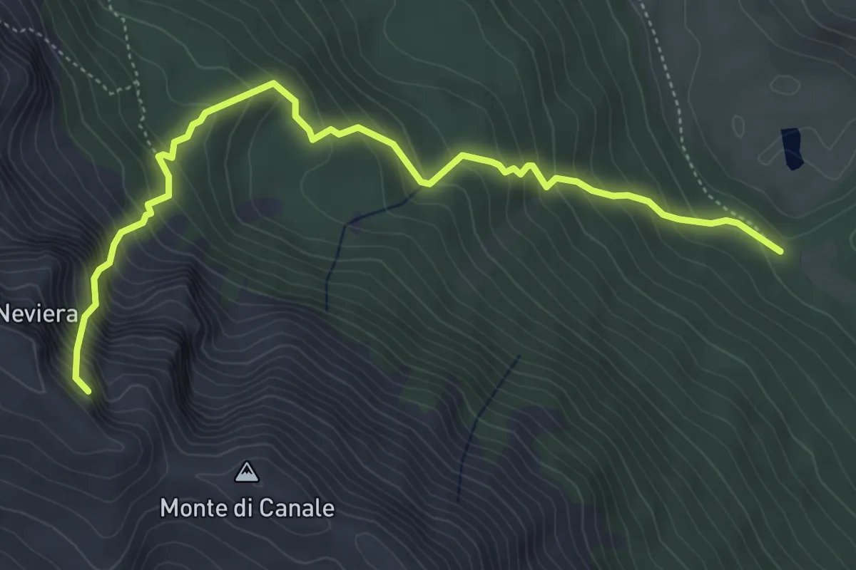
Medium · Cabin
Piano di Canale – Neviera
6.1 km · ↑ 774 m · 3 h 7 min
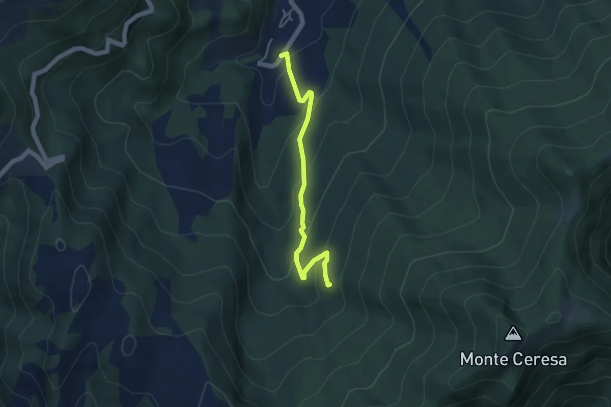
Easy · Trail
Rigo – Percorso 503
3.7 km · ↑ 224 m · 1 h 22 min