Trails in Italy
25,219 hiking trails, each with its route, climb, walking time and grade.
All trails, page 282 of 526
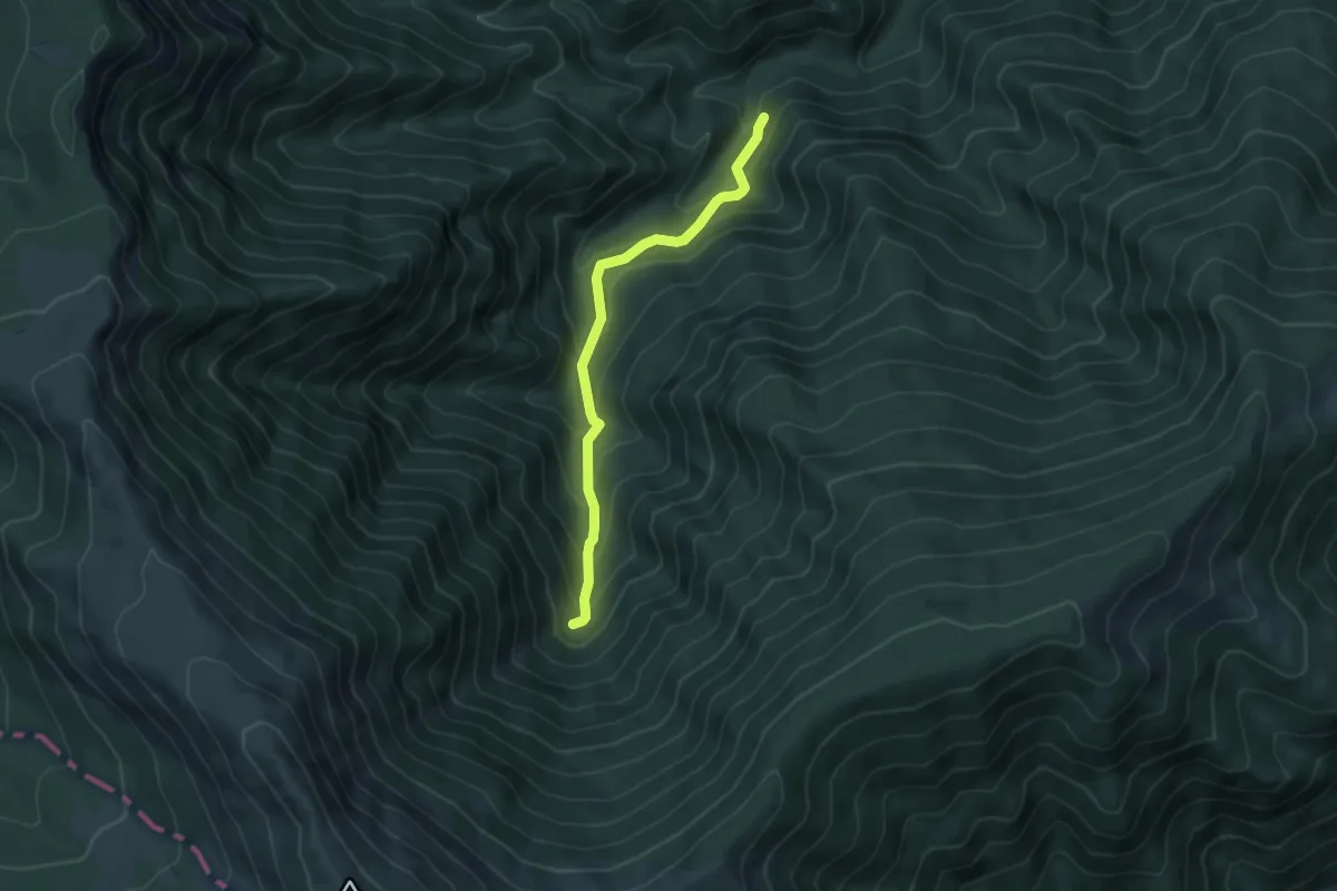
Medium · Trail
Umito – Cascate della Volpara
5.0 km · ↑ 394 m · 2 h 1 min
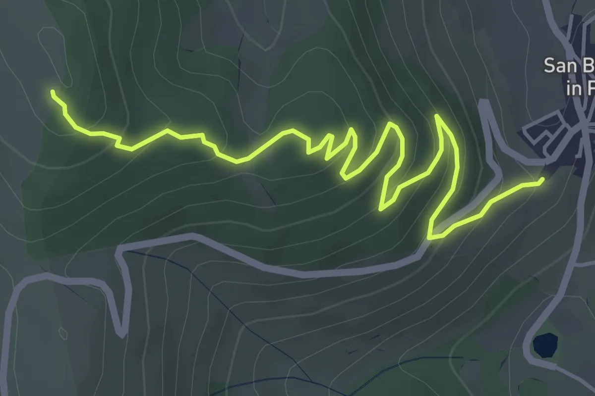
Medium · Trail
San Benedetto in Perillis – Colle Acquare
5.7 km · ↑ 326 m · 2 h 3 min
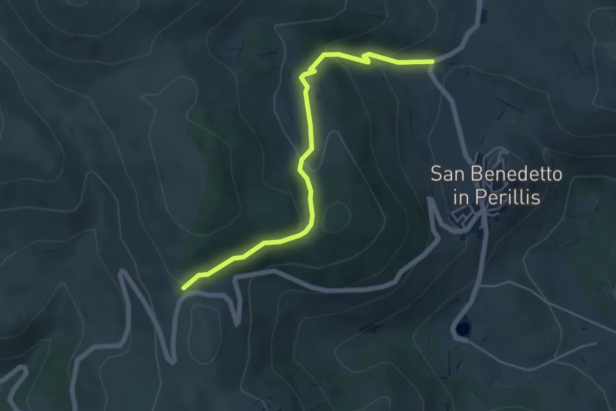
Easy · Trail
San Benedetto in Perillis – Forcella di Acciano
4.8 km · ↑ 207 m · 1 h 35 min
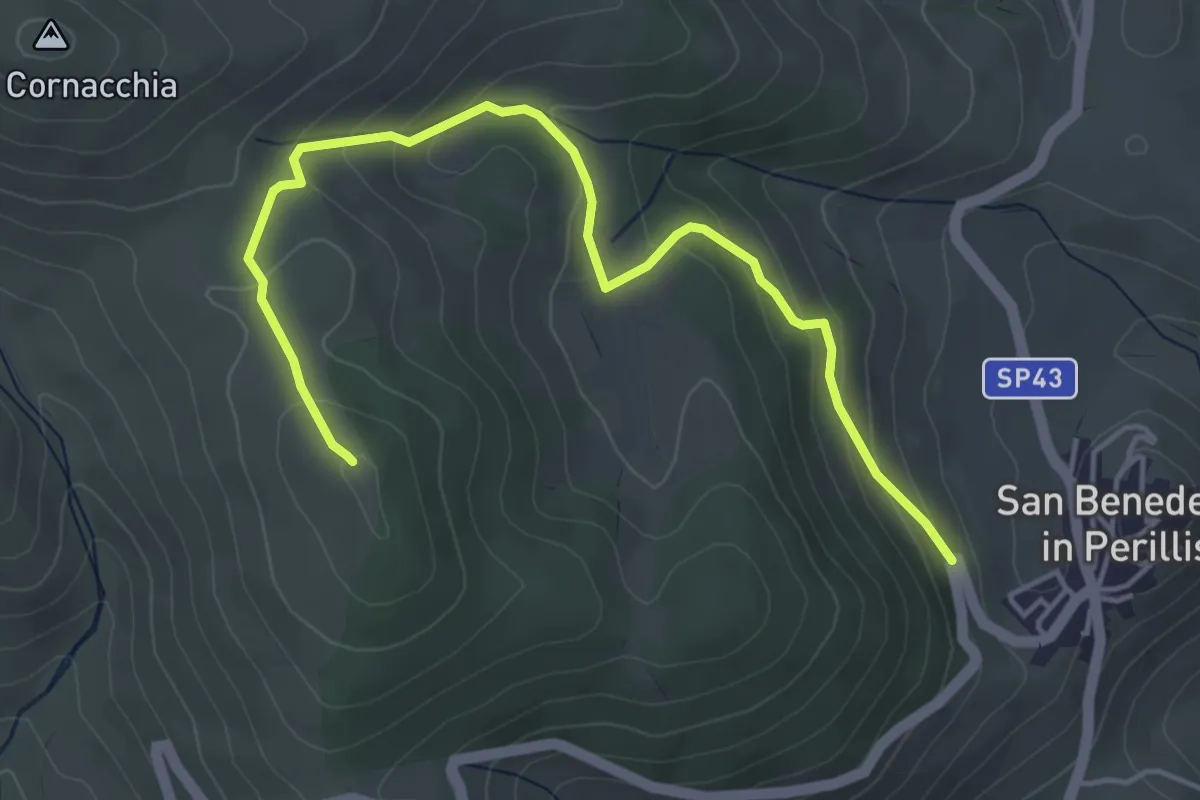
Easy · Summit
San Benedetto in Perillis – Forcella di Acciano
5.5 km · ↑ 270 m · 1 h 53 min
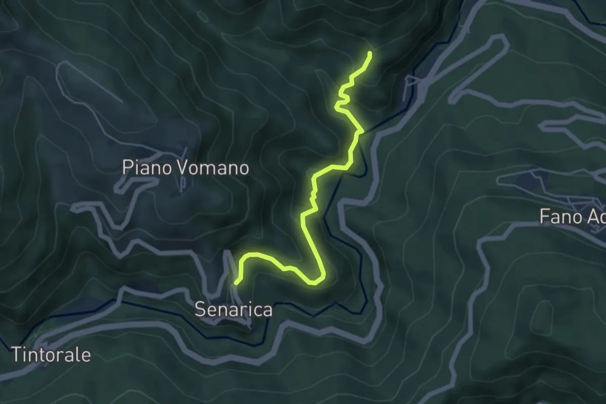
Easy · Trail
Macchia Vomano – Senarica
4.6 km · ↑ 318 m · 1 h 47 min
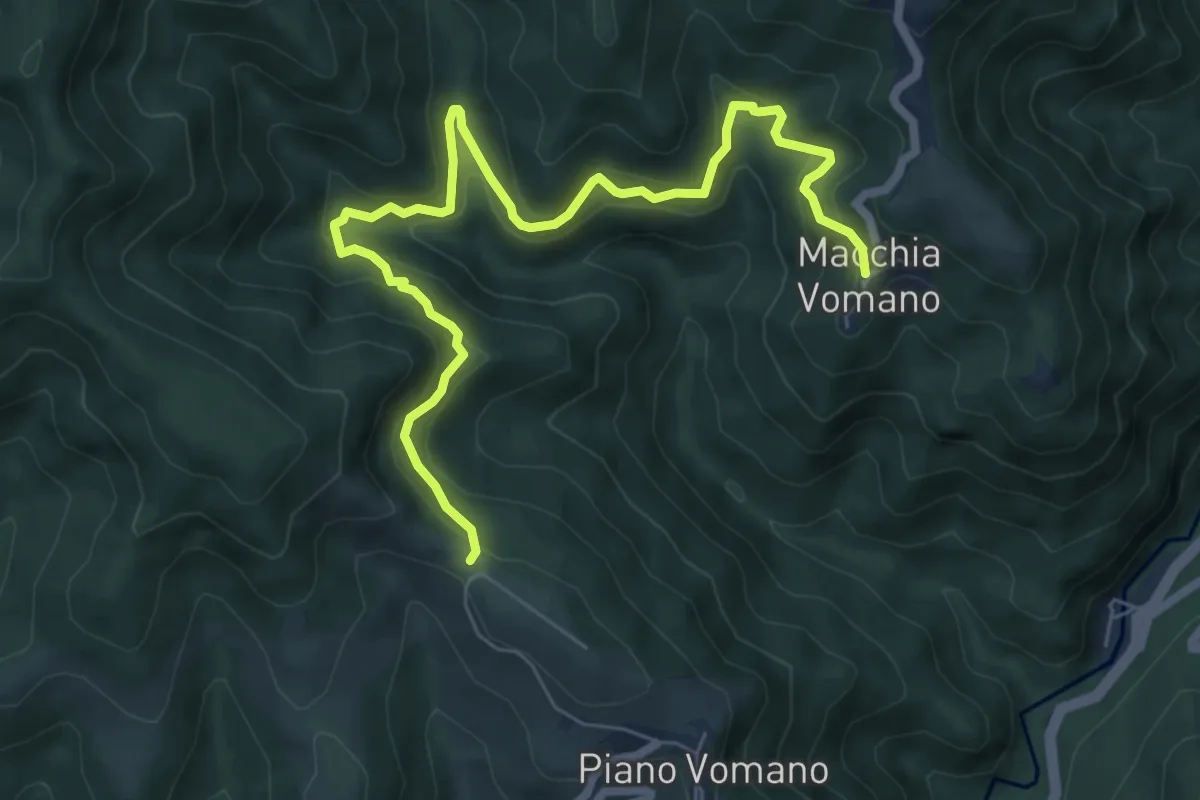
Medium · Trail
Piano Vomano – Macchia Vomano
8.4 km · ↑ 490 m · 3 h 2 min
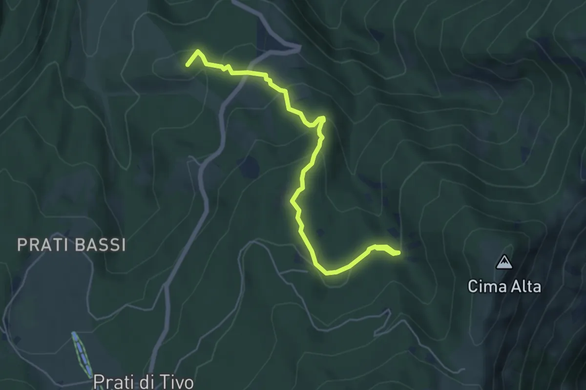
Easy · Summit
Pietracamela – Camping dei Prati di Tivo
5.5 km · ↑ 274 m · 1 h 53 min
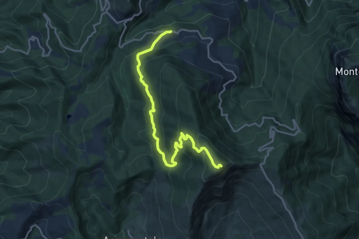
Medium · Summit
Bivio Piano Maggiore – Monte della Farina
10.6 km · ↑ 588 m · 3 h 46 min
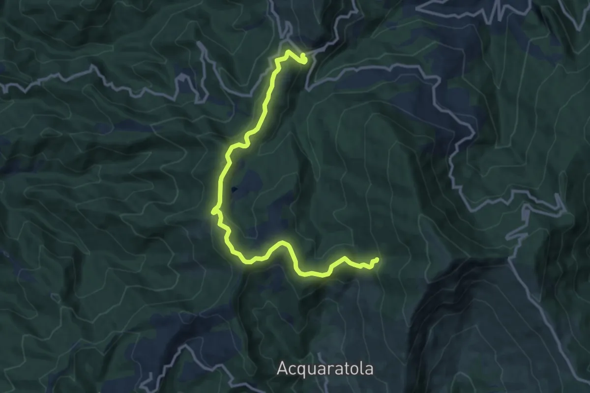
Medium · Trail
Casa CAI – Colle La Ciuffa
11.8 km · ↑ 437 m · 3 h 43 min
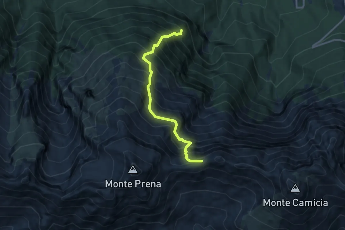
Demanding · Trail
Bosco di Pagliara – Vado di Ferruccio
7.6 km · ↑ 1234 m · 4 h 28 min
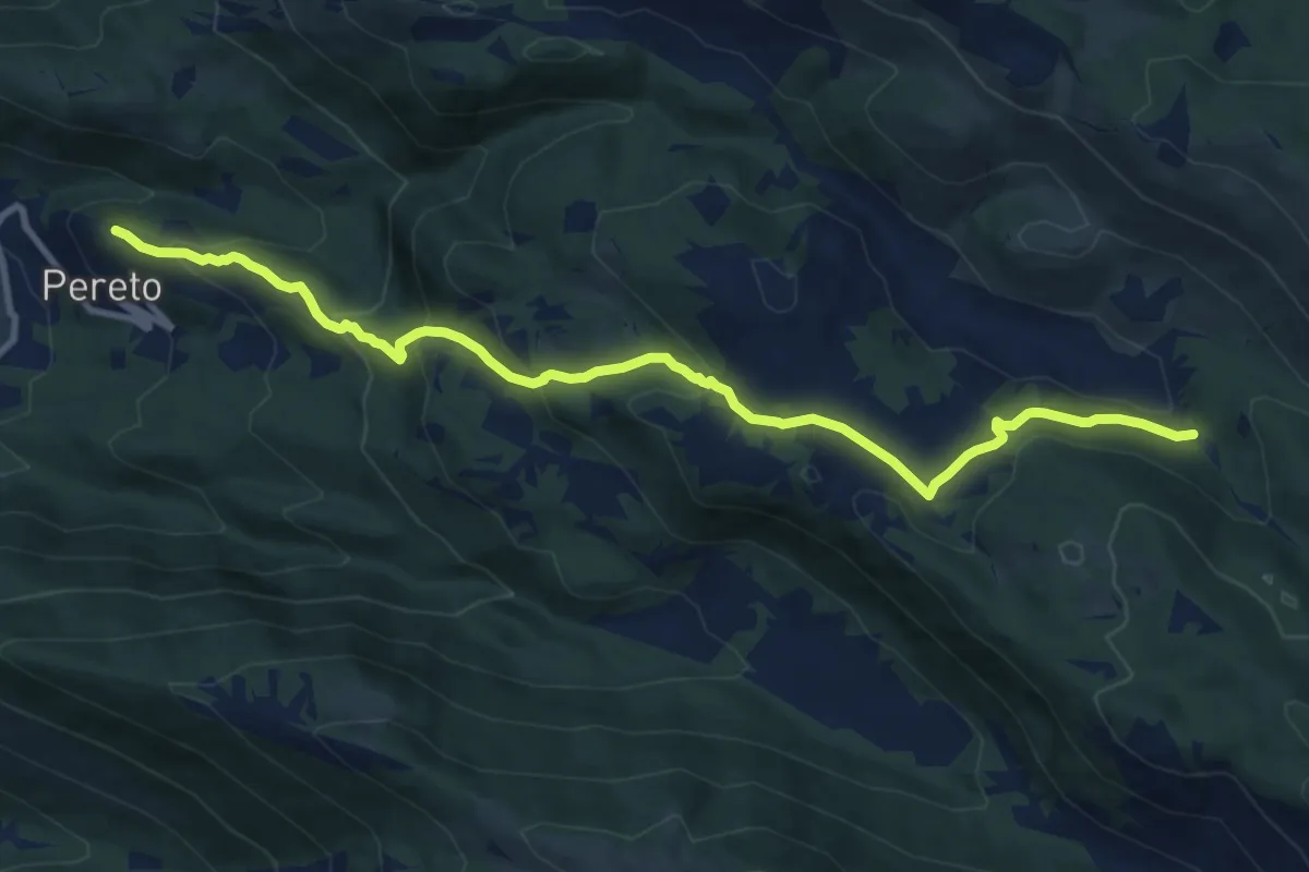
Medium · Trail
Castello Comune di Pereto – Bivio sentiero 502
12.0 km · ↑ 602 m · 4 h 9 min
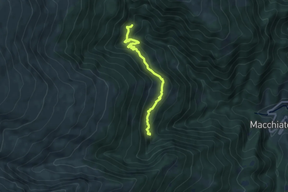
Medium · Trail
Rifugio Enel Tordino – Colle Lungo
5.8 km · ↑ 400 m · 2 h 13 min
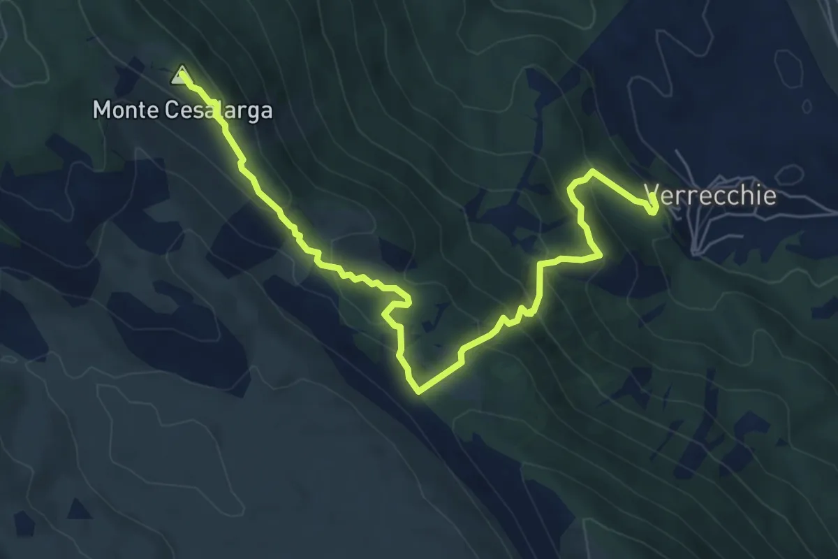
Medium · Summit
Verrecchie – Passo del taglietto
7.8 km · ↑ 538 m · 3 h
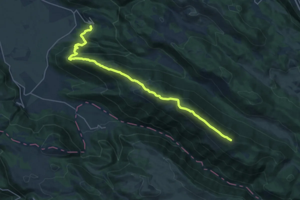
Demanding · Summit
Pereto – Cima di Vallevona
21.5 km · ↑ 1172 m · 7 h 38 min
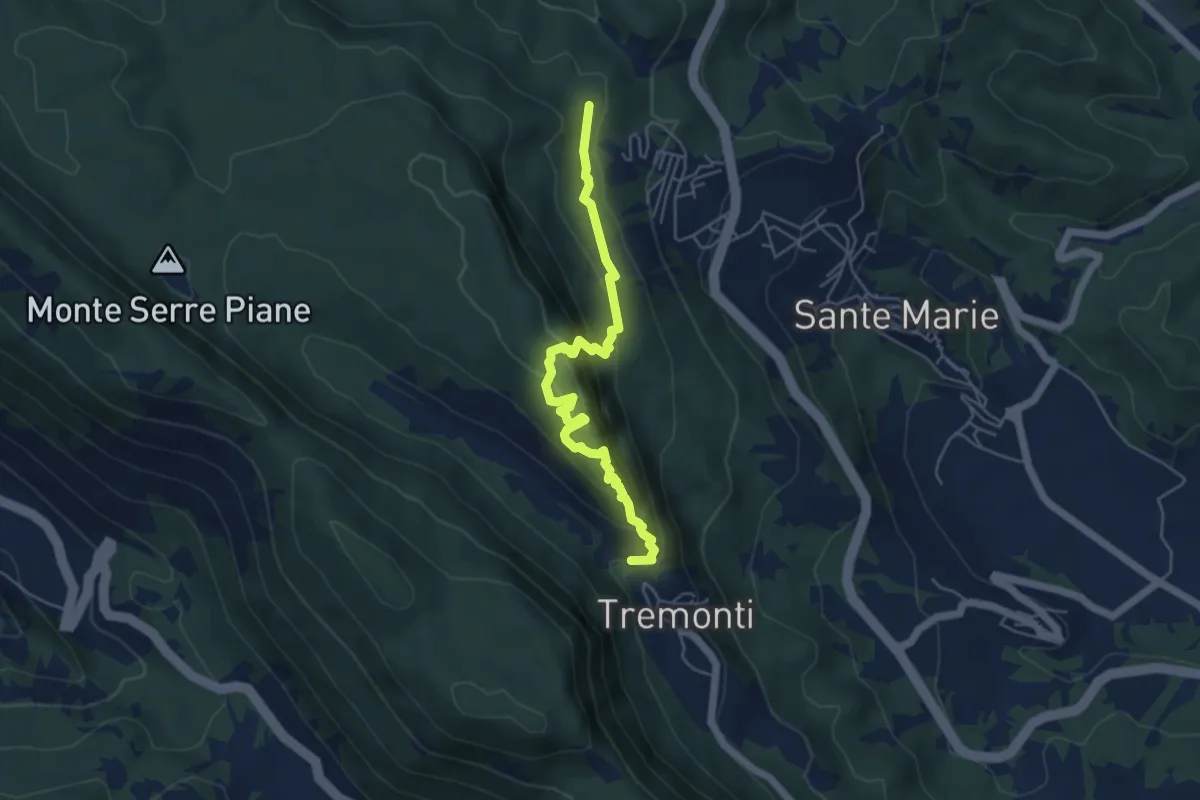
Medium · Trail
Tremonti – Sante Marie
5.6 km · ↑ 374 m · 2 h 8 min
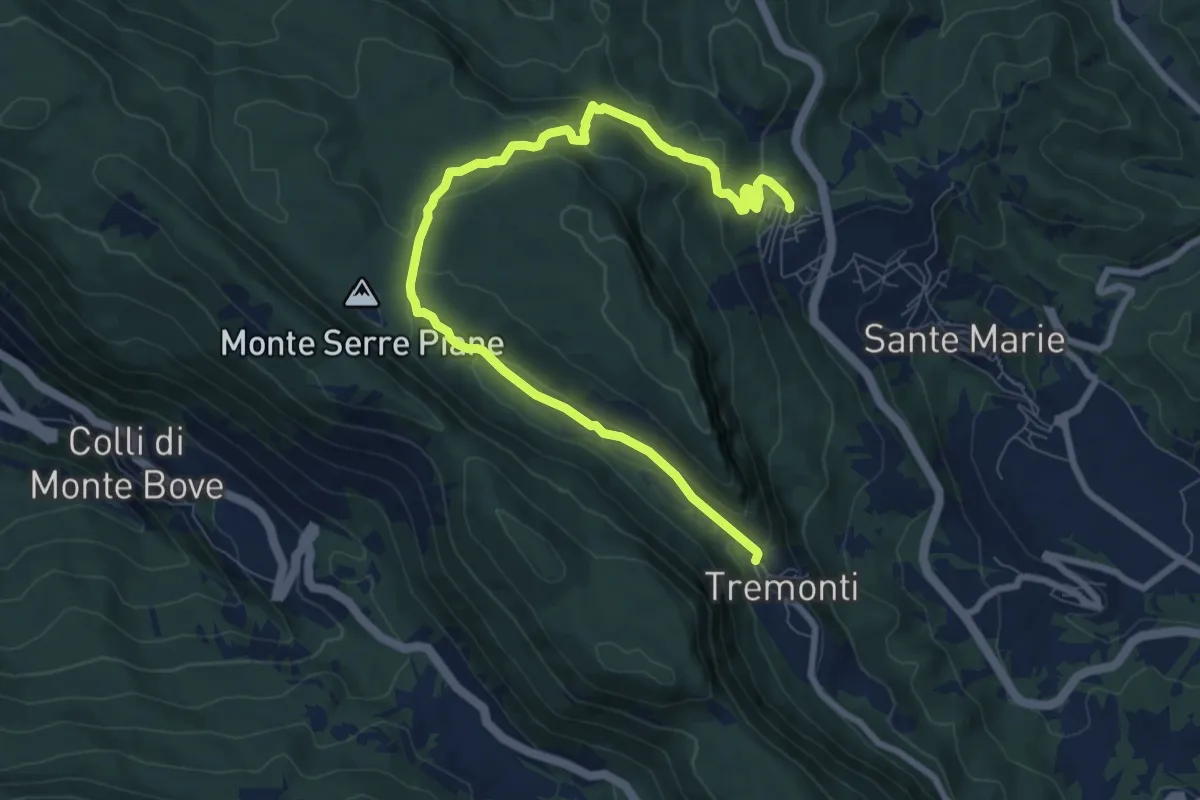
Medium · Trail
Tremonti/Sante Marie – Sante Marie/Tremonti
10.3 km · ↑ 352 m · 3 h 12 min
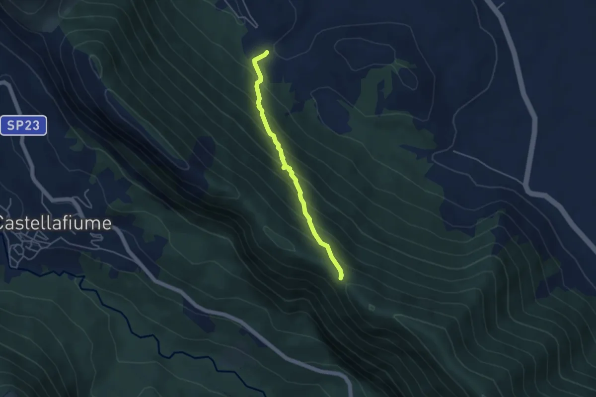
Medium · Trail
Corcumello – Monte Arezzo sent 571
3.9 km · ↑ 364 m · 1 h 43 min
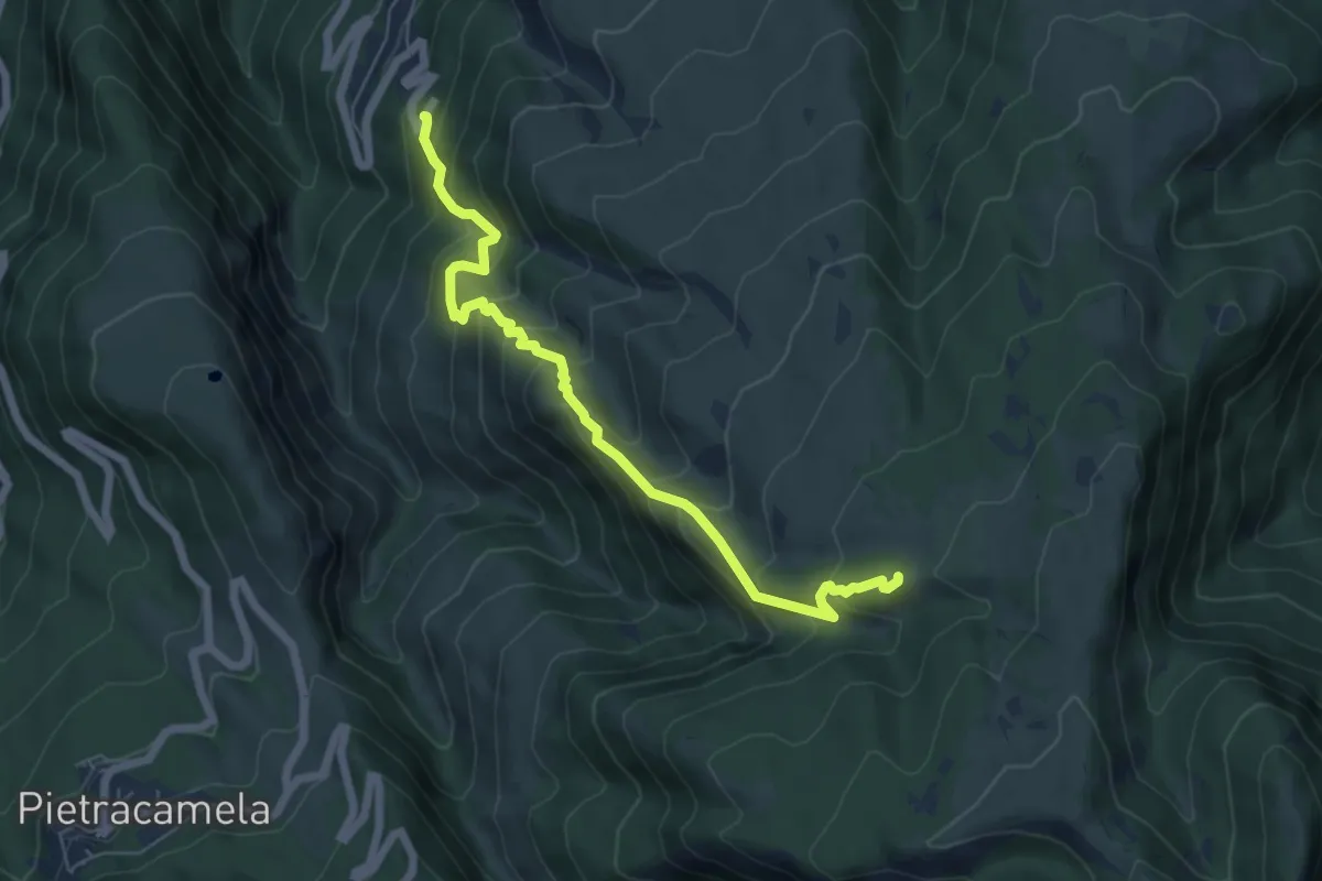
Medium · Summit
Cerqueto – Prati Mignari
6.6 km · ↑ 682 m · 3 h 3 min
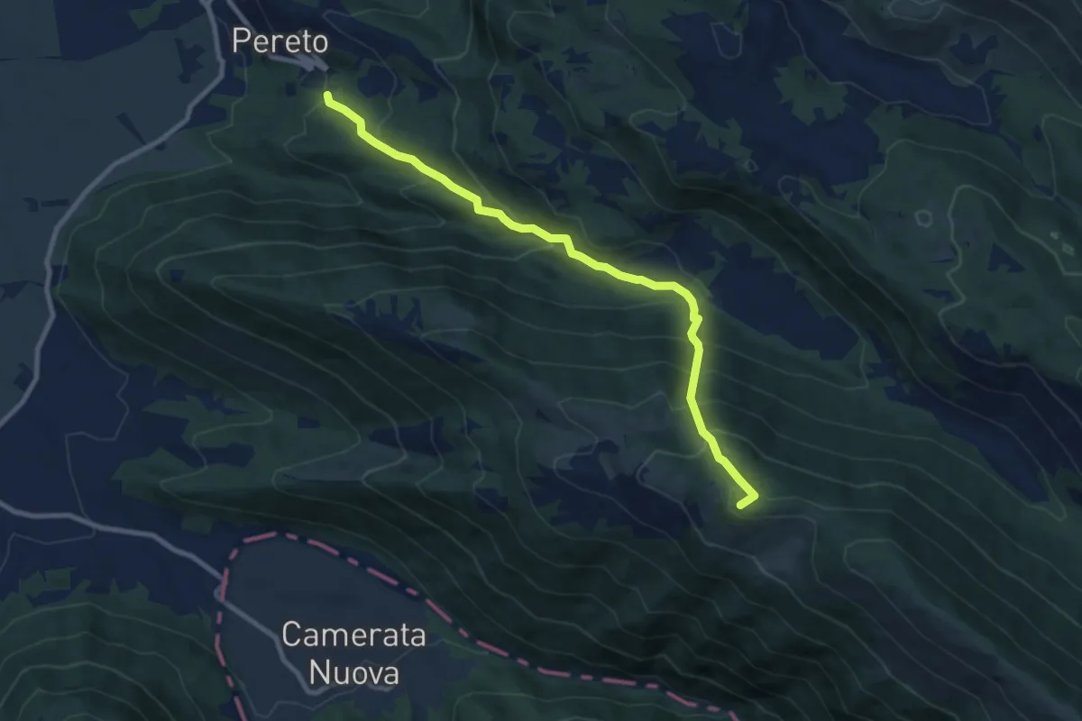
Demanding · Summit
Comune di Pereto – Località Montagnole
9.7 km · ↑ 837 m · 4 h 6 min
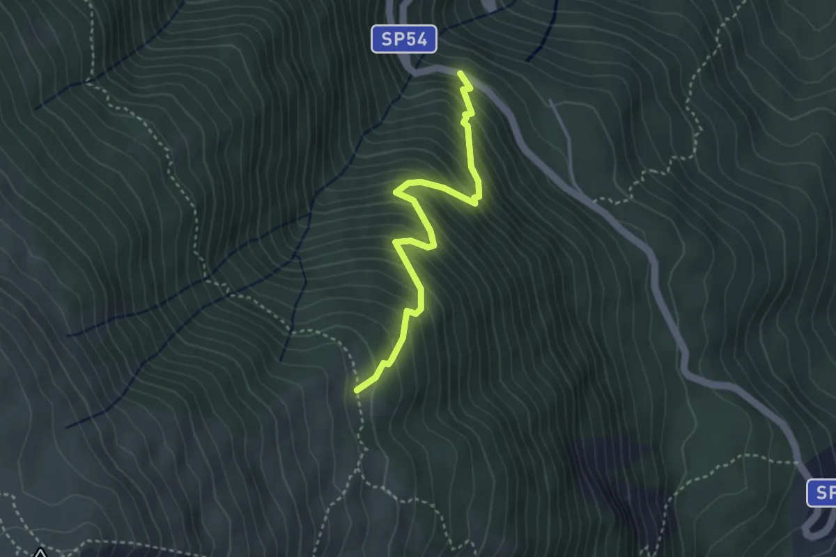
Medium · Trail
Casermette – Anello della Girella
3.5 km · ↑ 464 m · 1 h 49 min
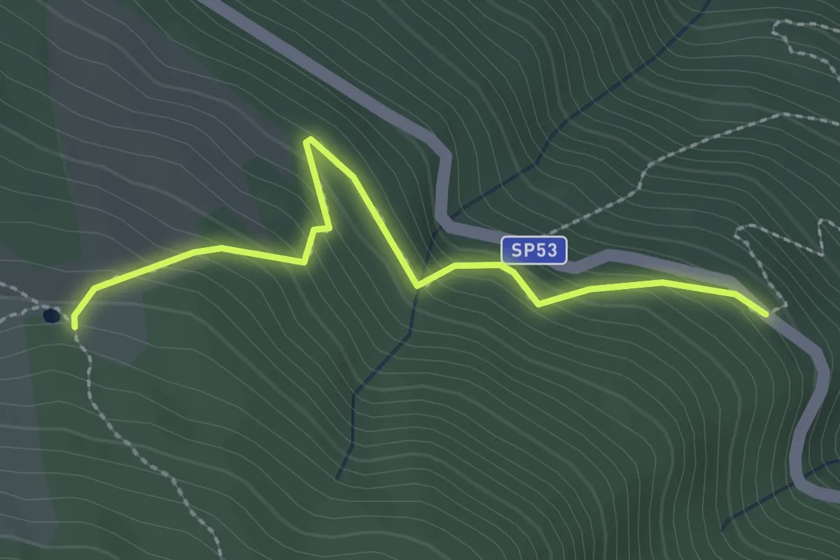
Easy · Trail
SP53 – Laghetto dei Tritoni
2.6 km · ↑ 234 m · 1 h 7 min
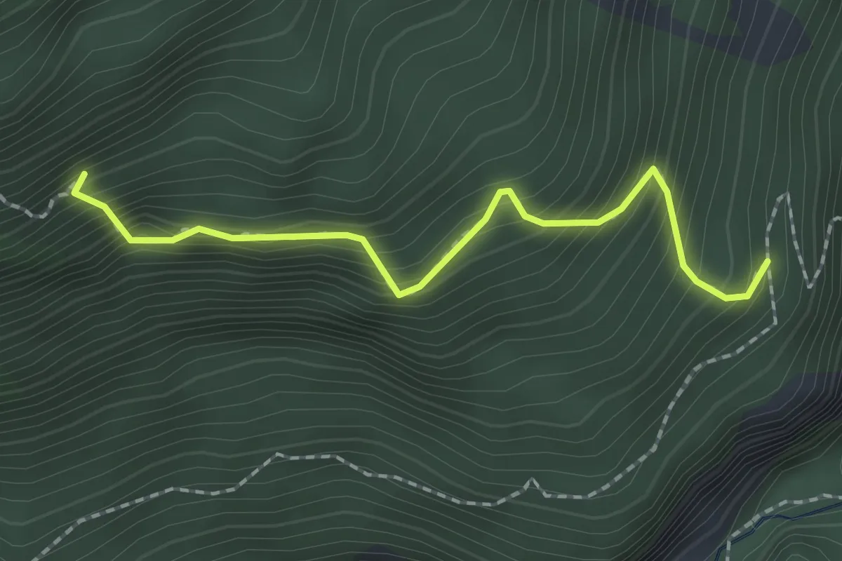
Medium · Trail
Percorso 411 – Eremo di S.M.Maddalena
2.0 km · ↑ 327 m · 1 h 11 min
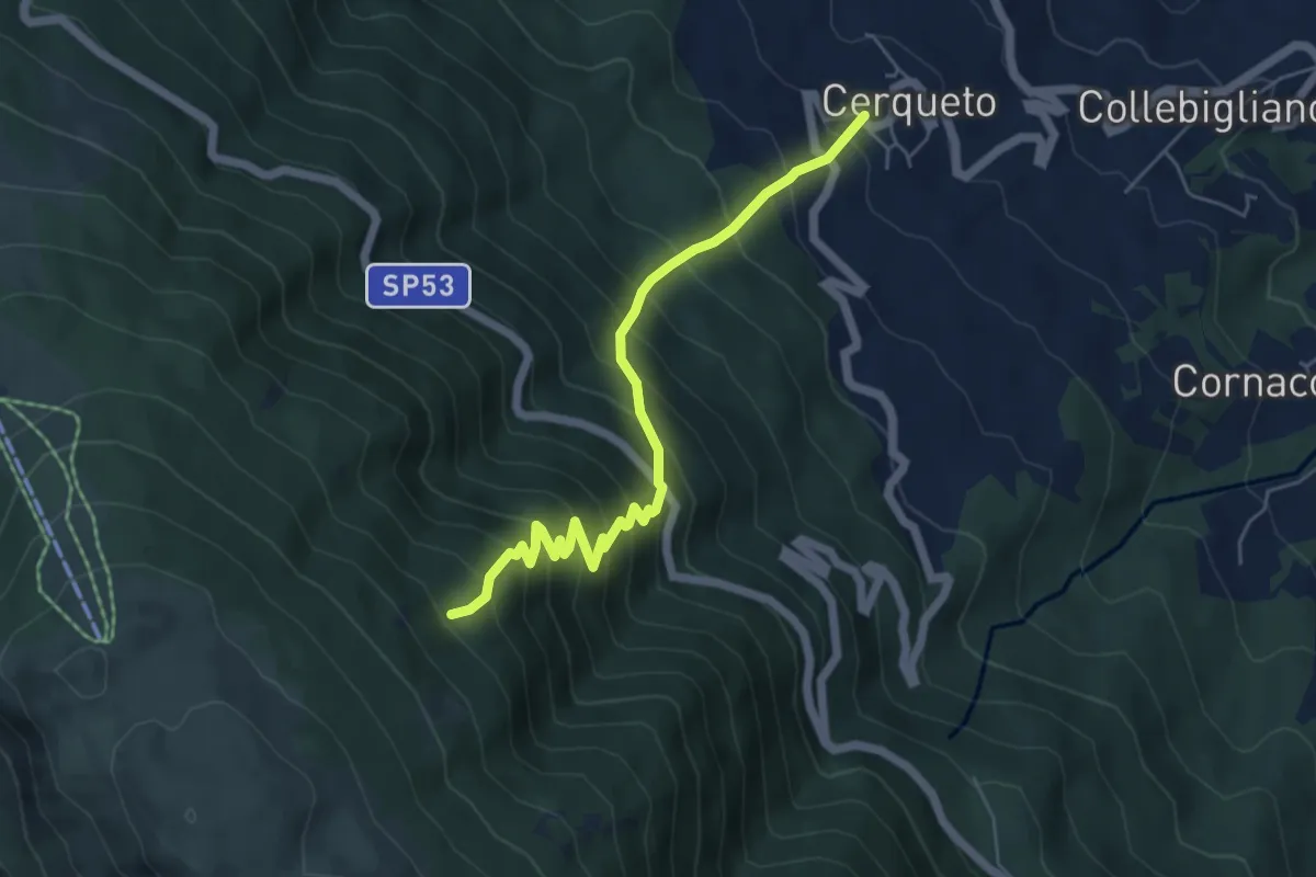
Medium · Trail
Cerqueto – sentiero 404
6.0 km · ↑ 756 m · 3 h 4 min
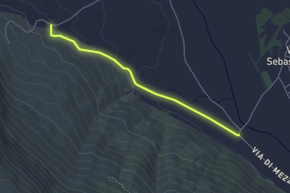
Easy · Trail
Strada comunale Villa San Sebastiano fraz. del Comune di Tagliacozzo – Camping La Contea (sent. 537B)
3.9 km · ↑ 68 m · 1 h 4 min
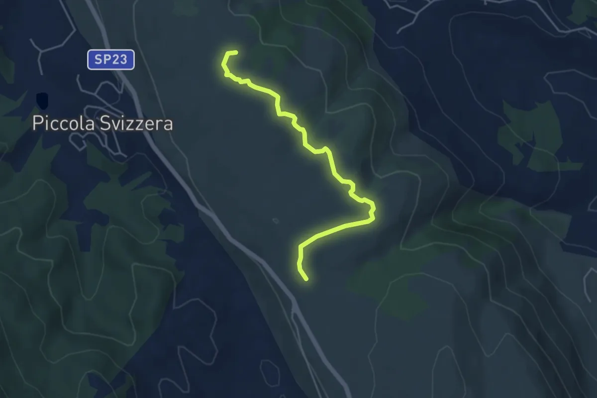
Easy · Summit
Piccola Svizzera - Tagliacozzo – Via della Legna passando per Monte la Difesa
4.6 km · ↑ 104 m · 1 h 18 min
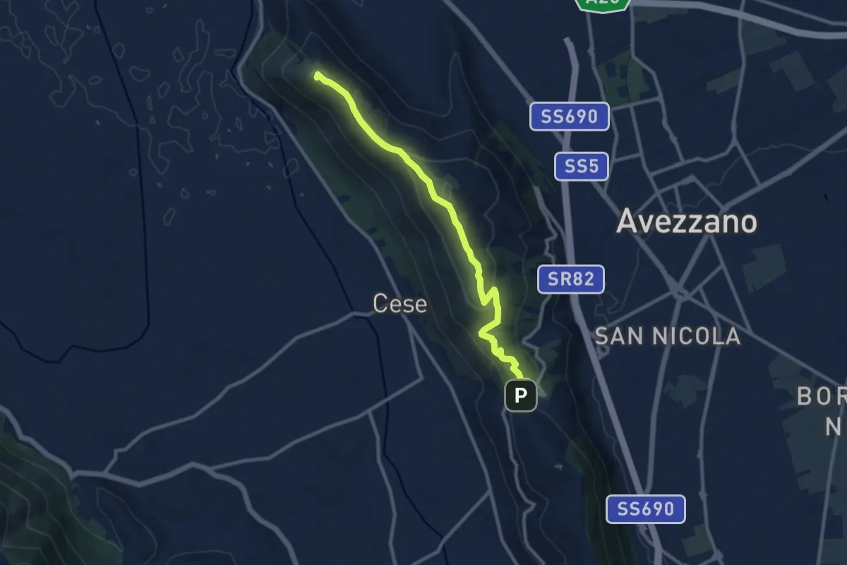
Medium · Summit
Valico Monte Salviano – MONTE SAN FELICE
10.5 km · ↑ 427 m · 3 h 24 min
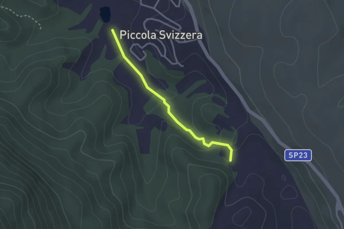
Easy · Trail
Laghetto Piccola Svizzera – Residence Eco Mostro
2.5 km · ↑ 67 m · 44 min
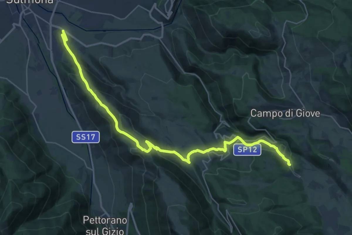
Demanding · Trail
Cimitero di Sulmona – Fonte Ramarozzo
13.6 km · ↑ 817 m · 4 h 54 min
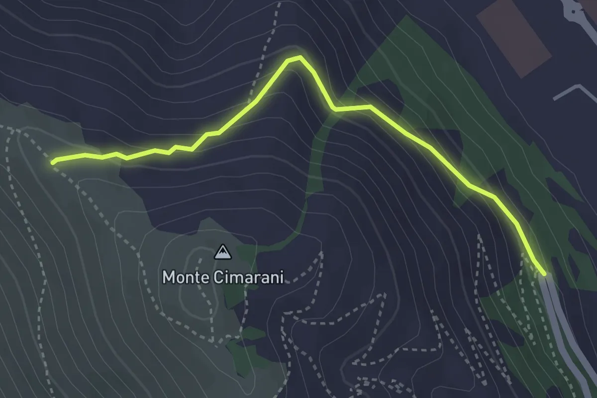
Easy · Trail
Km 1+ 800 SR82 – Percorso 450
3.7 km · ↑ 221 m · 1 h 21 min
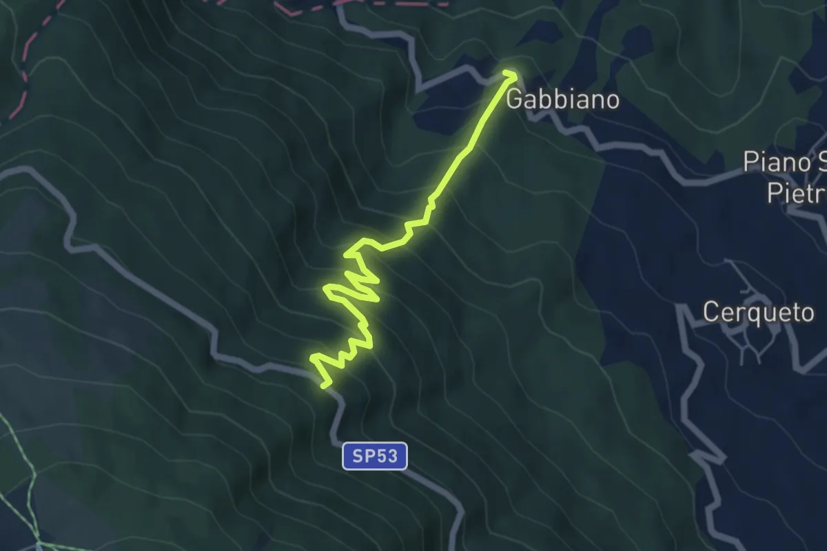
Medium · Trail
Gabbiano – sp 53
5.3 km · ↑ 565 m · 2 h 28 min
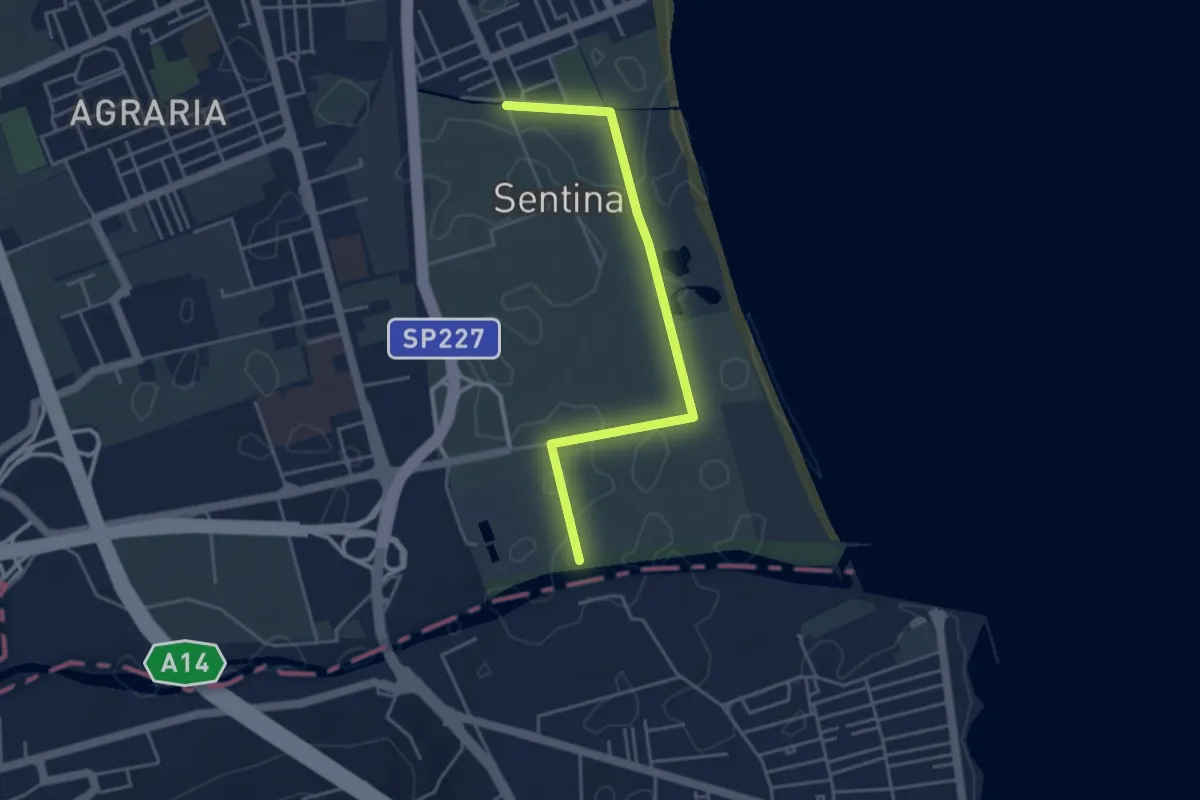
Easy · Trail
Tronto – Fosso Cavatone
4.5 km · ↑ 4 m · 1 h 5 min
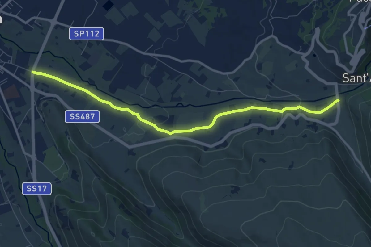
Medium · Trail
S.S. 17 (Incr. Via De Gasperi) – S.S. 487
9.0 km · ↑ 91 m · 2 h 19 min
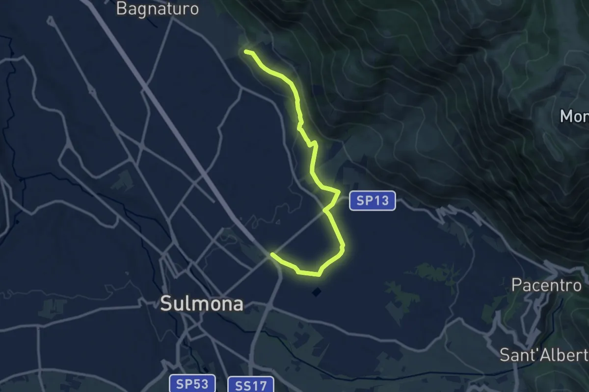
Medium · Trail
Vasche di Fonte D'Amore – Via Cappuccini di Sulmona
10.8 km · ↑ 172 m · 2 h 56 min
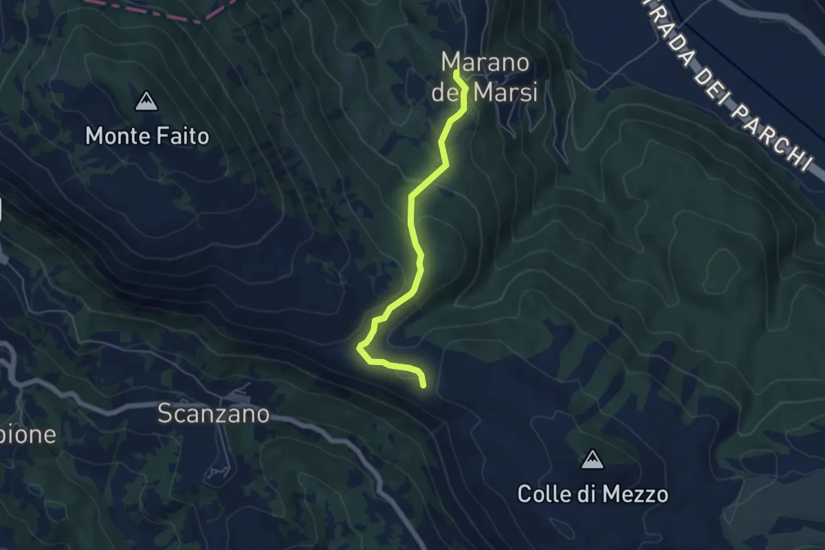
Easy · Trail
dal Cammino dei Briganti sent. 540 - punto Tabella – Marano
5.1 km · ↑ 214 m · 1 h 39 min
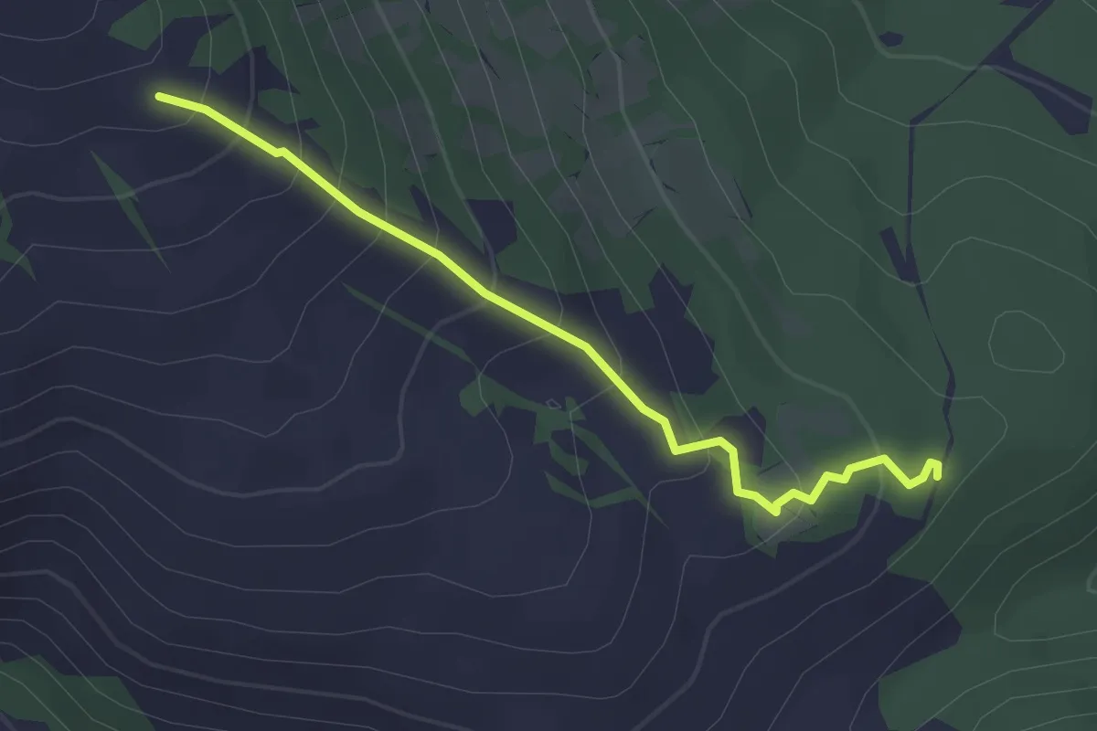
Easy · Trail
Bivio sent. 541 – Bivio sent. 540F
2.9 km · ↑ 234 m · 1 h 12 min
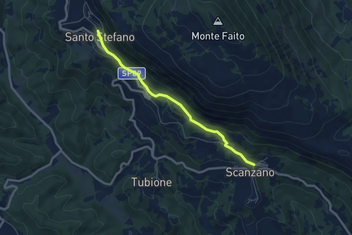
Easy · Trail
Scanzano – Santo Stefano
5.5 km · ↑ 238 m · 1 h 49 min
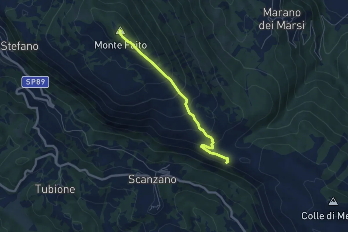
Medium · Summit
Bivio sentiero 540 Cammino dei Briganti – Santo Stefano
5.3 km · ↑ 389 m · 2 h 5 min
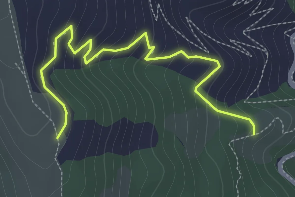
Easy · Trail
Percorso 451 – Percorso 450
3.3 km · ↑ 238 m · 1 h 17 min
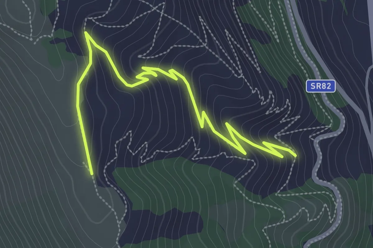
Easy · Trail
Percorso 451 – Percorso 450
4.8 km · ↑ 296 m · 1 h 46 min
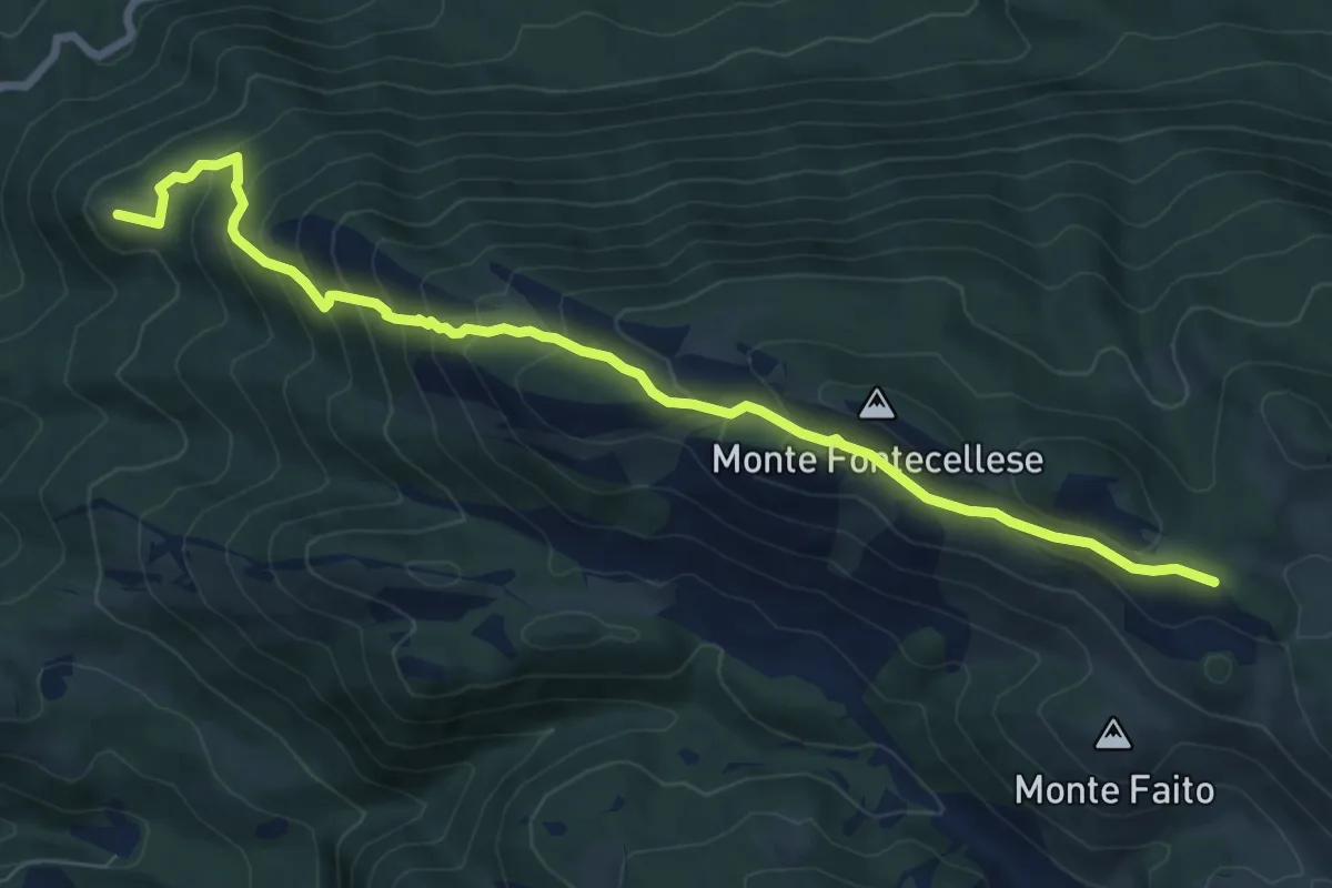
Medium · Summit
Dal SI di Villaromana – al sentiero 516 passando per Monte Fontecellese
9.2 km · ↑ 629 m · 3 h 32 min
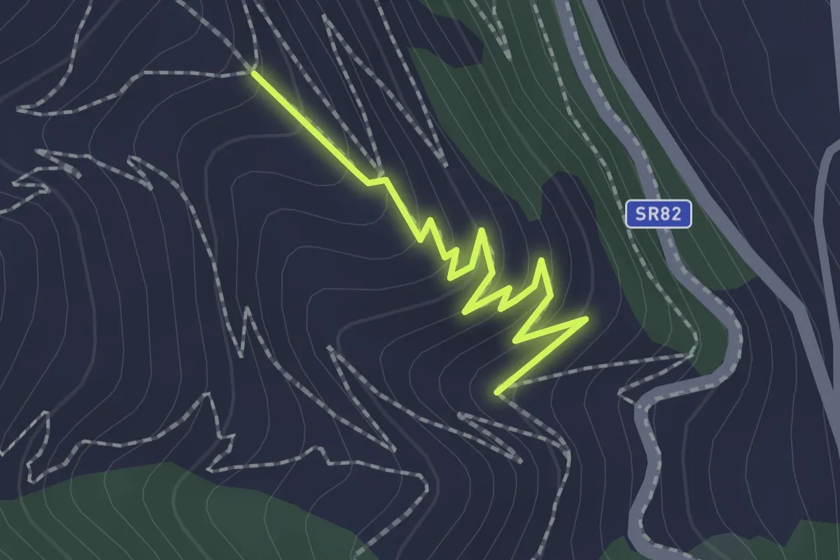
Easy · Trail
Percorso 451 – Percorso 451A
2.0 km · ↑ 119 m · 44 min
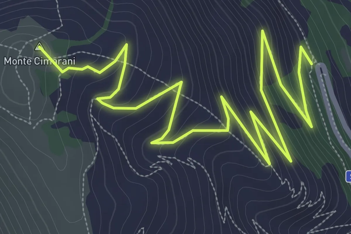
Easy · Summit
Percorso 451 – Percorso 450
6.7 km · ↑ 312 m · 2 h 16 min
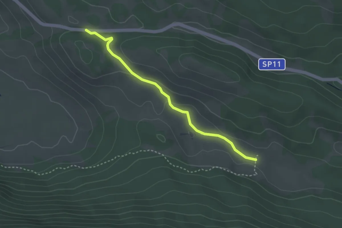
Easy · Trail
Vado della Forcella – Valle Anatella
3.3 km · ↑ 73 m · 56 min
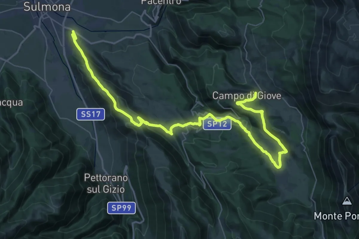
Demanding · Trail
Sulmona – Campo di Giove
21.5 km · ↑ 966 m · 7 h 10 min
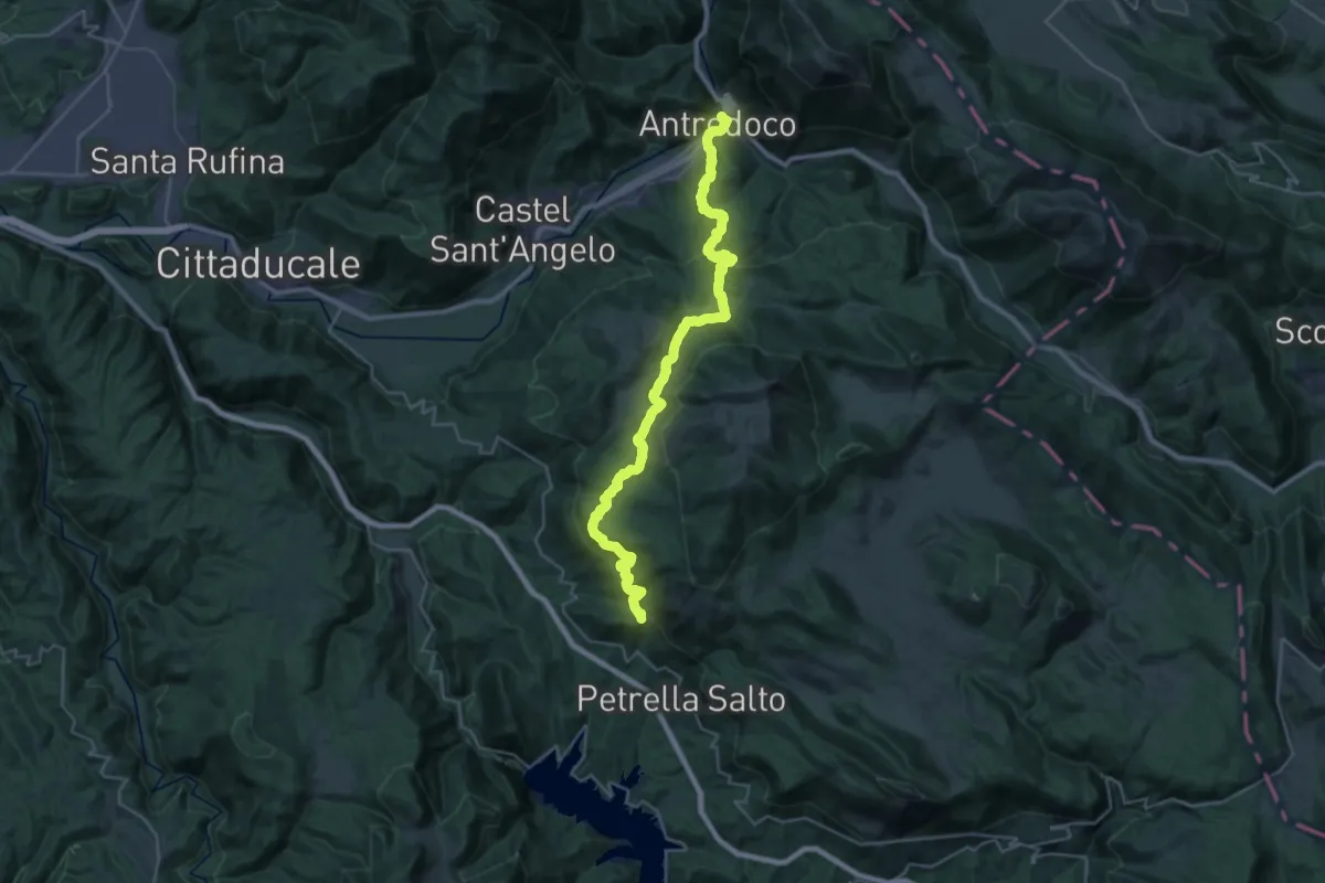
Medium · Trail
Staffoli – Antrodoco
17.4 km · ↑ 722 m · 6 h 9 min
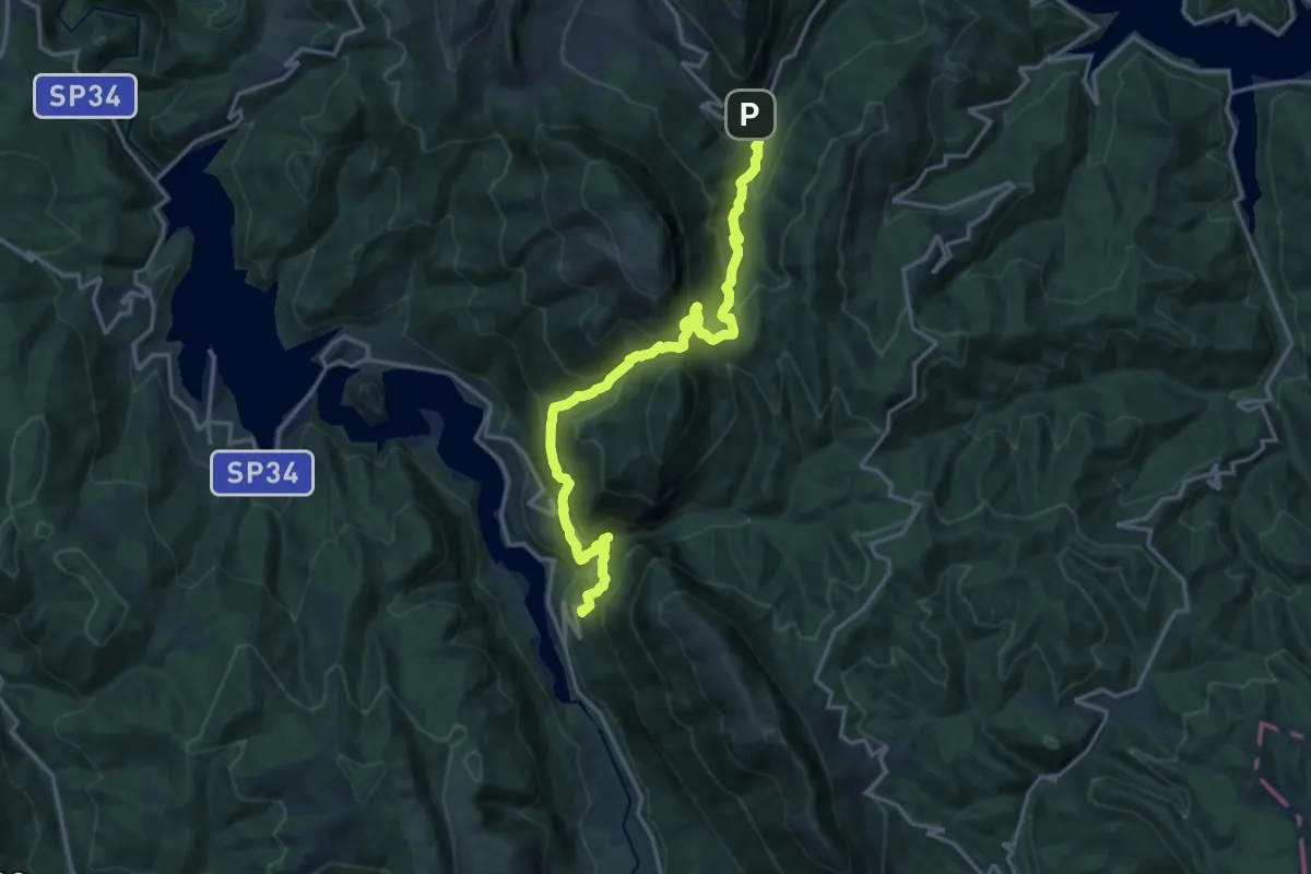
Demanding · Trail
Paganico Sabino – Varco Sabino
18.4 km · ↑ 1311 m · 7 h 11 min
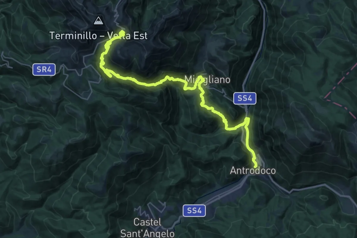
Demanding · Cabin
Antrodoco – Rifugio Angelo Sebastiani
16.8 km · ↑ 1581 m · 6 h 59 min
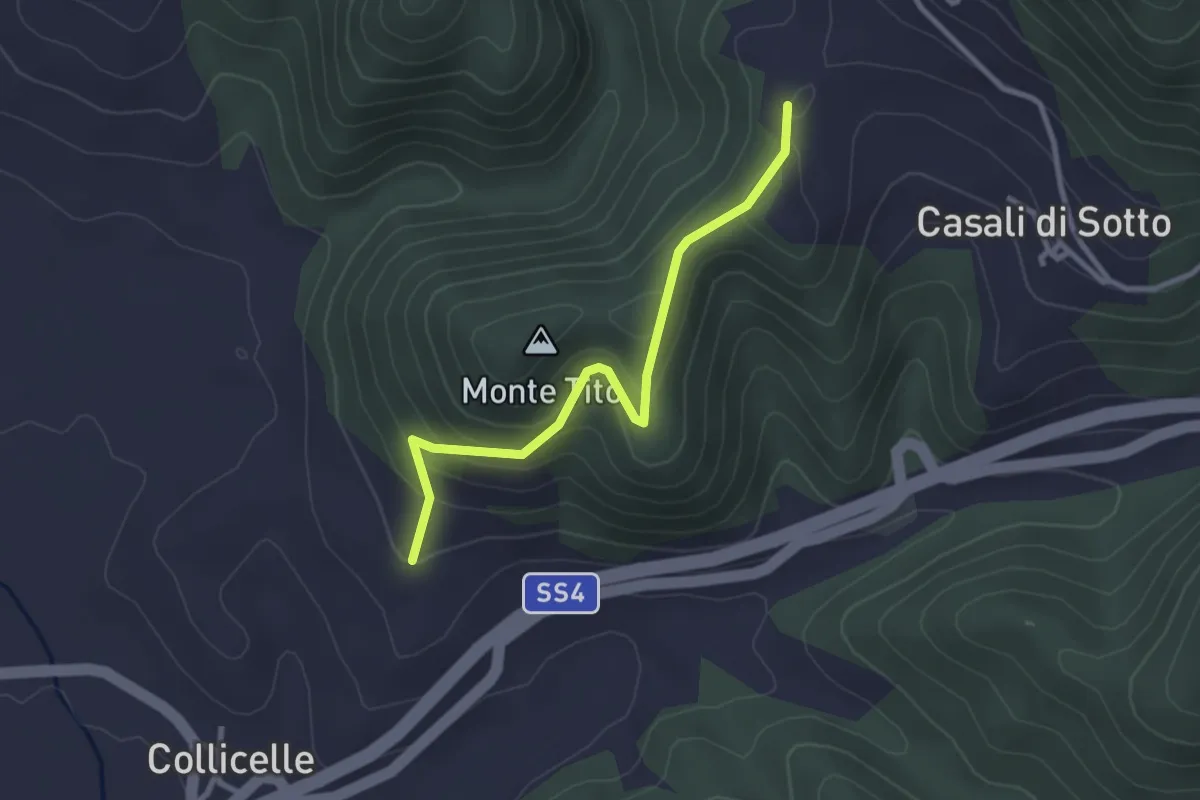
Easy · Trail
Cittareale – Torrita
3.0 km · ↑ 198 m · 1 h 8 min