Trails in Italy
25,219 hiking trails, each with its route, climb, walking time and grade.
All trails, page 283 of 526
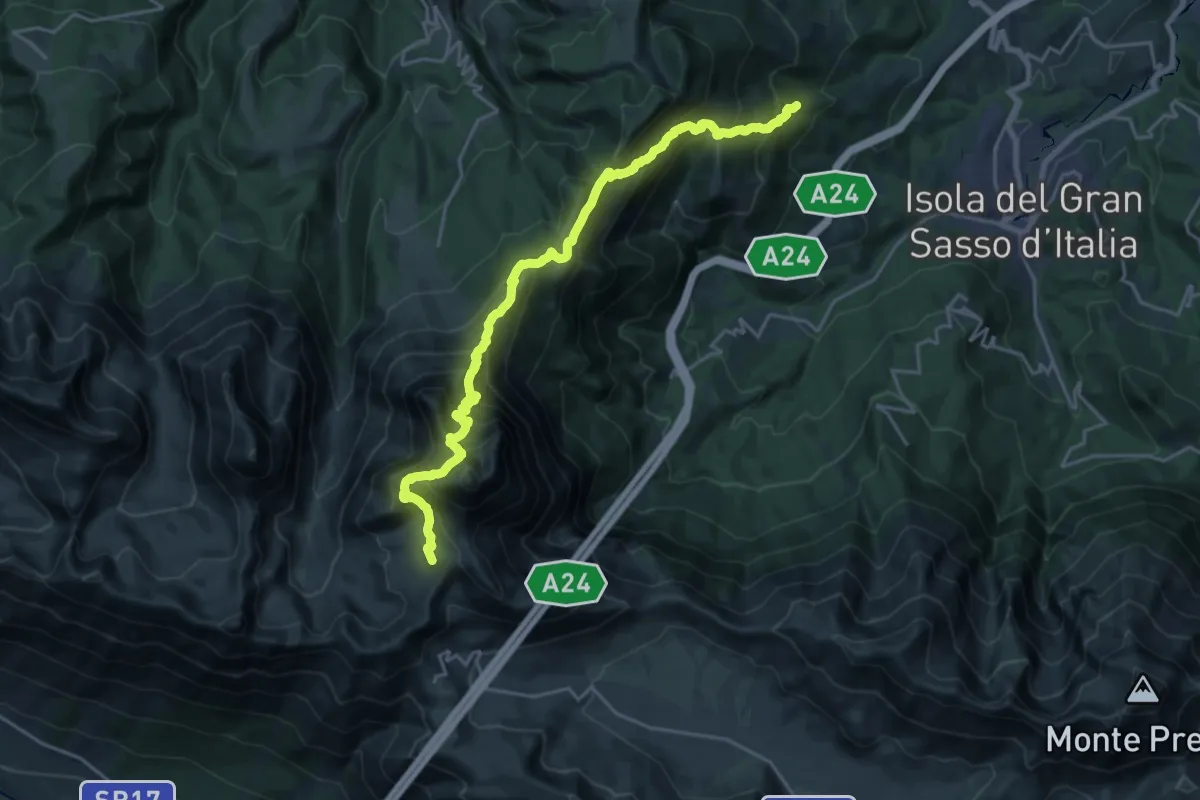
Expert · Trail
Forca di Valle – Campo Imperatore
12.5 km · ↑ 1913 m · 6 h 34 min
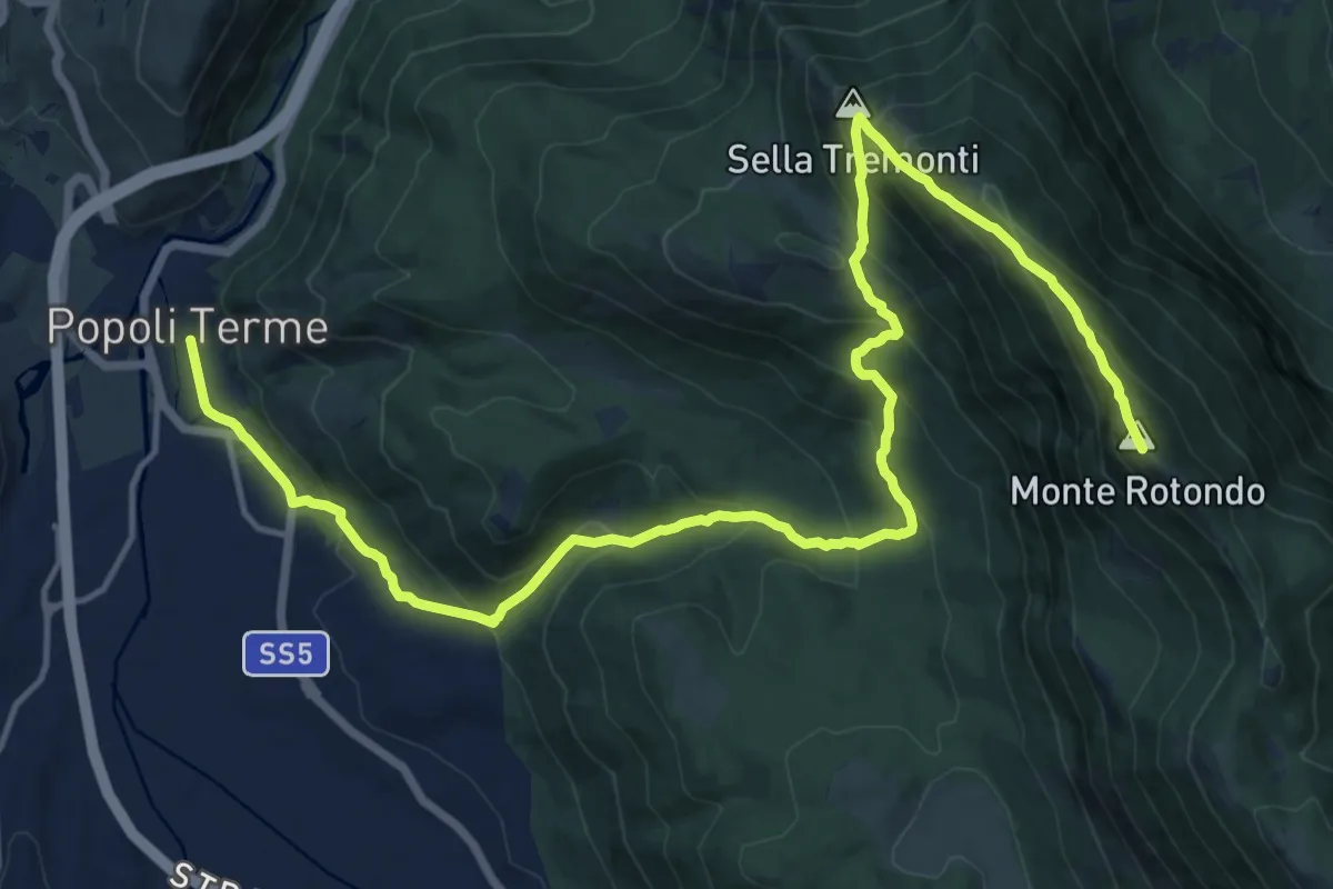
Demanding · Summit
Rifugio Jaccio Grande – Popoli
21.8 km · ↑ 1437 m · 8 h 15 min
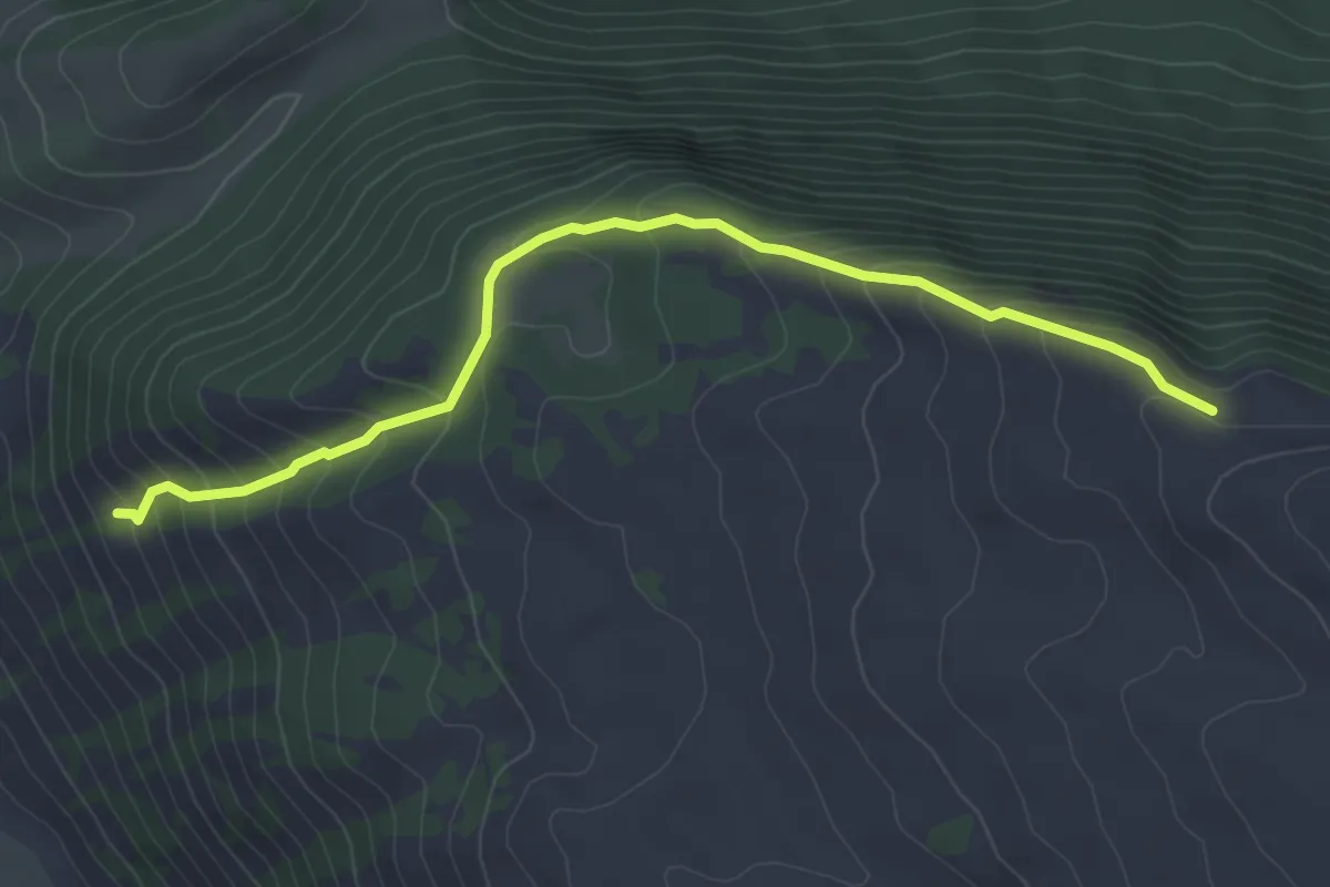
Medium · Trail
Rovere – Rif. Mandra Murata
5.0 km · ↑ 343 m · 1 h 55 min
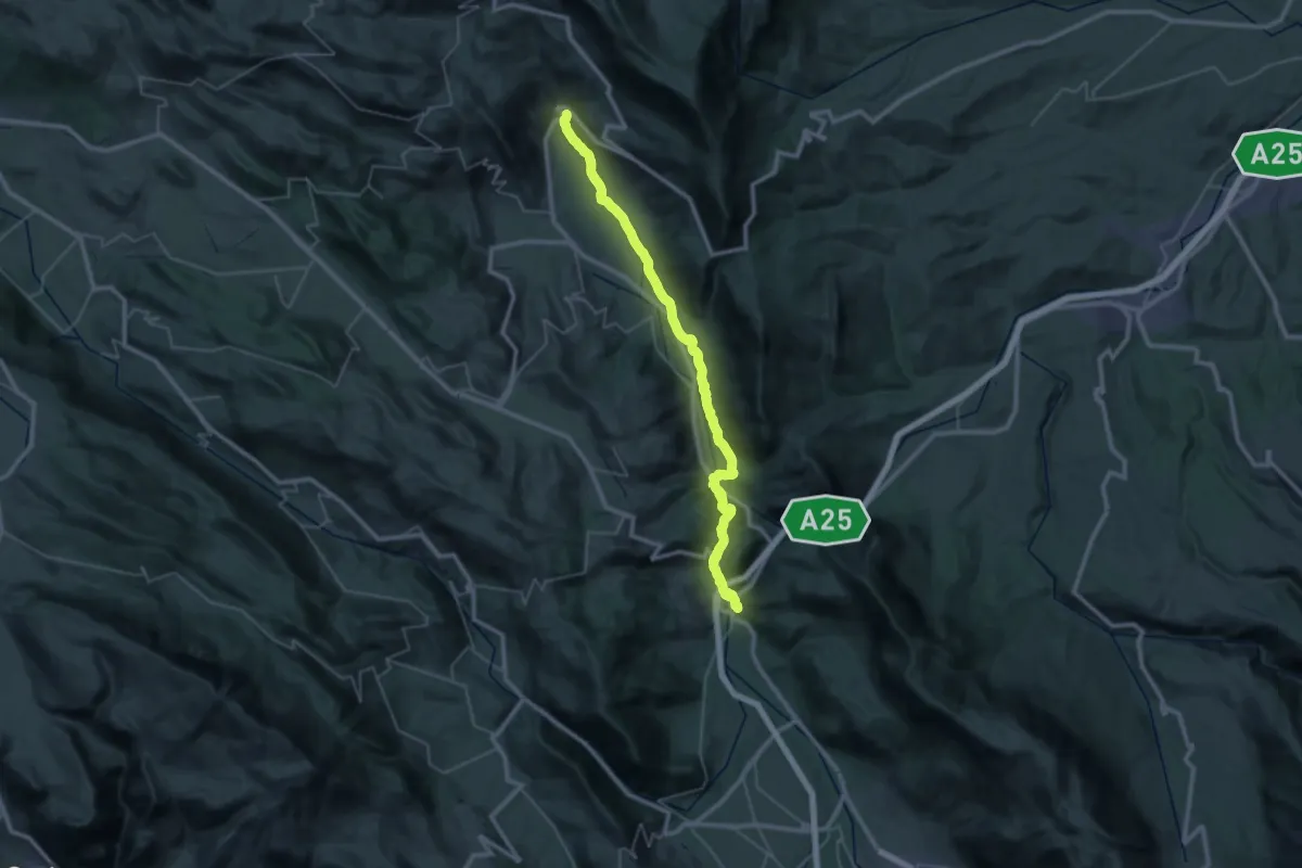
Demanding · Trail
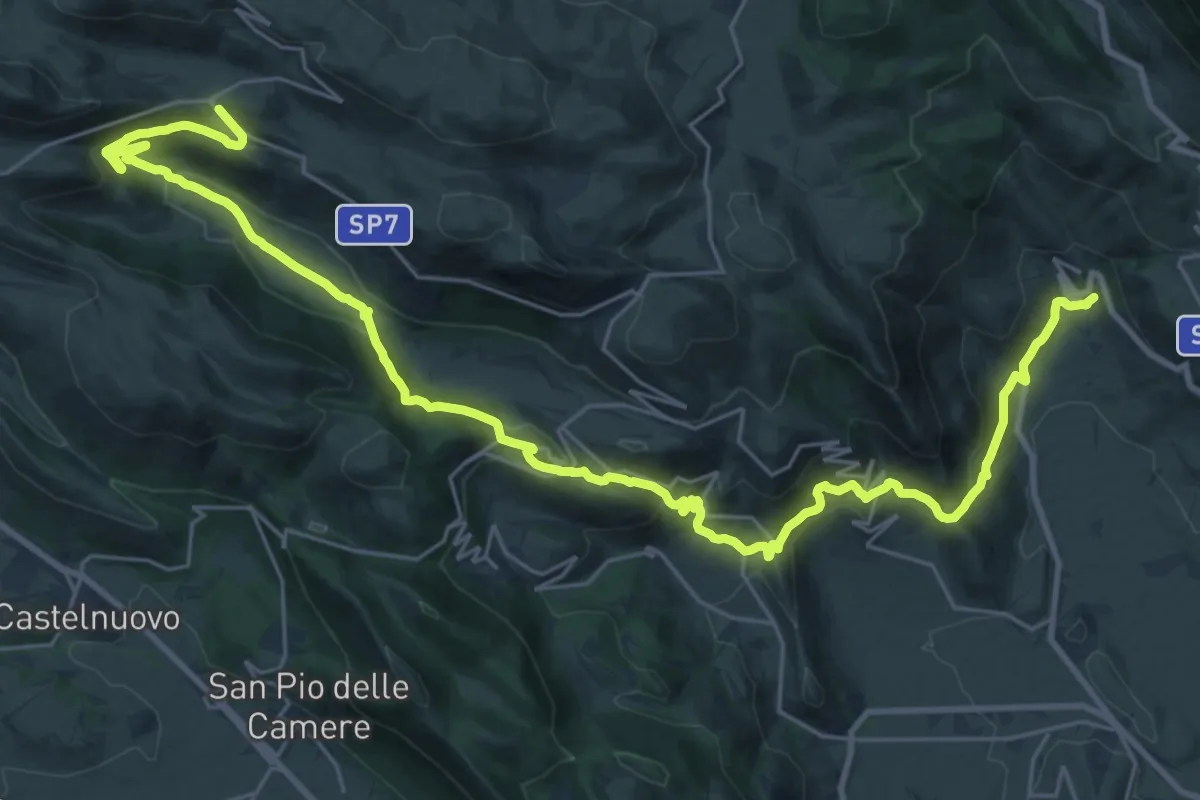
Popoli – Ofena
21.9 km · ↑ 523 m · 6 h 29 min
Demanding · Trail
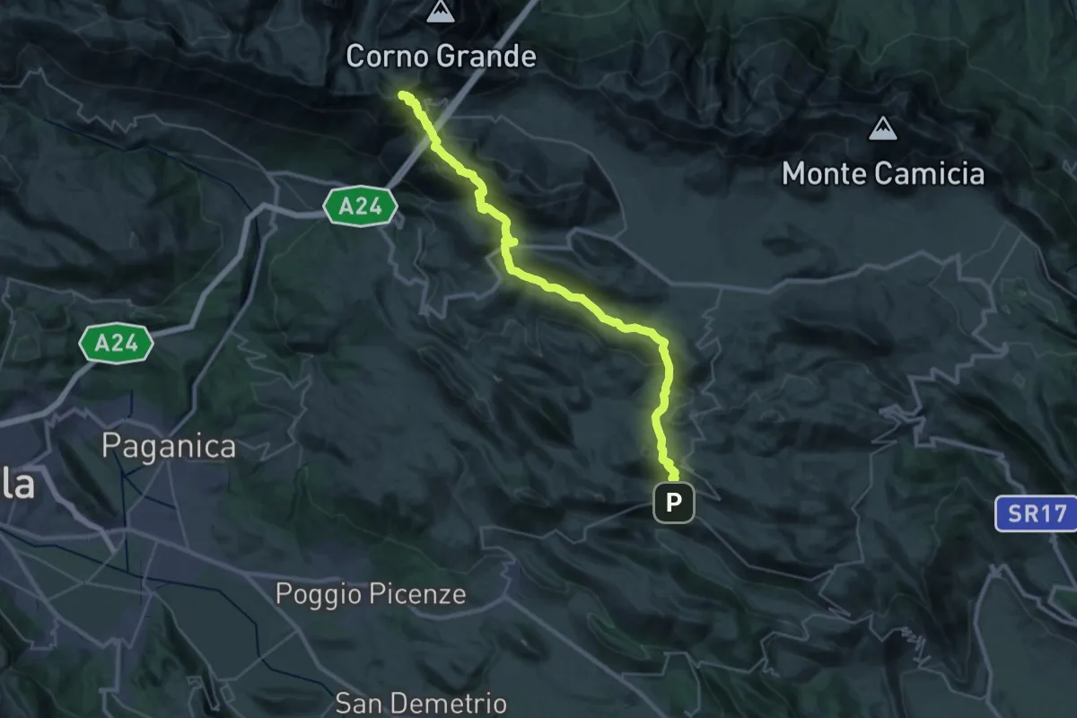
Ofena – Santo Stefano di Sessanio
19.0 km · ↑ 1061 m · 6 h 42 min
Demanding · Cabin
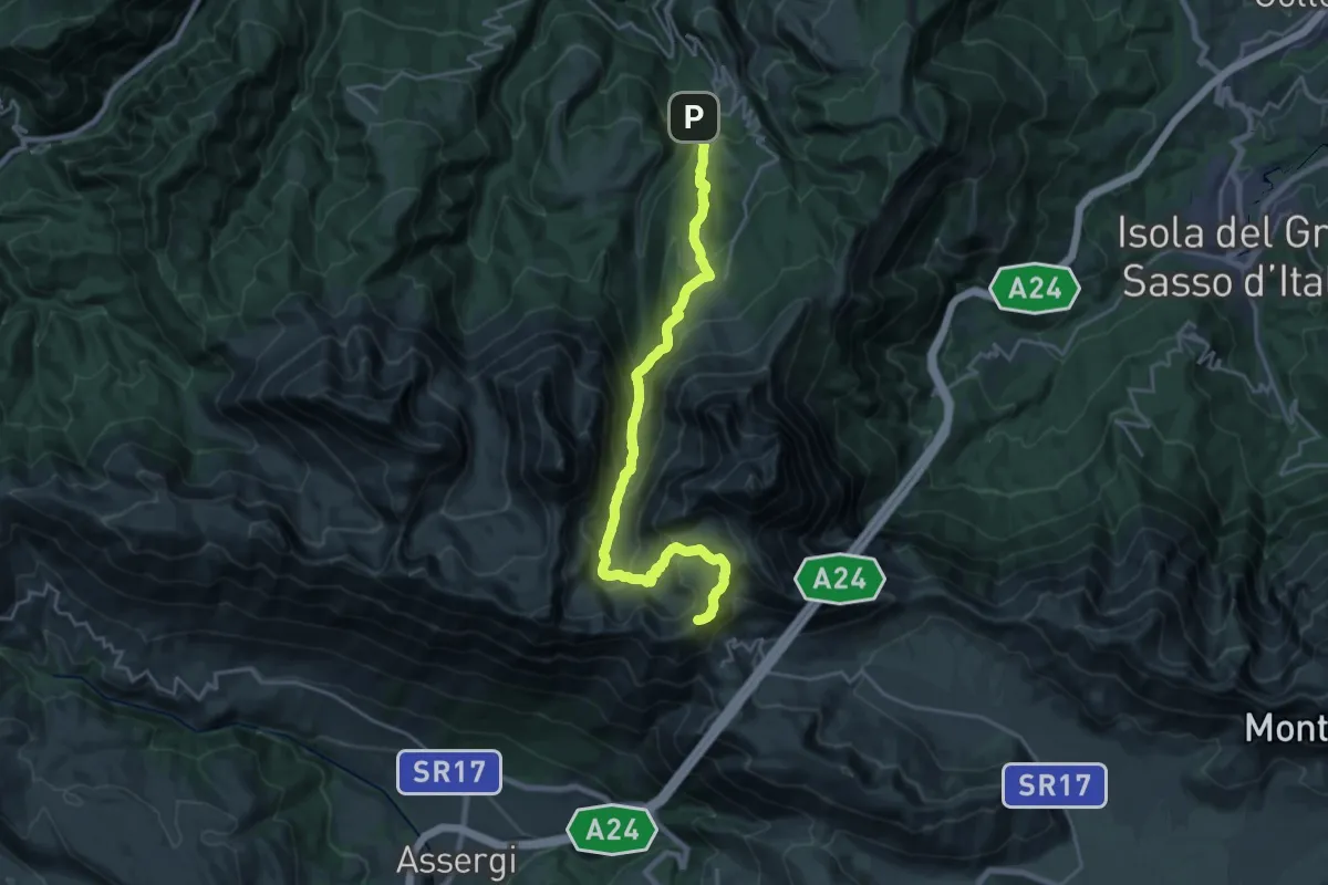
Santo Stefano di Sessanio – Rifugio Duca Degli Abruzzi
18.5 km · ↑ 1426 m · 7 h 8 min
Demanding · Summit
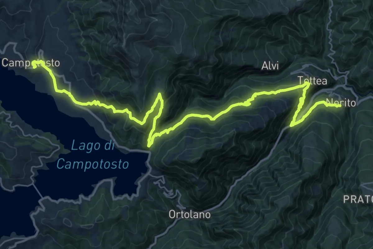
Rifugio Duca Degli Abruzzi – Pietracamela
25.0 km · ↑ 1663 m · 9 h 30 min
Demanding · Trail
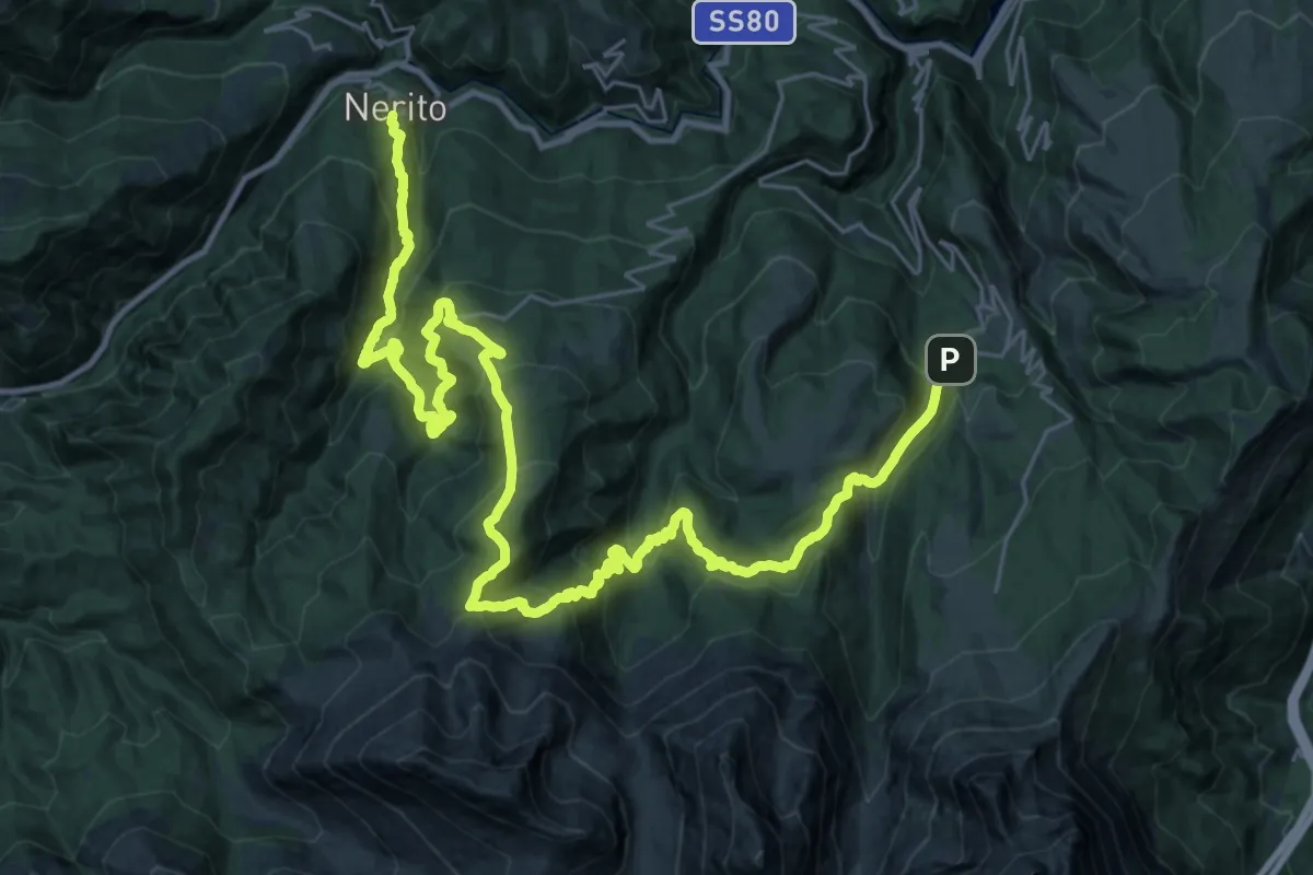
Nerito – Campotosto
17.1 km · ↑ 1137 m · 6 h 27 min
Demanding · Trail
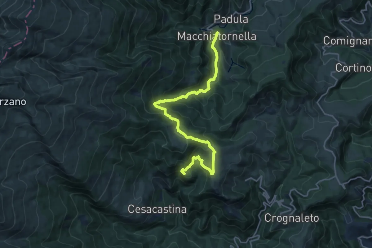
Pietracamela – Nerito
20.8 km · ↑ 1241 m · 8 h
Demanding · Summit
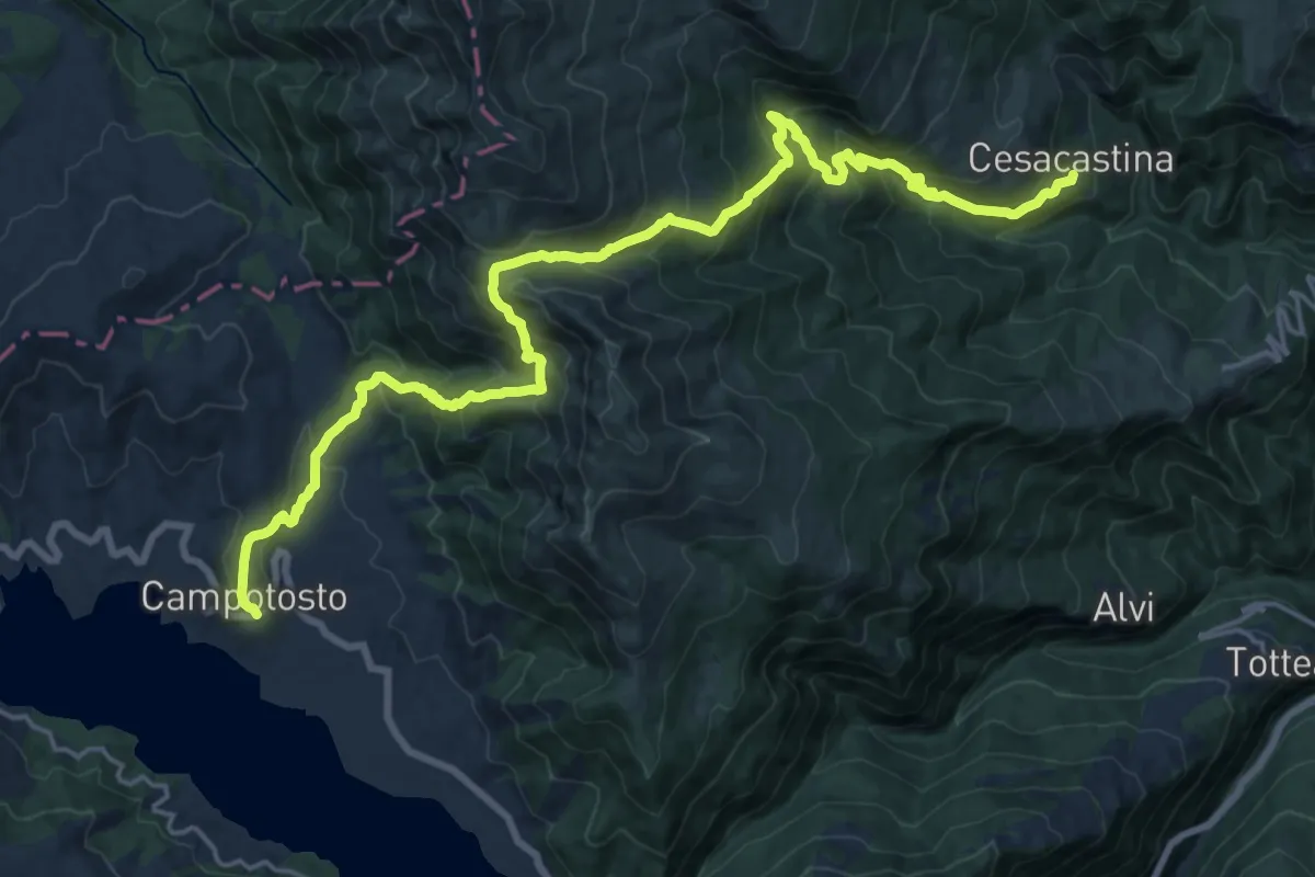
Cesacastina – Padula
15.0 km · ↑ 858 m · 5 h 24 min
Medium · Trail
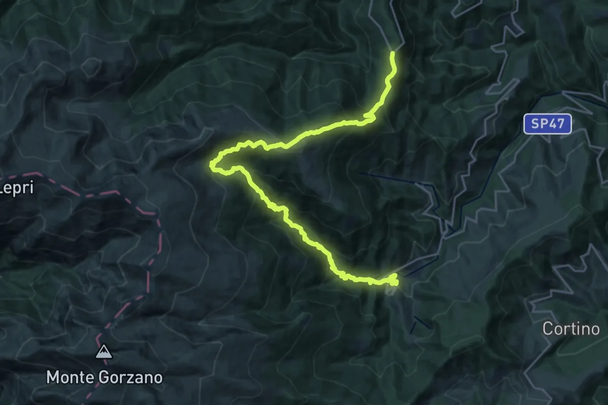
Campotosto – Cesacastina
12.1 km · ↑ 717 m · 4 h 42 min
Demanding · Trail
Padula – Ceppo
11.7 km · ↑ 994 m · 4 h 54 min
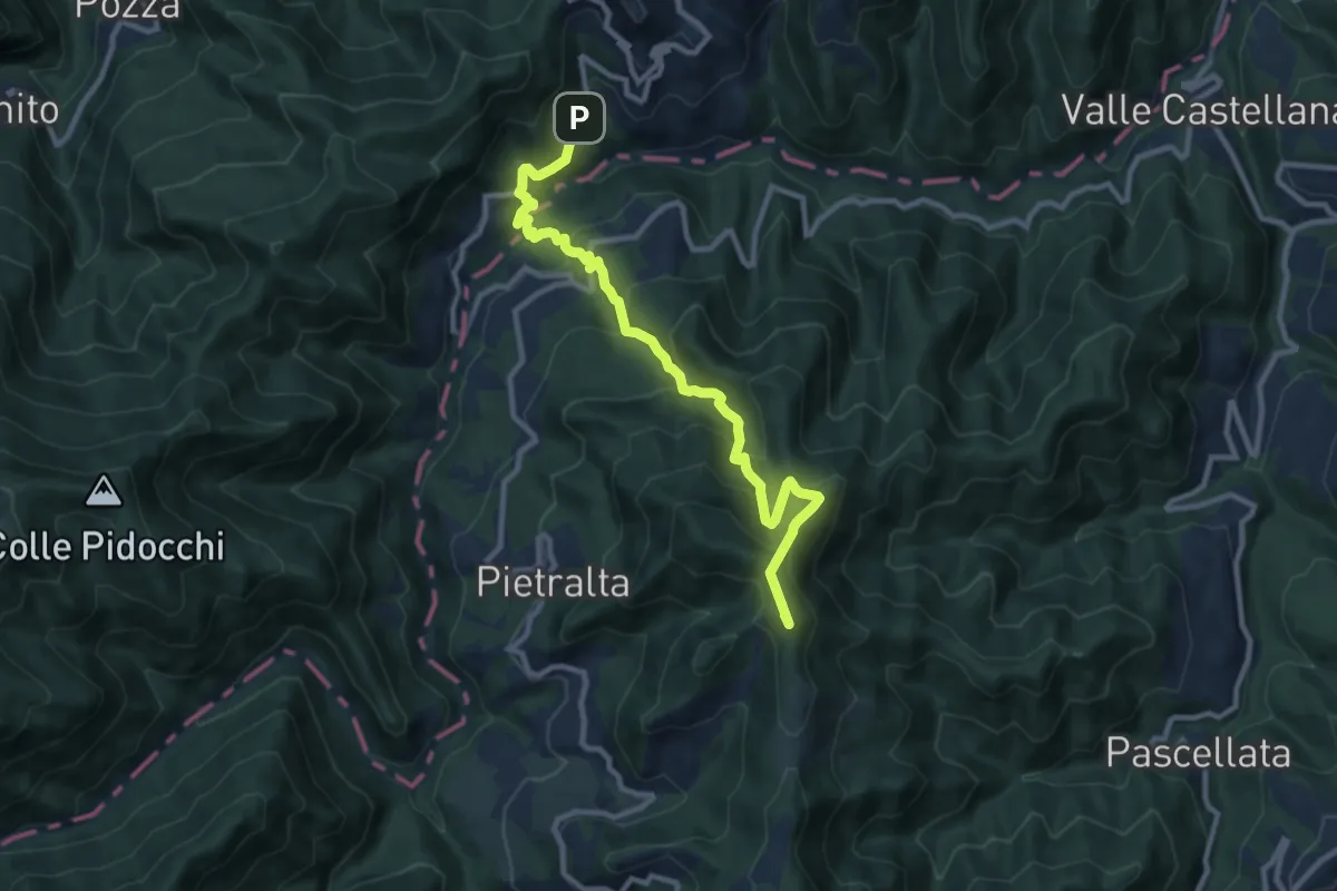
Demanding · Summit
Ceppo – San Martino
11.4 km · ↑ 937 m · 4 h 43 min
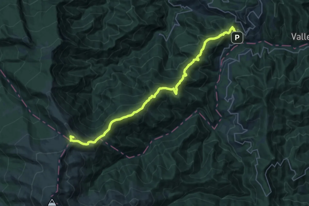
Demanding · Summit
San Martino – Colle d'Arquata
24.0 km · ↑ 1467 m · 8 h 50 min
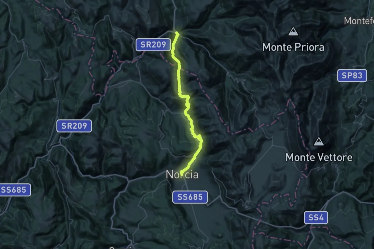
Demanding · Trail
Norcia – Visso
20.7 km · ↑ 1009 m · 7 h 22 min
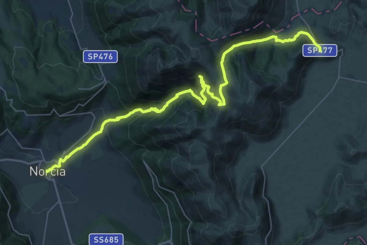
Medium · Trail
Castelluccio – Norcia
15.8 km · ↑ 445 m · 5 h 19 min
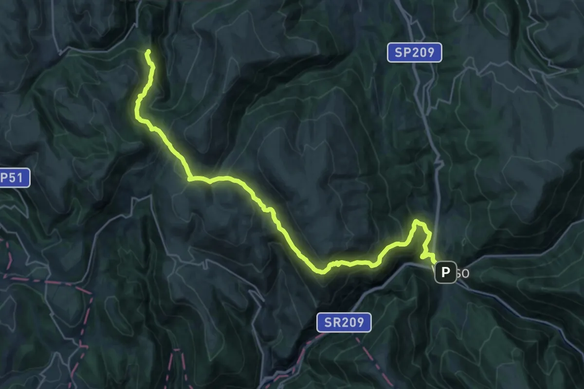
Demanding · Trail
Visso – Pantaneto
14.3 km · ↑ 979 m · 5 h 30 min
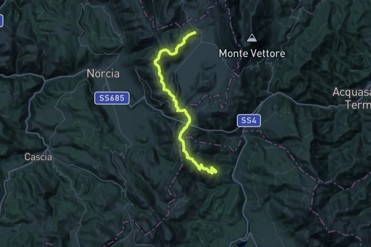
Demanding · Trail
Madonna delle Coste – Castelluccio
24.3 km · ↑ 1101 m · 8 h 17 min
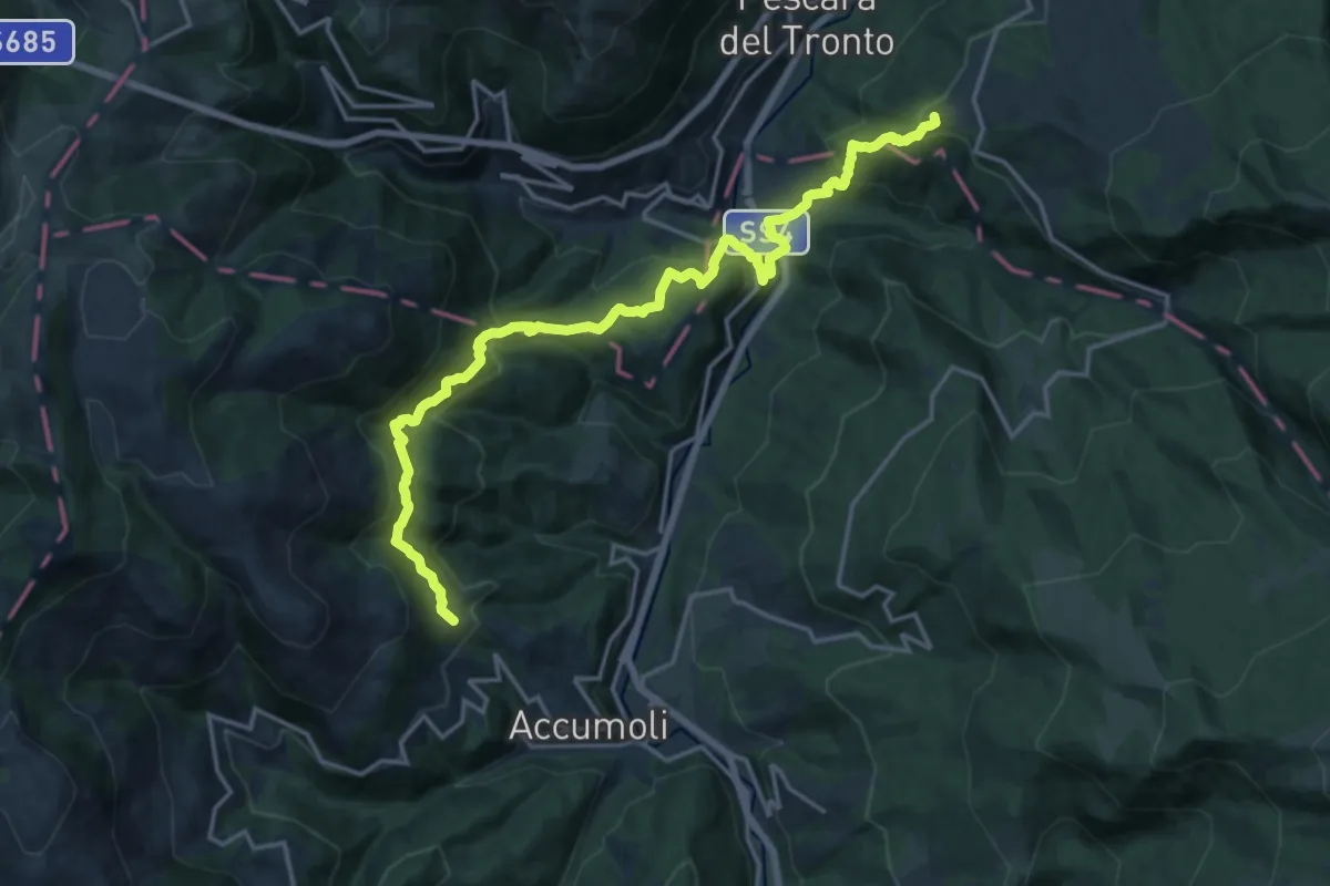
Demanding · Summit
Colle d'Arquata – Madonna delle Coste
20.1 km · ↑ 1237 m · 7 h 25 min
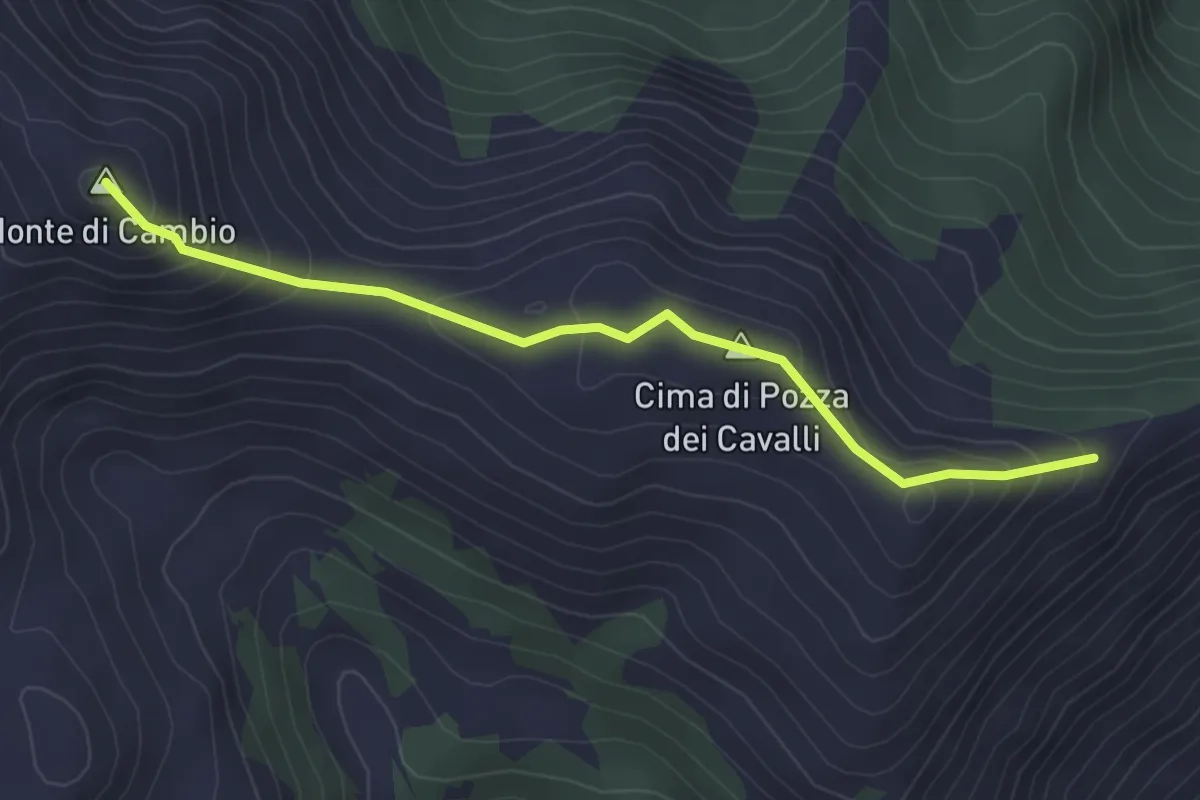
Easy · Summit
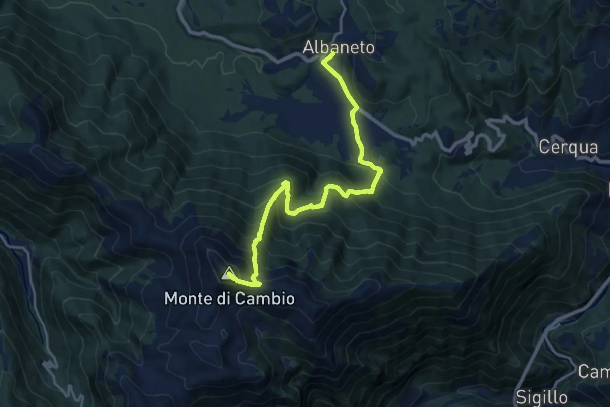
Incrocio Percorso 428 – Monte di Cambio
3.5 km · ↑ 263 m · 1 h 23 min
Demanding · Summit
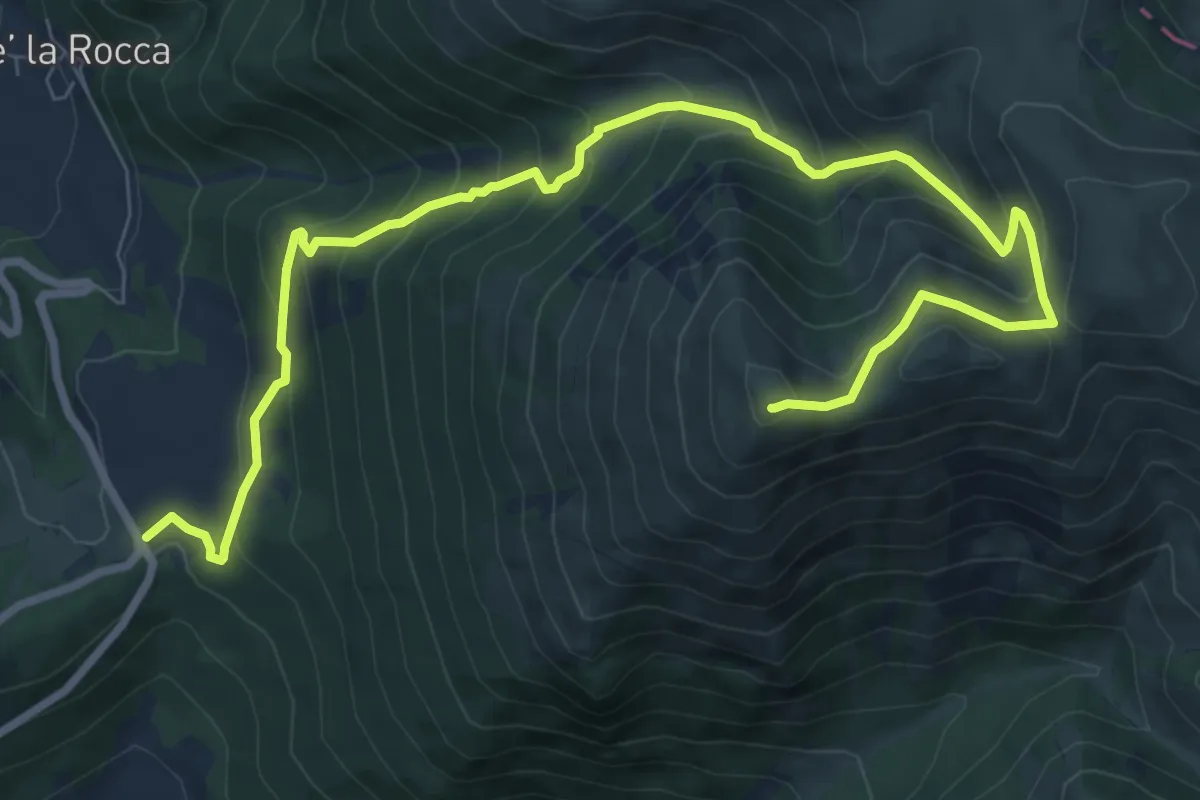
Albaneto – Monte di Cambio
13.7 km · ↑ 1093 m · 5 h 36 min
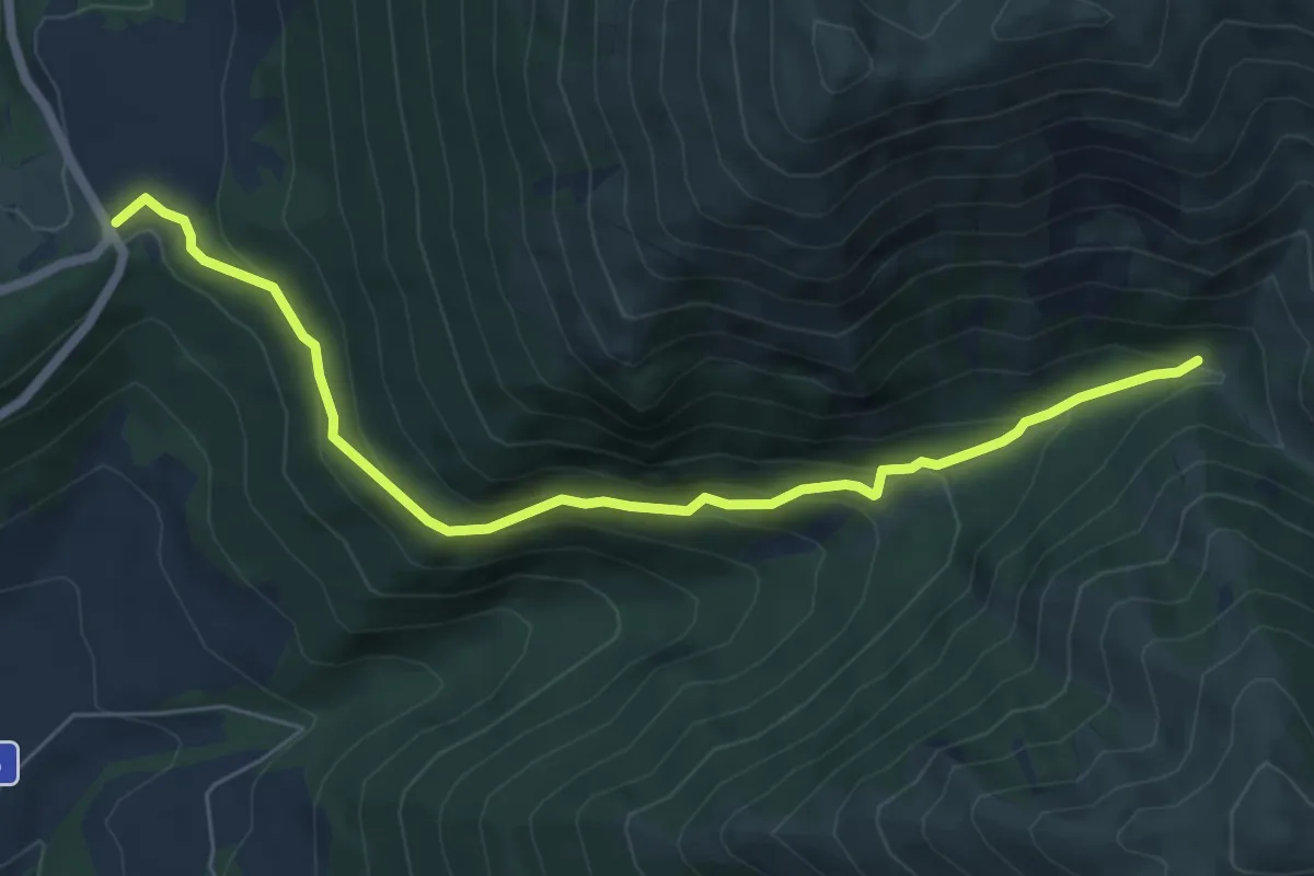
Demanding · Summit
Forca di Ancarano – Monte Patino
11.2 km · ↑ 910 m · 4 h 37 min
Medium · Trail
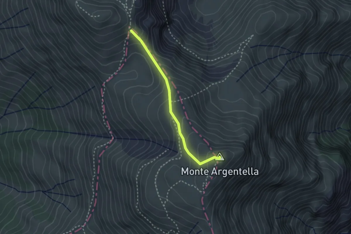
Forca di Arcarano – Forca di Giuda
7.0 km · ↑ 385 m · 2 h 30 min
Medium · Summit
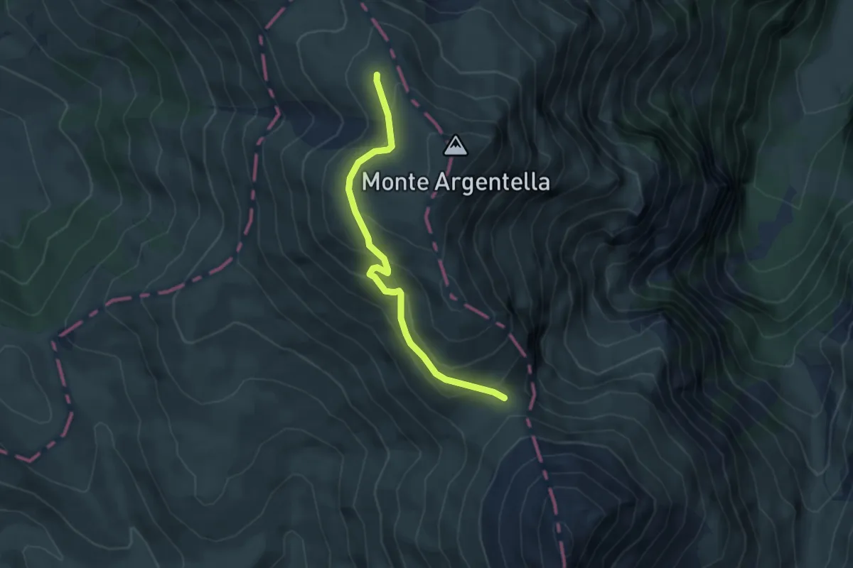
Passo di Sasso Borghese – Monte Argentella
2.7 km · ↑ 223 m · 1 h 7 min
Medium · Trail
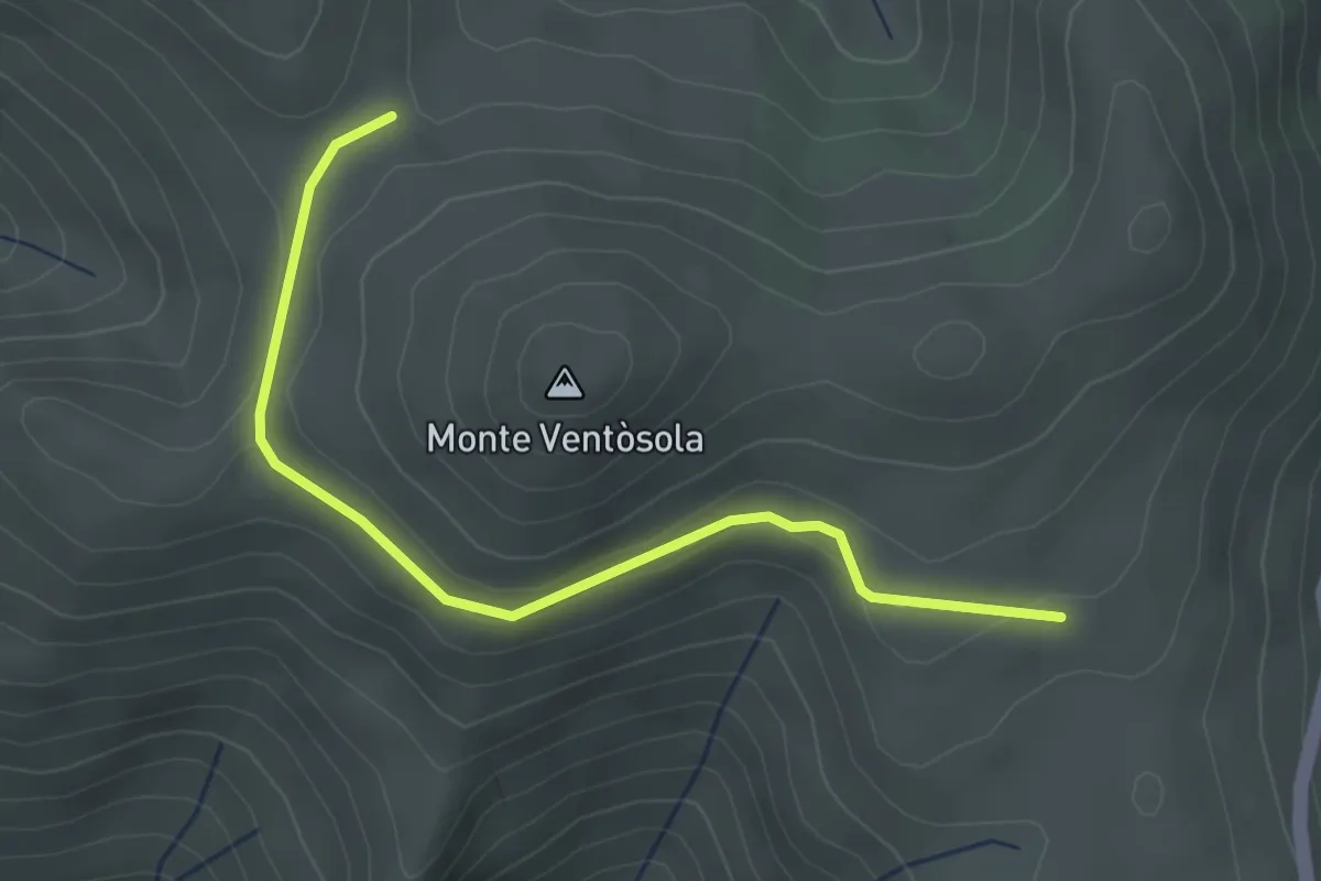
Forca Viola – Intersezione percorso 558
4.3 km · ↑ 241 m · 1 h 32 min
Medium · Trail
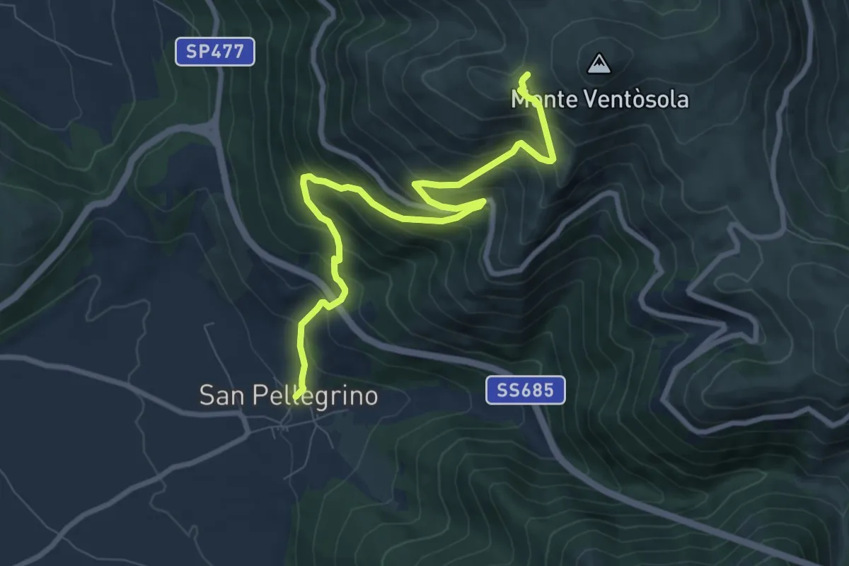
San Pellegrino – Intersezione percorso 571
9.2 km · ↑ 778 m · 3 h 51 min
Easy · Trail
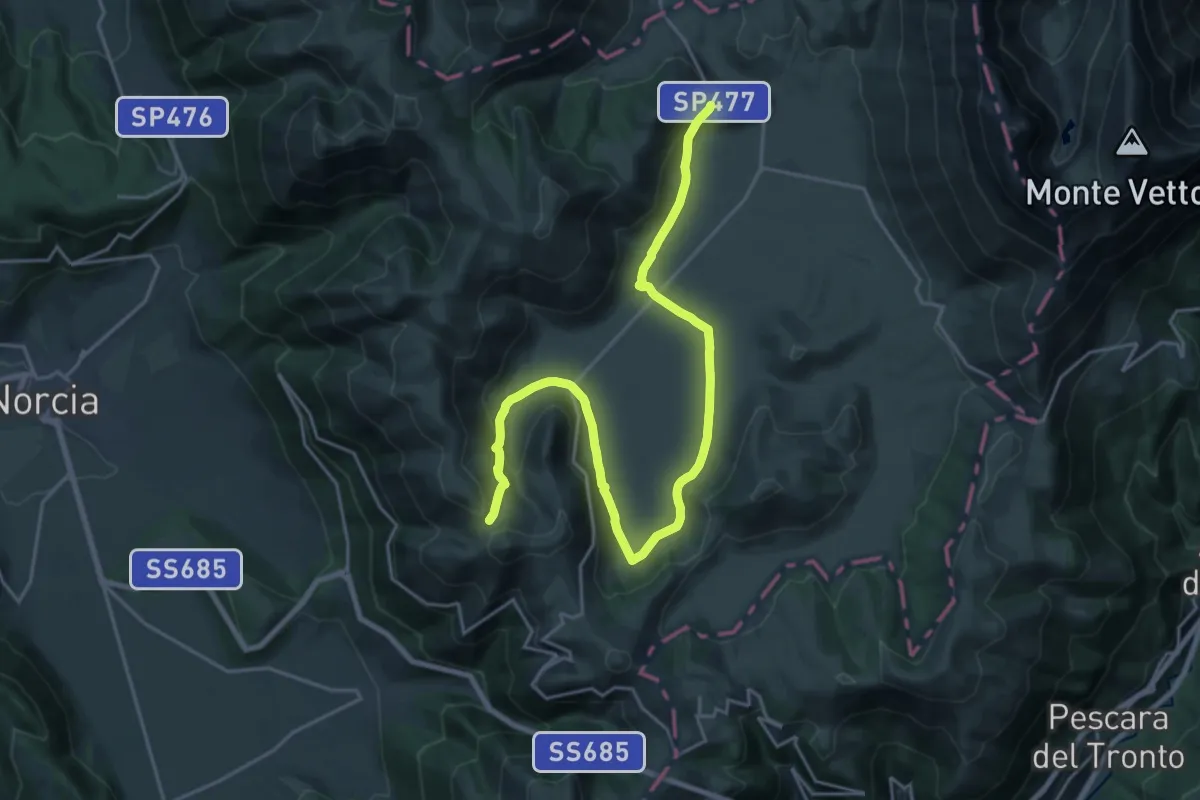
Intersezione Sentiero Italia – Grotta Lanna (GAS)
3.5 km · ↑ 67 m · 58 min
Demanding · Trail
Castelluccio di Norcia – Sentiero N571 (GAS)
25.7 km · ↑ 488 m · 7 h 7 min
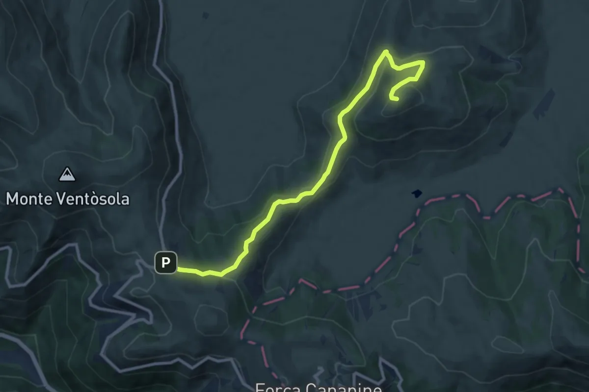
Medium · Summit
Rifugio Perugia – Monte Guaidone
9.8 km · ↑ 341 m · 3 h 4 min
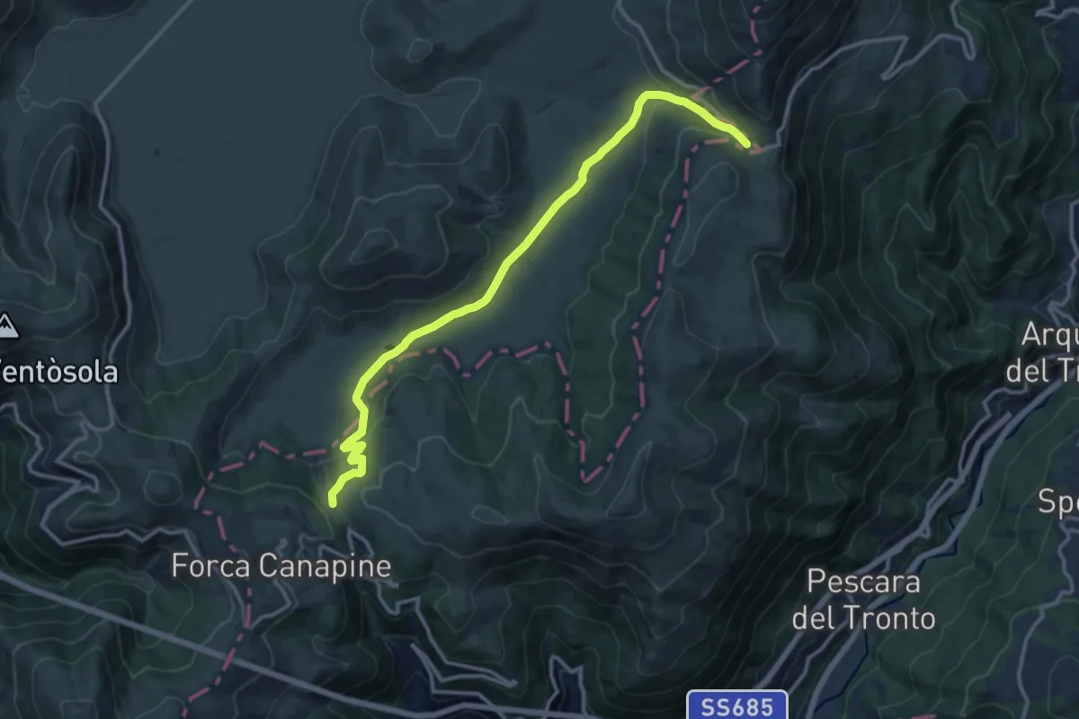
Medium · Cabin
Forca di Presta – Rifugio Colle le Cese (GAS)
13.8 km · ↑ 433 m · 4 h 12 min
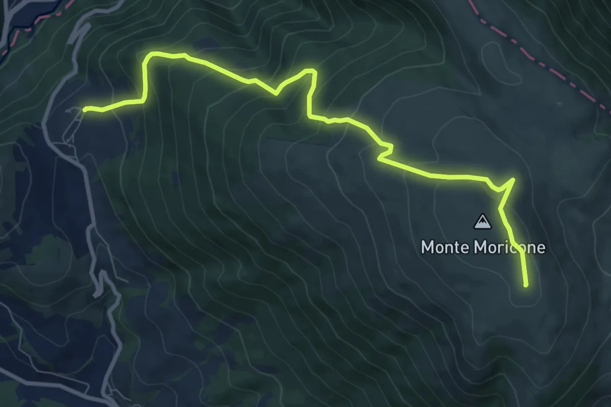
Medium · Summit
Saccovescio – Intersezione percorso 590
9.7 km · ↑ 710 m · 3 h 49 min
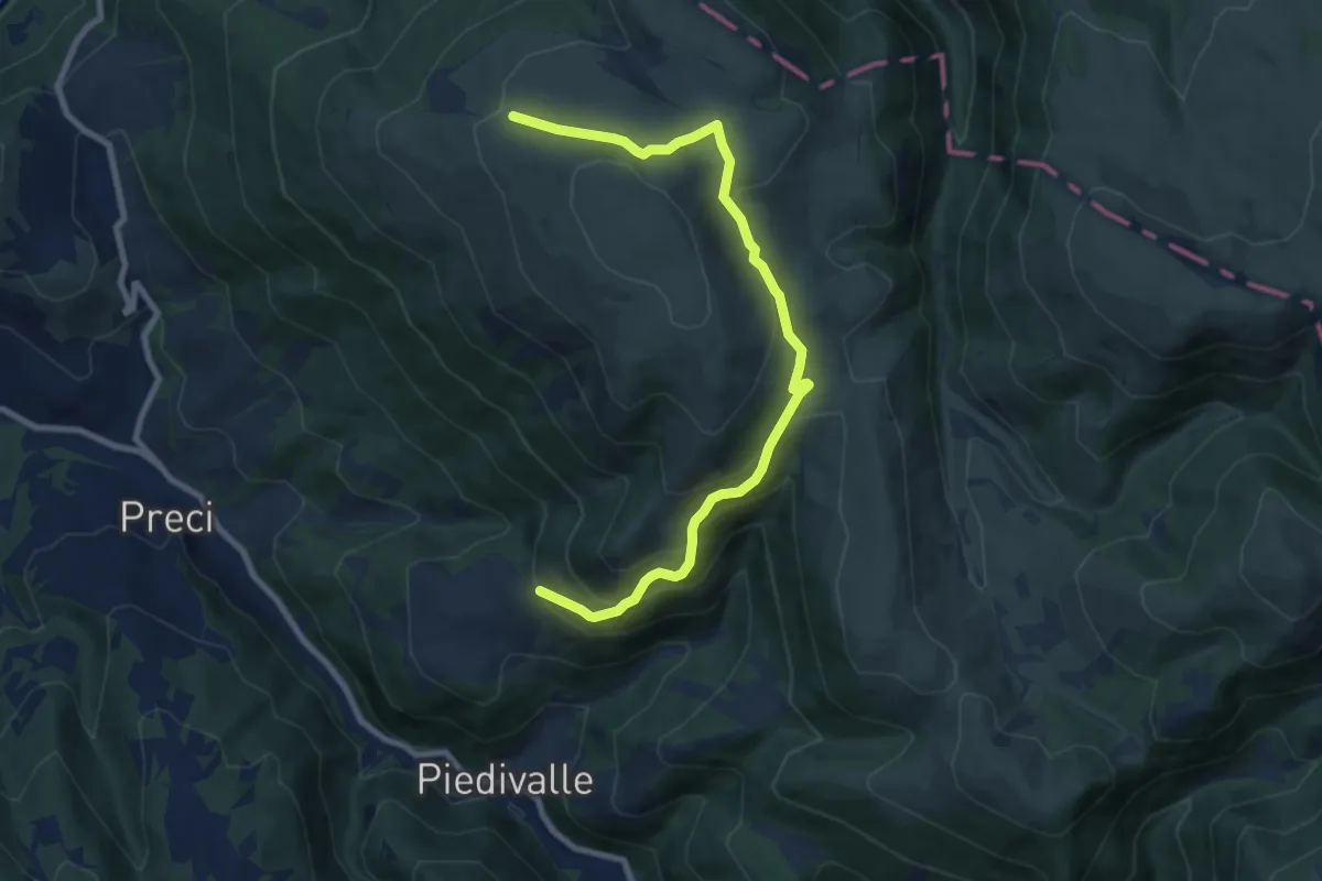
Medium · Trail
Collescille – Monte Argentiera
9.8 km · ↑ 592 m · 3 h 36 min
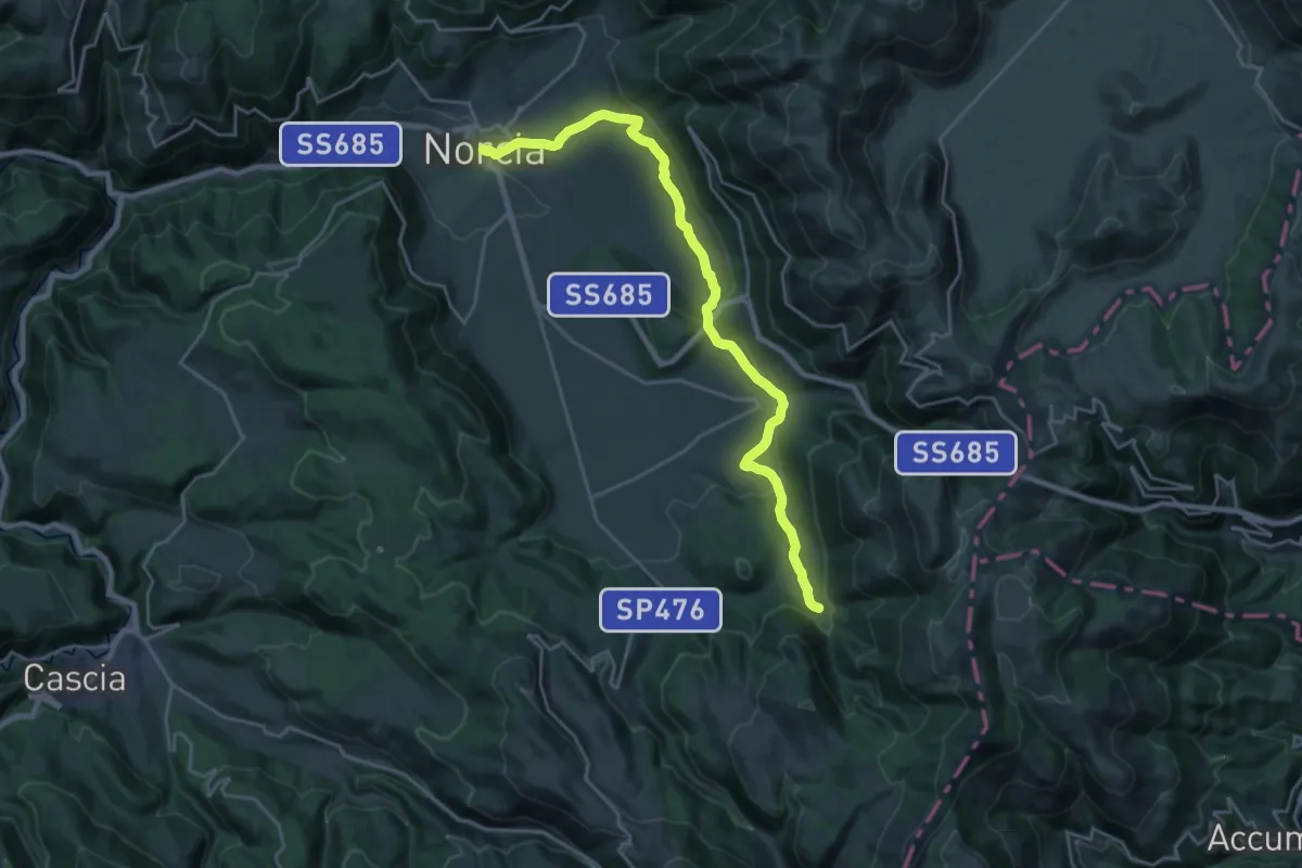
Demanding · Trail
Norcia – Nottoria
25.0 km · ↑ 733 m · 7 h 30 min
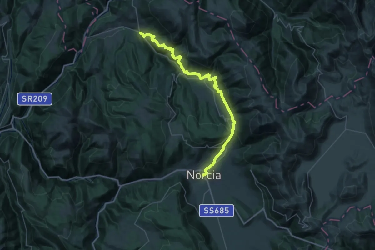
Demanding · Trail
Norcia – Borgo
17.8 km · ↑ 833 m · 6 h 17 min
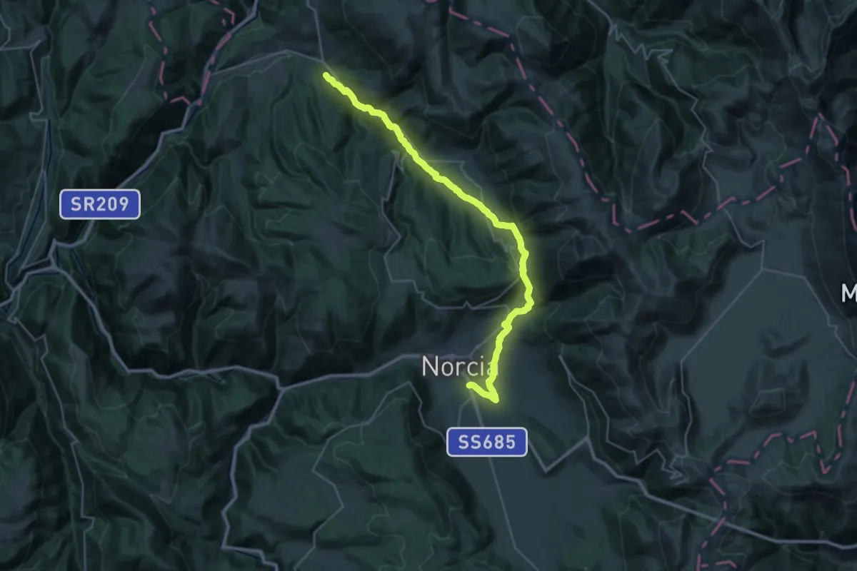
Medium · Trail
Norcia – Preci
16.4 km · ↑ 544 m · 5 h 17 min
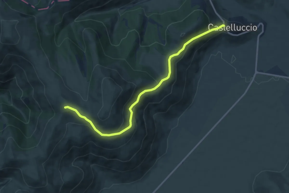
Medium · Trail
Castelluccio di Norcia – Coste Forconi
9.2 km · ↑ 397 m · 3 h 2 min
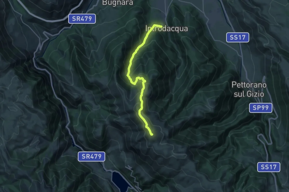
Demanding · Summit
Introdacqua – Monte Genzana
19.6 km · ↑ 1512 m · 7 h 54 min
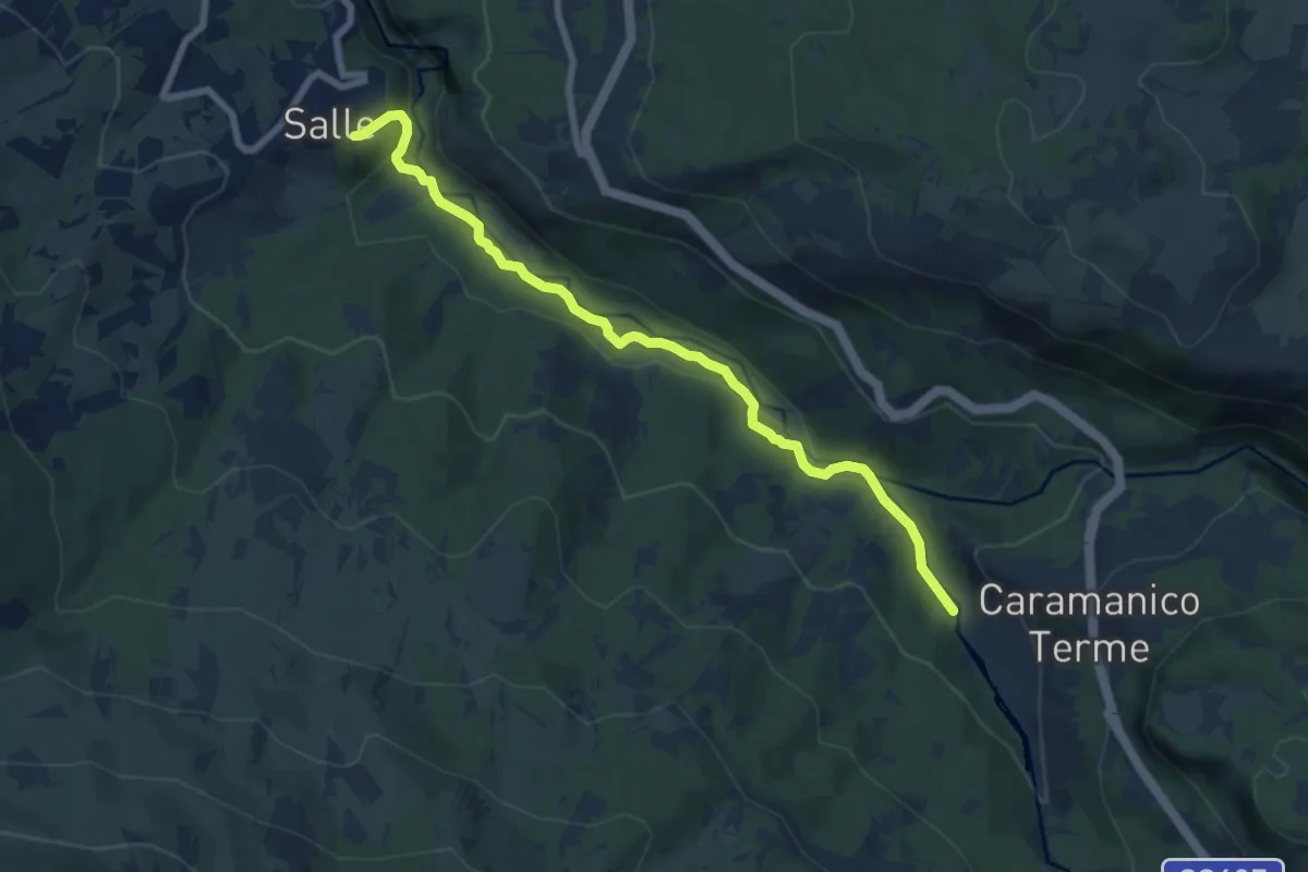
Medium · Trail
Salle – Caramanico Terme
8.2 km · ↑ 190 m · 2 h 21 min
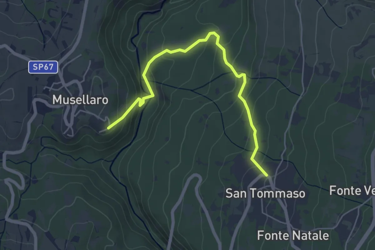
Easy · Trail
Musellaro – San Tommaso
5.2 km · ↑ 249 m · 1 h 46 min
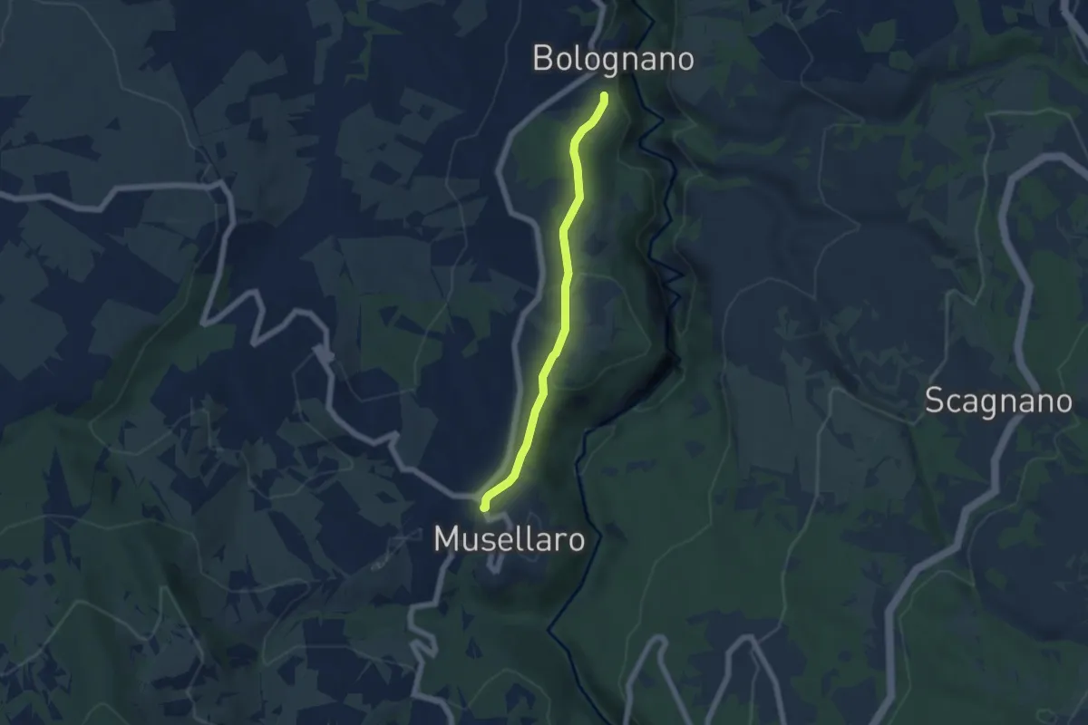
Easy · Trail
Bolognano – Musellaro
5.1 km · ↑ 110 m · 1 h 27 min
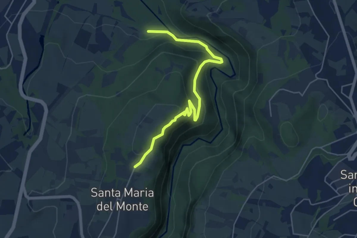
Easy · Trail
Piano d'Orta – Madonna del Monte
5.0 km · ↑ 264 m · 1 h 45 min
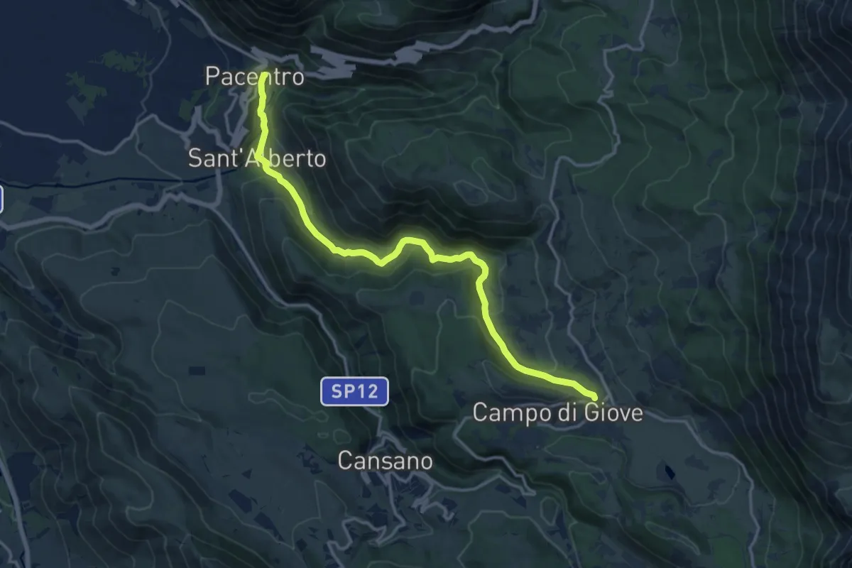
Medium · Trail
Pacentro – Campo di Giove
15.7 km · ↑ 739 m · 5 h 18 min
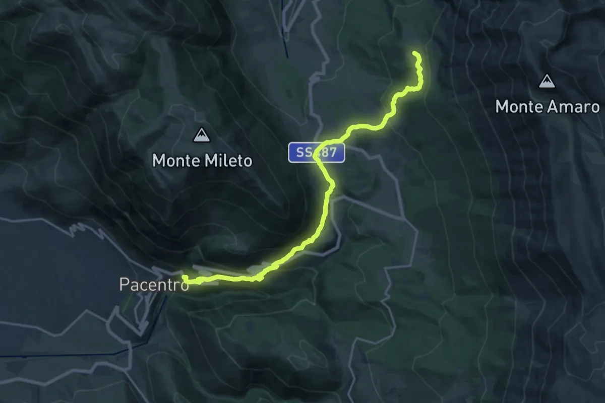
Demanding · Trail
Pacentro – Lama Bianca
18.2 km · ↑ 928 m · 6 h 18 min
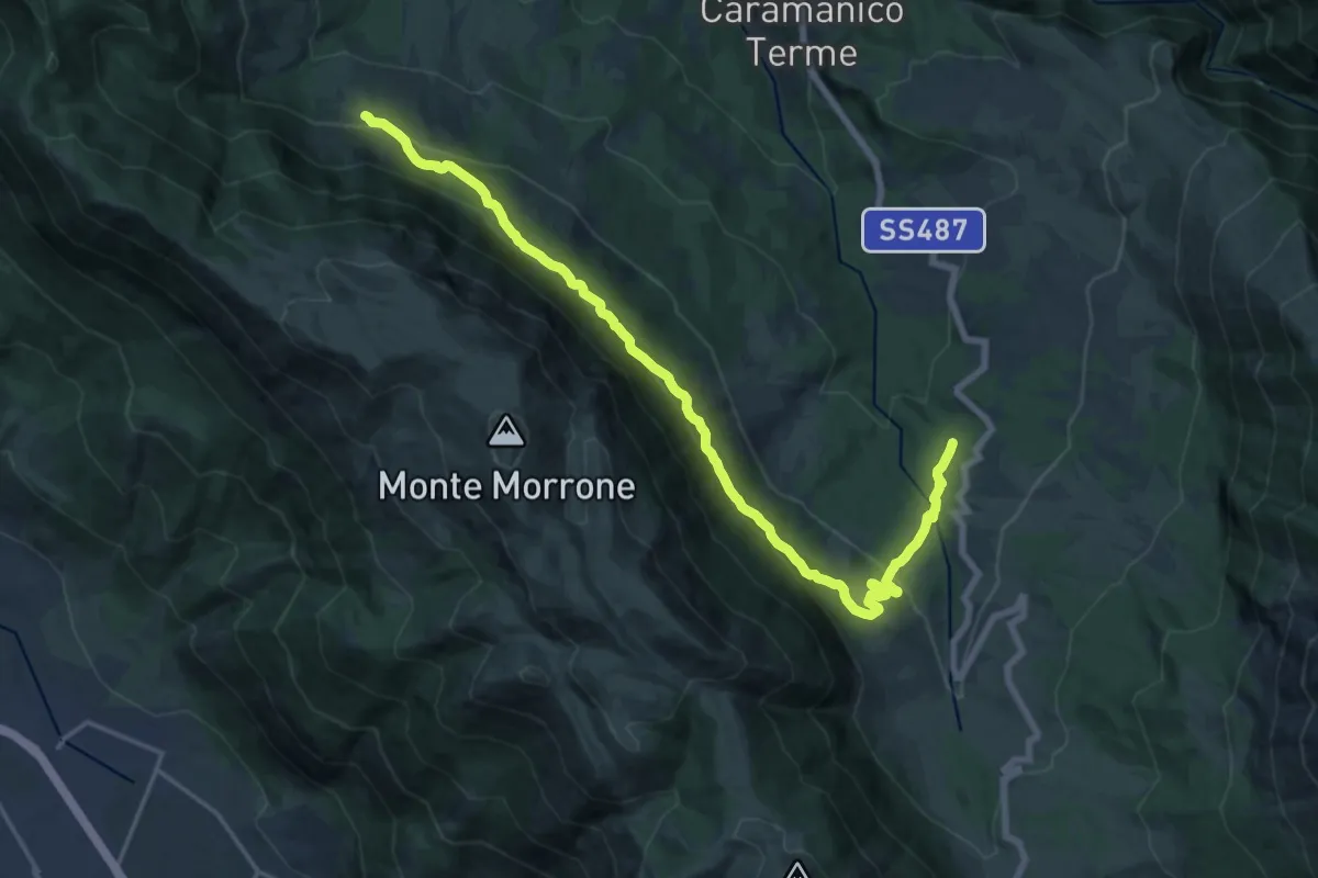
Demanding · Trail
San Giacomo – Barbusciana di Salle
21.9 km · ↑ 1005 m · 7 h 20 min
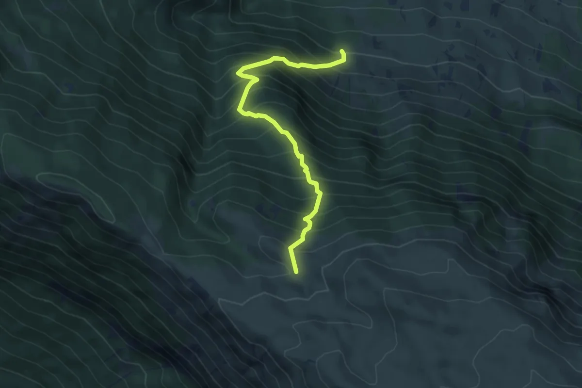
Medium · Trail
Barbusciana di Salle – Rifugio Jaccio Grande
5.7 km · ↑ 714 m · 2 h 53 min
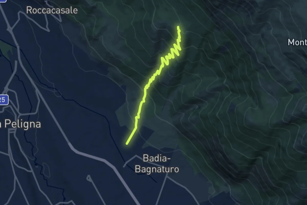
Medium · Summit
Le Casette – Colle delle Vacche
10.4 km · ↑ 741 m · 4 h 3 min
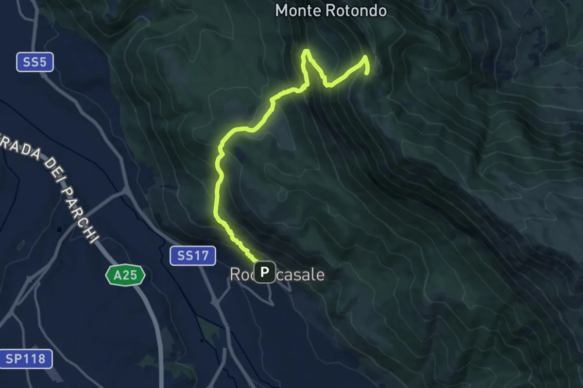
Demanding · Trail
Roccacasale – Colle dei Sambuchi
14.0 km · ↑ 1267 m · 6 h 3 min
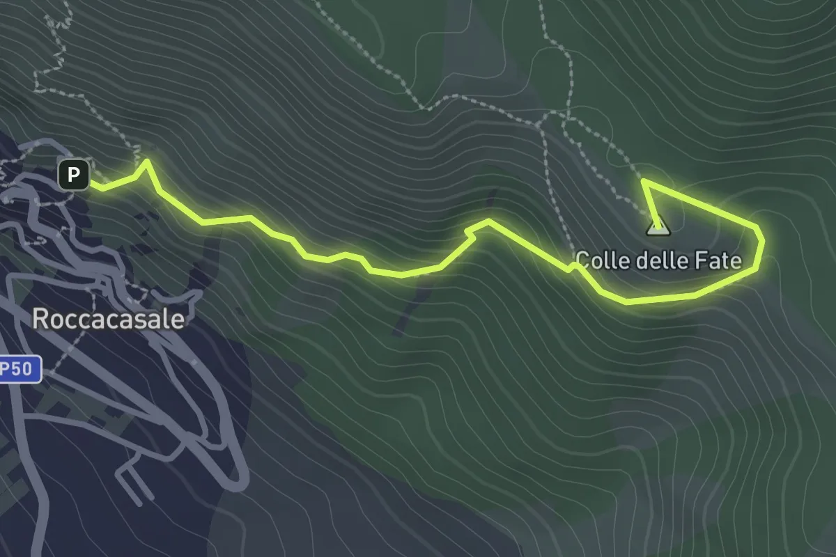
Easy · Summit
Roccacasale – Rif. Il Puzzacchio
3.5 km · ↑ 247 m · 1 h 21 min