Trails in Italy
25,219 hiking trails, each with its route, climb, walking time and grade.
All trails, page 284 of 526
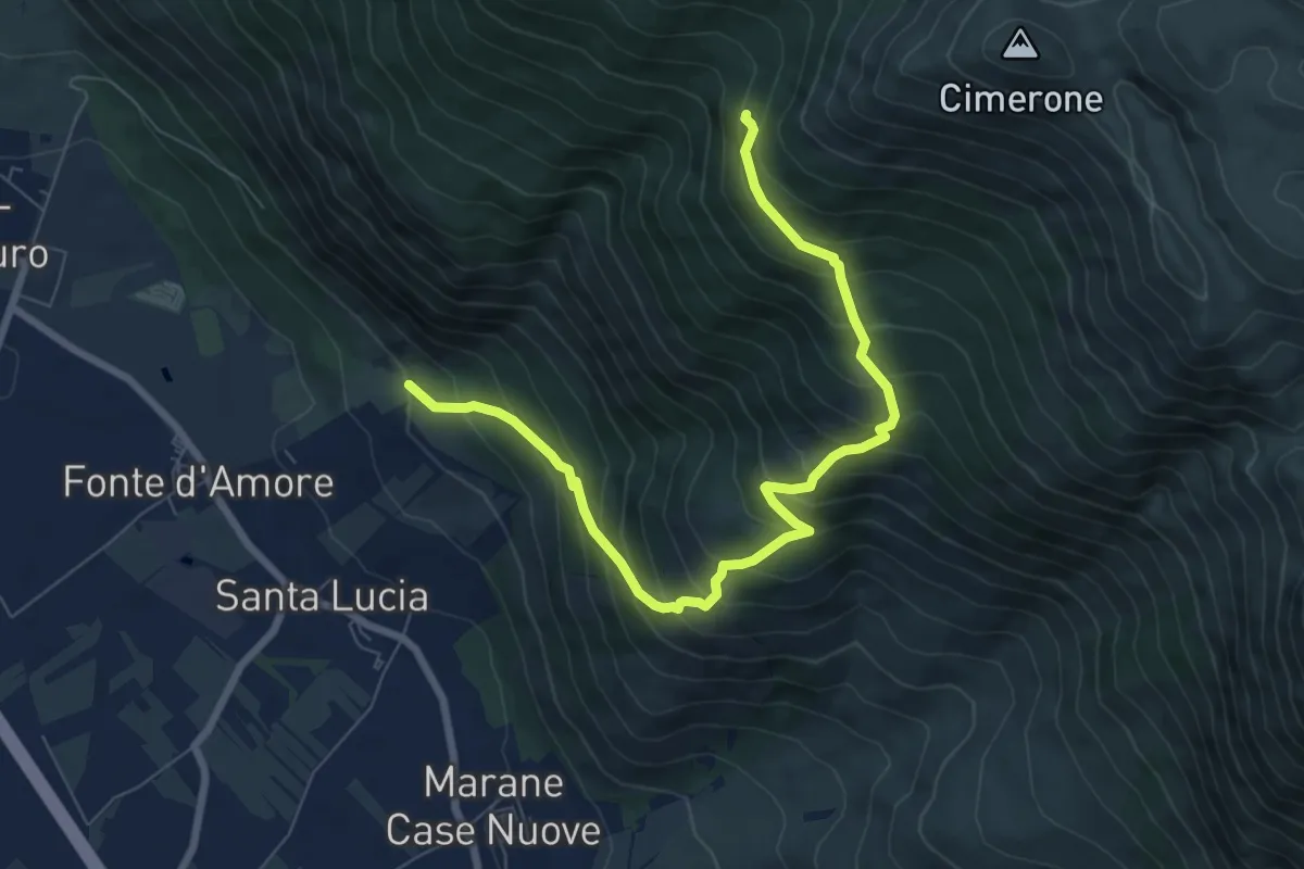
Demanding · Trail
Sentiero R6 – Sentiero Spirito
9.0 km · ↑ 916 m · 4 h 6 min
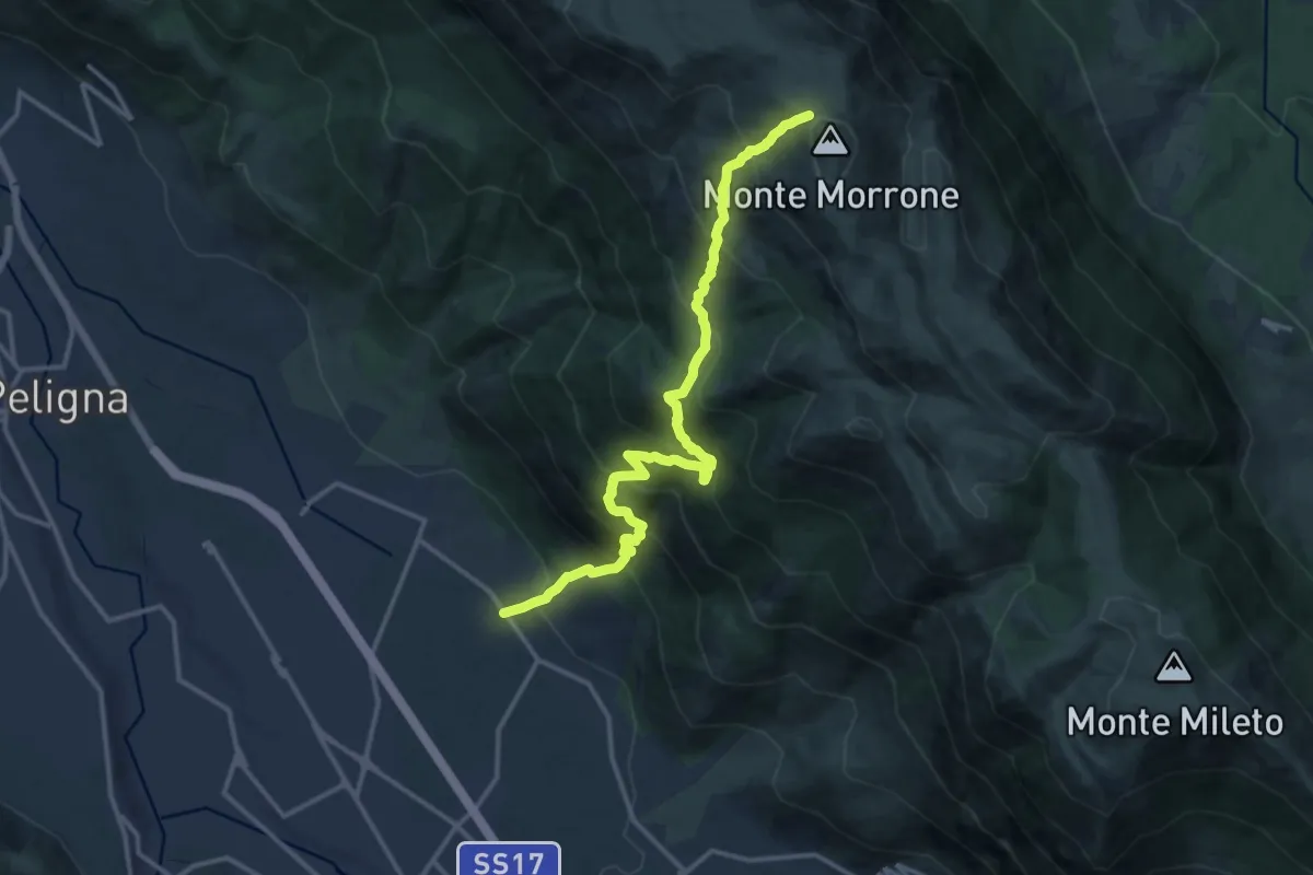
Demanding · Trail
Fonte D'Amore – Monte Morrone
16.1 km · ↑ 1707 m · 7 h 31 min
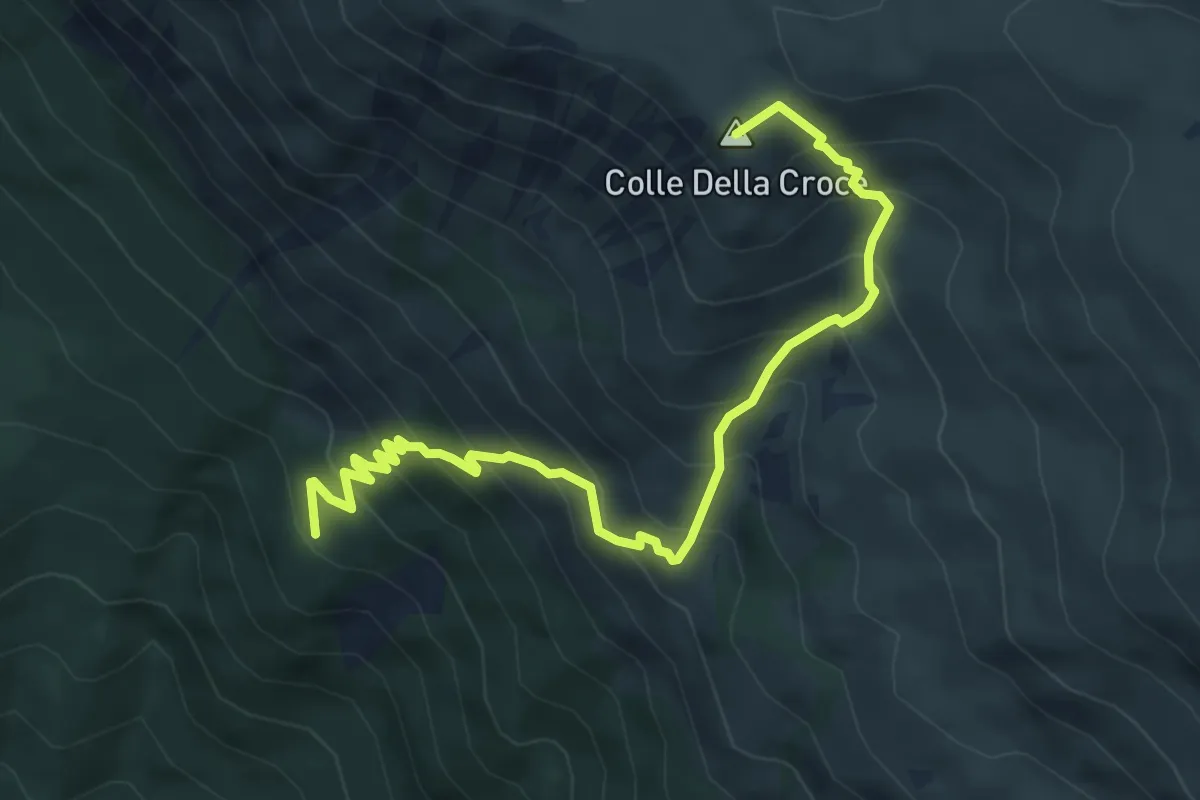
Medium · Summit
Sentiero R4 – Colle della Croce
6.5 km · ↑ 724 m · 3 h 7 min
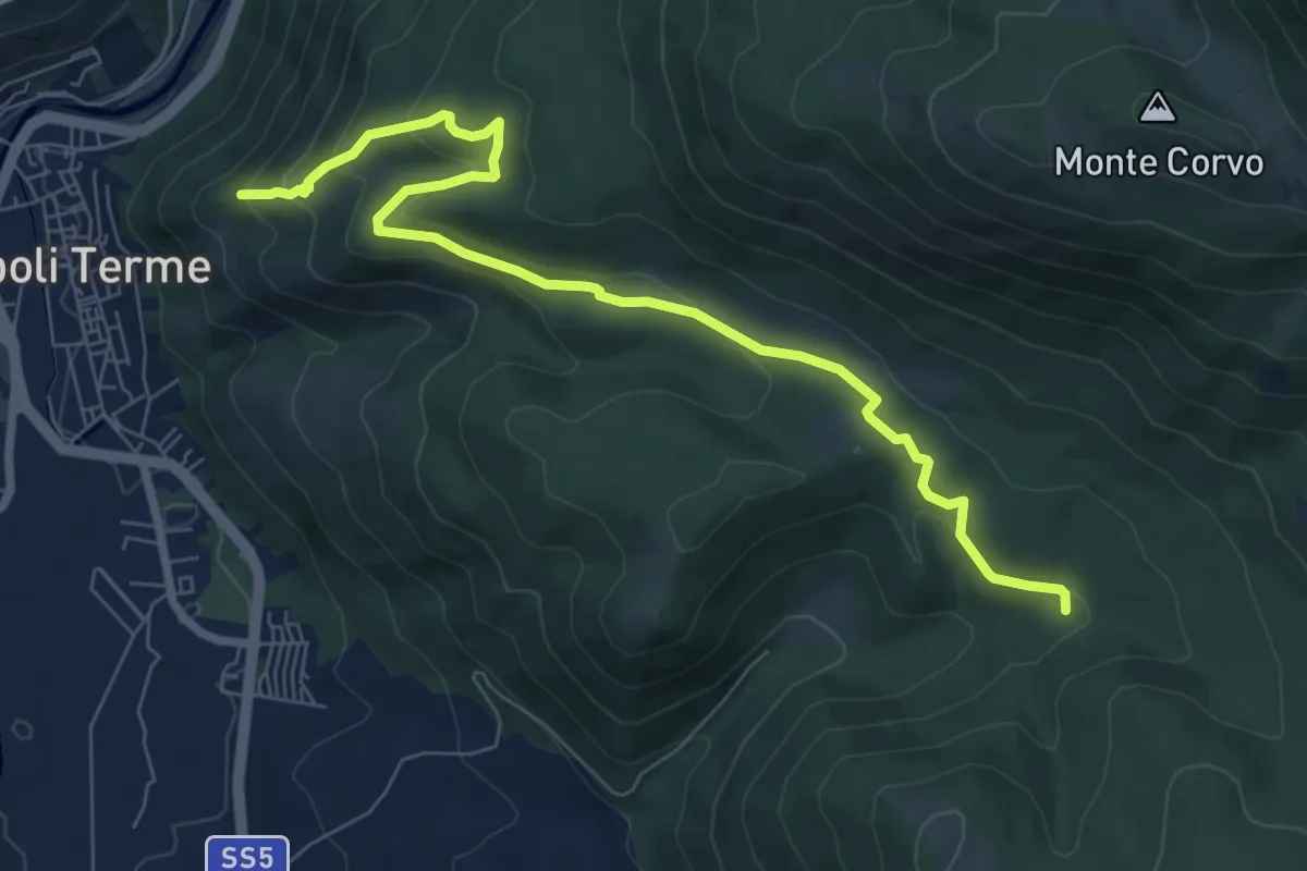
Medium · Trail
Castello di Popoli – Sentiero del Parco
8.9 km · ↑ 412 m · 2 h 59 min
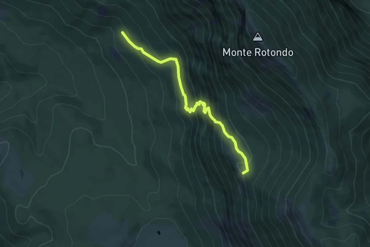
Medium · Trail
Tre Cese – La Fossa
5.3 km · ↑ 449 m · 2 h 13 min
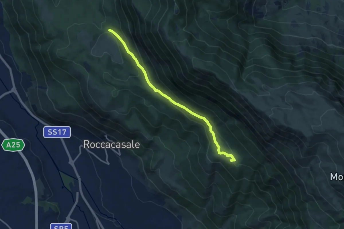
Medium · Summit
Fonte Beato Mariano – Sentiero R6
10.0 km · ↑ 391 m · 3 h 13 min
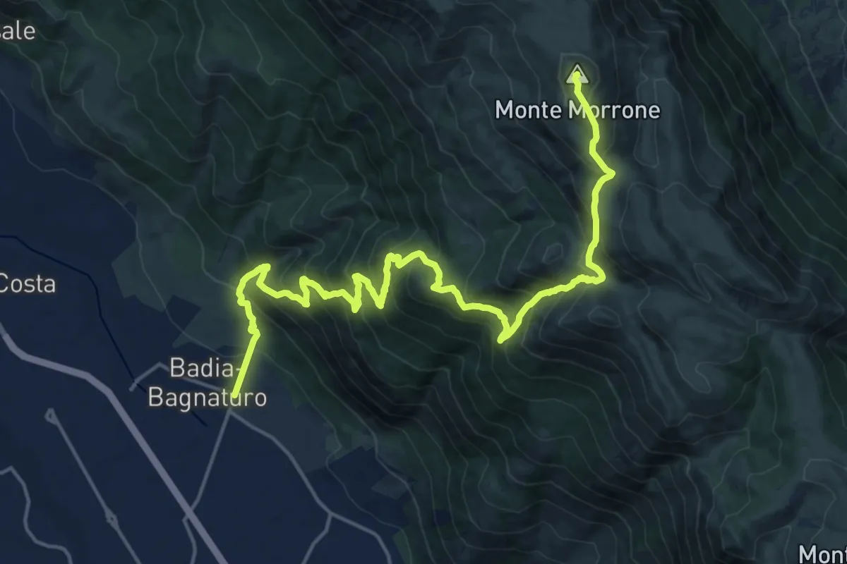
Demanding · Summit
Badia di Sulmona – Caramanico Terme
22.0 km · ↑ 1796 m · 9 h 5 min
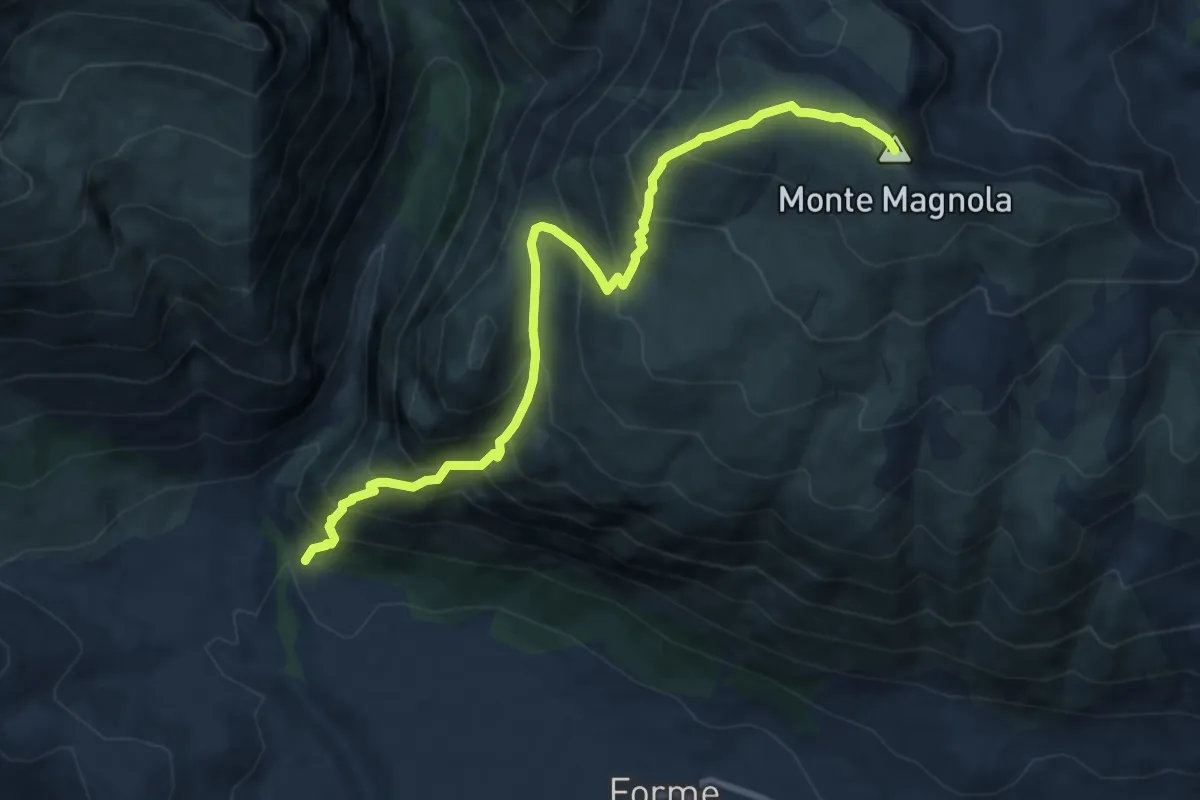
Demanding · Summit
Peschio Rovicino – Monte Magnola
10.5 km · ↑ 1084 m · 4 h 50 min
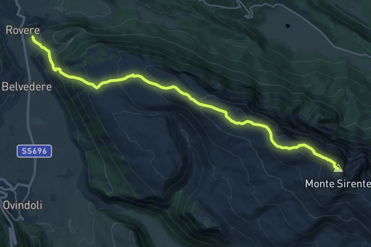
Demanding · Summit
Rovere – Monte Sirente
18.9 km · ↑ 992 m · 6 h 36 min
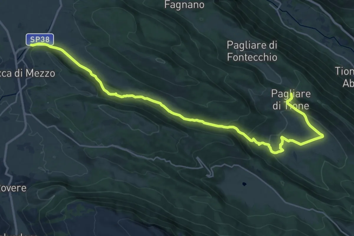
Demanding · Trail
Rocca di Mezzo – Pagliare di Tione
23.5 km · ↑ 632 m · 6 h 55 min
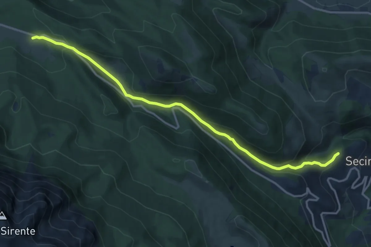
Medium · Trail
Secinaro – Chiusa della Mdonna
11.2 km · ↑ 447 m · 3 h 37 min
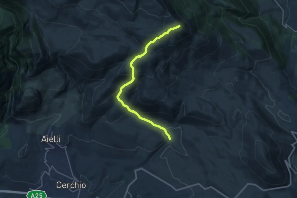
Demanding · Summit
Fontanile del Vallone – Monte San Nicola
14.2 km · ↑ 1053 m · 5 h 38 min
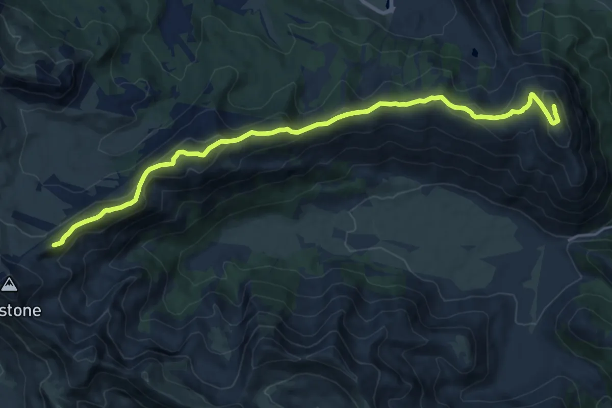
Demanding · Summit
Rifugio Sebastiani – Monte Rotondo
17.3 km · ↑ 879 m · 5 h 59 min
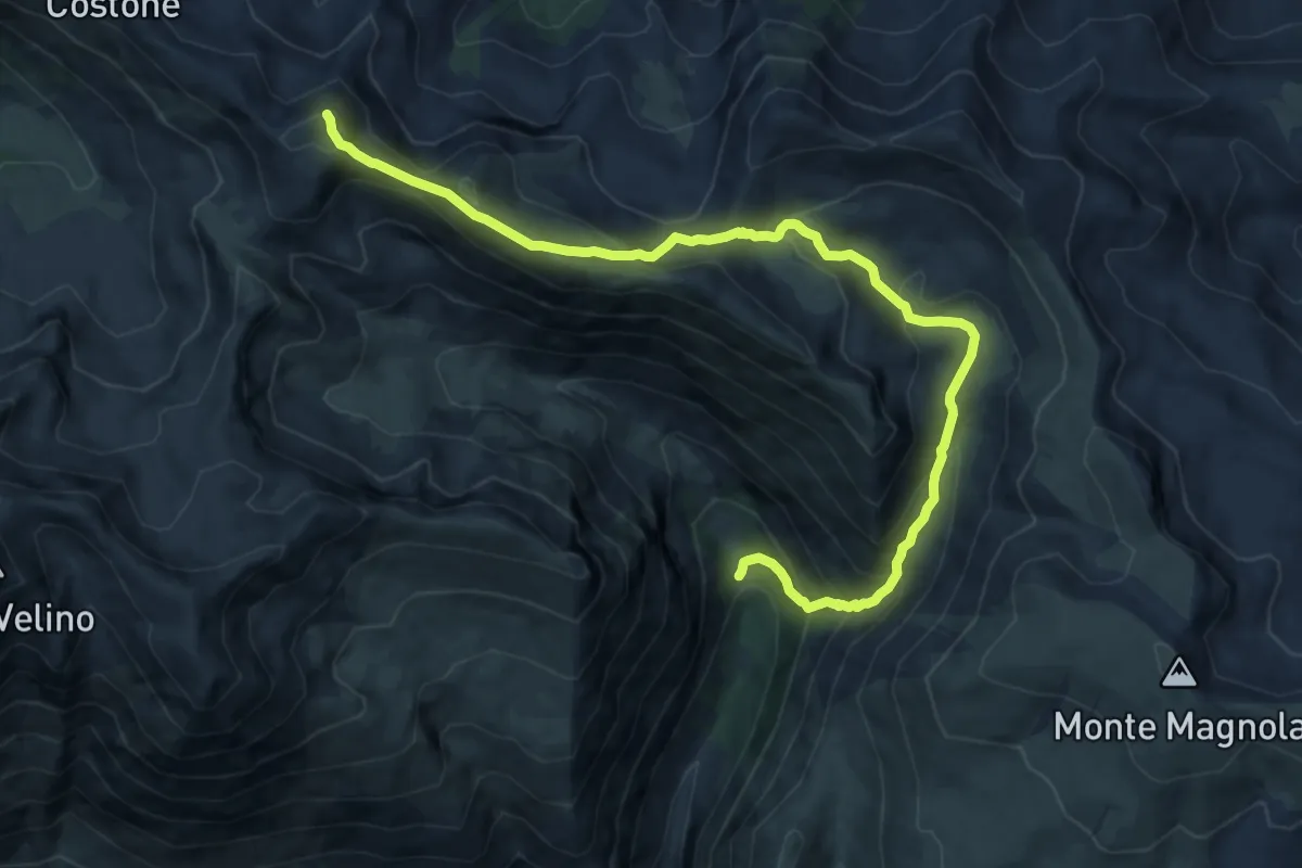
Demanding · Summit
Valle Majelama – Rifugio Sebastiani
13.3 km · ↑ 989 m · 5 h 18 min
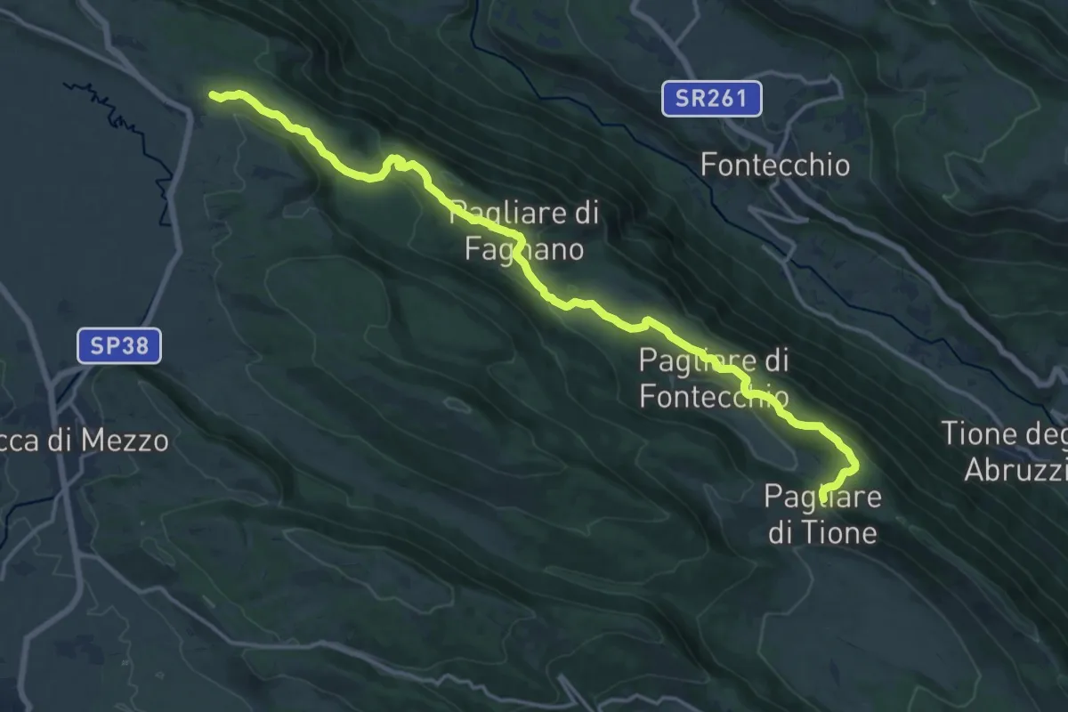
Demanding · Trail
Terranera – Pagliare di Tione
18.4 km · ↑ 421 m · 5 h 15 min
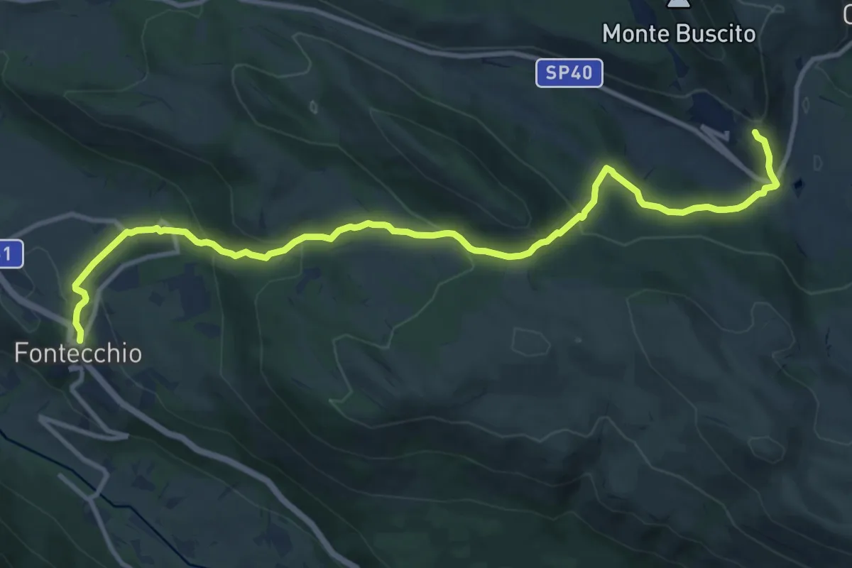
Medium · Trail
Fontecchio – Bominaco
12.8 km · ↑ 626 m · 4 h 23 min
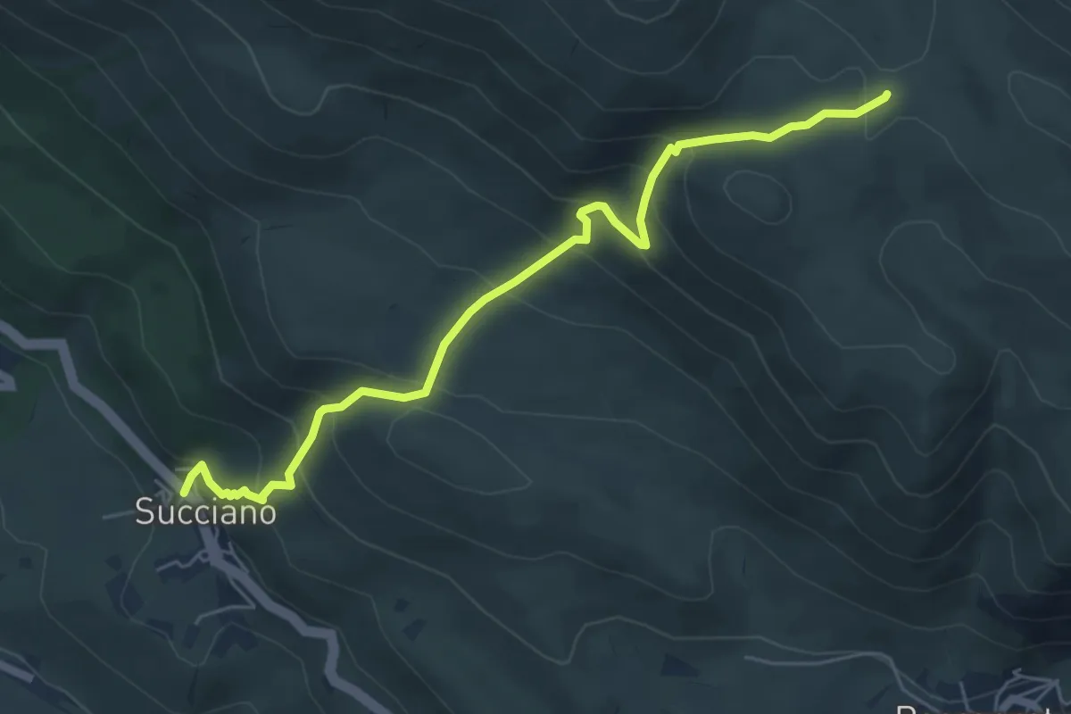
Medium · Trail
Succiano – Chiesa di Sant'Erasmo
6.4 km · ↑ 547 m · 2 h 42 min
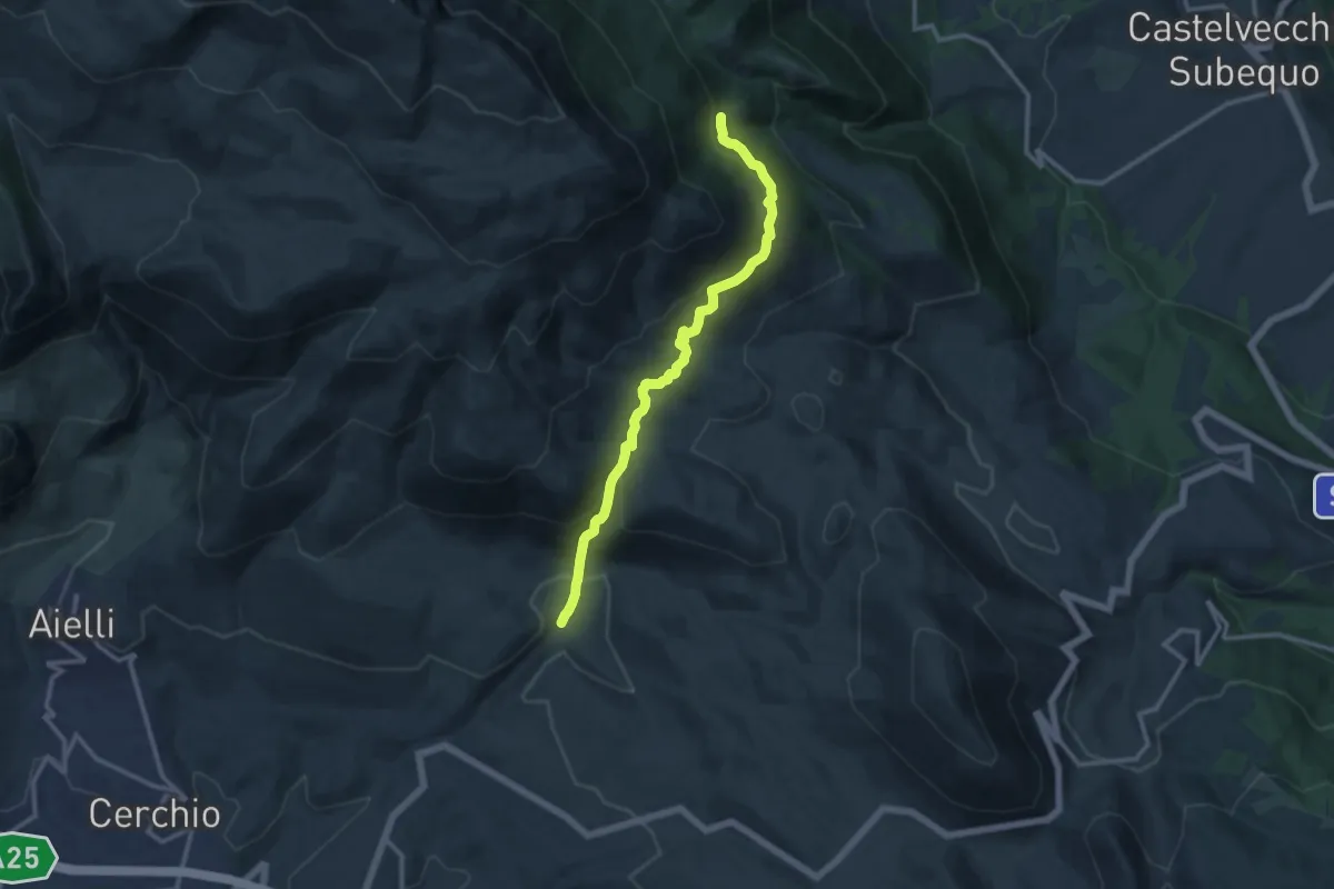
Medium · Trail
Fontanile del Vallone – Capo La Piaia
12.7 km · ↑ 657 m · 4 h 25 min
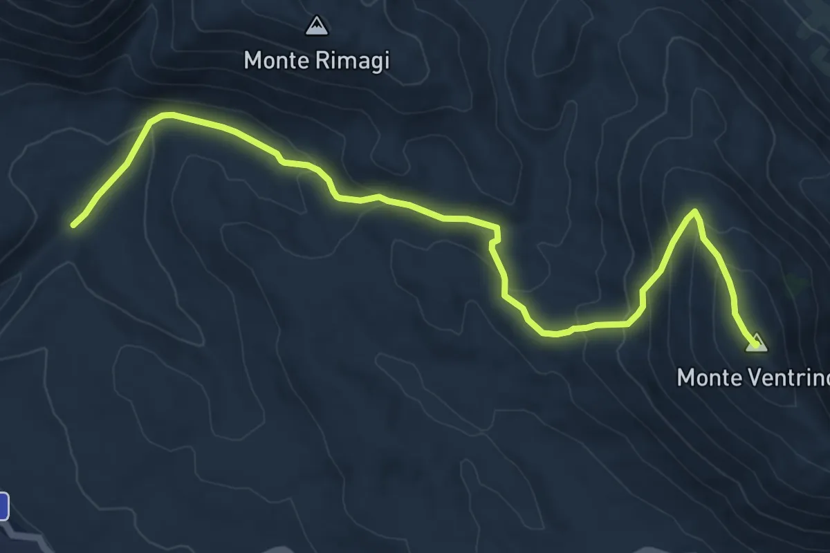
Medium · Summit
Fontanile del Vallone – Monte Ventrino
11.0 km · ↑ 532 m · 3 h 45 min
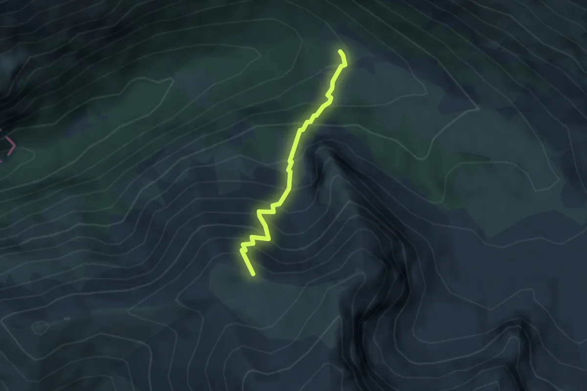
Medium · Trail
Capo di Teve – Capanna di Sevice
3.2 km · ↑ 461 m · 1 h 46 min
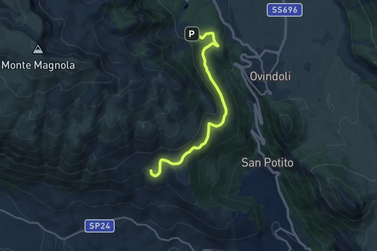
Medium · Cabin
Piazzale Magnola – Rifugio Fonte Tavoloni
10.1 km · ↑ 280 m · 3 h
Medium · Summit
Vado di Roscia Grande – Costone della Cerasa
5.0 km · ↑ 267 m · 1 h 45 min
Demanding · Trail
Ponticello di Val D'Arano – Prato di Cerro
10.2 km · ↑ 844 m · 4 h 15 min
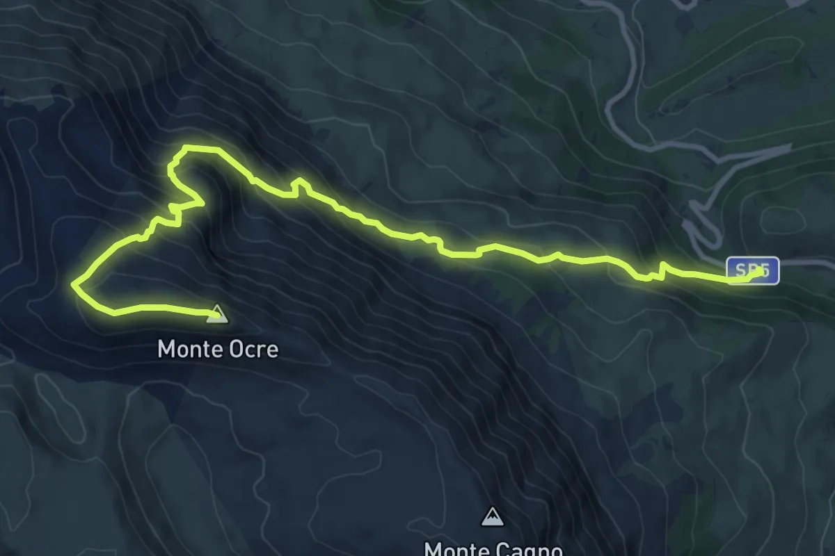
Demanding · Summit
SS 5 – Monte Ocre
12.5 km · ↑ 908 m · 4 h 55 min
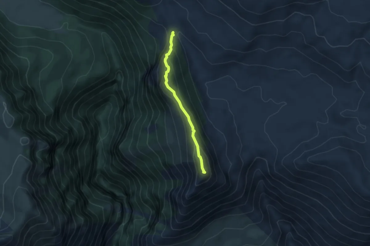
Easy · Summit
Prato del Popolo – Monte Etra
3.9 km · ↑ 221 m · 1 h 24 min
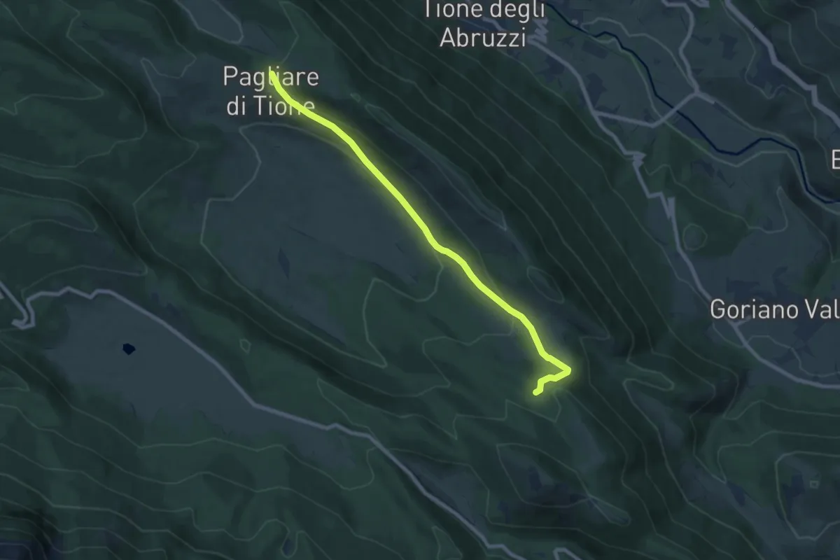
Medium · Trail
Pagliare di Tione – Lago di Tempra
8.7 km · ↑ 271 m · 2 h 38 min
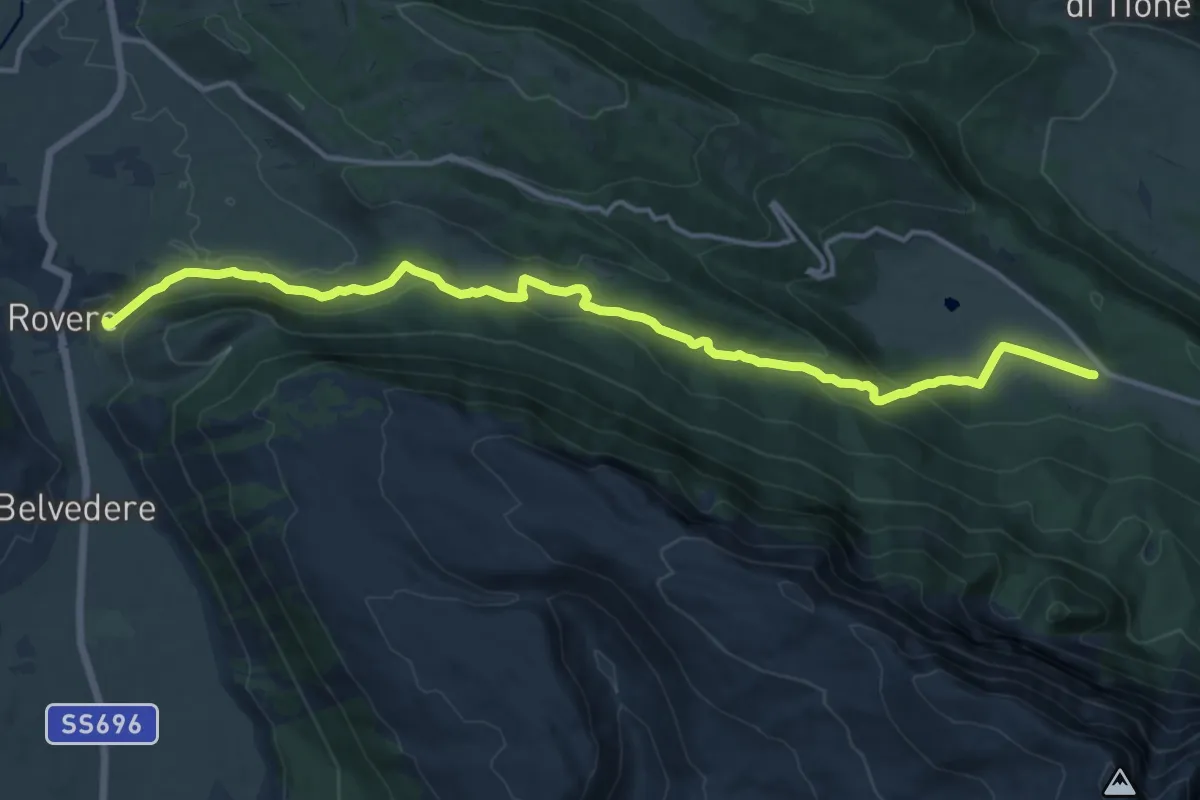
Medium · Trail
Rovere – Prati del Sirente
16.9 km · ↑ 552 m · 5 h 11 min
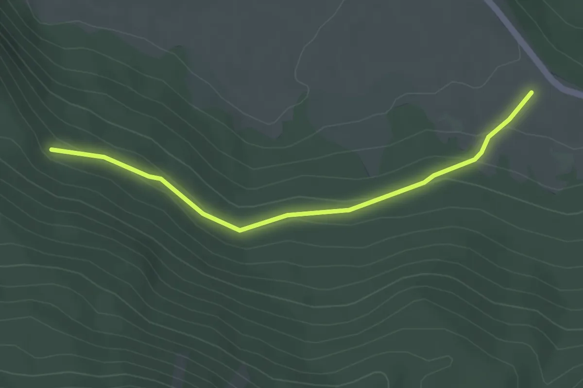
Easy · Trail
Prati del Sirente – Piana della Chia
3.6 km · ↑ 120 m · 1 h 6 min
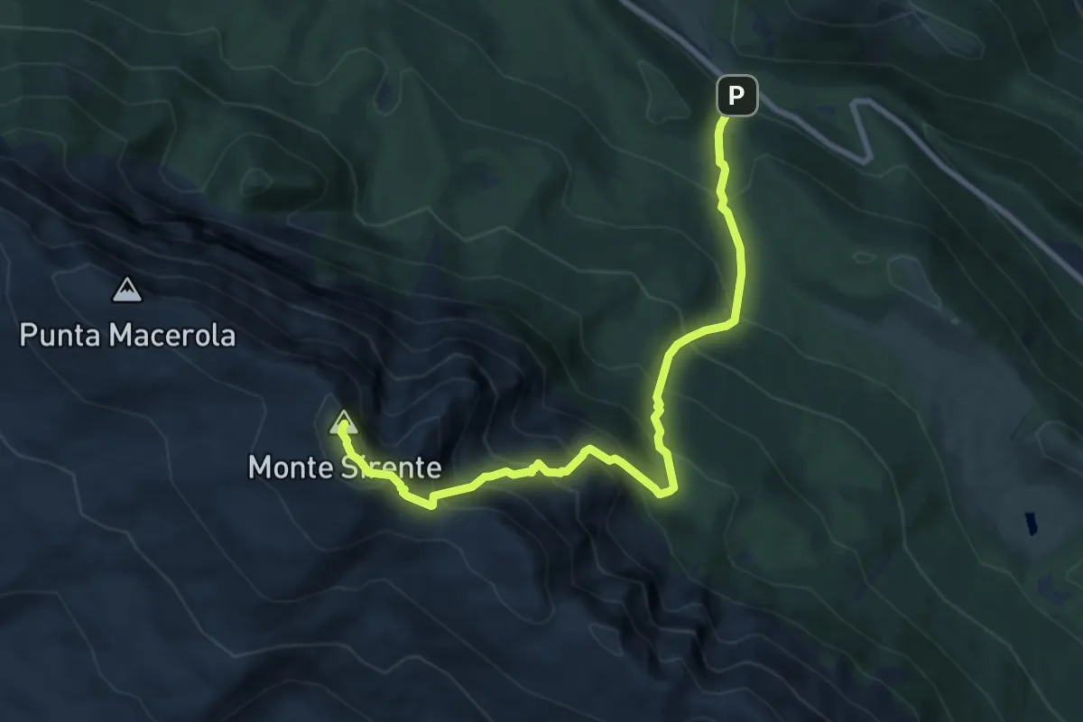
Demanding · Summit
Fonte all'Acqua – Monte Sirente
9.4 km · ↑ 1177 m · 4 h 46 min
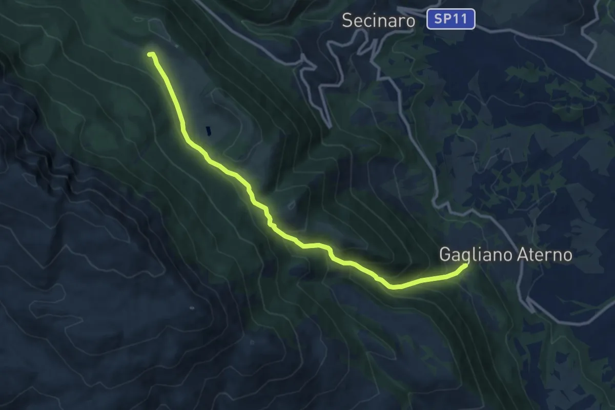
Medium · Summit
Gagliano Aterno – Fonte all'Acqua
11.2 km · ↑ 722 m · 4 h 12 min
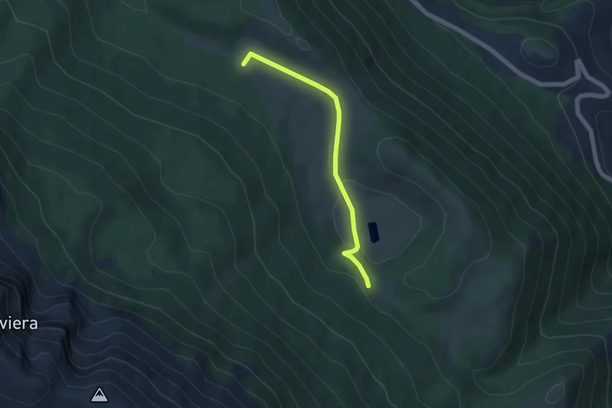
Easy · Summit
Piano di Canale – Pietra dell'Aura
3.7 km · ↑ 58 m · 59 min
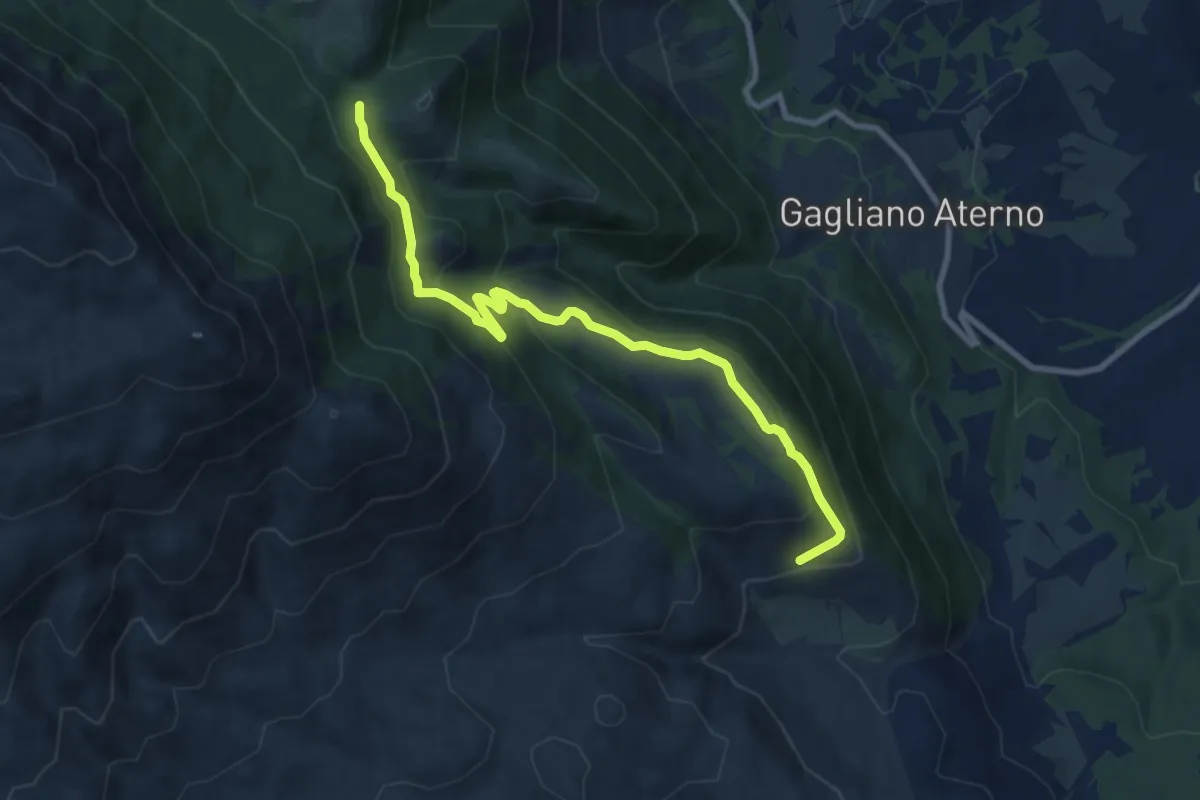
Medium · Trail
Madonna del Carmine – Capo La Piaia
10.2 km · ↑ 451 m · 3 h 22 min
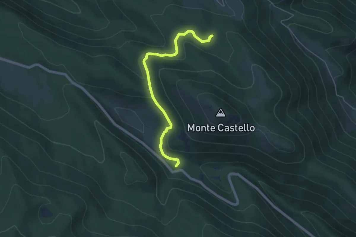
Easy · Cabin
Fonte all'Acqua – Lago di Tempra
4.8 km · ↑ 113 m · 1 h 23 min
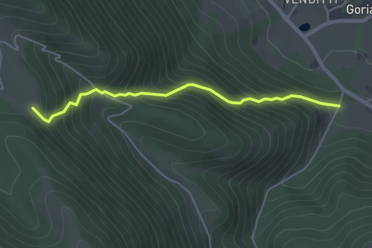
Medium · Trail
Goriano Valli – Sentiero 19C
3.9 km · ↑ 416 m · 1 h 49 min
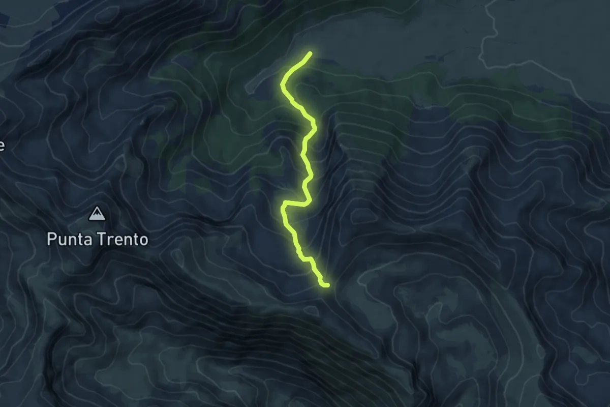
Medium · Trail
Capo Pezza – Vado di Castellaneta
5.8 km · ↑ 532 m · 2 h 31 min
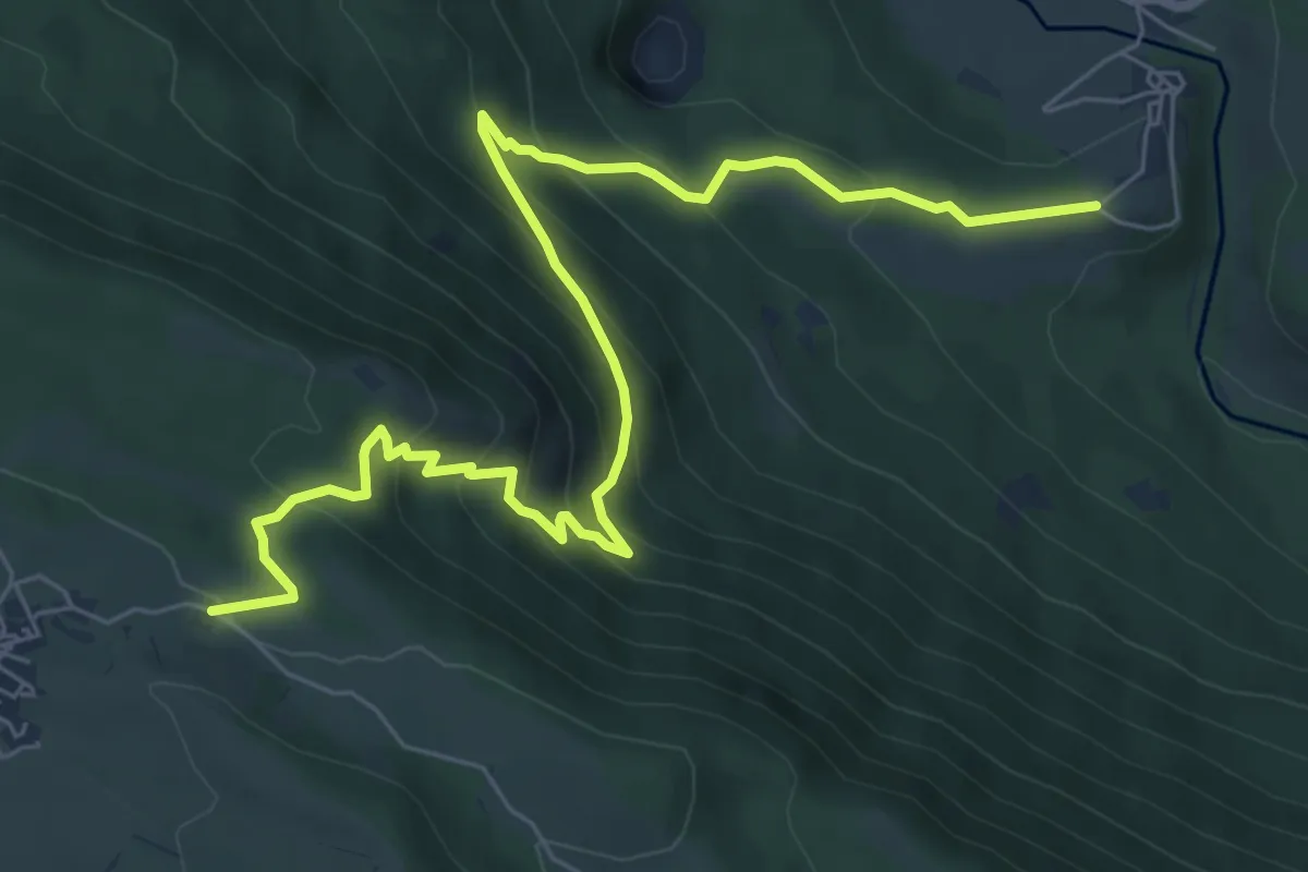
Medium · Trail
Campana – Terranera
9.0 km · ↑ 633 m · 3 h 29 min
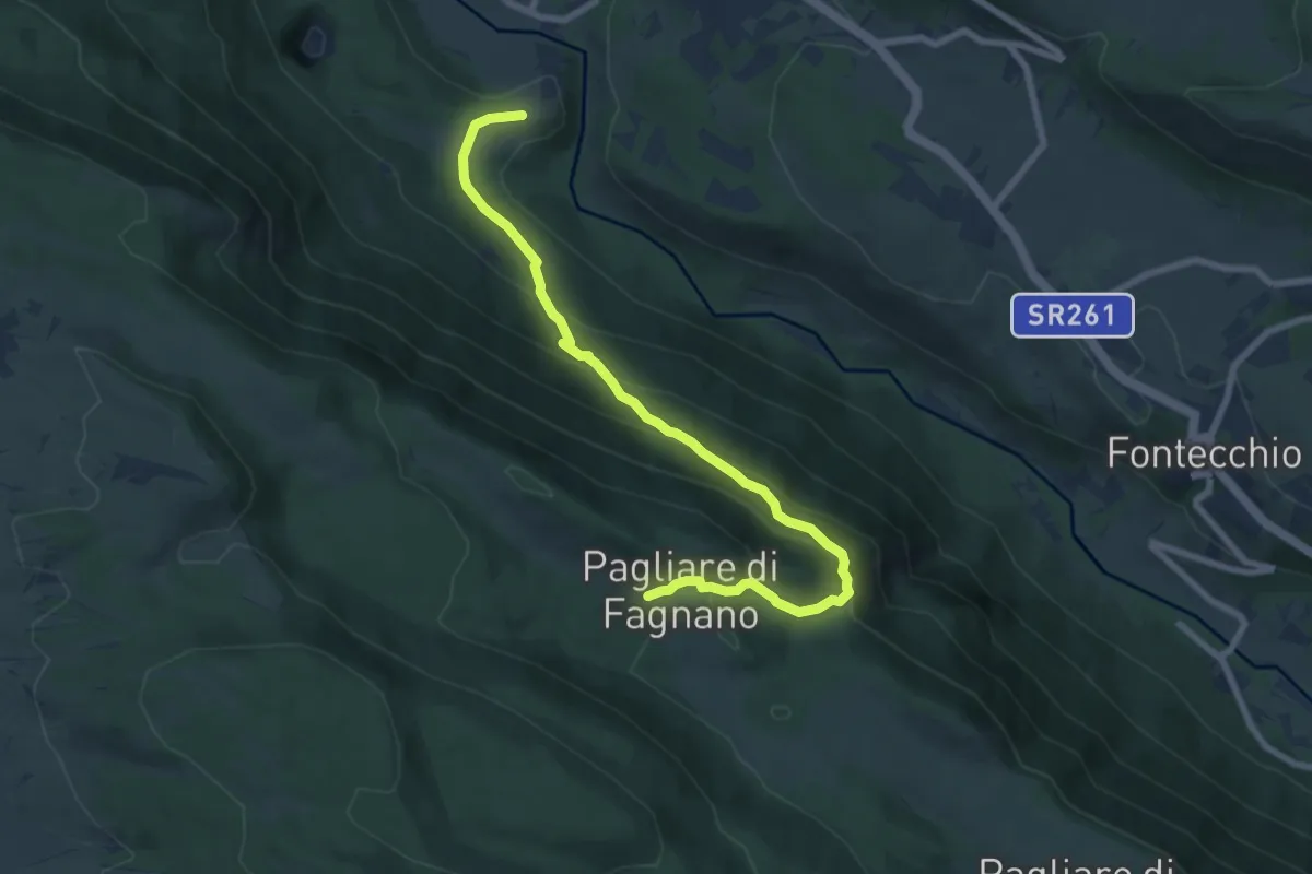
Medium · Trail
Campana – Pagliare di Fagnano
9.1 km · ↑ 575 m · 3 h 23 min
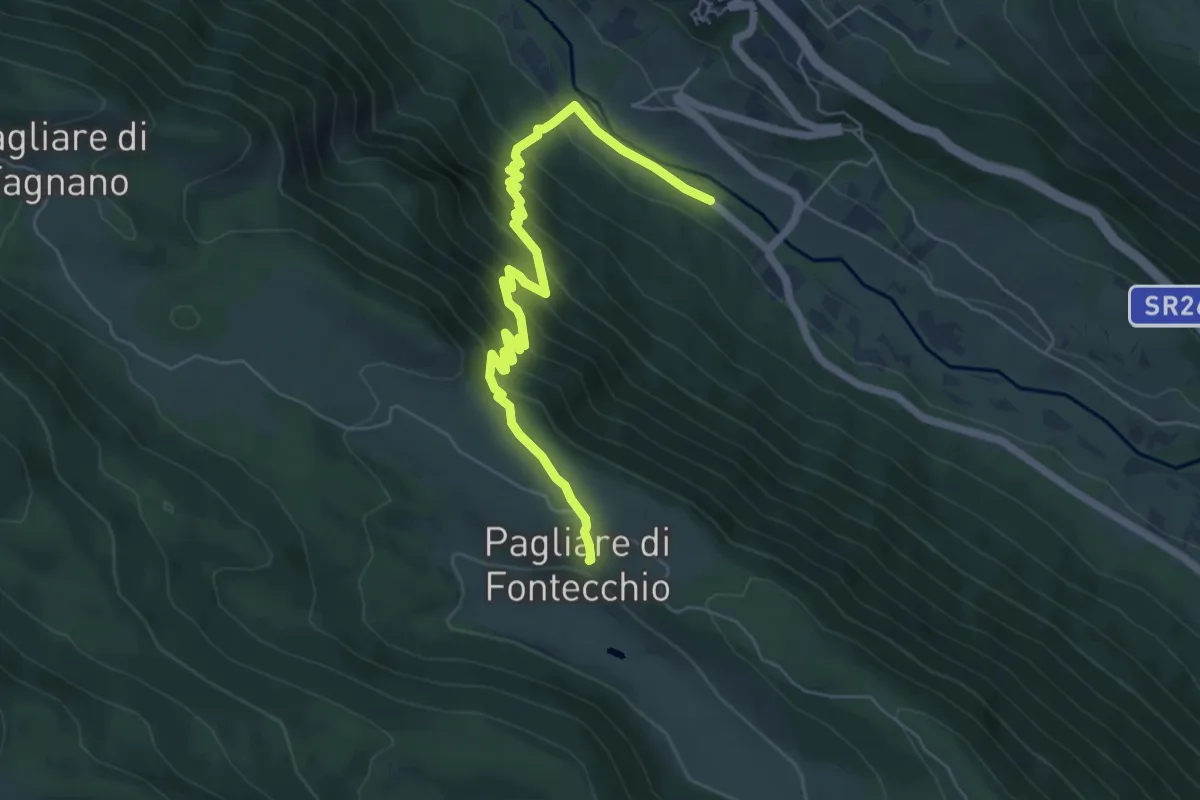
Medium · Trail
Stazione di Fontecchio – Pagliare di Fontecchio
7.1 km · ↑ 546 m · 2 h 51 min
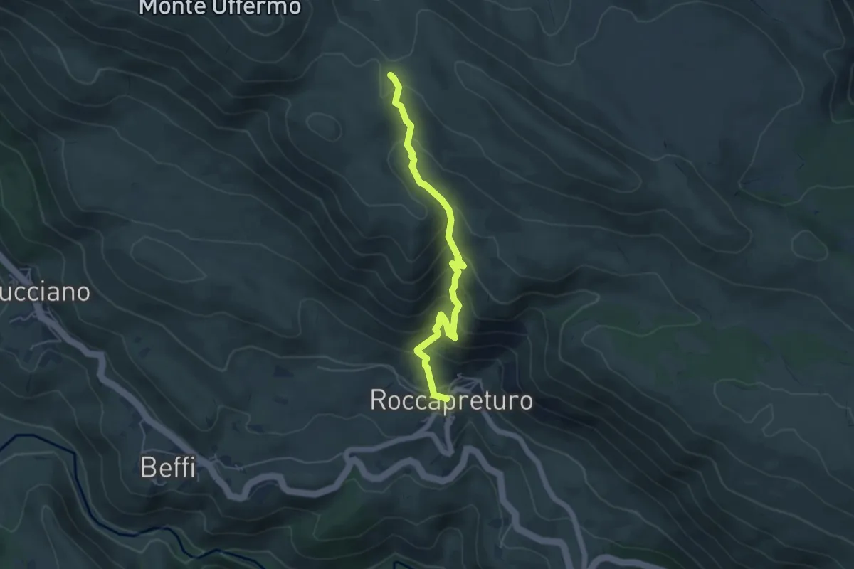
Medium · Trail
Roccapreturo – Chiesa di Sant'Erasmo
5.4 km · ↑ 448 m · 2 h 15 min
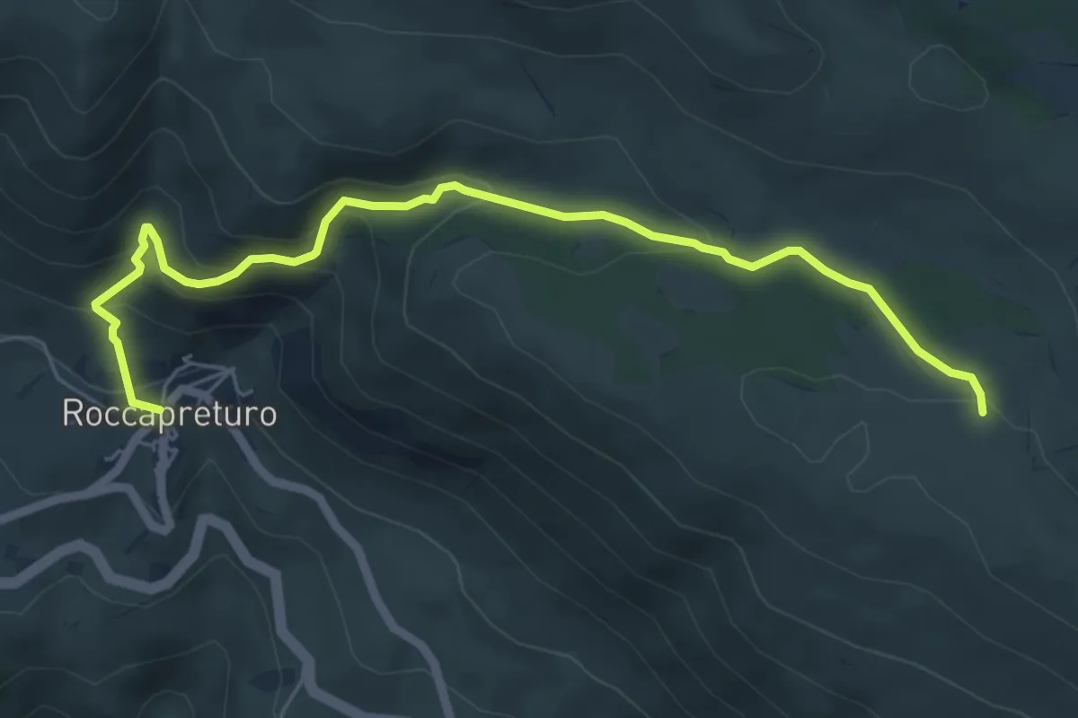
Medium · Trail
Roccapreturo – Colle della Difensa
6.8 km · ↑ 414 m · 2 h 31 min
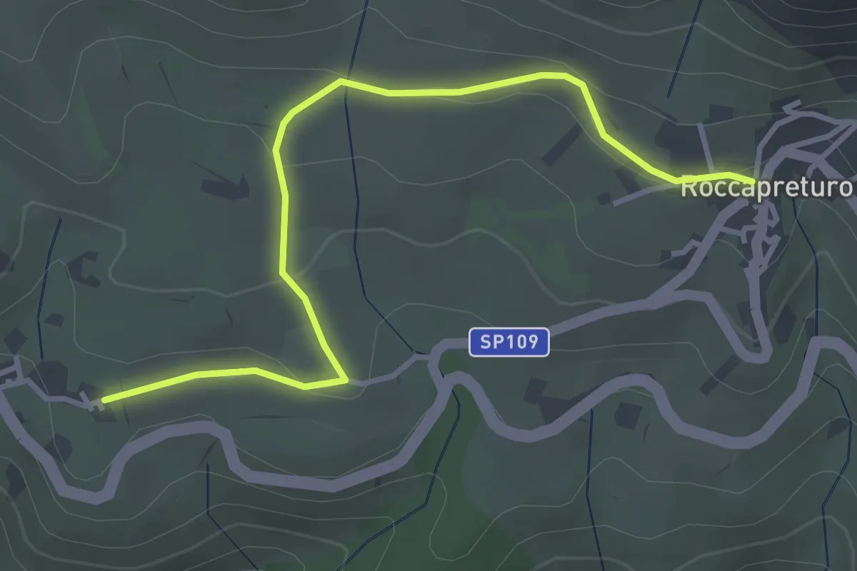
Easy · Trail
Beffi – Roccapreturo
3.9 km · ↑ 101 m · 1 h 9 min
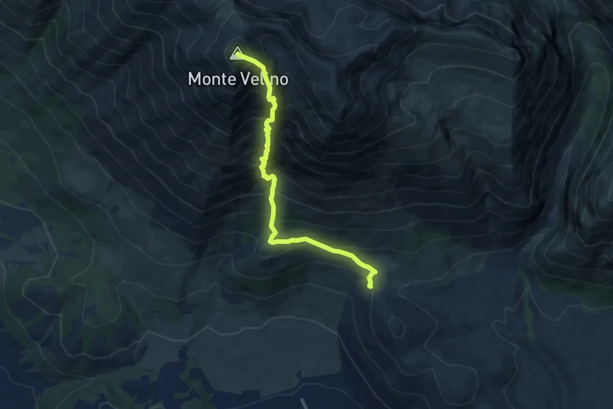
Demanding · Summit
Fonte Canale – Monte Velino
8.7 km · ↑ 1278 m · 4 h 50 min
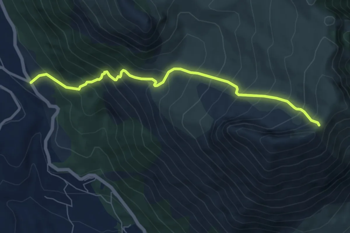
Demanding · Trail
Bivio Santa Iona – Serra di Celano
7.2 km · ↑ 837 m · 3 h 31 min
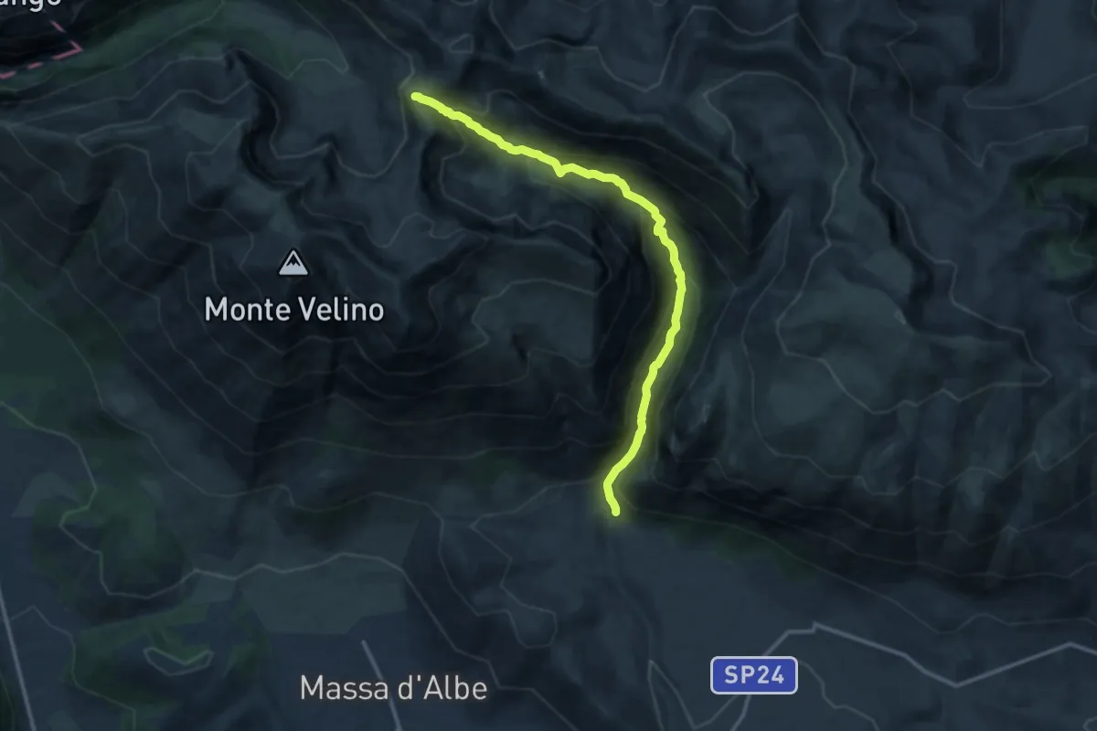
Demanding · Trail
Peschio Rovicino – Monte Bicchero
13.1 km · ↑ 956 m · 5 h 10 min
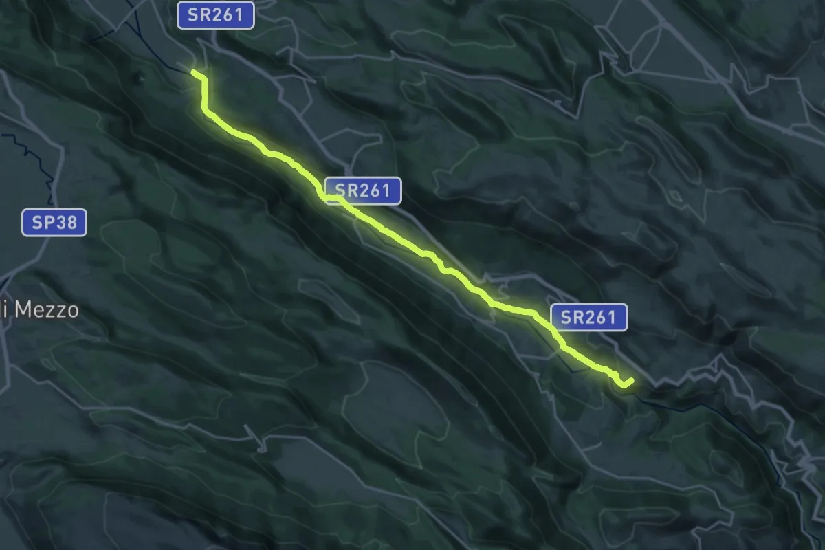
Demanding · Trail
Campana – Beffi
23.8 km · ↑ 361 m · 6 h 24 min
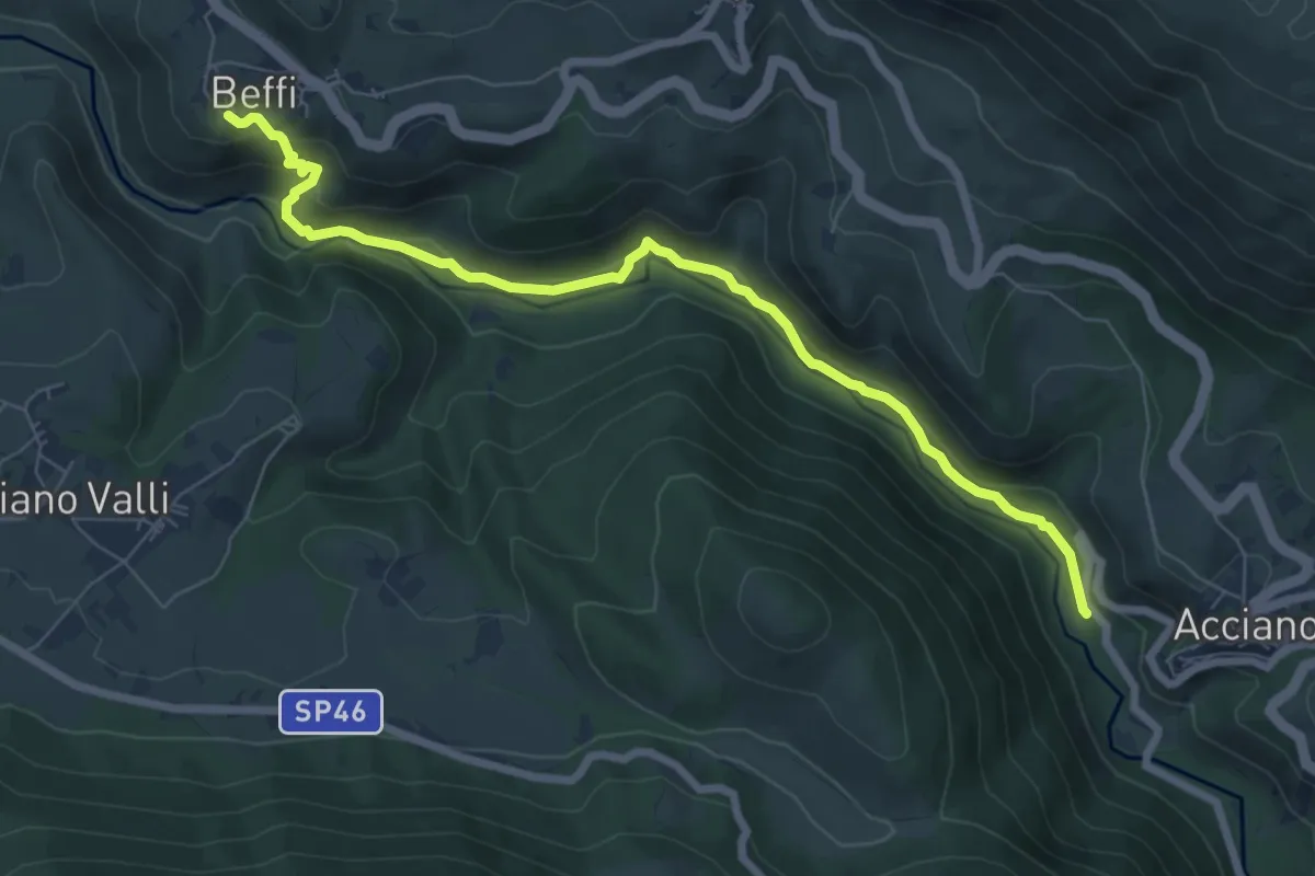
Medium · Trail
Stazione di Acciano – Beffi
8.3 km · ↑ 223 m · 2 h 26 min
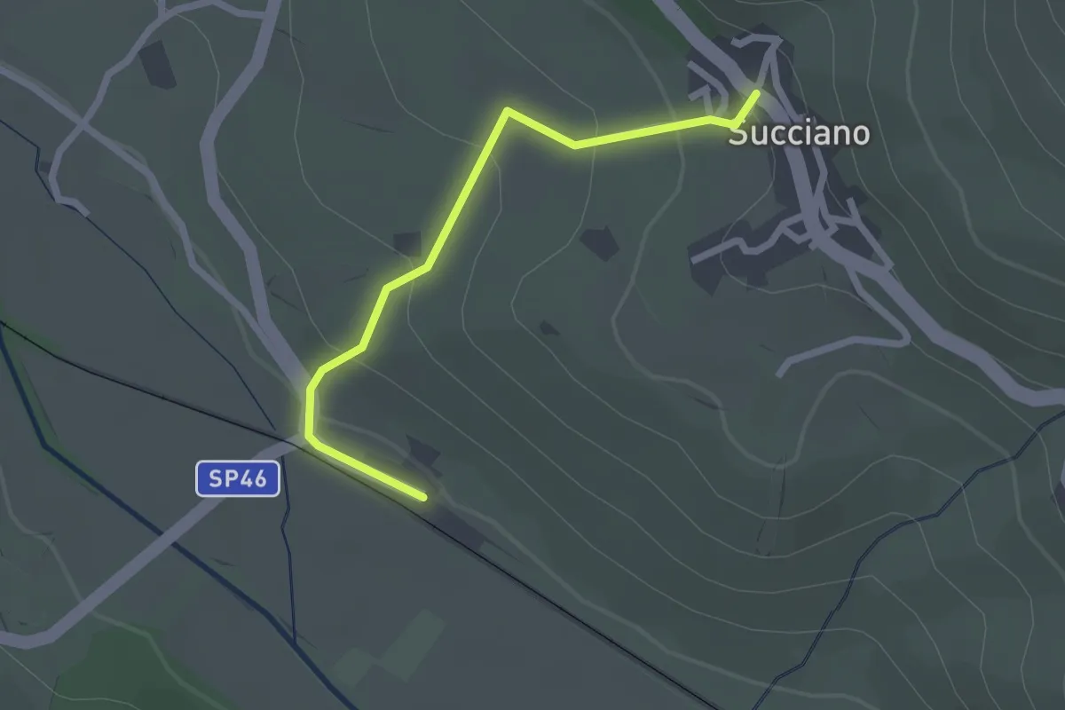
Easy · Trail
Stazione di Beffi – Succiano
2.3 km · ↑ 130 m · 49 min
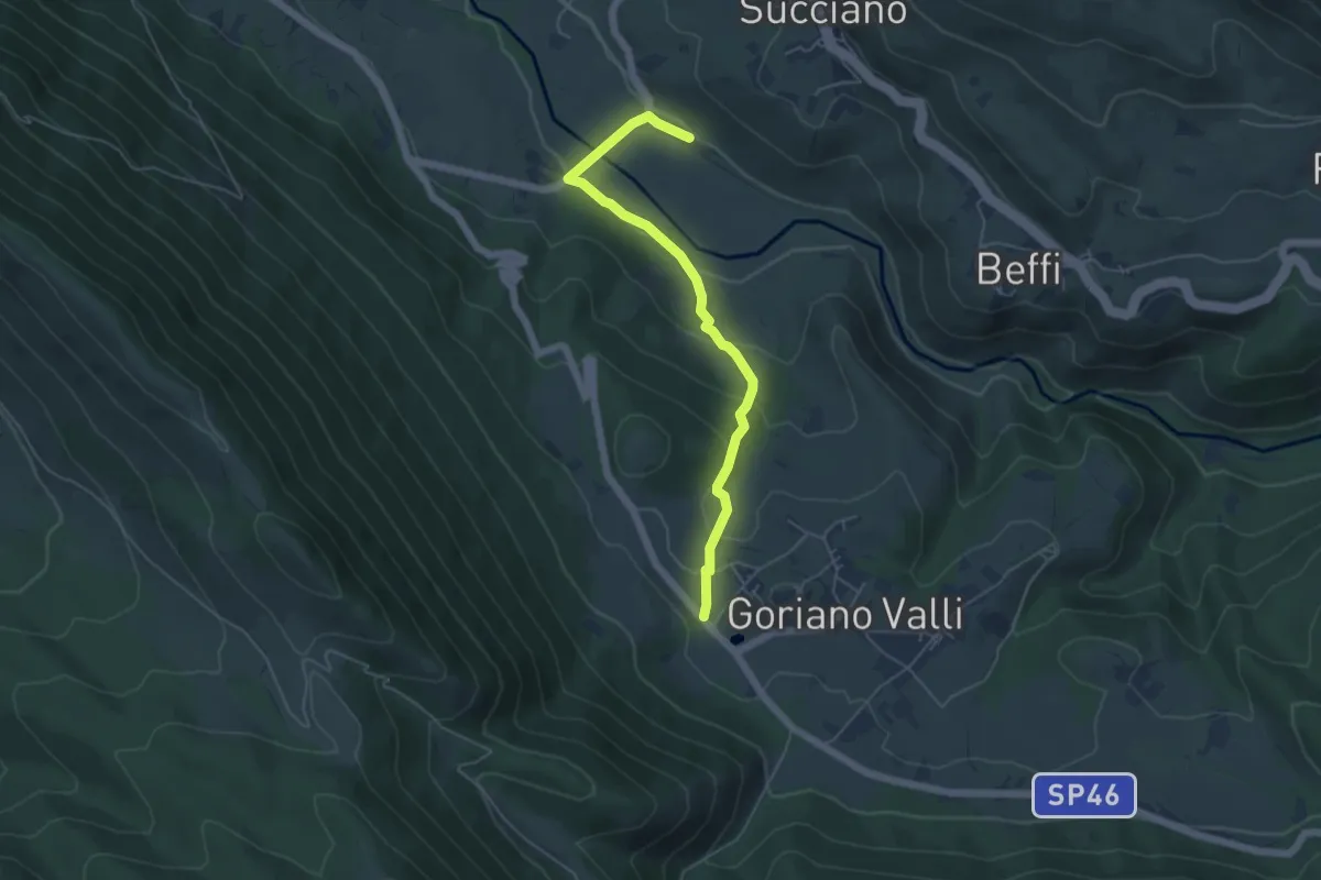
Easy · Trail
Stazione di Beffi – Goriano Valli
5.6 km · ↑ 215 m · 1 h 47 min