Trails in Italy
25,219 hiking trails, each with its route, climb, walking time and grade.
All trails, page 285 of 526
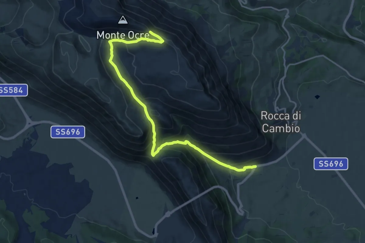
Medium · Trail
La Cona – Monte Ocre
14.9 km · ↑ 783 m · 5 h 13 min
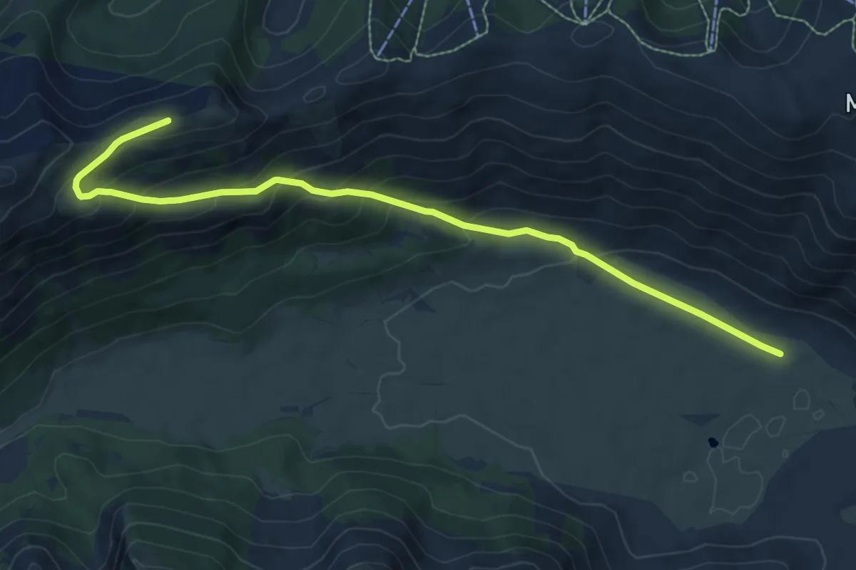
Medium · Trail
Piani di Pezza – Punta dell'Azzocchio
9.4 km · ↑ 518 m · 3 h 20 min
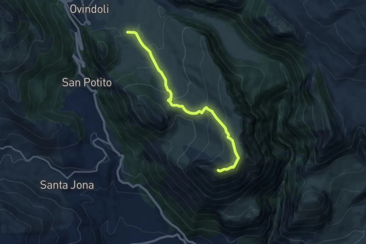
Medium · Summit
Ovindoli – Serra di Celano
10.8 km · ↑ 517 m · 3 h 40 min
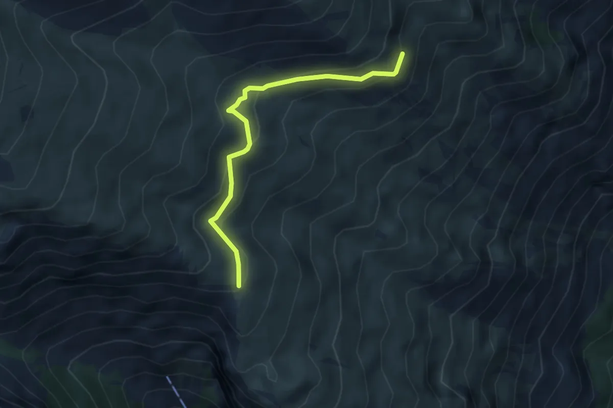
Easy · Trail
Sentiero H3 – Fonte San Martino
3.9 km · ↑ 224 m · 1 h 25 min
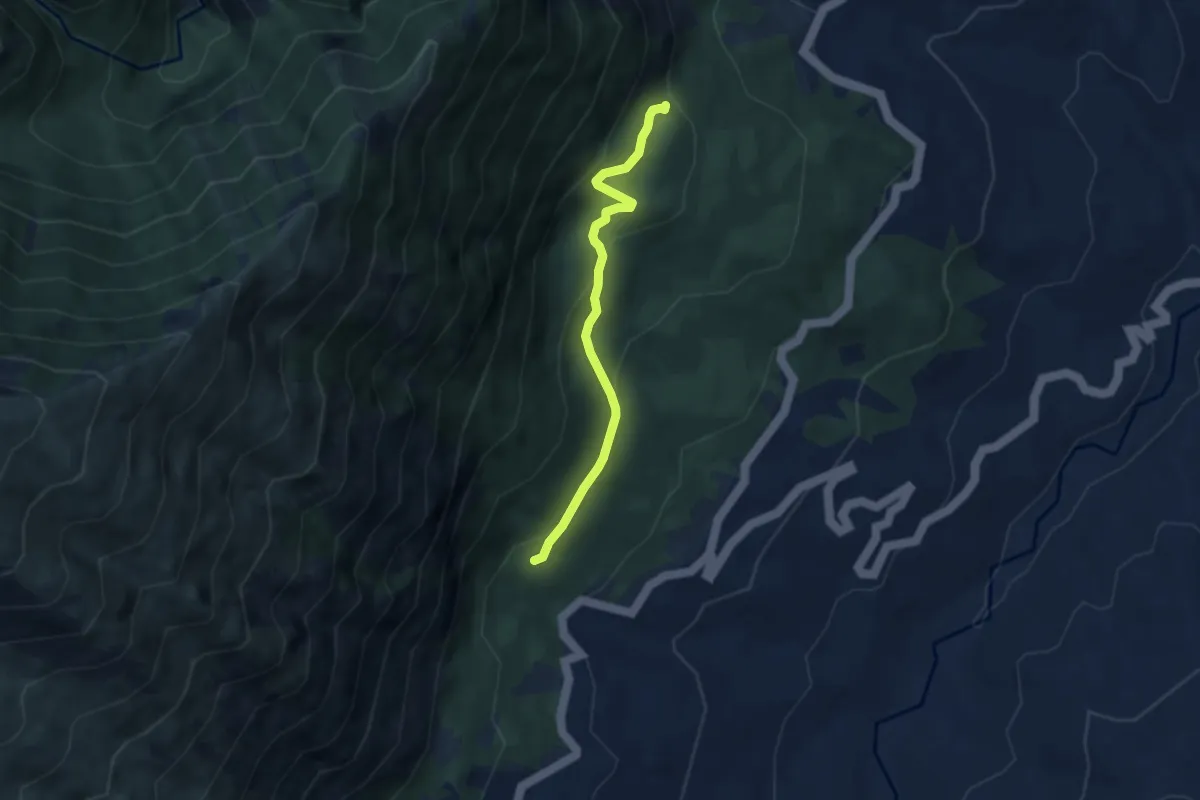
Easy · Trail
Fonte Acquaviva – La Pineta
5.8 km · ↑ 292 m · 1 h 59 min
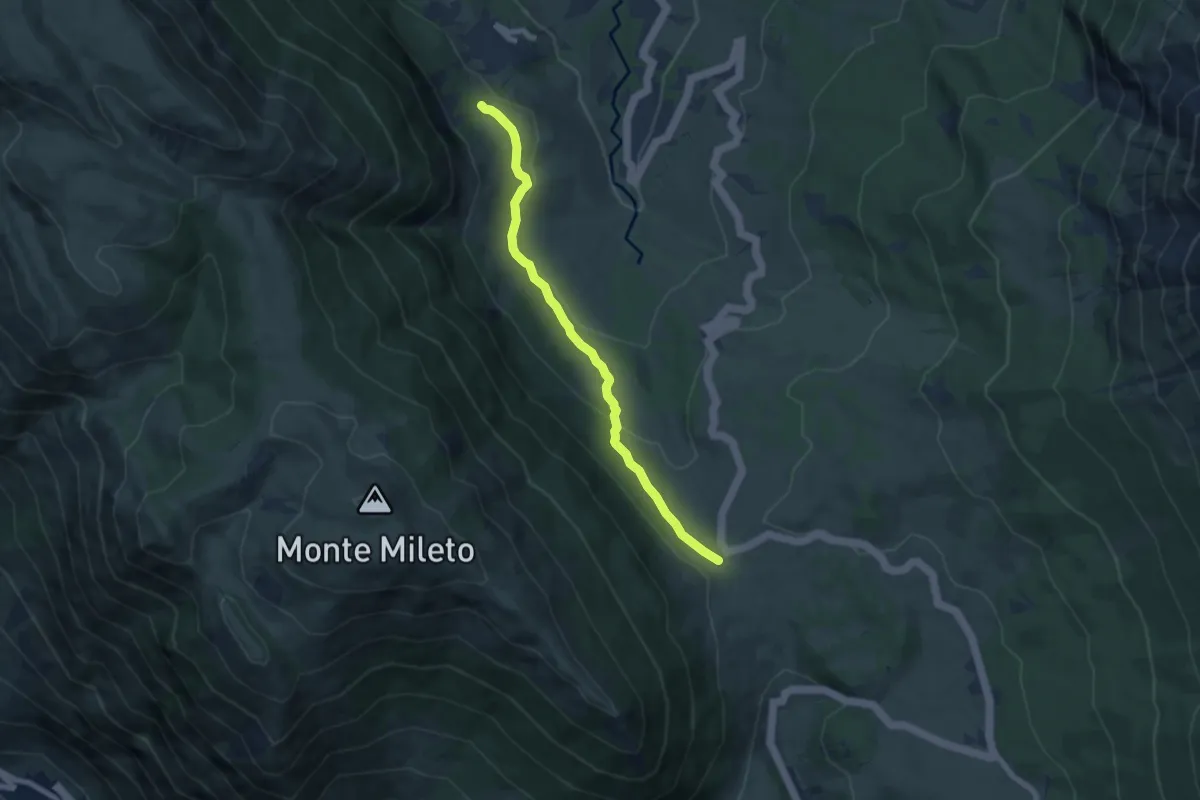
Medium · Trail
Passo San Leonardo – Roccacaramanico
7.3 km · ↑ 225 m · 2 h 13 min
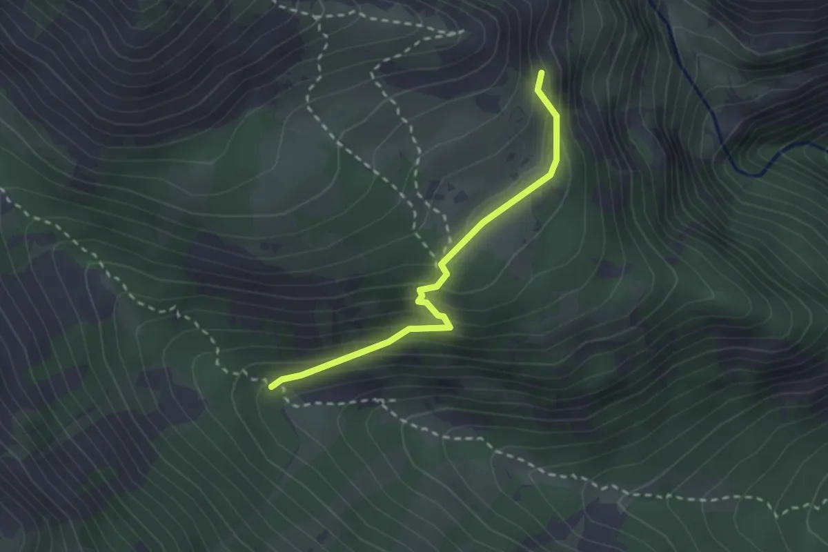
Easy · Trail
Fonte Milazzo – Piano della Casa
2.5 km · ↑ 168 m · 58 min
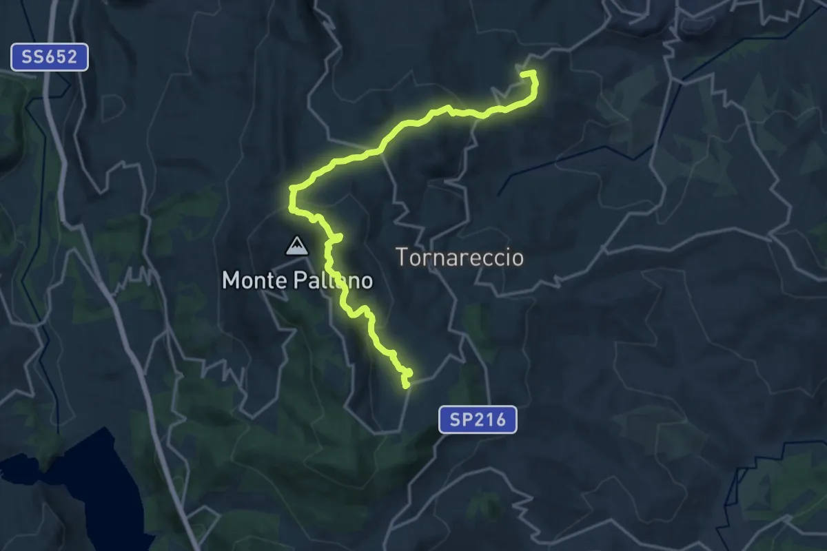
Medium · Trail
Convento San Pasquale – ex Centro Visite
17.5 km · ↑ 670 m · 5 h 35 min
Easy · Trail
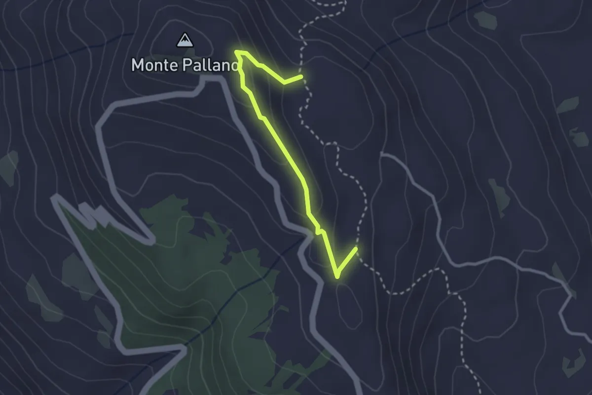
Sentiero 501 – Sentiero 501
2.7 km · ↑ 123 m · 55 min
Easy · Trail
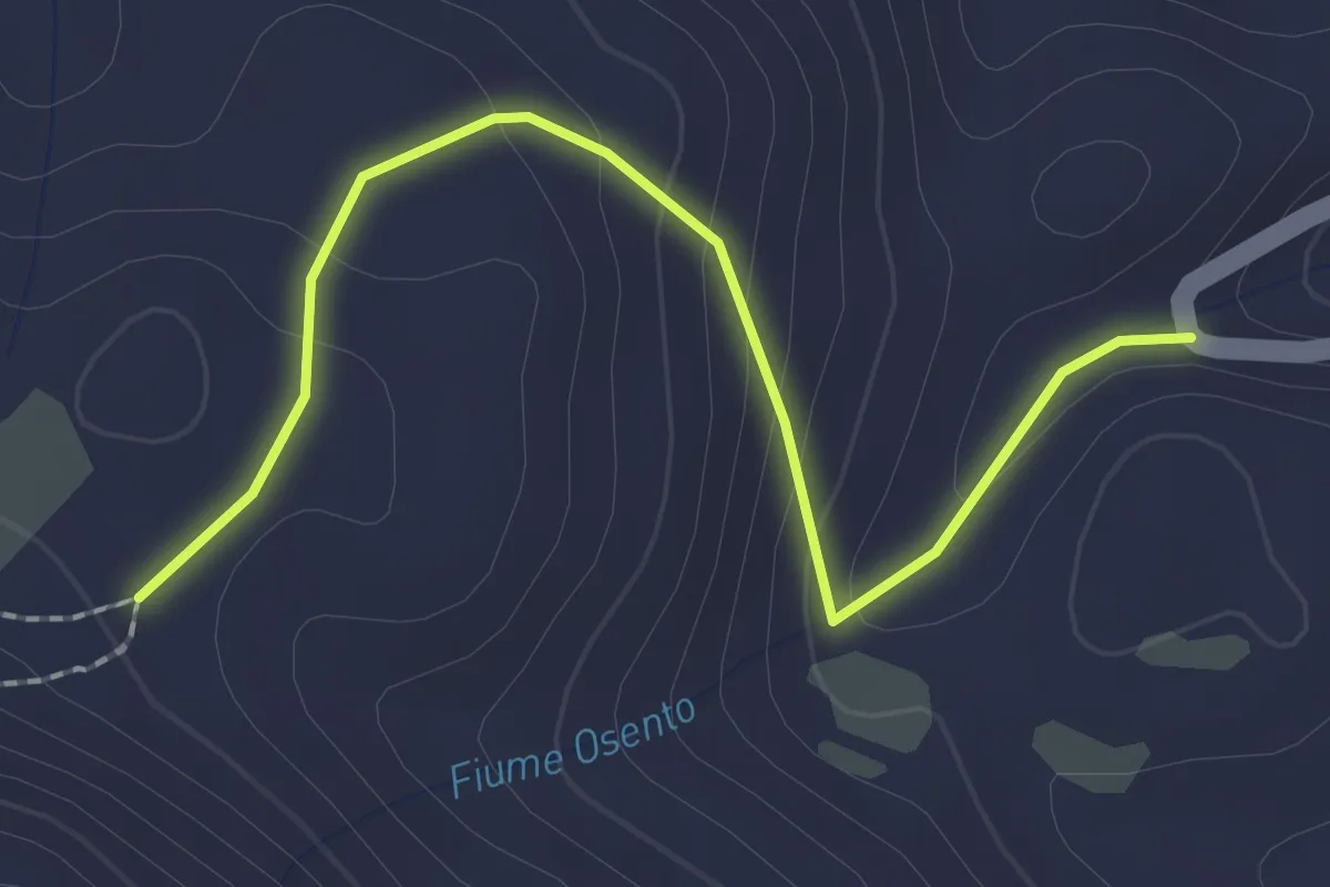
Tornareccio – Sentiero 501
2.5 km · ↑ 133 m · 53 min
Easy · Trail
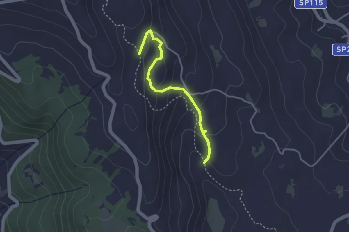
Sentiero 501 – Sentiero 501
2.9 km · ↑ 156 m · 1 h 1 min
Medium · Trail
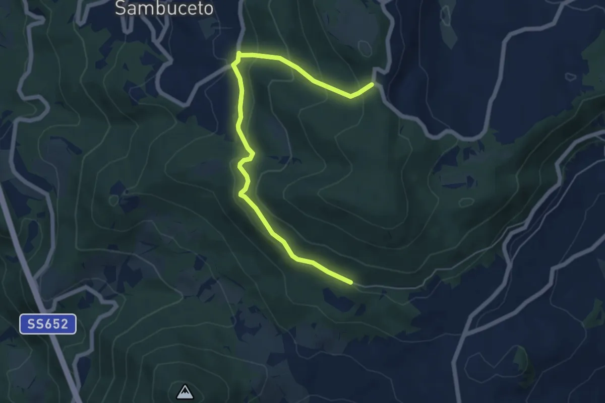
Casanatura – Chiesetta degli Alpini
6.1 km · ↑ 361 m · 2 h 14 min
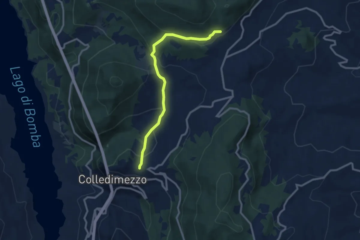
Medium · Trail
Chiesa di Sant'Antonio – Casanatura Fontecampana
7.2 km · ↑ 327 m · 2 h 25 min
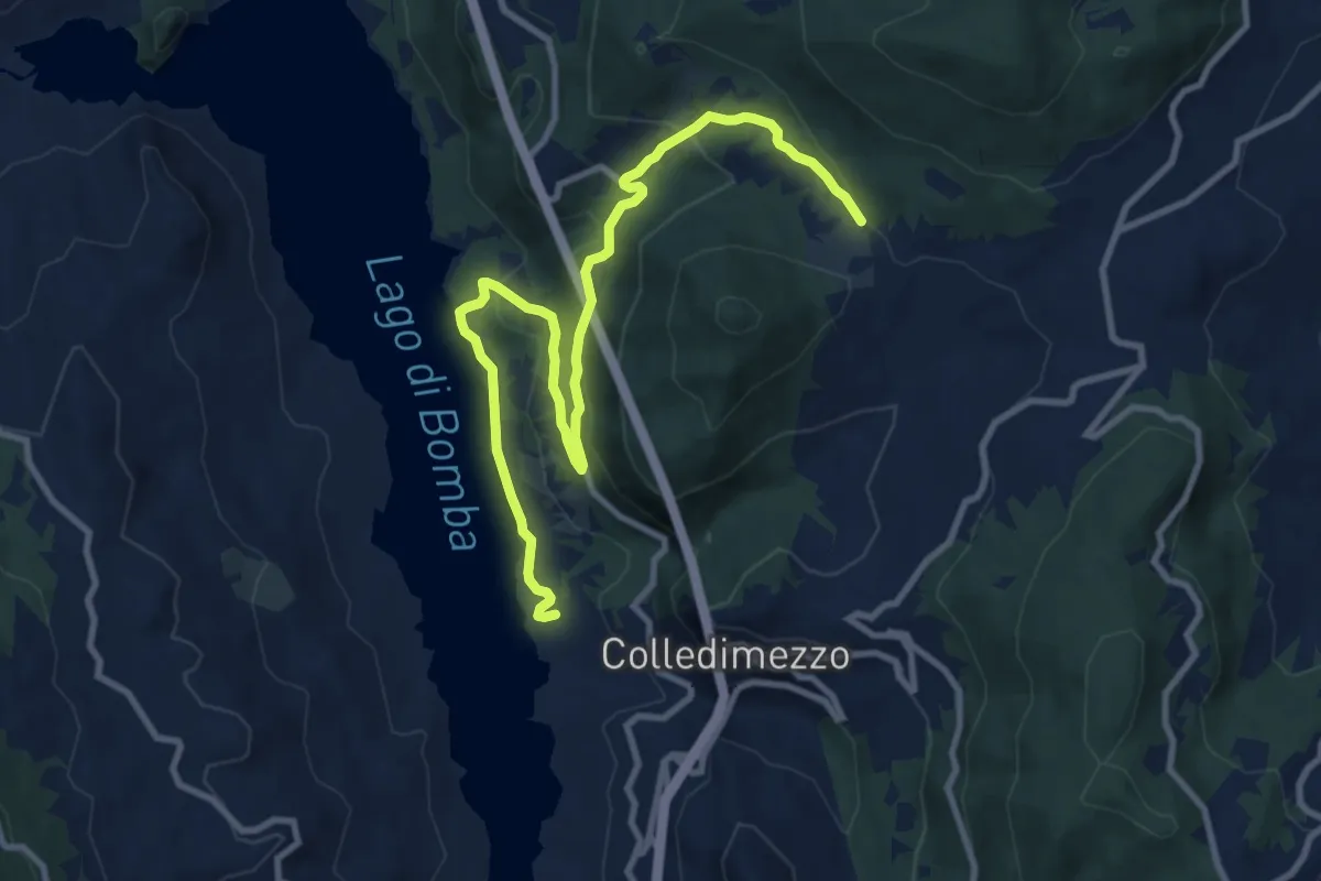
Medium · Trail
Colle Butino – Centro Turistico Isola Verde
12.7 km · ↑ 457 m · 4 h
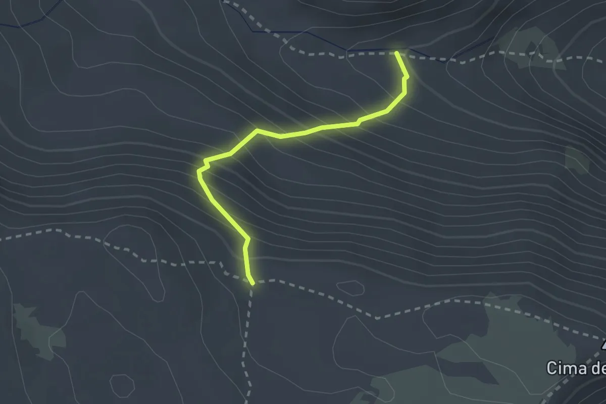
Expert · Trail
Val Cannella – Sella di Grotta Canosa
2.2 km · ↑ 302 m · 1 h 10 min
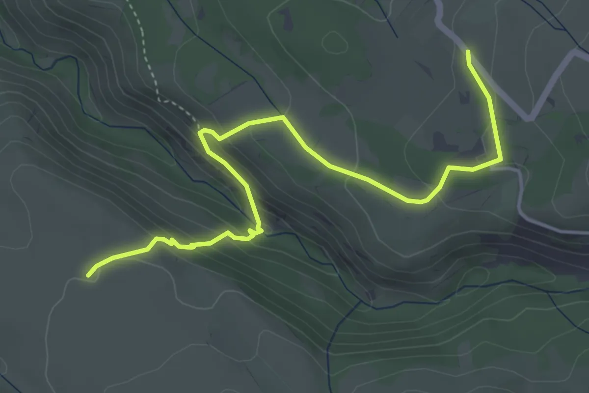
Medium · Trail
Valle Giumentina – Sentiero CP3
5.1 km · ↑ 279 m · 1 h 48 min
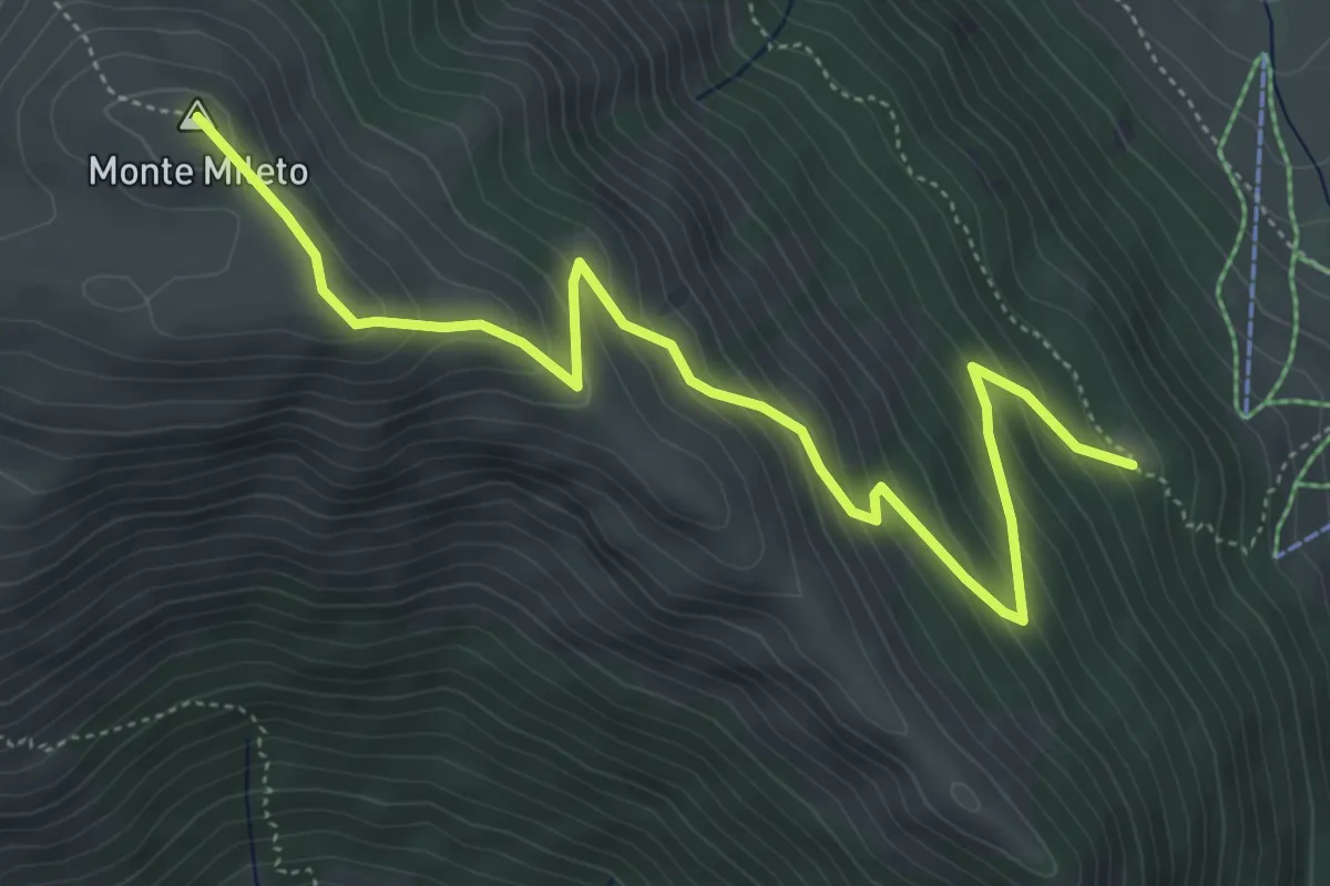
Medium · Summit
Iazzo Cappuccio – Sent. Q6
6.4 km · ↑ 459 m · 2 h 30 min
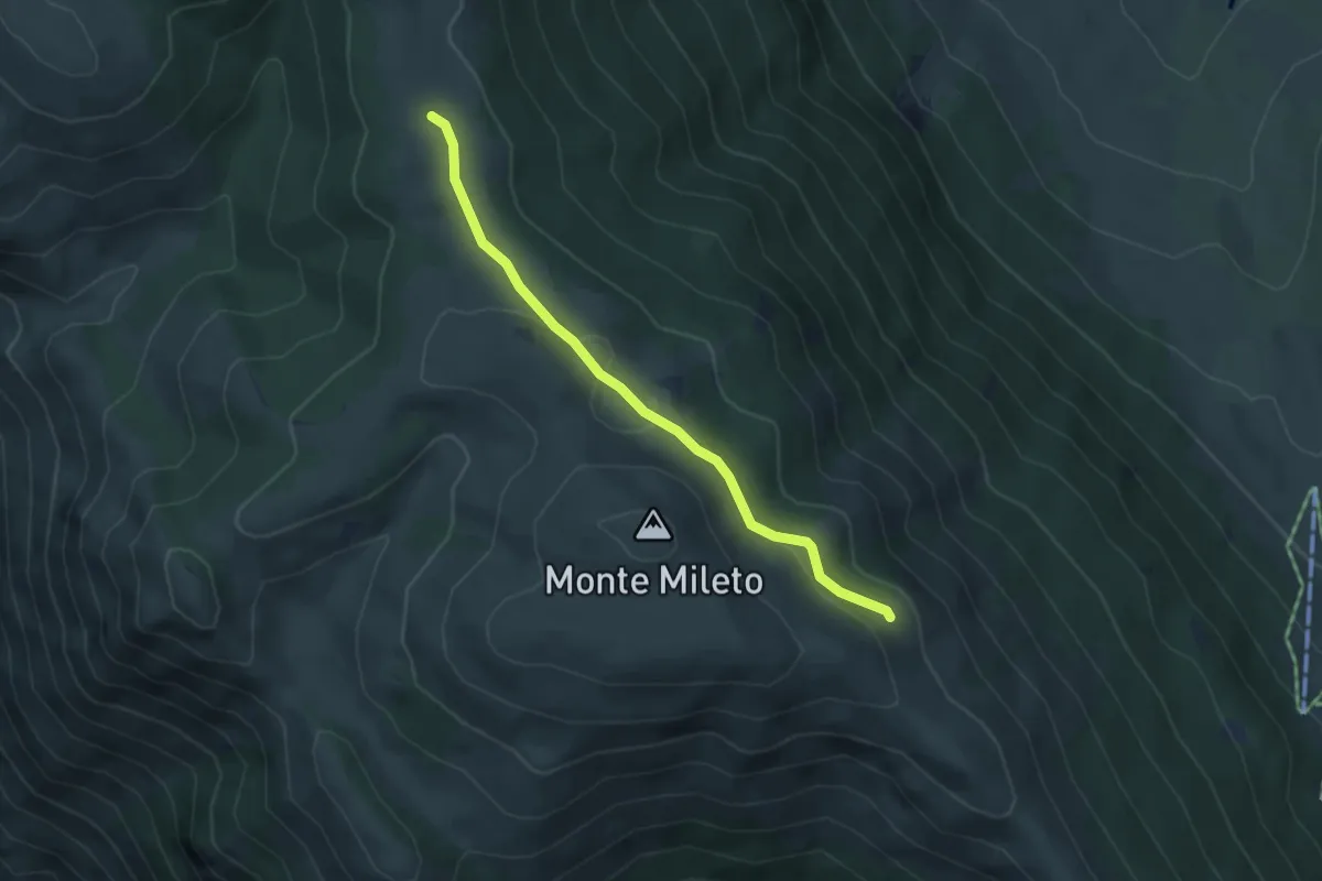
Easy · Trail
Sent. Q4 – Sent. Q6
4.3 km · ↑ 116 m · 1 h 16 min
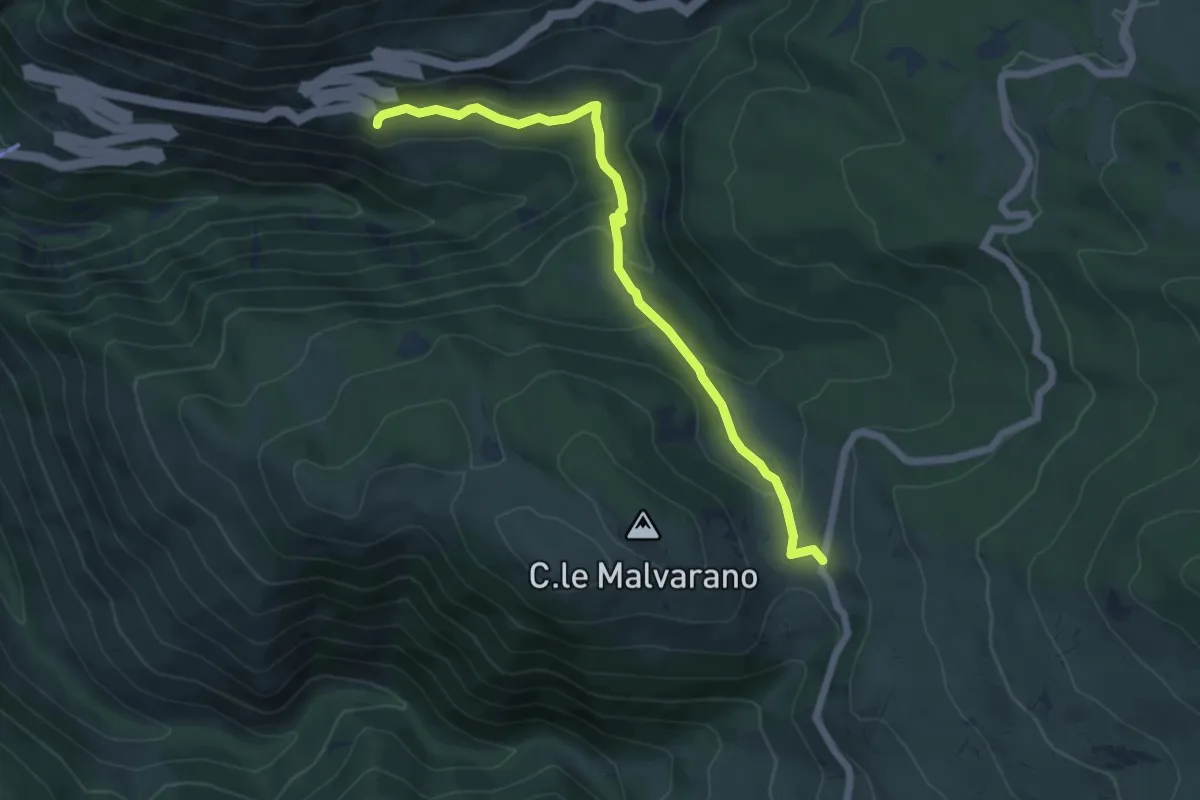
Easy · Trail
Strada per Passo S. Leonardo – San Germano
6.4 km · ↑ 245 m · 2 h 2 min
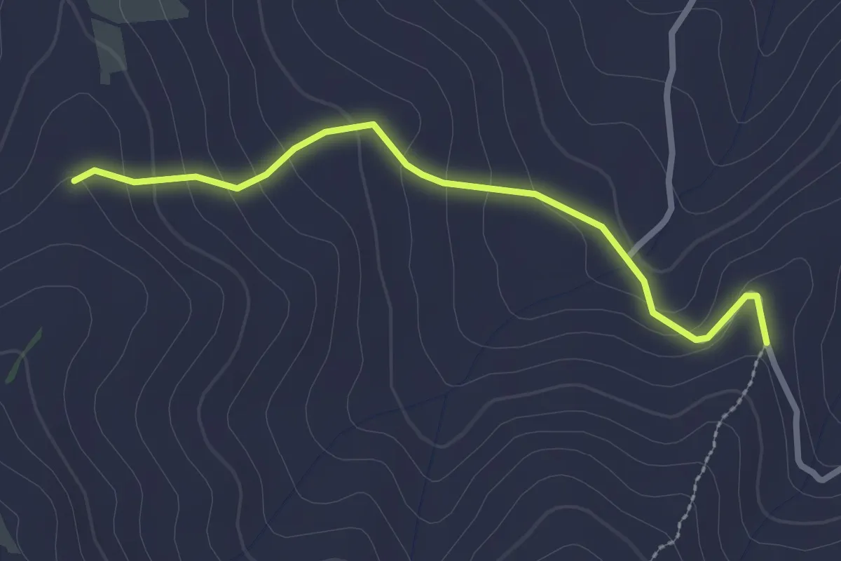
Easy · Trail
Bv. Sentiero 507 – Bv. Sentiero 508
2.8 km · ↑ 130 m · 56 min
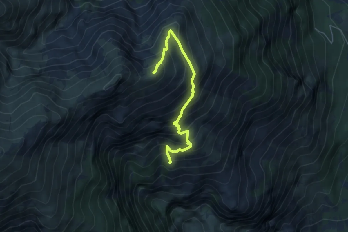
Medium · Trail
Sentiero G6 – Cima Macirenelle
5.0 km · ↑ 590 m · 2 h 27 min
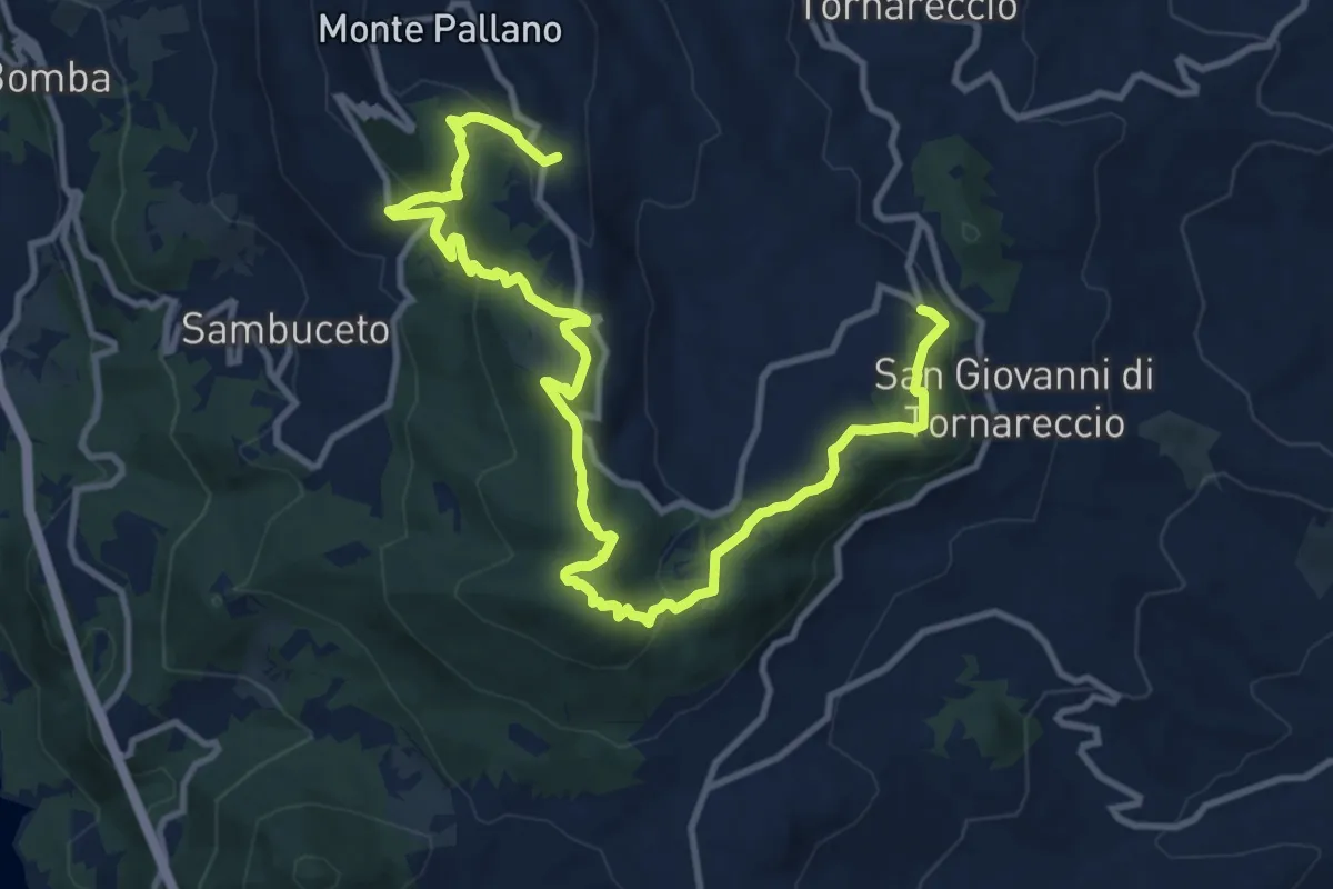
Medium · Trail
Area Sportiva Tornareccio – Mura Megalitiche
15.8 km · ↑ 597 m · 5 h 1 min
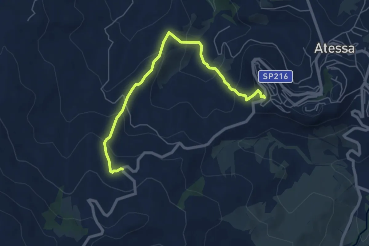
Medium · Trail
Parco di Sant'Antonio – Sede CAI ATESSA
5.8 km · ↑ 348 m · 2 h 8 min
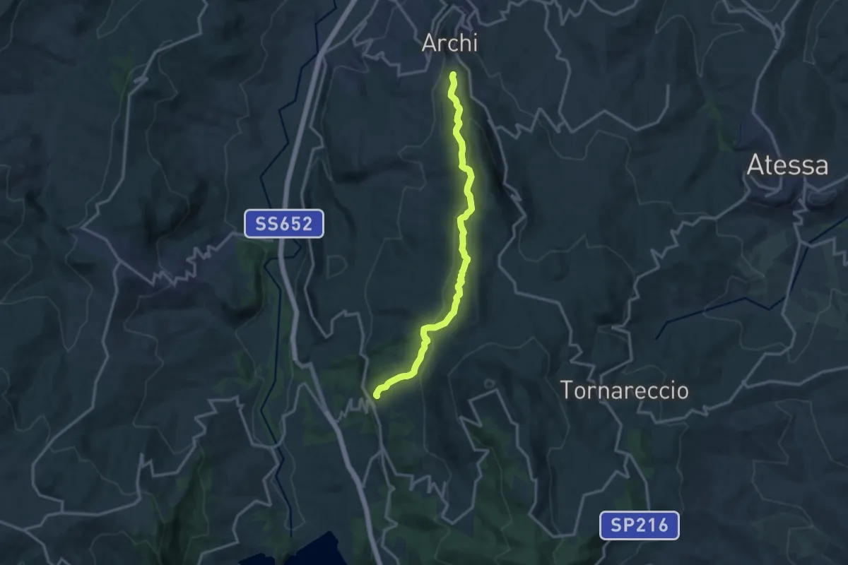
Medium · Trail
Centro Storico di Archi – Bomba
13.3 km · ↑ 480 m · 4 h 10 min
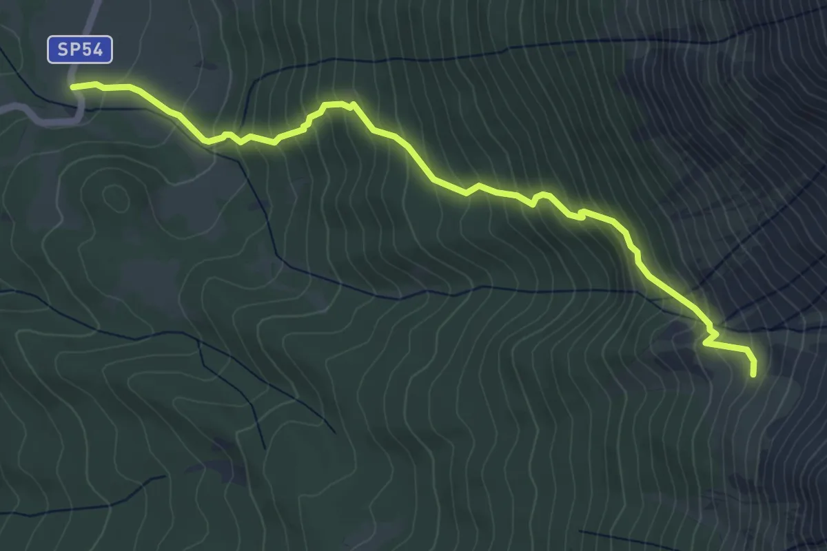
Medium · Trail
Fonte di Nunzio – Anfiteatro di Fondo Maiella
5.9 km · ↑ 607 m · 2 h 43 min
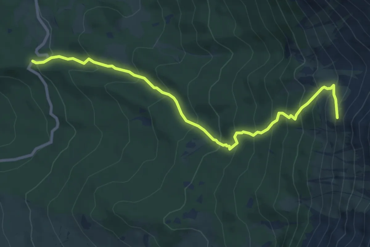
Medium · Trail
Fonte Romana – Anfiteatro di Fondo Maiella
7.8 km · ↑ 667 m · 3 h 17 min
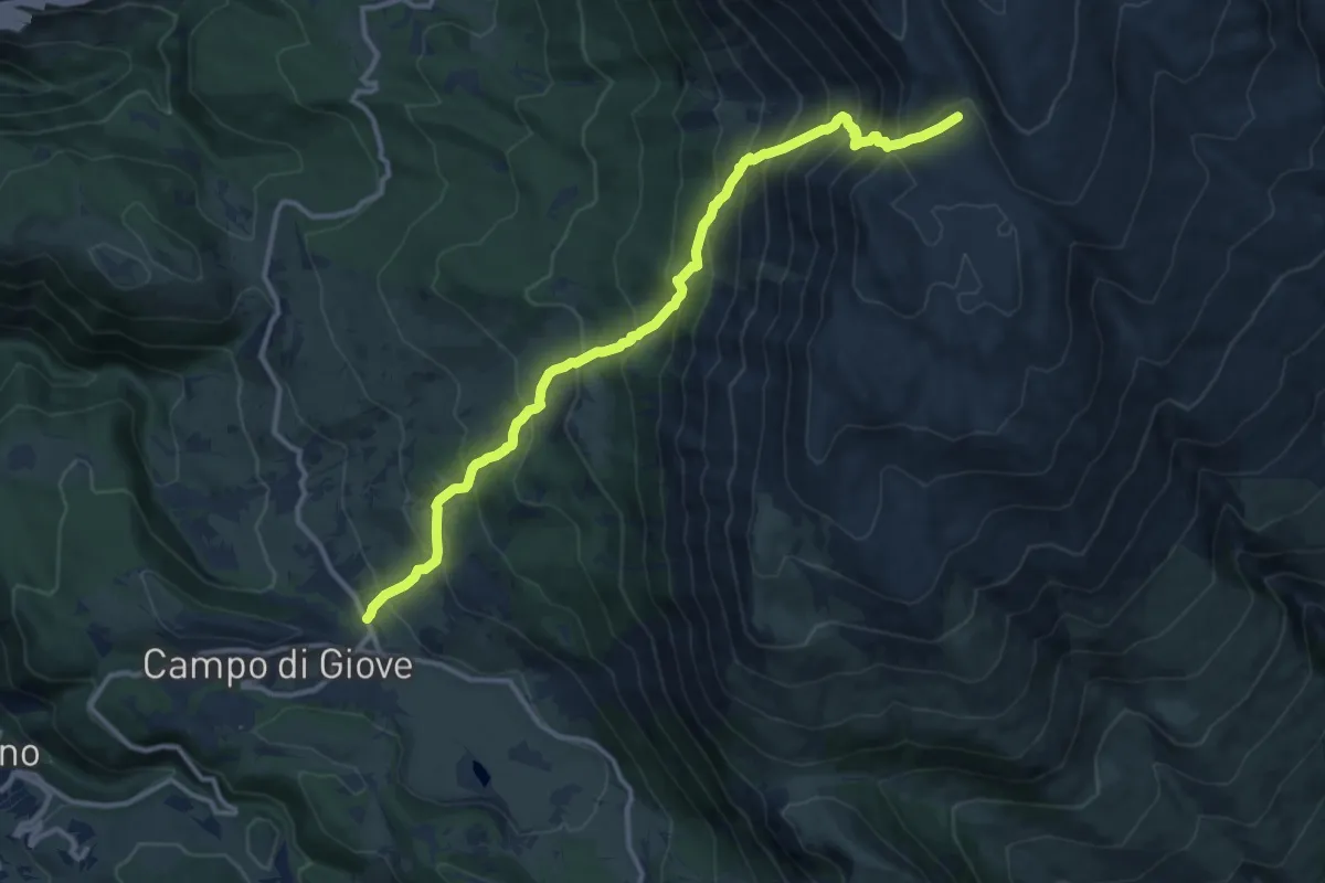
Demanding · Trail
Campo di Giove – Fondo di Femmina Morta
13.8 km · ↑ 1348 m · 6 h 10 min
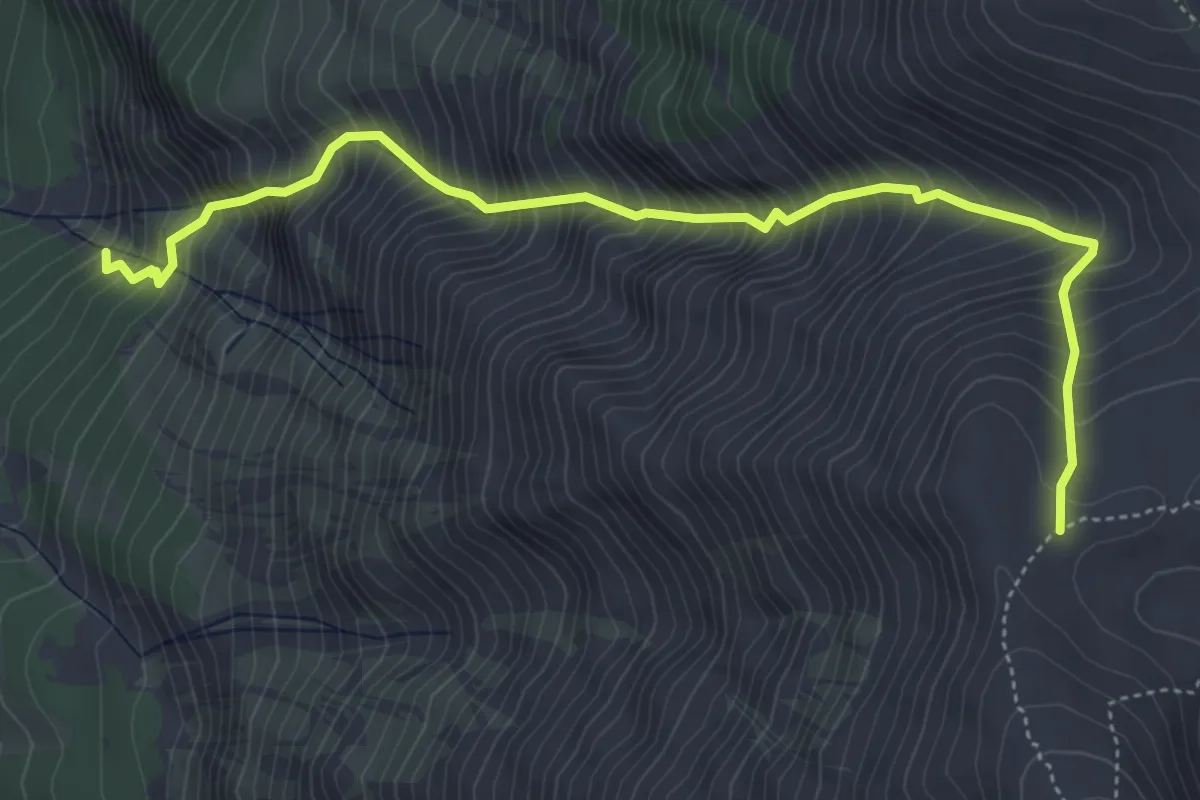
Demanding · Trail
Lama Bianca – Sella di Monte Amaro
5.9 km · ↑ 1144 m · 3 h 52 min
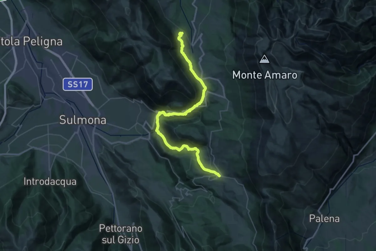
Demanding · Trail
Campo di Giove – Roccacaramanico
18.5 km · ↑ 842 m · 6 h 28 min
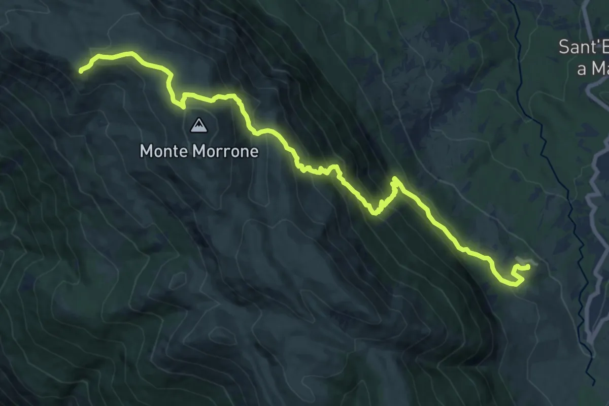
Demanding · Summit
Roccacaramanico – Rifugio Jaccio Grande
17.3 km · ↑ 1192 m · 6 h 40 min
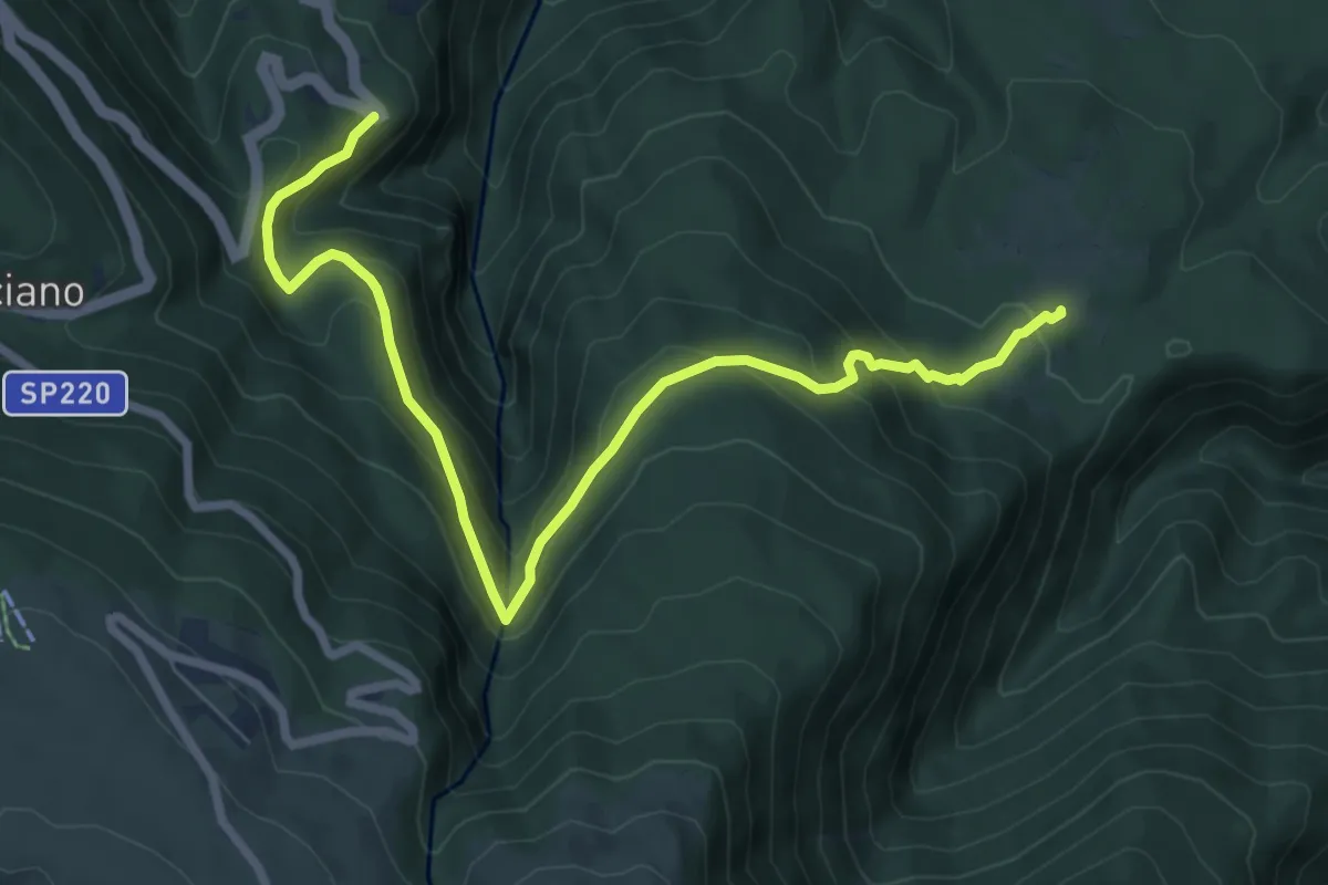
Medium · Trail
Colle dell?Angelo – Sentiero E1
9.1 km · ↑ 639 m · 3 h 32 min
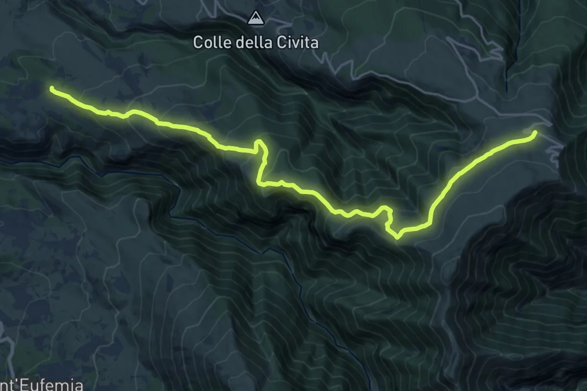
Demanding · Trail
Decontra – Prato della Majelletta
21.8 km · ↑ 1094 m · 7 h 31 min
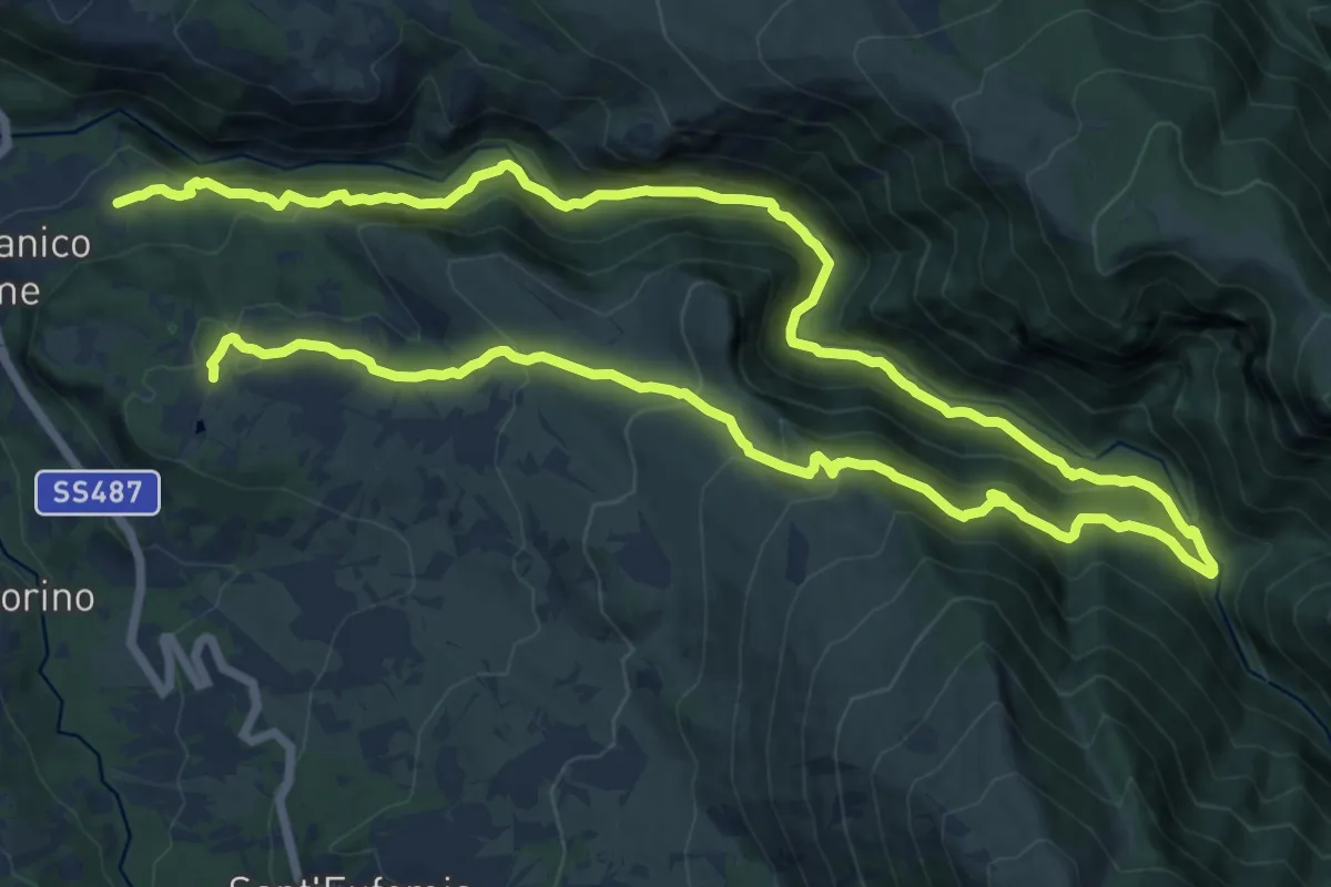
Demanding · Trail
San Nicolao – Vivaio Santa Croce
13.7 km · ↑ 869 m · 5 h 24 min
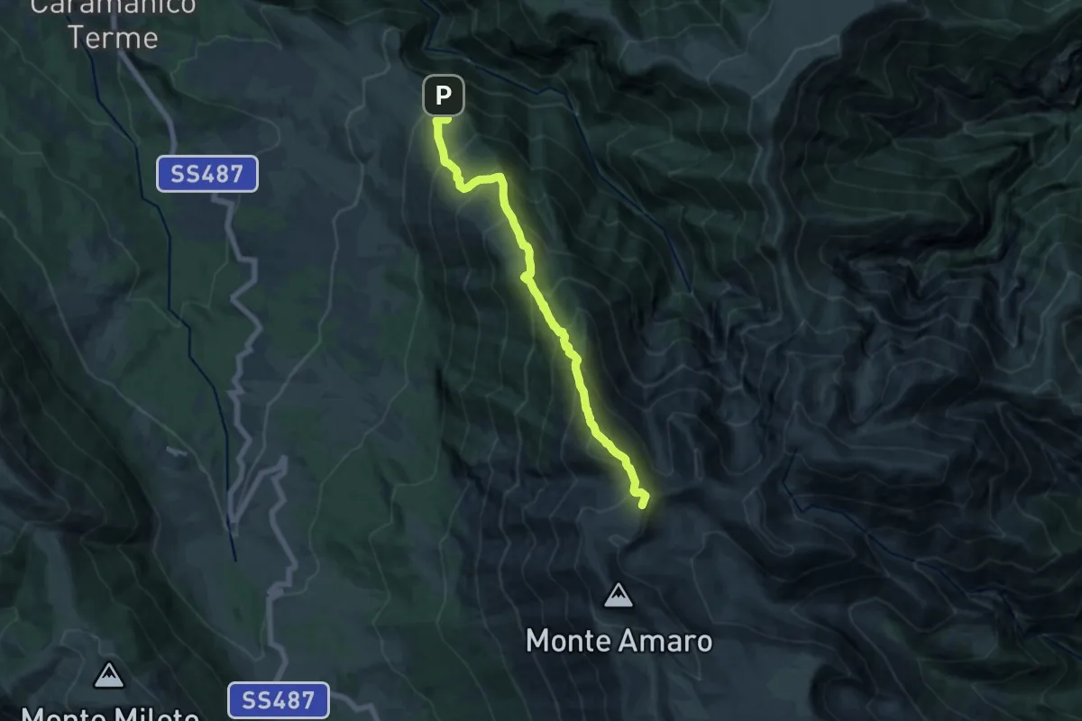
Demanding · Summit
Guado Sant'Antonio – Tre Portoni
15.0 km · ↑ 1595 m · 7 h
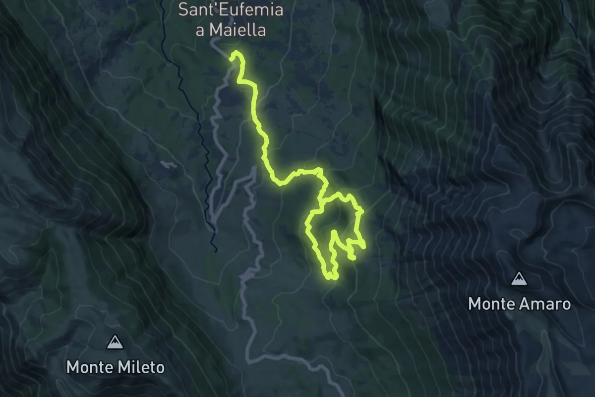
Demanding · Trail
Girdino Botanico – Anello Lama Bianca
20.3 km · ↑ 985 m · 6 h 55 min
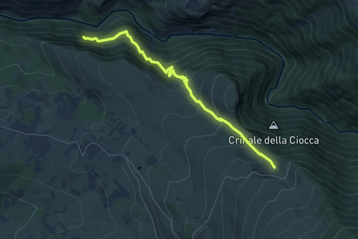
Demanding · Trail
Sent. B2 – Sent. B2 (Fonte Viola)
6.4 km · ↑ 824 m · 3 h 17 min
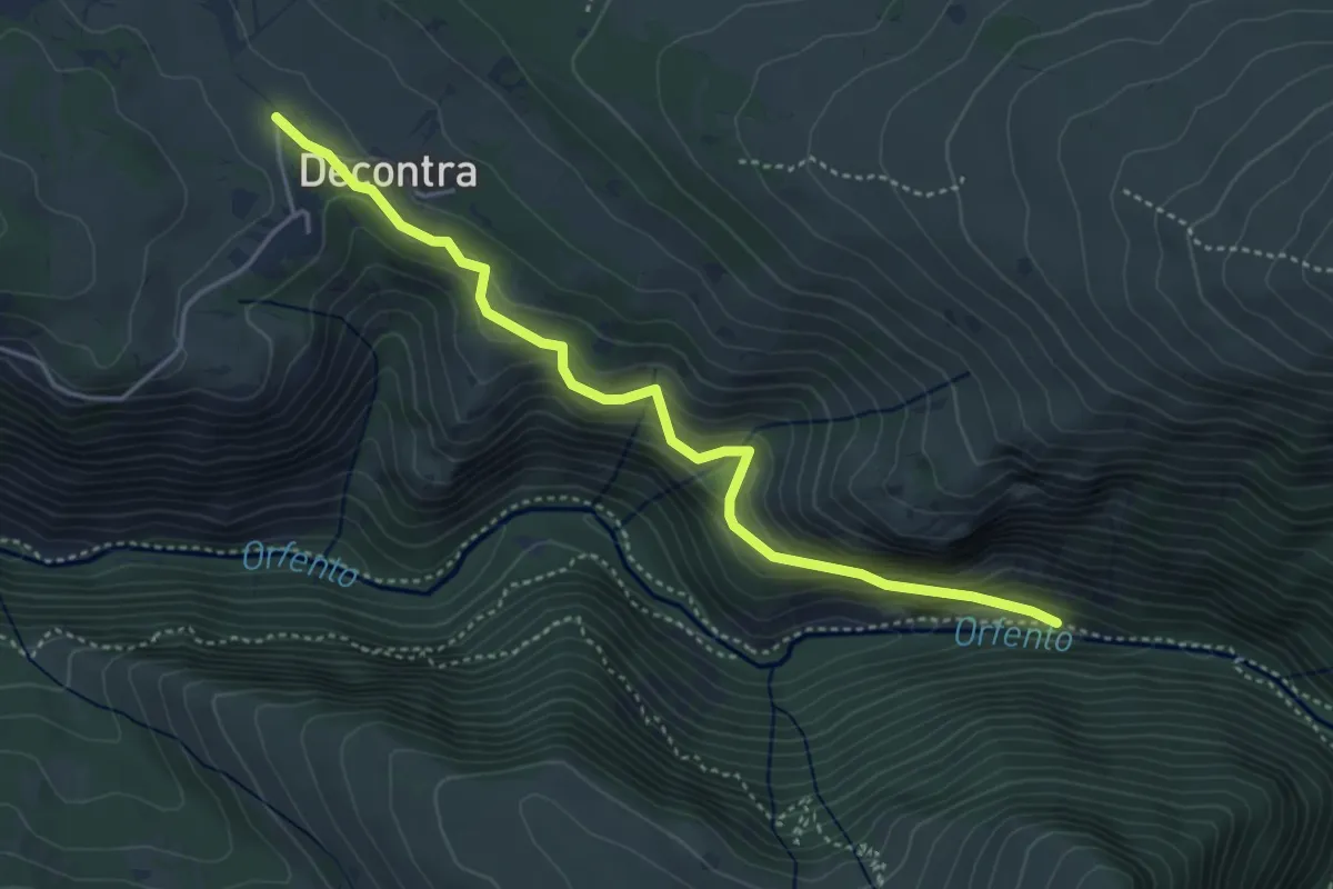
Medium · Trail
Decontra – Ponte San Benedetto
4.6 km · ↑ 360 m · 1 h 52 min
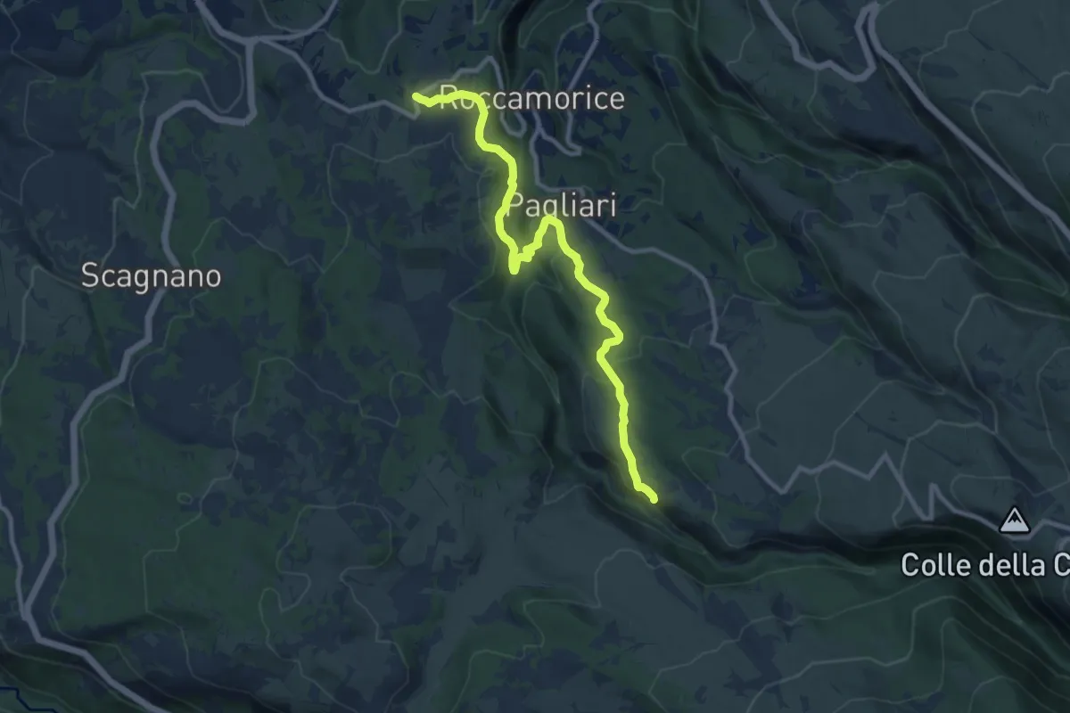
Medium · Trail
Roccamorice – Sentiero Spirito
11.2 km · ↑ 328 m · 3 h 22 min
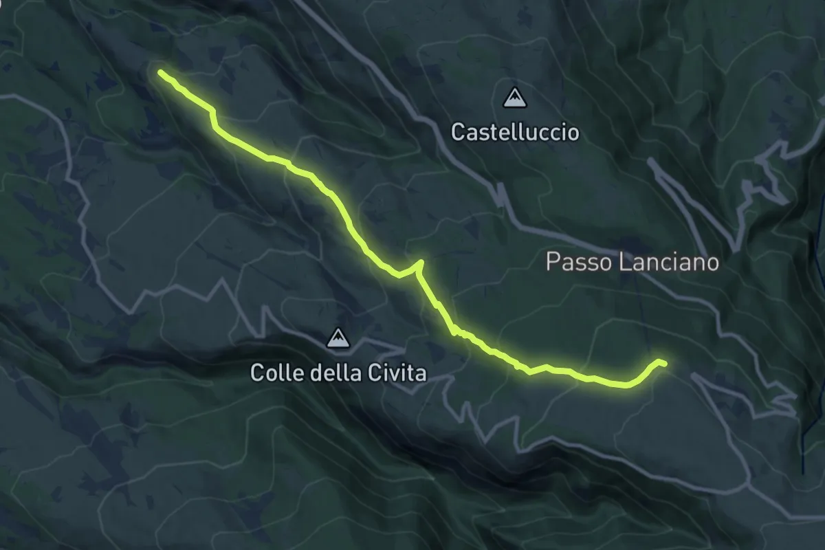
Medium · Trail
Macchia Metola – Hotel Panorama
12.3 km · ↑ 793 m · 4 h 38 min
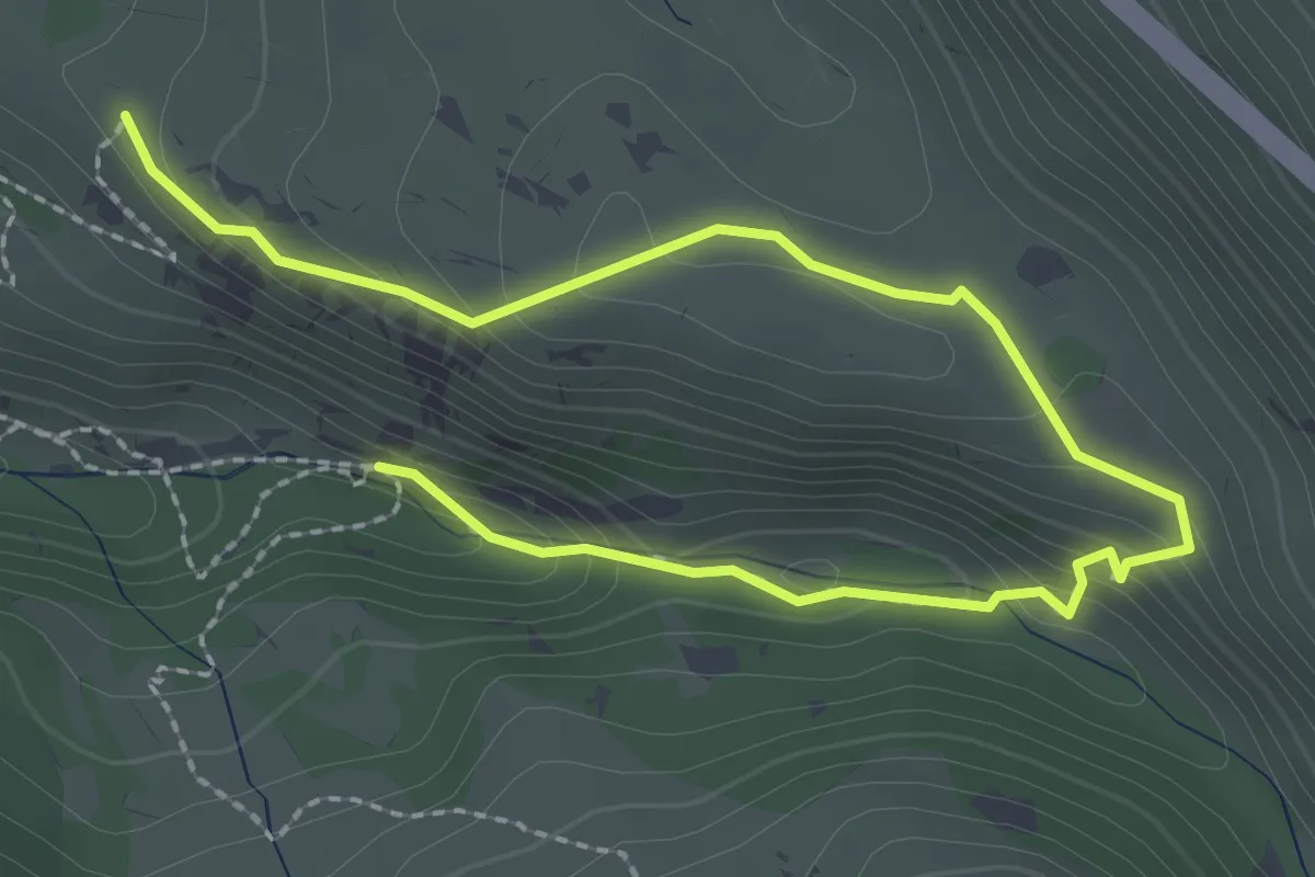
Easy · Trail
Eremo Sant'Angelo – Fonte Fieri
3.5 km · ↑ 175 m · 1 h 12 min
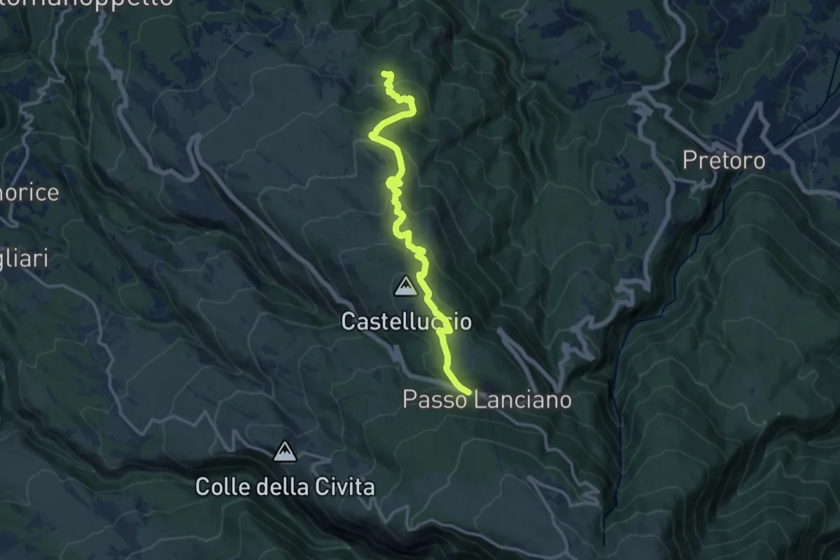
Medium · Trail
Sentiero dello Spirito – Passo Lanciano
12.9 km · ↑ 594 m · 4 h 20 min
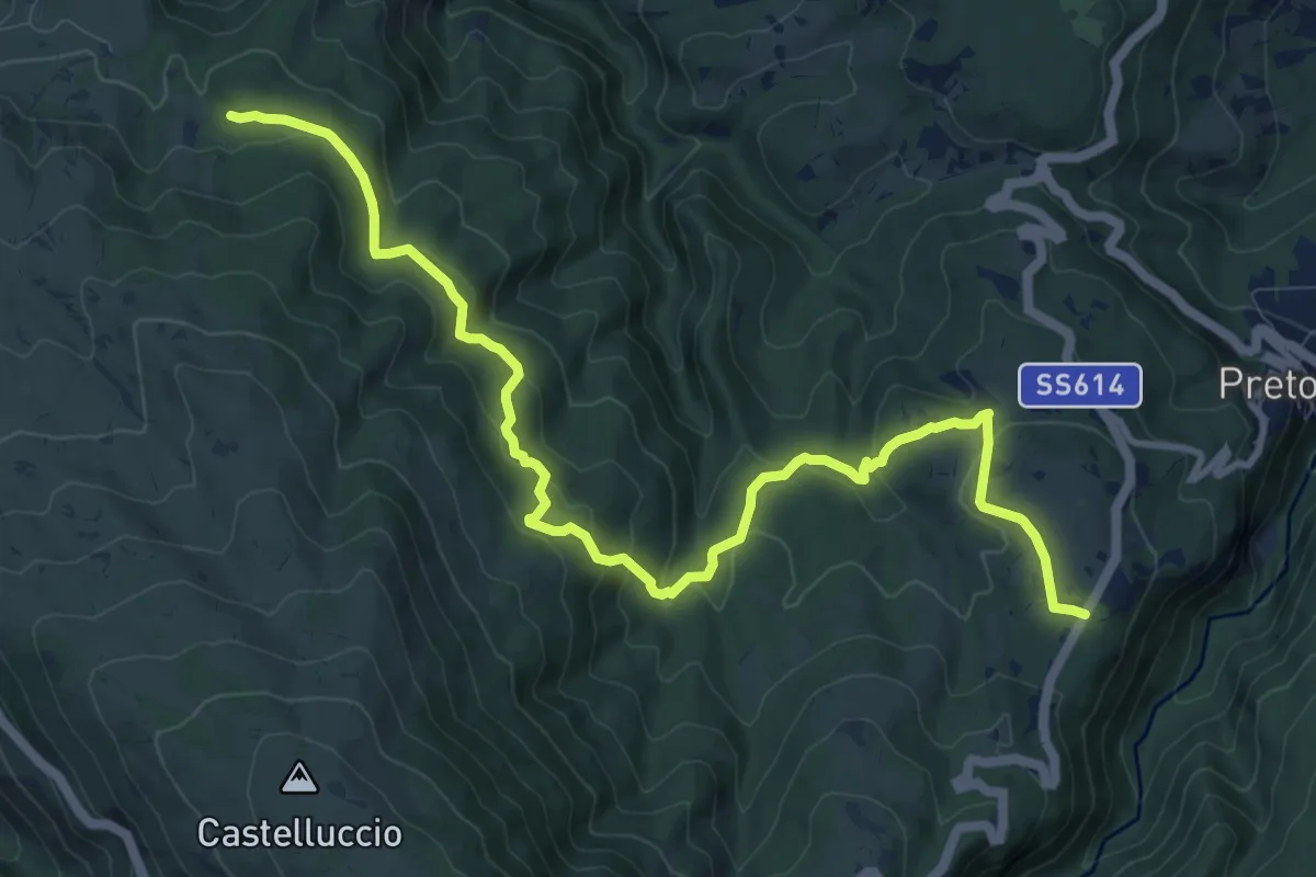
Medium · Trail
Sentiero dello Spirito – Pretoro
12.9 km · ↑ 562 m · 4 h 15 min
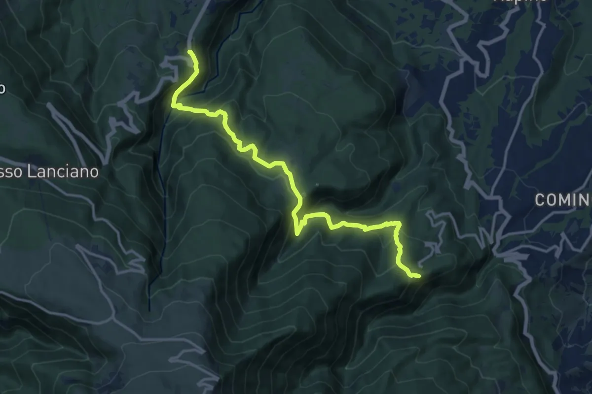
Demanding · Trail
Colle Sant'Andrea – Piana delle Mele
13.7 km · ↑ 878 m · 5 h 9 min
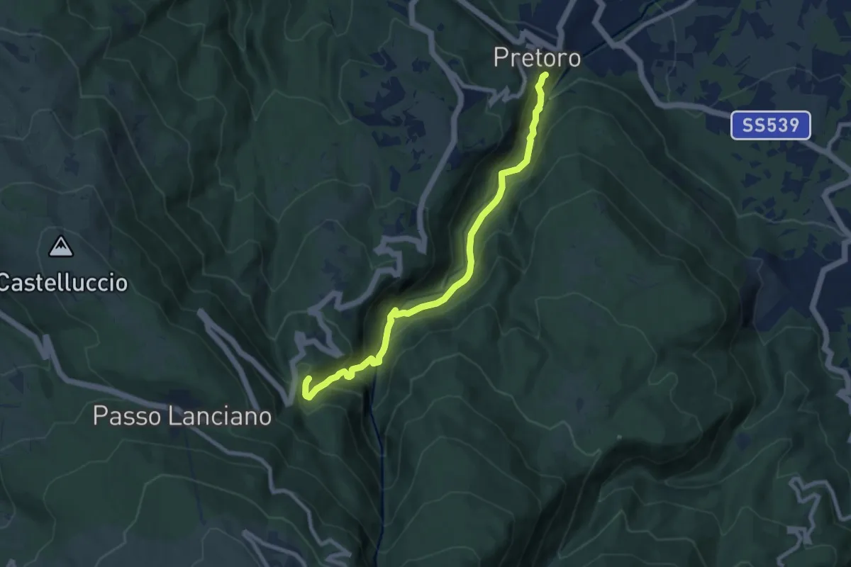
Medium · Trail
Pretoro – Sent. E3
8.7 km · ↑ 653 m · 3 h 29 min
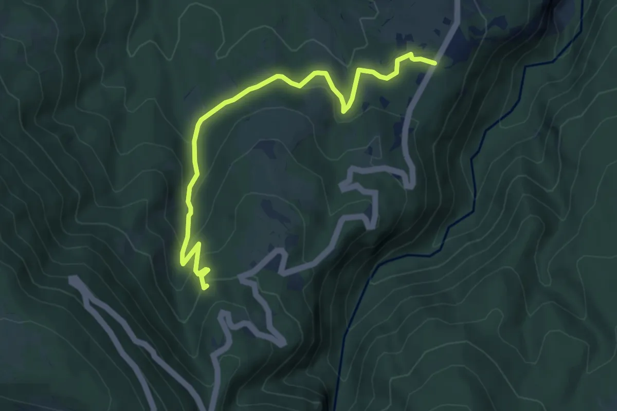
Medium · Trail
Piana del Calvario – Madonna della Mazza
6.6 km · ↑ 355 m · 2 h 20 min
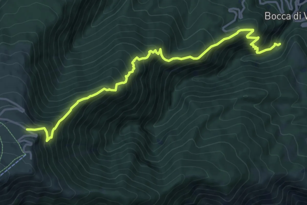
Demanding · Trail
Bocca di Valle – Rifugio Pomilio
11.6 km · ↑ 1127 m · 5 h 11 min
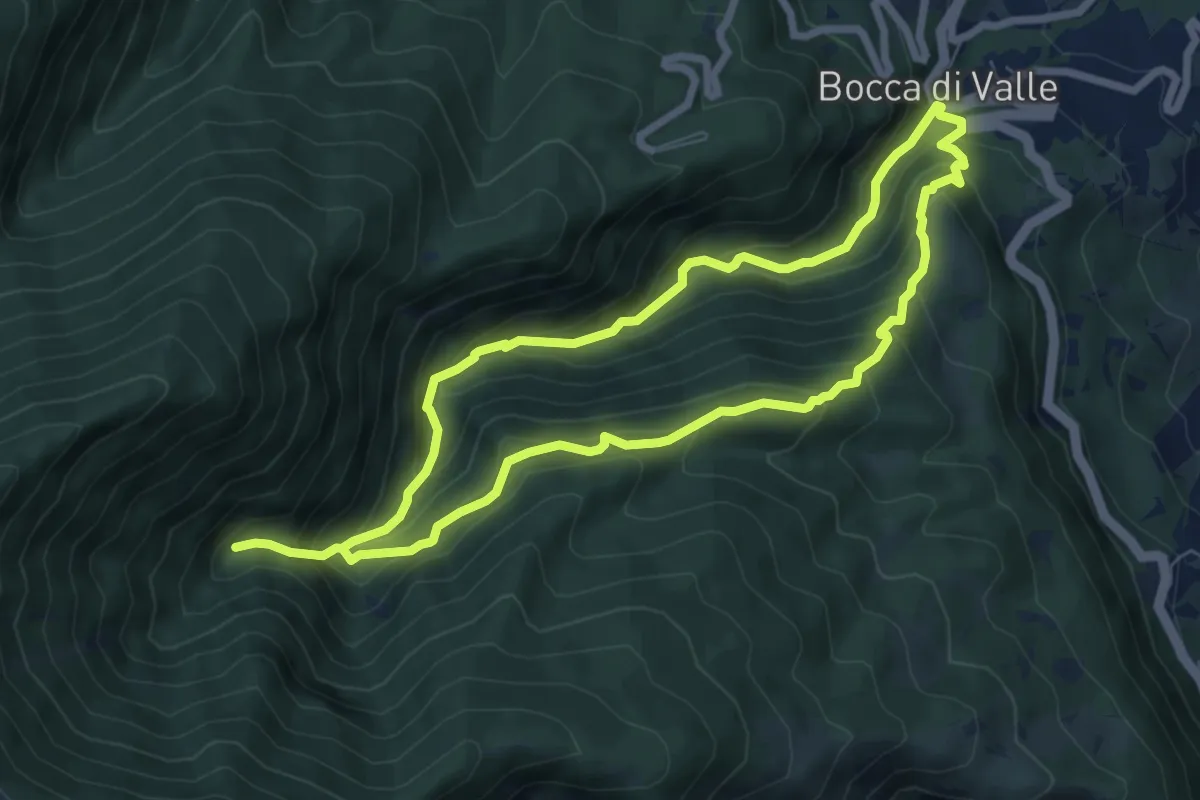
Medium · Trail
Bocca di Valle – Bocca di Valle
7.1 km · ↑ 626 m · 3 h 4 min
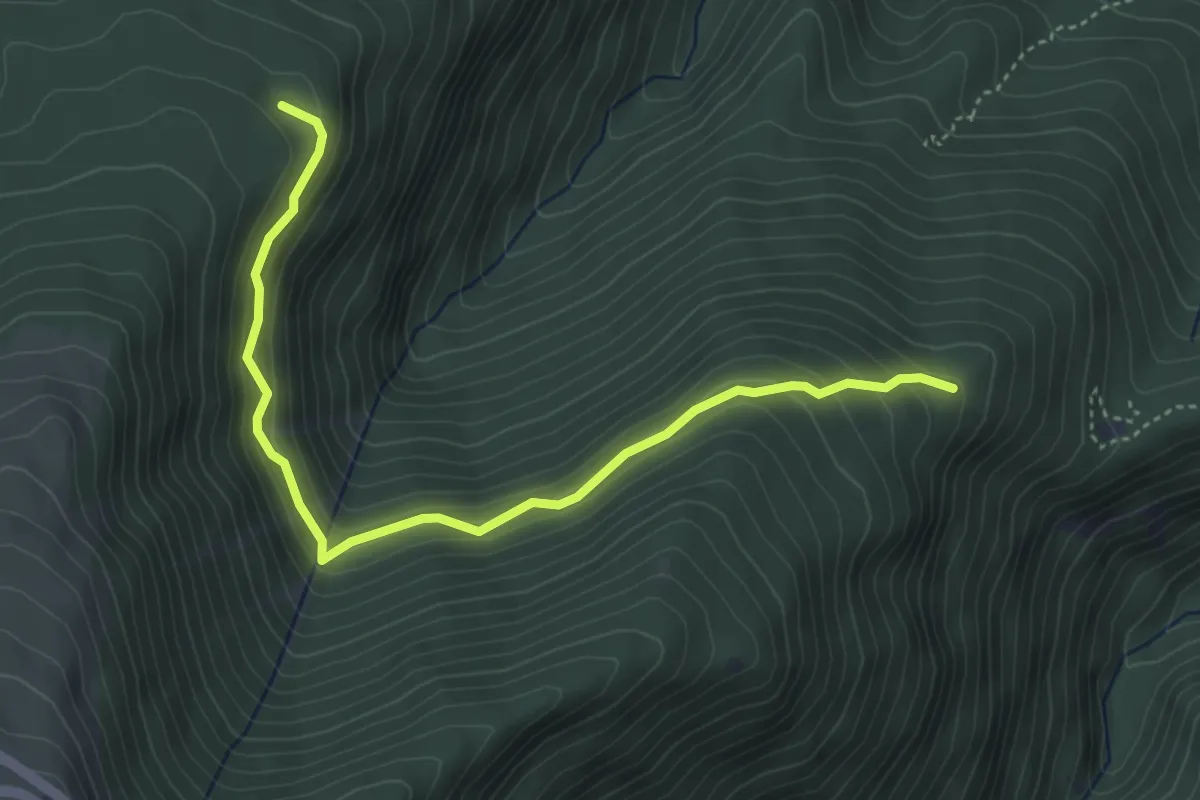
Easy · Trail
Valle delle Monache – Sentieo F4
5.1 km · ↑ 312 m · 1 h 53 min