Trails in Italy
25,219 hiking trails, each with its route, climb, walking time and grade.
All trails, page 286 of 526
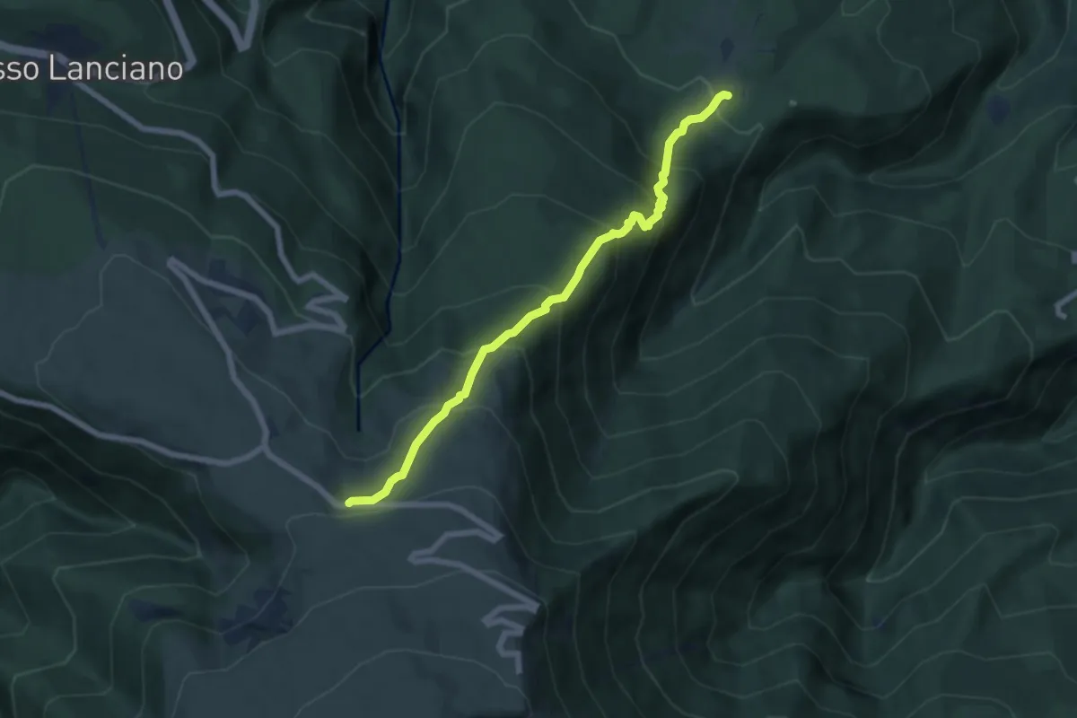
Medium · Trail
Sentiero E1 – Strada delle Majelletta
6.8 km · ↑ 691 m · 3 h 6 min
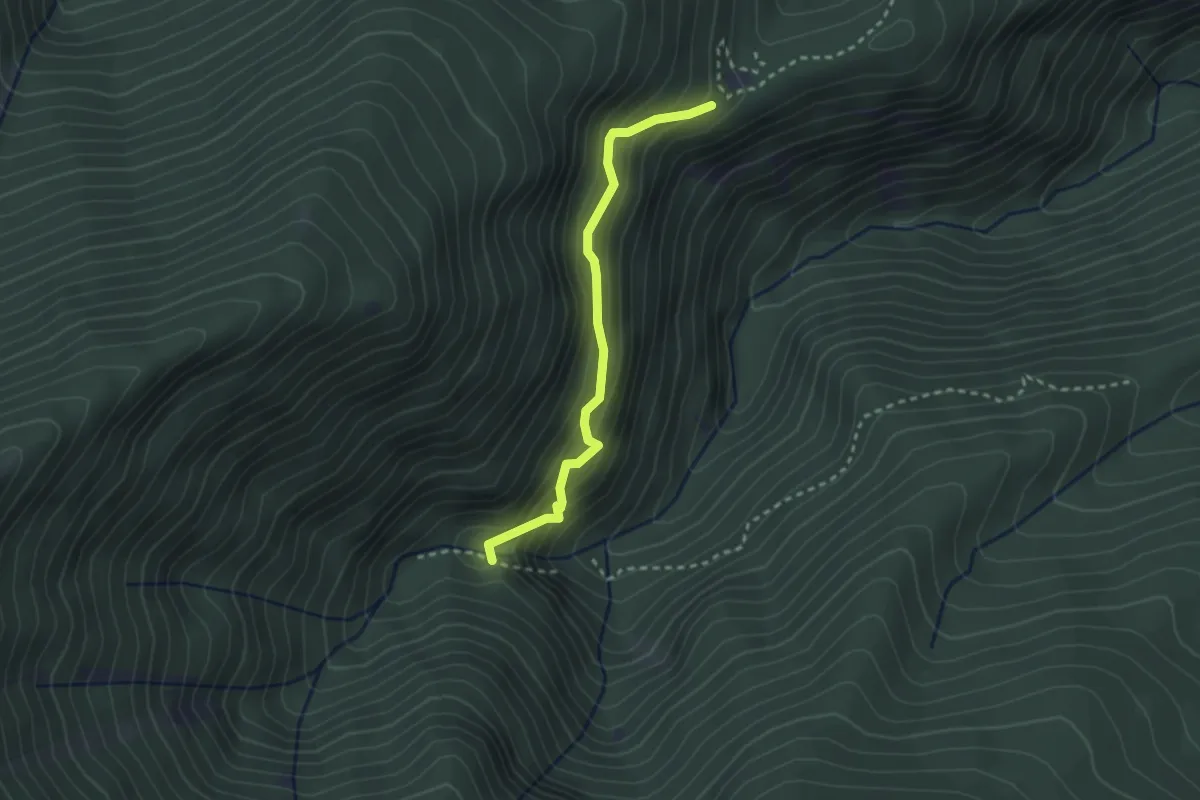
Easy · Trail
Cascata San Giovanni – Sentiero F1
2.7 km · ↑ 309 m · 1 h 19 min
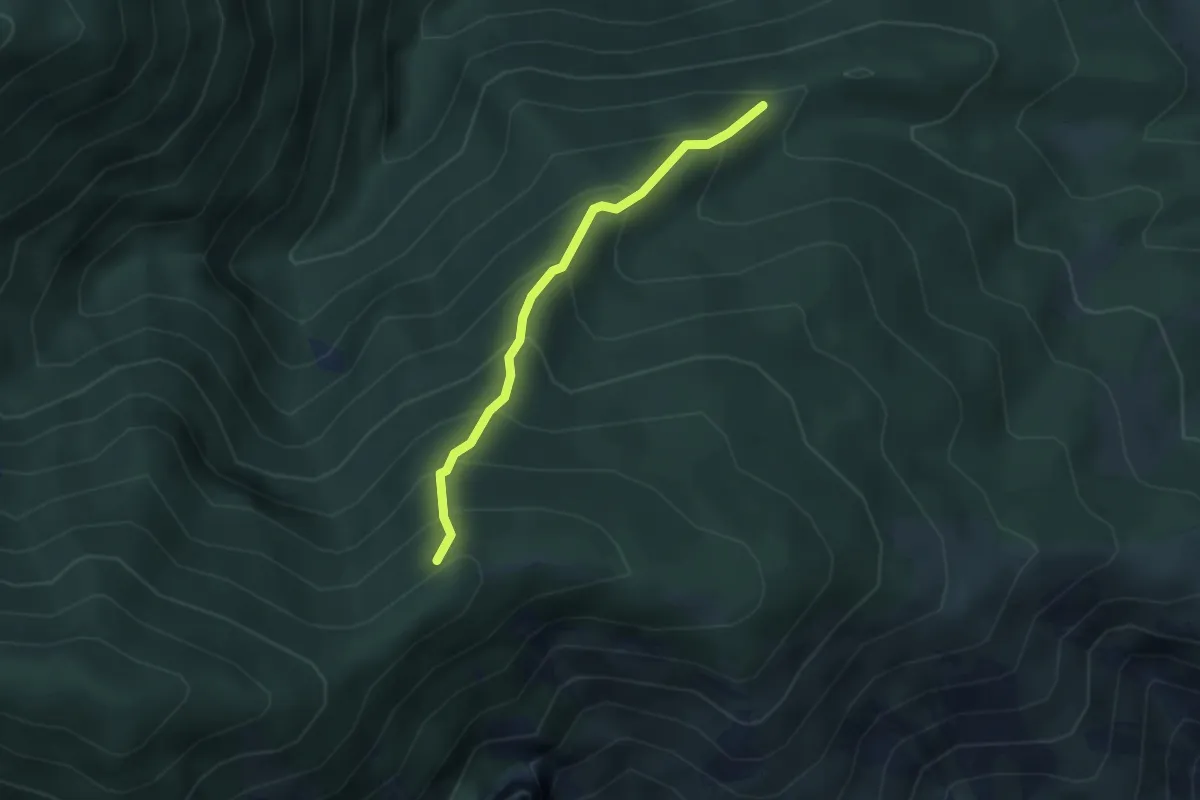
Medium · Trail
Sentiero F2 – Sentiero G1
2.9 km · ↑ 384 m · 1 h 32 min
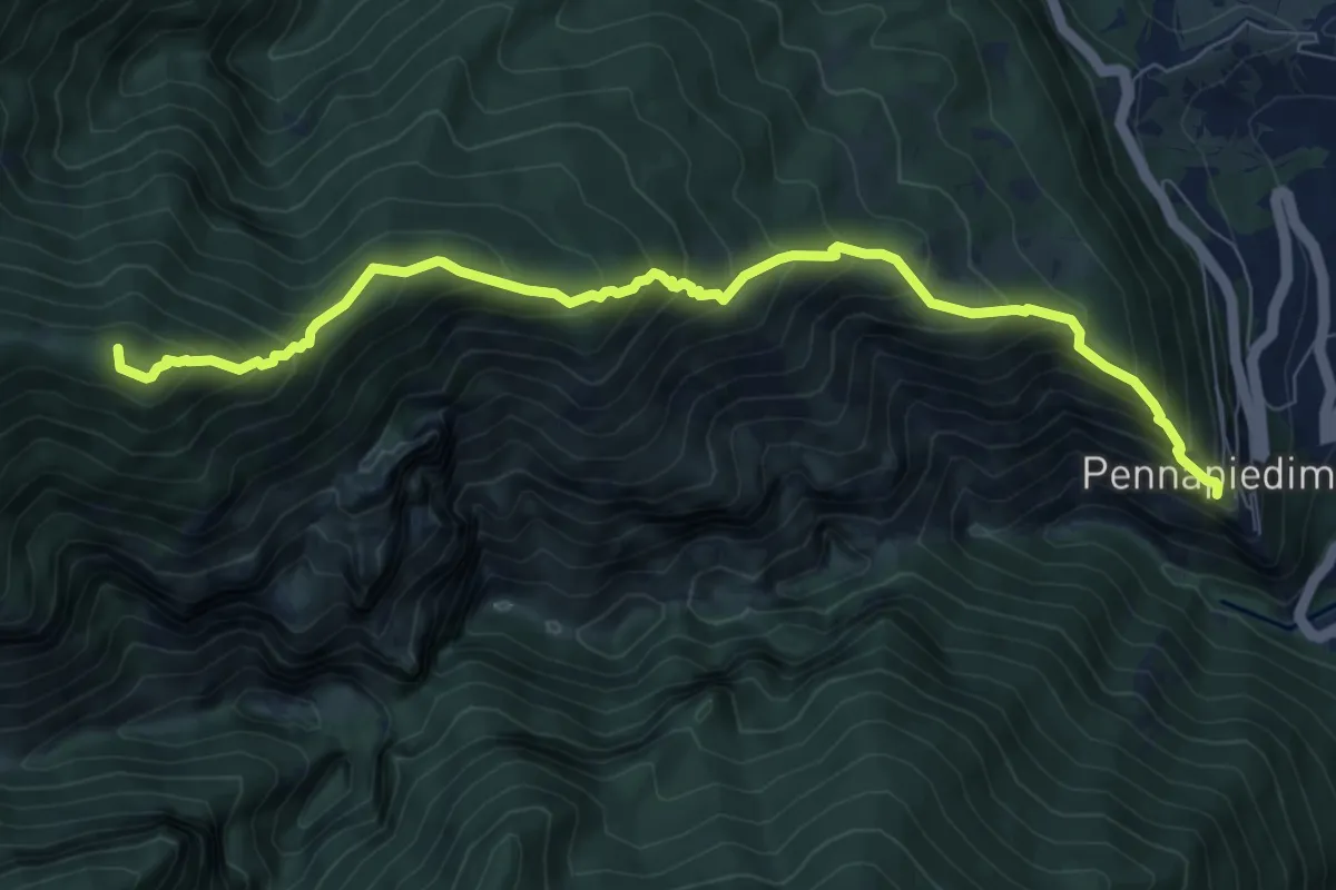
Demanding · Summit
Pennapiedimonte – Rifugio Pomilio
9.3 km · ↑ 923 m · 4 h 12 min
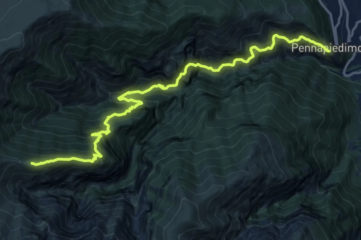
Demanding · Summit
Pennapiedimonte – Monte Cavallo
19.6 km · ↑ 2517 m · 10 h 5 min
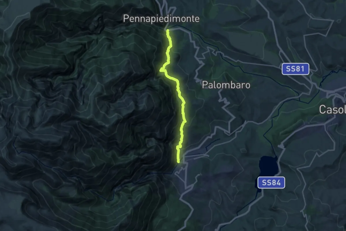
Demanding · Trail
Pennapiedimonte – Fara San Martino
15.1 km · ↑ 1023 m · 5 h 46 min
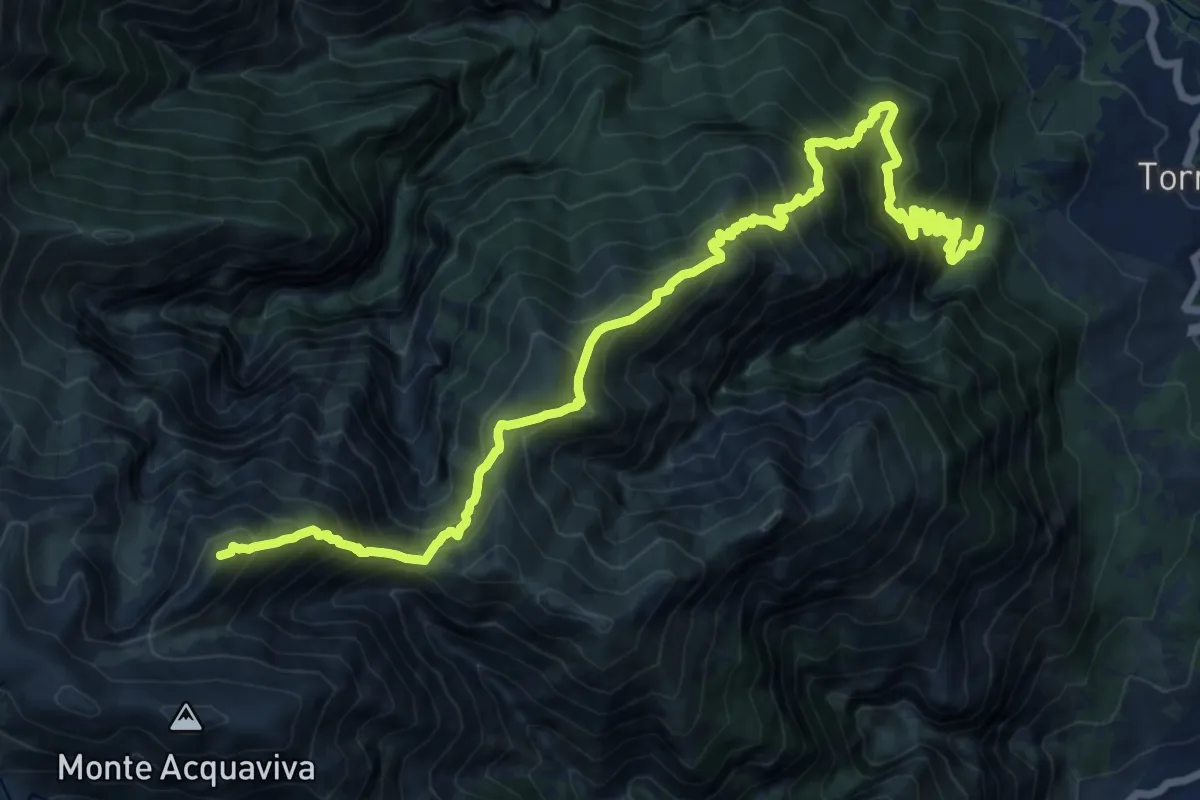
Demanding · Summit
Area picnic La Valle – Cima delle Murelle
21.3 km · ↑ 2084 m · 9 h 33 min
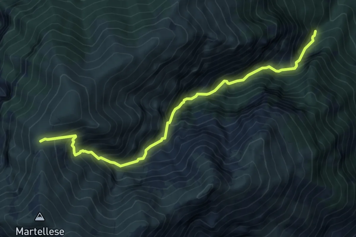
Demanding · Cabin
Valle di Palombaro – Rifugio Martellese
8.6 km · ↑ 1265 m · 4 h 47 min
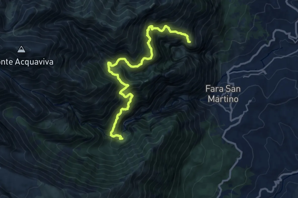
Demanding · Summit
Capo Le Macchie – Valle di Santo Spirito
17.5 km · ↑ 1935 m · 8 h 19 min
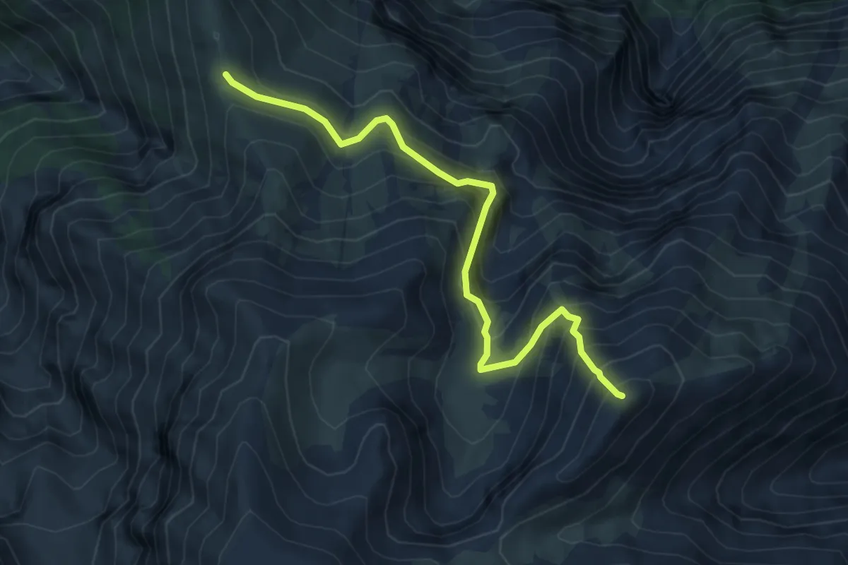
Expert · Summit
Sentiero Parco – Cima Murelle
6.0 km · ↑ 711 m · 2 h 58 min
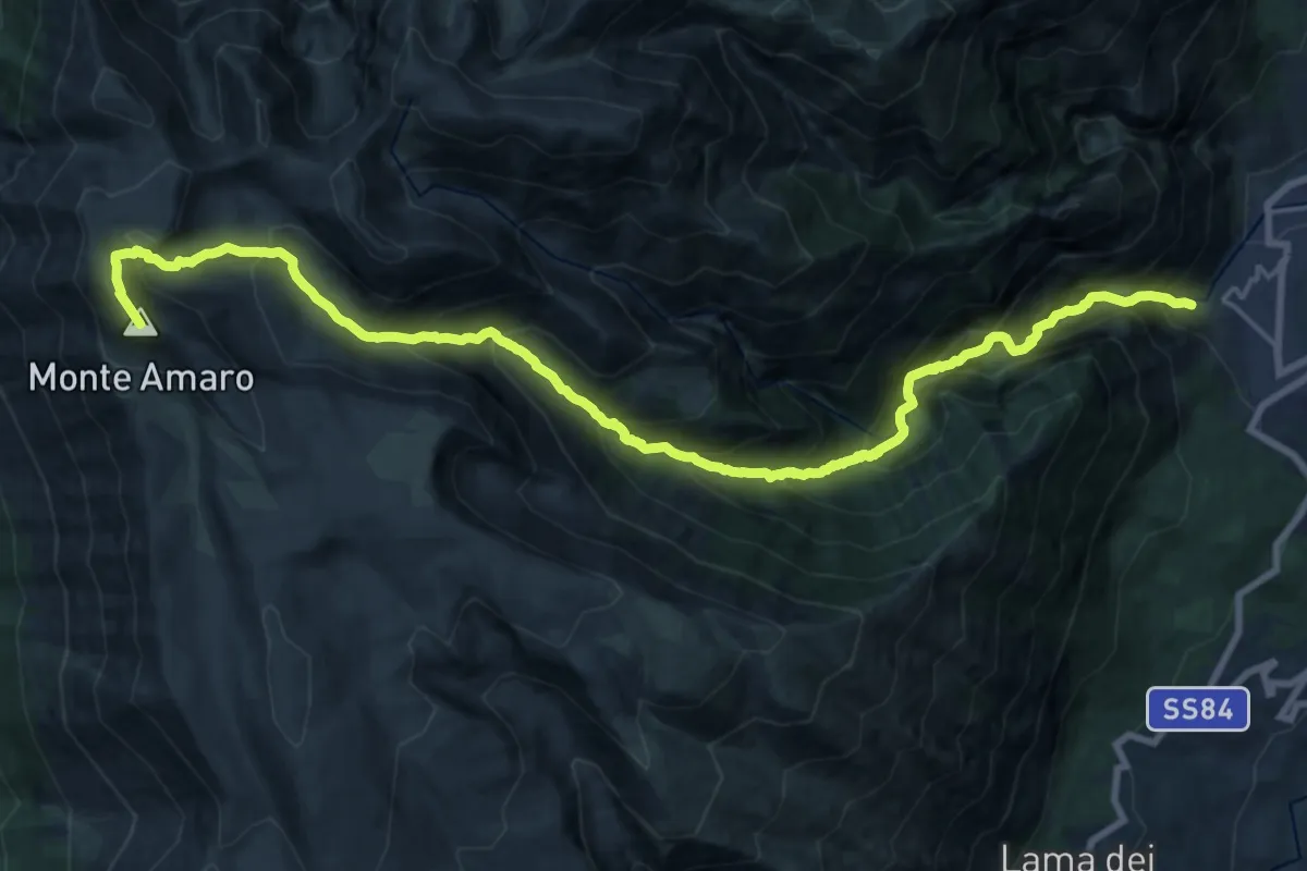
Demanding · Summit
Fara San Martino – Monte Amaro
25.2 km · ↑ 2869 m · 12 h 10 min
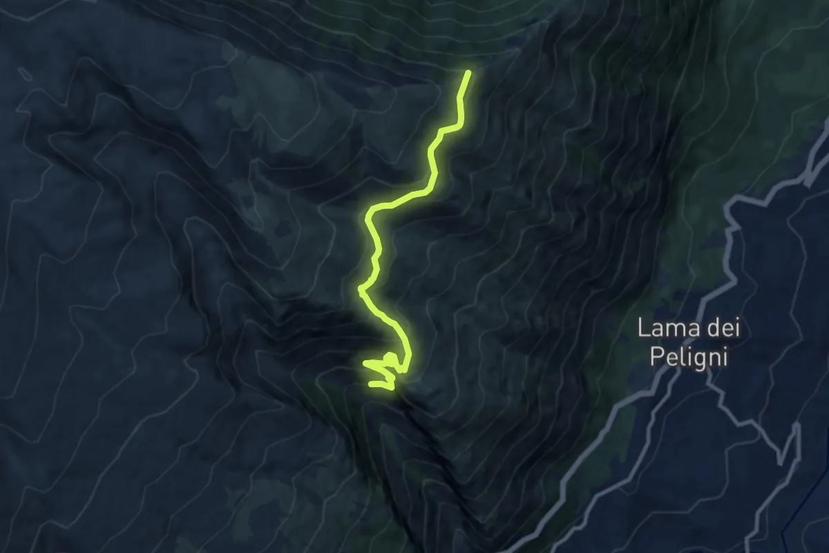
Medium · Trail
Arrivo funivia – Colle Incotto
9.5 km · ↑ 799 m · 3 h 58 min
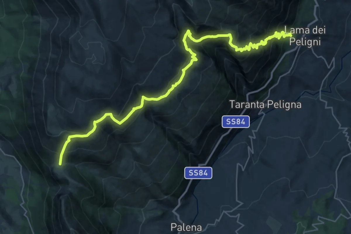
Demanding · Trail
Lama dei Peligni – Guado di Coccia
14.7 km · ↑ 1576 m · 6 h 37 min
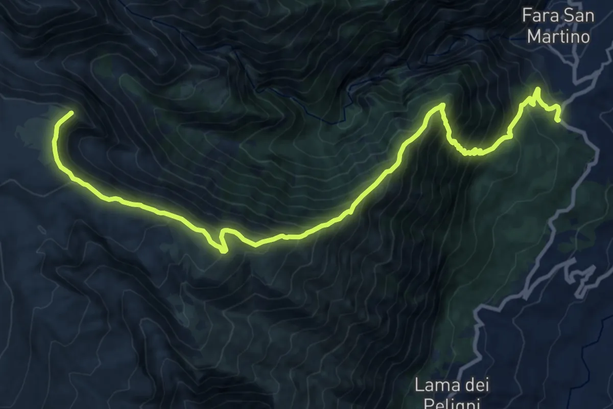
Demanding · Summit
Fara San Martino – Grotta Canosa
23.6 km · ↑ 2012 m · 9 h 56 min
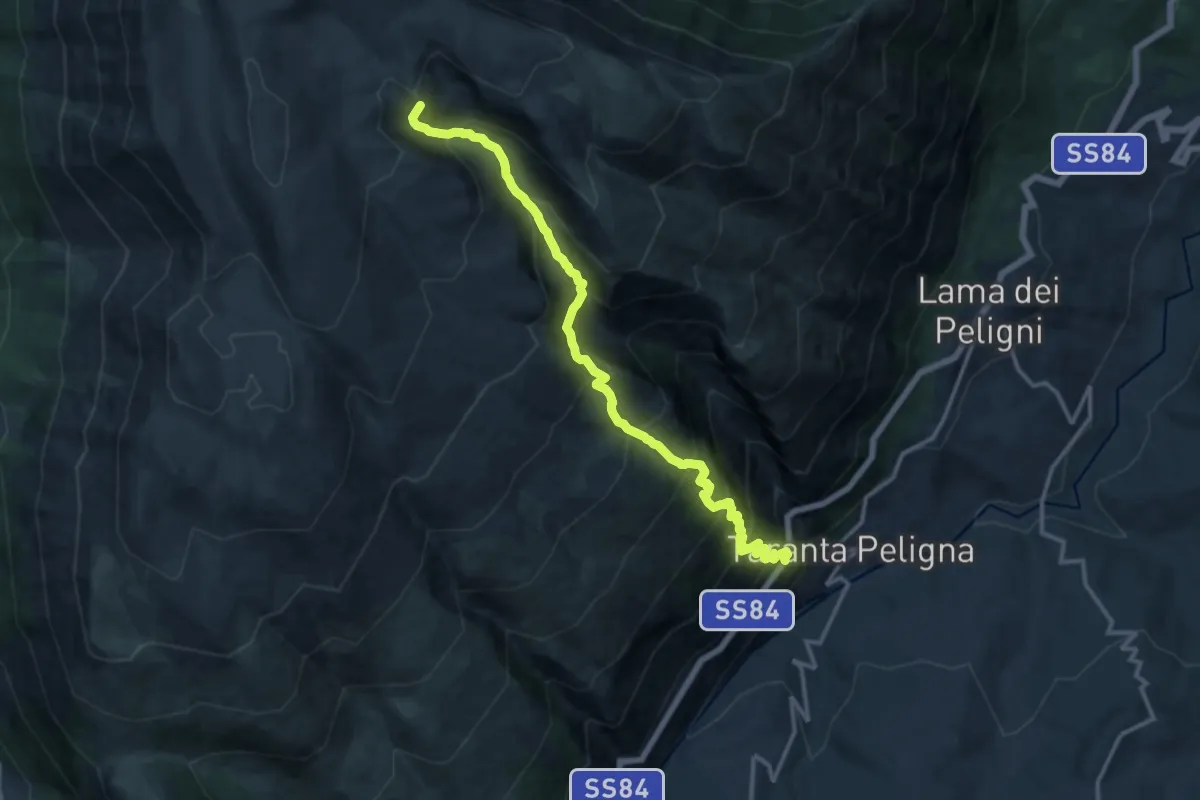
Expert · Summit
S.P. 84 – Grotta Canosa
15.7 km · ↑ 1807 m · 7 h 37 min
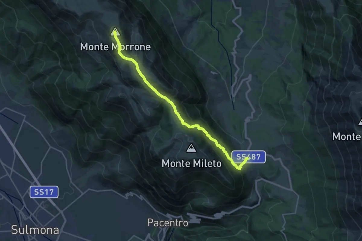
Demanding · Summit
Passo San Leonardo – Sentiero Parco
17.7 km · ↑ 1072 m · 6 h 30 min
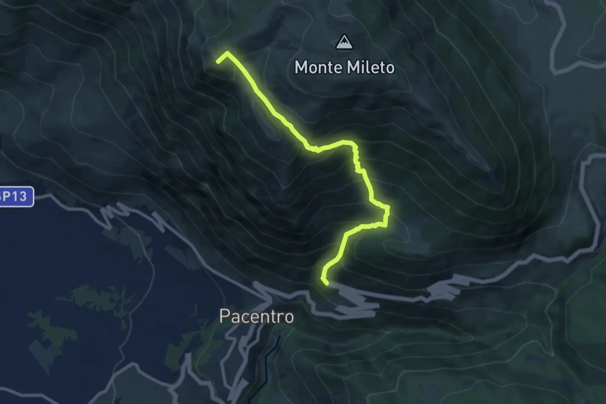
Demanding · Summit
Volta degli Asini – Sentiero Q6
8.6 km · ↑ 946 m · 4 h 5 min
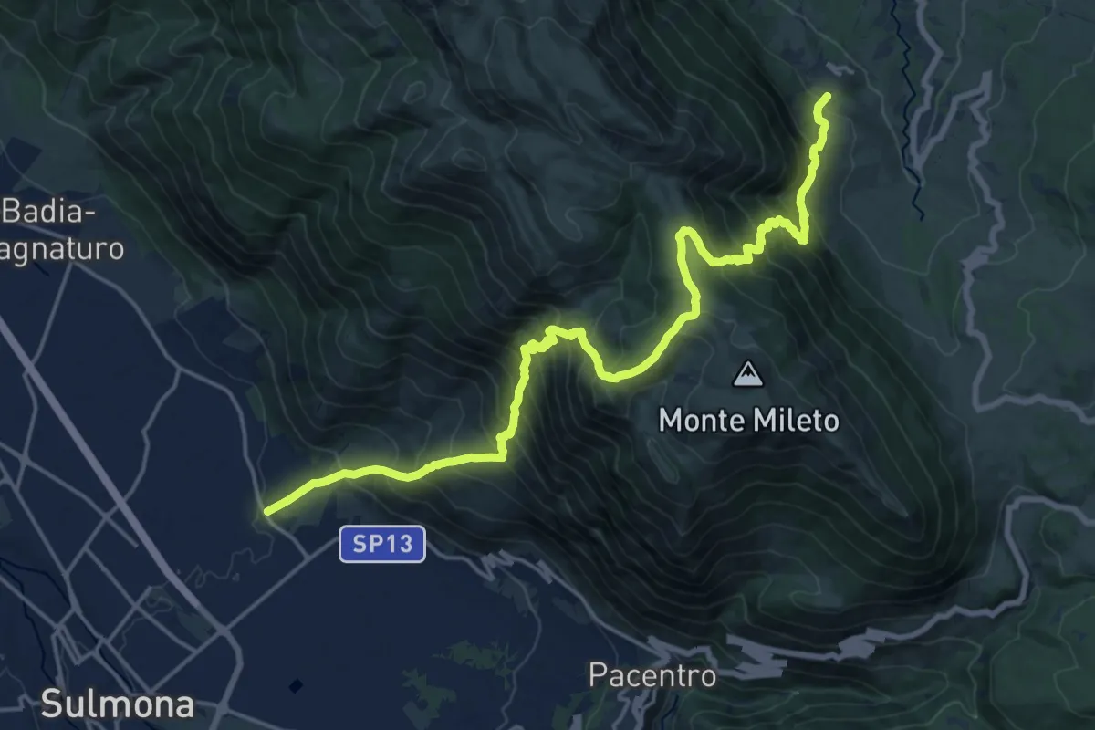
Demanding · Trail
Marane di Sulmona – Roccacaramanico
10.9 km · ↑ 1420 m · 5 h 28 min
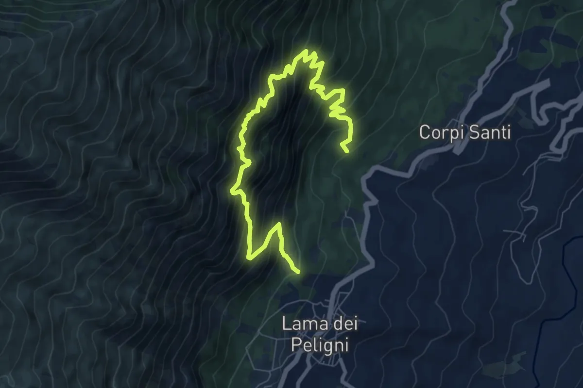
Demanding · Trail
Lama dei Peligni – Eremo Sant'angelo
9.9 km · ↑ 1161 m · 4 h 51 min
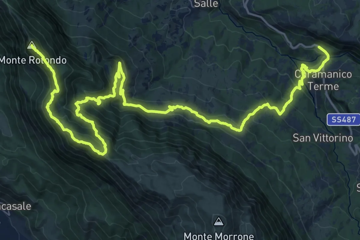
Demanding · Summit
Popoli – Caramanico Terme
42.3 km · ↑ 2169 m · 14 h 41 min
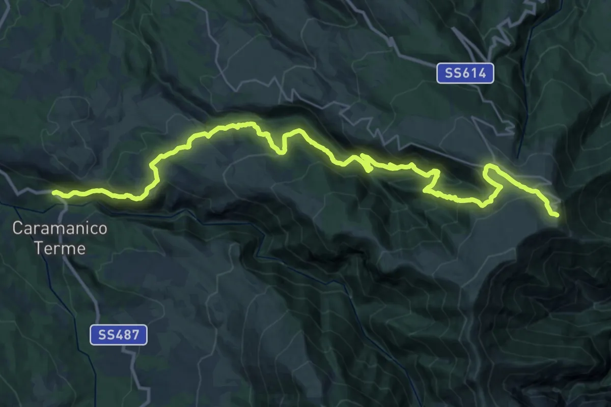
Demanding · Trail
Caramanico – Rifugio Pomilio
17.3 km · ↑ 1748 m · 7 h 25 min
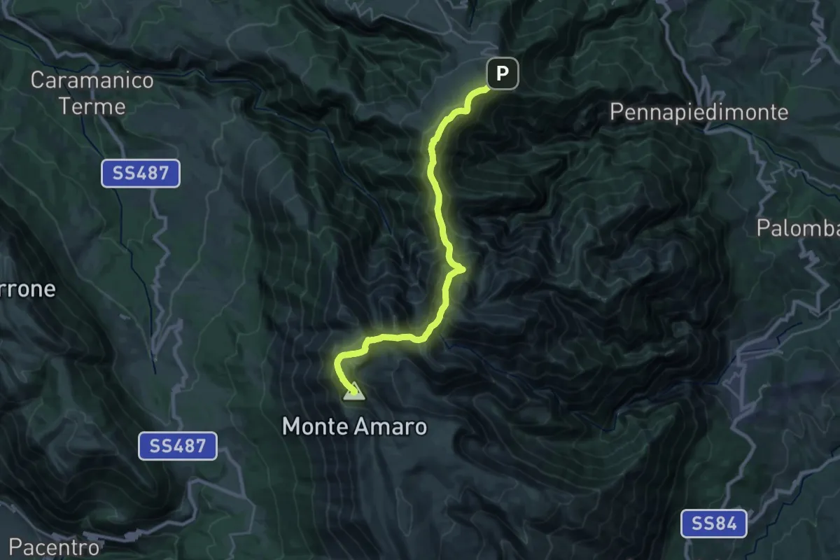
Demanding · Summit
Rifugio Pomilio – Monte Amaro
24.7 km · ↑ 1660 m · 9 h 25 min
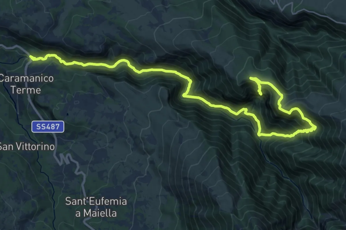
Demanding · Trail
Caramanico – Eremo di San Giovanni
13.8 km · ↑ 1489 m · 6 h 16 min
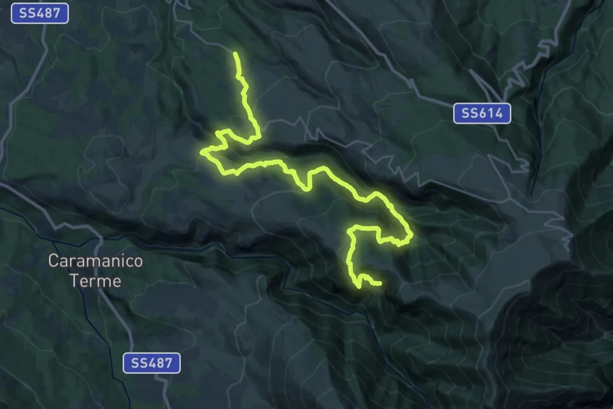
Medium · Trail
Eremo di San Giovanni – Roccamorice
15.3 km · ↑ 693 m · 5 h 39 min
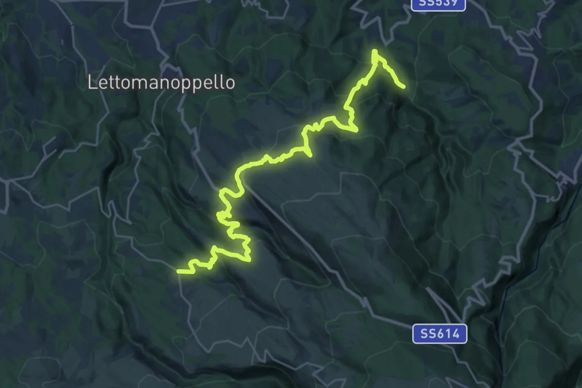
Medium · Trail
Roccamorice – Serramonacesca
13.8 km · ↑ 567 m · 4 h 49 min
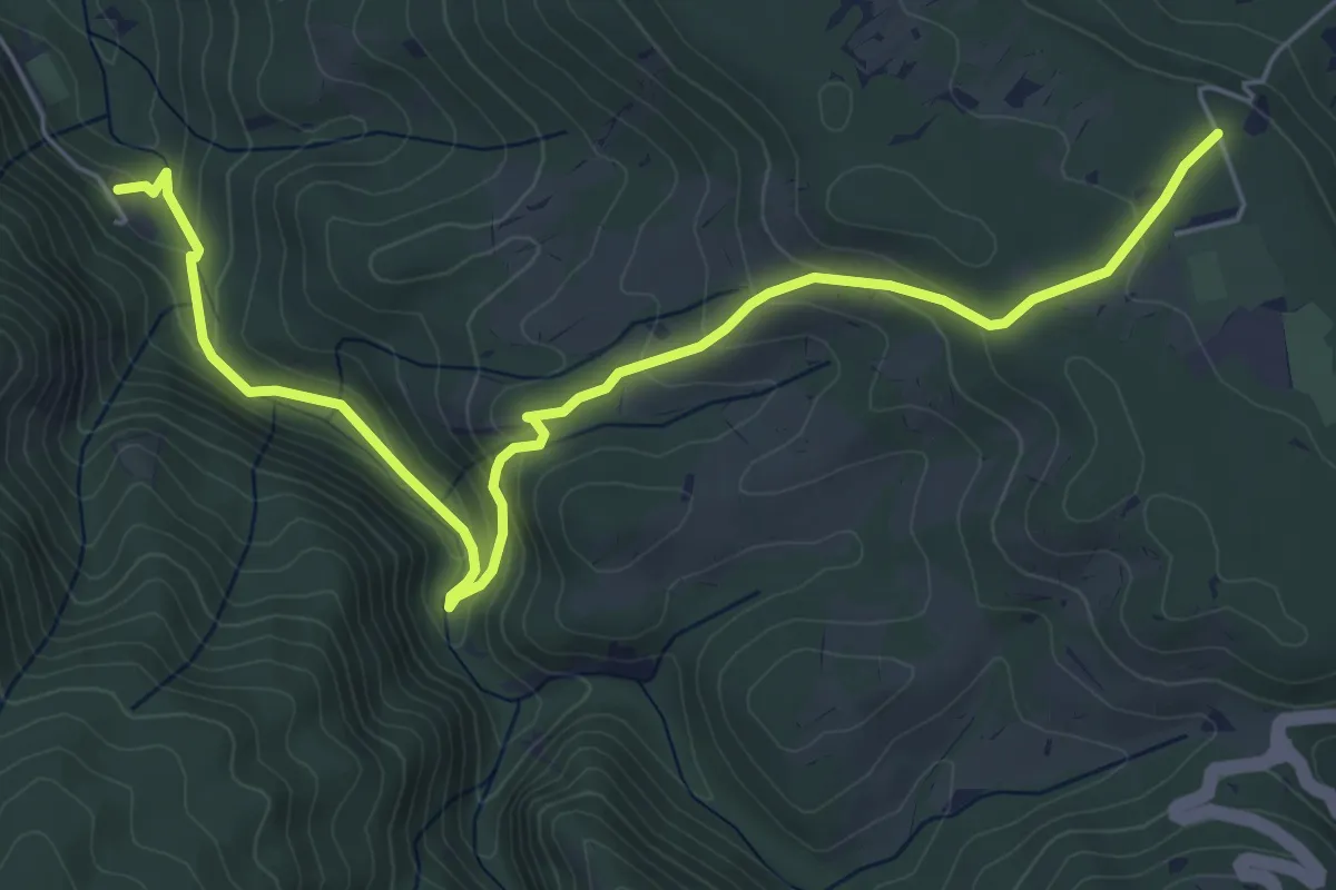
Medium · Trail
Abbazia San Liberatore – Roccamontepiano
7.3 km · ↑ 341 m · 2 h 28 min
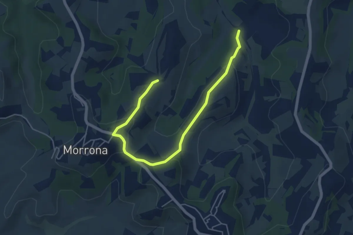
Easy · Trail
Morrona – Bivio sentiero 452
5.1 km · ↑ 175 m · 1 h 35 min
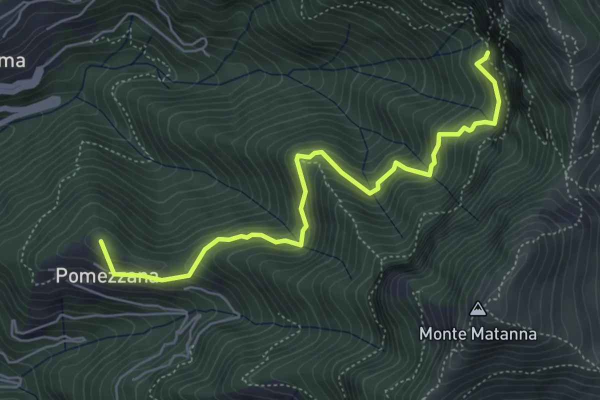
Medium · Summit
Tre Scolli – Rifugio Forte dei Marmi
5.7 km · ↑ 693 m · 2 h 51 min
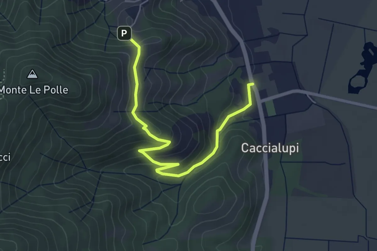
Easy · Trail
Riserva Naturale Bosco di Tanali – Percorso 140
5.5 km · ↑ 207 m · 1 h 45 min
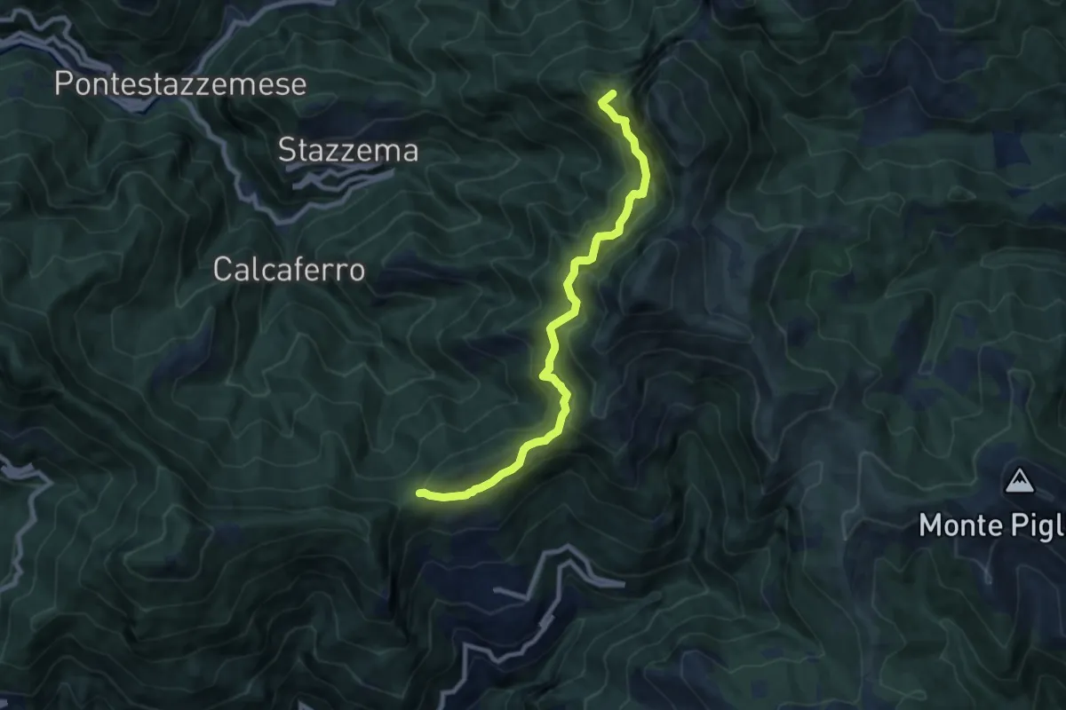
Demanding · Summit
Foce di San Rocchino – Fonte di Moscoso
8.8 km · ↑ 1035 m · 4 h 19 min
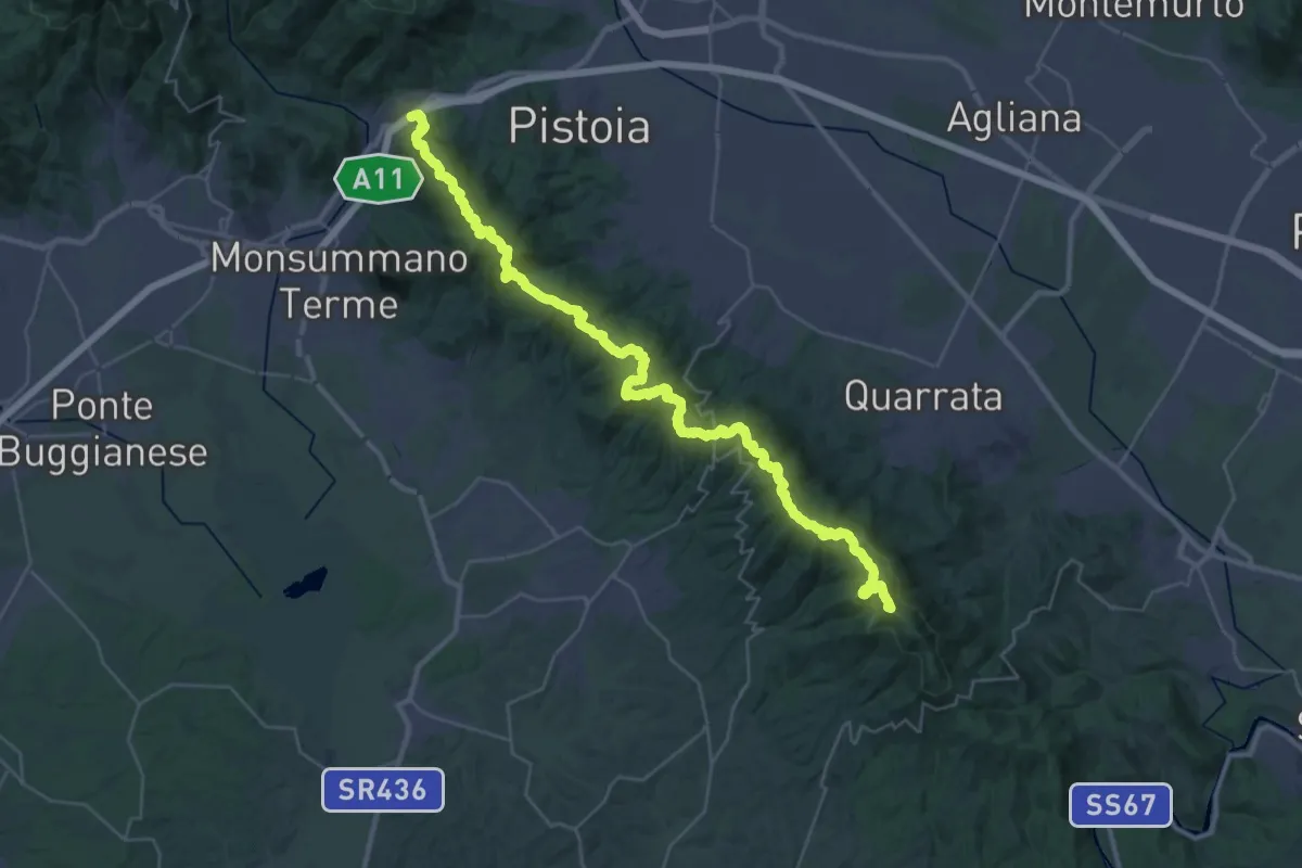
Demanding · Summit
Parcheggio via Buricchi La Malvax Stazione di Carmignano – Serravalle Pistoiese
44.8 km · ↑ 1705 m · 14 h 16 min
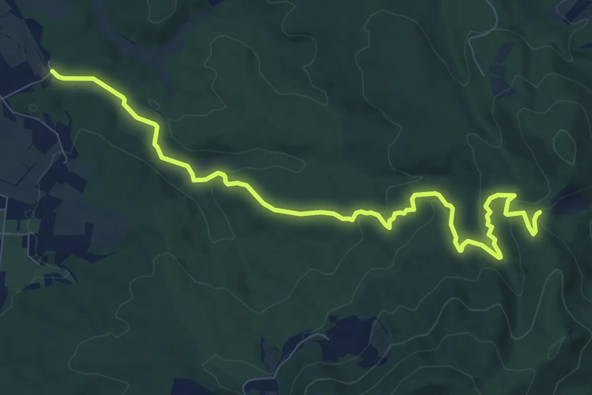
Medium · Trail
Bagnetti – Il Crocione
11.1 km · ↑ 277 m · 3 h 13 min
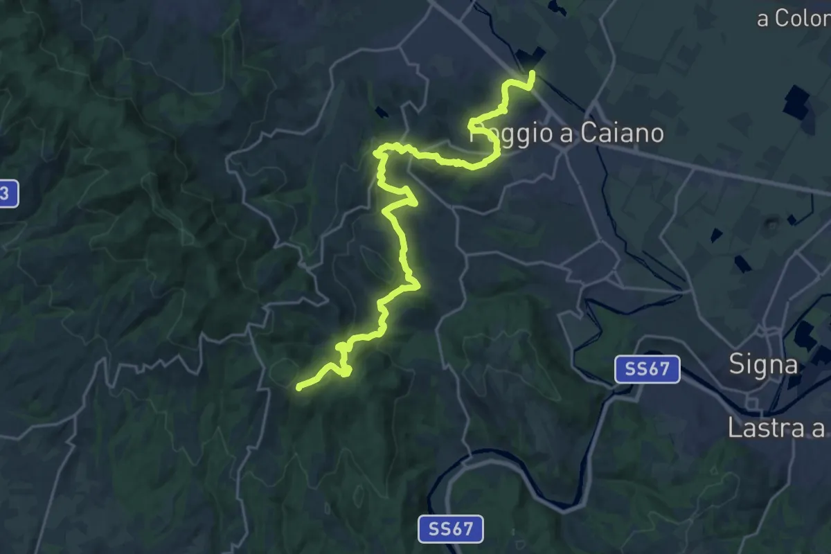
Medium · Trail
Cassa espansione Taglianico – Casenuove
12.8 km · ↑ 684 m · 4 h 30 min
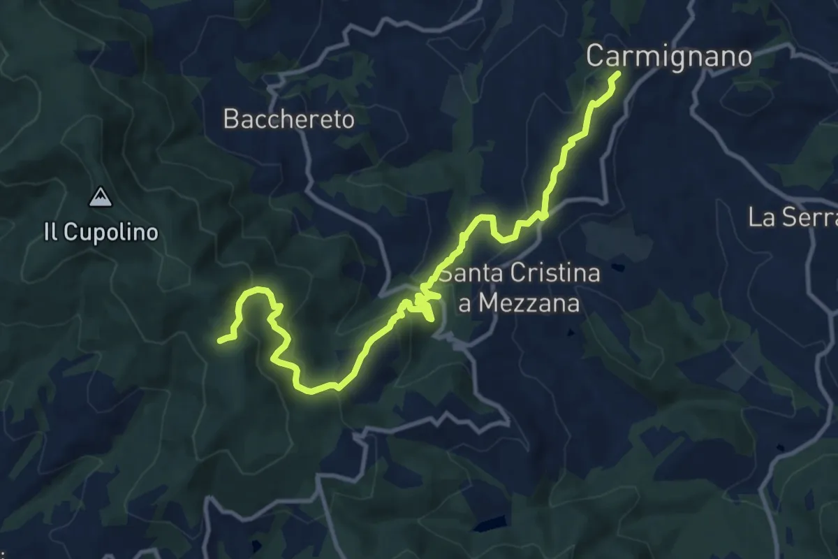
Medium · Trail
Carmignano – Pietramarina
12.7 km · ↑ 730 m · 4 h 35 min
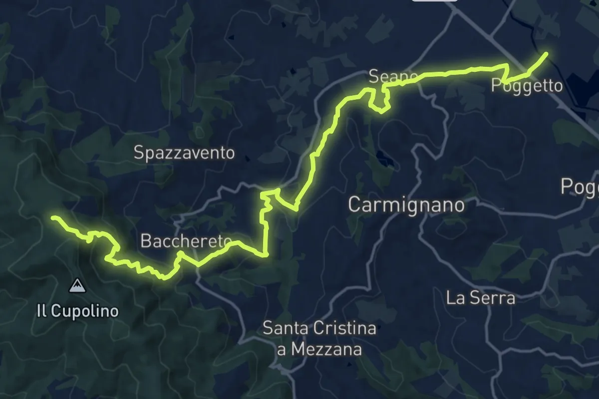
Demanding · Trail
Ponte a Tigliano – Torre Sant'Allluccio
22.0 km · ↑ 769 m · 6 h 51 min
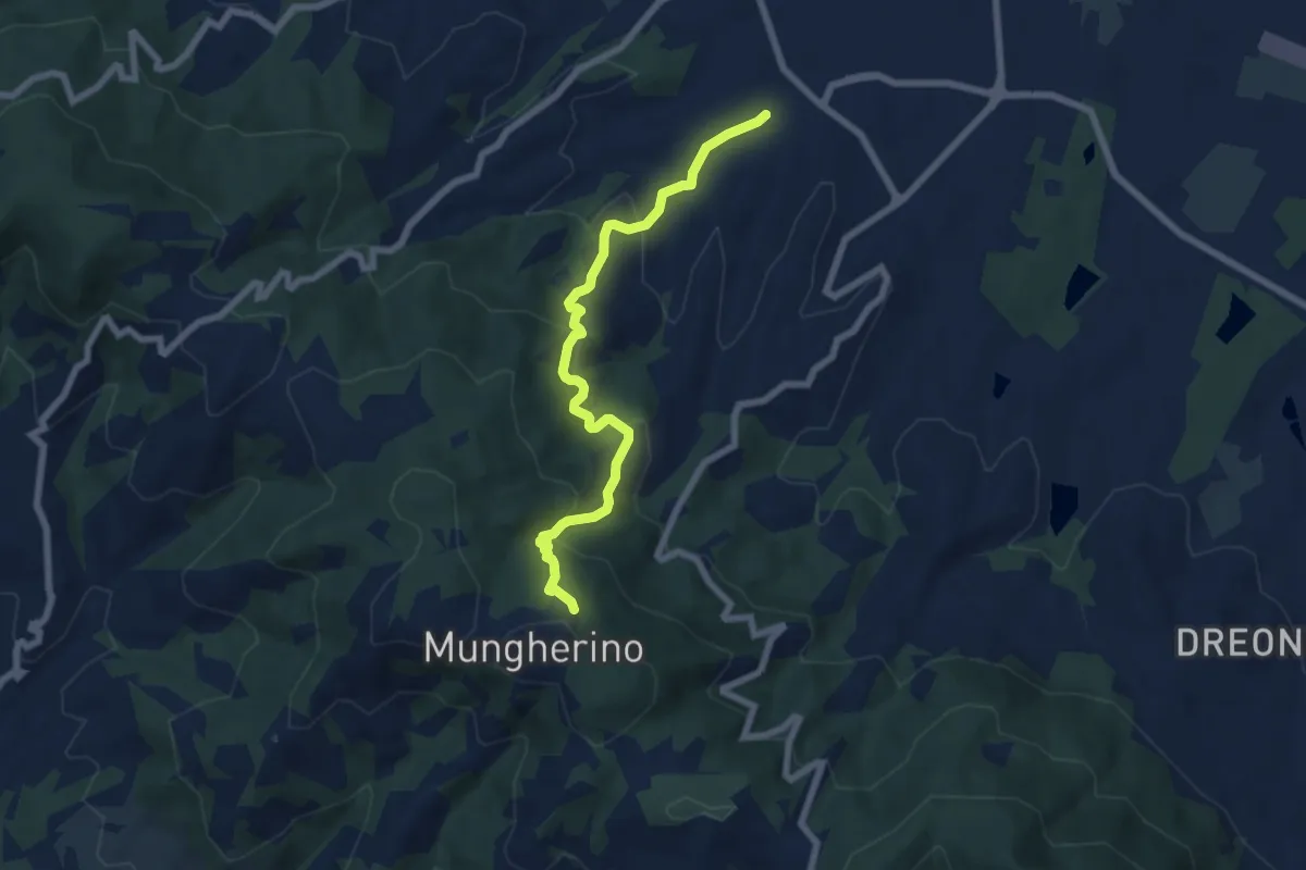
Medium · Trail
Casalguidi – innesto sentiero 800
7.1 km · ↑ 434 m · 2 h 38 min
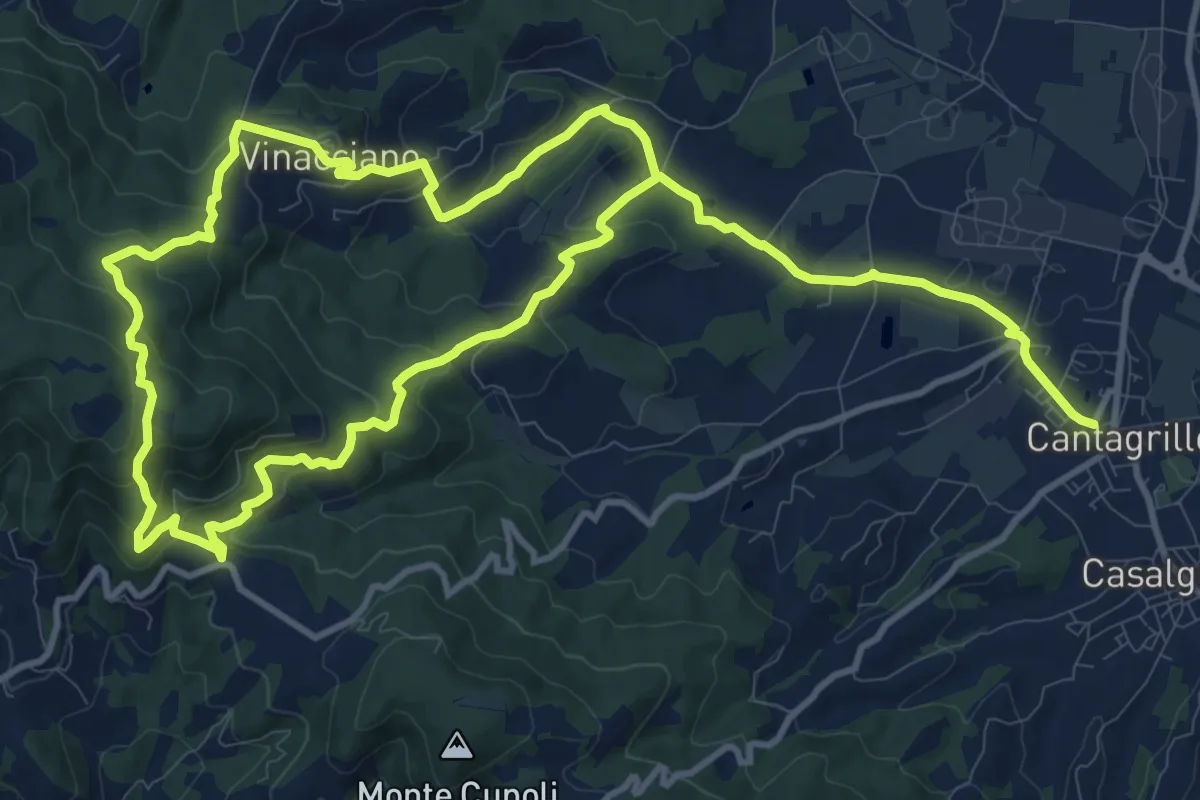
Medium · Trail
Cantagrillo – Cantagrillo
11.5 km · ↑ 463 m · 3 h 52 min
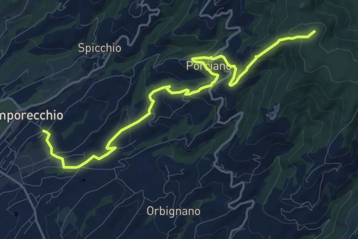
Medium · Summit
Lamporecchio – innesto sentiero 00
12.3 km · ↑ 546 m · 4 h 5 min
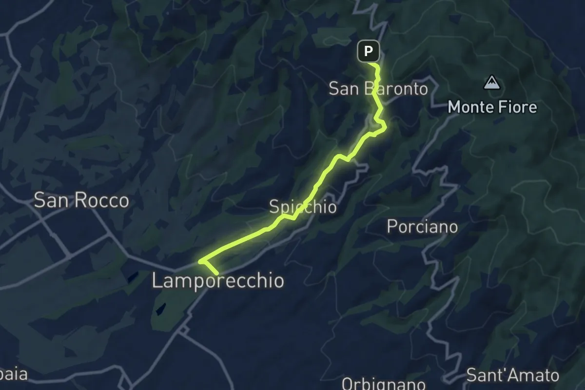
Medium · Trail
Lamporecchio – innesto sentiero 800
8.2 km · ↑ 311 m · 2 h 36 min
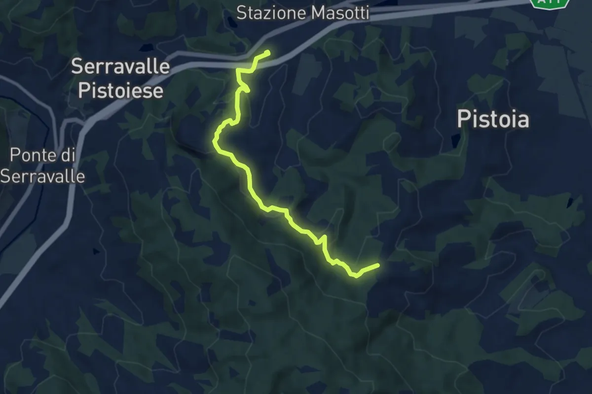
Medium · Trail
Stazione Masotti FFSS – innesto sentiero 817
8.4 km · ↑ 309 m · 2 h 39 min
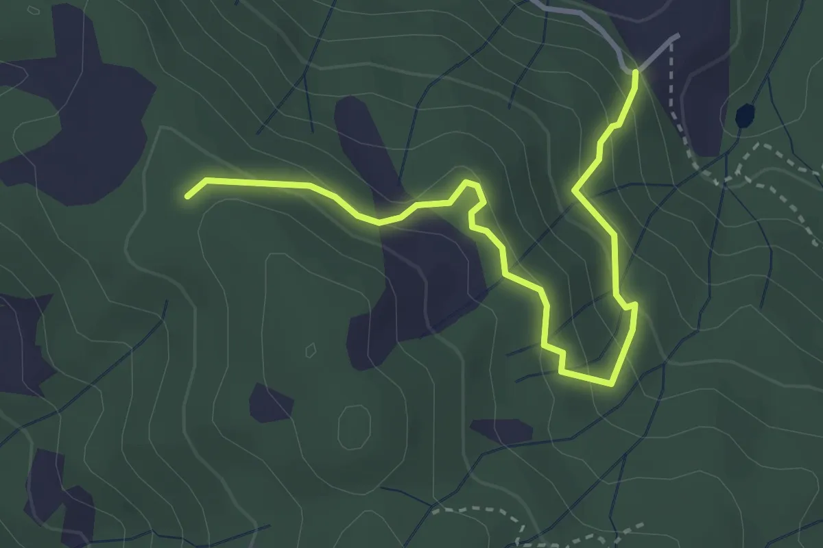
Easy · Trail
Montalto innesto sentiero 821 – innesto sentiero 800
3.7 km · ↑ 215 m · 1 h 21 min
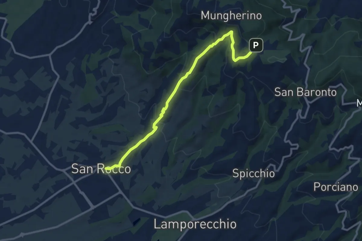
Medium · Trail
Larciano – innesto sentiero 800
8.6 km · ↑ 390 m · 2 h 53 min
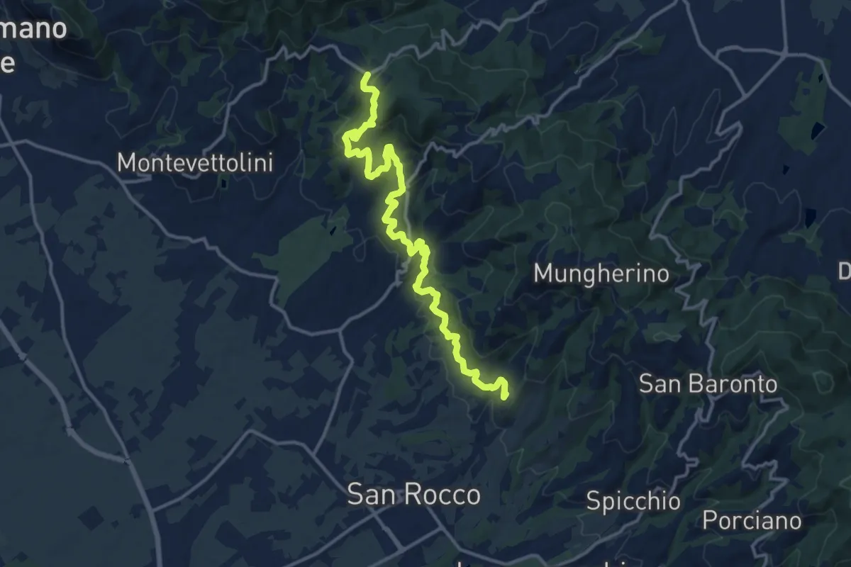
Medium · Trail
Larciano Castello – innesto sentiero 800
15.2 km · ↑ 599 m · 4 h 53 min
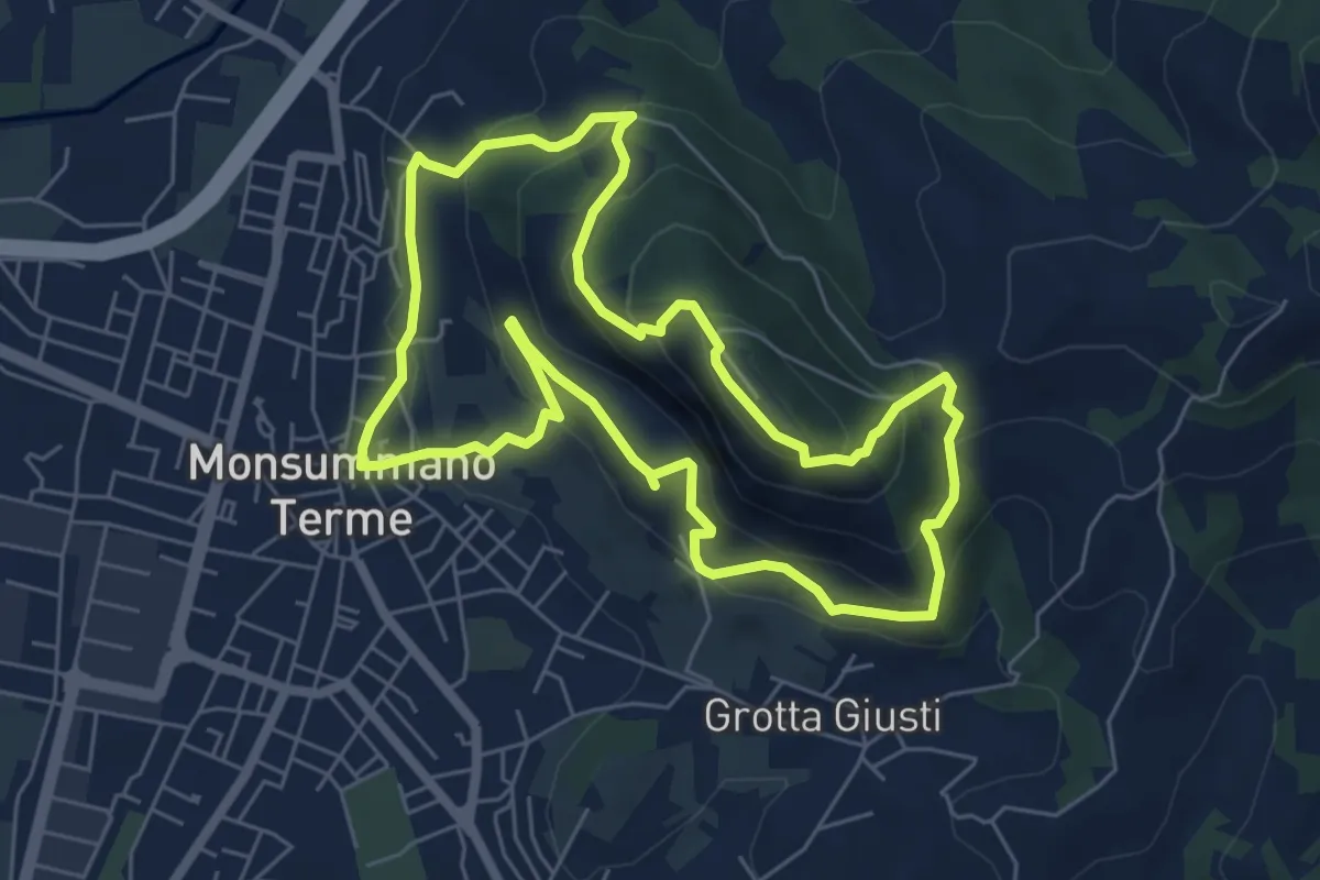
Medium · Summit
Monsummano Terme – Monsummano Terme
6.4 km · ↑ 365 m · 2 h 23 min
Medium · Trail
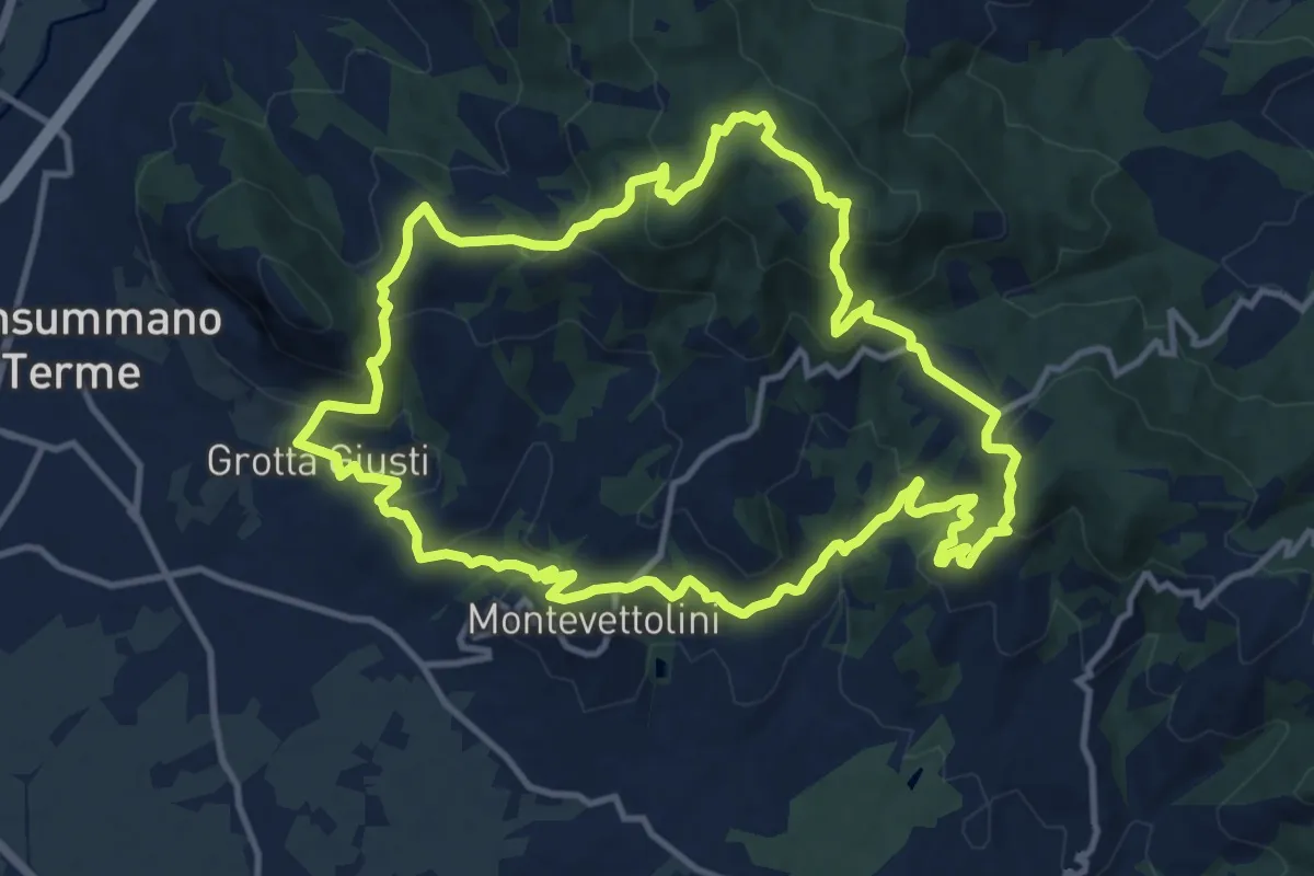
Monsummano – Monsummano
13.2 km · ↑ 623 m · 4 h 39 min
Medium · Trail
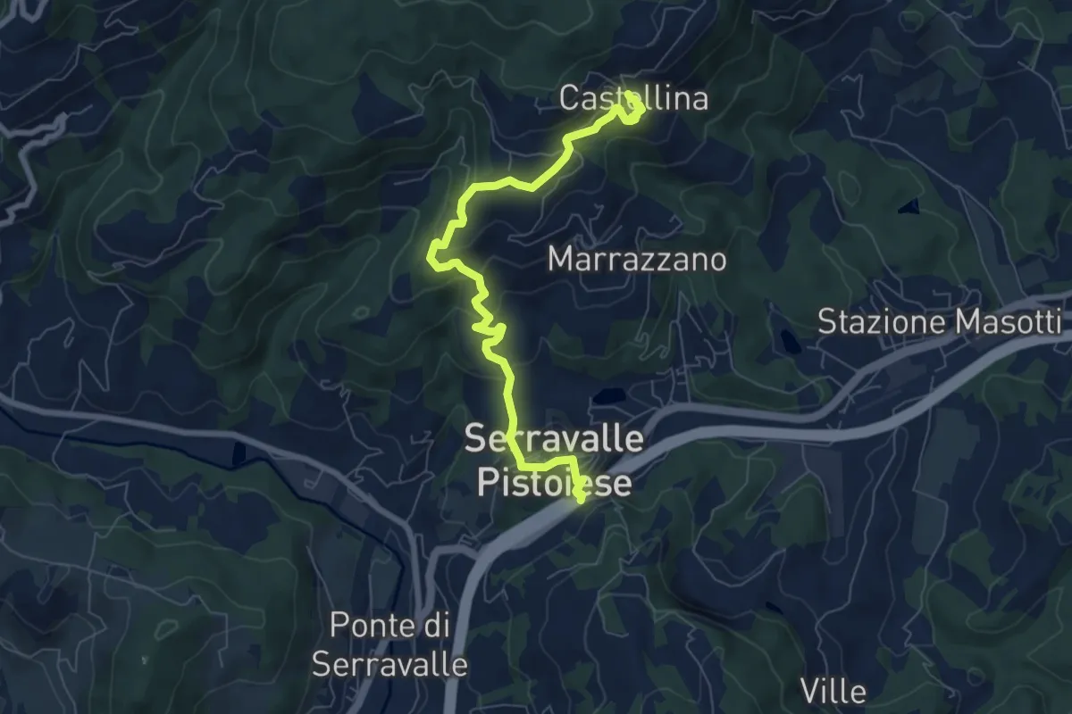
Passo Serravalle Pistoiese – Castellina
7.8 km · ↑ 370 m · 2 h 38 min
Easy · Trail
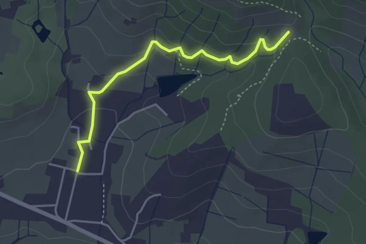
Santomato – Innesto sentiero 220
3.6 km · ↑ 139 m · 1 h 9 min
Demanding · Summit
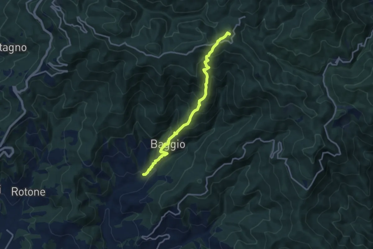
Mengarone – Badia a Taona
10.2 km · ↑ 848 m · 4 h 15 min