Trails in Italy
25,219 hiking trails, each with its route, climb, walking time and grade.
All trails, page 287 of 526
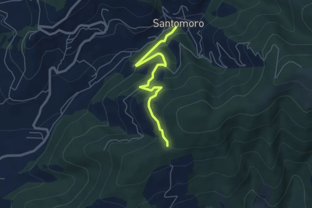
Easy · Trail
Santomoro – innesto sentiero 202
4.7 km · ↑ 241 m · 1 h 38 min
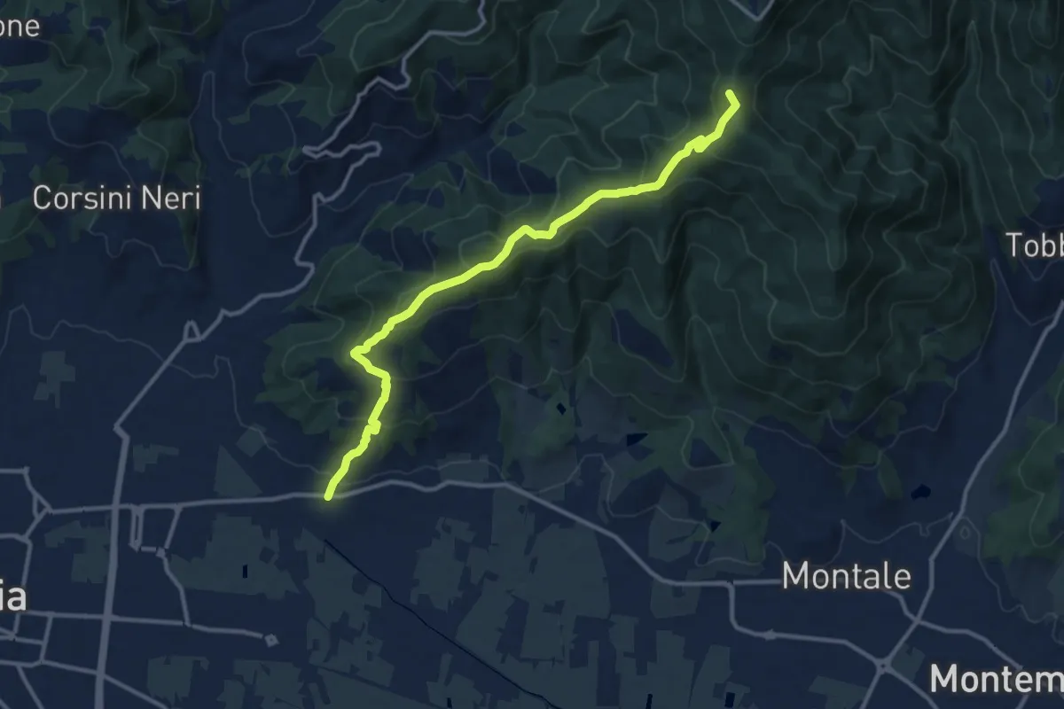
Medium · Summit
Pontenuovo – innesto sentiero 234
12.8 km · ↑ 731 m · 4 h 37 min
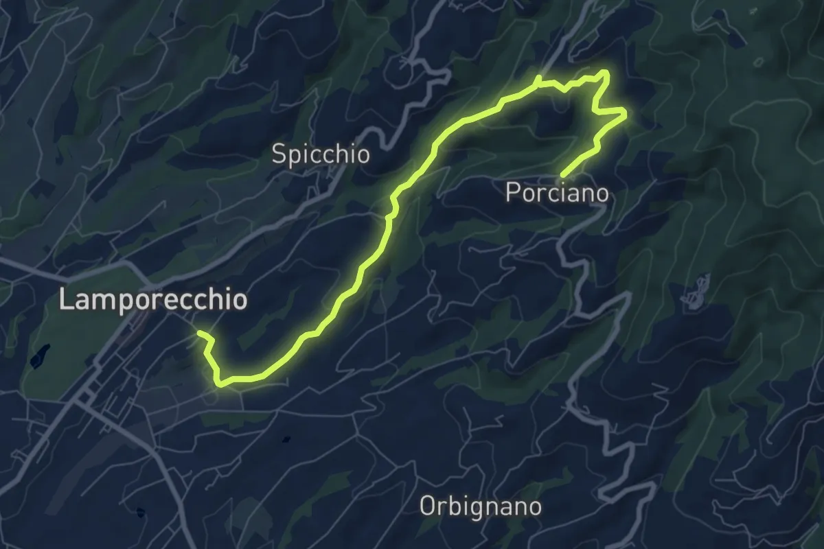
Medium · Trail
Lamporecchio – Porciano
9.1 km · ↑ 373 m · 2 h 57 min
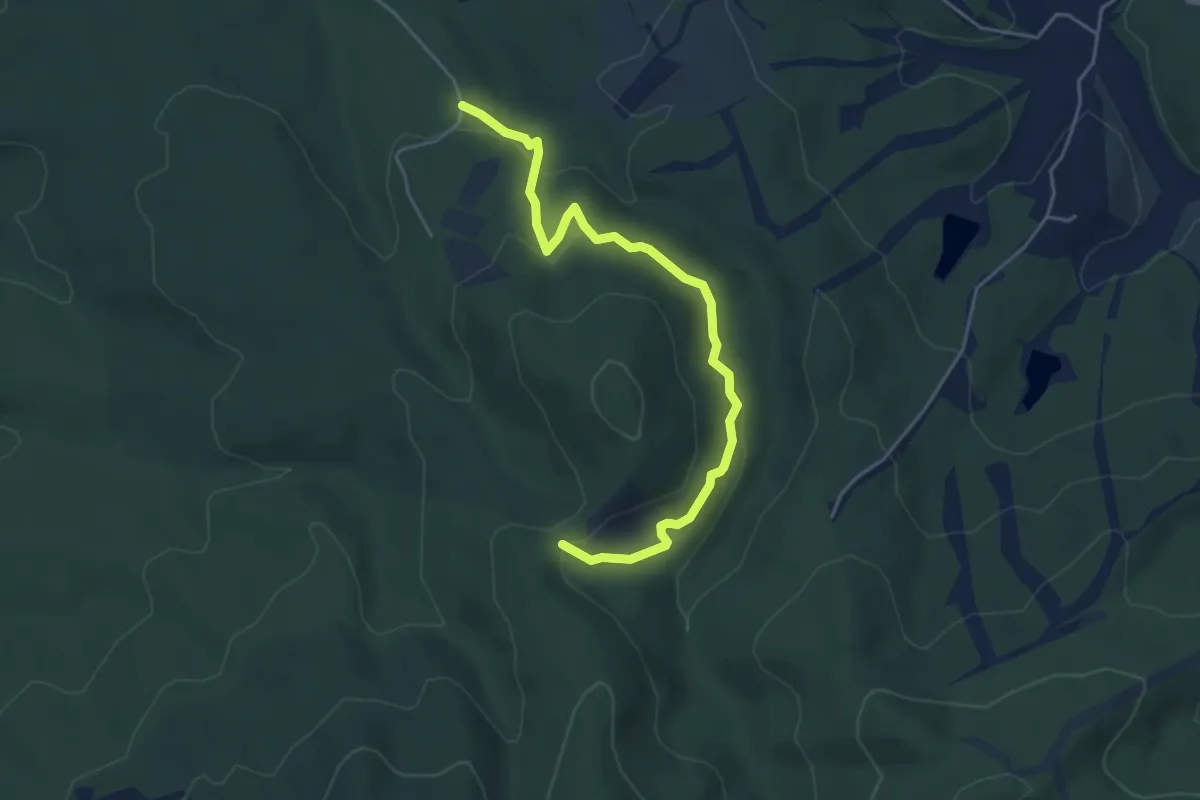
Easy · Trail
Cascatella Infernaccio – Crocione
5.0 km · ↑ 246 m · 1 h 43 min
Medium · Summit
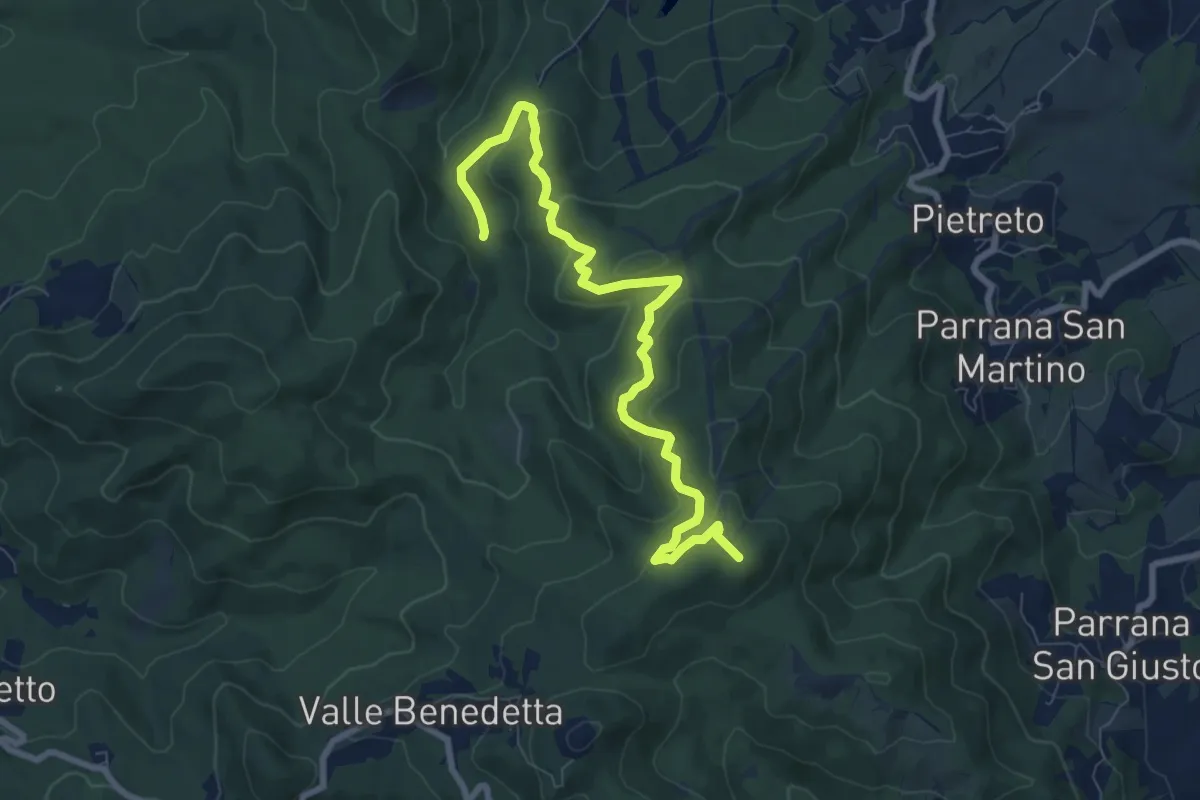
Guado Ugione (sent. 100) – Poggio ai 3 Mulini
9.3 km · ↑ 415 m · 3 h 6 min
Easy · Trail
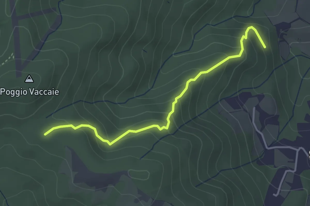
Ponti Grandi (sent. 115) – Calvario
3.7 km · ↑ 252 m · 1 h 25 min
Easy · Trail
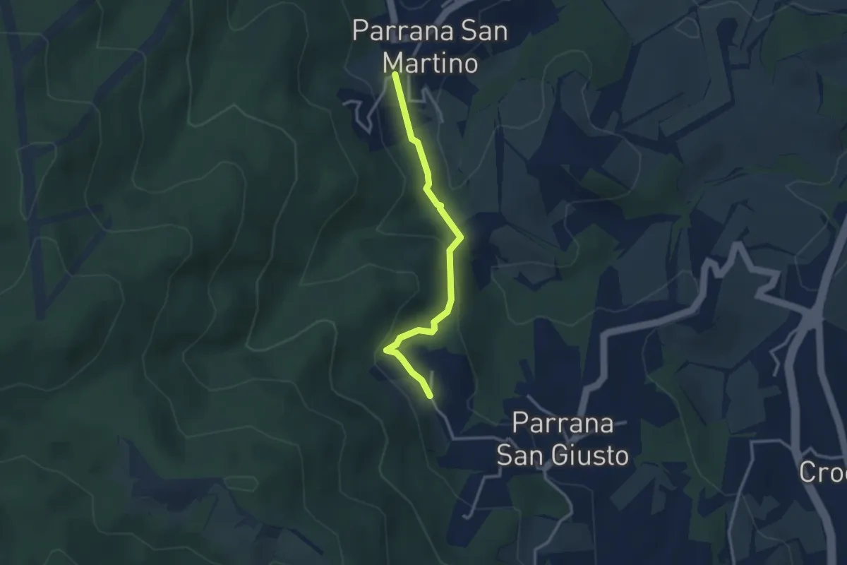
Parrana San Martino – Parrana San Giusto
2.9 km · ↑ 113 m · 55 min
Medium · Summit
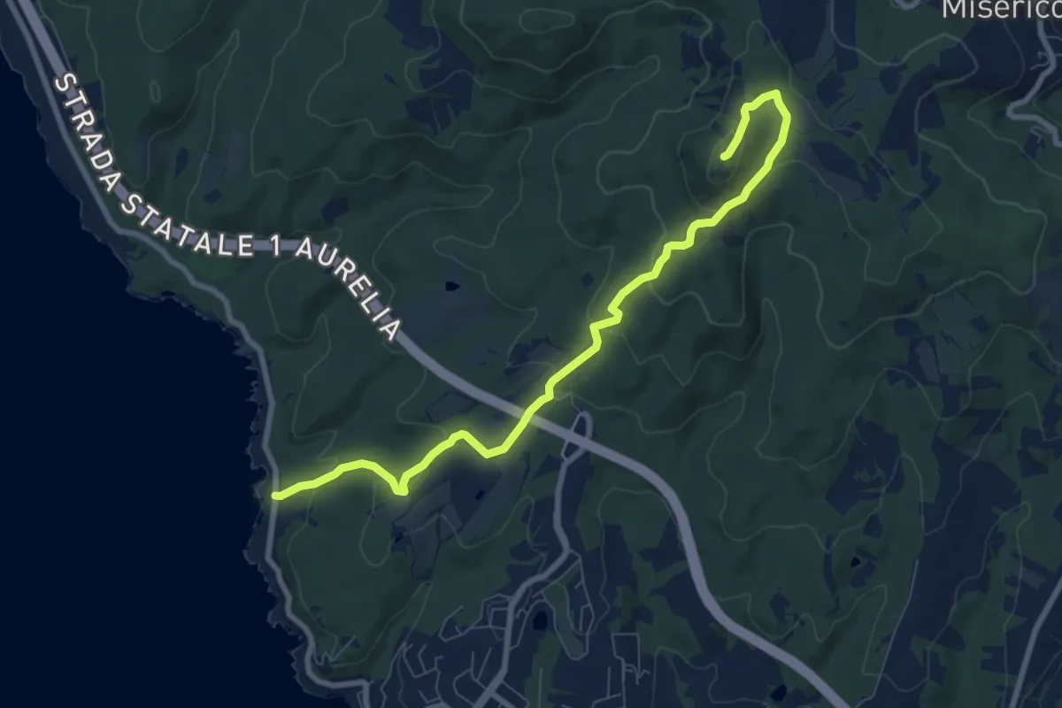
Le Forbici – Monte Pelato
9.1 km · ↑ 352 m · 2 h 55 min
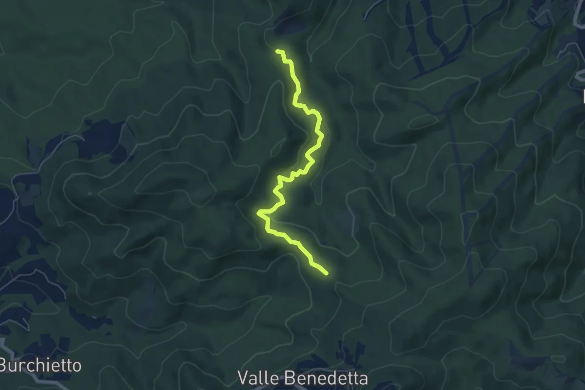
Easy · Trail
Crocione – Podere Santa Maria
5.8 km · ↑ 224 m · 1 h 51 min
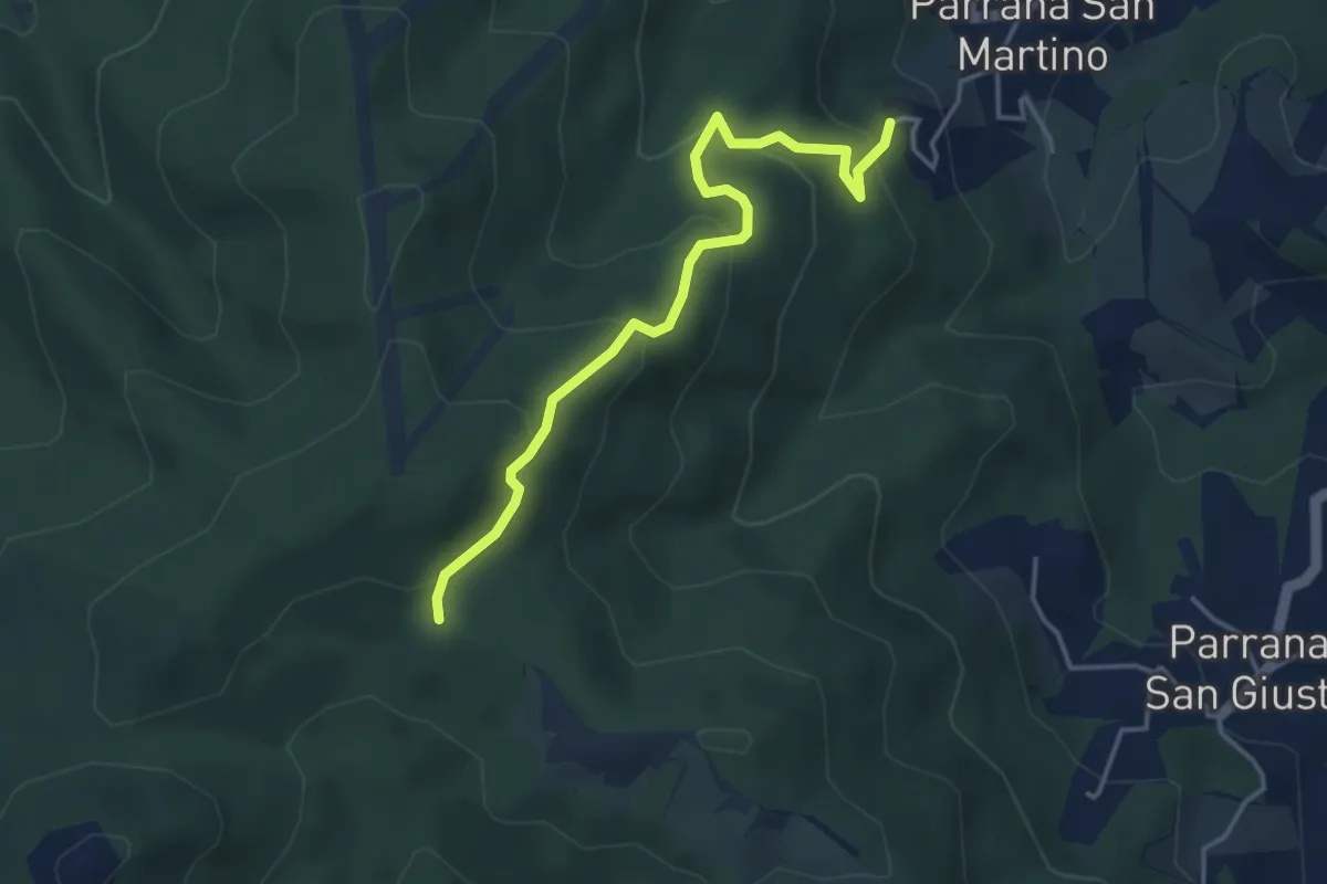
Easy · Trail
Parrana San Martino – Calvario (sent. 121)
4.3 km · ↑ 285 m · 1 h 38 min
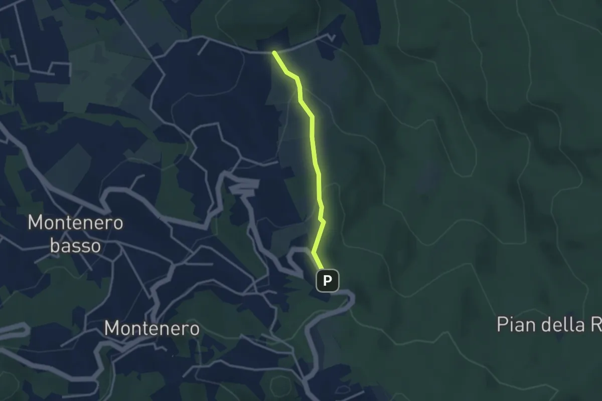
Easy · Trail
Via de L'Ongrilli – Via della Porcigliana
2.4 km · ↑ 112 m · 48 min
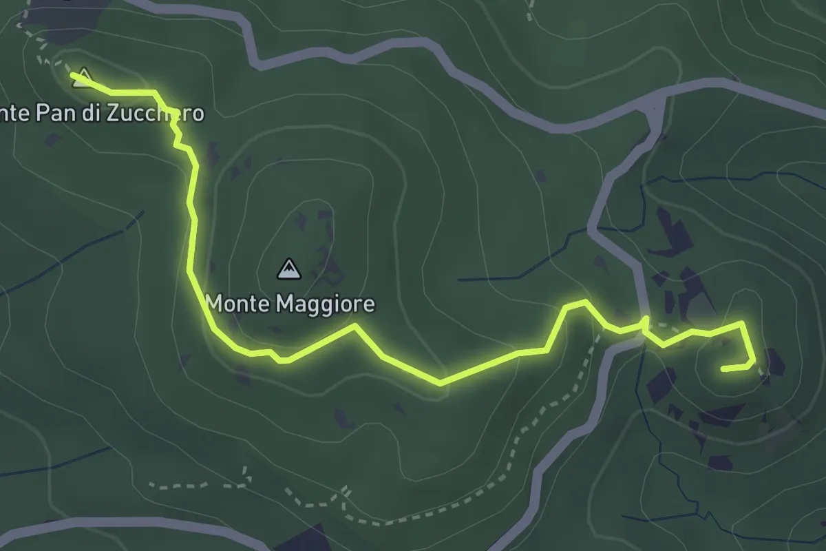
Medium · Summit
Cava della Focerella – Poggio alle Fate
4.1 km · ↑ 139 m · 1 h 17 min
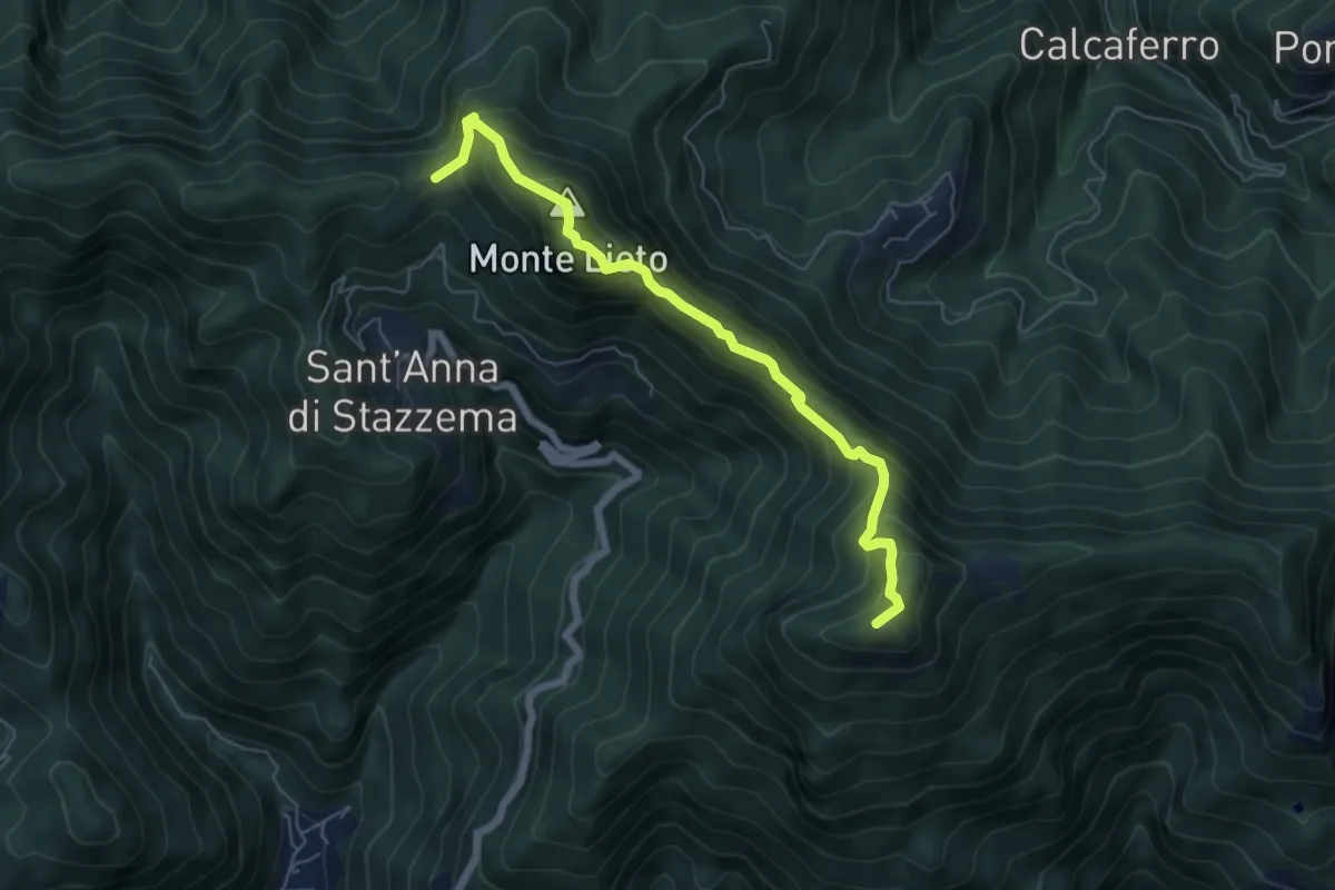
Medium · Summit
Foce di Sant'Anna – Percorso 117 (base "gradino Hillary")
6.3 km · ↑ 681 m · 2 h 58 min
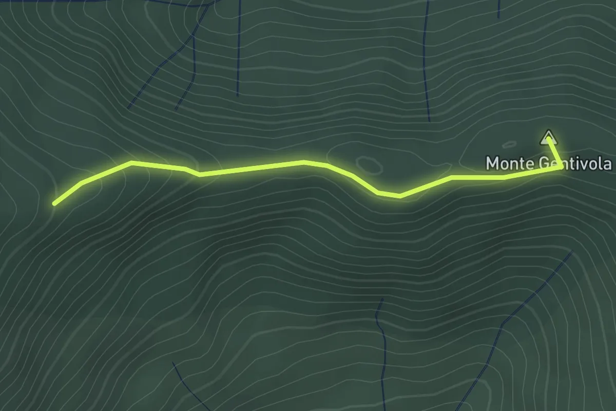
Easy · Summit
Percorso 142 – Percorso 140
2.2 km · ↑ 94 m · 44 min
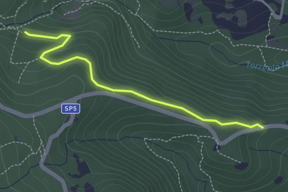
Easy · Trail
Via della Valle Benedetta (Croce) – Acquedotto Leopoldino
2.6 km · ↑ 135 m · 55 min
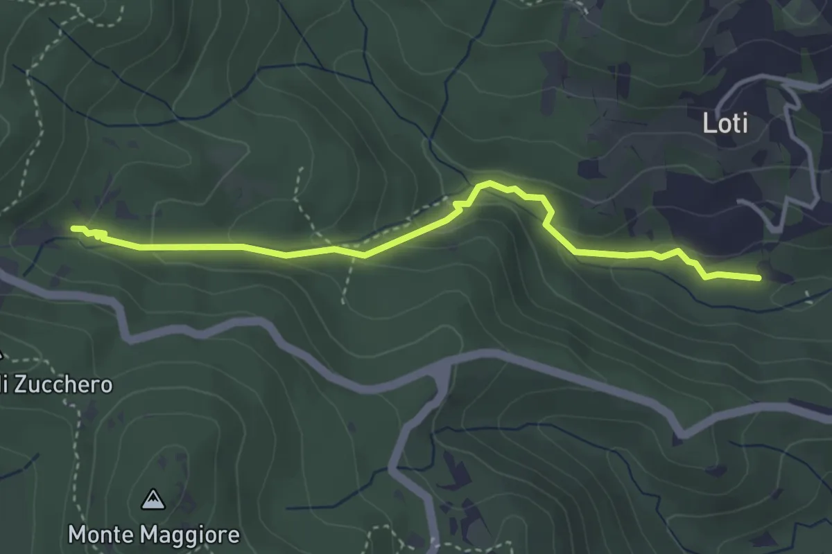
Medium · Trail
Sent. 121 – Sorgente la Terrazza dell'Acquedotto di Colognole
3.8 km · ↑ 182 m · 1 h 18 min
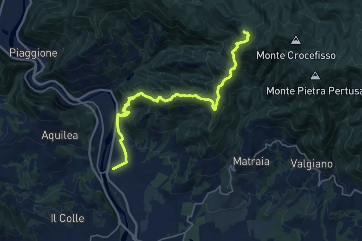
Demanding · Trail
Ponte a Moriano – Tubbiano
16.0 km · ↑ 987 m · 5 h 56 min
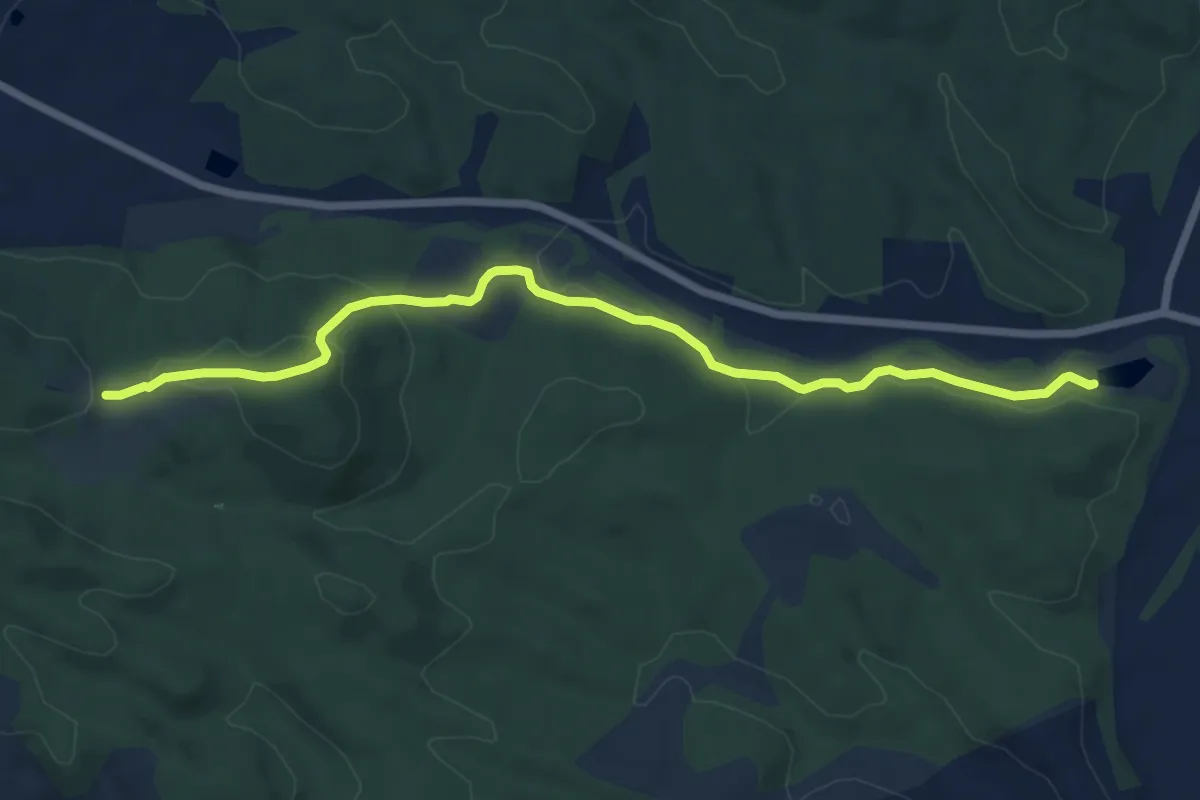
Easy · Trail
Colli – Sant'Anna
7.7 km · ↑ 183 m · 2 h 13 min
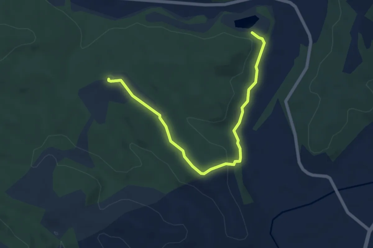
Easy · Trail
Sant'Anna – Quercialta
5.2 km · ↑ 100 m · 1 h 26 min
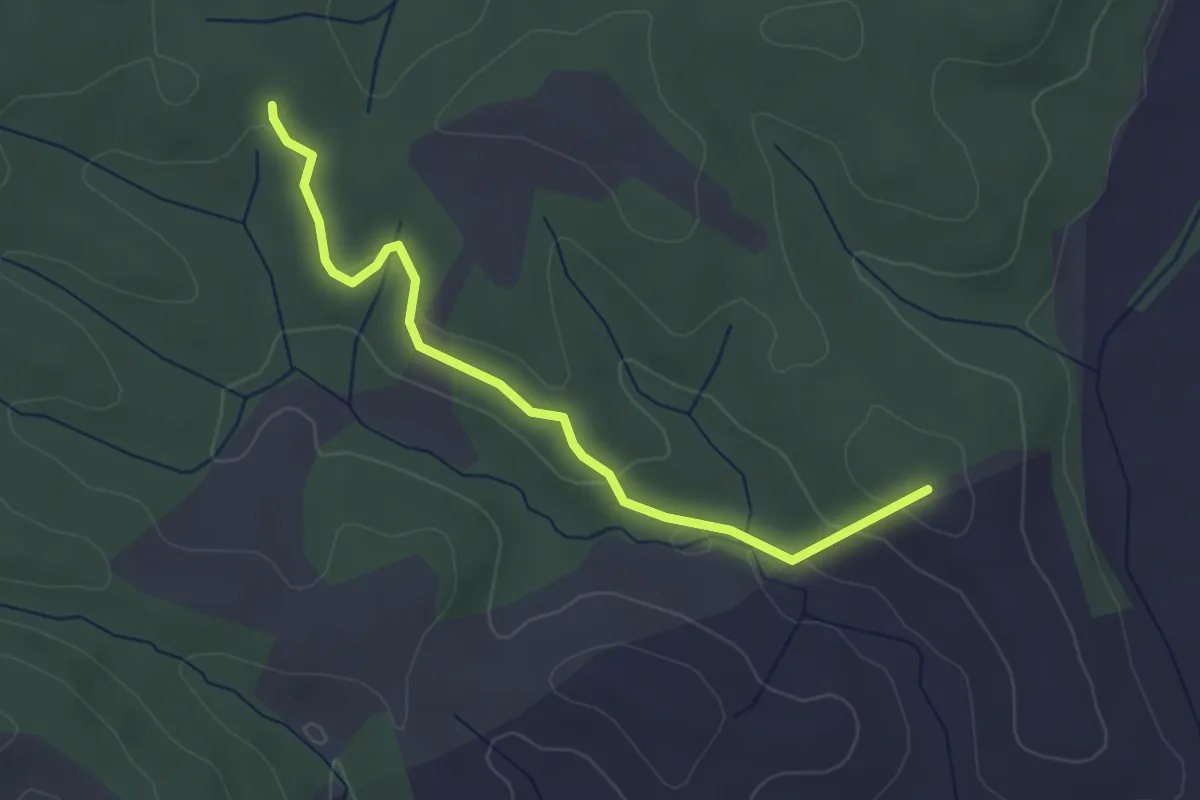
Easy · Trail
Percorso 106 – Percorso 107
3.8 km · ↑ 112 m · 1 h 8 min
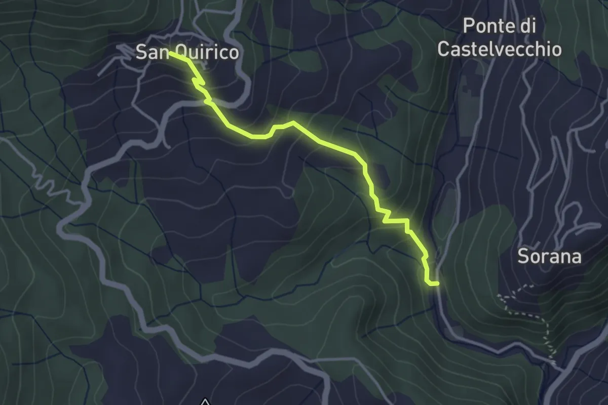
Easy · Trail
Mulino del Monti – San Quirico
3.3 km · ↑ 271 m · 1 h 22 min
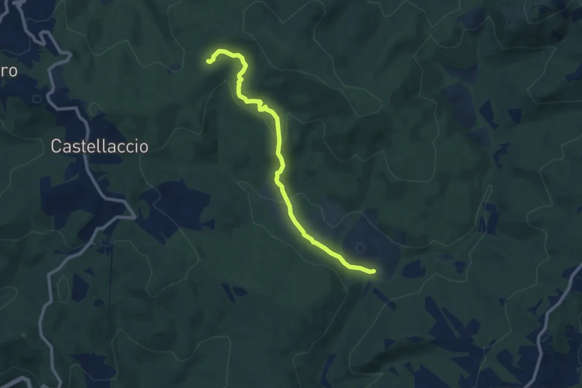
Easy · Trail
Sent. 140 (Pian della Rena) – Podere del Gorgo
7.0 km · ↑ 214 m · 2 h 6 min
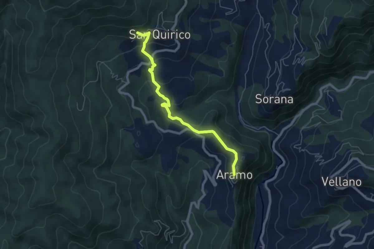
Easy · Trail
Aramo – San Quirico
2.8 km · ↑ 48 m · 53 min
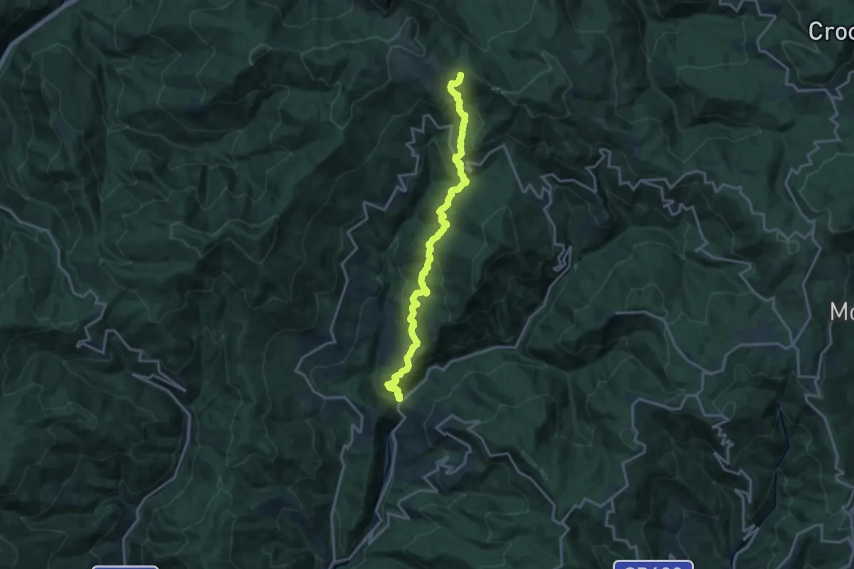
Demanding · Trail
Ponte di Sorana – Croce a Veglia
15.9 km · ↑ 875 m · 5 h 38 min
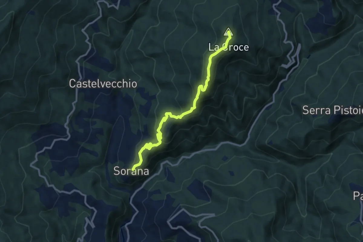
Medium · Summit
Sorana – Ponte alla Torbola
8.9 km · ↑ 505 m · 3 h 11 min
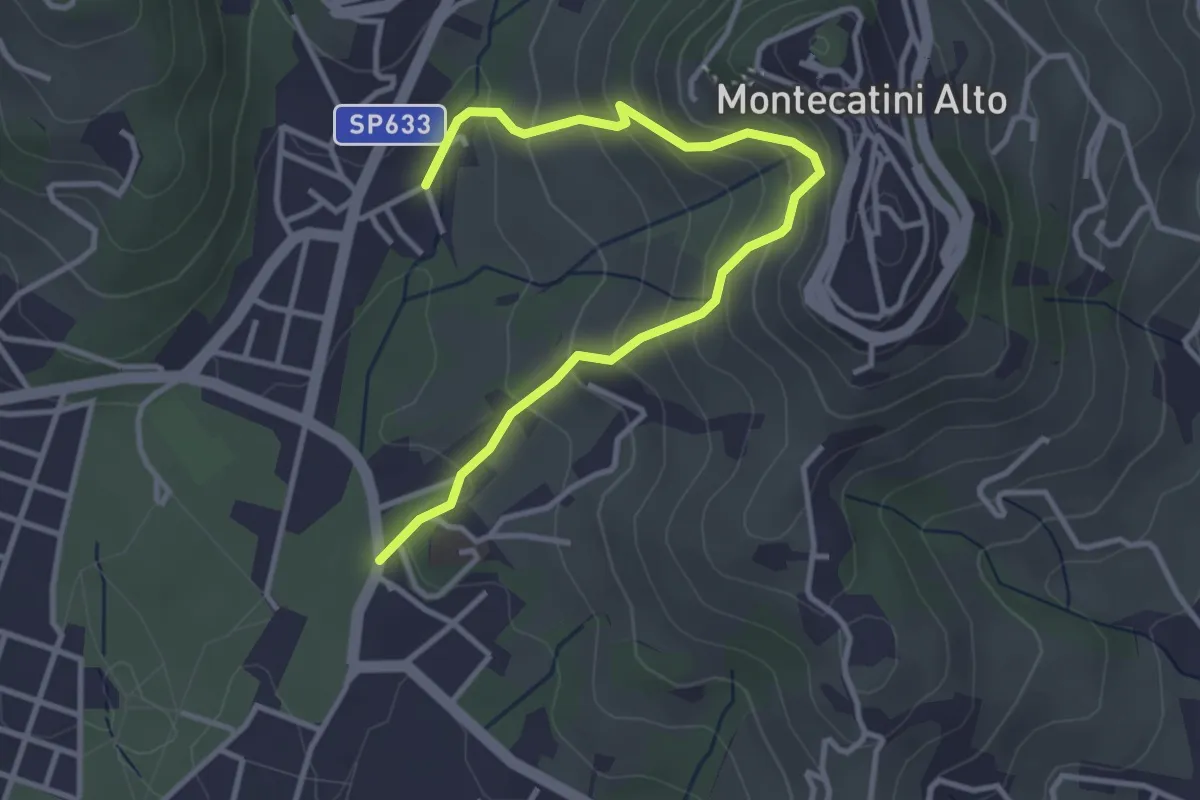
Medium · Trail
Montecatini Terme – Montecatini Terme
4.0 km · ↑ 330 m · 1 h 40 min
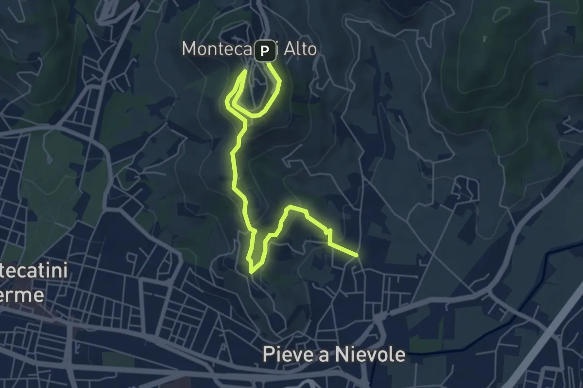
Medium · Trail
Via Fra Carlo (Pieve a NIevole) – Montecatini Alto (Ospizio San Francesco)
6.8 km · ↑ 328 m · 2 h 19 min
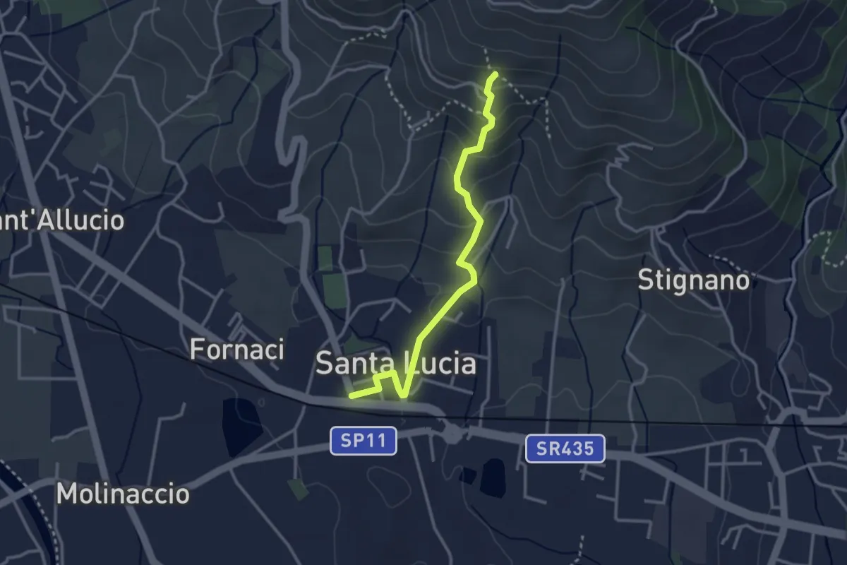
Easy · Trail
Santa Lucia – La Costa
3.0 km · ↑ 169 m · 1 h 5 min
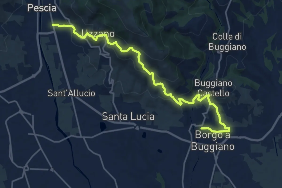
Medium · Trail
Pescia – Borgo a Buggiano
12.6 km · ↑ 693 m · 4 h 29 min
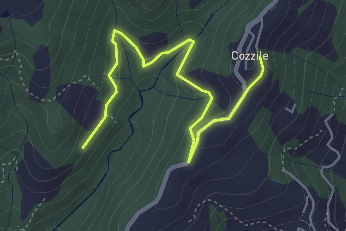
Easy · Trail
Sentiero 246 – Cozzile
4.3 km · ↑ 206 m · 1 h 28 min
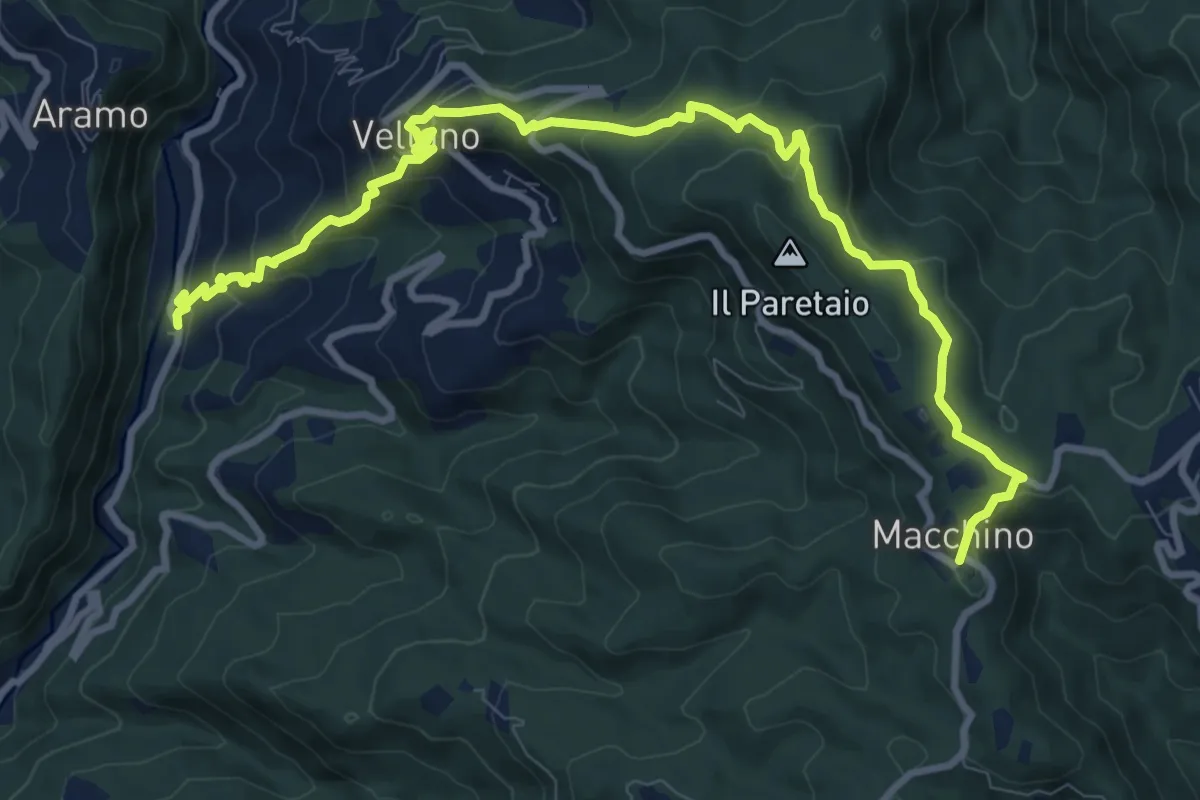
Medium · Summit
Calamari – Macchino
6.1 km · ↑ 644 m · 2 h 38 min
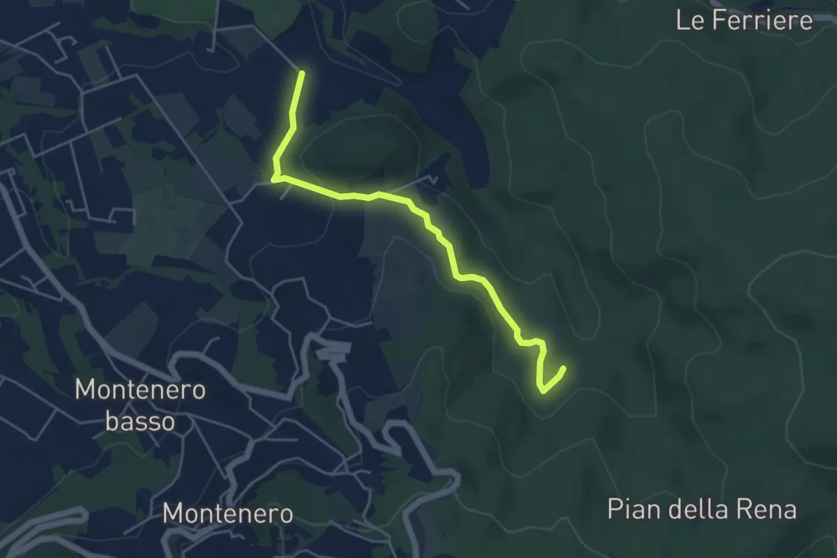
Easy · Trail
Via di Monterotondo – Le Matite (sent. 136)
4.6 km · ↑ 129 m · 1 h 22 min
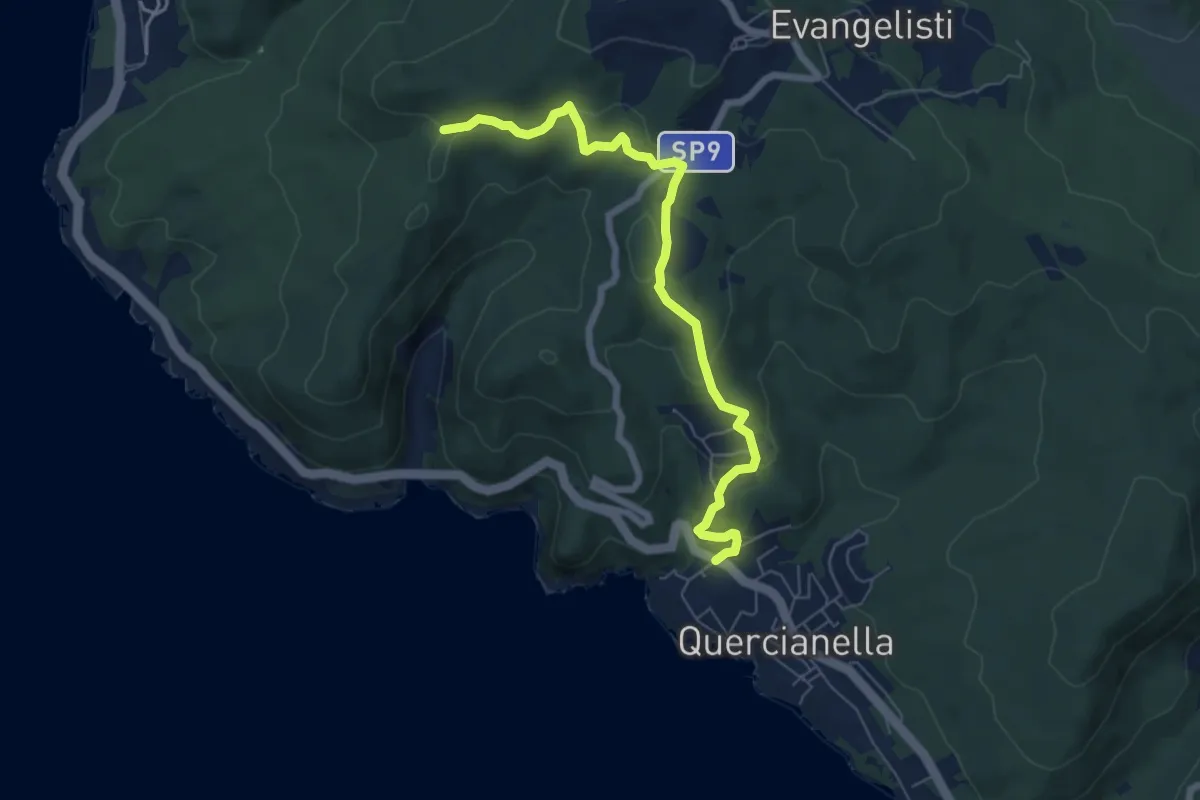
Easy · Trail
Quercianella (Parcheggio) – Il Montaccio (sent. 144)
7.0 km · ↑ 249 m · 2 h 11 min
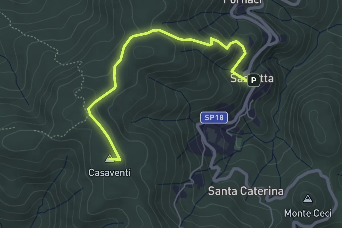
Easy · Summit
Sassetta – Casa Salvestrina
5.0 km · ↑ 213 m · 1 h 38 min
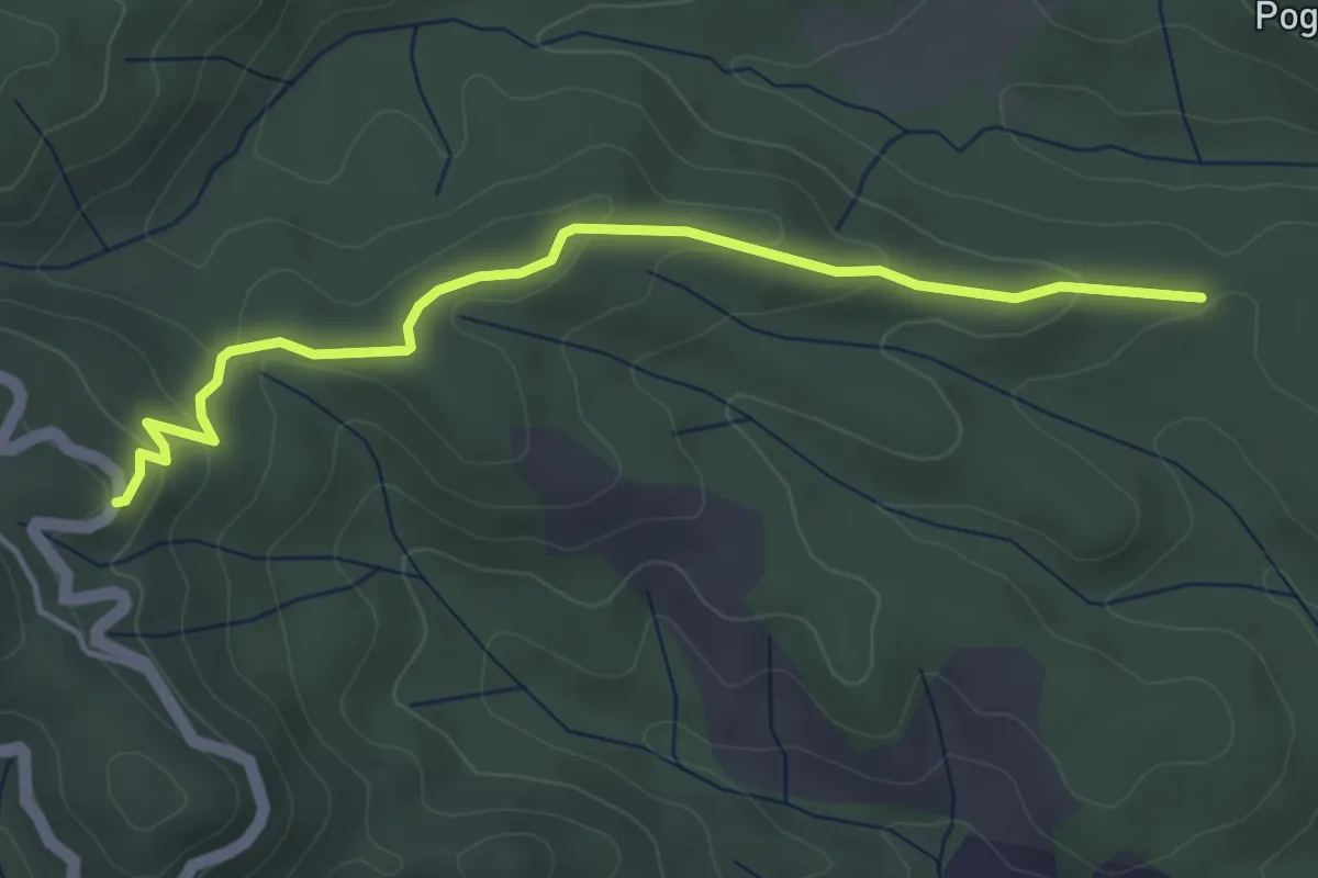
Easy · Trail
SP 4 Comuni – La Pieve
4.6 km · ↑ 138 m · 1 h 23 min
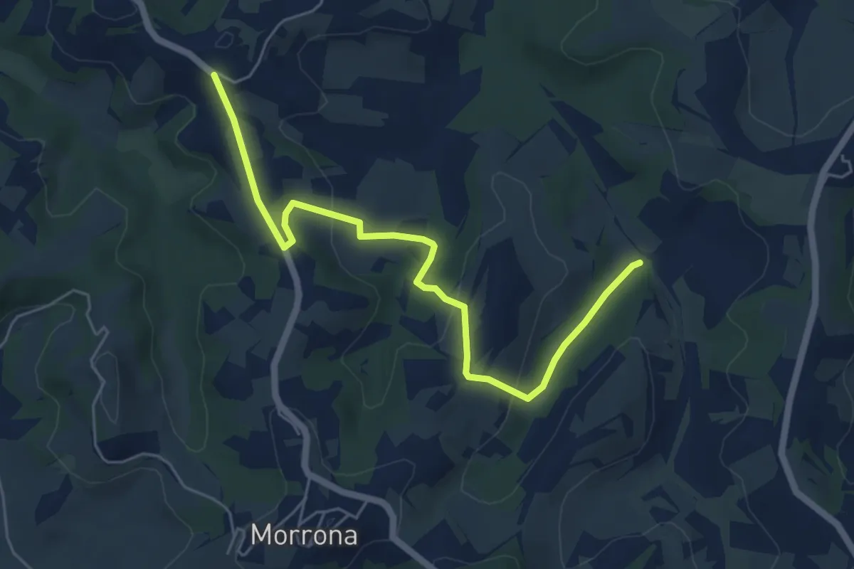
Easy · Trail
Stibbiolo – Casanova
6.0 km · ↑ 196 m · 1 h 51 min
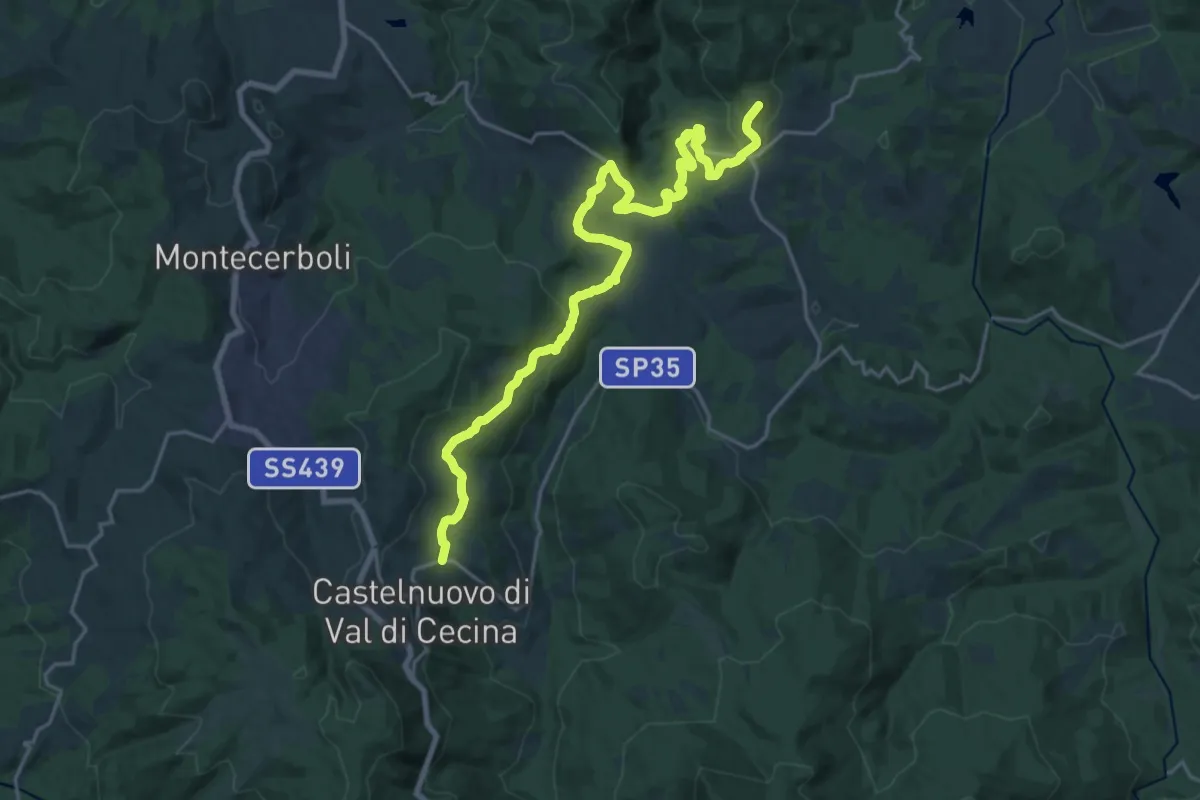
Demanding · Trail
Castelnuovo Val di Cecina – Montecastelli
25.6 km · ↑ 851 m · 7 h 53 min
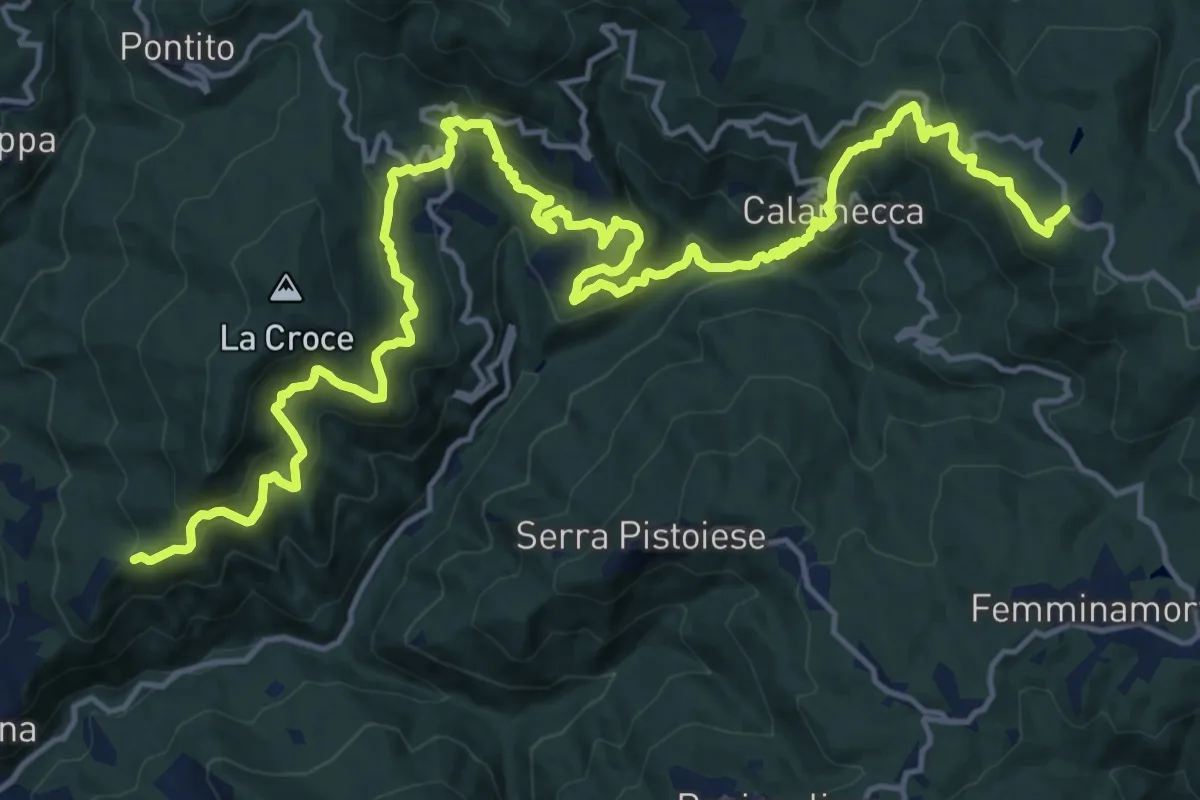
Demanding · Trail
Montaione – Macchia Antonini
12.3 km · ↑ 1049 m · 5 h 10 min
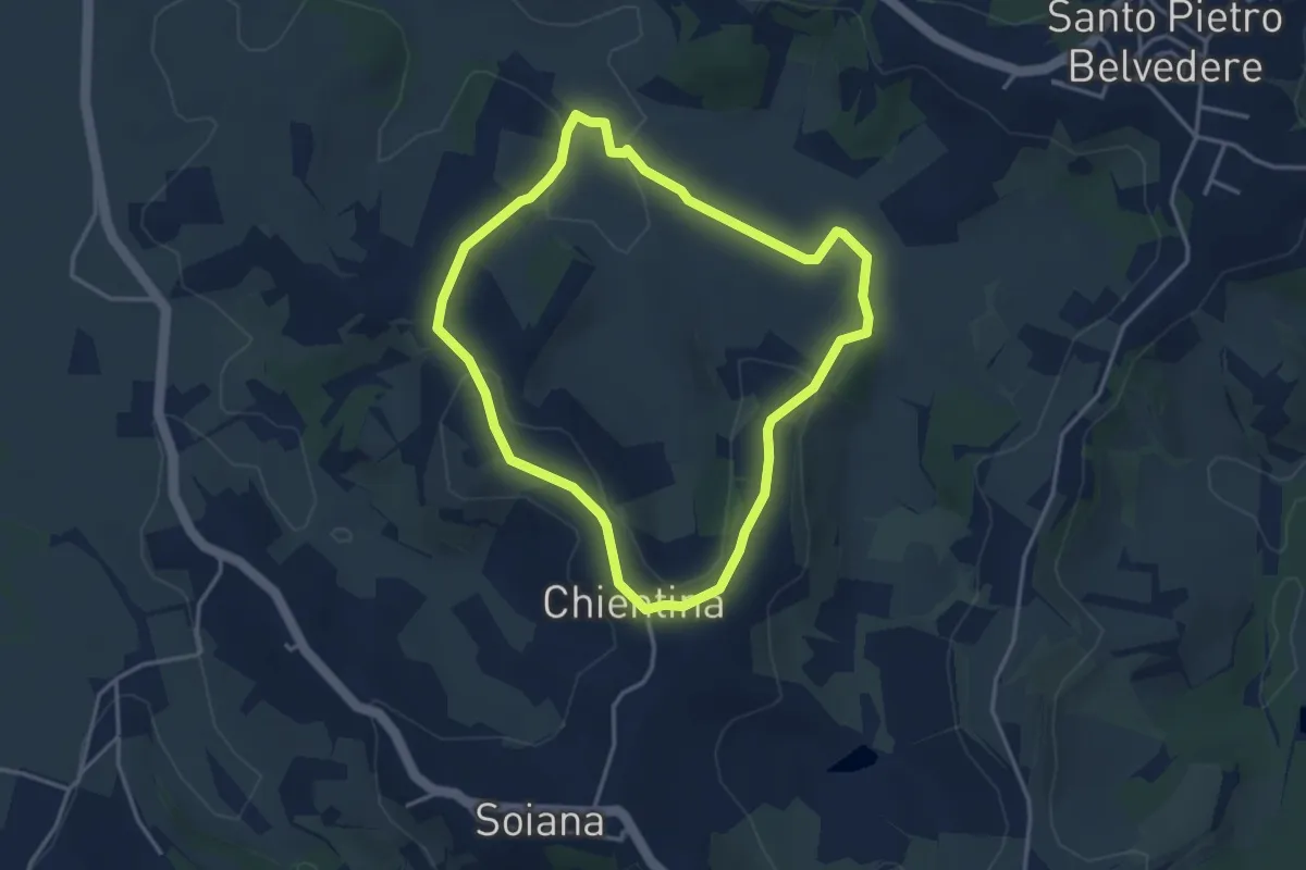
Easy · Trail
La Chientina – Val di Rio
3.6 km · ↑ 78 m · 1 h 5 min
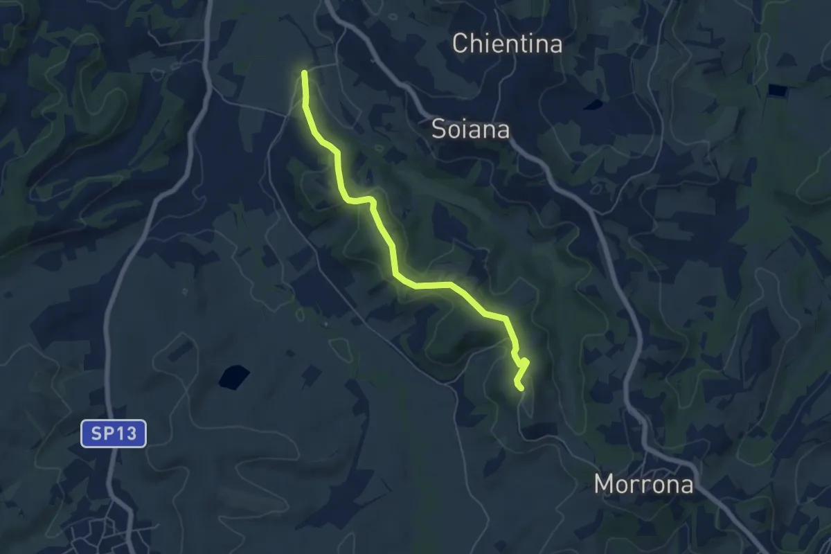
Easy · Trail
Le Case – Badia di Morrona
5.7 km · ↑ 157 m · 1 h 42 min
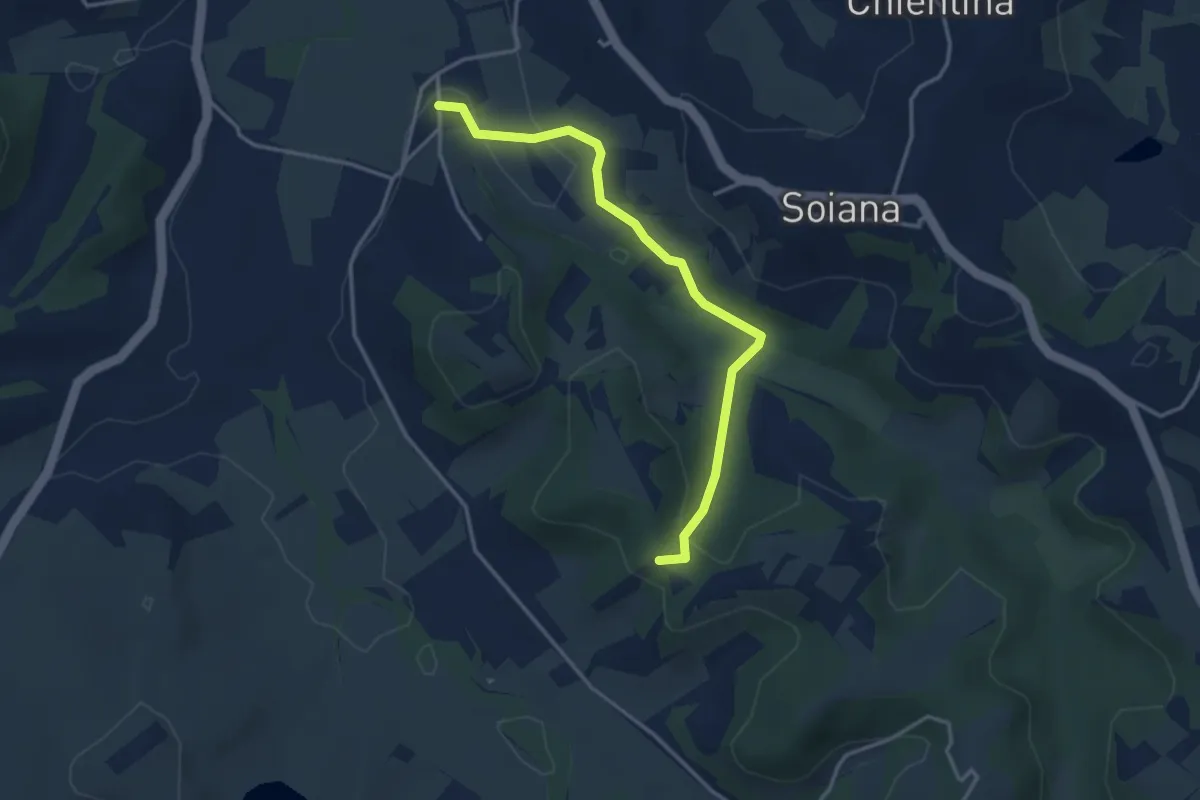
Easy · Trail
Le Case – Innesto sentiero 451 in Via dei Monaci
3.7 km · ↑ 76 m · 1 h 3 min
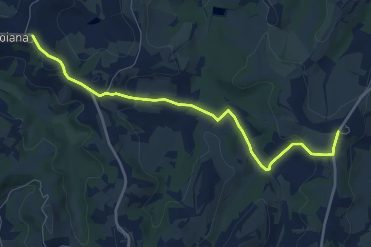
Easy · Trail
Soiana – Casanova
7.6 km · ↑ 198 m · 2 h 13 min
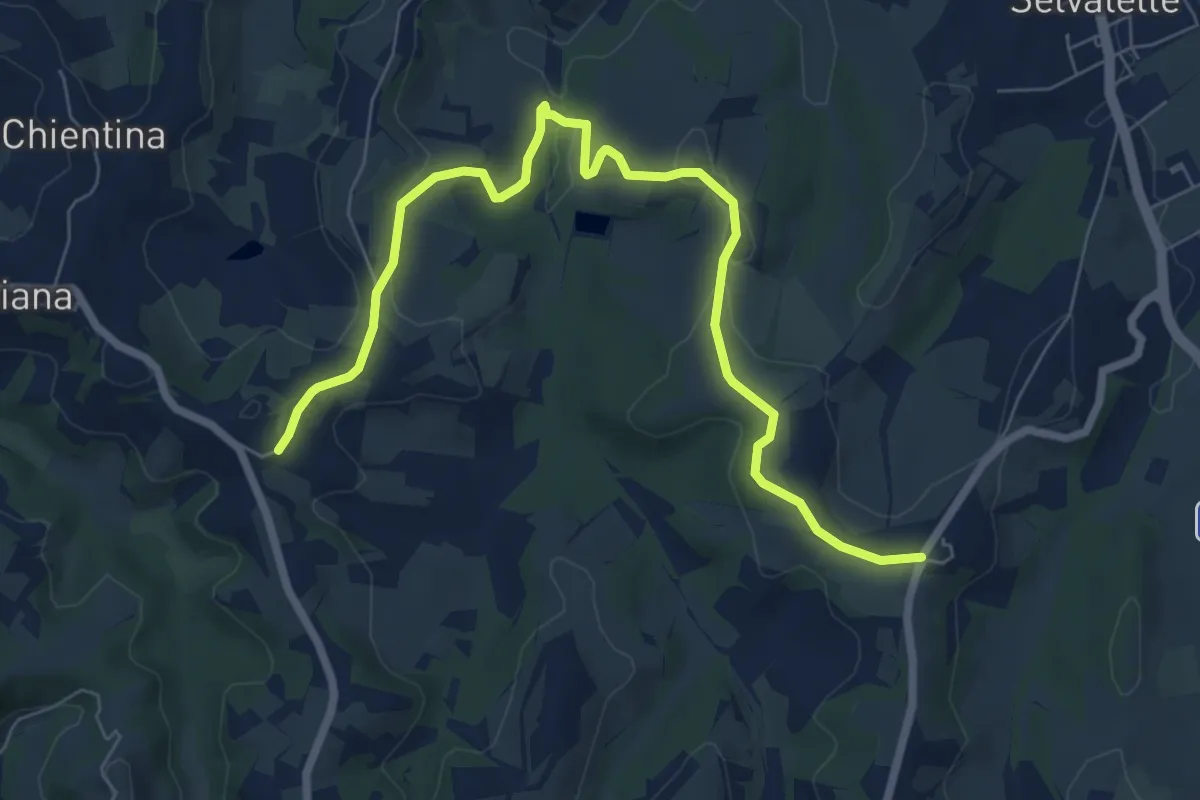
Medium · Trail
Stibbiolo – Casanova
8.8 km · ↑ 169 m · 2 h 27 min
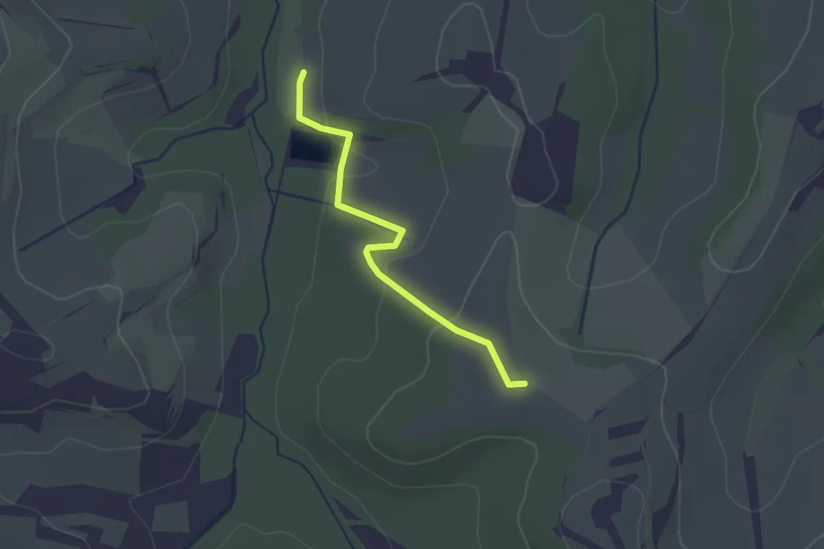
Easy · Trail
Innesto sentiero 453 – Lago di Cuccheri
2.3 km · ↑ 56 m · 39 min
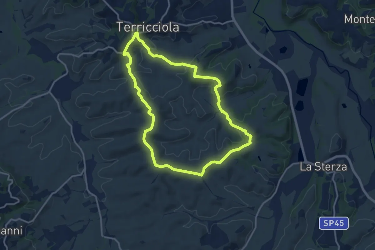
Medium · Trail
Terricciola – Terricciola
9.9 km · ↑ 260 m · 3 h 2 min
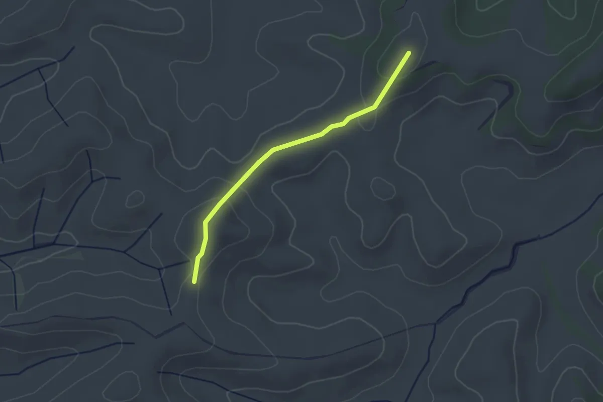
Easy · Trail
Terricciola – Terricciola
2.7 km · ↑ 93 m · 51 min
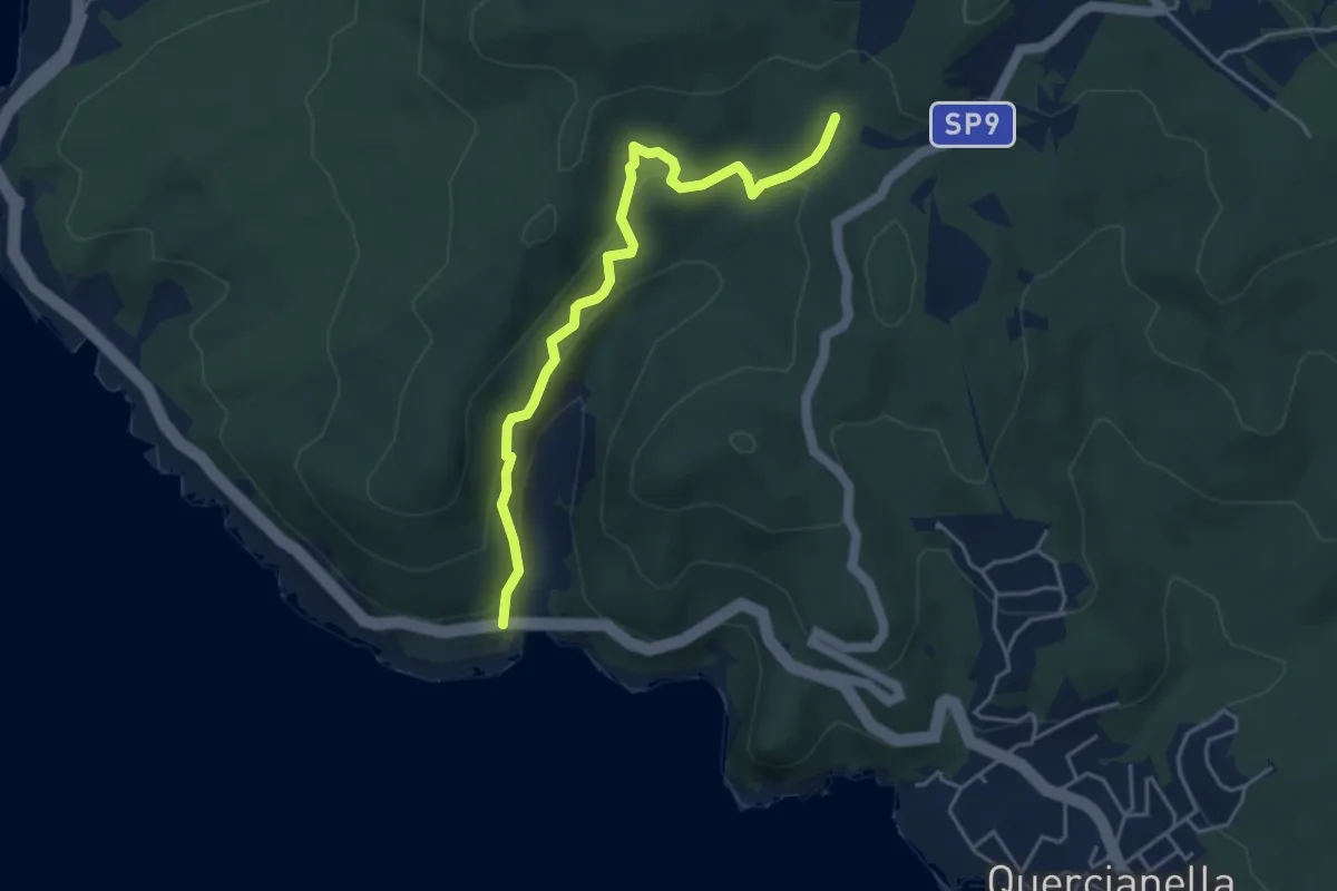
Easy · Trail
Ponte Calignaia – Sentiero 146
4.6 km · ↑ 270 m · 1 h 40 min
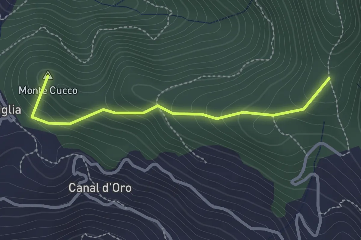
Easy · Summit
Capriglia – Le Foci
2.4 km · ↑ 181 m · 57 min