Trails in Italy
25,219 hiking trails, each with its route, climb, walking time and grade.
All trails, page 288 of 526
Medium · Trail
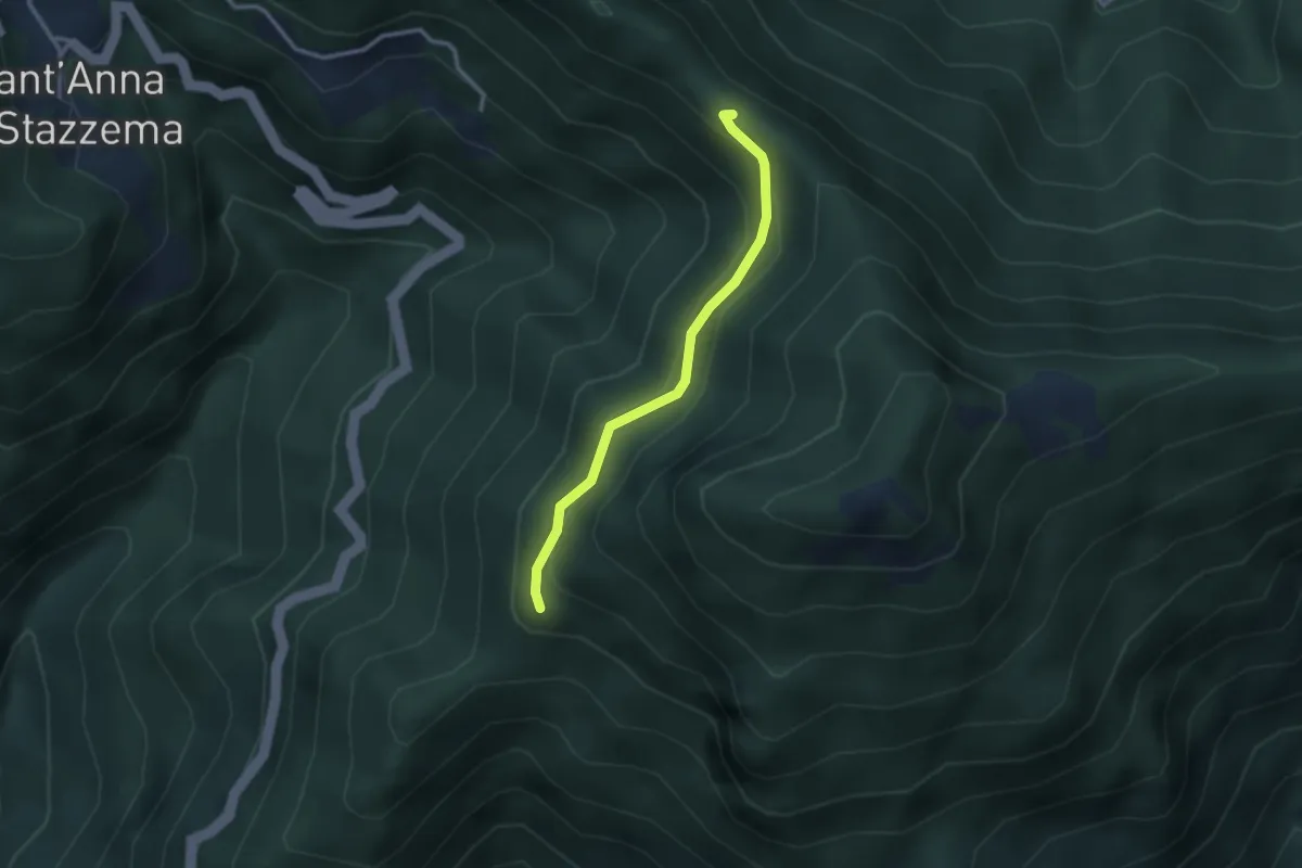
Percorso 107 – Foce di Farnocchia
2.6 km · ↑ 179 m · 1 h
Medium · Trail
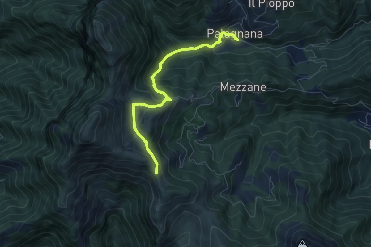
Foce del Pallone – Palagnana
6.6 km · ↑ 368 m · 2 h 22 min
Demanding · Trail
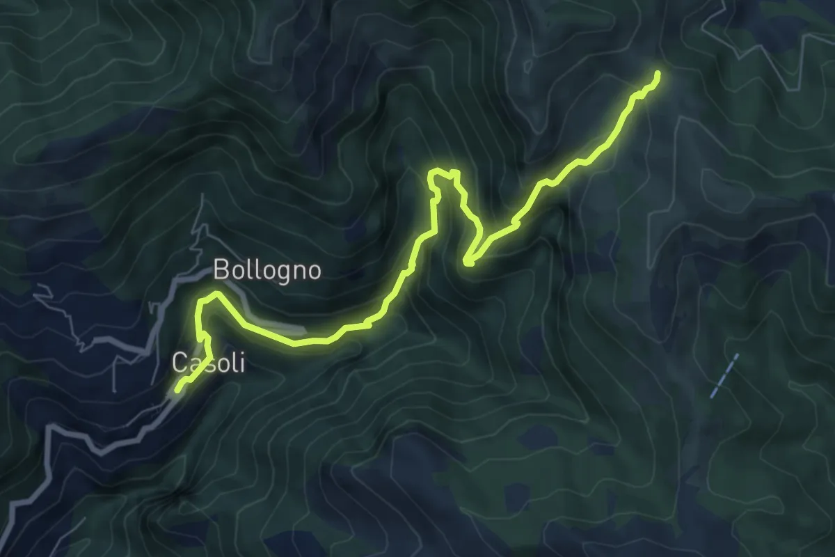
Casoli – Foce del Crocione o del Termine
8.5 km · ↑ 811 m · 3 h 46 min
Easy · Summit
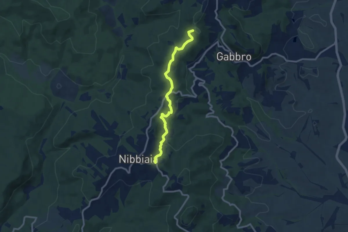
La Malavolta – Nibbiaia (via Buontalenti)
7.2 km · ↑ 209 m · 2 h 10 min
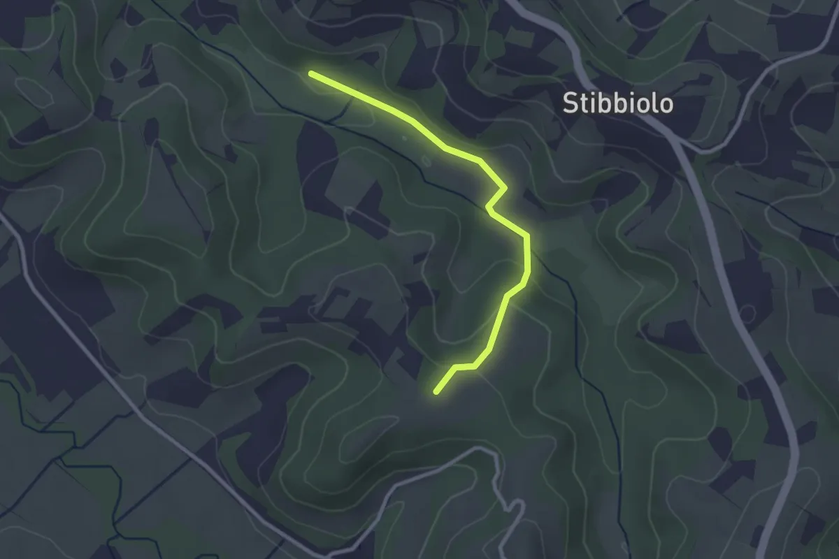
Easy · Trail
Via della Valle – Badia di Morrona
2.6 km · ↑ 68 m · 46 min
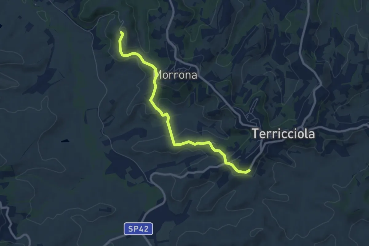
Easy · Trail
Badia di Morrona – Terricciola
7.0 km · ↑ 237 m · 2 h 10 min
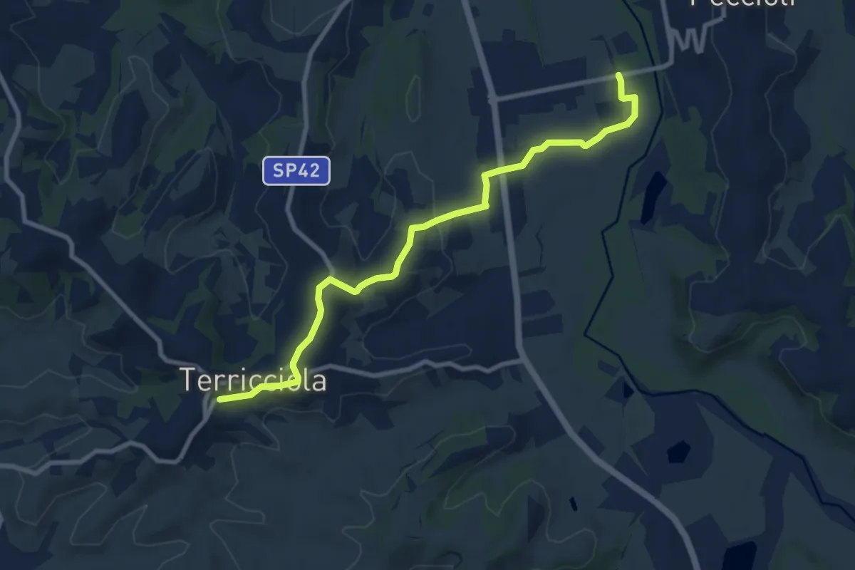
Medium · Trail
Terricciola – La Rosa
8.8 km · ↑ 155 m · 2 h 25 min
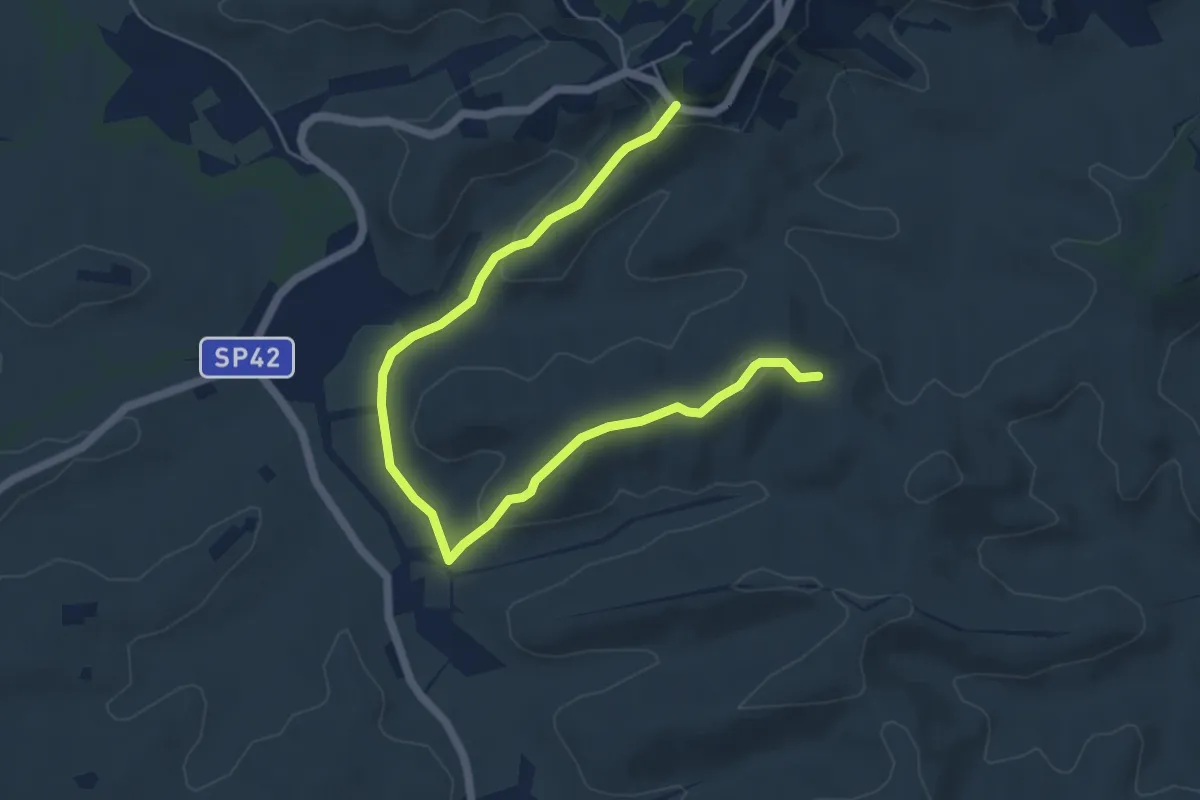
Easy · Trail
Terricciola – Via delle Colline
7.1 km · ↑ 182 m · 2 h 4 min
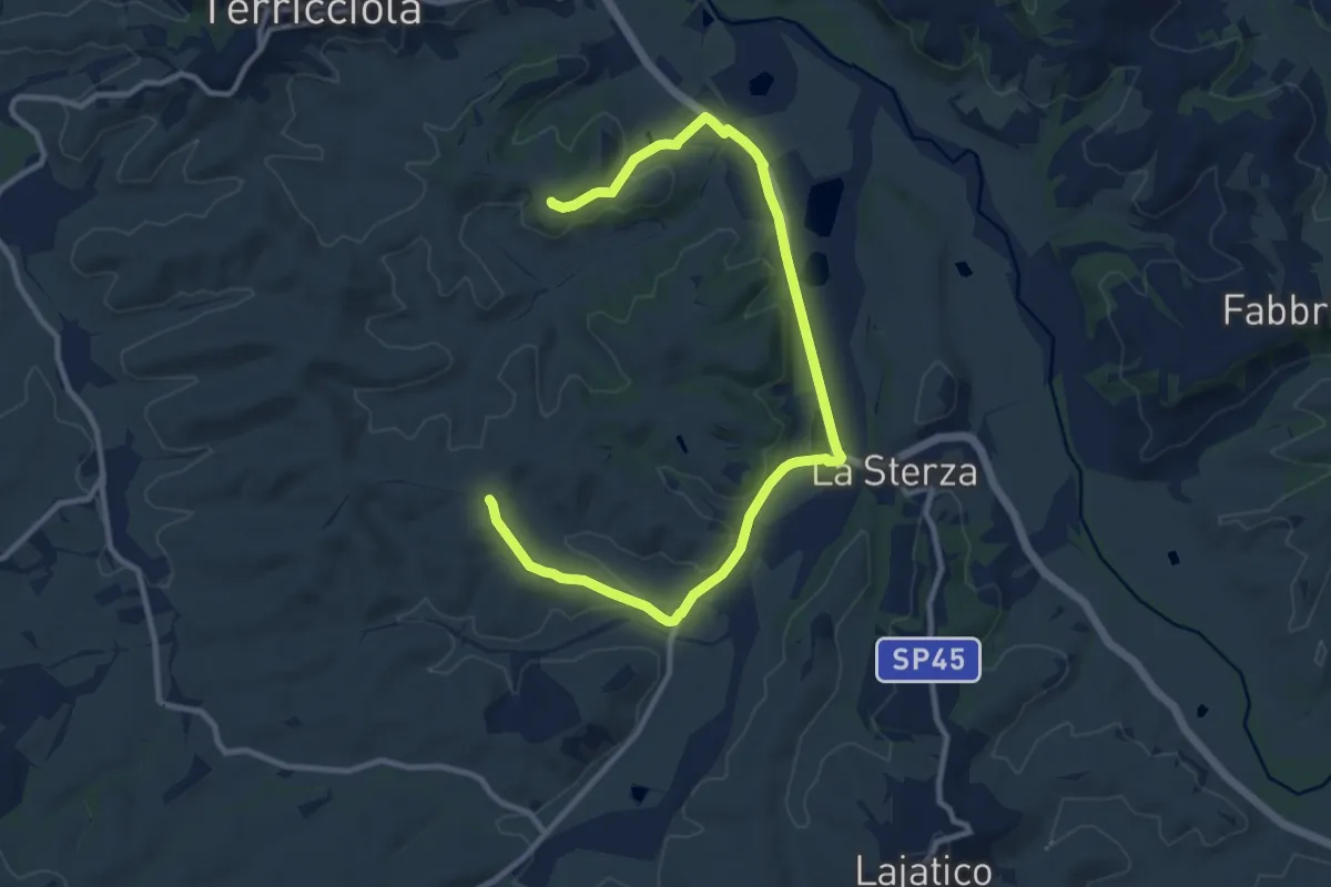
Medium · Trail
I Laghi della Sterza, Via delle Colline – Scannicci
13.6 km · ↑ 230 m · 3 h 42 min
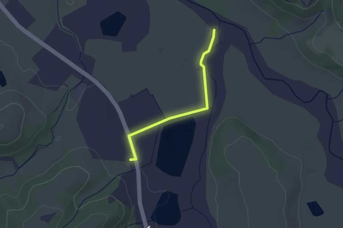
Easy · Trail
Via Volterrana – Torrente Sterza
2.5 km · ↑ 14 m · 37 min
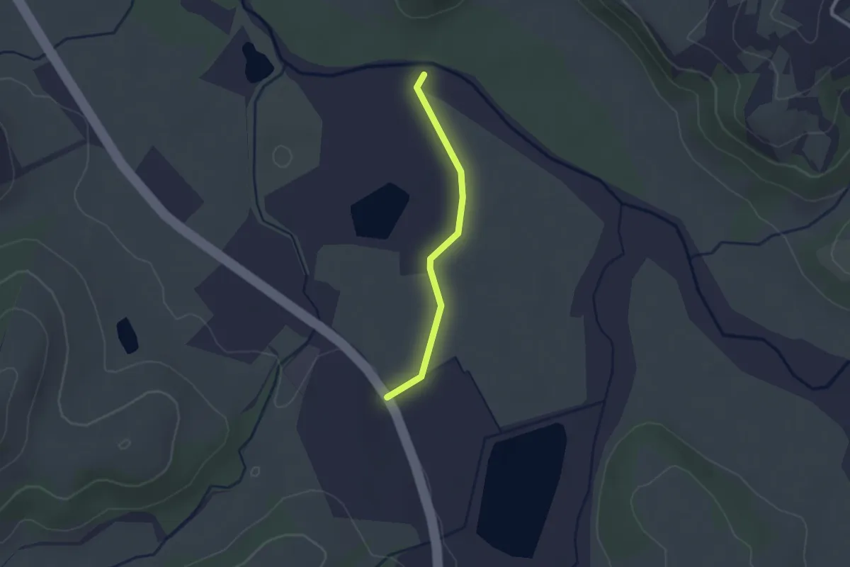
Easy · Trail
Via Volterrana – Fiume Era
2.1 km · ↑ 17 m · 32 min
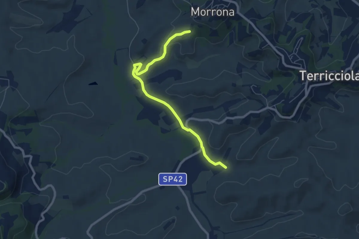
Easy · Trail
Morrona (Via Di Taneto) – Valle di Santa Maria
6.4 km · ↑ 91 m · 1 h 42 min
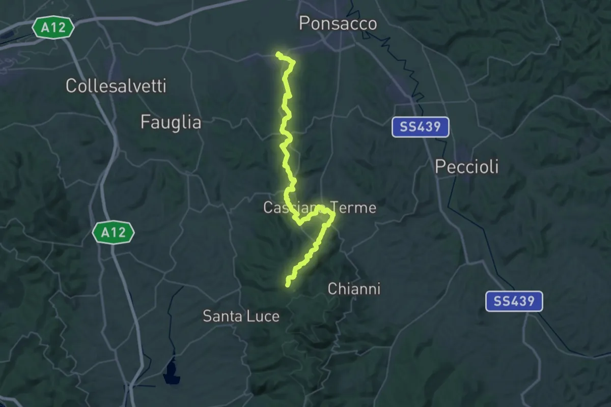
Demanding · Summit
Perignano – Quattro Strade
44.0 km · ↑ 1078 m · 12 h 44 min
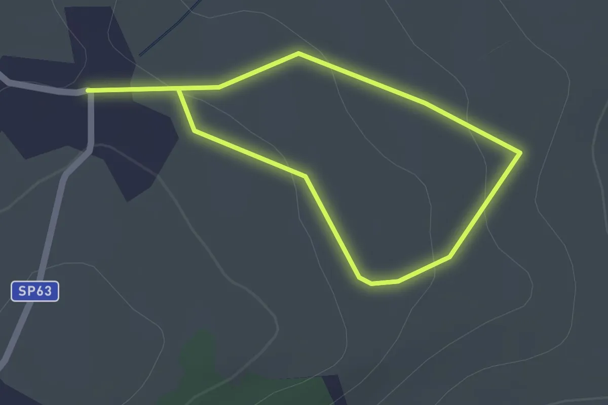
Easy · Trail
Casciana Terme – Fichino
1.4 km · ↑ 19 m · 23 min
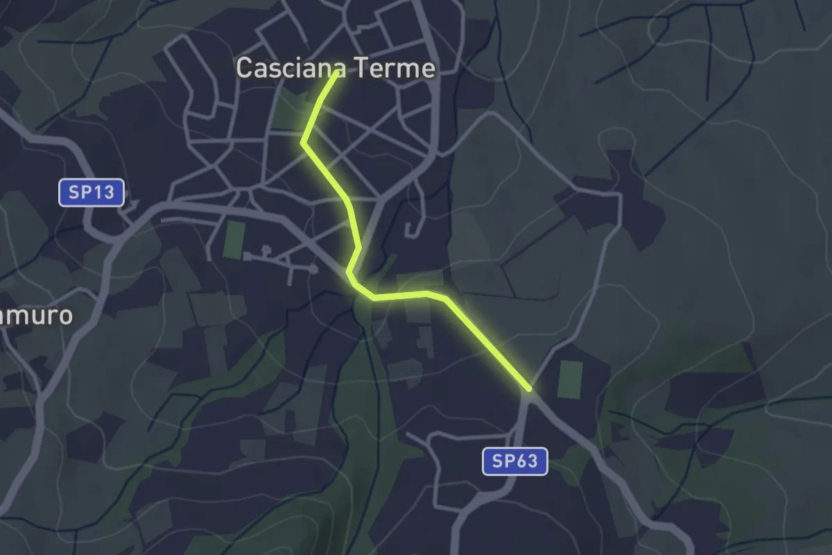
Easy · Trail
Stadio A. Picchi – Cascina Terme (Piazza garibaldi)
2.5 km · ↑ 47 m · 41 min
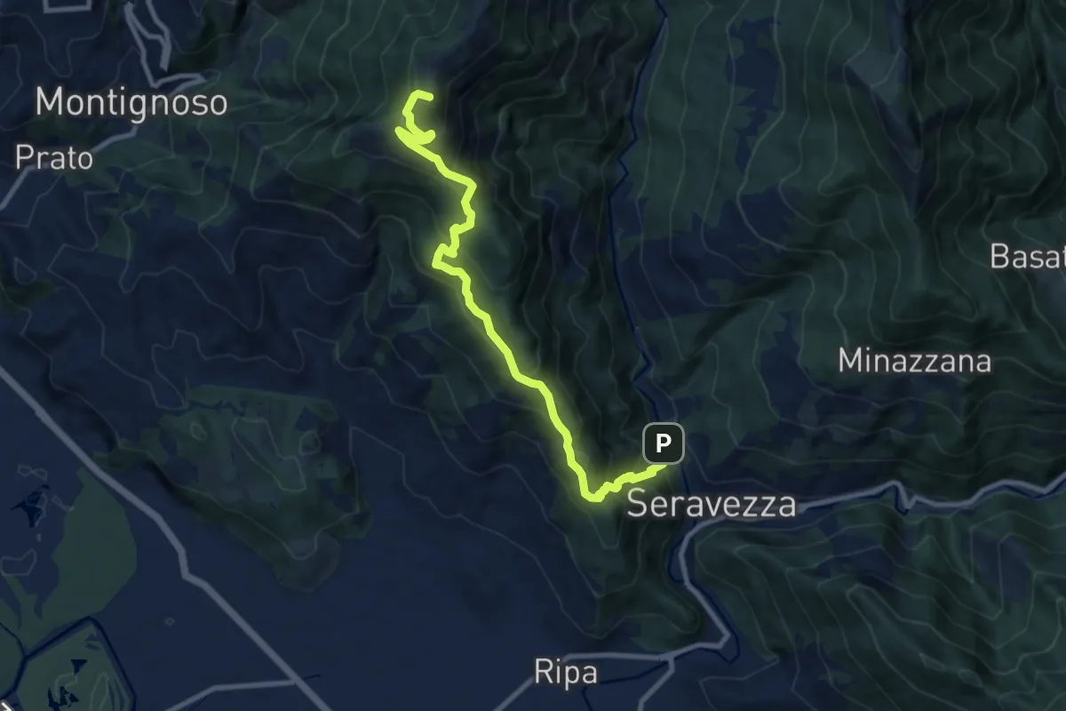
Demanding · Summit
Seravezza – Pasquilio
10.3 km · ↑ 858 m · 4 h 18 min
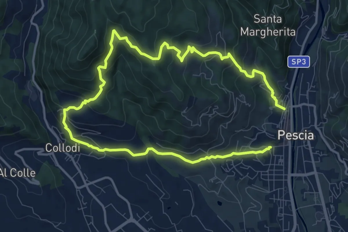
Medium · Trail
Pescia – Pescia
8.1 km · ↑ 446 m · 3 h
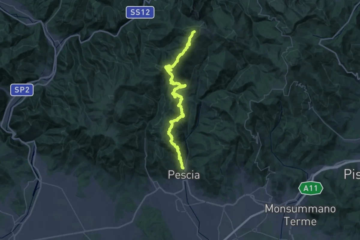
Demanding · Summit
Pescia – Popiglio
43.9 km · ↑ 2381 m · 15 h 31 min
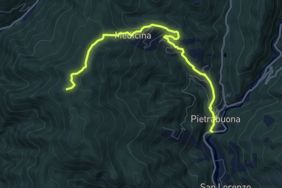
Medium · Summit
Pietrabuona – Sant'Anna
9.3 km · ↑ 579 m · 3 h 27 min
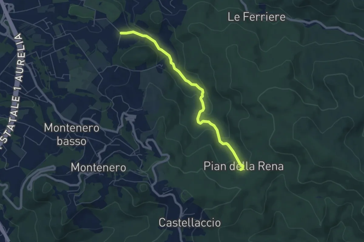
Easy · Trail
Via di Monterotondo – Pian della Rena
6.0 km · ↑ 164 m · 1 h 46 min
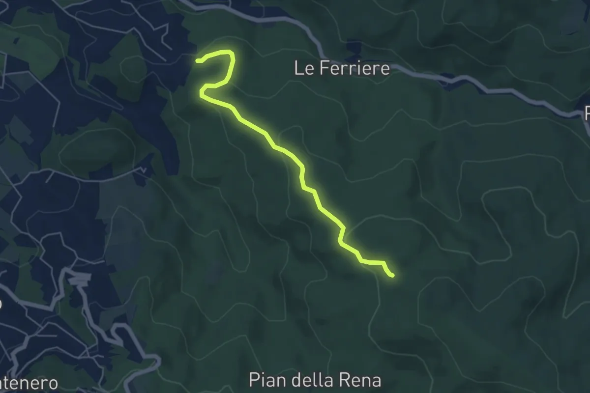
Easy · Trail
Podere del Puntone – Sentiero 140
5.1 km · ↑ 180 m · 1 h 36 min
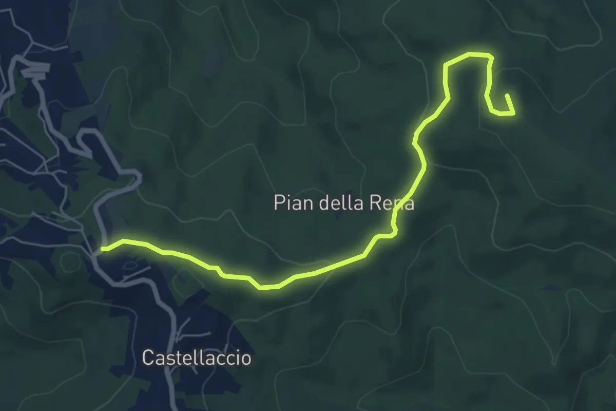
Easy · Summit
Castellaccio – Palazzine
6.6 km · ↑ 164 m · 1 h 55 min
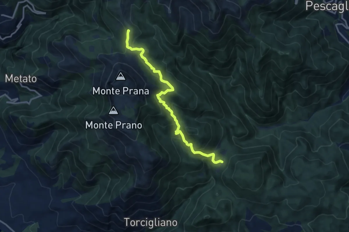
Medium · Summit
Passo del Lucese – Rifugio Alto Matanna
9.8 km · ↑ 572 m · 3 h 33 min
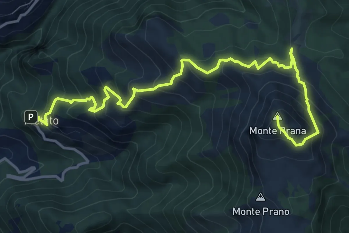
Demanding · Summit
Metato – Monte Prana
10.4 km · ↑ 1001 m · 4 h 38 min
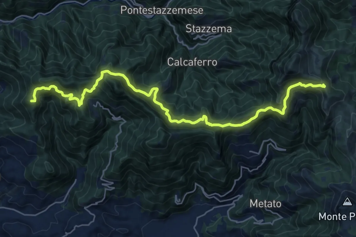
Demanding · Summit
Capezzano Monte – Foce del Pallone
22.6 km · ↑ 1680 m · 8 h 59 min
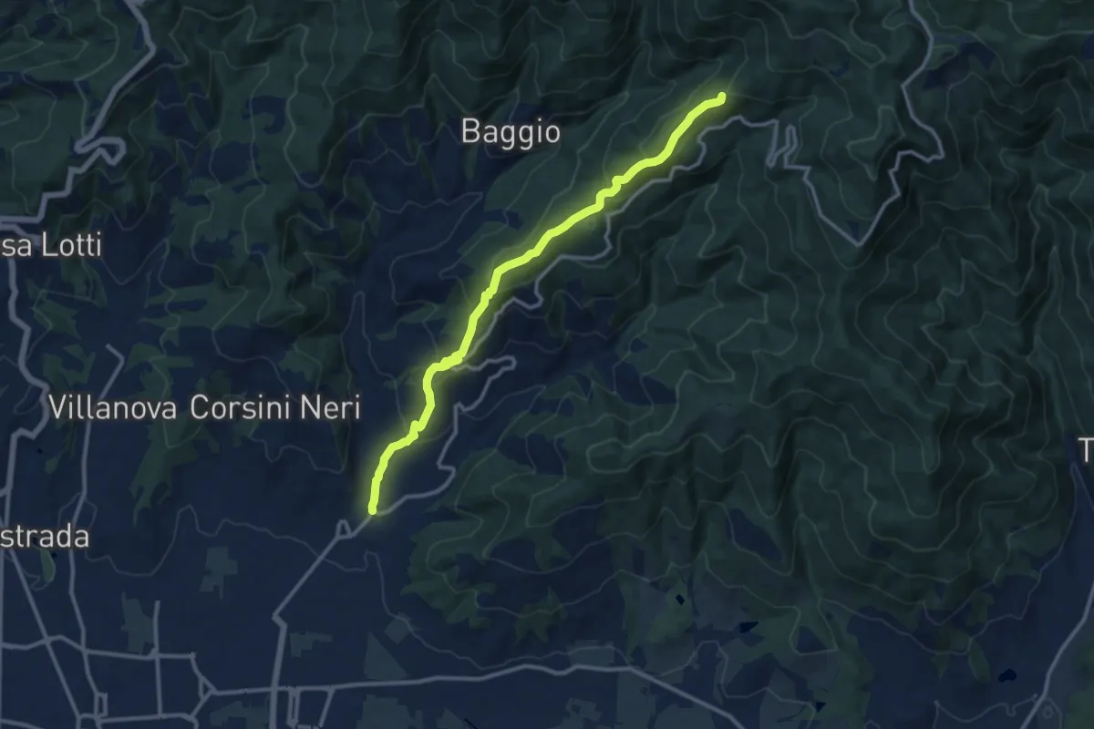
Medium · Summit
Candeglia – innesto sentiero 00
12.2 km · ↑ 685 m · 4 h 22 min
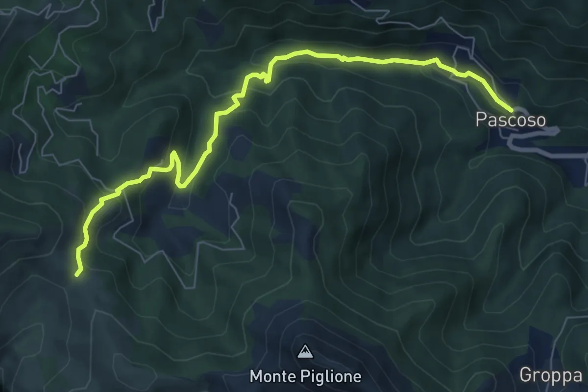
Medium · Trail
Casoli – Pascoso
7.5 km · ↑ 378 m · 2 h 35 min
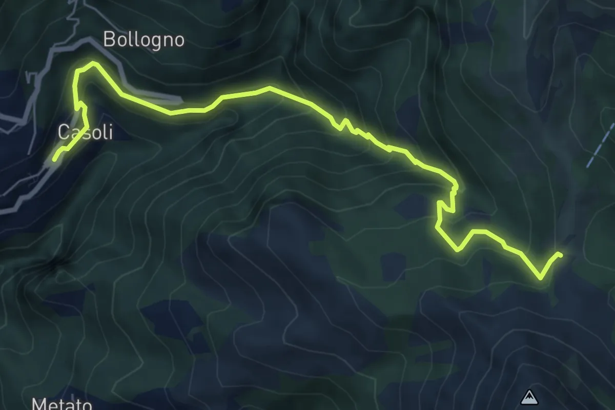
Medium · Trail
Casoli – Focetta di San Vincenzo
7.5 km · ↑ 668 m · 3 h 13 min
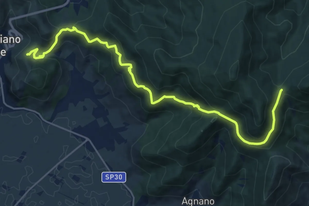
Demanding · Trail
Castellare – Campo di Croce
15.1 km · ↑ 872 m · 5 h 27 min
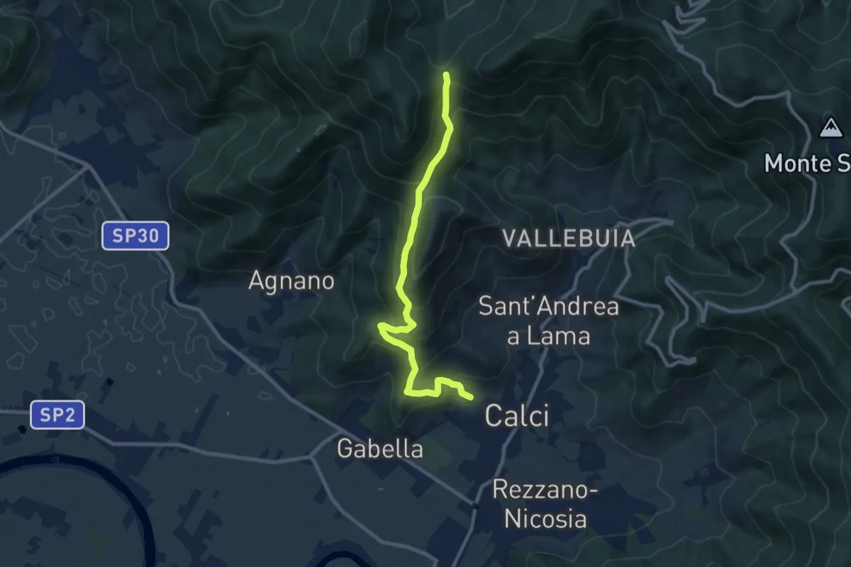
Medium · Trail
Calci – Campo di Croce
9.3 km · ↑ 633 m · 3 h 33 min
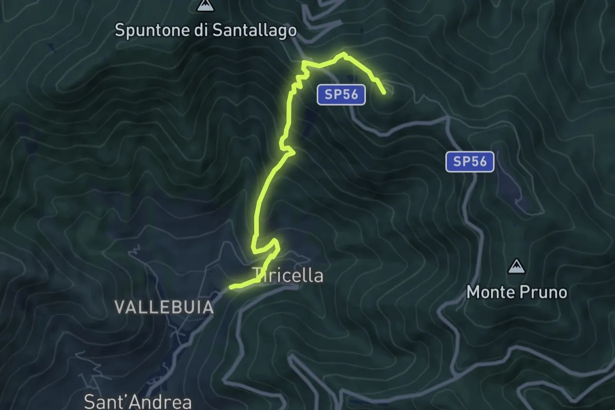
Medium · Summit
Castelmaggiore – Monte Cascetto
6.7 km · ↑ 740 m · 3 h 11 min
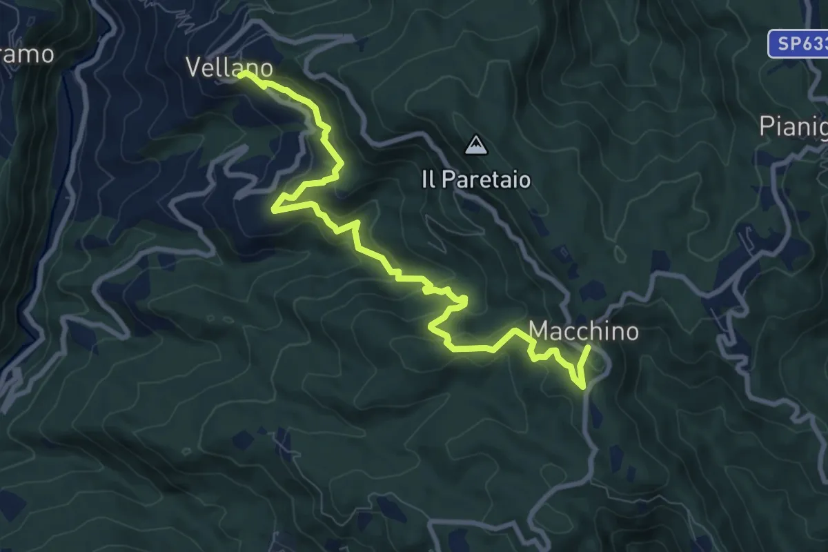
Medium · Trail
Vellano – Macchino
9.8 km · ↑ 515 m · 3 h 26 min
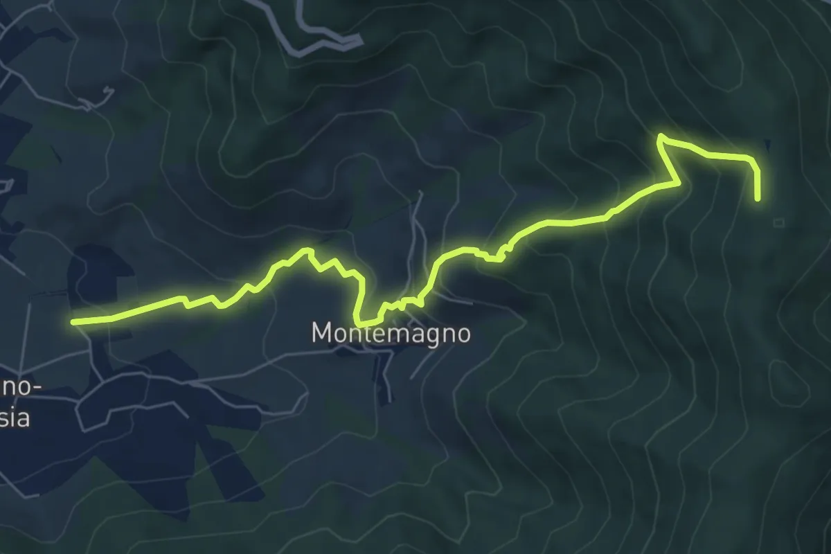
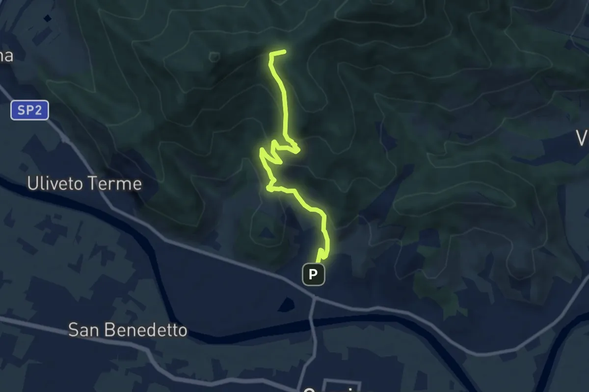
Medium · Trail
Certosa di Calci – Prato a Giovo
7.8 km · ↑ 581 m · 3 h 5 min
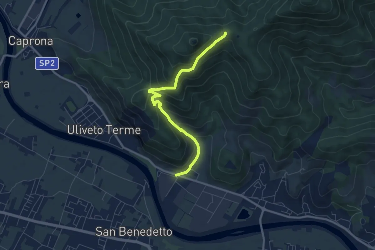
Medium · Summit
Caprona – Lugnano
7.7 km · ↑ 453 m · 2 h 48 min
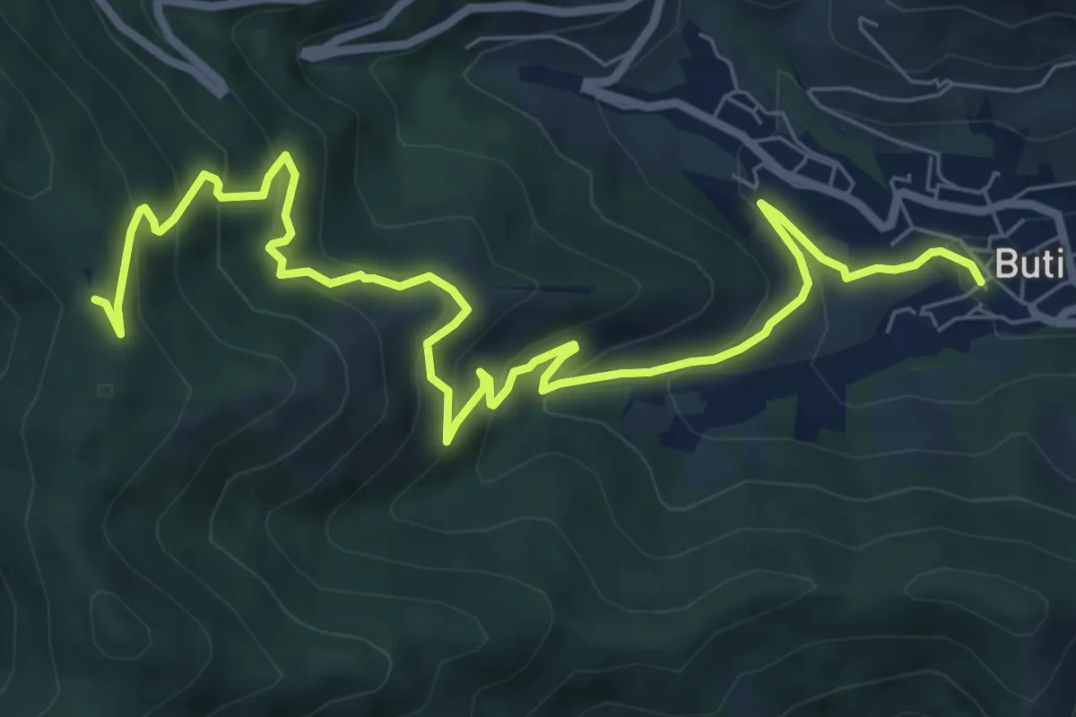
Medium · Trail
Noce – Prato a Ceccottino
7.1 km · ↑ 419 m · 2 h 35 min
Medium · Trail
Buti – Prato a Giovo
9.9 km · ↑ 607 m · 3 h 40 min
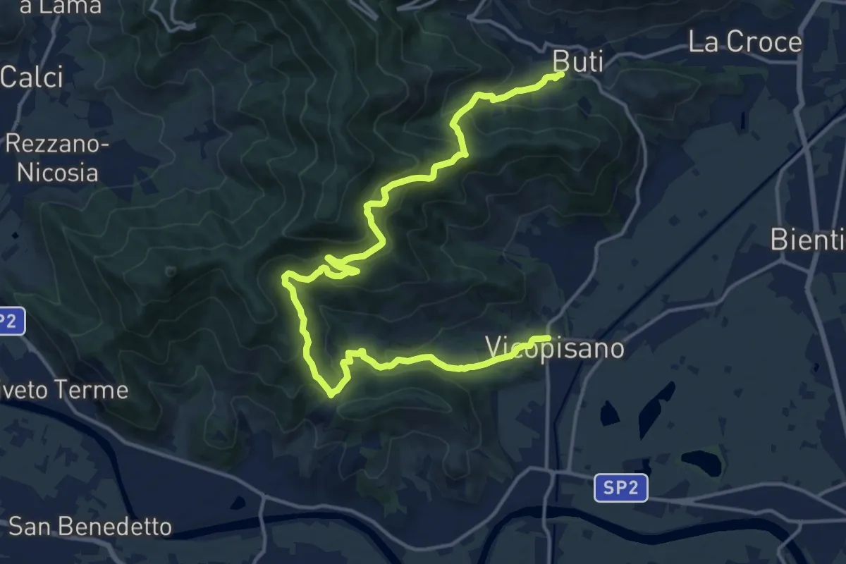
Demanding · Trail
Vicopisano – Buti
20.0 km · ↑ 978 m · 6 h 50 min
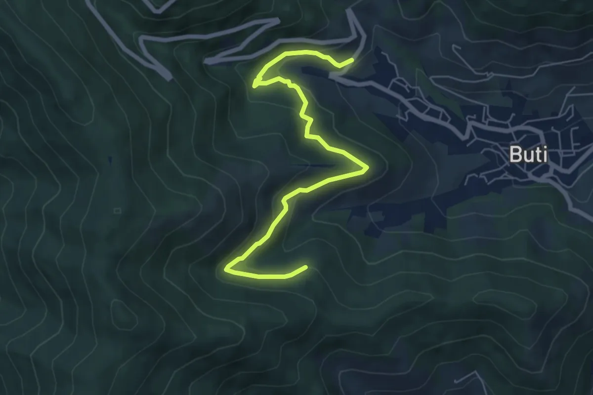
Medium · Trail
Panicale – Col di Cincia
6.8 km · ↑ 347 m · 2 h 21 min
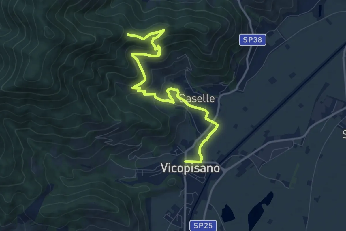
Medium · Trail
Vicopisano – Col di Cincia
10.8 km · ↑ 443 m · 3 h 31 min
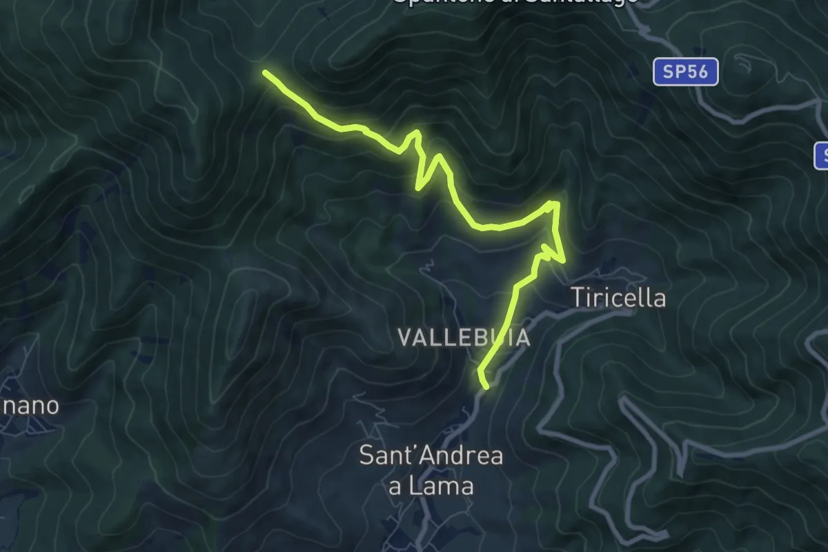
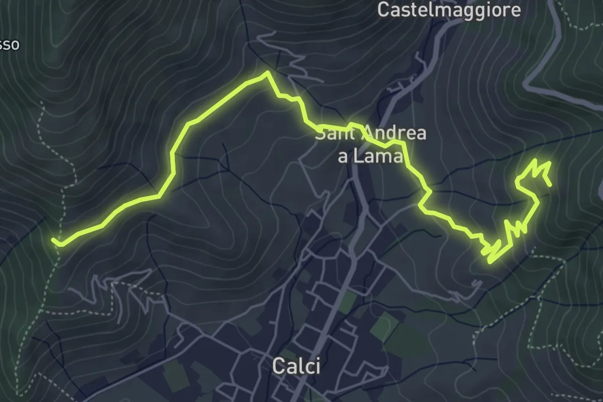
Medium · Trail
Castelmaggiore – Campo di Croce
8.7 km · ↑ 526 m · 3 h 12 min
Medium · Trail
San Bernardo – Via di Pari
7.9 km · ↑ 417 m · 2 h 46 min
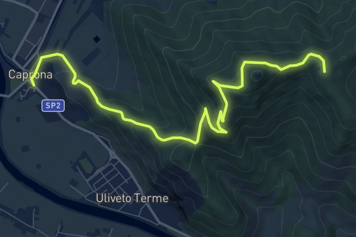
Medium · Summit
Caprona – San Bernardo
11.2 km · ↑ 580 m · 3 h 54 min
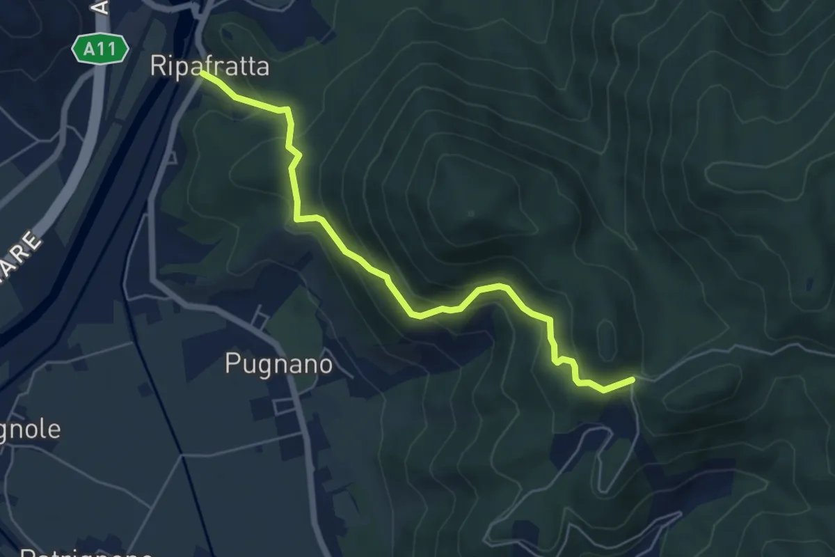
Medium · Trail
Ripafratta – Sacrario della Romagna
5.6 km · ↑ 402 m · 2 h 12 min
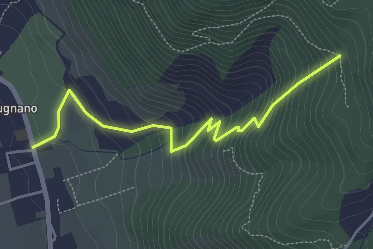
Easy · Trail
Pugnano – Lecciaia
3.4 km · ↑ 302 m · 1 h 27 min
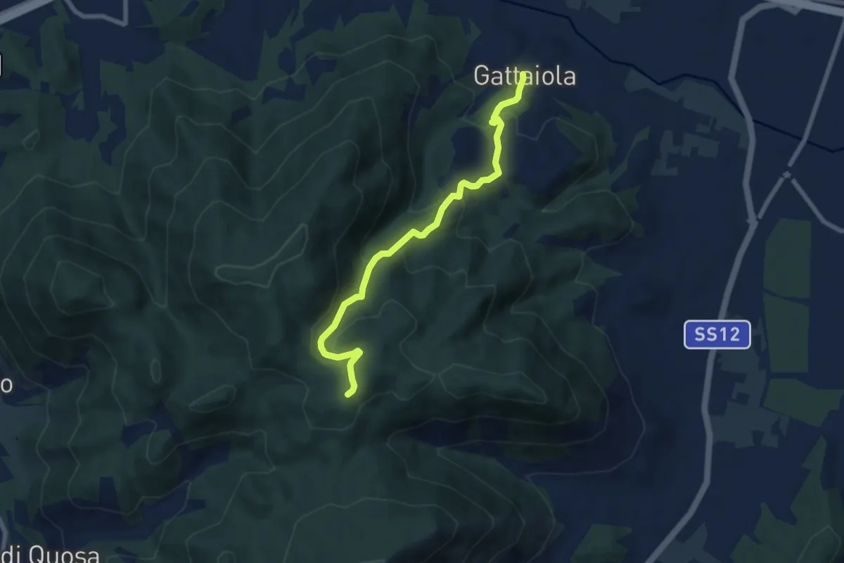
Medium · Trail
Gattaiola – Quattro Venti
7.1 km · ↑ 380 m · 2 h 30 min
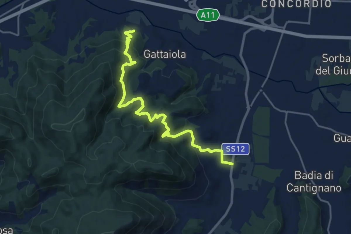
Medium · Trail
Massa Pisana – Pozzuolo
12.8 km · ↑ 753 m · 4 h 39 min
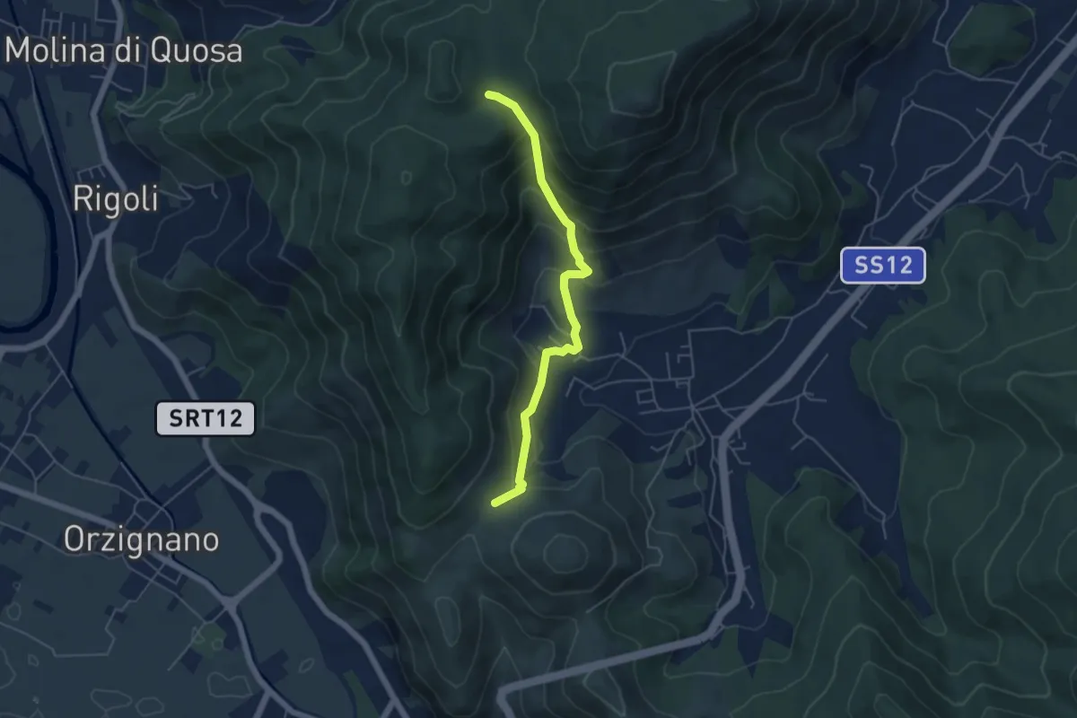
Medium · Trail
Passo Croce – Fondacci
5.1 km · ↑ 342 m · 1 h 57 min
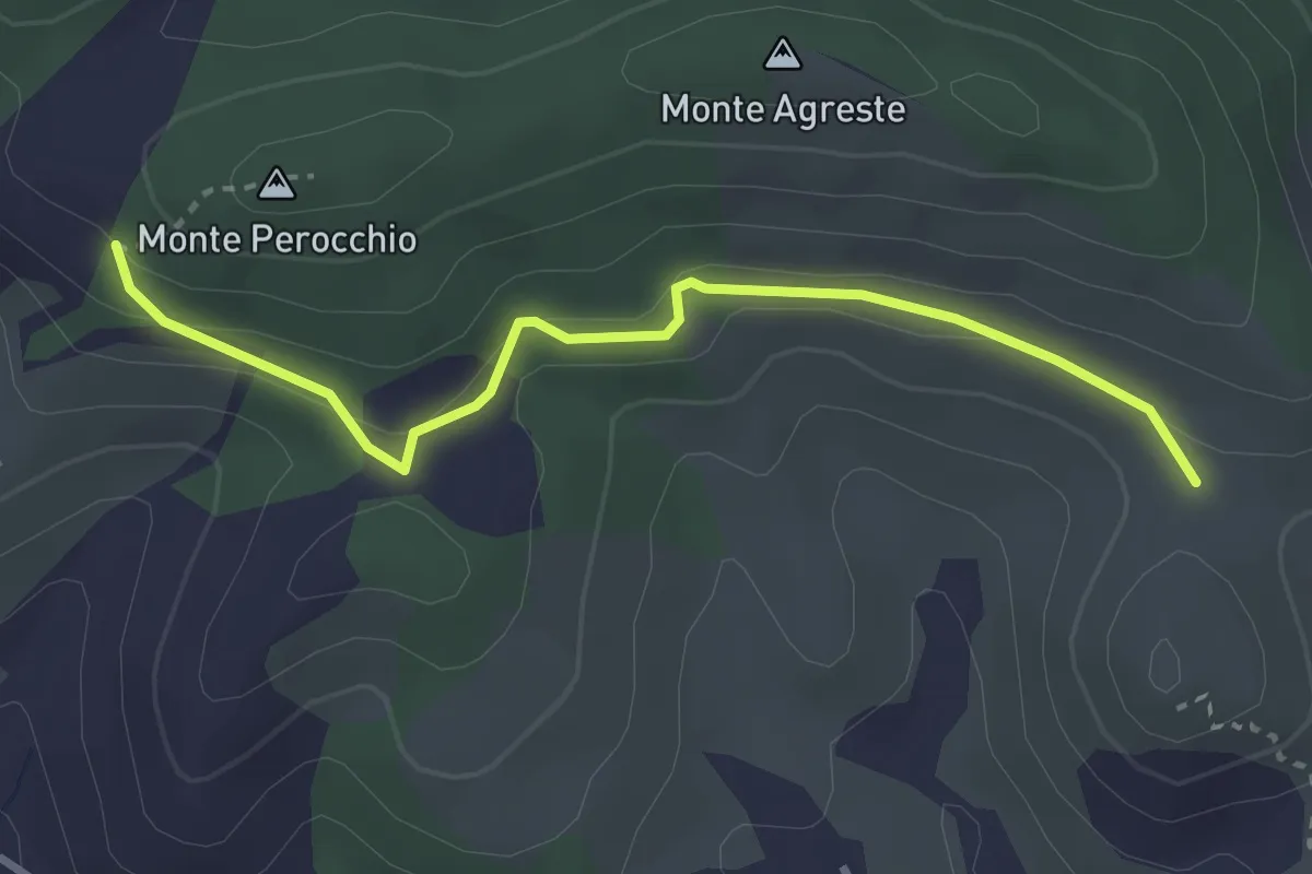
Easy · Trail
Località del Croci – Campo dei Lupi
3.3 km · ↑ 118 m · 1 h 2 min