Trails in Italy
25,219 hiking trails, each with its route, climb, walking time and grade.
All trails, page 290 of 526
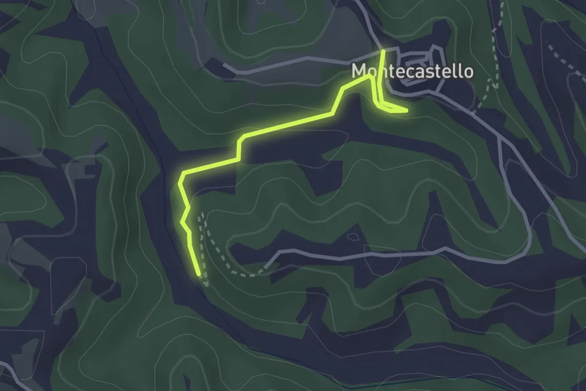
Easy · Trail
Montecastello – raccordo sentieri 07-03
2.6 km · ↑ 112 m · 52 min
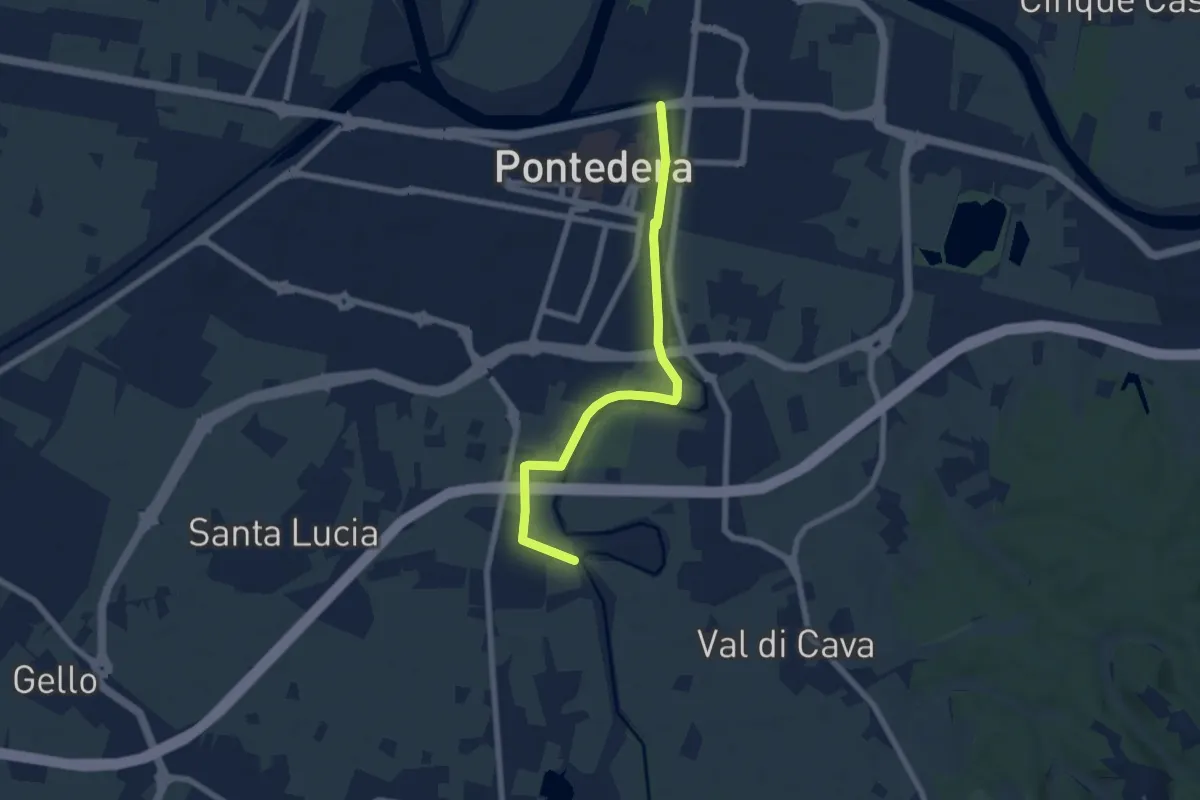
Easy · Trail
Bocca d'Era (Pontedera) – La Borra -Madonna dei Braccini
7.1 km · ↑ 8 m · 1 h 42 min
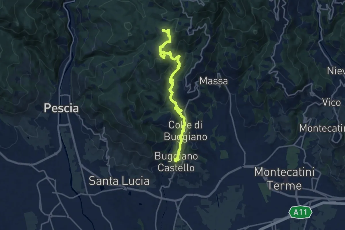
Medium · Summit
Buggiano Castello – Malocchio
13.1 km · ↑ 552 m · 4 h 18 min
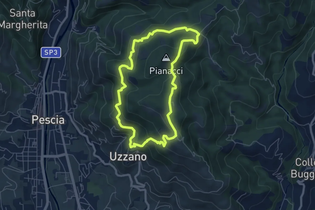
Easy · Summit
Uzzano Castello – Uzzano Castello
5.9 km · ↑ 317 m · 2 h 9 min
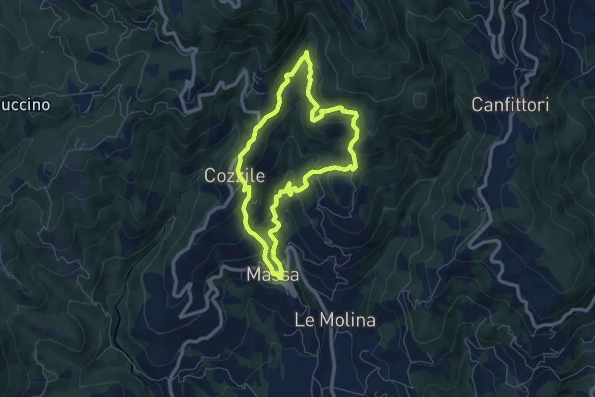
Medium · Summit
Massa – Massa
5.7 km · ↑ 383 m · 2 h 15 min
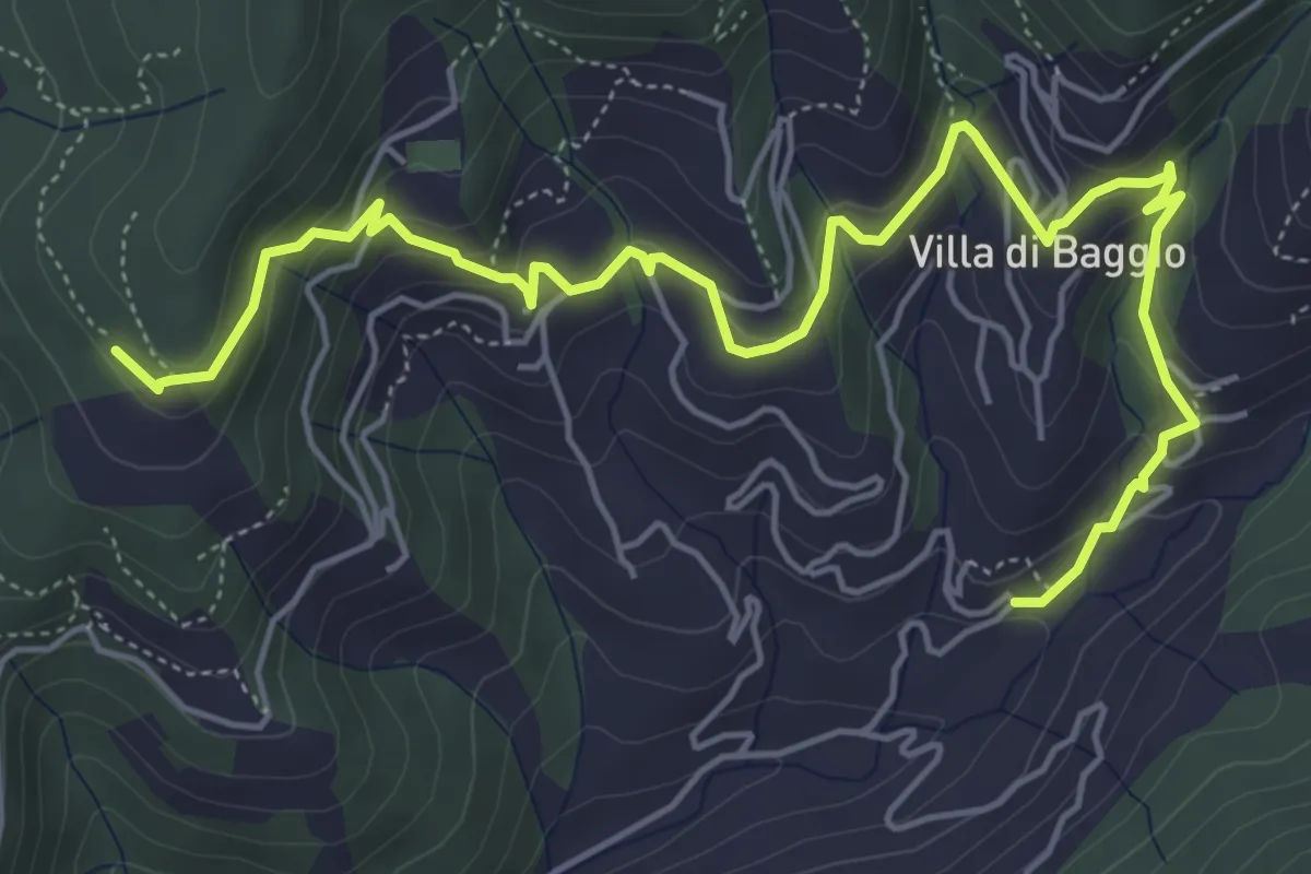
Medium · Trail
Mengarone – Innesto sentiero 208
7.3 km · ↑ 343 m · 2 h 28 min
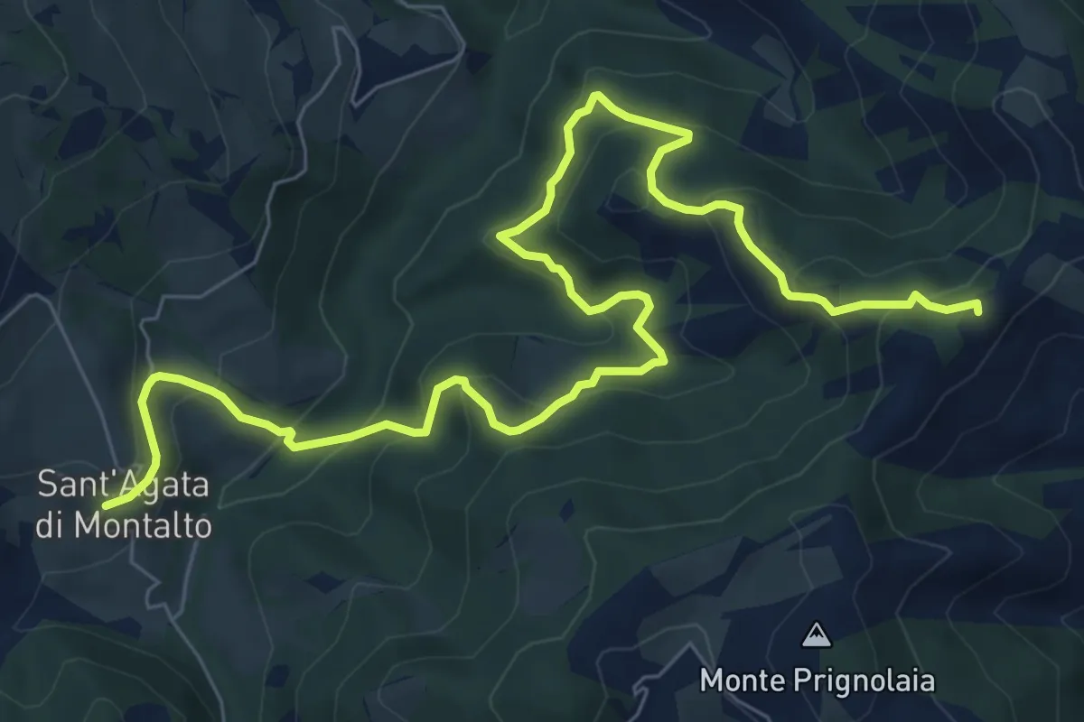
Medium · Trail
Sant'Agata – Paretaio Baldella
10.2 km · ↑ 632 m · 3 h 46 min
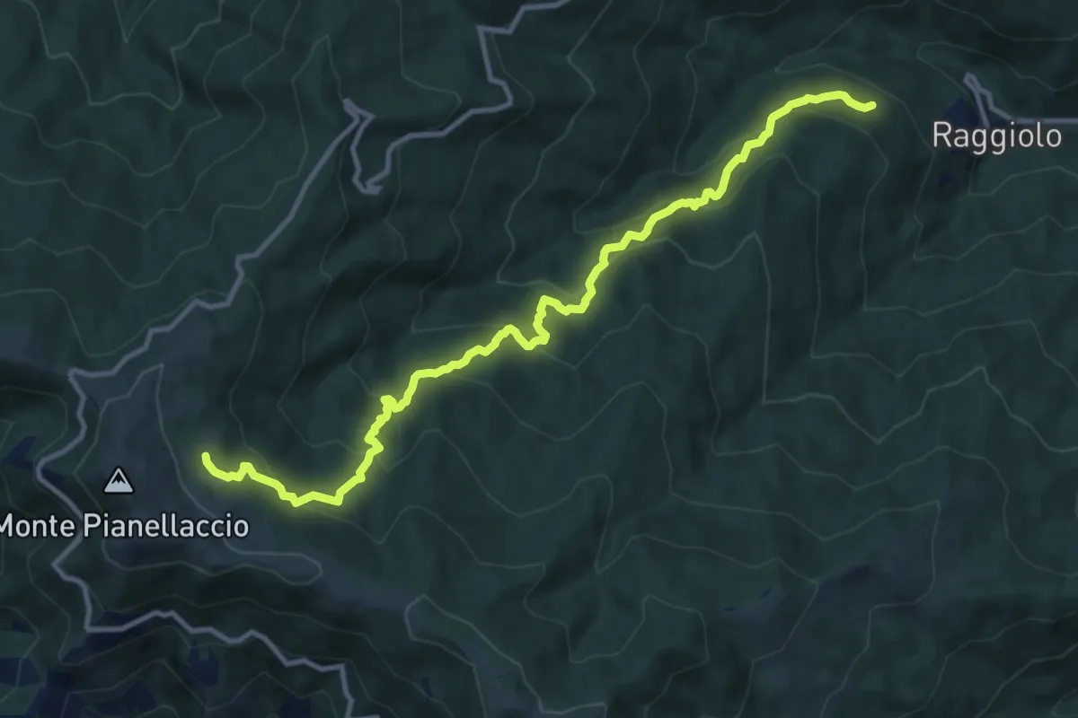
Demanding · Trail
Sentiero 30 presso Raggiolo – Sentiero 942 presso Fonte del Duca
12.7 km · ↑ 991 m · 5 h 9 min
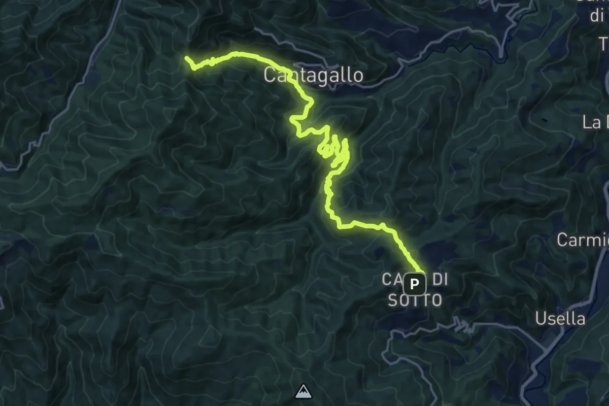
Demanding · Trail
Masseto (via Migliana) – Foce ai Fontanini
10.7 km · ↑ 902 m · 4 h 28 min
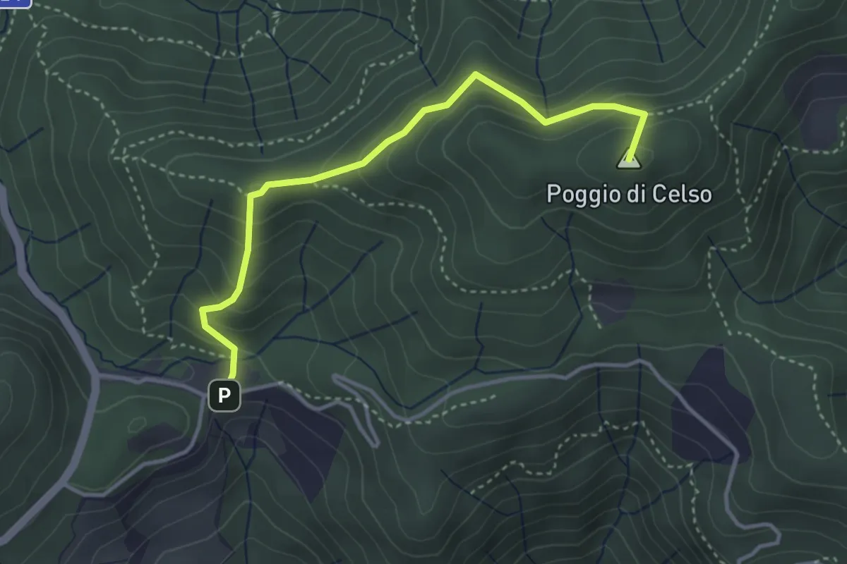
Medium · Summit
Cascina di Spedaletto – Culipiana
3.8 km · ↑ 299 m · 1 h 32 min
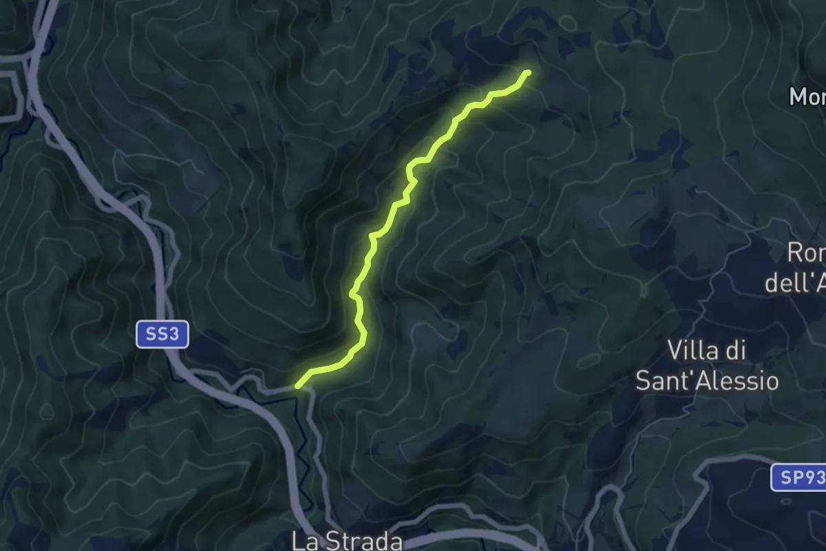
Medium · Trail
La Strada – Raggio - sentiero 161
5.4 km · ↑ 335 m · 2 h
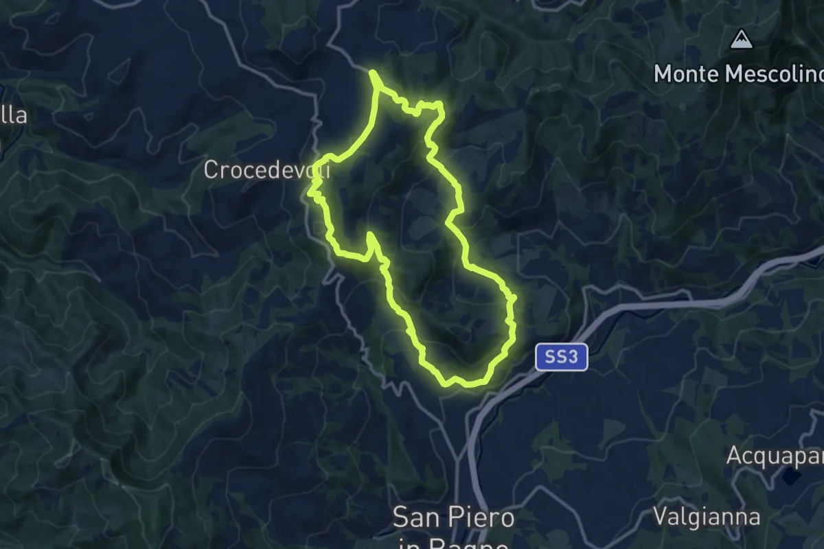
Medium · Trail
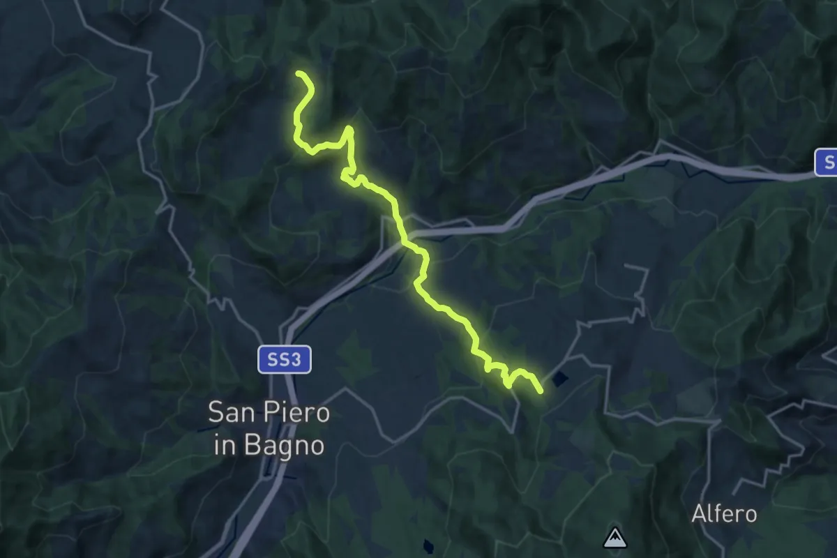
SS71 San Piero in Bagno – SS71 San Piero in Bagno
11.9 km · ↑ 555 m · 4 h 11 min
Medium · Trail
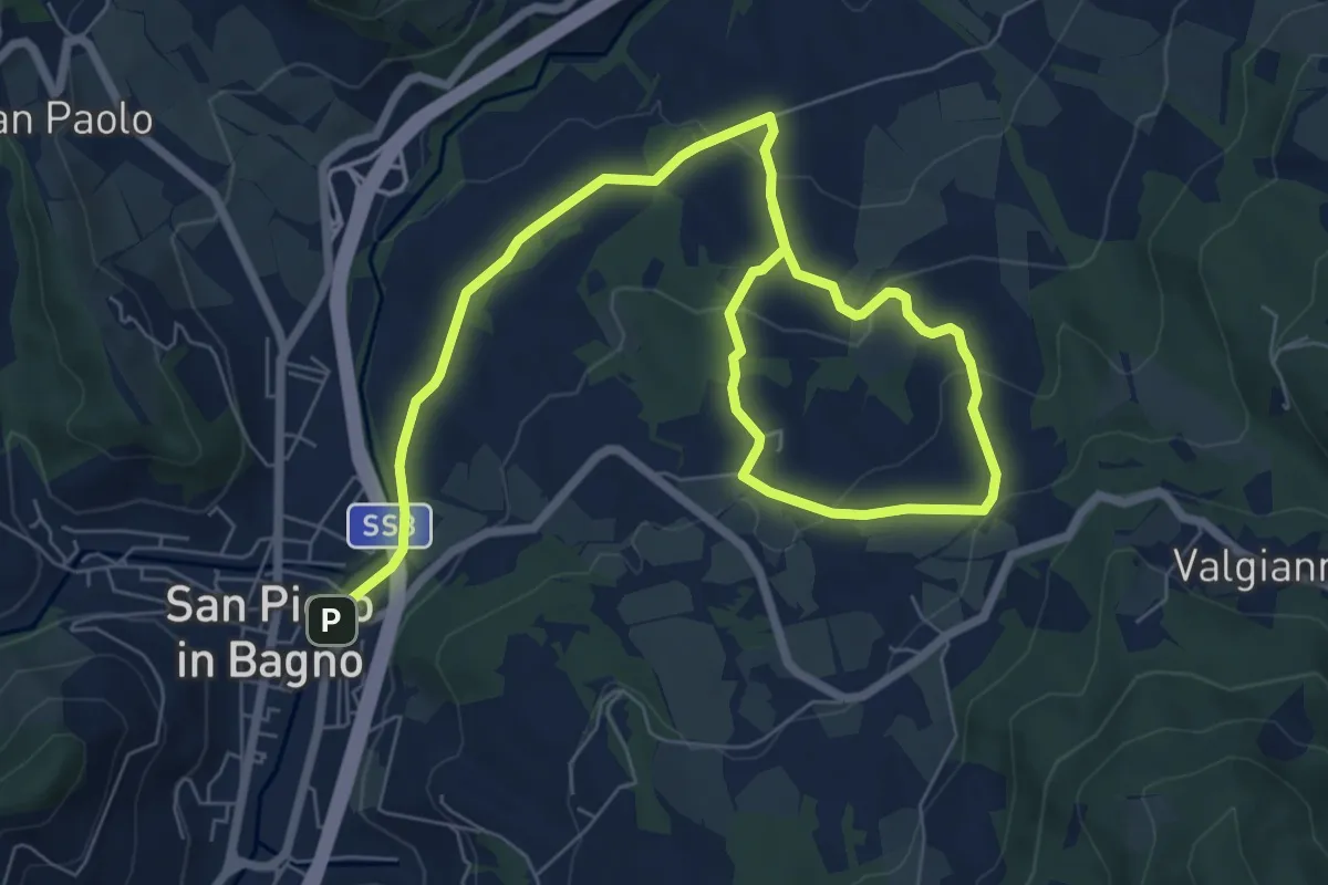
Acquapartita – Monsavino
16.3 km · ↑ 779 m · 5 h 32 min
Medium · Trail
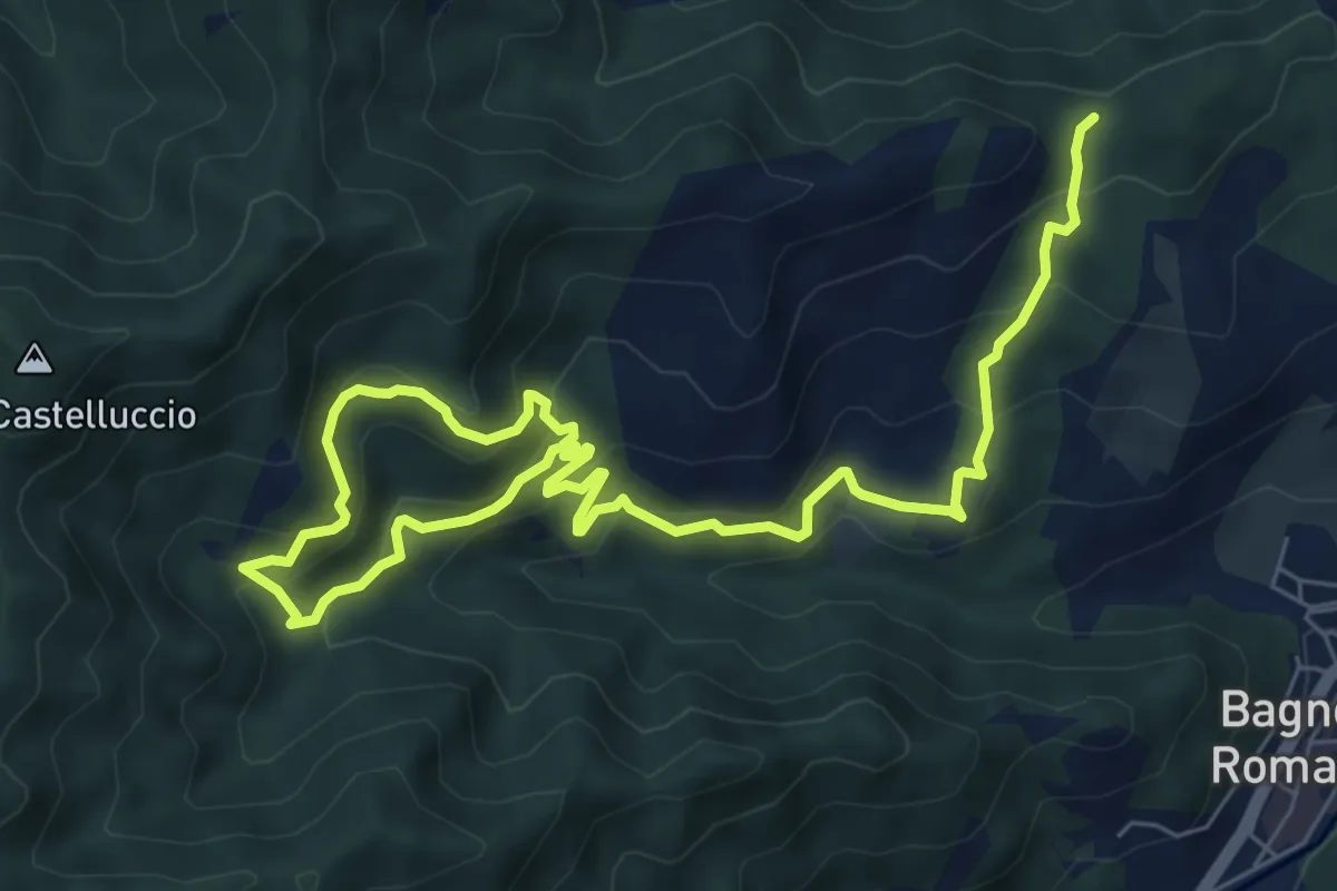
San Piero in Bagno – Ca' dei Grilli
11.2 km · ↑ 343 m · 3 h 23 min
Medium · Cabin
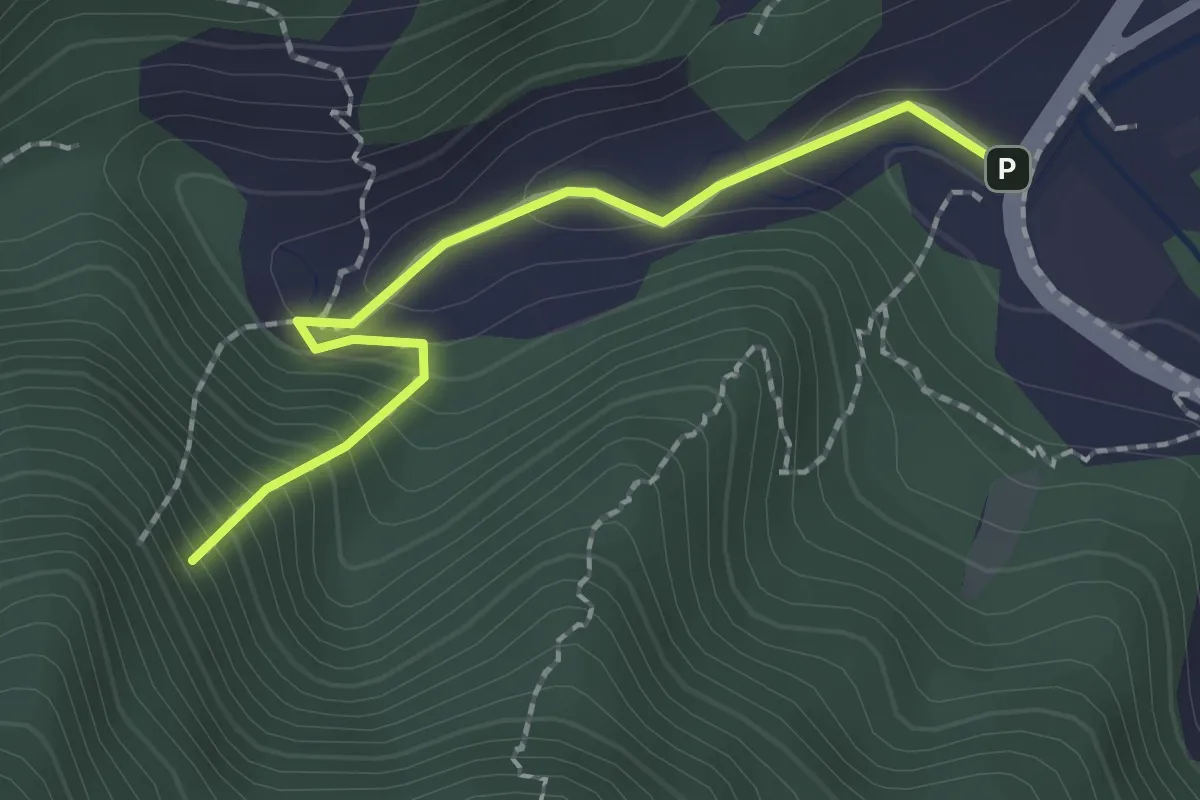
Sentiero 193 – Villa di Sotto
5.1 km · ↑ 343 m · 2 h 2 min
Easy · Trail
Chiardovo – Sasso di Sant'Agnese
2.0 km · ↑ 172 m · 51 min
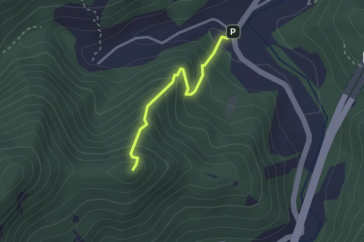
Easy · Summit
Stradello – Sentiero 185
1.9 km · ↑ 263 m · 1 h 1 min
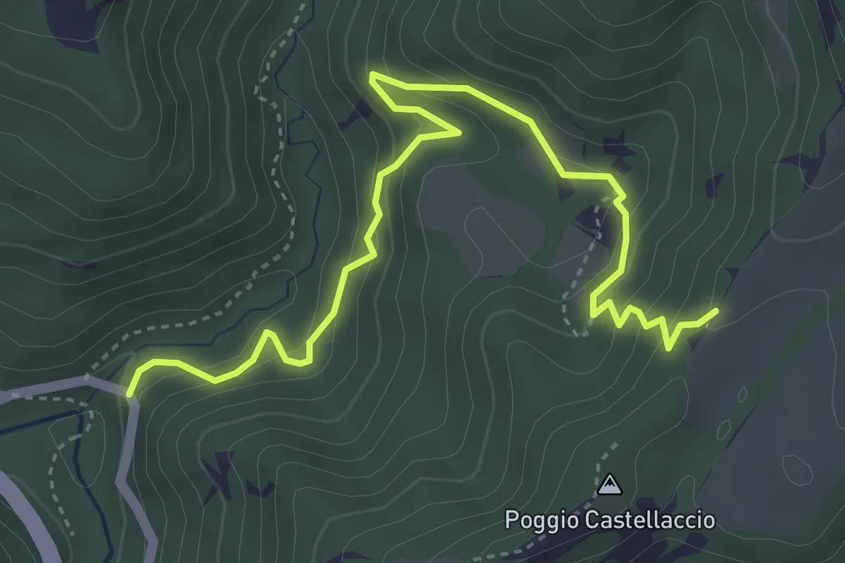
Medium · Trail
Percorso 179 – SP137
4.9 km · ↑ 393 m · 2 h 1 min
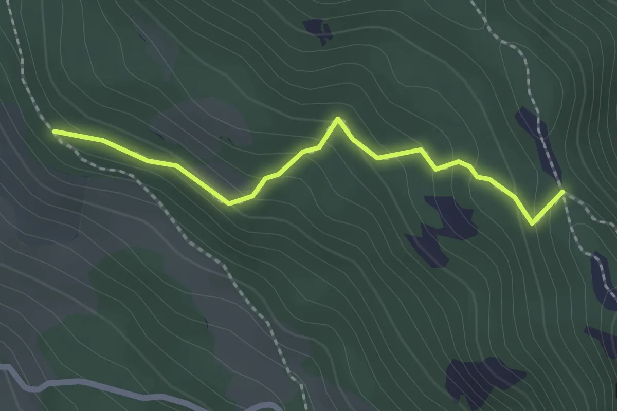
Easy · Trail
Vitine – Sentiero 161
2.0 km · ↑ 143 m · 47 min
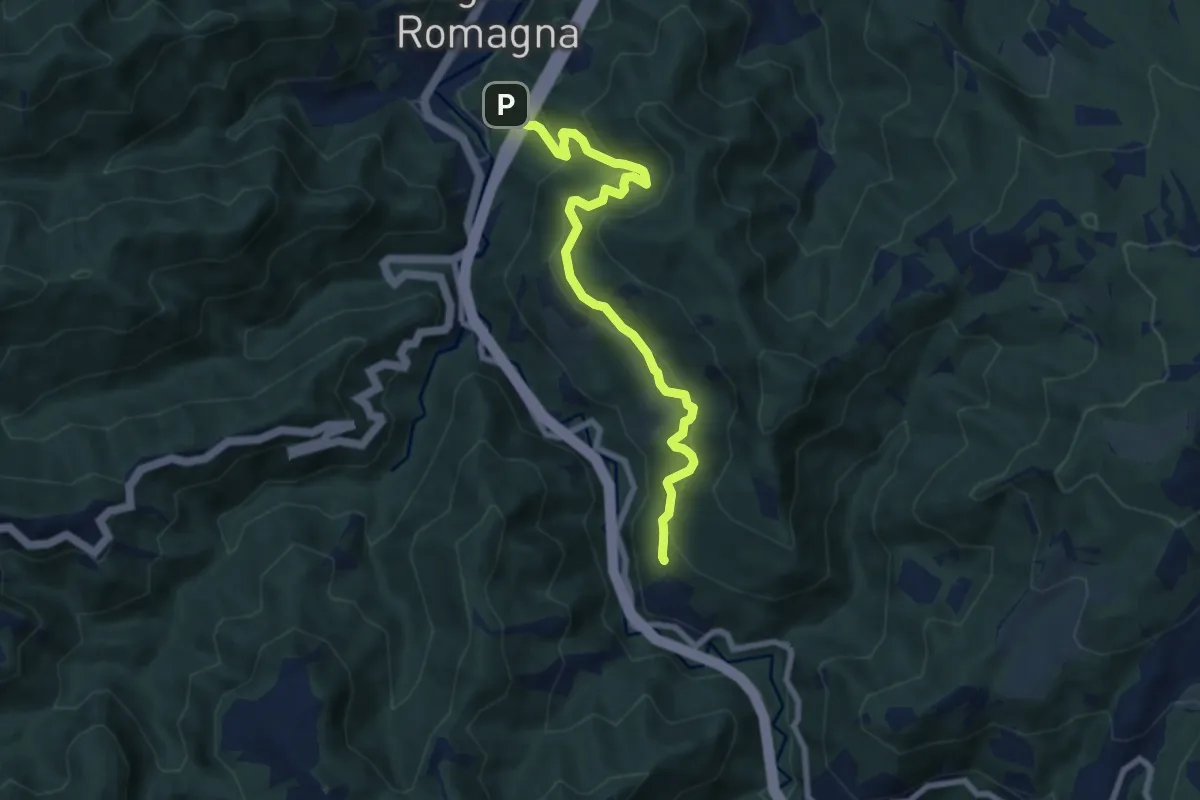
Demanding · Trail
Roccaccia – Sentiero 175
7.9 km · ↑ 647 m · 3 h 17 min
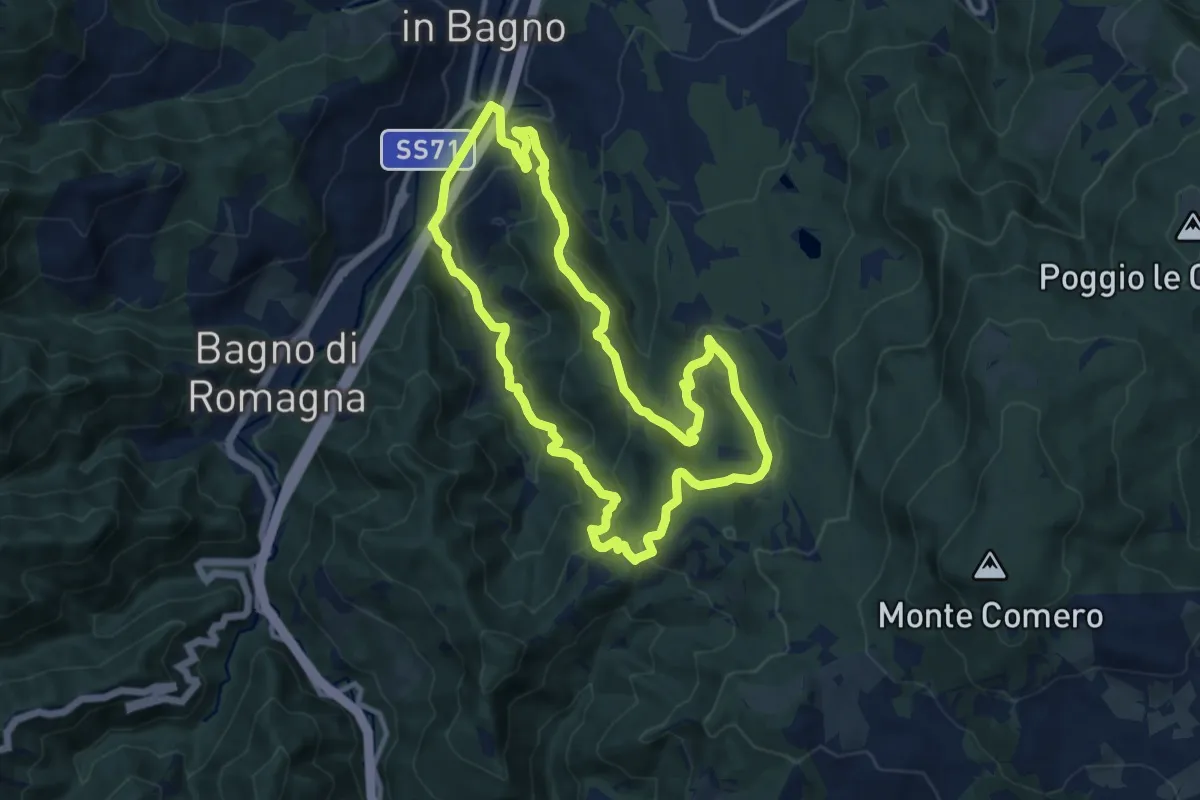
Medium · Summit
Barciani di sotto (Bagno di Romagna) – Barciani di sotto (Bagno di Romagna)
11.2 km · ↑ 601 m · 4 h 6 min
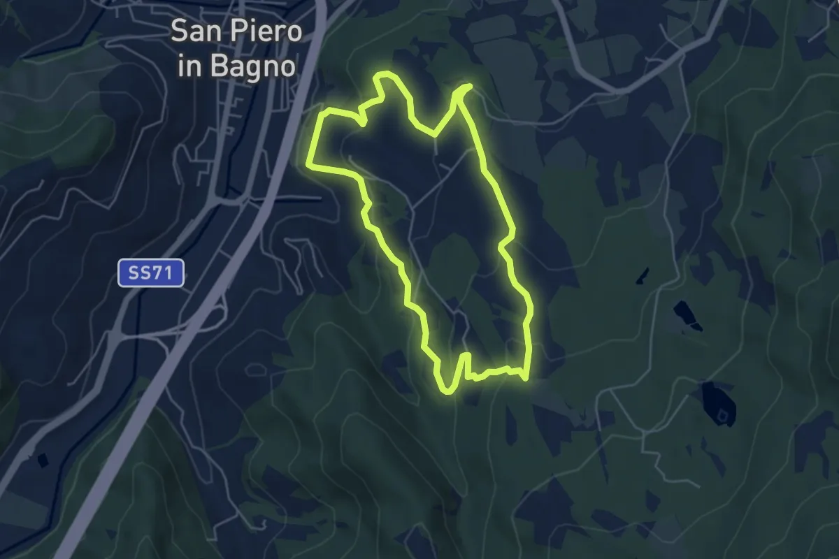
Easy · Trail
San Piero in Bagno – San Piero in Bagno
4.9 km · ↑ 208 m · 1 h 41 min
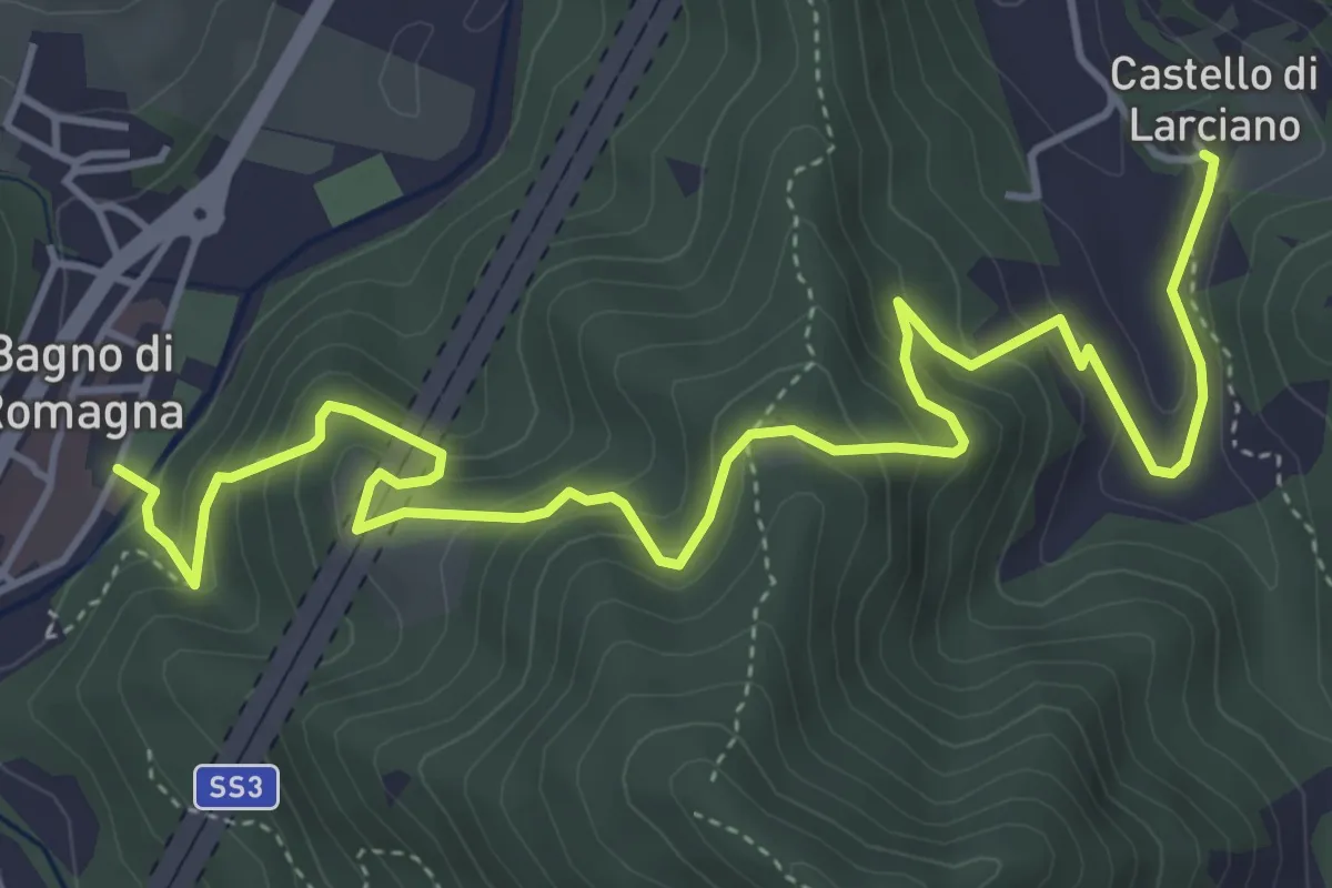
Medium · Trail
Bagno di Romagna – Larciano
6.4 km · ↑ 439 m · 2 h 28 min
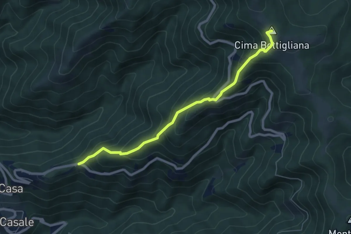
Medium · Summit
Trappola – Sentiero 00 Bottigliana
5.9 km · ↑ 571 m · 2 h 38 min
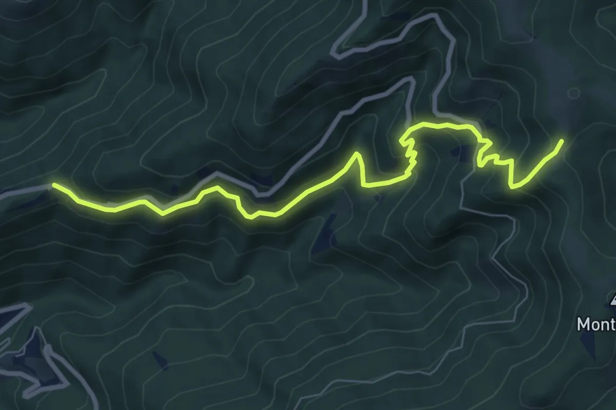
Medium · Trail
Trappola – sent. 00
8.3 km · ↑ 696 m · 3 h 28 min
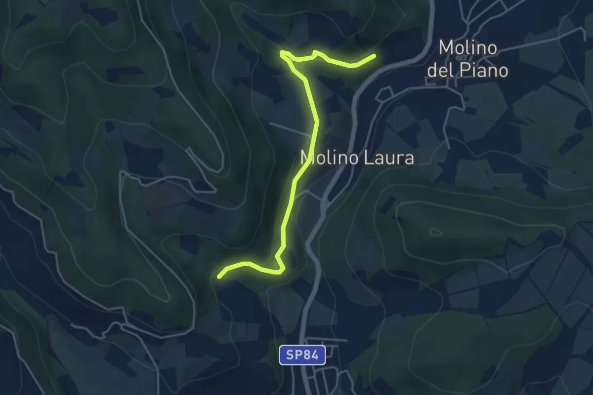
Easy · Trail
Sentiero 4 – Sentiero 4
4.2 km · ↑ 143 m · 1 h 19 min
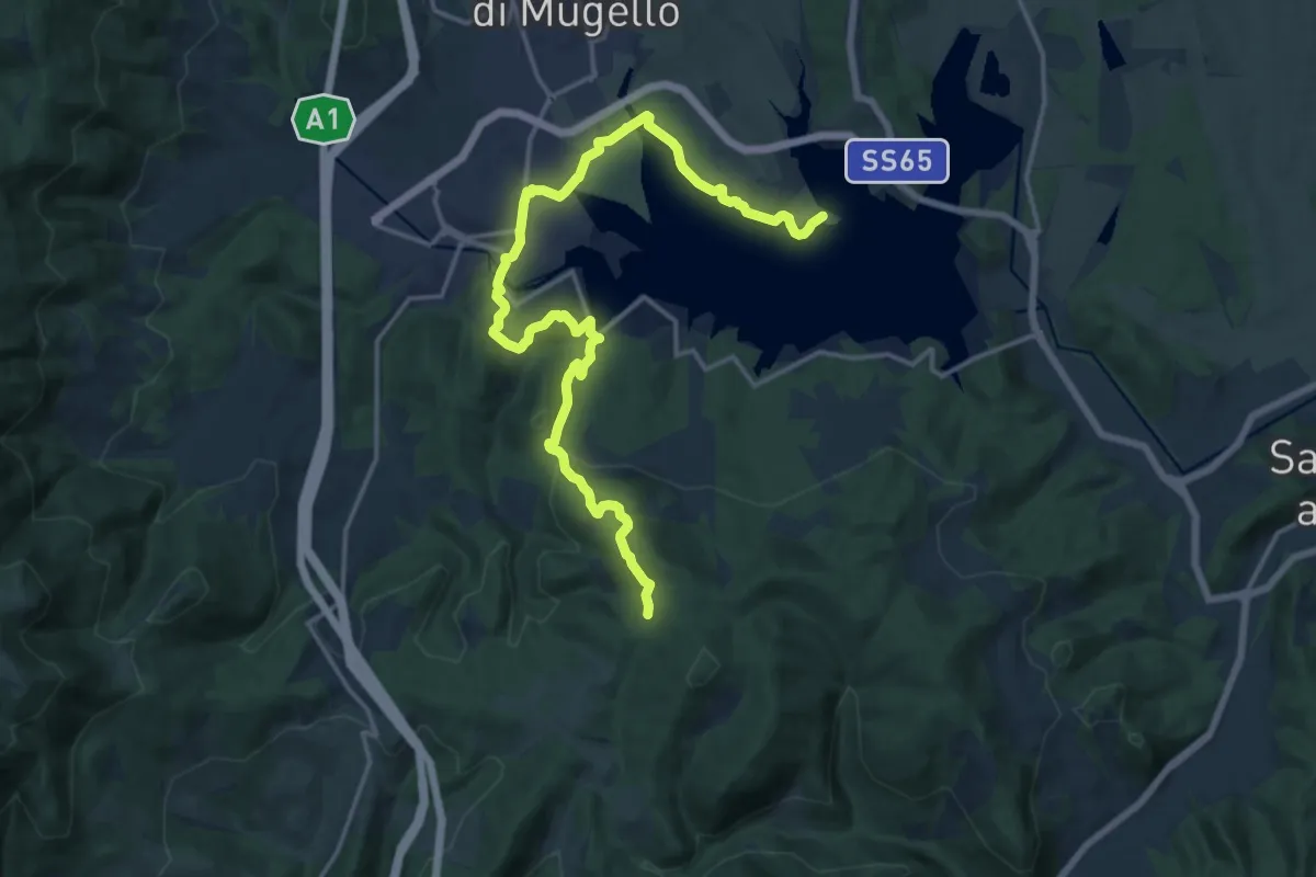
Demanding · Trail
Il Fangaccio – Chiesa di Cupo
19.7 km · ↑ 534 m · 5 h 49 min
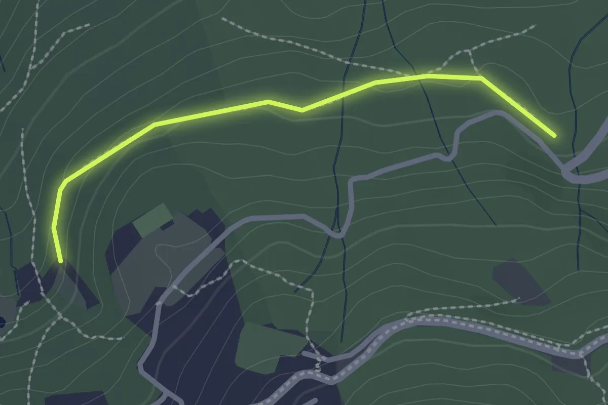
Easy · Trail
Il Vignale – S.P. 85
2.3 km · ↑ 42 m · 38 min
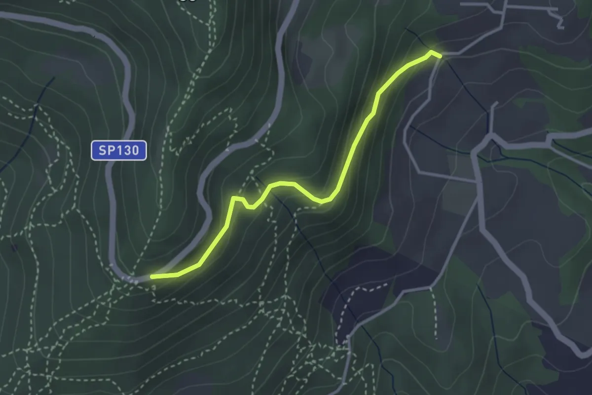
Easy · Trail
Piazzale Leonardo da Vinci – Podere Casaccia
3.1 km · ↑ 193 m · 1 h 9 min
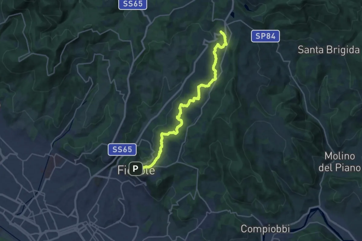
Demanding · Trail
Fiesole – Sentiero 00
19.7 km · ↑ 654 m · 6 h 4 min
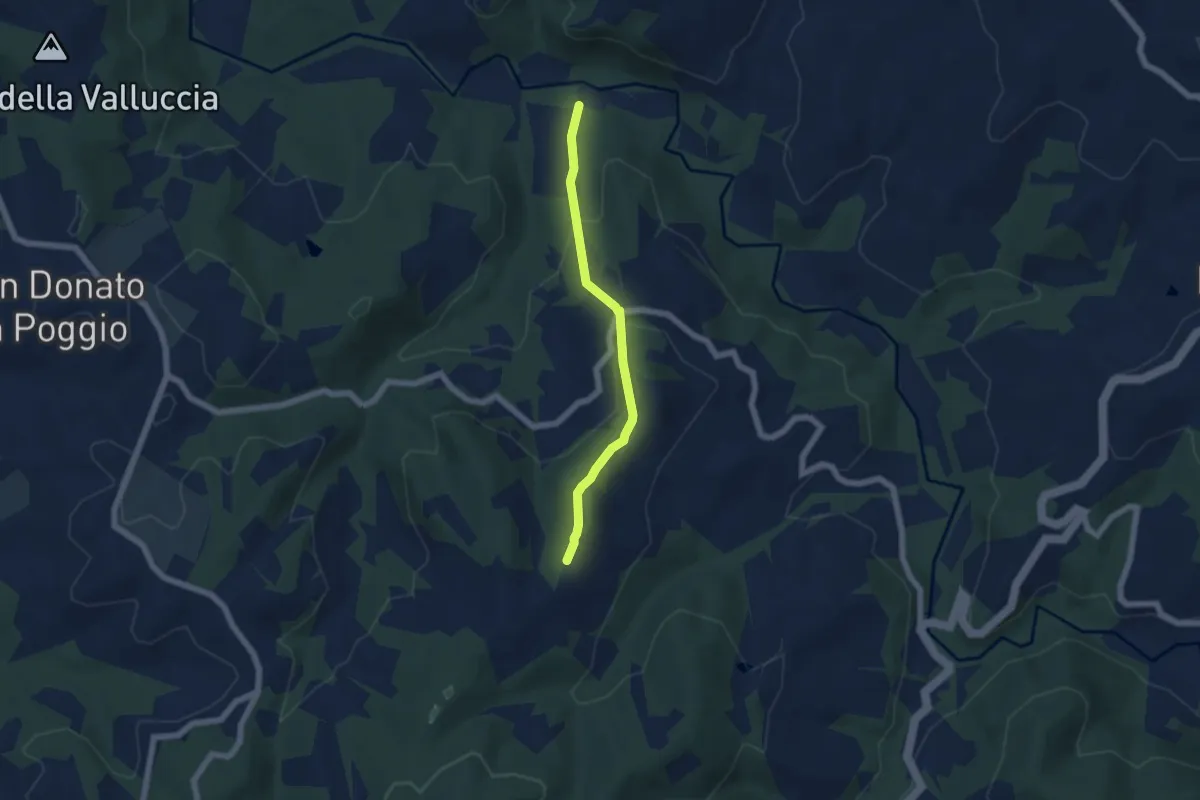
Easy · Trail
Molino Petrazzo – Macine
5.3 km · ↑ 251 m · 1 h 48 min
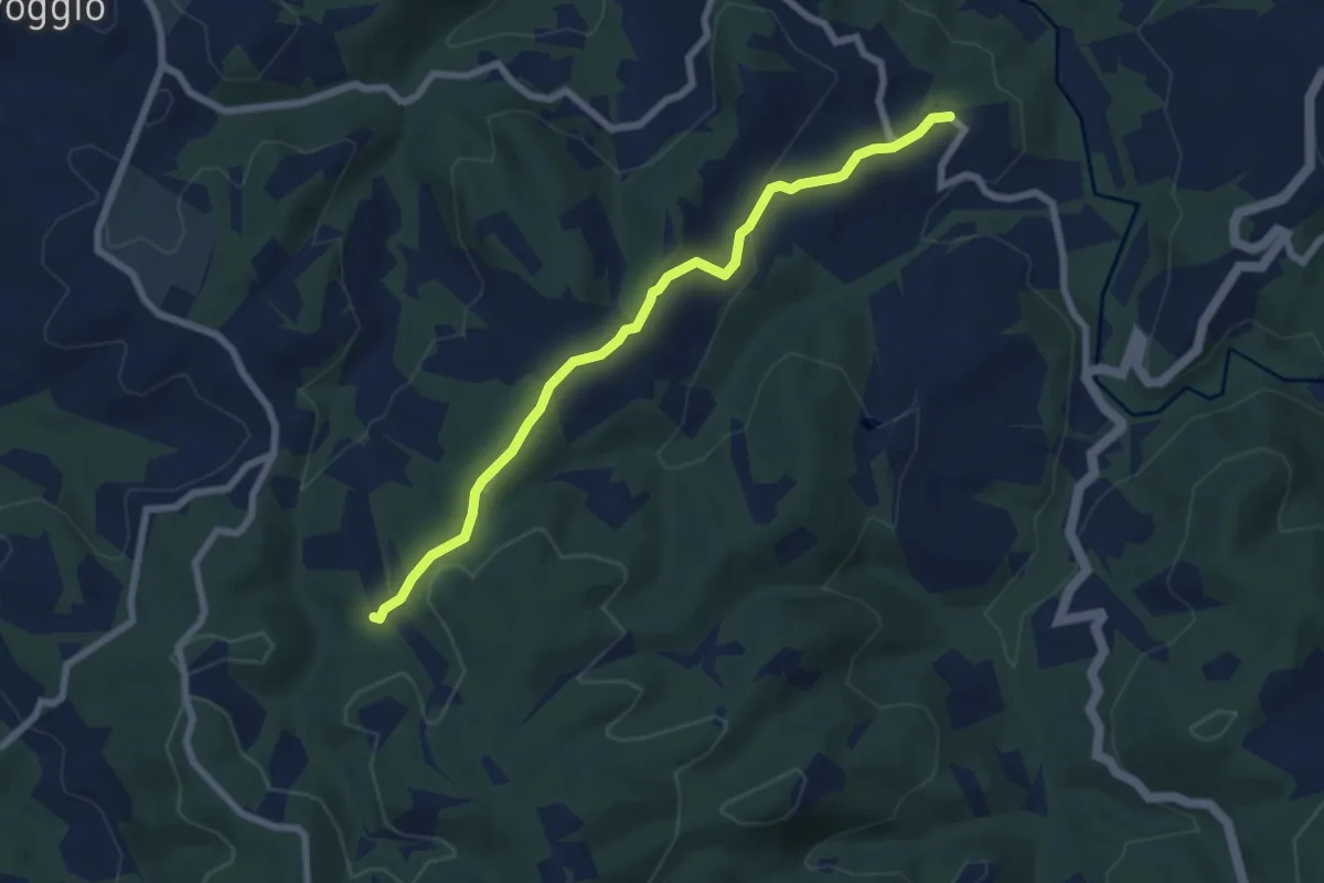
Easy · Trail
La Piazza – Podere San Silvestro
7.3 km · ↑ 195 m · 2 h 9 min
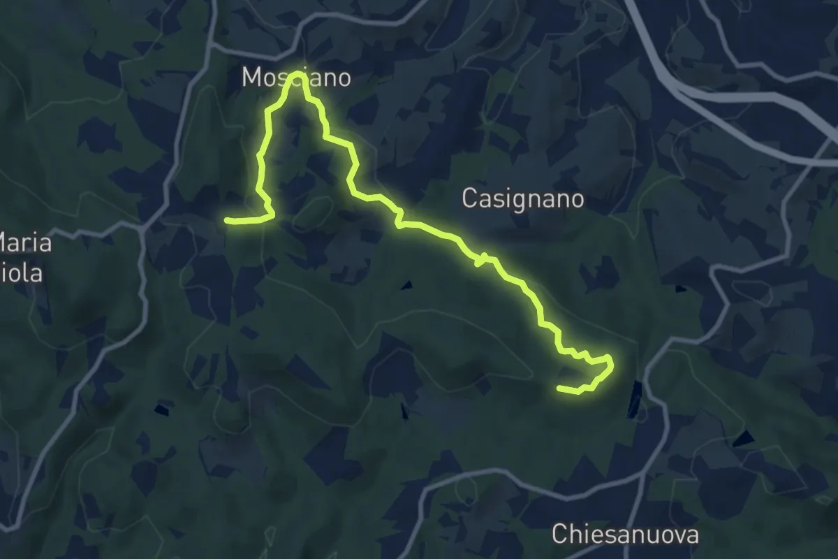
Medium · Trail
Sentiero 730 (Podere Leone) – Il Cerro
10.7 km · ↑ 364 m · 3 h 19 min
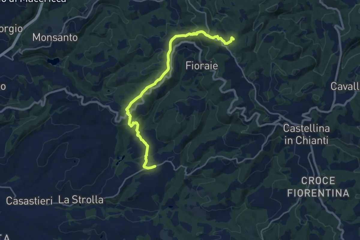
Medium · Summit
Gretole – Innesto sentiero 349
15.6 km · ↑ 491 m · 4 h 45 min
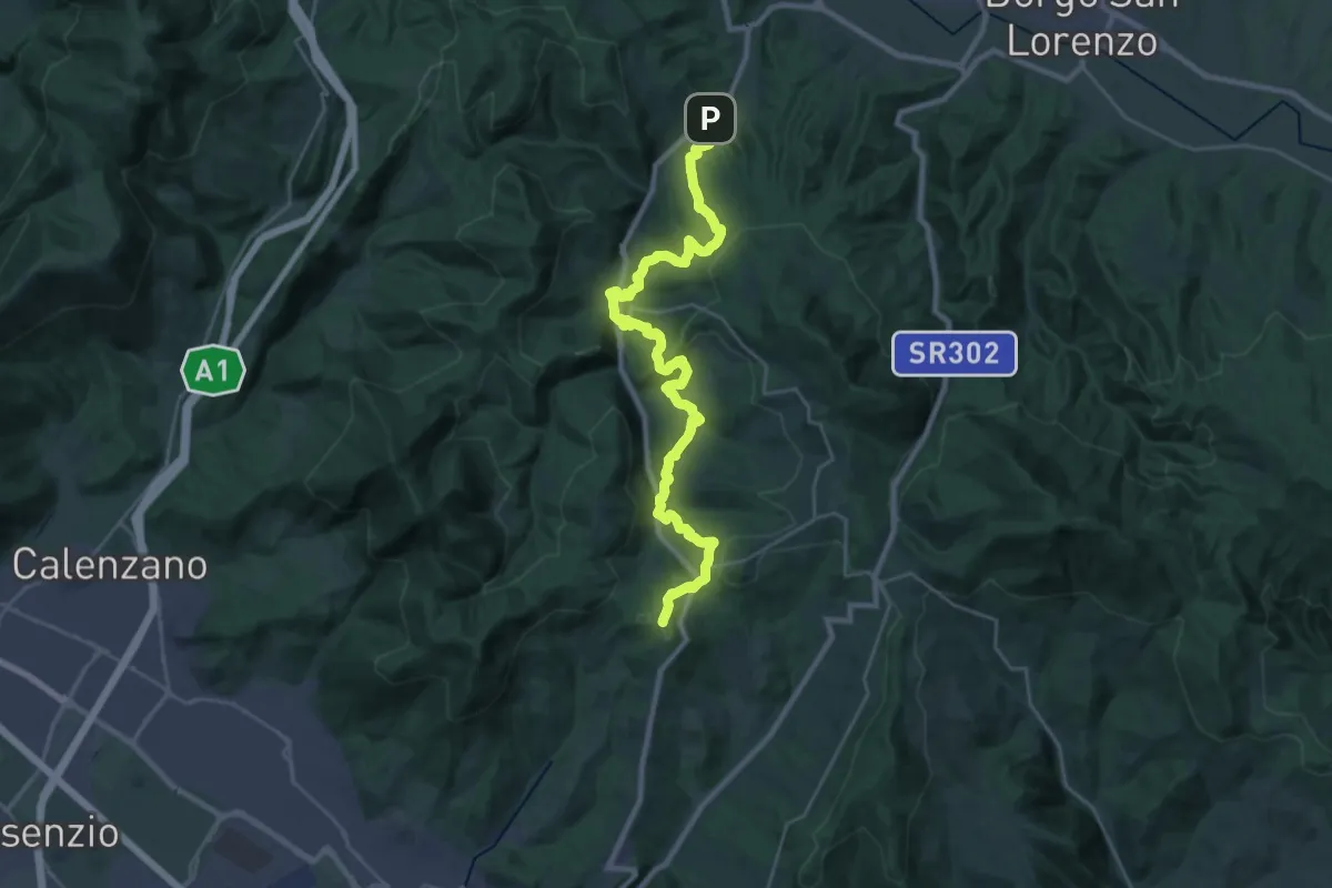
Demanding · Summit
Caldine – Campomigliaio
33.0 km · ↑ 1280 m · 10 h 34 min
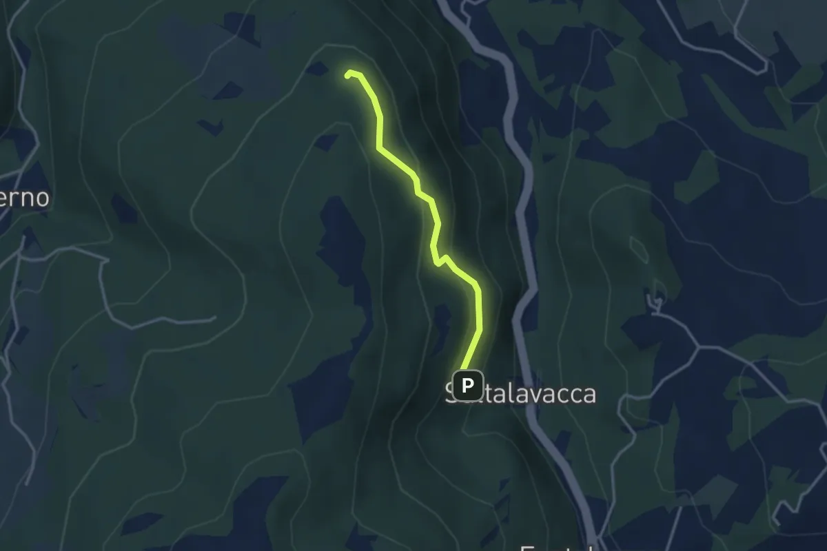
Easy · Trail
Sentiero 61 – Sentiero 68
2.7 km · ↑ 165 m · 1 h
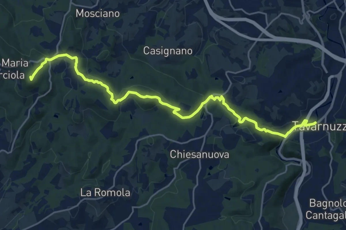
Medium · Summit
Lastra a Signa – Tavarnuzze
17.9 km · ↑ 527 m · 5 h 22 min
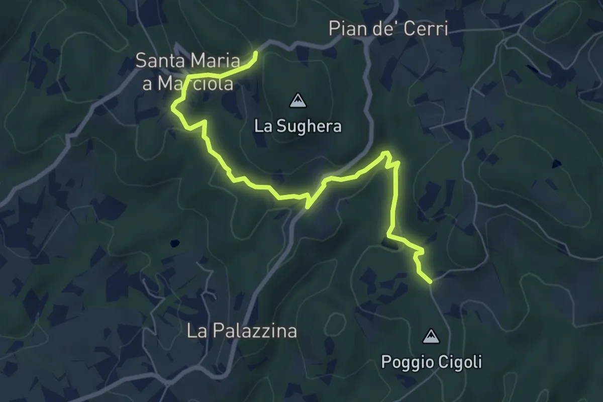
Easy · Trail
Le Calle – Le Croci
7.3 km · ↑ 237 m · 2 h 14 min
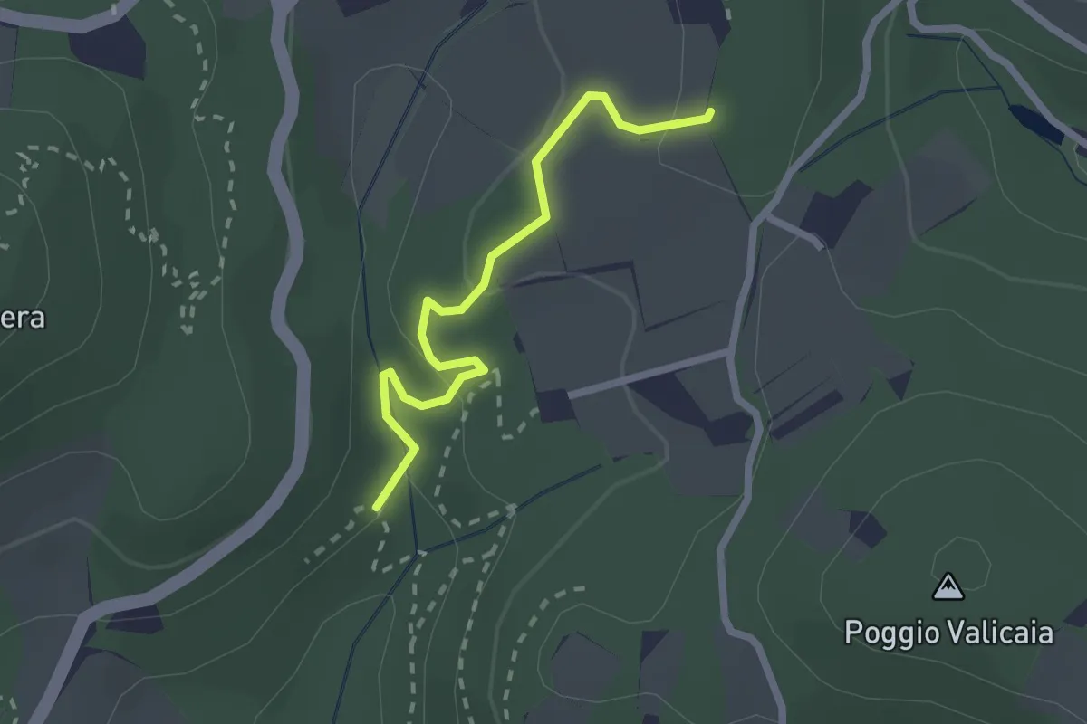
Easy · Trail
Sentiero 730 (Spazzavento) – Sentiero 732 (Lago delle Ninfee)
2.3 km · ↑ 59 m · 40 min
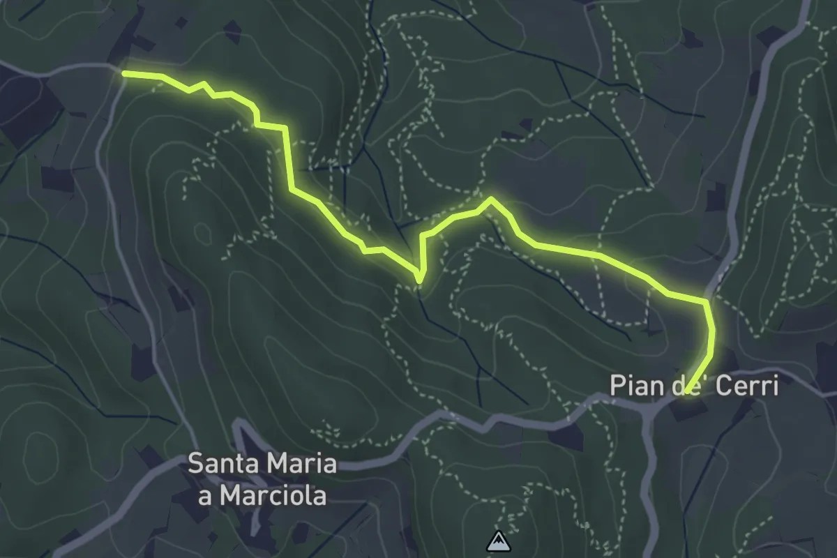
Easy · Trail
Pian de' Cerri – Roncigliano
4.9 km · ↑ 134 m · 1 h 27 min
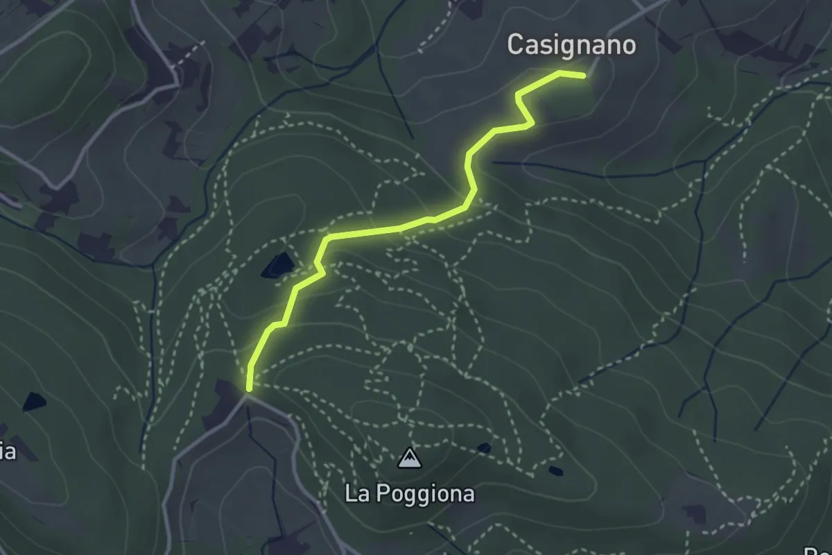
Easy · Trail
Casignano – La Catena
3.0 km · ↑ 126 m · 58 min
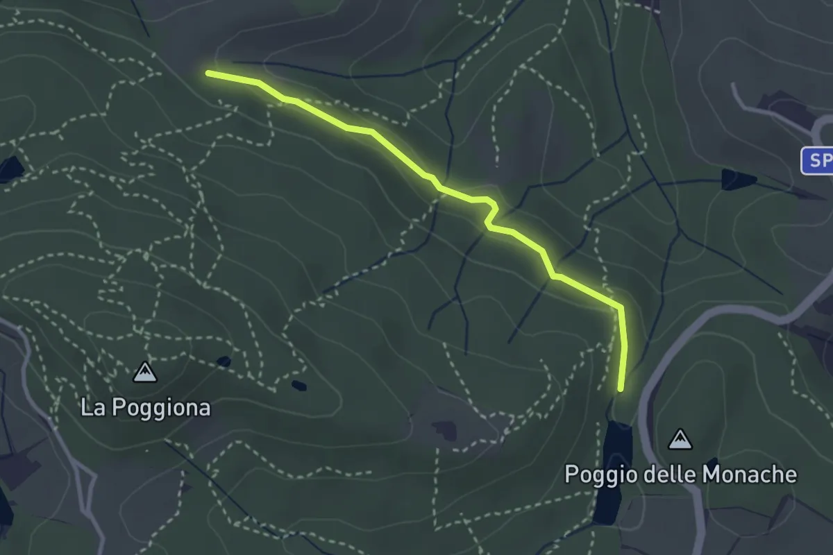
Easy · Trail
Casignano – Lago di Chiesanuova
3.0 km · ↑ 68 m · 51 min
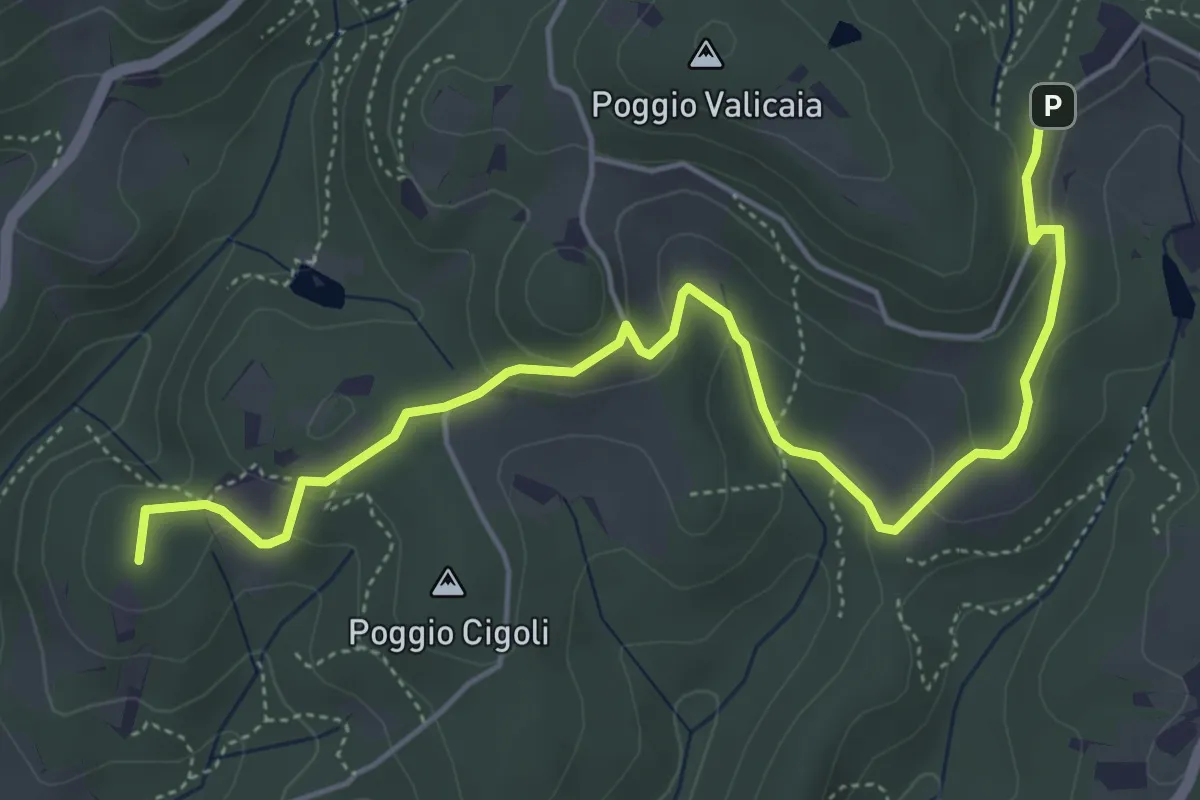
Easy · Summit
Castellare – Poggio Valicaia
6.3 km · ↑ 220 m · 1 h 57 min
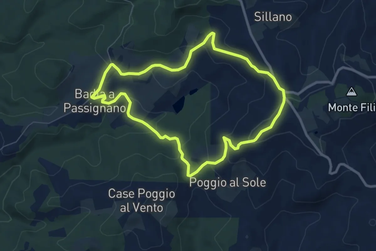
Easy · Trail
Badia a Passignano – Badia a Passignano
6.6 km · ↑ 227 m · 2 h 9 min
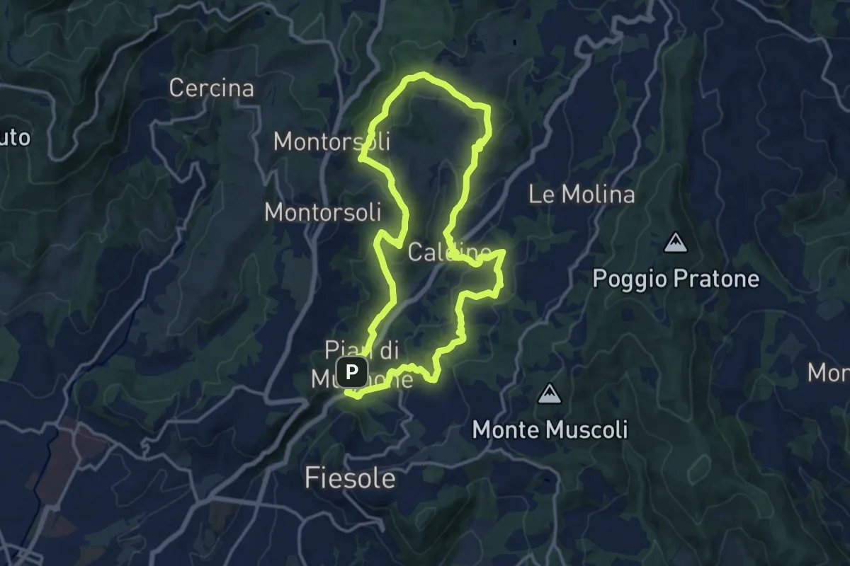
Medium · Summit
Pian di Mugnone – Pian di Mugnone
13.3 km · ↑ 432 m · 4 h 16 min
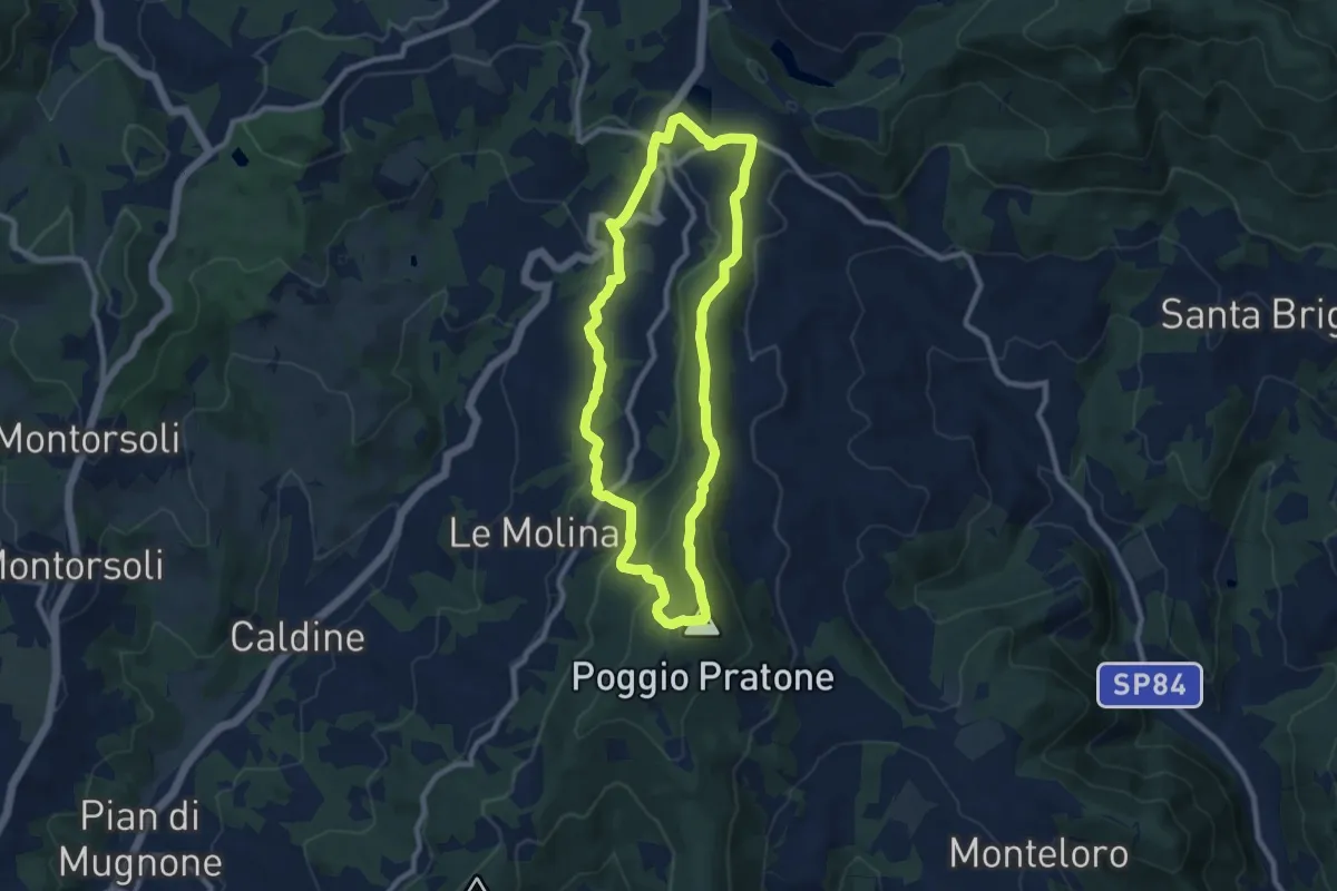
Medium · Summit
Olmo – Olmo
9.0 km · ↑ 359 m · 3 h 2 min
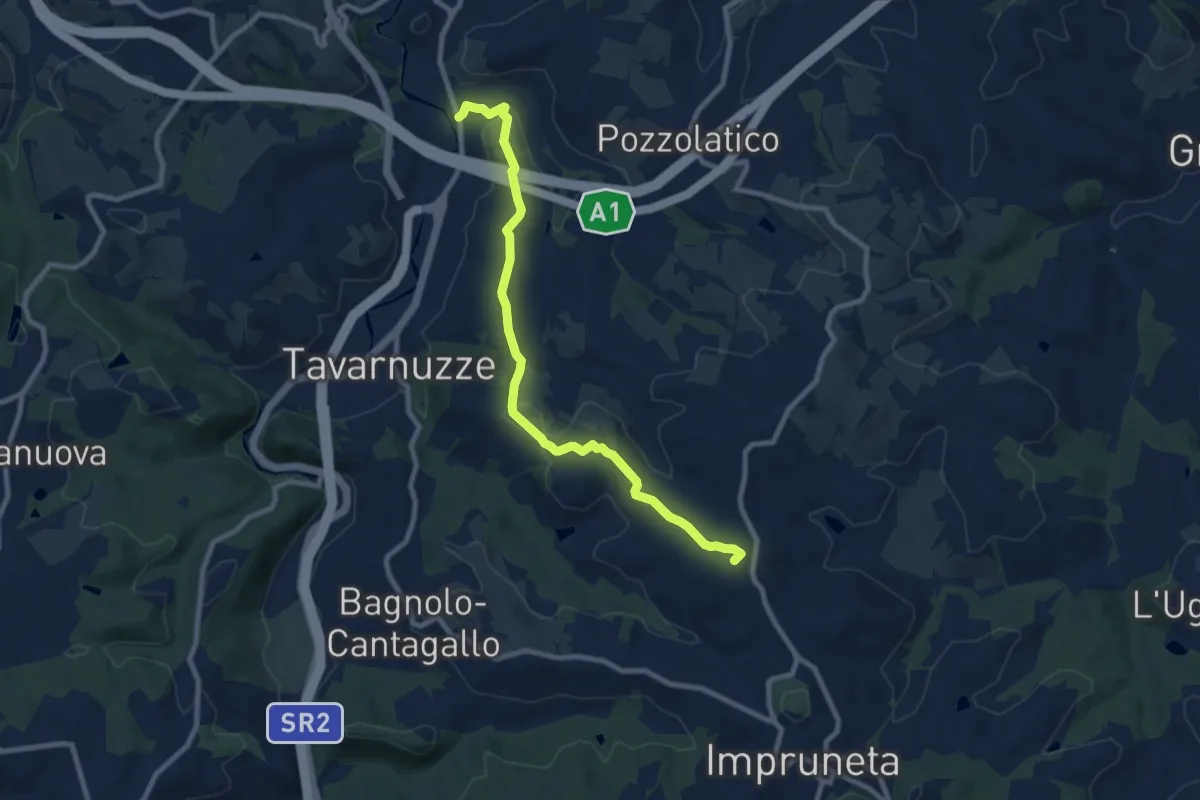
Medium · Summit
Bottai – Impruneta
9.6 km · ↑ 257 m · 2 h 50 min
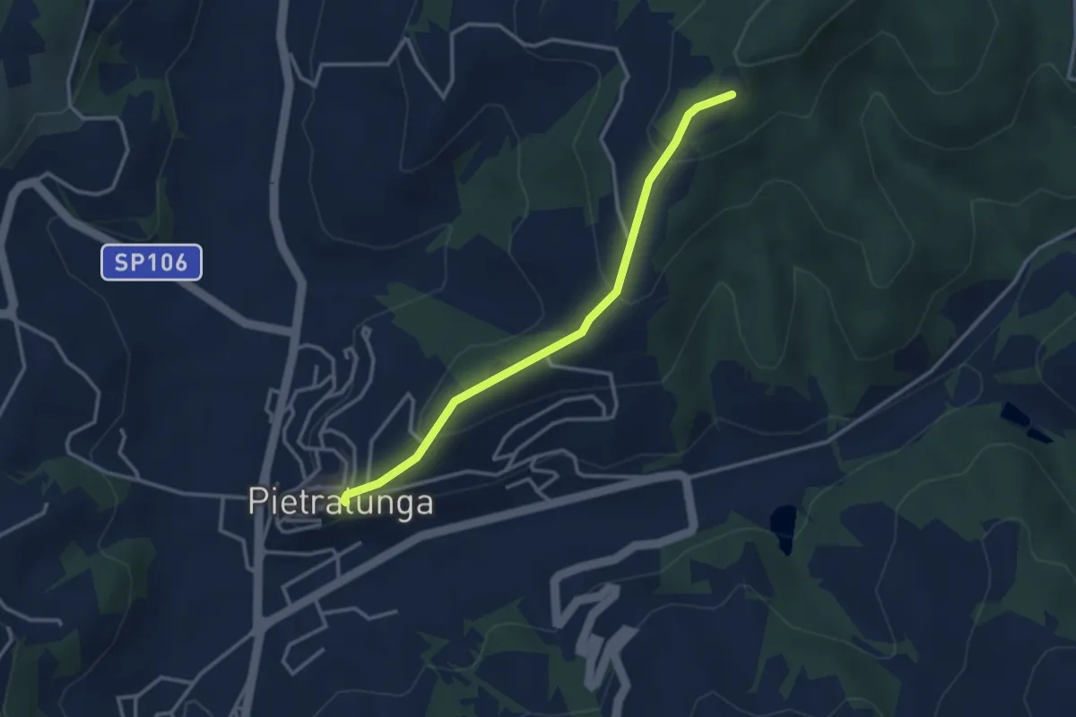
Easy · Trail
Pietralunga – Intersezione percorso 120
3.2 km · ↑ 168 m · 1 h 8 min