Trails in Italy
25,219 hiking trails, each with its route, climb, walking time and grade.
All trails, page 291 of 526
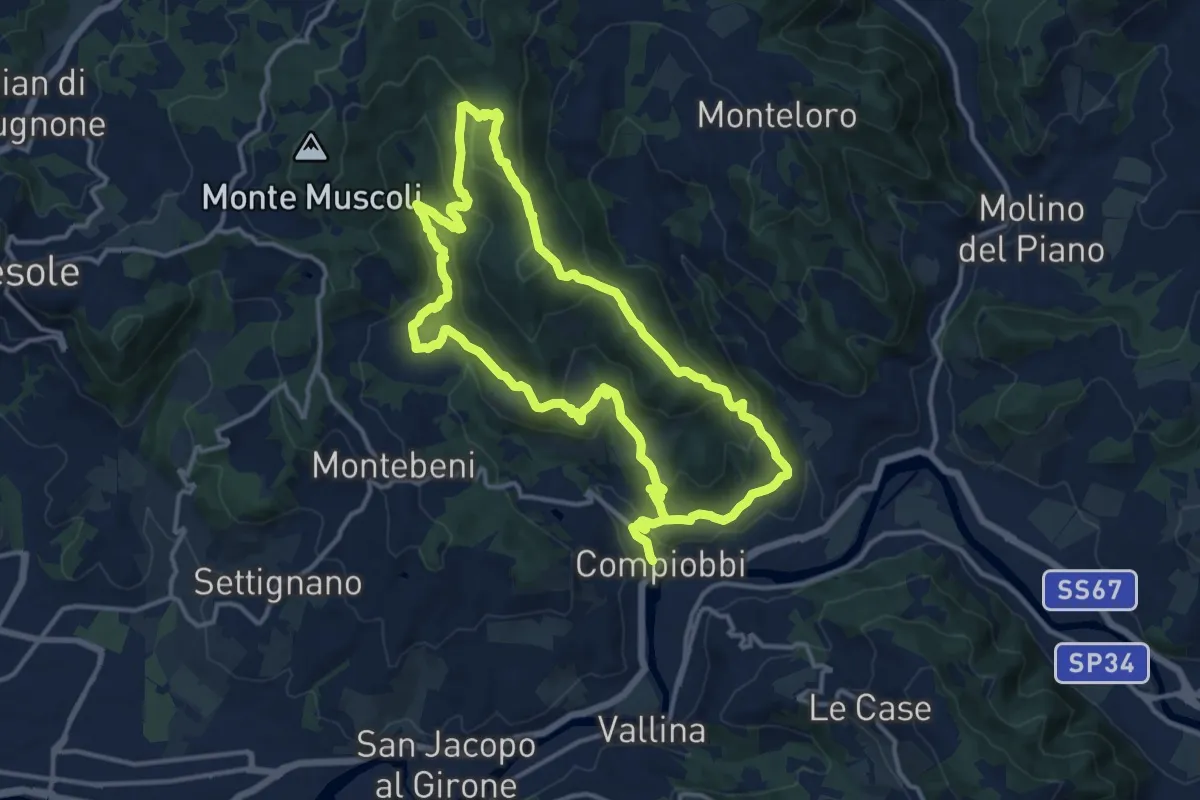
Medium · Trail
Compiobbi – Compiobbi
14.0 km · ↑ 611 m · 4 h 48 min
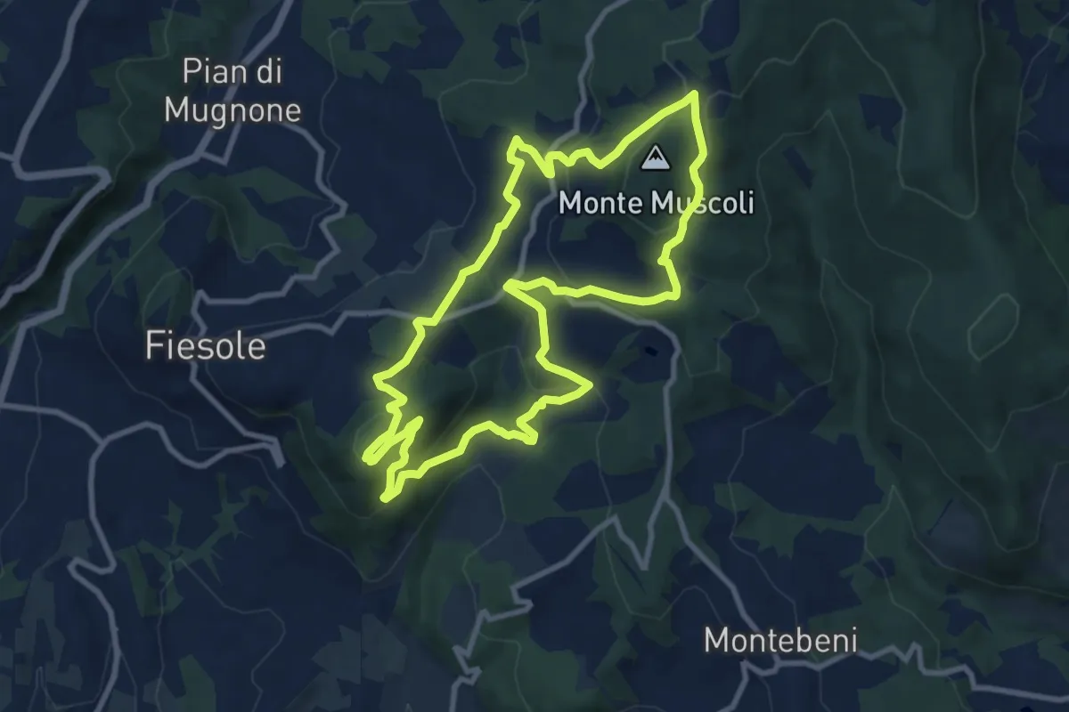
Medium · Summit
Fiesole – Fiesole
9.6 km · ↑ 409 m · 3 h 17 min
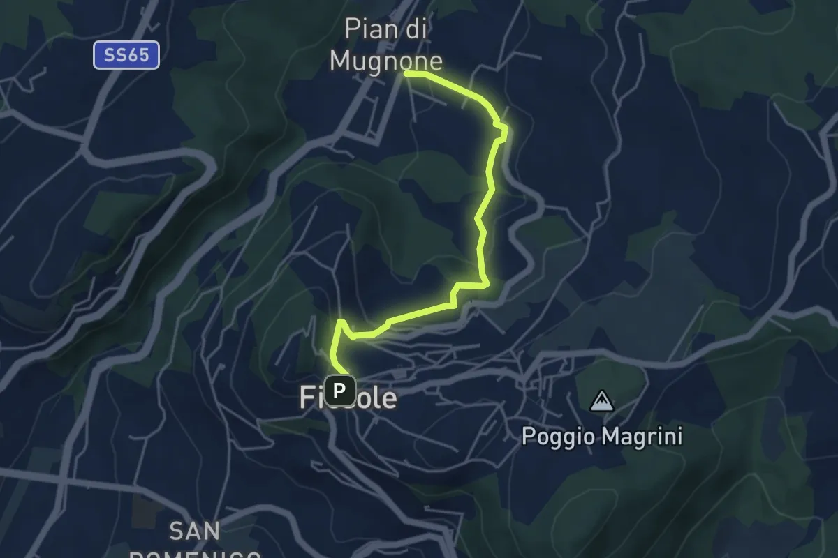
Easy · Trail
Fiesole – Indicatorio
4.4 km · ↑ 177 m · 1 h 26 min
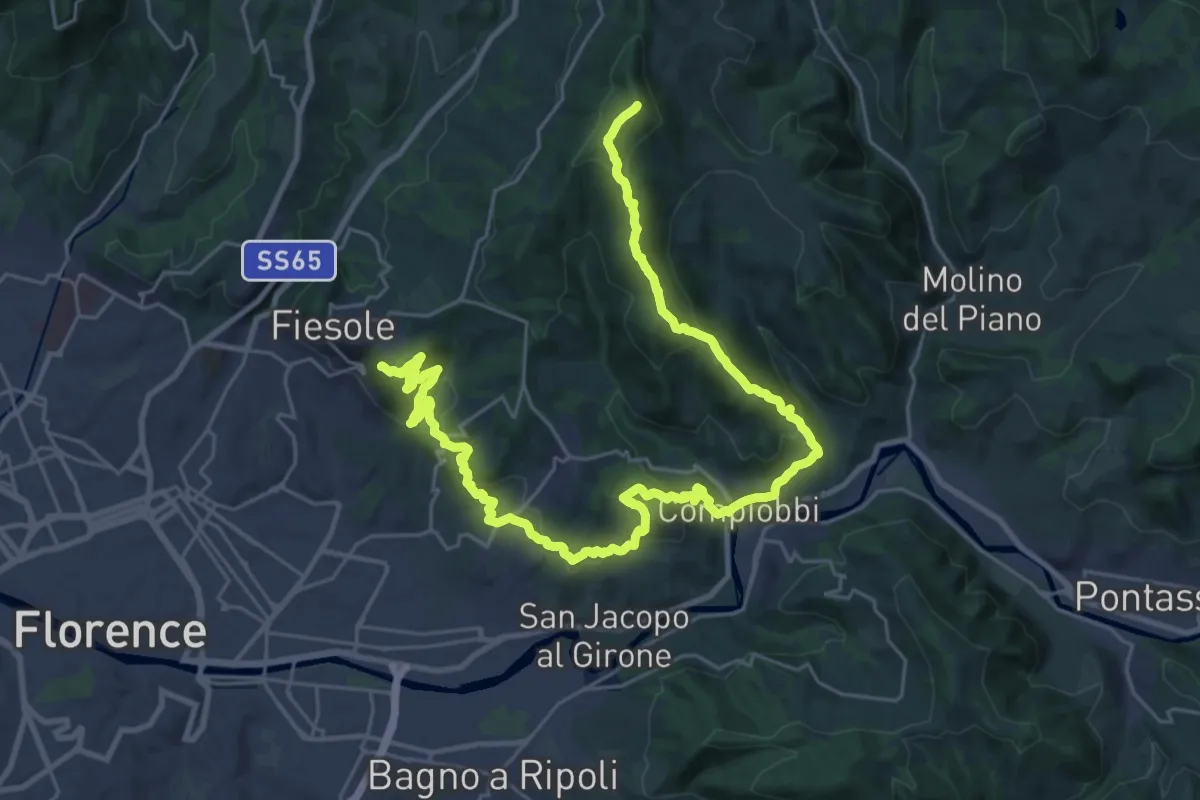
Demanding · Summit
Olmo – Fiesole
37.8 km · ↑ 1561 m · 12 h 18 min
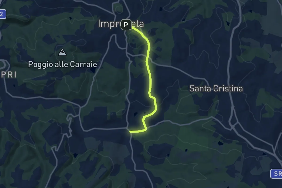
Medium · Trail
Il Ferrone – Impruneta
8.1 km · ↑ 197 m · 2 h 21 min
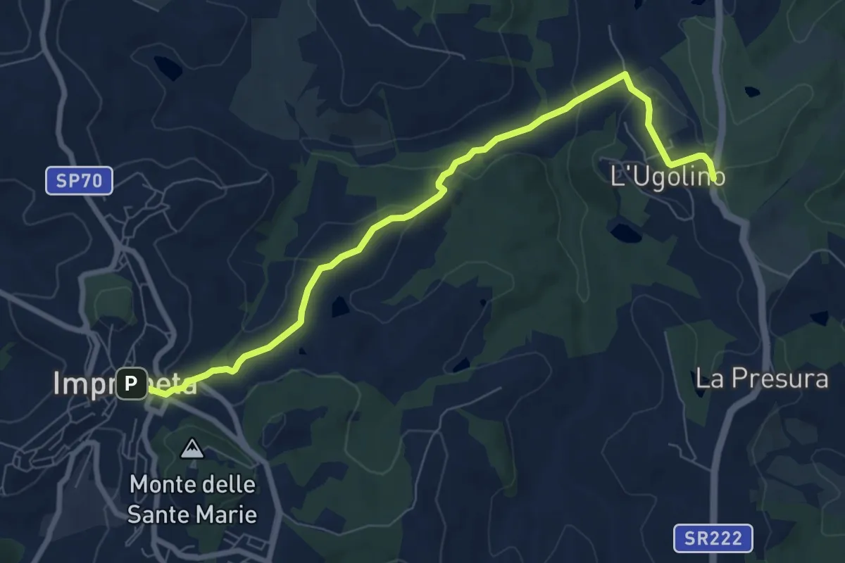
Medium · Trail
L'Ugolino – Impruneta
8.4 km · ↑ 274 m · 2 h 34 min
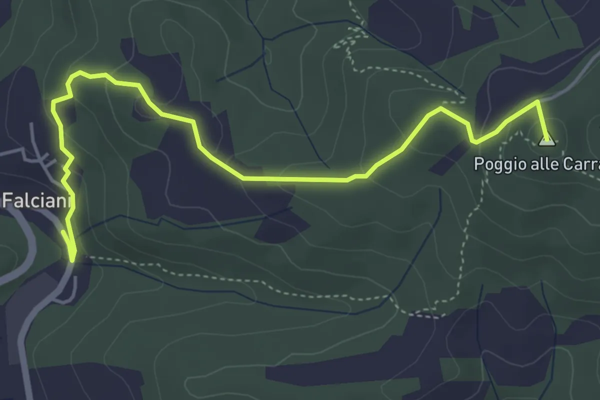
Easy · Summit
Falciani – Impruneta
5.3 km · ↑ 220 m · 1 h 44 min
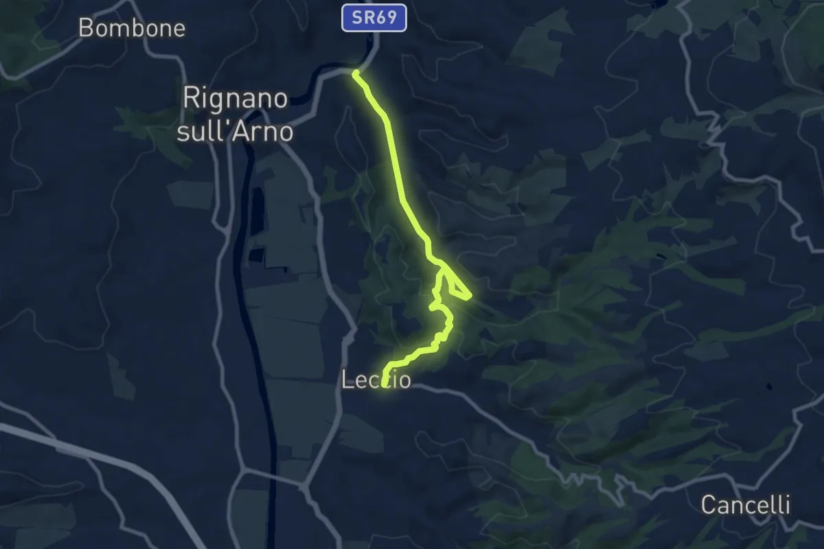
Medium · Trail
S.R. 69 / Marnia – Leccio
9.4 km · ↑ 251 m · 2 h 46 min
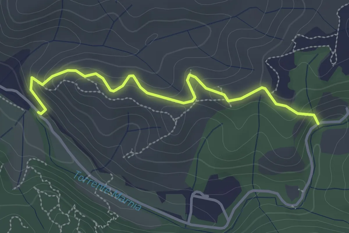
Easy · Trail
Itinerario R21 – Itinerario R22
3.2 km · ↑ 142 m · 1 h 4 min
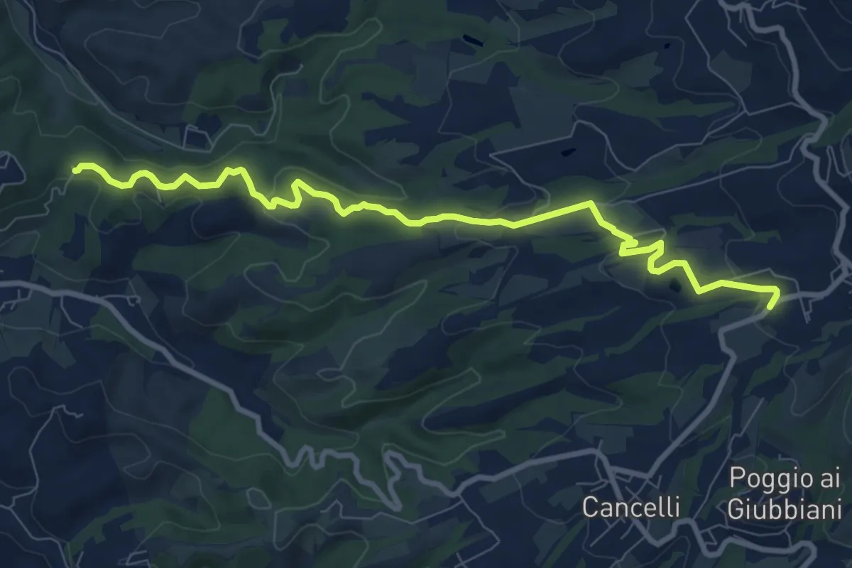
Medium · Trail
Itinerario R21 – Sant'Agata
9.6 km · ↑ 272 m · 2 h 52 min
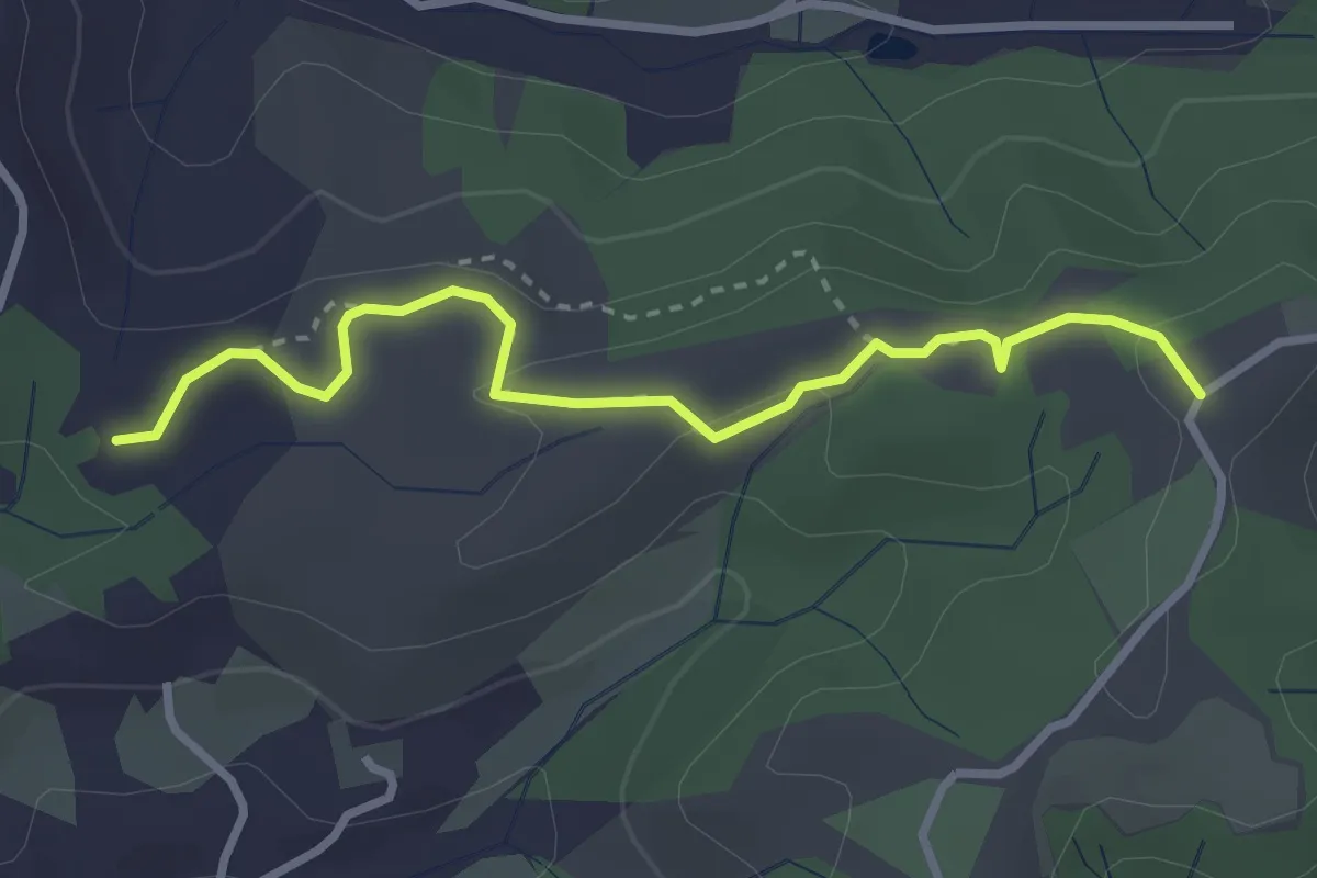
Easy · Trail
Cimitero di Rota – itinerario R24
3.3 km · ↑ 73 m · 56 min
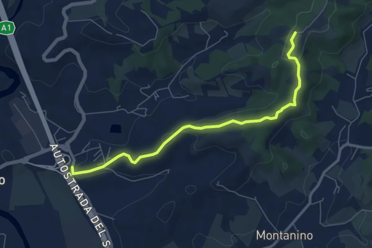
Easy · Trail
Poggio Alberti / Cetina – Itinerario R24 / Tegna
6.4 km · ↑ 118 m · 1 h 46 min
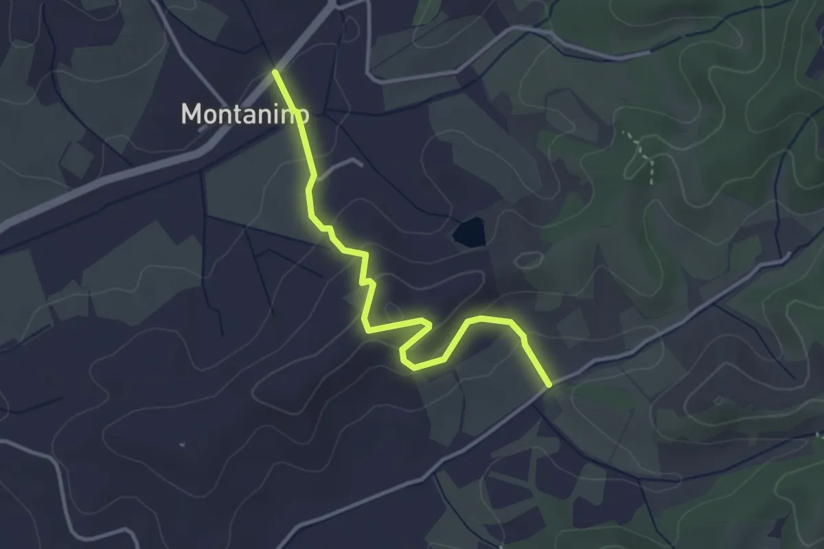
Easy · Trail
Montanino – Nocellino
3.4 km · ↑ 142 m · 1 h 7 min
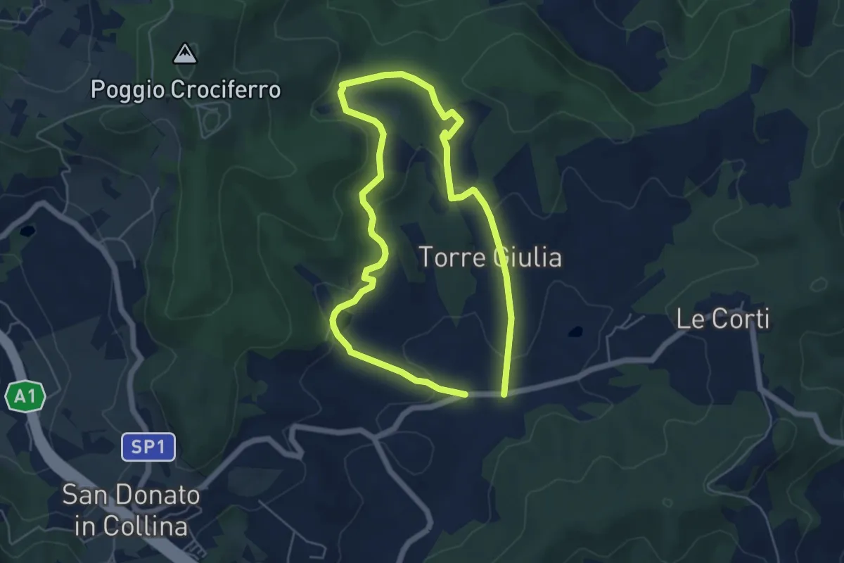
Easy · Trail
Il Fossato – Badiuzza
4.8 km · ↑ 133 m · 1 h 29 min
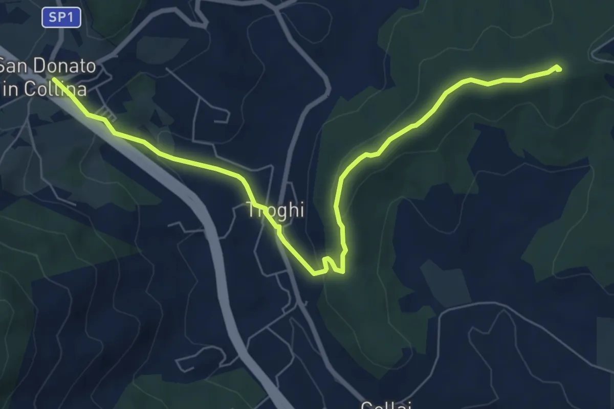
Easy · Summit
Rignano sull'Arno – Troghi
8.0 km · ↑ 250 m · 2 h 25 min
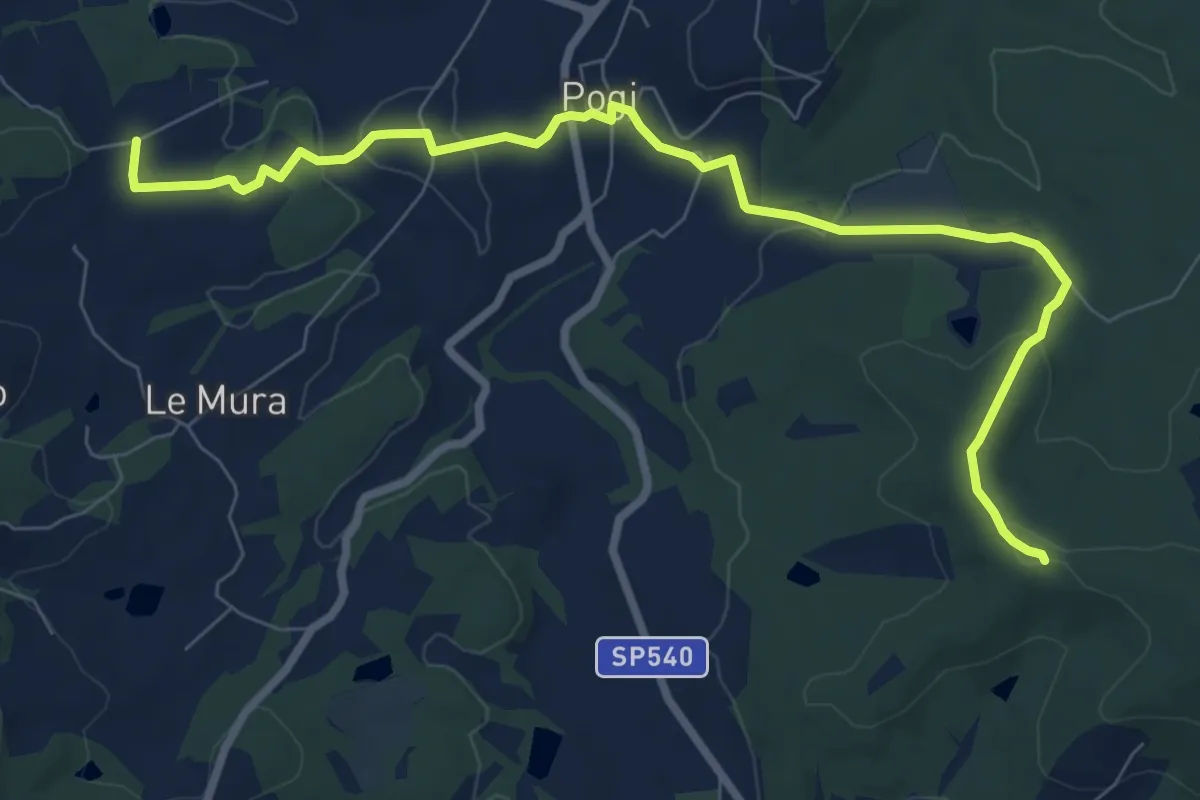
Medium · Trail
Tontenano – Sentiero 127 pressi Castiglion Alberti
9.6 km · ↑ 188 m · 2 h 41 min
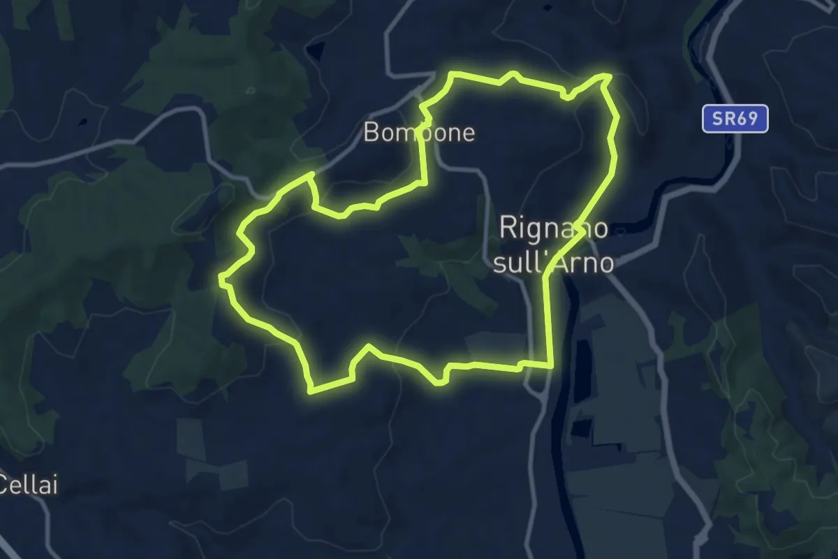
Medium · Trail
Rignano sull'Arno – Rignano sull'Arno
10.3 km · ↑ 284 m · 3 h 12 min
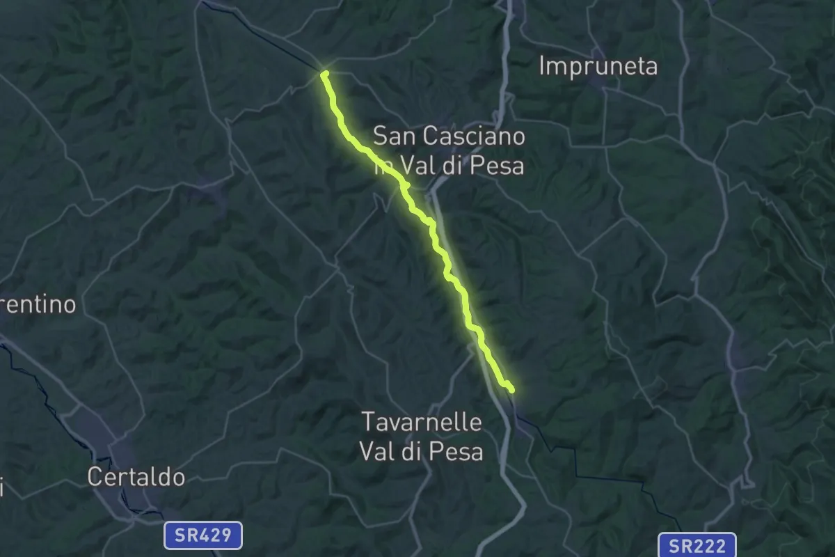
Demanding · Trail
Cerbaia – Sambuca
30.8 km · ↑ 122 m · 7 h 33 min
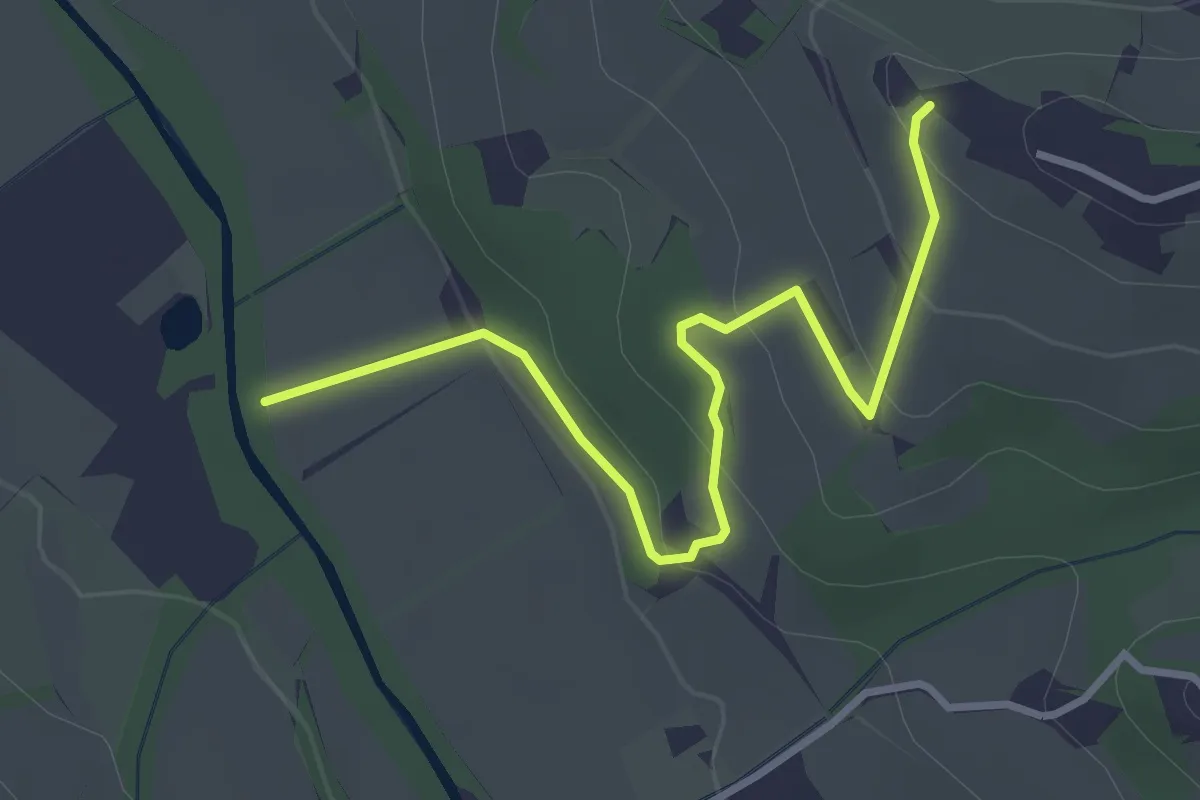
Easy · Trail
Colombaia – Torrente Pesa
3.7 km · ↑ 133 m · 1 h 10 min
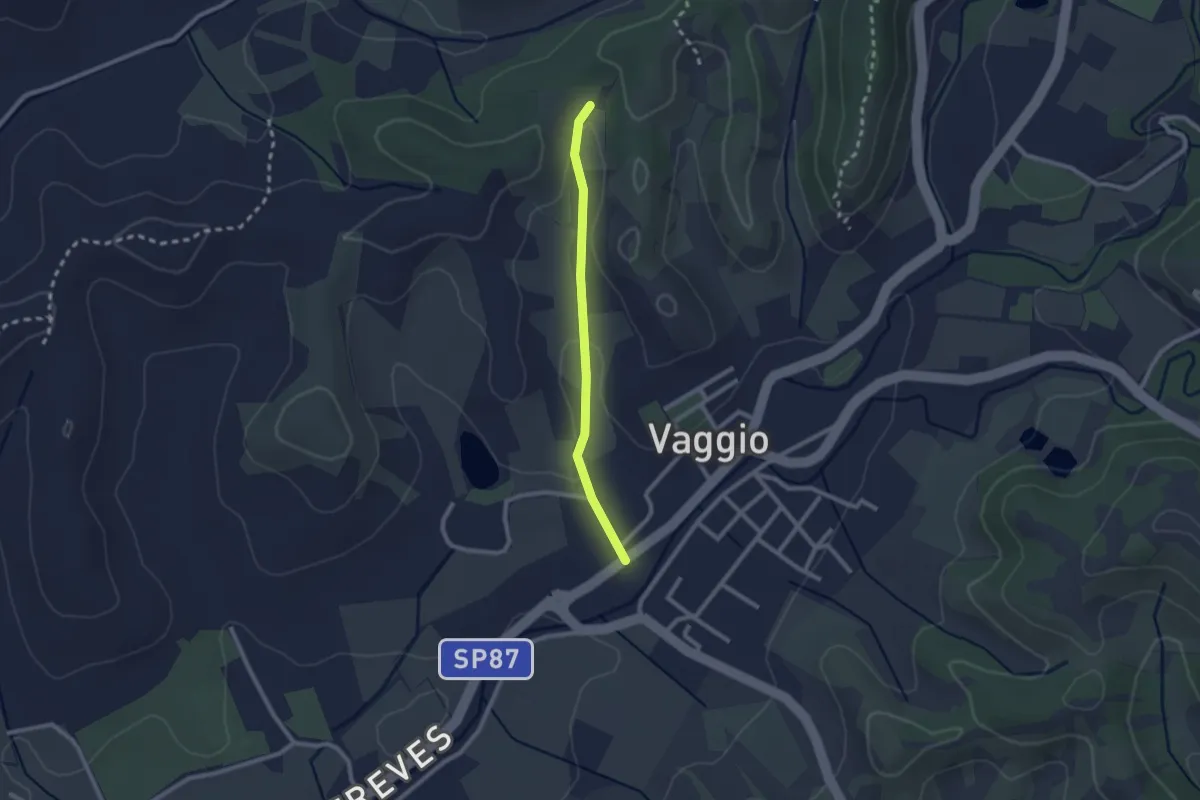
Easy · Trail
Vaggio – Itinerario R25
2.1 km · ↑ 42 m · 36 min
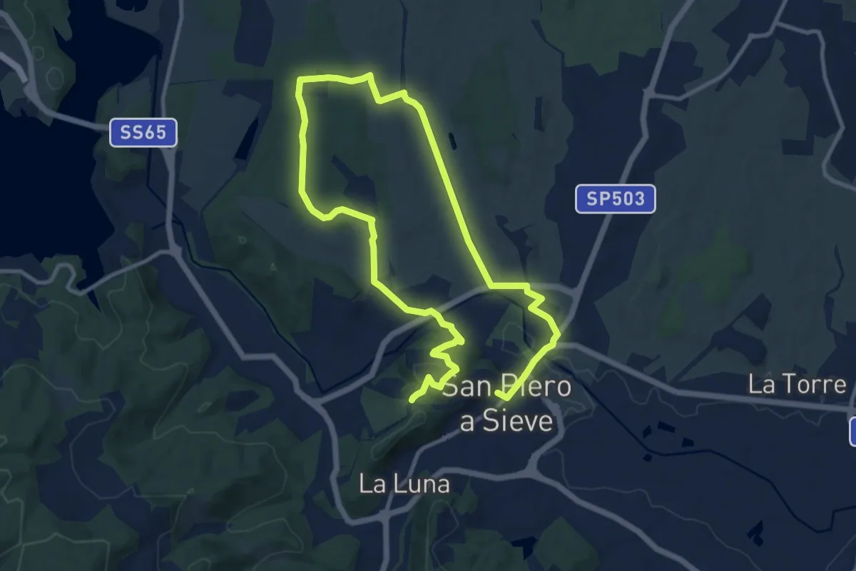
Demanding · Trail
San Piero a Sieve – San Piero a Sieve
18.2 km · ↑ 305 m · 4 h 57 min
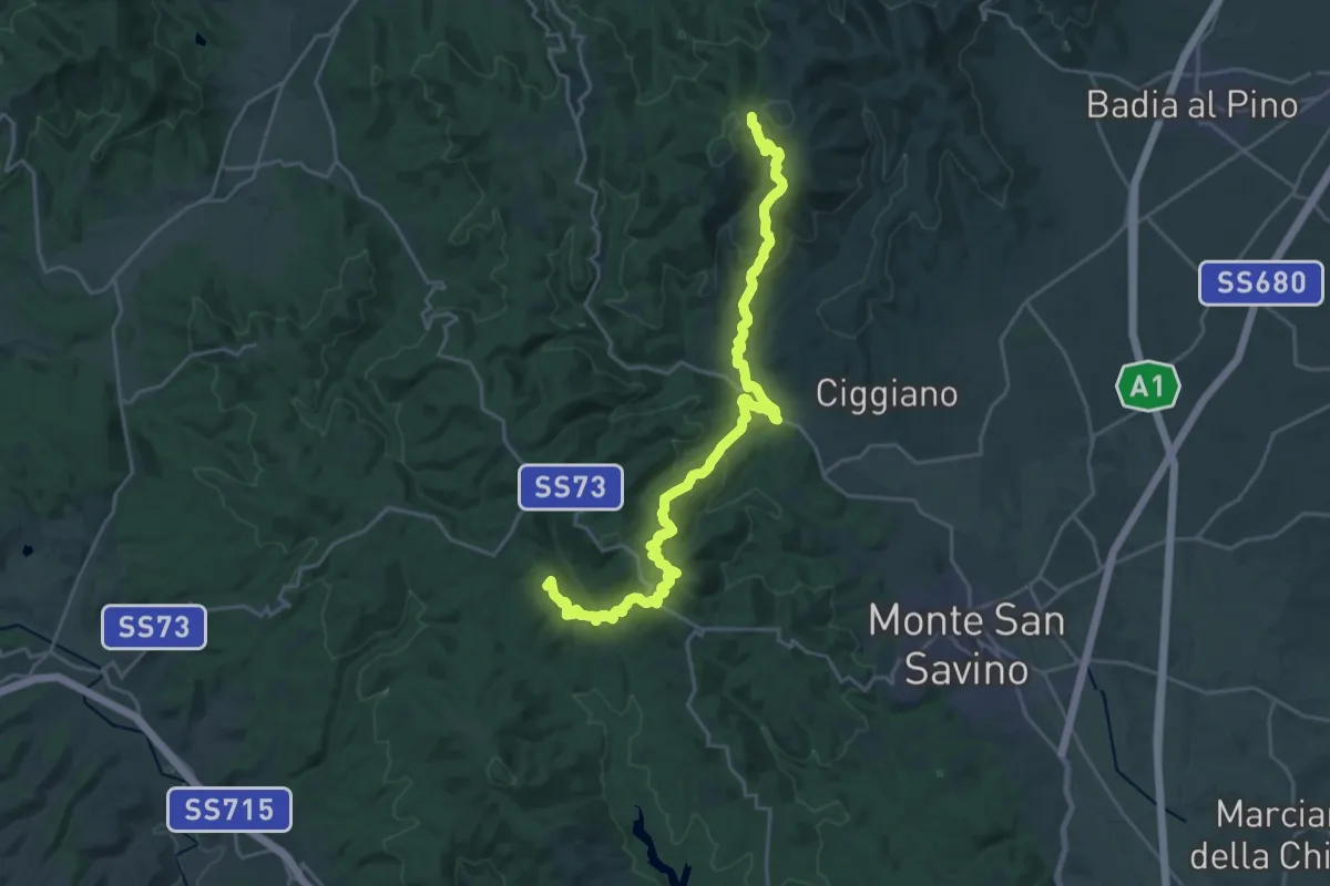
Demanding · Summit
Sentiero 111 nei pressi de La Cornia – Sentiero 115 nei pressi di Palazzuolo Vecchio
27.5 km · ↑ 1069 m · 8 h 49 min
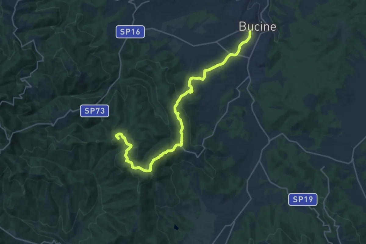
Demanding · Summit
Bucine – Monte Luco
21.1 km · ↑ 575 m · 6 h 13 min
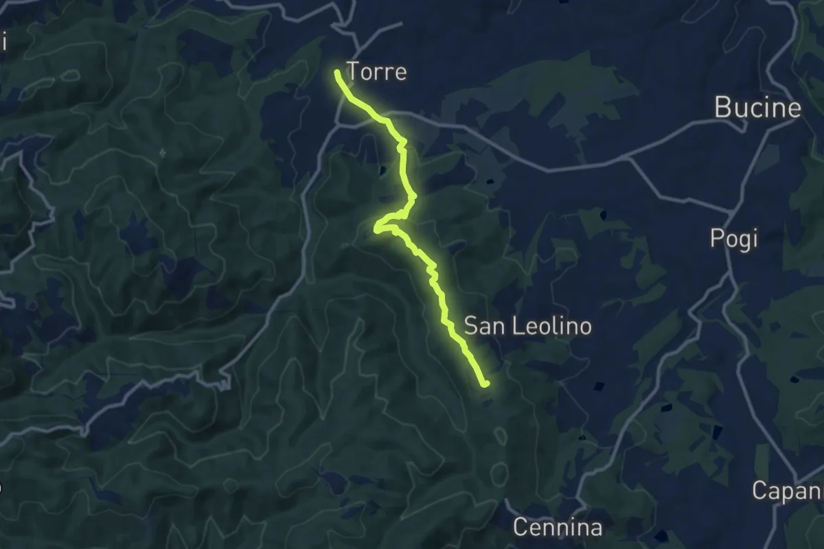
Medium · Trail
sent. 345 Poggio al Fattore – sent. 341
10.0 km · ↑ 338 m · 3 h 5 min
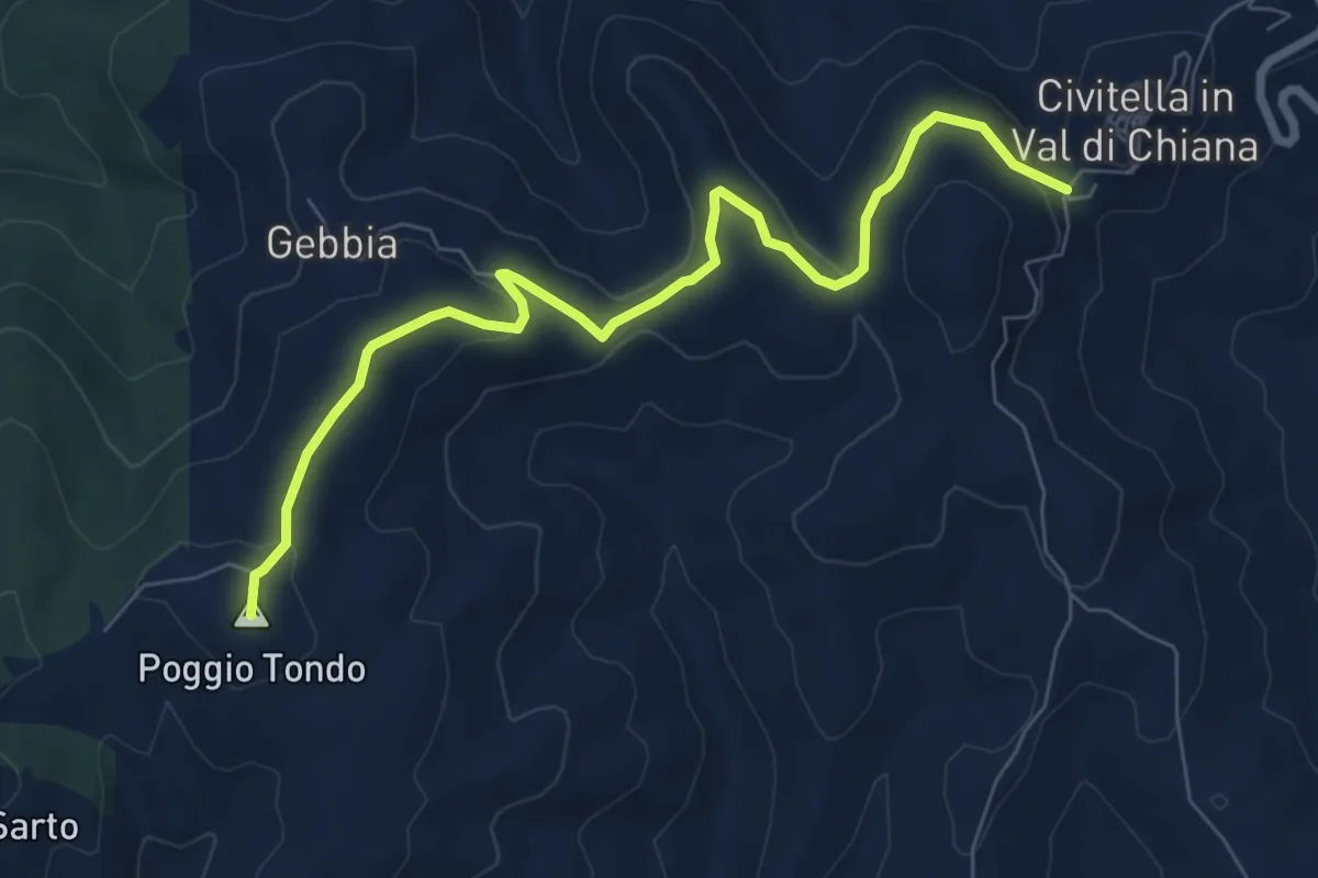
Medium · Summit
Civitella in Val di Chiana (Sentiero 109) – San Pancrazio (Sentiero 103)
8.3 km · ↑ 206 m · 2 h 25 min
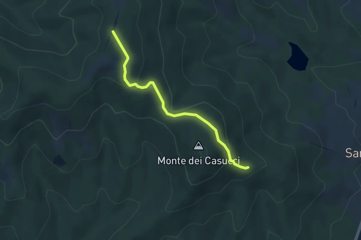
Easy · Trail
sent. 47 Est – sent 47 Ovest
3.6 km · ↑ 166 m · 1 h 12 min
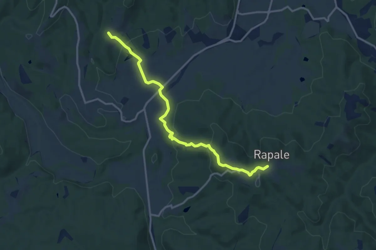
Medium · Trail
Rapale – Sentiero 47 presso Montisoni
9.7 km · ↑ 320 m · 2 h 59 min
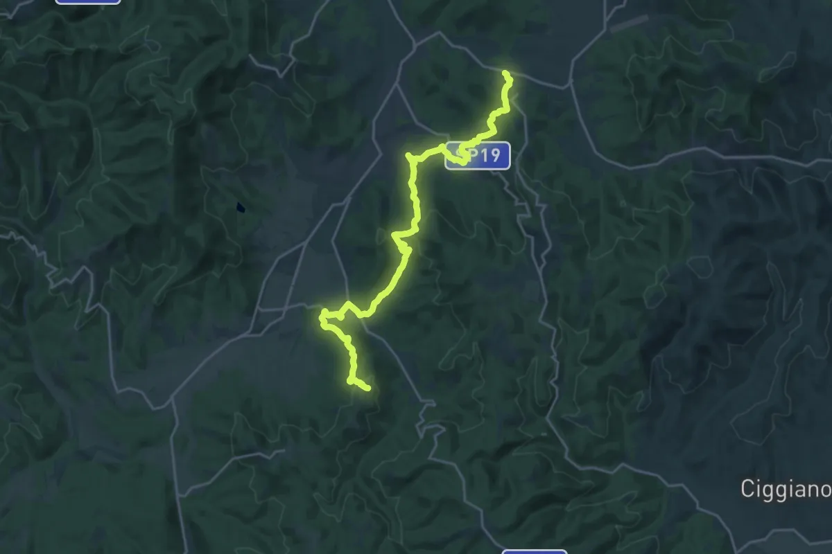
Demanding · Trail
Abitato di Sogna – SP 18 presso Badia Agnano
23.0 km · ↑ 748 m · 7 h 3 min
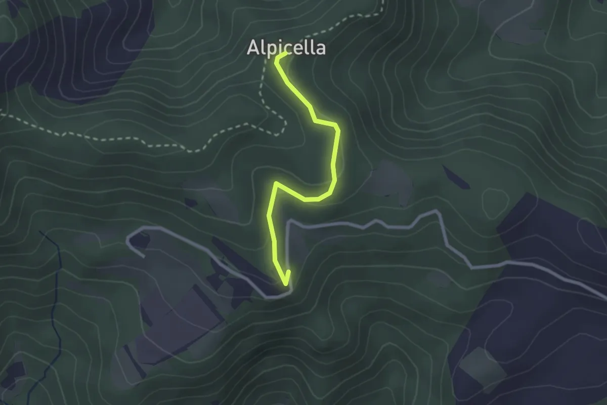
Medium · Trail
Cornieta – Alpicella (sent. 271)
2.2 km · ↑ 98 m · 44 min
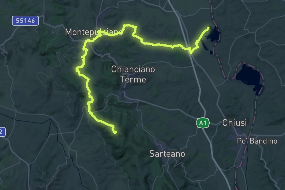
Demanding · Cabin
Riserva naturale lago di Montepulciano – Riseva naturale Pietraporciana
31.6 km · ↑ 962 m · 9 h 43 min
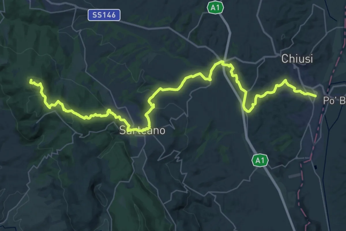
Demanding · Summit
Riserva naturale Pietraporciana – Chiusi scalo
40.3 km · ↑ 1129 m · 11 h 58 min
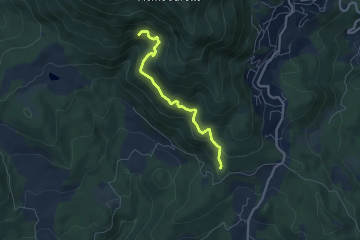
Medium · Trail
Quercia dei termini – Innesto sentiero 70
5.1 km · ↑ 376 m · 2 h 2 min
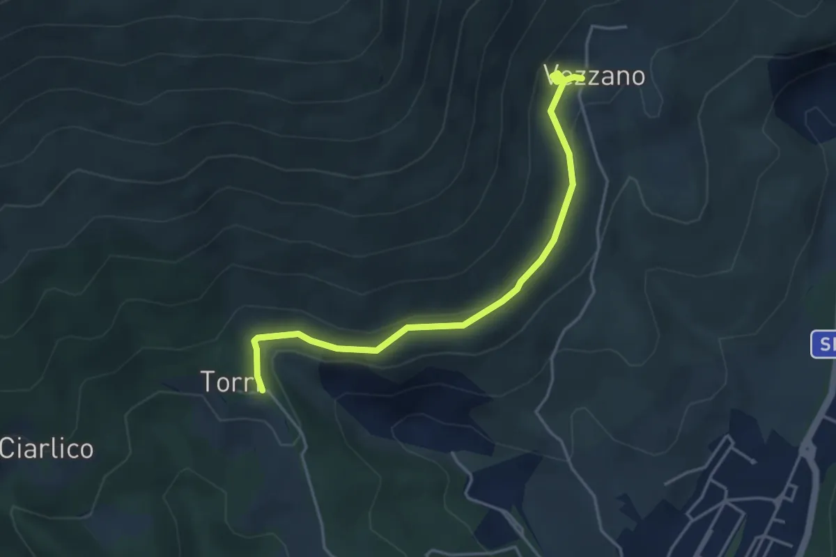
Easy · Trail
Torri di Carraia – Vezzano
4.2 km · ↑ 108 m · 1 h 13 min
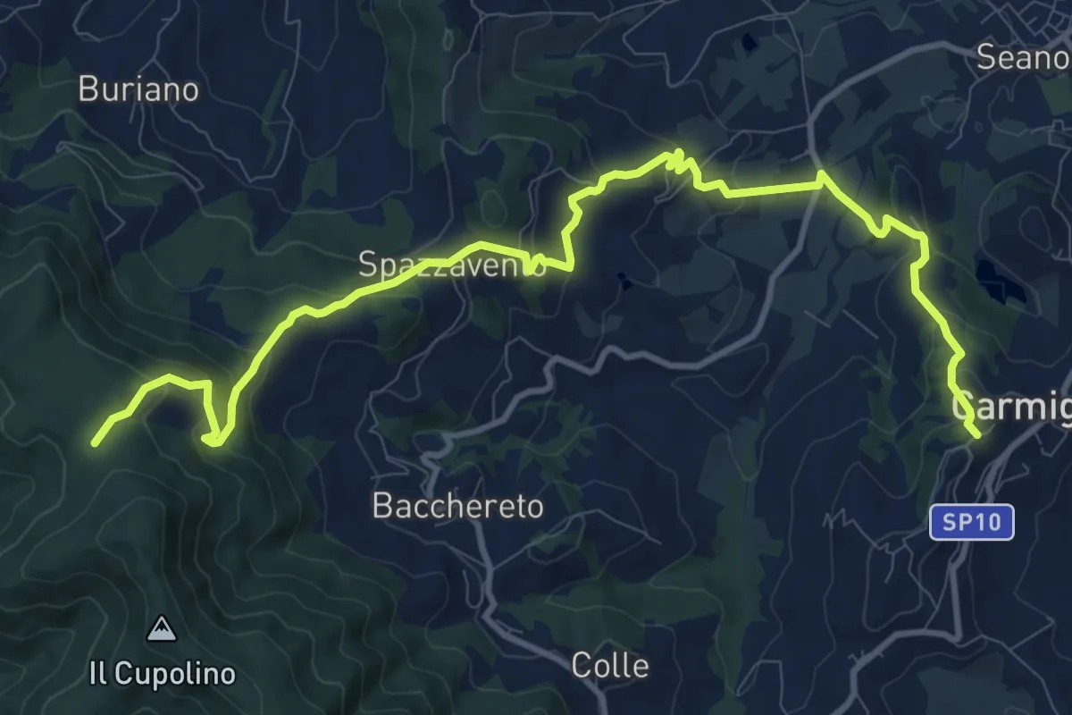
Medium · Trail
Carmignano San Michele – Torre di Sant'Alluccio
14.5 km · ↑ 718 m · 4 h 58 min
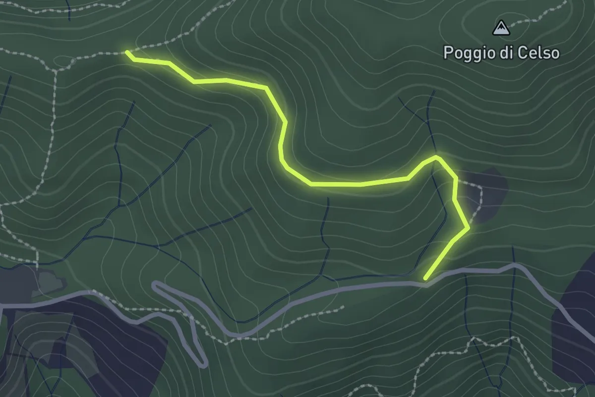
Easy · Trail
Antenna Acquiputoli – Uccelliera
2.4 km · ↑ 115 m · 48 min
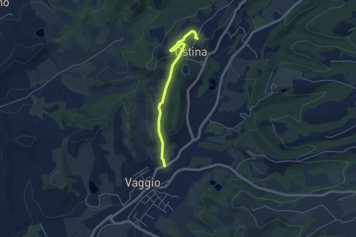
Easy · Trail
Ostina – Vaggio
3.9 km · ↑ 107 m · 1 h 10 min
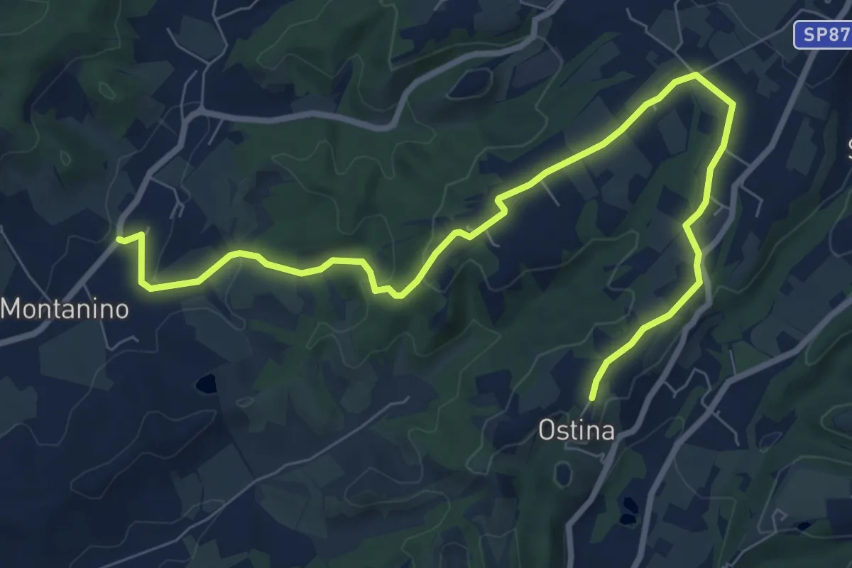
Medium · Trail
Montanino - Prulli – Ostina
10.0 km · ↑ 171 m · 2 h 44 min
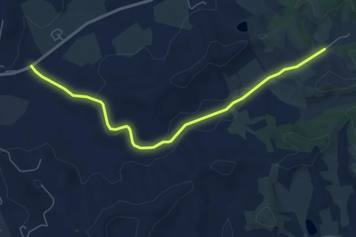
Easy · Trail
Montanino – Rio Luco
6.0 km · ↑ 55 m · 1 h 31 min
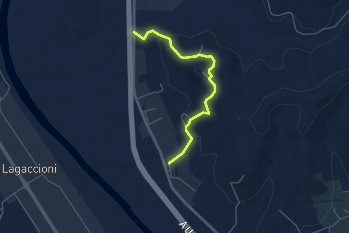
Easy · Trail
Prulli – itinerario R25
3.9 km · ↑ 137 m · 1 h 13 min
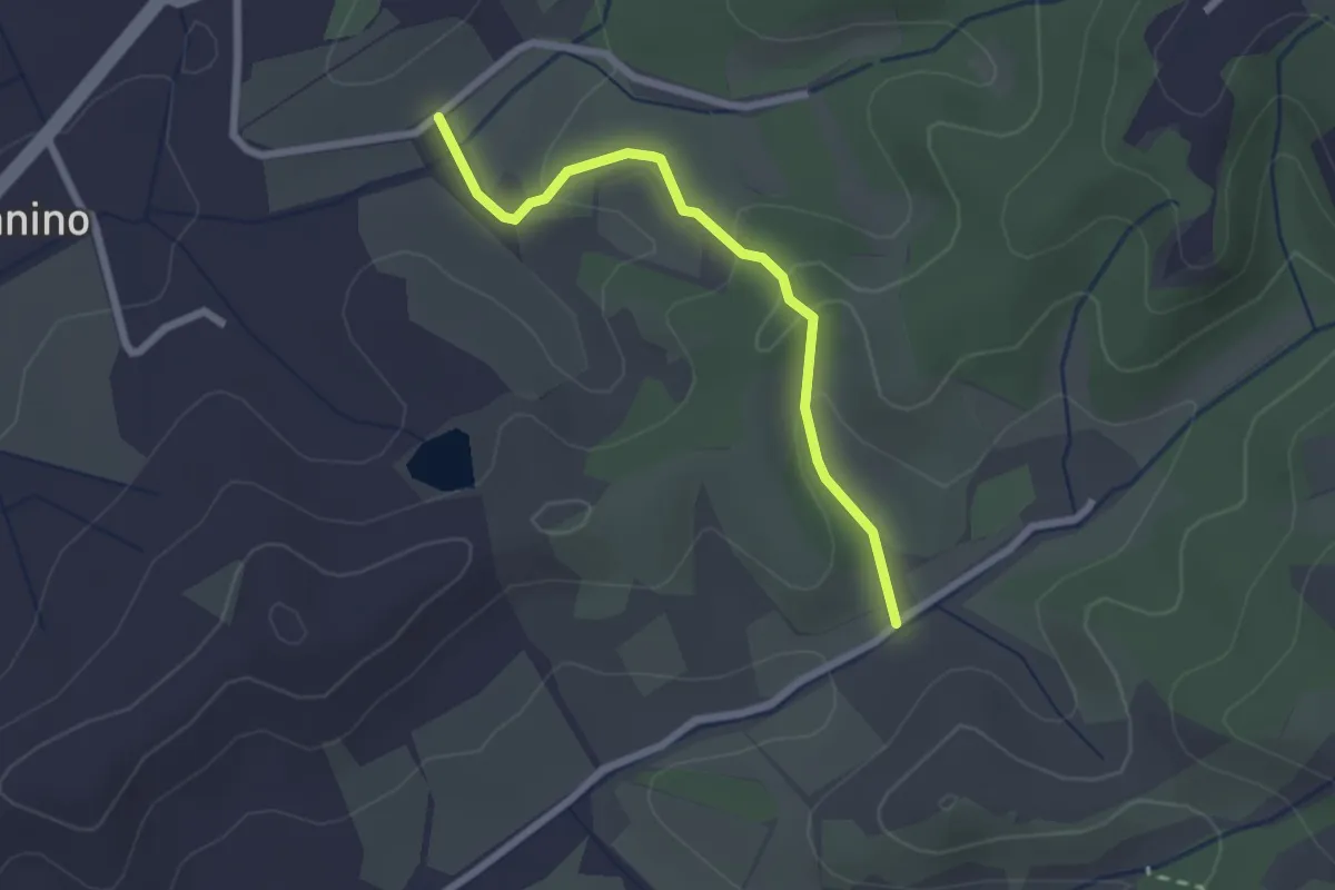
Easy · Trail
Montanino – Rio Luco
2.3 km · ↑ 66 m · 41 min
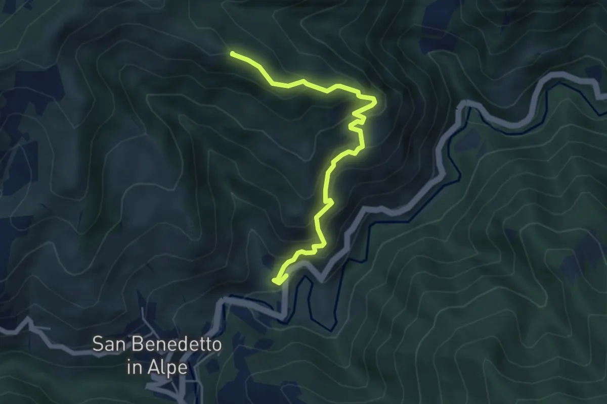
Medium · Summit
SS 67 - Spunghe – Sentiero 415
4.9 km · ↑ 438 m · 2 h 7 min
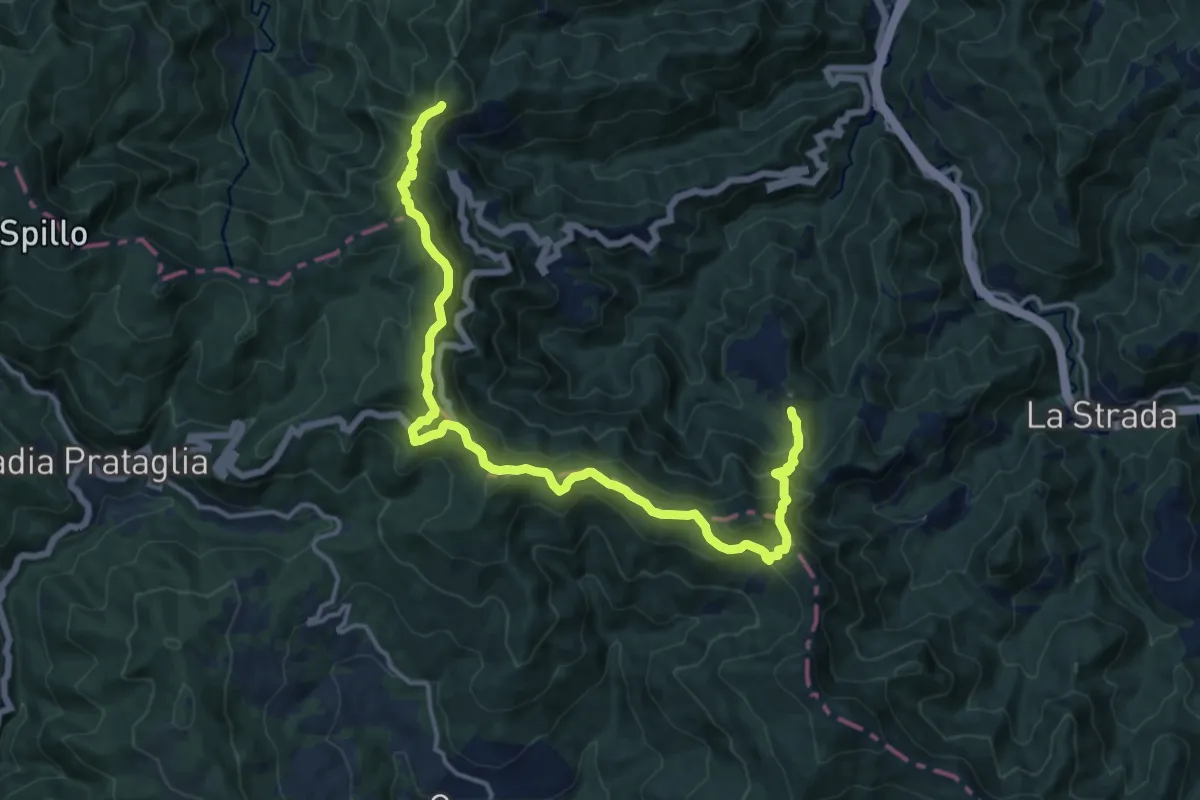
Medium · Summit
Passo dei Mandrioli – Passo dei Mandrioli
8.6 km · ↑ 582 m · 3 h 20 min
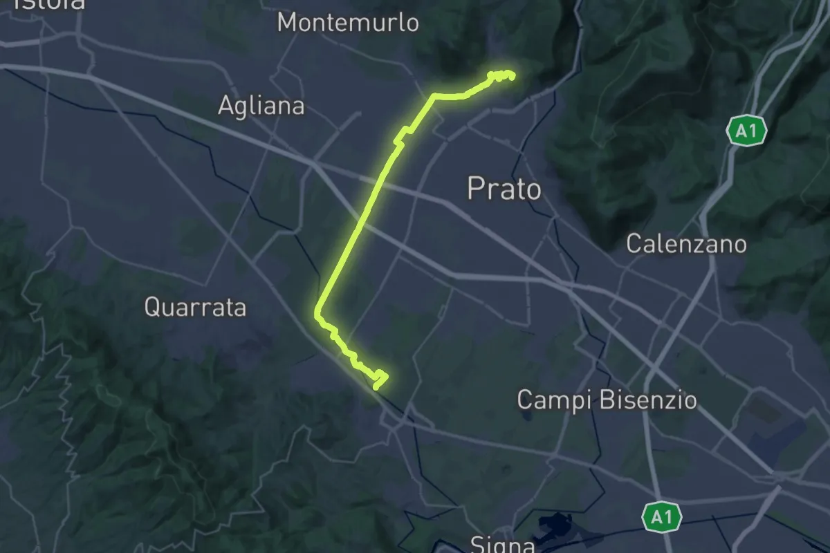
Demanding · Summit
Stazione Centrale Prato – Ponte Manetti - Cascine di Tavola
30.9 km · ↑ 147 m · 7 h 38 min
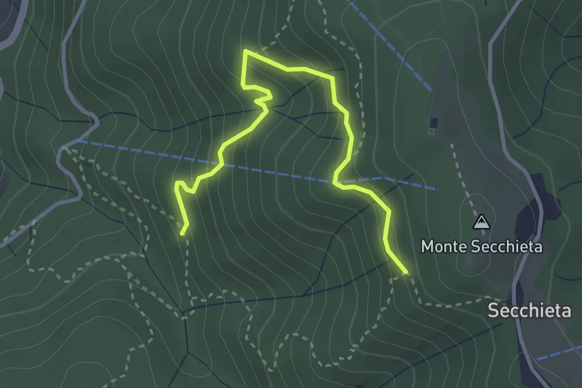
Medium · Trail
Vallombrosa – Secchieta
3.2 km · ↑ 304 m · 1 h 25 min
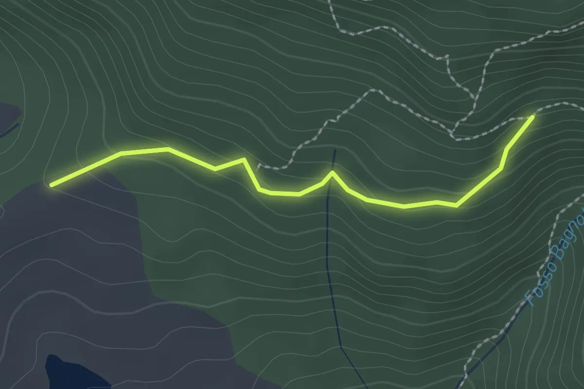
Easy · Trail
Bivio per Masso a' Corvi – Fattoria di Javello
2.1 km · ↑ 129 m · 46 min
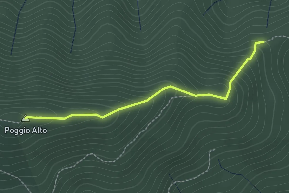
Easy · Summit
Tedesco Morto – Sopra Cascina Vespaio
2.2 km · ↑ 184 m · 54 min
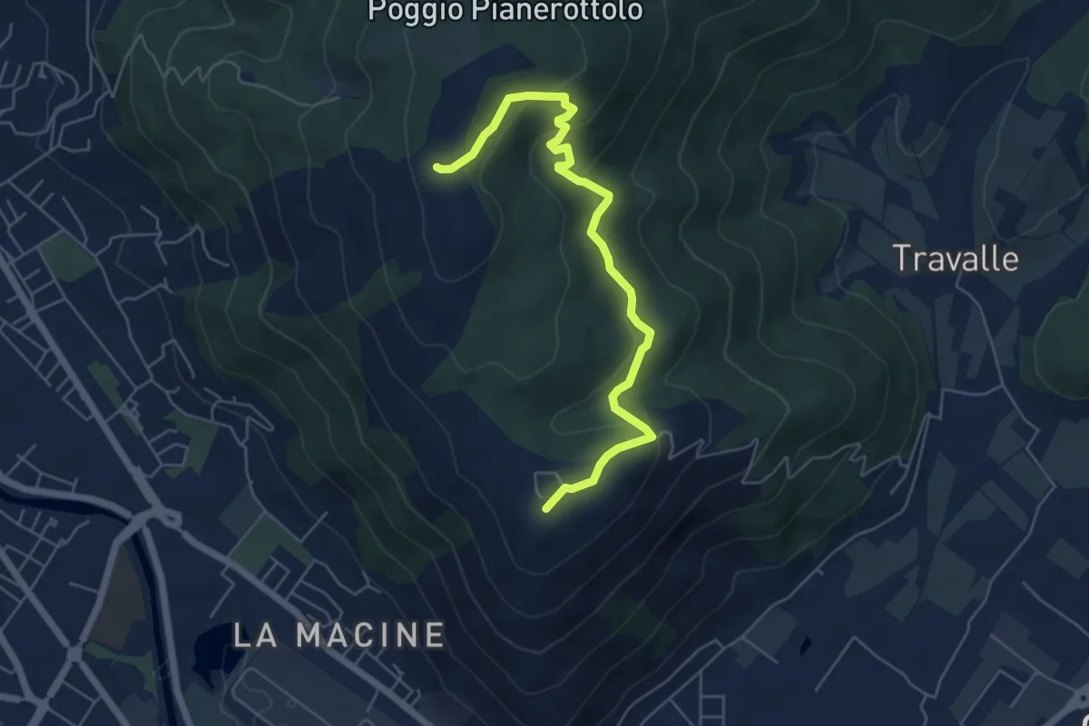
Easy · Summit
Case Castiglione – Casa Rossa
6.2 km · ↑ 273 m · 2 h 3 min
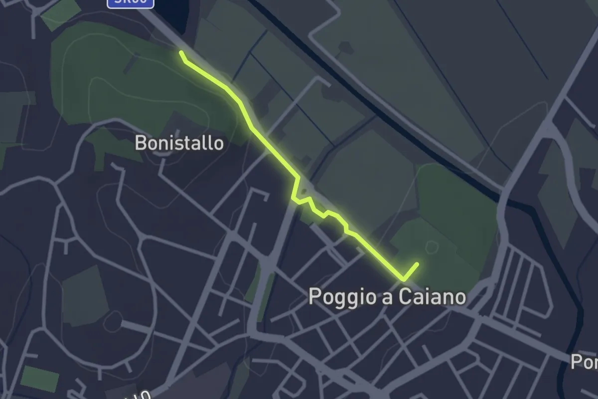
Easy · Trail
Poggio a Caiano – Bargo
2.3 km · ↑ 25 m · 35 min