Trails in Italy
25,219 hiking trails, each with its route, climb, walking time and grade.
All trails, page 292 of 526
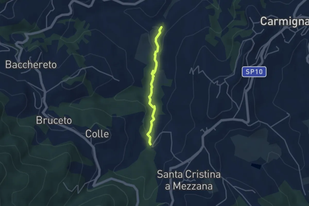
Easy · Trail
Fontanaccio – Il Mulino
2.9 km · ↑ 63 m · 50 min
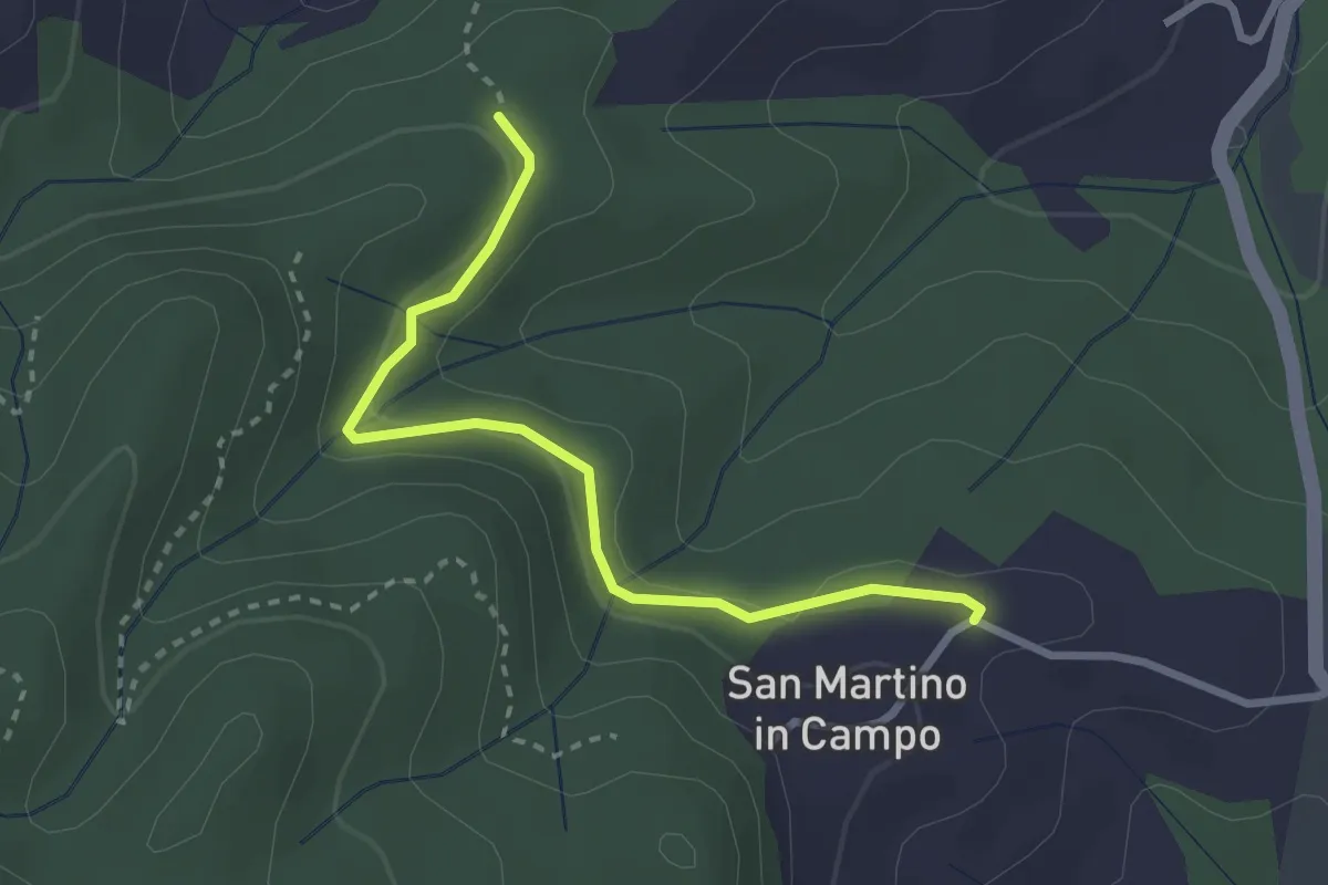
Easy · Trail
Caselli – Sotto San Martino
2.9 km · ↑ 71 m · 50 min
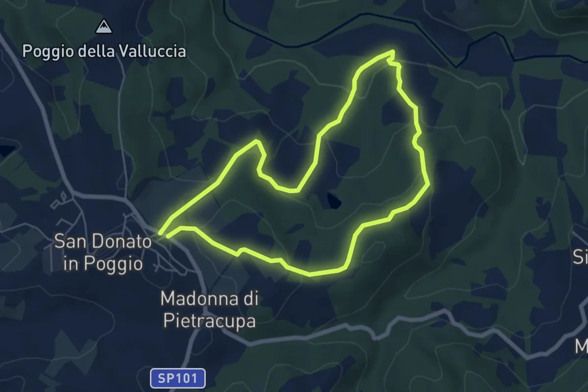
Easy · Trail
San Donato in Poggio – San Donato in Poggio
5.3 km · ↑ 194 m · 1 h 45 min
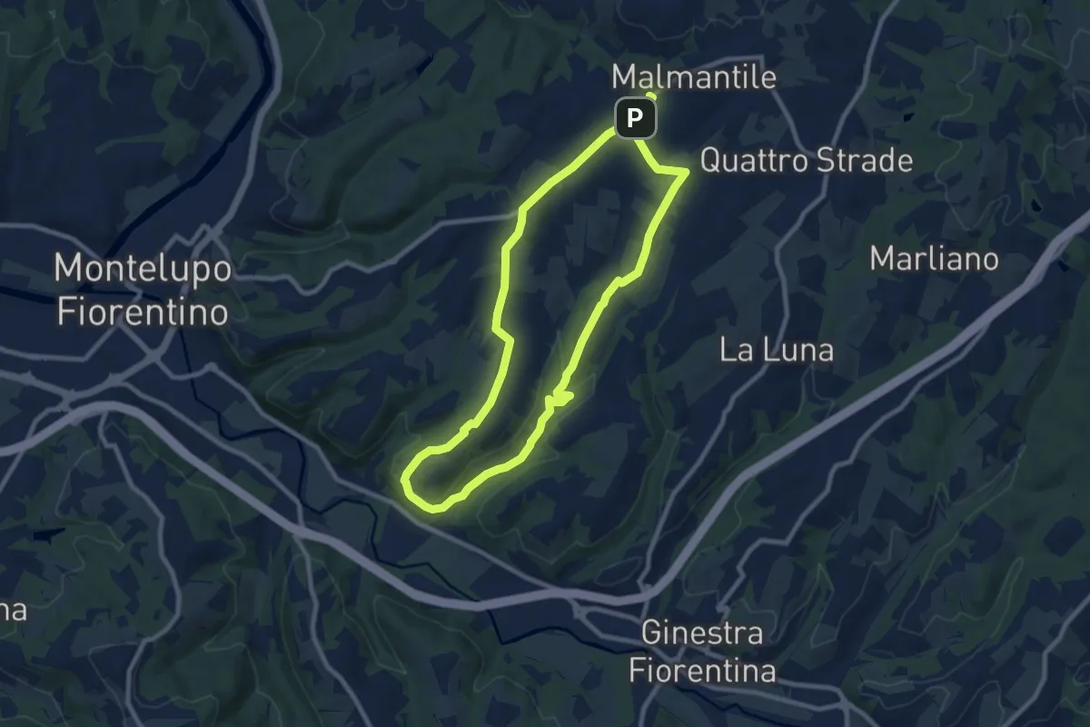
Medium · Trail
Malmantile – Malmantile
8.5 km · ↑ 145 m · 2 h 26 min
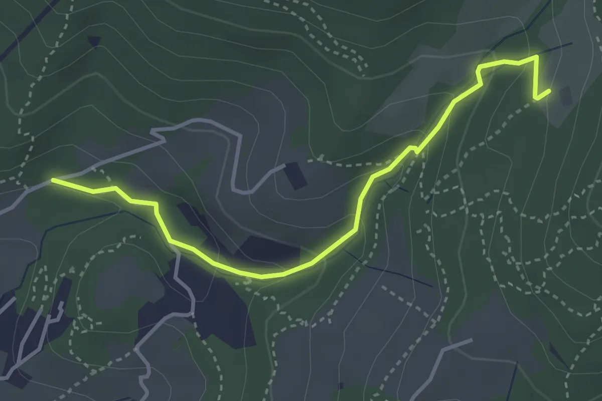
Easy · Trail
Colonnata – Carmignanello
3.6 km · ↑ 202 m · 1 h 18 min
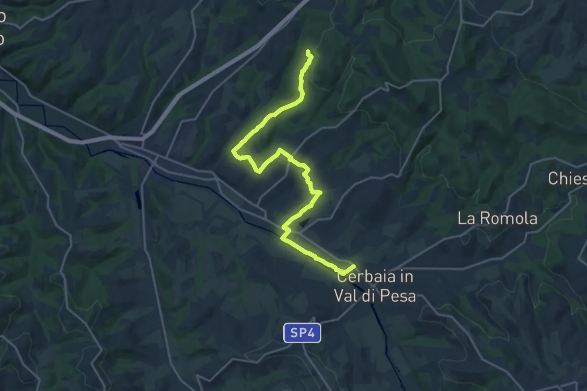
Demanding · Trail
Castellare – Roveta
18.2 km · ↑ 312 m · 4 h 58 min
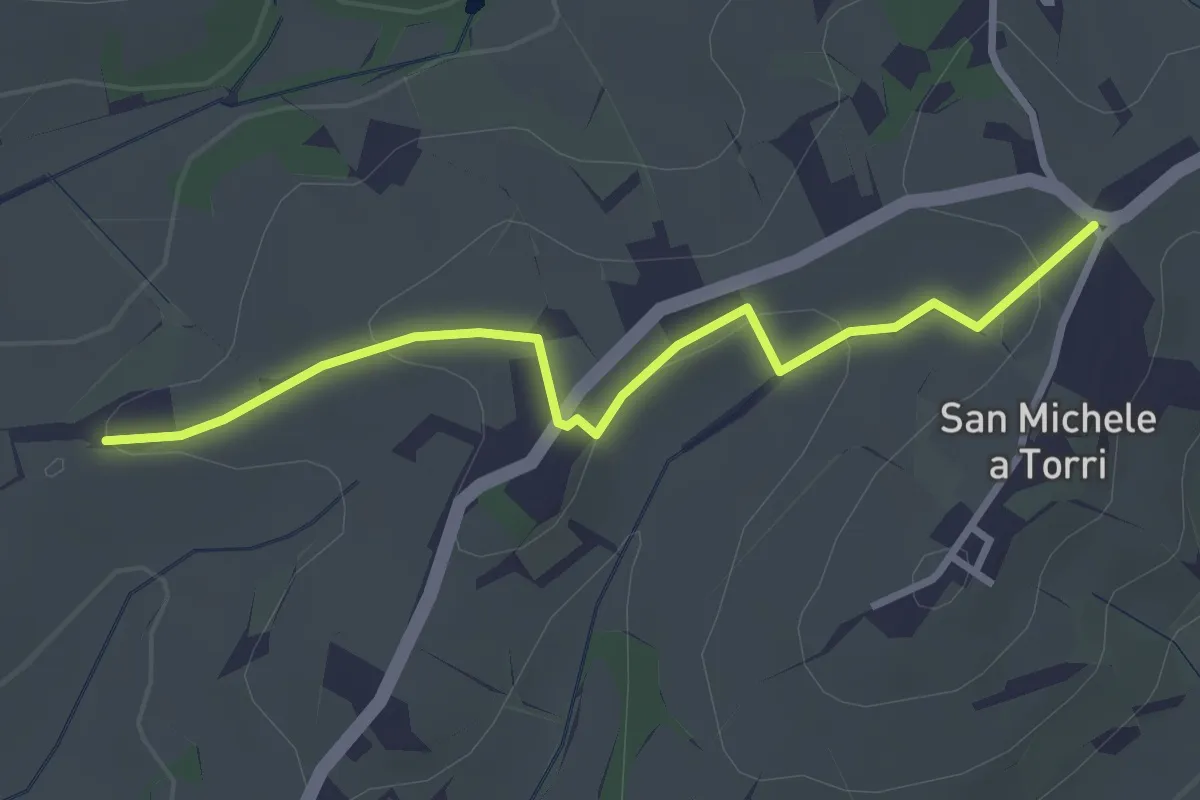
Easy · Trail
San Michele a Torri – innesto 731 - Mulinaccio
3.2 km · ↑ 70 m · 55 min
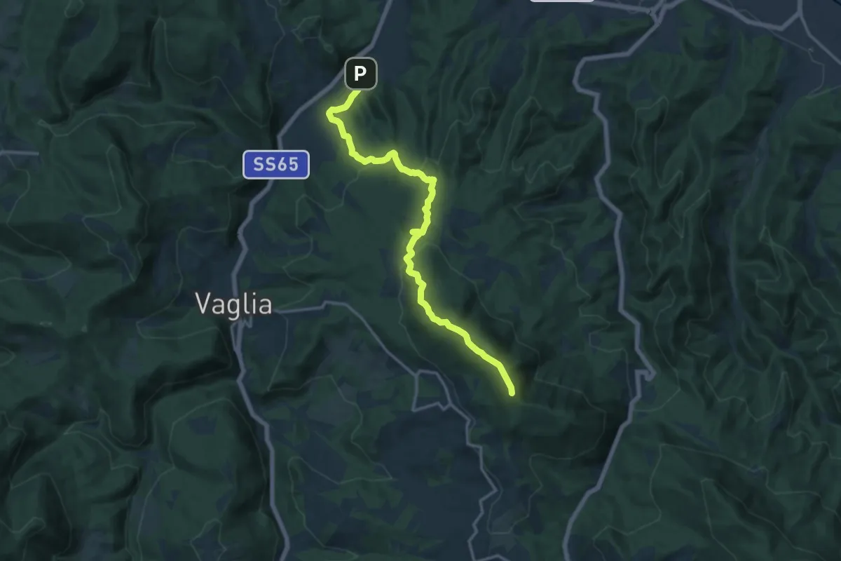
Medium · Summit
Campomigliaio – Vetta le Croci
15.0 km · ↑ 649 m · 4 h 57 min
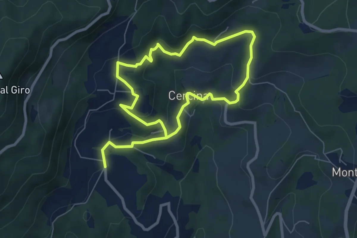
Easy · Trail
Chiesa di Cercina – Chiesa di Cercina
5.2 km · ↑ 237 m · 1 h 49 min
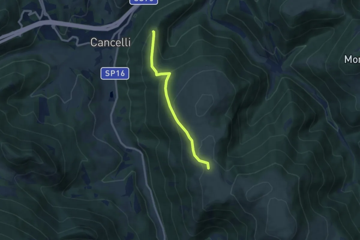
Medium · Trail
Bivio sentiero della Carta – Bivio sentiero 100 (Le Calate)
5.7 km · ↑ 314 m · 2 h 2 min
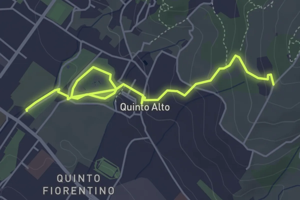
Easy · Trail
Parcheggio via Gramsci – Sentiero 4 (quota 250 m)
5.4 km · ↑ 182 m · 1 h 41 min
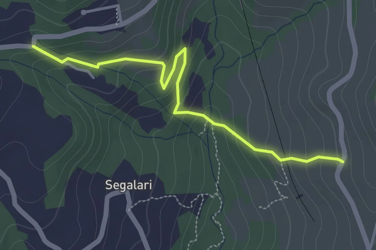
Easy · Trail
Via di Docciola (m. 300) – Incrocio sentiero 15 (m. 335)
3.2 km · ↑ 185 m · 1 h 9 min
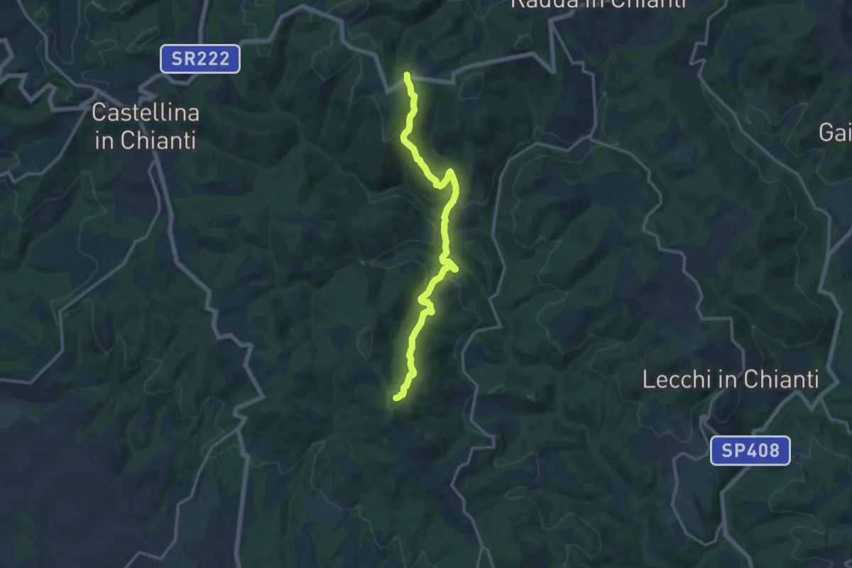
Medium · Summit
Cignano – Sentiero 344
13.9 km · ↑ 563 m · 4 h 31 min
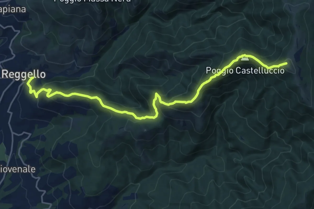
Demanding · Summit
Reggello – Uomo di Sasso
16.0 km · ↑ 1209 m · 6 h 24 min
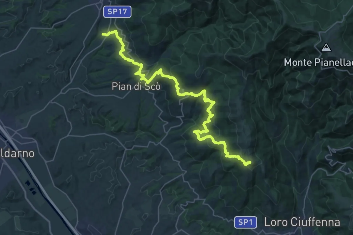
Demanding · Summit
S. Giovenale – Loro Ciuffenna
30.4 km · ↑ 1432 m · 10 h 17 min
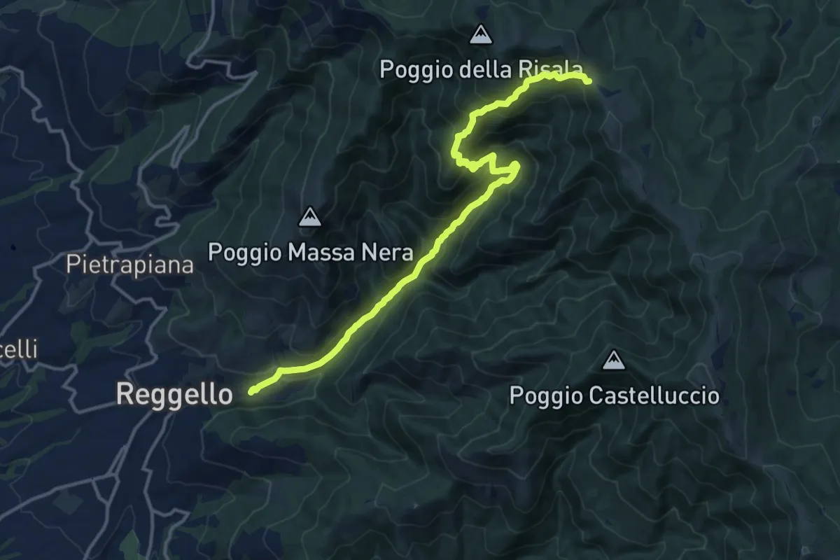
Demanding · Trail
Reggello – Croce di Cardeto
14.9 km · ↑ 1049 m · 5 h 47 min
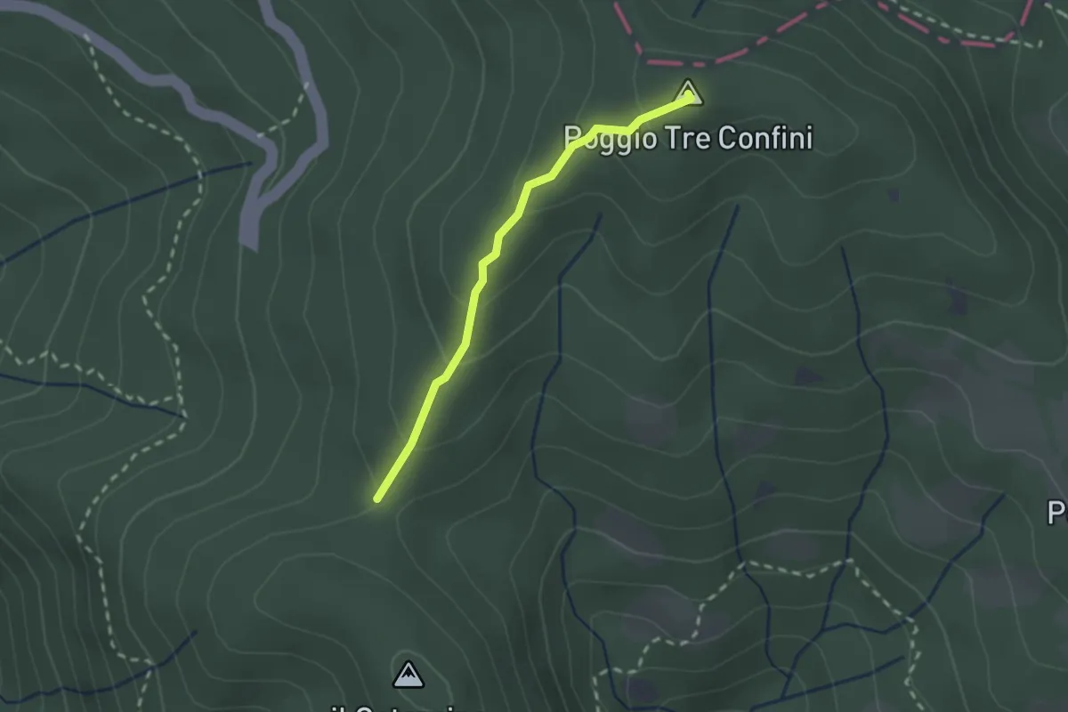
Easy · Summit
Passo Brogli – Percorso 00
2.0 km · ↑ 128 m · 45 min
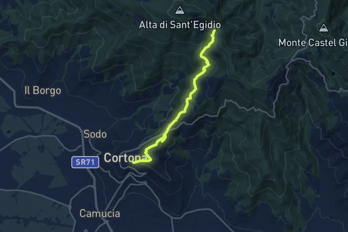
Medium · Trail
Sentiero 50 (Croce di Sant'Egidio) – Cortona
11.2 km · ↑ 623 m · 3 h 59 min
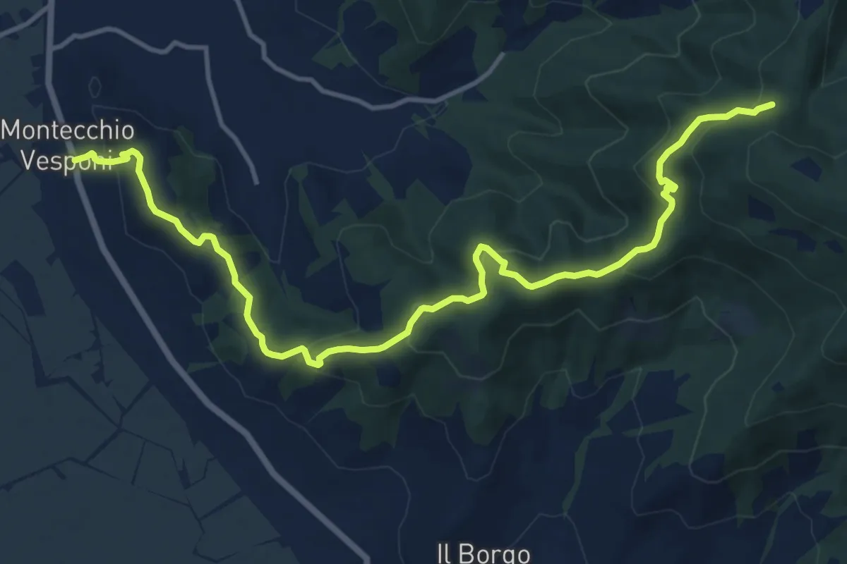
Medium · Trail
Sentiero 50 in Località La Ripa di Sopra – SR 71 Località Montecchio
14.7 km · ↑ 662 m · 4 h 55 min
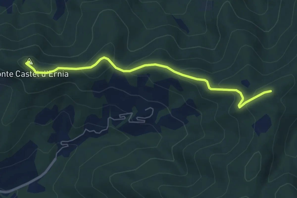
Easy · Summit
Sentiero 50 Località Spinabbio – Strada Provinciale 39 c/o Cappuccini Castiglion Fiorentino
5.7 km · ↑ 261 m · 1 h 55 min
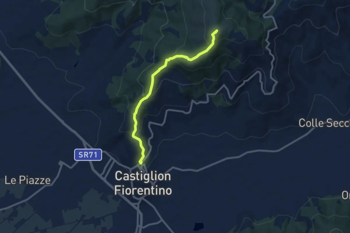
Medium · Summit
Sentiero 50 C/o Monte Castiglion Maggio – Castiglion Fiorentino
6.8 km · ↑ 453 m · 2 h 36 min
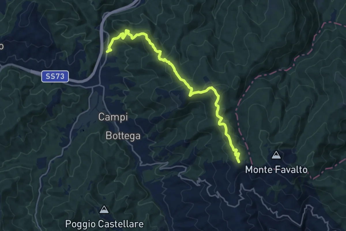
Medium · Summit
Palazzo del Pero Località La Lastra – Sentiero 158 sopra La Dogana
16.3 km · ↑ 638 m · 5 h 14 min
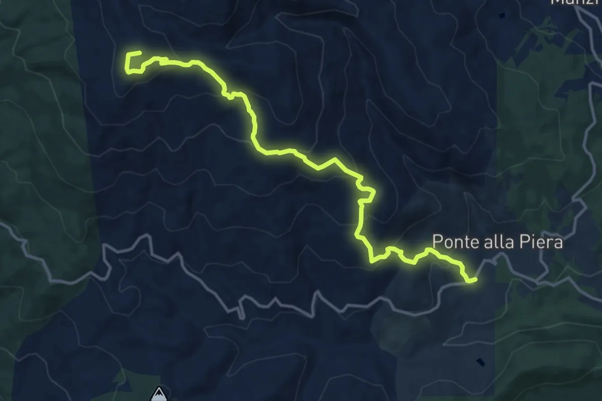
Medium · Summit
Sentiero 10/A presso Ponte alla Piera – Sentiero 50 sotto M. Filetto
13.7 km · ↑ 789 m · 4 h 56 min
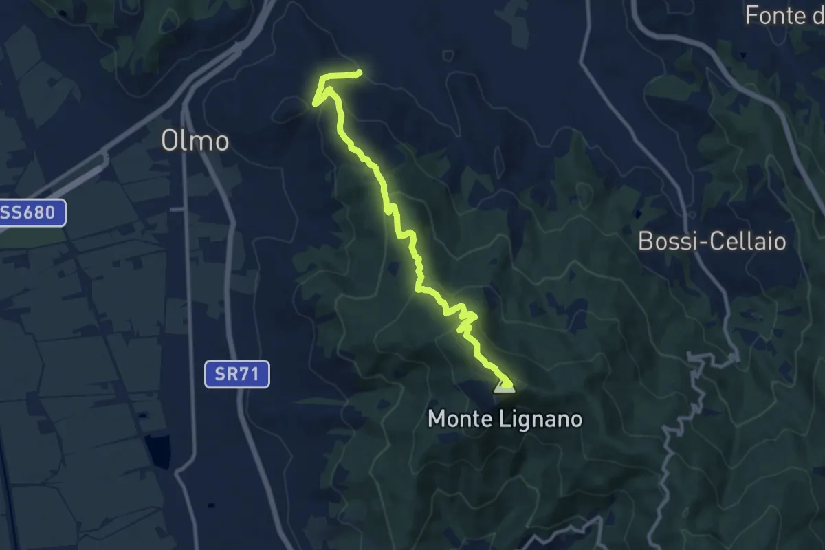
Medium · Summit
Sentiero CAI 50 presso monte Camurcina – Arezzo Località San Marco
11.1 km · ↑ 523 m · 3 h 46 min
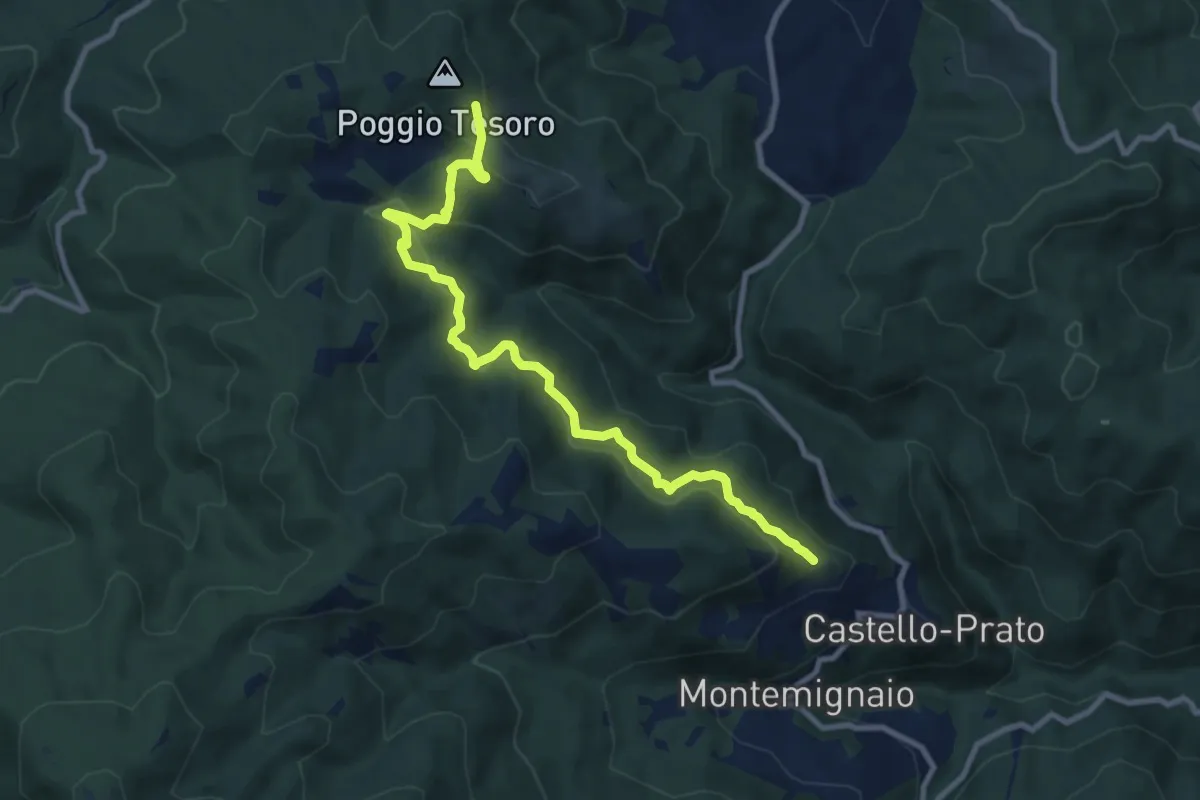
Medium · Trail
Innesto sentiero 926 presso Maestà di Pescina – sentiero 900 sotto Poggio Tesoro
10.4 km · ↑ 519 m · 3 h 34 min
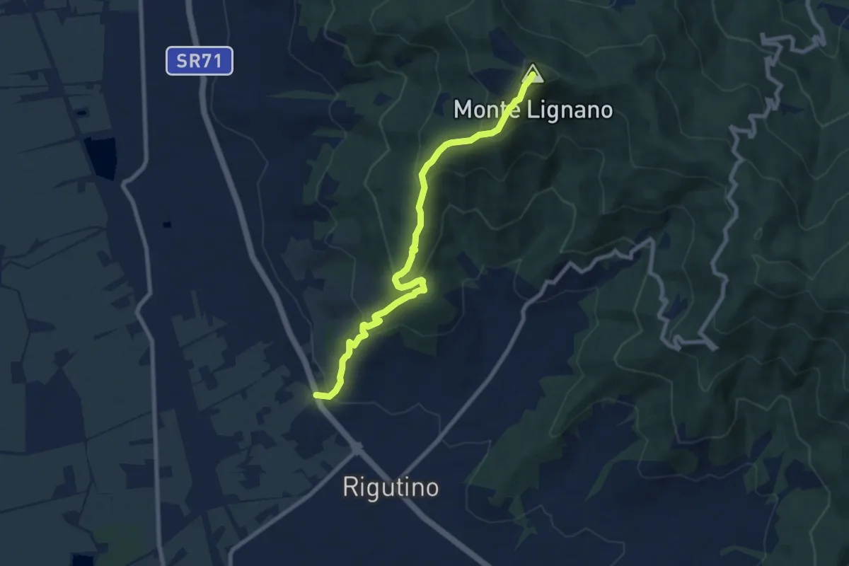
Medium · Summit
Rigutino – Monte Lignano
8.3 km · ↑ 514 m · 3 h 5 min
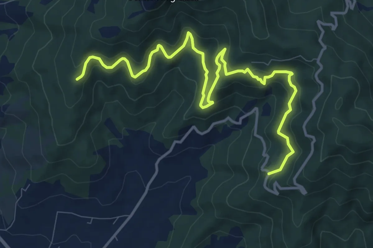
Medium · Trail
Rigutinelli – Sentiero 145
12.2 km · ↑ 709 m · 4 h 25 min
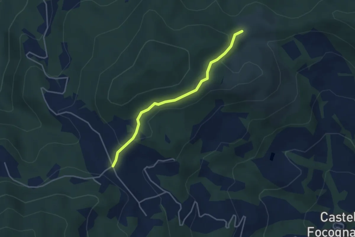
Easy · Trail
Sentiero 30 presso Casa Giuncaine – Sentiero 31 presso Casa Magona
3.2 km · ↑ 87 m · 57 min
Medium · Trail
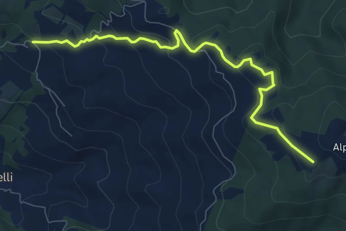
Sentiero 131 in Loc Pomaio – Sentiero 50 presso Poti
7.9 km · ↑ 348 m · 2 h 37 min
Medium · Trail
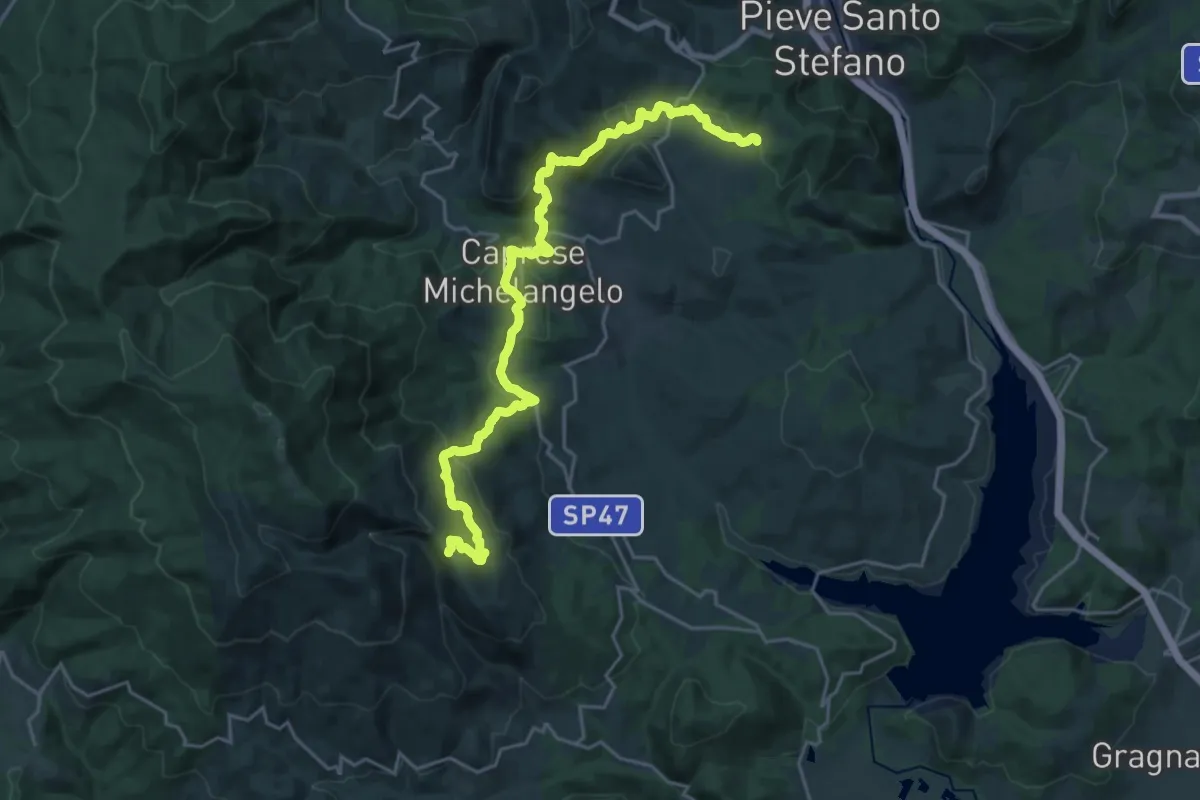
Sentiero 021 sopra Pieve Santo Stefano – Sentiero 087 presso Il Soglio
13.0 km · ↑ 370 m · 4 h 14 min
Medium · Trail
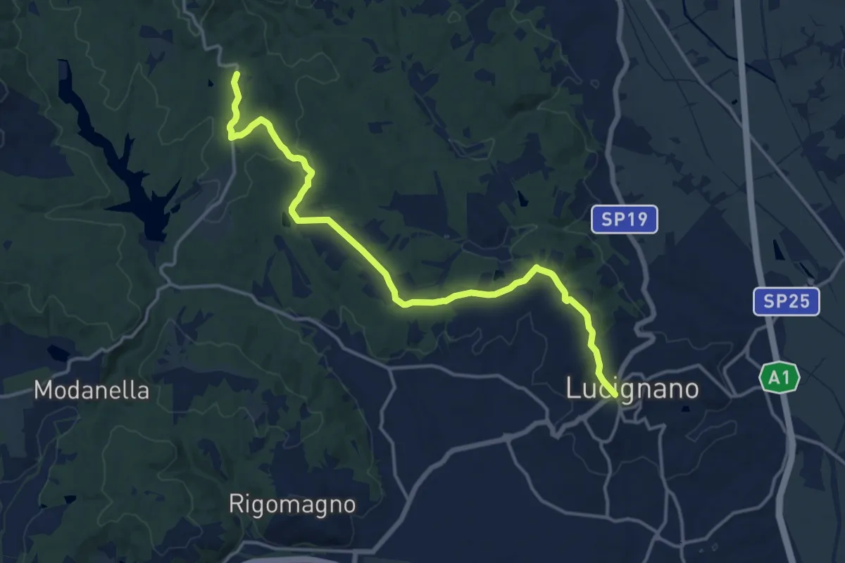
SP 19 Procacci presso Lucignano – Sentiero 121 presso loc. Le Gorghe
16.4 km · ↑ 263 m · 4 h 26 min
Easy · Trail
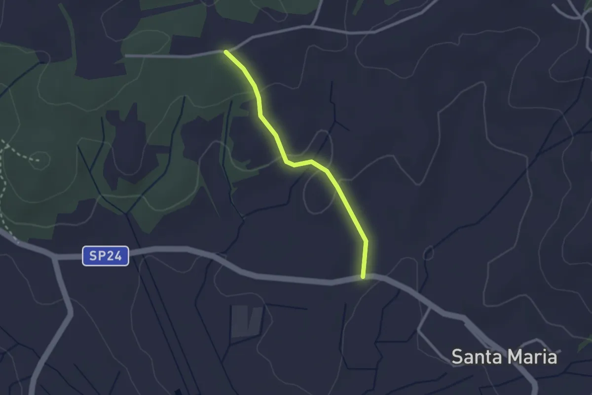
sentiero 123 – S. P. 24 del Calcione
2.2 km · ↑ 43 m · 37 min
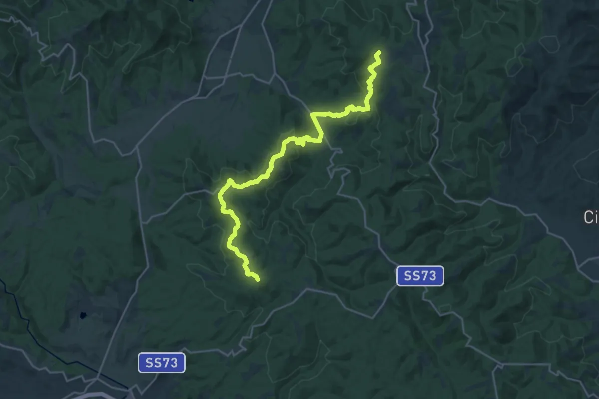
Demanding · Summit
Sentiero 103 presso podere Oppiarino – SS 73 km108 presso "La Commenda"
21.8 km · ↑ 675 m · 6 h 36 min
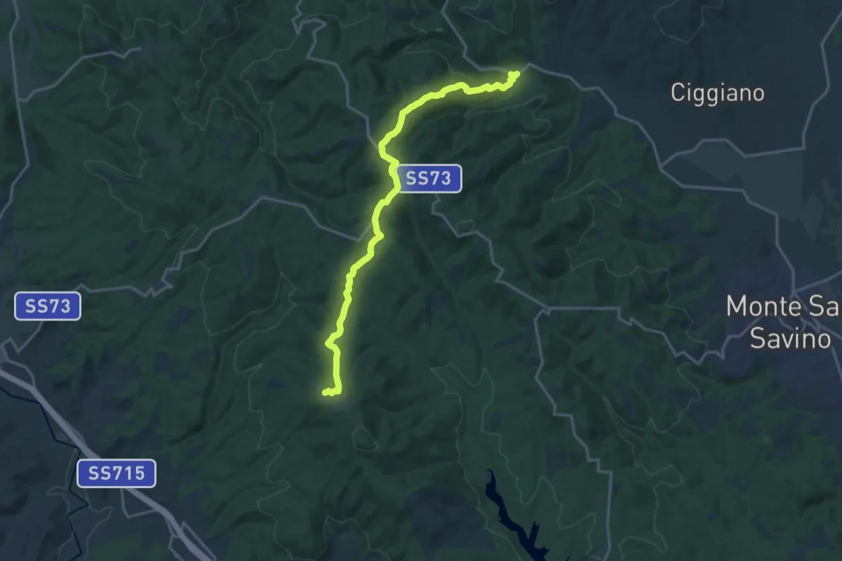
Medium · Trail
SP 19 Procacci km 11 presso Verniana – Sentiero 530 (anello Rapolano)
16.6 km · ↑ 521 m · 5 h 3 min
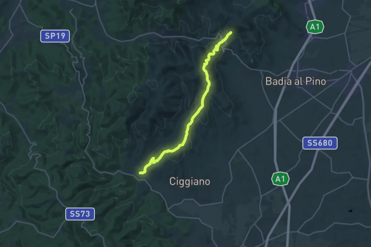
Demanding · Trail
Sentiero 107 a 2Km da Civitella Val di Chiana – Sentiero 113 a circa 1Km da Verniana
18.5 km · ↑ 573 m · 5 h 37 min
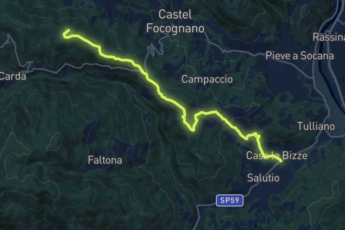
Medium · Summit
SP59 presso Salutio – Sentiero 31 (931) presso Poggio Civitella
16.2 km · ↑ 724 m · 5 h 23 min
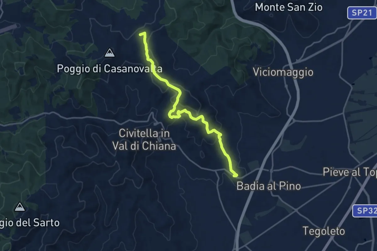
Medium · Summit
Sentiero 105 presso San Martino in Poggio – Dorna
13.9 km · ↑ 500 m · 4 h 21 min
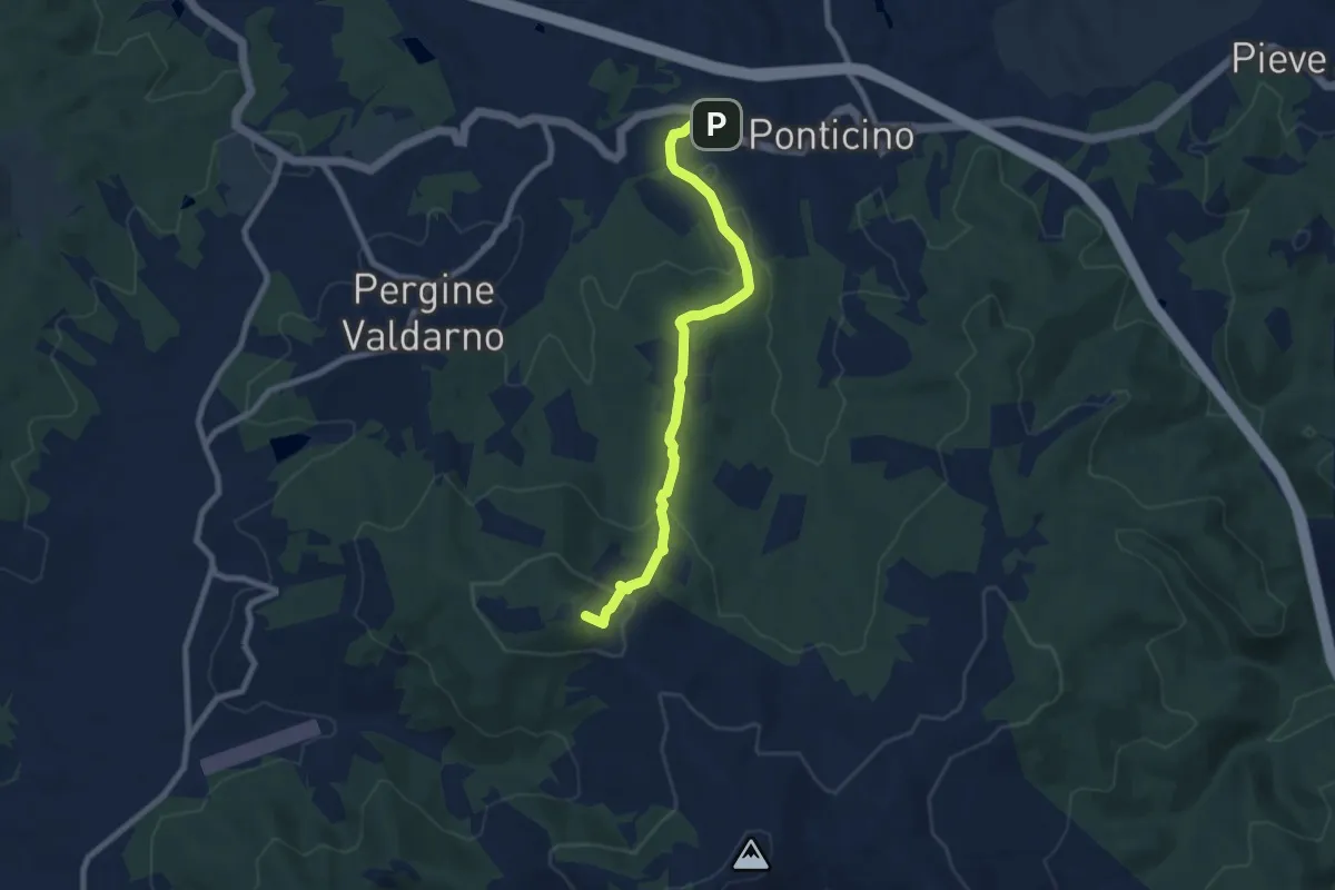
Medium · Summit
Montelucci sent 105 – Ponticino
8.5 km · ↑ 285 m · 2 h 37 min
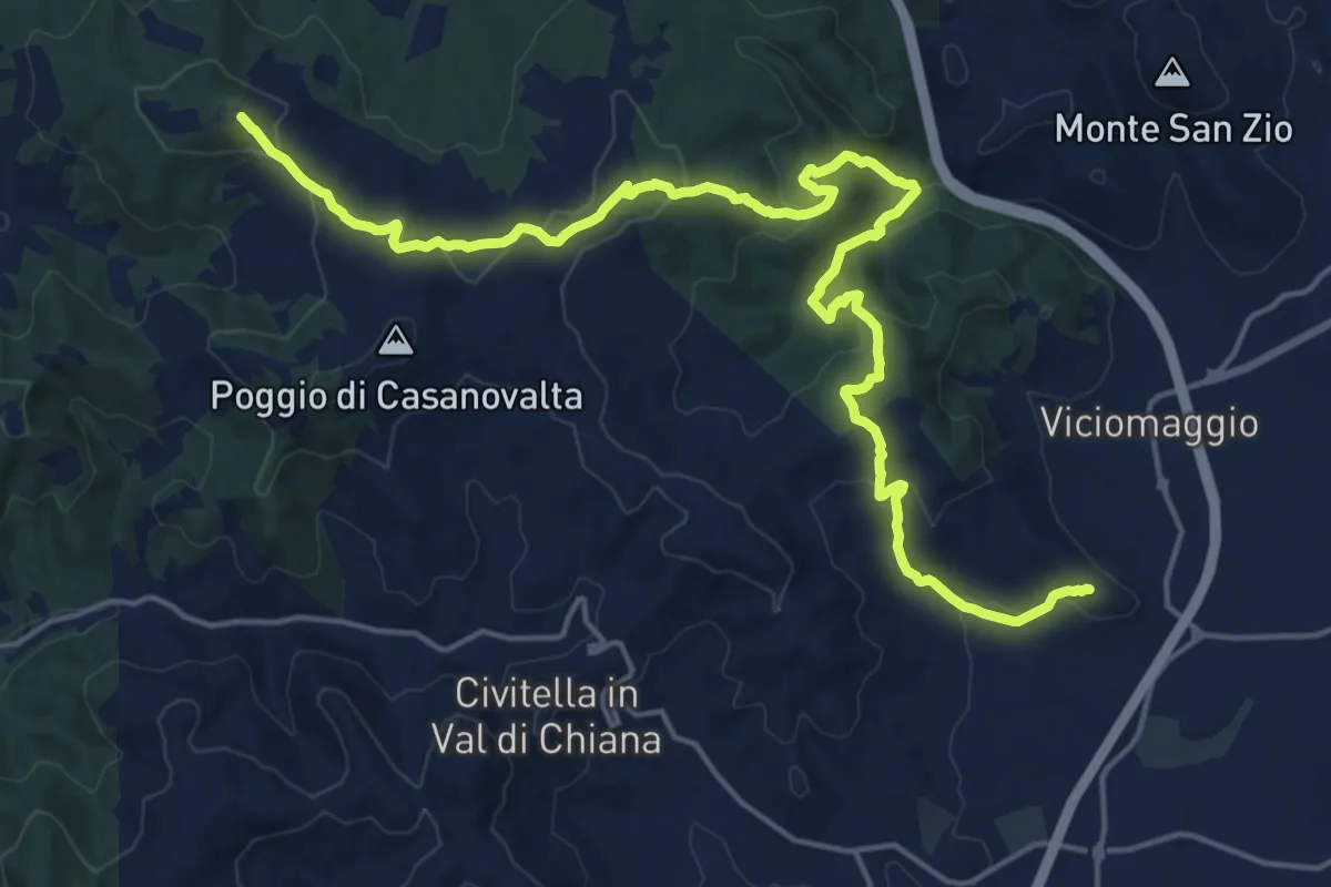
Demanding · Summit
Sentiero 103 pressi Pergine Valdarno (deposito acquedotto) – Tuori
23.2 km · ↑ 781 m · 7 h 10 min
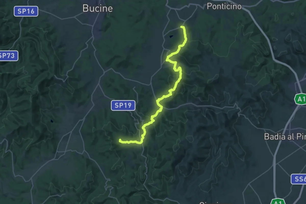
Demanding · Summit
Pergine Valdarno – Ambra
26.5 km · ↑ 1033 m · 8 h 30 min
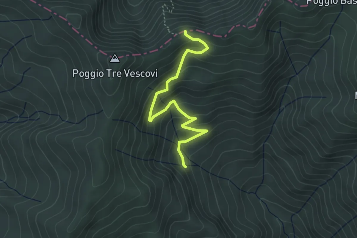
Easy · Trail
Cirignone – Sentiero 50 sotto Poggio Tre Vescovi
4.2 km · ↑ 251 m · 1 h 32 min
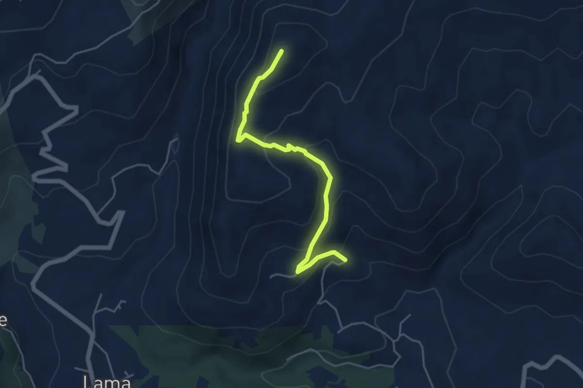
Easy · Summit
Sentiero 78 presso Croce Coperta – Tifi
4.3 km · ↑ 258 m · 1 h 35 min
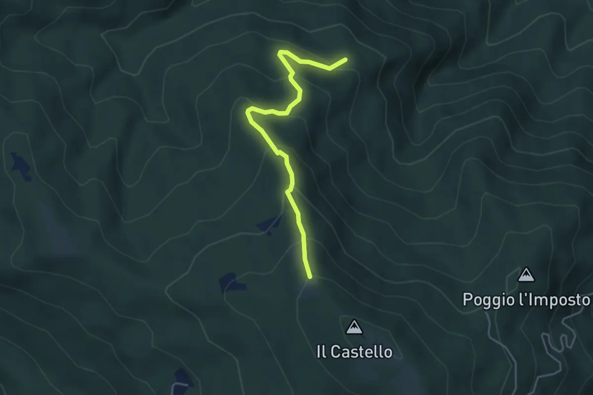
Easy · Trail
Sentiero 80 – Sentiero 50 presso Monte il Castello
4.1 km · ↑ 311 m · 1 h 38 min
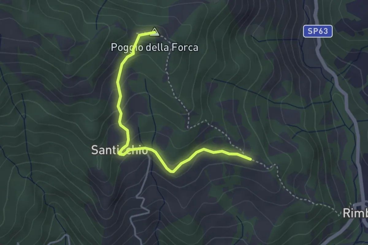
Easy · Summit
Sentiero 070 presso Podere Caggio per Podere Santicchio – Sentiero 070 presso Poggio della Forca
3.7 km · ↑ 174 m · 1 h 15 min
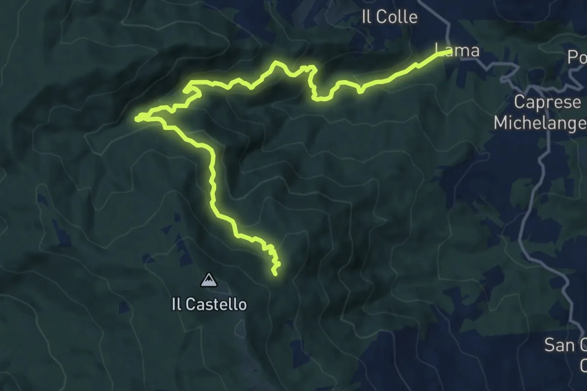
Demanding · Trail
La Lama (Caprese Michelangelo) – Sentiero 012 presso L'Imposto
16.0 km · ↑ 894 m · 5 h 43 min
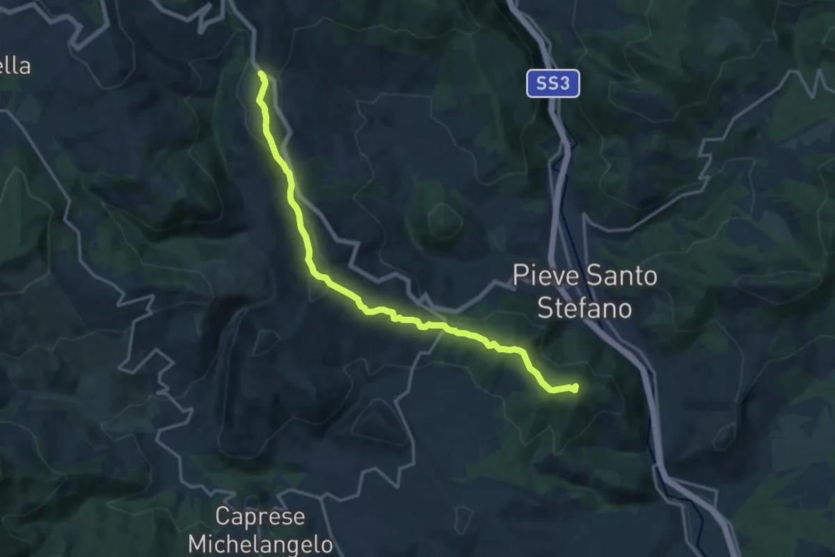
Medium · Summit
Formole – Montaione
14.5 km · ↑ 477 m · 4 h 27 min
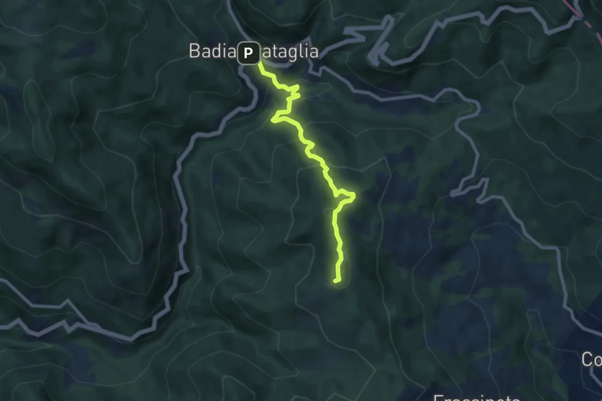
Medium · Summit
Badia Prataglia – Frassineta
6.9 km · ↑ 437 m · 2 h 34 min
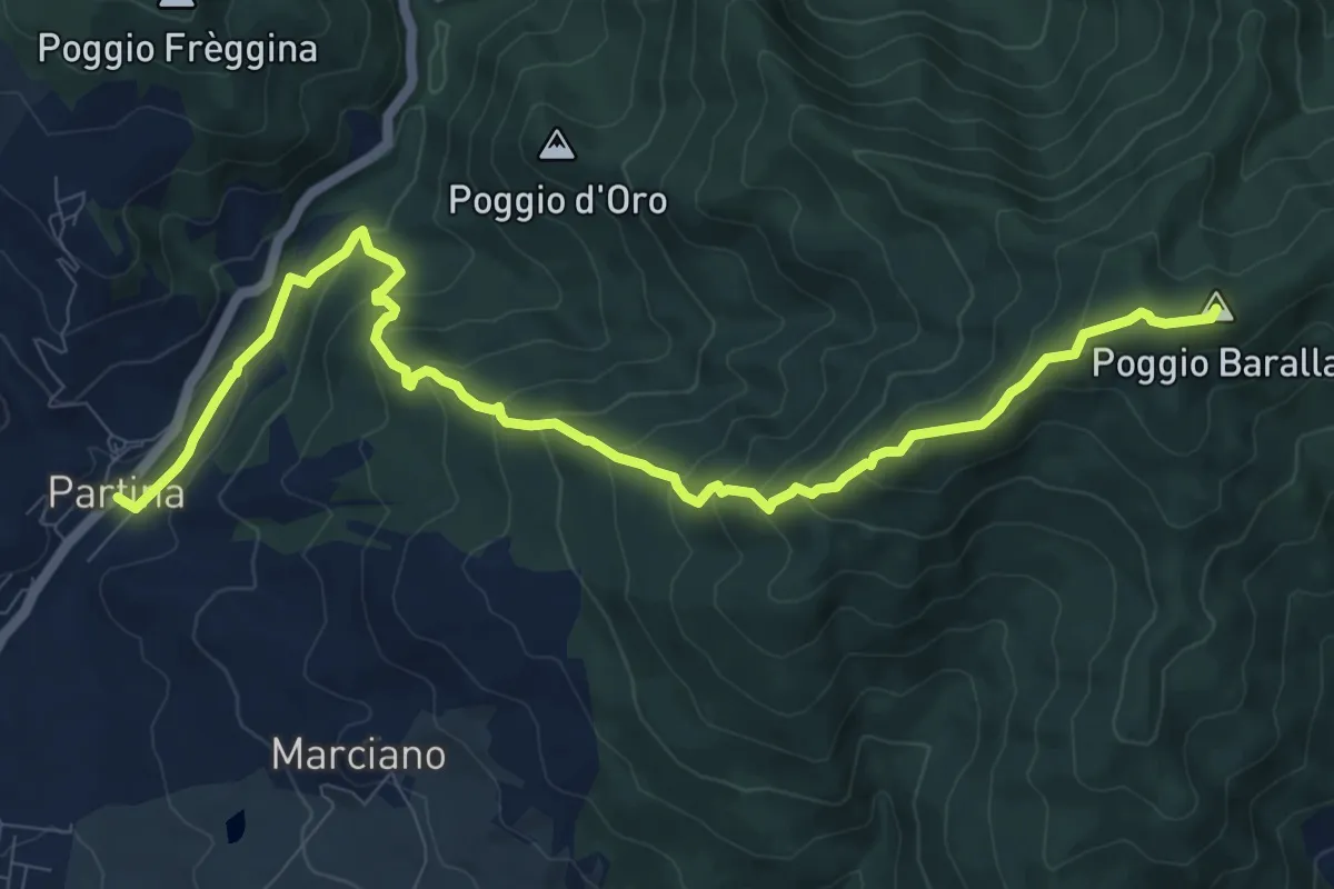
Medium · Summit
Partina – Le Quattro Vie presso Frassineta
11.9 km · ↑ 759 m · 4 h 27 min