Trails in Italy
25,219 hiking trails, each with its route, climb, walking time and grade.
All trails, page 293 of 526
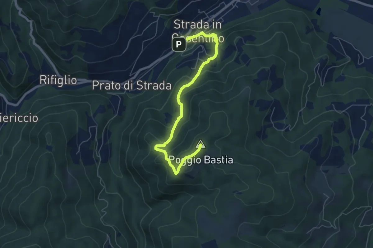
Medium · Summit
Strada in Casentino – Quorle
6.5 km · ↑ 349 m · 2 h 17 min
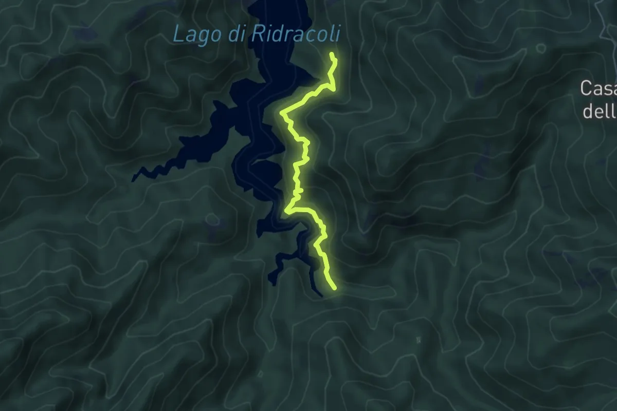
Medium · Trail
Sentiero 235 – Sentiero 239
4.8 km · ↑ 396 m · 1 h 59 min
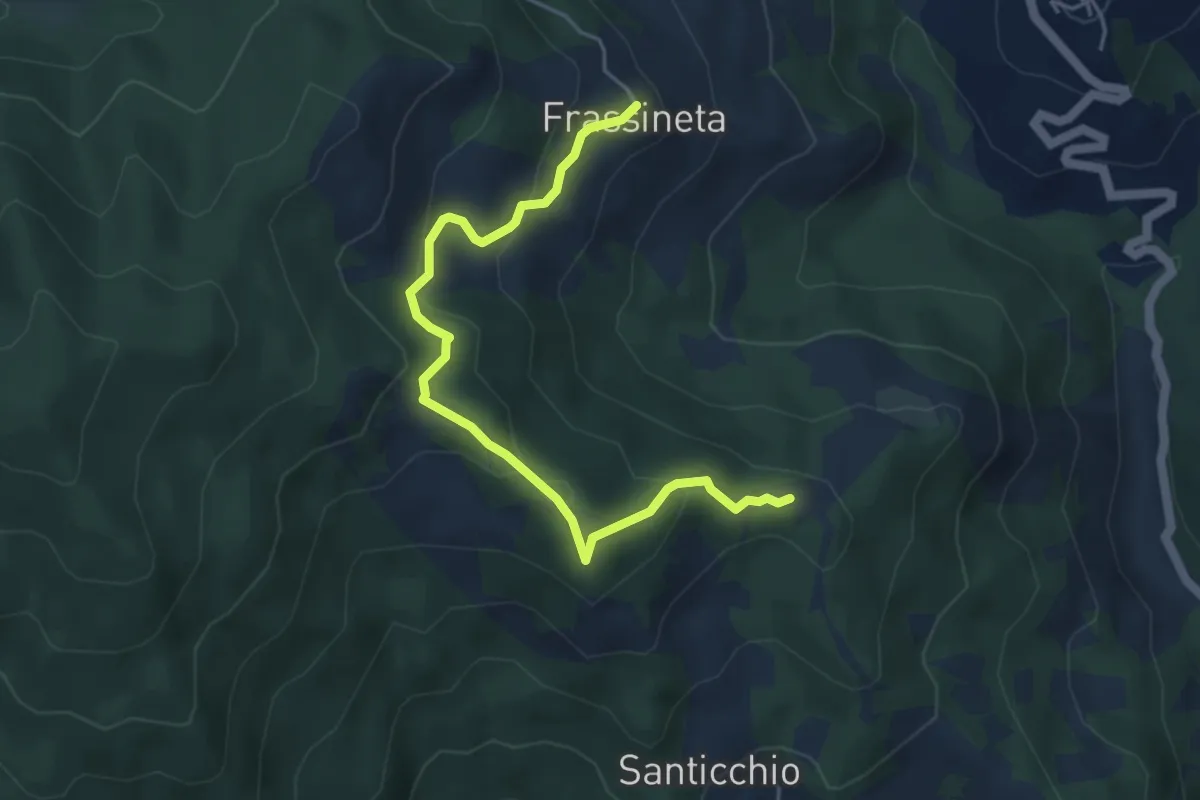
Easy · Summit
Rimbocchi – Frassineta
5.2 km · ↑ 262 m · 1 h 48 min
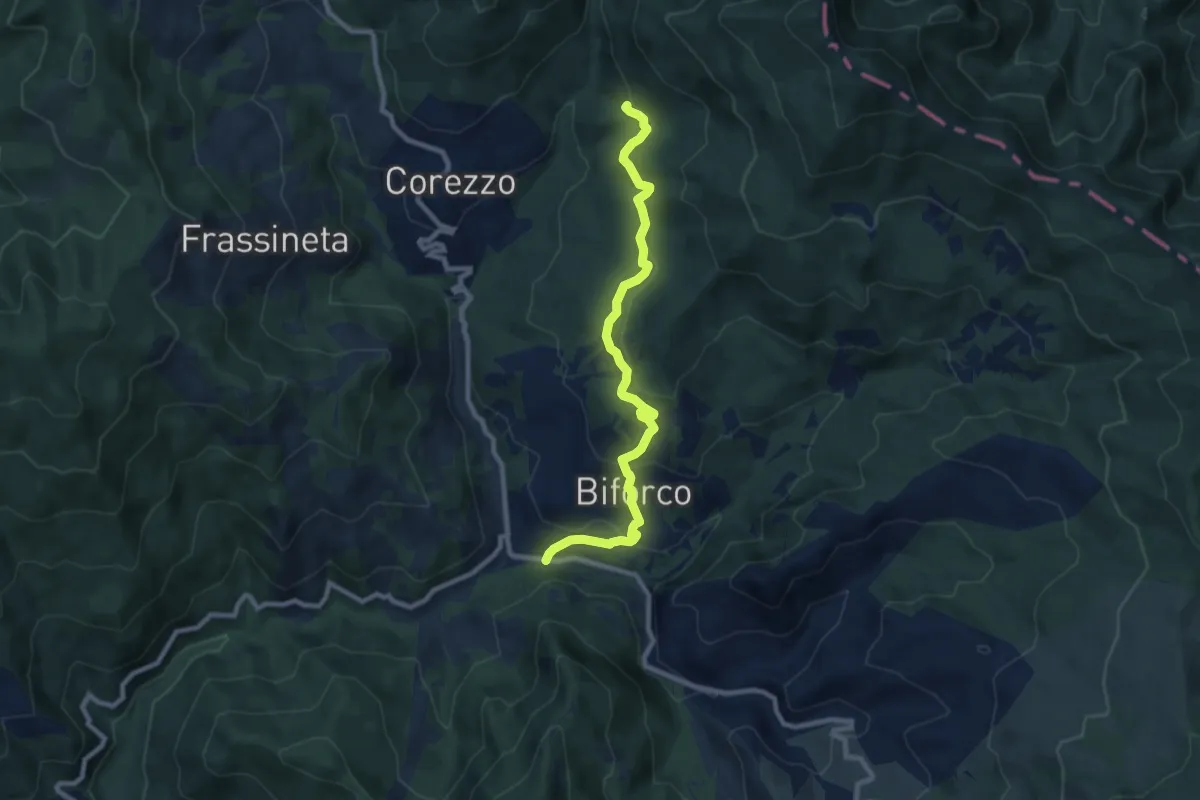
Medium · Trail
SP 62 presso il Molino della Ripa – Sentiero 59 (099) a Serra
9.4 km · ↑ 420 m · 3 h 7 min
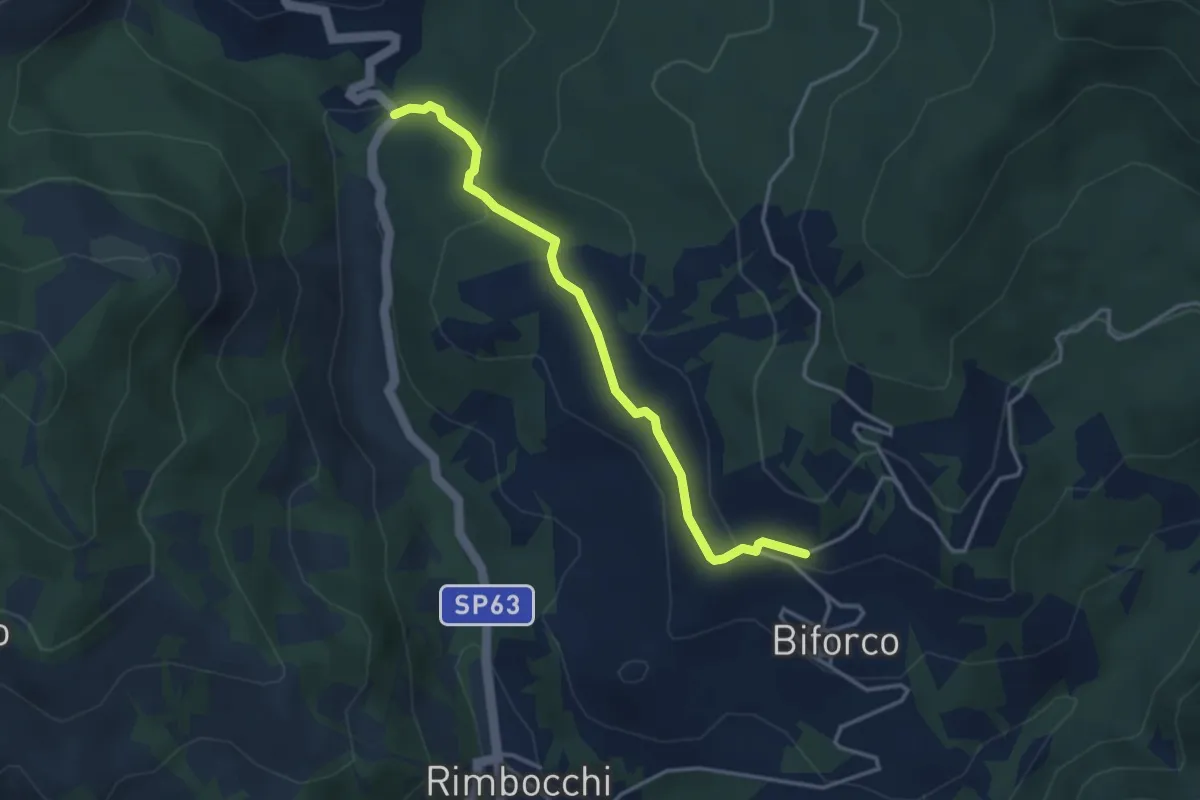
Easy · Trail
Molino di Corezzo – Biforco Sentiero 069
3.7 km · ↑ 127 m · 1 h 9 min
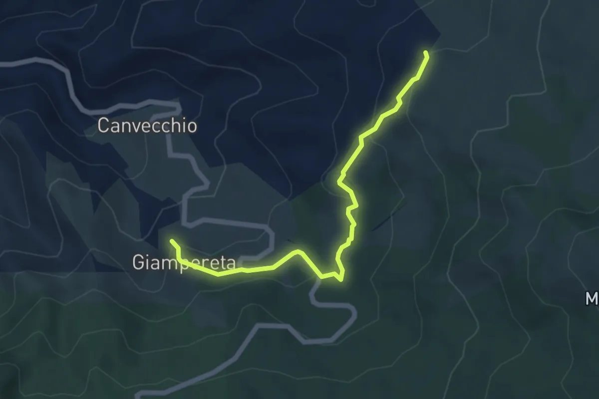
Easy · Trail
Giampereta – Sentiero 057 presso Montesilvestre
4.7 km · ↑ 205 m · 1 h 34 min
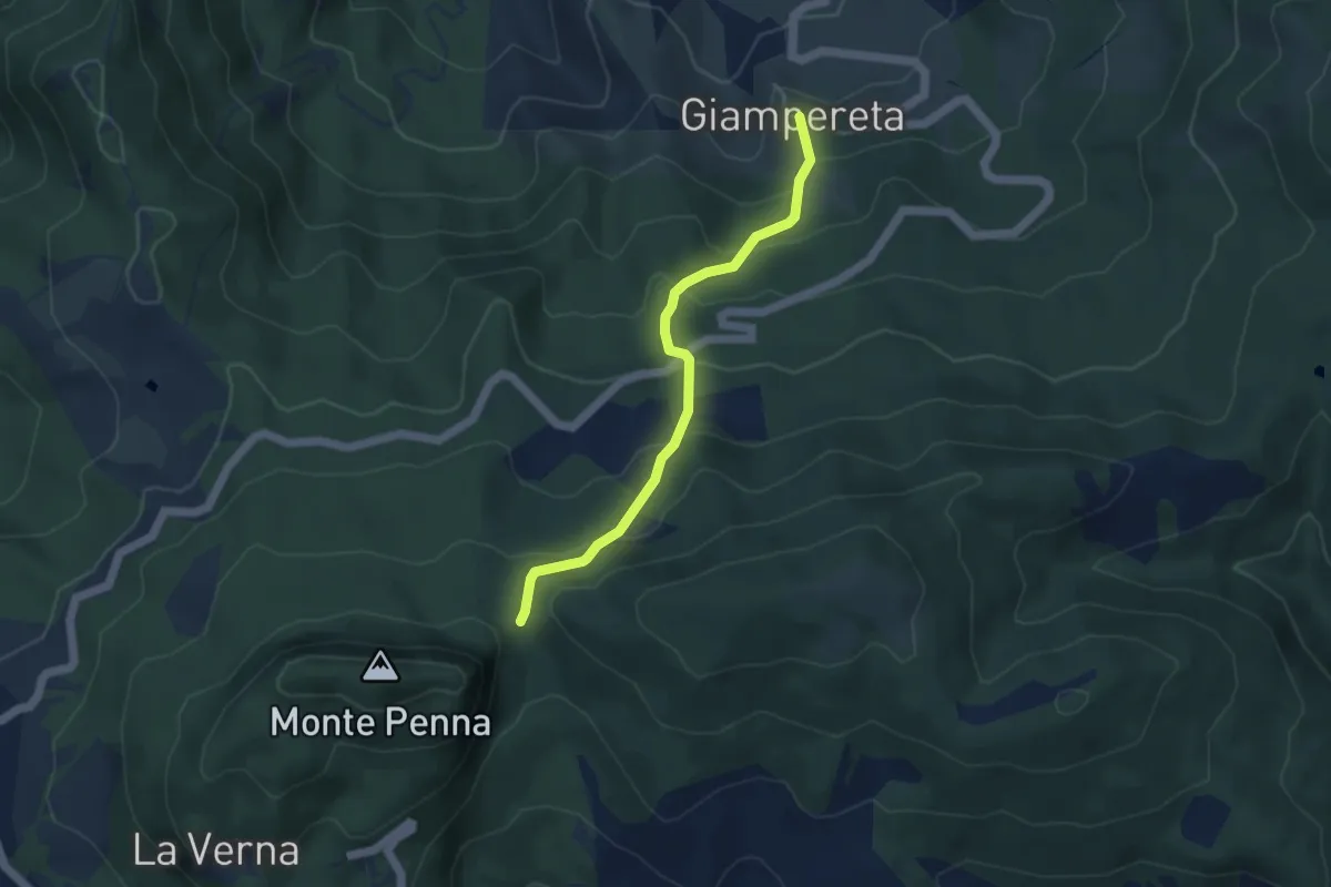
Easy · Trail
Giampereta – Sentiero 50 presso Croce della Calla
4.3 km · ↑ 317 m · 1 h 42 min
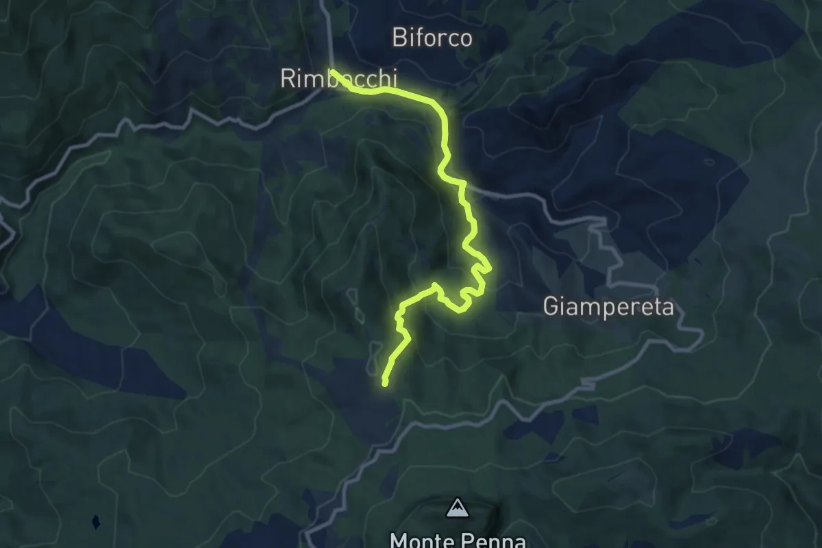
Medium · Trail
Sentiero 053 per loc. Casalino – Rimbocchi
10.1 km · ↑ 486 m · 3 h 26 min
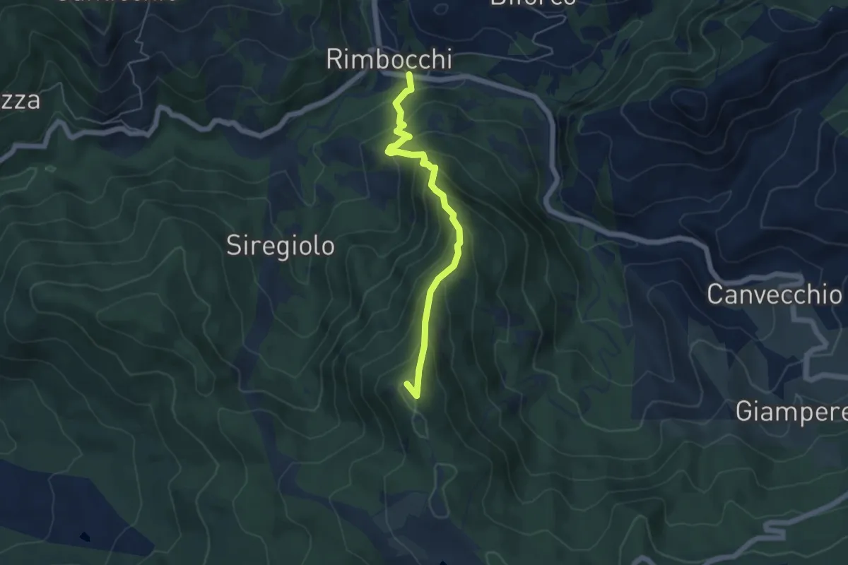
Medium · Summit
Rimbocchi – La Verna
4.9 km · ↑ 466 m · 2 h 11 min
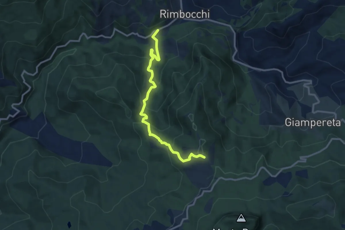
Medium · Trail
SP62 al bivio per Siregiolo – Sentiero 053 presso podere Pratalino
8.5 km · ↑ 562 m · 3 h 13 min
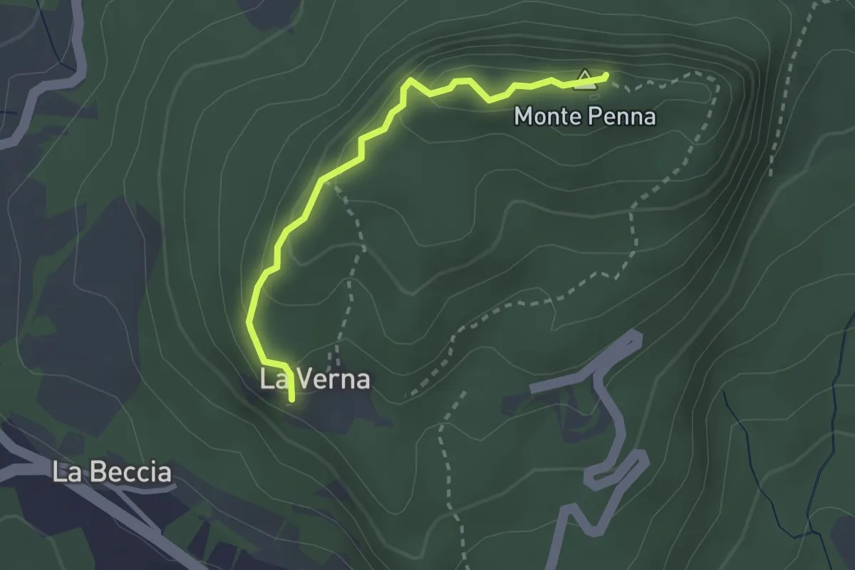
Medium · Summit
Chiusi della Verna – Santuario della Verna e anello del monte Penna
2.5 km · ↑ 223 m · 1 h 4 min
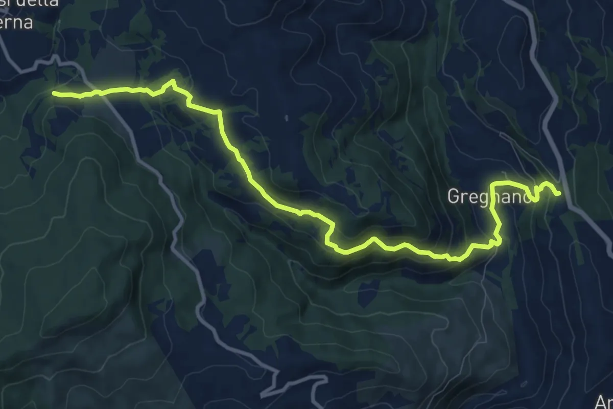
Medium · Trail
Sentiero 44 presso La Pietra – Sentiero 78 presso Gregnano
11.9 km · ↑ 529 m · 3 h 57 min
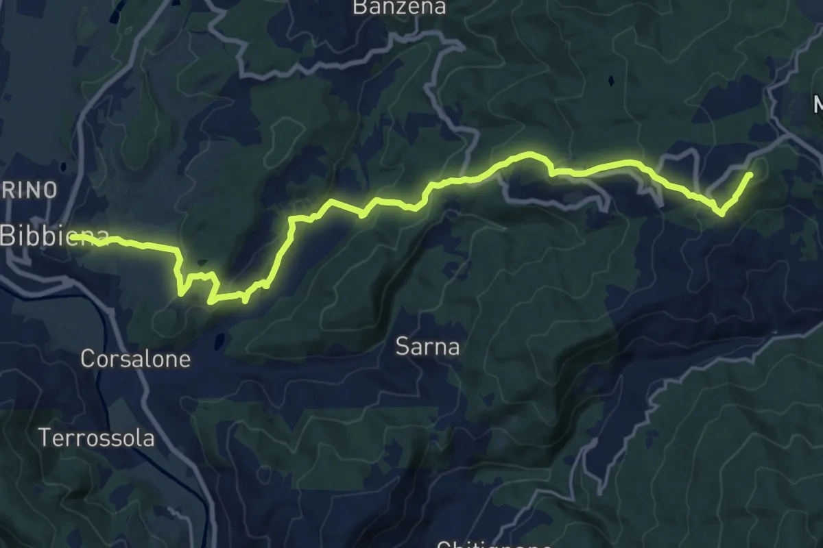
Demanding · Summit
Bibbiena – Innesto Sentiero 50 presso La Beccia
21.9 km · ↑ 1003 m · 7 h 21 min
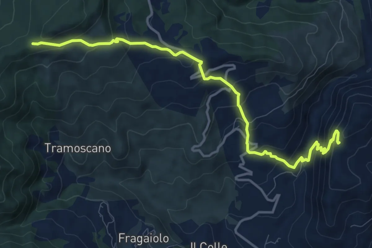
Medium · Trail
Sentiero 088 presso Balza di San Francesco – Sentiero 50 presso Croce al Varco
11.0 km · ↑ 779 m · 4 h 18 min
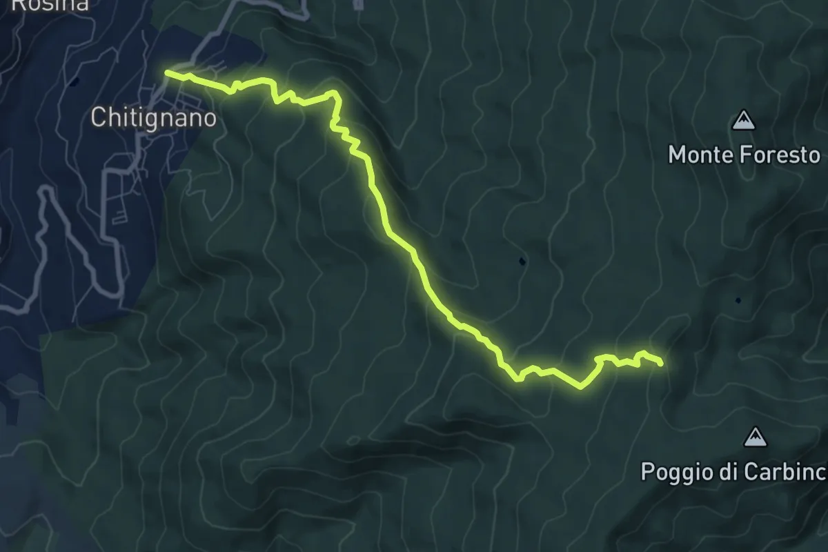
Medium · Trail
Chitignano – Sentiero 50 presso Sgolo del Rogai
9.4 km · ↑ 573 m · 3 h 27 min
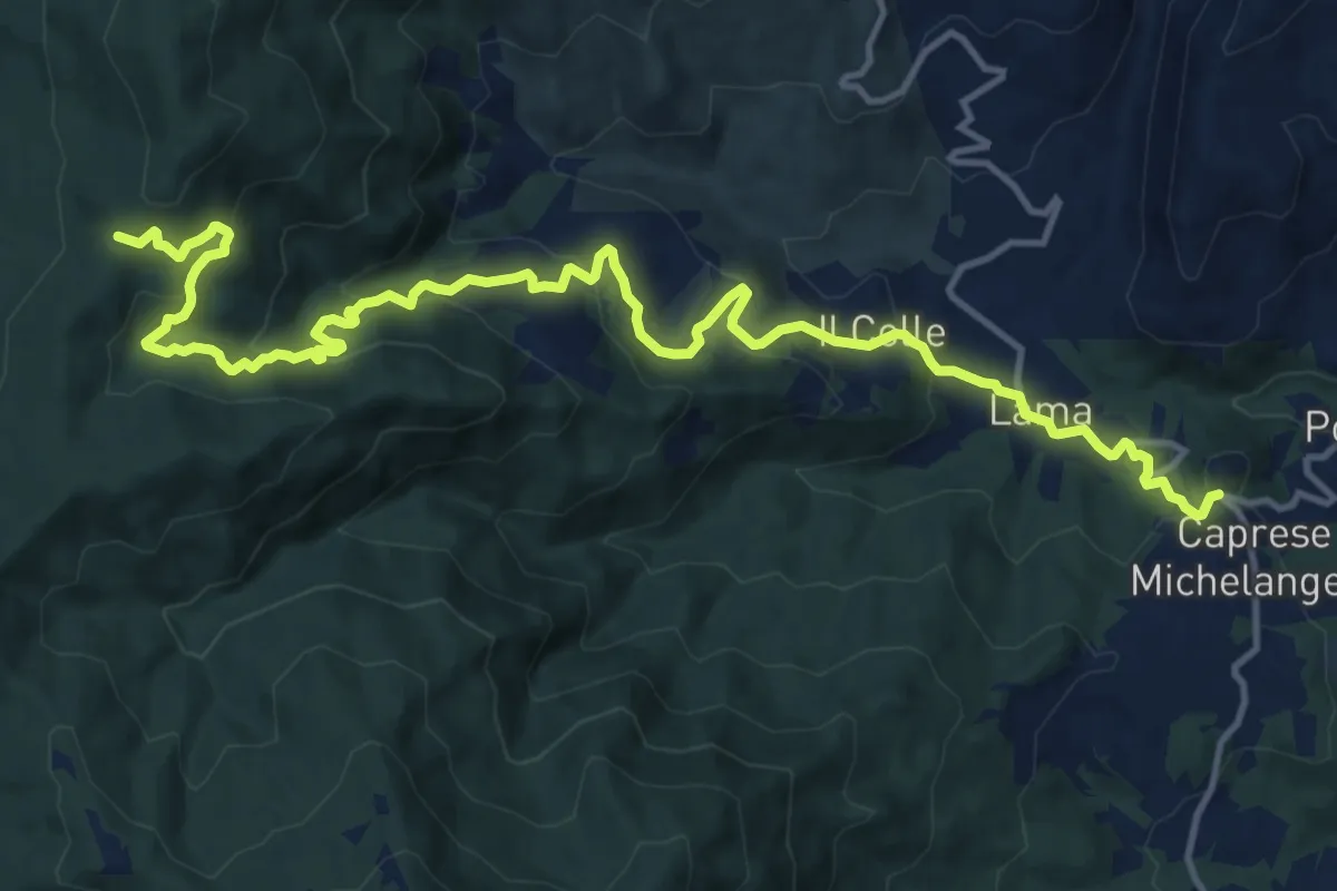
Demanding · Trail
Caprese Michelangelo – Sentiero 50 presso Eremo della Casella
17.4 km · ↑ 879 m · 6 h 1 min
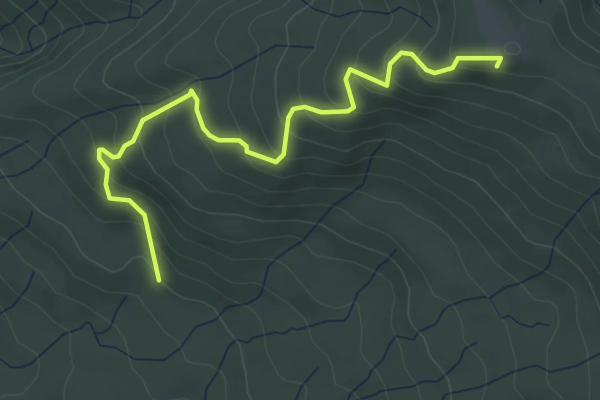
Medium · Summit
Sentiero 016 presso Casina della Burraia – Sentiero 50 presso Sasso della Regina
5.1 km · ↑ 329 m · 1 h 55 min
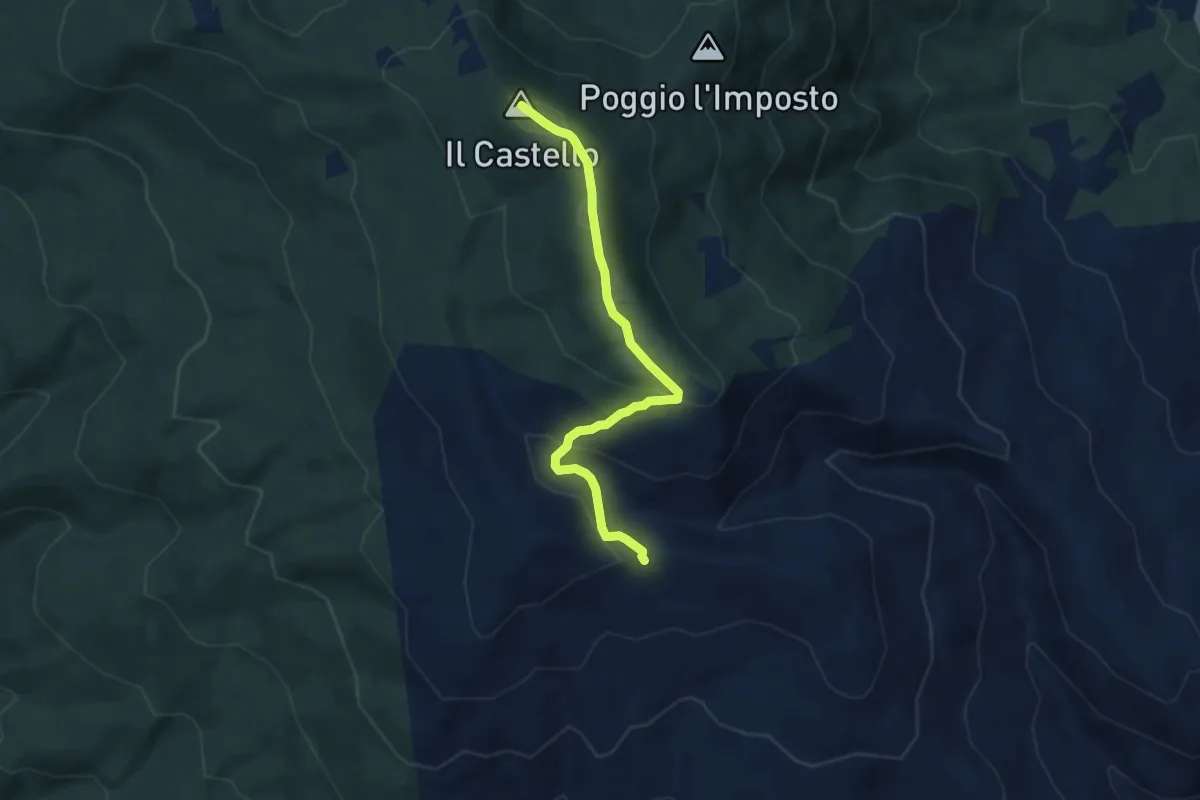
Demanding · Summit
Sentiero 502 (032) presso Monte Filetto – Sentiero 50 presso Monte il Castello
6.6 km · ↑ 303 m · 2 h 13 min
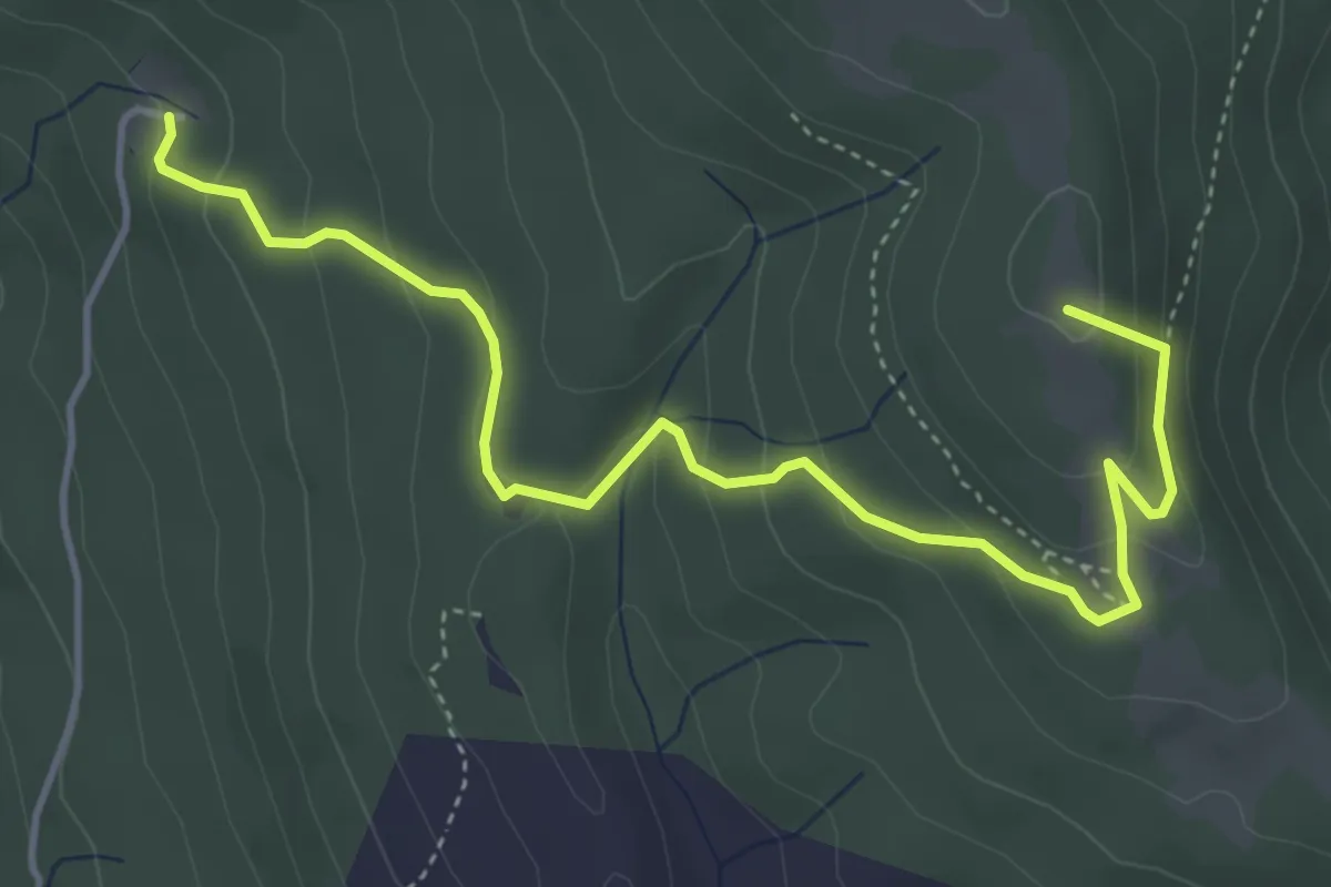
Easy · Summit
Fonte del Baregno – Sentiero 012 presso l'Imposto
5.3 km · ↑ 243 m · 1 h 47 min
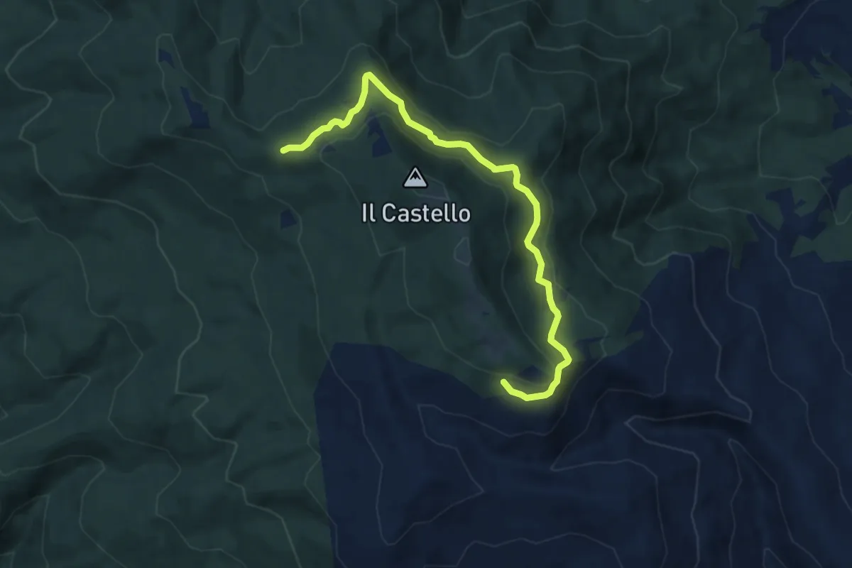
Medium · Trail
Sentiero 50 presso Sasso della Regina – Sentiero 014 presso Greppo dei Ciuffi
9.3 km · ↑ 298 m · 2 h 50 min
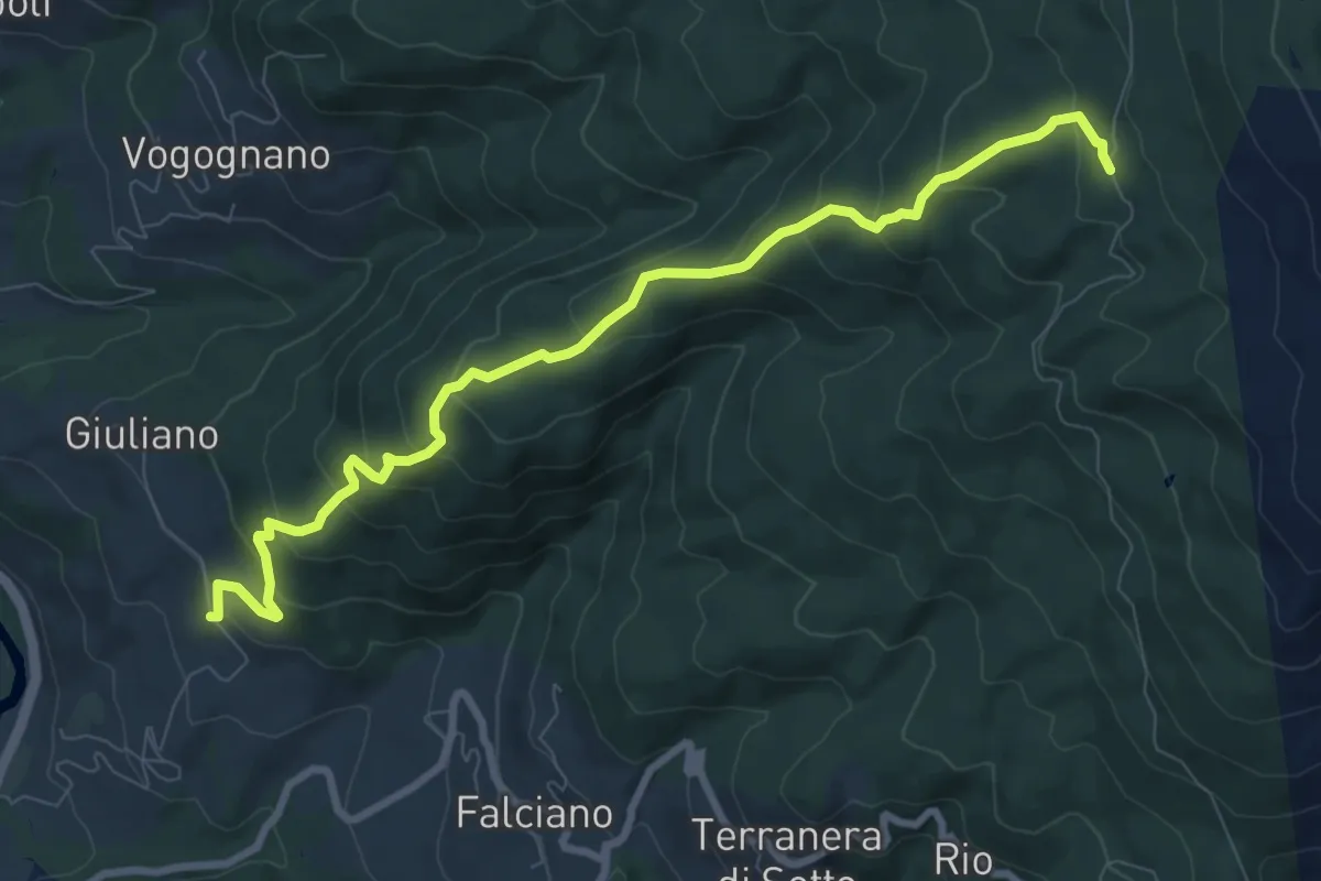
Medium · Trail
Via Romea nei pressi di Giuliano – Sentiero 003 presso Casa Taverni
9.8 km · ↑ 636 m · 3 h 42 min
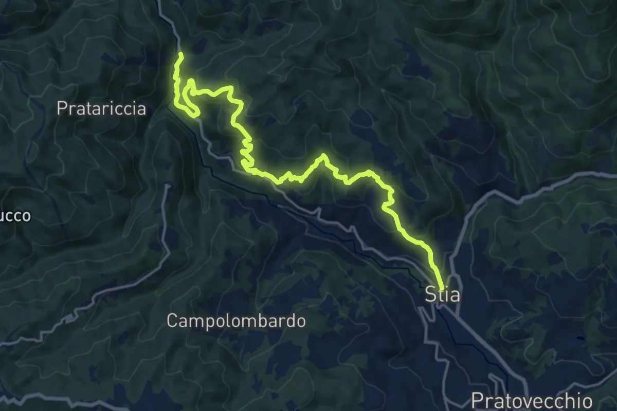
Demanding · Trail
Stia – Molin di Bucchio
19.1 km · ↑ 907 m · 6 h 29 min
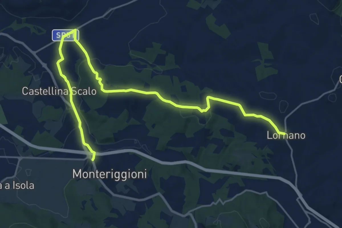
Demanding · Trail
Lornano – Monteriggioni
18.6 km · ↑ 297 m · 5 h 2 min
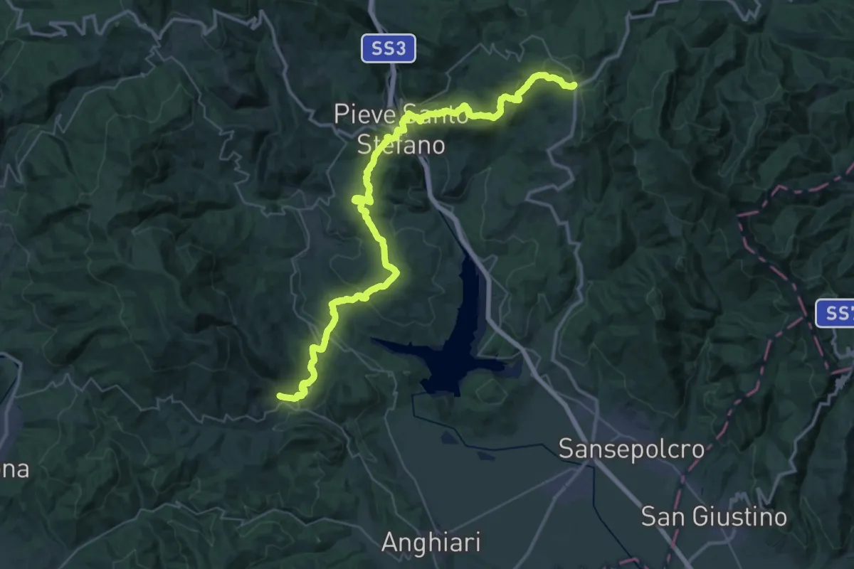
Demanding · Trail
Viamaggio – Ponte alla Piera
24.4 km · ↑ 766 m · 7 h 58 min
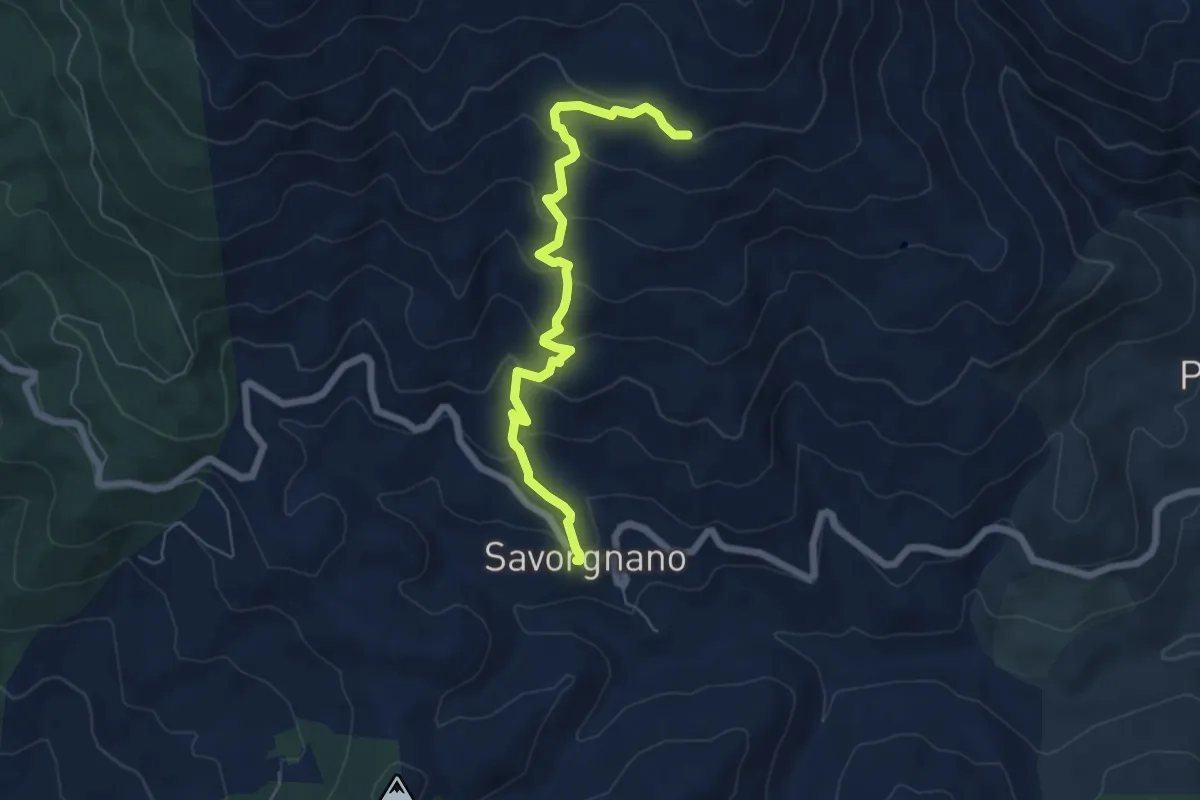
Medium · Trail
Savorgnano – Sentiero 502
6.6 km · ↑ 379 m · 2 h 23 min
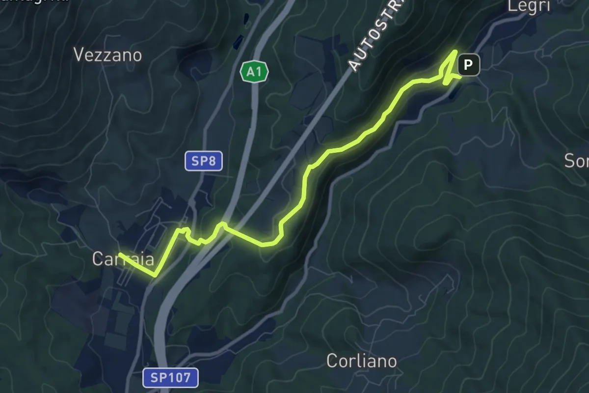
Medium · Trail
Carraia – Lago di Legri - Incrocio sentiero 608
9.8 km · ↑ 317 m · 3 h
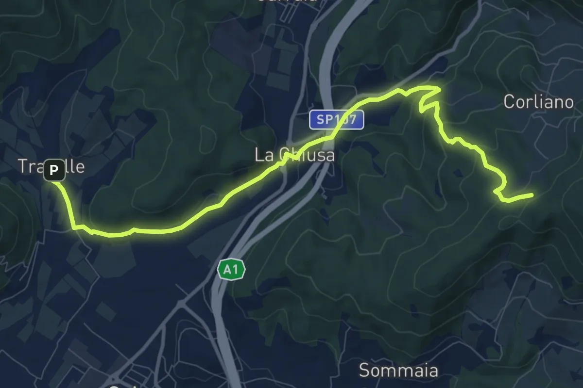
Medium · Trail
La Chiusa – Incrocio sent. 609
11.7 km · ↑ 373 m · 3 h 34 min
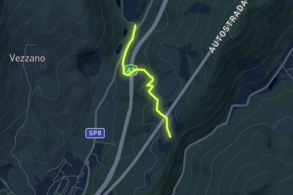
Easy · Trail
La Cassiana – Collina
3.9 km · ↑ 134 m · 1 h 13 min
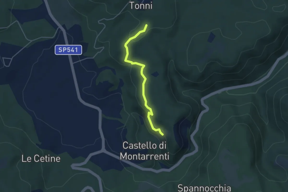
Easy · Trail
percorso 100 – percorso 100
3.8 km · ↑ 118 m · 1 h 10 min
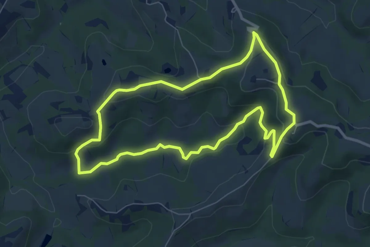
Easy · Trail
Montalbino – Montalbino
6.5 km · ↑ 207 m · 2 h 5 min
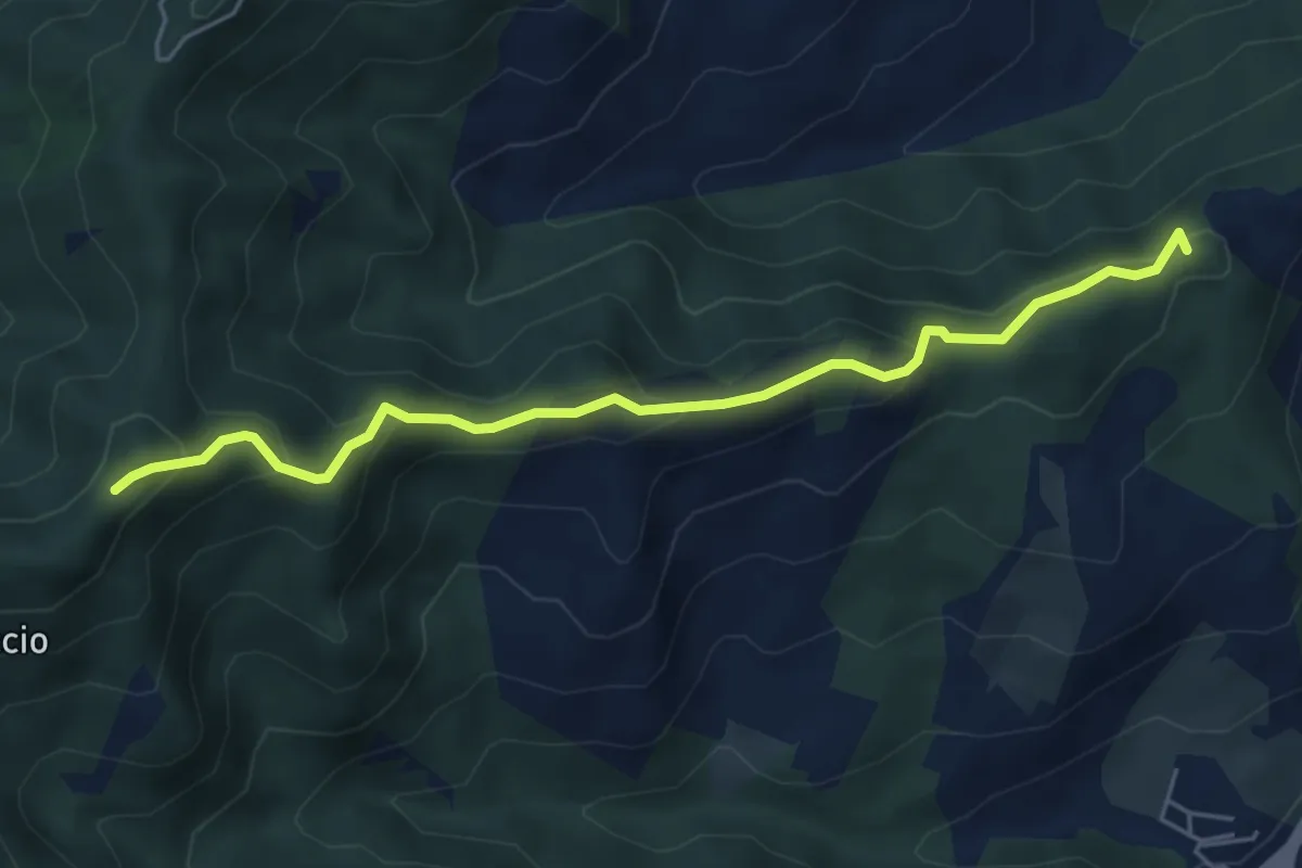
Medium · Summit
San Piero in Bagno – Percorso 201
5.6 km · ↑ 329 m · 2 h 2 min
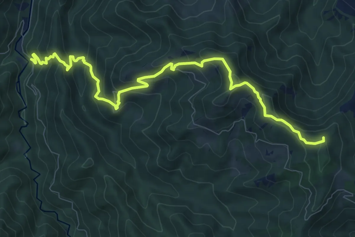
Medium · Summit
Molinaccio – Monte Piano
11.0 km · ↑ 767 m · 4 h 16 min
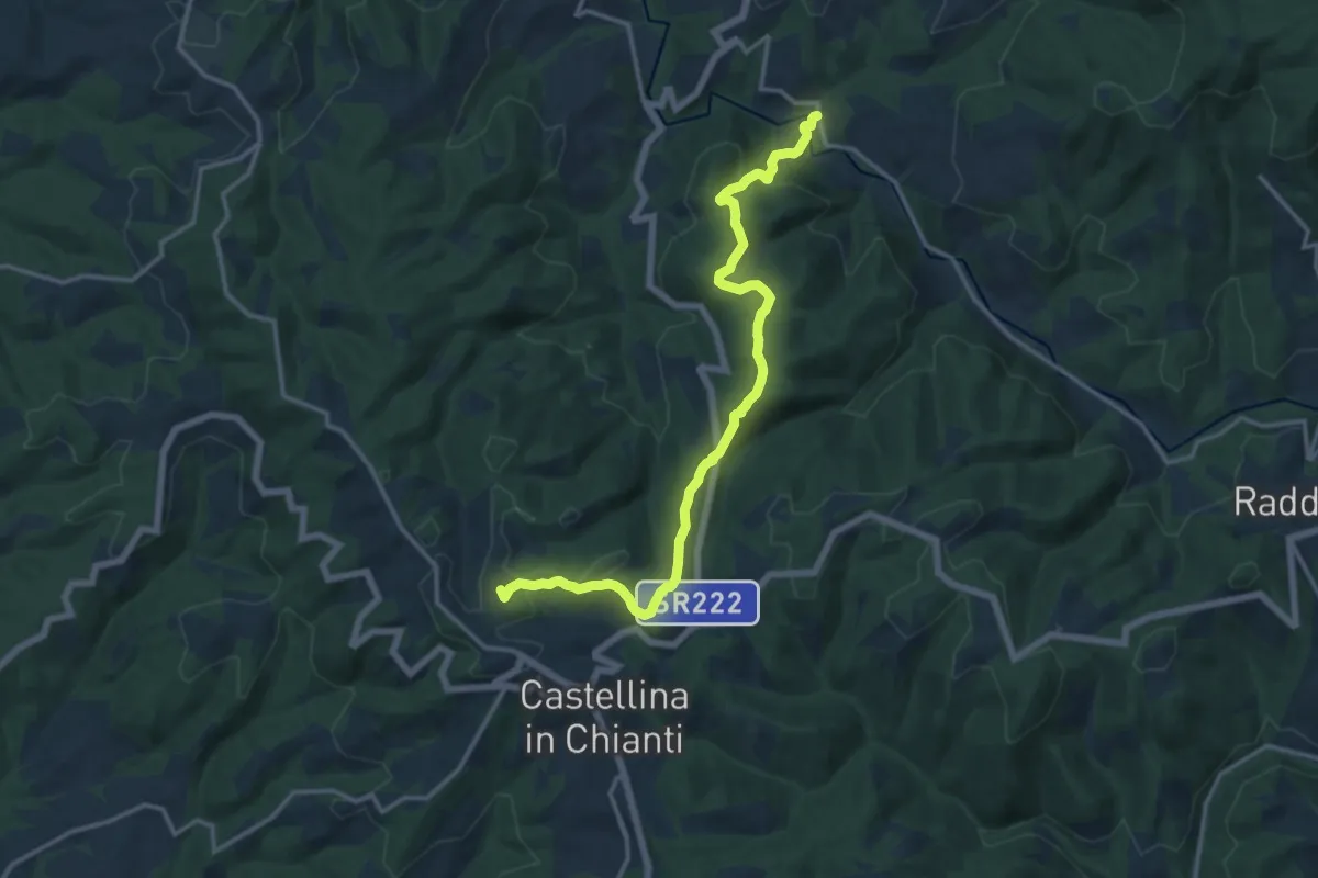
Medium · Summit
Via Romea Sanese – Lucarelli
15.9 km · ↑ 491 m · 4 h 49 min
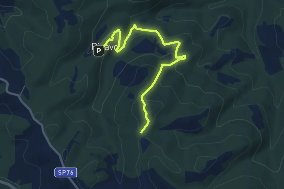
Medium · Trail
Ricavo – Via Romea Sanese
6.2 km · ↑ 283 m · 2 h 5 min
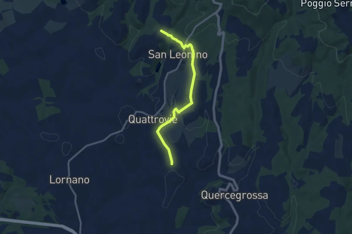
Easy · Trail
Campalli – Magione
7.3 km · ↑ 166 m · 2 h 4 min
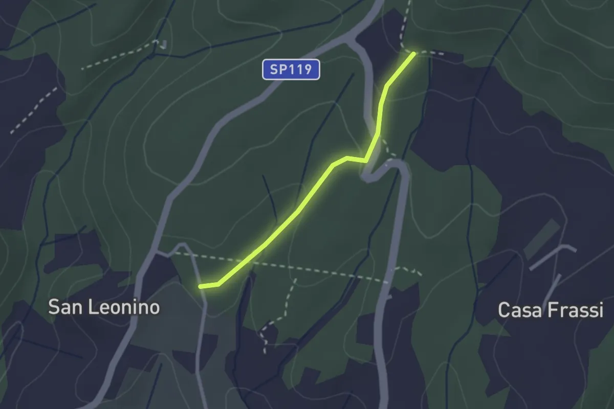
Easy · Trail
San Leonino – Via Romea Sanese
2.0 km · ↑ 74 m · 38 min
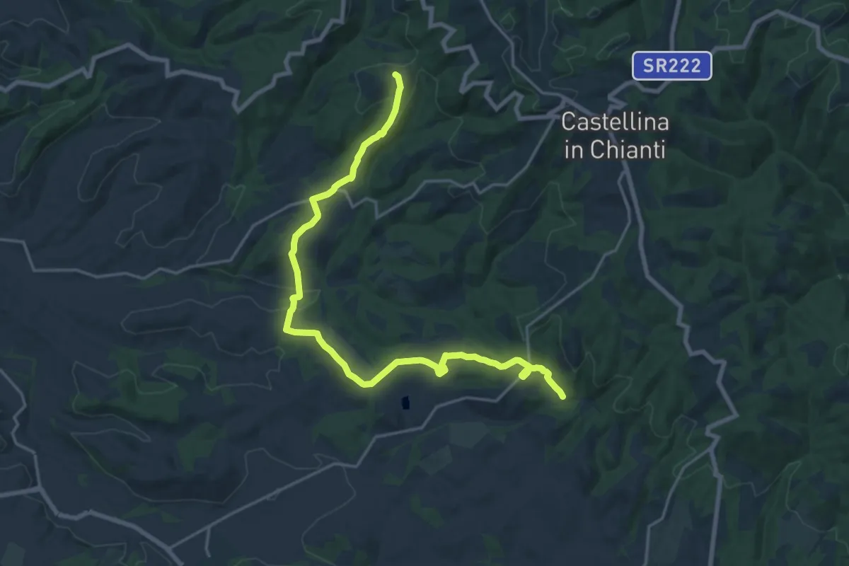
Demanding · Trail
Sentiero 350 – Cispiano
21.1 km · ↑ 543 m · 6 h 10 min
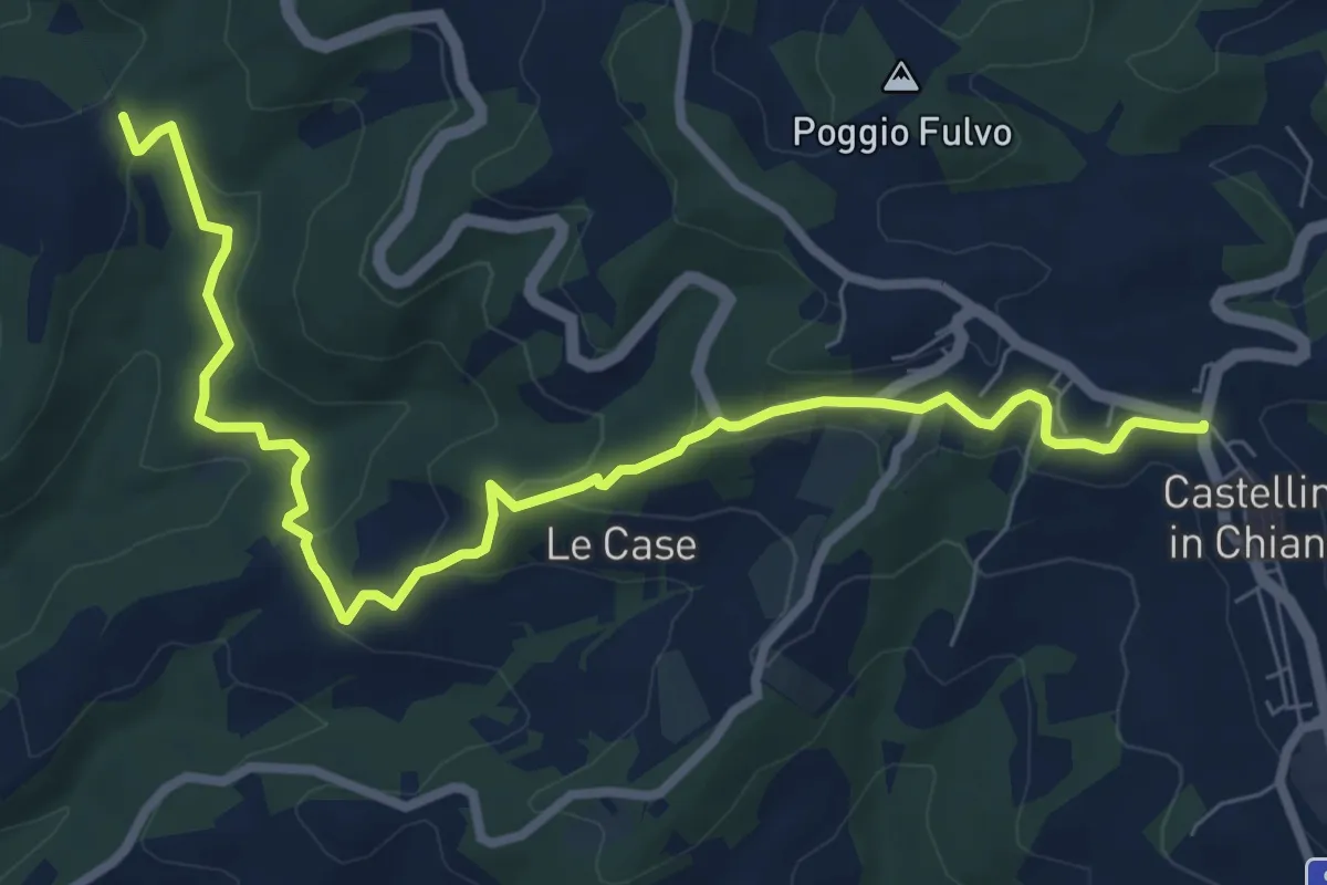
Medium · Trail
Cispiano – Castellina in Chianti
9.7 km · ↑ 332 m · 3 h 1 min
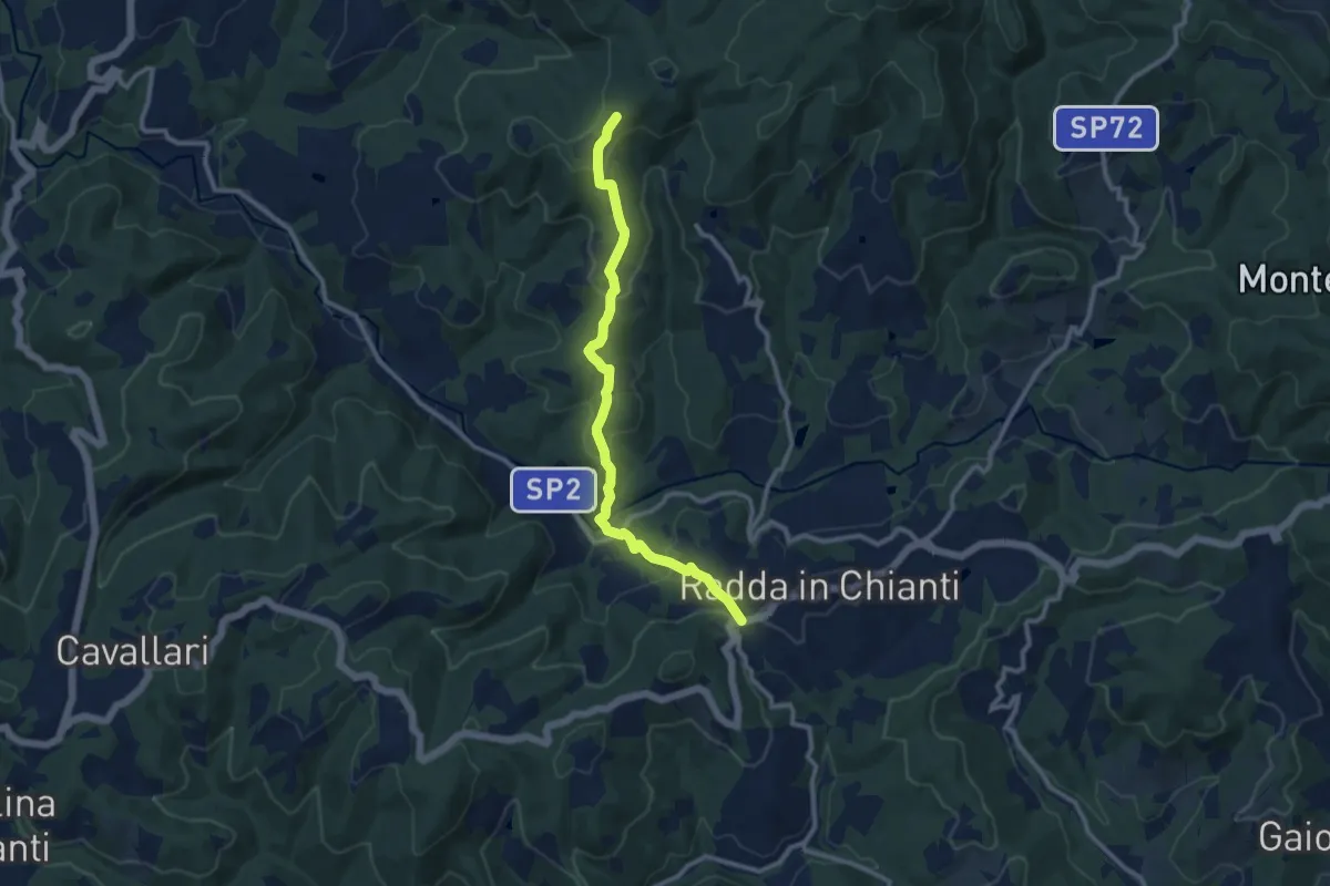
Medium · Trail
La Croce – Sentiero 322
10.9 km · ↑ 456 m · 3 h 33 min
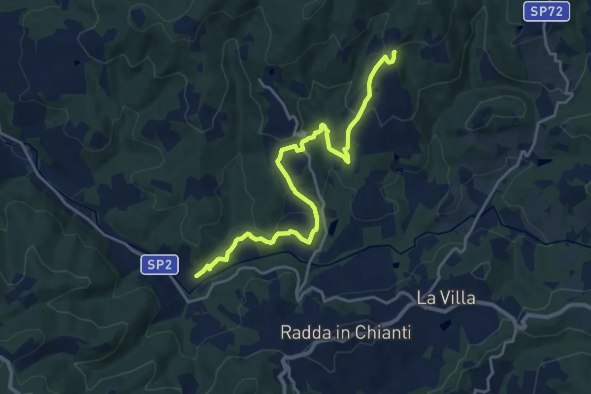
Medium · Trail
Mulino di San Casciano – Volpaia
12.2 km · ↑ 493 m · 3 h 57 min
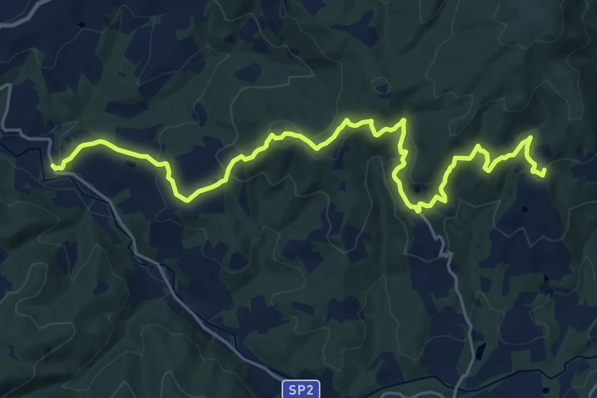
Demanding · Trail
Volpaia – Lucarelli
19.3 km · ↑ 858 m · 6 h 25 min
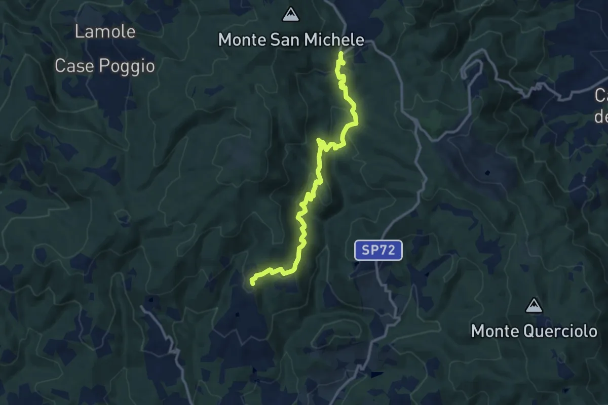
Medium · Trail
Volpaia – Badia a Montemuro
11.2 km · ↑ 529 m · 3 h 47 min
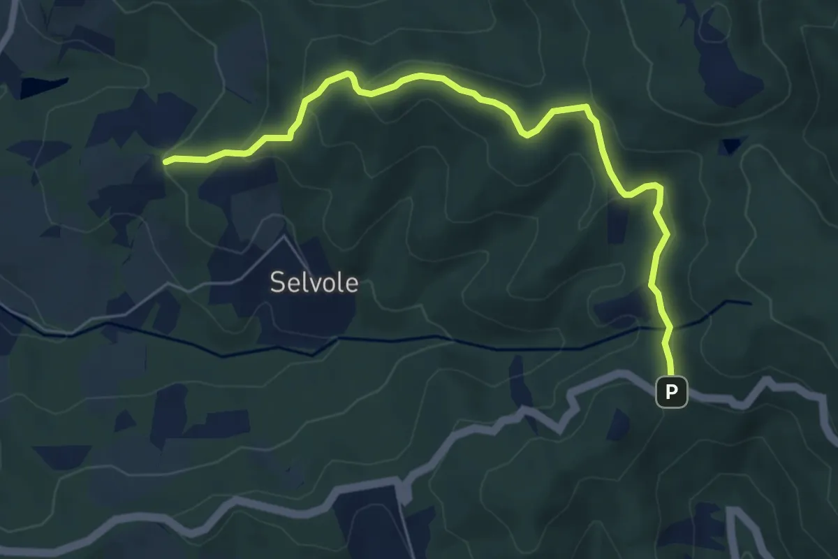
Easy · Trail
Pescinale – Sentiero 308
6.8 km · ↑ 285 m · 2 h 13 min
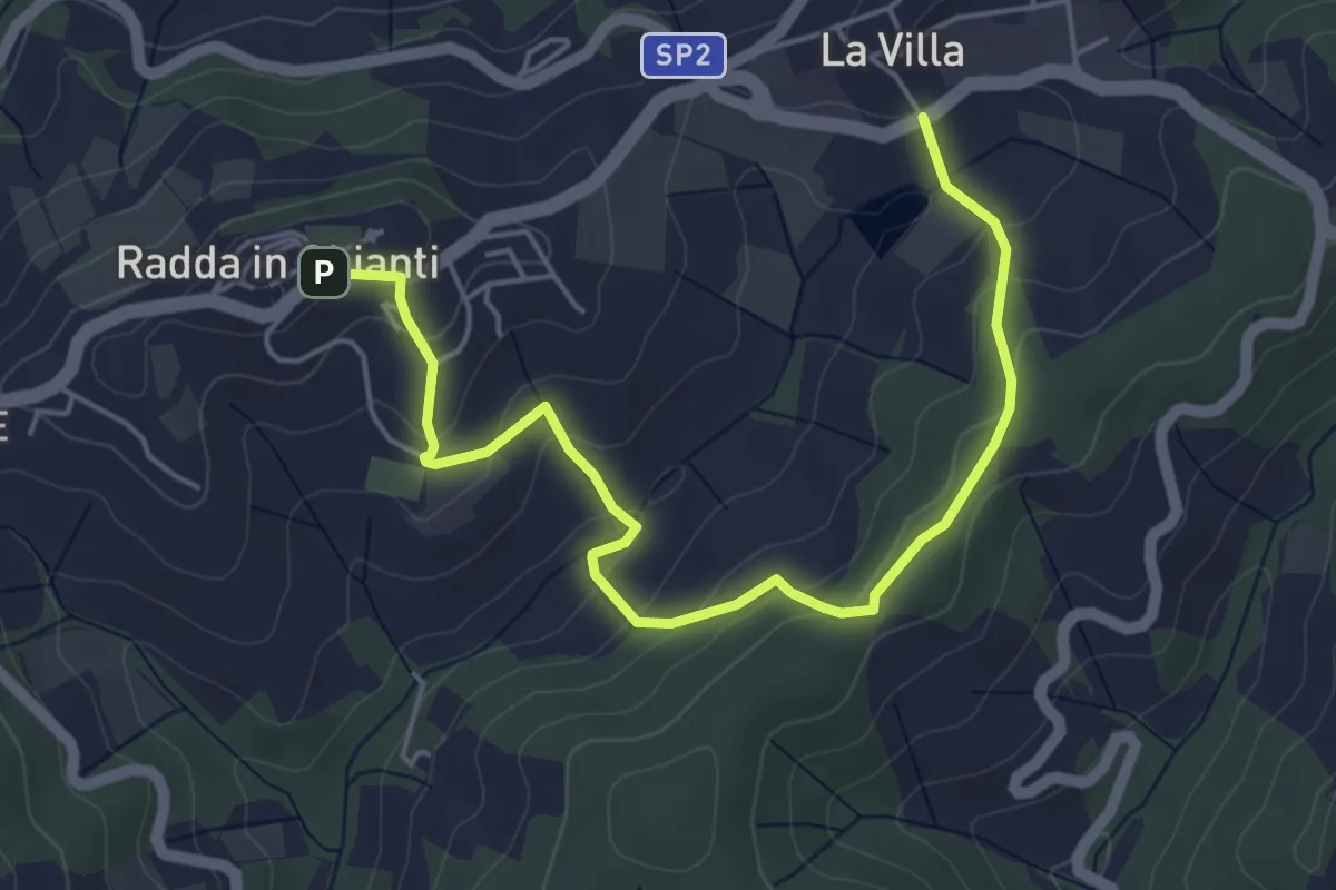
Easy · Trail
Radda in Chianti – La Villa
5.9 km · ↑ 260 m · 1 h 58 min
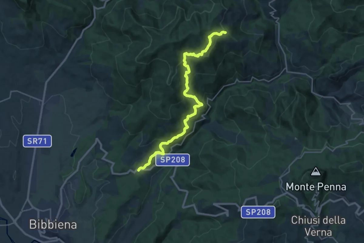
Demanding · Trail
Sentiero 070 presso Frassineta – SP 208 presso Caselle
18.4 km · ↑ 912 m · 6 h 20 min
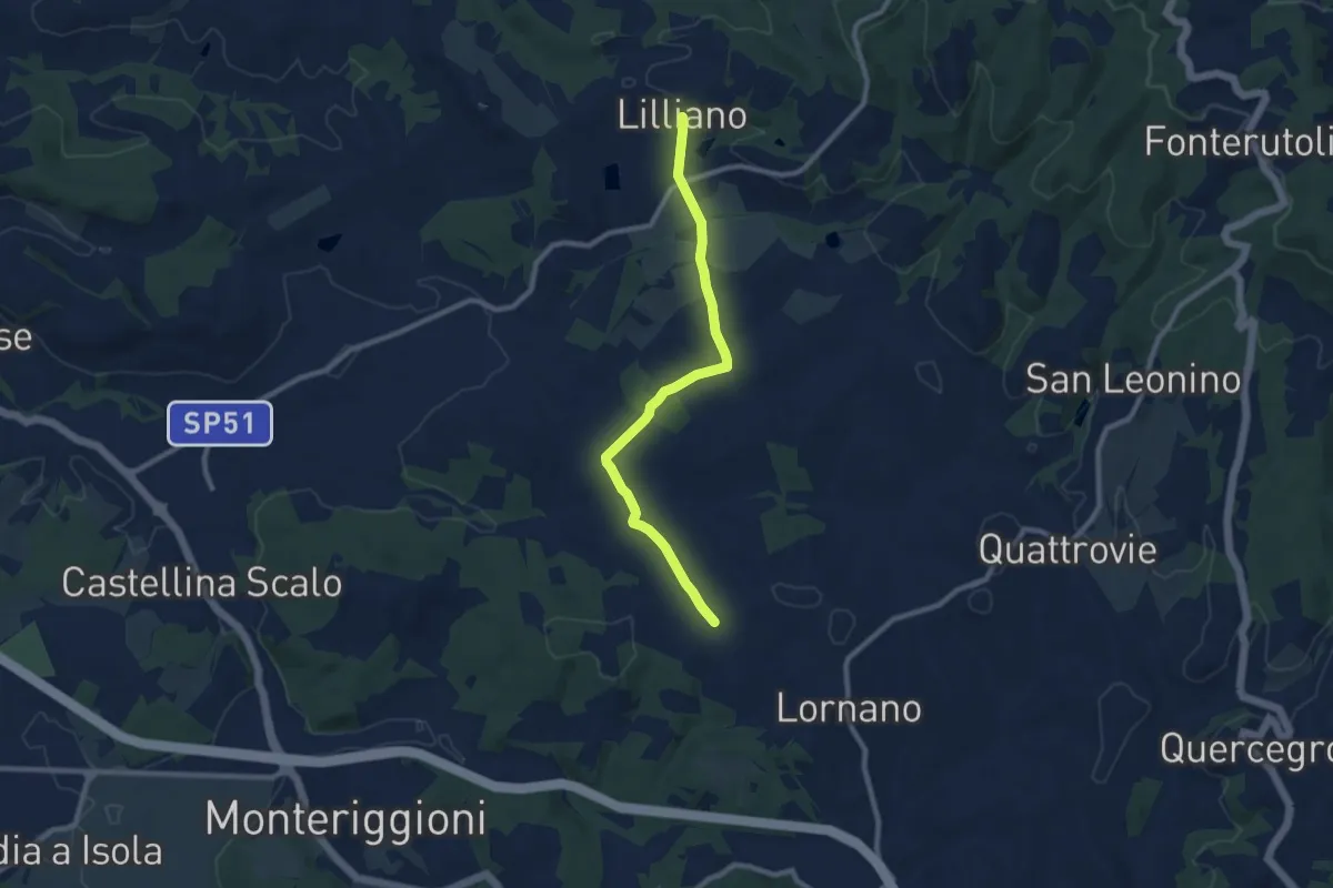
Medium · Trail
Torrente Gena – Lilliano
9.3 km · ↑ 219 m · 2 h 40 min
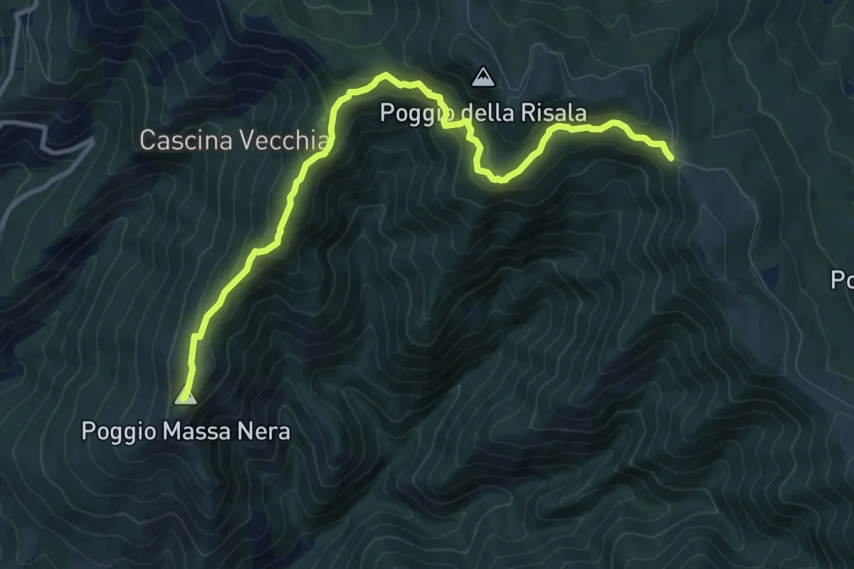
Medium · Summit
Reggello – Croce di Cardeto
10.7 km · ↑ 677 m · 4 h
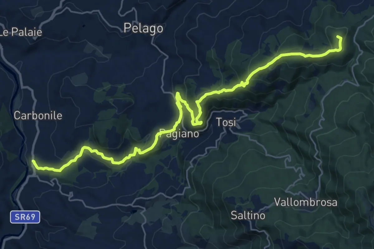
Demanding · Summit
Sant'Ellero – Consuma
25.0 km · ↑ 1091 m · 8 h 16 min