Trails in Italy
25,219 hiking trails, each with its route, climb, walking time and grade.
All trails, page 295 of 526
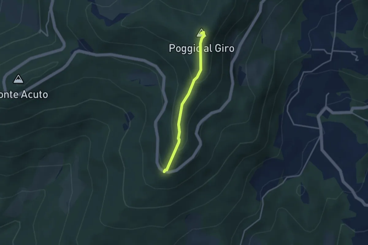
Easy · Summit
Piazzale L. da Vinci – Poggio al Giro
2.4 km · ↑ 164 m · 56 min
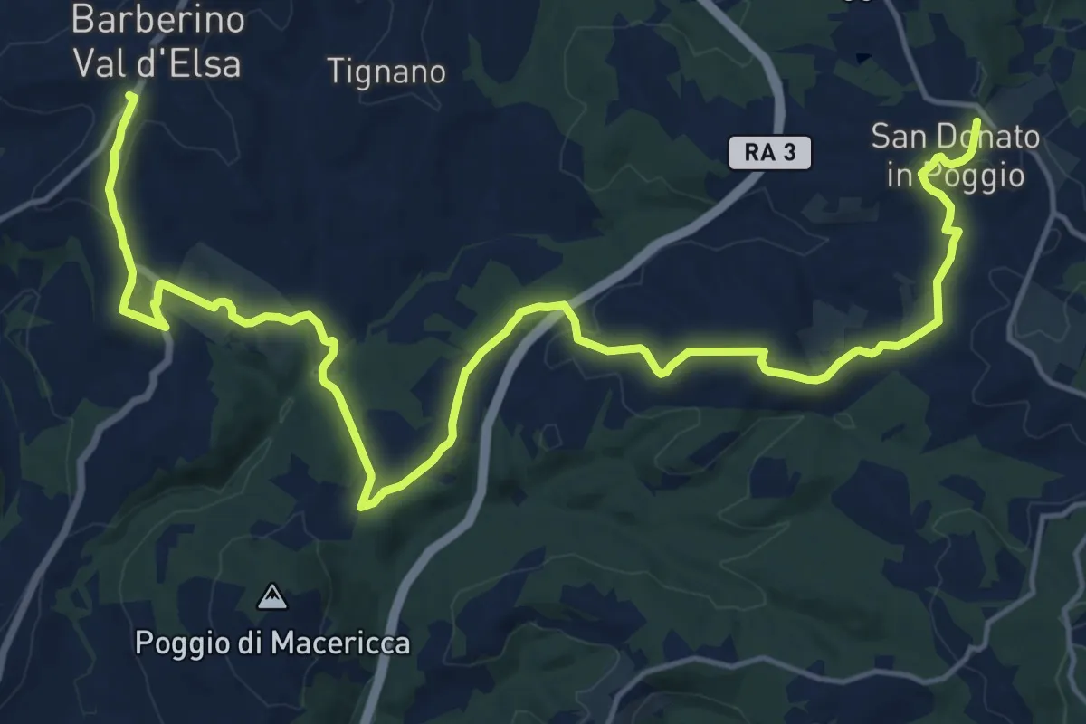
Medium · Trail
San Donato in Poggio – Barberino Val d'Elsa
11.2 km · ↑ 254 m · 3 h 23 min
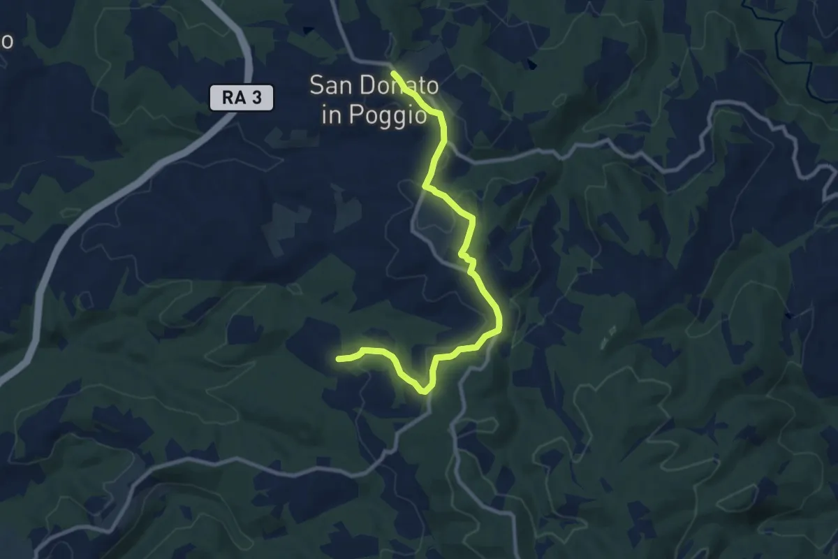
Medium · Trail
San Donato – Olena
9.7 km · ↑ 171 m · 2 h 40 min
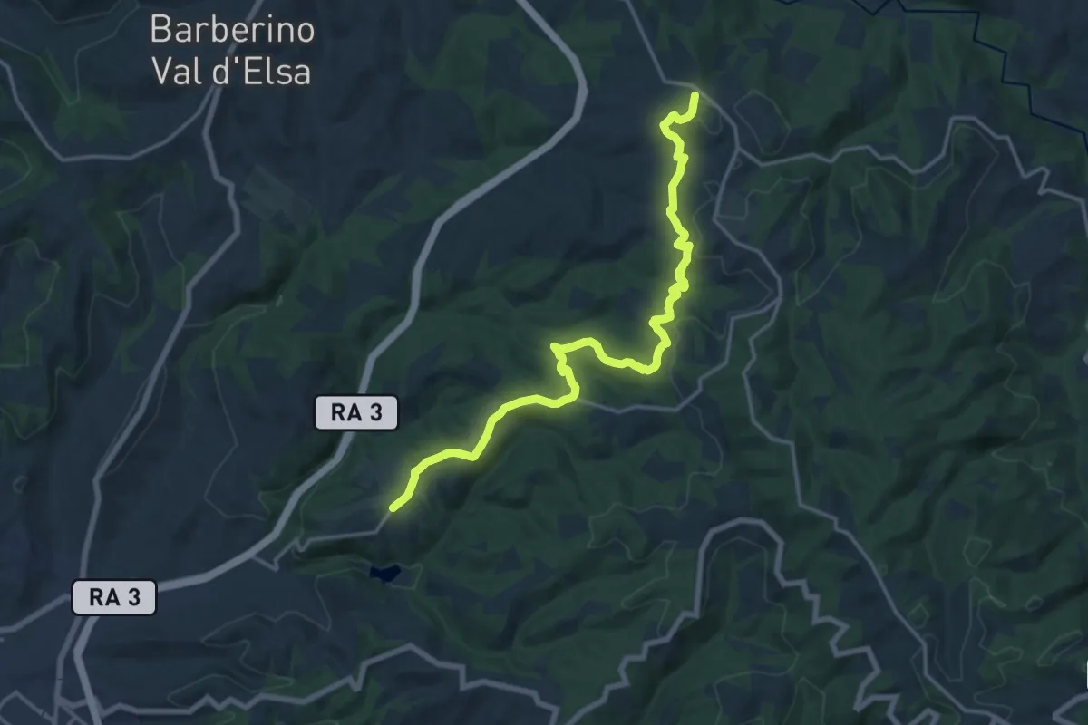
Demanding · Trail
San Donato in Poggio – Monsanto
18.1 km · ↑ 510 m · 5 h 23 min
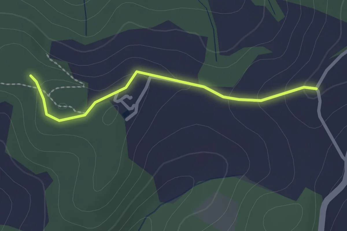
Easy · Trail
Serelle – Sante Dame
2.0 km · ↑ 67 m · 37 min
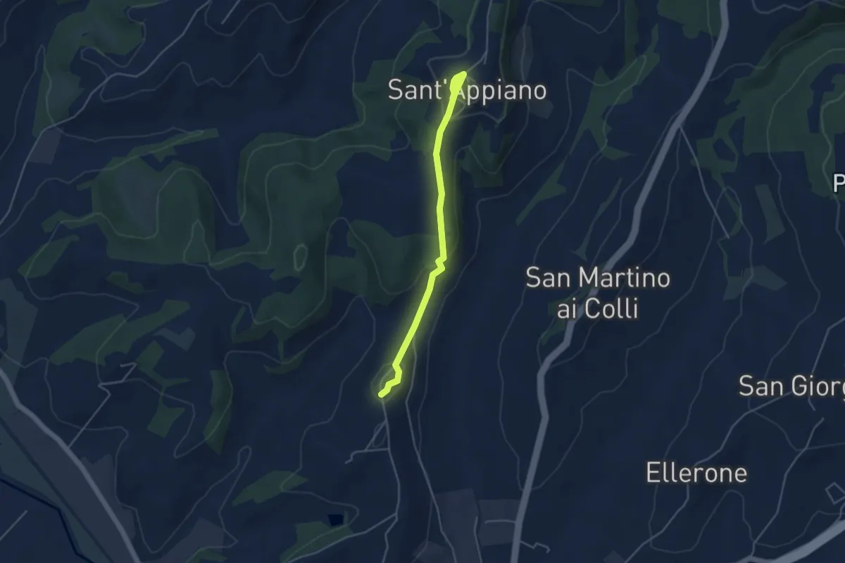
Easy · Trail
Sant'Appiano – Linari
4.3 km · ↑ 144 m · 1 h 19 min
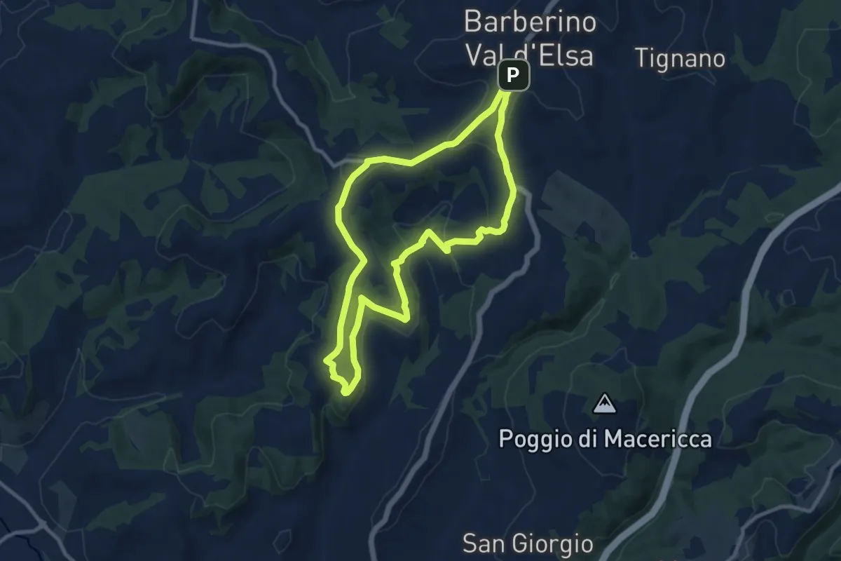
Medium · Summit
Barberino VE – Sant'Appiano
9.5 km · ↑ 249 m · 2 h 55 min
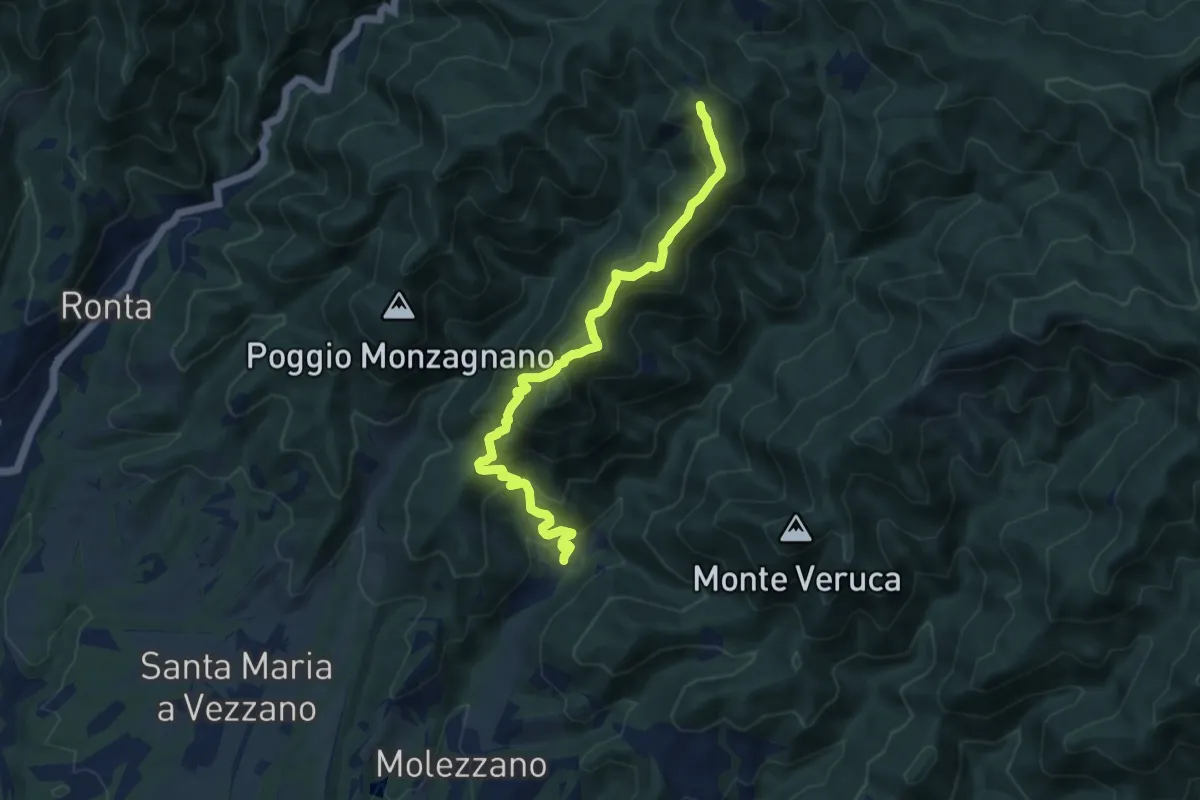
Medium · Summit
Gattaia – Colla di Casaglia
10.3 km · ↑ 737 m · 4 h 2 min
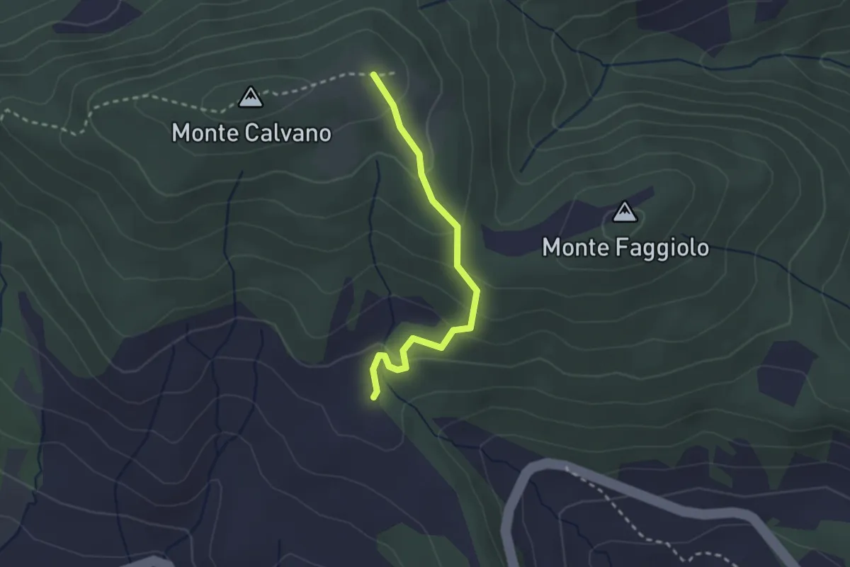
Easy · Trail
innesto sentiero 061 – innesto sentiero 50
2.4 km · ↑ 144 m · 53 min
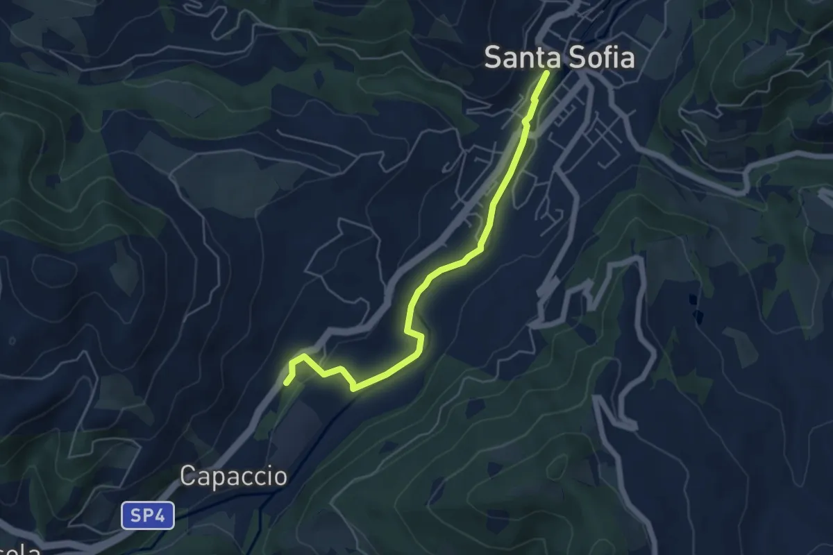
Easy · Trail
Santa Sofia – Parcheggio Capaccio
5.3 km · ↑ 84 m · 1 h 26 min
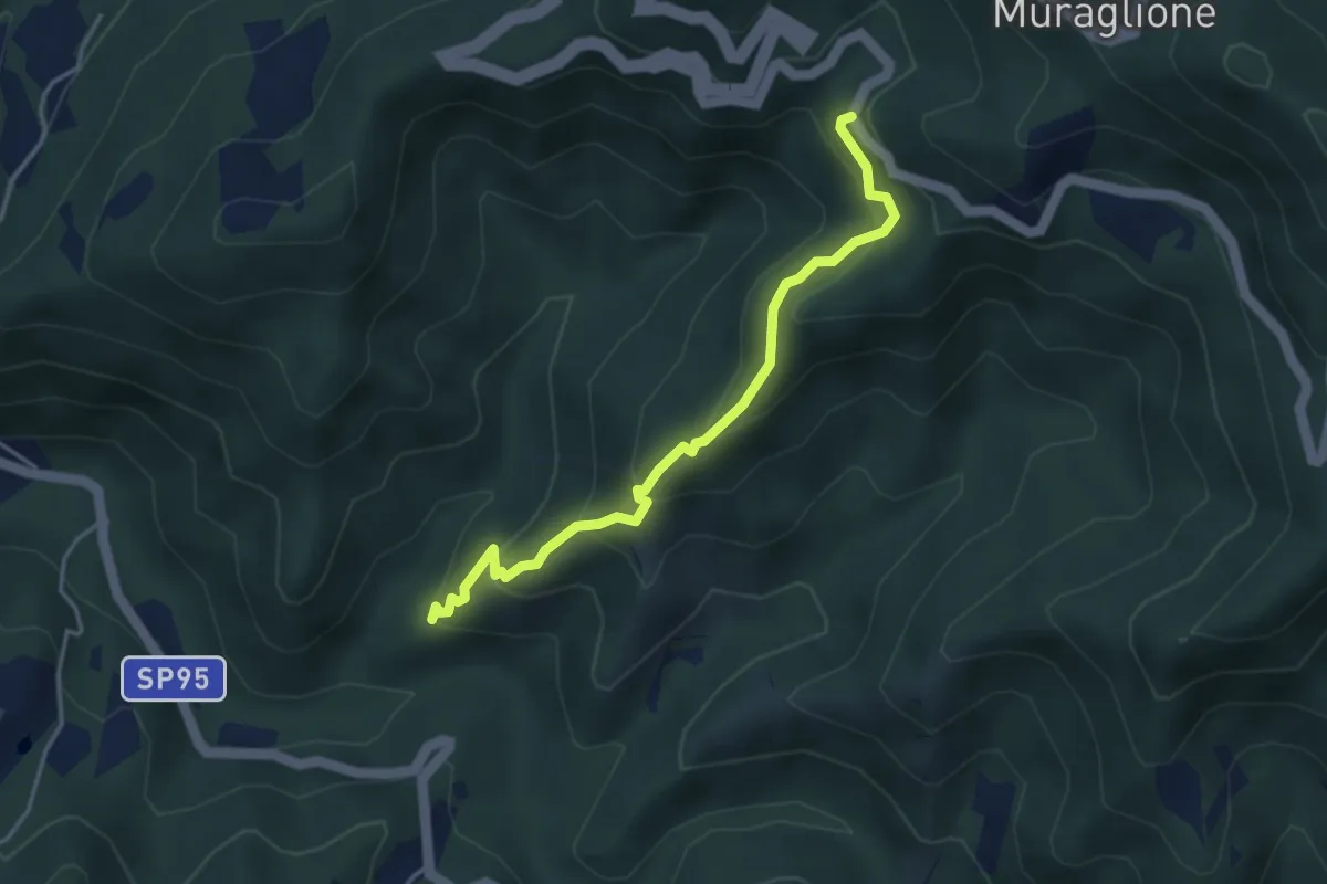
Easy · Trail
SS67 – Case Cerreta
4.0 km · ↑ 319 m · 1 h 39 min
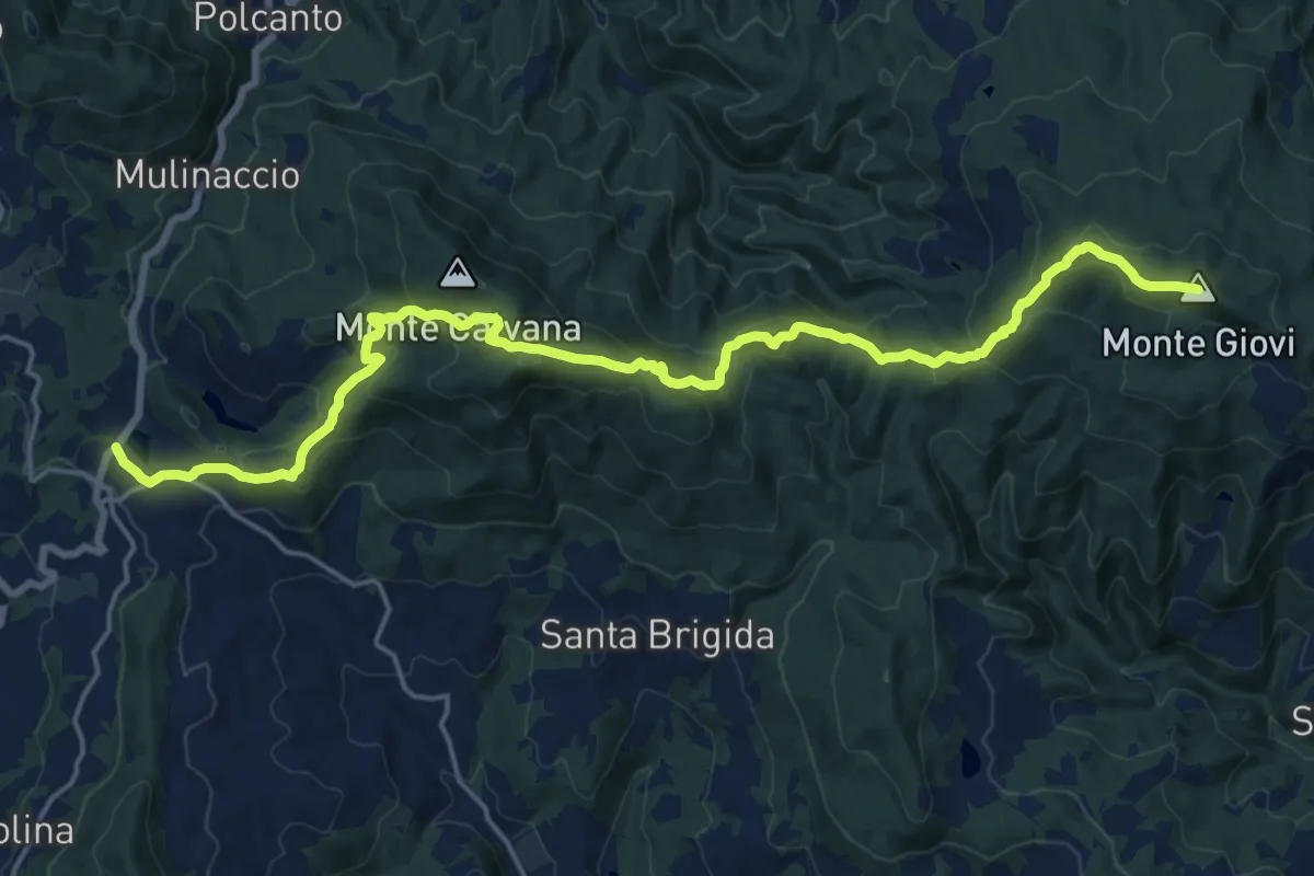
Demanding · Summit
Vetta le Croci – Scopeti
22.8 km · ↑ 1065 m · 7 h 41 min
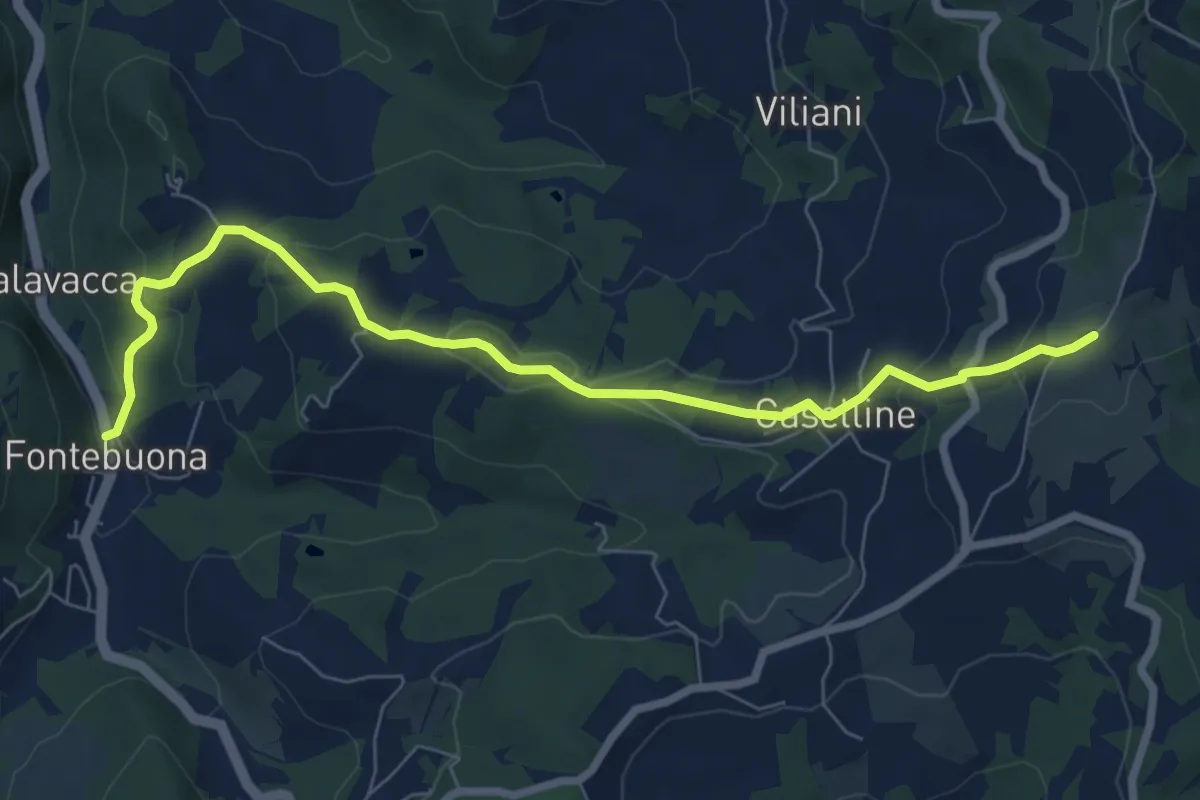
Medium · Trail
Percorso 5 – Caselline
8.2 km · ↑ 279 m · 2 h 33 min
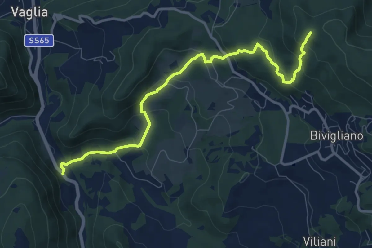
Medium · Trail
Via Faentina – 300M
8.8 km · ↑ 428 m · 3 h
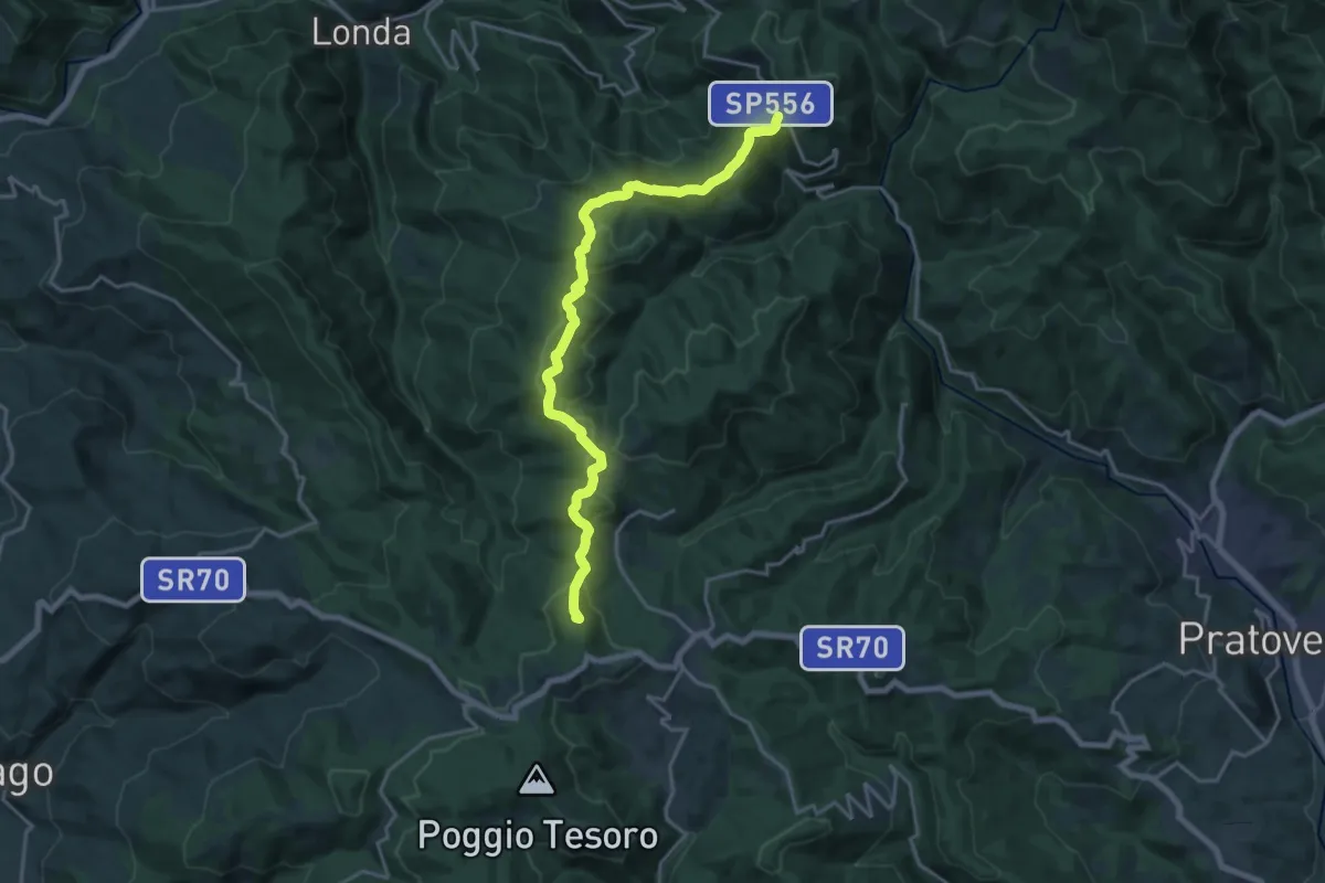
Demanding · Summit
Passo della Consuma – Croce a Mori
20.2 km · ↑ 568 m · 6 h
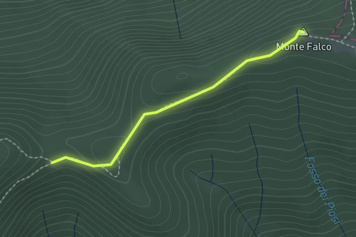
Medium · Summit
Monte Falterona – Monte Falco
1.8 km · ↑ 38 m · 30 min
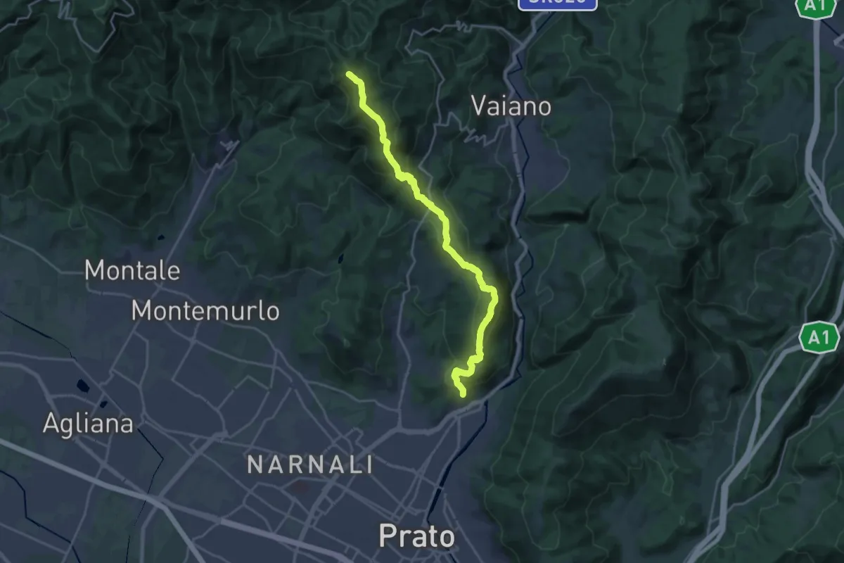
Demanding · Summit
sentiero Malaparte – Passo degli Acquiputoli
20.7 km · ↑ 1059 m · 7 h 11 min
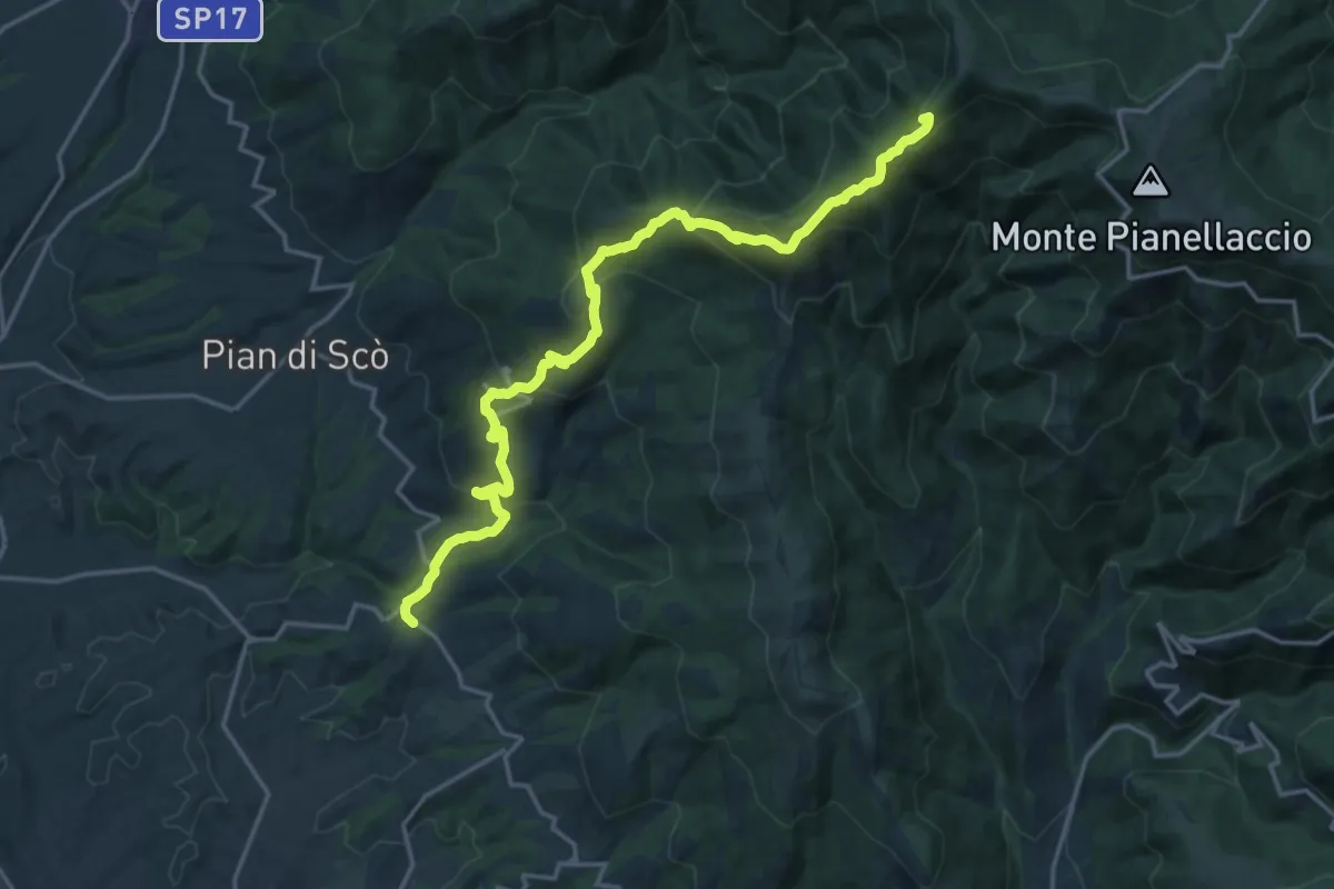
Demanding · Summit
Castelfranco di Sopra – varco alla Vetrice
20.1 km · ↑ 1193 m · 7 h 19 min
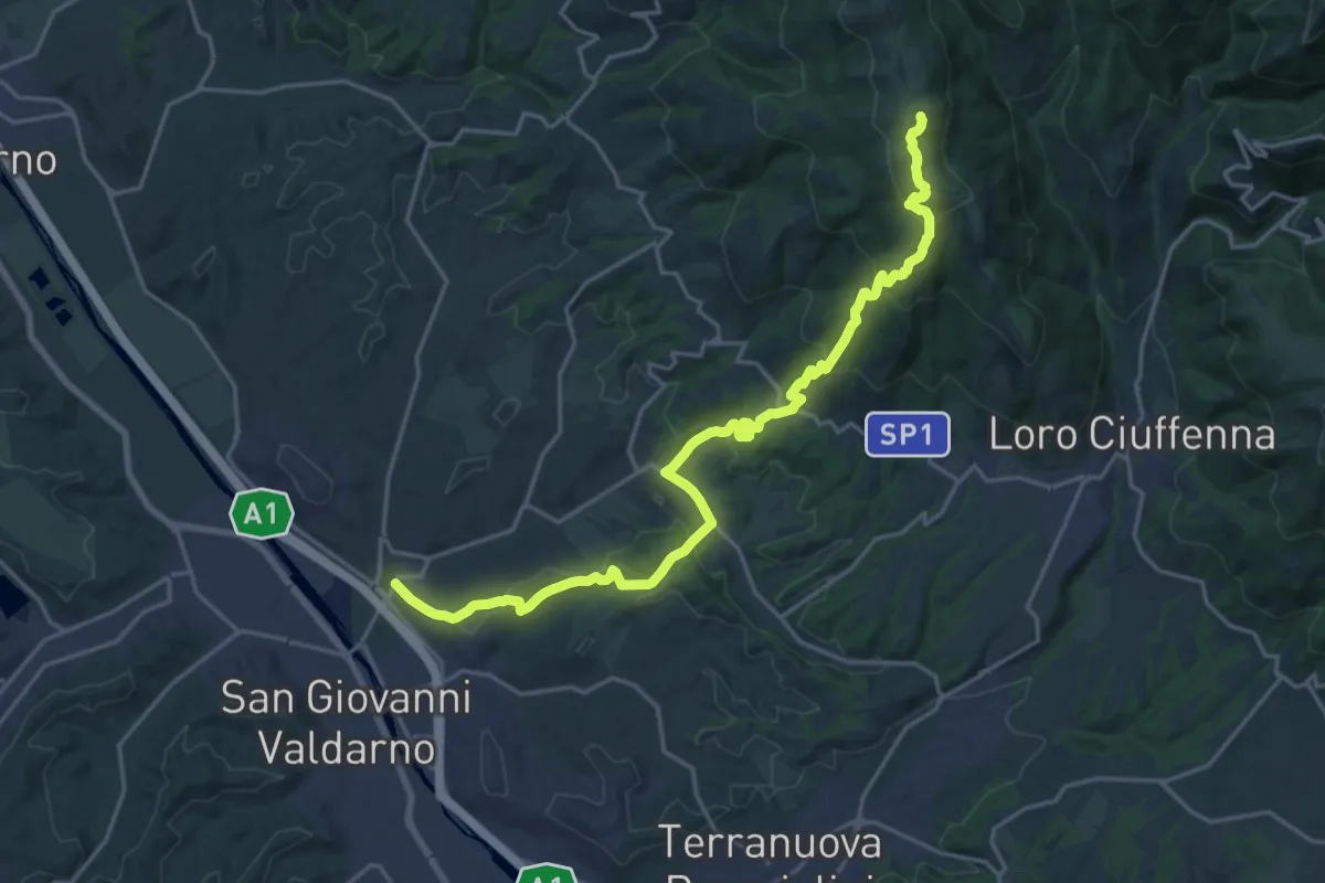
Demanding · Summit
S. Giovanni Valdarno – Poggio Montrago
23.1 km · ↑ 1025 m · 7 h 40 min
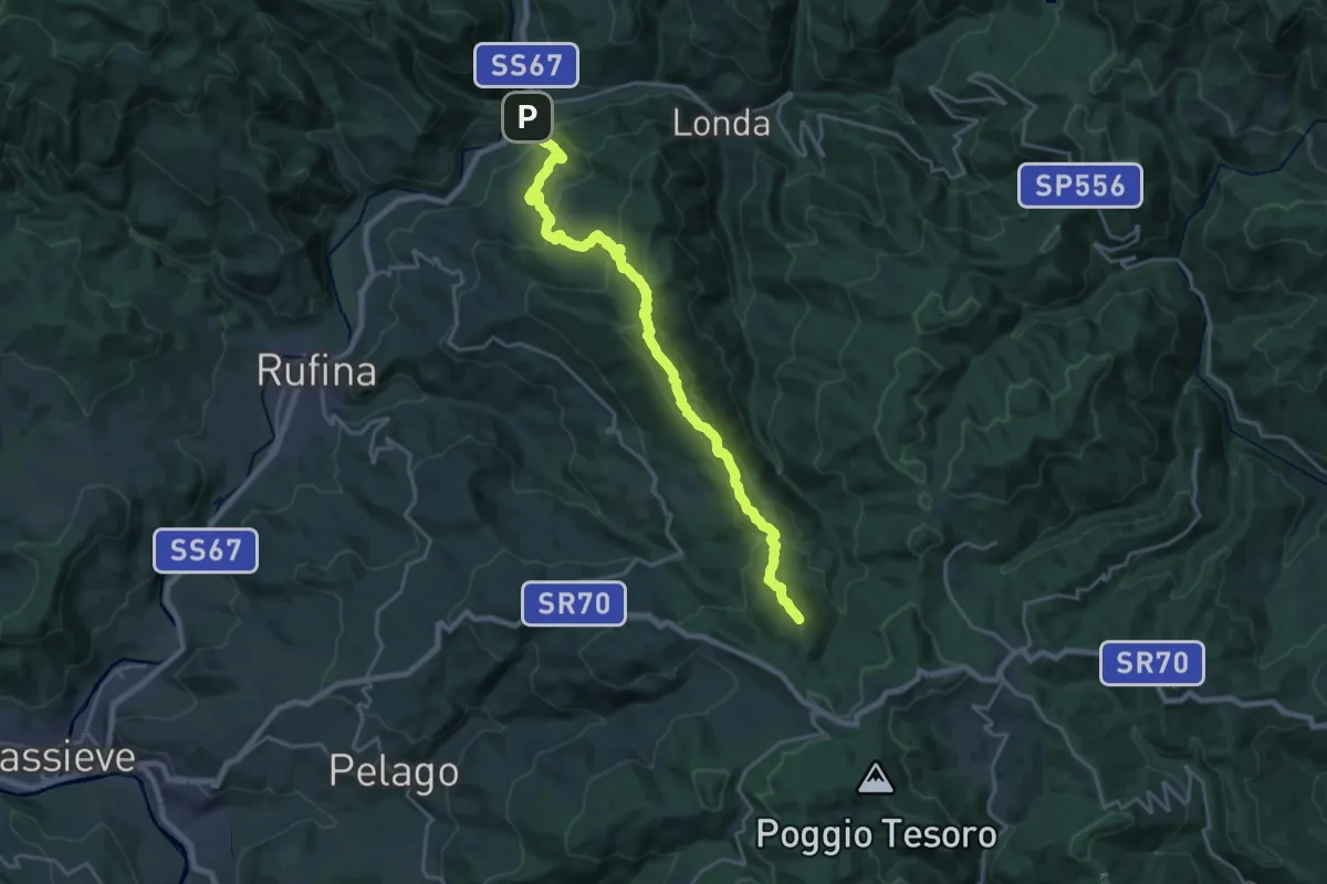
Demanding · Summit
Contea – Consuma
22.4 km · ↑ 1140 m · 7 h 45 min
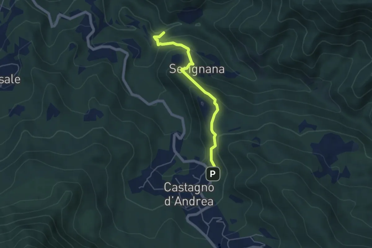
Easy · Trail
Cimitero Castagno d'Andrea – Il Casone
4.3 km · ↑ 262 m · 1 h 34 min
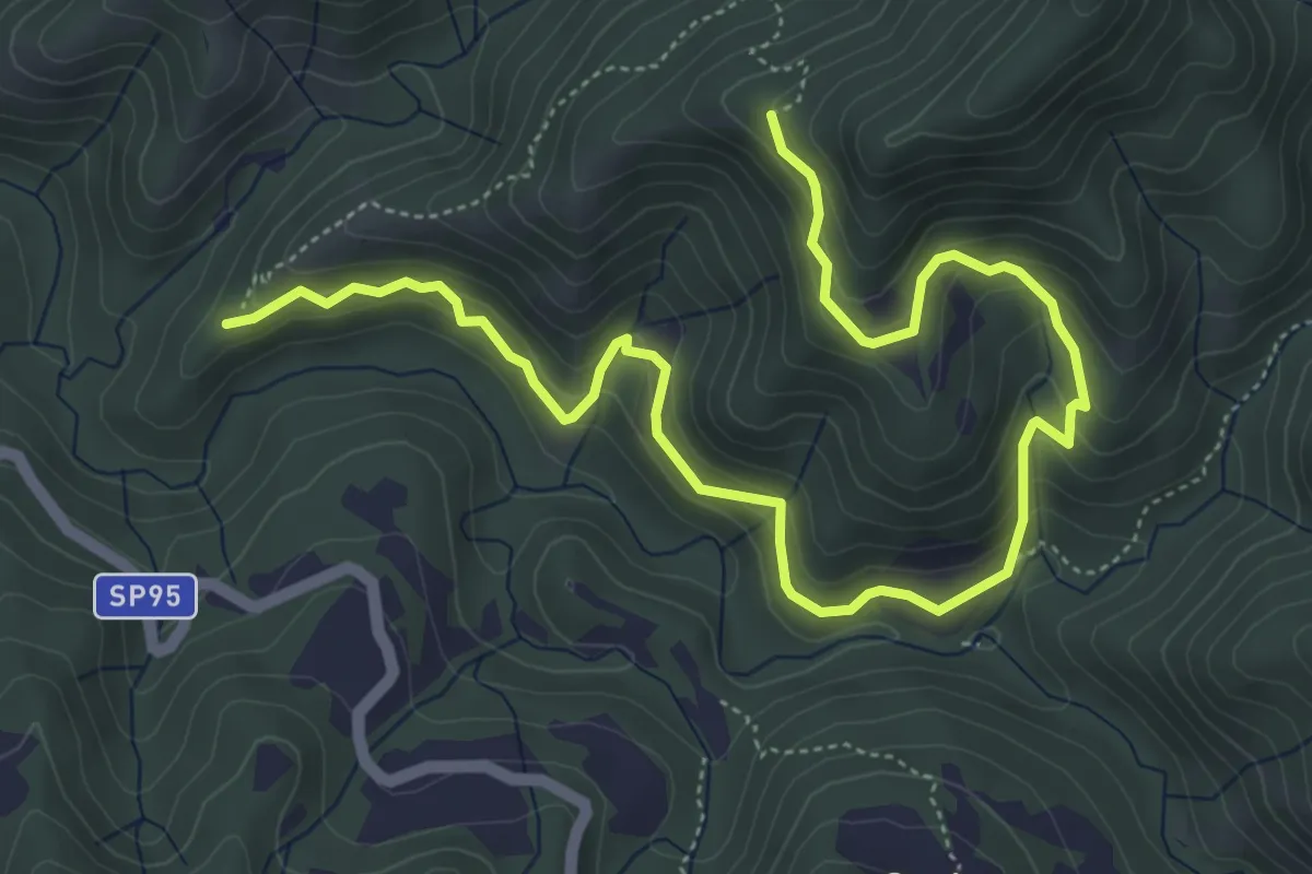
Medium · Trail
Casa Monte Onda – Le Balze
7.2 km · ↑ 430 m · 2 h 38 min
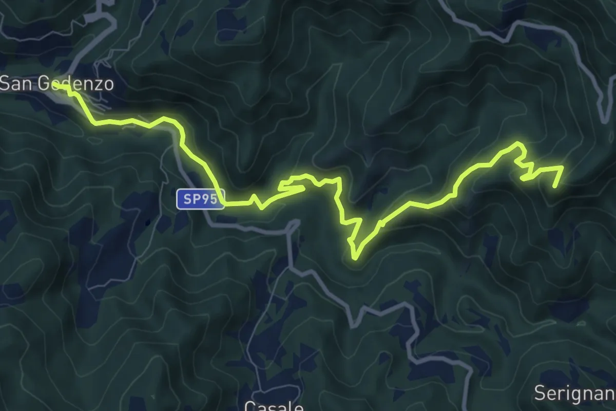
Medium · Summit
San Godenzo – Passo del Muraglione
11.3 km · ↑ 646 m · 4 h 4 min
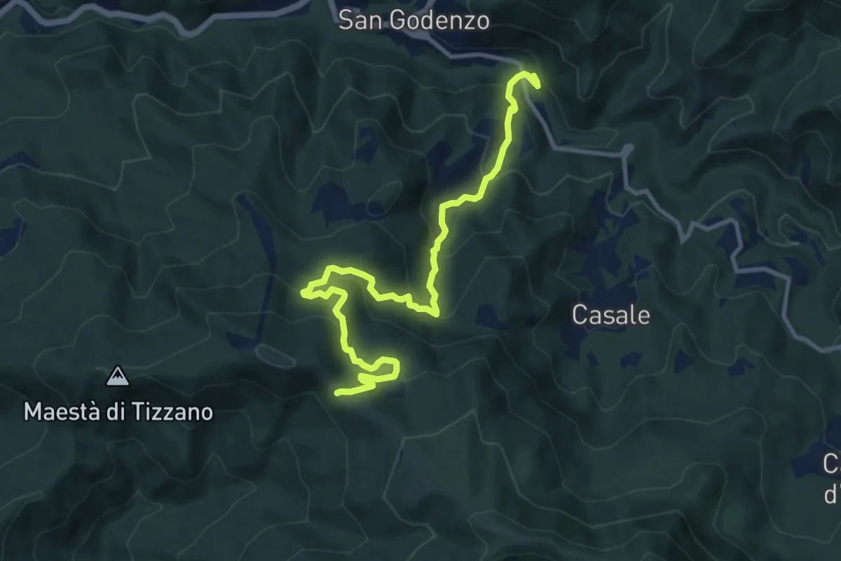
Medium · Trail
Molino Valitoli - SP 95 Km 0.880 – Colla del Pretagnolo
11.1 km · ↑ 726 m · 4 h 11 min
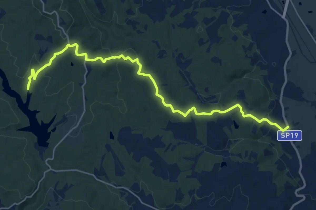
Medium · Trail
SP 19 Procacci al km 21 – bacino artificiale Foenna
17.8 km · ↑ 406 m · 5 h 4 min
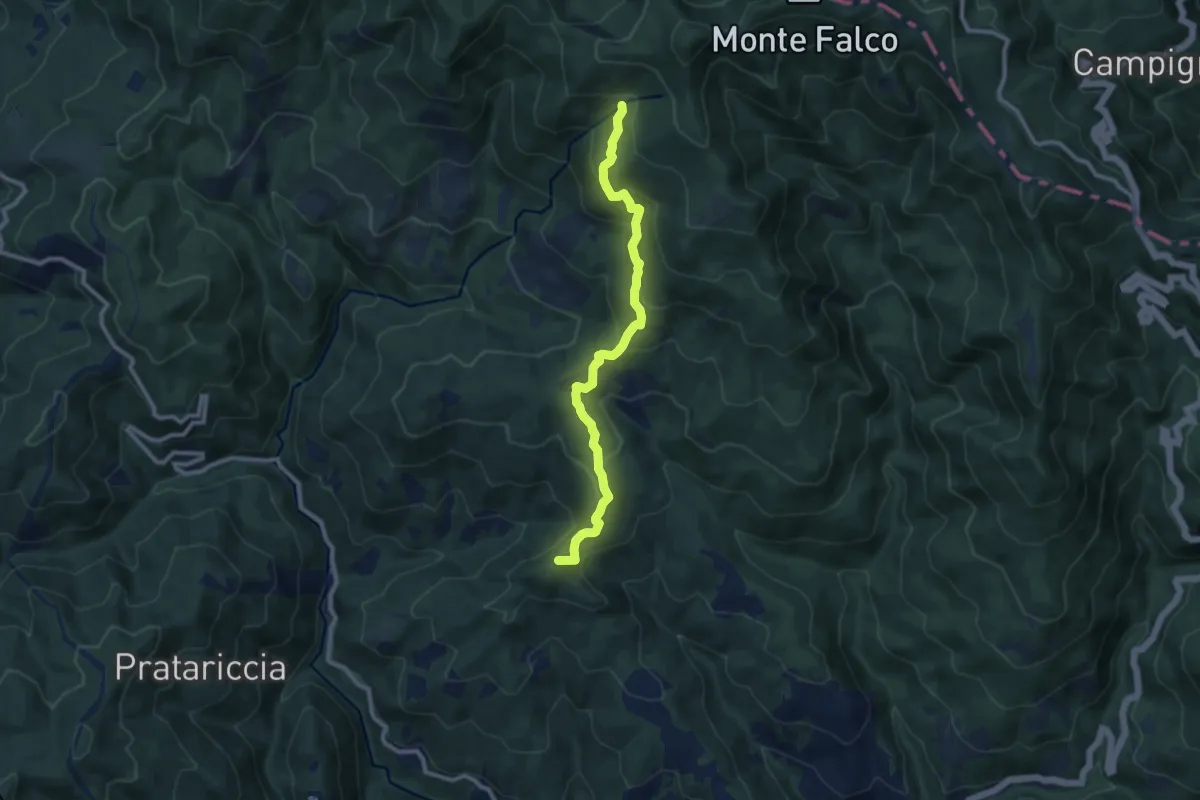
Medium · Summit
Stia – Capo d'Arno
10.1 km · ↑ 513 m · 3 h 29 min
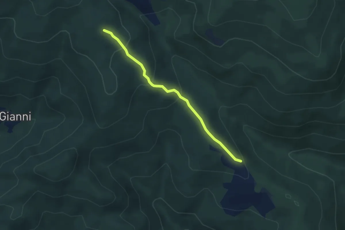
Easy · Trail
Montalto – Bocca Pecorina
3.4 km · ↑ 173 m · 1 h 10 min
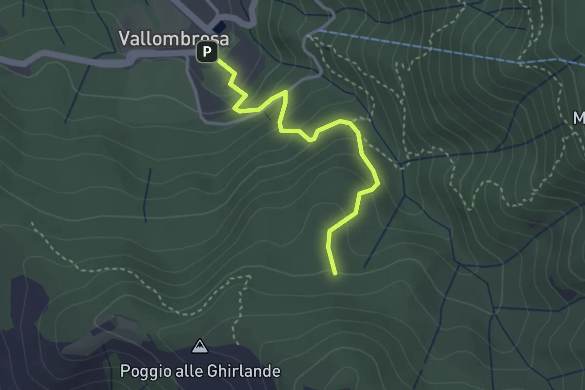
Easy · Trail
Vallombrosa – Secchieta
2.9 km · ↑ 237 m · 1 h 12 min
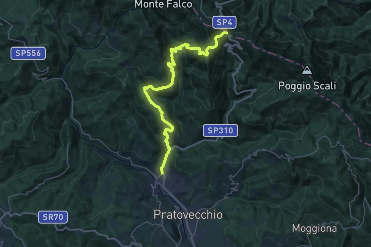
Demanding · Cabin
Stia – Passo della Calla
13.2 km · ↑ 1163 m · 5 h 24 min
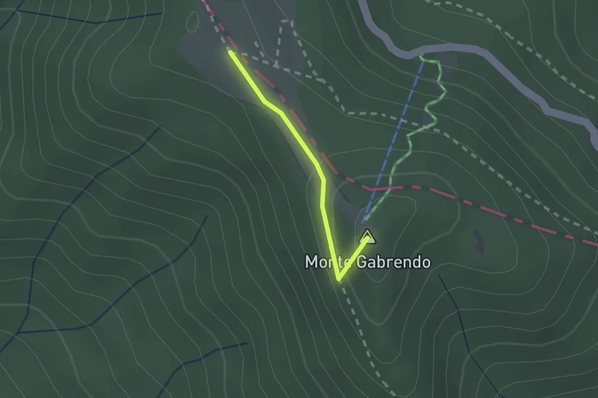
Easy · Summit
Ponte Biforco – Prati della Burraia
1.4 km · ↑ 53 m · 27 min
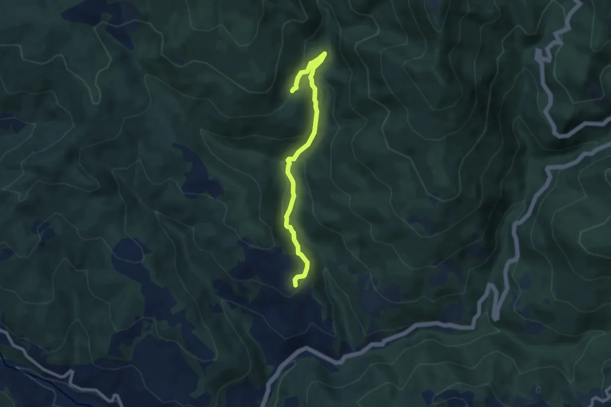
Medium · Trail
Papiano – sent. 82 Casa Vezzatosa
7.0 km · ↑ 342 m · 2 h 24 min
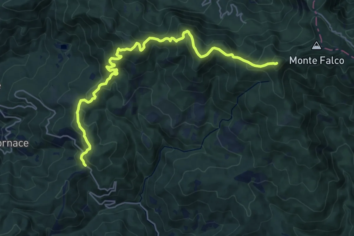
Demanding · Summit
Croce a Mori – Monte Fanterona
20.5 km · ↑ 1222 m · 7 h 30 min
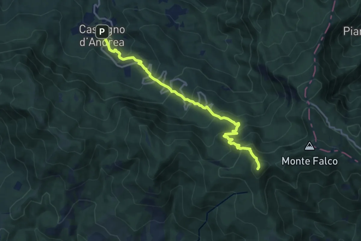
Demanding · Summit
Castagno d'Andrea – Monte Falterona
11.1 km · ↑ 917 m · 4 h 37 min
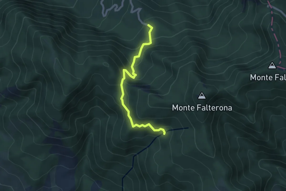
Medium · Cabin
Fonte del Borbotto – Sorgente dell'Arno
5.3 km · ↑ 345 m · 1 h 59 min
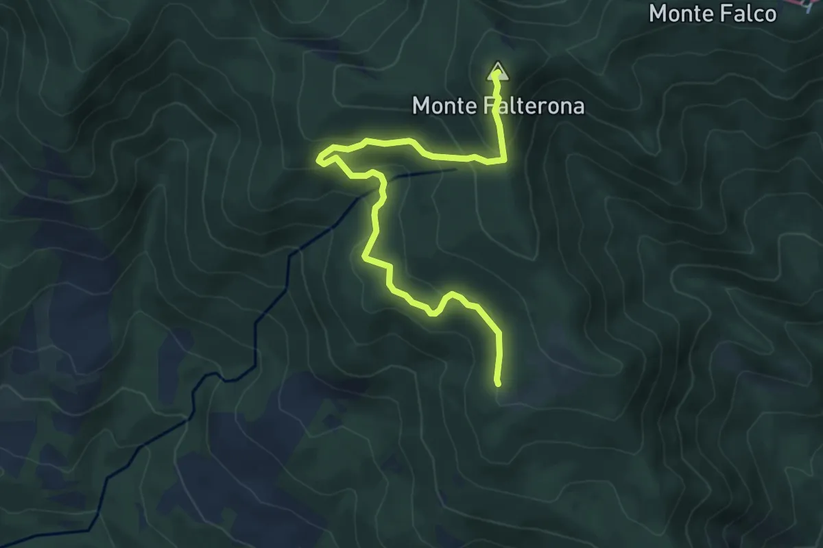
Medium · Summit
Montelleri – Monte Falterona
6.6 km · ↑ 401 m · 2 h 25 min
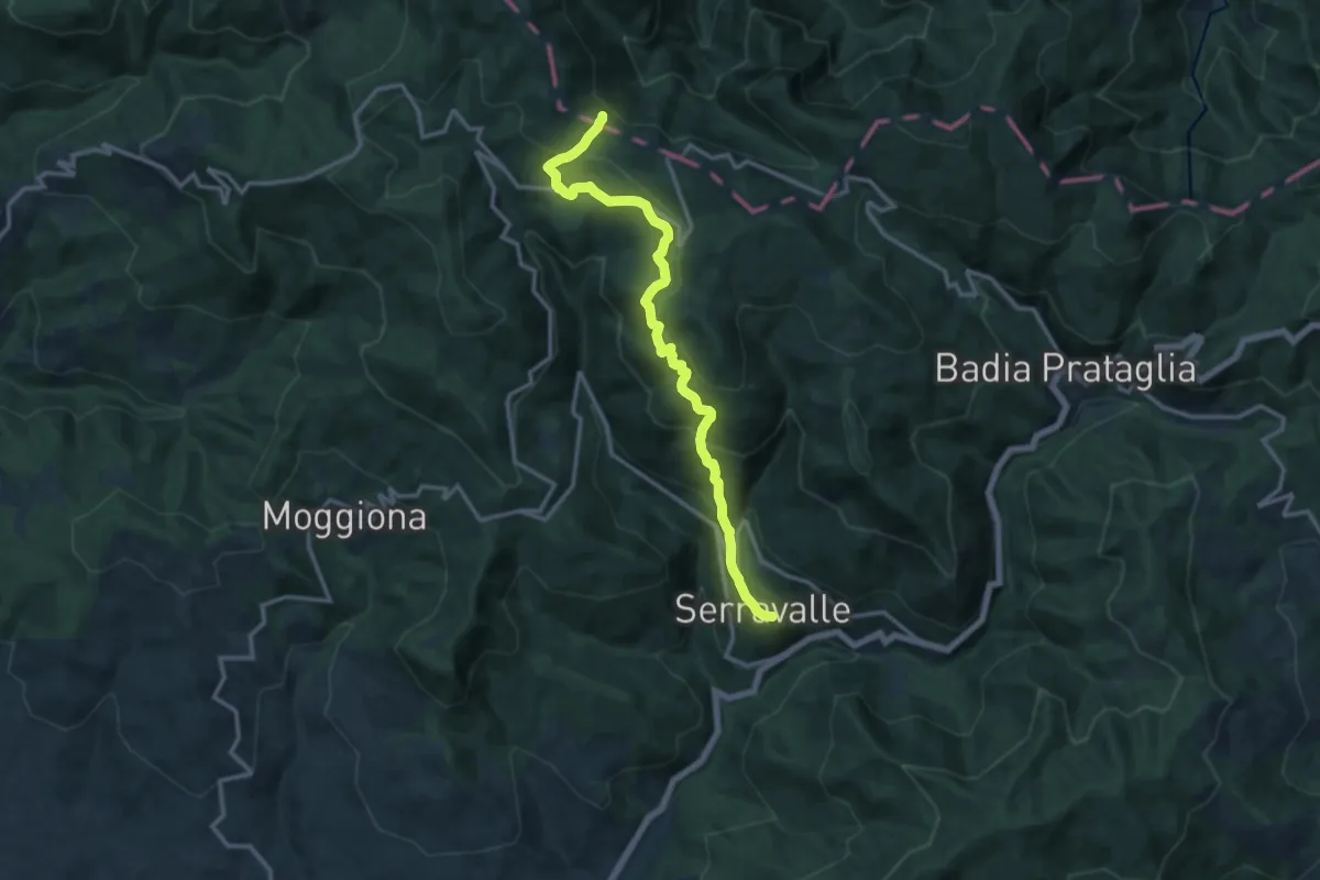
Demanding · Trail
Serravalle – Gioghetto
13.7 km · ↑ 874 m · 5 h 8 min
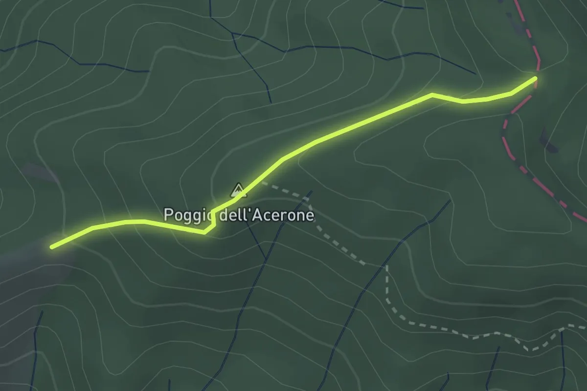
Easy · Trail
Pratovecchio – Passo Porcareccio
2.6 km · ↑ 170 m · 58 min
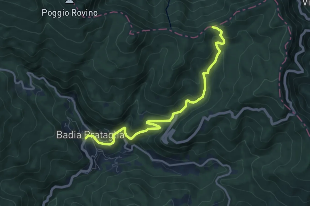
Medium · Trail
Badia Prataglia – Passo dei Lupatti
8.3 km · ↑ 458 m · 2 h 57 min
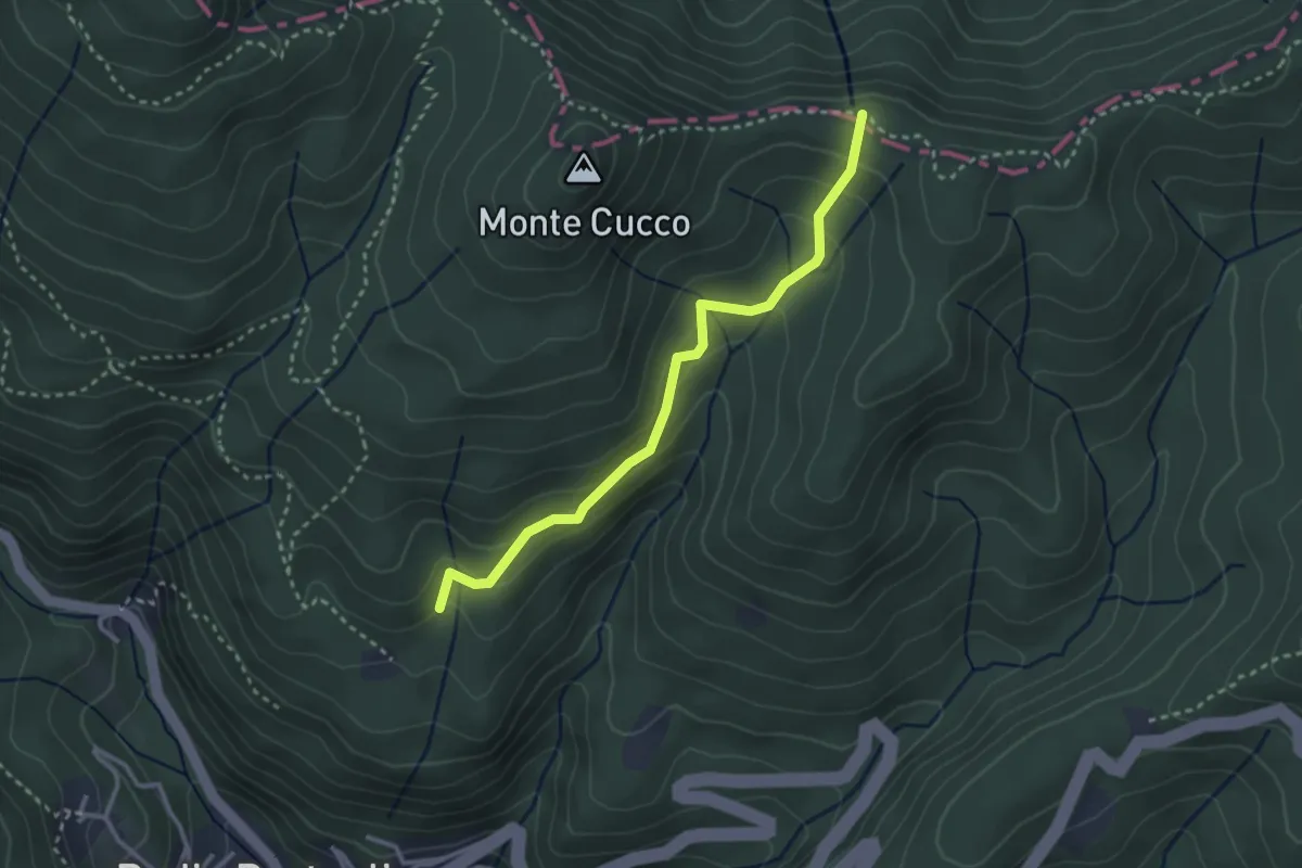
Easy · Trail
Tramignone – Percorso 00
3.1 km · ↑ 188 m · 1 h 8 min
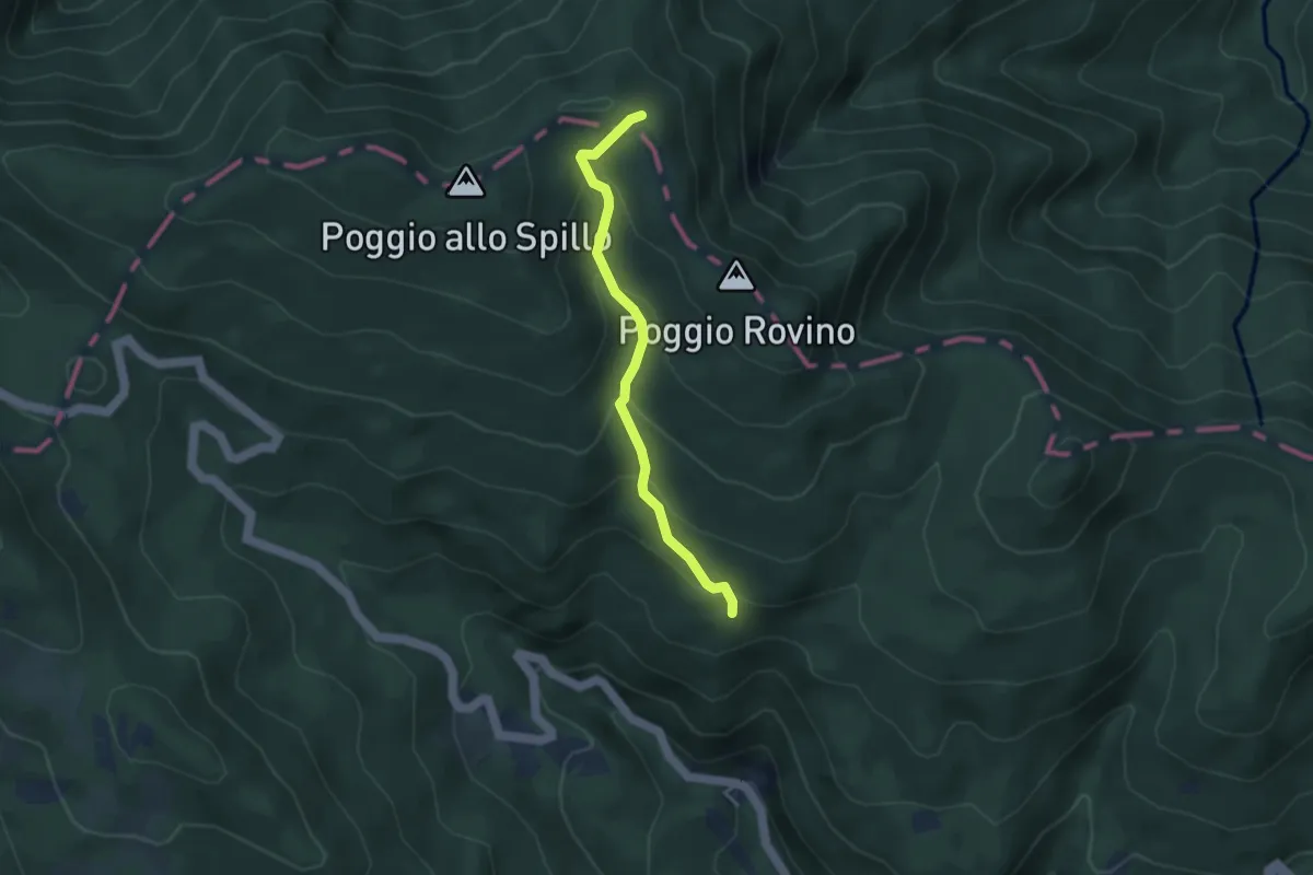
Easy · Trail
Campo dell'Agio – Passo della Crocina
3.5 km · ↑ 272 m · 1 h 25 min
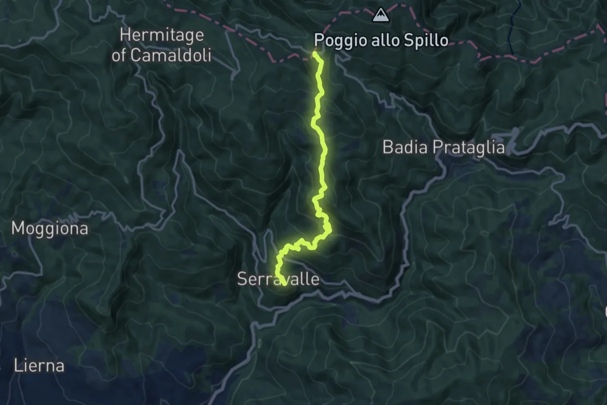
Medium · Cabin
Cerreta – Passo dei Fangacci
11.9 km · ↑ 728 m · 4 h 23 min
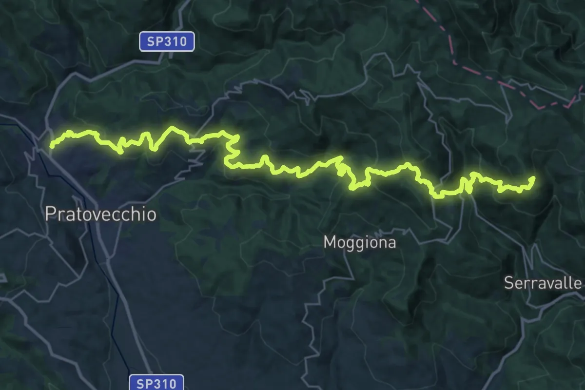
Demanding · Summit
Stia – Badia Prataglia
36.7 km · ↑ 2297 m · 13 h 39 min
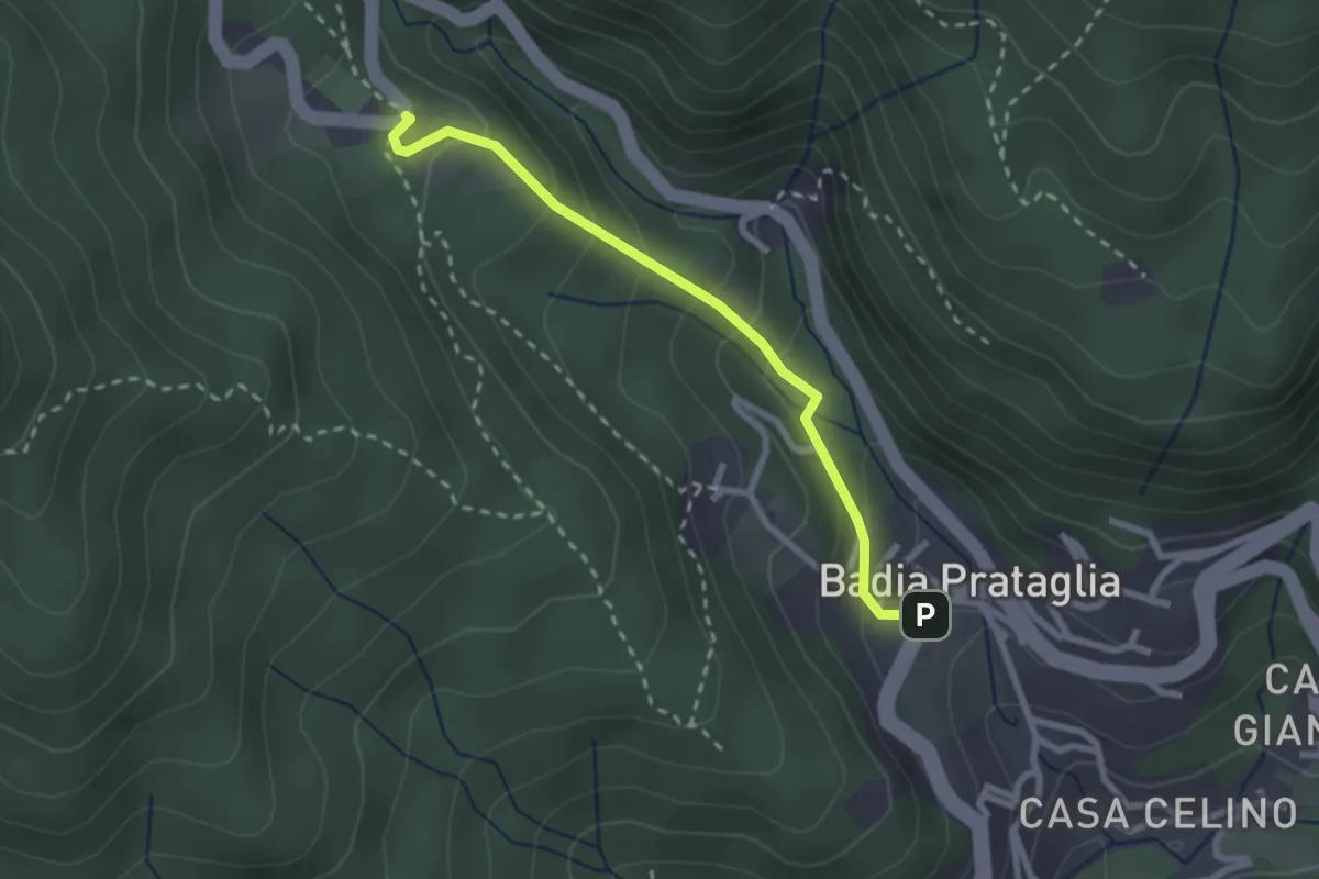
Easy · Trail
Badia Prataglia – Fangacci
2.5 km · ↑ 167 m · 57 min
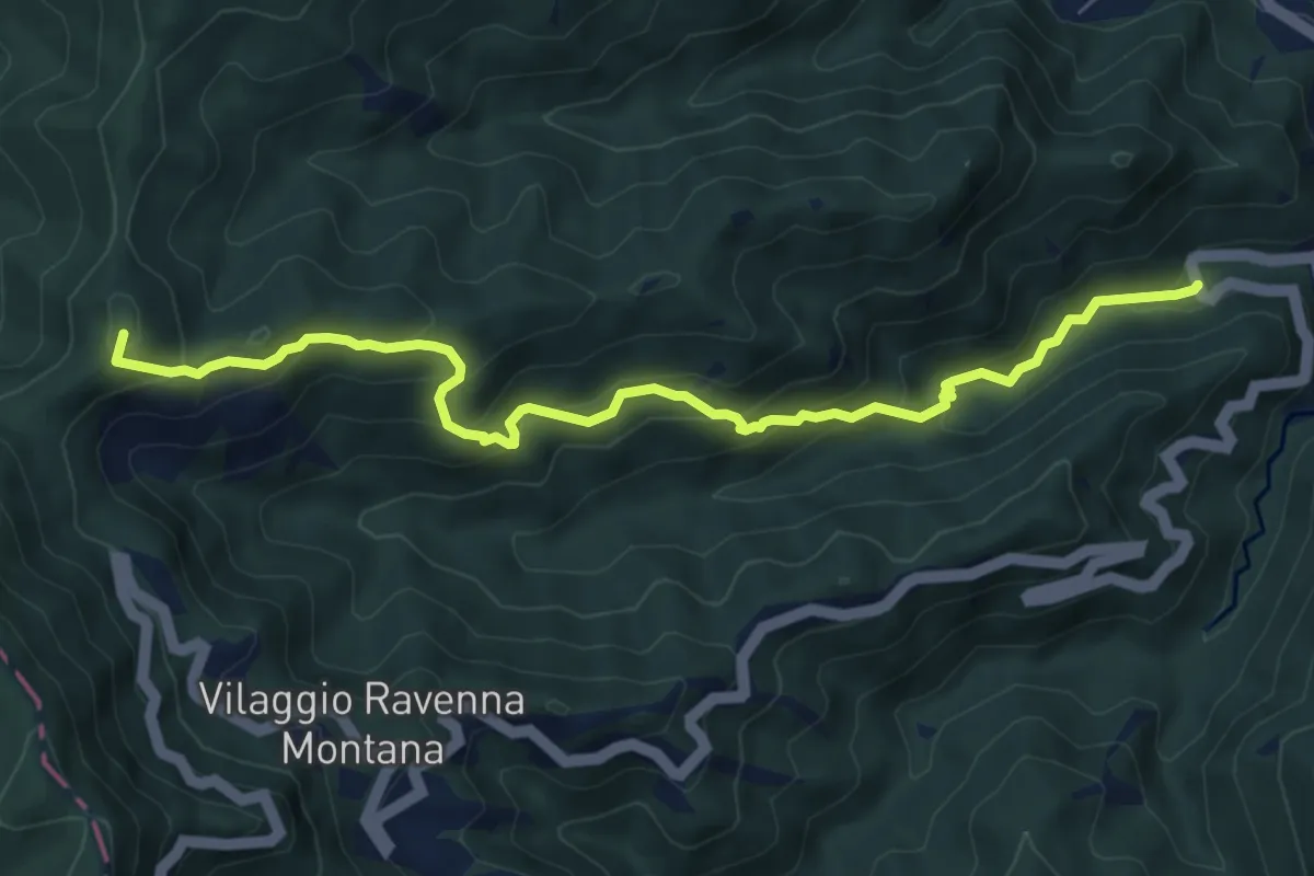
Medium · Summit
SS71 – Sentiero 201
8.0 km · ↑ 558 m · 3 h 5 min
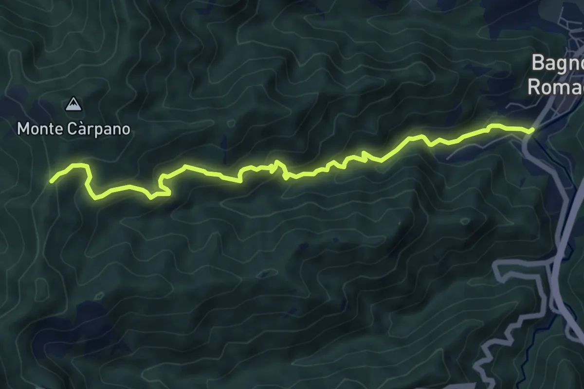
Demanding · Trail
Bagno di Romagna – sentiero 201
8.6 km · ↑ 661 m · 3 h 28 min
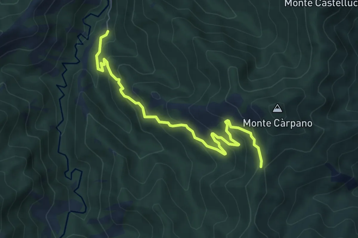
Medium · Trail
Pietrapazza – Colla di Rio d'Olmo
7.0 km · ↑ 481 m · 2 h 41 min
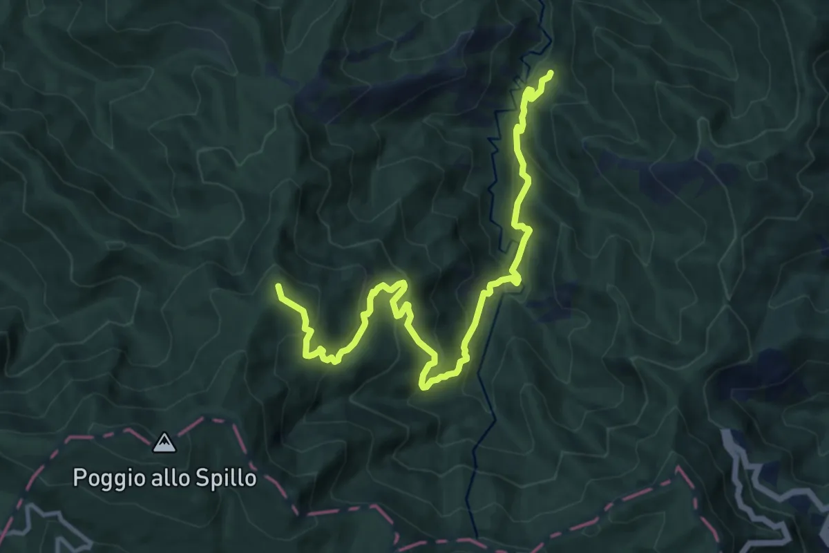
Demanding · Summit
Pietrapazza – Passo della Bertesca
12.6 km · ↑ 883 m · 4 h 53 min
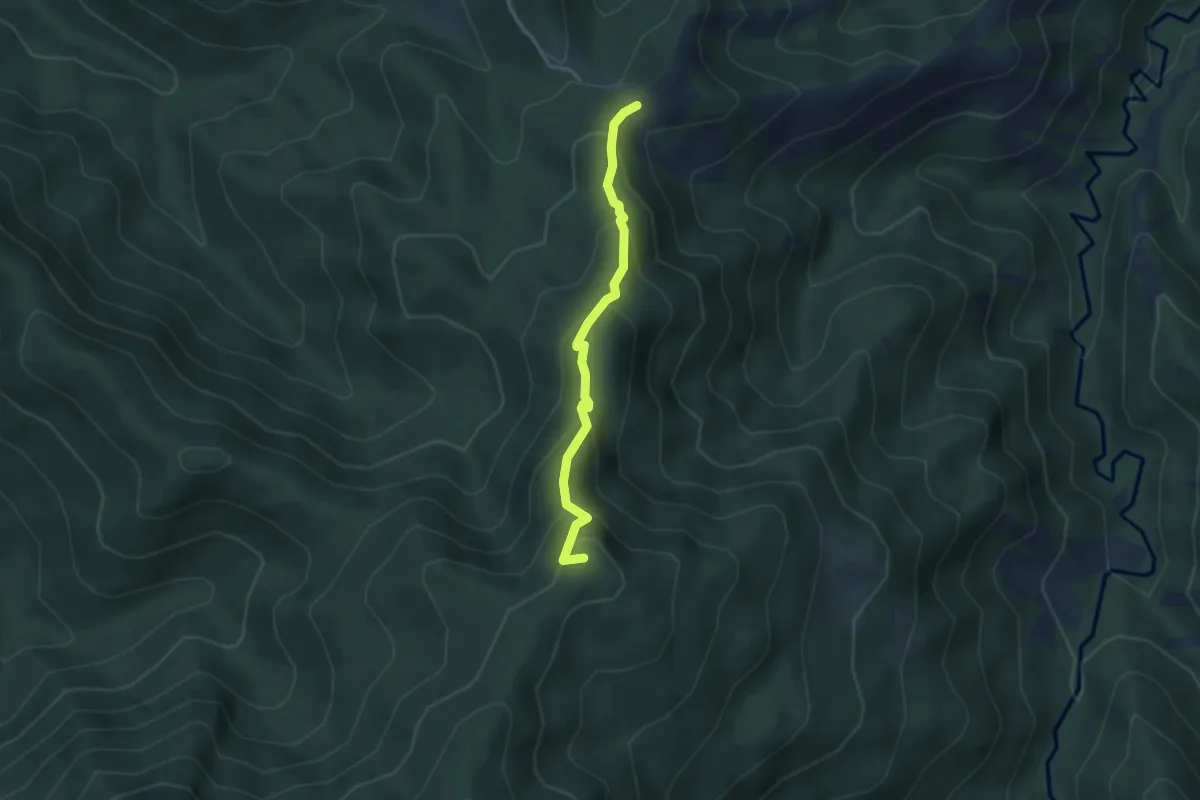
Medium · Summit
Siepe dell'Orso – Passo della Crocina
3.5 km · ↑ 284 m · 1 h 27 min