Trails in Italy
25,219 hiking trails, each with its route, climb, walking time and grade.
All trails, page 296 of 526
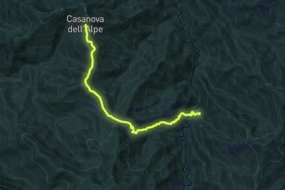
Medium · Trail
Casanova dell'Alpe – Pietrapazza
10.7 km · ↑ 624 m · 3 h 52 min
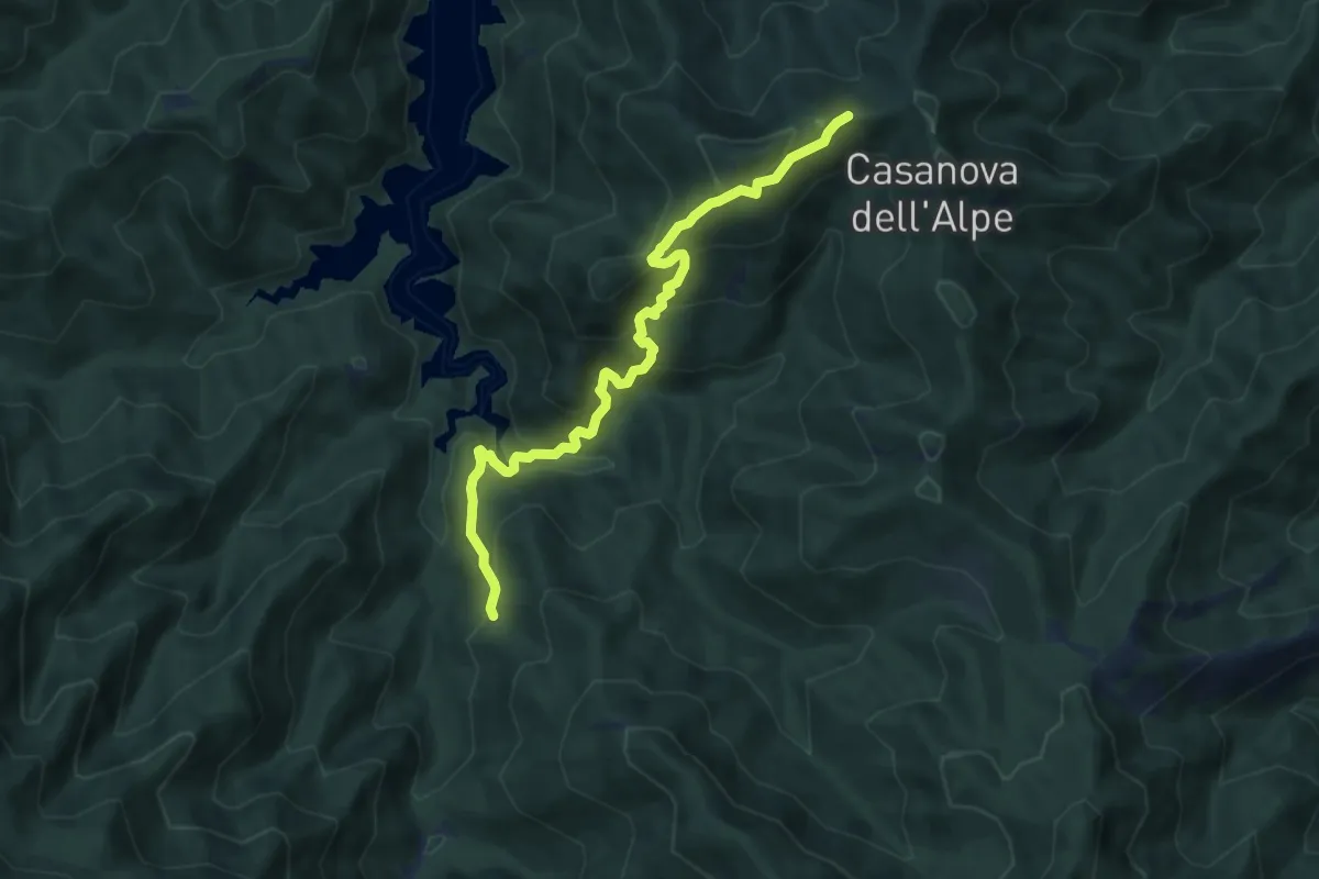
Medium · Trail
Strada foresta di Lama – Percorso 231
8.6 km · ↑ 746 m · 3 h 39 min
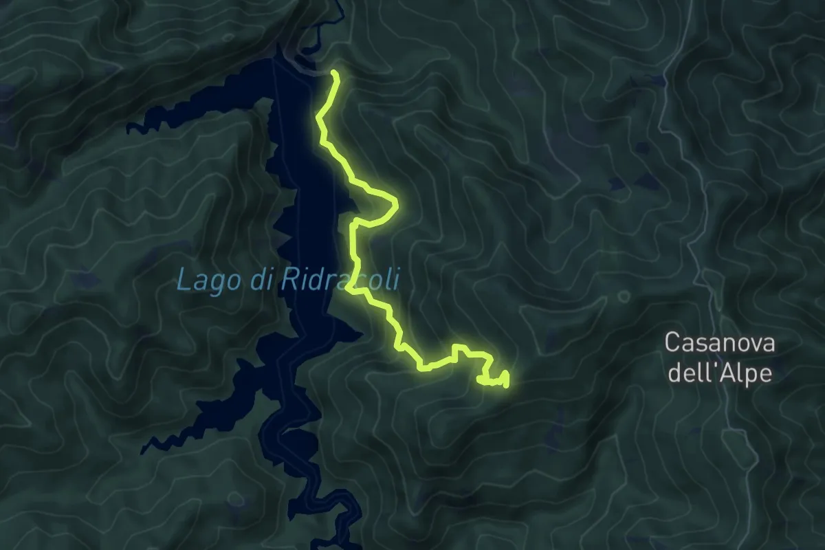
Medium · Trail
Diga di Ridracoli – Sentiero 235
6.7 km · ↑ 571 m · 2 h 49 min
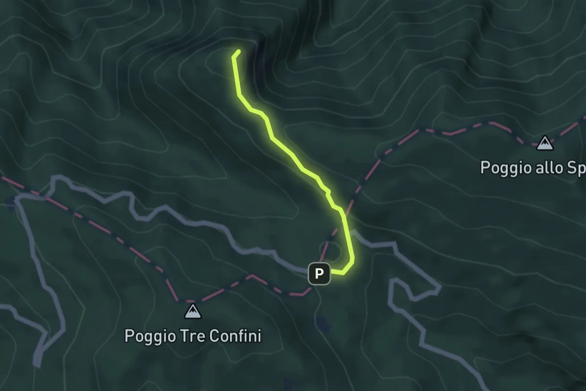
Medium · Summit
Passo Fangacci – Monte Penna
3.0 km · ↑ 113 m · 57 min
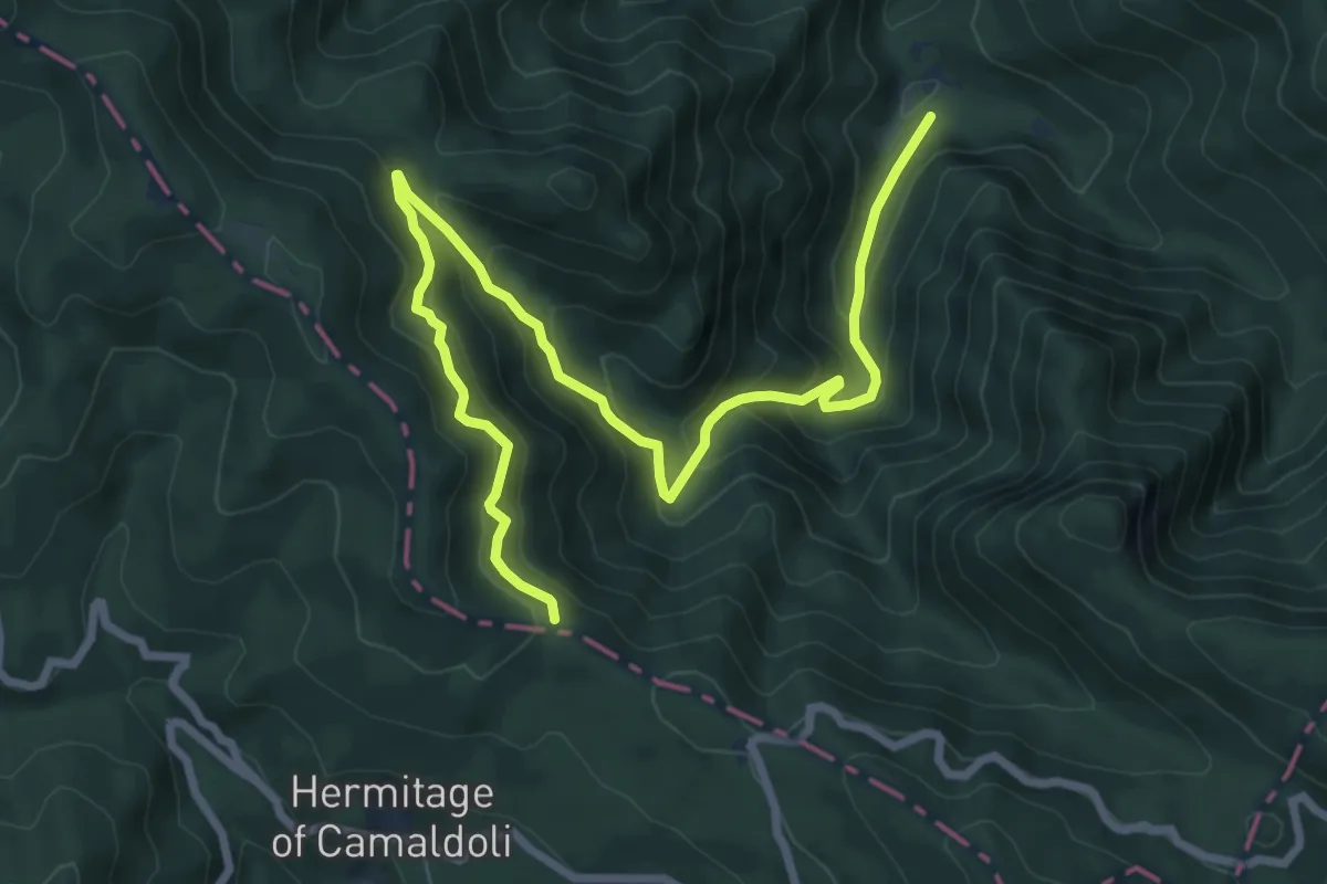
Demanding · Trail
La Lama – Gioghetto
10.0 km · ↑ 847 m · 4 h 12 min
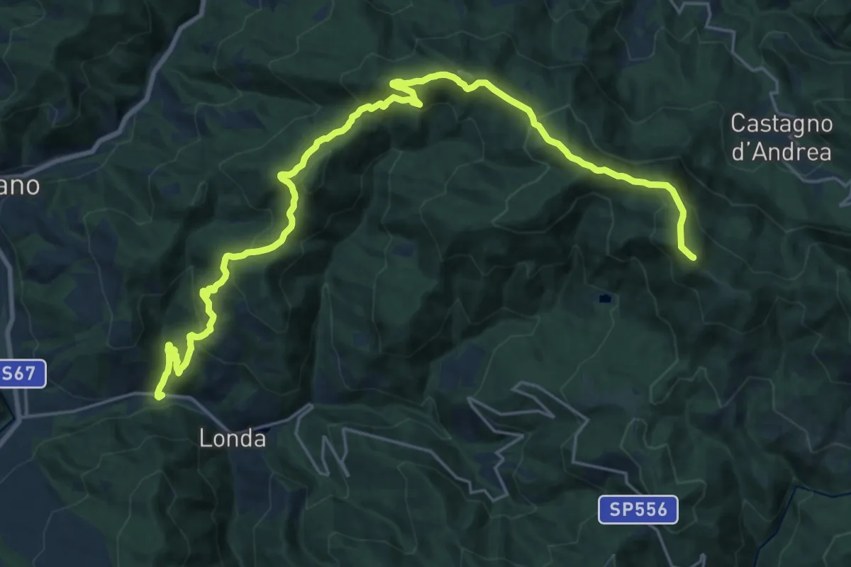
Demanding · Summit
Fornace - Londa – Monte di Massicaia sent. 00
27.7 km · ↑ 1524 m · 9 h 50 min
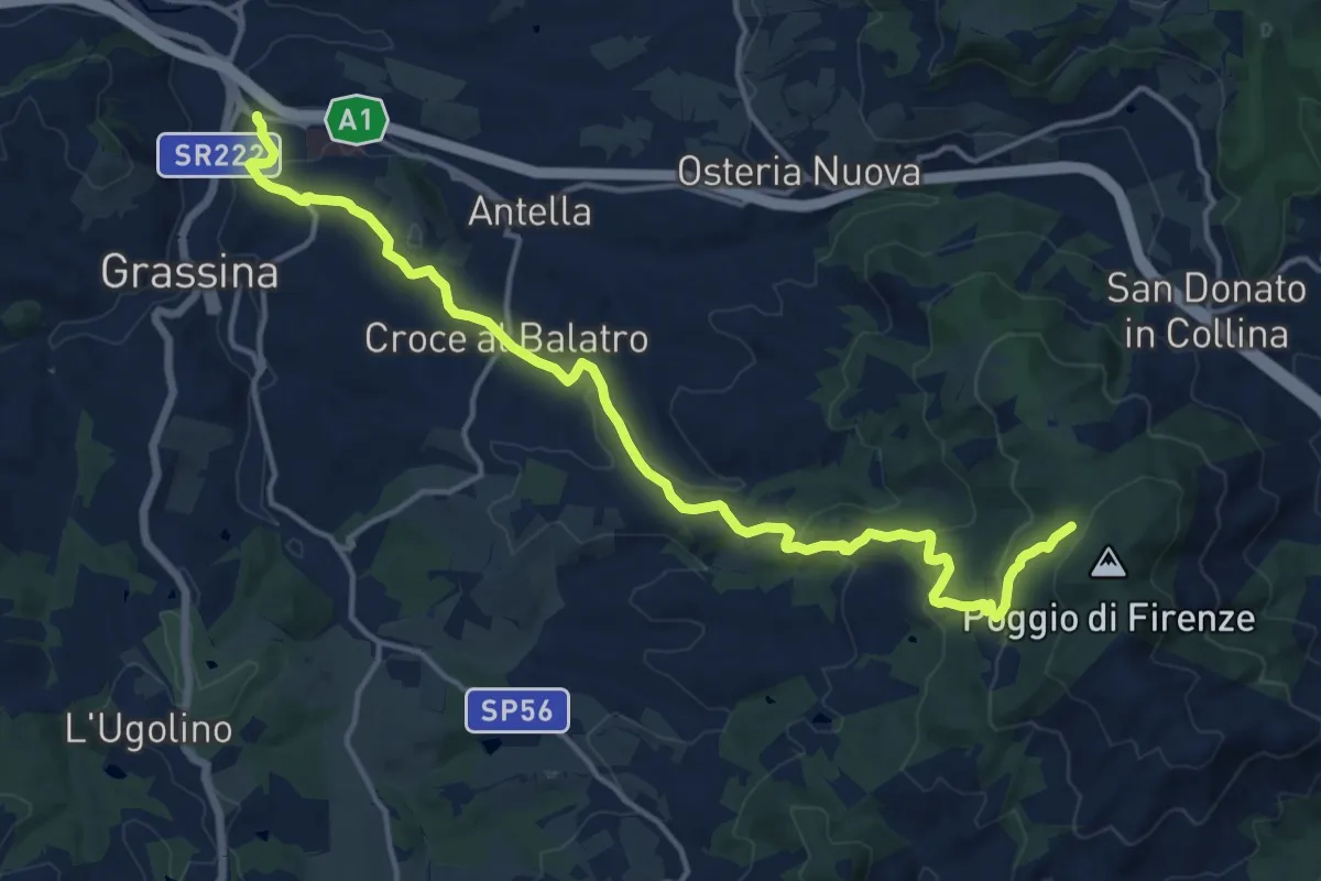
Demanding · Cabin
Ponte a Ema – Sorgente Fonte Santa
18.1 km · ↑ 559 m · 5 h 30 min
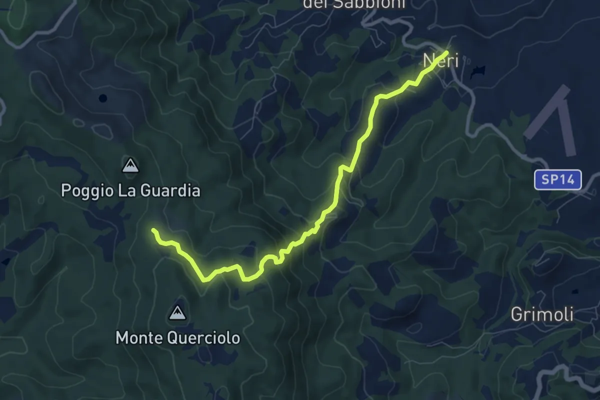
Medium · Trail
Neri – sentiero 00
8.8 km · ↑ 478 m · 3 h 7 min
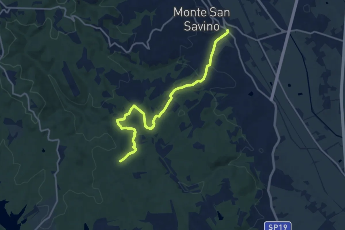
Medium · Trail
SP19 Procacci presso Monte San Savino – sent 121 presso tenuta "La Badia"
10.9 km · ↑ 300 m · 3 h 14 min
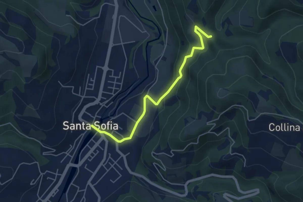
Easy · Trail
Santa Sofia – Sentiero Vallone Riotorto
4.5 km · ↑ 192 m · 1 h 28 min
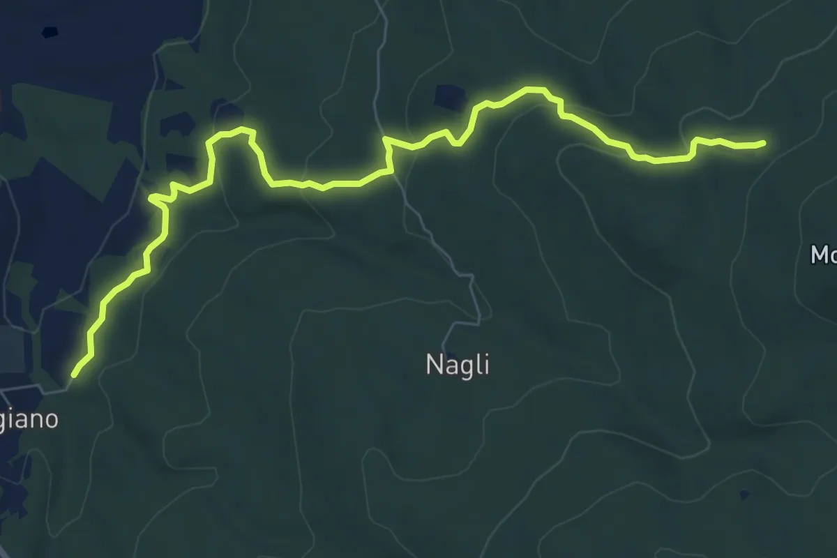
Medium · Trail
Scorgiano – Casa Giubileo
9.2 km · ↑ 323 m · 2 h 52 min
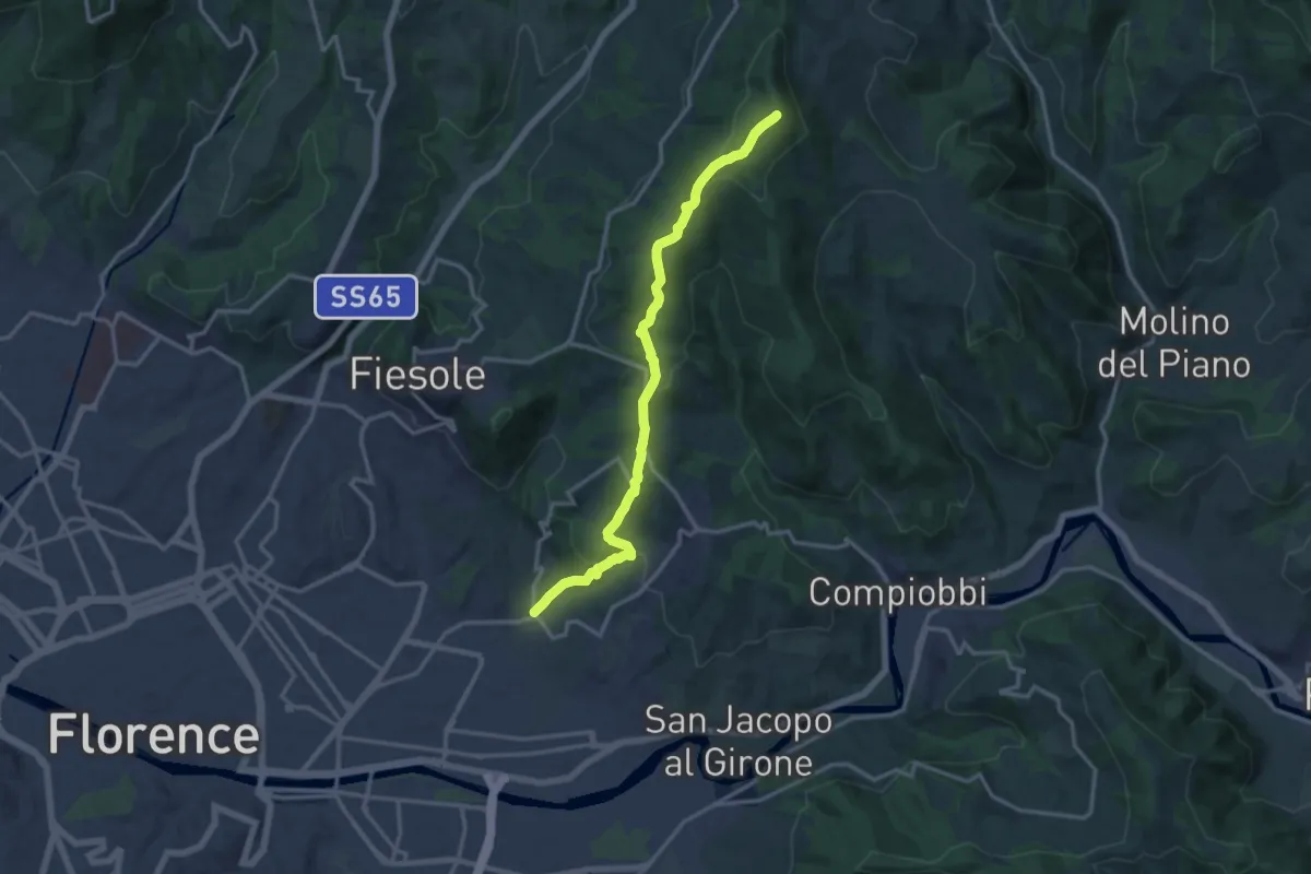
Medium · Summit
Ponte a Mensola – Vetta le Croci
15.2 km · ↑ 644 m · 4 h 59 min
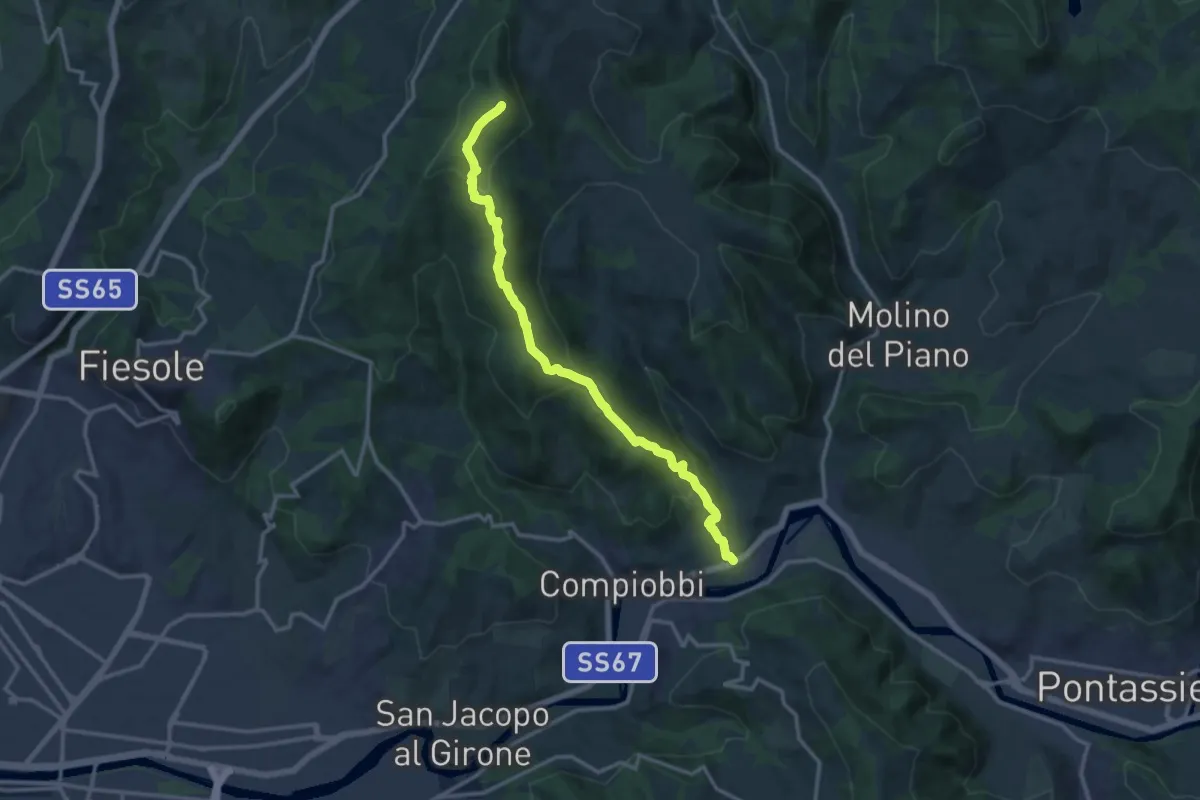
Medium · Summit
Poggio Pratone – Le Falle
14.5 km · ↑ 678 m · 4 h 53 min
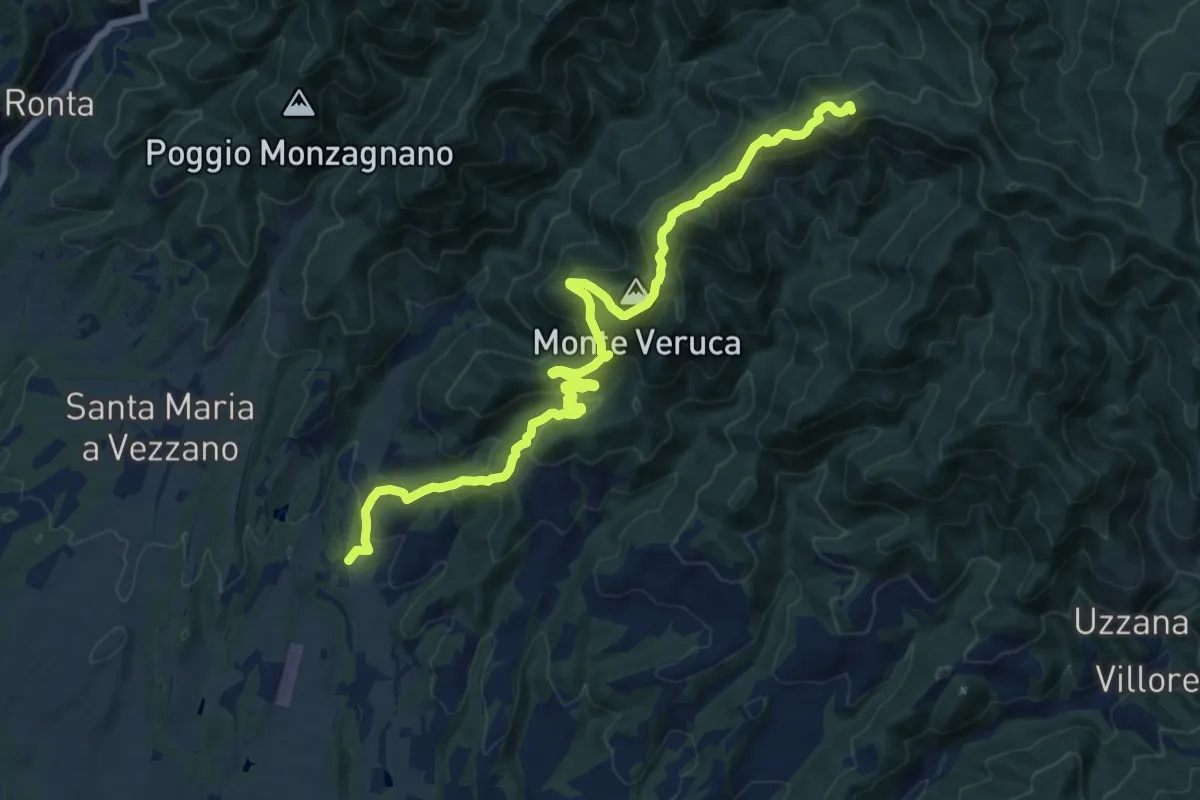
Demanding · Summit
Molezzano – Poggio Castellina
17.3 km · ↑ 884 m · 6 h
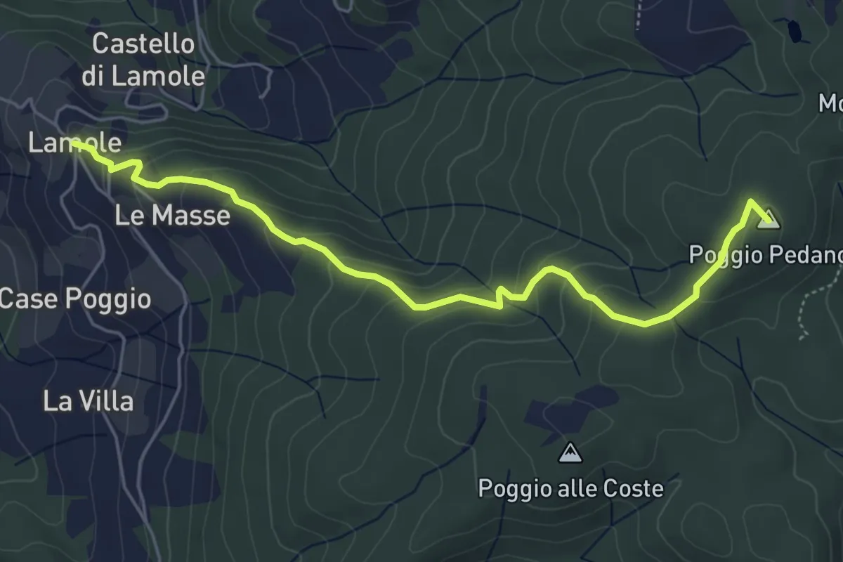
Easy · Summit
Lamole – Monte San Michele
5.7 km · ↑ 312 m · 2 h 2 min
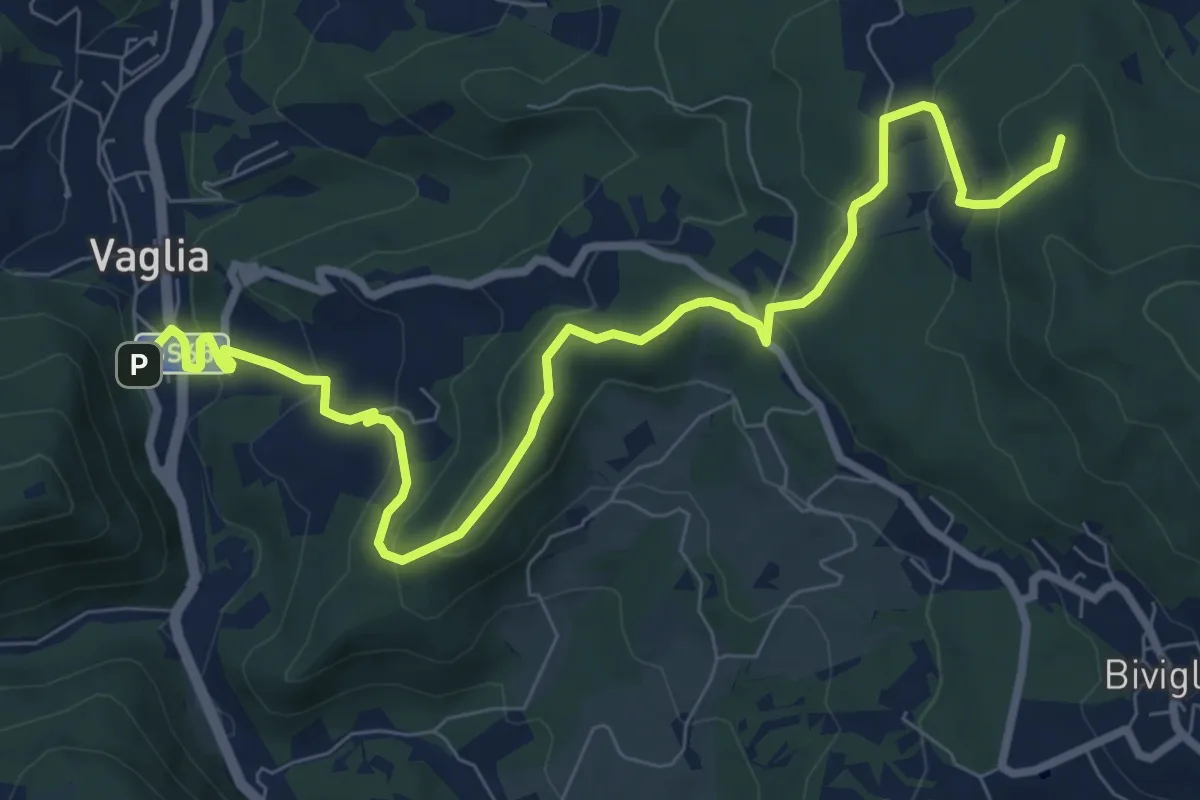
Medium · Summit
Vaglia – Croce di Melago
10.6 km · ↑ 439 m · 3 h 27 min
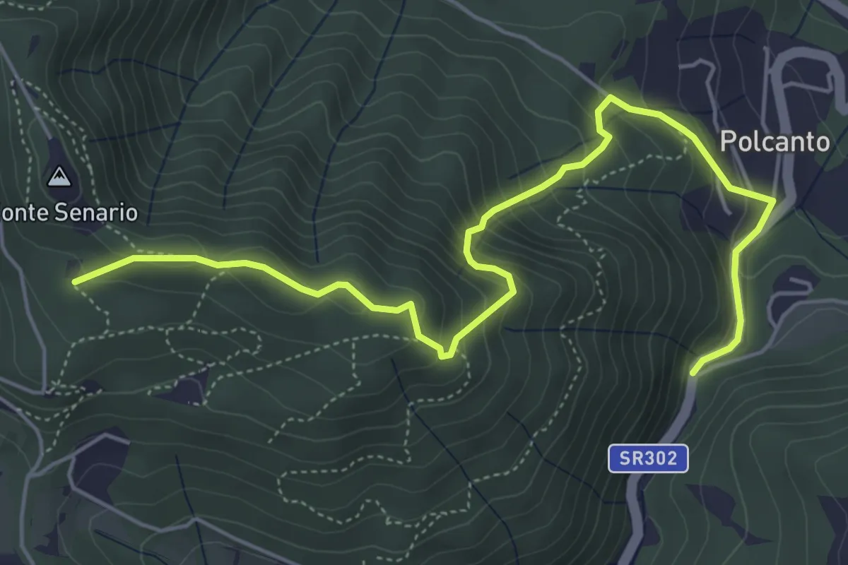
Medium · Trail
Polcanto – Monte Senario
6.5 km · ↑ 534 m · 2 h 41 min
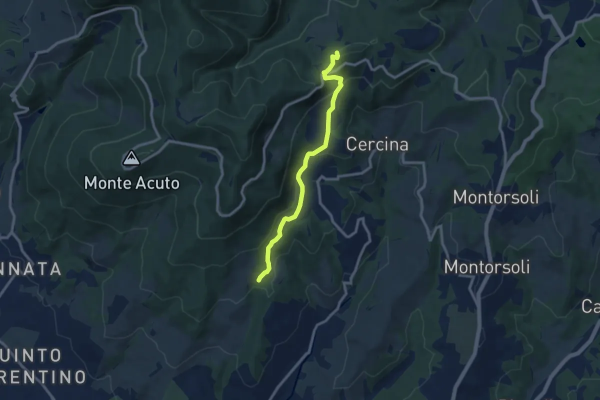
Medium · Summit
Percorso 5 – Caselline
7.5 km · ↑ 344 m · 2 h 31 min
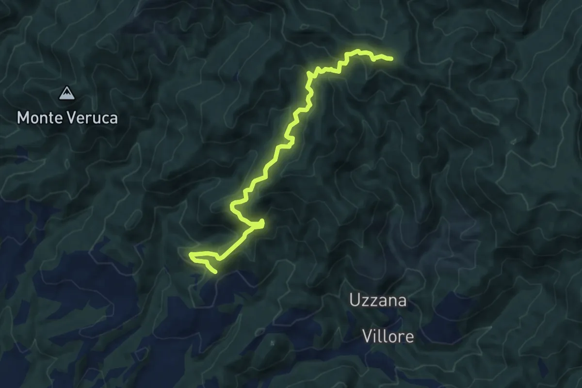
Demanding · Trail
Rostolena – Poggio al Tiglio
12.3 km · ↑ 819 m · 4 h 41 min
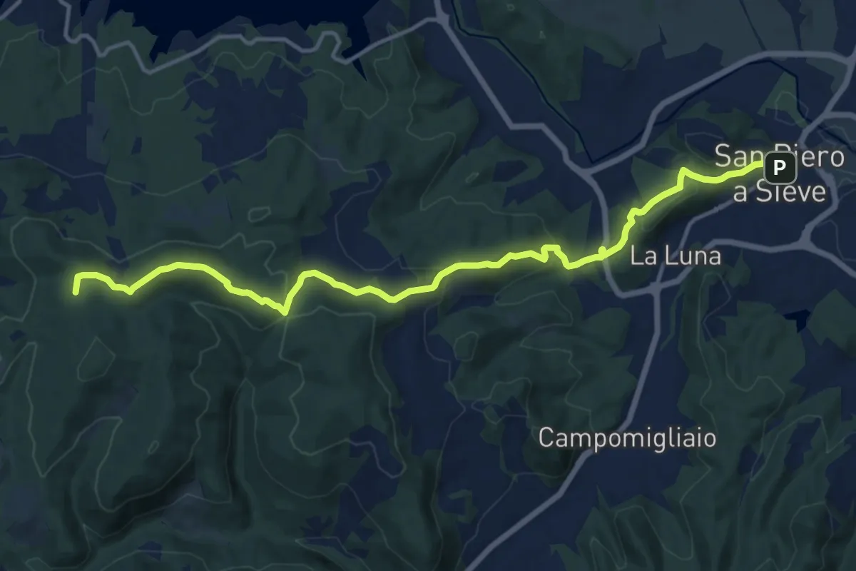
Medium · Summit
San Piero a Sieve – Croci Di Calenzano
15.2 km · ↑ 554 m · 4 h 47 min
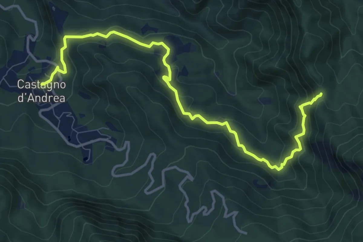
Demanding · Cabin
Castagno d'Andrea – Giogo di Castagno
11.3 km · ↑ 600 m · 3 h 58 min
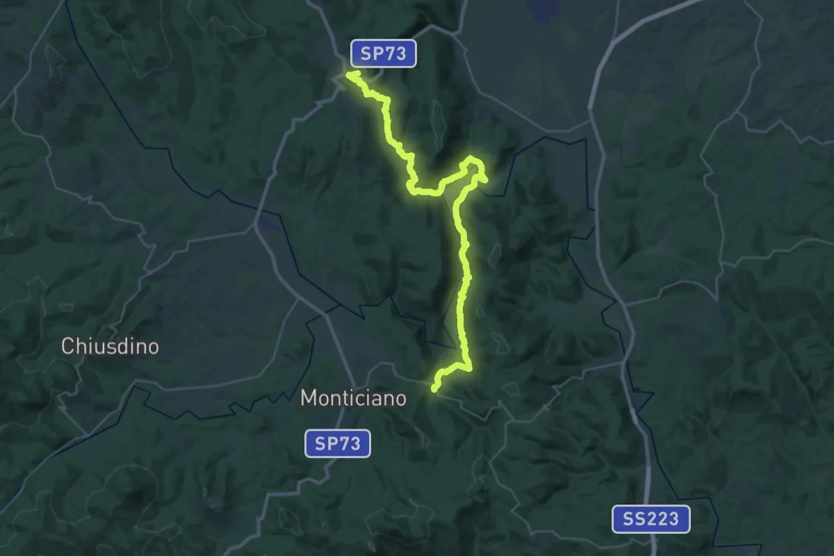
Demanding · Trail
Montarrenti – SP32
18.6 km · ↑ 445 m · 5 h 38 min
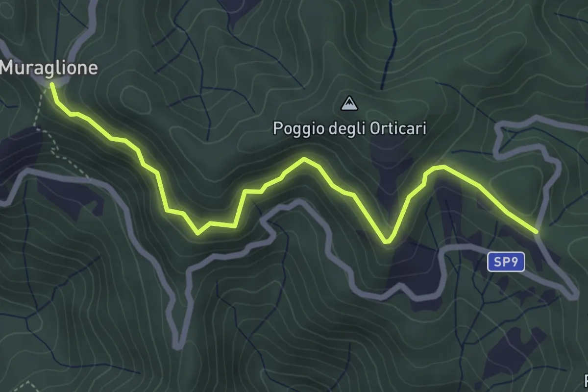
Medium · Trail
Muraglione – Valico dei Tre Faggi
5.2 km · ↑ 324 m · 1 h 56 min
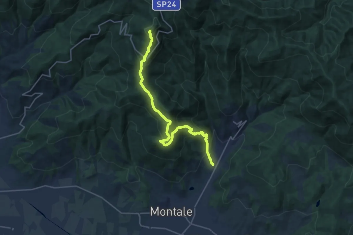
Demanding · Summit
Fognano – Poggio dei Ronchi
15.8 km · ↑ 1039 m · 5 h 59 min
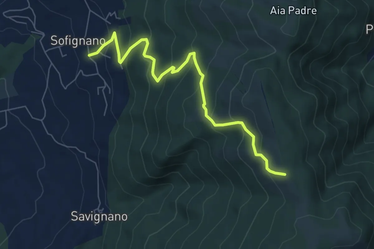
Medium · Trail
Vaiano (località Le Mura) – Poggio Mandrione/Massipiani
6.8 km · ↑ 477 m · 2 h 38 min
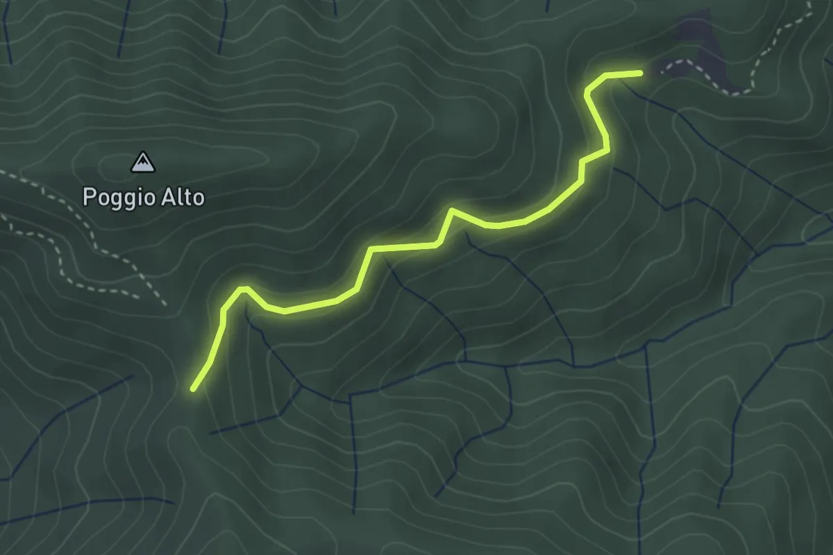
Easy · Cabin
Passo degli Acandoli – Sopra Cascina Vespaio
3.2 km · ↑ 169 m · 1 h 7 min
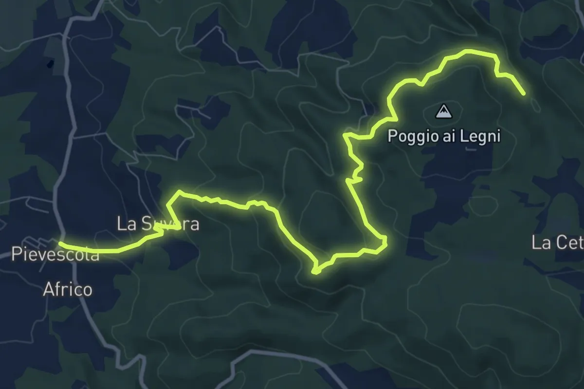
Medium · Trail
Pievescola – La Cetina (pressi)
12.2 km · ↑ 565 m · 4 h 7 min
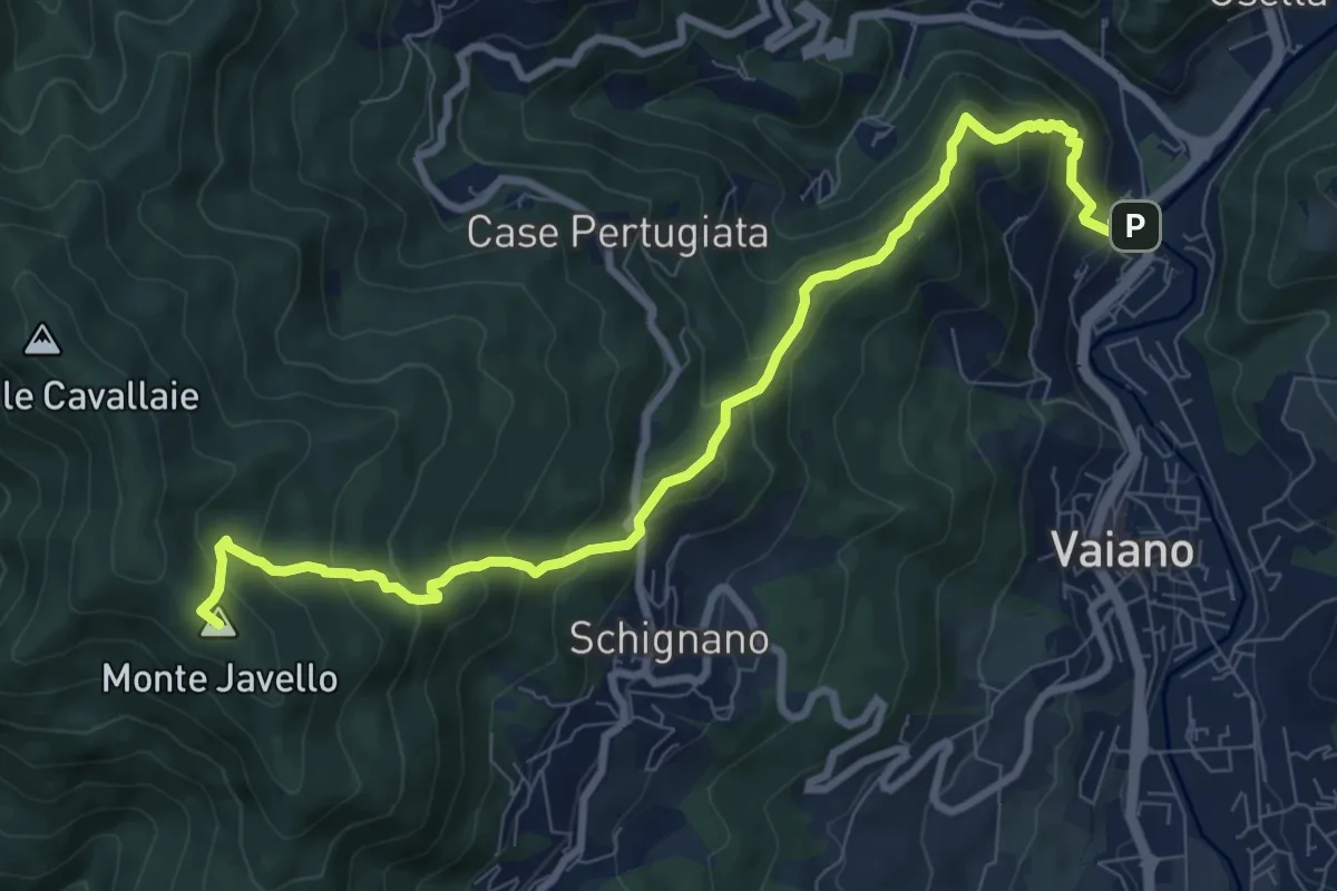
Demanding · Summit
Vaiano (località il Fabbro) – Monte Faggi di Javello
10.1 km · ↑ 861 m · 4 h 15 min
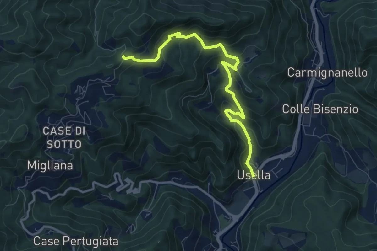
Medium · Trail
Usella – Tabernacolo Crocetta al Canvella
8.7 km · ↑ 524 m · 3 h 12 min
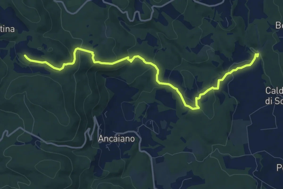
Medium · Trail
Podere Ripostena – Podere Morra
12.0 km · ↑ 365 m · 3 h 38 min
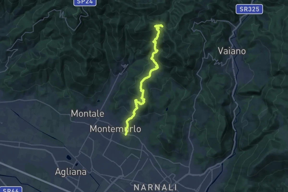
Demanding · Trail
Montemurlo (PO) – Le Cavallaie (PO)
20.8 km · ↑ 1015 m · 7 h 7 min
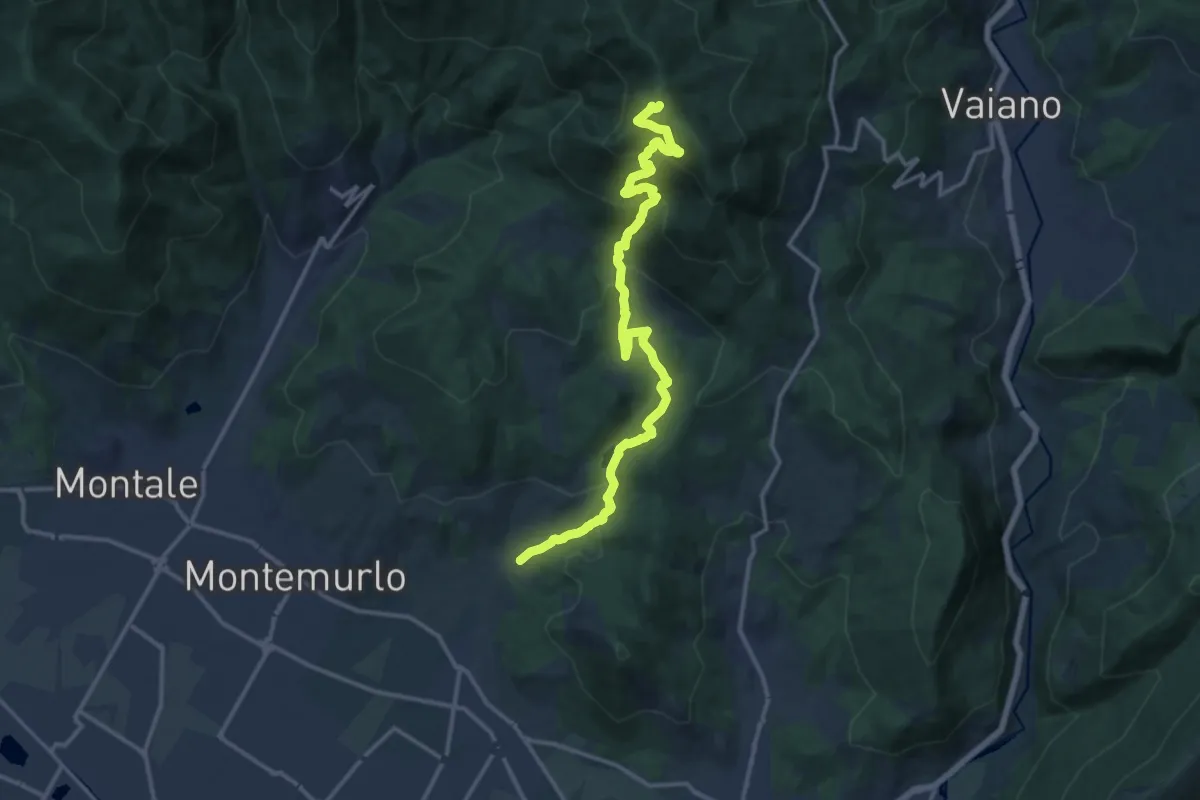
Demanding · Trail
Cascata Bagnolo – Monte Faggi di Javello
16.1 km · ↑ 1029 m · 6 h 2 min
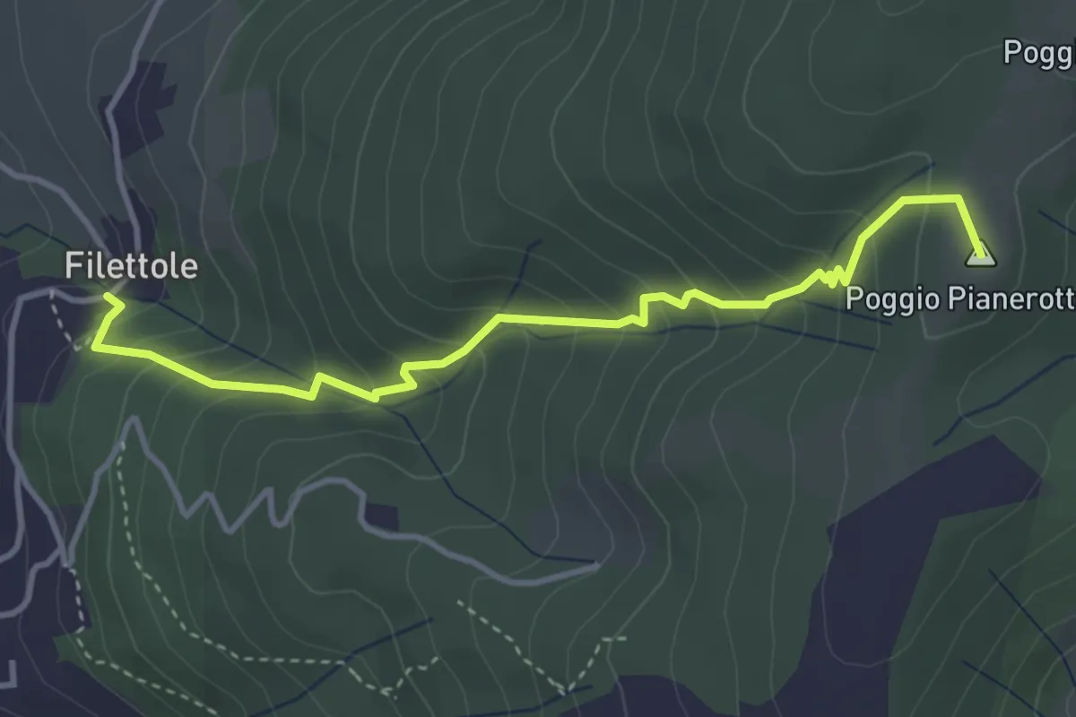
Medium · Summit
Filettole – Via di Travalle
4.1 km · ↑ 363 m · 1 h 45 min
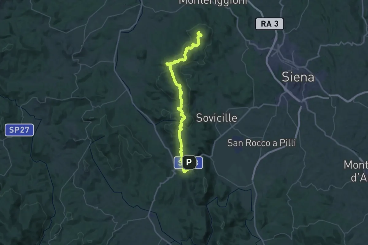
Demanding · Summit
Monteriggioni – Ponte della Pia
44.9 km · ↑ 1023 m · 12 h 49 min
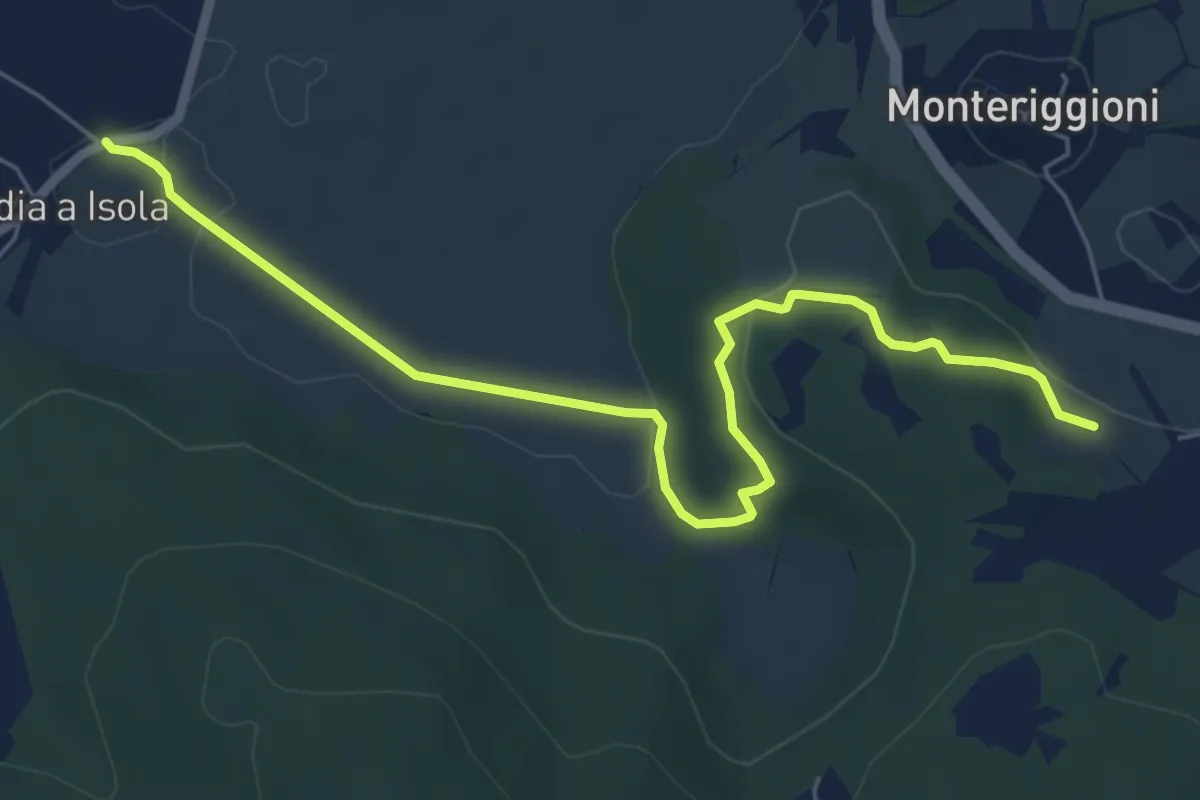
Easy · Trail
Abbadia a Isola – Il Mandorlo
7.1 km · ↑ 102 m · 1 h 54 min
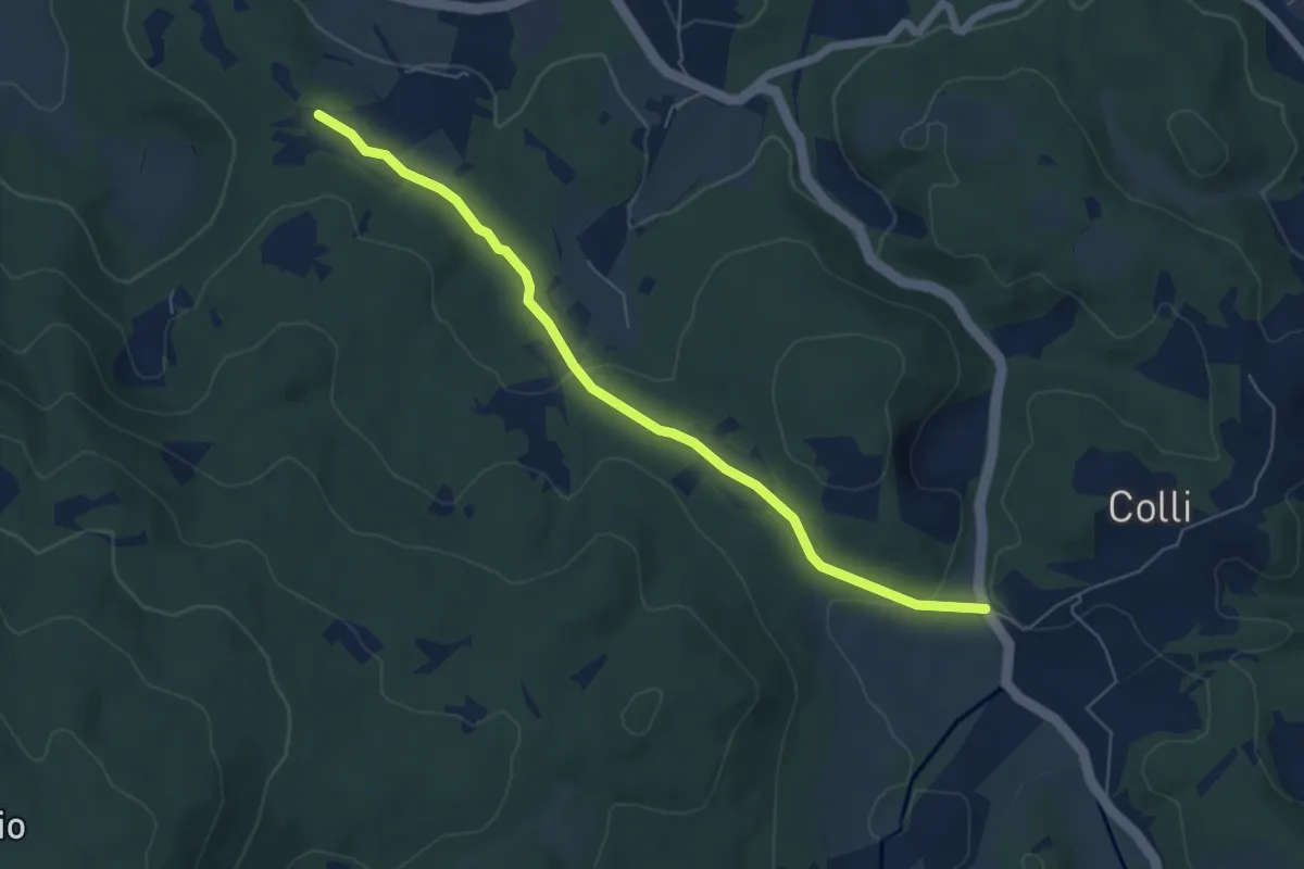
Easy · Trail
SS 2 Cassia (bivio Bracciano) – Il Mandorlo
6.4 km · ↑ 117 m · 1 h 46 min
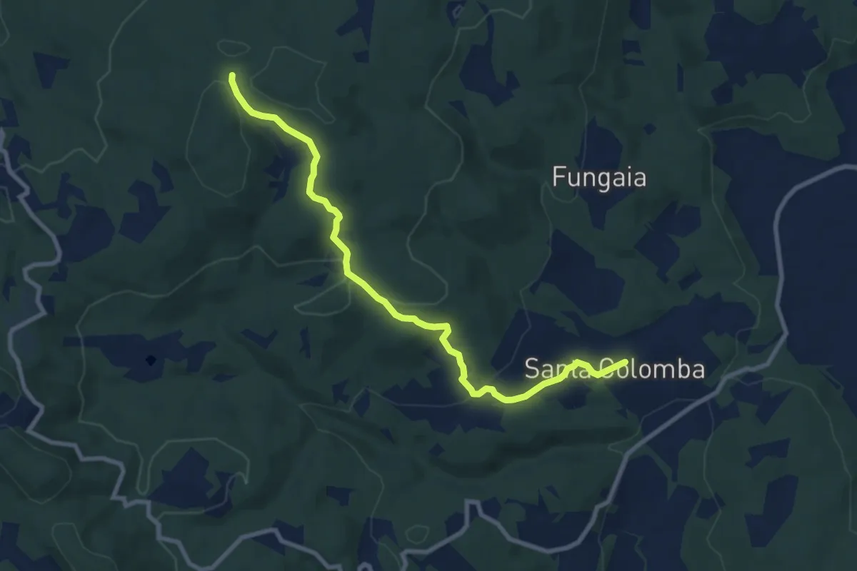
Medium · Trail
San Colomba – Innesto sentiero 100
9.1 km · ↑ 252 m · 2 h 42 min
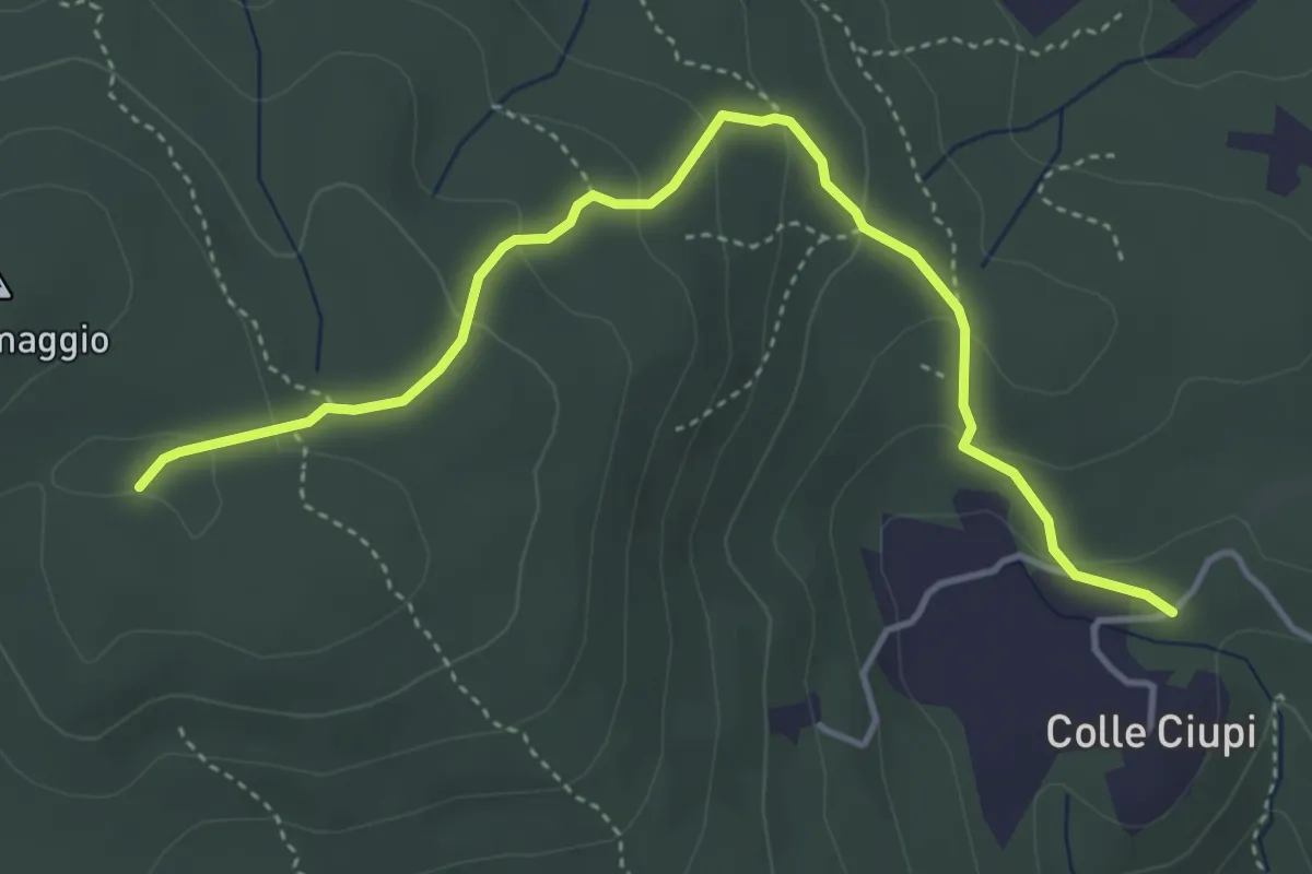
Easy · Trail
Colle Ciupi – Monte Maggio
4.8 km · ↑ 188 m · 1 h 33 min
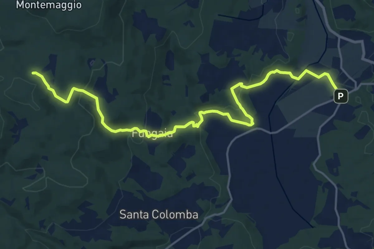
Medium · Trail
Pian del Lago – Casa Alteri (pressi)
16.2 km · ↑ 450 m · 4 h 48 min
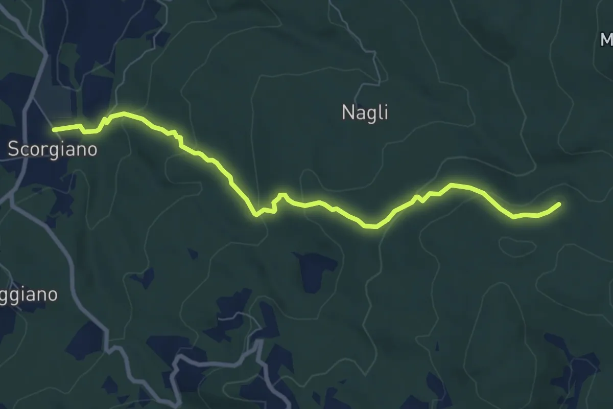
Easy · Trail
Scorgiano – Casa Alteri
7.9 km · ↑ 317 m · 2 h 33 min
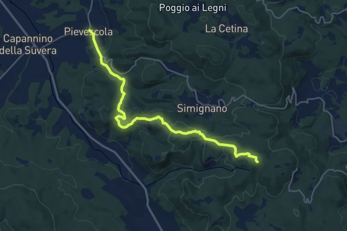
Medium · Trail
Pievescola – Pieve di Molli
15.8 km · ↑ 471 m · 4 h 45 min
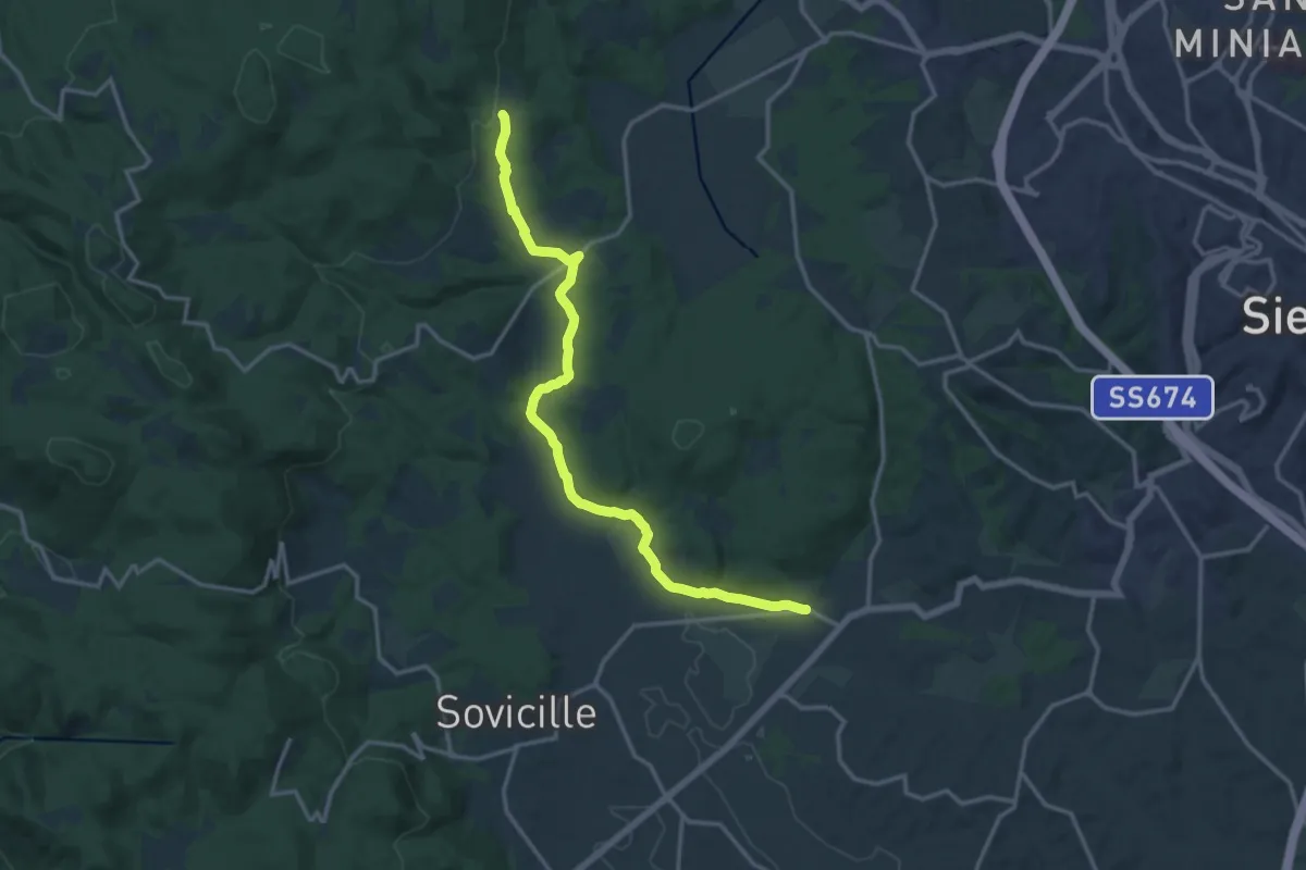
Medium · Trail
Volte Basse – Fungaia
16.6 km · ↑ 276 m · 4 h 32 min
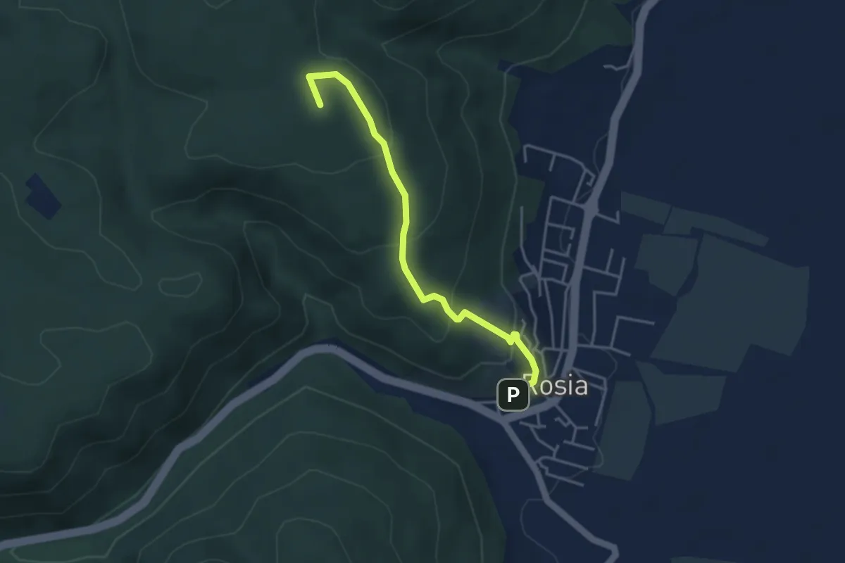
Easy · Summit
Rosia – Tonni
4.0 km · ↑ 221 m · 1 h 25 min
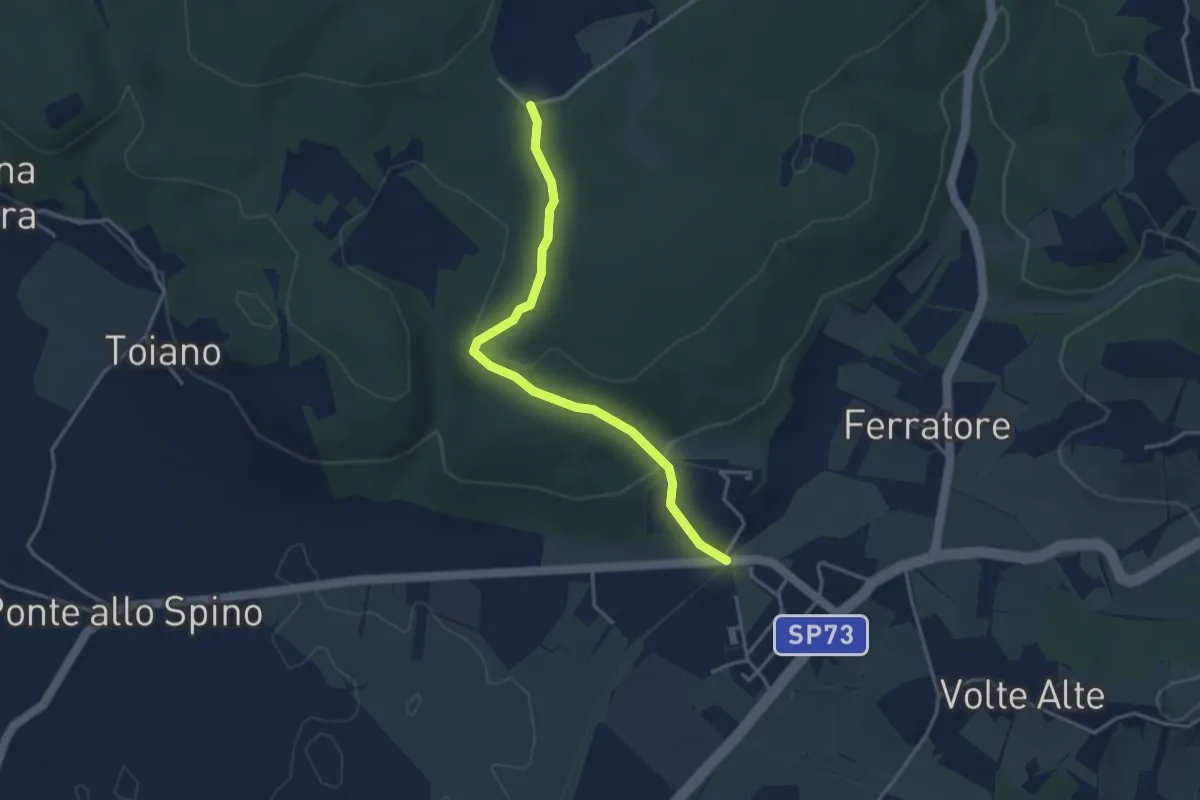
Easy · Trail
Volte Basse – Bivio La Loccaia
3.8 km · ↑ 113 m · 1 h 9 min
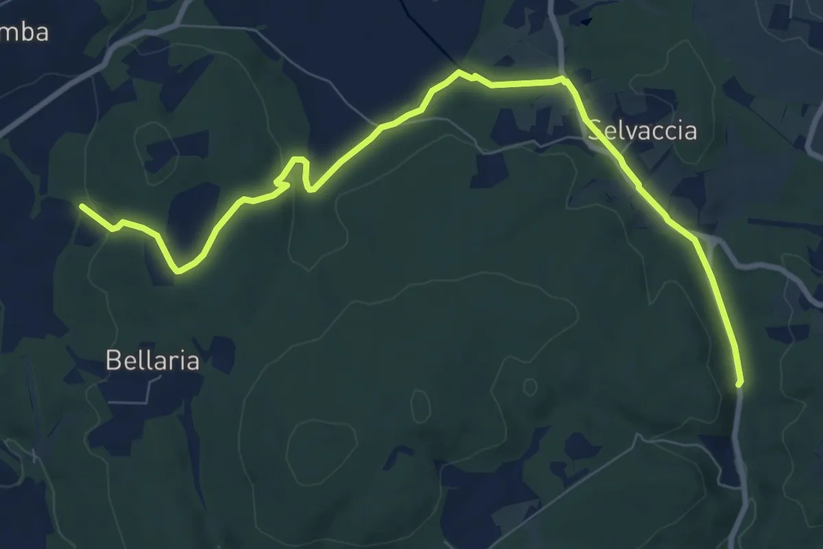
Demanding · Trail
Pastine di Sotto – Galleria del Granduca
10.2 km · ↑ 181 m · 2 h 48 min
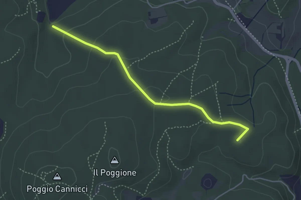
Easy · Summit
SP del Ferratore – S. Leonardo al Lago
4.2 km · ↑ 118 m · 1 h 14 min
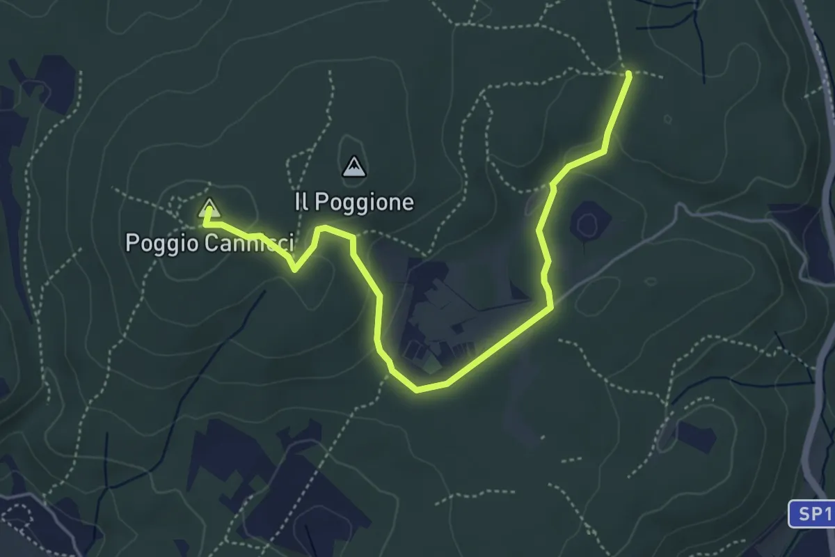
Easy · Summit
Valli – Piazza ai Lecci (sent. 117)
5.4 km · ↑ 122 m · 1 h 32 min
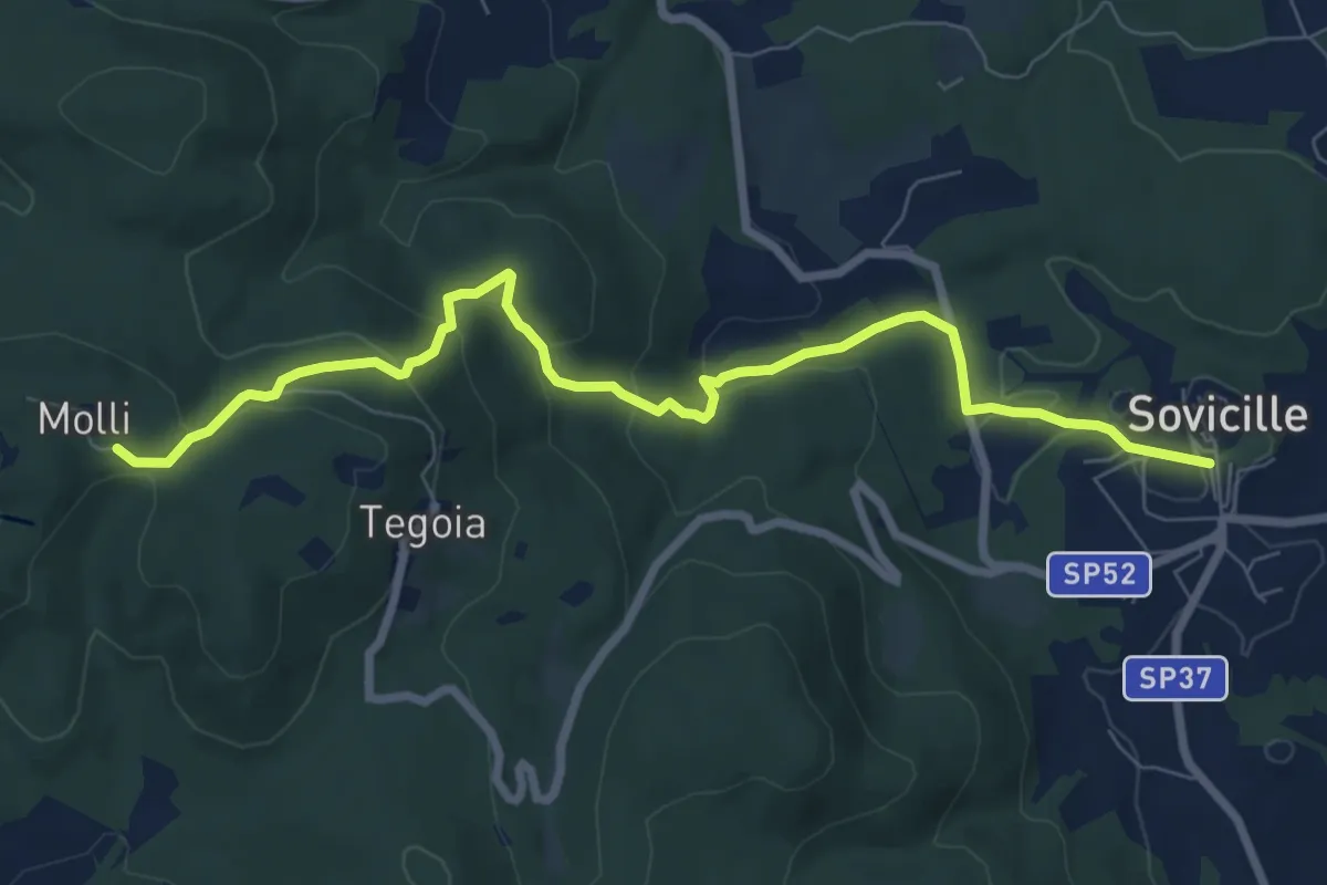
Medium · Trail
Sovicille – Pieve di Molli
8.8 km · ↑ 346 m · 2 h 50 min