Trails in Italy
25,219 hiking trails, each with its route, climb, walking time and grade.
All trails, page 297 of 526
Medium · Trail
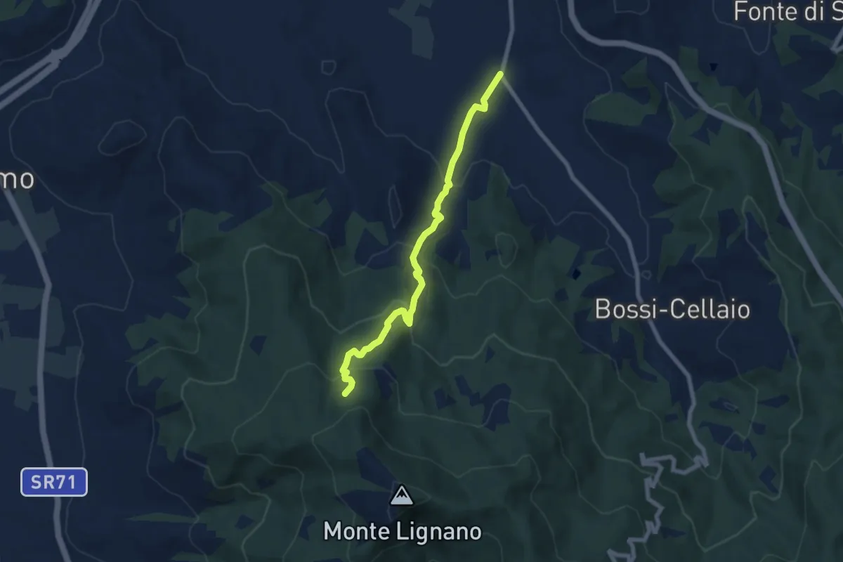
Sentiero 151 Loc San Cosimo – Bagnoro
6.9 km · ↑ 388 m · 2 h 29 min
Medium · Trail
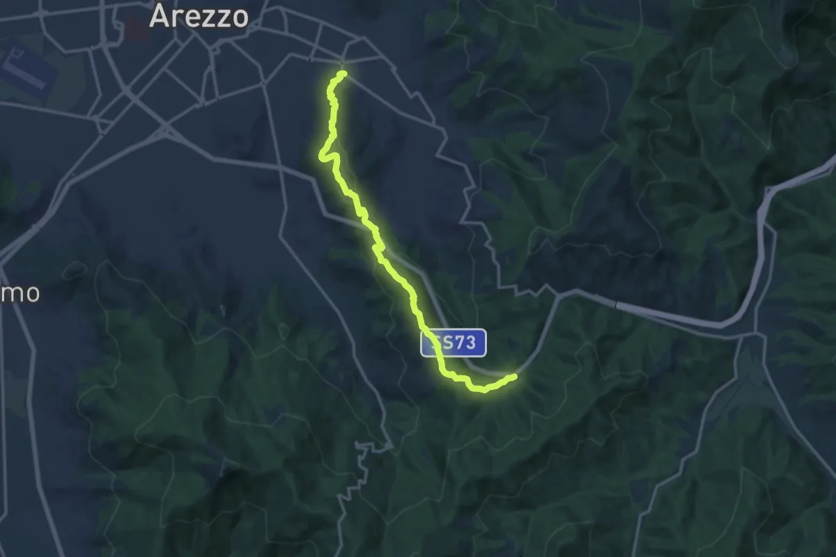
Via Dell'Acropoli – Sentiero 50 Torrino
13.9 km · ↑ 462 m · 4 h 17 min
Medium · Summit
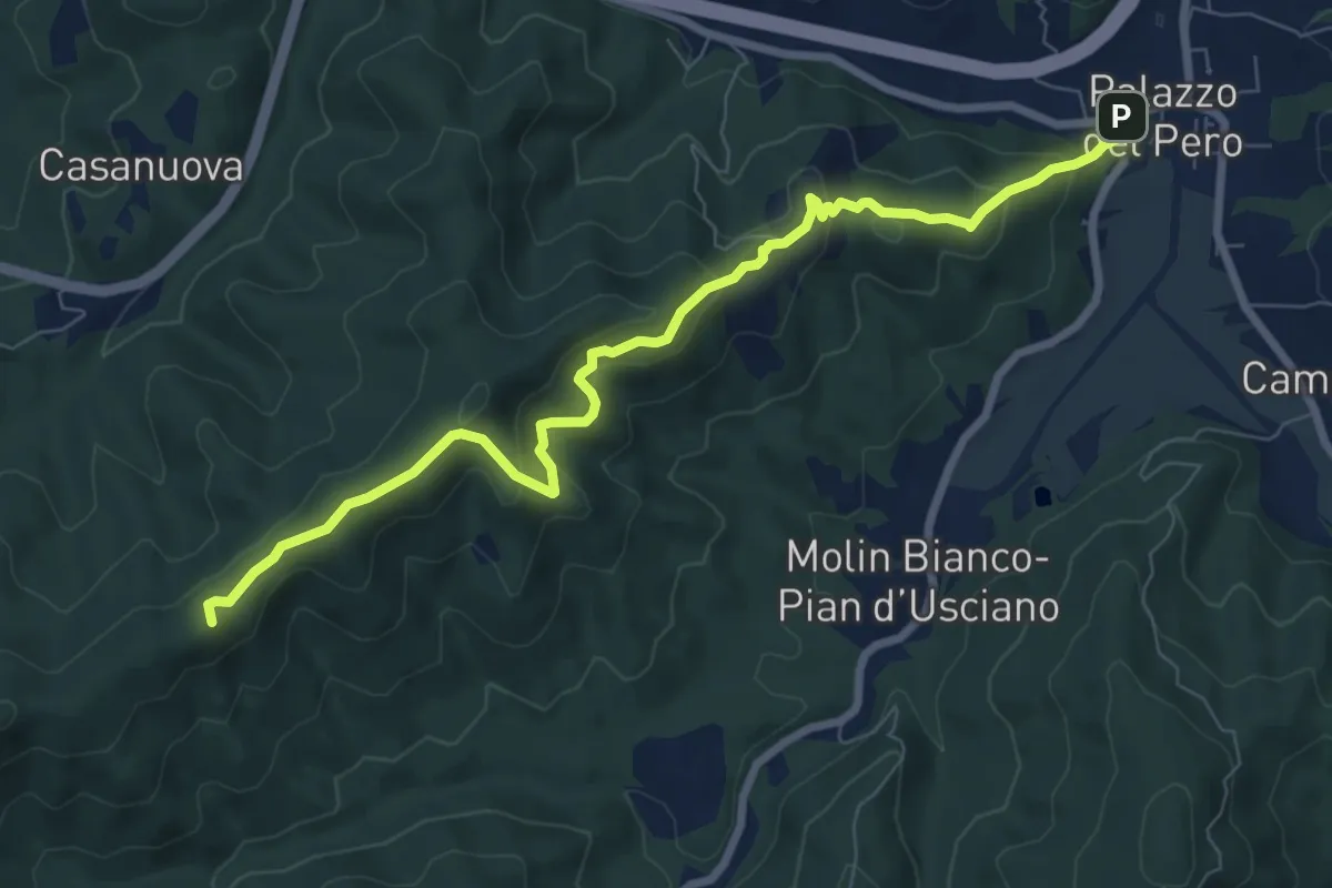
Sentiero 50 località Crocina – Palazzo del Pero
8.9 km · ↑ 460 m · 3 h 6 min
Medium · Trail
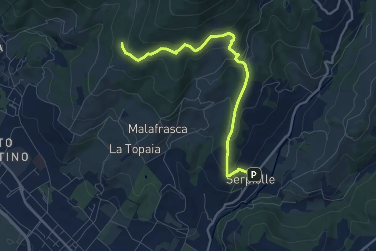
Serpiolle – Quota 328 sentiero 4
7.9 km · ↑ 360 m · 2 h 39 min
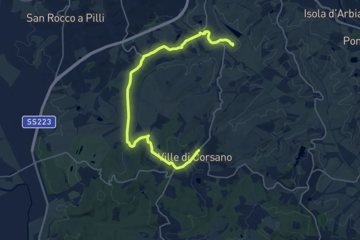
Medium · Summit
itineratio 502 – Ville di Corsano
18.0 km · ↑ 309 m · 4 h 55 min
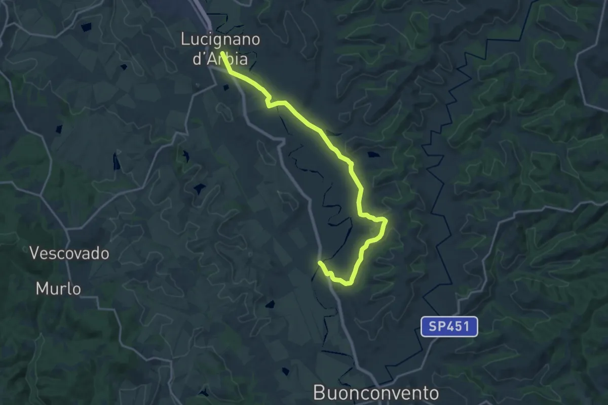
Demanding · Trail
Lucignano d'Arbia – Ponte d'Arbia
18.5 km · ↑ 247 m · 4 h 54 min
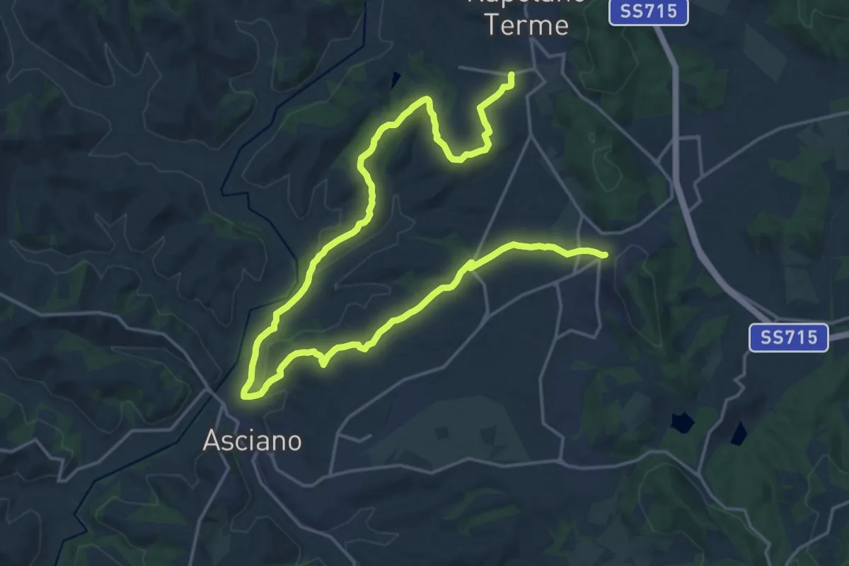
Demanding · Trail
Serre di Rapolano – Rapolano Terme
28.0 km · ↑ 520 m · 7 h 44 min
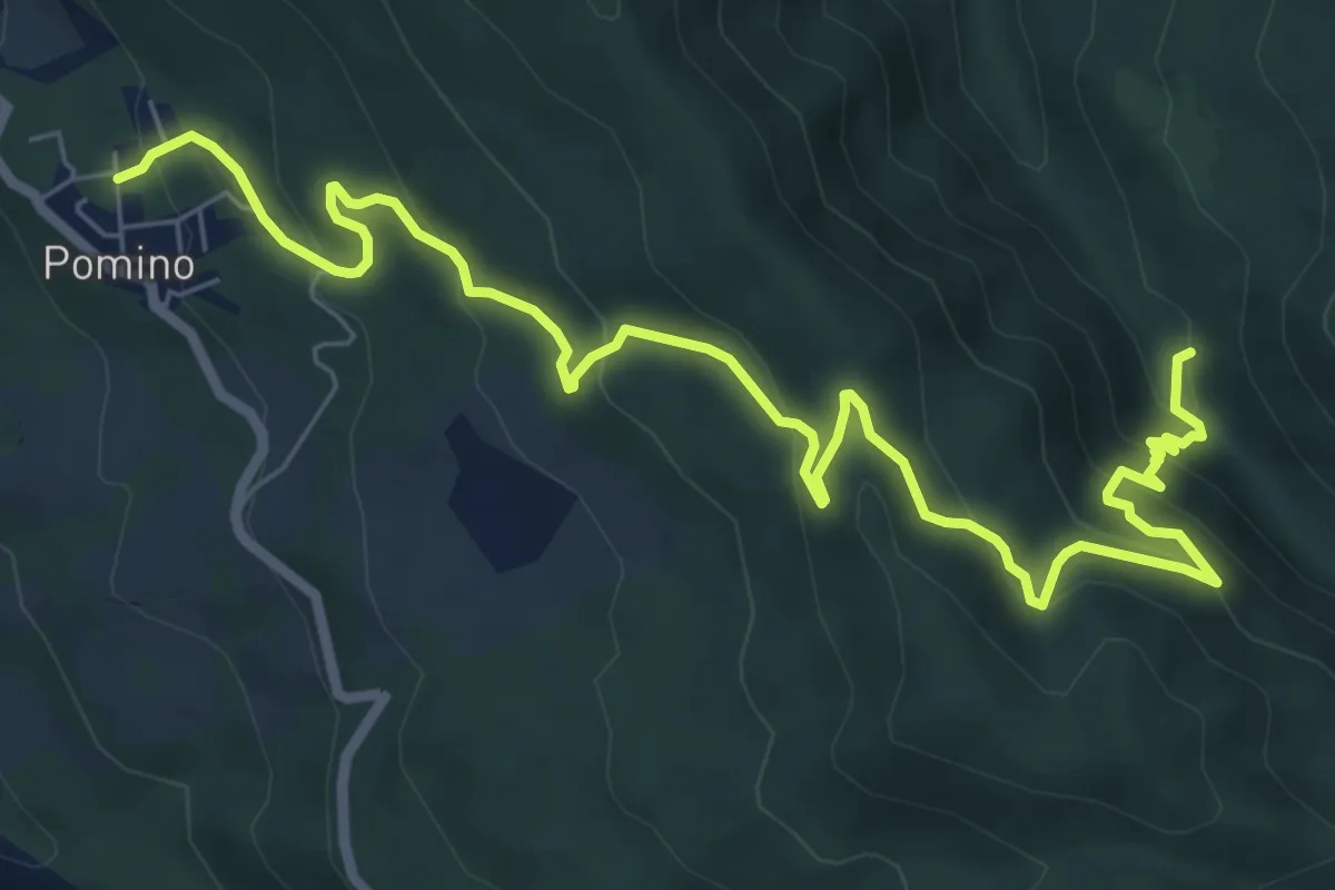
Medium · Trail
Guado – v. delle svolte
9.5 km · ↑ 519 m · 3 h 22 min
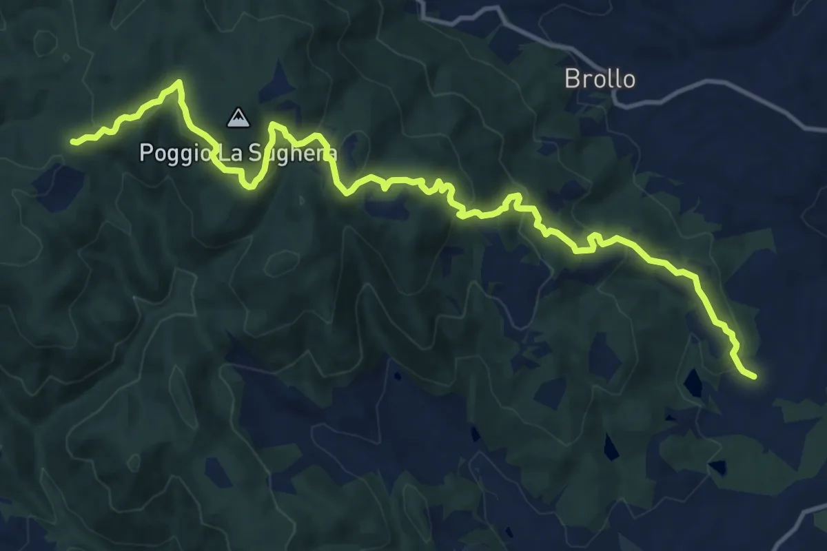
Medium · Trail
Figline Valdarno – Cappella nei boschi Badia Monte Scalari
16.2 km · ↑ 635 m · 5 h 12 min
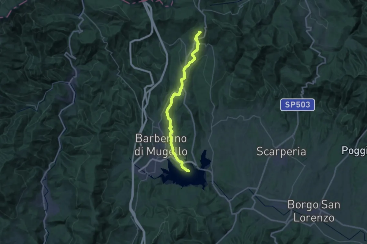
Demanding · Summit
Invaso di Bilancino – Passo della Futa
28.0 km · ↑ 852 m · 8 h 27 min
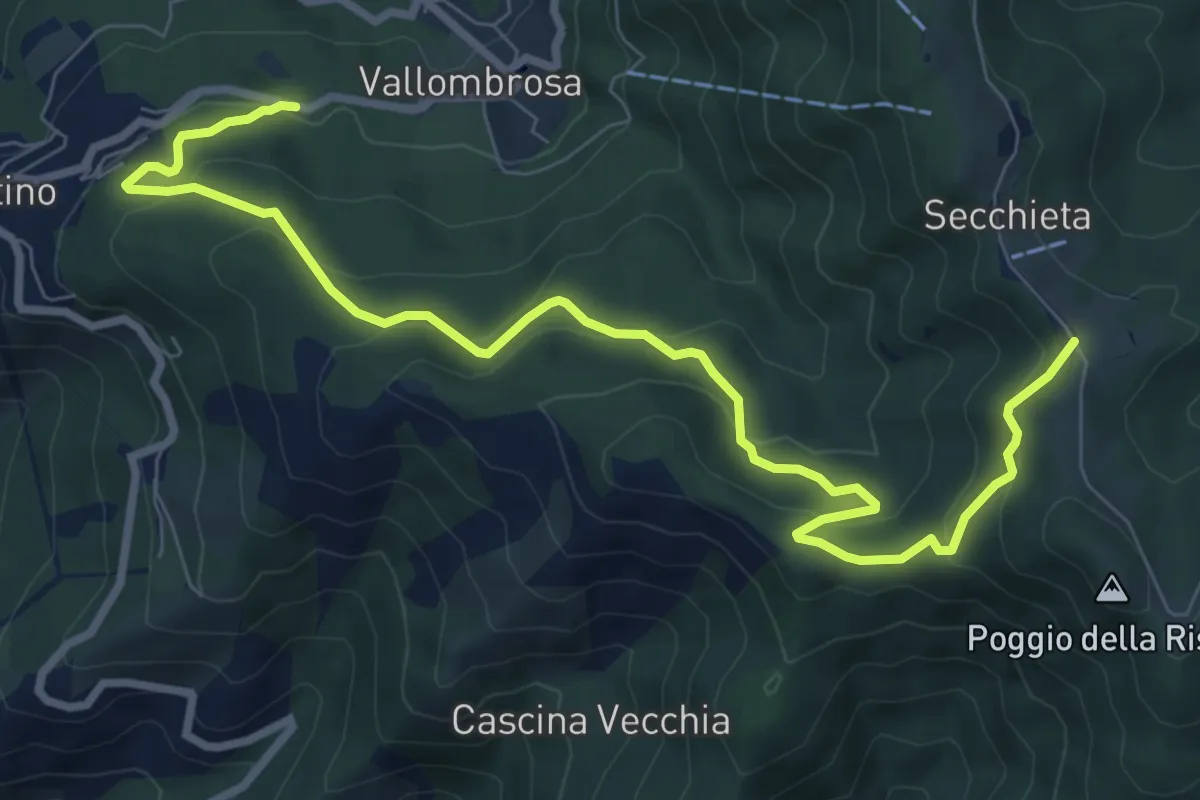
Medium · Trail
Vallombrosa – Secchieta
10.2 km · ↑ 503 m · 3 h 30 min
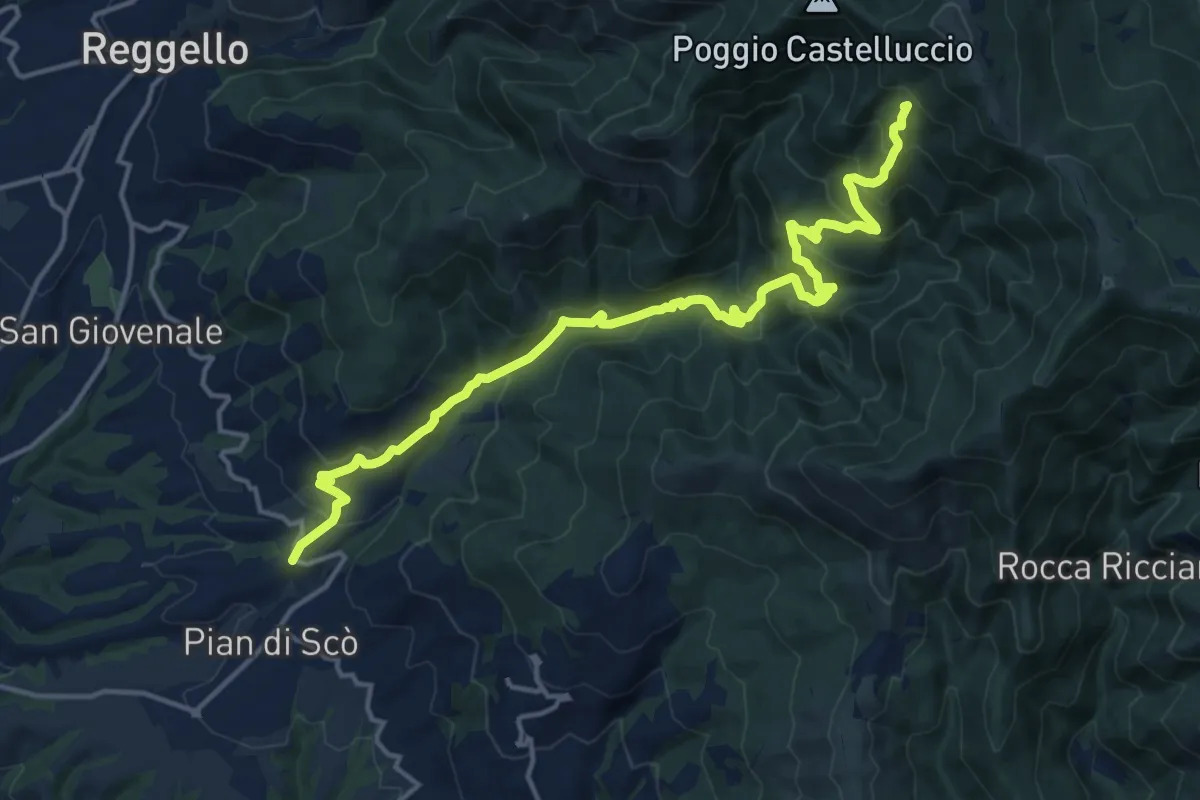
Demanding · Summit
sent.33 La Canova – varco di Gastra
18.3 km · ↑ 1066 m · 6 h 38 min
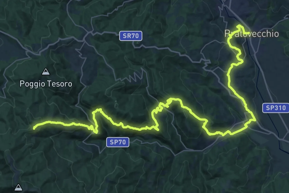
Demanding · Summit
Pratovecchio – Innesto Sentiero 900 presso Poggio Atello
53.6 km · ↑ 2340 m · 17 h 44 min
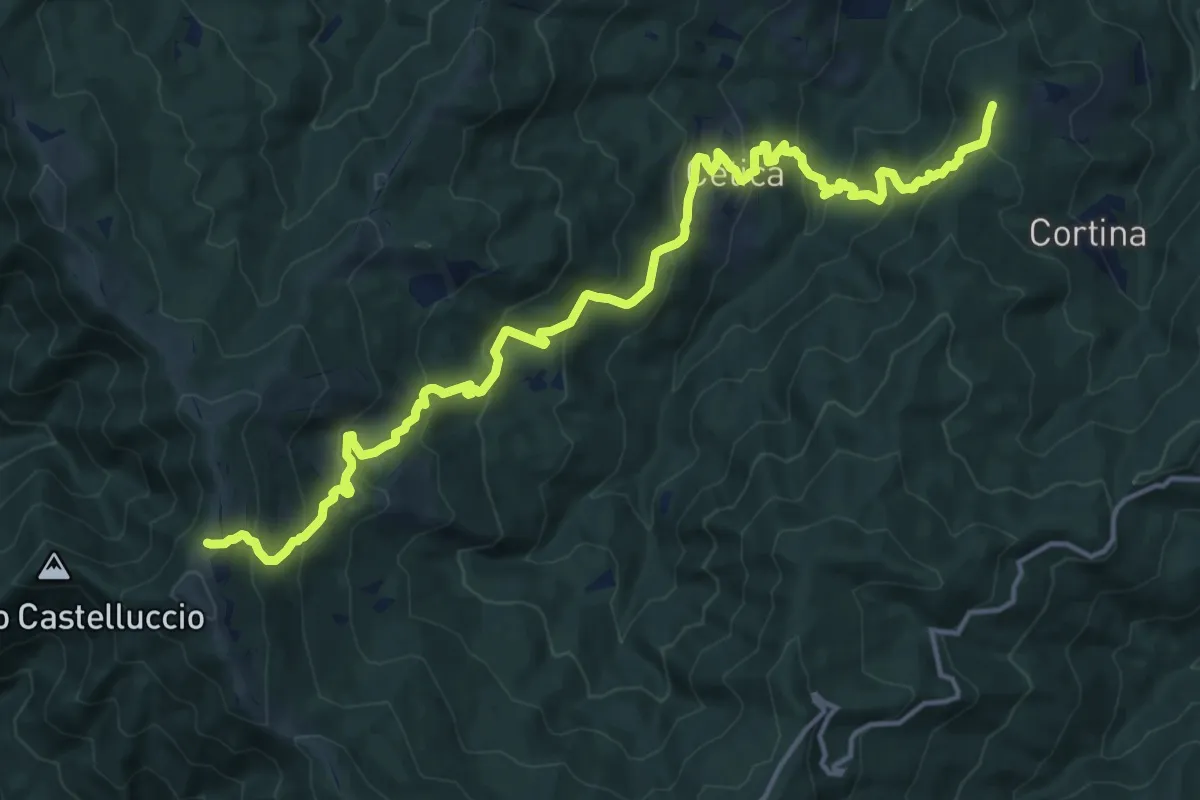
Demanding · Summit
Poppi – Sentiero 900 presso Varco di Gastra
19.6 km · ↑ 1145 m · 7 h 6 min
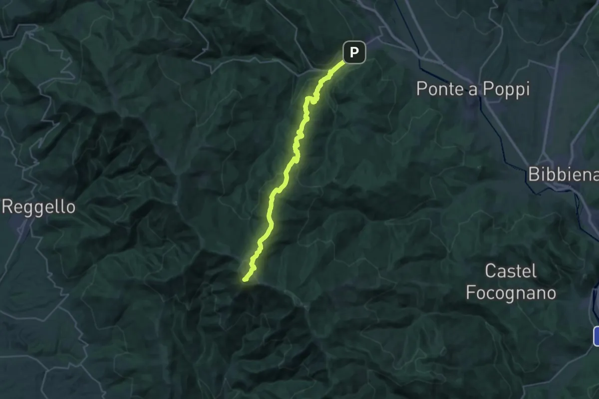
Demanding · Summit
Strada in Casentino – Innesto Sentiero 900 presso Croce del Pratomagno
28.0 km · ↑ 1355 m · 9 h 33 min
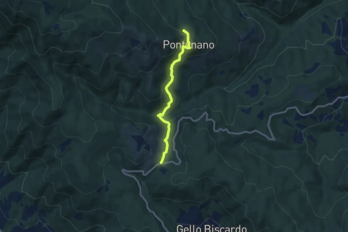
Easy · Trail
Pontenano – Sentiero 00 presso Passo della Crocina
6.1 km · ↑ 284 m · 2 h 3 min
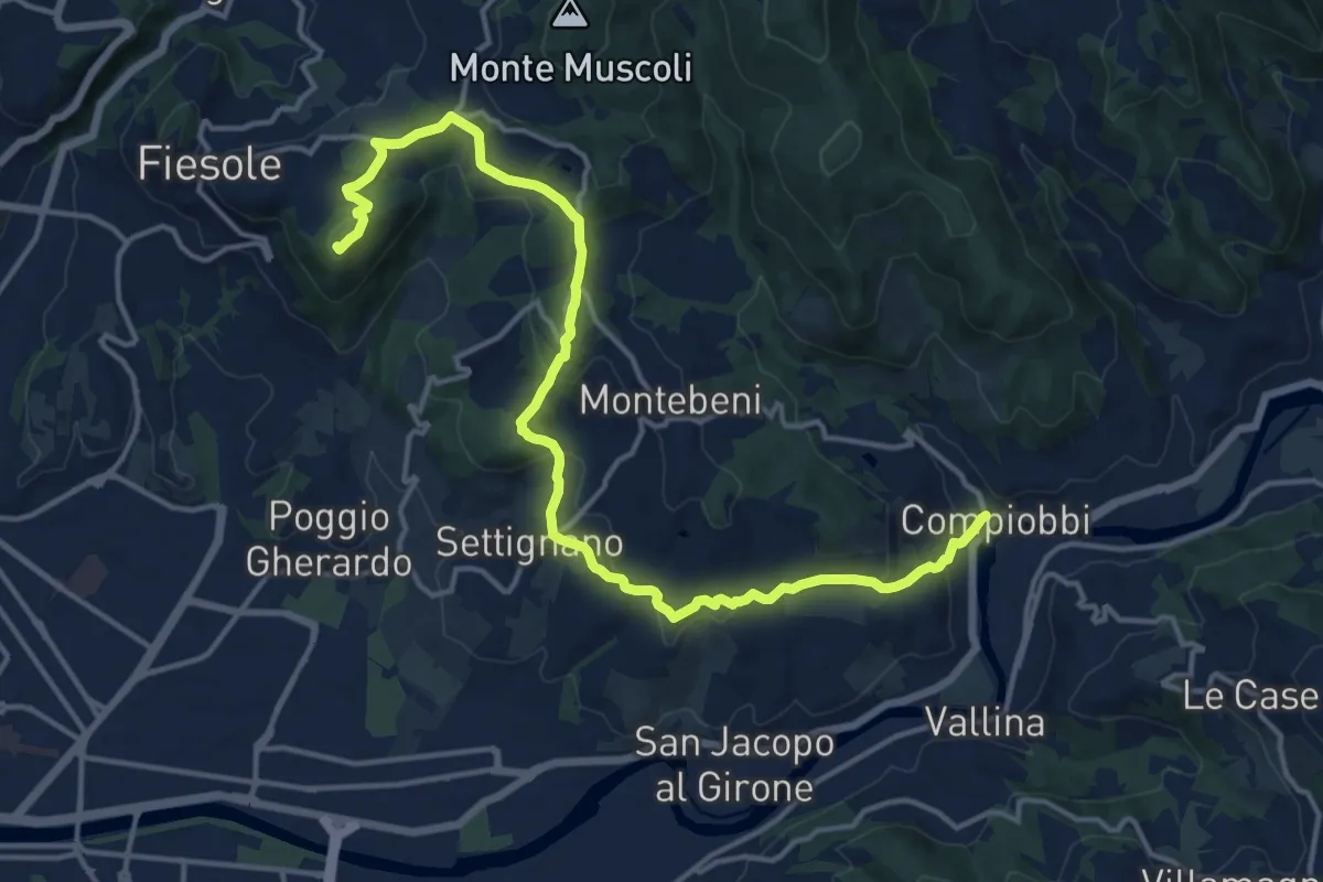
Demanding · Summit
Fiesole – Settignano Compiobbi
18.3 km · ↑ 586 m · 5 h 36 min
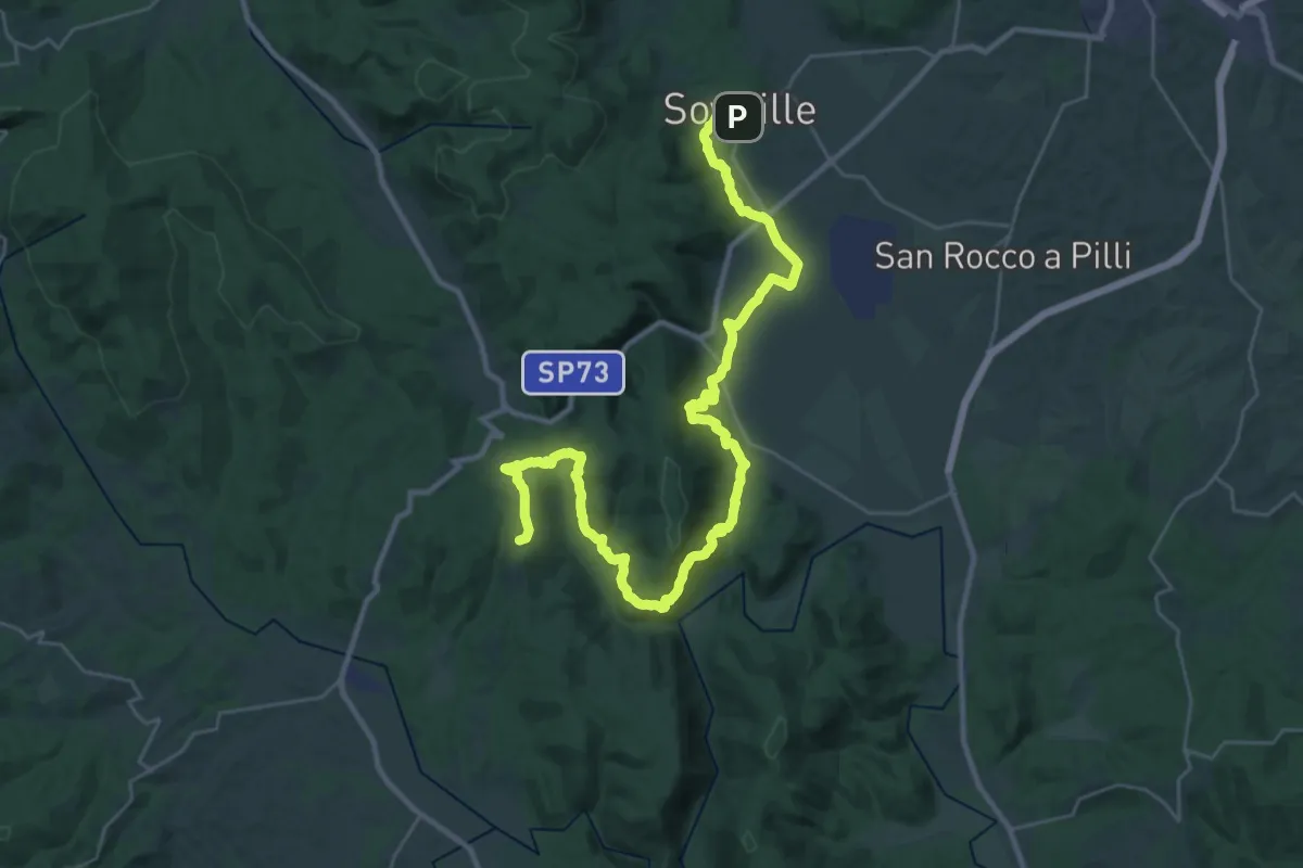
Demanding · Summit
Sovicille – Monticiano
40.9 km · ↑ 991 m · 11 h 48 min
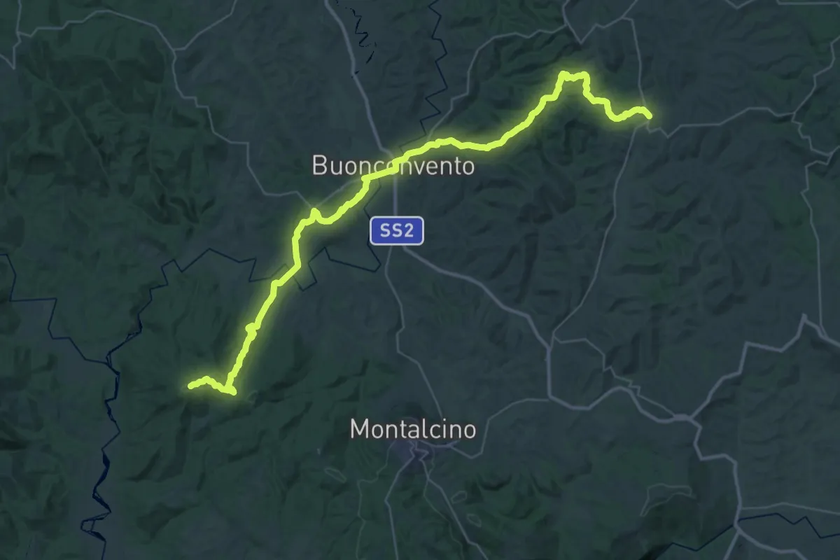
Demanding · Trail
Chiusdino – Trequanda
26.2 km · ↑ 693 m · 7 h 57 min
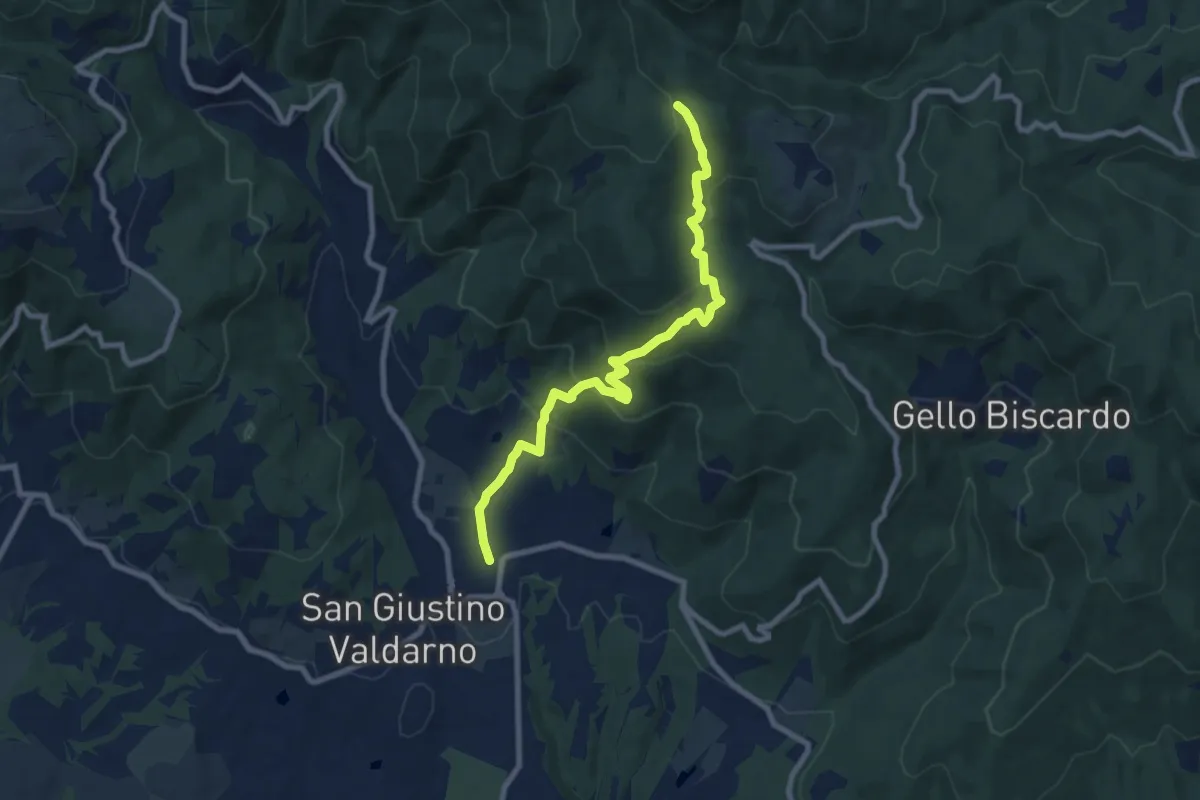
Medium · Trail
San Giustino Valdarno – Sentiero 00
9.2 km · ↑ 511 m · 3 h 17 min
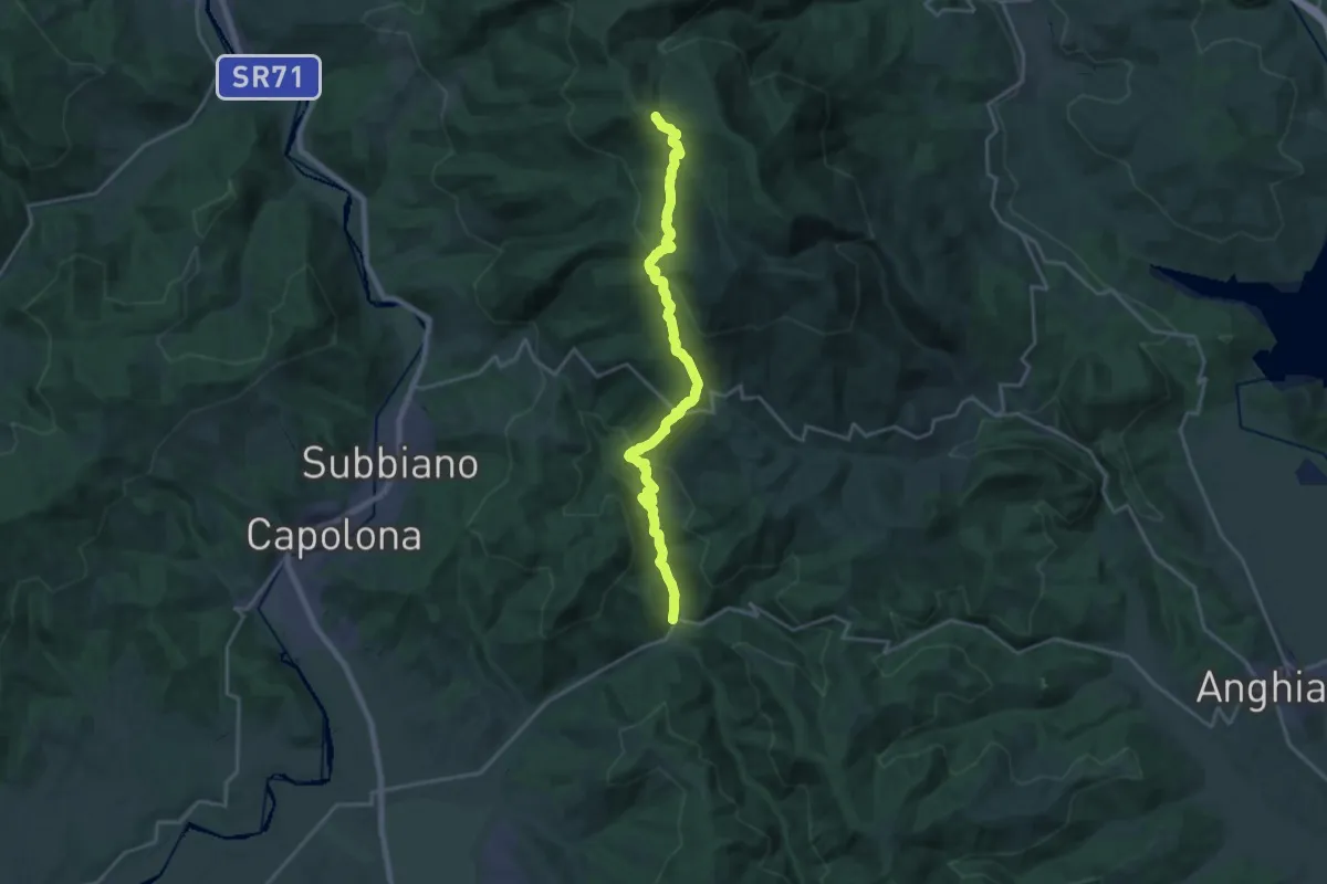
Demanding · Trail
Chiaveretto – Sentiero 50 presso Sasso della Regina
22.1 km · ↑ 996 m · 7 h 23 min
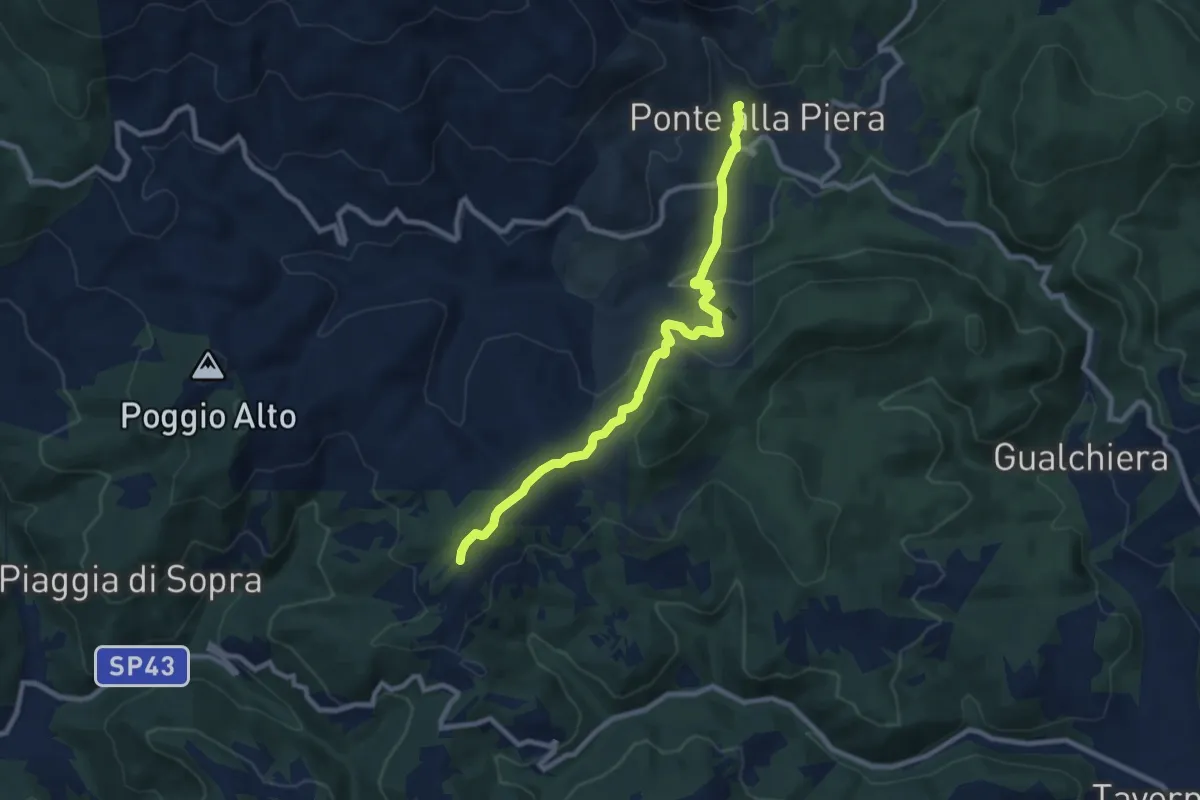
Medium · Trail
Ponte alla Piera – Sentiero 50 nei pressi de La Scheggia
9.3 km · ↑ 305 m · 2 h 52 min
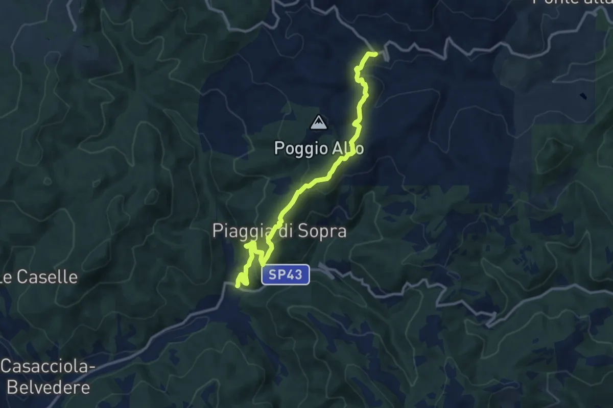
Medium · Trail
Chiaveretto – Savorgnano
10.8 km · ↑ 665 m · 4 h
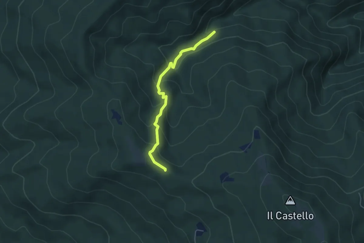
Easy · Trail
Sentiero 80 – Sentiero 50 pressi Sasso della Regina
4.1 km · ↑ 267 m · 1 h 33 min
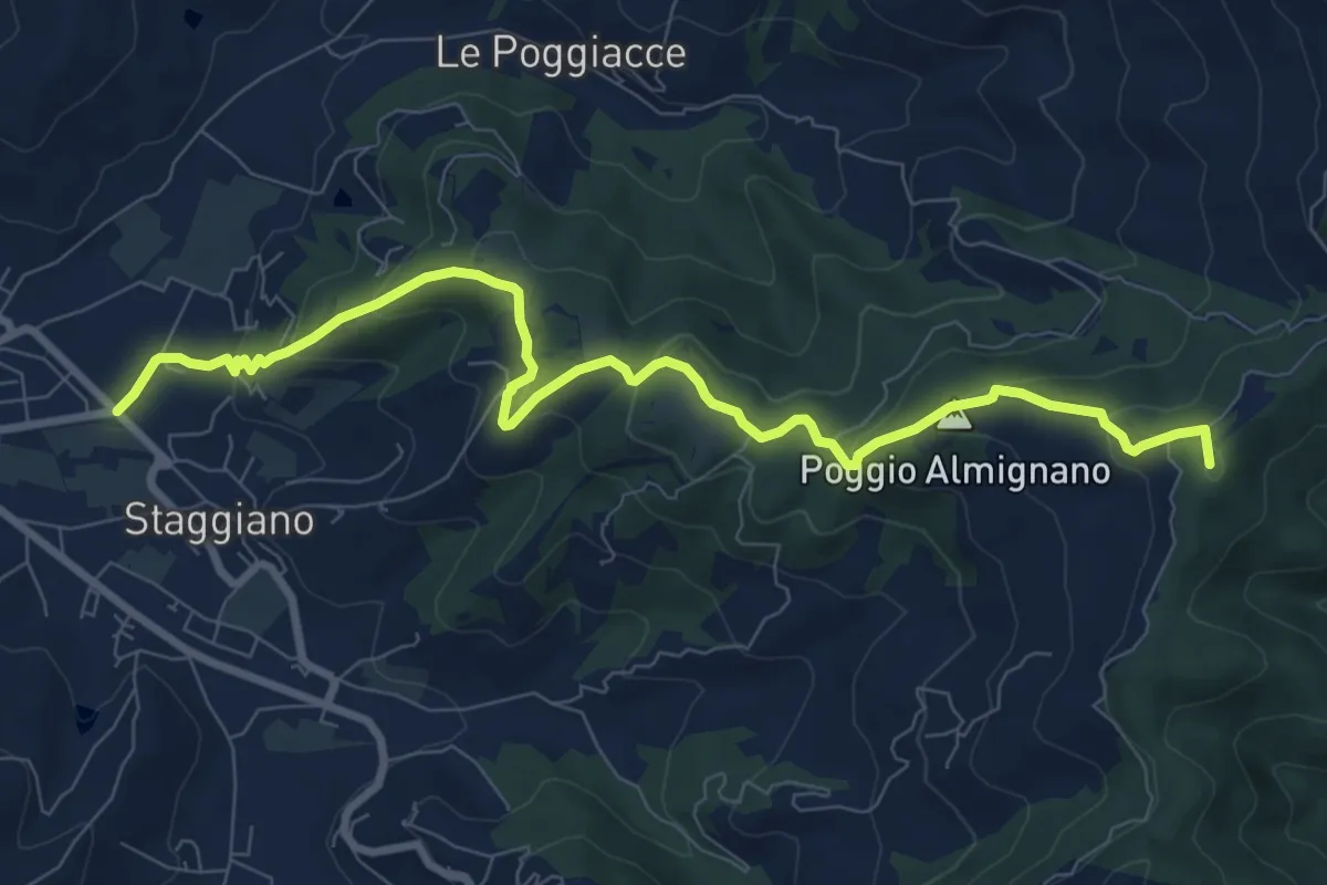
Medium · Summit
Staggiano – Badia di Pomaio
10.3 km · ↑ 505 m · 3 h 31 min
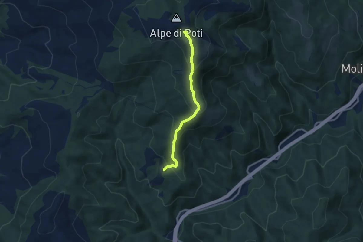
Medium · Summit
Sentiero 146 sopra Radicata – Sentiero 50 Alpe di Poti
5.8 km · ↑ 377 m · 2 h 12 min
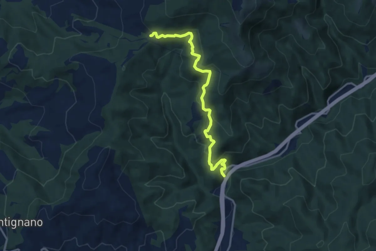
Medium · Trail
Sentiero CAI 50 località San Severo – Ex Strada Statale 73 Località L'Intoppo
9.1 km · ↑ 470 m · 3 h 9 min
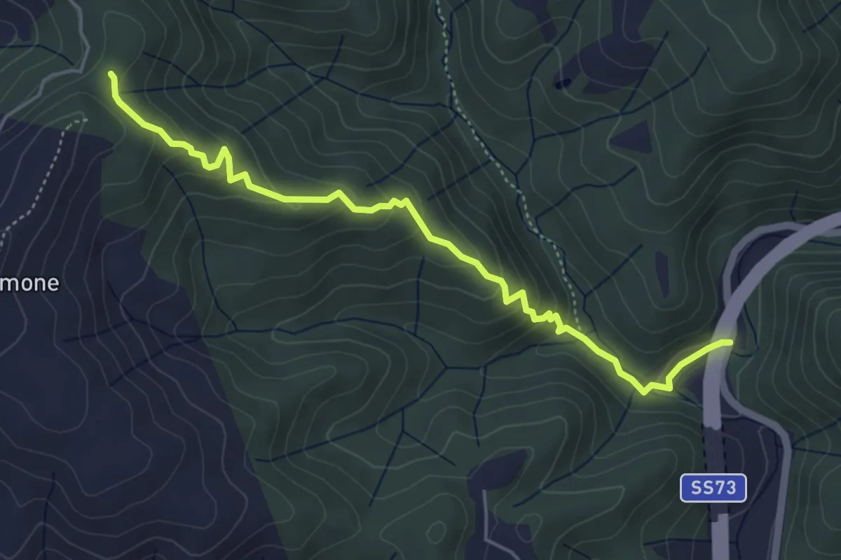
Easy · Trail
Sentiero CAI 50 sotto Monte Talamone – Località L'Intoppo
5.3 km · ↑ 276 m · 1 h 52 min
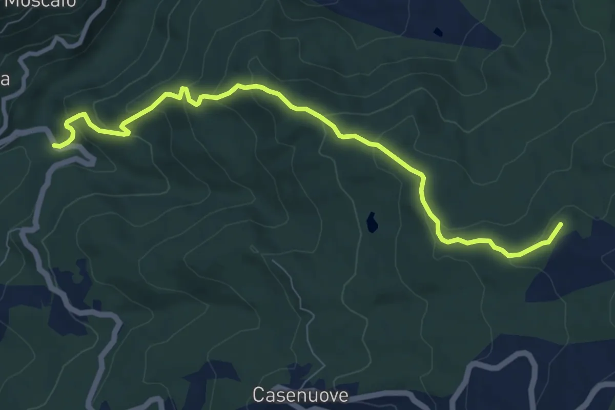
Medium · Summit
SS208 nei pressi di Banzena – La Beccia
8.6 km · ↑ 498 m · 3 h 7 min
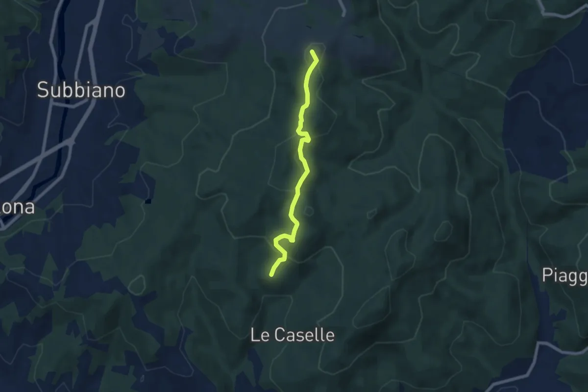
Easy · Summit
Montegiovi – Sentiero 50 presso Cul di Paiolo
5.9 km · ↑ 181 m · 1 h 47 min
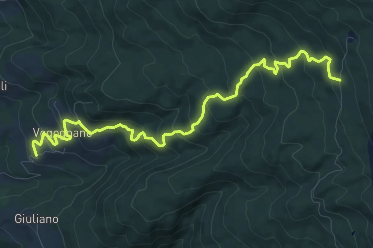
Medium · Trail
Vogognano – Sentiero 003 sotto Fonte del Baregno
12.6 km · ↑ 695 m · 4 h 29 min
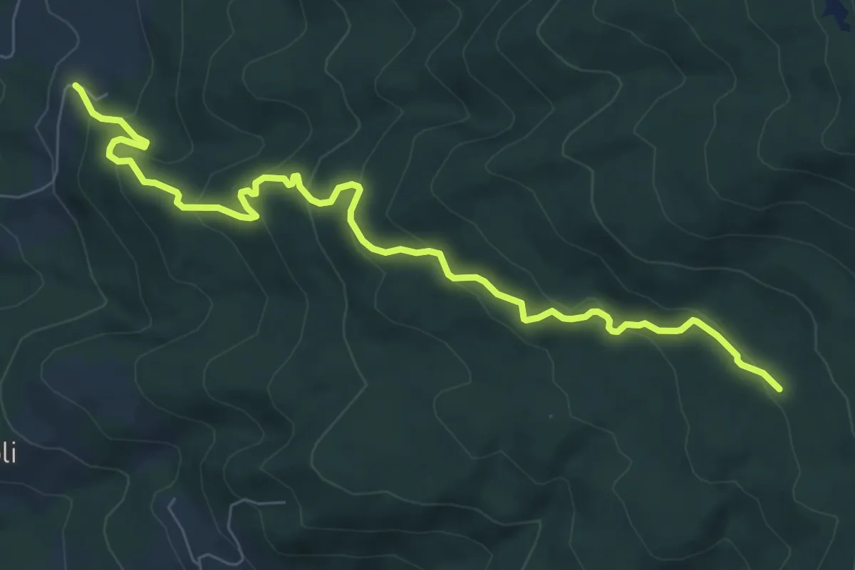
Medium · Trail
Castello di Valenzano – Sentiero 015 presso Il Casotto
8.7 km · ↑ 531 m · 3 h 12 min
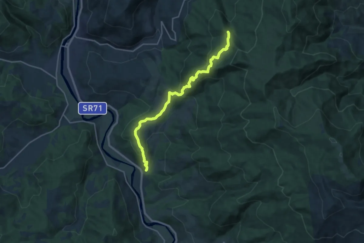
Medium · Trail
Calbenzano – Sentiero 028
14.6 km · ↑ 707 m · 4 h 59 min
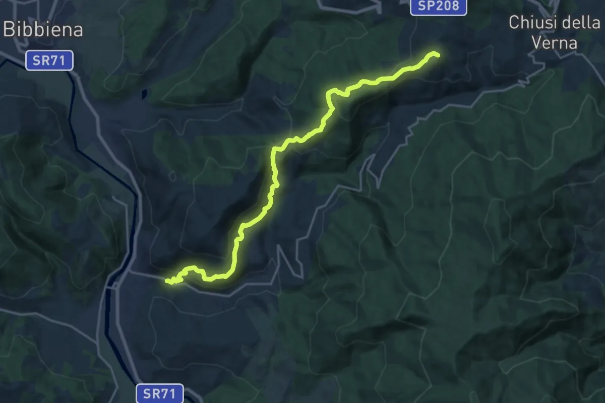
Demanding · Summit
Rassina – Sentiero 044 presso La Verna
18.0 km · ↑ 897 m · 6 h 12 min
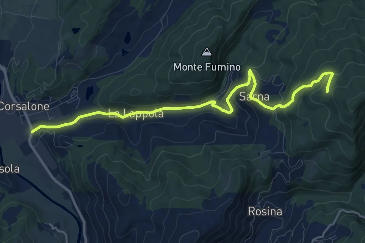
Medium · Trail
Corsalone – Sentiero 33 ad 1km da Sarna
12.5 km · ↑ 504 m · 4 h 2 min
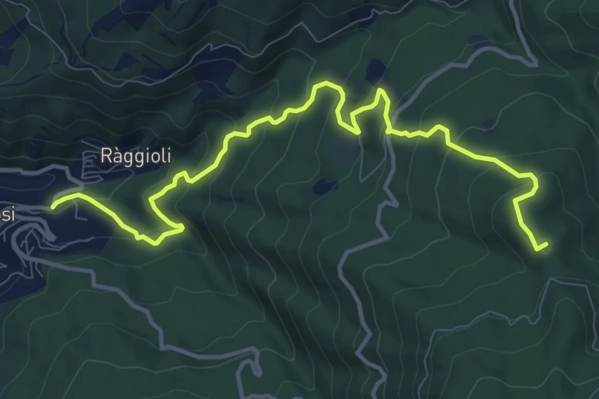
Medium · Summit
Tosi – Secchieta
11.1 km · ↑ 749 m · 4 h 15 min
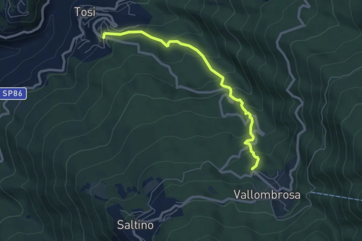
Medium · Trail
Tosi - Pian di Melosa – Vallombrosa
6.0 km · ↑ 370 m · 2 h 12 min
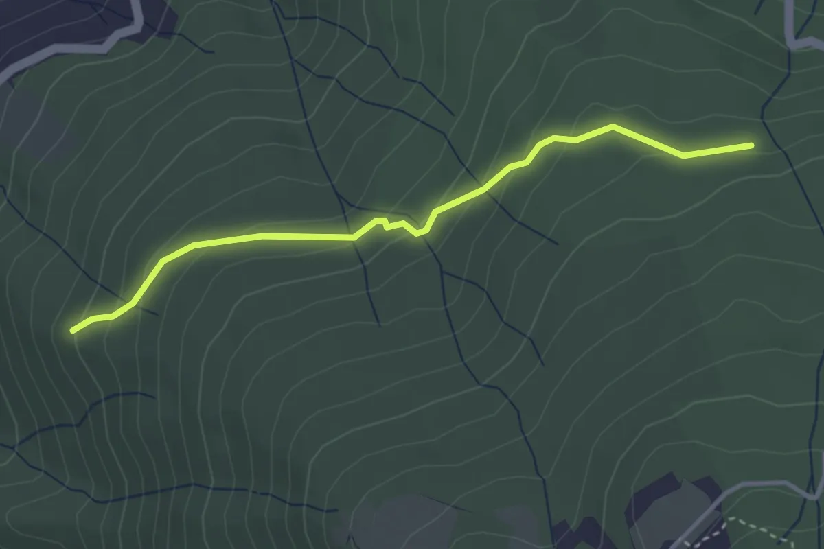
Easy · Trail
Raccordo Sentiero 9 – Incrocio Sentiero 913
3.5 km · ↑ 185 m · 1 h 14 min
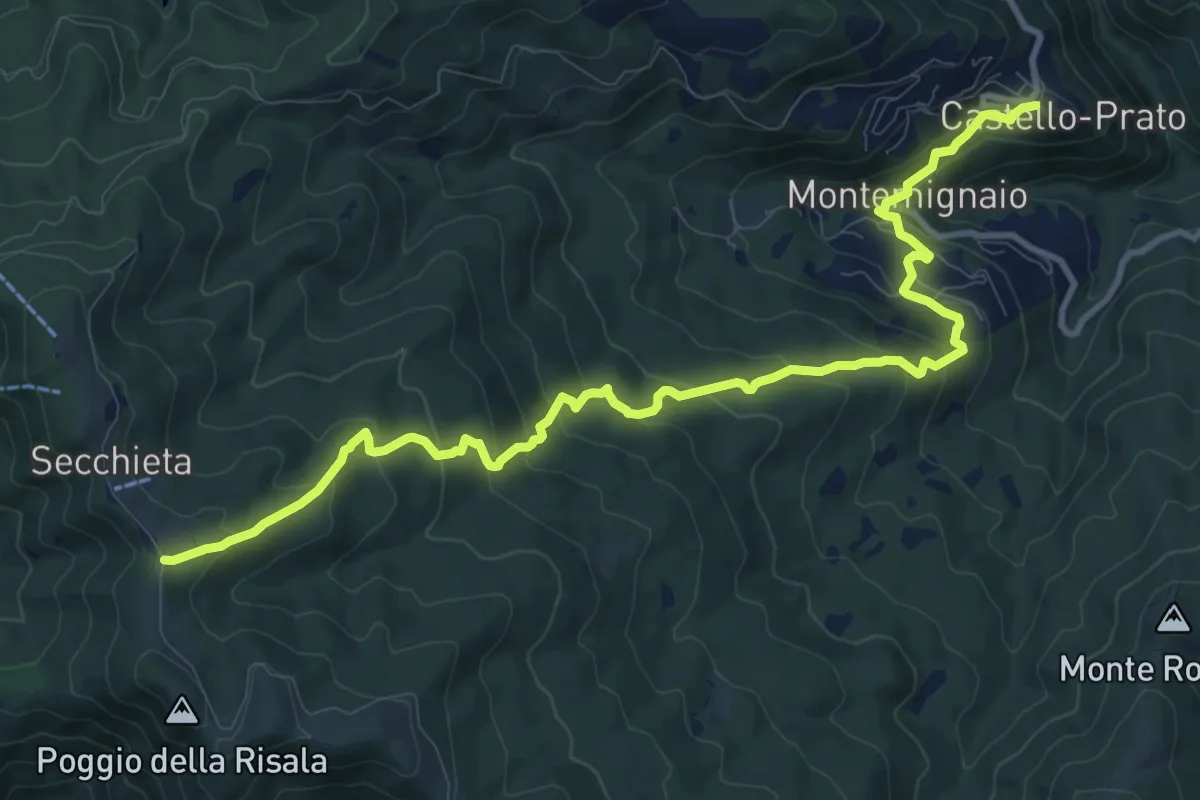
Medium · Trail
Castello di Montemignaio – Sentiero 900 presso La Secchieta
13.2 km · ↑ 782 m · 4 h 49 min
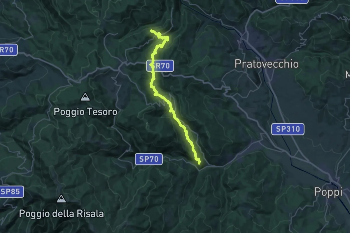
Demanding · Summit
Prato di Strada – Sentiero 00 (900) sopra località Villa
23.6 km · ↑ 1092 m · 7 h 56 min
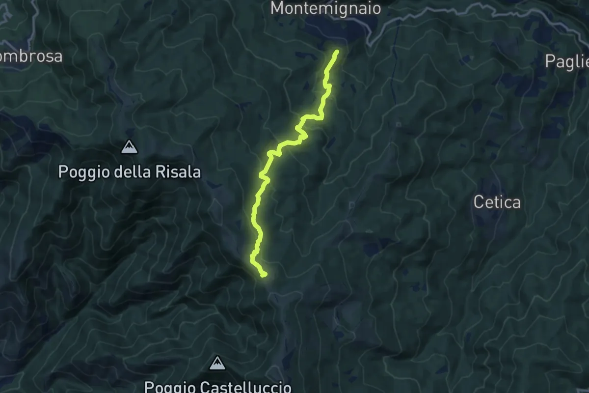
Medium · Trail
Innesto sentiero 927 presso Montemignaio – Sentiero 900 presso Varco di Reggello
11.0 km · ↑ 529 m · 3 h 44 min
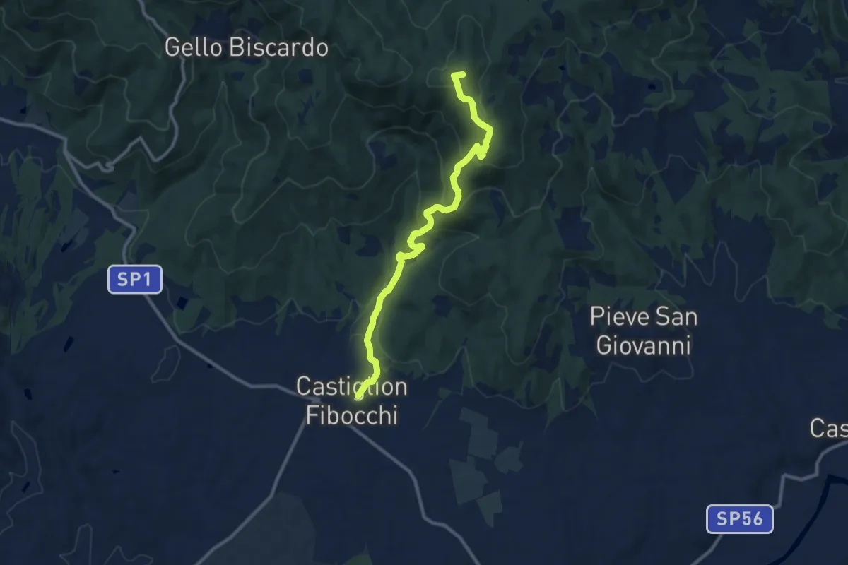
Medium · Summit
Castiglion Fibocchi – Innesto Sentiero 900 presso Monte Capannino
10.4 km · ↑ 506 m · 3 h 33 min
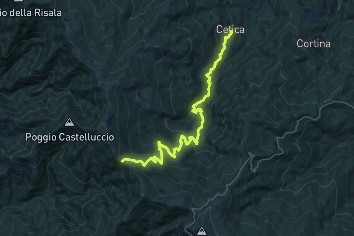
Demanding · Cabin
Cetica – Varco di Gastra
19.0 km · ↑ 929 m · 6 h 30 min
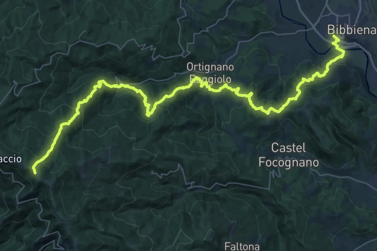
Demanding · Trail
Bibbiena loc. Pollino – Innesto Sentiero 900 presso Pozza Nera
21.0 km · ↑ 617 m · 7 h 10 min
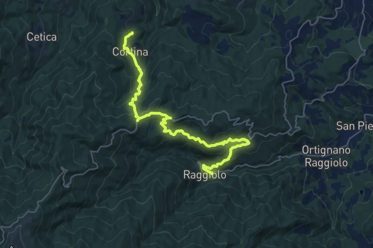
Demanding · Trail
Innesto Sentiero 930 presso Raggiolo – Innesto Sentiero 929 presso Garliano
20.2 km · ↑ 1027 m · 7 h
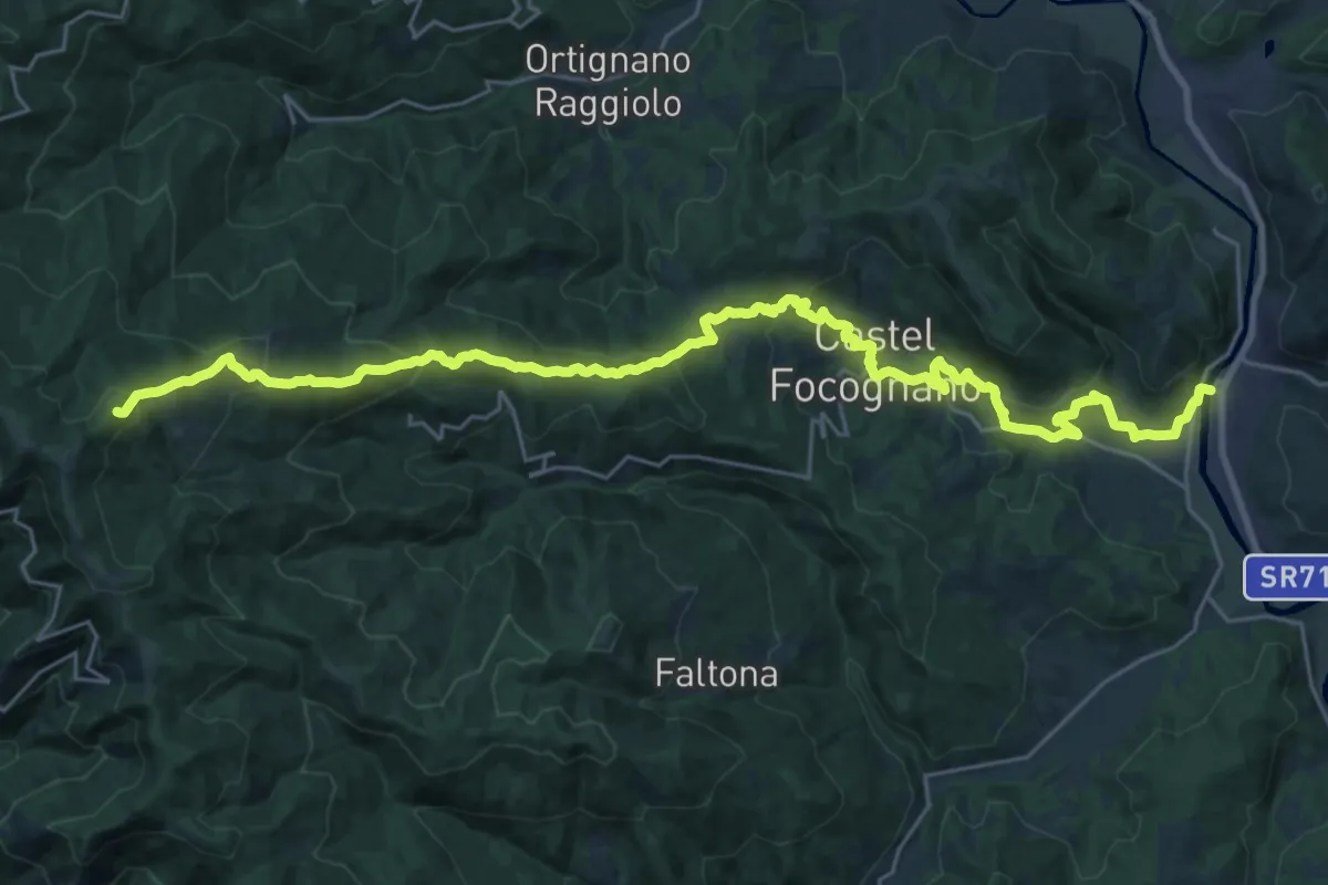
Demanding · Summit
Rassina – Innesto Sentiero 00 presso Poggio Massarecci
33.2 km · ↑ 1475 m · 11 h 2 min
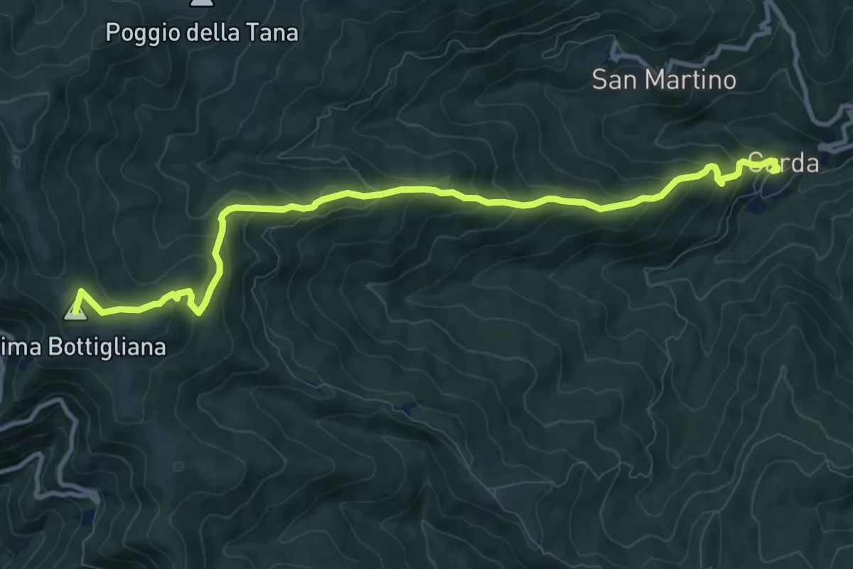
Medium · Summit
Carda – Innesto Sentiero 900 presso Cima Bottigliana
11.3 km · ↑ 763 m · 4 h 20 min
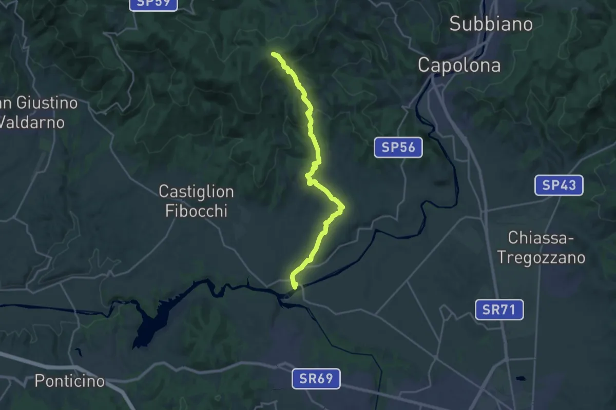
Demanding · Trail
Ponte Buriano – Innesto sentiero 900 presso Spedale
18.8 km · ↑ 601 m · 5 h 44 min