Trails in Italy
25,219 hiking trails, each with its route, climb, walking time and grade.
All trails, page 299 of 526
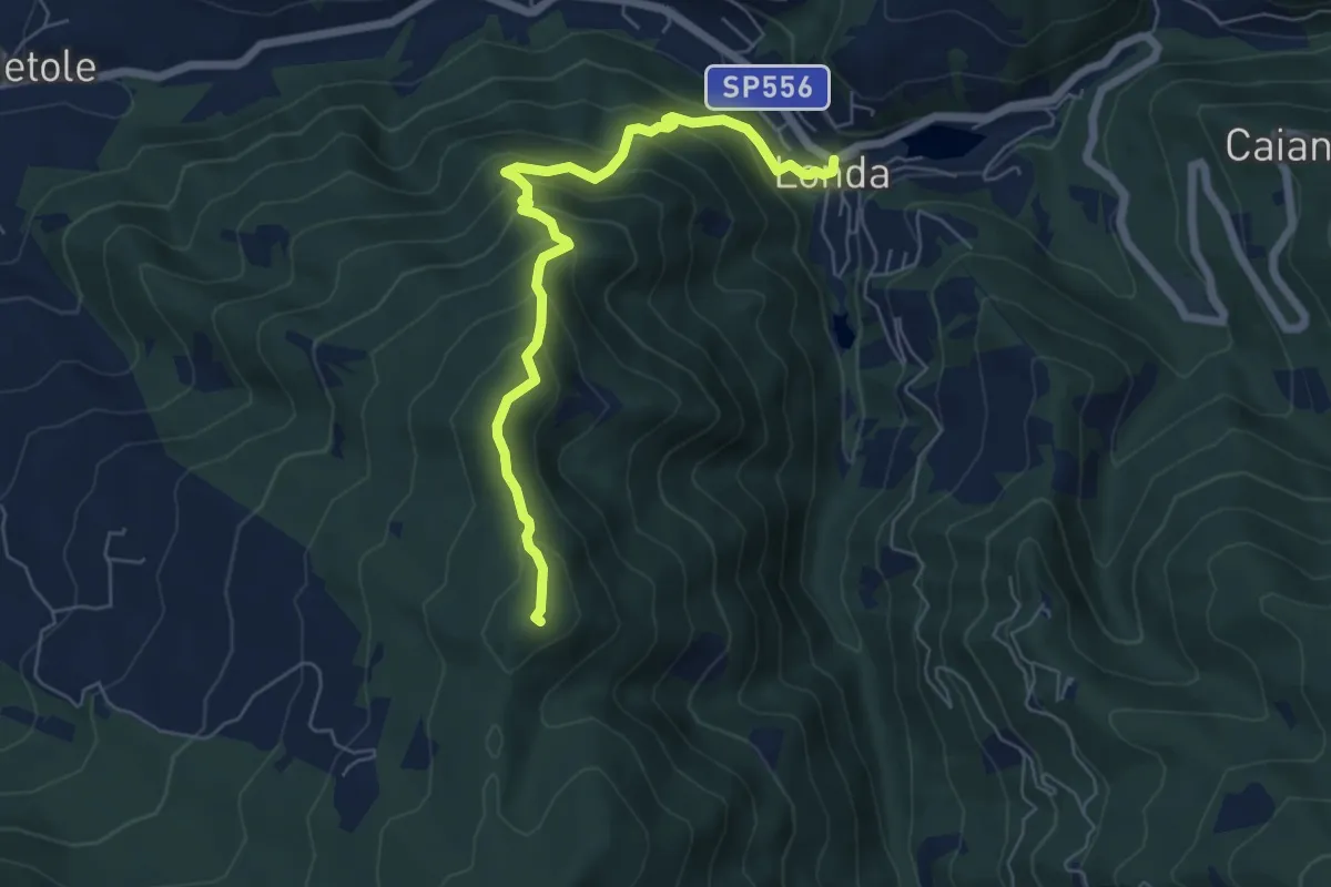
Medium · Summit
Londa – Pieve Vecchia sent. 5
6.5 km · ↑ 554 m · 2 h 45 min
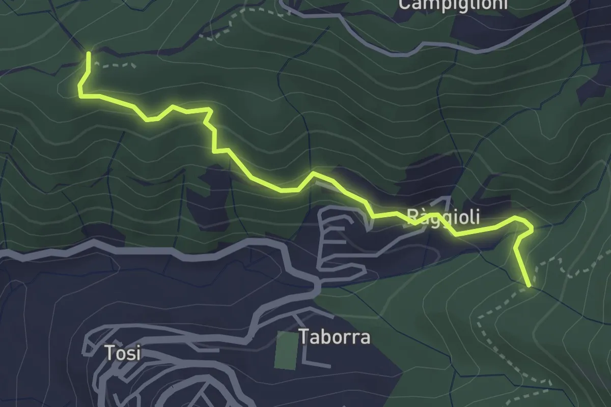
Easy · Trail
Raggioli – Incrocio Sentiero 206
3.6 km · ↑ 243 m · 1 h 22 min
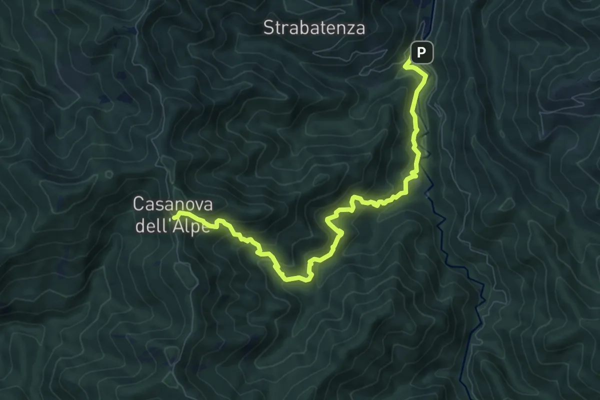
Demanding · Trail
Molinaccio – Casanova dell'Alpe
9.3 km · ↑ 807 m · 3 h 56 min
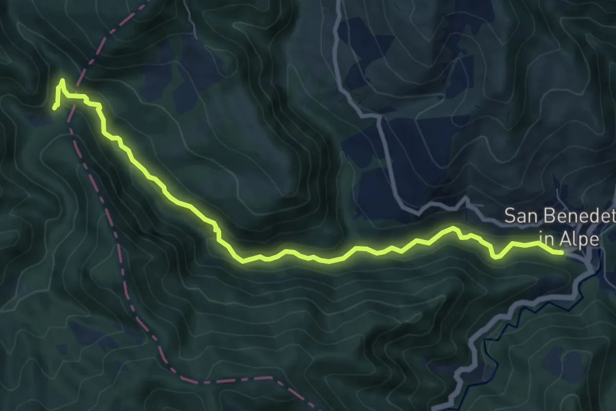
Medium · Trail
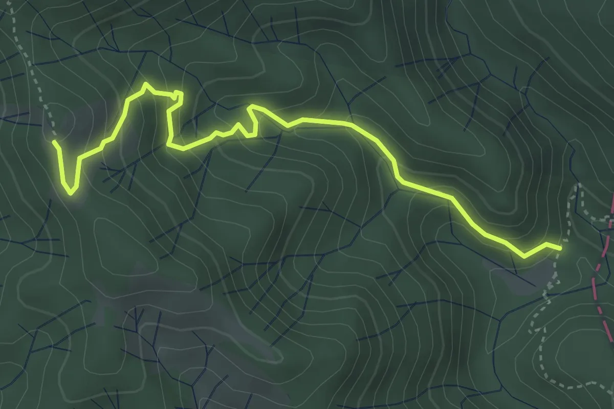
San Benedetto in Alpe – I Romiti
8.9 km · ↑ 309 m · 2 h 47 min
Medium · Trail
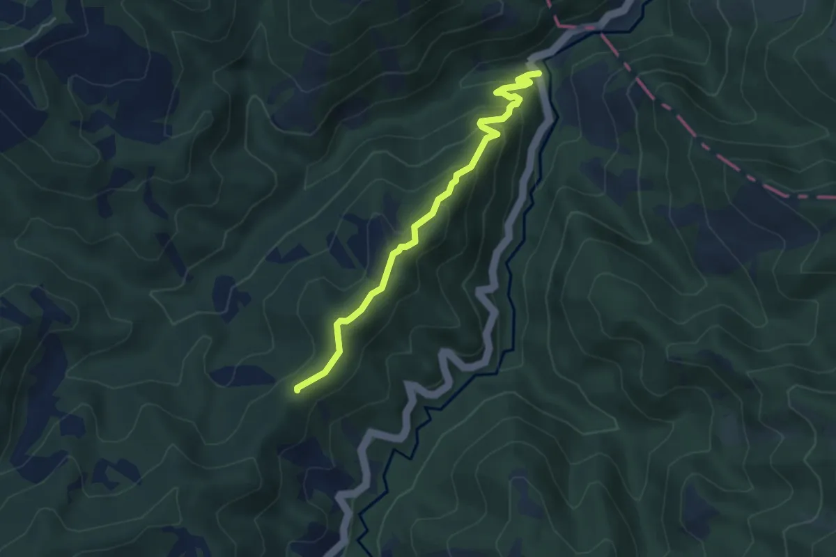
I Romiti – Sella di Monte Lavane
4.4 km · ↑ 397 m · 1 h 54 min
Medium · Trail
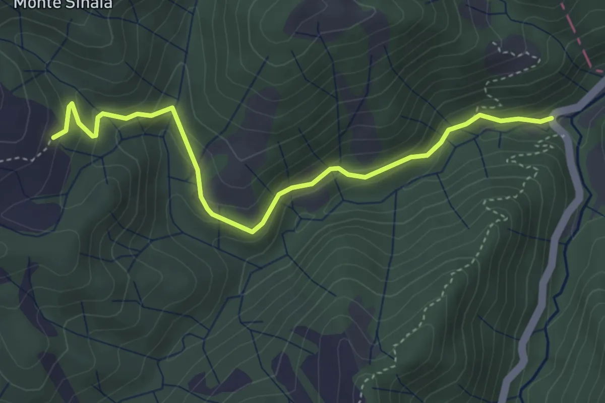
S.S. 67 (Osteria Nuova) – Percorso CAI 00 (Fiera dei Poggi)
4.6 km · ↑ 300 m · 1 h 44 min
Medium · Trail
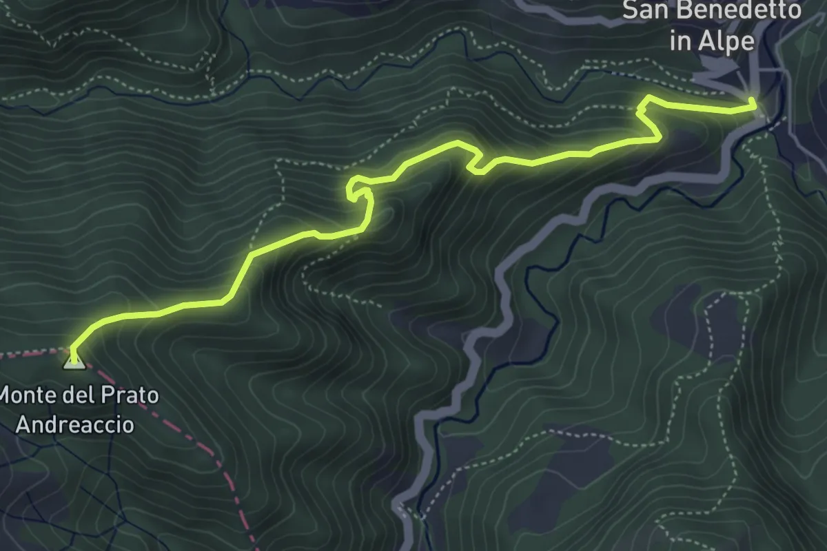
S.S. 67 (Osteria Nuova) – Percorso CAI 419 (il Crocione)
4.4 km · ↑ 252 m · 1 h 35 min
Medium · Summit
San Benedetto in Alpe – I Romiti
5.8 km · ↑ 533 m · 2 h 32 min
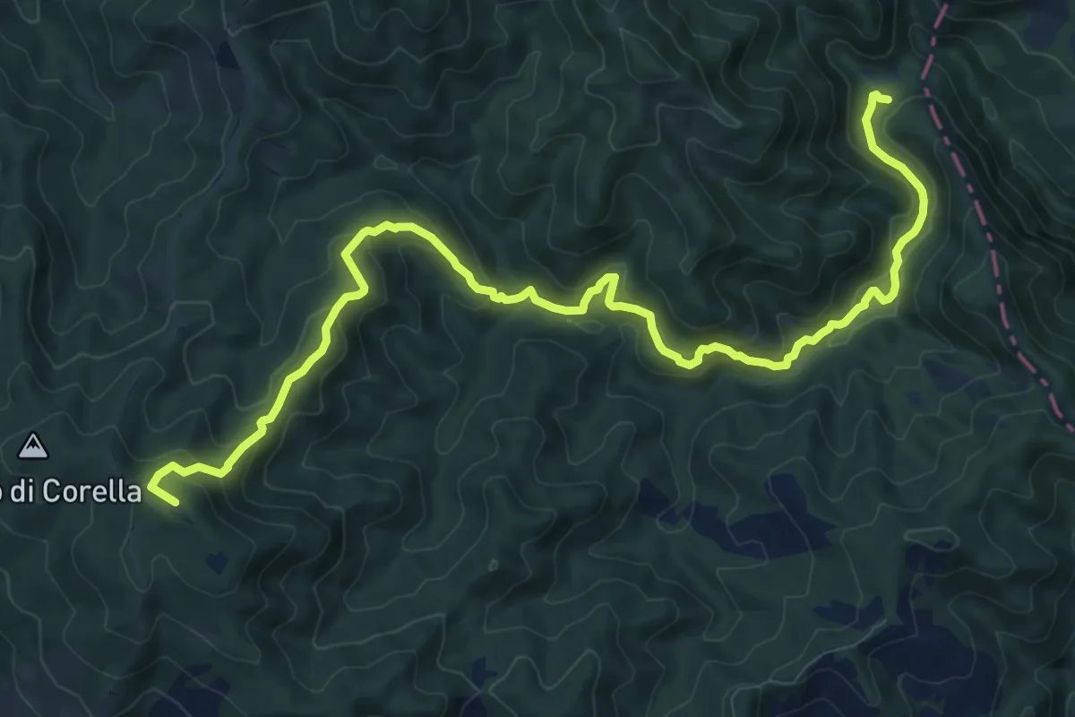
Medium · Summit
I Romiti – Monte Peschiena
13.1 km · ↑ 746 m · 4 h 43 min
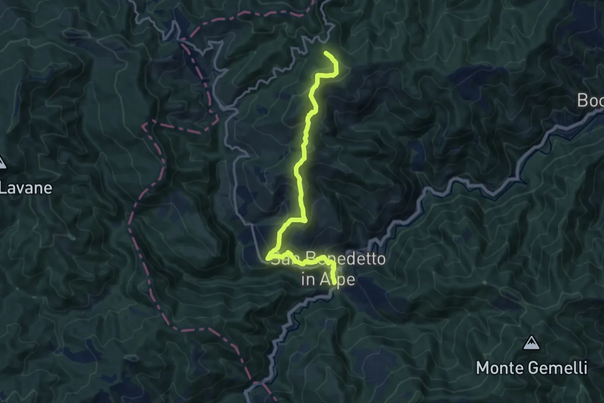
Medium · Summit
San Benedetto in Alpe – Percorso CAI 553 (Colle del Tramazzo)
12.2 km · ↑ 748 m · 4 h 31 min
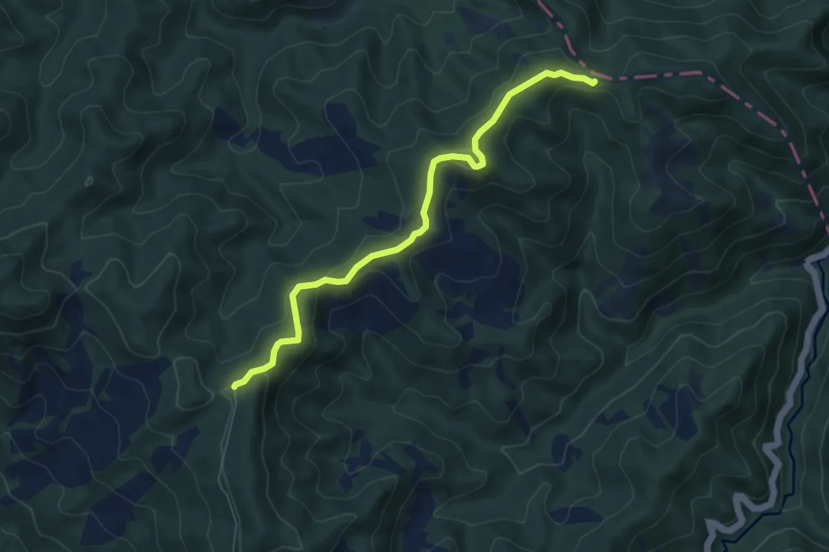
Easy · Trail
Percorso CAI 409 – Colla della Maestà
6.5 km · ↑ 191 m · 1 h 57 min
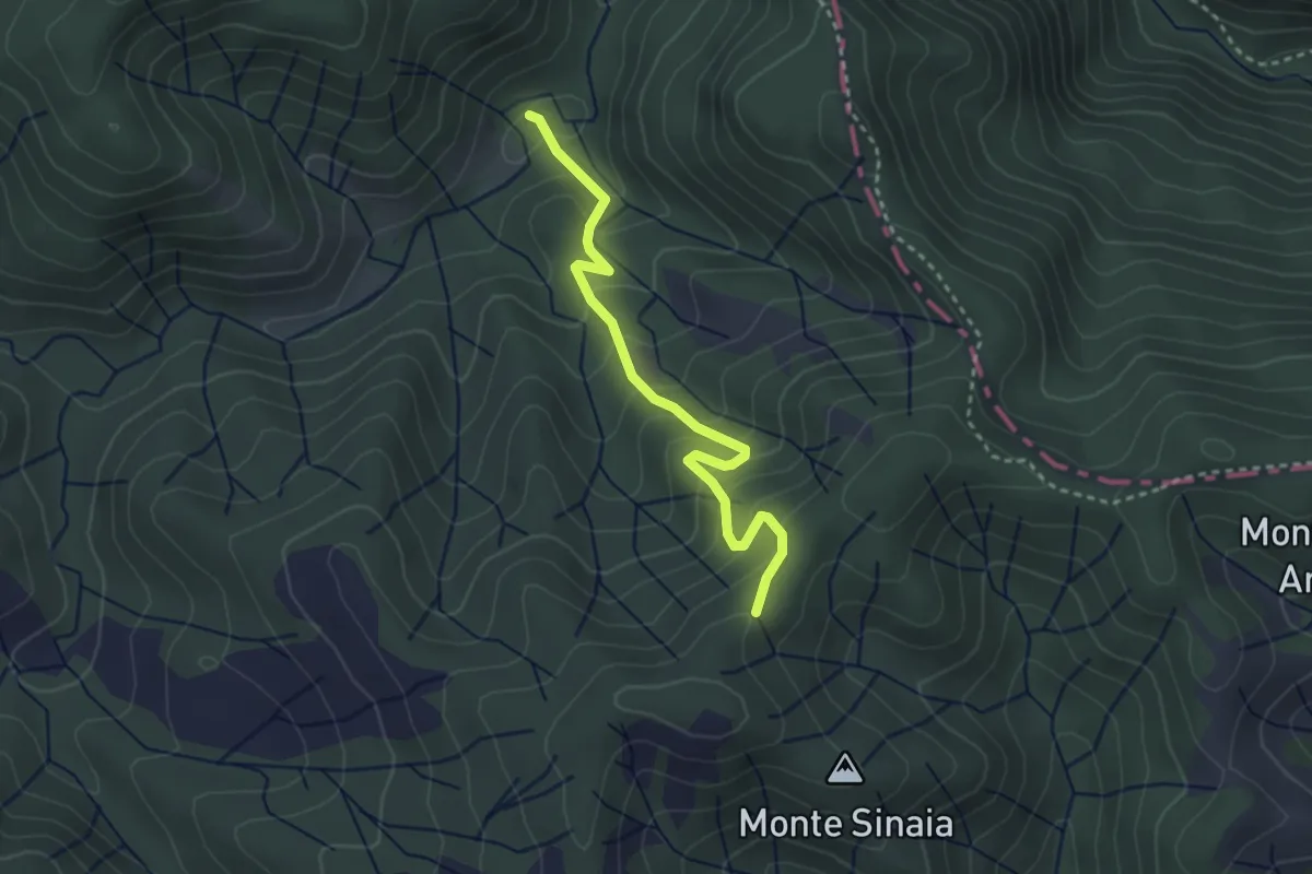
Medium · Trail
Percorso CAI 411 – Percorso CAI 419
3.2 km · ↑ 260 m · 1 h 18 min
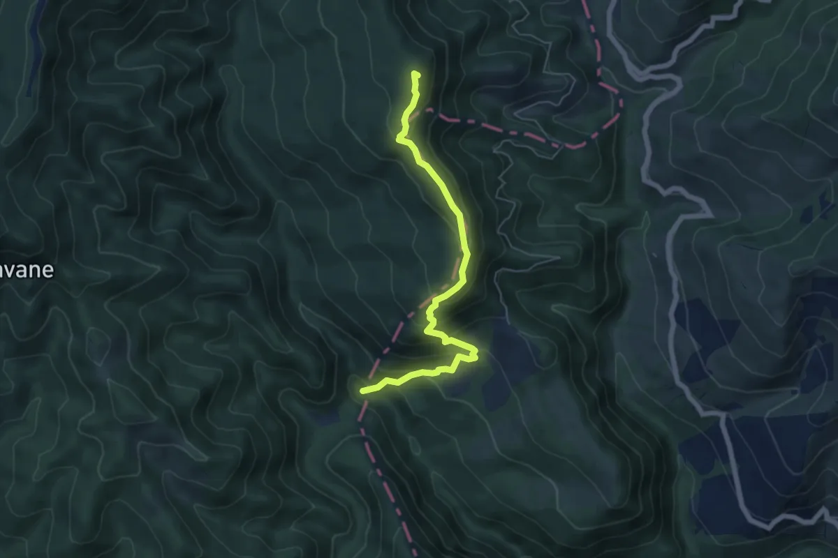
Medium · Summit
Percorso CAI 555 – Cascata dell'Acquacheta
5.8 km · ↑ 427 m · 2 h 17 min
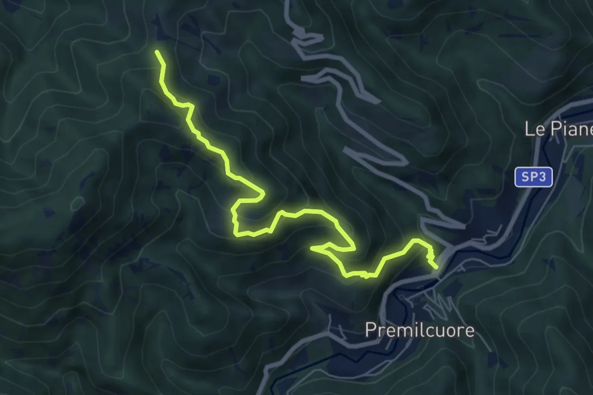
Medium · Trail
Premilcuore – Piansegni - Strada Valbura/Bucine - Sent. 401
7.0 km · ↑ 596 m · 2 h 57 min
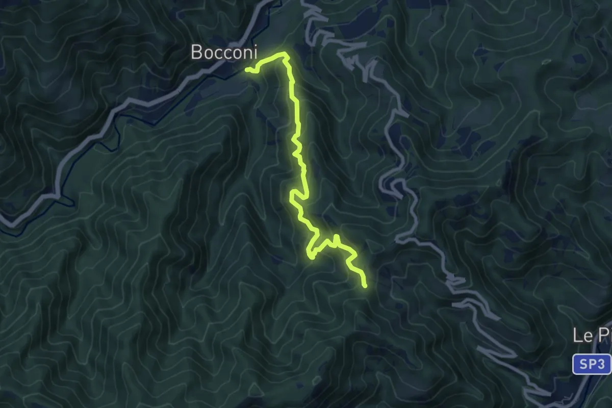
Medium · Trail
Bocconi – Bastia - Sent. 401
7.6 km · ↑ 715 m · 3 h 21 min
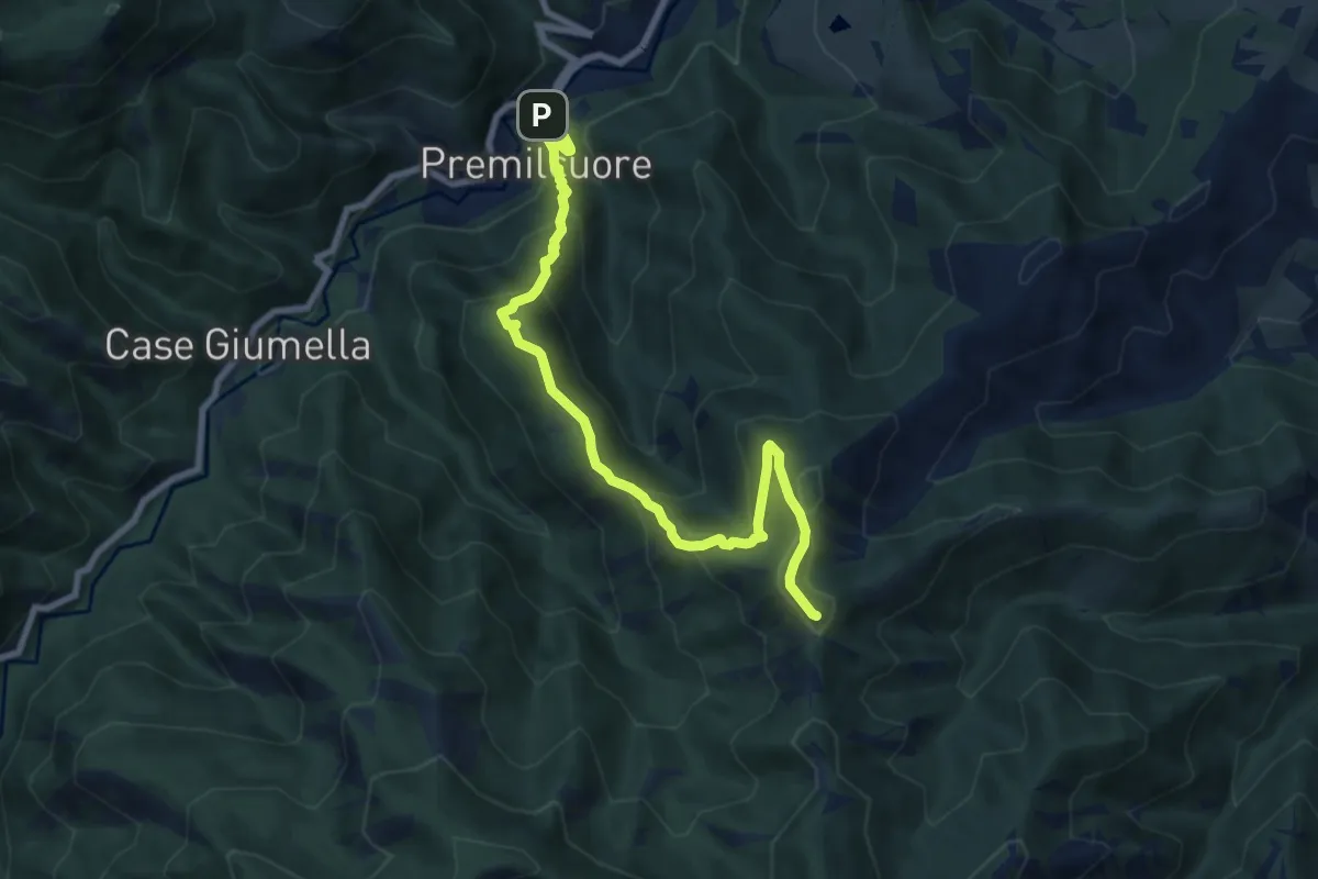
Medium · Summit
Premilcuore – Percorso 311
8.8 km · ↑ 646 m · 3 h 28 min
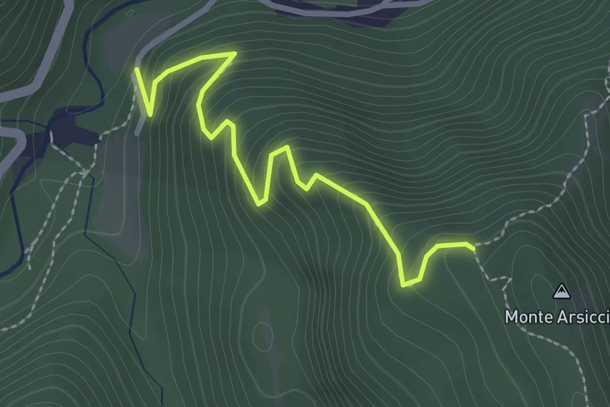
Easy · Trail
Ridolla – Monte Arsiccio
2.5 km · ↑ 271 m · 1 h 11 min
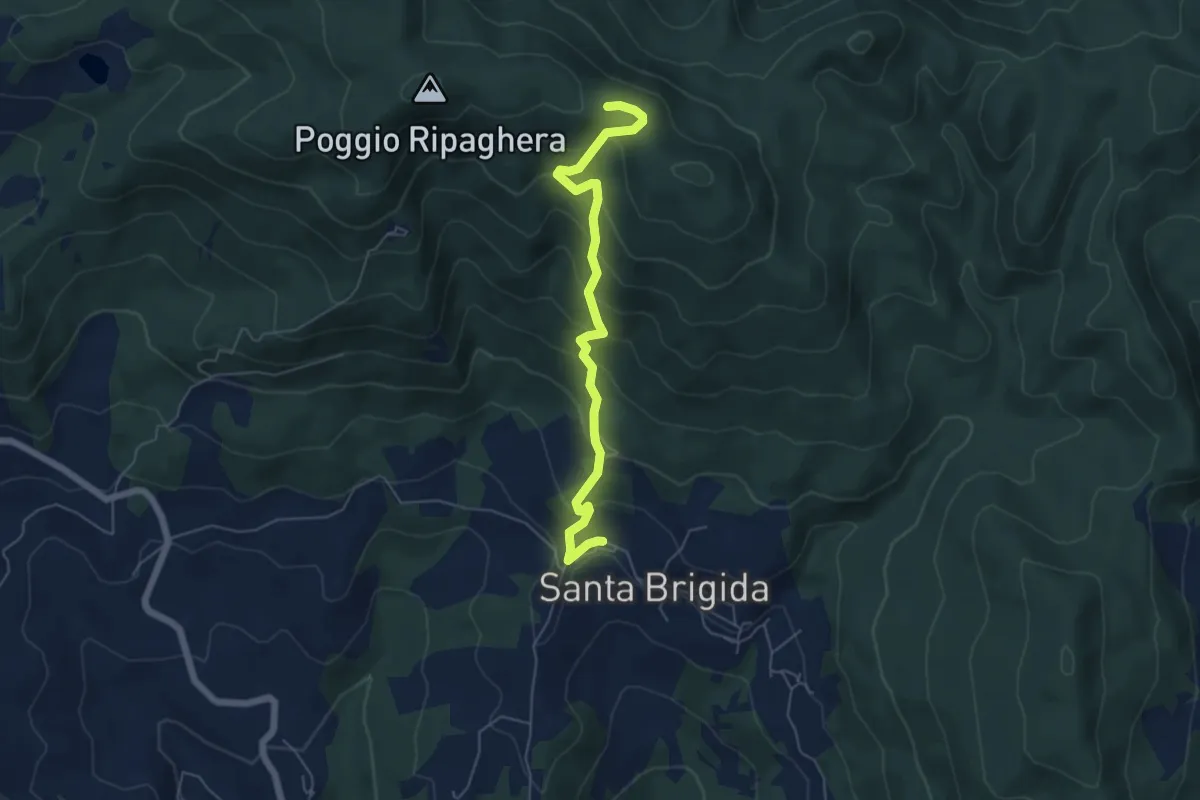
Medium · Trail
Santa Brigida – Il Giogo (Percorso 00)
5.9 km · ↑ 487 m · 2 h 27 min
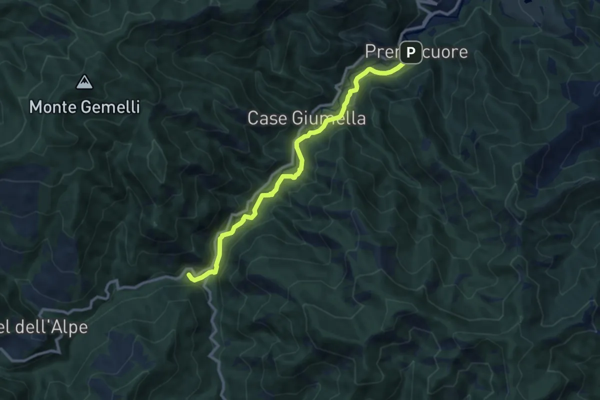
Medium · Trail
Premilcuore – Ca' Petriccio - Gorgolaio
9.1 km · ↑ 242 m · 2 h 41 min
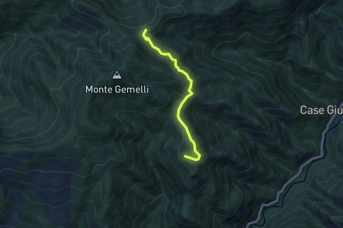
Medium · Summit
Ca' Petriccio – Percorso 401
4.5 km · ↑ 285 m · 1 h 40 min
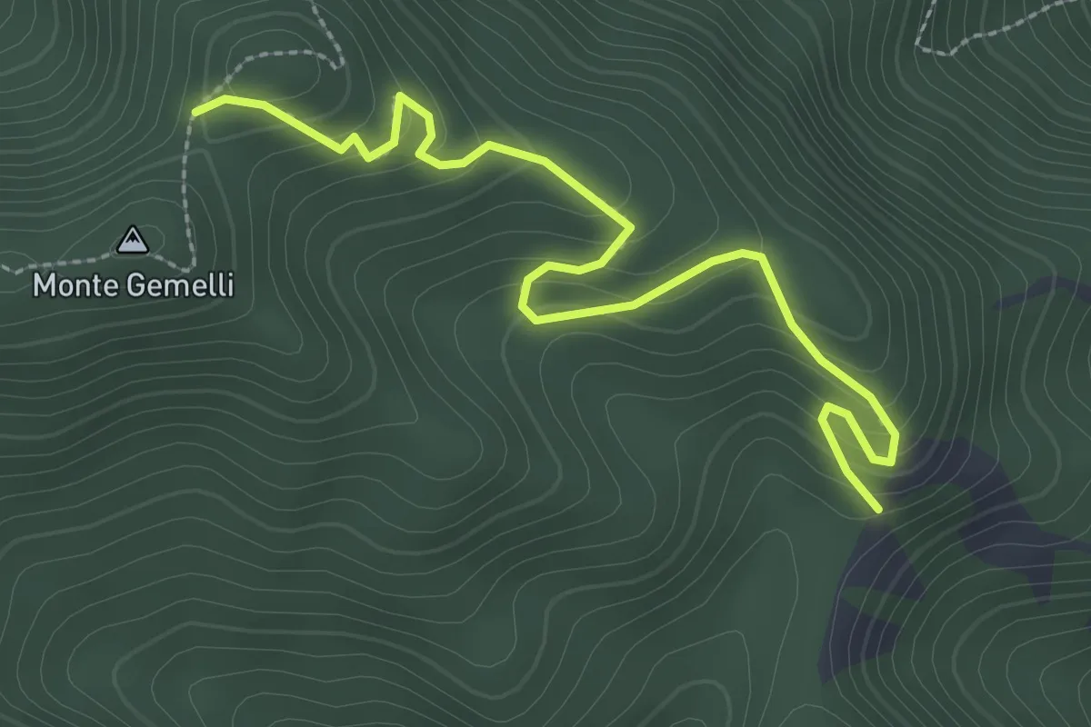
Easy · Trail
Strada Valbura/Bucine – Sentiero 401 (Monte Gemelli)
3.2 km · ↑ 258 m · 1 h 19 min
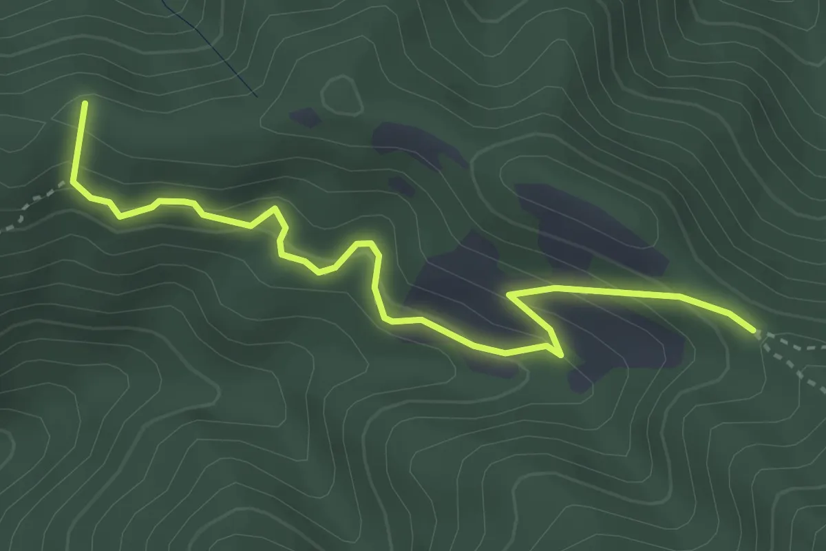
Medium · Summit
San Benedetto in Alpe – Pian delle Tavole - Sent. 401
3.8 km · ↑ 257 m · 1 h 28 min
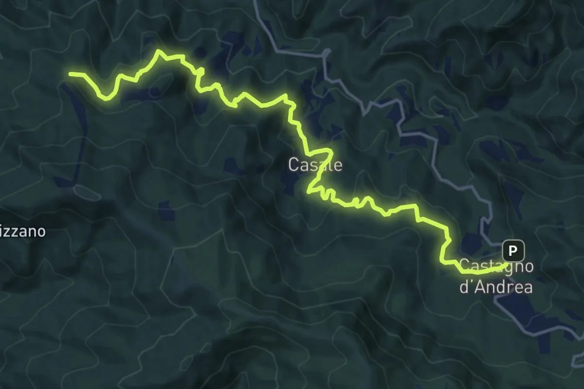
Demanding · Summit
San Bavello – Castagno d'Andrea
16.6 km · ↑ 827 m · 5 h 42 min
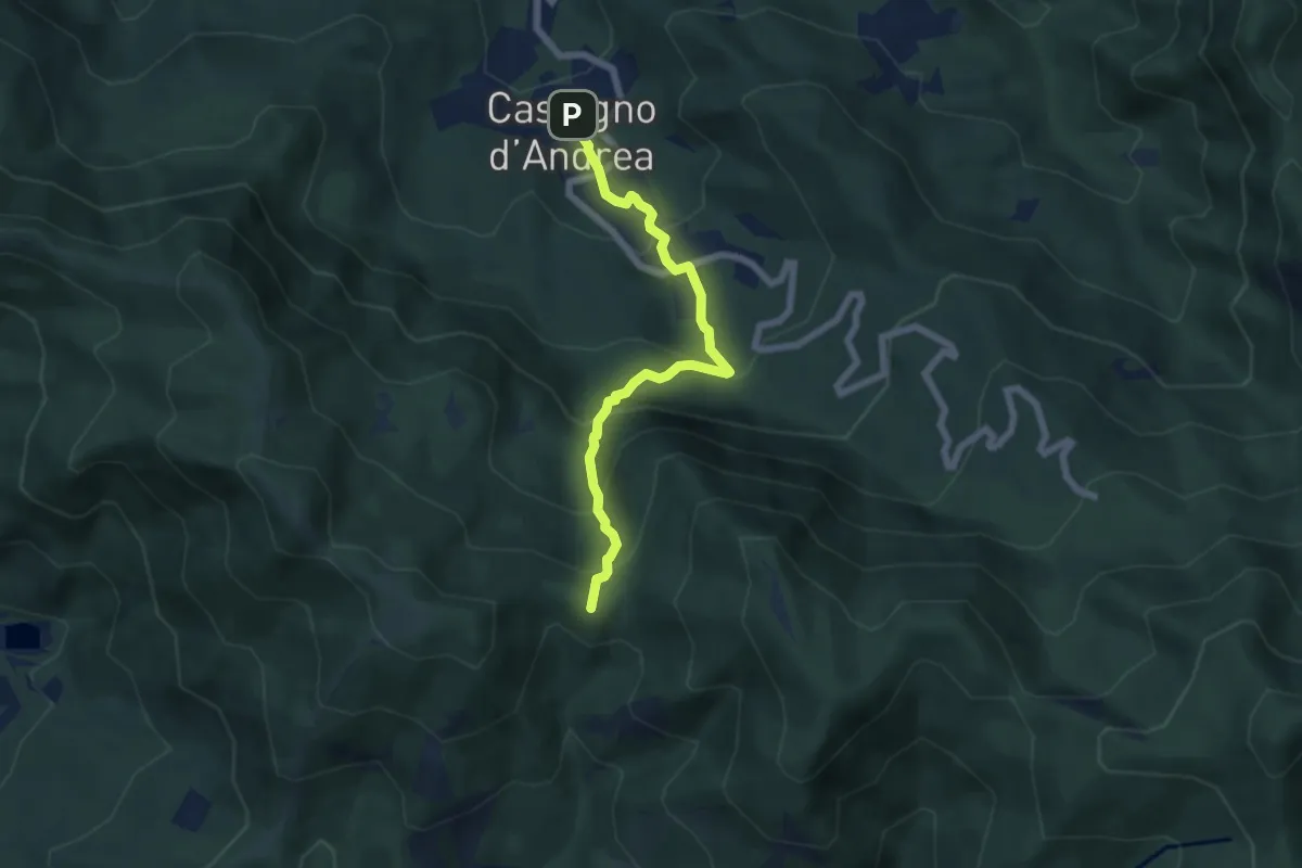
Medium · Summit
Castagno d'Andrea – Colla di Castagno
6.2 km · ↑ 512 m · 2 h 35 min
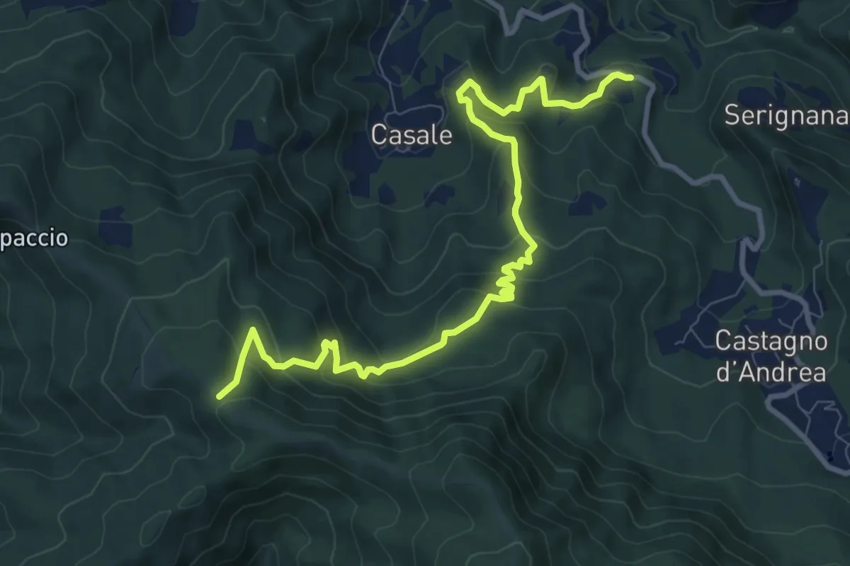
Medium · Trail
Gamberali – Colla del Pretagnolo
10.5 km · ↑ 646 m · 3 h 53 min
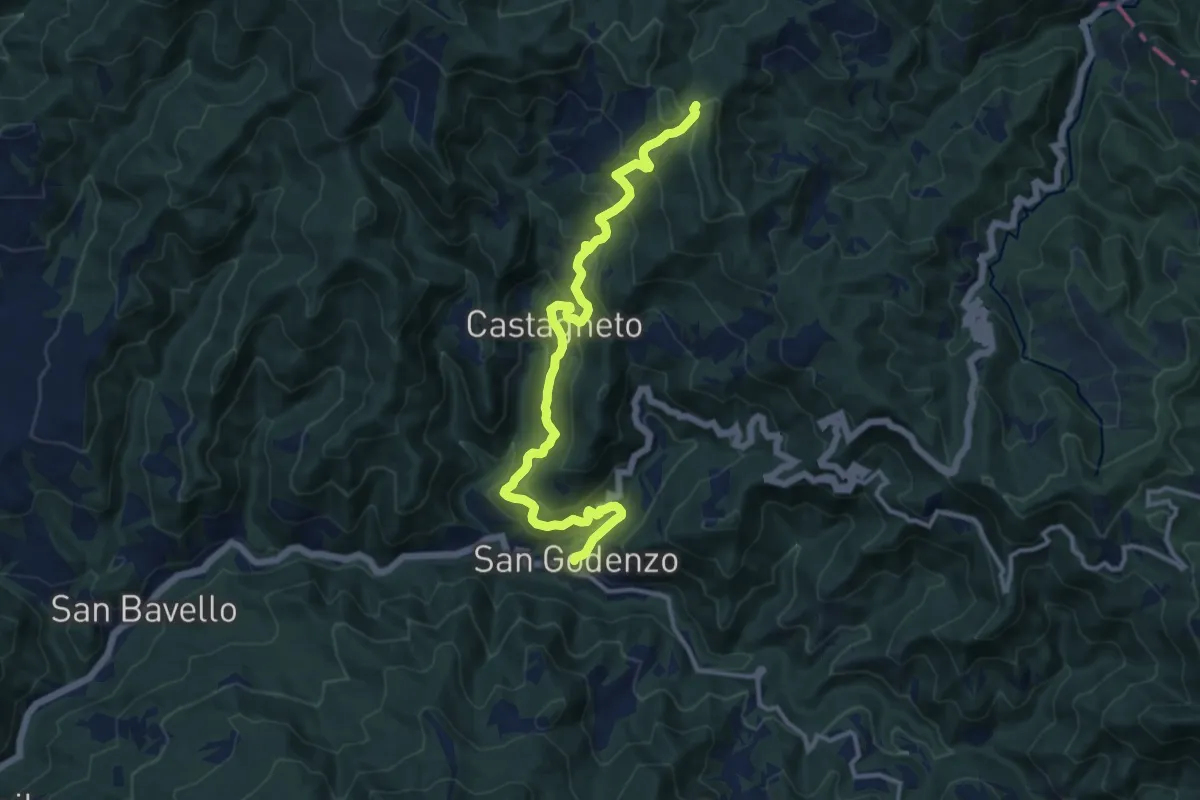
Demanding · Trail
San Godenzo – Colla della Maestà
13.5 km · ↑ 845 m · 5 h 1 min
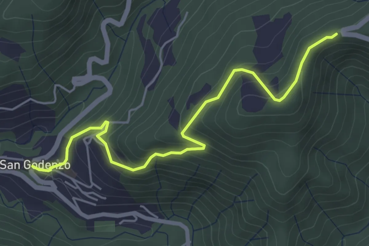
Medium · Summit
San Godenzo – Case Cerreta
2.6 km · ↑ 324 m · 1 h 12 min
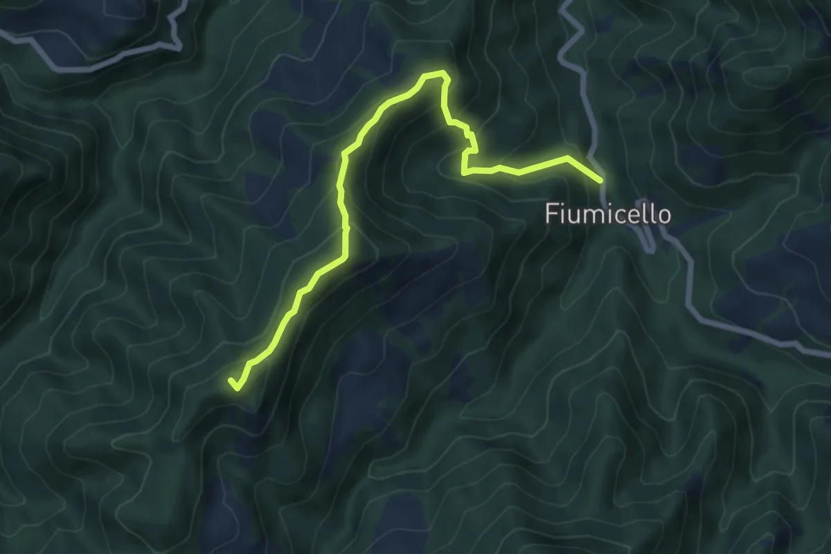
Medium · Summit
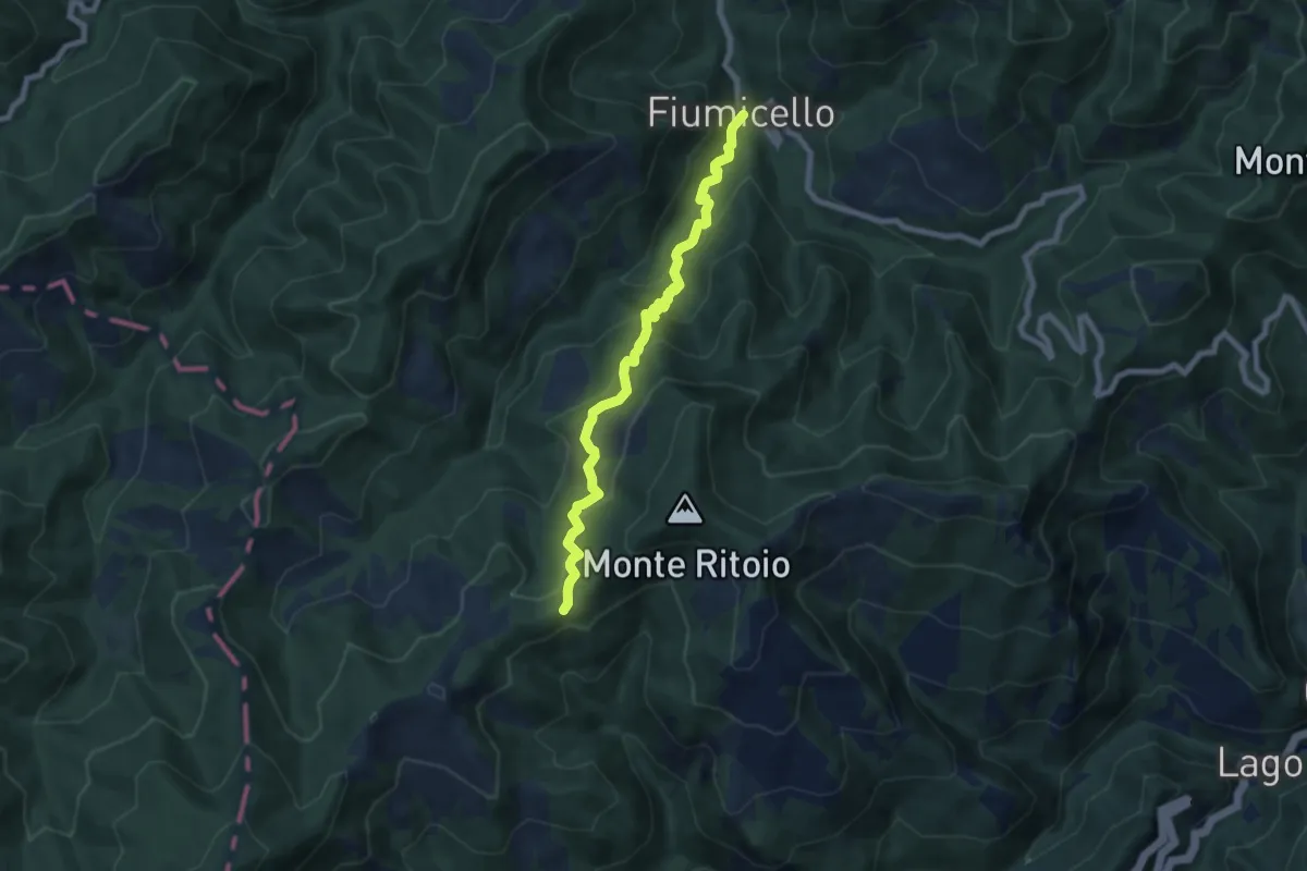
Fiumicello – Poggio di Coloreto
6.6 km · ↑ 506 m · 2 h 39 min
Medium · Trail
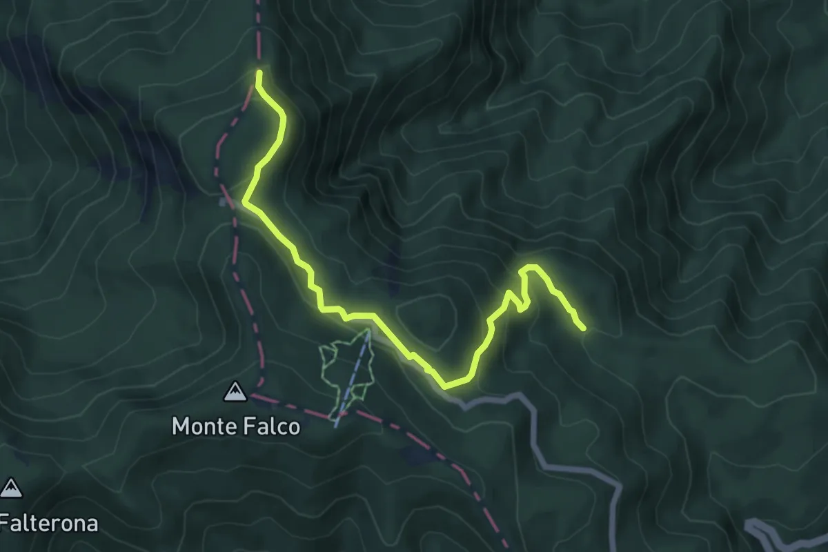
Fiumicello – Colla Pian di Mezzano
7.7 km · ↑ 671 m · 3 h 16 min
Medium · Trail
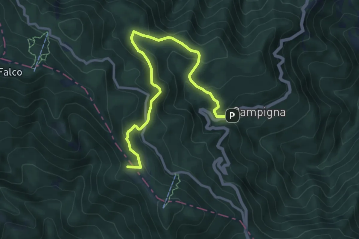
Ponticino della Stretta – Pian delle Fontanelle
6.6 km · ↑ 340 m · 2 h 18 min
Medium · Summit
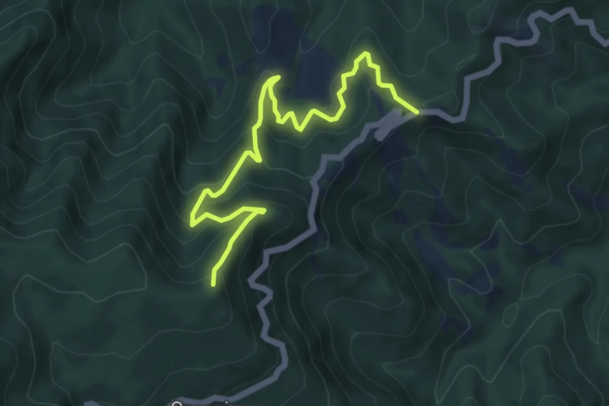
Campigna – Prati della Burraia
8.0 km · ↑ 397 m · 2 h 44 min
Medium · Summit
Tre Faggi – Sentiero 253
7.0 km · ↑ 513 m · 2 h 46 min
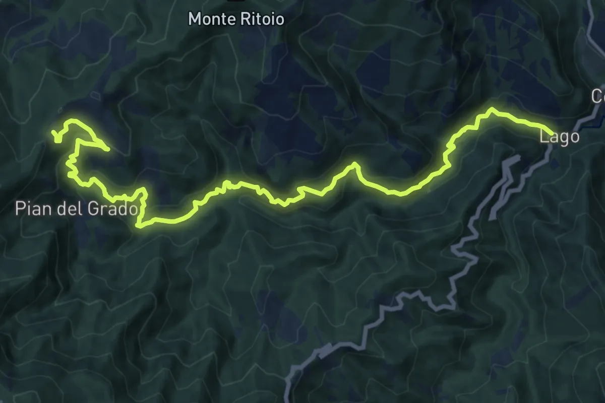
Demanding · Trail
Lago – Percorso 301
17.7 km · ↑ 1121 m · 6 h 36 min
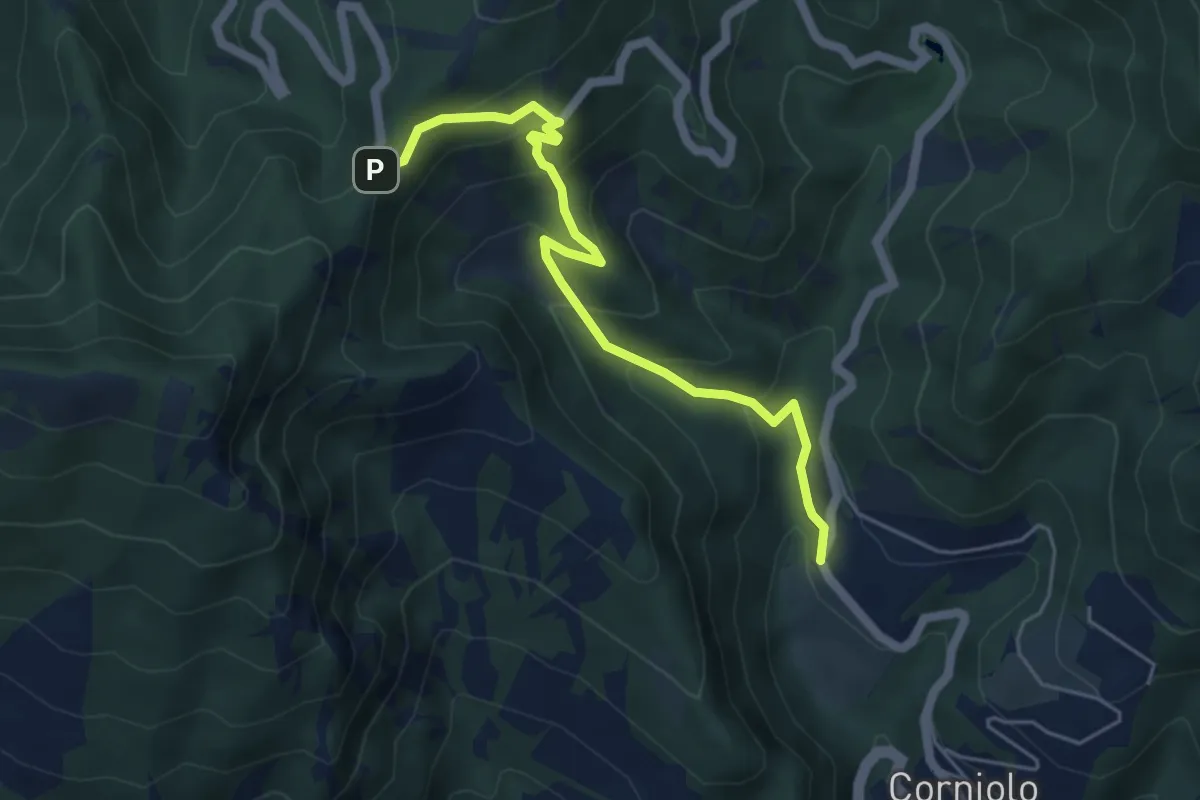
Medium · Trail
San Martino – Passo della Braccina
5.3 km · ↑ 405 m · 2 h 8 min
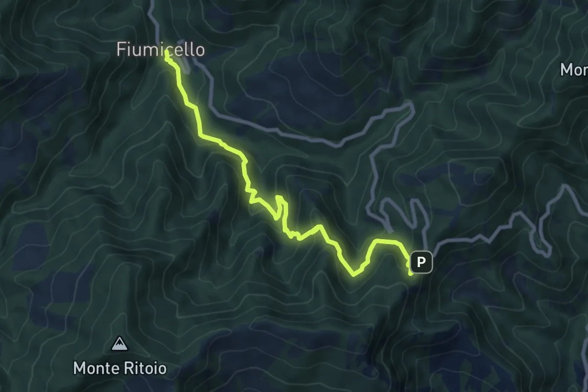
Medium · Trail
Fiumicello – Passo Braccina
8.0 km · ↑ 686 m · 3 h 23 min
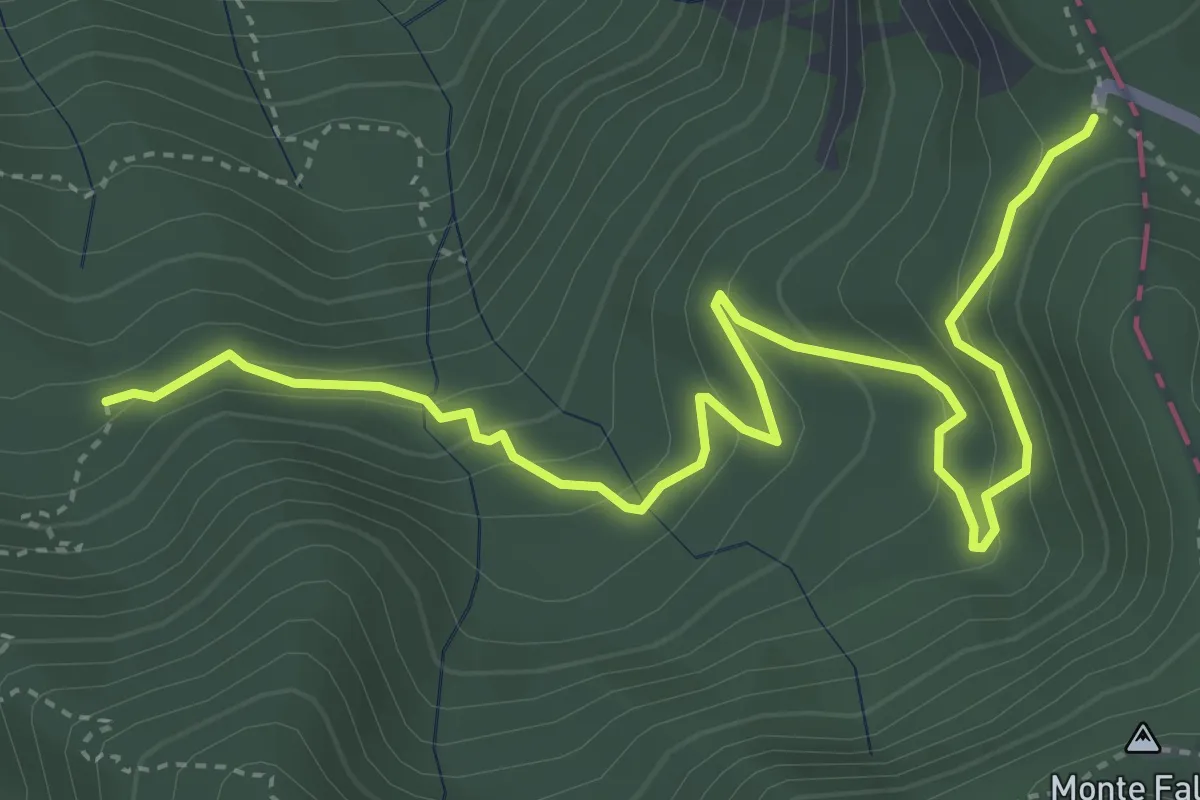
Medium · Trail
Fonte del Borbotto – Piancancelli
5.3 km · ↑ 302 m · 1 h 55 min
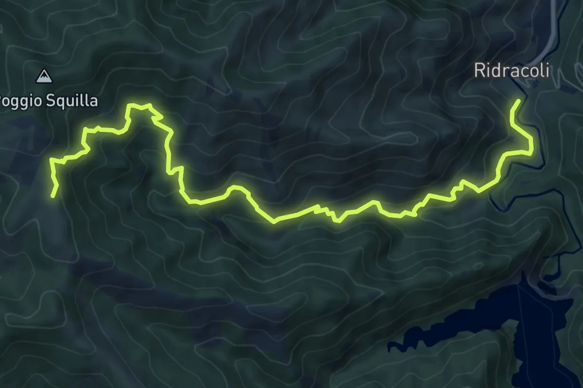
Demanding · Trail
Ridracoli – San Paolo in Alpe
10.7 km · ↑ 863 m · 4 h 24 min
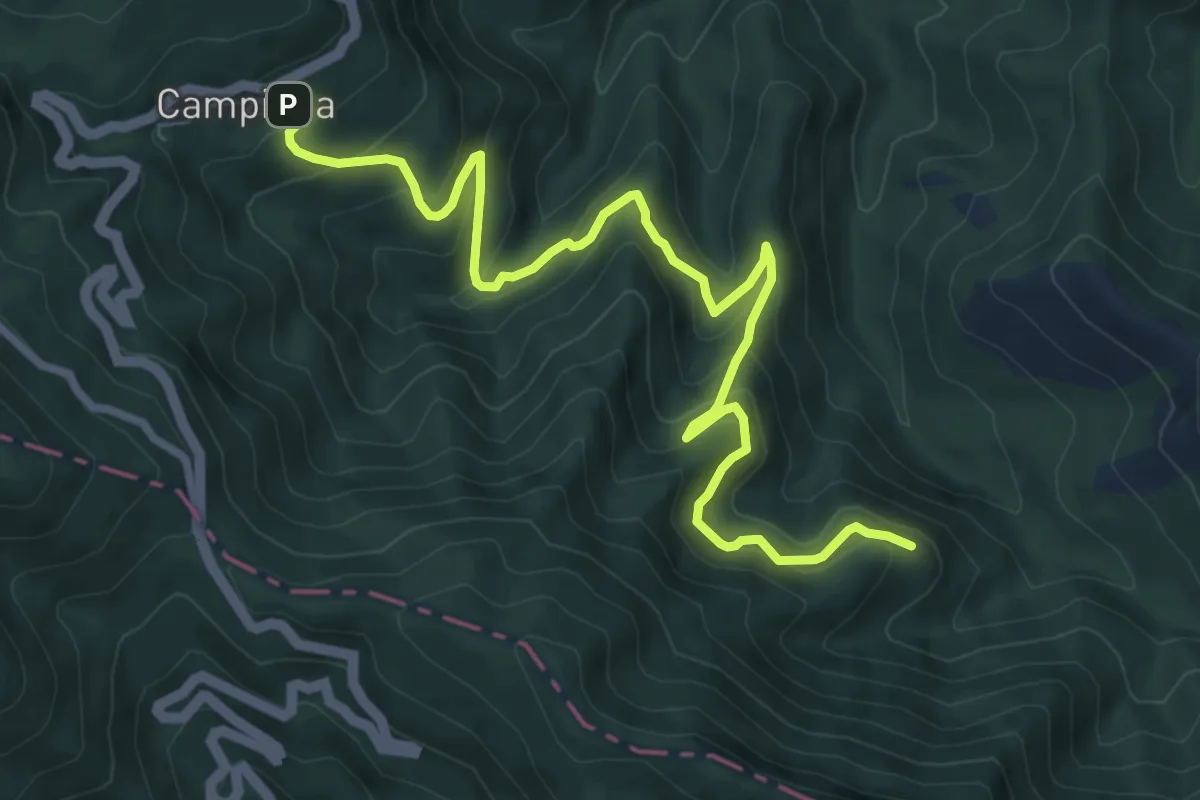
Medium · Trail
Campigna – Percorso 245
9.8 km · ↑ 677 m · 3 h 47 min
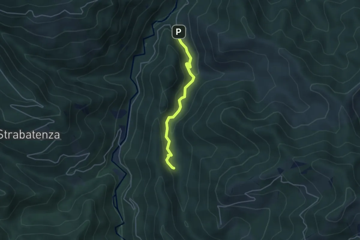
Easy · Trail
Ca' di Veroli – Ponte Riacci
3.5 km · ↑ 153 m · 1 h 9 min
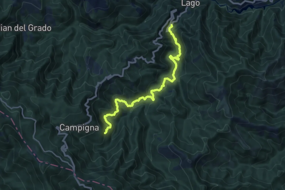
Medium · Cabin
Fiumari – Villaneta
13.0 km · ↑ 723 m · 4 h 38 min
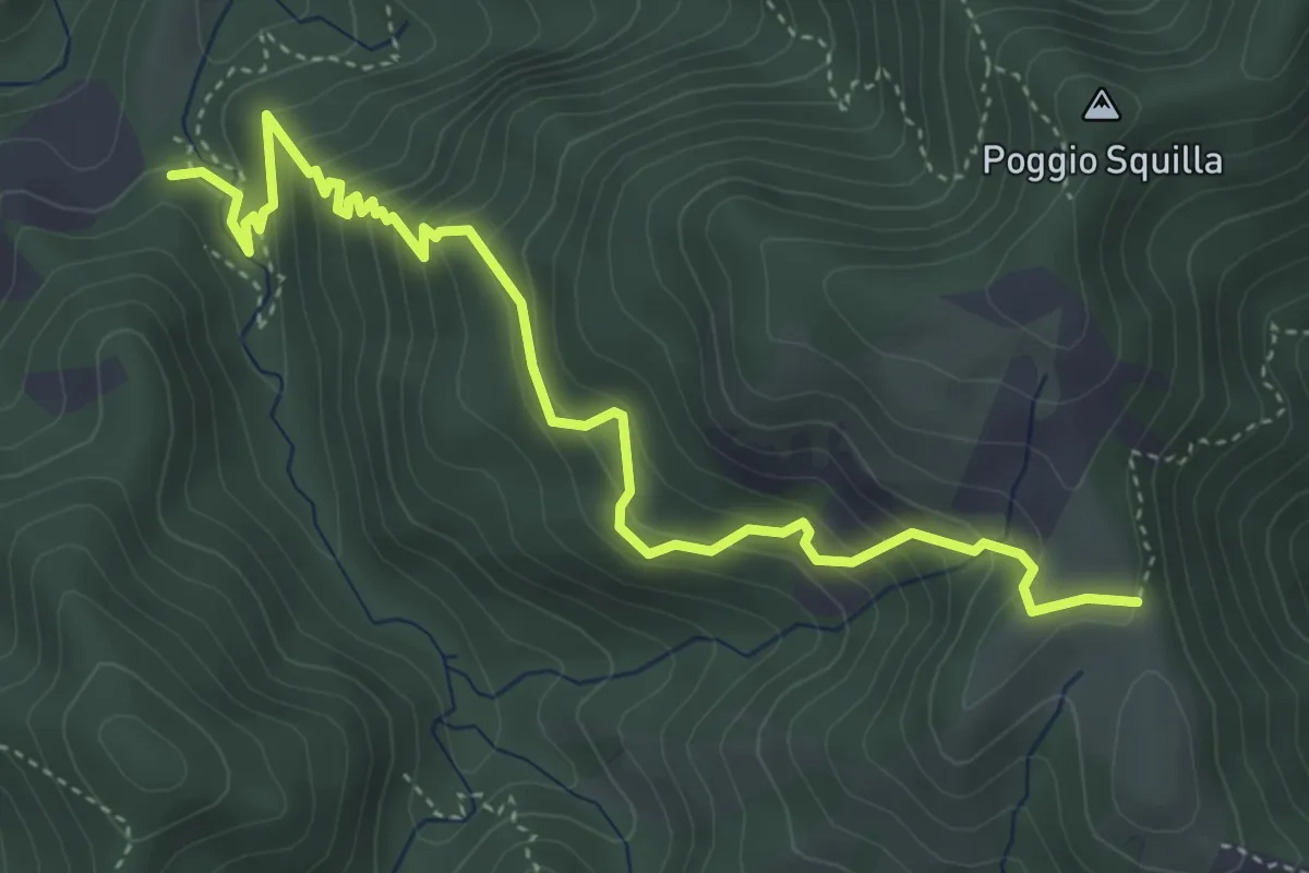
Medium · Trail
Fiumari – San Paolo in Alpe
5.3 km · ↑ 443 m · 2 h 12 min
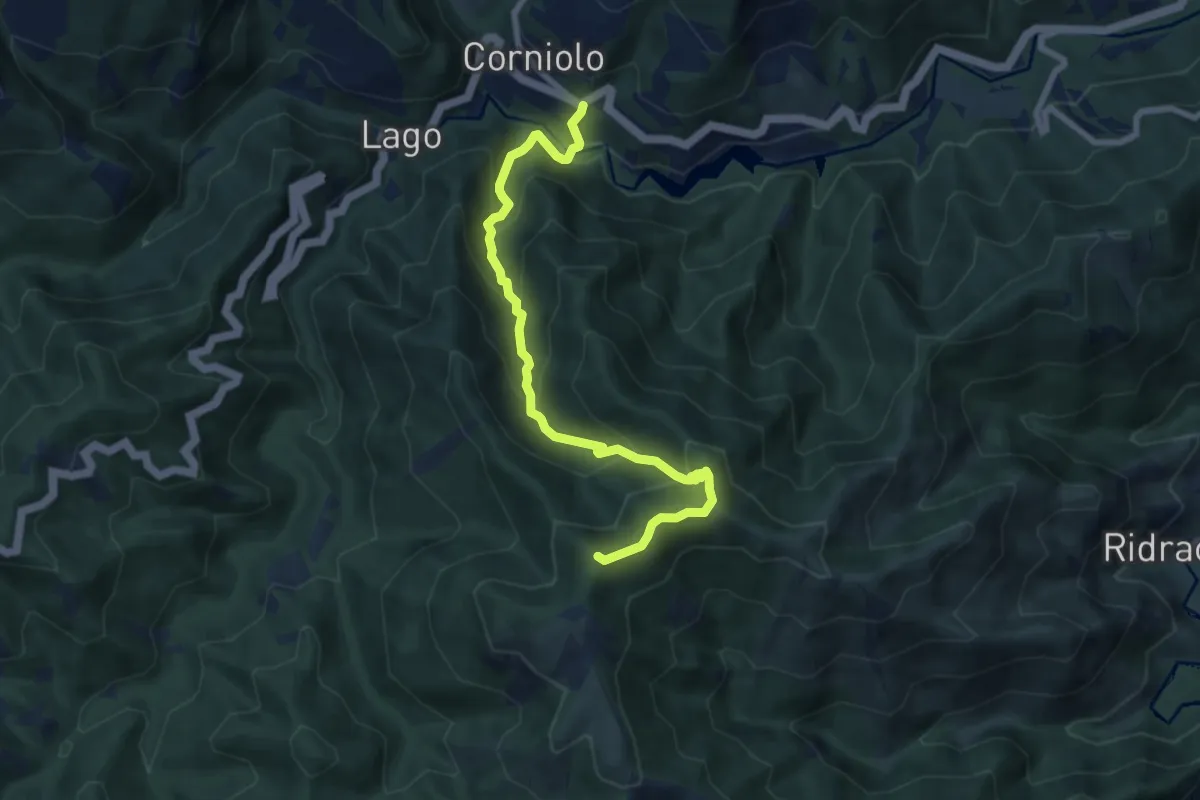
Medium · Summit
Corniolo – San Paolo in Alpe
8.4 km · ↑ 682 m · 3 h 28 min
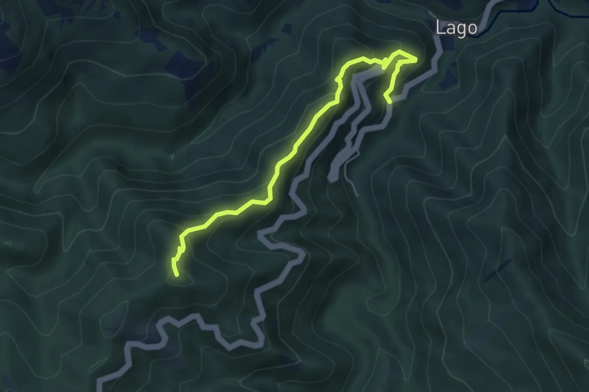
Medium · Summit
Casina Corniolino – Campigna
5.1 km · ↑ 398 m · 2 h 4 min
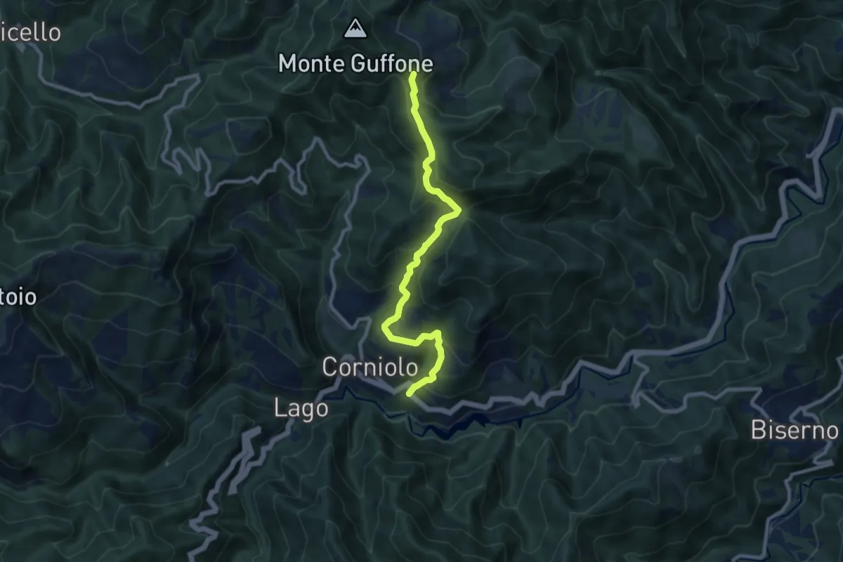
Medium · Trail
Corniolo – Valpisella (Percorso 301)
8.9 km · ↑ 634 m · 3 h 29 min
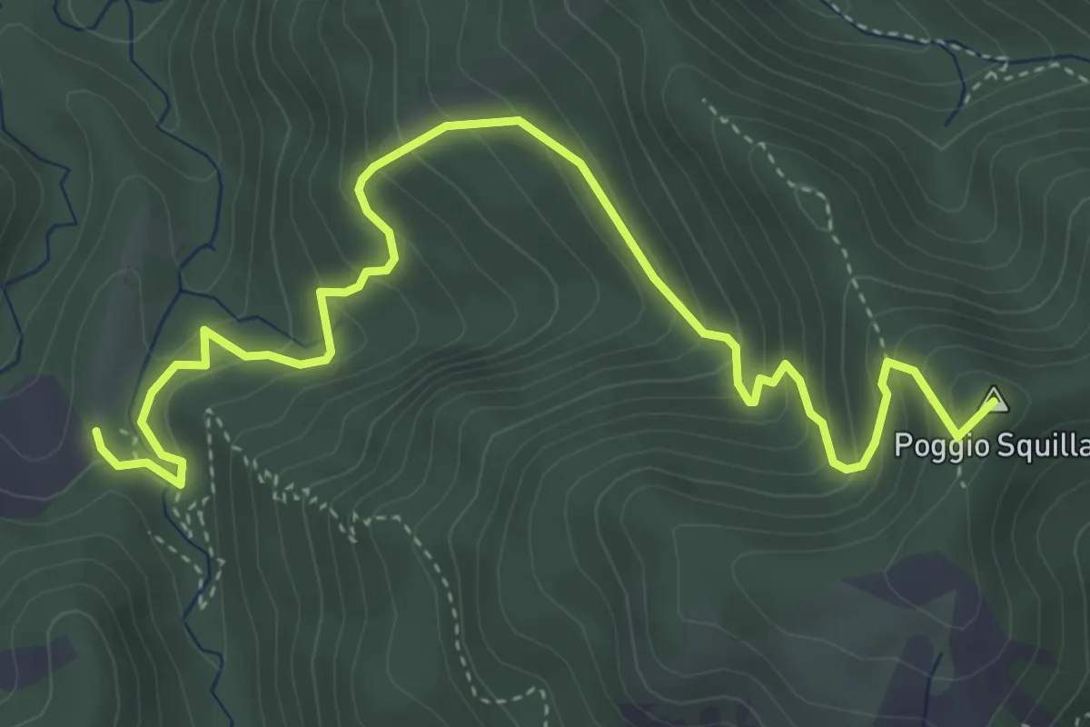
Medium · Summit
Fiumari – Poggio Squilla 257
5.4 km · ↑ 433 m · 2 h 12 min
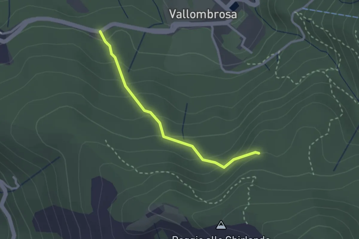
Easy · Trail
Vallombrosa – Secchieta
2.2 km · ↑ 179 m · 55 min
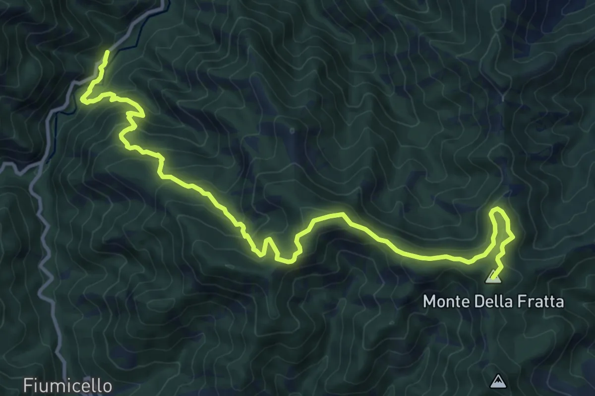
Demanding · Summit
Ca' Petriccio – Monte della Fratta
13.4 km · ↑ 904 m · 5 h 8 min
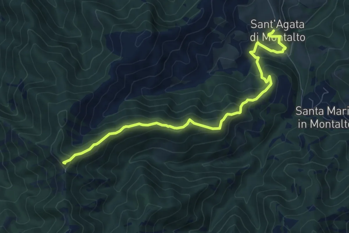
Medium · Summit
Sant'Agata di Montalto – Ca' di Rossi - Monte Tiravento
9.6 km · ↑ 585 m · 3 h 31 min