Trails in Italy
25,219 hiking trails, each with its route, climb, walking time and grade.
All trails, page 300 of 526
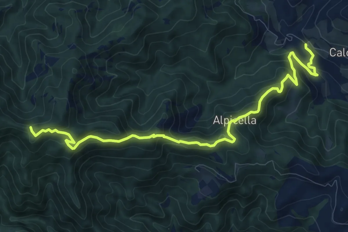
Medium · Trail
Spescia – Sentiero 301 (Poggio Montironi)
12.5 km · ↑ 694 m · 4 h 27 min
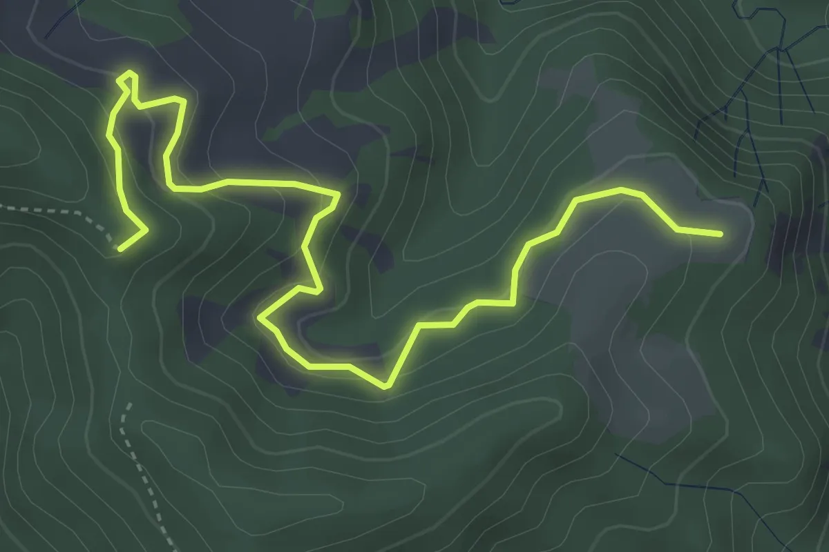
Medium · Summit
Molino di Sotto Berleta – Mandriolo (Percorso 301)
5.2 km · ↑ 336 m · 1 h 58 min
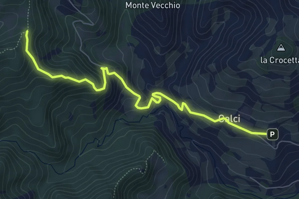
Medium · Trail
Camposonaldo – Percorso 301
7.1 km · ↑ 393 m · 2 h 32 min
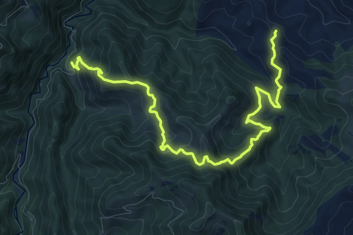
Demanding · Trail
Cà di Veroli – Rio Petroso
13.0 km · ↑ 1010 m · 5 h 16 min
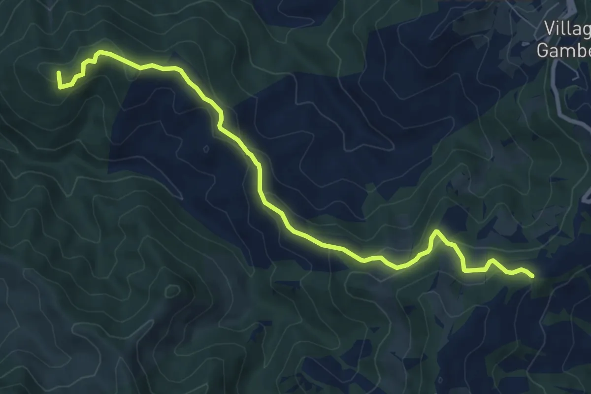
Medium · Summit
Poggio alla Lastra – Paretaio
8.8 km · ↑ 406 m · 2 h 57 min
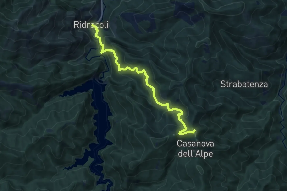
Medium · Summit
Ridracoli – Casanova dell'Alpe
10.7 km · ↑ 731 m · 4 h 7 min
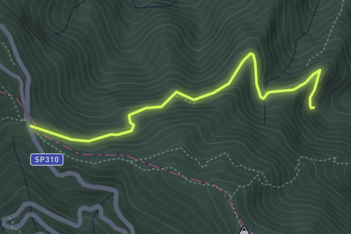
Medium · Cabin
Passo della Calla – Percorso 245
4.7 km · ↑ 380 m · 1 h 57 min
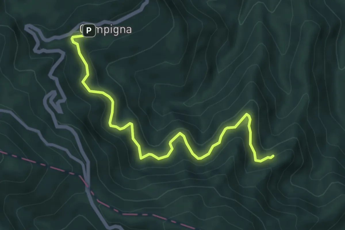
Medium · Trail
Campigna – Cullacce
7.0 km · ↑ 575 m · 2 h 54 min
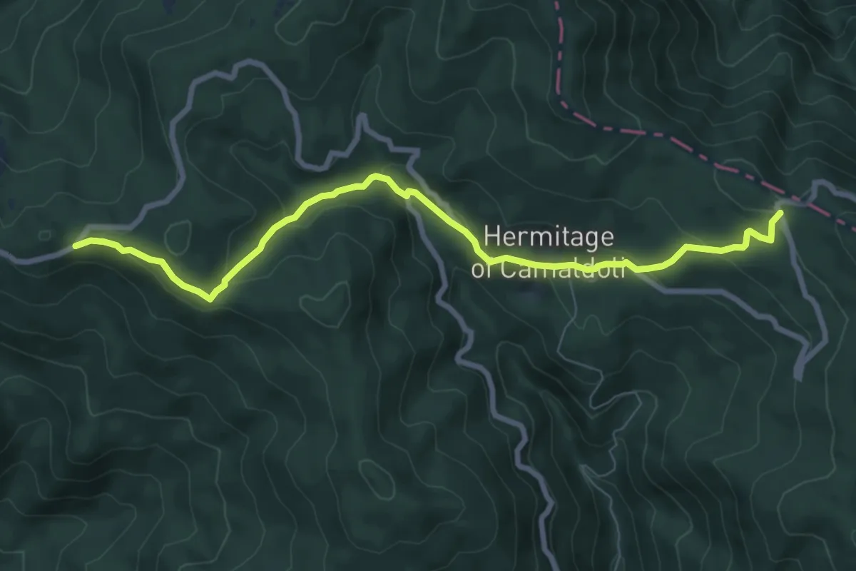
Medium · Trail
Croce Gaggi – Prato alla Penna
8.4 km · ↑ 354 m · 2 h 46 min
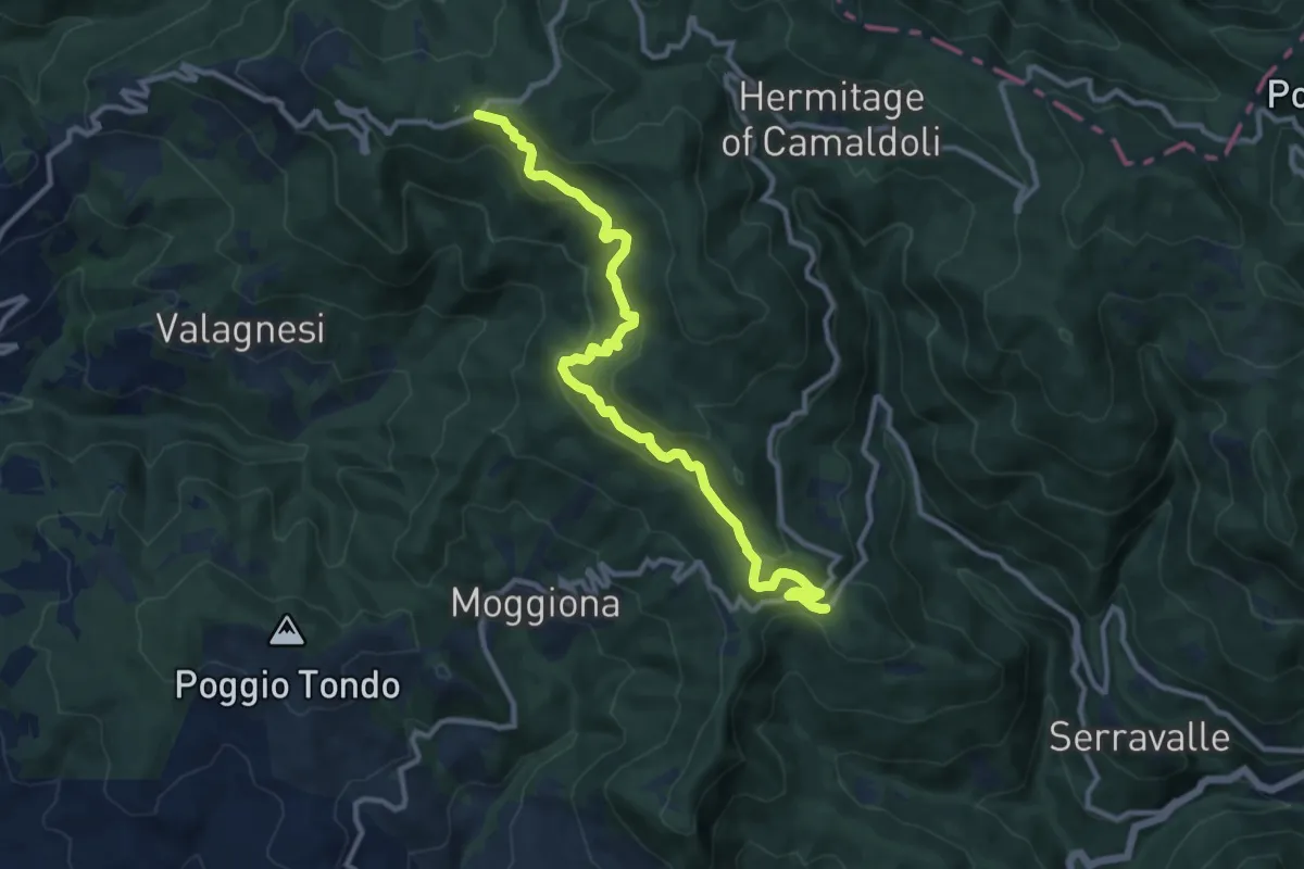
Medium · Trail
Maestà di Cerreta – Croce Gaggi
12.2 km · ↑ 673 m · 4 h 20 min
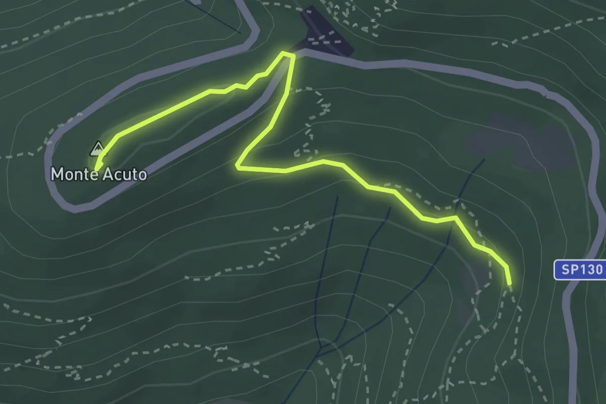
Medium · Summit
Incrocio sentiero 3 – Incrocio sentiero 602
3.3 km · ↑ 101 m · 59 min
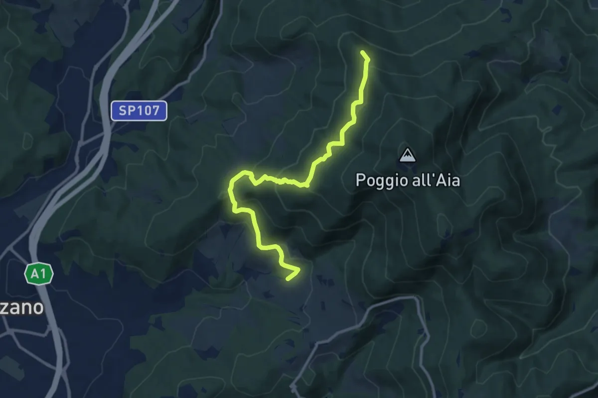
Medium · Summit
Ponte sul Chiosina – Poggio Leccio (m. 590 sent. 8 e 8B)
10.4 km · ↑ 614 m · 3 h 48 min
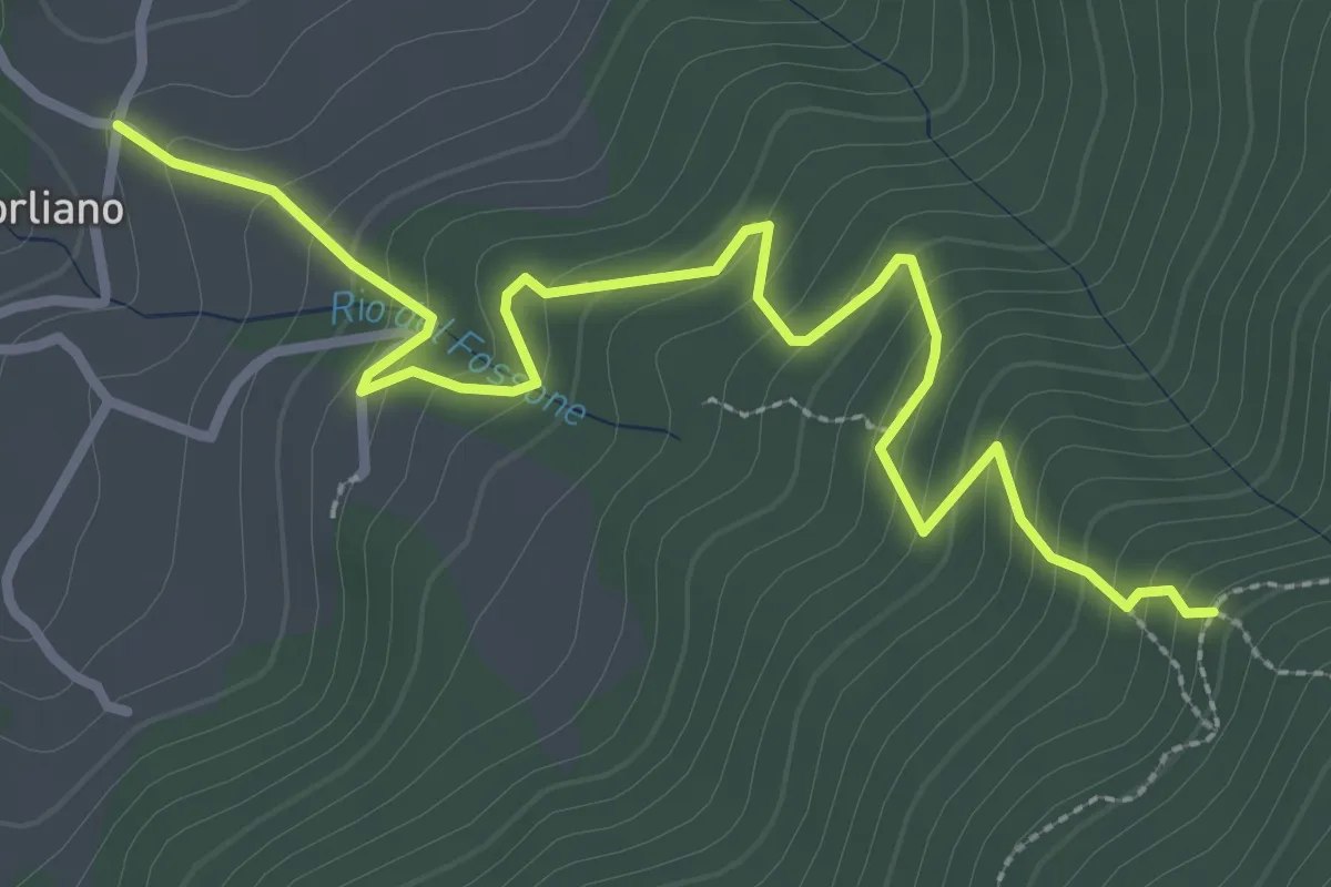
Easy · Trail
Leccio – Quota 590 sentiero 9
3.8 km · ↑ 299 m · 1 h 33 min
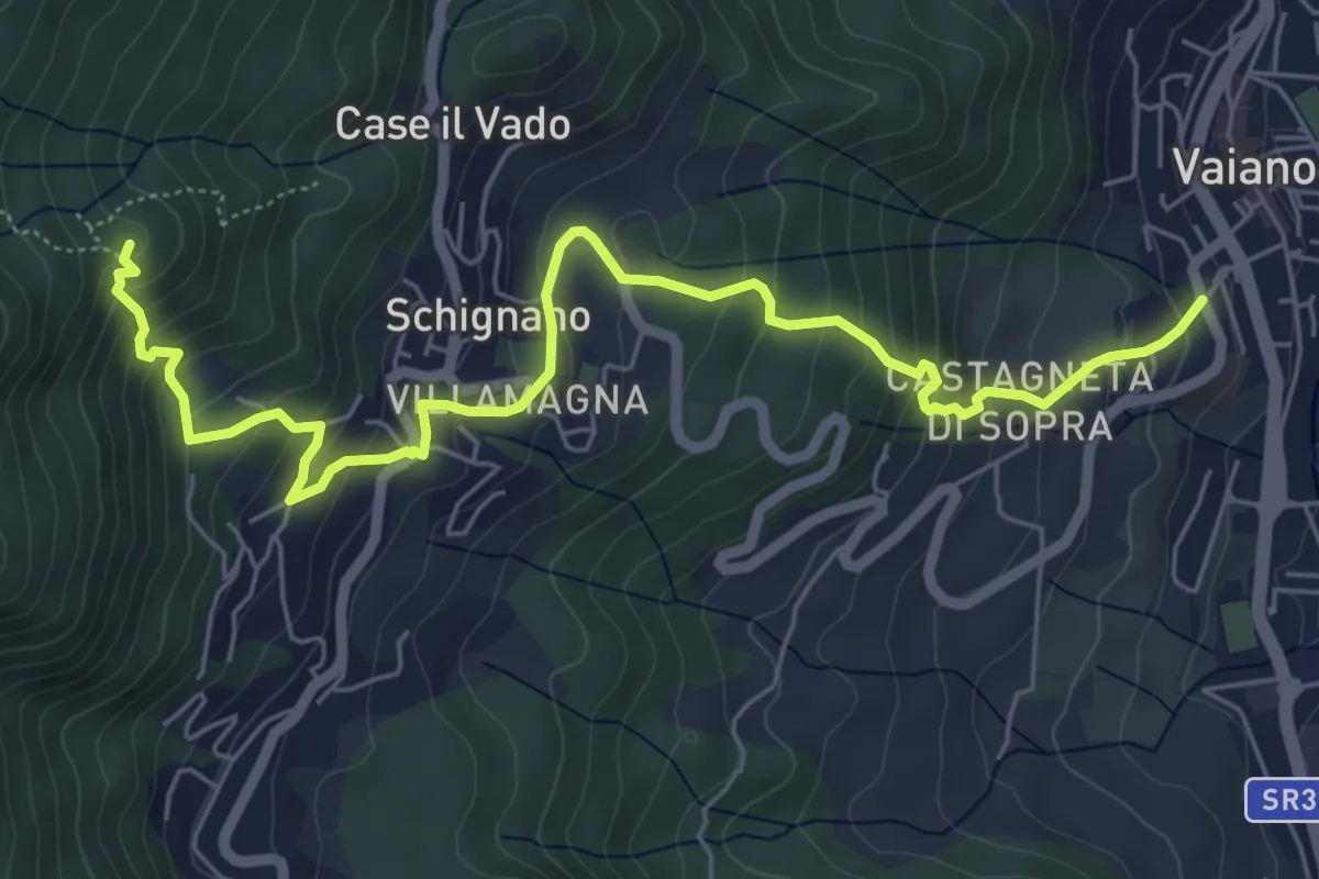
Medium · Summit
Vaiano – Monte Ricorboli
7.5 km · ↑ 550 m · 2 h 58 min
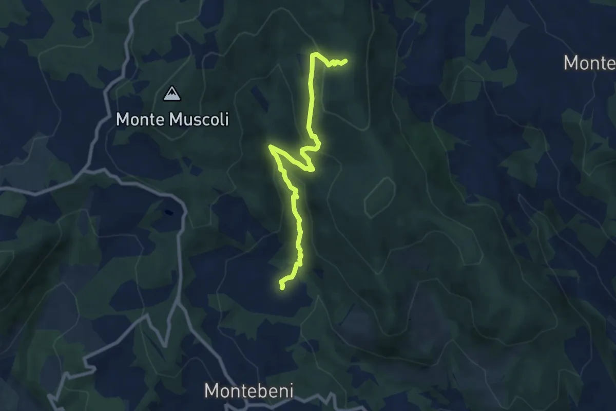
Medium · Trail
Ontignano – Casa le Sorti
7.2 km · ↑ 324 m · 2 h 24 min
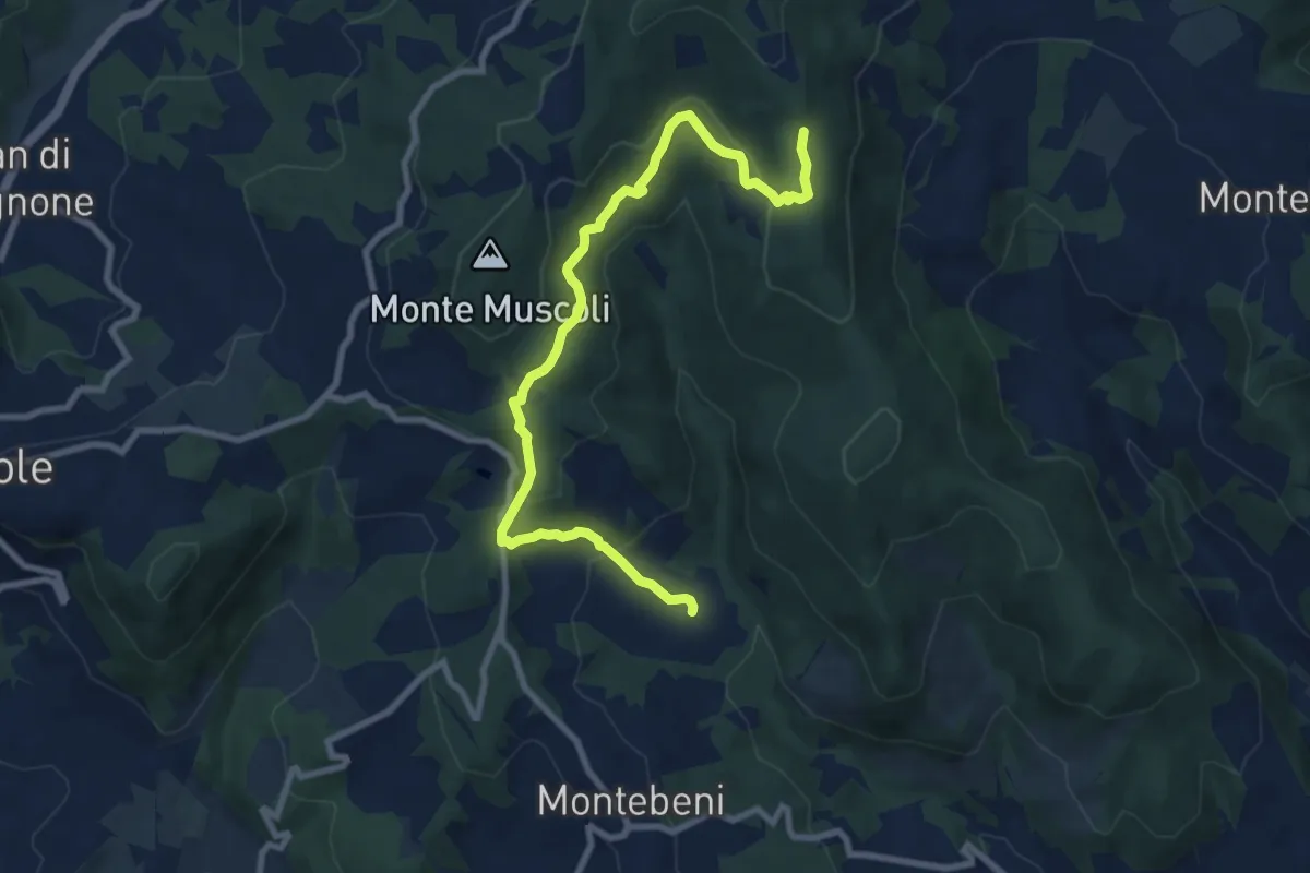
Medium · Trail
Ontignano – San Clemente
10.0 km · ↑ 411 m · 3 h 15 min
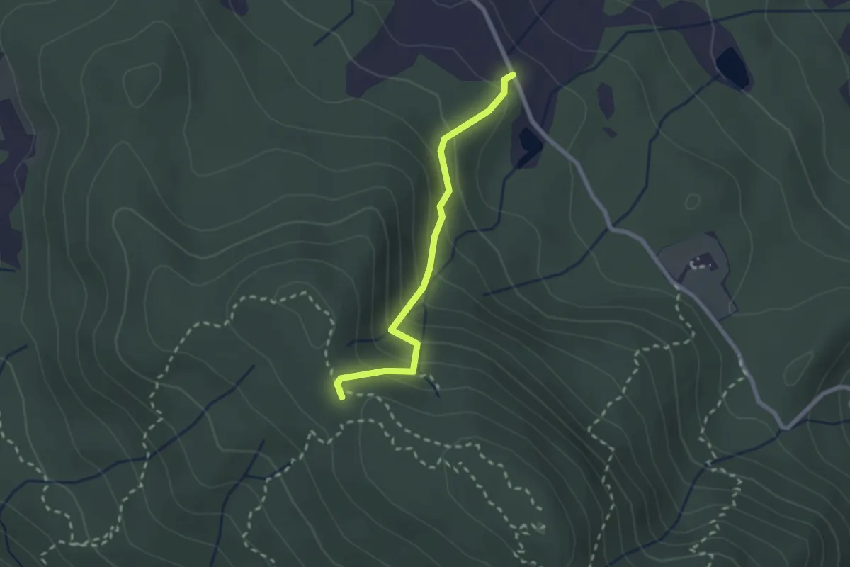
Medium · Trail
Fattoria – Monte Senario
2.2 km · ↑ 188 m · 56 min
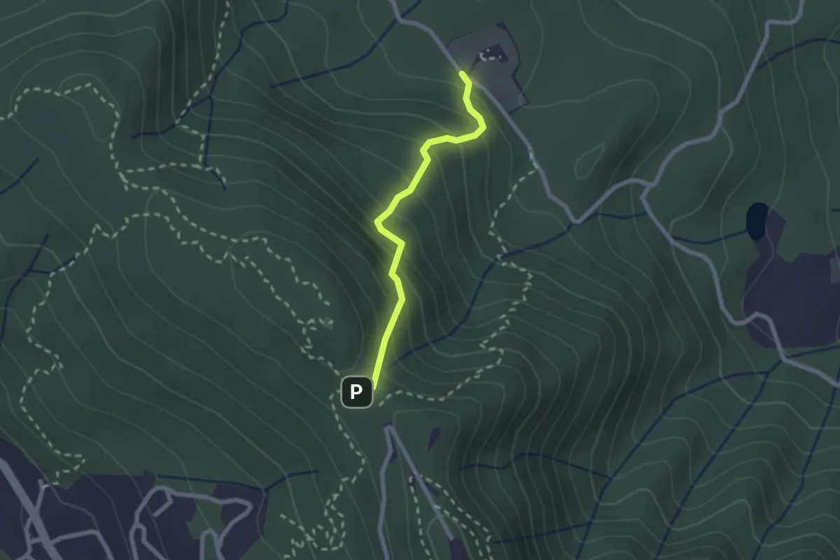
Medium · Trail
Polcanto – Monte Senario
2.1 km · ↑ 215 m · 58 min
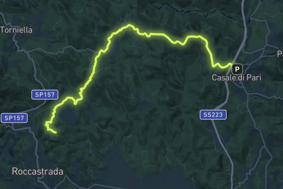
Demanding · Summit
Roccastrada – Cimitero di Casale di Pari
34.1 km · ↑ 972 m · 10 h 10 min
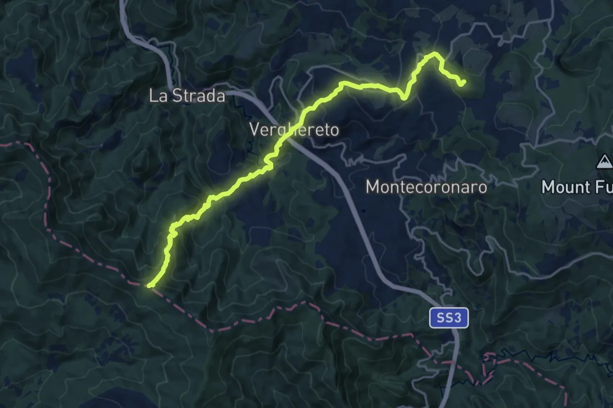
Demanding · Trail
Rotta dei Cavalli – Percorso 141
18.2 km · ↑ 1166 m · 6 h 49 min
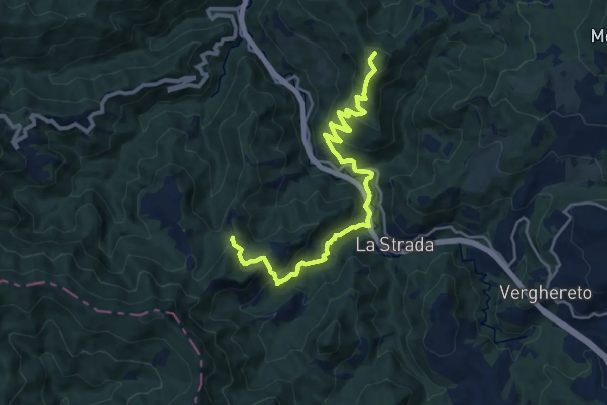
Demanding · Summit
Castel Dell'Alpe – Poggio Pian delle Riti
13.0 km · ↑ 884 m · 4 h 59 min
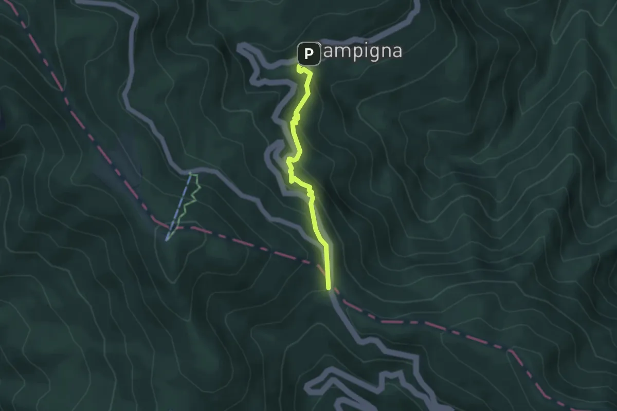
Easy · Cabin
Campigna – Passo della Calla
3.4 km · ↑ 239 m · 1 h 19 min
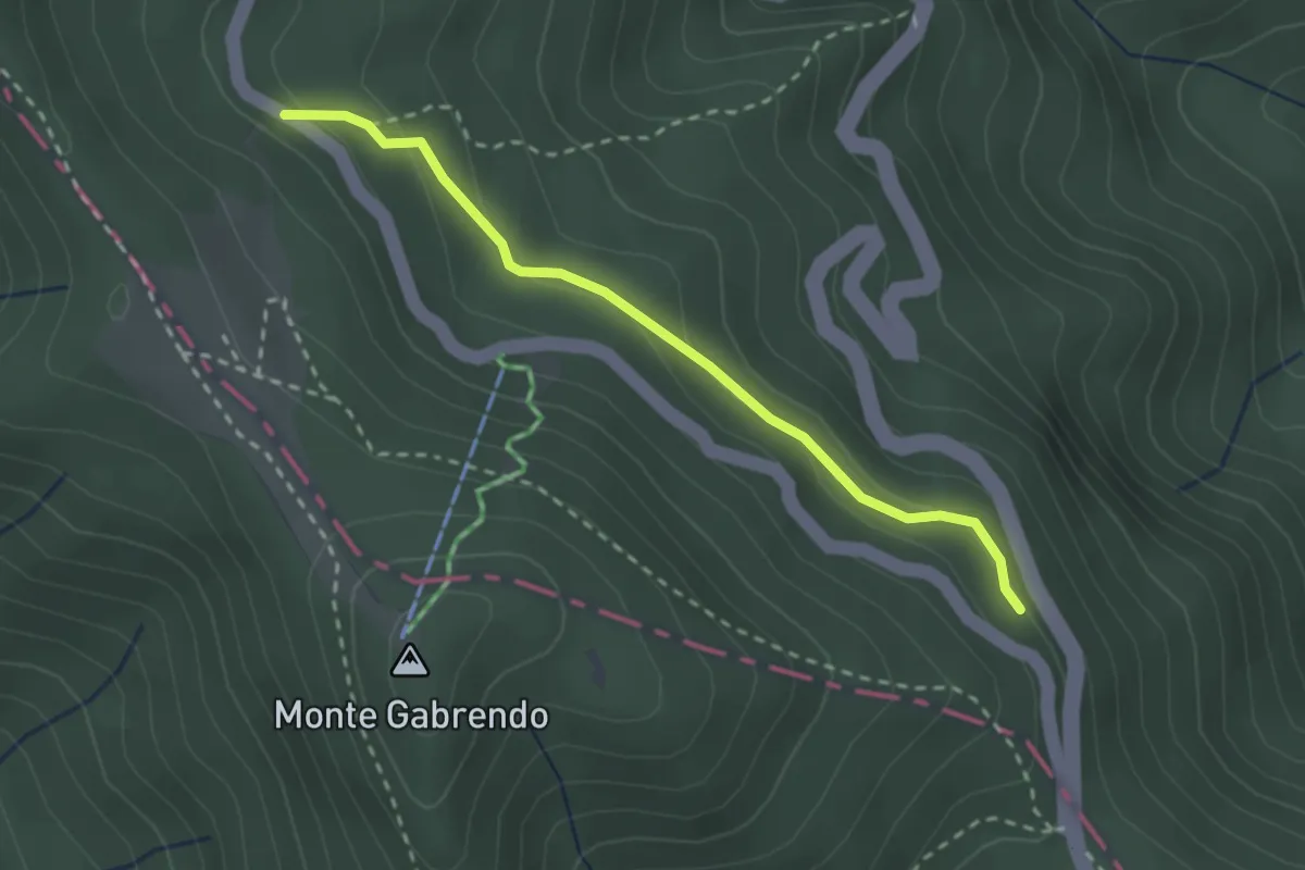
Demanding · Trail
Sentiero 247 – SP 94
2.6 km · ↑ 104 m · 51 min
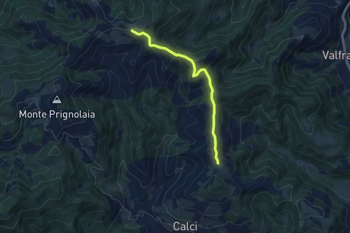
Easy · Trail
Percorso 277 – Sentiero degli Alpini
6.1 km · ↑ 269 m · 2 h 1 min
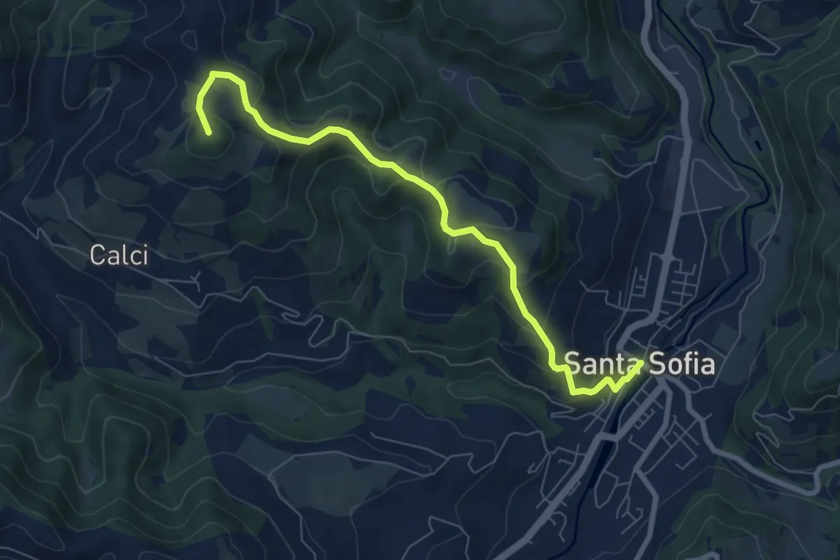
Medium · Summit
Santa Sofia – Camposonaldo
7.5 km · ↑ 413 m · 2 h 40 min
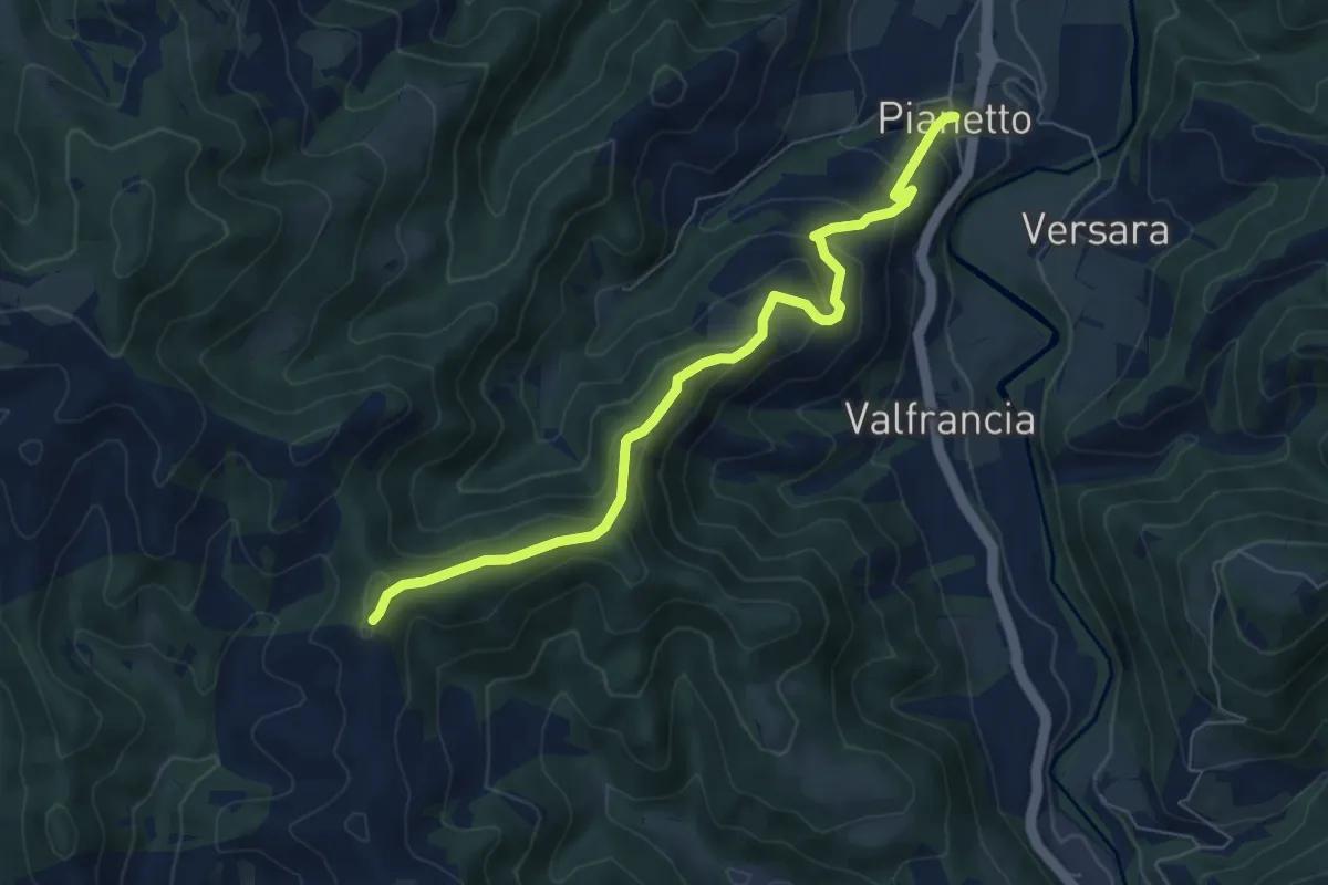
Medium · Trail
Pianetto – Sentiero 277A
7.0 km · ↑ 394 m · 2 h 30 min
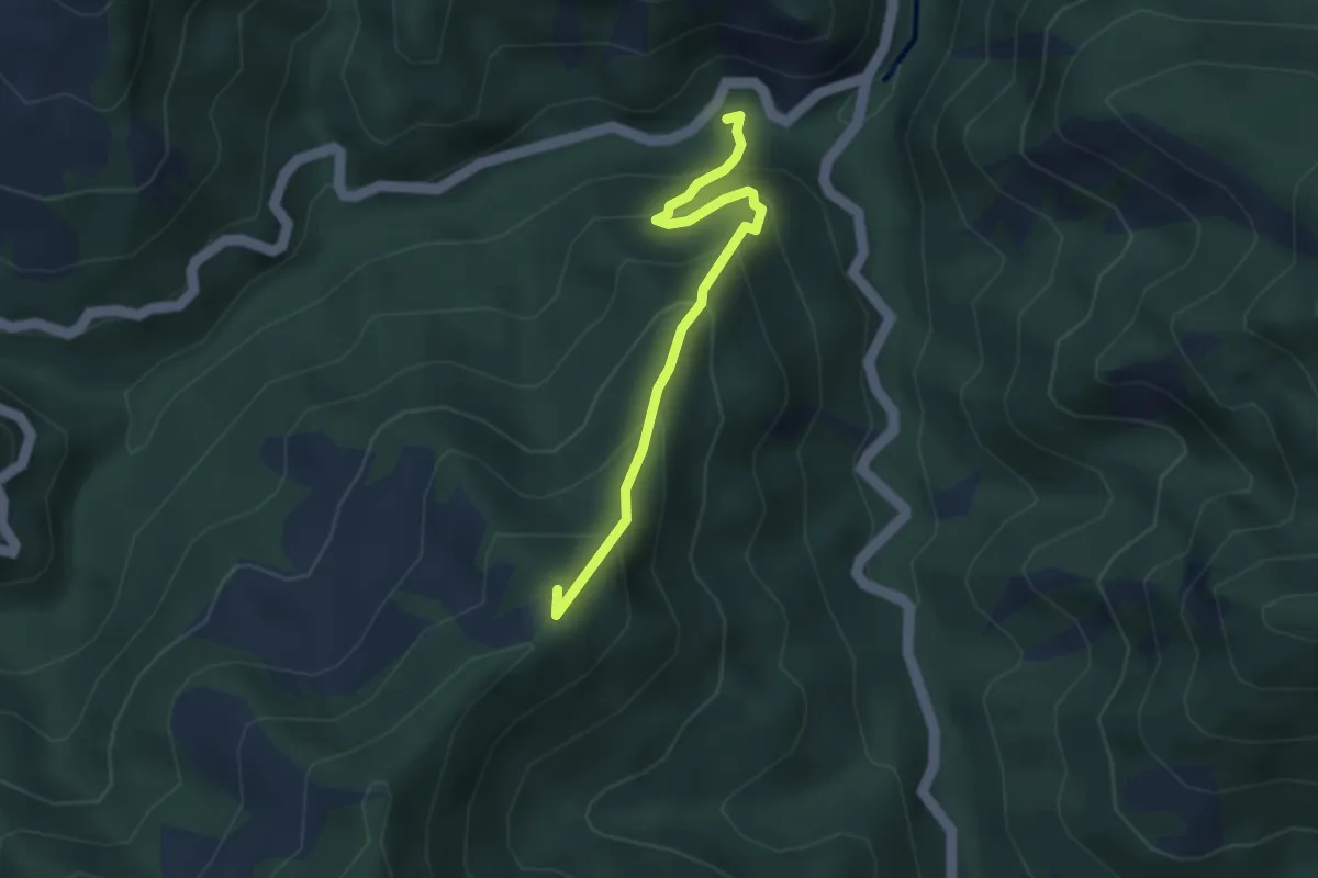
Medium · Summit
Ponte del Gorgolaio – Monte Pozzone
3.3 km · ↑ 413 m · 1 h 41 min
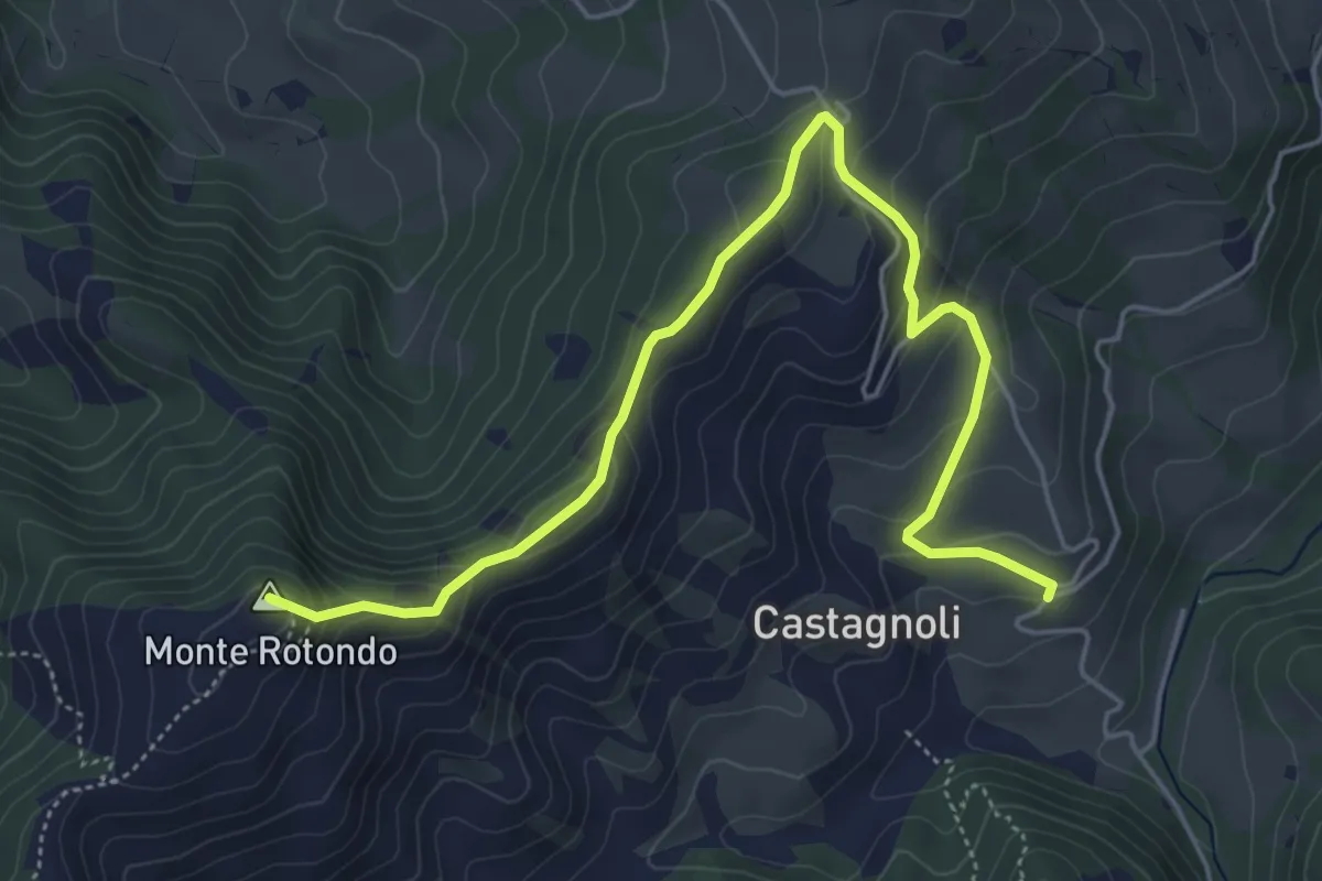
Medium · Summit
Premilcuore – Sant'Agata
6.3 km · ↑ 389 m · 2 h 20 min
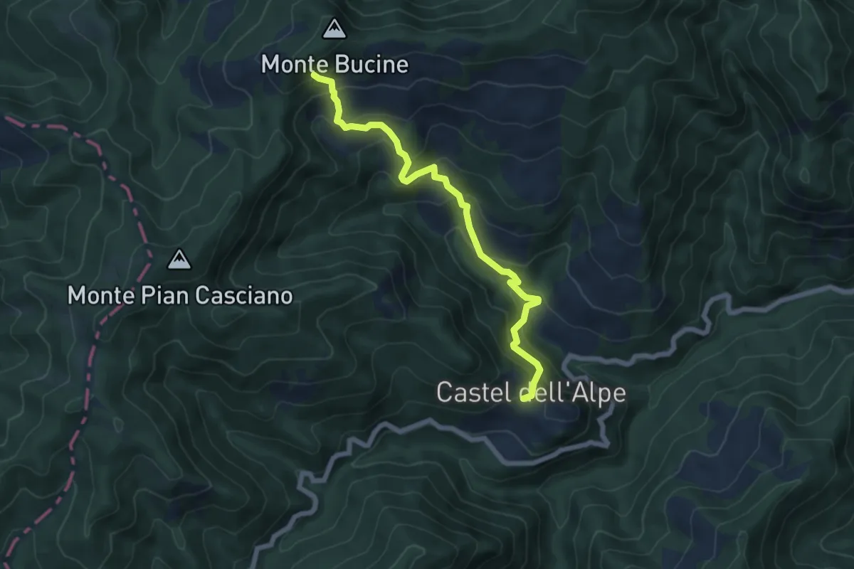
Medium · Trail
Castel dell'Alpe – Bucine - Sentiero 401
6.2 km · ↑ 524 m · 2 h 35 min
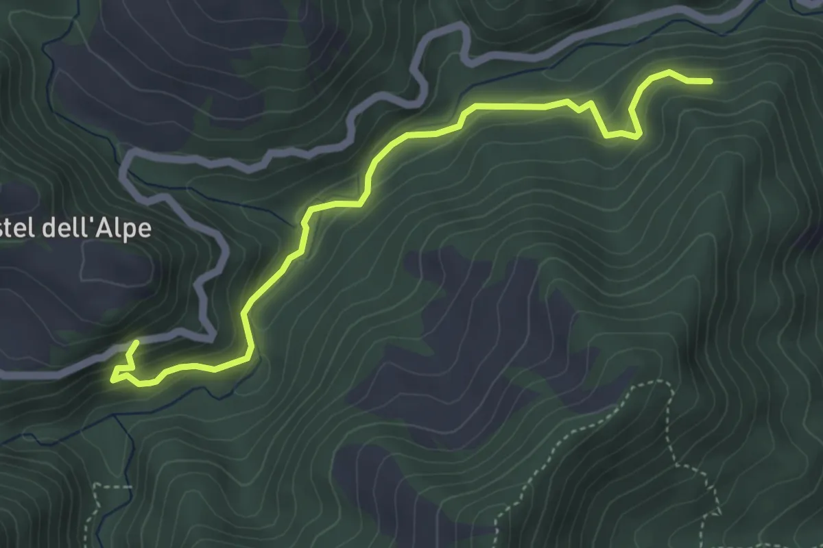
Easy · Trail
303A (Ponte del Gorgolaio) – Le Valli
5.0 km · ↑ 272 m · 1 h 46 min
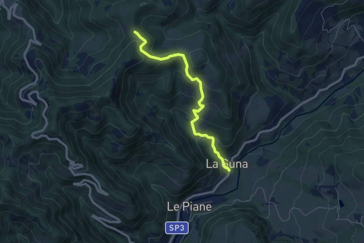
Medium · Trail
La Guna – Sentiero 401
5.7 km · ↑ 321 m · 2 h 2 min
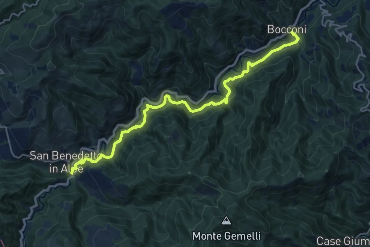
Demanding · Trail
Bocconi – San Benedetto in Alpe
15.4 km · ↑ 865 m · 5 h 31 min
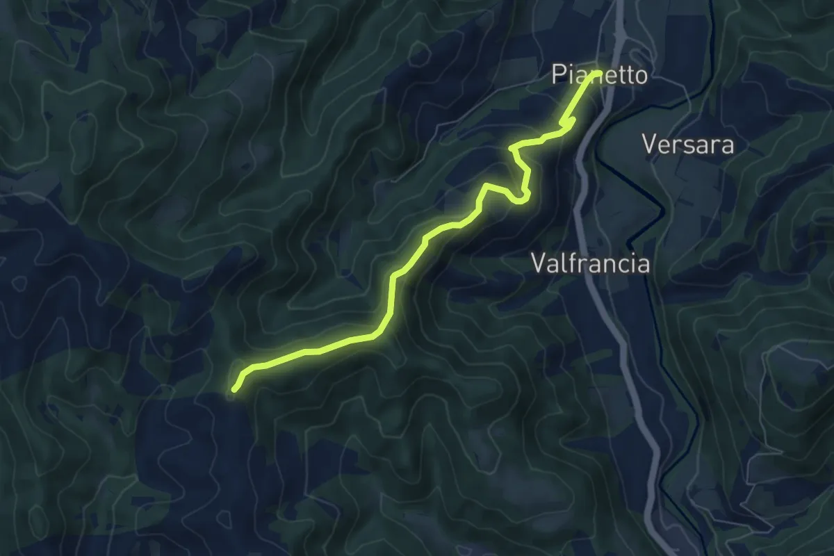
Medium · Trail
Sentiero 277A – Pianetto
7.0 km · ↑ 383 m · 2 h 29 min
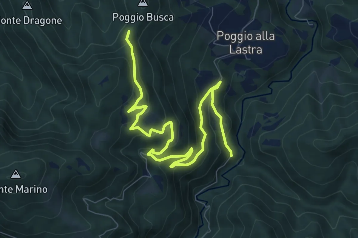
Medium · Trail
Sentiero B8 – Sentiero 217
10.1 km · ↑ 546 m · 3 h 35 min
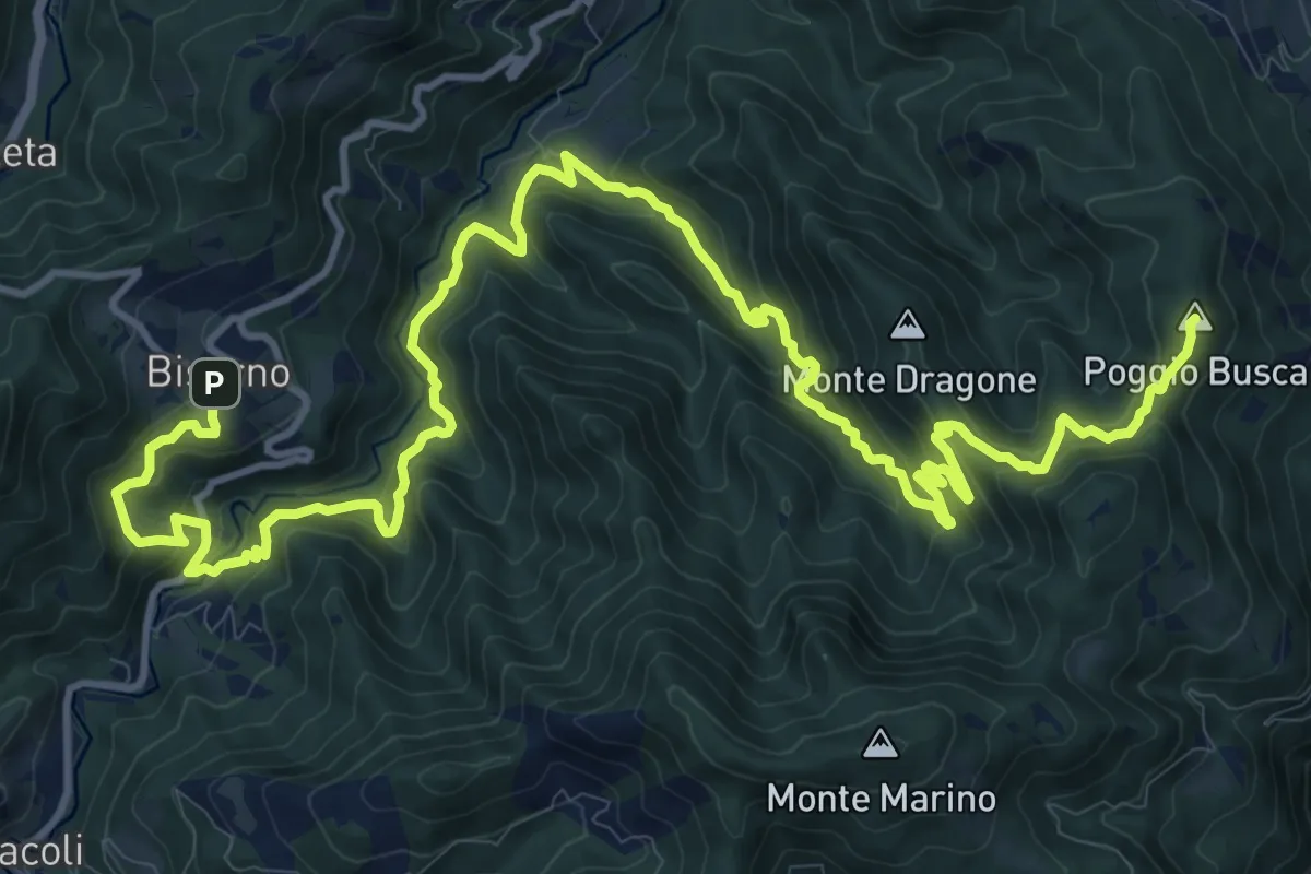
Demanding · Summit
Capaccio – Biserno
20.4 km · ↑ 1373 m · 7 h 47 min
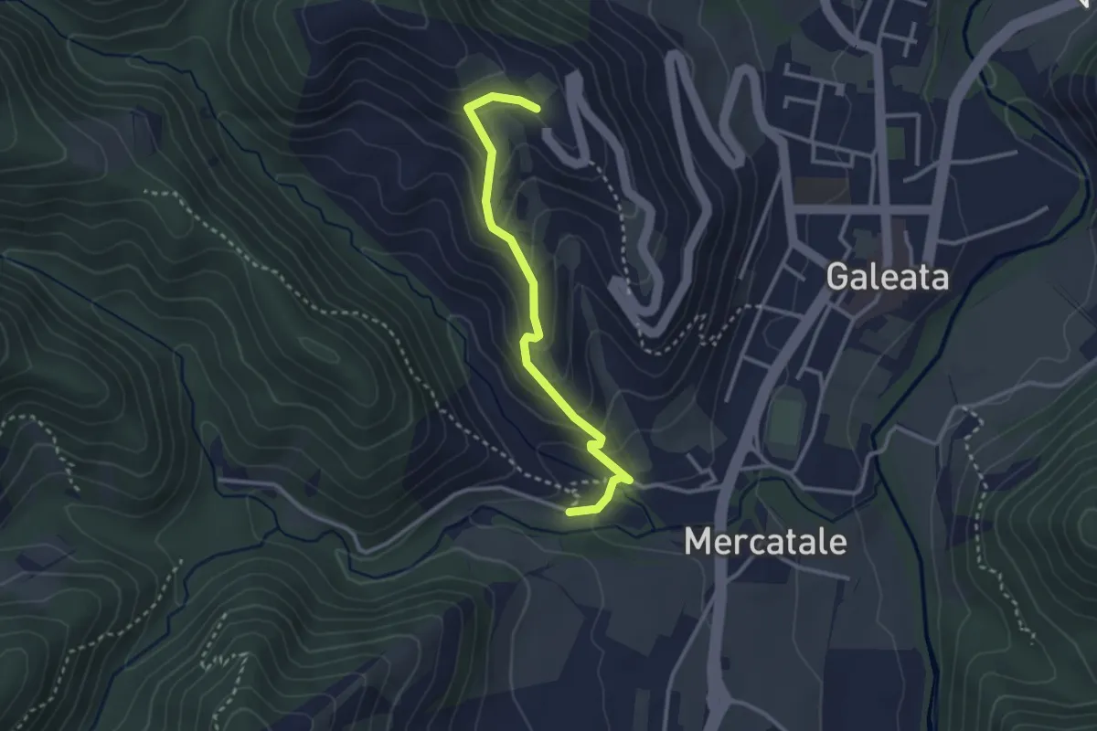
Medium · Trail
Pianetto – Sentiero B9
3.0 km · ↑ 191 m · 1 h 7 min
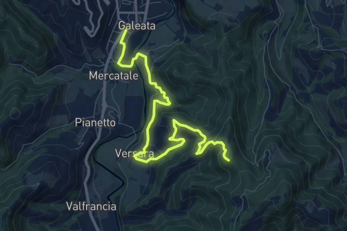
Medium · Trail
Galeata – Sentiero 201
10.8 km · ↑ 642 m · 3 h 57 min
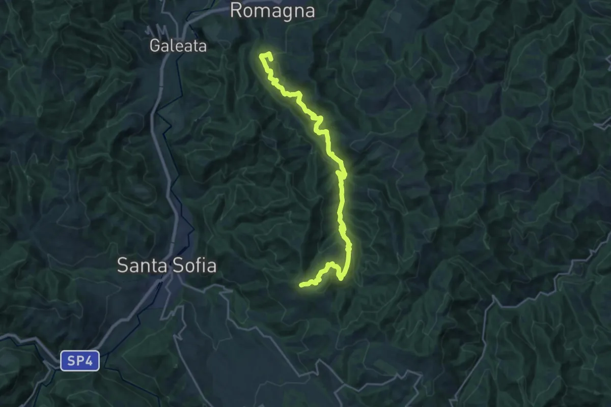
Demanding · Summit
Sentiero 201 – Civitella di Romagna
20.9 km · ↑ 1112 m · 7 h 21 min
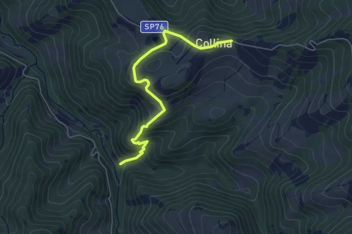
Easy · Trail
Sentiero B21 – Collina
4.6 km · ↑ 299 m · 1 h 45 min
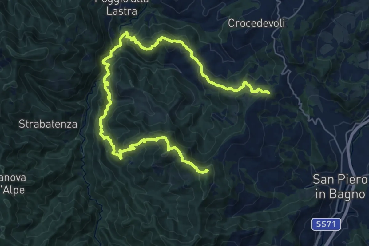
Demanding · Summit
Paretaio – San Piero in Bagno
27.7 km · ↑ 1473 m · 9 h 44 min
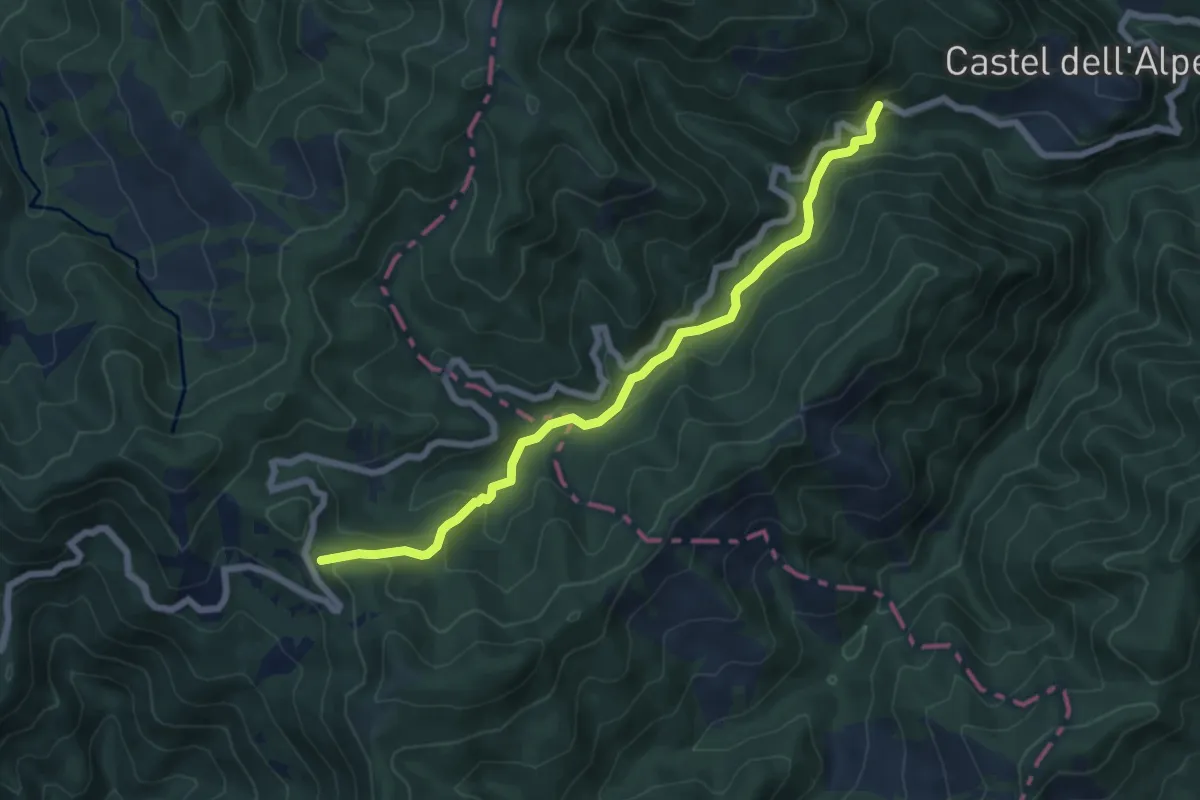
Easy · Trail
Castel dell'Alpe – Valico Tre Faggi
7.0 km · ↑ 274 m · 2 h 15 min
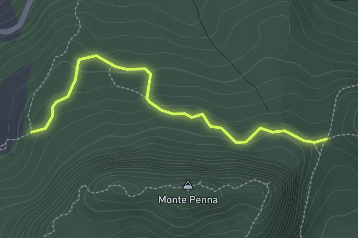
Easy · Trail
Sentiero 50 presso Croce della Calla – Sentiero 053
2.6 km · ↑ 110 m · 52 min
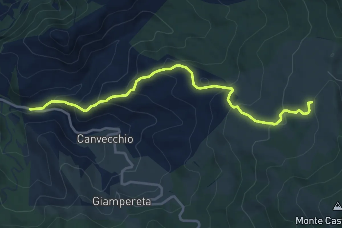
Expert · Trail
SP62 presso Montefatucchio – Passo delle Gualanciole
7.7 km · ↑ 450 m · 2 h 48 min
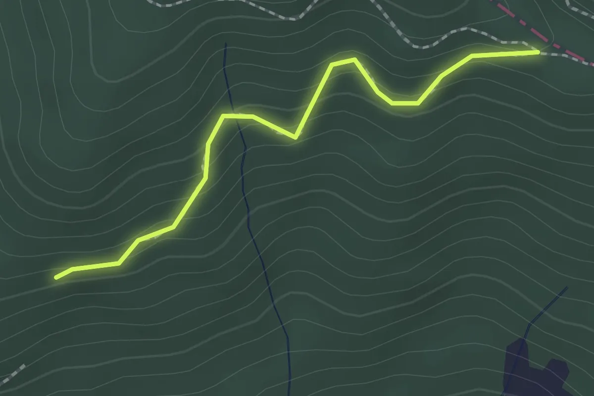
Easy · Trail
Molino di Corezzo – Percorso 00
2.0 km · ↑ 132 m · 45 min
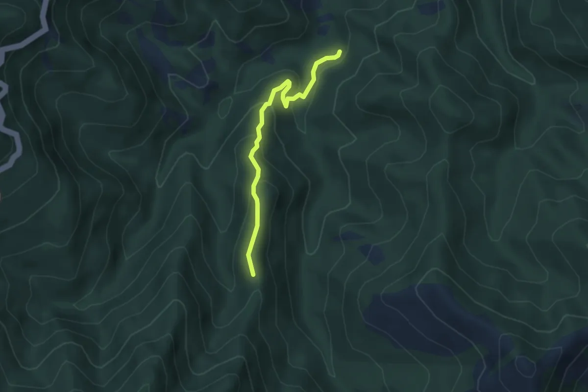
Medium · Trail
Sant'Agostino – Ballatoio
3.7 km · ↑ 219 m · 1 h 21 min
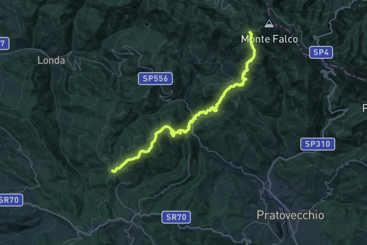
Demanding · Summit
Giuncaia sent. 00 – Monte Falterona
30.1 km · ↑ 2053 m · 11 h 33 min
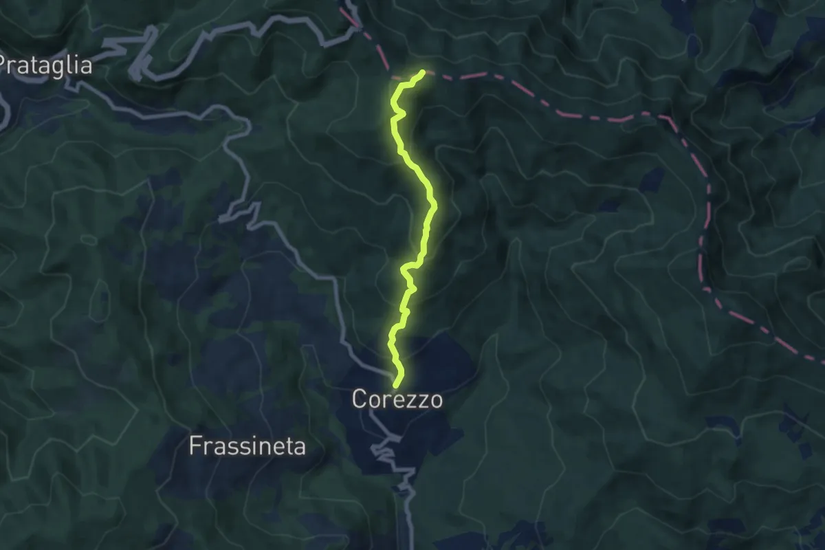
Medium · Trail
Corezzo – Sentiero Italia presso poggio Magiovanna
6.7 km · ↑ 508 m · 2 h 41 min
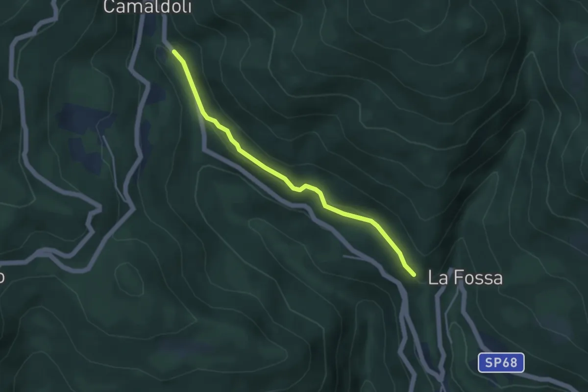
Easy · Trail
Percorso 72 – Percorso 70
3.6 km · ↑ 93 m · 1 h 3 min