Trails in Italy
25,219 hiking trails, each with its route, climb, walking time and grade.
All trails, page 305 of 526
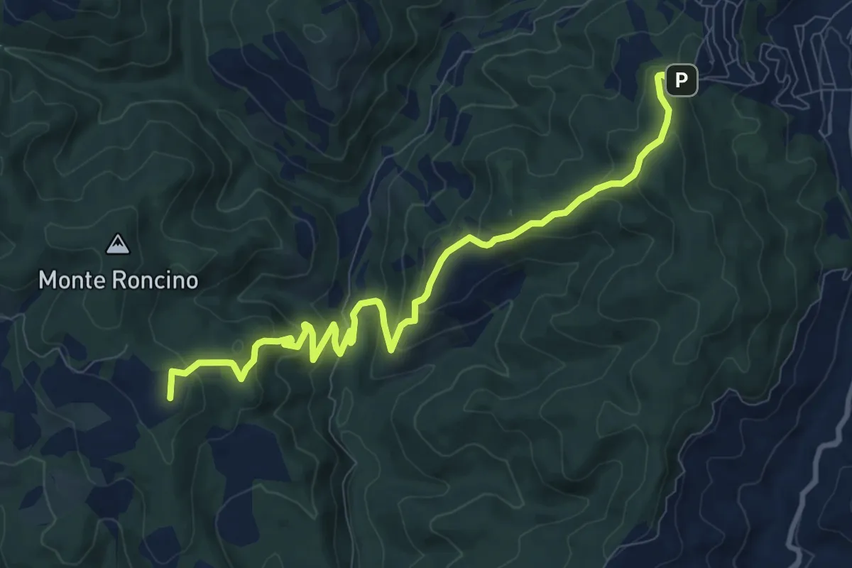
Medium · Summit
Col Celone – Candeleto
10.9 km · ↑ 578 m · 3 h 49 min
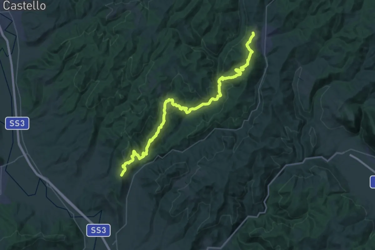
Demanding · Trail
Montone – Pietralunga
18.5 km · ↑ 806 m · 6 h 18 min
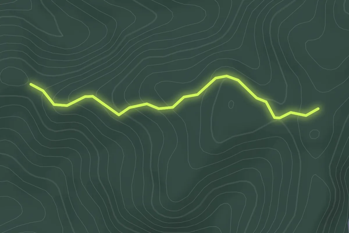
Easy · Trail
Intersezione percorso 114 Picciati – Intersezione percorso 115
2.2 km · ↑ 115 m · 46 min
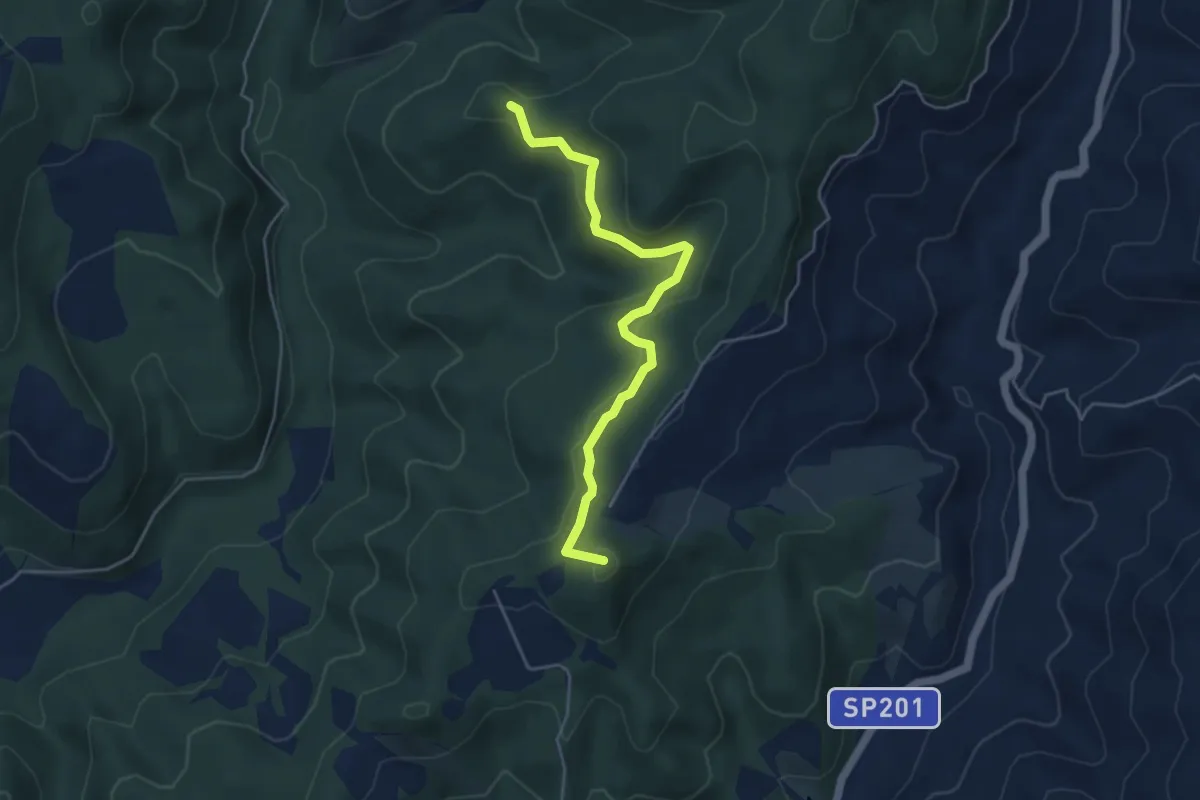
Easy · Summit
Intersezione percorso 114 Picciati – Intersezione percorso 115 Spesce
4.8 km · ↑ 166 m · 1 h 30 min
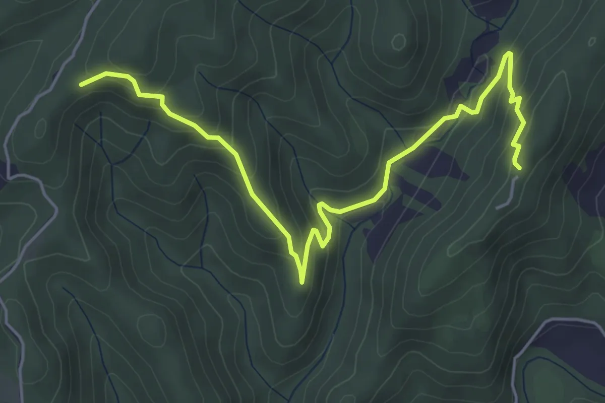
Medium · Trail
Rocca d'Aries – Monte Gengarella
6.0 km · ↑ 328 m · 2 h 8 min
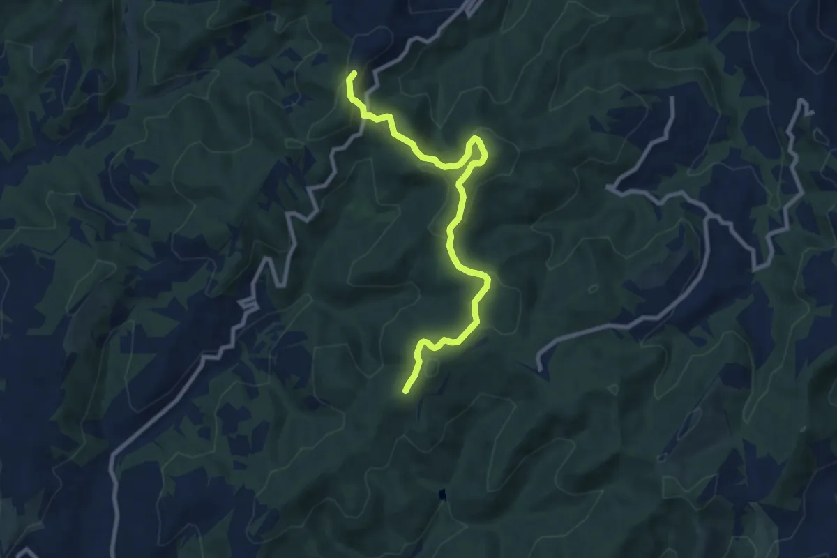
Medium · Summit
Intersezione percorso 119 – Intersezione percorso 120
8.5 km · ↑ 292 m · 2 h 38 min
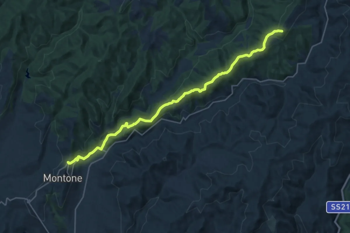
Demanding · Summit
Montone – Pietralunga innesto percorso 114
18.7 km · ↑ 668 m · 5 h 51 min
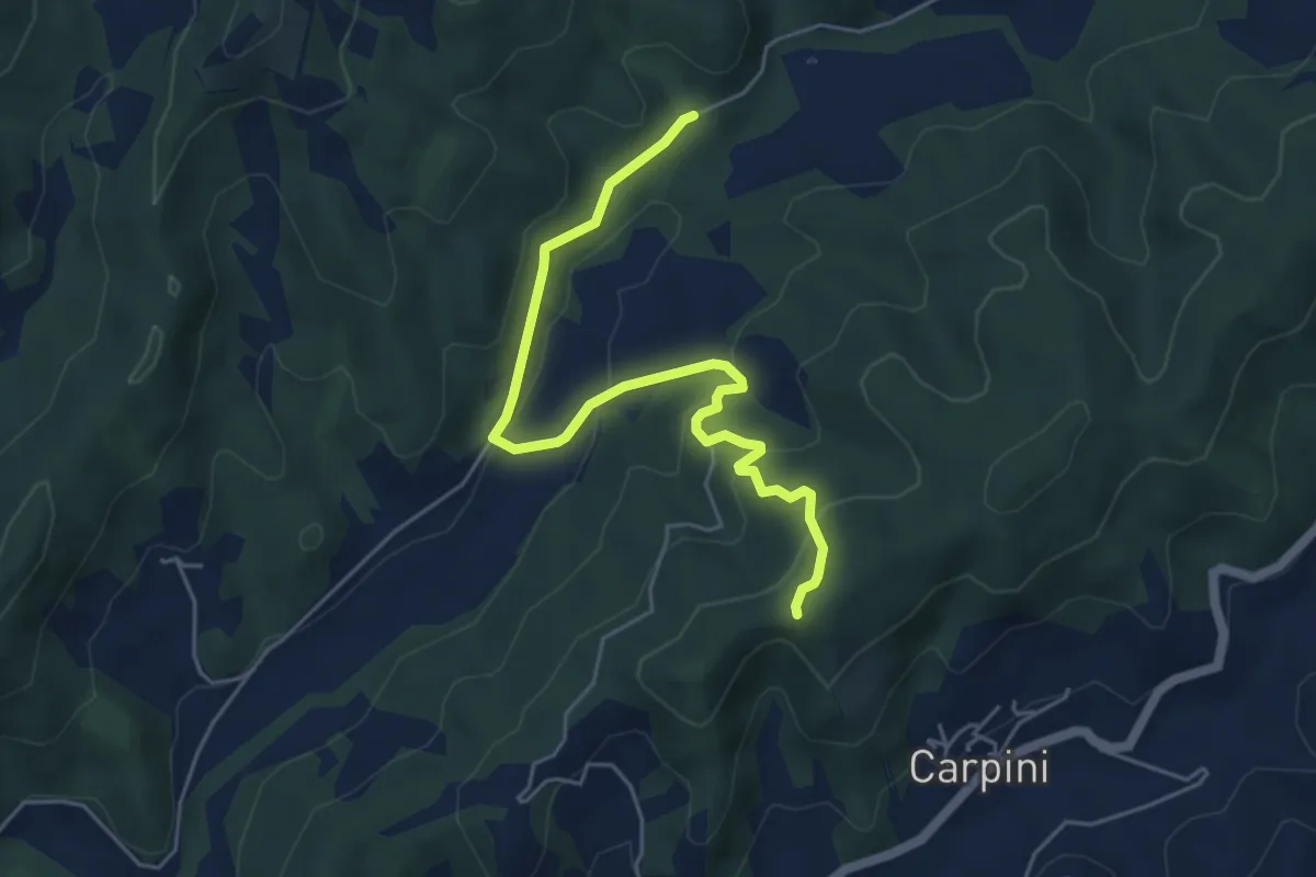
Easy · Trail
Madonna dei Nespoli intersezione percorso 115 – Intersezione percorso 114
5.7 km · ↑ 241 m · 1 h 53 min
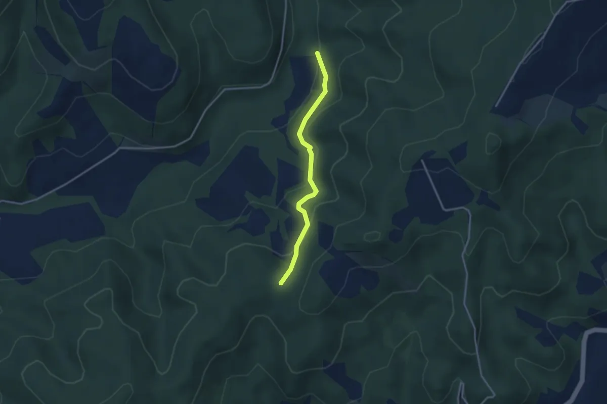
Easy · Trail
Bagno intersezione percorso 114 – Caignani intersezione percorso 115
2.8 km · ↑ 128 m · 57 min
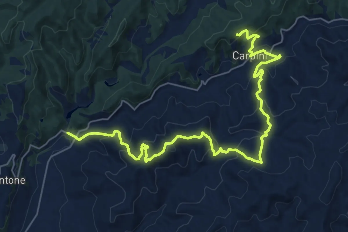
Demanding · Trail
Tre Ponti – Intersezione percorso 115
21.1 km · ↑ 1083 m · 7 h 20 min
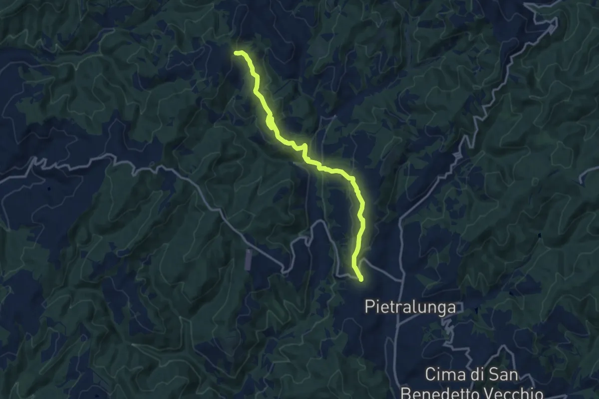
Medium · Trail
Pietralunga – Caiciabocca
12.1 km · ↑ 453 m · 3 h 51 min
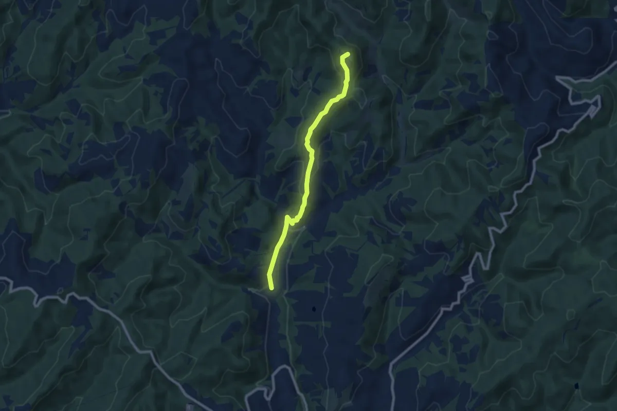
Medium · Summit
Casa del Fattore – Sentiero Italia (Monte delle Trecciole)
7.6 km · ↑ 338 m · 2 h 32 min
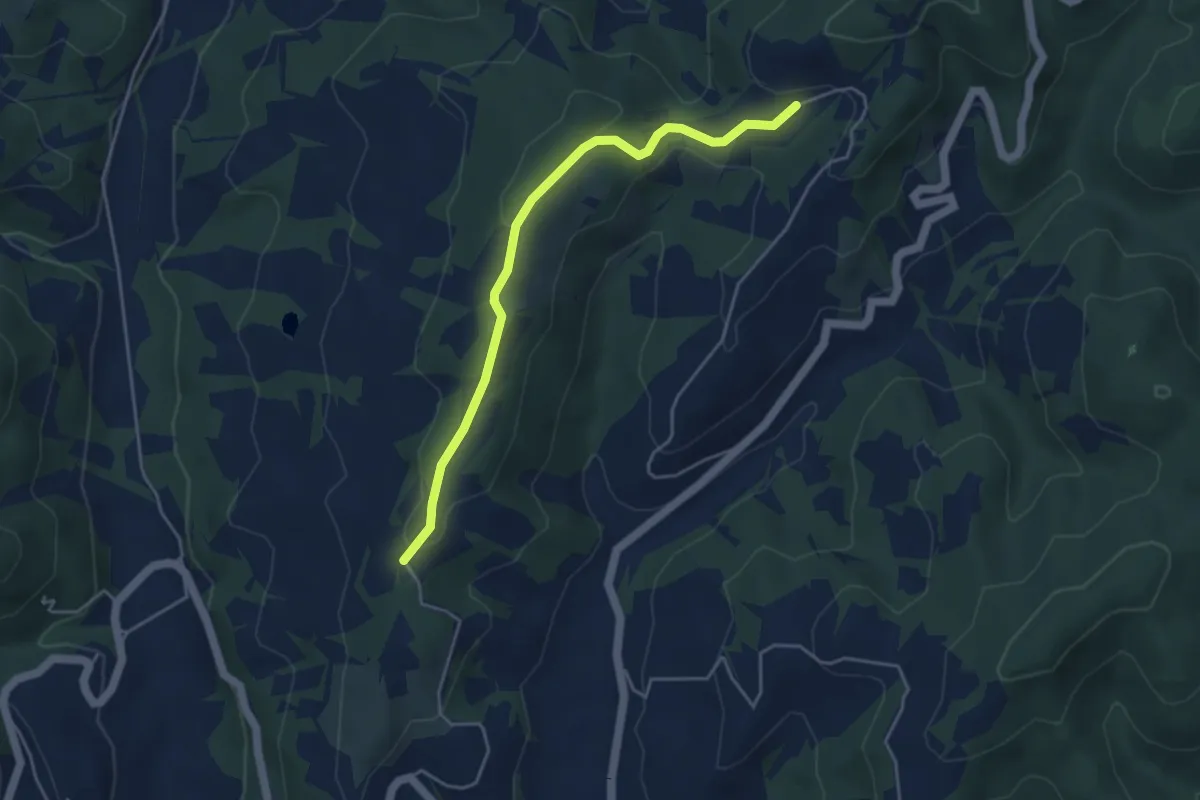
Easy · Trail
Intersezione percorso 117 – Intersezione percorso 119
4.6 km · ↑ 143 m · 1 h 24 min
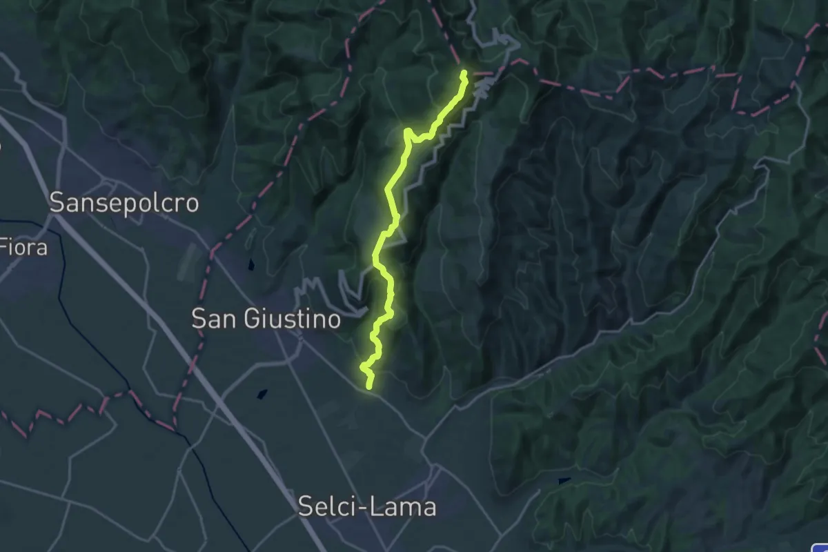
Demanding · Summit
Celalba – Sentiero Italia Poggio del Romito
16.9 km · ↑ 870 m · 5 h 52 min
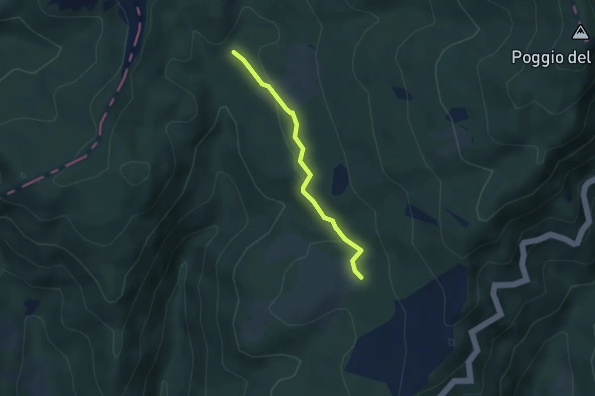
Easy · Trail
Intersezione percorso 131 Abbadiaccia – Intersezione percorso 130
3.0 km · ↑ 76 m · 53 min
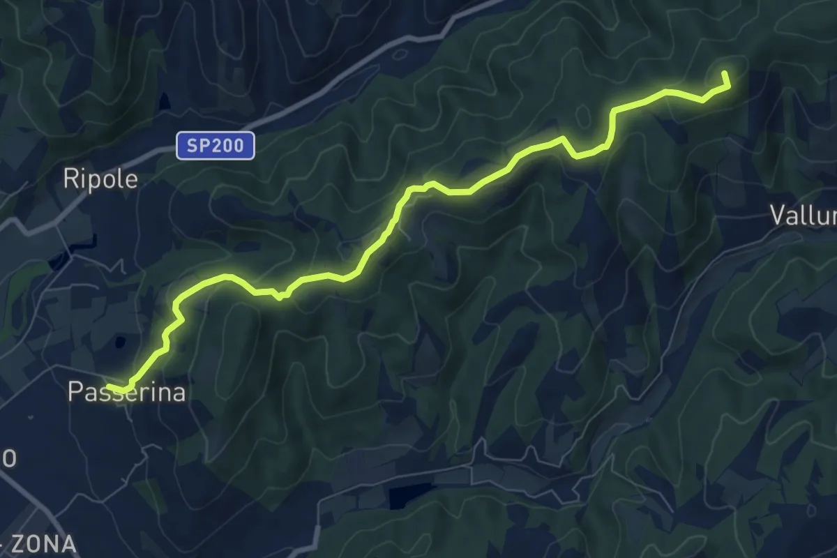
Medium · Summit
Passerina – Sentiero Italia
9.2 km · ↑ 438 m · 3 h 8 min
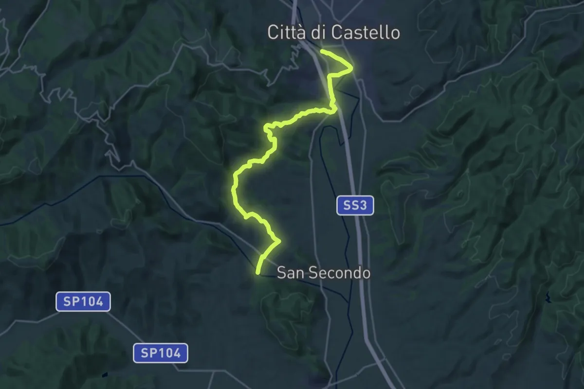
Demanding · Trail
Città di Castello – Canoscio
21.6 km · ↑ 692 m · 6 h 36 min
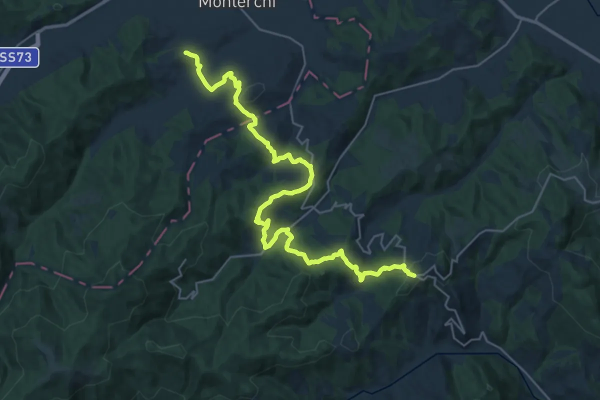
Medium · Trail
Monte Santa Maria Tiberina – Padonchia
12.4 km · ↑ 398 m · 4 h 6 min
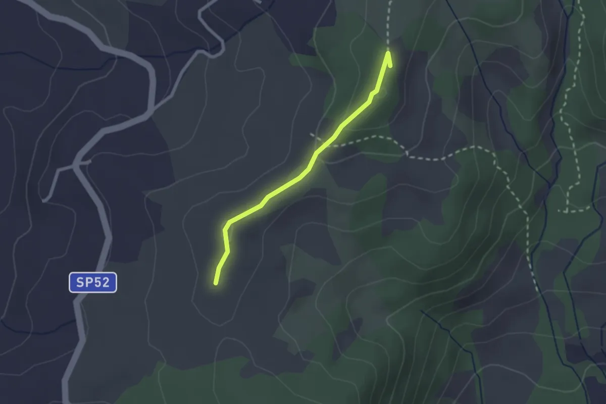
Medium · Summit
Innesto sentiero 861 – Innesto sentiero 861
2.1 km · ↑ 49 m · 36 min
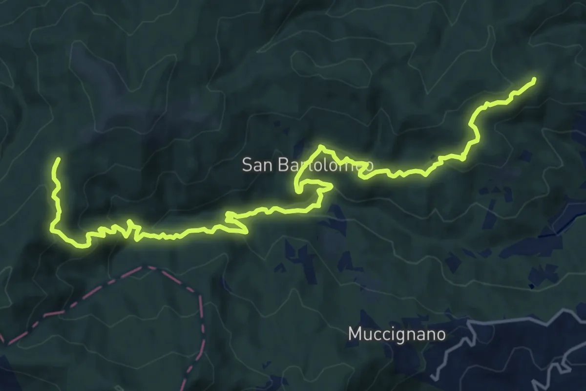
Demanding · Trail
Piantrano – Osteria
19.5 km · ↑ 940 m · 6 h 38 min
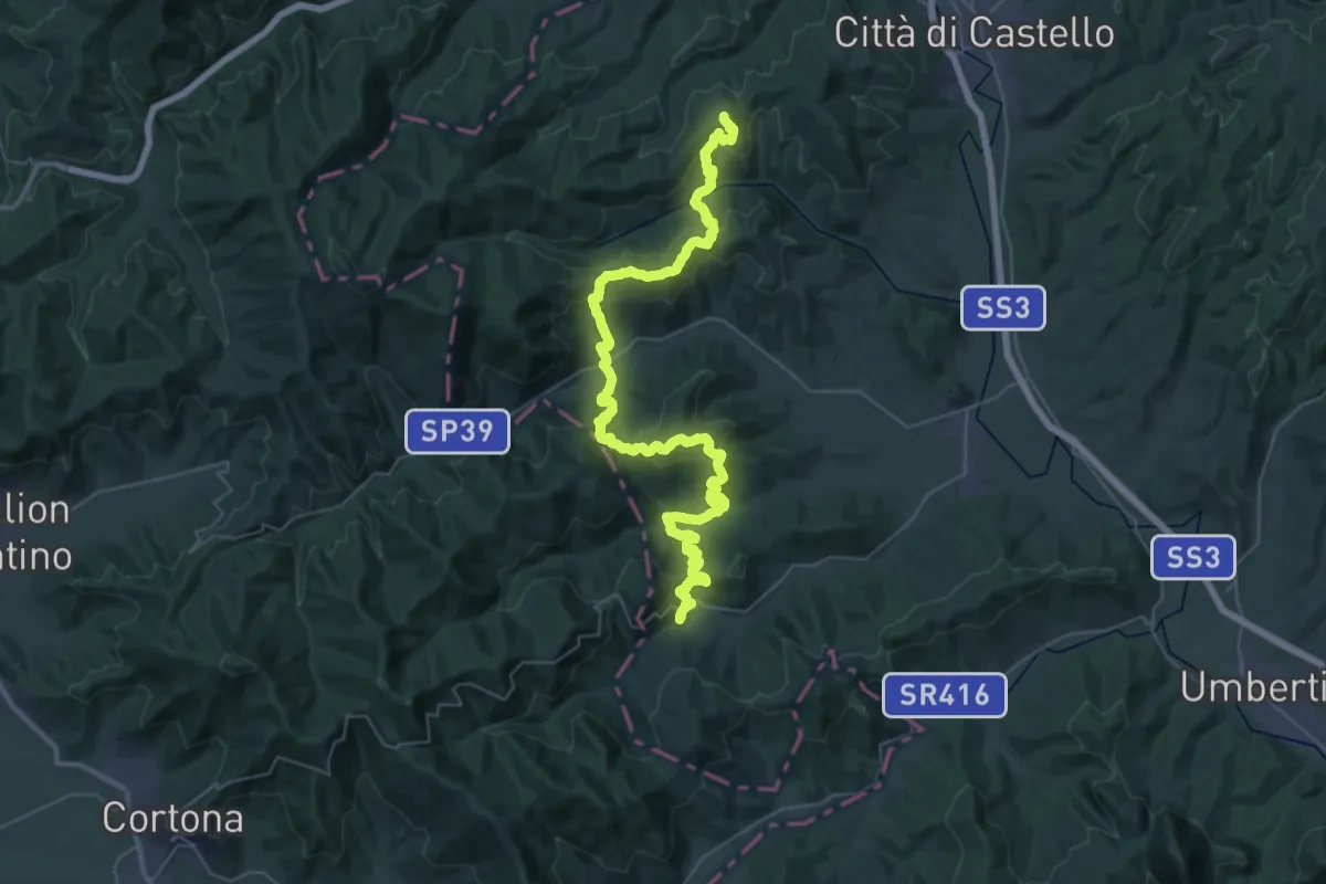
Demanding · Trail
Monte Santa Maria Tiberina – San Leo Bastia
27.5 km · ↑ 921 m · 9 h 2 min
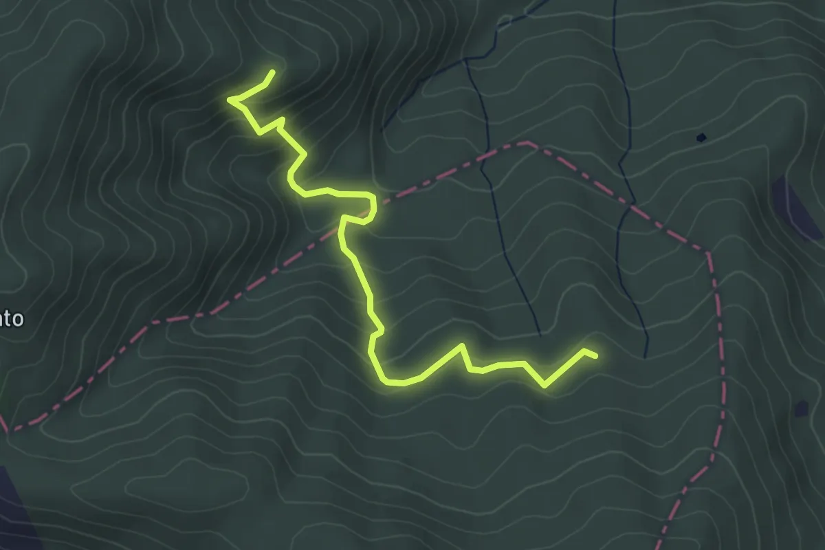
Easy · Trail
La Torre intersezione percorso 156 – Intersezione percorso 158
4.5 km · ↑ 287 m · 1 h 40 min
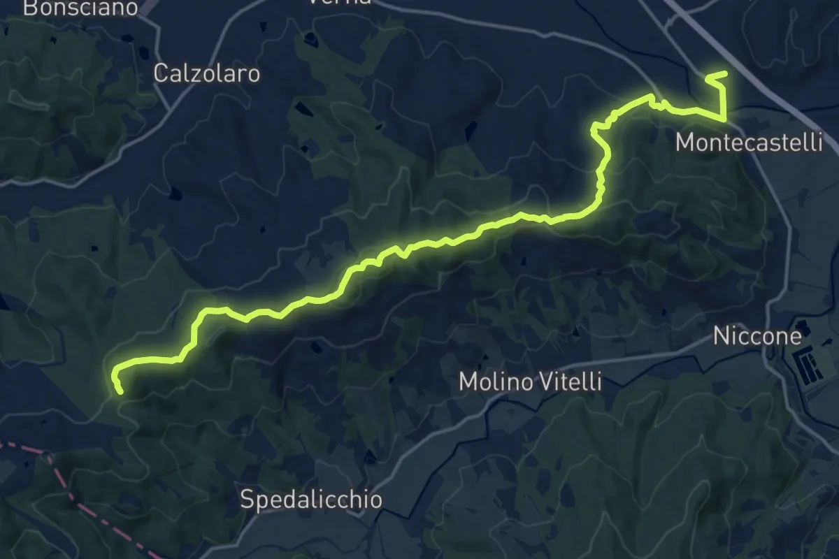
Demanding · Trail
Montecastelli – La Rocca
19.8 km · ↑ 594 m · 5 h 58 min
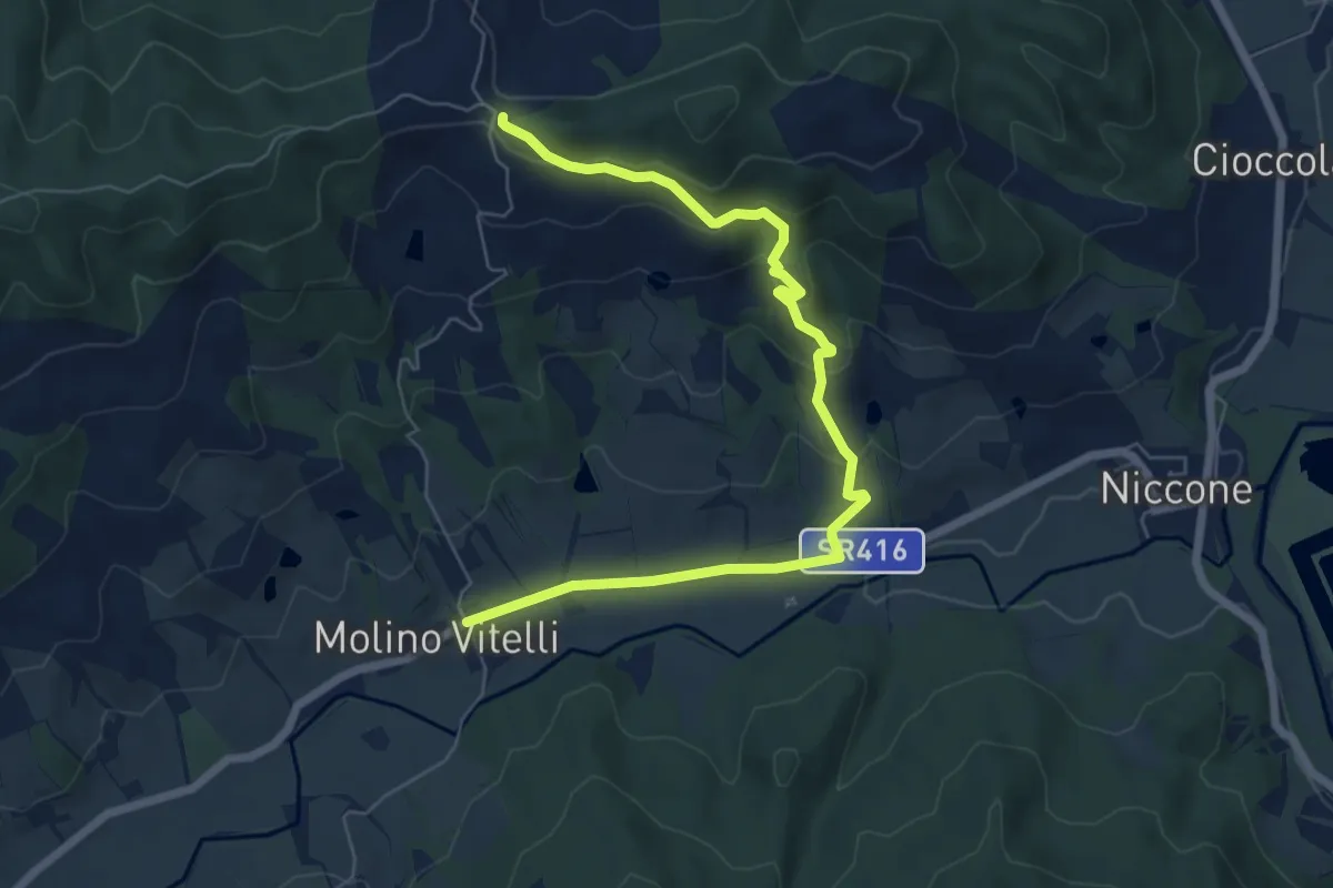
Easy · Trail
Molino Vitelli – Sentiero 160
7.7 km · ↑ 288 m · 2 h 26 min
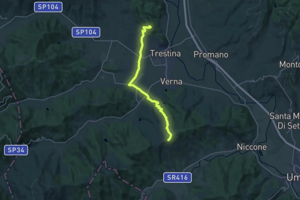
Demanding · Trail
Sant'Anna – Canoscio
18.1 km · ↑ 527 m · 5 h 24 min
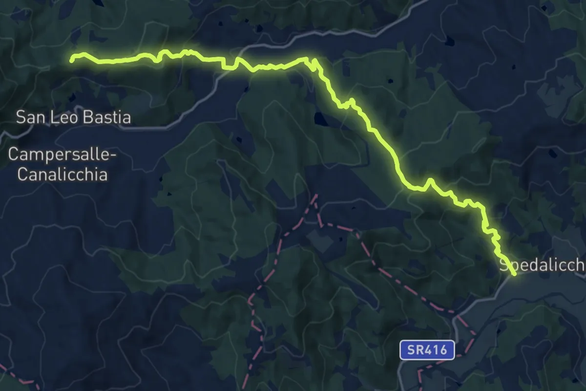
Demanding · Trail
Spedalicchio – Intersezione percorso 157
20.4 km · ↑ 924 m · 6 h 49 min
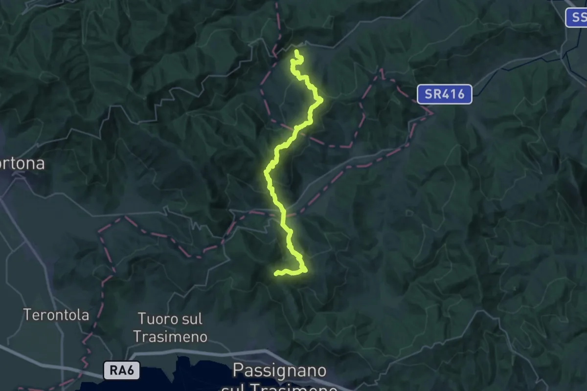
Demanding · Summit
San Leo Bastia – Passignano sul Trasimeno
34.3 km · ↑ 1679 m · 11 h 44 min
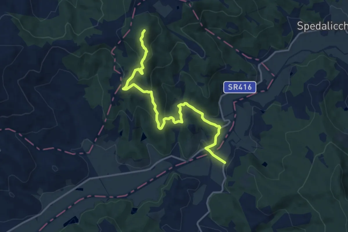
Medium · Summit
Sentiero 162 – Sentiero 163
12.6 km · ↑ 480 m · 4 h 1 min
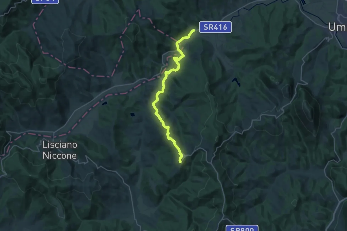
Demanding · Trail
Spedalicchio – Preggio
20.2 km · ↑ 552 m · 5 h 58 min
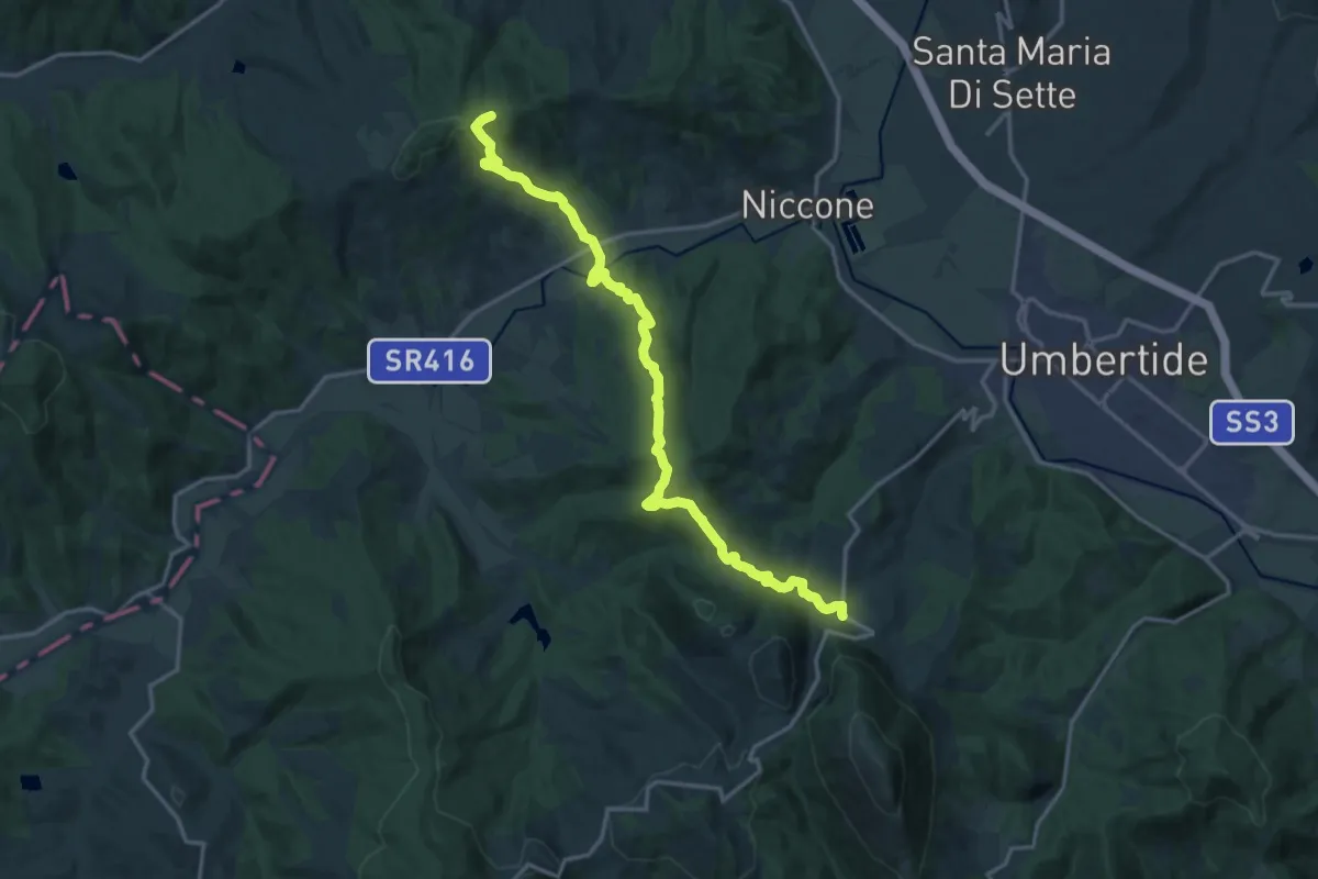
Demanding · Trail
Monte Bastiola – Polgeto
18.8 km · ↑ 927 m · 6 h 27 min
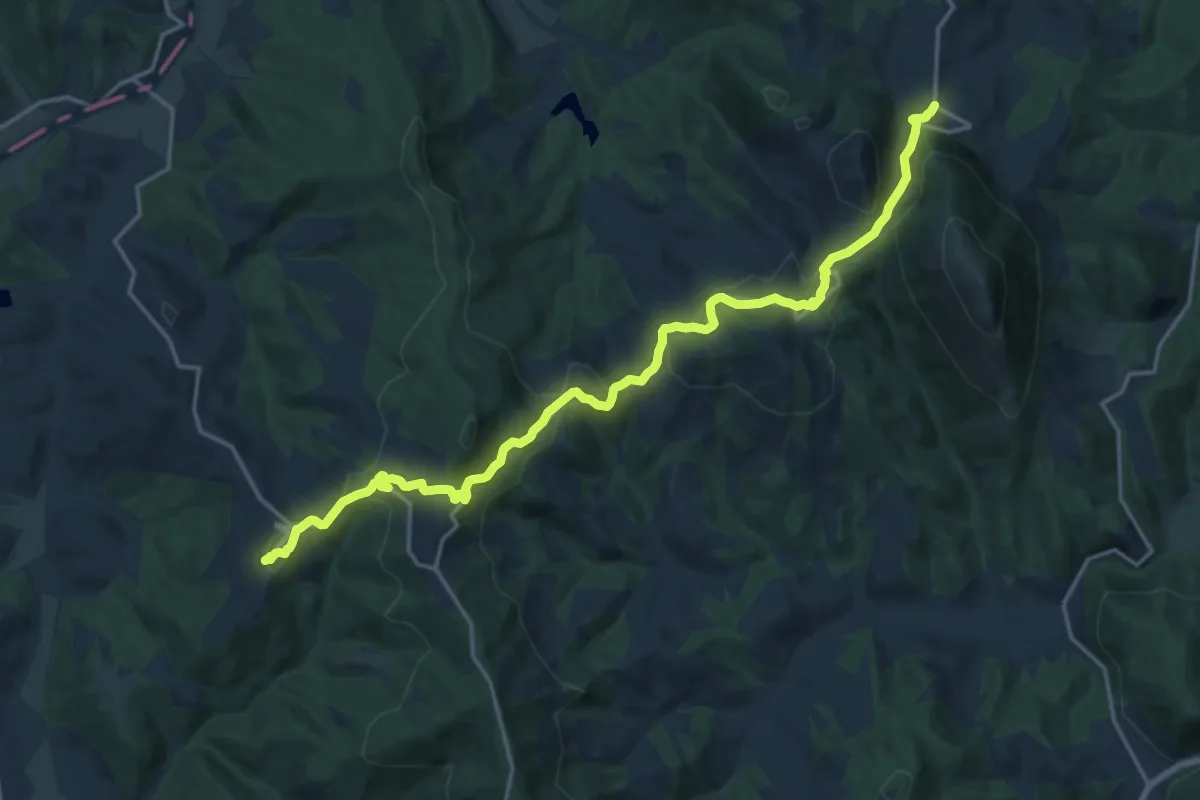
Demanding · Trail
Preggio – Palazzetto
20.3 km · ↑ 821 m · 6 h 34 min
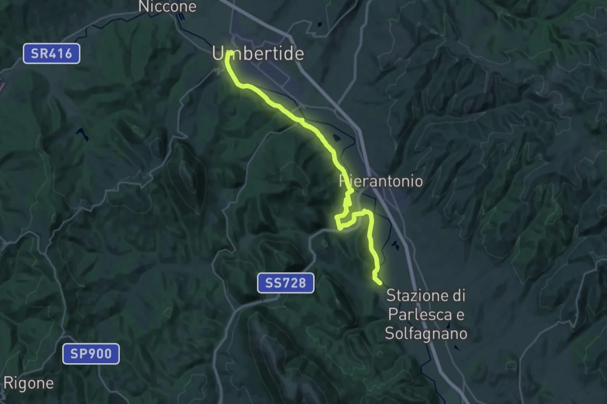
Demanding · Trail
Umbertide – La Bruna
27.3 km · ↑ 425 m · 7 h 22 min
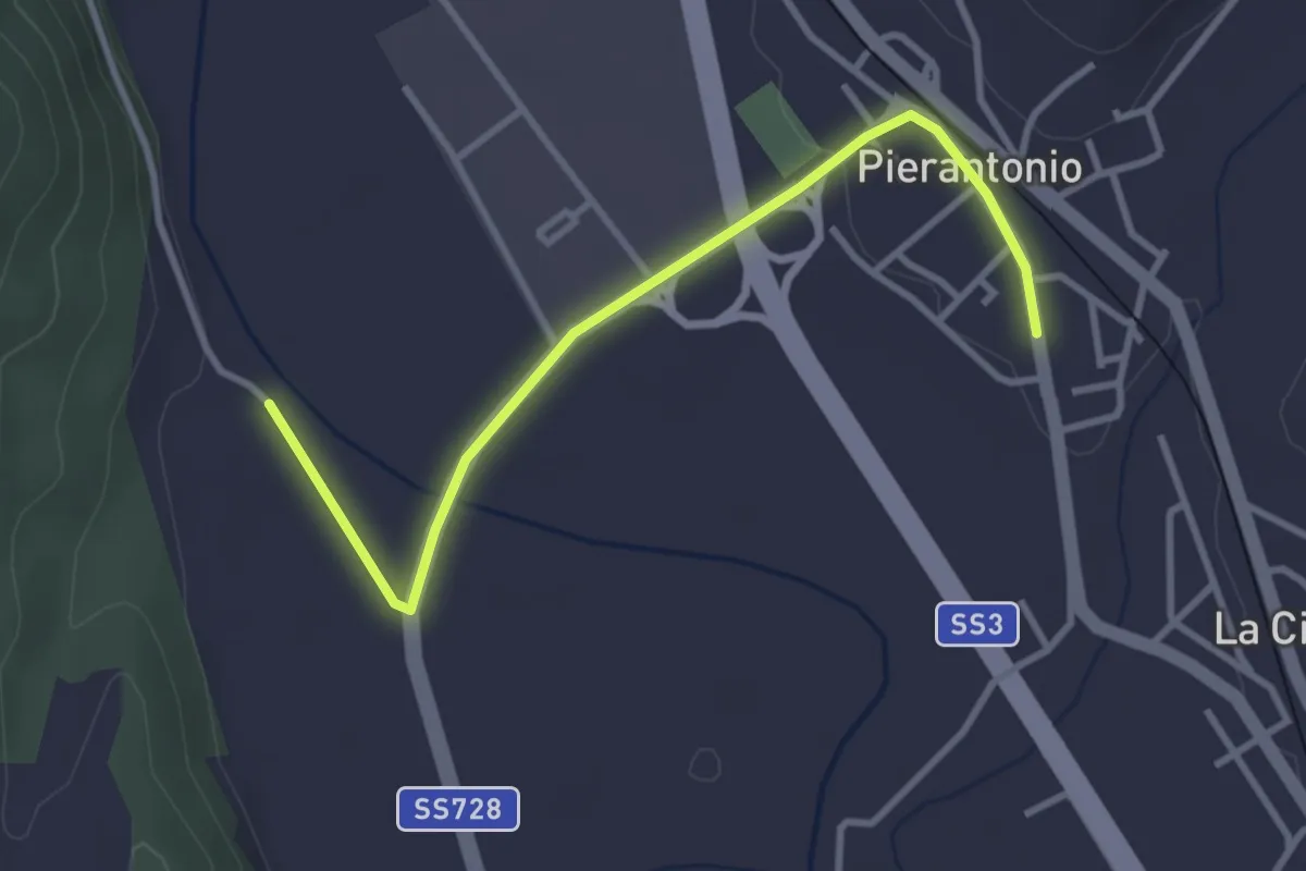
Easy · Trail
Pierantonio – Intersezione percorso 166
3.6 km · ↑ 34 m · 56 min
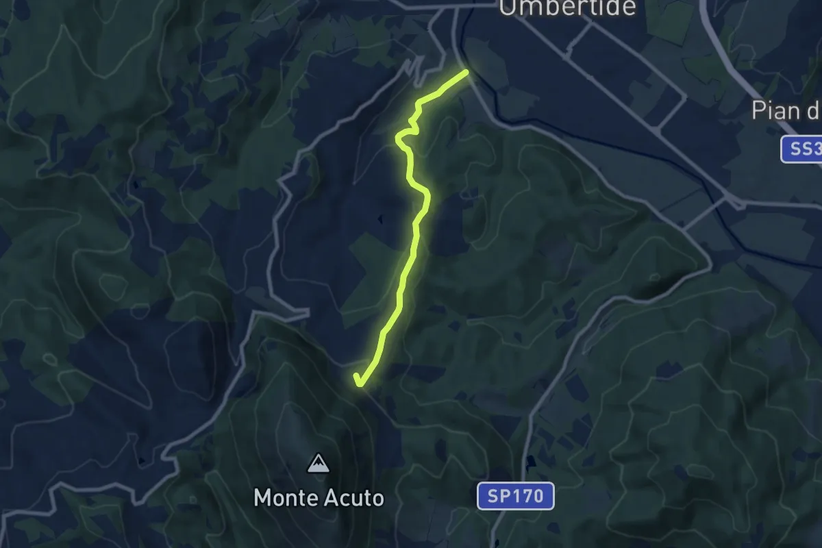
Easy · Trail
Umbertide – Montacuto
7.7 km · ↑ 284 m · 2 h 27 min
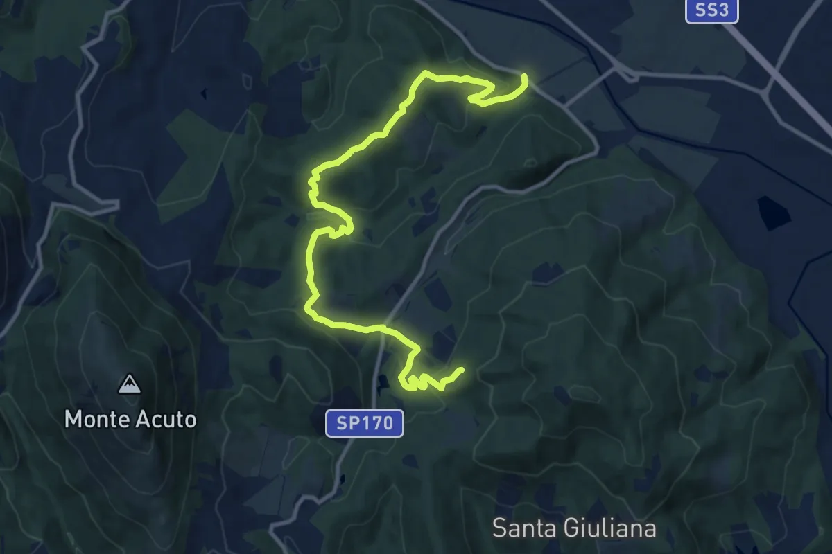
Medium · Trail
Podere San Romualdo – Intersezione percorso 171
13.2 km · ↑ 502 m · 4 h 13 min
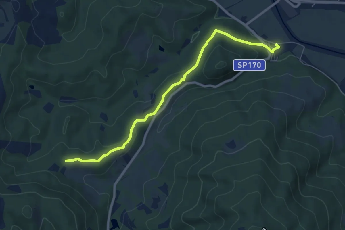
Easy · Trail
Badia Montecorona – Toro
6.7 km · ↑ 181 m · 1 h 58 min
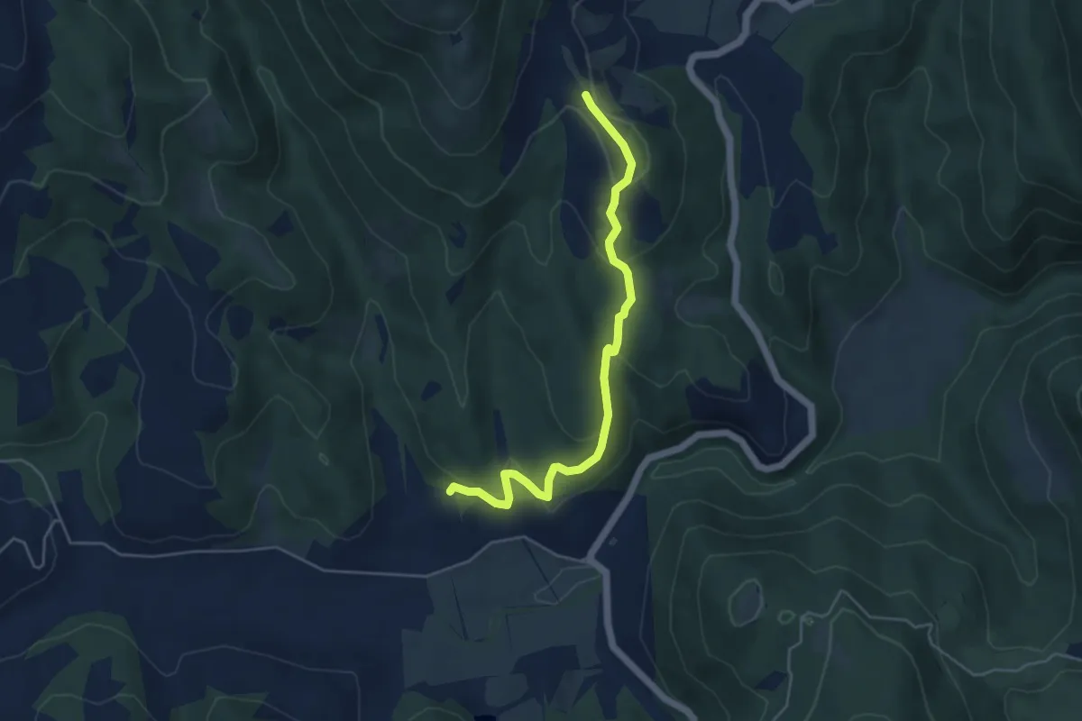
Easy · Trail
Galera – Pian di Nese
5.0 km · ↑ 176 m · 1 h 34 min
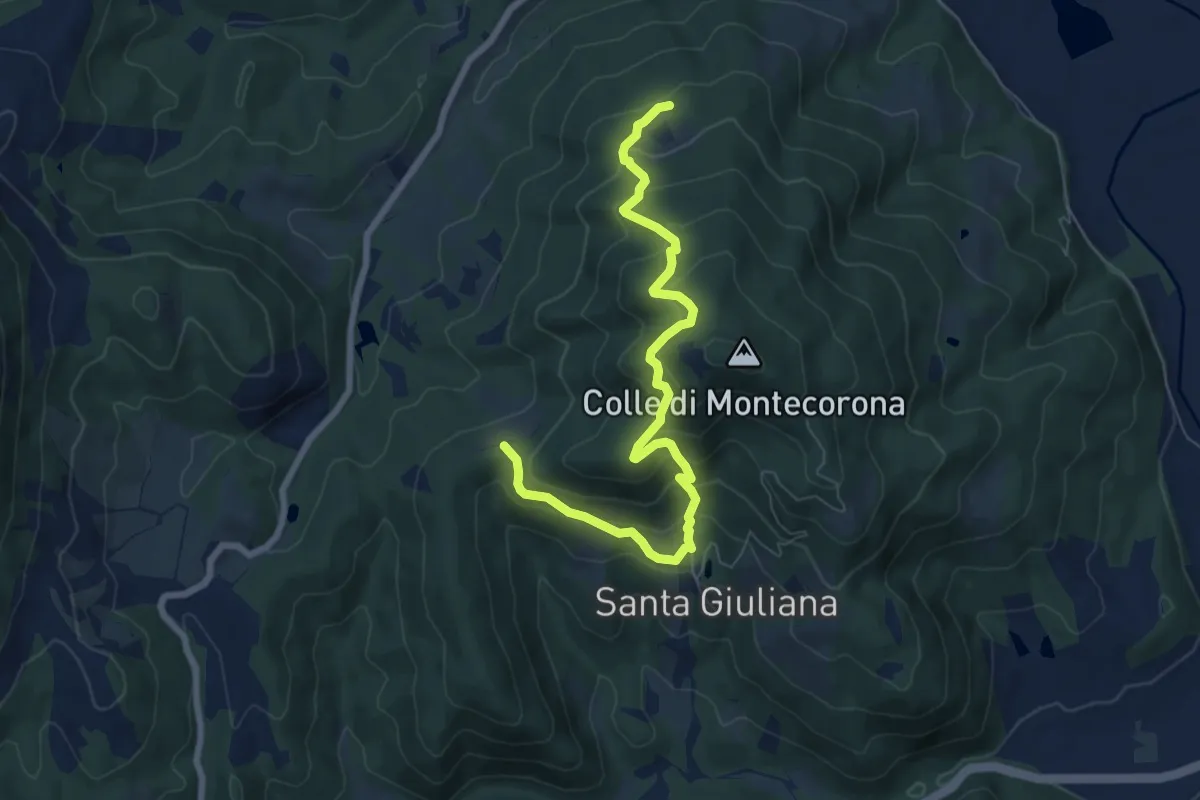
Medium · Trail
Podere San Savino – Intersezione percorso 171
8.4 km · ↑ 607 m · 3 h 17 min
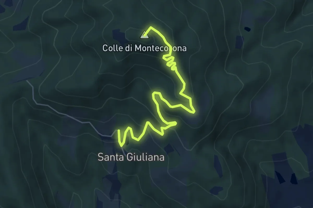
Medium · Summit
Eremo di Montecorona – Borgo di Santa Giuliana
6.5 km · ↑ 388 m · 2 h 23 min
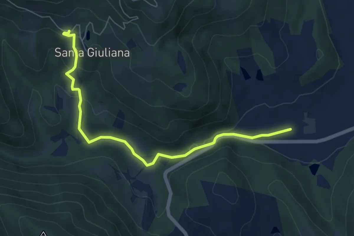
Easy · Trail
Borgo di Santa Giuliana – Intersezione percorso 166
6.6 km · ↑ 193 m · 1 h 58 min
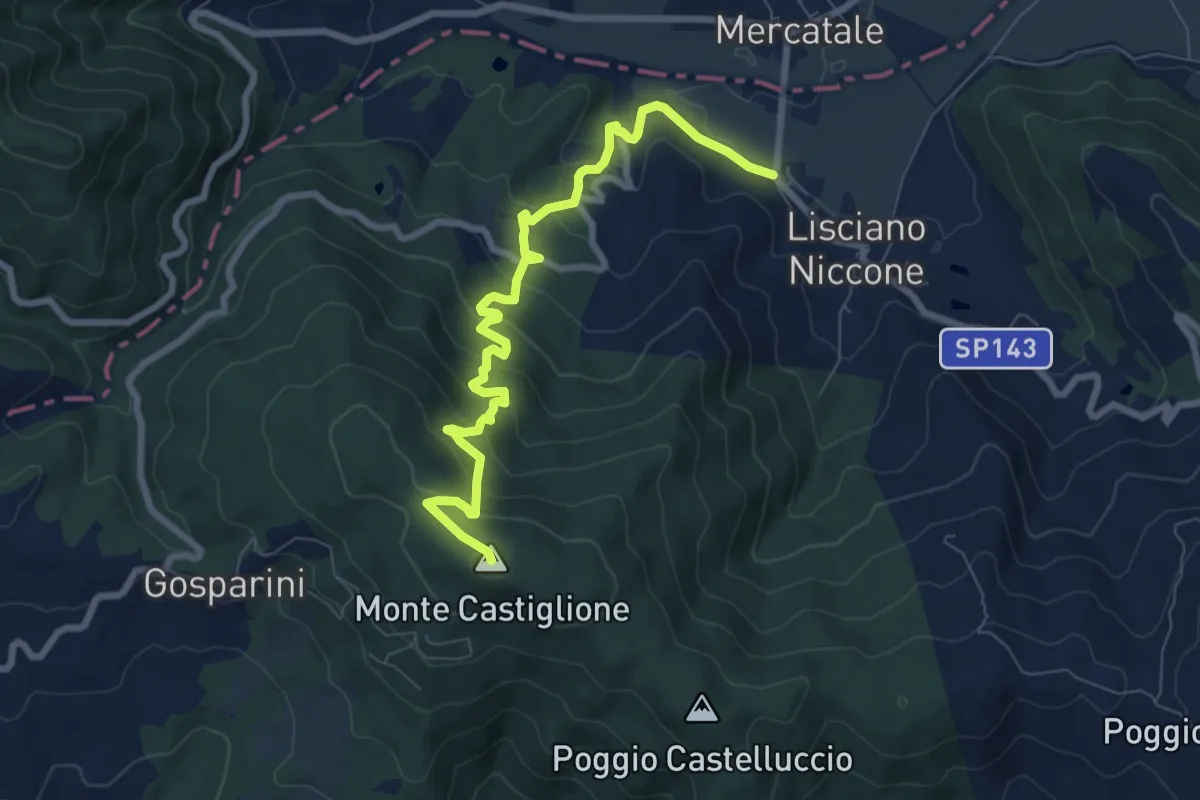
Expert · Summit
Lisciano Niccone – Monte Castiglione
8.9 km · ↑ 529 m · 3 h 14 min
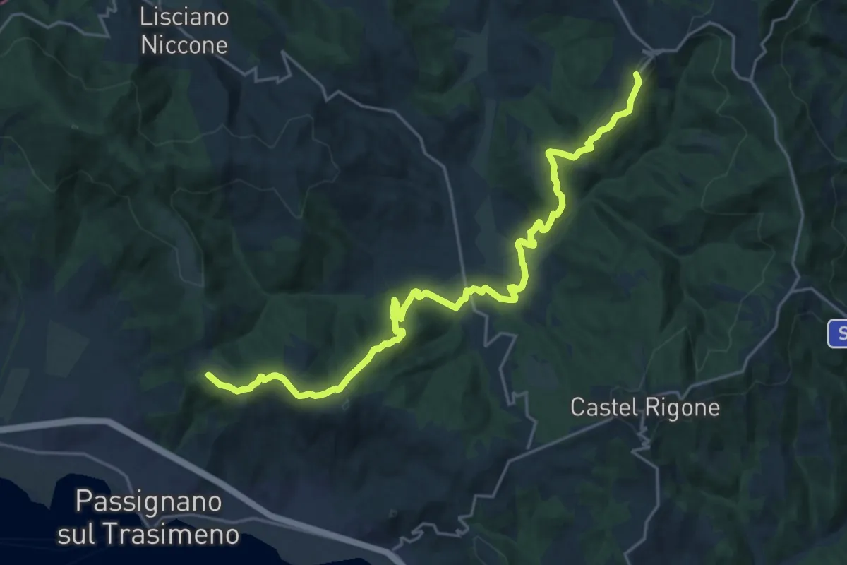
Demanding · Trail
Preggio – Intersezione percorso 50
23.6 km · ↑ 821 m · 7 h 21 min
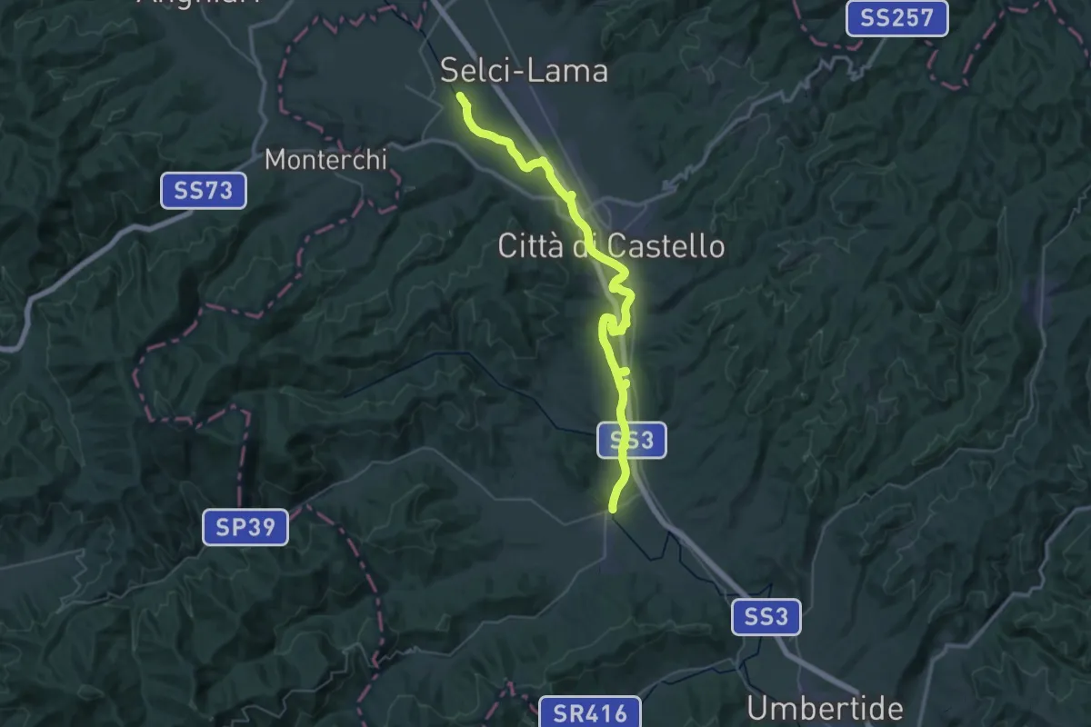
Demanding · Trail
Selci – Trestina
23.2 km · ↑ 22 m · 5 h 51 min
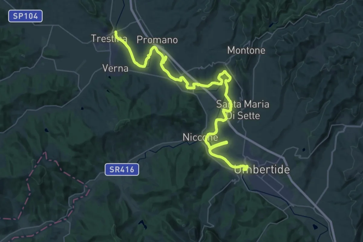
Demanding · Trail
Trestina – Umbertide
21.9 km · ↑ 203 m · 5 h 55 min
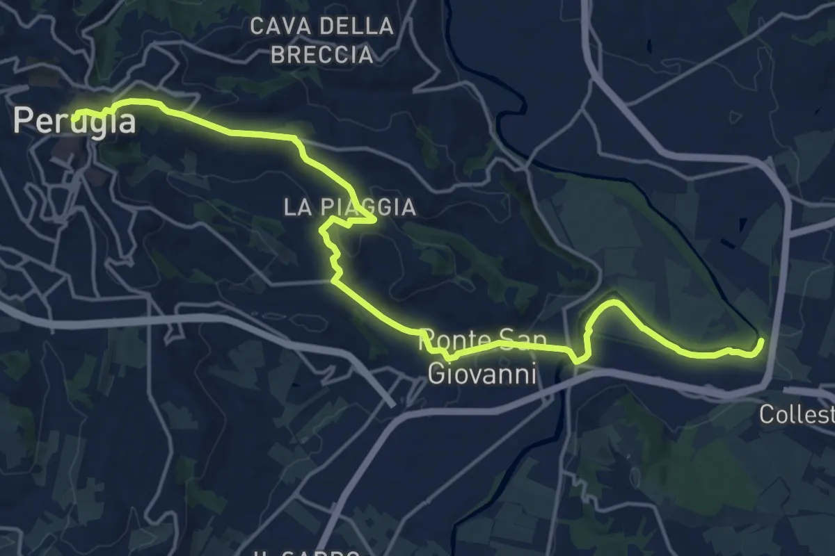
Demanding · Trail
Perugia – Percorso Verde Tevere
20.4 km · ↑ 382 m · 5 h 39 min
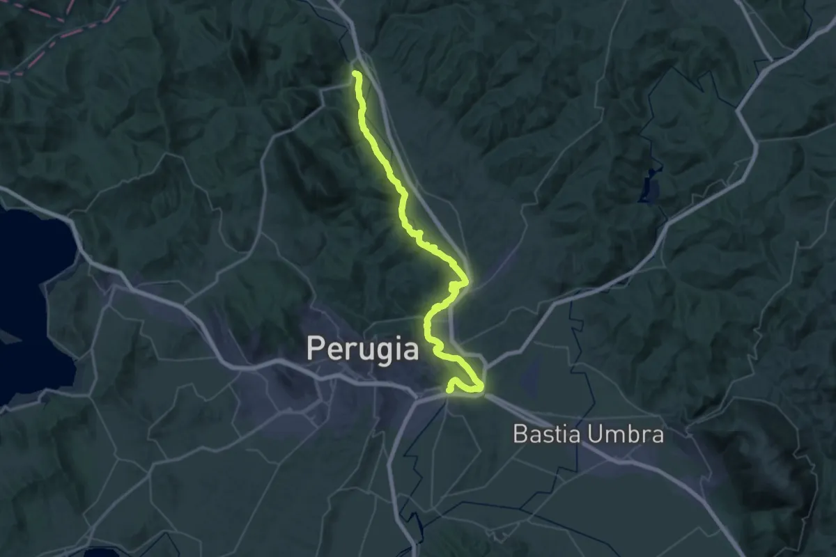
Demanding · Trail
Ascagnano – Lungo Tevere Ponte San Giovanni
29.6 km · ↑ 212 m · 7 h 52 min
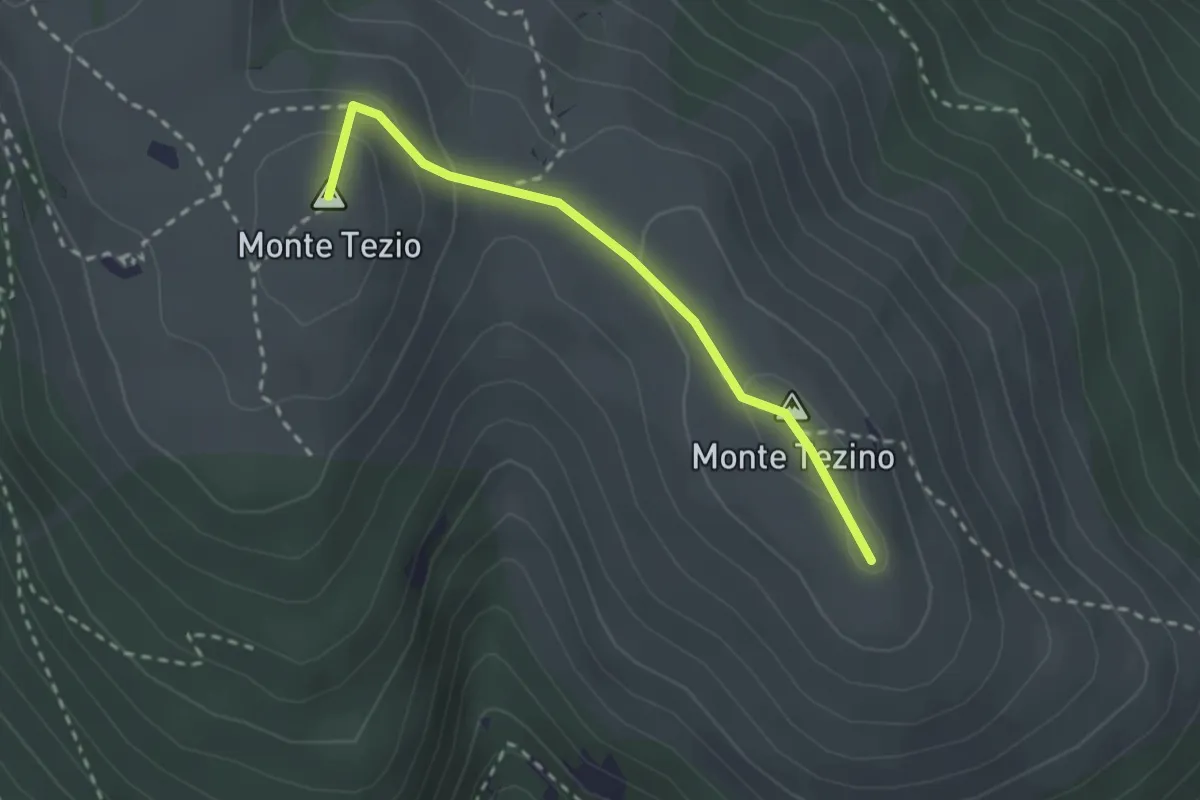
Easy · Summit
Monte Tezio – Monte Tezino
2.5 km · ↑ 98 m · 48 min
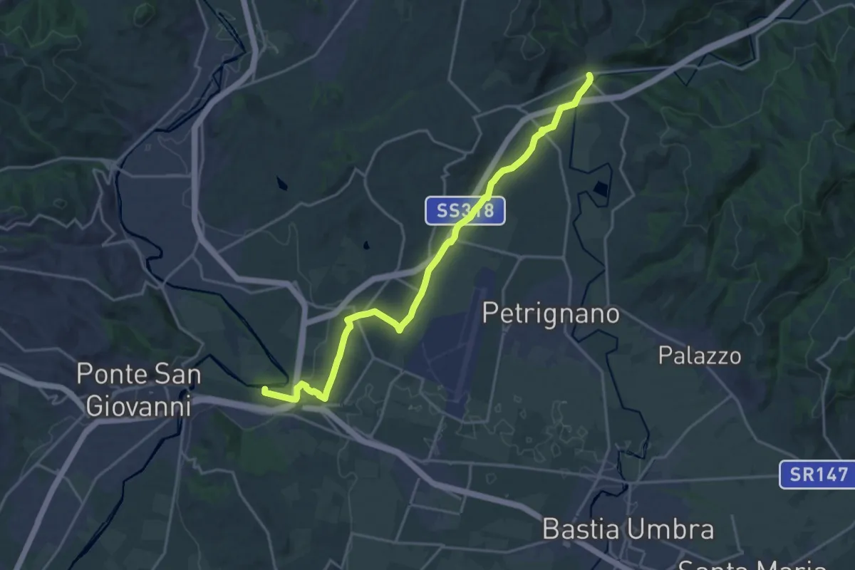
Demanding · Trail
Fiume Tevere Collestrada – Fiume Chiascio Pianello
20.8 km · ↑ 172 m · 5 h 17 min