Trails in Italy
25,219 hiking trails, each with its route, climb, walking time and grade.
All trails, page 306 of 526
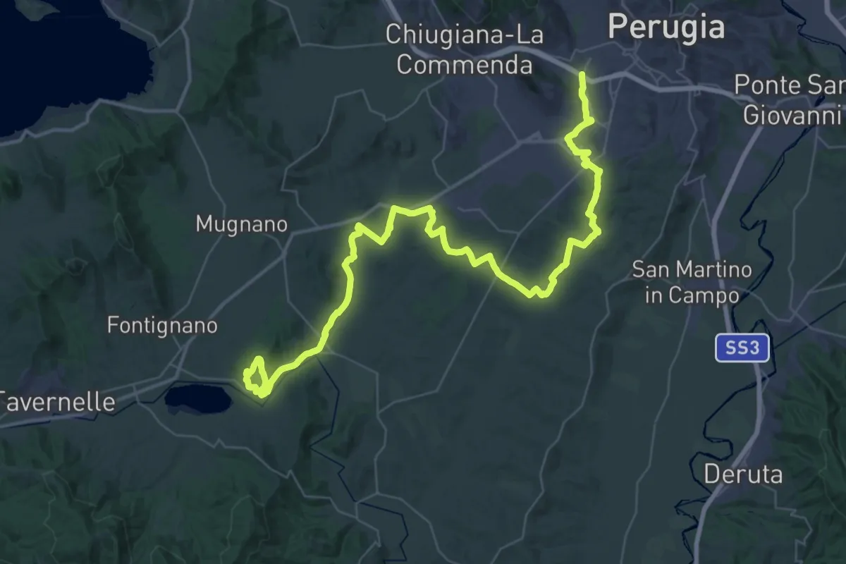
Demanding · Trail
Borgonovo – Intersez. Strada Provinciale Spina
30.6 km · ↑ 369 m · 8 h 26 min
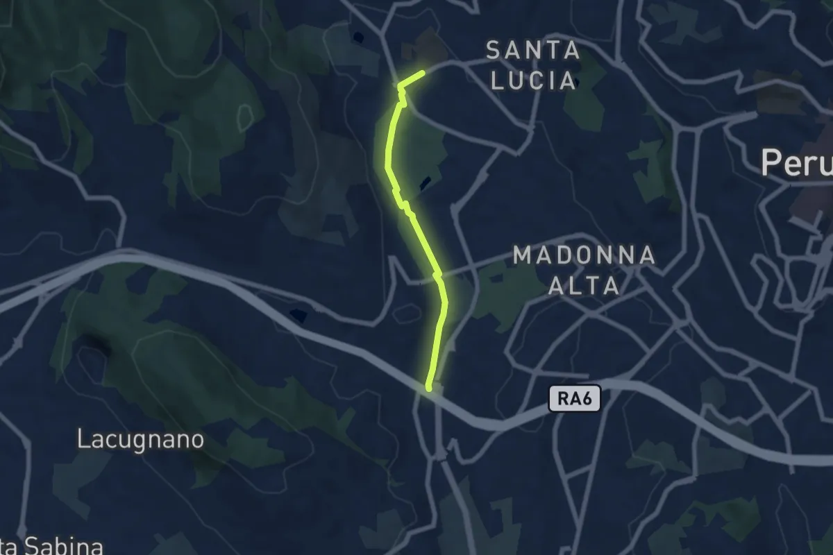
Easy · Trail
Pian di Massiano – Borgonovo
5.0 km · ↑ 26 m · 1 h 14 min
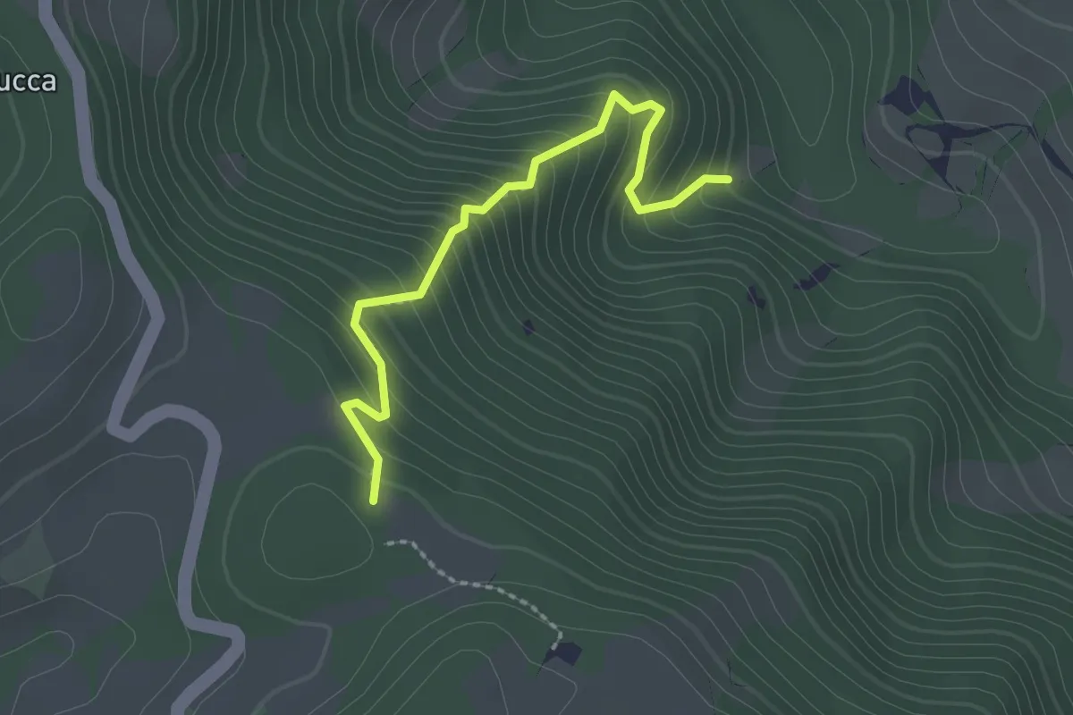
Easy · Trail
Percorso 183 – Percorso 183
2.3 km · ↑ 275 m · 1 h 8 min
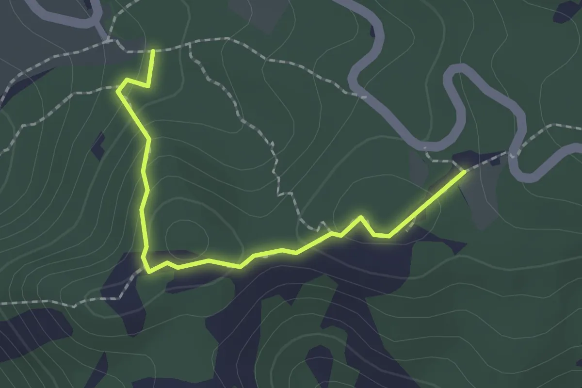
Easy · Trail
Montecoronaro – Percorso 00
2.0 km · ↑ 87 m · 40 min
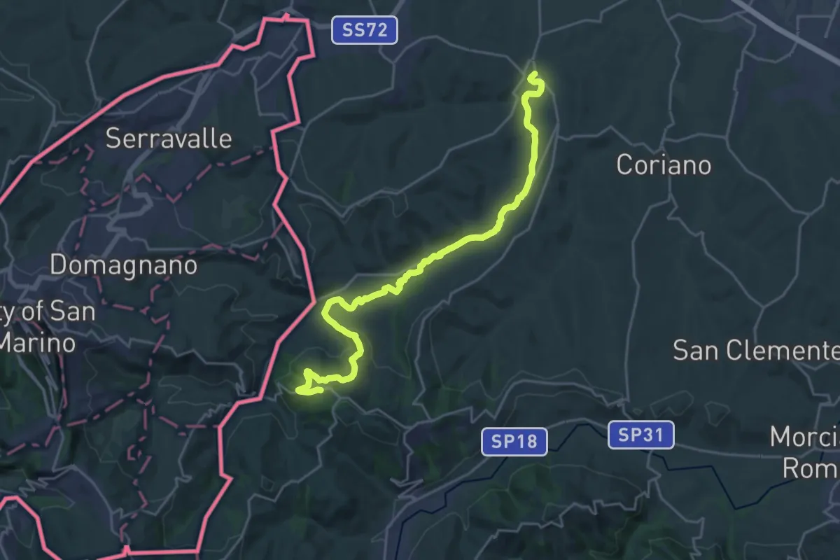
Demanding · Trail
Ospedaletto – Albereto
24.6 km · ↑ 465 m · 6 h 48 min
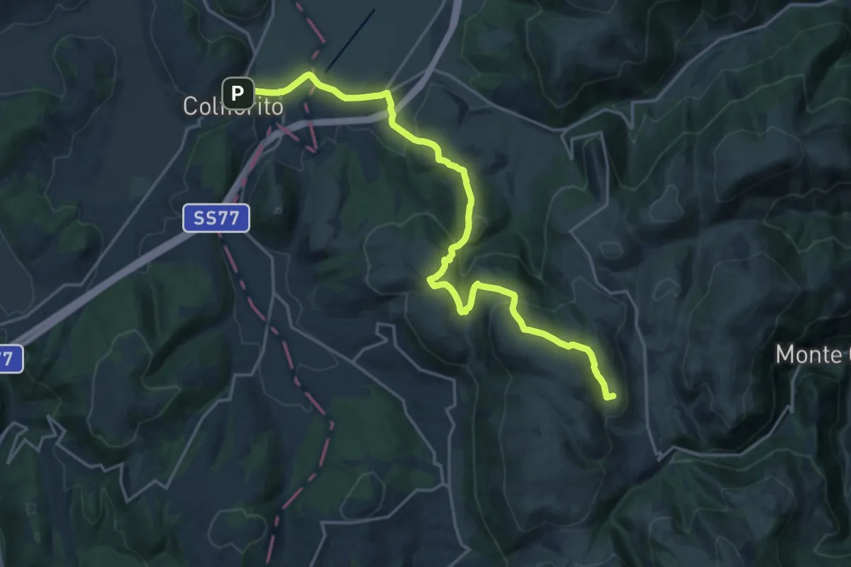
Demanding · Summit
Pantaneto – Colfiorito
20.8 km · ↑ 794 m · 6 h 37 min
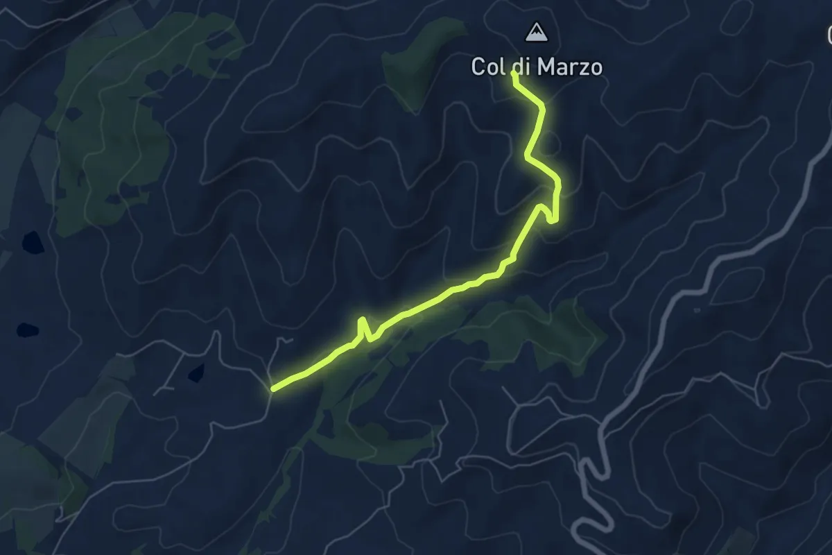
Easy · Trail
Montelabate – Col di Marzo
6.2 km · ↑ 280 m · 2 h 5 min
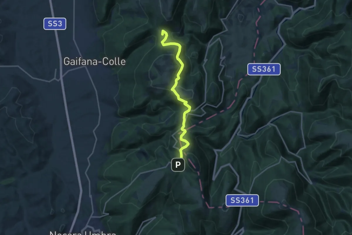
Medium · Summit
Val del Pero – Strada provinciale Monte Alago
13.3 km · ↑ 522 m · 4 h 16 min
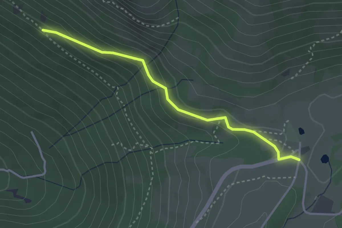
Easy · Cabin
Valsorda – Intersezione percorso 222
3.1 km · ↑ 150 m · 1 h 4 min
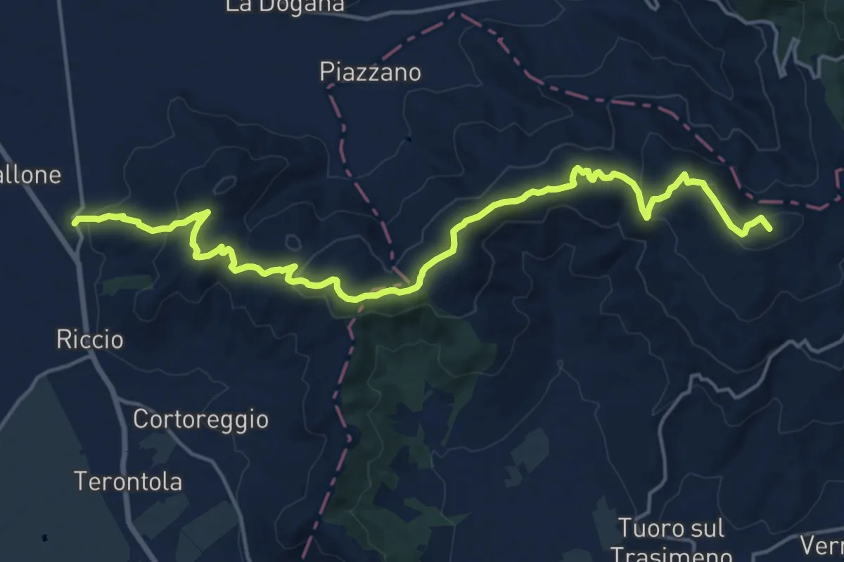
Demanding · Summit
CAI 50 Località Casa Tiravento – Ossaia
19.9 km · ↑ 699 m · 6 h 13 min
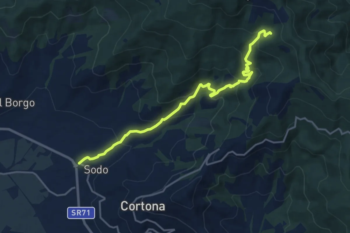
Medium · Trail
Sentiero 161 – Località Il Sodo
11.6 km · ↑ 733 m · 4 h 19 min
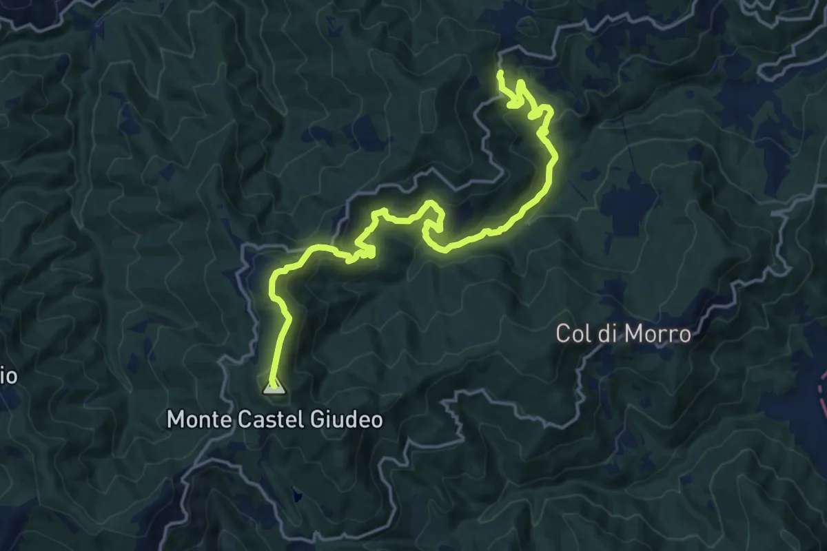
Demanding · Summit
Sentiro 50 c/o Portole – SP38 c/o Vaglie e Adatti
18.6 km · ↑ 891 m · 6 h 19 min
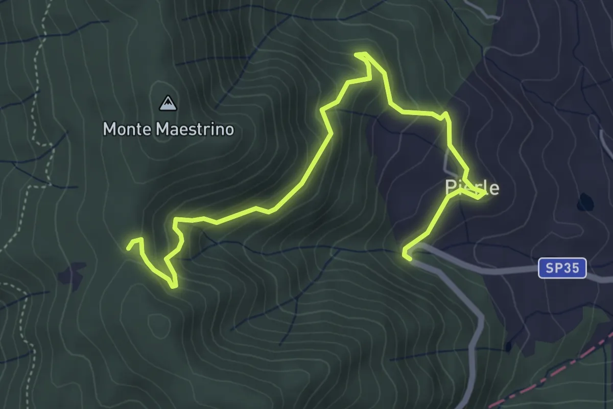
Medium · Trail
Sentiero 50 località Dancialena – SP 35 in Località Pierle
5.9 km · ↑ 361 m · 2 h 11 min
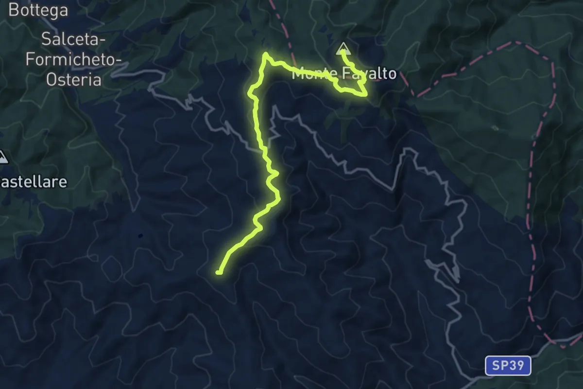
Medium · Summit
Sentiero 50 – Monte Favalto
13.6 km · ↑ 457 m · 4 h 12 min
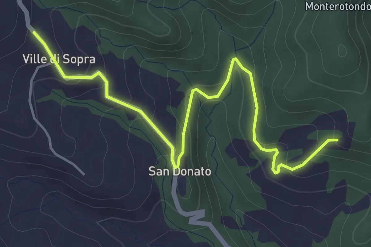
Easy · Trail
innesto sentiero 61 – Ville di sopra
4.7 km · ↑ 261 m · 1 h 41 min
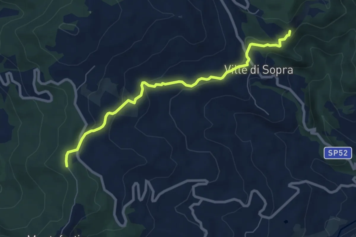
Easy · Trail
Cella di San Cristoforo, innesto SP 49 – Romituccio (innesto percorso 861)
6.6 km · ↑ 250 m · 2 h 6 min
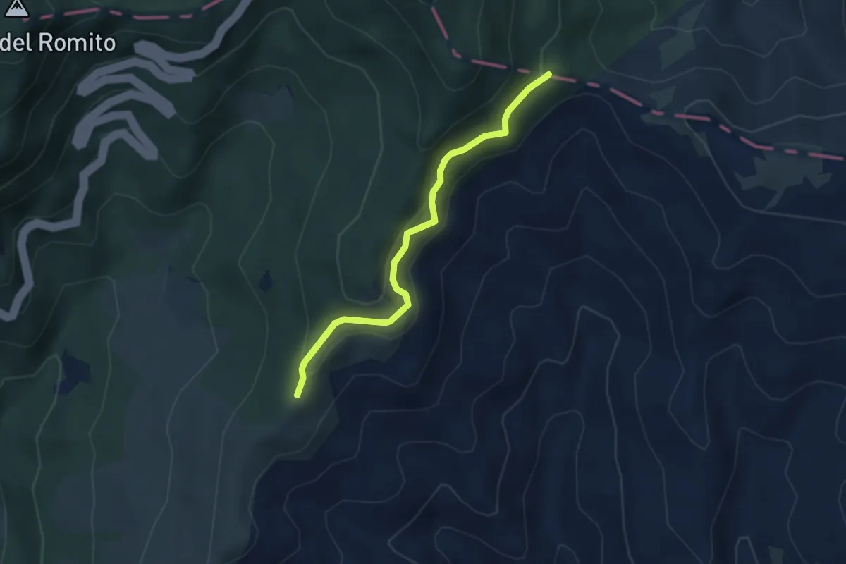
Easy · Summit
Col della Faccenda – Sbocco le Macinelle Sentiero Italia
3.4 km · ↑ 244 m · 1 h 20 min
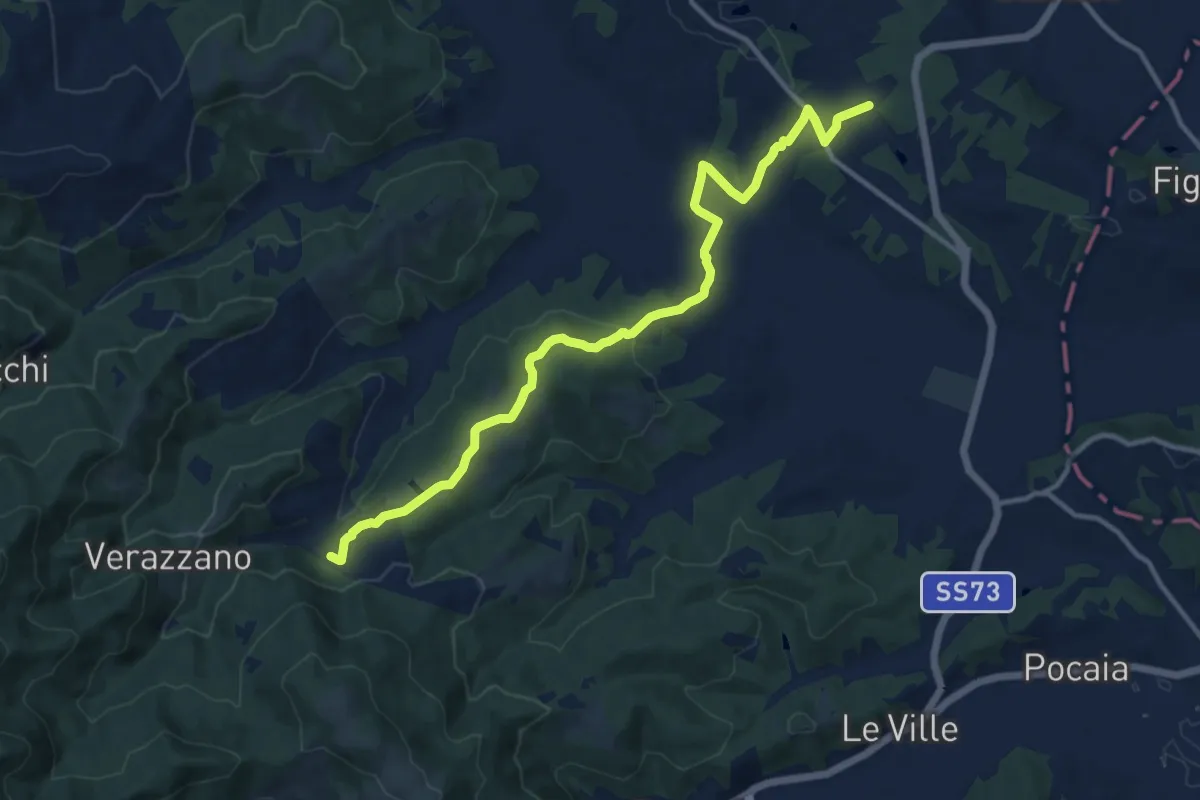
Medium · Trail
Toppole – Anghiari
13.9 km · ↑ 417 m · 4 h 12 min
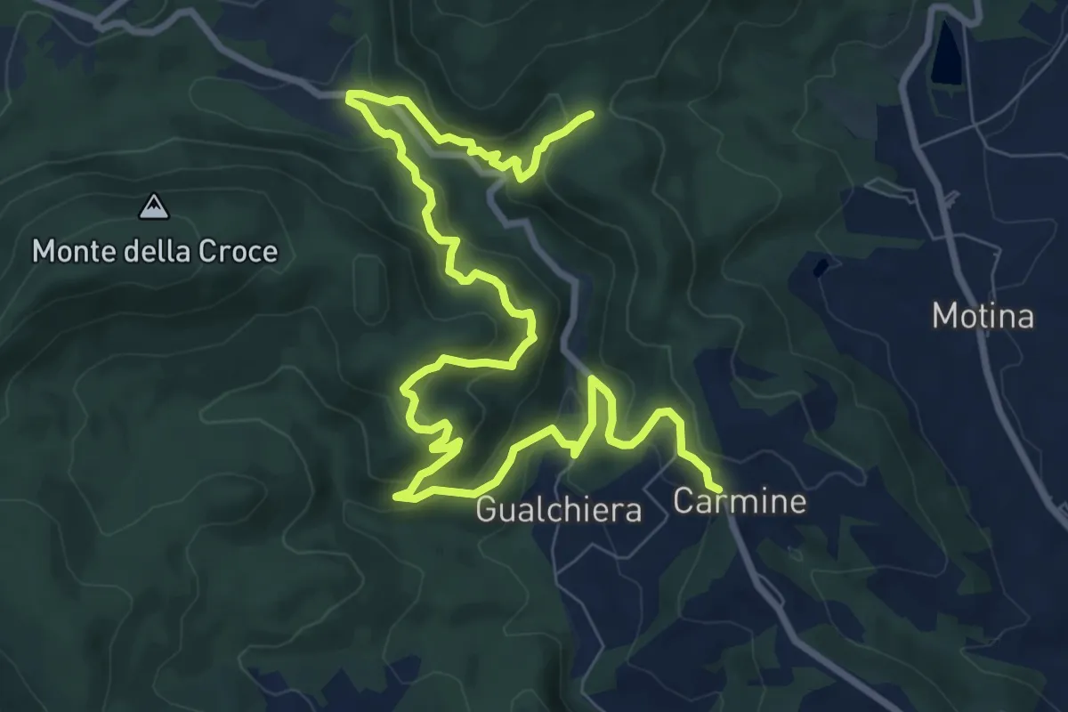
Medium · Trail
Sentiero 94 loc Carmine – Sentiero 94 loc Castiglione
12.7 km · ↑ 728 m · 4 h 34 min
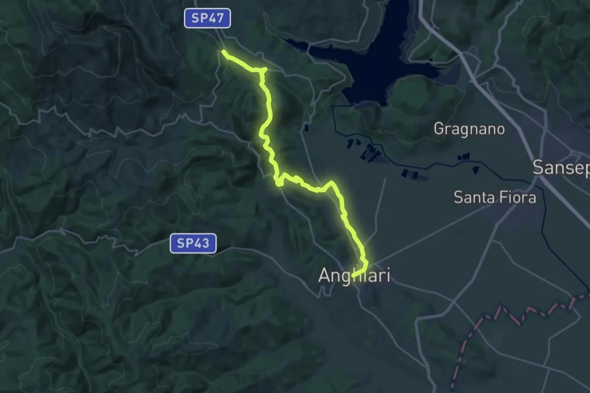
Demanding · Trail
Sentiero 2 presso Selvaperugina – Anghiari
22.5 km · ↑ 662 m · 6 h 44 min
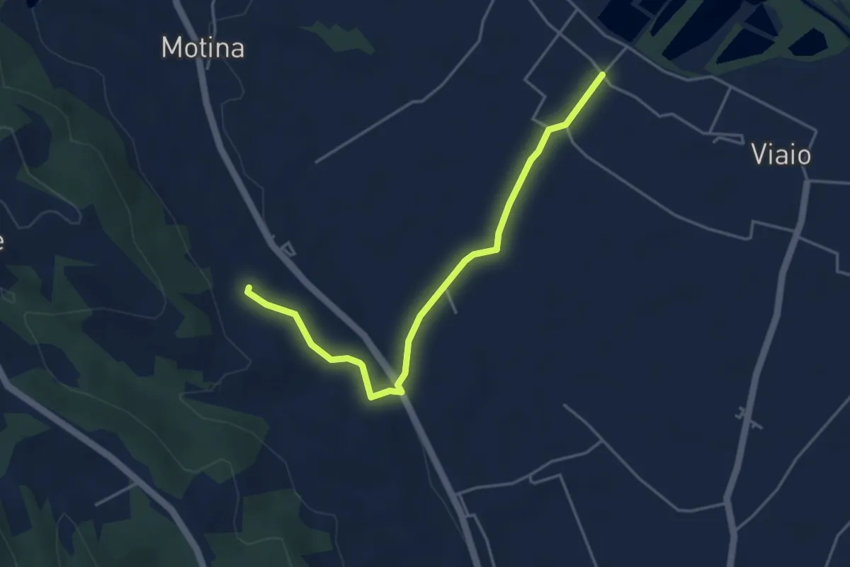
Easy · Trail
Sentiero 14 presso Viaio – Micciano
4.5 km · ↑ 44 m · 1 h 10 min
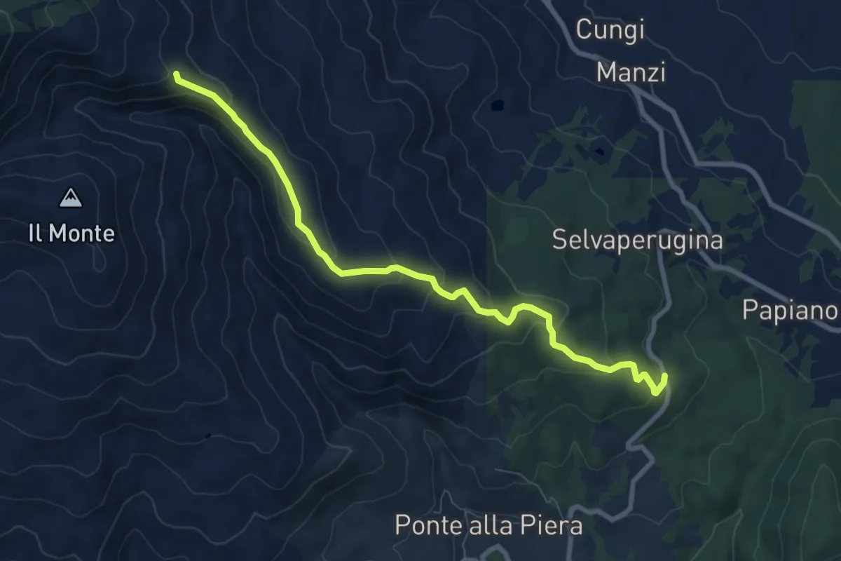
Medium · Summit
Cerreto – Sentiero 012 presso Greppo dei Ciuffi
8.3 km · ↑ 411 m · 2 h 52 min
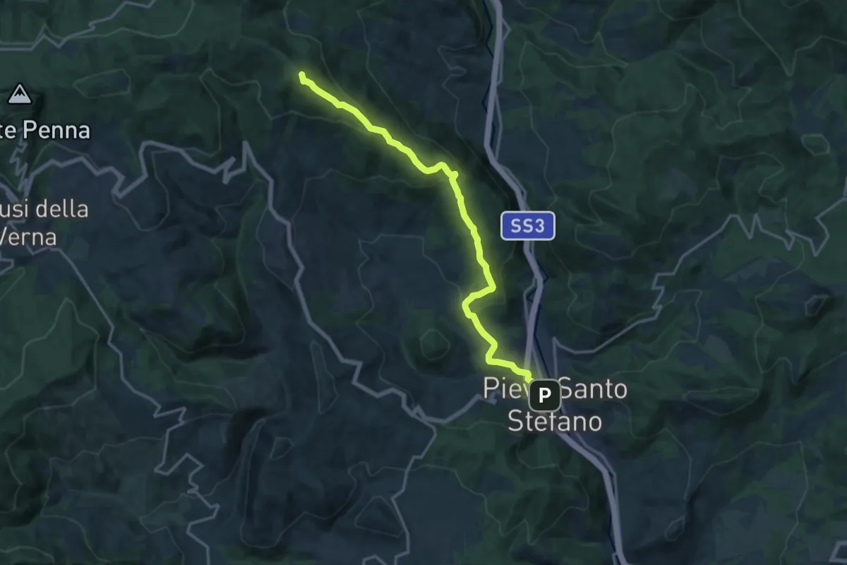
Medium · Summit
Pieve Santo Stefano – Sentiero 066 presso Le Pratelle
15.8 km · ↑ 737 m · 5 h 20 min
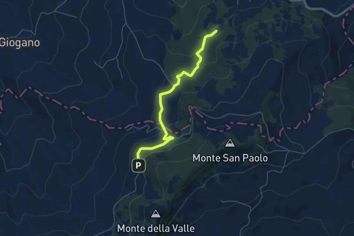
Easy · Trail
Cà Micci Sassofeltrio – Cà Micci Sassofeltrio
2.6 km · ↑ 34 m · 47 min
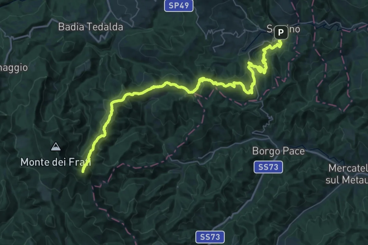
Demanding · Summit
Sestino – Monte Maggiore innesto sentiero 00
38.8 km · ↑ 1925 m · 13 h 20 min
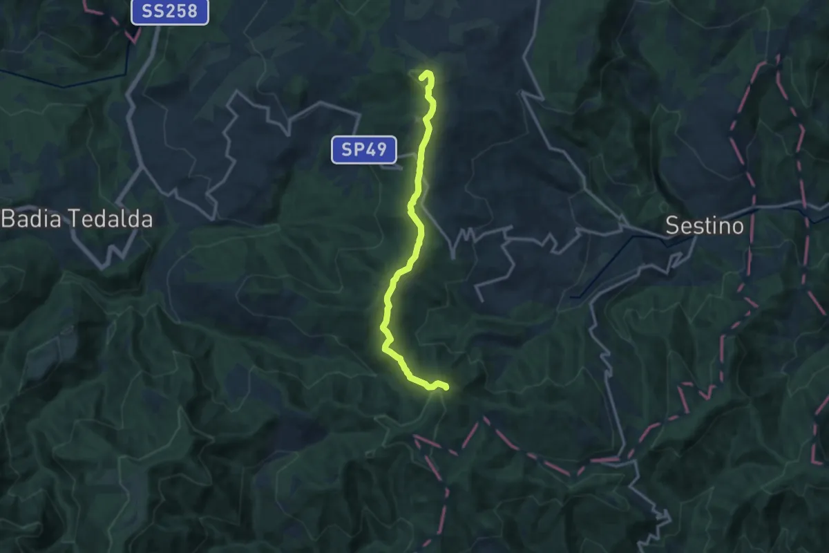
Medium · Summit
Casa Serra di Battiroli – Poggio delle Campane int. sent. 865
11.5 km · ↑ 363 m · 3 h 30 min
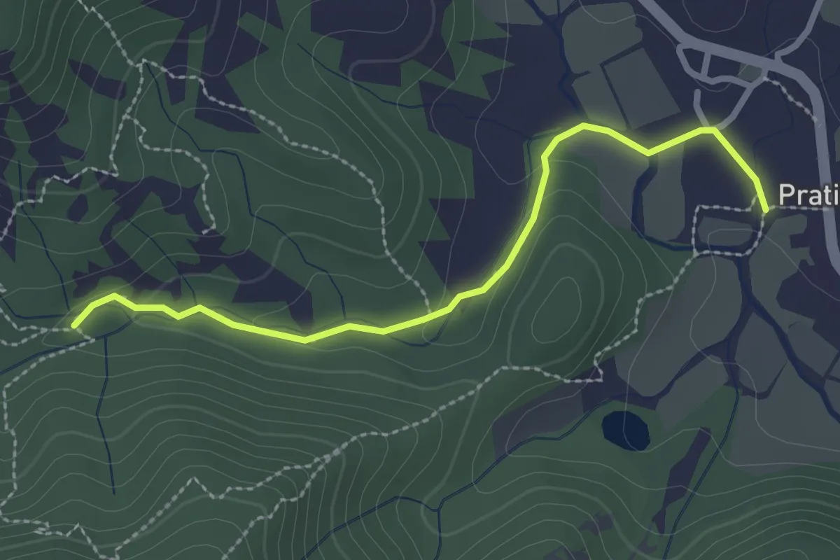
Easy · Trail
Pratieghi – Torrente Matteraia Innesto sentiero 809
2.7 km · ↑ 49 m · 44 min
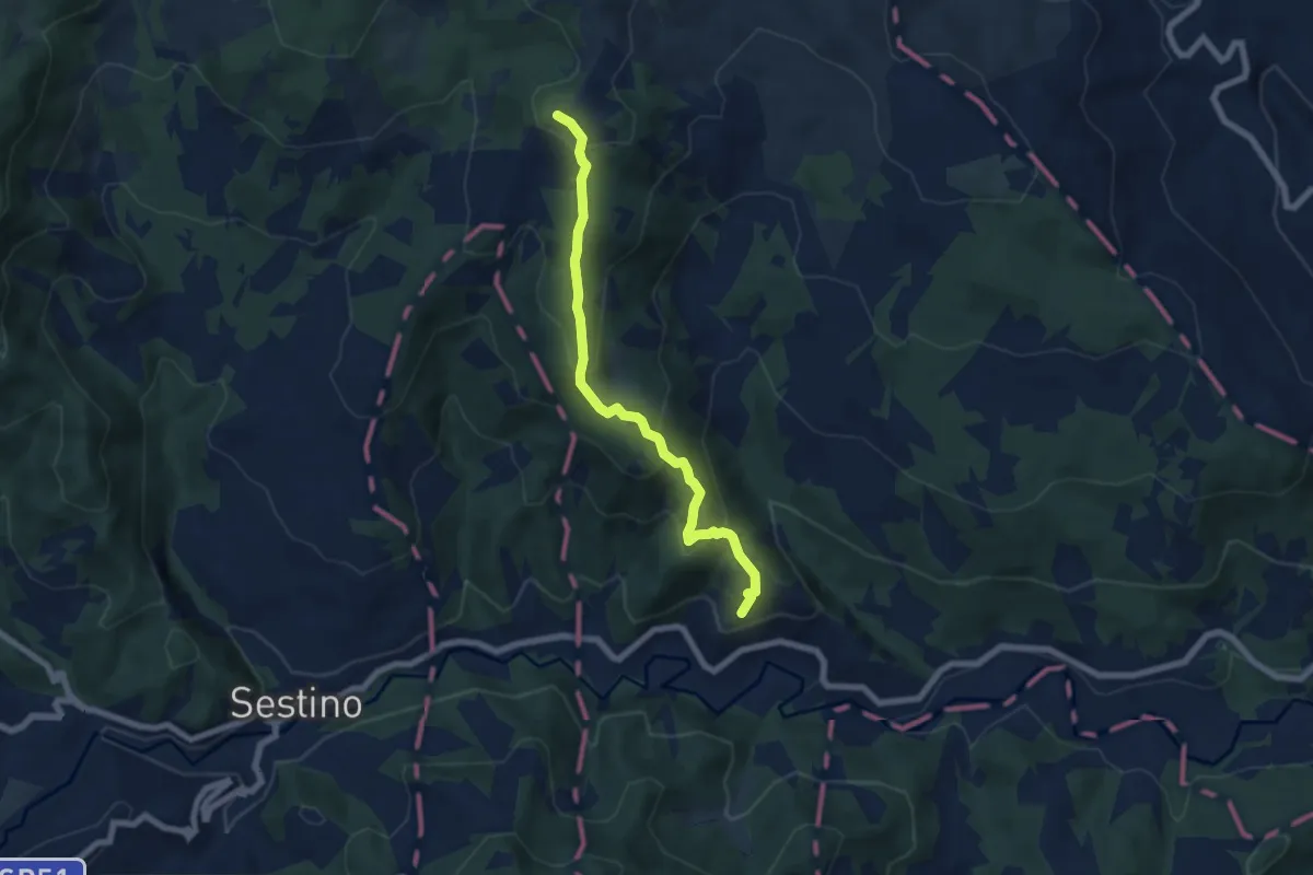
Medium · Trail
Monteromano (innesto sent. 7) – Monte Luccio (innesto sent. 17)
6.7 km · ↑ 396 m · 2 h 27 min
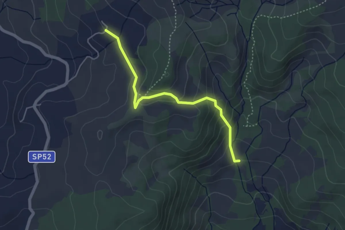
Medium · Cabin
Case Barboni – Casa del Re
3.8 km · ↑ 225 m · 1 h 24 min
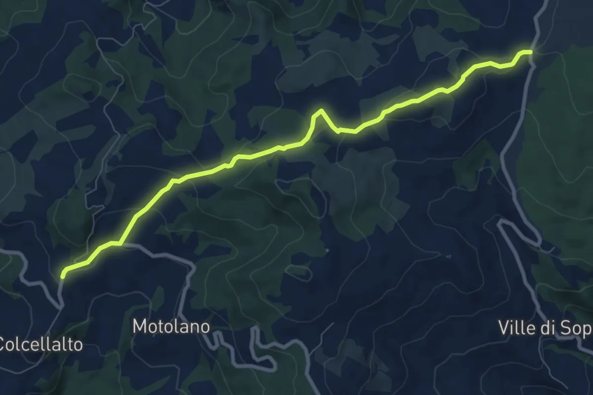
Medium · Trail
Petrella Massana (sent. 61) – Colcellalto (sent. 17)
8.9 km · ↑ 274 m · 2 h 41 min
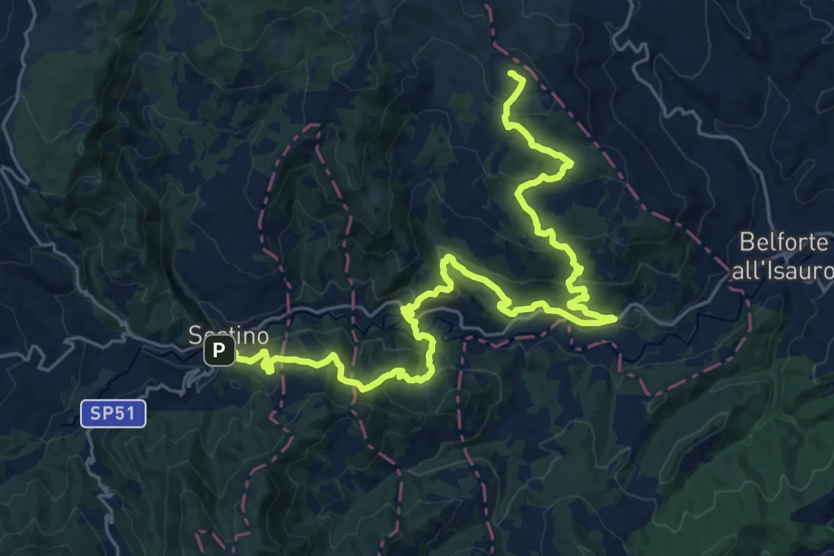
Demanding · Summit
Sestino – Monte Luccio
27.0 km · ↑ 1210 m · 9 h
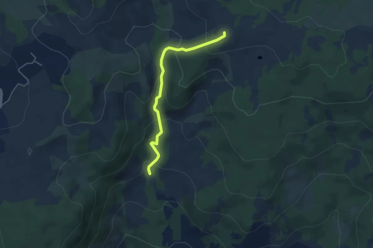
Medium · Cabin
Casa del Re – Percorso 17
3.7 km · ↑ 234 m · 1 h 23 min
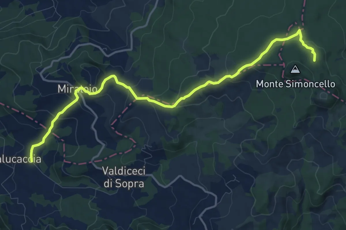
Medium · Trail
Sestino – Badia Tedalda
12.7 km · ↑ 524 m · 4 h 8 min
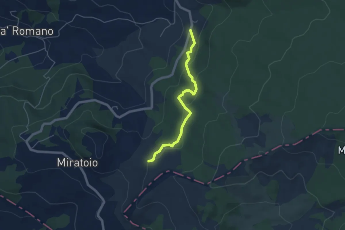
Easy · Trail
Percorso 817 – Cà Guidi Strada per Valpiano
4.1 km · ↑ 160 m · 1 h 20 min
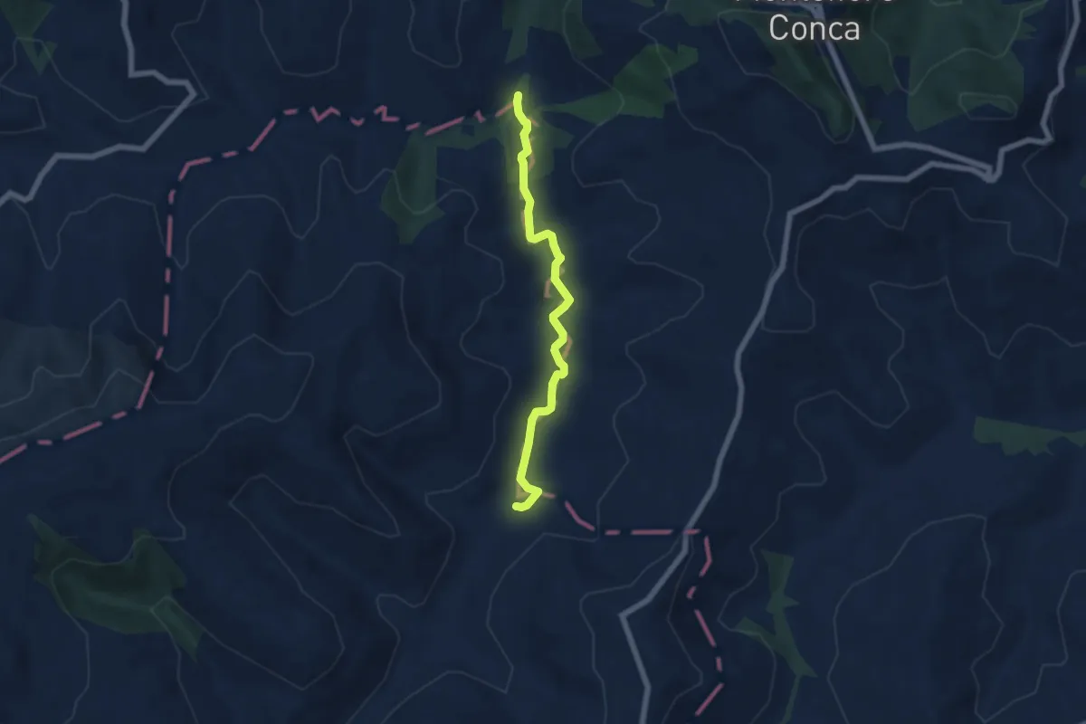
Easy · Trail
Piana di San Pietro – Case Palazzo
5.9 km · ↑ 25 m · 1 h 27 min
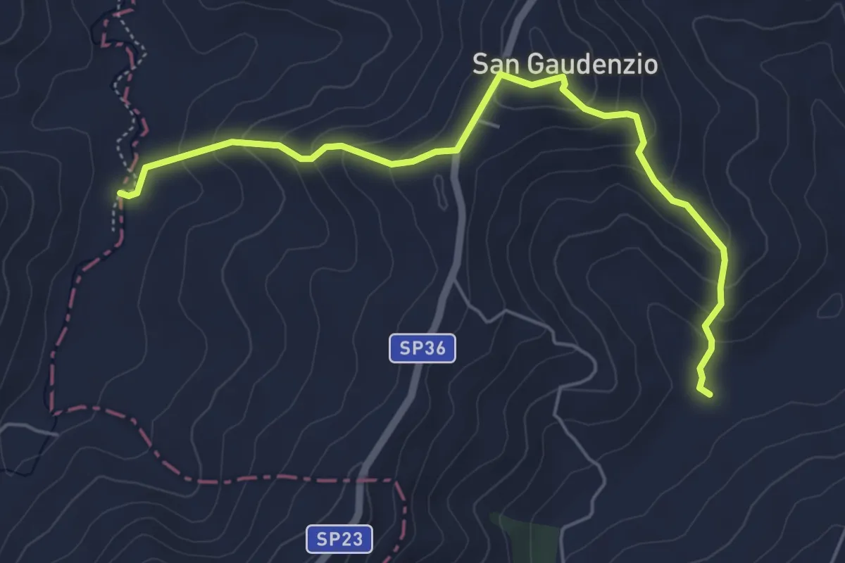
Medium · Trail
Percorso 041 – Percorso 045
5.9 km · ↑ 330 m · 2 h 6 min
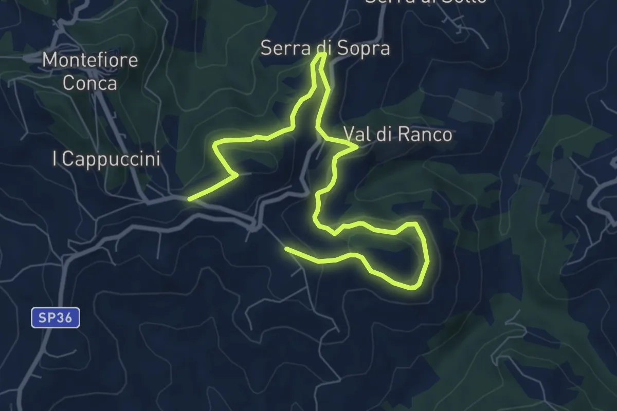
Medium · Trail
Croce del Gaggio Montefiore Conca – San Felice Montefiore Conca
9.9 km · ↑ 419 m · 3 h 15 min
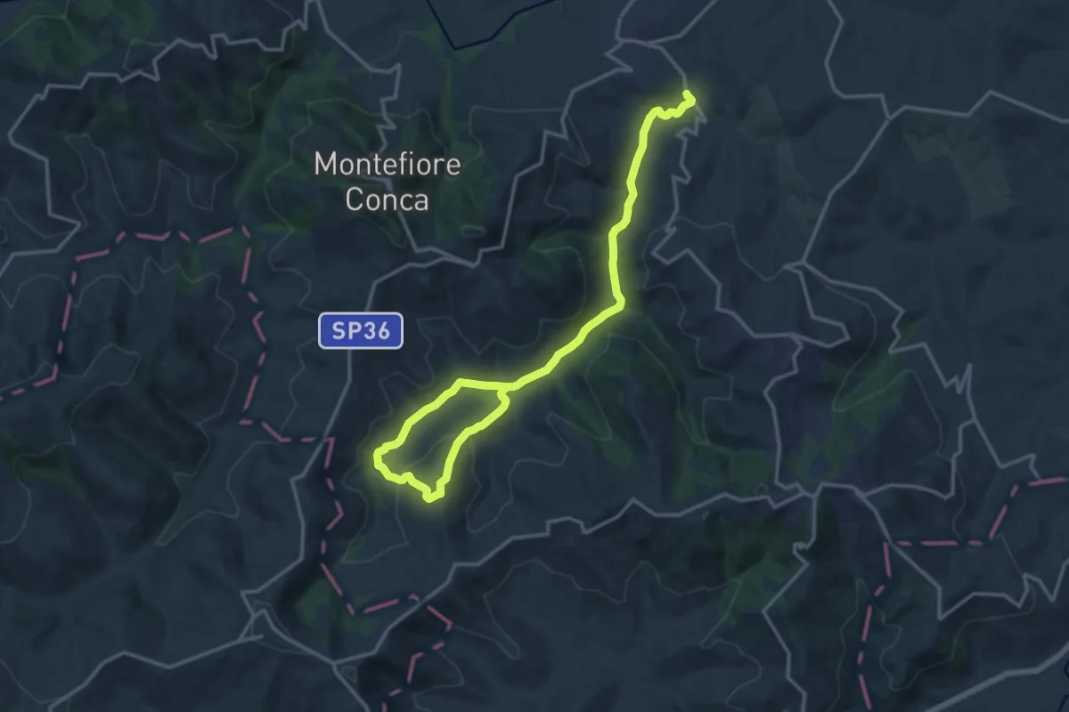
Demanding · Trail
Ponte di Ventena – Cà Santino Montefiore Conca
18.6 km · ↑ 393 m · 5 h 14 min
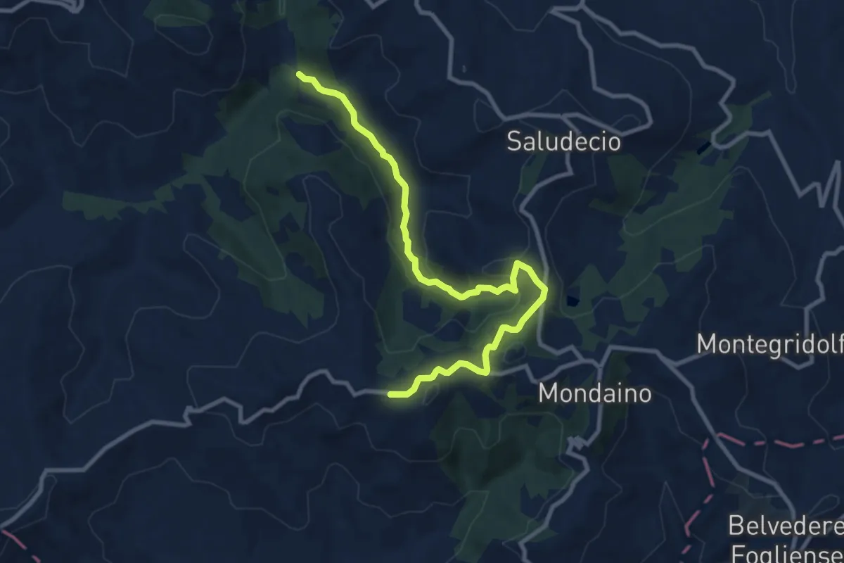
Medium · Trail
Percorso 045 Le Licce – Percorso 019 Monte Cappello
10.1 km · ↑ 380 m · 3 h 12 min
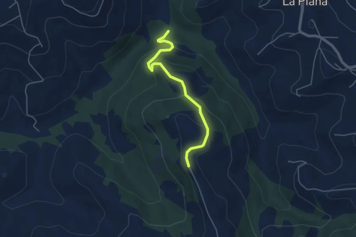
Easy · Trail
Le Licce Percorso 045 – Cà Forlani Percorso 019
3.9 km · ↑ 225 m · 1 h 24 min
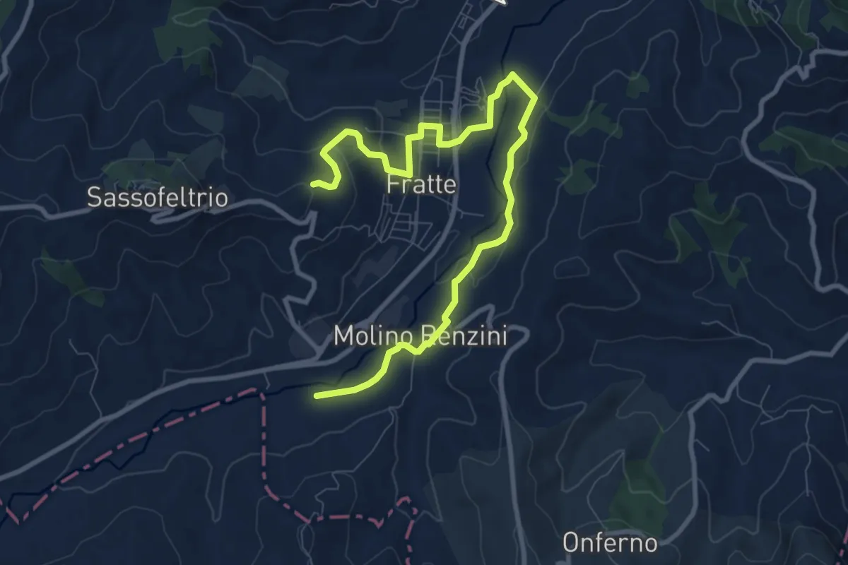
Easy · Trail
Mercatino Conca – Mercatino Conca
5.4 km · ↑ 155 m · 1 h 38 min
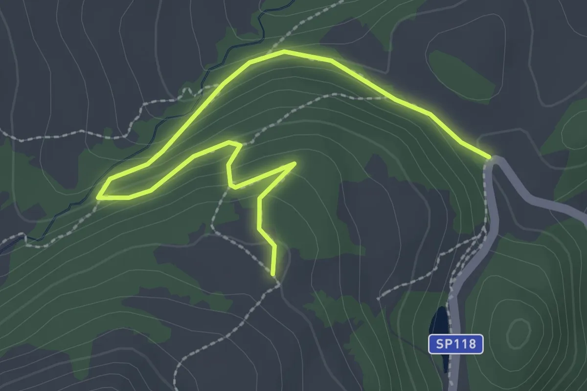
Easy · Trail
Santuario Madonna del Faggio – Faggeta Pianacquadio
3.2 km · ↑ 142 m · 1 h 4 min
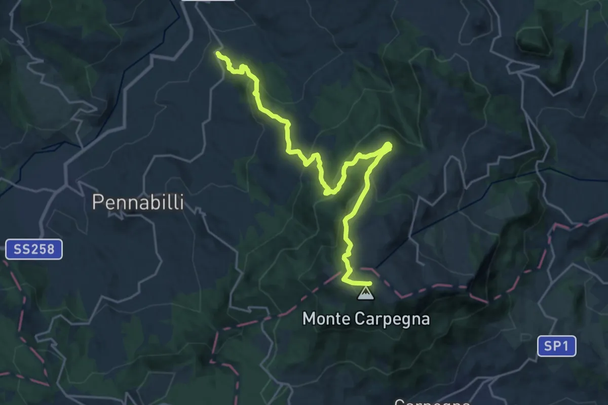
Demanding · Trail
Maciano – M. Carpegna percorso 103
20.5 km · ↑ 1077 m · 7 h 10 min
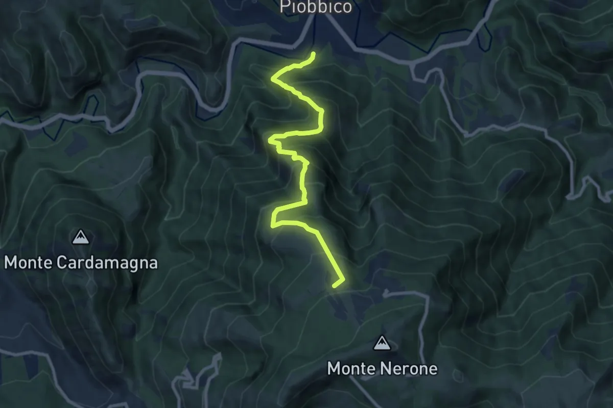
Demanding · Cabin
Piobbico – Rifugio Corsini
9.1 km · ↑ 946 m · 4 h 12 min
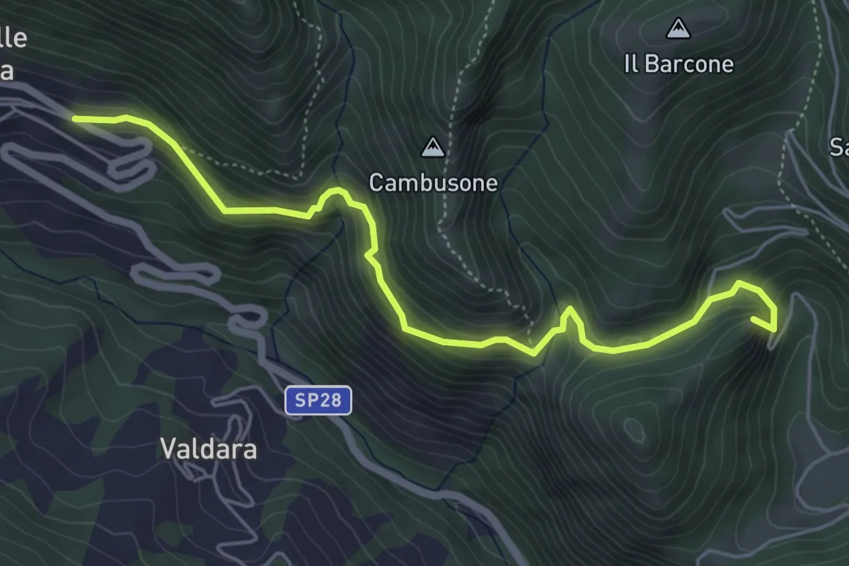
Medium · Summit
Pieia – Serravalle di Carda
5.7 km · ↑ 355 m · 2 h 7 min
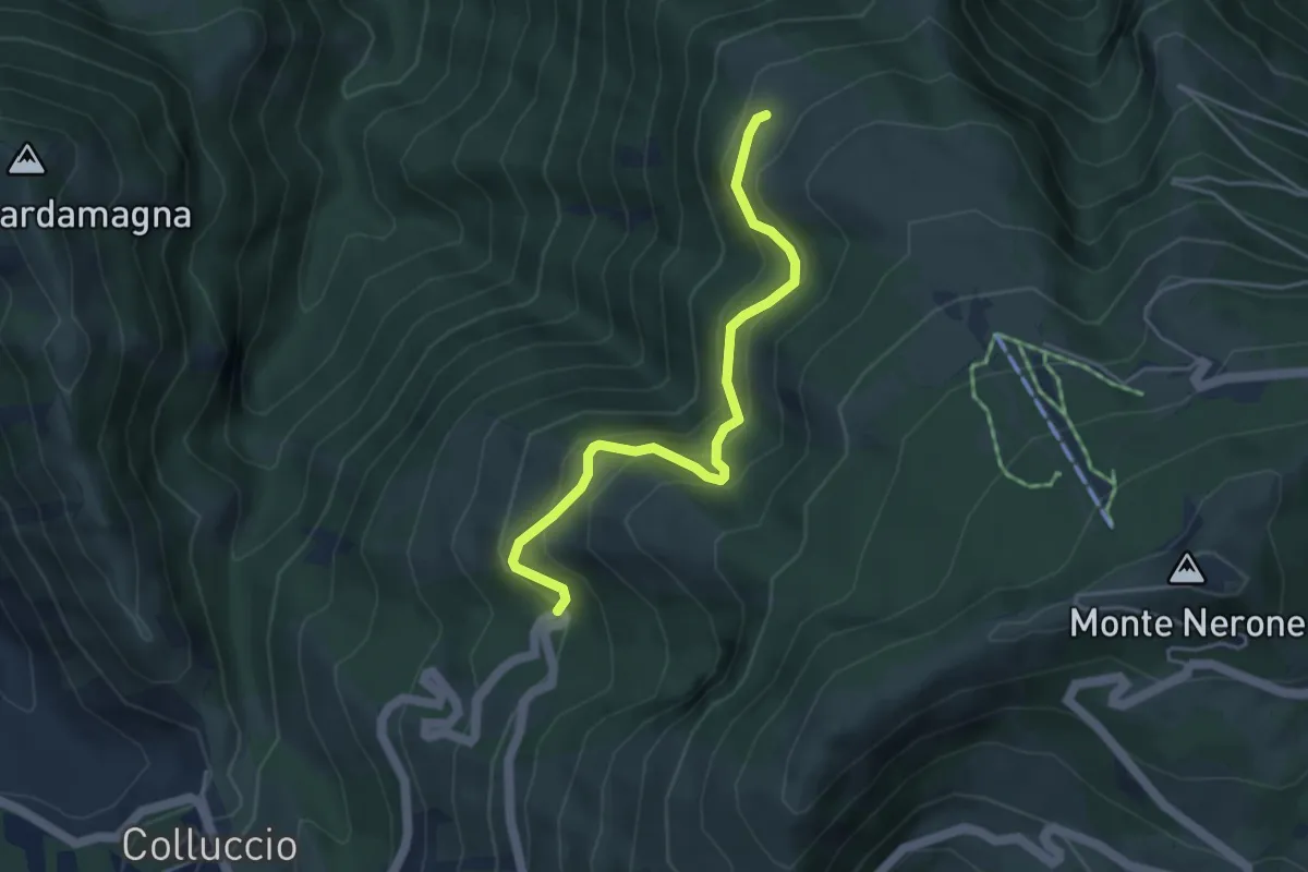
Medium · Trail
Col Lungo – Prato del Conte
4.4 km · ↑ 390 m · 1 h 53 min
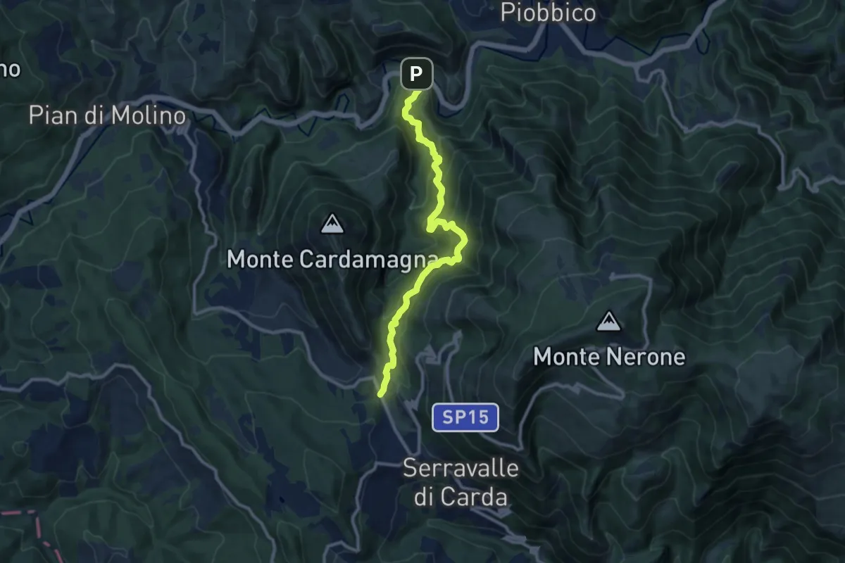
Demanding · Trail
Le Porte (Rio Vitoschio) – Colluccio
10.4 km · ↑ 801 m · 4 h 11 min
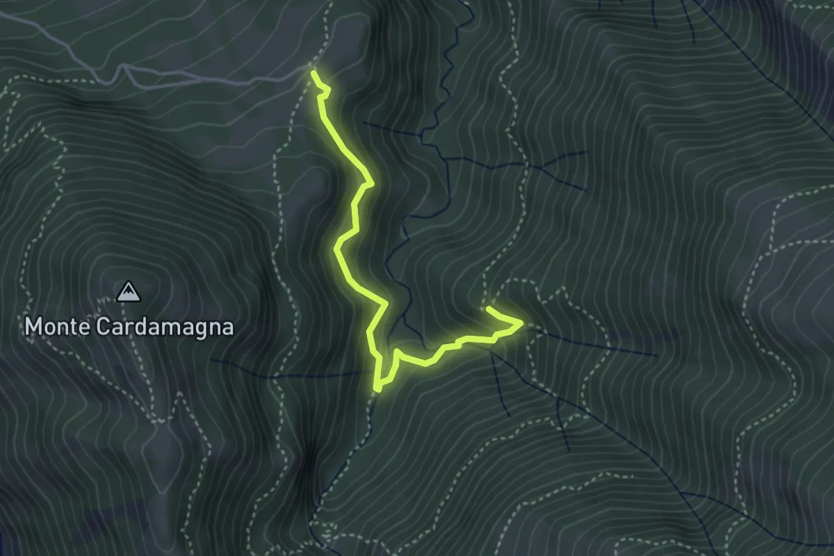
Medium · Trail
Fosso Pisciarello – Cà Rossara
3.8 km · ↑ 282 m · 1 h 31 min