Trails in Italy
25,219 hiking trails, each with its route, climb, walking time and grade.
All trails, page 307 of 526
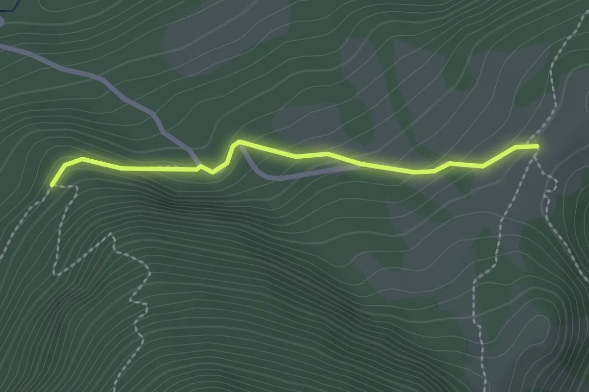
Medium · Trail
Cà Rossara – Sentiero 231
2.1 km · ↑ 126 m · 46 min
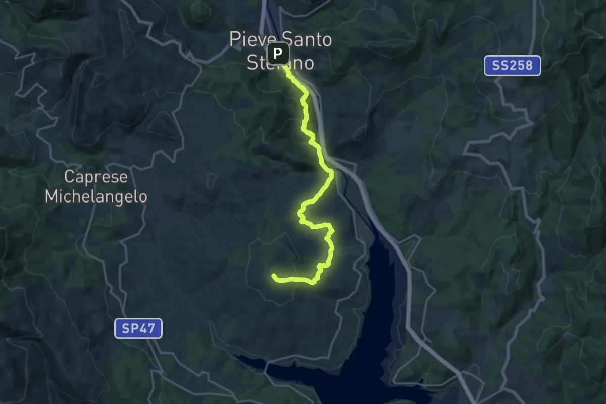
Medium · Summit
Pieve Santo Stefano – Innesto Sentiero 2 (021) presso Monte Fungaia
17.5 km · ↑ 702 m · 5 h 39 min
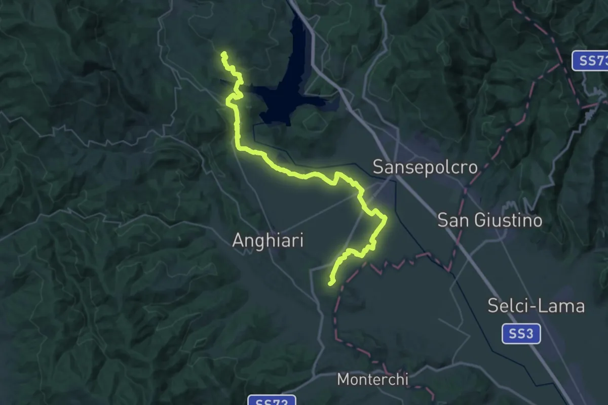
Demanding · Summit
Sentiero 10 presso loc. Turicchi – Sentiero 2 (021) presso Rocca Cignata
40.7 km · ↑ 576 m · 10 h 52 min
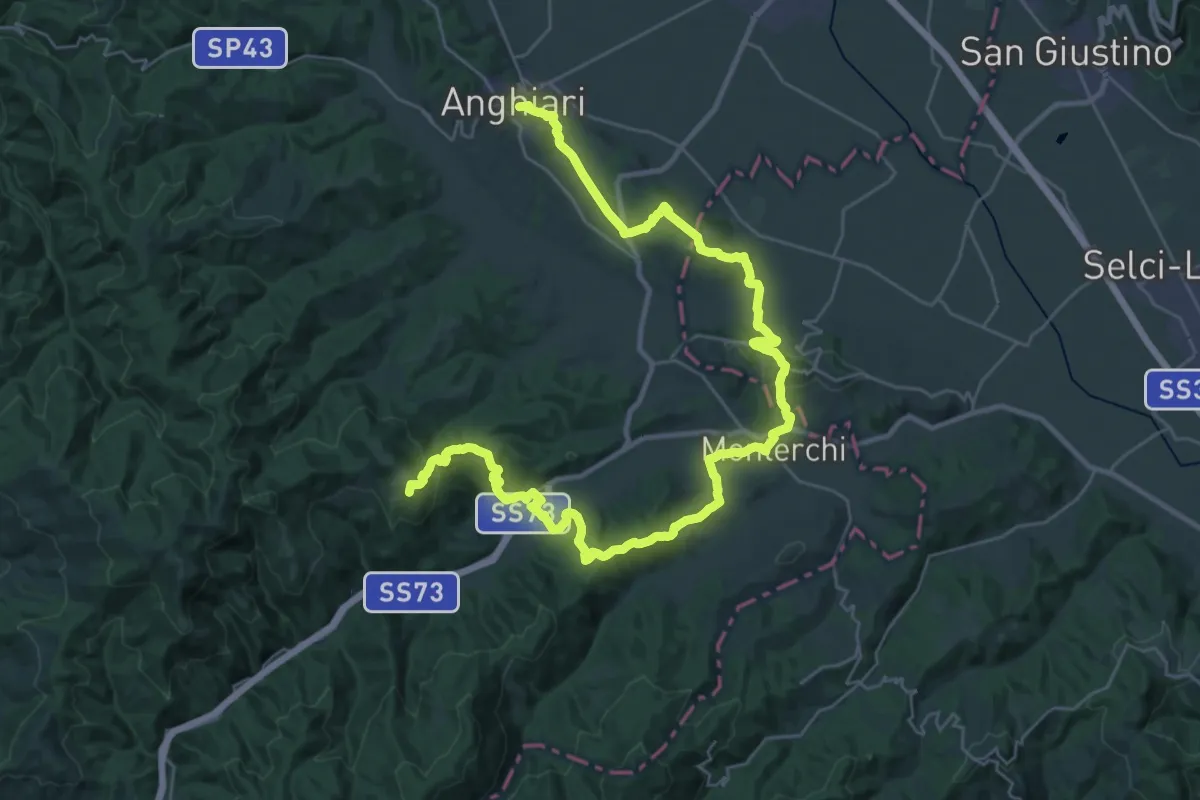
Demanding · Summit
Anghiari – Sentiero 50 presso Casa al Vento
44.2 km · ↑ 1424 m · 13 h 31 min
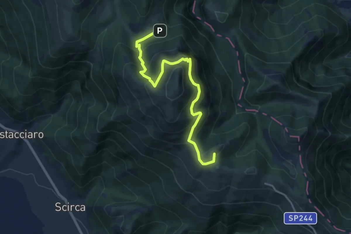
Demanding · Summit
Intersezione Sentiero Italia – Pian delle Macinare
9.9 km · ↑ 816 m · 4 h 6 min
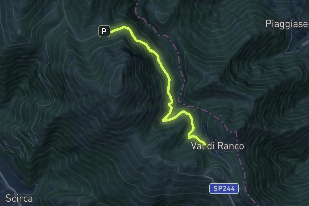
Medium · Trail
Val di Ranco – Pian delle Macinare
7.7 km · ↑ 423 m · 2 h 44 min
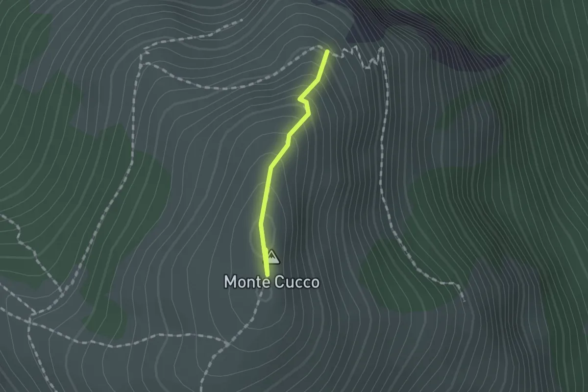
Easy · Summit
Intersezione percorso 226 – Costa della Valcella
1.0 km · ↑ 111 m · 29 min
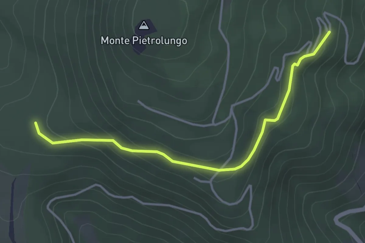
Easy · Trail
San Silvestro – Intersezione percorso 350
3.8 km · ↑ 156 m · 1 h 14 min
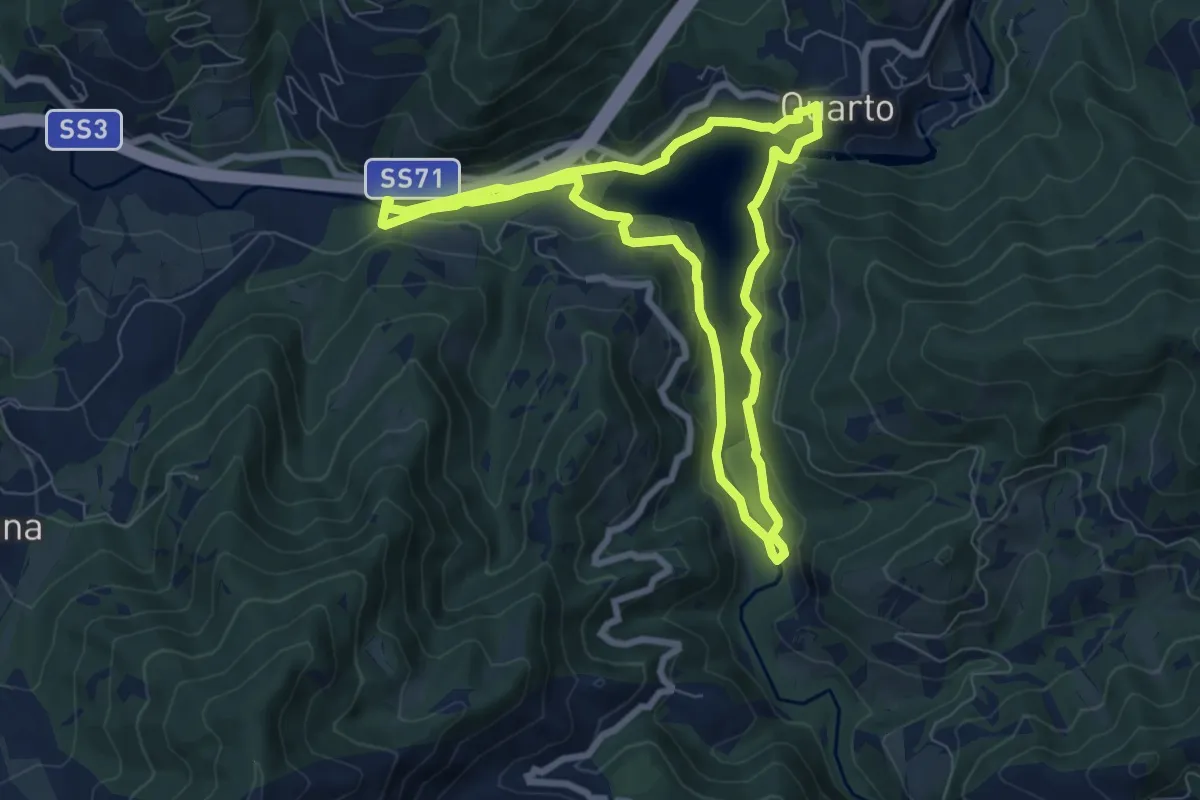
Easy · Trail
Quarto – Quarto
7.3 km · ↑ 135 m · 2 h 8 min
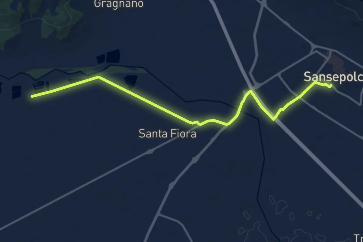
Medium · Trail
Sansepolcro – Santa Croce
11.5 km · ↑ 25 m · 2 h 46 min
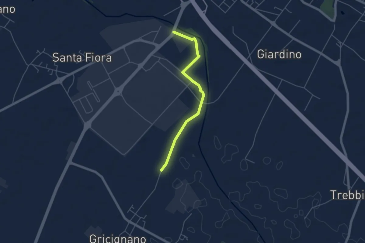
Easy · Trail
Senese aretina ponte del Tevere – Podere Violino
4.5 km · ↑ 4 m · 1 h 4 min
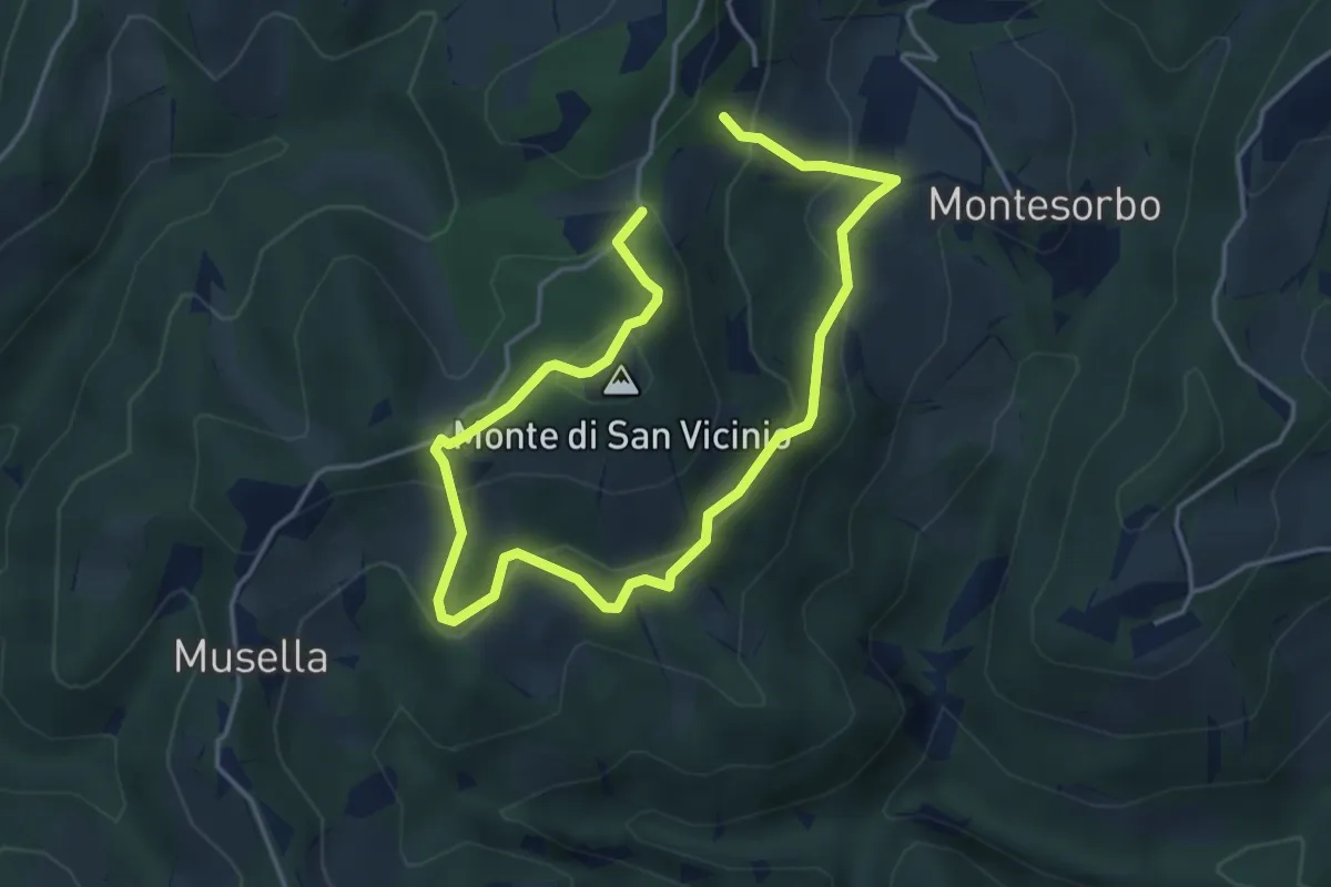
Easy · Summit
Fonte San Vicinio – Fonte San Vicinio
3.3 km · ↑ 205 m · 1 h 15 min
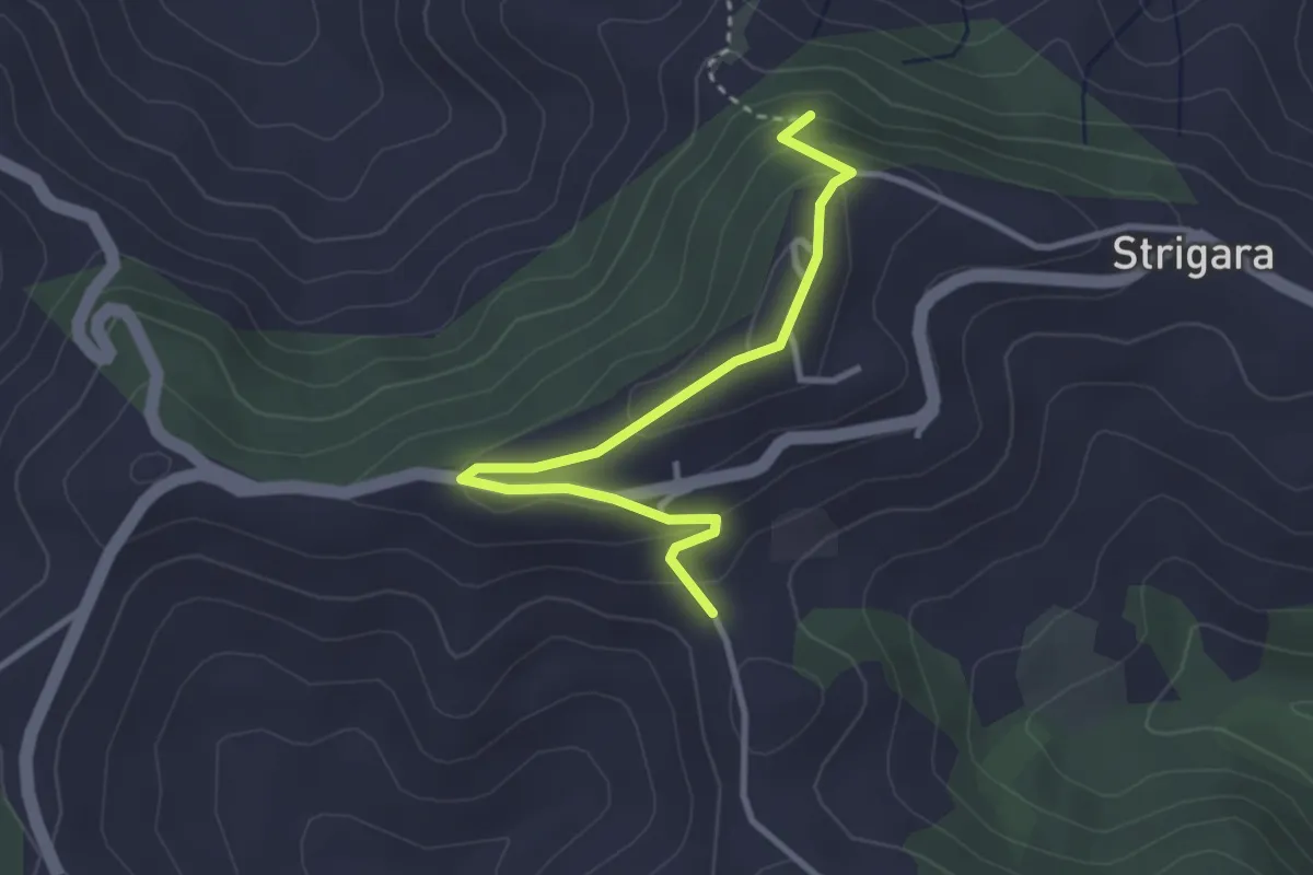
Easy · Trail
Percorso 115 – Percorso 111
3.4 km · ↑ 176 m · 1 h 11 min
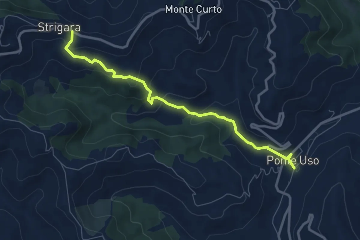
Easy · Trail
(Strigara)Percorso 115D – Ponte Uso (Percorso 115)
7.1 km · ↑ 268 m · 2 h 15 min
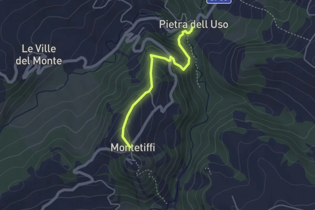
Easy · Trail
Pietra dell'Uso – Montetiffi
3.3 km · ↑ 200 m · 1 h 12 min
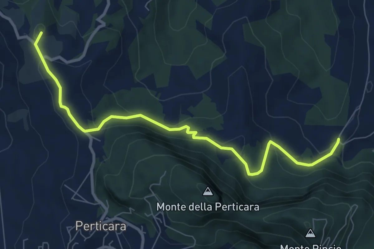
Easy · Summit
L'Oncia – Collina
7.9 km · ↑ 245 m · 2 h 23 min
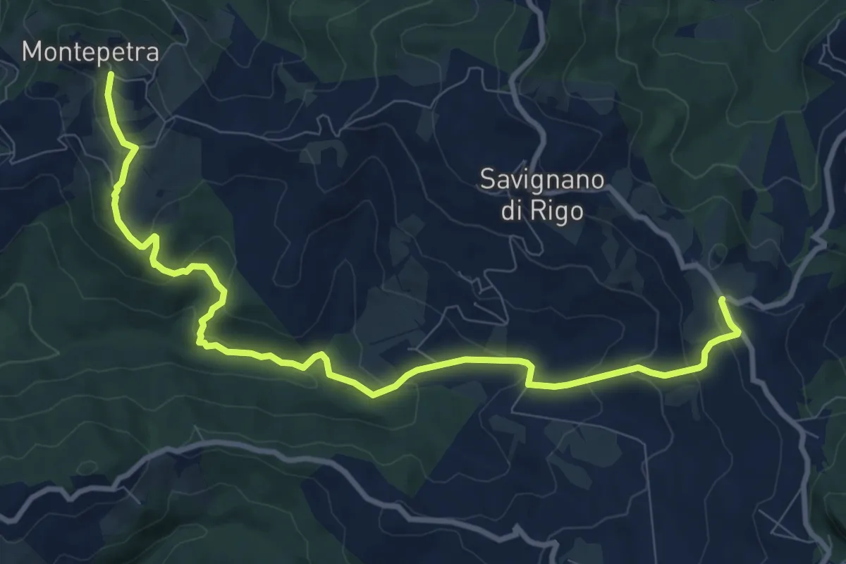
Medium · Trail
Montepetra – Percorso 111F (Via D.Raggi Perticara)
11.1 km · ↑ 527 m · 3 h 46 min
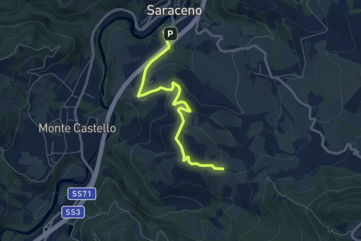
Easy · Trail
Mercato Saraceno Castello Colonnata – Facettino di sotto
6.3 km · ↑ 275 m · 2 h 5 min
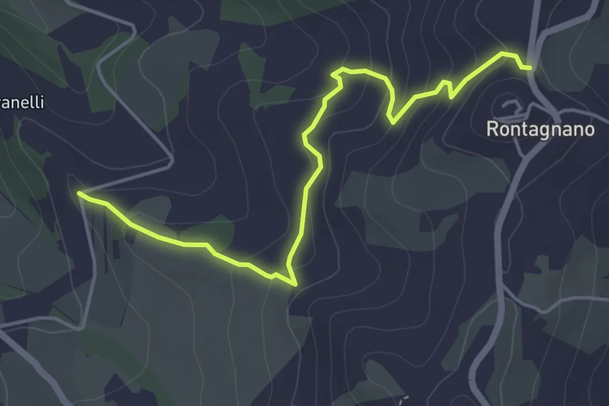
Easy · Trail
Percorso 123 – Rontagnano
4.7 km · ↑ 267 m · 1 h 41 min
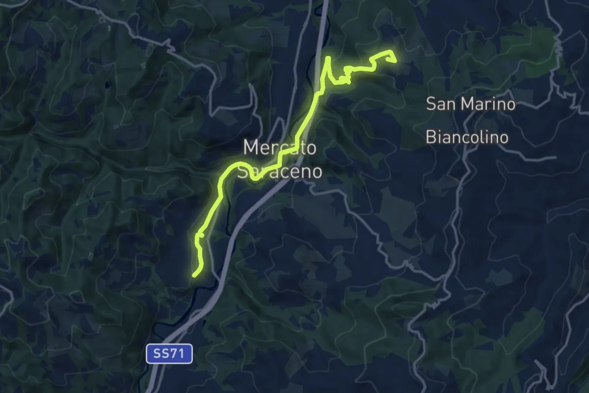
Medium · Summit
Montecastello – Campaolo
13.8 km · ↑ 406 m · 4 h 8 min
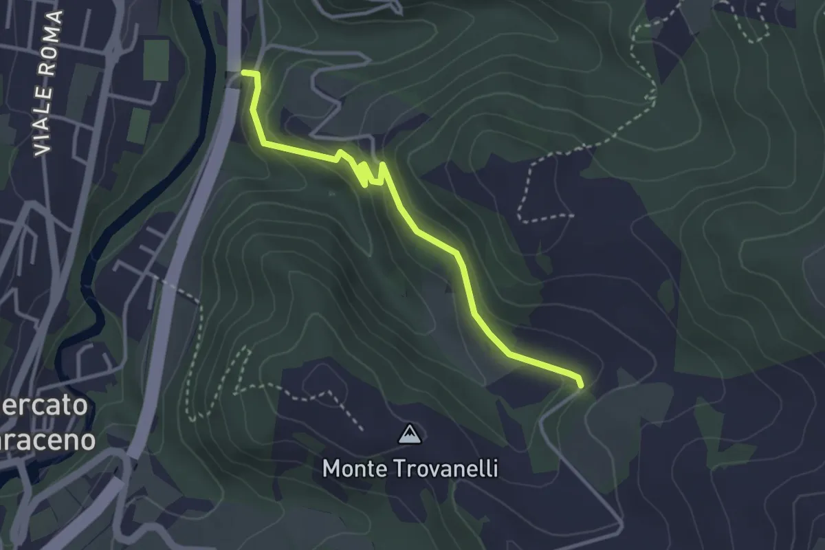
Easy · Trail
Percorso 114 – Percorso 123 Casa Nucci
3.3 km · ↑ 152 m · 1 h 6 min
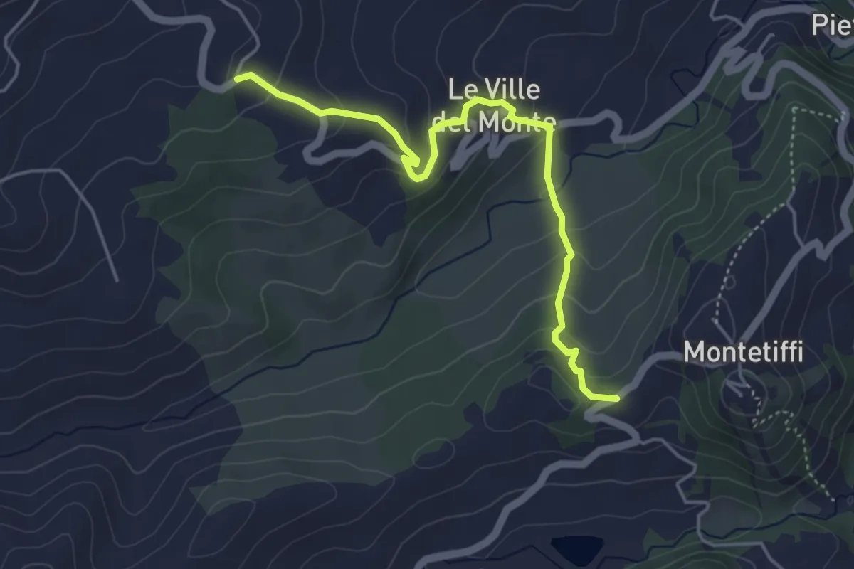
Easy · Trail
L'Archetta – Ca del Poggio
4.7 km · ↑ 300 m · 1 h 46 min
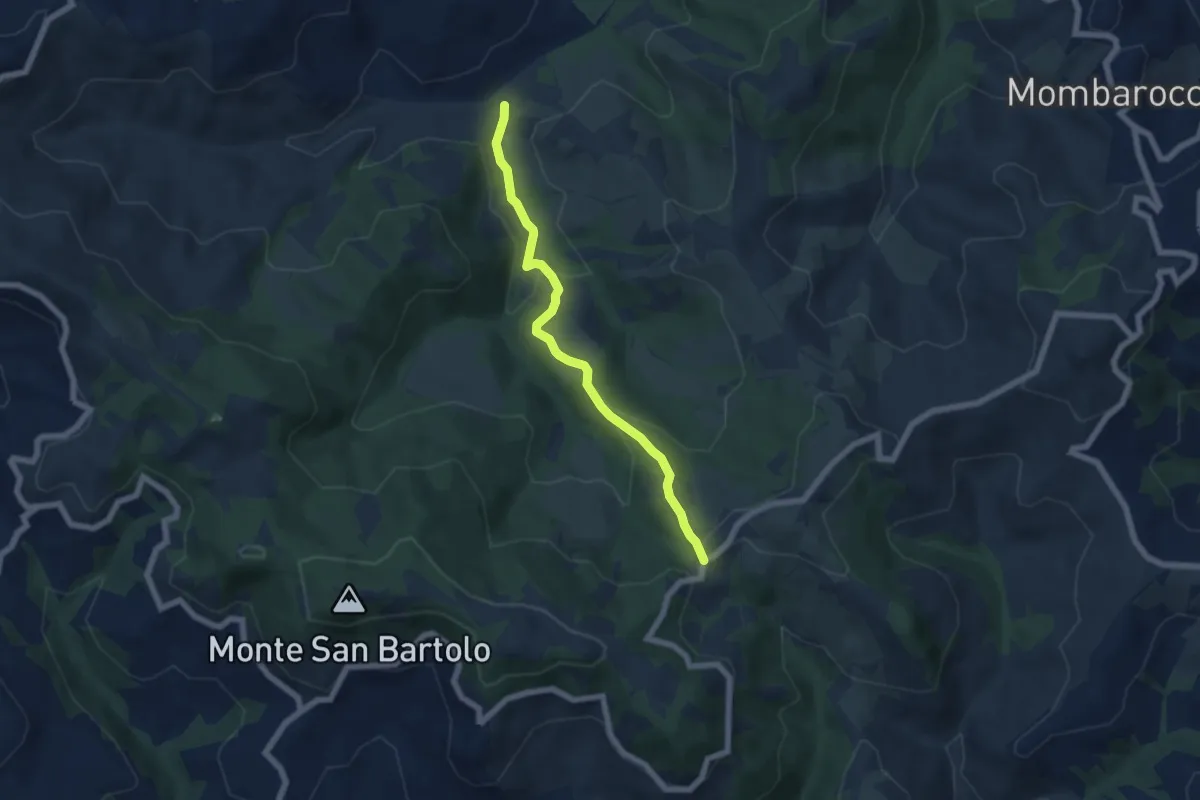
Easy · Trail
Forno Mulino Nobili Giacomo – C. Olmolungo
6.0 km · ↑ 232 m · 1 h 55 min
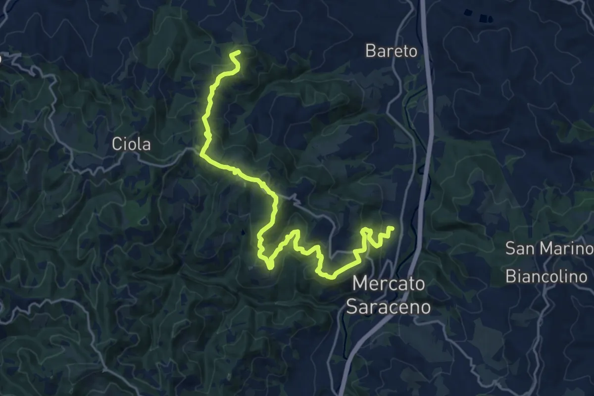
Demanding · Summit
Mercato Saraceno – Ponte Giorgi
20.7 km · ↑ 949 m · 6 h 57 min
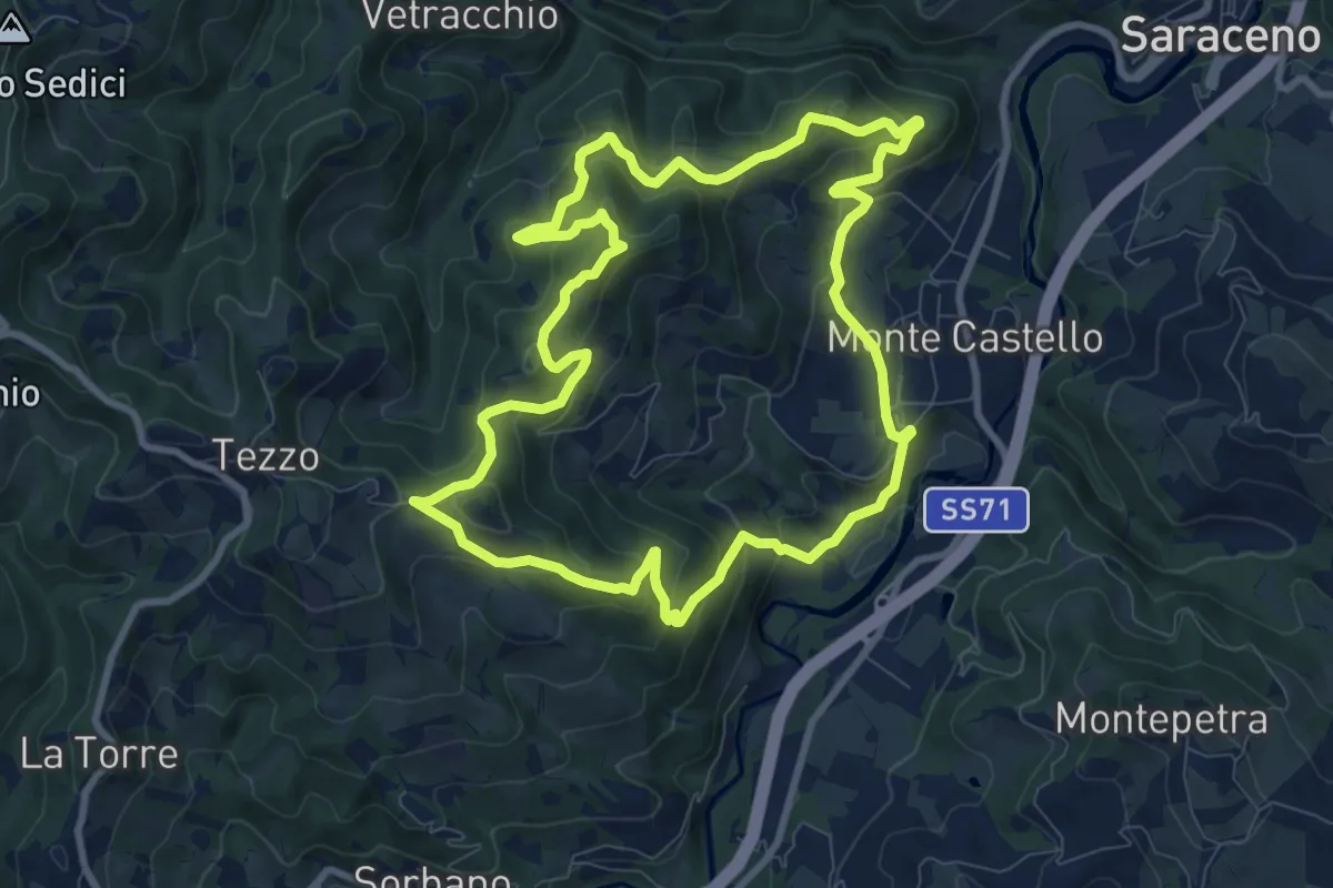
Demanding · Summit
Monte Castello – Monte Castello
9.5 km · ↑ 499 m · 3 h 28 min
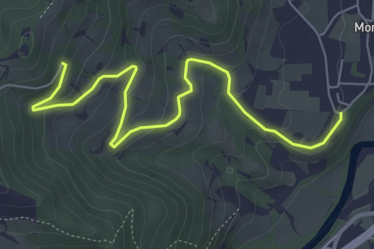
Easy · Trail
Monte Castello – Pistrino
5.9 km · ↑ 267 m · 1 h 58 min
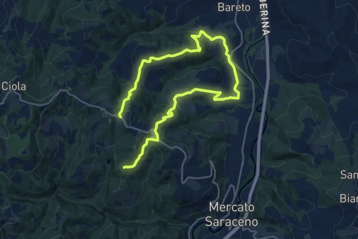
Demanding · Trail
Mastro – Percorso 112
18.5 km · ↑ 933 m · 6 h 23 min
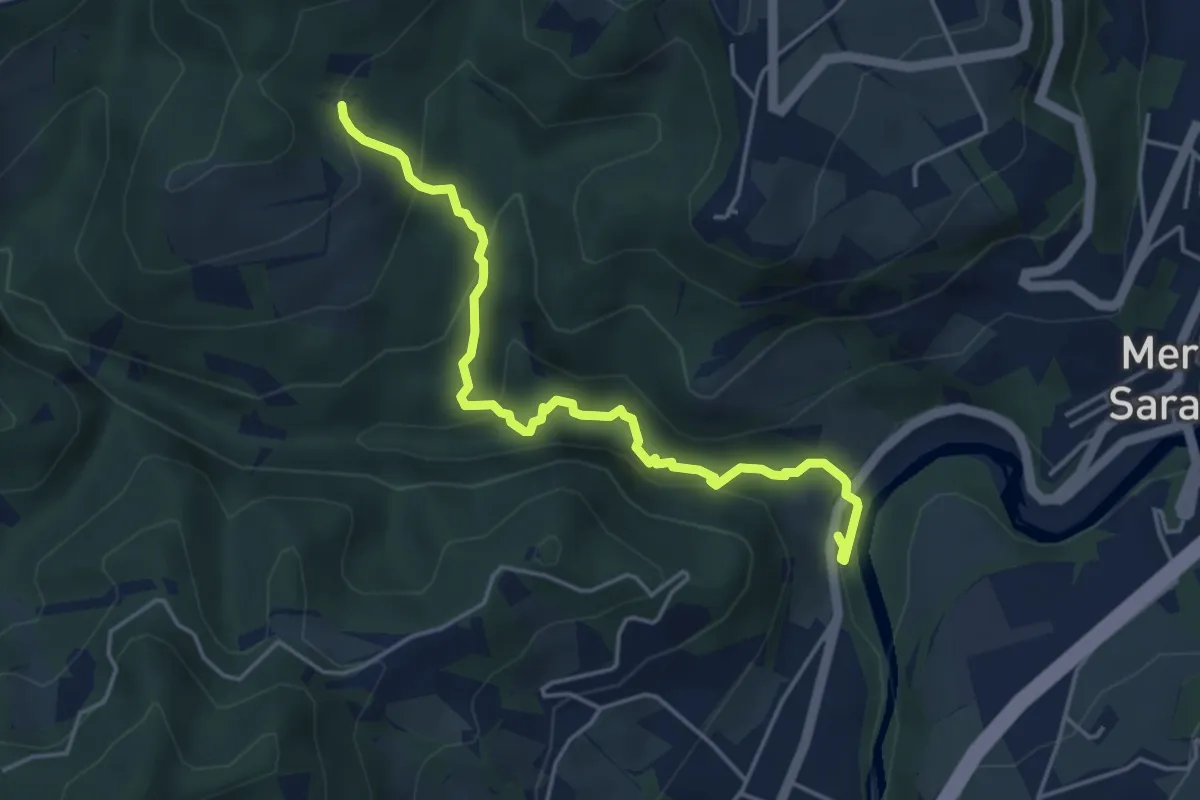
Easy · Trail
RIO SASSIGNOLO – Percorso 112
4.8 km · ↑ 223 m · 1 h 37 min
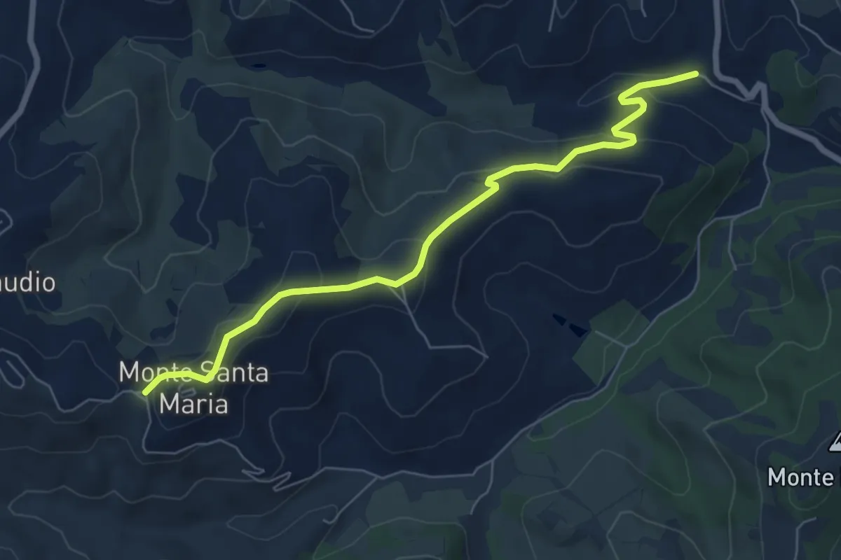
Easy · Trail
Monte S. Maria – Chiesa del Divino Amore
7.0 km · ↑ 238 m · 2 h 10 min
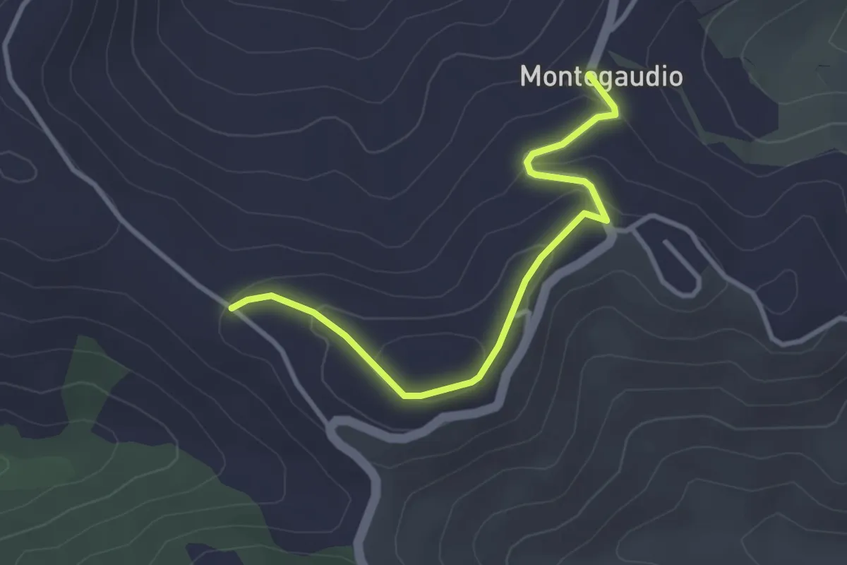
Easy · Trail
Montegaudio – la Pieve
3.3 km · ↑ 141 m · 1 h 5 min
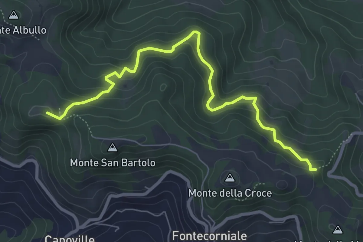
Medium · Summit
Costa della Figura – Monte delle Cacce
6.7 km · ↑ 385 m · 2 h 25 min
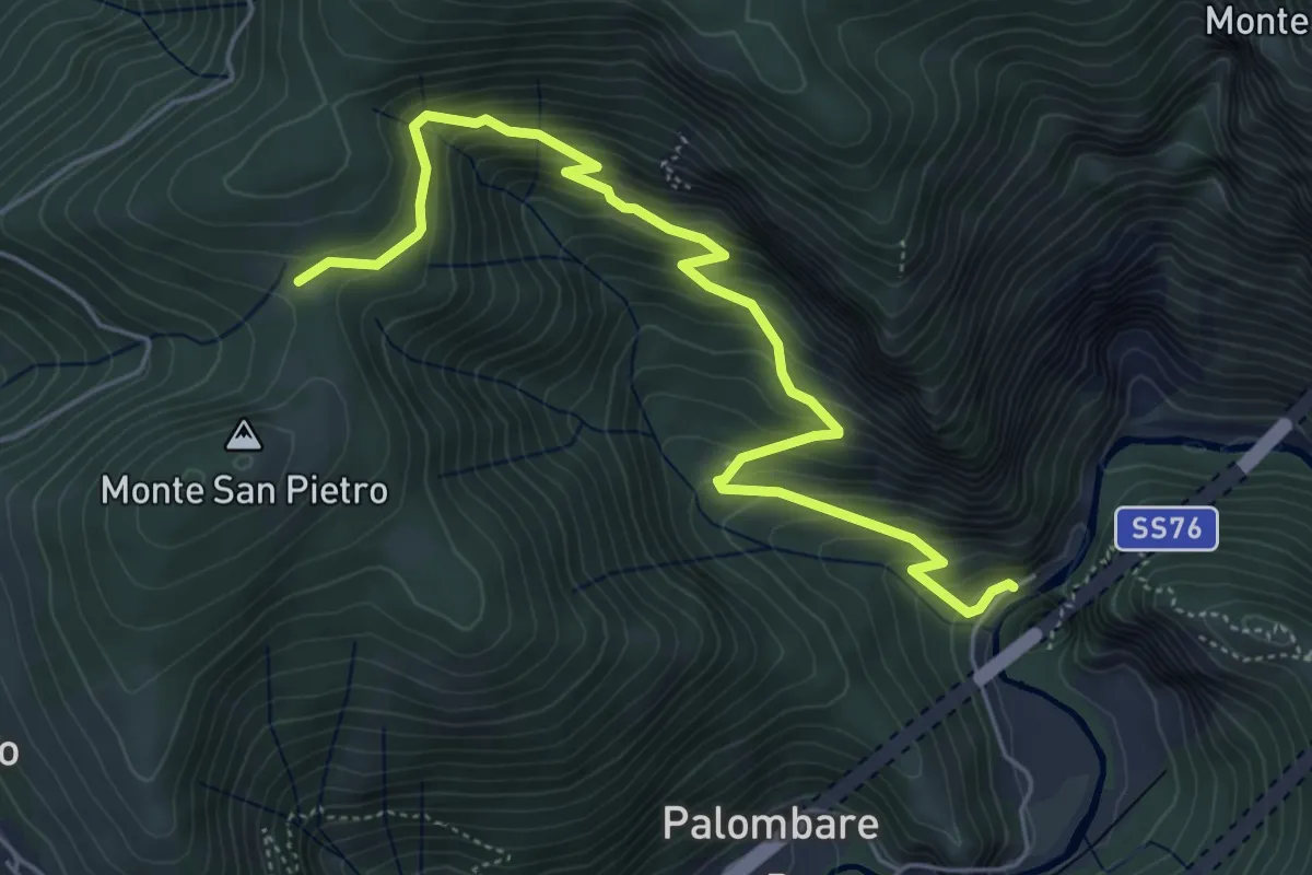
Medium · Trail
Gola della Rossa – Valico Colle di Cupi
6.3 km · ↑ 522 m · 2 h 36 min
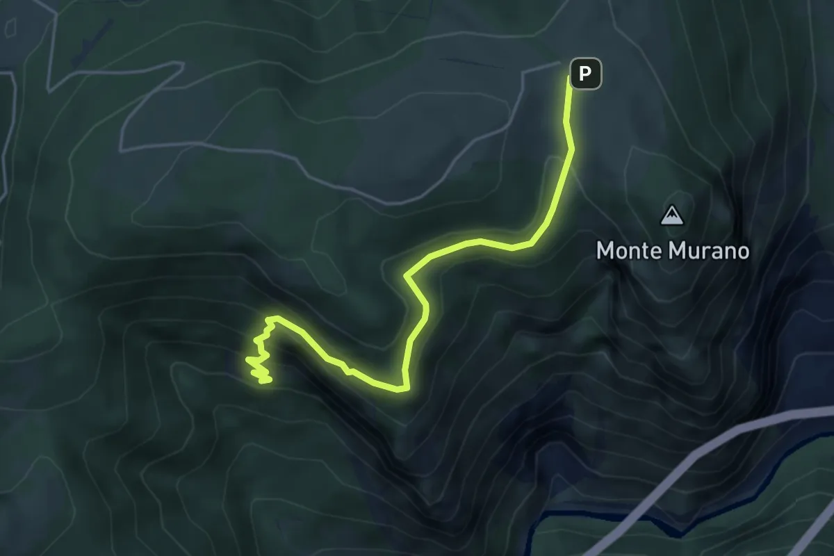
Demanding · Trail
Intersezione Sentiero 107A - Grotta del Vernino – Case Marcellini
5.0 km · ↑ 353 m · 1 h 57 min
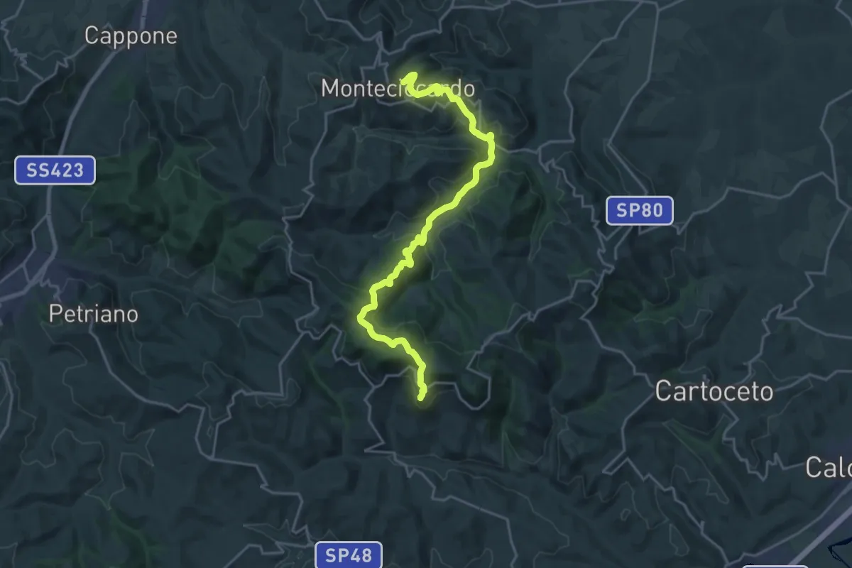
Demanding · Trail
Monteciccardo – Fontecorniale
21.7 km · ↑ 777 m · 6 h 48 min
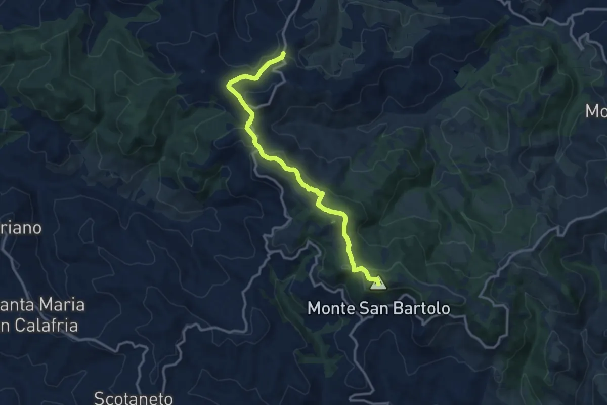
Medium · Summit
Mombaroccio – Montegaudio
11.3 km · ↑ 362 m · 3 h 27 min
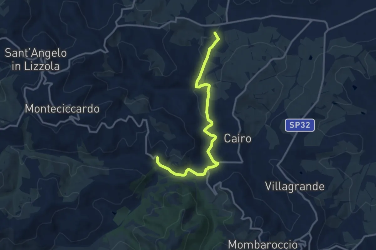
Medium · Trail
Villa Betti – Villa Ugolini
9.6 km · ↑ 161 m · 2 h 36 min
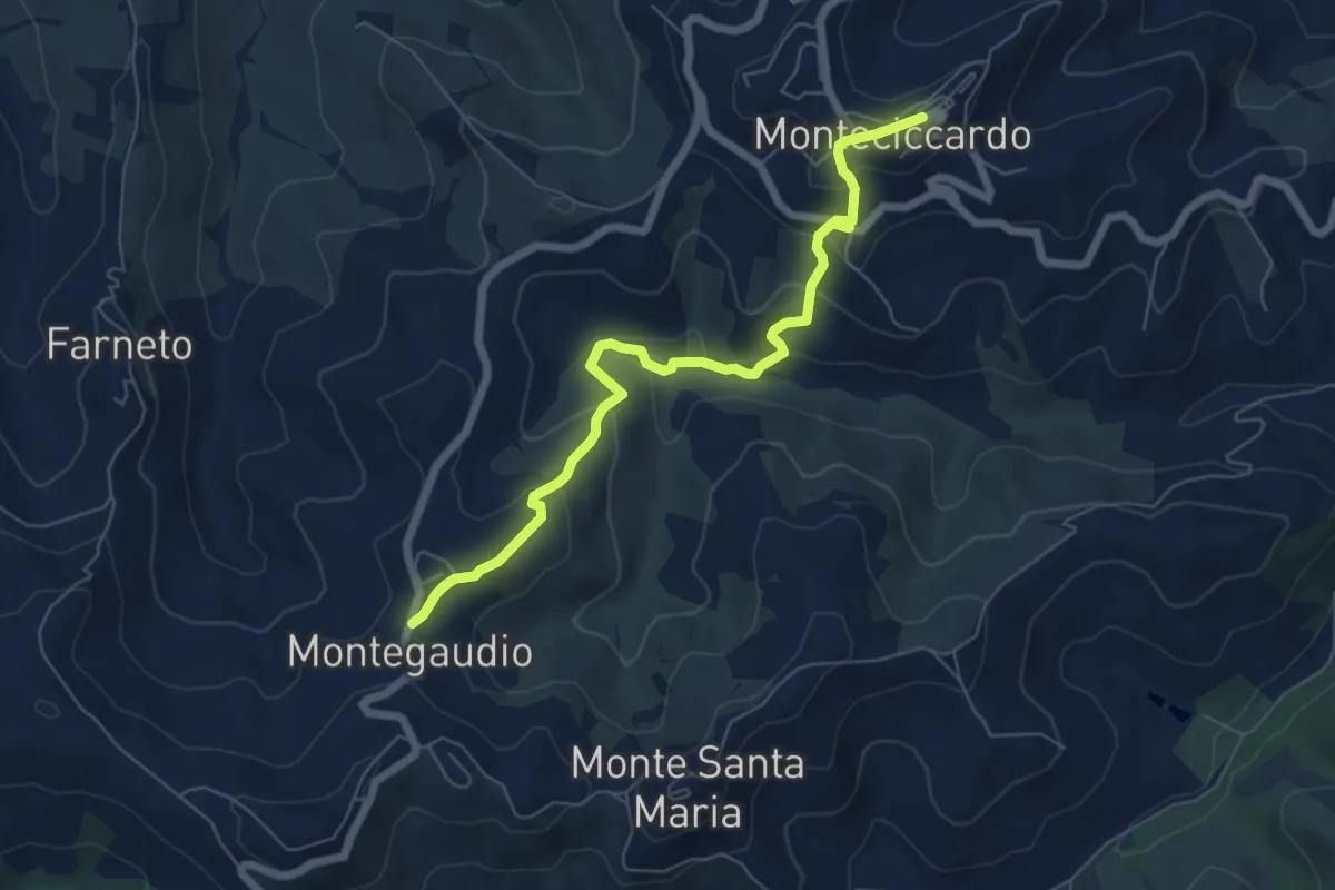
Medium · Trail
Monteciccardo – Montegaudio
6.9 km · ↑ 341 m · 2 h 22 min
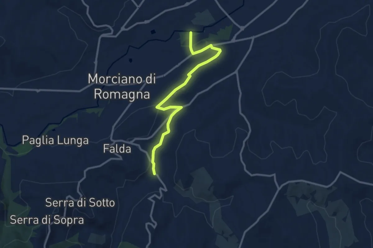
Medium · Trail
Ponte di Ventena (Morciano di Romagna) – Percorso 035
9.2 km · ↑ 137 m · 2 h 28 min
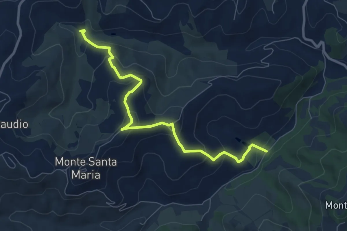
Medium · Trail
Fosso del Gatto – Torrente Arzilla
7.4 km · ↑ 388 m · 2 h 35 min
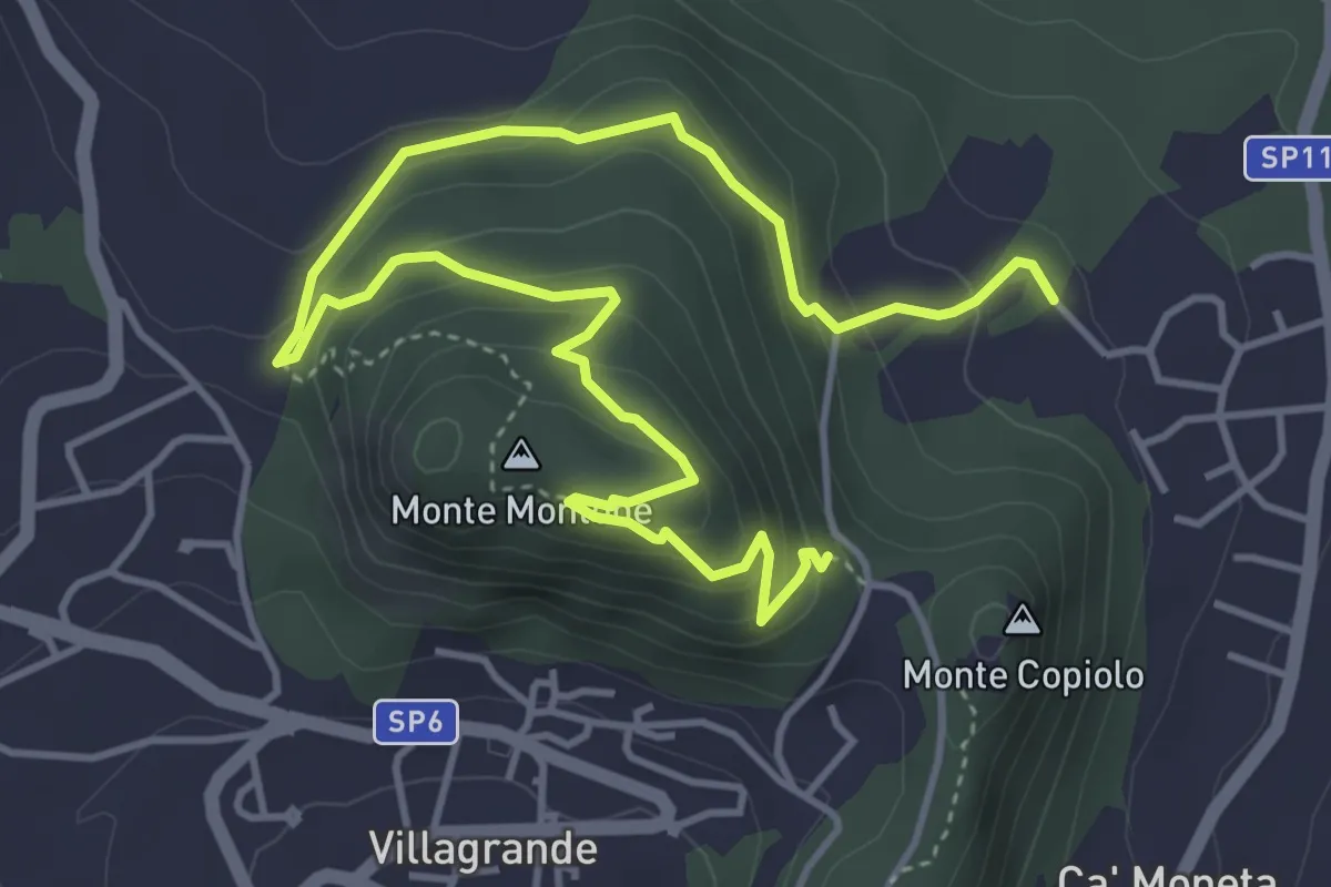
Easy · Summit
S.Rita Montecopiolo – S.Rita Montecopiolo
3.3 km · ↑ 212 m · 1 h 14 min
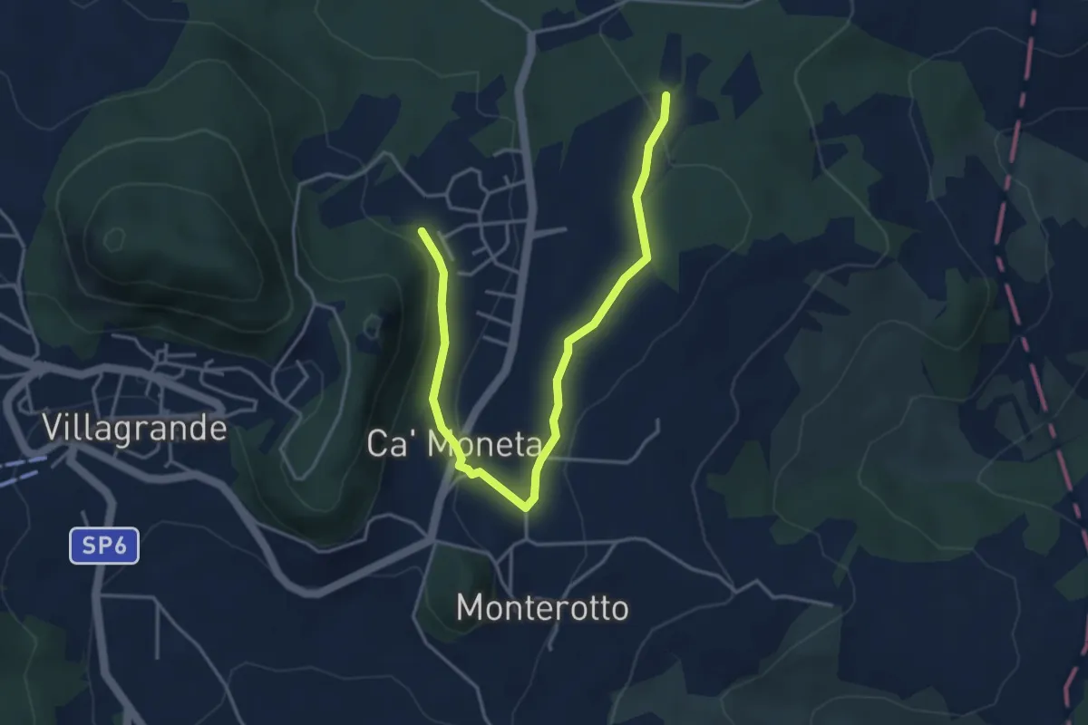
Easy · Trail
S.Rita Montecopiolo – percorso 109
4.7 km · ↑ 142 m · 1 h 25 min
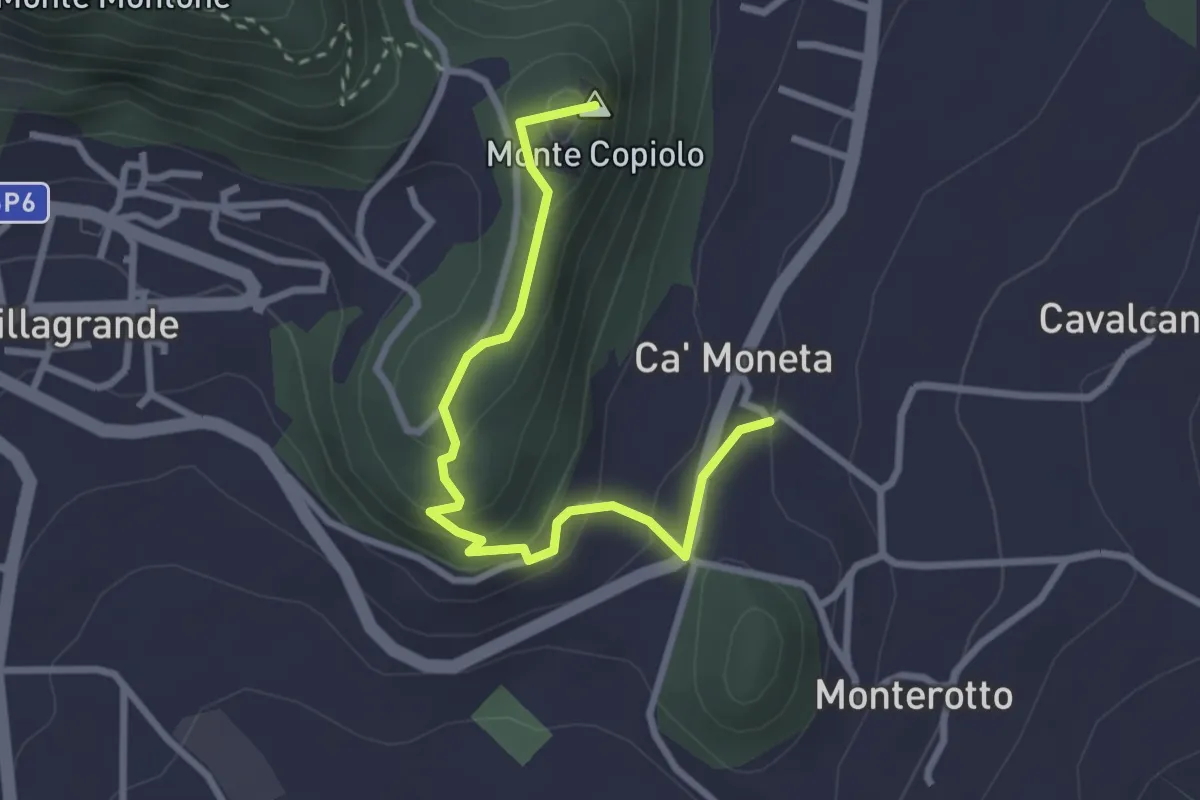
Easy · Summit
Via Castello Montecopiolo – Ca Moneta
3.1 km · ↑ 171 m · 1 h 6 min
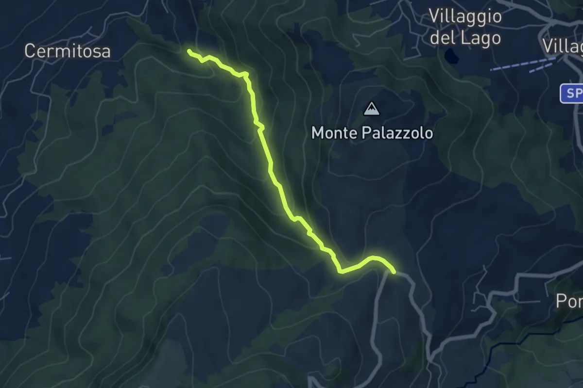
Medium · Trail
Borgonuovo sentiero 095 – Calvillano
5.5 km · ↑ 373 m · 2 h 6 min
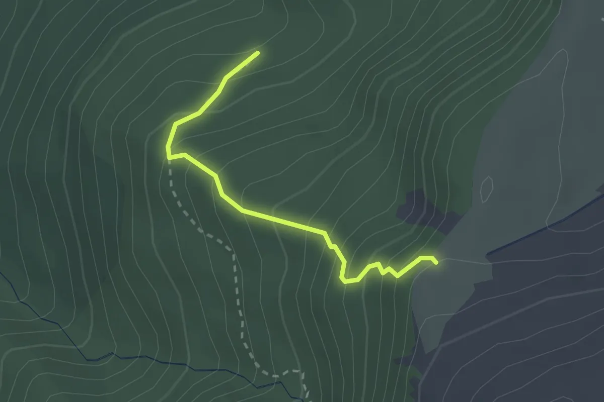
Easy · Trail
percorso 102 – Passo dei Ladri
2.3 km · ↑ 291 m · 1 h 11 min
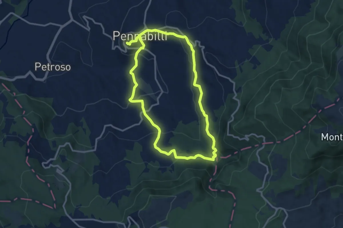
Medium · Trail
Pennabilli – Pennabilli
8.6 km · ↑ 332 m · 2 h 52 min
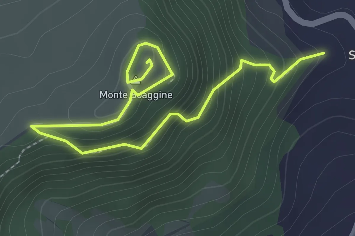
Easy · Summit
Serra Nanni – Castello Monte Boaggine
3.2 km · ↑ 232 m · 1 h 15 min
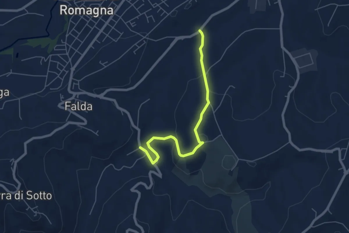
Easy · Trail
Ponte di Ventena (Morciano di Romagna) – Cà Fabbro
5.5 km · ↑ 158 m · 1 h 39 min
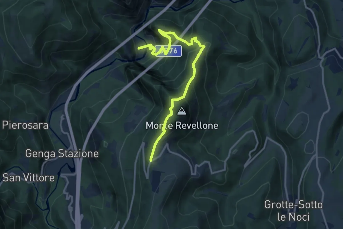
Medium · Trail
Gola della Rossa – Valico di Castelletta
9.6 km · ↑ 794 m · 3 h 59 min