Trails in Italy
25,219 hiking trails, each with its route, climb, walking time and grade.
All trails, page 308 of 526
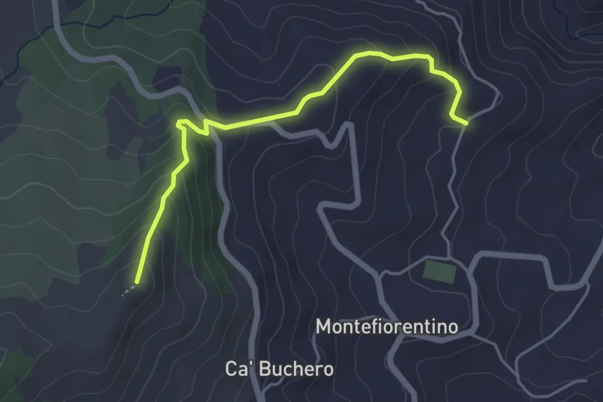
Easy · Summit
Percorso 116 – Monte Castellaro
4.2 km · ↑ 268 m · 1 h 34 min
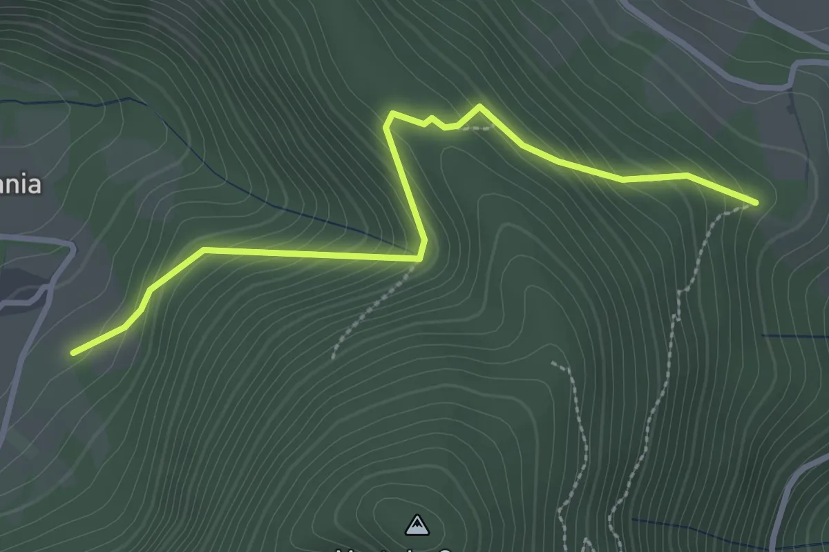
Easy · Trail
Vallemania bivio 121 – Piano di Serra bivio 139
3.1 km · ↑ 256 m · 1 h 17 min
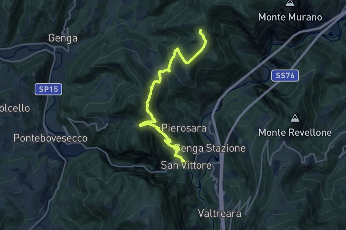
Demanding · Trail
San Vittore – Valico Colle di Cupi
12.7 km · ↑ 905 m · 4 h 57 min
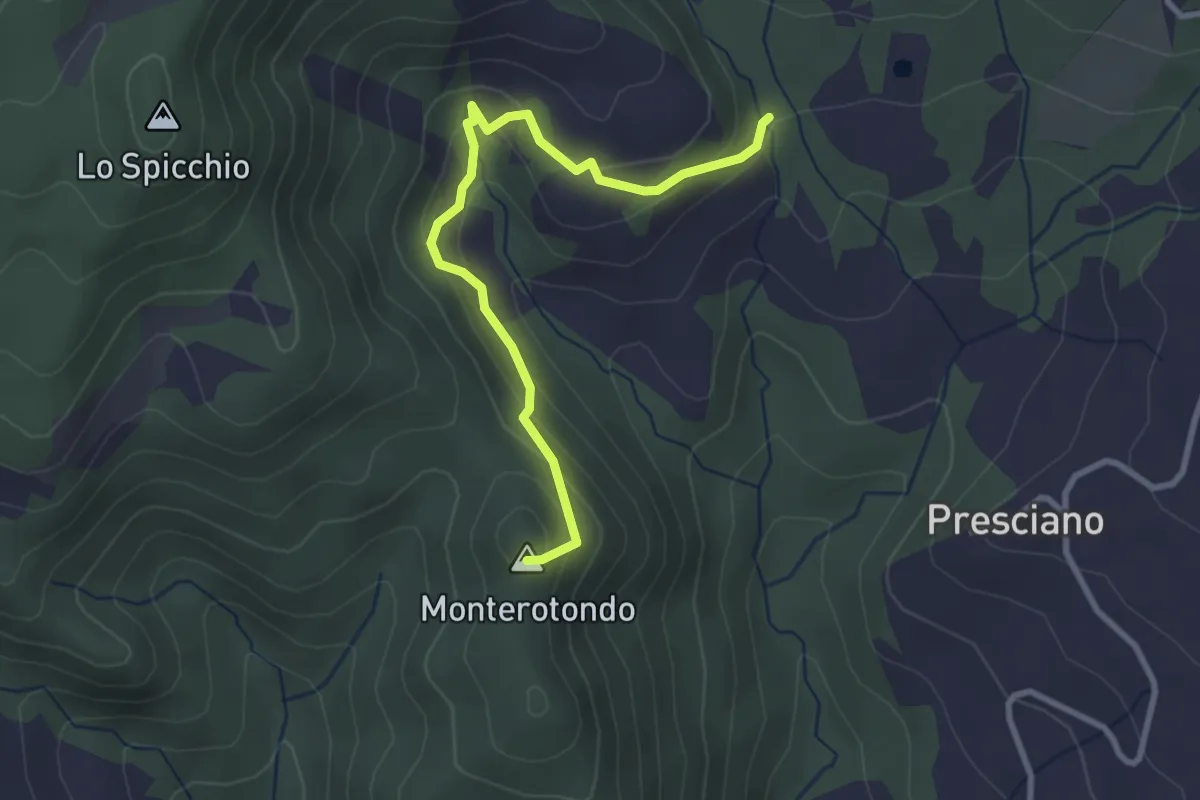
Easy · Summit
Civitello – Percorso 861
3.2 km · ↑ 178 m · 1 h 9 min
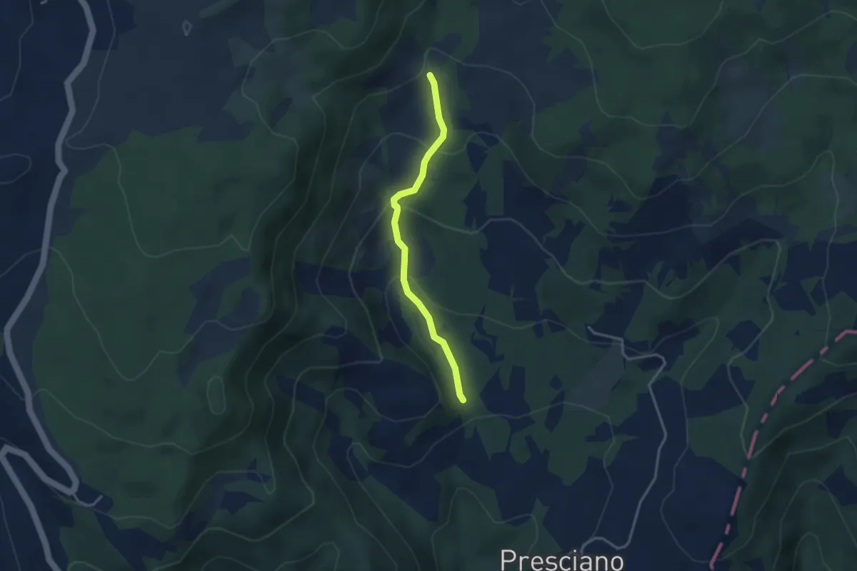
Easy · Cabin
Civitello – Casa del Re
3.1 km · ↑ 163 m · 1 h 6 min
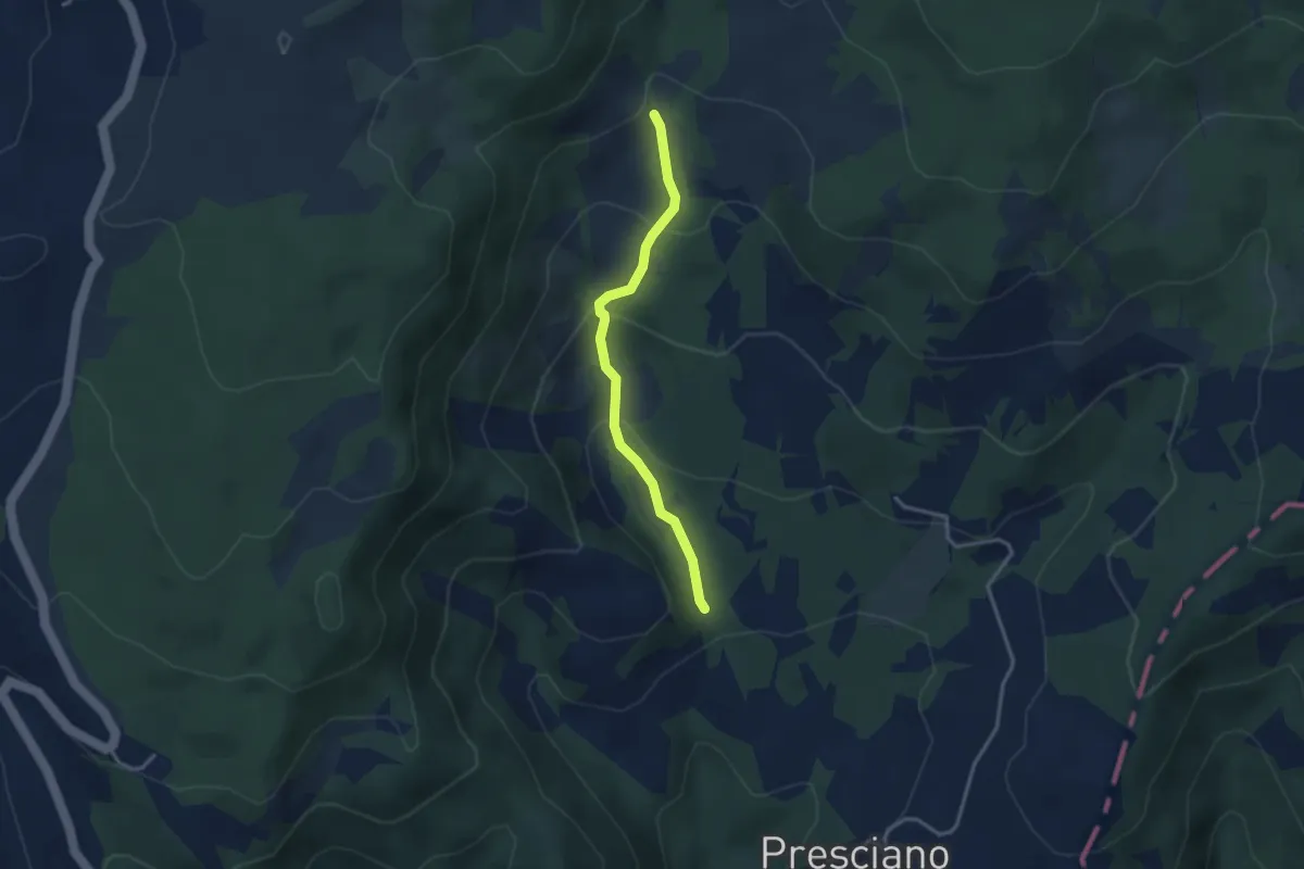
Easy · Cabin
Civitello – Casa del re
3.1 km · ↑ 163 m · 1 h 6 min
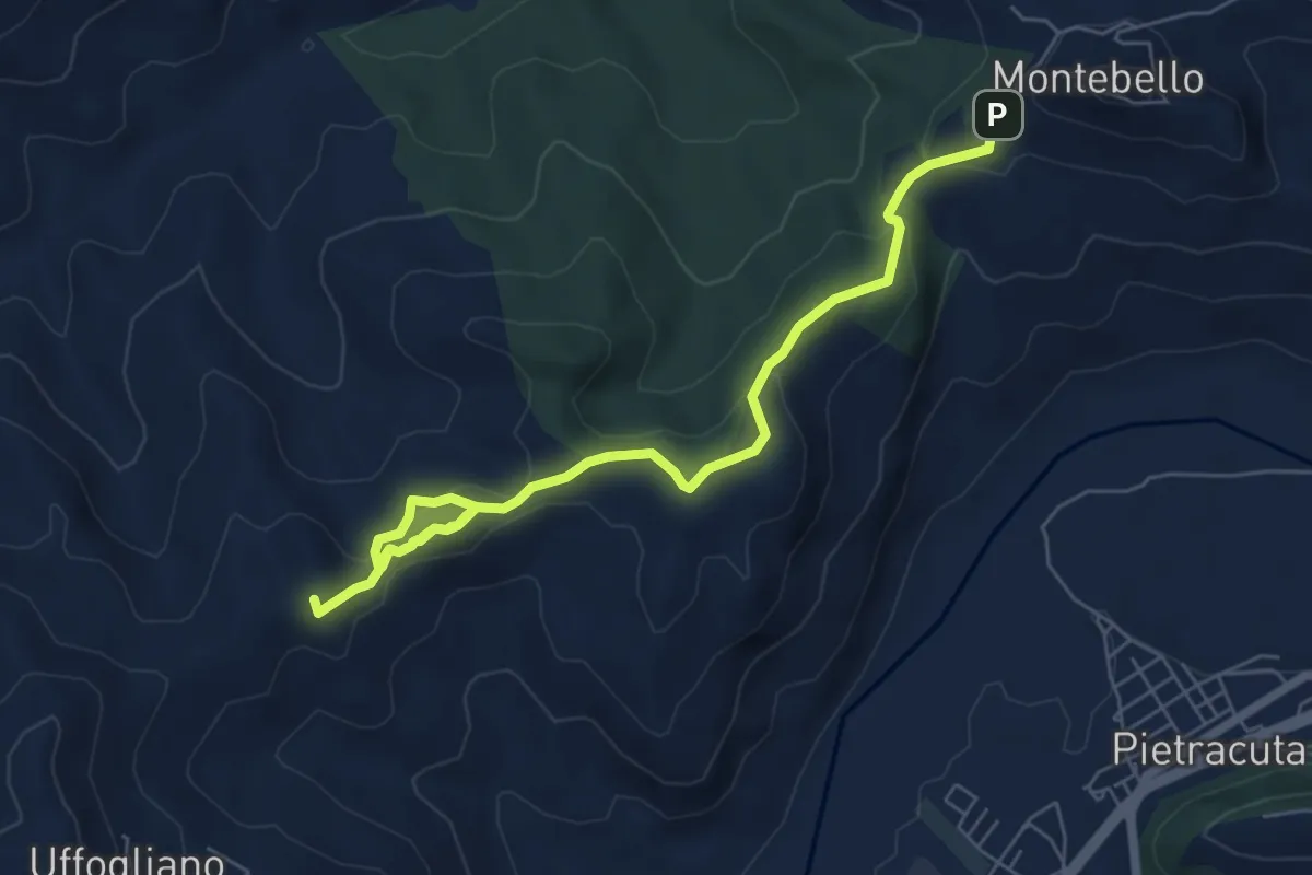
Medium · Summit
Montebello – Uffogliano
7.6 km · ↑ 305 m · 2 h 27 min
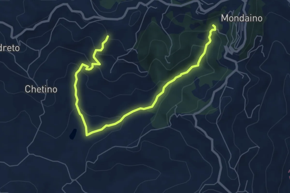
Medium · Trail
Arboreto Teatro Mondaino – Monte Cappello Percorso 019
7.5 km · ↑ 418 m · 2 h 41 min
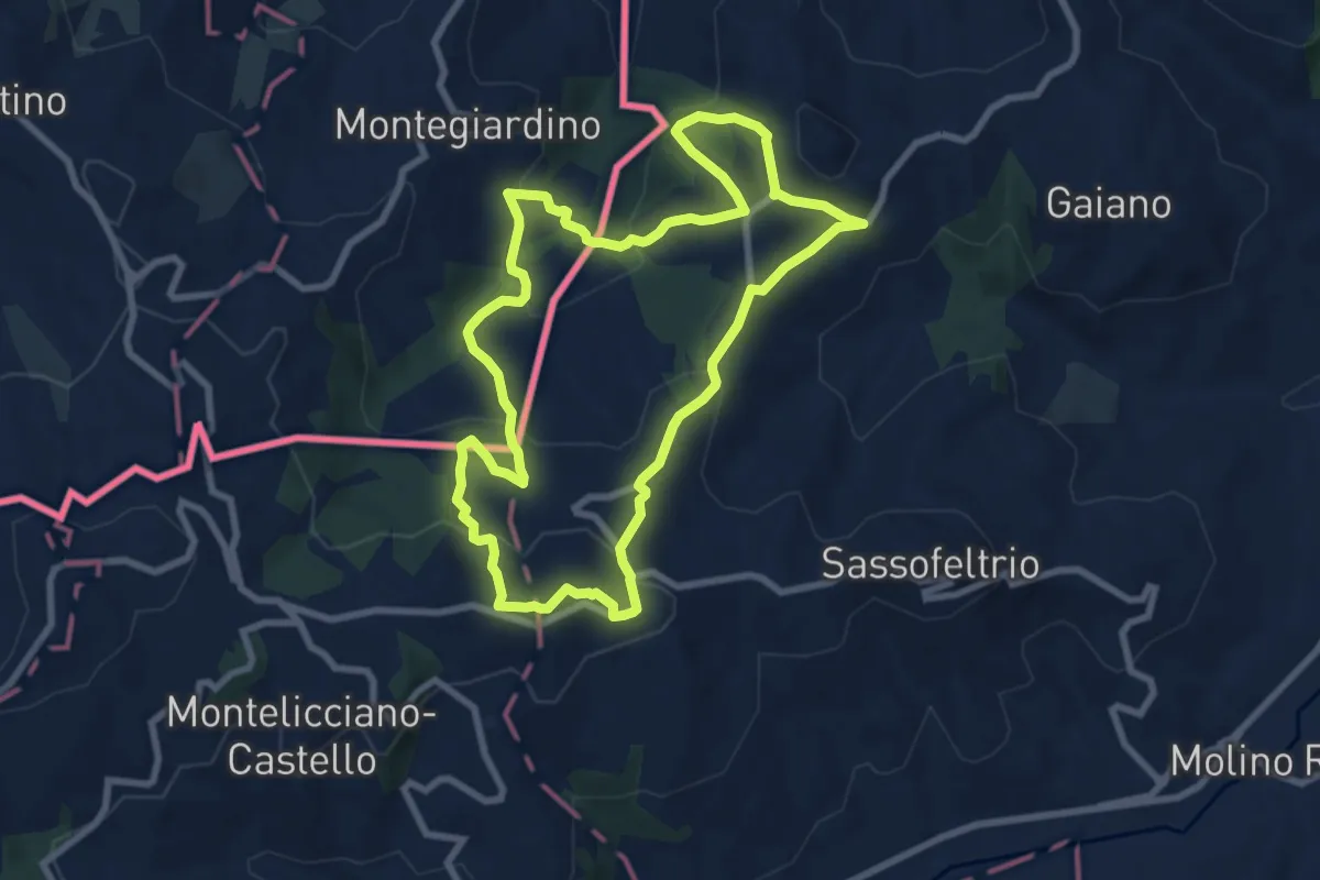
Medium · Trail
Casa Cristallo Gesso – Casa Ceistallo Gesso
8.6 km · ↑ 395 m · 3 h
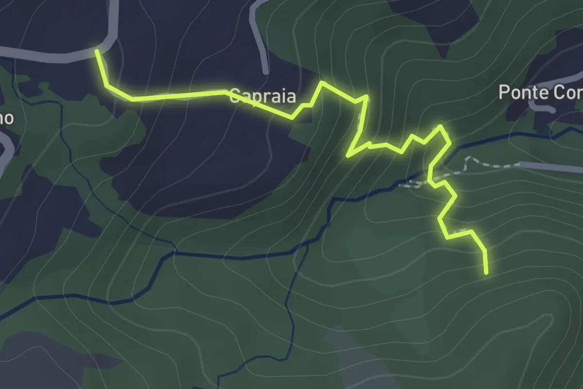
Easy · Trail
CEA di Calvillano – percorso 107
2.2 km · ↑ 175 m · 54 min
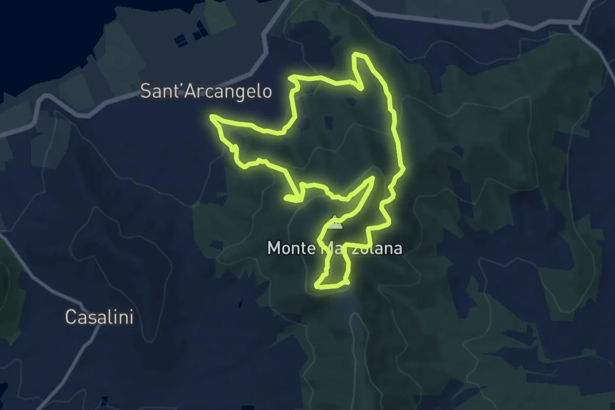
Medium · Summit
Sant'Arcangelo – Sant'Arcangelo
9.2 km · ↑ 436 m · 3 h 14 min
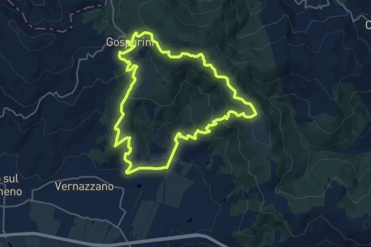
Medium · Trail
Borgo Torale – Borgo Torale
13.0 km · ↑ 552 m · 4 h 26 min
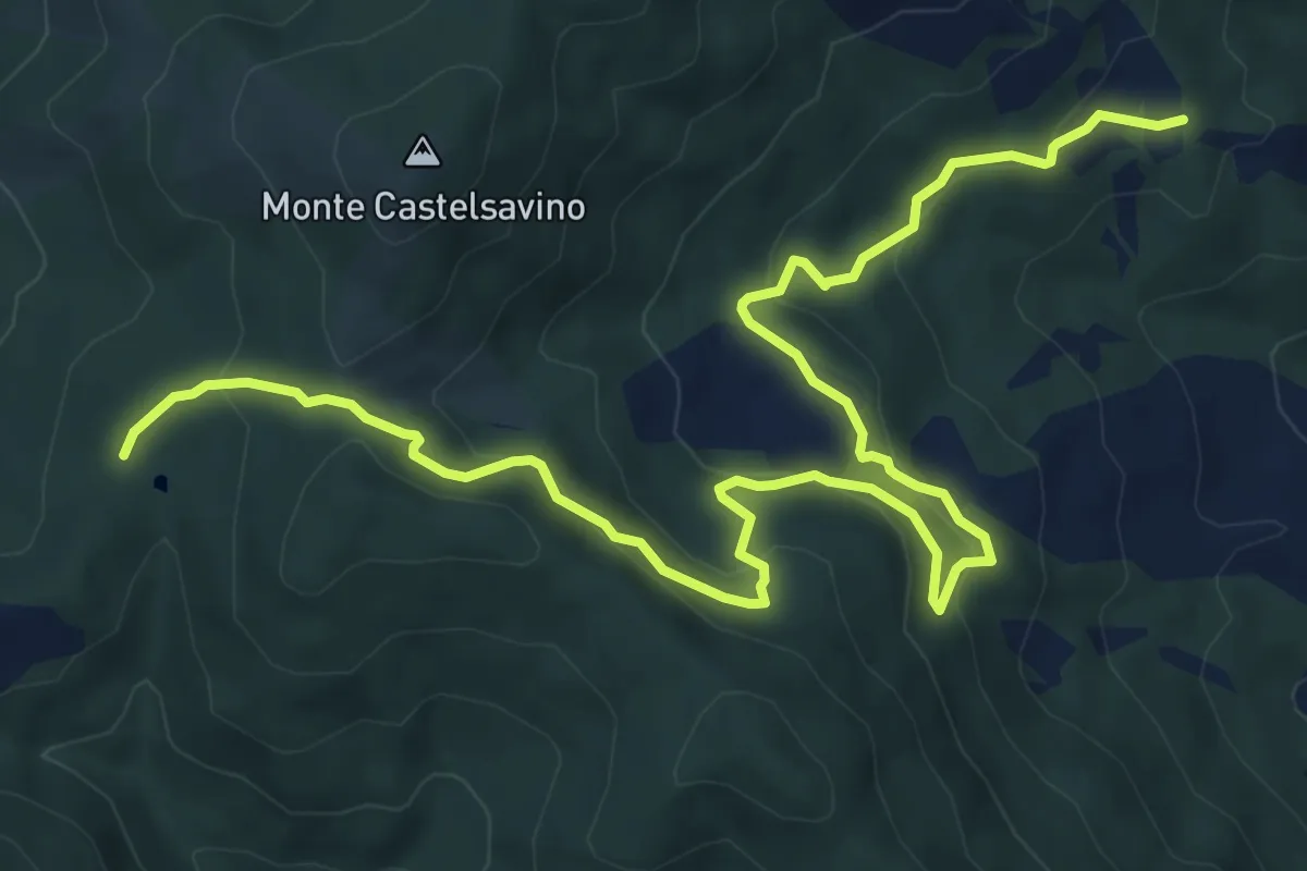
Demanding · Trail
Bulciano ( sentiero 12) – Passo delle Pratelle
10.5 km · ↑ 457 m · 3 h 28 min
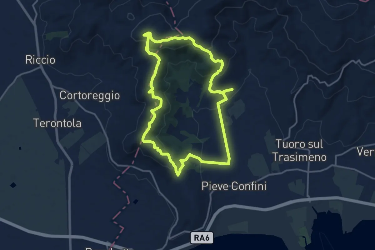
Medium · Summit
Sanguineto – Sanguineto
11.2 km · ↑ 366 m · 3 h 36 min
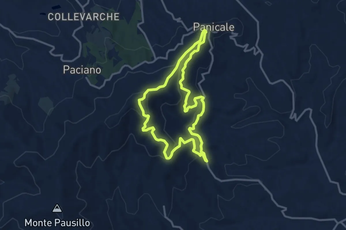
Medium · Trail
Missiano – Missiano
8.2 km · ↑ 410 m · 2 h 57 min
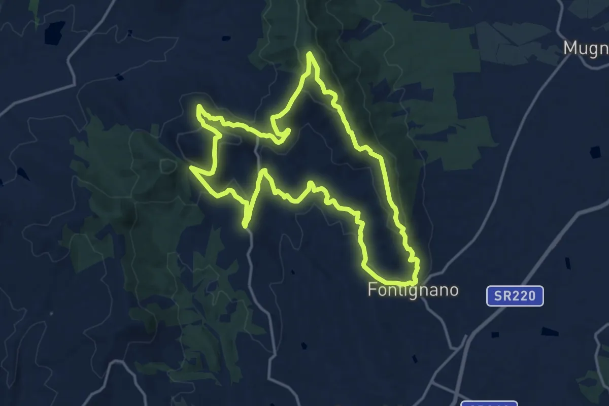
Medium · Trail
Fontignano – Fontignano
14.2 km · ↑ 486 m · 4 h 35 min
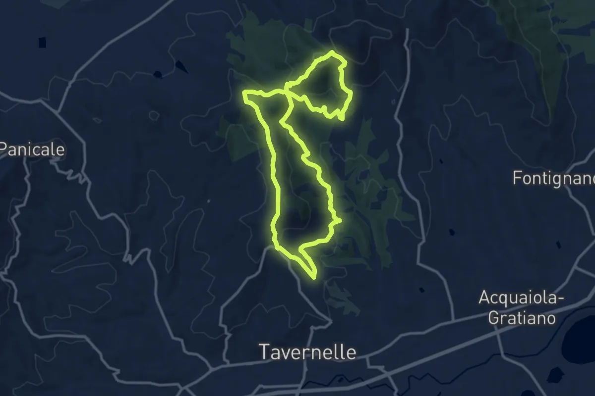
Medium · Trail
Mongiovino – Mongiovino
10.6 km · ↑ 452 m · 3 h 37 min
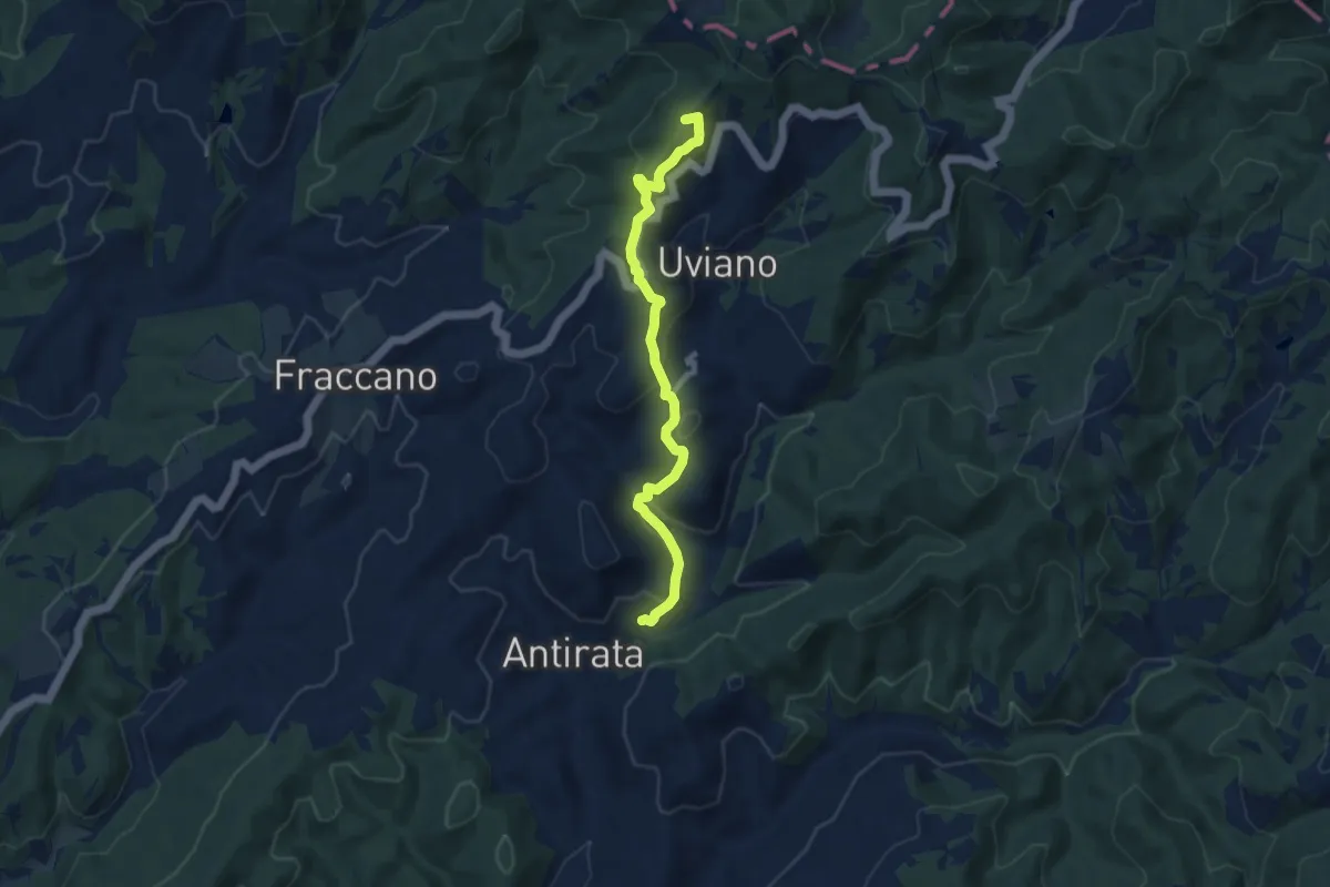
Medium · Summit
Antirata – Innesto Sentiero Italia
8.8 km · ↑ 430 m · 3 h
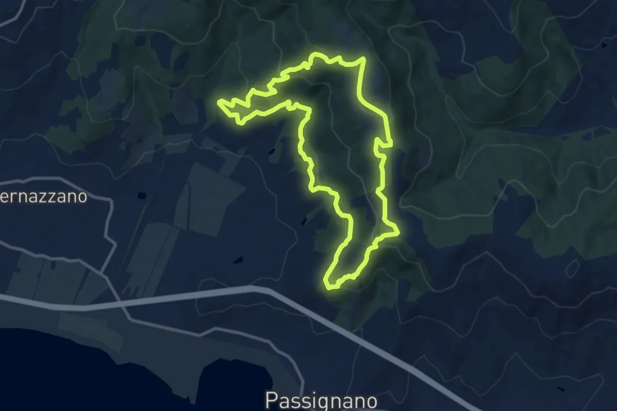
Medium · Trail
Borgo Torale – Borgo Torale
10.1 km · ↑ 376 m · 3 h 20 min
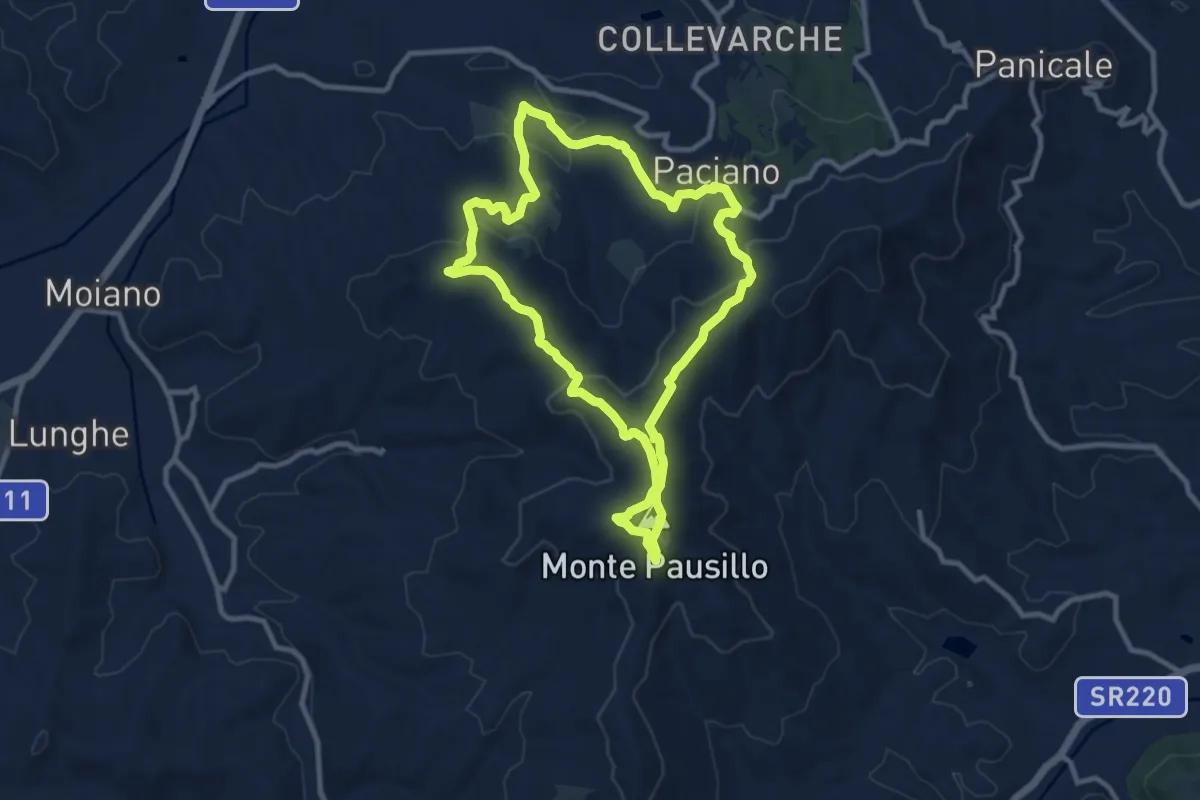
Medium · Summit
Paciano – Paciano
10.2 km · ↑ 401 m · 3 h 25 min
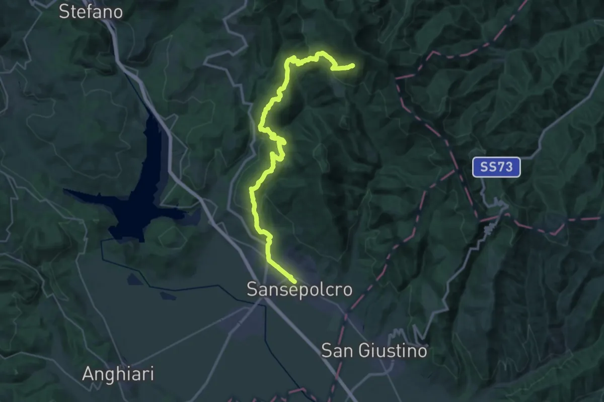
Demanding · Summit
Sansepolcro – Innesto sentiero 00 a Monte Maggiore
32.5 km · ↑ 1489 m · 10 h 53 min
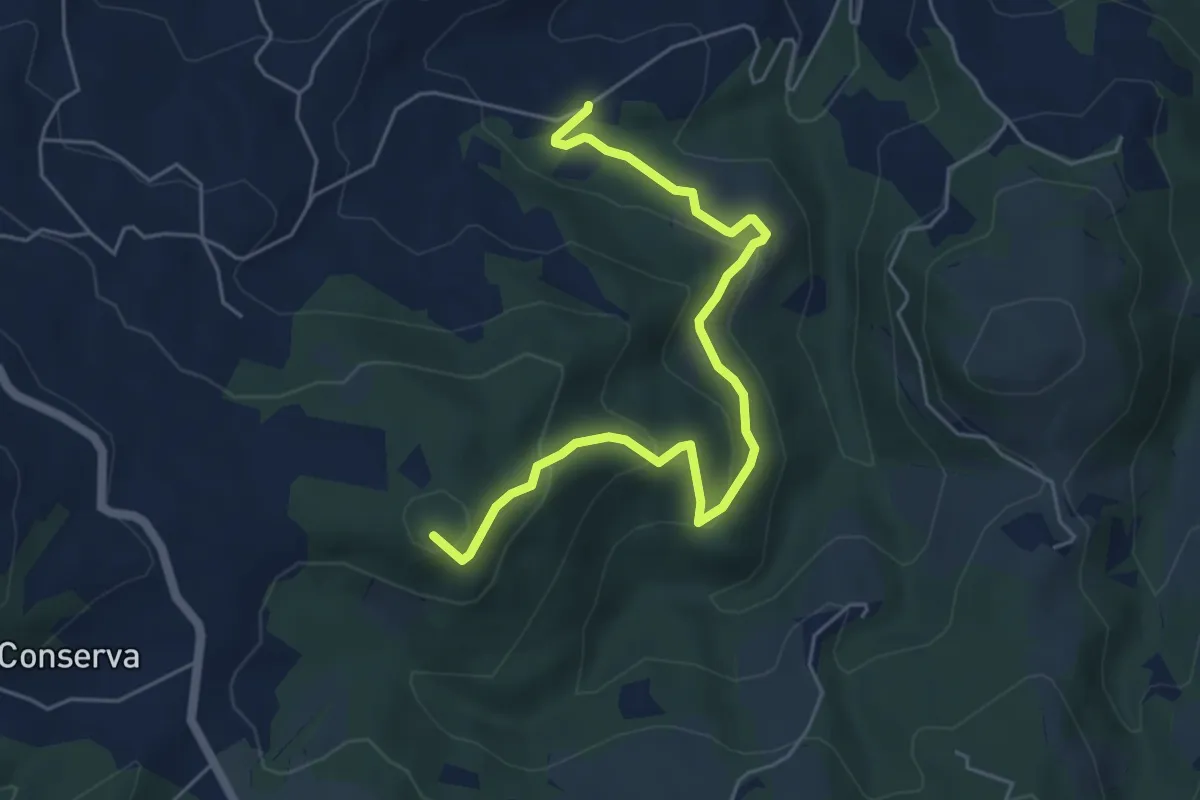
Easy · Summit
Casa Nuova del Pianello – Casa Crescentini
6.0 km · ↑ 294 m · 2 h 4 min
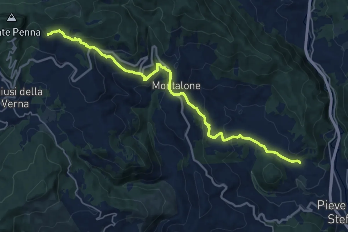
Demanding · Summit
Pieve Santo Stefano – Innesto Sentiero Italia (Sentiero 50) presso Croce alla Calla
18.0 km · ↑ 709 m · 5 h 47 min
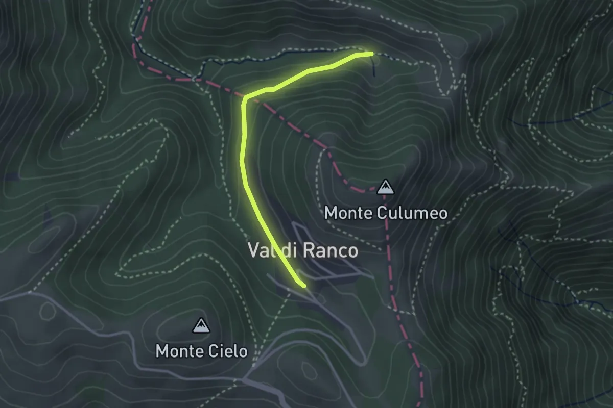
Medium · Trail
Intersezione percorso 236 – Val di Ranco
2.8 km · ↑ 84 m · 50 min
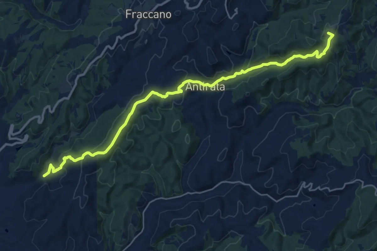
Demanding · Summit
Terme di Fontecchio – Innesto Sentiero Italia
20.2 km · ↑ 712 m · 6 h 19 min
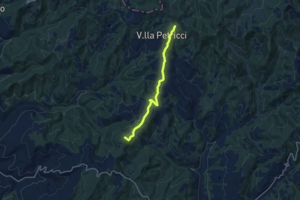
Medium · Summit
Campanile – Madonna dei Cinque Faggi - Innesto SI
9.2 km · ↑ 281 m · 2 h 47 min
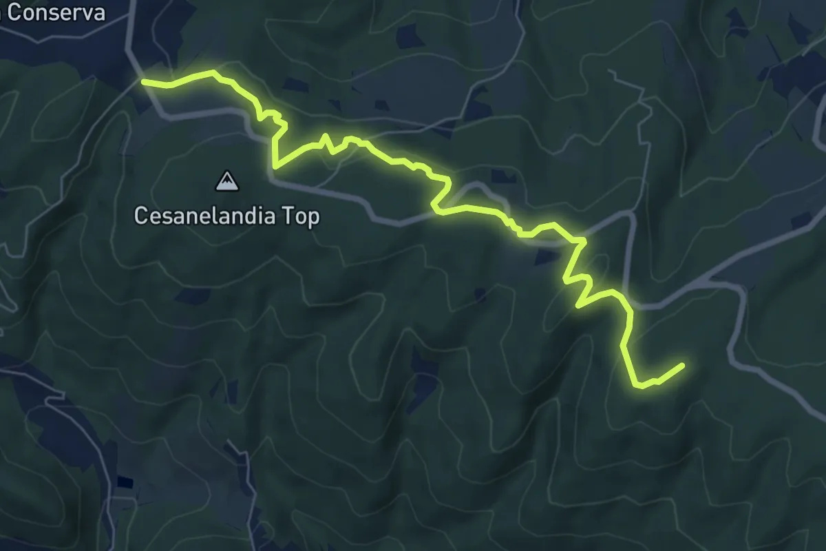
Medium · Summit
Loc Casa Nuova Pianello – rudere Casa Crescentini
8.3 km · ↑ 319 m · 2 h 39 min
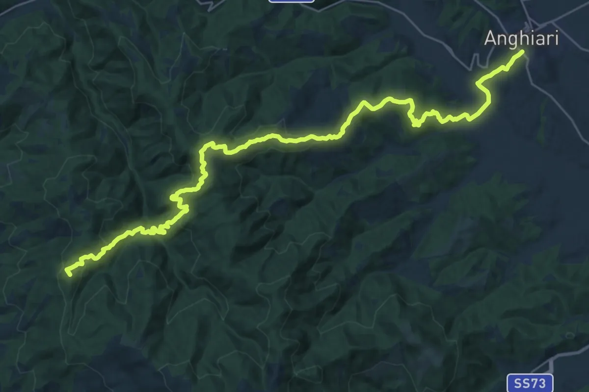
Demanding · Summit
Arezzo (acquedotto Vasariano) – Anghiari
32.2 km · ↑ 1333 m · 10 h 30 min
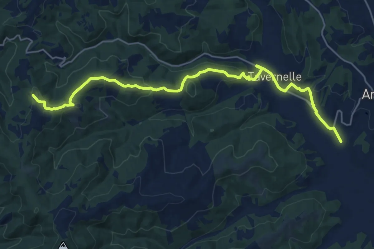
Medium · Trail
Sentiero 50 presso La Scheggia – Anghiari
17.5 km · ↑ 441 m · 5 h 5 min
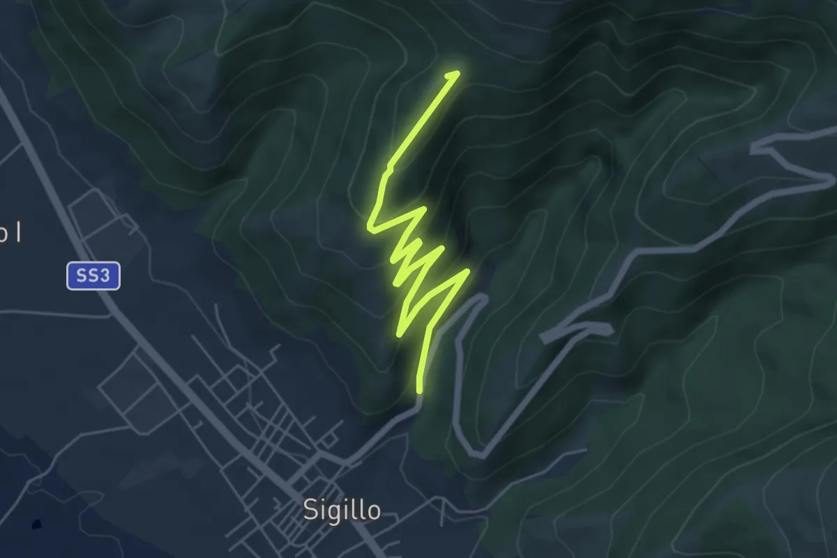
Easy · Summit
Intersezione percorso 292 – Sigillo
5.9 km · ↑ 311 m · 2 h 4 min
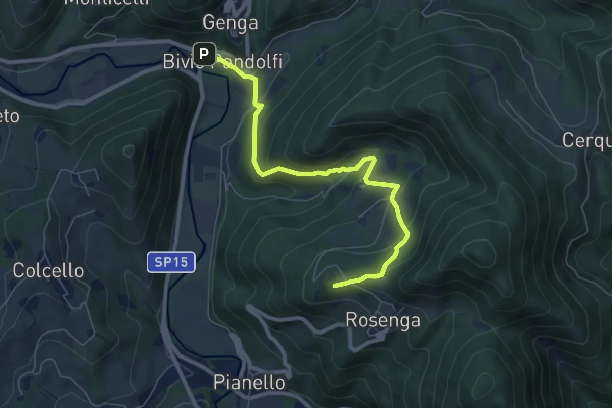
Medium · Summit
Bivio Pandolfi Genga – Valico Monte Frasassi
6.8 km · ↑ 323 m · 2 h 18 min
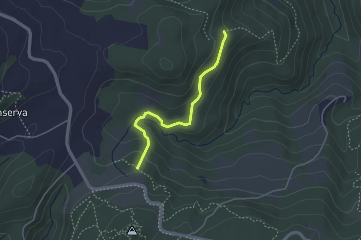
Easy · Trail
Cà Gatti – Casa Nuova del Pianello
3.1 km · ↑ 115 m · 58 min
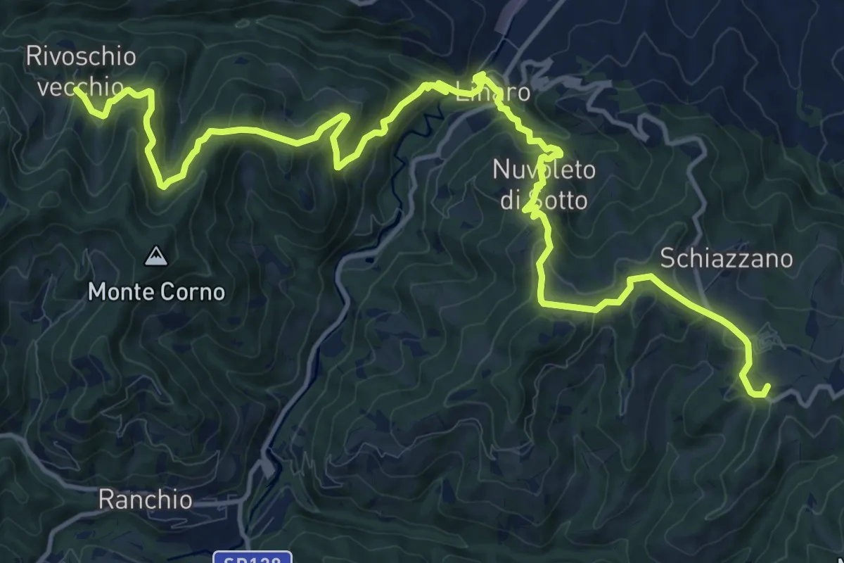
Demanding · Summit
Fonte San Vicinio – La maestà di Rivoschio vecchio
18.2 km · ↑ 1044 m · 6 h 34 min
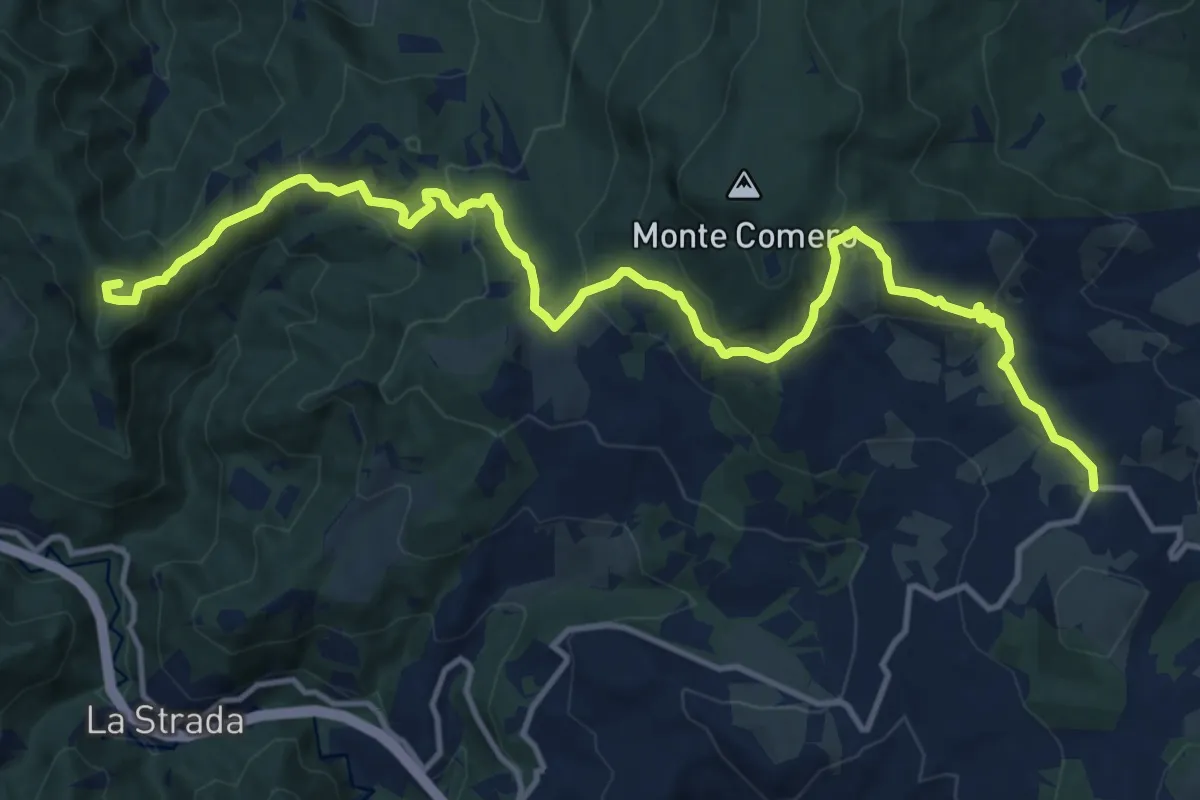
Medium · Summit
Bagno di Romagna – Maestà della Biancarda
16.6 km · ↑ 717 m · 5 h 29 min
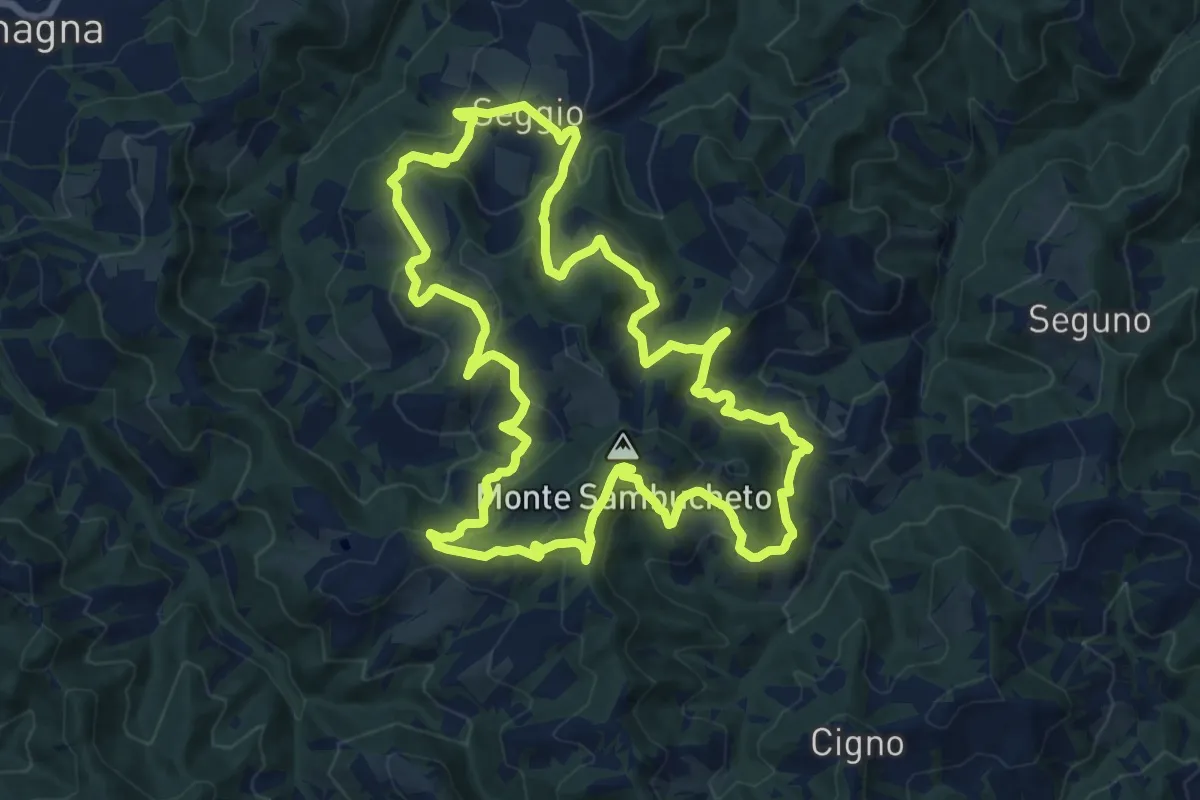
Medium · Summit
Collina – Collina
14.7 km · ↑ 707 m · 5 h 12 min
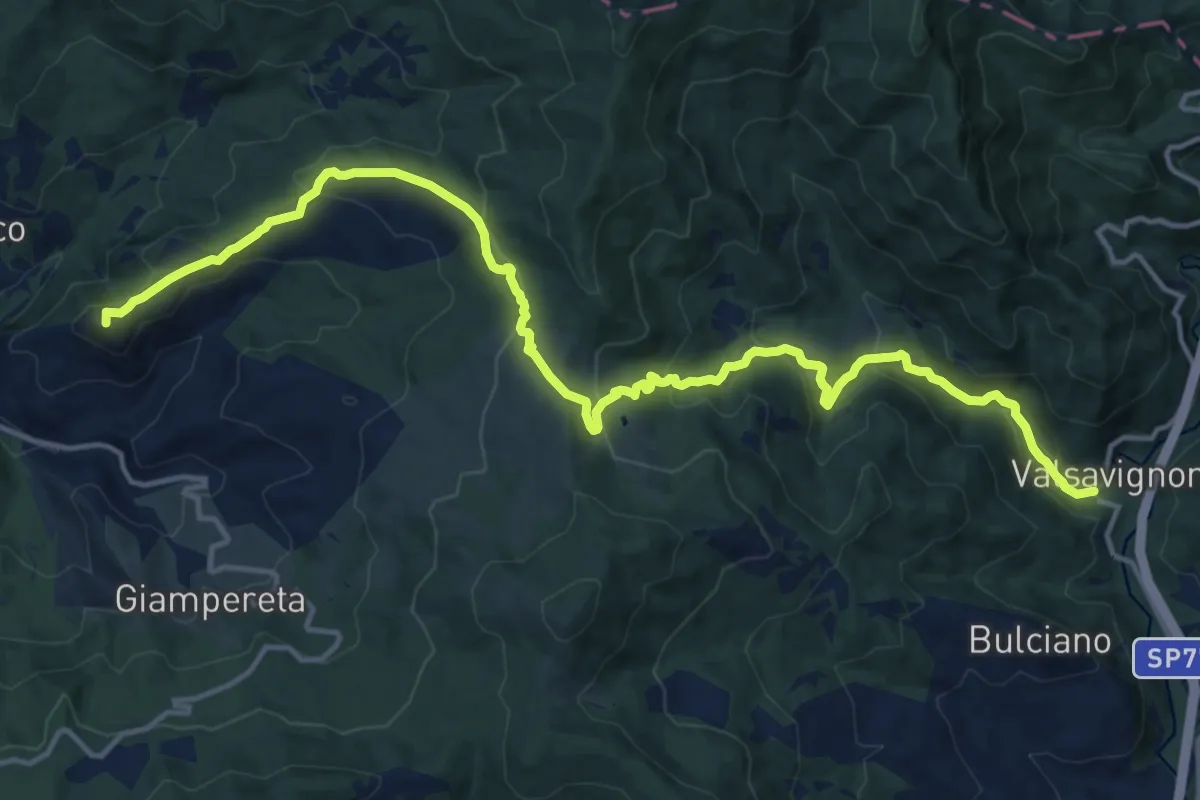
Demanding · Summit
Montefatucchio – Valsavignone
18.5 km · ↑ 815 m · 6 h 8 min
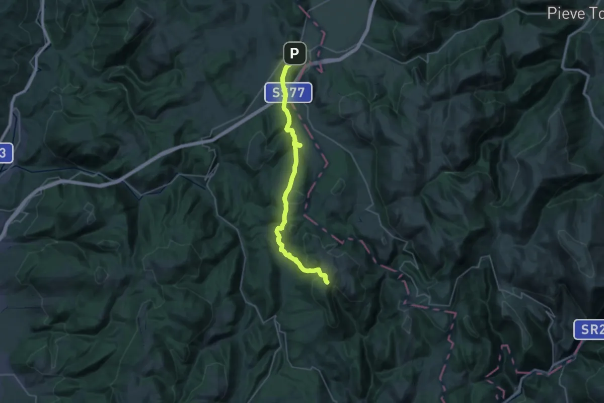
Medium · Trail
Colfiorito – Croce di Roccafranca
13.4 km · ↑ 677 m · 4 h 40 min
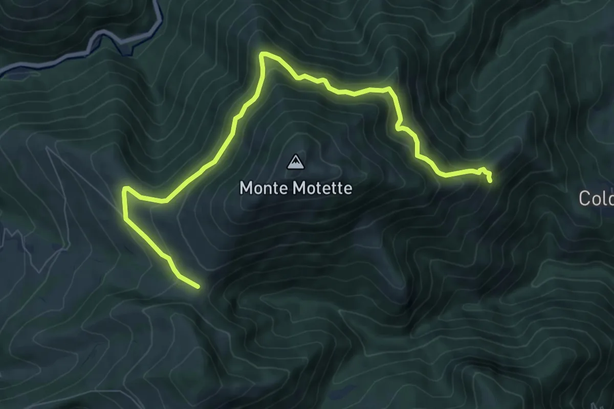
Medium · Trail
Serra Piana – Pian di Rolla
9.6 km · ↑ 631 m · 3 h 38 min
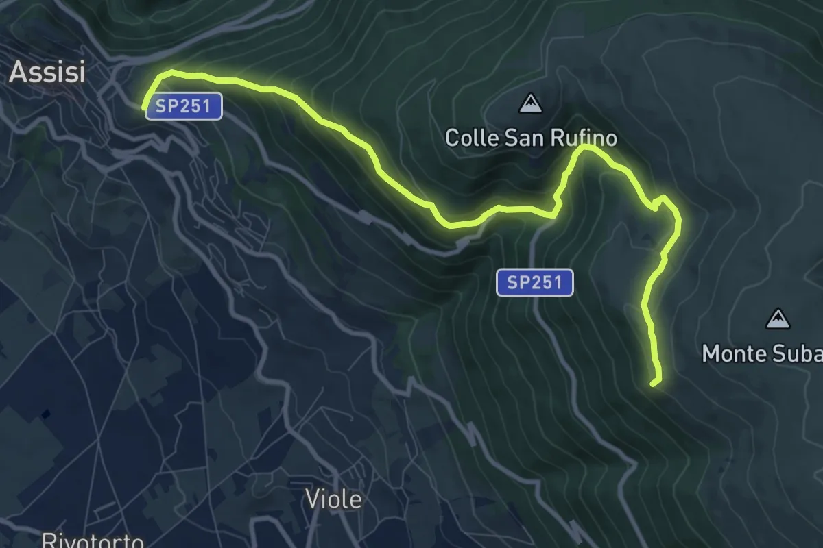
Medium · Summit
Assisi – Spello
11.3 km · ↑ 739 m · 4 h 17 min
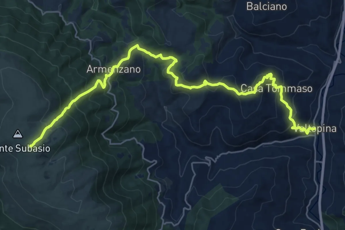
Demanding · Trail
Valtopina – Monte Subasio
10.9 km · ↑ 1111 m · 4 h 41 min
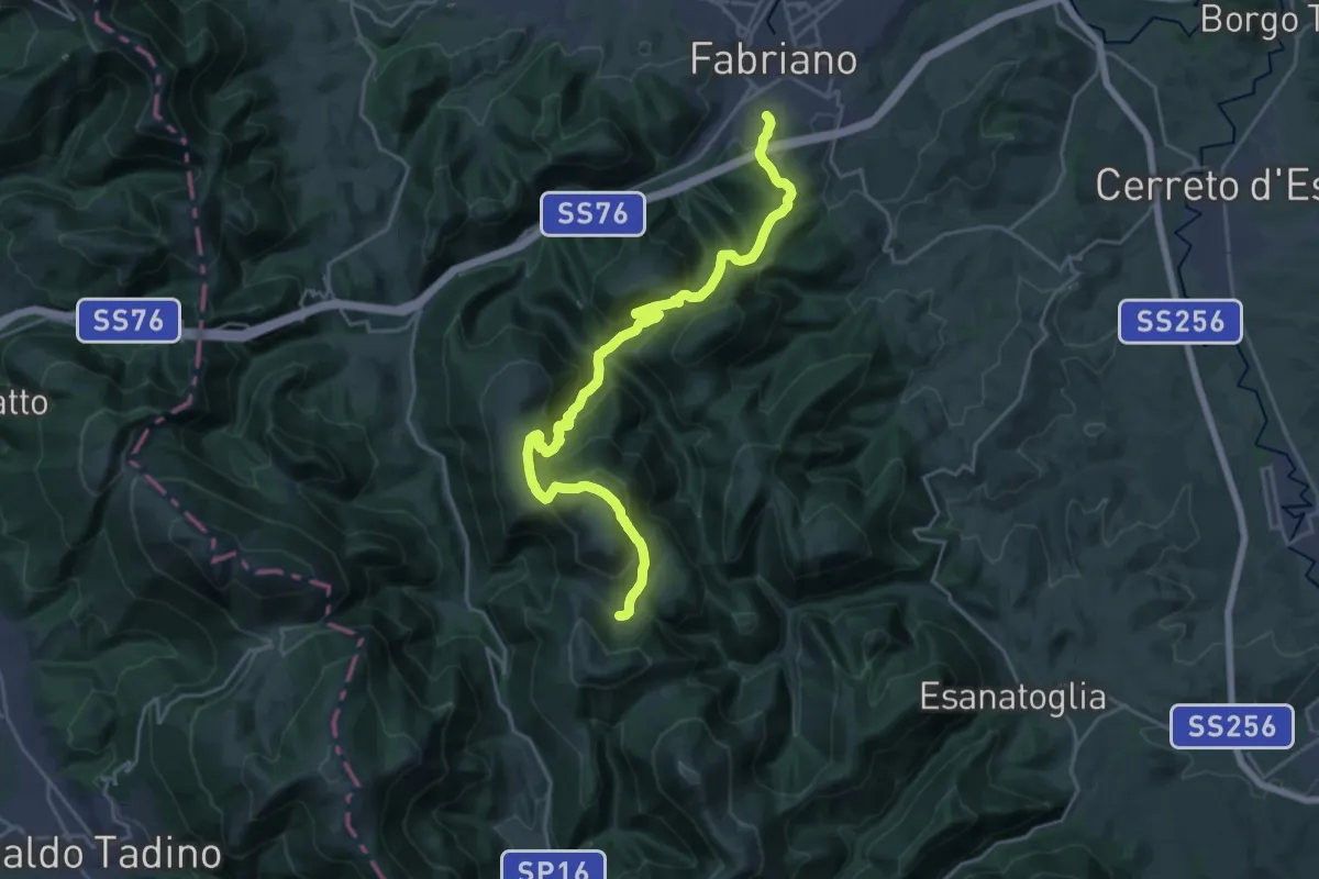
Demanding · Trail
Fabriano - Via Fagioli – Casa Lentino - Sentiero 119
12.9 km · ↑ 987 m · 5 h 7 min
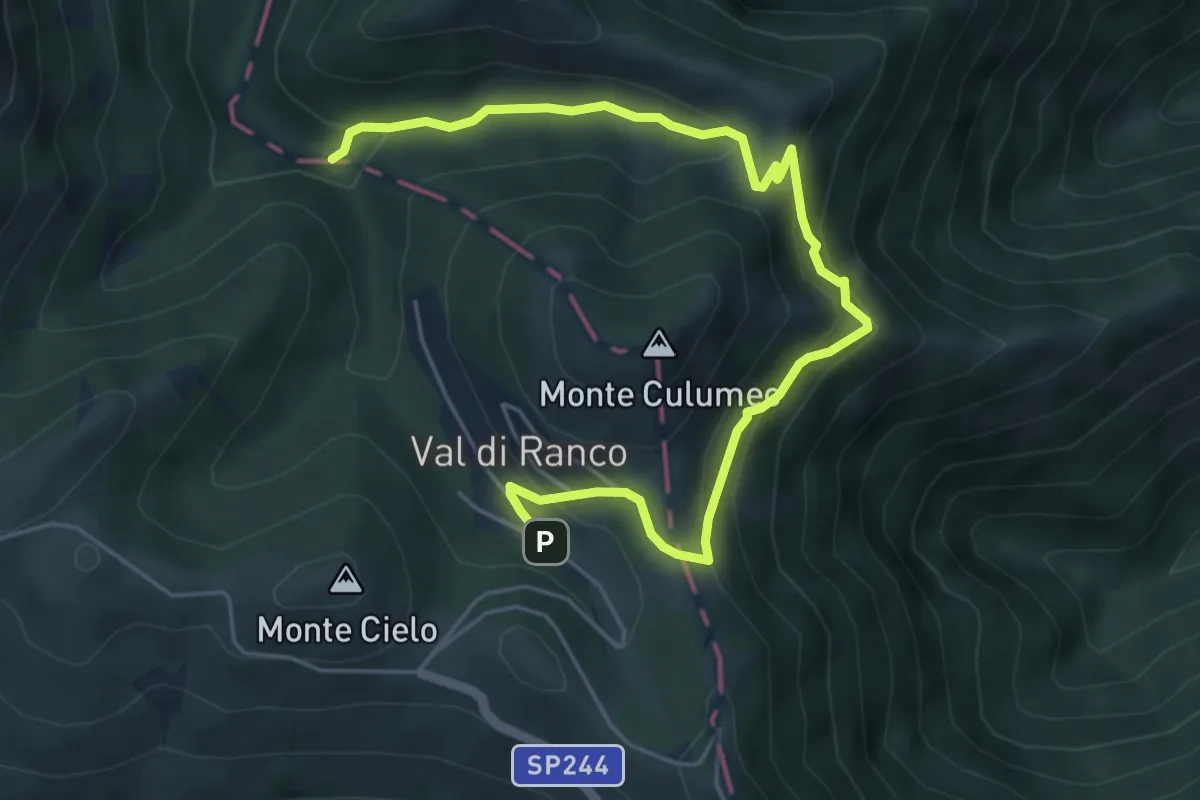
Medium · Trail
Croce dei fossi – Decollo nord
6.7 km · ↑ 381 m · 2 h 24 min
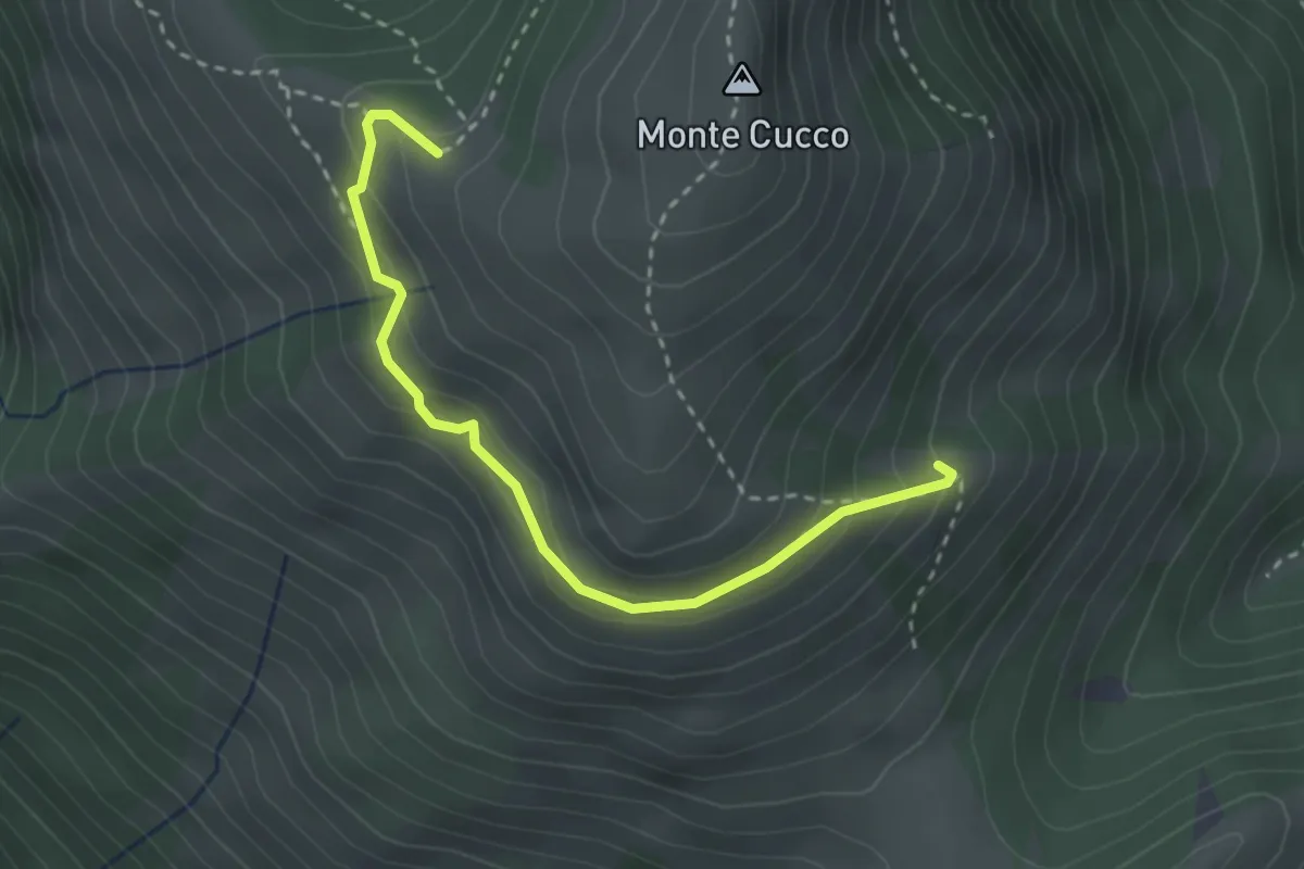
Medium · Cabin
Costa della Valcella – Valrachena
3.1 km · ↑ 197 m · 1 h 10 min
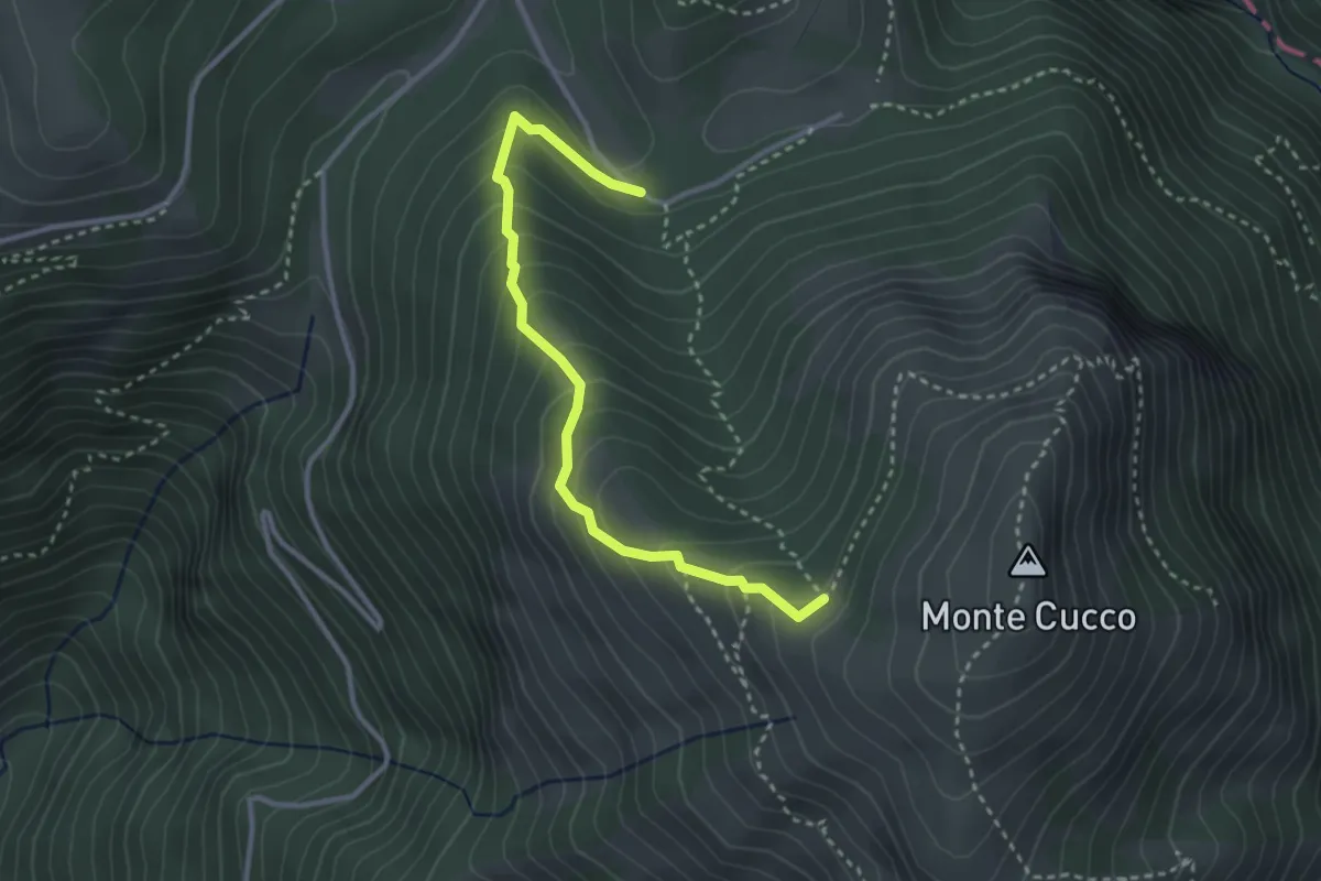
Easy · Trail
Intersezione percorso 226 Valrachena – I Pianelli
3.3 km · ↑ 294 m · 1 h 26 min
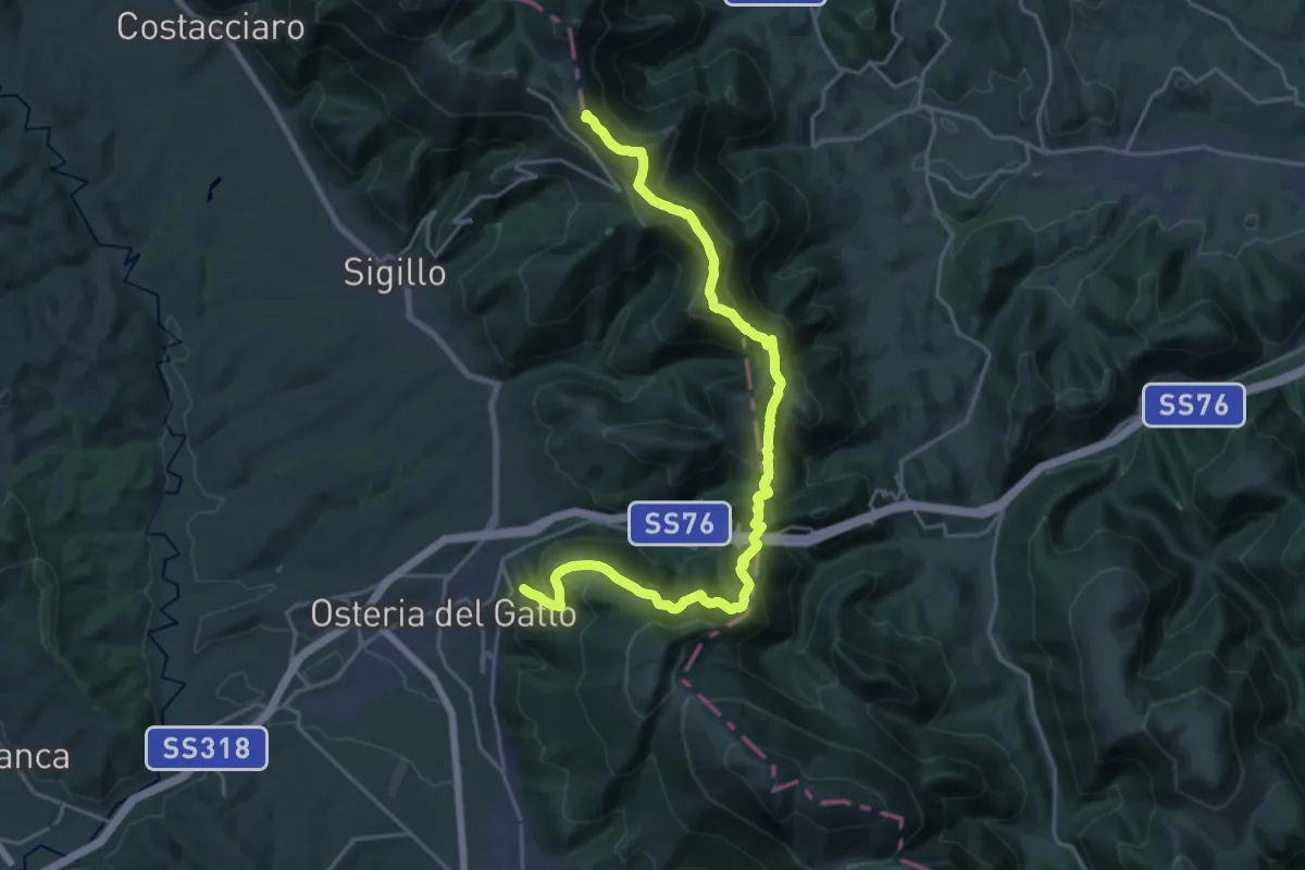
Demanding · Summit
Fossato di Vico – Valico di Fossato
24.9 km · ↑ 1564 m · 9 h 16 min
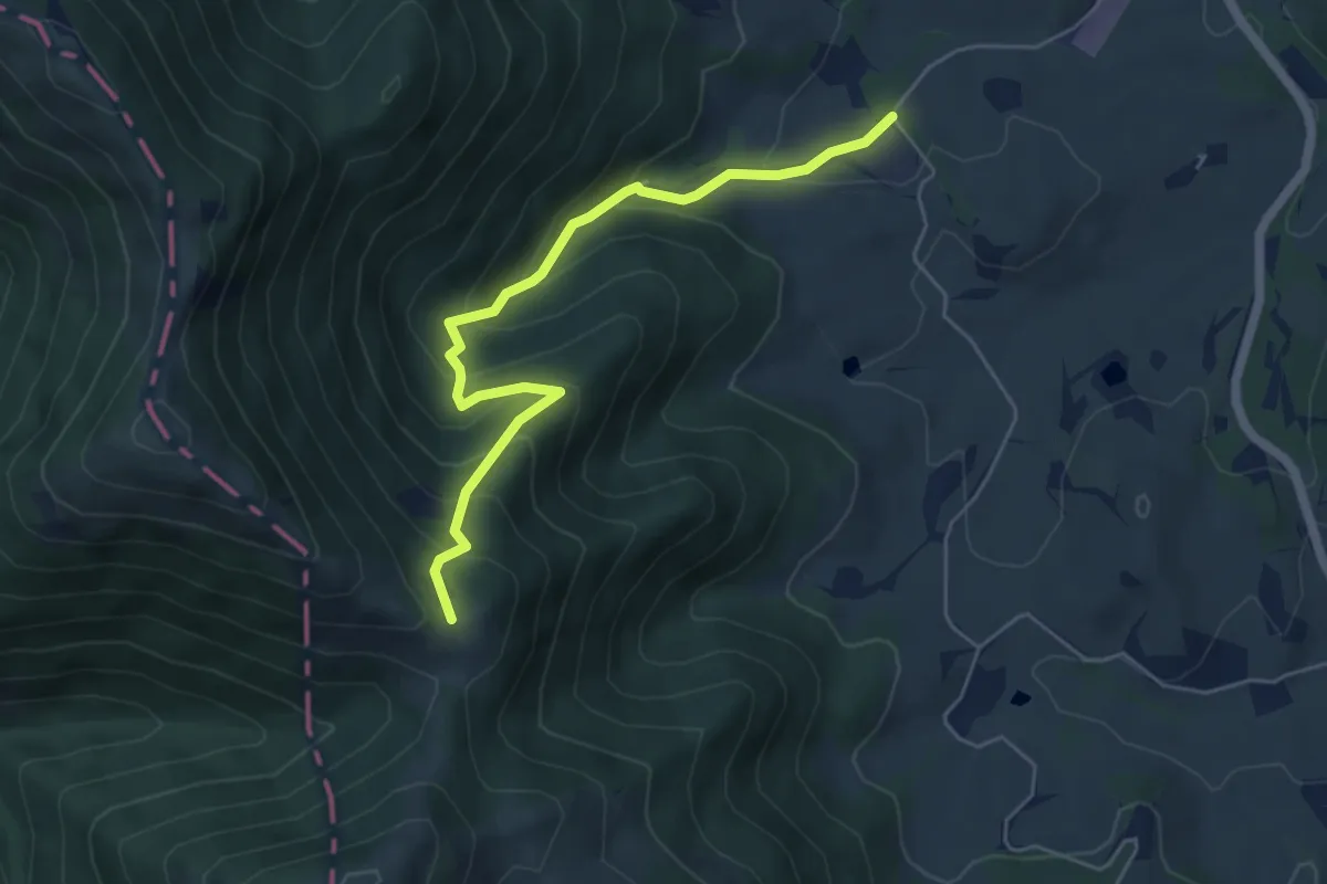
Demanding · Trail
Tenuta San Cassiano – Passo Chiaromonte
5.6 km · ↑ 456 m · 2 h 19 min
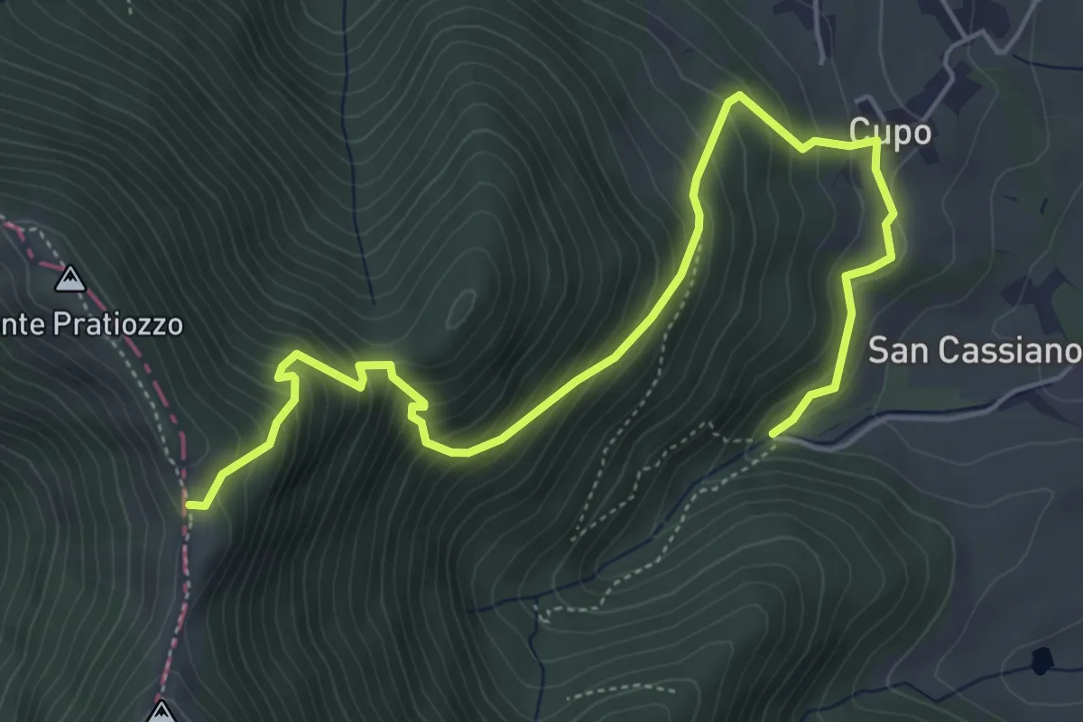
Medium · Trail
Sella Monte Pratiozzo – Tenuta San Cassiano
6.6 km · ↑ 635 m · 2 h 57 min
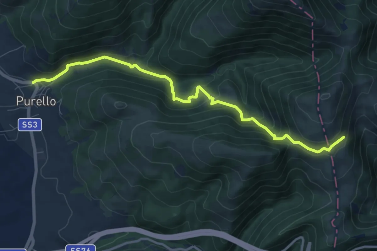
Medium · Trail
Purello – Intersezione Sentiero Italia
9.3 km · ↑ 497 m · 3 h 17 min