Trails in Italy
25,219 hiking trails, each with its route, climb, walking time and grade.
All trails, page 311 of 526
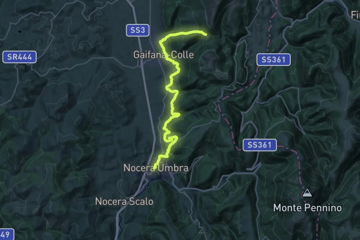
Medium · Trail
Nocera Umbra – Trivio Luticchio
14.1 km · ↑ 772 m · 5 h 1 min
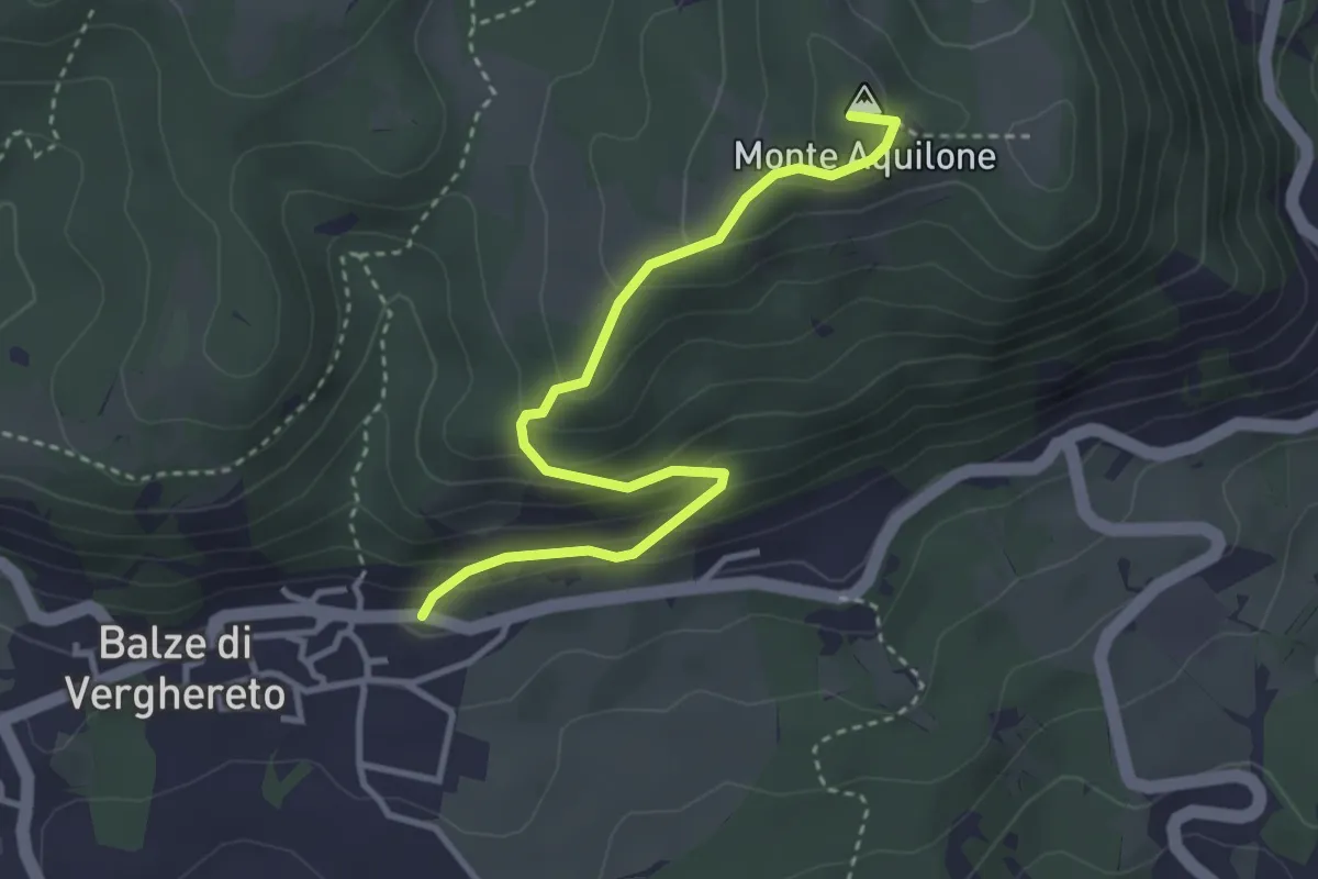
Medium · Summit
Balze – Faggio Scritto
3.7 km · ↑ 244 m · 1 h 25 min
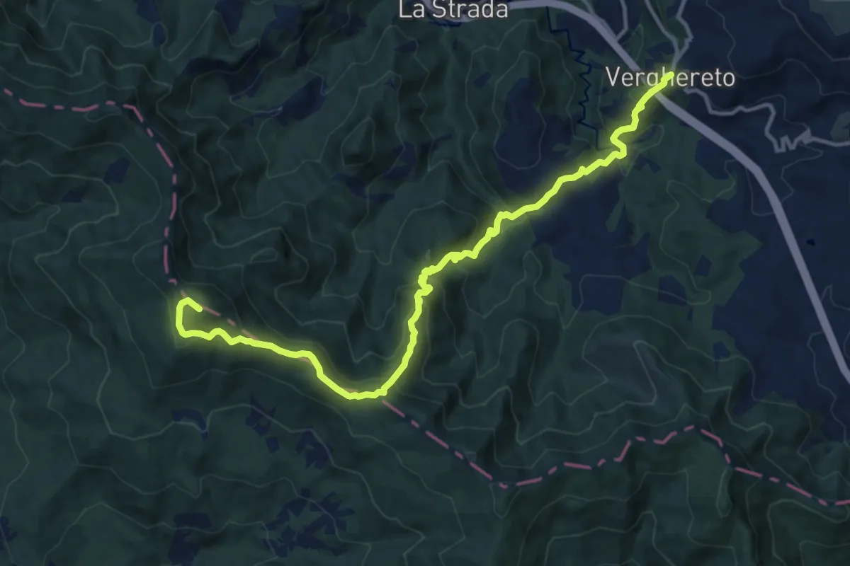
Demanding · Summit
Verghereto – Badia Prataglia
14.3 km · ↑ 968 m · 5 h 29 min
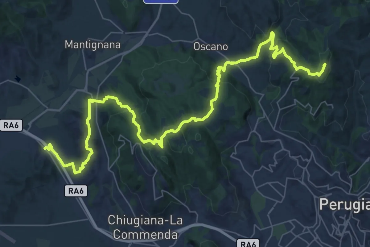
Demanding · Summit
Ponte Pattoli – Taverne di Corciano (S. Pietro)
38.9 km · ↑ 1453 m · 12 h 20 min
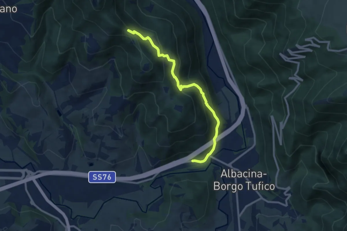
Medium · Trail
Sentiero 147A – Borgo Tufico - SP76
7.2 km · ↑ 503 m · 2 h 48 min
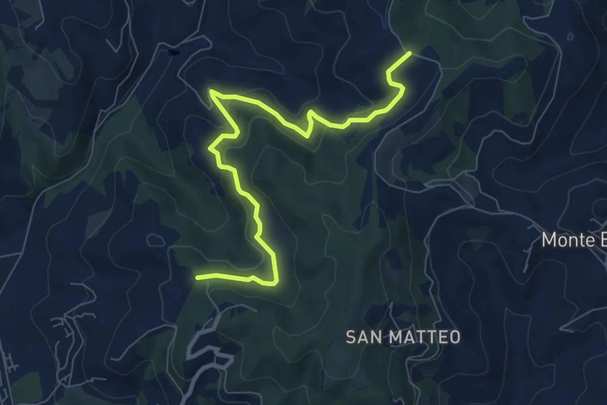
Medium · Trail
Podere Rubbiana – Conservone Nuovo
8.2 km · ↑ 317 m · 2 h 38 min
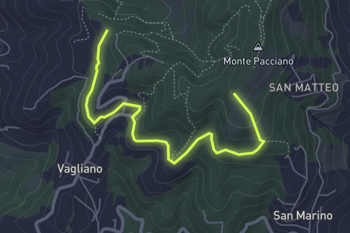
Easy · Trail
Conservone Nuovo – Percorso 943
5.8 km · ↑ 182 m · 1 h 46 min
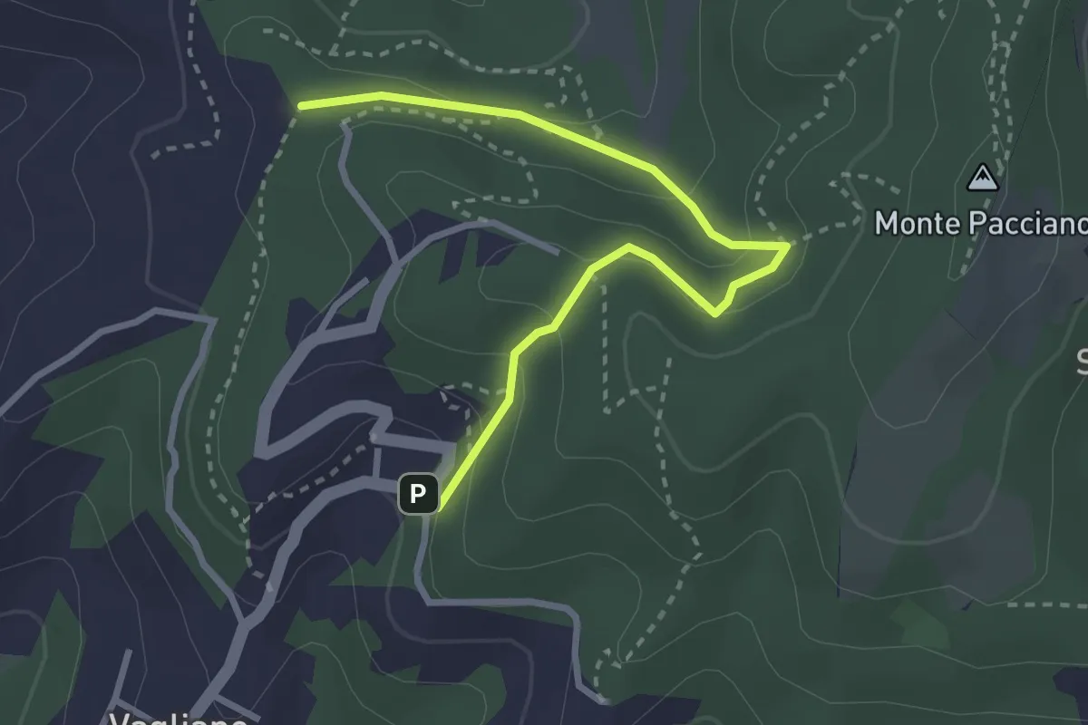
Easy · Trail
Conservone Vecchio – Sentiero 943
3.3 km · ↑ 173 m · 1 h 9 min
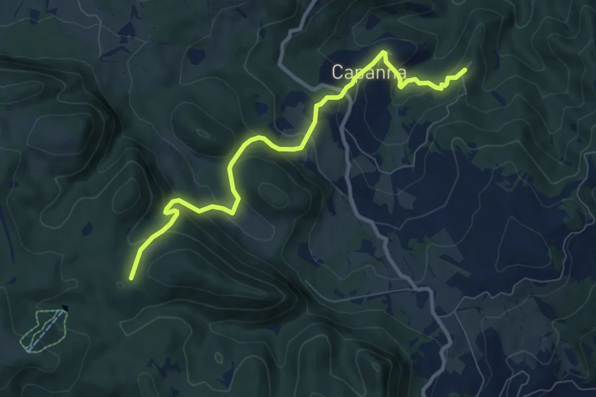
Medium · Trail
Velle – Petricci
8.2 km · ↑ 559 m · 3 h 10 min
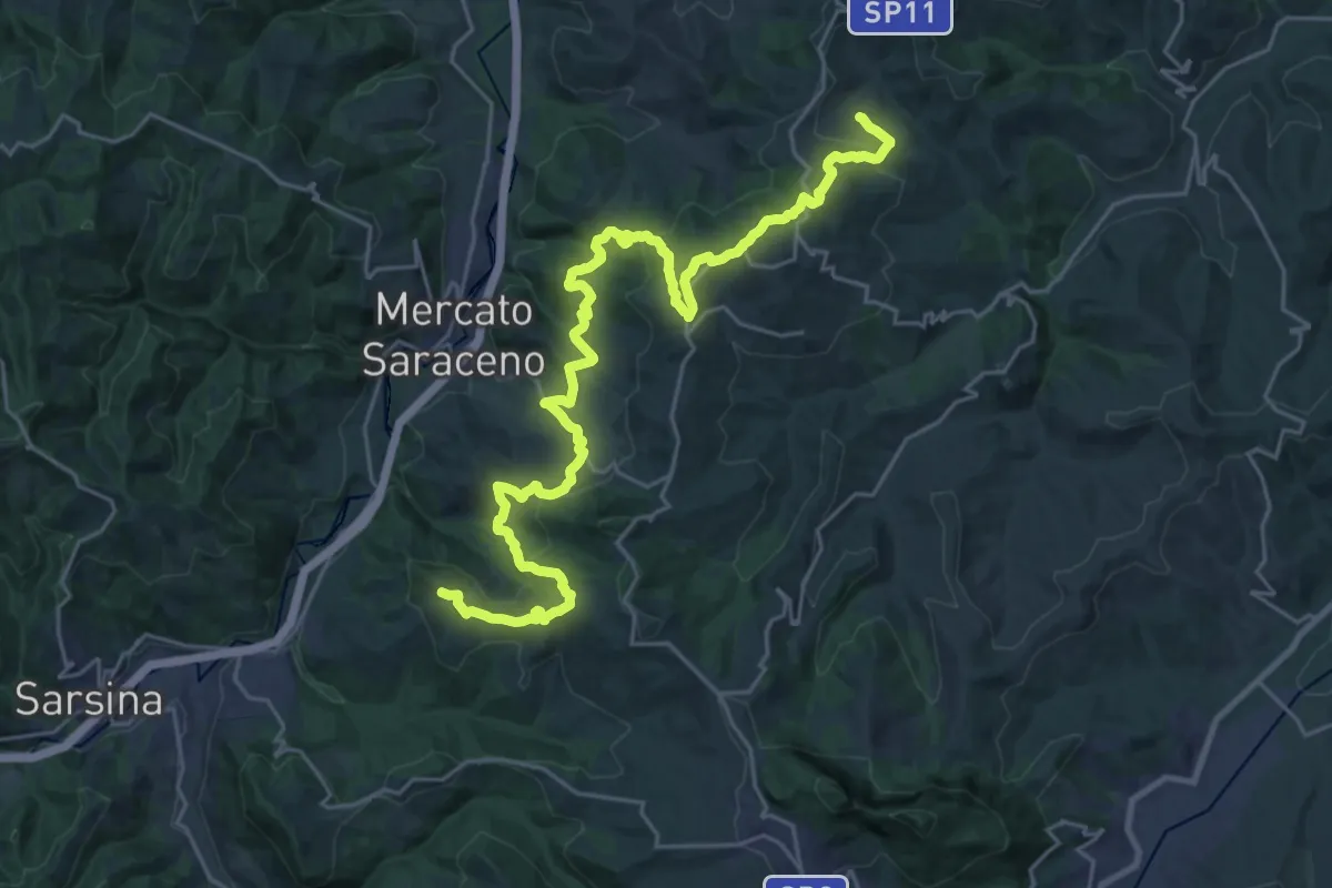
Medium · Trail
Montepetra – Montegelli (La Compagnia)
15.9 km · ↑ 628 m · 5 h 23 min
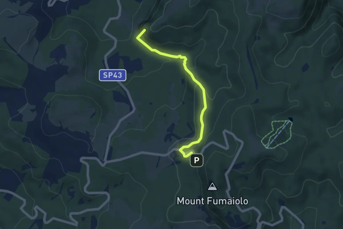
Medium · Summit
La Straniera – Sassoni
4.5 km · ↑ 226 m · 1 h 33 min
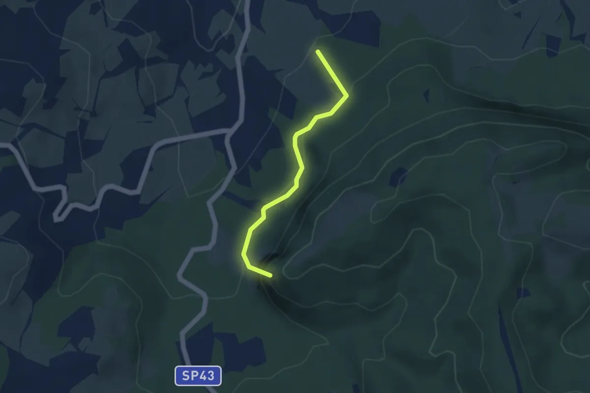
Easy · Summit
Percorso 127 – Percorso 133
3.0 km · ↑ 159 m · 1 h 3 min
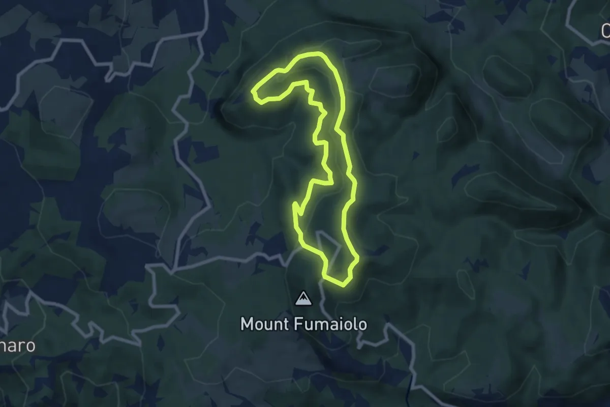
Easy · Trail
Rifugio Biancaneve – Rifugio Biancaneve
6.5 km · ↑ 240 m · 2 h 9 min
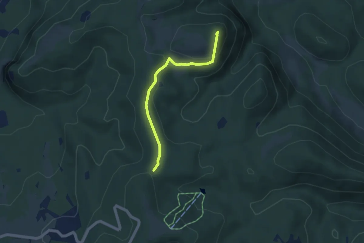
Easy · Summit
Faggio Scritto – Rifugio Giuseppe
3.4 km · ↑ 123 m · 1 h 4 min
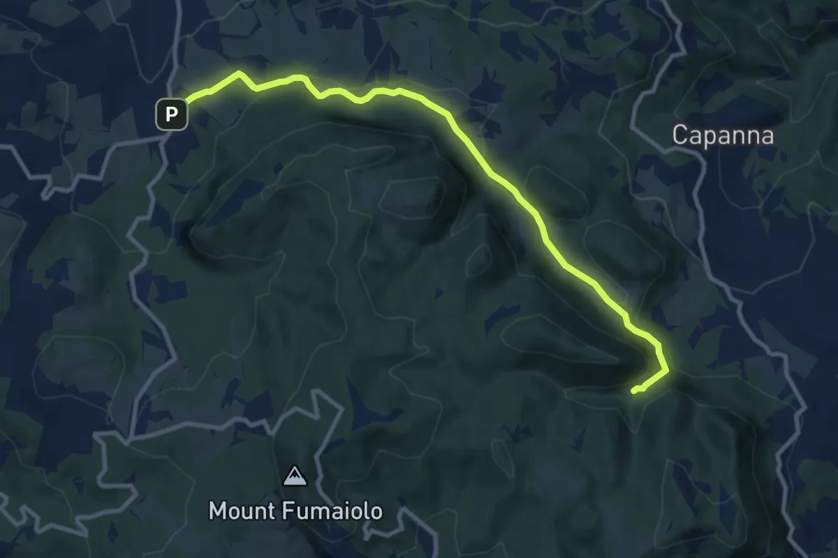
Medium · Trail
La Straniera – Sant'Alberico
10.1 km · ↑ 356 m · 3 h 9 min
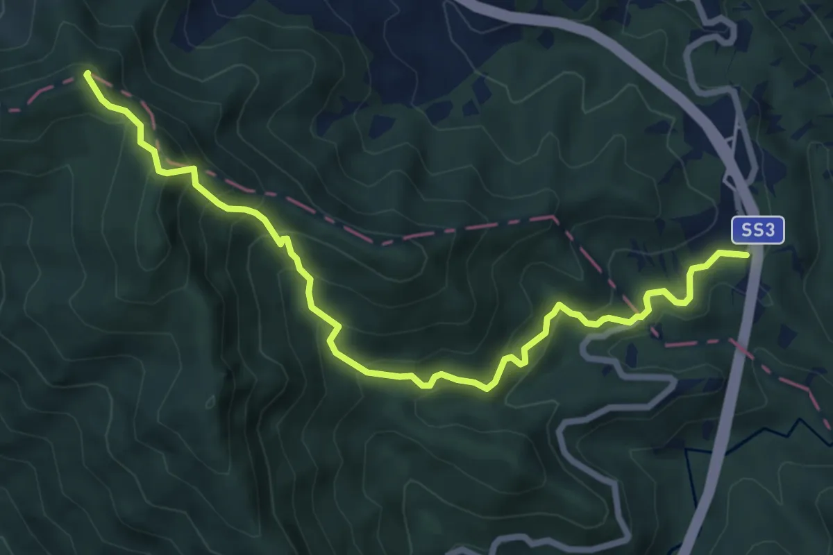
Medium · Summit
Canili – Poggio Bastione
7.7 km · ↑ 613 m · 3 h 9 min
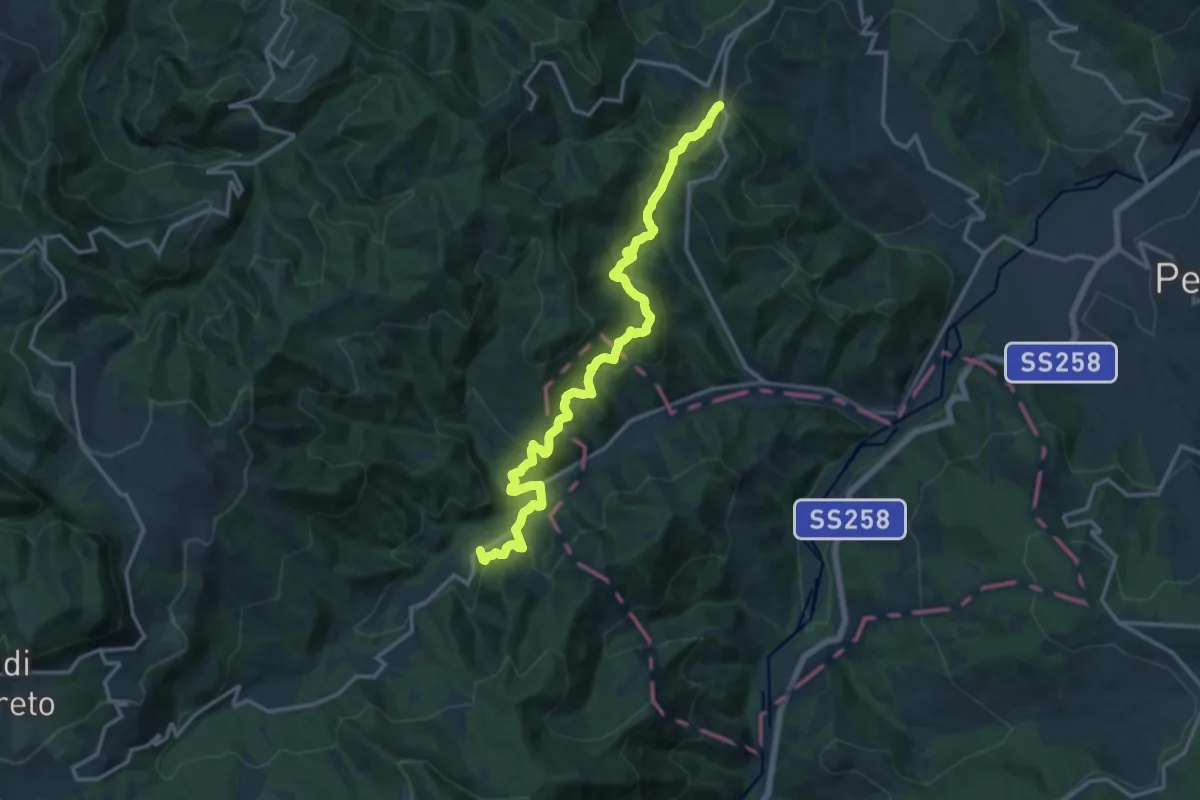
Demanding · Trail
Pietracuta – Monte della Faggiola
16.7 km · ↑ 874 m · 5 h 51 min
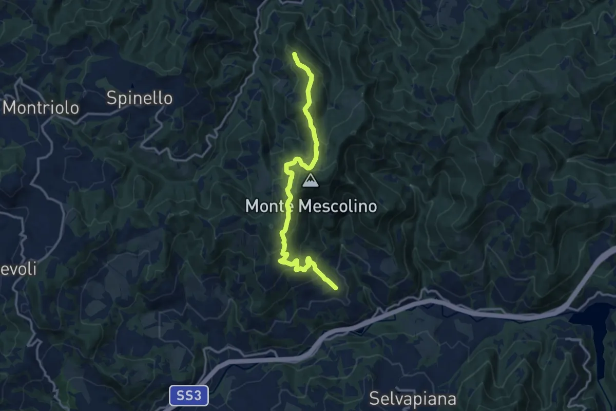
Medium · Summit
SP 127 – Vessa
12.7 km · ↑ 680 m · 4 h 29 min
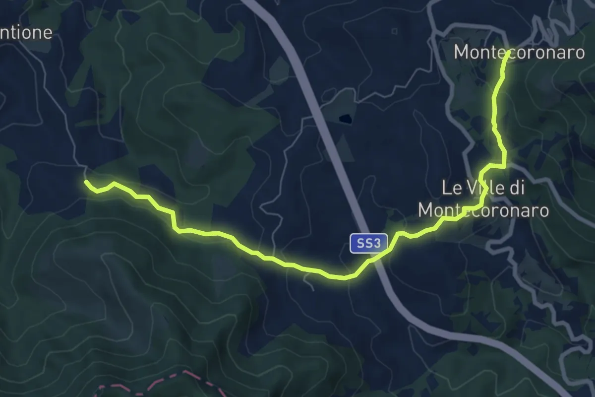
Medium · Trail
Montecoronaro – Val del Melo
8.0 km · ↑ 367 m · 2 h 41 min
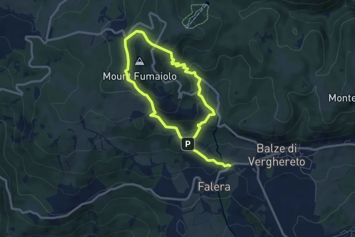
Medium · Trail
Falera – Falera
5.1 km · ↑ 264 m · 1 h 53 min
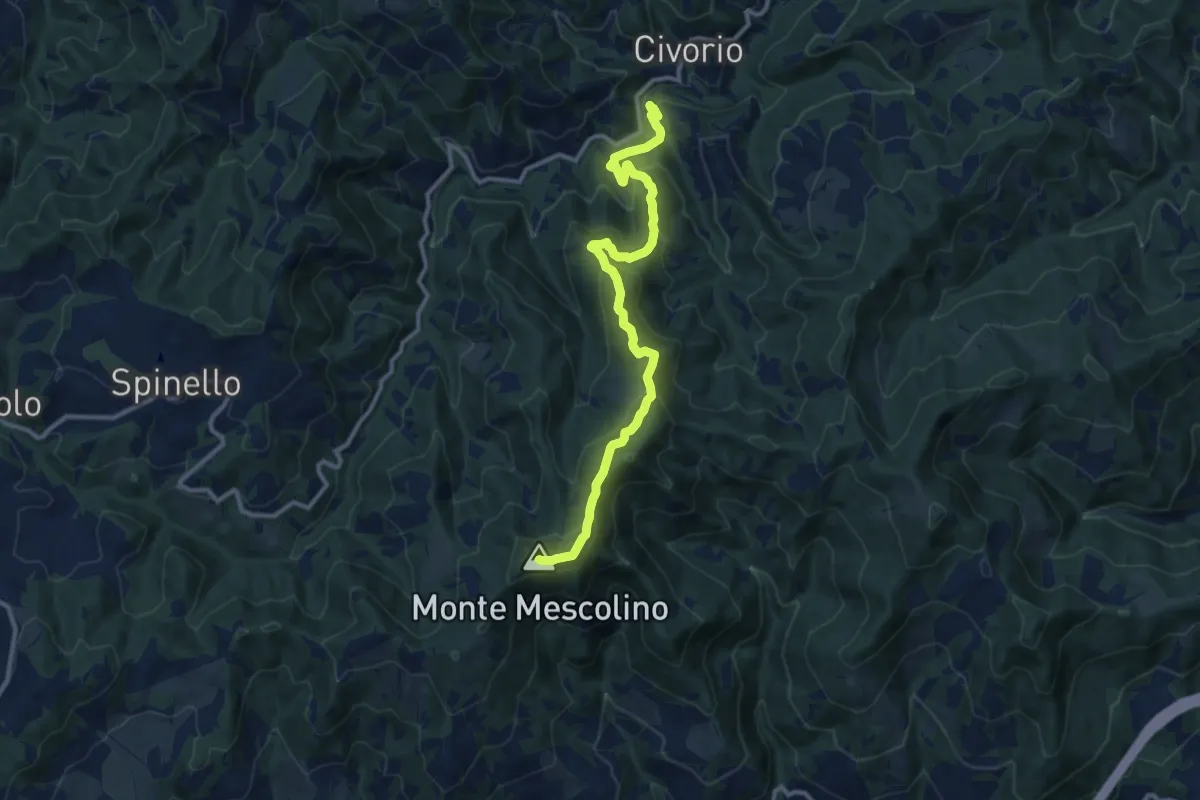
Medium · Summit
Pian della Bora – Percorso 101
12.0 km · ↑ 642 m · 4 h 13 min
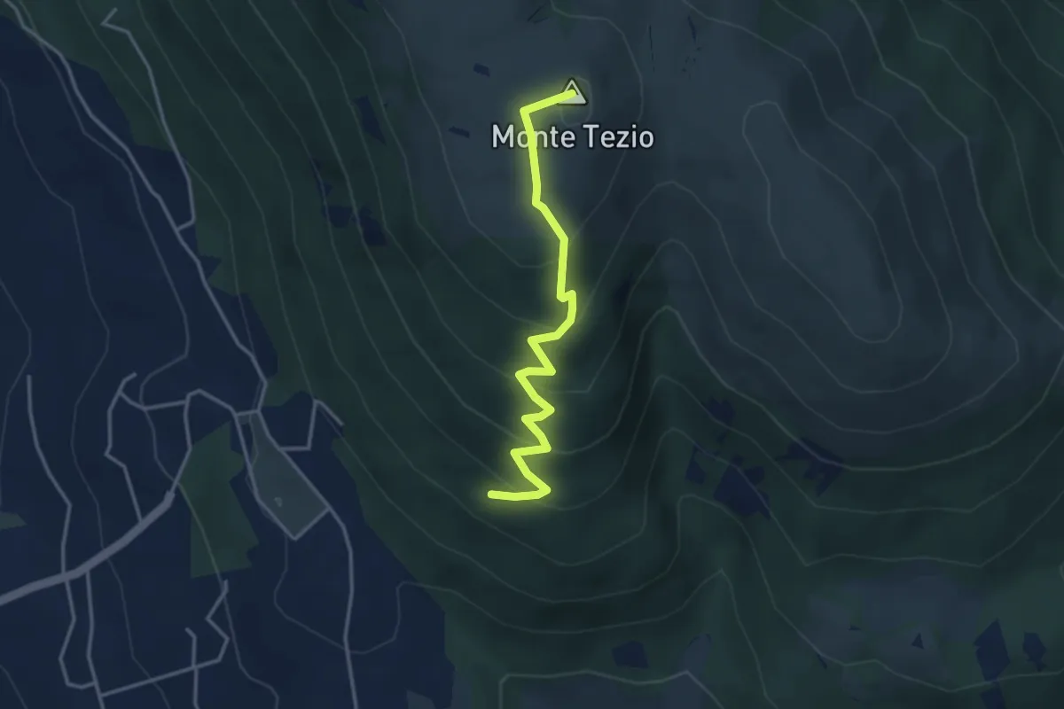
Medium · Summit
Infopoint Belvedere – C. Pavia
3.7 km · ↑ 270 m · 1 h 27 min
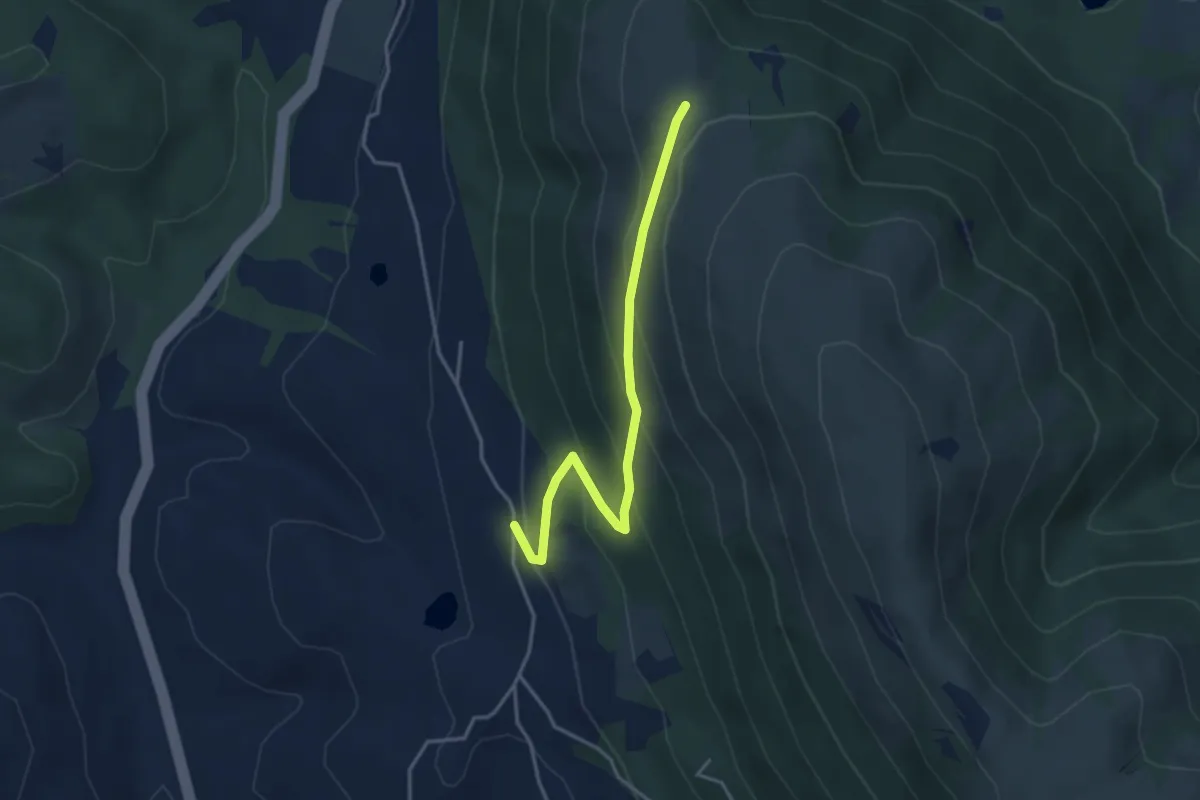
Easy · Trail
Pieve Petroia – Sentiero 962
3.9 km · ↑ 247 m · 1 h 27 min
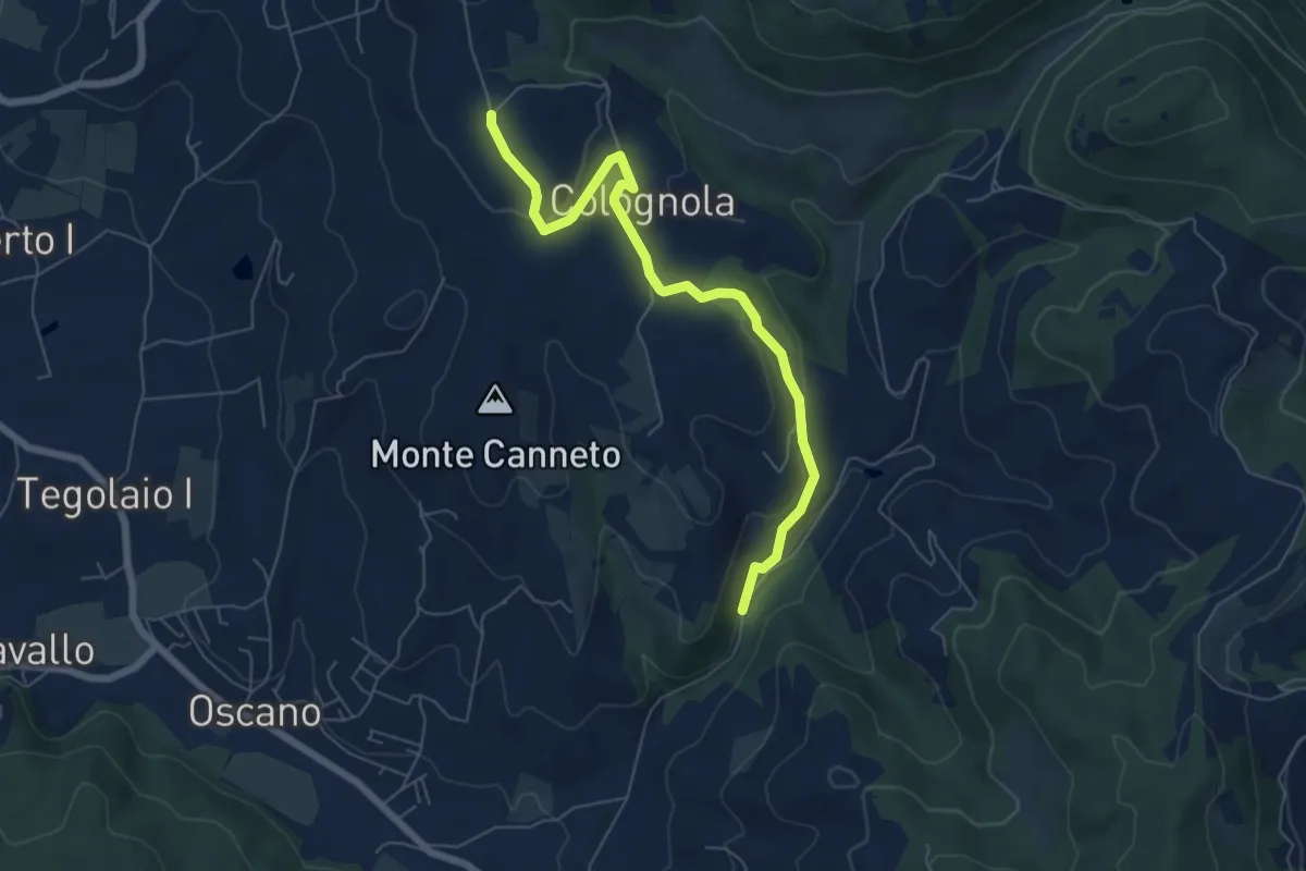
Easy · Trail
Colognola – Incrocio 943
6.9 km · ↑ 217 m · 2 h 6 min
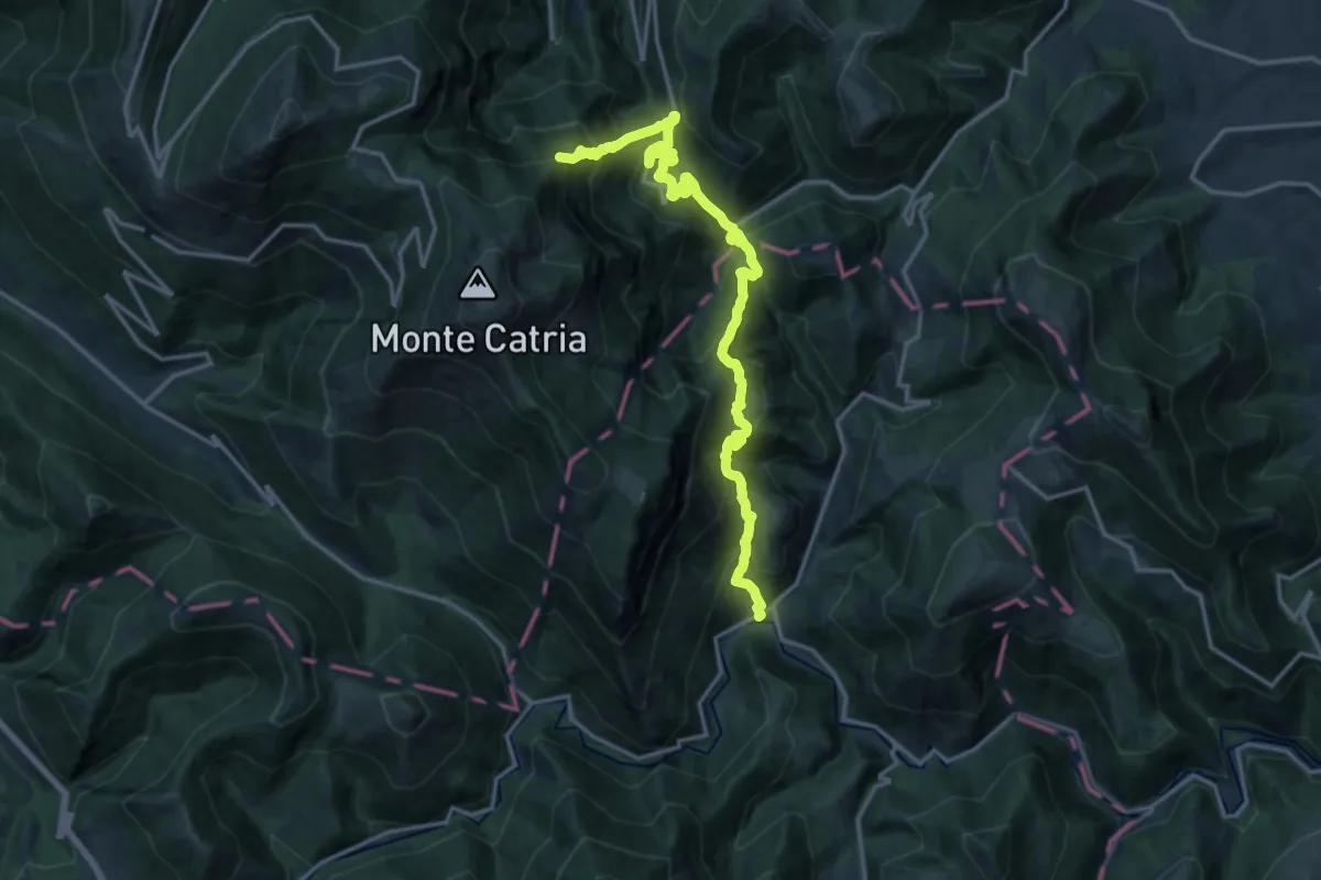
Demanding · Summit
Isola Fossara – Chiaserna
18.3 km · ↑ 1649 m · 7 h 54 min
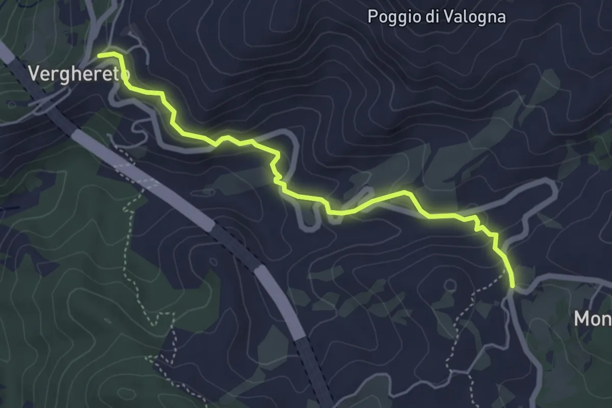
Easy · Trail
Verghereto – Valico di Montecoronaro
4.8 km · ↑ 230 m · 1 h 38 min
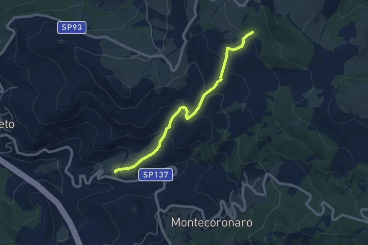
Easy · Trail
Valogna – Percorso 173
4.6 km · ↑ 289 m · 1 h 43 min
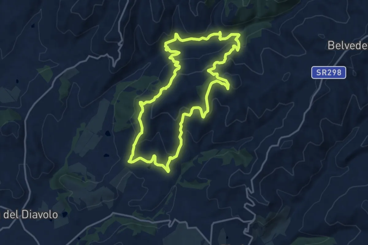
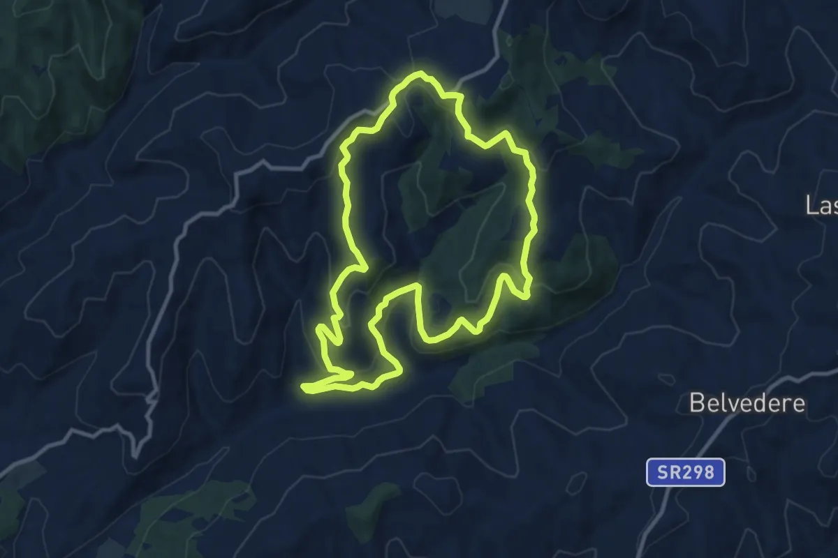
Medium · Trail
Montelabate – Montelabate
12.5 km · ↑ 570 m · 4 h 22 min
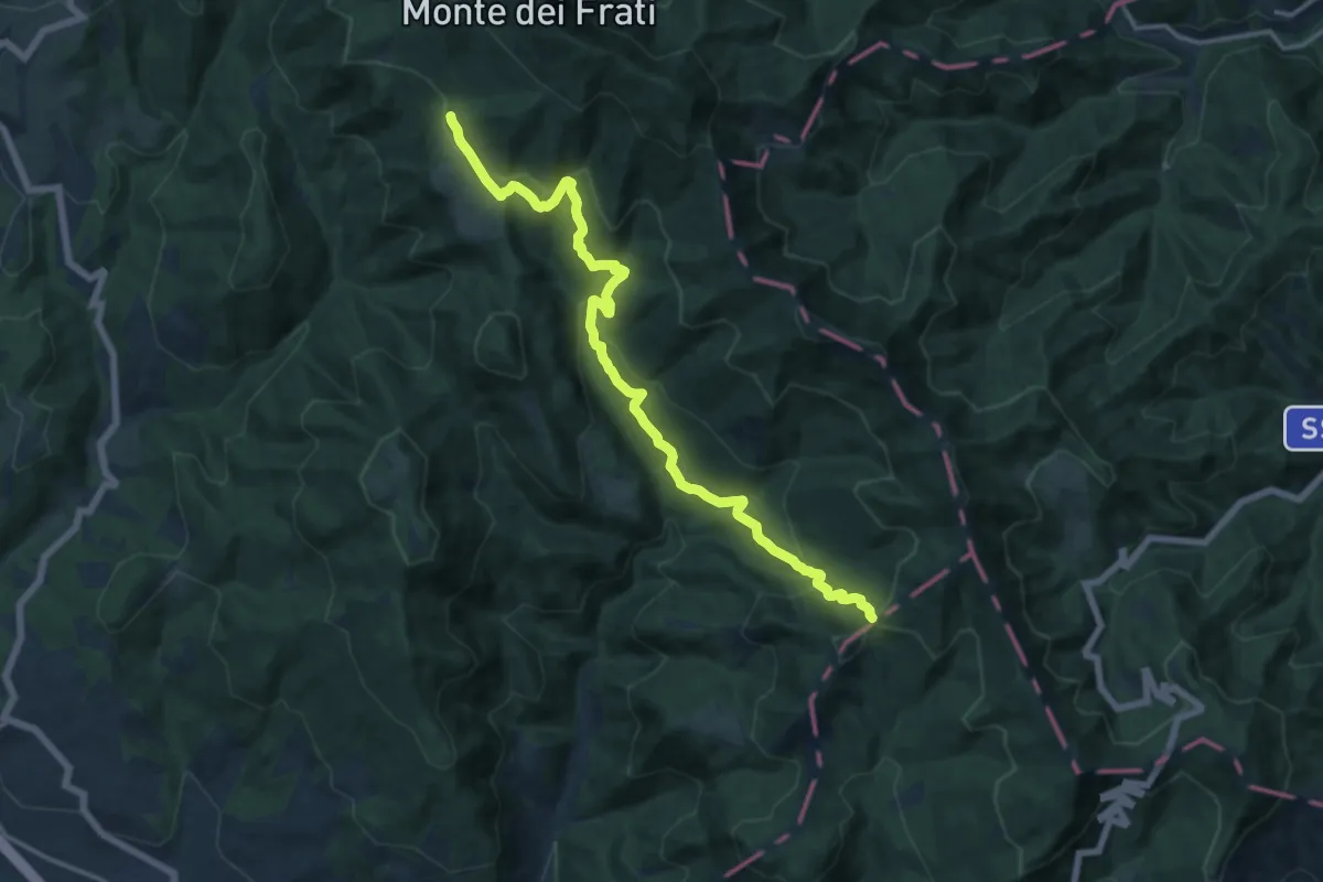
Medium · Trail
Casella Ventia – Casella Ventia
10.6 km · ↑ 461 m · 3 h 39 min
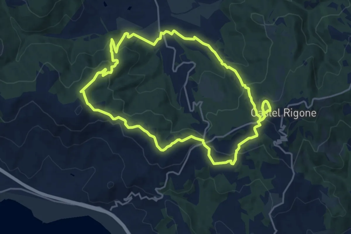
Demanding · Trail
Innesto sentiero 4 – Innesto sentiero 8
16.2 km · ↑ 817 m · 5 h 36 min
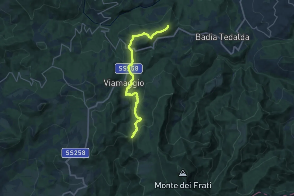
Medium · Summit
Castel Rigone – Castel Rigone
13.6 km · ↑ 510 m · 4 h 30 min
Demanding · Summit
Badia Tedalda – Poggio delle Coste
15.0 km · ↑ 608 m · 4 h 52 min
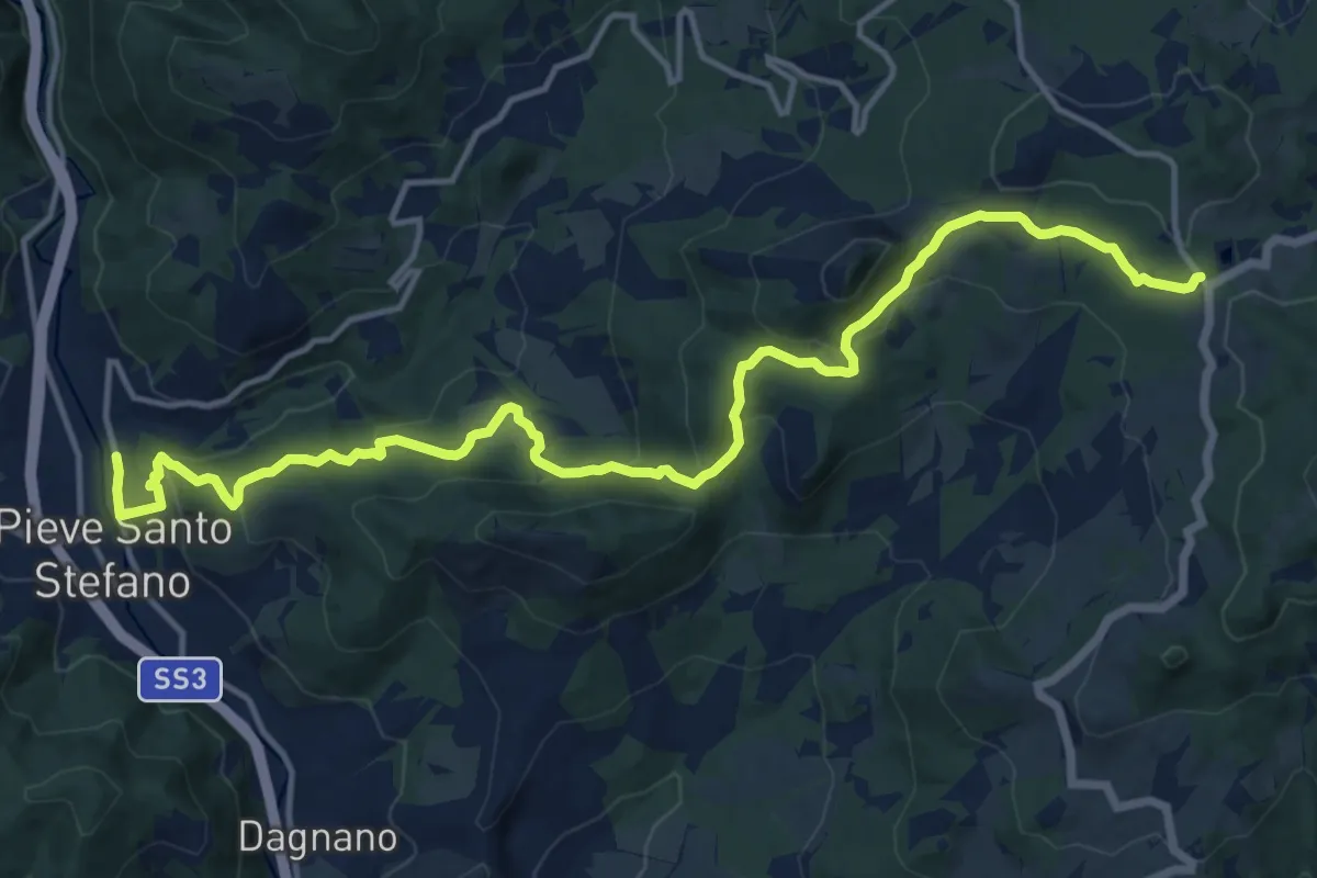
Medium · Trail
Passo di Viamaggio – Ponte alla Piera
17.6 km · ↑ 706 m · 5 h 41 min
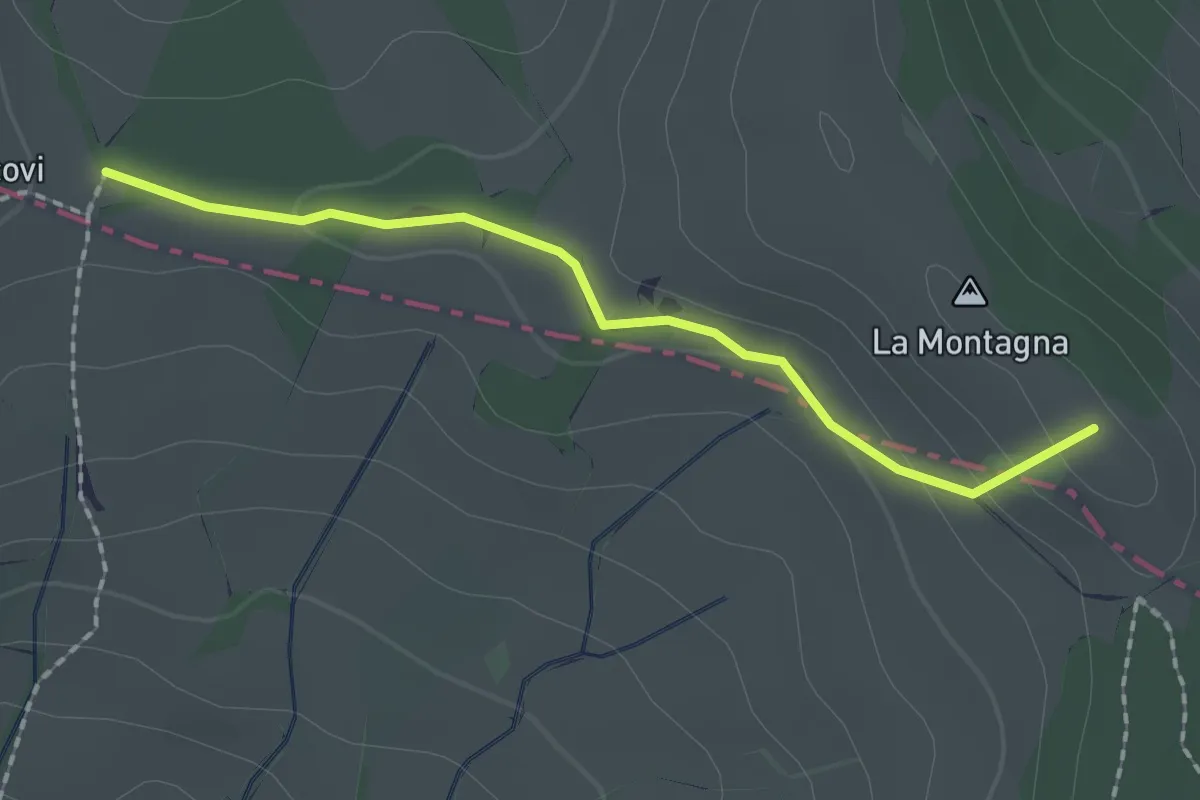
Easy · Summit
Passo di Viamaggio – Poggio dei Tre Vescovi
1.9 km · ↑ 38 m · 32 min
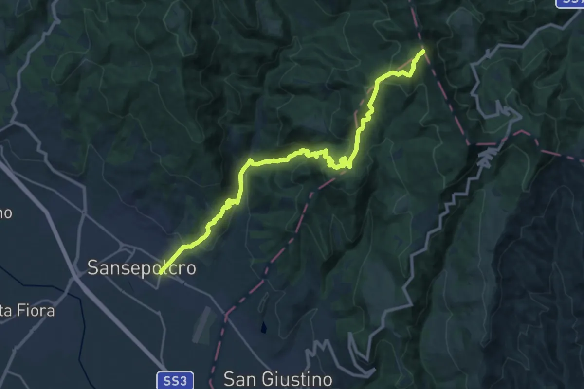
Demanding · Summit
Sansepolcro – Poggio dei tre Termini
20.7 km · ↑ 1144 m · 7 h 23 min
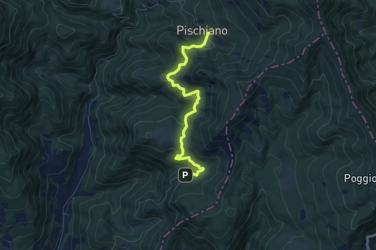
Medium · Trail
Montecasale Innesto sentiero 4 – Pischiano Innesto sentiero 6
7.6 km · ↑ 387 m · 2 h 38 min
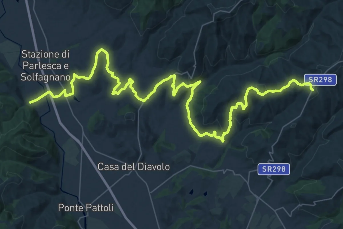
Demanding · Trail
Pieve S. Quirico – Casacce
21.6 km · ↑ 713 m · 6 h 45 min
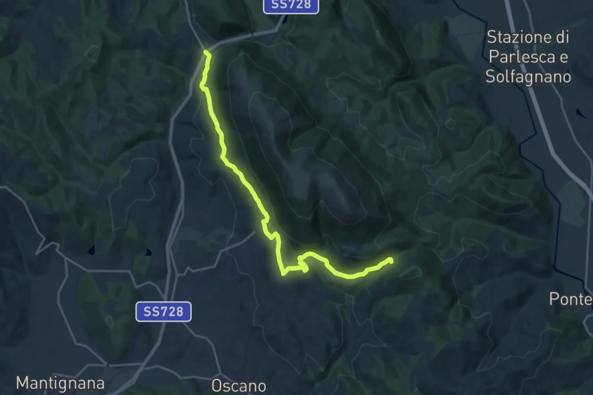
Medium · Trail
Colognola – San Giovanni del Pantano
17.9 km · ↑ 474 m · 5 h 15 min
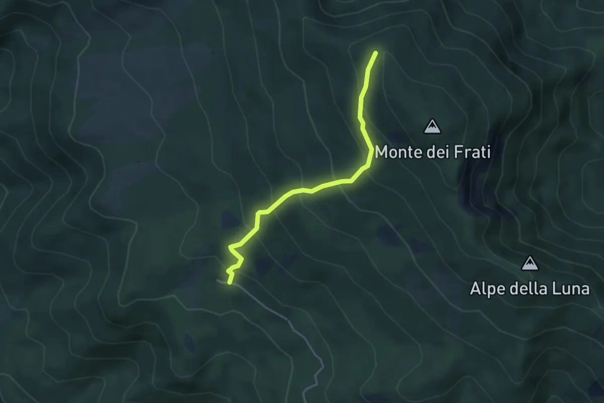
Medium · Cabin
Pian delle Capanne – Monte dei Frati
3.6 km · ↑ 343 m · 1 h 36 min
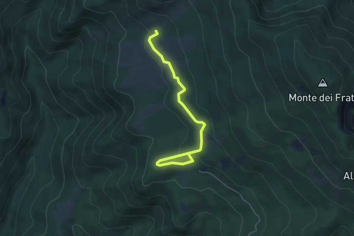
Easy · Summit
Pian delle Capanne – Poggio delle Coste
4.6 km · ↑ 155 m · 1 h 25 min
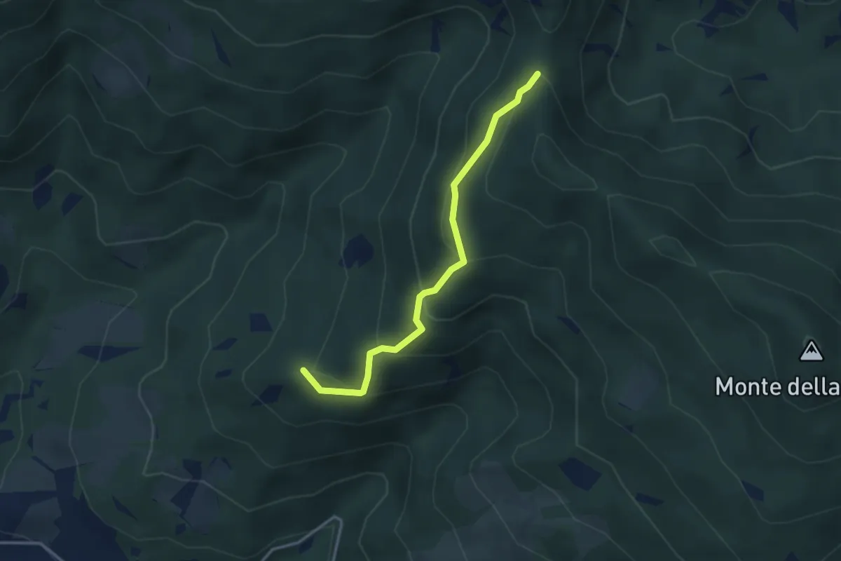
Easy · Summit
Inn. Sent. 12 a Ville di Roti – Inn. Sent. 00 a Monte Zucca
3.3 km · ↑ 223 m · 1 h 15 min
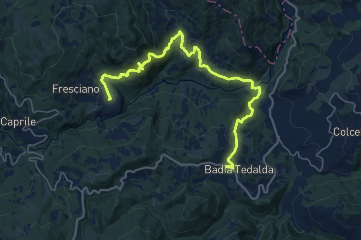
Demanding · Trail
Inn. Sent. 3 a Fresciano – Montebotolino
19.1 km · ↑ 912 m · 6 h 28 min
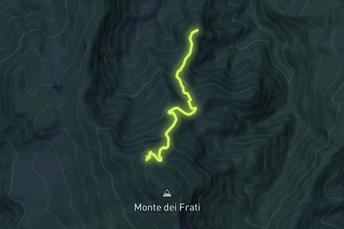
Medium · Summit
Badia Tedalda – Inn. Sent. 00-GEA Monte Frati
5.5 km · ↑ 498 m · 2 h 23 min
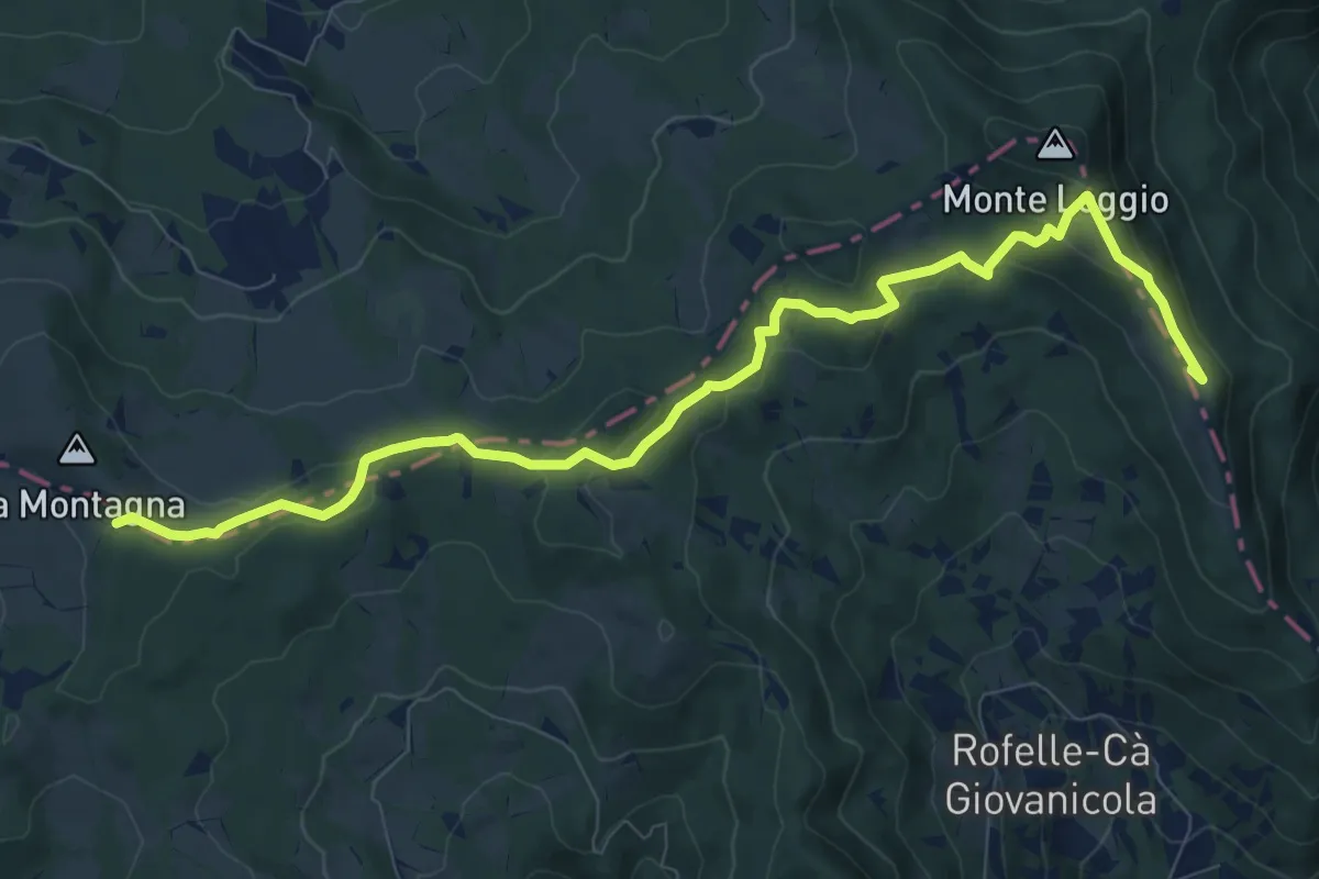
Medium · Summit
Inn. Sent. 15 Rofelle – Inn. Sent. 3 Poggio Montagna
10.7 km · ↑ 362 m · 3 h 19 min
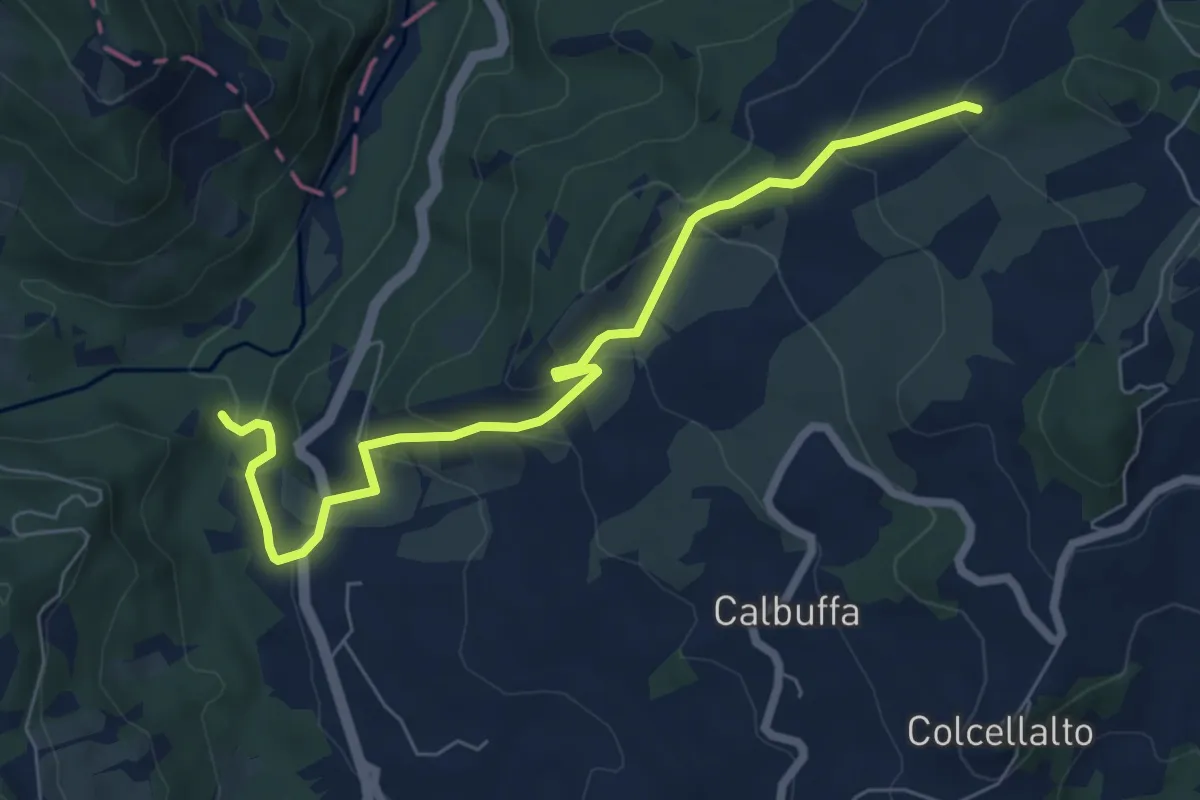
Medium · Trail
Inn. Sent. 17 a C. Serra – Inn. Sent. 15 a Ranco
7.5 km · ↑ 372 m · 2 h 35 min
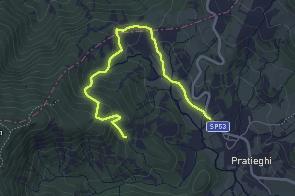
Easy · Trail
Pratieghi – Pratieghi
2.7 km · ↑ 97 m · 56 min
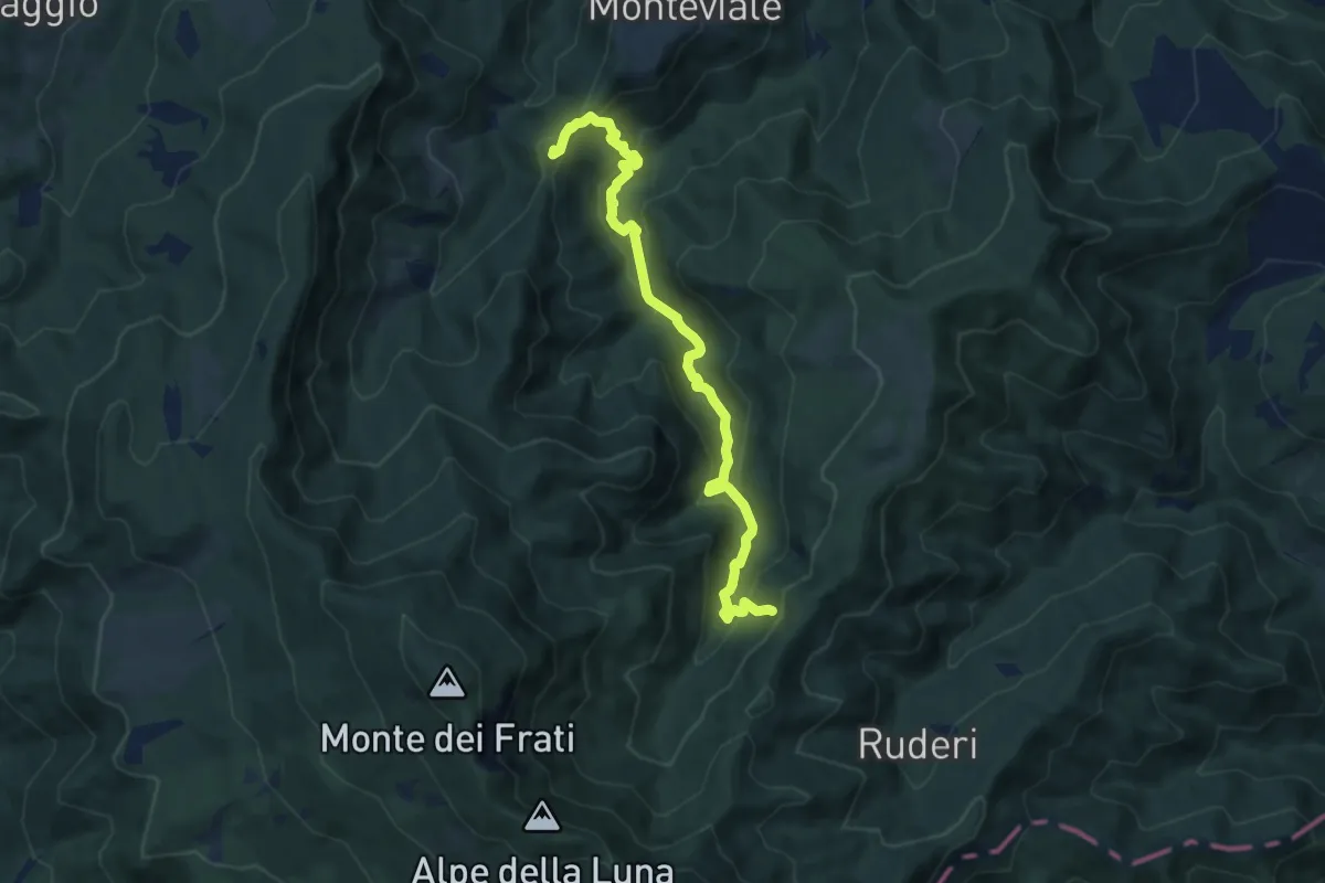
Medium · Summit
Poggio la Piazzola – Innesto sentiero 829
9.0 km · ↑ 476 m · 3 h 10 min
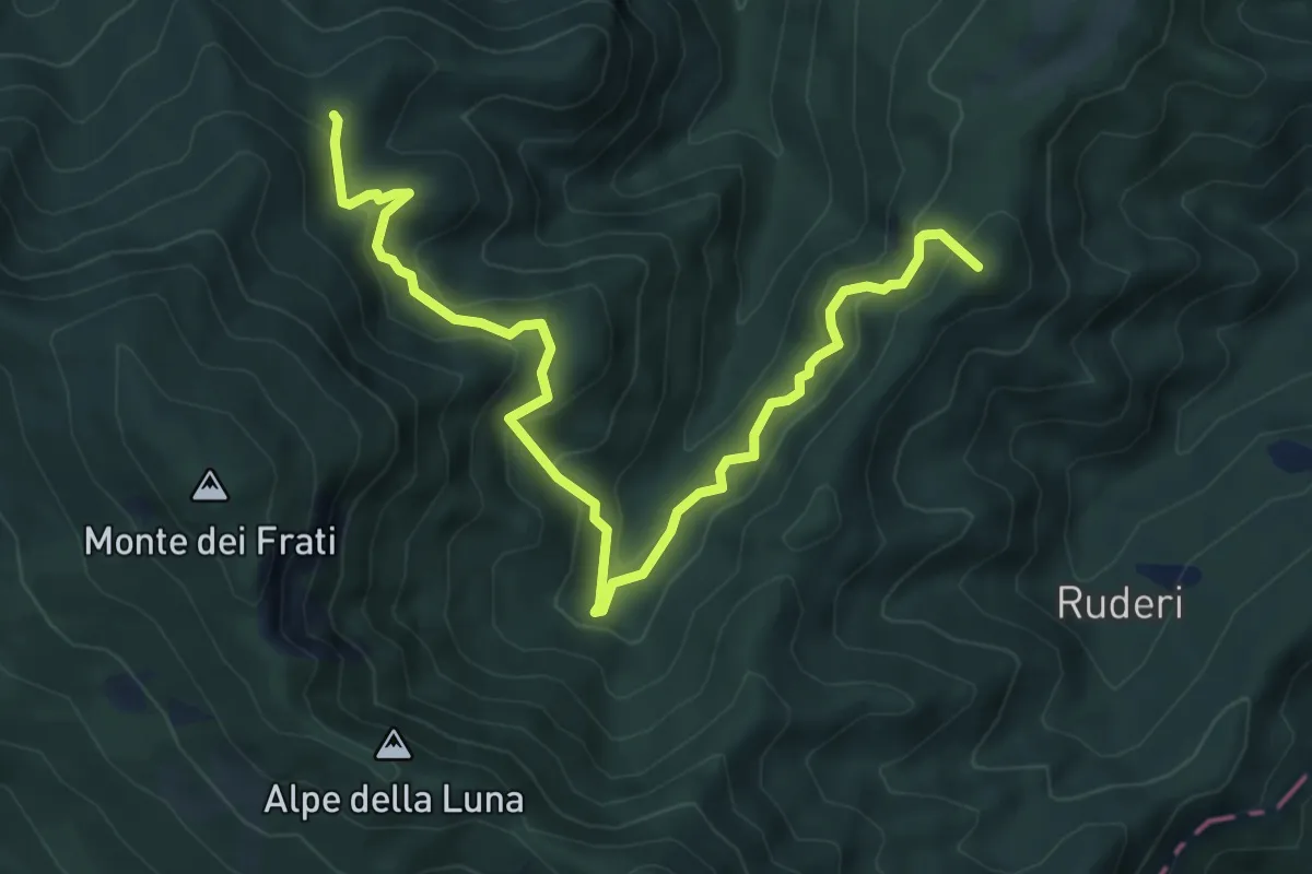
Medium · Summit
Case Il Monte – Poggio delle Ciabattine
8.2 km · ↑ 592 m · 3 h 13 min