Trails in Italy
25,219 hiking trails, each with its route, climb, walking time and grade.
All trails, page 312 of 526
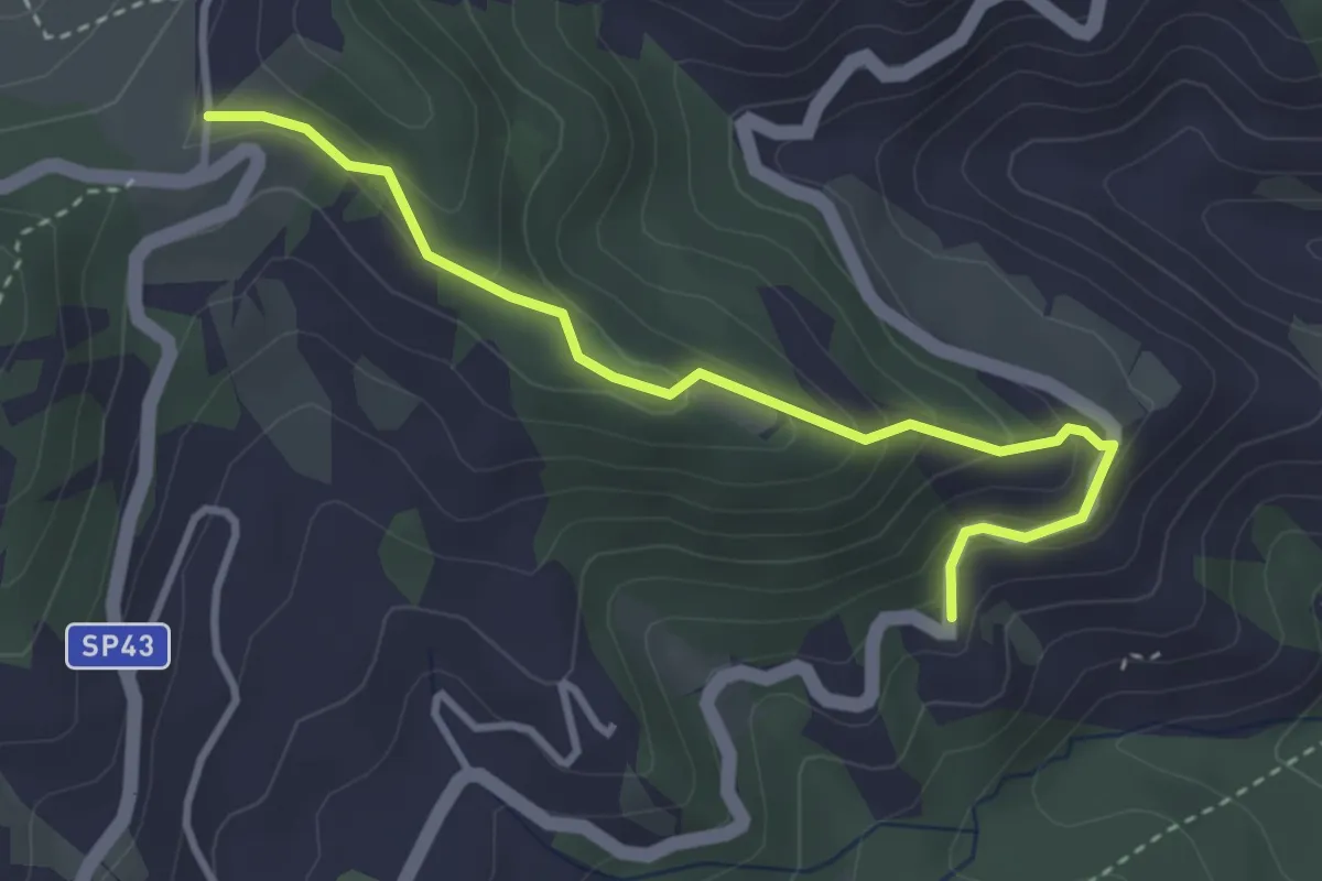
Medium · Trail
Castel d'Alfero – Incisa
3.6 km · ↑ 252 m · 1 h 24 min
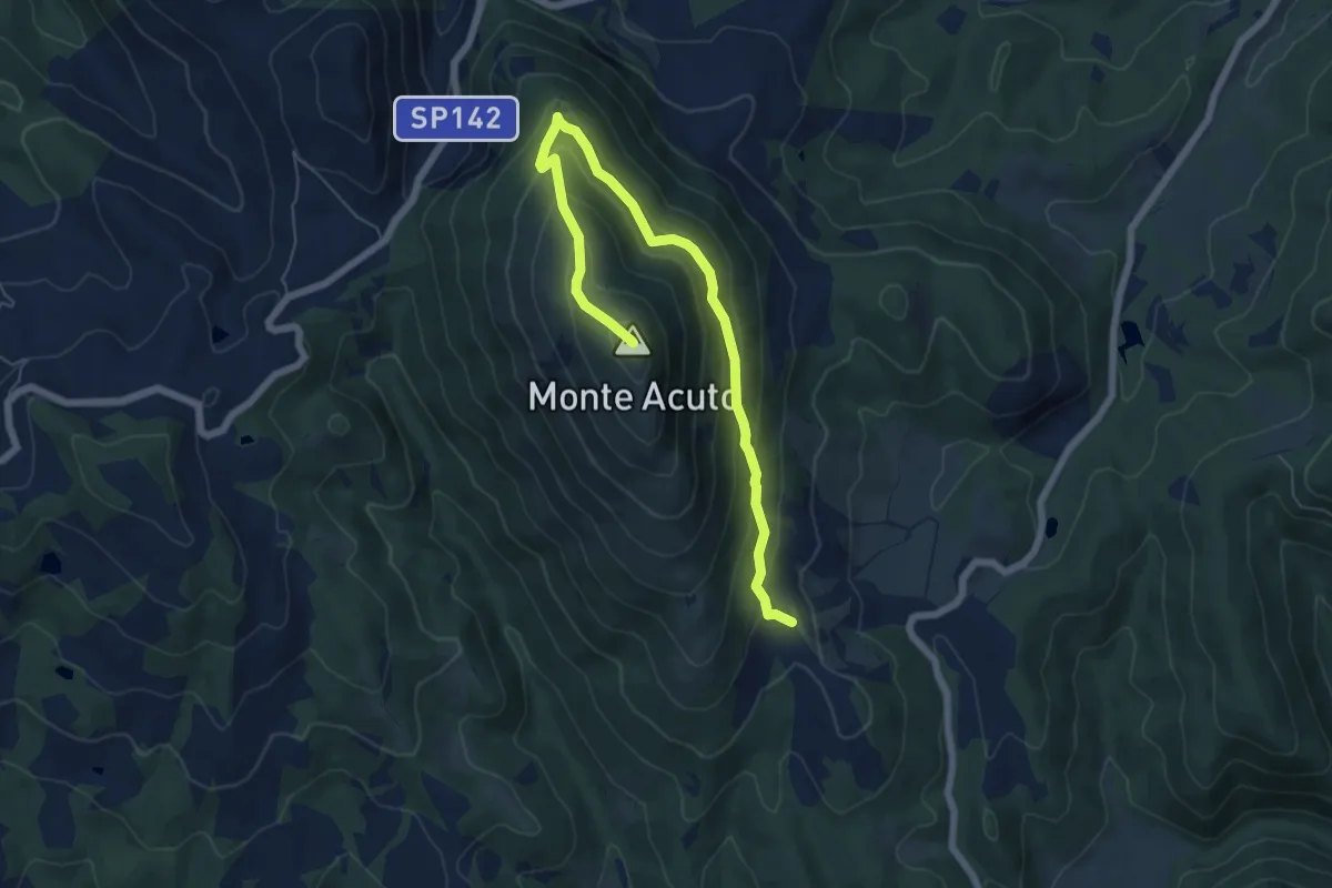
Medium · Summit
Galera – Monte Acuto
7.5 km · ↑ 483 m · 2 h 49 min
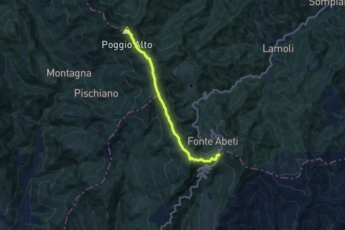
Medium · Summit
Bocca Trabaria – Passo Sbocco di Bucine
10.8 km · ↑ 521 m · 3 h 41 min
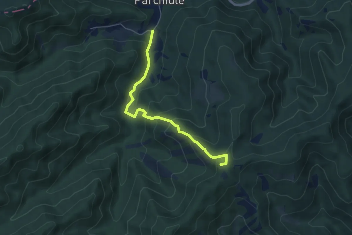
Demanding · Summit
Sentiero 385 (Poggio della Biforca) – Sentiero 390 (Parchiule)
4.9 km · ↑ 338 m · 1 h 53 min
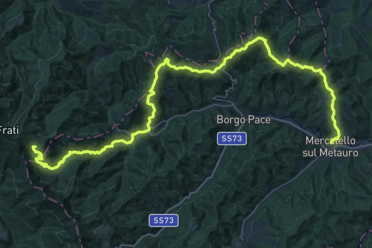
Demanding · Summit
Mercatello sul Metauro – Monte Maggiore
45.5 km · ↑ 2177 m · 15 h 27 min
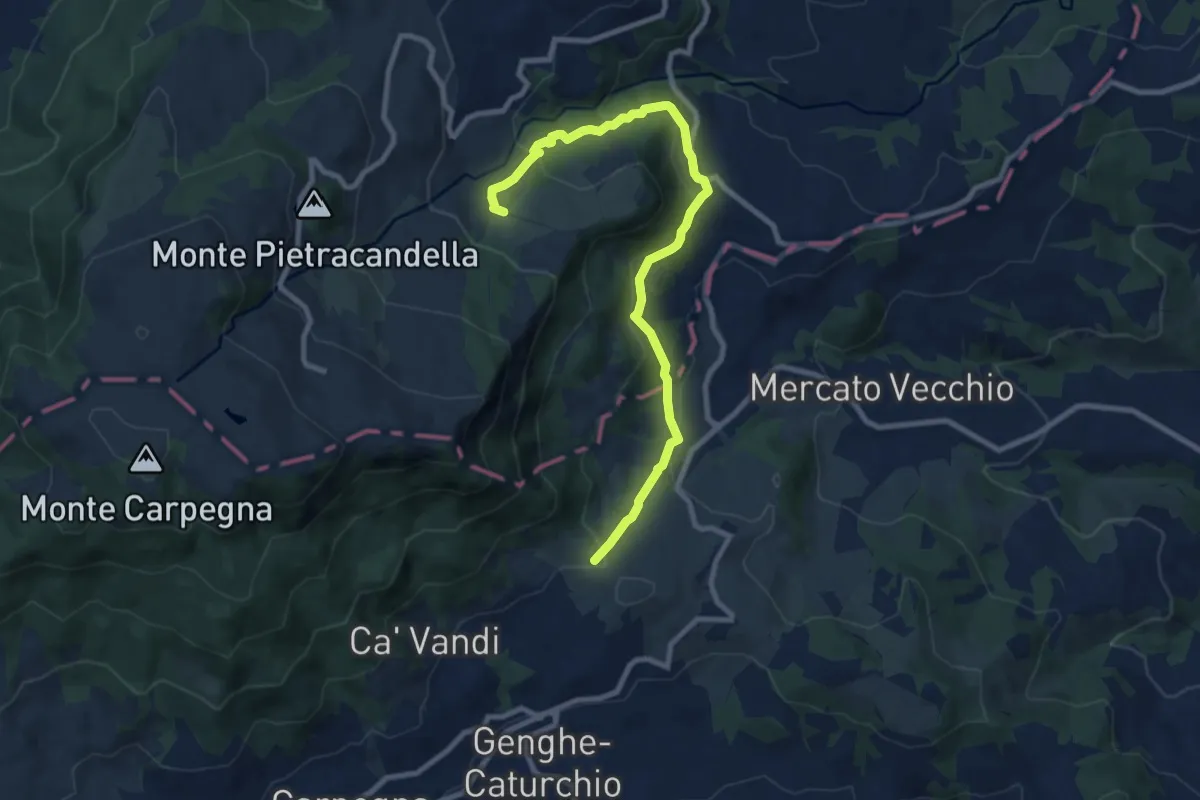
Medium · Trail
Percorso 108 – Le Ville
10.1 km · ↑ 420 m · 3 h 18 min
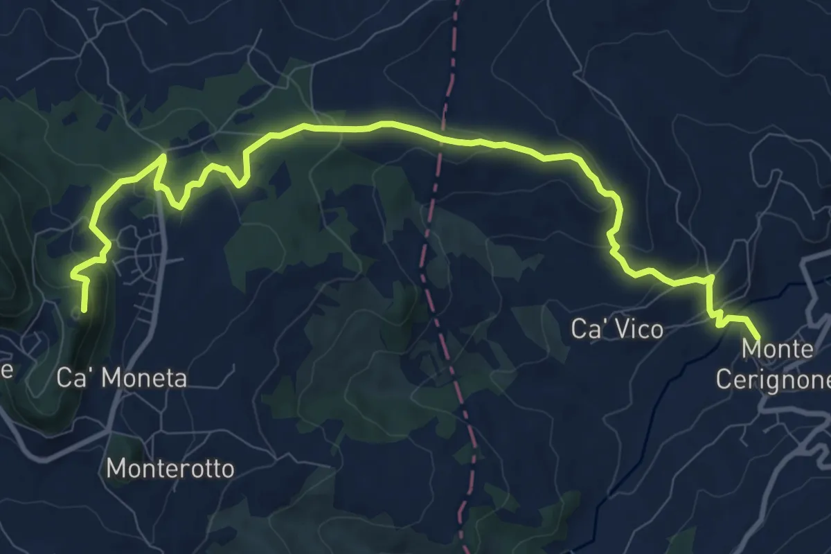
Medium · Summit
Montecerignone – Villagrande
12.0 km · ↑ 547 m · 4 h 1 min
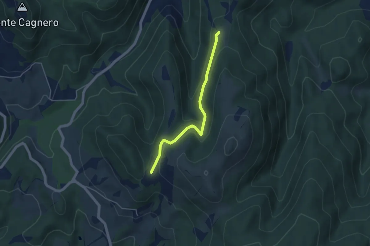
Easy · Trail
Raccordo sentiero 465 – Raccordo sentiero 463
3.7 km · ↑ 152 m · 1 h 12 min
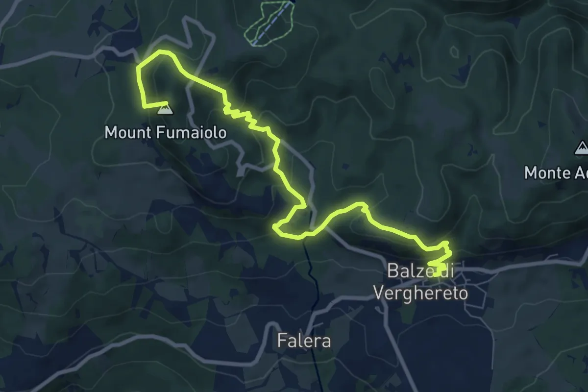
Medium · Summit
Balze – Verghereto
9.4 km · ↑ 587 m · 3 h 29 min
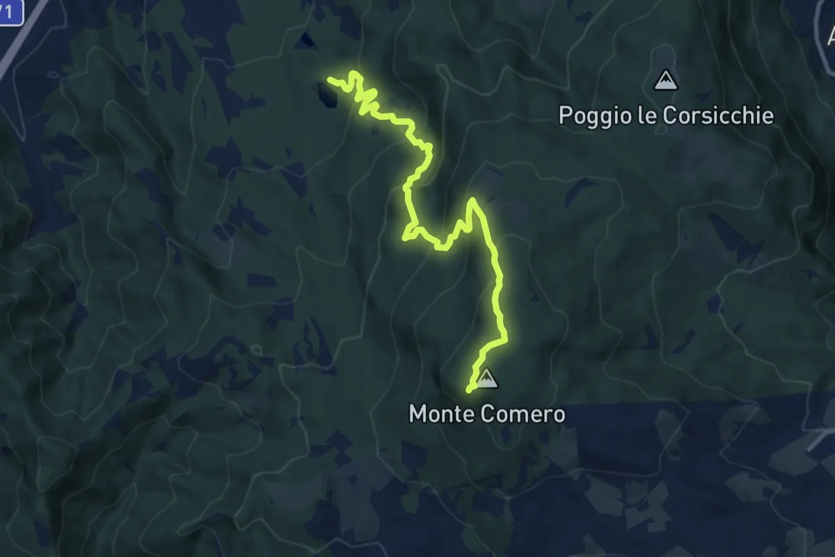
Medium · Summit
Lago Pontini – Monte Comero
10.4 km · ↑ 634 m · 3 h 50 min
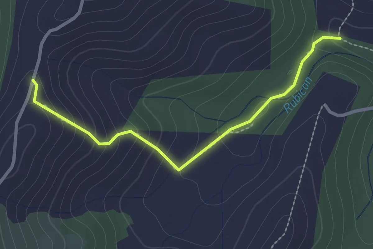
Easy · Trail
Percorso 115 – Percorso 115
2.4 km · ↑ 132 m · 52 min
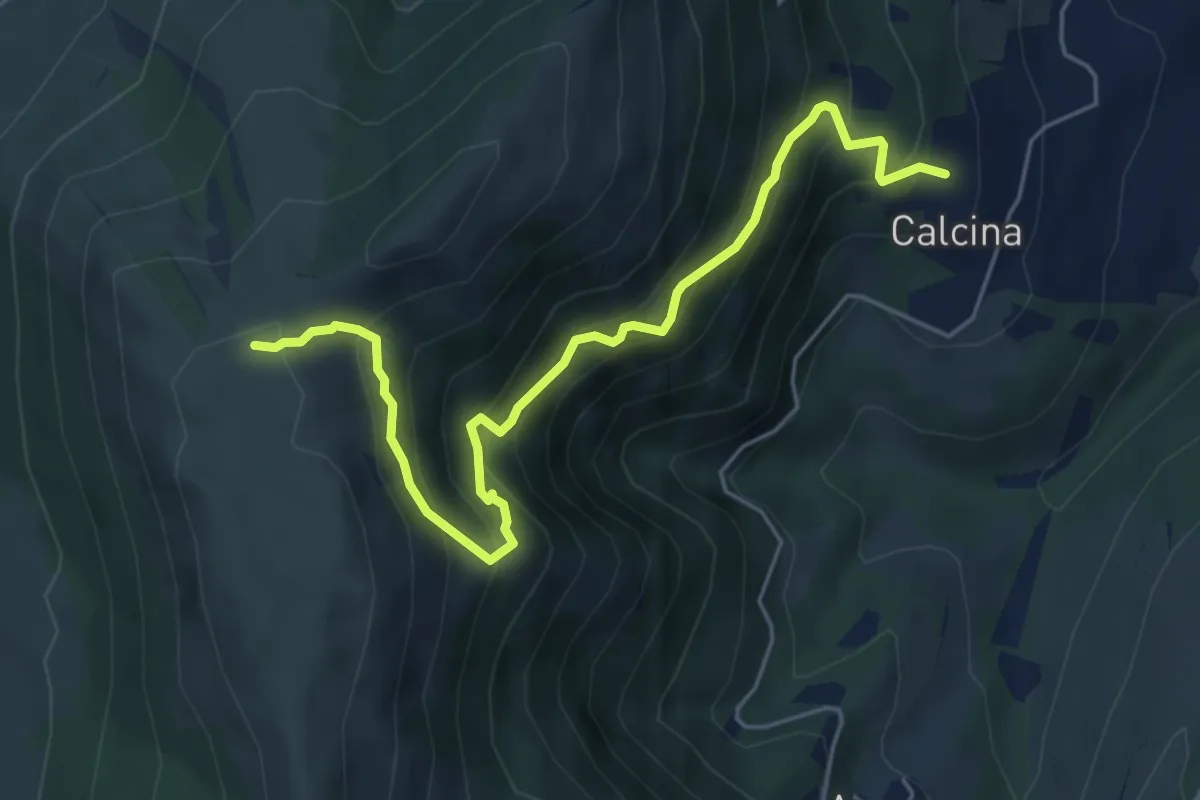
Medium · Trail
Calcina (Camerino) – Costa Campalto
6.2 km · ↑ 615 m · 2 h 47 min
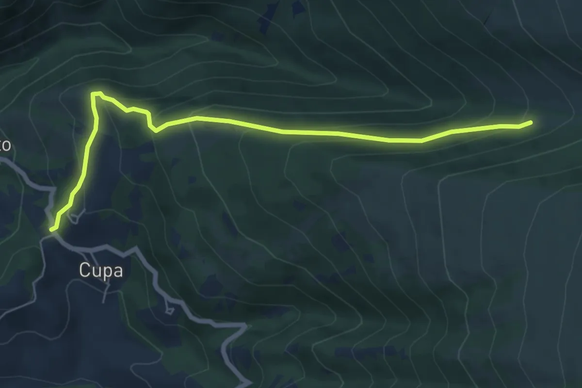
Medium · Trail
Chiesa della Pintura - San Maroto – Incrocio sentiero 331 (Trocchi di S. Maroto)
6.3 km · ↑ 414 m · 2 h 23 min
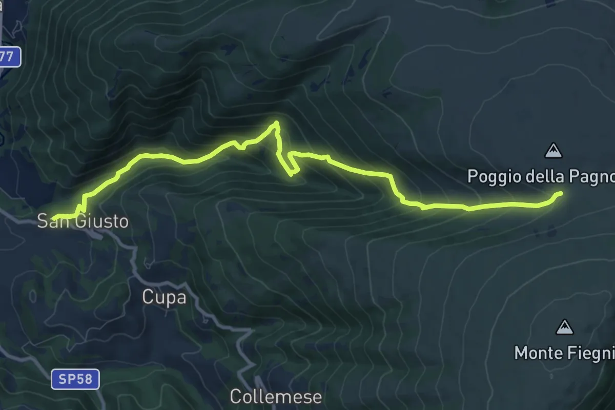
Demanding · Trail
San Maroto – Chiesa S. Maria Maddalena
11.3 km · ↑ 975 m · 4 h 48 min
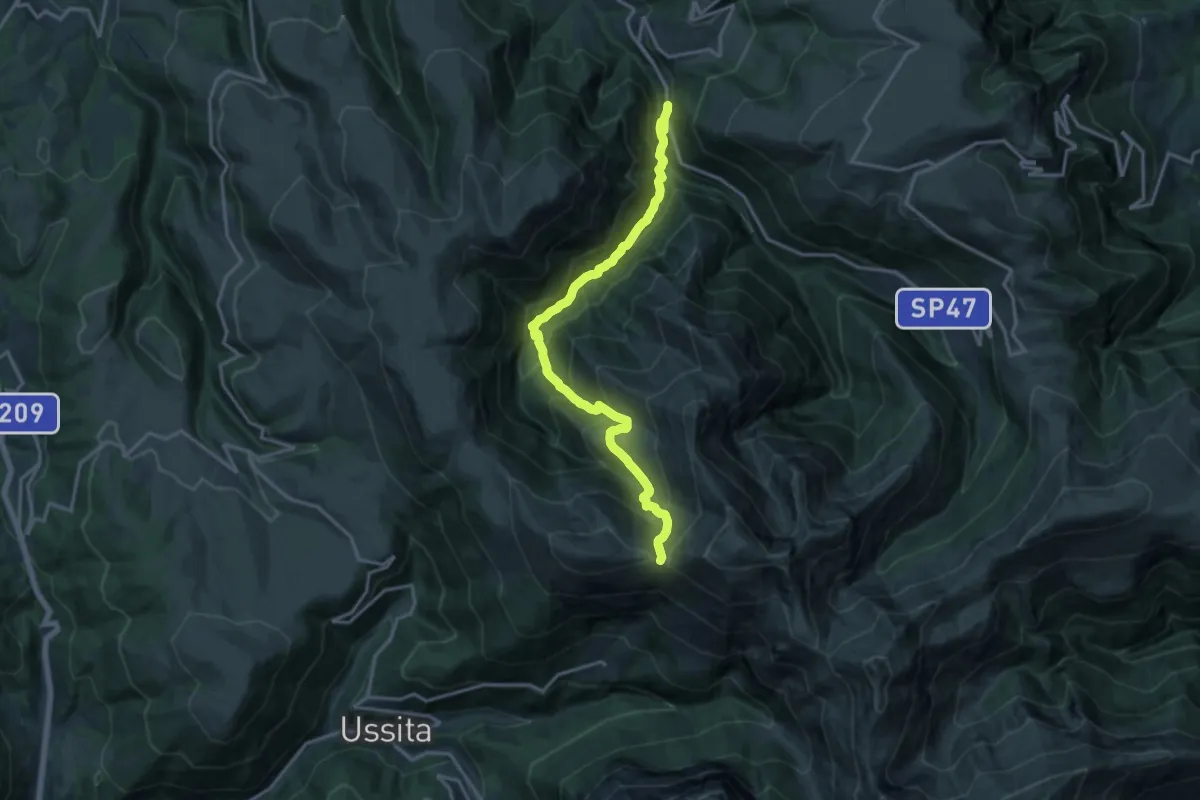
Demanding · Trail
SP47 – Forcella della Banditella
17.2 km · ↑ 1222 m · 6 h 43 min
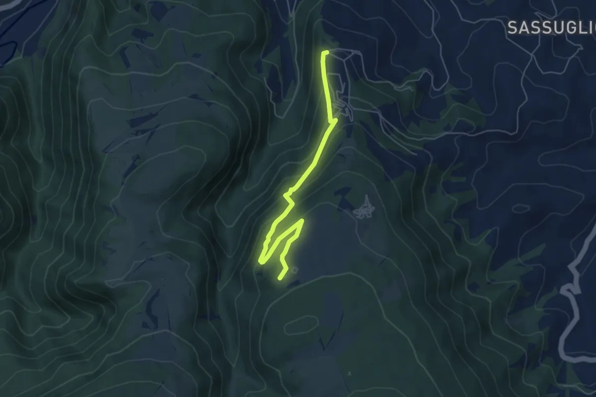
Easy · Summit
Crossodromo di San Severino Marche – Chiesa Madonna del Monte
5.8 km · ↑ 311 m · 2 h 2 min
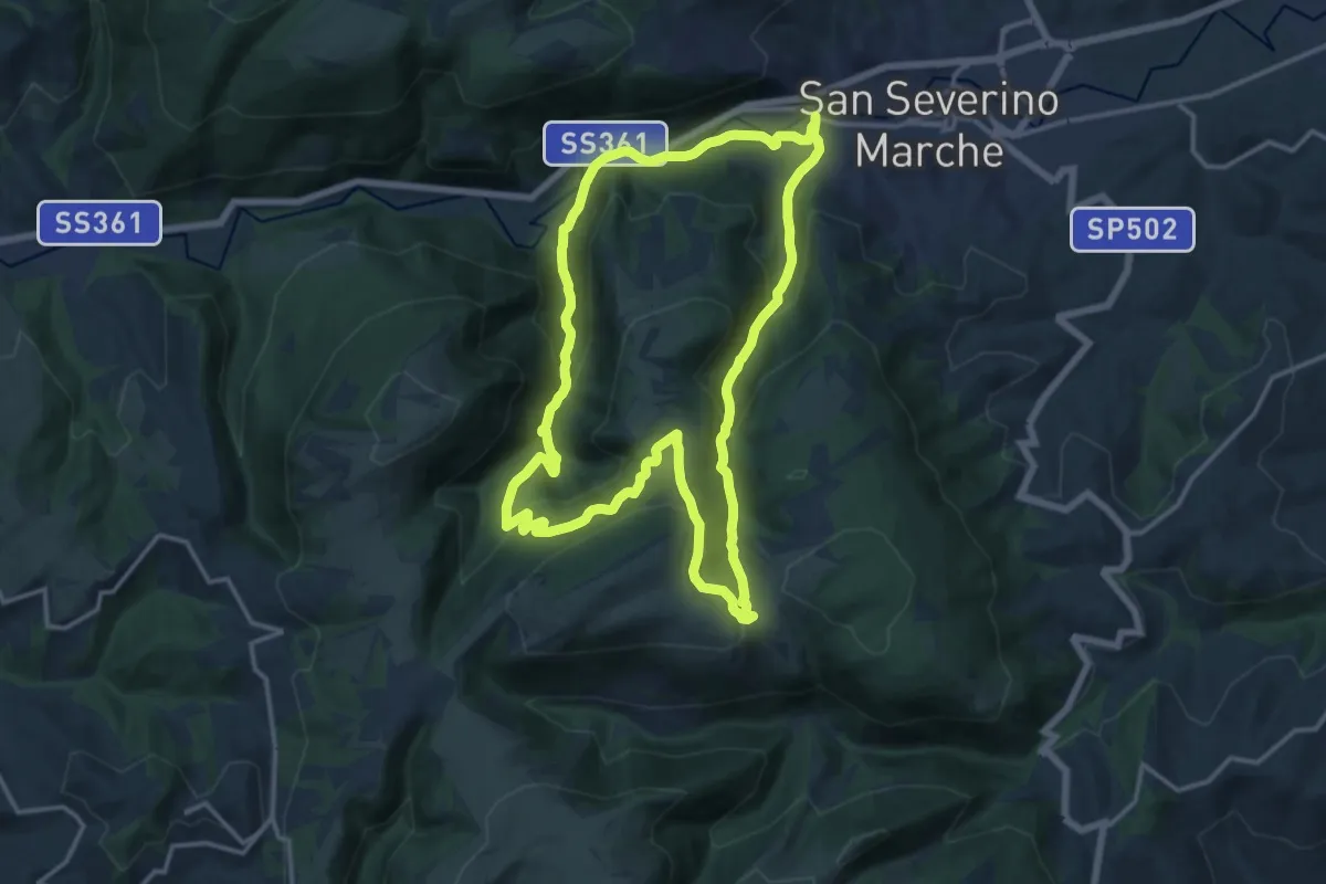
Medium · Trail
Ponte di Sant'Antonio – Ponte di Sant'Antonio
15.5 km · ↑ 736 m · 5 h 28 min
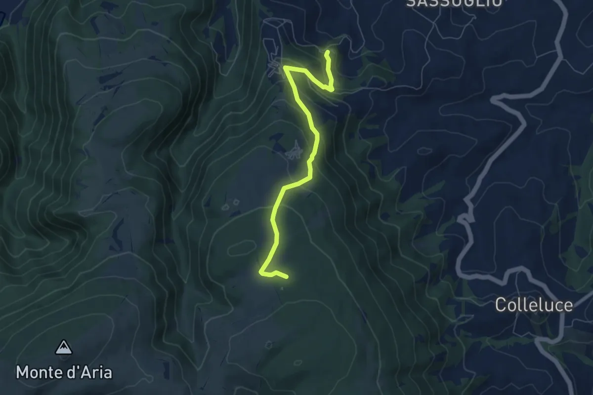
Medium · Trail
Monastero di San Pacifico – Buca del Terremoto
6.7 km · ↑ 393 m · 2 h 25 min
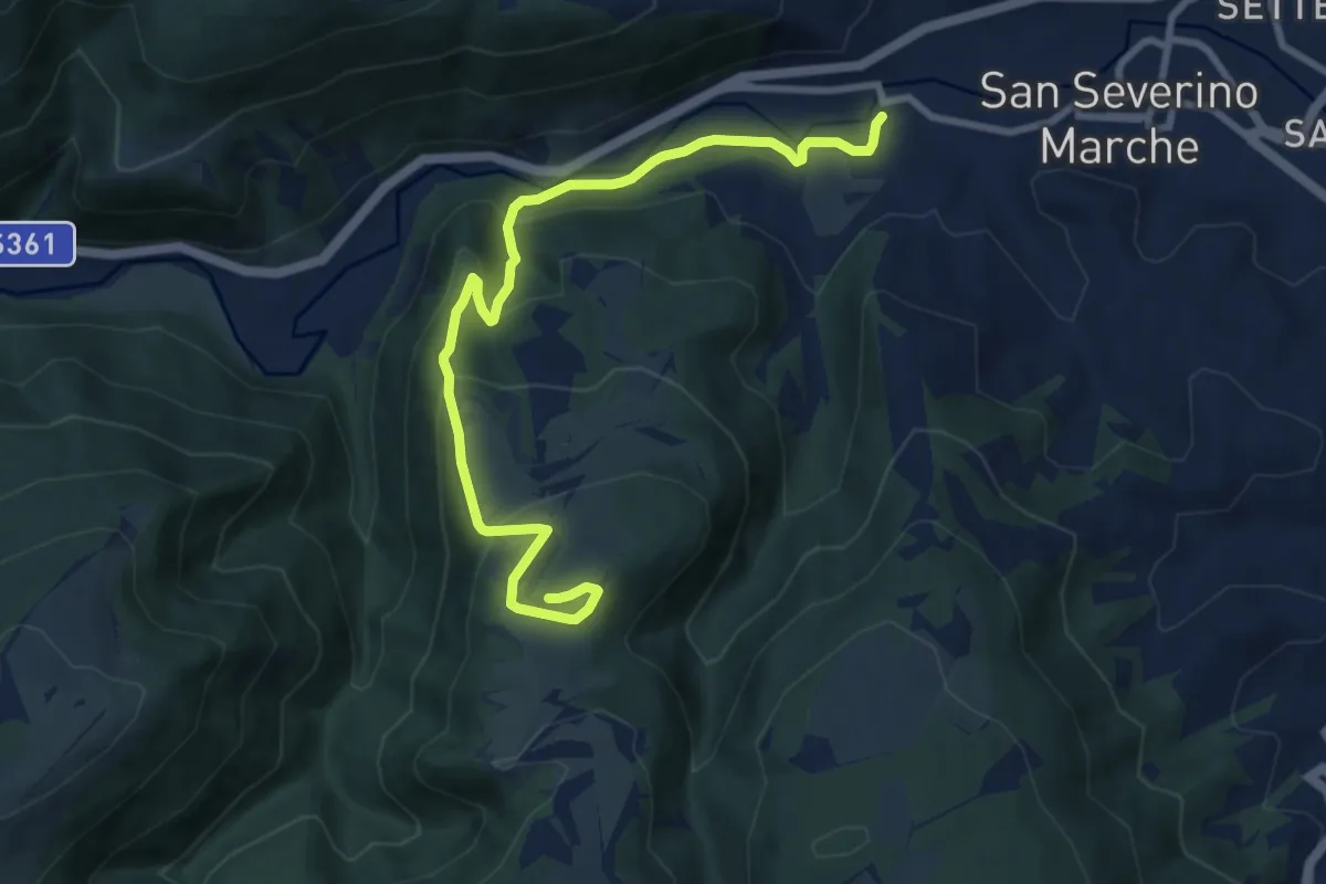
Medium · Summit
Ponte di Sant'Antonio – Ponte di Sant'Antonio
10.0 km · ↑ 444 m · 3 h 20 min
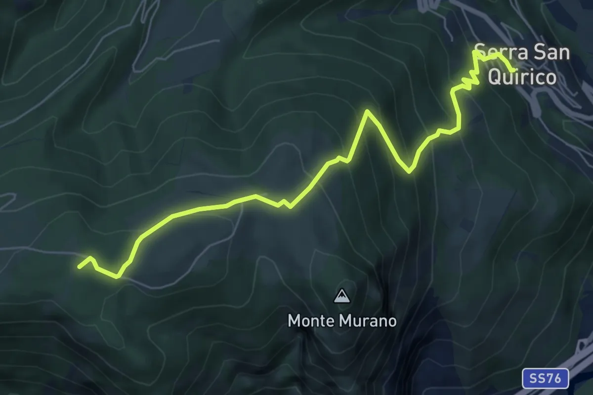
Medium · Summit
Serra San Quirico – Macchia delle Monache - Sentiero 107
7.1 km · ↑ 516 m · 2 h 48 min
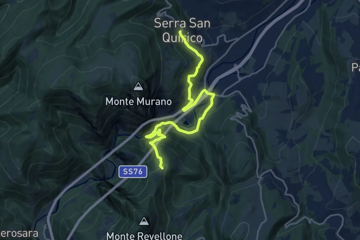
Expert · Trail
Serra San Quirico – I Colli - Sentiero 108
13.3 km · ↑ 801 m · 4 h 52 min
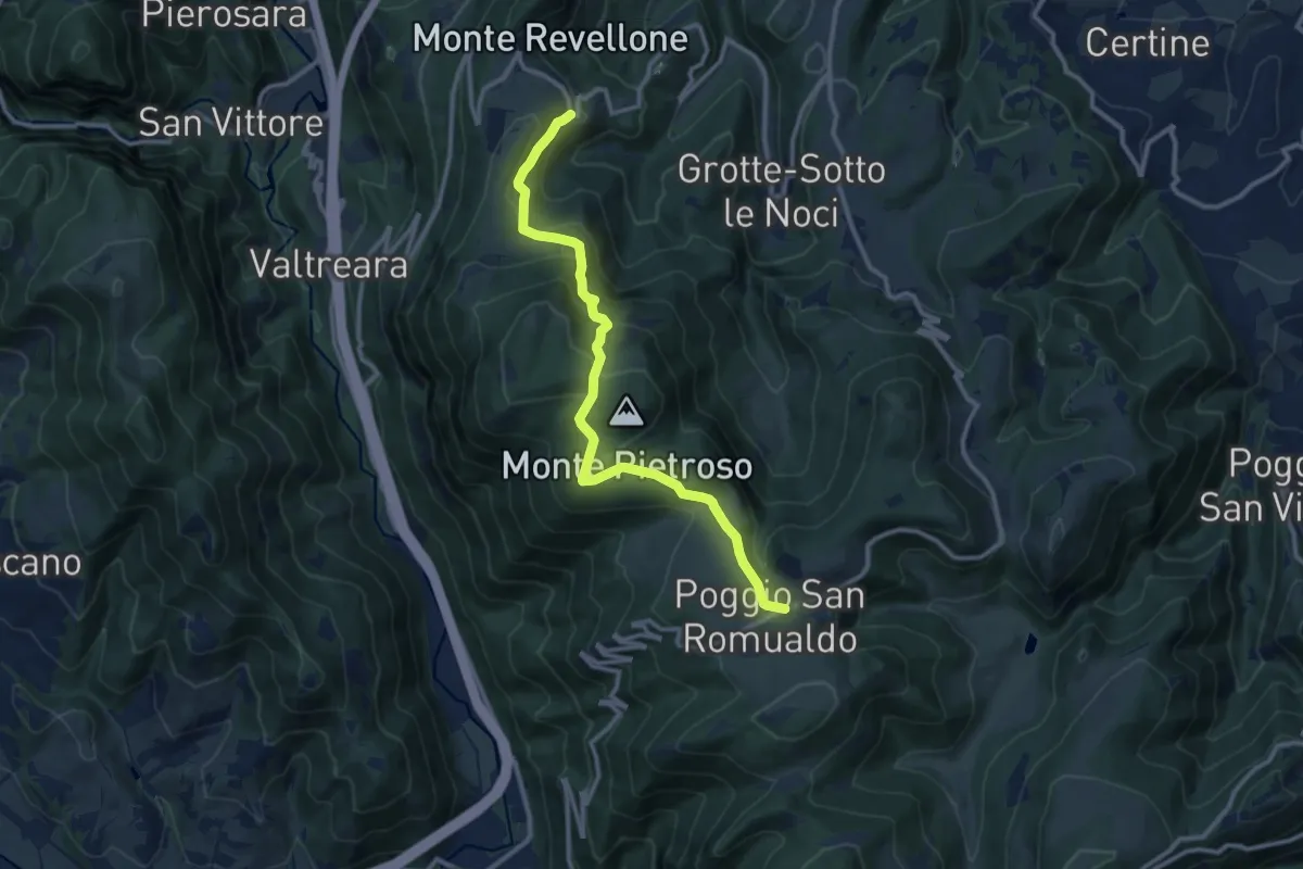
Medium · Trail
Castelletta – Poggio San Romualdo
12.3 km · ↑ 571 m · 4 h 8 min
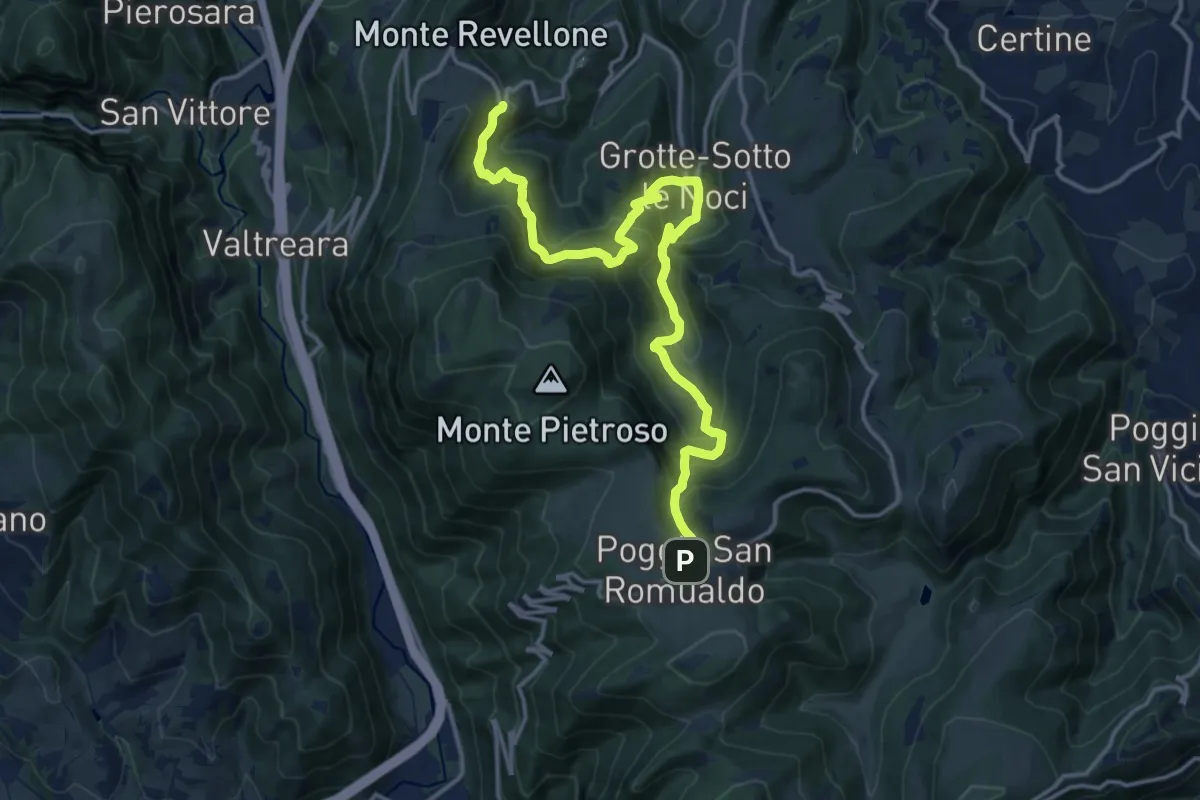
Demanding · Trail
Castelletta – Poggio San Romualdo
17.5 km · ↑ 1205 m · 6 h 44 min
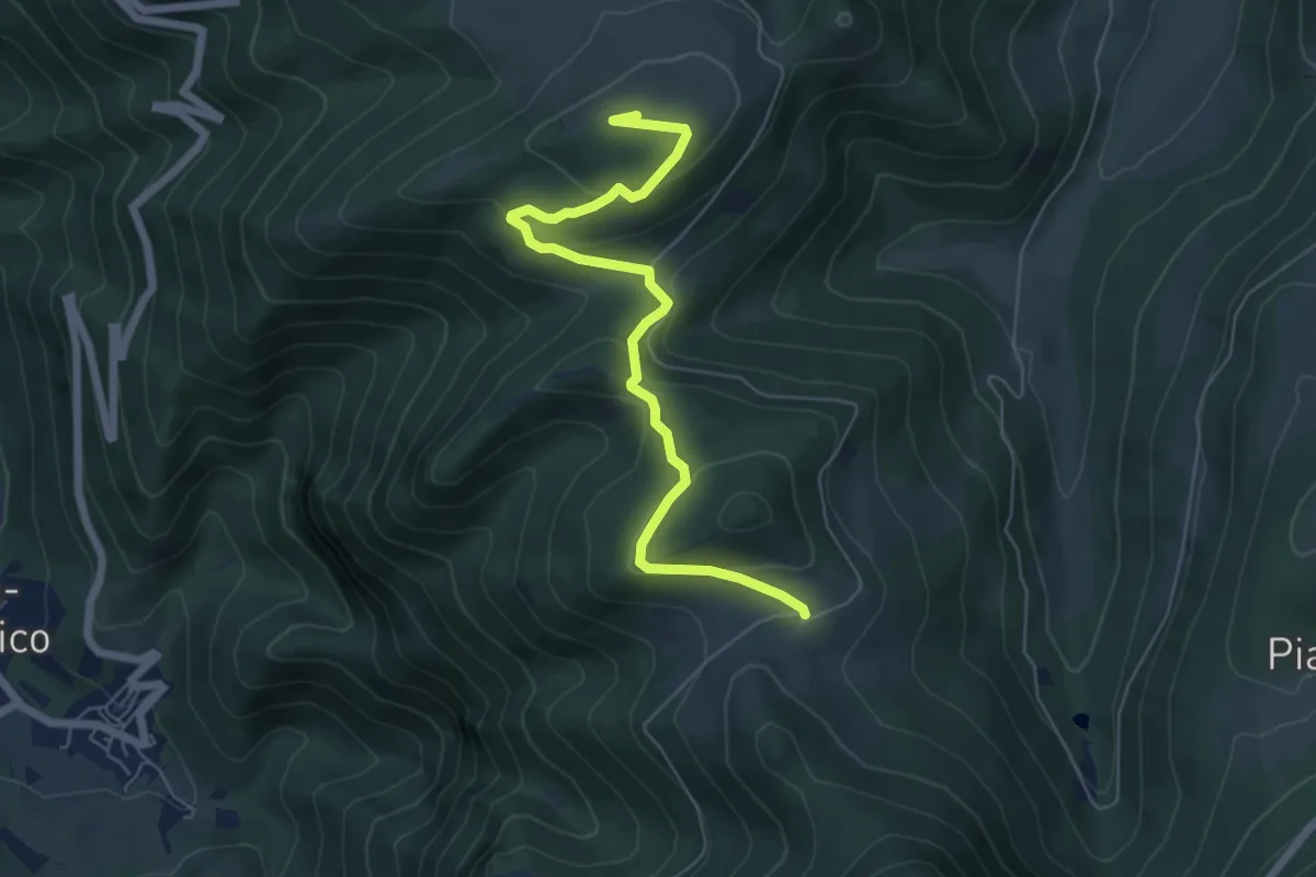
Medium · Summit
Poggio San Romualdo – Caprareccia
6.8 km · ↑ 275 m · 2 h 12 min
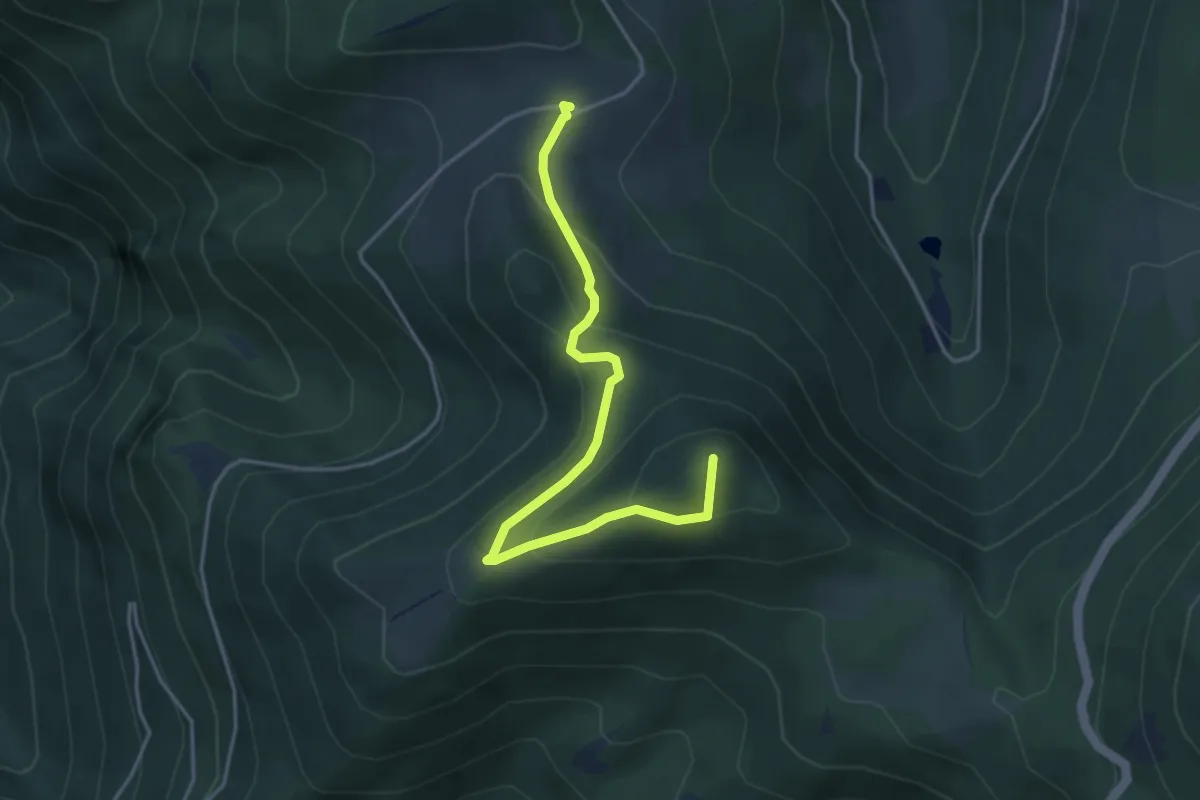
Medium · Summit
Caprareccia – Prati Alti del San Vicino
4.5 km · ↑ 240 m · 1 h 35 min
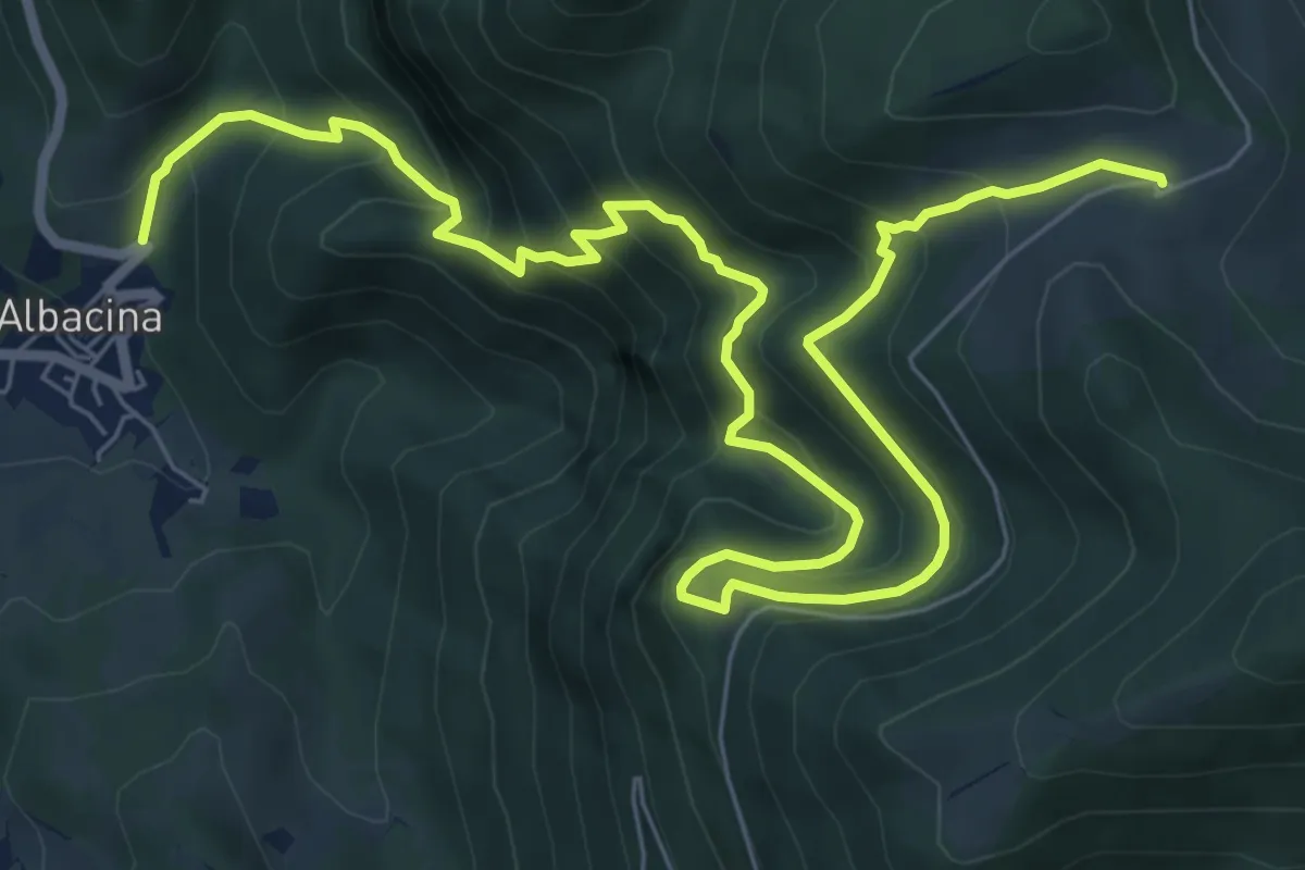
Demanding · Trail
Albacina – Caprareccia
10.9 km · ↑ 944 m · 4 h 38 min
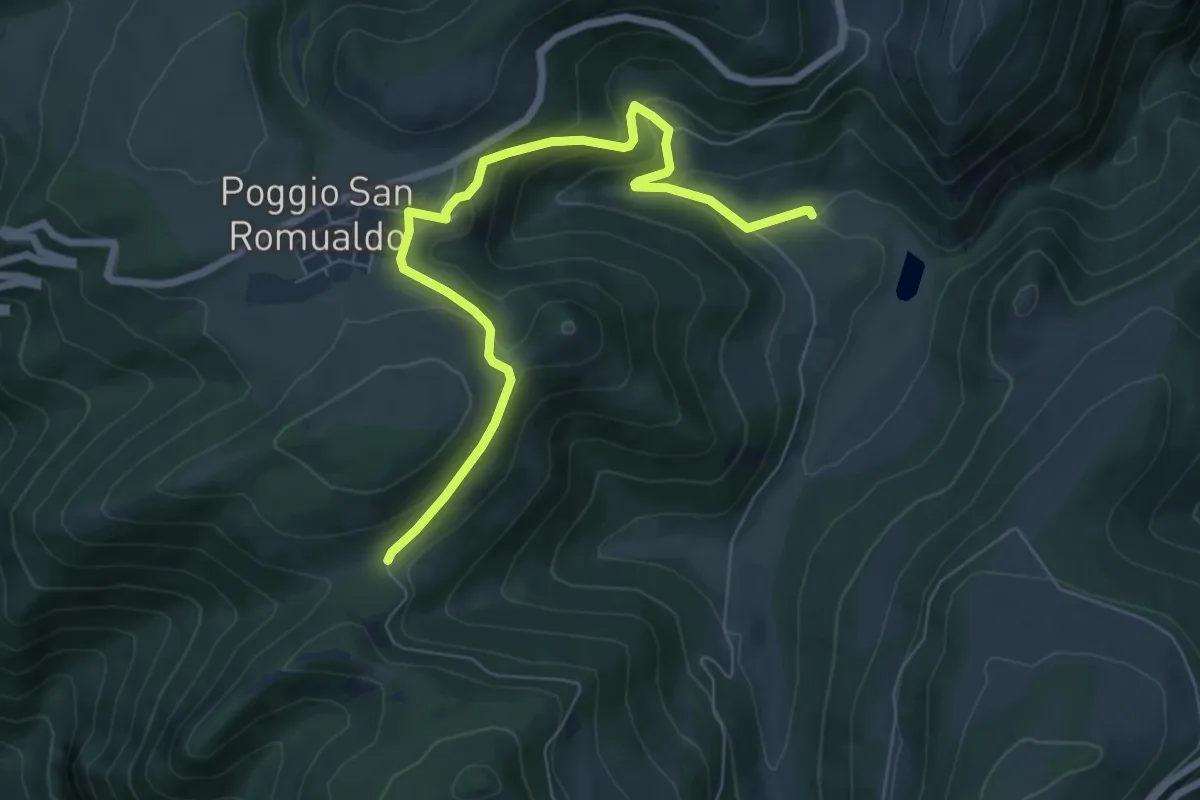
Medium · Trail
Valdicastro – Casetta bivio 111, 116A
7.8 km · ↑ 406 m · 2 h 43 min
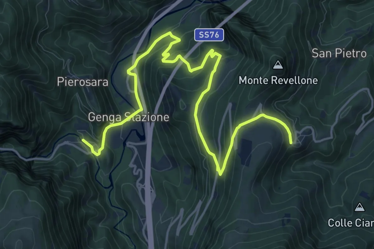
Medium · Trail
San Vittore – Castelletta
16.2 km · ↑ 667 m · 5 h 16 min
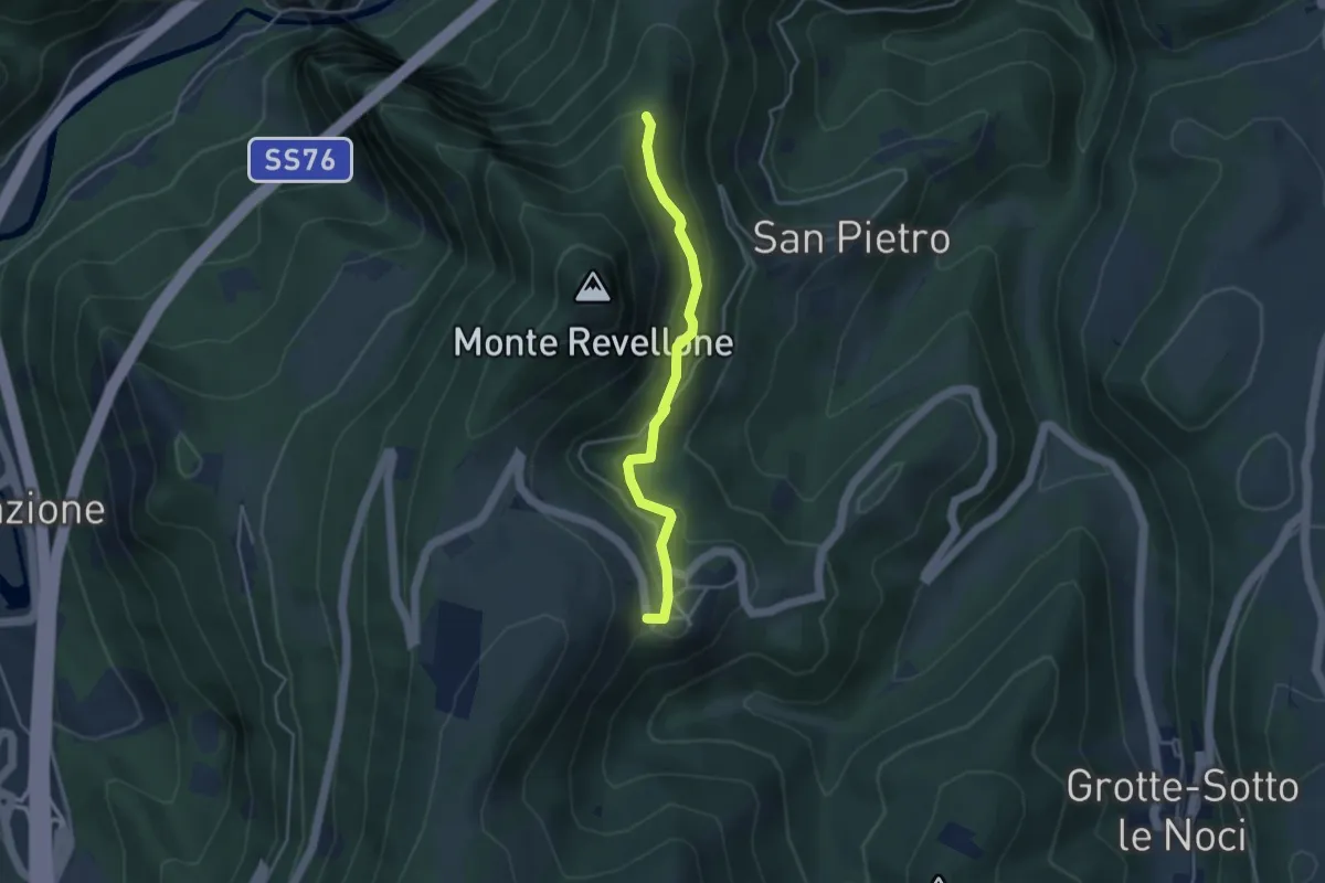
Easy · Trail
Castelletta – Cresta Nord M. Revellone bivio 108
3.9 km · ↑ 189 m · 1 h 19 min
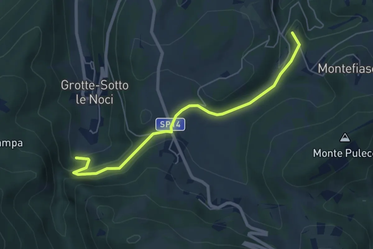
Easy · Trail
Grotte – Precicchie
5.2 km · ↑ 182 m · 1 h 37 min
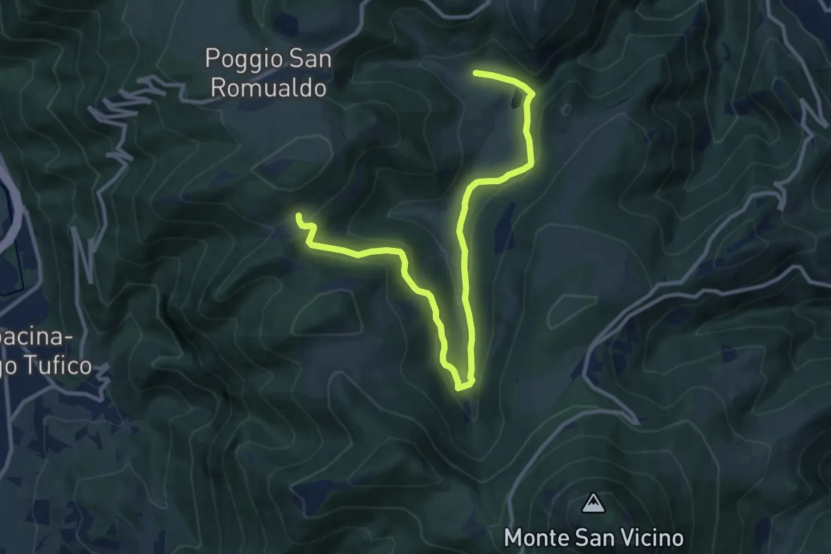
Medium · Trail
Valdicastro – Casetta
12.2 km · ↑ 430 m · 3 h 49 min
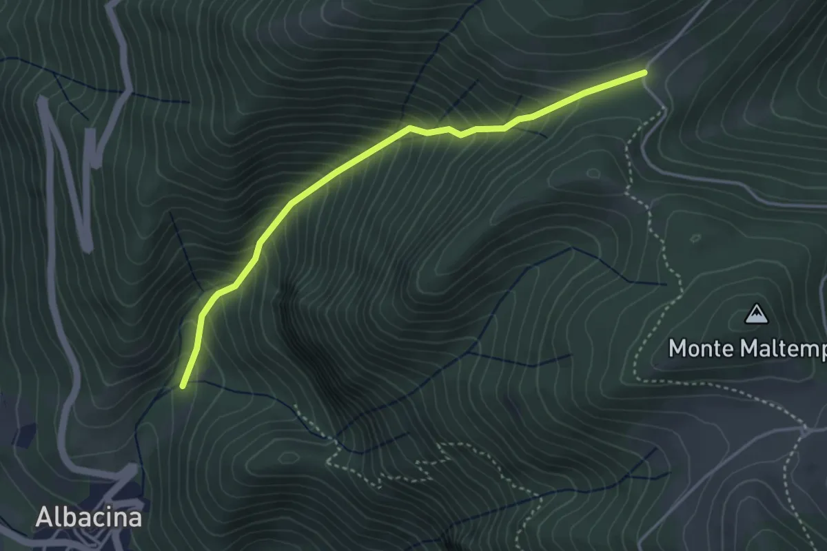
Medium · Trail
Albacina bivio 116 – Casetta bivio 111, 115
3.9 km · ↑ 538 m · 2 h 6 min
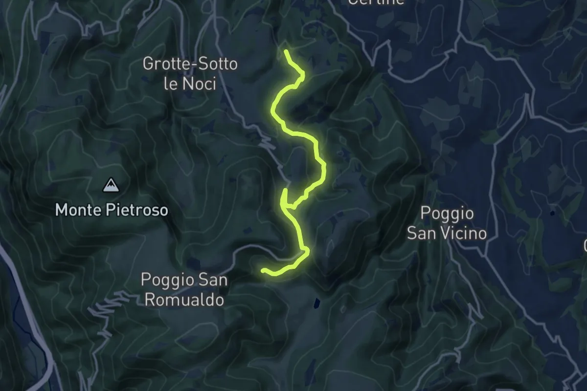
Medium · Trail
Precicchie – Valdicastro - bivio 115
12.1 km · ↑ 497 m · 3 h 56 min
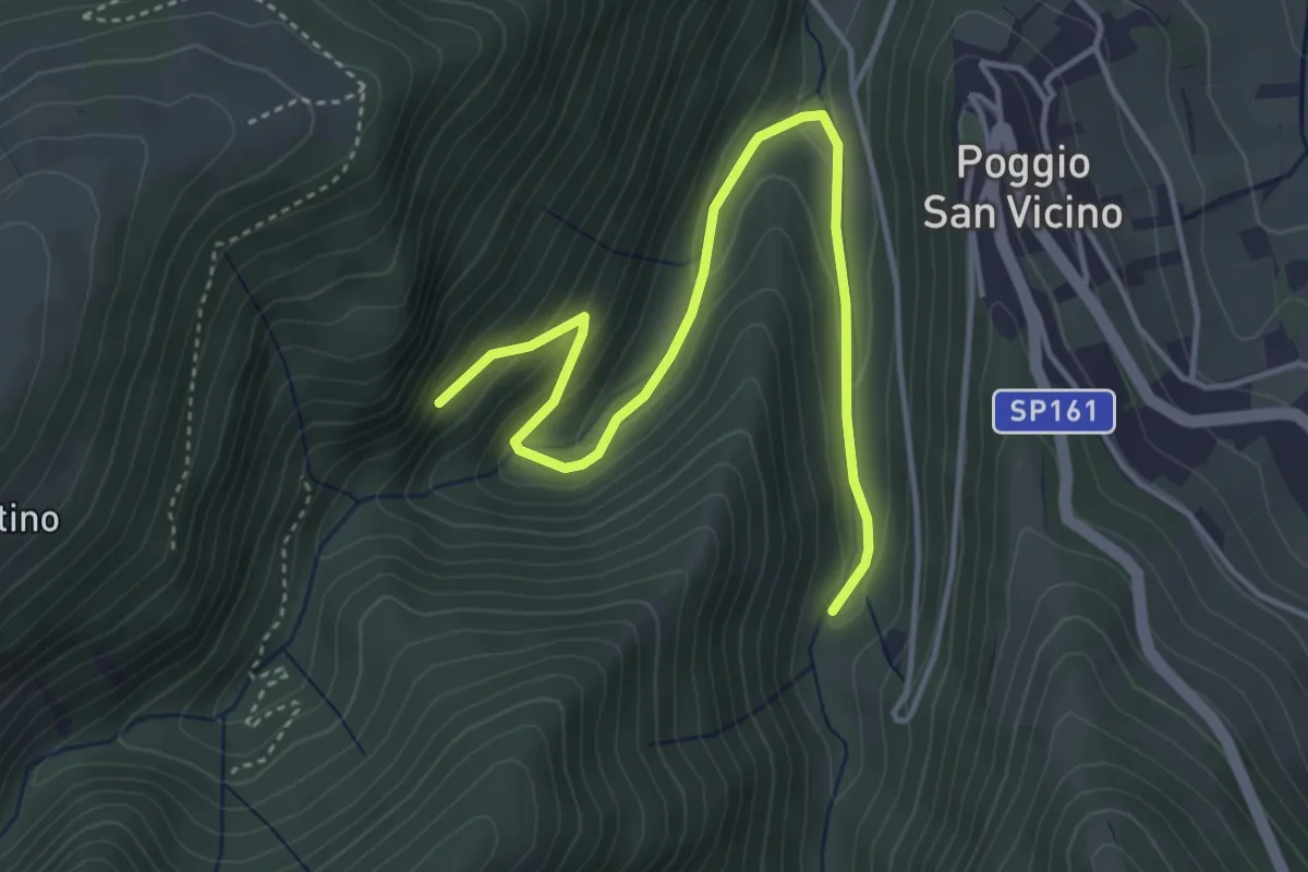
Easy · Trail
Intersezione Sentiero 178 – Miniera di manganese
4.8 km · ↑ 242 m · 1 h 40 min
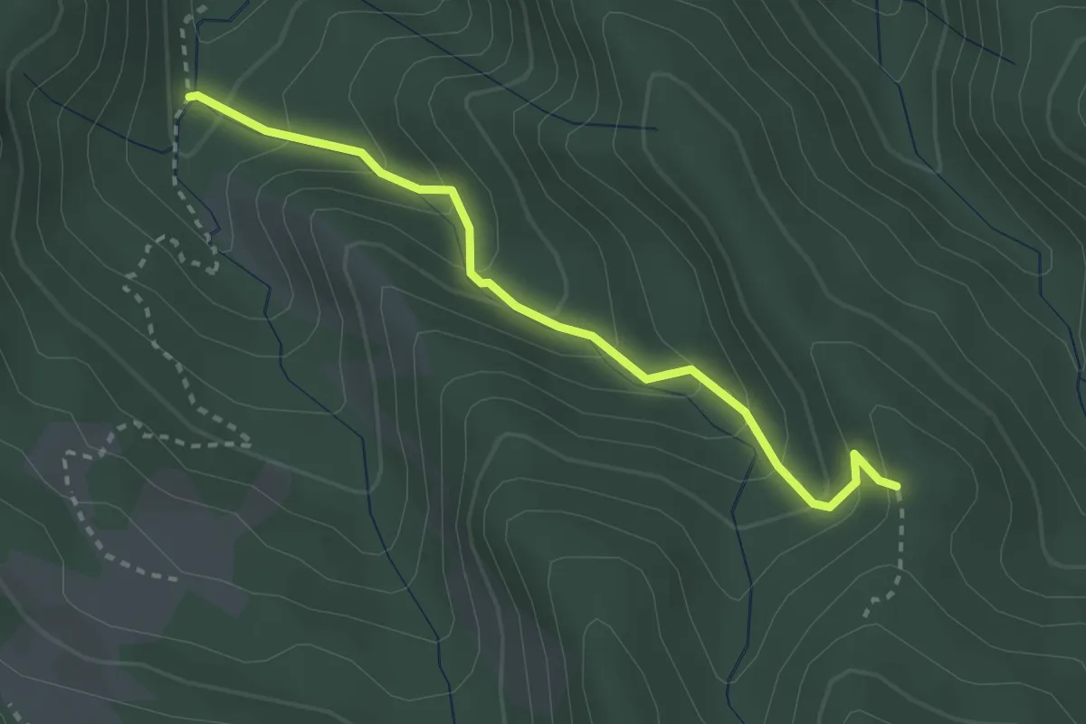
Easy · Trail
Osteto – Sentiero 00
2.9 km · ↑ 240 m · 1 h 13 min
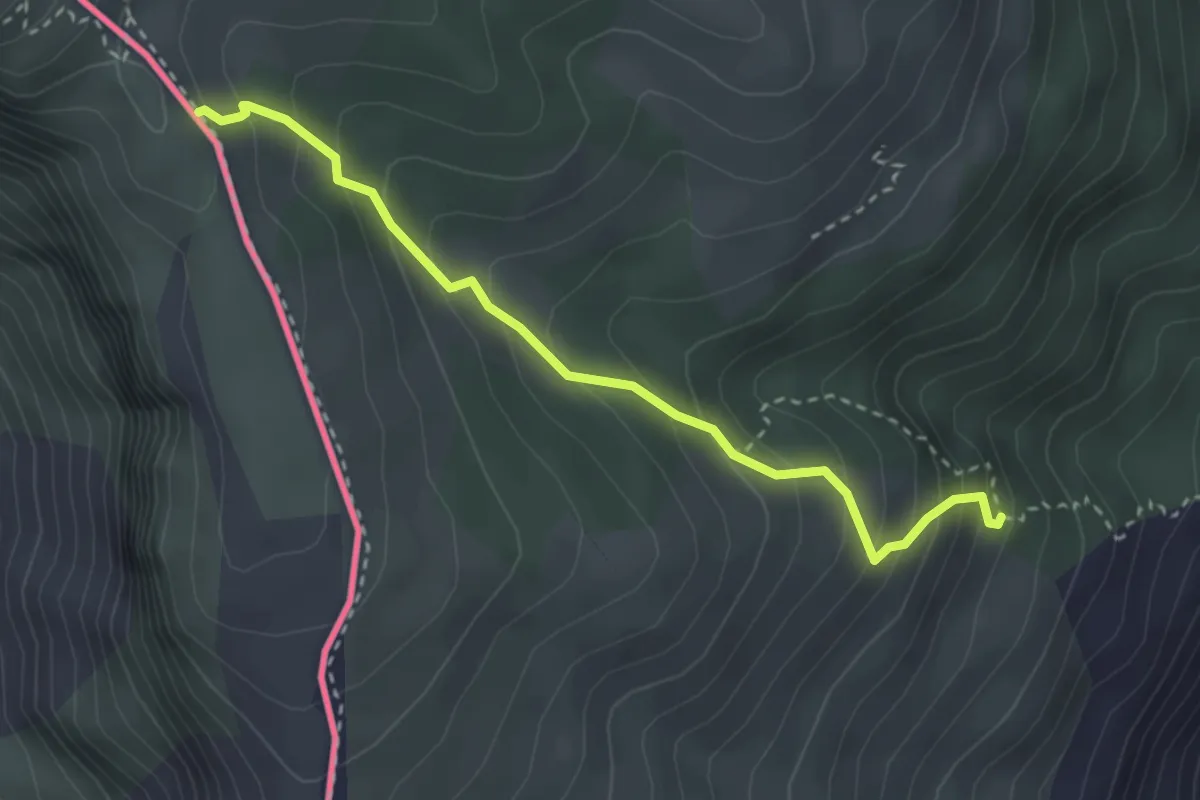
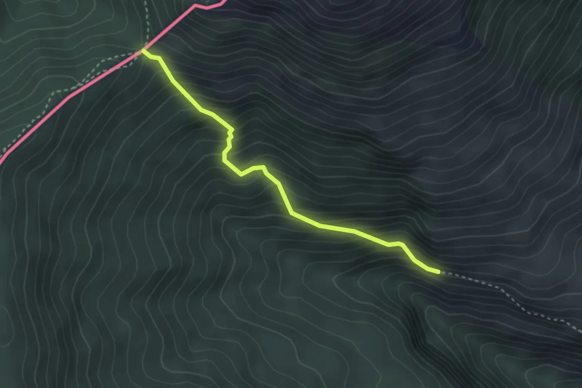
Medium · Trail
Rocchetta Nervina – Fontana Povera
3.3 km · ↑ 334 m · 1 h 30 min
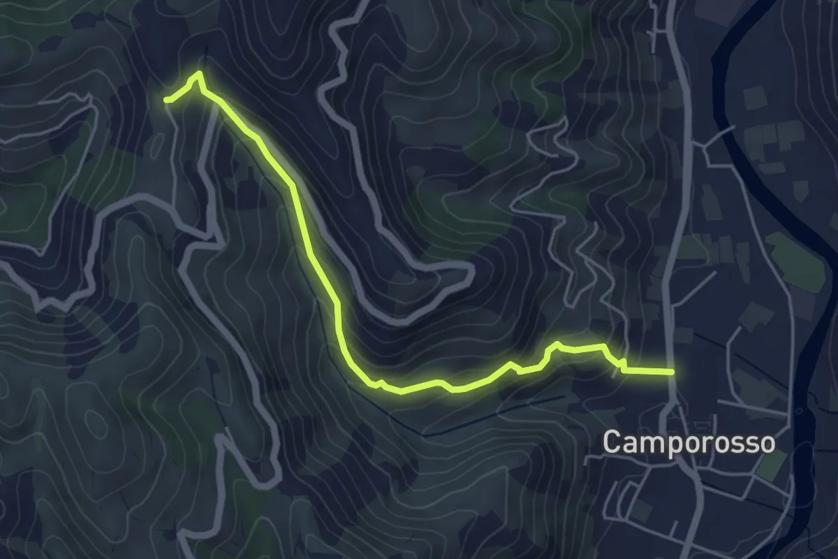
Medium · Trail
Pigna – Passo Muratone
3.1 km · ↑ 359 m · 1 h 31 min
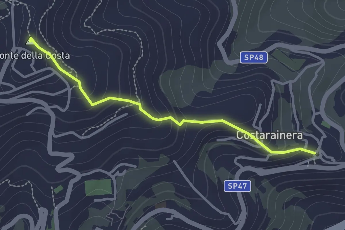
Medium · Trail
Camporosso – Madonna della Neve
4.9 km · ↑ 359 m · 1 h 56 min
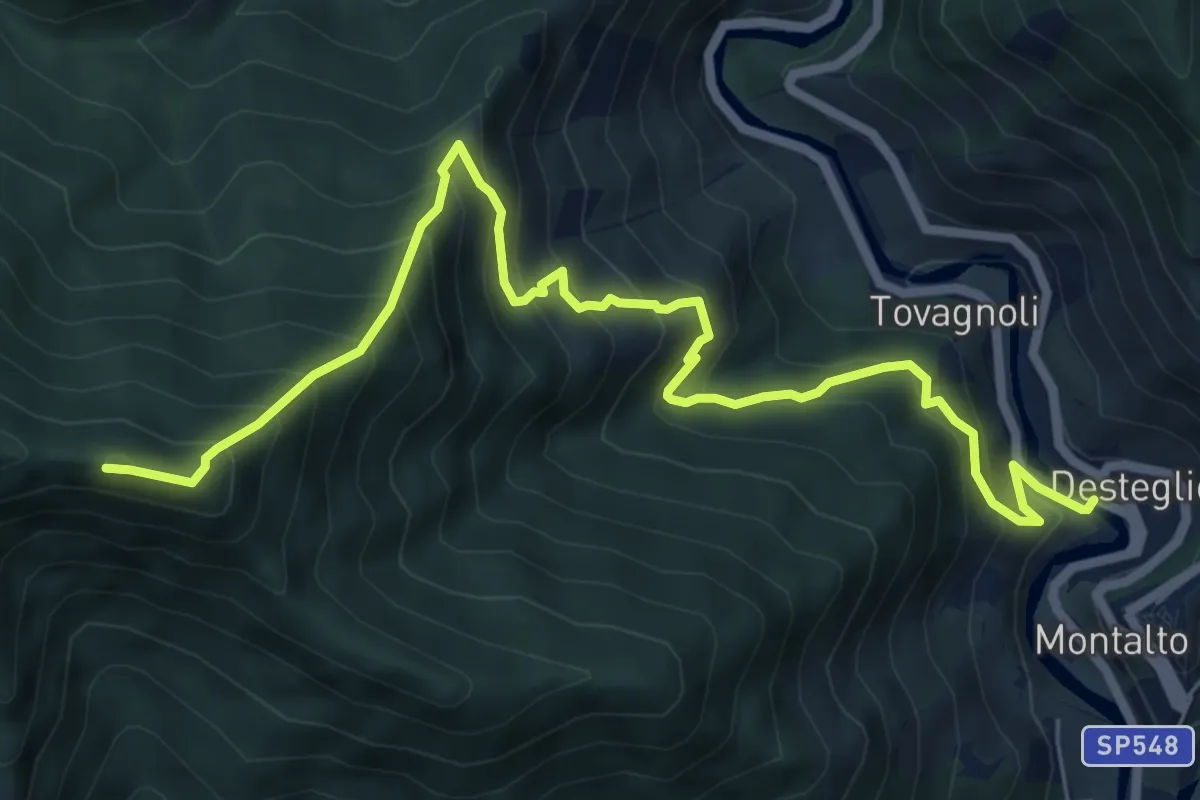
Easy · Summit
Costarainera – Lingueglietta
2.7 km · ↑ 155 m · 58 min
Demanding · Summit
Montalto Ligure – Monte Pallarea
8.4 km · ↑ 968 m · 4 h 5 min
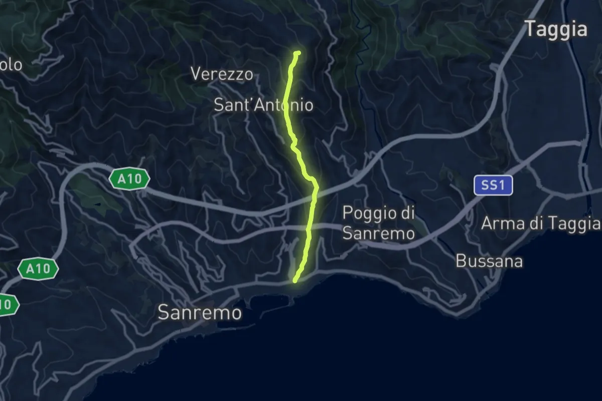
Medium · Summit
Sanremo – Costa Bandita (SL)
8.7 km · ↑ 610 m · 3 h 23 min
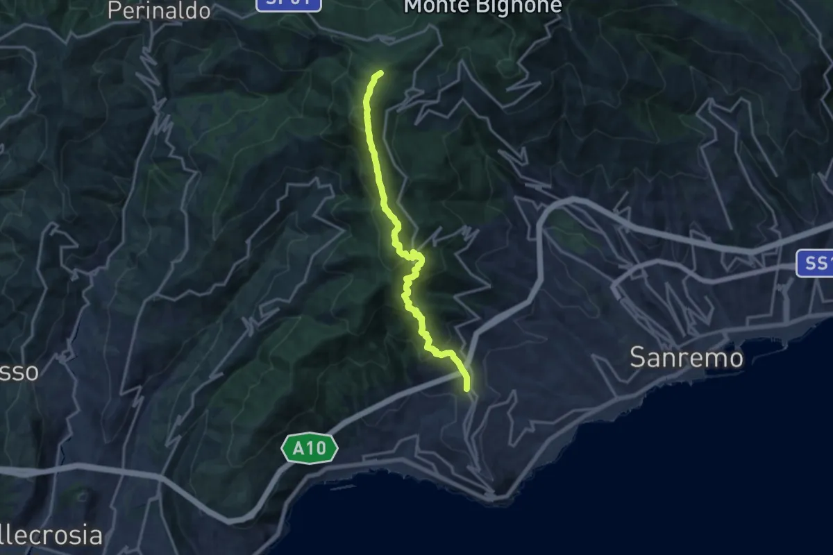
Demanding · Summit
Termini di Perinaldo – Coldirodi
13.9 km · ↑ 982 m · 5 h 25 min
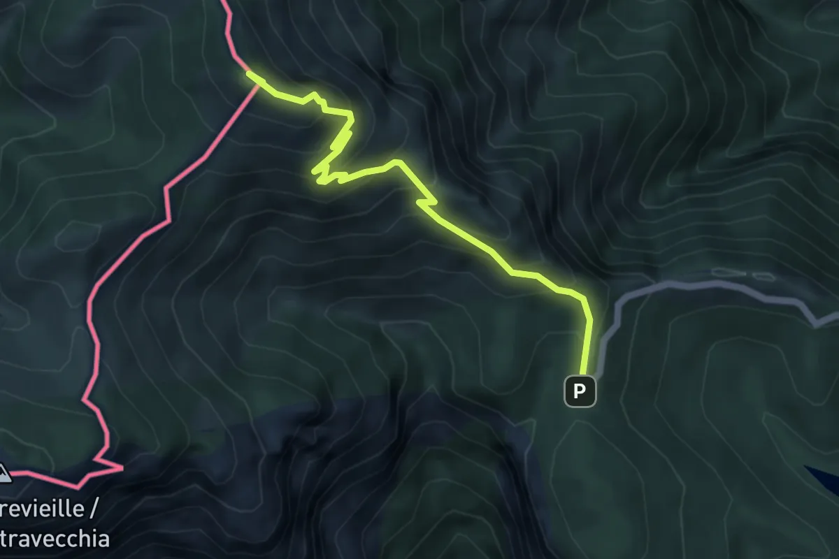
Expert · Summit
Colla Melosa – Porta Bertrand
4.9 km · ↑ 505 m · 2 h 15 min
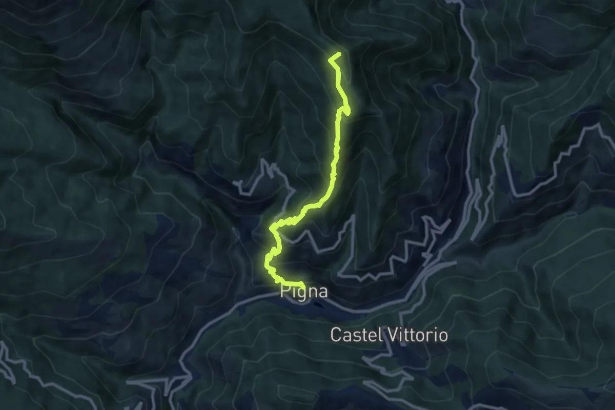
Medium · Summit
Buggio – Pigna
8.2 km · ↑ 777 m · 3 h 37 min
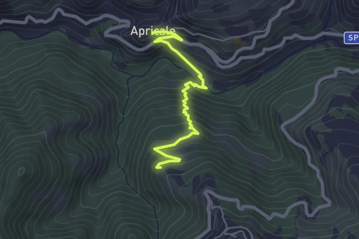
Medium · Trail
Apricale – Perinaldo
4.5 km · ↑ 374 m · 1 h 53 min
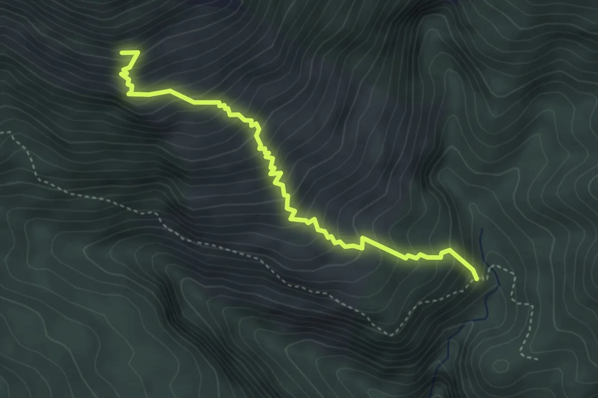
Medium · Trail
Ponte Bausson – Volgiera
4.4 km · ↑ 557 m · 2 h 14 min
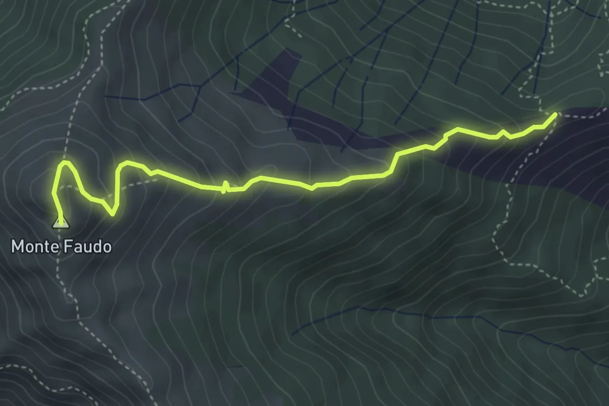
Medium · Summit
Passo Bastia – Monte Faudo
4.5 km · ↑ 378 m · 1 h 53 min
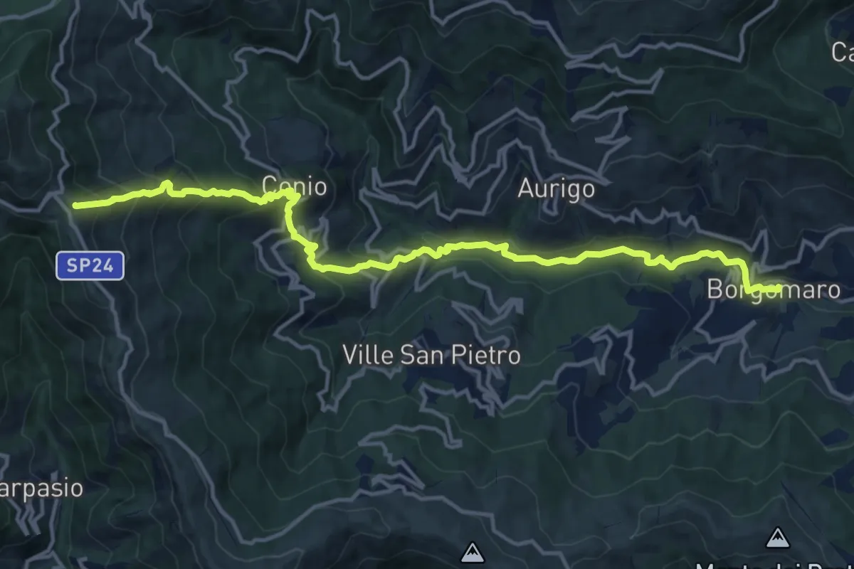
Demanding · Summit
Borgomaro – Colle d'Oggia
15.7 km · ↑ 1036 m · 5 h 57 min