Trails in Italy
25,219 hiking trails, each with its route, climb, walking time and grade.
All trails, page 314 of 526
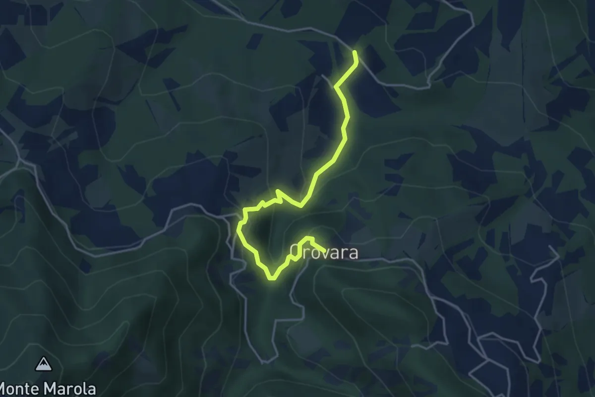
Easy · Trail
Mulino di Chichino – Scalucchia
4.0 km · ↑ 252 m · 1 h 29 min
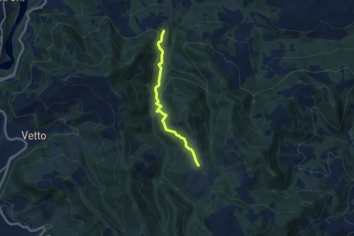
Easy · Trail
inrocio 670 – Pineto
4.6 km · ↑ 274 m · 1 h 41 min
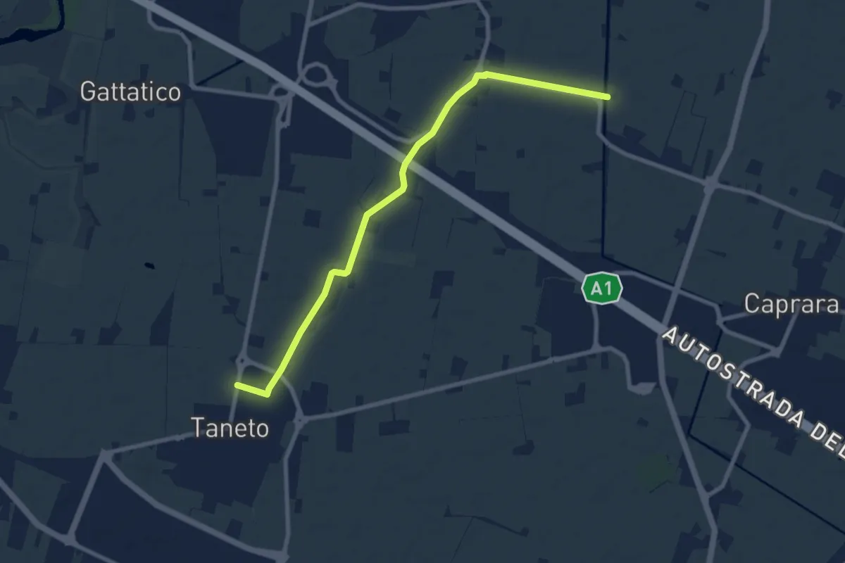
Medium · Trail
Pedriola Nuova – Taneto
8.6 km · ↑ 13 m · 2 h 3 min
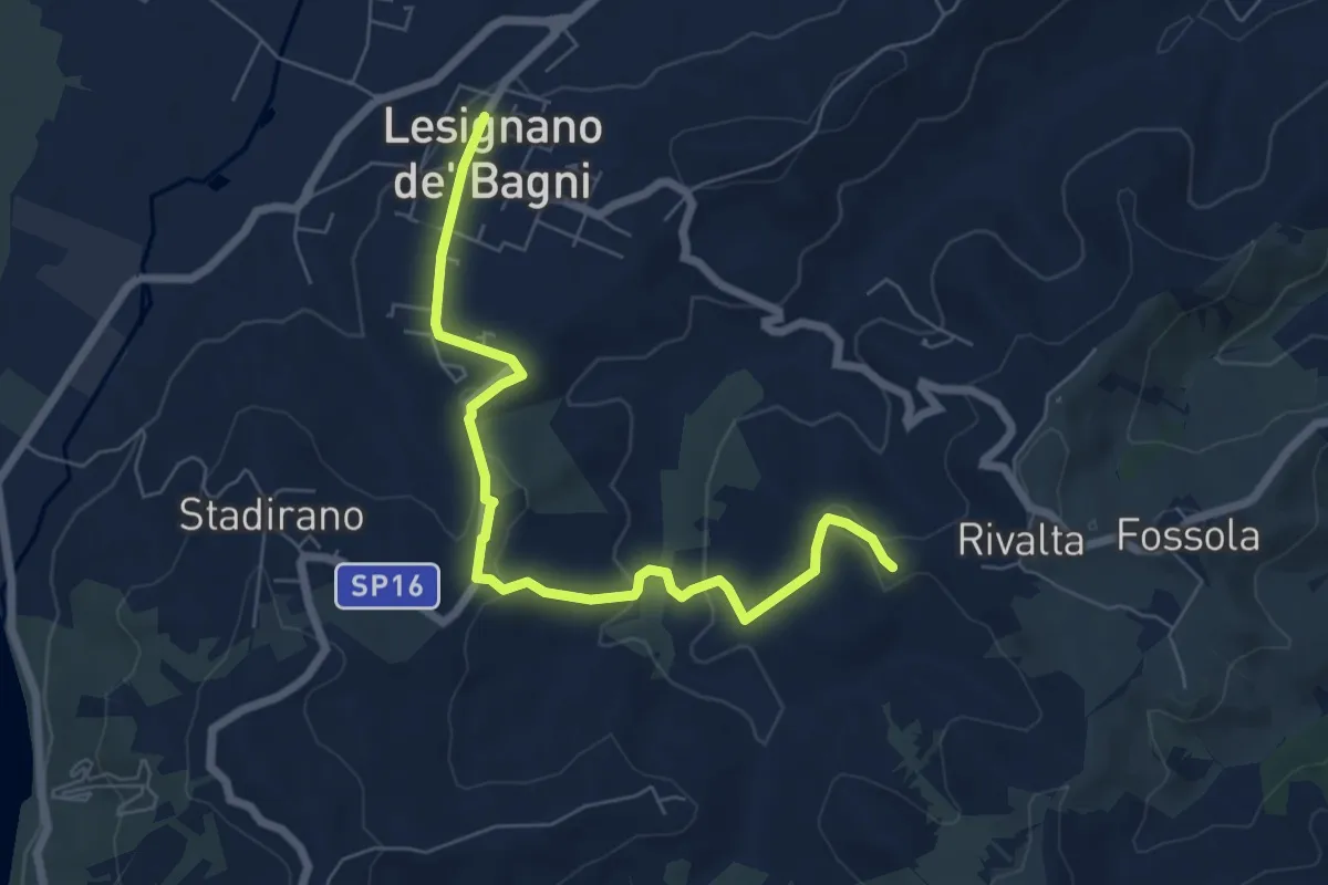
Easy · Trail
Bivio 700 di Rivalta – Lesignano de' Bagni
7.2 km · ↑ 182 m · 2 h 5 min
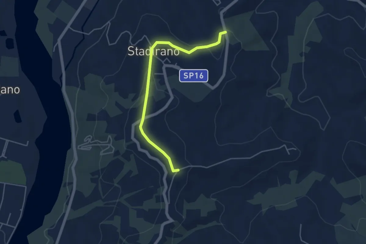
Easy · Trail
Bivio 700C – Bivio 700
4.2 km · ↑ 94 m · 1 h 12 min
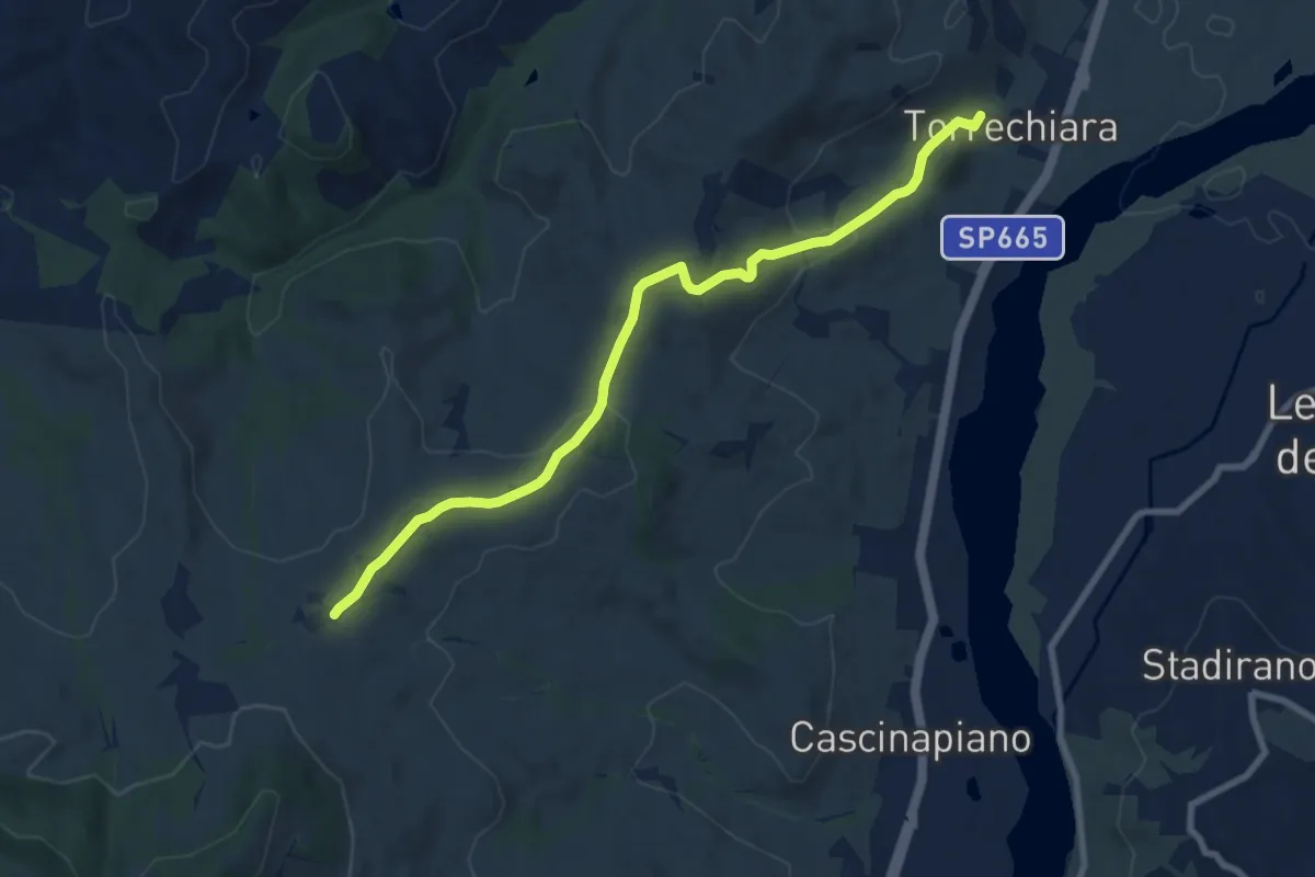
Medium · Trail
Bivio 700 di Strognano – Torrechiara
9.1 km · ↑ 218 m · 2 h 37 min
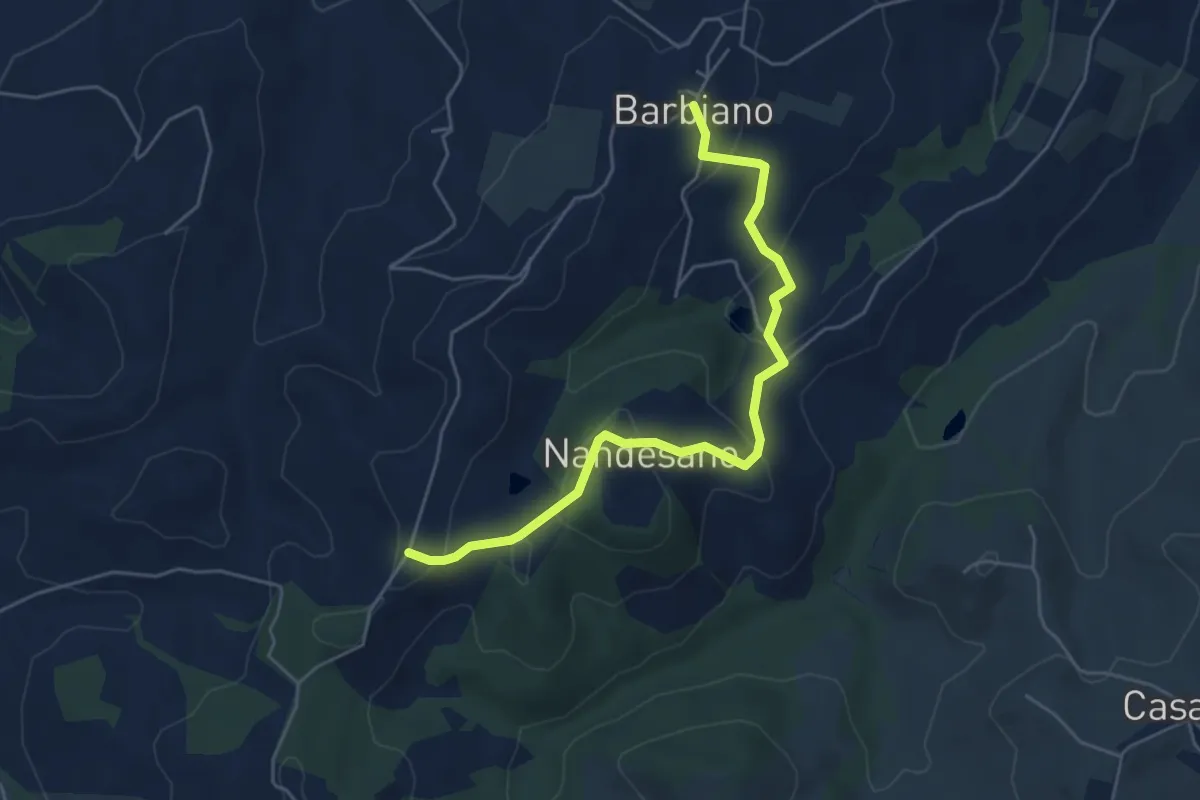
Easy · Trail
Bivio 700 di Nandesano – Barbiano
5.5 km · ↑ 209 m · 1 h 45 min
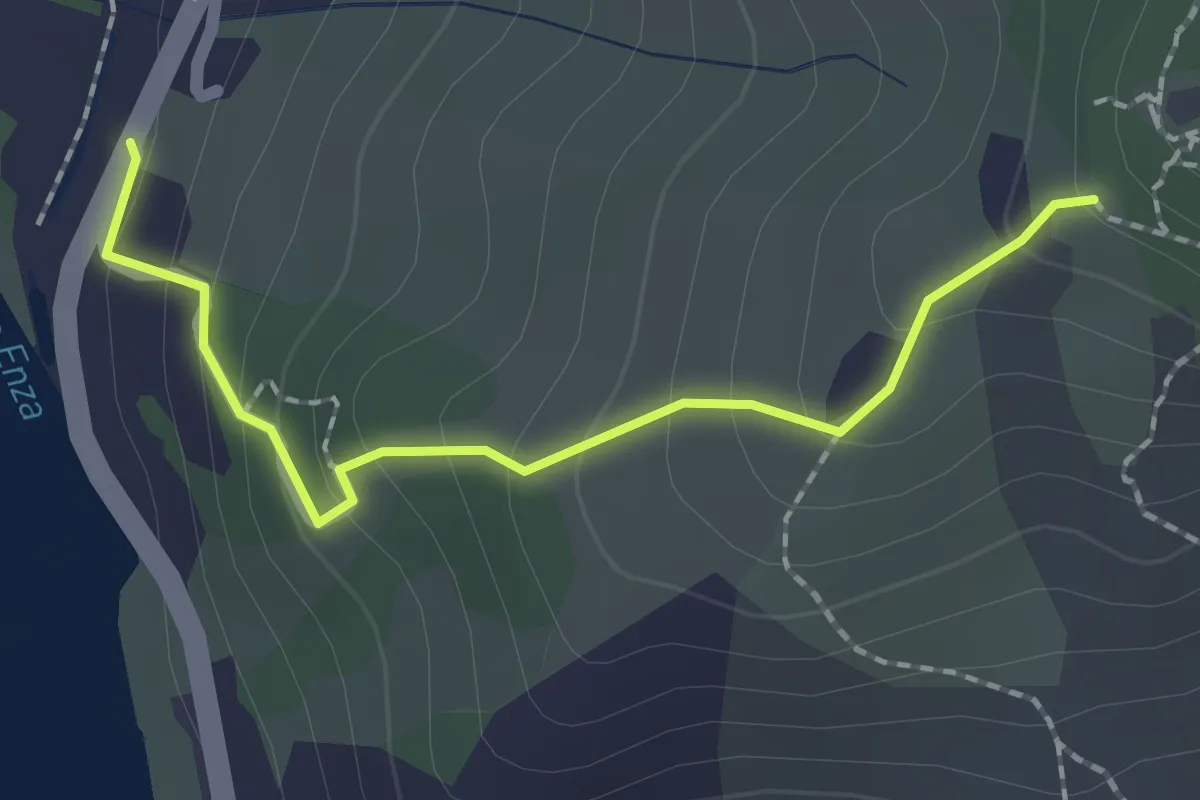
Easy · Trail
Ciano d'Enza – Percorso 662
2.0 km · ↑ 150 m · 48 min
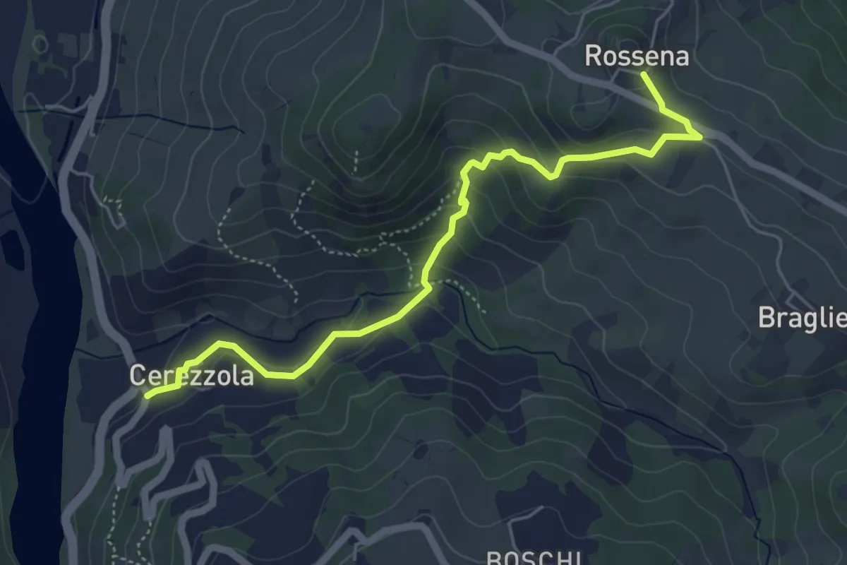
Easy · Trail
Cerezzola – Rossena
5.4 km · ↑ 231 m · 1 h 47 min
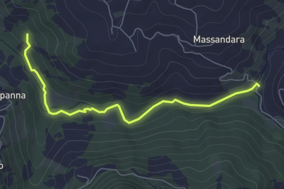
Easy · Trail
Percorso 660C – Percorso 660
5.5 km · ↑ 61 m · 1 h 25 min
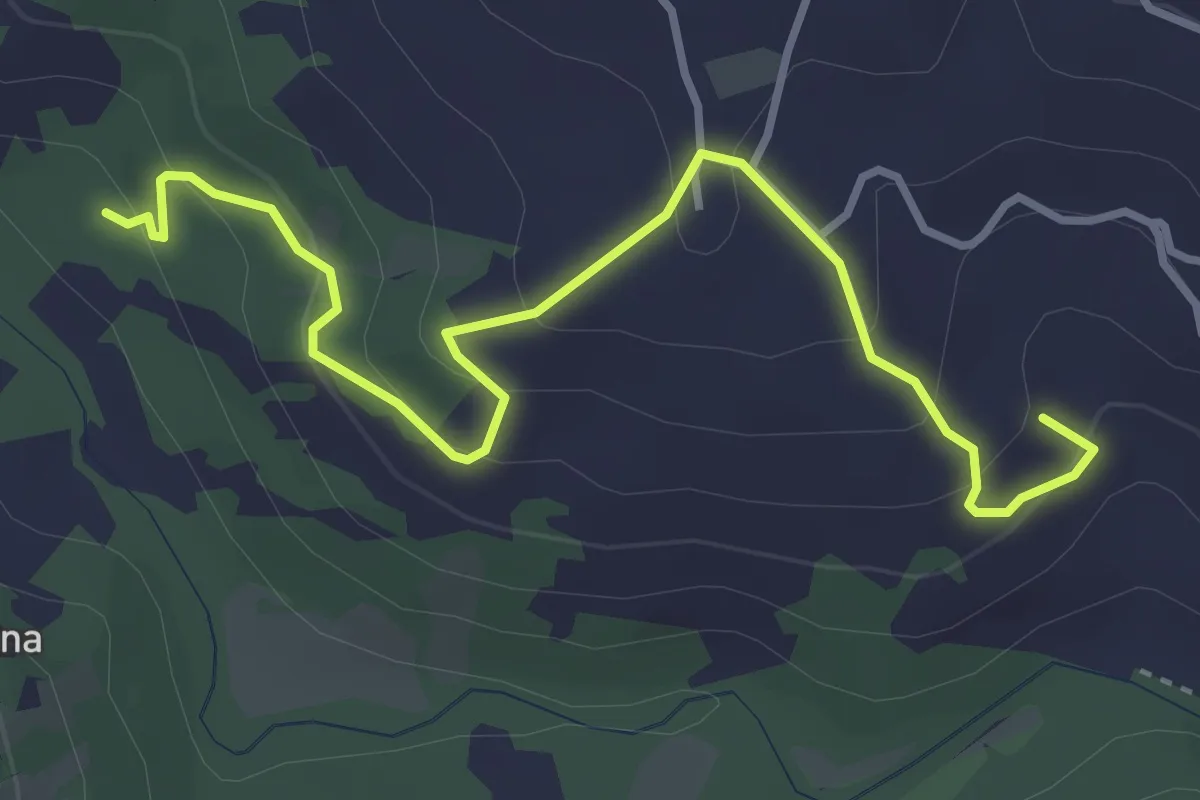
Easy · Summit
Percorso 660B – Percorso 660B
4.2 km · ↑ 229 m · 1 h 30 min
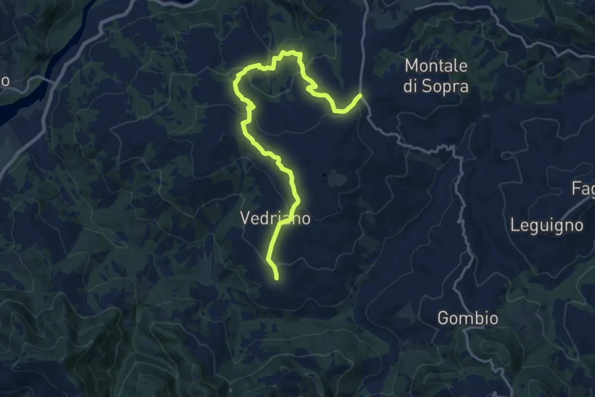
Medium · Trail
Trinità – Pietranera
14.2 km · ↑ 600 m · 4 h 39 min
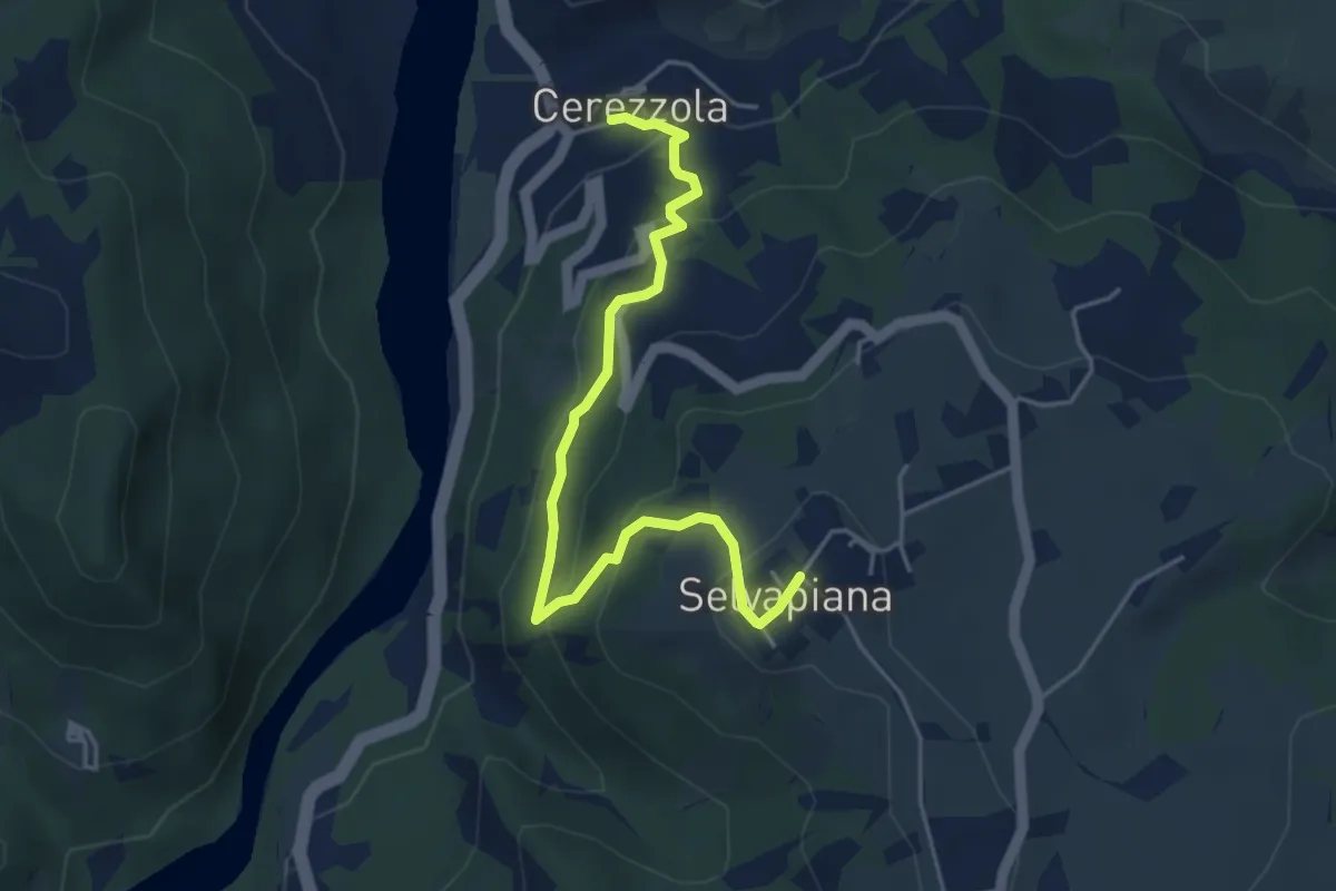
Easy · Trail
Cerezzola – Selvapiana
4.9 km · ↑ 261 m · 1 h 43 min
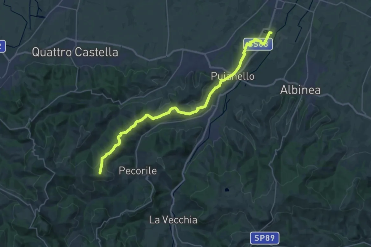
Demanding · Summit
Vasca Corbelli – Monte Pentile
24.6 km · ↑ 497 m · 6 h 54 min
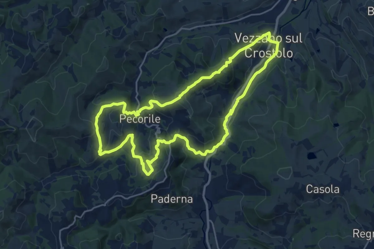
Medium · Summit
Vezzano sul Crostolo – Vezzano sul Crostolo
15.5 km · ↑ 616 m · 5 h 12 min
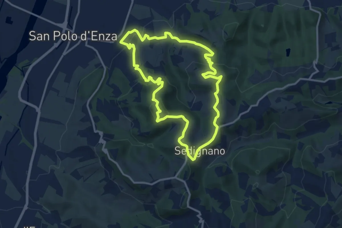
Medium · Summit
San Polo d'Enza – San Polo d'Enza
8.7 km · ↑ 341 m · 2 h 55 min
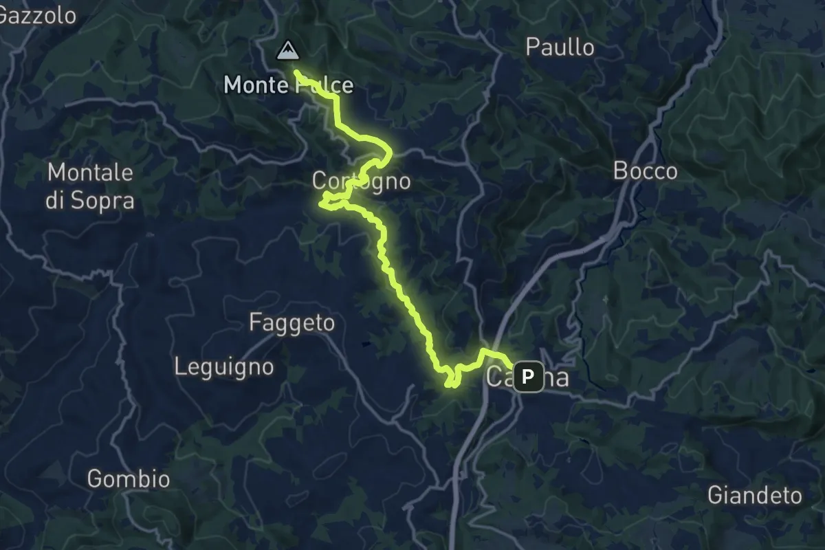
Medium · Summit
Rossena – Casina
16.8 km · ↑ 546 m · 5 h 9 min
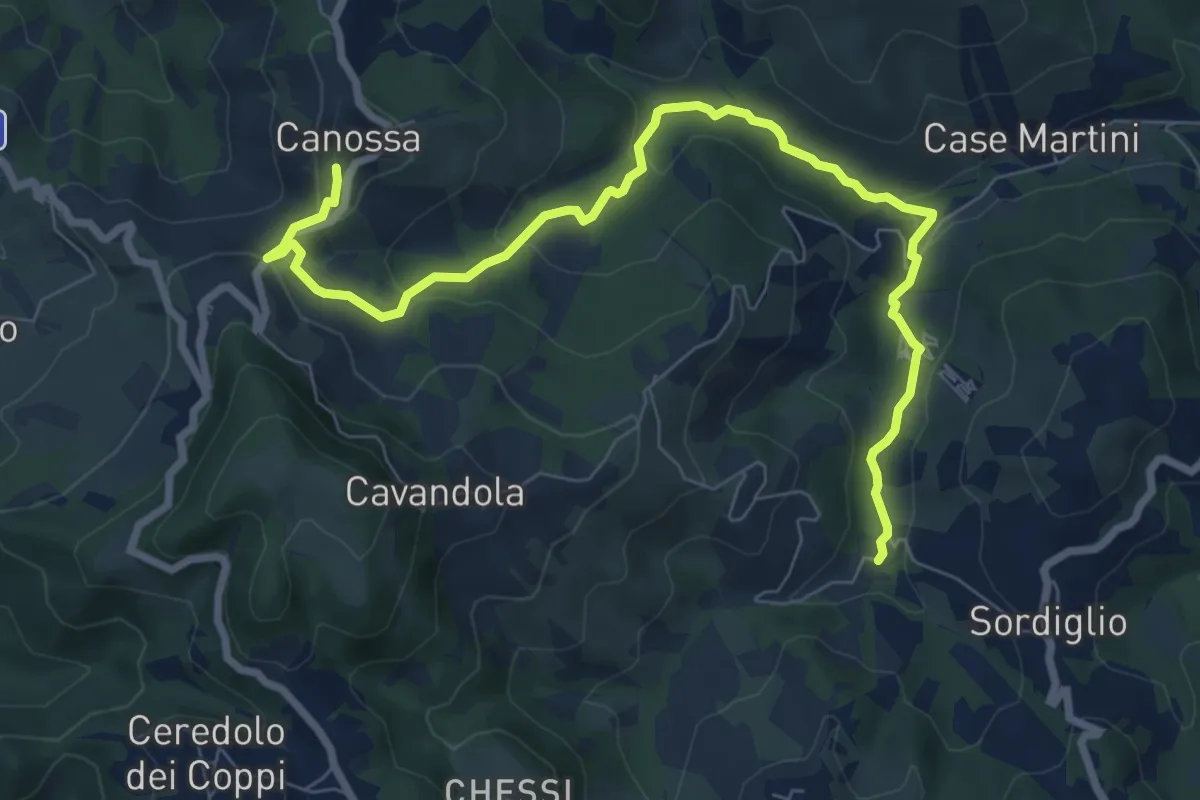
Medium · Trail
Mulino di Votigno – Canossa
9.3 km · ↑ 286 m · 2 h 49 min
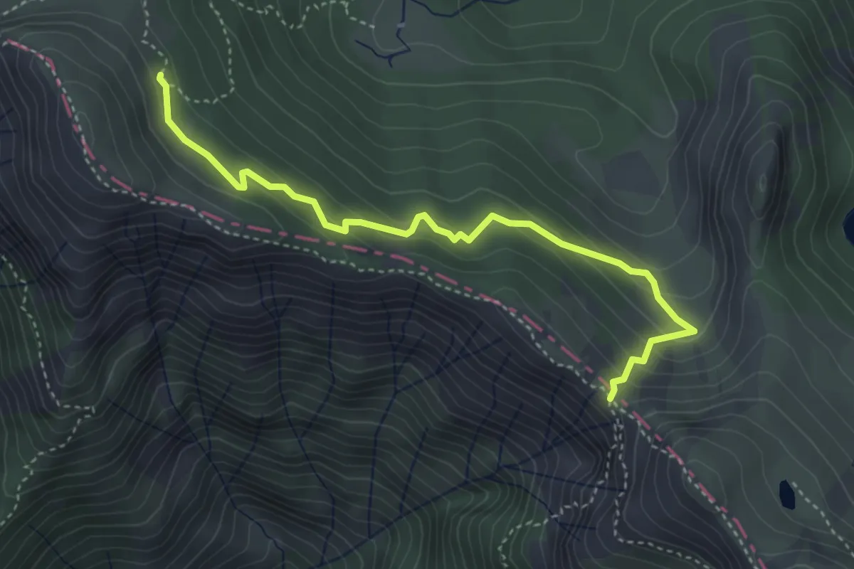
Easy · Trail
Percorso 719 – Passo di Badignana
4.3 km · ↑ 288 m · 1 h 39 min
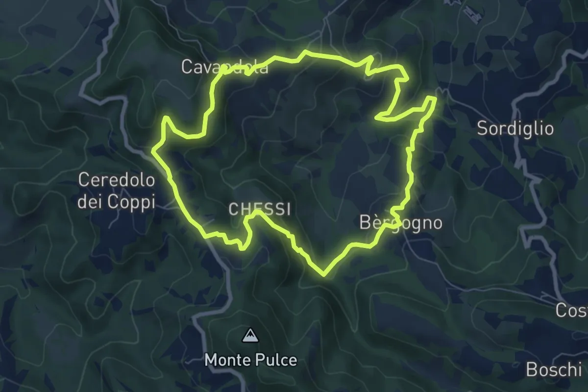
Medium · Trail
Cavandola – Cavandola
7.6 km · ↑ 389 m · 2 h 44 min
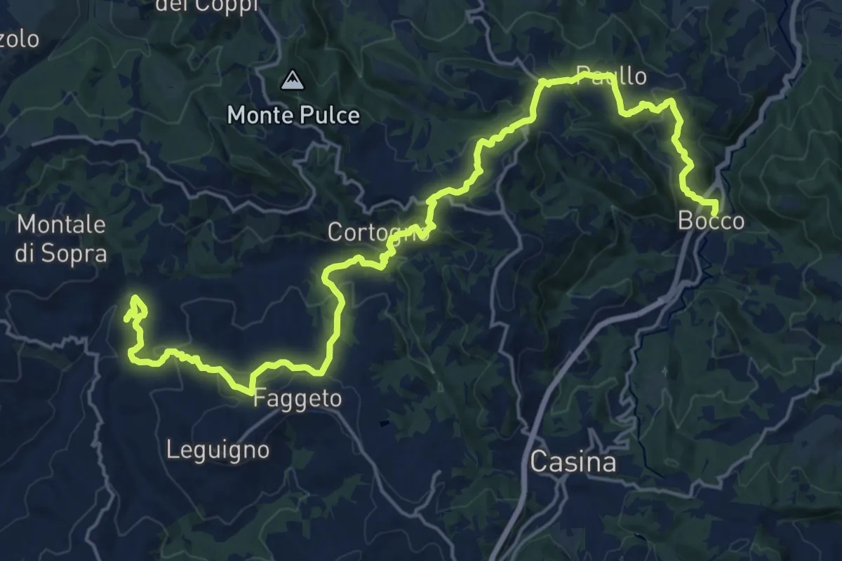
Demanding · Summit
Bocco – Montale
25.7 km · ↑ 1199 m · 8 h 40 min
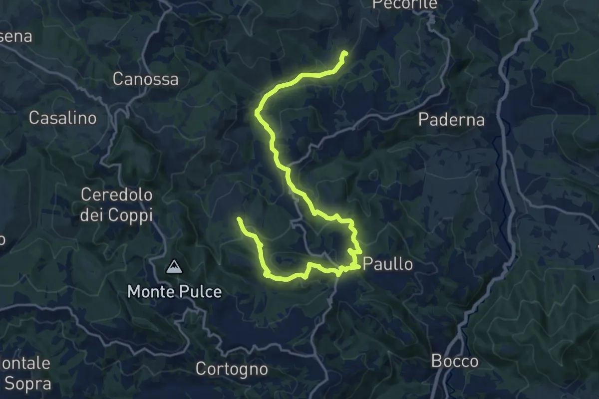
Medium · Trail
Bergogno – Casola Canossa
17.9 km · ↑ 665 m · 5 h 40 min
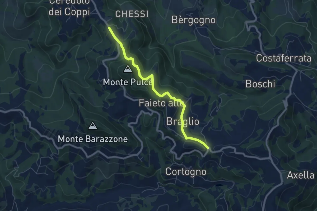
Easy · Trail
Santa Lucia – Ceredolo dei Coppi
6.1 km · ↑ 271 m · 2 h 1 min
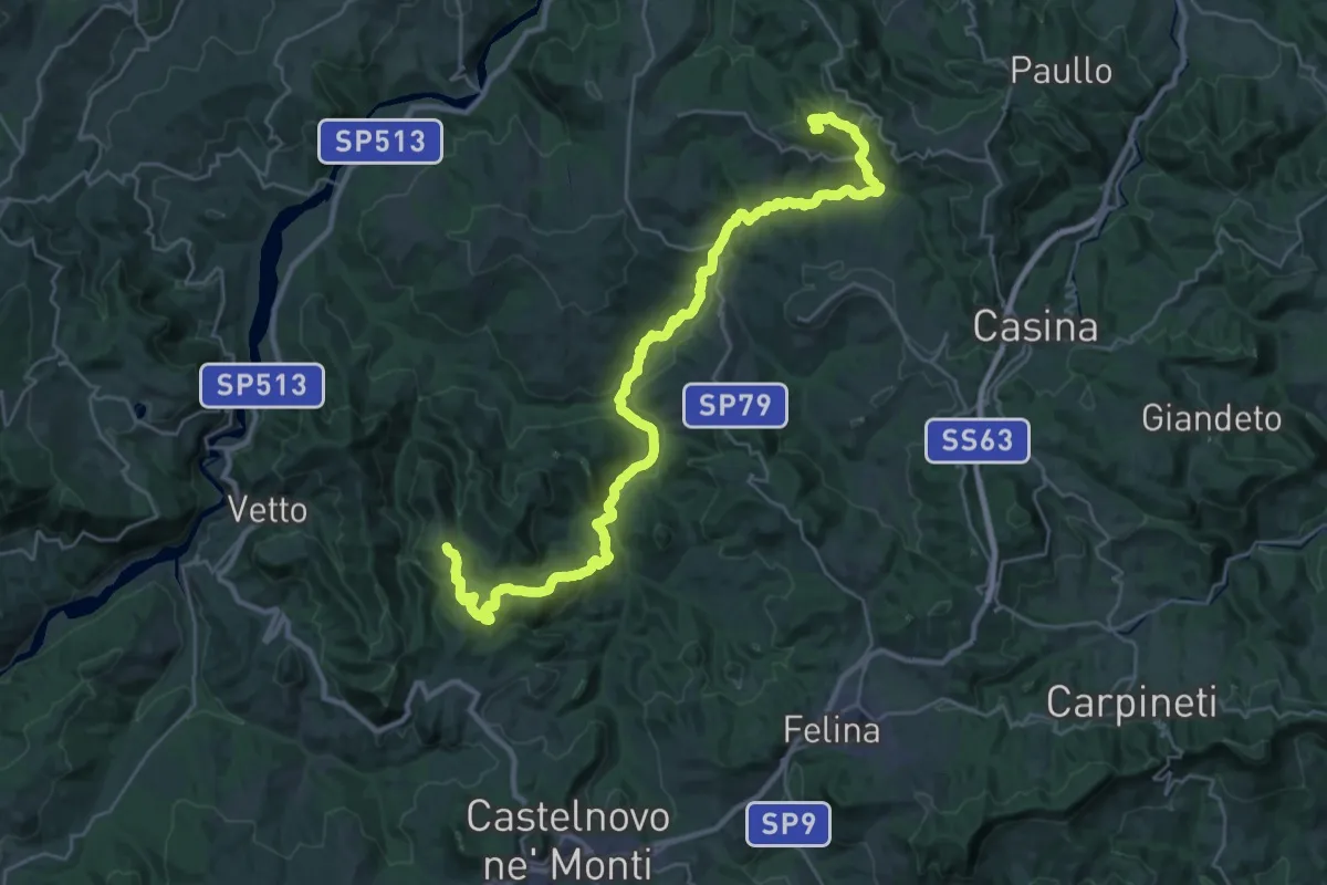
Demanding · Summit
Costa Melina – Pineto
35.1 km · ↑ 1056 m · 10 h 34 min
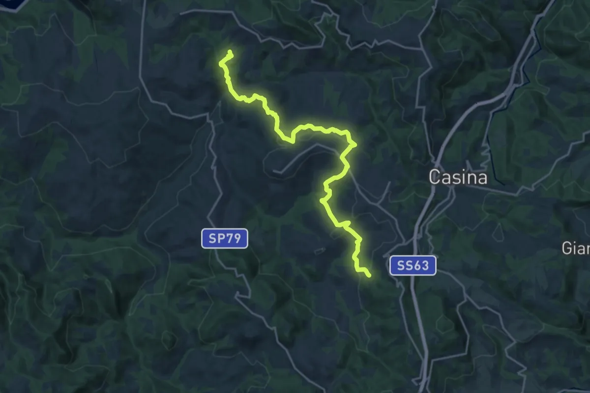
Demanding · Trail
Pianzo – Baragalla
18.4 km · ↑ 616 m · 5 h 40 min
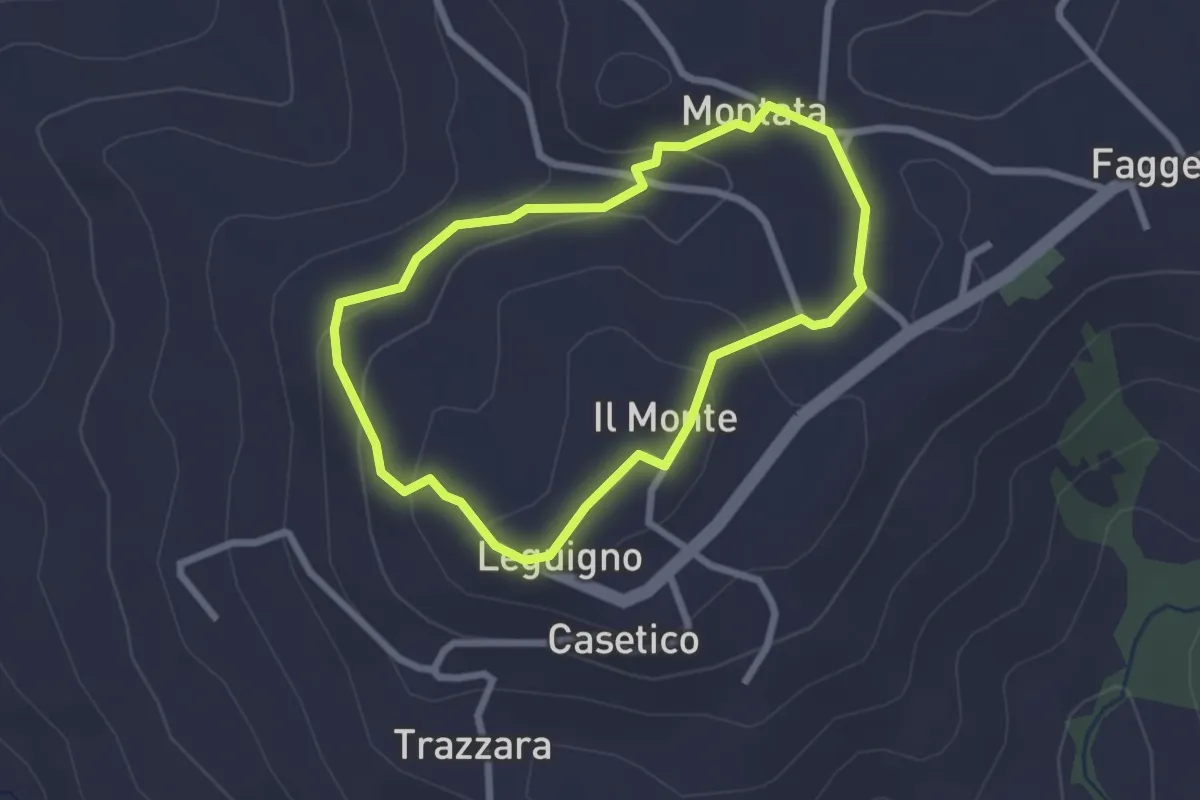
Easy · Trail
Montata – Montata
2.3 km · ↑ 83 m · 45 min
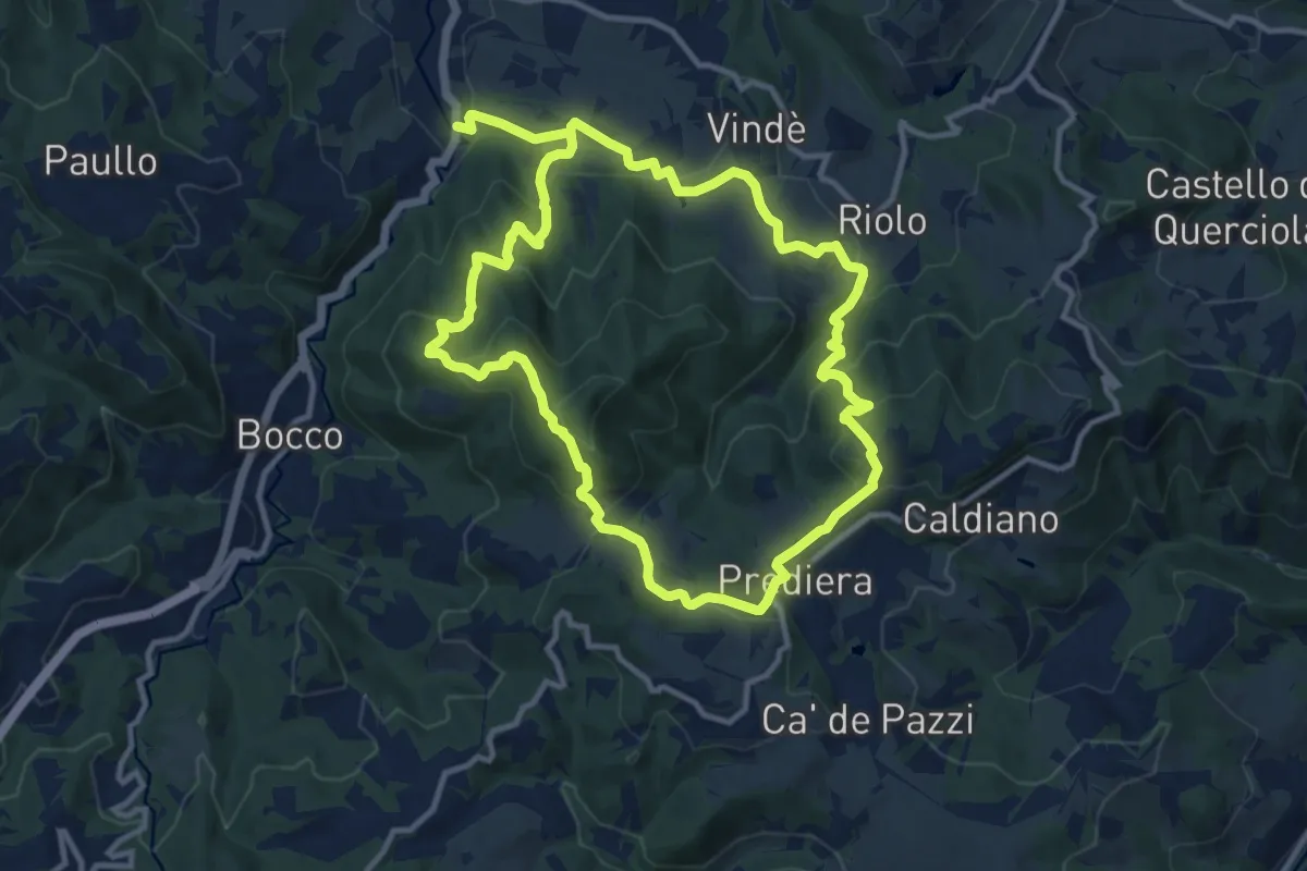
Medium · Summit
Bettola – Bettola
11.2 km · ↑ 556 m · 3 h 58 min
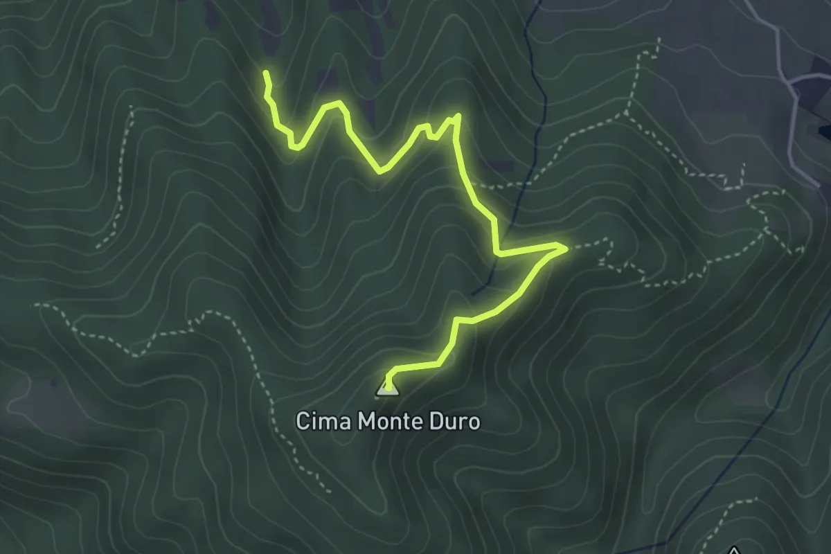
Medium · Summit
Percorso 622 – Monte Duro
4.4 km · ↑ 311 m · 1 h 43 min
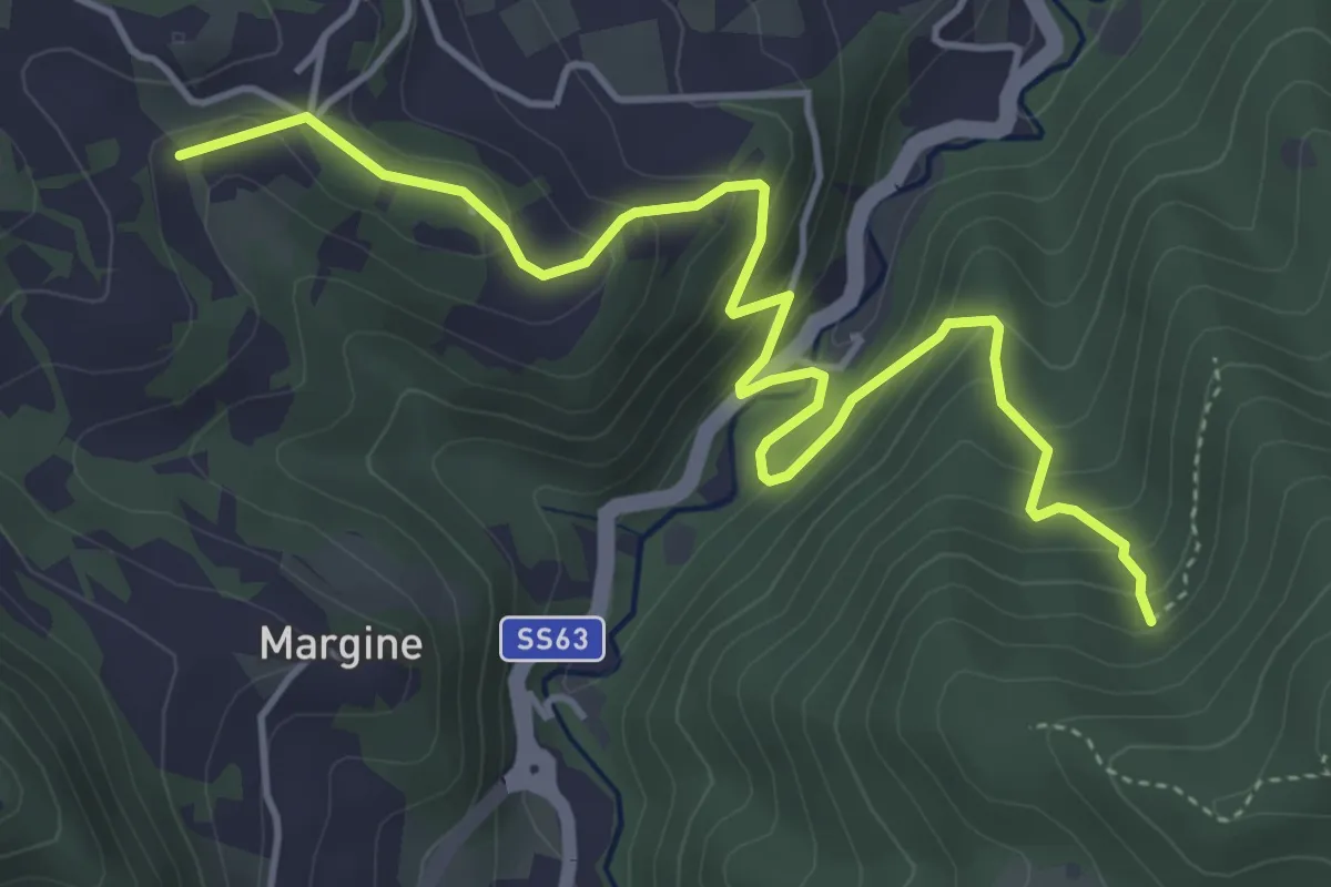
Medium · Trail
La Ripa – Percorso 622
5.5 km · ↑ 358 m · 2 h 5 min
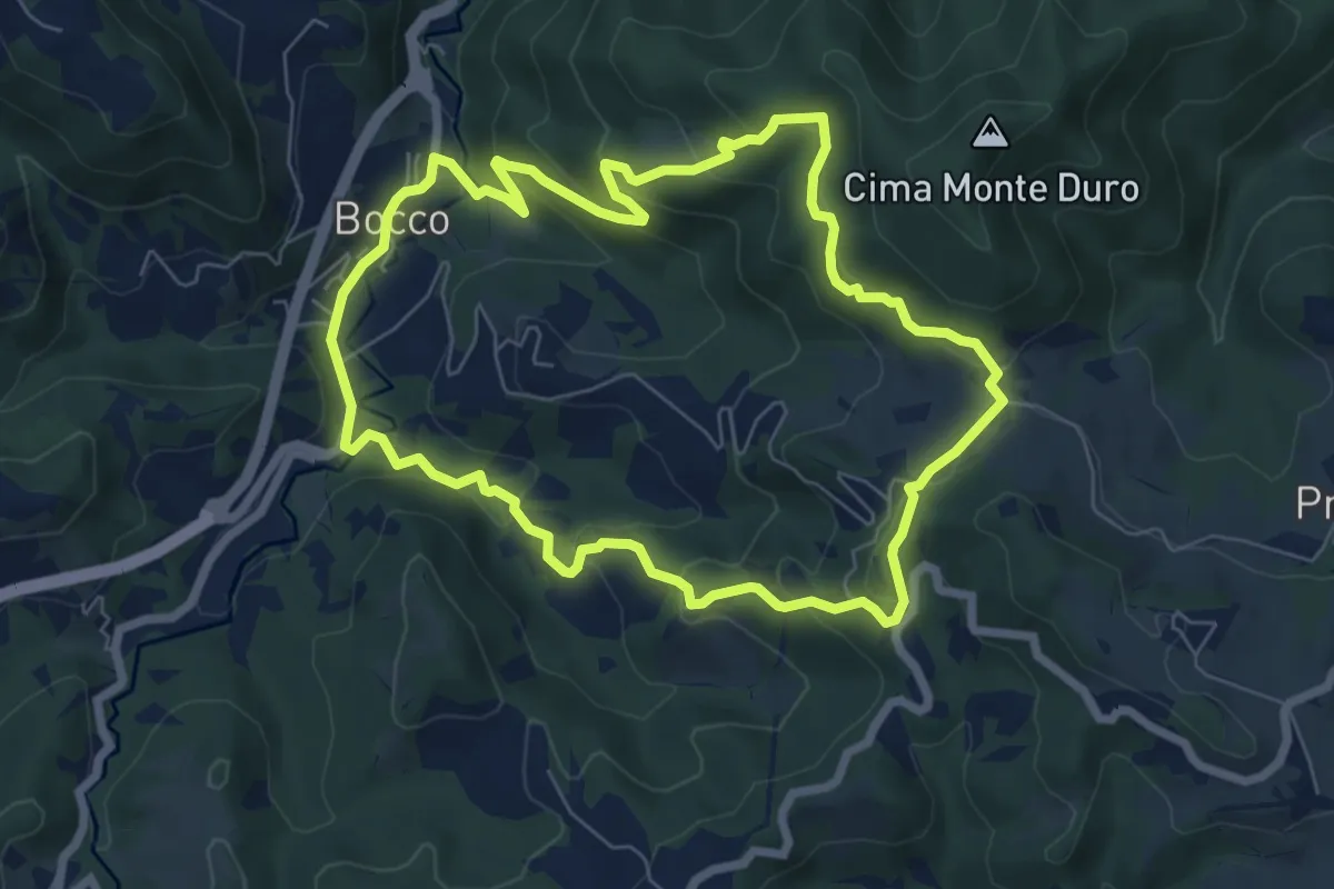
Medium · Trail
Il Bocco – La Canala
7.1 km · ↑ 351 m · 2 h 32 min
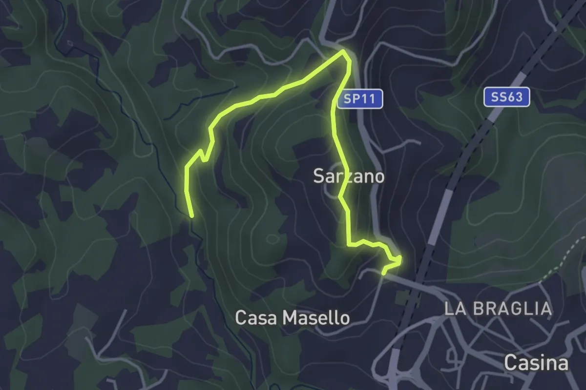
Easy · Trail
Percorso 650 – Percorso 650
4.1 km · ↑ 235 m · 1 h 29 min
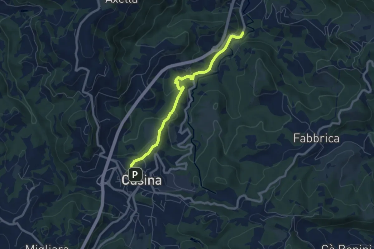
Easy · Trail
Casina – La Canala
6.0 km · ↑ 220 m · 1 h 54 min
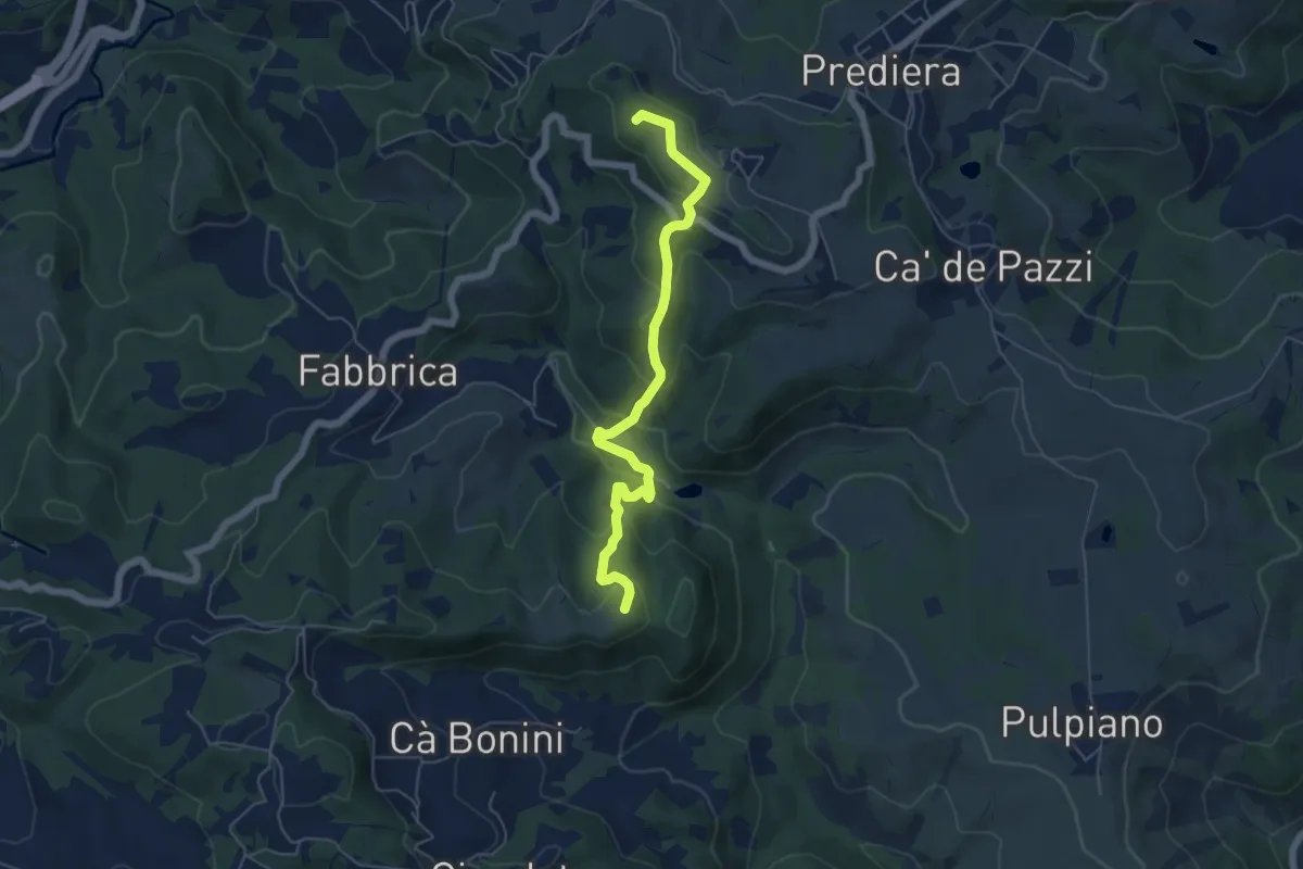
Easy · Summit
Casa Mazzoni – Monte delle Ripe
5.8 km · ↑ 318 m · 2 h 4 min
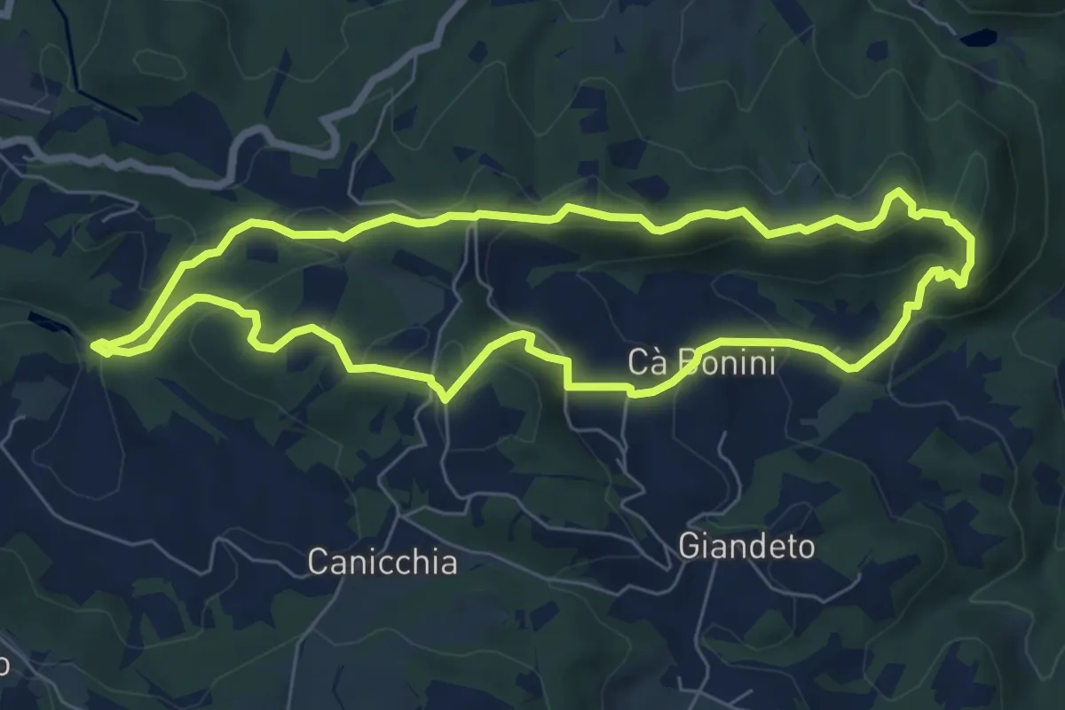
Easy · Summit
Lago dei Pini – Lago dei Pini
6.9 km · ↑ 301 m · 2 h 22 min
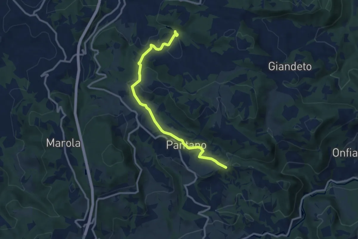
Medium · Trail
Lago dei Pini – Croce di Petrella
8.3 km · ↑ 253 m · 2 h 31 min
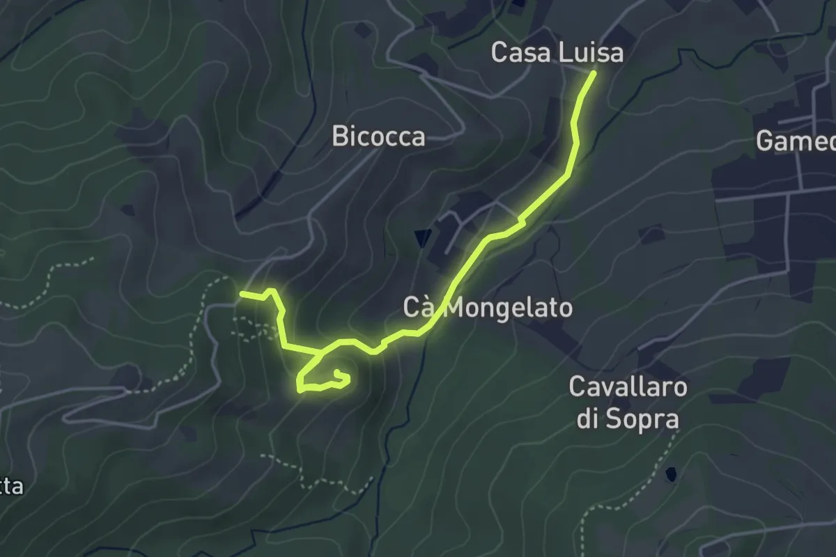
Easy · Trail
Bivio via Franchetti/via Chierici – Ca' del Monte
4.8 km · ↑ 194 m · 1 h 34 min
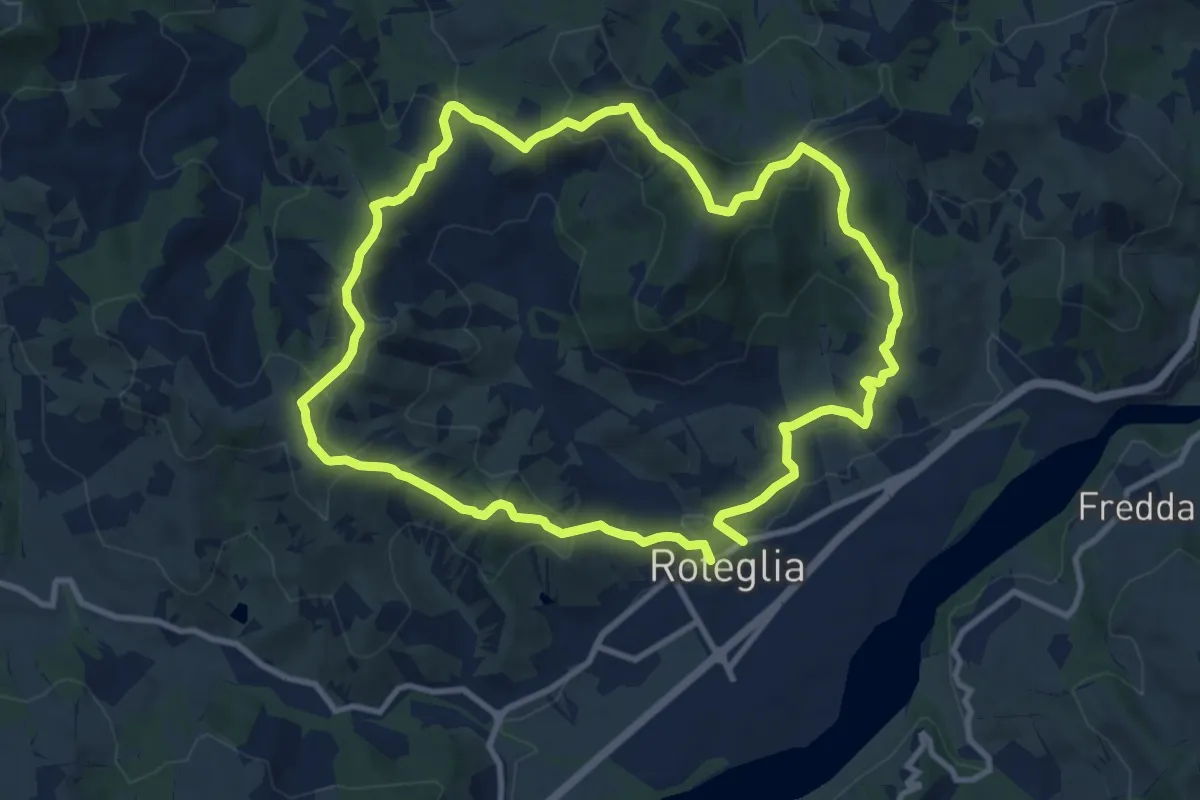
Medium · Summit
Roteglia – Roteglia
10.4 km · ↑ 417 m · 3 h 30 min
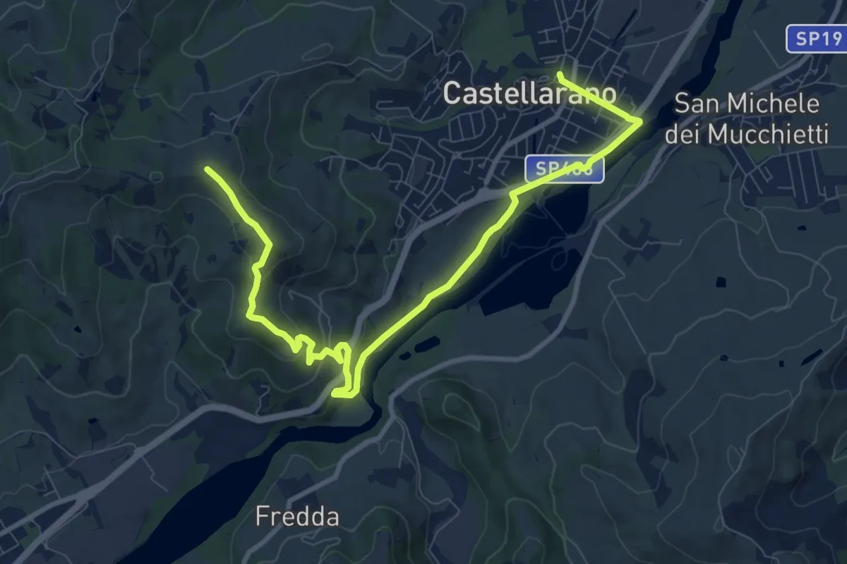
Medium · Trail
Castellarano – Monte Le Malee
11.4 km · ↑ 327 m · 3 h 24 min
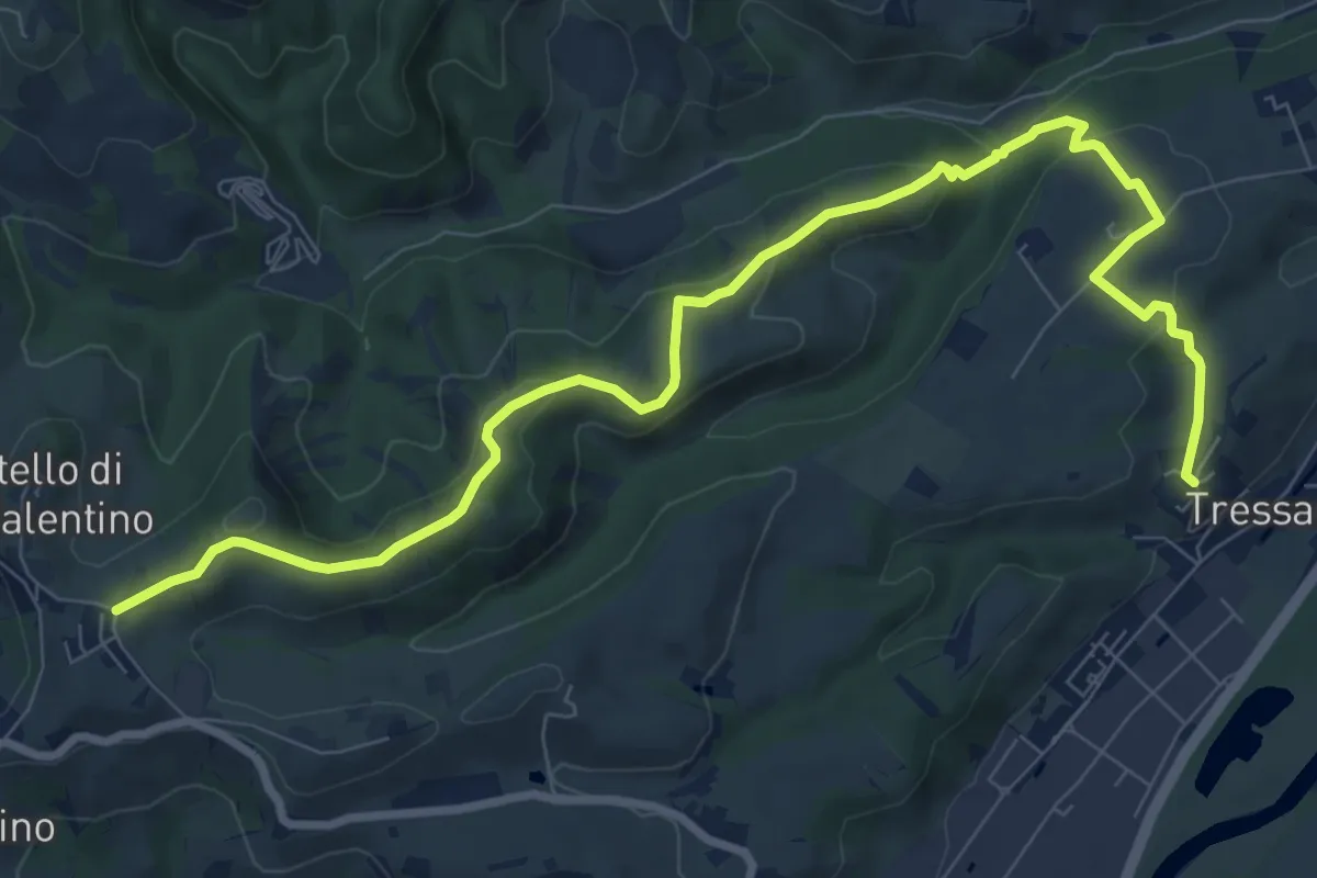
Medium · Trail
Tressano – Castello di San Valentino
11.0 km · ↑ 340 m · 3 h 20 min
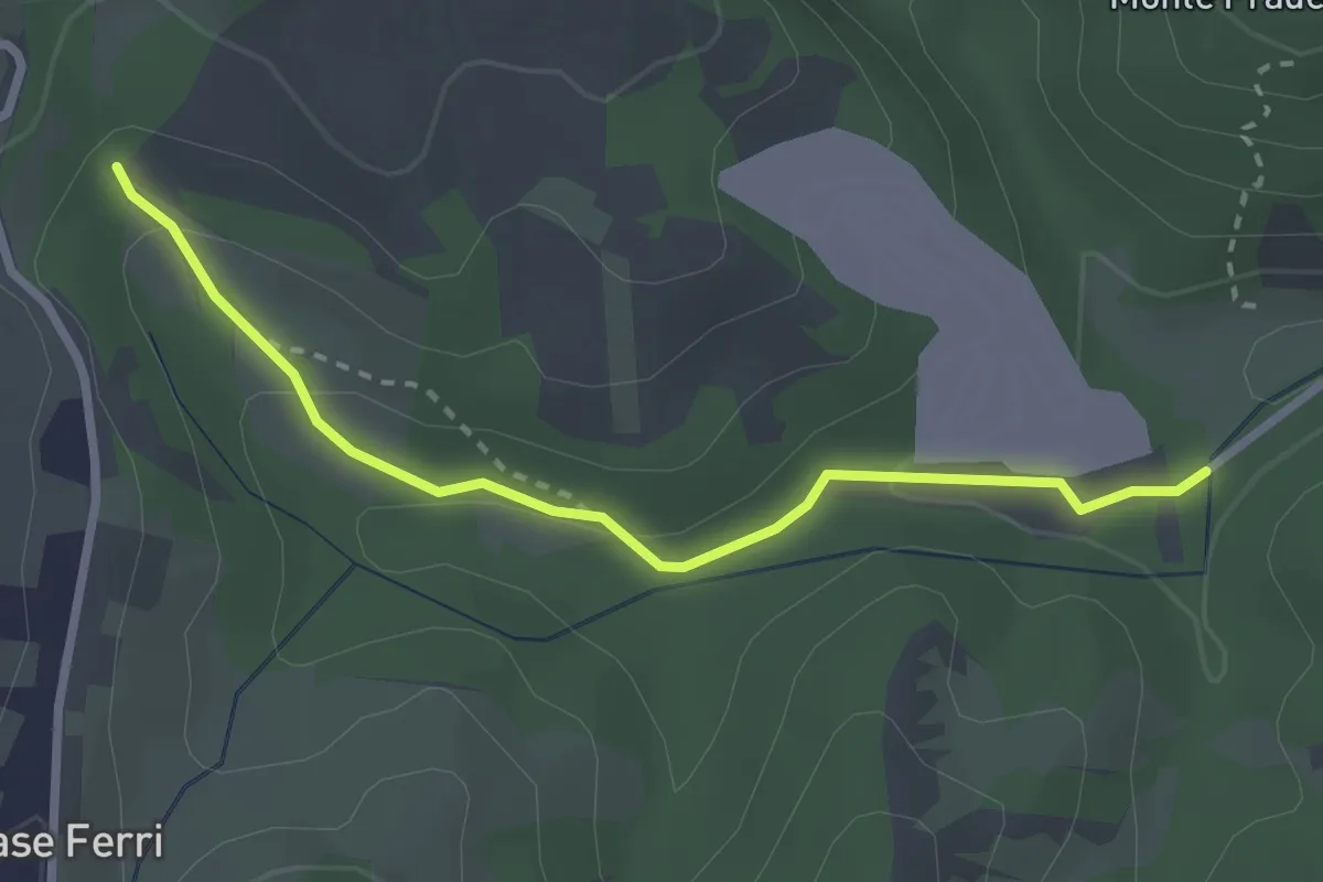
Easy · Trail
Percorso 602D – Parcheggio Rio Rocca
2.8 km · ↑ 98 m · 53 min
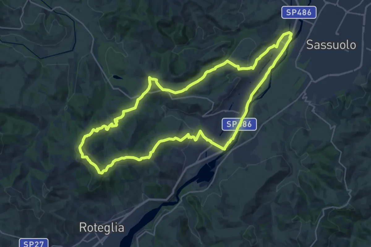
Demanding · Summit
Castellarano – Castellarano
22.3 km · ↑ 489 m · 6 h 37 min
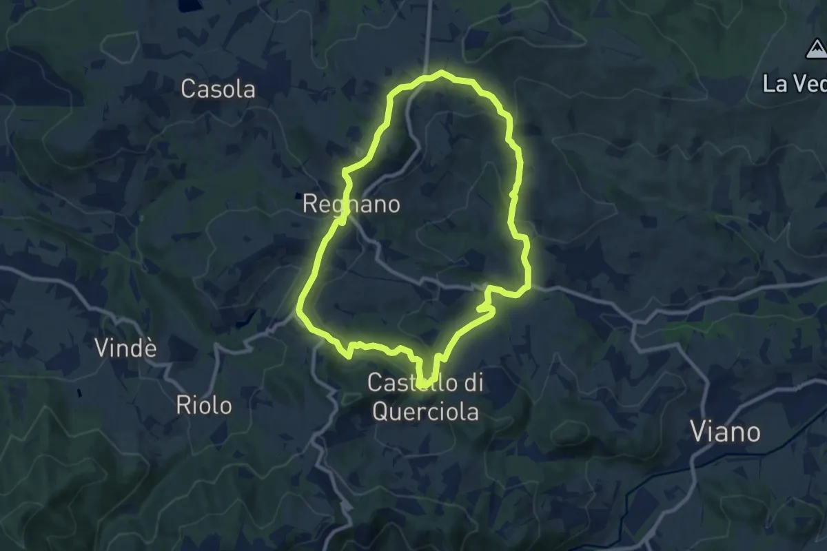
Medium · Summit
Ca' Bertacchi – Ca' Bertacchi
9.0 km · ↑ 341 m · 3 h
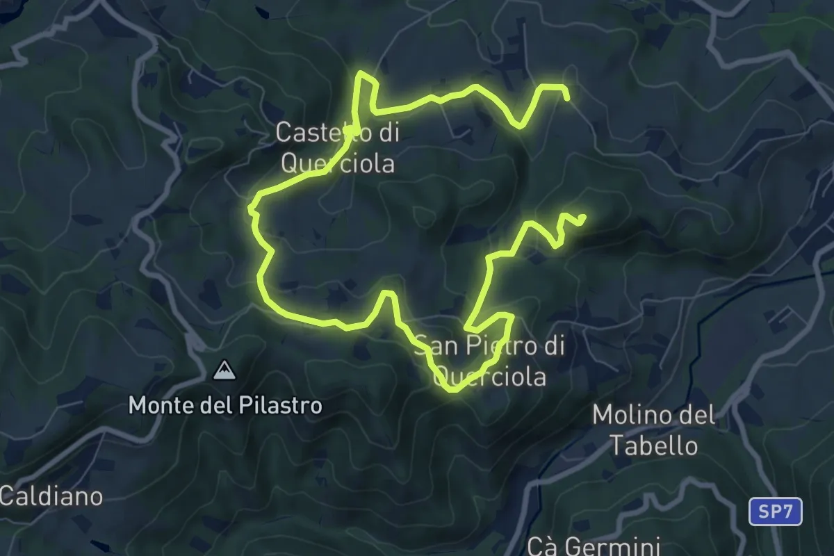
Medium · Summit
Mamorra – Casino
13.0 km · ↑ 600 m · 4 h 22 min
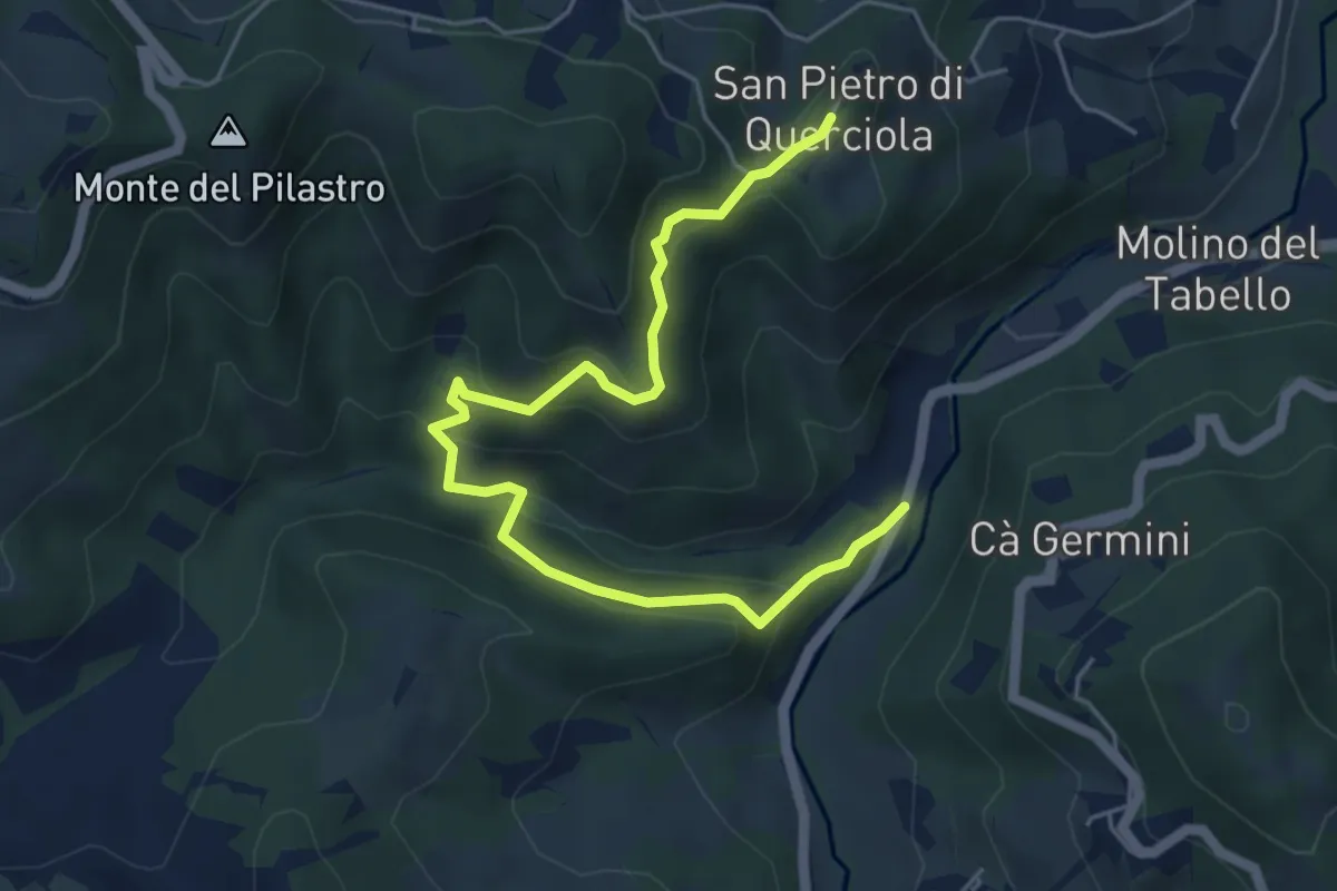
Medium · Trail
San Pietro di Querciola – Casa Benale
6.1 km · ↑ 323 m · 2 h 8 min
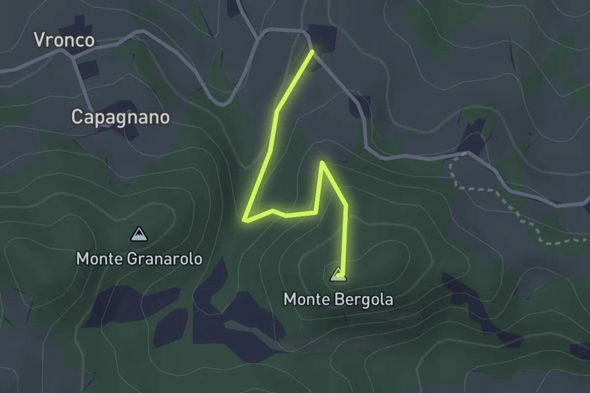
Easy · Summit
Casino – Monte Bergola
2.3 km · ↑ 145 m · 52 min
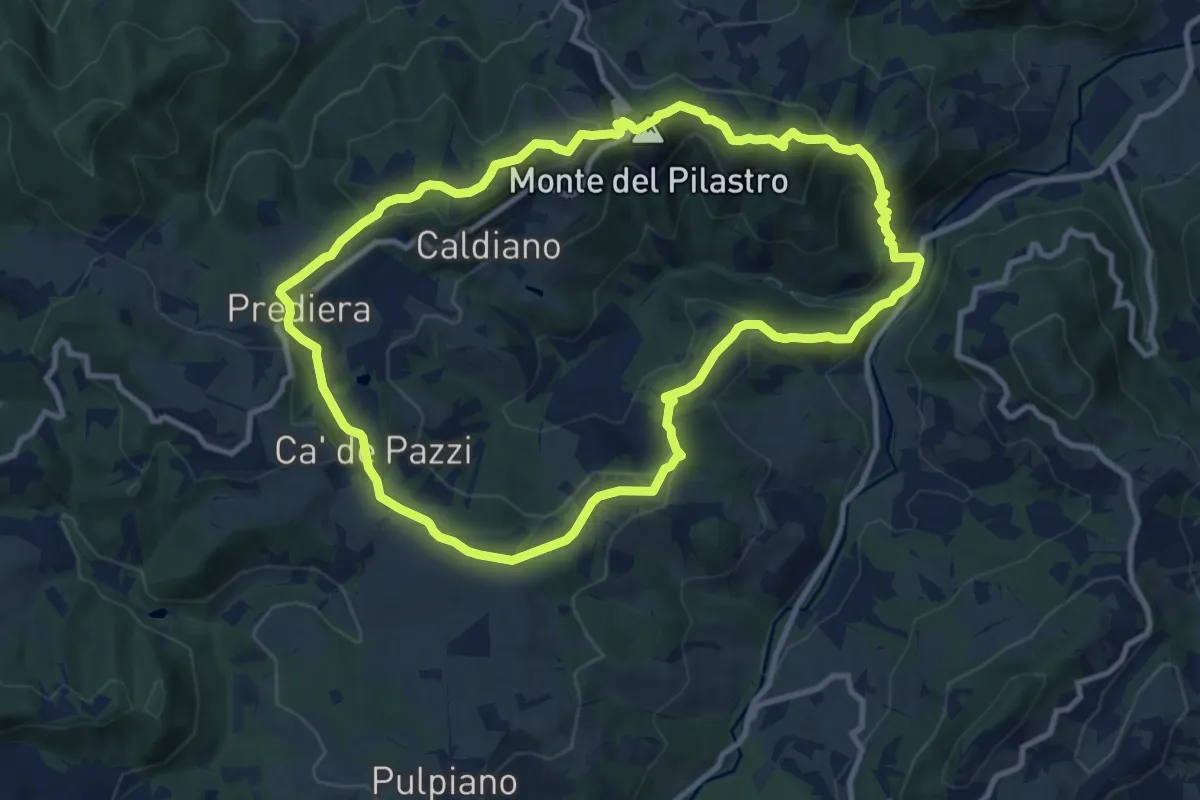
Medium · Summit
San Pietro di Querciola – San Pietro di Querciola
10.6 km · ↑ 452 m · 3 h 38 min
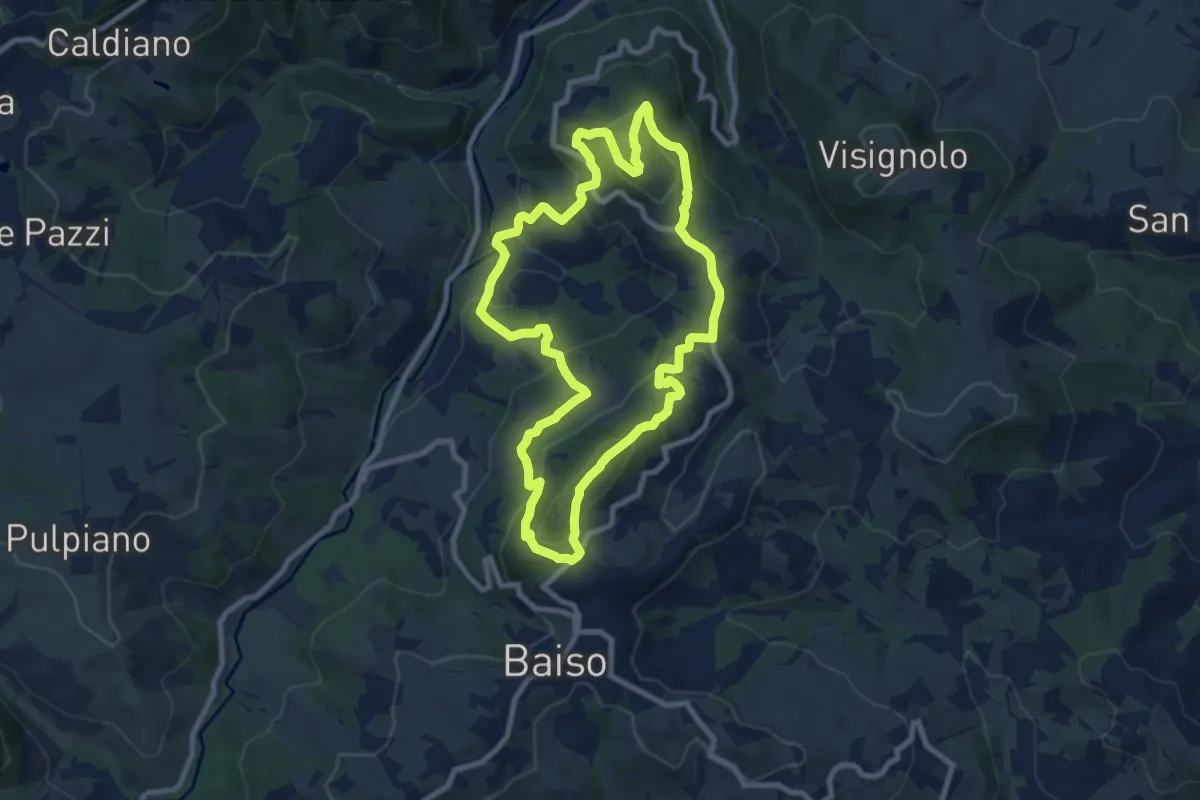
Medium · Summit
Montecchio – Montecchio
9.0 km · ↑ 527 m · 3 h 24 min
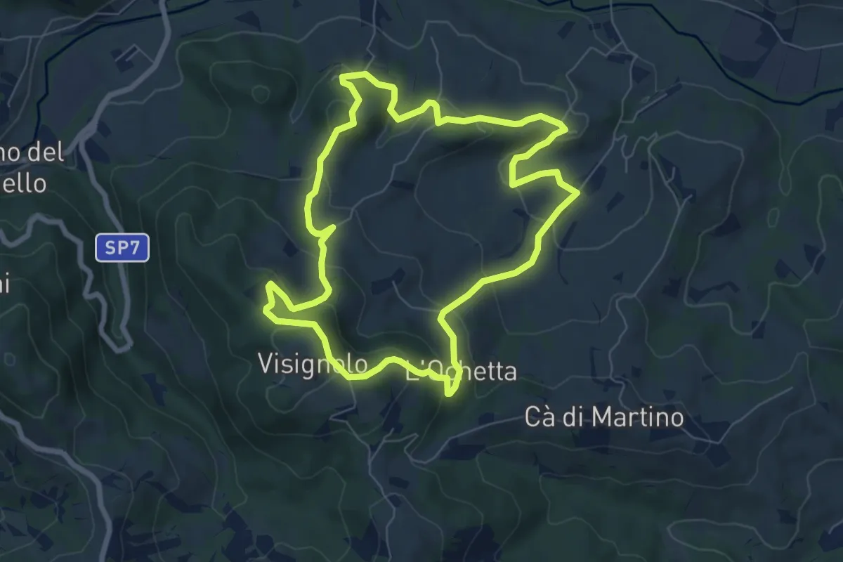
Medium · Trail
Visignolo – Visignolo
7.0 km · ↑ 324 m · 2 h 27 min