Trails in Italy
25,219 hiking trails, each with its route, climb, walking time and grade.
All trails, page 315 of 526
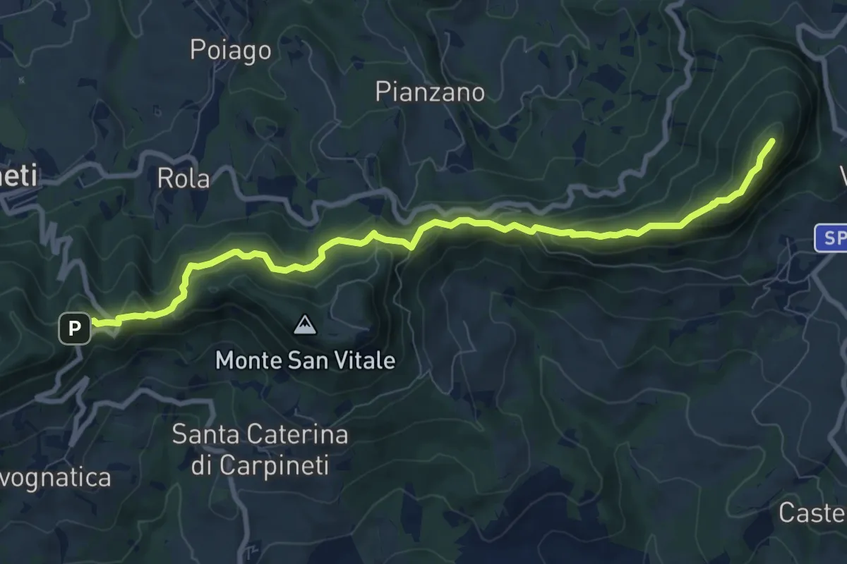
Medium · Summit
Valestra – Castello delle Carpinete
9.7 km · ↑ 570 m · 3 h 32 min
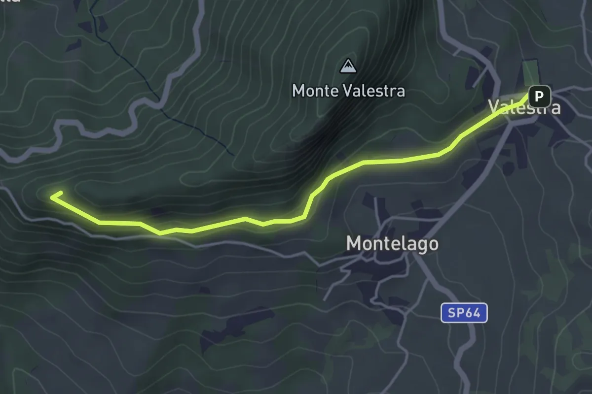
Easy · Trail
Valestra – Passo della Regina
4.3 km · ↑ 147 m · 1 h 20 min
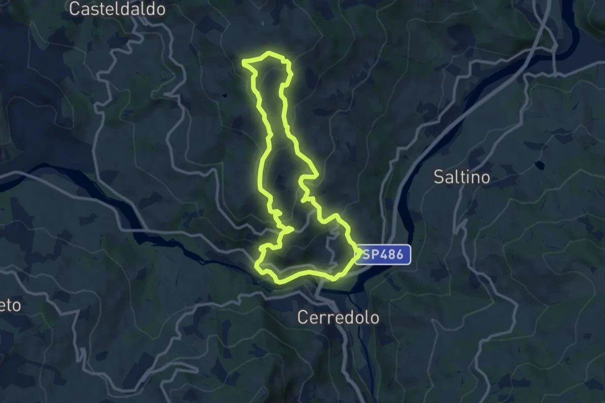
Medium · Trail
Ponte Secchia – Ponte Secchia
9.7 km · ↑ 459 m · 3 h 25 min
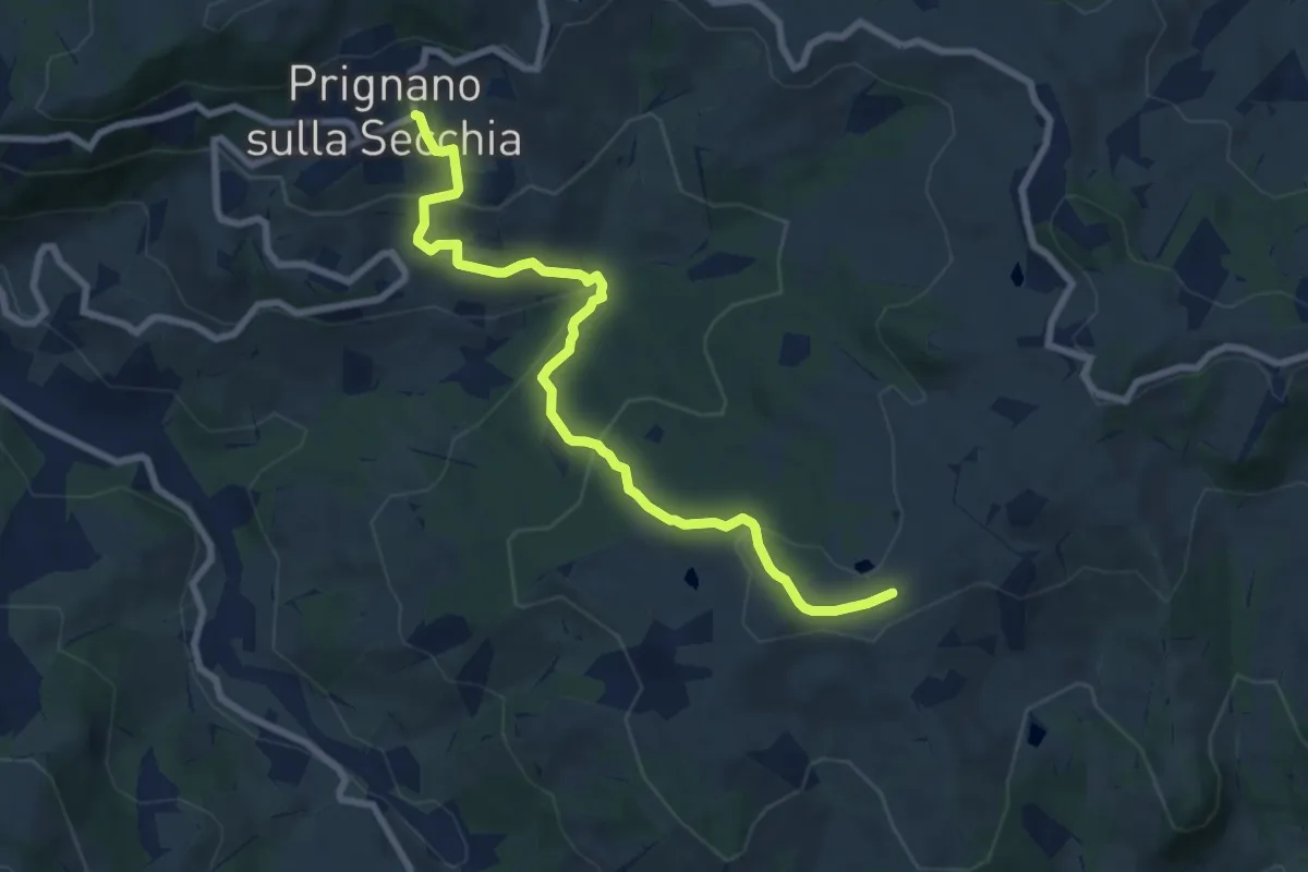
Medium · Trail
Prignano – Casa Matteazzi
8.7 km · ↑ 382 m · 2 h 53 min
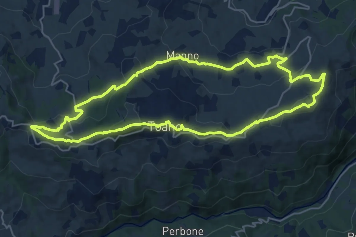
Medium · Trail
Pieve di Toano – Pieve di Toano
14.1 km · ↑ 453 m · 4 h 30 min
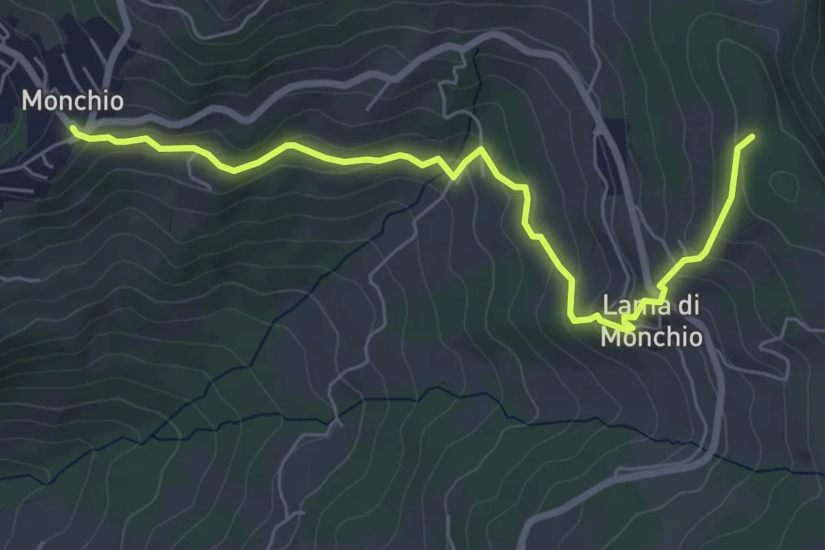
Easy · Trail
Monchio – Percorso 574
6.3 km · ↑ 285 m · 2 h 6 min
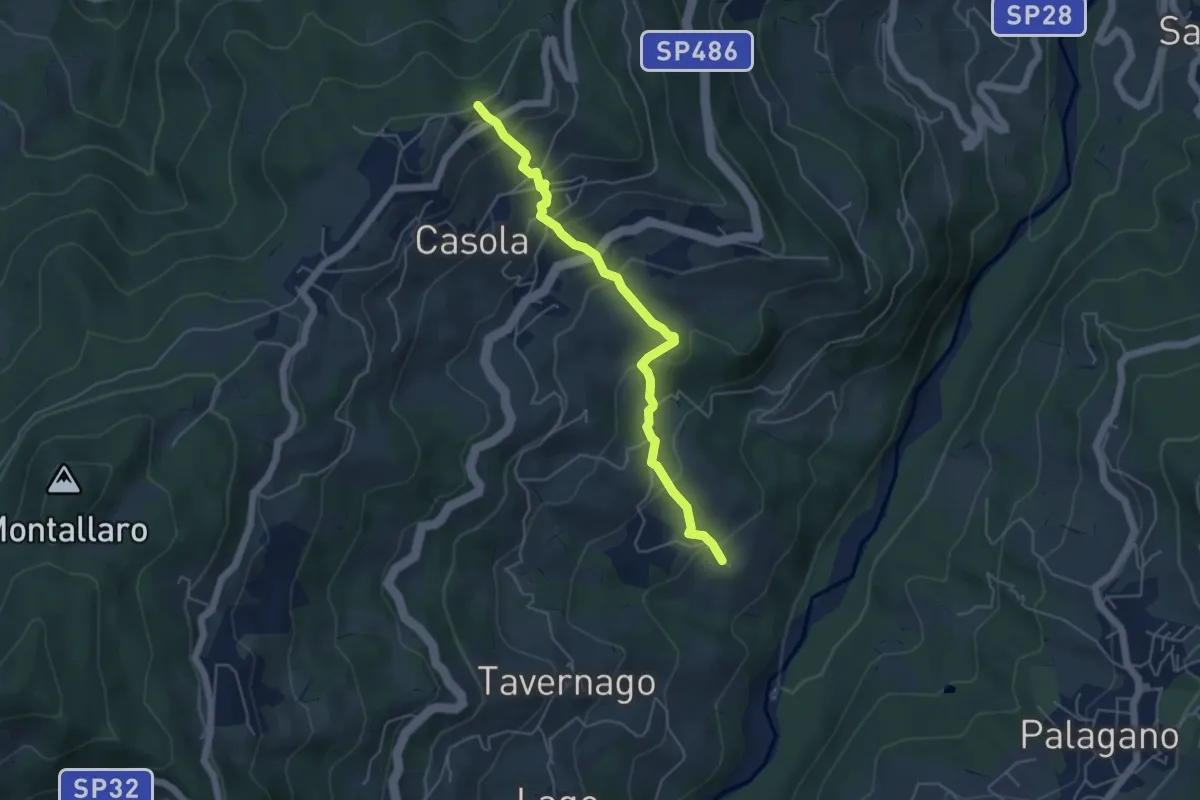
Medium · Trail
Percorso 590 – Torrente Dragone
5.1 km · ↑ 339 m · 1 h 57 min
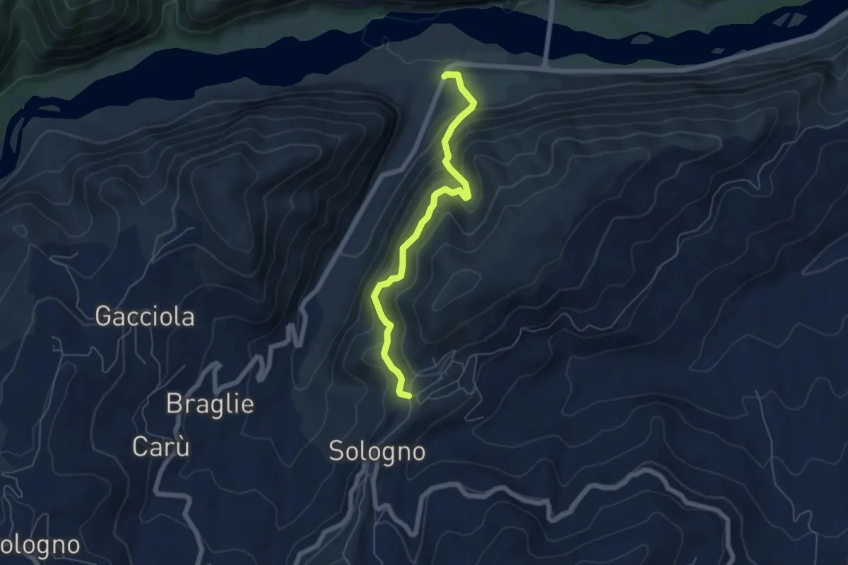
Medium · Trail
Ca' Rabacchi – Villa di Sologno
5.5 km · ↑ 487 m · 2 h 22 min
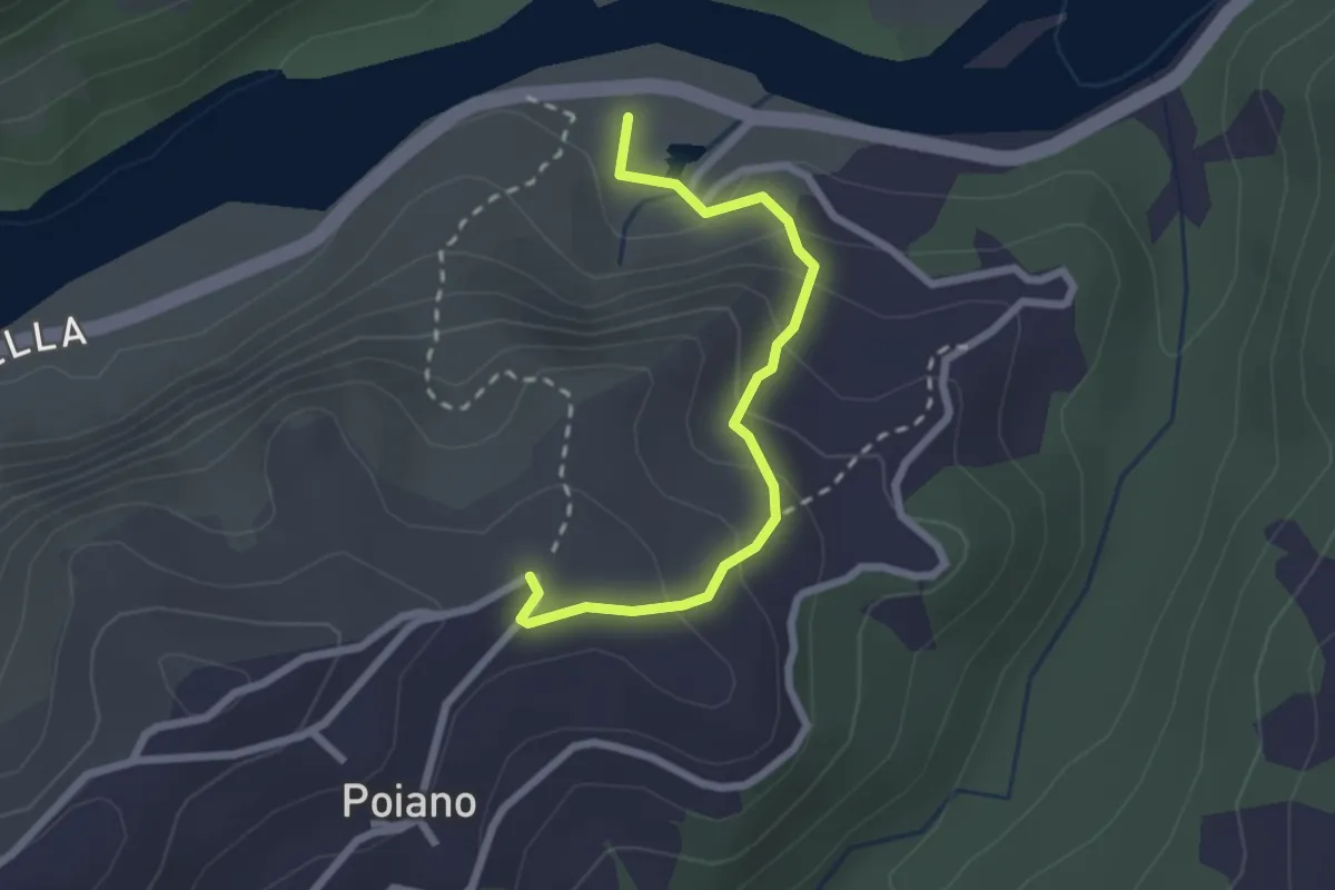
Easy · Trail
Percorso 621 – Fonti di Poiano
2.4 km · ↑ 152 m · 54 min
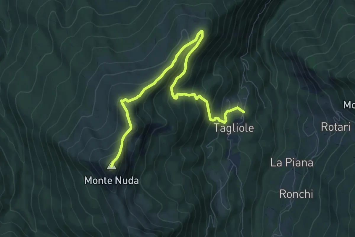
Medium · Summit
Le Tagliole – Monte Nuda
10.2 km · ↑ 703 m · 3 h 56 min
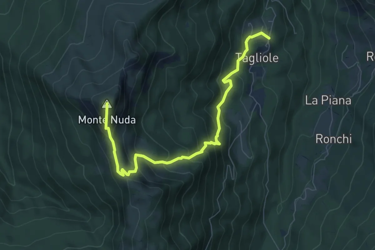
Medium · Summit
Fatalcina – Percorso 539
8.3 km · ↑ 638 m · 3 h 21 min
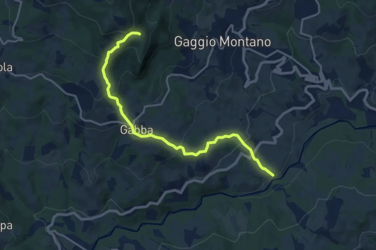
Medium · Trail
Molino di Pontevecchio (Percorso 157) – Ghirigaia (Percorso 157)
9.9 km · ↑ 585 m · 3 h 37 min
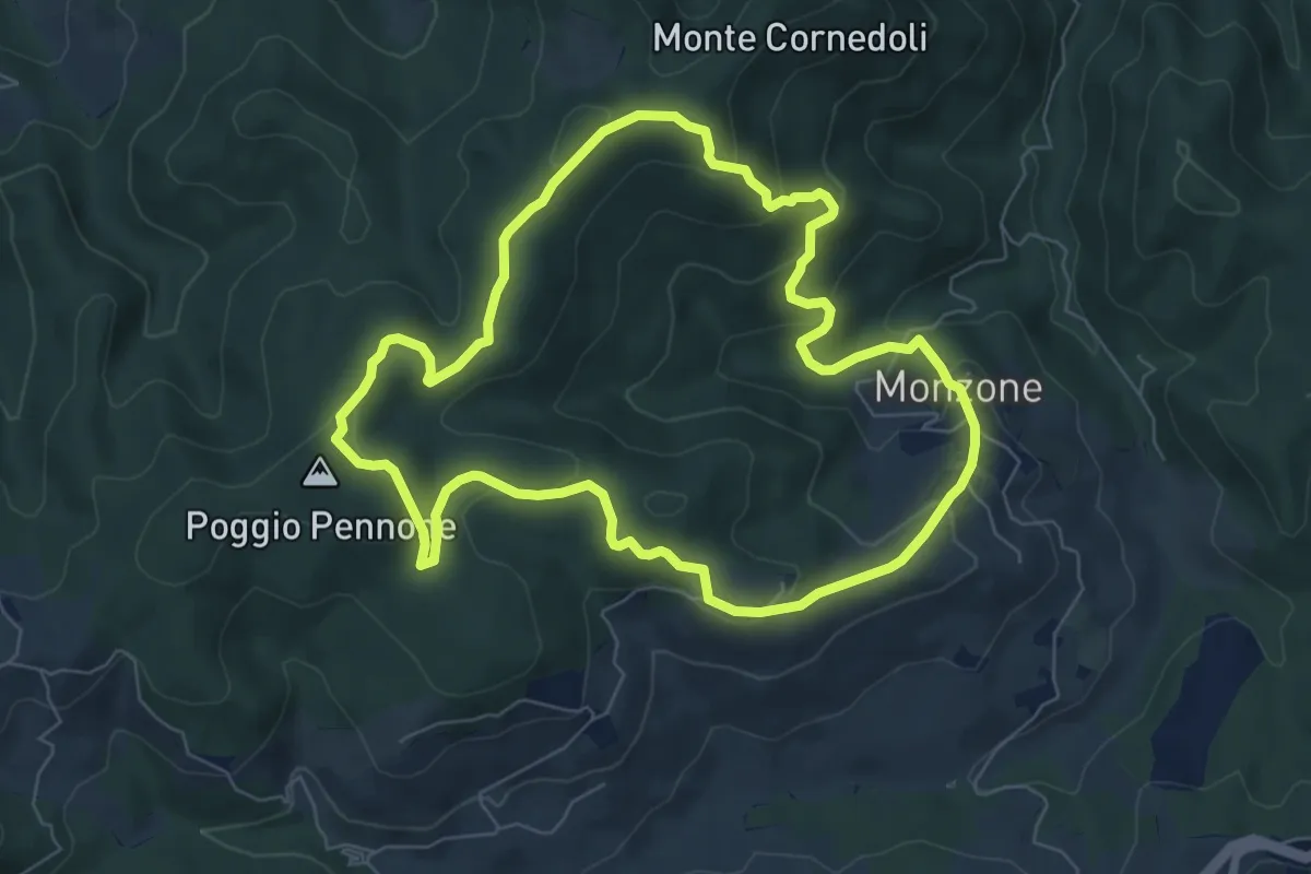
Easy · Summit
Monzone – Monzone
7.2 km · ↑ 274 m · 2 h 24 min
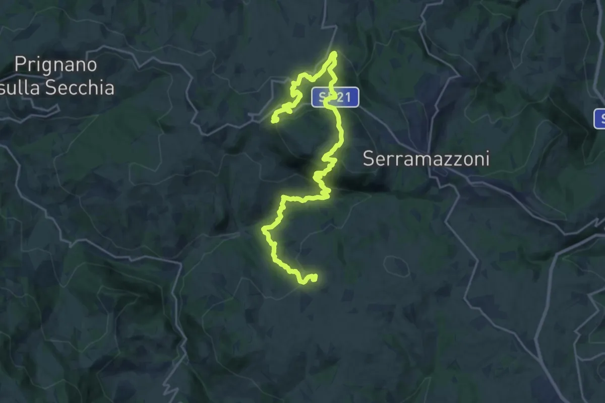
Medium · Trail
Pompeano – Ca d'Andrea
11.9 km · ↑ 735 m · 4 h 31 min
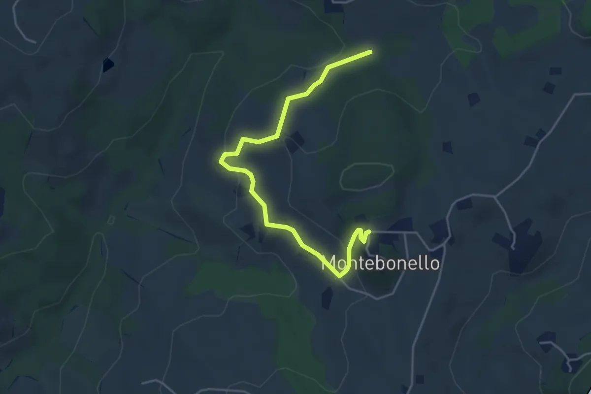
Easy · Trail
Montebonello – Percorso 522
4.5 km · ↑ 190 m · 1 h 28 min
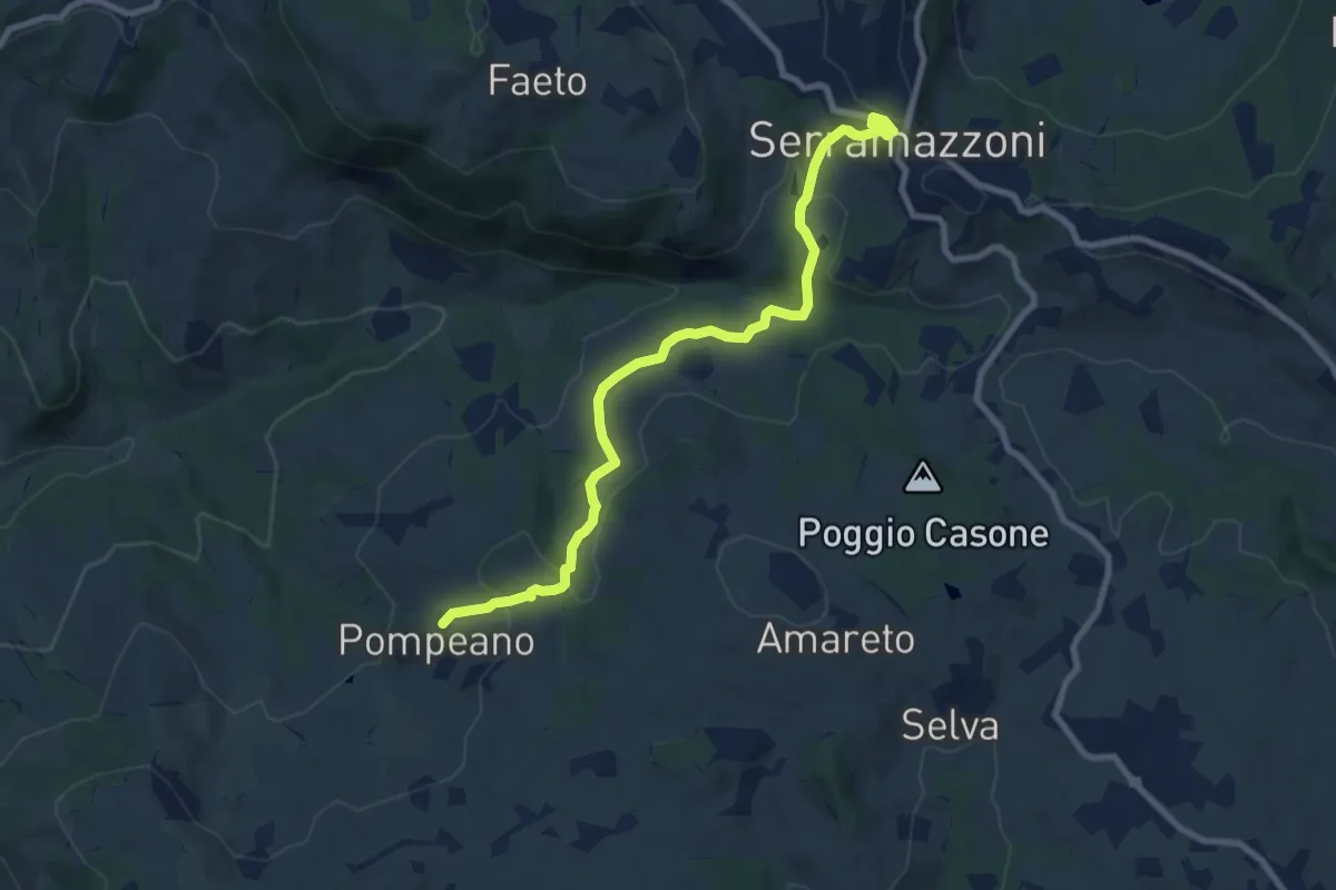
Medium · Trail
Serramazzoni – Pompeano
9.2 km · ↑ 405 m · 3 h 3 min
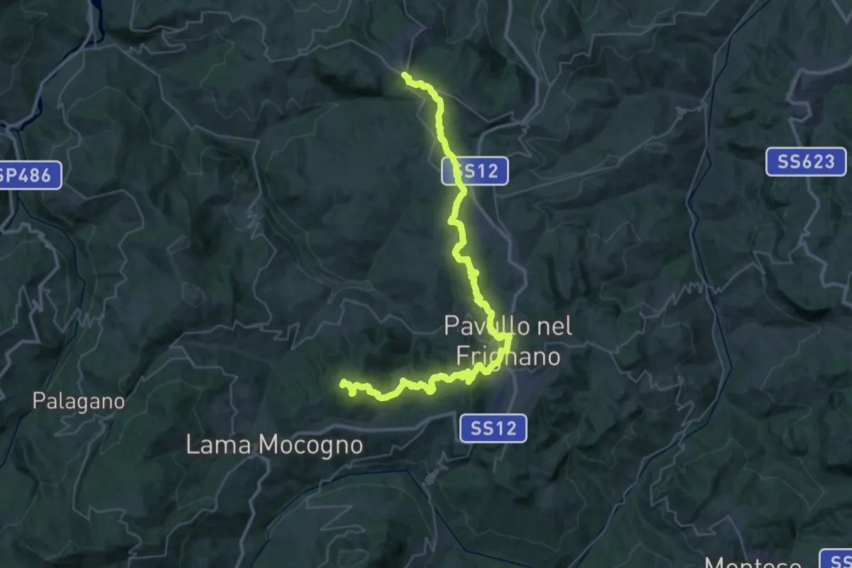
Demanding · Summit
Serramazzoni – La Berzigala
45.7 km · ↑ 1543 m · 14 h 7 min
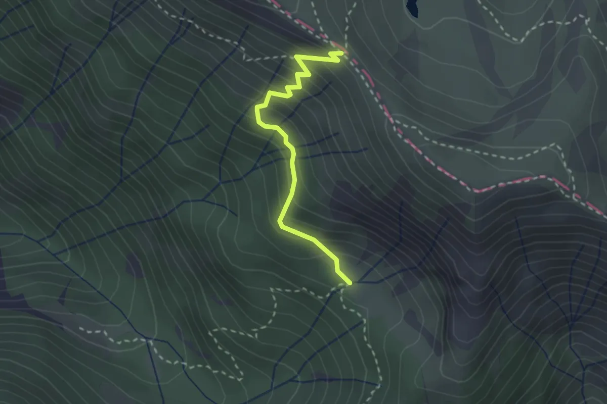
Easy · Trail
Iera – Passo di Compione
2.4 km · ↑ 260 m · 1 h 8 min
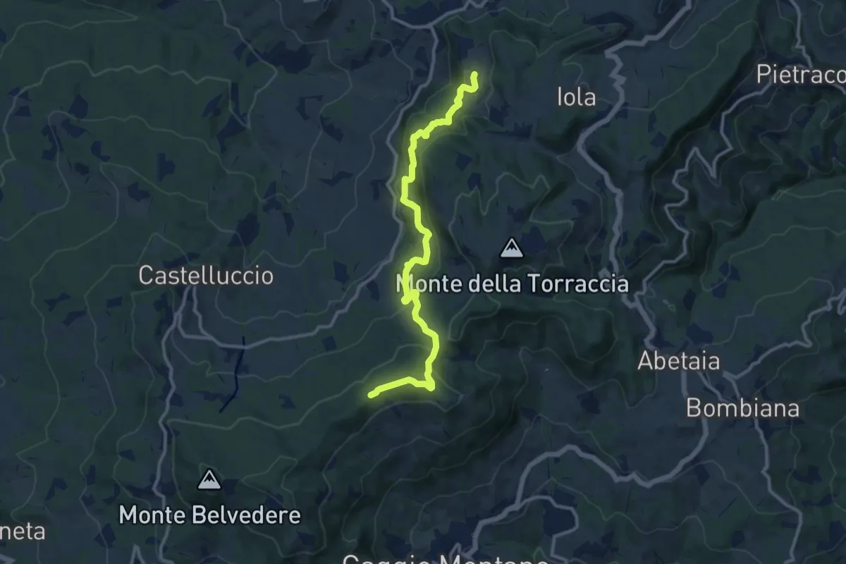
Medium · Trail
Monteforte – Chiesa di Ronchidoso
11.9 km · ↑ 500 m · 3 h 54 min
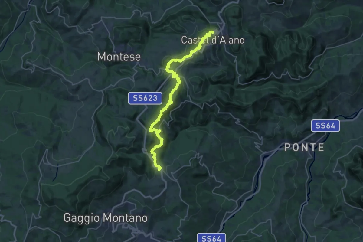
Demanding · Trail
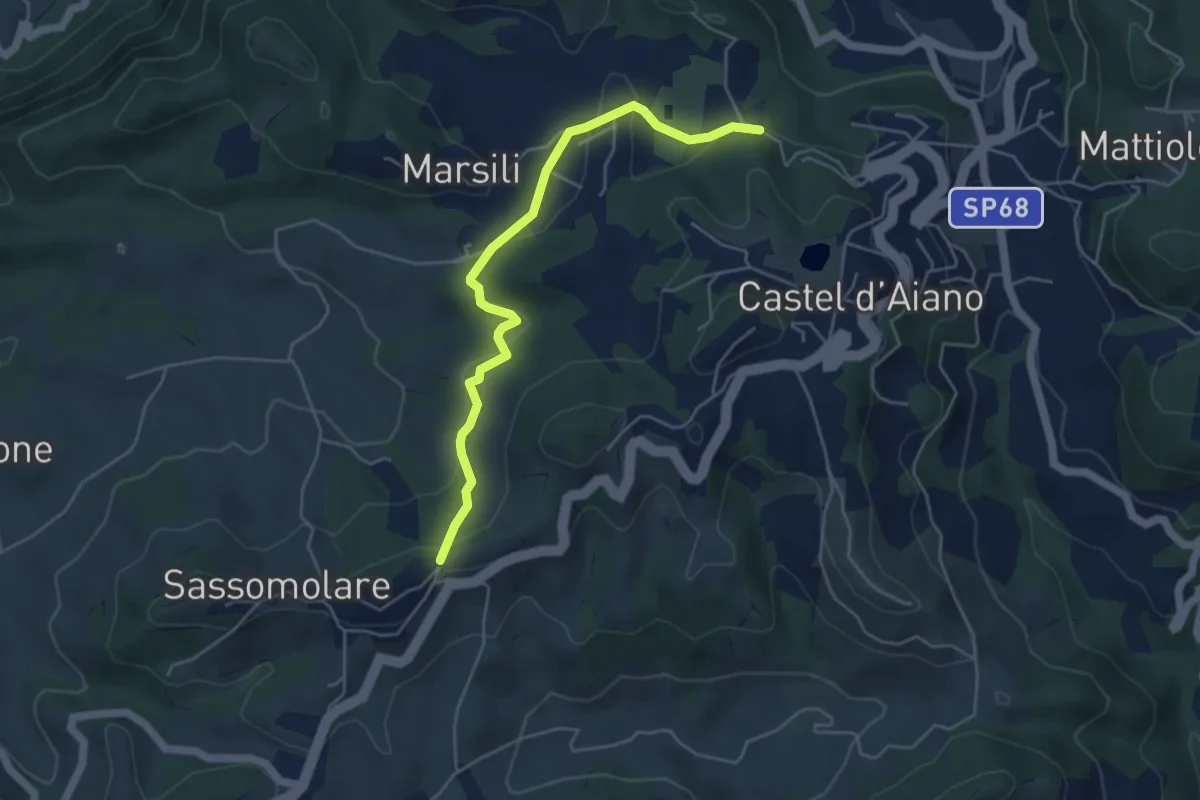
Castel d'Aiano – Abetaia
23.5 km · ↑ 893 m · 7 h 29 min
Easy · Trail
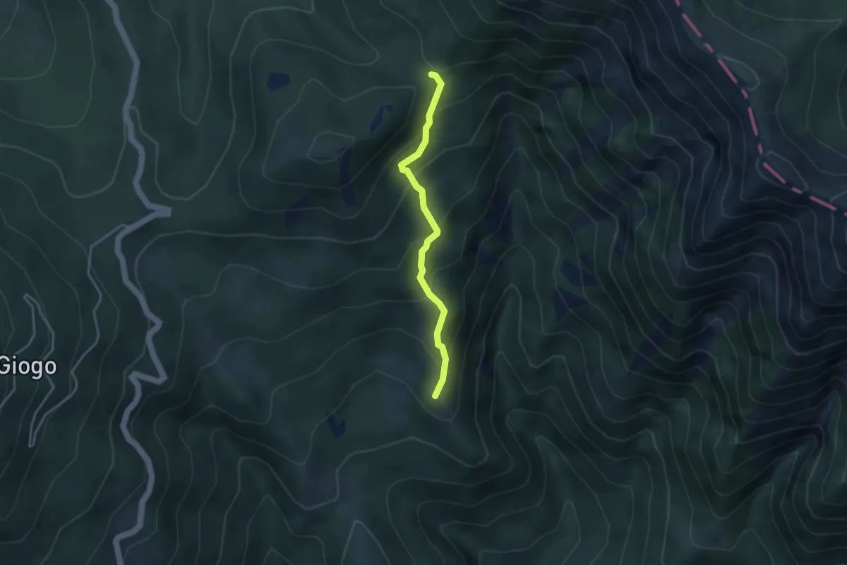
Bivio 456 (Magnano) – Bivio 170 (Selvane')
5.0 km · ↑ 149 m · 1 h 31 min
Medium · Summit
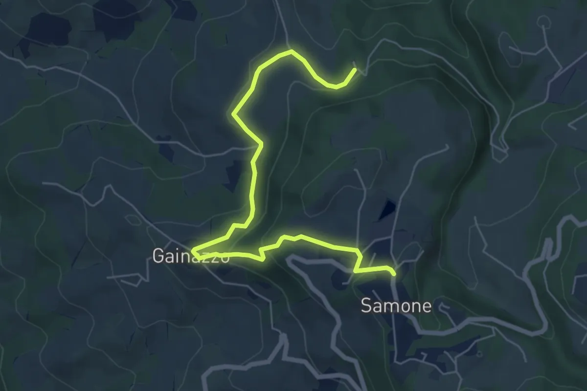
Torsana – Foce di Torsana
3.2 km · ↑ 282 m · 1 h 22 min
Medium · Trail
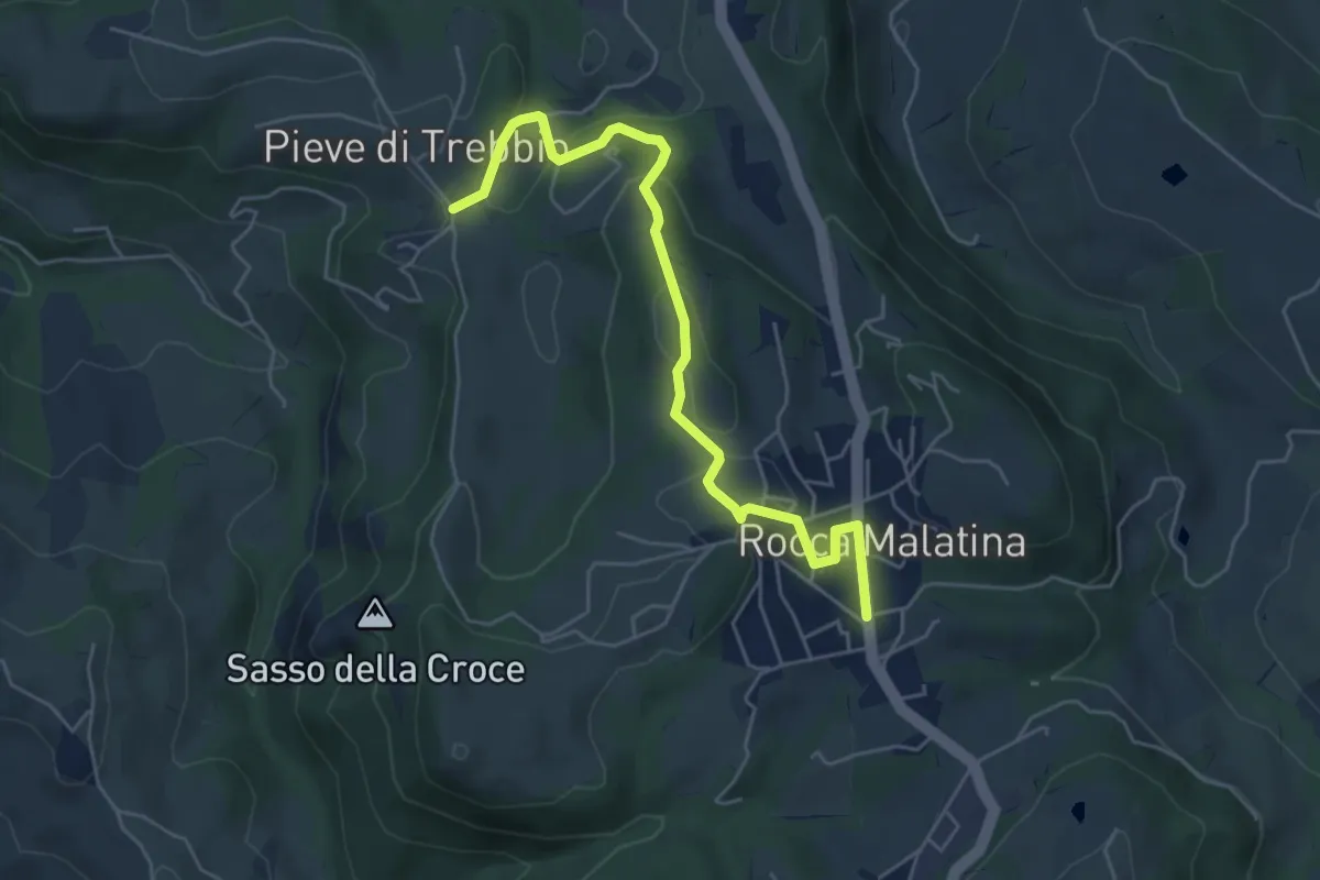
Castellino delle Formiche – Samone
6.5 km · ↑ 247 m · 2 h 4 min
Easy · Trail
Rocca Malatina – Pieve di Trebbio
5.8 km · ↑ 185 m · 1 h 46 min
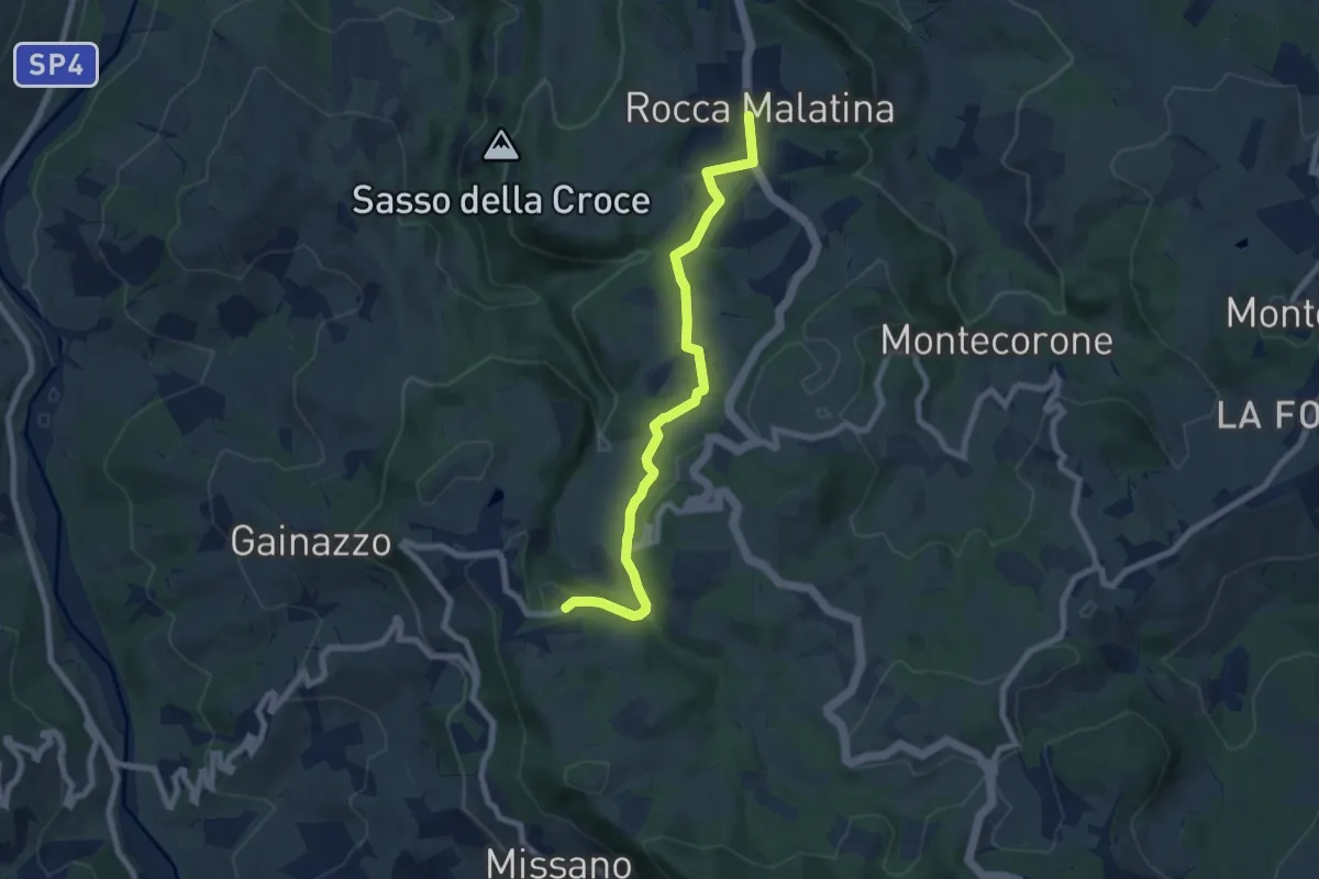
Medium · Trail
Rocca Malatina – Samone
7.8 km · ↑ 207 m · 2 h 17 min
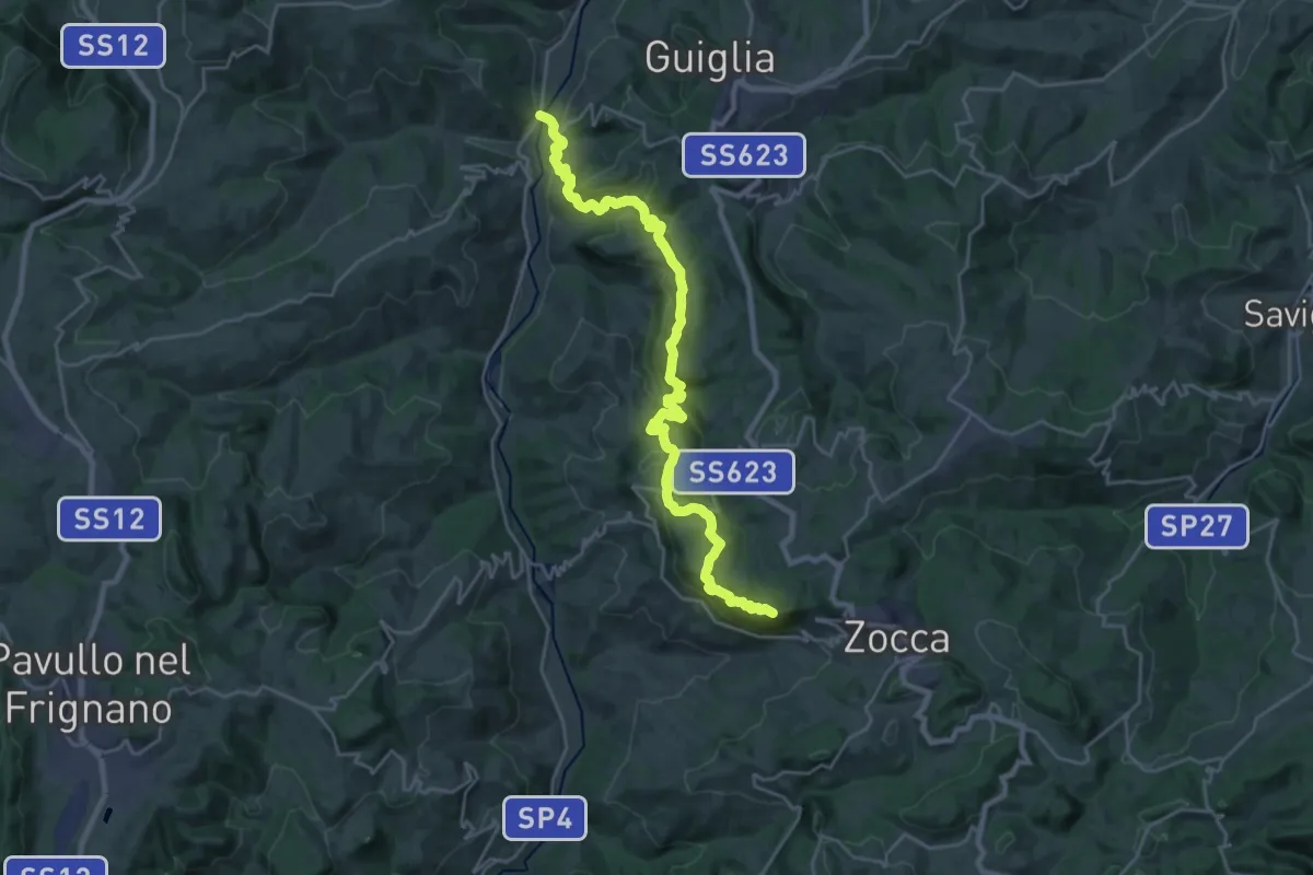
Demanding · Summit
Casona di Marano – Zocca
26.9 km · ↑ 1280 m · 9 h 7 min
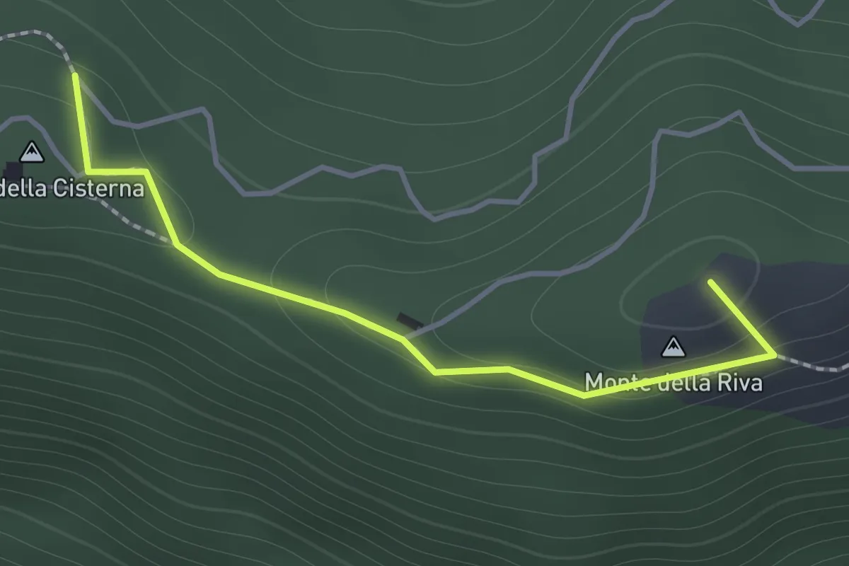
Medium · Summit
Serra di Montalbano – Monte della Cisterna
1.4 km · ↑ 54 m · 27 min
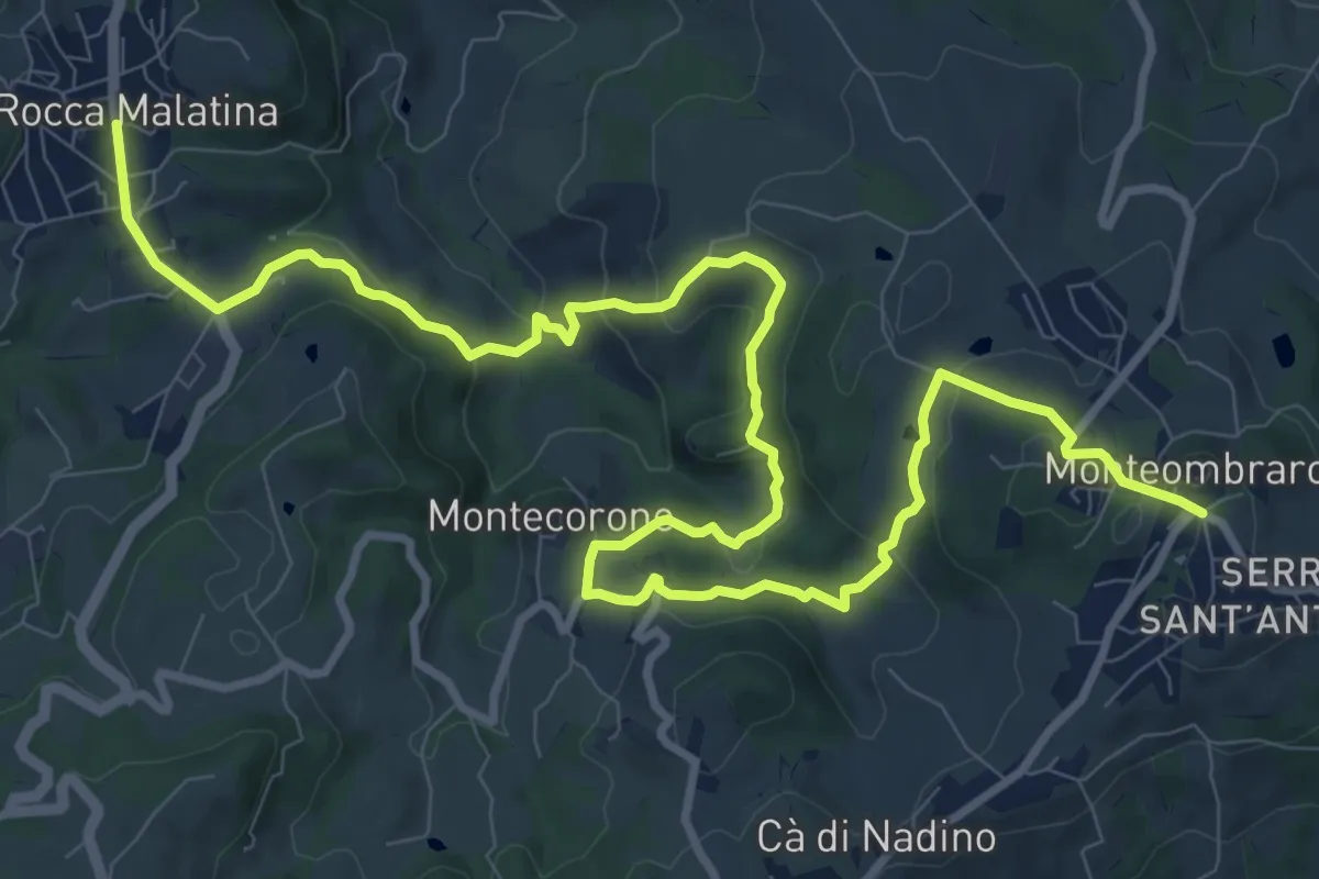
Medium · Trail
Rocca Malatina – Monteombraro
15.1 km · ↑ 525 m · 4 h 42 min
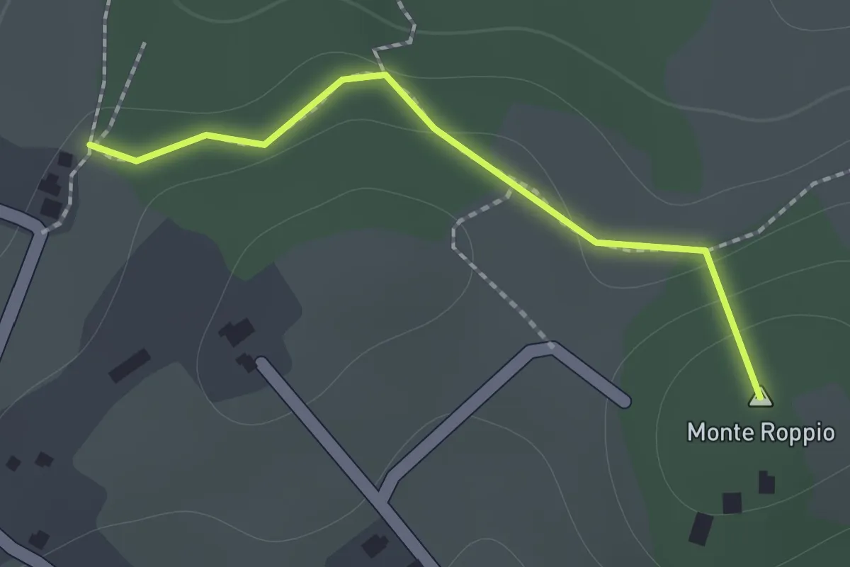
Medium · Summit
Percorso SAS11 – Percorso SAS10
1.2 km · ↑ 46 m · 23 min
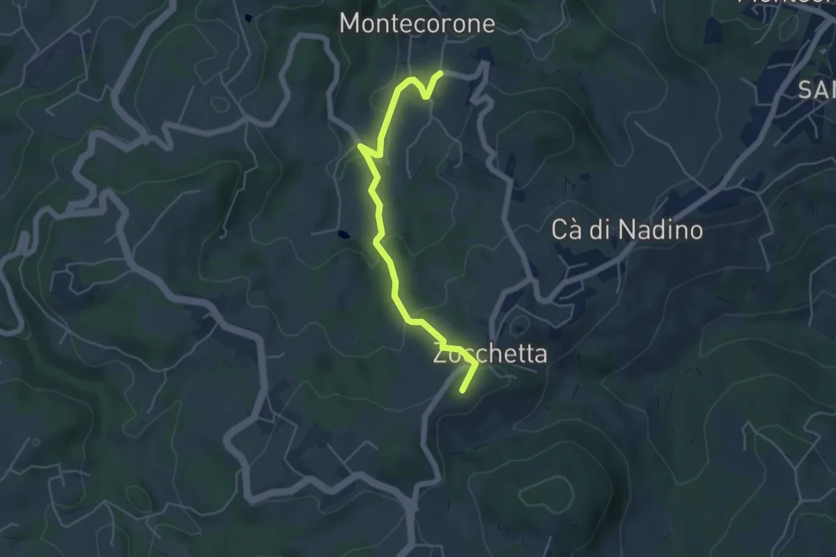
Easy · Summit
Montecorone – Zocca
4.6 km · ↑ 199 m · 1 h 31 min
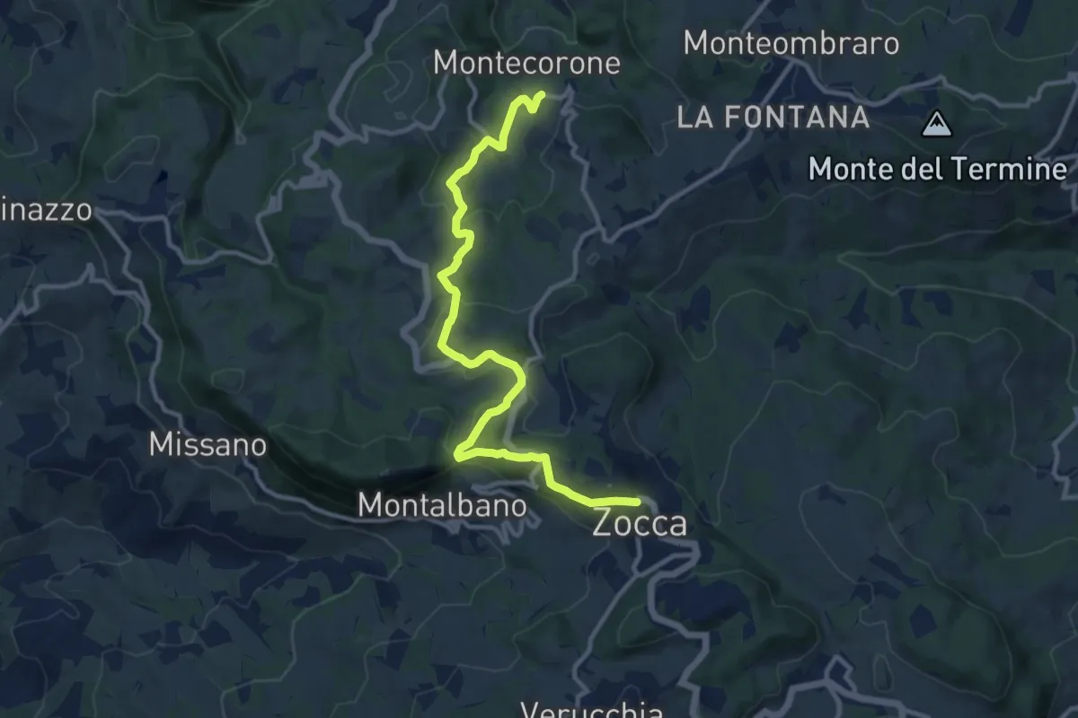
Medium · Trail
Montecorone – Zocca
12.0 km · ↑ 363 m · 3 h 37 min
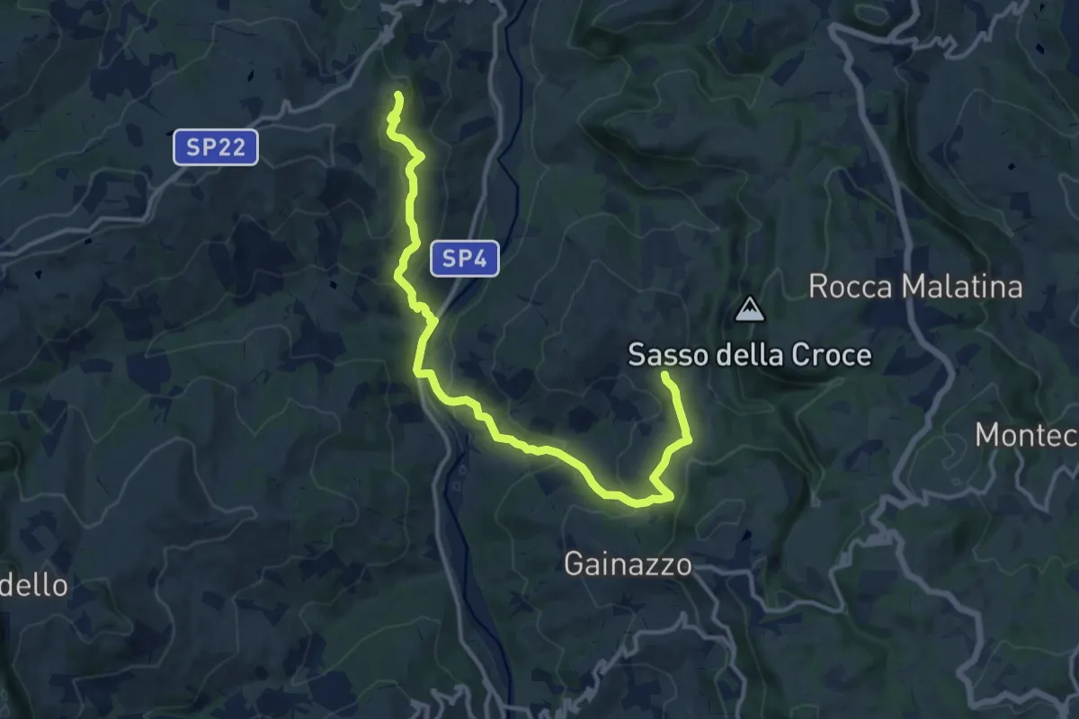
Medium · Trail
Festa – Sant'Apollonia
14.2 km · ↑ 618 m · 4 h 41 min
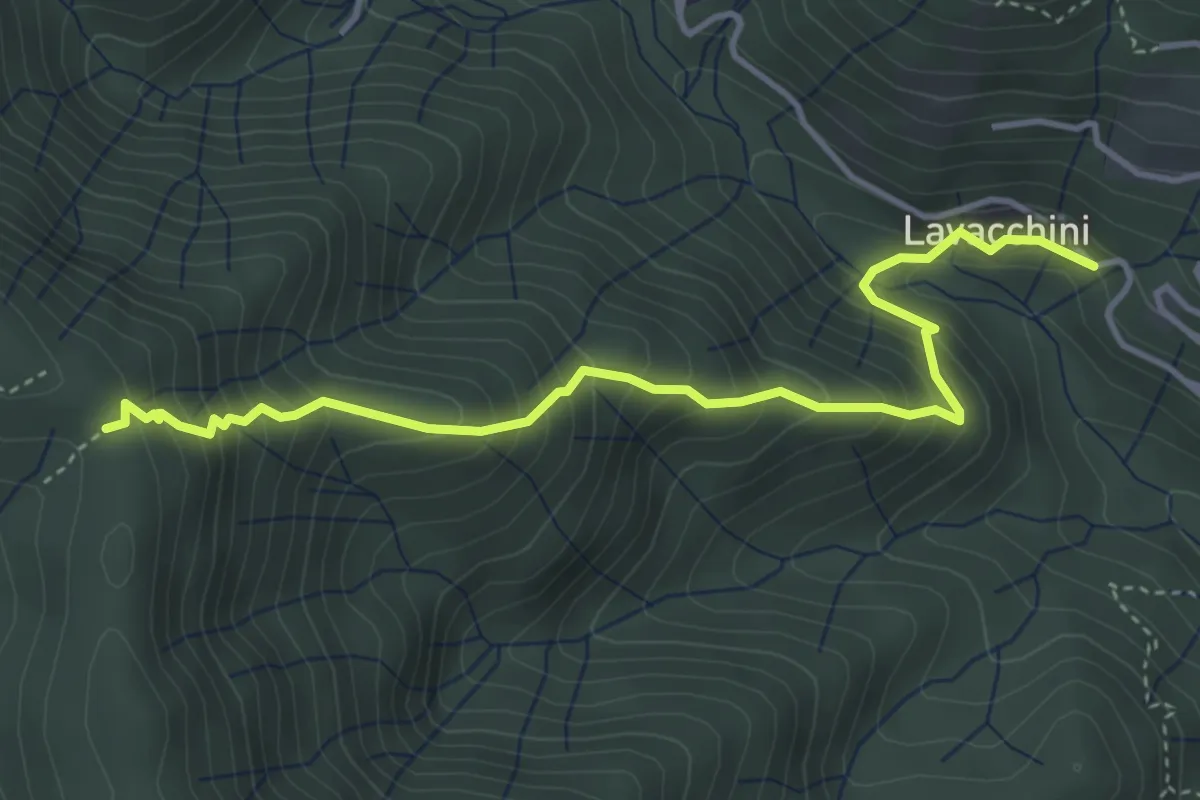
Medium · Trail
Case Lavacchini – Rombiciaio
4.5 km · ↑ 522 m · 2 h 12 min
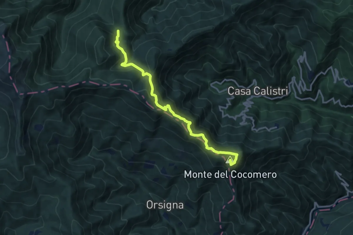
Medium · Summit
Setteponti – Passo della Donna Morta
10.4 km · ↑ 665 m · 3 h 54 min
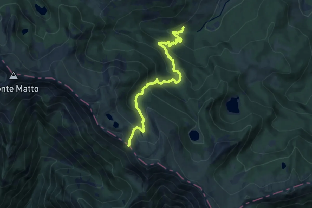
Medium · Trail
Torrente Colla – Passo di Compione
10.6 km · ↑ 744 m · 4 h 6 min
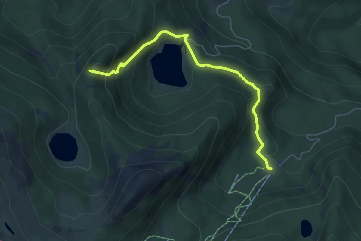
Medium · Summit
Pratospilla – Lago Martini
4.9 km · ↑ 329 m · 1 h 52 min
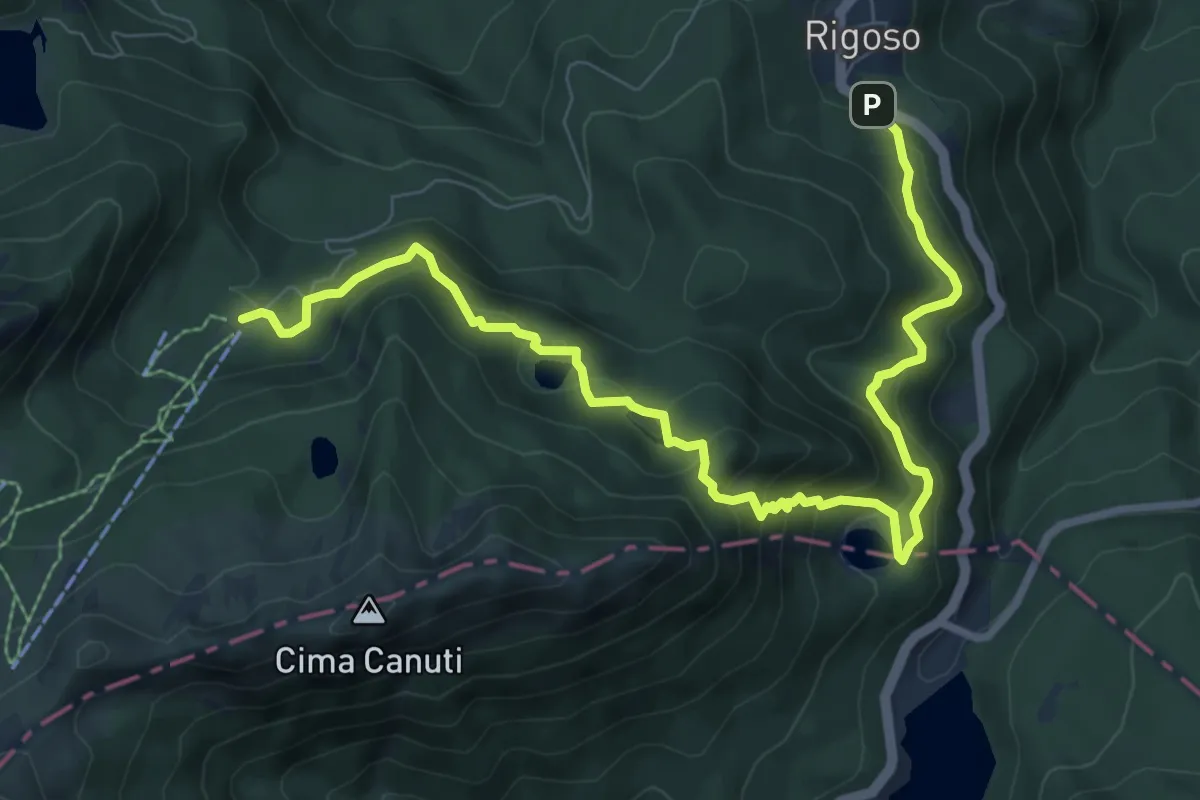
Medium · Cabin
Rigoso – Prato Spilla
10.4 km · ↑ 684 m · 3 h 57 min
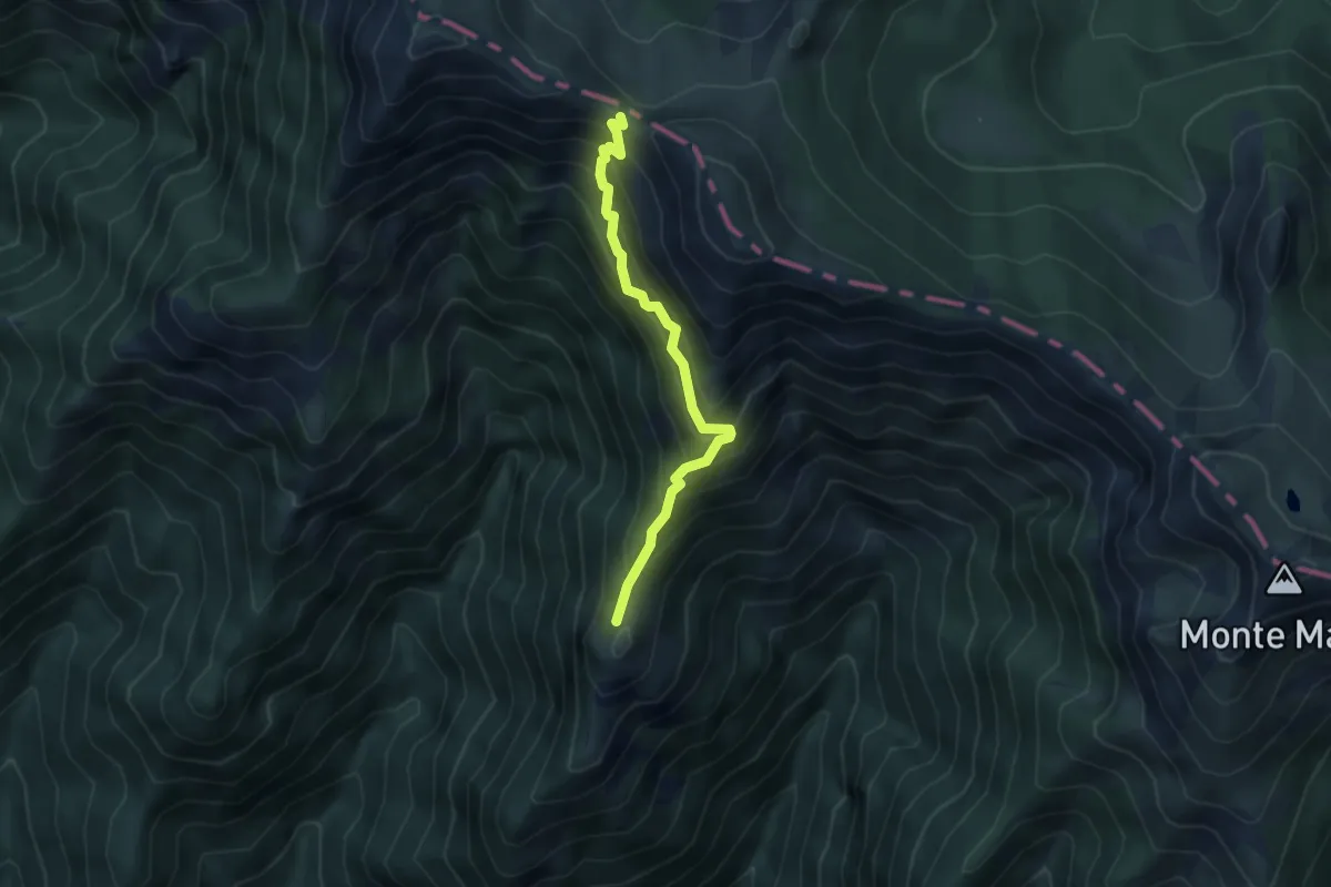
Medium · Trail
Vico – Passo delle Guadine
4.2 km · ↑ 523 m · 2 h 8 min
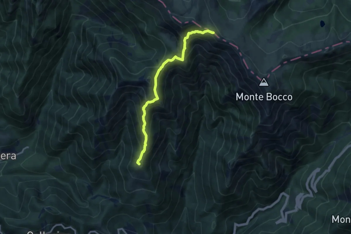
Demanding · Summit
Apella – Passo Giovarello
8.0 km · ↑ 805 m · 3 h 38 min
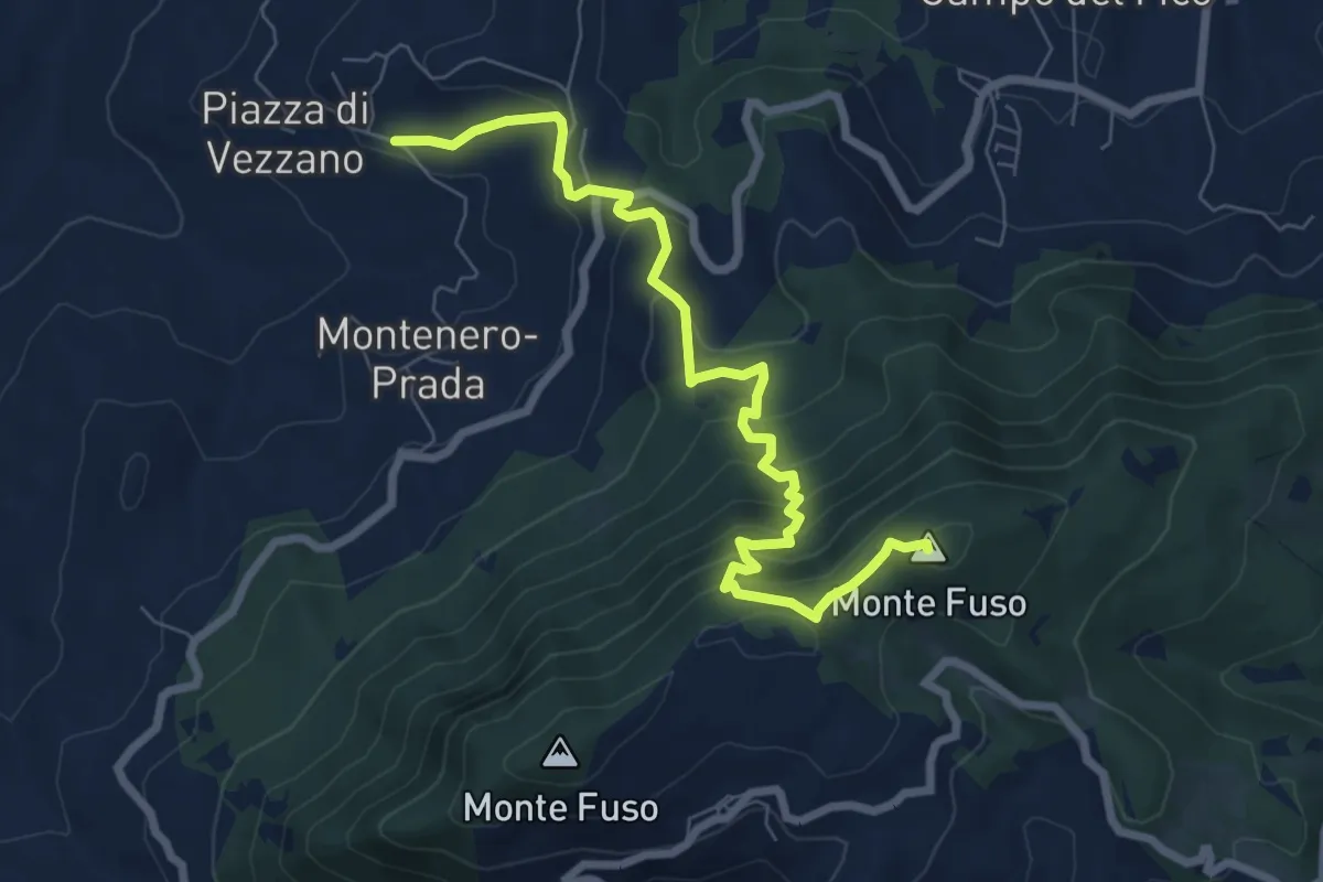
Medium · Summit
Querceto – Vezzano
8.2 km · ↑ 579 m · 3 h 11 min
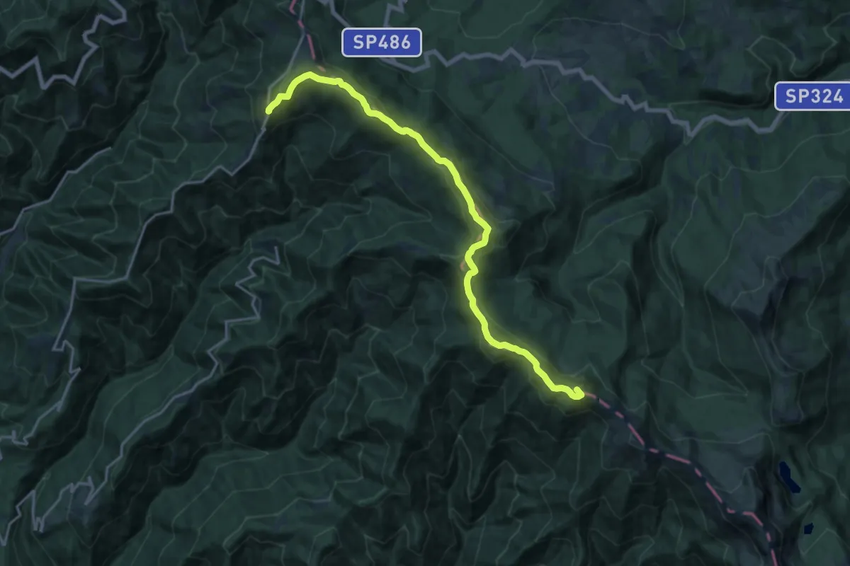
Demanding · Summit
Lago Santo Modenese – San Pellegrino in Alpe
18.2 km · ↑ 866 m · 6 h 10 min
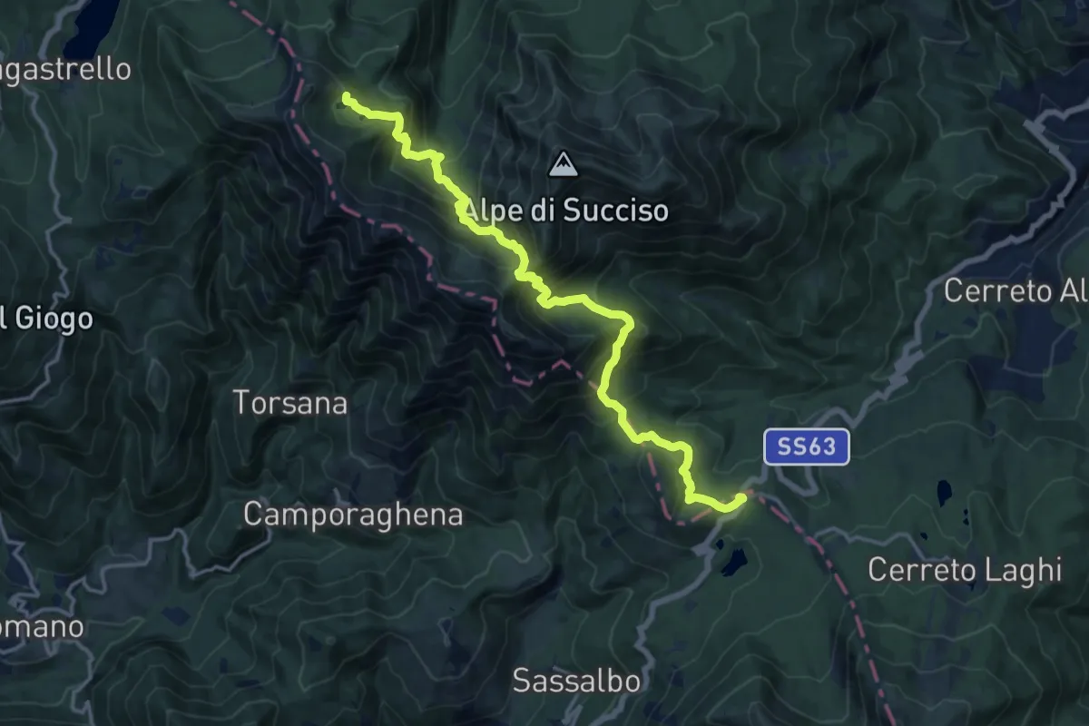
Demanding · Cabin
Passo del Cerreto – Rifugio Sarzana al Monte Acuto
15.8 km · ↑ 1170 m · 6 h 16 min
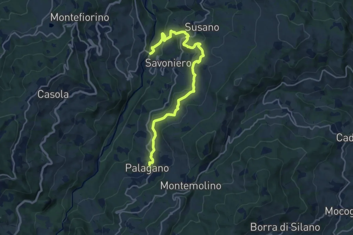
Medium · Trail
Ponte Savoniero – Palagano
14.6 km · ↑ 523 m · 4 h 35 min
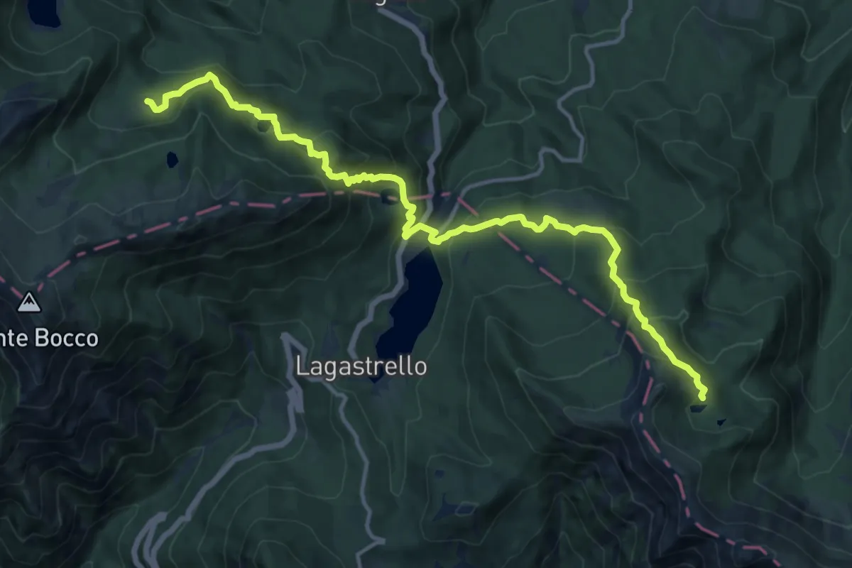
Demanding · Cabin
Rifugio Sarzana al Monte Acuto – Pratospilla
14.9 km · ↑ 1048 m · 5 h 48 min
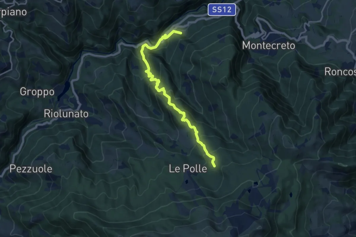
Demanding · Trail
Magrignana – percorso 475
12.4 km · ↑ 901 m · 4 h 53 min
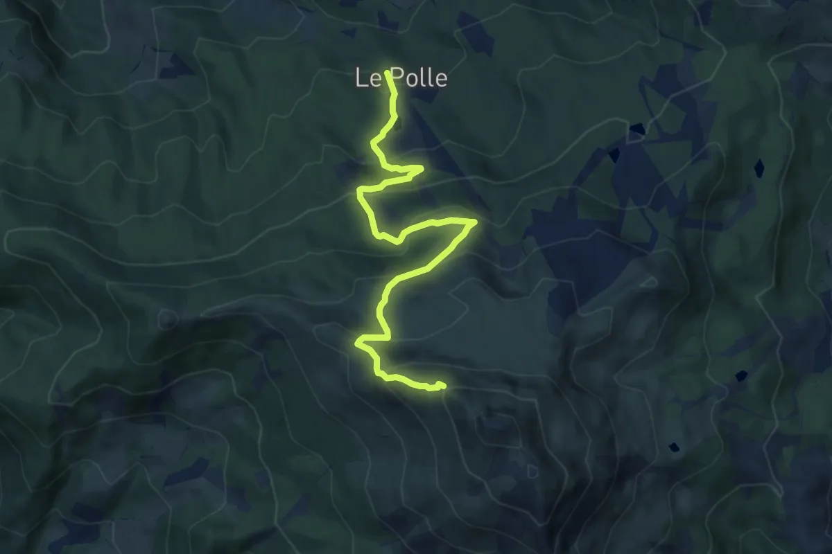
Medium · Trail
Le Polle – Percorso 449
10.2 km · ↑ 706 m · 3 h 56 min
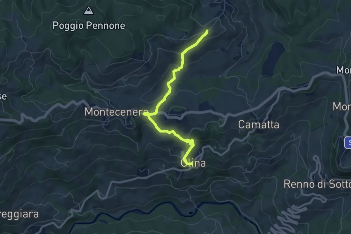
Easy · Trail
Olina – Percorso 520
6.9 km · ↑ 280 m · 2 h 14 min
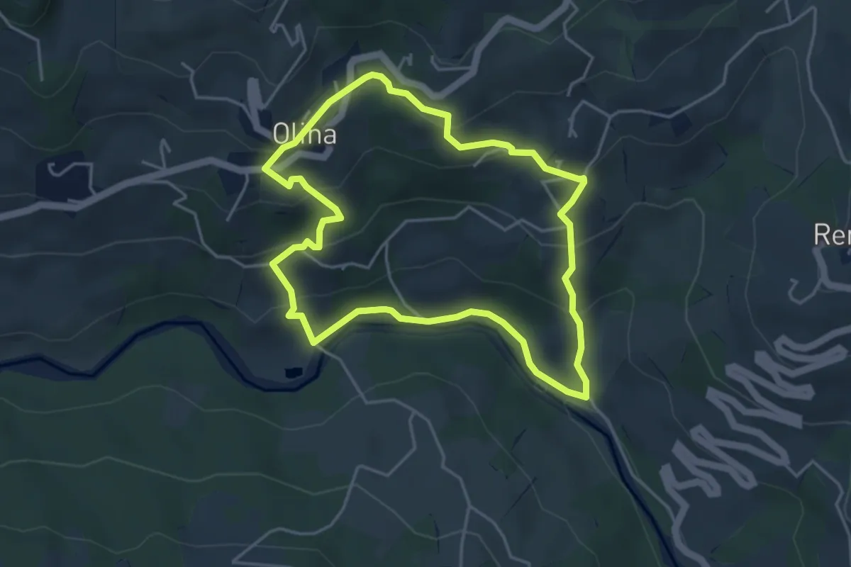
Easy · Trail
Olina – Olina
4.2 km · ↑ 218 m · 1 h 31 min