Trails in Italy
25,219 hiking trails, each with its route, climb, walking time and grade.
All trails, page 316 of 526
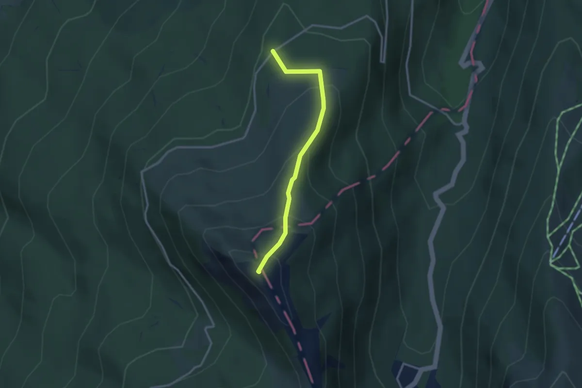
Medium · Summit
Via Ducale – Percorso 515
2.6 km · ↑ 201 m · 1 h 4 min
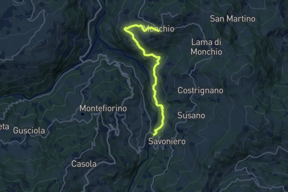
Medium · Trail
Ponte Savoniero – Monchio
14.0 km · ↑ 611 m · 4 h 38 min
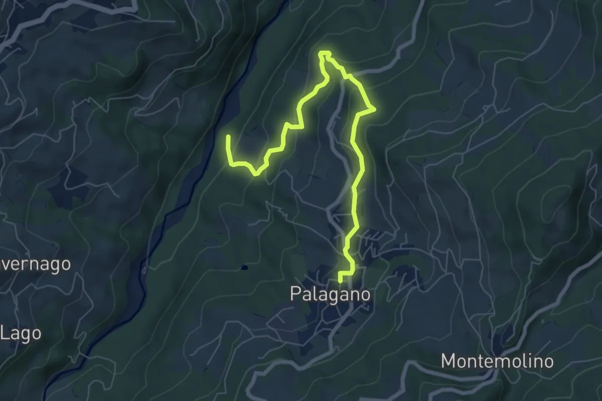
Medium · Trail
Palagnano – Torrente Dragone
7.5 km · ↑ 353 m · 2 h 32 min
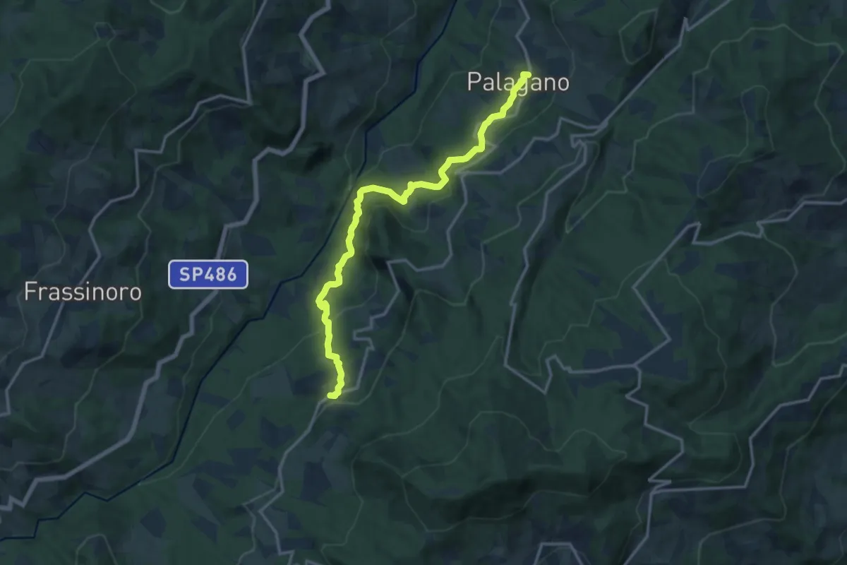
Medium · Trail
Palagnano – Boccasuolo
14.0 km · ↑ 691 m · 4 h 48 min
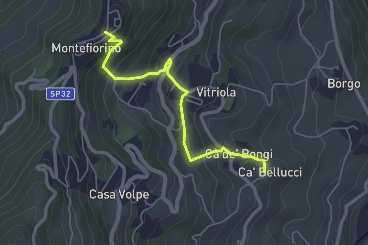
Easy · Trail
Montefiorino – Cà di Bellucci
4.4 km · ↑ 256 m · 1 h 35 min
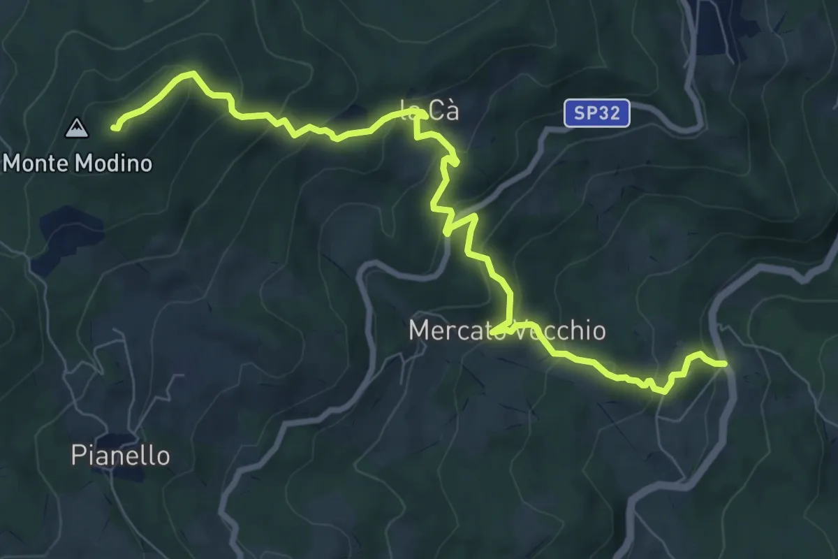
Medium · Summit
Il Fuoco – Monte Modino
9.4 km · ↑ 616 m · 3 h 33 min
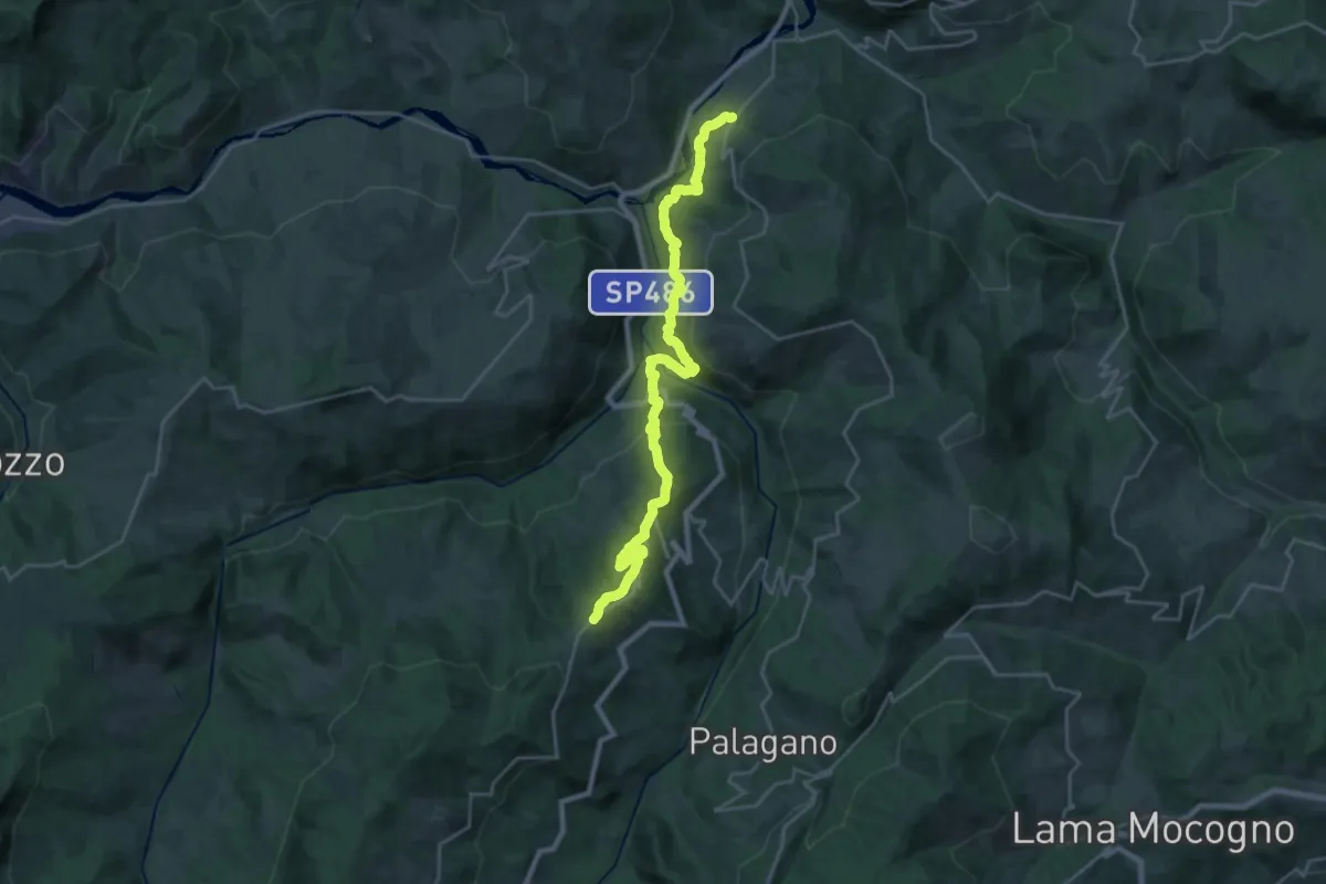
Demanding · Trail
Via Ducale – La Verna
13.4 km · ↑ 931 m · 5 h 5 min
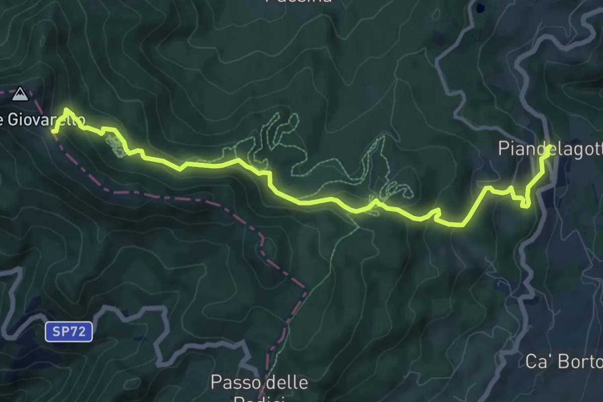
Medium · Trail
Piandelagotti – Passo del Giovarello
10.9 km · ↑ 545 m · 3 h 46 min
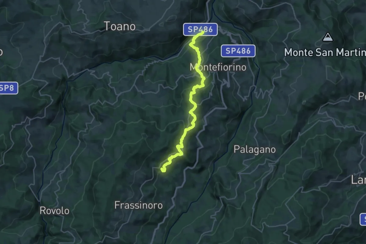
Demanding · Summit
Ponte Dolo – Frassinoro
21.7 km · ↑ 1012 m · 7 h 19 min
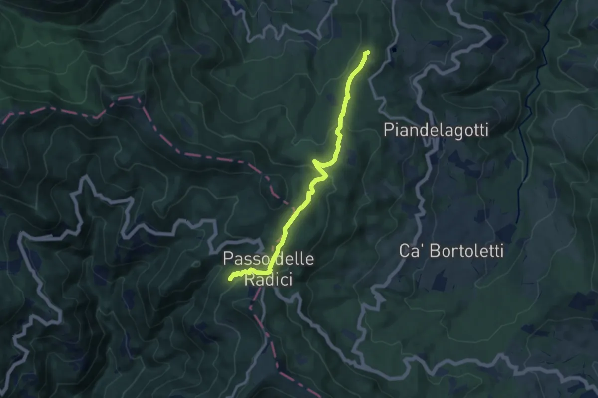
Medium · Summit
Frassinoro – San Pellegrino in Alpe
9.2 km · ↑ 389 m · 3 h 1 min
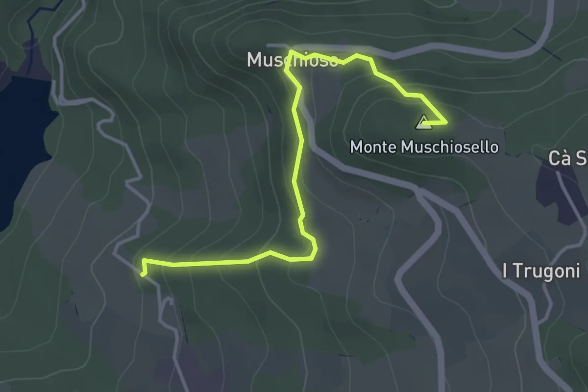
Easy · Summit
Osteria del Monte – Fontanaluccia
3.7 km · ↑ 228 m · 1 h 22 min
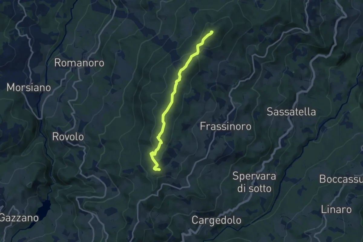
Medium · Summit
Terminaccio – Monte Modino
9.6 km · ↑ 372 m · 3 h 4 min
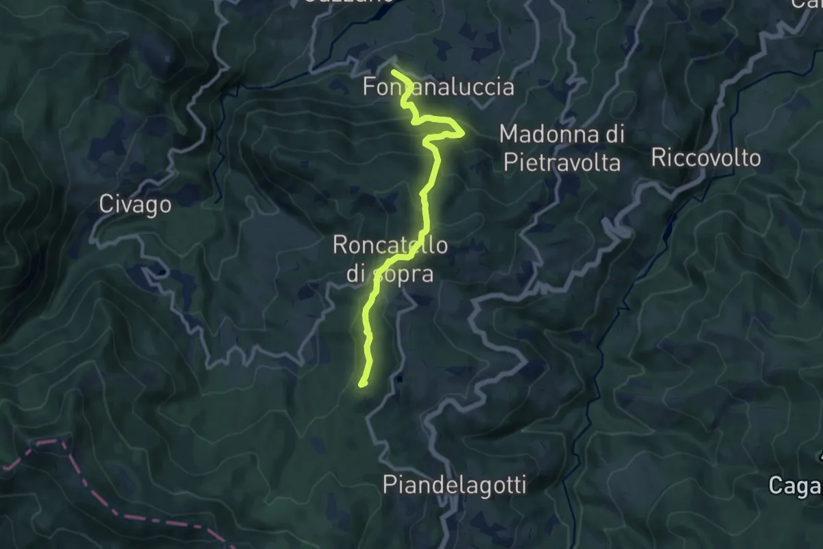
Medium · Summit
Fontanaluccia – Passo delle Radici
9.7 km · ↑ 557 m · 3 h 30 min
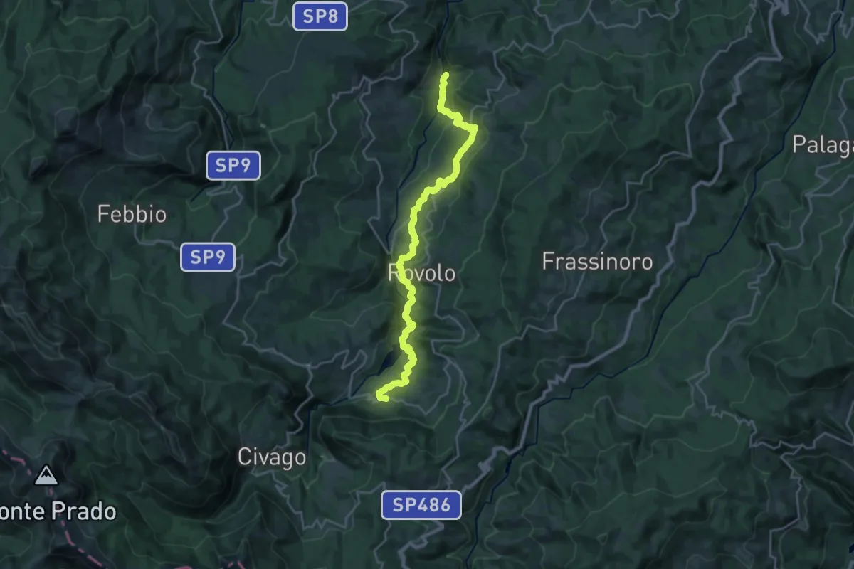
Demanding · Trail
Ponte di Cadignano – Fontanaluccia
23.3 km · ↑ 919 m · 7 h 29 min
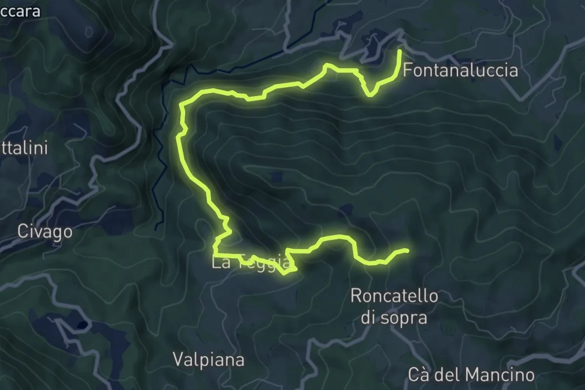
Demanding · Summit
Fontanaluccia – Roncadello di Sopra
11.4 km · ↑ 951 m · 4 h 46 min
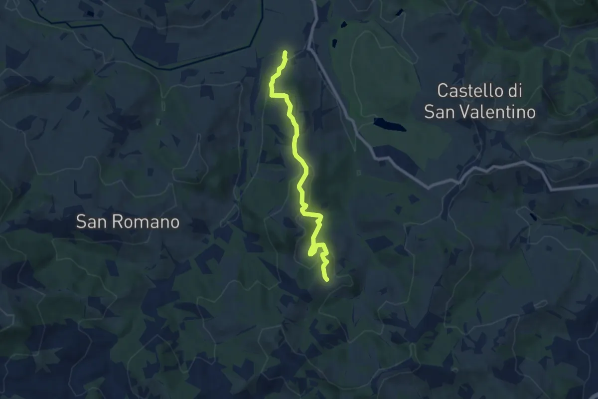
Easy · Trail
Gavardo – Telarolo
7.2 km · ↑ 307 m · 2 h 22 min
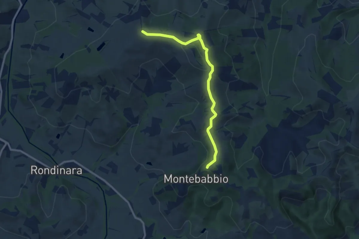
Easy · Trail
Montebabbio – Sentiero Spallanzani
7.0 km · ↑ 153 m · 1 h 58 min
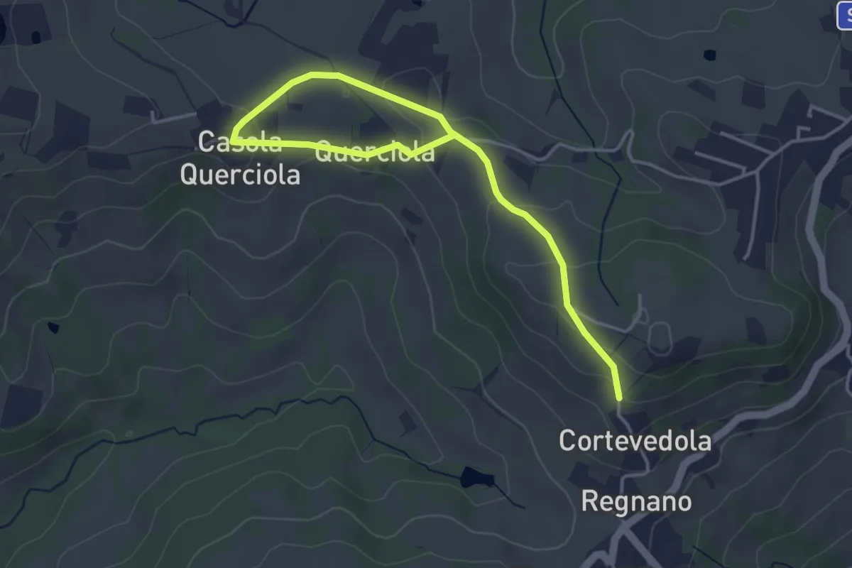
Easy · Trail
Salsa di Casola – Percorso 616
4.9 km · ↑ 108 m · 1 h 23 min
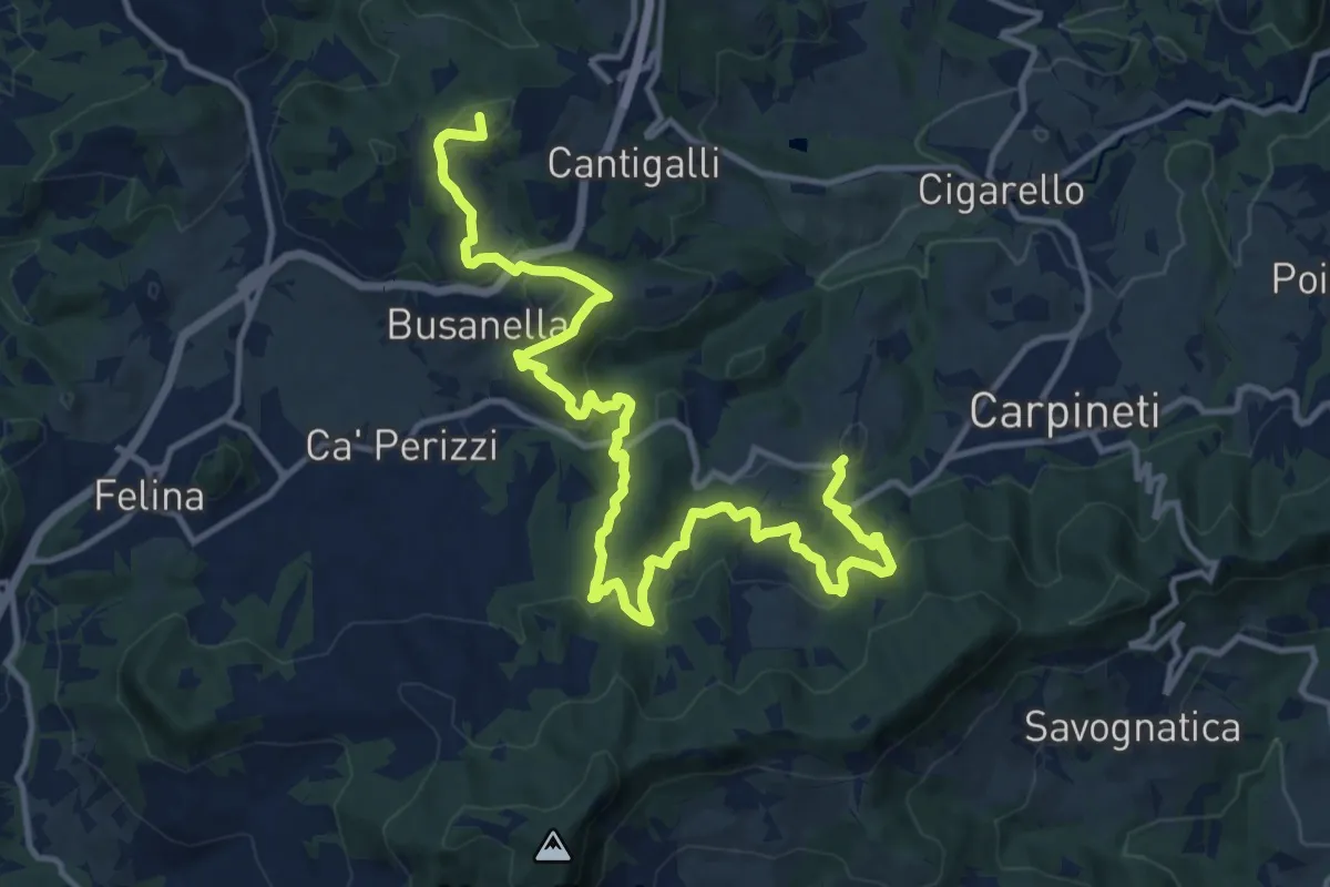
Demanding · Summit
Marola – Regigno
17.1 km · ↑ 839 m · 5 h 52 min
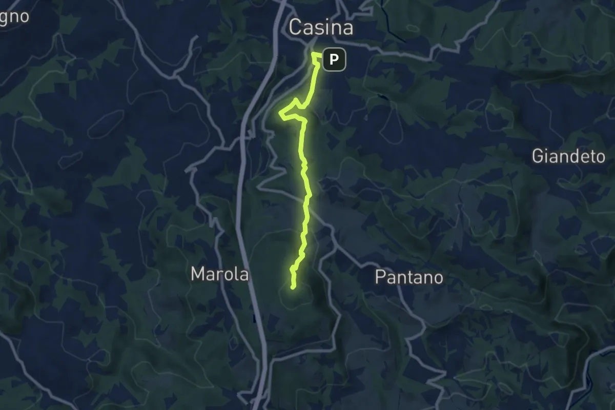
Medium · Summit
Seminario di Marola – Casina
7.6 km · ↑ 343 m · 2 h 32 min
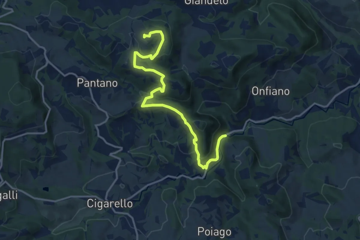
Medium · Trail
Valcava – Mulino delle Noci
11.0 km · ↑ 400 m · 3 h 28 min
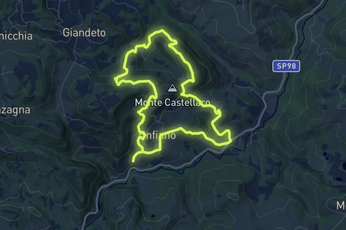
Medium · Trail
Cerpiano – Cerpiano
8.4 km · ↑ 479 m · 3 h 7 min
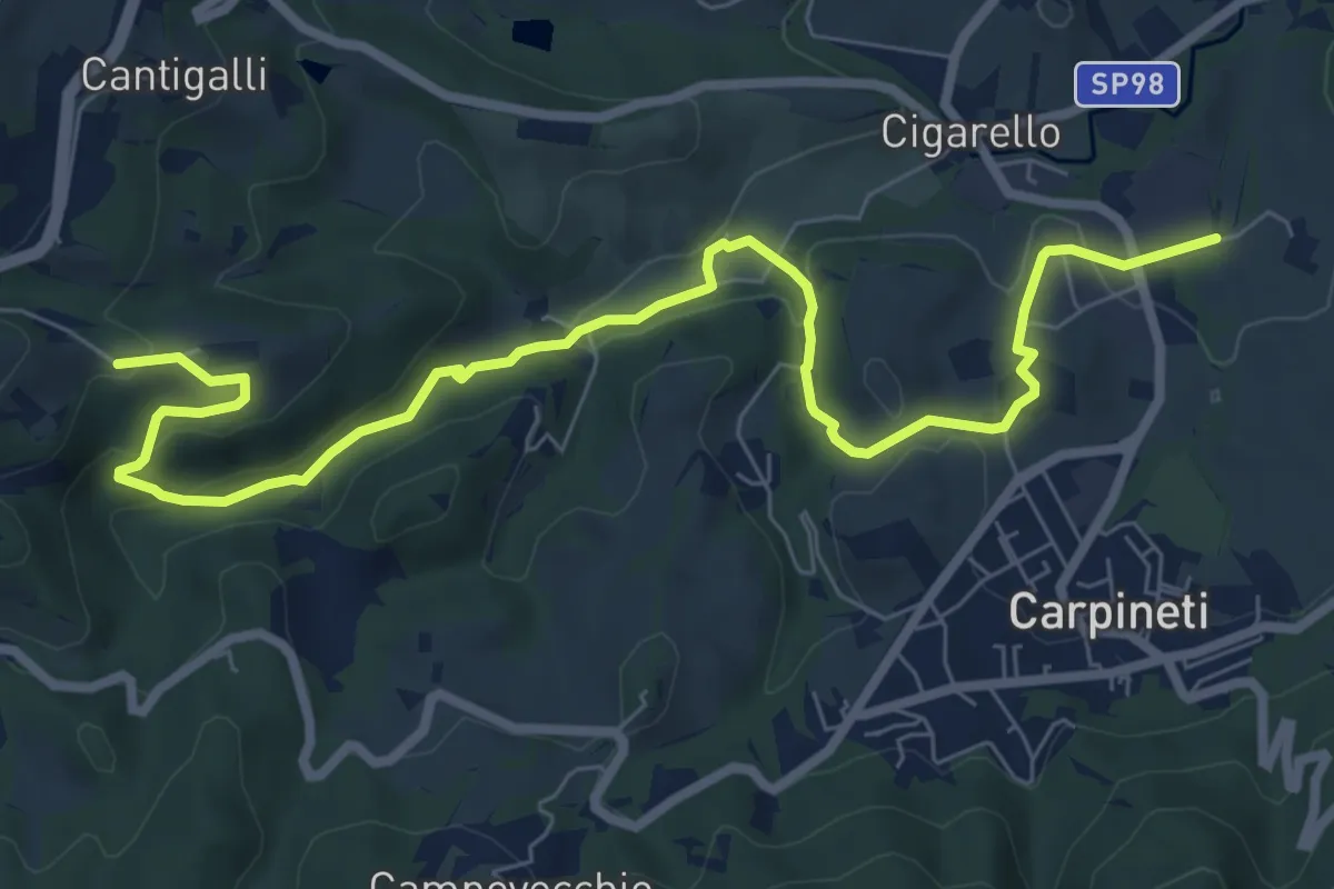
Medium · Trail
Costa di Po – San Prospero
9.5 km · ↑ 275 m · 2 h 50 min
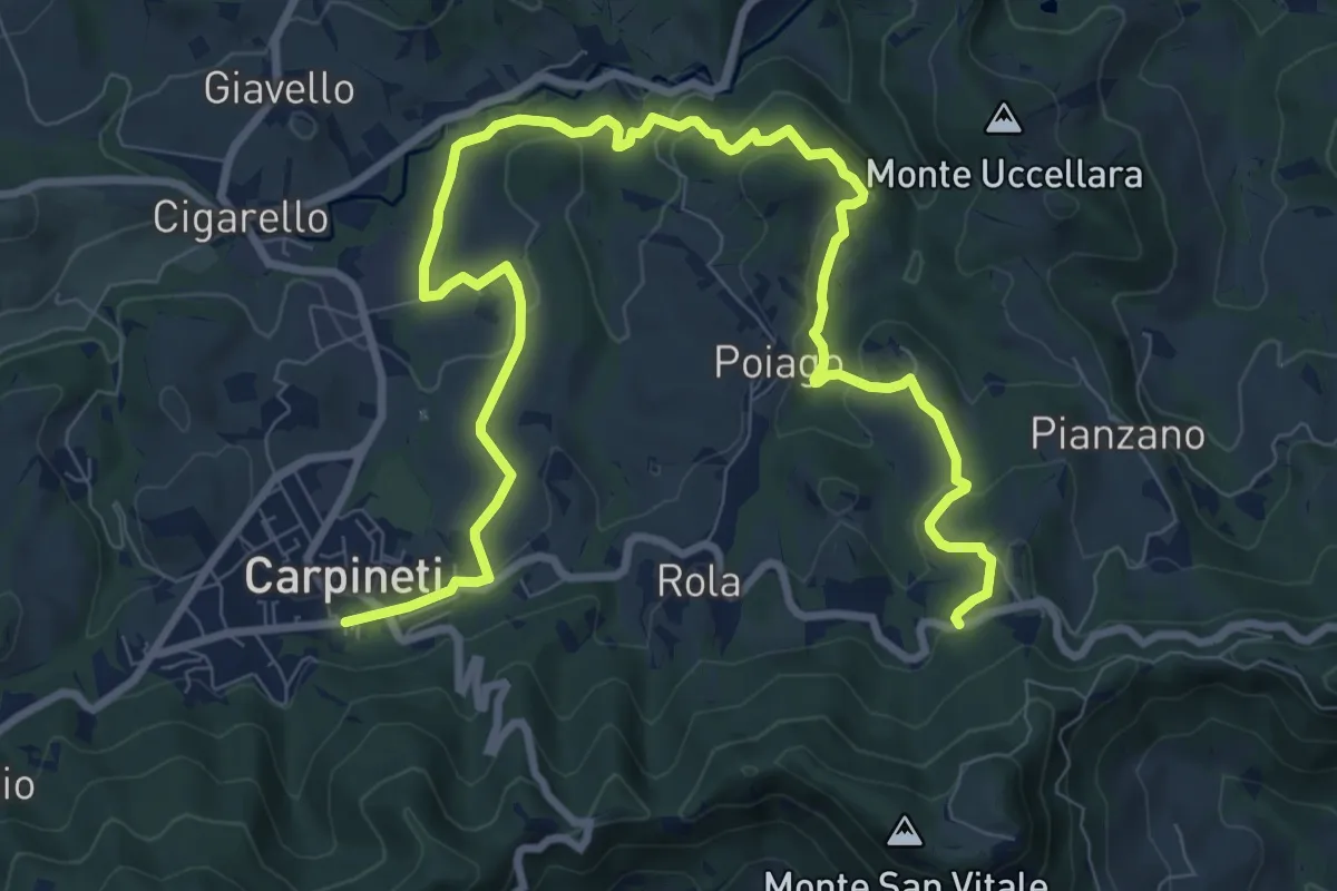
Medium · Trail
Carpineti – Cà Spadaccini
12.9 km · ↑ 432 m · 3 h 59 min
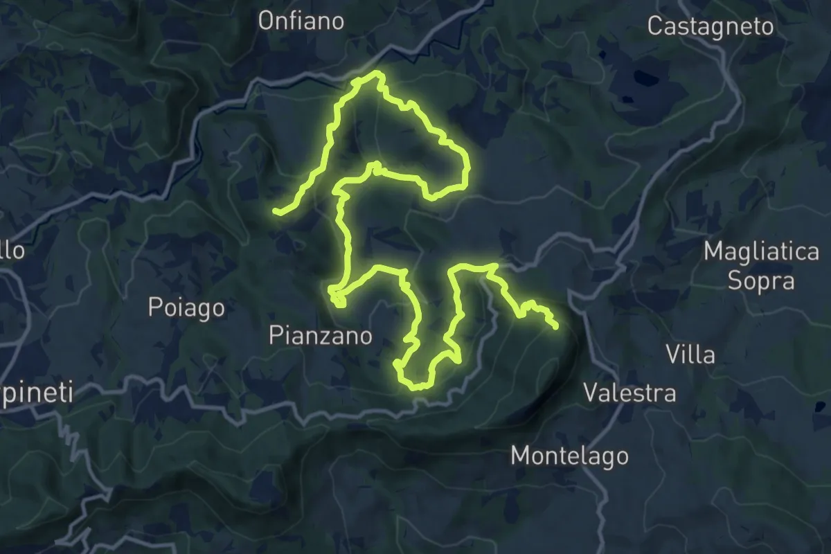
Demanding · Summit
Castello di Mandra – Monte Valestra
22.1 km · ↑ 1294 m · 8 h 1 min
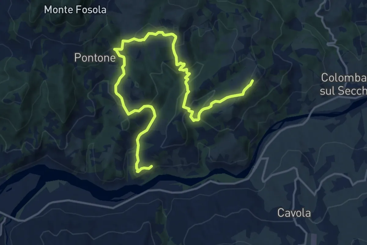
Medium · Trail
Vellucciana – Coliolla
15.8 km · ↑ 742 m · 5 h 21 min
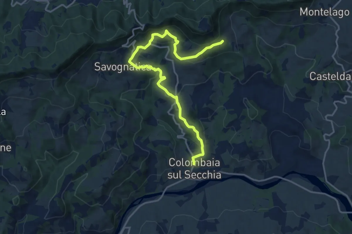
Medium · Trail
Colombaia di Secchia – Fola
13.3 km · ↑ 604 m · 4 h 27 min
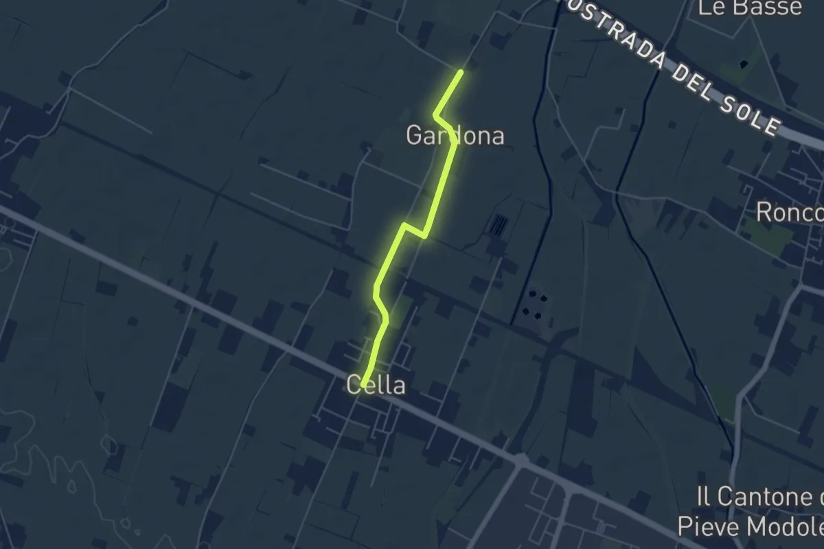
Easy · Trail
Gallana Grande – Cella
4.4 km · ↑ 8 m · 1 h 3 min
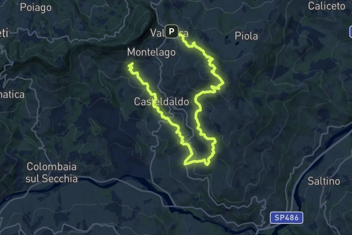
Demanding · Trail
Valestra – Marossa
23.3 km · ↑ 1018 m · 7 h 42 min
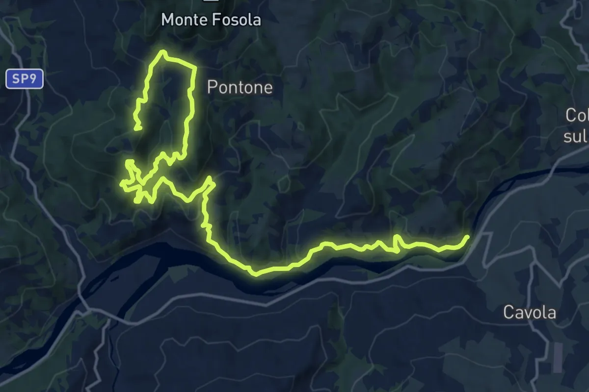
Demanding · Summit
Saccaggio – Ponte Cavola
21.9 km · ↑ 1022 m · 7 h 23 min
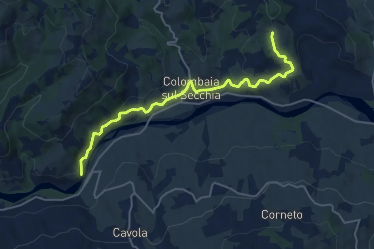
Medium · Trail
Ponte Cavola – Poiatica
10.7 km · ↑ 381 m · 3 h 21 min
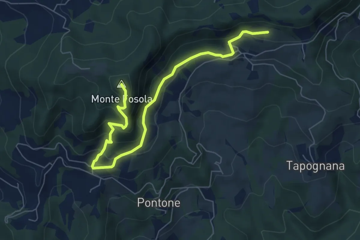
Medium · Summit
Codeghino – Villaprara
7.2 km · ↑ 545 m · 2 h 53 min
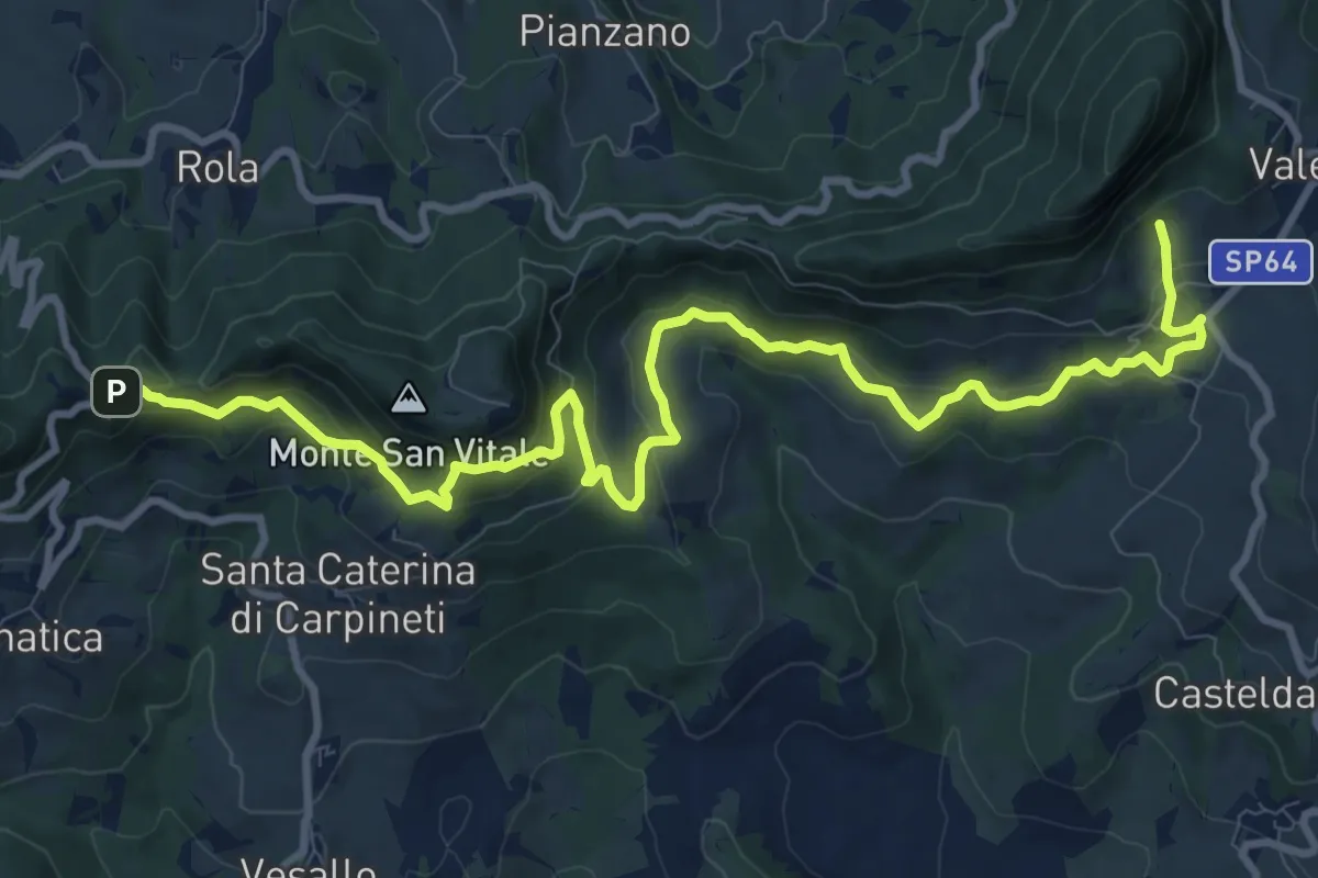
Medium · Trail
Valestra – Castello delle Carpinete
13.2 km · ↑ 664 m · 4 h 33 min
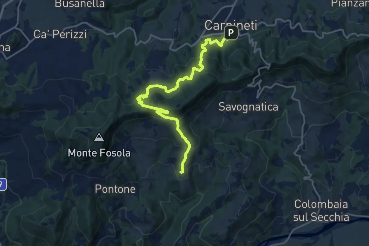
Medium · Trail
Carpineti – Tapognana
13.1 km · ↑ 797 m · 4 h 49 min
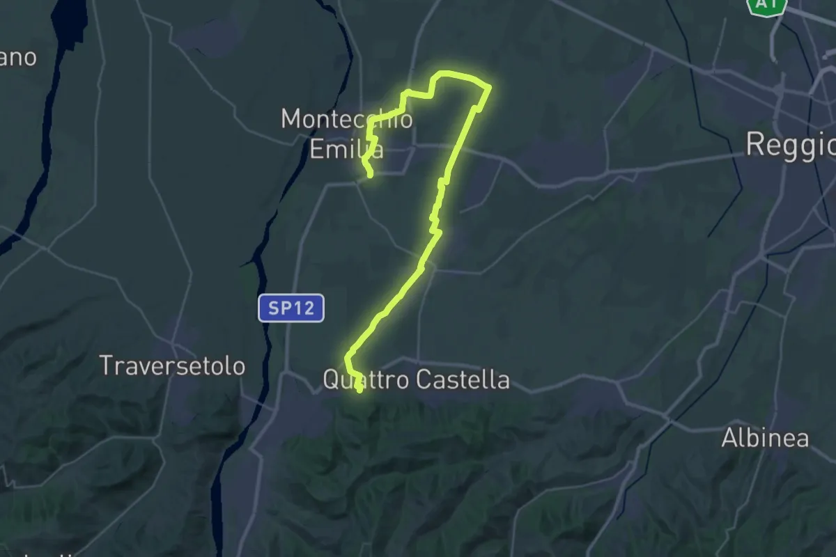
Medium · Trail
Monastero di Montefalcone – Montecchio
17.9 km · ↑ 37 m · 4 h 35 min
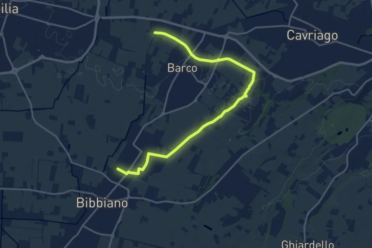
Medium · Trail
Bibbiano – Sentiero 640A
12.6 km · ↑ 42 m · 3 h 4 min
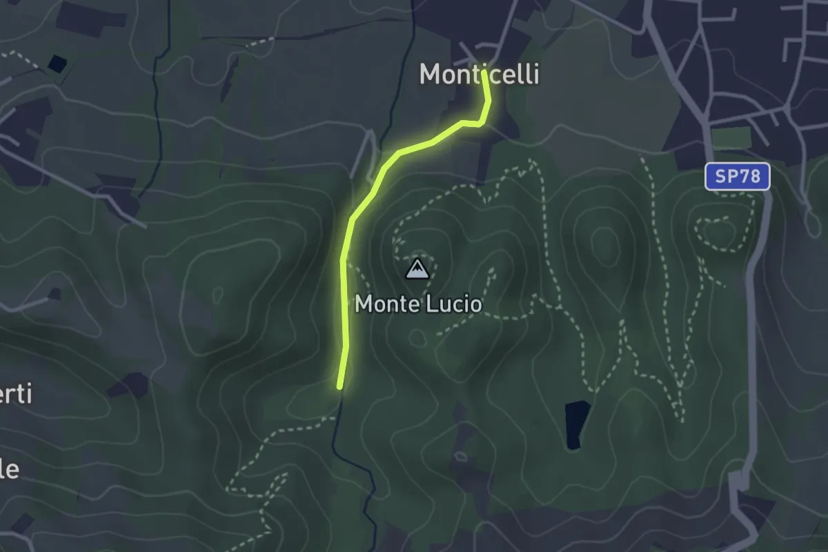
Easy · Trail
Località La Moia – Monticelli
2.2 km · ↑ 63 m · 39 min
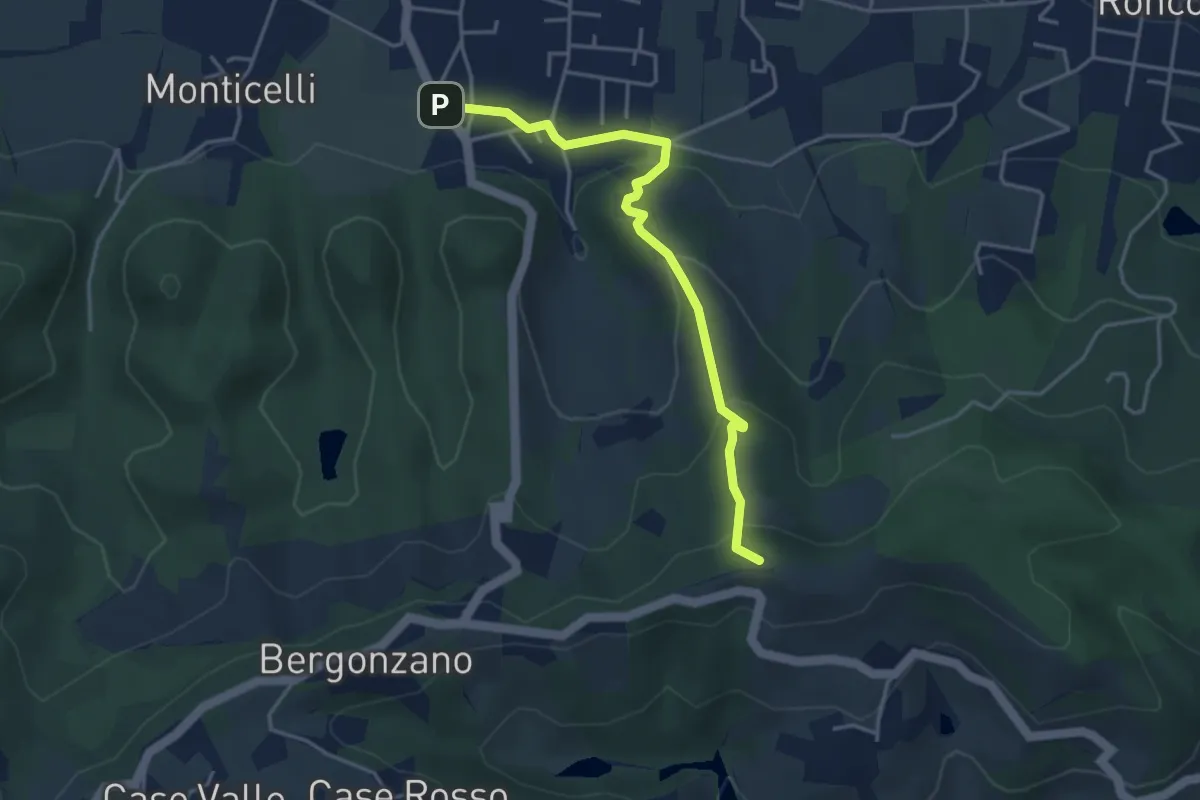
Easy · Summit
Quattro Castella – Monte Airone
4.1 km · ↑ 187 m · 1 h 22 min
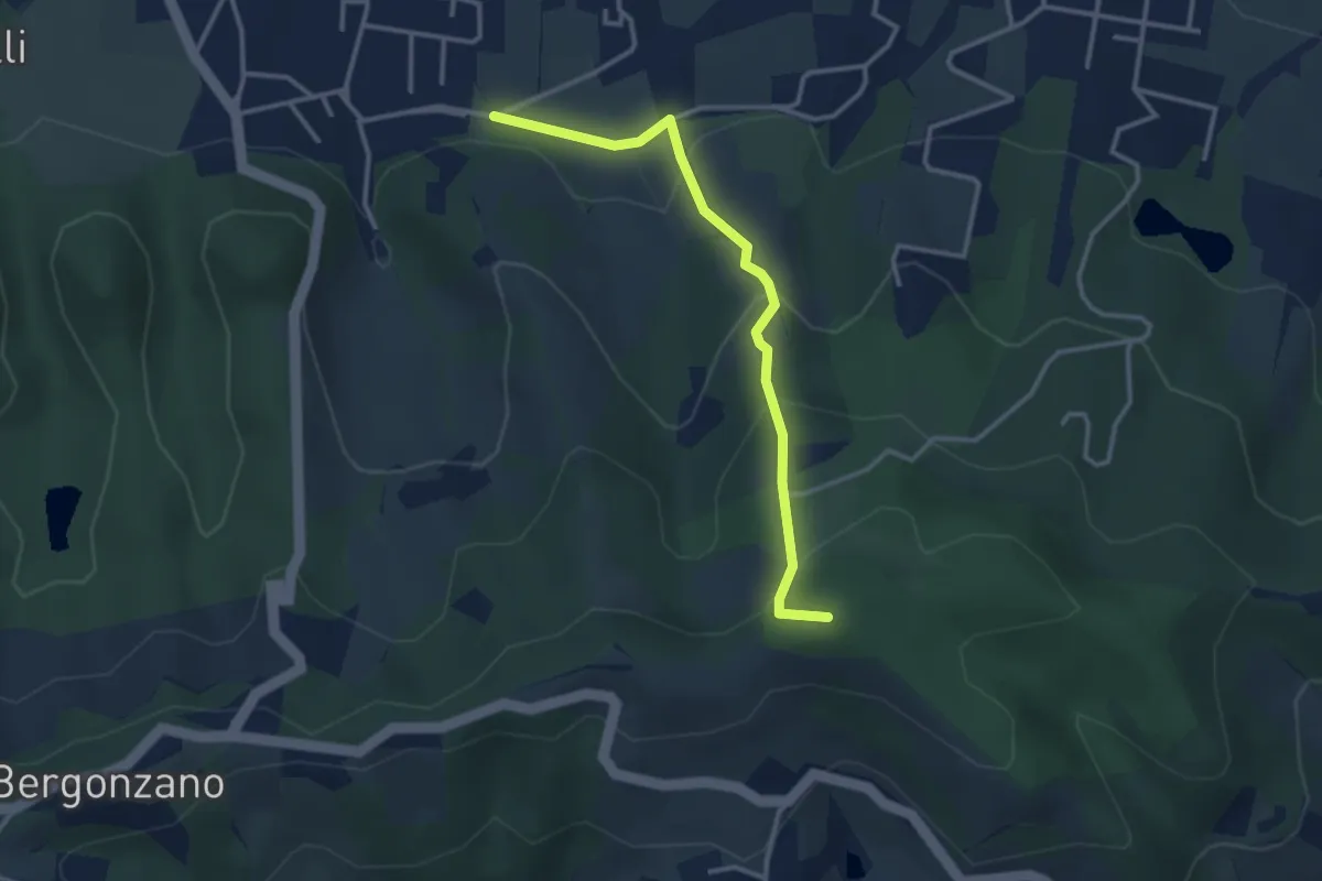
Easy · Summit
Quattro Castella – Sella Monte Biliano
3.3 km · ↑ 196 m · 1 h 12 min
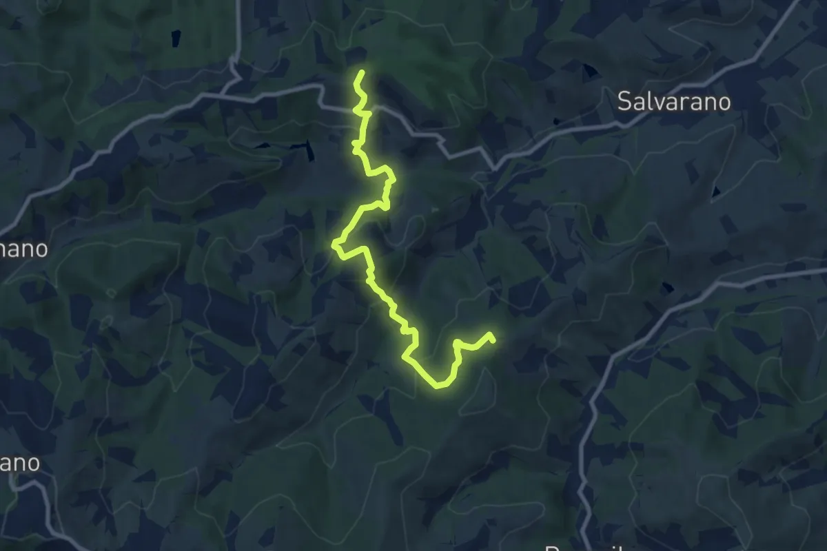
Easy · Summit
Monte Biliano – incrocio 646A
4.8 km · ↑ 282 m · 1 h 49 min
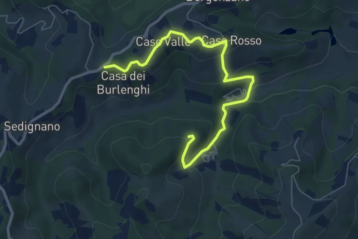
Easy · Trail
Madonna della Battaglia – Sentiero Ducati
6.6 km · ↑ 242 m · 2 h 6 min
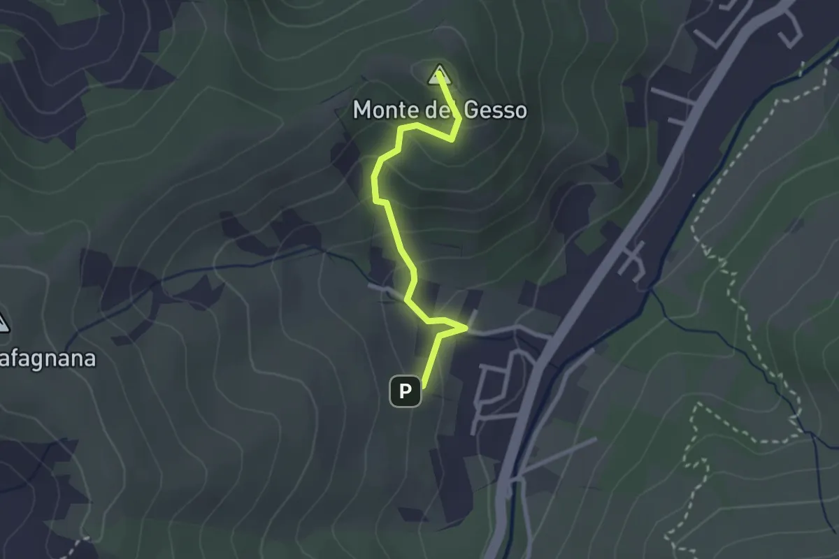
Easy · Summit
Percorso 646 – Monte del Gesso
2.3 km · ↑ 167 m · 54 min
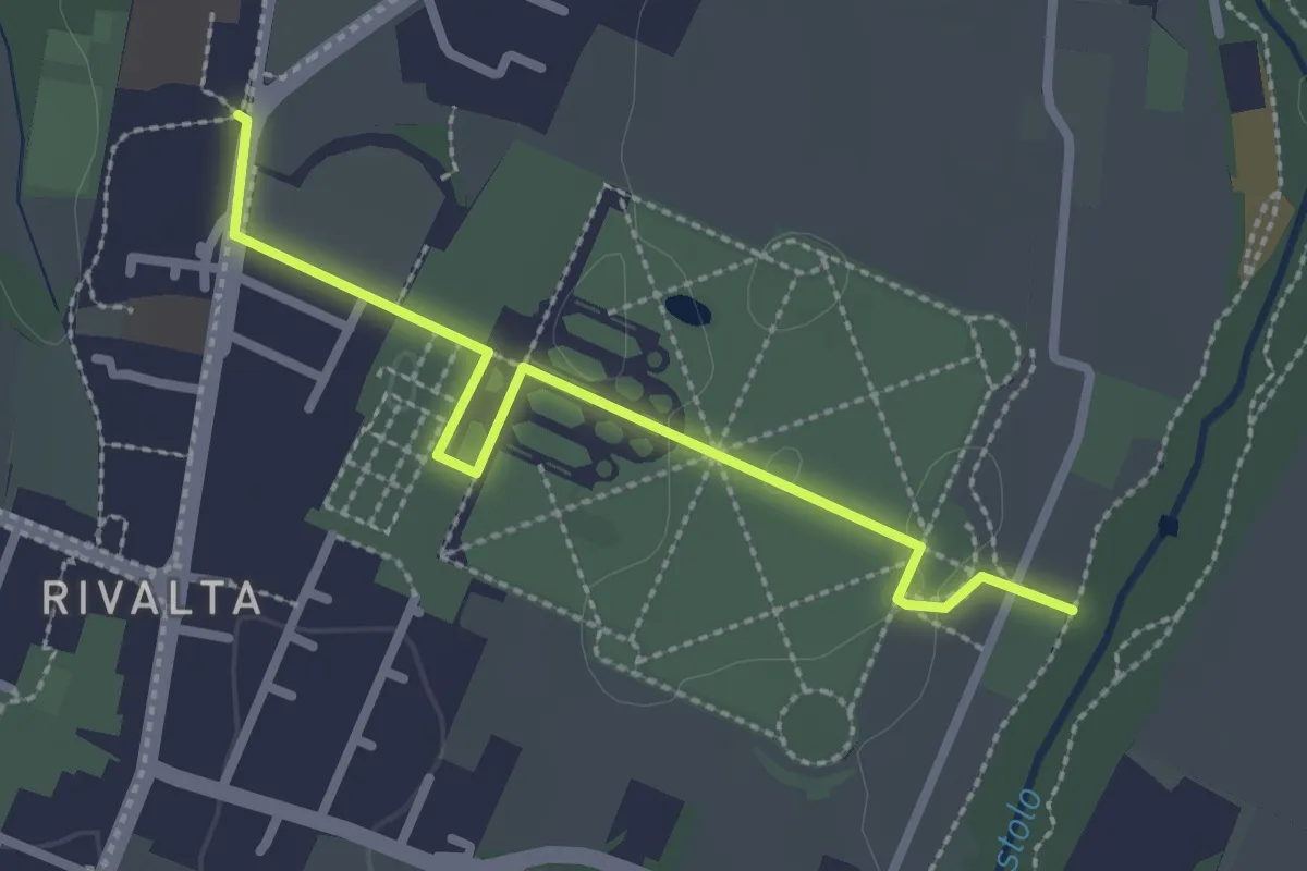
Easy · Trail
Percorso 646D (Rivalta Palazzo Ducale) – Percorso 646 Rivalta Locanda
2.7 km · ↑ 4 m · 39 min
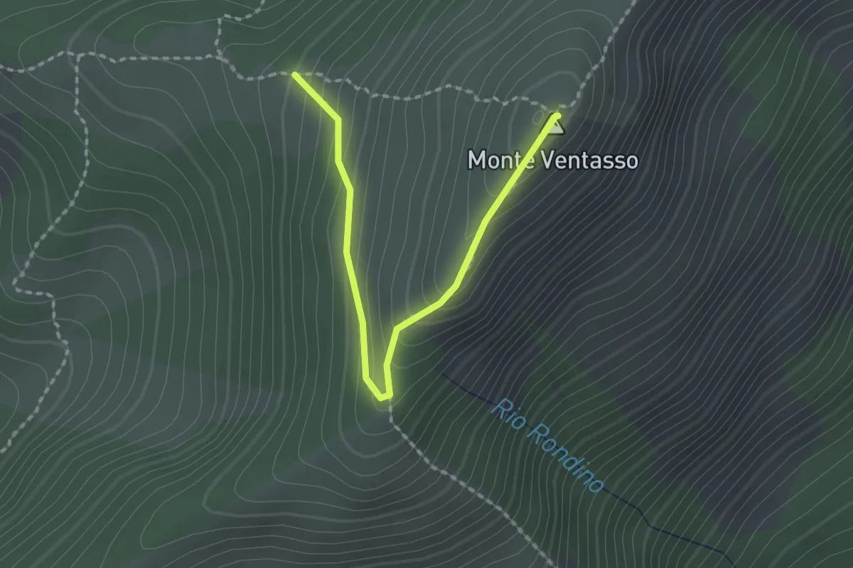
Easy · Summit
Percorso 661 – Monte Ventasso
2.1 km · ↑ 168 m · 51 min
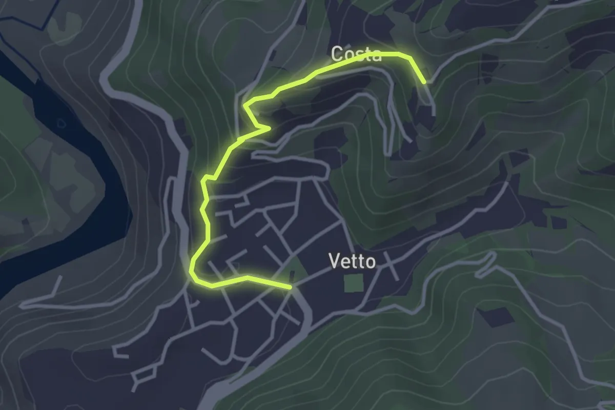
Easy · Trail
Sentiero SD – Vetto
3.2 km · ↑ 171 m · 1 h 7 min
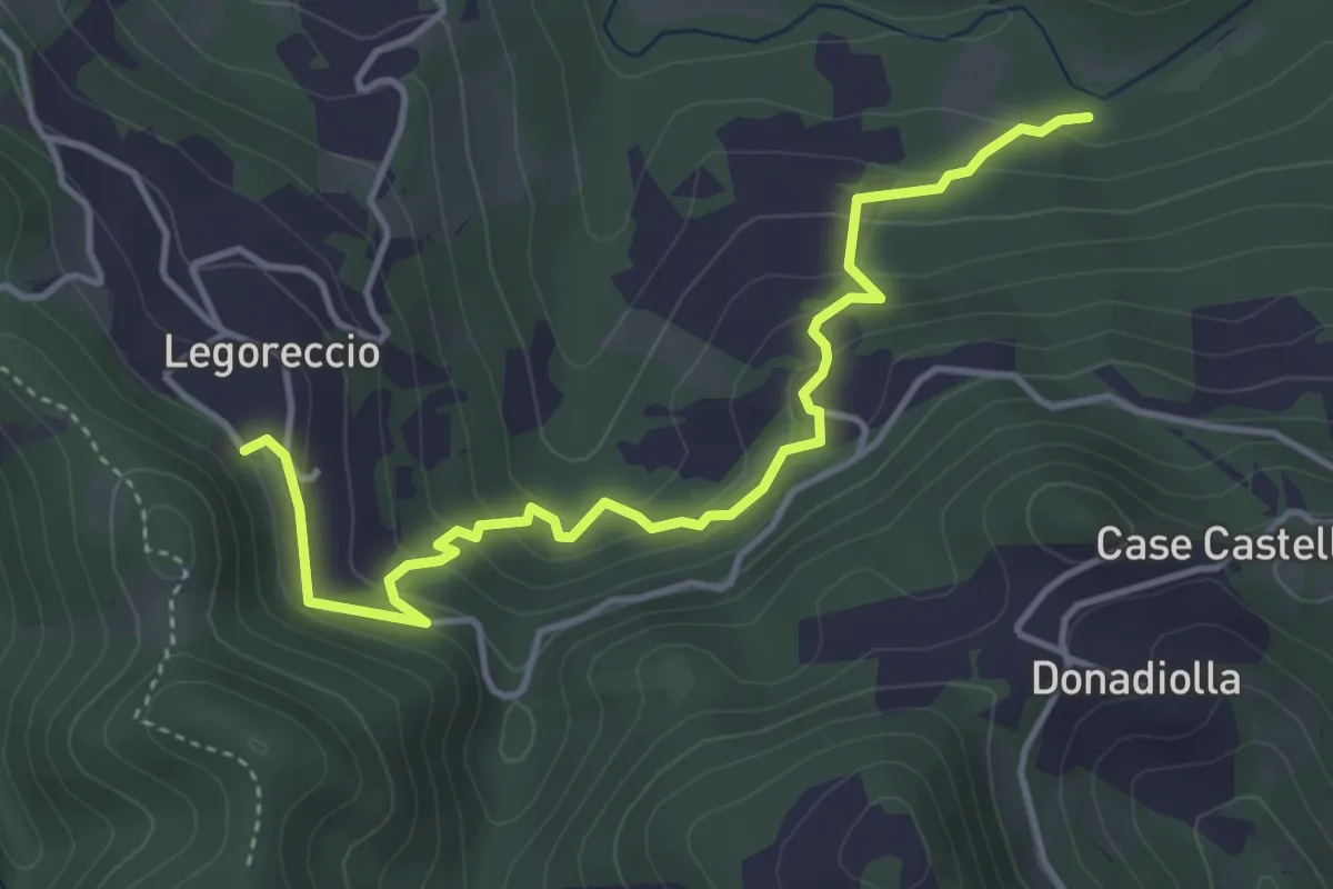
Easy · Trail
Percorso 660B – Legoreccio
4.6 km · ↑ 314 m · 1 h 46 min
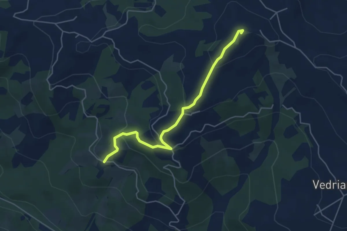
Easy · Summit
Crognolo – Cadrazzolo
4.3 km · ↑ 226 m · 1 h 31 min
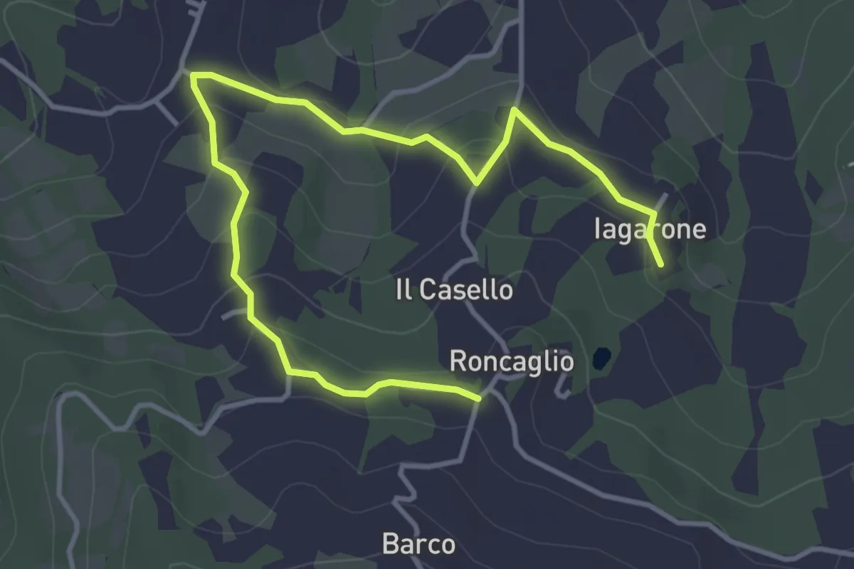
Easy · Trail
Iagarone – Roncaglio
4.8 km · ↑ 190 m · 1 h 32 min